
Upper Shing Mun Reservoir: The Best Shaded, Easy Hike for a Hot Summer Day
Contents
- Essential Information
- Hike Highlights
- Google Route Map
- How to Get There
- Quick Route Summary
- Detailed Route
- Crossing Shing Mun Main Dam
- IMPORTANT: Turn Left After Crossing the Main Dam
- The First Little Stream
- Back Up to another Concrete Road
- Secret Cool Pool Detour
- The Pavilion of Legendary Bovines and Birds
- Monkey Massage Parlor Picnic Area
- The Secret Waterside Grove of Philosophy Monkey and Turtle King
- The Paperbark Trees
- Back to the Minibus (End/Start Point)
- Getting Back
Essential Upper Shing Mun Hike Details
- District: New Territories
- Duration: 2.5 hours (with no breaks)
- Distance: 9km
- Highest Elevation: 250ish meters
- Difficulty: 1.5/5
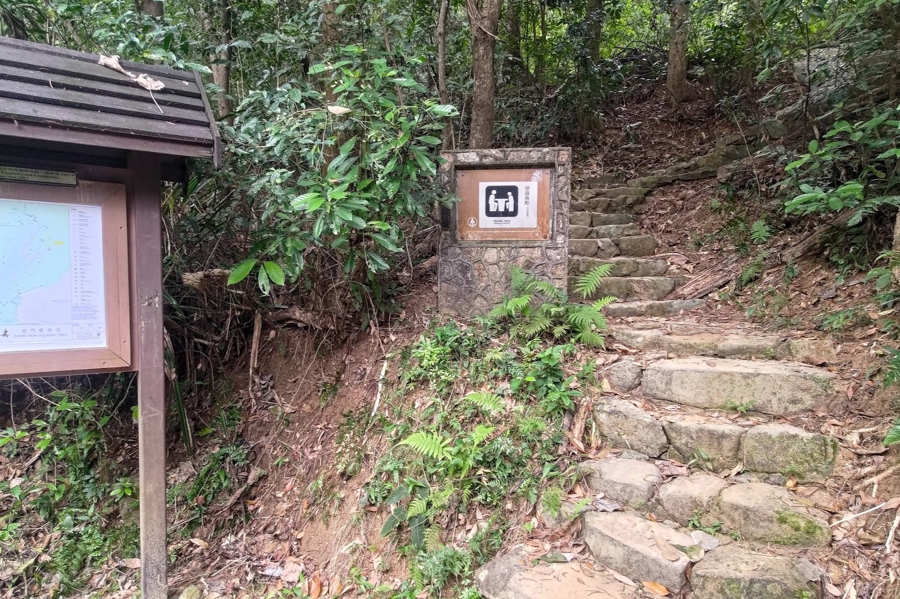
- Facilities: Snack kiosk at the start and end (8/9am - 4/5 pm daily, cash only) and toilets throughout
Why Hike Upper Shing Mun Reservoir?
If you're on the hunt for a hike to do when the temperature soars above 30 degrees Celsius, this could be just the ticket. As far as hiking locations go, Upper Shing Mun Reservoir is a place that's full of secret picnic spots, tranquil chillout areas and wonderful wildlife encounters just waiting to brighten up your day.
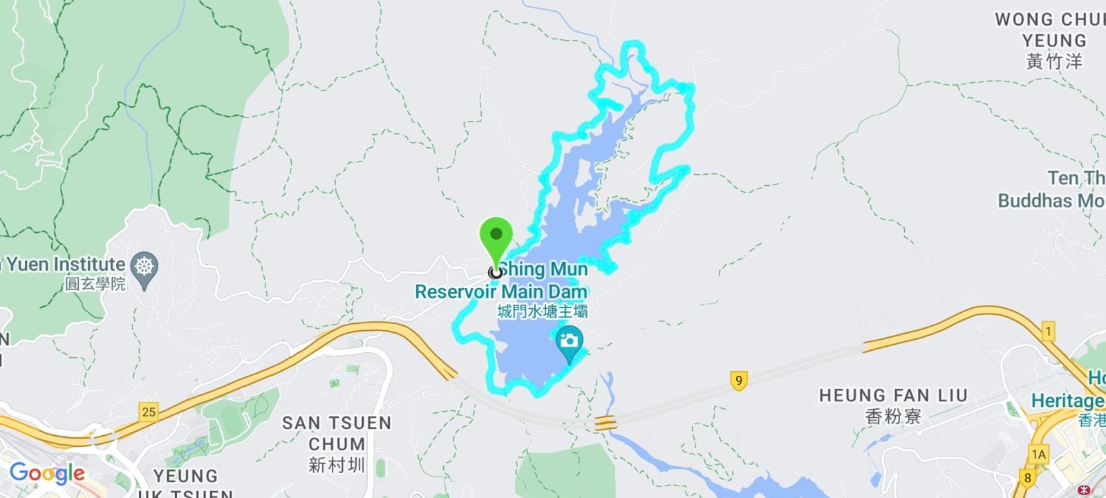
The trail is a loop that follows the perimeter of the Upper Shing Mun Reservoir, meaning you'll end where you started.
Being so close to the water almost guarantees that you'll have a cool breeze to comfort you throughout the duration of your hiking adventure. There are also several little streams and pools along the way where you can cool off in refreshing, clean water.
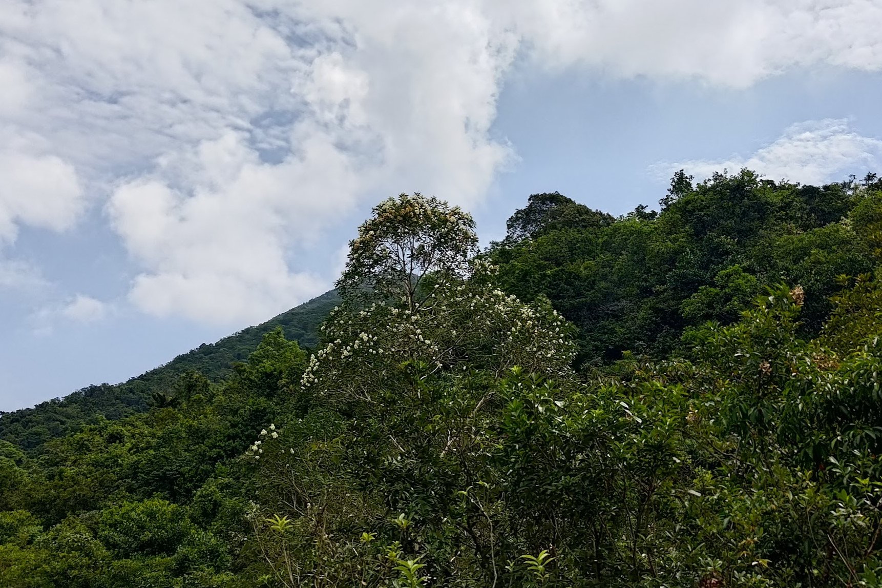
Better yet, pretty much the entire hike is shaded with large trees and a lush canopy taking the brunt of the summer sun.
Finally, the hike features almost zero uphill sections, so you can attempt this route no matter your skill level.
This is also a great hike for families with young kids since there are plenty of chances to see amazing (harmless) wildlife along the way.
Google Route Map
How to Get to the Upper Shing Mun Hike Start Point
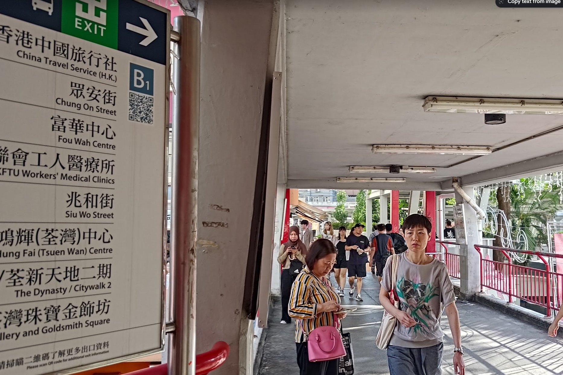


Take the MTR to Tsuen Wan Station. Leave through exit B1 and cross the footbridge.
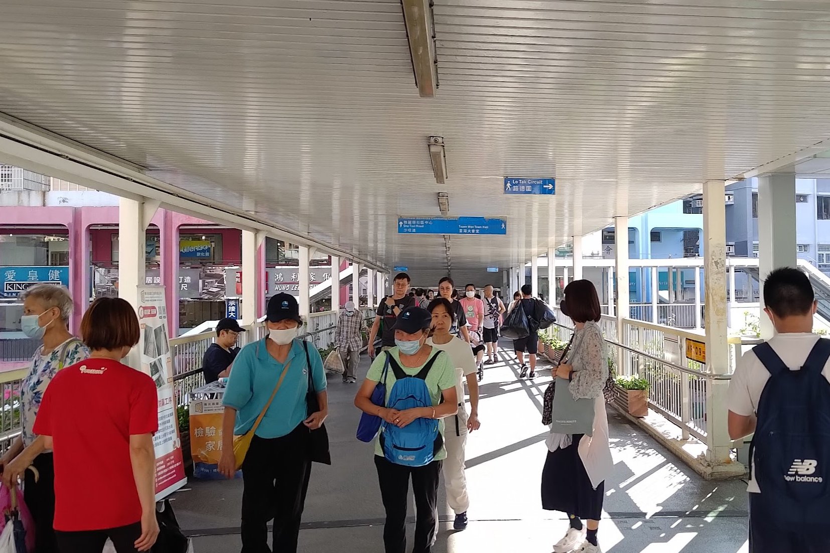
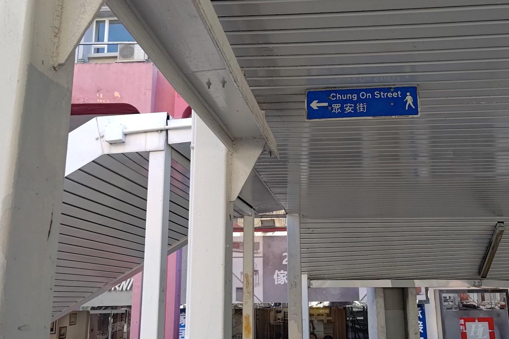
Go past the shops and connect to the second footbridge where you'll see a small blue 'Chung On' sign pointing down the stairs to your left.
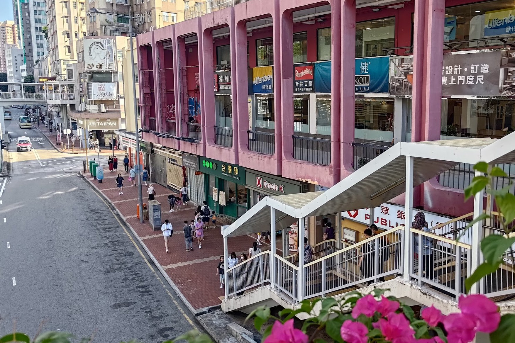
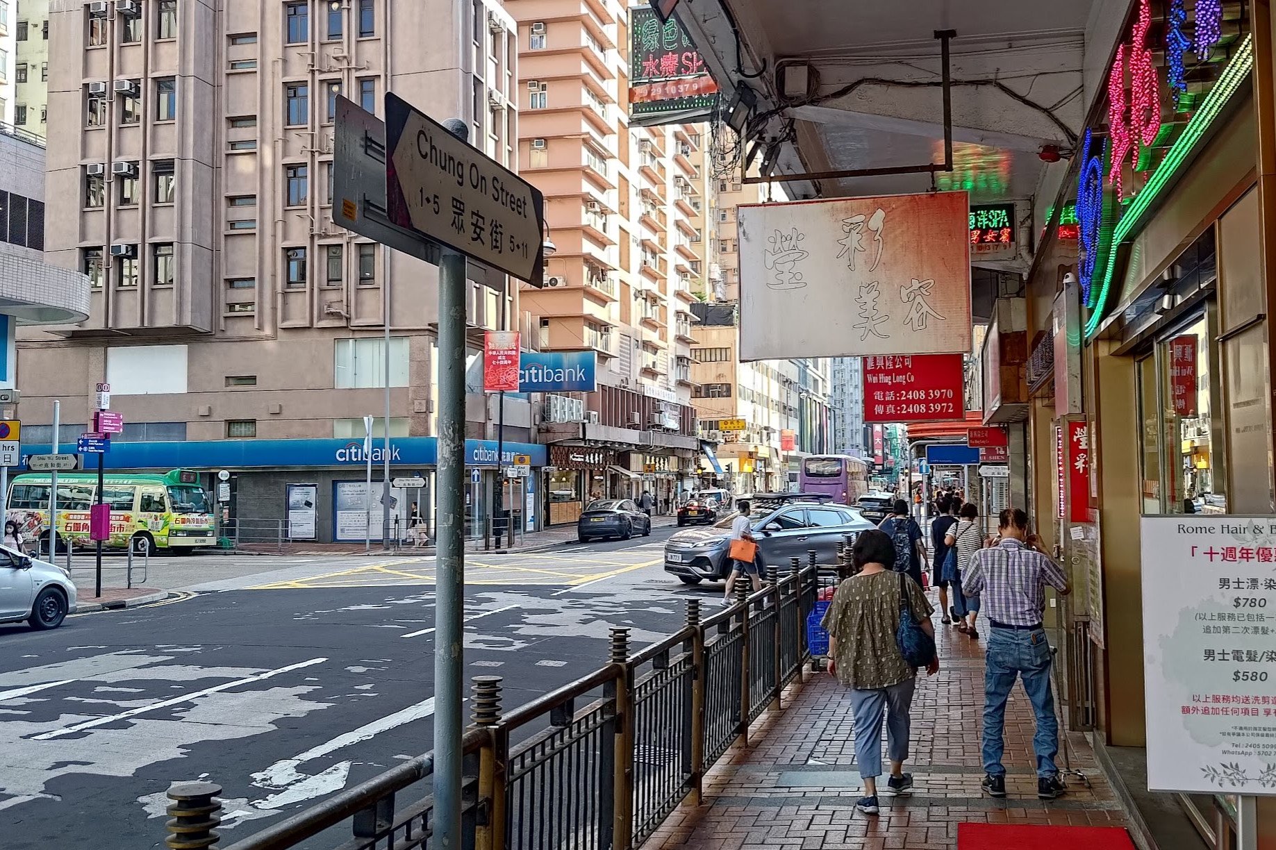
Walk down the stairs and continue straight until you see Chung On Street. Turn right to go down Chung On Street until you arrive at the intersection with Shiu Wo Street. You'll find green minibus number 82 to your right.
You can find the bus schedule here. Get off at the last stop.
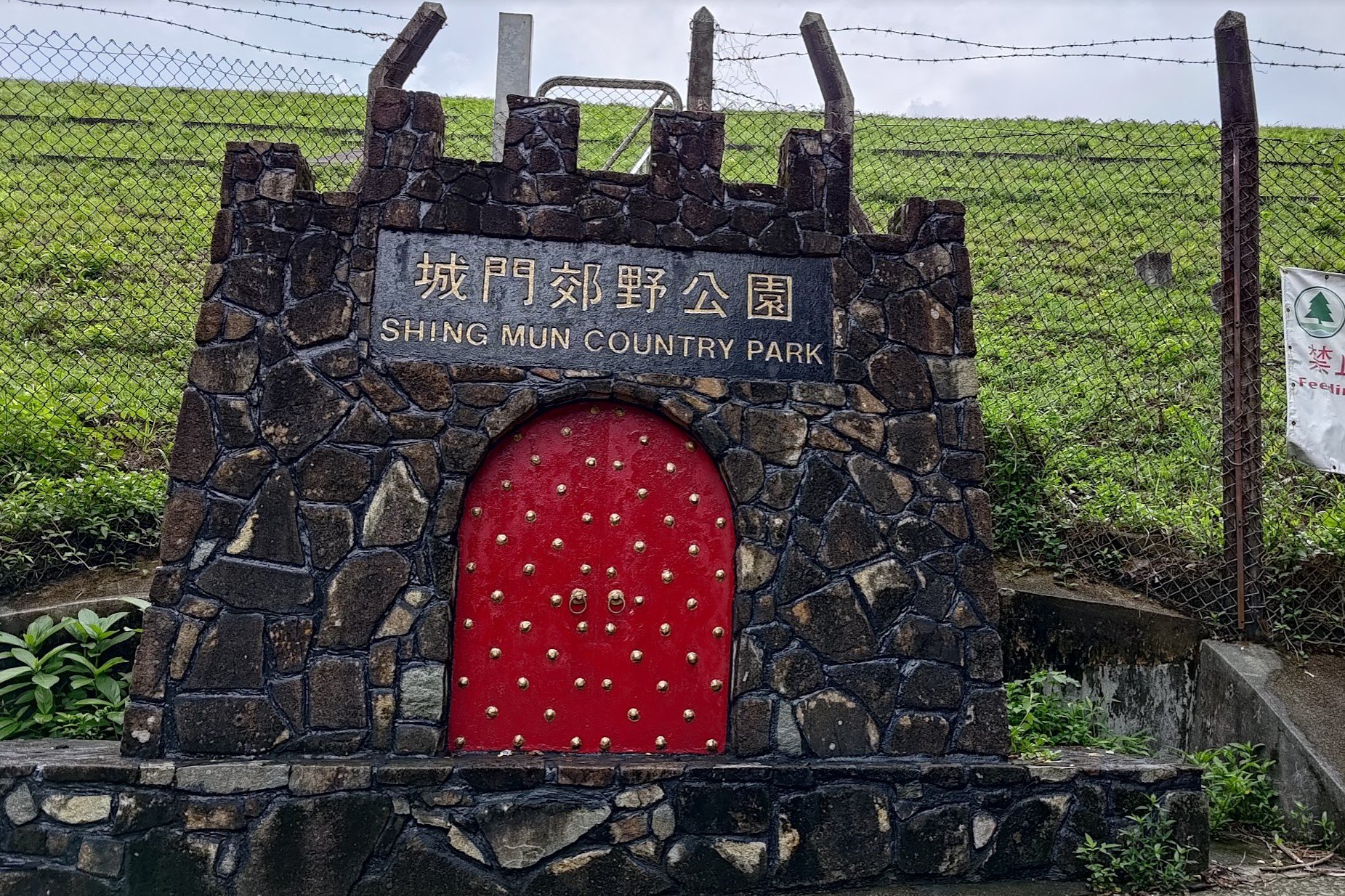
The 82 bus will take you directly to Pineapple Dam (part of Upper Shing Mun Reservoir), which is the start point of the hike.
Quick Upper Shing Mun Reservoir Hike Summary
- After getting off the bus, follow the road past the 'Shing Mun Country Park' gate decoration sign
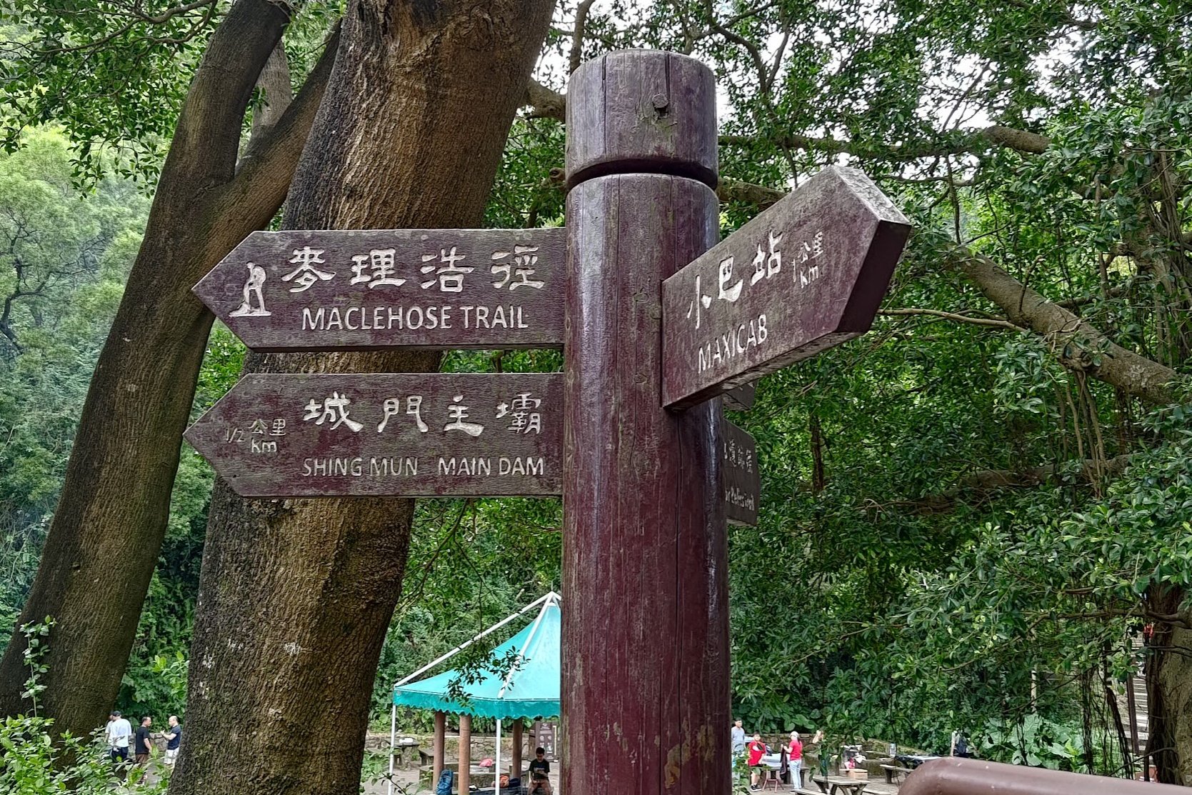
- 15 minutes later, follow the sign pointing to 'Shing Mun Main Dam'
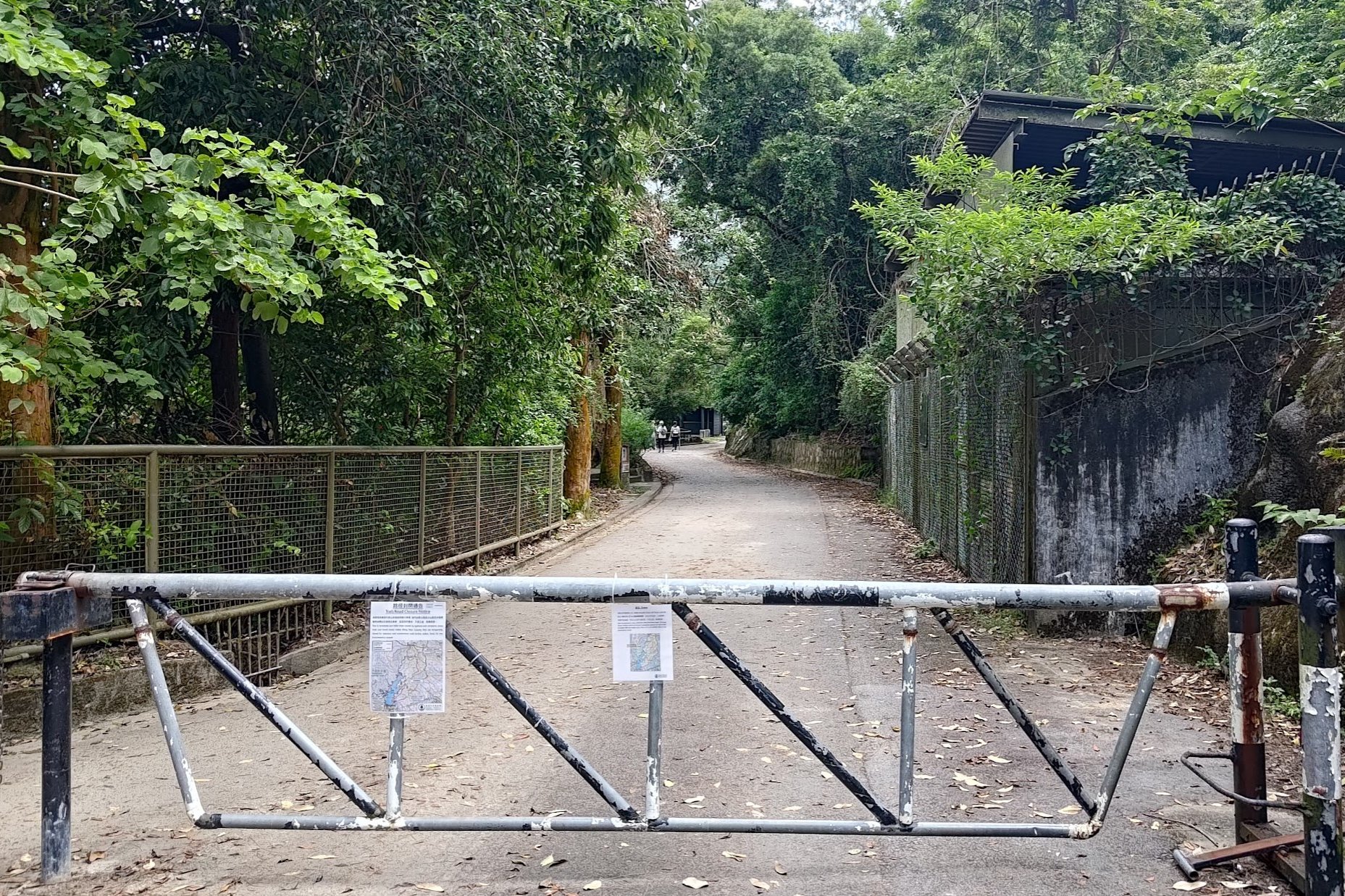
- Go through the barricade that's designed to keep cars out
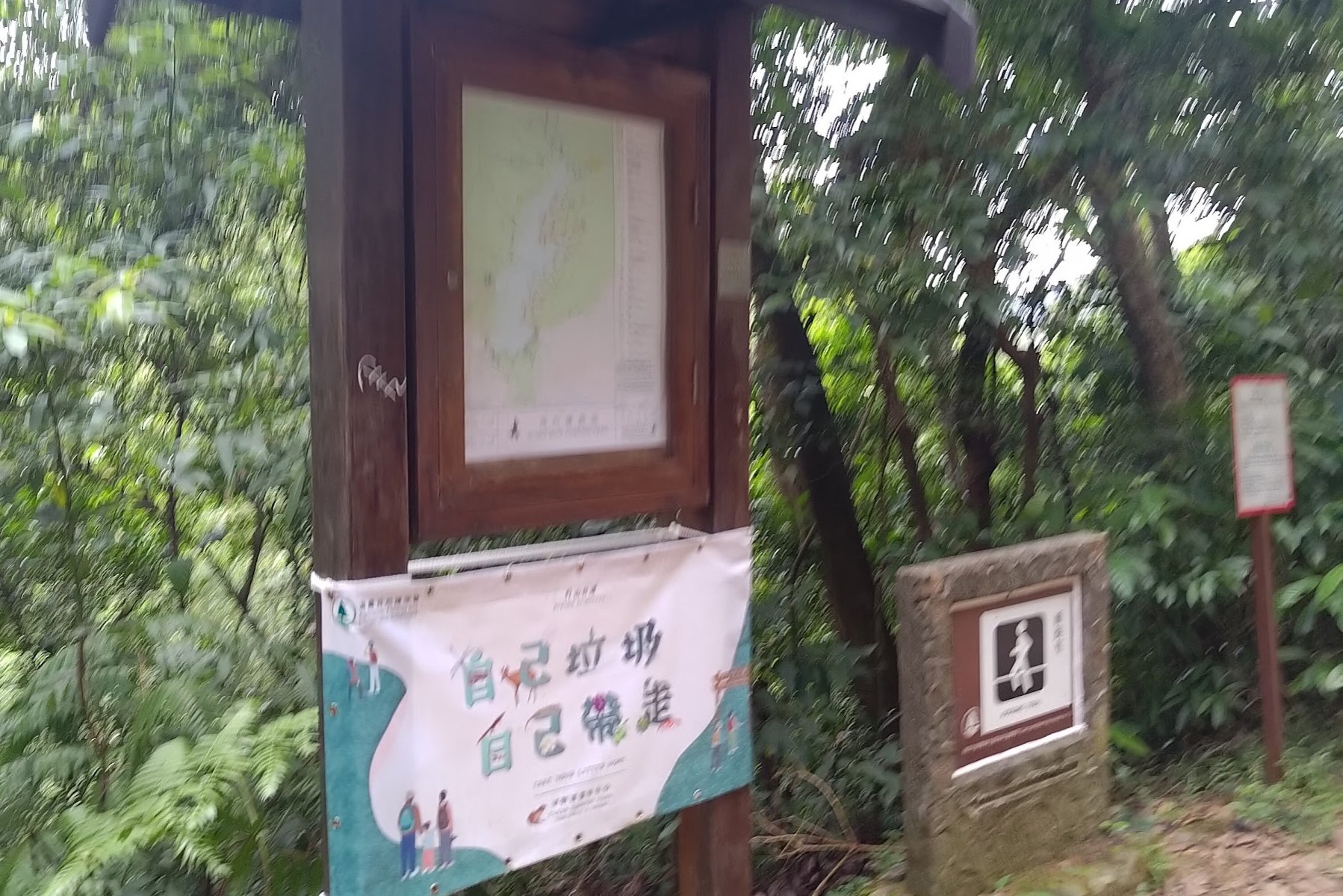
- Cross the main dam and turn left at the end, walking past the 'Wilson Trail Section 7' map and sign
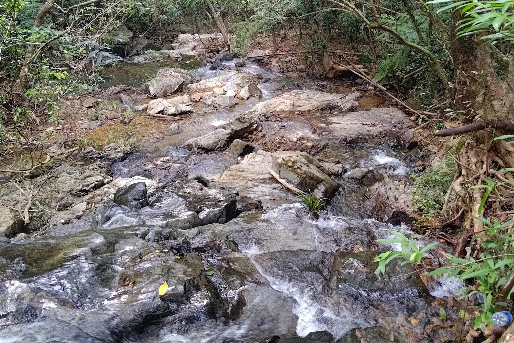
- Follow the natural trail for 30 minutes, after which you'll see a stream that you can cool off in
- 10 minutes later, take the stairs on the right that lead you to a concrete road
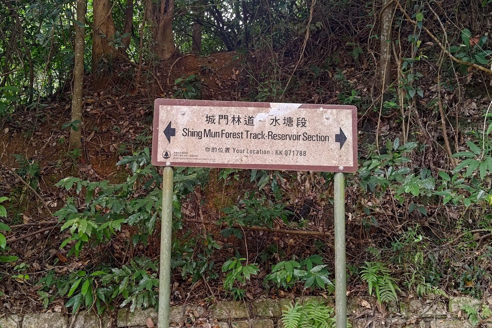
- On the road, follow the 'Shing Mun Forest Track' sign to the left
- A few minutes later, follow the 'Pineapple Dam. Lead Mine Pass' sign
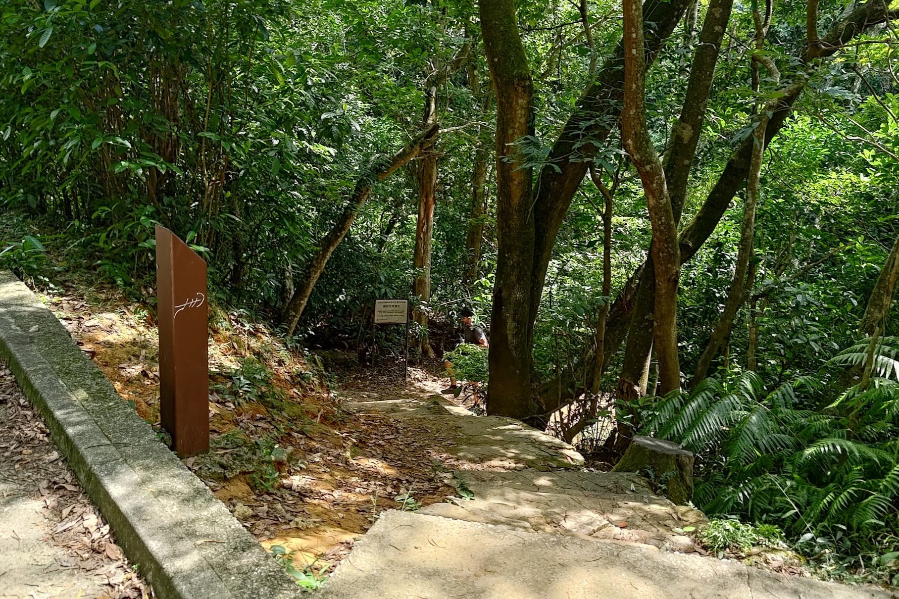
- Just over 5 minutes later, after crossing a bridge, look for a set of stairs next to a bunch of signs and a thin, wooden post. This leads to a cooling stream. Retrace your steps when you're done
- Keep walking past the pavilion in the grassy picnic area
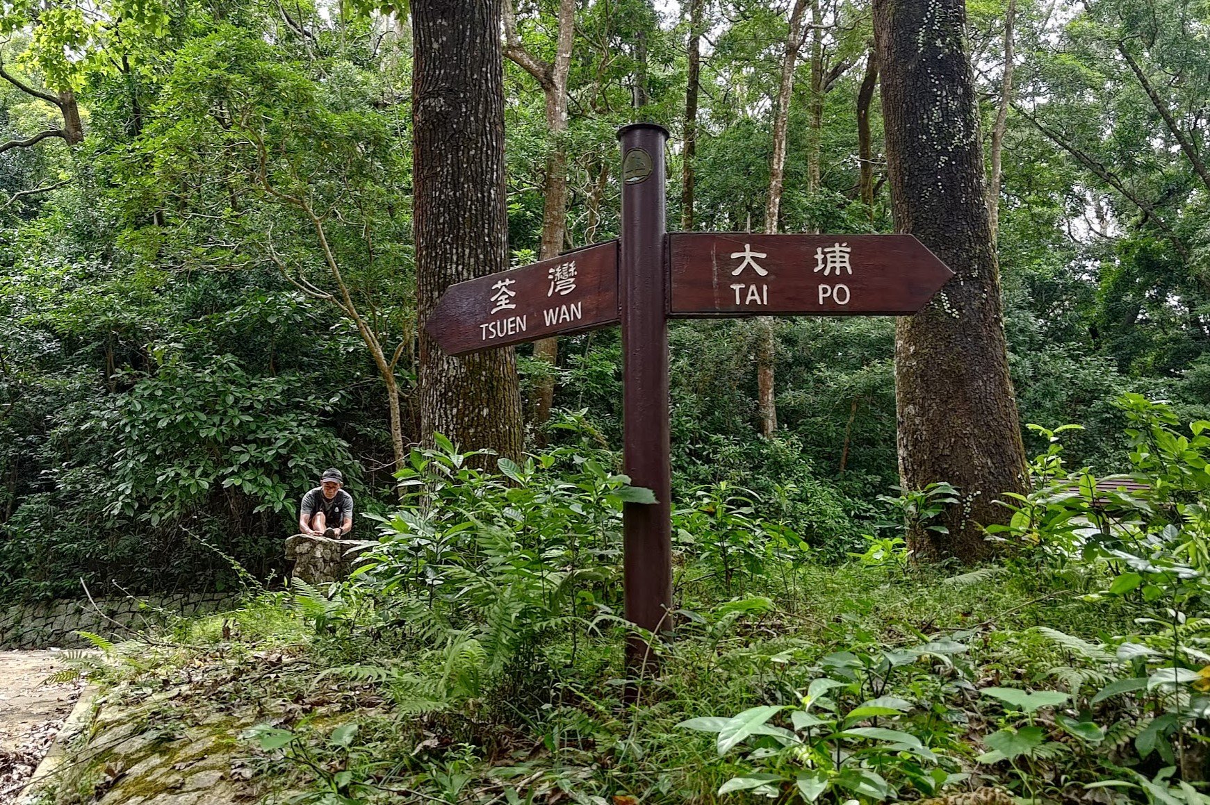
- Follow the next sign left toward 'Tsuen Wan'
- Stay on the concrete road and continue over another bridge
- Perhaps 3 minutes after the bridge, you will see an unmarked detour to your left. This has the best waterside views of the whole hike. Try not to miss it. There's also a hidden path that takes you further along the water that you should locate. Retrace your steps back to the concrete road after
- You'll see a sign for the 'Waterside Paperbarks' which is a beautiful spot, too. It can be crowded, which is why step 13 is the best waterside hangout spot
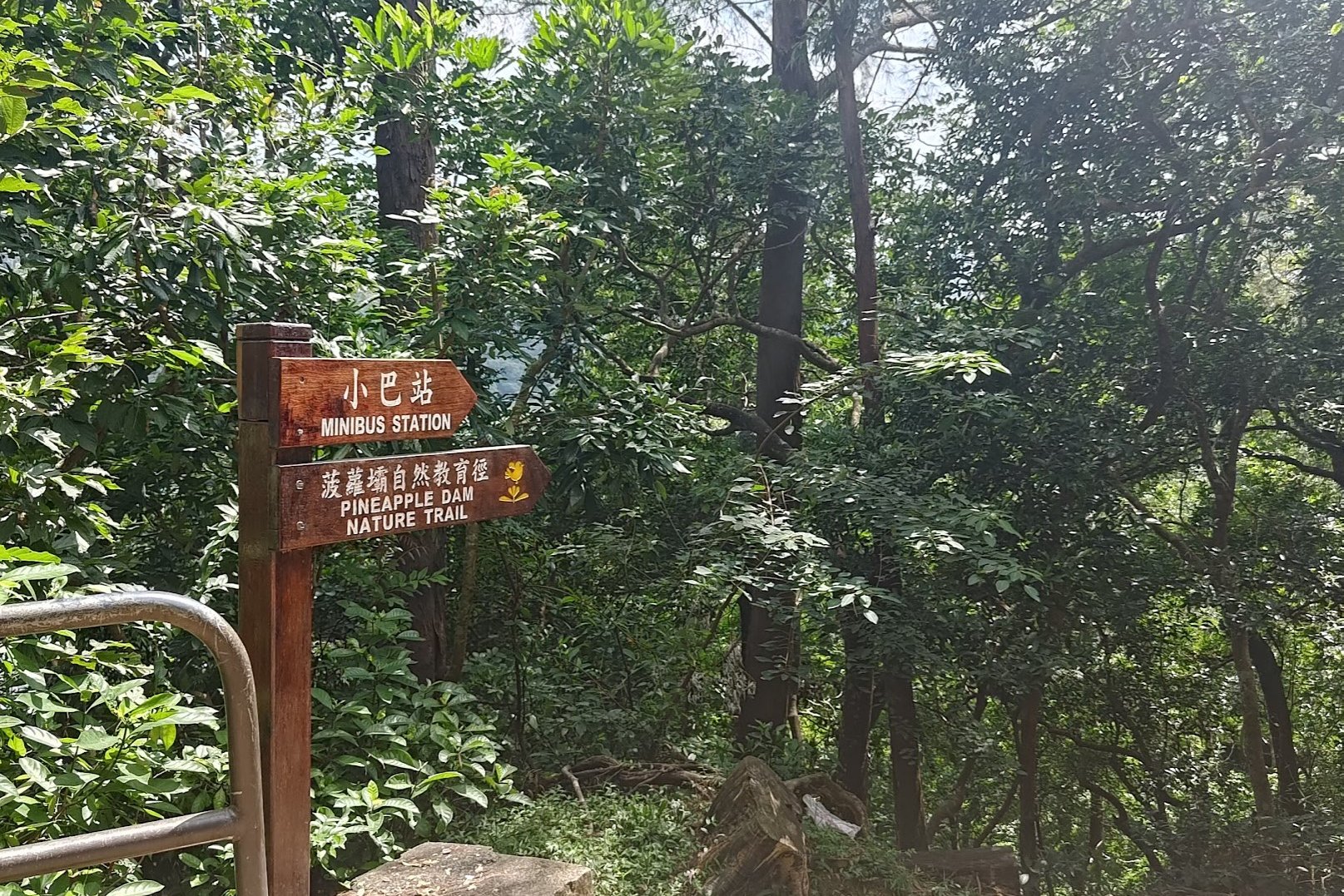
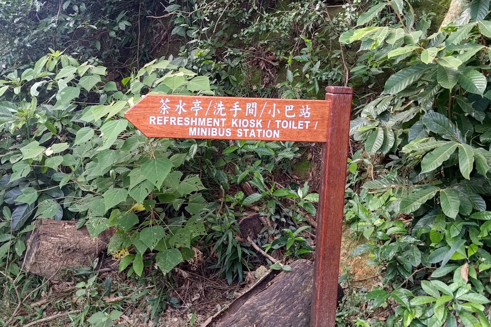
- After walking between the massive trees, you'll see a 'Minibus Station' sign, which you should follow
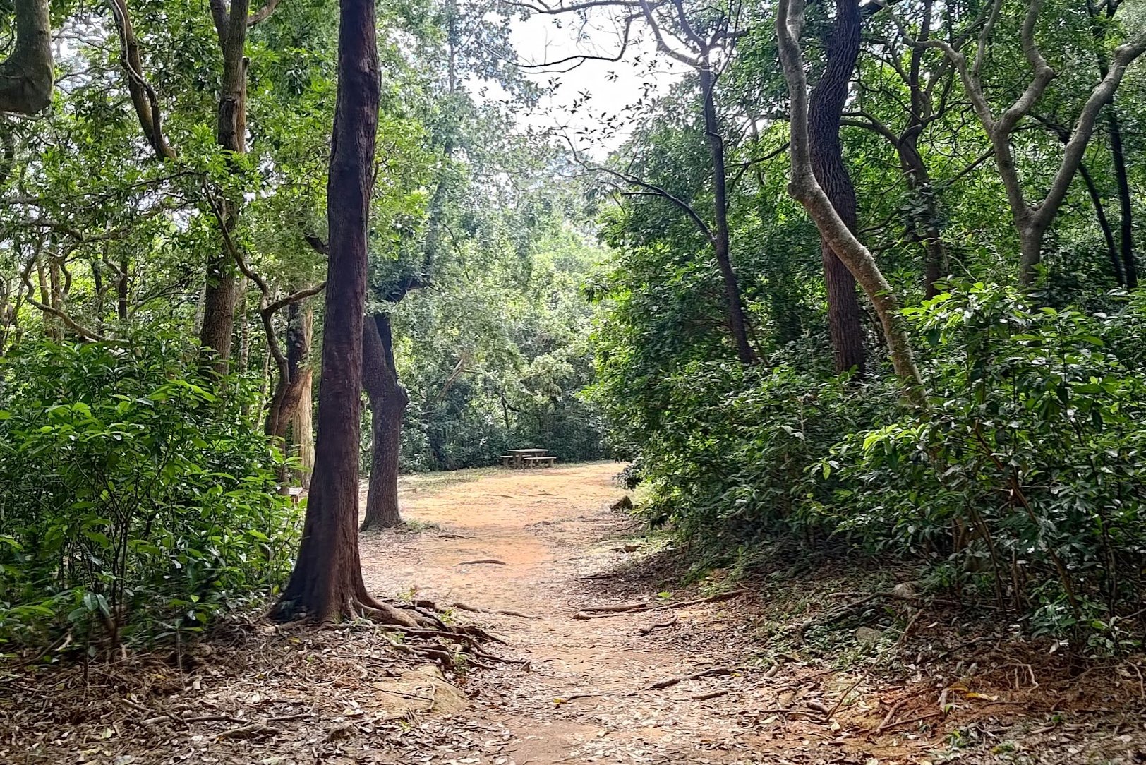
- Follow the dirt trail and take the path to the right of the pavilion in the open area
- Heed the 'Refreshment Kiosk/ Toilet/ Minibus Station' sign
- You'll end up back at the minibus stop (the start point of the hike)
From the Bus Stop to the Main Dam
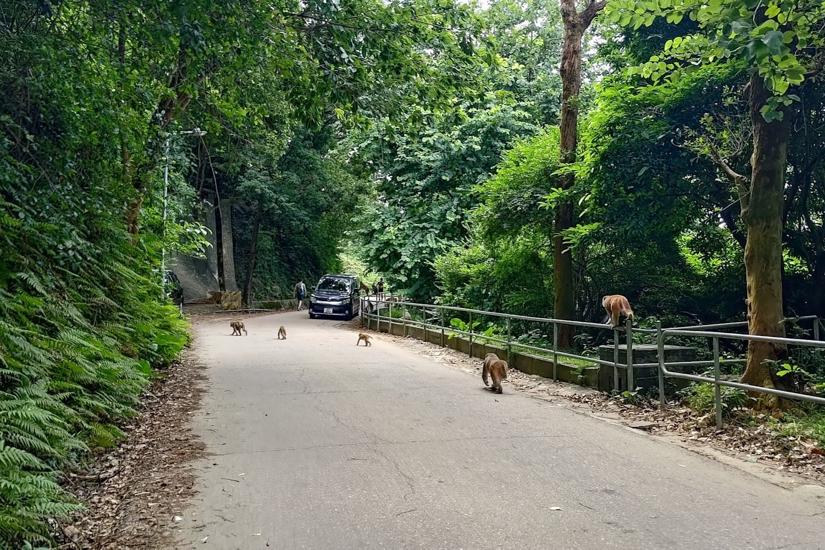
The walk from the bus stop to the main dam takes about 20 minutes. Despite all this section being part of a concrete road with cars driving by, you'll still have plenty of cool stuff to see.
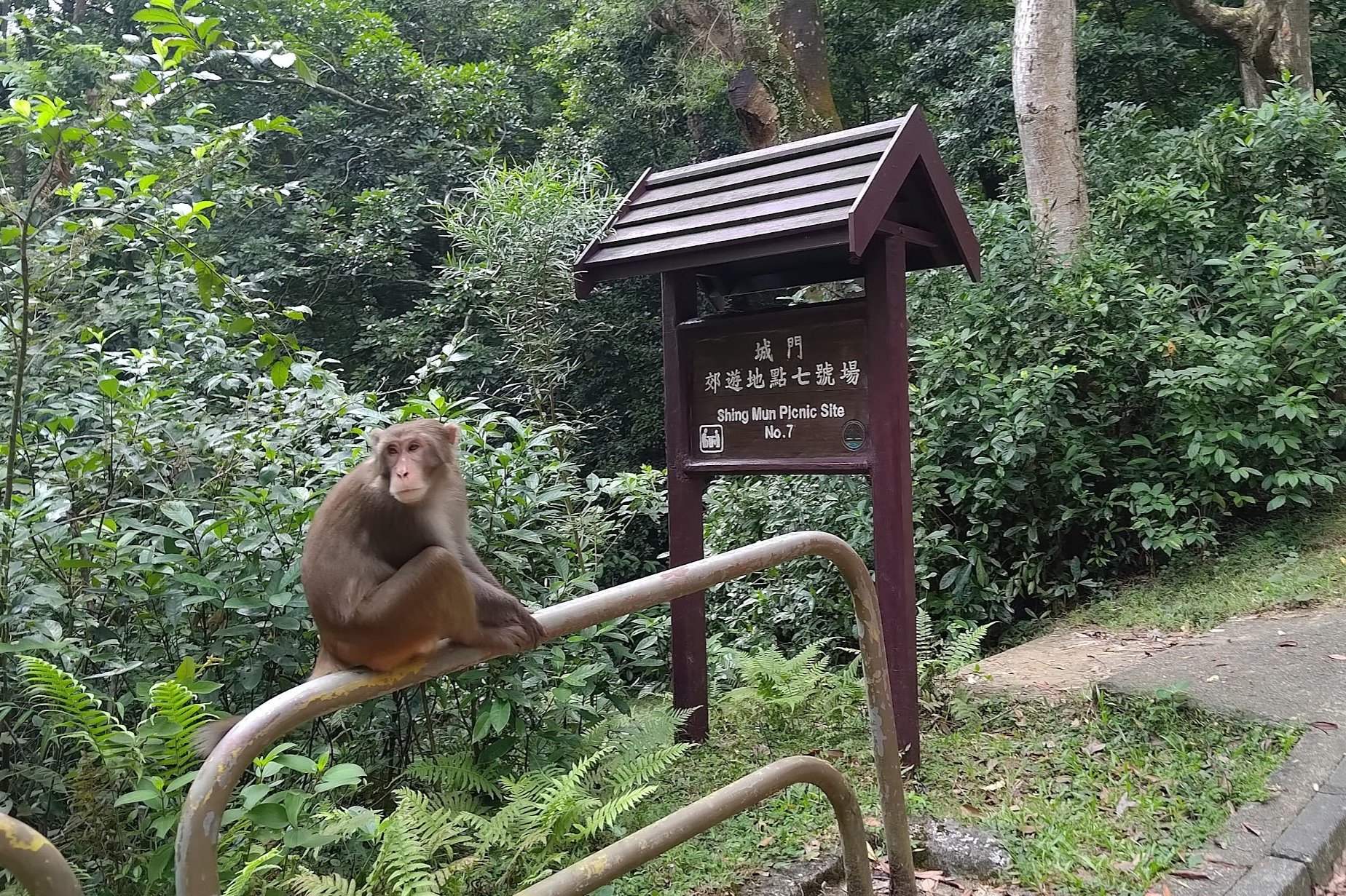
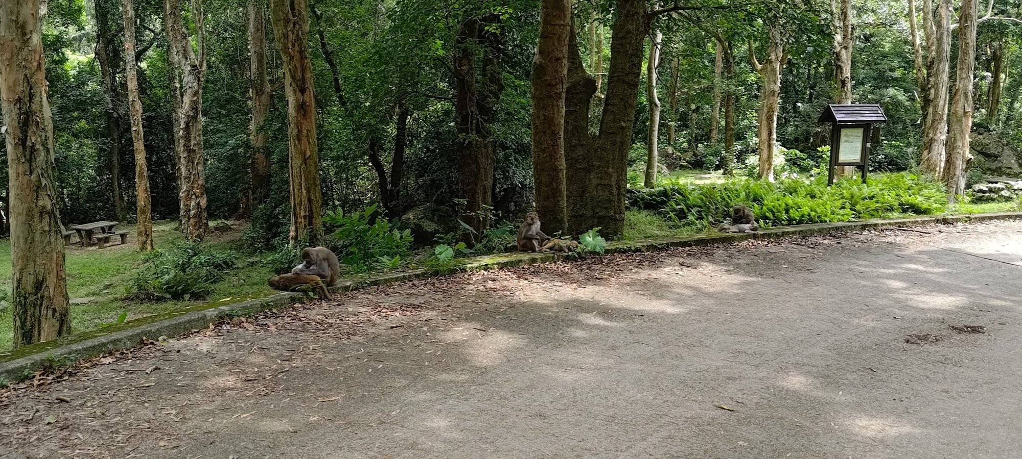
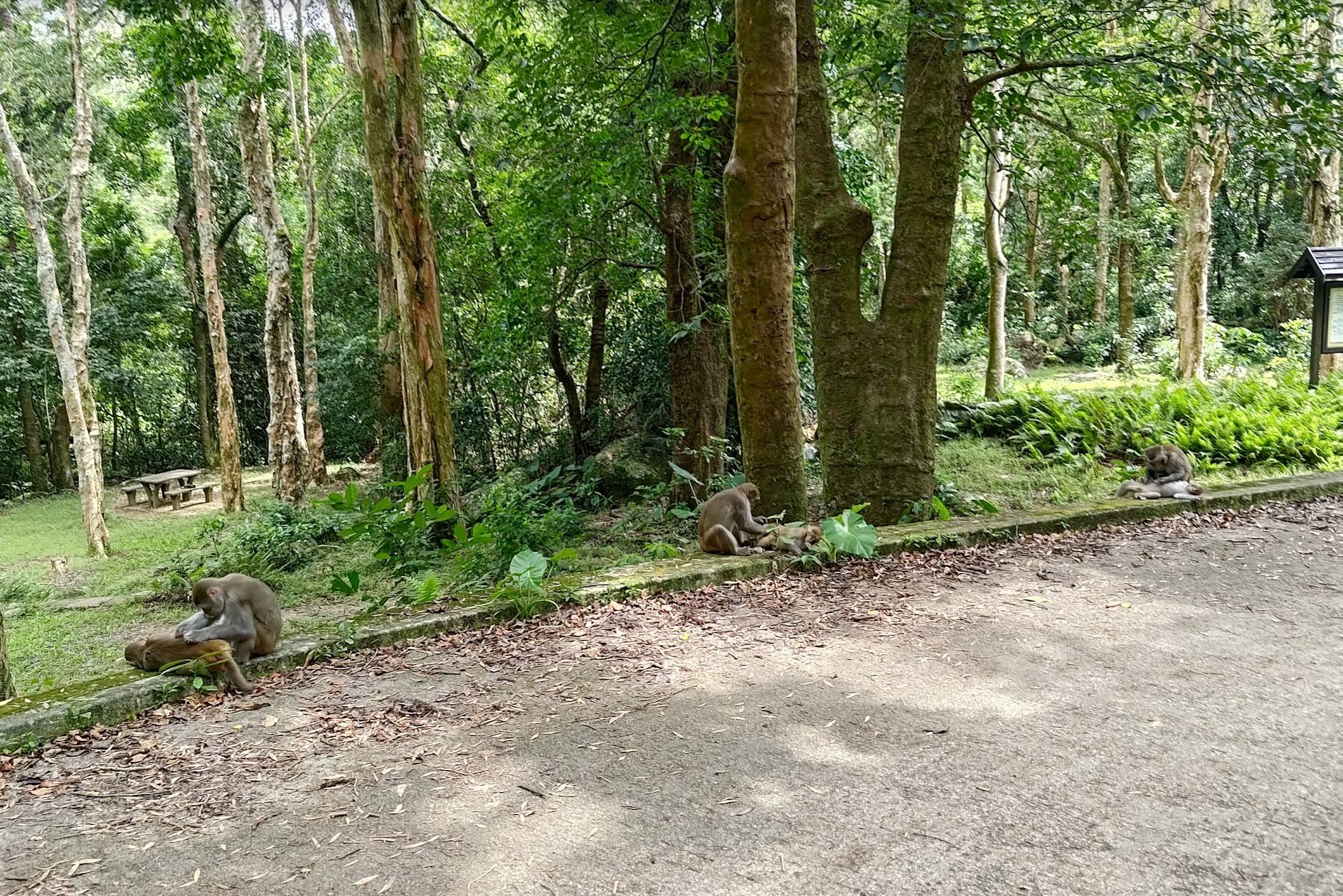
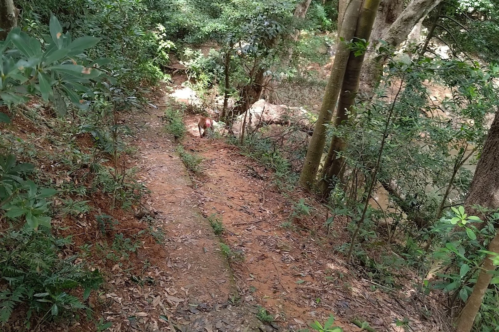
Monkeys are plentiful in this part of Hong Kong, so despite the dullness of the road, the playful antics of the macaques are sure to put a smile on your face.
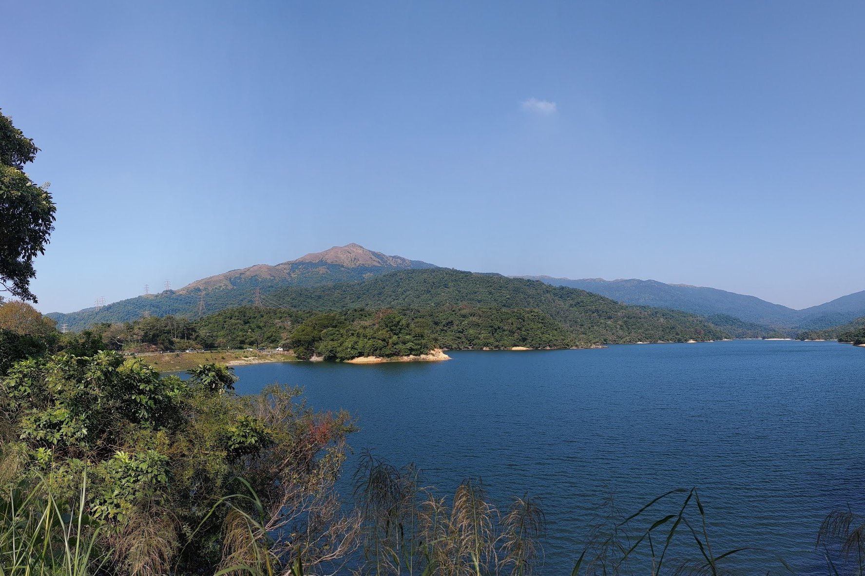
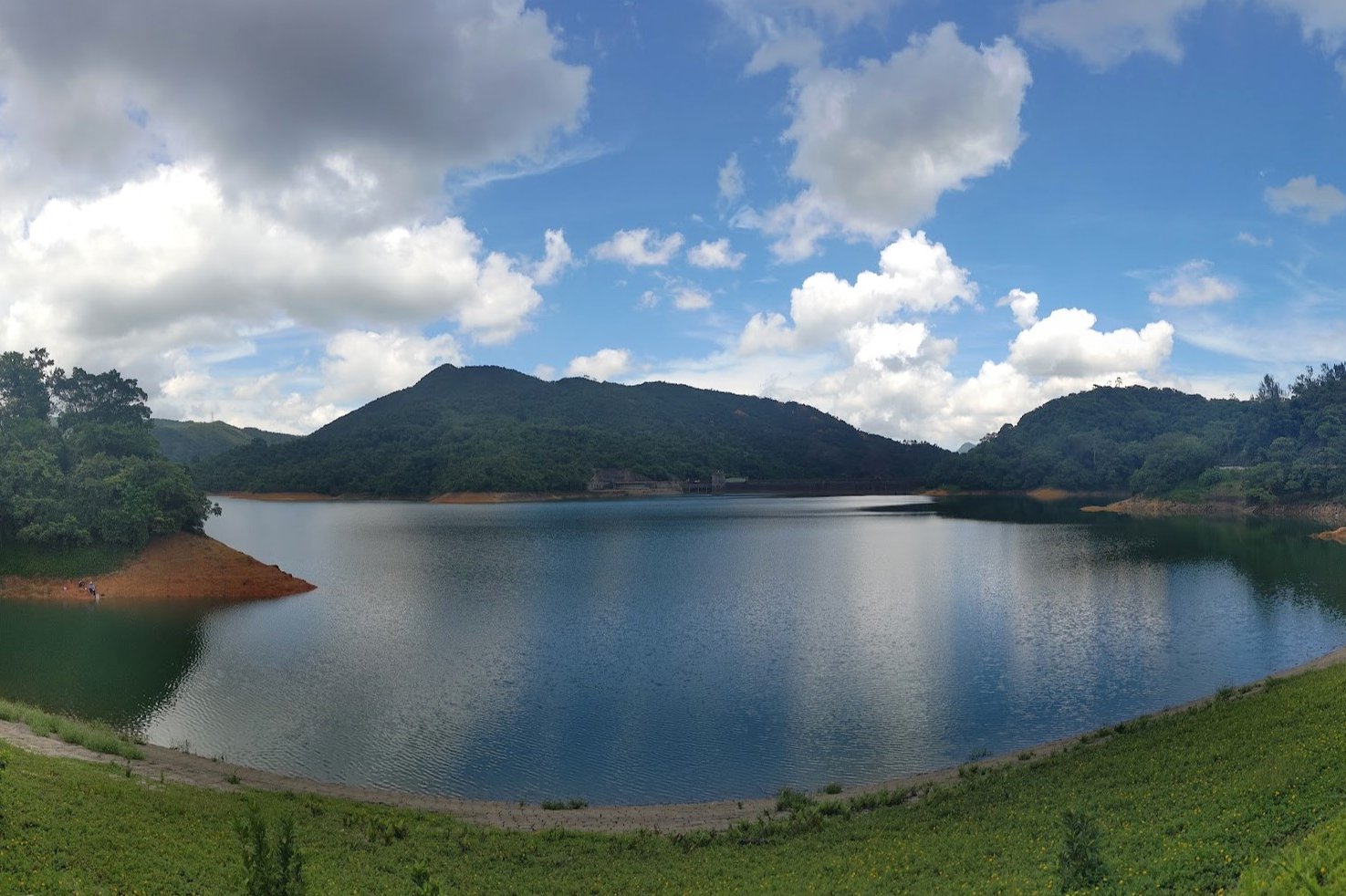
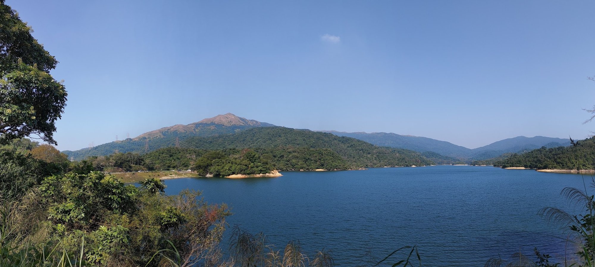
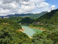
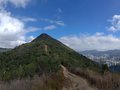
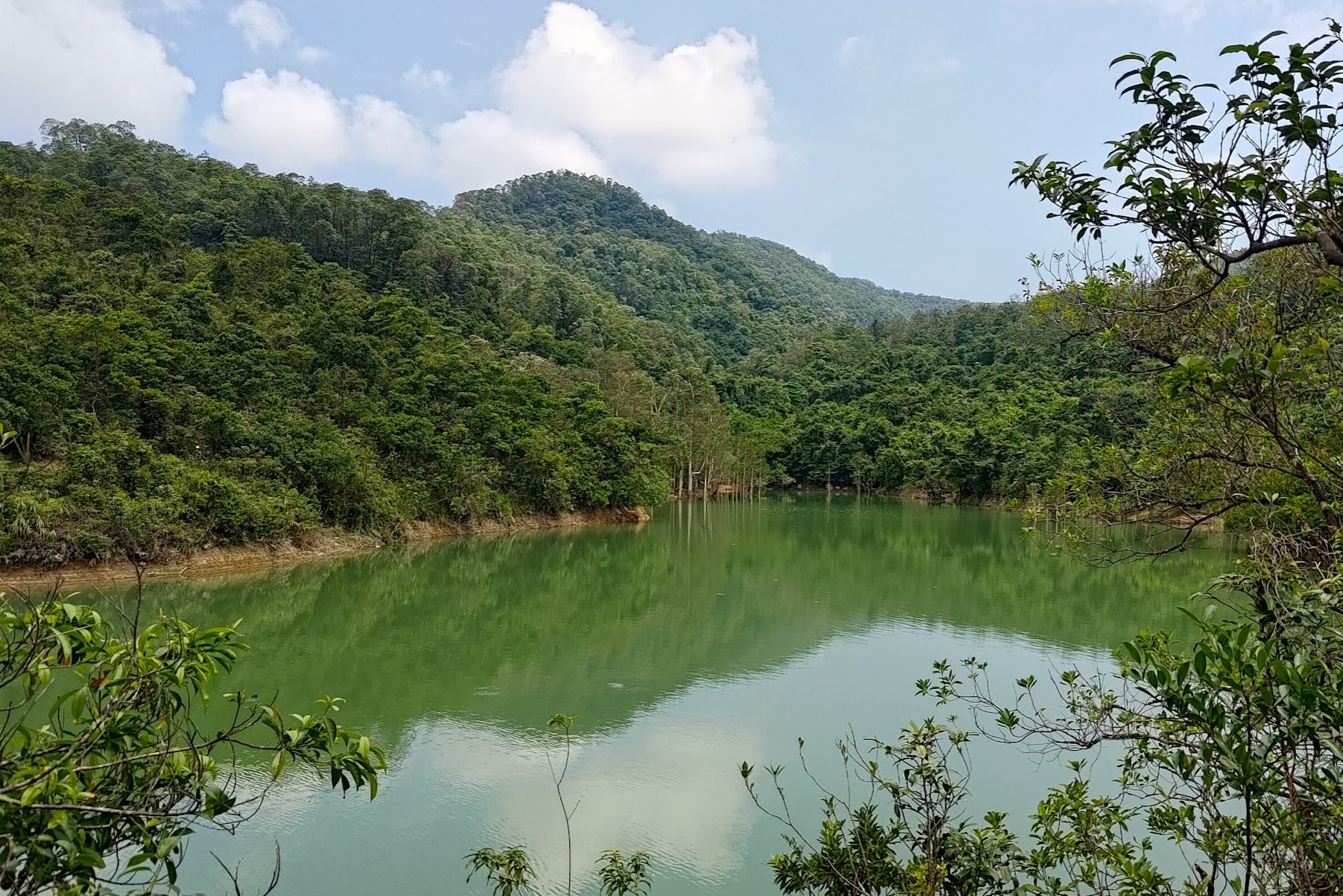
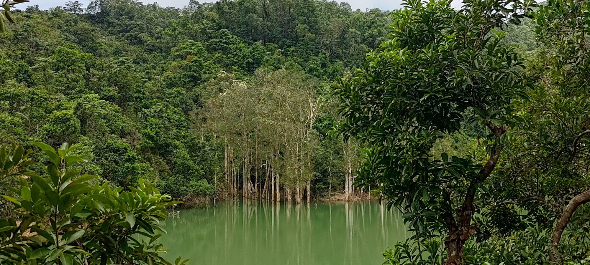
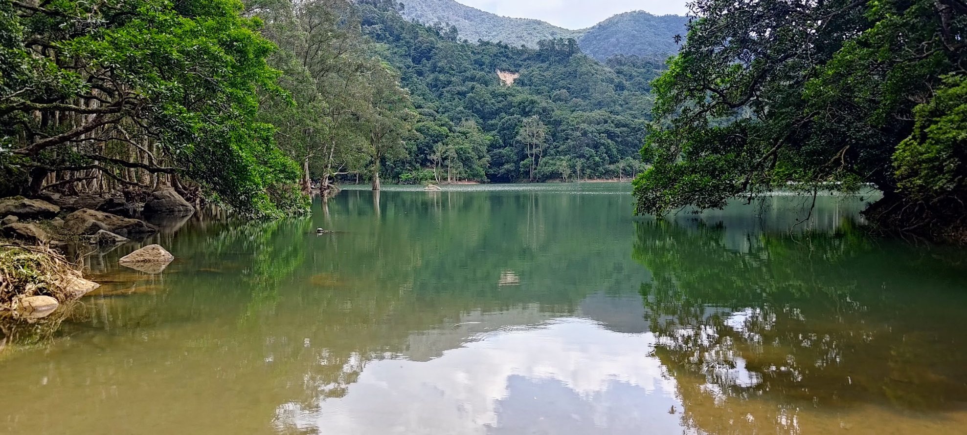
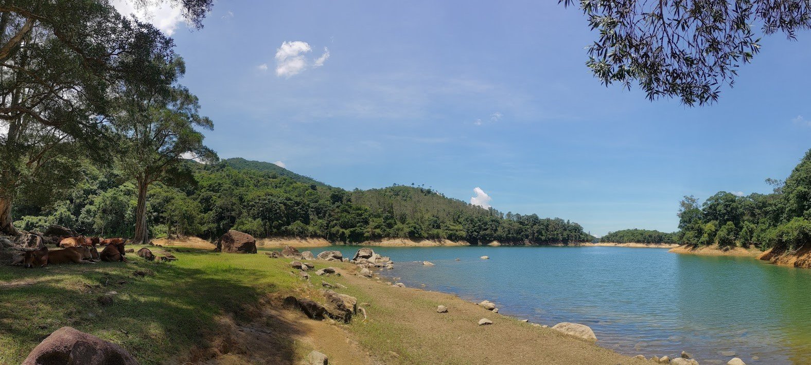
After about ten minutes, you'll get your first view of Upper Shing Mun Reservoir. On a clear day, the water is a stunning shade of blue. Needle Hill will also loom in the background, but we won't tackle that steep monster today.
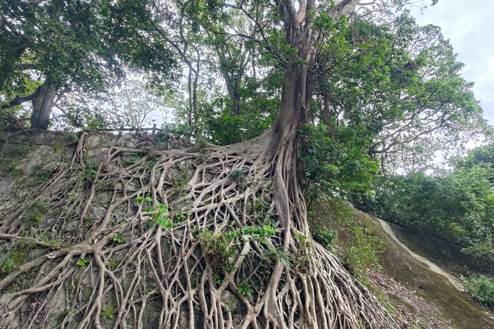
Stay on the concrete road and follow the sign pointing you to 'Shing Mun Main Dam". Don't miss the epic tree before the sign. Its roots have woven a stunning tapestry that cuts through the tedium of the concrete wall it's currently in the process of overrunning.
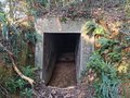
The 'Shing Mun Main Dam' sign also points to the 'War Relics Trail', which is an epic hike that leads adventurers to old World War II tunnels!
To reach the main dam, just stay on the road and head past the car barrier. Before long, you'll arrive at Shing Mun Main Dam. To your left, you'll be able to see Tai Mo Shan (Hong Kong's tallest mountain).
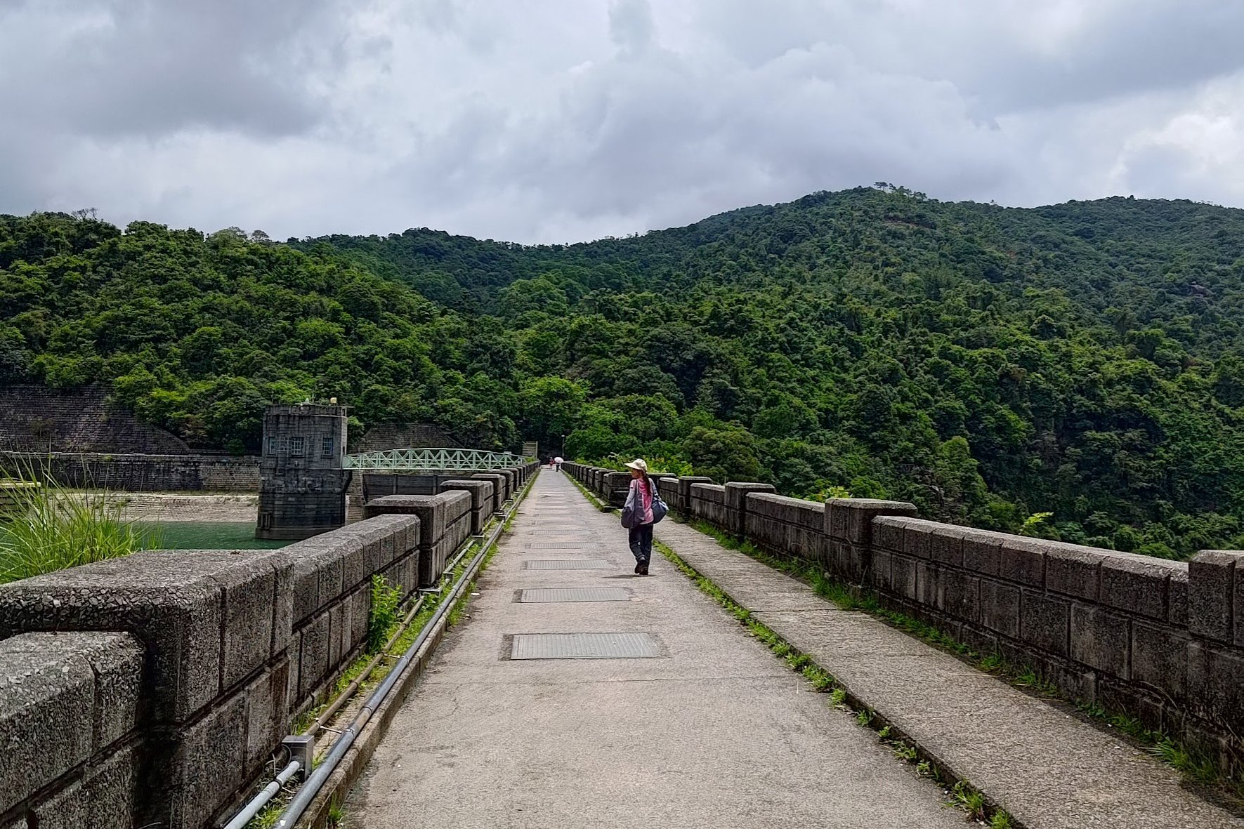
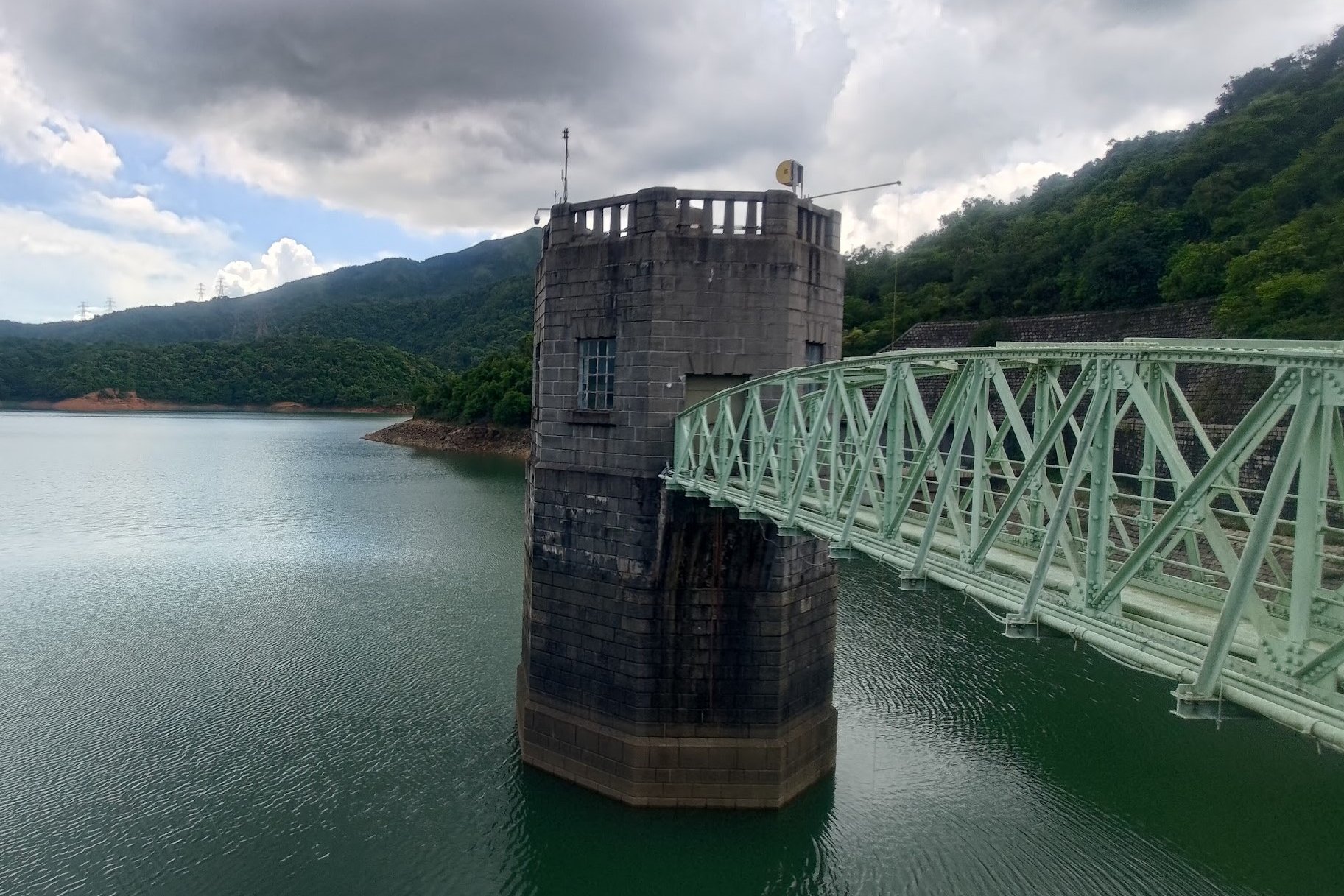
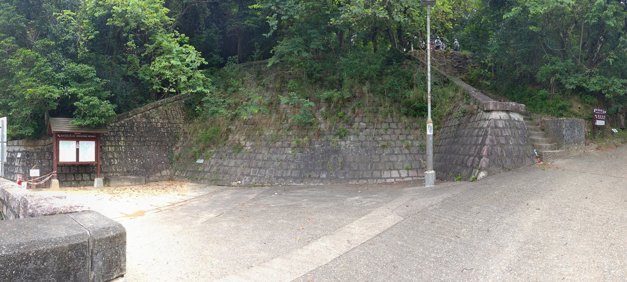
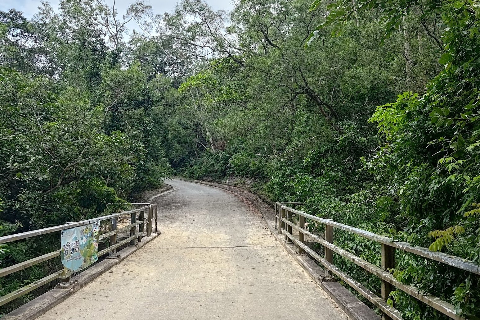
Crossing Shing Mun Main Dam
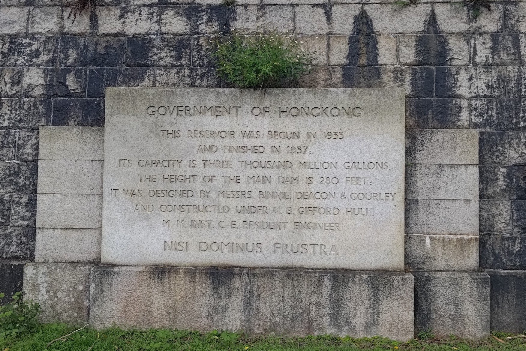
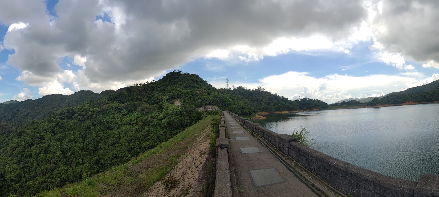
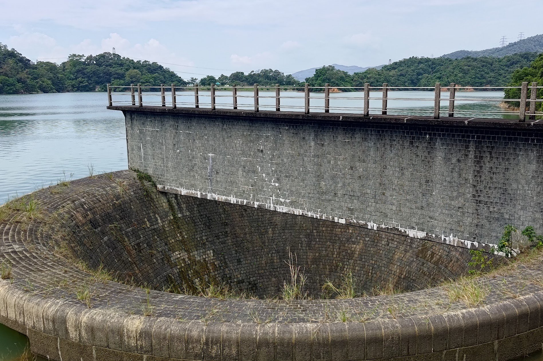
Shing Mun Main Dam is actually a historic landmark, as the signs prior to crossing will indicate. The construction of the dam began in 1933 and was designed by London dam engineers Messrs Binnie, Deacon & Gourley. The dam is 122 meters wide and 35 meters high, and upon completion, it had a capacity of 4 billion liters.
The main dam of the reservoir, standing at 84 meters tall at the southeastern edge, used to be the tallest dam in the British Empire when it was completed.
Head across this historic behemoth and get ready to make a major decision ahead!
IMPORTANT: Turn Left After Crossing the Main Dam
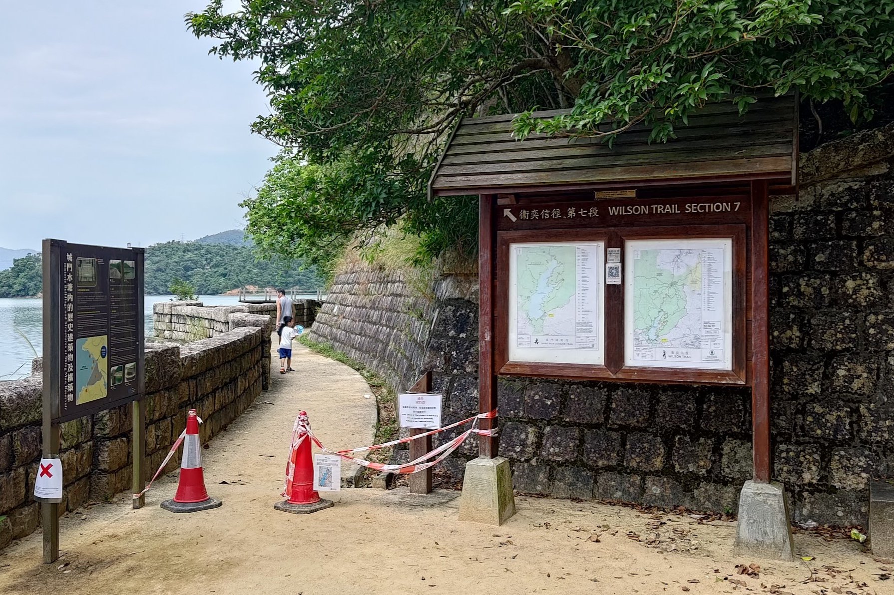
Make sure to turn left after crossing the main dam. Going right will take you up toward Needle Hill, which is WAY TOUGHER than the gentle journey promised by the Upper Shing Mun Loop hike.
Walking to the First Little Stream
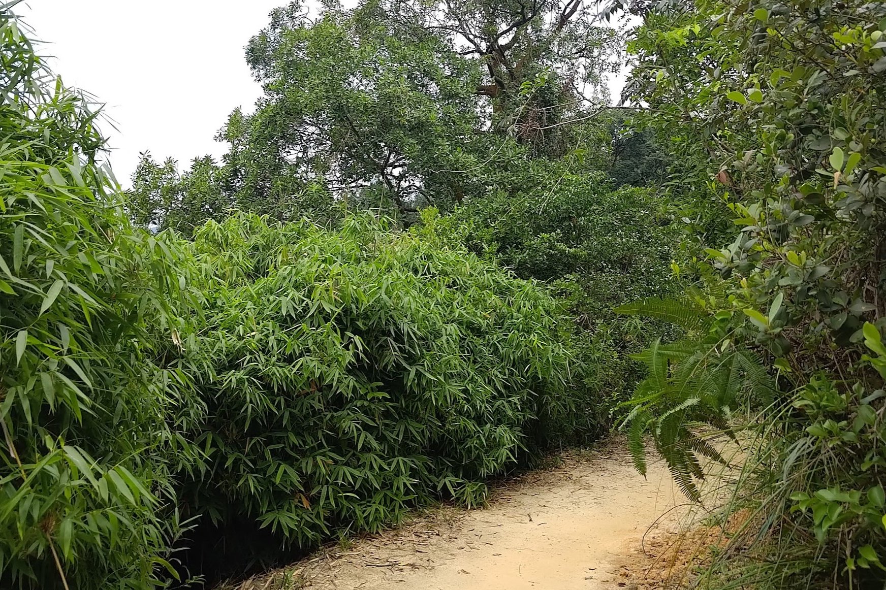
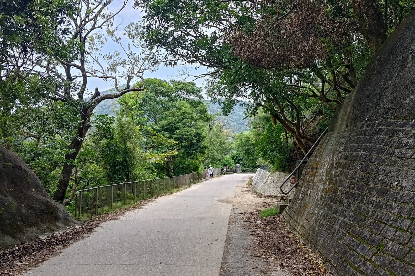
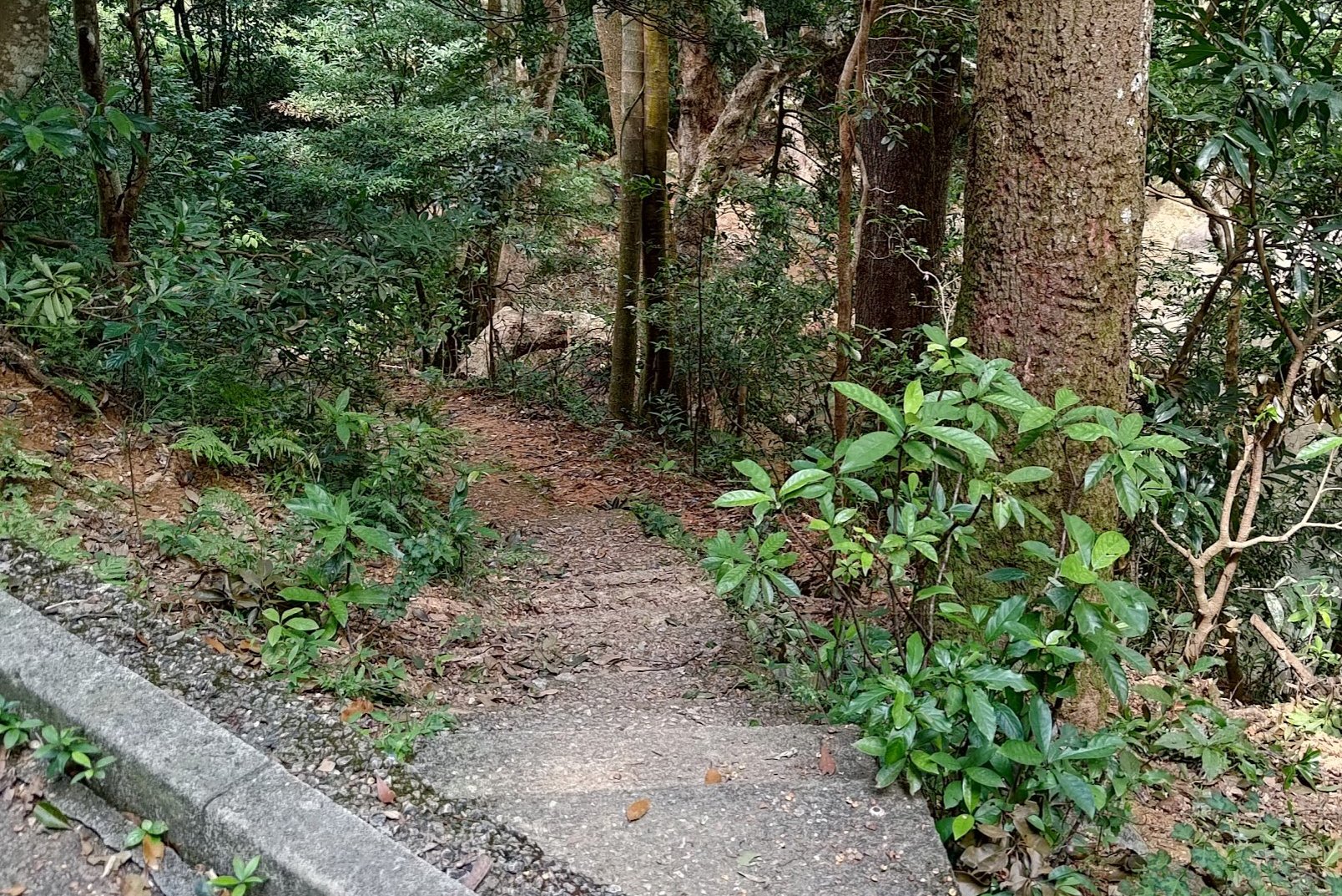
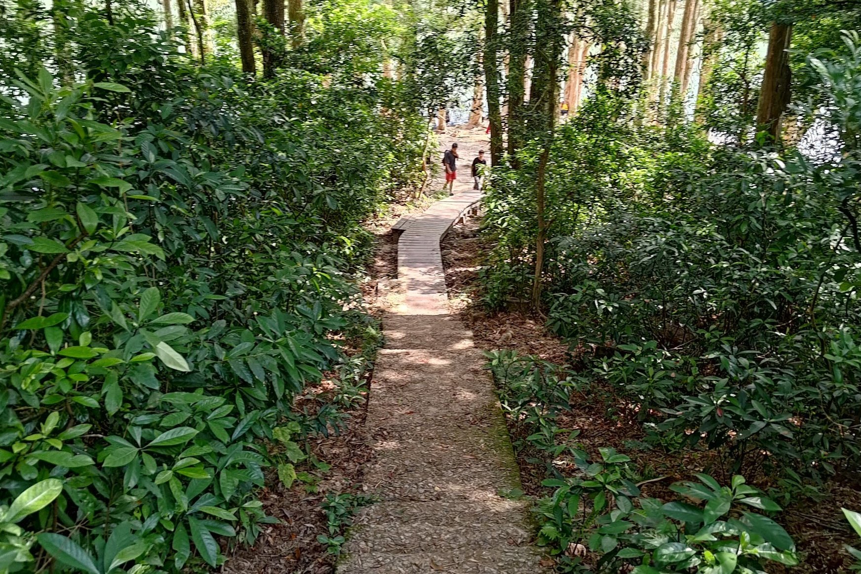
The journey from the turn at the main dam to the first little stream takes about 20 minutes. It's pretty much completely flat the entire way and you'll be walking along natural, dirt trails which are rare in Hong Kong!
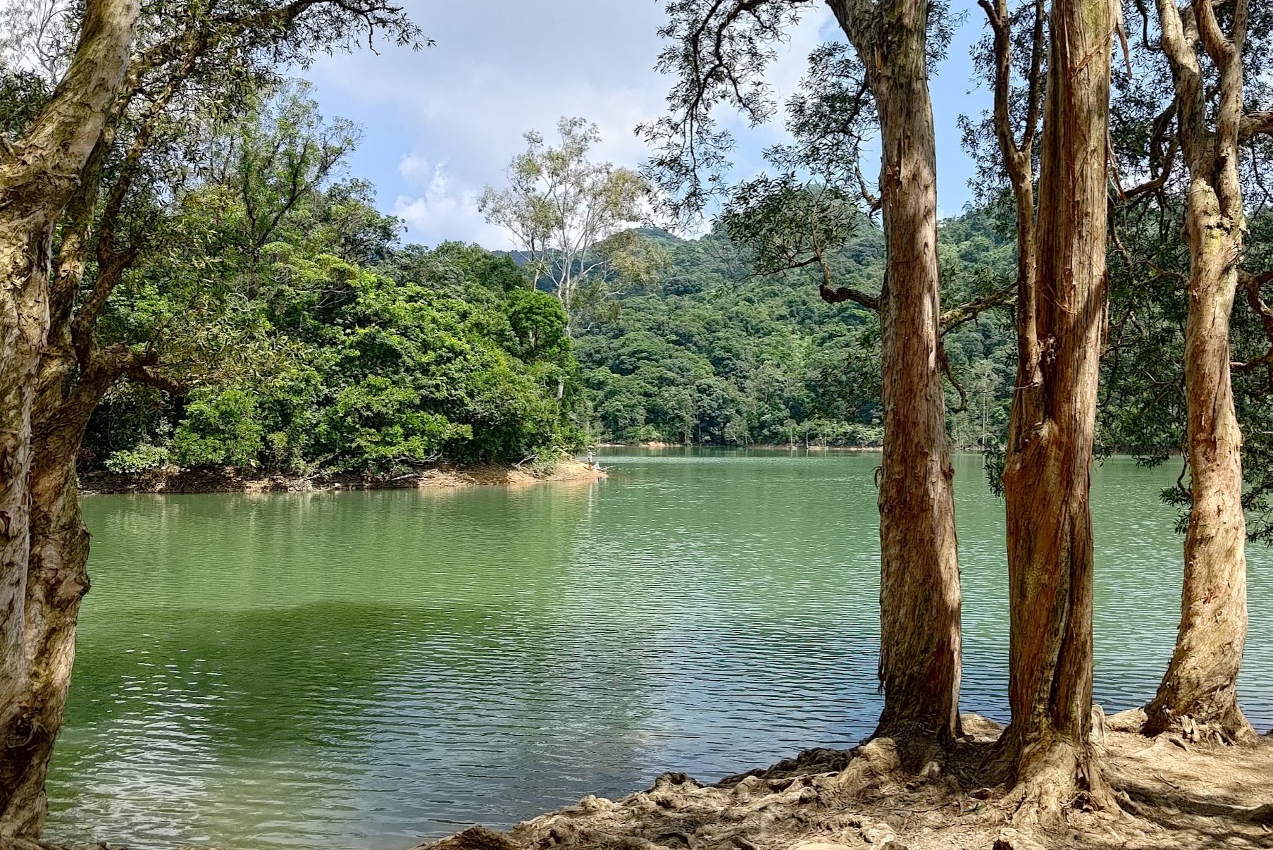
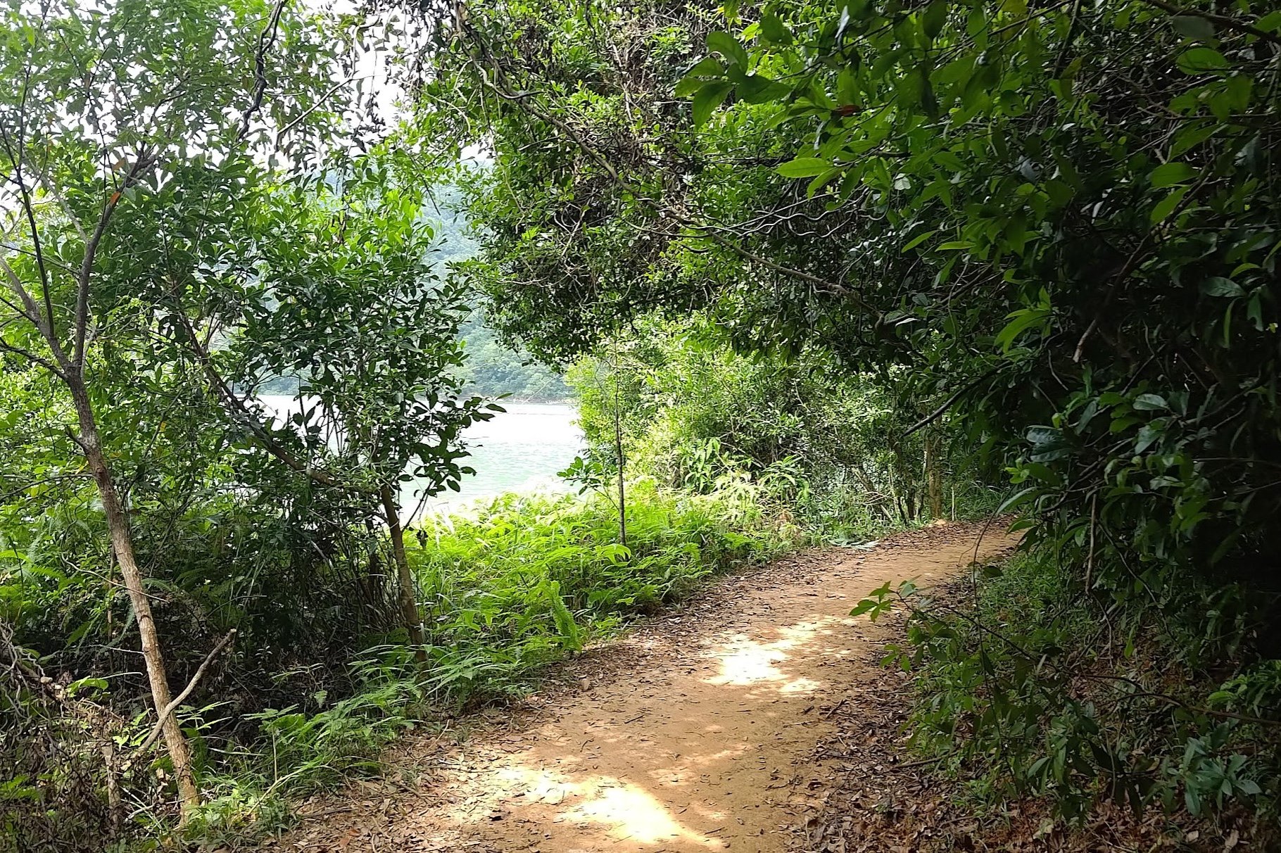
The trail will initially be dominated by tall trees, plenty of foliage and loads of shade. But over time, you'll begin getting glimpses of the reservoir on the left.
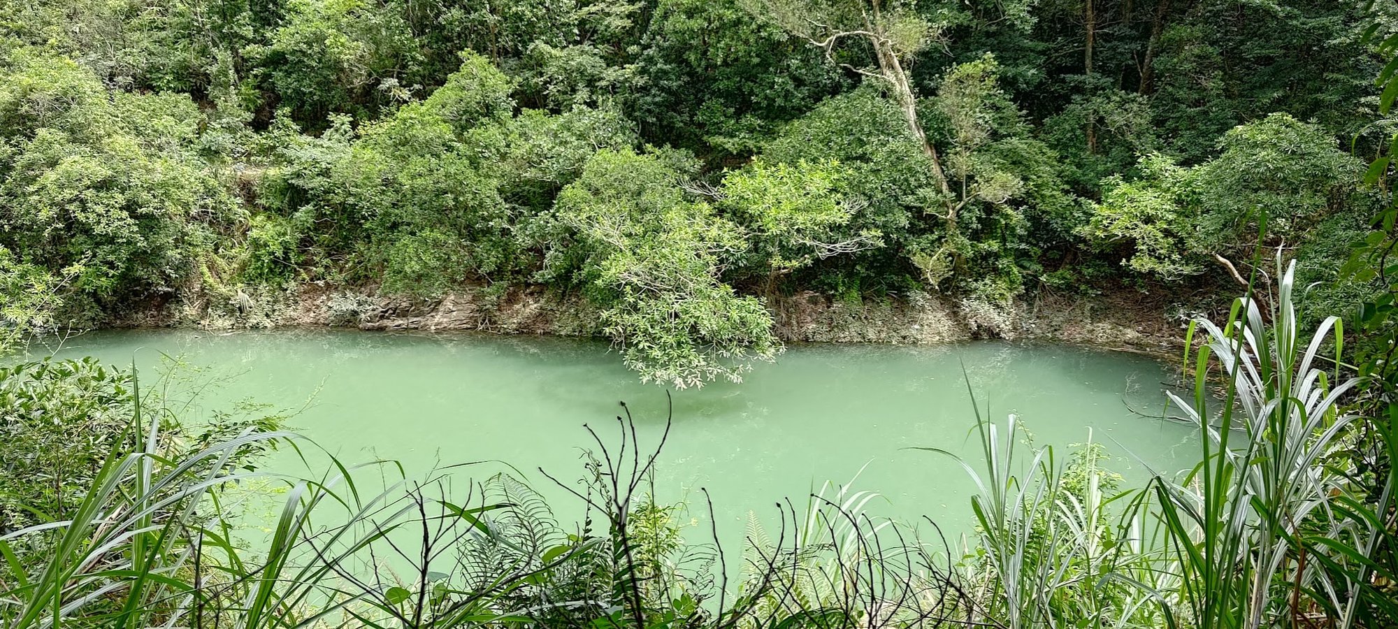
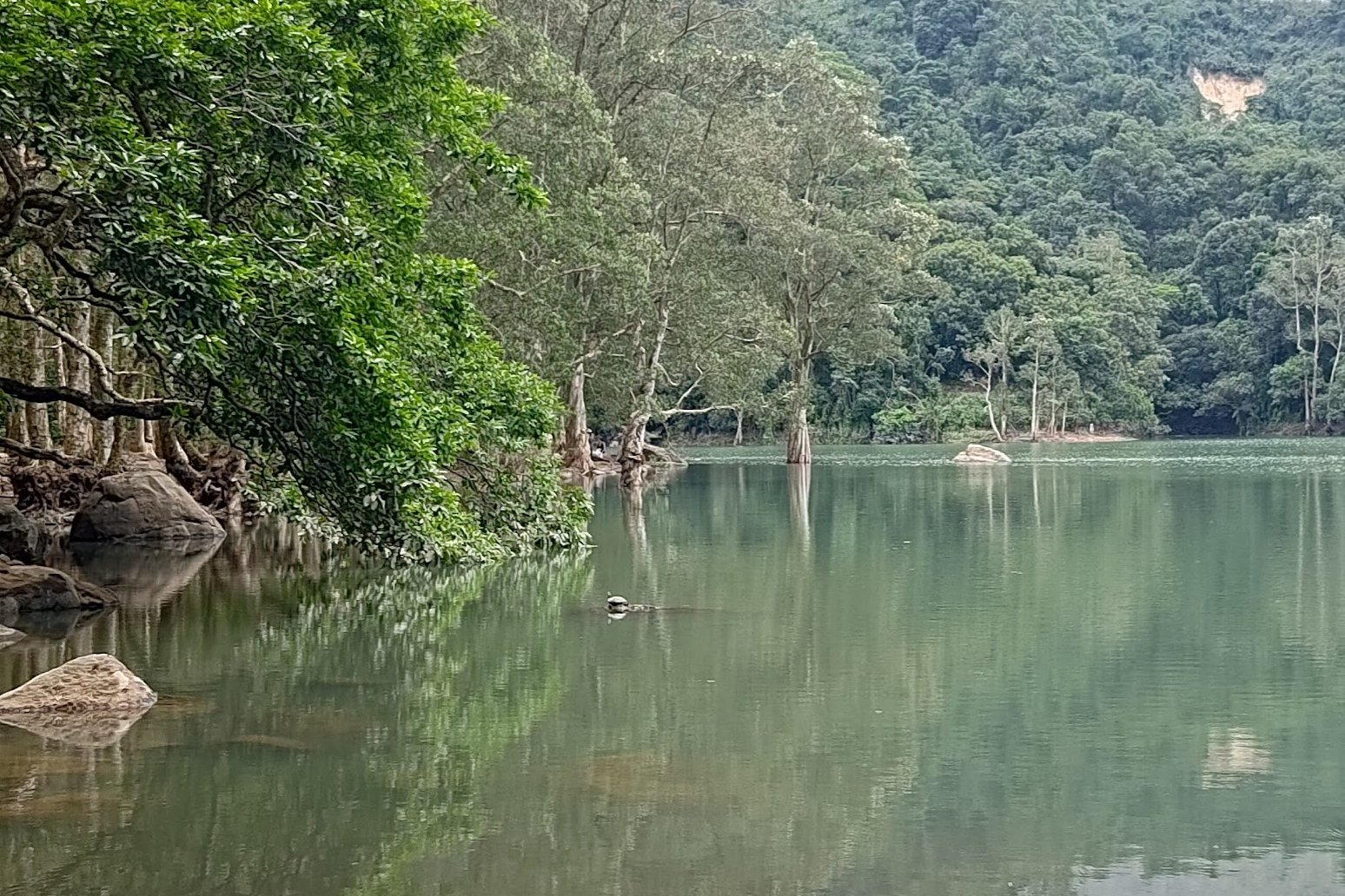
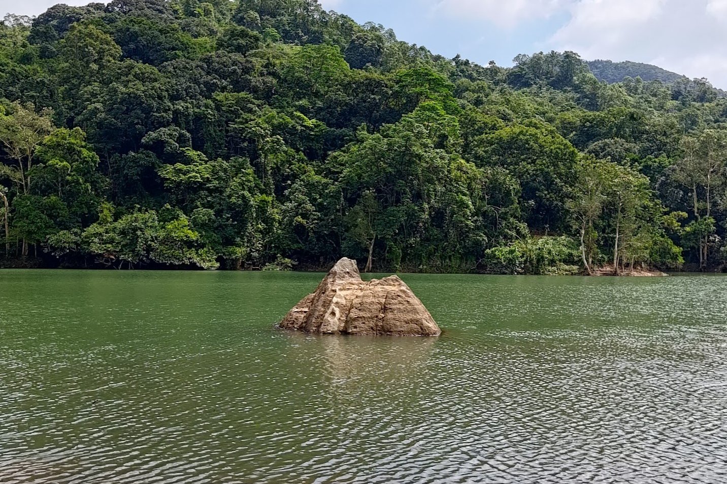
The color of the water, especially in the shallower parts of the reservoir, is just magical!
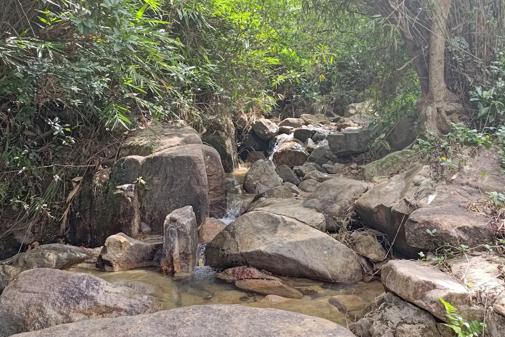
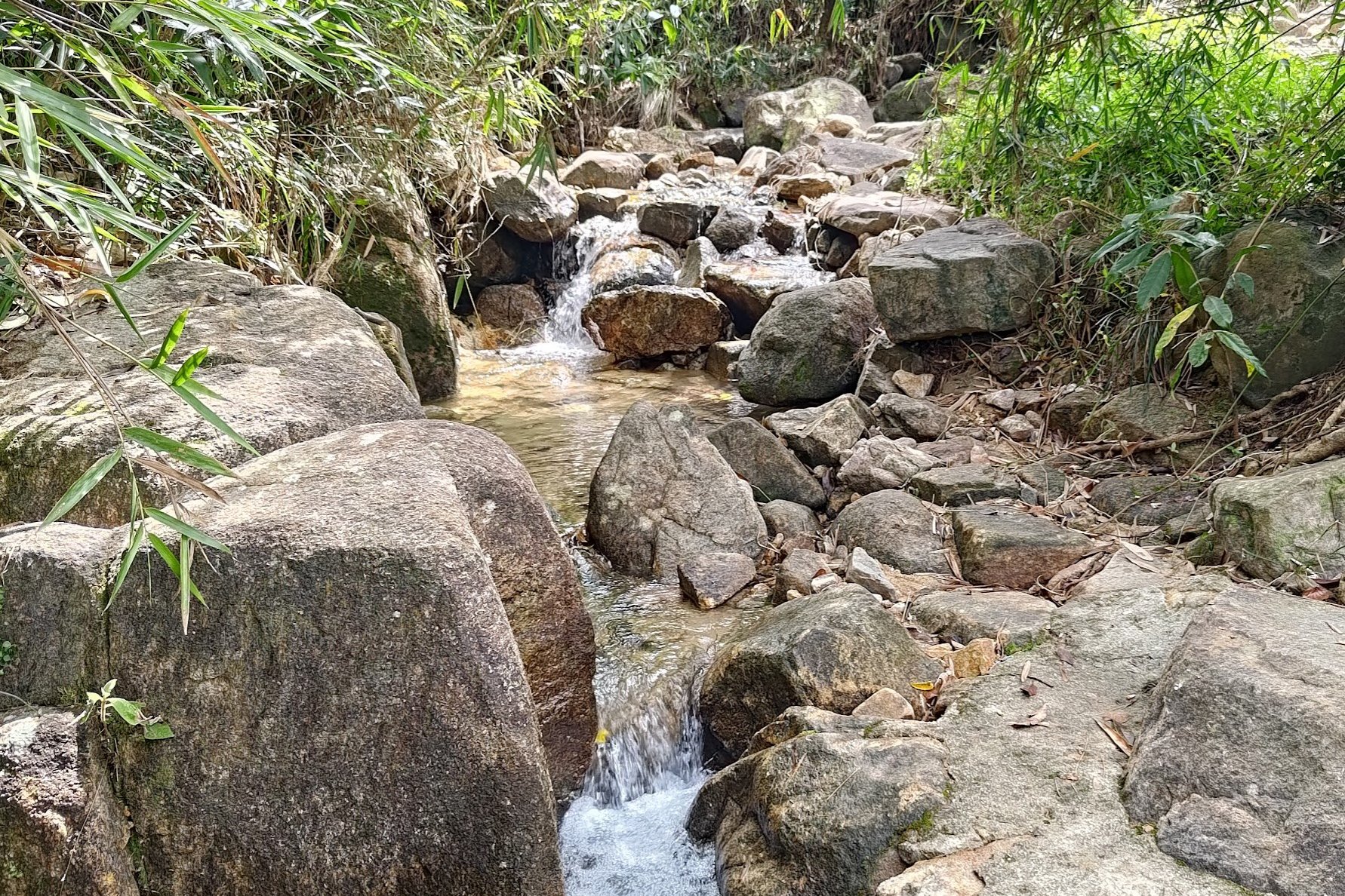
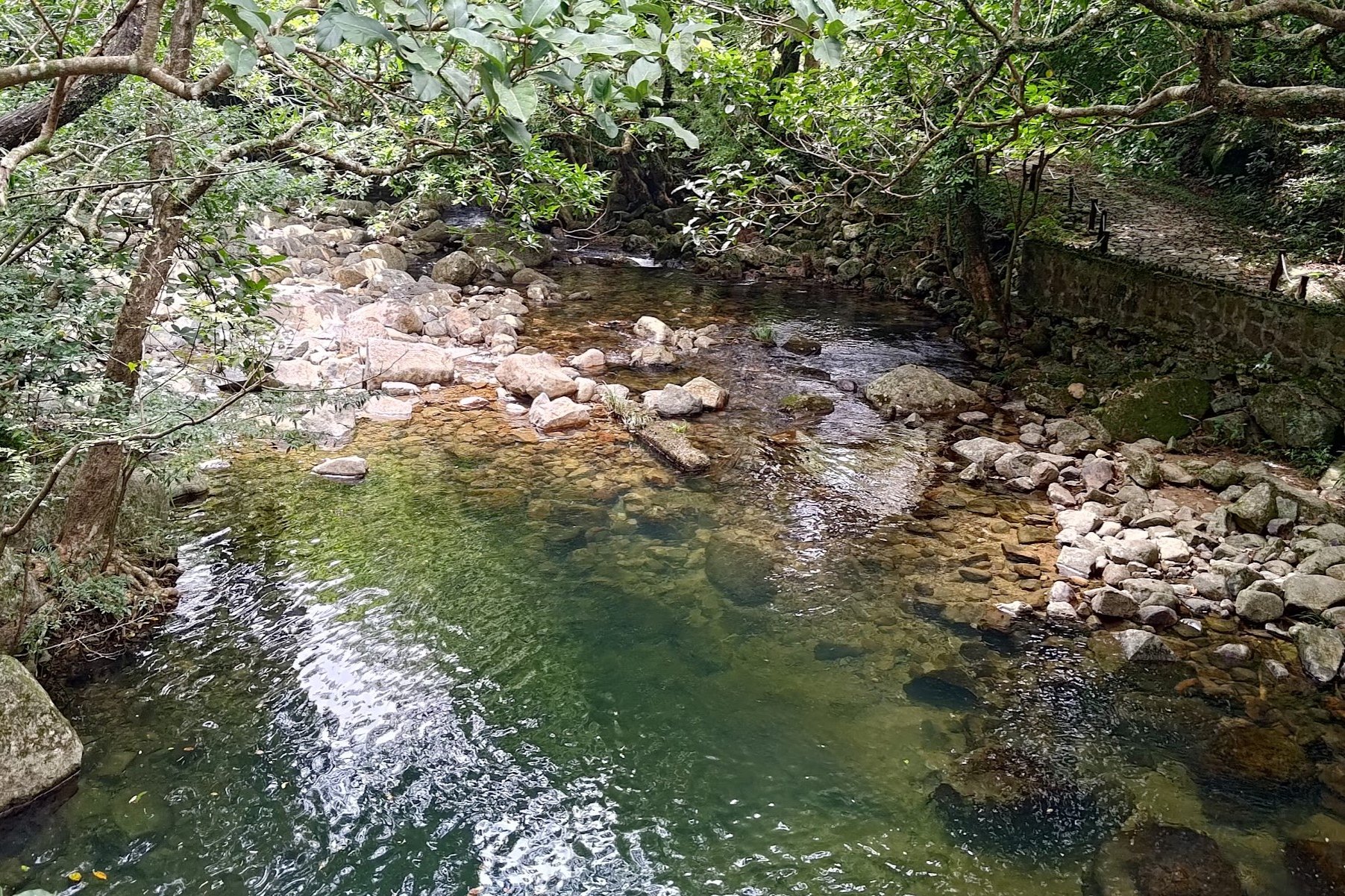
Not long after enjoying your first open views of the reservoir from close-up, you'll hear the sound of running water. You'll then come across a little stream, which is the perfect rest point.
I dunked my hat in the cool, clear waters and placed it back on my head to keep me feeling refreshed in the sweltering summer heat. It worked an absolute treat!
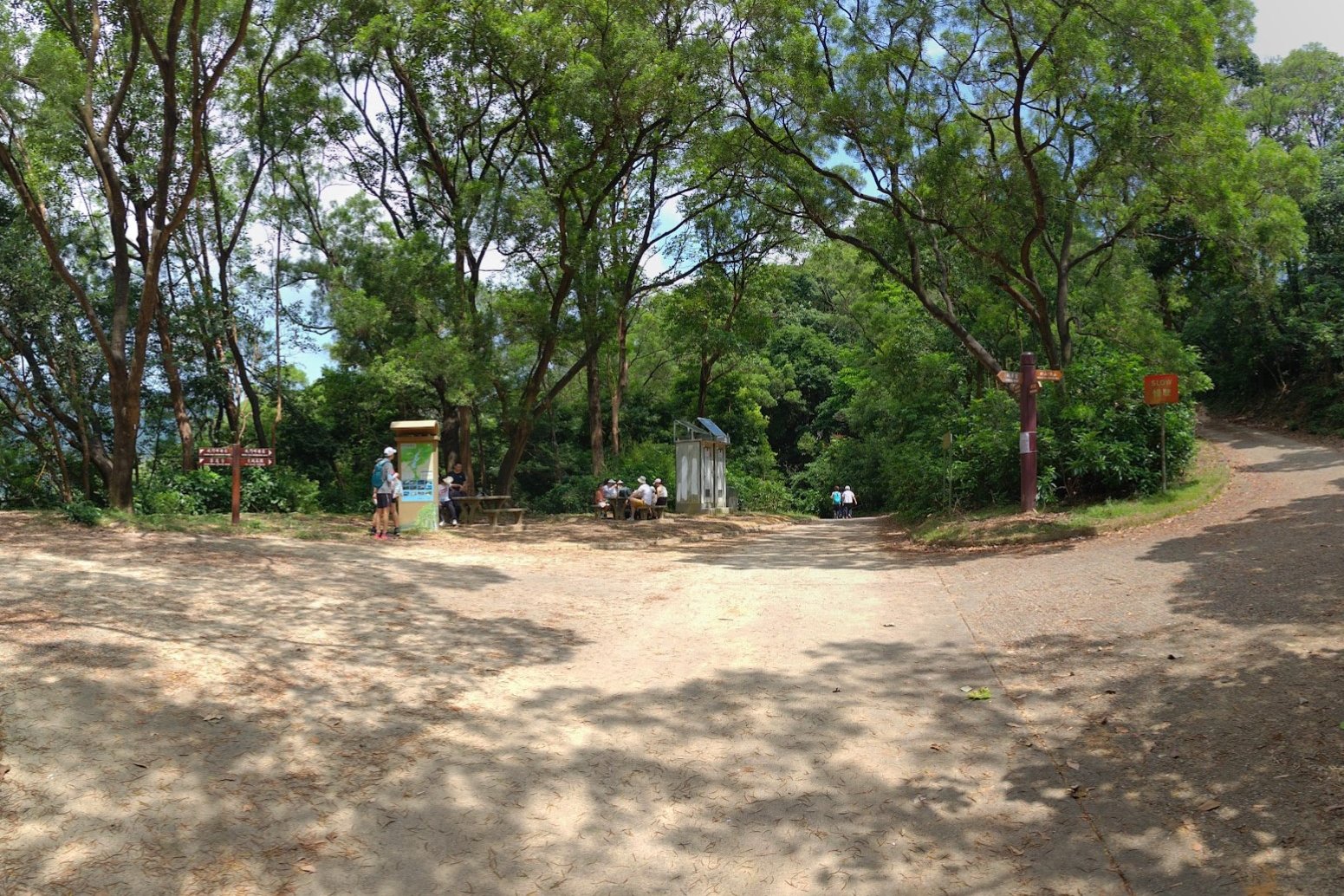
Back Up to another Concrete Road
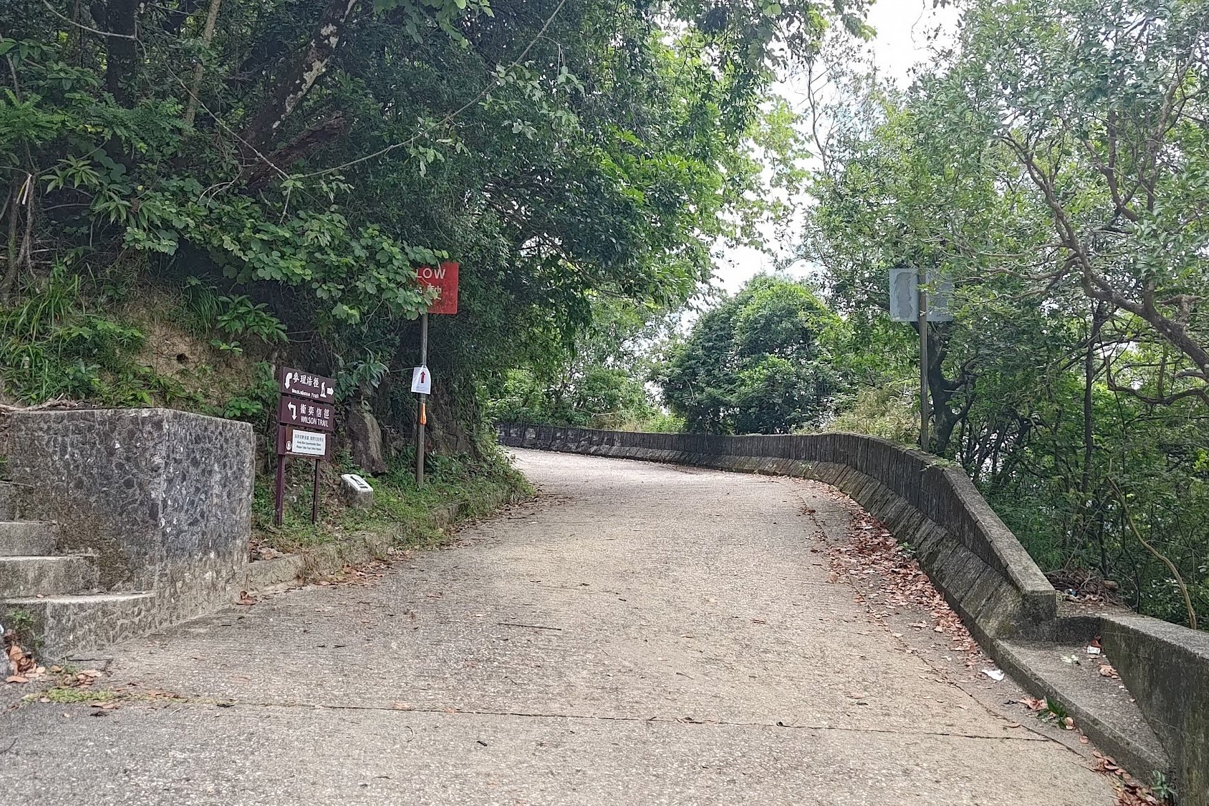
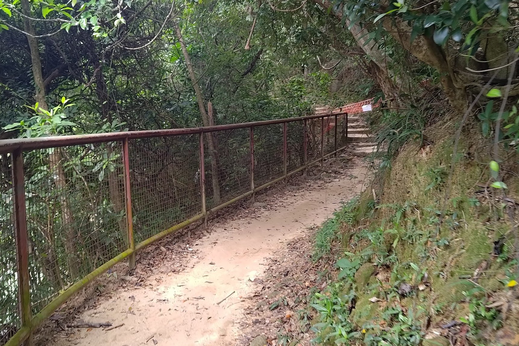
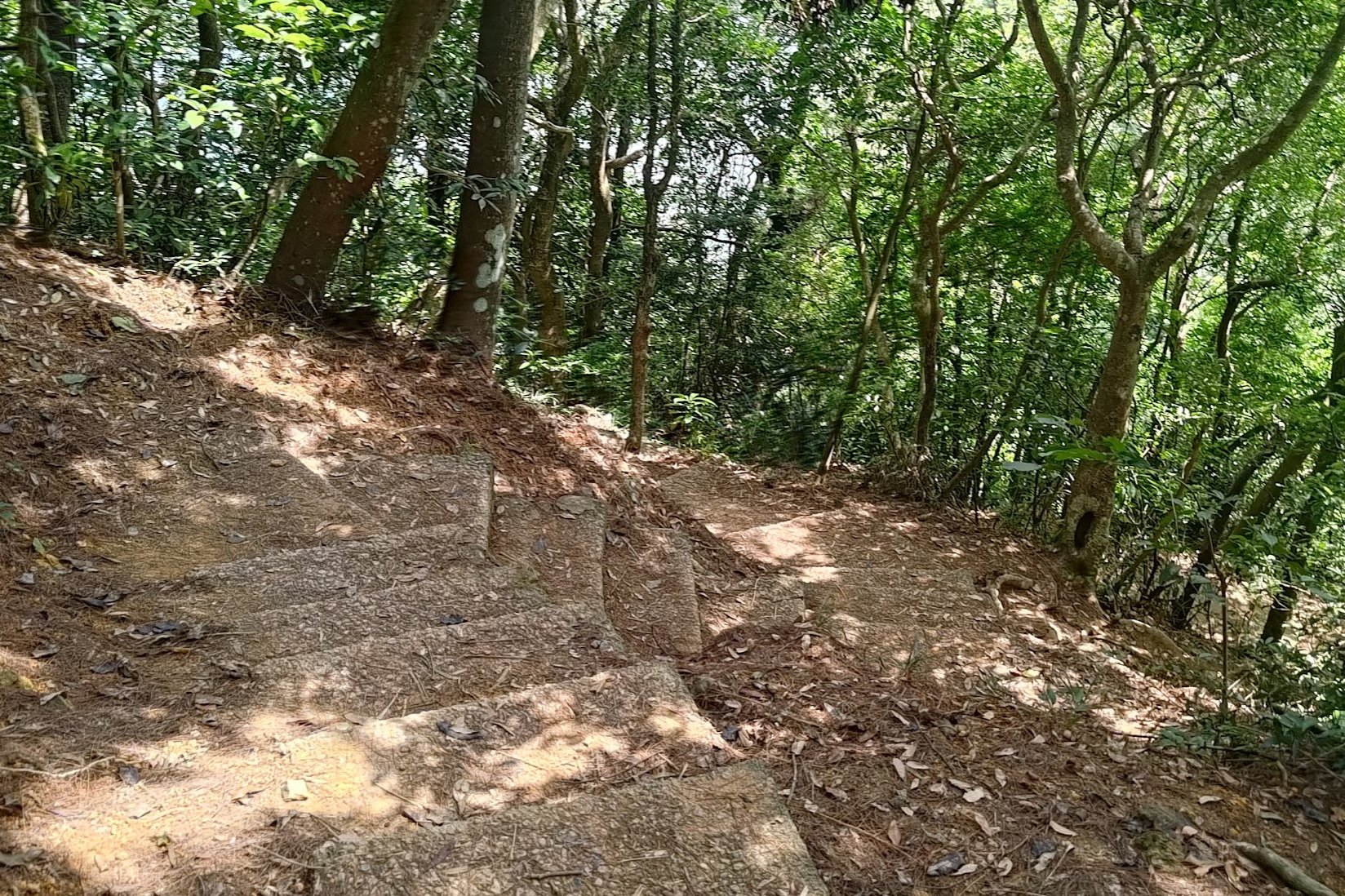
It takes about fifteen minutes from the stream to the stairs. You'll continue to enjoy more epic views of the reservoir as you continue your journey through Upper Shing Mun.
Take note of the stairs marked with several signs - it's hard to miss. Climb upward and you'll arrive on a concrete road. Turn left on the road when you see the Shing Mun Forest Track sign.
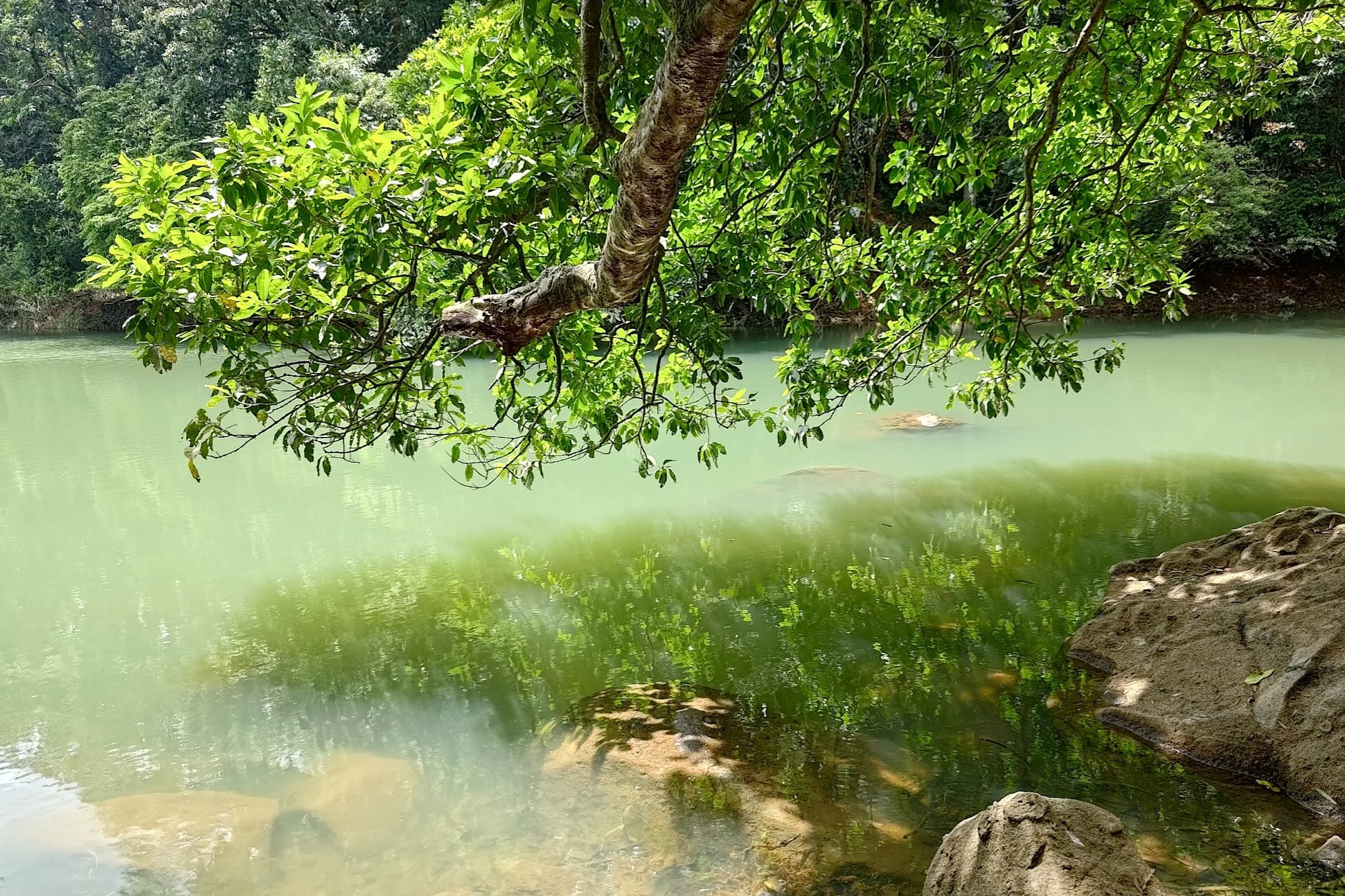
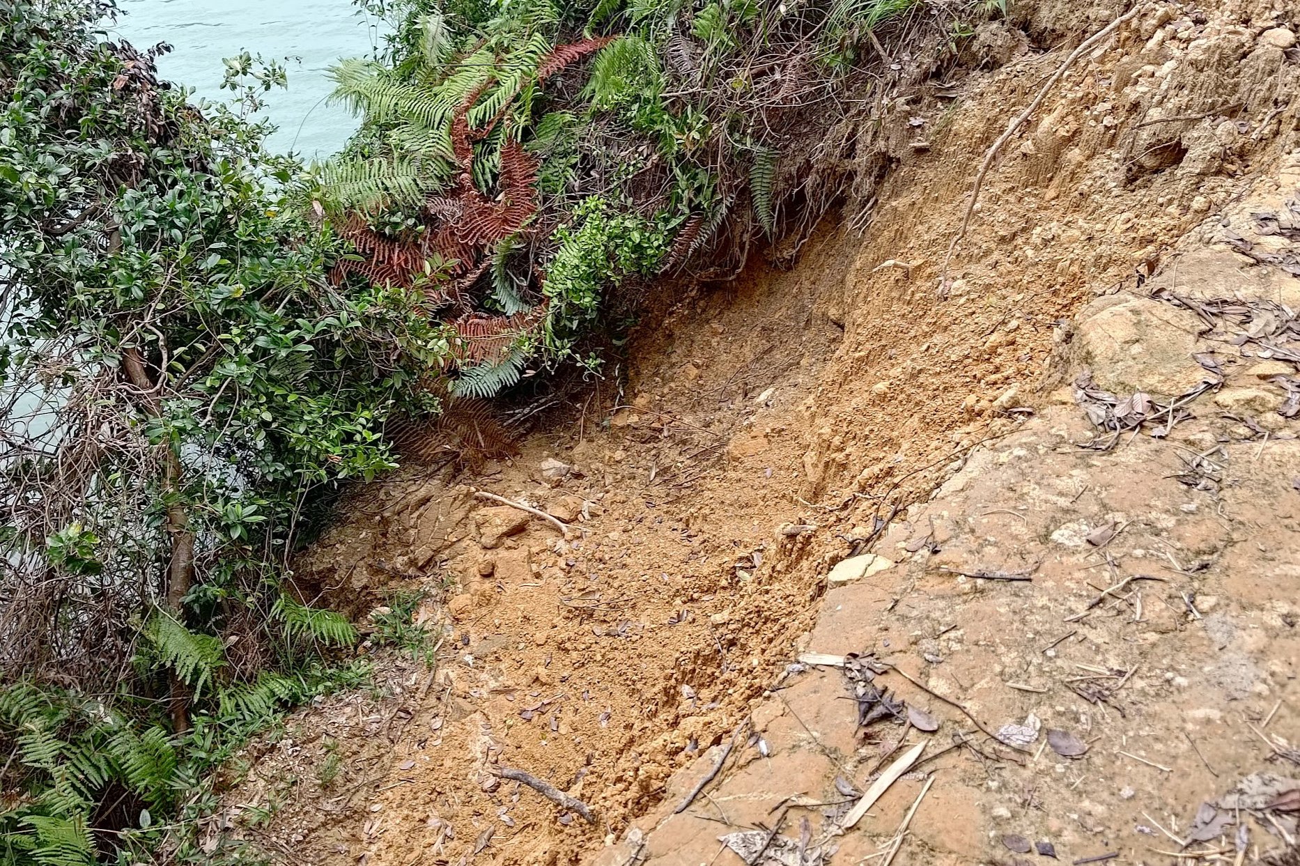
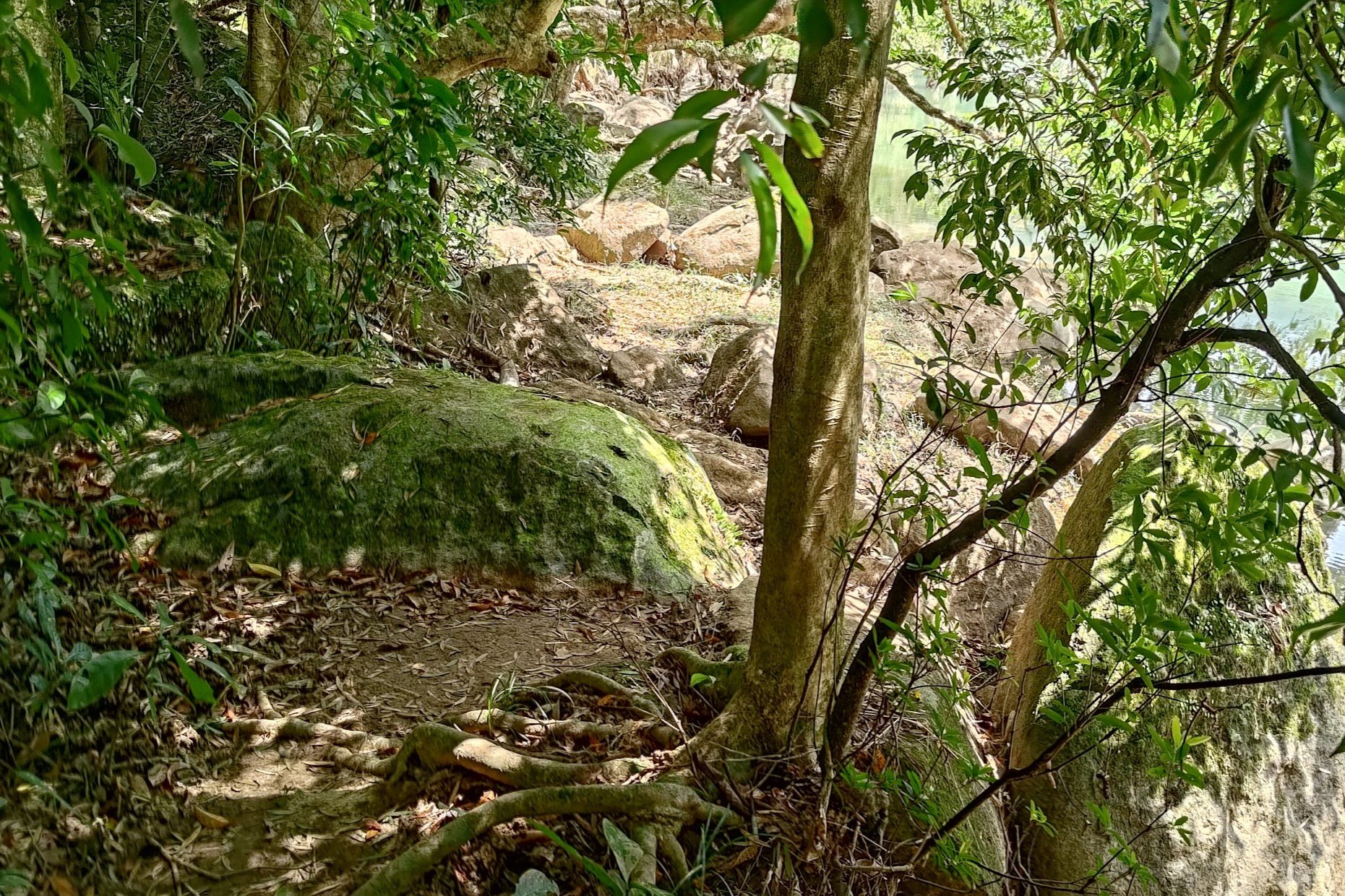
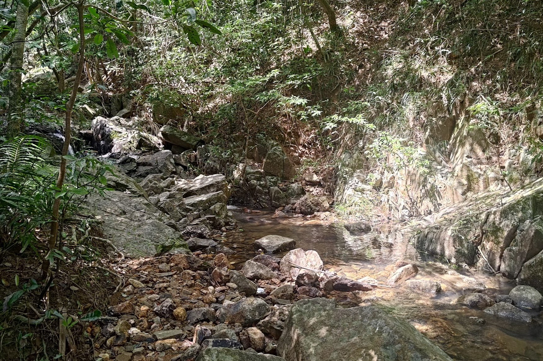
Secret Cool Pool Detour
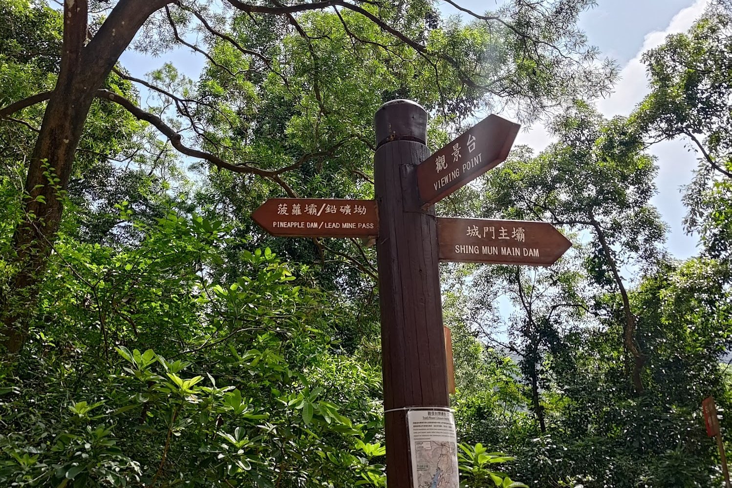
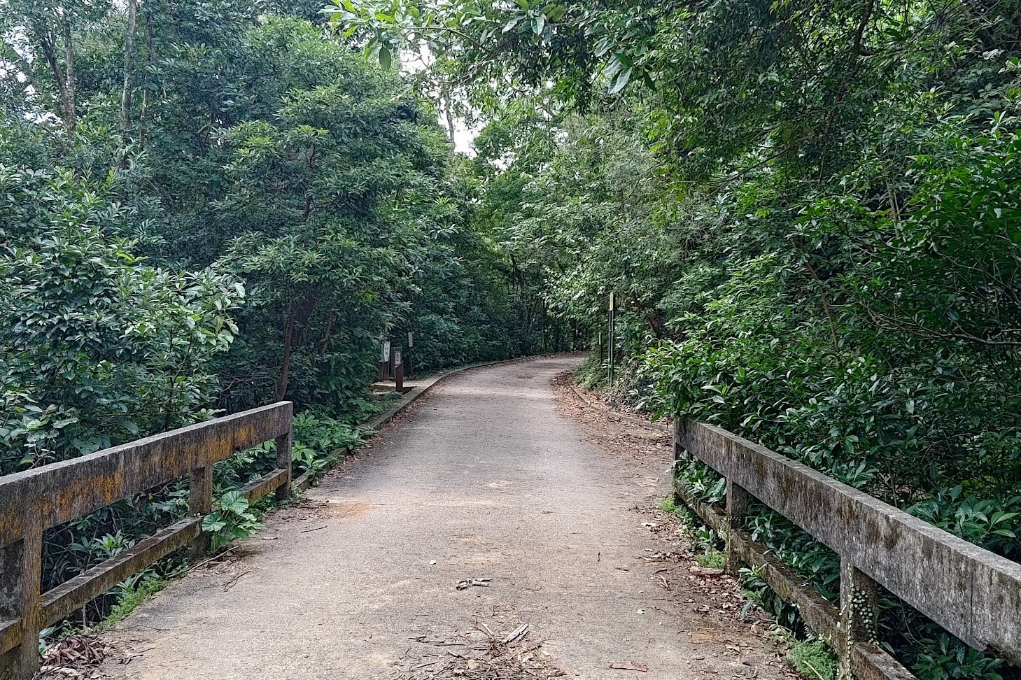
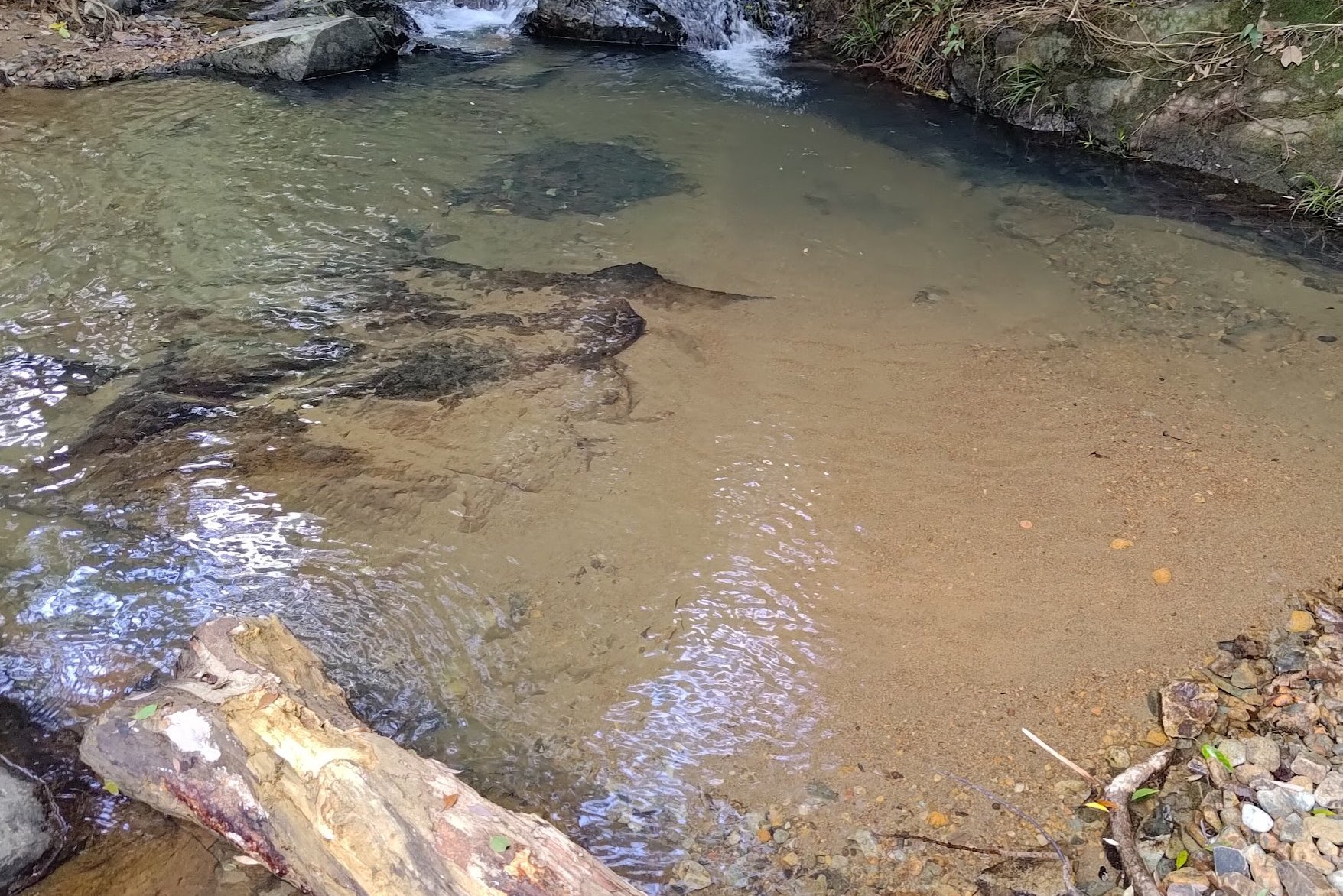
Getting to the little pool takes about fifteen minutes. Simply follow the concrete road and go straight at the junction. Follow the sign that points to 'Pineapple Dam/ Lead Mine Pass'.
After the junction, you'll cross a small bridge. Just after this bridge is where you'll find a bunch of signs on your left. Take the stairs beside the signs and you'll find the cool little pool!
Enjoy the tranquility and cold water before taking the stairs back up to the road.
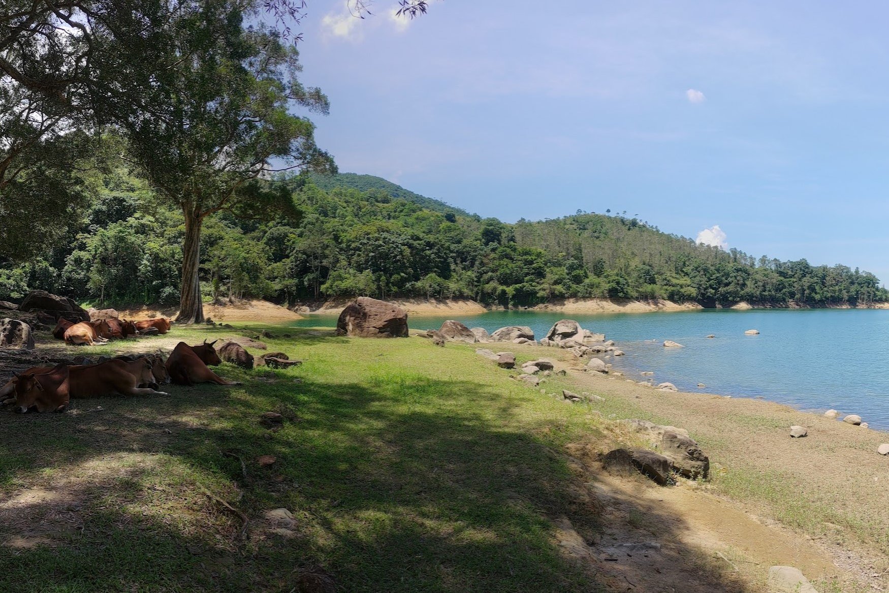
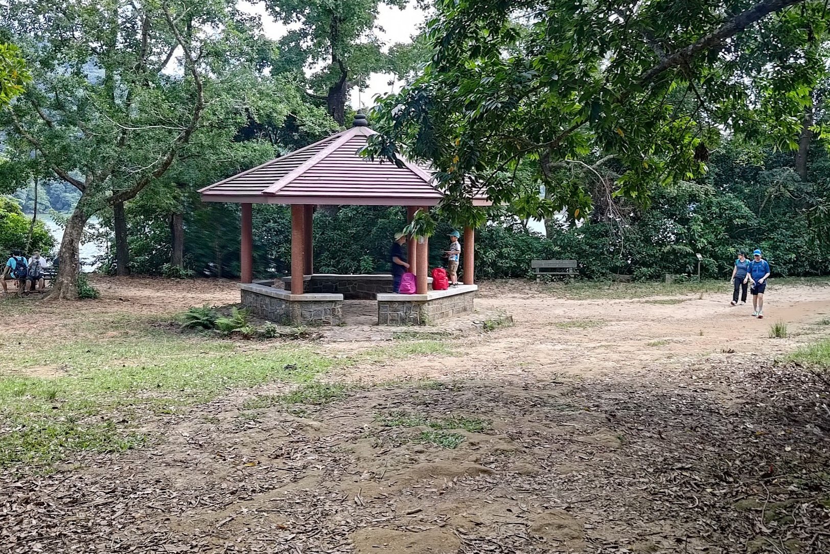
The Pavilion of Legendary Bovines and Birds
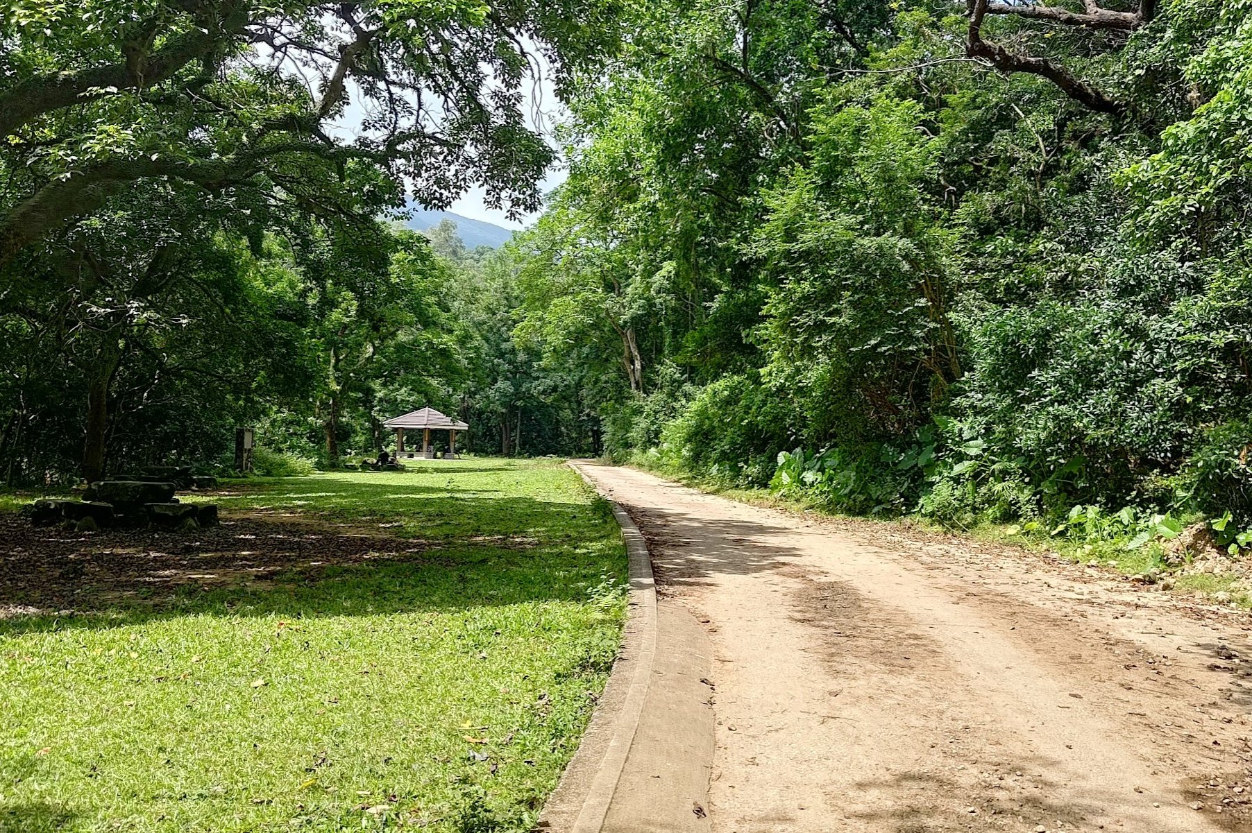
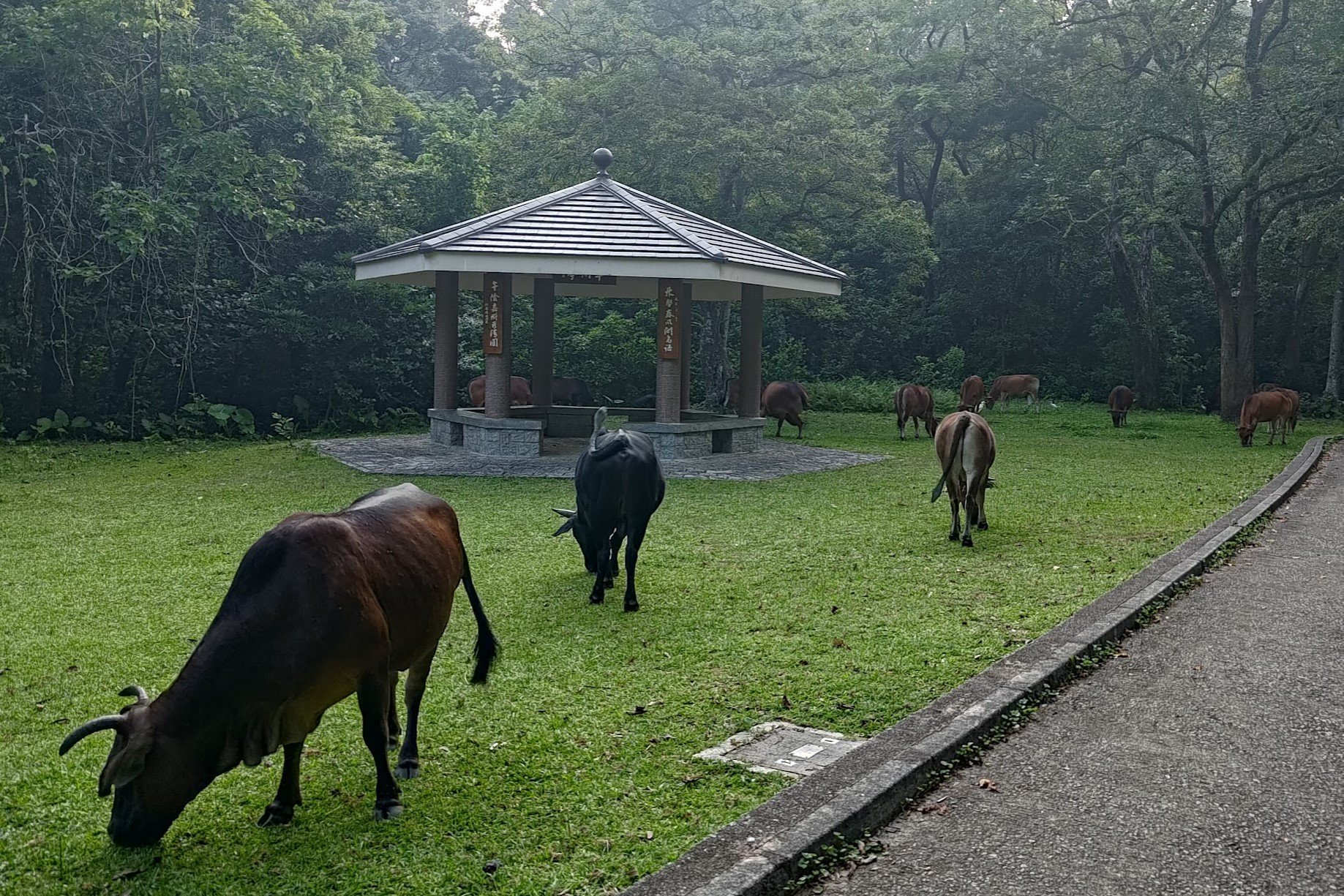
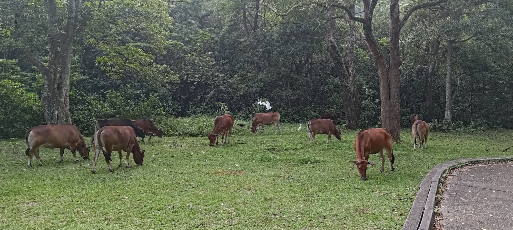
If you're lucky, the pavilion ahead will be populated with cows! I've had a 50% success rate with seeing cows by this pavilion across all my hikes in Upper Shing Mun.
On one specific occasion, I documented a bird surfing on a cow's back! I took a panorama of the scene which is why the bird's flapping wing looks kind of wonky in the image above.
I hope you manage to encounter a most MOO-mentous occasion at The Pavilion of Legendary Bovines and Birds (that's definitely not the official name for this pavilion in case you were wondering).
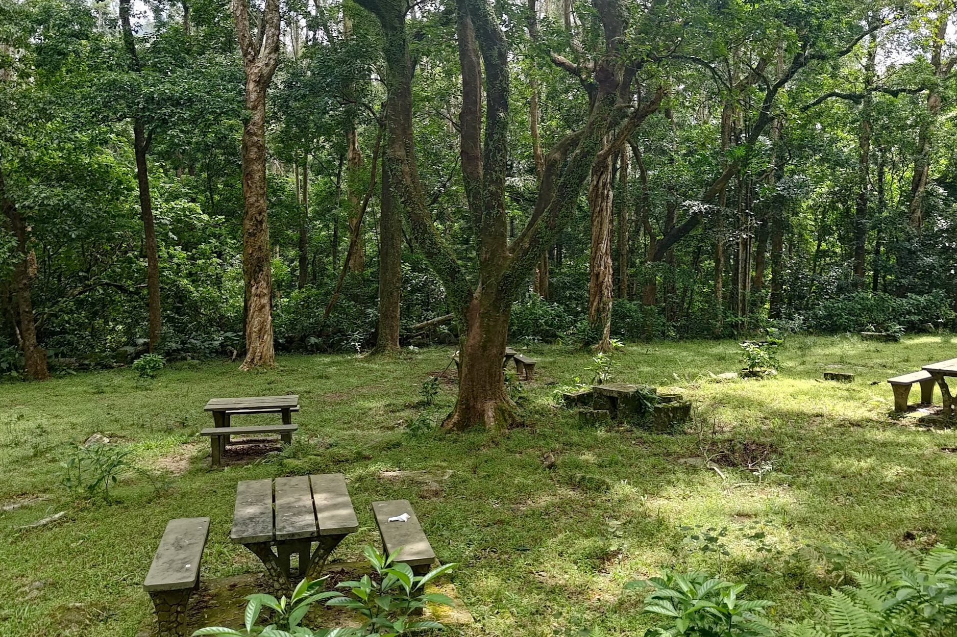
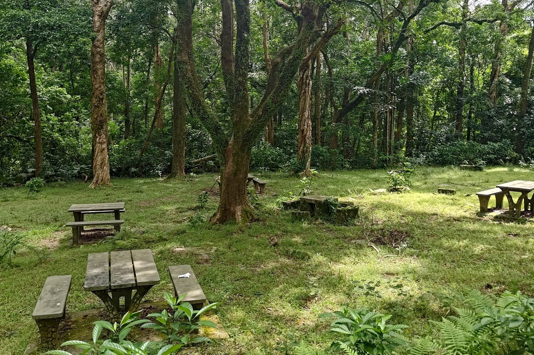
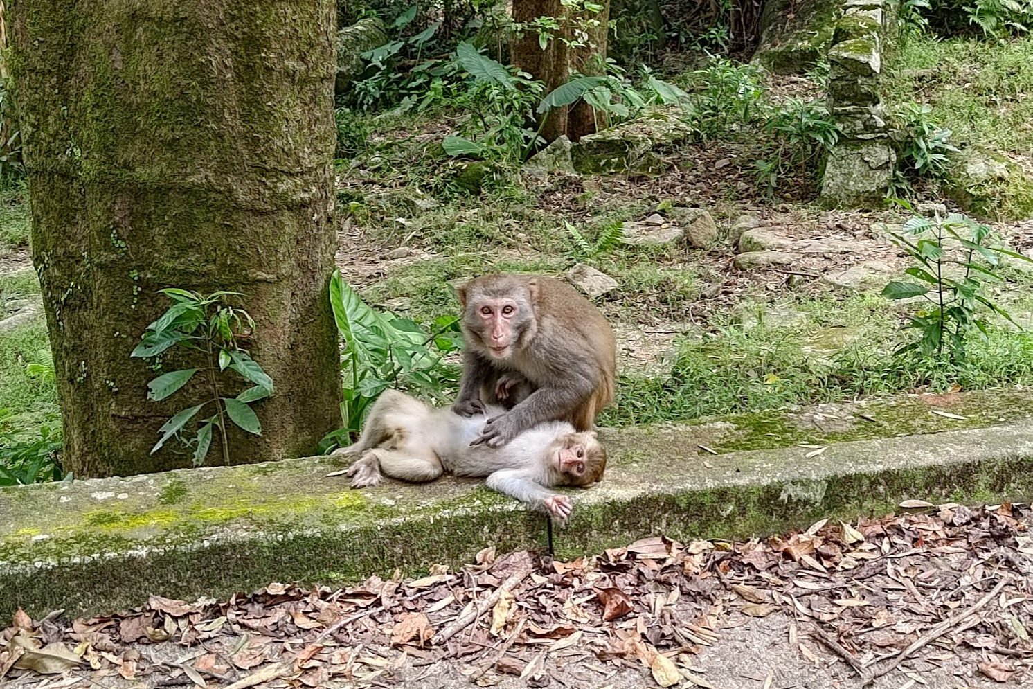
Monkey Massage Parlor Picnic Area
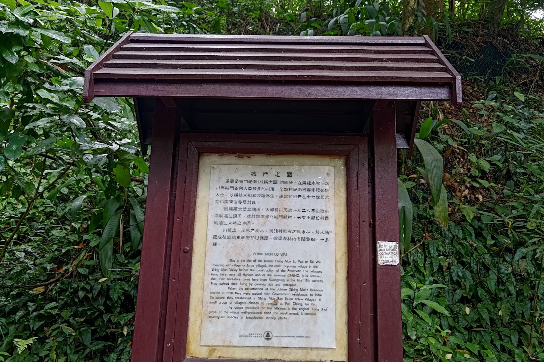
Keep following the concrete road when you go past the pavilion. On the way to the picnic sites ahead, you'll see a sign detailing the relocation of the Cheng Hakka Clan to make way for the reservoir's construction.
Once you head past that sign, continue walking for a couple of minutes and turn left in the direction of the sign pointing to Tsuen Wan.
You'll cross a really beautiful stream before arriving at the gorgeous picnic sites. On the day I visited, I witnessed a trio of monkeys getting massages. It was truly remarkable to behold. Honestly, I keep being astounded each and every time I visit Upper Shing Mun Reservoir.
And the surprises weren't over yet!
The Secret Waterside Grove of Philosophy Monkey and Turtle King
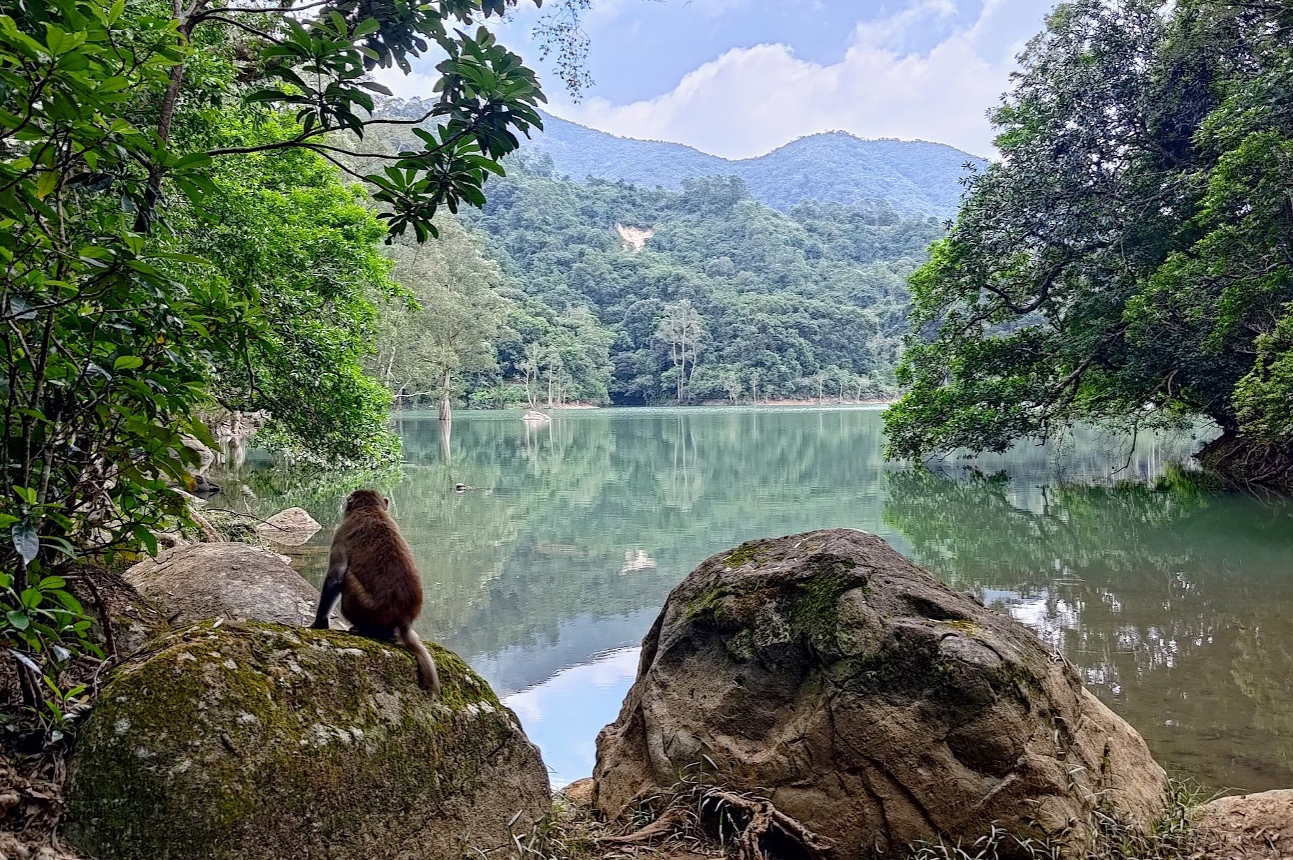
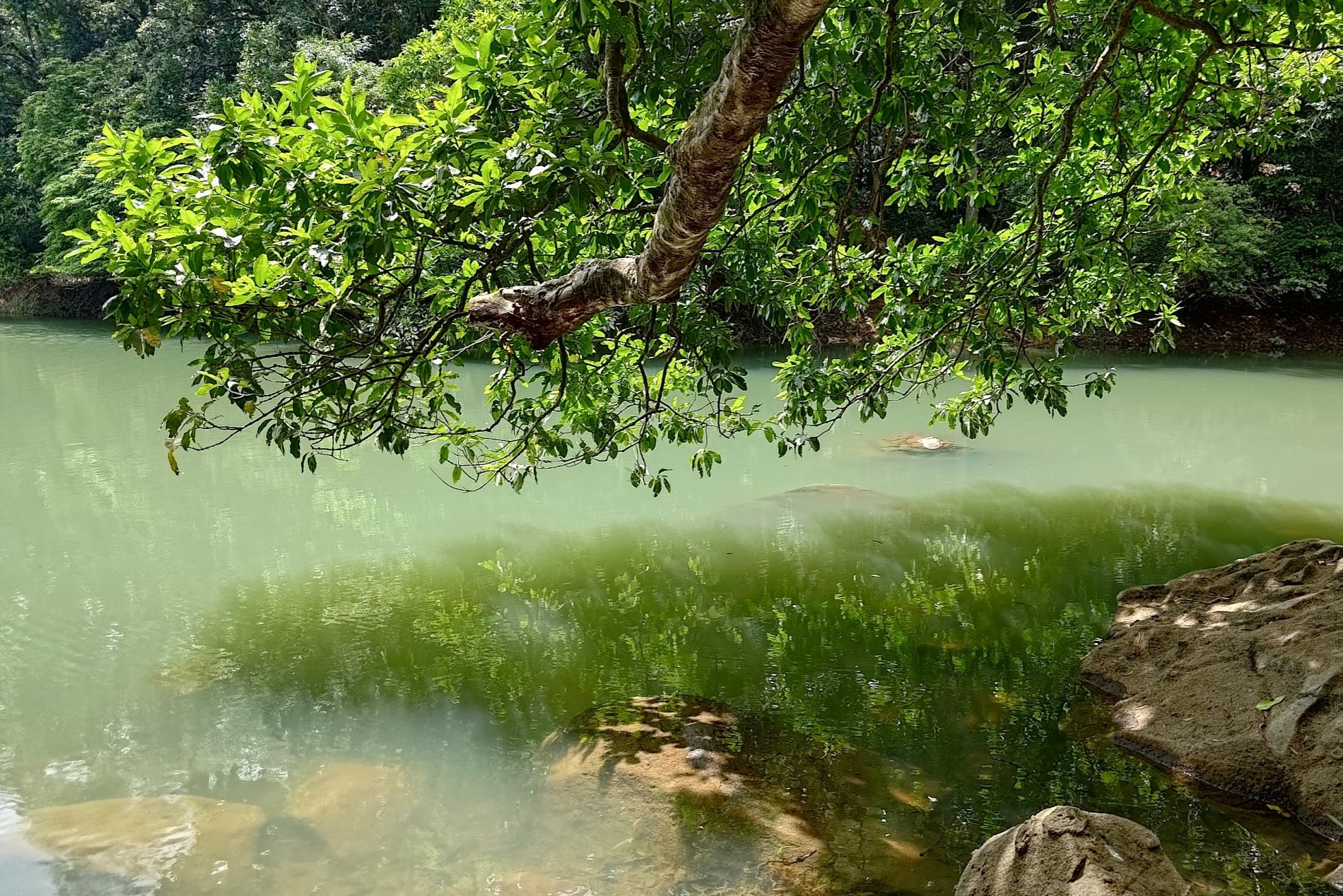
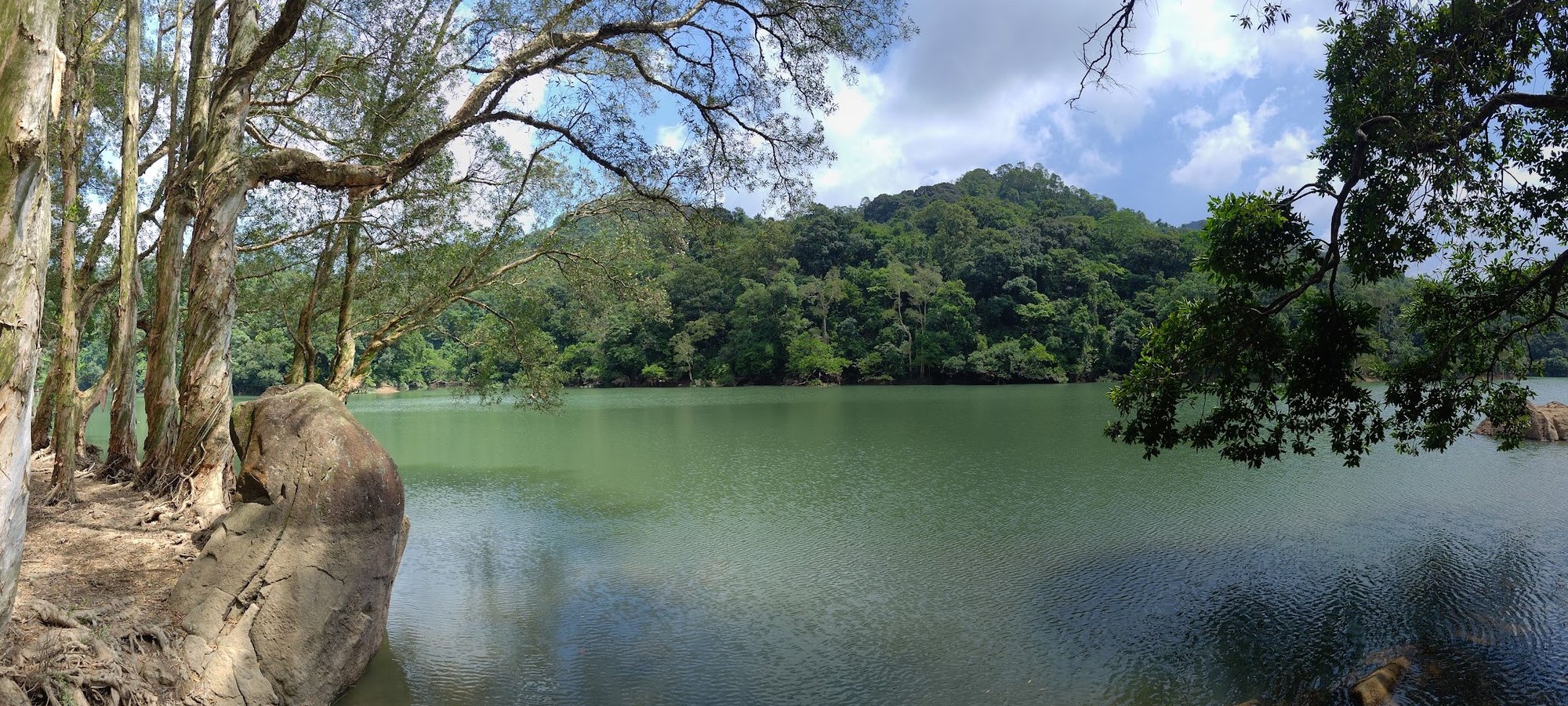
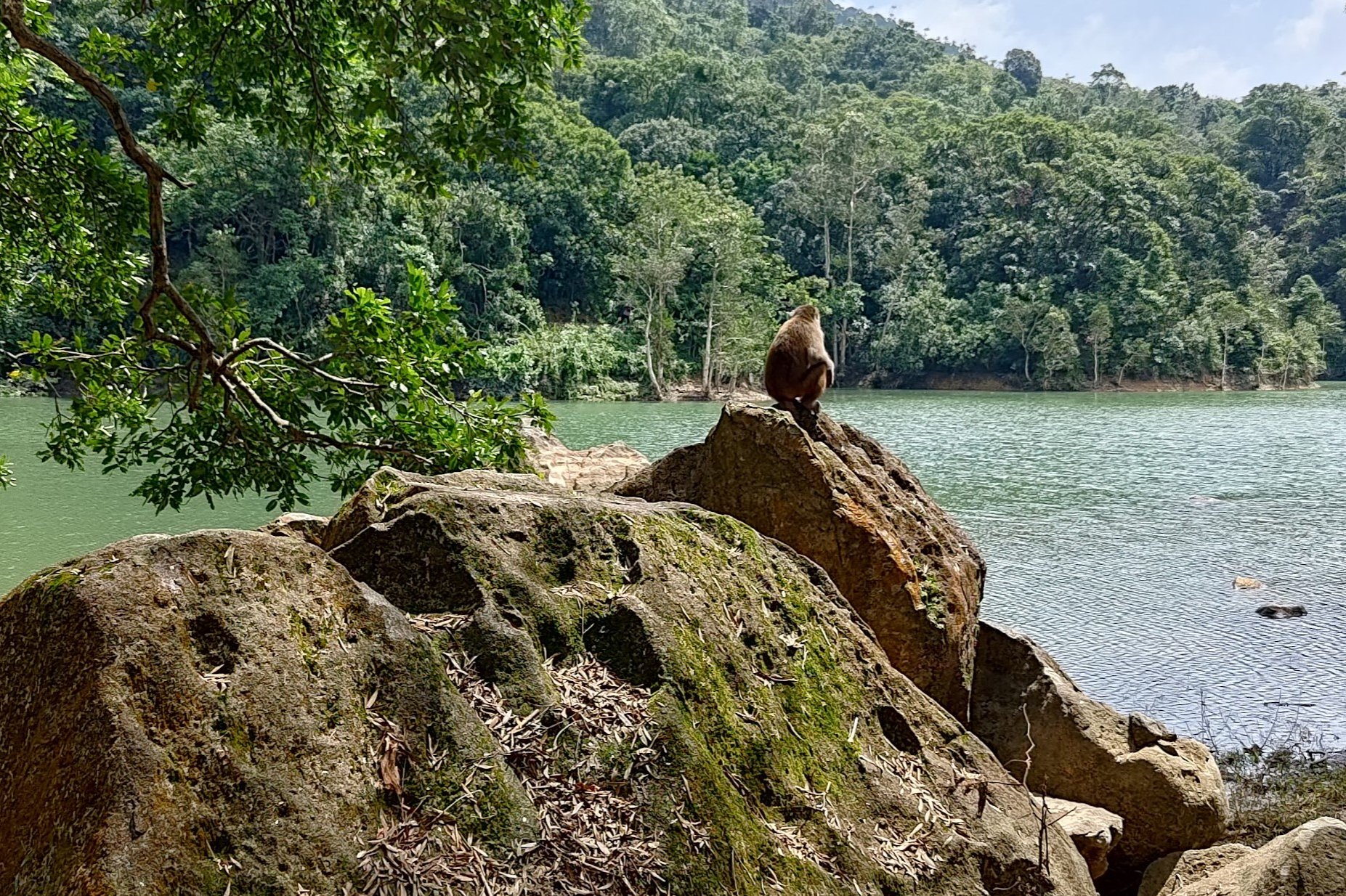
I urge you to do your best not to miss this place. It's genuinely a random little detour I went on while following a macaque I fondly named Philosophy Monkey.
His stoic pose and penchant for staring out across the waters of his secret grove in deep reflection and concentration is why he earned the moniker of Philosophy Monkey.
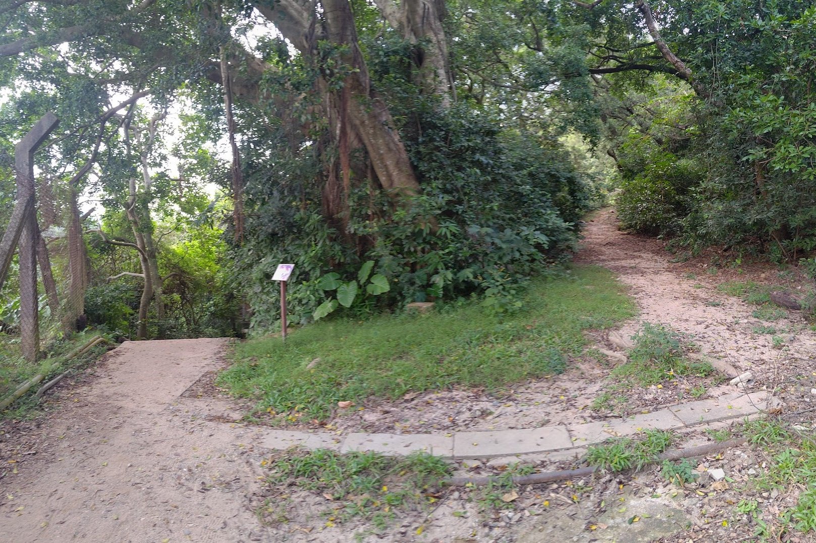
To find this secret location without the help of Philosophy Monkey, look out for a set of stairs that turn into a dirt path. It's perhaps three minutes away from the picnic site.
There's also a hidden little path in the trees near the initial viewpoint in the waterside grove. Follow the path for a minute or two and you'll arrive at a larger area with incredible, ancient trees and more panoramic views out across the reservoir.
This area is much less frequented by tourists despite its beauty, so it's well worth the trip. Head back the way you came and reconnect with the concrete road when you're done.
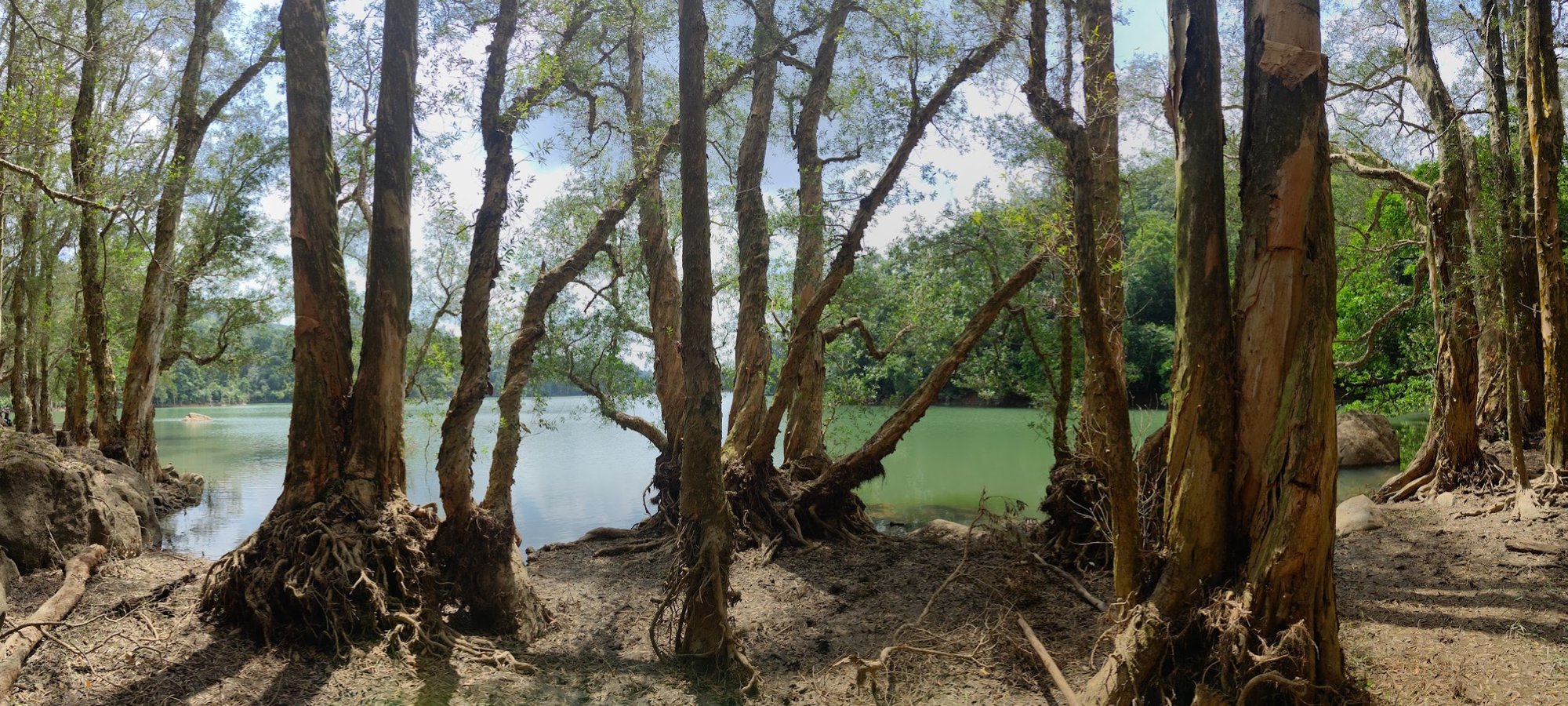
The Paperbark Trees
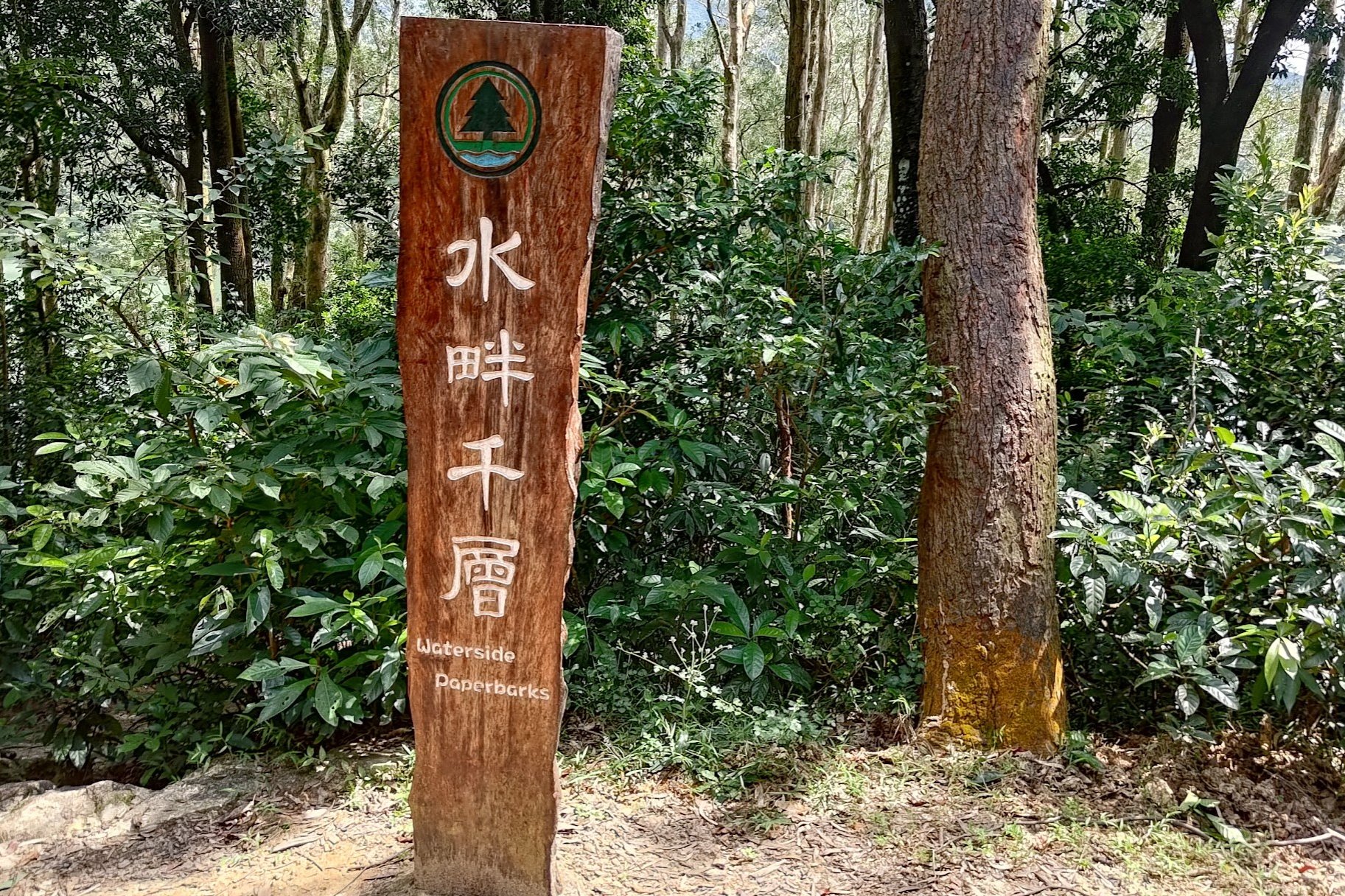
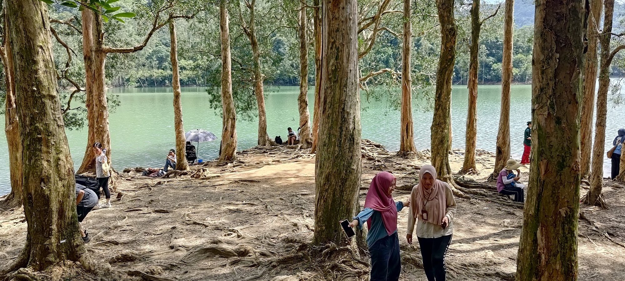
The waterside paperbark trees are some of the most famous highlights of Upper Shing Mun Reservoir. After visiting the secret waterside grove, there's a large sign a couple of minutes away that indicates you're near the waterside paperbarks.
When you take the path beside the sign down toward the paperbark trees, one of two things will happen.
Either, you enjoy a quiet moment (with some local bovine residents if you're lucky), or you will see an overwhelming number of visitors and not have much space.
I hope you get the prior!
Back to the Minibus (End/Start Point)
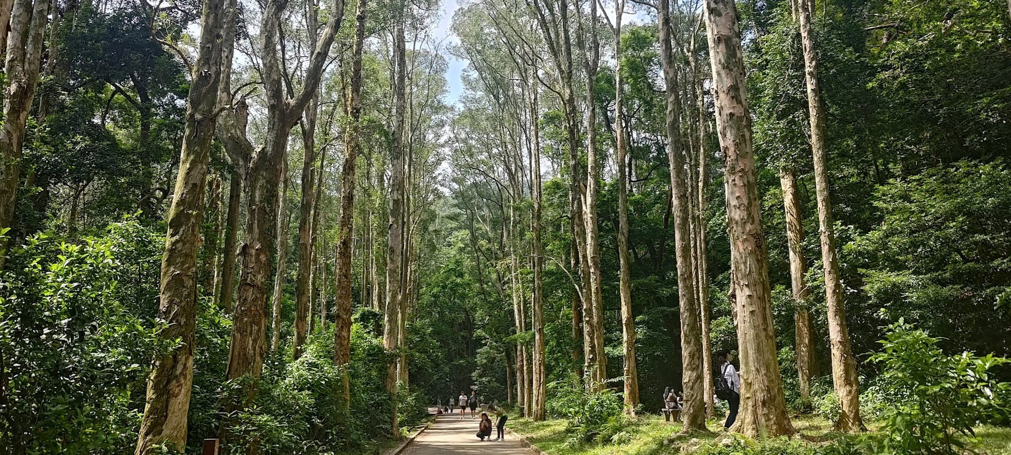
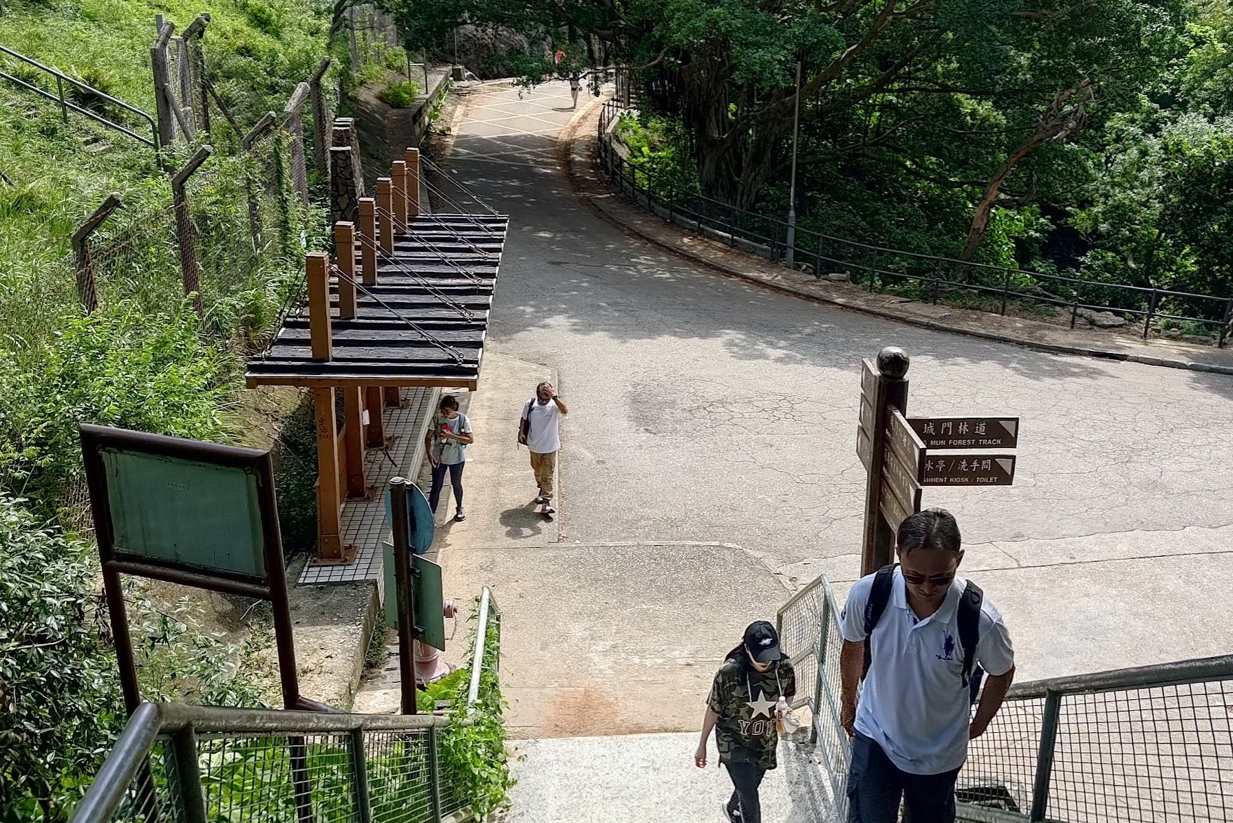
From the waterside paperbarks, it takes about 20 minutes to reach the minibus station at the end of the hike.
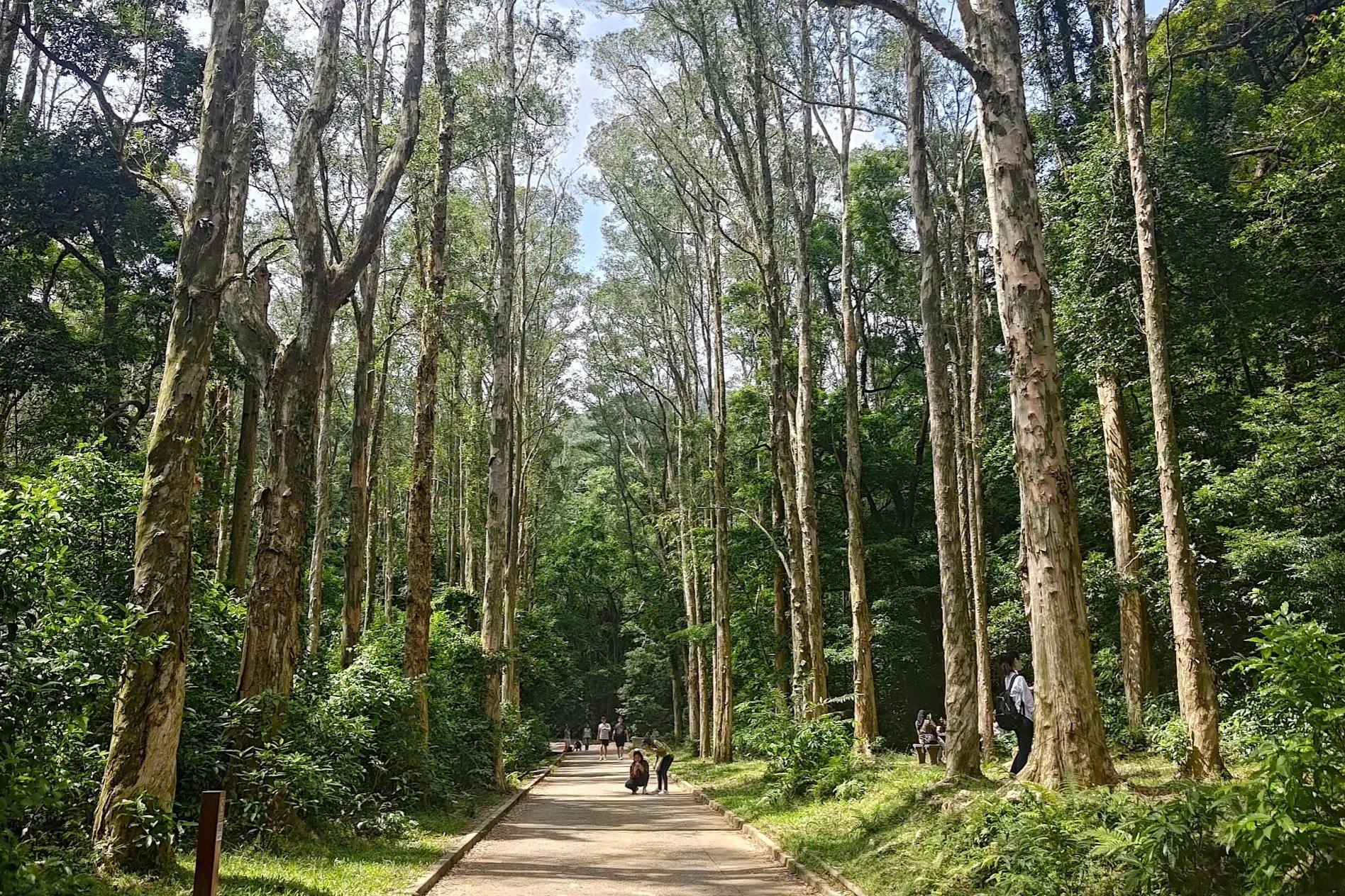
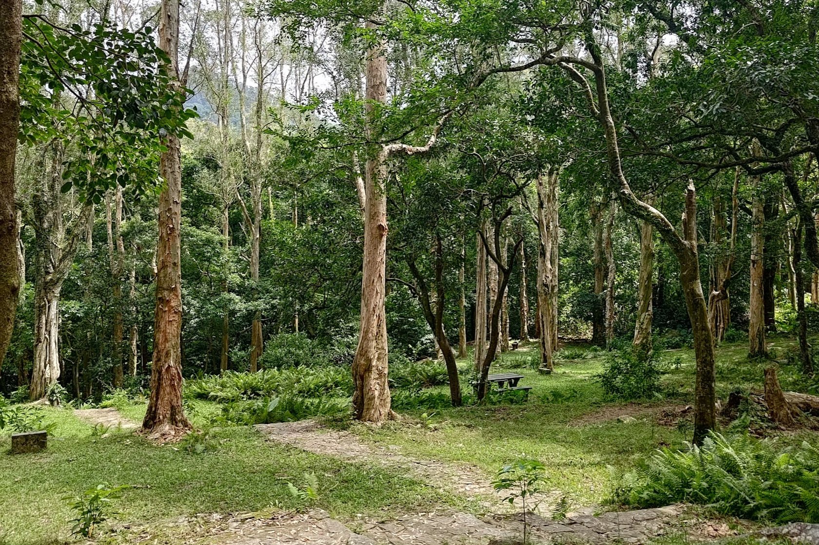
Stay on the concrete road after returning from your excursion to the waterside paperbarks. You'll go through a row of really tall trees that are truly a majestic sight to behold. They will absolutely dwarf you with their height and their sheer scale is almost impossible to capture in a photo!
You'll soon see a sign pointing you toward the minibus station. Follow that sign and rejoice as the trail returns to natural dirt once more!
After passing a little stream and another pool where you can cool off, you'll come across a pavilion. Take the path to the right of the pavilion and follow the next sign down toward the minibus station.
Be sure to take the concrete stairs down and you'll arrive at the minibus stop in no time!
Getting Back
Take green minibus number 82 to Tsuen Wan MTR station, which is the last stop. The minibus has an odd schedule (which you can find here). Though it claims the bus arrives every 8-15 minutes, I waited around 40 minutes for the bus to arrive on a weekday. Weekends are much better.

