
The Twins: Hong Kong Island's Most Infamous Hike
Contents
- Essential Information
- Hike Highlights
- Google Route Map
- How to Get There
- Quick Route Summary
- Detailed Route
- The Twins Viewpoint
- Undulating Green Trail
- Tsz Kong Bridge and Escape Options
- Mountains and Tai Tam Reservoir
- The final push to Violet Hill
- Views of the Hong Kong Skyline
- Getting Back
Essential The Twins Hike Details
- District: Hong Kong Island
- Duration: 2 hours 15 mins from Stanley
- Distance: 5km
- Highest Elevation: 390ish meters
- Difficulty: 3.5/5
- Facilities: None on the trail, so stock up on water and use the toilet beforehand
Why Hike The Twins?

The Twins Hike ( 孖崗山), or Stage 1 of the Wilson Trail, is infamous for good reason. The hike is made up of several long, relentless staircases that are an absolute dream for cardio sadists (like myself) and an absolute nightmare for most sane people (like about 5 friends who refuse to hike with me ever again).
While this guide begins from near Stanley, you can also complete the hike in reverse by taking the start point near Hong Kong Parkview.
Whichever direction you tackle The Twins from, you're guaranteed three things: stairs, sweat and stunning scenery.
The trail is very easy to follow and there are no real tricky detours to navigate. Be sure to take plenty of breaks and drink loads of water, especially if you're attempting this hike in the summer.
Appreciate the gorgeous views that seamlessly switch from fabulous coastal vistas to verdant undulating mountains and even impressive glass skyscrapers.
No matter what kind of scenery you're into, there's likely something on this hike that'll take your breath away.
It's gonna be the stairs.
Yeah, it's definitely the stairs that are going to take your breath away.
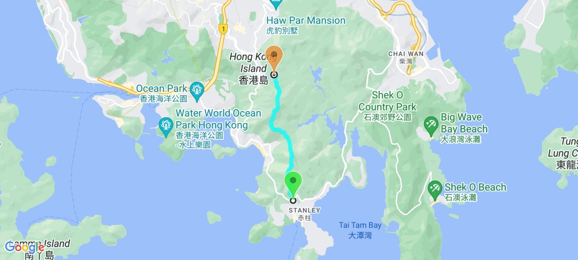
Google Route Map
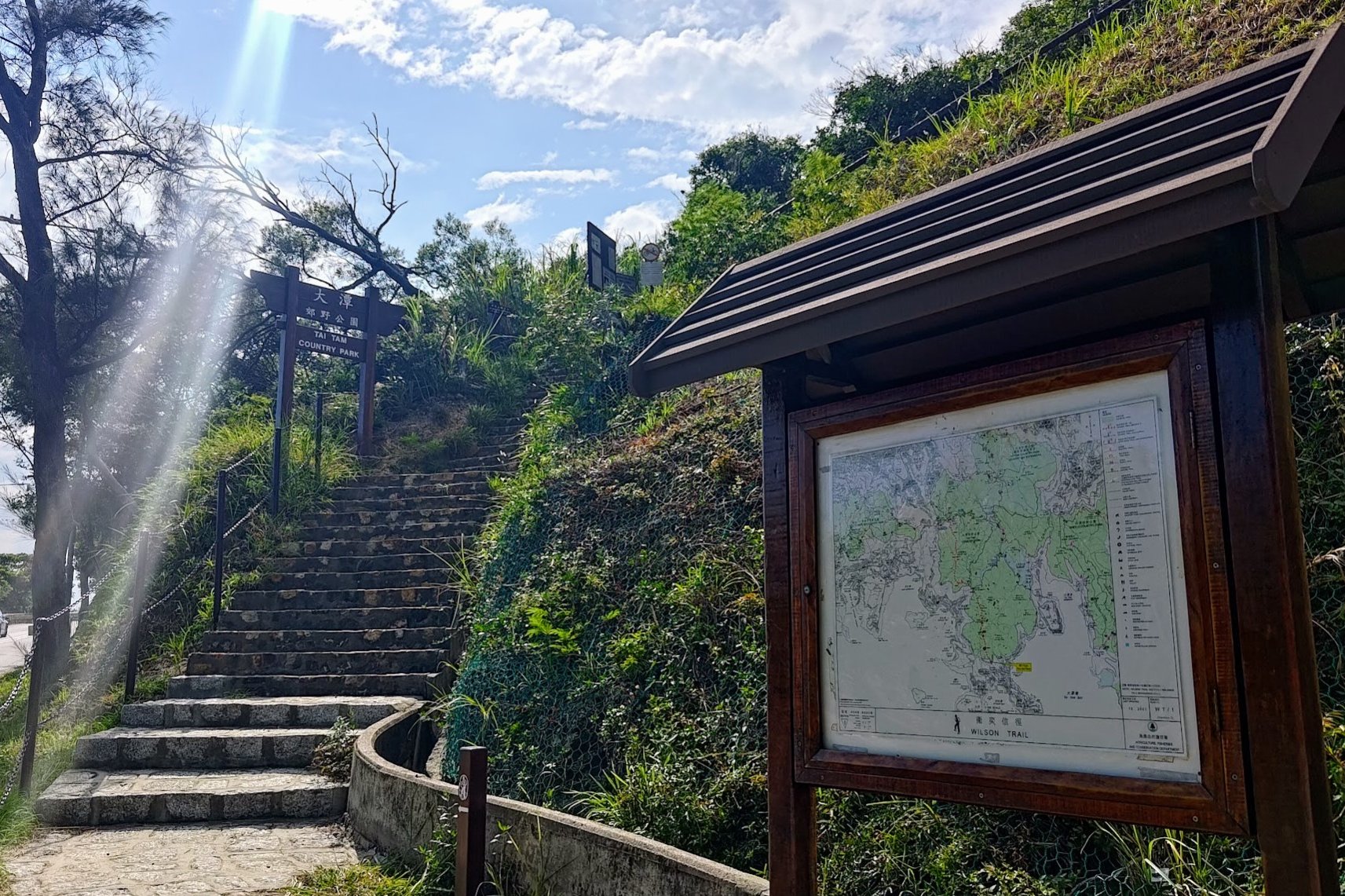
How to Get to The Twins Hike Start Point
By Bus
Take any of the following buses and get off at the Wilson Trail stop:
- Bus 6 (from Central, Admiralty or Wan Chai)
- Bus 73 (from Cyberport, Wah Fu, Tin Wan, Aberdeen, Deep Water Bay and Repulse Bay)
- Bus 260 (from Central, Admiralty, Wan Chai, Wong Chuk hang, Deep Water Bay and Repulse Bay)
By Taxi
You can take a taxi directly to the starting point by showing this to the taxi driver: 衛奕信徑; 赤柱峽道
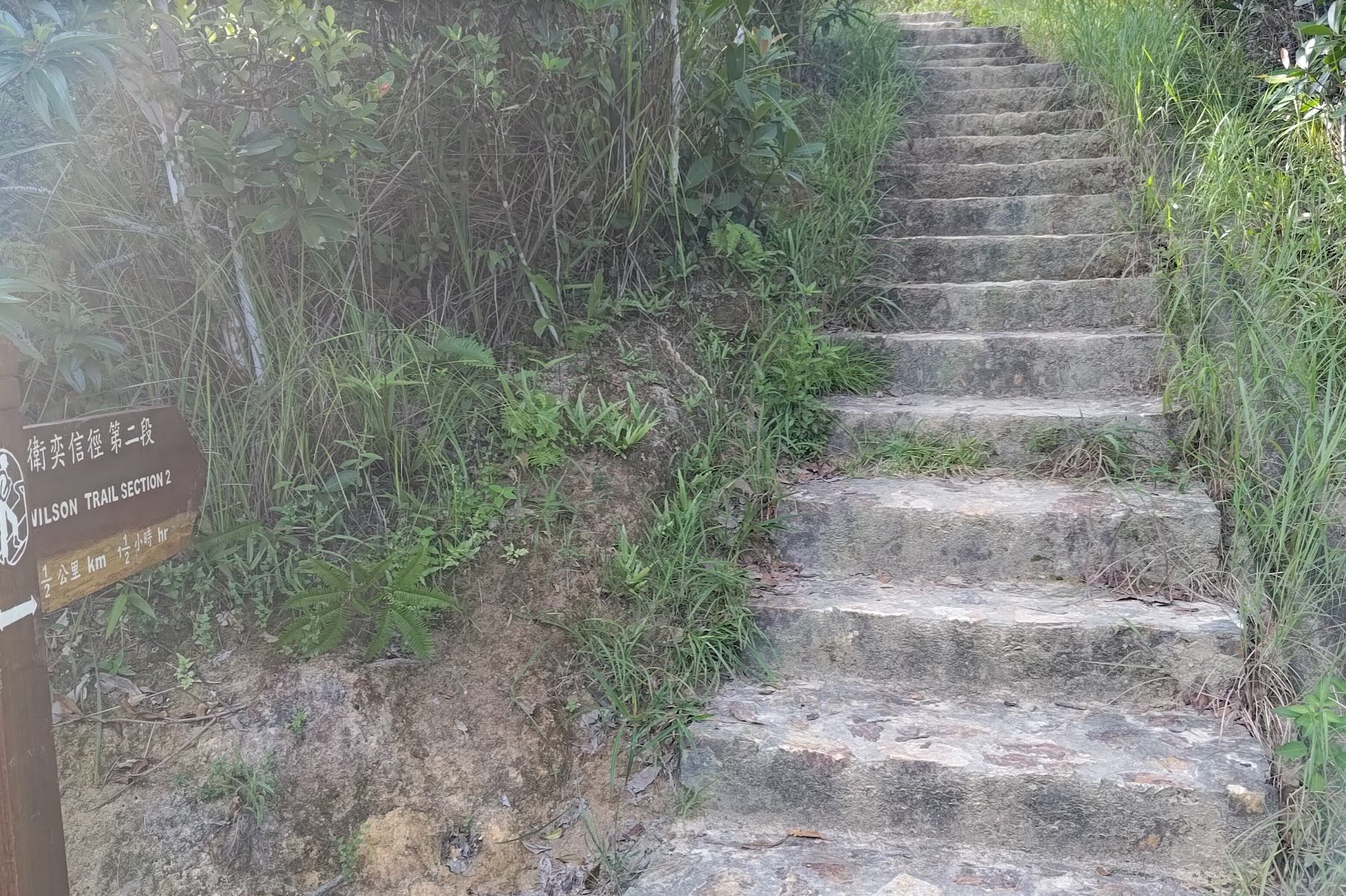
Doing the Hike in Reverse
You can also do this hike in reverse from near Hong Kong Parkview. The start point is just a few meters away from the start of the Jardine's Lookout and Siu Ma Shan Hike. You can find detailed instructions here.
Quick Hike Route Summary of The Twins
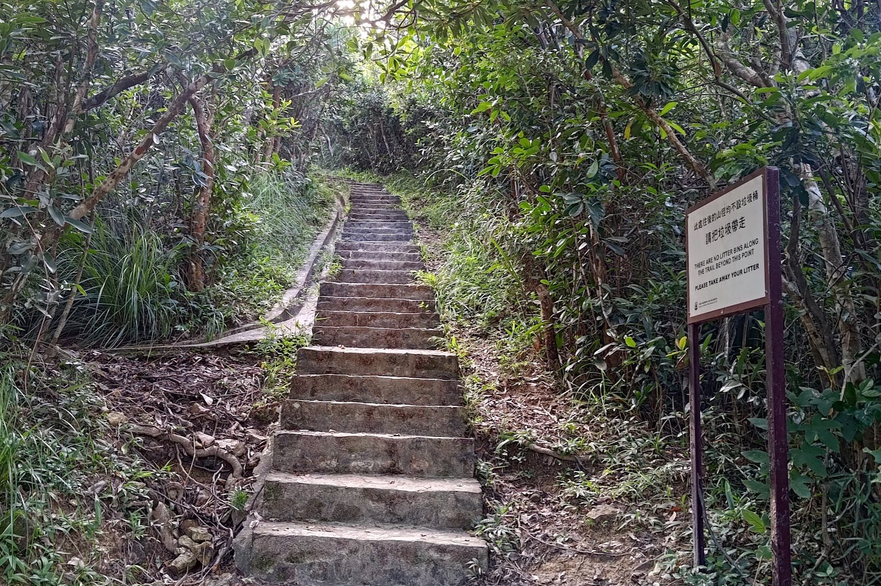
- At the start point, take the stairs heading up past the 'Tai Tam Country Park' sign
- The first little viewpoint comes after 5 minutes of climbing
- When the steps end about 15 minutes later, take the left path for another great viewpoint'
- Follow the trail upward a bit longer (past a stone bench), after which you begin a short descent of about 10 minutes
- You will then ascend a small hill which takes 10-15 minutes
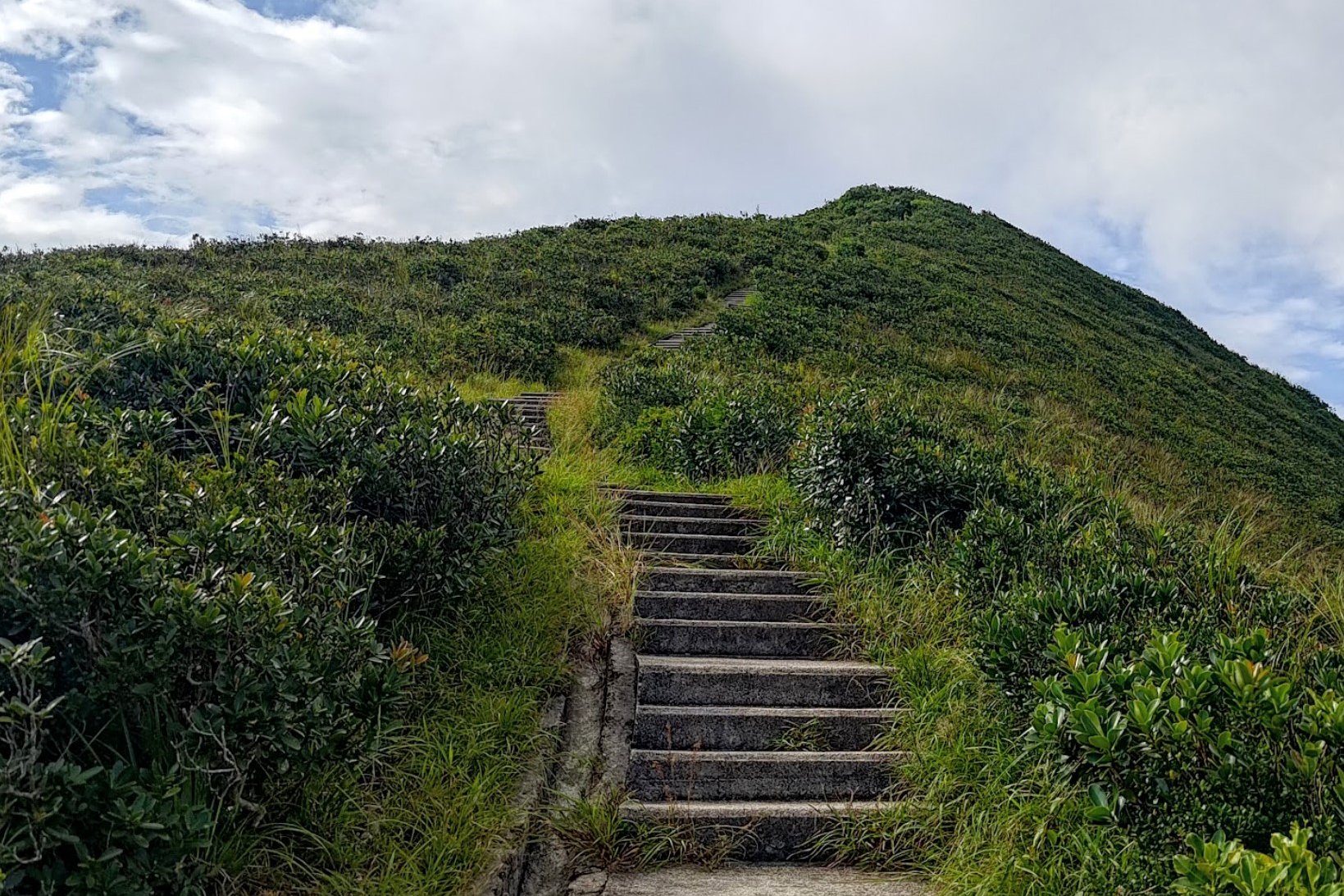
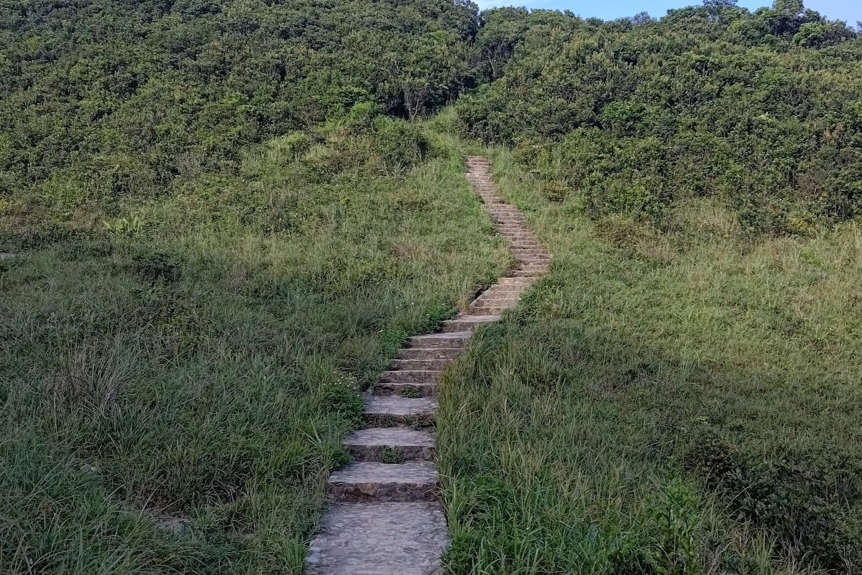
- Then begins the big descent down a LONG staircase
- At the bottom of the staircase, cross Tsz Kong Bridge and begin climbing the next monster set of stairs
- Getting to the very top of the next peak takes about 30 minutes of near-constant stairs
- Enjoy a brief flat respite on some rocky terrain before you begin the ascent to Violet Hill
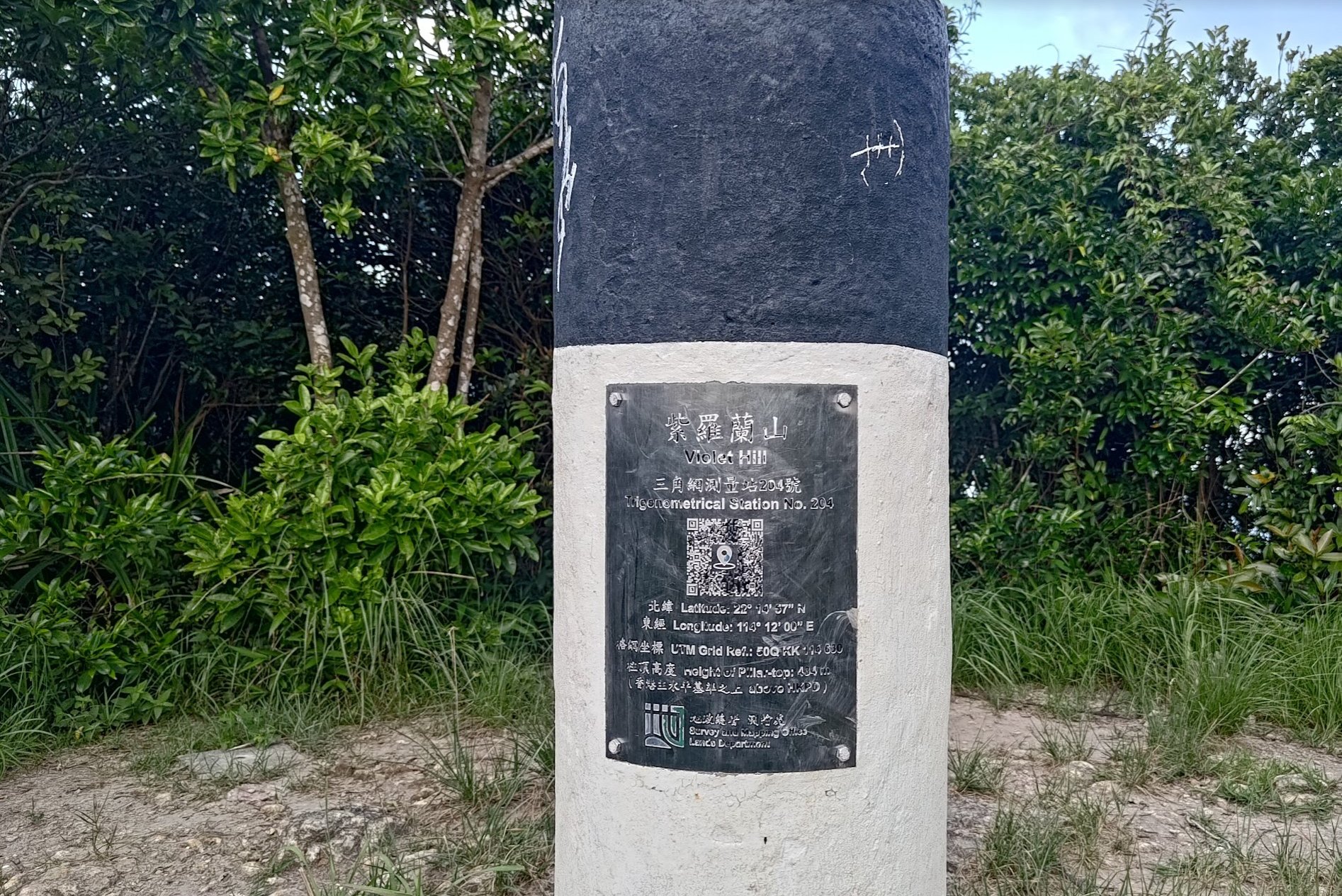
- The top of Violet Hill is marked by a black-and-white trigonometrical point
- Follow the sign to Hong Kong Parkview
- Head down to Tai Tam Reservoir Road, which takes about 20 minutes
- Go left down Tai Tam Reservoir Road for a few minutes until you see a pink sign pointing to 'Wong Nai Chung Gap Trail'
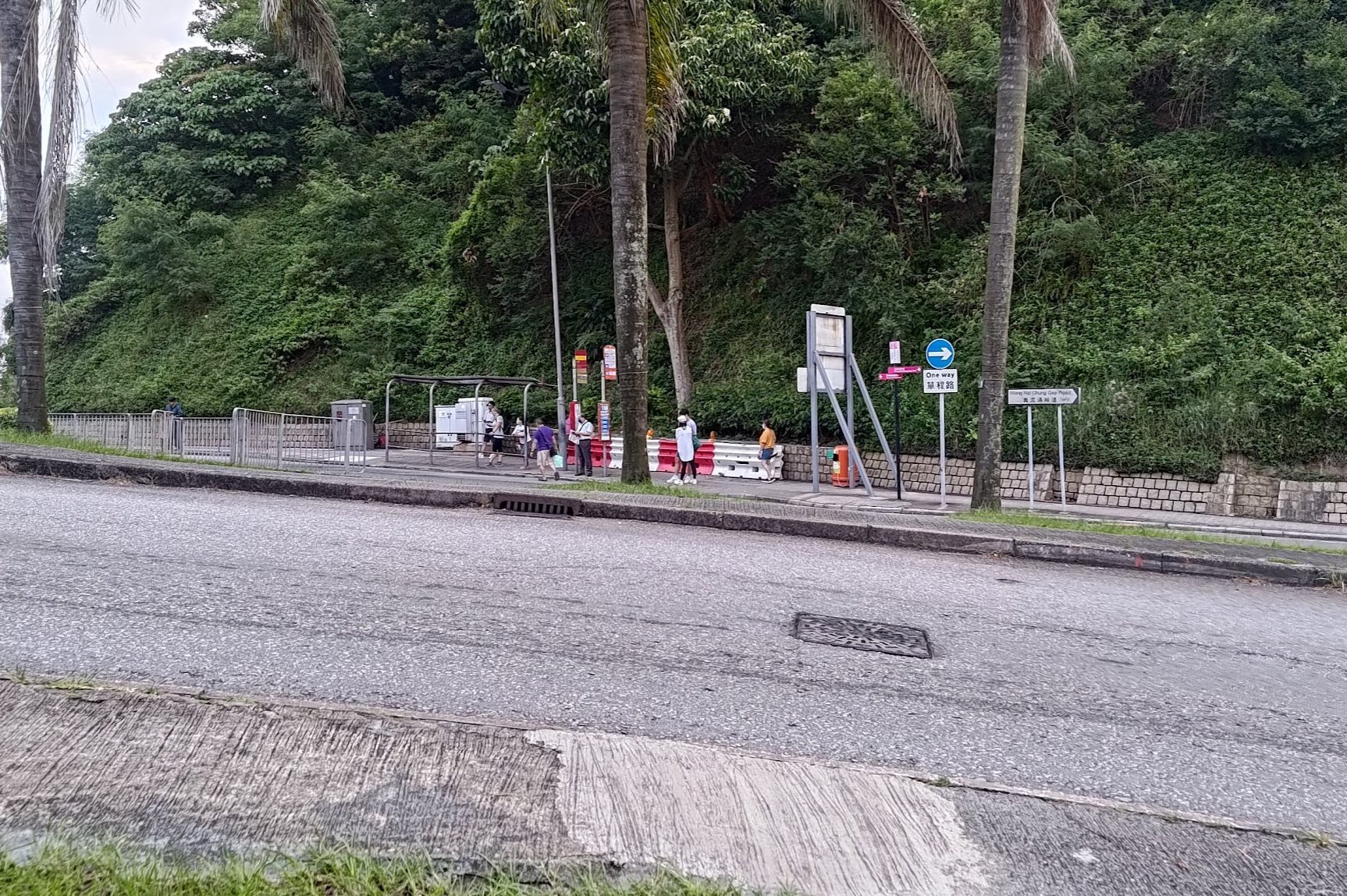
- Take the stairs down to the petrol station, cross the road and grab a bus back to the city
Climbing to the First Viewing Point
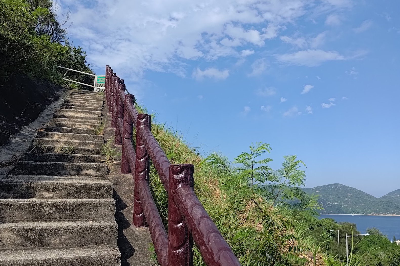
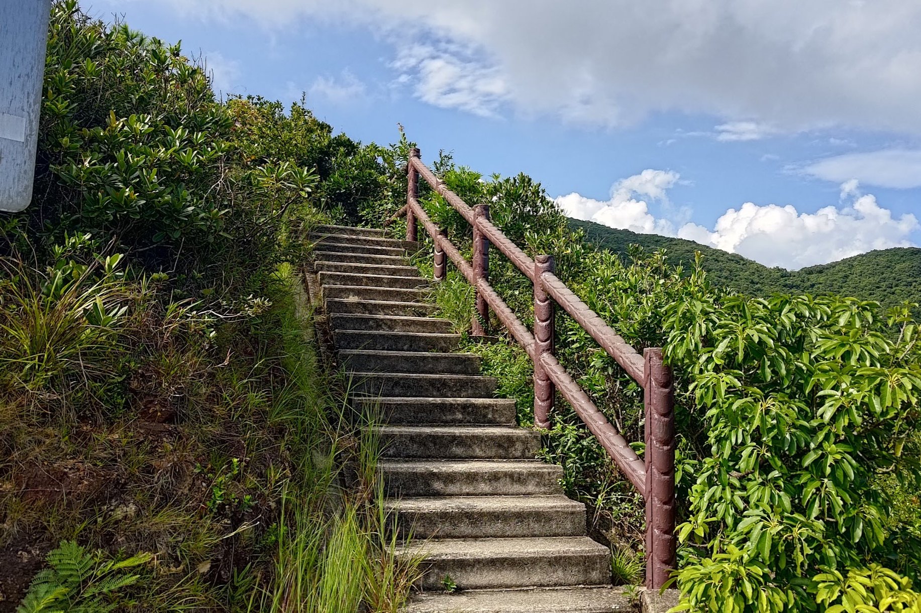
From the start point, follow the stairs upward for about 5 minutes until you see a pinkish-brown railing. This marks the first viewpoint.
Take a short breather and enjoy the views before continuing up more stairs.
Climbing to the Next Epic Viewpoint
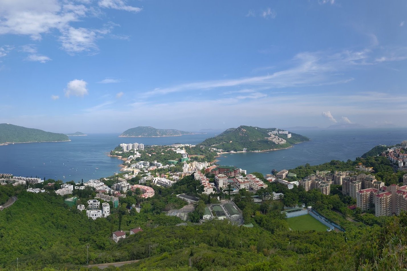
Keep following the steps upward. You'll be treated to uninterrupted views of Stanley below as you climb. The ocean also stretches all the way out to the horizon making for some very dramatic photo opportunities.
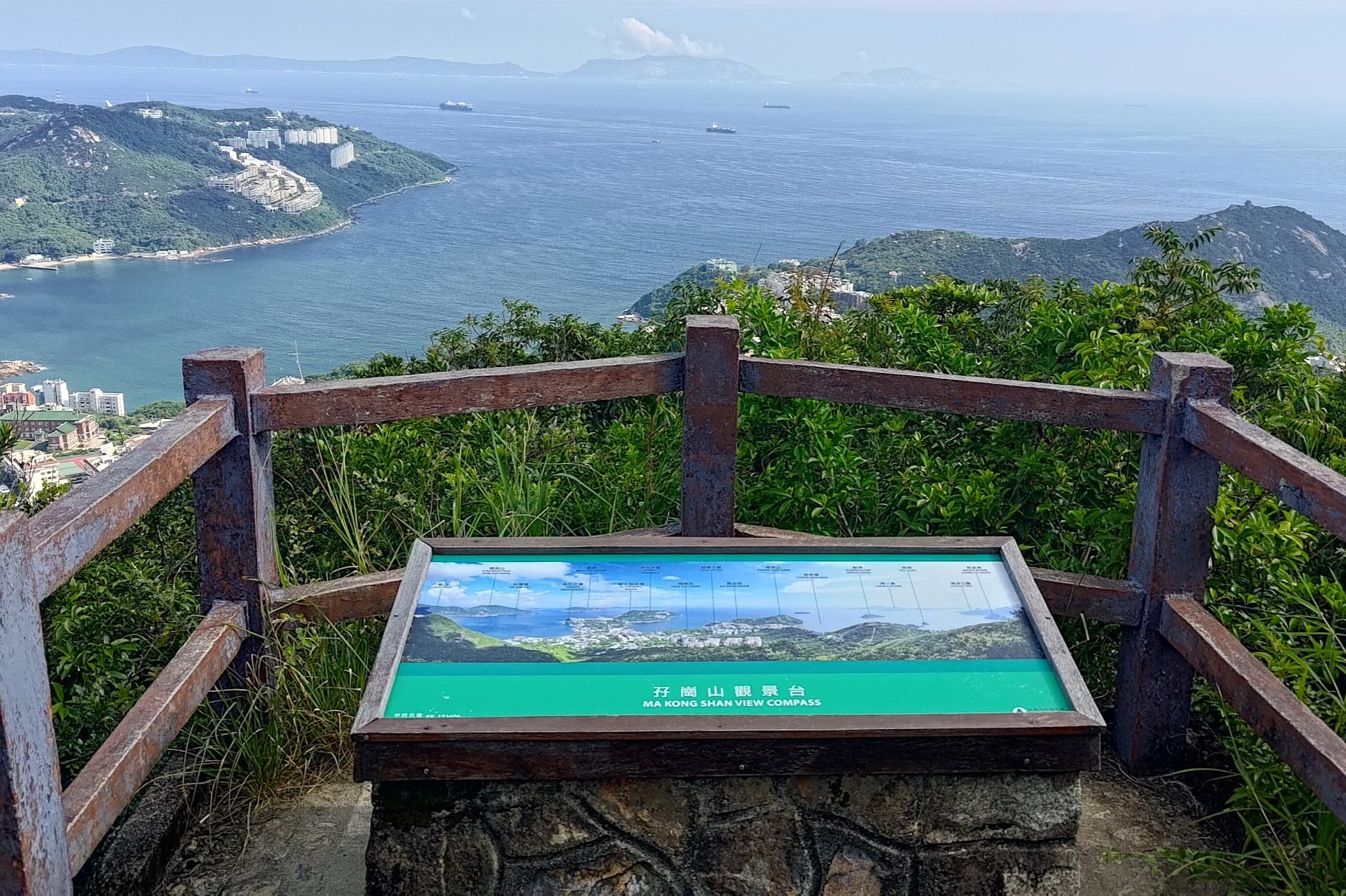
When the stairs come to an end after about another 15 minutes of climbing, you'll see a path going to the left. Take that path to reach The Twins Lookout.
There's a sign here detailing what the key landmarks below you are while also allowing you to soak in some epic coastal scenery.
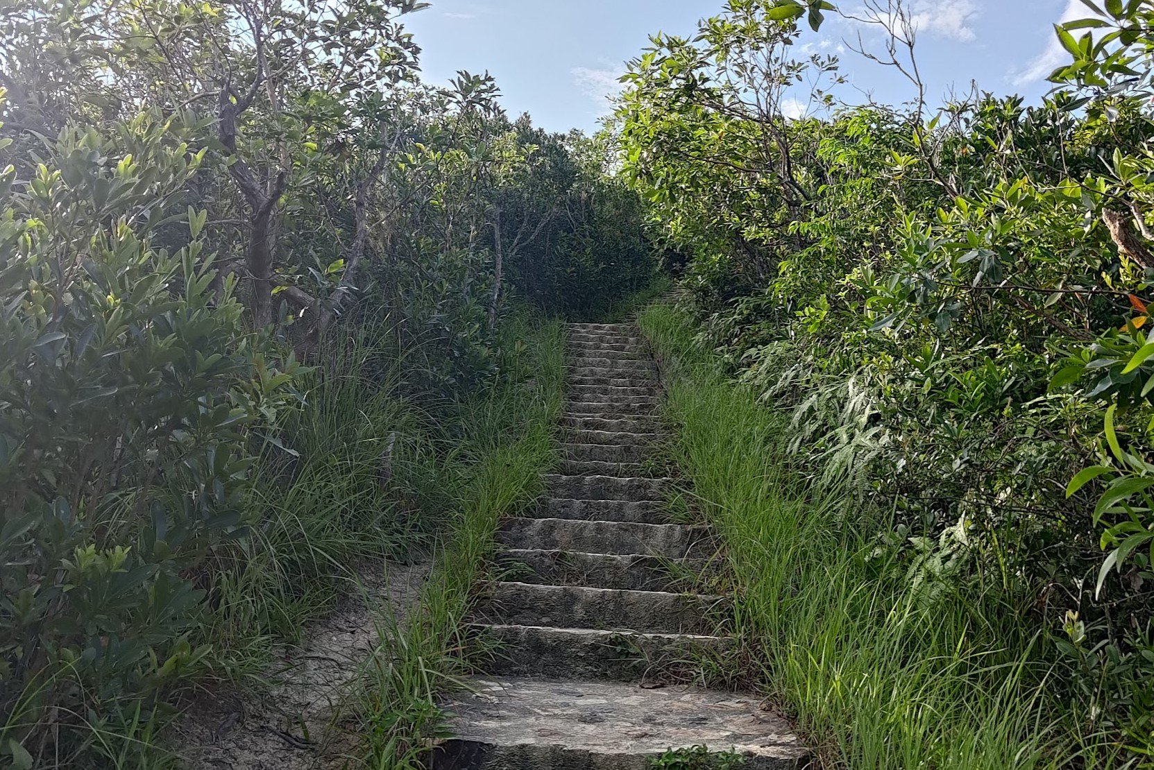
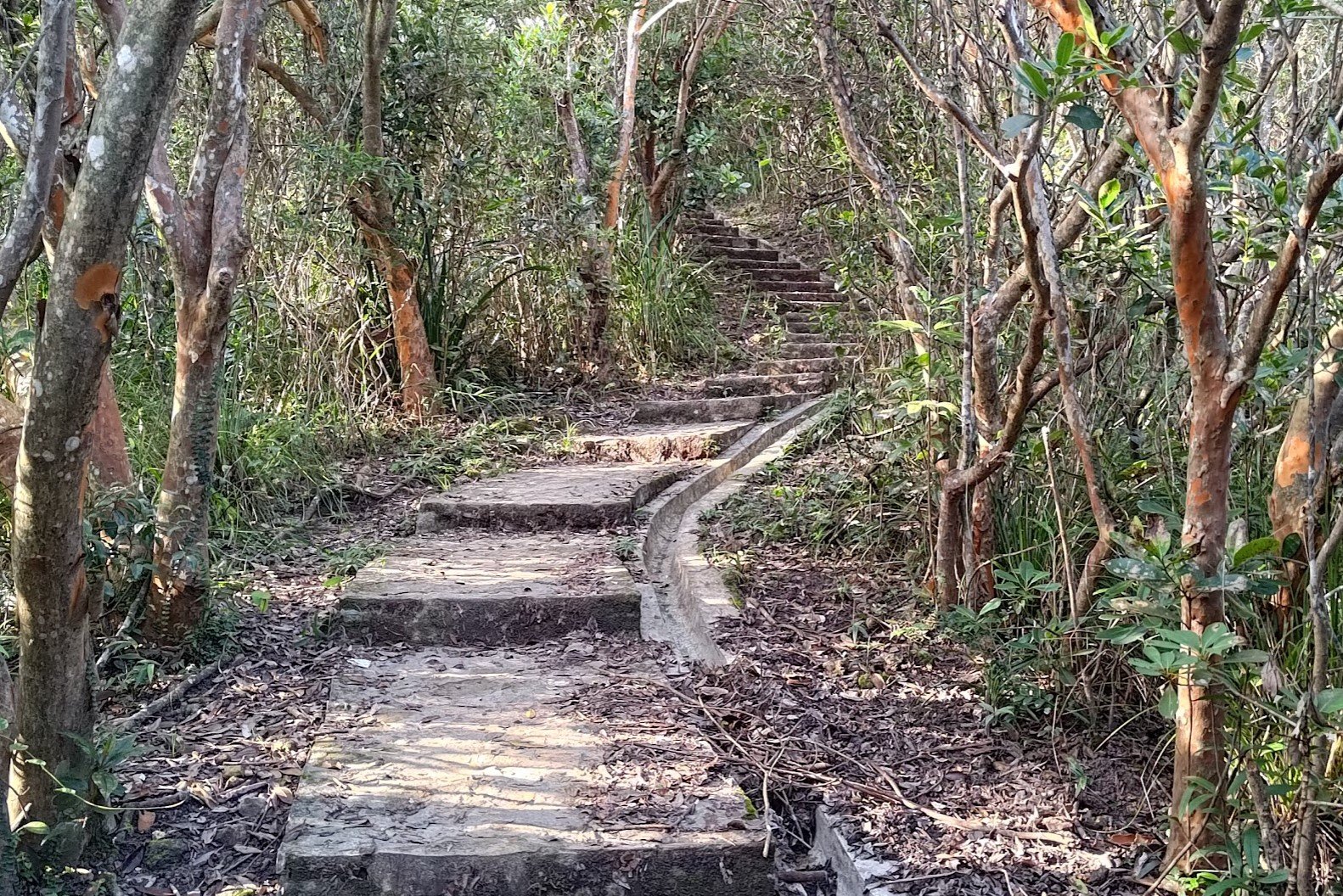
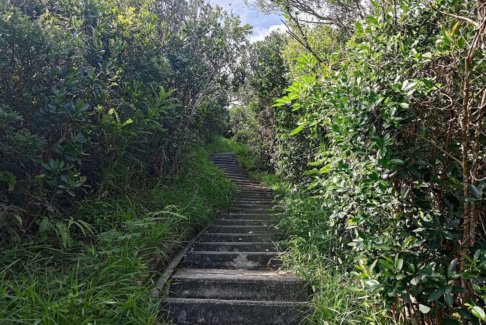
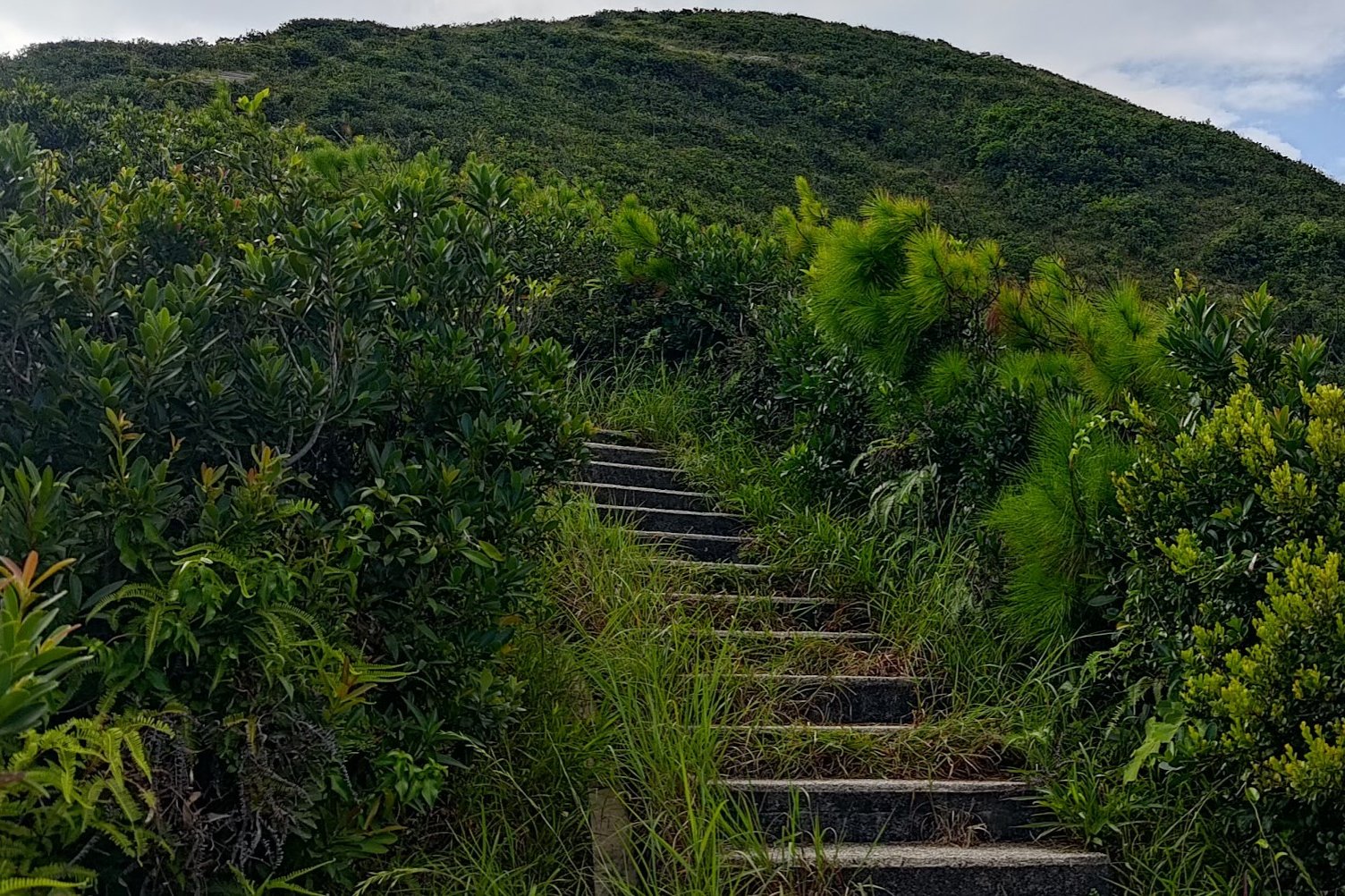
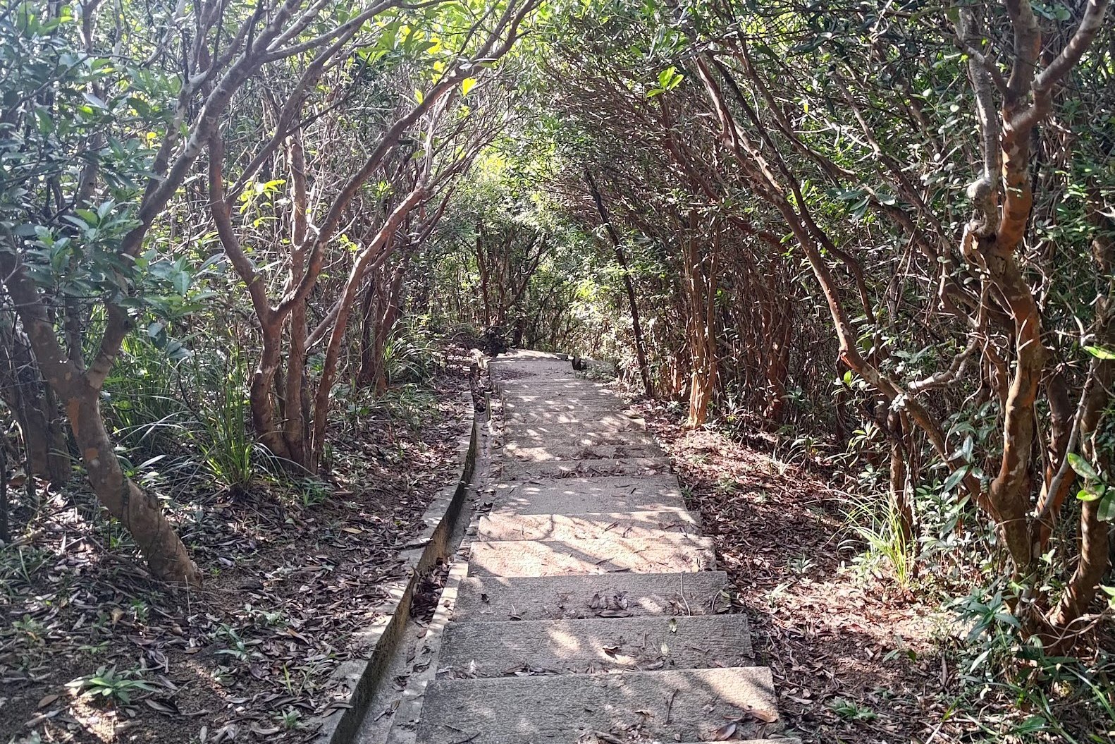
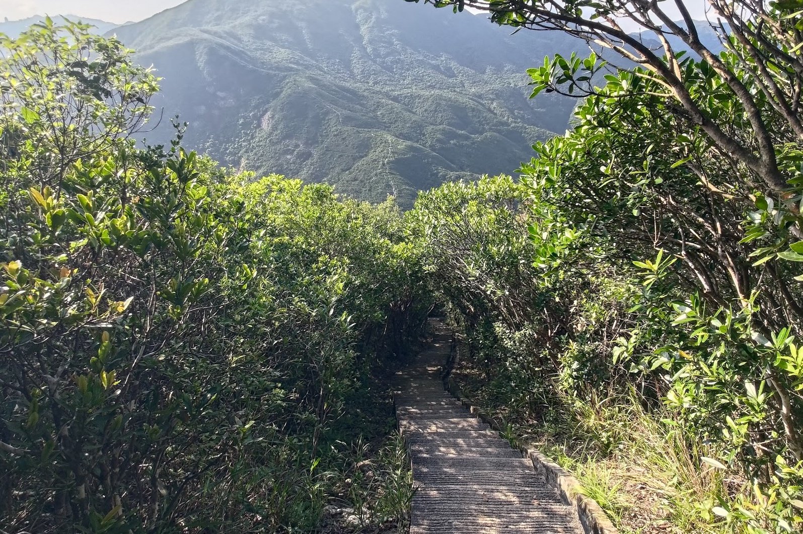
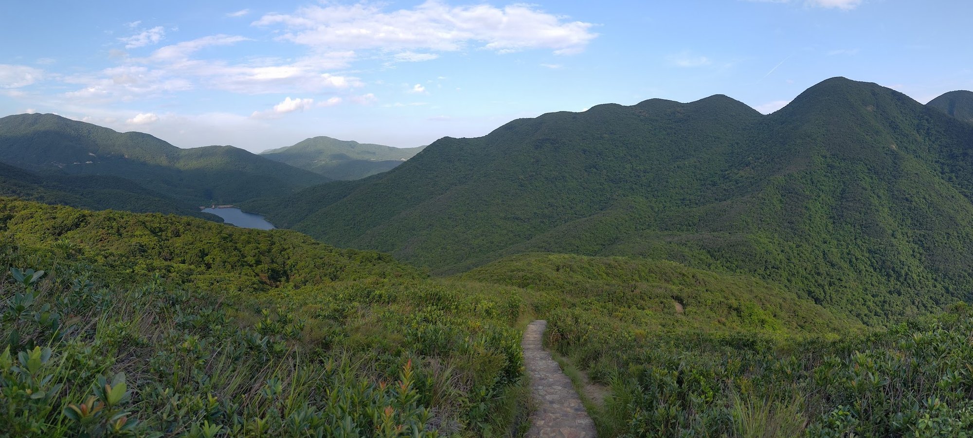
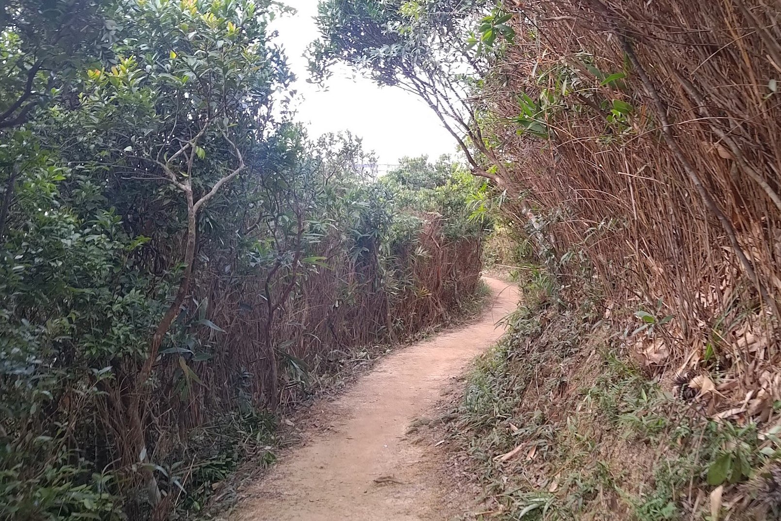
The Undulating Green Section of The Twins Hike
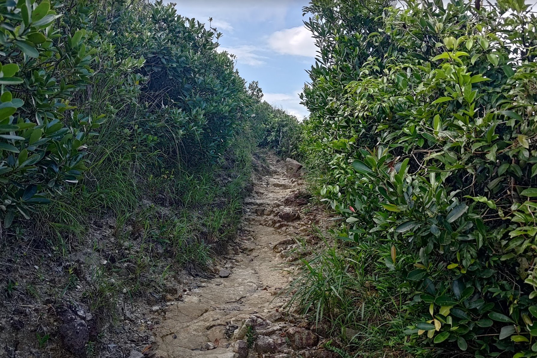
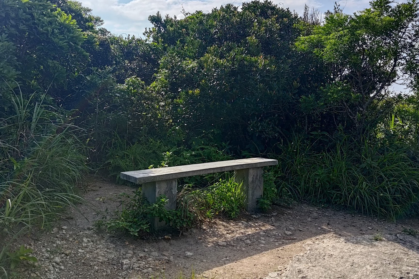
Keep following the trail upward for another few minutes, after which, you will come across a stone bench. Take a well-deserved rest before taking the stairs downward next to the bench.
The descent lasts about 10 blissful minutes before the trail starts to slope upward again. You will then ascend a small hill which takes 10-15 minutes.
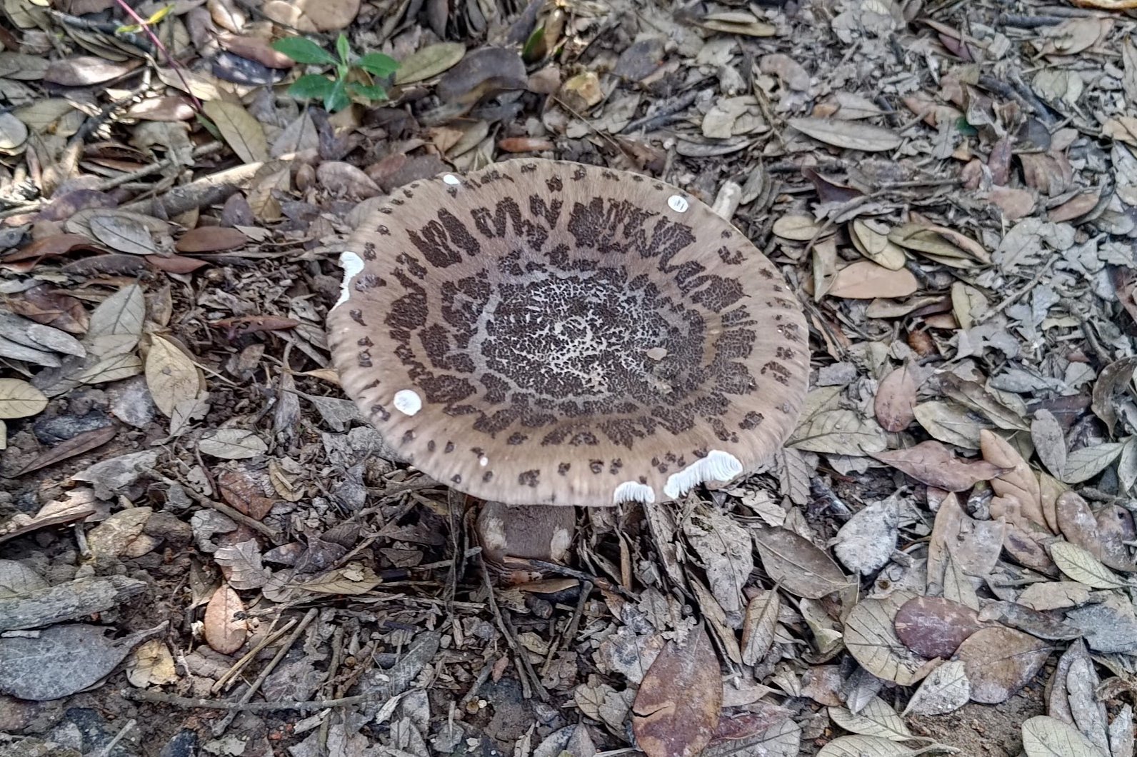
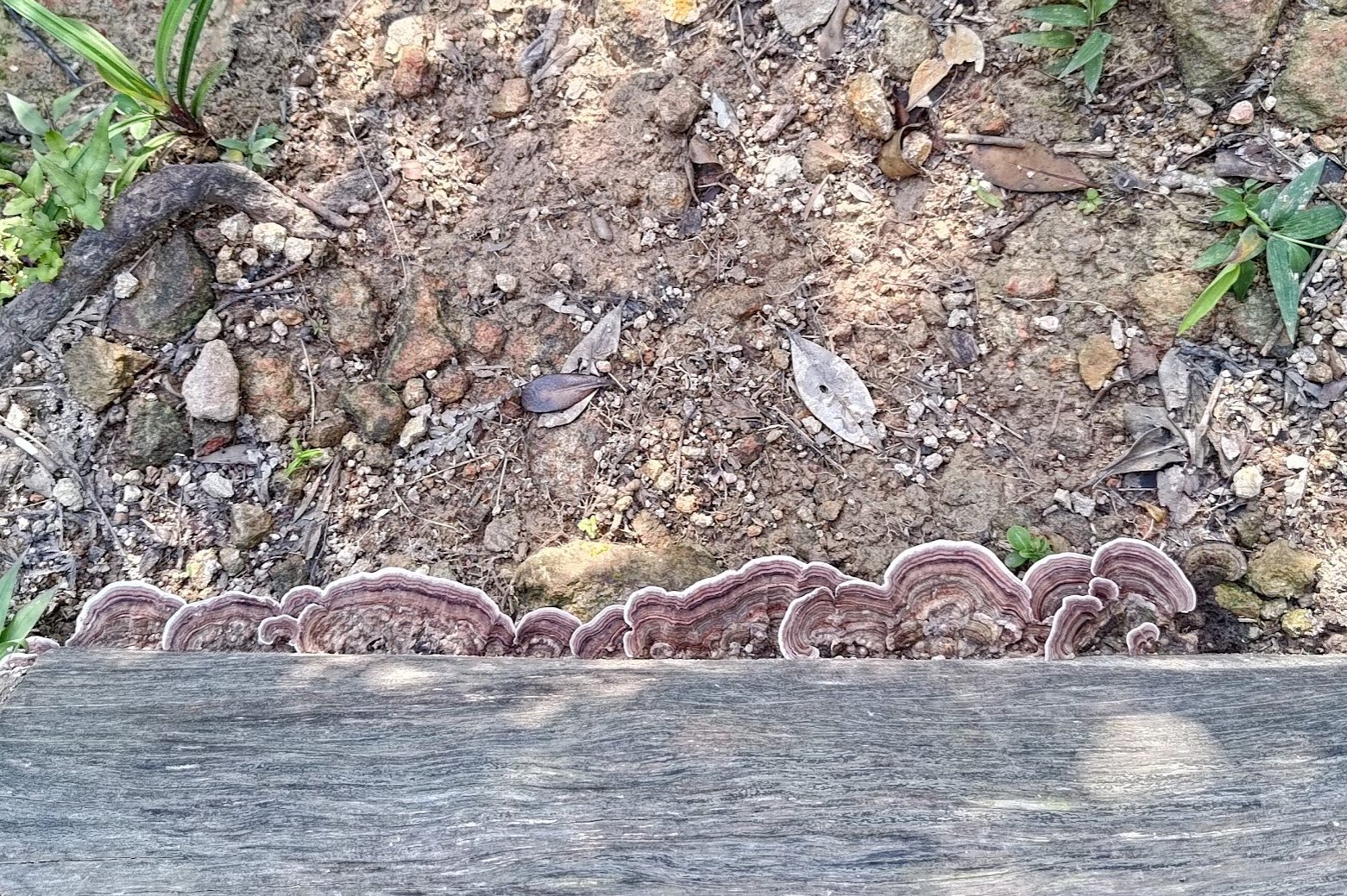
Don't forget to look back at your progress and hunt for cool mushrooms to distract you from your burning calves!
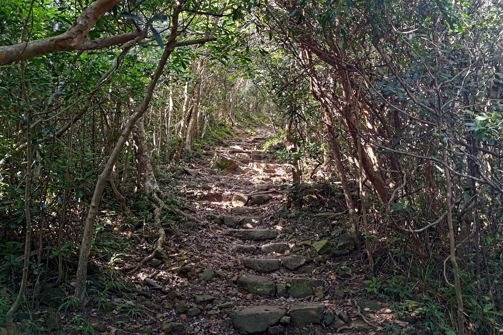
The 20-Minute Descent Staircase
When a stone set of stairs comes into sight, follow them downward for about 20 minutes.
Don't think about the fact that you're undoing all your hard work and will soon be climbing up another mountain that looms before you.
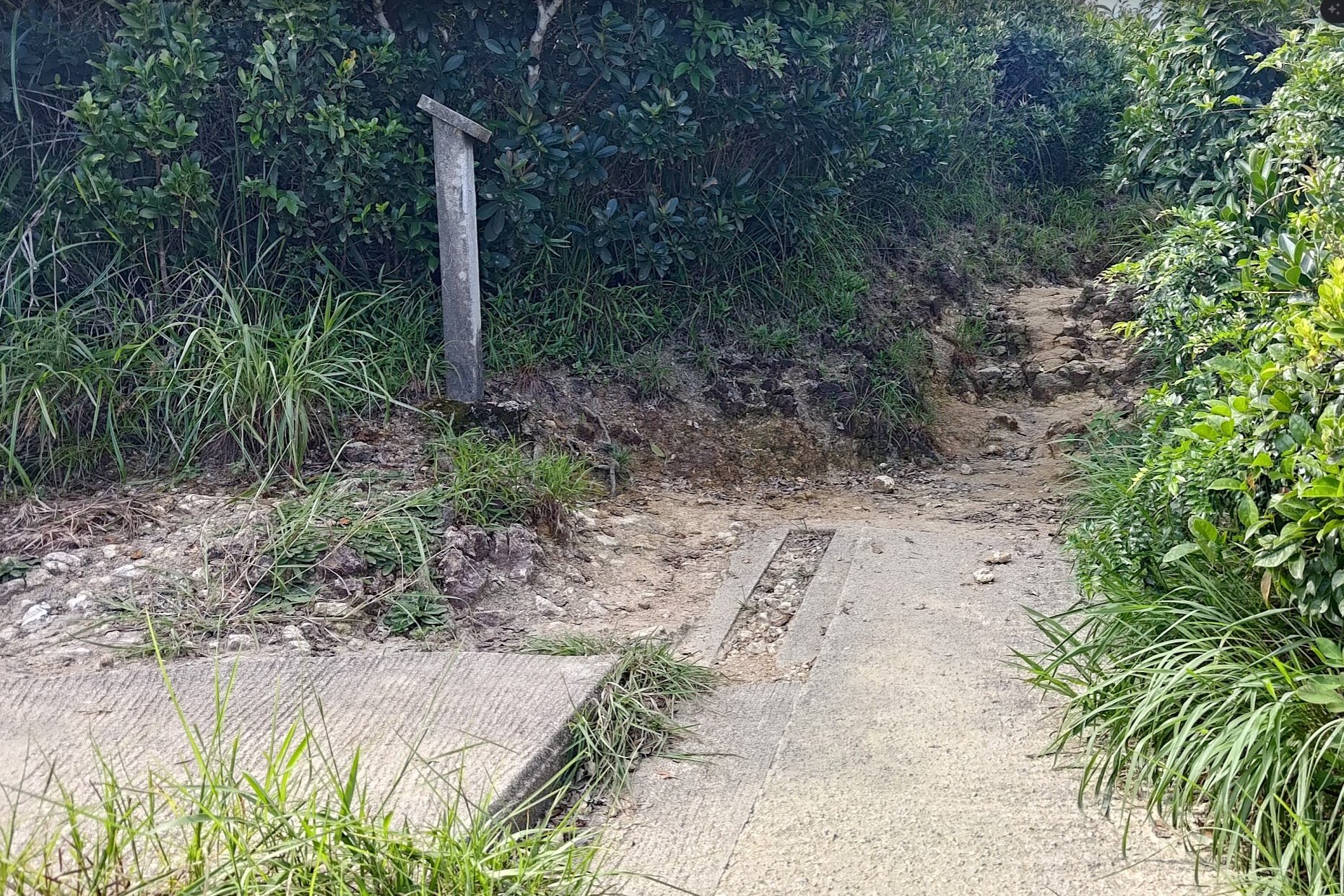
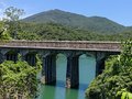
The Tsz Kong Bridge and Escape Options
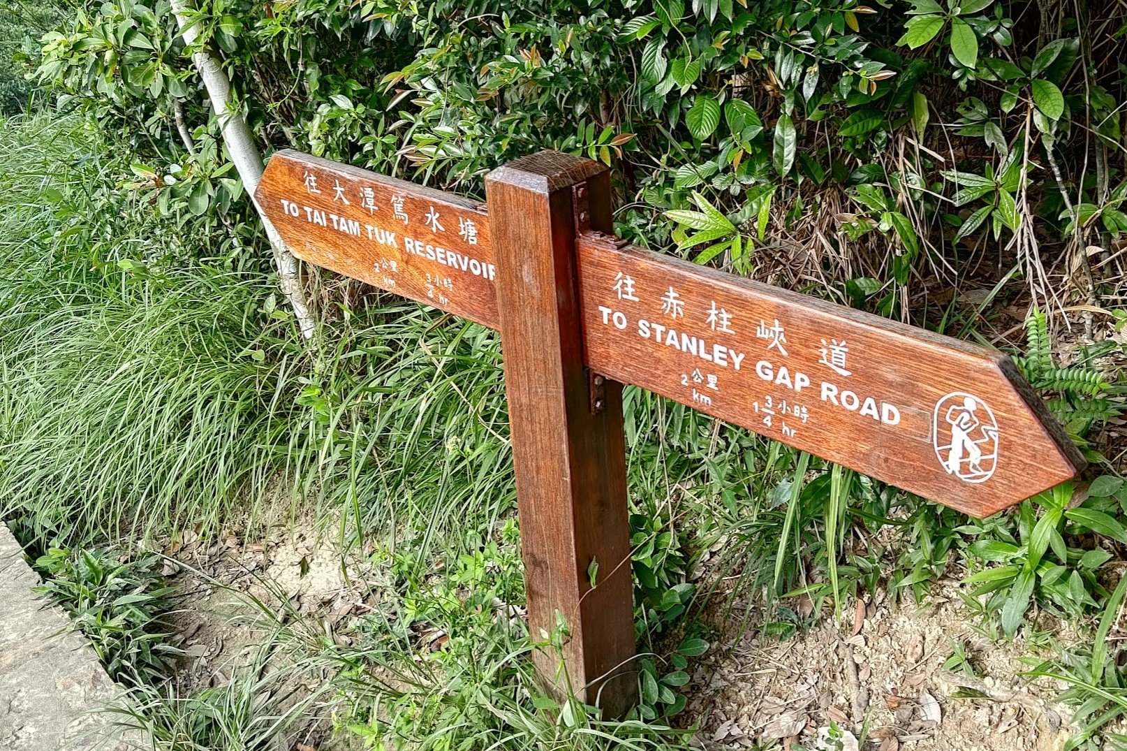
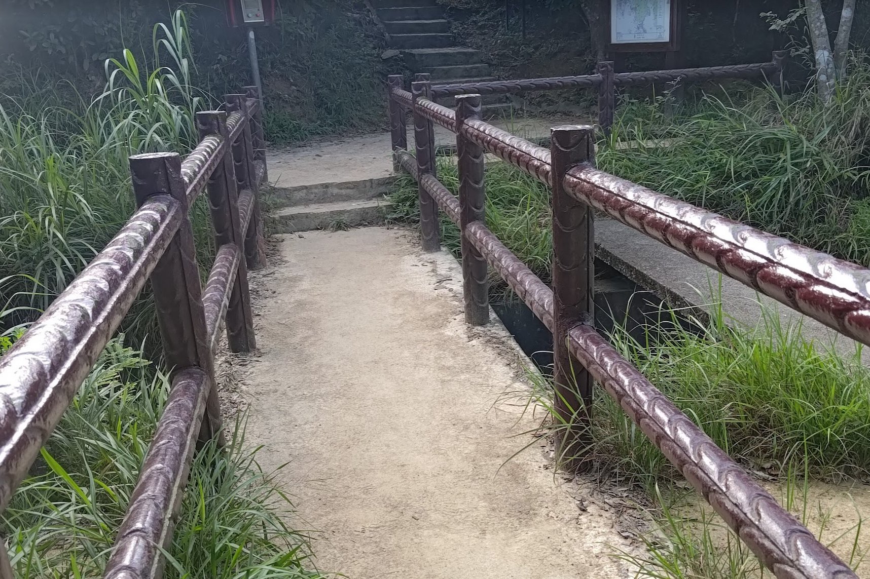
Once you make it down to the bottom of the stairs, you'll see the small and quaint Tsz Kong Bridge before you.
Before crossing the bridge, there'll be a sign pointing you to 'Tai Tam Tuk Reservoir'. If you don't fancy another huge uphill climb, you can head downward toward the reservoir for a much easier route.
If you wish to continue, cross the bridge.
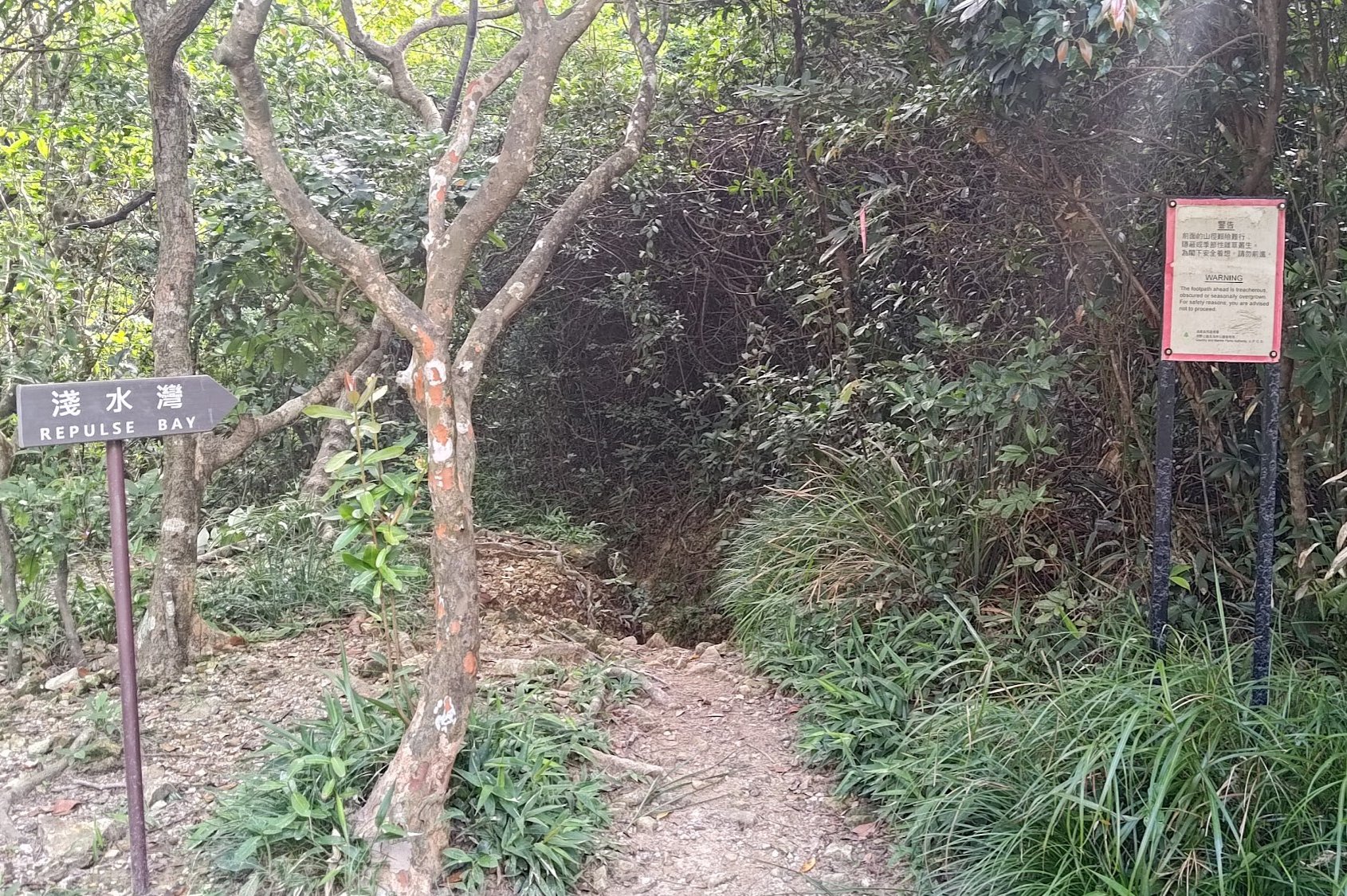
To the left of the bridge, there's another optional escape route to Repulse Bay. This trail seems to be very overgrown and I don't know how safe it is, or how long it takes.
If you're committed to completing the hike, take the stone steps upward.
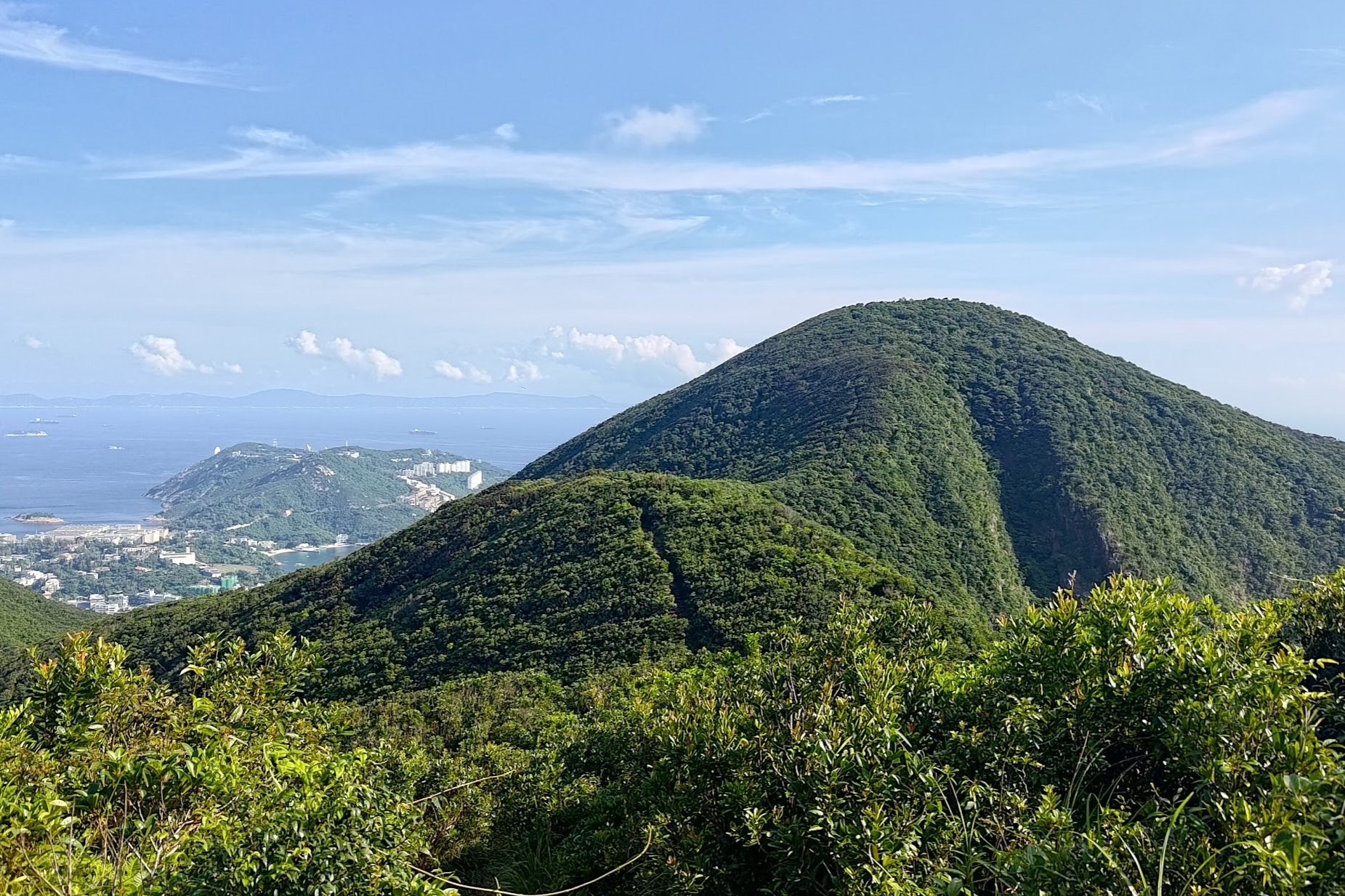
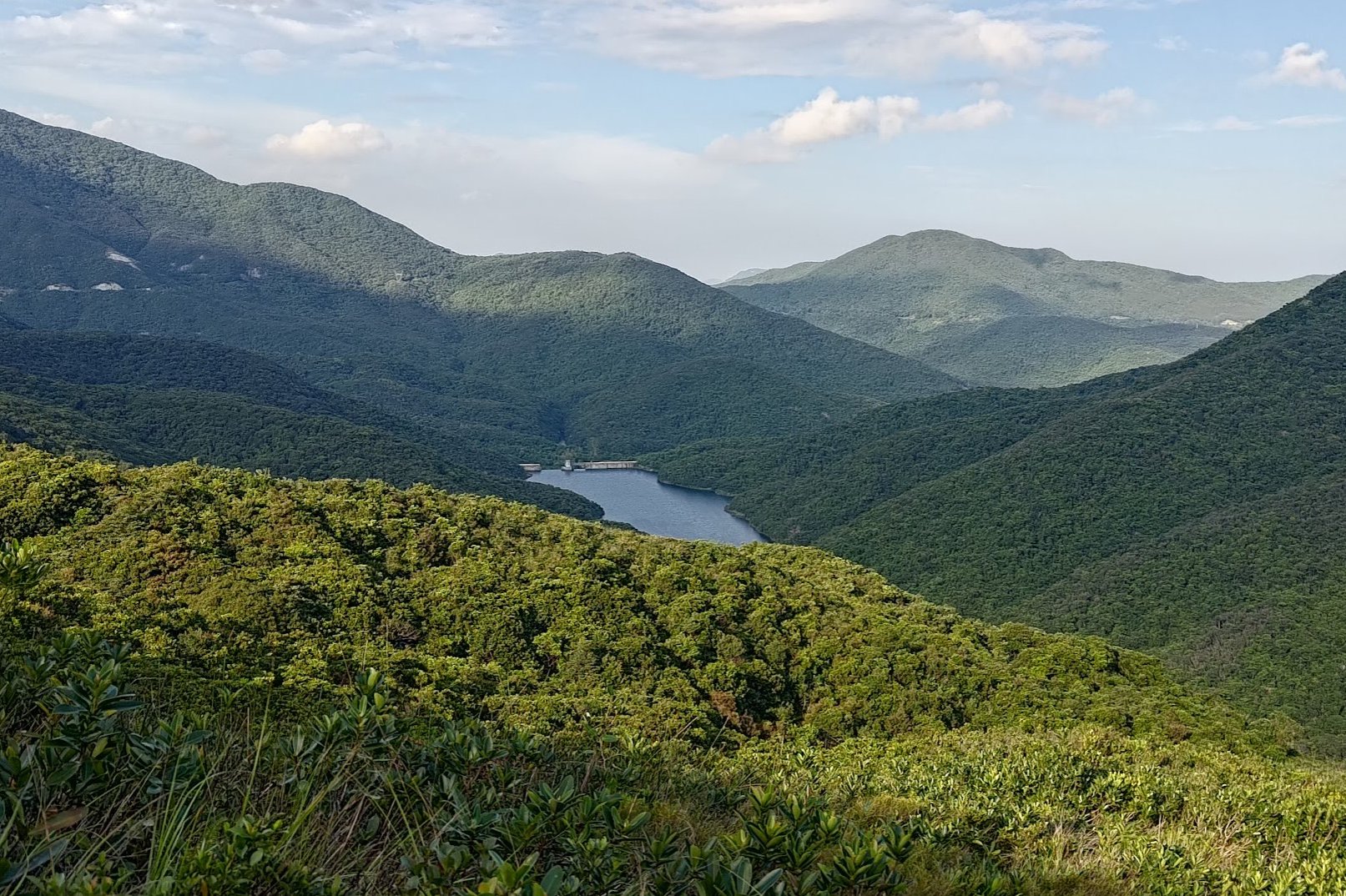
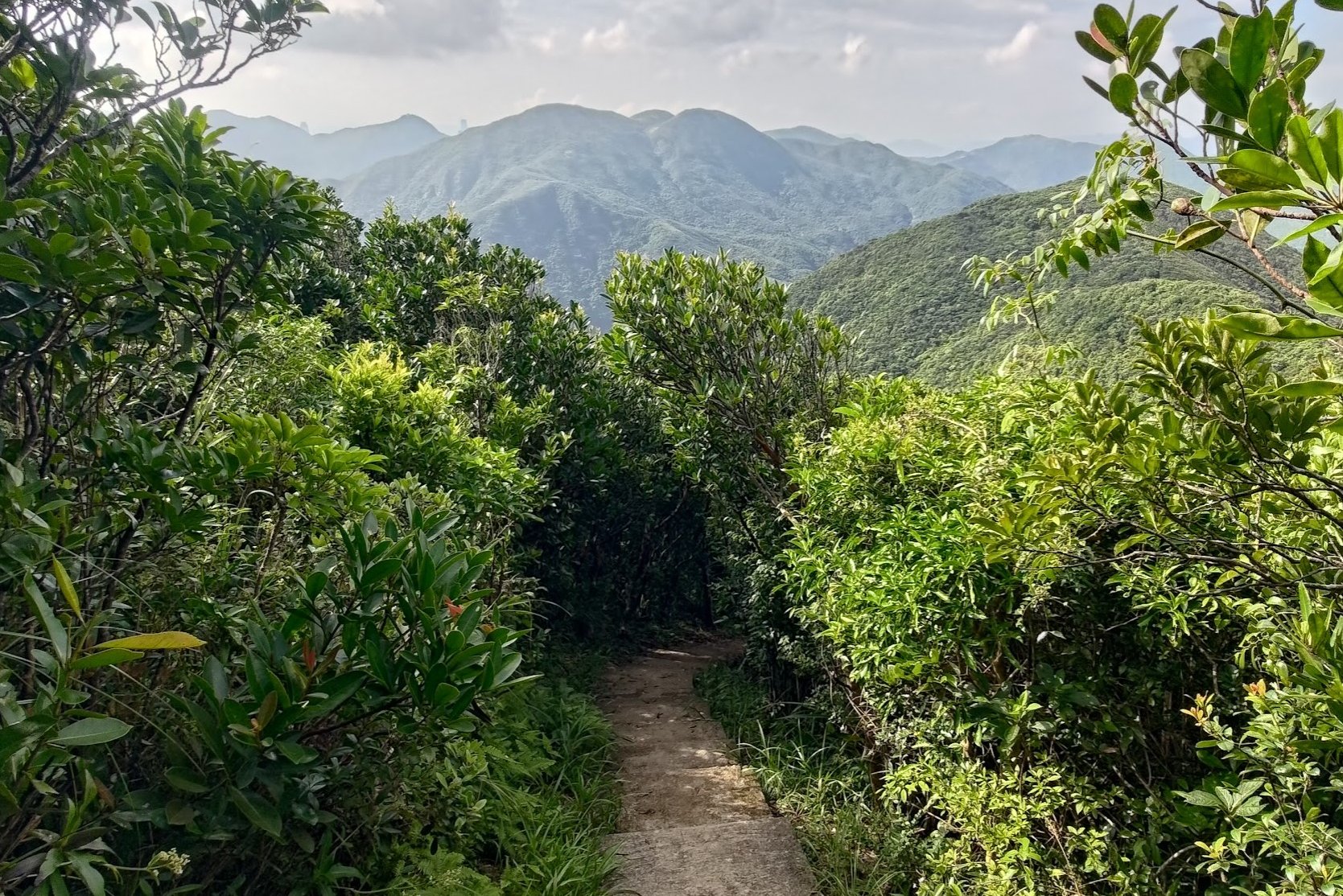
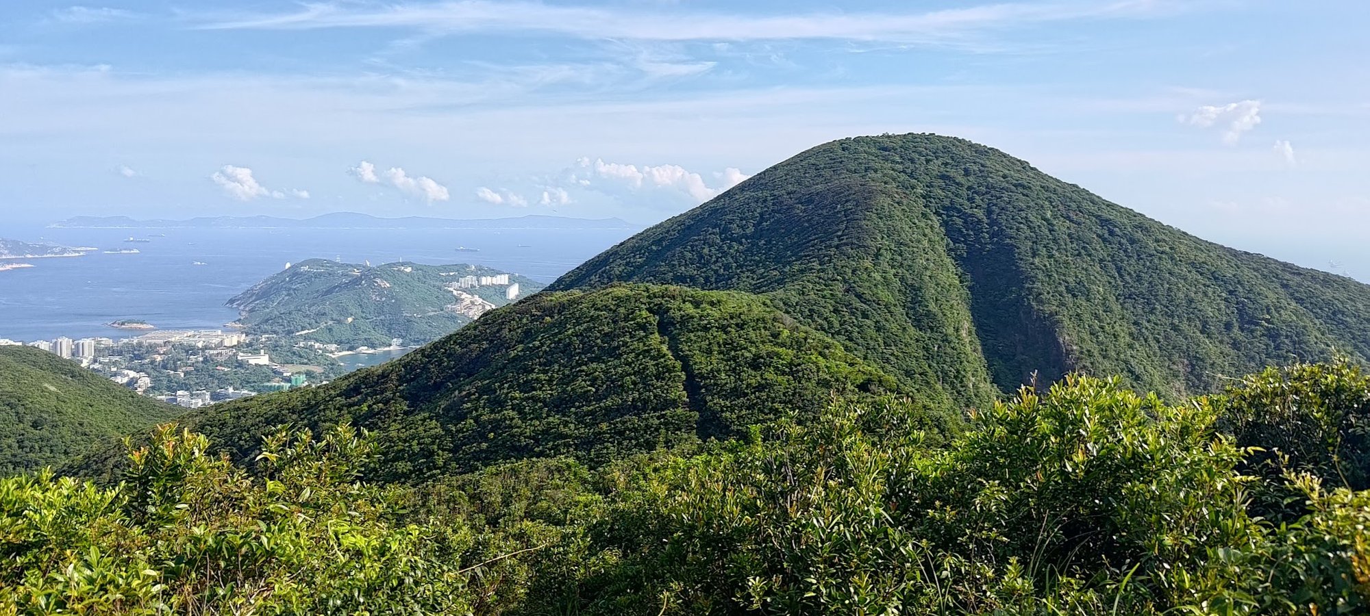
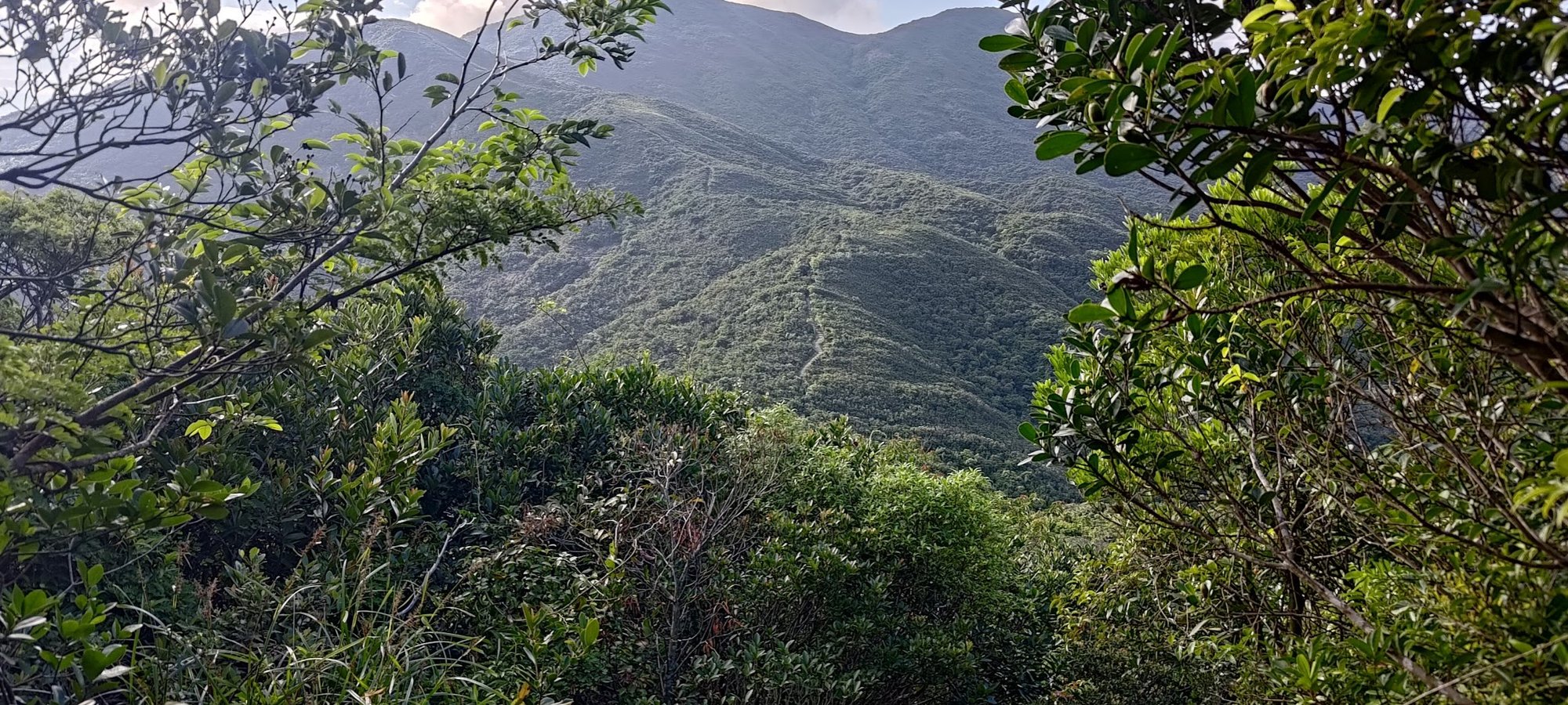
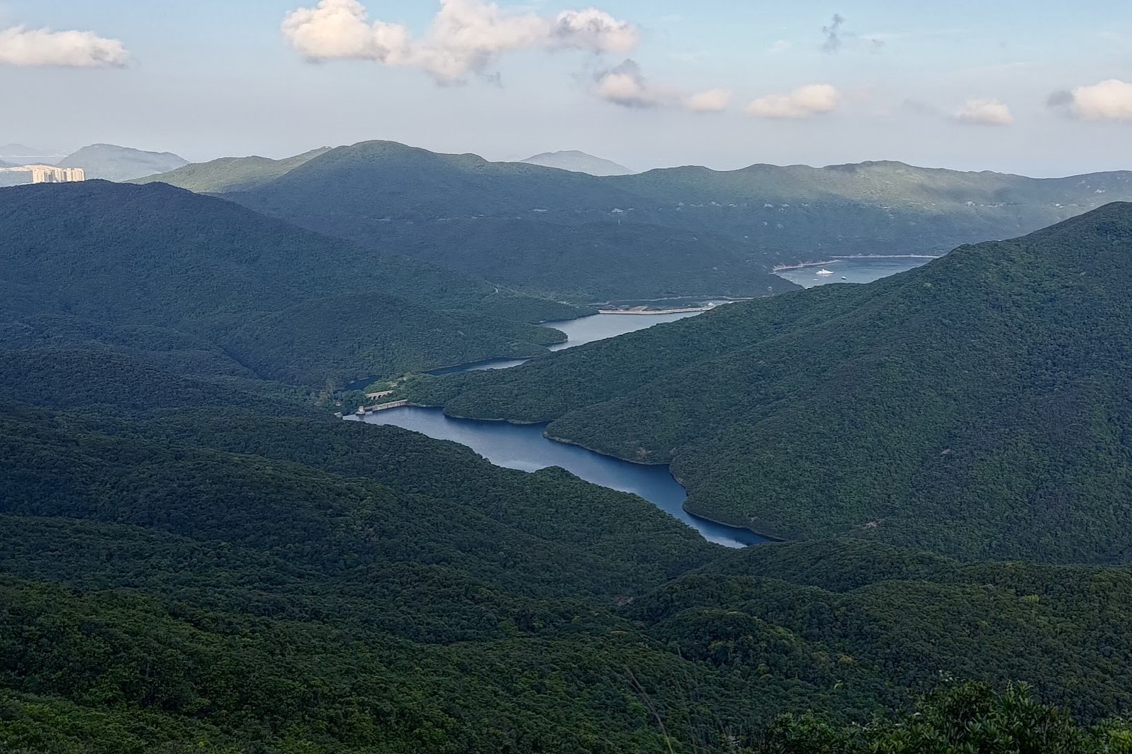
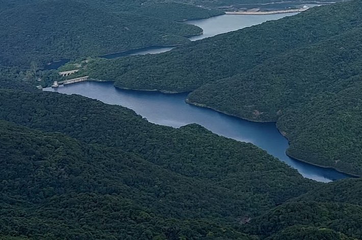
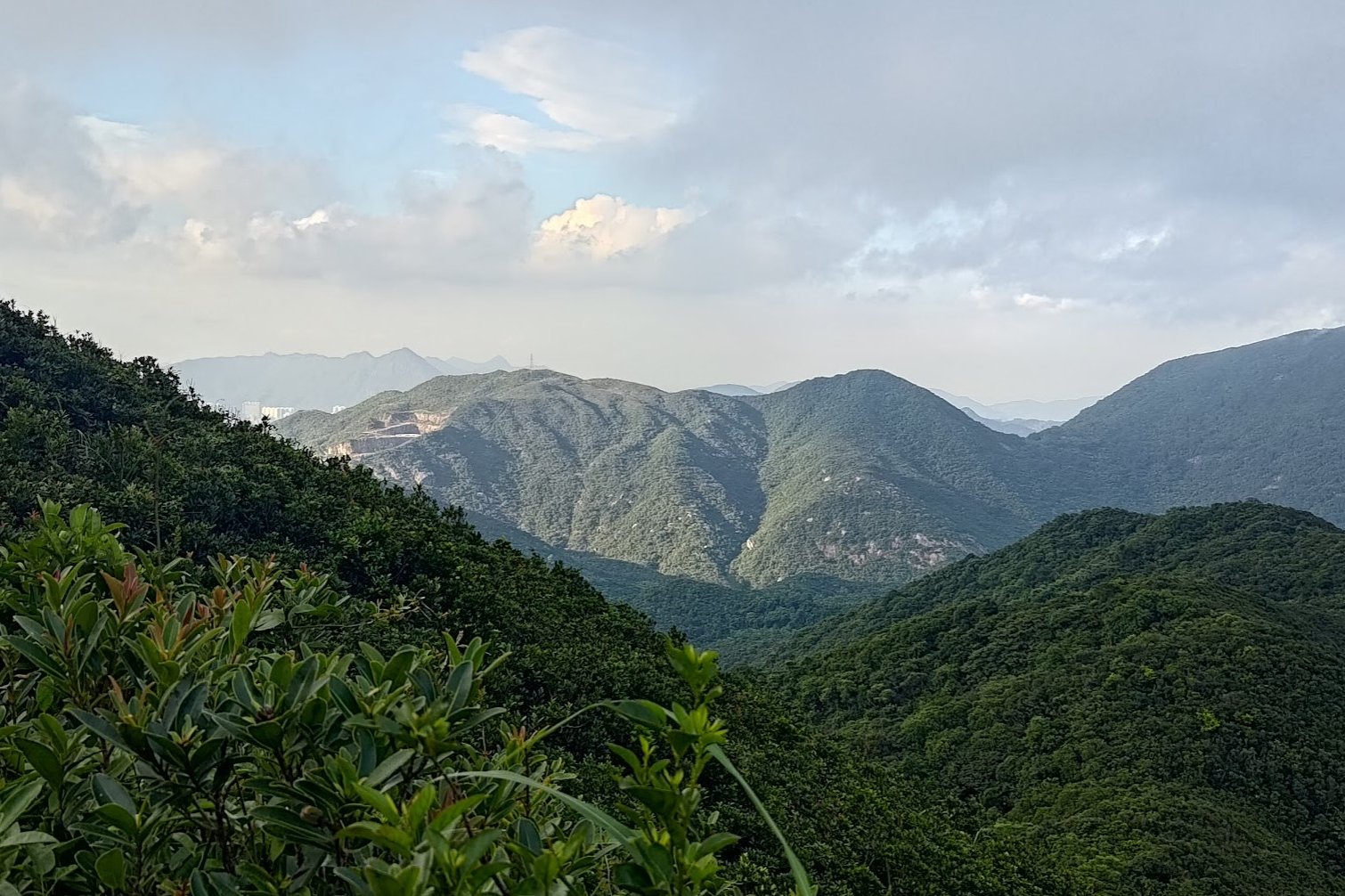
A Tough Climb With Epic Mountain and Reservoir Views
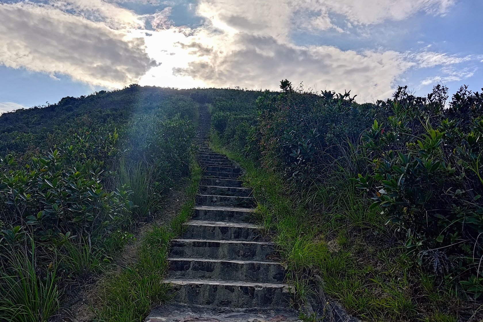
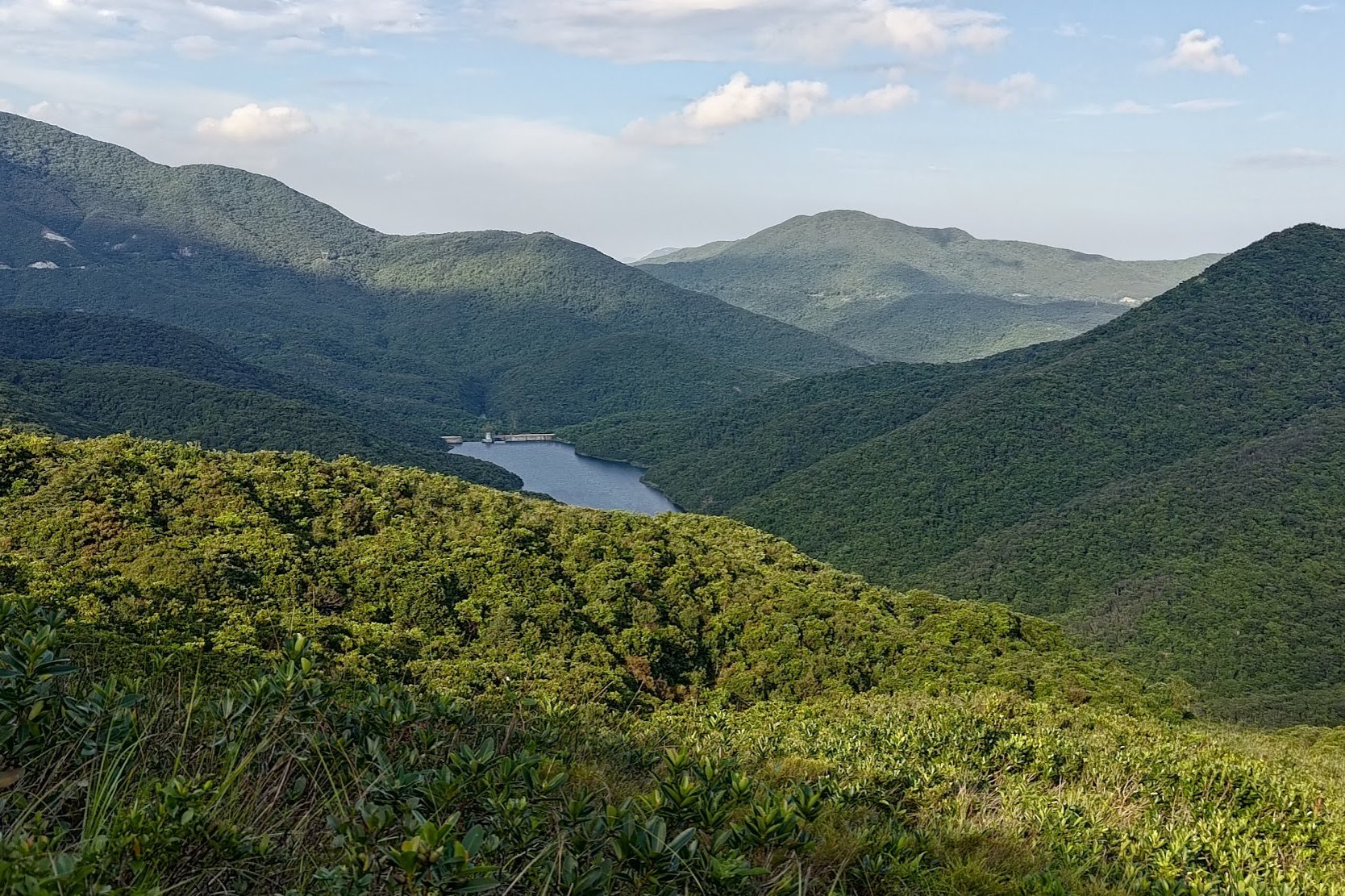
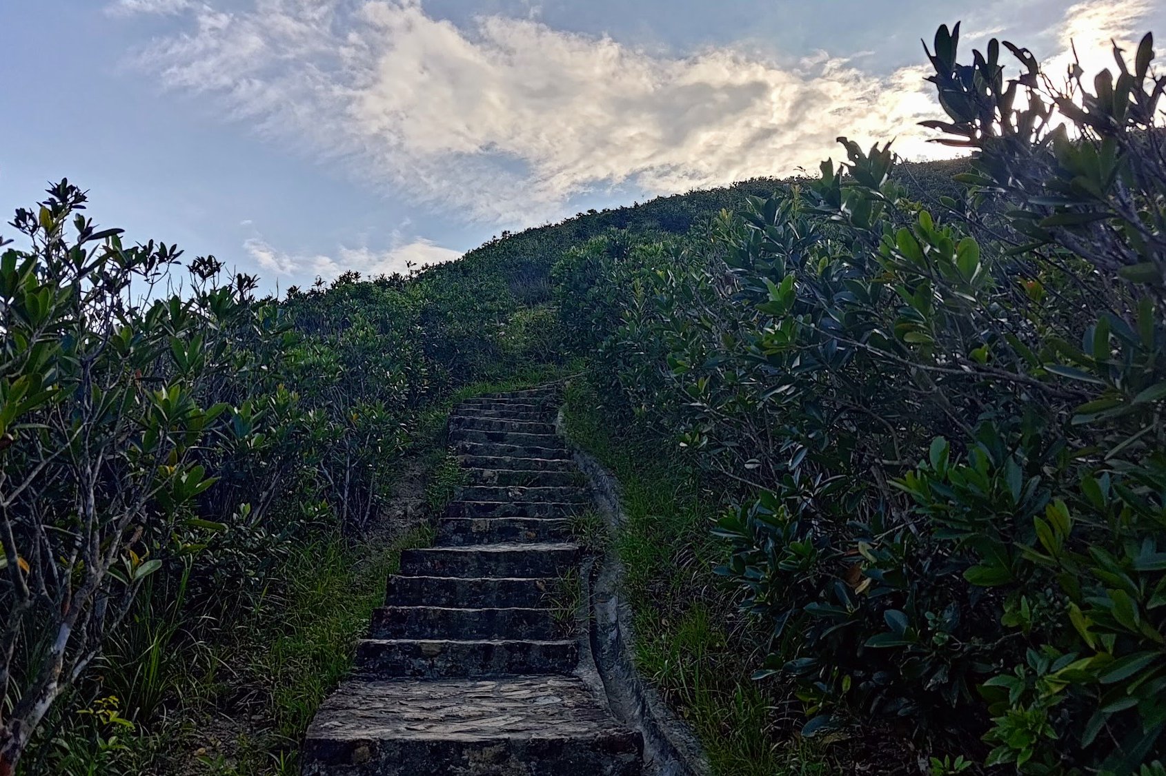
The next section of uphill climbing takes about 30 minutes and is pretty much an endless staircase with almost zero flat sections for a rest.
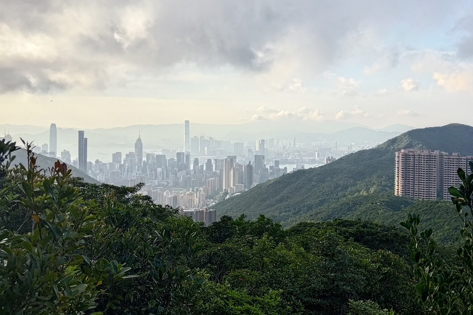
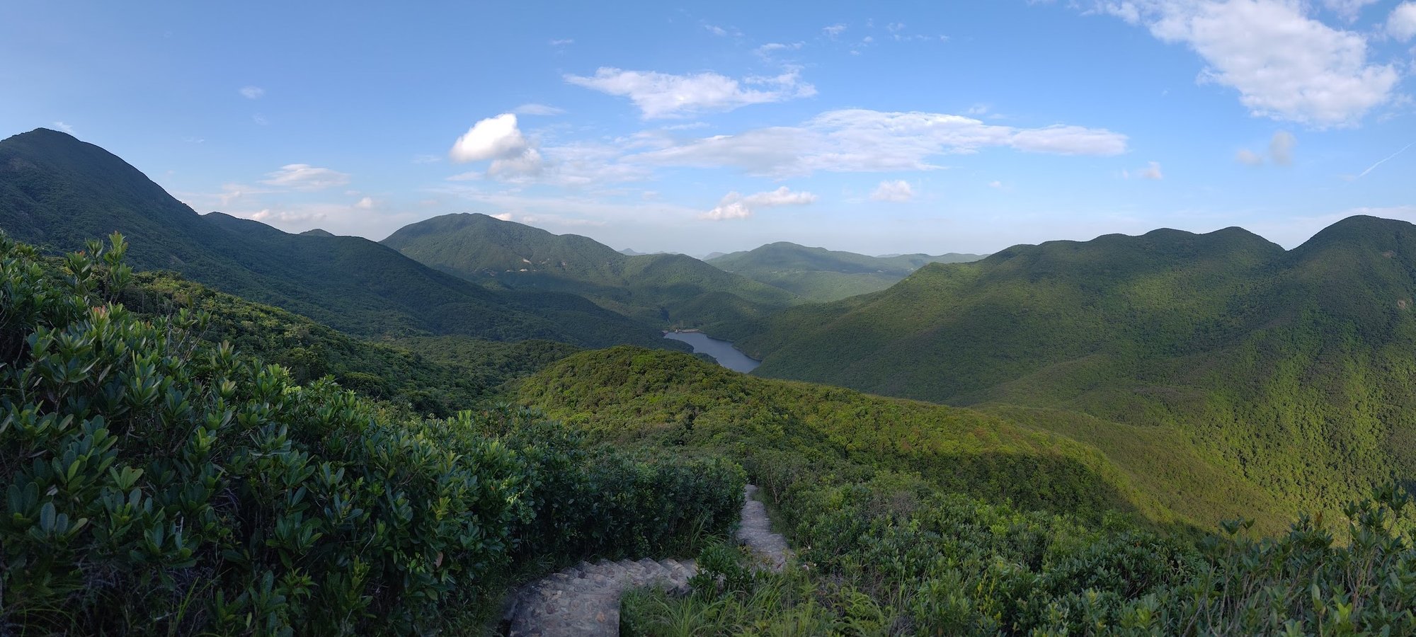
The only plus side is that when you look back, you'll be rewarded with stunning views of Tai Tam Reservoir, along with a series of gorgeous, green mountains providing a magical backdrop. This section definitely has my favorite views of the whole hike!
The final push to Violet Hill
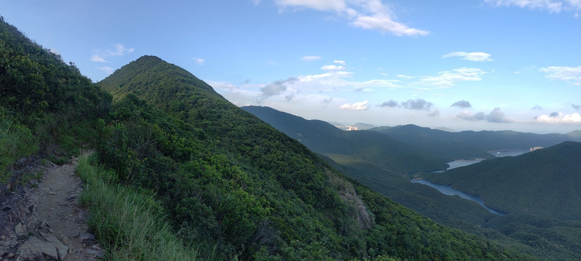
Though it feels like you're at the top once the epic views of Tai Tam Reservoir emerge, this is nought but false hope.
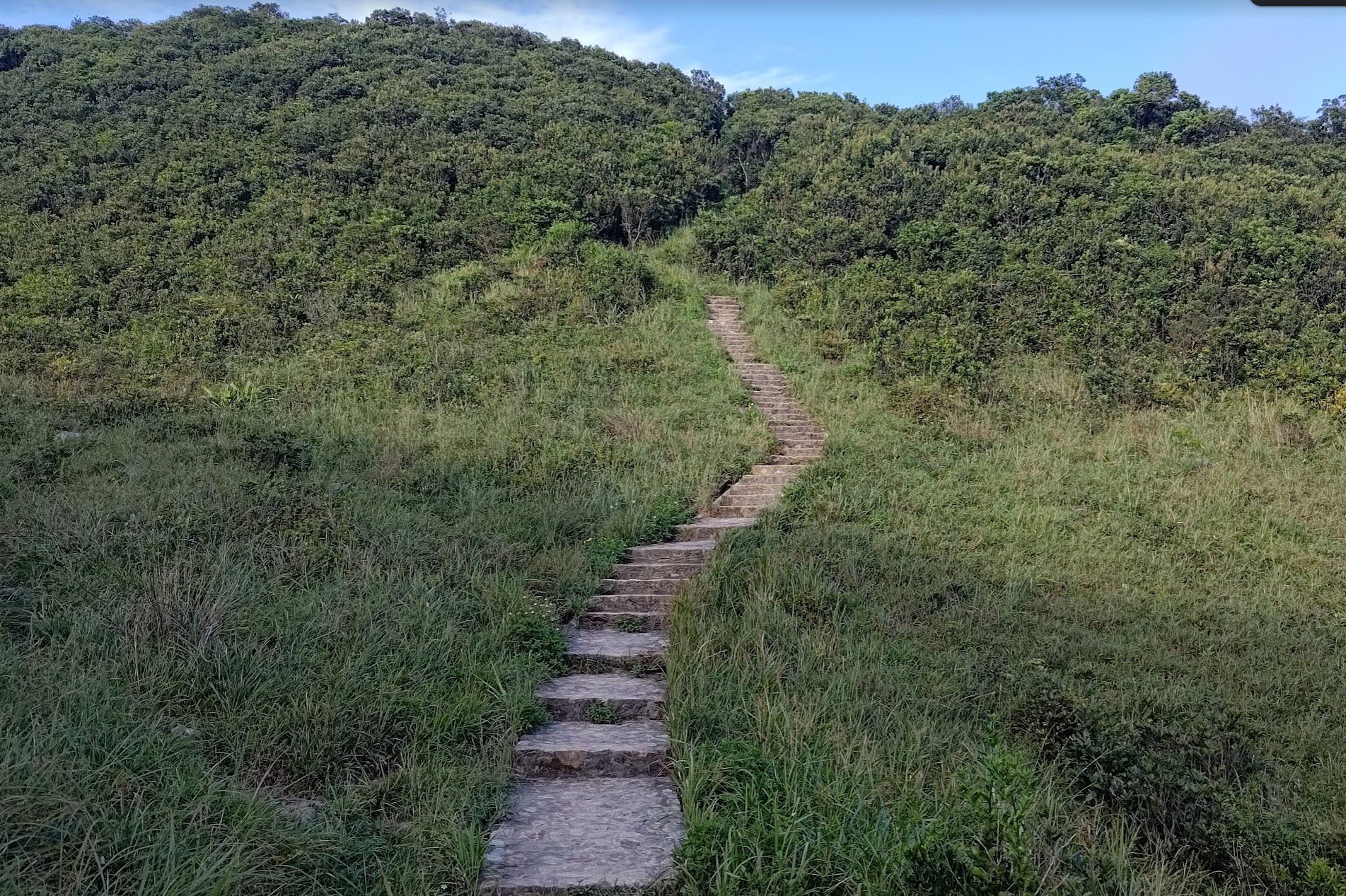
Still, enjoy the flat, dirt trail for a while longer before the next set of stairs comes into view.
After climbing just a bit longer, you'll arrive at the black and white trigonometrical marker that lets you know you've made it to the summit of Violet Hill.
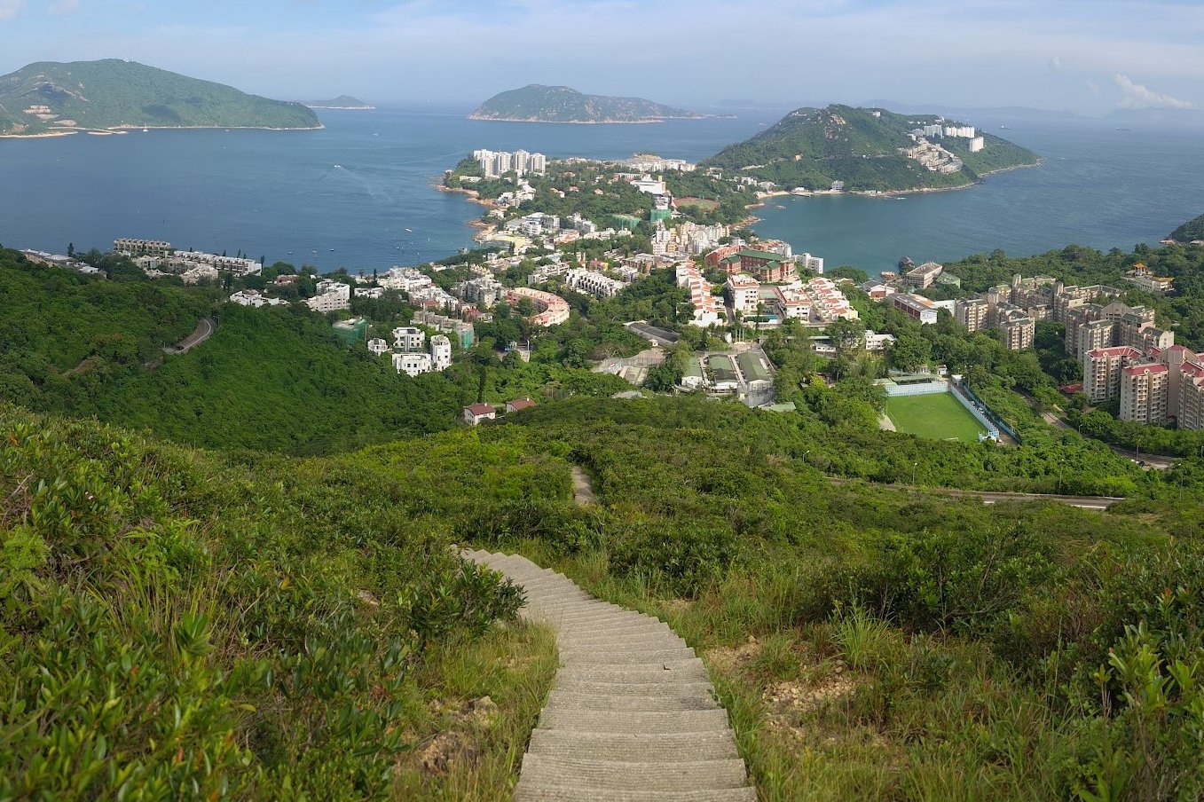
Descend to Tai Tam Reservoir Road
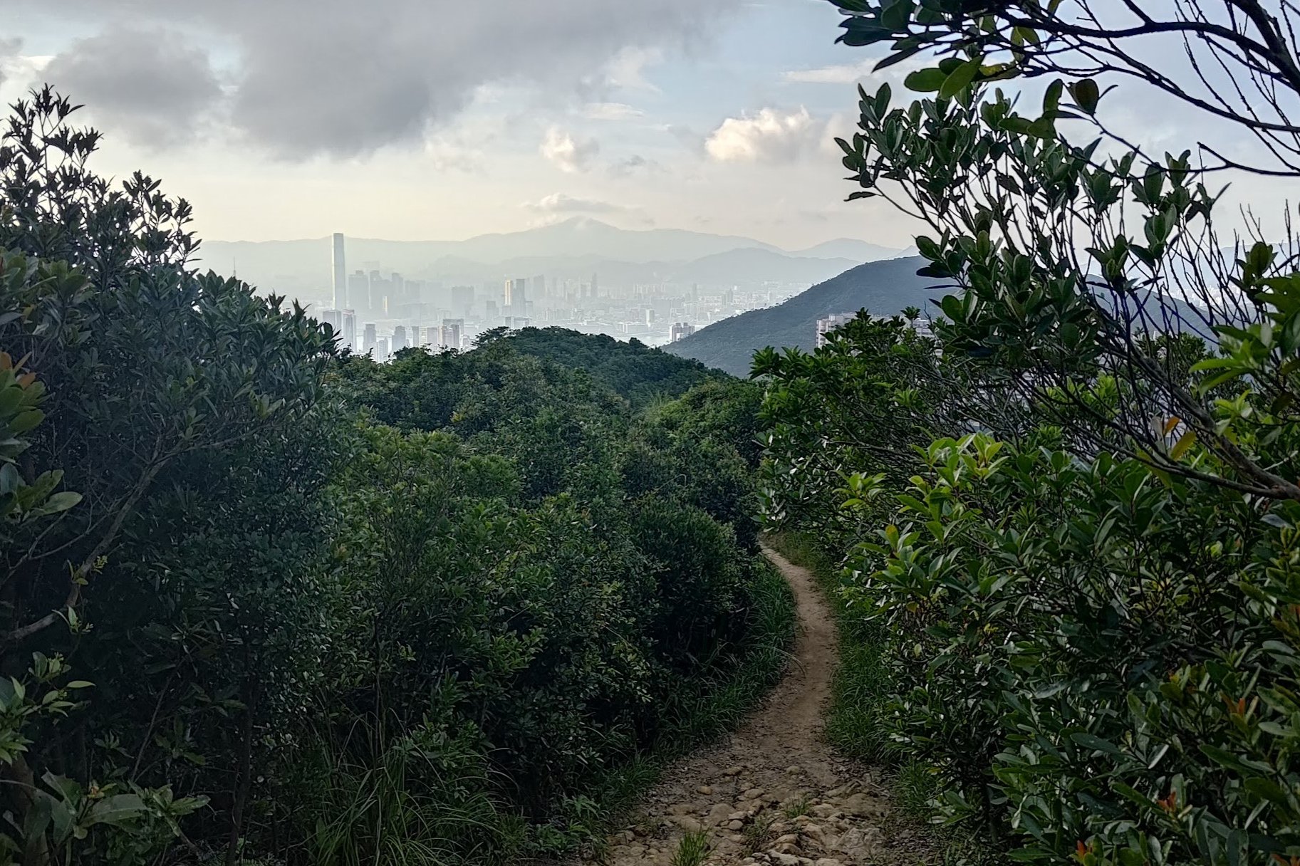
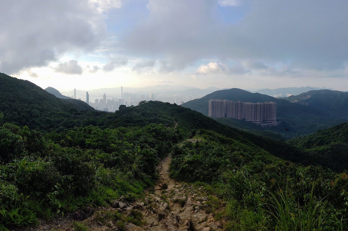
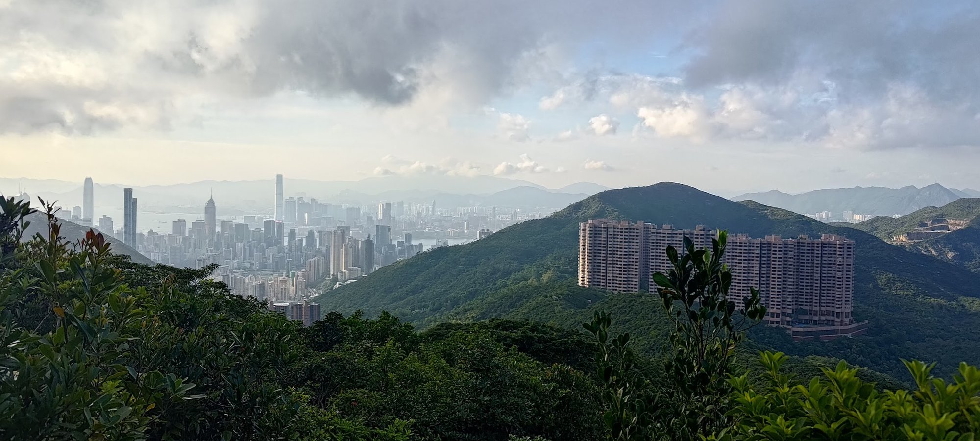
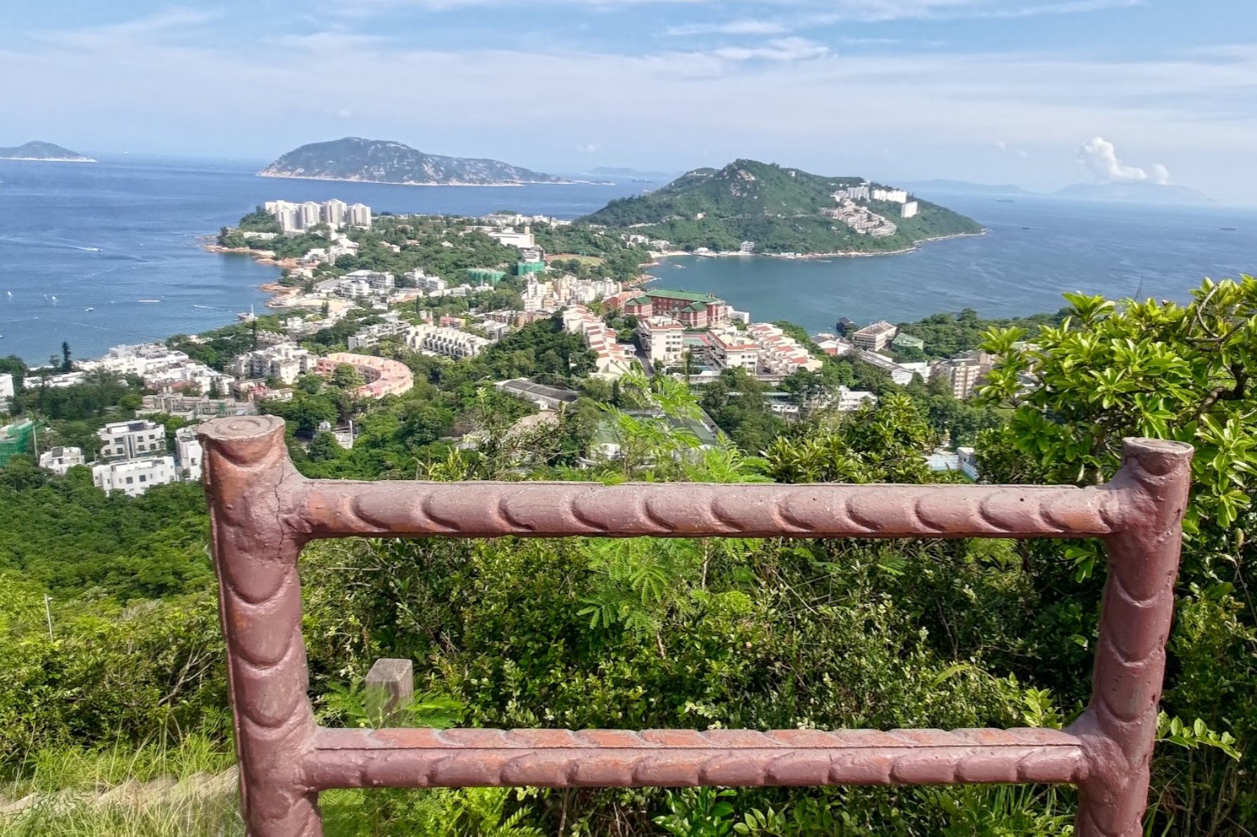
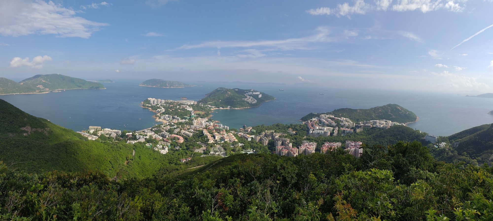
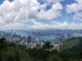
Once you go past the trigonometrical point, the trail opens up and grants you stunning views out over the iconic Hong Kong skyline.
You'll be able to enjoy vistas of a bunch of epic mountains on your right, including Siu Ma Shan and Mount Butler. On your left, you can see city views that extend all the way to Kowloon.
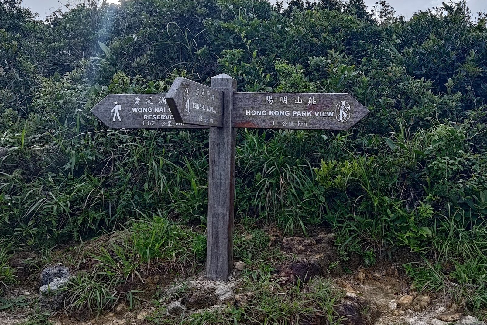
At the fork in the road, follow the 'Hong Kong Park View' sign.
This entire downhill section should take about 20 minutes to complete before you arrive at Tai Tam Reservoir Road.
Getting Back
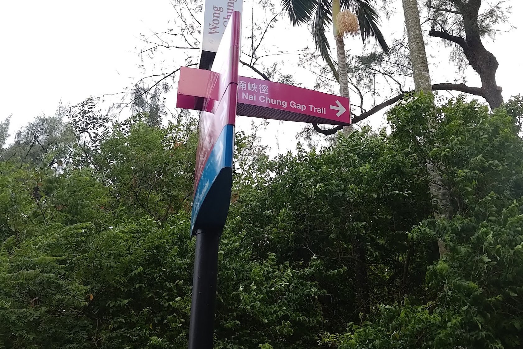
After following Tai Tam Reservoir Road downward for about 5 minutes, you'll see a pink 'Wong Nai Chung Gap Trail' sign to your right.
Take the stairs down to the petrol station and cross the road to arrive at a bus stop, where you can grab one of many buses heading back to the city.

