Quarry Bay to Tai Tam Reservoir Hike: Where Scenery Meets History
Contents
- Essential Information
- Hike Highlights
- Google Route Map
- How to Get There
- Quick Route Summary
- Detailed Route
- Climbing Mount Parker Road
- Optional Detour to Wartime Kilns
- Descending to Tai Tam Reservoir
- Tai Tam Upper Reservoir Dam
- Tai Tam Upper Reservoir Masonry Aqueduct
- Tai Tam Bywash Reservoir Dam
- Tai Tam Intermediate Dam and Masonry Bridge
- Tai Tam Tuk Reservoir
- Optional Detour - Tai Tam Tuk Pumping Station
- Optional Detour - Tai Tam Tuk Village and Dam Viewpoint
- Getting Back
Essential Quarry Bay to Tai Tam Reservoir Hike Details
- District: Hong Kong Island
- Duration: 3 hours (from Quarry Bay Station), 1 hour if you go to Tai Tam Reservoir directly
- Distance: 11km (with a few detours from Quarry Bay), 2-4km (if you go there directly by bus)
- Highest Elevation: 370ish meters
- Difficulty: 2.5/5 (from Quarry Bay Station), 1/5 (if you take the bus directly to the reservoir)
- Facilities: There are a few public toilets on the way up, but nowhere to buy water
Why do the Quarry Bay to Tai Tam Reservoir Hike?
This is a great hike for anyone looking to dip their toes into Hong Kong's hiking culture.
Easily accessible on Hong Kong Island, the hike begins right outside Quarry Bay MTR Station and takes you up Mount Parker Road (with a few optional historical detours) before heading down toward Tai Tam Reservoir.
You'll go from city sights to green mountains and finally blue waters in just a few hours.
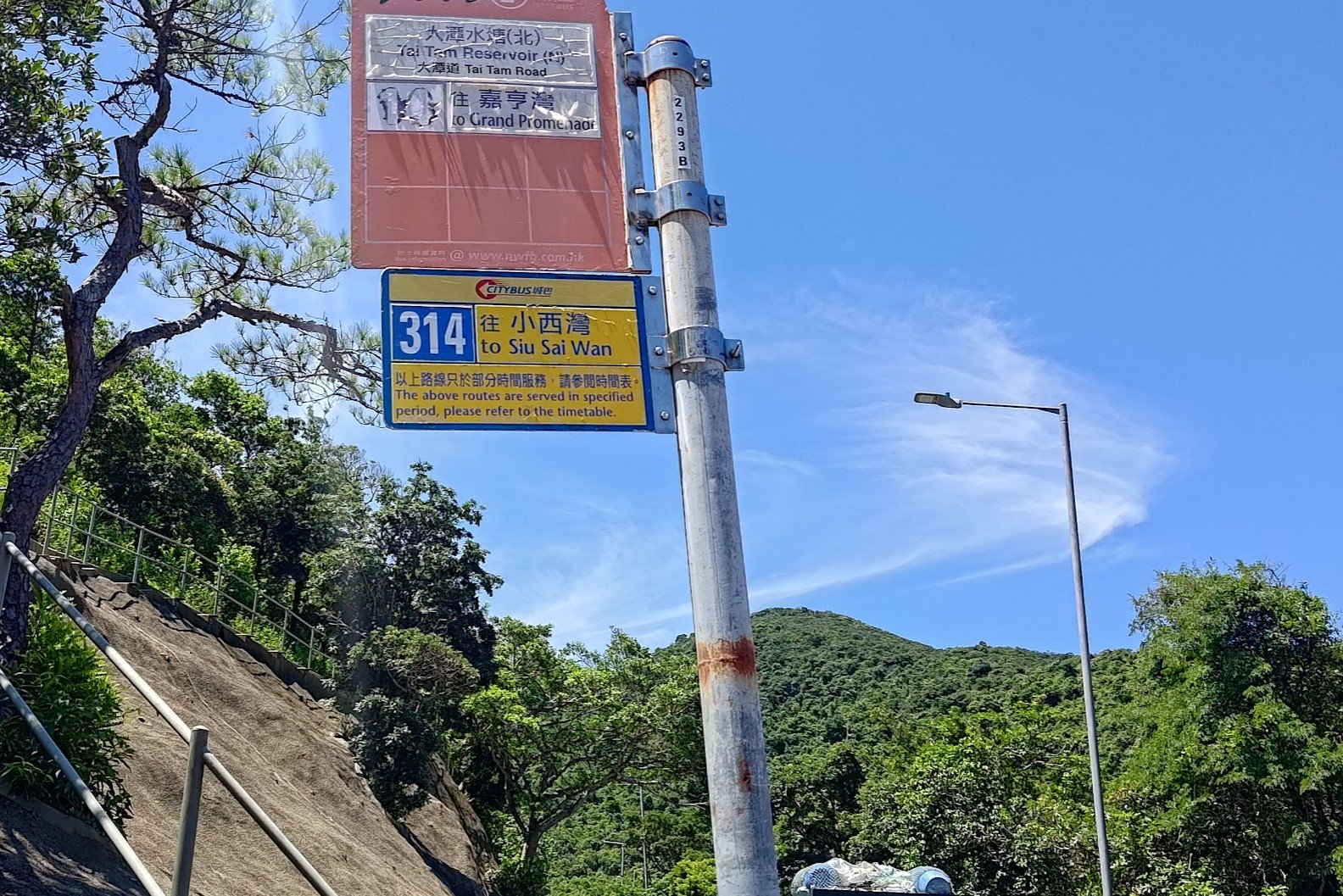
Should you wish to skip the uphill part entirely, simply take the number 14 bus from Sai Wan Ho MTR Station (right outside Exit A) and get off at the Tai Tam Reservoir North stop.
This option turns this hike into a super-easy, quiet and peaceful walk around the reservoir (difficulty: 1/5) before you return back to Tai Tam Road where you can catch the same bus back to the city.
Make sure to take the time to read the signs that detail the history of the bridges and the reservoir to learn how historically significant they are!
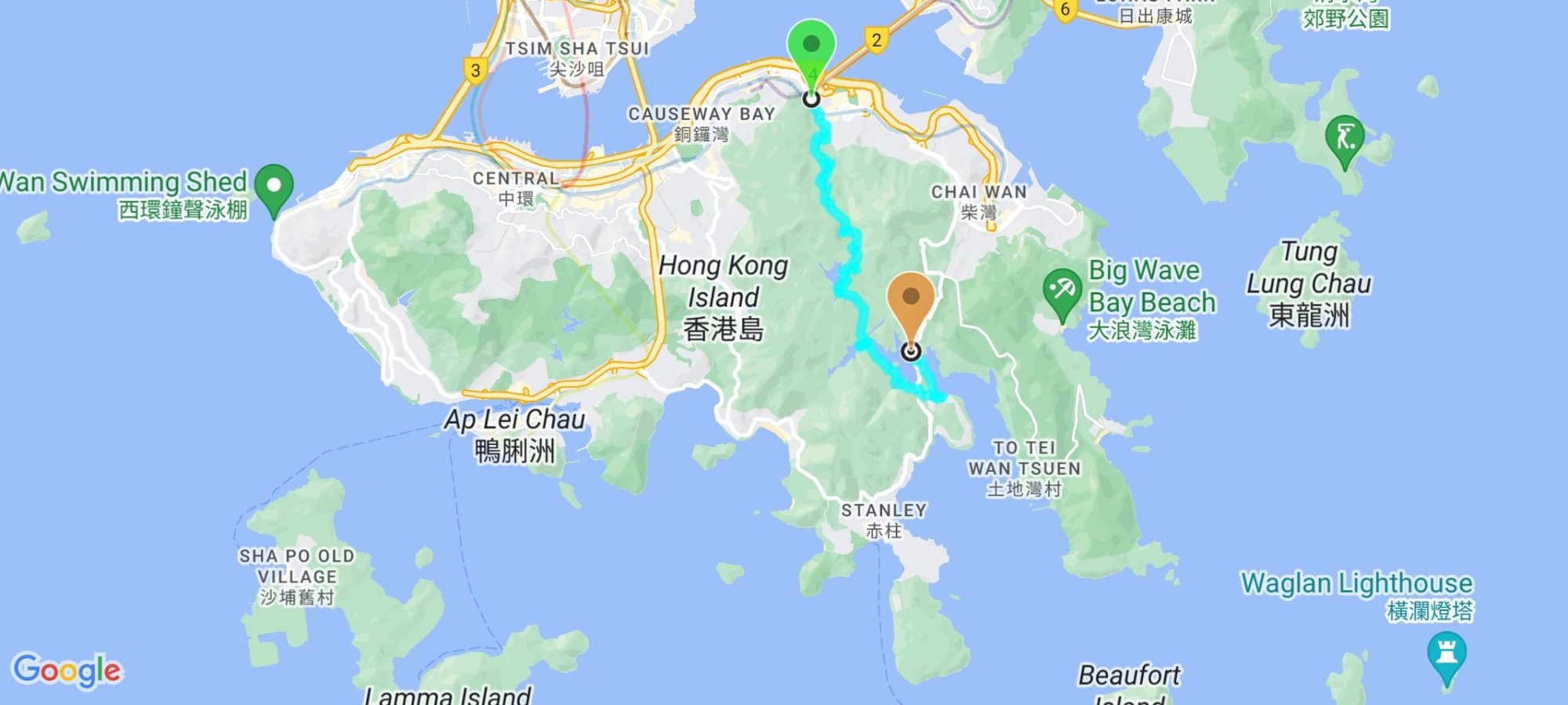
Google Route Map
How to Get to the Quarry Bay to Tai Tam Reservoir Hike Start Point
Full Route
Take the MTR to Quarry Bay Station and leave through Exit A.
Direct Bus to Tai Tam Reservoir
Take the number 14 bus from outside Sai Wan Ho MTR Station Exit A and get off at the Tai Tam Reservoir North stop.
Quick Quarry Bay to Tai Tam Reservoir Hike Route Summary
- Turn right outside of Quarry Bay MTR Exit A and begin walking up King's Road
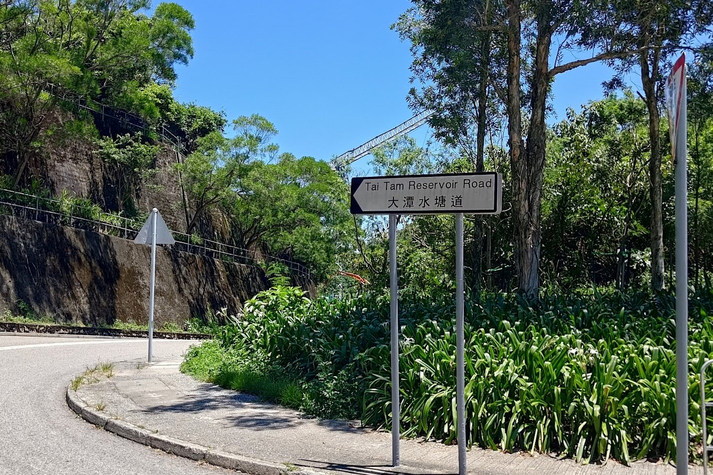
- Follow the 'Mount Parker Road Green Trail' sign and turn right
- Stay on Mount Parker Road all the way to the Quarry Pass Pavilion at the top
- (Optional) Head through the 'Quarry Bay Tree Walk' arch for a detour to the Wartime Stoves prior to the pavilion before connecting back to Mount Parker Road
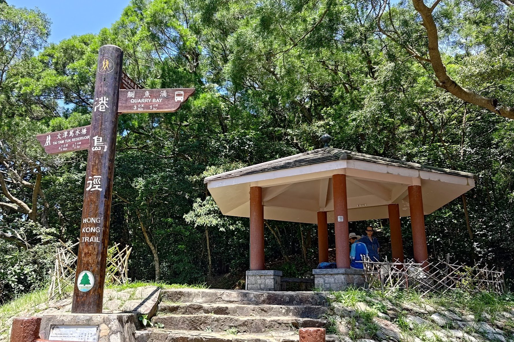
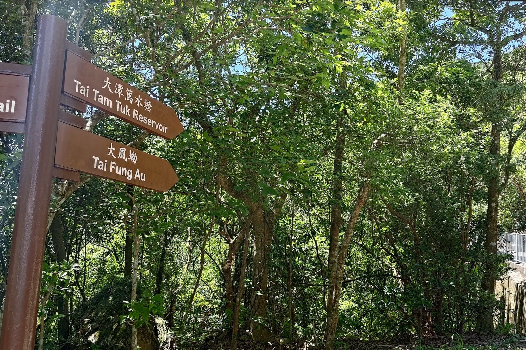
- At the pavilion, follow the sign pointing to 'Tai Tam Tuk Reservoir'
- Descend until you arrive at Tai Tam Upper Reservoir
- Cross the Tai Tam Upper Reservoir Dam
- Take the right path after crossing the dam and check out the Tai Tam Upper Reservoir Masonry Aqueduct
- Return back to the same path and follow the 'Tai Tam Road' sign
- Walk along the left side of Tai Tam Bywash Reservoir (don't cross it)
- Heed the next 2 'Tai Tam Tuk Reservoir' signs before the Tai Tam Intermediate dam comes into view
- Cross the Tai Tam Tuk Reservoir Masonry Bridge before arriving at a pavilion
- At the crossroads in front of the pavilion, head right towards the silver 'Tai Tam Intermediate Reservoir' sign to climb the intermediate dam for great views
- Head back to the crossroads and go in the direction of the sign pointing to 'Tai Tam Road'
- Follow the road as it continues along the Tai Tam Tuk Reservoir
- Cross the next masonry bridge before continuing on for an other few minutes and arriving at the bus stop
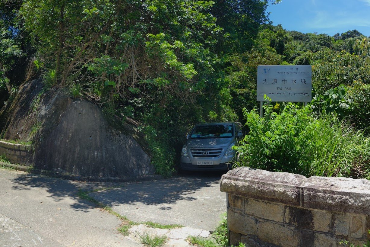
- (Optional) If you want to see the old Tai Tam Tuk Pumping Station building, cross Tai Tam Road and head down Tai Tam Reservoir Road
- (Optional) You can then double back or hang a left and walk along Tai Tam Harbor to the Tai Tam Tuk Reservoir Dam Viewpoint
Quarry Bay MTR to Mount Parker Road
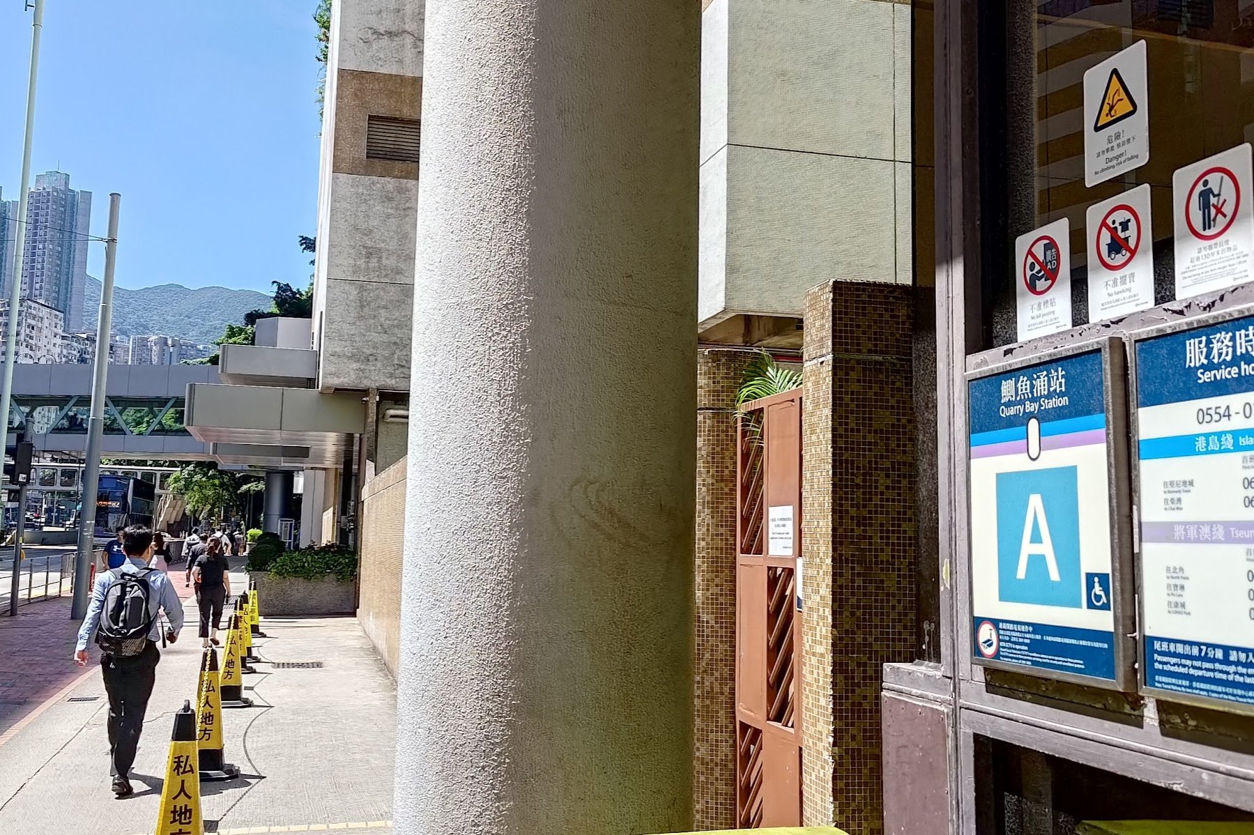
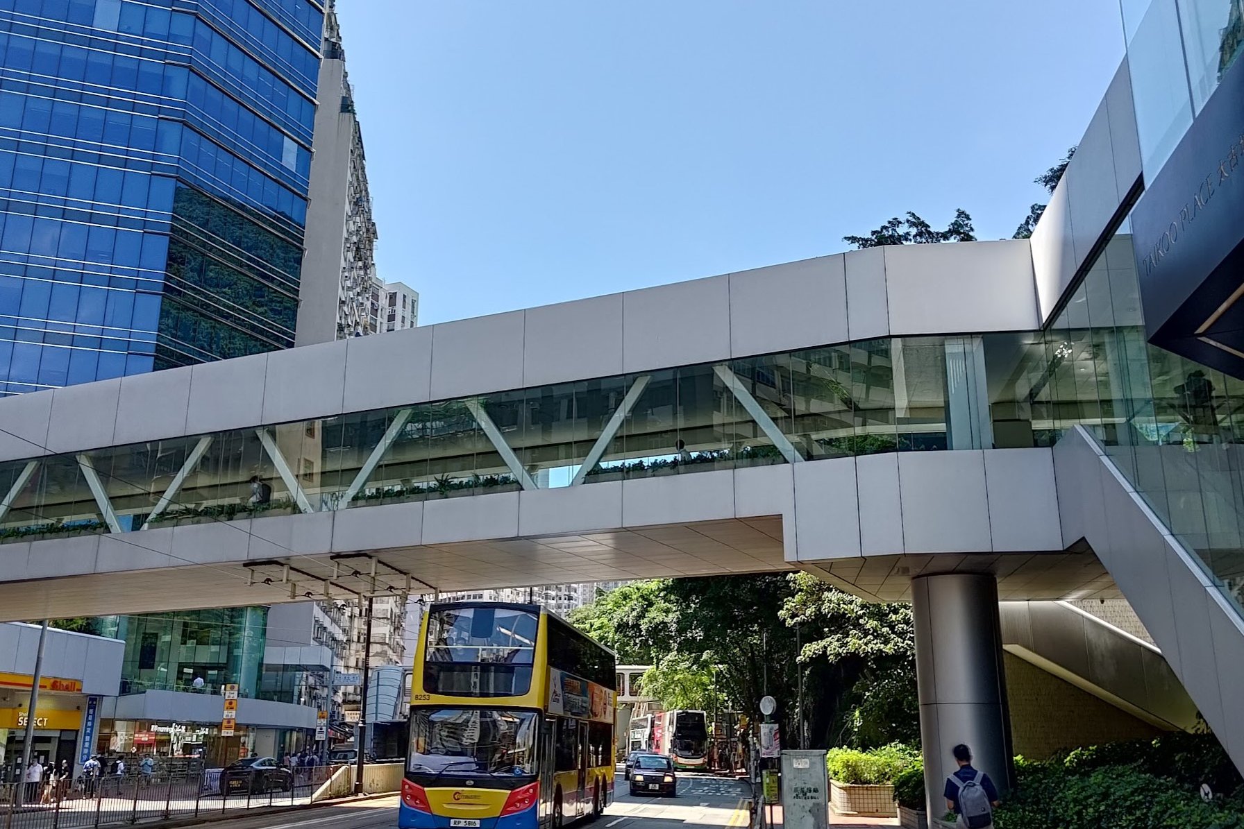
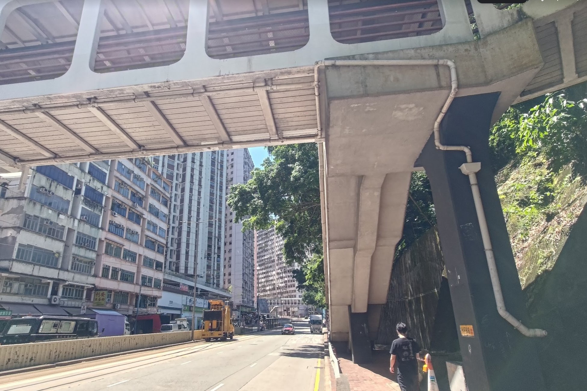

After leaving Quarry Bay MTR Station through Exit A, turn right and follow King's Road for a few minutes.
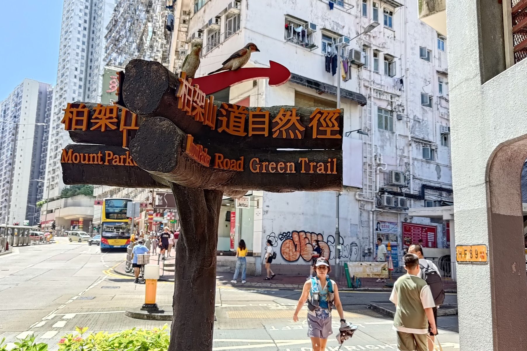
You'll go past the fancy Tai Koo footbridge, then a less fancy older footbridge and then arrive at a cool sign with fake birds on it pointing you to 'Mount Parker Road Green Trail'.
Heed this sign and begin climbing the concrete road up and out of the city.
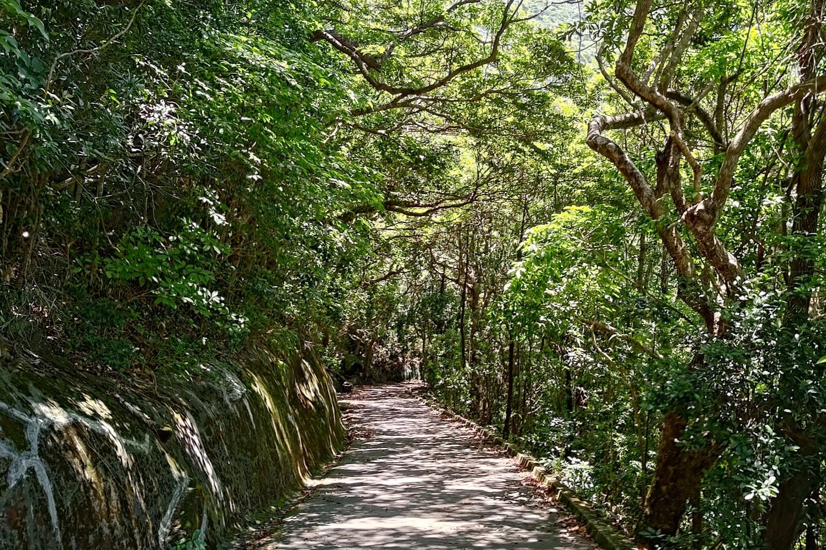
Climbing Mount Parker Road
Mount Parker Road is a strip of concrete that winds up...you guessed it, Mount Parker! While the road itself is nothing special, some of the sights along the way are pretty interesting.
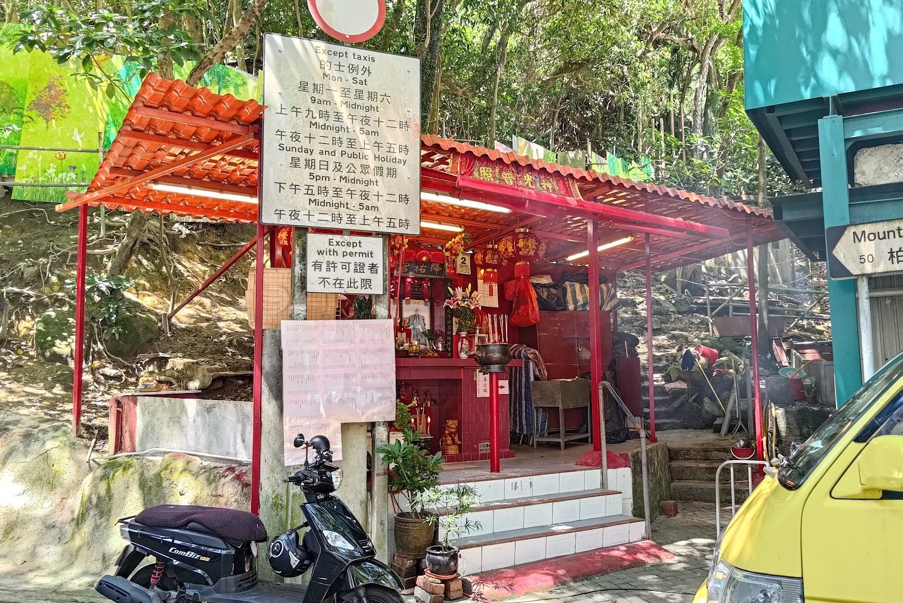
Near the bottom of the road, you'll pass by a small shrine where you can sometimes see people burning incense and paper items to pay respects to deities and ancestors.
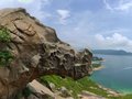
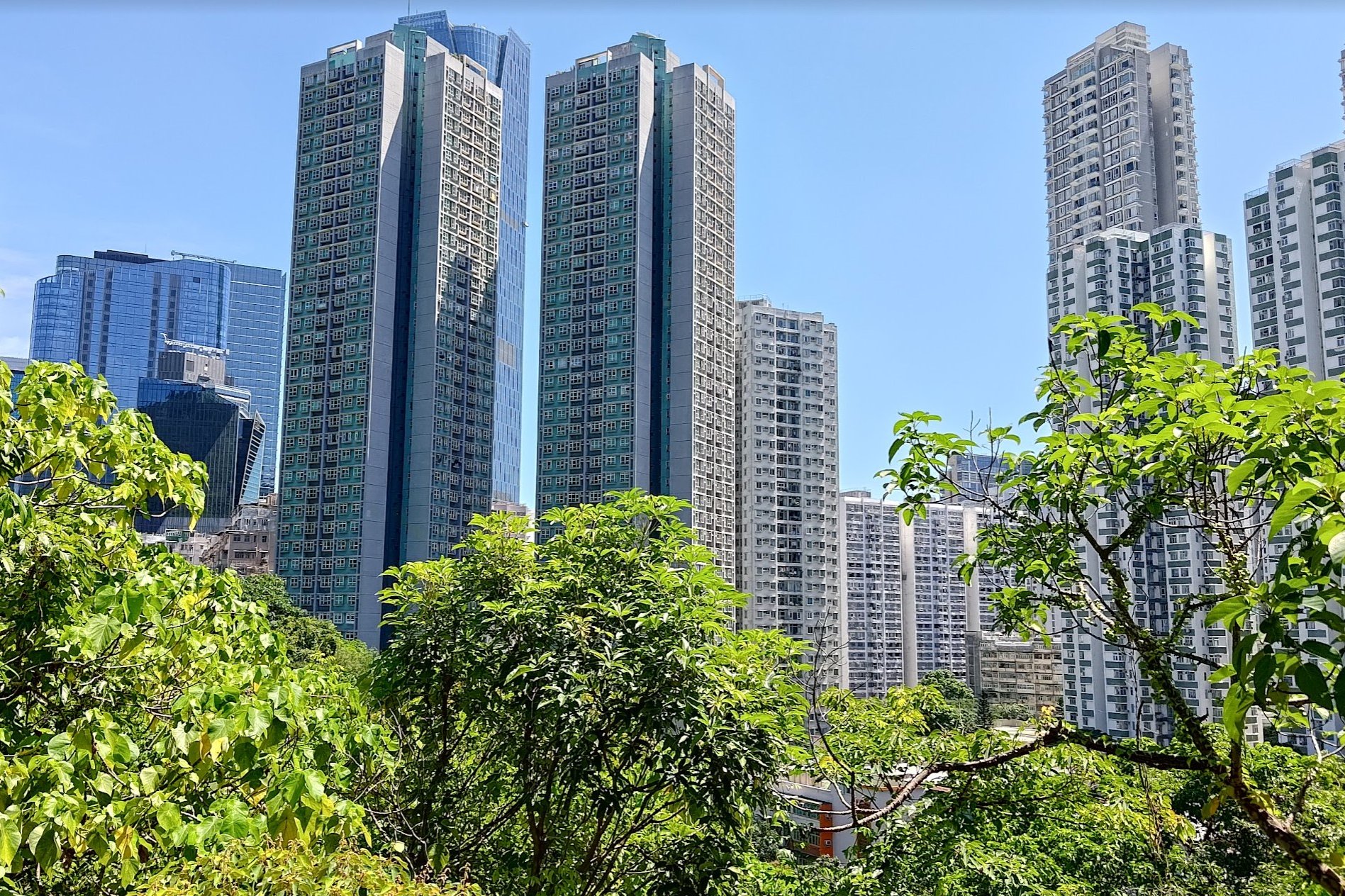
A little further up, you'll get to see some of Quarry Bay's epic skyscrapers from up close.
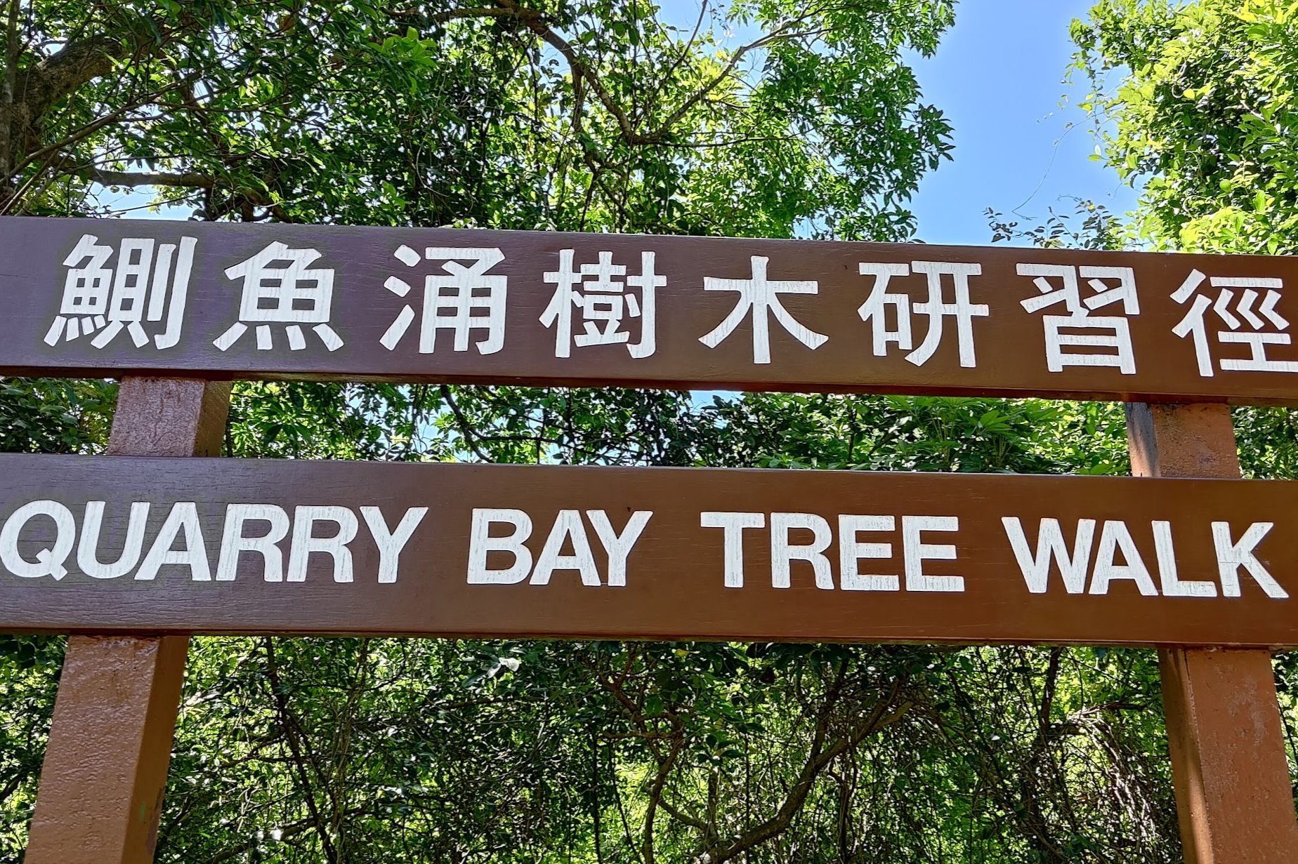
Take note of the 'Quarry Bay Tree Walk' arch for an optional detour.
If you're not in the mood to extend your hike, just stay on the concrete road until you reach the pavilion at the top.
The journey from the bottom to the top takes about 40-50 minutes.

Quarry Bay Tree Walk and Wartime Kilns (Optional Detour)
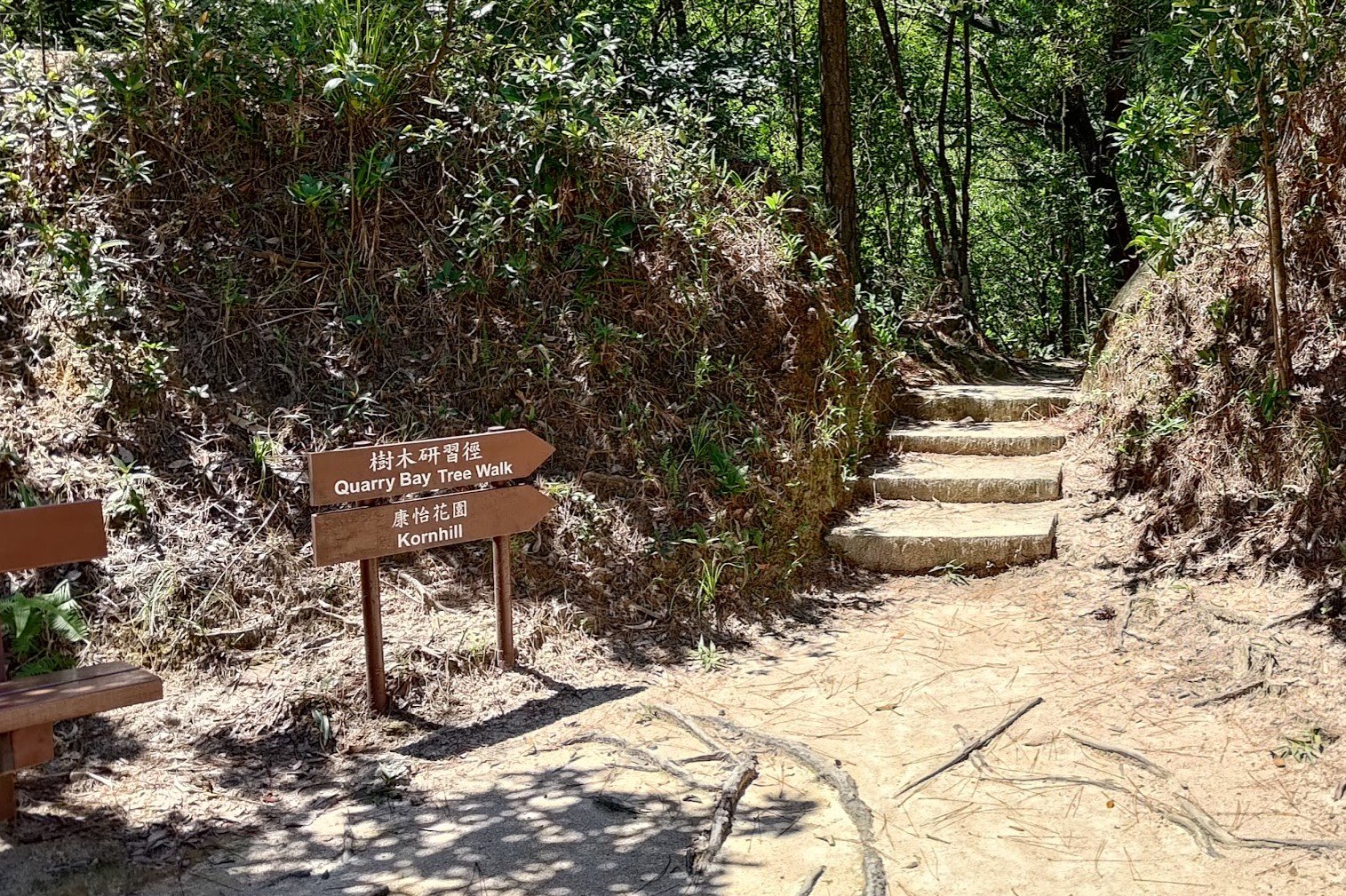
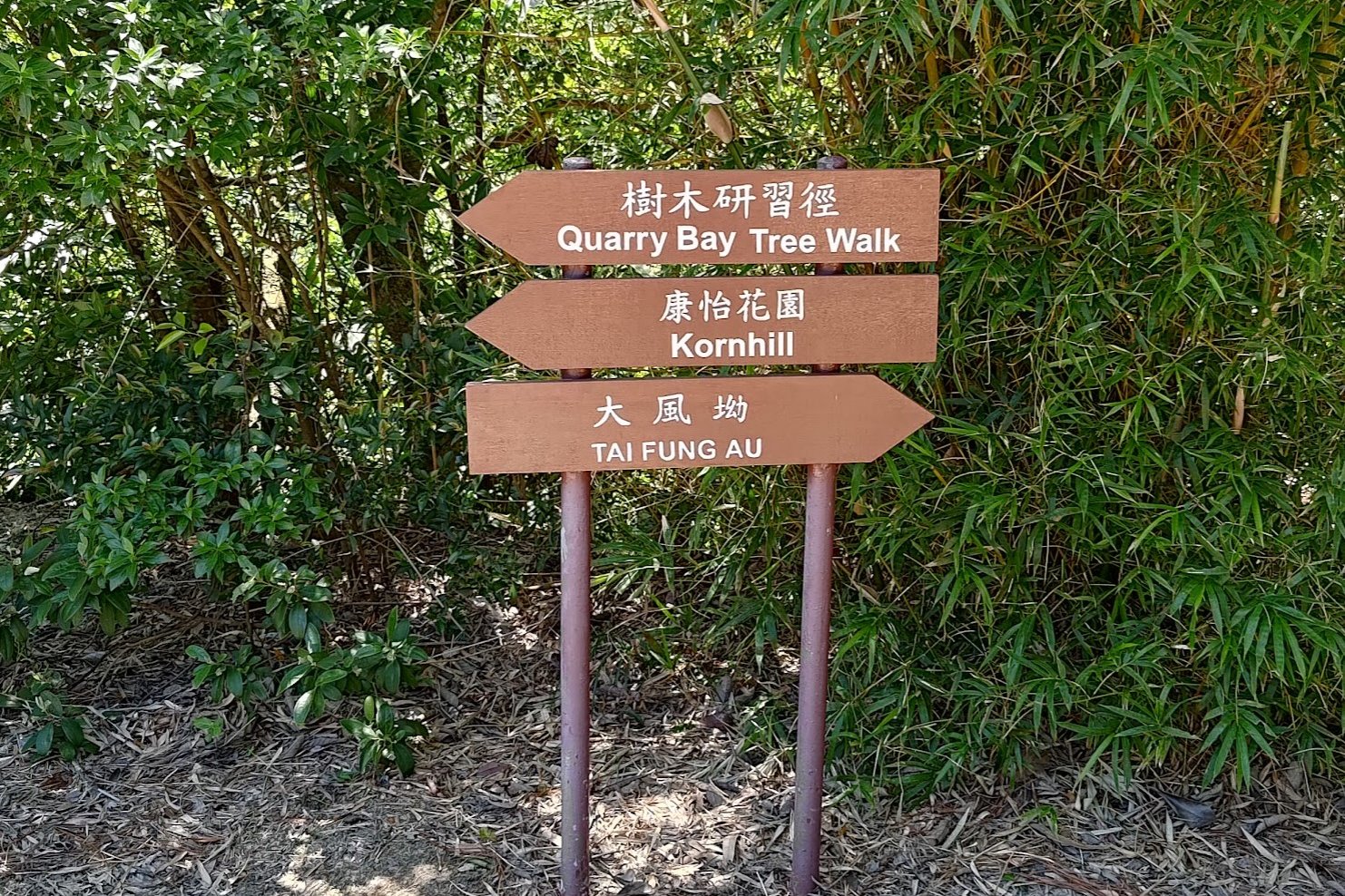
After about 15 minutes of uphill walking from the bottom of Mount Parker Road, you'll come across the 'Quarry Bay Tree Walk' arch.
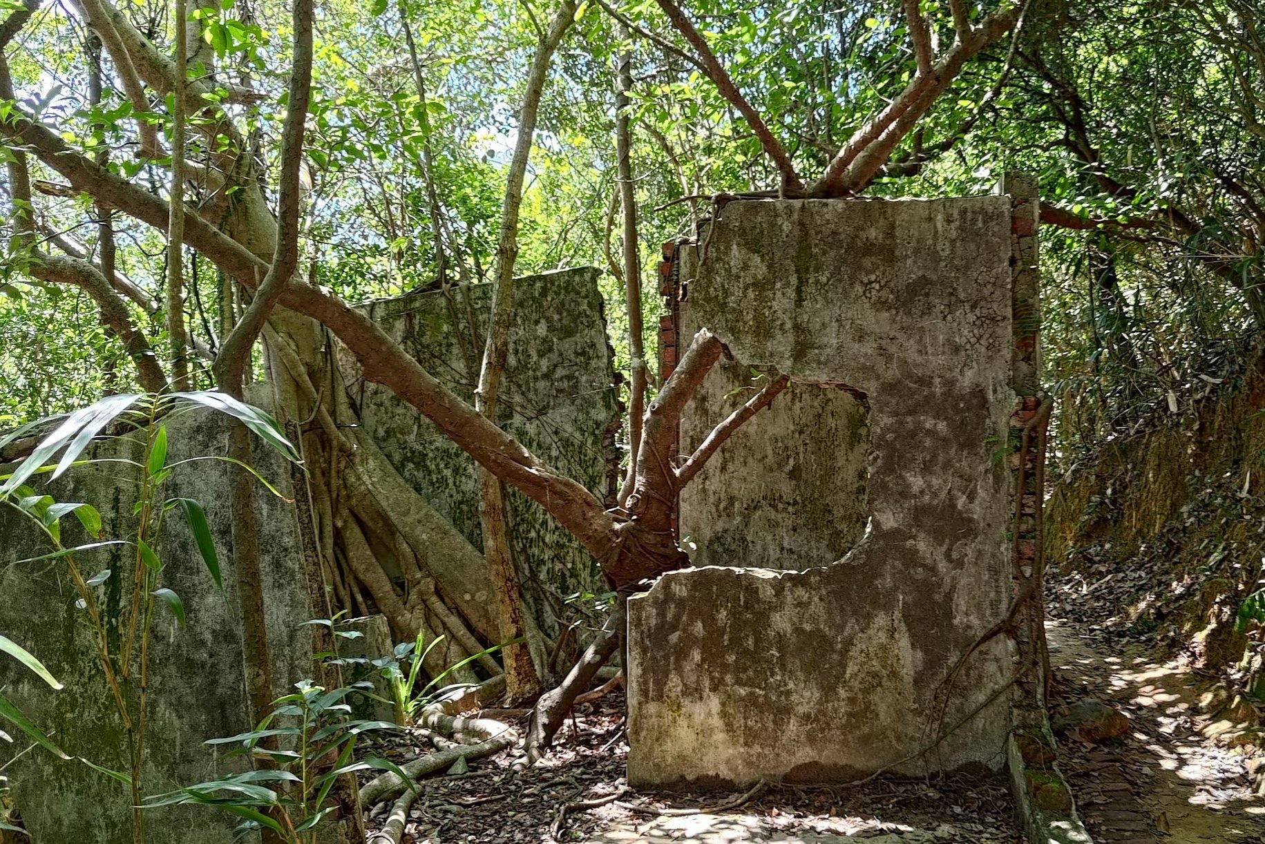
As you begin to follow the trail, you'll see some old structures with trees growing out of them!
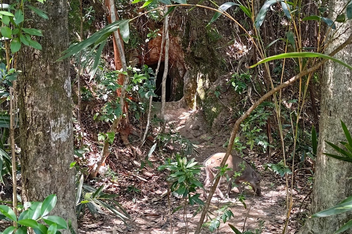
It was also near this section that I saw a baby boar emerge from a little cave in the mountain. It was adorable, but mama boar might have been in the area, so I gave it a wide berth and let it go about its day.
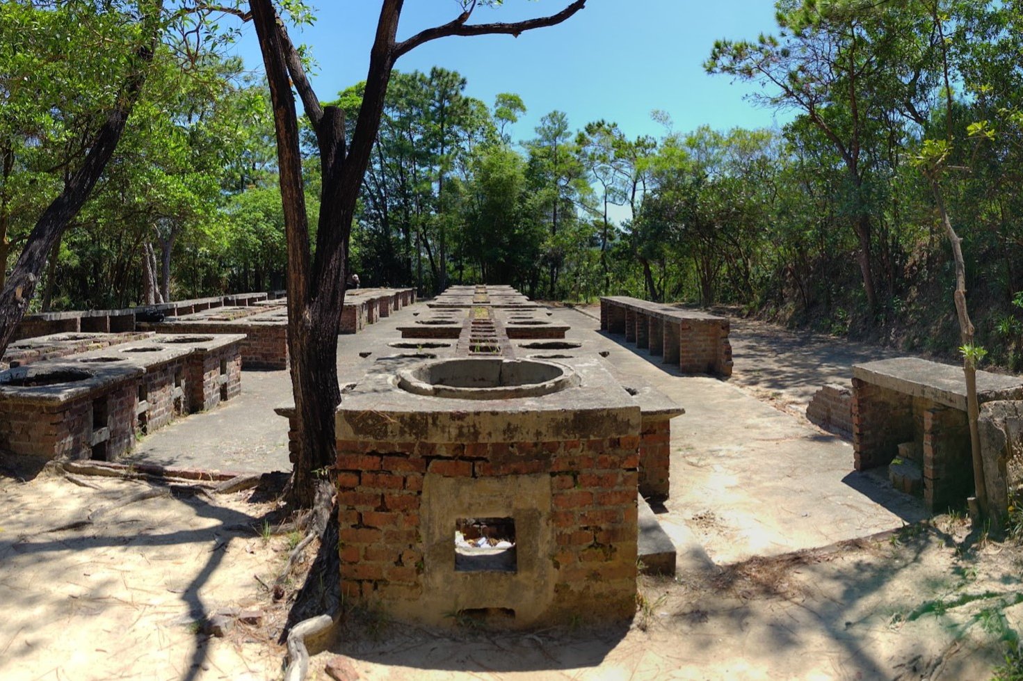
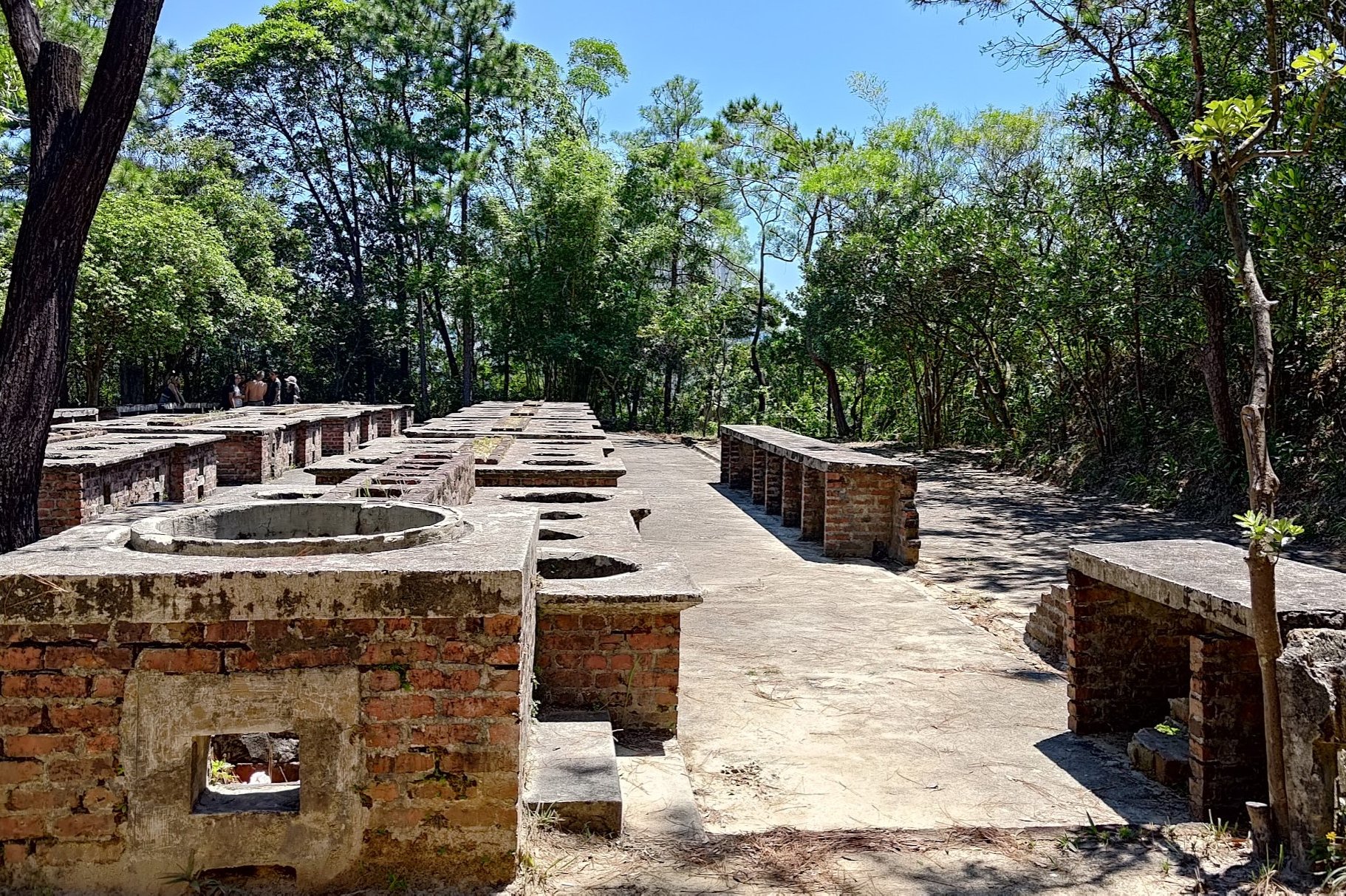
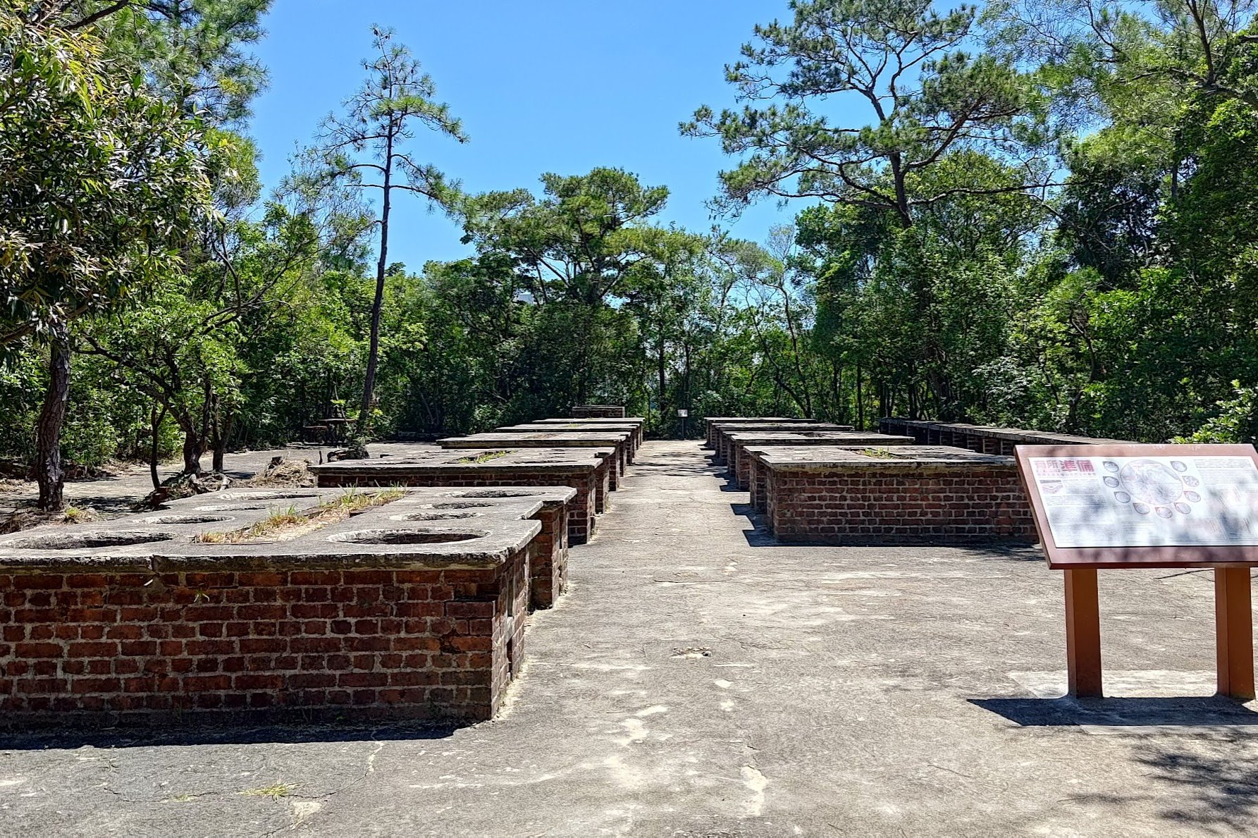
Eventually, you'll come across the first set of wartime kilns, which have been well-preserved.
Follow the sign pointing to the 'Quarry Bay Tree Walk' and continue on your way.
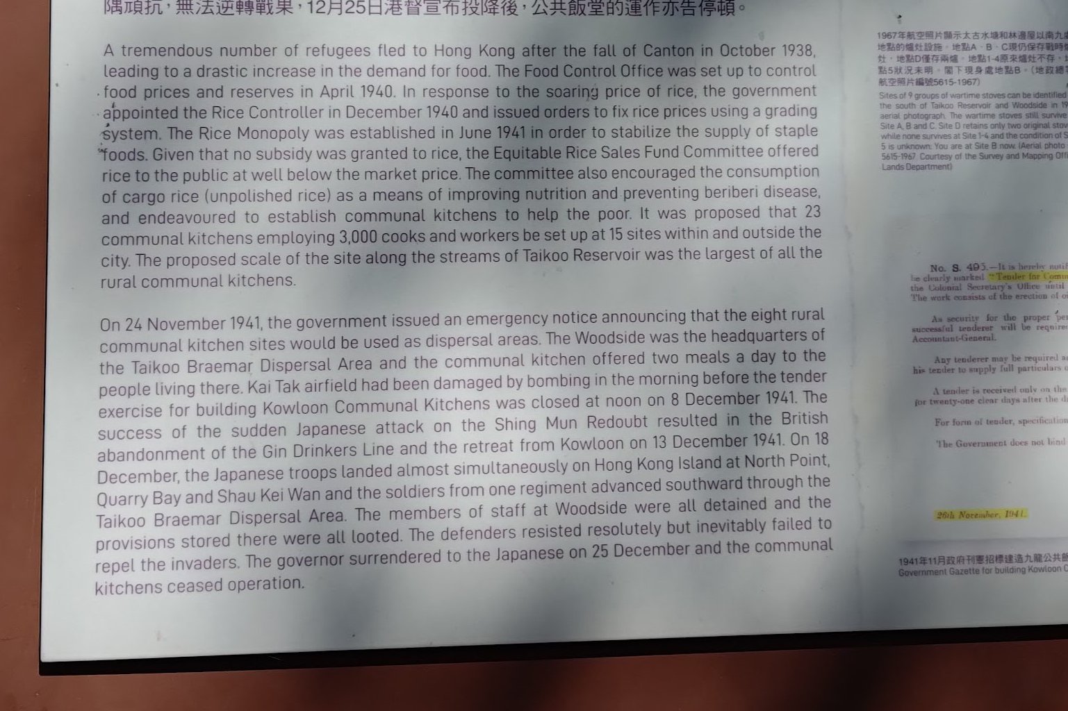
Not too long later, you'll come across a second group of wartime kilns. These ones have a sign near them that explain that after the fall of Canton to the Japanese in 1938, Hong Kong received an influx of refugees. To feed the poor, communal kitchen stations were set up with this being one of them!
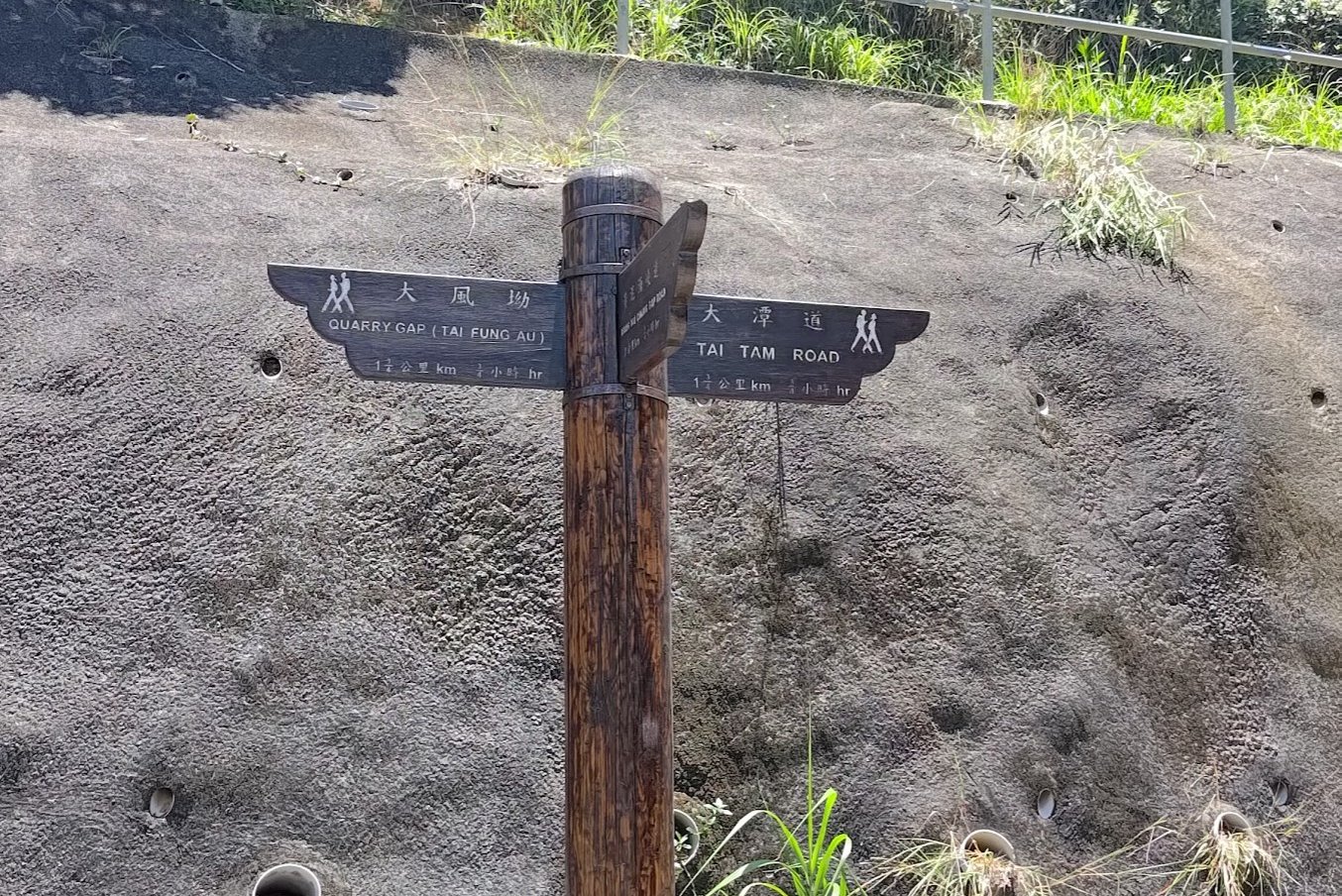
At the far end of these kilns, follow the sign pointing to 'Tai Fung Au'.
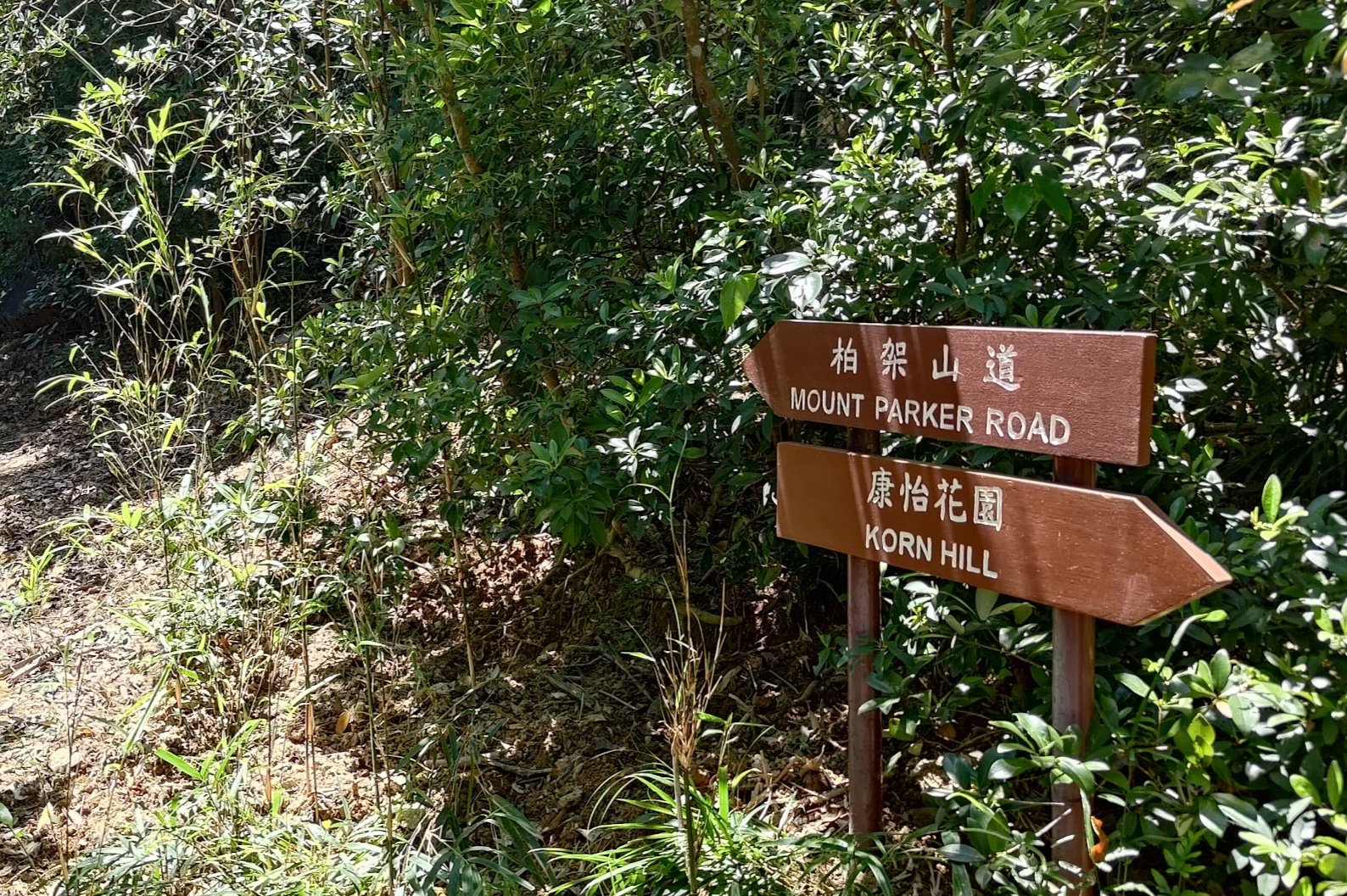
You'll begin ascending before seeing a sign pointing you back to 'Mount Parker Road'. Follow that sign until you're back on the trail.
Back on Mount Parker Road, follow the sign pointing to 'Tai Tam Tuk Reservoir' and you'll soon arrive at the pavilion.
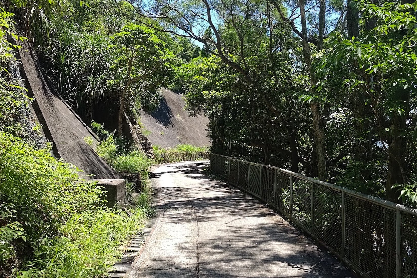
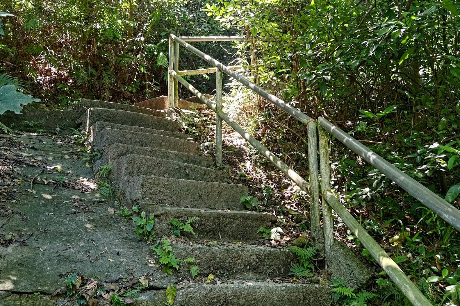
The Descent to Tai Tam Reservoir
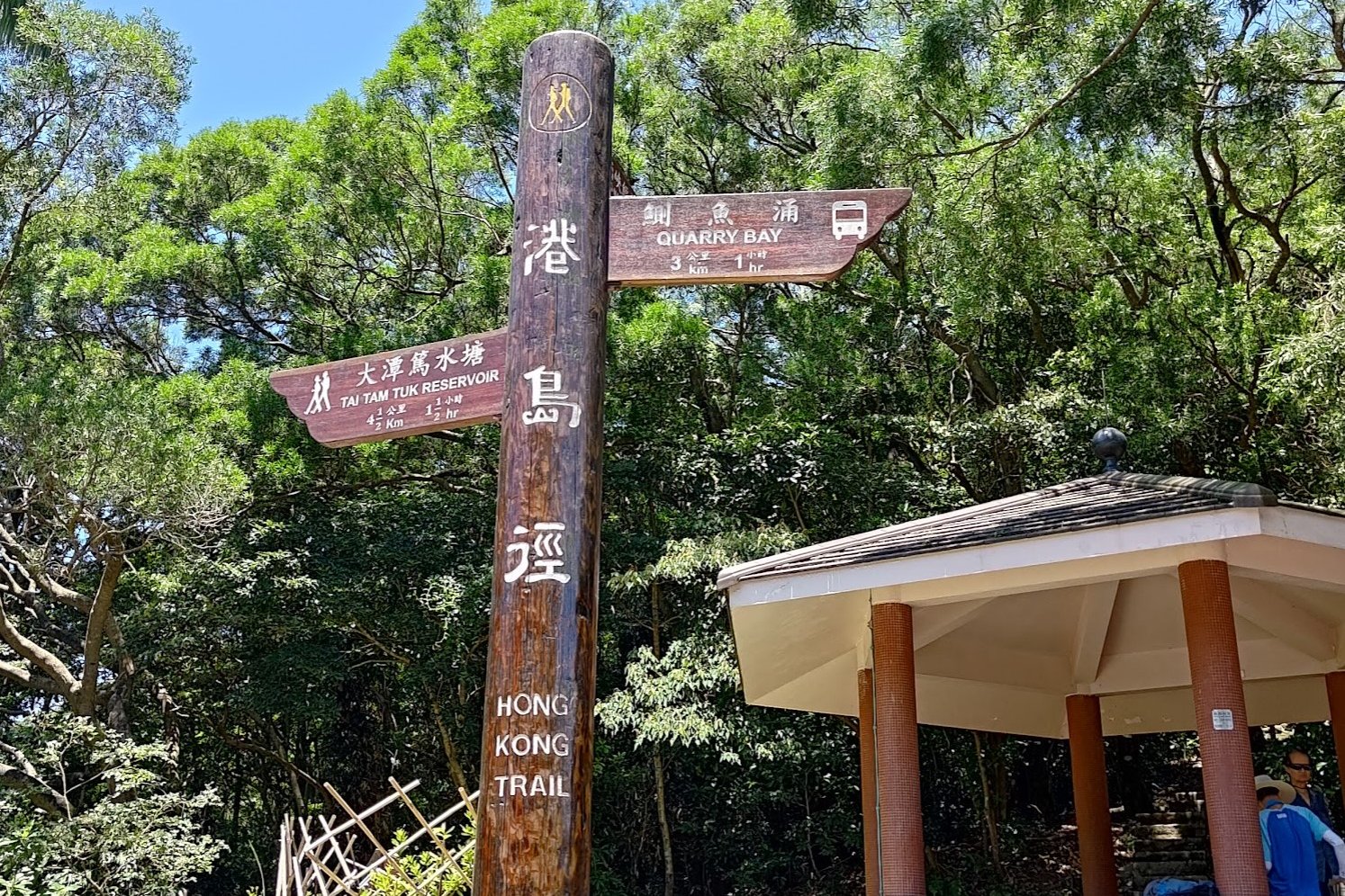
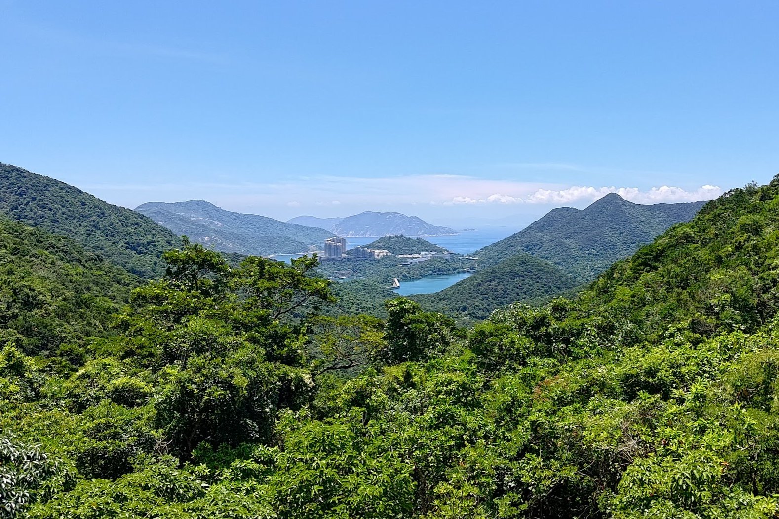
It takes about 30 minutes to descend all the way down to Tai Tam Reservoir from the pavilion.
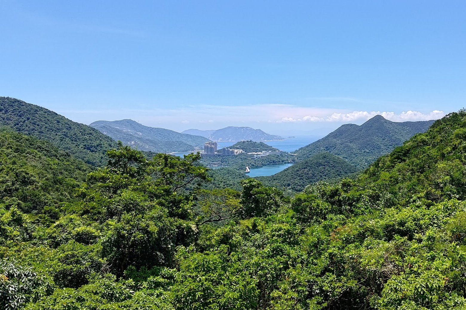
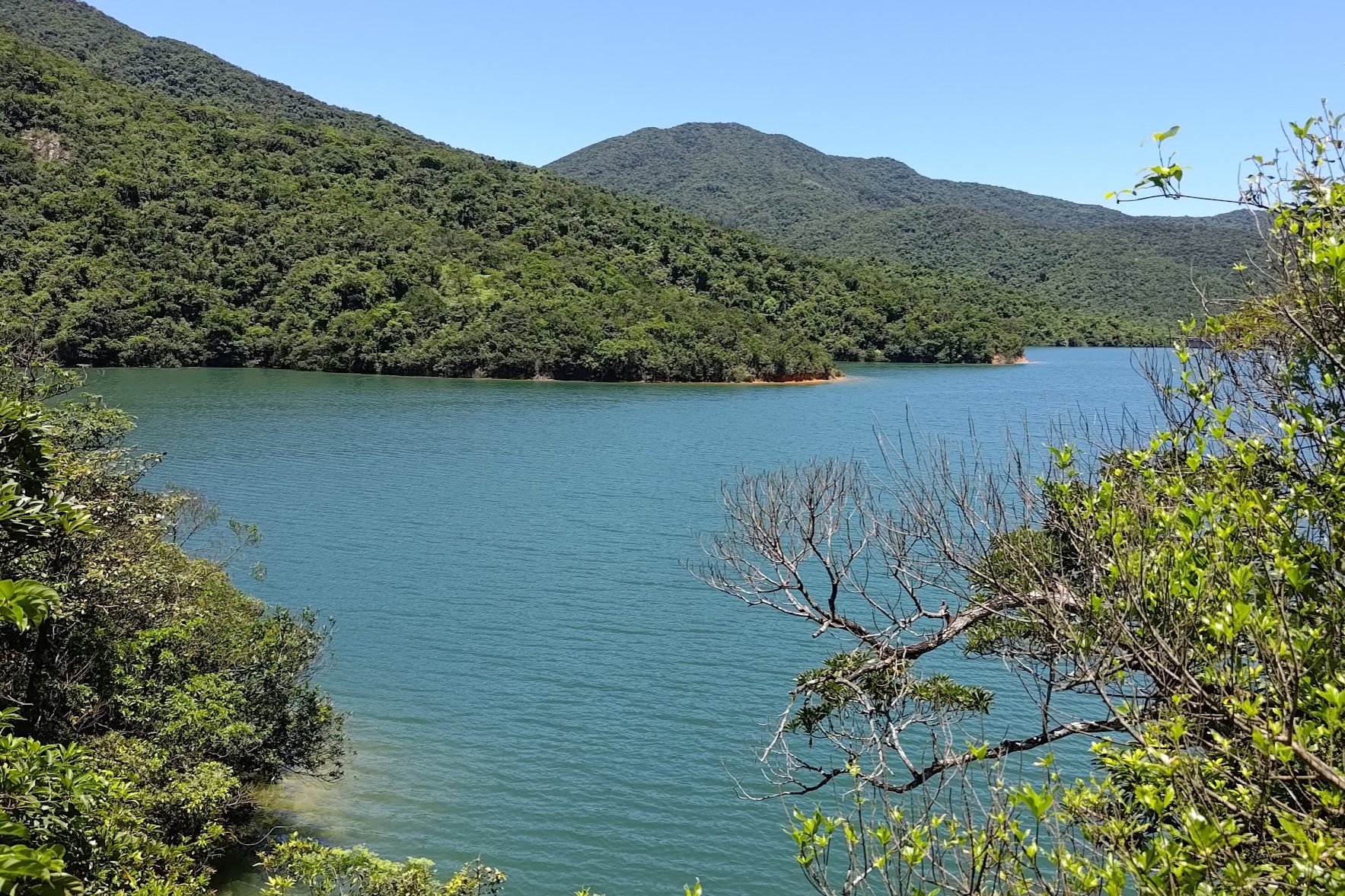
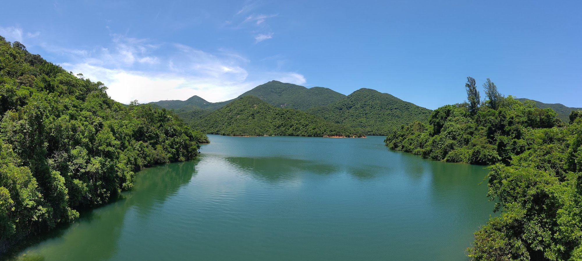
On the way, you'll be surrounded by lush greenery and see Tai Tam Reservoir from a distance.
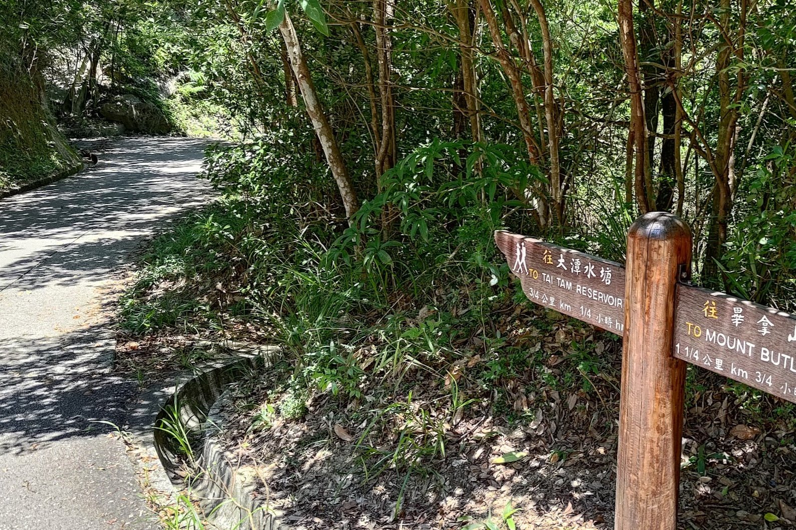
About half way into your descent, you'll see a sign pointing you to Tai Tam Reservoir. Follow that sign and you will arrive by the waters of Tai Tam Upper Reservoir in another 15 or so minutes.
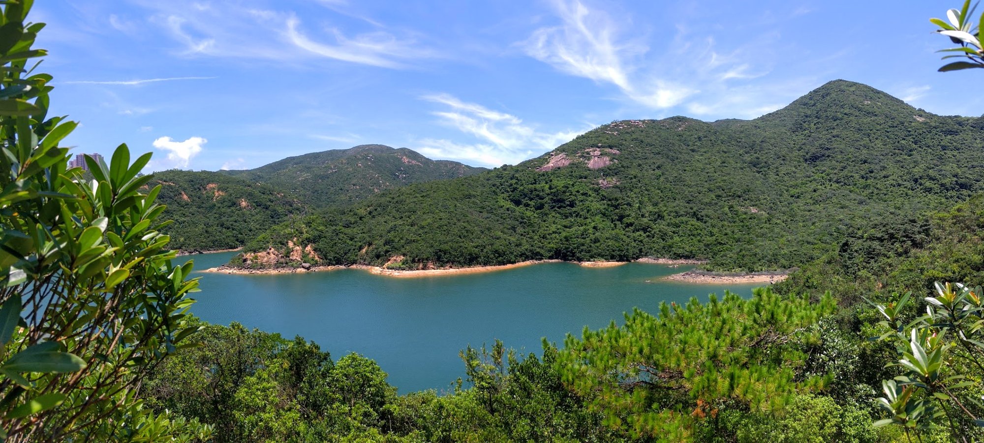
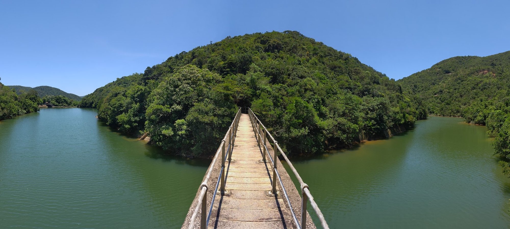
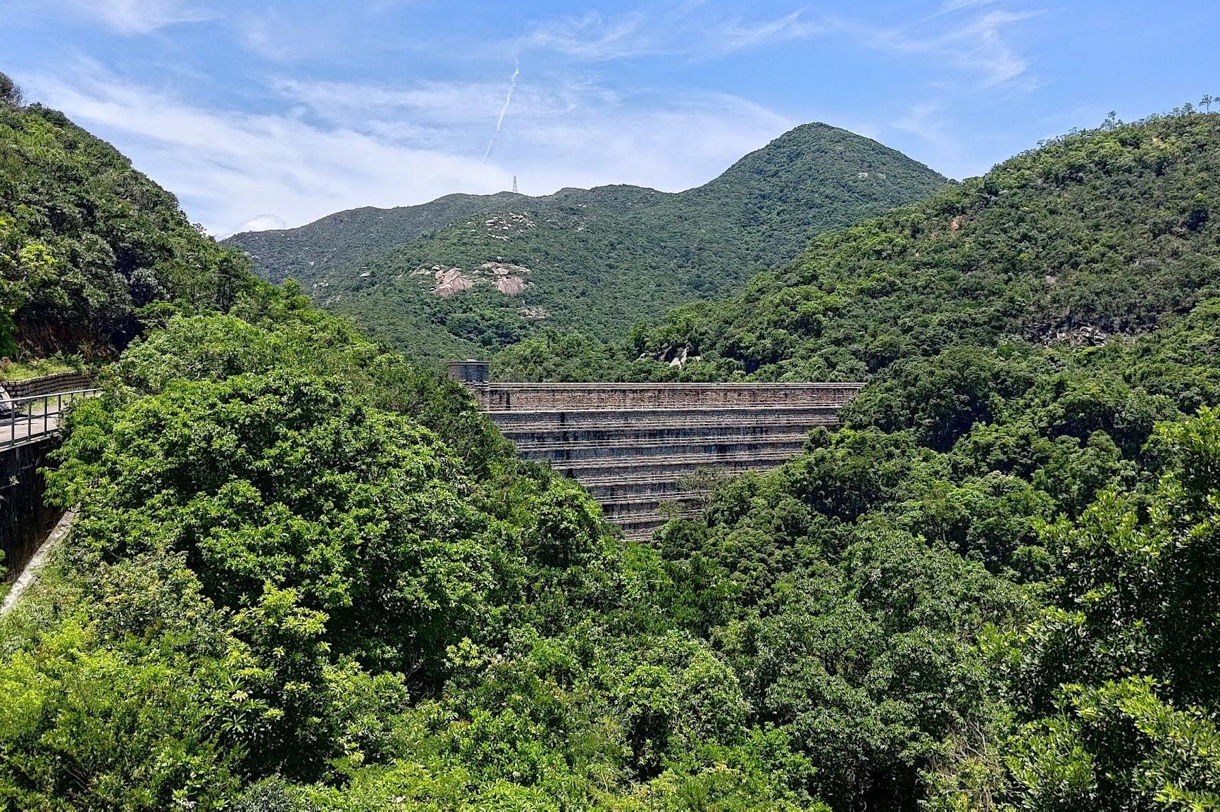
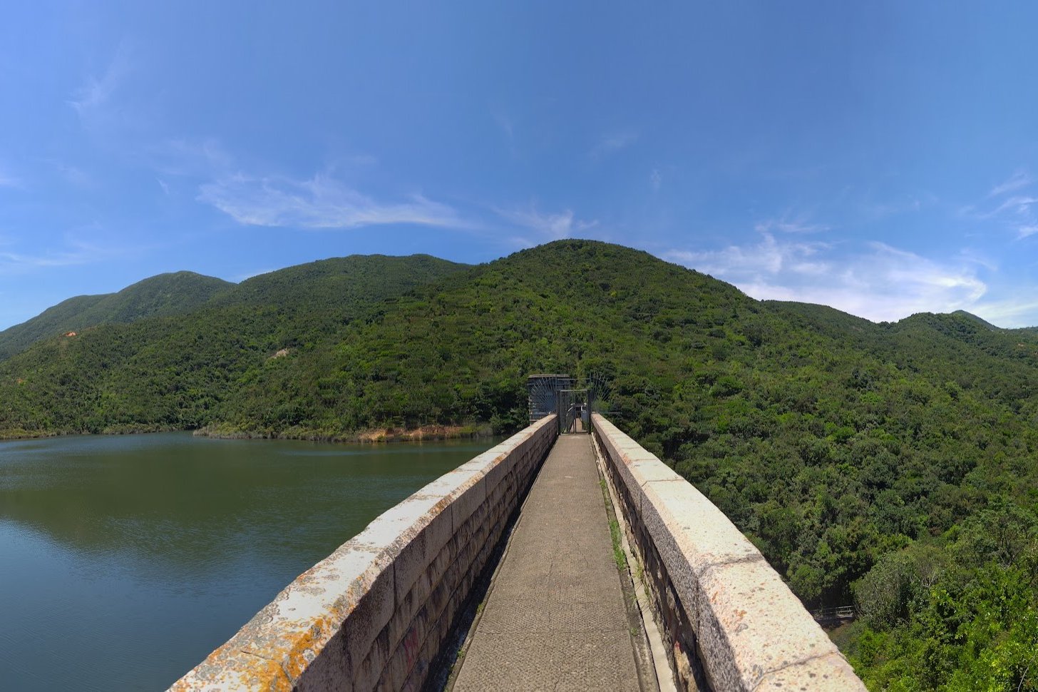
Tai Tam Upper Reservoir Dam
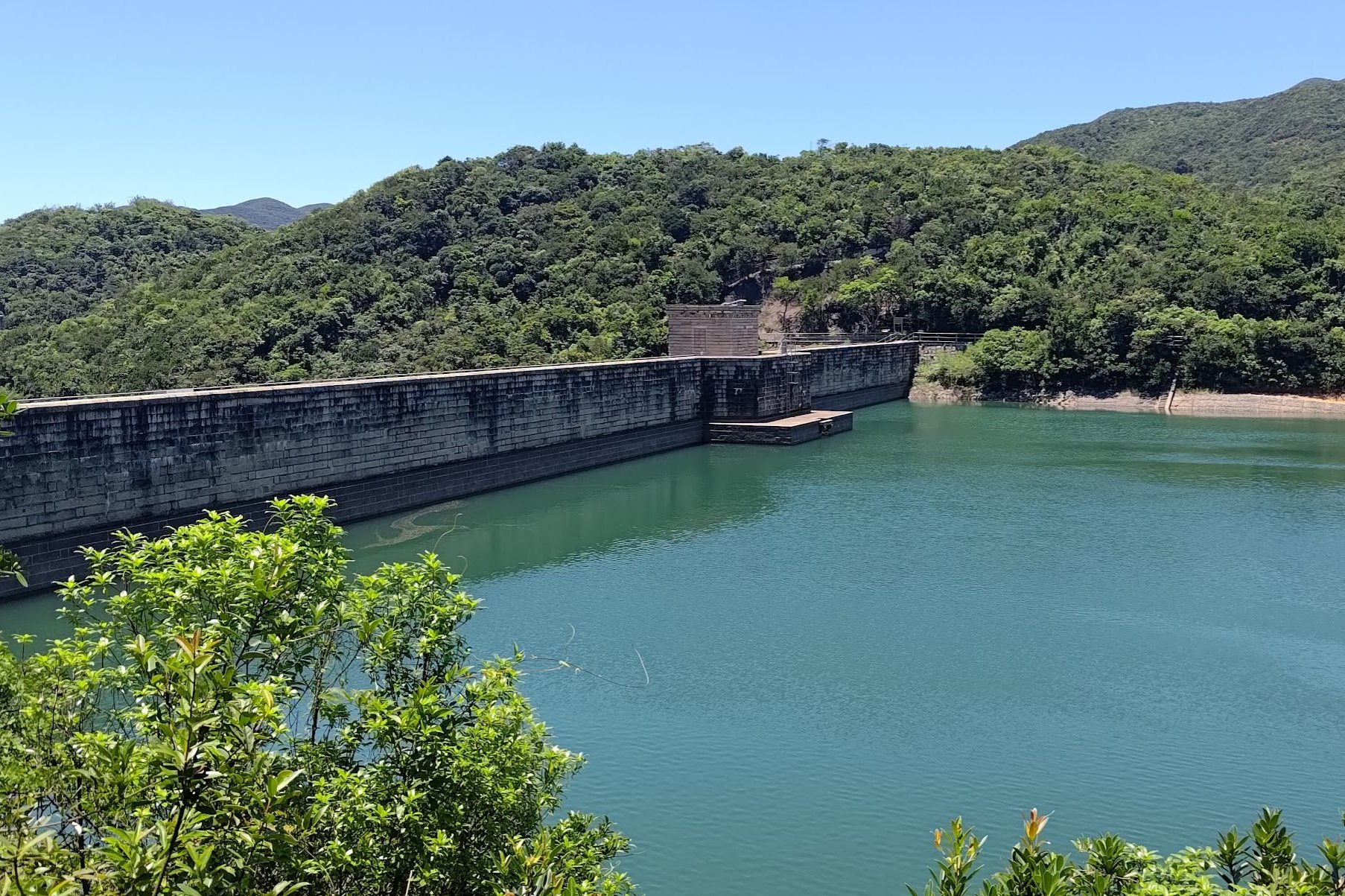

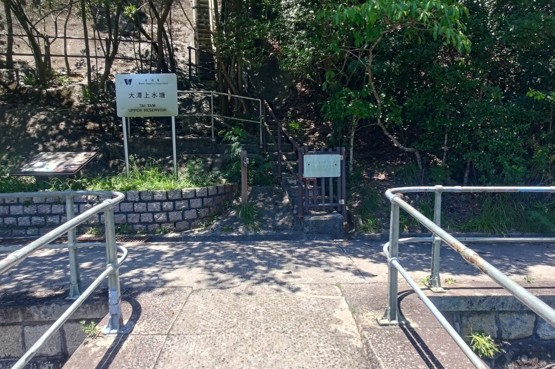
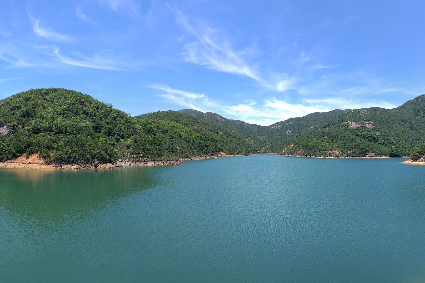
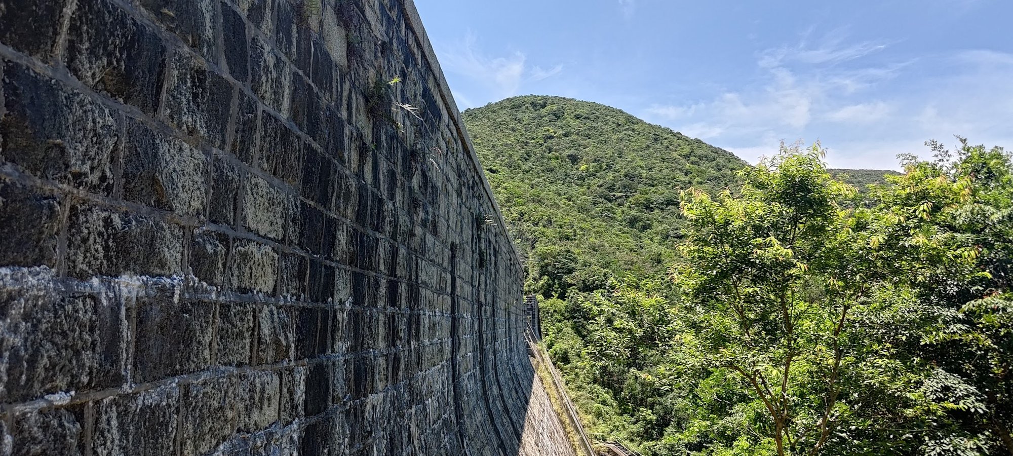
As Upper Tai Tam Reservoir comes into view, you'll see the Upper Tai Tam Reservoir Dam holding back an immense amount of water.
Head across the dam and marvel at how there are trees and greenery on your left and a monstrous amount of water on your right.
There are fish in the reservoir's waters, too, which I found to be quite cool.
After enjoying the views of the turquoise water and crossing the dam, head right.
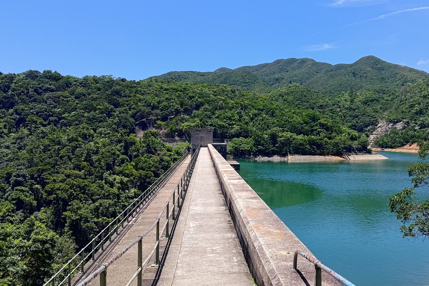
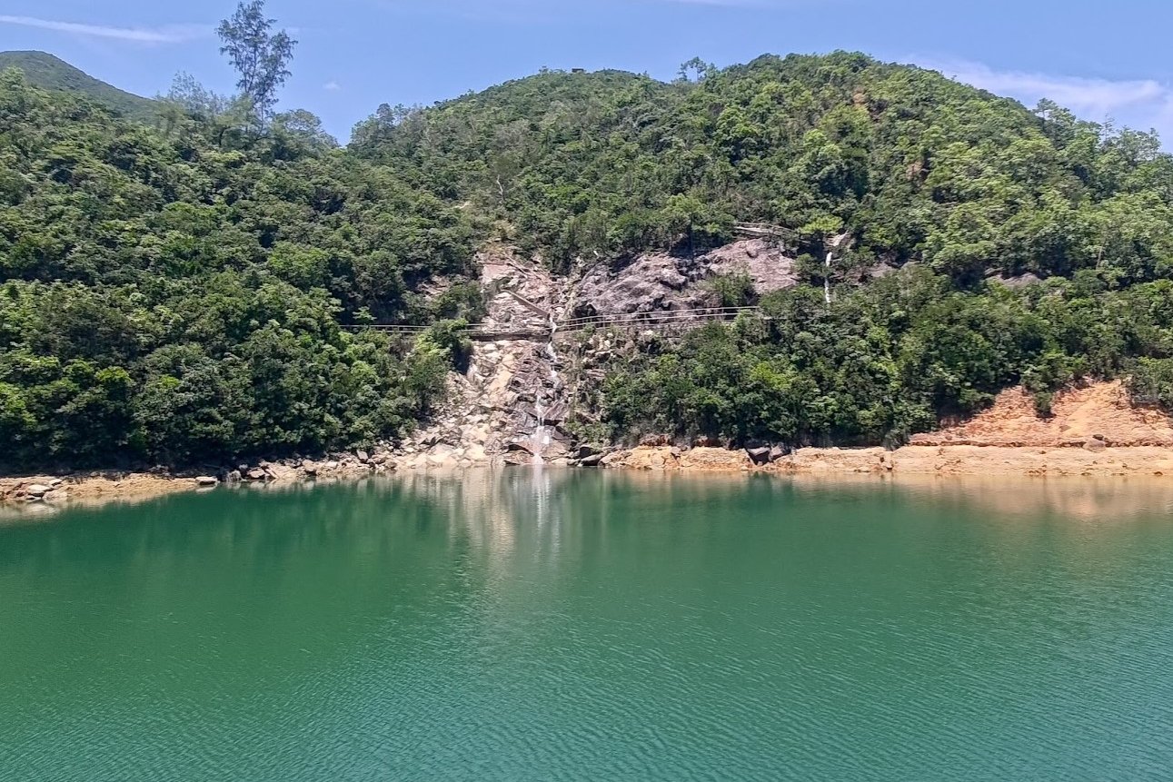
Tai Tam Upper Reservoir Masonry Aqueduct
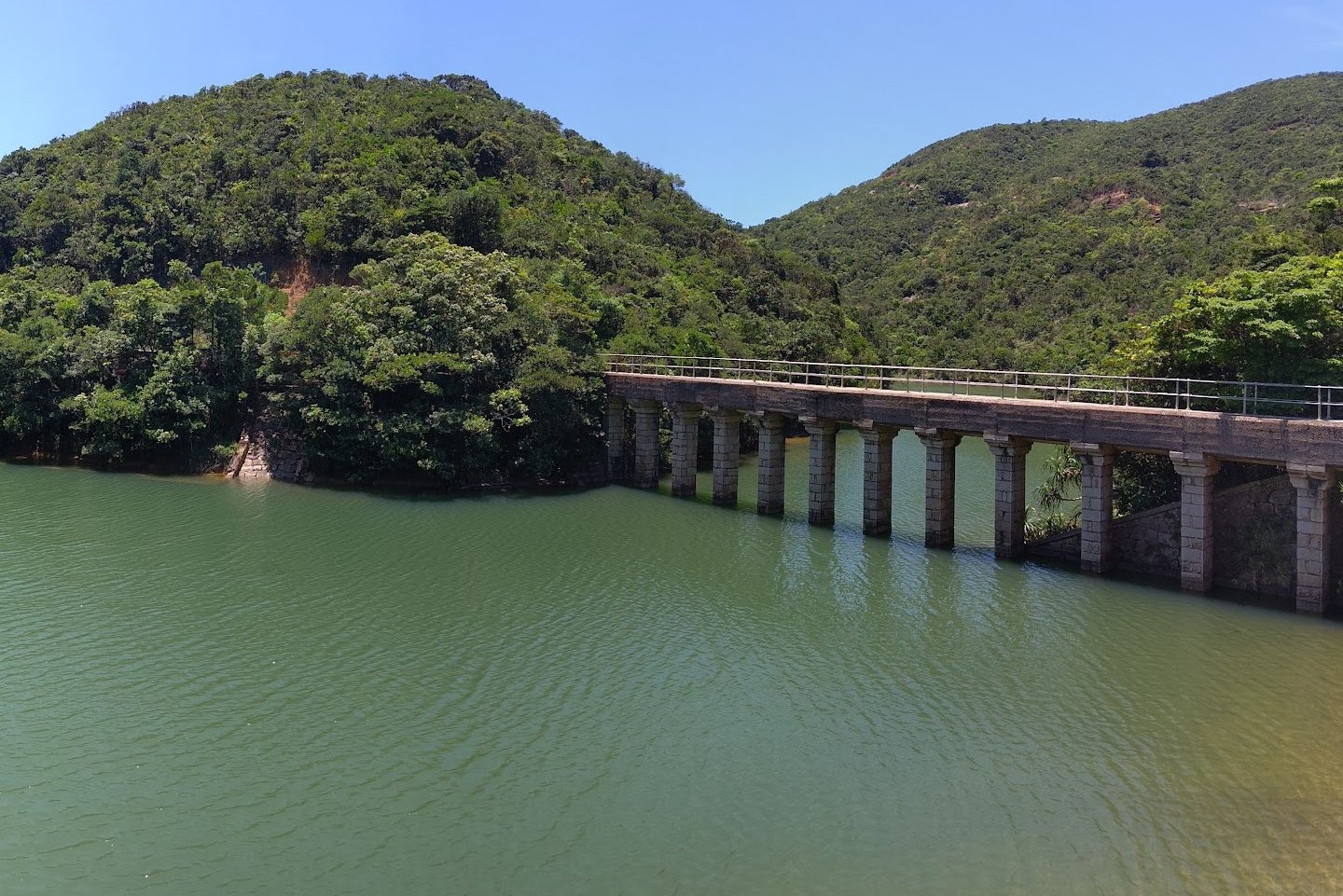
Why turn right at the intersection?
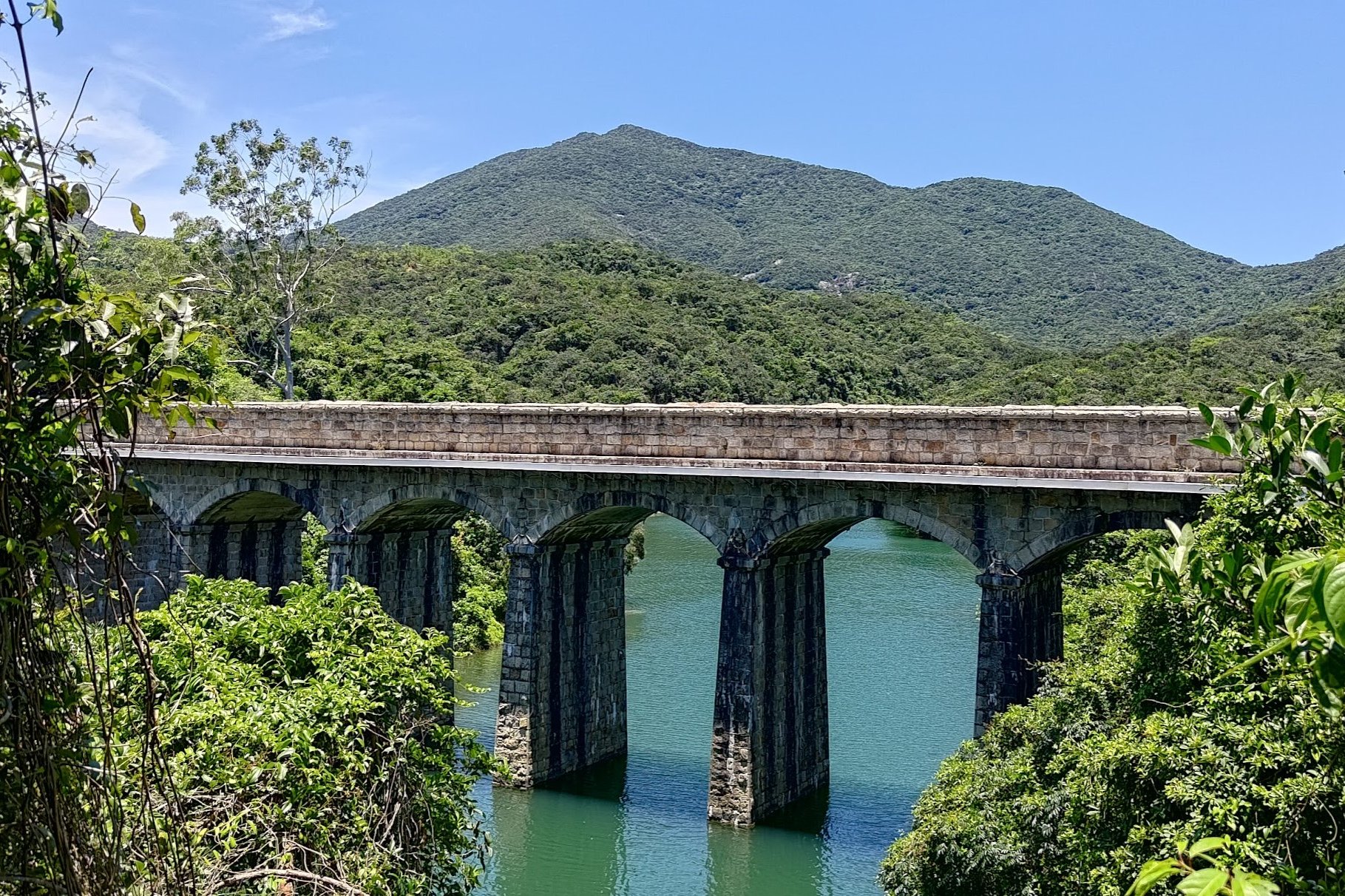
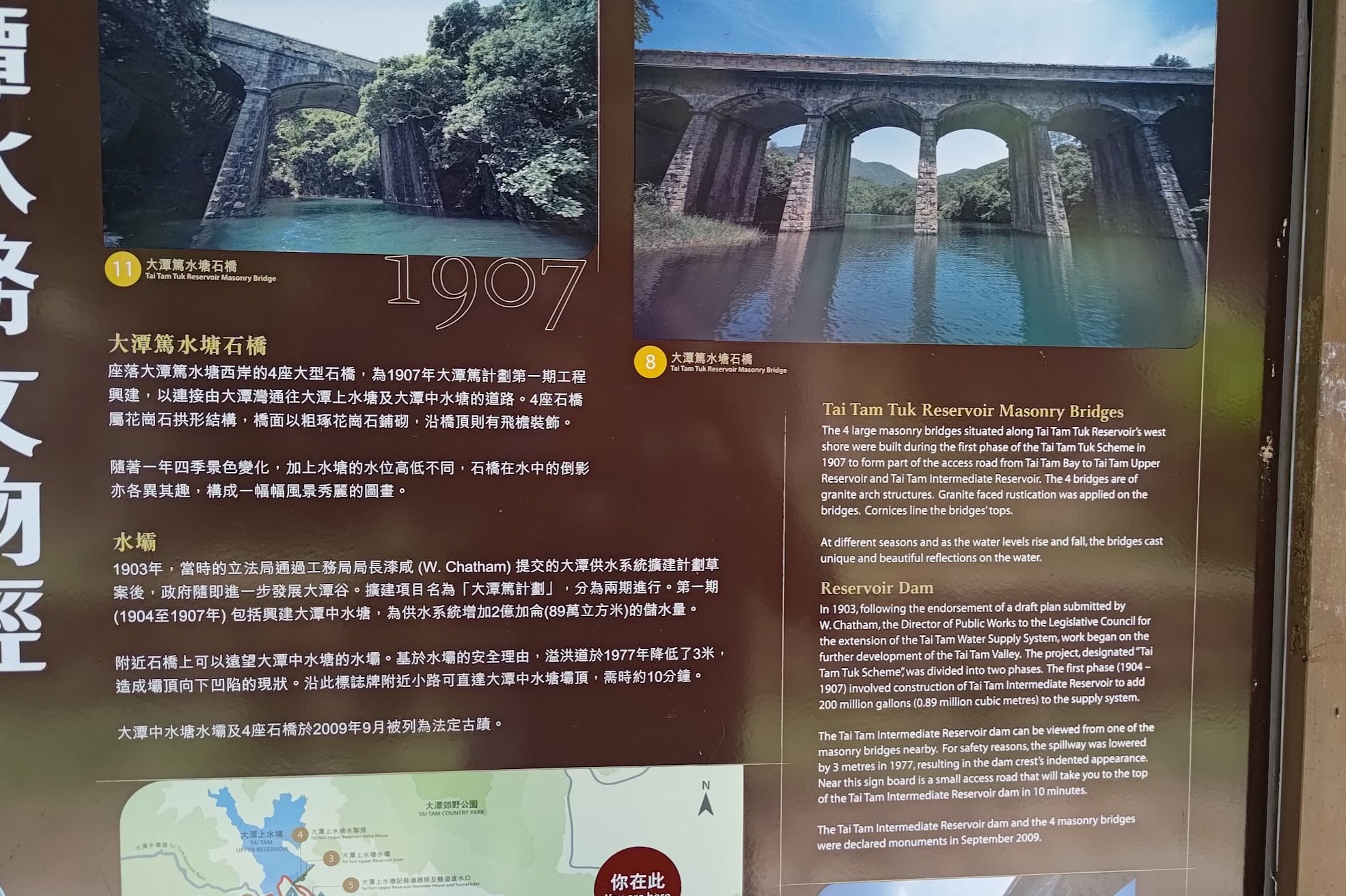
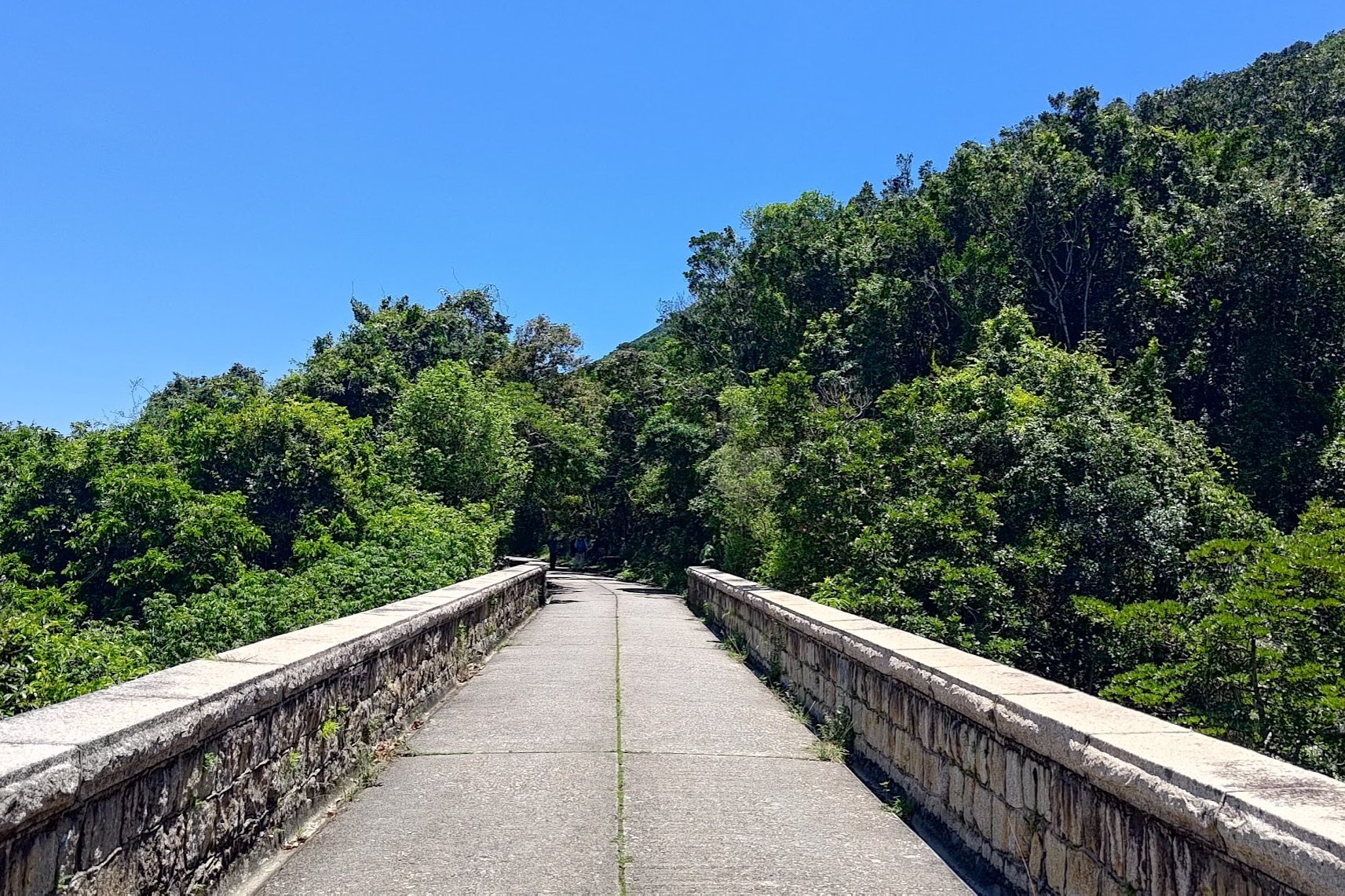
So we can check out the historic Tai Tam Upper Reservoir Masonry Aqueduct. Built in 1907, these bridges are still functional as a way to cross the upper reservoir, but are also declared as historic monuments.
Walk along the aqueduct to admire the amazing scenery of the Tai Tam Bywash Reservoir. You'll then need to retrace your steps back off the aqueduct / bridge and go in the direction of the sign pointing to 'Tai Tam Road'.
Tai Tam Bywash Reservoir Dam
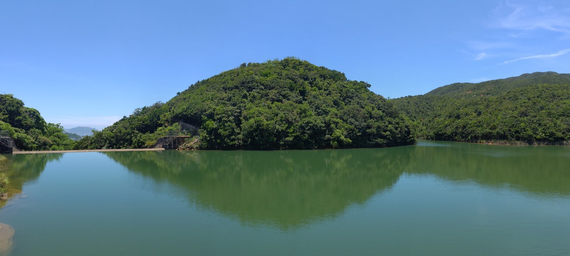
Pretty soon you'll see the Tai Tam Bywash Reservoir looming in the distance.
As you approach it, don't cross to the other side. Just walk past it and marvel at how it keeps all the water in.
Walk along the water and head past the other end of the dam.
Getting to Tai Tam Intermediate Dam and Masonry Bridge
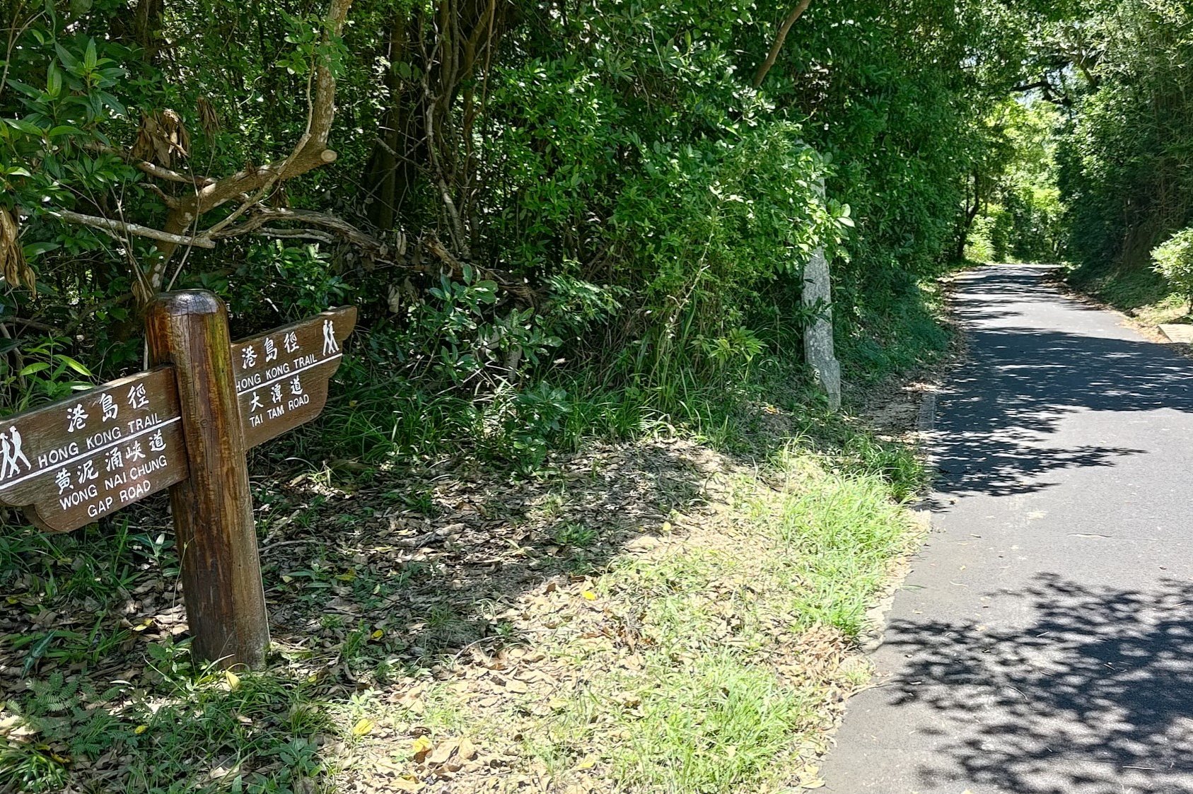
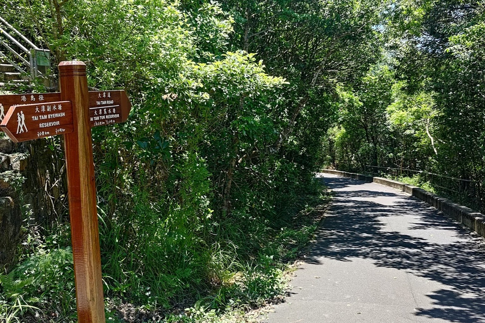
For the next 10 or so minutes, you'll be following a concrete road. There will be plenty of signs to point you in the right direction as you continue your adventure.
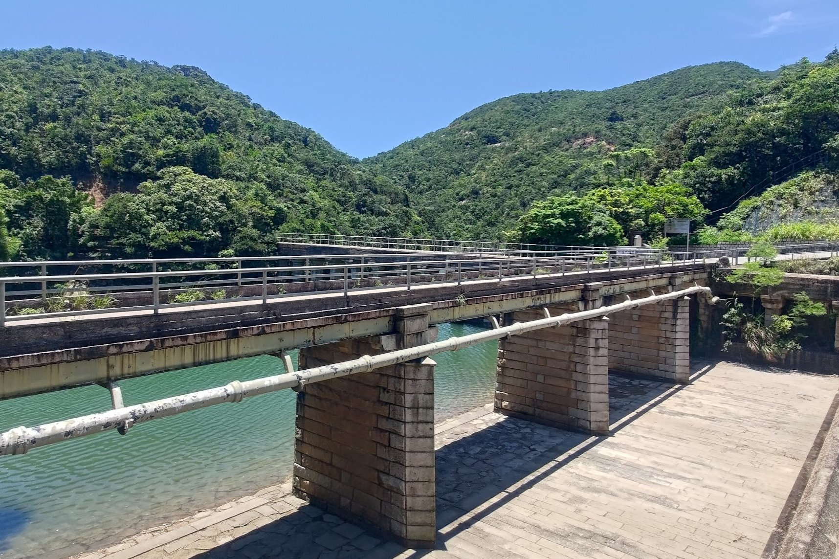
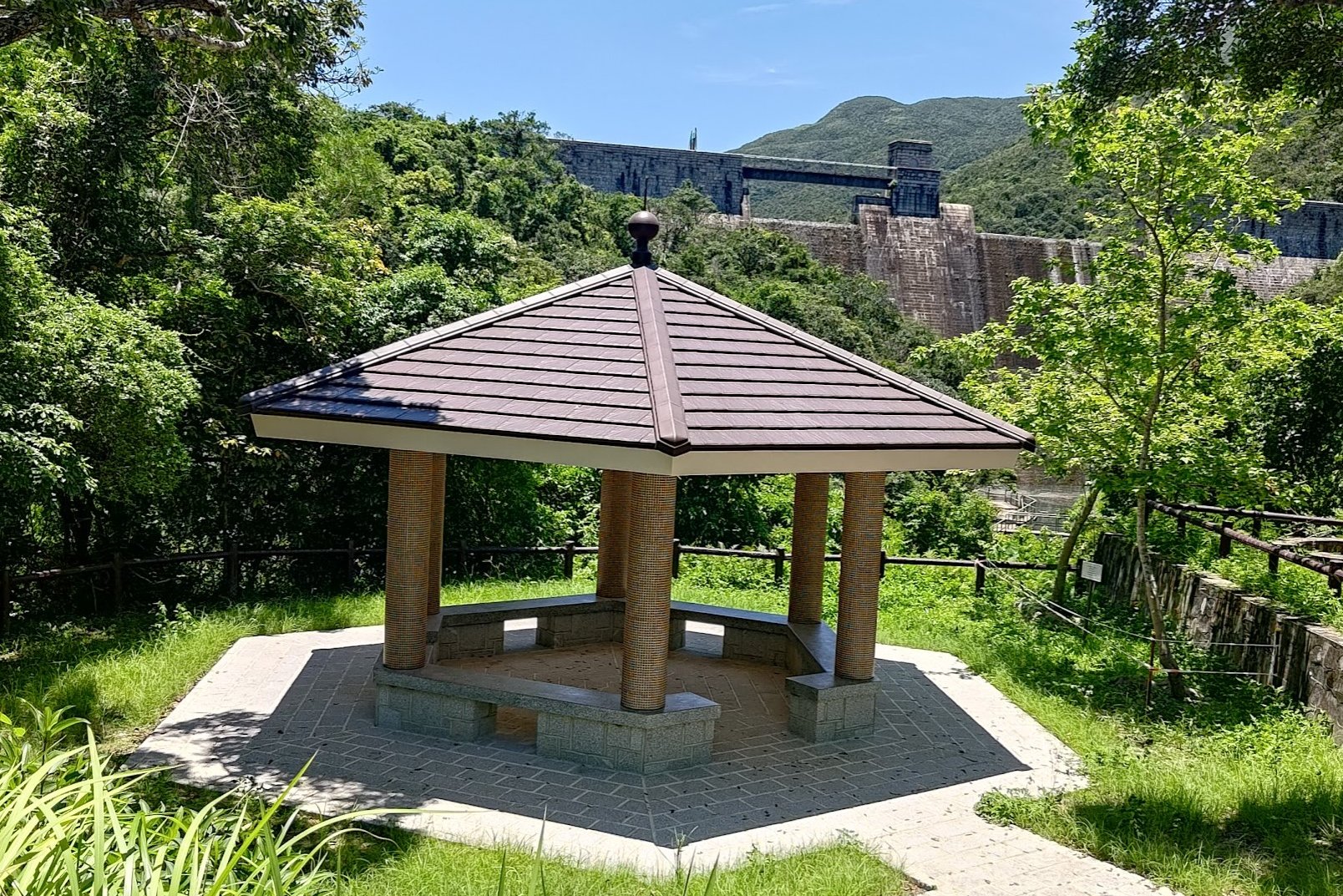
Follow both signs pointing to 'Tai Tam Road' and before long you'll see a little pavilion with Tai Tam Intermediate Reservoir Dam behind it.
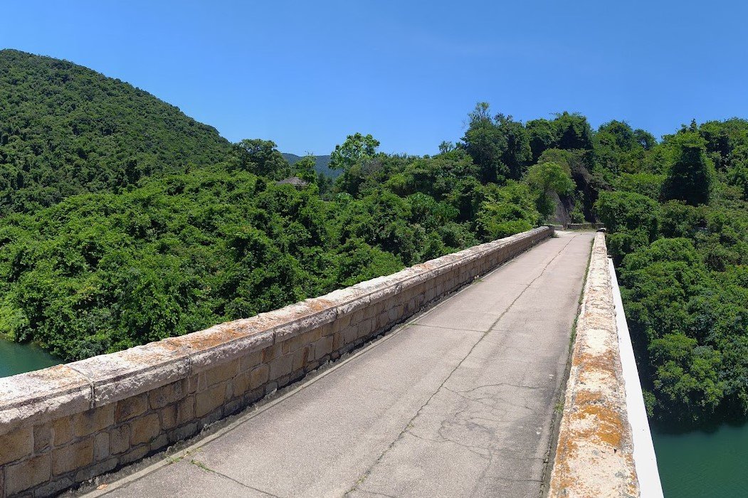
Go past the pavilion and cross the masonry bridge before arriving at a crossroads.
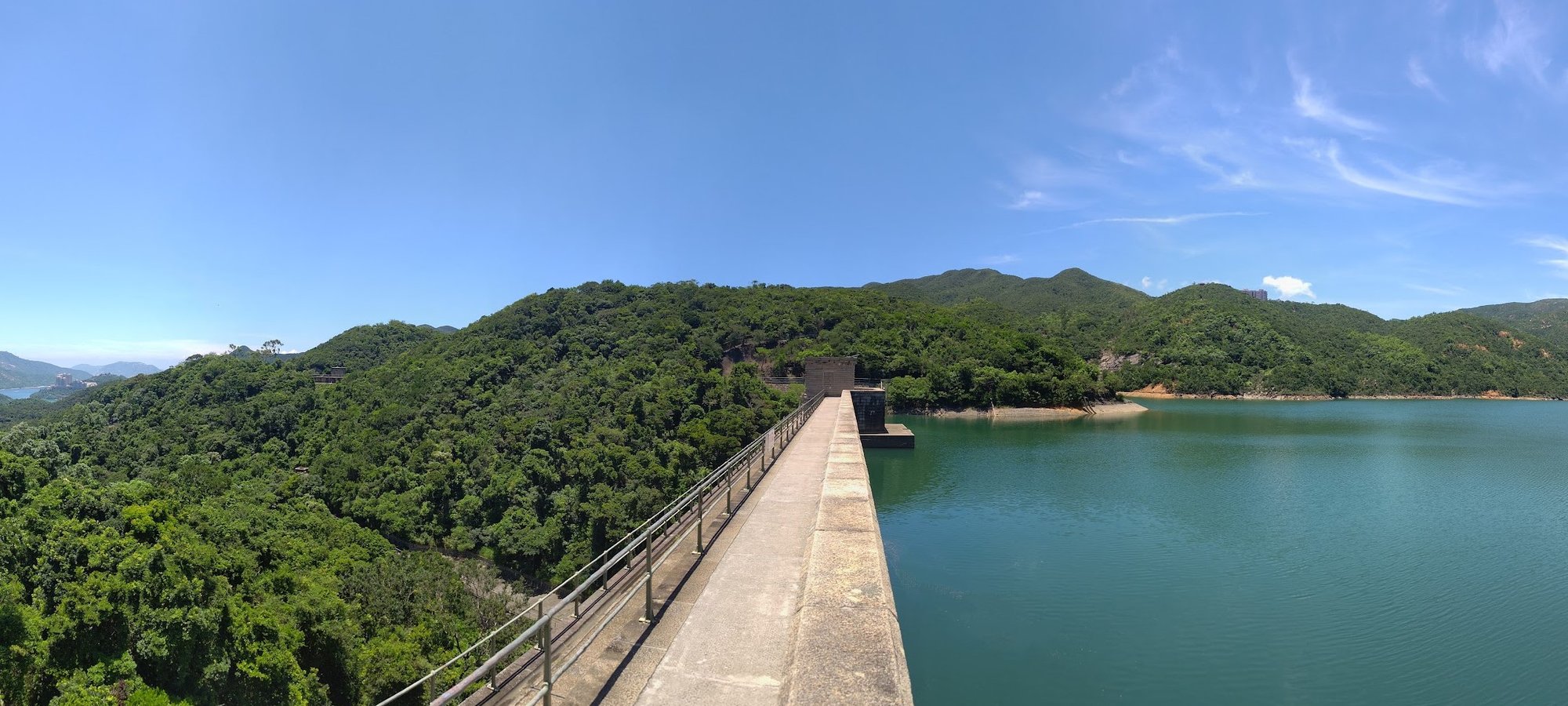
The Best Viewpoint for the Intermediate Dam and Masonry Bridge
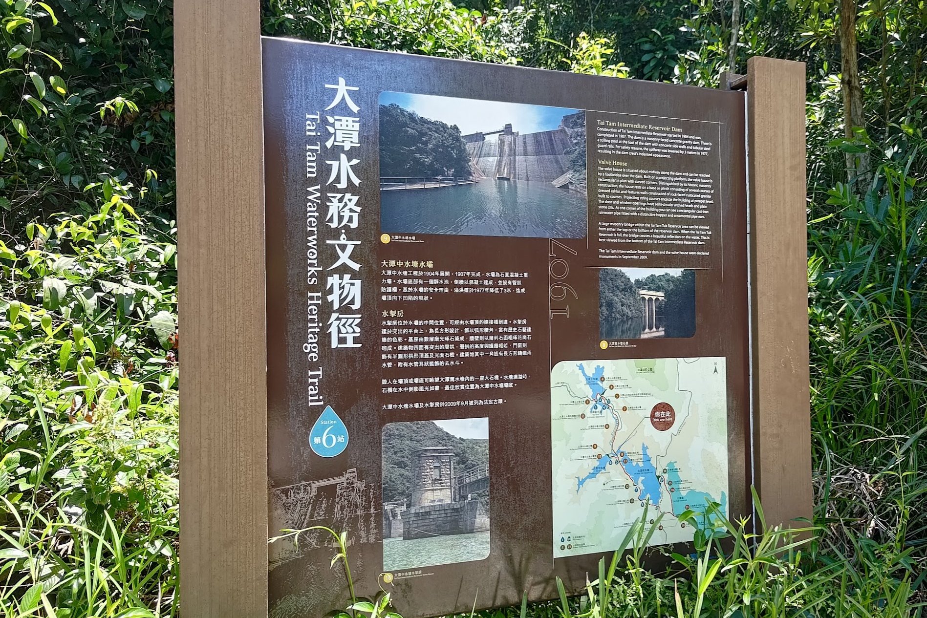
At the intersection, make sure to head toward the silver sign that says 'Tai Tam Intermediate Reservoir'.
Almost immediately, you'll get stellar views of the old masonry bridge you just walked across.
The informational signpost outlines the details of the dam's construction between 1904-1907. It holds 200 million gallons of water!
You'll also be able to climb to the top of the Tai Tam Intermediate Dam for some stunning views.
Return back the way you came until you reach the intersection once more.
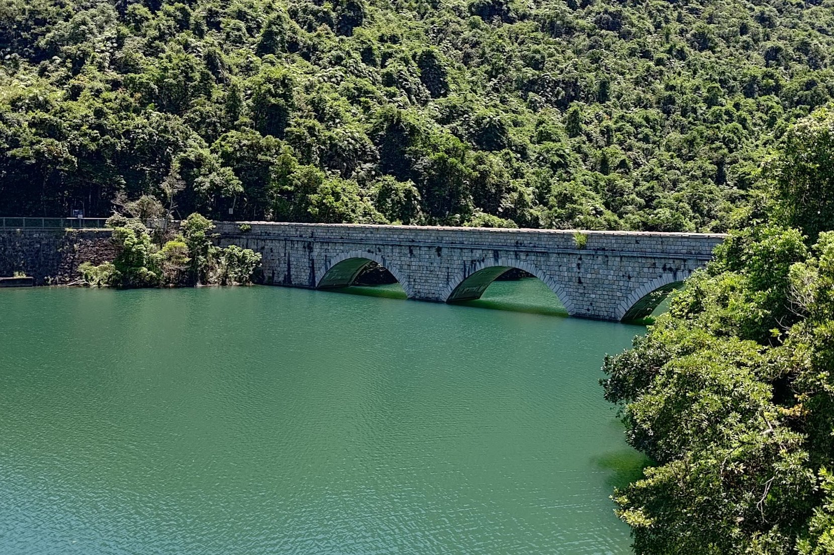
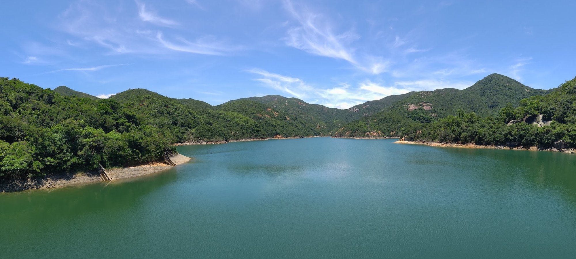
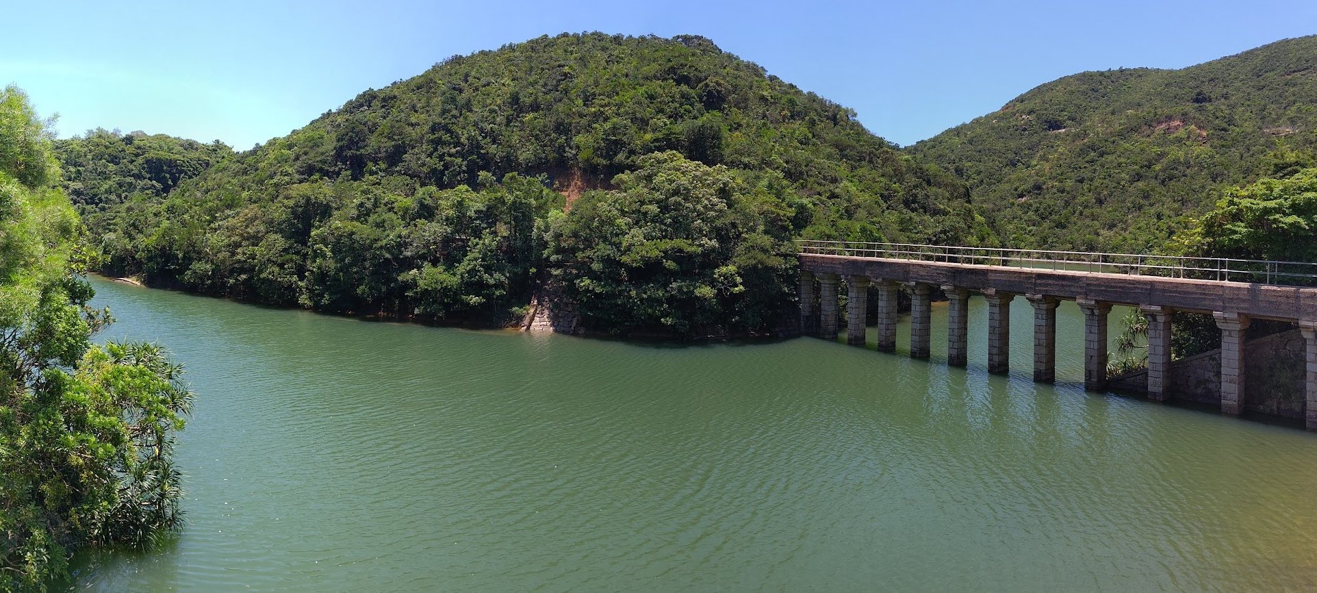
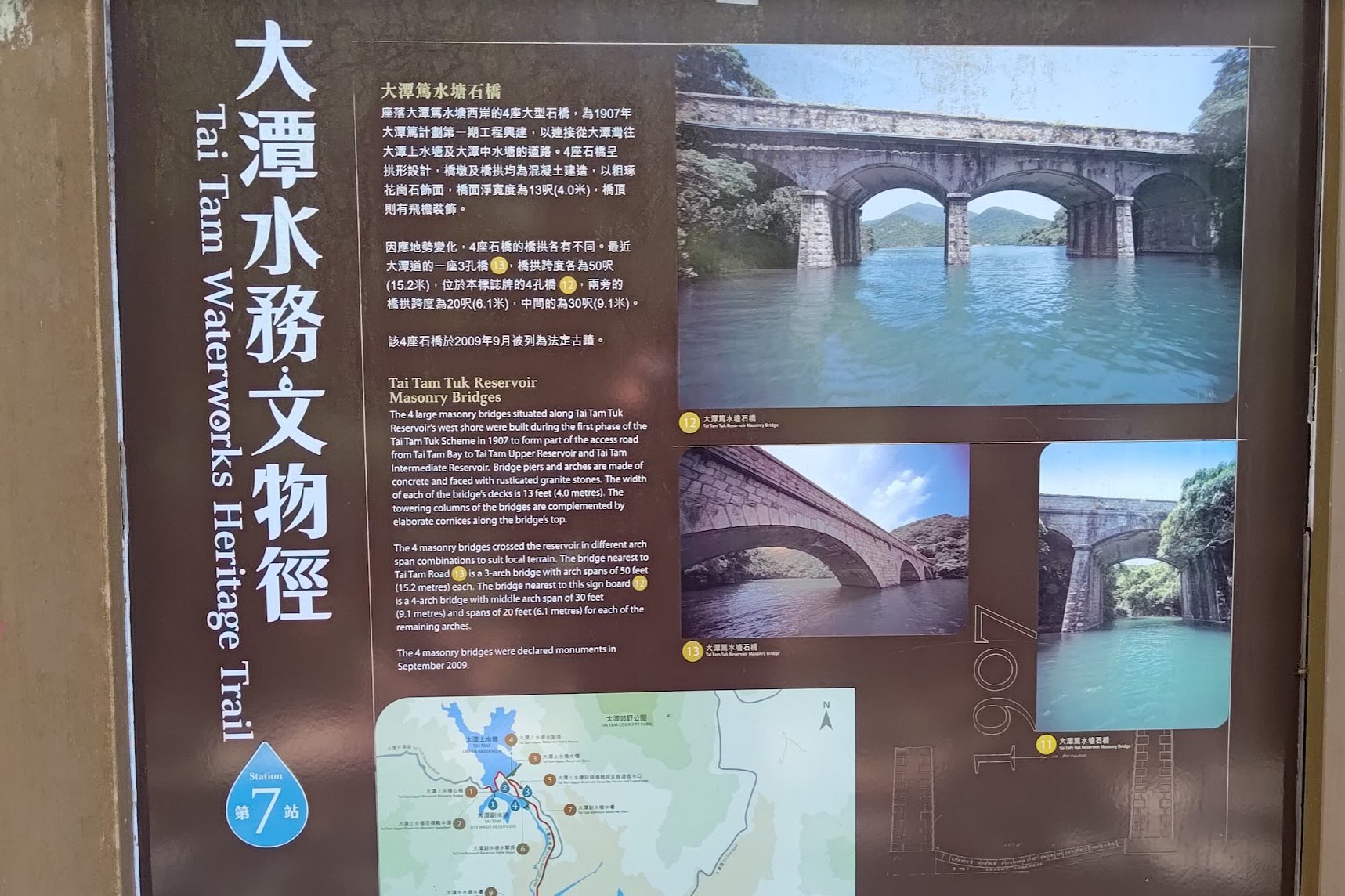
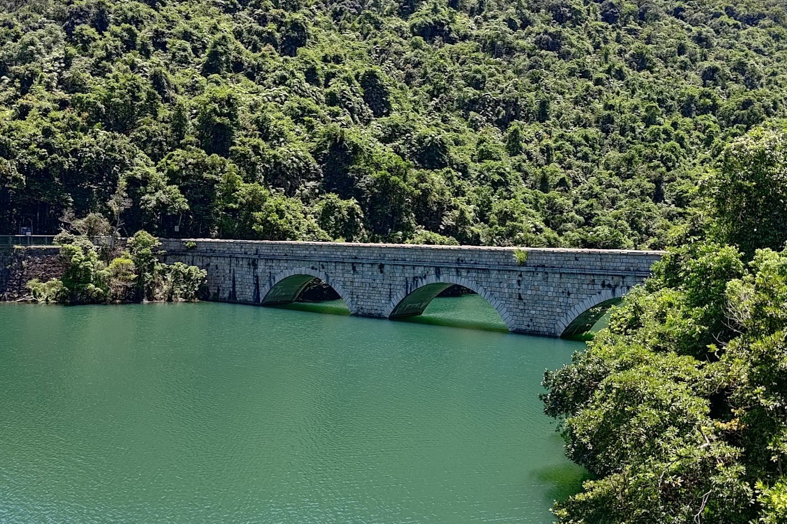
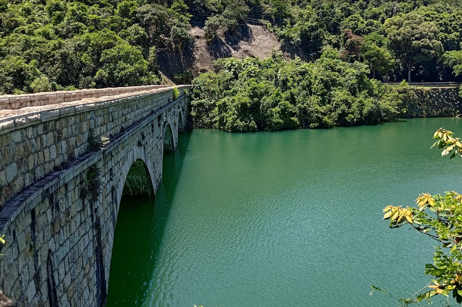
Tai Tam Tuk Reservoir
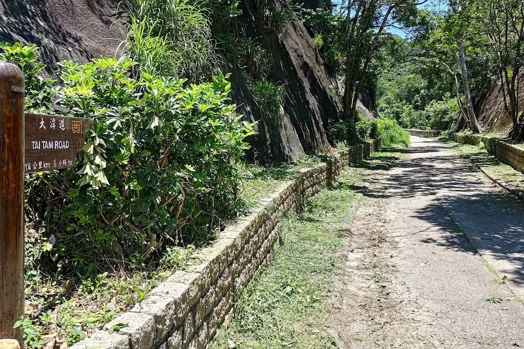
Once you're back at the intersection, follow the wooden 'Tai Tam Road' sign.
As you continue along Tai Tam Reservoir Road, you'll get your first glimpse of Tai Tam Tuk Reservoir after about 5 minutes of walking.
Continue to walk along the perimeter of Tai Tam Tuk Reservoir and check out the informational signs explaining the purpose and history of the masonry bridges, which were built in 1907!
Soon, another masonry bridge comes into view. Cross this bridge and continue walking for a bit longer before you arrive at Tai Tam Road where you can get the number 14 busback to the city.
Or...you could go on a fun little detour.
(Optional Detour) Tai Tam Tuk Pumping Station
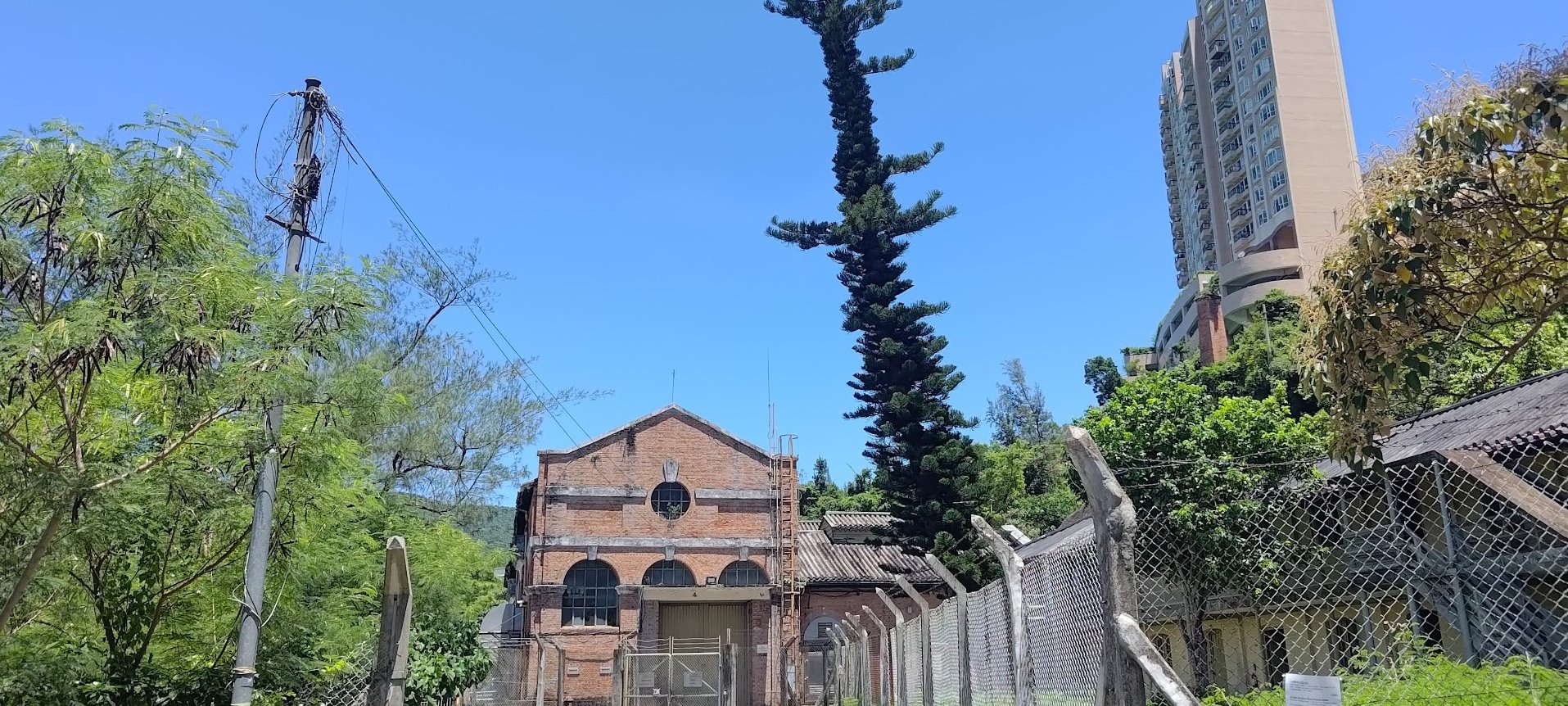
The Tai Tam Tuk Pumping Station was build in 1908 and has some incredible examples of architecture from that era.
To reach it, simply follow Tai Tam Reservoir Road for 5-10 minutes.
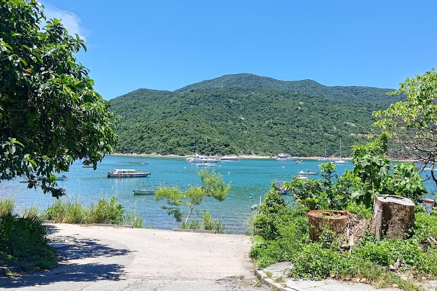
(Optional Detour) Tai Tam Tuk Village and Dam Viewpoint
After visiting the pumping station, you can follow Tai Tam Reservoir Road back to the bus stop, or walk along the coast for an additional detour.
This detour in total takes about 30 minutes.
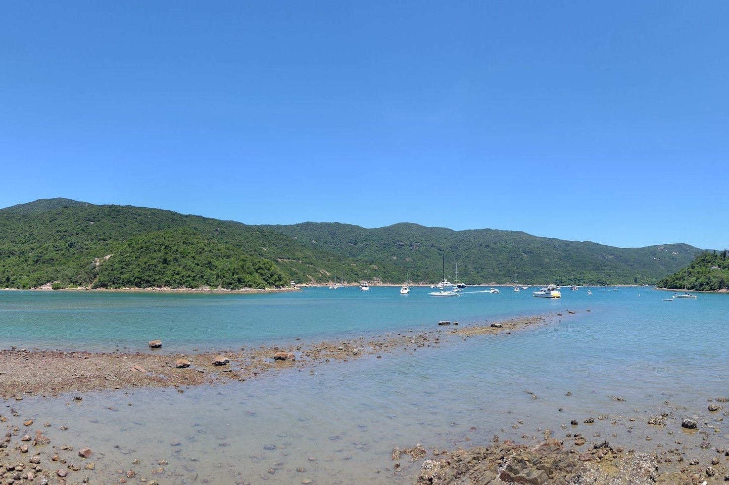
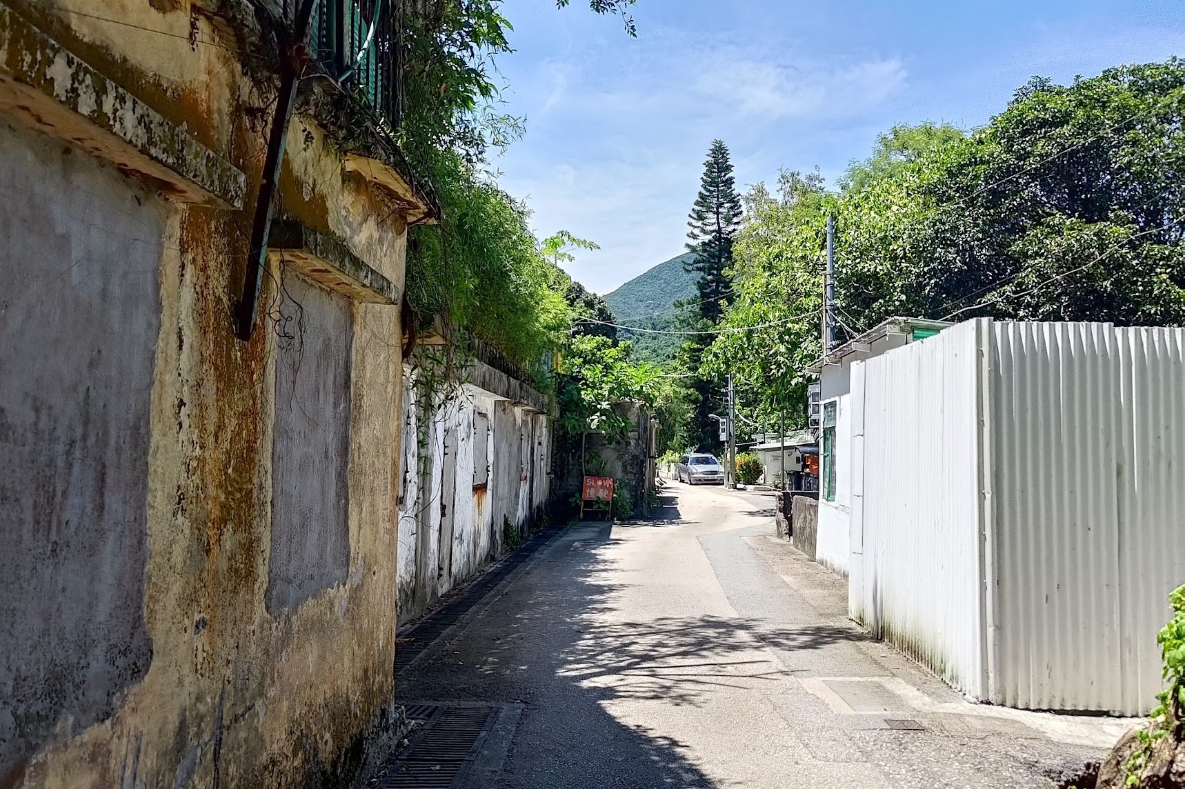
Enjoy a short coastal walk before you arrive at Tai Tam Tuk Village. You'll see some rather beautiful village-style homes here. Make sure to be respectful and do not trespass onto anyone's property.
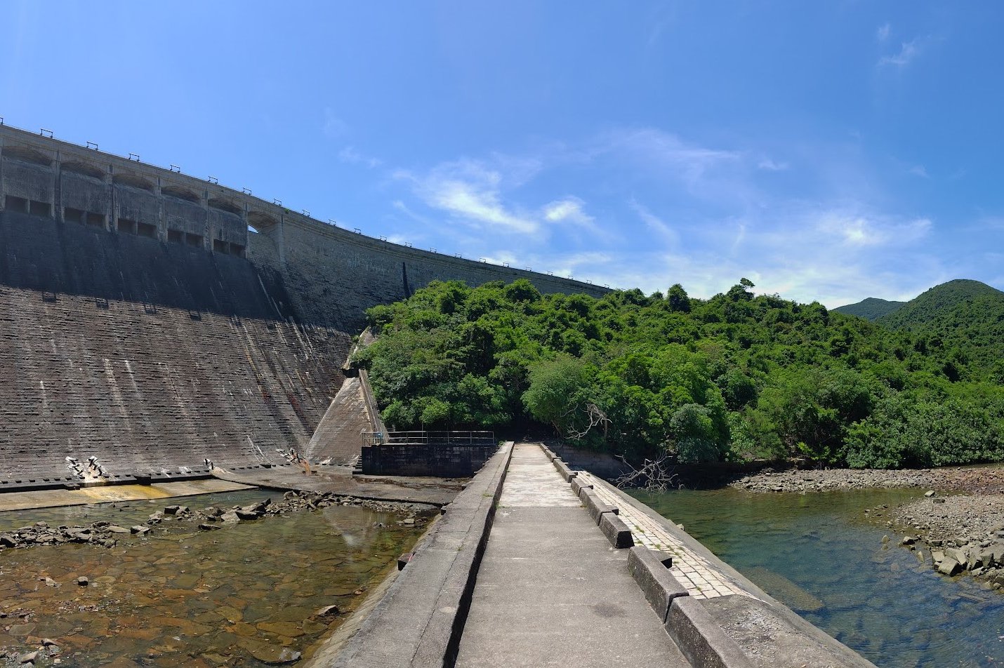
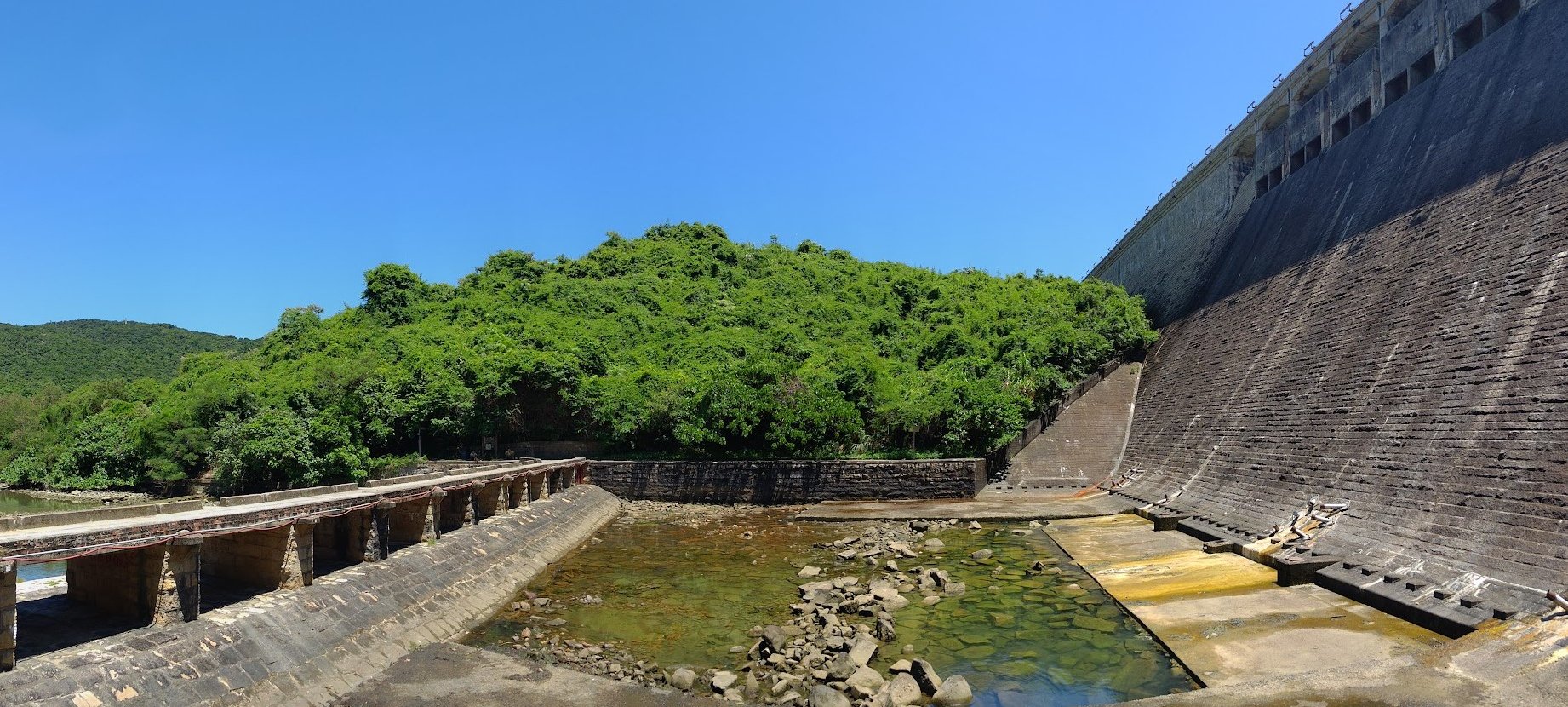
After the village, stay on the concrete path until the Tai Tam Tuk Reservoir Dam comes into view. From this vantage point, you get a far better appreciation of how massive a feat of engineering it was to build this dam.
When you're ready to head home, take the stairs behind the dam (not the ones on it) and climb to the top. You'll be on Tai Tam Road right next to the bus stop.
Getting Back
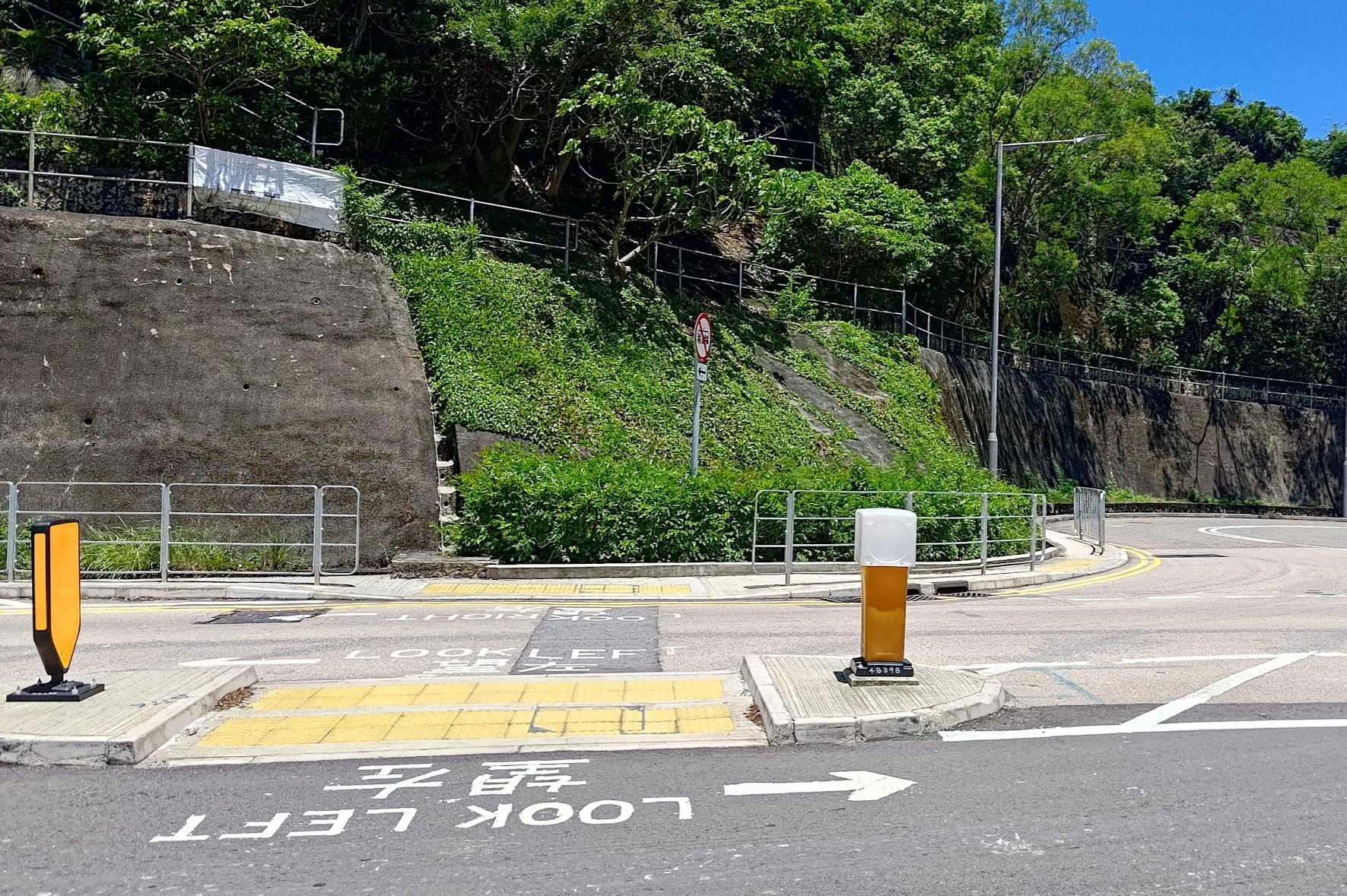
No matter where your ending point is, you can take the number 14 bus from Tai Tam Road.
There's a bus stop at either end of Tai Tam Tuk Reservoir Dam.