
Tai Long Wan: Three of Hong Kong’s Best Beaches in One Hike
Contents
- Essential Information
- Hike Highlights
- Google Route Map
- How to Get There
- Quick Route Summary
- Begin at Sai Wan Pavilion
- Sai Wan Beach Views
- Stargazing Site: Worst View of the Whole Hike
- Ham Tin Wan: Best View of the Hike
- Optional Detour to Tai Wan Beach and Sharp Peak
- Tai Long Village and the Big Climb
- Chek Keng (Optional Escape Route)
- Chek Keng Abandoned Village
- The Final Ascent to the Pak Kung Au Bus Stop
- The Way Back
Essential Tai Long Wan Hike Details
- District: Sai Kung, New Territories
- Duration: 4-7 hours depending on whether you hike Sharp Peak
- Distance: 19km with Sharp Peak, 12km without Sharp Peak
- Highest Elevation: 180ish meters without Sharp Peak, 468 meters with Sharp Peak
- Difficulty: 2.5/5 without Sharp Peak, 4.5/5 with Sharp Peak
- Facilities: Food and drinks available at Ham Tin Wan, Chek Keng and Pak Tam Au. Public Toilet at Ham Tin Wan, Chek Keng and Pak Tam Au
Tai Long Wan Highlights
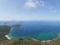
Feeling claustrophobic among the endless city buildings in Hong Kong? Head to stage 2 of the MacLehose trail in Sai Kung, where you’ll find some of the best ocean views in all of Hong Kong. This hike, commonly called the Tai Long Wan trail, refers to the stunning stretch of coastline that encompasses several undulating hills, mind-blowing white sand beaches, an abandoned Hakka Village and unbeatable coastal views that stretch to the horizon.
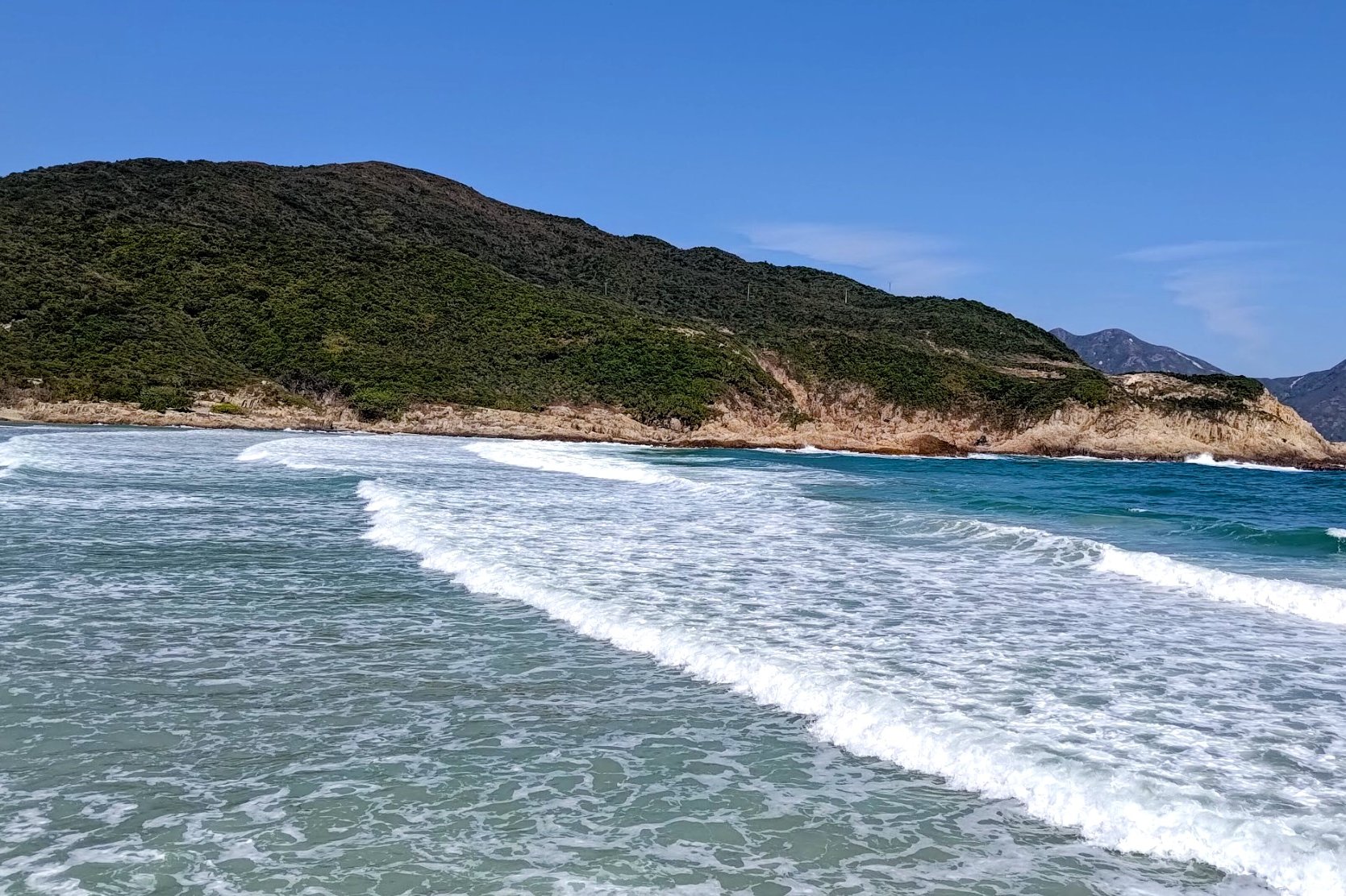
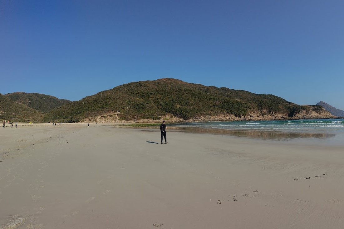
The three beaches on this hike (Sai Wan, Ham Tin Wan and Tai Wan) are some of the cleanest in Hong Kong and are so scenic that you could easily imagine them existing in a tropical paradise like Hawaii.
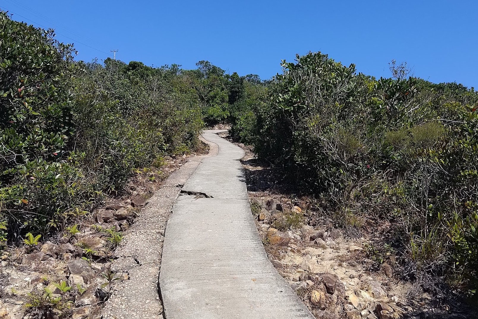
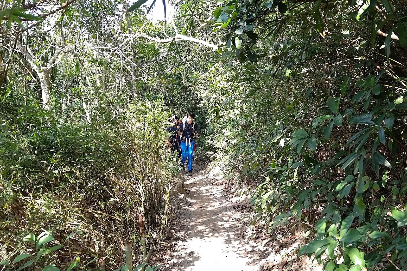
With a clear concrete path guiding you through the entire hike and no monstrous uphill sections, this excursion is great for intermediate-level hikers.
Beginners can take a much shorter route to Ham Tin Wan and hire a speedboat back to Sai Kung from there.
For advanced hikers seeking a true challenge, deviate slightly off the beaten (concrete) path and climb the formidable Sharp Peak, which is the toughest of Hong Kong’s infamous ‘Three Sharp Peaks’.
Google Route Map
How to Get to Tai Long Wan
While the official start of stage 2 of the MacLehose trail is Long Ke, it’s difficult to reach unless you continue directly from Stage 1. Instead, it’s much easier to start from Sai Wan Pavilion and end at Pak Tam Au, where there are plenty of frequent buses to take you back to Sai Kung or Kowloon when you’re done.
Getting to Sai Kung:
No MTR lines go directly to Sai Kung, so you have to take a bus or an MTR bus combo.
By Bus:
From Kowloon:
- 1A minibus from Choi Hung MTR (exit C1)
- 96R bus from Diamond Hill MTR station (exit C2) Sat, Sun and Public holidays only
- 9 red minibus from Ngau Tau Kok (Yee On Street)
- Mong Kok Express red minibus (from Dundas Street)
From the New Territories:
- 299X bus from Shatin (below New Town Plaza)
- 101M minibus from Hang Hau MTR (exit B)
From Hong Kong Island:
- The best way to get to Sai Kung from HK Island in the morning is to take the MTR to Hang Hau and get the 101M minibus.
- Causeway Bay Express red minibus:: Monday-Friday: 7pm to 12:30am Weekends: 5pm to 12:30am.
By Boat
You can hire a speedboat directly from Sai Kung Pier if you prefer.
Getting From Sai Kung to Sai Wan Pavilion (Start Point)
From Sai Kung, you can get the NR29 bus that departs from Chan Man Street straight to Sai Wan Pavilion. You can find the timetable here. Just note that lines are really long, especially in the morning.
Alternatively, you can get a taxi from Sai Kung (or anywhere else) and head directly to Sai Wan Pavilion. Show the taxi driver this: 西灣亭, 西貢
Quick Tai Long Wan (Stage 2 MacLehose) Hike Summary
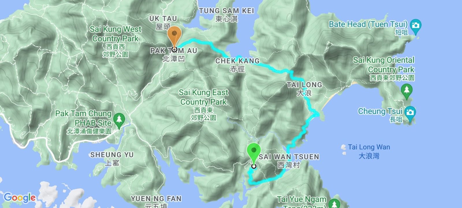
- From Sai Wan Pavilion, follow the concrete path until you arrive at Sai Wan Village
- Cross Sai Wan Beach (right in front of Sai Wan Village)
- Climb up the concrete trail at the far end of Sai Wan Beach
- Follow the trail past the ugly stargazing site until you see Ham Tin Wan
- Carefully walk across the rickety bridge on Ham Tin Wan to the beach restaurant (Hoi Fung Store)
- Walk past the restaurant and take the nondescript path to the right if you want to reach Tai Wan Beach/climb Sharp Peak (you’ll need to retrace your steps after)
- If you don’t want to check out Tai Wan Beach/climb Sharp Peak, follow the river and concrete path forward
- Climb the hill and then head down toward Chek Keng where you’ll find a pier, public toilets, restaurant and an abandoned Hakka village)
- At Distance Post M044 (just after the village) take a right at the fork
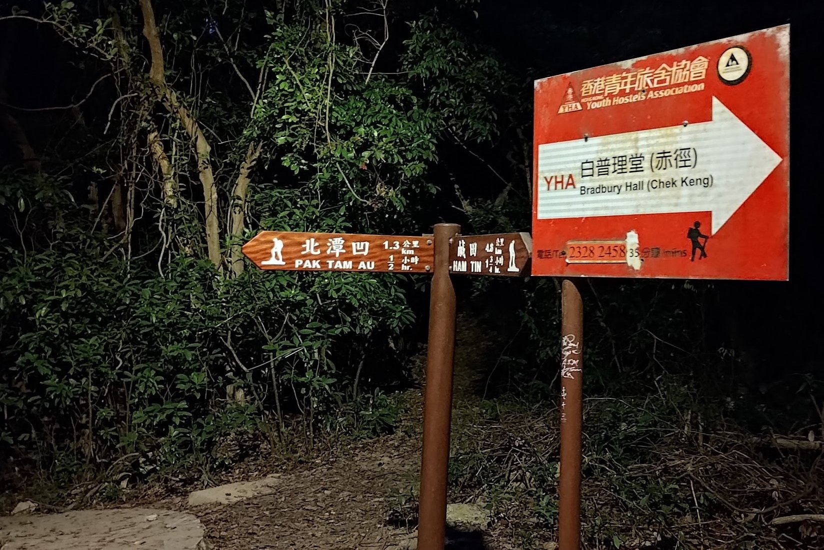
- At the next fork, take a left toward Pak Tam Au. You’ll know you’re going the right way since Distance Post M046 will appear soon after
- When you arrive at Pak Tam Au, go left down Pak Tam Road and get a bus back to Sai Kung or to Diamond Hill
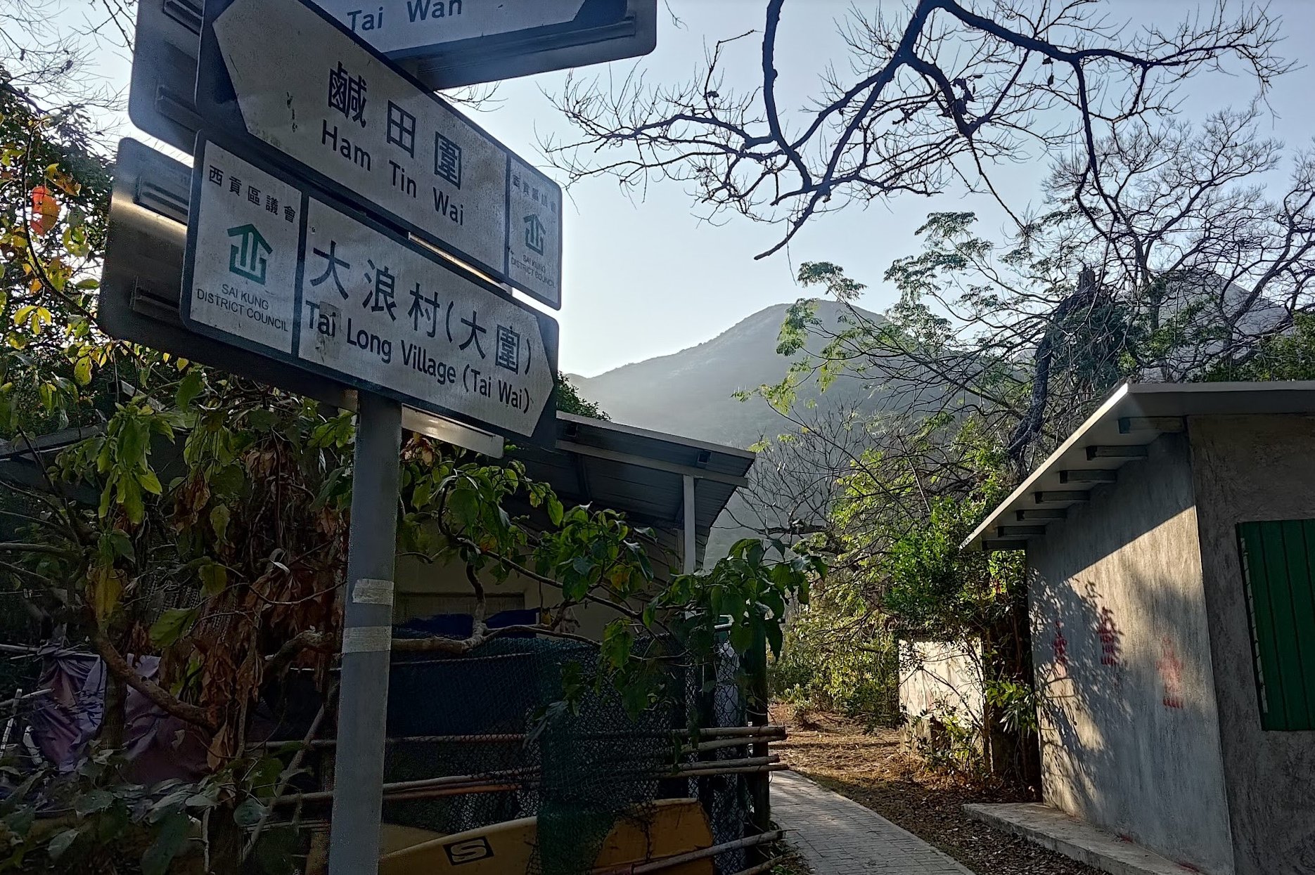
Begin at Sai Wan Pavilion
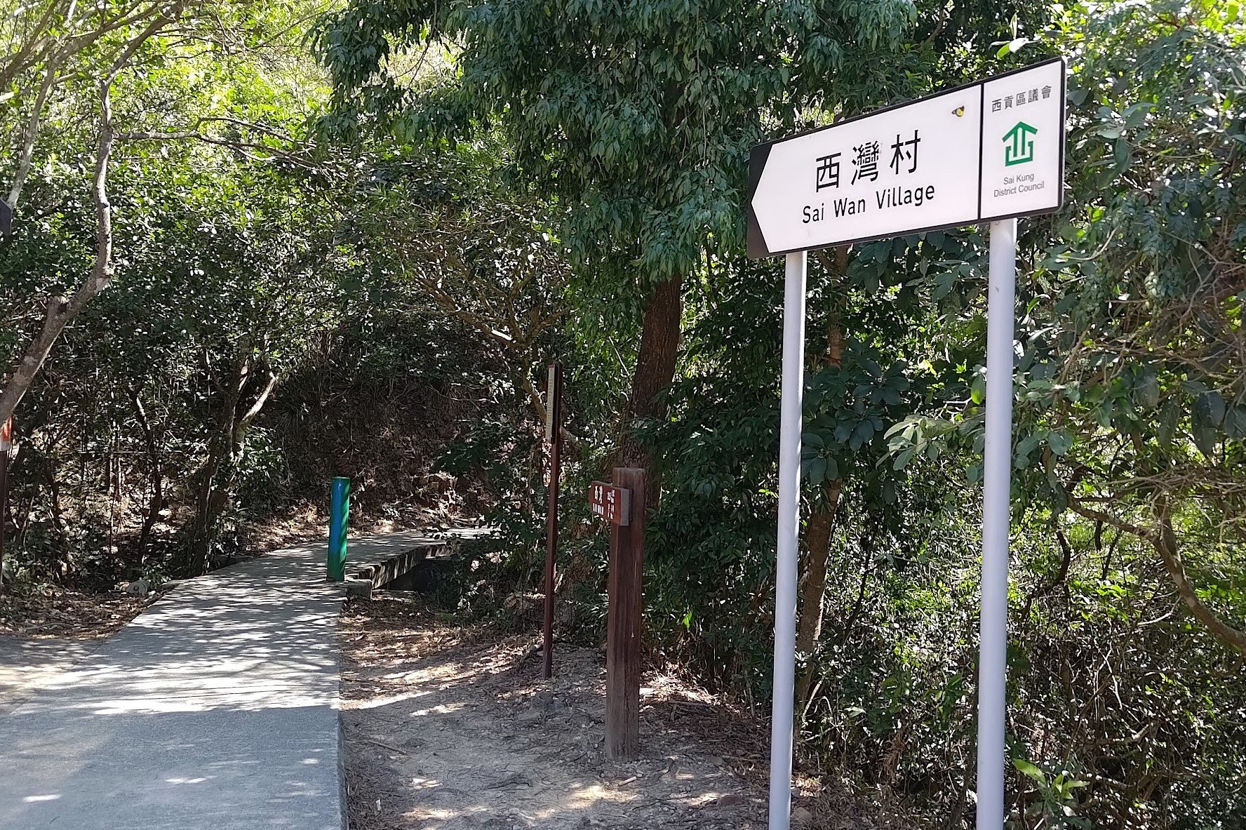
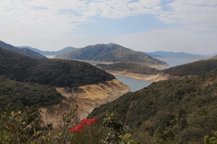
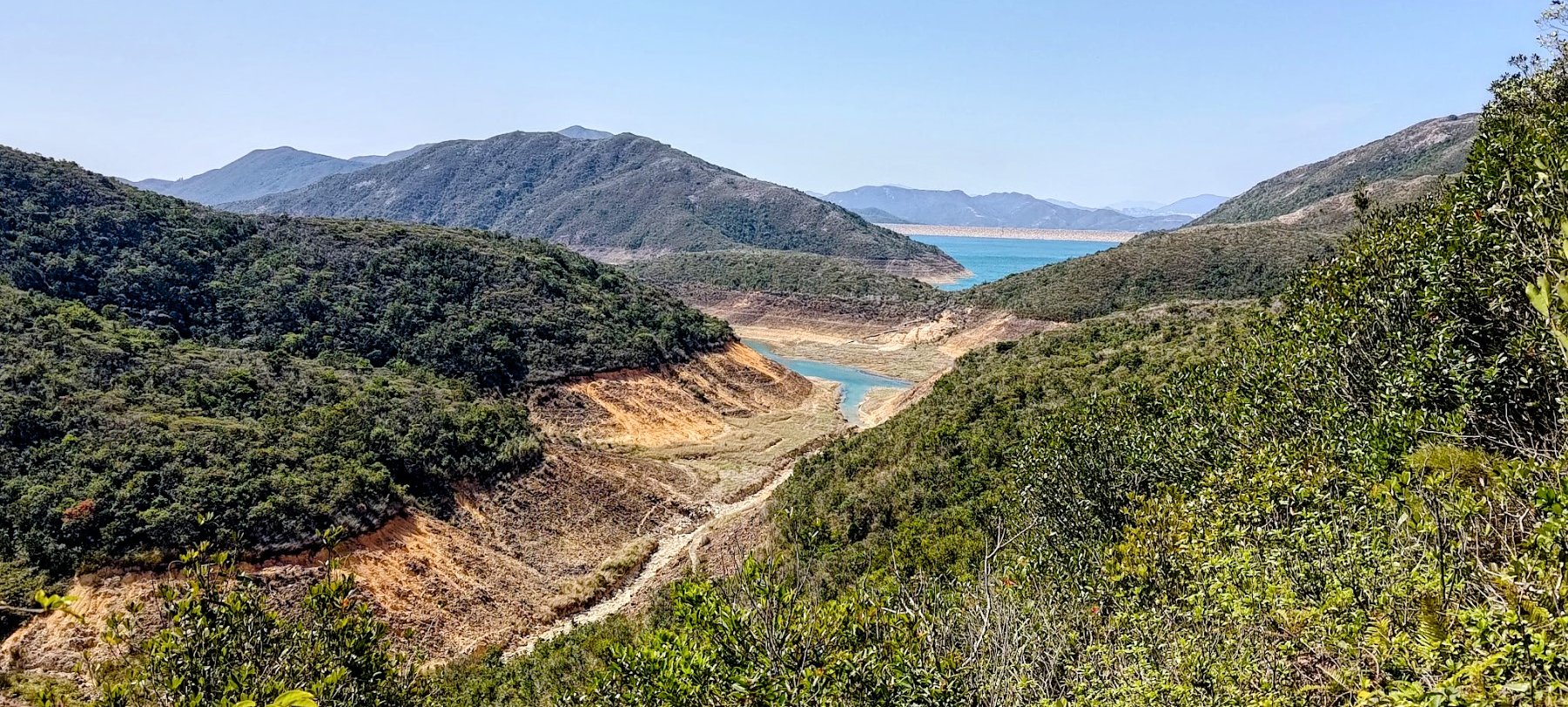
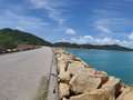
As you begin following the concrete path from Sai Wan Pavilion, you’ll soon be treated to views of High Island Reservoir - which was built in 1978 - to your right. Of particular note is just how turquoise the waters look on a clean day, which is in stark contrast to the deep, earthy browns and reds of the soil and rock surrounding it.
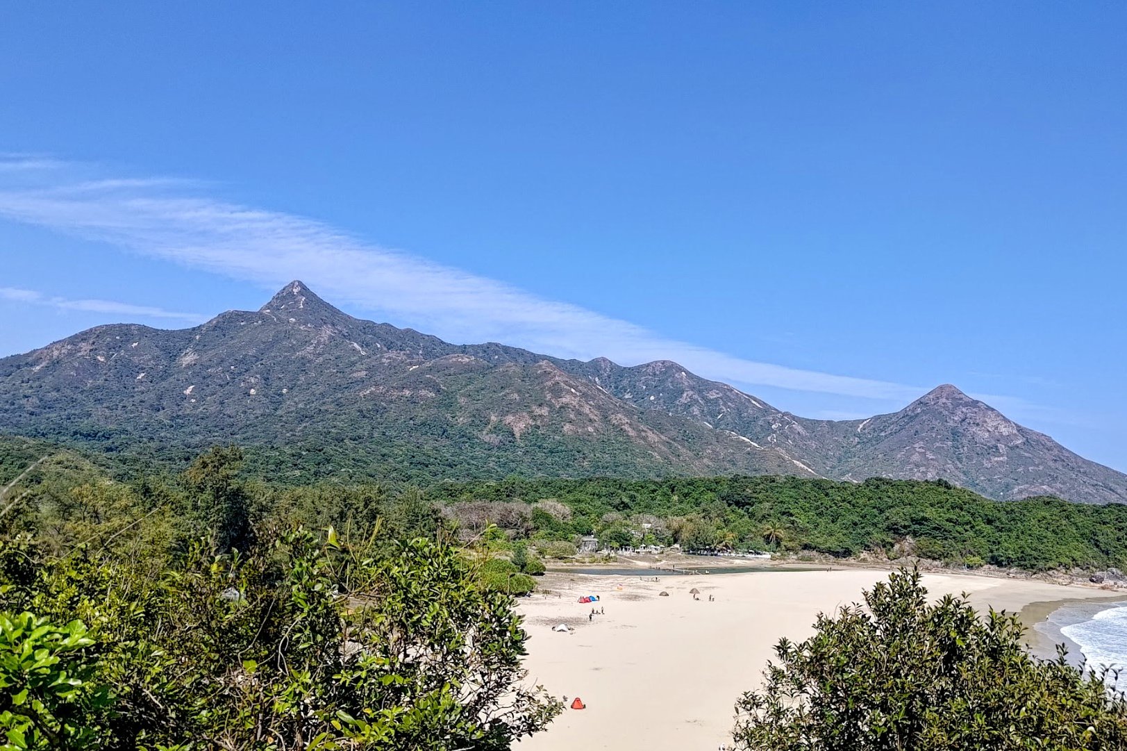
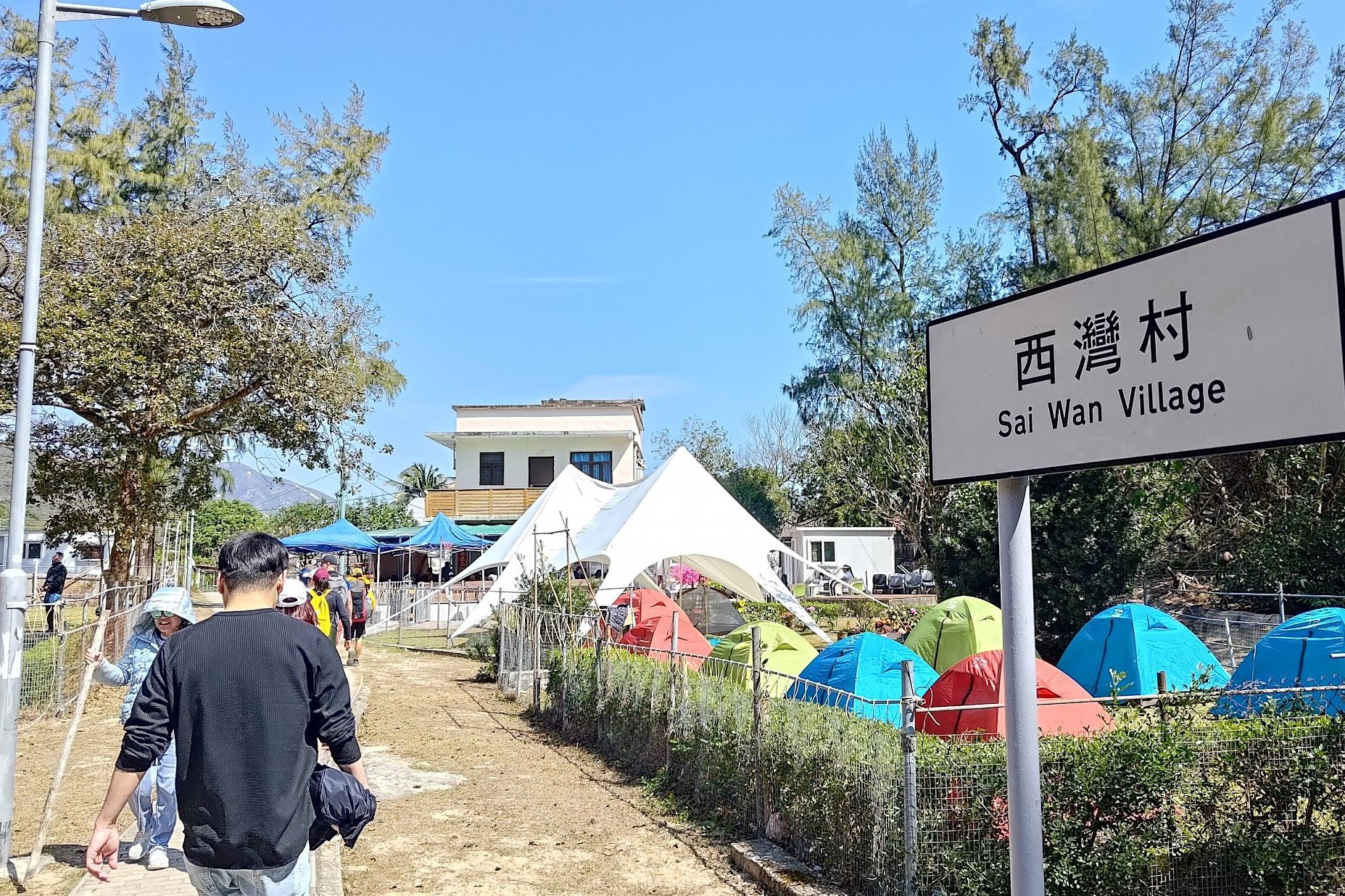
After a slightly steep uphill section, head all the way back down until you reach Sai Wan Village, which is at sea level.
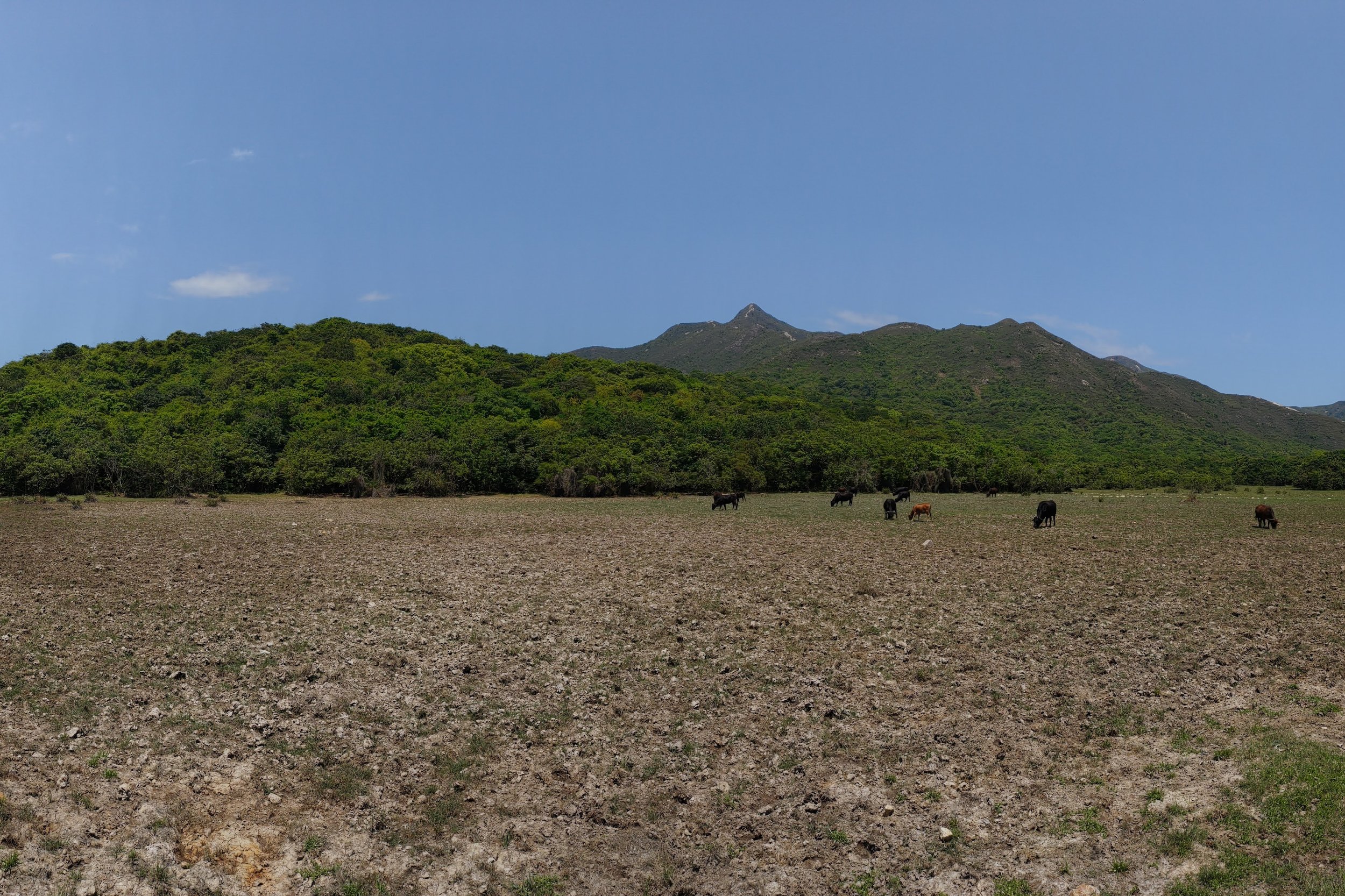
Sai Wan Village and Beach
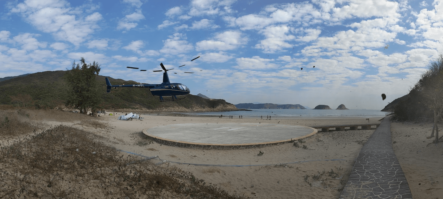
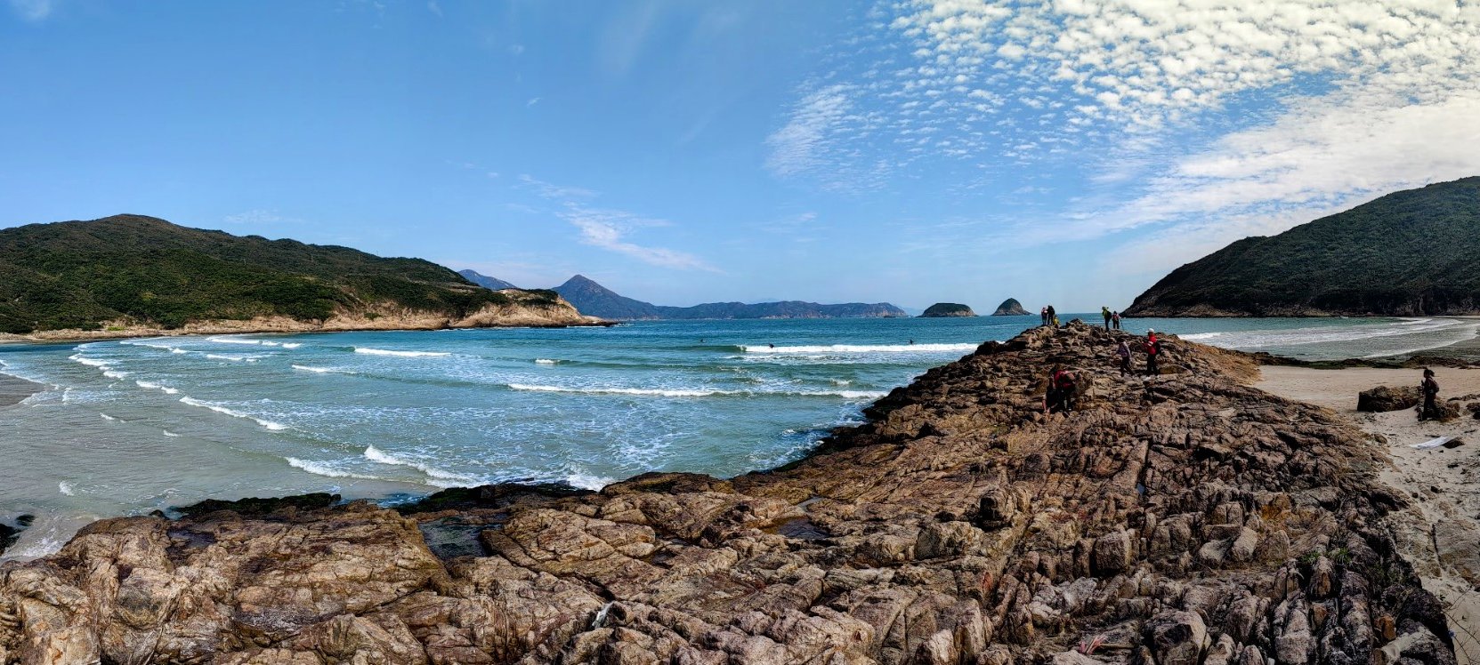
At Sai Wan Village, you’ll likely see cattle, small plots of land used for farming and a few cheerful little village houses, shops and restaurants selling everything from food and drinks to surfboards.
If you get the chance, head onto the beach and walk along the rocky outcropping for amazing ocean views without too many people in the way.
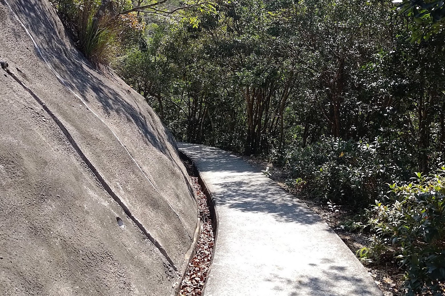
Eventually, you’ll want to cross Sai Wan Beach and connect to the trail on the far side. You can see your trail snaking like a scar up the green mountain as you approach.
Stargazing Site: Worst View of the Whole Hike
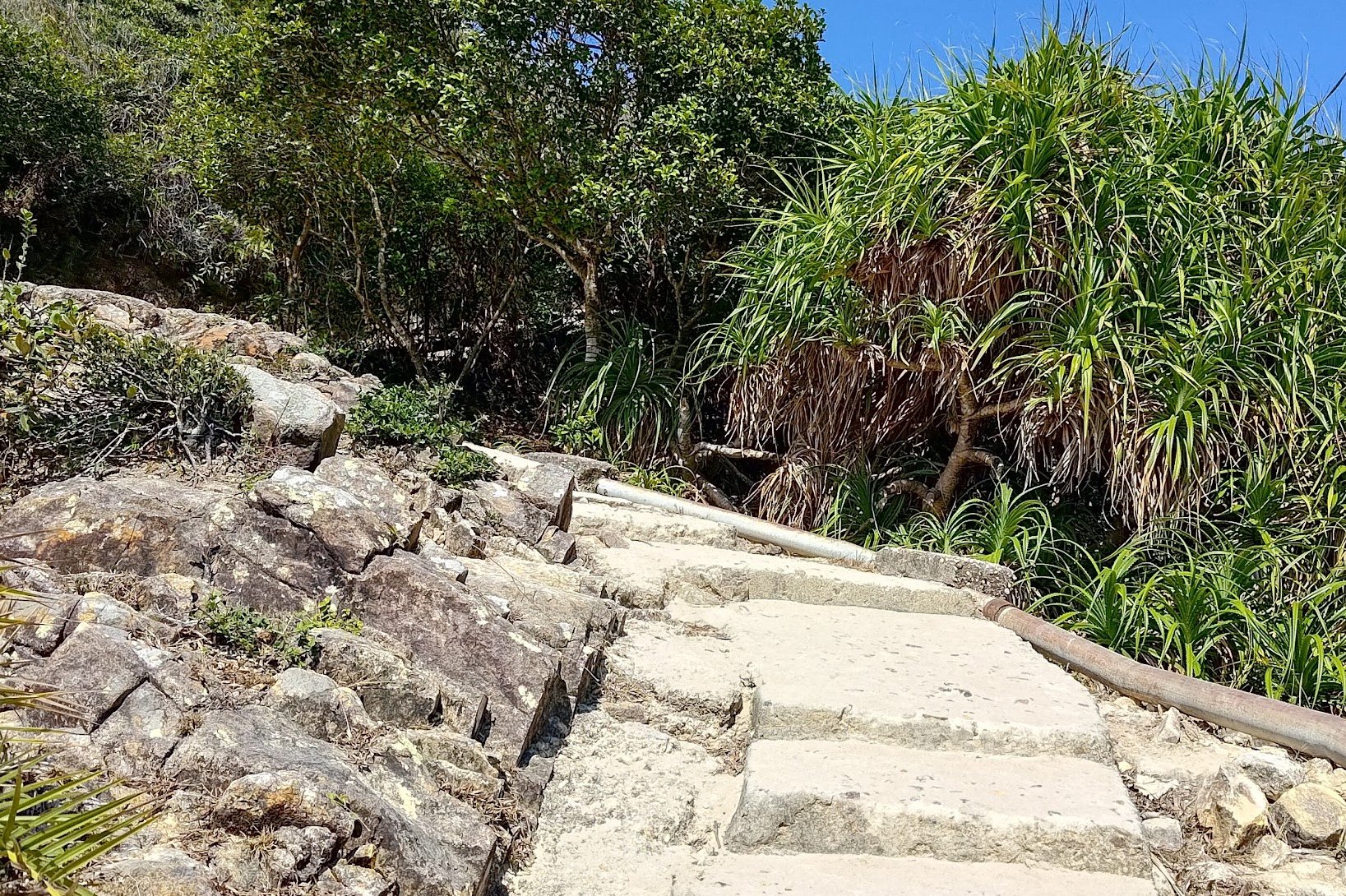
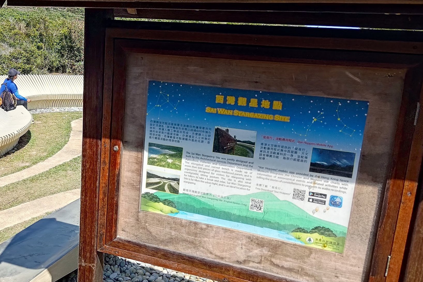
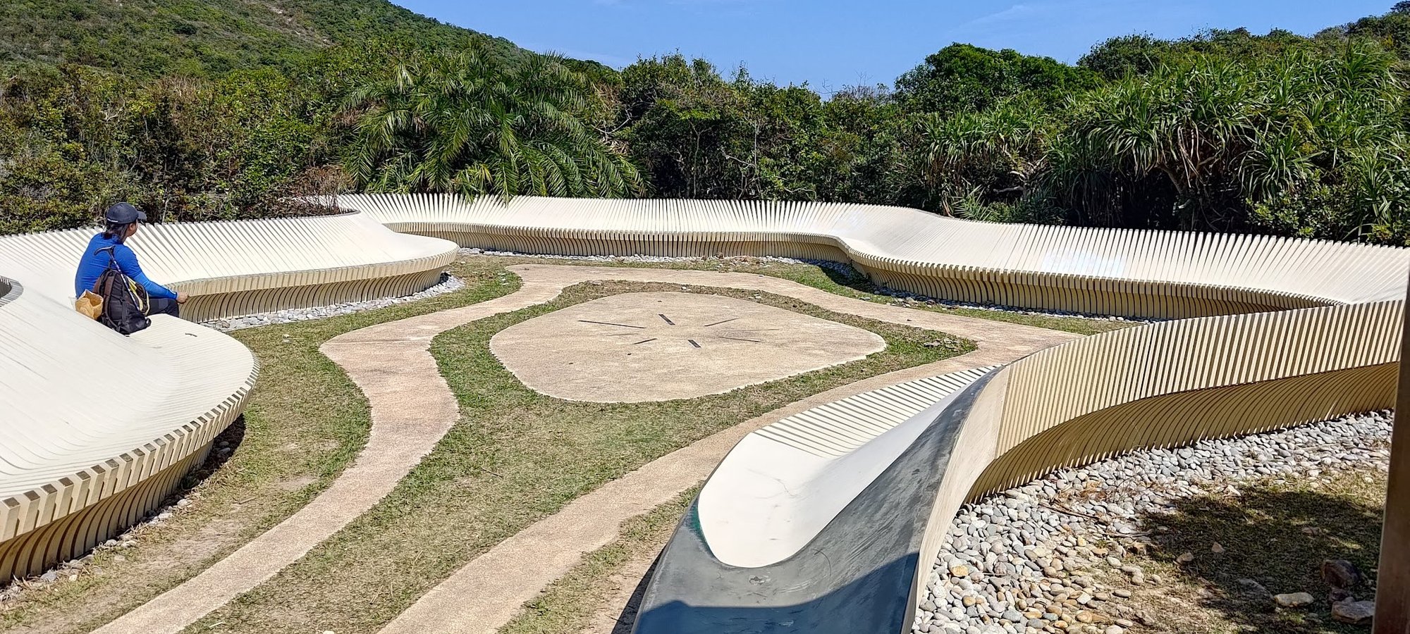
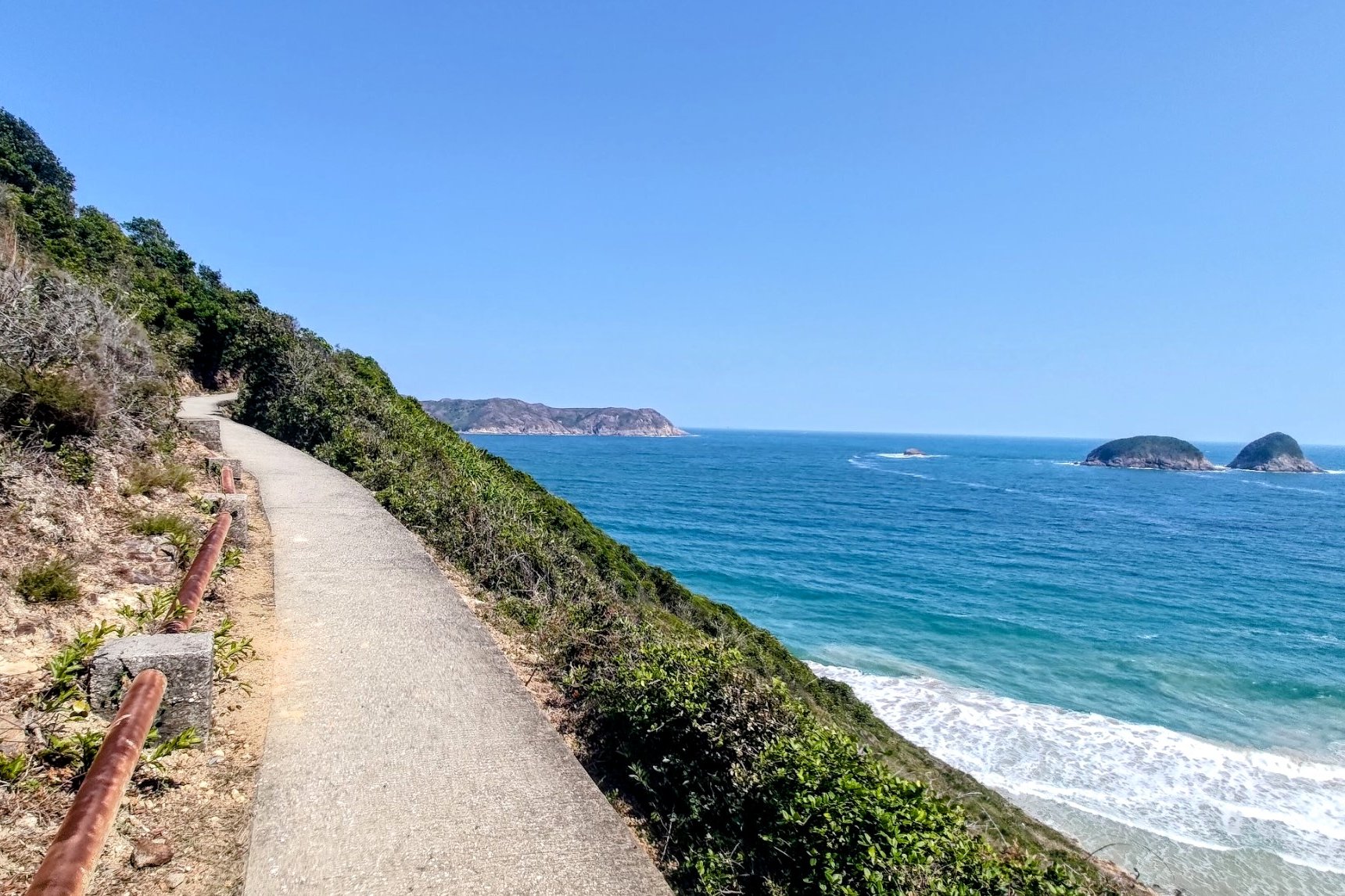
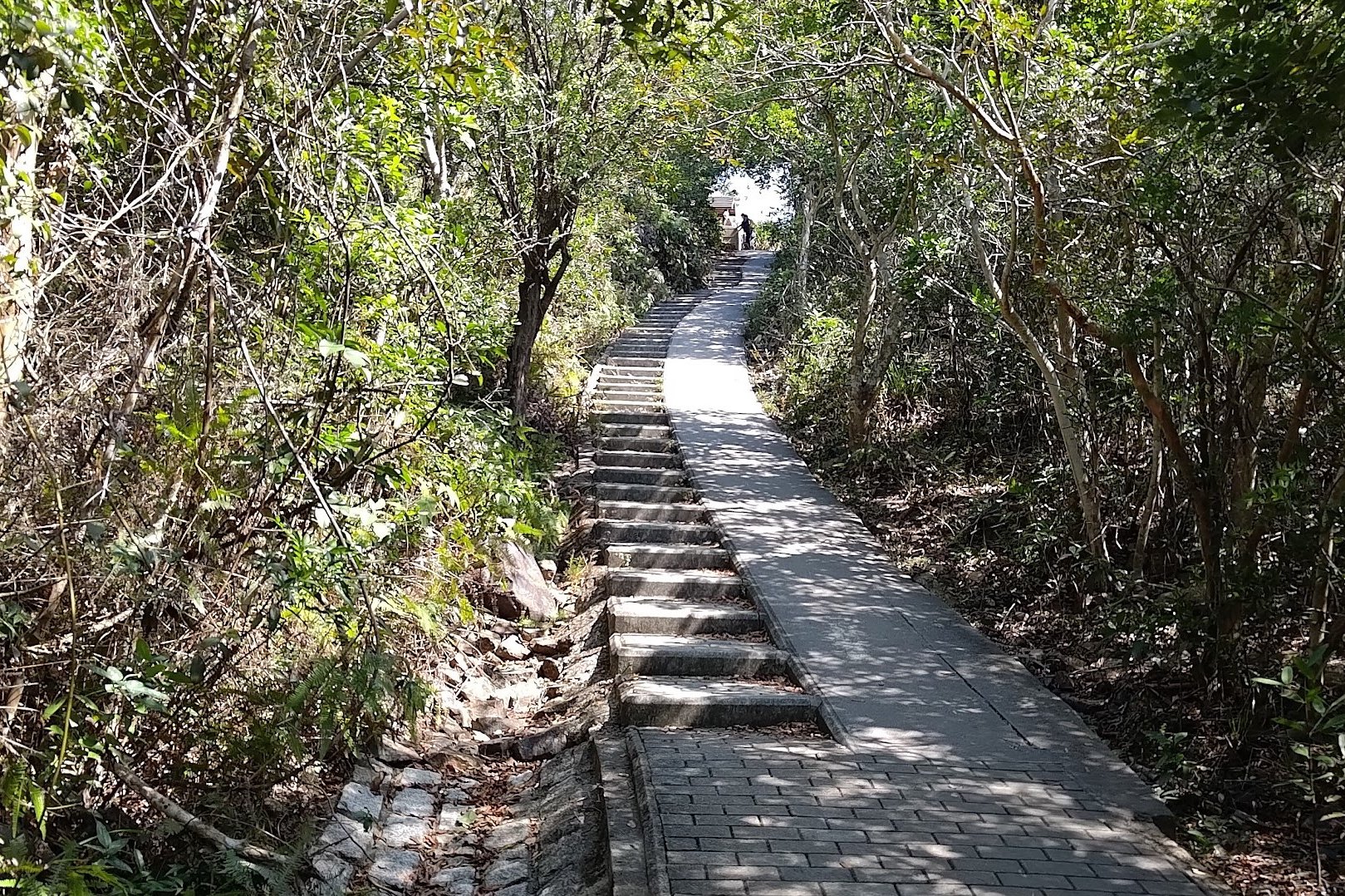
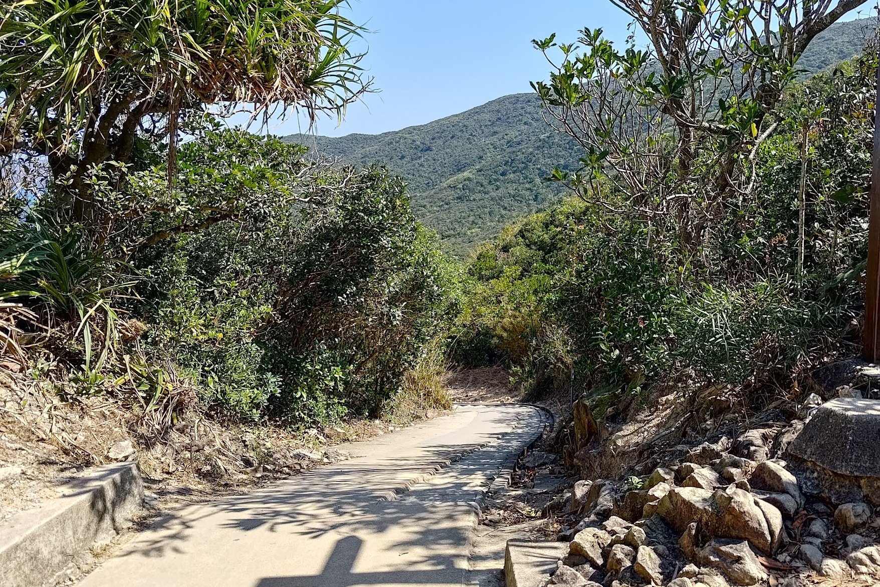
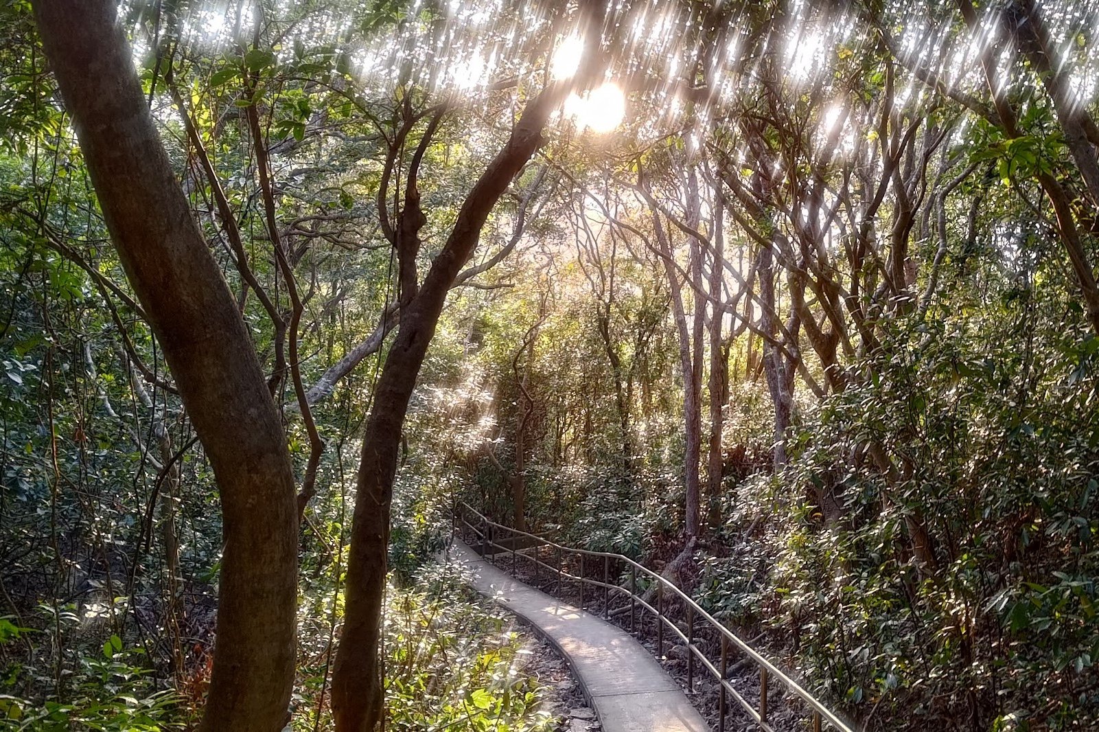
Follow the concrete path up the small 85ish meter hill. Except for the concrete path almost everything around you will be lush and green. It’s truly magnificent…until you reach the horrific, monstrous, ugly stargazing site. It sticks out like a sore thumb with its unnatural, white design.
Having been literally carved out of the natural landscape, the stargazing site always struck me as odd since arguably the best place to check out the stars would be on the beach or up on a higher mountain peak.
It’s not even particularly comfortable to sit on.
Anyway, it serves as a marker that you’re going in the right direction toward Ham Tin Wan, if nothing else.
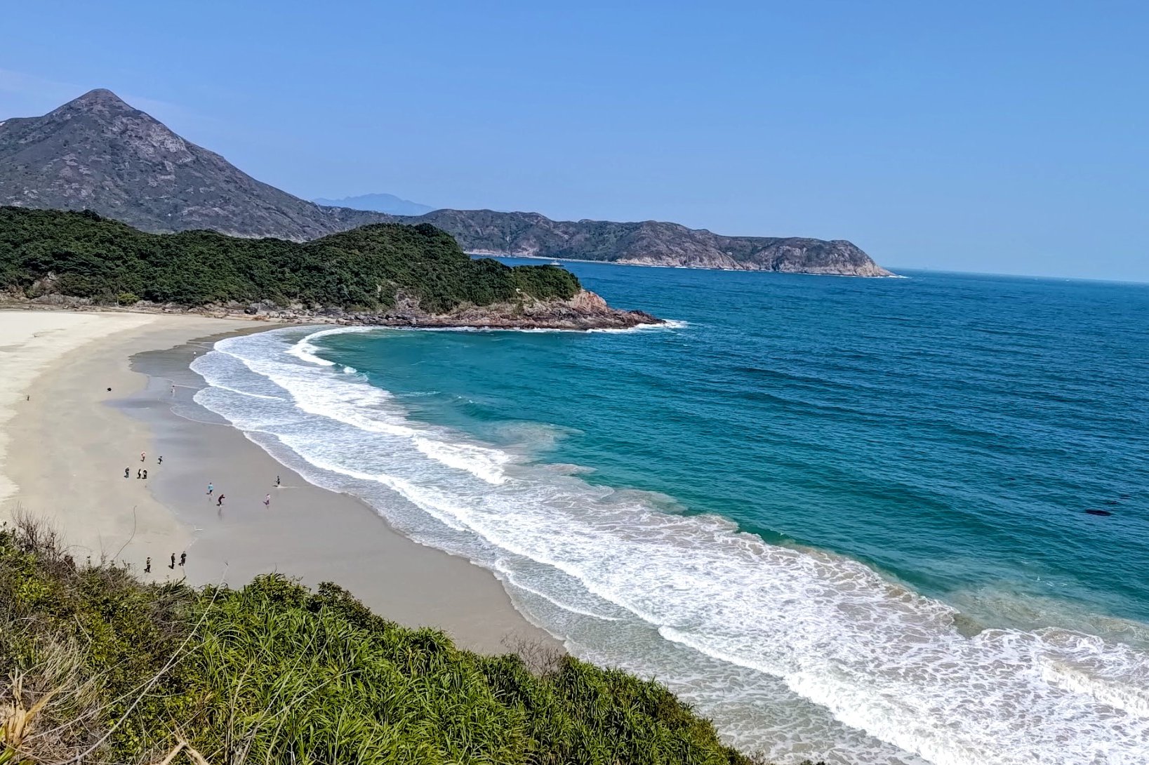
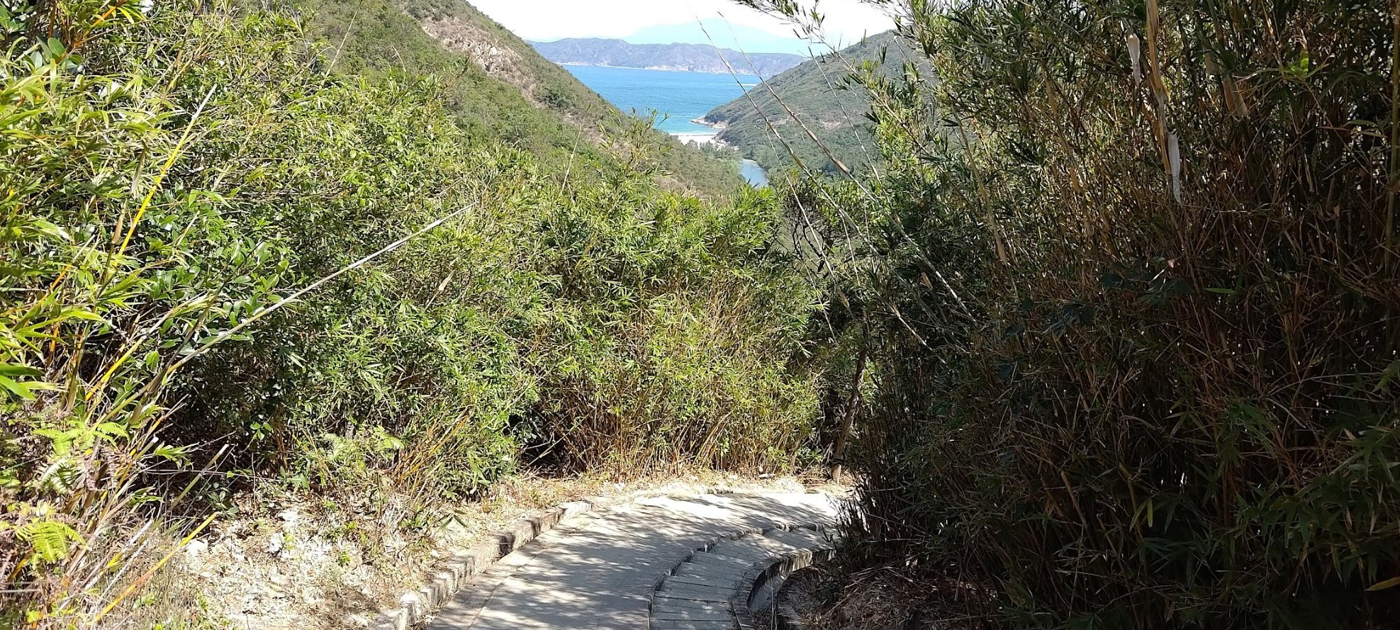
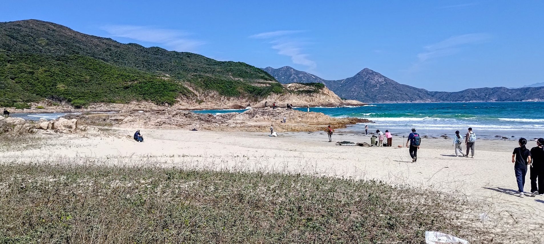
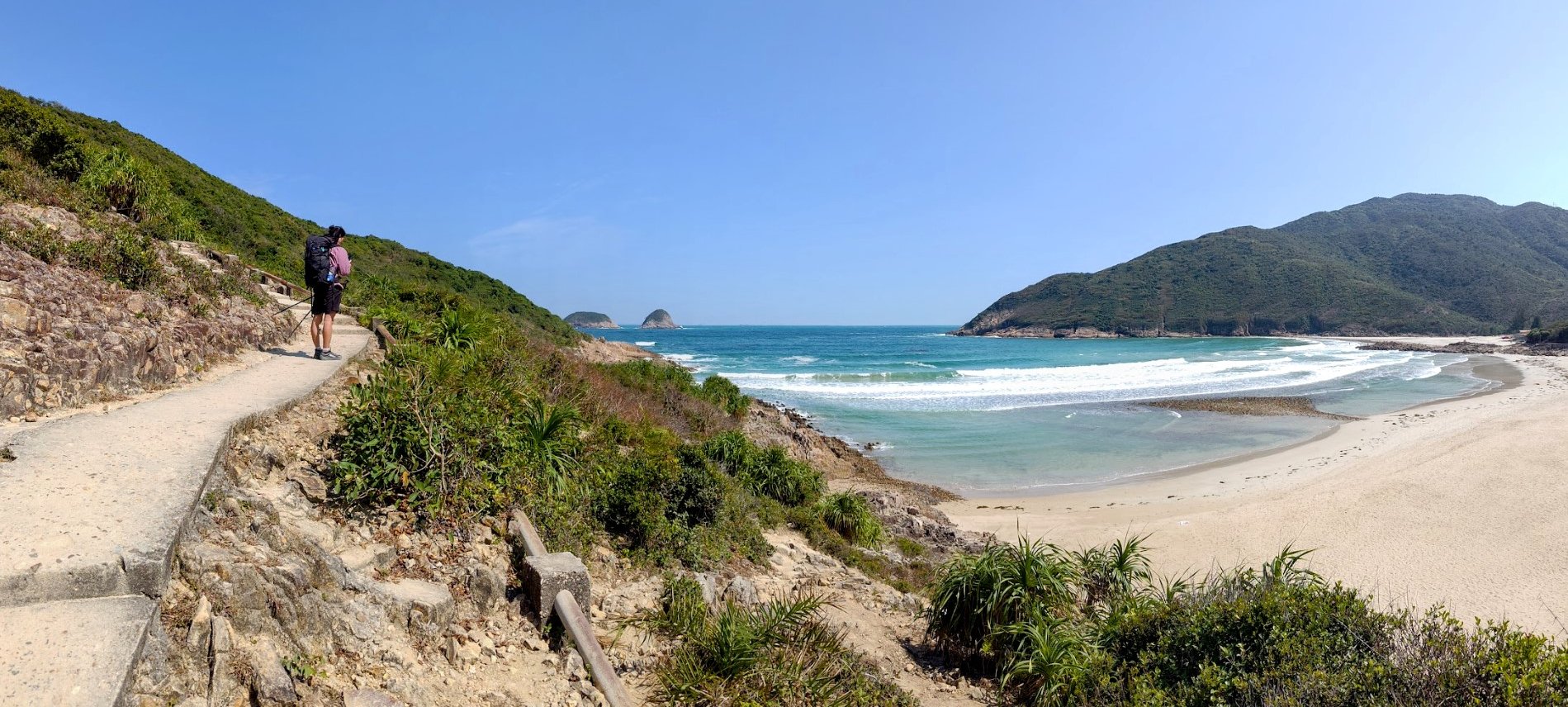
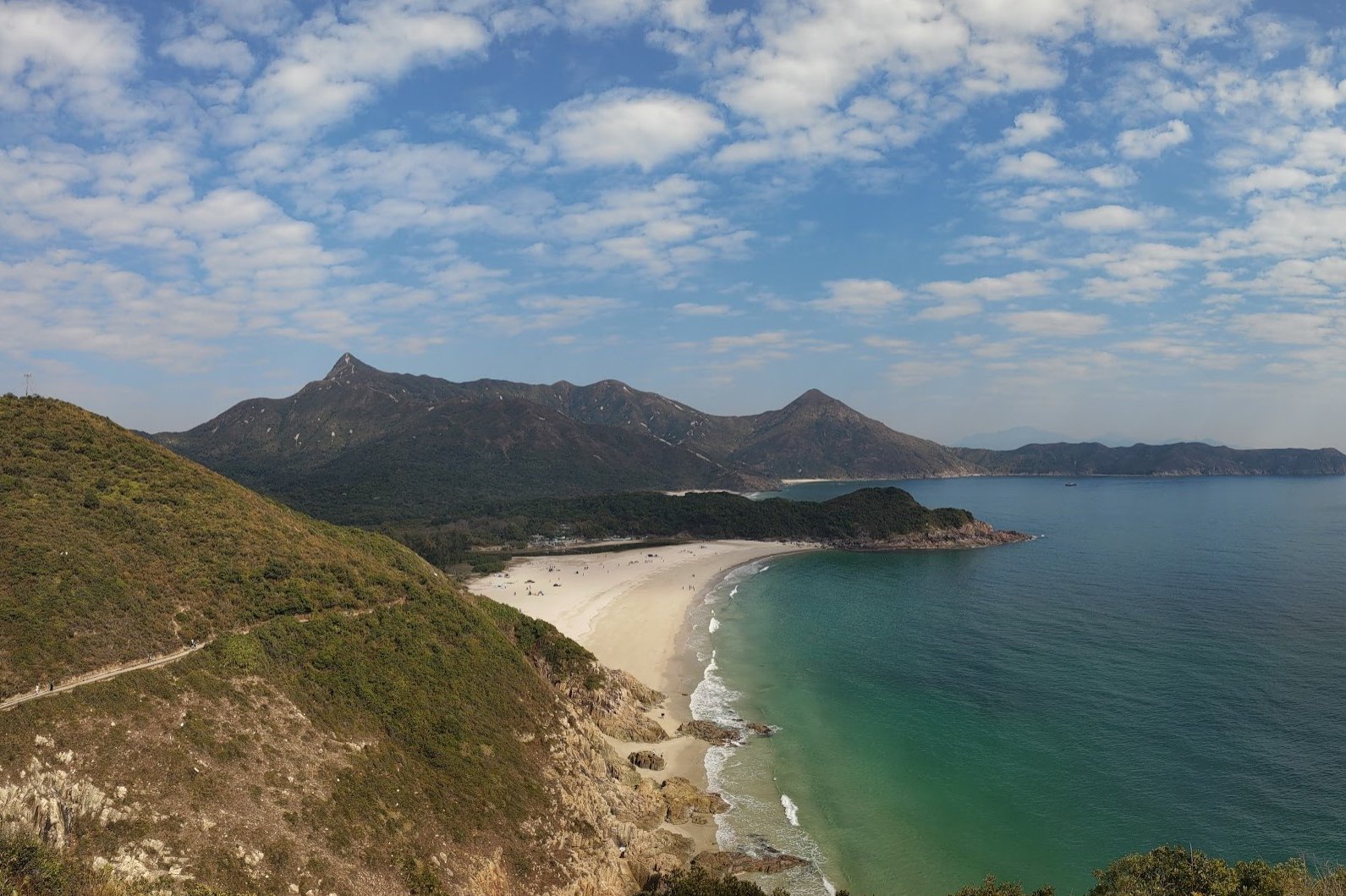
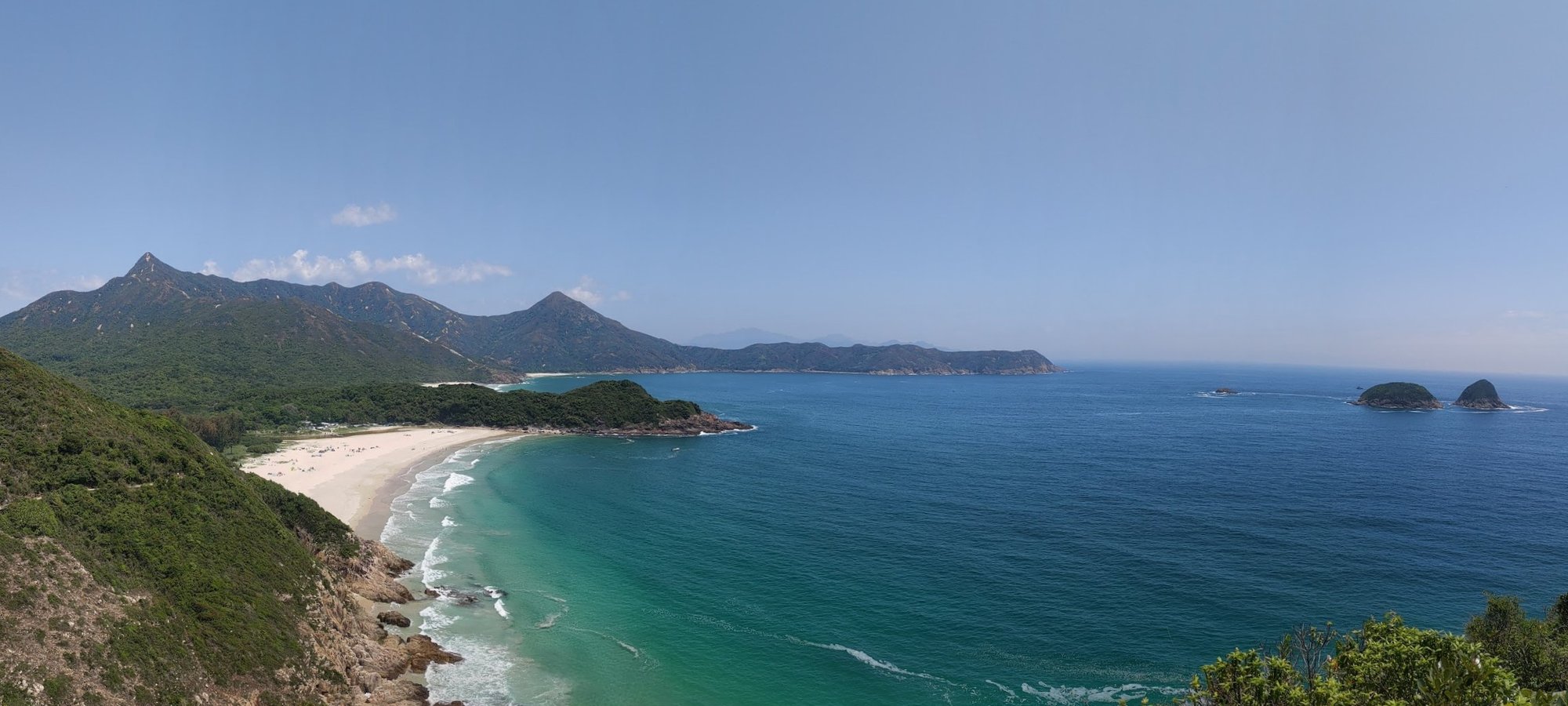
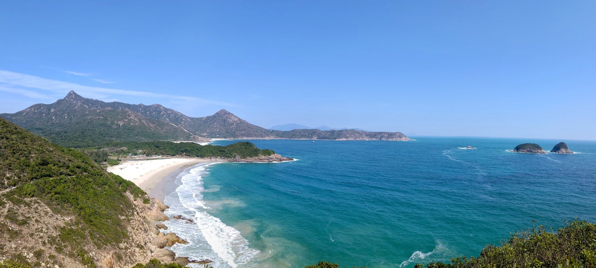
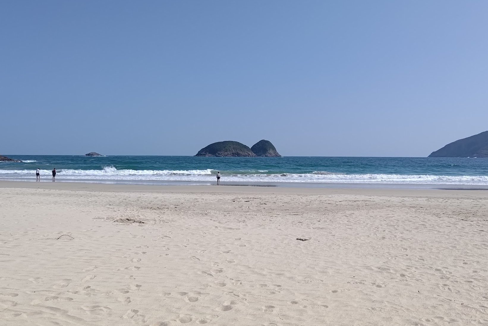
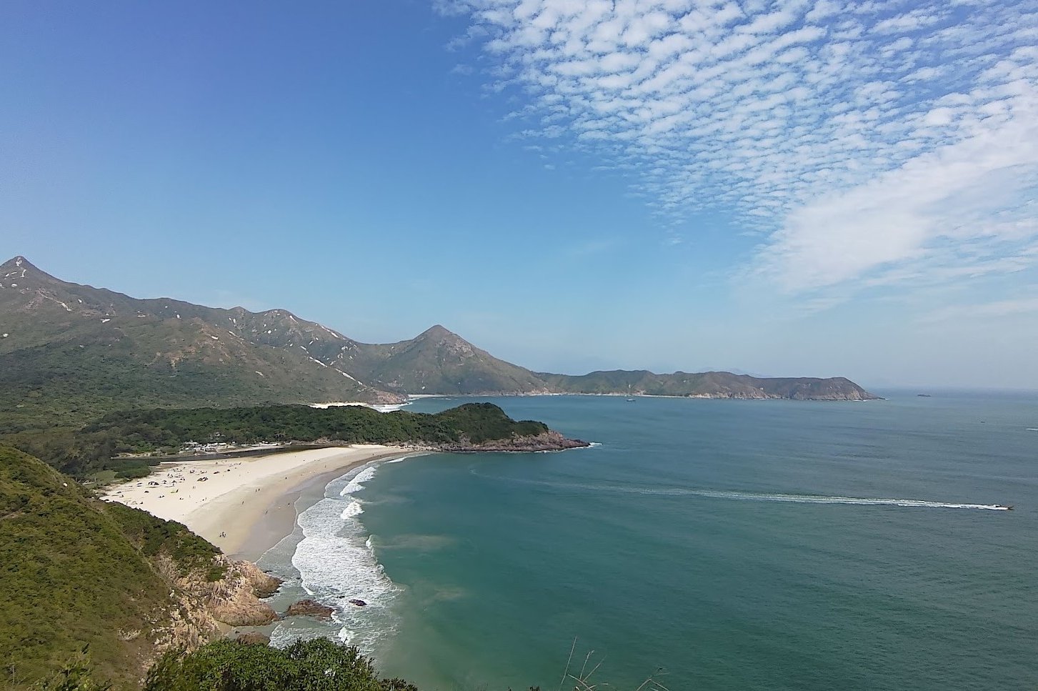
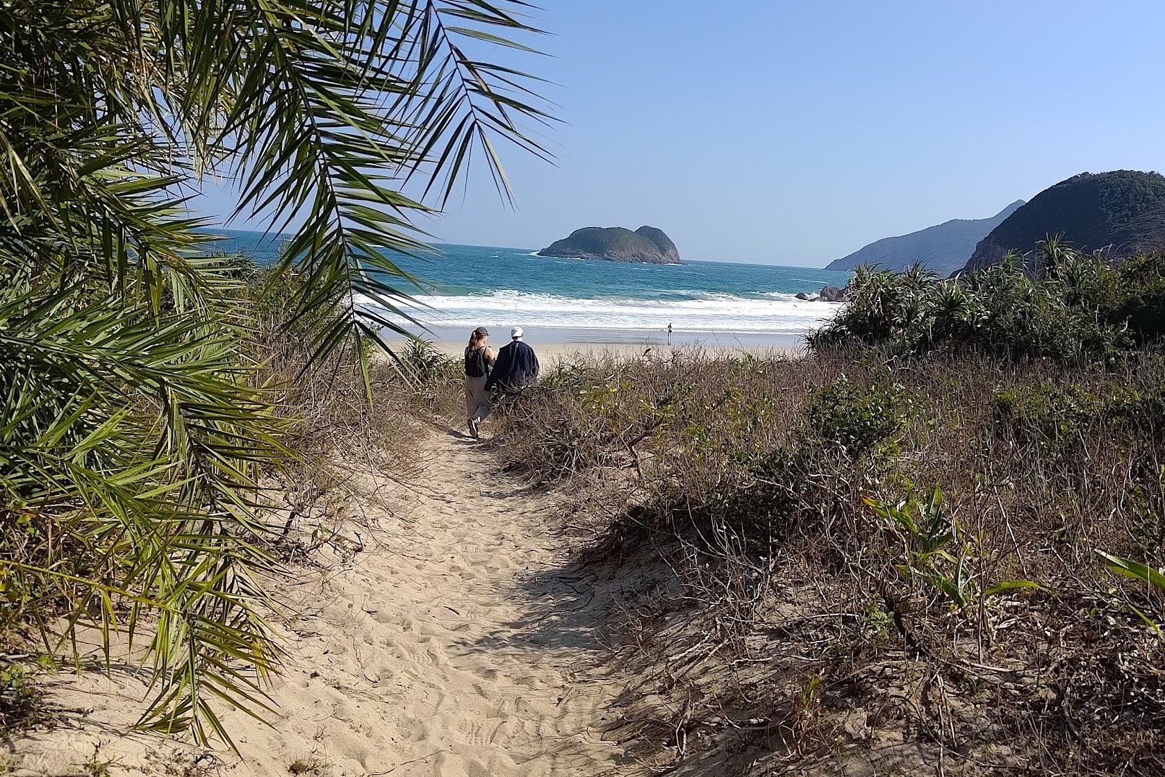
Ham Tin Wan: The Best View of the Whole Hike
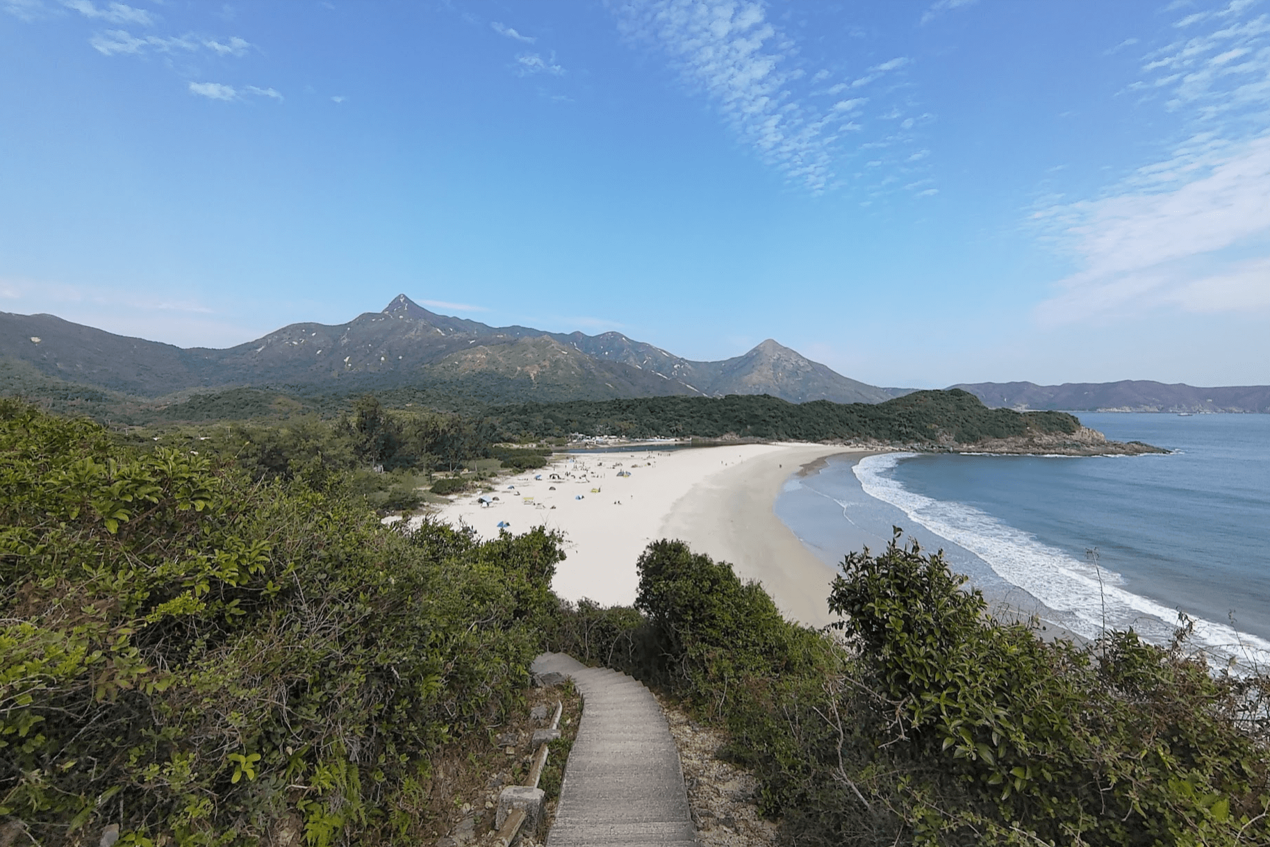
You’ll reach a set of stairs not too long after the stargazing site (I still don’t get why someone decided to carve out beautiful trees and greenery for that monstrosity). As you descend, you’ll curve gently around a corner and there it’ll be!
I’ve taken several locals and visitors on this hike throughout the years and not a single person hasn’t been floored by this majestic view.
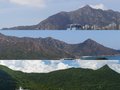
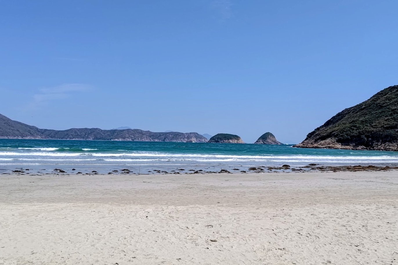
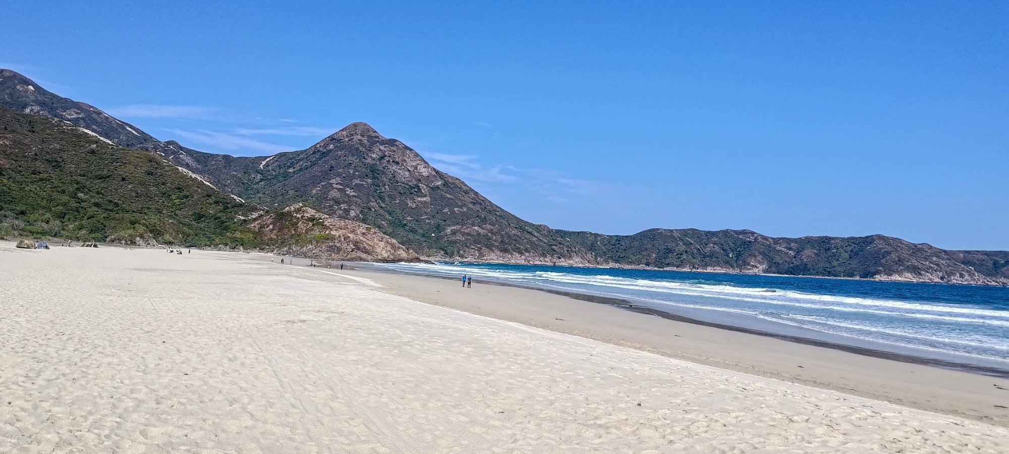
Ham Tin Wan Beach stretches out before you in all its glory, along with Tai Wan just behind the green outcropping and even Tung Wan Beach at the very end.
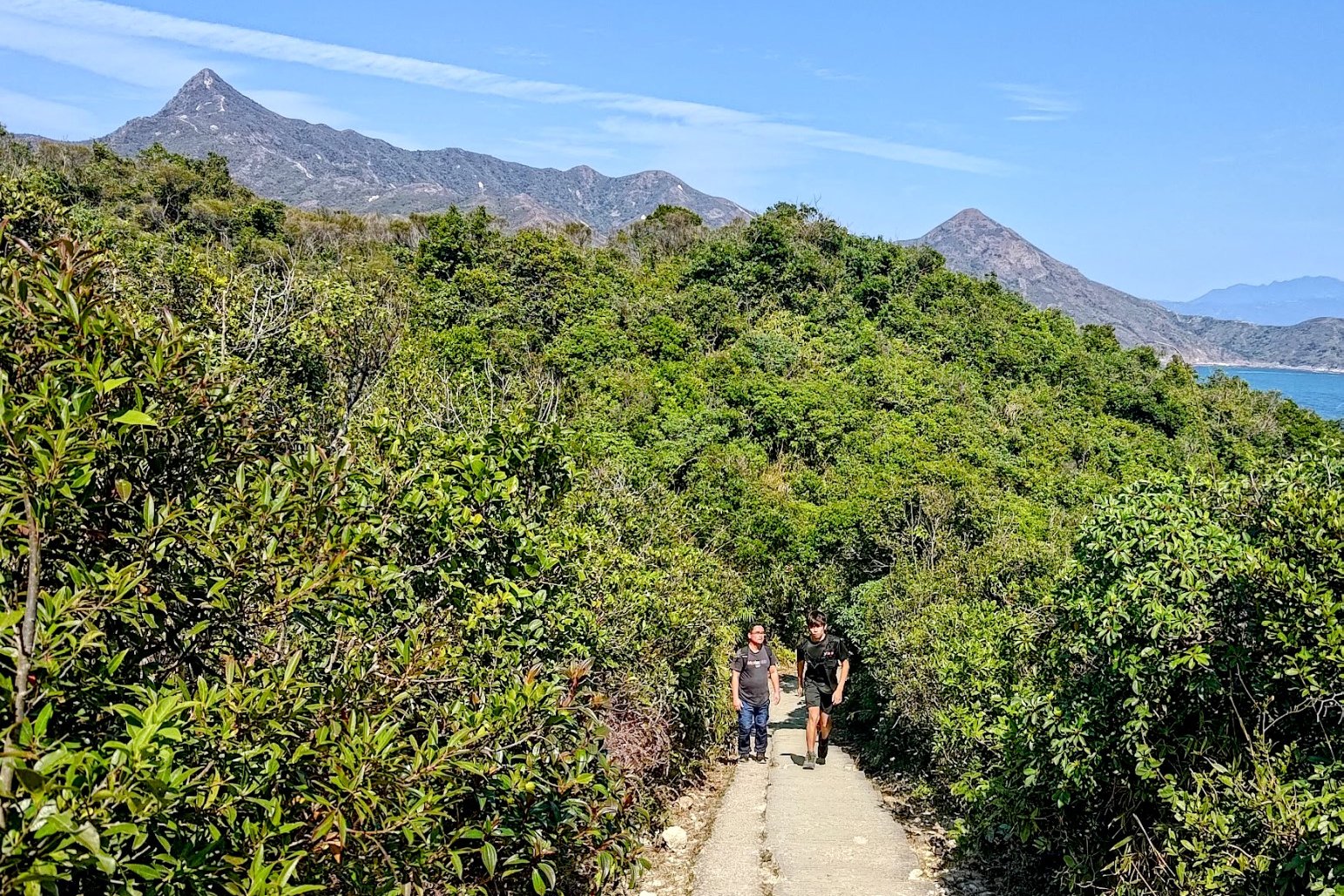
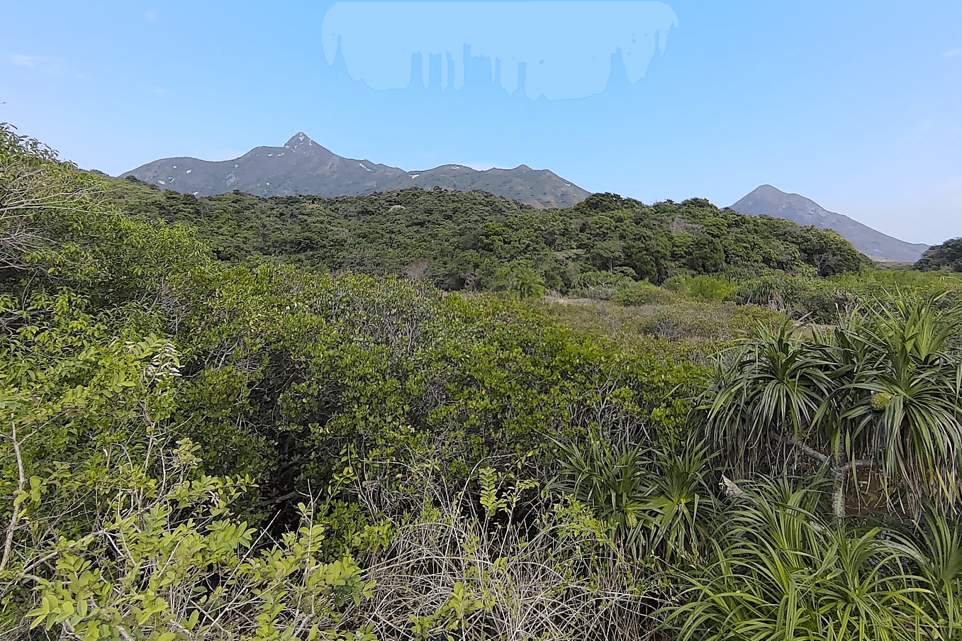
Sharp Peak stands proudly in the distance, and you’ll even be able to spot the dusty, dirt trail that leads to its fabled peak.
As you look out over the impressive South China Sea, you’ll also see Snoopy Island, which is actually a pair of islands – one that looks like Snoopy’s nose and the other that looks like Snoopy’s belly (if he were lying flat on his back in the water).
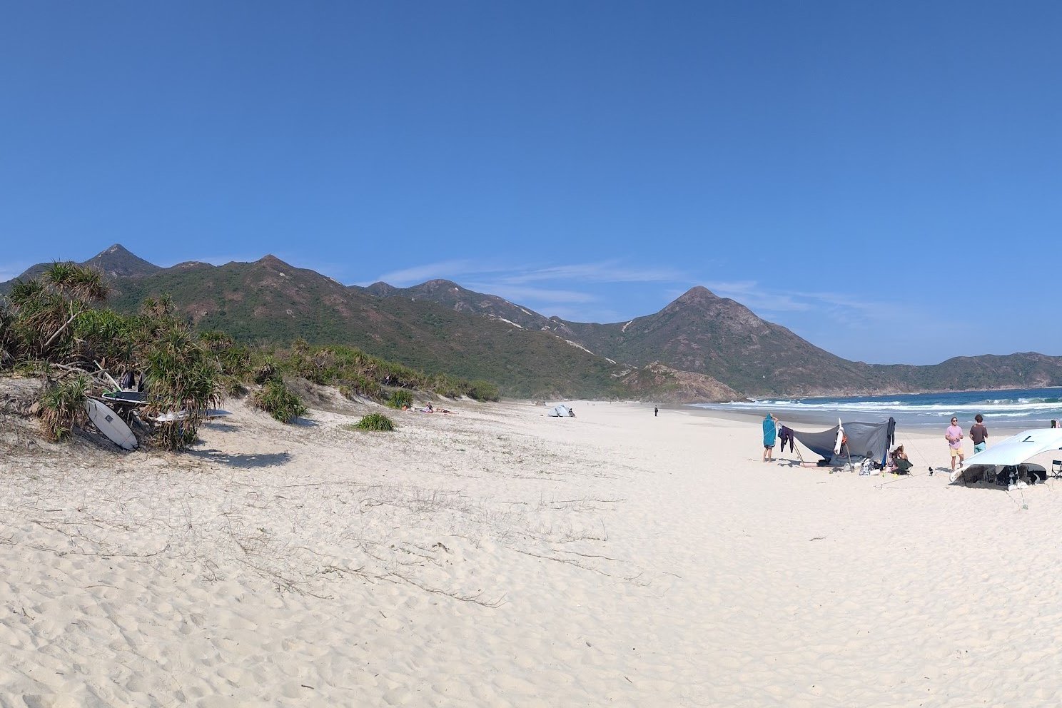
Take a Break or Boat (Optional Escape Point)
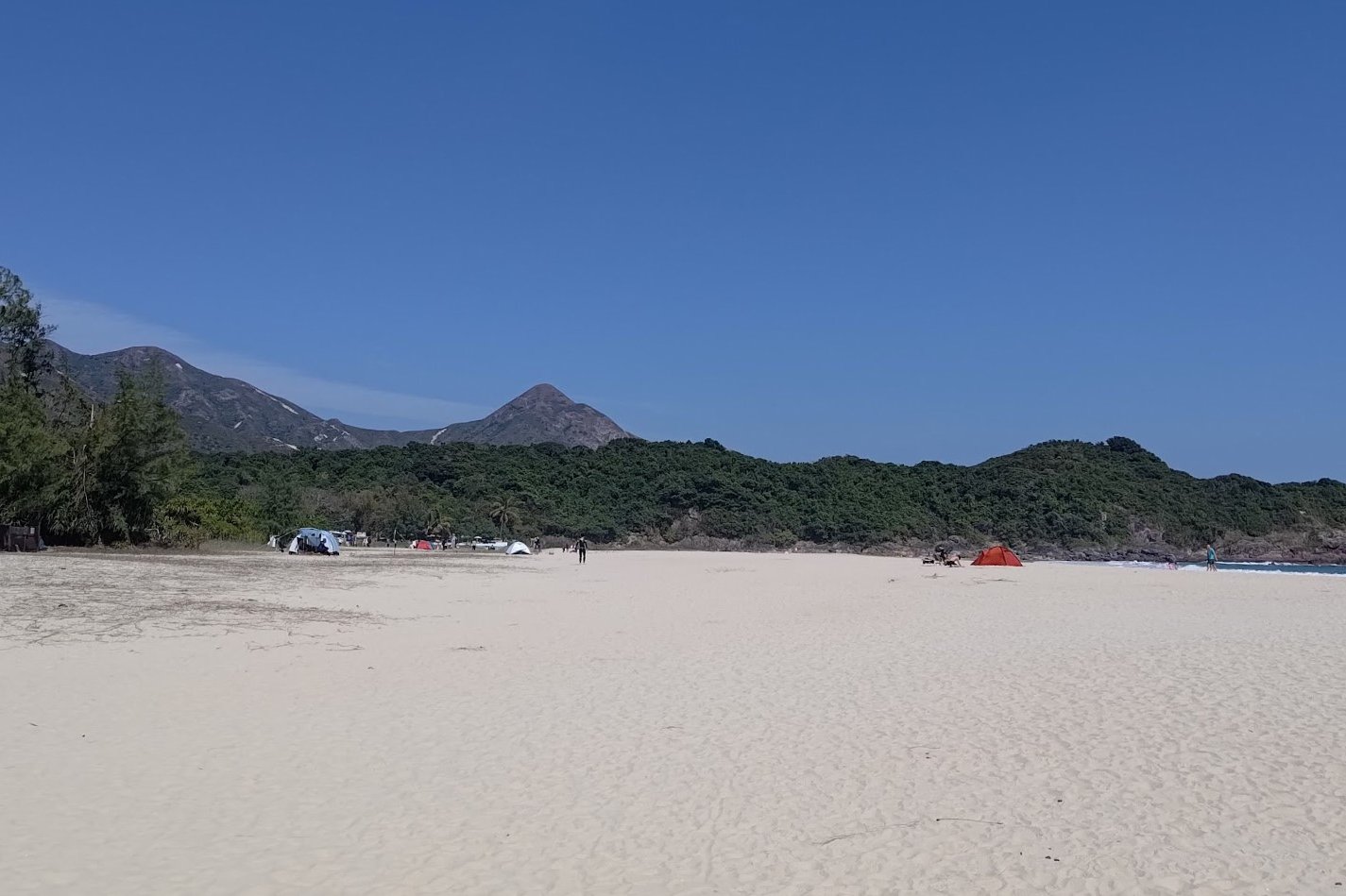
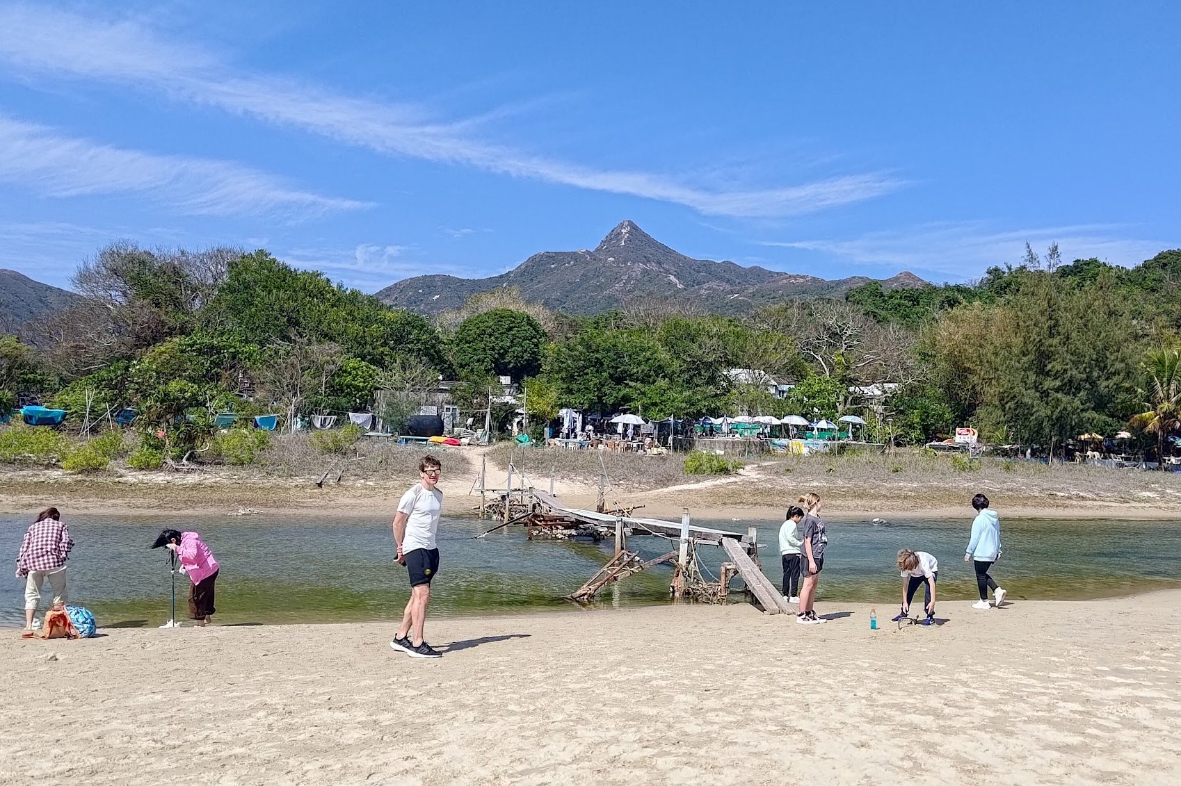
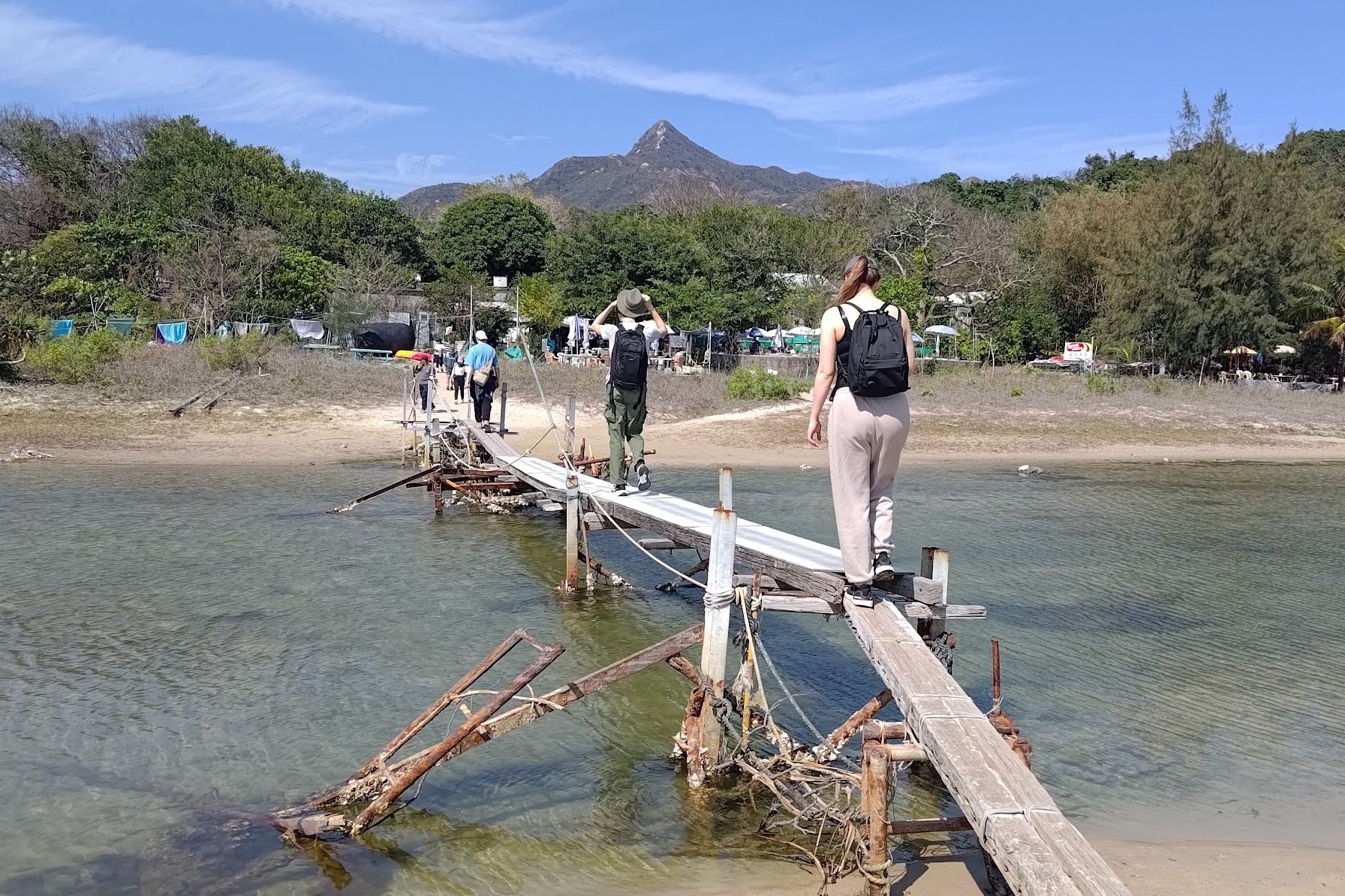
At Ham Tin Wan, you can spend some time on the soft sand of the beach before crossing a characterful, rickety bridge that’s been cobbled together with stray planks of wood, metal poles, twine and a selection of other oddities and spare bits.
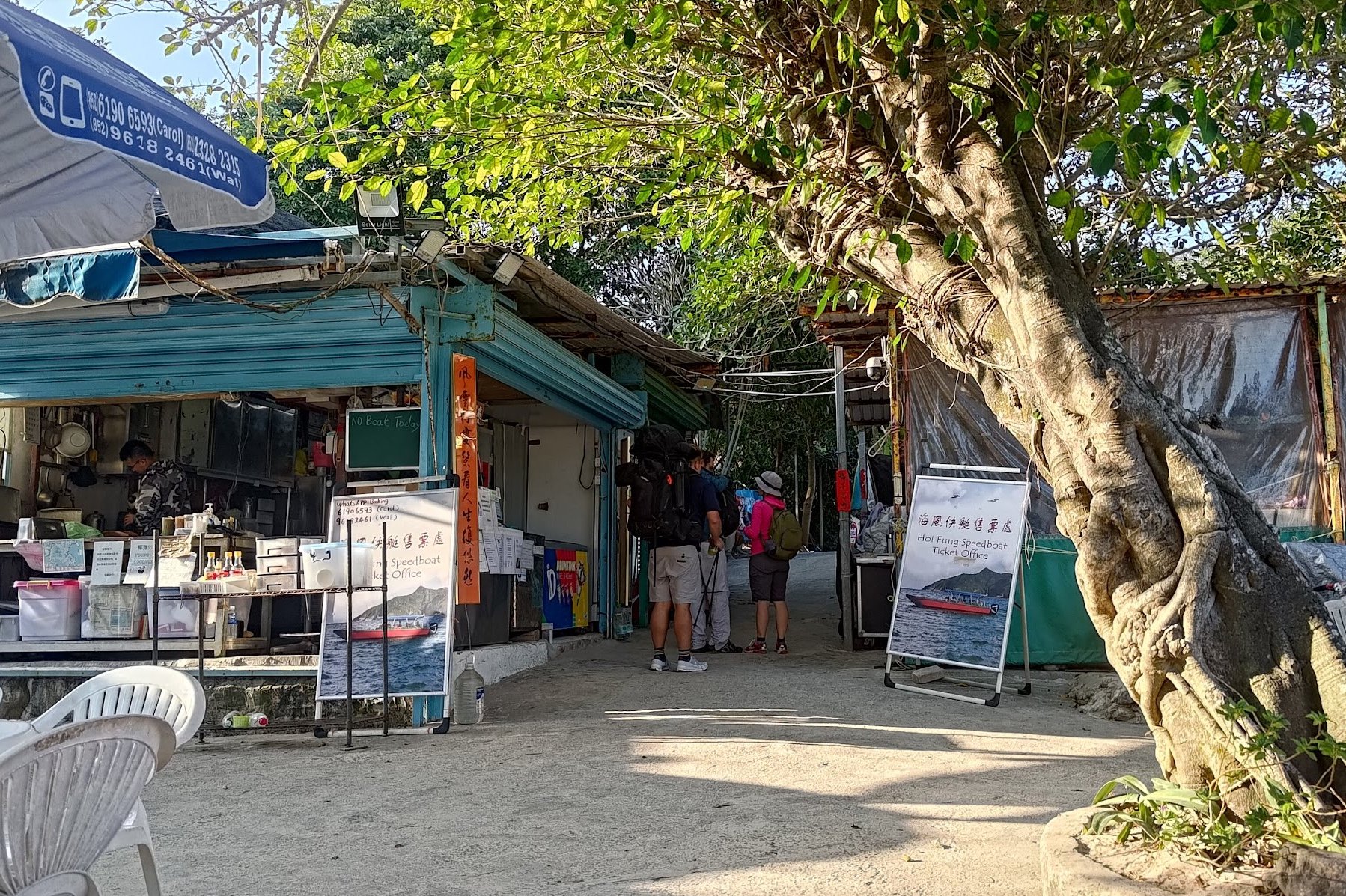
Once you cross, you’ll arrive at Hoi Fung Store, which is a little beachside restaurant that serves great food (the veggie fried rice was amazing), drinks (I thoroughly enjoyed the Hong Kong milk tea) and can arrange speedboat rides out of Ham Tin, back to Sai Kung.
If you’re tired and want to head back here, inquire with the shop owners about organizing a speedboat. As long as the weather is suitable, you should end up spending between 120-160 HKD per person for a 30-minute ride back to Sai Kung.
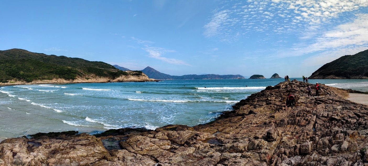
Optional Detour to Tai Wan Beach and Sharp Peak
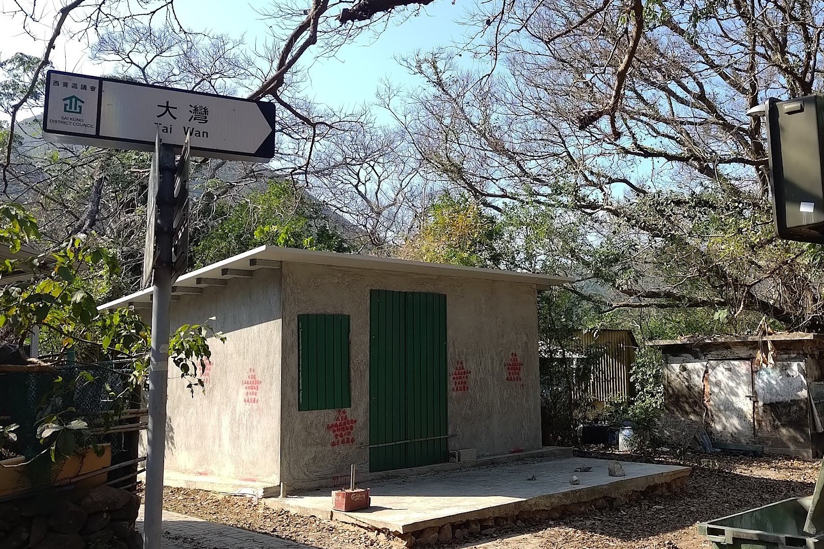
Taking the dirt path to the right (past the old house) will lead you toward Tai Wan Beach, which is far less crowded than Ham Tin and perhaps even cleaner. This is also how you get to Sharp Peak.
Simply follow the natural, dirt trail past the grassy pasture and until the ground turns sandy. There are then several paths to the beach.
Retrace your steps after chilling at Tai wan/conquering Sharp Peak to head toward Chek Keng.
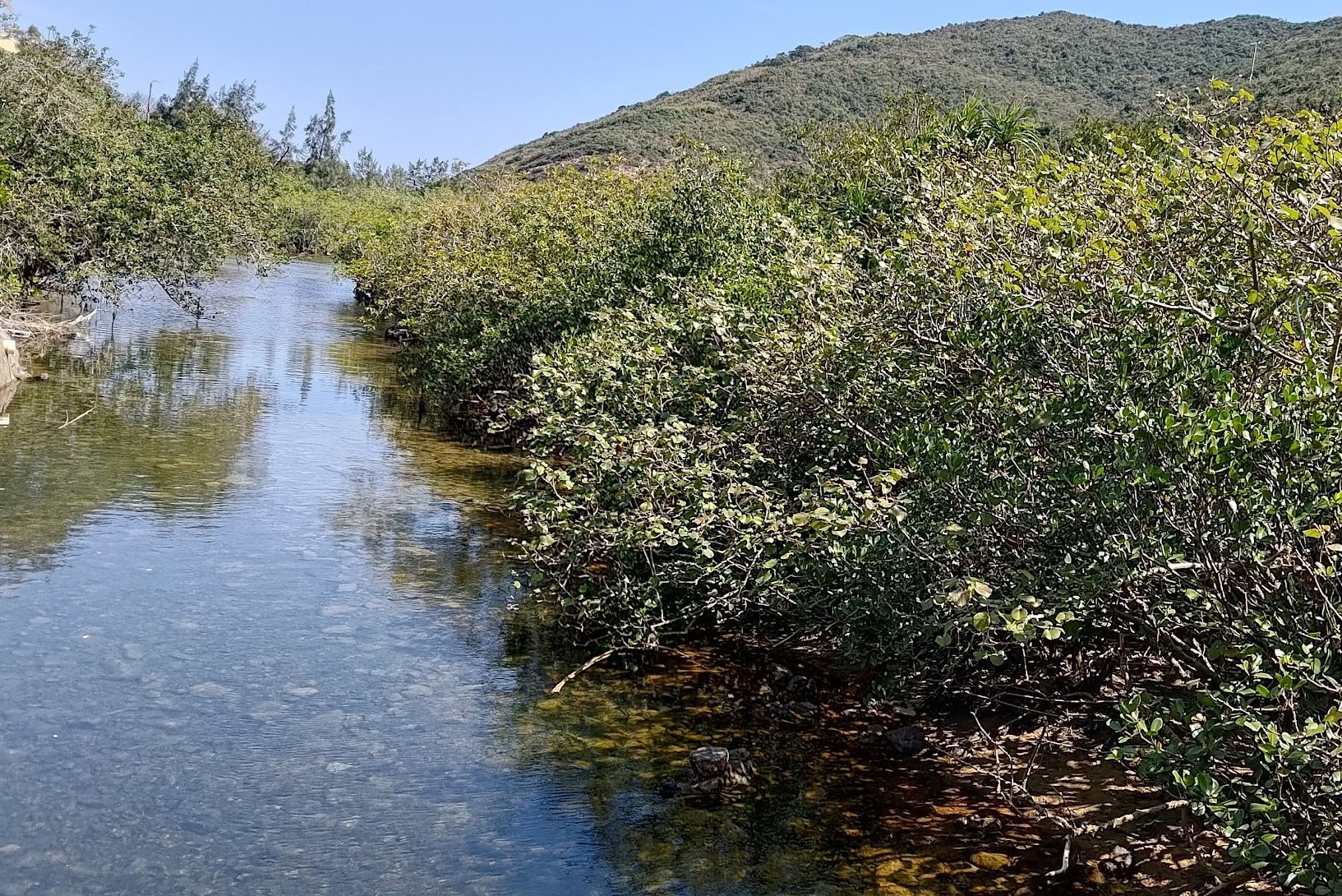
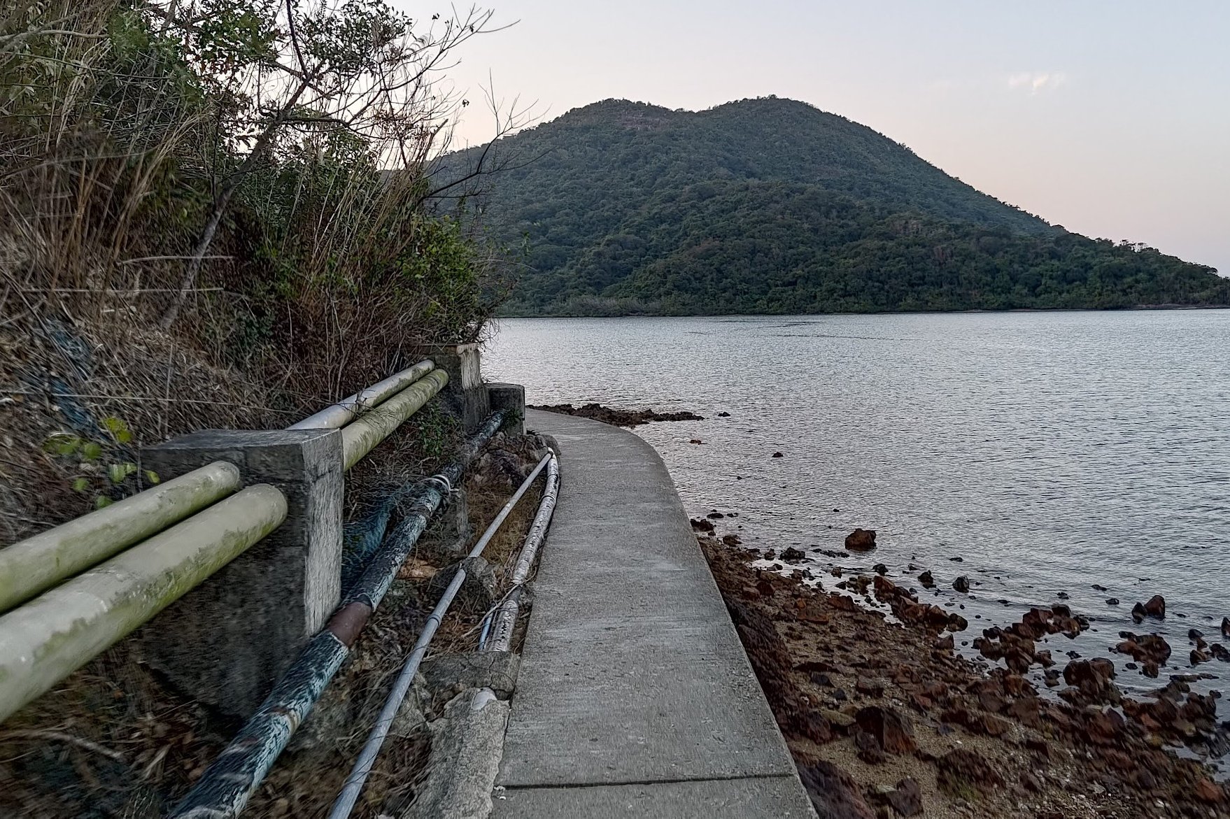
Tai Long Village and the Big Climb
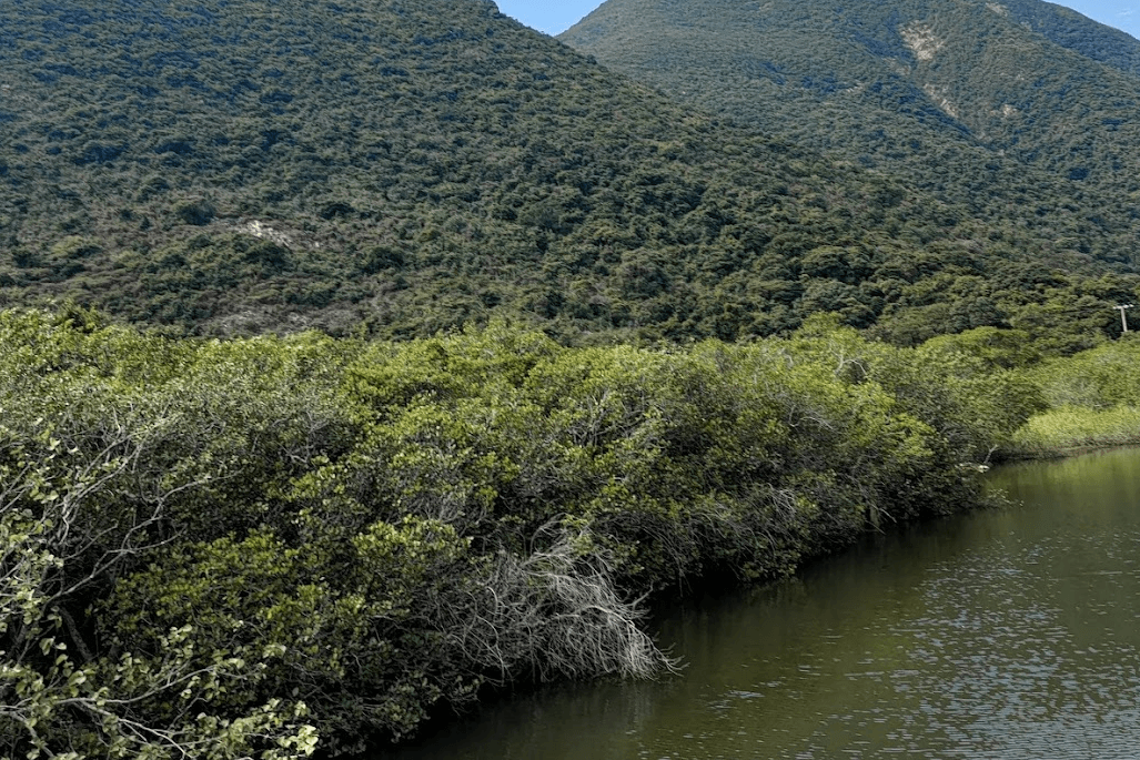
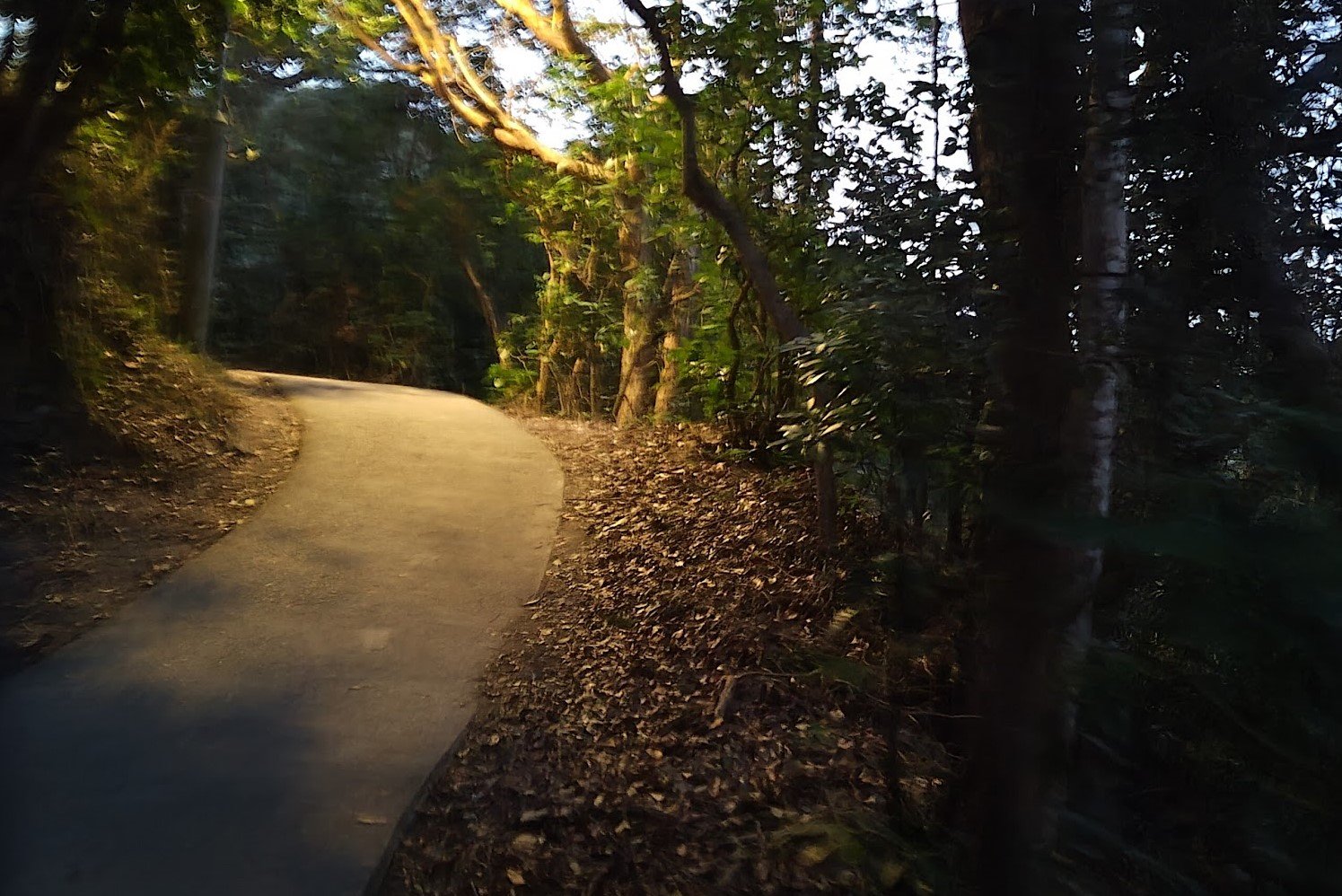
After Hoi Fung Store, follow the concrete trail along the water. You'll then pass through Tai Long Village before beginning a roughly 150-meter ascent.
After ascending, you’ll find a bench where you can take a breather. Once you’re ready, descend back down to sea level and undo all your hard work.
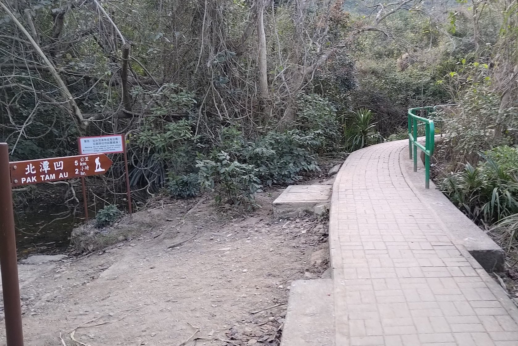
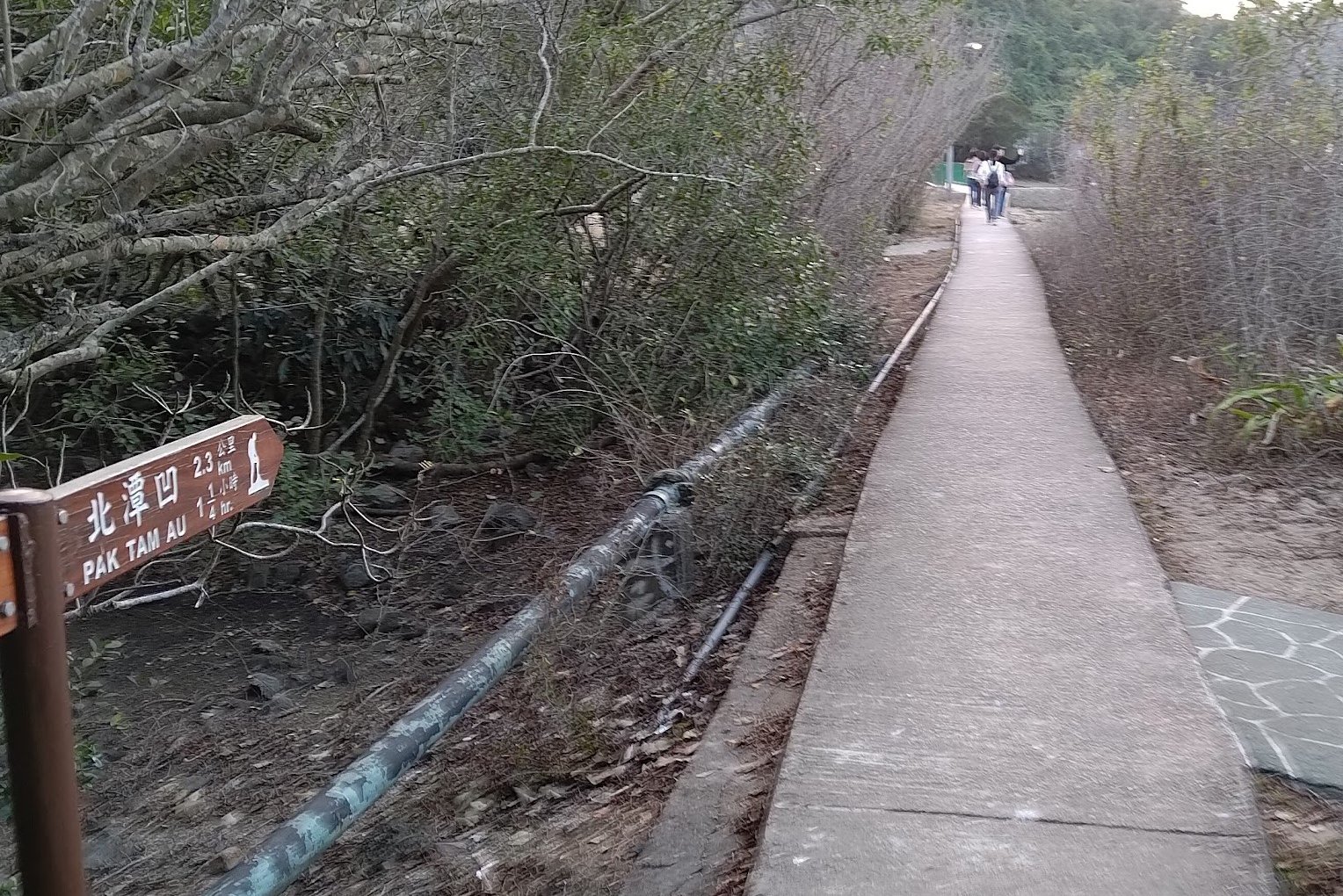
At the bottom of the hill, you'll see another brown sign pointing to Pak Tam Au, which you should follow.
Chek Keng (Optional Escape Route)
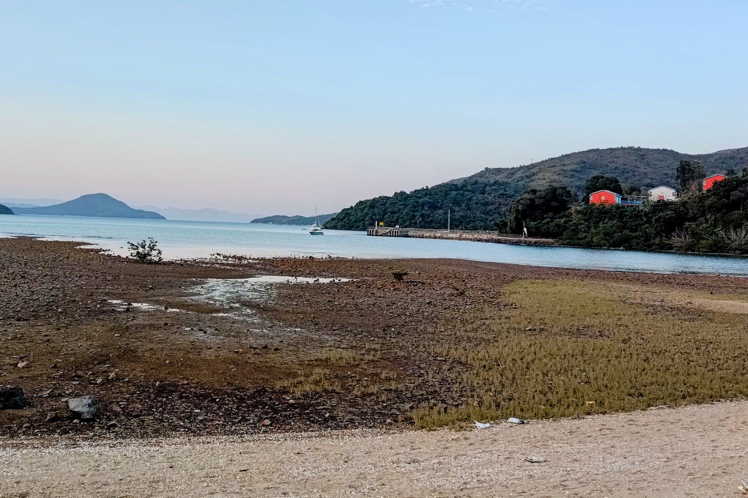
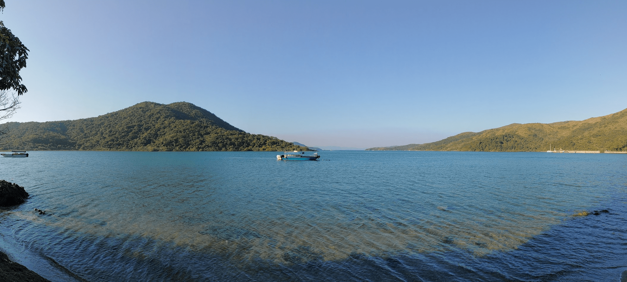
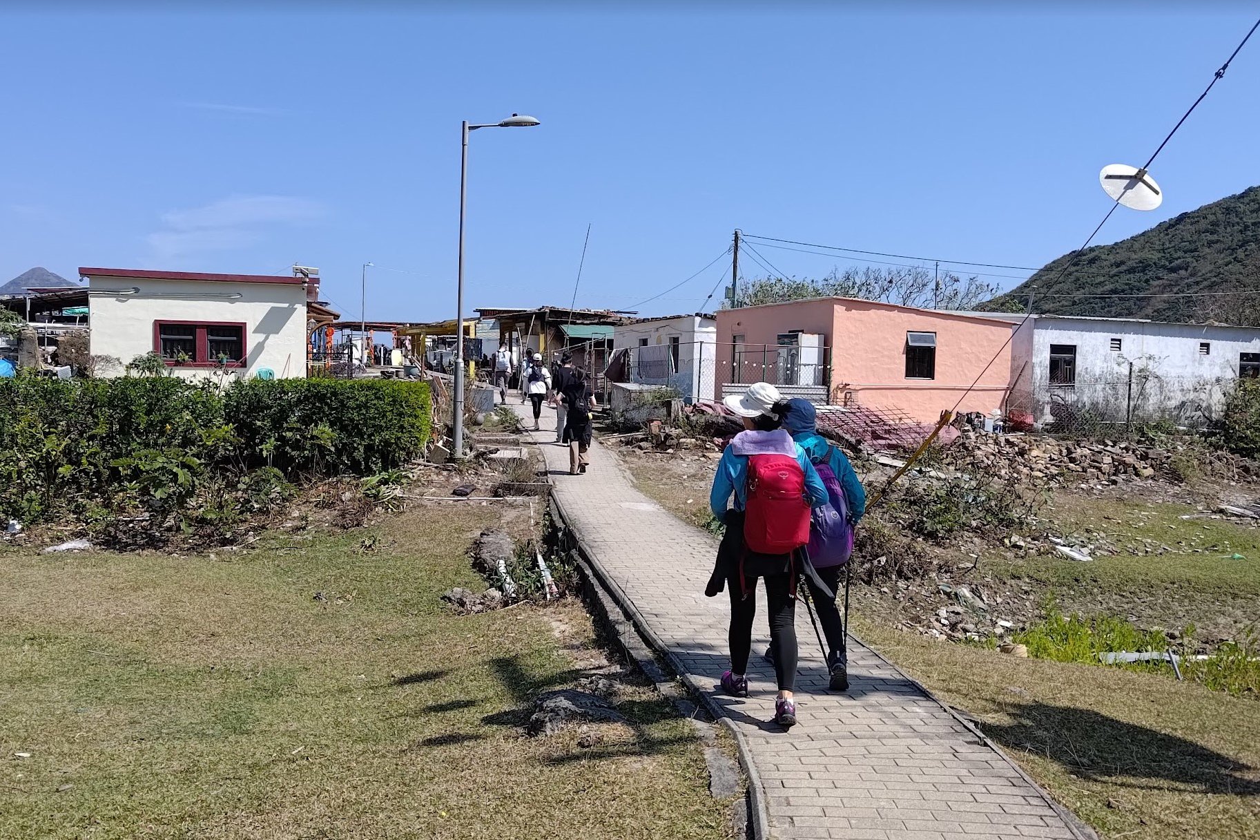
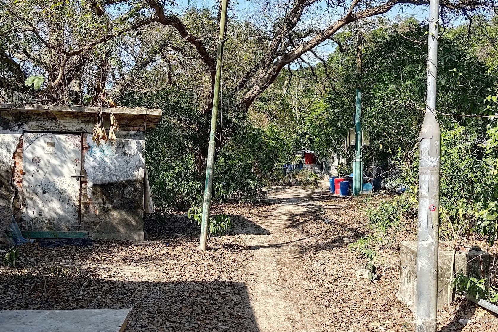
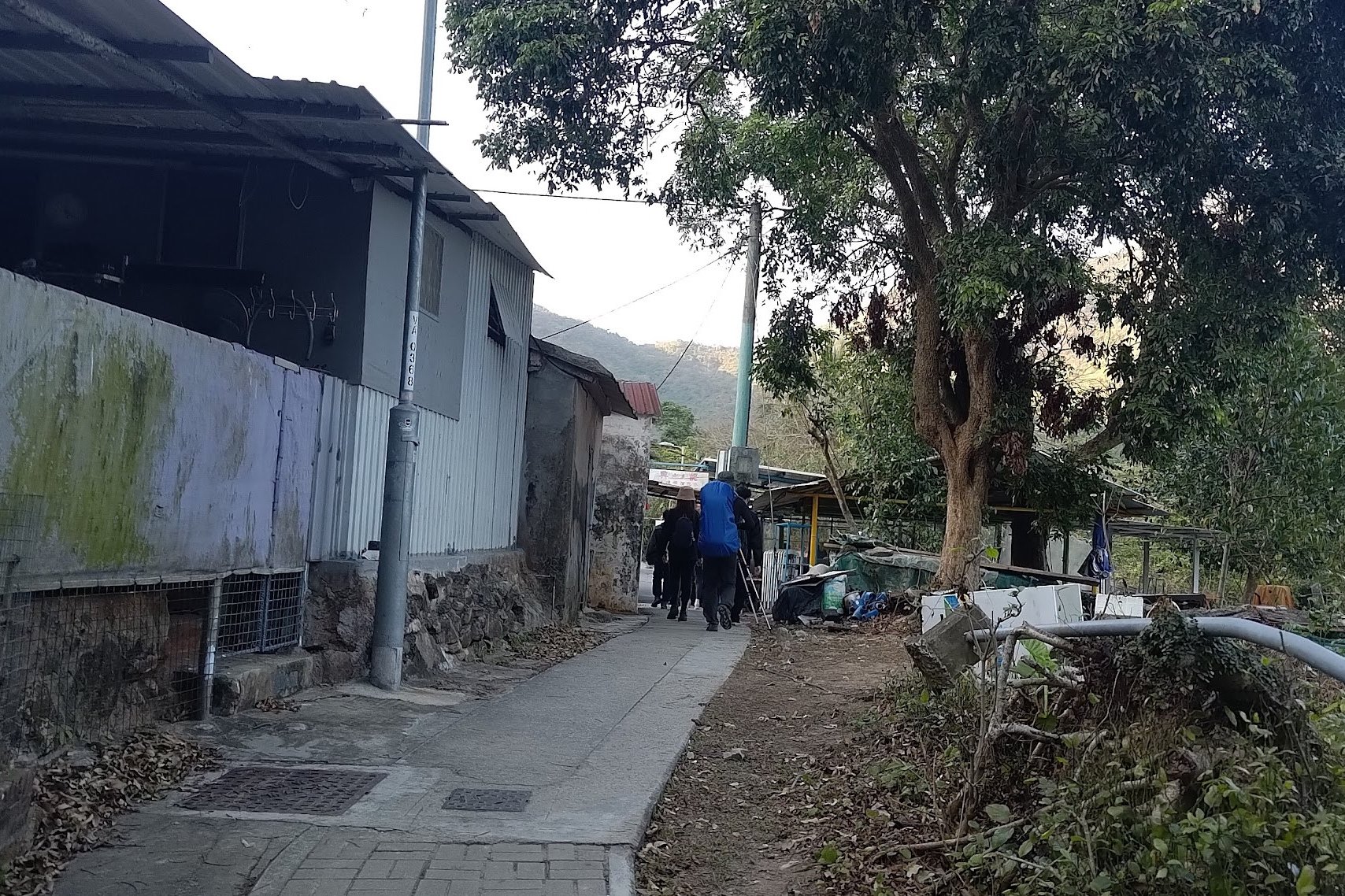
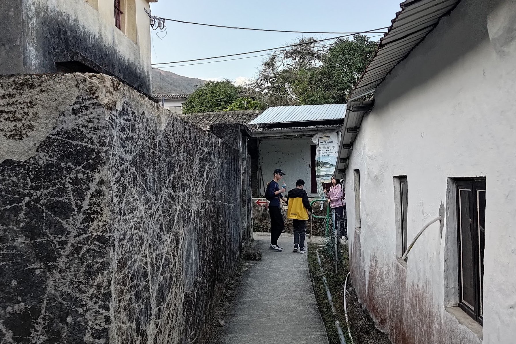
You’ll know you’re in Chek Keng when you arrive back by the ocean. There’s a ferry pier here, some public toilets, campsites and a really cool village. Part of the village is in use by locals and the other part has been completely abandoned.
It’s also worth noting that Chek Keng is misspelled as Chek Kang on Google Maps.
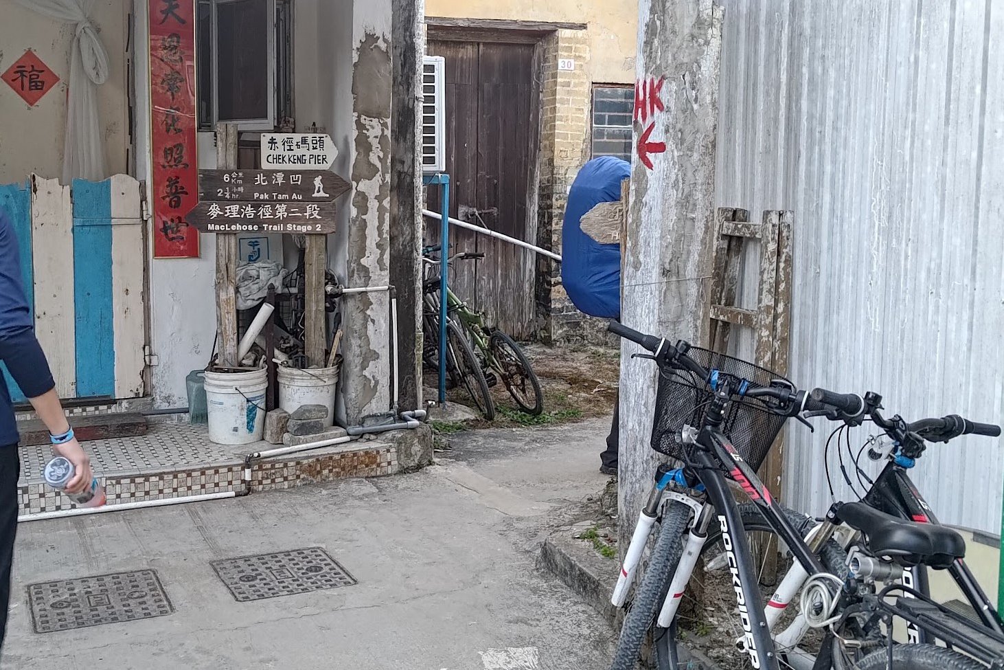
There are ferries out from Chek Keng. They go to Ma Liu Shui Pier or Wong Shek Pier. You’ll probably want to get the ferry to Wong Shek Pier since it’s a MUCH shorter ride.
You can get the 96R bus to Sai Kung and Diamond Hill from Wong Shek Pier or the 94 bus to Sai Kung.
The ferry timetable can be found here.
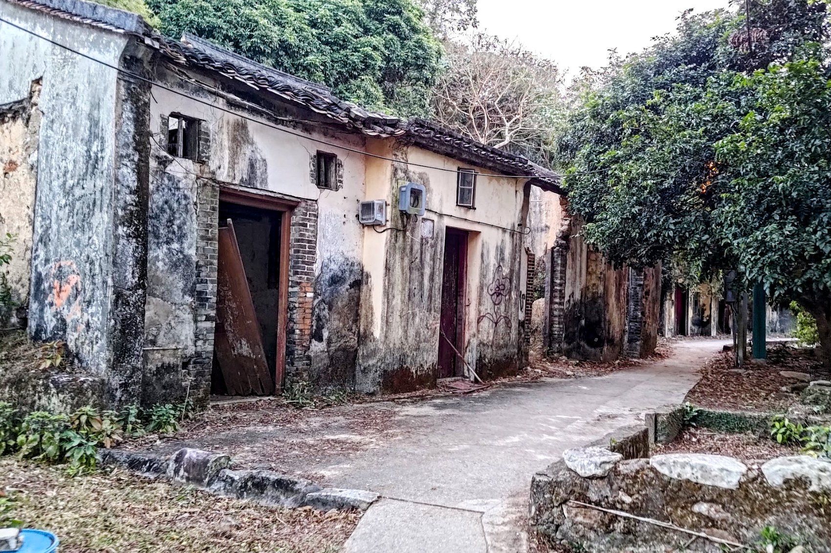
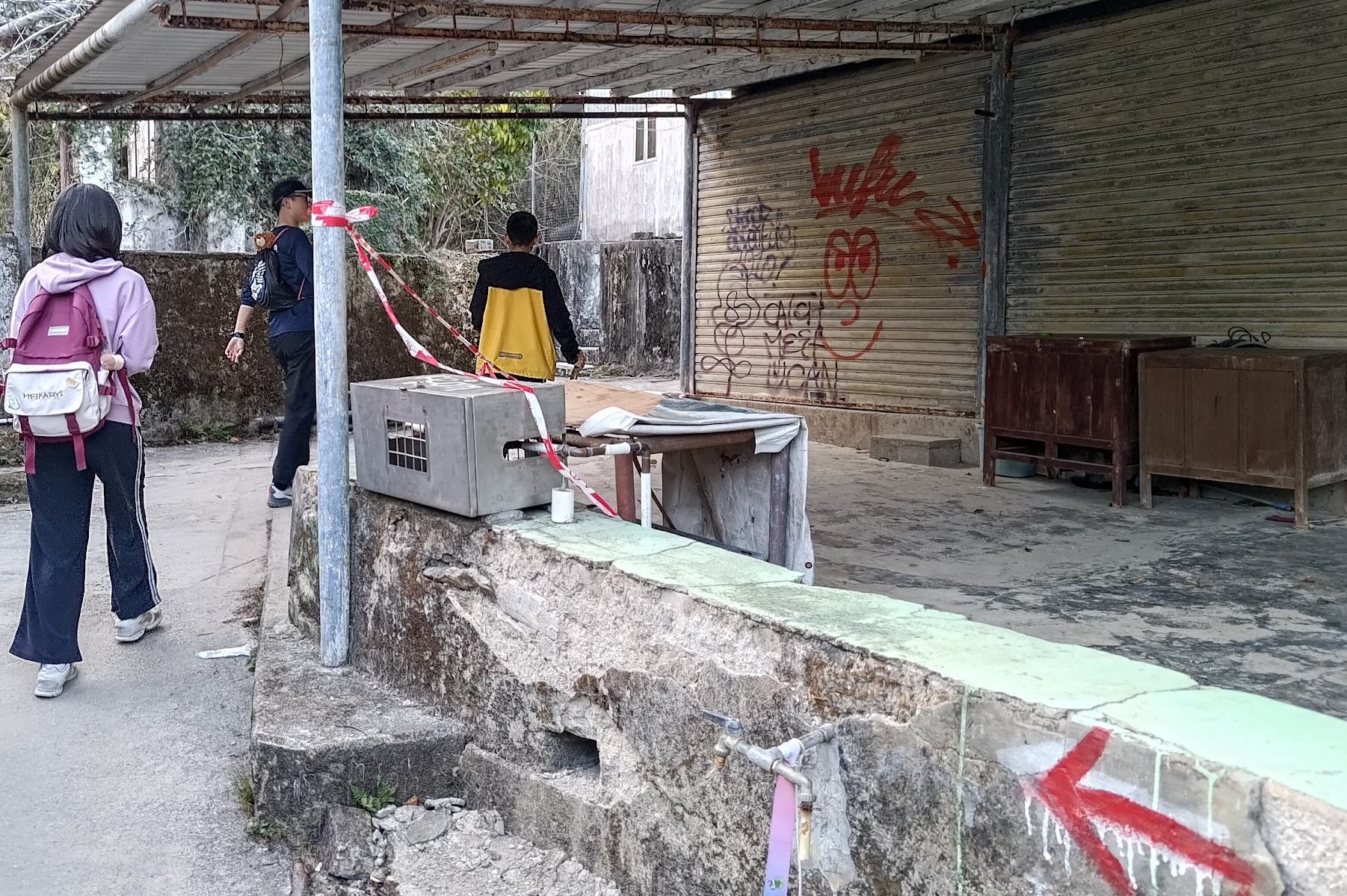
Chek Keng Abandoned Hakka Village
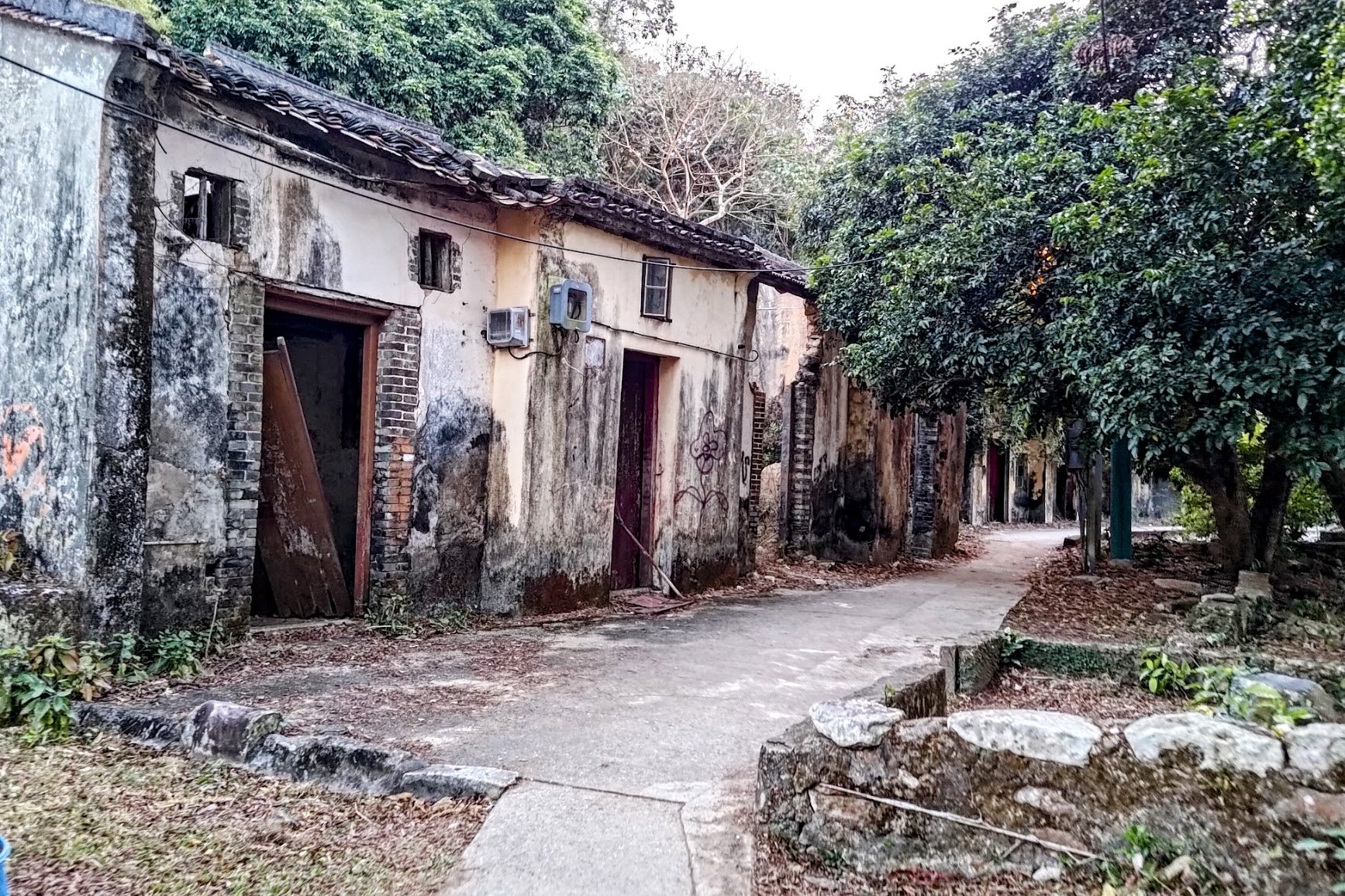
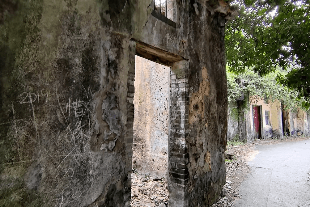
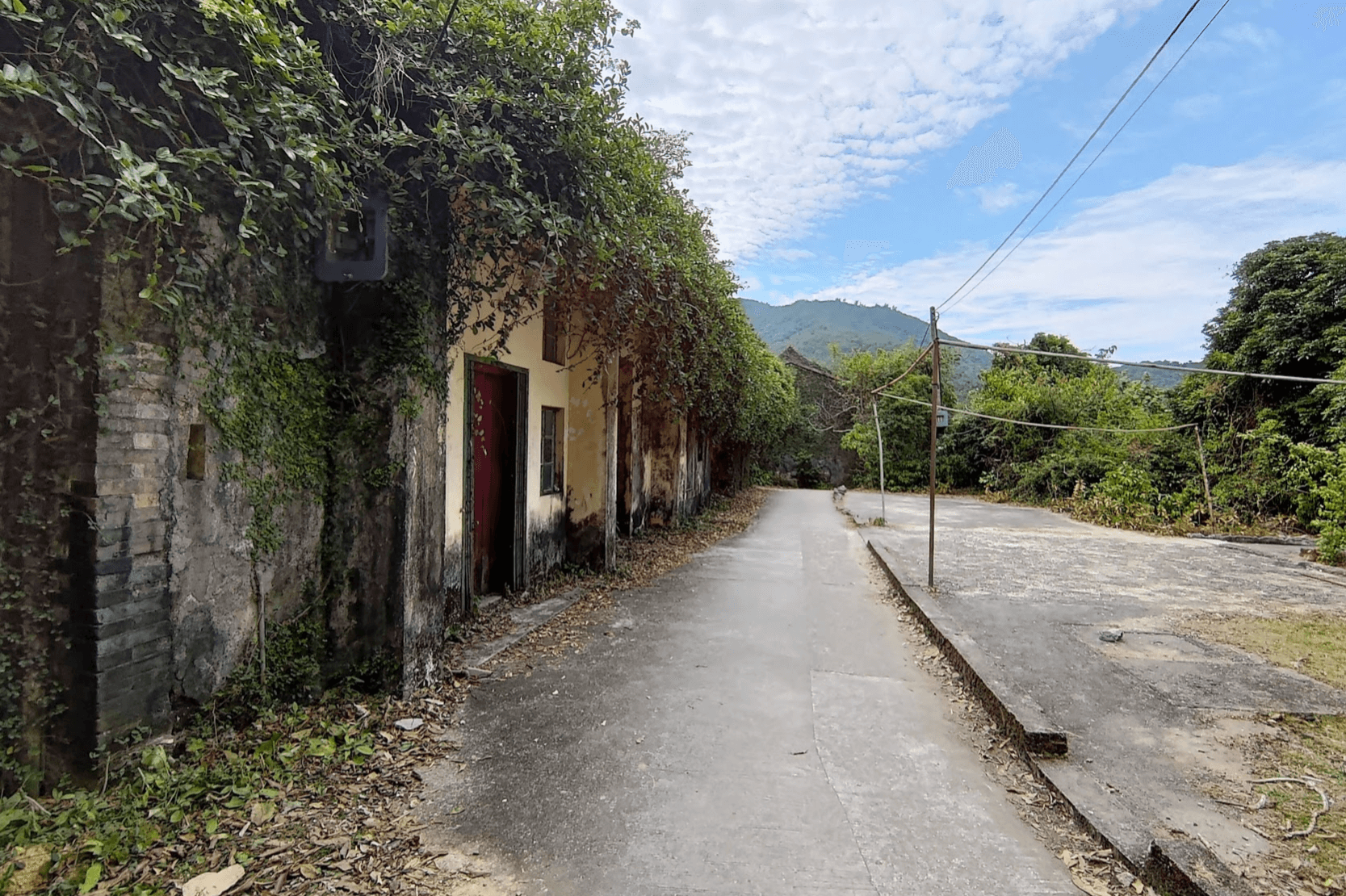
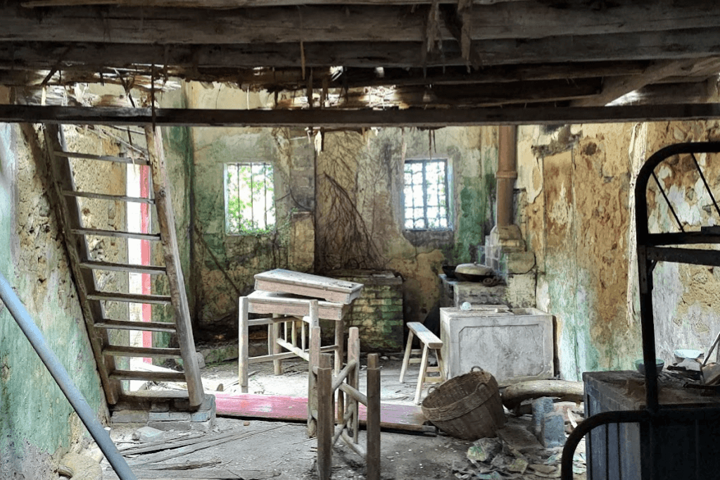
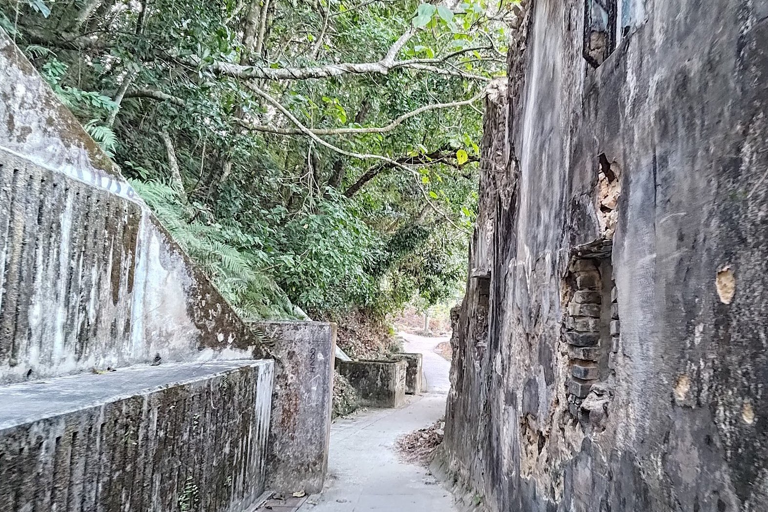
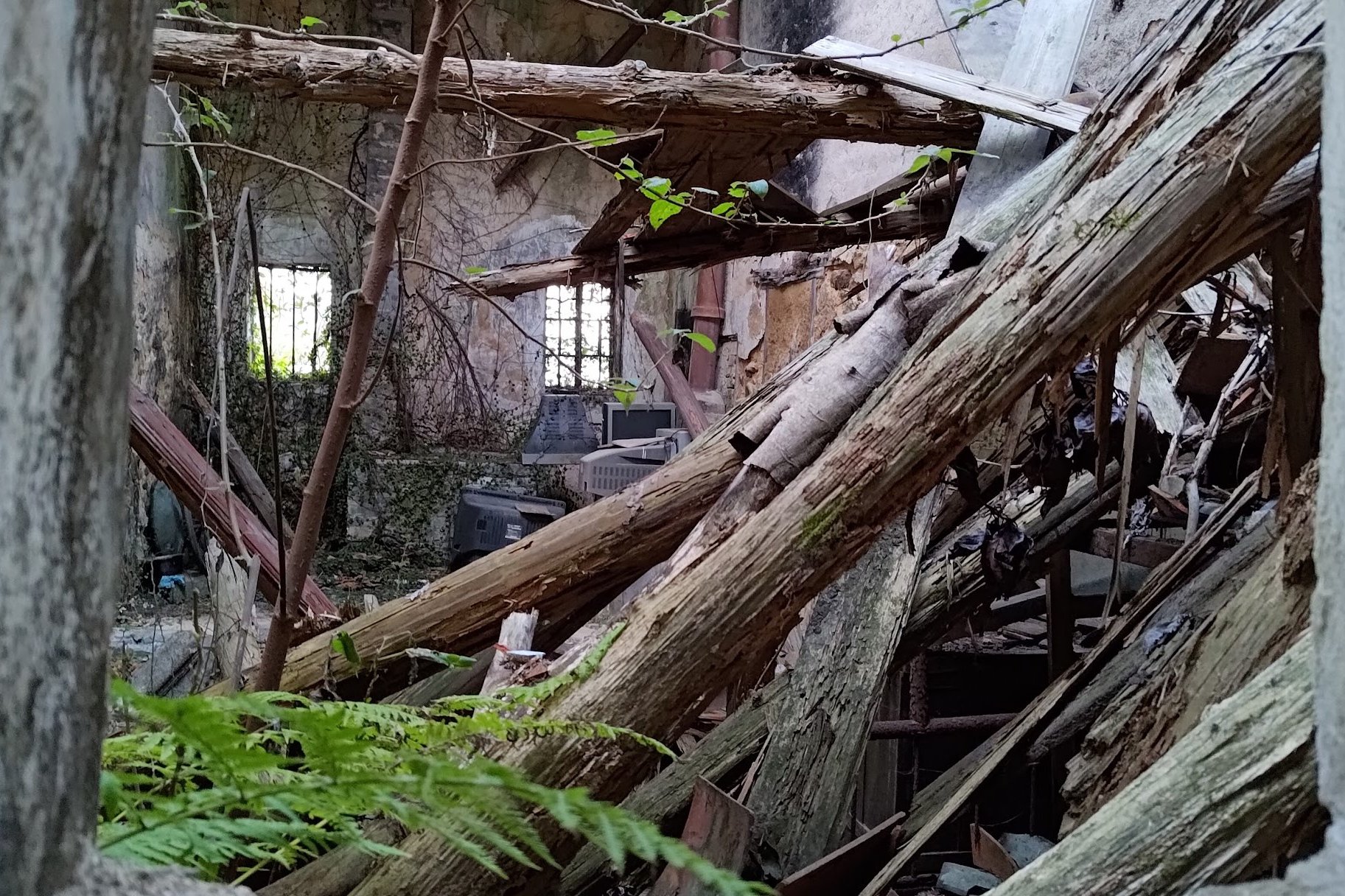
The abandoned Hakka Village was built nearly 200 years ago, but due to inaccessibility, younger people moved to the city to make it easier to find jobs and live a more modern and convenient life. Subsequently, the village was left abandoned as the older generation of permanent residents began to slowly dwindle.
Today, the shell of many traditional Hakka homes still stand derelict as a reminder of simpler times.
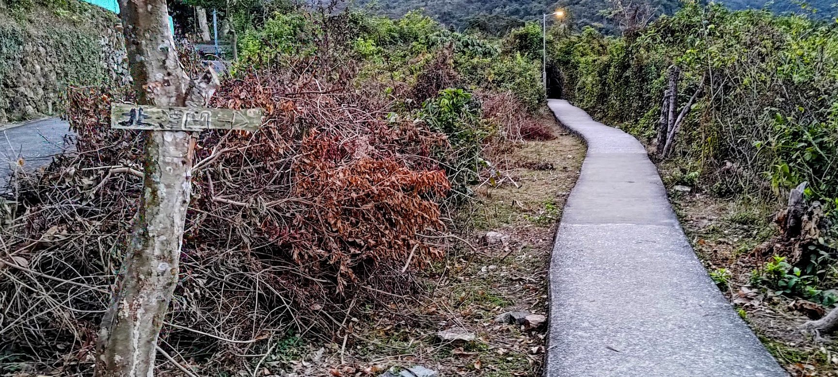
After passing through the village, you'll see the path fork in two directions. Take the right fork (it's pointed out by an unofficial wooden sign nailed to a tree).
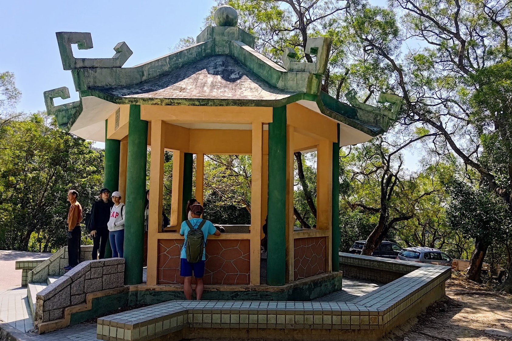
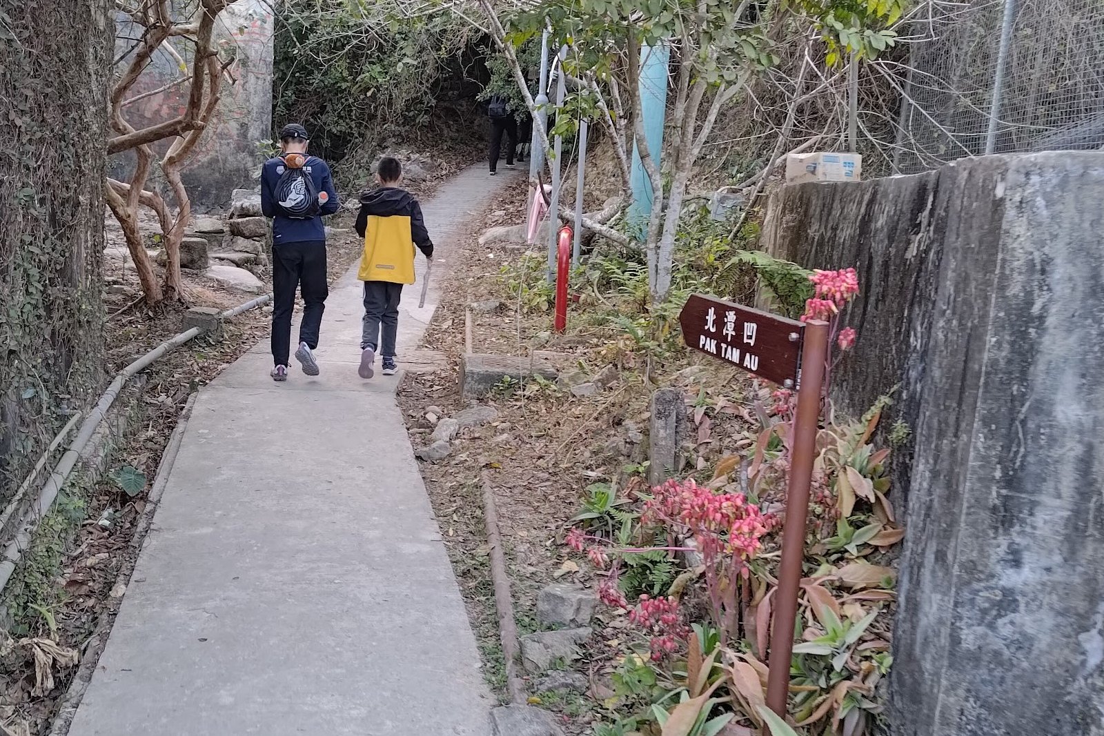
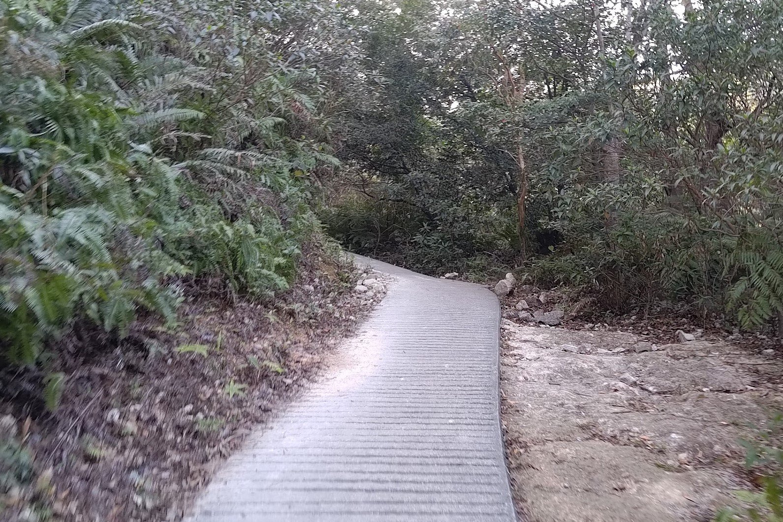
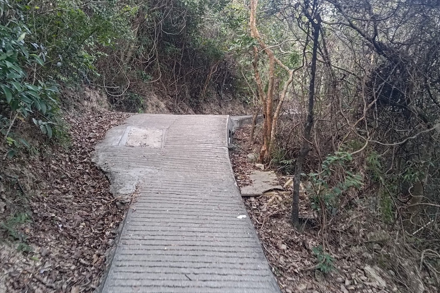
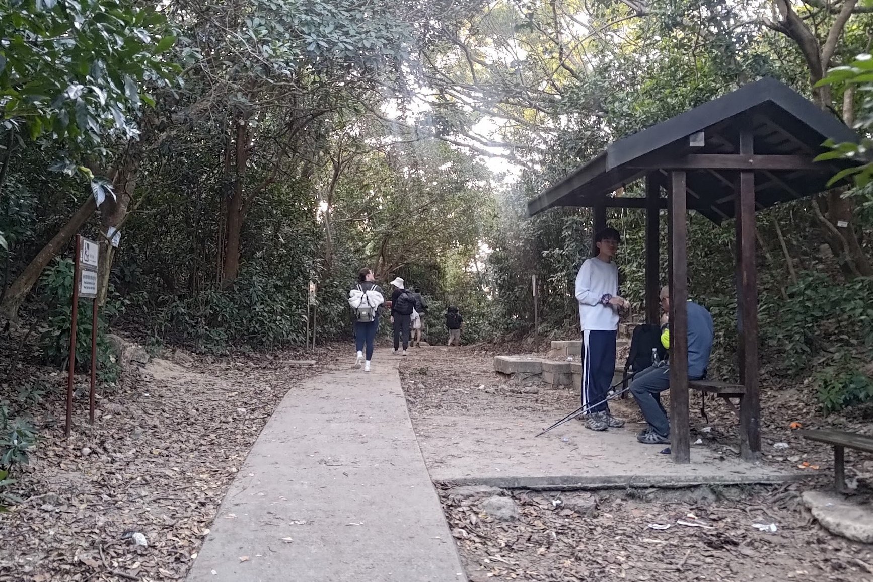
The Final Ascent to the Pak Kung Au Bus Stop
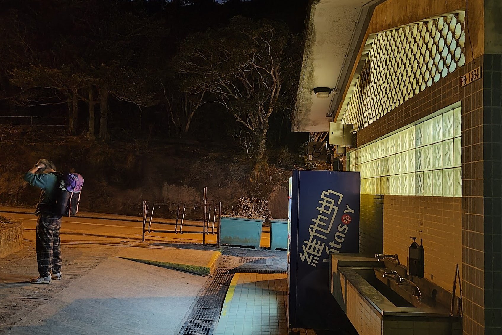
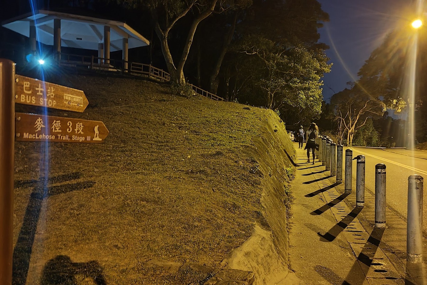
About 1km later, take the next fork to the left. This marks the final stretch of your adventure. Follow the trail up to reach a maximum elevation of around 170 meters. You’ll eventually arrive at Pak Tam Au. The end point of the hike has vending machines and a public toilet. Go left and wait at the Pak Tam Au bus stop about 100 meters away.
The Way Back
From the Pak Tam Au bus stop, the Grab the 96R bus (Sat, Sun and Public holidays only) that heads to both Sai Kung and then Diamond Hill station or get on the 94 bus to Sai Kung and connect to one of the other buses that gets you closest to home.

