High Island and East Dam: A Gentle Hike Around Hong Kong's Largest Reservoir
Contents
- Essential Information
- Hike Highlights
- Google Route Map
- How to Get There
- Quick Route Summary
- Detailed Route
- Optional Detour to the Overflow Structure
- High Island West Dam
- East Dam Secret Viewpoint
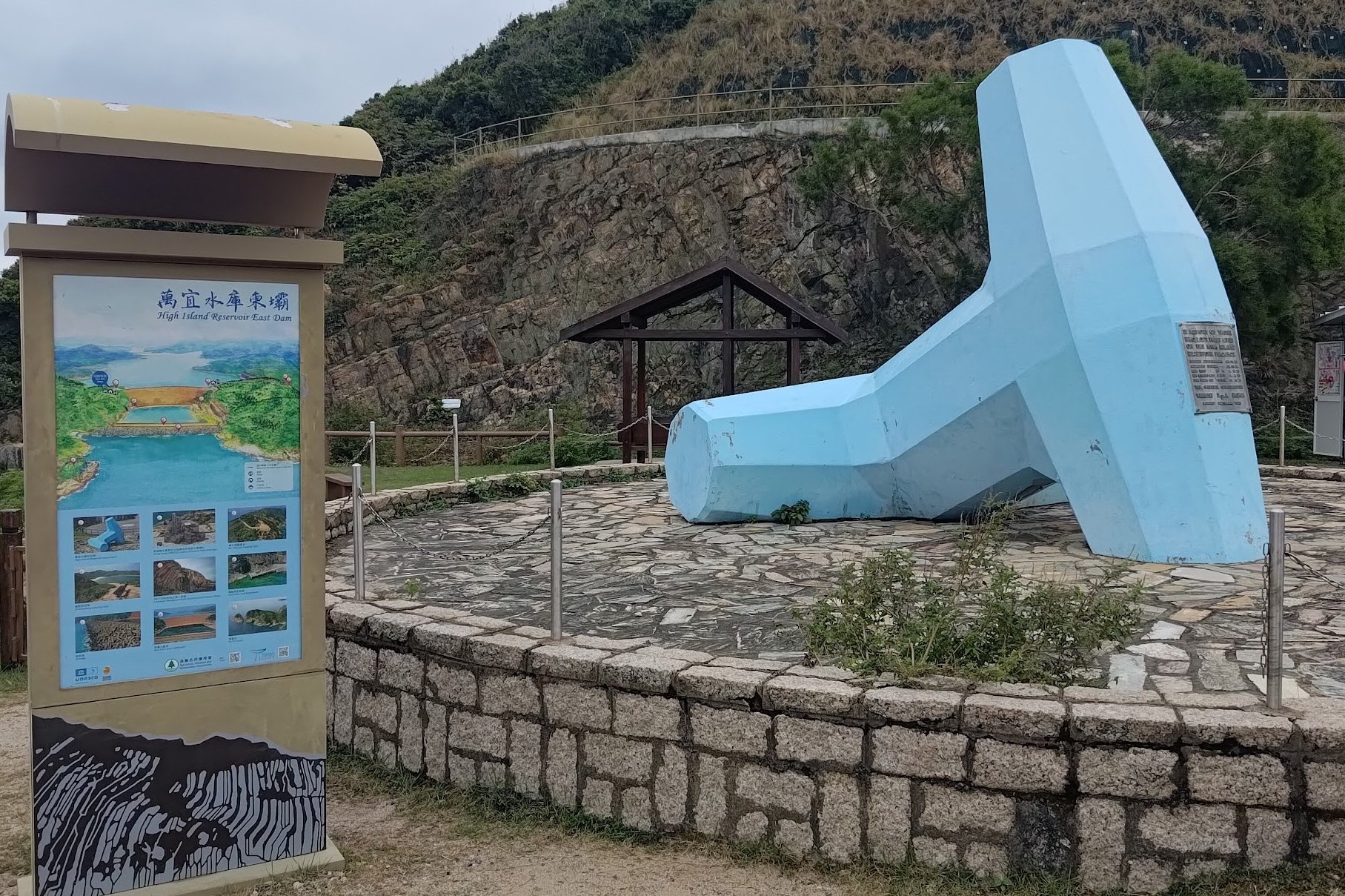
- High Island Reservoir East Dam
- Getting Back
- Pair This Hike With Po Pin Chau
High Island Reservoir Hike Details
- District: New Territories
- Duration: 2-2.5 hours
- Distance: 10km
- Highest Elevation: 115 meters
- Difficulty: 1/5
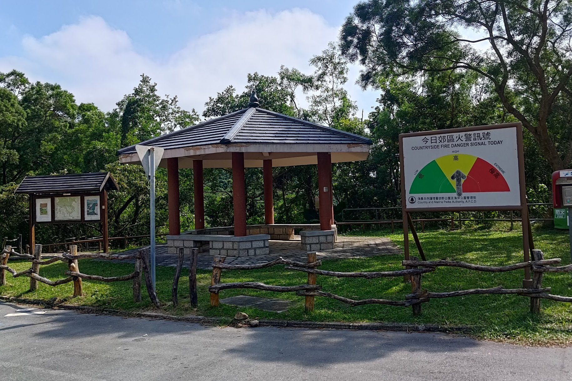
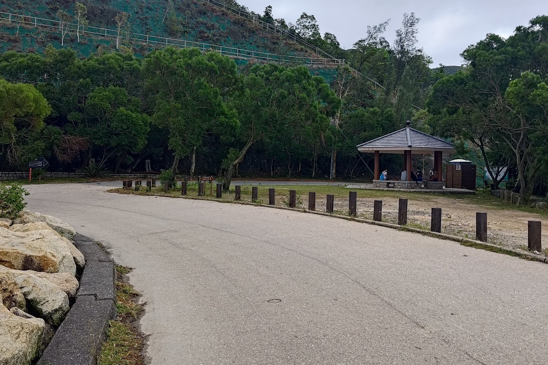
- Facilities: Toilets along the way. Just make sure to bring food and drinks
Why Hike High Island Reservoir?
High Island Reservoir (萬宜水庫), or Stage 1 of the MacLehose Trail, is a really easy, simple hike that follows a concrete road the entire way. It's the perfect trail for budding hikers, view hunters and families with young kids.
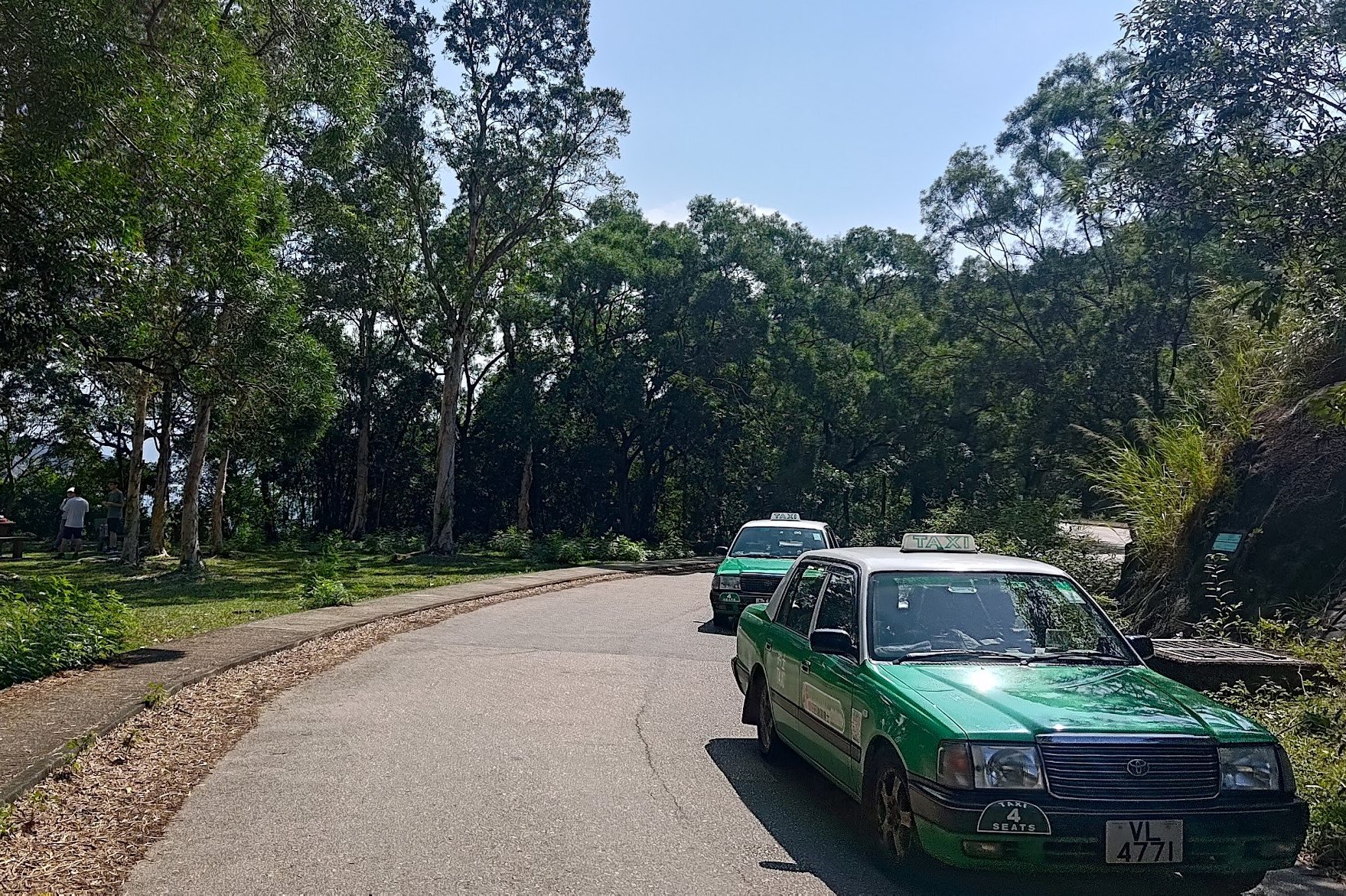
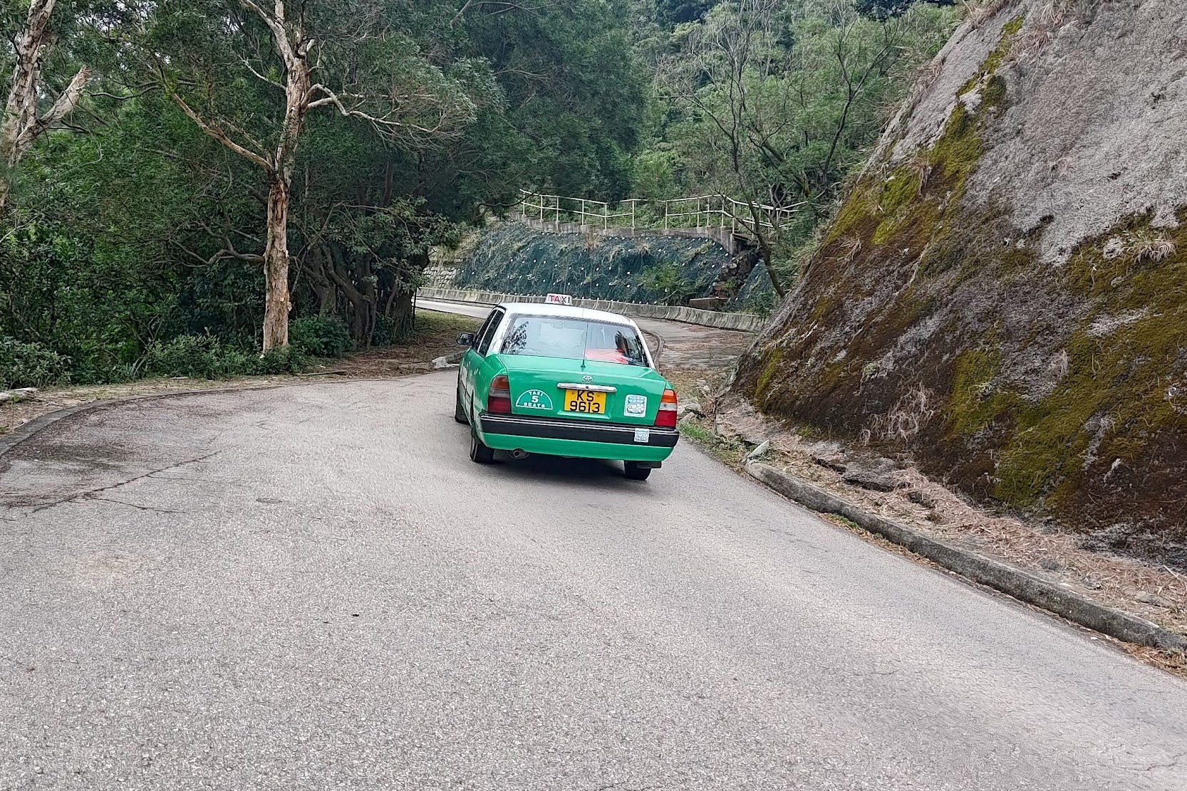
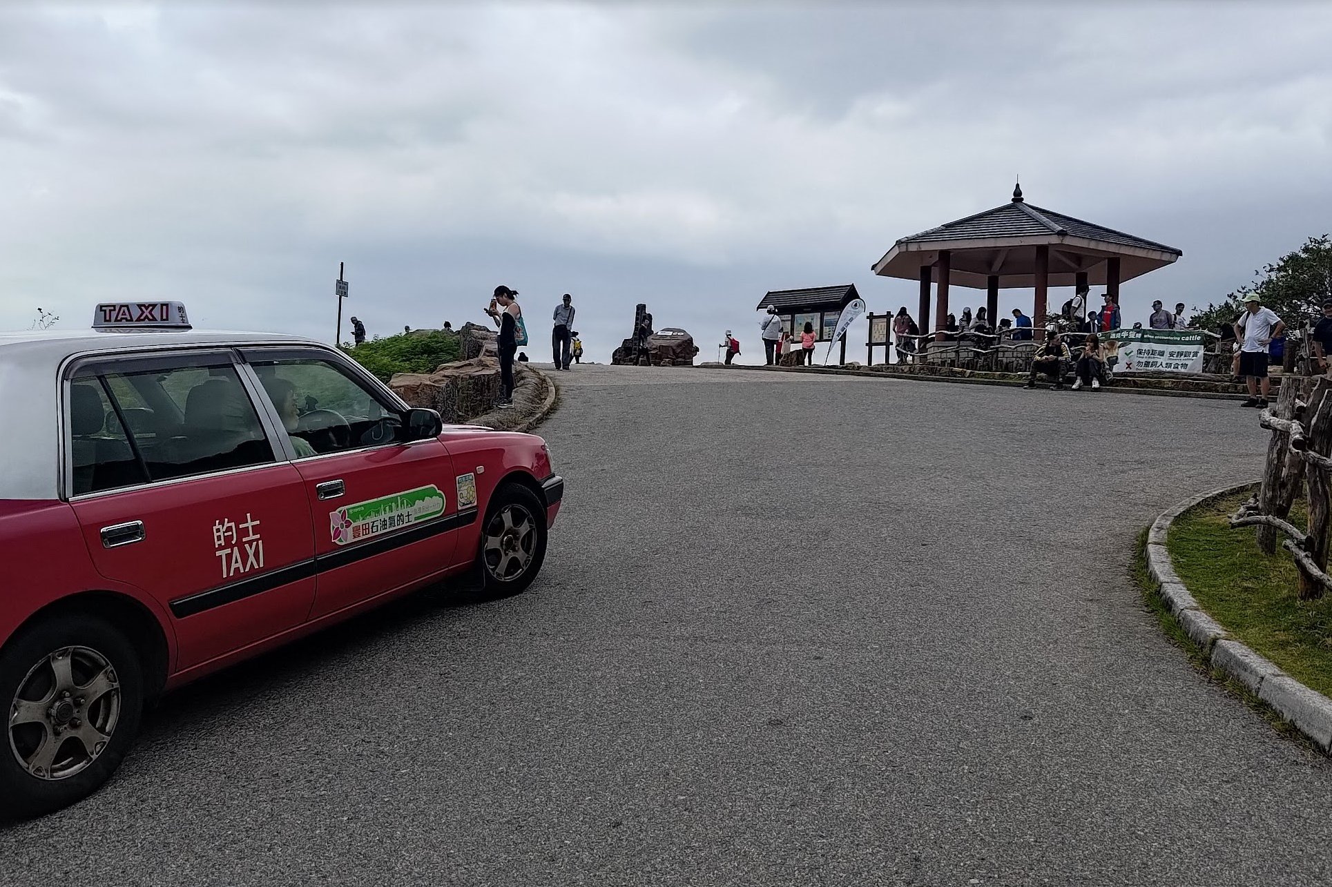
The hike takes a little while to get to, but it's one of the few hiking routes in Hong Kong where taxis and minibuses are constantly going back and forth on the trail. This can be annoying at times, but it also presents a straightforward exit strategy for those who decide that they want to end the hike early.
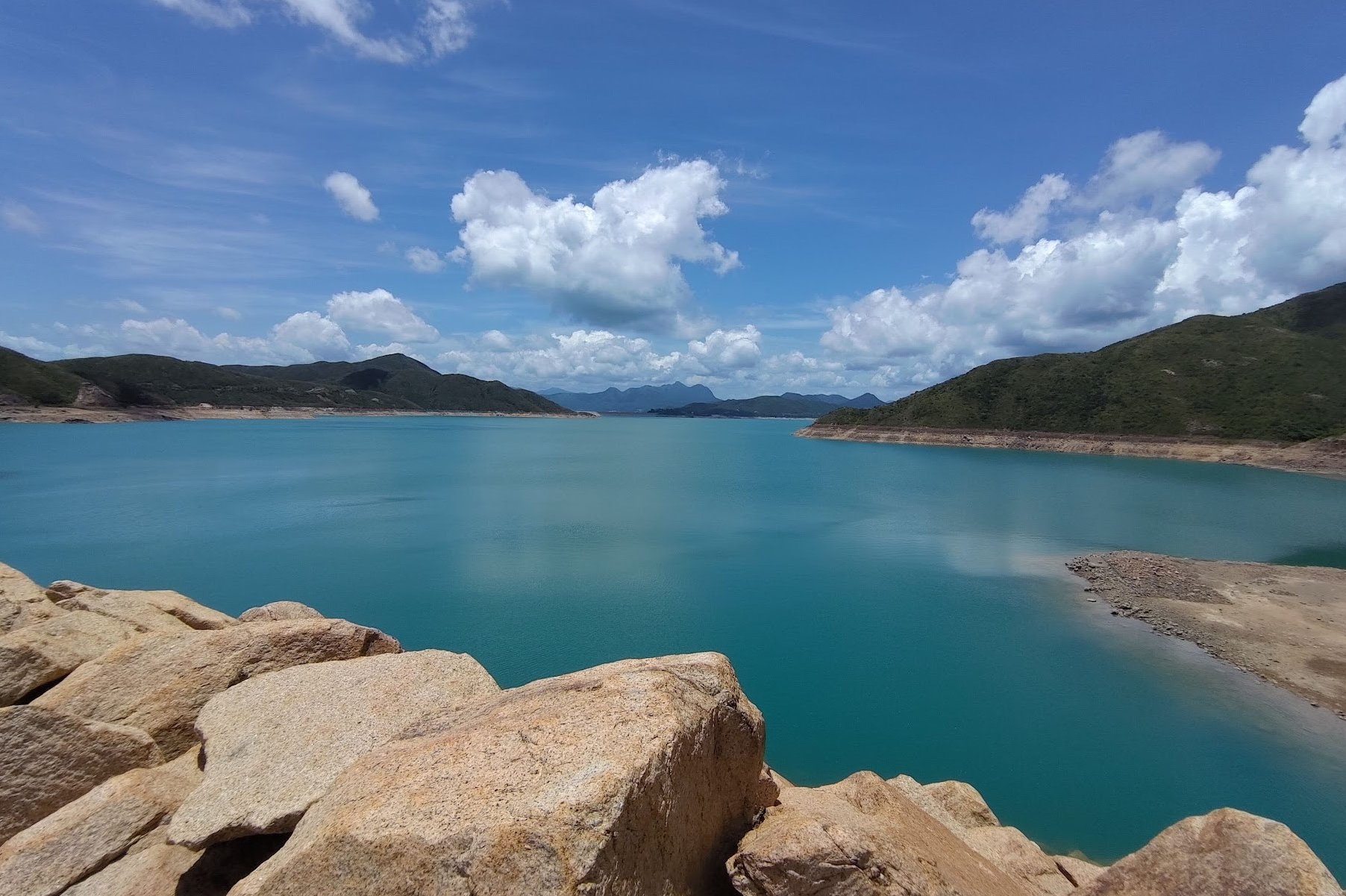
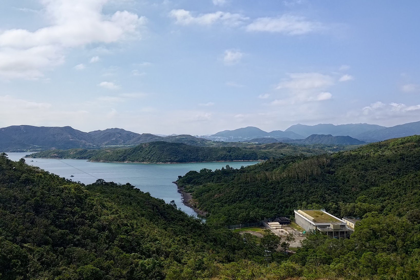
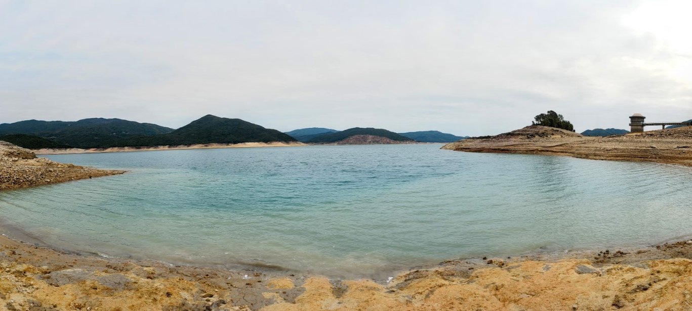
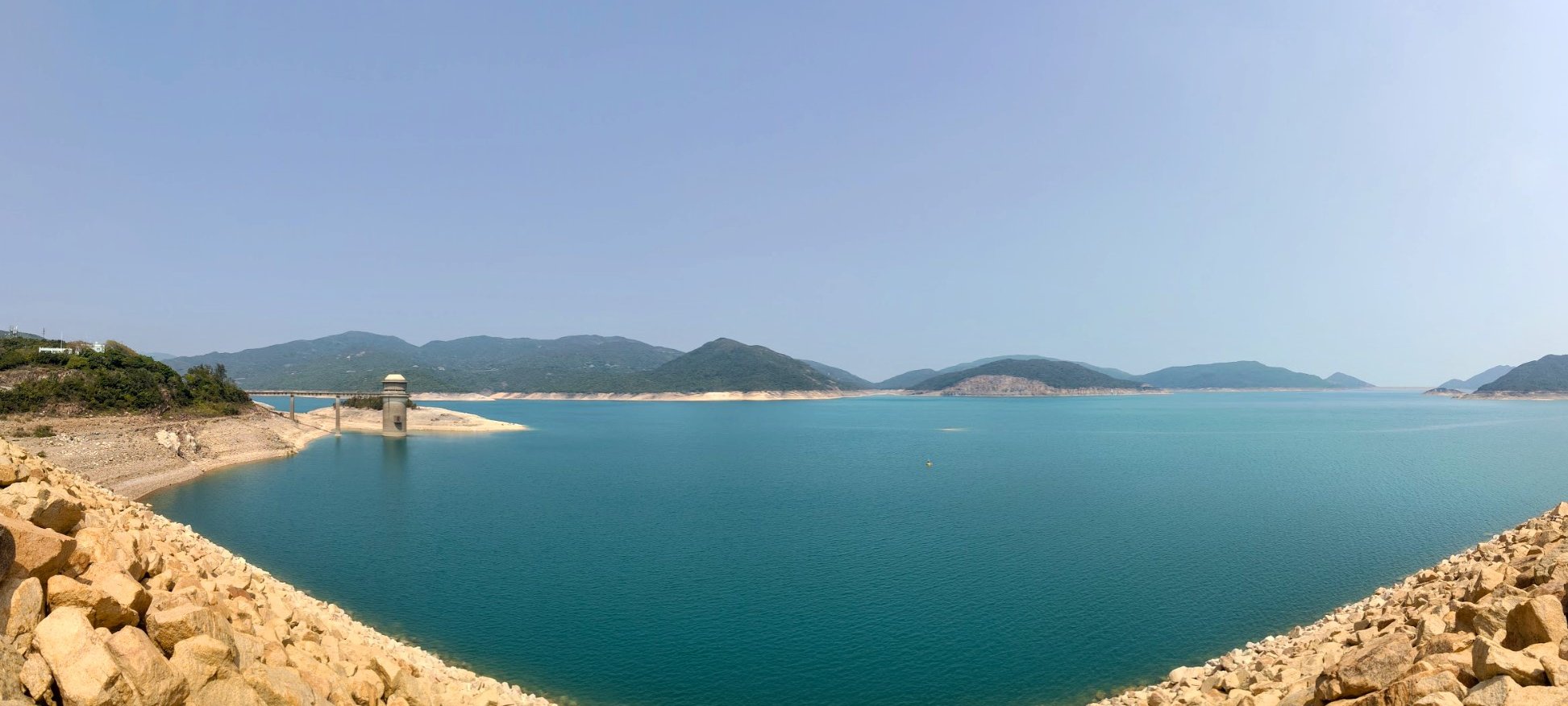
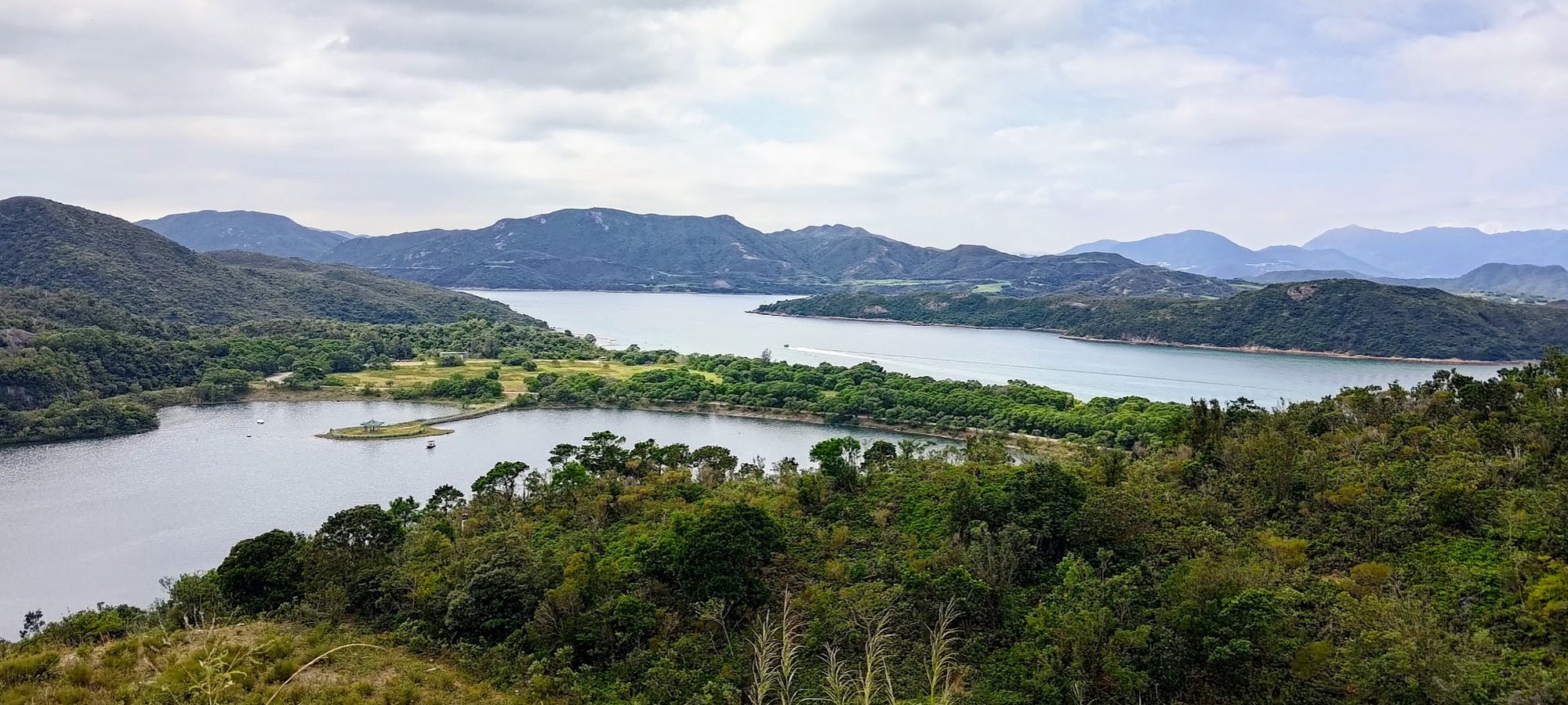
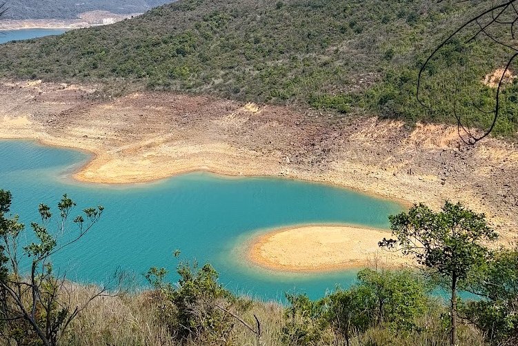
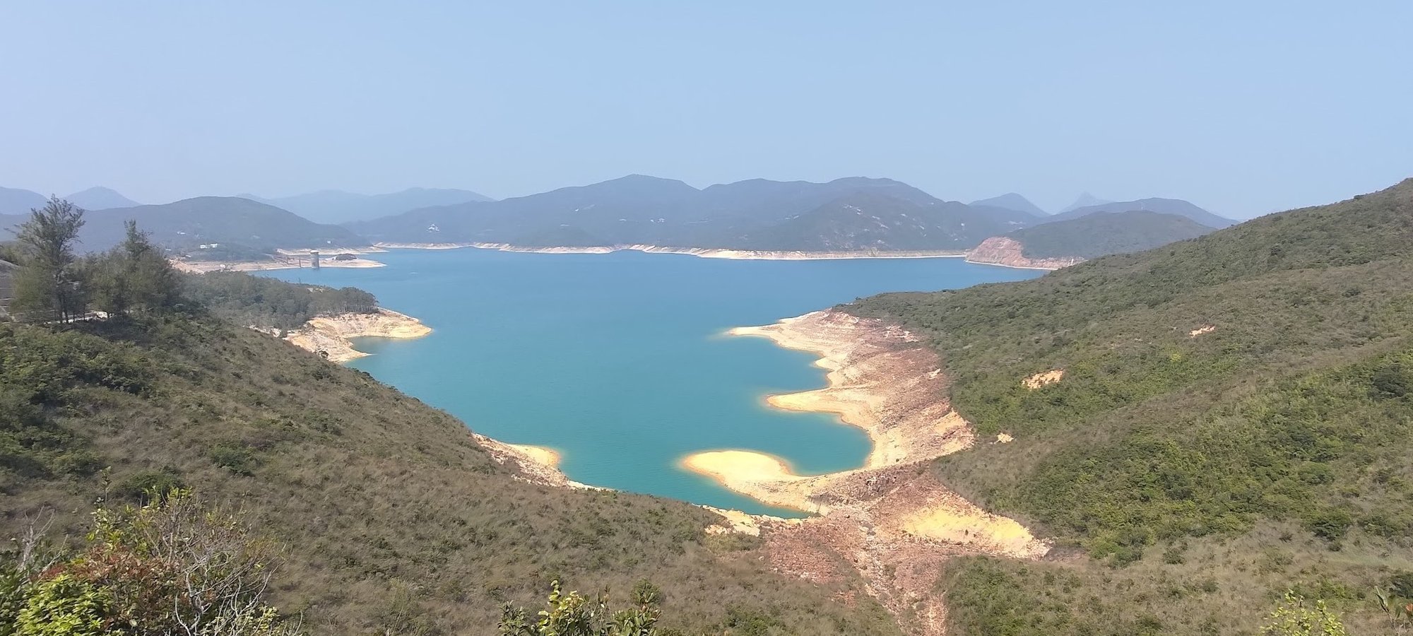
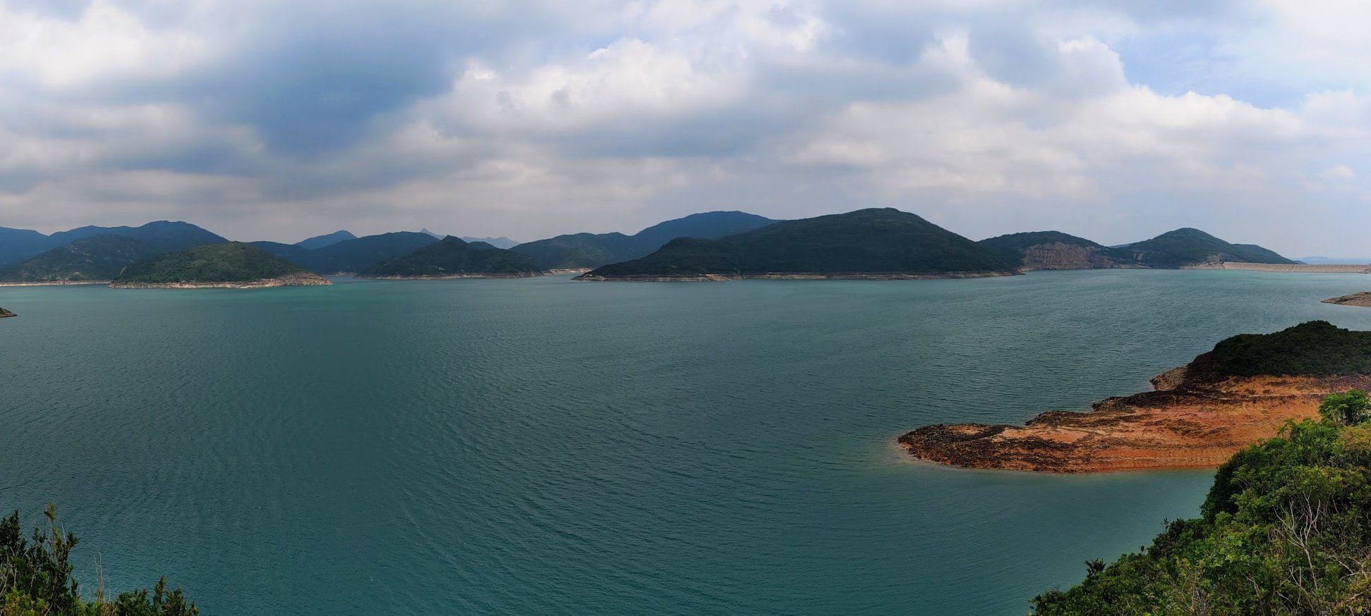
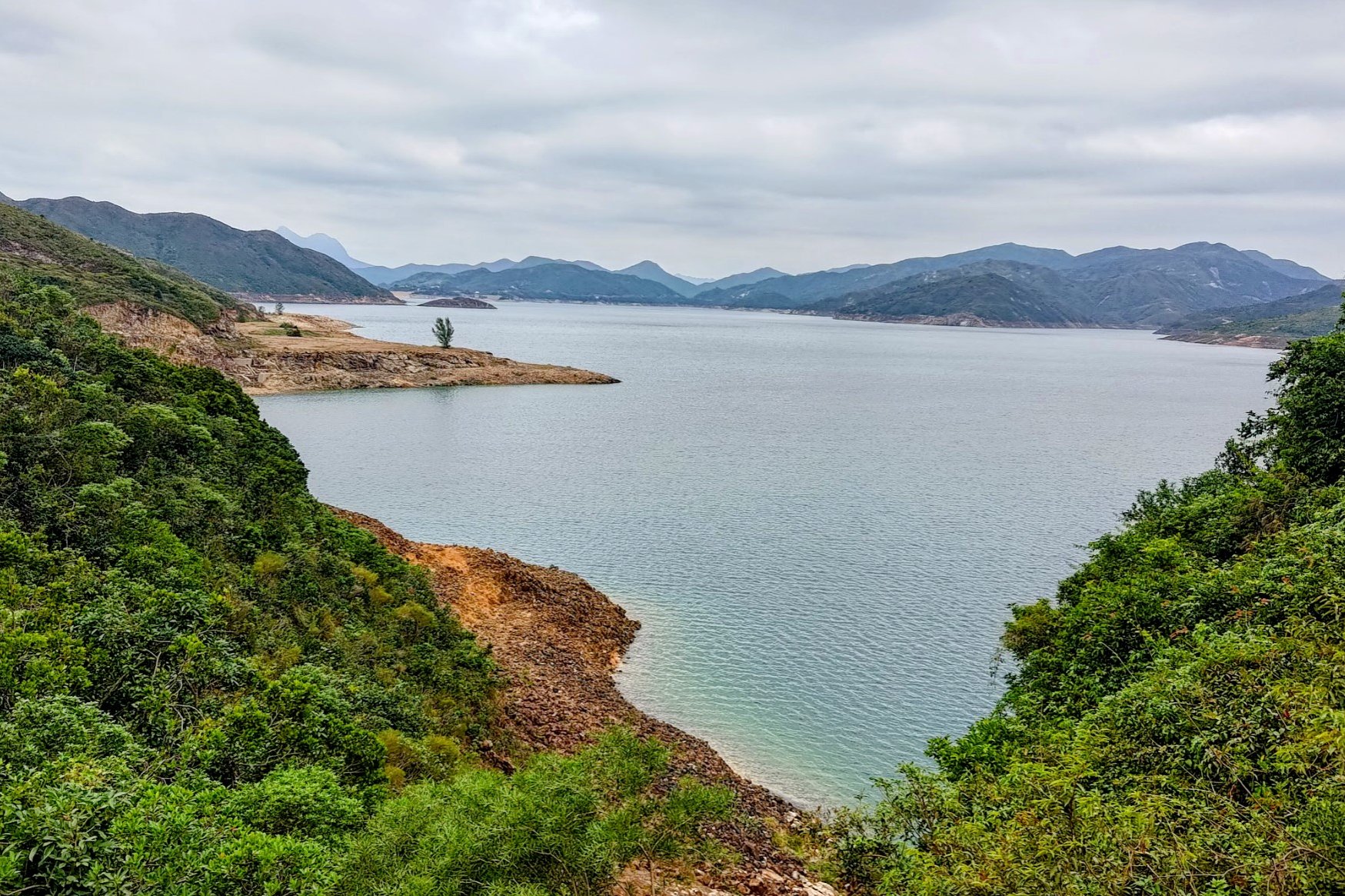
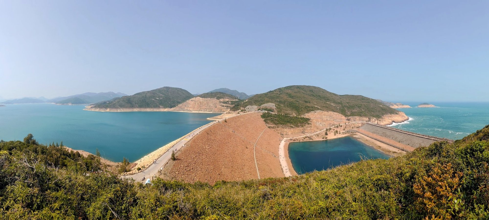
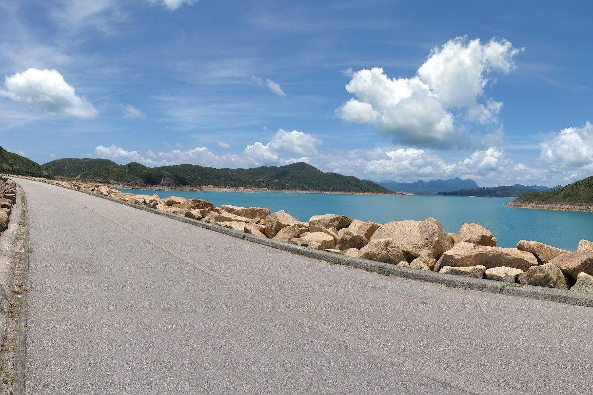
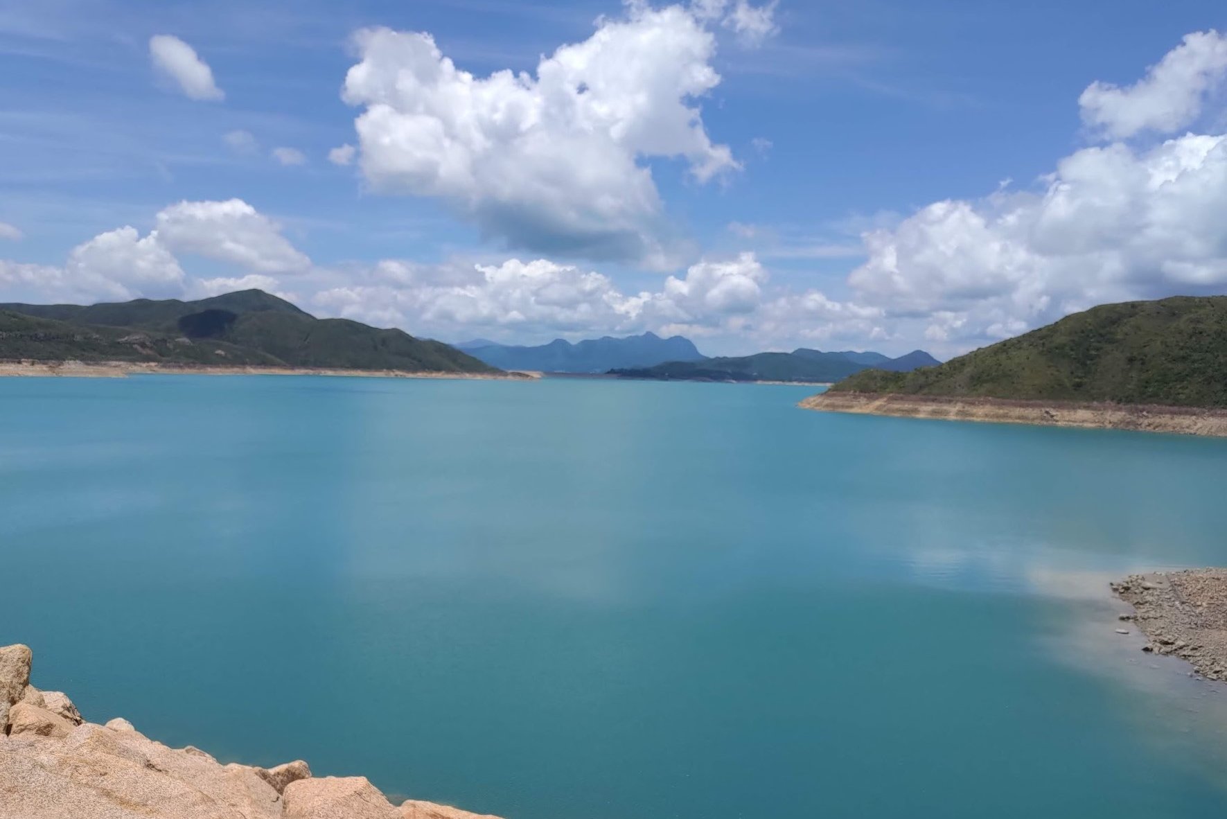
Probably the standout attraction of the entire hike is the actual water of High Island Reservoir. Expect to see shimmering shades of turquoise greens, azure blues and even deeper shades of navy - especially on a clear day!
And there's a lot of it, given that High Island is Hong Kong's largest reservoir with a total area of 6.67 square kilometers and a maximum storage capacity of up to 281 million cubic meters of water.
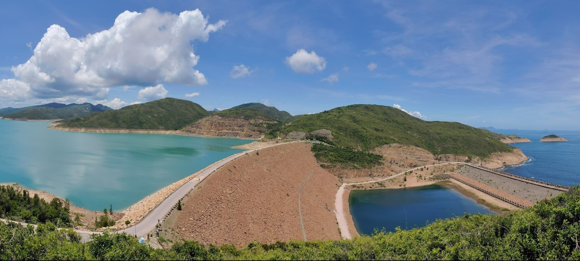
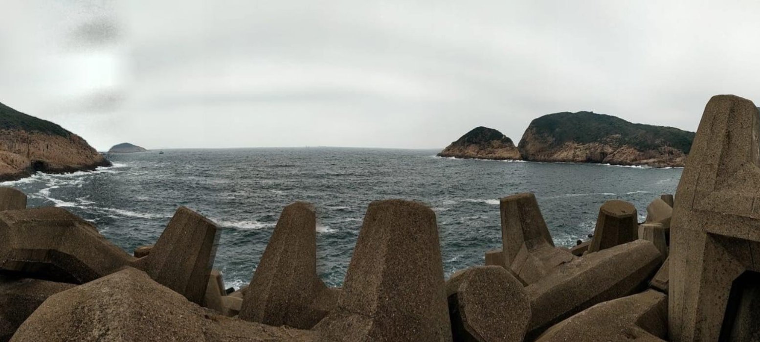
By the time you end the hike, you'll arrive at the impressive East Dam, which separates all that drinking water from the South China Sea. The fascinating thing is that in just about any weather condition, you will be able to notice a marked color difference between the ocean water and drinking water!
Google Route Map
How to get to the High Island Reservoir Hike Start Point
No MTR lines go directly to Sai Kung, so you have to take a bus or an MTR bus combo.
Option 1: Direct Buses:
The start point of the hike is a bus stop called Sheung Yiu (上窰). The below buses go there directly:
- The 96R bus from Diamond Hill MTR station (exit C2) goes directly to the start point. It operates on Sat, Sun and Public holidays only.
- The 289R bus also goes directly to the start point from Shatin Station right below New Town Plaza. It operates on Sat and public holidays from 7 am to 1:30 pm.
Option 2: Get to Sai Kung Town, Then Take a Second Bus to the Start Point
For all buses listed below, you will have to stop off in Sai Kung Town first and then connect to another bus from there.
From Kowloon to Sai Kung Town:
- 1A minibus from Choi Hung MTR (exit C1)
- 9 red minibus from Ngau Tau Kok (Yee On Street)
- Mong Kok Express red minibus (from Dundas Street)
From the New Territories to Sai Kung Town:
- 299X bus from Shatin (below New Town Plaza)
- 101M minibus from Hang Hau MTR (exit B)
From Hong Kong Island to Sai Kung Town:
- The best way to get to Sai Kung from HK Island in the morning is to take the MTR to Hang Hau and get the 101M.
- Causeway Bay Express red minibus: Monday-Friday: 6pm to 11:35pm, weekends and public holidays: 5pm to 11:45pm
Getting to the Hike Start Point from Sai Kung Town:
After arriving at Sai Kung Town, head to the bus terminus to grab any of the below buses to the start point, Sheung Yiu (上窰).
High Island Reservoir Hike Quick Route Summary
- From the Sheung Yiu bus stop, follow Tai Mong Tsai Road (the same road merges into Sai Kung Man Yee Road later)
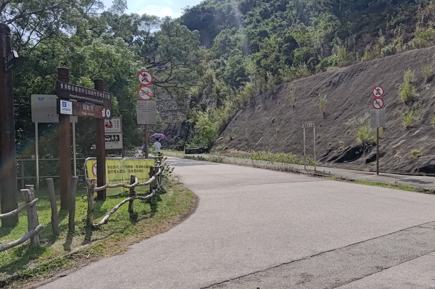
- At the MacLehose Stage 1 Pavilion, head right, following Sai Kung Man Yee road with the 'Hong Kong UNESCO Global Geopark' sign beside it (avoid the black and white barricaded road)
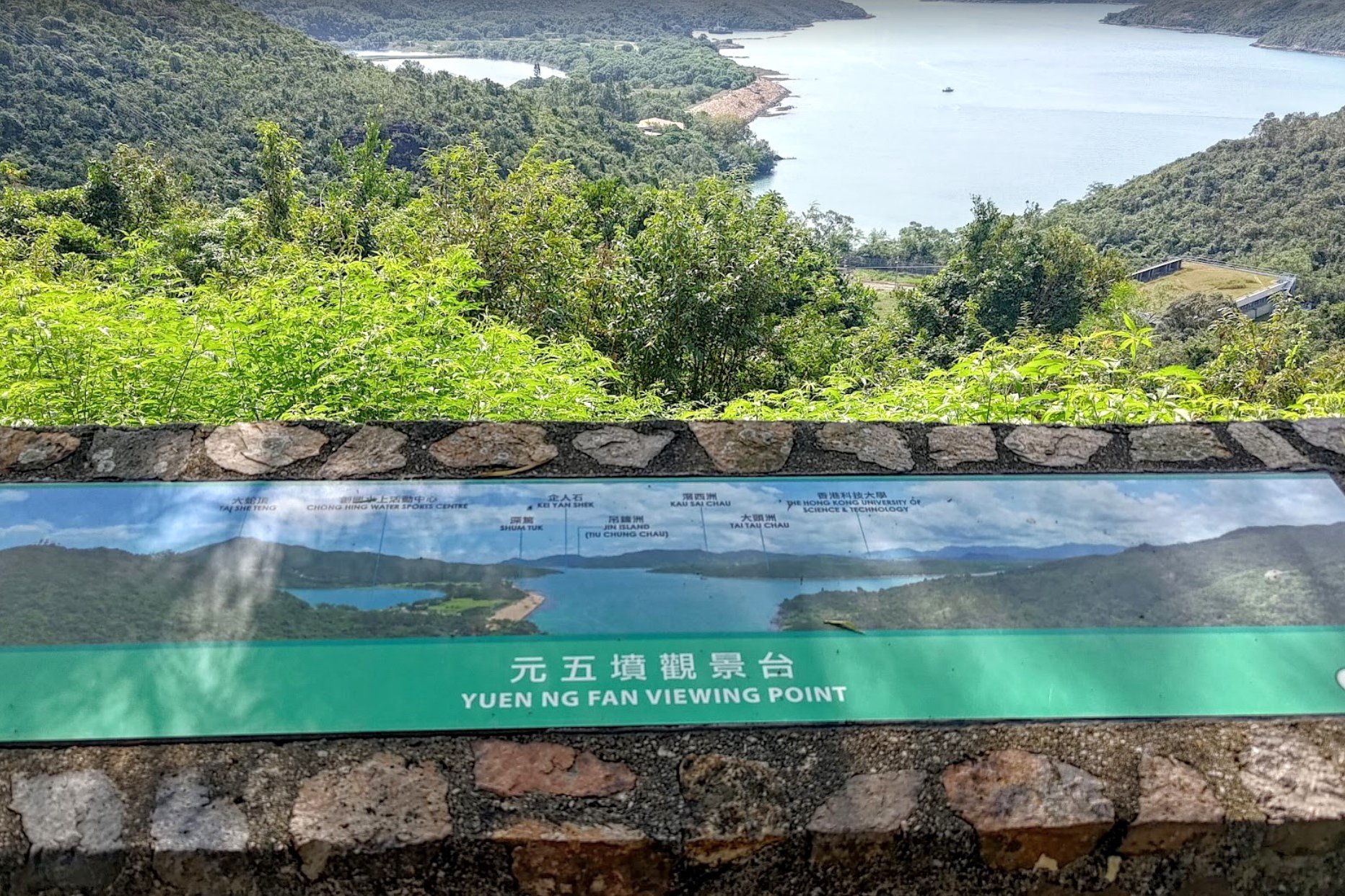
- After about 20-25 minutes, you will have uninterrupted views of the reservoir and arrive at the Yuen Ng Fan Viewing Point
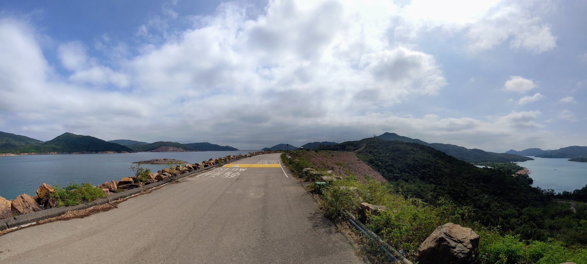
- 15 minutes later, you will begin walking across High Island Reservoir West Dam
- At the pavilion after High Island Reservoir West Dam, go left
- Arrive at High Island Reservoir East Dam just over an hour later
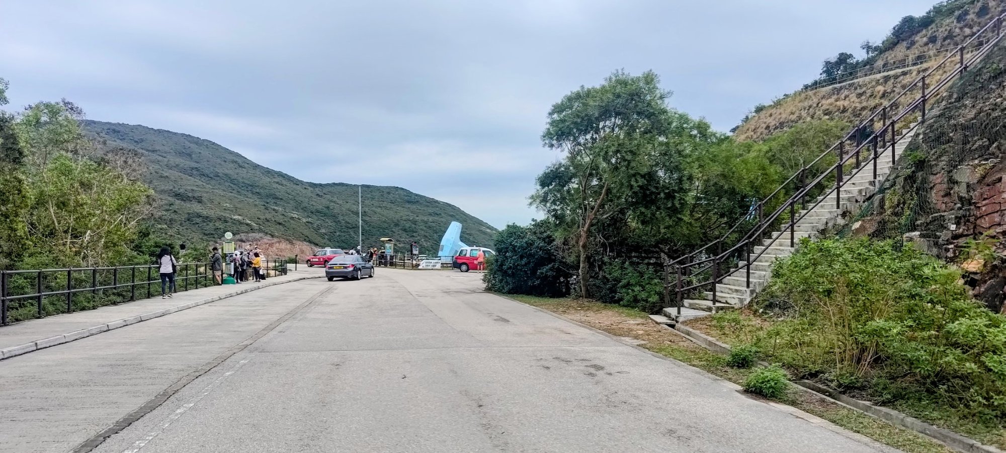
- When you arrive at the dam, don't miss the stairs on your right to the Fa Shan Viewing Point (the stairs are opposite the minibus stop)
- Explore High Island East Dam as you please
- Take the minibus back to Pak Tam Chung and connect to other buses, or hike back the same way
Sheung Yiu to High Island Reservoir
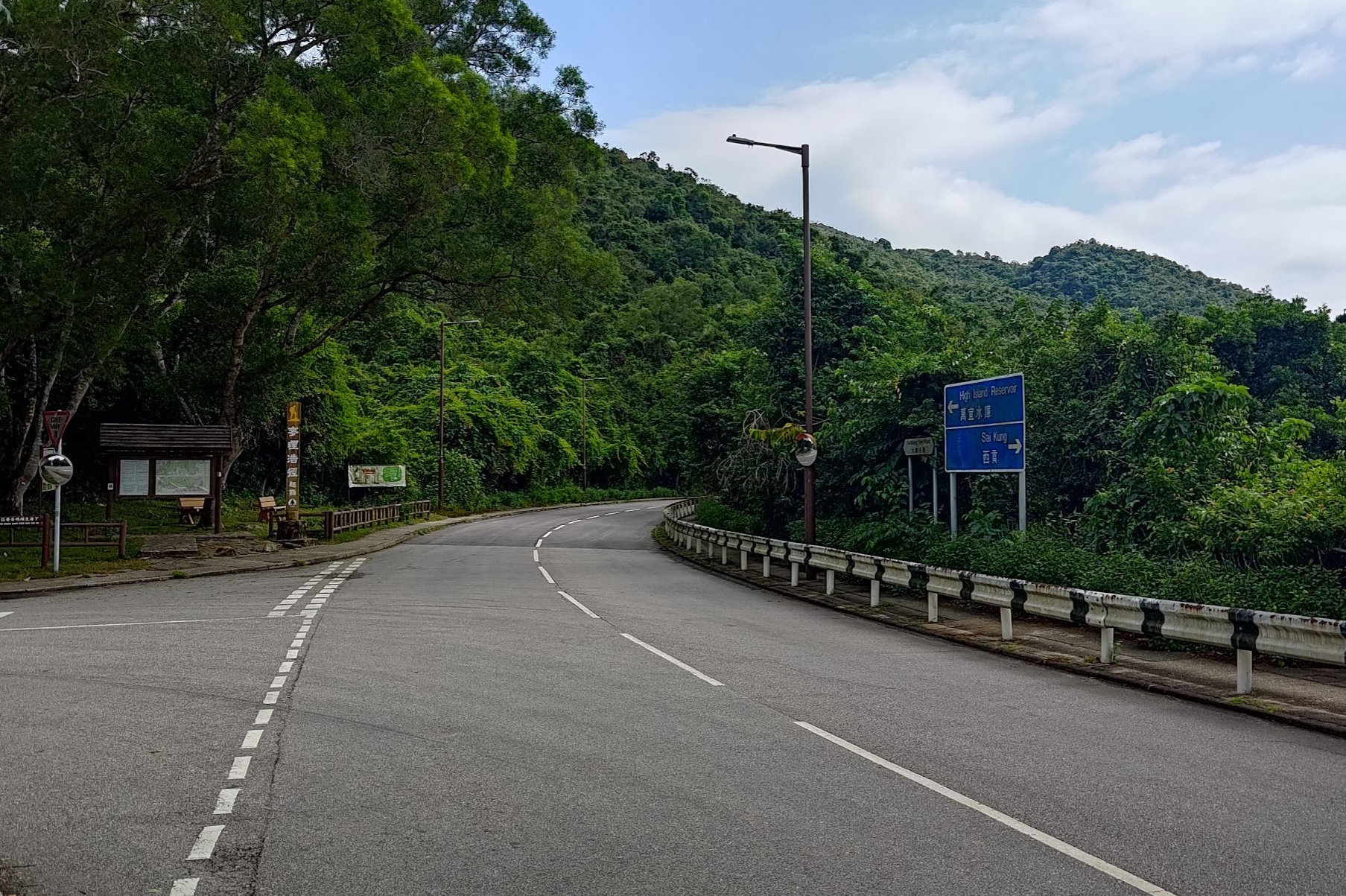
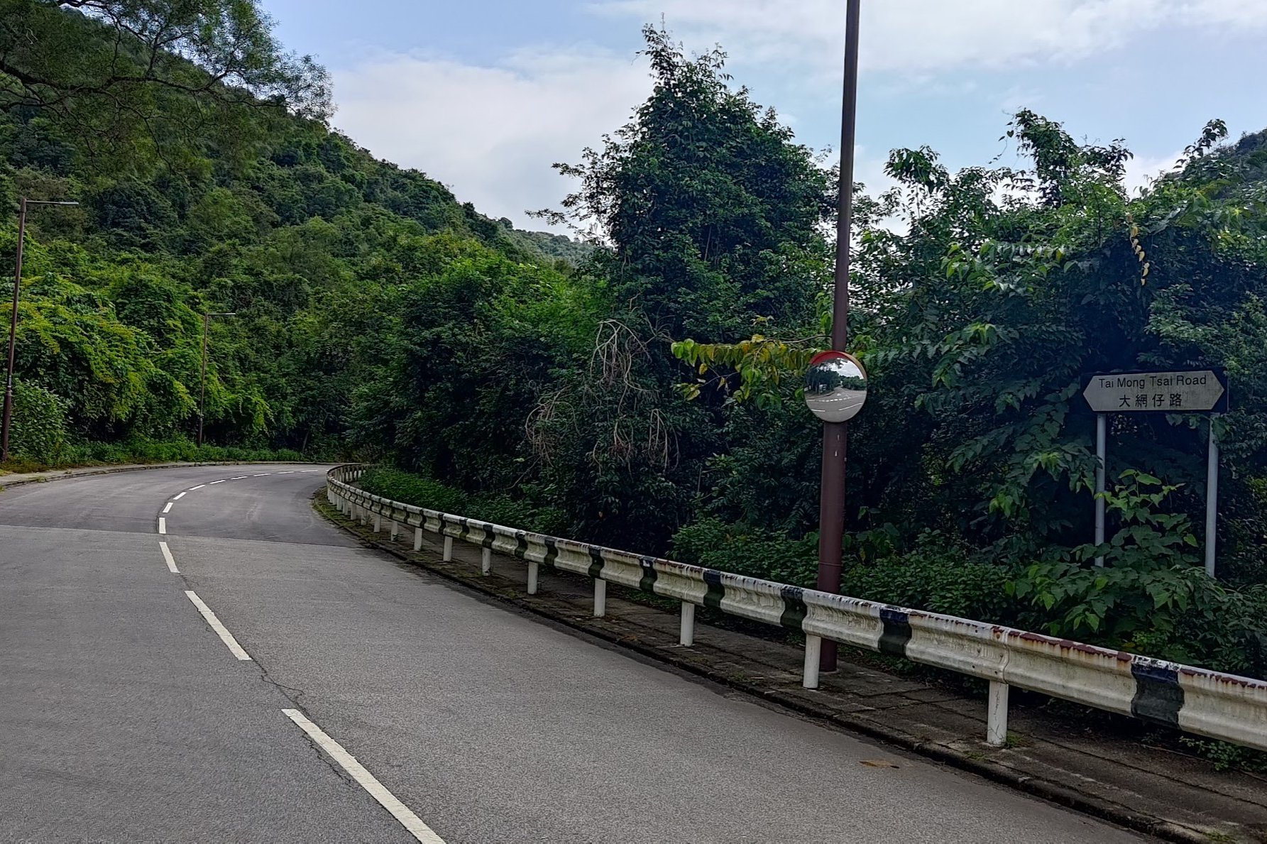
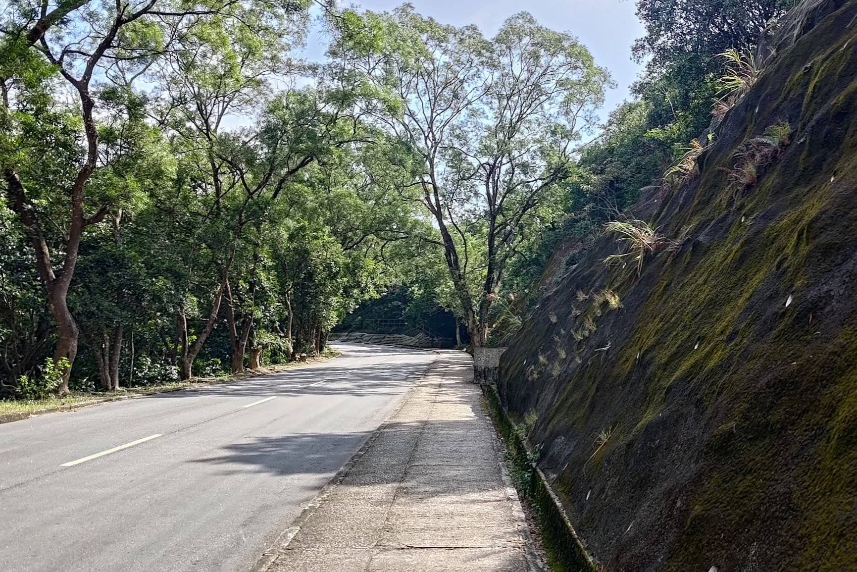
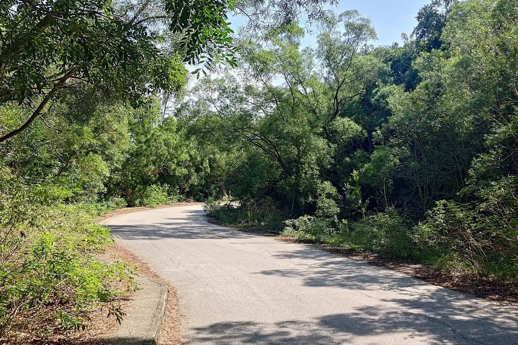
After disembarking at Sheung Yiu, walk straight along the road. A minute later, where the road splits, look for the Tai Mong Tsai Road sign and follow it forward.
You'll be heading straight for about 10-15 minutes as the road slopes gently upward until you arrive at the Stage 1 Pavilion.
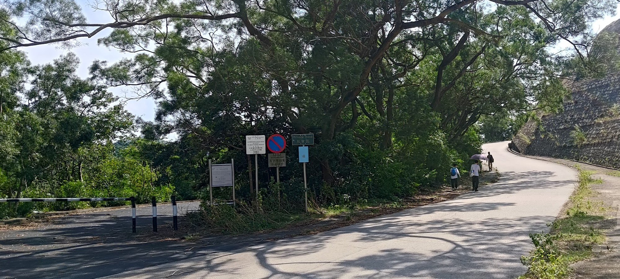
Go right at the pavilion and follow Sai Kung Man Yee road. Avoid taking the path with the black and white barricade blocking it. If you go left at the pavilion, you'll be walking to the Tai Long Wan Hike.
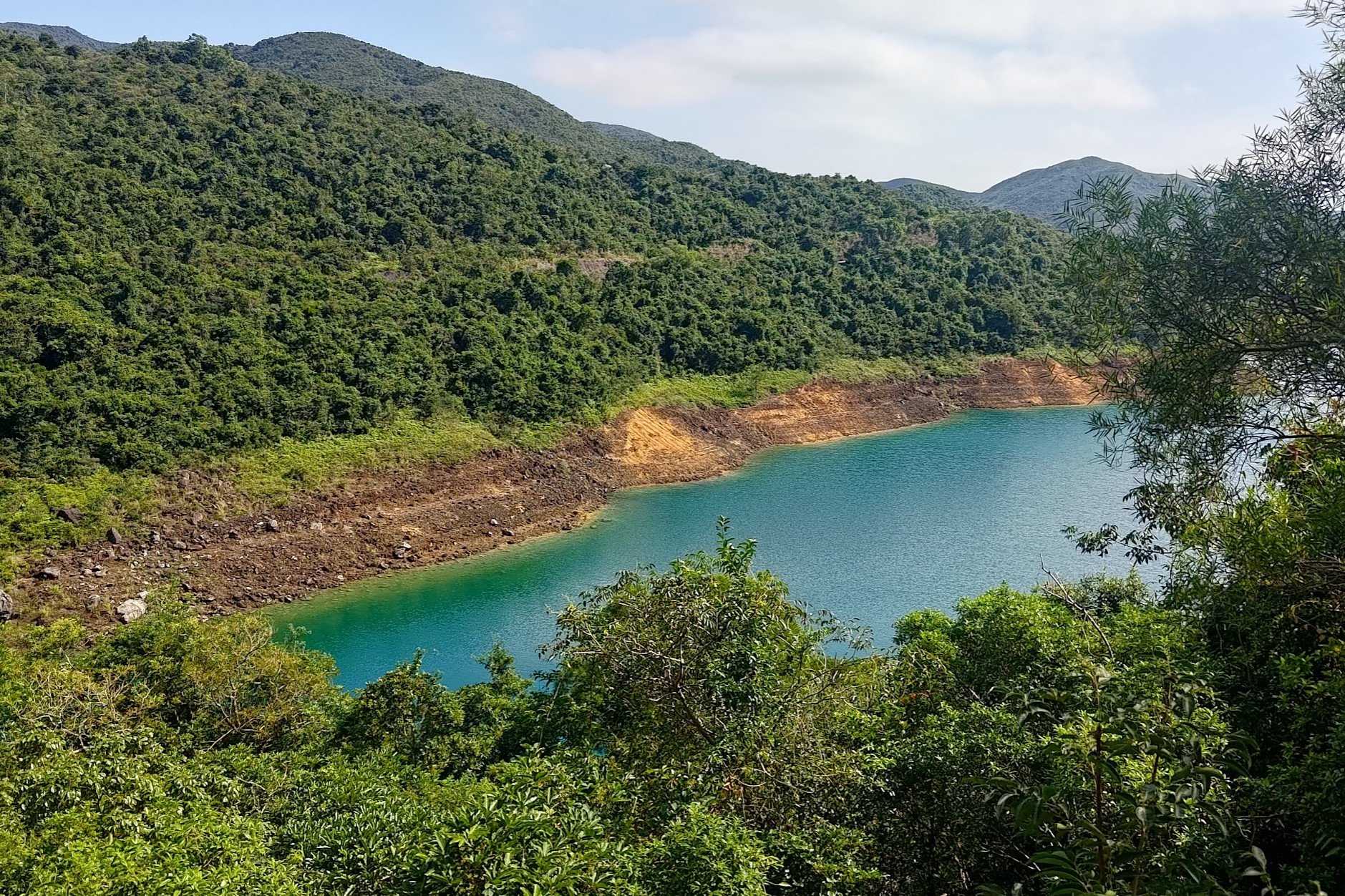
A few minutes later, you'll start getting your first glimpses of the reservoir's waters.

Getting to Yuen Ng Fan Viewing Point
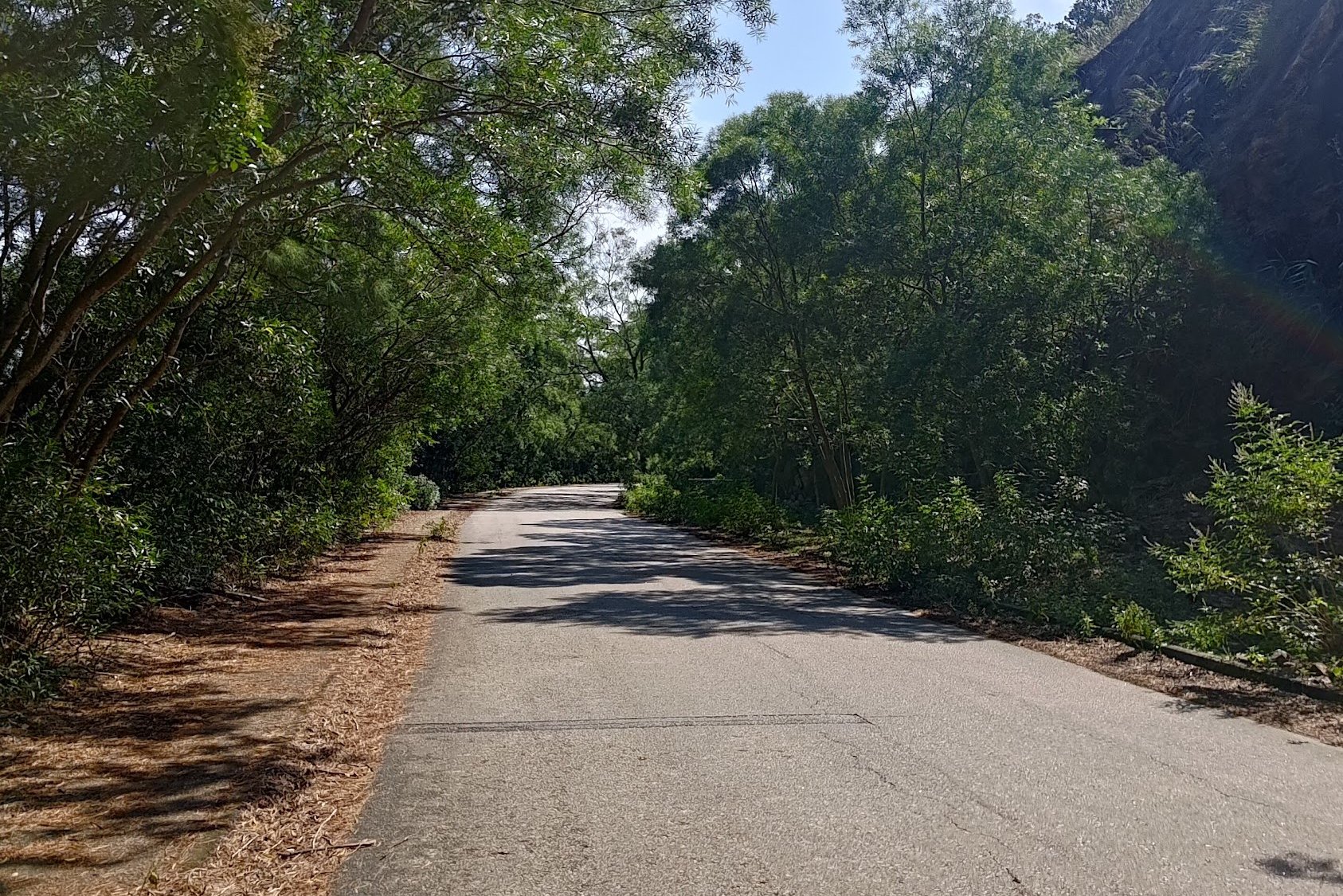
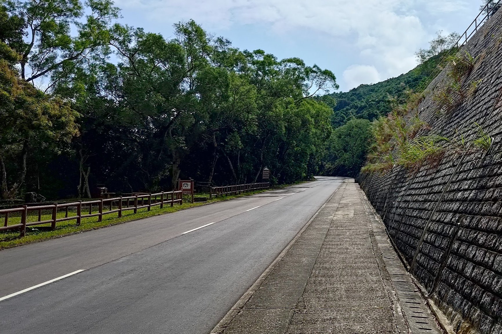
This portion of the hike takes about 20 minutes and apart from a few initially nice vistas, you'll be walking along a concrete road with zero additional viewpoints.
What you will see a lot of, though, is taxis. Every five minutes or so, I had to get out of some speeding maniac. It was pretty annoying with no epic scenery to distract me.
Fortunately, the next bit of the hike made it all worth it!
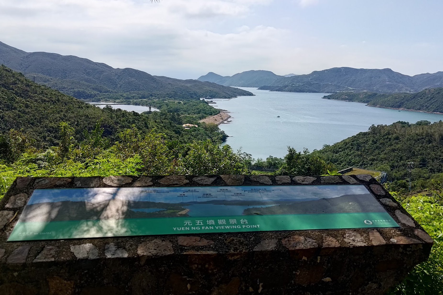
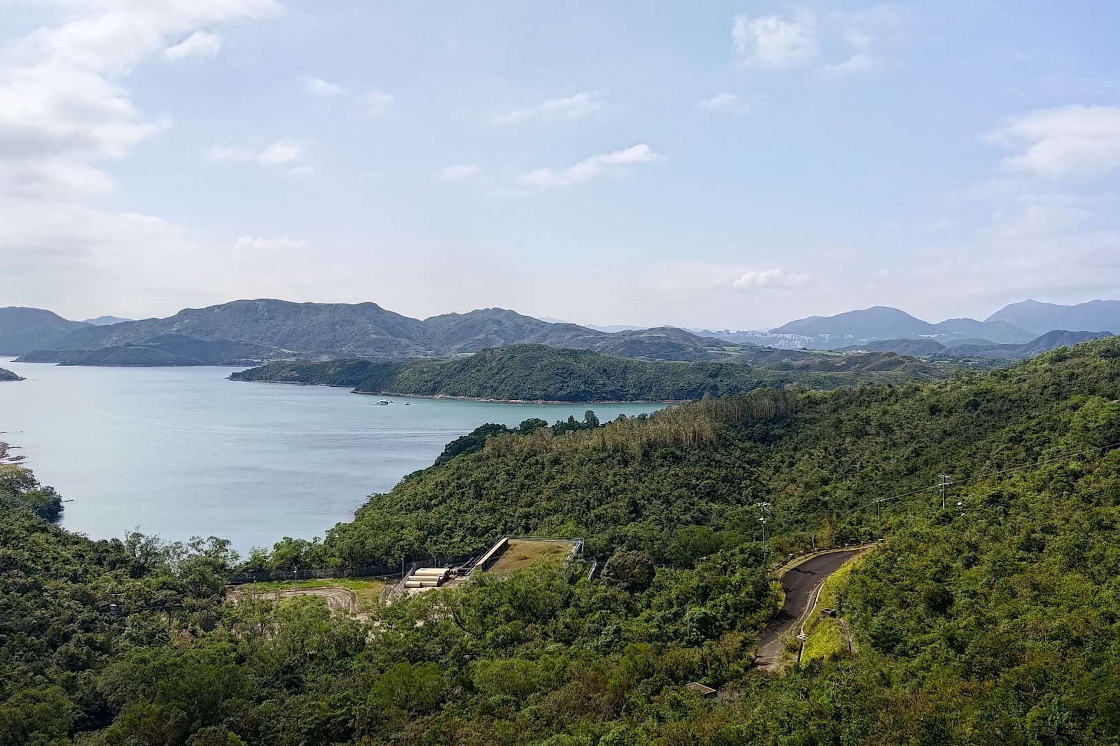
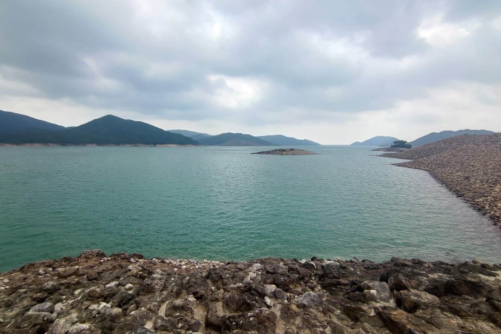
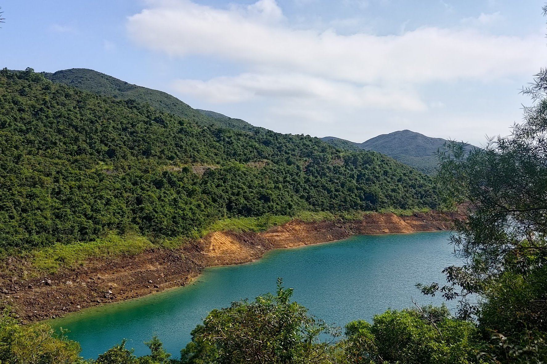
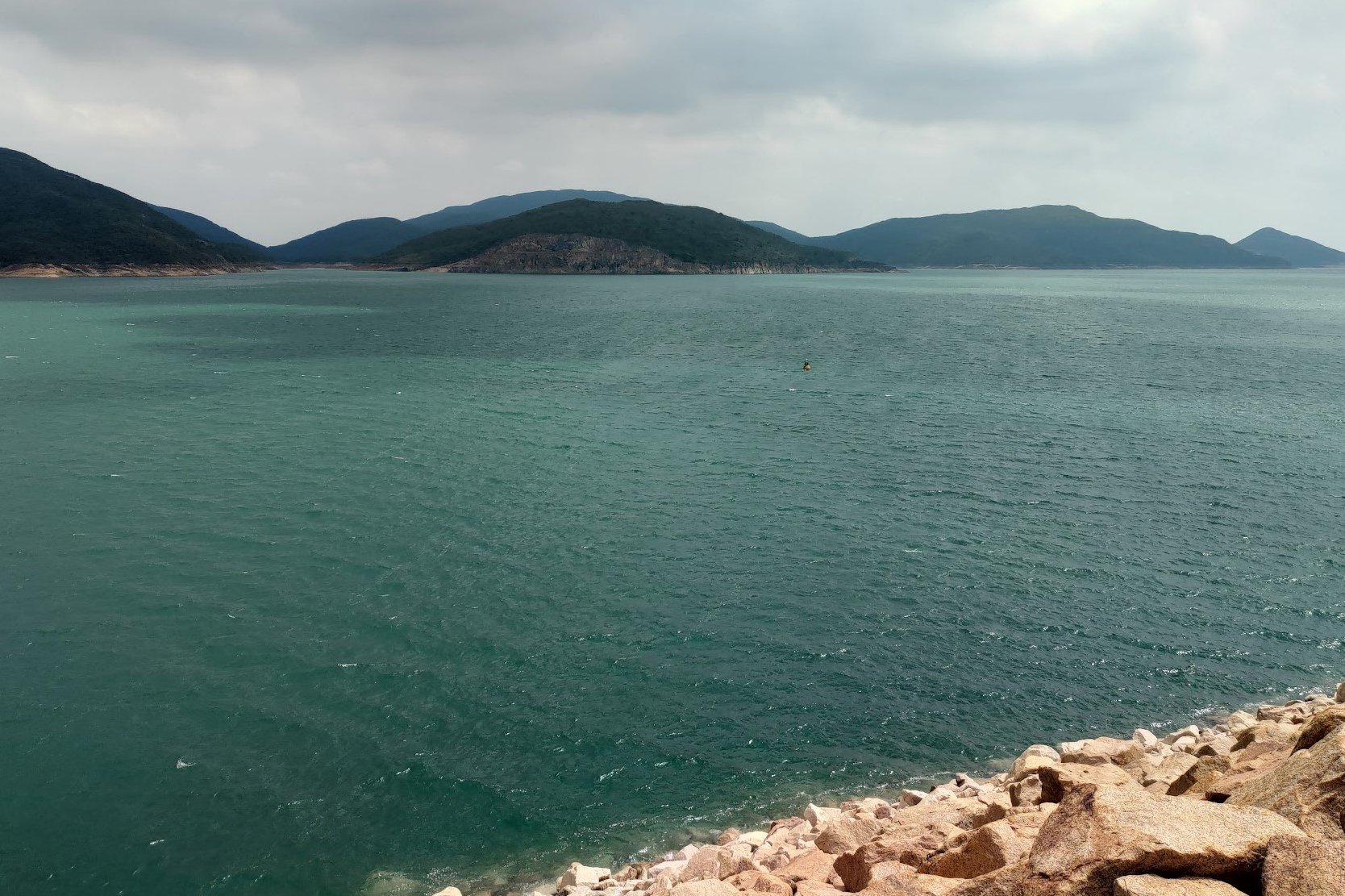
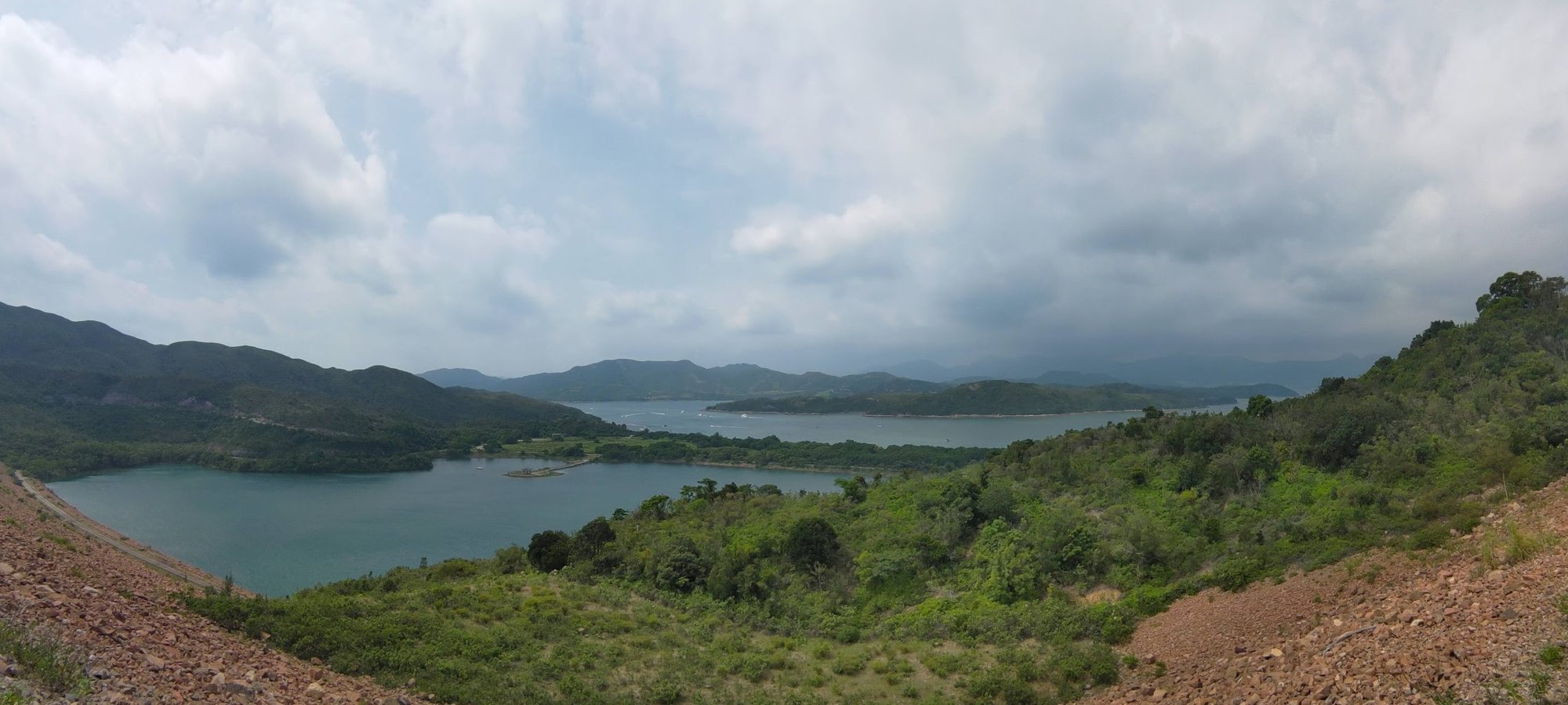
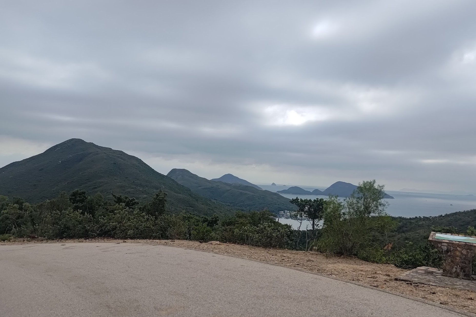
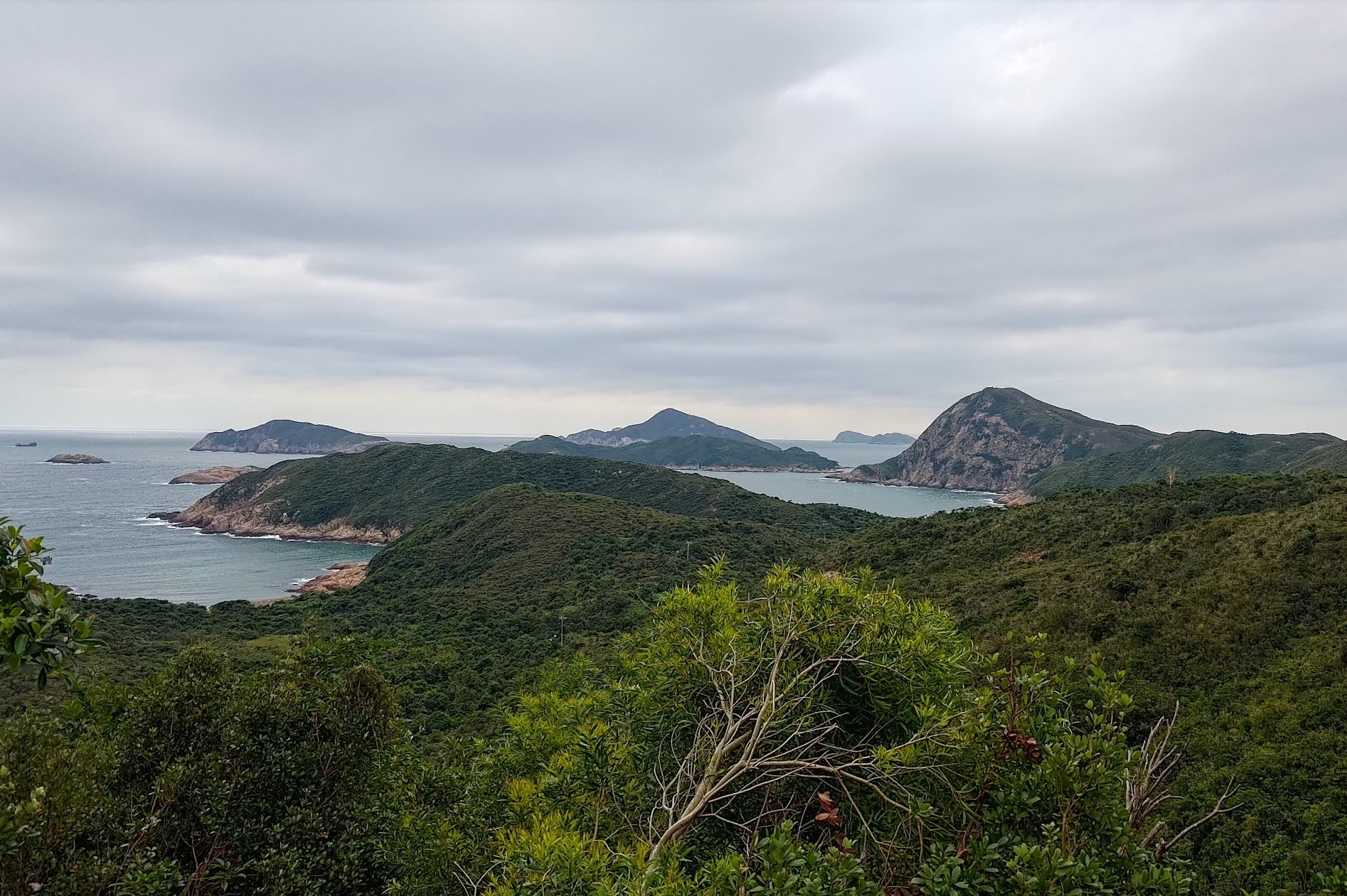
Once the reservoir comes into sight, you'll have epic views on both sides. On the right, you'll be able to look out over Nam Fung Bay and Tai Tau Chau Island. While those views are pretty sweet, the main event is definitely to your left.
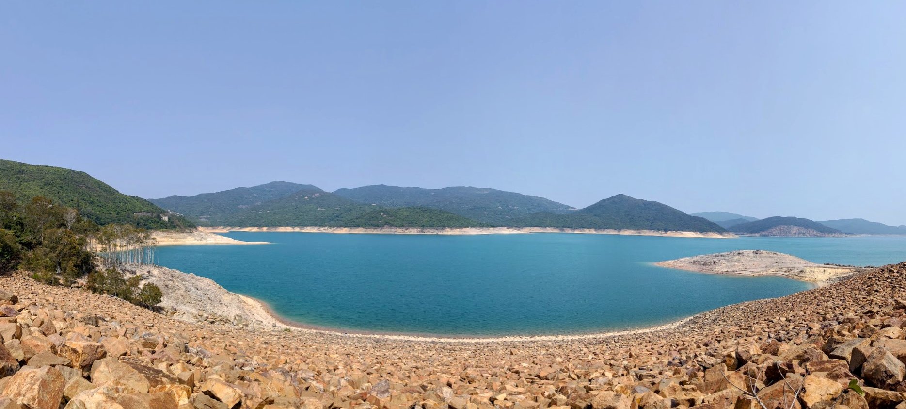
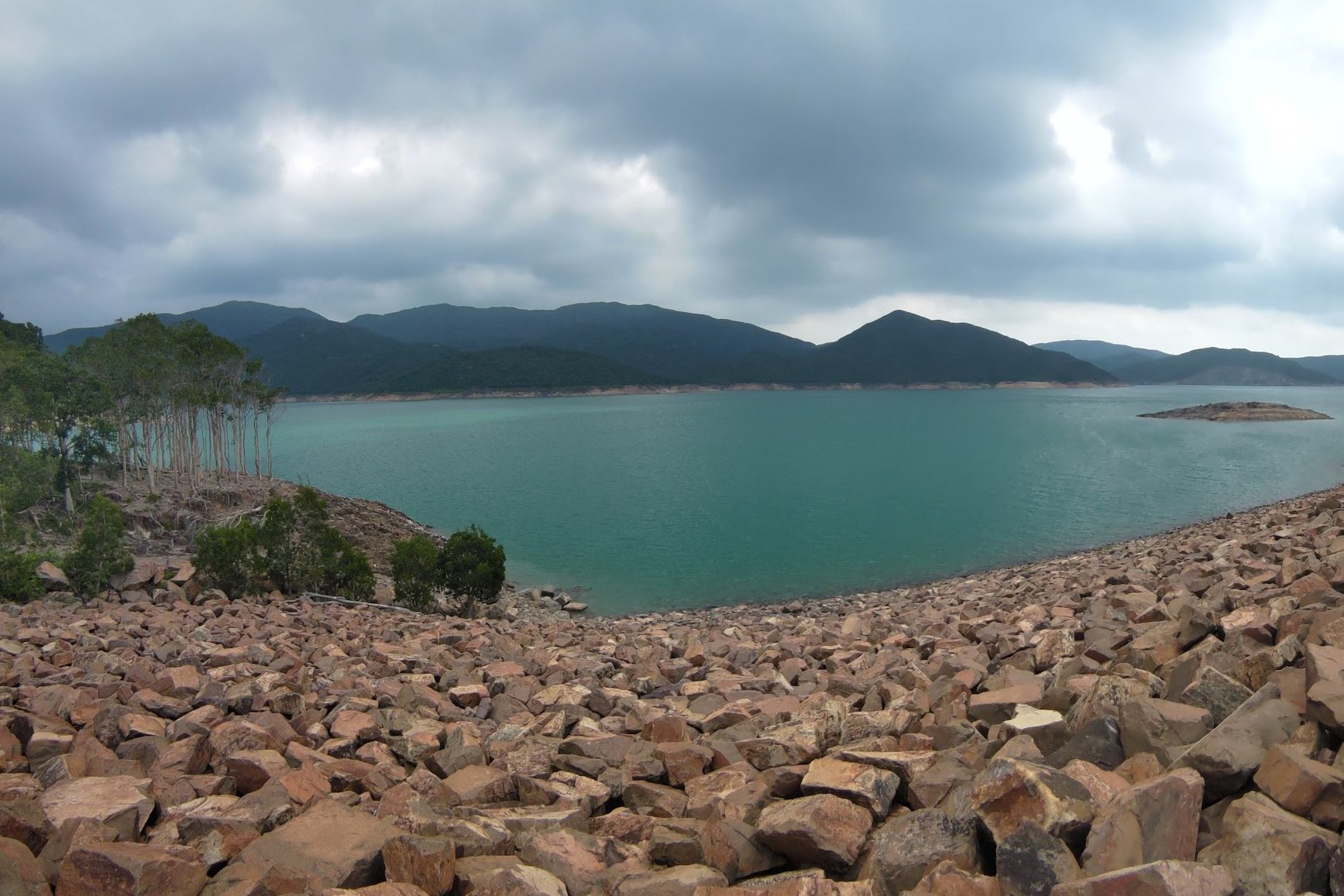
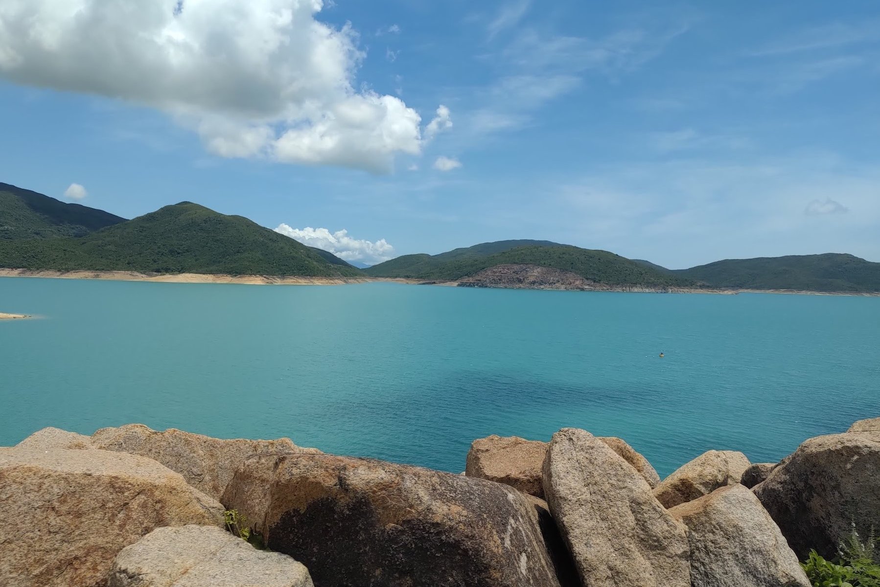
Depending on the weather, the water can range anywhere from aquamarine blue to a deeper, emerald green. Either way, it's pretty darn spectacular.
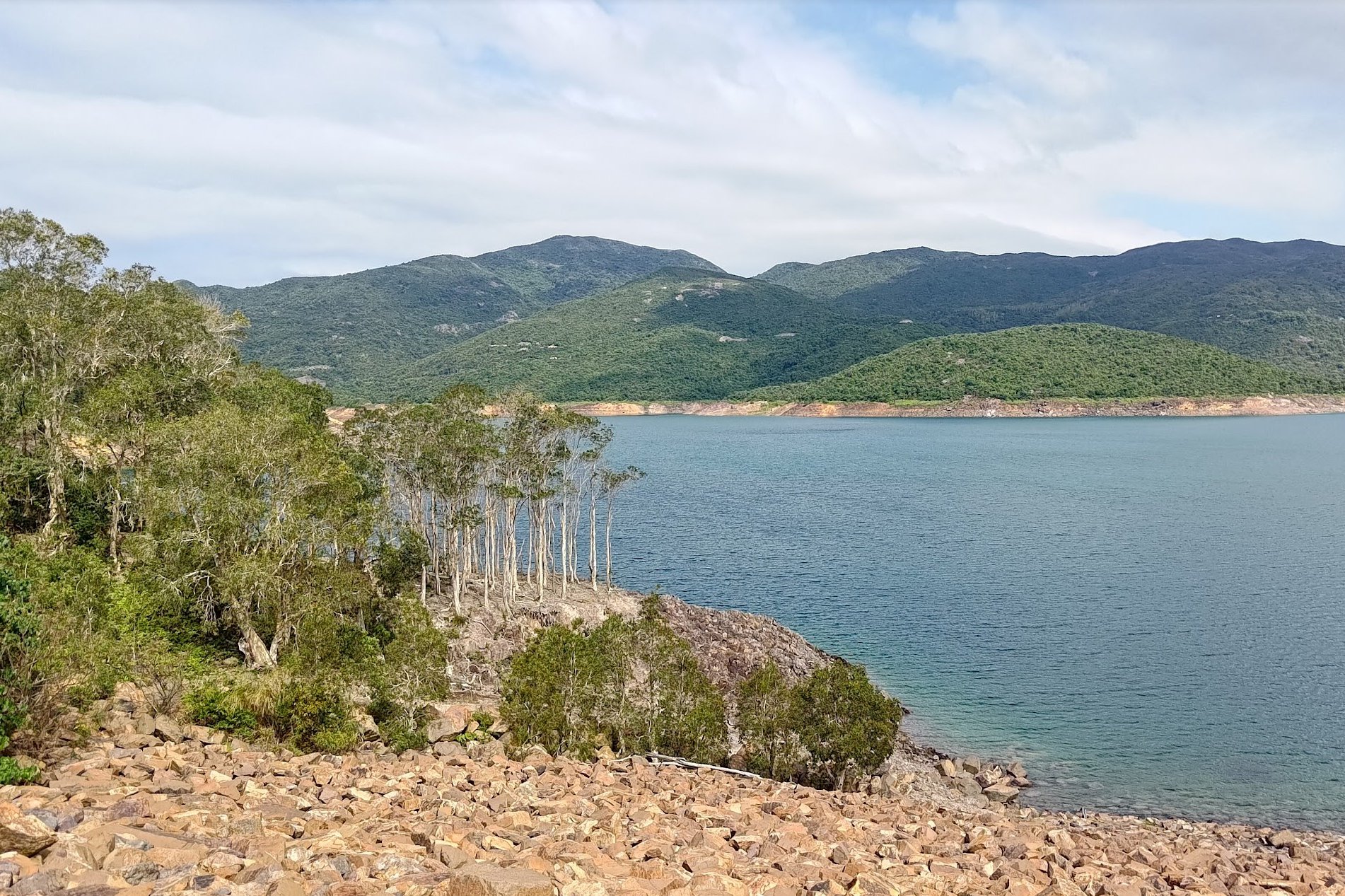
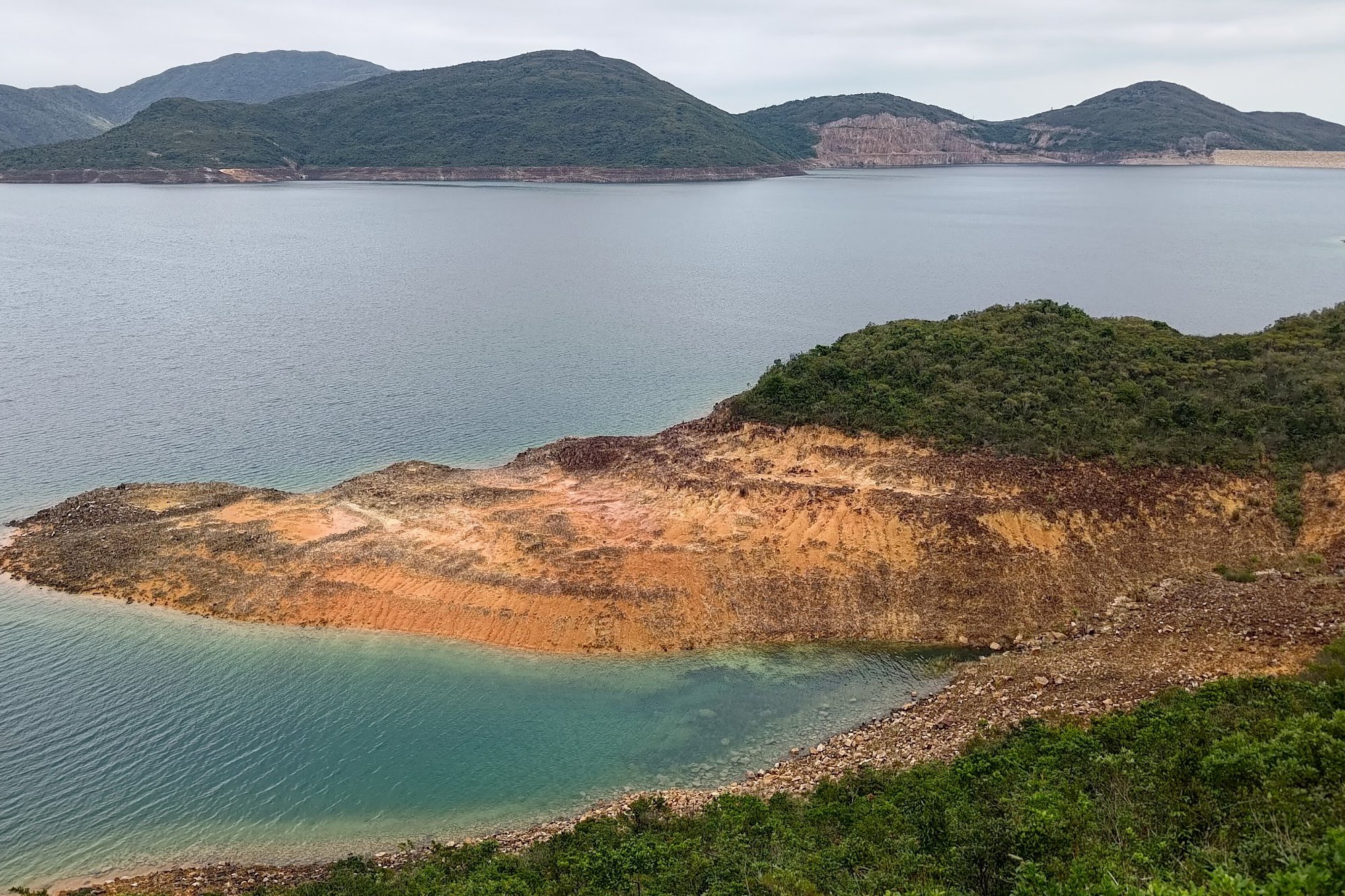
You'll also see a small copse of trees down by the water. If you tread carefully down the rocky embankment, you can actually reach those trees for a unique, much closer view of the reservoir. Be careful, though and do not pollute the water!
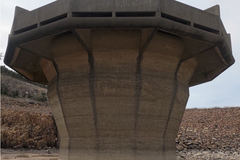
Optional Detour to the Overflow Structure
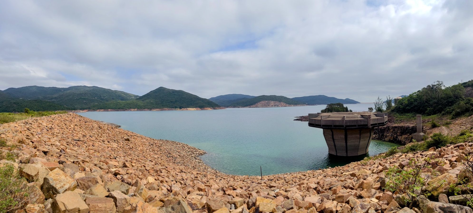
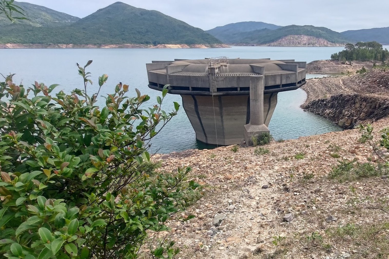
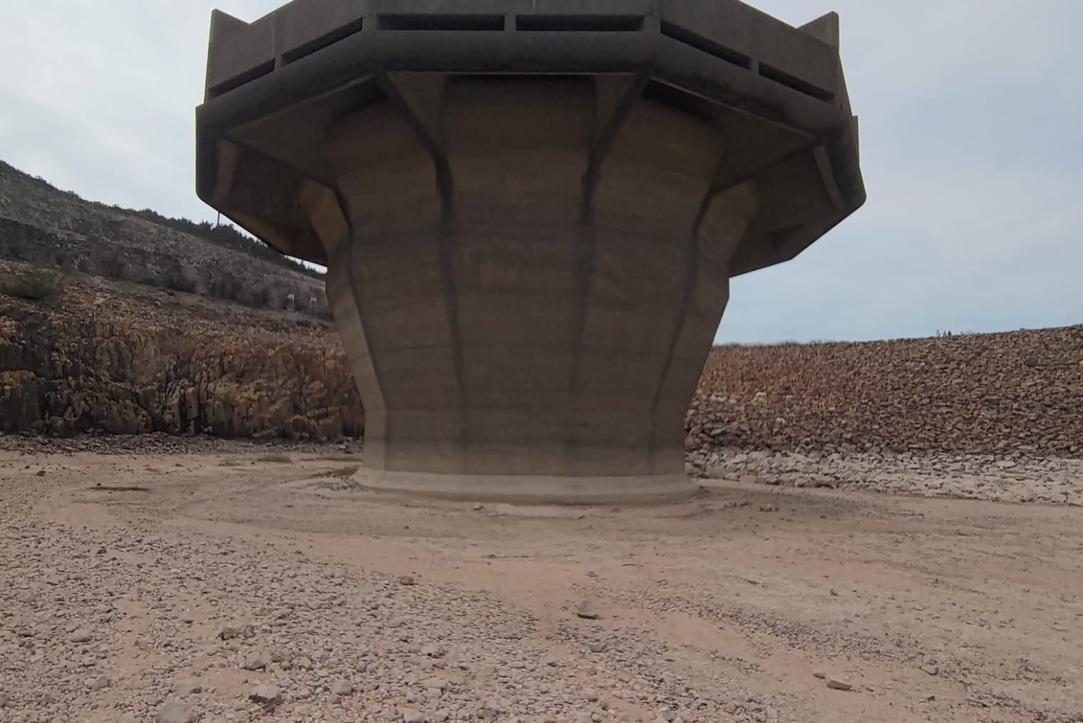
A short way ahead of where the Yuen Ng Fan viewpoint and trees are, you'll see the overflow structure.
When the water levels of the reservoir are really low, you can actually walk to the base of this foreboding obelisk.
In 2022, I was fortunate enough to actually have this chance and headed down to check it out. There's an obvious path heading to the base of the structure, but again, be careful when descending and don't attempt this if the water levels are high.
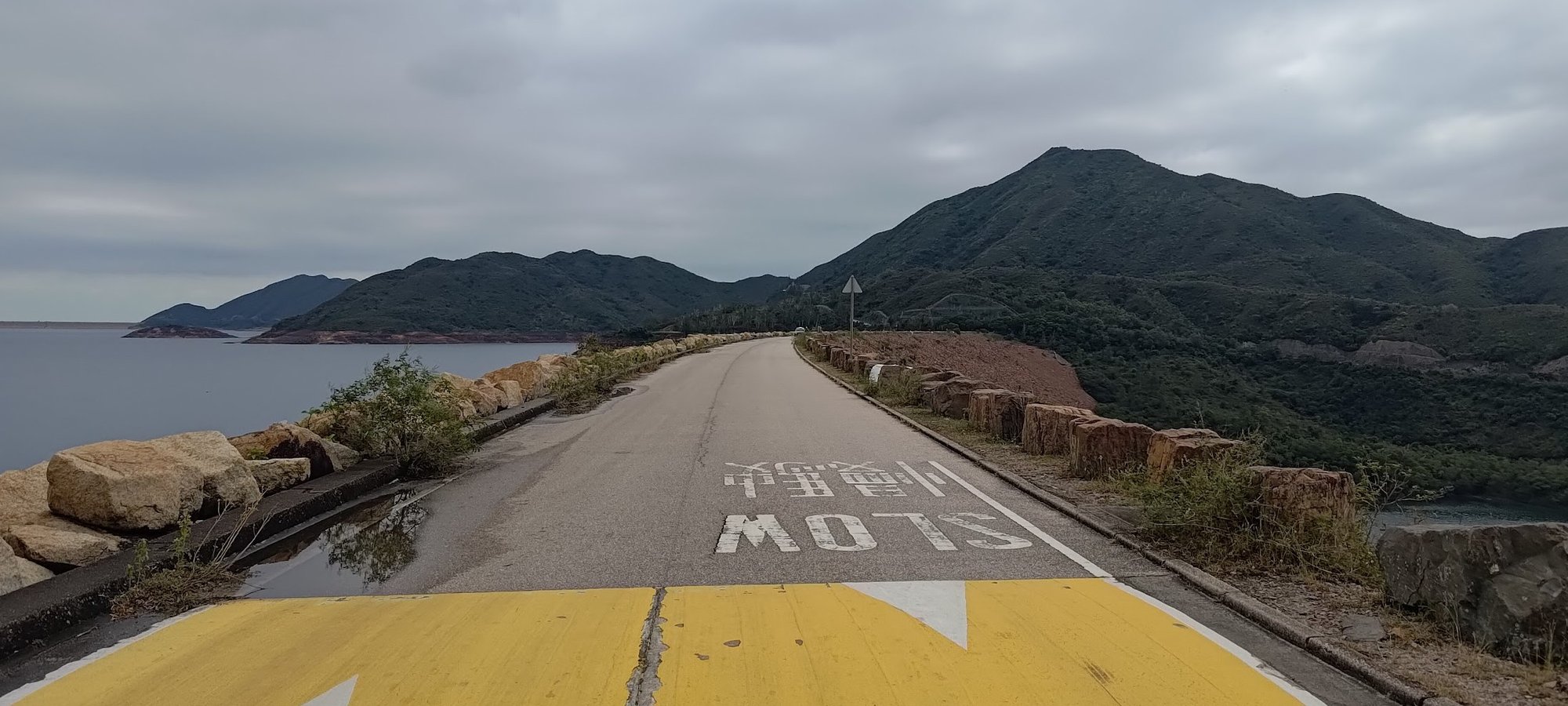
High Island West Dam
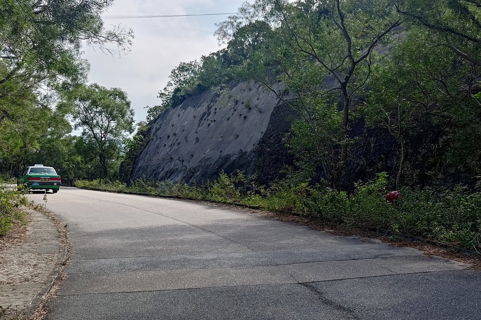
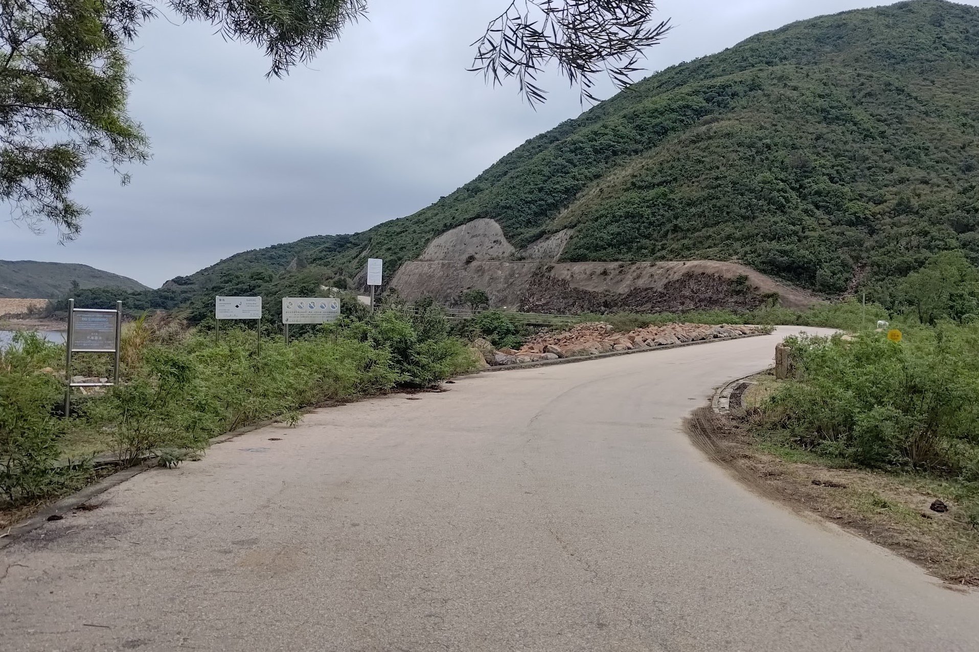
From the overflow structure, it takes under 10 minutes to reach High Island Reservoir West Dam. On the way, you'll pass by another structure, though this one is totally off-limits.
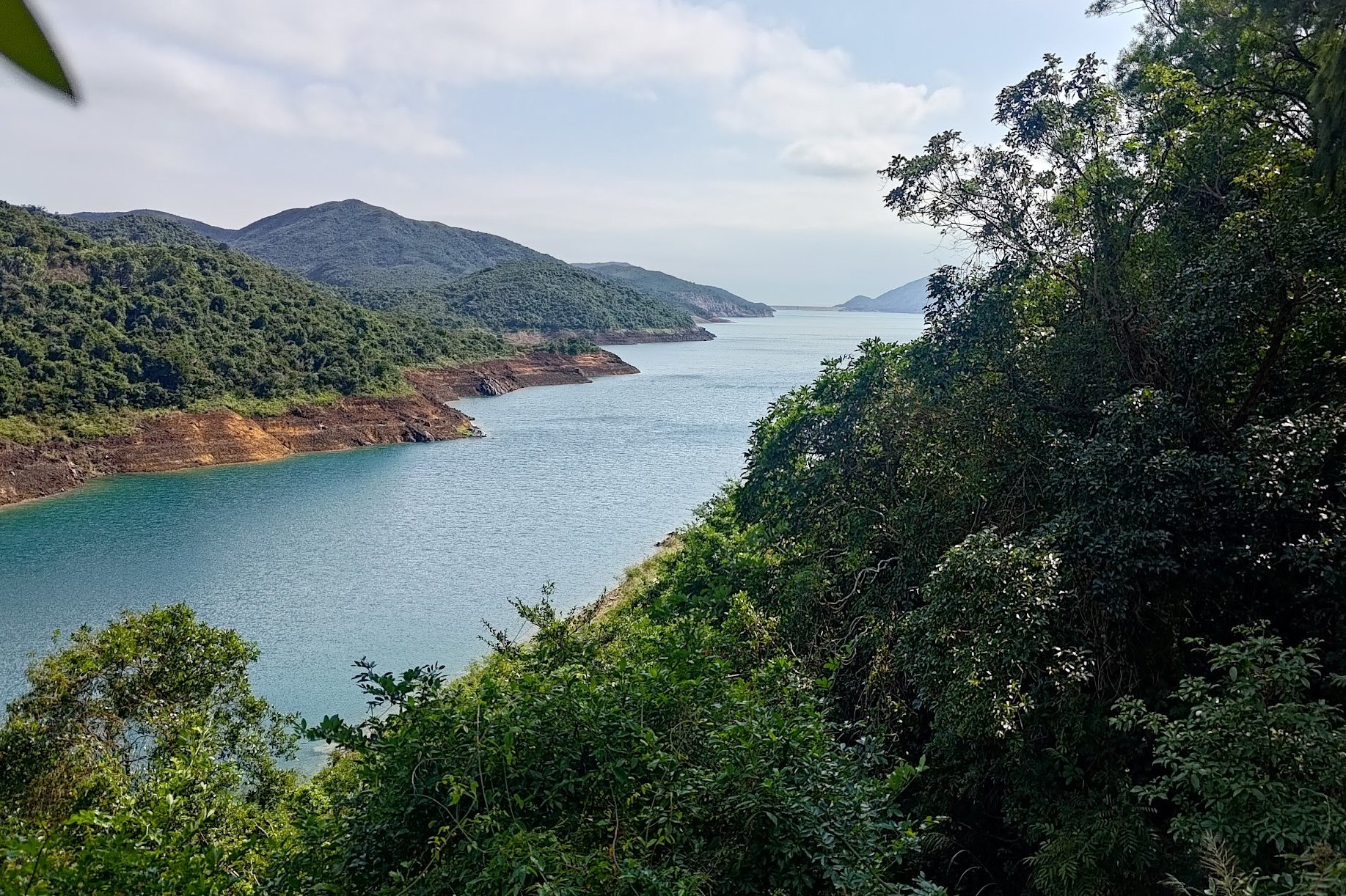
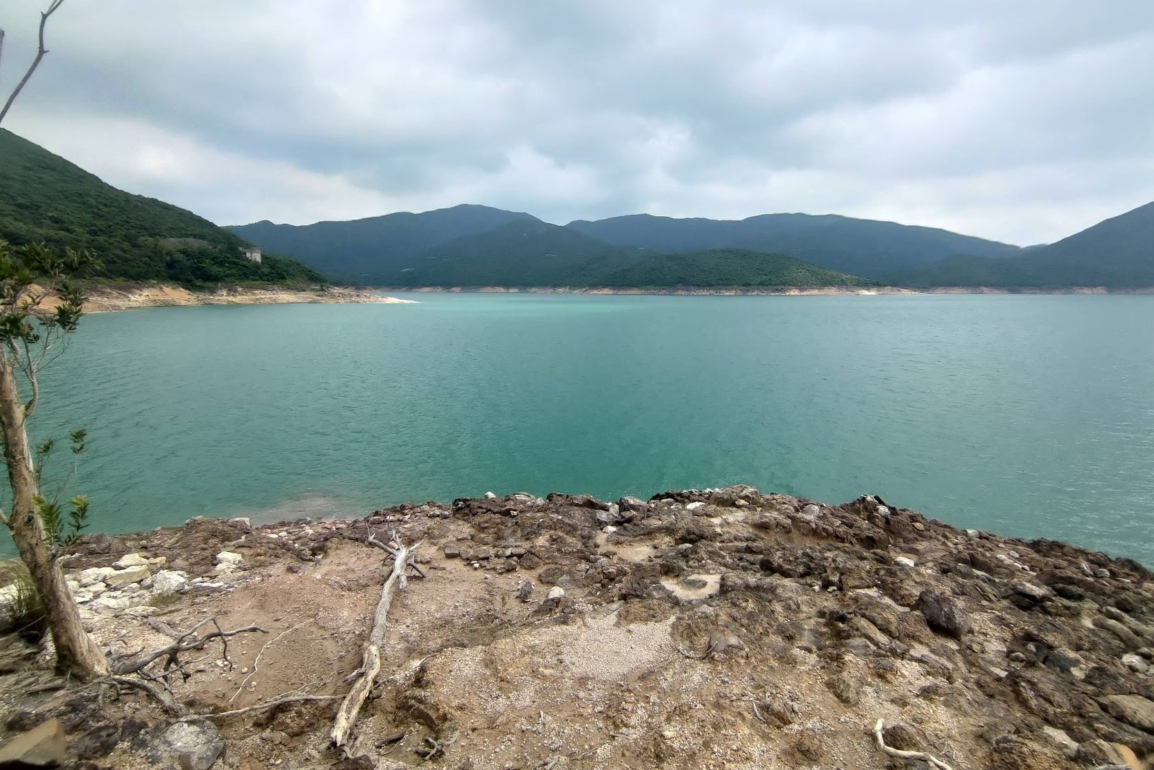
The West Dam has even more incredible views of the reservoir on your left and Nam Fung Bay on the opposite side. You will also be able to see the Yuet Ming Pavilion to the right of the reservoir along with Choi Hing Water Sports Centre.
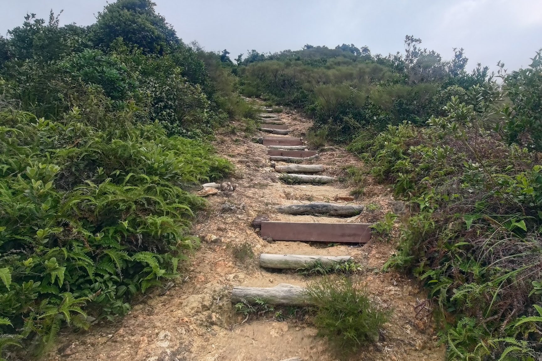
The Uphill Section
From the end of High Island Reservoir West Dam, take the left path when you arrive at the pavilion.
From this point, you'll begin climbing, but it's not too steep. You'll also get some great reservoir views from higher up.
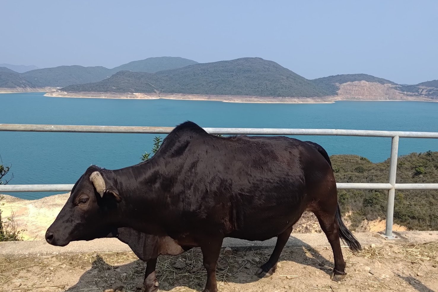
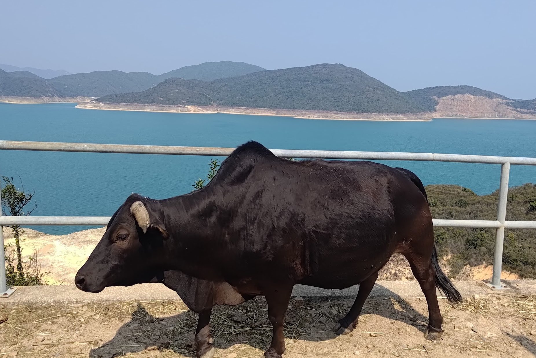
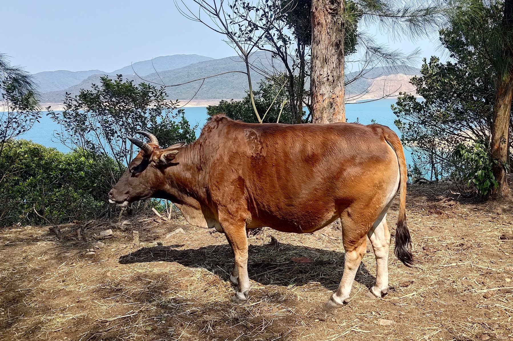
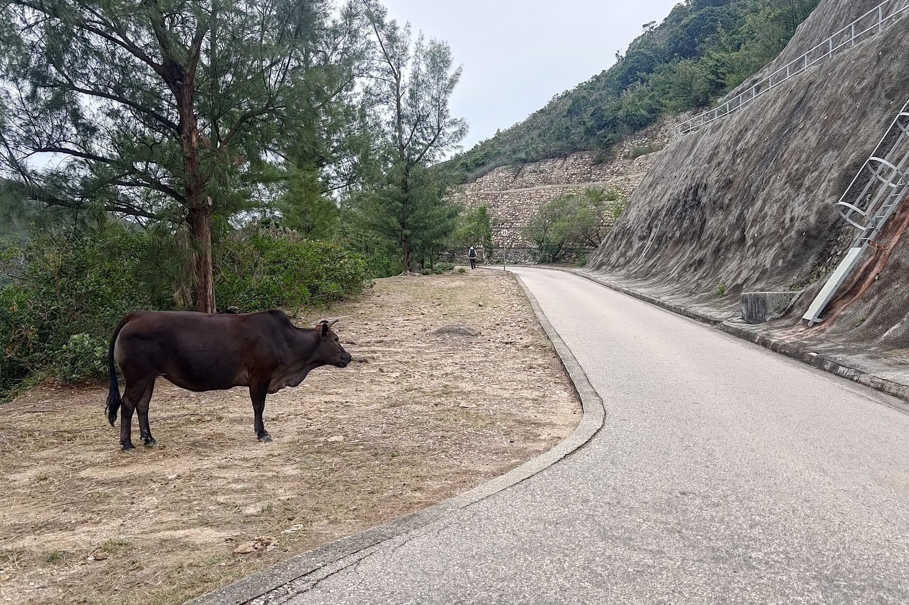
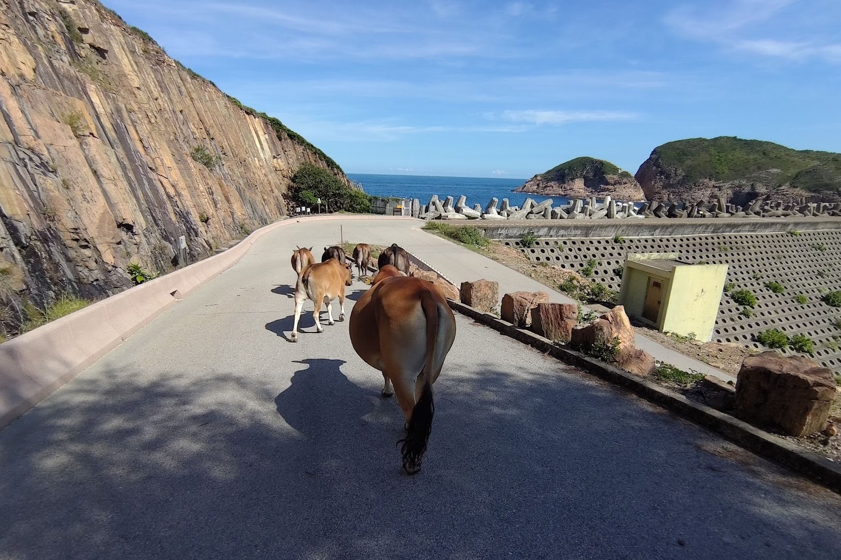
This is also where you'll likely pass by herds of cows.
When the views start opening up again and you begin descending, you know you're reaching the home stretch!
This section takes about 25 minutes
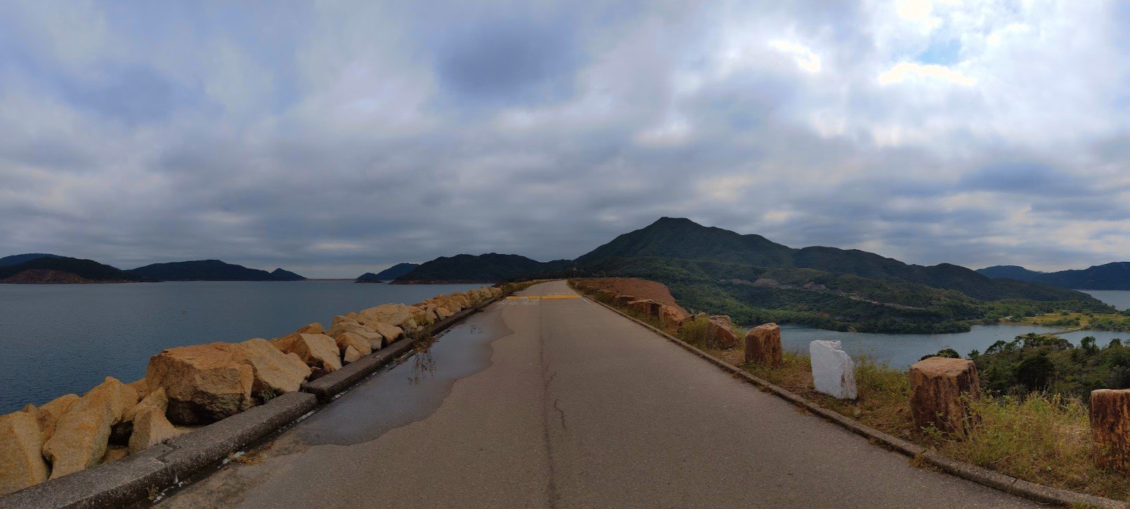
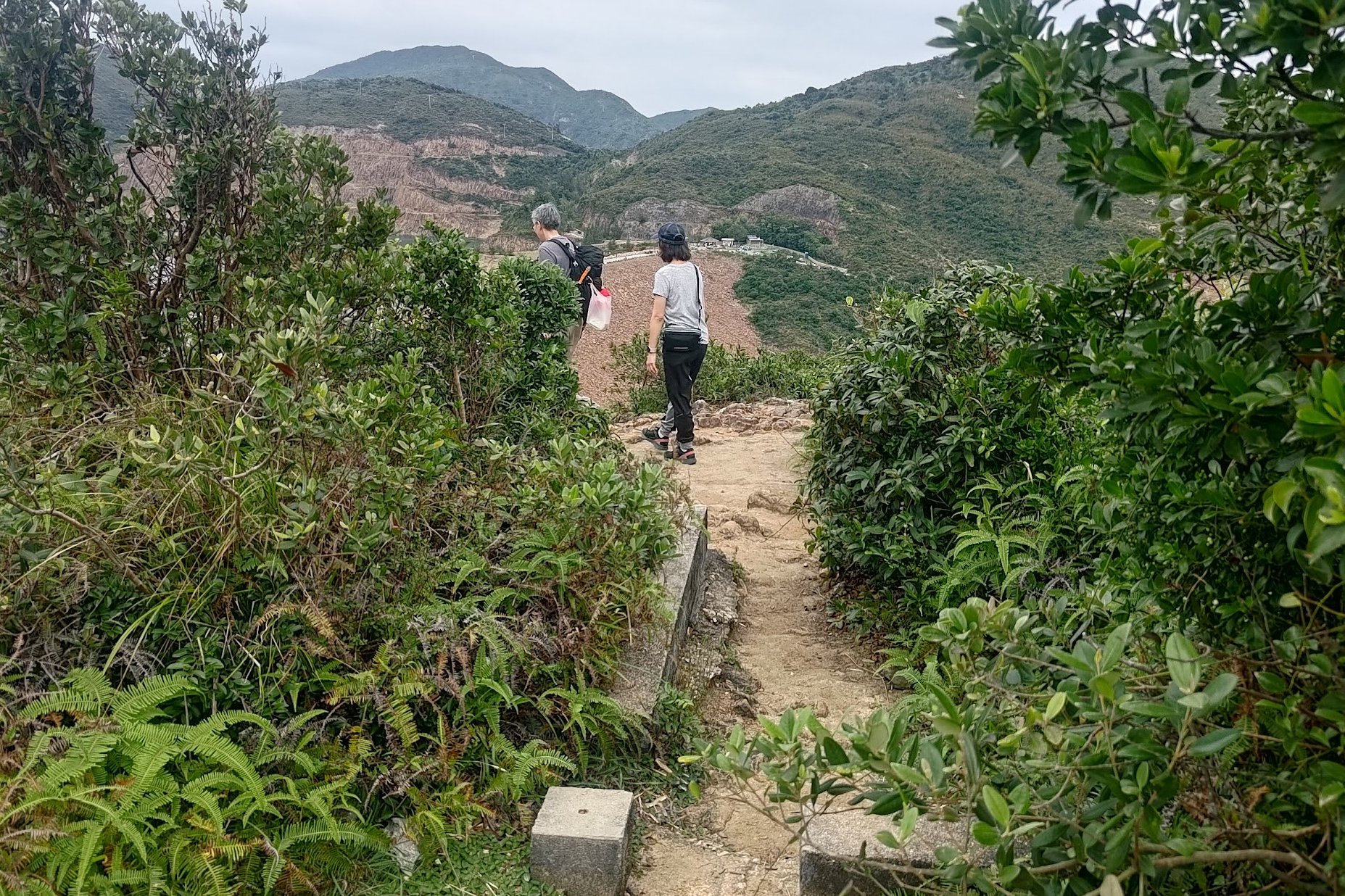
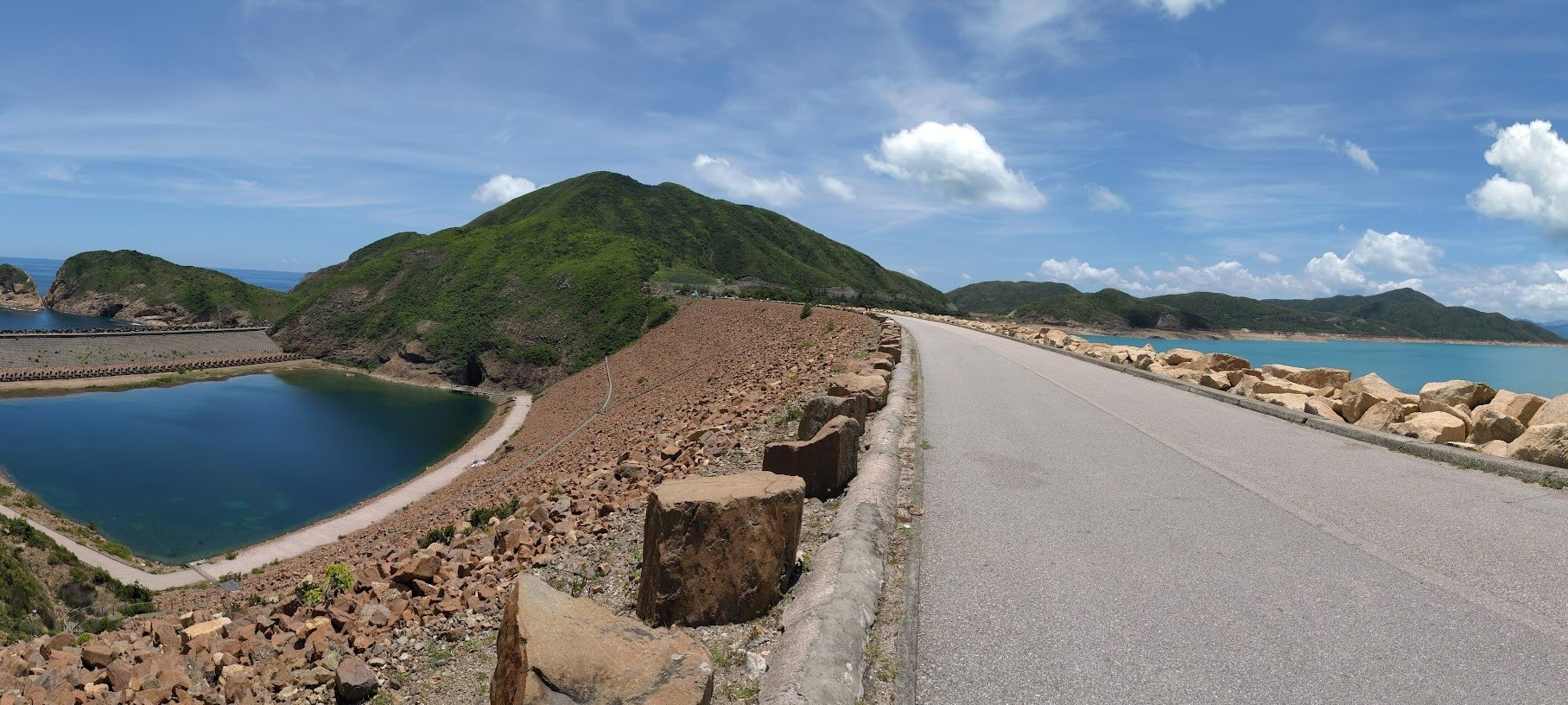
Descending to High Island Reservoir East Dam
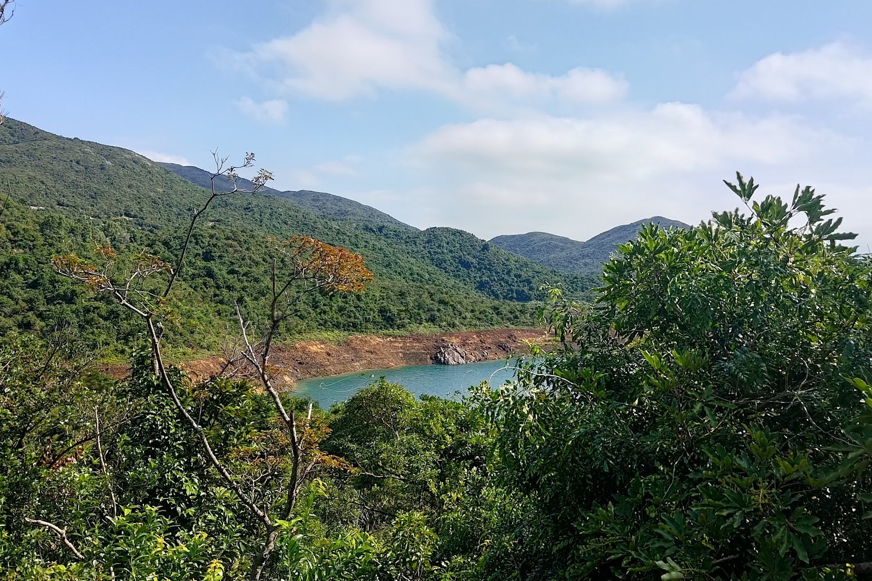
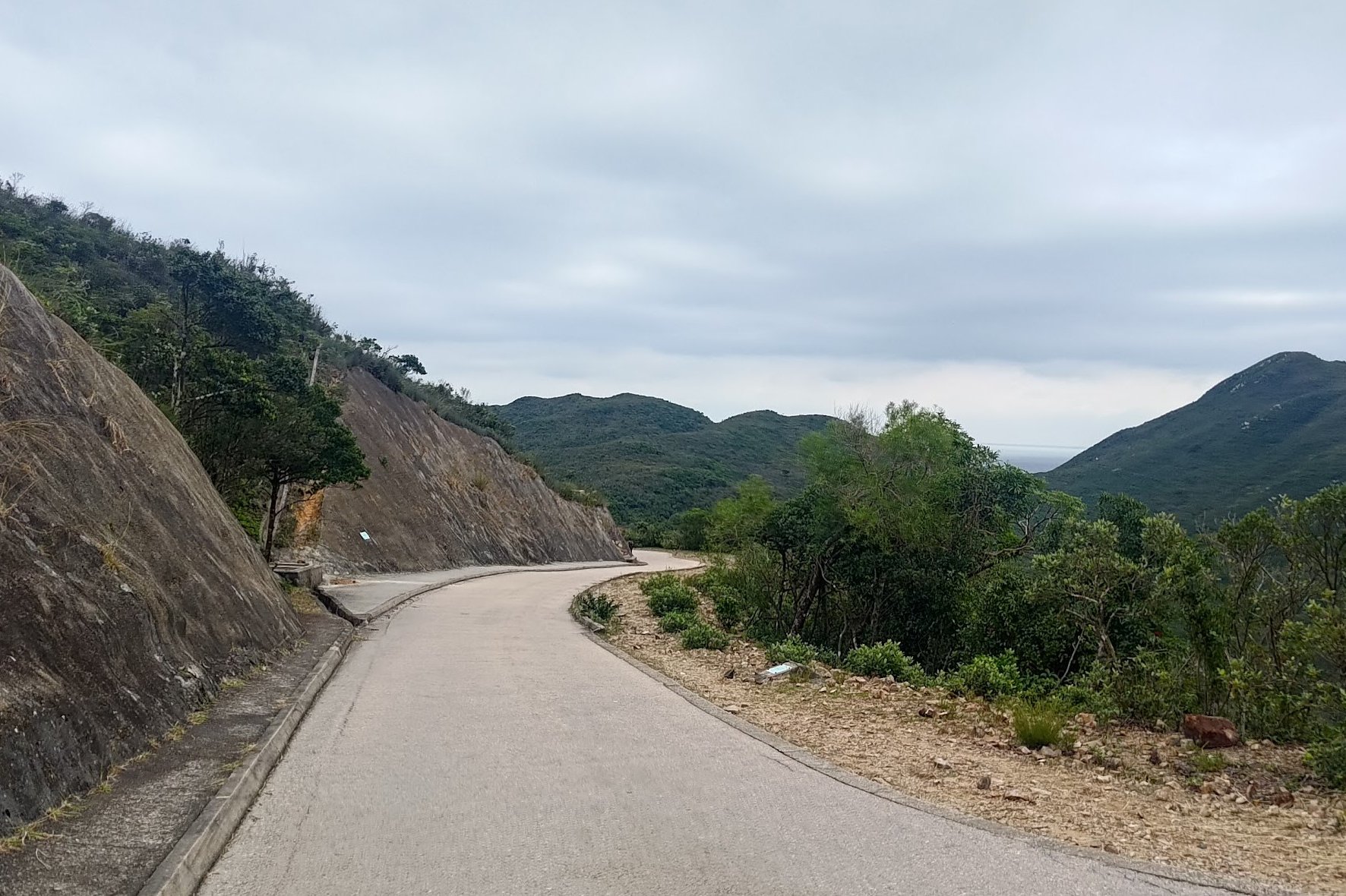
Once you start descending, it takes 35 minutes to arrive at High Island Reservoir East Dam. There's nothing technical about this section, nor is there anywhere you can get lost.
Just keep following the concrete road and keep a lookout for some interesting viewpoints along the way.
Before you know it, you'll arrive at East Dam!
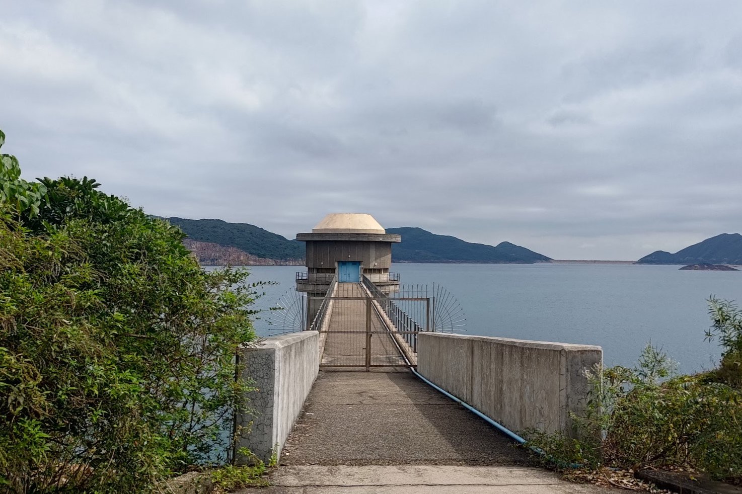
East Dam Secret Viewpoint (Fa Shan Viewpoint)
Before making your way onto High Island Reservoir East Dam, it's worth popping up to the Fa Shan Viewpoint to get a bird's eye view of your surroundings.
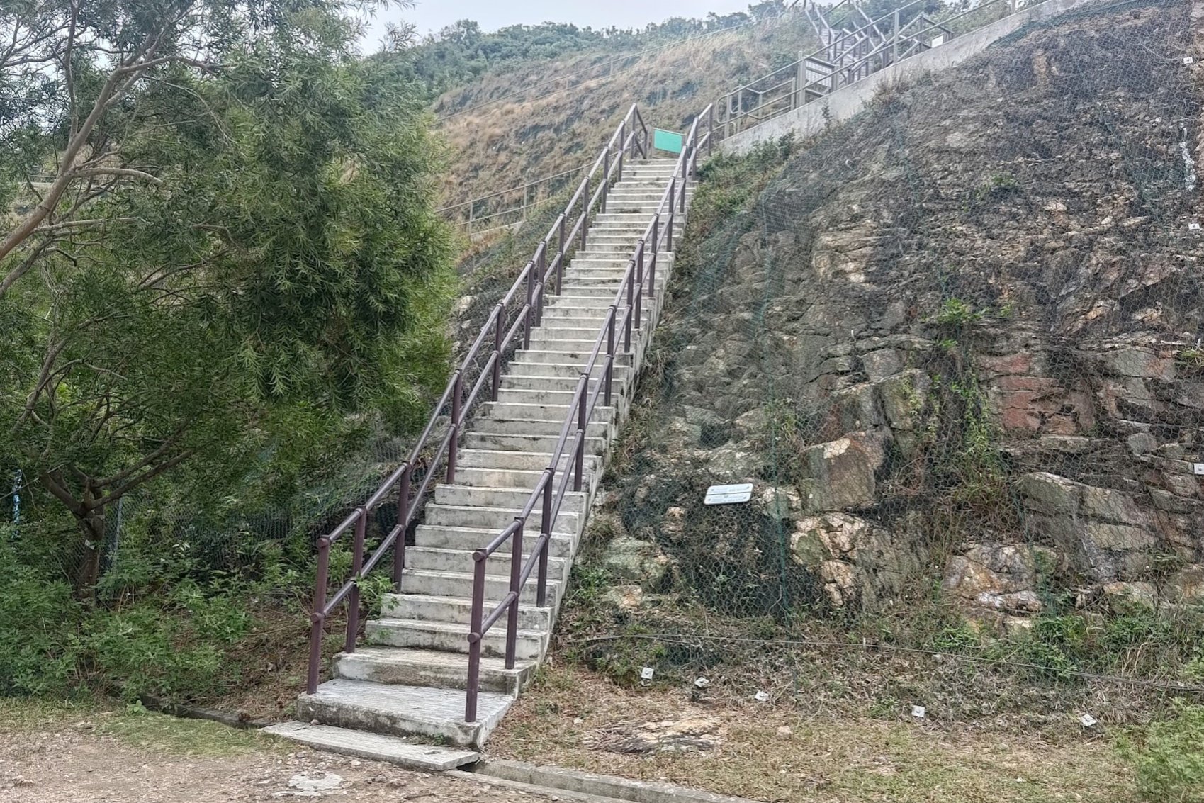
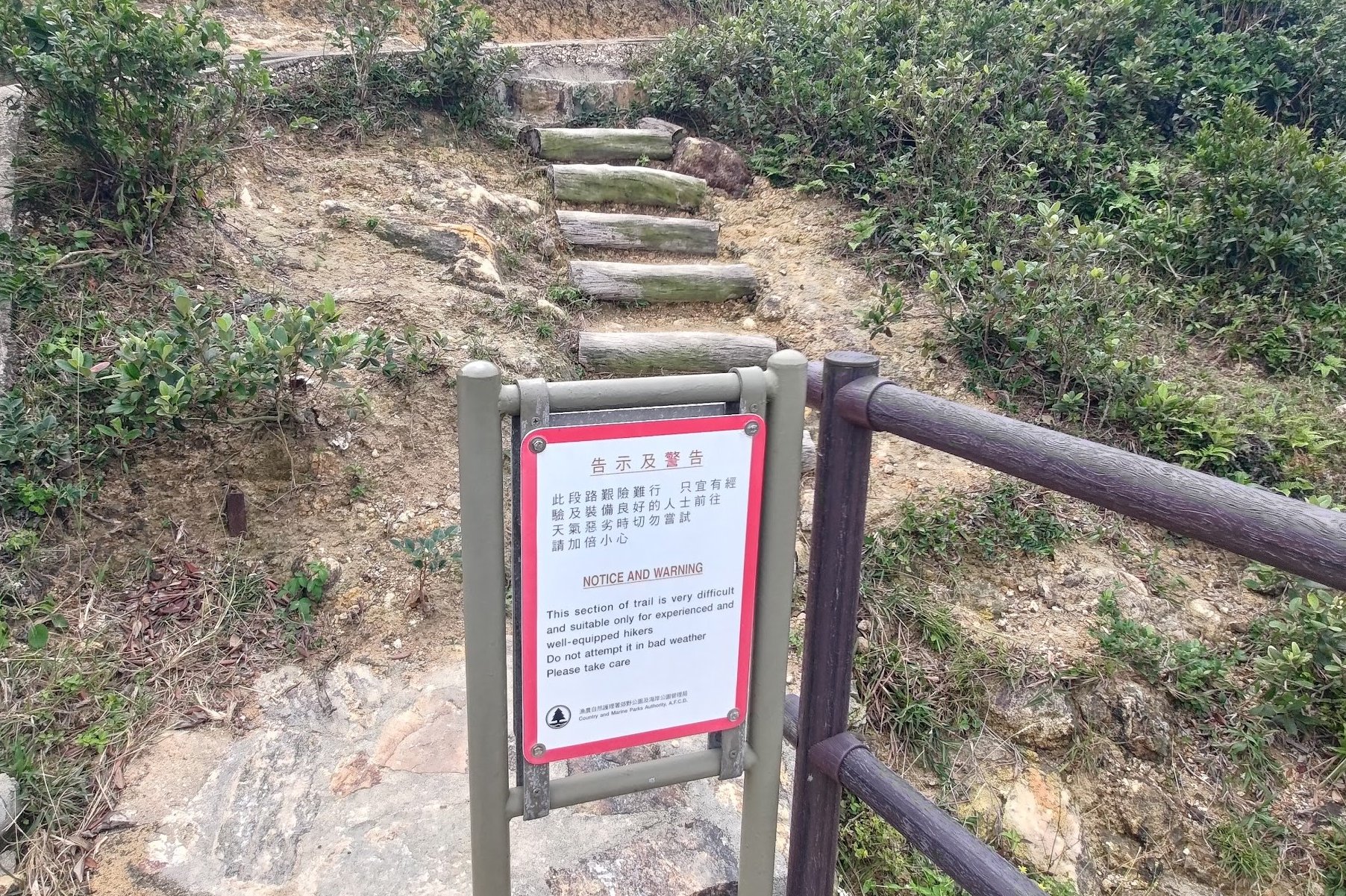
Look for the stairs to your right (just opposite the minibus stop) and climb them. When you see a red warning sign at the top of the flight of stairs, head past it and keep climbing the wooden steps.
After a short, but steep ascent, you'll see a gap in the trees to your left. Head into that gap and you'll be at the Fa Shan Viewpoint.
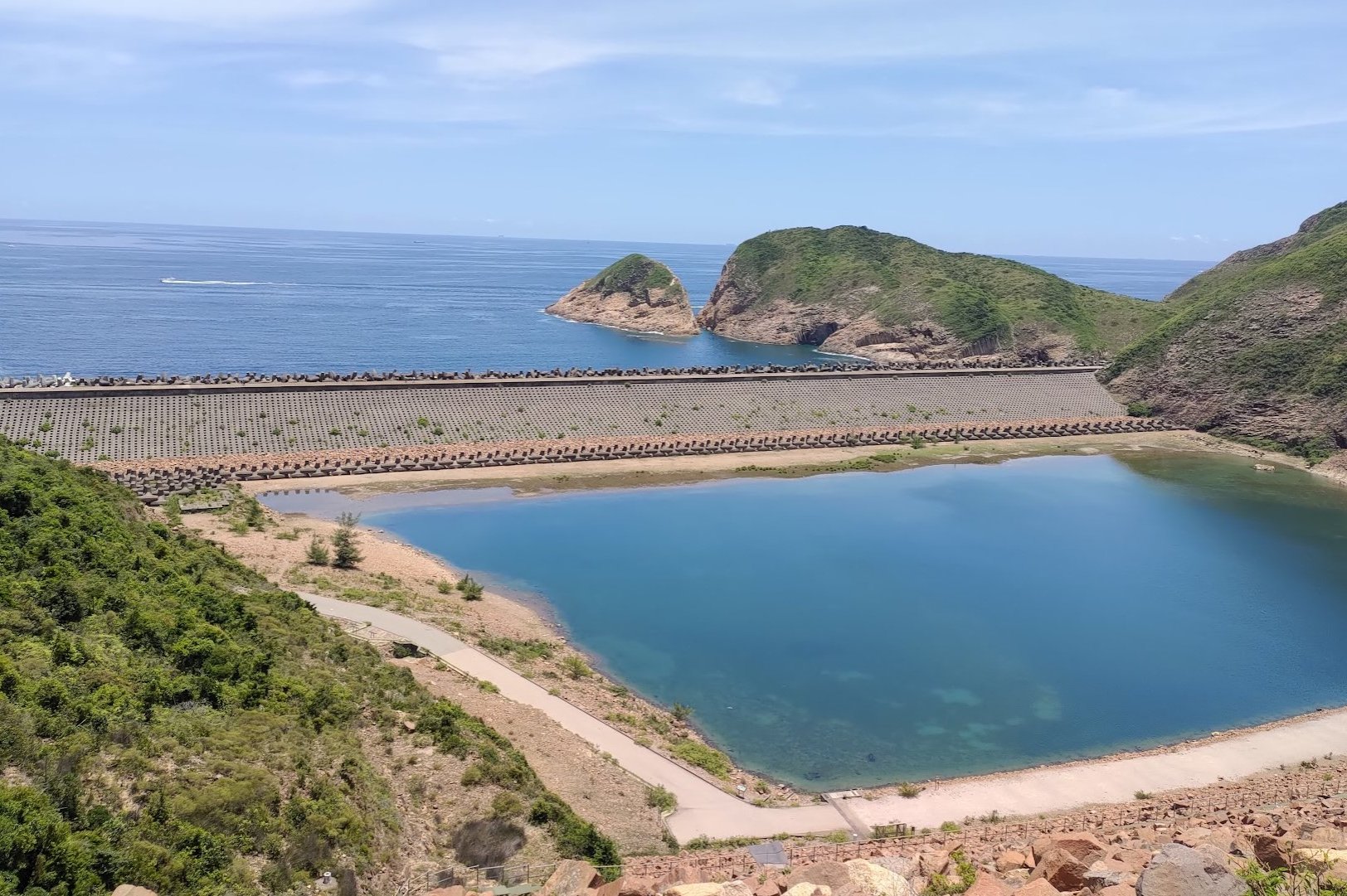
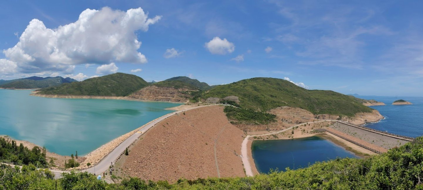
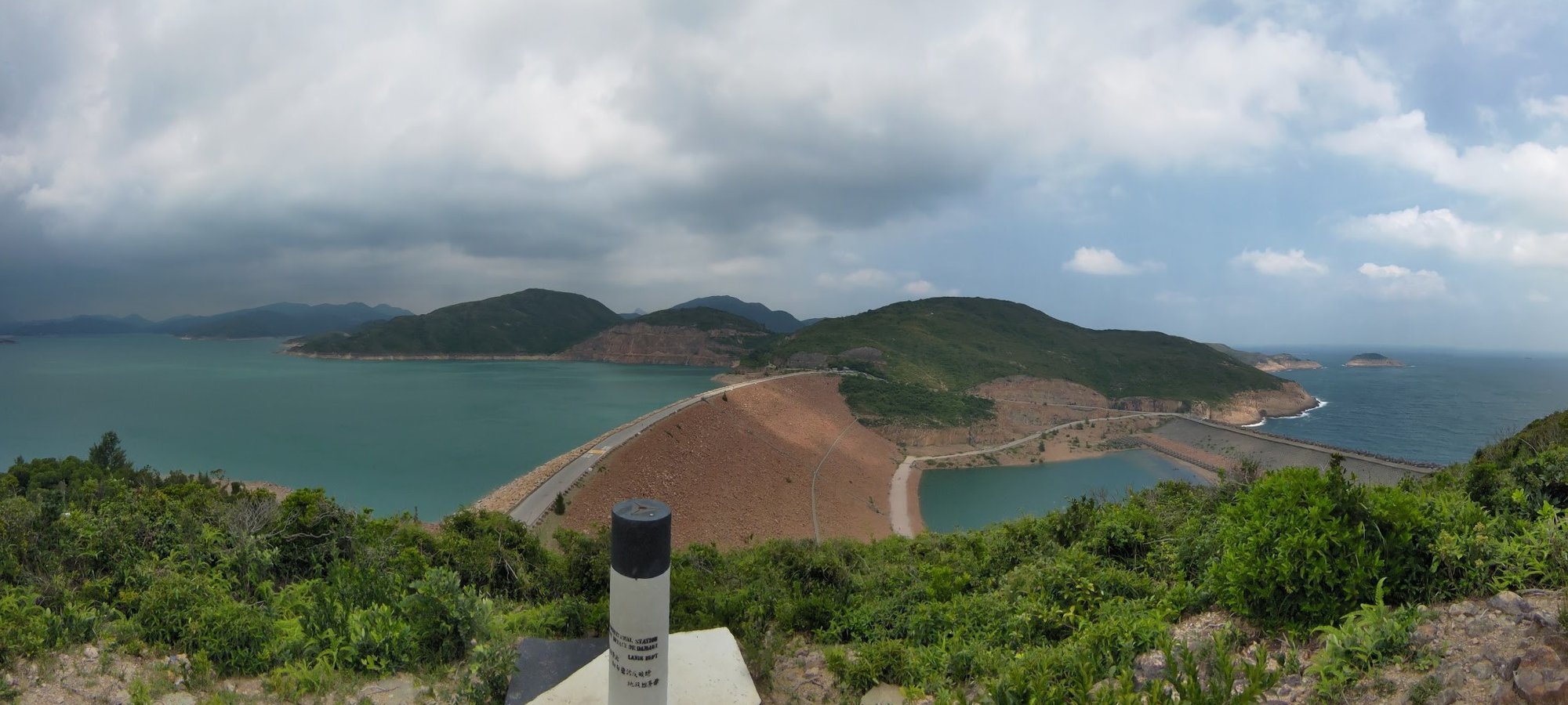
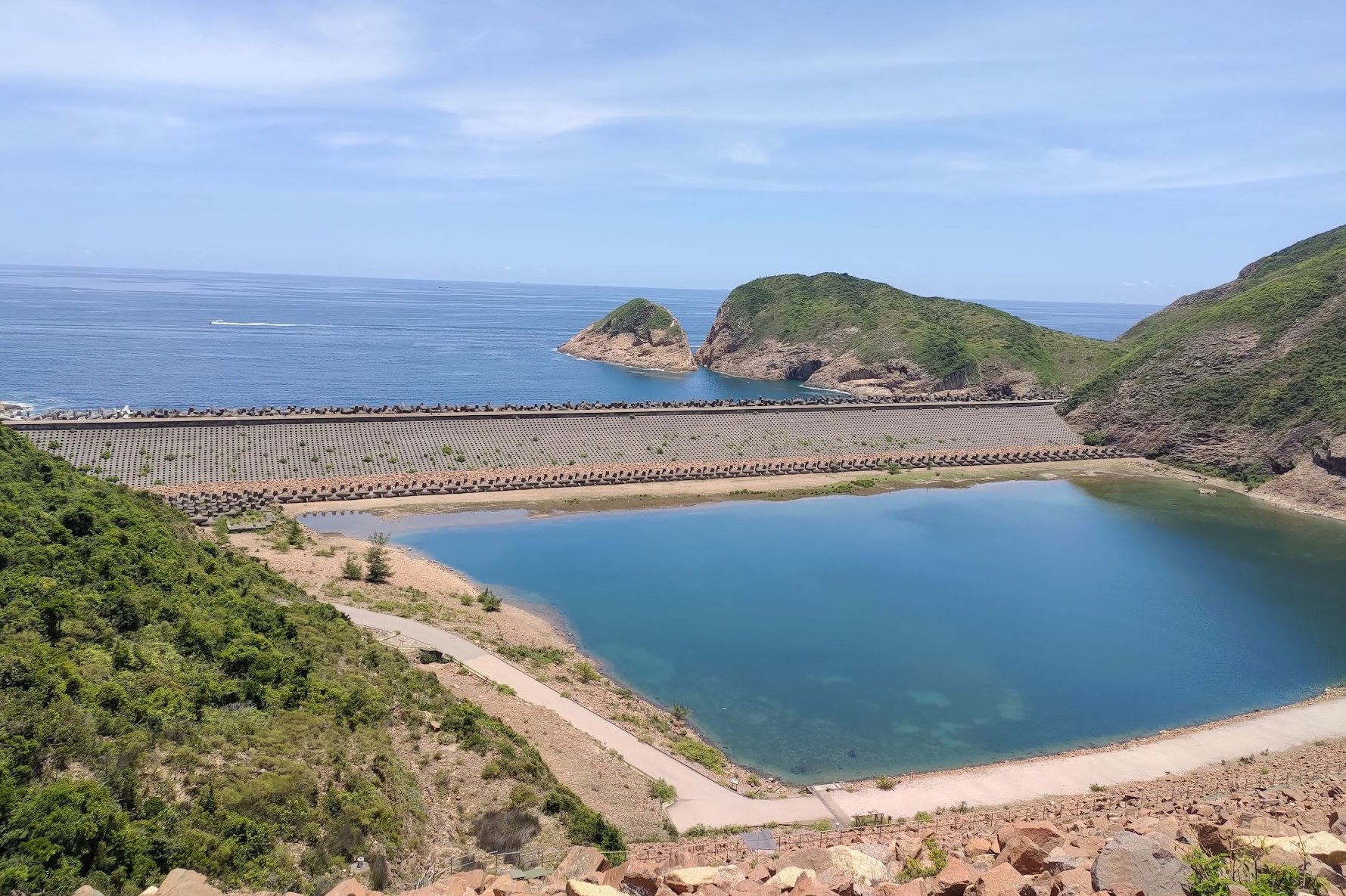
Head back down after you've admired the epic views. Of particular note is how the fresh water (to the left of the dam) is almost always a totally different color to the ocean water (to the right of the dam).
High Island Reservoir East Dam
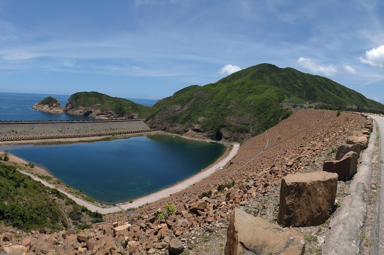
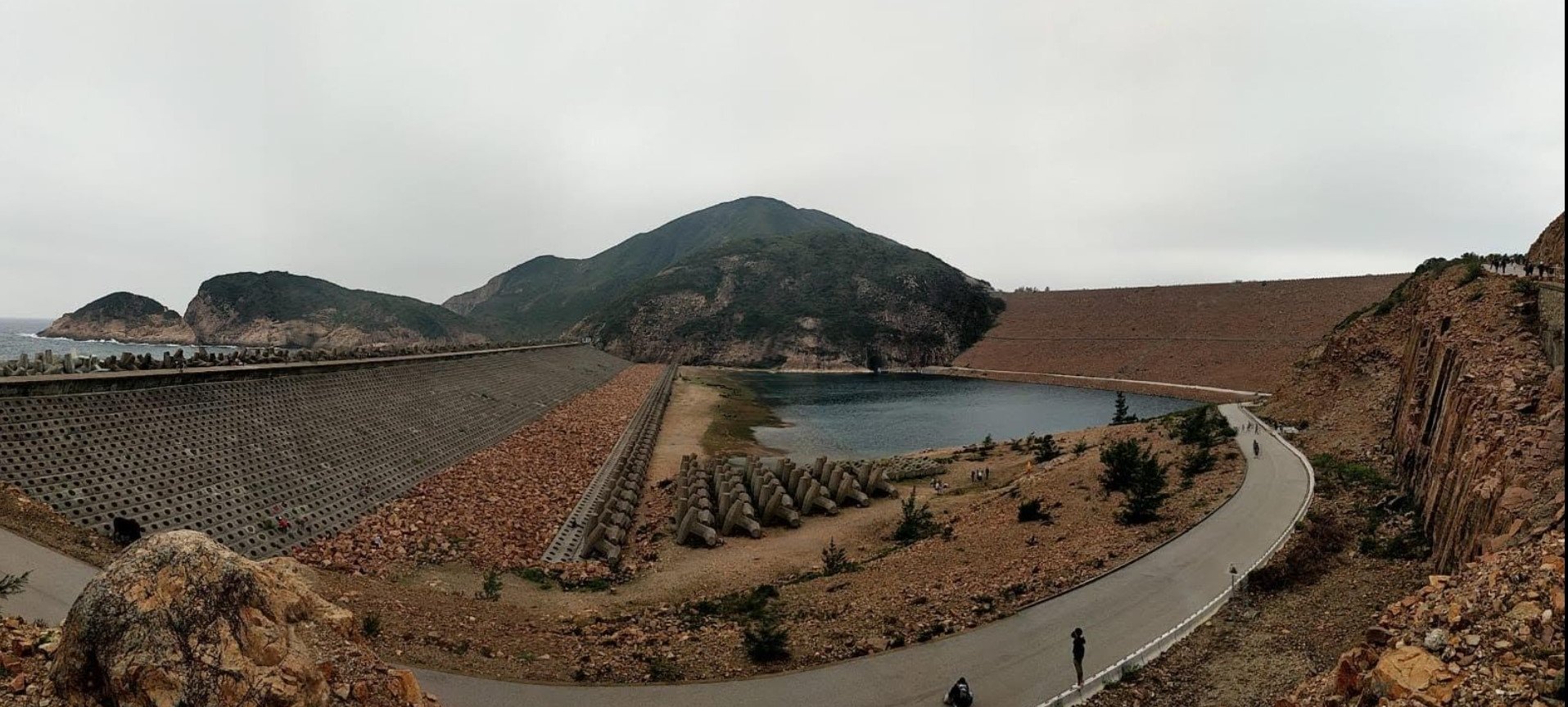
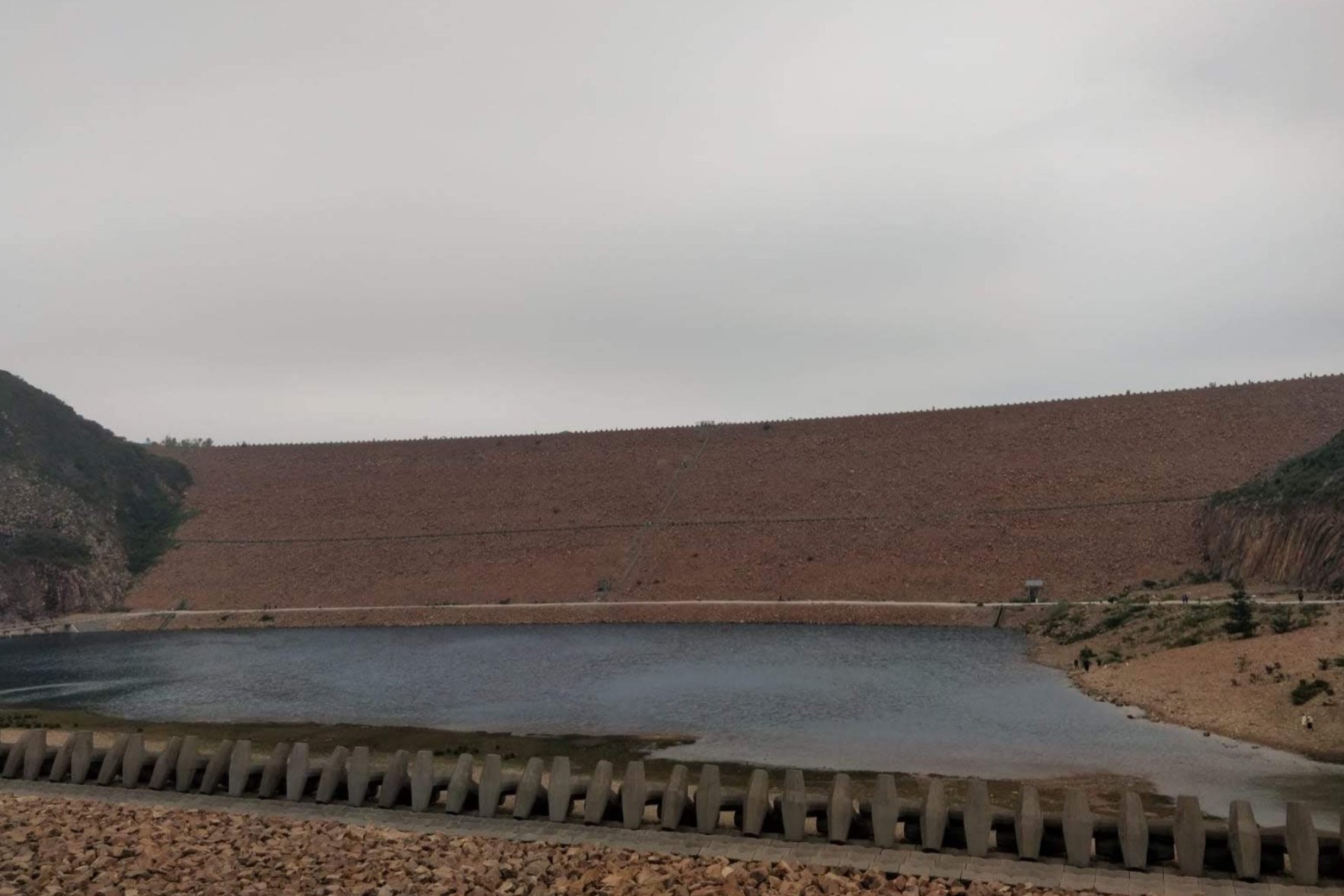
Once you arrive at High Island Reservoir East Dam, it's really worth exploring it to the fullest.
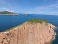
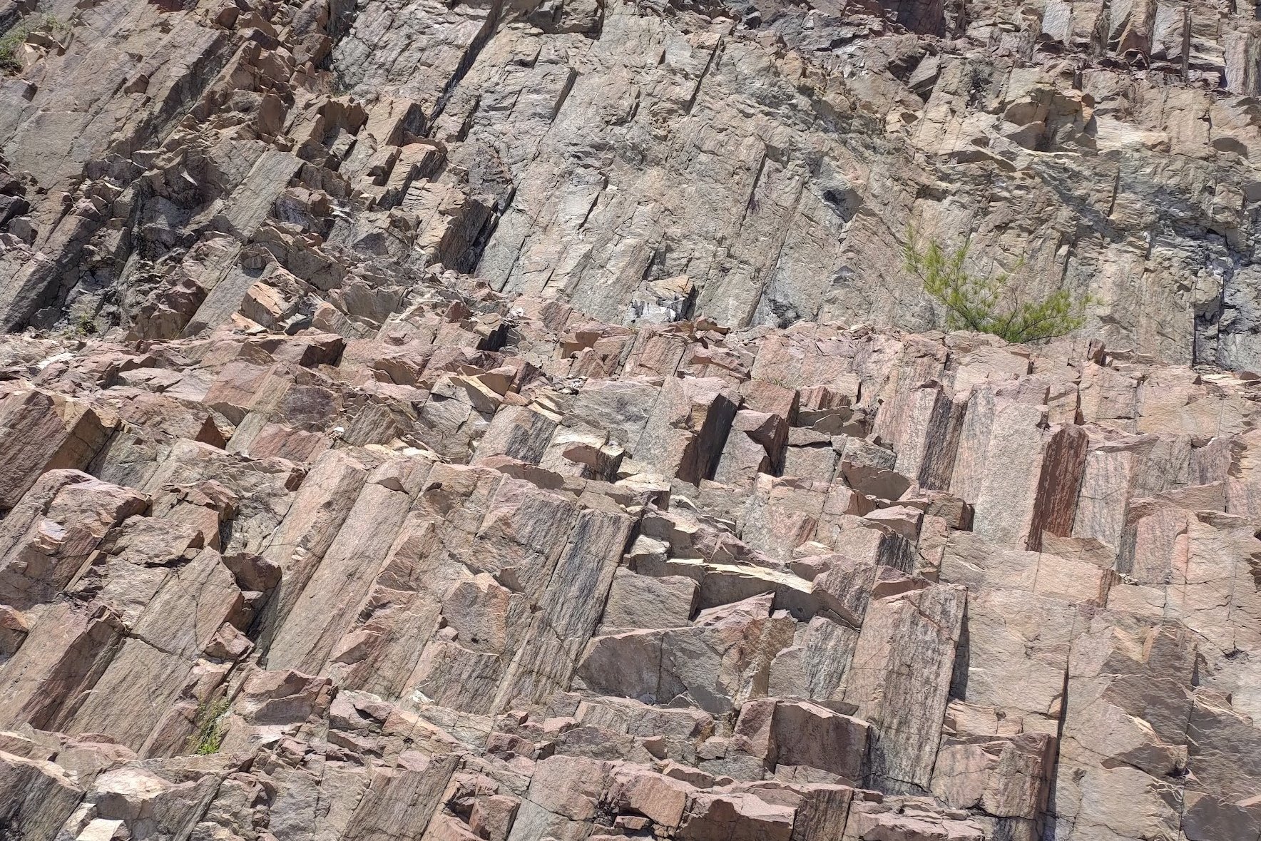
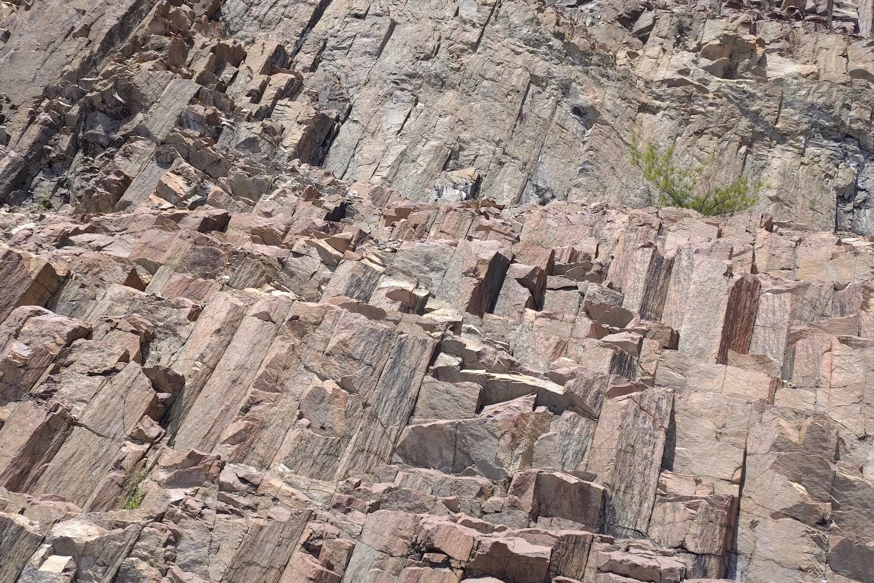
While crossing over to the other side, you'll have the reservoir waters to your left and the second wall and ocean to your right. In front of you, you'll see a really intriguing rock wall with hexagonal columns that were caused by volcanic eruptions some 140 million years ago. These eruptions created the entire Sai Kung area as we know it today.
Walking down to the second wall of the dam, you'll see that it's covered with dolosse, which helps disperse the strength of powerful waves so that they don't damage the dam wall.
Getting Back
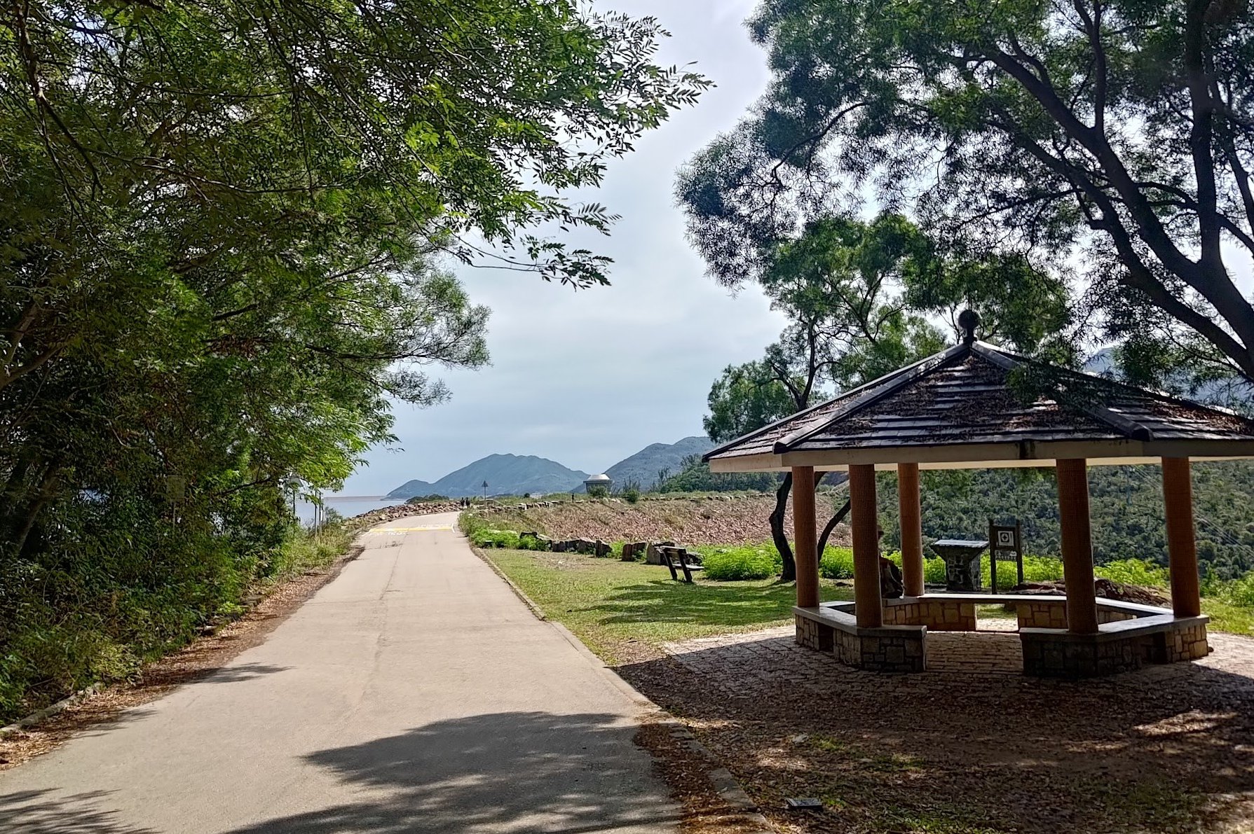
There are 3 ways you can get back to the city from East Dam.
By Taxi
From the far end of the dam, you will see a pavilion. From here, you can flag down a taxi or call an Uber Taxi to pick you up.
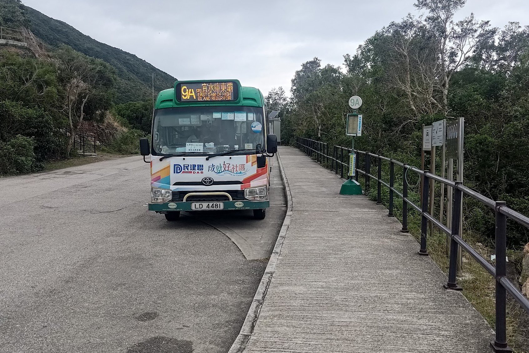
By Minibus
The 9A minibus leaves frequently from just below the secret stairs. It'll drop you at Pak Tam Chung bus stop, where there are more buses that connect to Sai Kung Town or back to the city.
By Hike
Hike back to the start point (if you're a sadist).
Too Easy? Pair This Hike With Po Pin Chau
If you're still thirsting for adventure at the end of this hike, why not pair it together with Po Pin Chau?
It doesn't take too long to reach Po Pin Chau and the views are truly breathtaking!
Find out more in the below article and see the route map for additional guidance.