
Robin's Nest and Lin Ma Hang Caves Hike: A Wild Adventure Right Beside China
Contents
- Essential Information
- Hike Highlights
- Google Route Map and GPX File
- How to Get There
- The Official Trail Start Point (Easier and Safer)
- Quick Route Summary
- Tam Shui Hang Village to the Jungle Trail
- The 40-min Overgrown Uphill Section
- The Epic Ridge Walk to Hung Fa Chai
- Hung Fa Chai Views
- Robin's Nest Viewing Point
- Hiking to Robin's Nest Peak
- Robin's Nest Peak View
- The 20-min Downhill to Lin Ma Hang Caves
- Lin Ma Hang Caves (Closed Until Late 2024 or Early 2025)
- Lin Ma Hang Village and Getting Back to Sheung Shui
Essential Robin's Nest and Lin Ma Hang Caves Hike Details
- District: New Territories
- Duration: 3.5 - 4 hours (at a fast pace with no time added for rest)
- Distance: 8.6km
- Highest Elevation: 474 meters
- Difficulty: 4.5/5
- Facilities: None, so bring plenty of water and use the toilet beforehand
Robin's Nest and Lin Ma Hang Caves Hike Highlights
The Robin's Nest (紅花嶺) and Lin Ma Hang Caves (蓮麻坑礦洞) hike is something really special and different to any other hike in Hong Kong. With the Robin's Nest Country Park having just been designated and opened officially on March 1st, 2024, there are ongoing works to make hiking routes in the area safer.
I do believe there is a much safer route to the top than the one outlined in this guide, but if you're keen for a wild adventure, then this is the guide for you! That being said, unless you fancy being literally assaulted by nature, I'd recommend the safer trail.
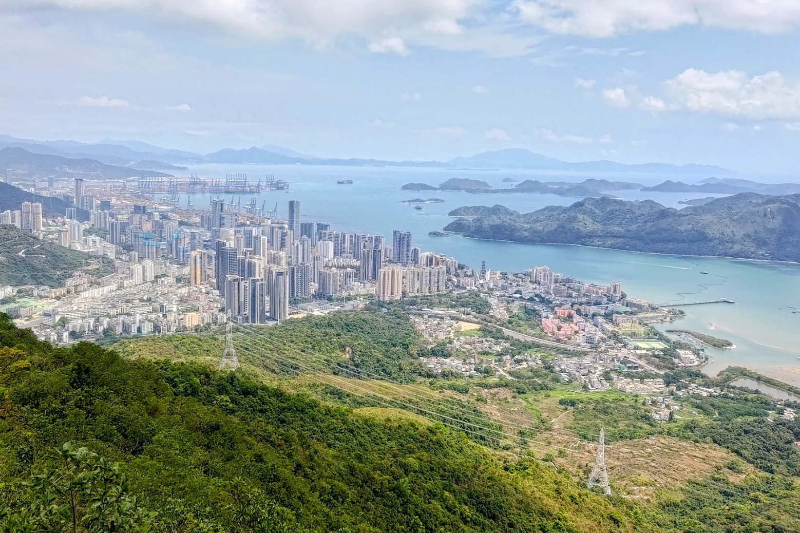
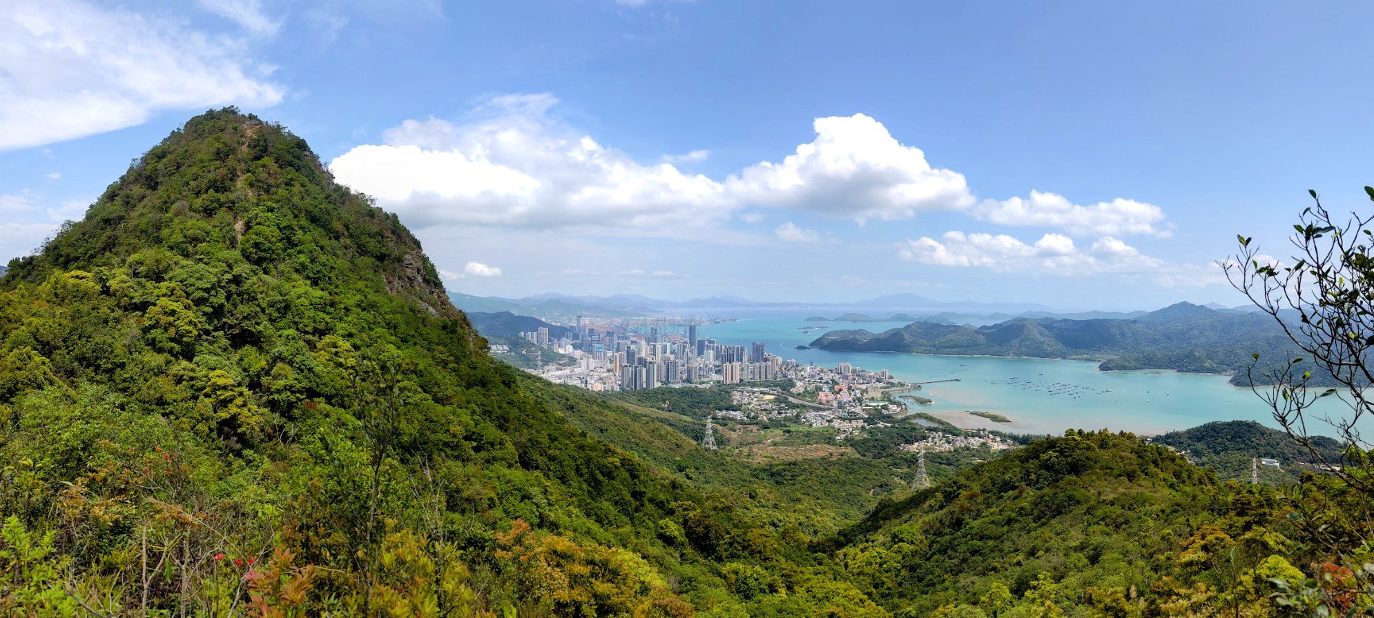
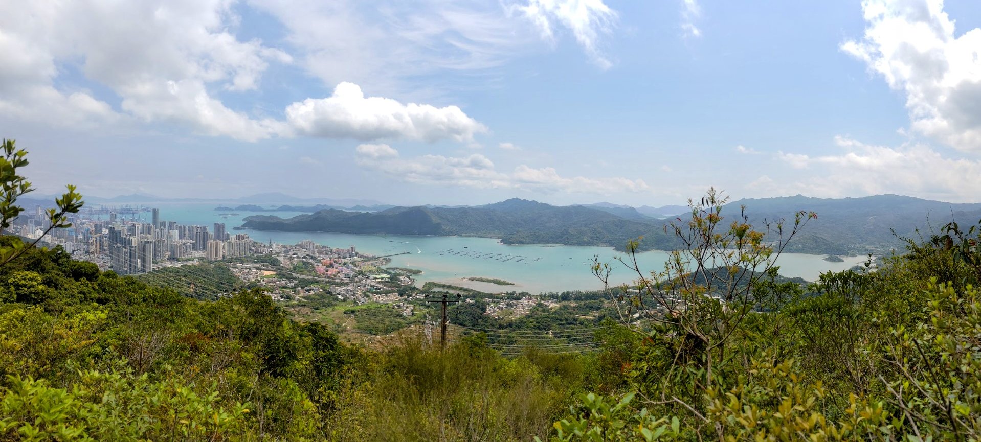
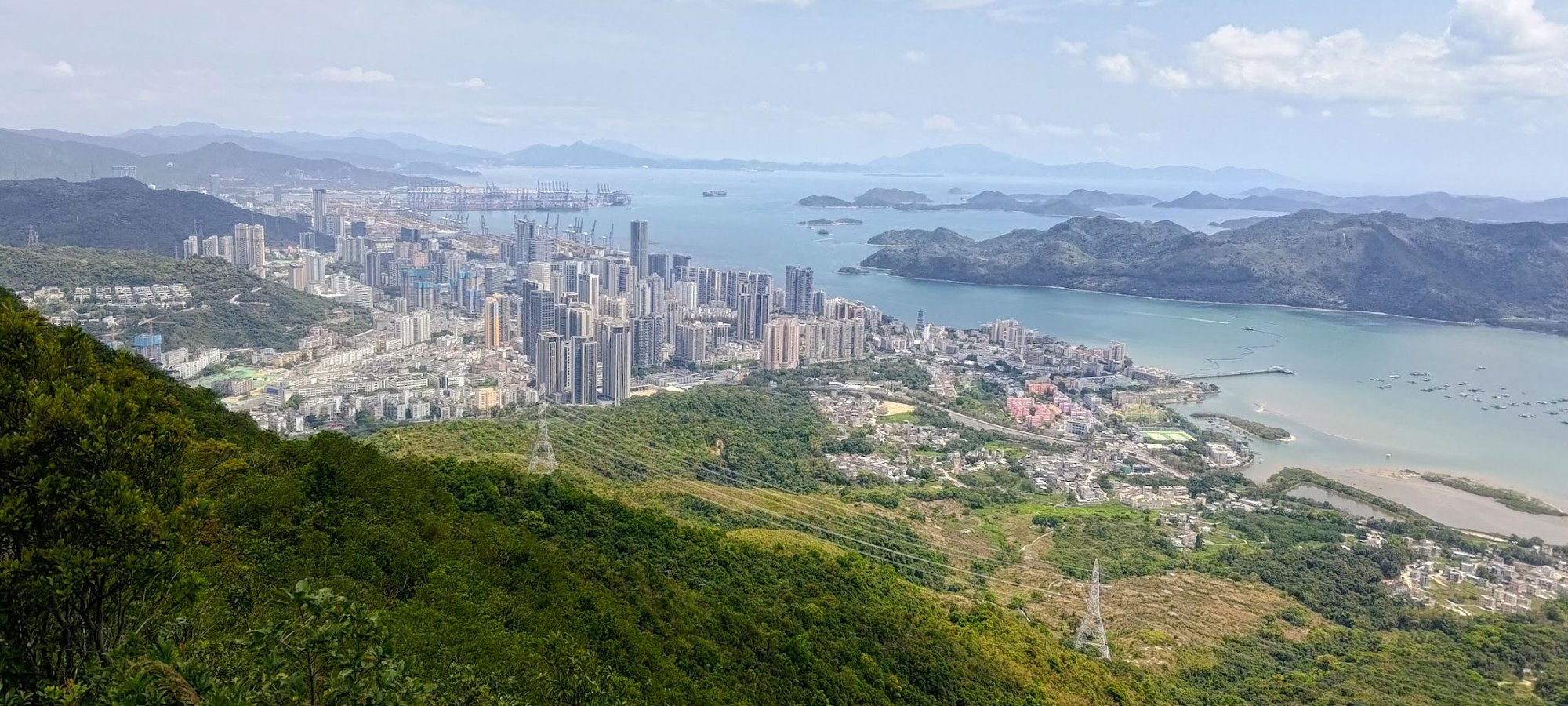
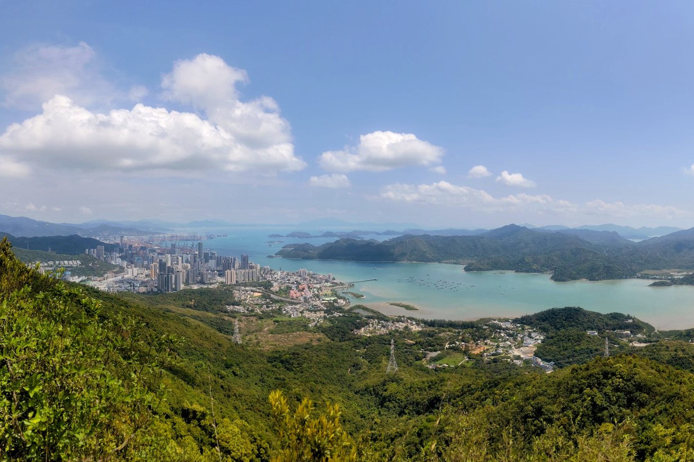
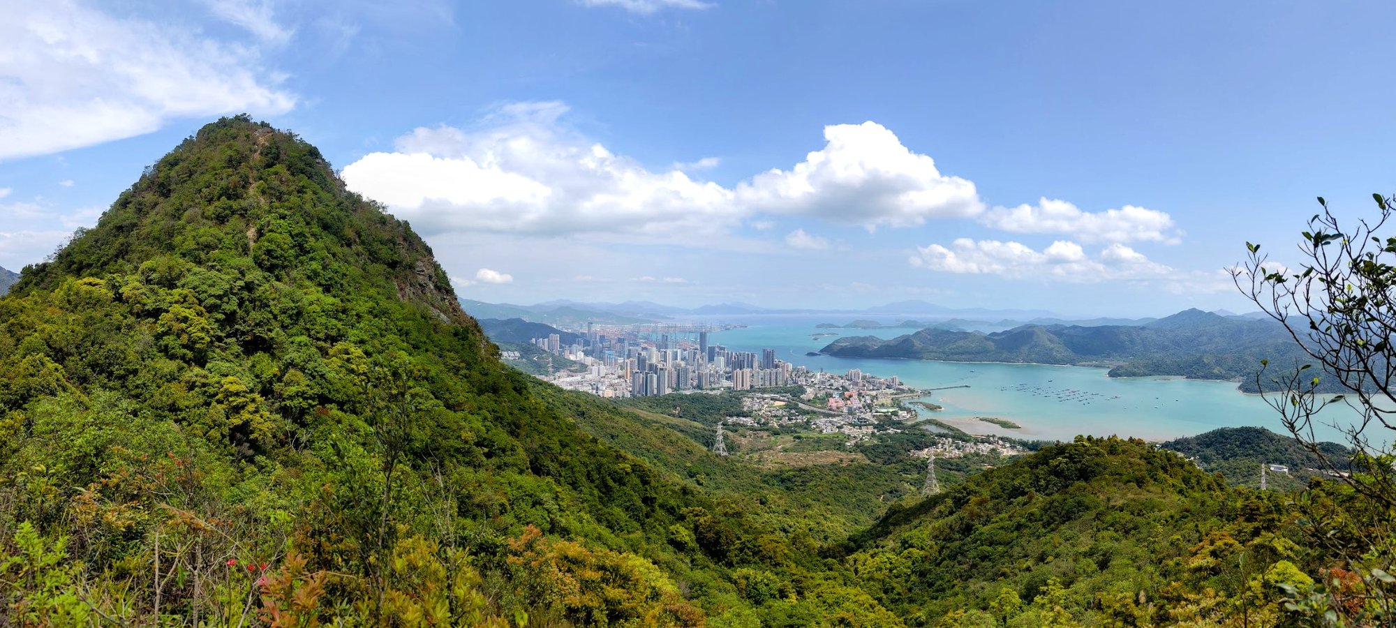
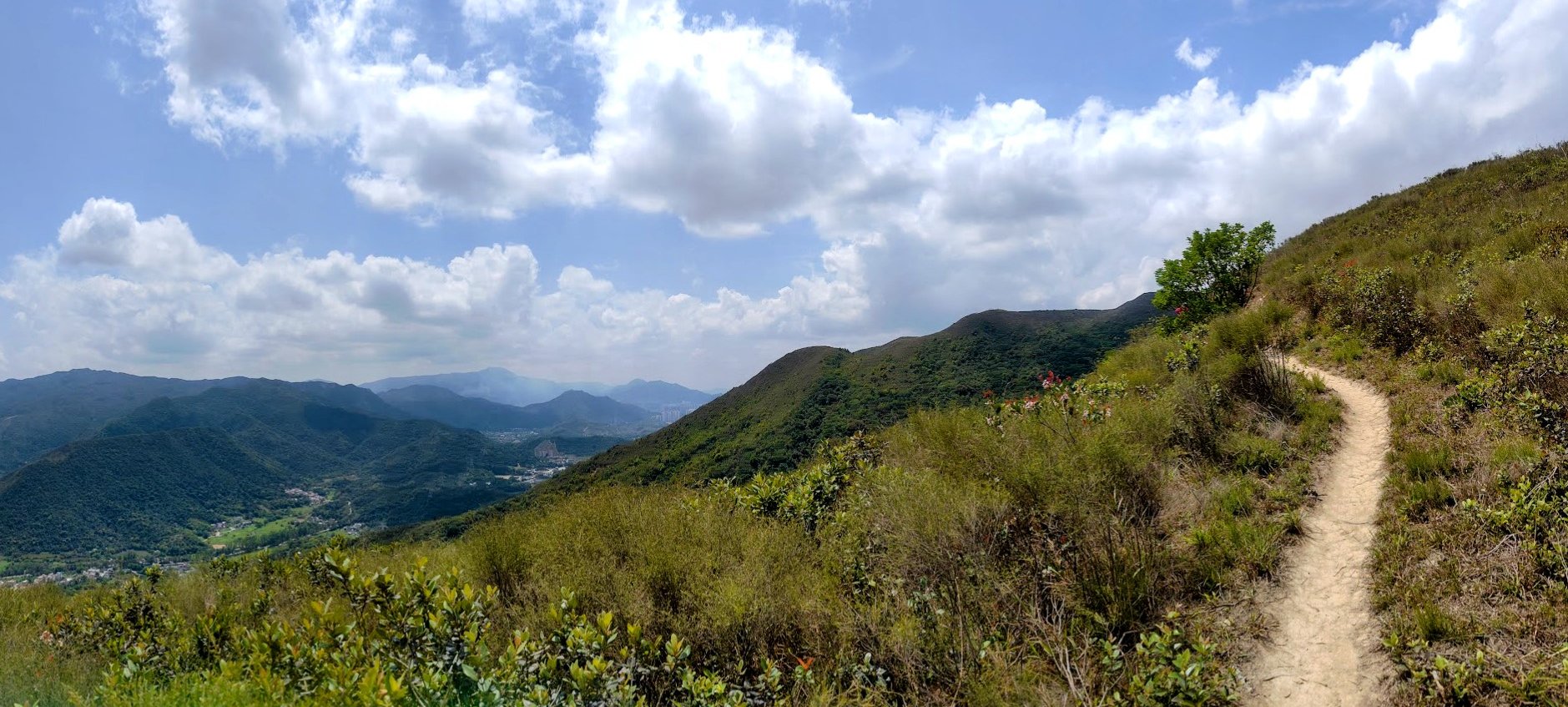
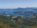
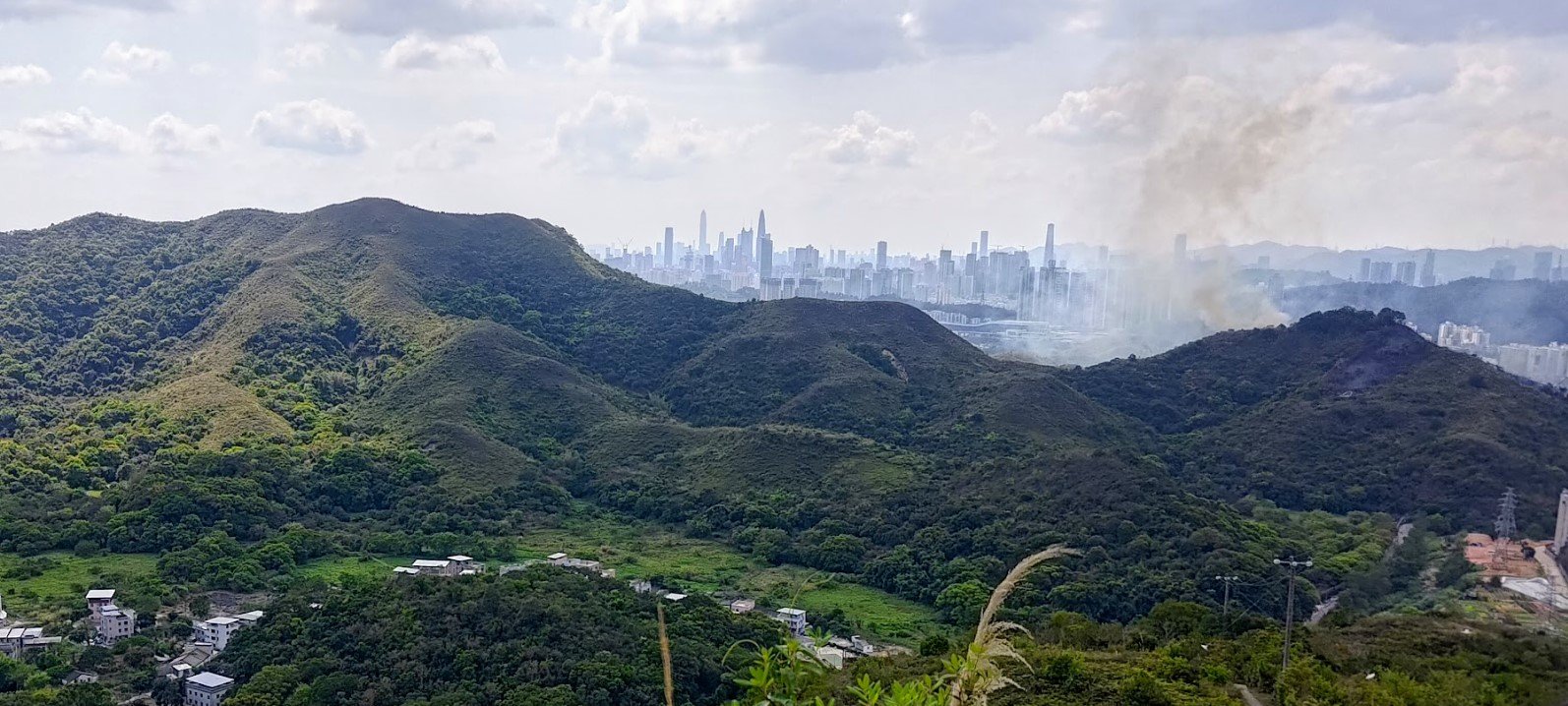
The good news is that though the start of this hike is a tough slog up a dense jungle trail that's overgrown to the point where ribbons are the only guidance you really have, the minute you escape the oppressive jungle heat, you'll be treated to vistas of the Hong Kong, China border that are stunning!
On one side of Starling Inlet, you have the Hong Kong side of the border, which is mostly green with a smattering of villages. On the other side, you have the skyscrapers of Shenzhen, China.
The trail continues up to Robin's Nest before descending down toward Lin Ma Hang. During the descent is a detour to the Lin Ma Hang Caves, which are currently closed off to the public until late 2024 or early 2025.
If you fancy the scenery of the area, but don't really want a steep climb, check out the Lai Chi Wo village hike guide below, which is mostly flat and covers the villages on the Hong Kong side of Starling Inlet.
Google Route Map and GPX File
How to Get to the Robin's Nest and Lin Ma Hang Caves Hike Start Point
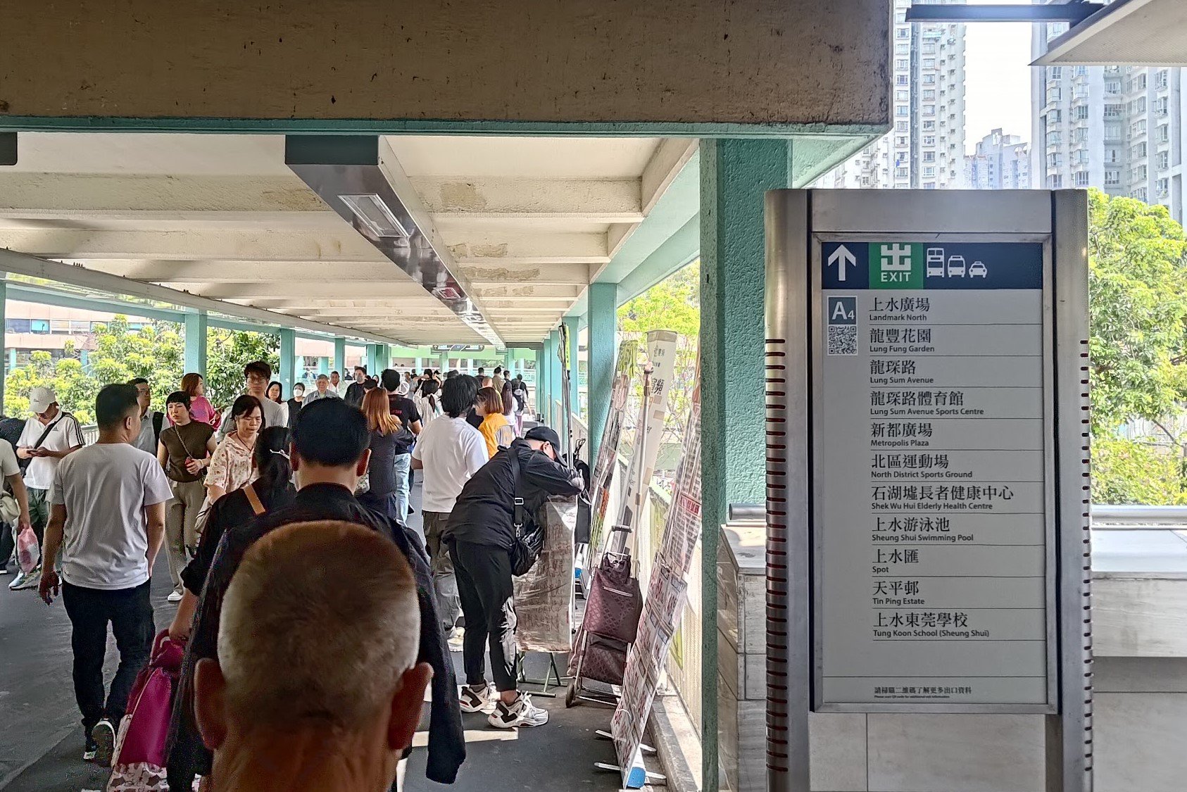
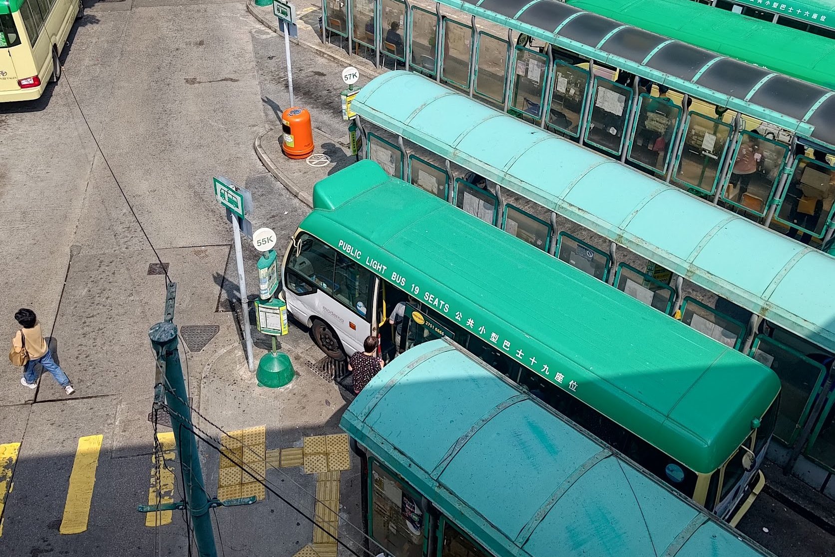
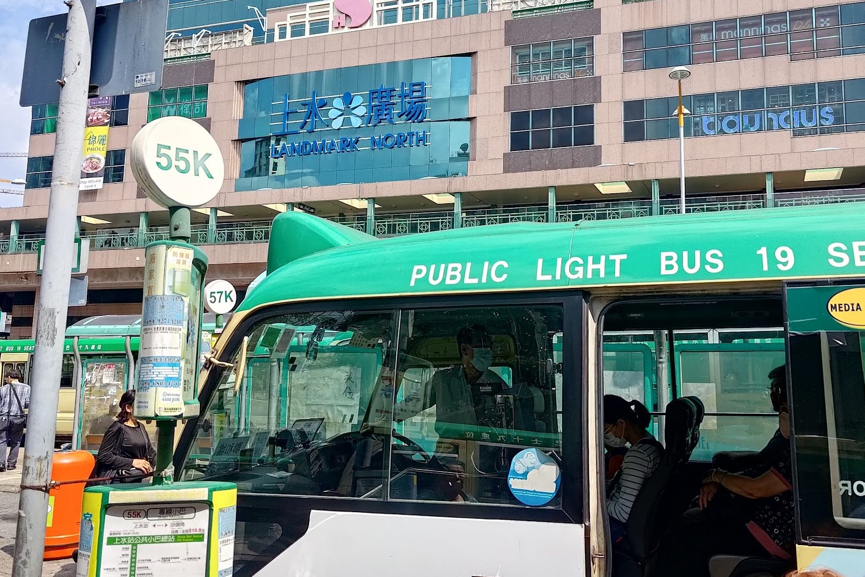
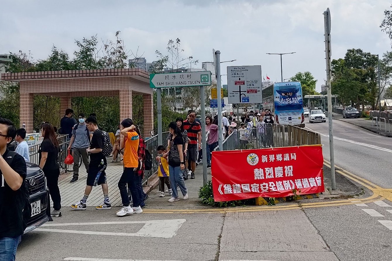
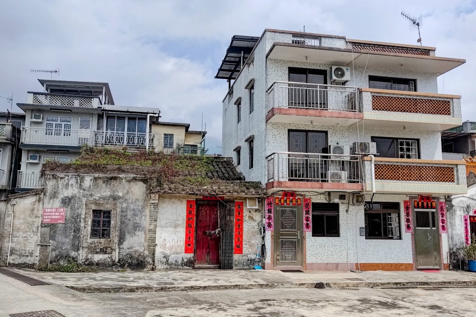
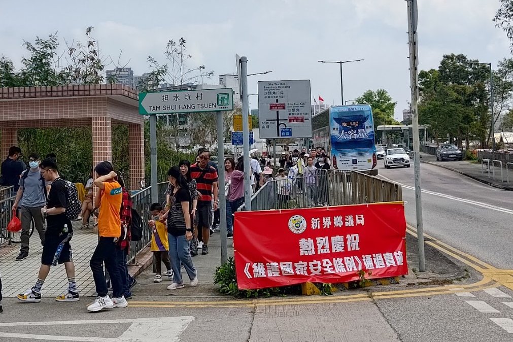
Take the MTR to Sheung Shui Station and leave through Exit A4. Once you spot the 55K minibus below the footbridge, head down the stairs and take the minibus to Tam Shui Hang Village (担水坑).
You can show the driver the above Chinese name when you get on since sometimes these buses don't have bells to indicate when you want to get off.
The Official Trail Start Point (Easier and Safer)
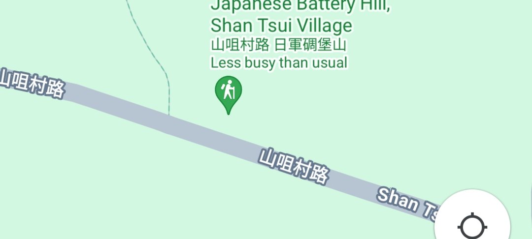
If you want to skip the difficult overgrown part of this hike while still enjoying the epic views, start at Shan Tsui Village and follow Shan Tsui Village Road until you see the official trail start point near the Japanese Battery Hill. It's a much safer option!
Quick Robin's Nest and Lin Ma Hang Caves Hike Summary
- Take the MTR to Sheung Shui Station, leave through Exit A4 and get the 55K minibus
- Alight from the minibus at Tam Shui Hang Village
- Take the left path and walk toward the traditional tombs and green grass
- Once you reach the large tower, take the path directly under it (do not take the right or left paths)
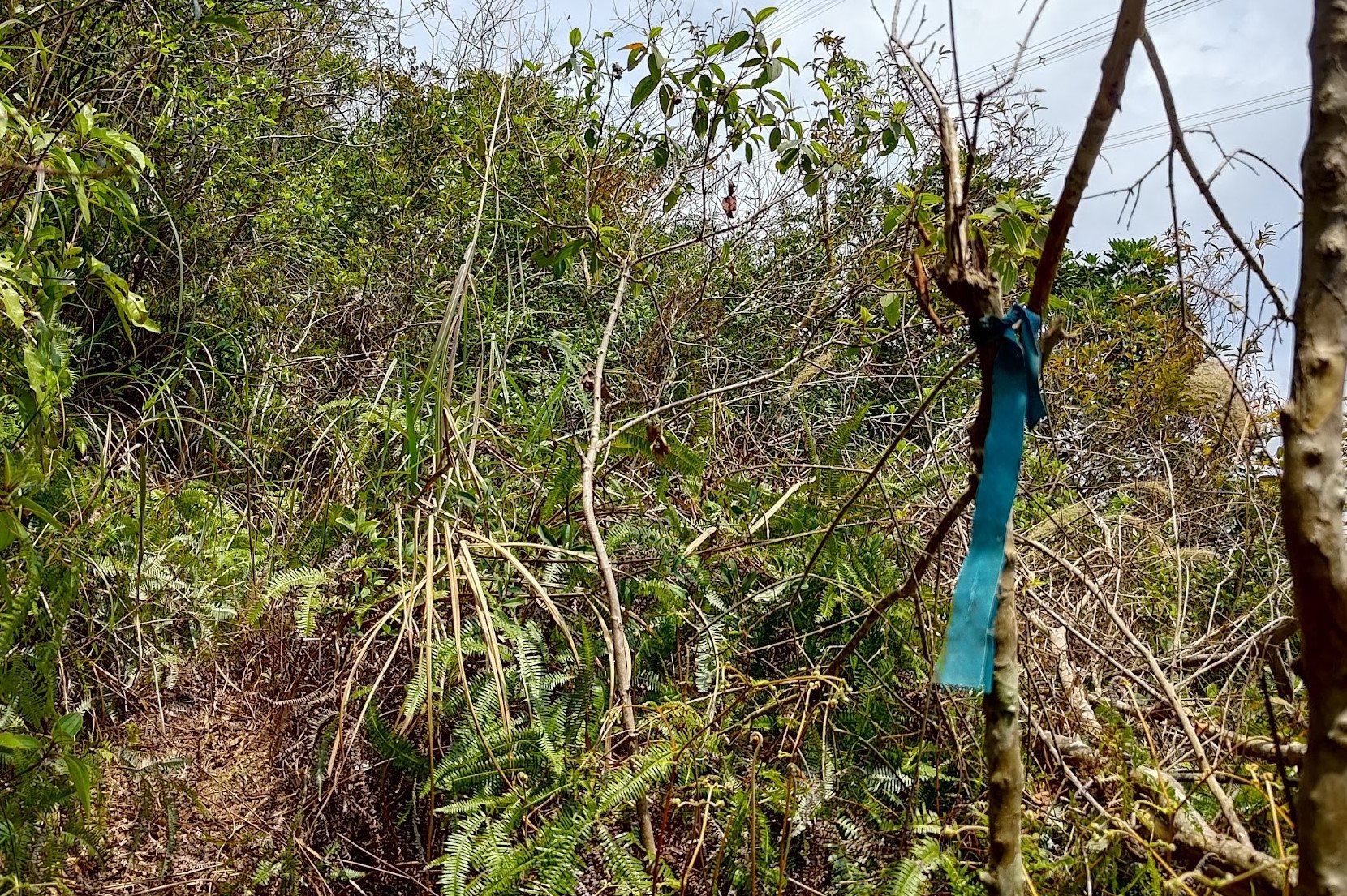
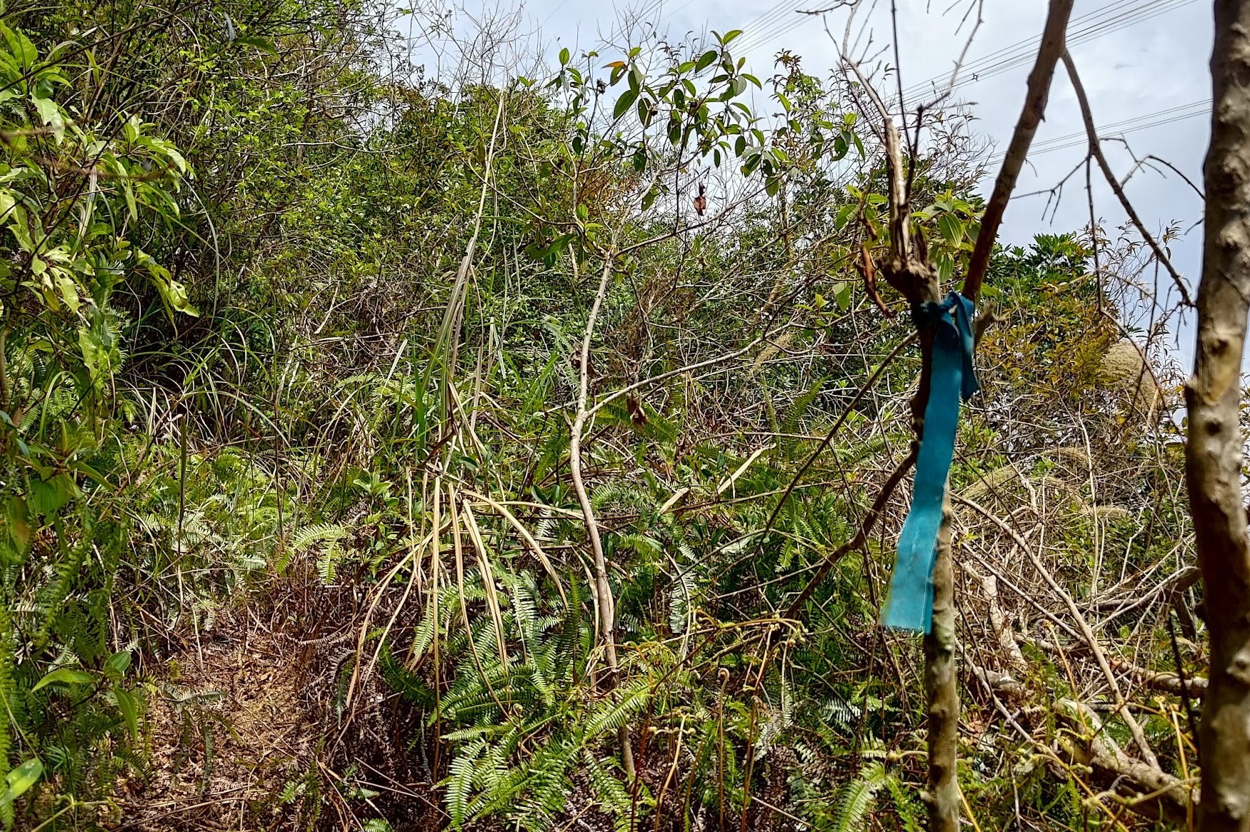
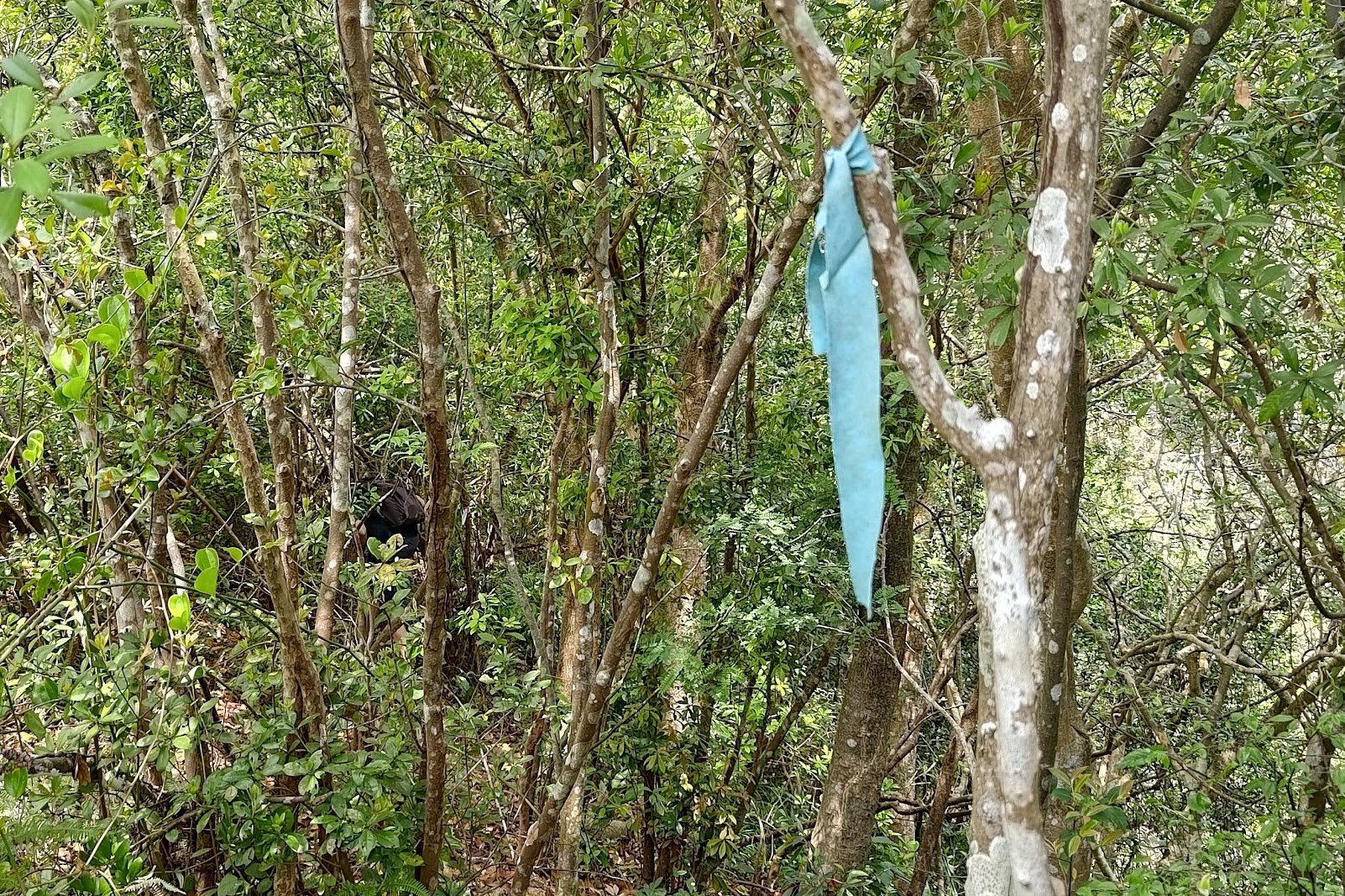
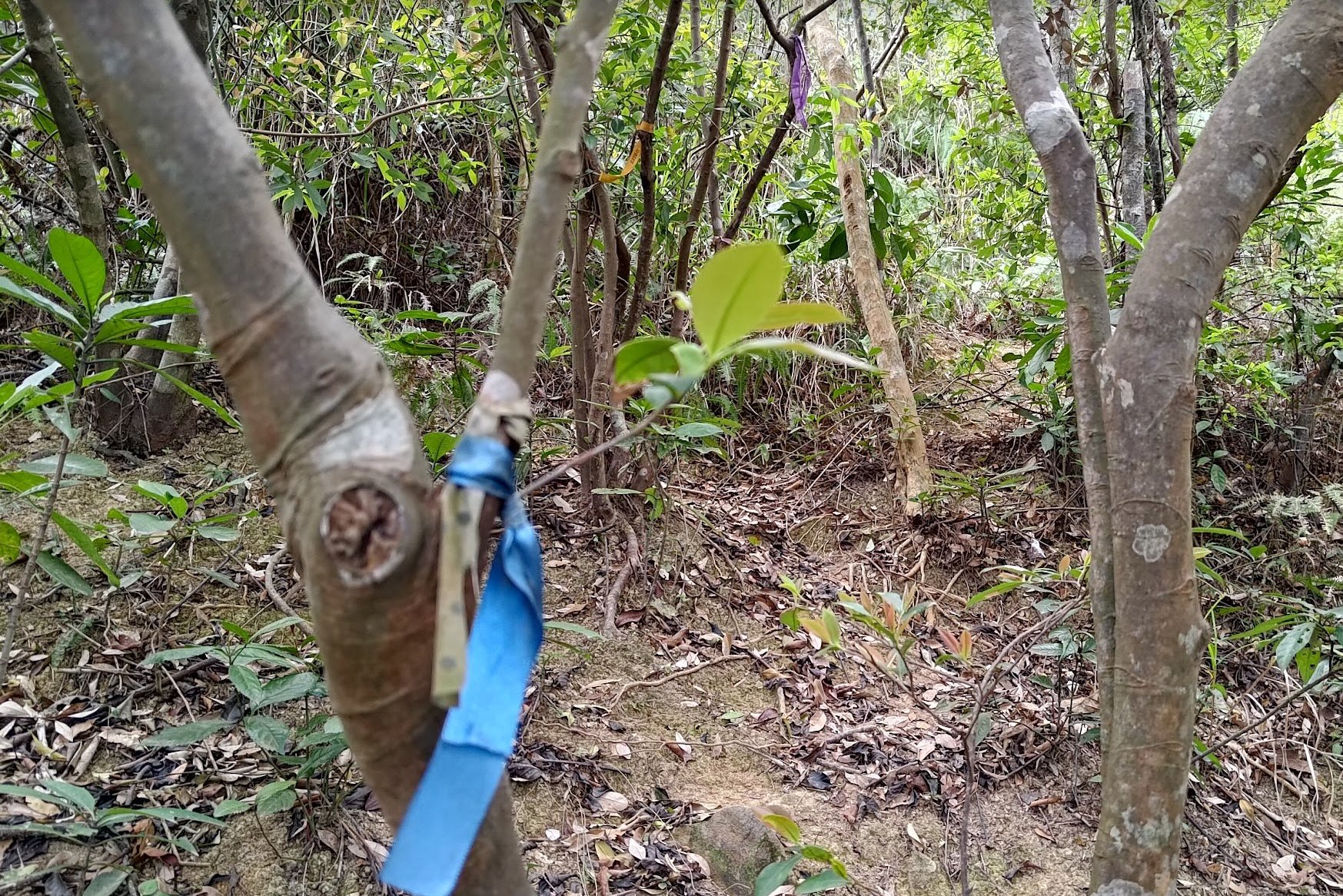
- Follow the blue ribbons up a steep jungle path for 40 mins (budget an hour at a slower pace)
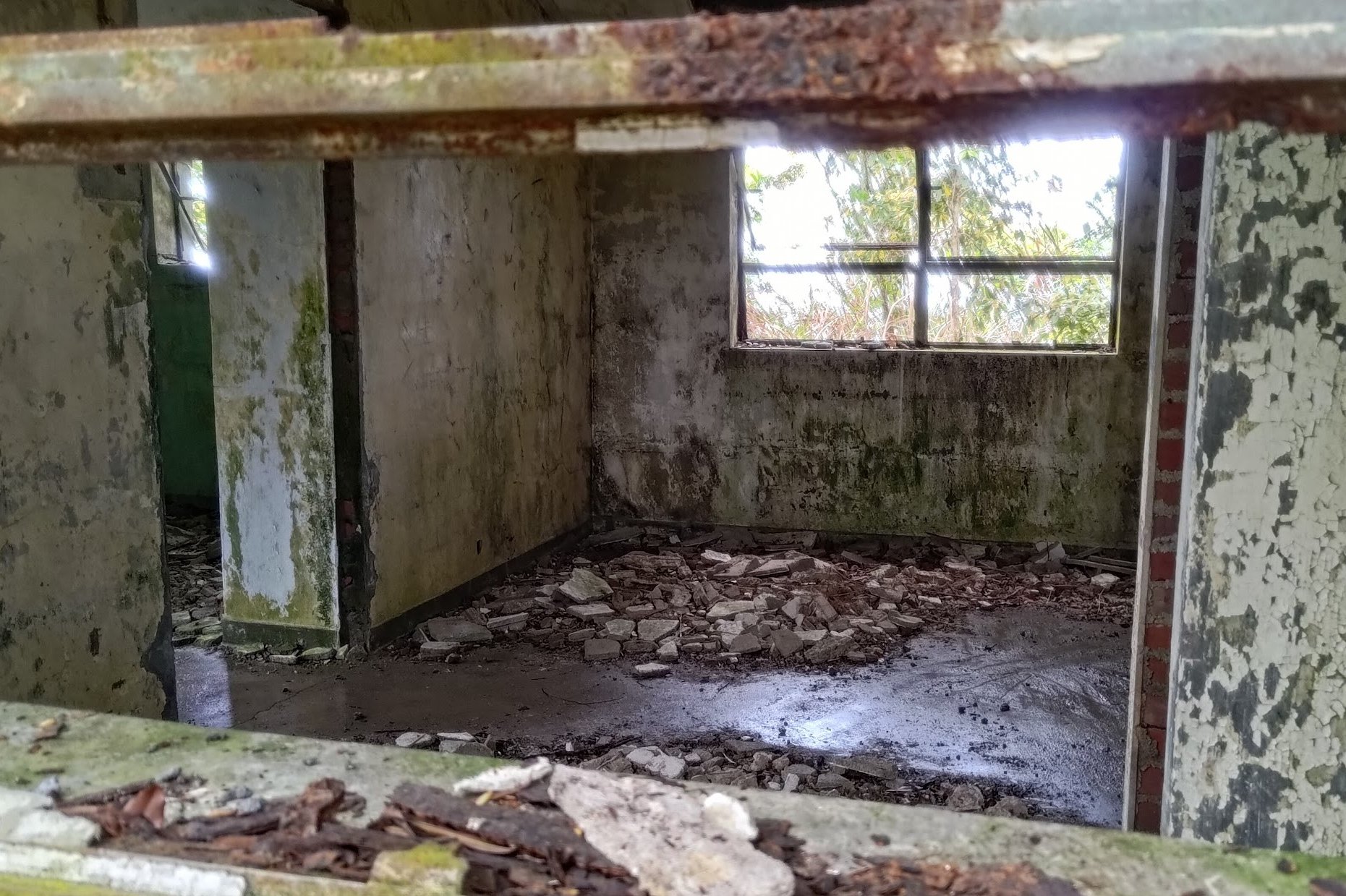
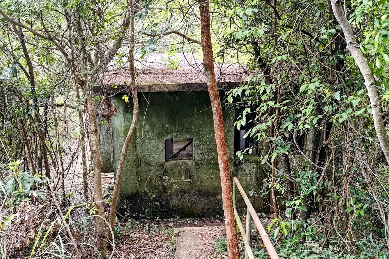
- At the top of the path, turn left and walk past the green abandoned buildings
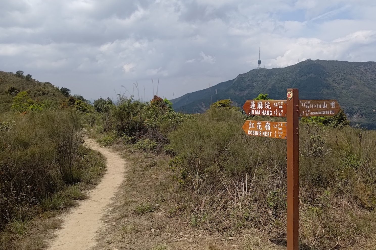
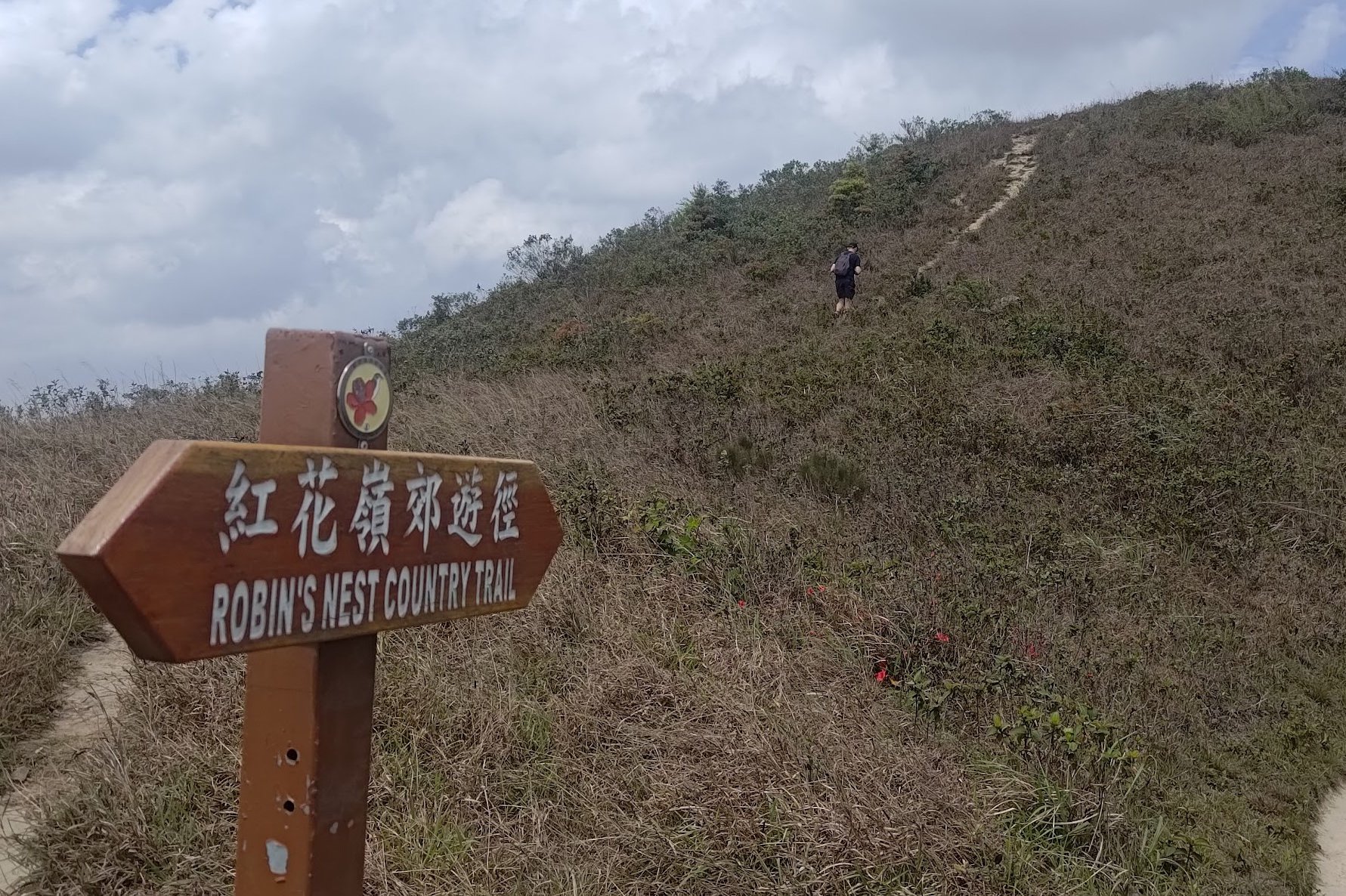
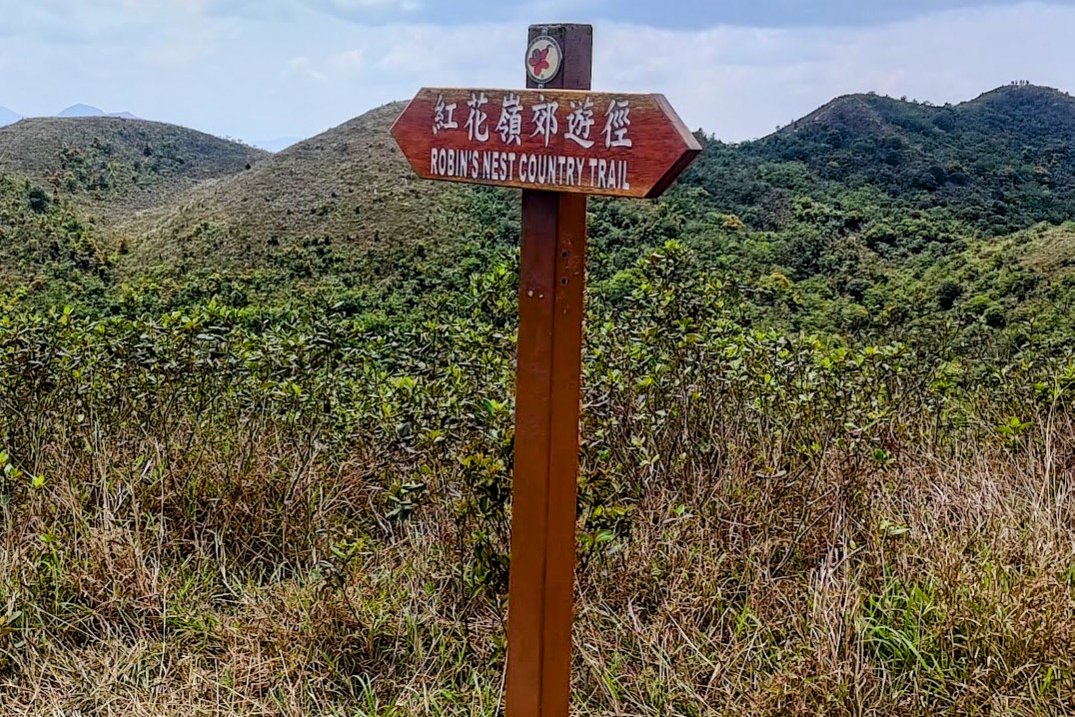
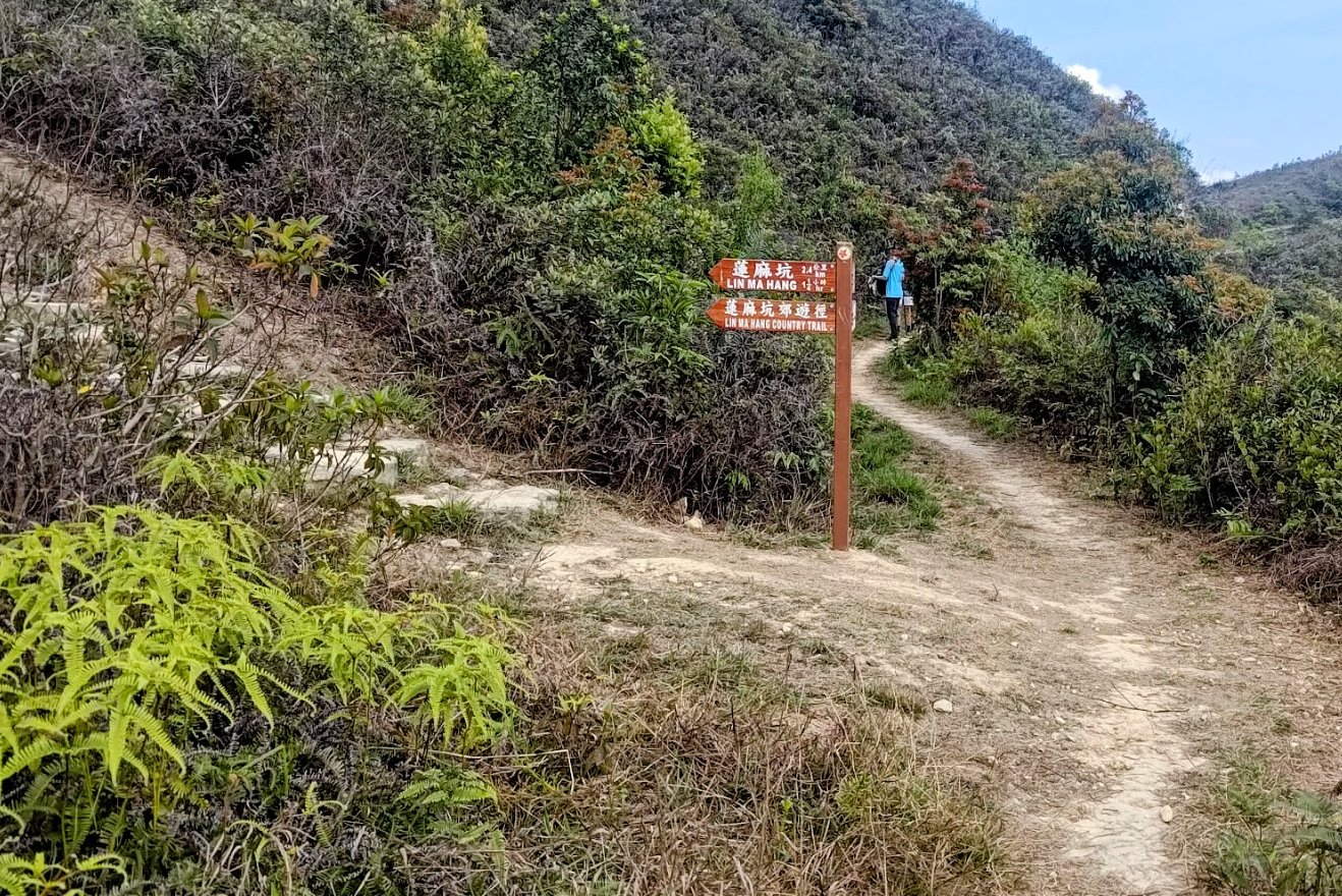
- Enjoy the open country trail for 30 mins, following the brown sign pointing to Lin Ma Hang and Robin's Nest
- When you see the brown Robin's Nest Country Trail sign, you will see an optional detour up to Hung Fa Chai (a small peak). This peak lets you see clearly into Shenzhen
- Don't miss the viewpoints with its informational image-based signs that name all the nearby peaks and geographic locations
- Go down the stairs and begin climbing toward the next peak, which is Robin's Nest
- Keep following the signs to Lin Ma Hang
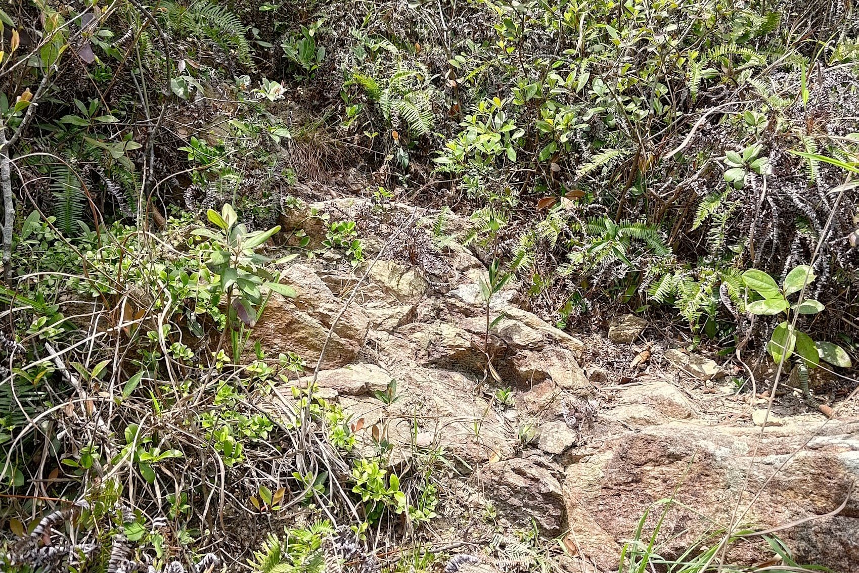
- After climbing some stone steps, you will see a little detour to your left. Climb this to ascend to Robin's Nest, which is marked by a black and white trigonometrical point
- Descend from Robin's Nest back the way you came. If you descend from the other trail, turn left and retrace your steps to reach the same detour from step 12
- 20 minutes of descending later, and you'll be close to the Lin Ma Hang Caves, which are to your right and marked by a large sign
- Currently (2024), the caves are closed for maintenance, so you won't be able to see them.
- Continue your descent into Lin Ma Hang Village where you have to walk down toward the barbed wire fence that splits Hong Kong from China
- Follow the fence until you see a police guard point, where you can get onto the 59K green minibus
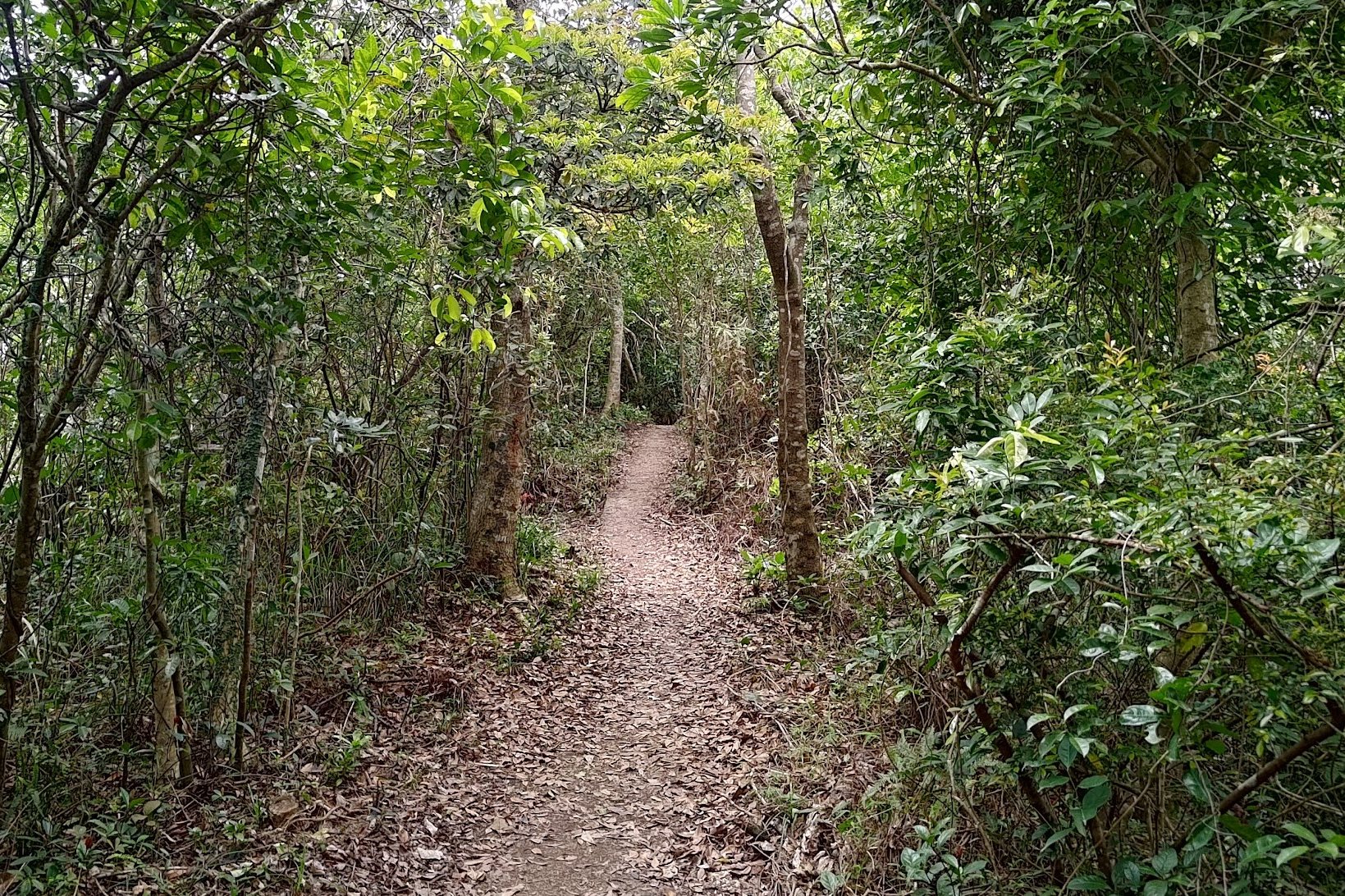
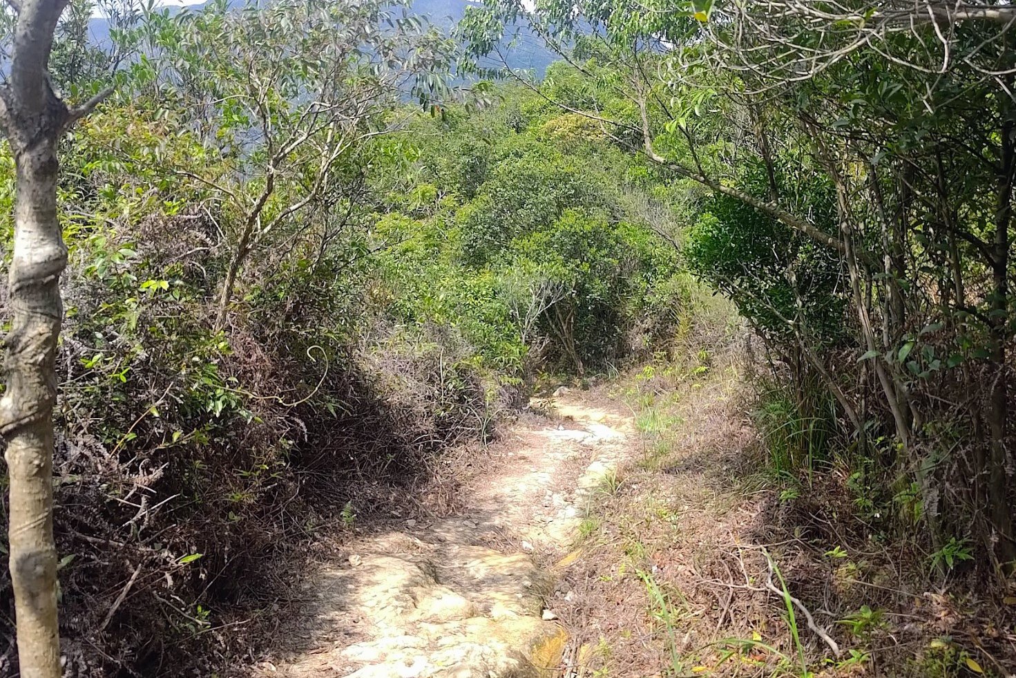
Tam Shui Hang Village to the Jungle Trail
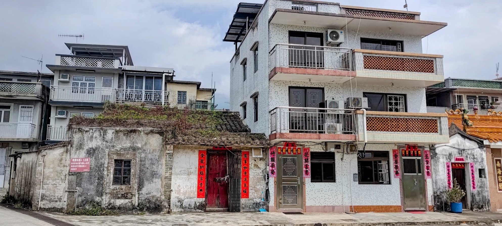
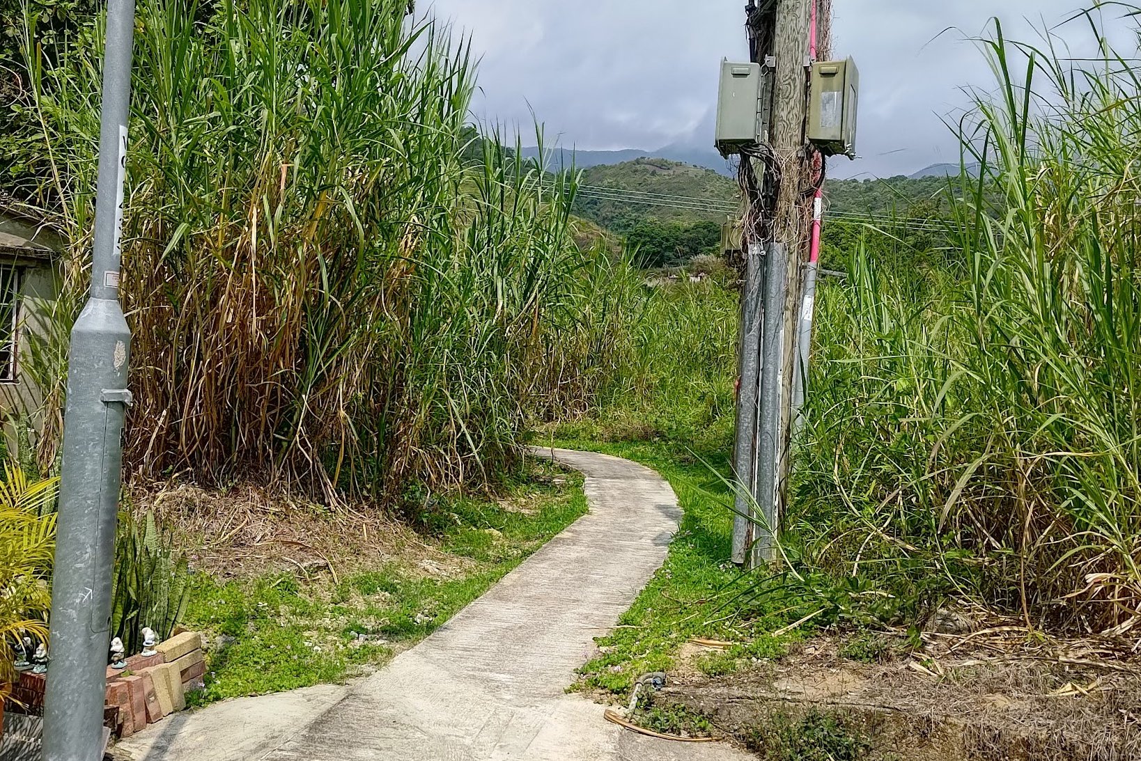
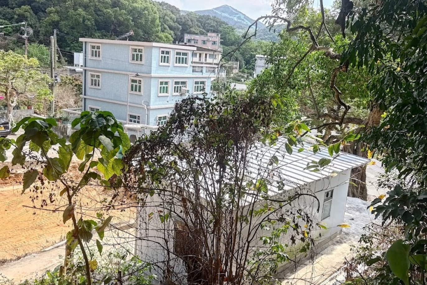
When you arrive at Tam Shui Hang Village, follow the main road until you are able to turn left. Getting through the village only takes 5 minutes or so and it's really easy to find the path that leads toward the mountains and tower after you turn left.
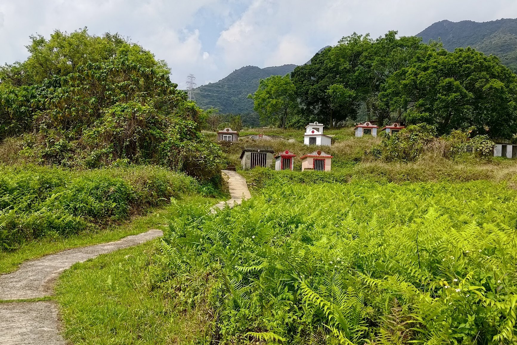
As soon as you leave the village, you'll walk among some tall grass before coming across a few brightly colored traditional tombs.
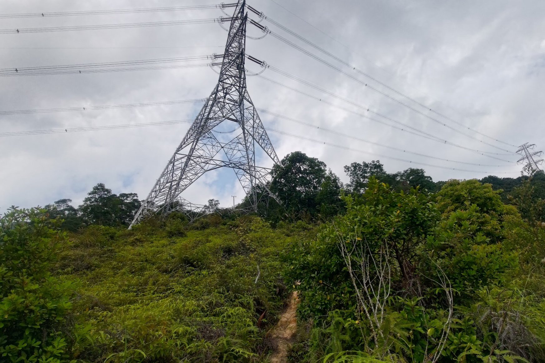
When the concrete path disappears, it can be tough to find the trail. Look for a large, grey tomb and you'll see a faint path beside it. As you continue to gently climb upward, your primary destination is to reach the large tower in the distance.
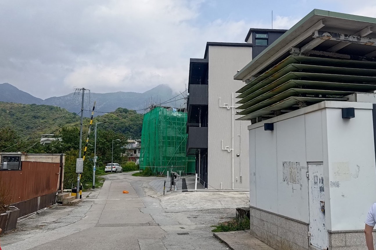
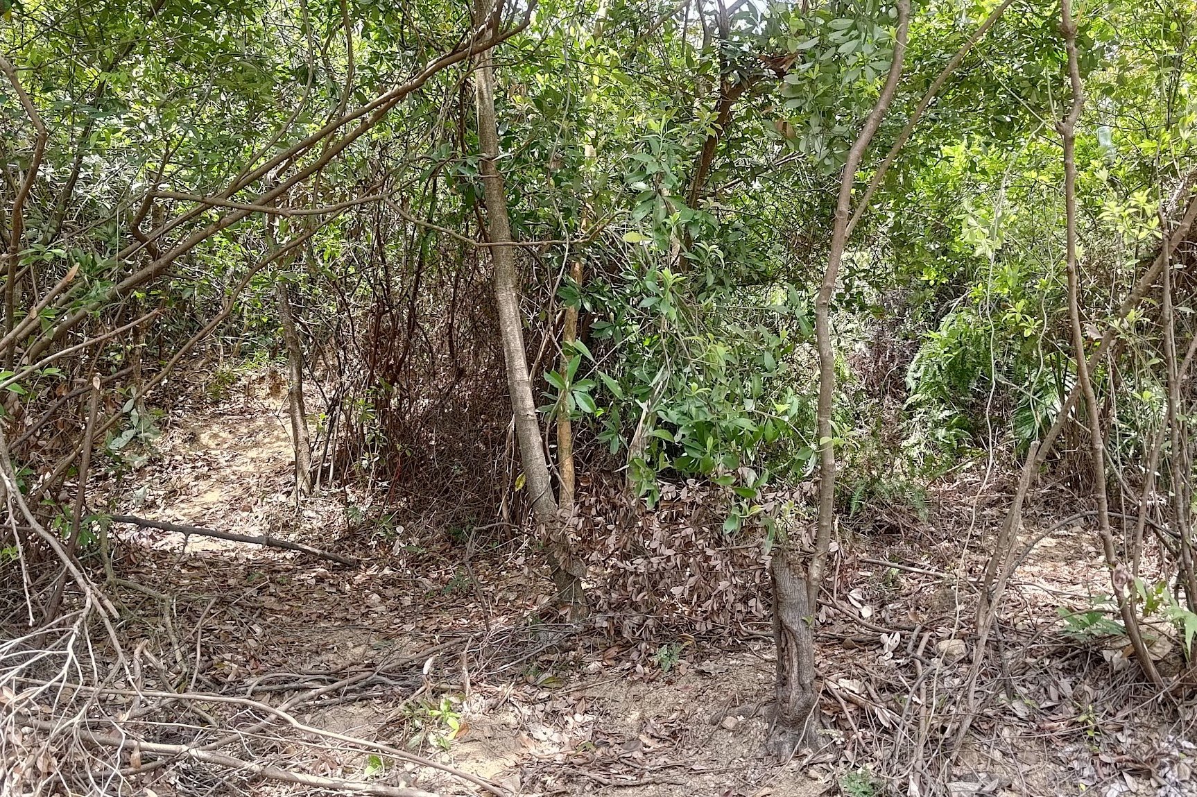
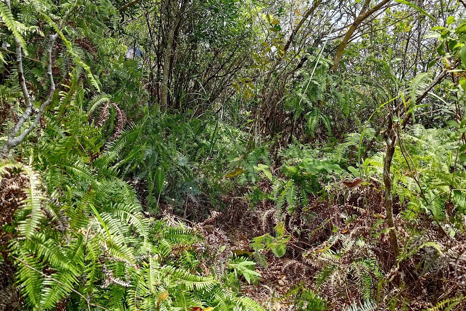
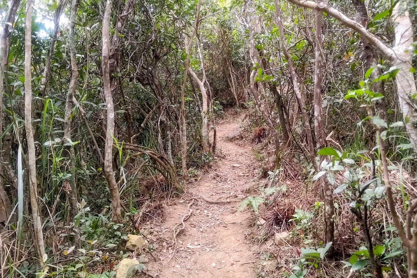
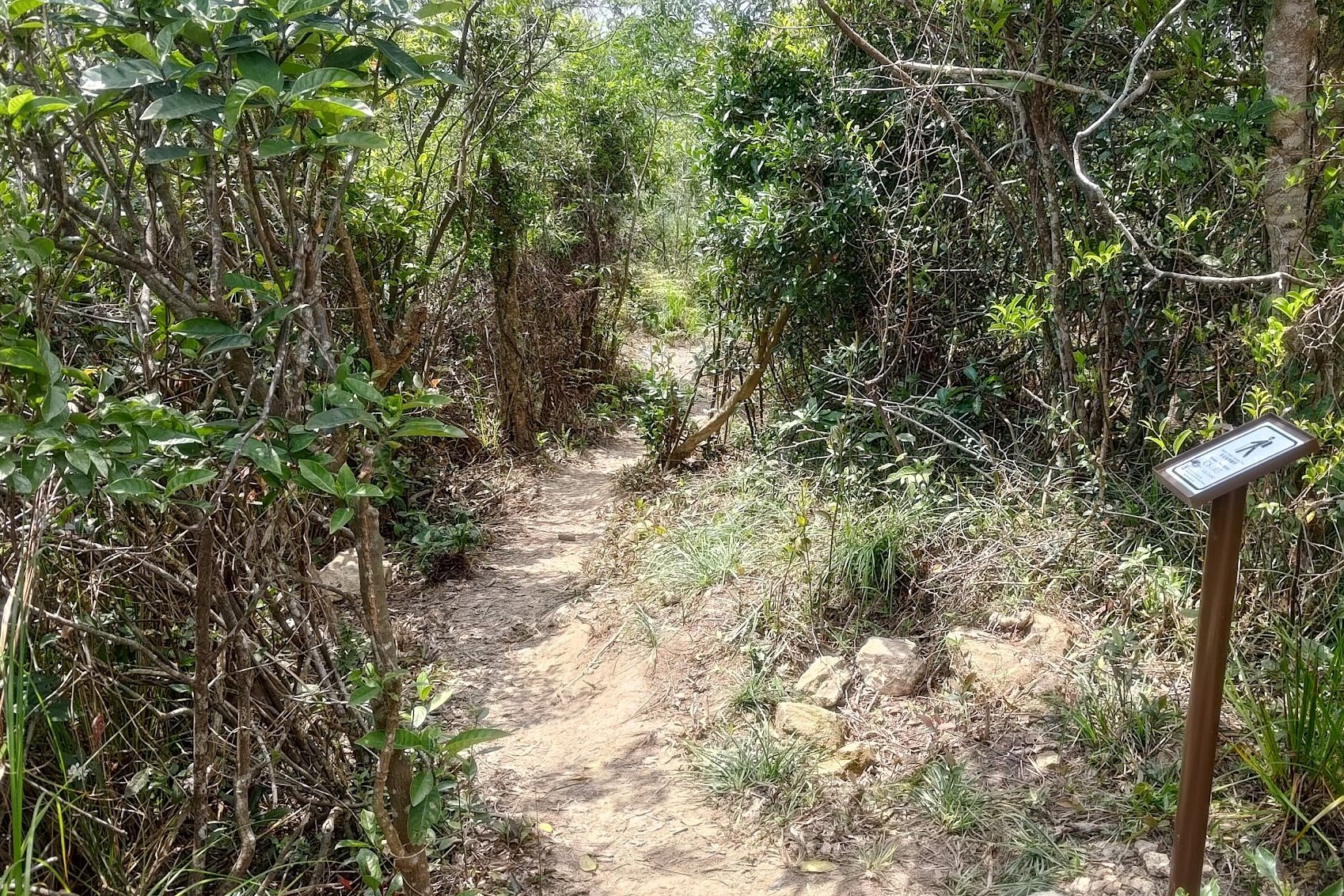
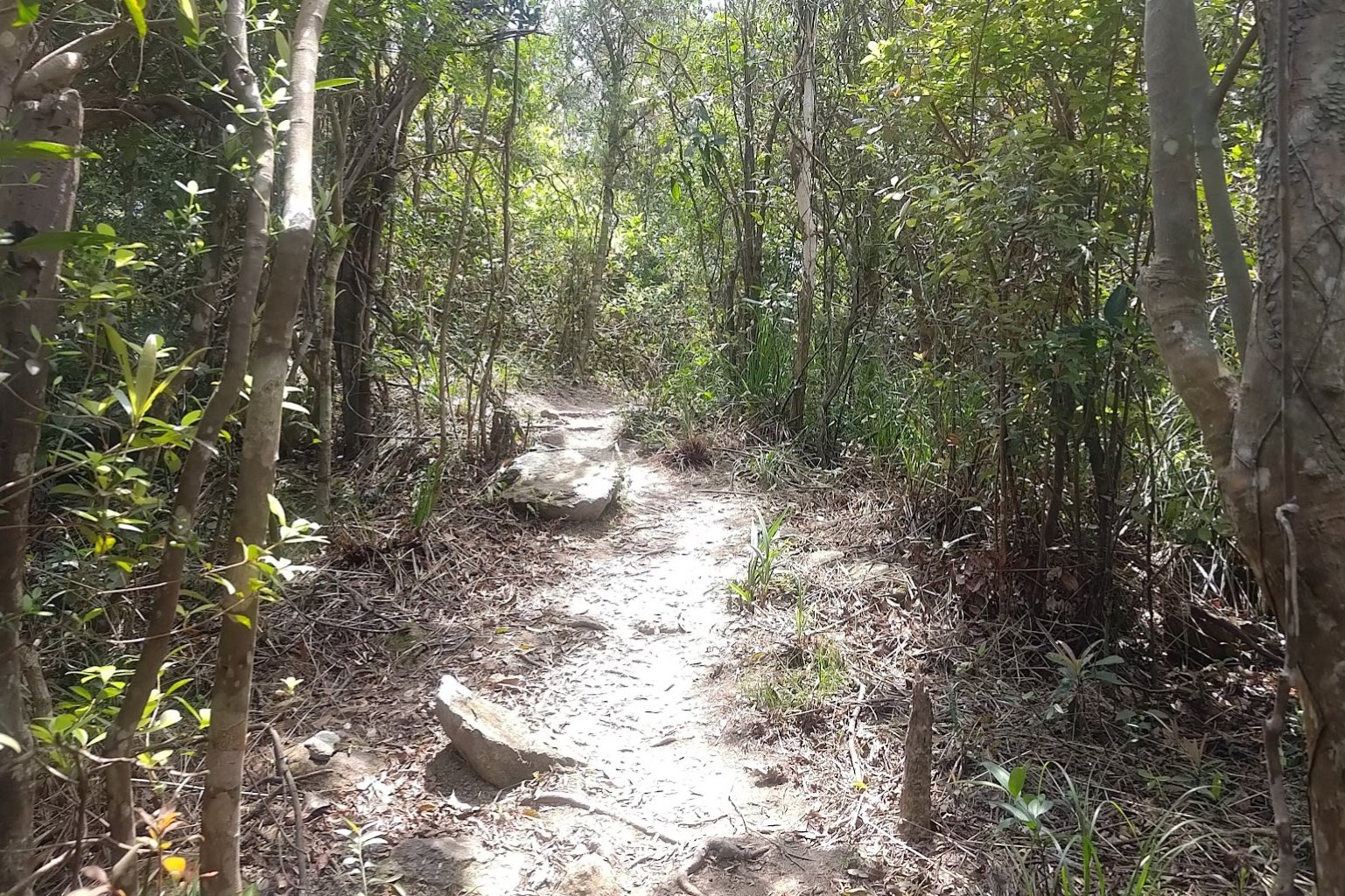
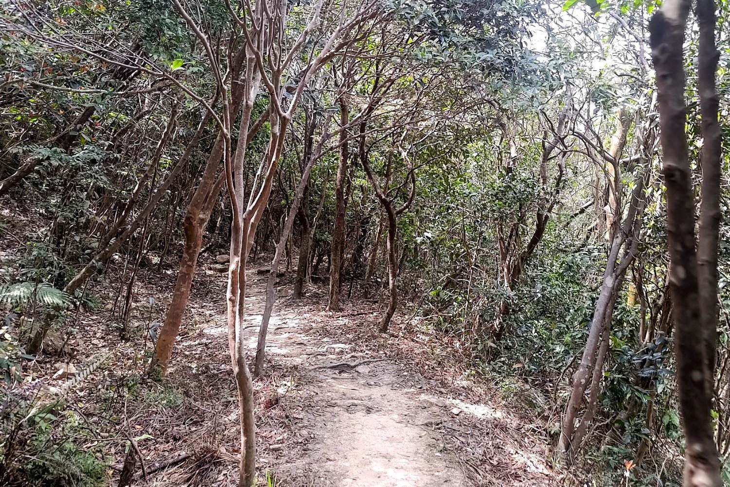
The 4o-Minute Struggle through an Overgrown Path
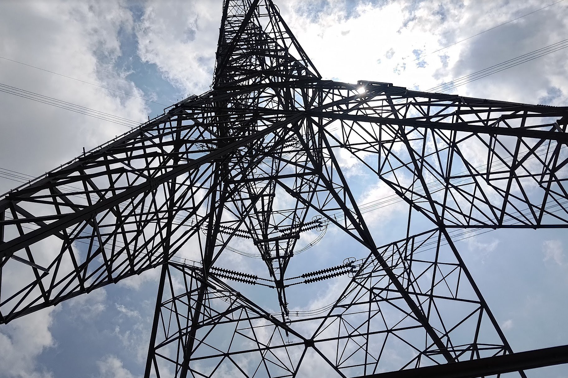
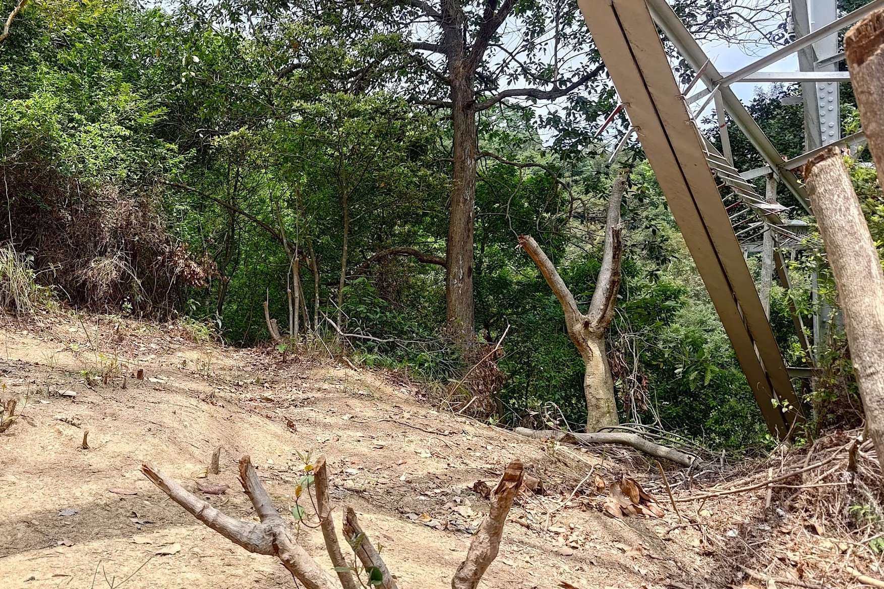
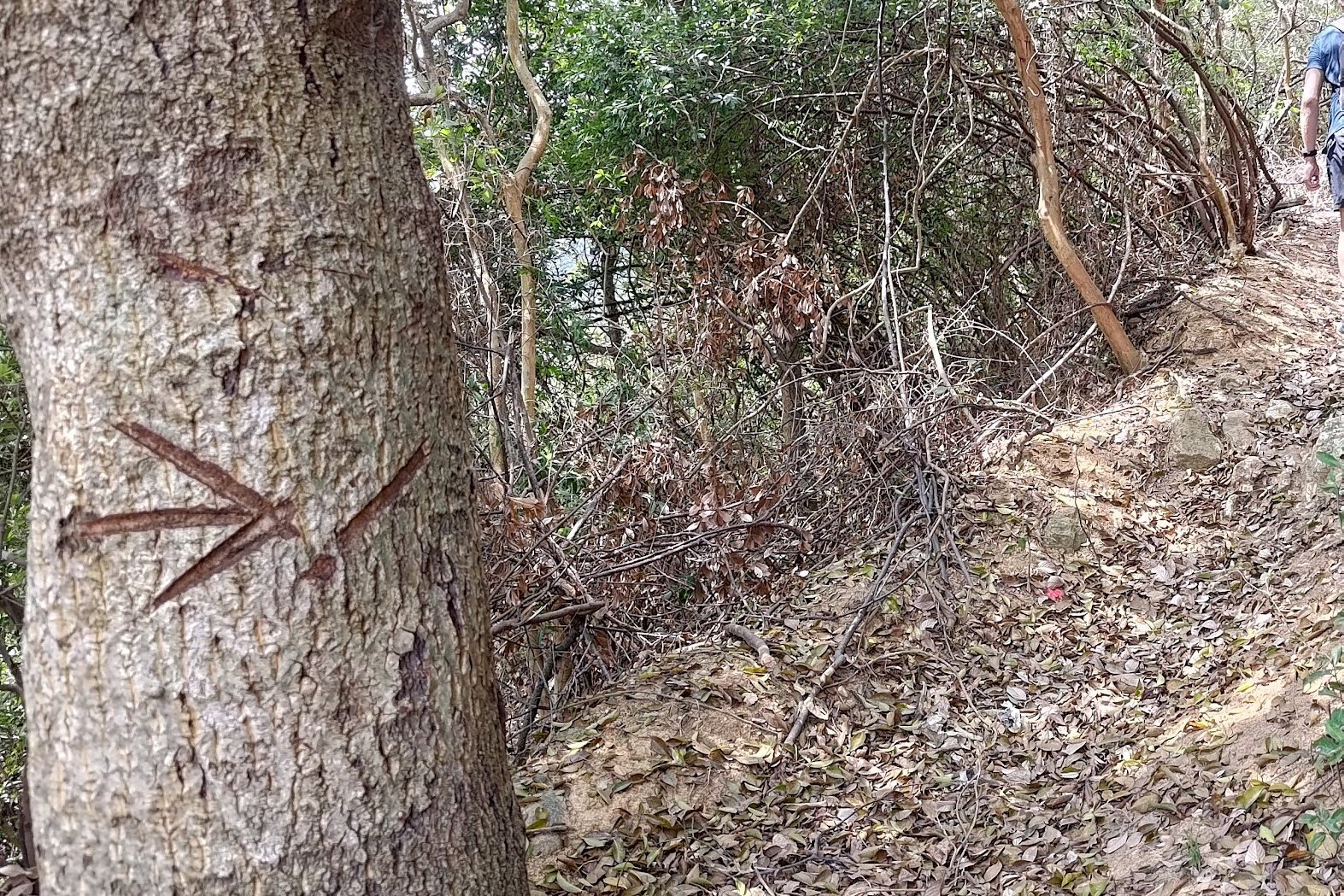
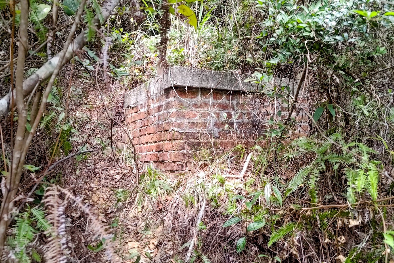
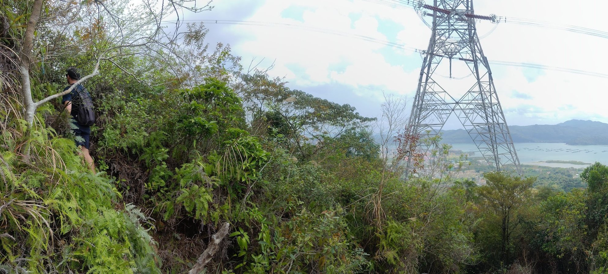
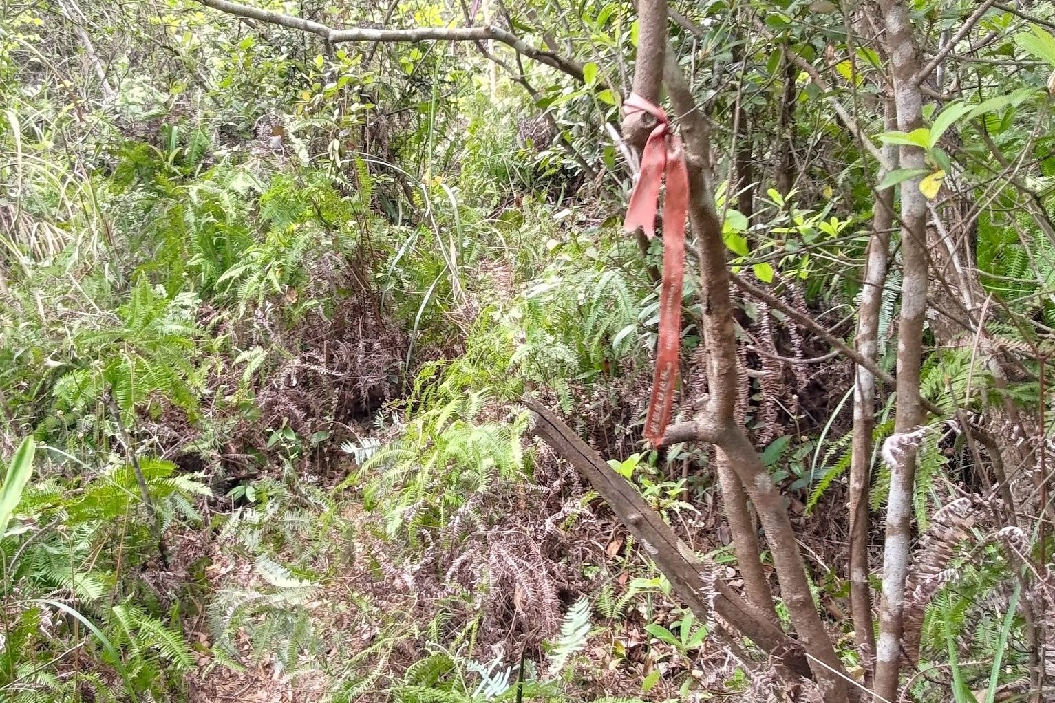
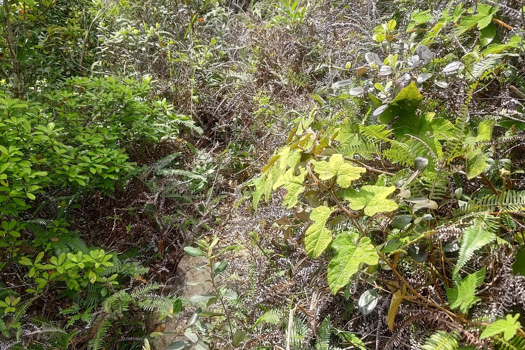
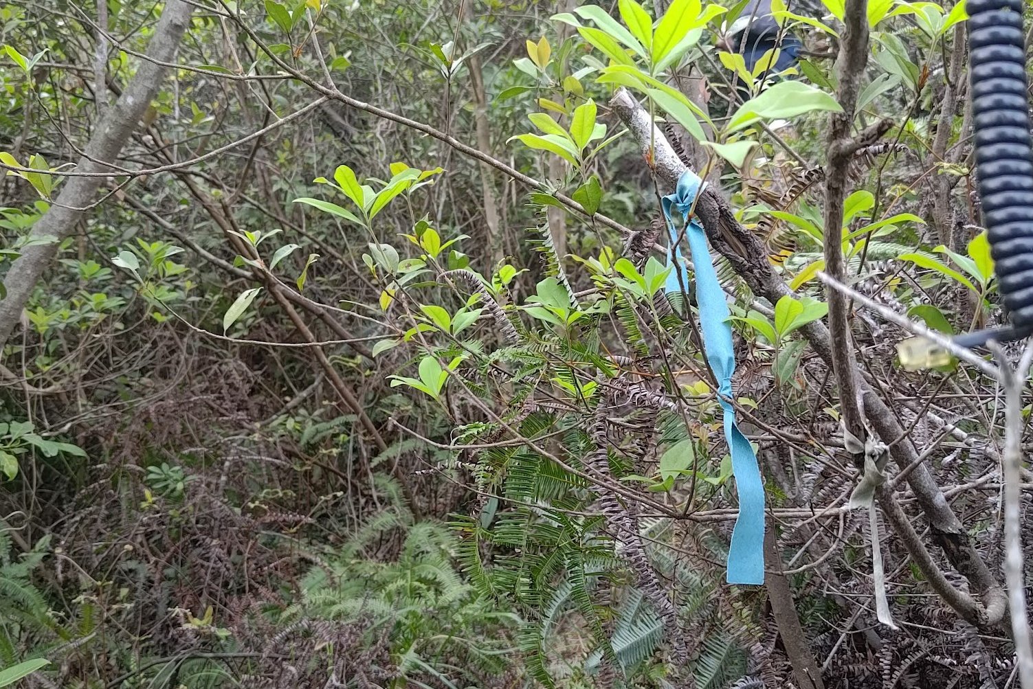
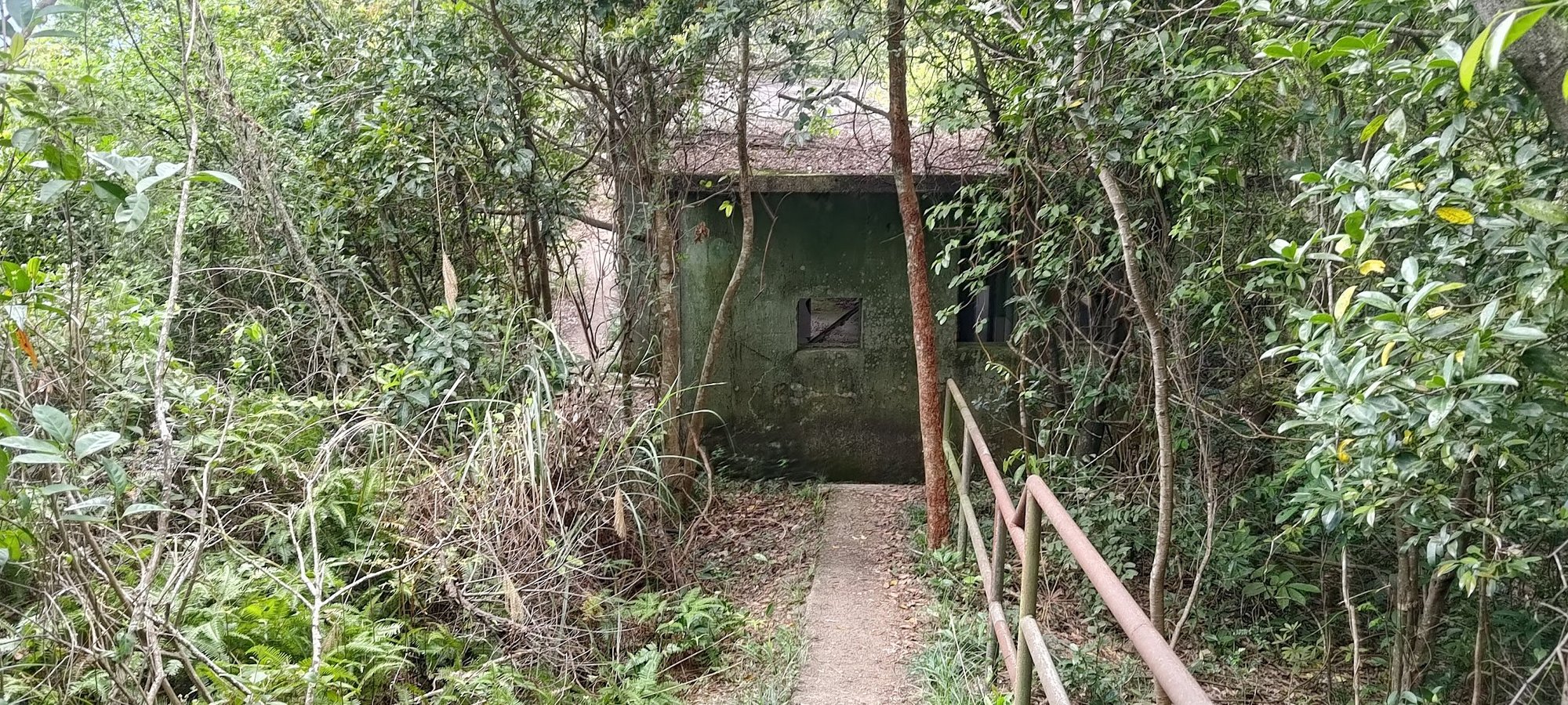
This section of the hike is the toughest by far and also the easiest to get lost in. Just finding the correct uphill path is a nightmare. I went under the top right leg of the tower first and found that this path led to a dead end. I then attempted the path under the top left leg of the tower (behind the tree with the arrow) and found that it, too, led to a trail that was far too overgrown to navigate.
The correct trail is directly under the tower, marked by a faded ribbon. You will know you're on the right track when you see a red brick structure about a minute or two into the trail.
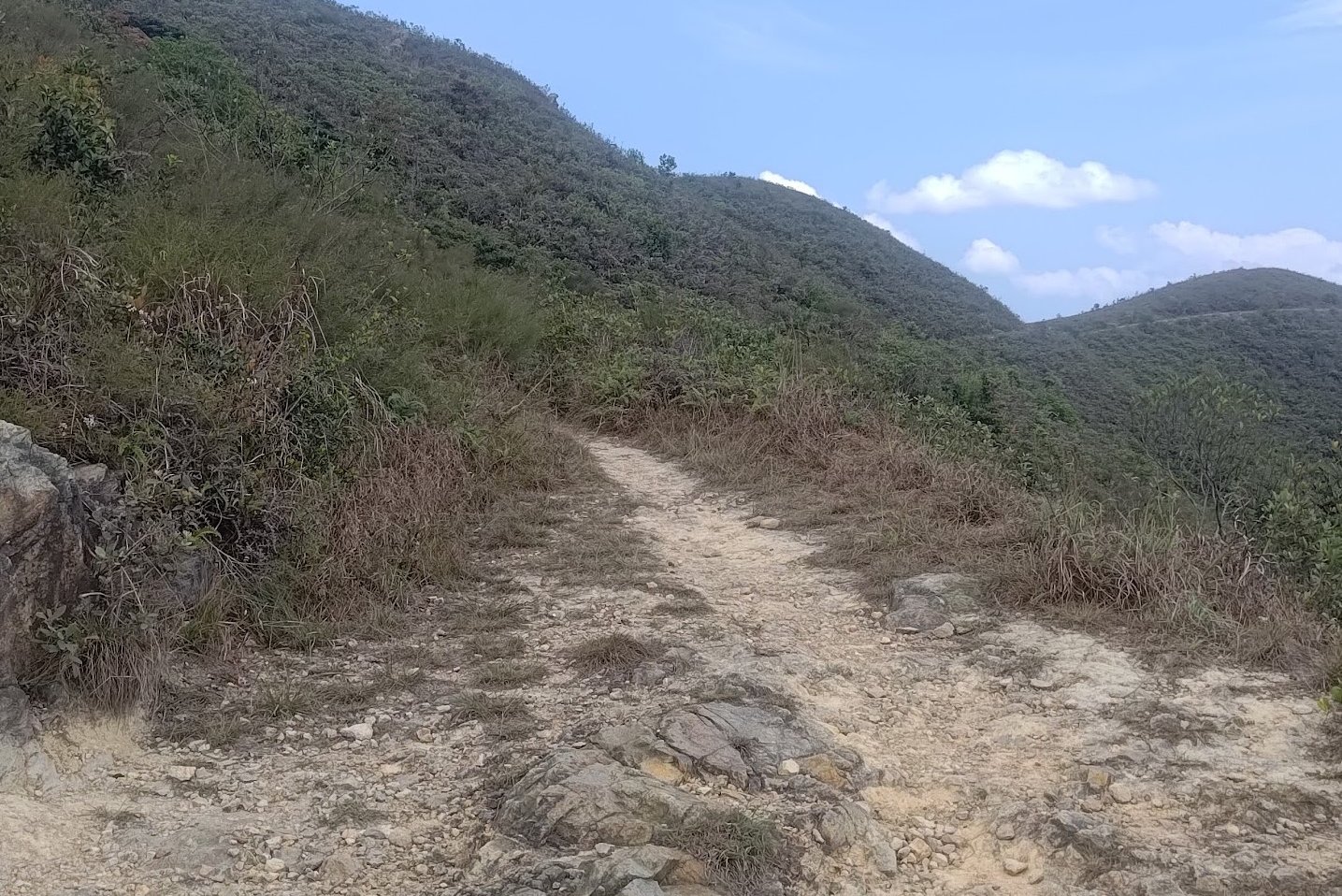
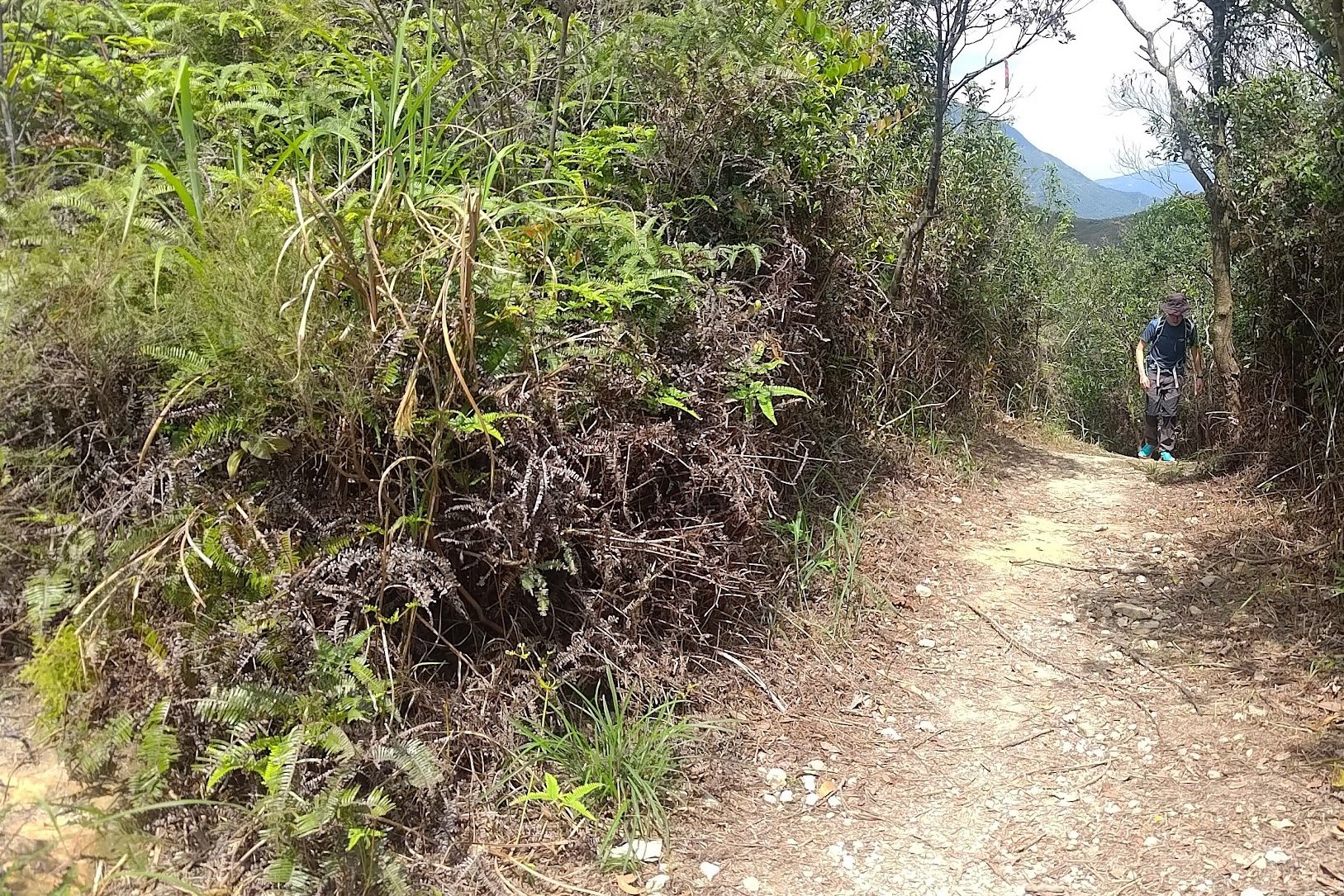
As you climb through thick underbrush, keep your hands free to hold onto tree trunks for extra stability. This is an unofficial trail and it's easy to lose your balance or feel overwhelmed.
The dense foliage also adds to the humidity and makes this steep 40+ minute uphill section a real challenge. Add to this that it's super easy to get lost and even seasoned hikers will suffer in this section.
I know I did.
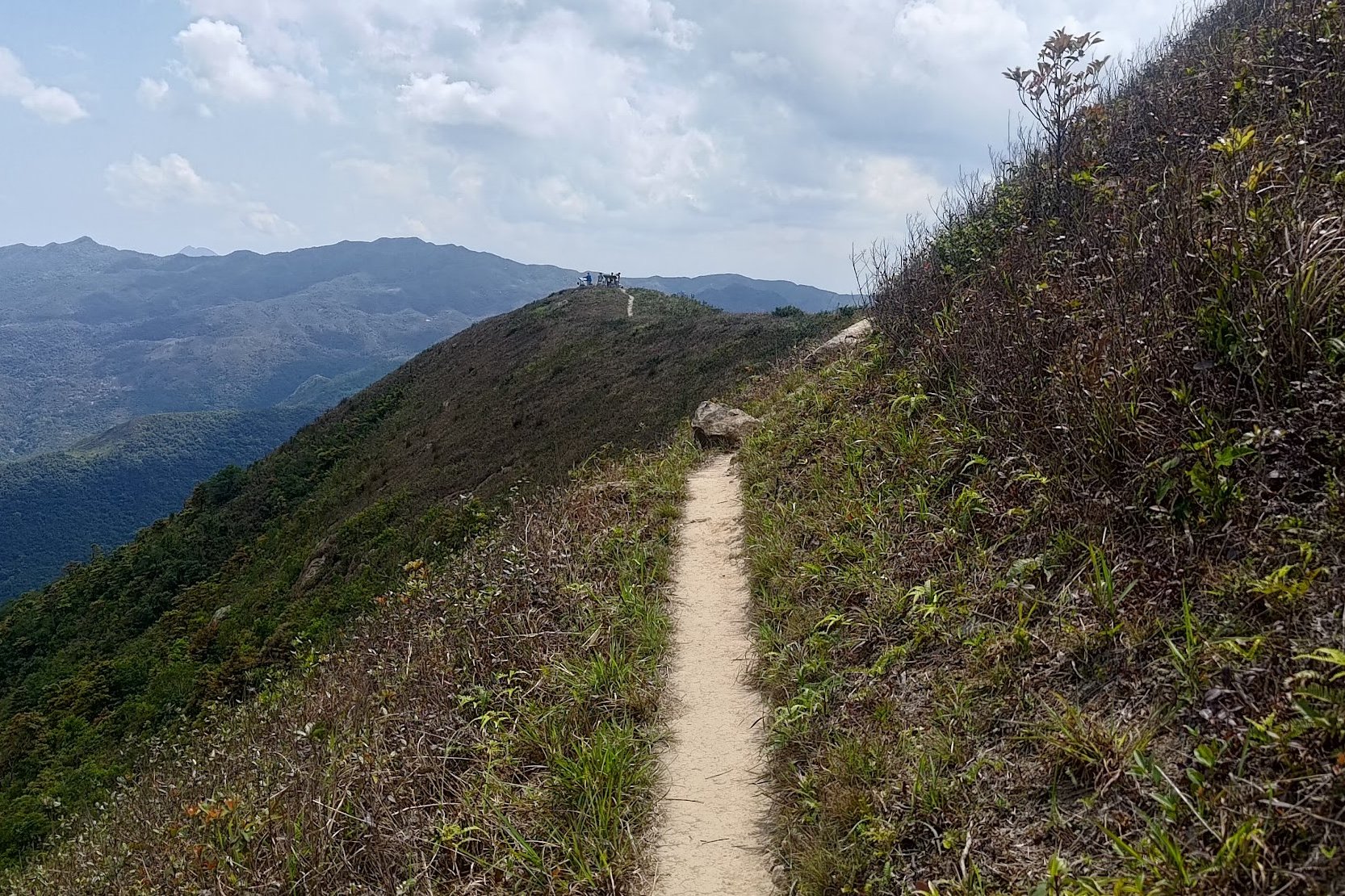
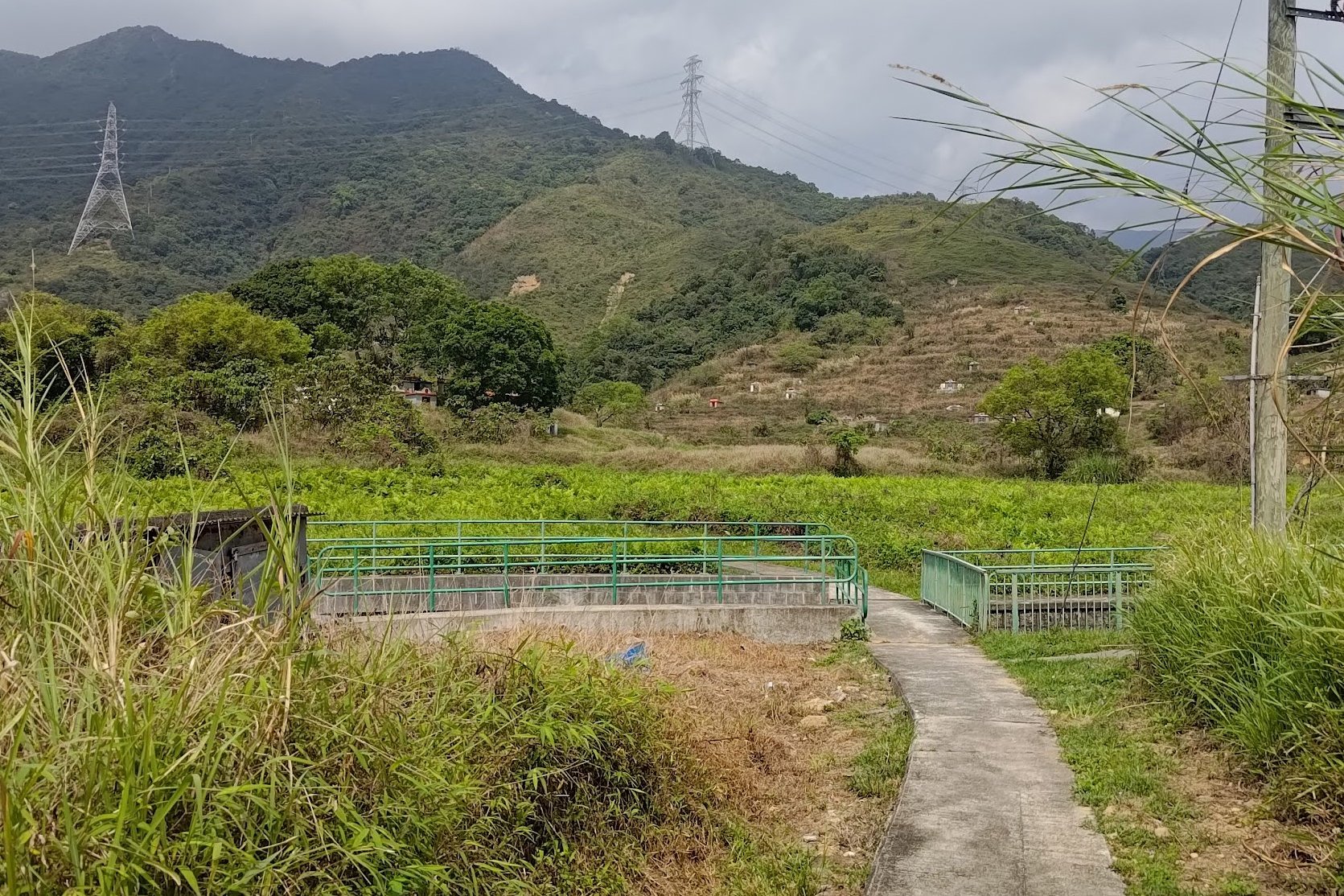
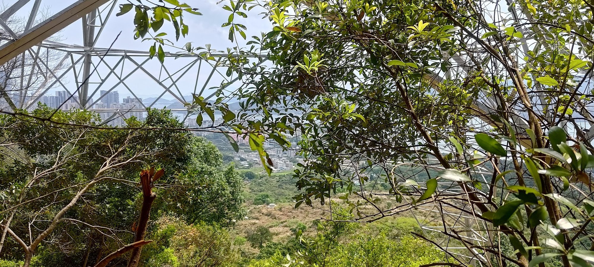
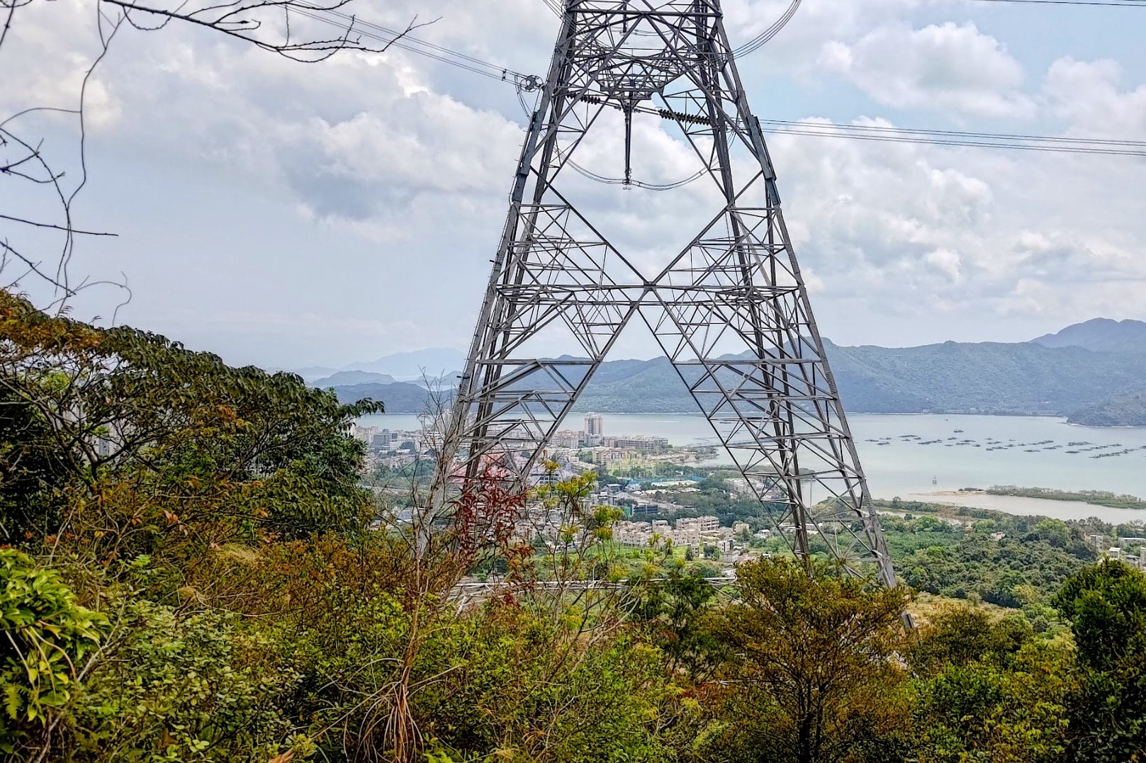
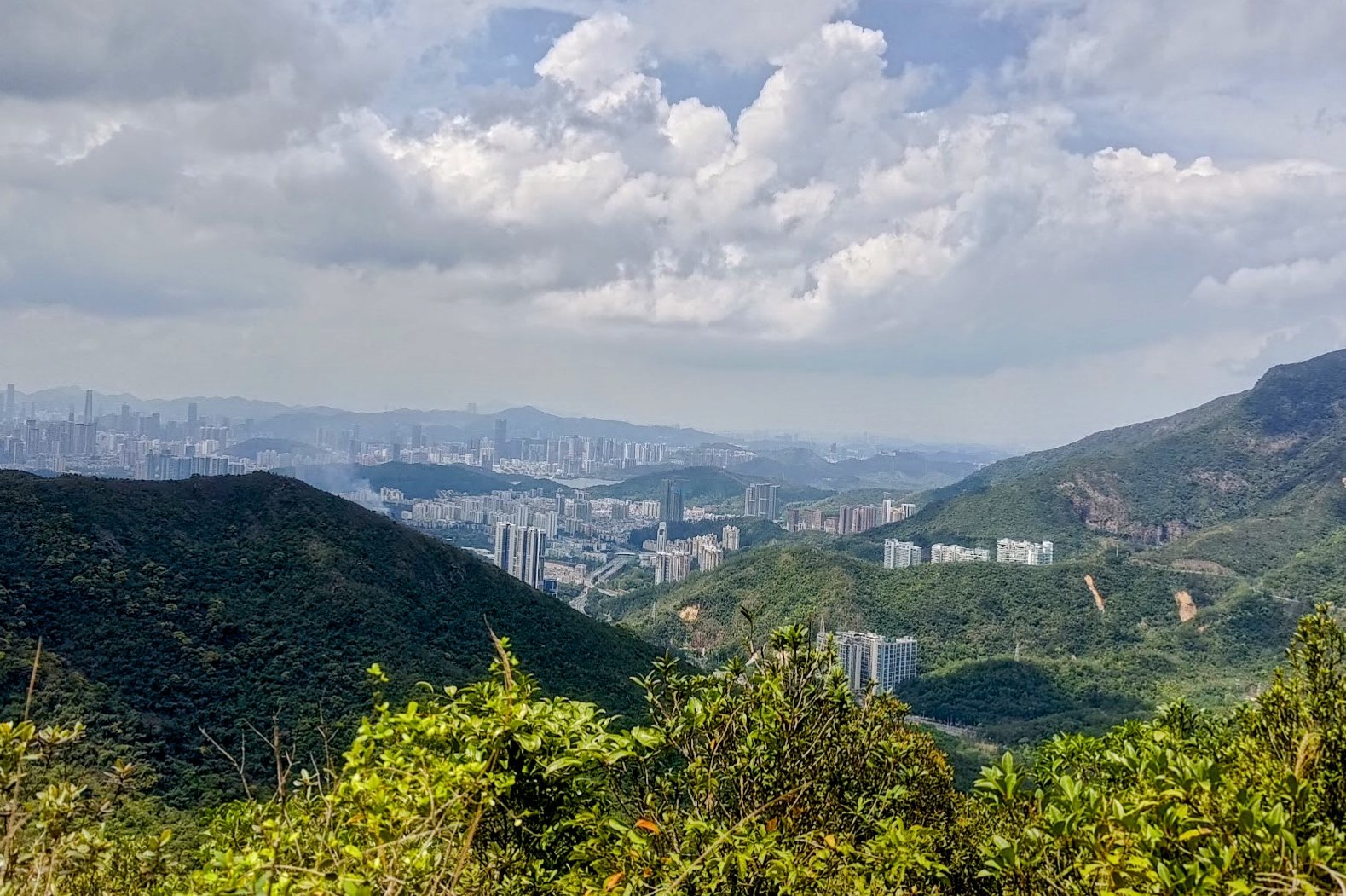
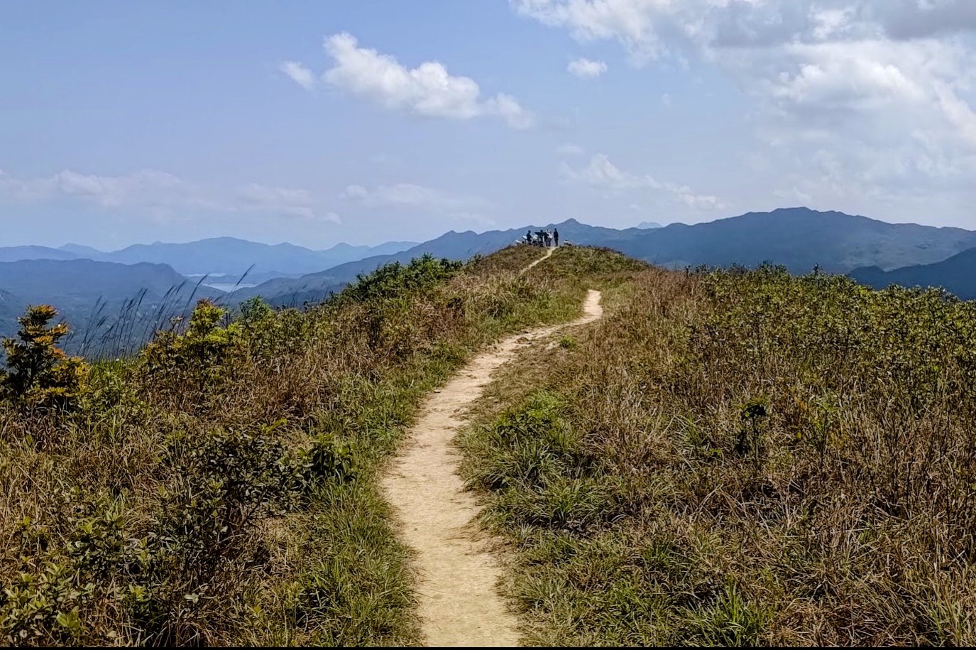
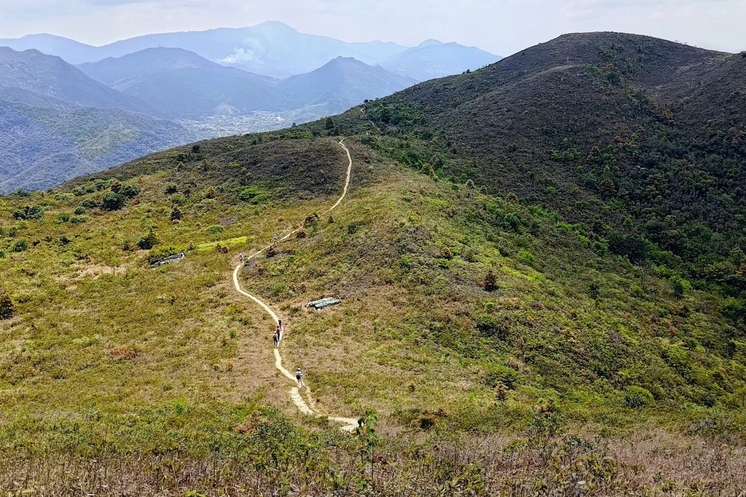
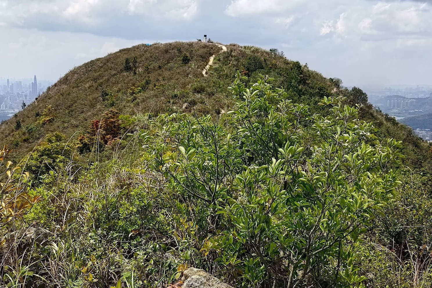
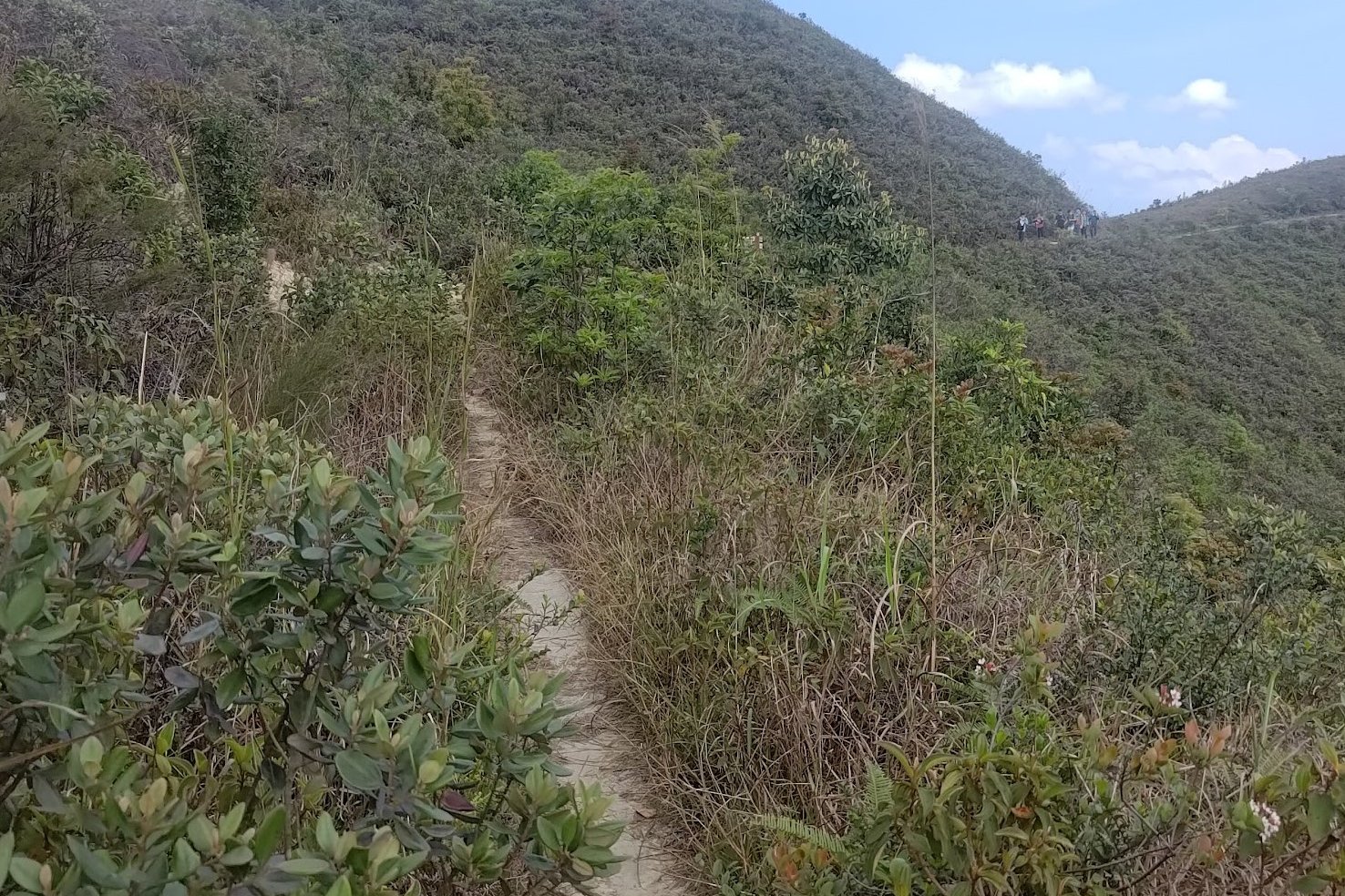
The Epic Ridge Walk to Hung Fa Chai
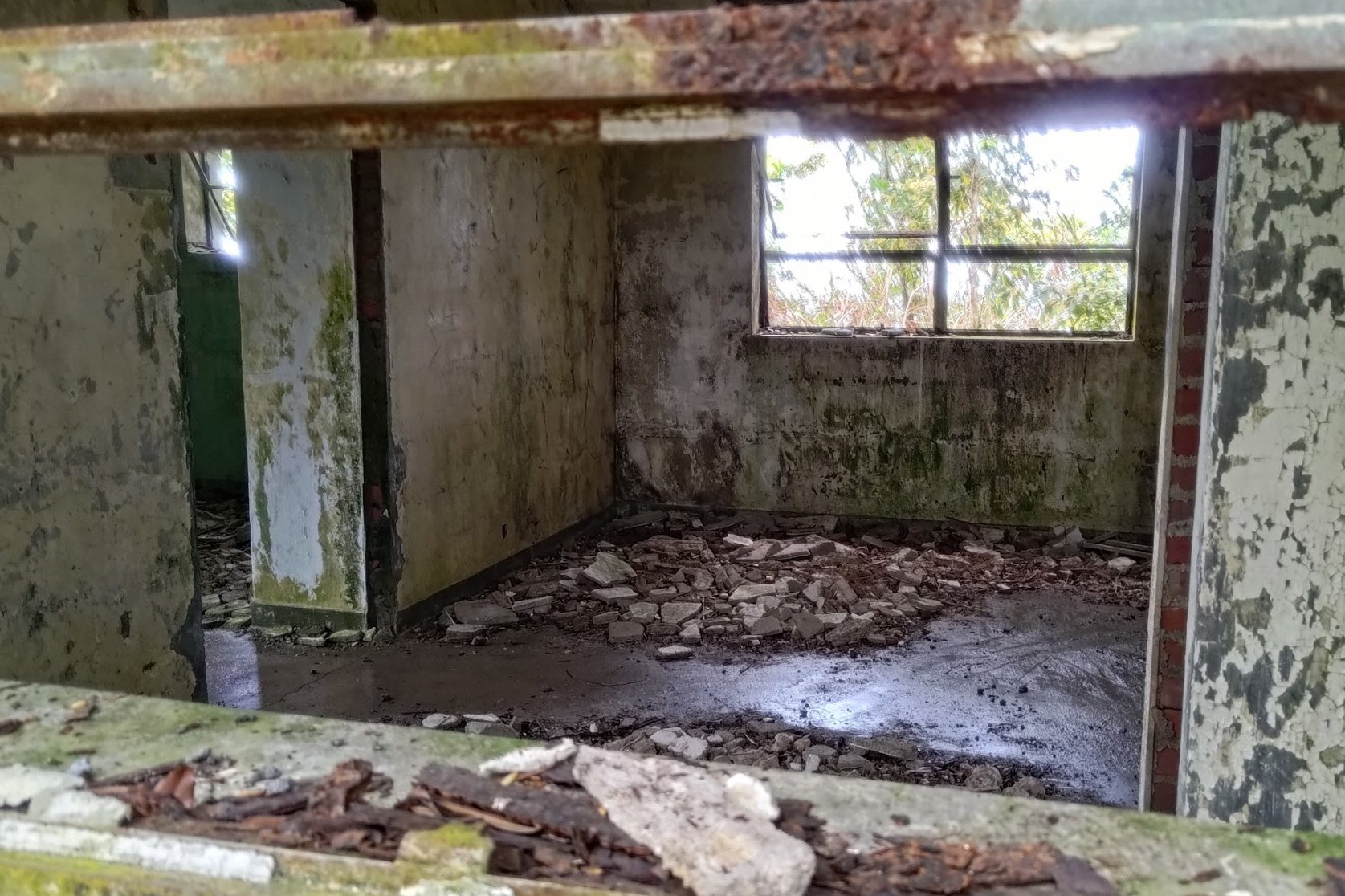
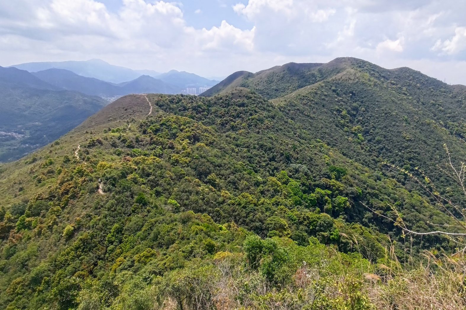
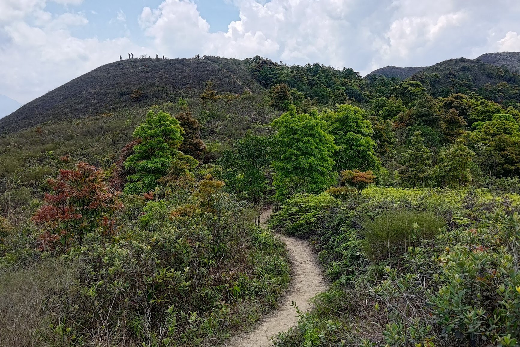
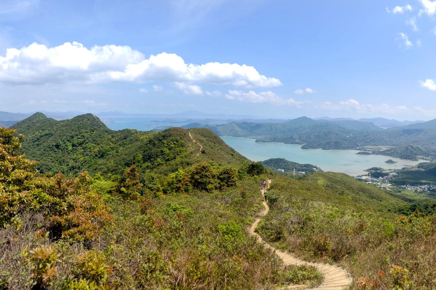
From the abandoned green building to the base of Hung Fa Chai took me about 40 minutes. Budget a little more time if you plan on going at a leisurely pace, taking breaks and taking photos.
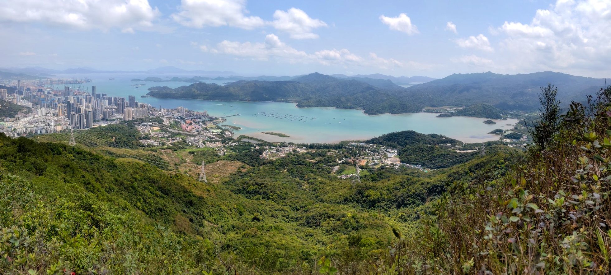
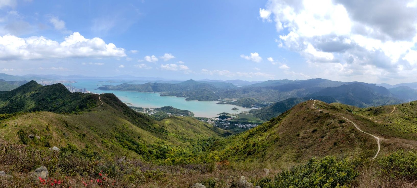
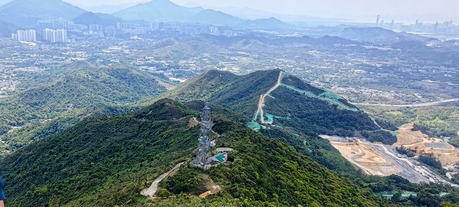
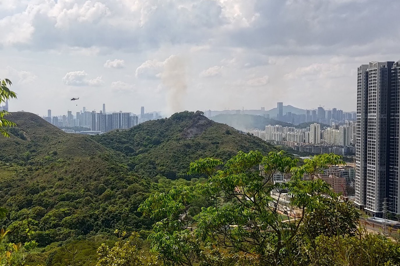
This entire section of the hike is open, full of incredible views of both Hong Kong and Shenzhen (China), so you'll have plenty of distractions as you undulate up and down a series of little mountain peaks.
Though some of the uphill sections here are a little steep, none of them are particularly long and you're always rewarded with a new view to take your breath away (if the demanding nature of the trail hasn't done so already).
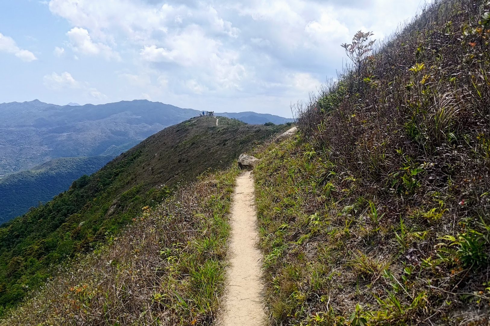
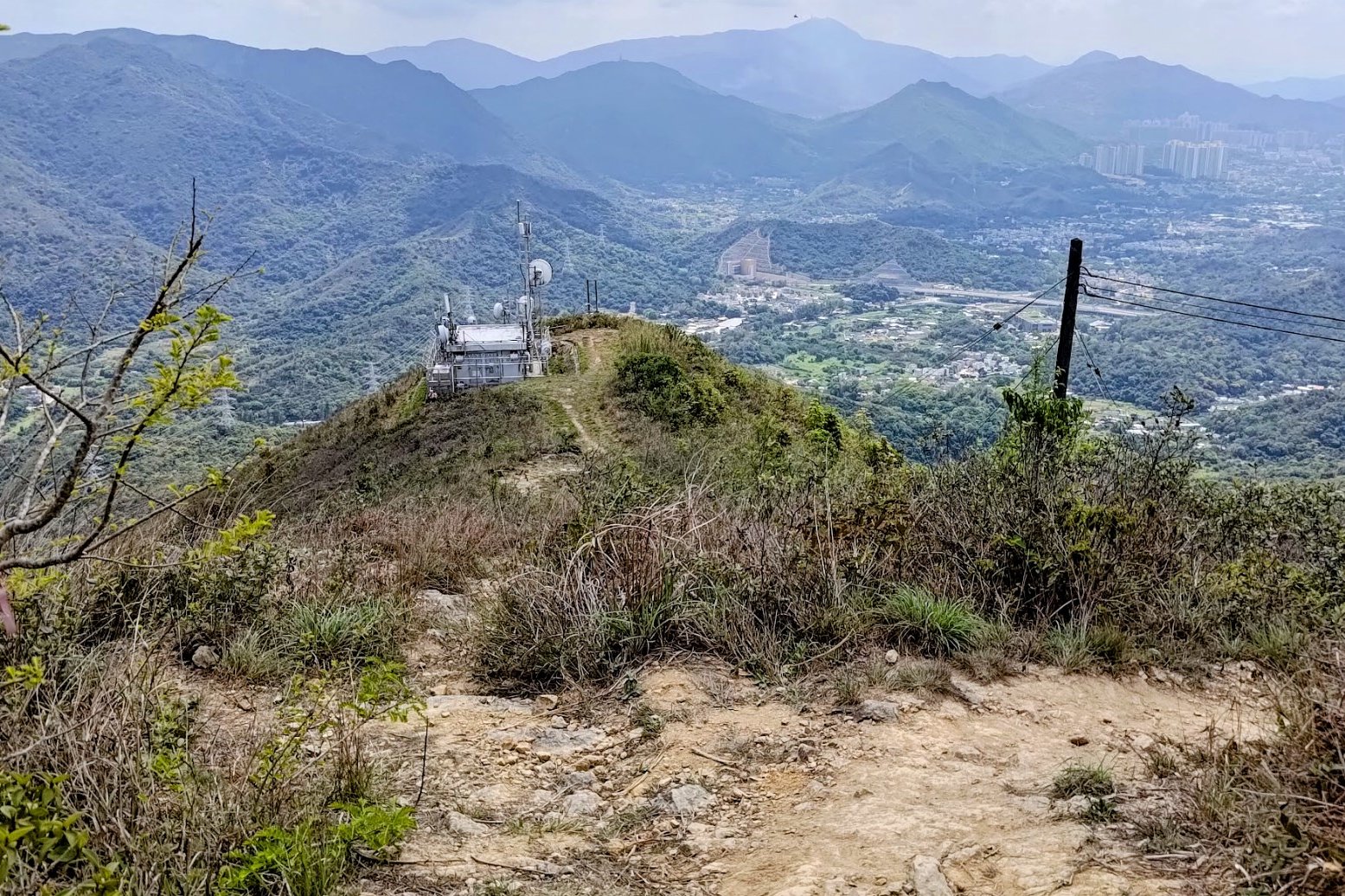
Hung Fa Chai Views
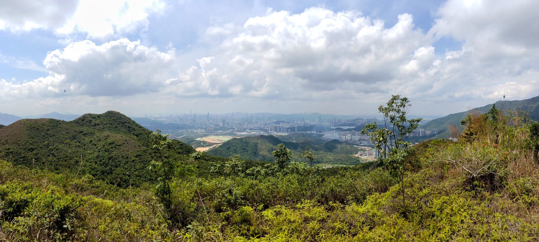
While climbing up Hung Fa Chai is totally optional, I'd recommend it. It only takes a few minutes to the top, but this is where you'll arguably find some of the best views of the entire hike!
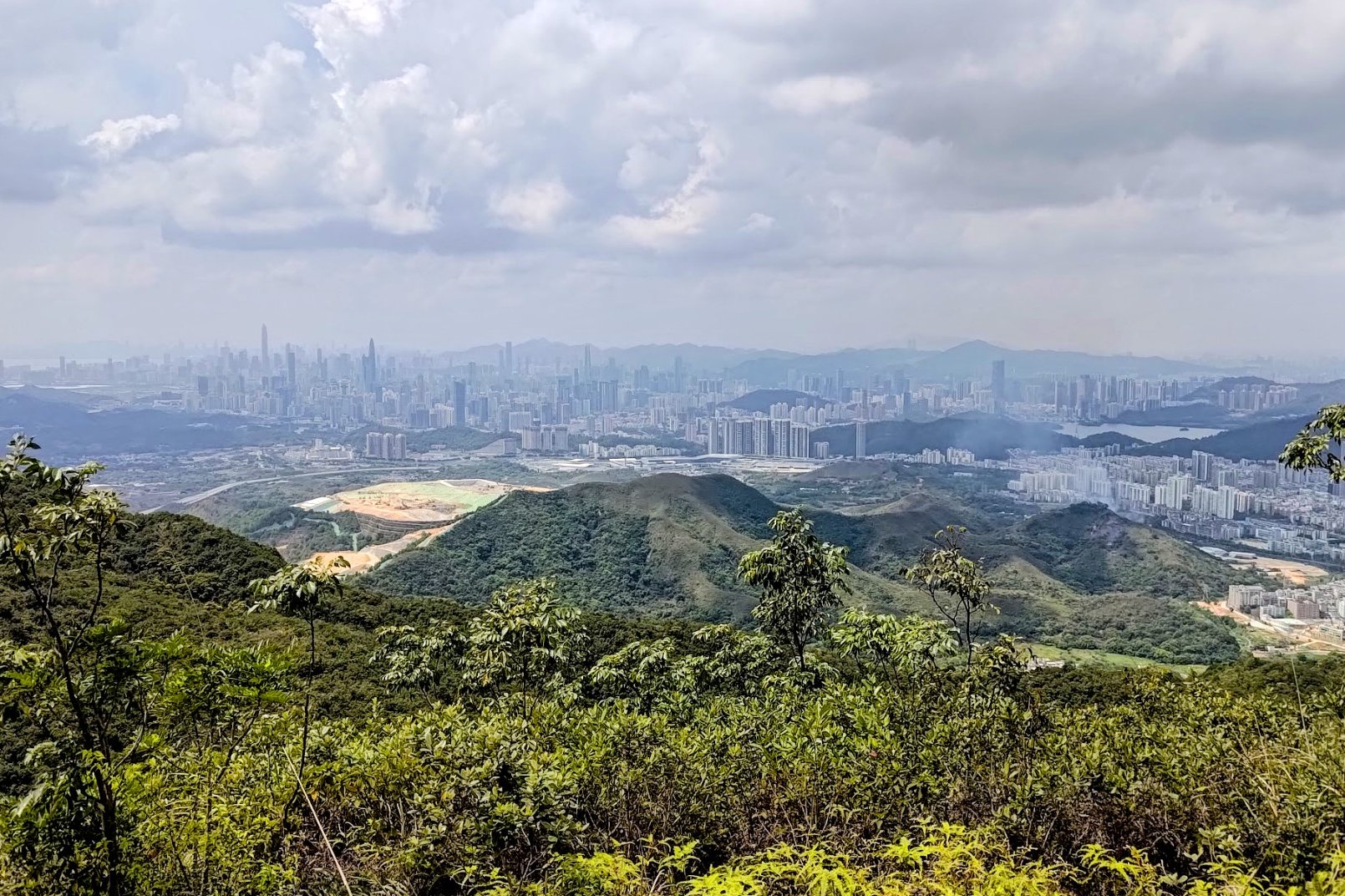
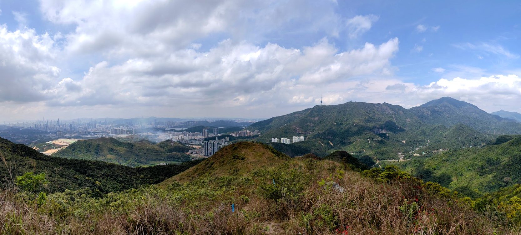
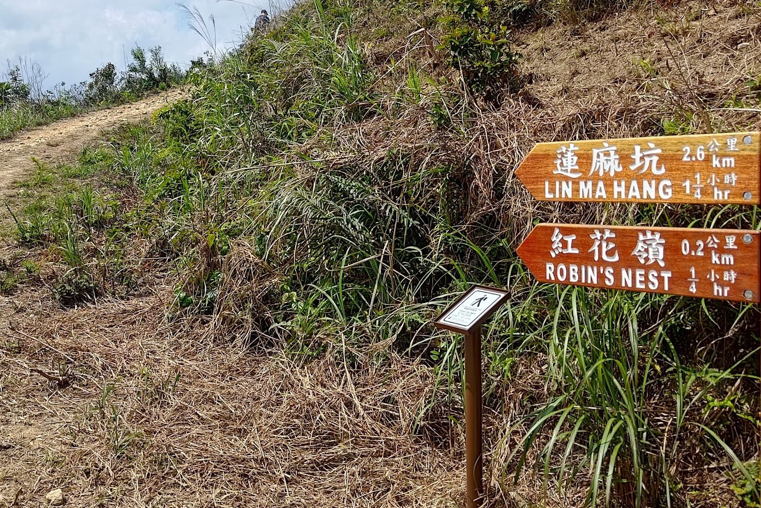
Robin's Nest Viewing Point
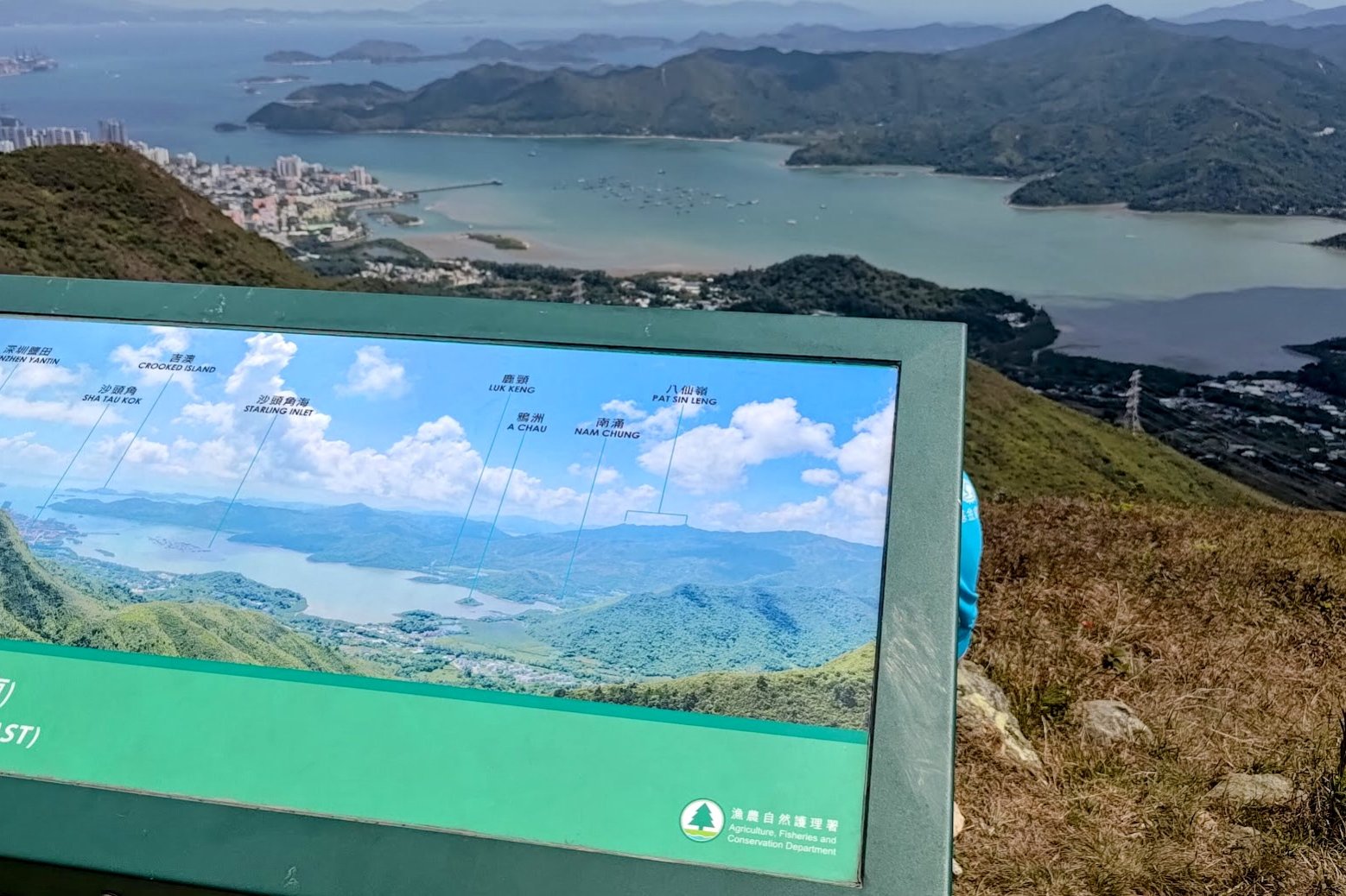
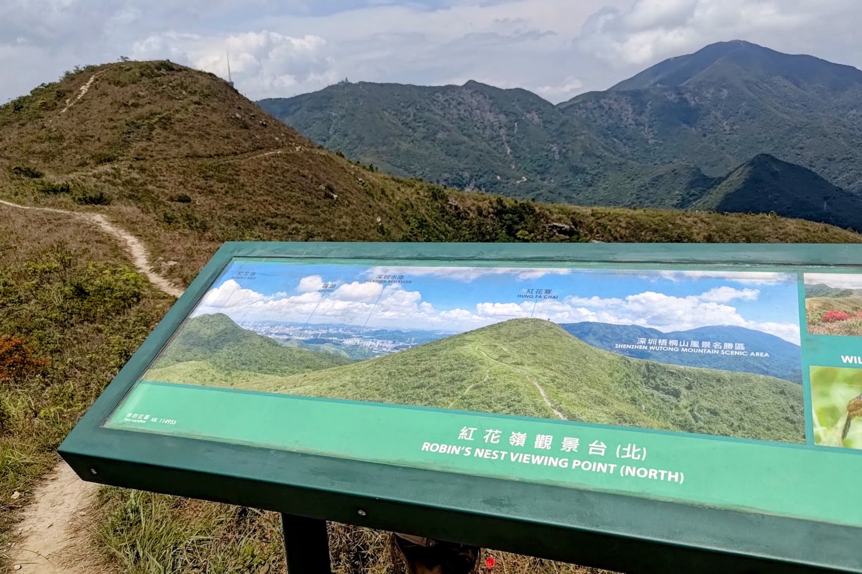
The Robin's Nest Viewing Point is perhaps a 2-minute walk from Hung Fa Chai. The views are stunning and a pair of signs explain what parts of Hong Kong and China you're looking at so the entire hike has more context!
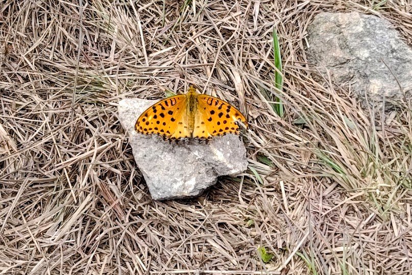
The signs also talk about some of the awesome wildlife you might see in the area.
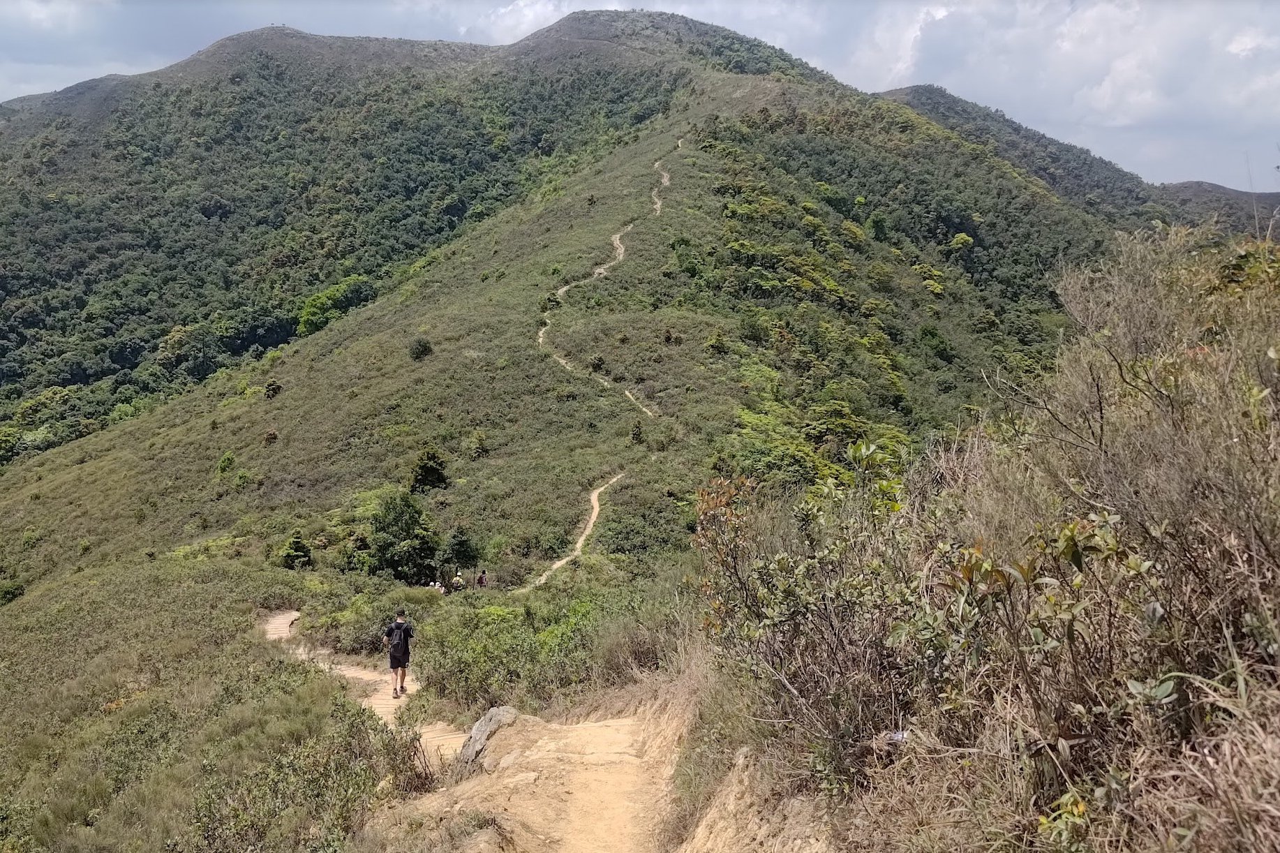
Hiking to Robin's Nest Peak
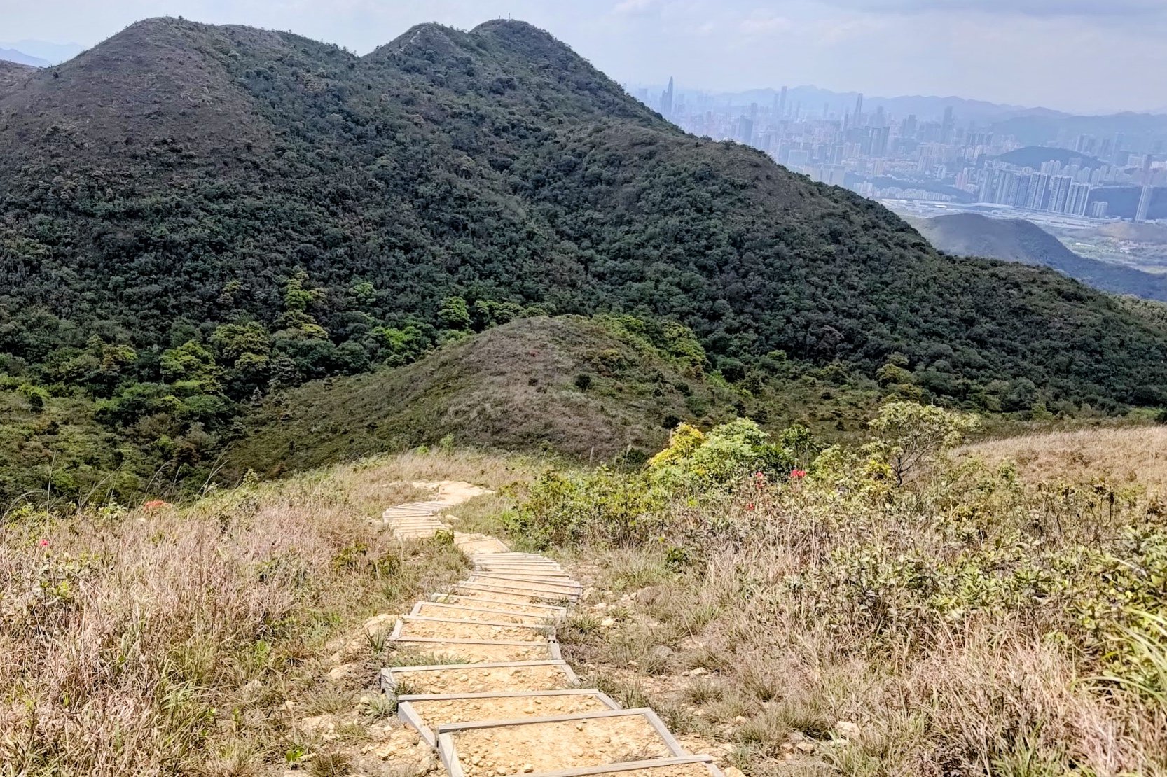
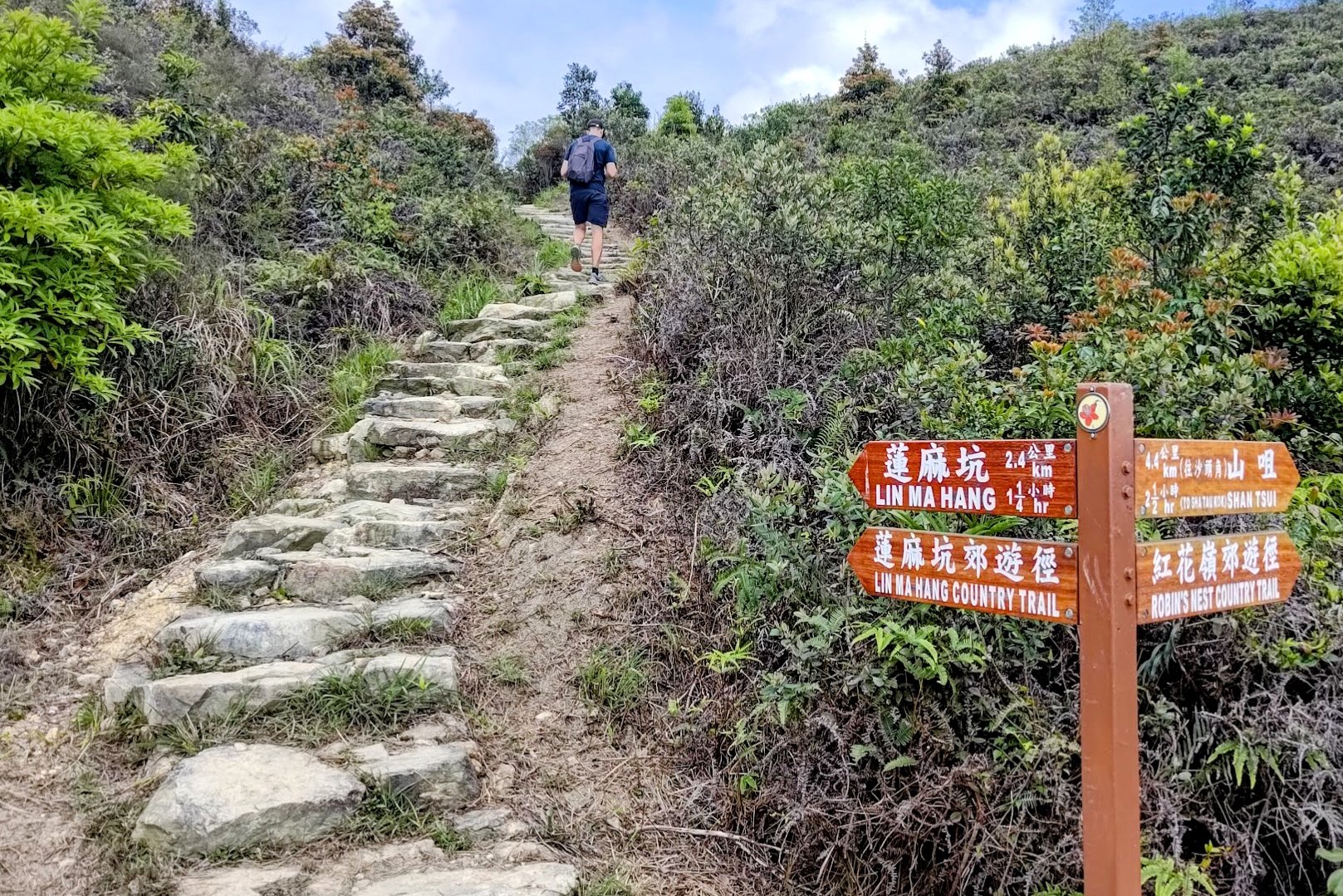
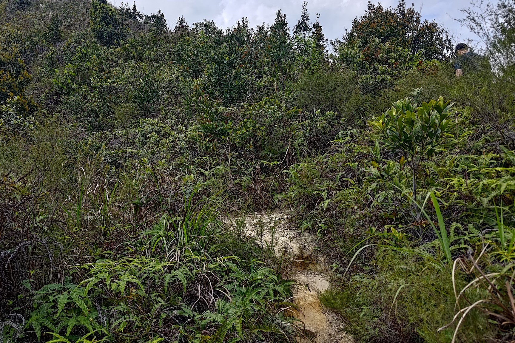
You're simply following the path after the Robin's Nest Viewing Point. Just don't miss the unmarked turn after the second sign if you plan to hike to the summit of Robin's Nest!
Robin's Nest Peak View
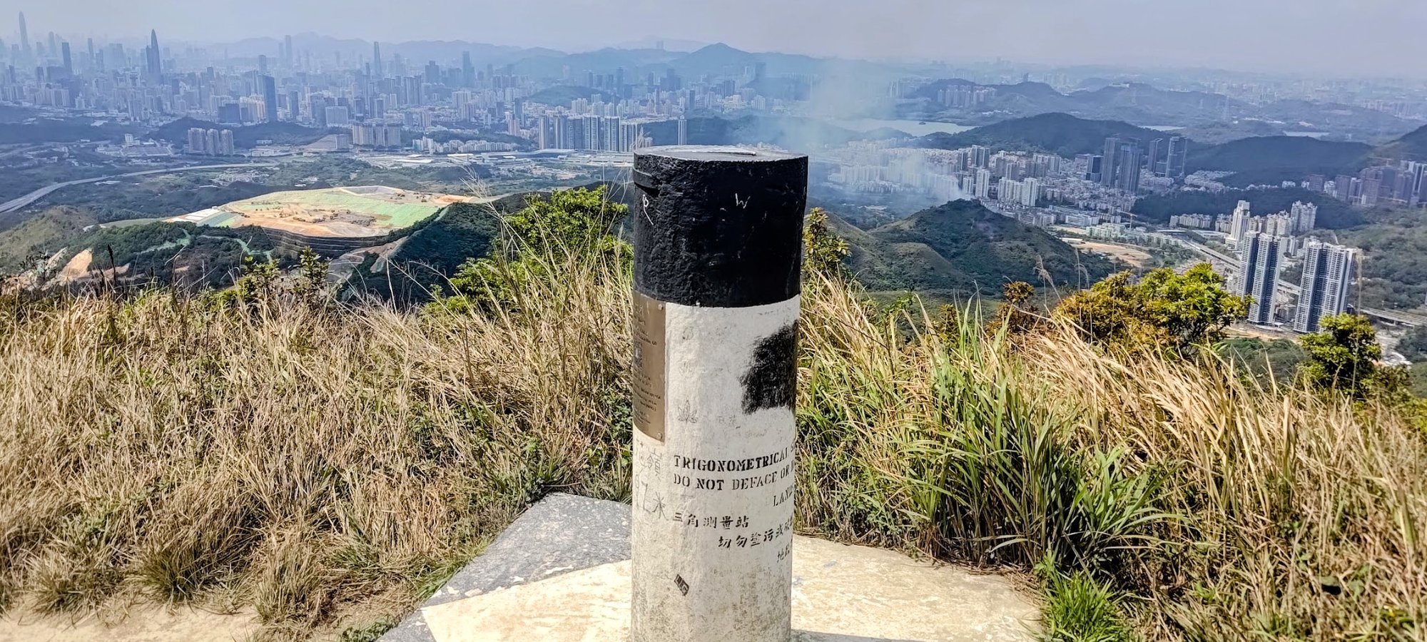
After taking the unmarked path up to the summit of Robin's Nest, I highly recommend coming back down the same way since you'll be following the trail to Lin Ma Hang.
If you do end up descending from the other side, it's important that you take a left at the bottom so that you can loop back round to the unmarked trail you used to hike to the Robin's Nest summit in the first place.
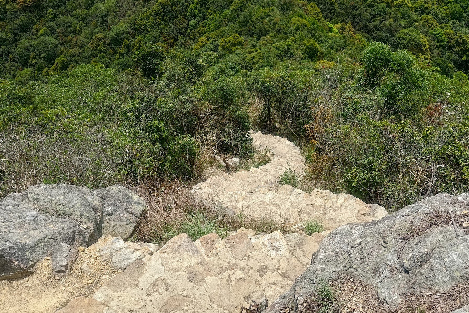
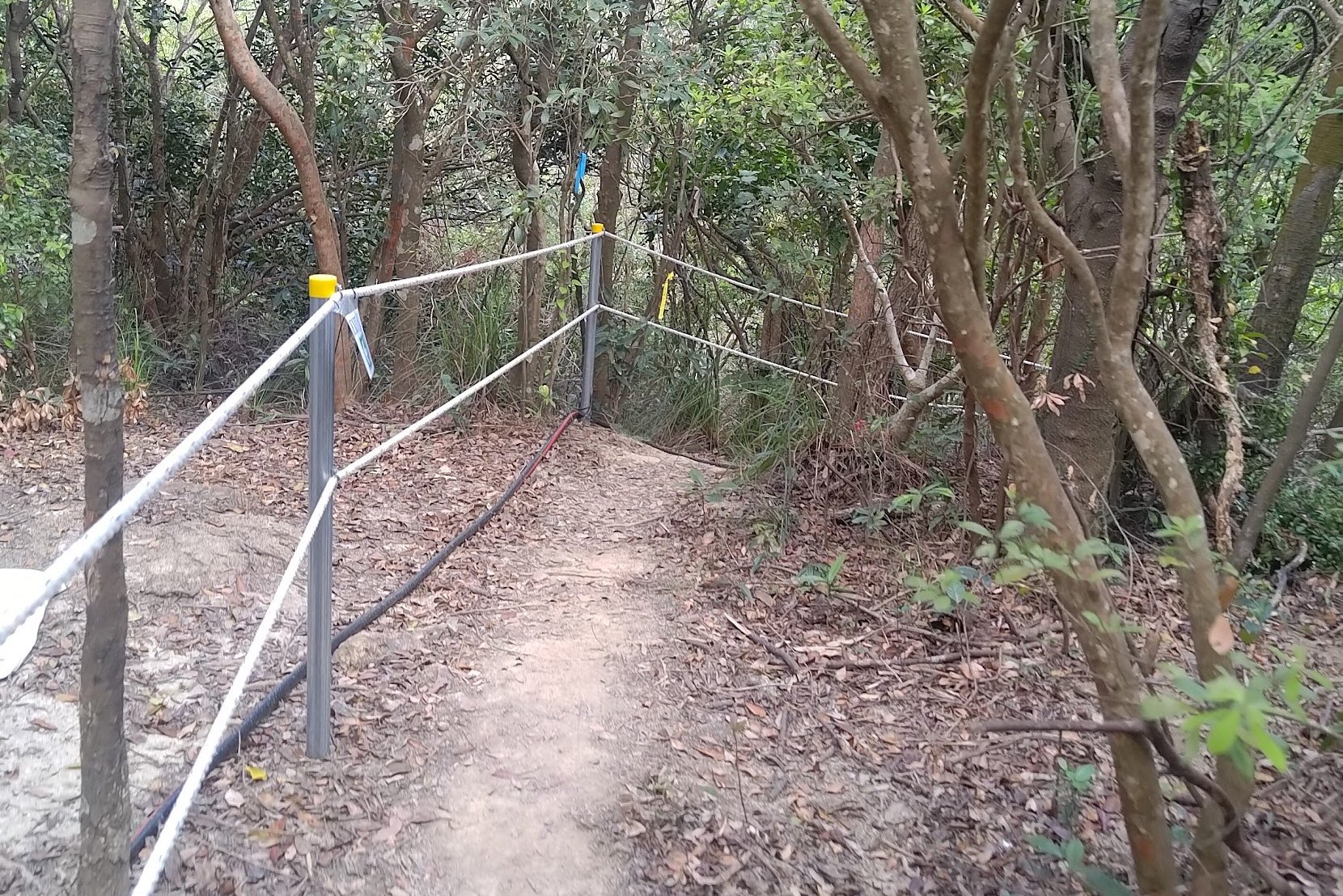
The 20-min Downhill to Lin Ma Hang Caves
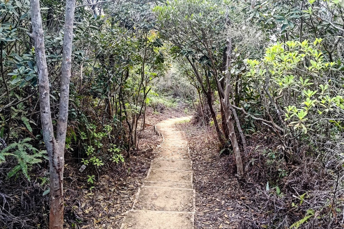
This portion of the hike was where my brain switched off and I was able to move on auto-pilot. It's almost all downhill and the shade provided much-needed relief from the scorching sun.
Keep your eyes peeled for the sign in the above photo which will appear on your right. You'll see a different sign on your left first, but this is not the one that marks the caves.
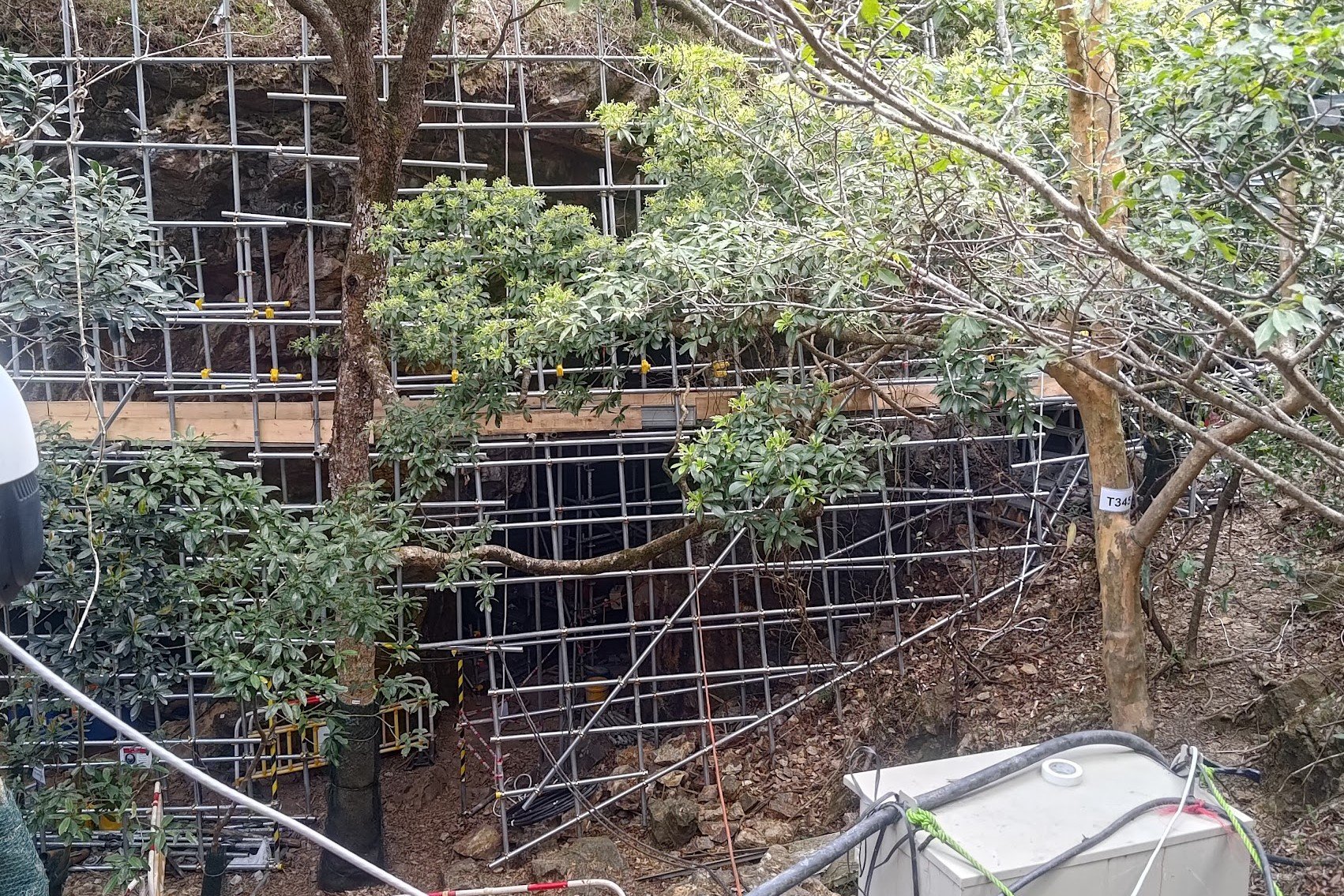
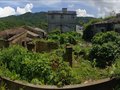
Lin Ma Hang Caves (Closed Until Late 2024 or Early 2025)
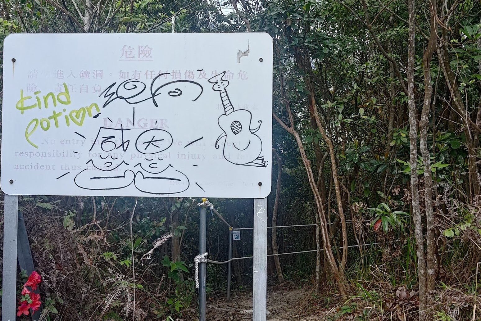
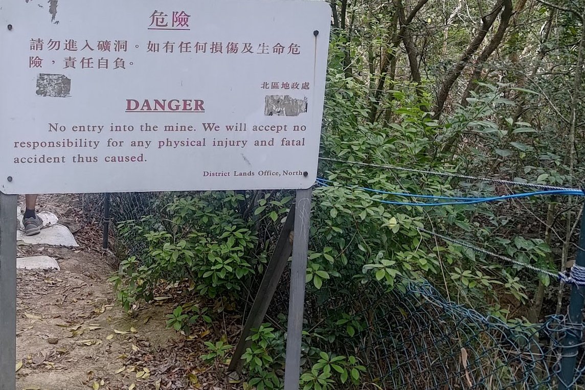
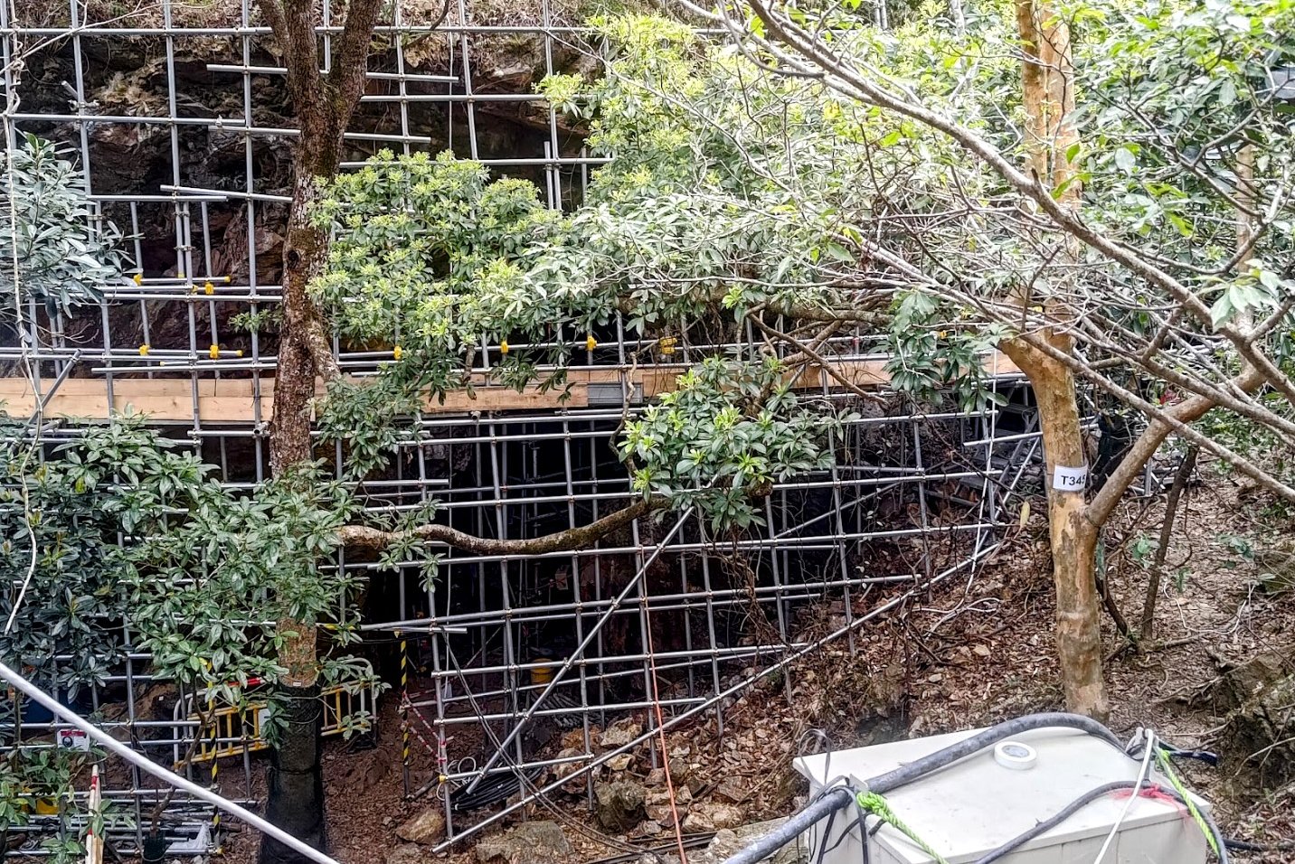
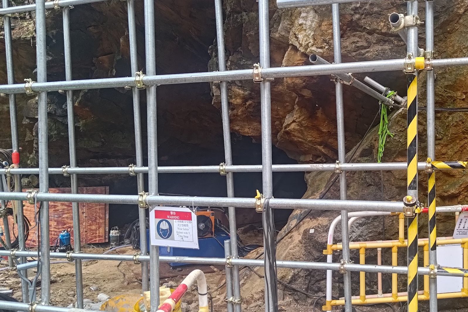
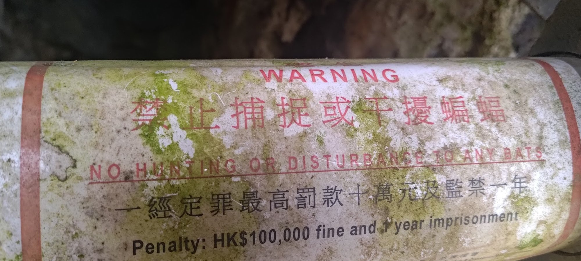
I will have to revisit and update this section of the hike at a later date. As of early 2024, the Lin Ma Hang Caves are inaccessible. I hope that whatever works are being done to the caves does not detract from their natural beauty.
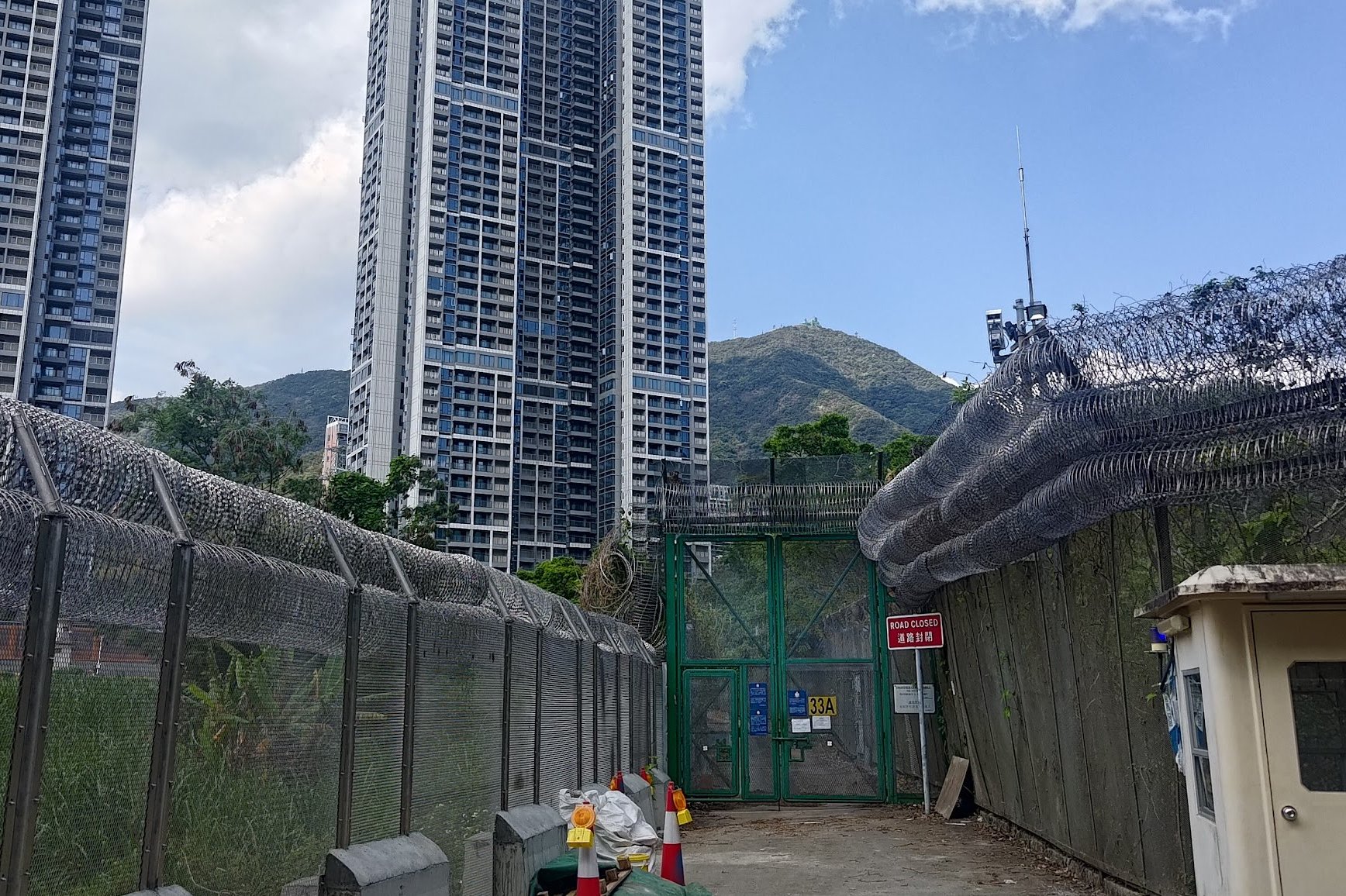
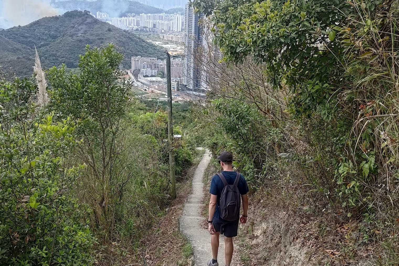
Lin Ma Hang Village and Getting Back to Sheung Shui
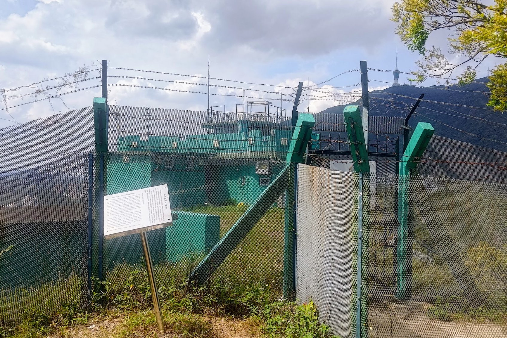
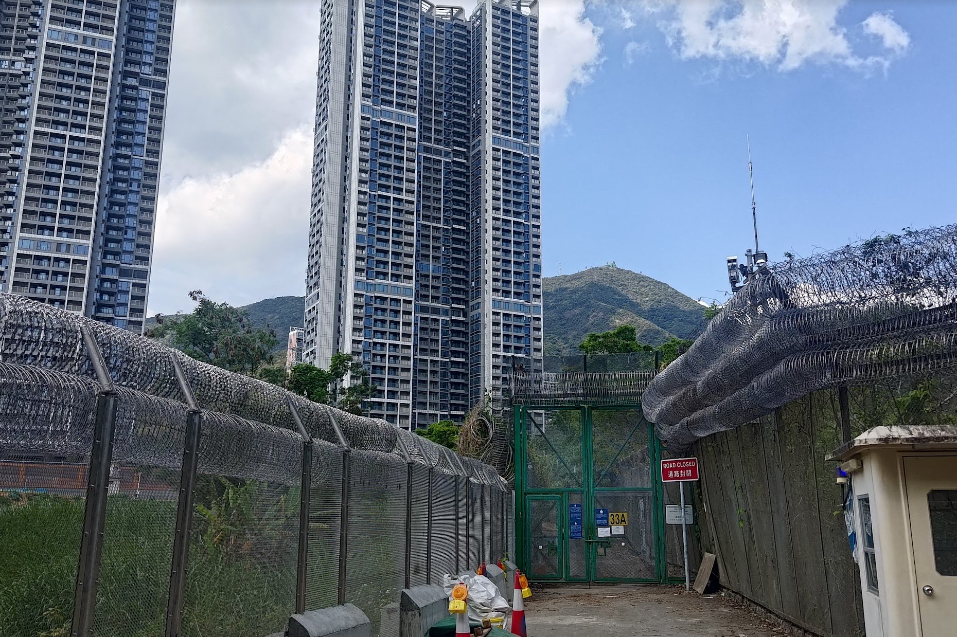
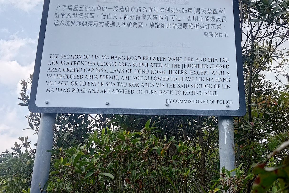
After taking the stairs down to Lin Ma Hang, we were told that the 59K green minibus does service the village, but we couldn't get on. Because Lin Ma Hang is in some sort of restricted frontier zone, you need a permit to get on the bus at the village, itself.
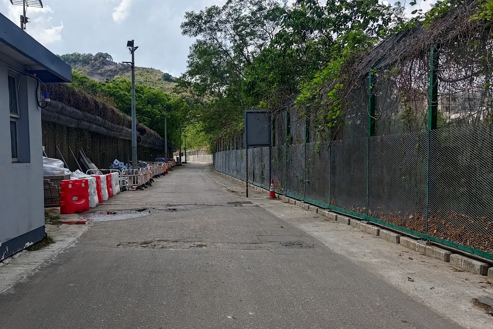
This meant, we had to follow the road out of the village and walk along the barbed wire fence separating Hong Kong and China. It was a pretty surreal experience, especially with ash raining down on us from the nearby hill fire.
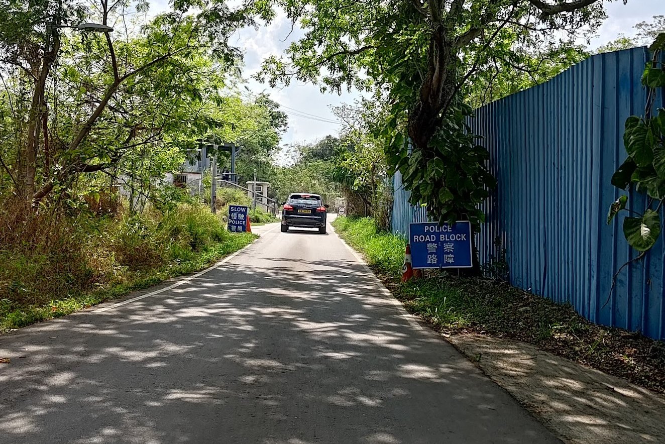
It takes about 15 minutes to reach the police roadblock, after which you can get on the minibus.
The 59K bus arrives at 30-minute intervals and sometimes gets full before arriving at the police roadblock. Some people say it's worth taking your chances and attempting to get on at Lin Ma Hang Village. However, since my hiking buddy and I don't look local, we were told there was almost zero chance we'd be allowed to get on the bus.
Once you do get on the 59K, it'll drop you right back to Sheung Shui MTR station.

