
Lai Chi Wo Hike: Explore Ancient Hakka Villages by the Coast
Contents
- Essential Information
- Hike Highlights
- Google Route Map
- How to Get There
- Quick Route Summary
- Starting Point: Wu Kau Tang Village
- The Trail to Kau Tam Tso
- Sheung Ha Miu Tin Abandoned Village
- Stream Crossings and Mangroves
- More Mangrove Scenery
- Coastal Mangrove Scenery
- Sam A Tsuen
- Sam A Tsuen to Lai Chi Wo
- Lai Chi Wo Village (Optional Escape Point)
- Lai Chi Wo to Kuk Po Lo Wai
- Kuk Po Lo Wai Abandoned Village
- Kuk Po Reed Field
- Starling Inlet Coastline
- Getting Back
Essential Lai Chi Wo Hike Details
- District: New Territories
- Duration: 4.5-5 hours
- Distance: 15-16km
- Highest Elevation: 190ish meters
- Difficulty: 3/5
- Facilities: Drinks, food and toilets available at multiple points throughout the hike
Why Hike Lai Chi Wo?
*You will lose signal on this hike, so screenshot any relevant sections of the guide or download the GPX map file in the 'Google Route Map' section below.
Though the 15+ kilometer length may seem daunting, this hike offers plenty of incredible views along the way and even takes you through Lai Chi Wo (荔枝窩), a 300-year-old sympathetically restored Hakka village that's won UNESCO recognition.
Most importantly, the Lai Chi Wo hike is totally flat, save for a short uphill section toward the end, making it a great option for beginners looking to challenge themselves. Just be warned that in summer, the heat can make this hike pretty tiring as there are many unshaded sections.
For all your effort, you'll get to experience tranquil forests, coastal mangroves, shimmering beaches, open grassland, loads of historic villages and even views across to Shenzhen, China.
If you're looking for an experience that feels like you're a world away from the glass skyscrapers of the city, this hike will transport you back in time with its historic villages and mesmerizing scenery.
Google Route Map
How to Get to the Lai Chi Wo Hike Start Point
To get to the Lai Chi Wo hike start point, take the MTR to Tai Po Market station and then hop on any of the two following buses:
Leave Tai Po Market Station at Exit A3 and follow the 275R laminated signs.
You can take the 275R bus on Sundays or public holidays to the last stop, which is Wu Kau Tang Bus Terminus (hike start point).
- 20R Green Minibus
Leave Tai Po Market Station at Exit A3 and turn left following the blue 'Public Light Buses' sign. The 20R bus will be immediately to your left at the minibus station.
The 20R minibus runs only once per hour on weekdays every 40th minute of the hour (06:40, 07:40 etc), but is more frequent on weekends. Get off at the second-last stop - at the intersection of Chi Sum and Wu Kau Tang Road. Walk up Wu Kau Tang Road to Wu Kau Tang Bus Terminus (hike start point).
If you end up at the last stop, walk back in the direction you came from on the bus for a couple of minutes before going left on Wu Kau Tang Road.
You'll see the start point at the end of Wu Kau Tang Road.
Quick Lai Chi Wo Hike Route Summary
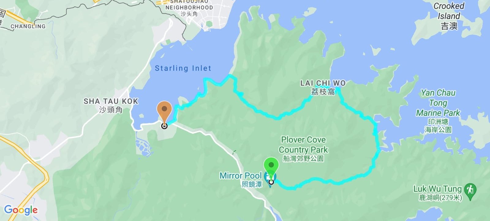
- Follow the 'Wu Kau Tang Tsuen' sign behind the Wu Kau Tang Bus Terminus shelter
- Follow the 'Sam A Tsuen' sign and cut through the bottom of Wu Kau Tang Village
- Turn right at the 'Kau Tam Tso' sign and follow the trail for 10 mins
- At the fork in the road follow the 'Sam A Tsuen' sign up the sloping path
- 5-10 mins later, follow the path straight and avoid the stairs (near the red emergency post)
- 25 minutes later, follow the 'Sam A Tsuen Via Sam a Chung' sign
- Miu Sam Stream intersects with the trail all the way to the Sam A Chung stone marker and the mangroves after it
- Follow the trail inland and heed the 'Sam A Tsuen' stone marker
- Enjoy a 30-minute coastal walk before reaching the next 'Sam A Tsuen' sign
- At the Sam A Tsuen grassland, follow the sign toward 'Lai Chi Wo'
- When you begin to ascend a few minutes later, there's another 'Lai Chi Wo' sign to follow
- 20 minutes later, go past the 'Welcome to Lai Chi Wo' sign (don't take the stairs)
- Arrive at Lai Chi Wo about 15 minutes later (can escape here via ferry)
- The trail continues outside the village wall near the public toilet
- Ascend up past the top of Lai Chi Wo and go past the 'Lai Chi Wo Special Area' sign
- Stay on the natural trail for 1 hour, heeding the next 2 signs pointing you towards 'Luk Keng' (the hike's only 'tough' uphill section is here)
- At the public toilet, (near the 3rd 'Luk Keng' sign) turn right to explore Kuk Po Lo Wai (abandoned village), when you're done, continue toward Luk Keng
- At the Kuk Po Reed Field, you can choose to continue straight and then turn right to Kuk Po New Village or circle around the reed field by taking the fork to the right (if you go to the right, turn left at the waterfront and tgenthen walk along it to arrive at Kuk Po New Village)
- Follow the coastal trail for 20 minutes past the Fung Hang Pier and village
- Take the stairs up at the next 'Luk Keng' sign
- Continue along the coast for a few minutes until you arrive at Kai Kuk Shue Ha village
- Follow the village's road until you reach Bride's Pool Road
- The 56K minibus stop is a few minutes away to your right
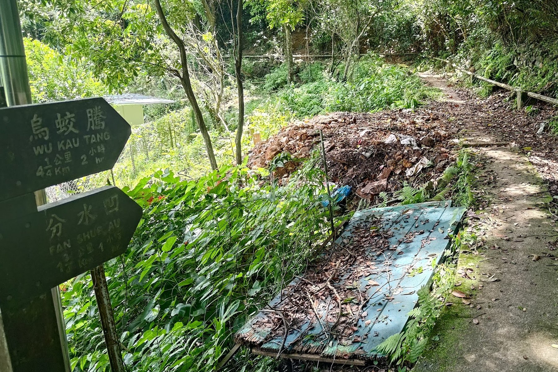
Wu Kau Tang Village
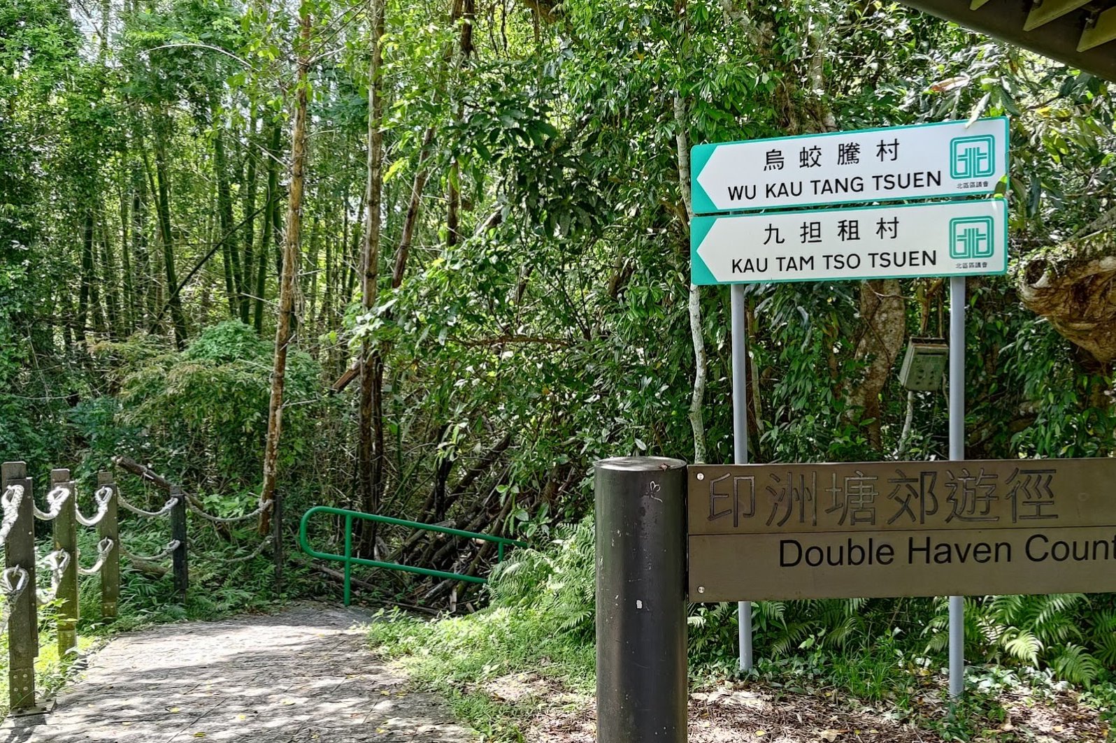
After getting off at the Wu Kau Tang ( 烏蛟騰) Bus Terminus, follow the 'Wu Kau Tang Tsuen' sign in front of the 'Double Haven Country Trail' marker and descend the green-railing slope.
Follow the brown 'Sam A Chung' sign and take the path that goes across the little stream.
You'll emerge a few minutes later at Wu Kau Tang Village, which was founded in the 1660s or 1670s.
You'll see the main village to your left as you take the right fork around an impressive lone, walled house.
Wu Kau Tang is known for its butterflies (apparently, there are 137 species of butterflies that can be observed here), so take your time to admire the beauty of your surroundings.
Kau Tam Tso Sign and Fork
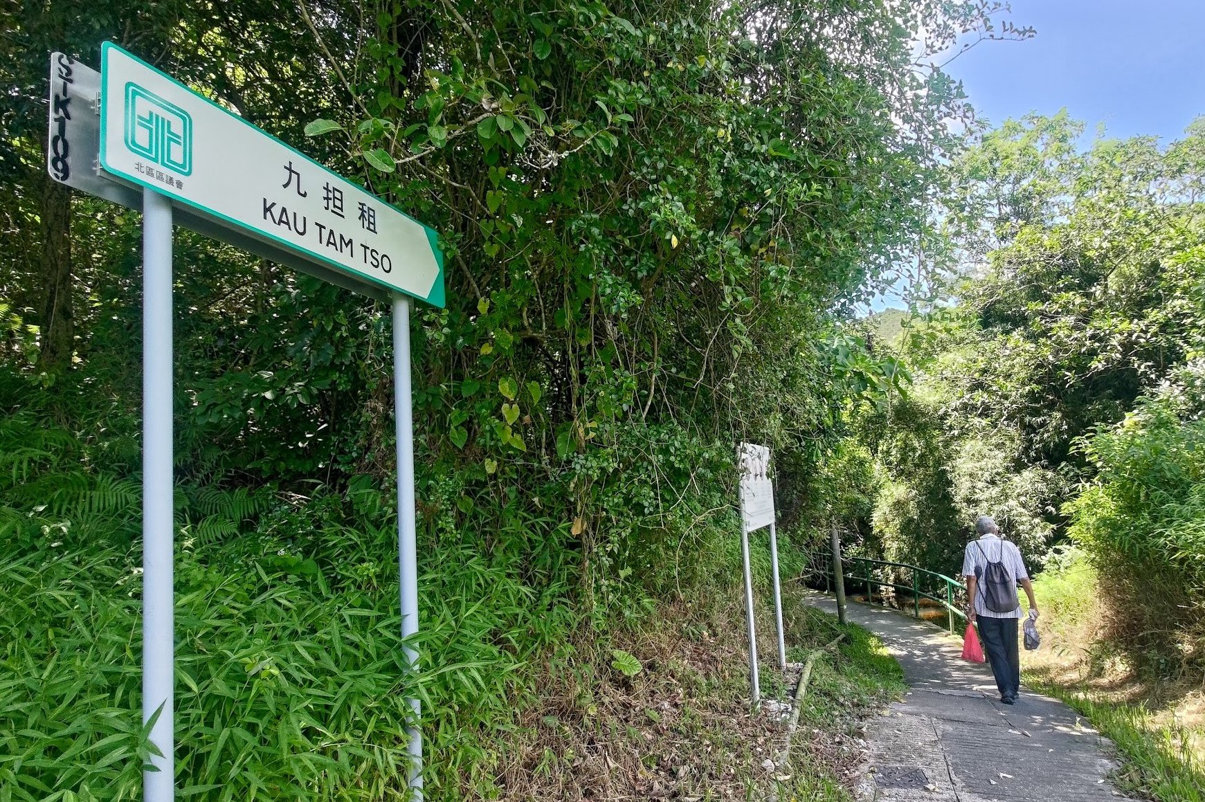
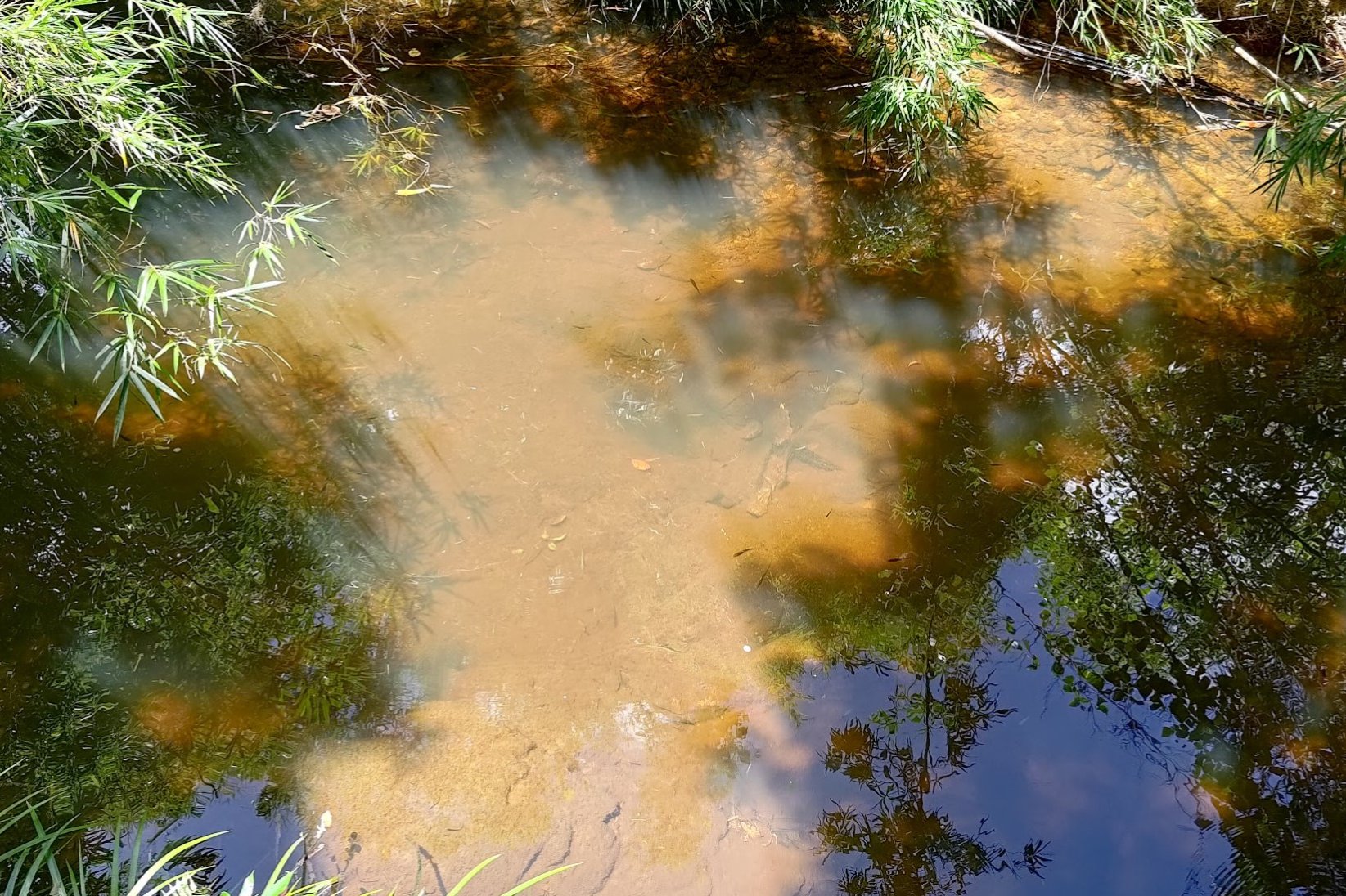
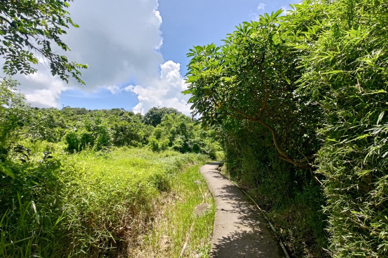
After going past the walled house, you'll see a sign pointing you towards 'Kau Tam Tso'. Follow the sign and walk past a beautiful stream with cool fish in it, a large chunk of green grassland with maple trees in it and even some abandoned village homes.
At the fork in the road about 10 minutes later, follow the sign pointing to 'Sam A Tsuen' and take the path that slopes upward.
2 Weird Bridges and another Fork to the Right
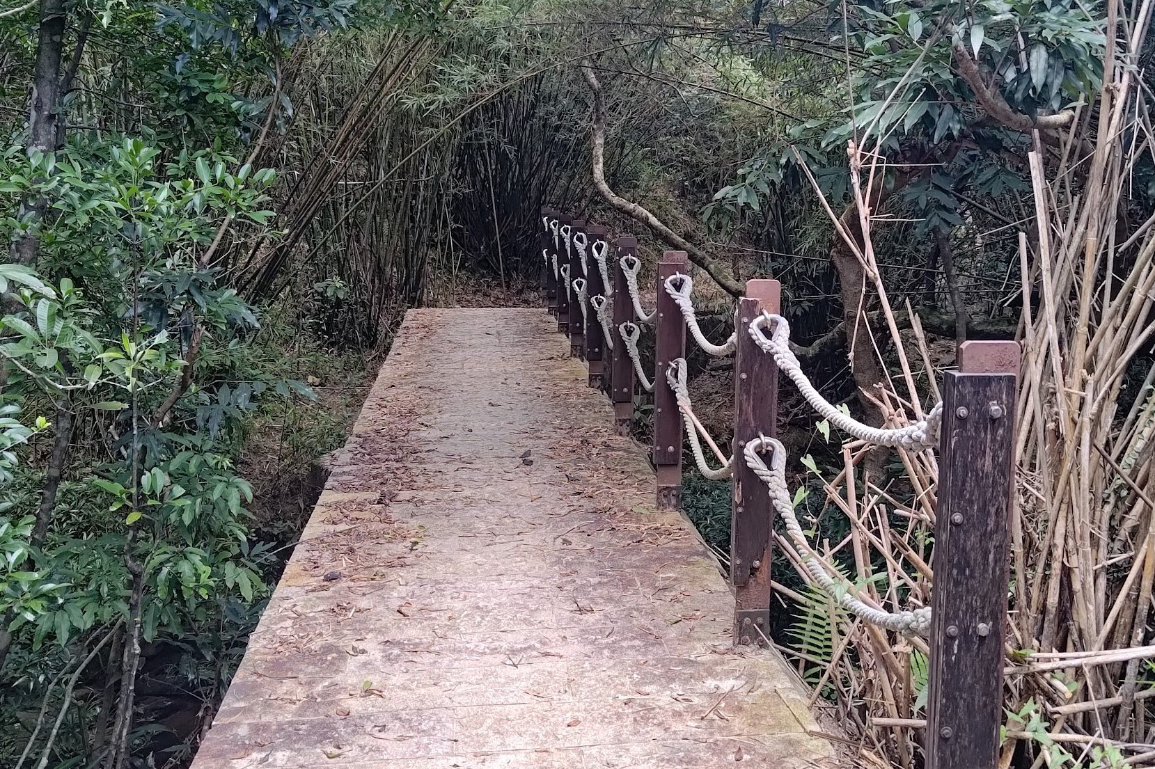
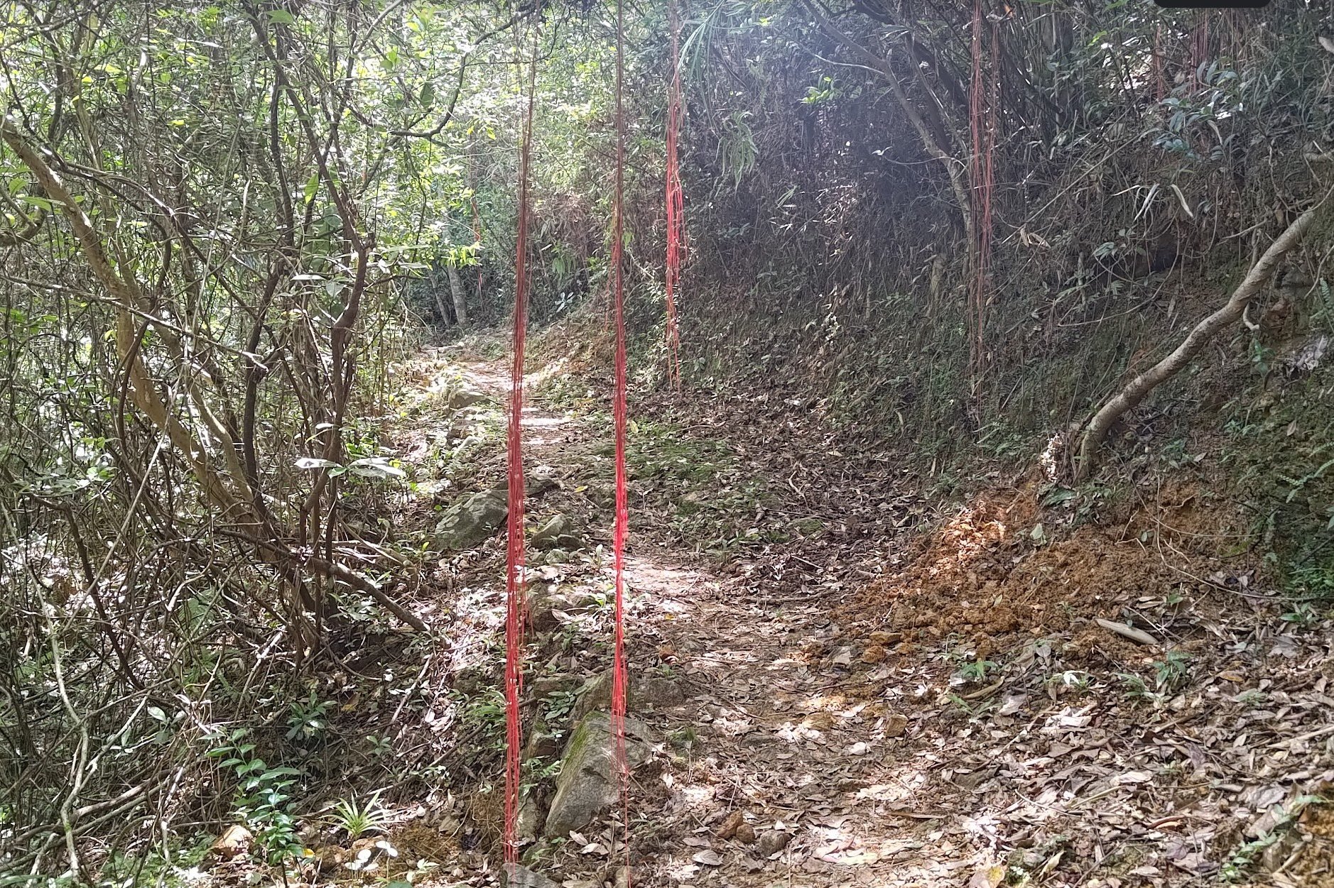
Keep following the trail for 10 minutes, going past a couple of strange bridges - one really small and almost inconsequential and the other super large and overdone.
You'll emerge from the trees soon after and see a set of stairs heading upward to the left and a flat path on the right. Take the flat path and avoid the stairs heading upward.
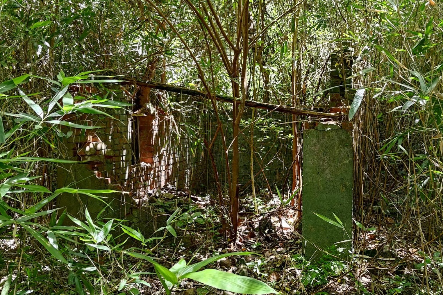
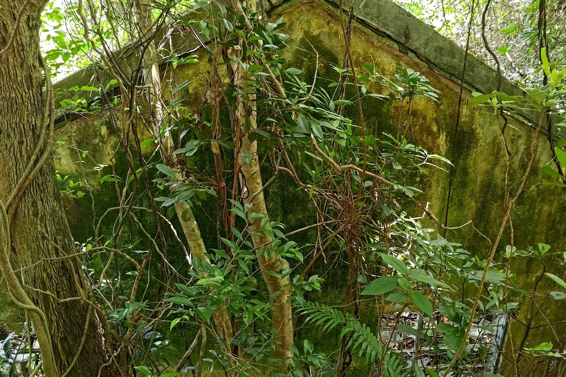
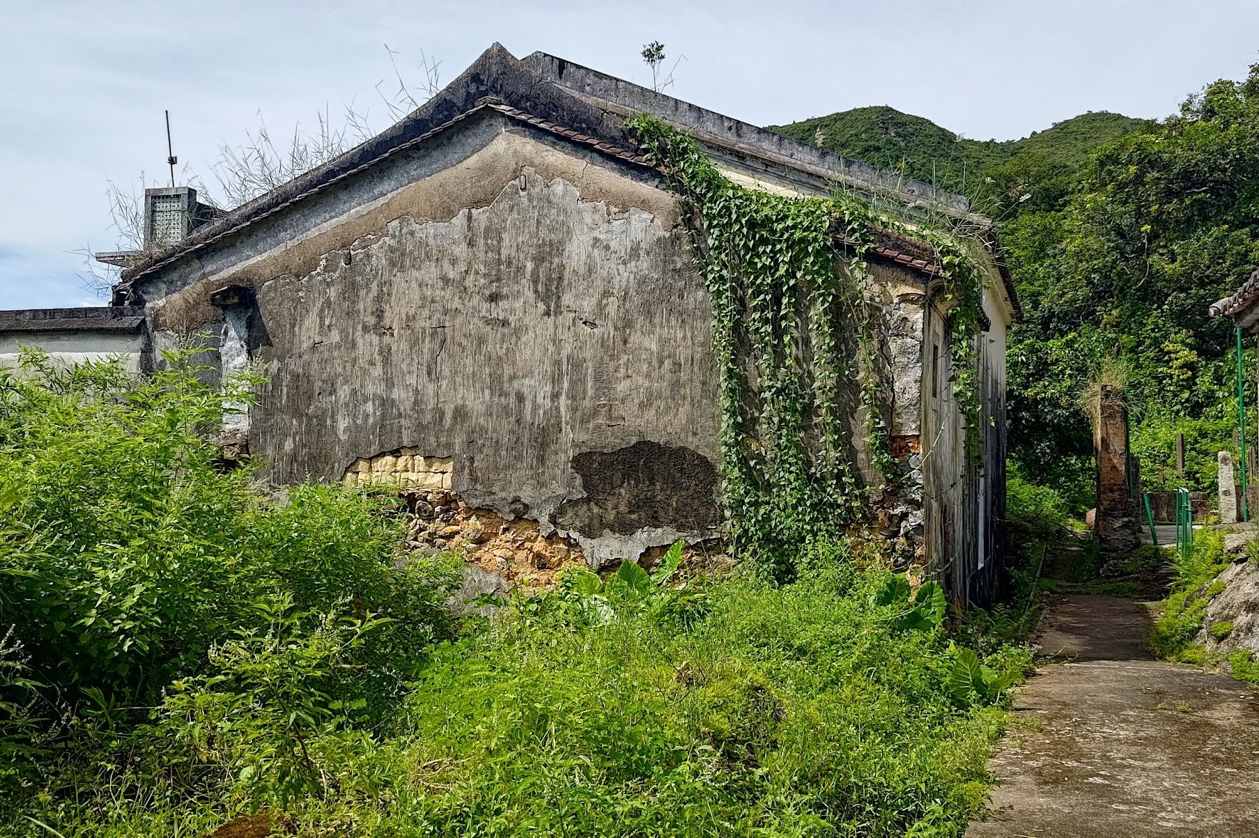
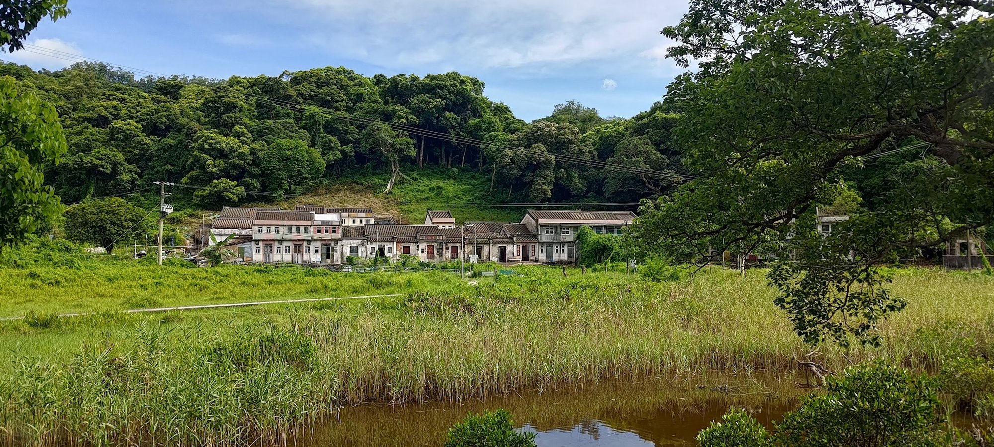
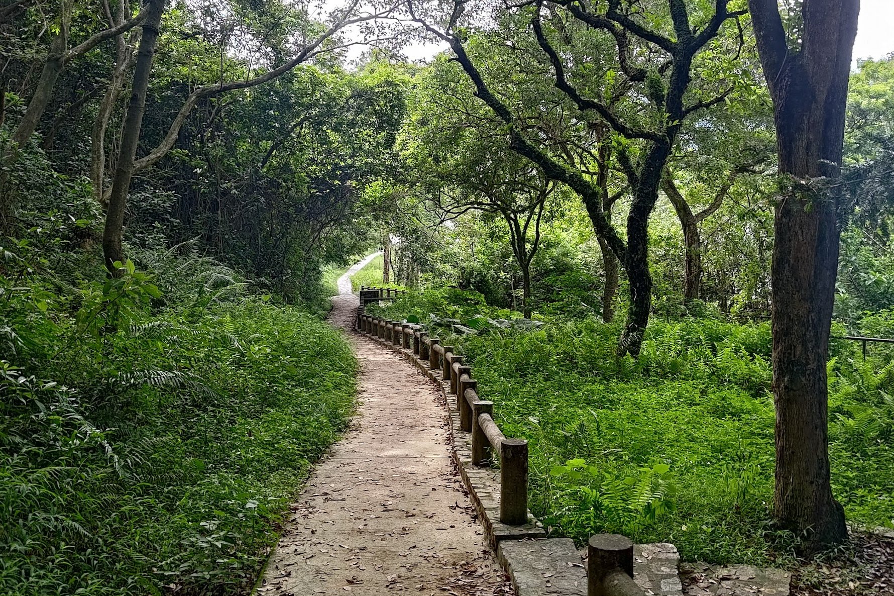
Sheung Ha Miu Tin Abandoned Village
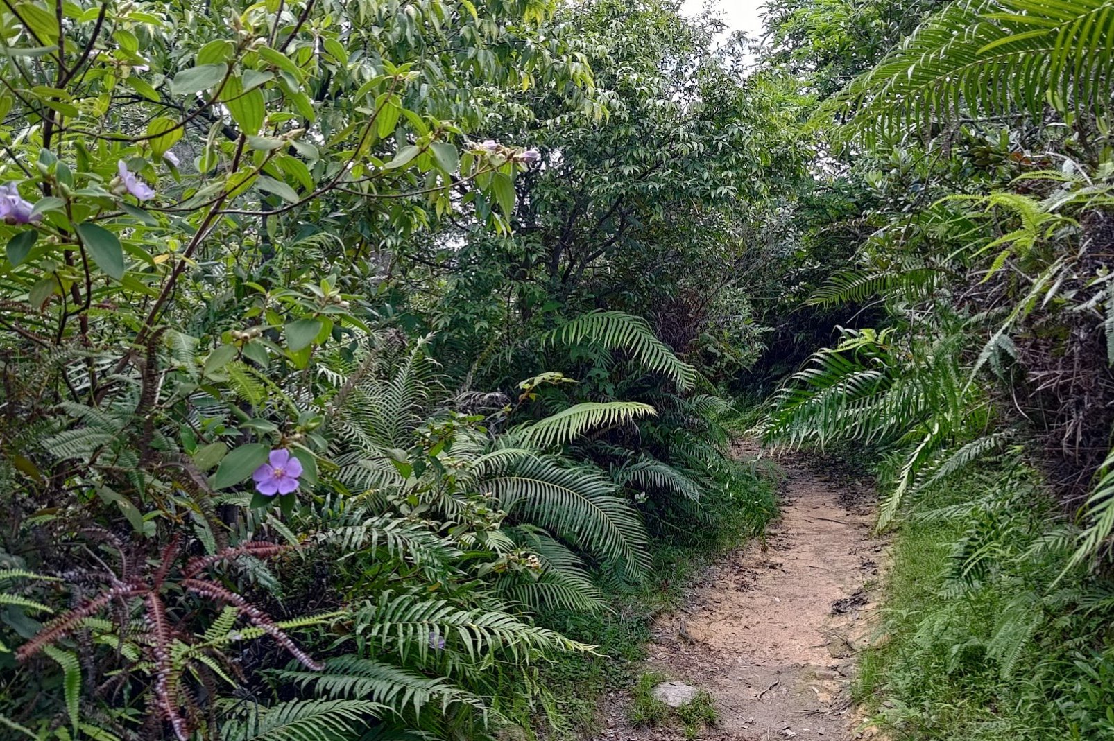

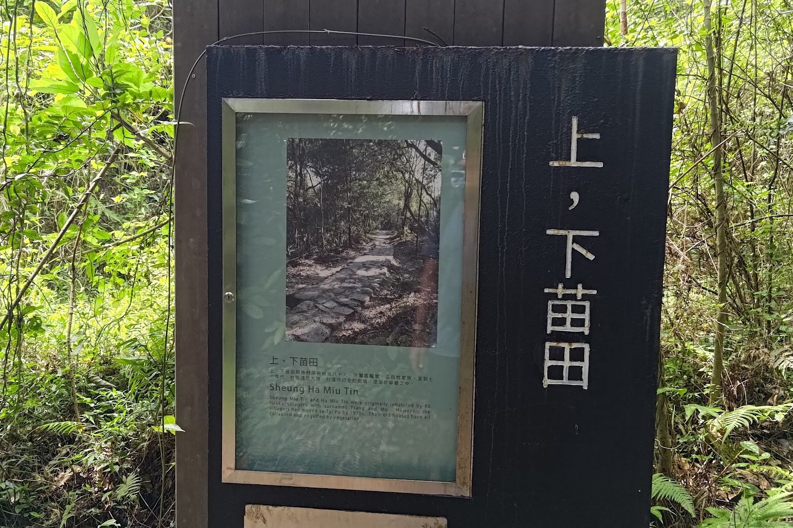
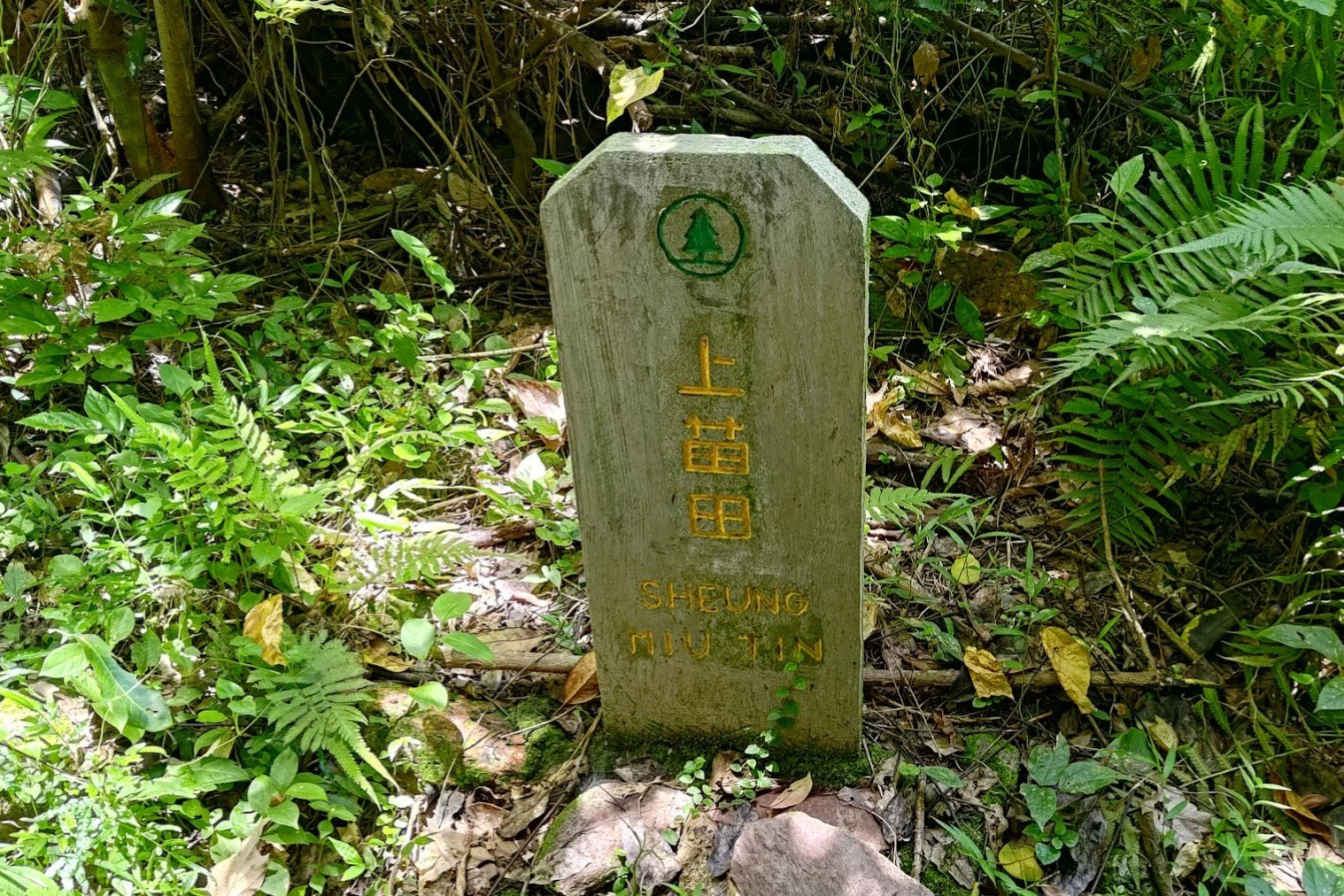
The next 25 minutes has you walking through a wonderful forested section of the trail that takes you past the remnants of Sheung Ha Miu Tin Village, which was once home to the Tsang and Mo Hakka family clans.
A little stone marker, almost like a small grave stone, marks the site where the village used to stand. It's now almost completely reclaimed by nature, sadly.
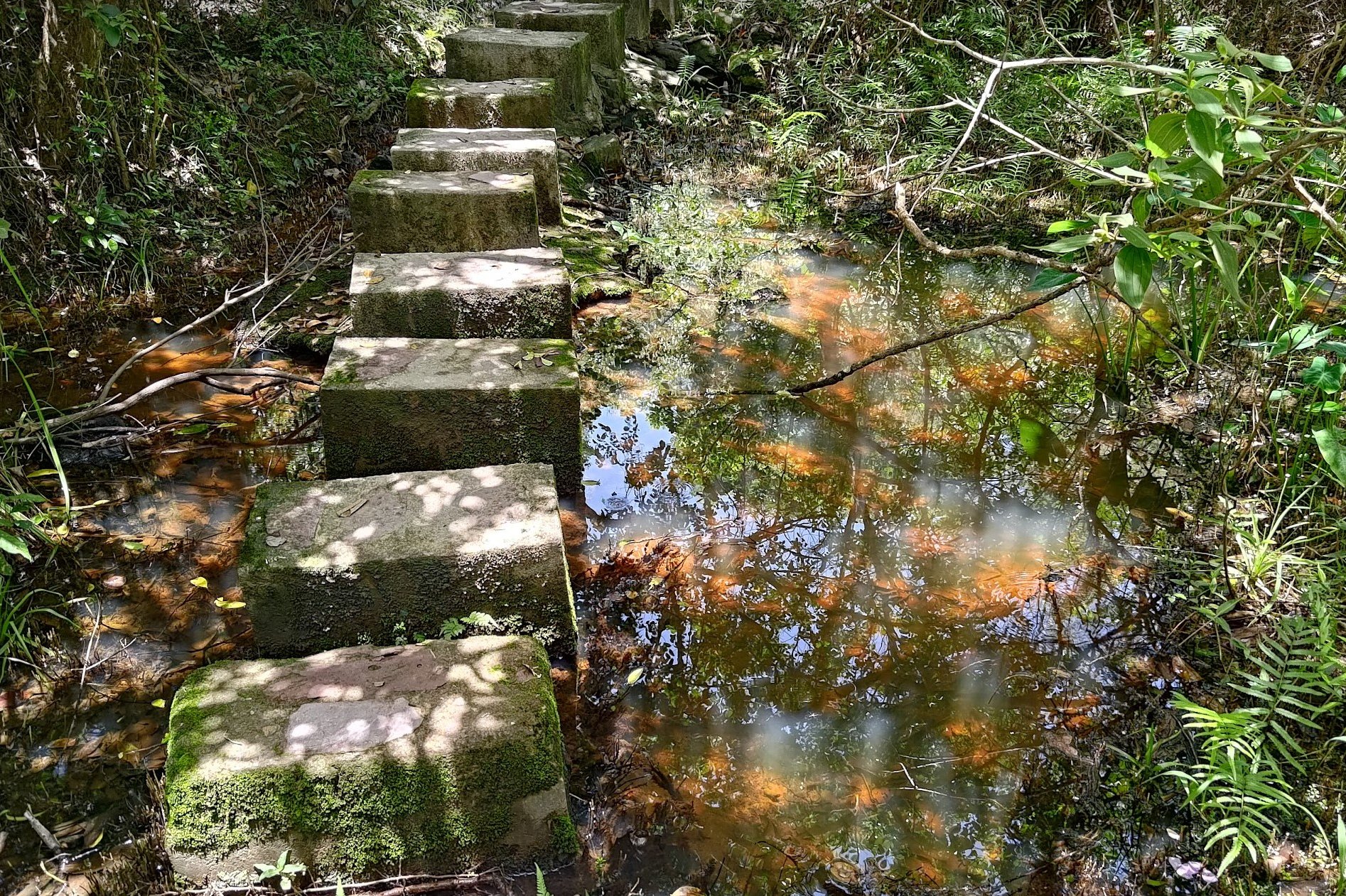
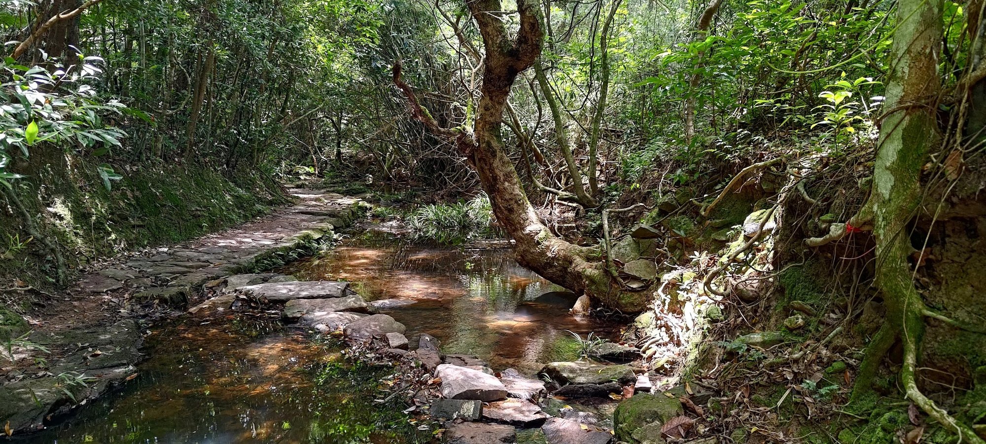
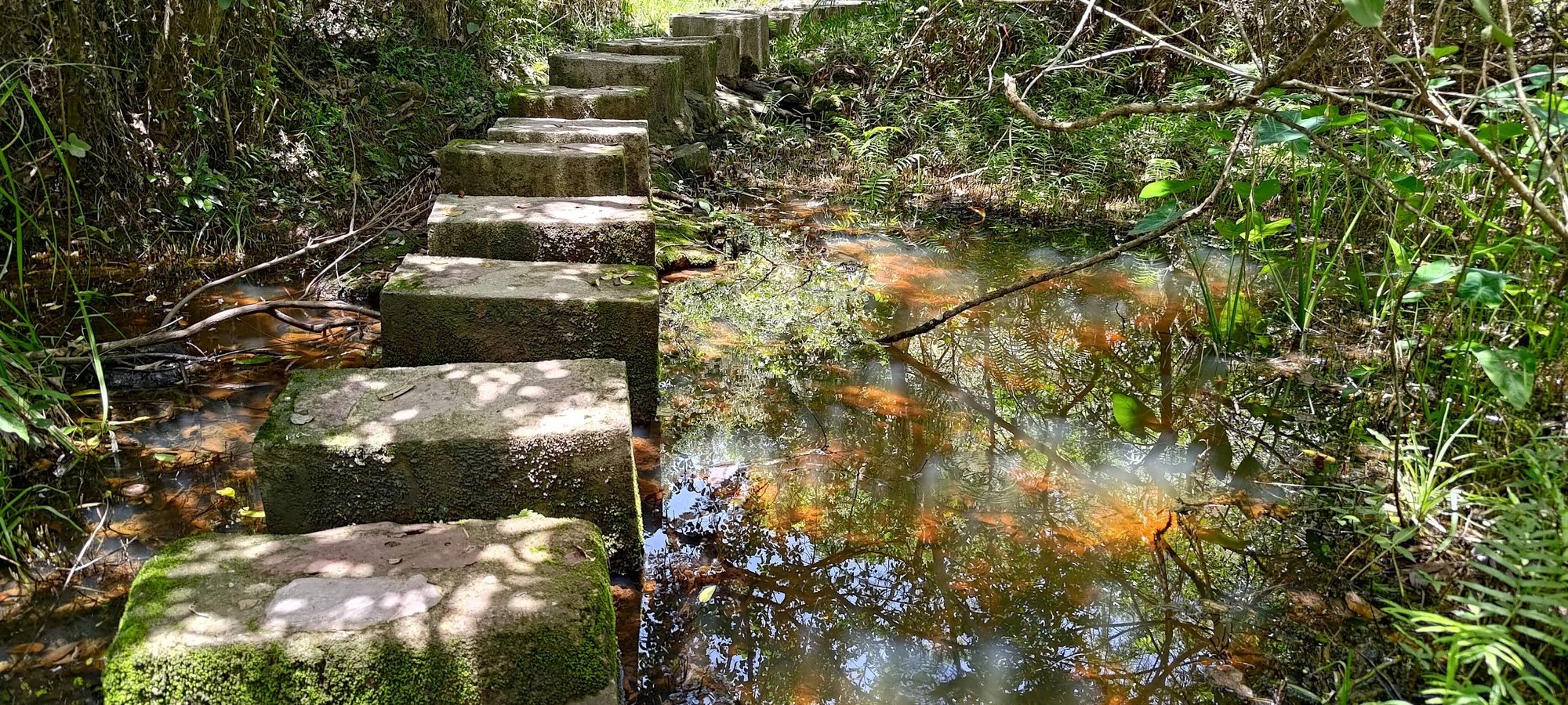
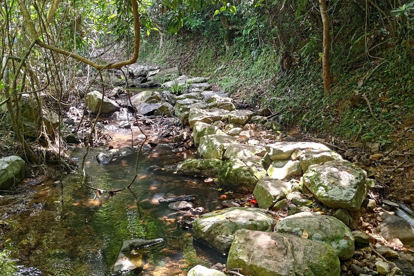
You'll eventually cross a stream via some stepping stones after the abandoned village and arrive at a set of signs.
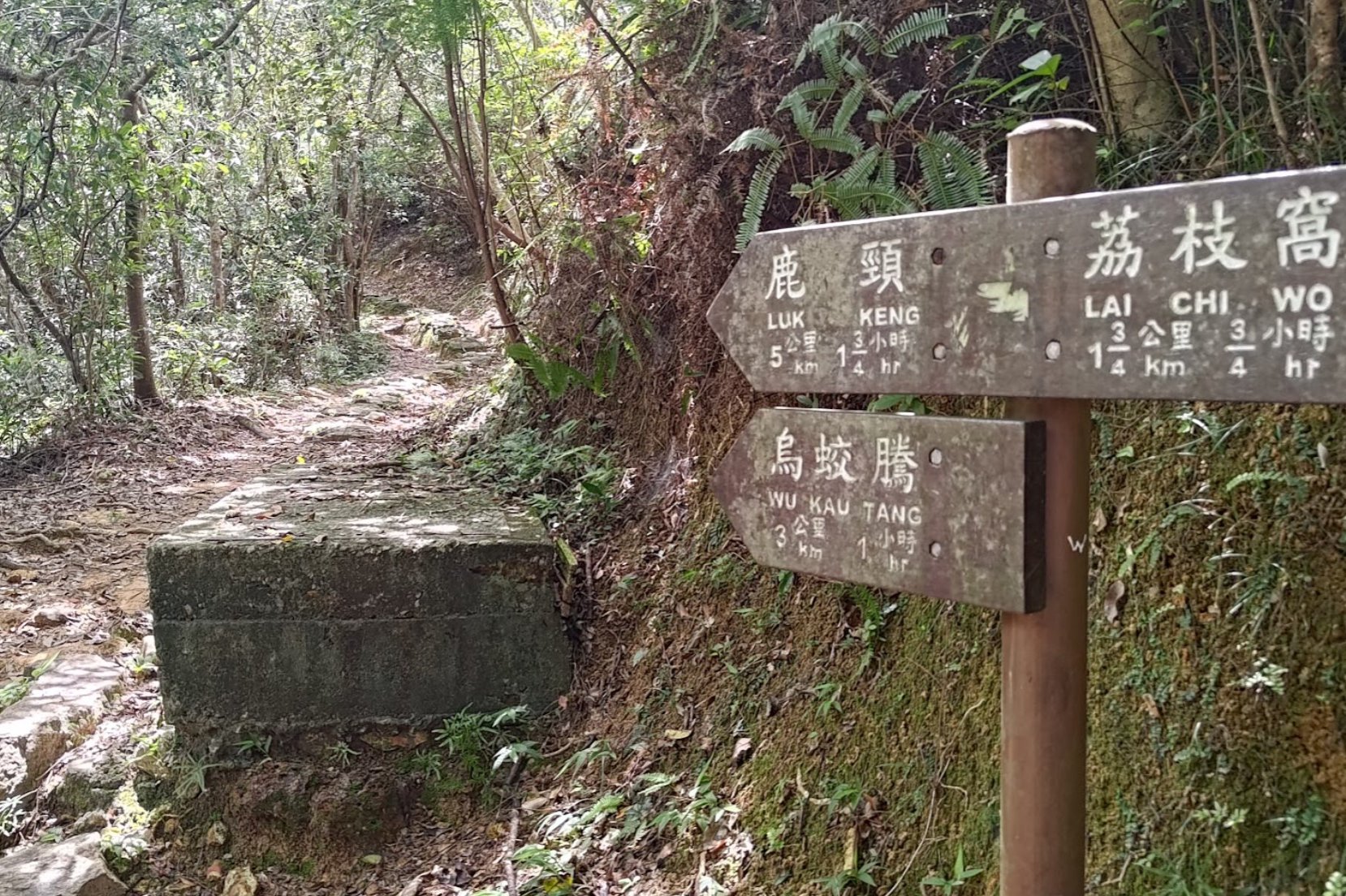
Follow the 'Sam A Tsuen Via Sam A Chung' Sign to the Mangroves
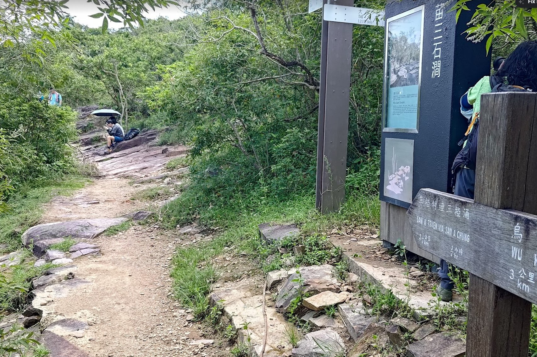
Follow the 'Sam A Tsuen Via Sam A Chung' sign for the next section of the hike.
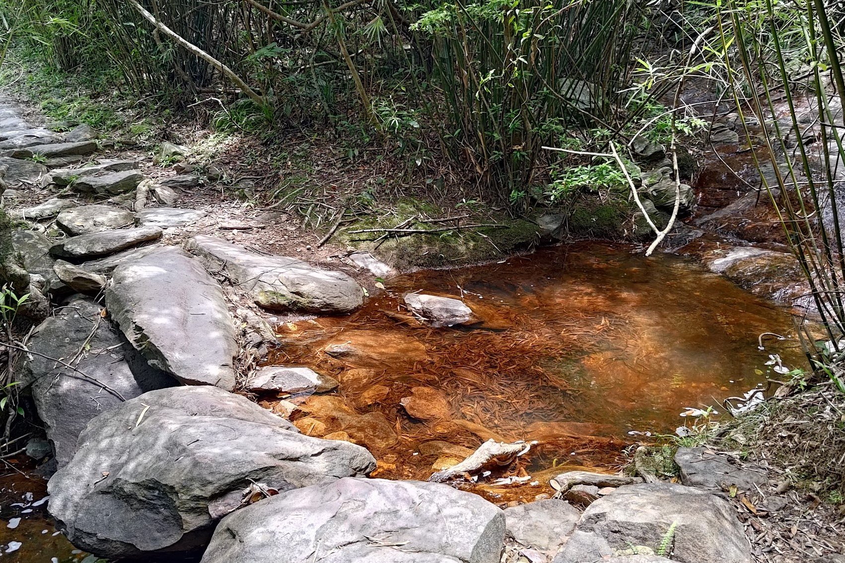
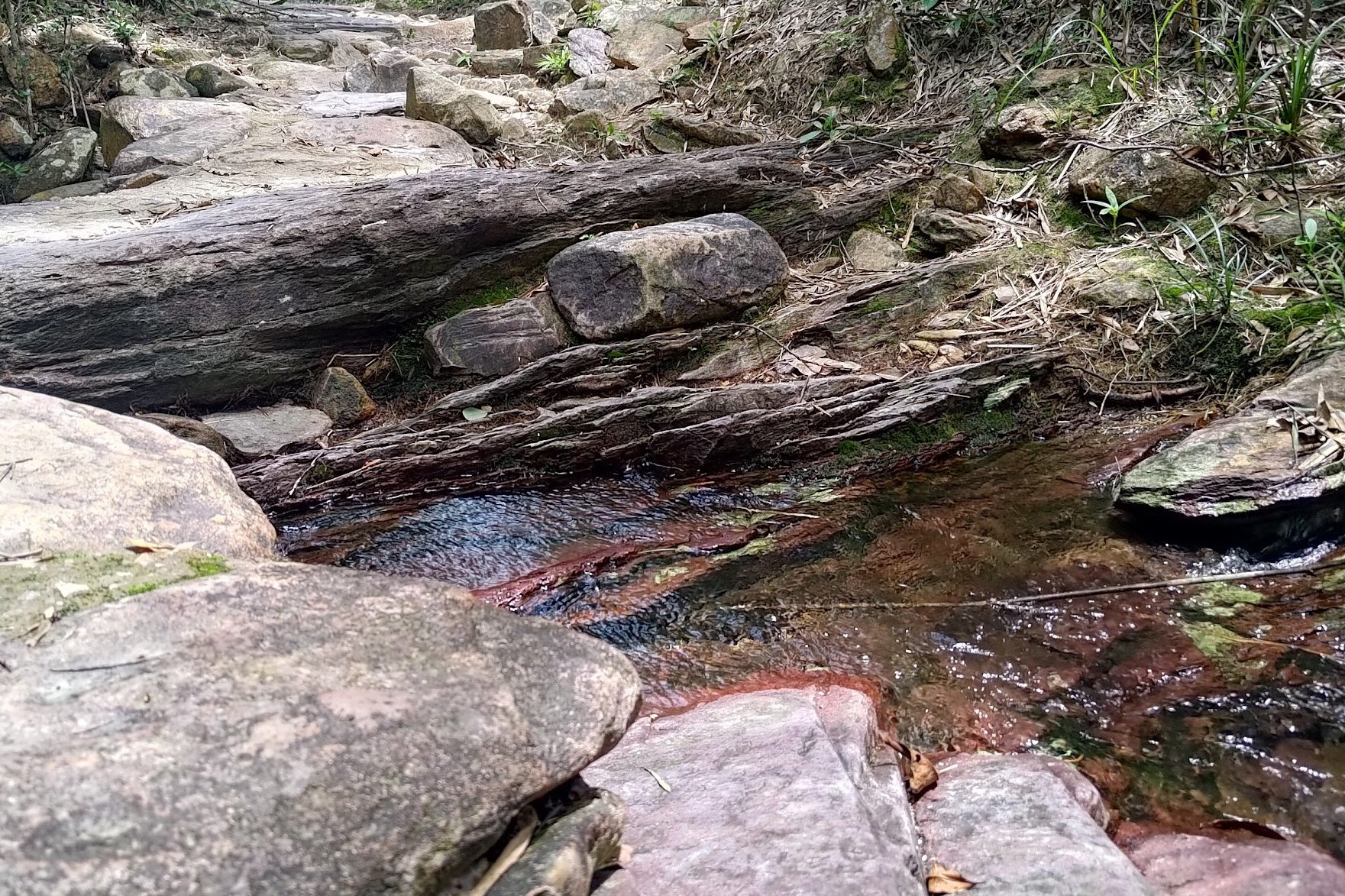
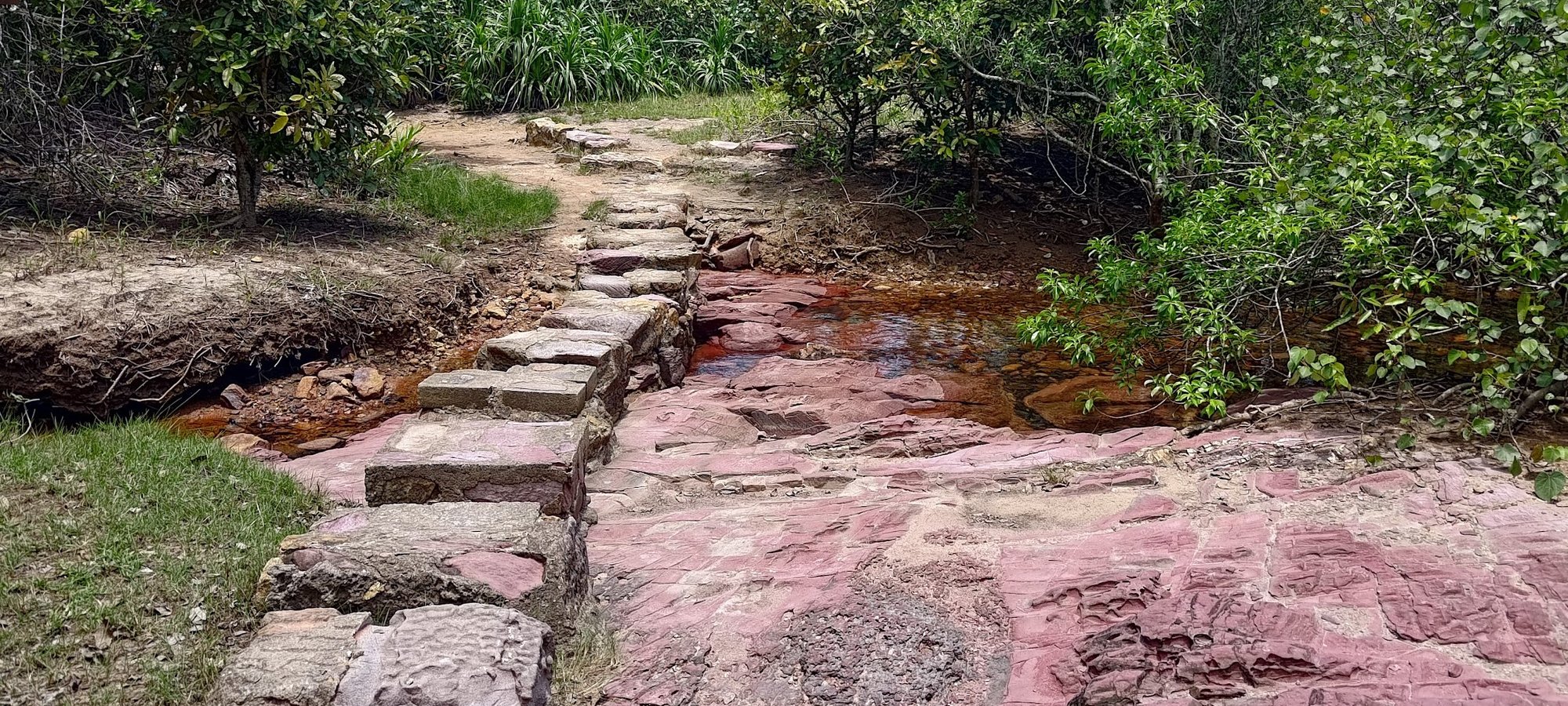
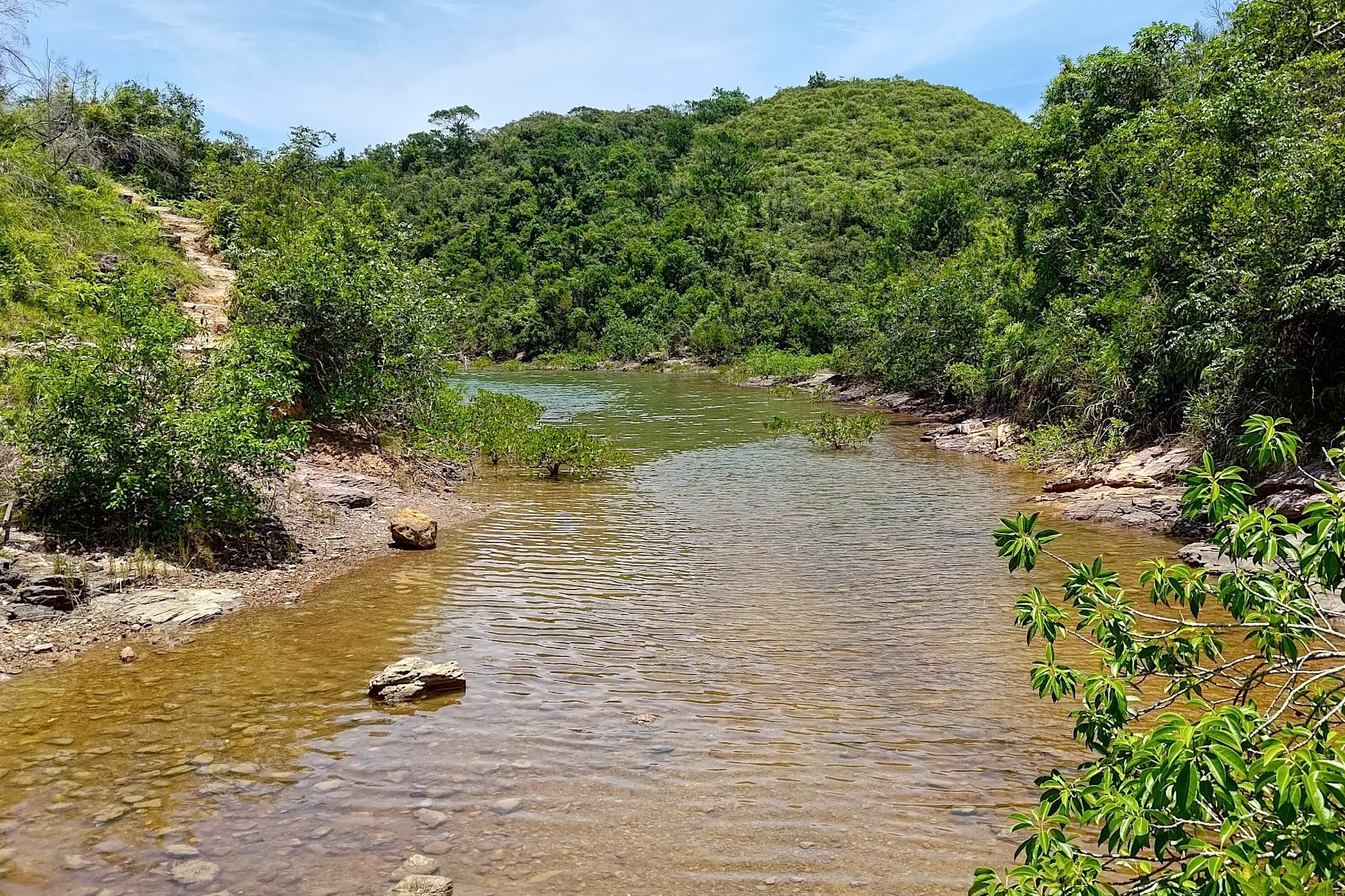
The next 30 minutes of the trail is intersected often by Miu Sam Stream, which means more stepping stones as you continue toward the wetlands and coast. Each time the stream crosses the trail, the scenery just seems to get even more beautiful.
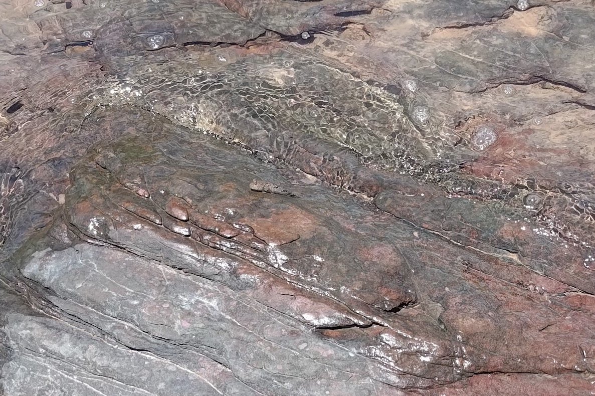
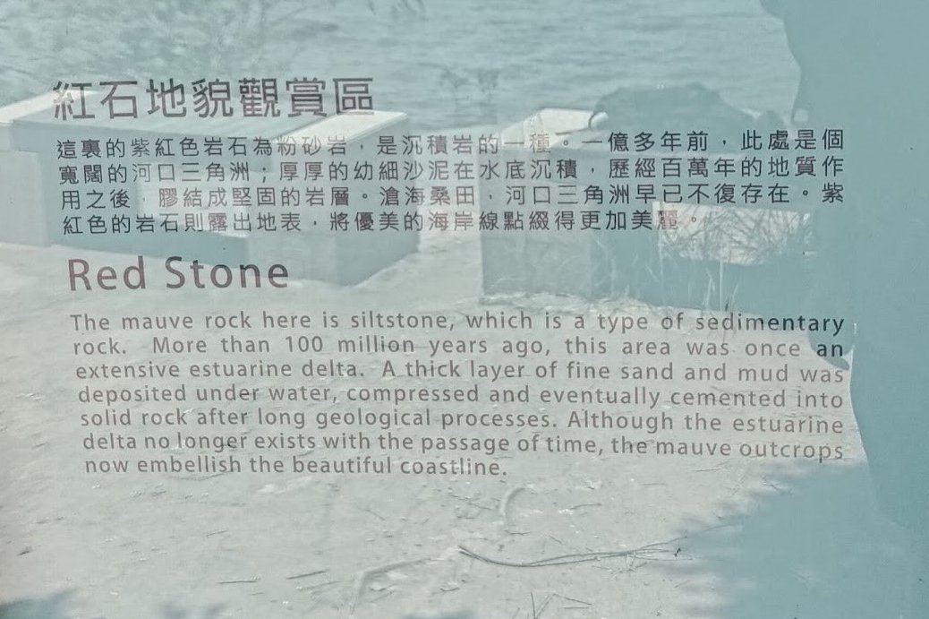
The terrain will also take on a sort of pinkish-red hue part way through. This is a natural coloration caused by the presence of siltstone, which is a type of sedimentary rock that was compressed over a hundred million years ago.
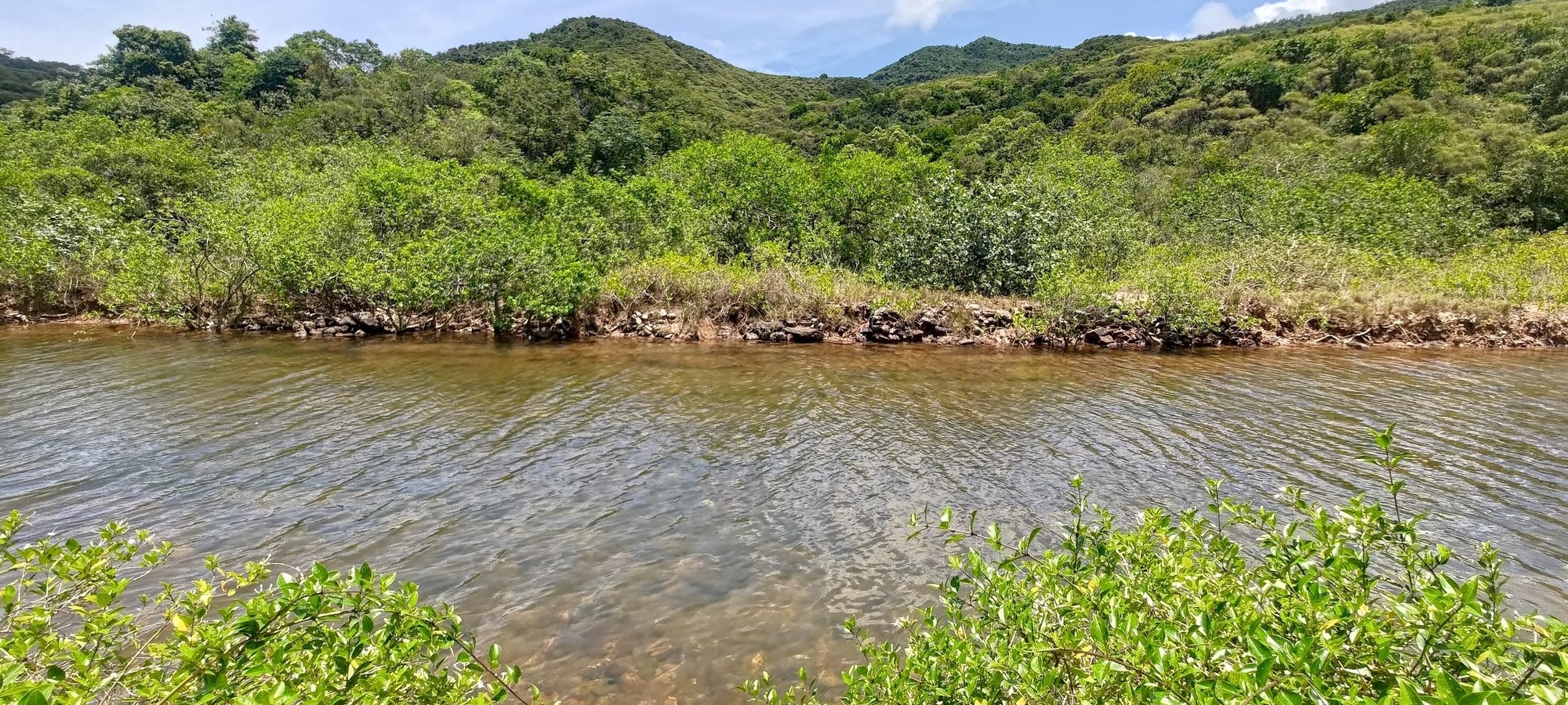
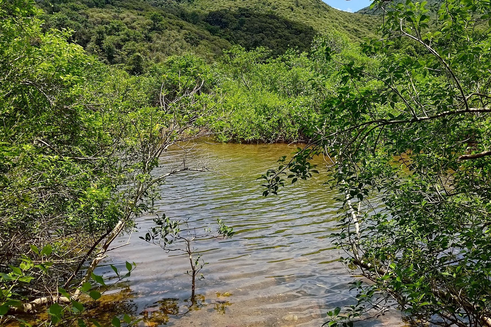
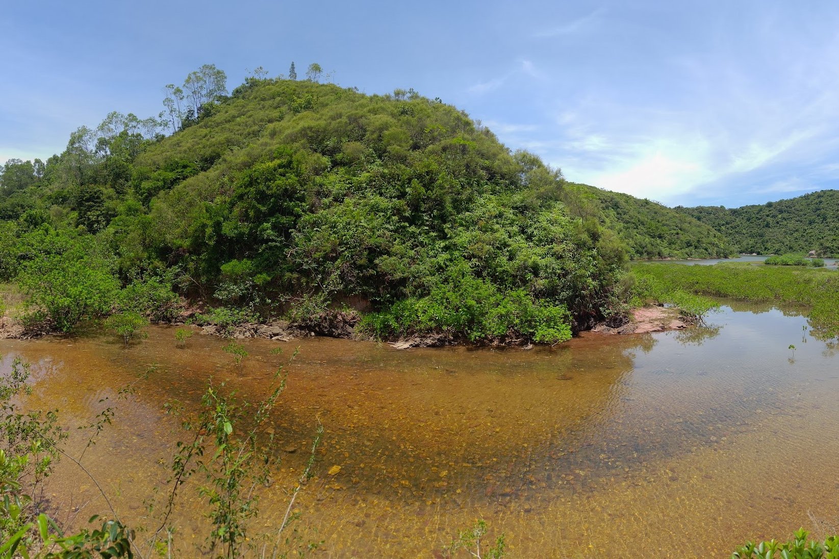
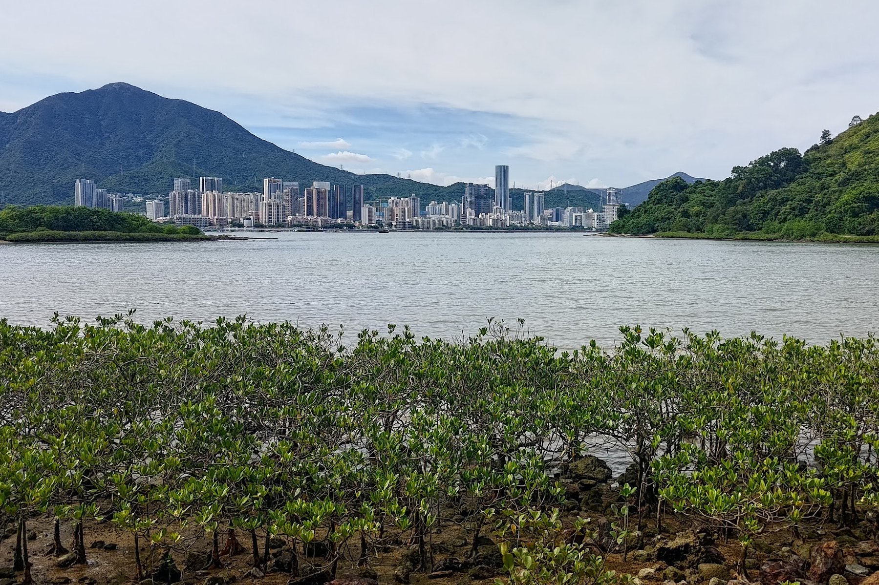
After crossing the weird bridge, you'll arrive at the the first mangrove views of the hike.
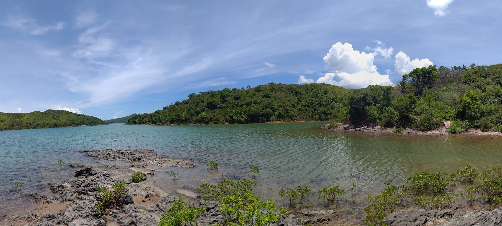
30 Minutes of Gorgeous Mangrove Scenery
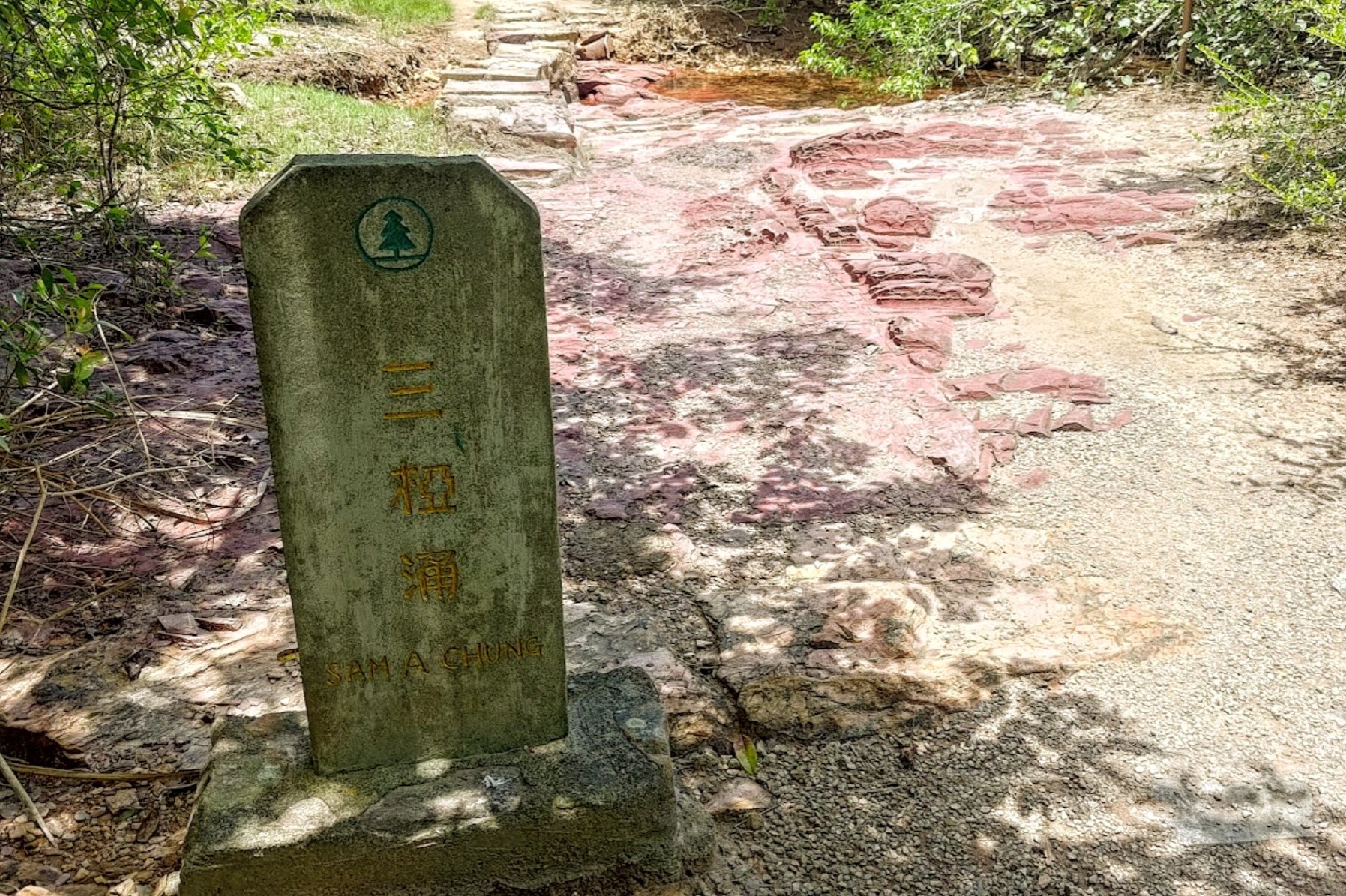
You'll soon see the Sam A Chung stone marker that indicated where the village once used to be.
Just behind it, the terrain turns a vibrant mauve/pink color as you cross another little stream crossing and head inland for a bit.
Follow the stone 'Sam A Tsuen' sign before getting even more amazing mangrove scenery.
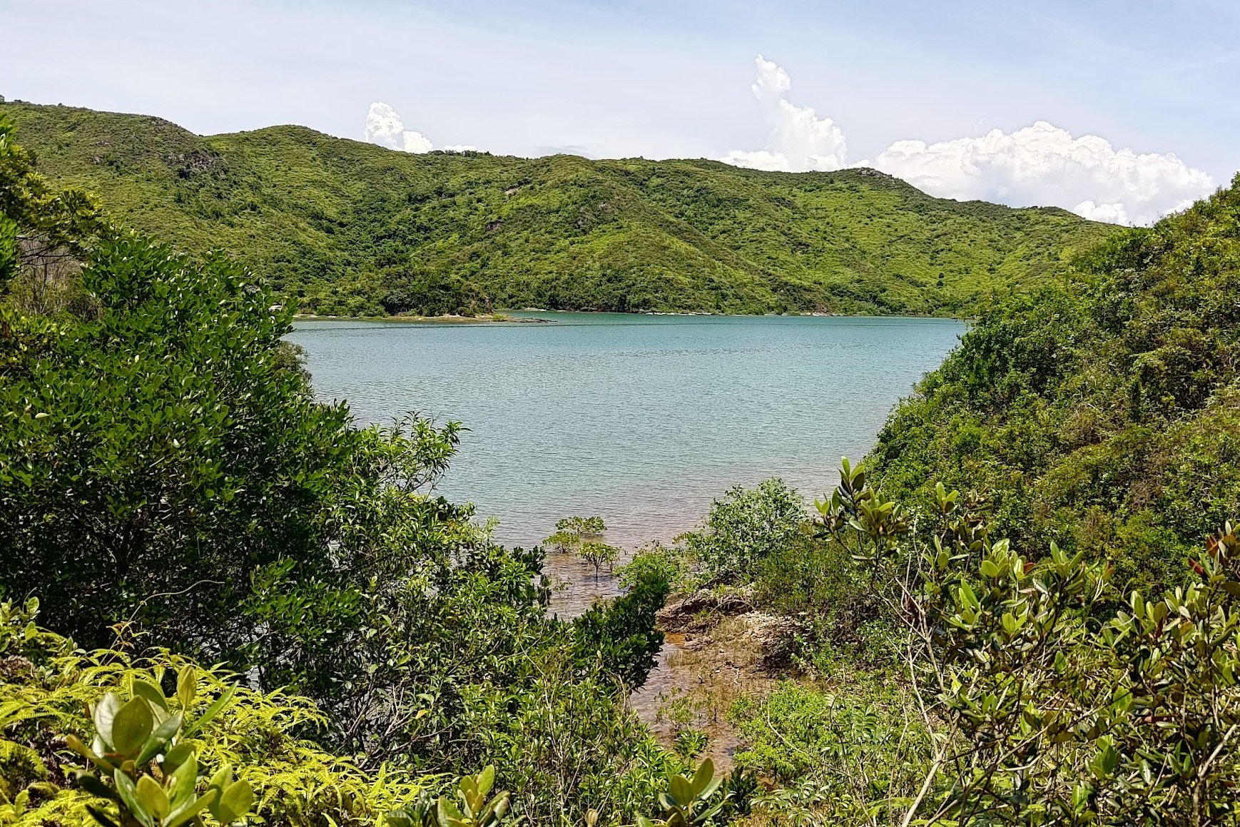
You'll go across perhaps the most spectacular stream crossing a little while later before reemerging at the coast.
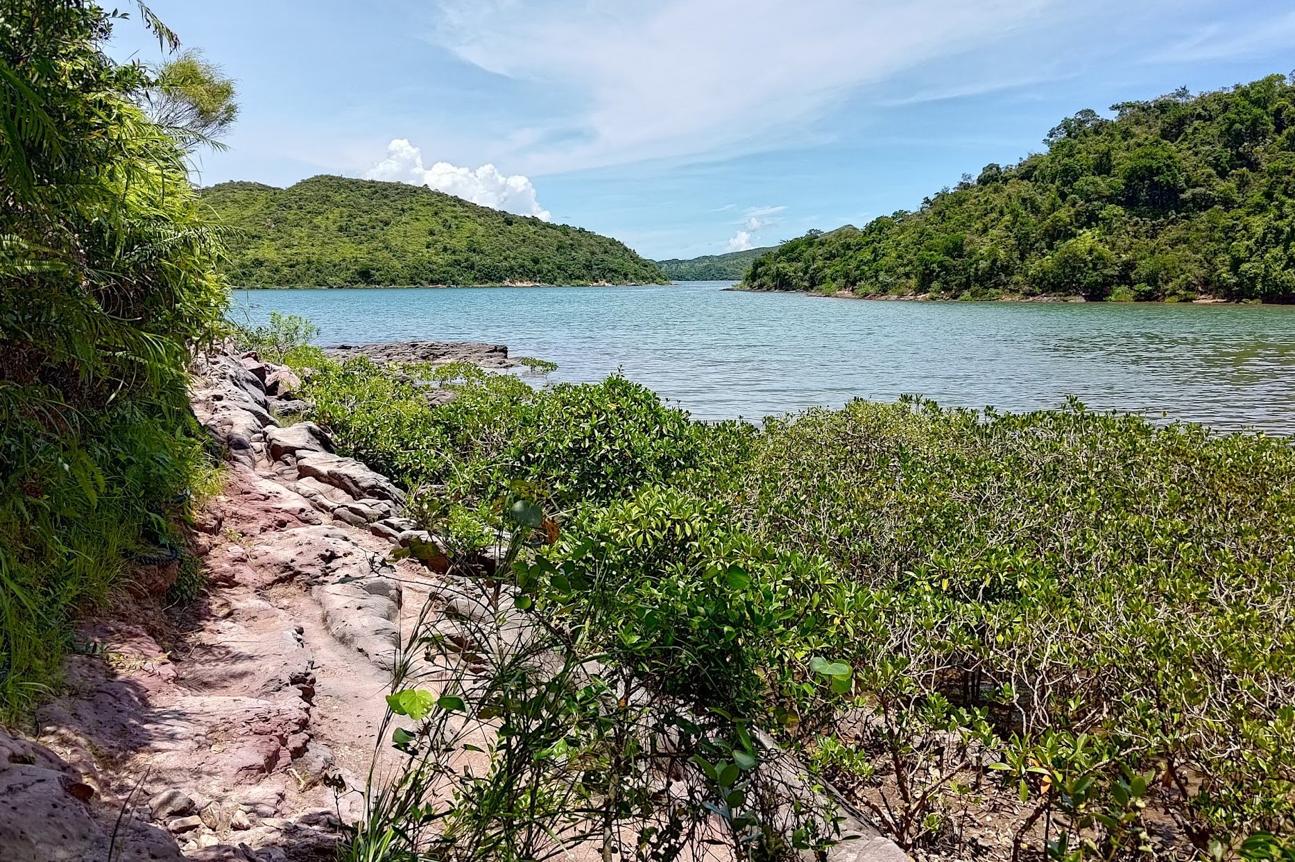
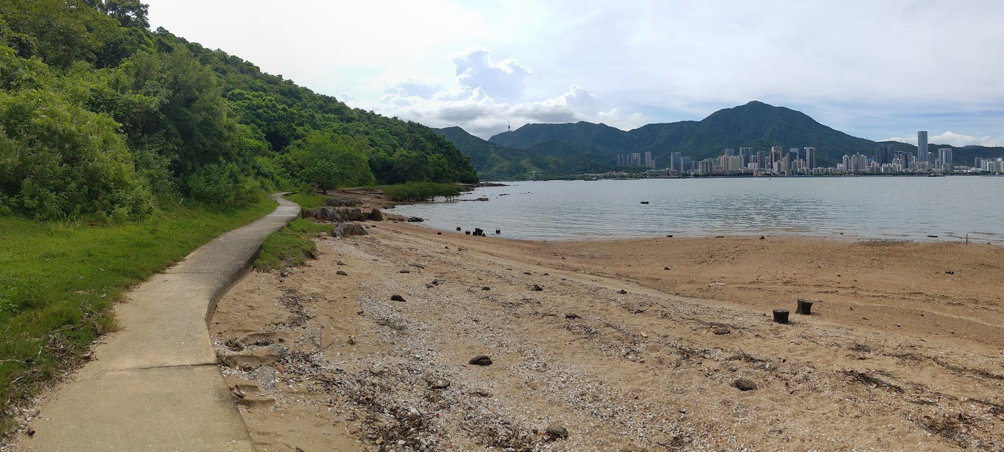
Follow the Coast until the 'Sam A Tsuen' Sign

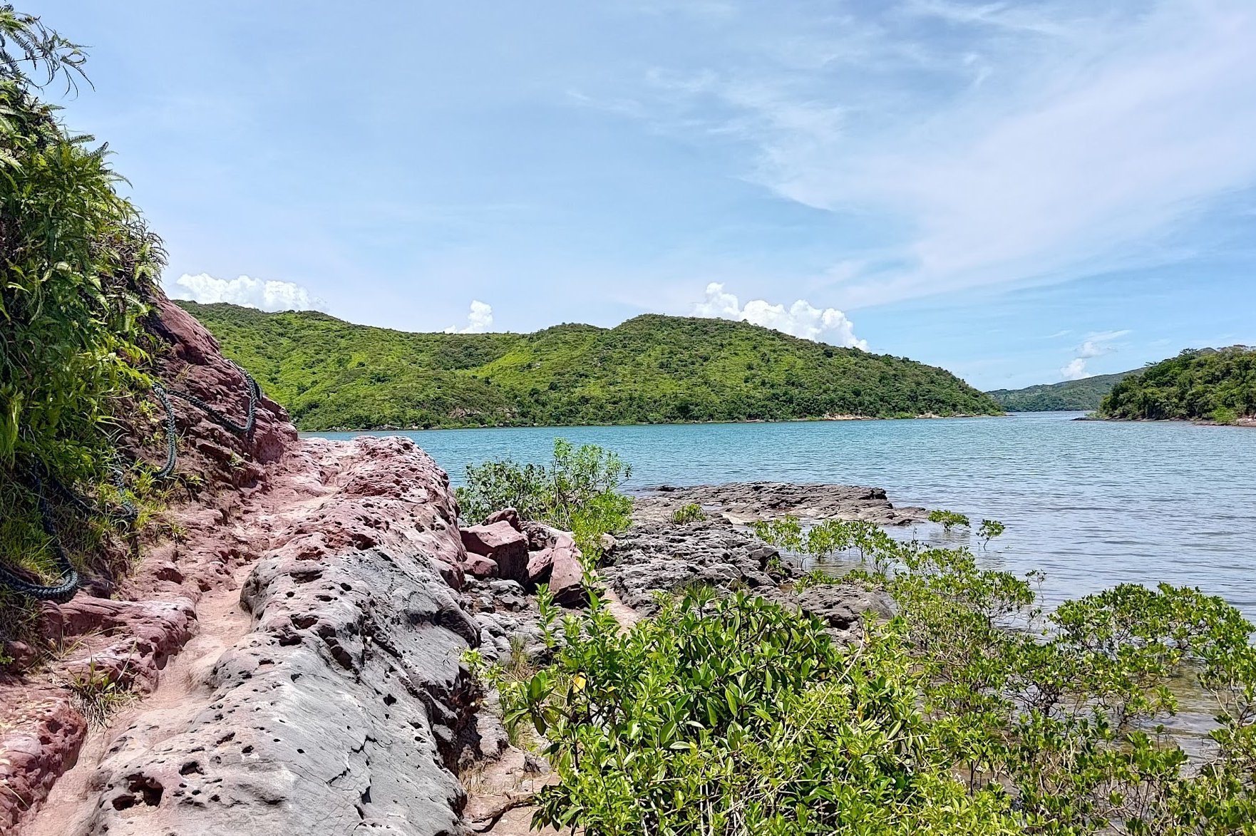
This is one of the most spectacular and scenic sections of the entire hike. You'll be walking right beside the coast - literally so close that you can touch the water.
A combination of pink rocks, shimmering waters and lush mangroves makes this one of the most unique landscapes you can find in Hong Kong. The presence of cute mud skippers only makes things all the more magical.
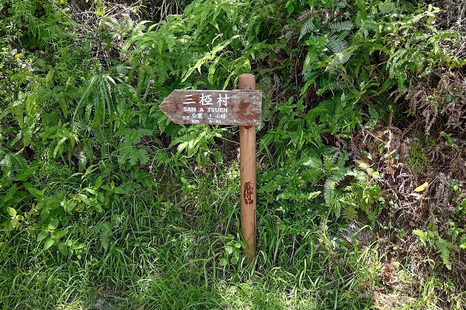
Toward the end of the coastal section, you'll see a sign pointing you to 'Sam A Tsuen'. Follow it back inland.
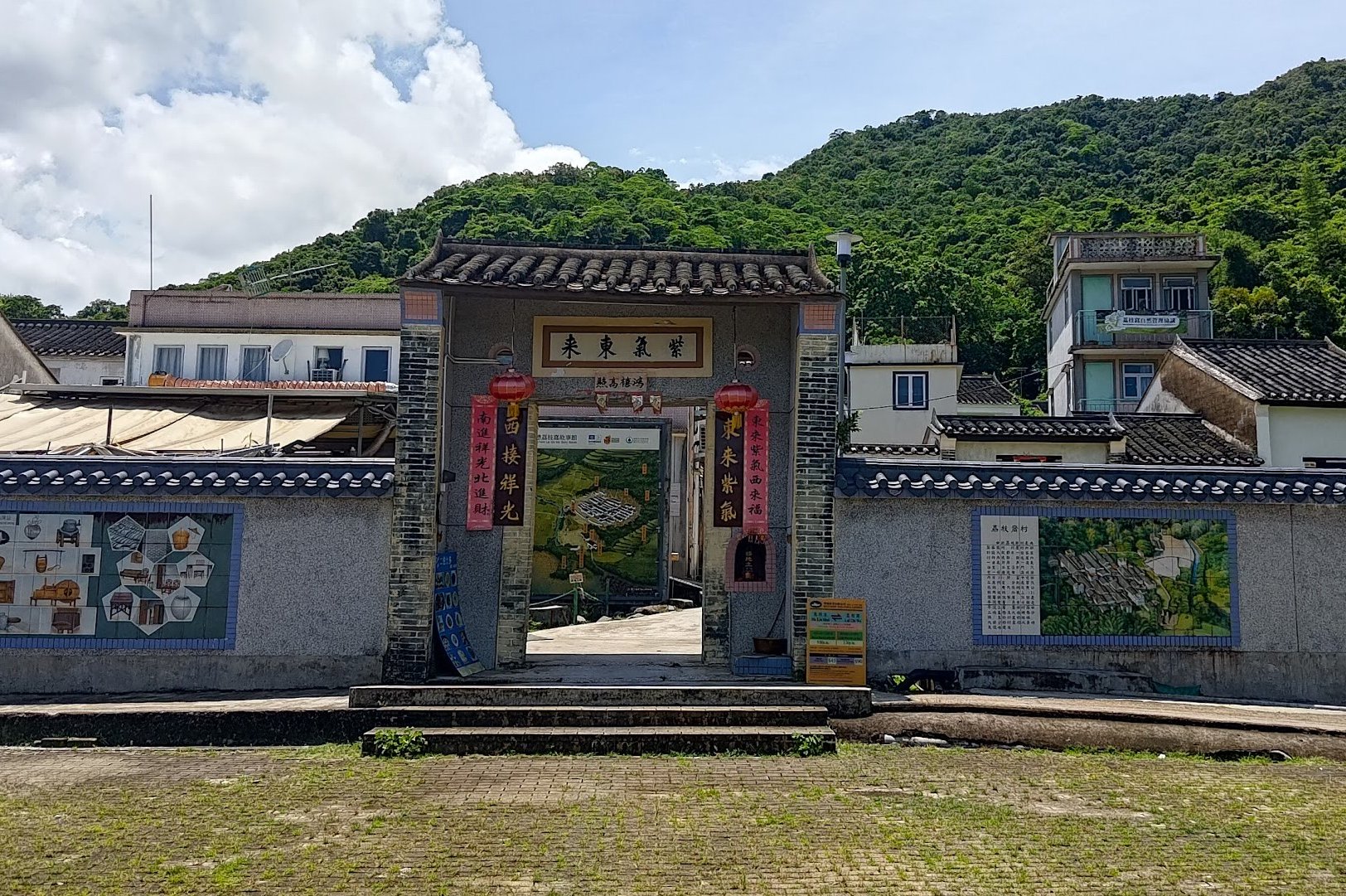
Enter Sam A Tsuen and begin the Journey to Lai Chi Wo
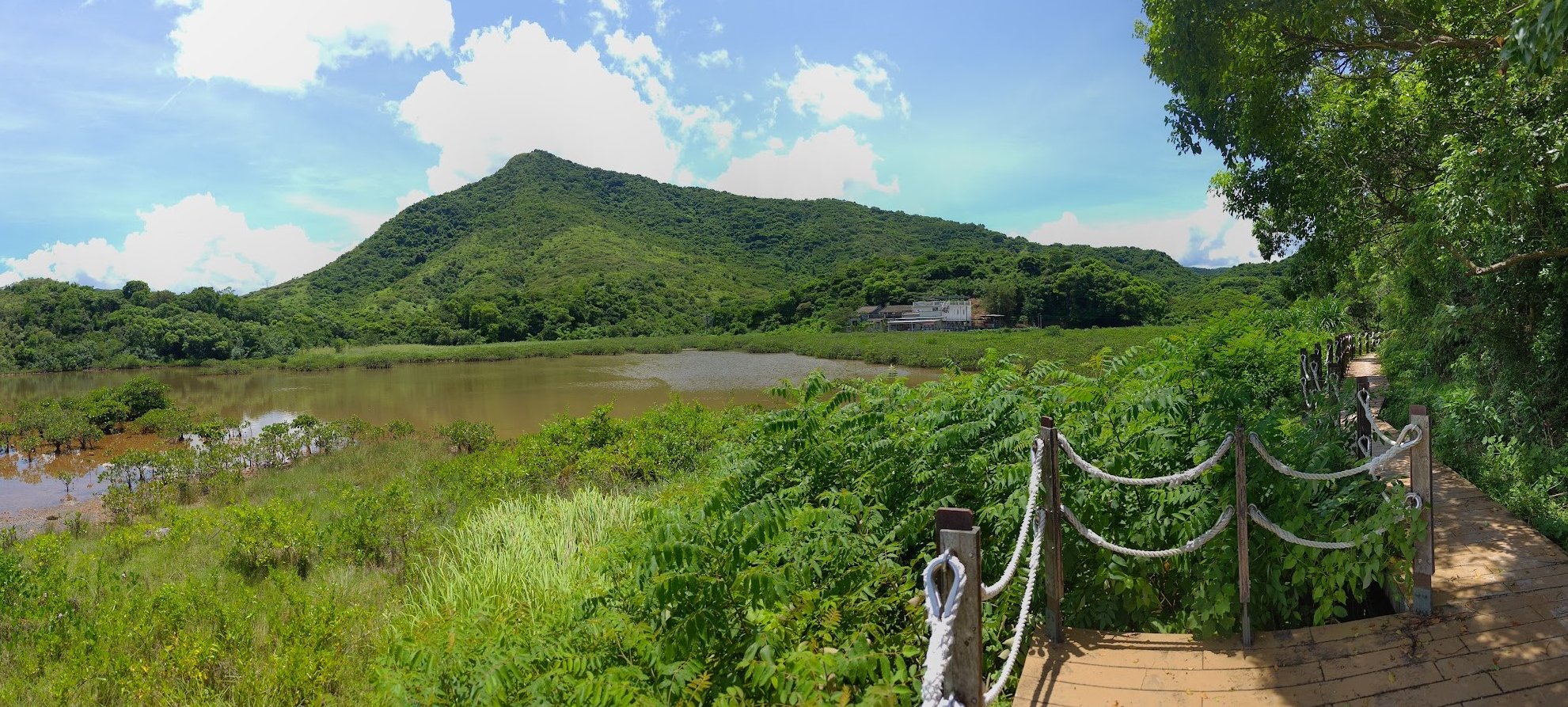
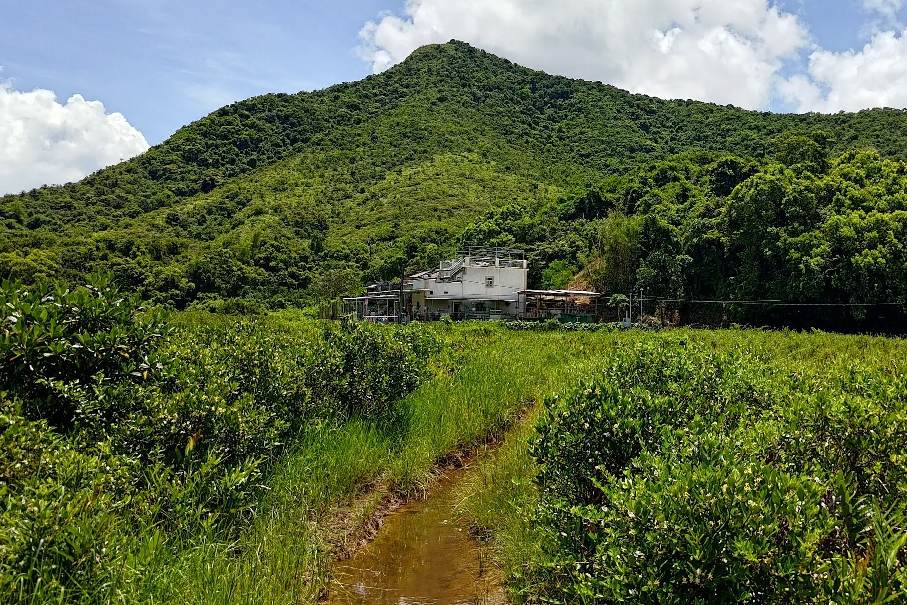
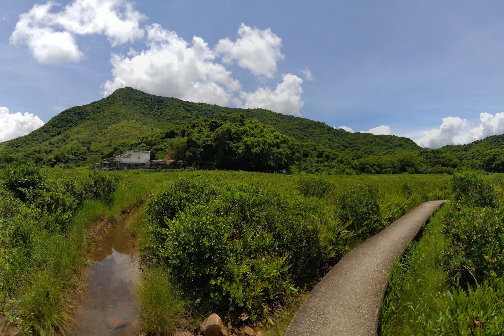
Entering Sam A Tsuen via the roped walkway, one can't help but find it remarkable how beautiful and isolated this place is. In its heyday in the 1950s and 1960s, the village had over 200 inhabitants.
Today, it's mostly empty since all the villagers have opted to pursue lives in the city. On weekends, descendants of the original Tsang Hakka Clan, who first set up the village, will return to sell food and drinks to visitors.
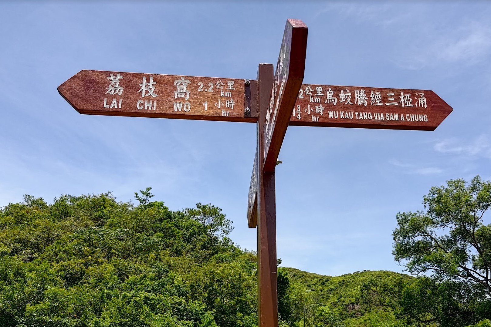
Follow the concrete path and go in the direction of the brown sign pointing to 'Lai Chi Wo' at the crossroads.
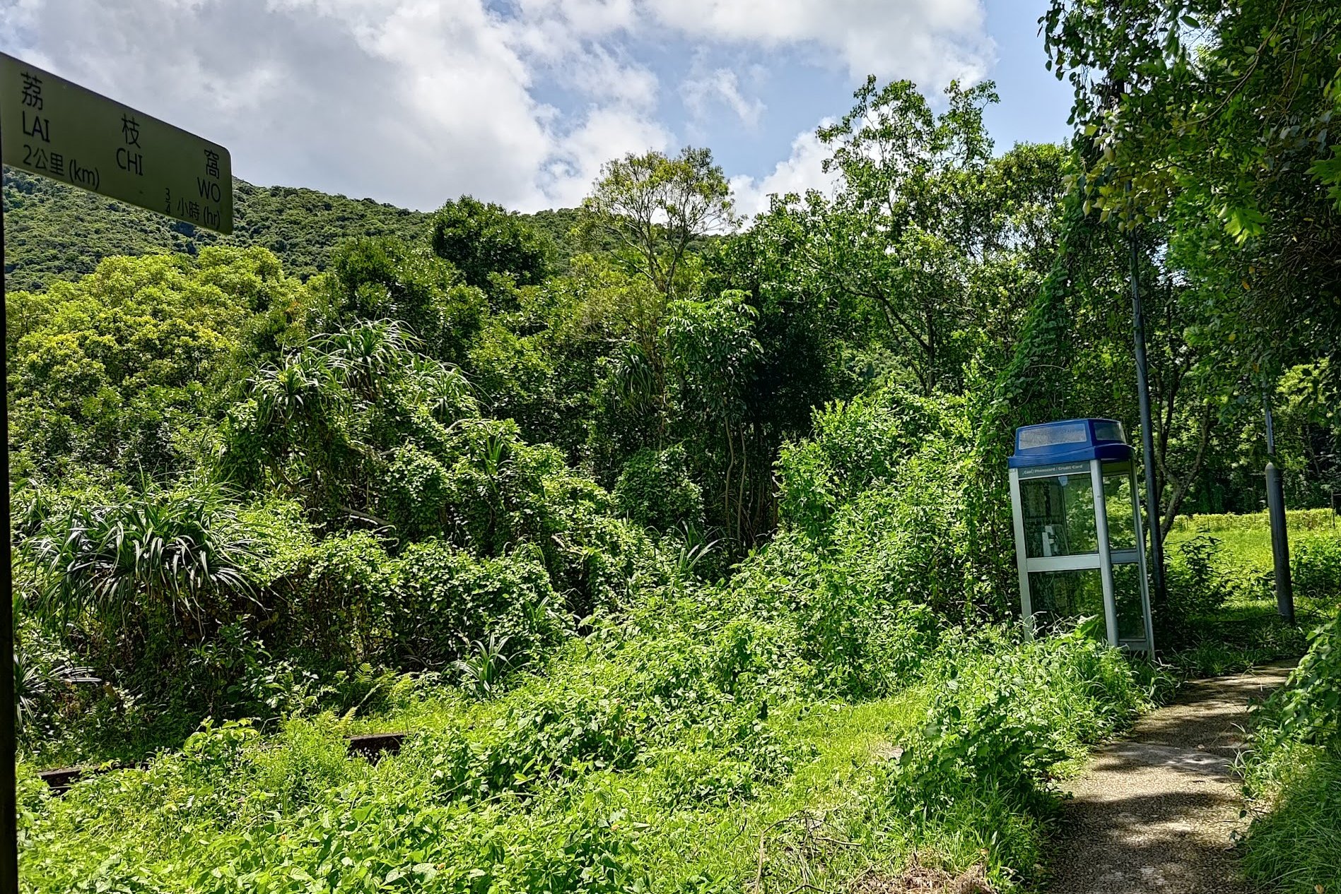
A few minutes later, you'll see another split in the road. Go in the direction of the next Lai Chi Wo sign (past the phone booth) or go left if you want to check out the village. Return back to the trail after the village if you decide to explore or stock up on supplies.
The Path to Lai Chi Wo
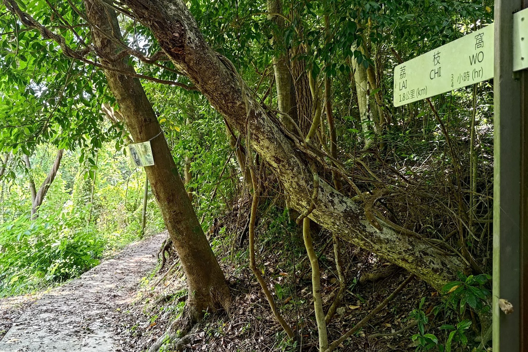


A few minutes after the last sign pointing to Lai Chi Wo, you'll begin to ascend and see another 'Lai Chi Wo' sign. Follow that sign and you'll soon begin to see some of the abandoned houses of Sam A Tsuen. You can really begin to see the scale of how big the village once was versus how tiny it is now.
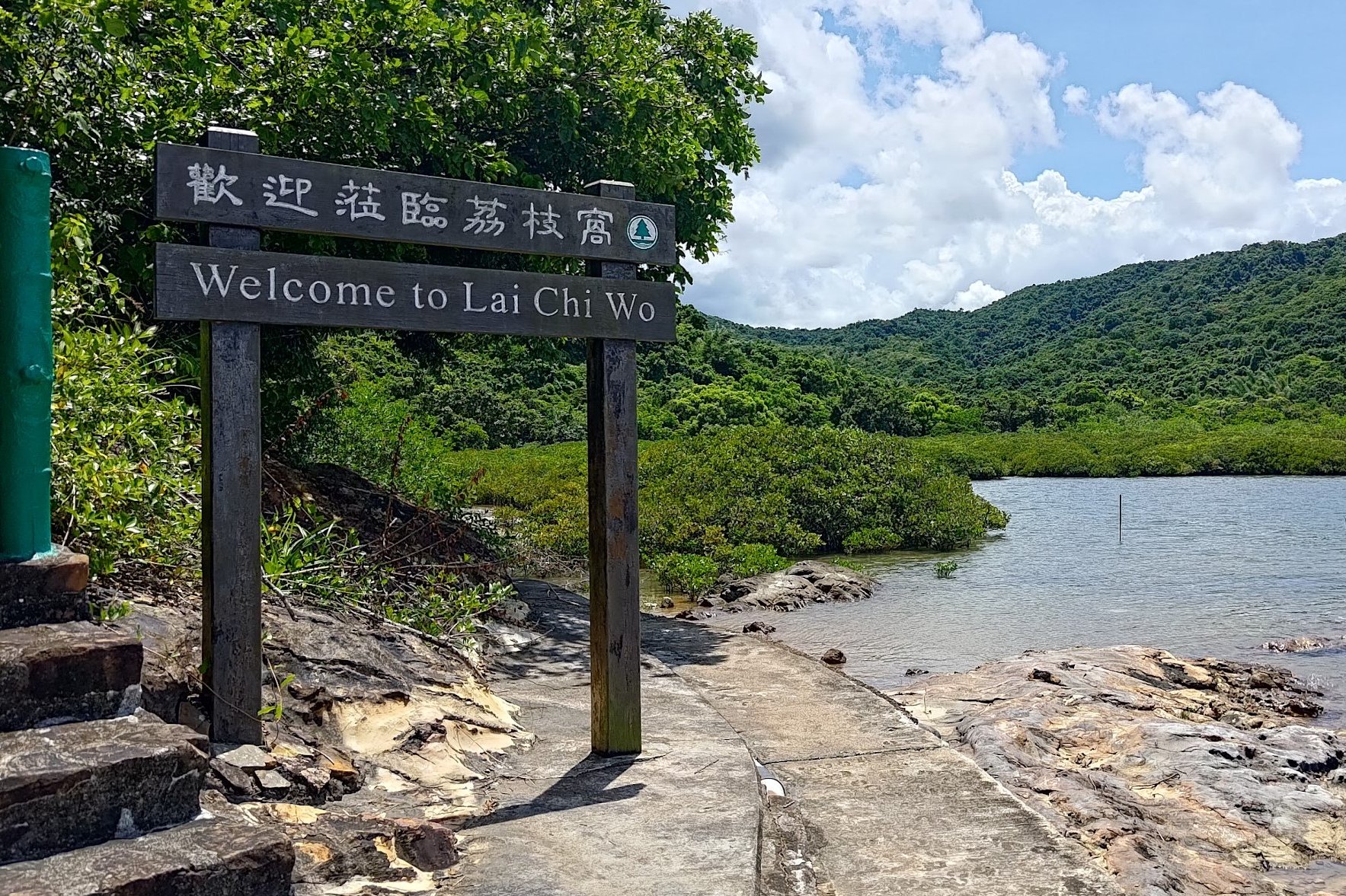
20 minutes later, you'll come across a 'Welcome to Lai Chi Wo' sign. Stick to the coastal path here unless you want to climb up the stairs to the observation point before returning back down.
A little while later, there'll be another wooden sign pointing you in the direction of Lai Chi Wo.
Make sure not to miss the wooden walkway that curves out onto the mangroves and offers a really unique view of the natural landscape.
You'll arrive at Lai Chi Wo about 15 minutes later.
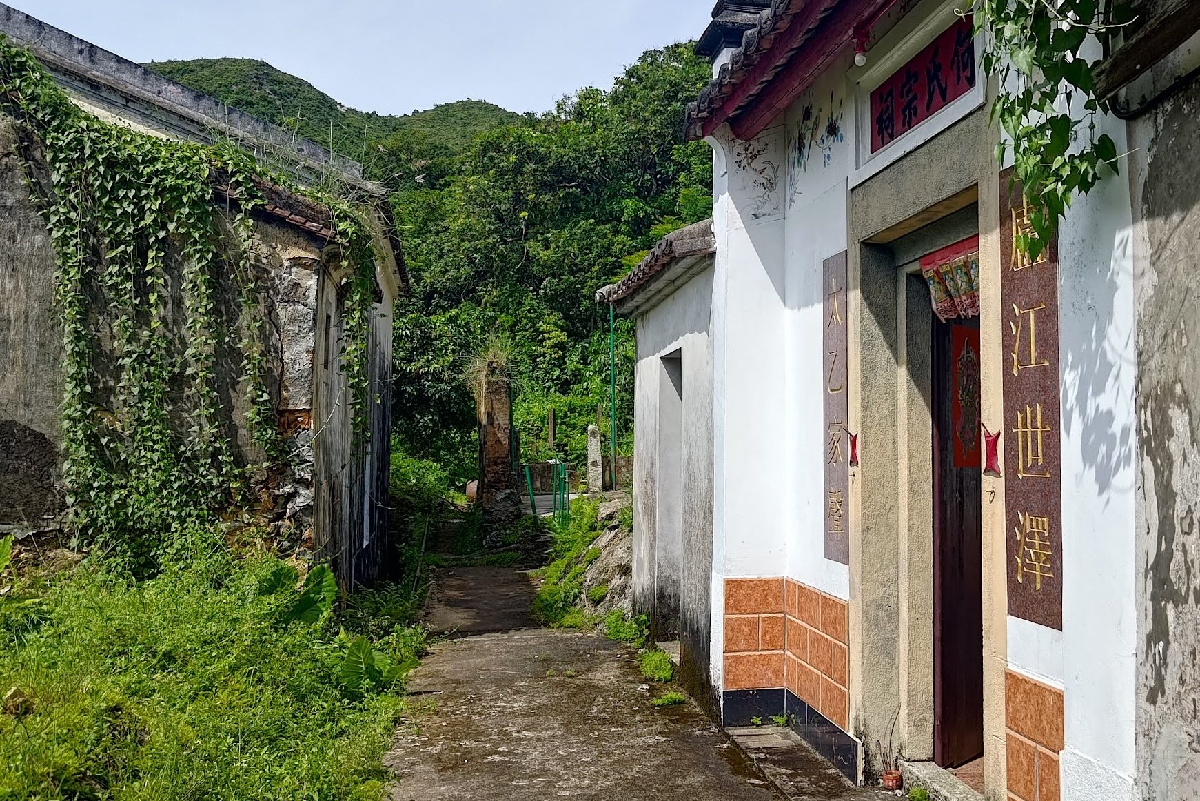
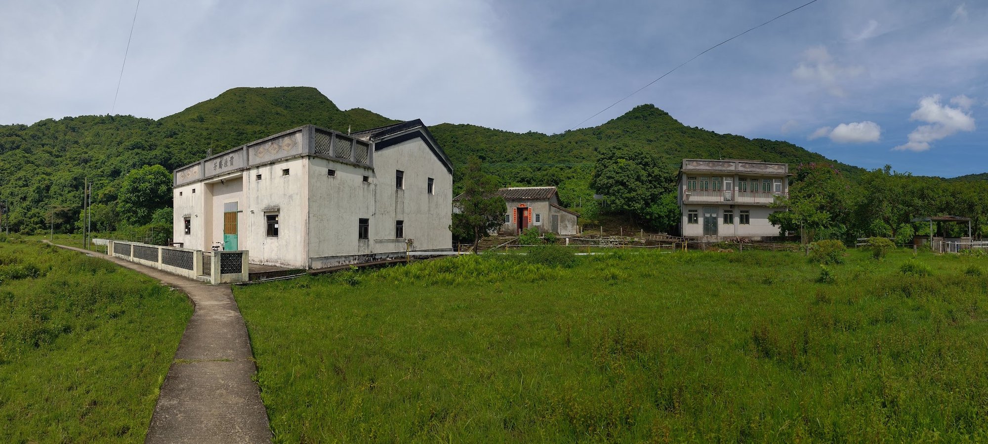
Lai Chi Wo Village (Optional Escape Point)
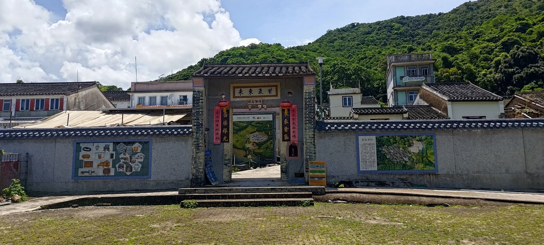
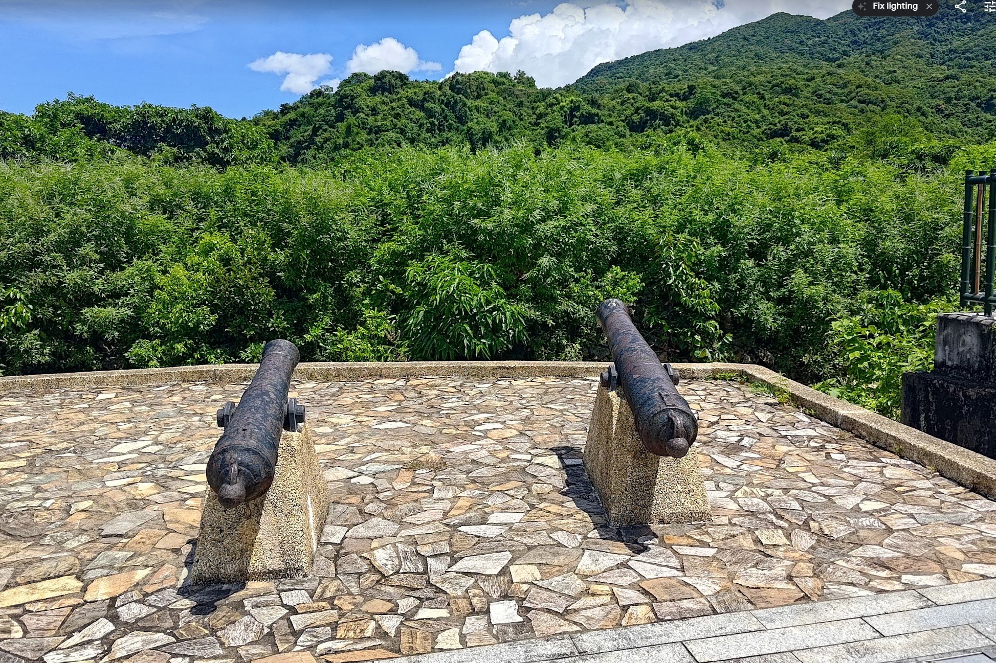
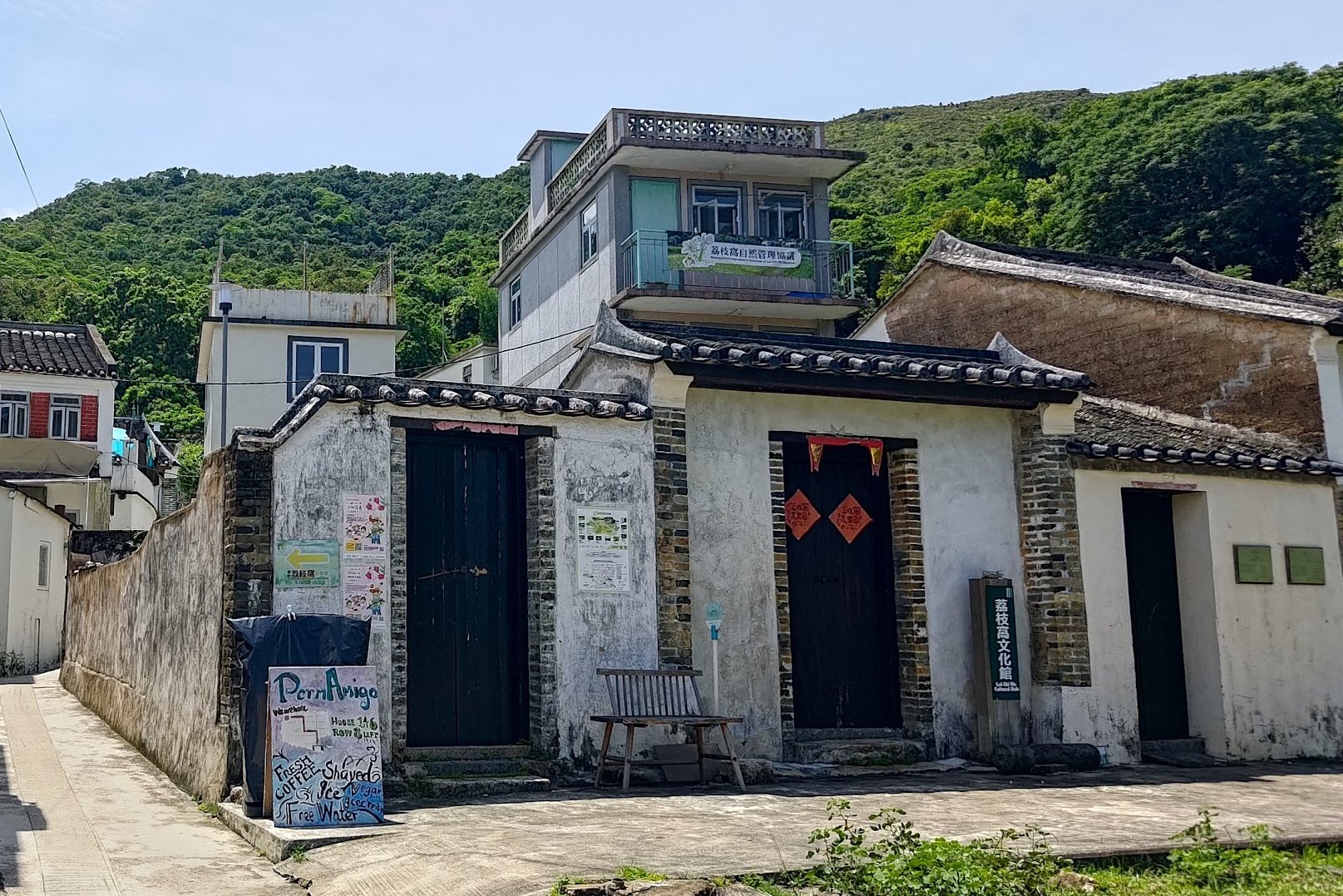
Upon arriving at Lai Chi Wo, the first thing you'll likely notice is the wall that surrounds the village. It's been sympathetically restored and hasn't been turned into something gaudy and for show. Indeed, one of the things I appreciated most about Lai Chi Wo is that you can still feel the village's age when you wander around its streets and houses.
Built over 300 years ago, Lai Chi Wo is one of Hong Kong's best examples of an ancient Hakka Village. In the past, this was the center of an alliance of 7 Hakka villages in the area which included: So Lo Pun, Mui Tsz Lam, Kap Tong, Siu Tan, Ngau Shi Wu and Sam A Tsuen (which we just visited).
These days, most of the village's inhabitants have opted to live a more convenient life in the city or abroad.
Still, Lai Chi Wo continues to flourish as it's been recognized by UNESCO for the sustainable rural revitalisation project that's being undertaken there.
For a comprehensive list of things to see in Lai Chi Wo, click here.
If you want to visit Lai Chi Wo without the hiking, or want to end your hike here, check out the ferry schedule. It only operates reliably on Saturday, Sunday and public holidays.
Lai Chi Wo to Kuk Po Lo Wai
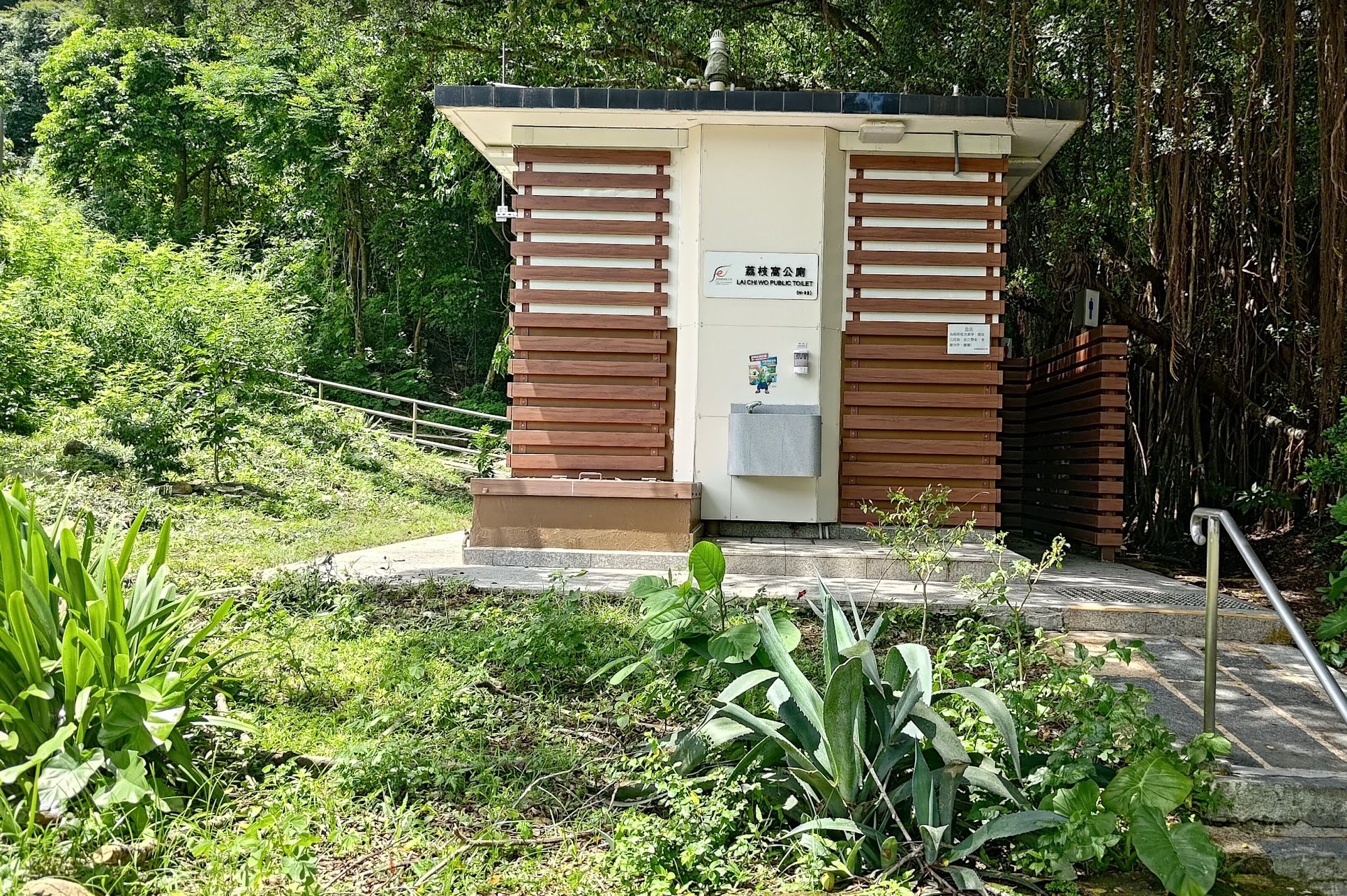

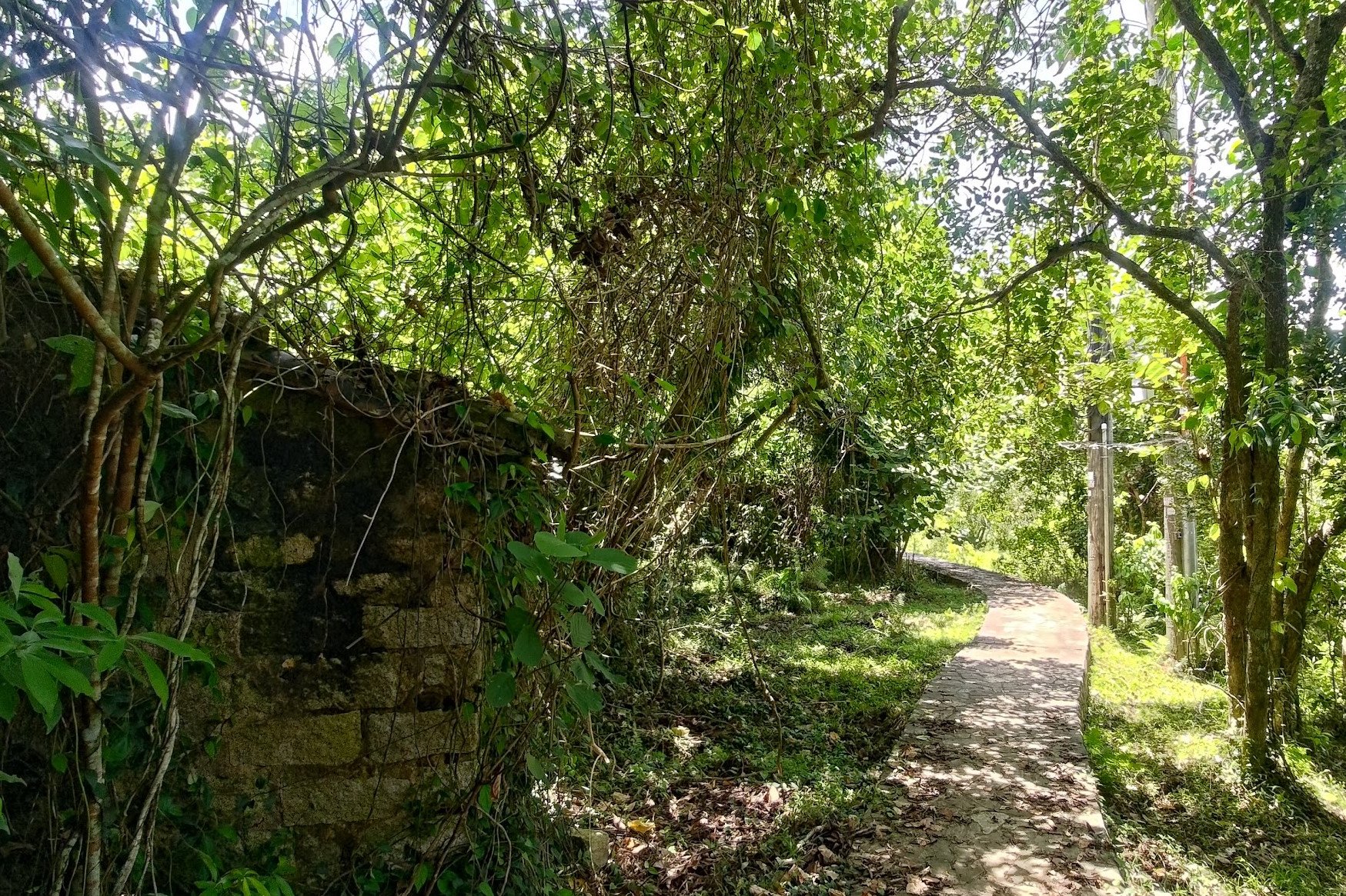
After exploring Lai Chi Wo, head back out of the village and take the stairs behind the public toilet.
You'll begin to ascend and get a really cool view of some of the less refurbished buildings in Lai Chi Wo. You'll also be able to see how the wall curves around the entire perimeter of the village, which was used to keep bandits and vagrants from ransacking the place back in the day.
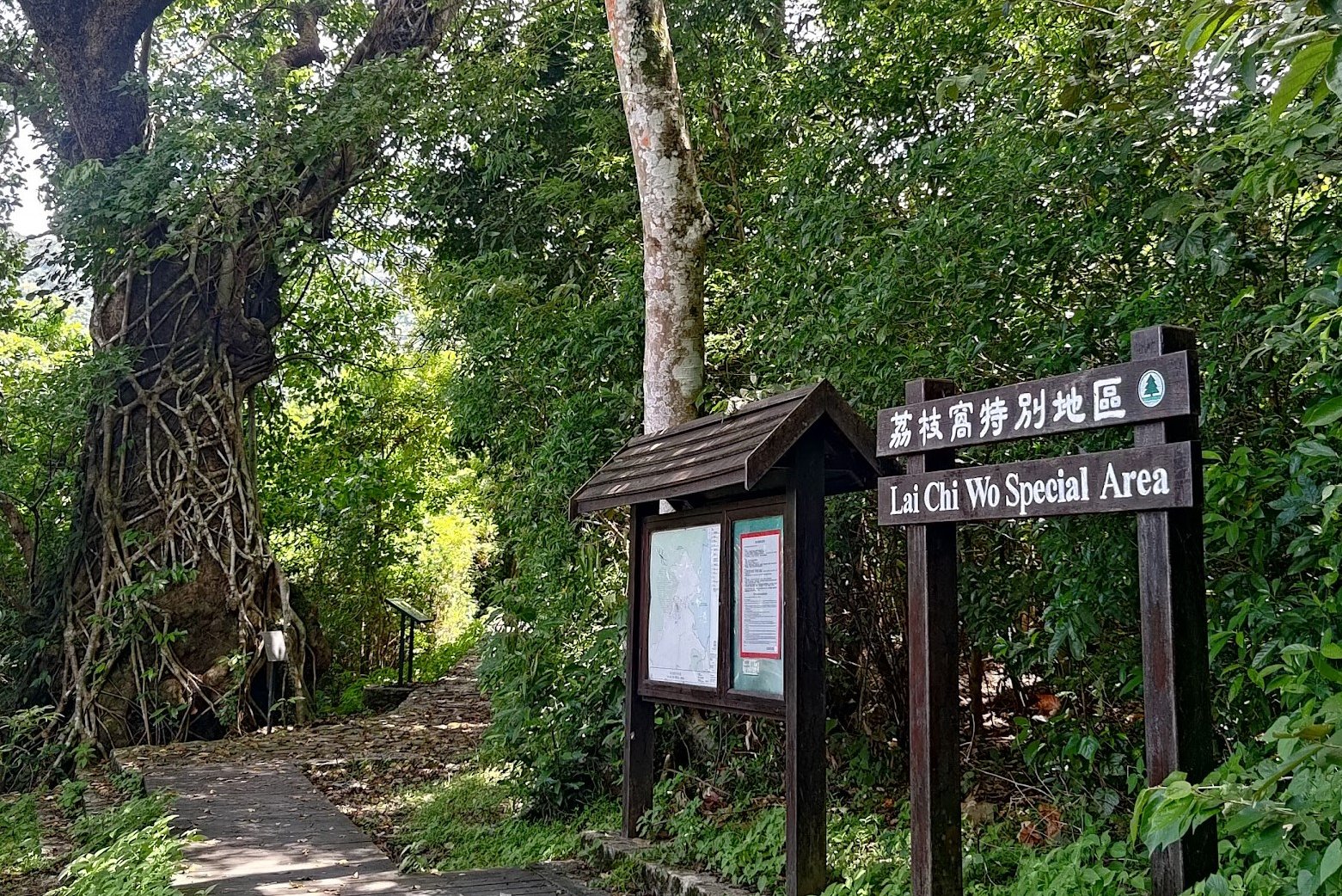
Continue forward on the path behind Lai Chi Wo and go past the 'Lai Chi Wo Special Area' sign. A minute or so later, you'll see another sign pointing you toward Wu Kau Tang. Follow that sign.
The next hour was the most peaceful part of the whole hike. I didn't see a single soul during this portion of my adventure, and it was a Sunday! The feeling of isolation and peace was magical in a city as crowded as Hong Kong is.
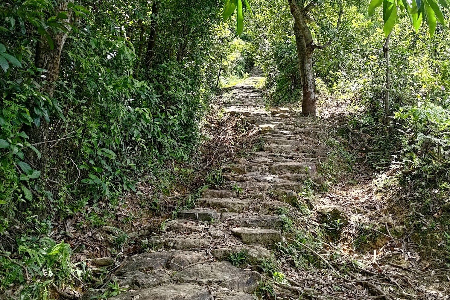
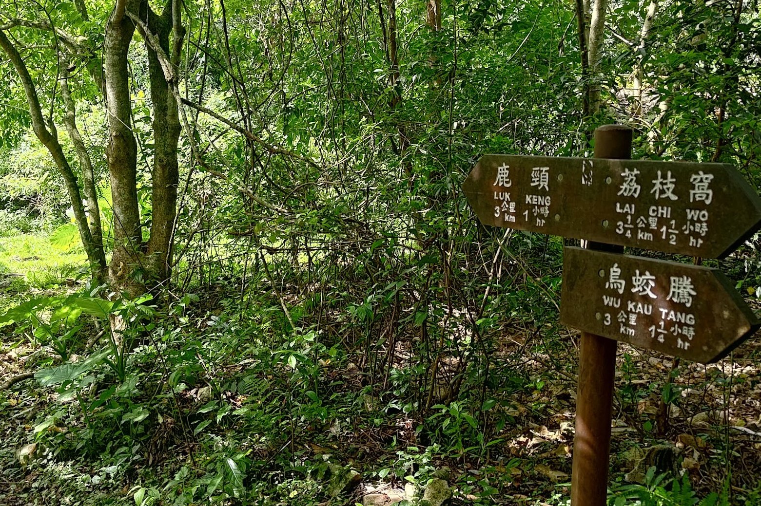
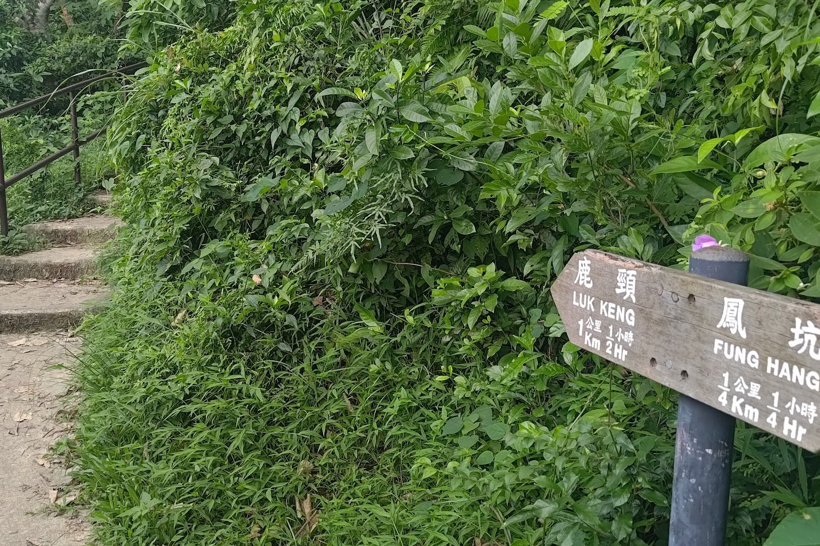
As the trail begins to ascend steeply upward, follow the 'Luk Keng' sign. This marks the only real steep uphill of the entire hike and it doesn't last too long. Perhaps 15 minutes or so at a decent pace with no breaks.
At the top of the ascent, you'll see a crossroads. Ignore the sign pointing to Wu Kau Tang and take the sign pointing you to 'Luk Keng'.
You'll begin to descend back down again. 25 minutes later, you'll see a public toilet and another sign pointing you toward 'Luk Keng'.
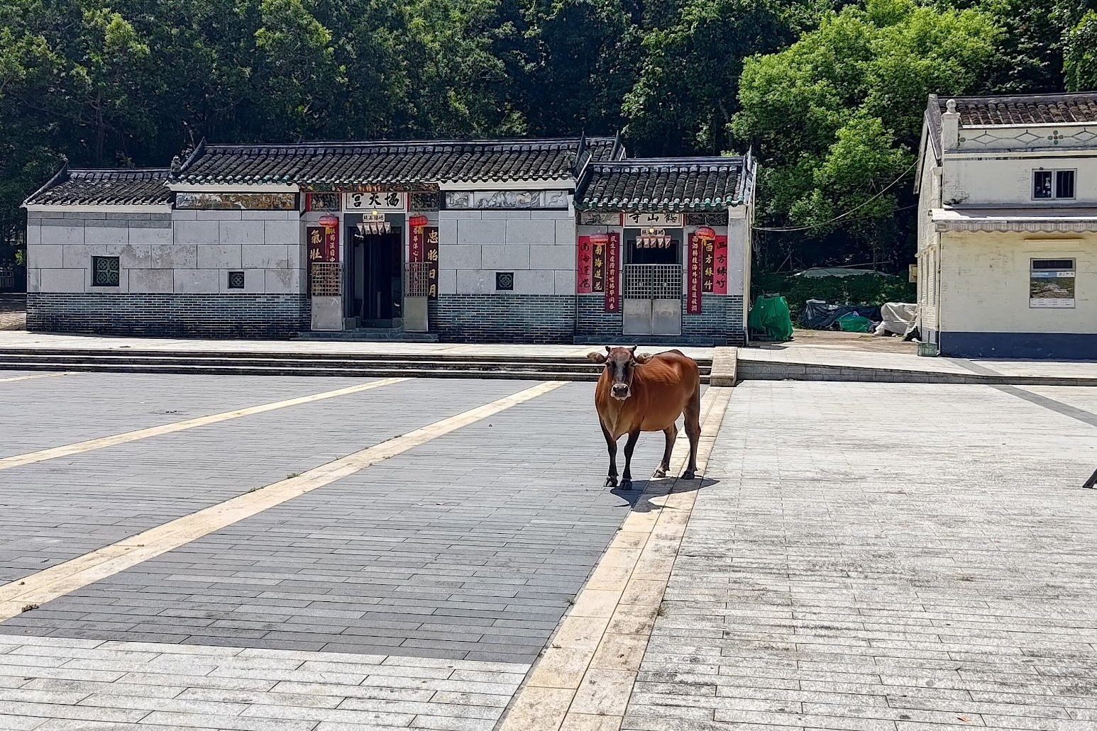
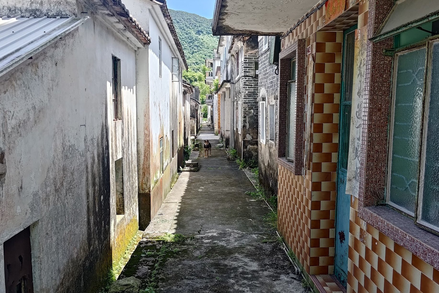
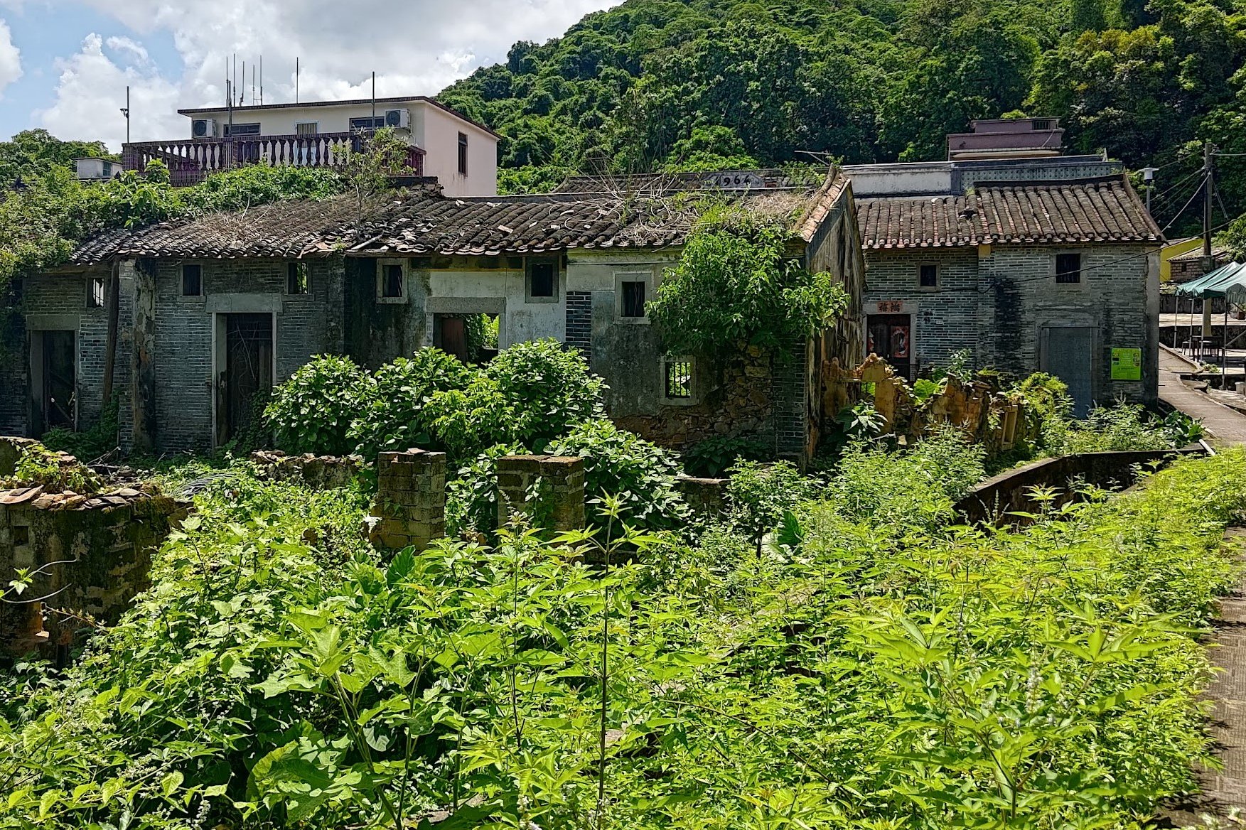
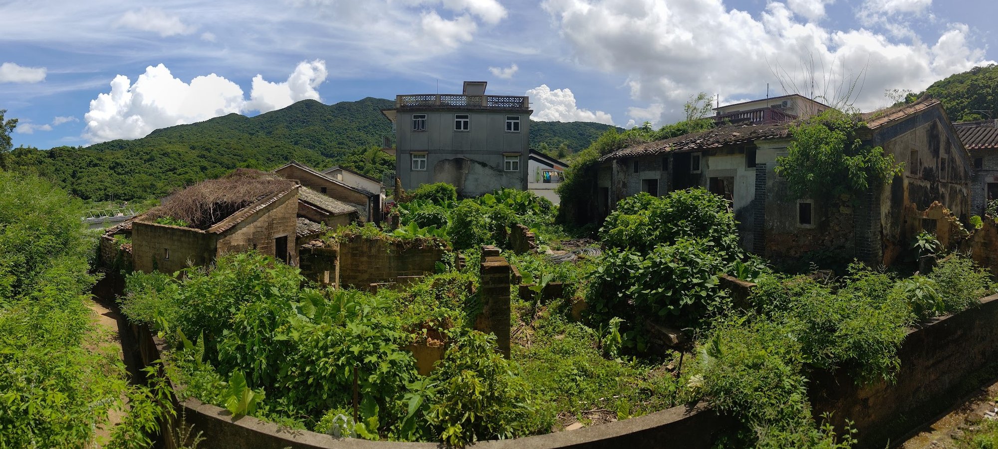
Kuk Po Lo Wai Abandoned Village (Optional Detour)
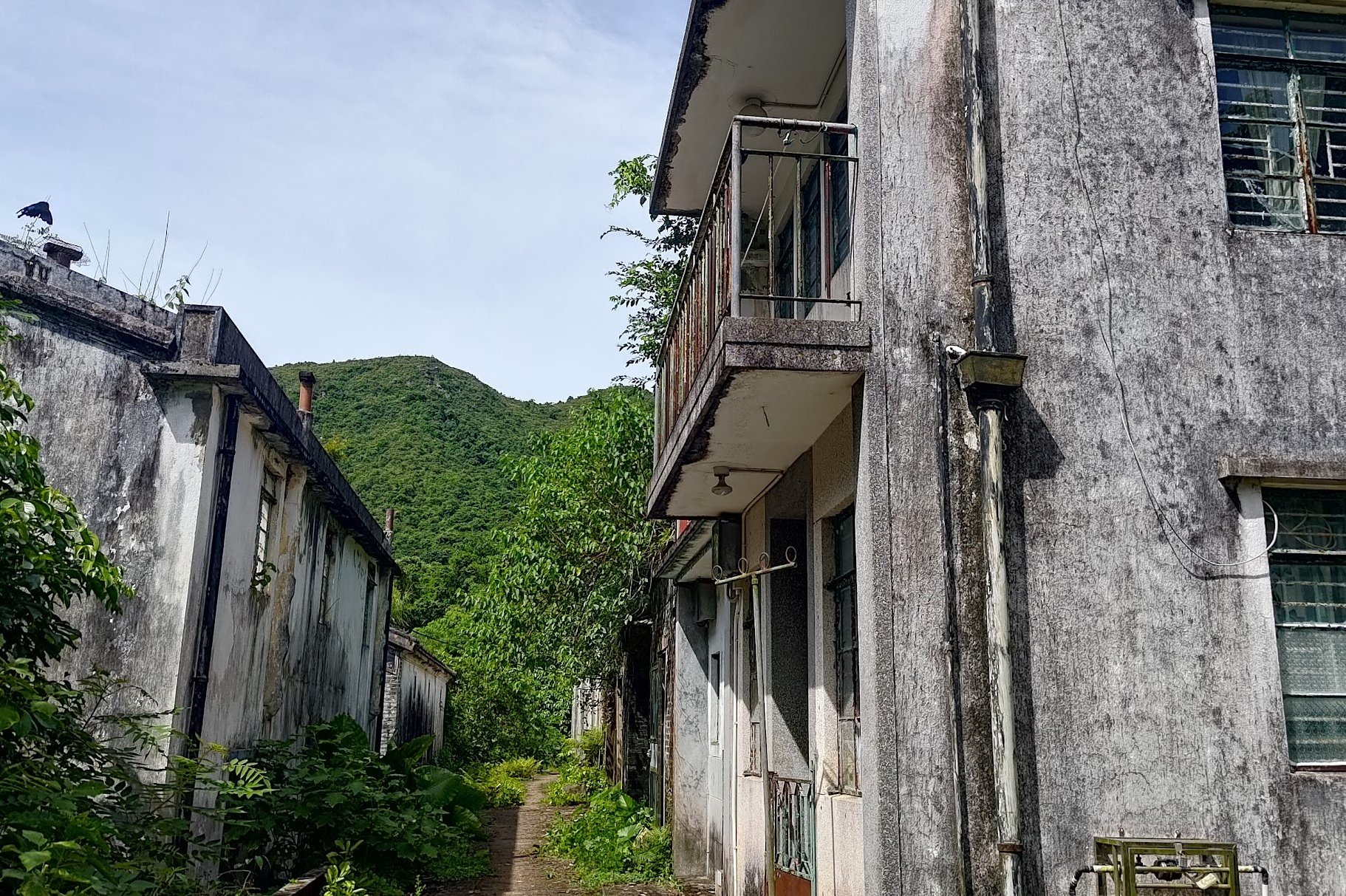
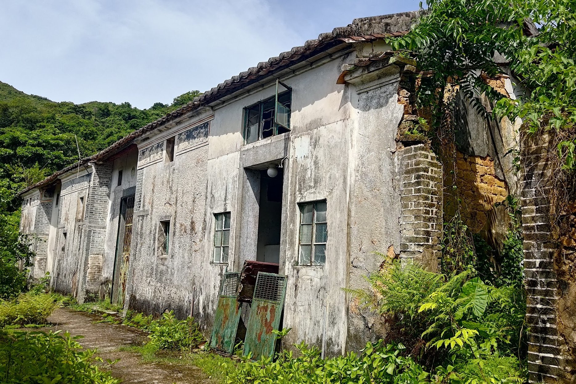
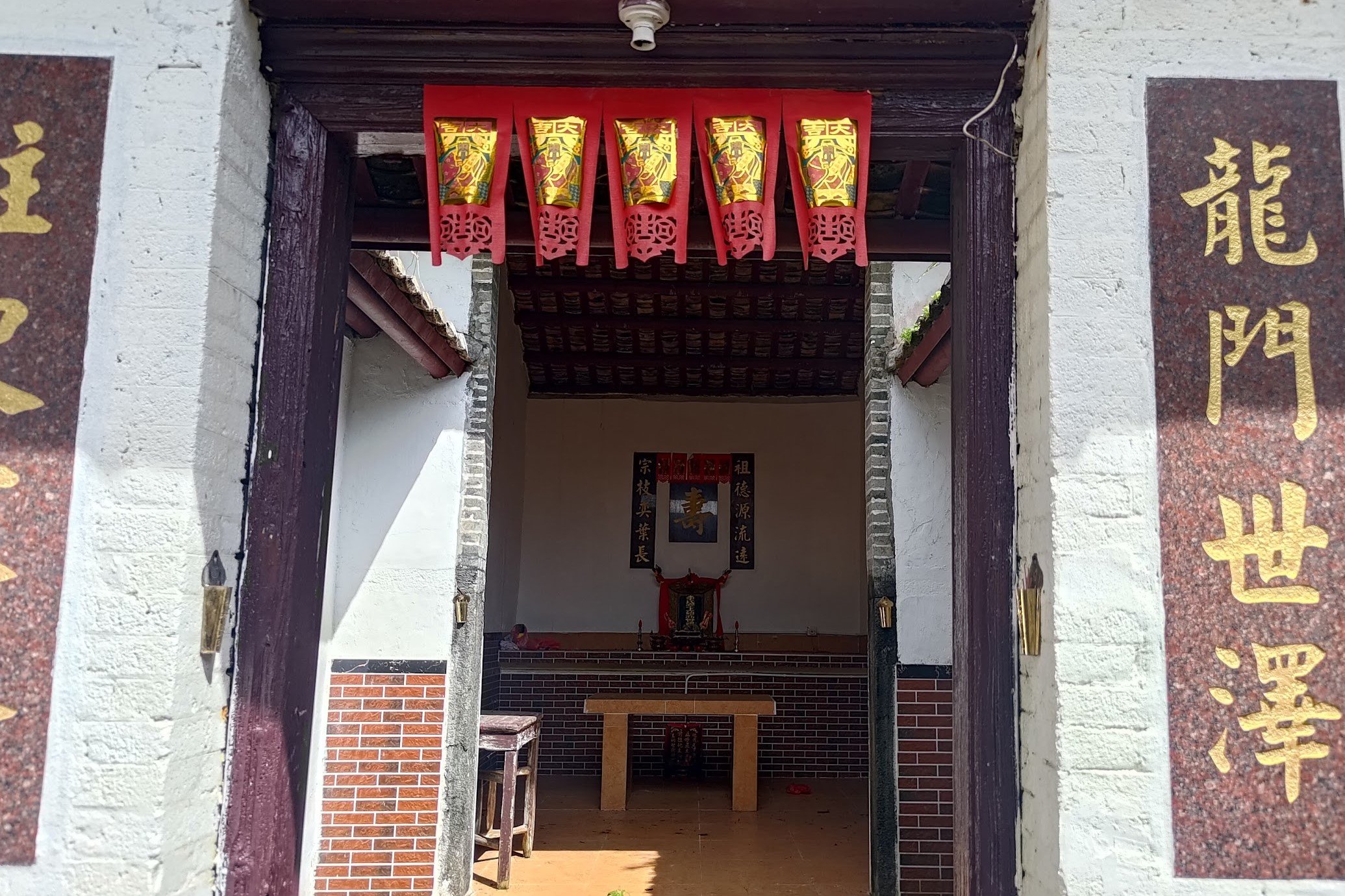
If you head right near the public toilet, you'll come across Kuk Po Lo Wai ( 谷埔老圍).
Like all the other villages that we've passed by on this hike, Kuk Po Lo Wai was inhabited by Hakka people before it was abandoned.
The area of Kuk Po has been inhabited by seven clans, the Sung (宋), Lee (李), Ho (何), Tsang (曾), Cheng (鄭), Ng (吳) and Yeung (楊), for over 300 years.
Several villages are scattered around the Kuk Po area with Kuk Po Lo Wai being the oldest of them all. Most of these villages are completely swallowed by nature today and pretty much inaccessible to the average hiker.
In 1911, the population of Kuk Po Lo Wai was about 250 people, but today it's totally empty.
It's pretty eerie to walk among the houses and temples of Kuk Po Lo Wai knowing that it was once a thriving Hakka community.
When you're done exploring, head back and follow the wooden sign toward Luk Keng.
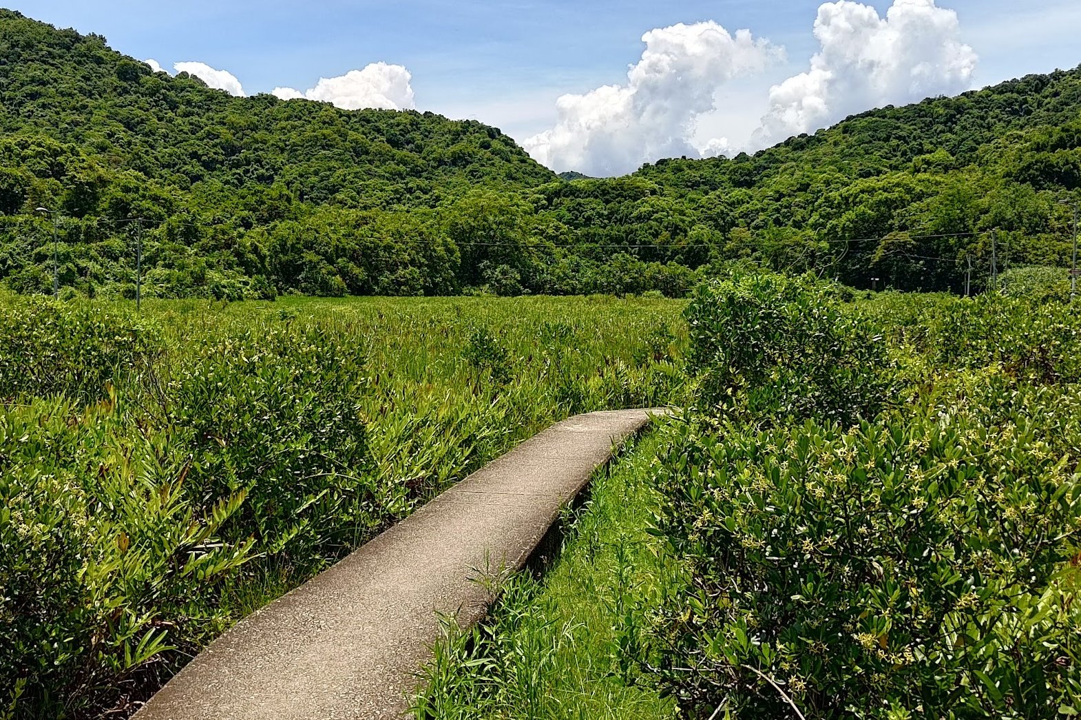
Kuk Po Reed Field
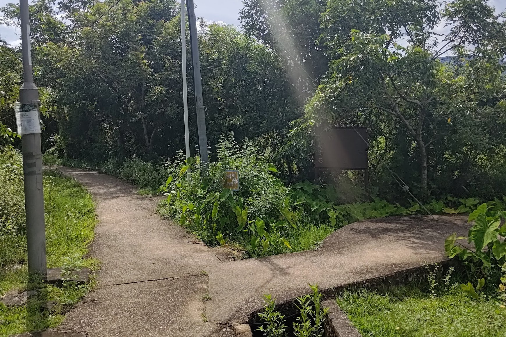
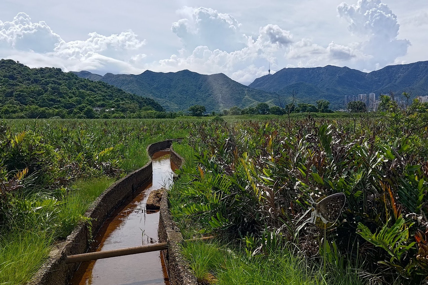
Less than five minutes after following the 'Luk Keng' sign, you'll arrive at the Kuk Po reed field.
This is an area where you can spot many Hong Kong coastal birds.
At the fork in the road, you can choose to turn right or go straight.
Going straight is the shortest and most efficient route, after which you'll need to take the next right to end up on the waterfront.
Going right at the fork meanders around and through the reed fields and adds about 15-20 minutes to your hike time. You'll also pass by a few Kuk Po village homes that are open Sundays where you can refill on water and snacks.
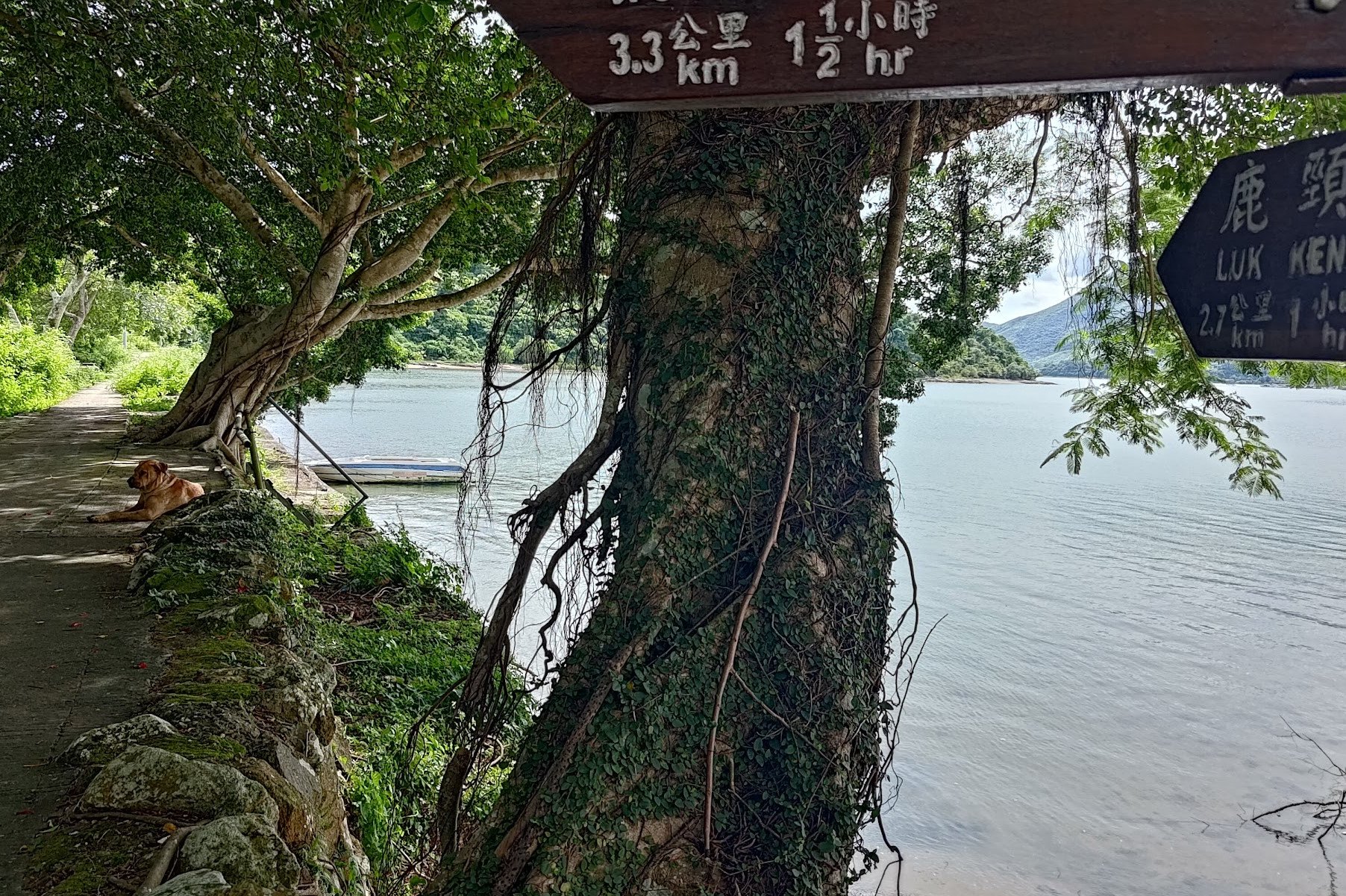
When you reach the Starling Inlet waterfront (if you went right) follow the 'Luk Keng' sign there.
I went right, so the above pictures reflect what I saw.
Follow the Coastline for 40 Minutes


The final concrete coastal trail takes you across beaches, mangroves and even grassland as you progress closer to the end of the hike.
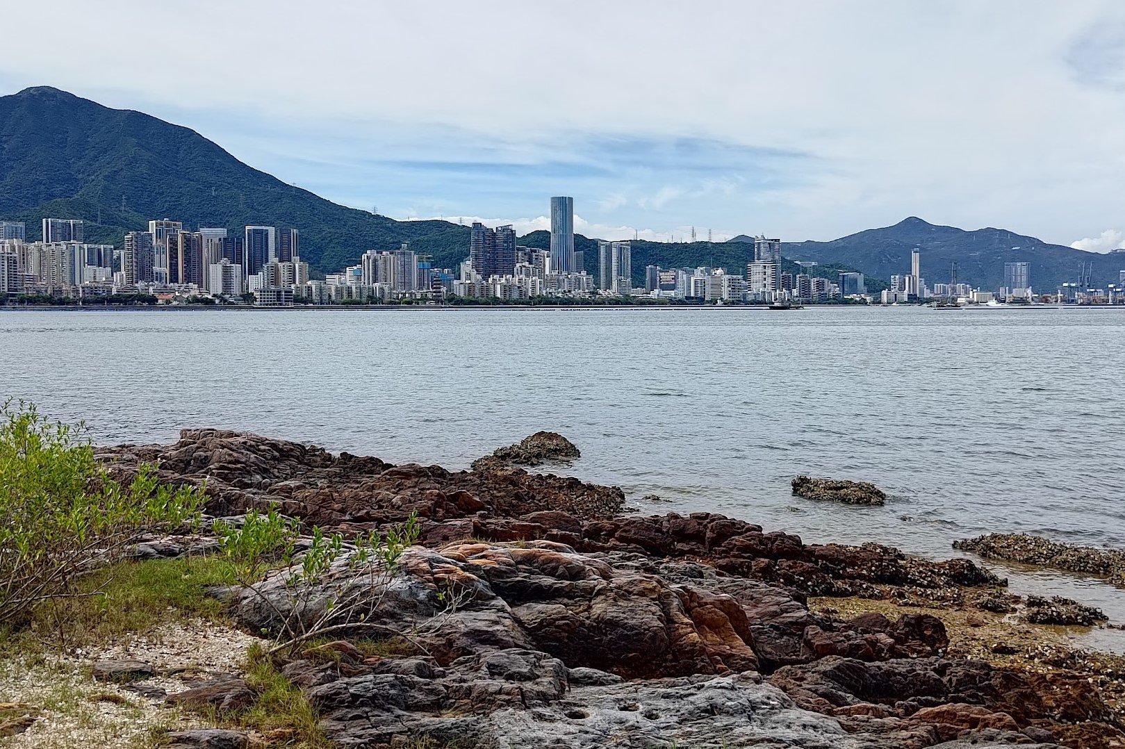
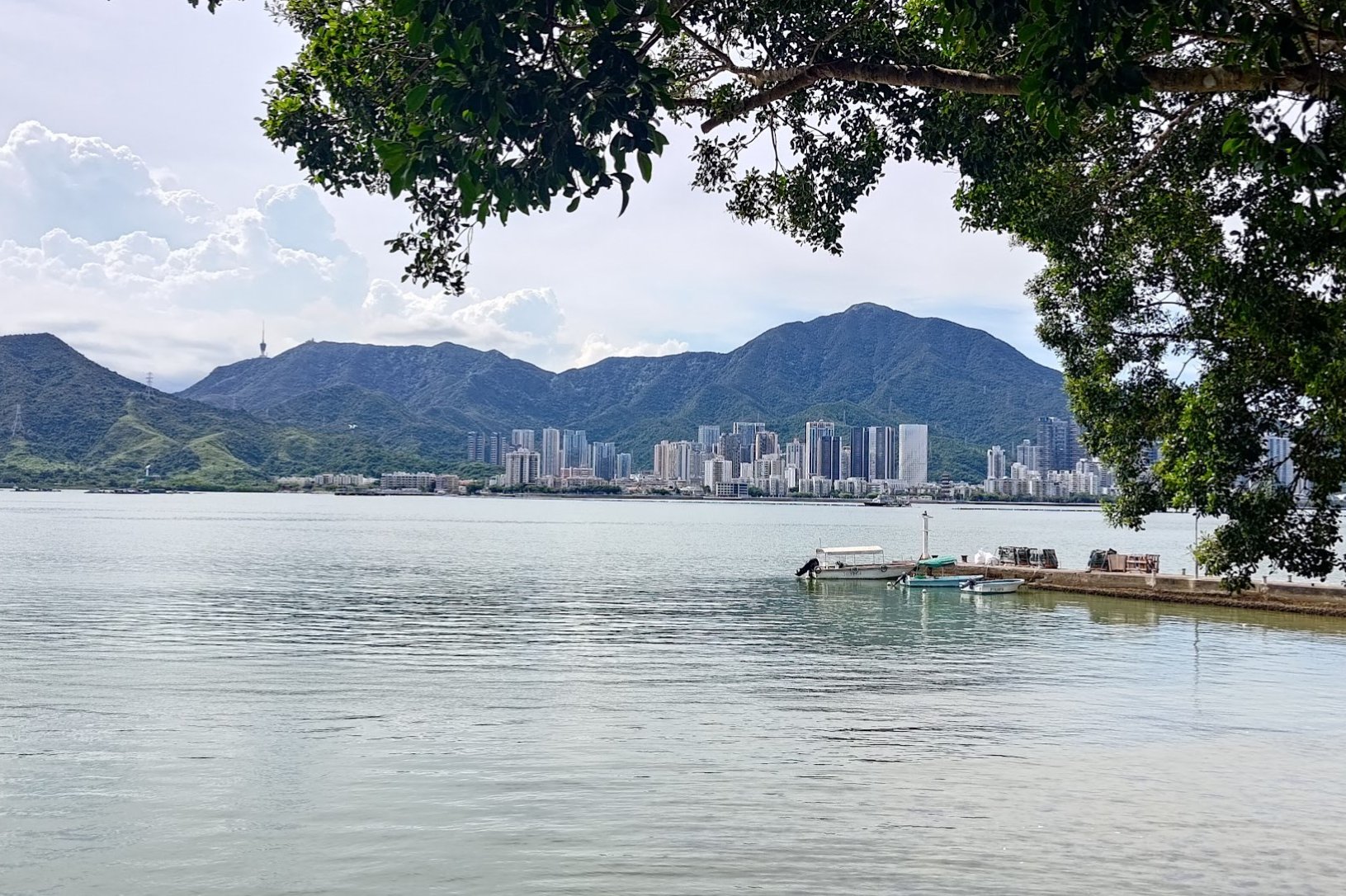
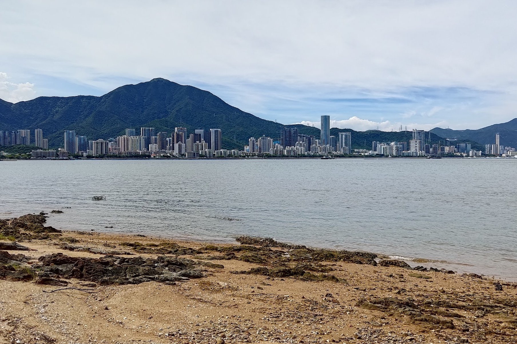
You'll have Shenzhen on your right just a stone's throw away across Starling Inlet.
You'll come across Fung Hang Village about 20 minutes into this section. Go past it, continuing along the coastal path.
About 2 minutes later, you'll see a sign pointing you toward 'Luk Keng'.
Follow the sign as it takes you inland and up a set of stairs and then makes you descend to Kai Kuk Shue Ha village.
Getting to the Bus Stop
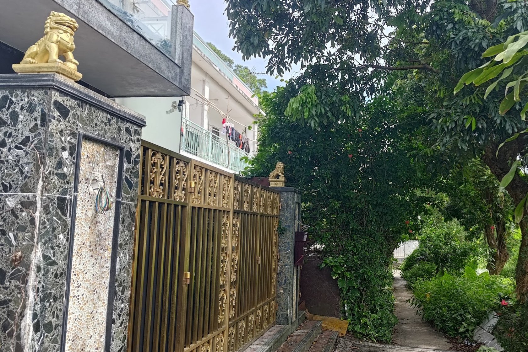

After descending, you'll soon arrive at Kai Kuk Shue Ha village, which is marked by a golden lion chilling on the gate of a village house.
Walk past the gate and at the fork ahead, follow the sign left to go around the village and arrive at a road.
Follow the village road until it intersects with Bride's Pool Road.
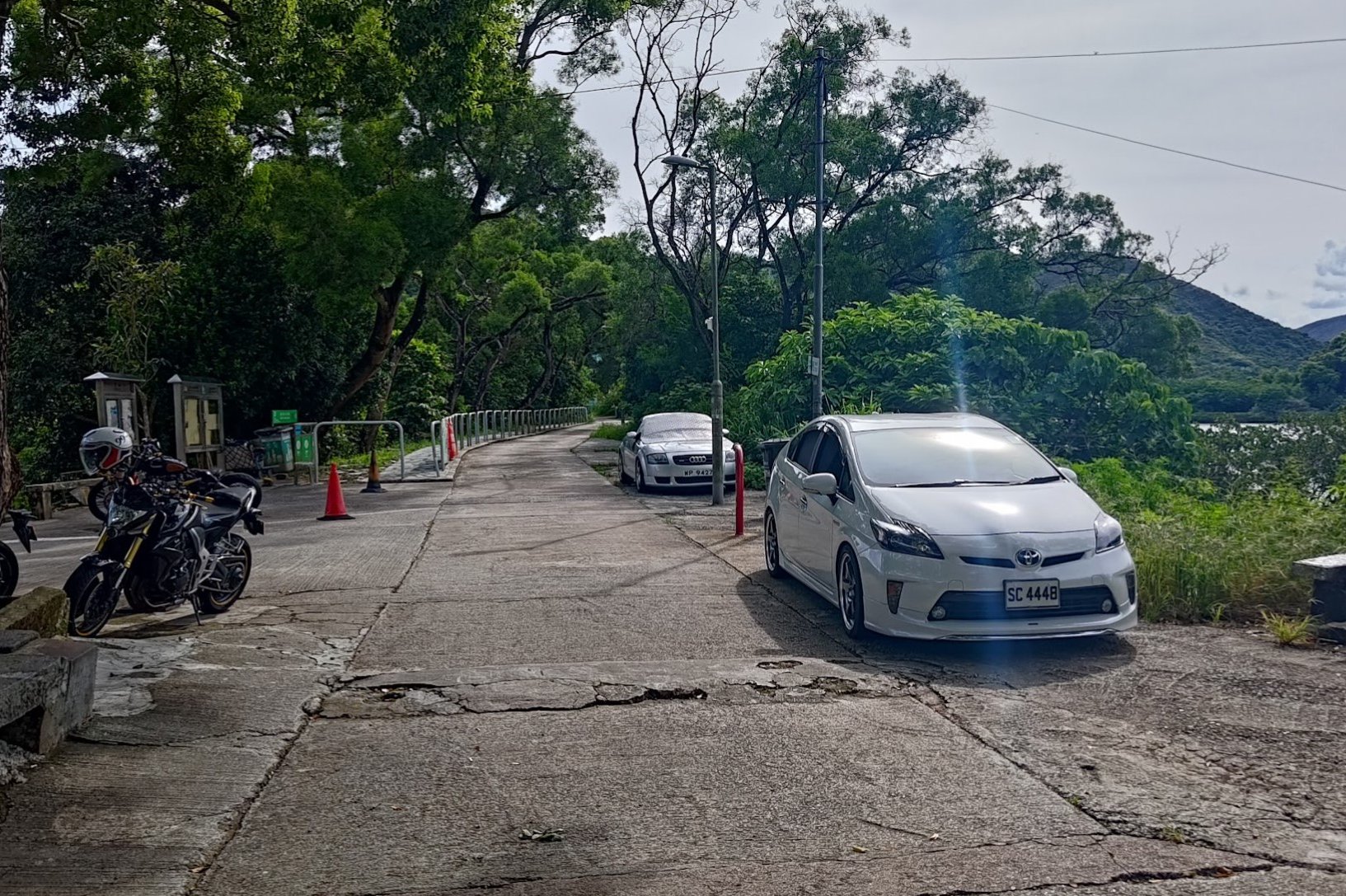
Turn right and walk for 5 minutes until you go past the car park and see the 56K green minibus stop.
Getting Back
Take the 56K green minibus back to Fanling MTR Station (last stop).
The minibus runs every 30 minutes on weekdays and is more frequent on weekends. It's also a bus route that serves the folks living and working in the nearby village, so it's possible they'll get priority over you to board the bus.
From Fanling MTR station, you can take the train home, or grab one of the many buses that run from near the station.

