Cloudy Hill: A Secret Hike with Gorgeous Mountain and Ocean Views
Contents
- Essential Information
- Hike Highlights
- Google Route Map
- How to Get There
- Quick Route Summary
- Detailed Route
- Climbing to the First Pavilion
- First Pavilion
- Yu Xiu Trigonometrical Point
- Epic Stairs of Death
- More Epic Stairs of Death
- Cloudy Hill Summit View
- Cloudy Hill TV Transmission Station
- Begin Your Descent
- IMPORTANT: Take the Path Behind the Pavilion
- Hok Tau Reservoir
- The Road to the Bus Stop
- Getting Back
- How to Hike Cloudy Hill and Pat Sin Leng Together
Essential Cloudy Hill Hike Details
- District: New Territories
- Duration: 3 hours 15 mins
- Distance: 9.4km
- Highest Elevation: 440 meters
- Difficulty: 3.5/5
- Facilities: None. Buy water and use the toilet beforehand
Why Hike Cloudy Hill?
Cloudy Hill, located on Wilson Trail Section 8, is one of Hong Kong's best-hidden hikes with a killer view. You'll be able to reach the start point of this hike by walking for just a few minutes from Tai Wo MTR Station.
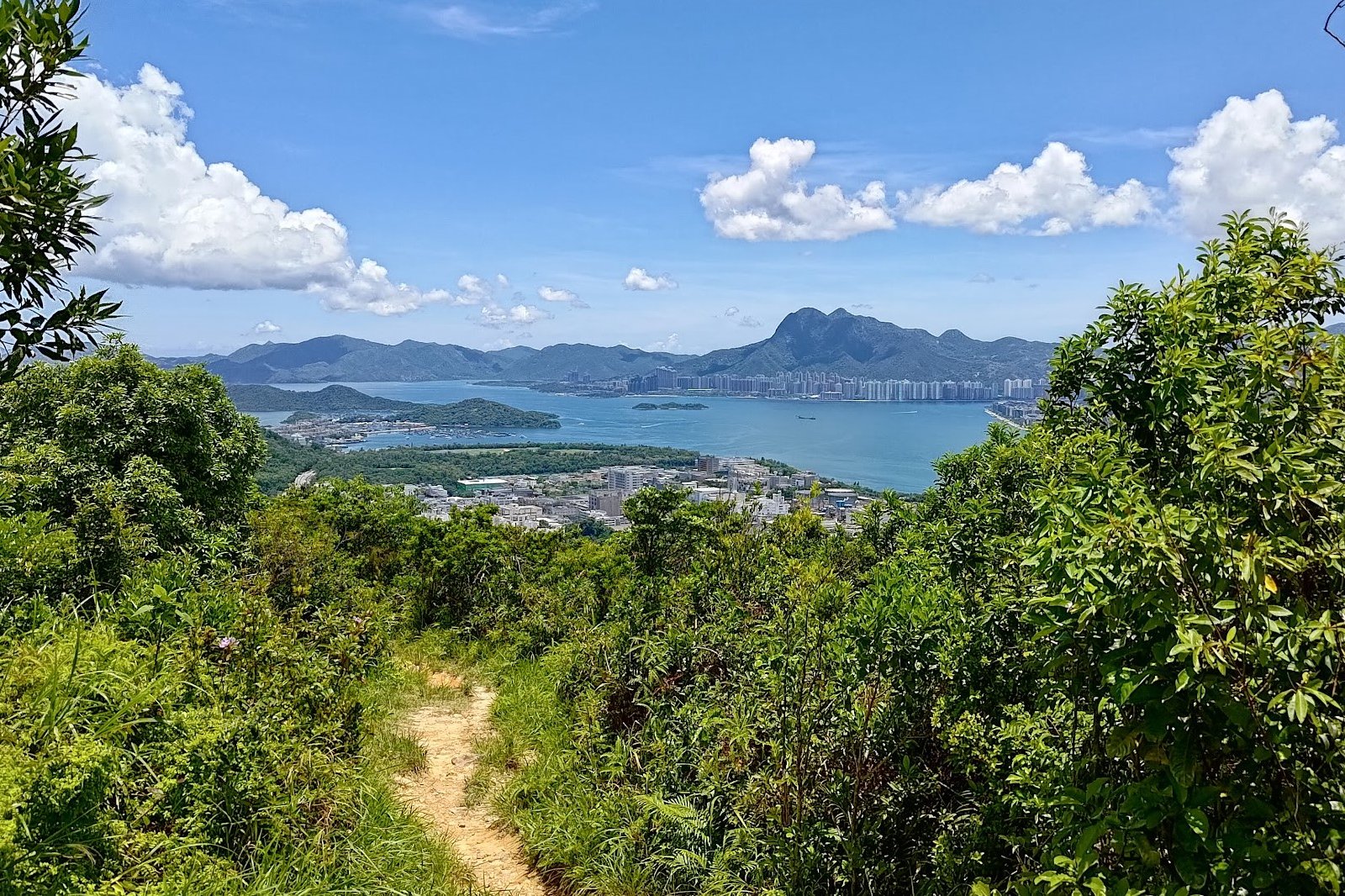
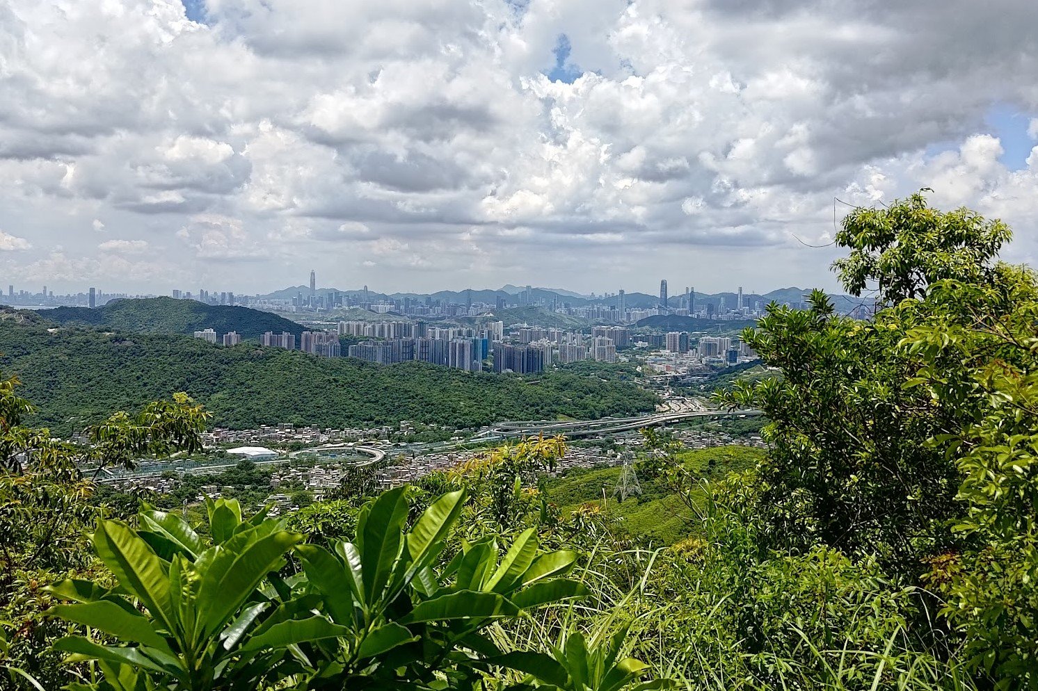
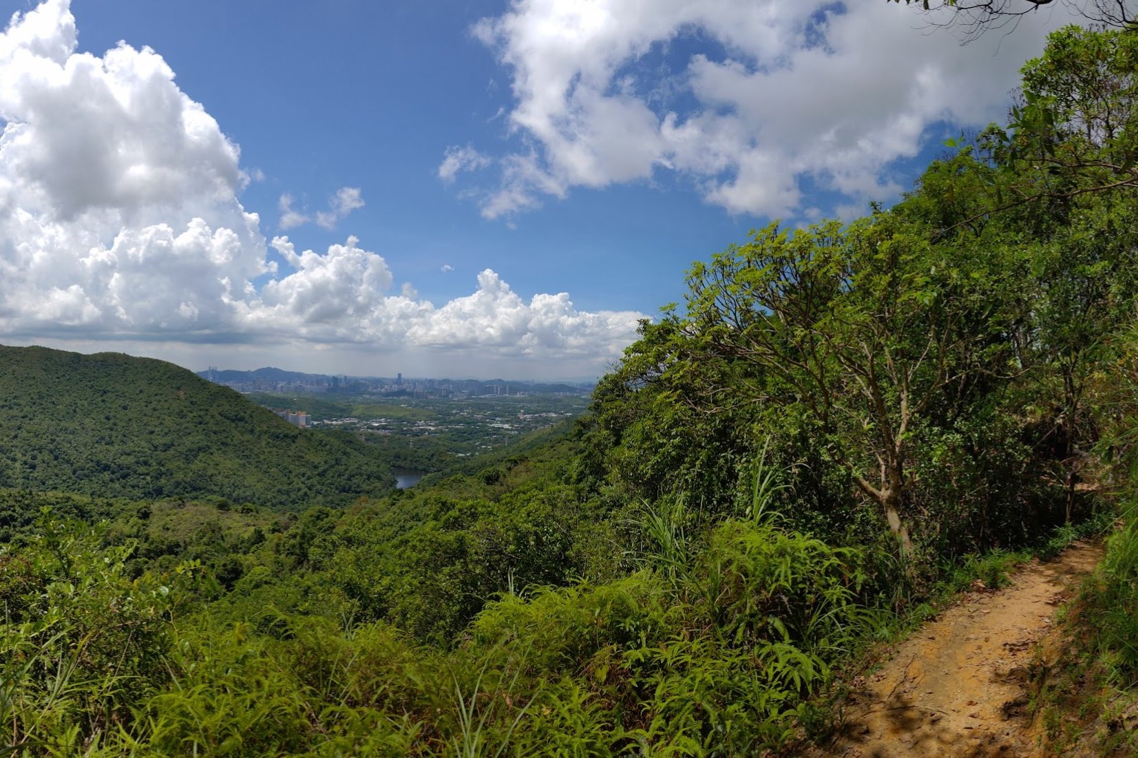
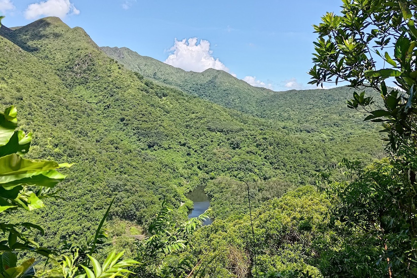
The main reason you'll want to tackle Cloudy Hill's brutal uphill sections is because of the great views you'll come across along the way.
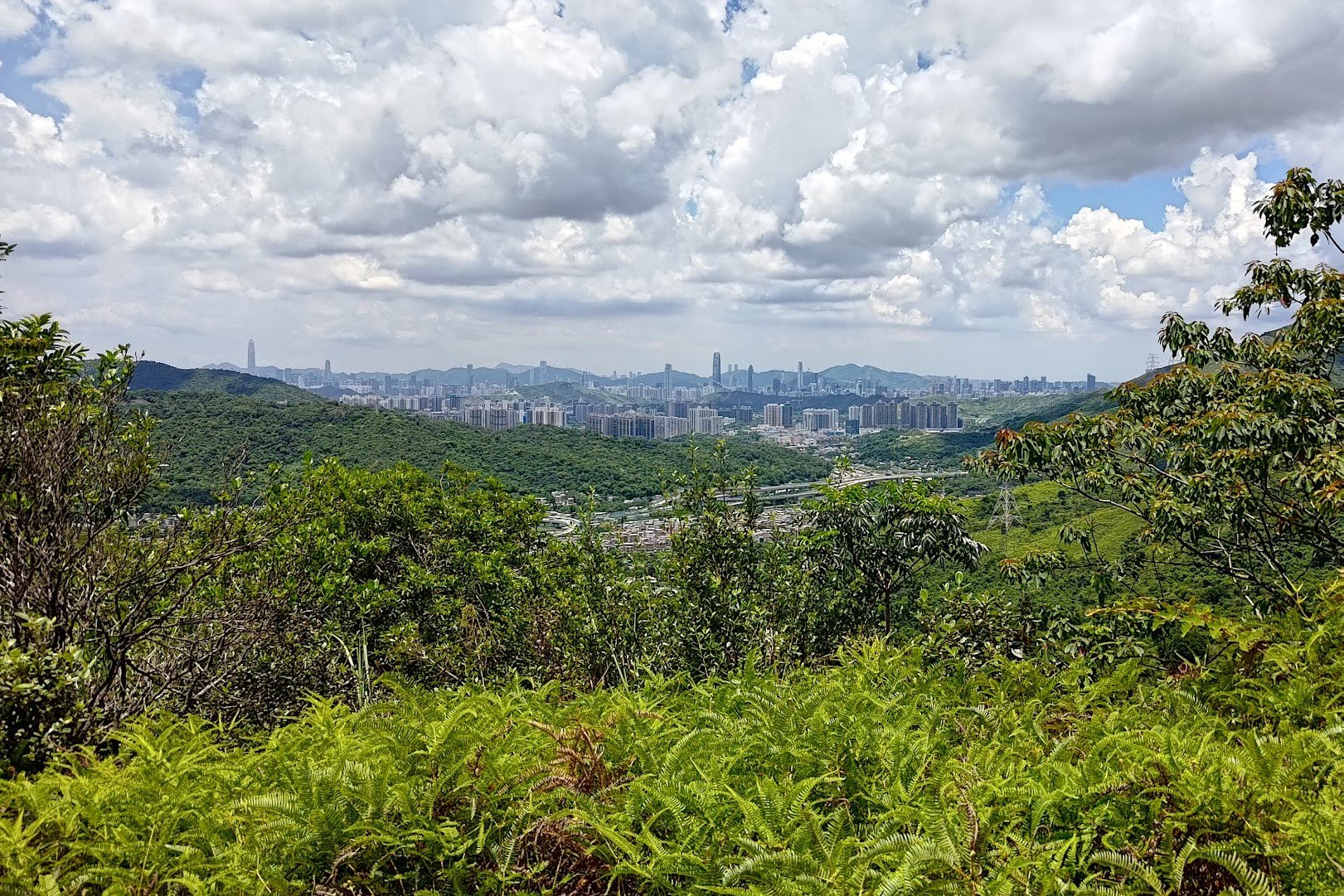
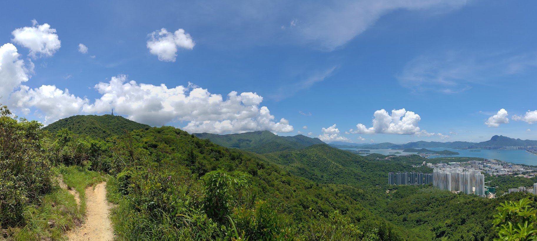
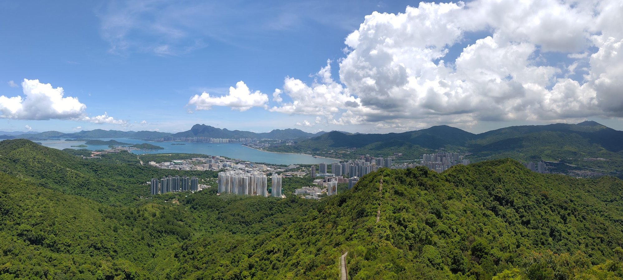
You'll be afforded views of Shenzhen, China, at the very beginning of the hike before you ascend higher and enjoy uninterrupted vistas out over Tolo Harbour and Three Fathoms Cove. If you're an avid hiker, you'll even recognize iconic mountains like Ma On Shan and Tai Mo Shan that only add to the majesty of the scenery.
While the awesome views may tempt you, this hike is not an easy one. There are several steep and unforgiving uphill sections - particularly the brutal staircase that leads to the top of Cloudy Hill.
If you fancy challenging yourself but aren't sure if you're ready for Cloudy Hill, you can attempt this hike in winter, where it's A LOT easier than in the summer months.
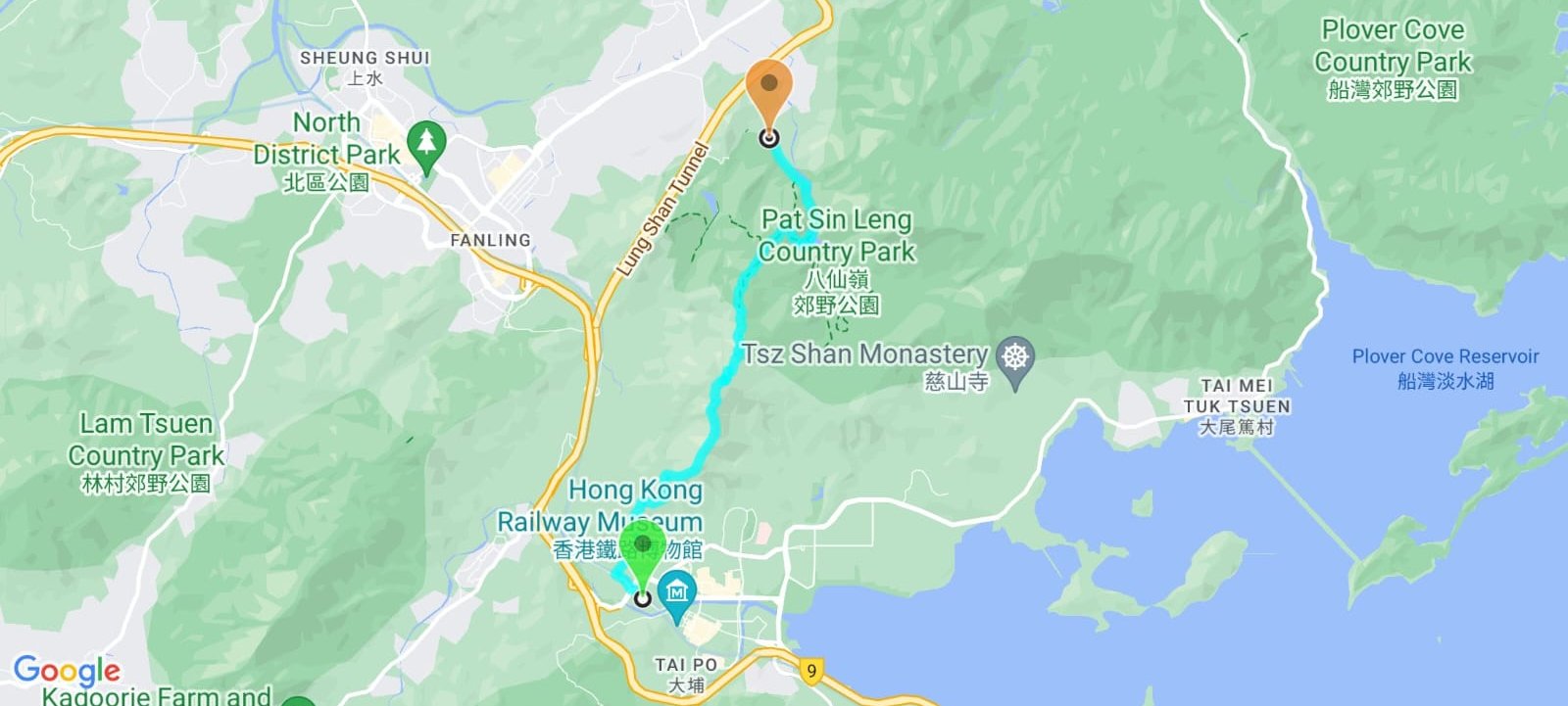
Google Route Map
How to Get to the Cloudy Hill Hike Start Point
Take the MTR to Tai Wo Station. It doesn't get simpler than that.
The guide will provide detailed instructions on how to complete the entire Cloudy Hill hike directly from Tai Wo Station.
Quick Cloudy Hill Hike Route Summary
- Take Tai Wo MTR Exit A and head left through the bus terminus to Po Nga Road
- Cross the Tai Po Tai Wo Highway and continue along Tai Po Road (Tai Wo)
- When you see a brown tiled tunnel on your right, head through it
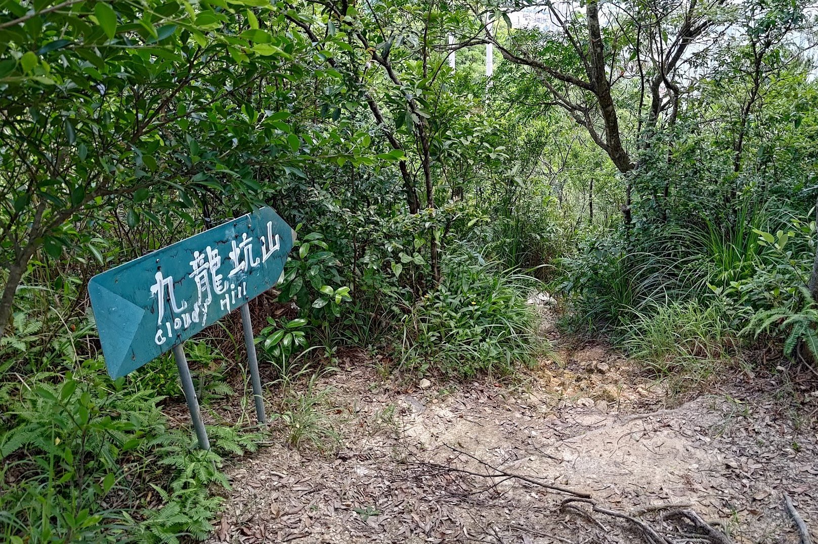
- Follow the 'Cloudy Hill' sign right
- Head through the village, following the 'Cloudy Hill' signs to the stairs
- Climb upward for 30-40 minutes until you reach the pavilion with green pillars and a brown, triangular top
- Near the pavilion, follow the 'Cloudy Hill' sign
- After heading down for a bit, follow the dirt trail up until you arrive at a black-and-white trigonometric point. This takes between 15 and 20 minutes.
- Keep following the undulating trail for another 15 minutes or so before arriving at the base of the toughest climb of the hike
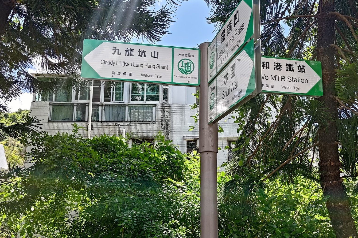
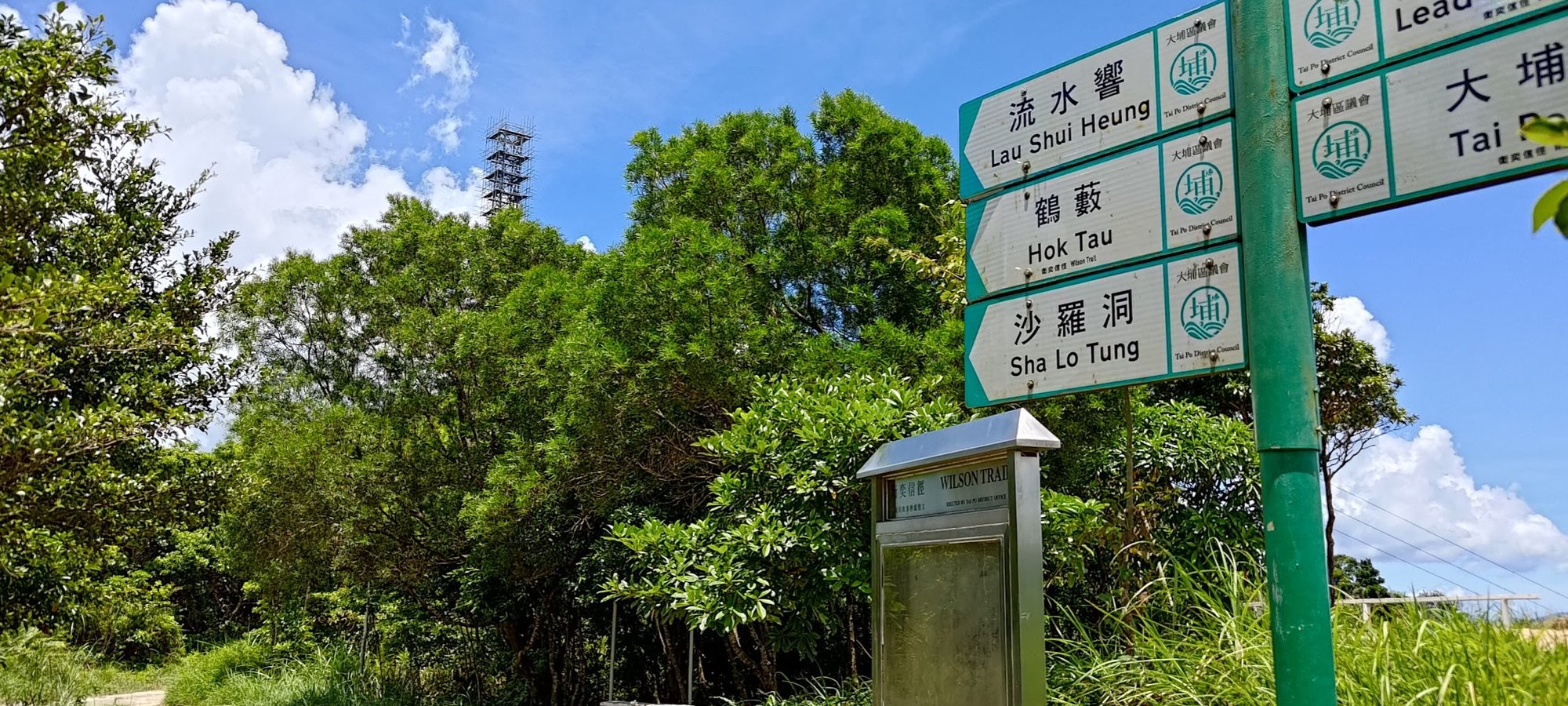
- The next 15 minutes are absolutely brutal and totally gorgeous. Keep climbing until you arrive at a bunch of green signs
- Follow the green sign pointing to 'Hok Tau'
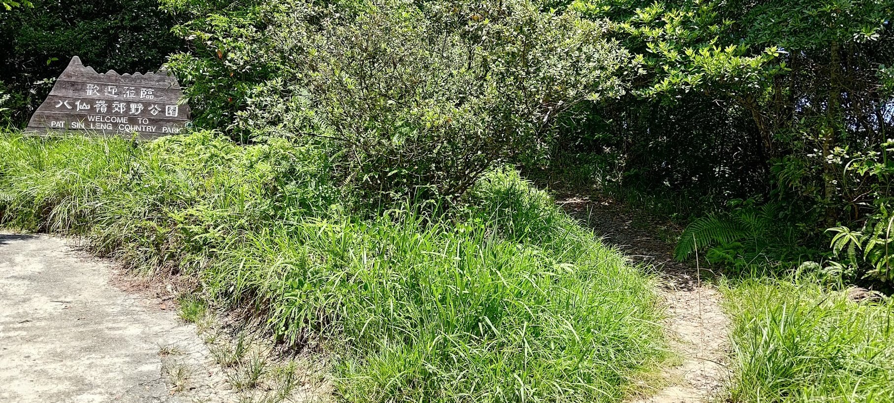
- Take the little upward-sloping dirt path next to the 'Welcome to Pat Sin Leng Country Park' sign if you want to visit the radio tower
- Otherwise, continue past the 'Welcome to Pat Sin Leng Country Park' sign
- Head downward for 20-25 minutes until you arrive at the wooden pavilion
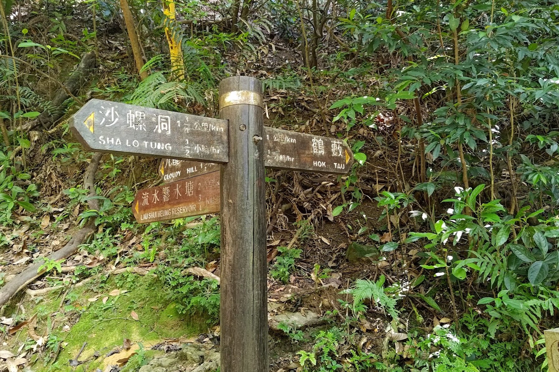
- Take the path behind the pavilion with the sign pointing to 'Lau Shui Hung Reservoir'
- 20ish minutes later, follow the wooden sign pointing to 'Hok Tau Reservoir'
- A short while later, follow the next sign pointing to the 'Hok Tau Reservoir'
- At the reservoir, turn left and follow the concrete road (you'll see a toilet sign and a red emergency button where you're supposed to turn)
- Follow the road for 20ish mins to the minibus stop where you can get the 52B minibus to Fanling MTR Station
Tai Wo MTR Station to the Official Start Point
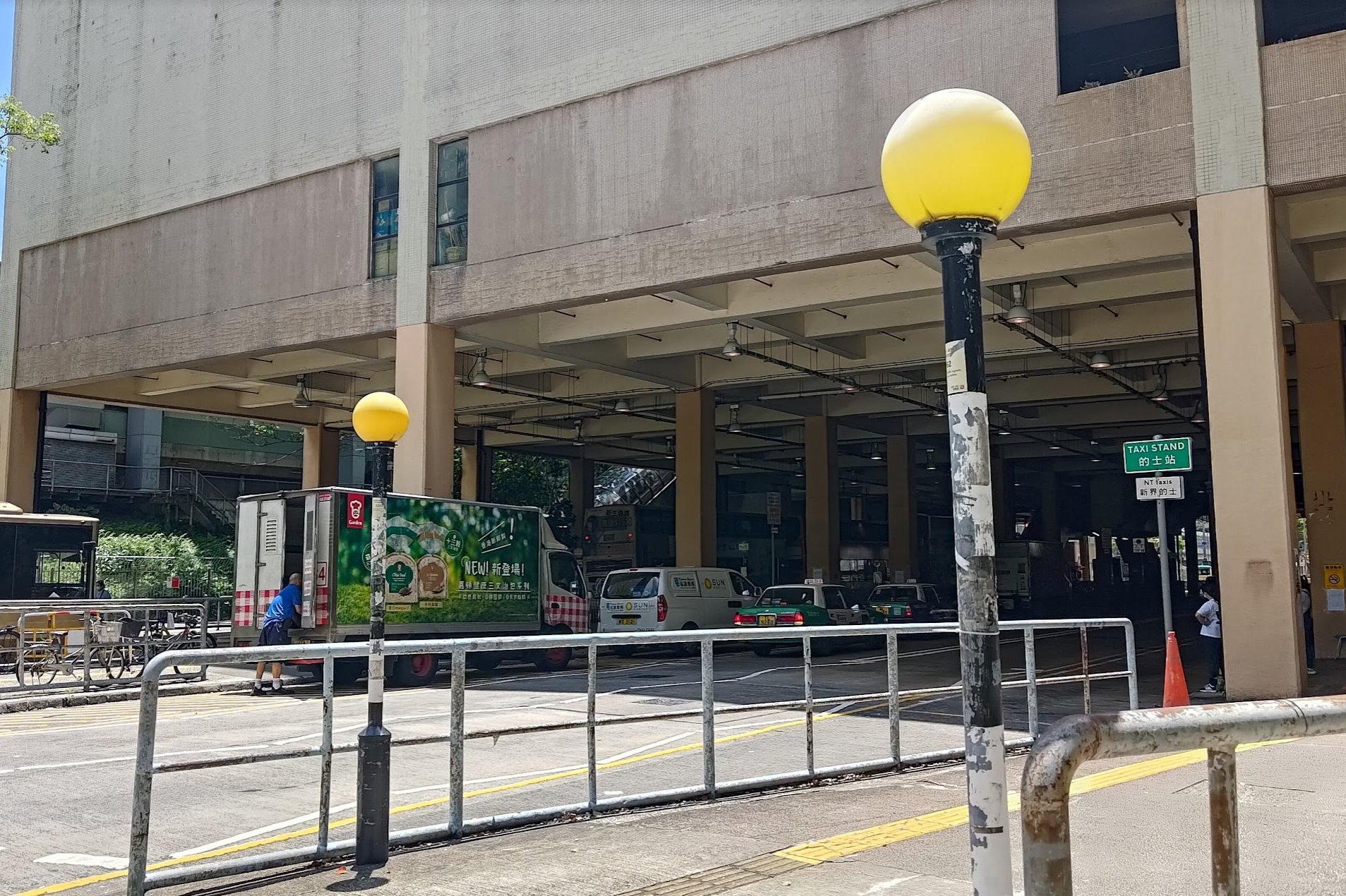
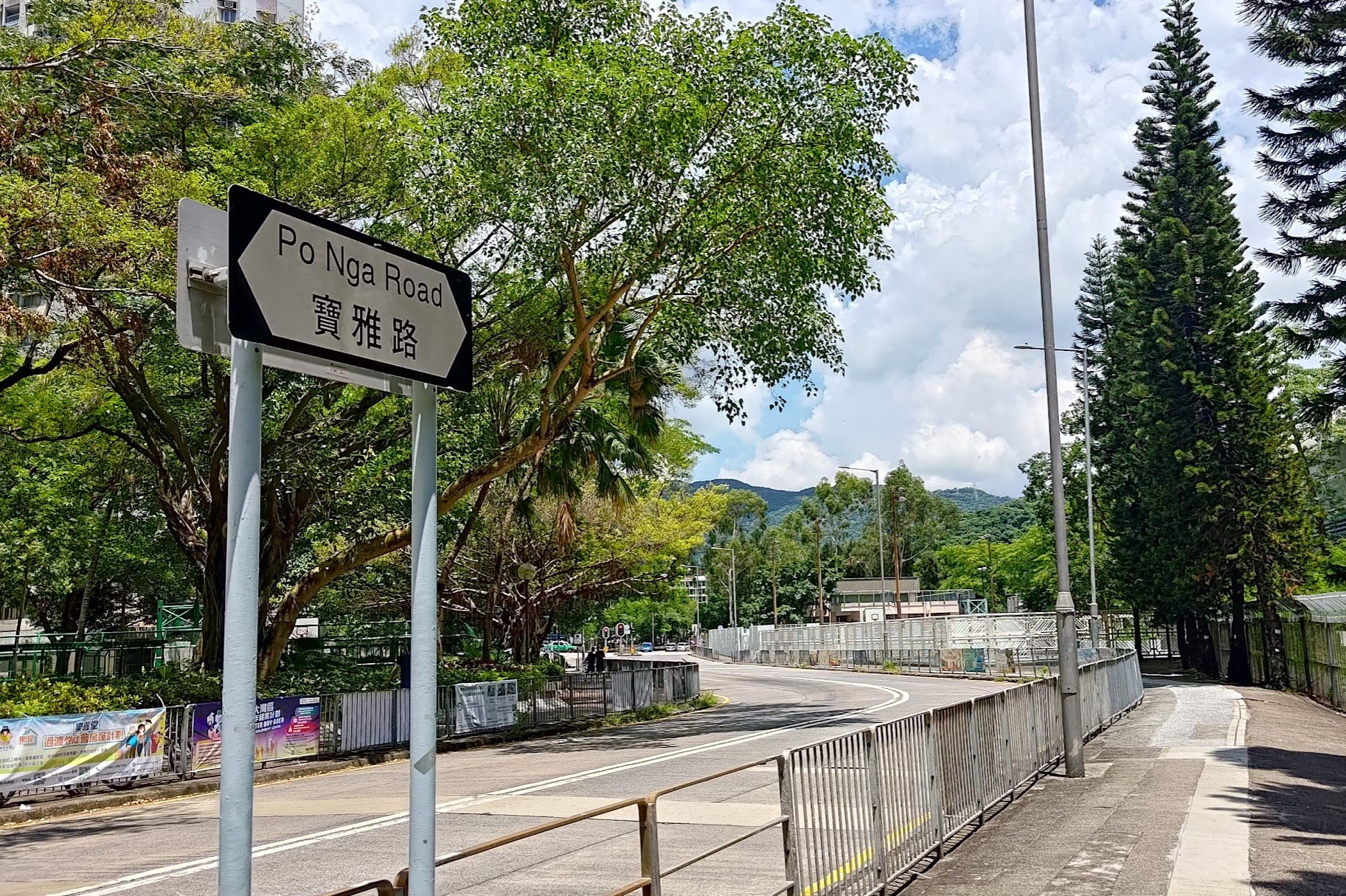
After arriving at Tai Wo MTR Station, take Exit A and arrive at the bus terminus. From there, turn left and begin walking down Po Nga Road.
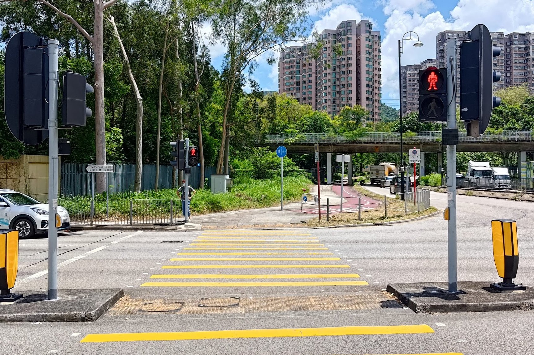
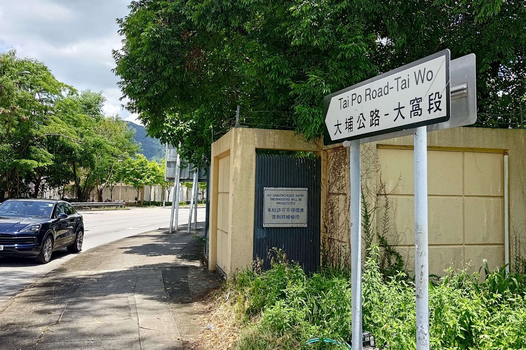
You'll soon need to cross the Tai Po Tai Wo highway, after which Po Nga Road changes into Tai Po Road - Tai Wo.
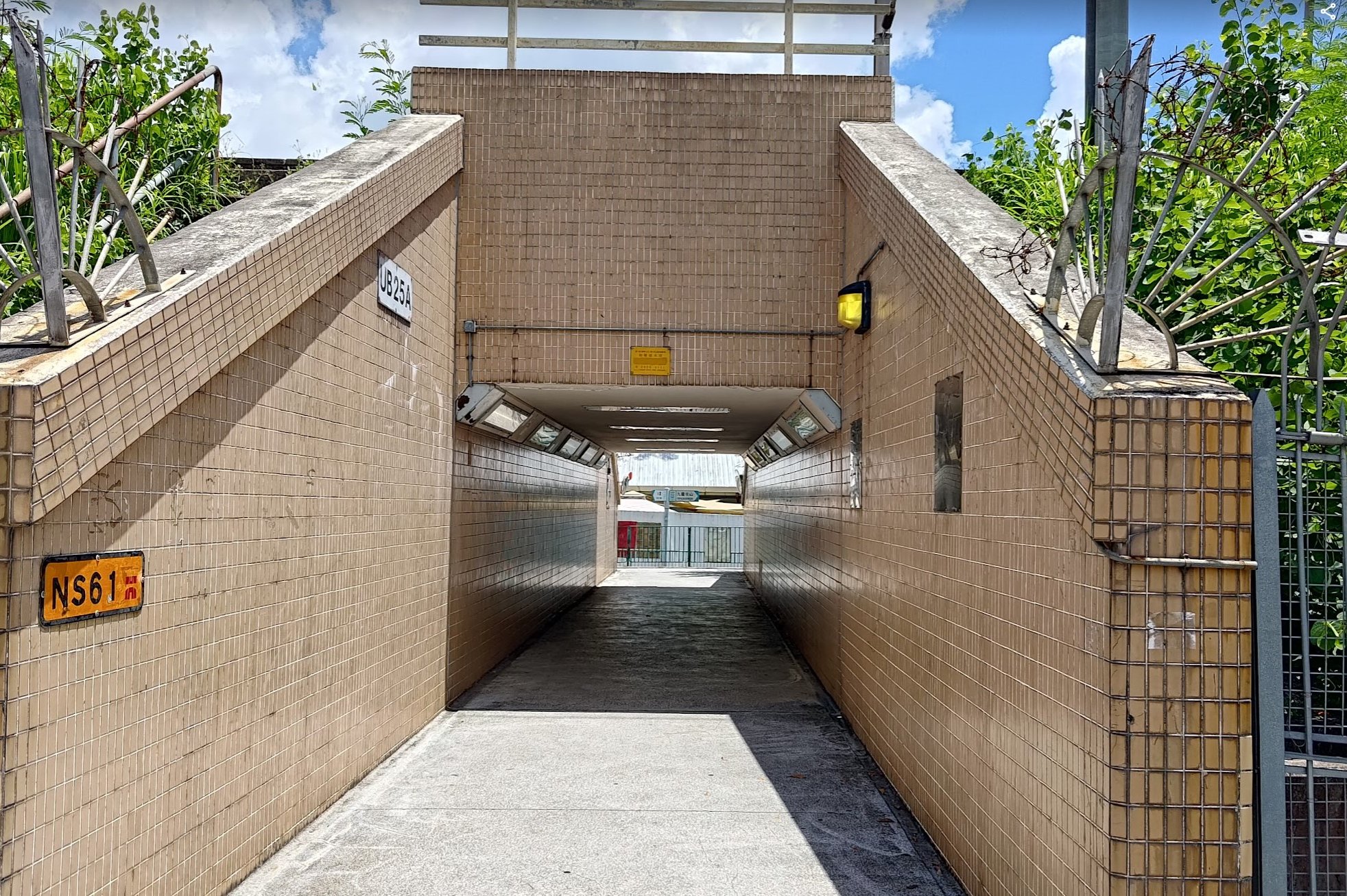
Follow this road for a few minutes and you'll come across a brown-tiled tunnel. Head on through it and turn right as you see the first 'Cloudy Hill' sign.
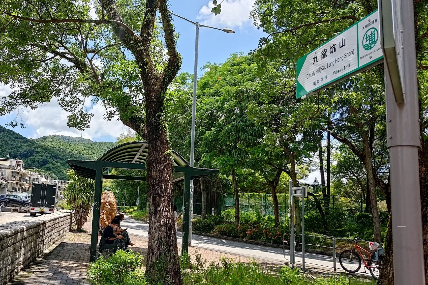
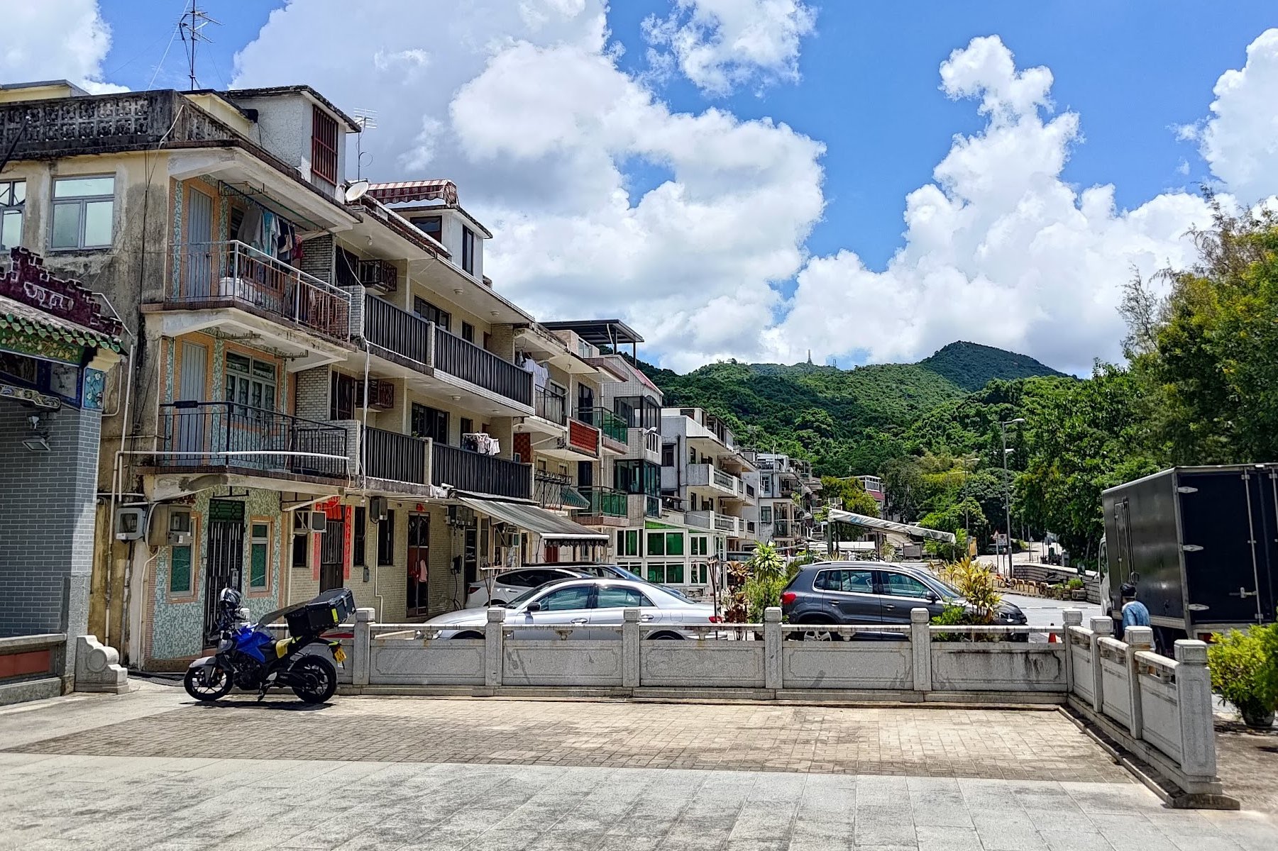
Another 'Cloudy Hill' sign will point you toward Tai Po Tau Village. Walk through the village and you'll see the final sign pointing you to Cloudy Hill.
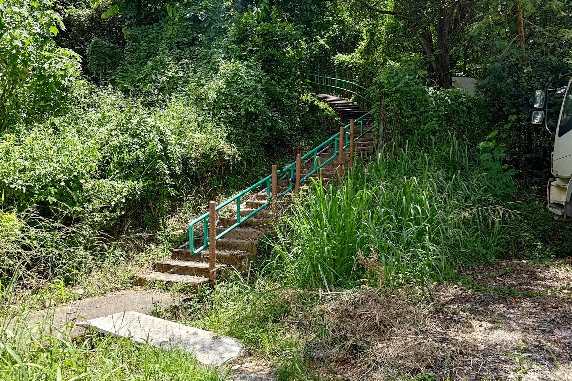
After turning left at the final sign, the starting point stairs will come into view.
Climbing to the First Pavilion
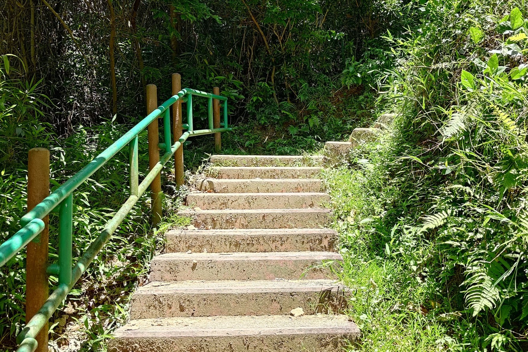

Once you arrive at the stairs, it's pretty much impossible to get lost.
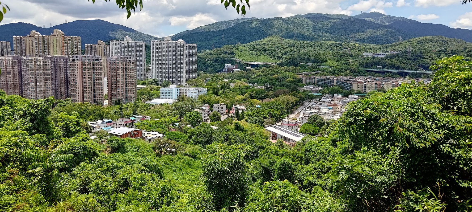
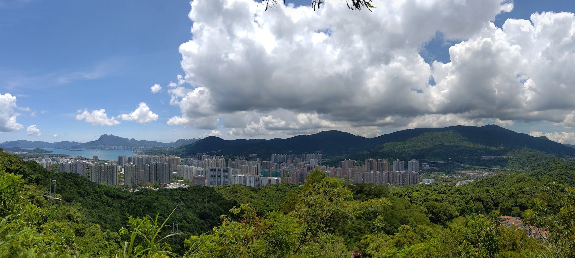
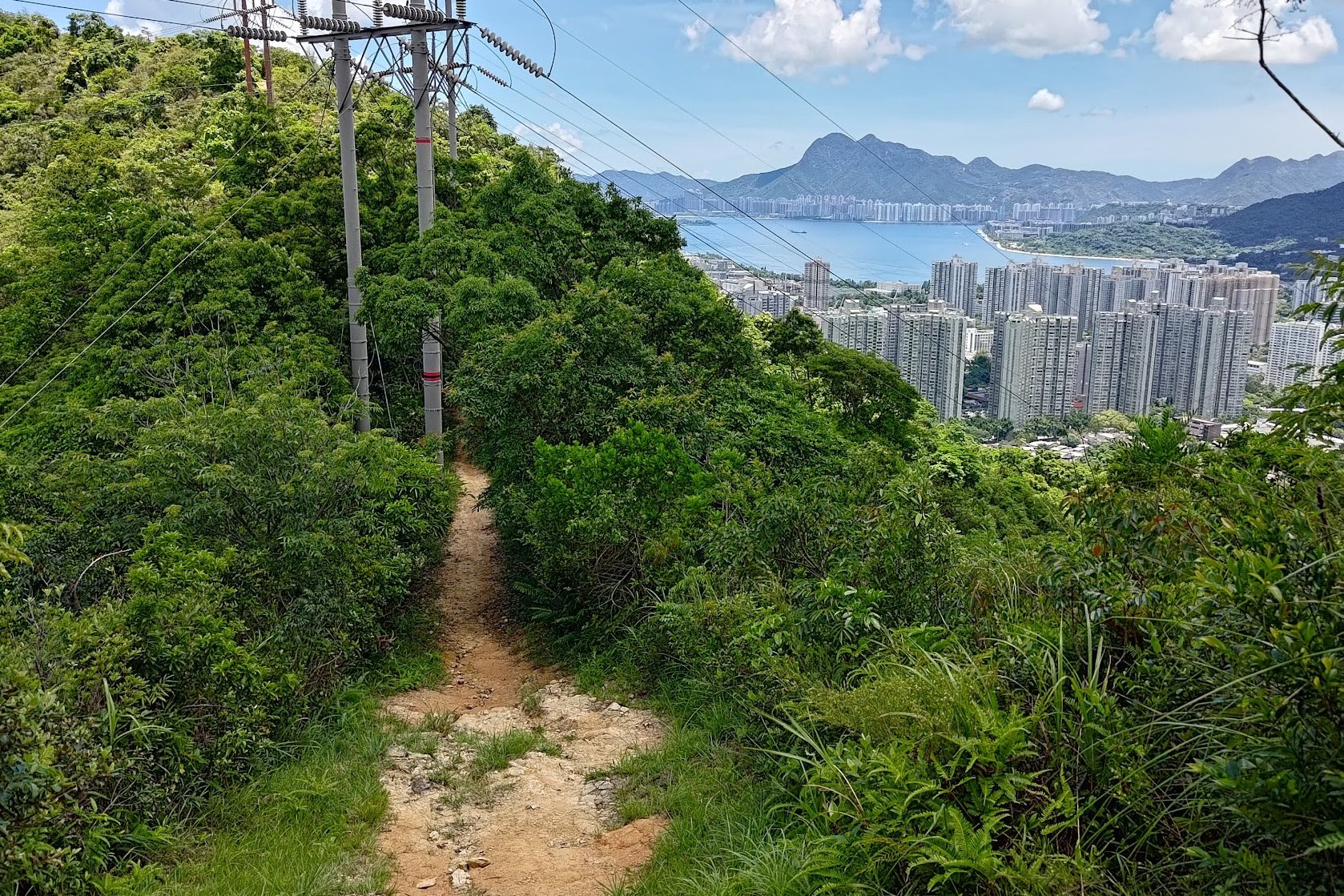
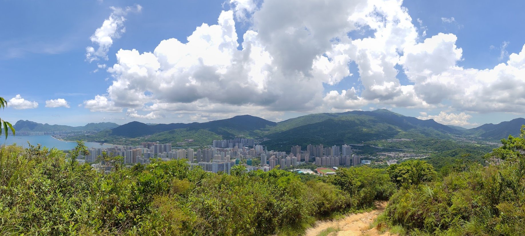
Stay on the path and keep climbing for 30-40 minutes. As you begin your ascent, you'll be able to enjoy views of Tai Wo in the background almost immediately.
Later on, you'll have interesting views that look down on a collection of idyllic pink-roofed villas with a vibe that feels almost like you've escaped Hong Kong.
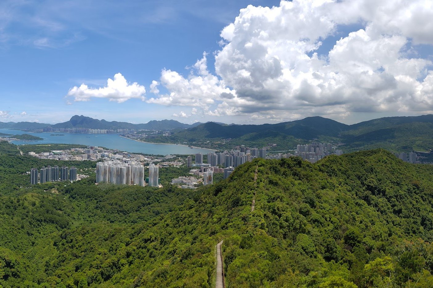
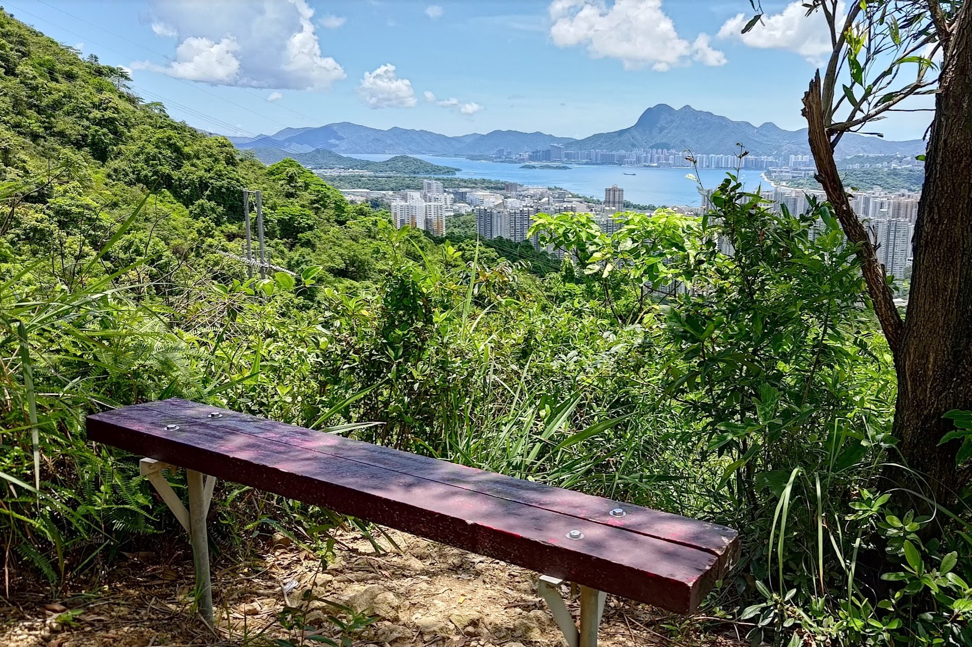
Finally, as the stairs begin to make your calves burn, you'll be rewarded with epic views out across the ocean. Tolo Harbour and Three Fathoms Cove sparkle beautifully in the sunlight, while mountains like Ma On Shan and Tai Mo Shan stand majestically in the backdrop.
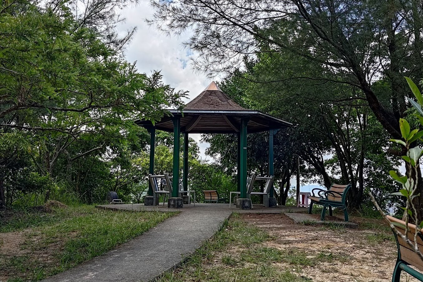
The Pavilion is just a short distance away from this view.

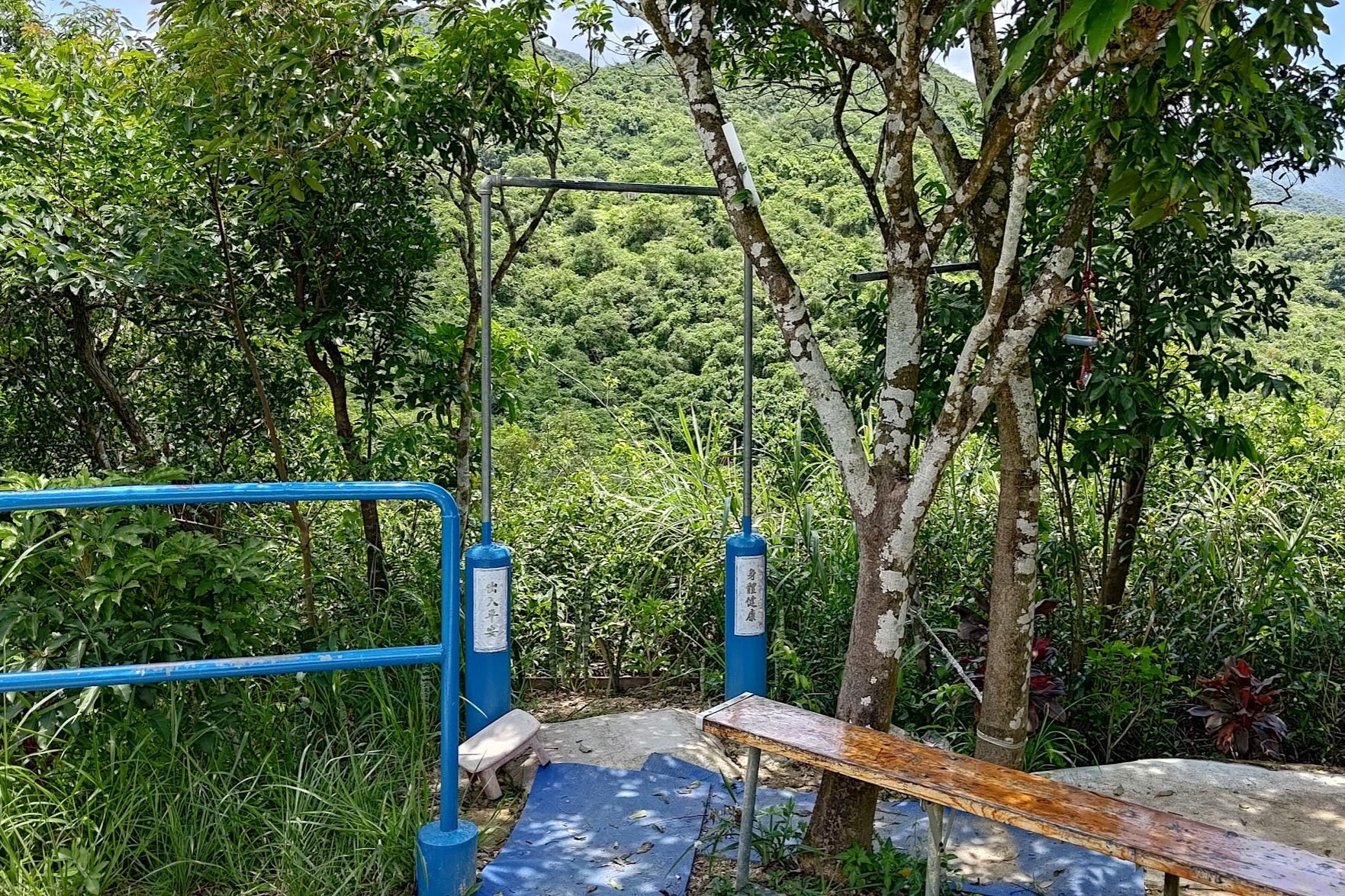
Resting at the First Pavilion
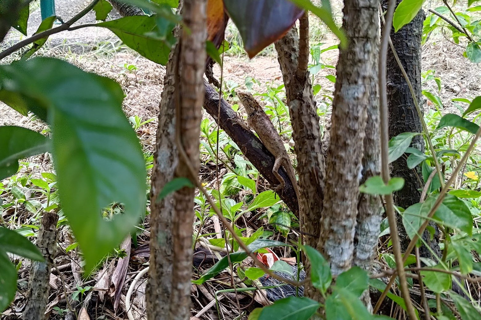
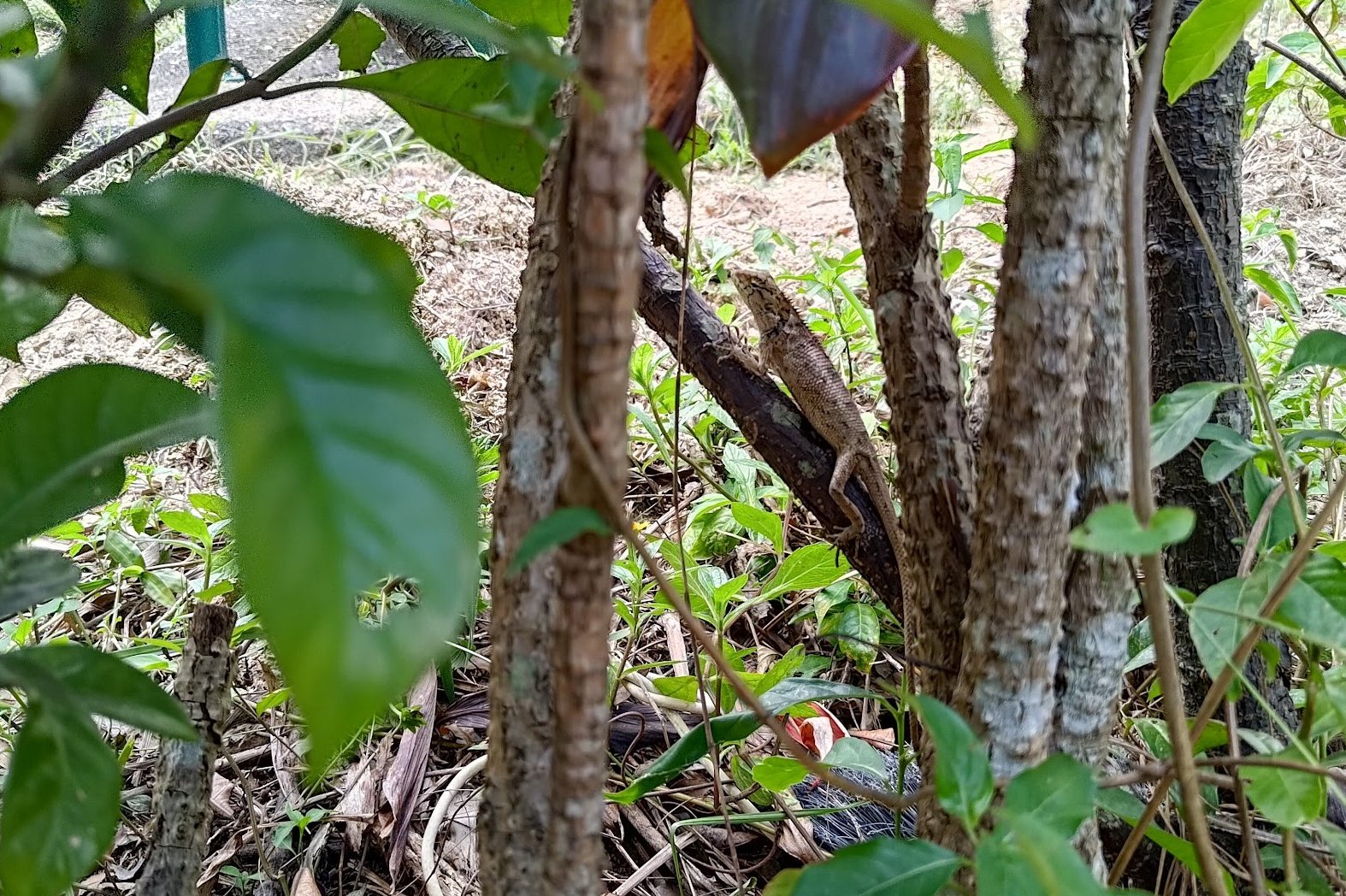
Take a bit of a break when you arrive at the first pavilion. If you're lucky, you might even spot some cool wildlife!
I was fortunate enough to see a changeable lizard while catching my breath near the pavilion!
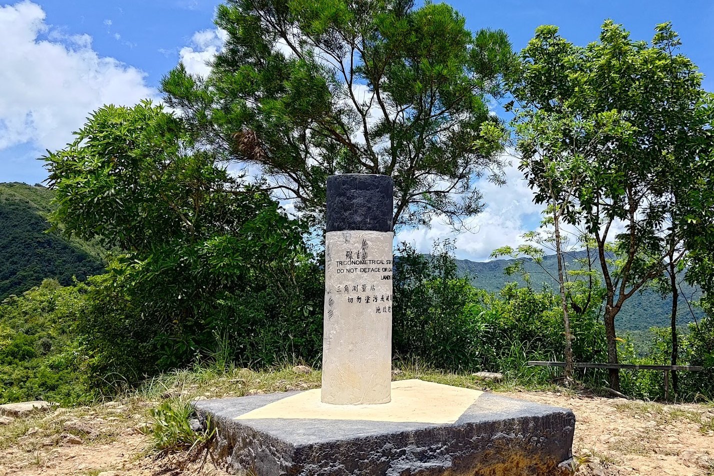
Climbing to Yu Xiu Trigonometrical Point
From the first pavilion, look for the green sign that points you to 'Cloudy Hill'. You'll have to navigate down a steep slope before you begin to climb once again.
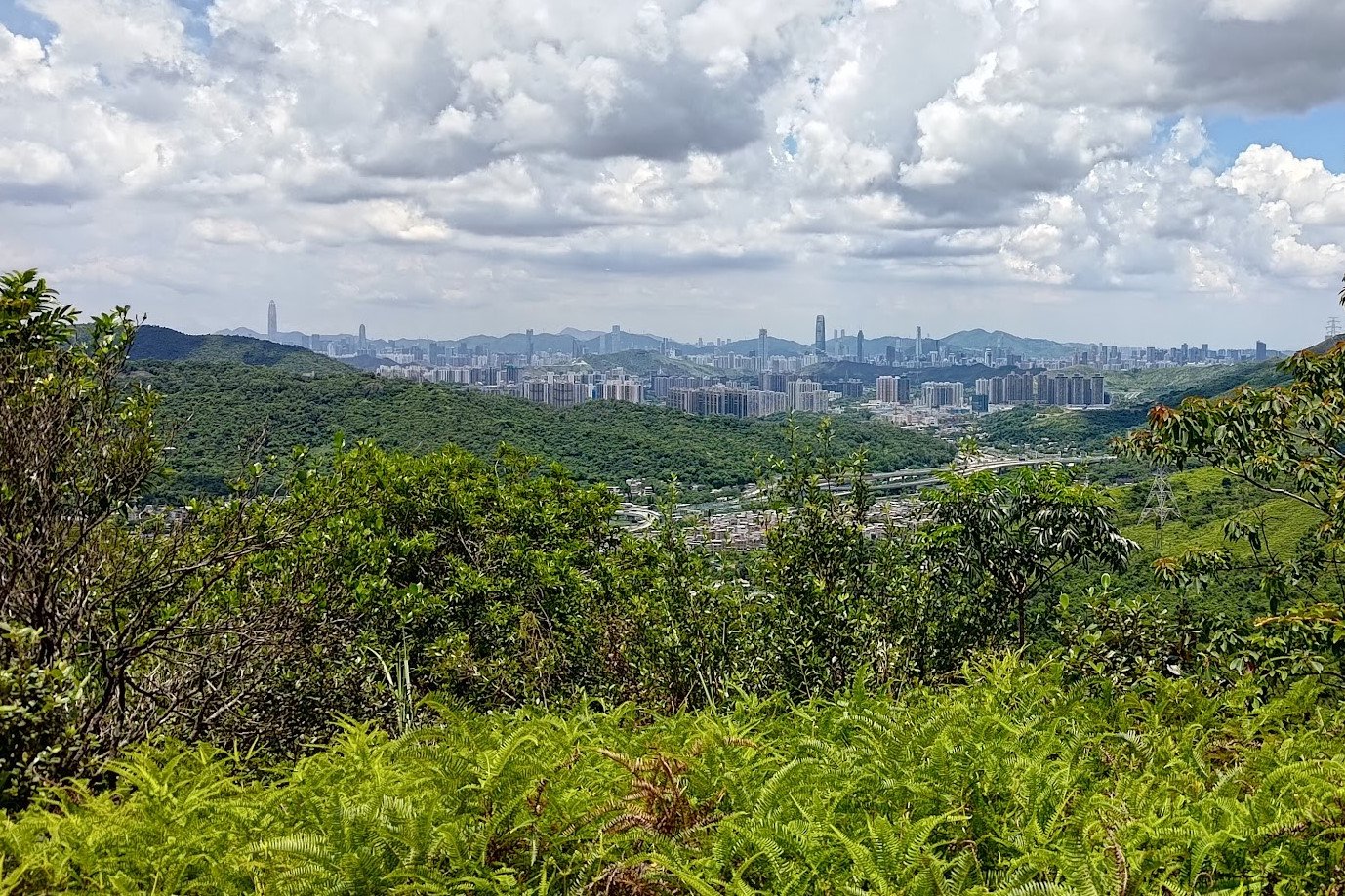
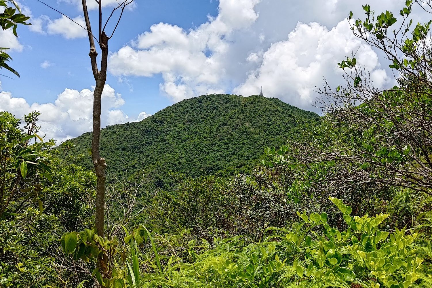
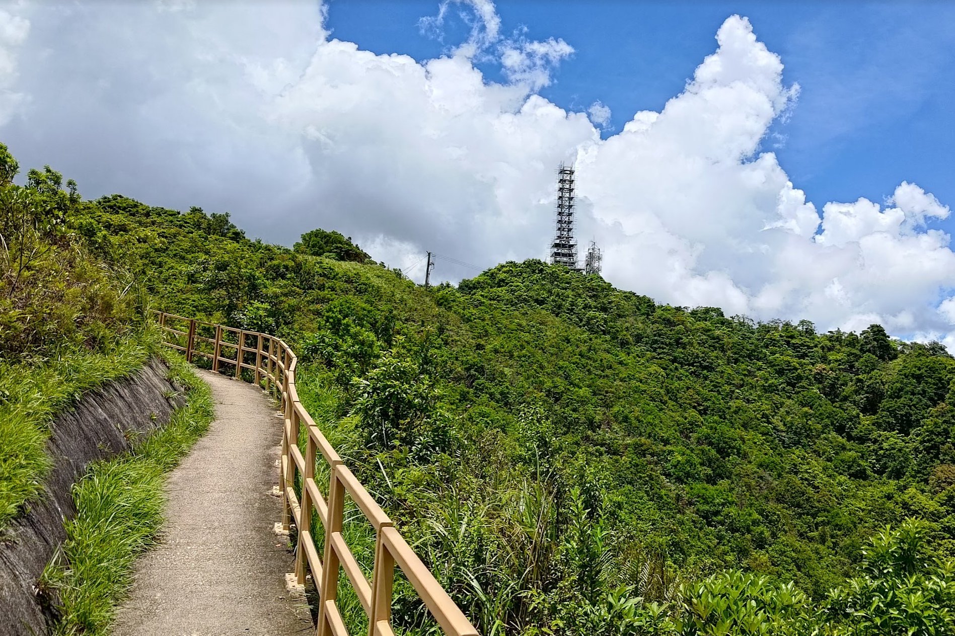
As you begin your ascent, you'll be able to see the frenetic skyscrapers of Shenzhen on your left while the top of Cloudy Hill, with its Television Transmission Station, also comes into view.
There's a fairly steep portion of climbing before you arrive at the Yu Xiu Peak trigonometrical point where you can take a well-deserved rest.
This section of the hike takes about 15-20 minutes with no breaks.
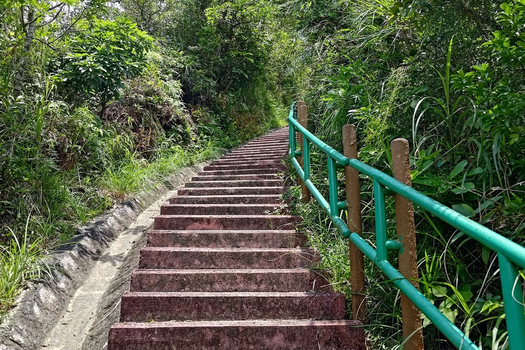
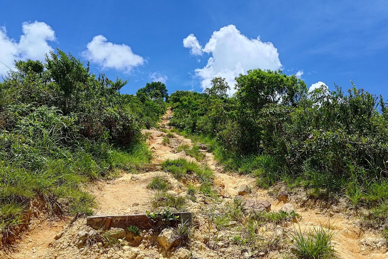
Epic Stairs of Death
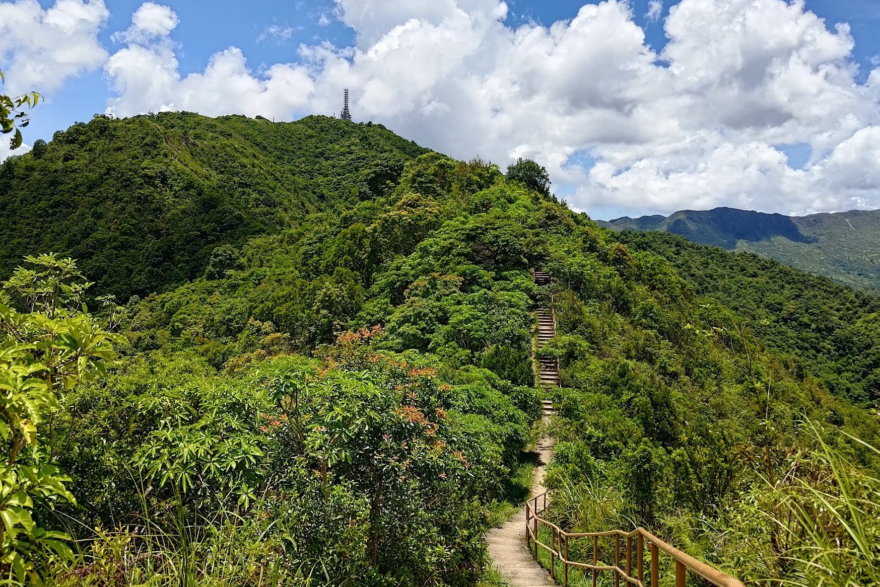

If you thought the hike was tough up until this point, your suffering is about to reach new heights. Quite literally.
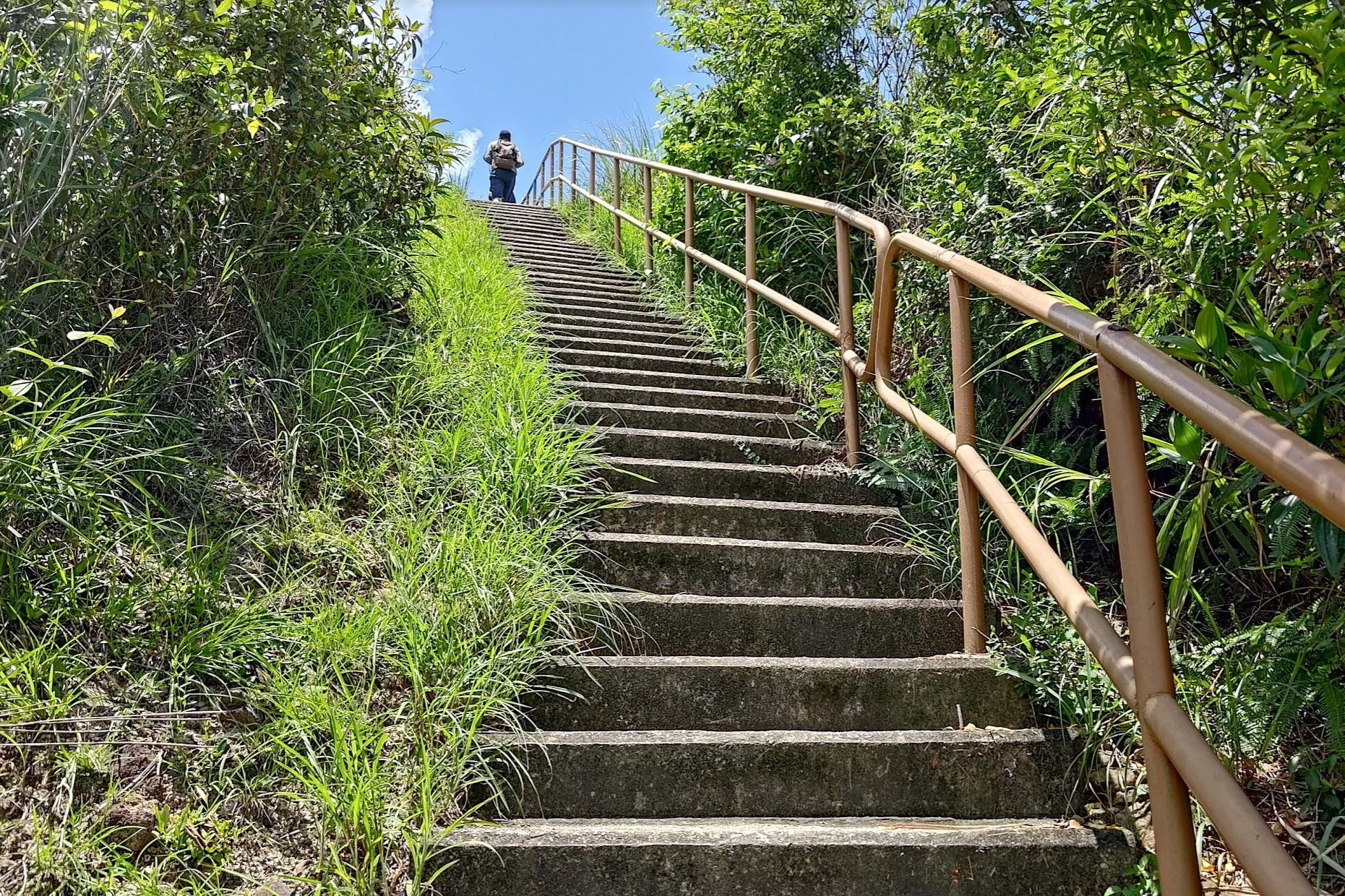
From Yu Xiu Peak, you'll meander on a beautiful path for about 15-20 minutes before you encounter what I like to call the epic stairs of death!
These stairs are completely exposed and really steep, making them a brutal endeavor during the summer (when I hiked this route).
This is definitely the part of the hike where you'll want to hydrate plenty and rest up since your heartrate will skyrocket!
The views are absolutely stunning, though!
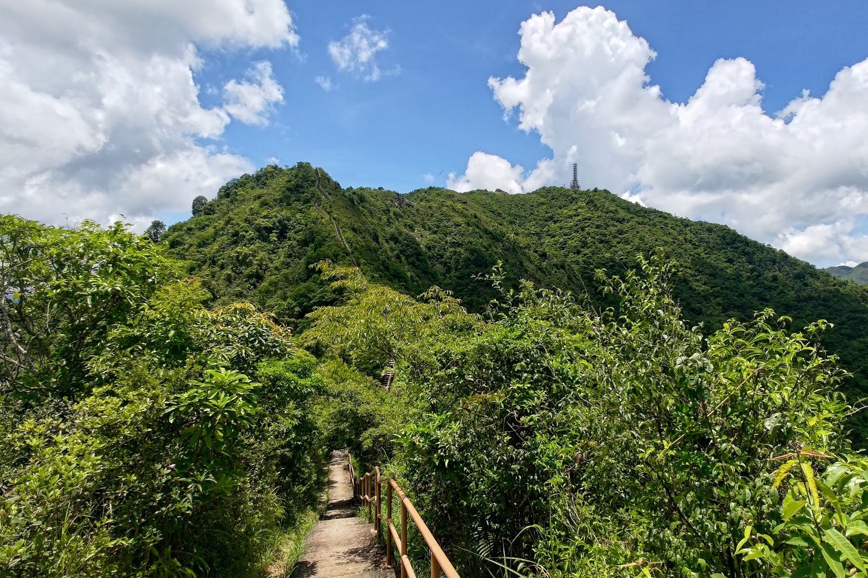
More Epic Stairs of Death
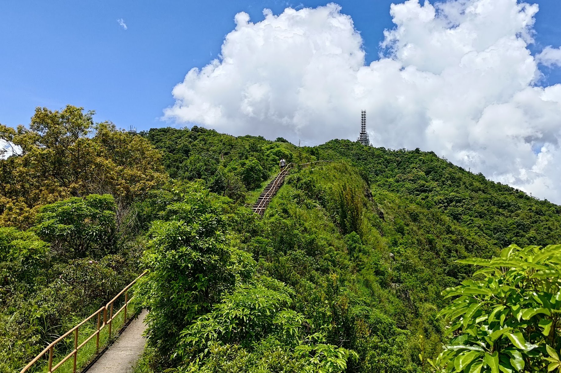
The epic stairs of death are truly sadistic. When you think you're at the top, you'll have to walk a bit more and then climb yet another set of stairs to reach the summit. It'll take another 15-20 minutes with no breaks.
The false hope is truly soul-crushing when you're wrecked in the summer heat. Still, the views are so amazing that it's all worth it...even if you do end up sweating out an insane amount of water in the process!
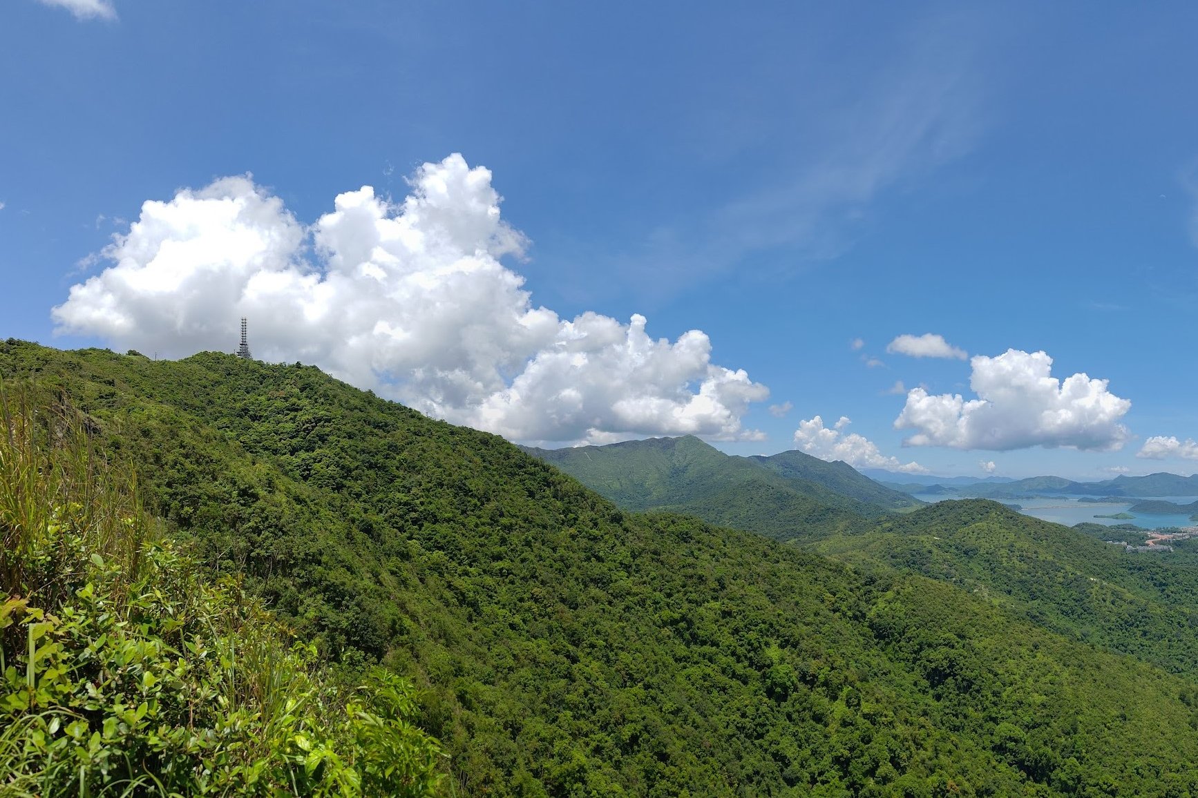
View From the Top of Cloudy Hill
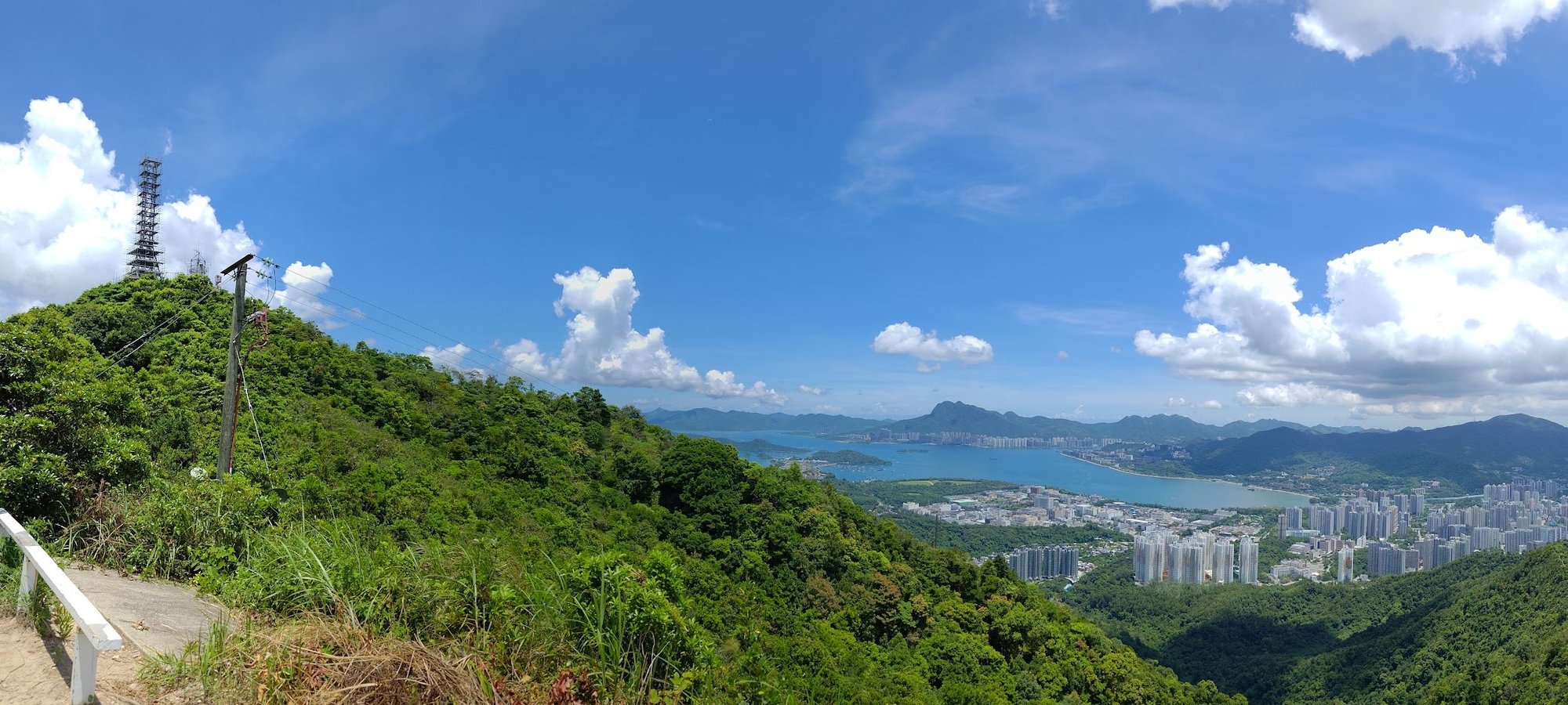
Take a really well-deserved rest! There are no more uphill sections for the rest of the hike. You'll be going downhill the entire way from this point on!
Rejoice!
Optional Detour: Cloudy Hill Television Transmission Station
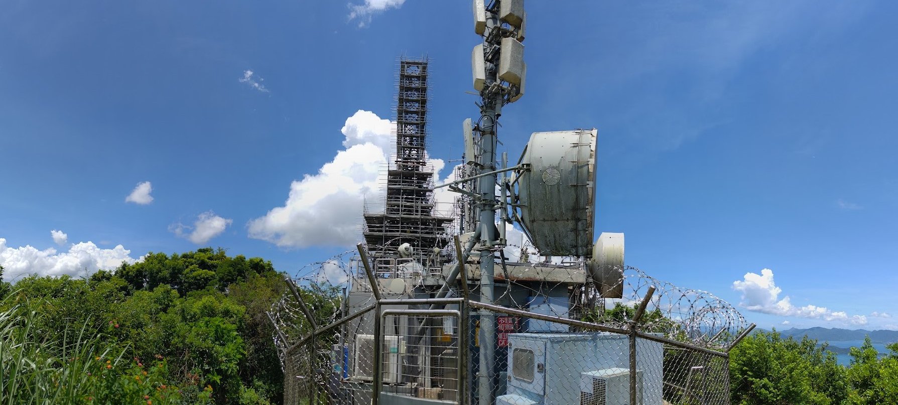
Take the unmarked right path if you want to reach the Cloudy Hill Television Transmission Station. It takes only a couple of minutes, but is a little underwhelming as the building is protected by barbed wire the full way round.
No notable views, either.
Begin Your Descent
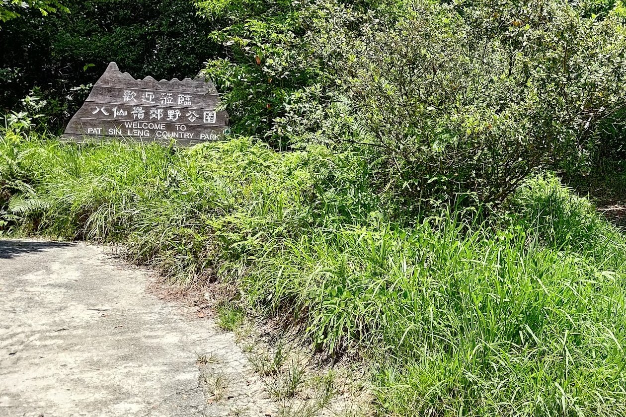
When you are ready to descend, look for the 'Welcome to Pat Sin Leng Country Park' sign and follow that path.
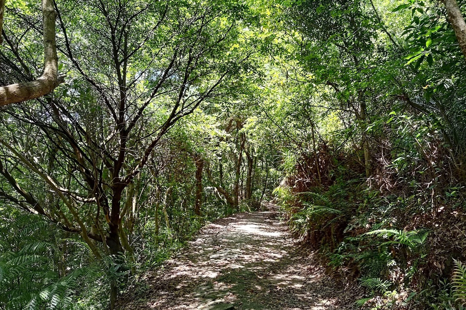
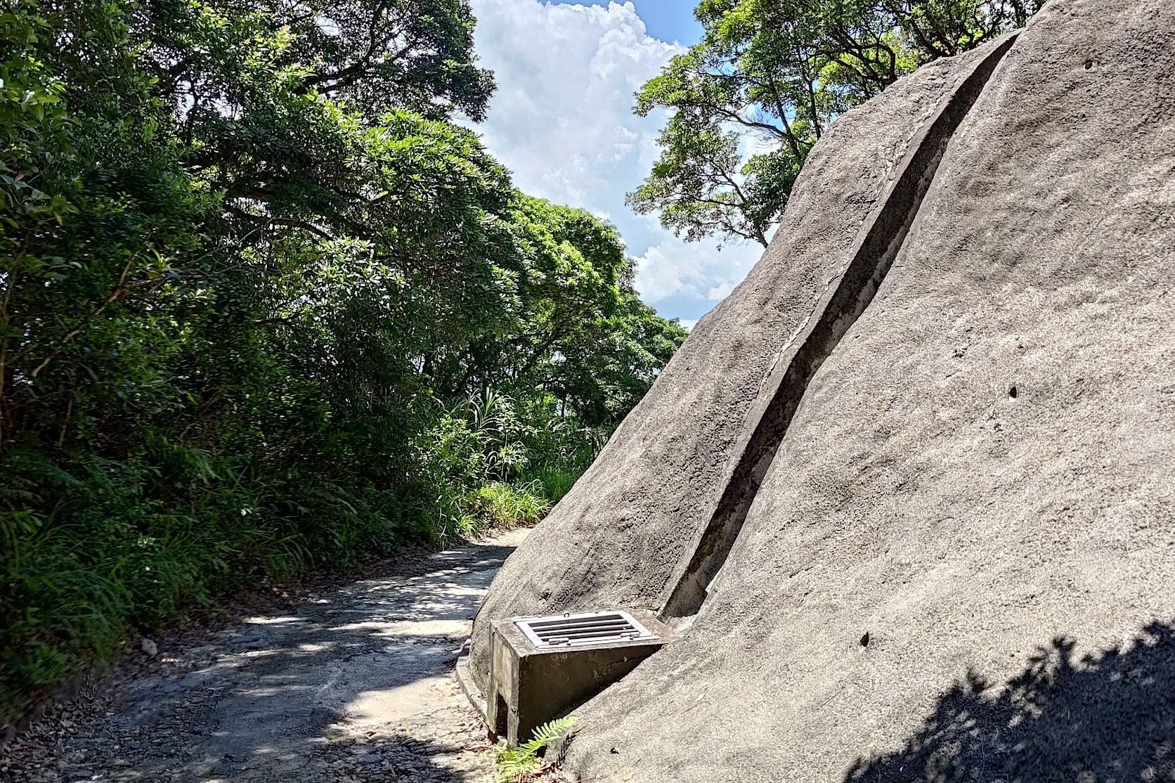
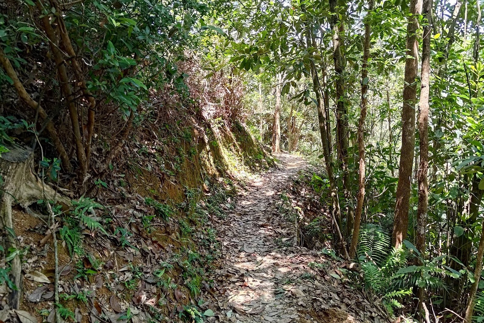
You'll initially walk through a shaded forest section before the path opens up again and you're descending down a steep concrete road.
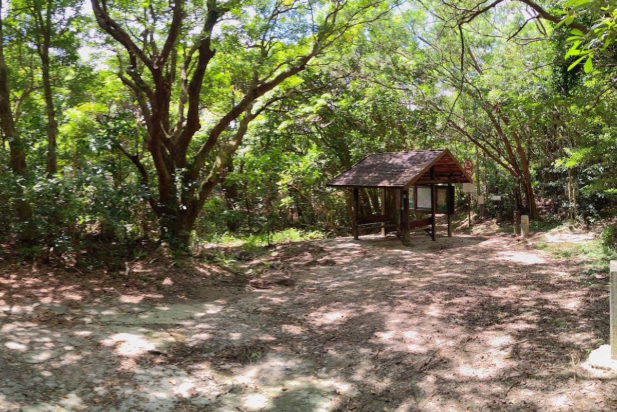
Pay attention once you arrive at the brown pavilion. This is one of the only places you can get lost on this hike.
IMPORTANT: Take the Path Behind the Brown Pavilion
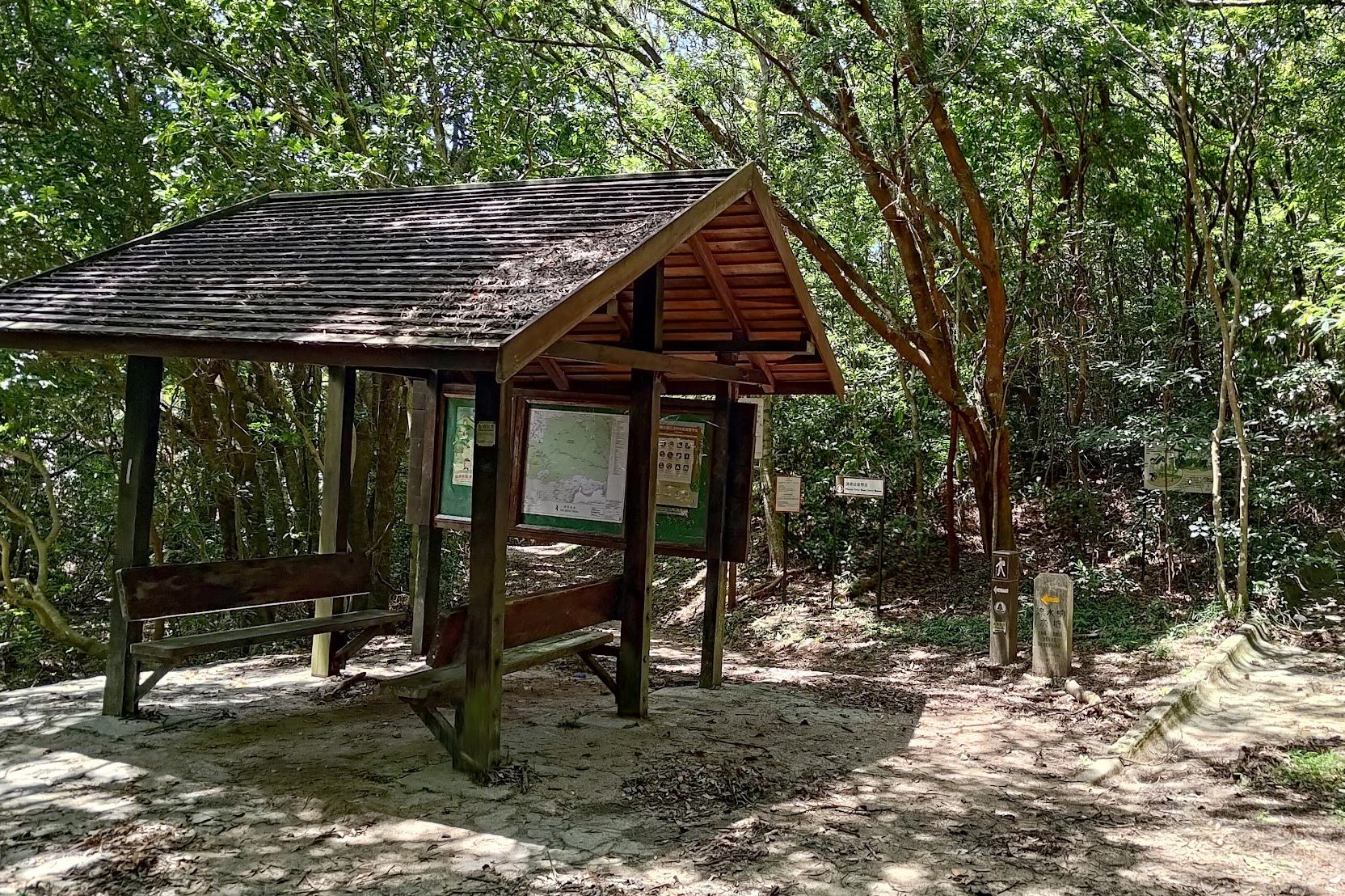
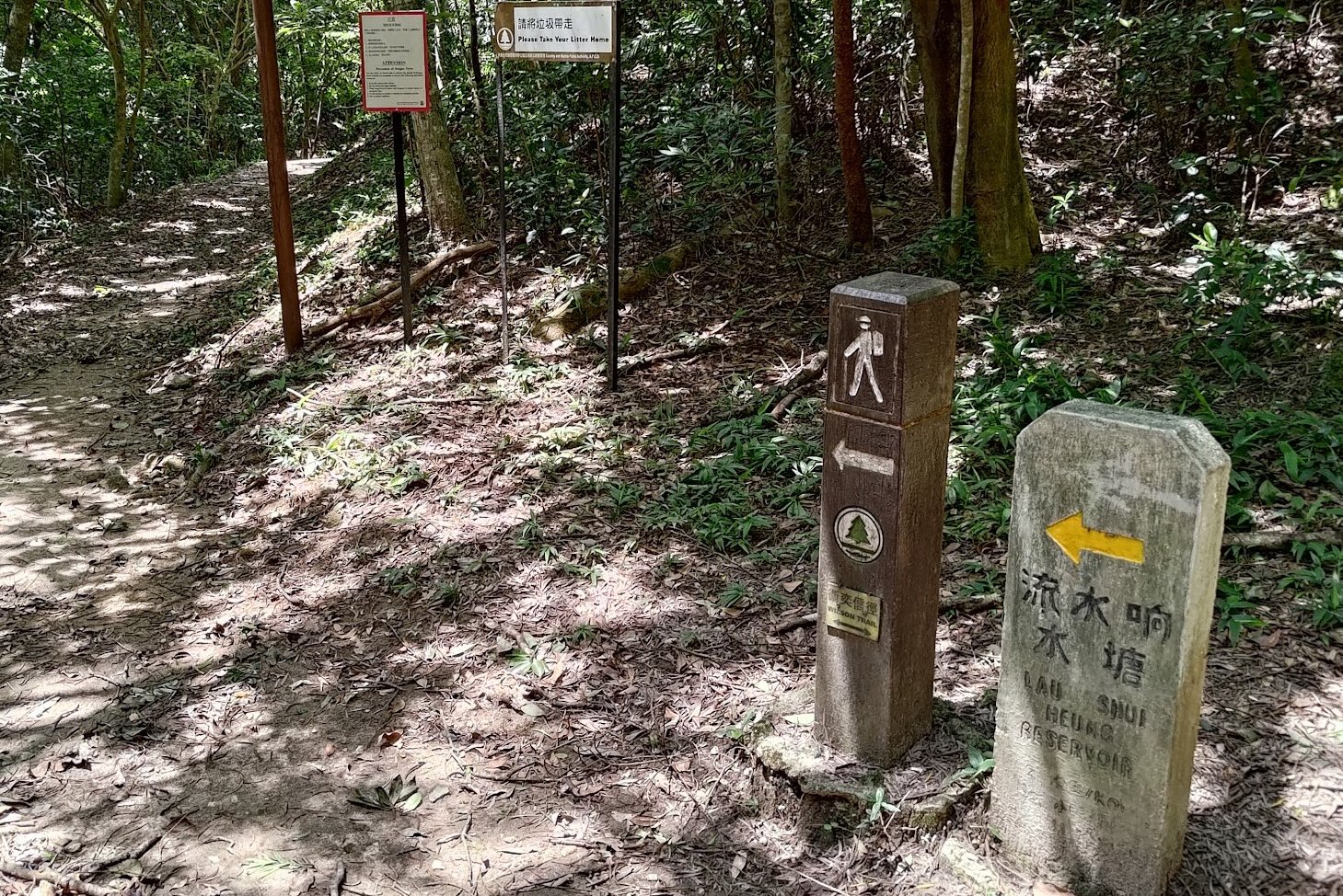
Once you arrive at the brown pavilion, make sure to take the path behind it. There's a stone sign pointing to 'Lau Shui Heng Reservoir' that you should follow. If you go left, you'll end up on a totally different detour that extends your hike.
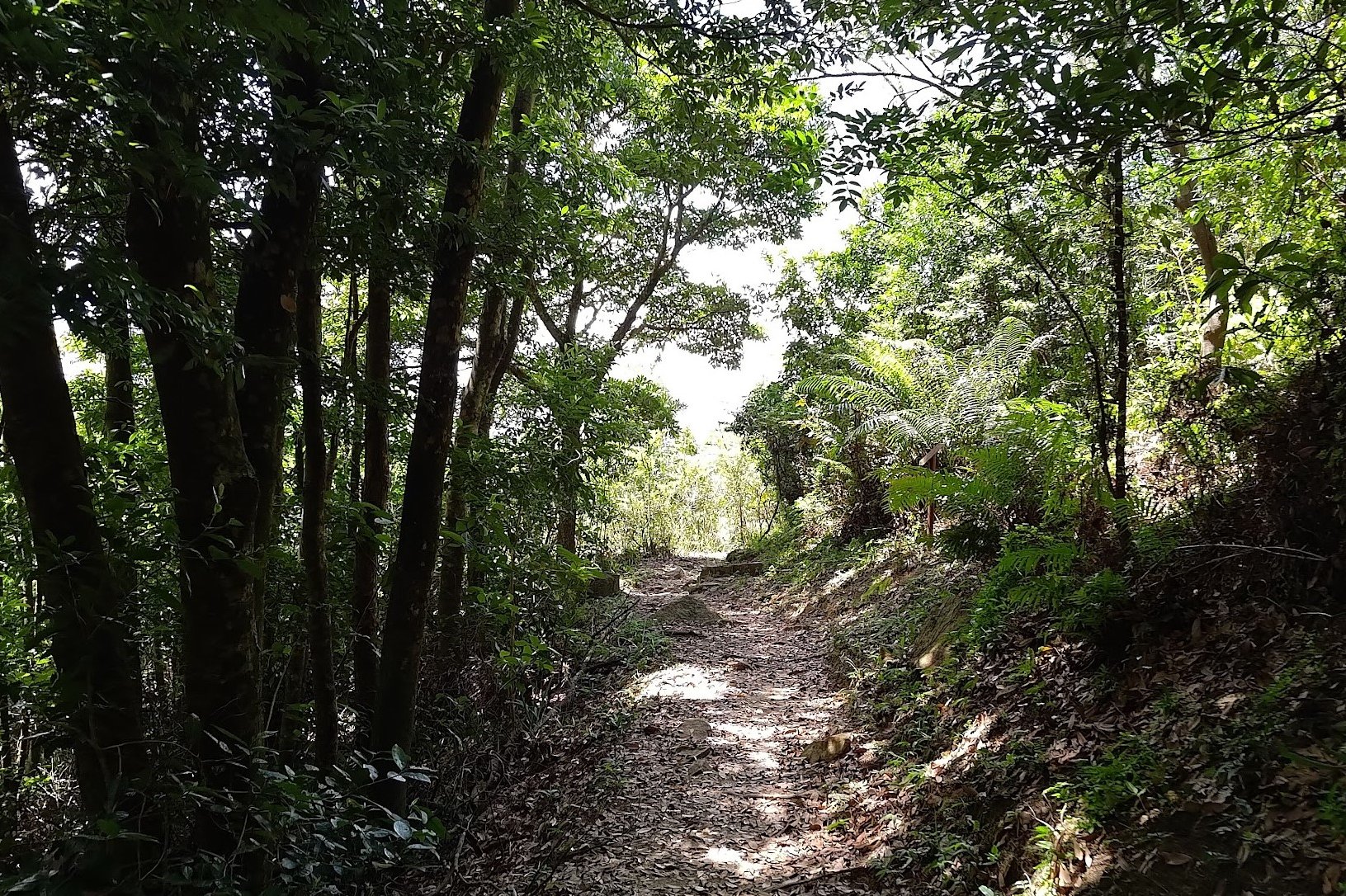
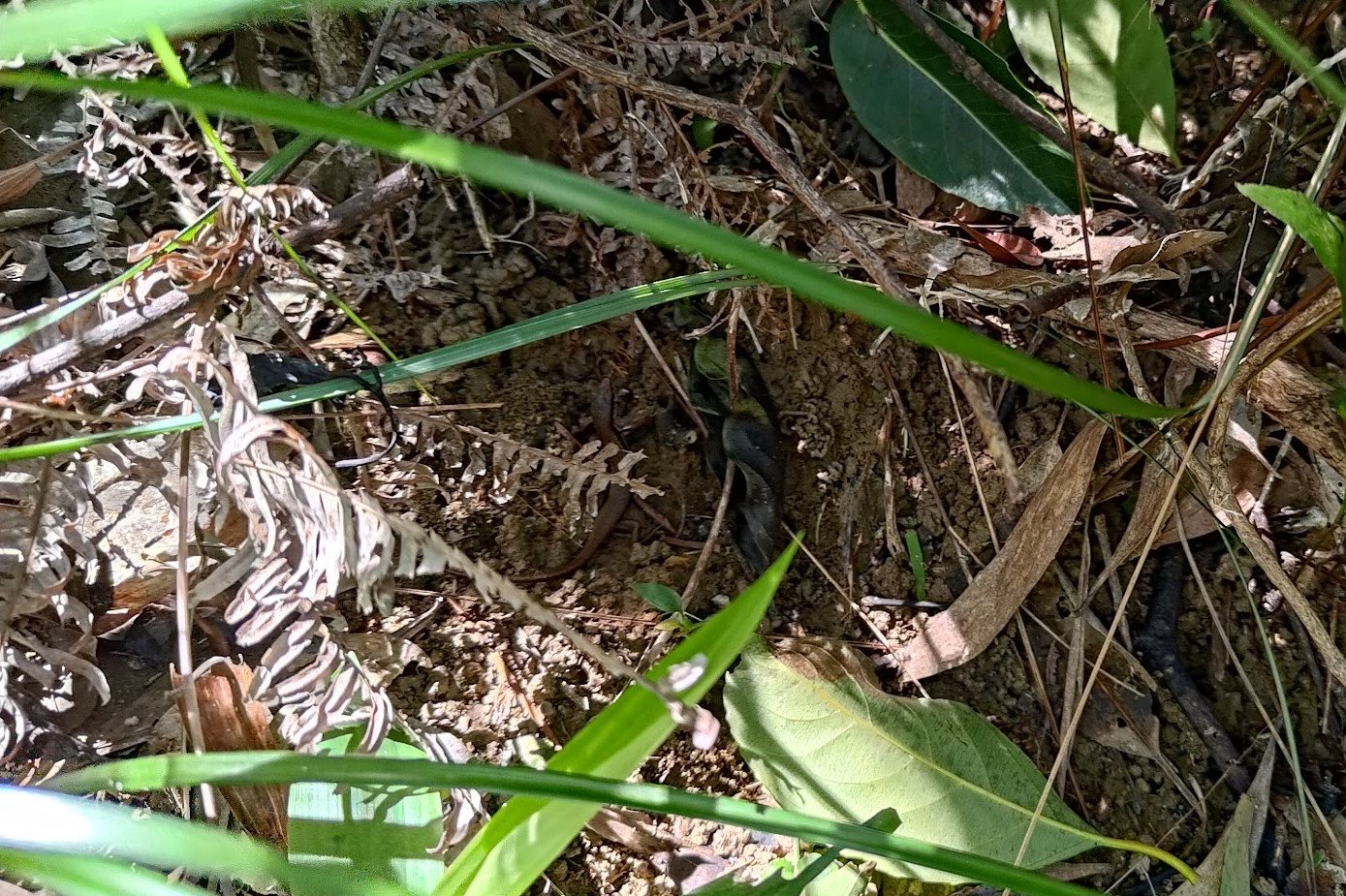
The next 40ish minutes sees you heading downward pretty much the entire way. With few views to speak of, you can be on the lookout for cool wildlife instead!
I was fortunate enough to see a baby long-tailed skink while descending.
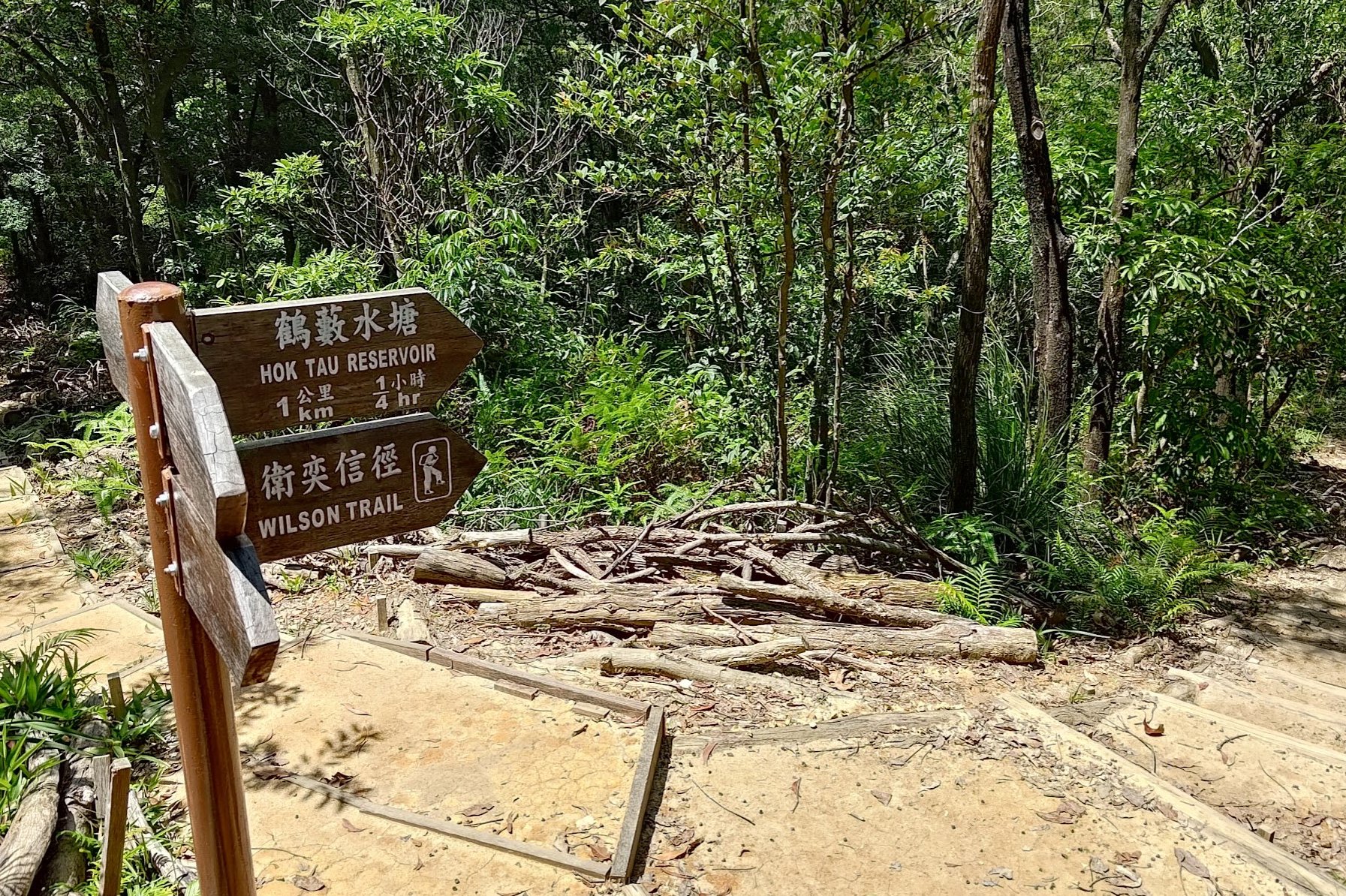
When you see the sign pointing to 'Hok Tau Reservoir' take that path.
Hok Tau Reservoir
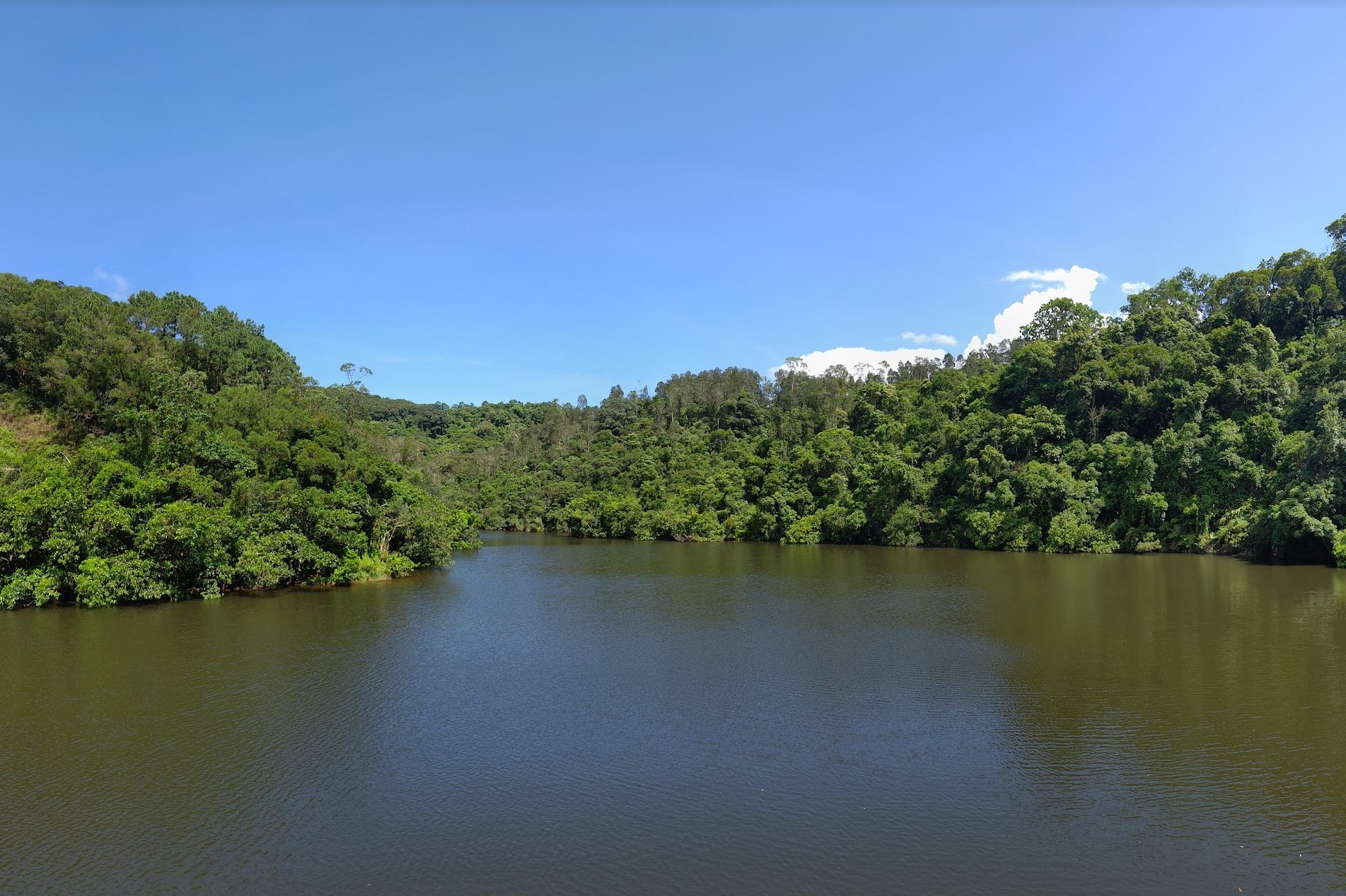
After following the 'Hok Tau Reservoir' sign, you'll need about 30 minutes to actually reach the reservoir.
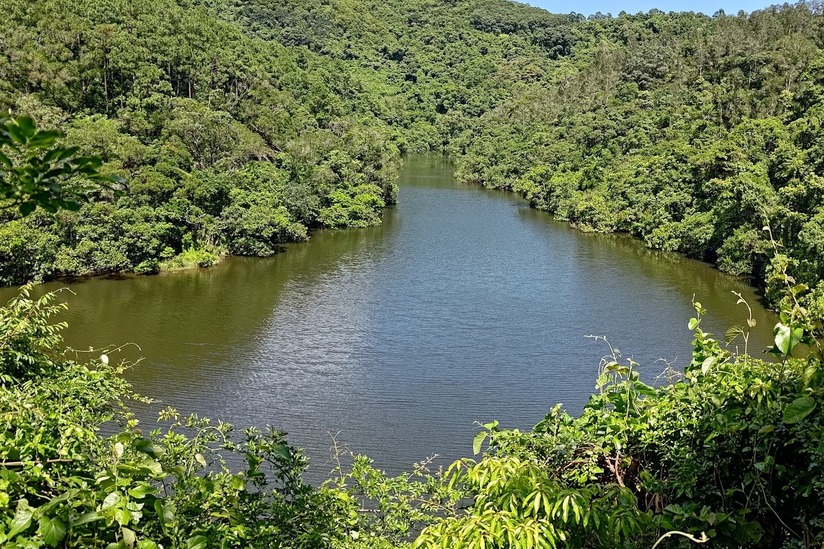
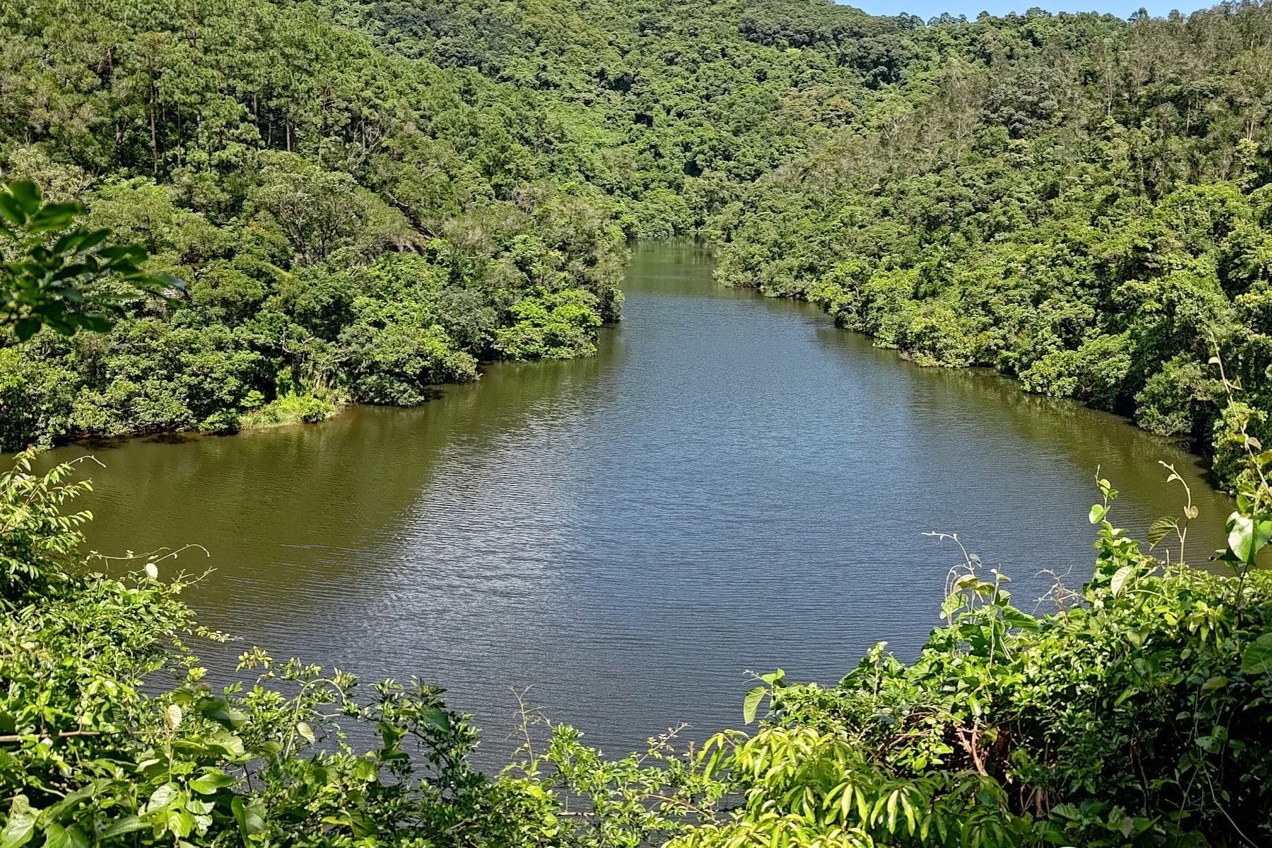
Most of your time will be spent in the forest once more. On the way, you'll get the occasional glimpse of Hok Tau Reservoir from above.
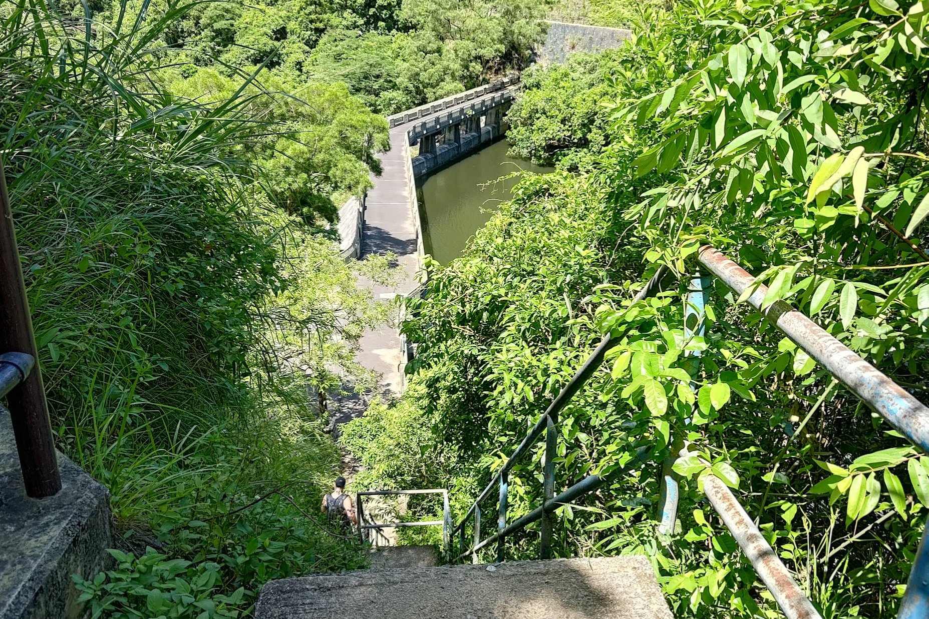
Perhaps 20-25 minutes later, you'll see a sign pointing to 'Hok Tau'. Follow that sign and descend the stairs right after it.
You'll then arrive at Hok Tau Reservoir.
The Road to the Bus Stop
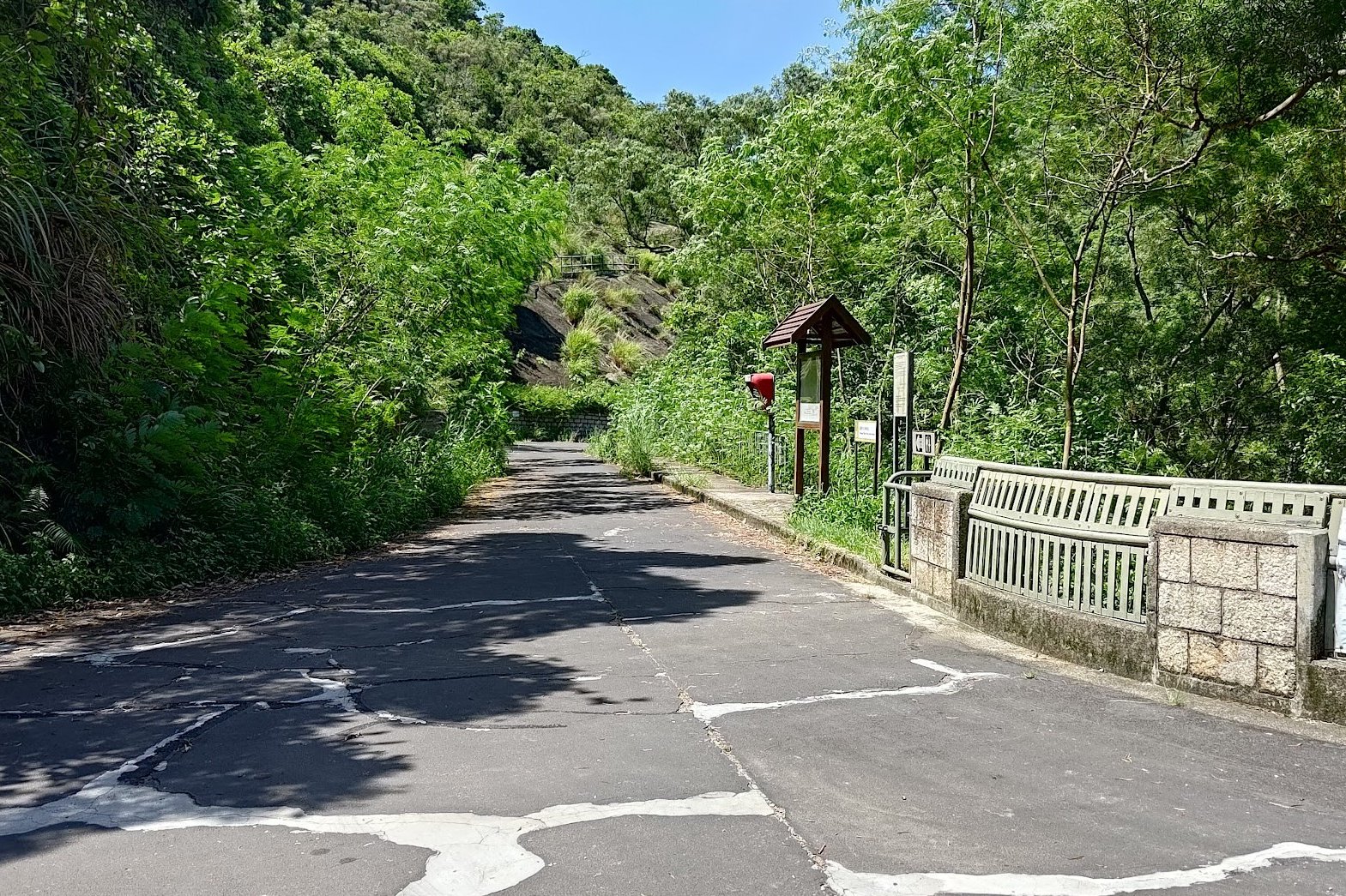
After chilling at the reservoir, take the road that leads away from it. You'll see a toilet sign, a map and a red emergency button on the road that you need to take.
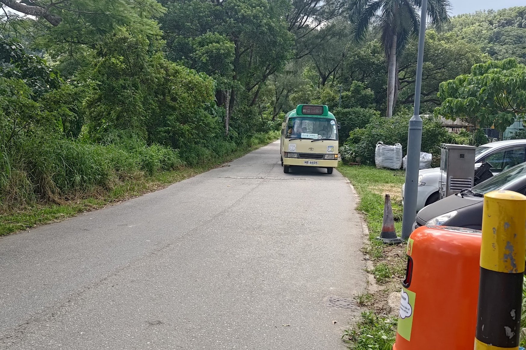
Follow the boring concrete road for about 20 minutes before you arrive at a green minibus stop (52B)
Getting Back
Take the 52B green minibus to Fanling MTR Station. It's the last stop, so kick back and relax.
From Fanling MTR Station, you can take the train or a bunch of buses wherever you need to go.
Too Easy? Pair This Hike With Pat Sin Leng
Hok Tau Reservoir is also the start point for Pat Sin Leng. Find out more about this legendary hike below!