
The Olympic Trail: A Hidden Hike From Tung Chung to Mui Wo
Contents
- Essential Information
- Hike Highlights
- Google Route Map and GPX File
- How to Get There
- Quick Route Summary
- Tung Chung MTR to the Olympic Trail Start Point
- Pak Mong, Ngau Kwu Long and Tai Ho Villages
- Uphill Section
- Best Views of the Hike
- Silvermine Cave and Waterfall
- Getting to Mui Wo Ferry Pier
- Getting Back
Essential Olympic Trail Hike Details
- District: Lantau Island
- Duration: 2.5 hours
- Distance: 10.5km
- Highest Elevation: 200 meters
- Difficulty: 1.5/5
- Facilities: Public toilets interspersed throughout. Bring water and food if needed
Olympic Trail Highlights
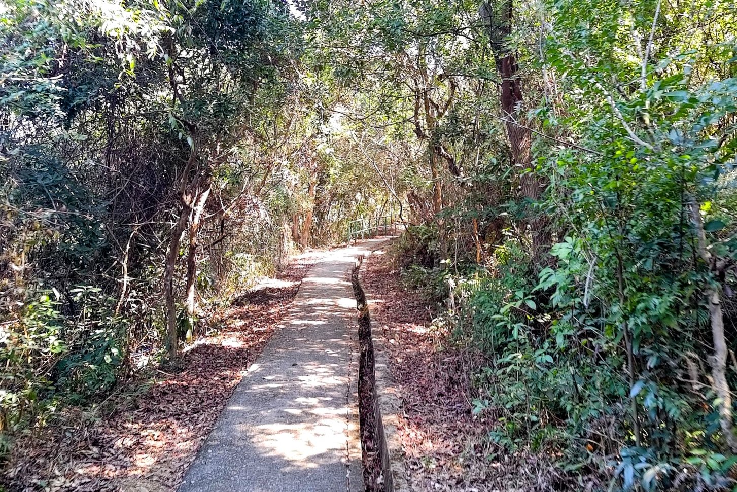
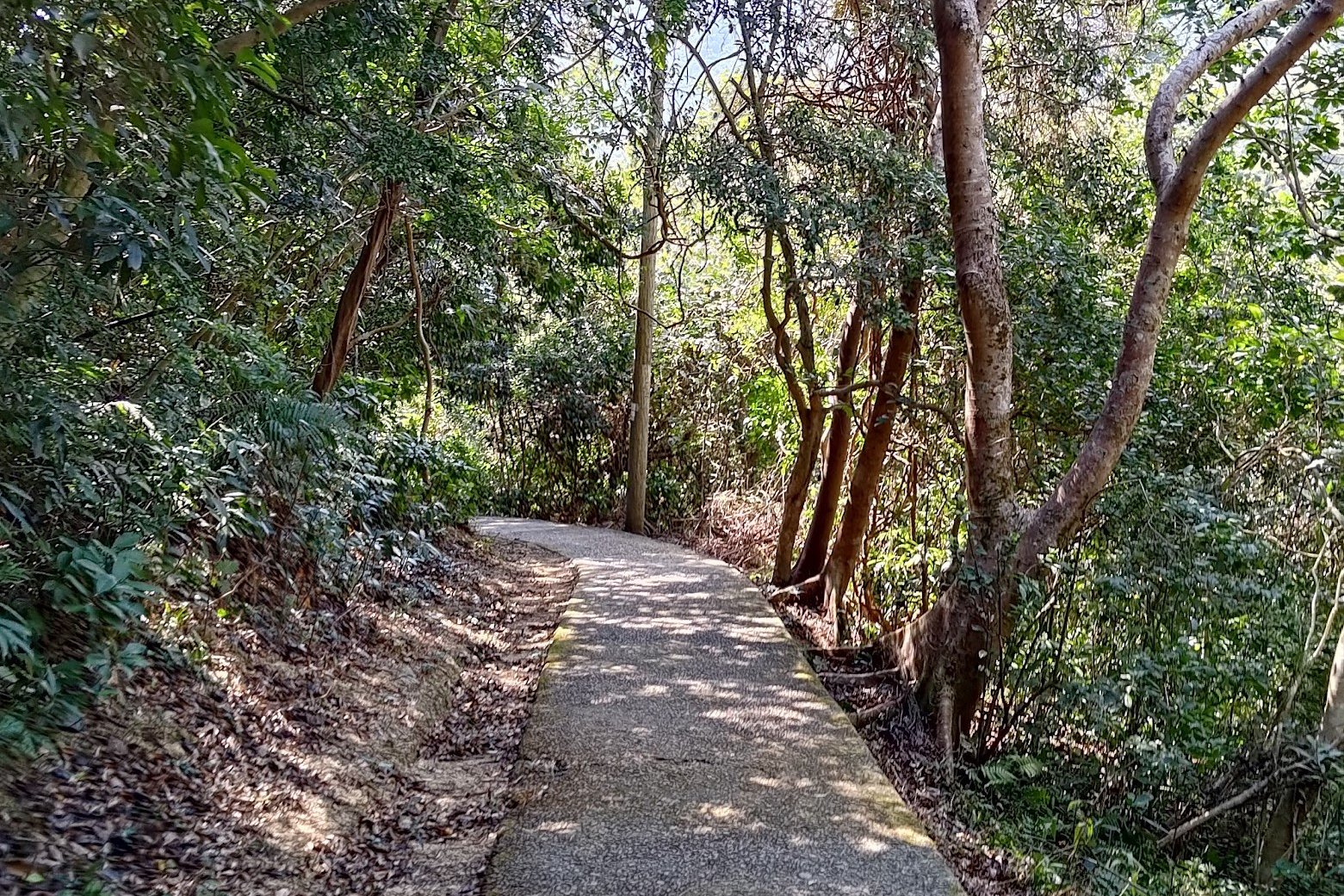
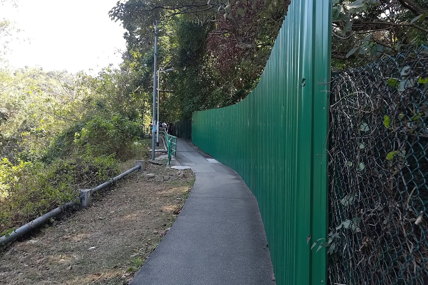
The Olympic Trail takes place completely on a concrete trail, which makes it a very easy option for beginner hikers or those who want a chill day out in nature.
Getting to the start of the trail takes about 25 minutes of walking from Tung Chung MTR Station, making it one of the easiest hikes to access on Lantau Island. If you're strapped for time, this is definitely a great option (especially if you live on Lantau).
As for the hike itself, much of it is flat with a few small inclines and one slightly larger incline toward the end. There are no tricky sections, very few places to lose your way and even plenty of toilets along the way.
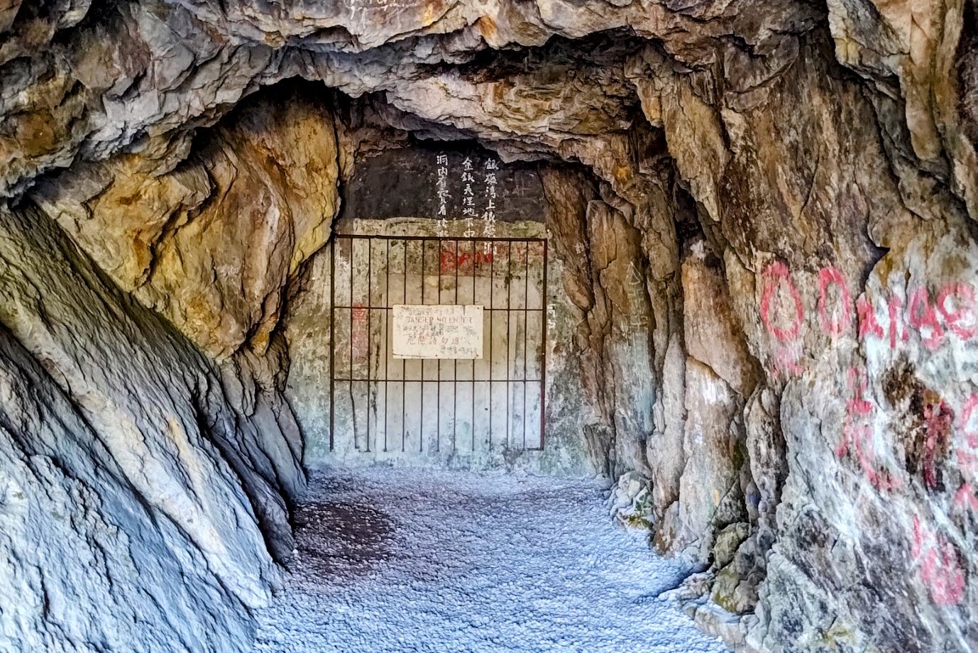
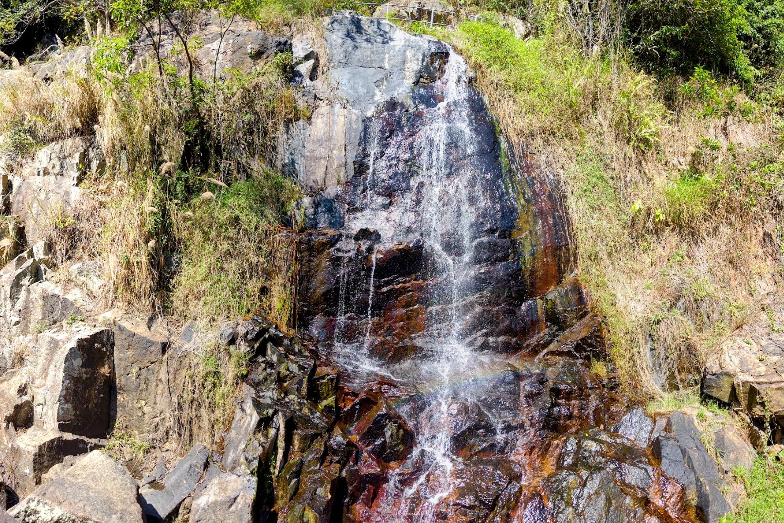
The main points of interest on the hike are the historic villages you pass by, Silvermine Cave (which is sadly sealed off) and Silvermine Waterfall.
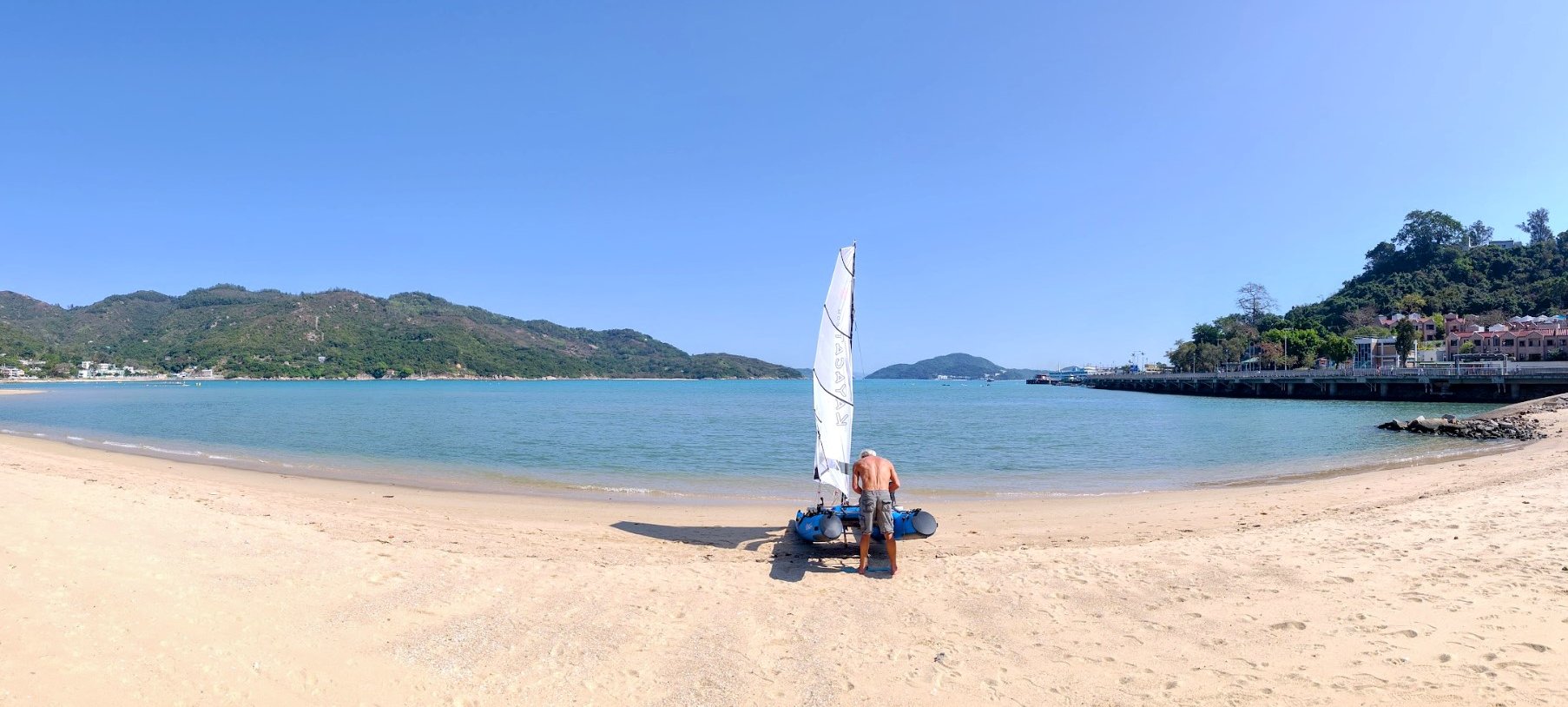
At the end of the hike, you will arrive in Mui Wo, which connects to a few more trails if this hike was too easy for you, or can be a great place to kick back and chill at one of the many bars and cafes by the beach.
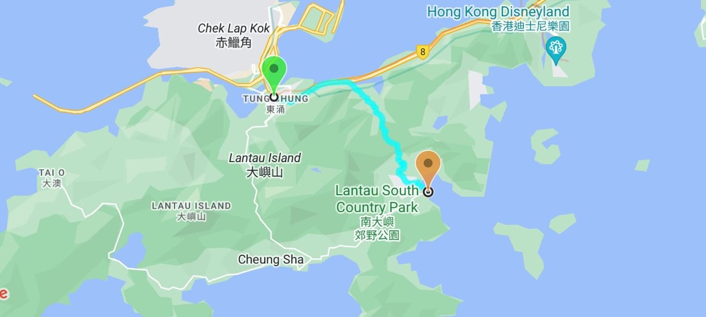
Google Route Map and GPX File
How to Get to The Olympic Trail Hike Start Point
Take the MTR to Tung Chung Station. The hike begins right outside the station.
Quick Olympic Trail Hike Summary
- Take the MTR to Tung Chung Station and leave through Exit D (Fu Tung Street)
- Go across the crossing outside Exit D and follow Fu Tung Street past the roundabout
- Keep walking beside the green biking path (Cheung Tung Road)
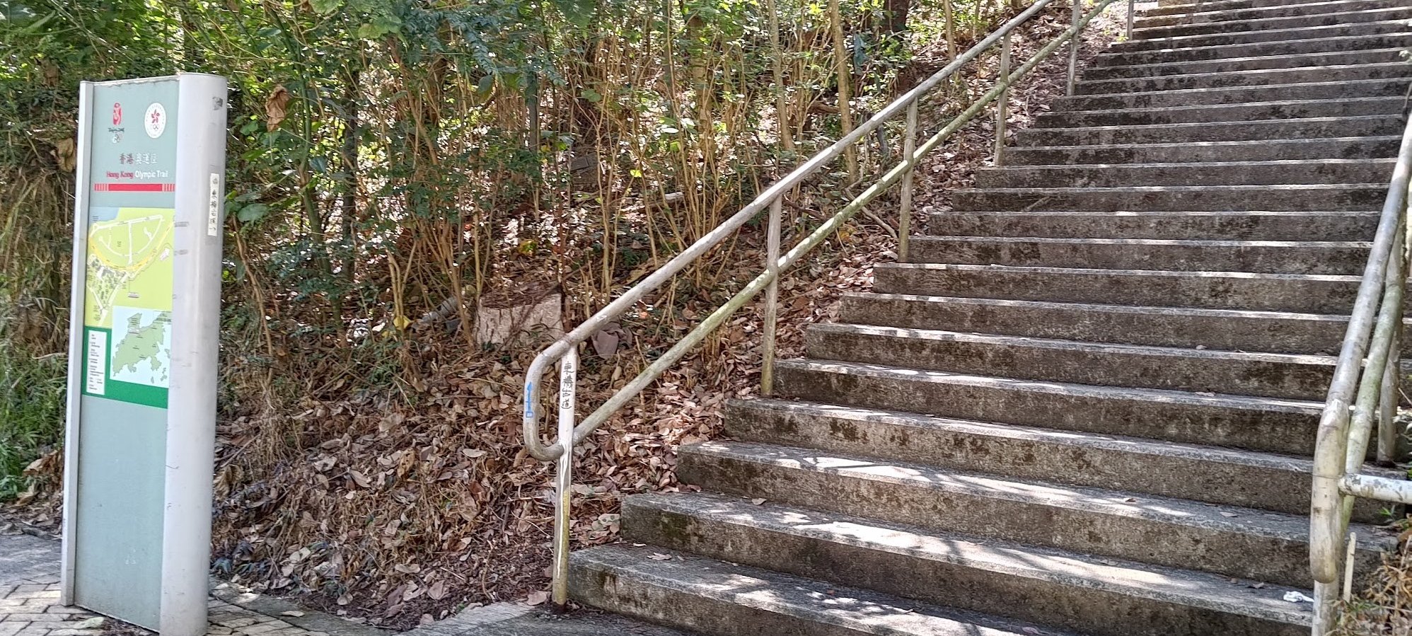
- DO NOT take the stairs on the right with the 'Hong Kong Olympic Trail' sign next to it
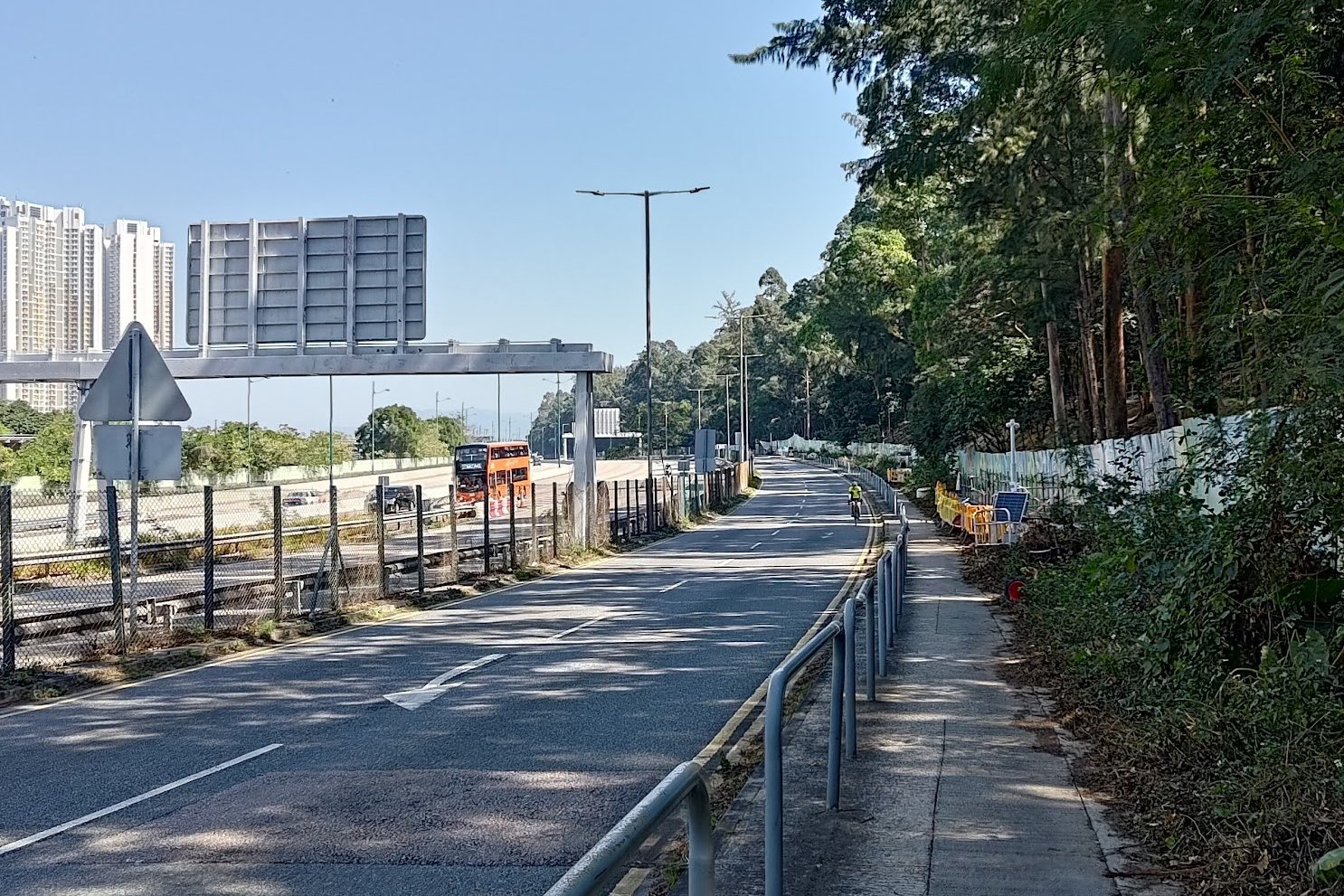
- Keep going straight, walking beside the highway
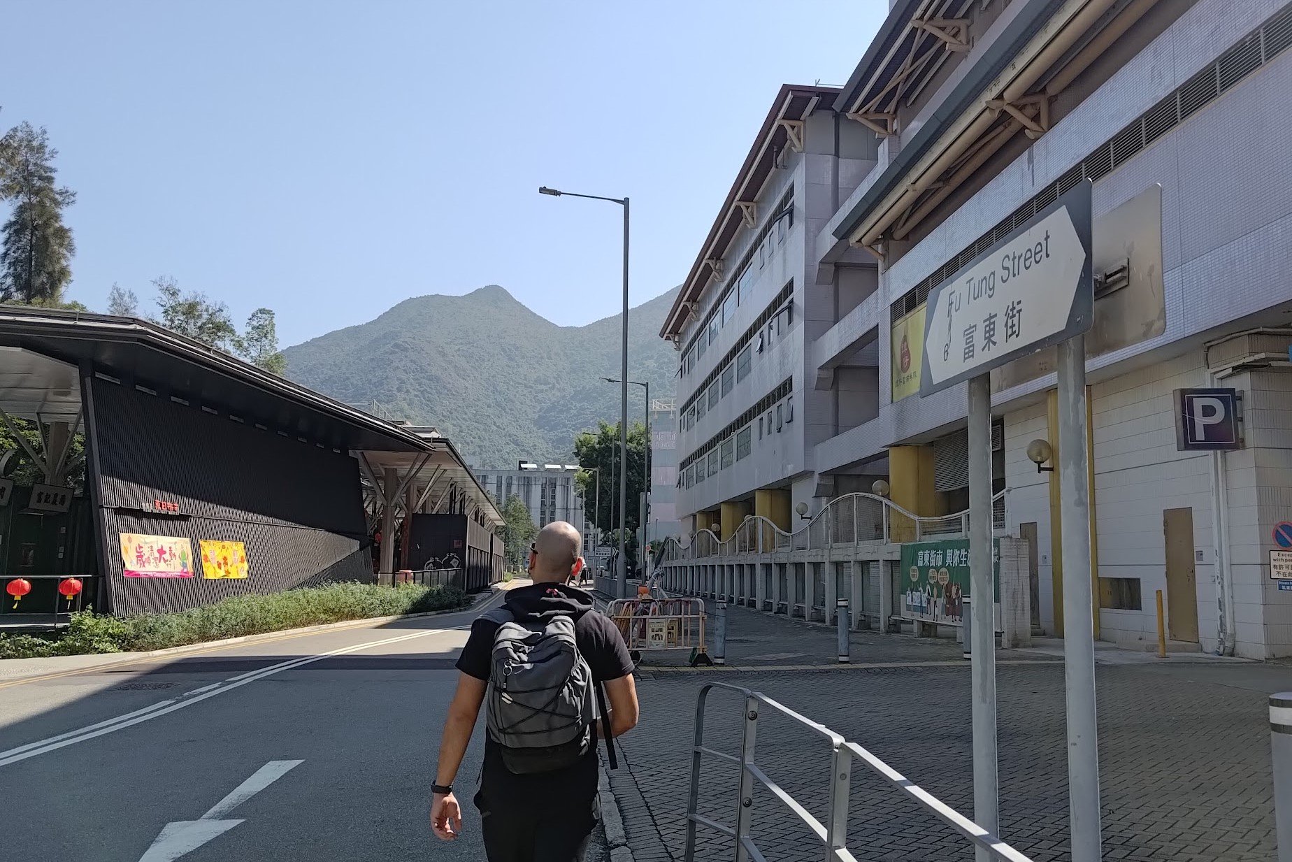
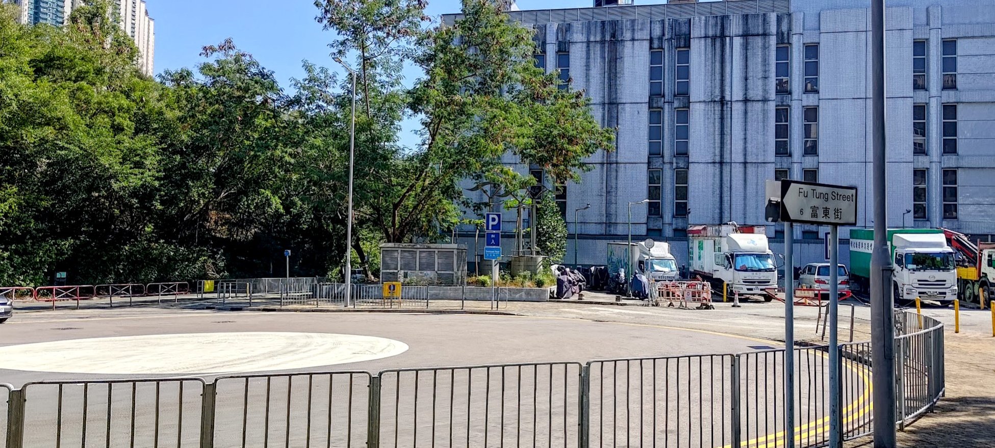
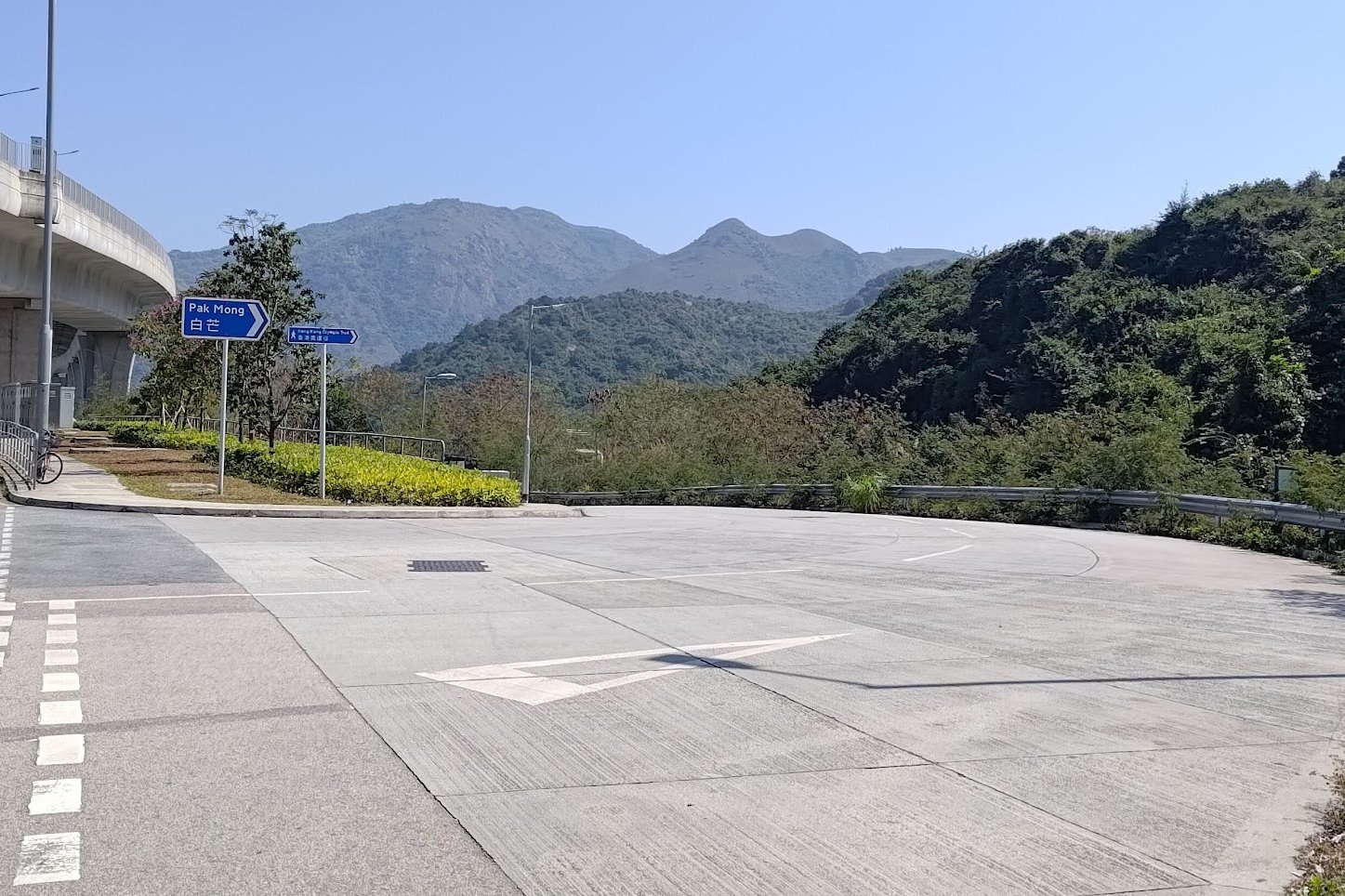
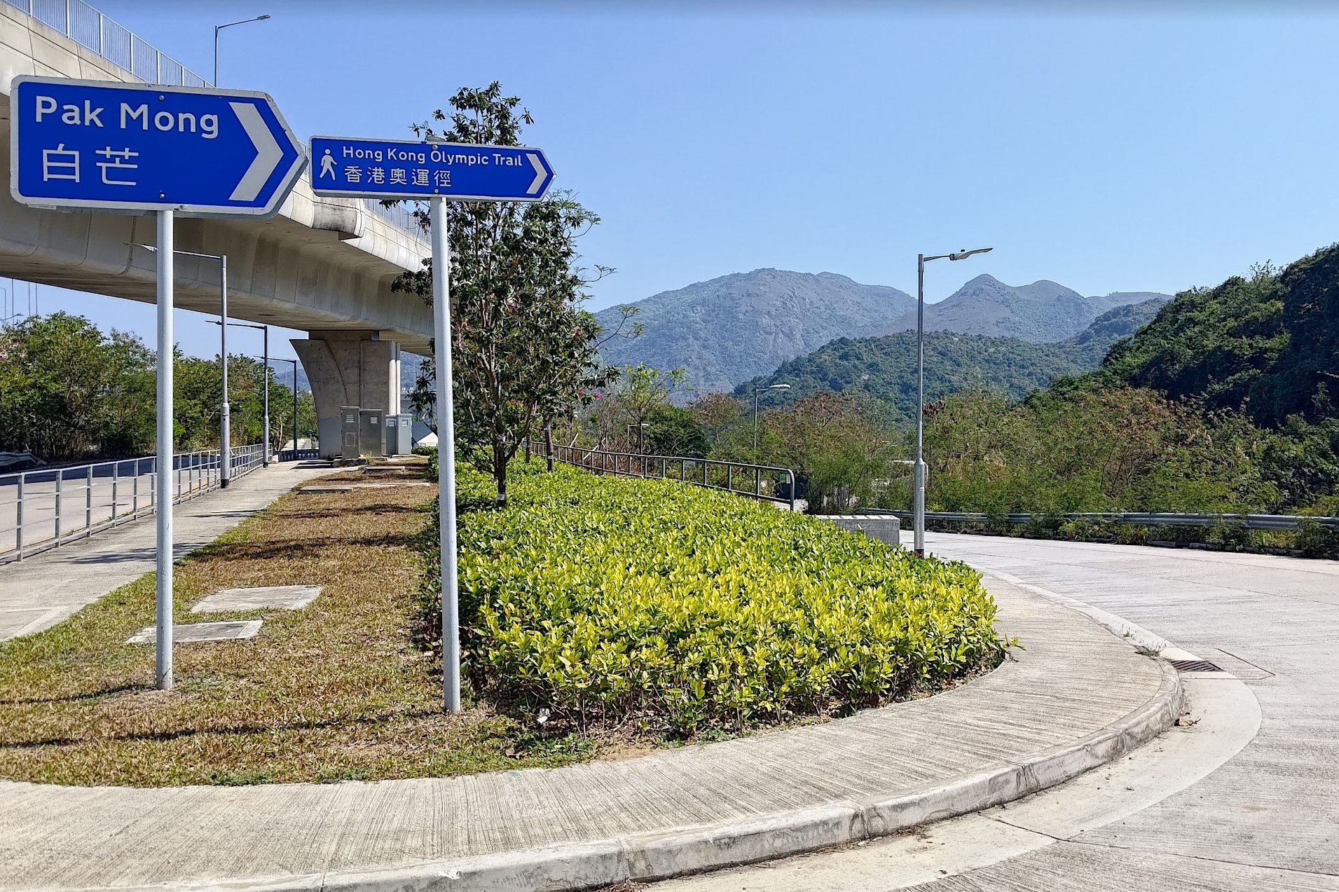
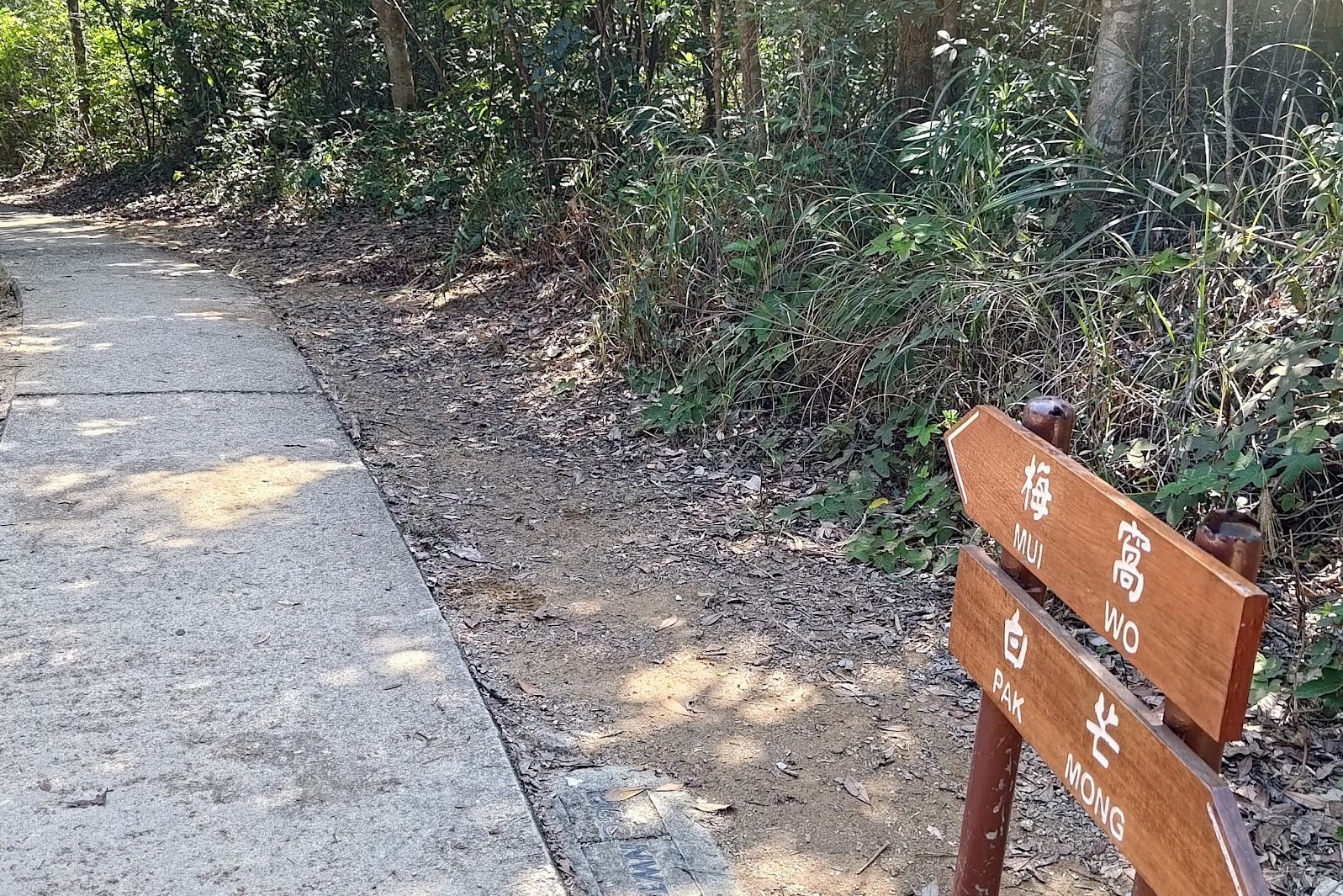
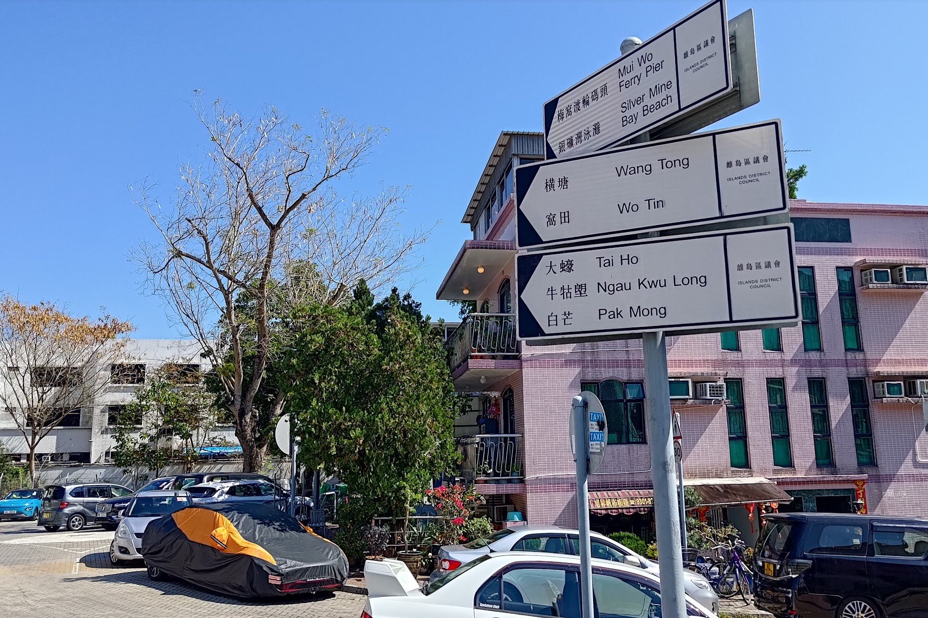
- About 10-15 mins later, you'll see a blue sign pointing to 'Pak Mong' follow that sign and you'll arrive at the real start of the Olympic Trail
- Follow the concrete trail past Pak Mong Village
- Head past Ngau Kwu Long Village and begin a short uphill ascent
- At the brown pavilion at the top of the ascent, follow the brown sign straight ahead pointing to Mui Wo
- Follow the trail downward, heading past a few small, partially abandoned villages along the way
- You'll head past Silvermine Cave after the villages. Don't miss Silvermind Waterfall a short distance away. It's to the left of a grassy area near a grey and red temple
- Head back to the trail and follow Mui Wo Rural Committee Road all the way to the waterfront
- Take a right on Tung Wan Tau Road (the waterfront) and you'll reach Mui Wo Ferry Pier and bus terminus in a few mins
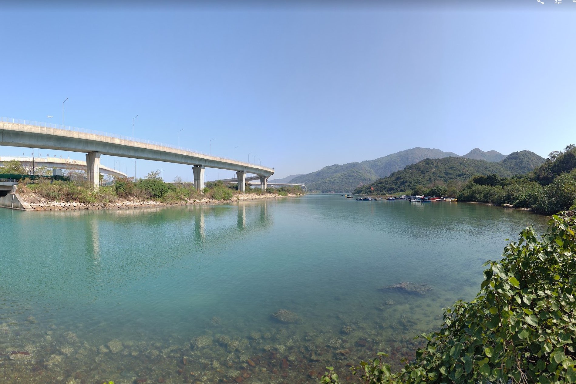
From Tung Chung MTR Exit A to the Official Start of the Olympic Trail
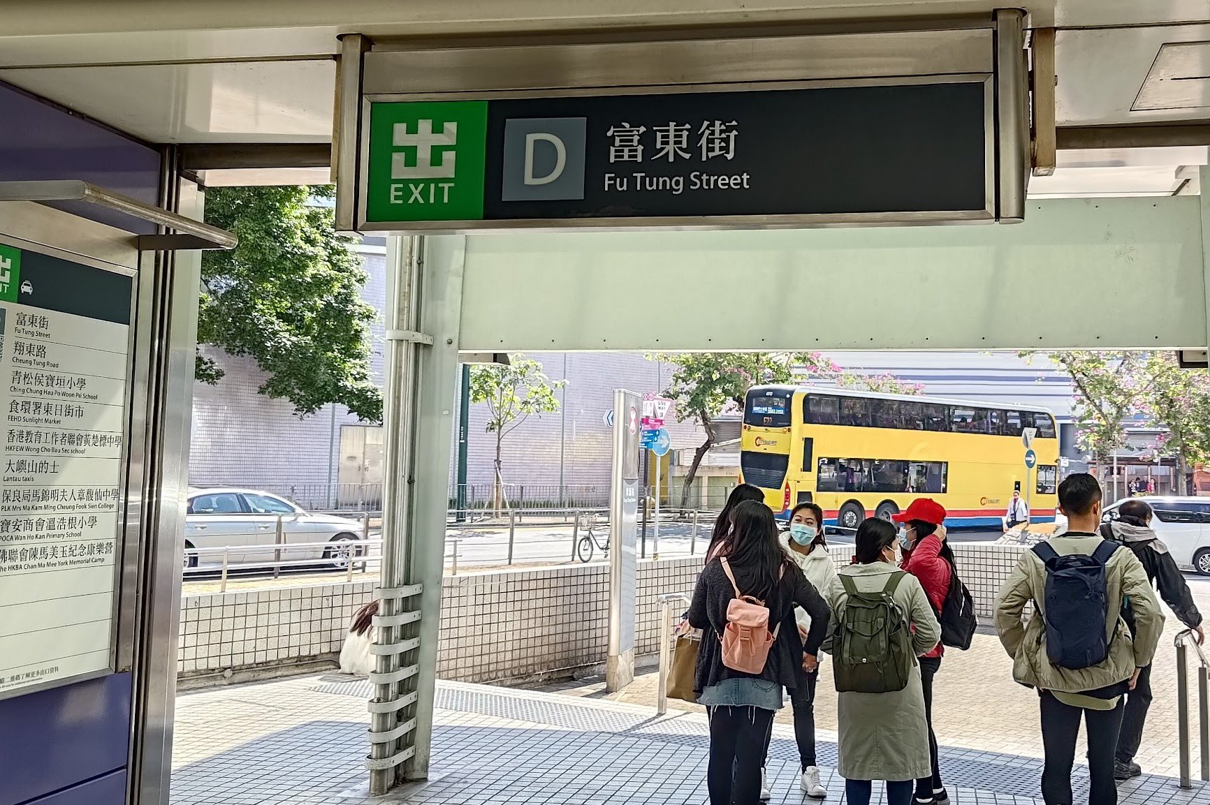

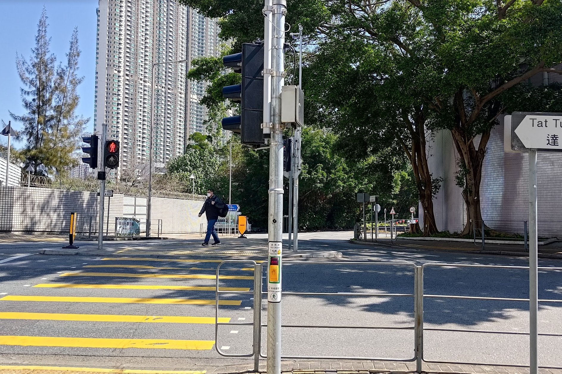
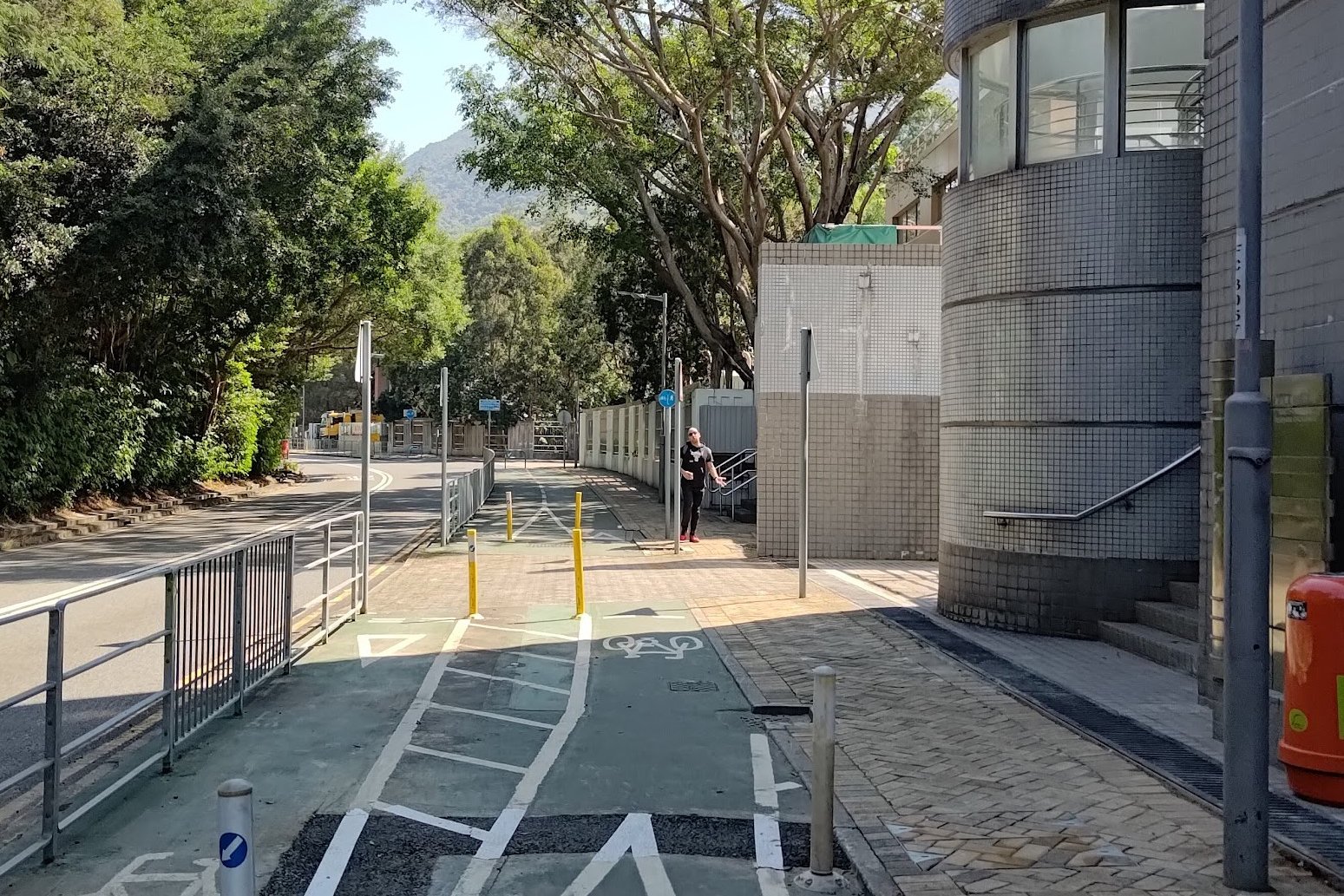

From the MTR station, it takes about 30 - 40 minutes to walk to the actual start point of the hike. Fortunately, it's a pretty easy journey. Just follow Fu Tung Road to the roundabout and then head left toward the trees.
Continue onward when you see the bike path (which marks Cheung Tung Road) and you'll soon be walking beside a highway after passing through a tunnel.
From Cheung Tung Road, you just need to keep walking straight until you see the blue 'Pak Mong' and 'Olympic Trail' signs.
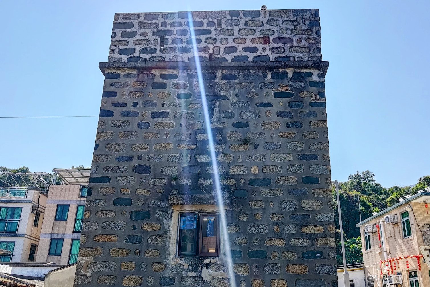
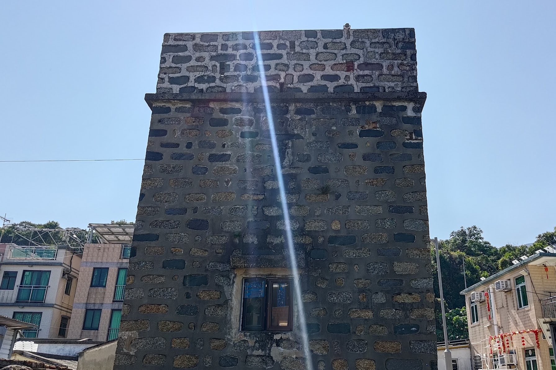
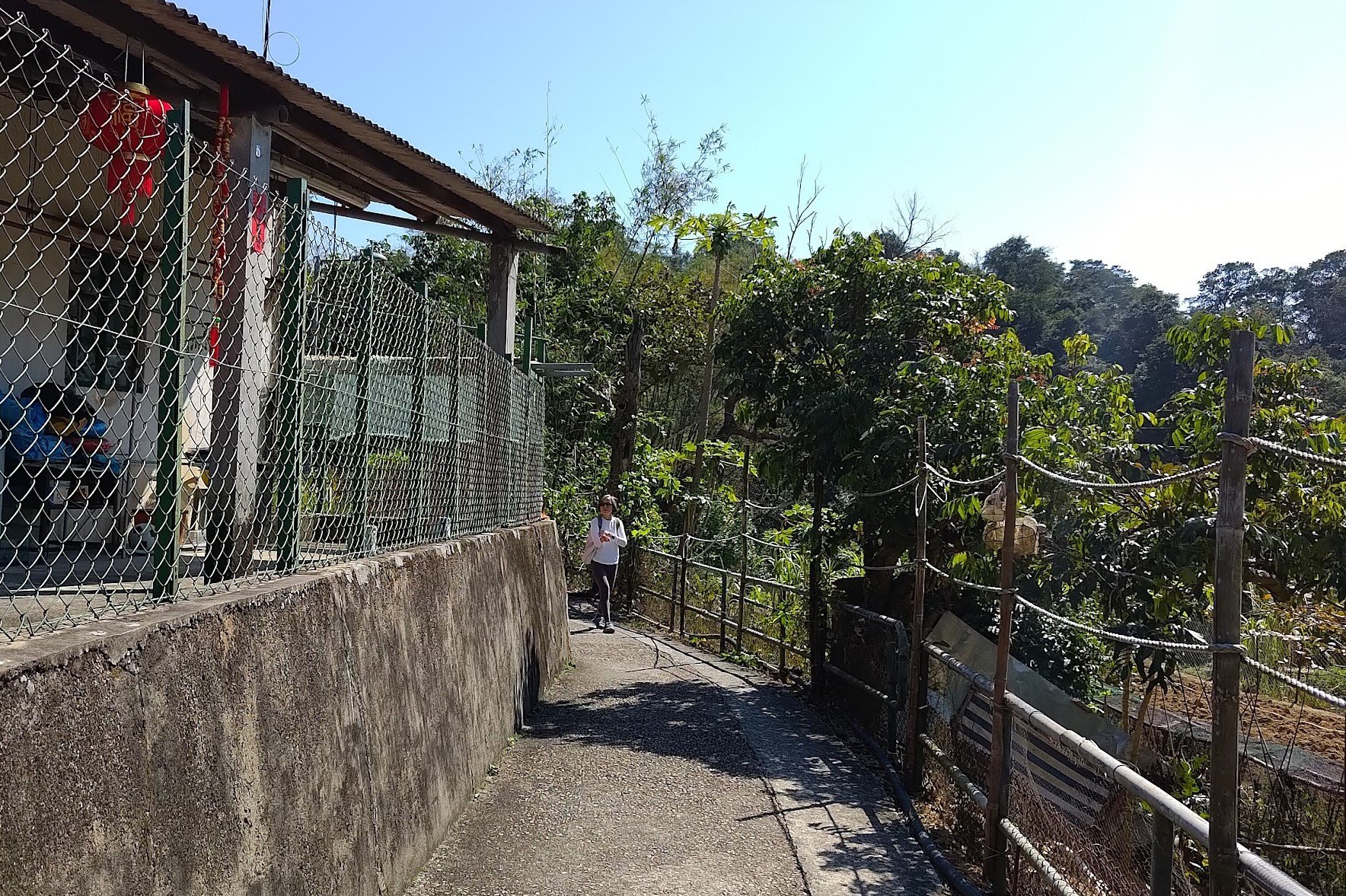
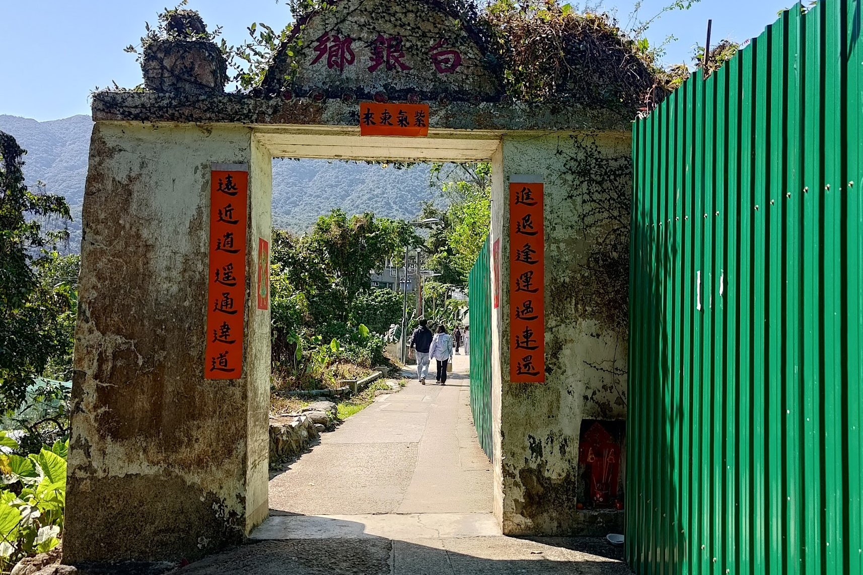
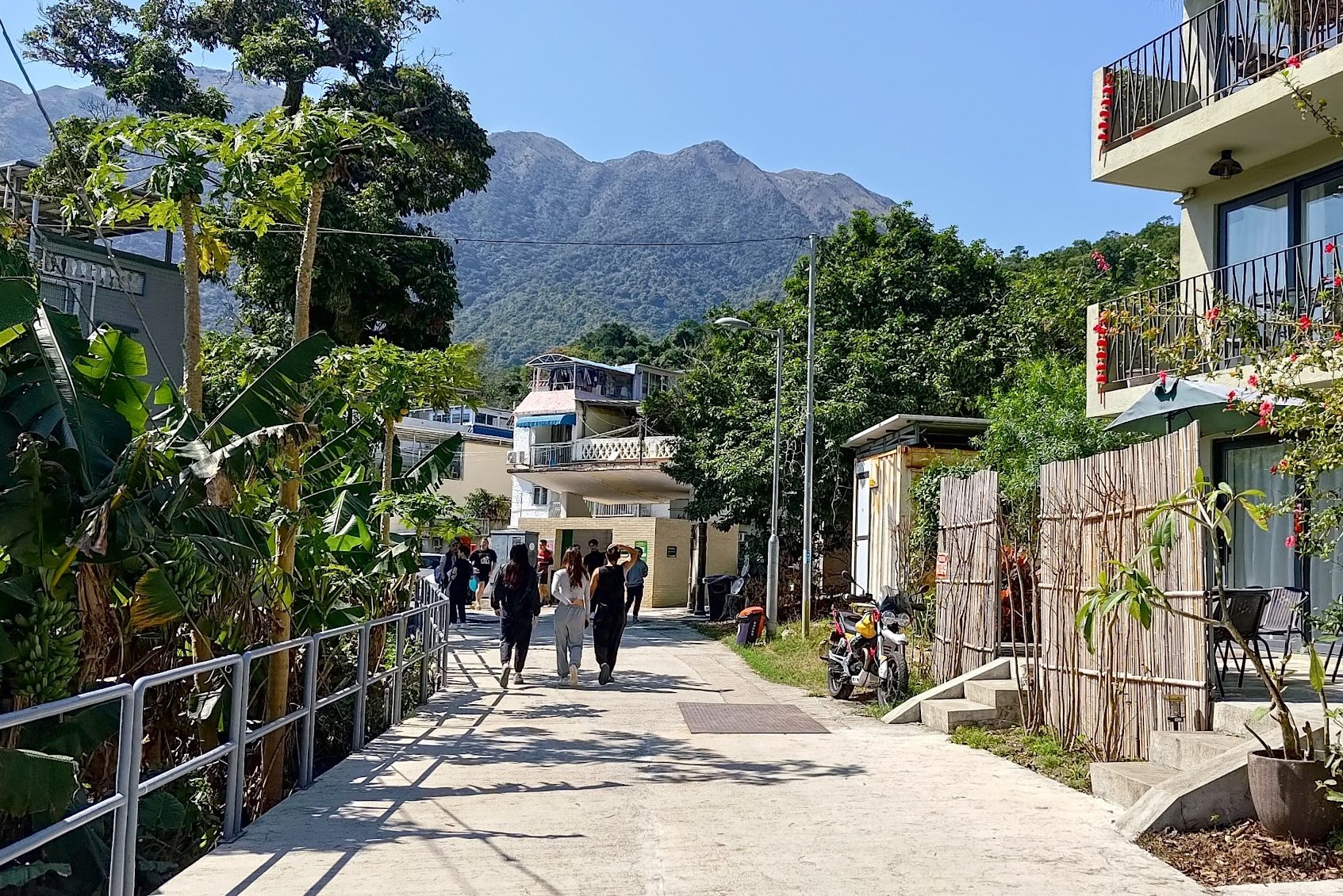
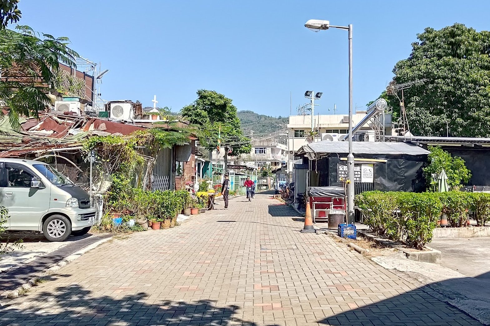
Hiking Past the Historic Pak Mong, Ngau Kwu Long and Tai Ho Villages
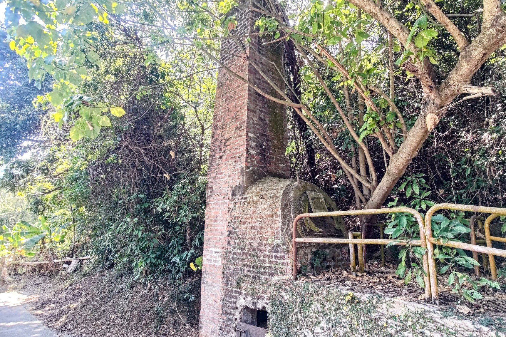
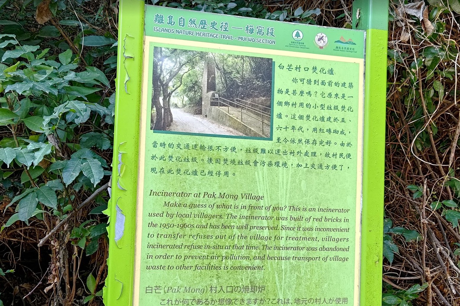
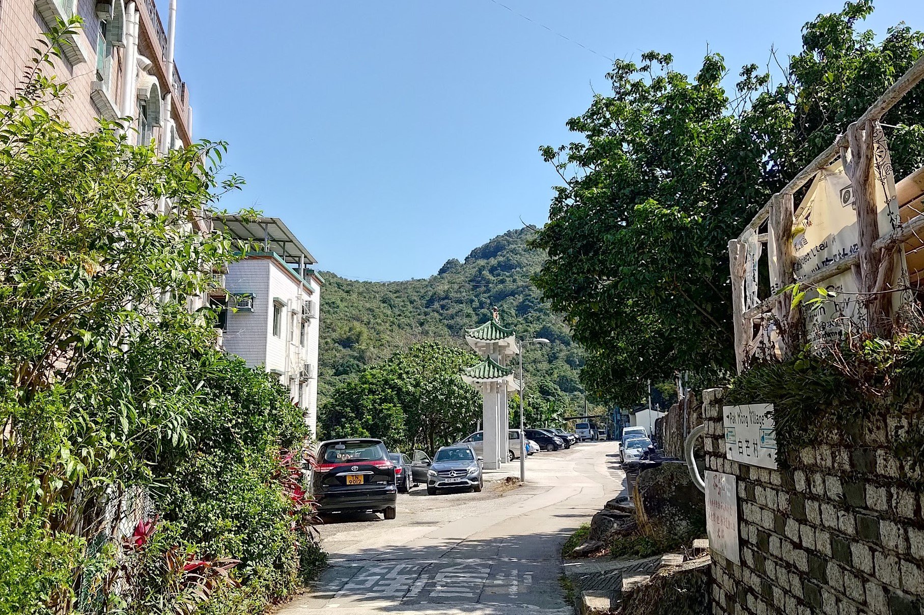
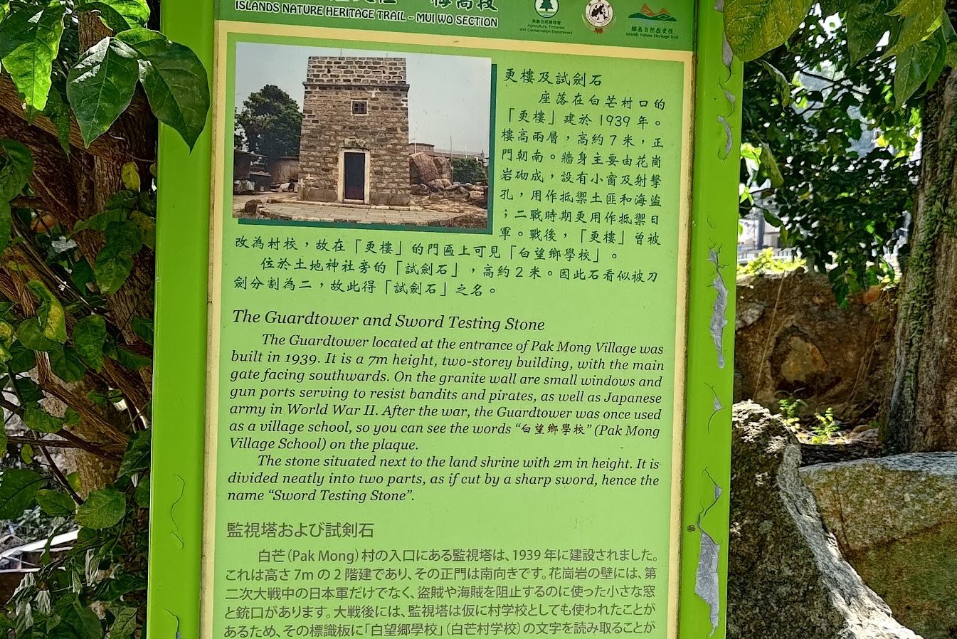
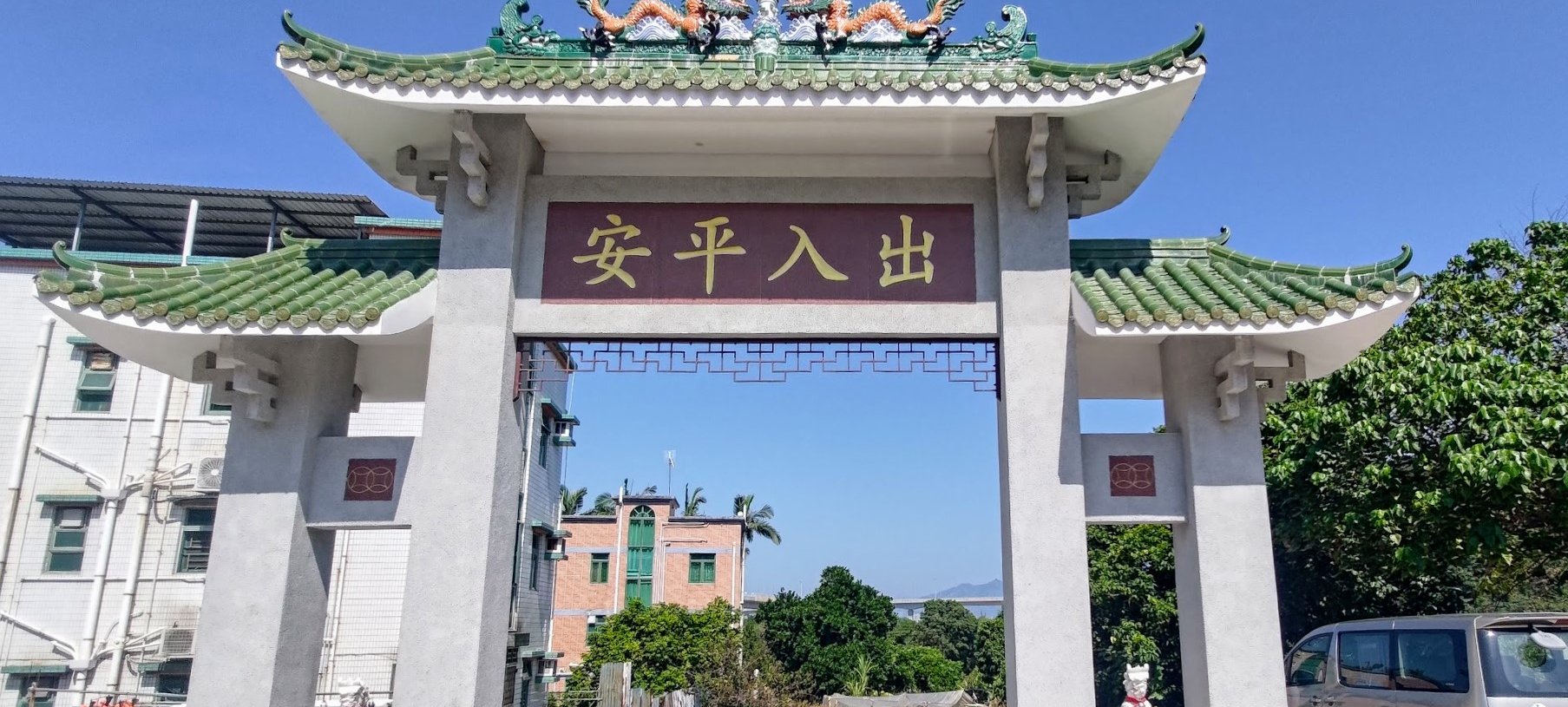


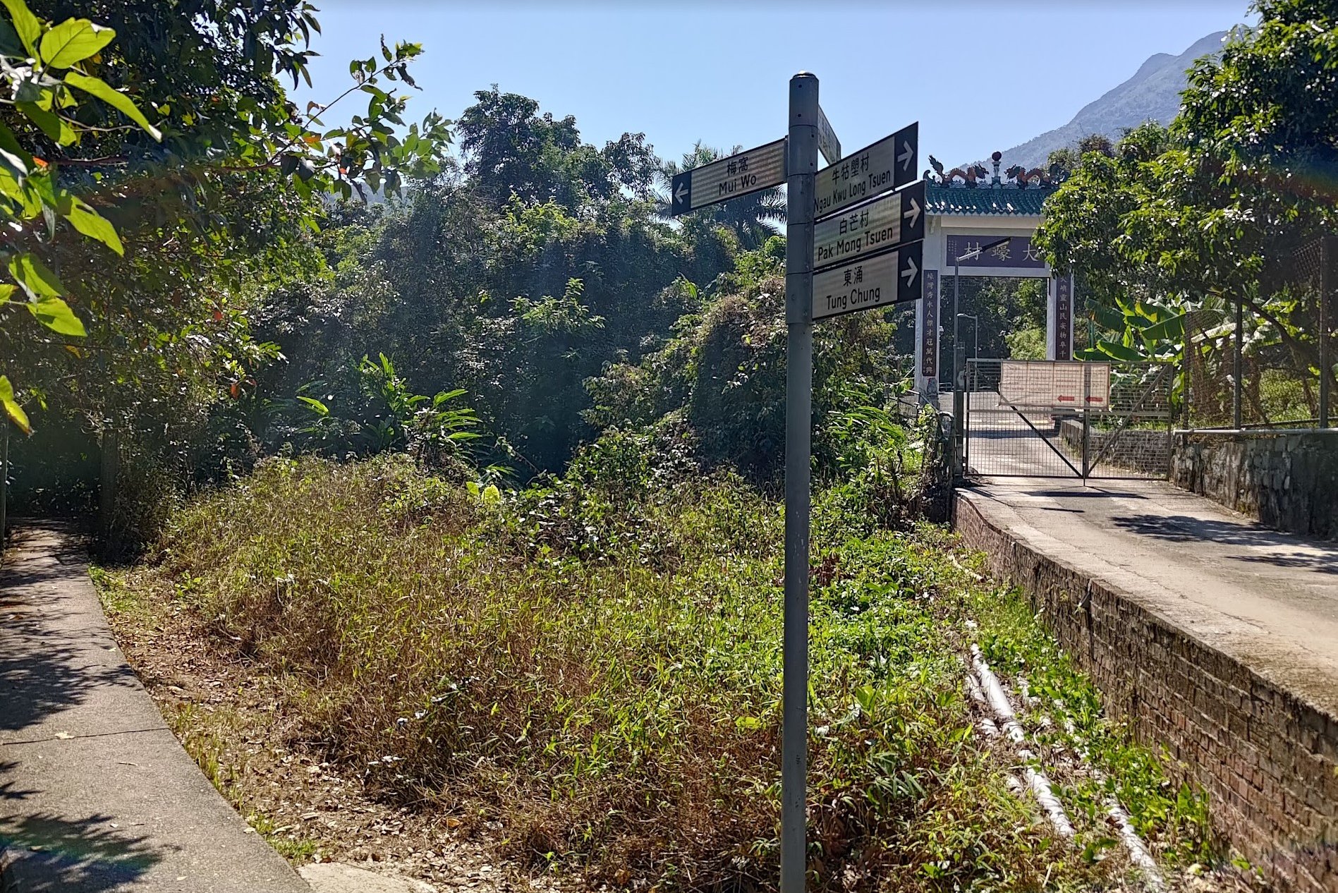
Together, the villages of Pak Mong, Ngau Kwu Long and Tai Ho make up what is known locally as San Heung (三鄉), which is a community formed by the three villages together.
Given that Pak Mong was armed for battle with its guard tower, I wonder if these other villages were also involved in fending off bandits and Japanese soldiers during World War 2.
In total, it takes just under 30 minutes (minus exploration time) to walk past all three villages.
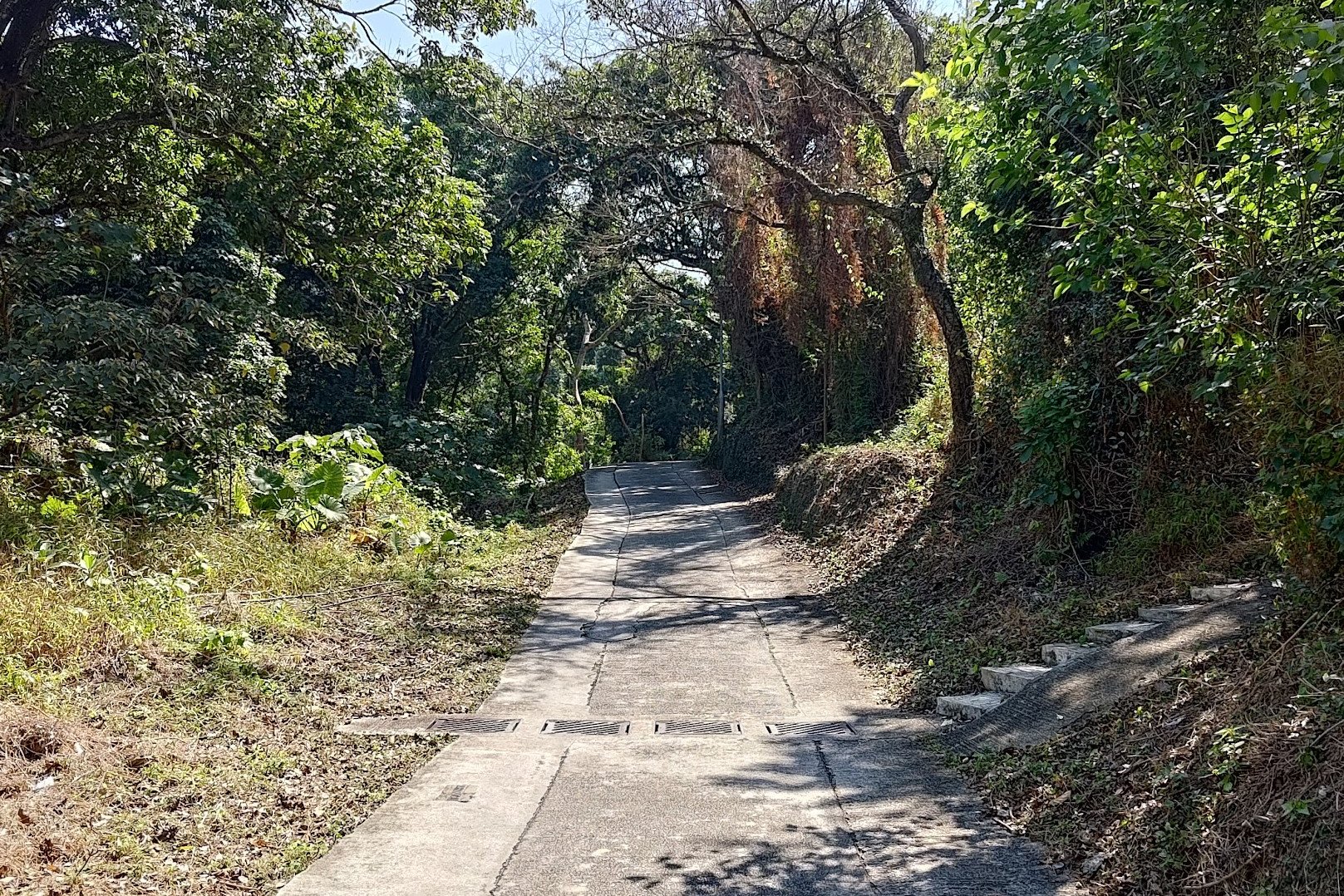
The Only Uphill Part of the Hike

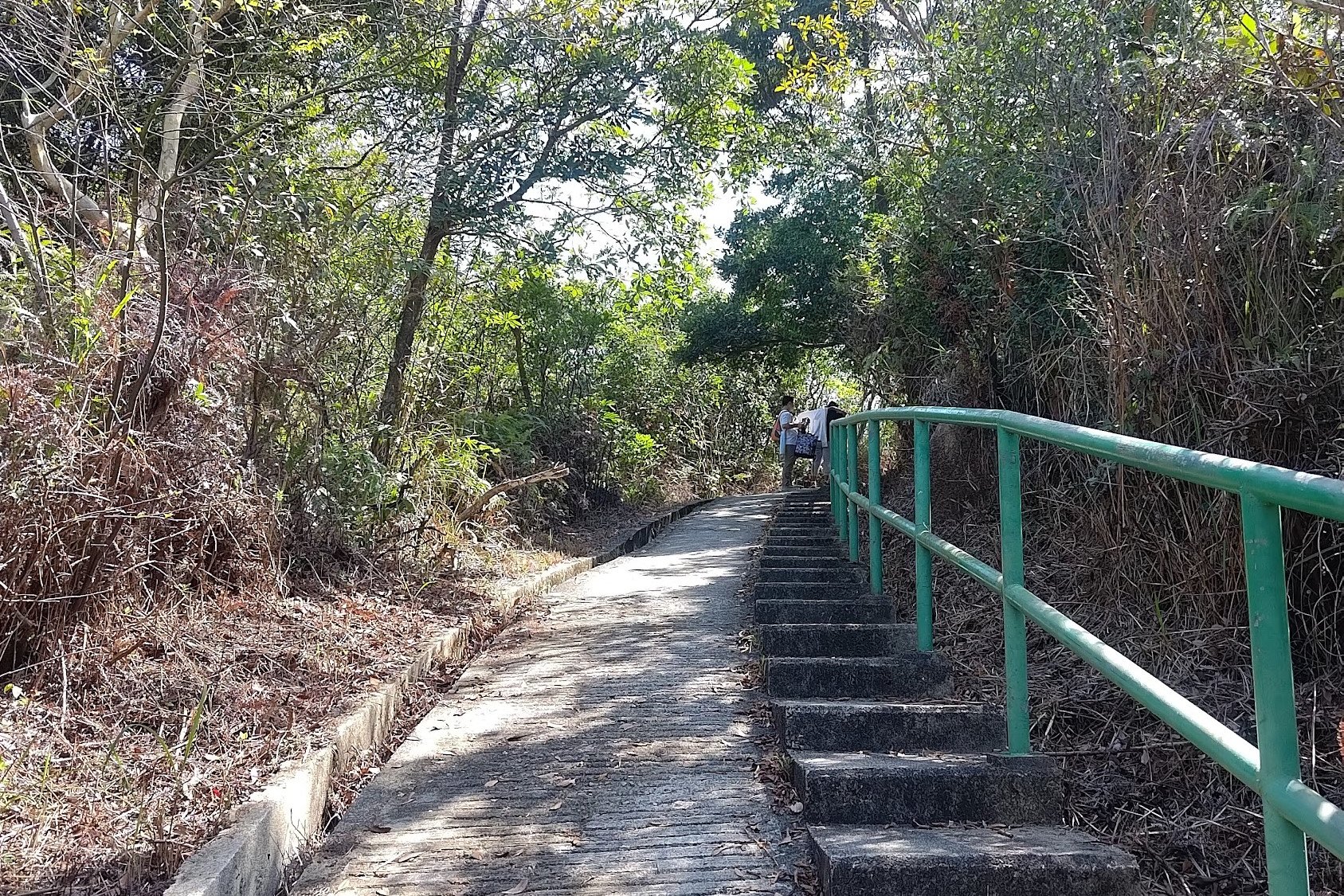
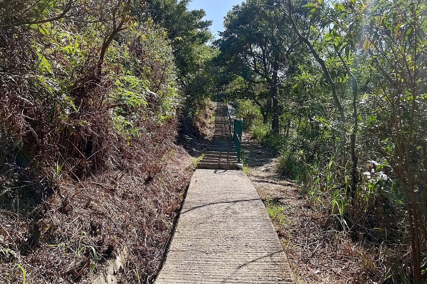
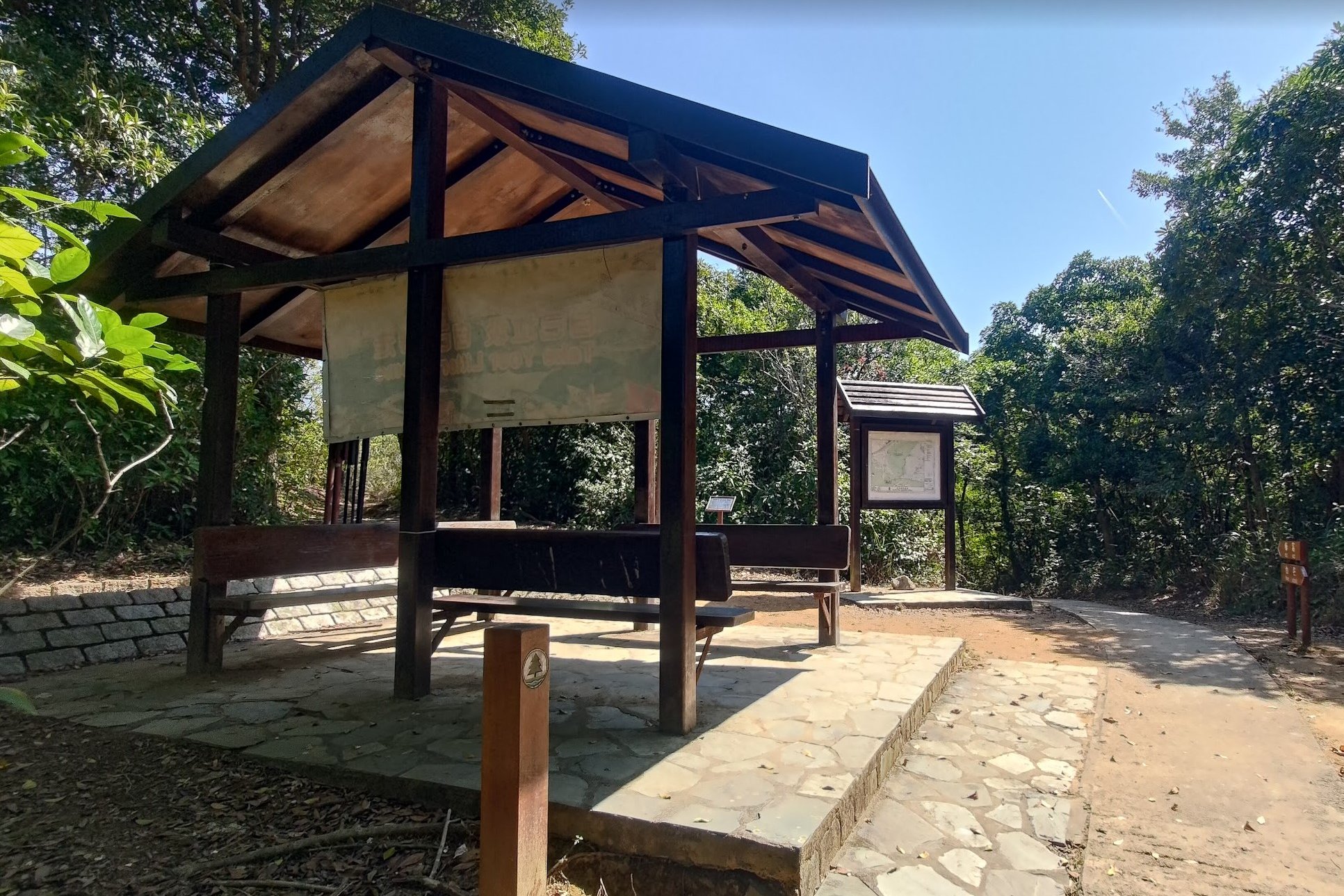
The uphill portion of this hike lasts for about 20 minutes at a decent pace with no breaks. There are a few flat bits between the parts where you need to climb, so it shouldn't be too tough on the legs.
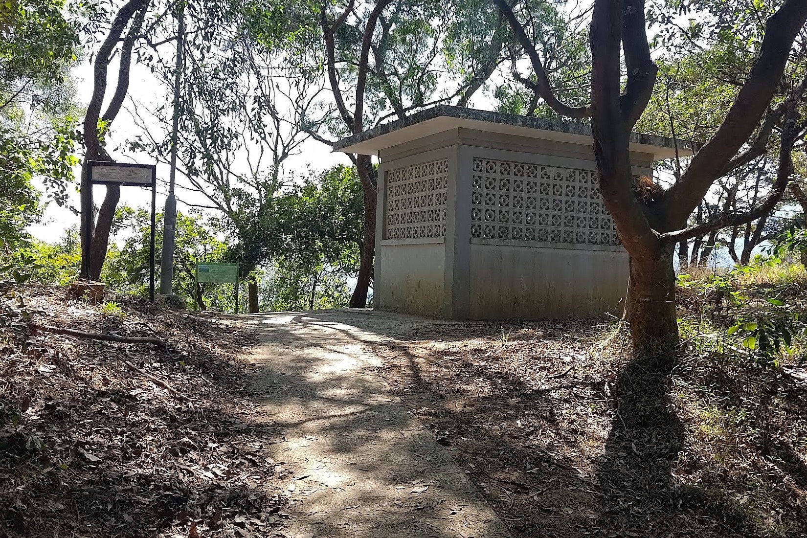
At the top, you'll see a wooden shelter where you can take a break before continuing onward.
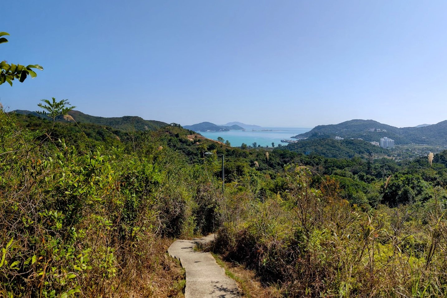
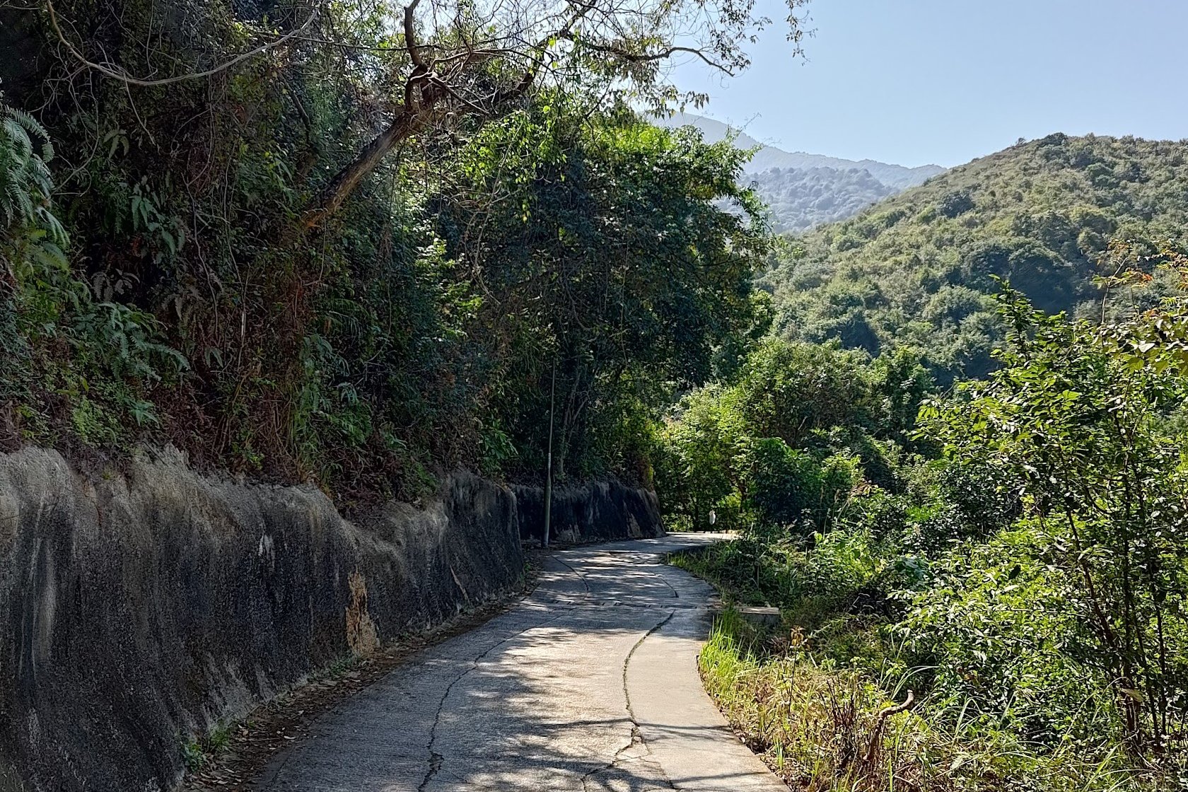
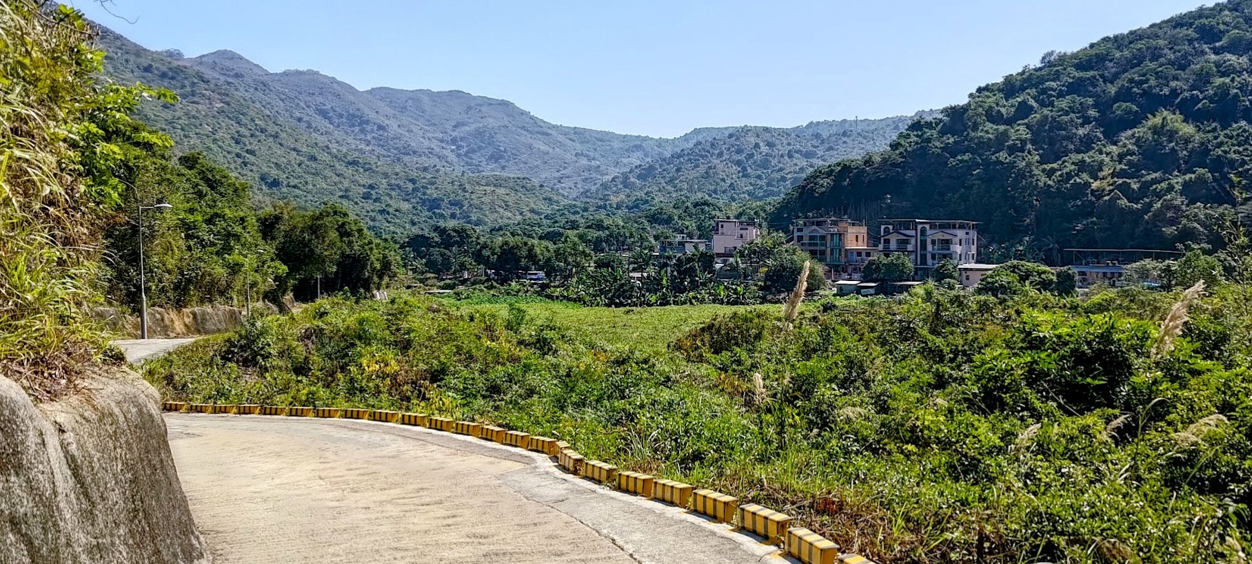
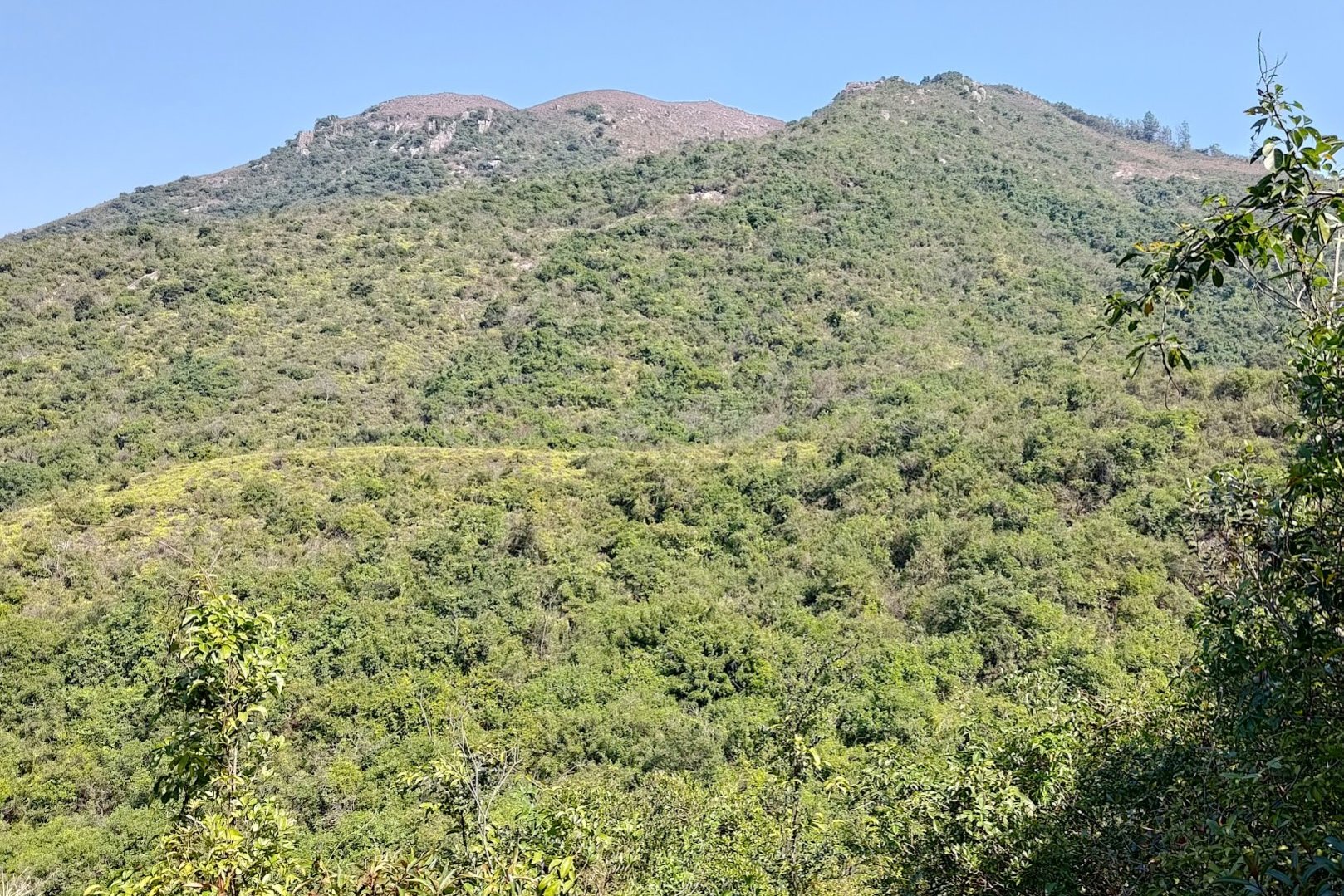
Climbing Downward to the Best Views of the Hike
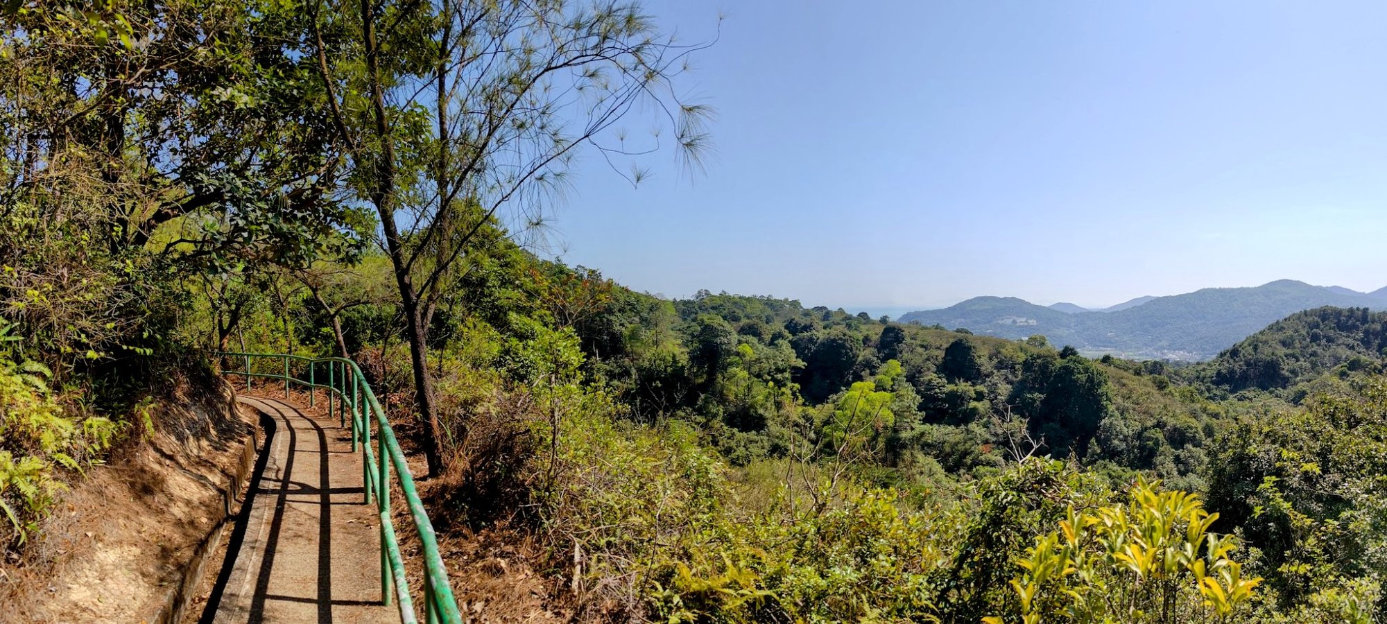
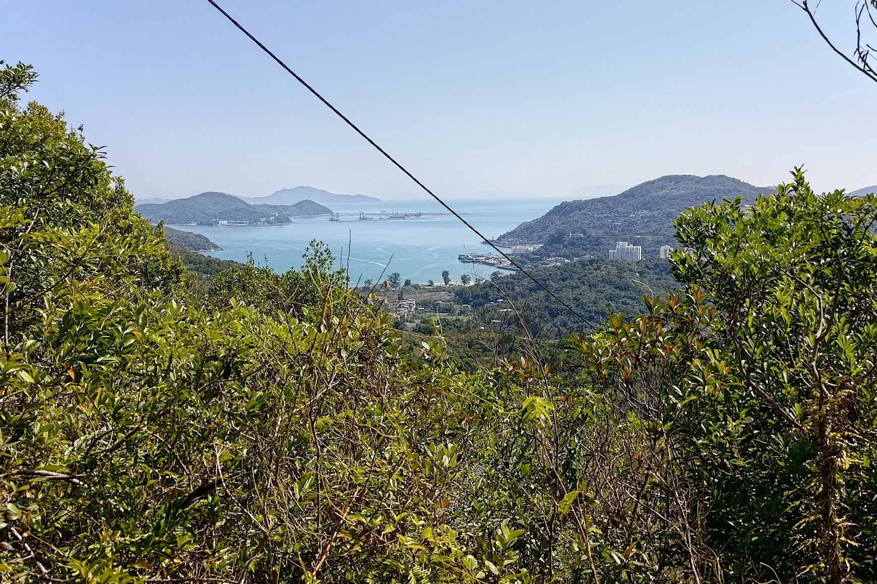

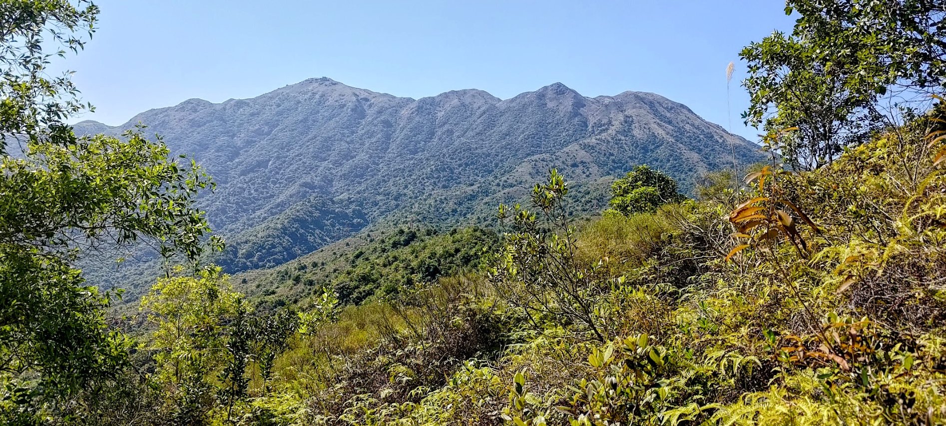
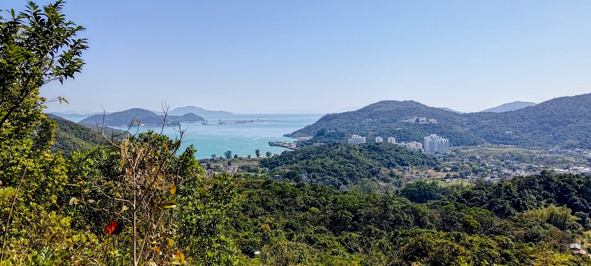
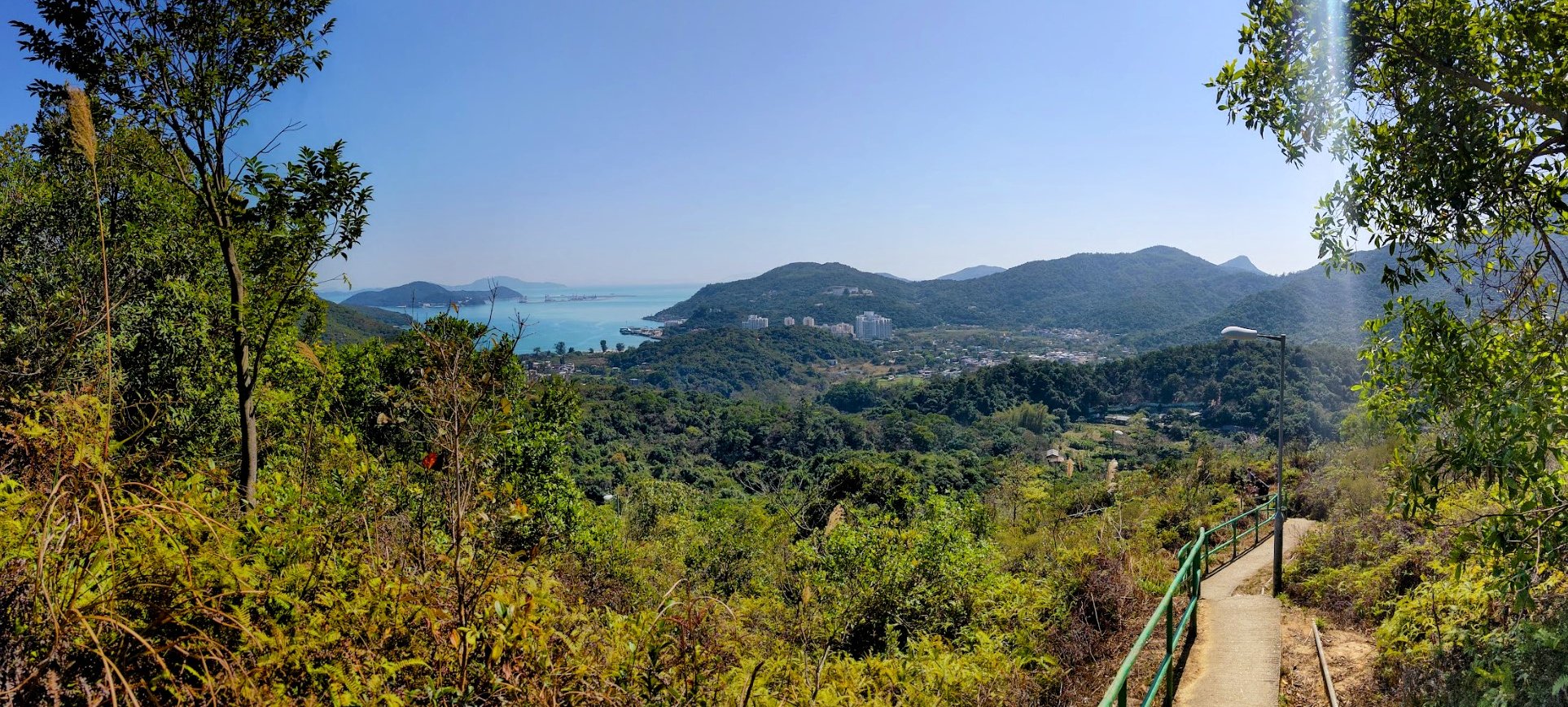
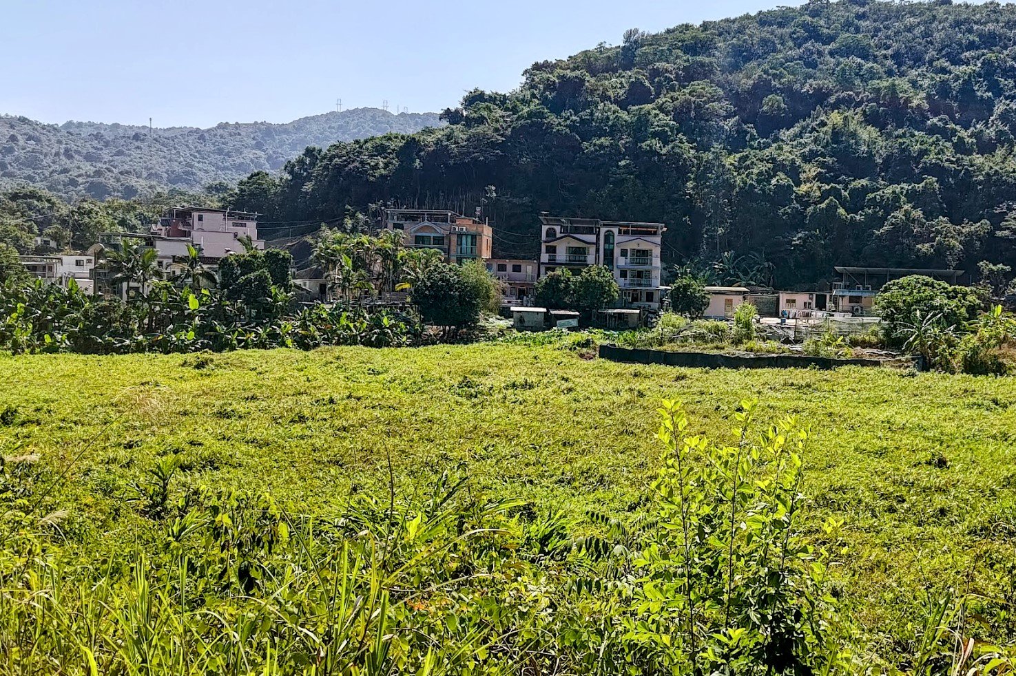
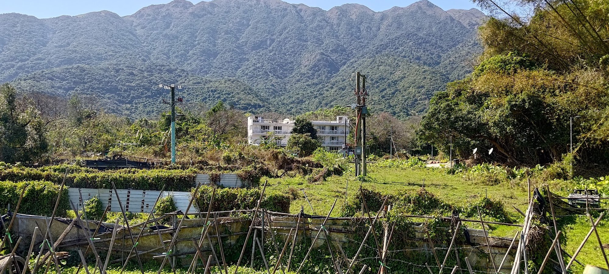
This section of the hike is all downhill. You'll be treated to some awesome mountain views and your first glimpse of Mui Wo in the distance.
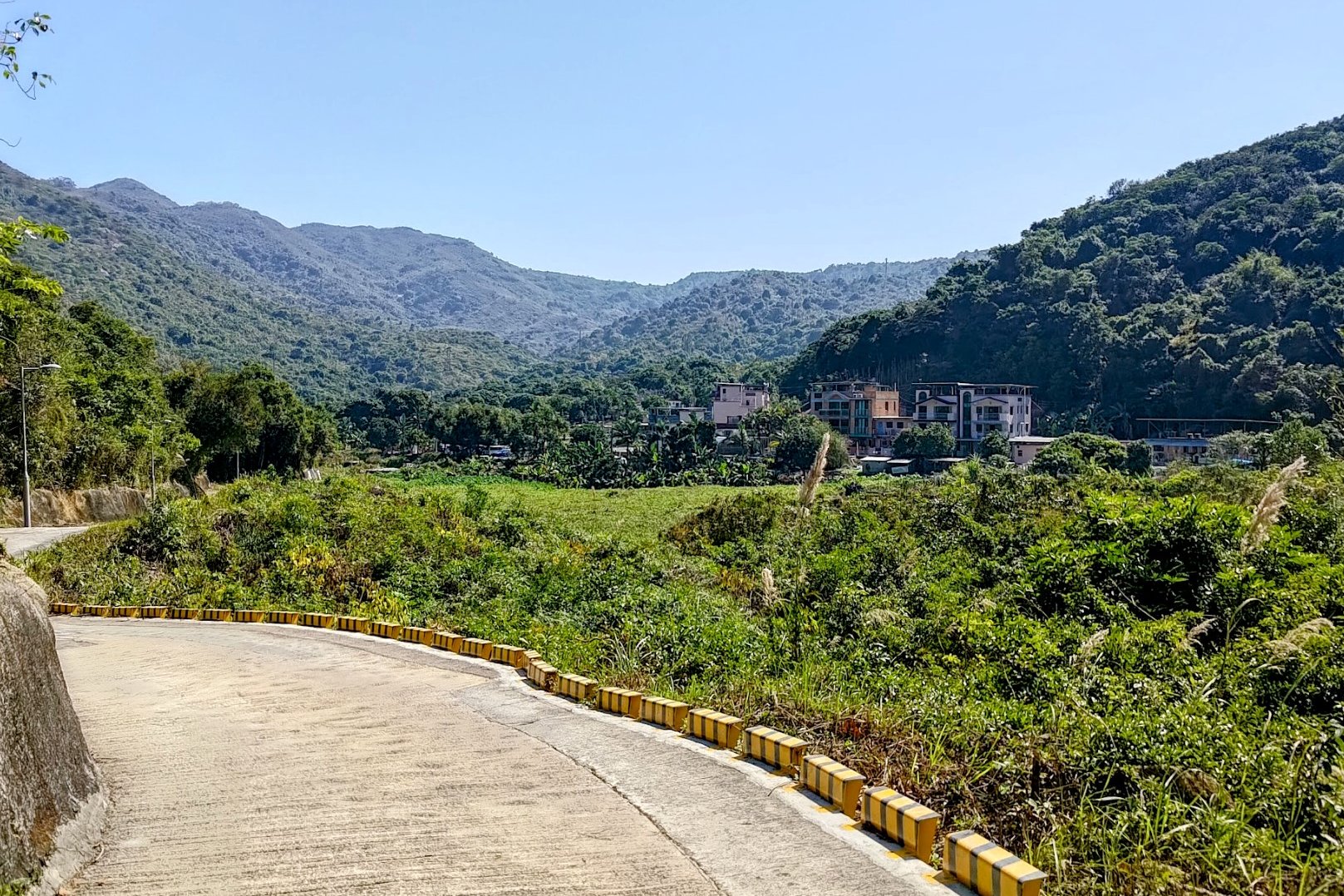
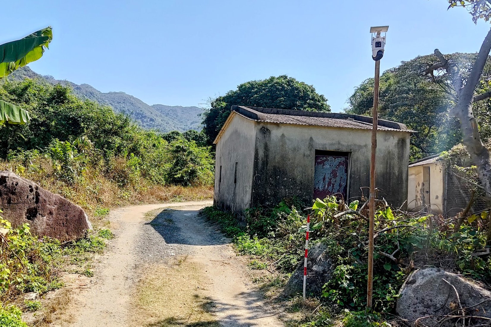
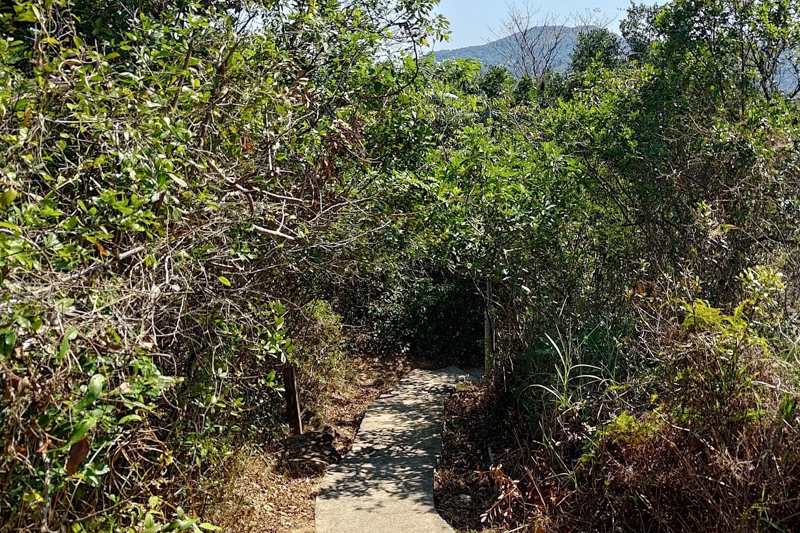
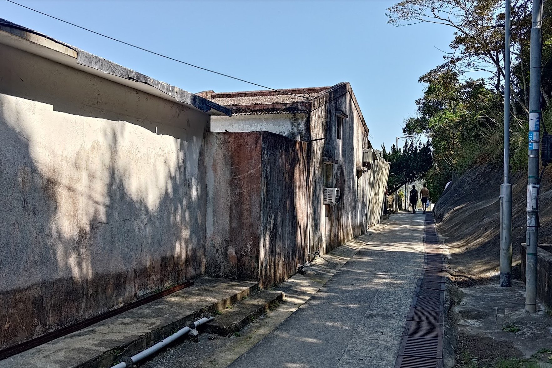
After reveling in the epic views, you'll meander through a shaded forest section of the trail and go past a small village, too. I'm not sure what this village is called, so I was unable to find out much about its history.
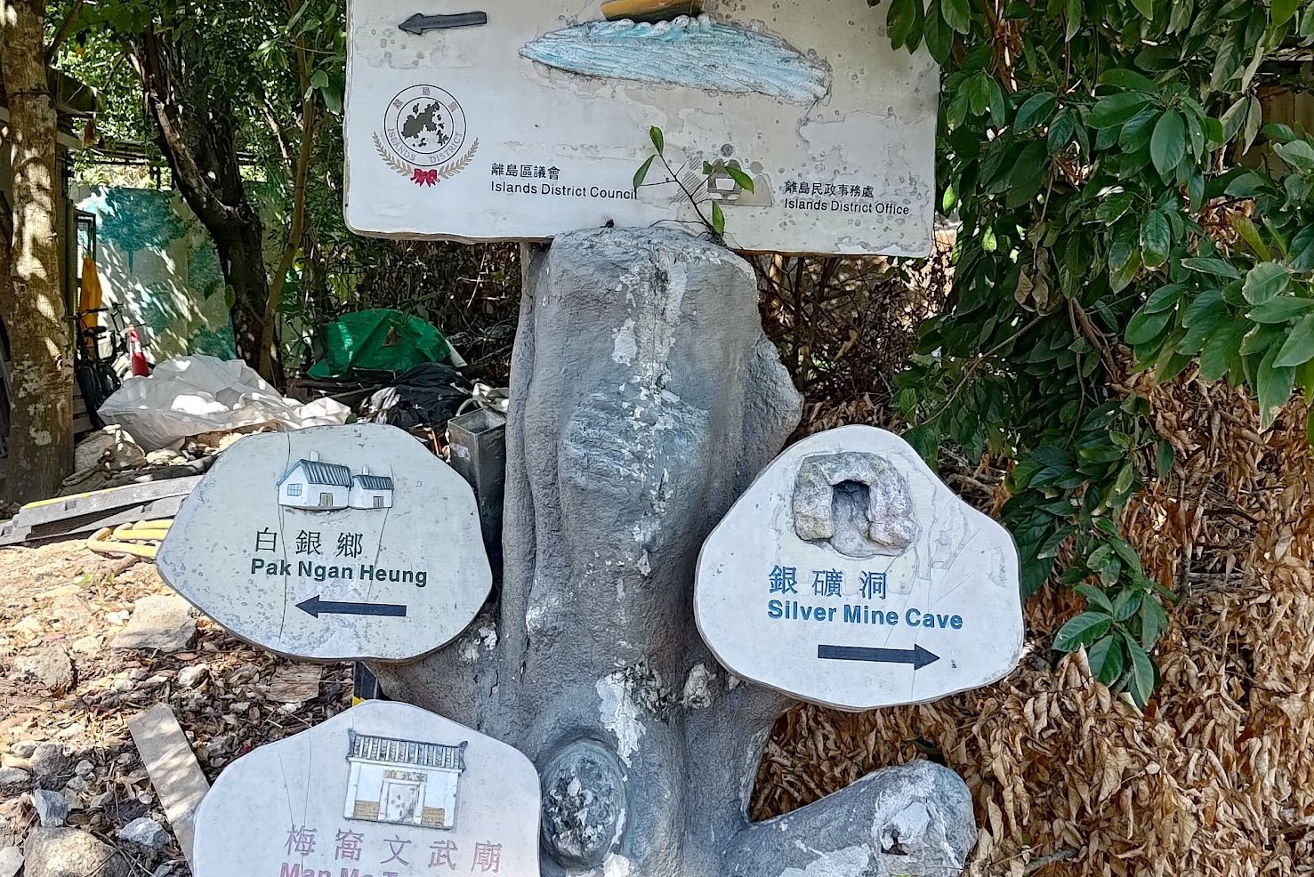
Silvermine Cave and Waterfall
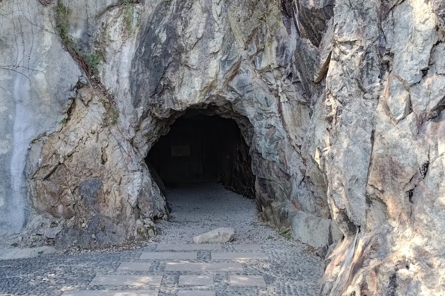
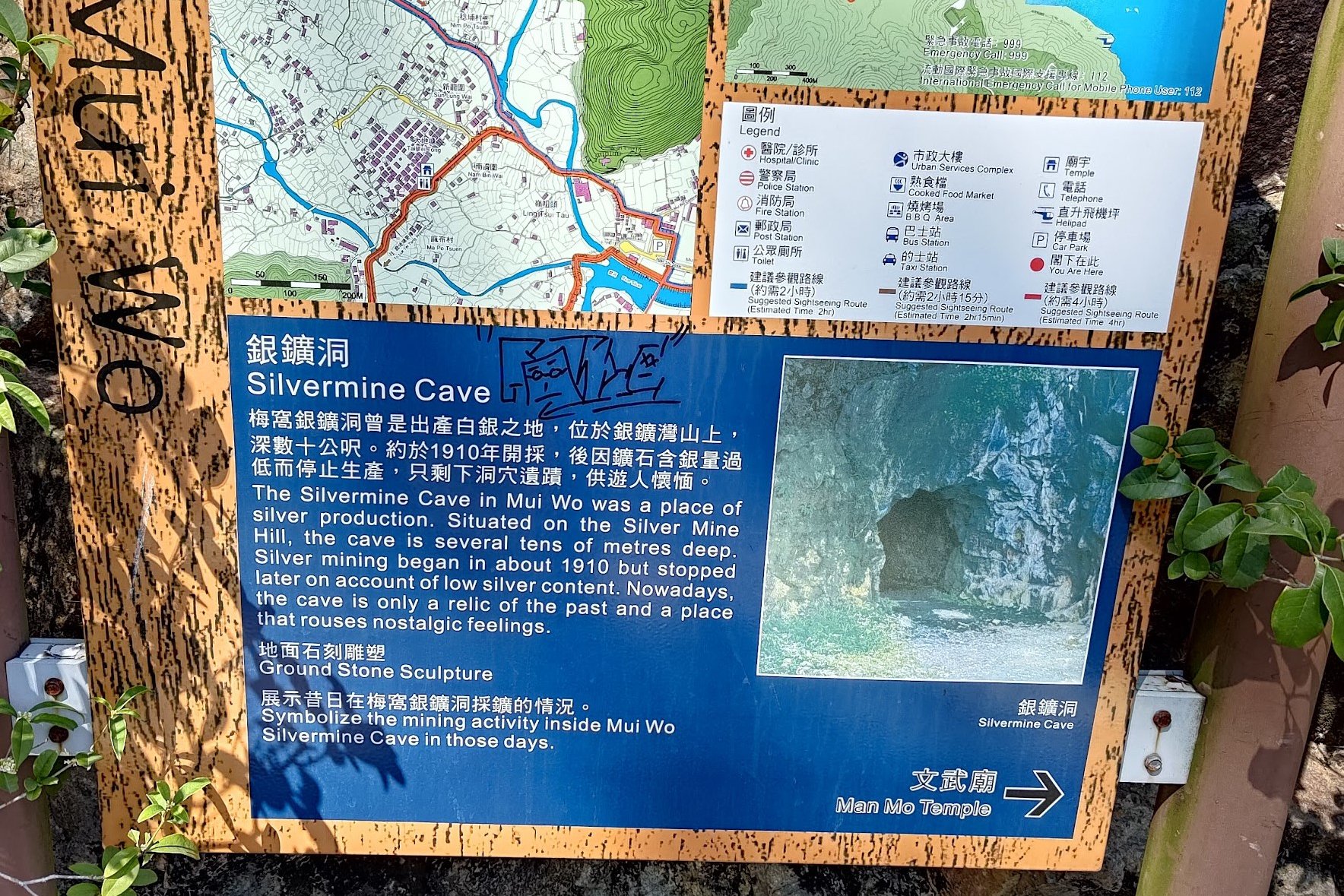
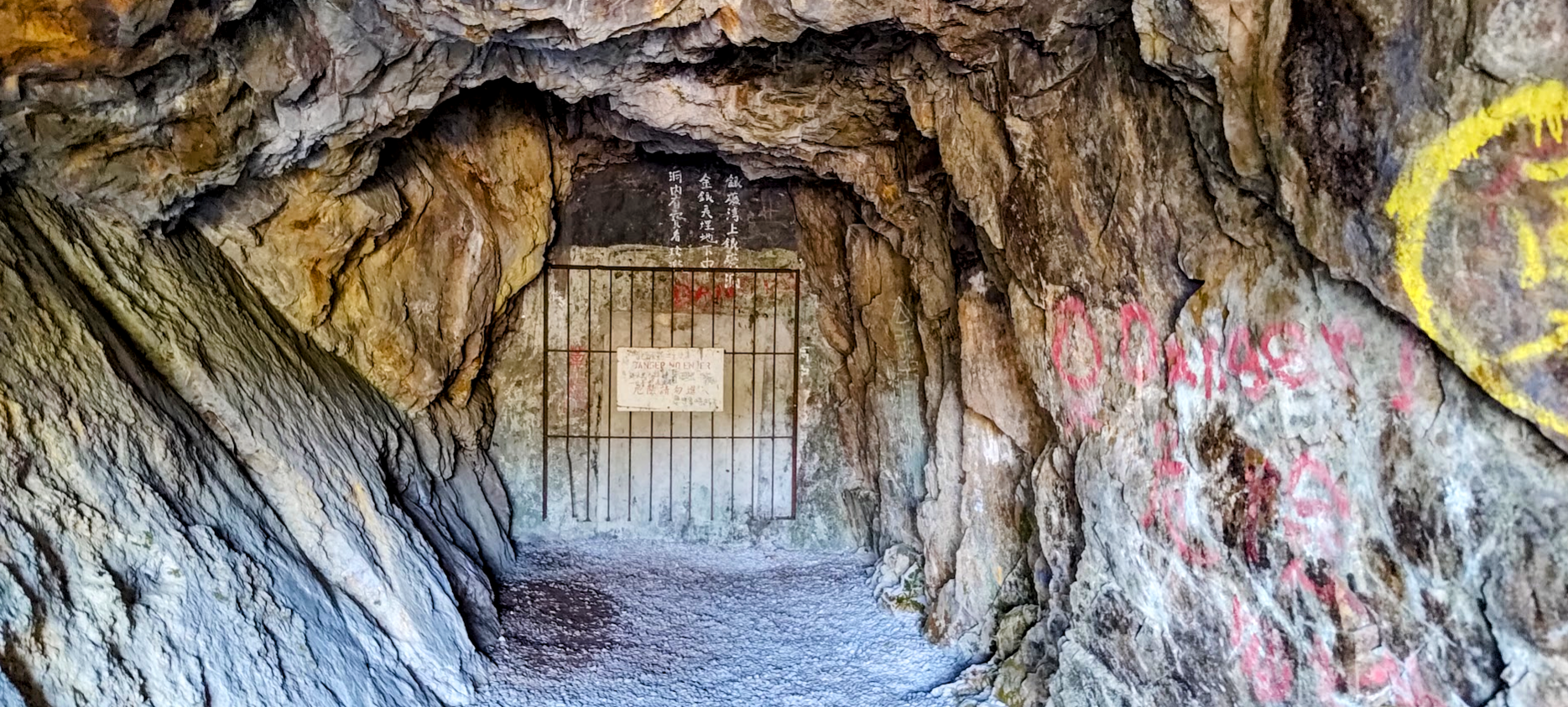
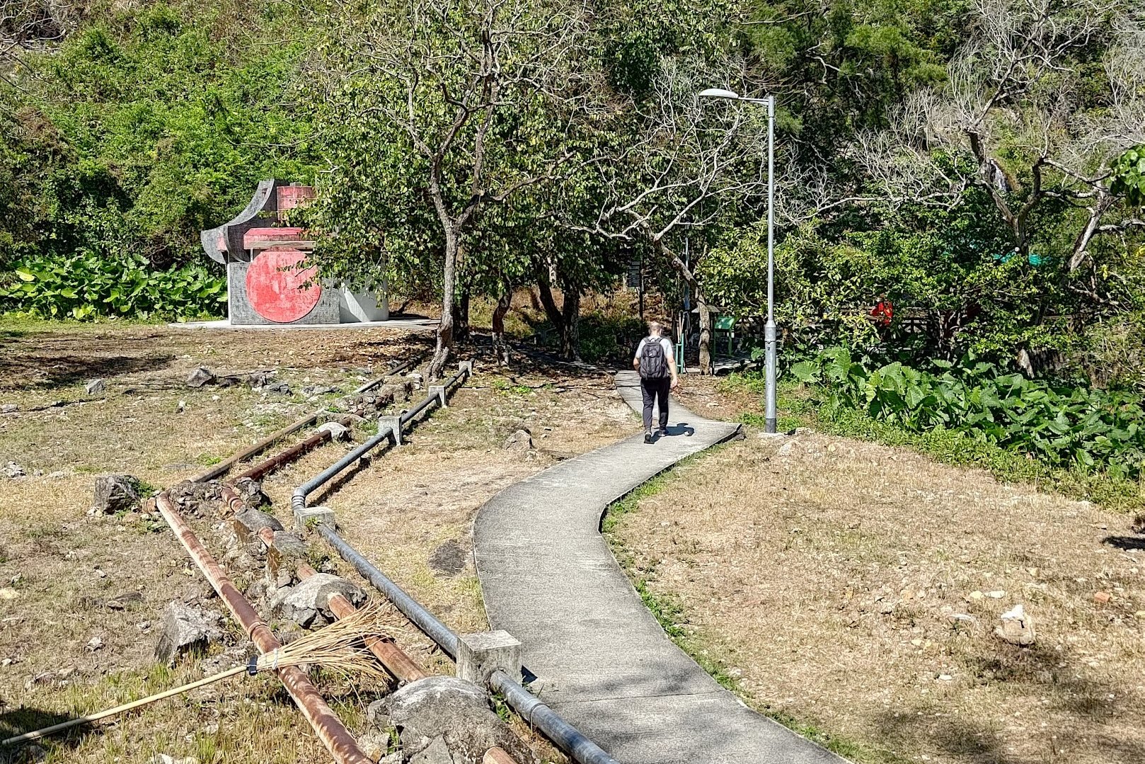
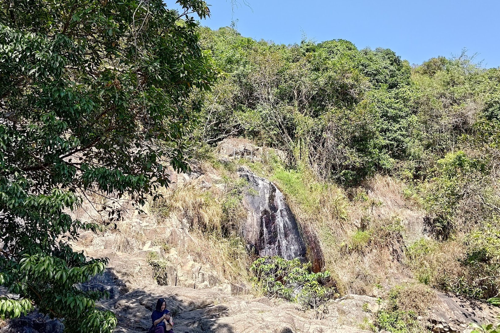

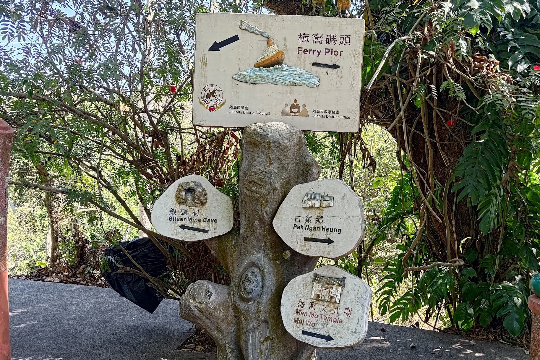
This stretch of the hike is all downhill and rewards your hard effort with the historic Silvermine Cave and the amazing Silvermine Waterfall.
Both points of interest are just minutes away from one another. While Silvermine Cave is really easy to spot, make sure to take the left fork just after the cave so that you don't miss the waterfall!
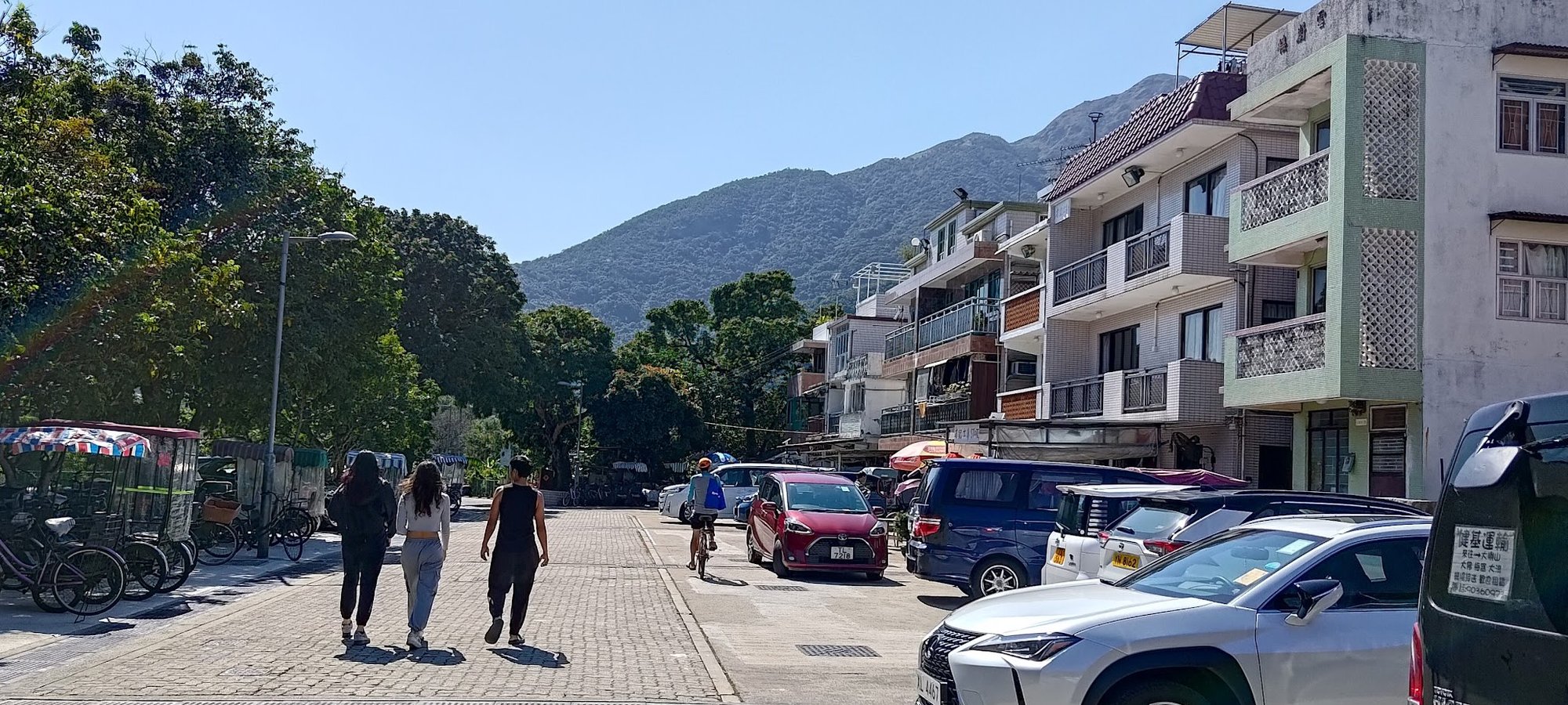
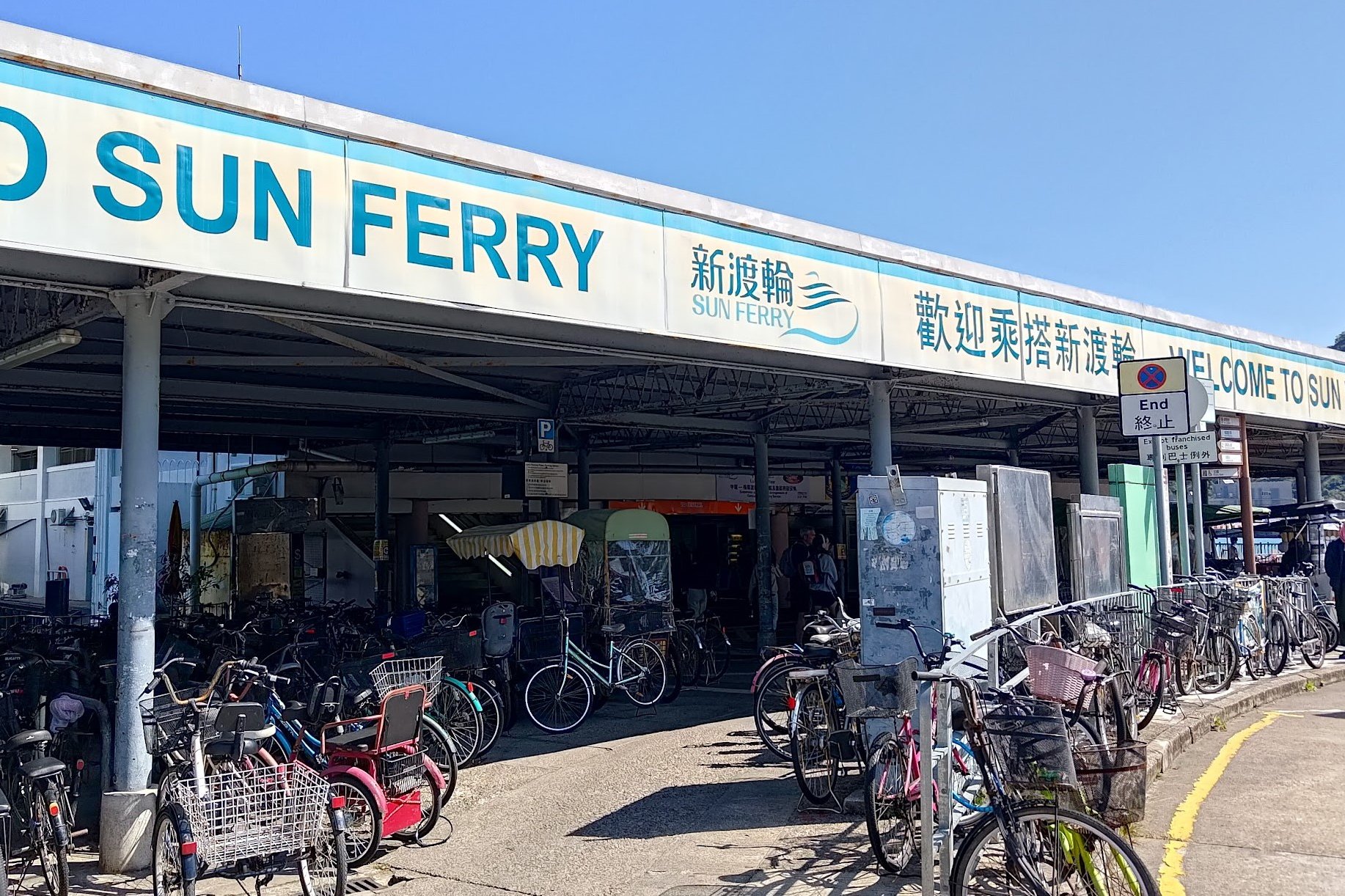
Getting to Mui Wo Ferry Pier
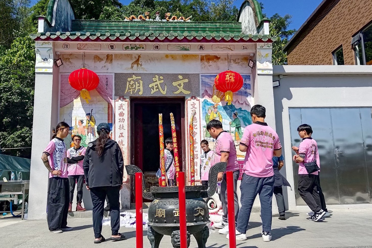
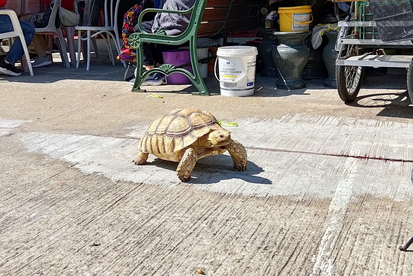
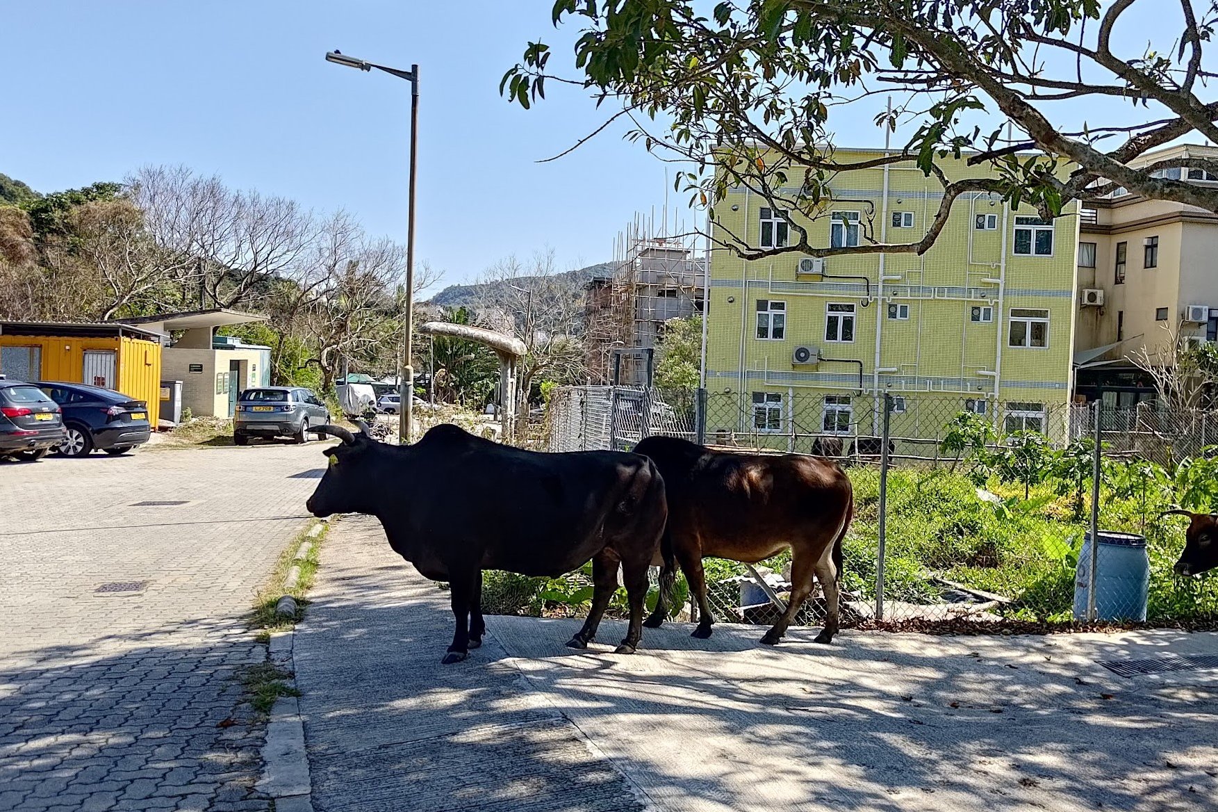

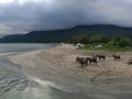
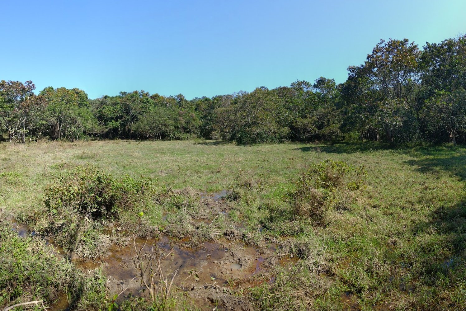
Walking through Tseng Tau San Tsuen Village is a real treat! There are temples, colorful houses, herds of docile cows and even stretches of farmland all vying for your attention! I even got to meet a lovely tortoise that I believe is the spirit guardian of the village!
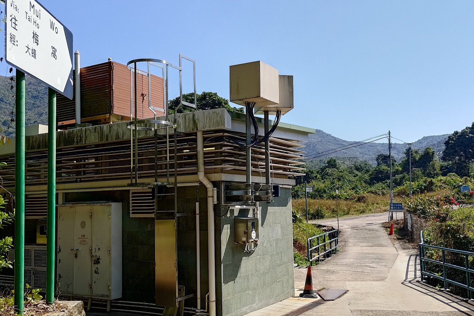
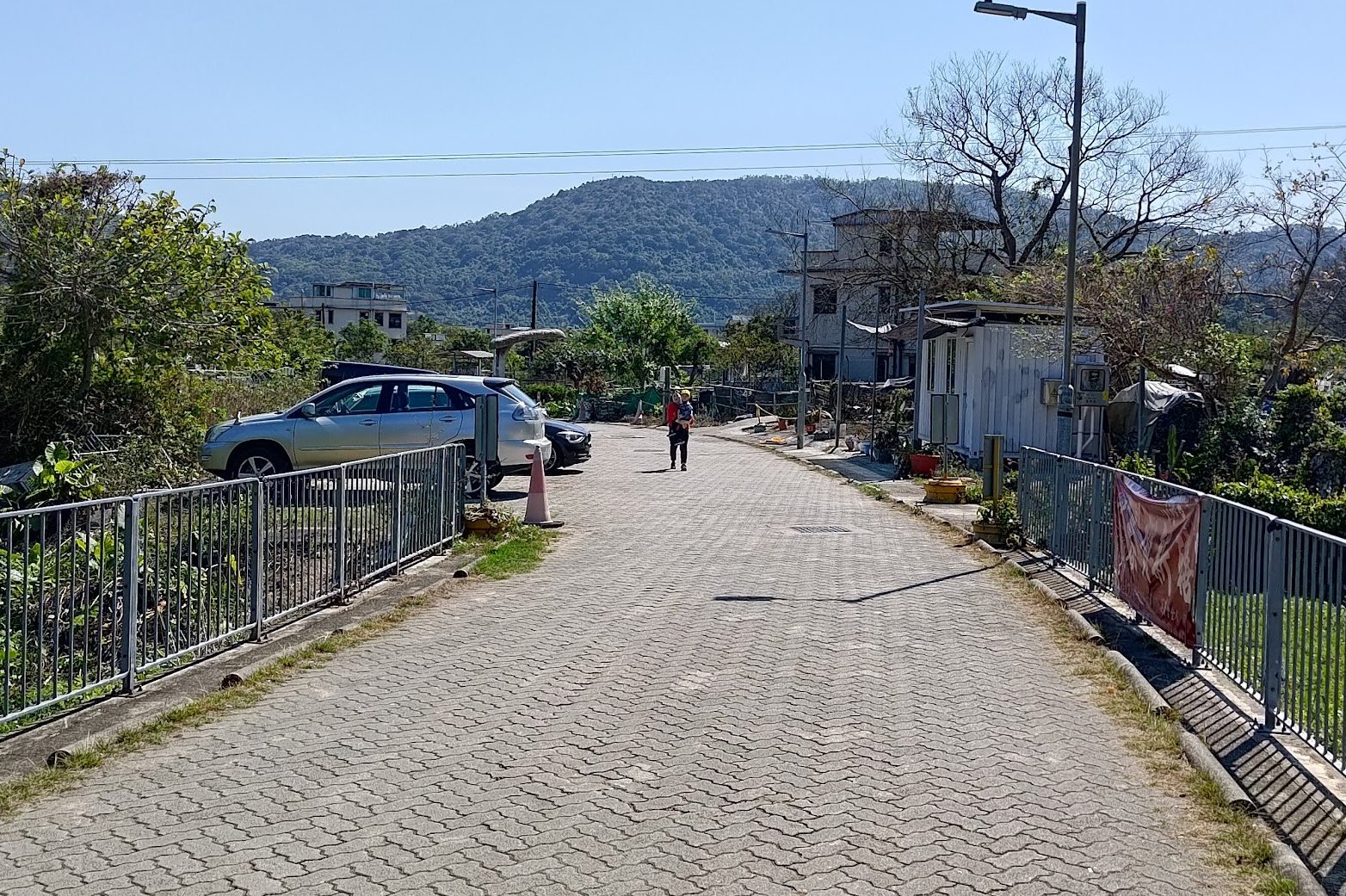
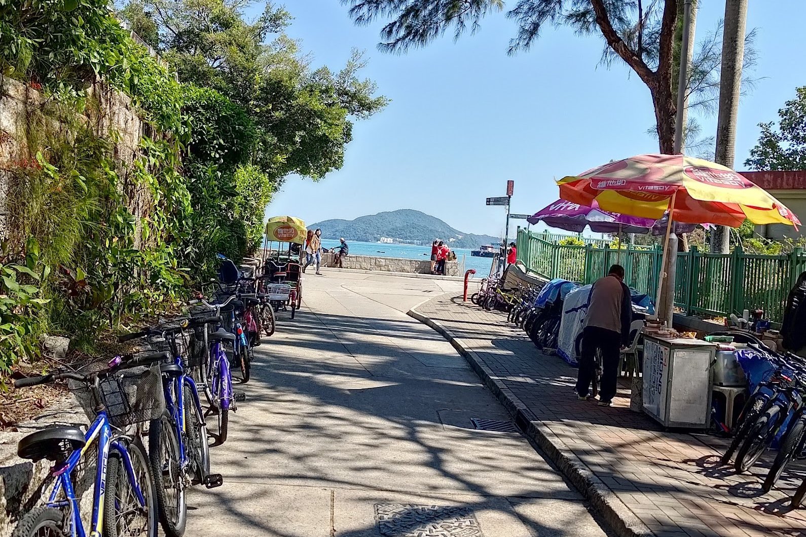
In order to get to Mui Wo Ferry Pier, you'll want to keep following the Islands Nature Heritage Trail - Mui Wo Section (which you can find on Google Maps) until it turns into Mui Wo Rural Committee Road.
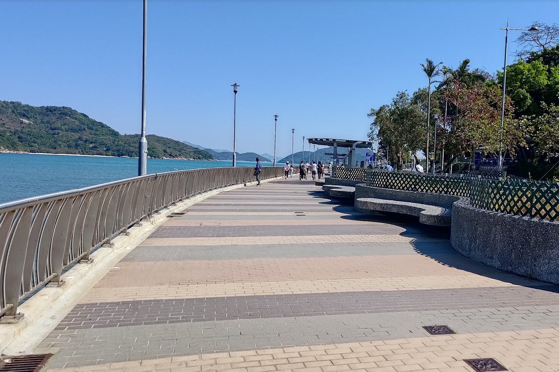
Keep following Mui Wo Rural Committee Road until you reach the promenade by the beach. Take a right from there and just keep following the coast until you arrive at Mui Wo Ferry Pier.
If you have more energy, take a left at the beach and you can continue hiking towards Discovery Bay!
Getting Back
By Ferry
Take the ferry from Mui Wo back to Central. Here's the ferry schedule (you might have to scroll down a bit to find the Mui Wo to Central timetable).
By Bus
Take the 3M bus from beside the ferry pier to Tung Chung MTR station.

