Discovery Bay to Mui Wo: A Mild, Scenic Hike That’s Great for Pre-teen Kids
- Essential Information
- Hike Highlights
- Google Route Map
- How to Get There
- Quick Route Summary
- Detailed Route
- Nim Shue Wan
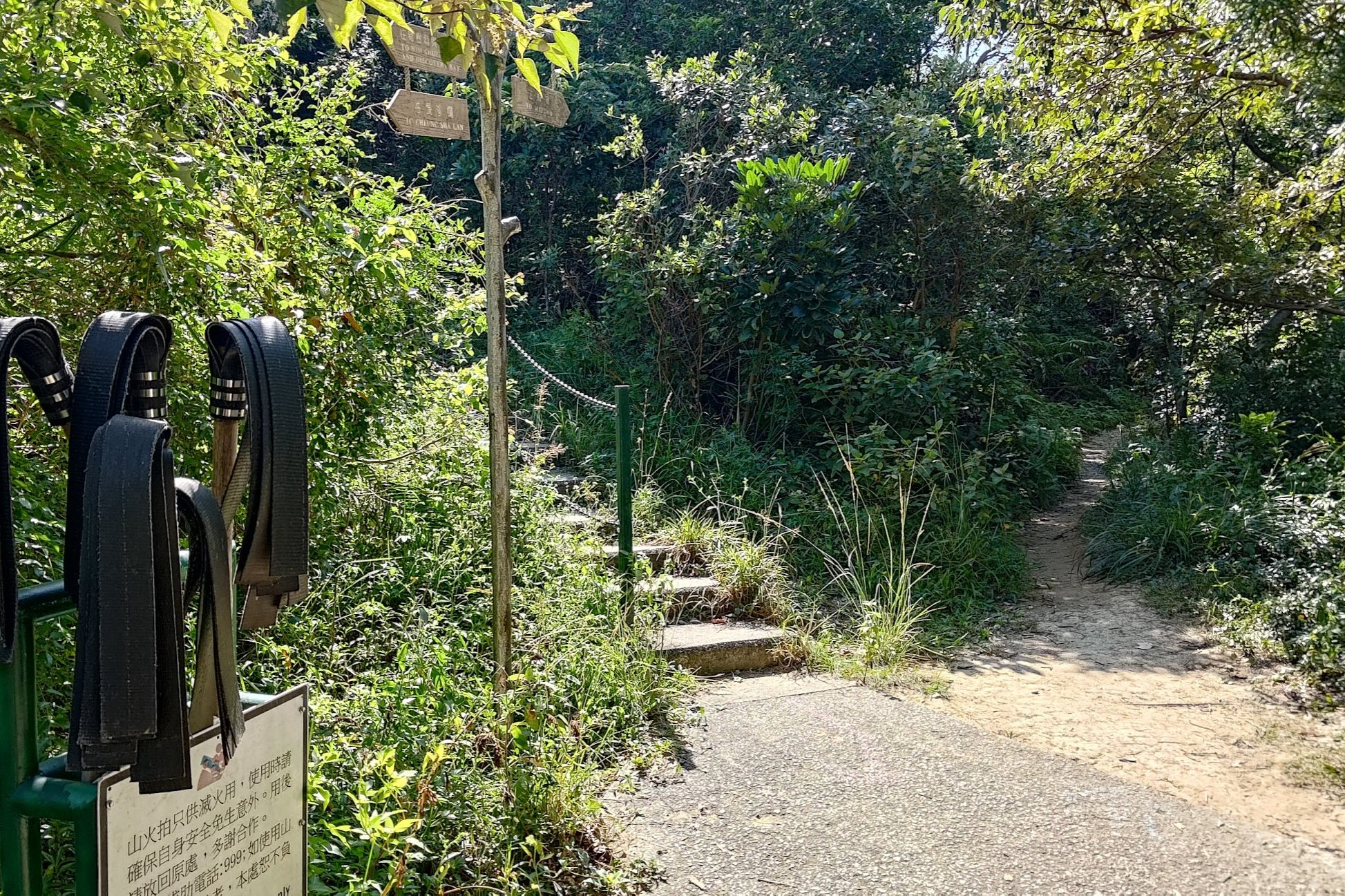
- Cheung Sha Lan
- Optional Detour Left to Secret Beaches and Pier
- Our Lady of Joy Abbey
- The Final Tough Ascent
- 360-degree Views From the Top
- Descending to Mui Wo
- Getting Back
- Too Easy? Continue Hiking to Pui O!
Essential Discovery Bat to Mui Wo Hike Details
- District: Lantau
- Duration: 1.5 - 2 hours
- Distance: 7.3km
- Highest Elevation: 229 meters
- Difficulty: 1.5/5
- Facilities: Toilets available at Discovery Bay Ferry Pier. Make sure to stock up on liquids and food before arriving at the start point
Why Hike from Discovery Bay to Mui Wo?
Discovery Bay to Mui Wo (愉景灣 - 梅窩) is one of those hikes that offers a feast for the eyes no matter what time of year you attempt it.
The hike begins with a gentle coastal walk that takes you past beaches and villages with views that stretch out over the South China Sea. The village portion of the hike also has plant nurseries and farming areas, which are great education spots for kids!
Pretty much the entire hike is on paved concrete, so there are no real technical sections that require special training, equipment or experience. Apart from a steep uphill section toward the end, much of the hike is flat or inclines gently.
Of course, when you do expend all that effort to climb the only mountain of the hike, you're rewarded with vistas extending all the way to Hong Kong Island on a clear day.
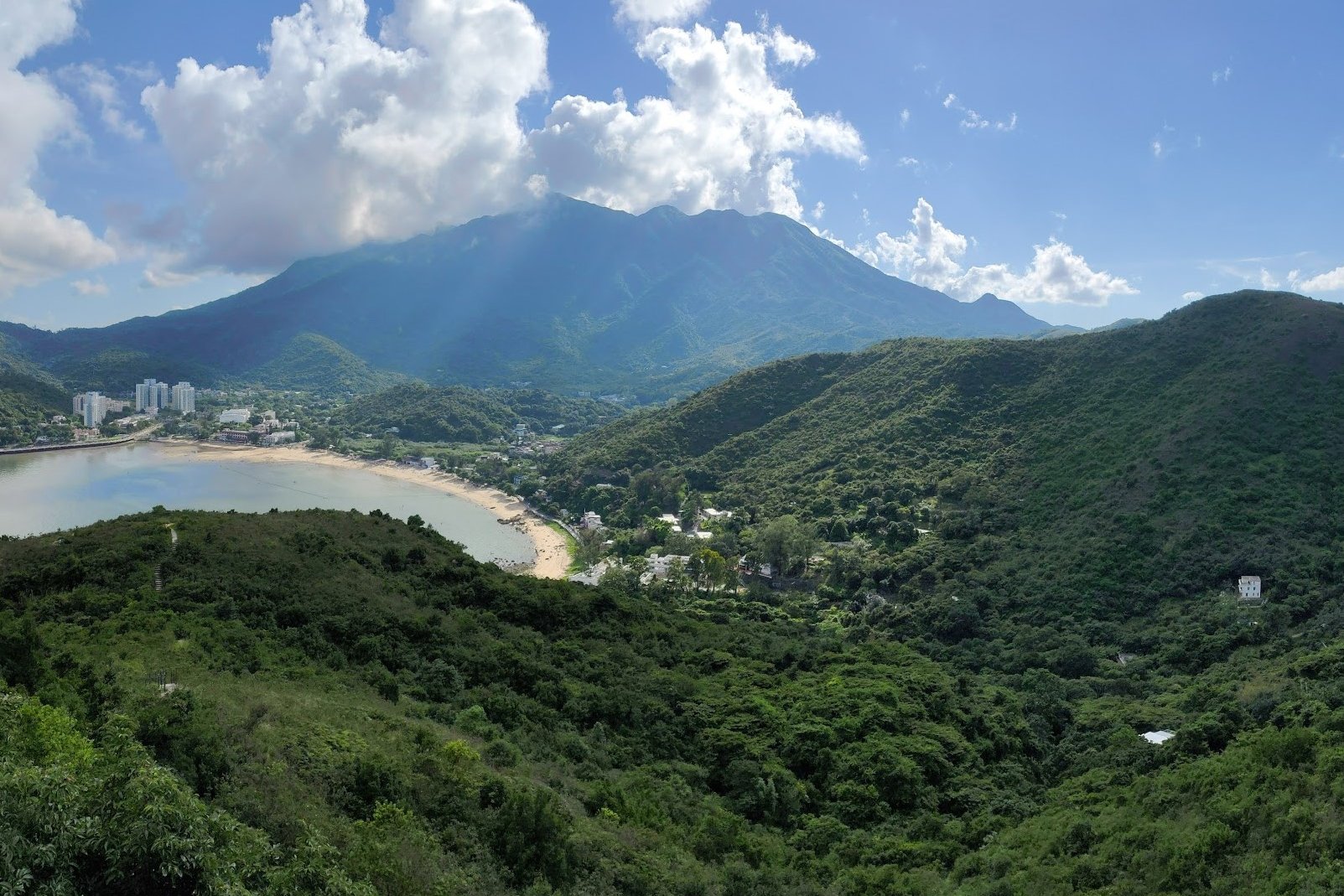
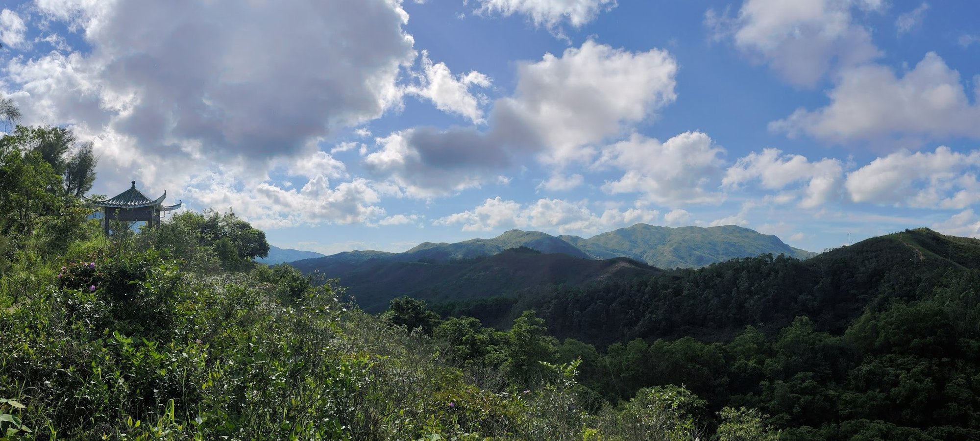
You'll then descend down toward Mui Wo, which is framed by Lantau's impressive mountains in the backdrop - they look particularly stunning in autumn!
Google Route Map
How to get to Discovery Bay - The Start Point
By Ferry
Take the ferry directly to Discovery Bay from Central Ferry Pier number 3. Here's the map coordinates for pier 3.
The hike starts from Discovery Bay Plaza (as soon as you get off the ferry).
By Bus
You can take the MTR to Tung Chung Station and grab the DB01R bus to Discovery Bay Plaza
Quick Discovery Bay to Mui Wo Hike Route Summary
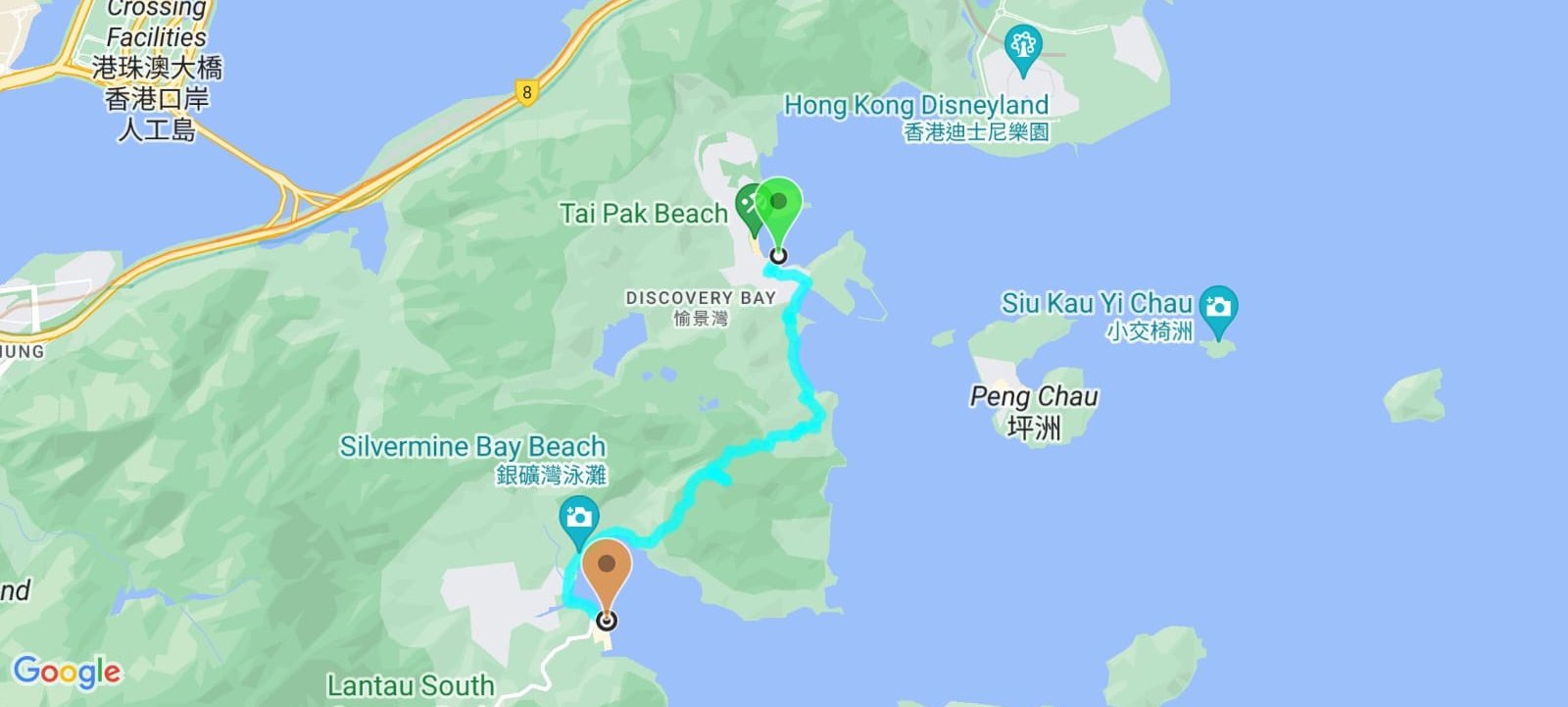
- After arriving at Discovery Bay, walk in a straight line towards the curved building with the square hole in it
- Upon entering the curved building, turn left and take the exit, walking through the bus terminus to Discovery Bay Road
- Head left on Discovery Bay Road for 5 minutes until you see Marina Drive on your right
- Turn into Marina Drive and look for a concrete path with a rusty fence to either side of it
- Follow the path past Nim Shue Wan Beach and into Nim Shue Wan Village
- In the village, follow the signs to 'Mui Wo', ascending slightly
- Descend back down to Cheung Sha Lan beach, which you will have to walk onto and then turn back up a short distance later to connect back onto the hiking path
- Continue along the coast for 5-10 minutes and begin ascending
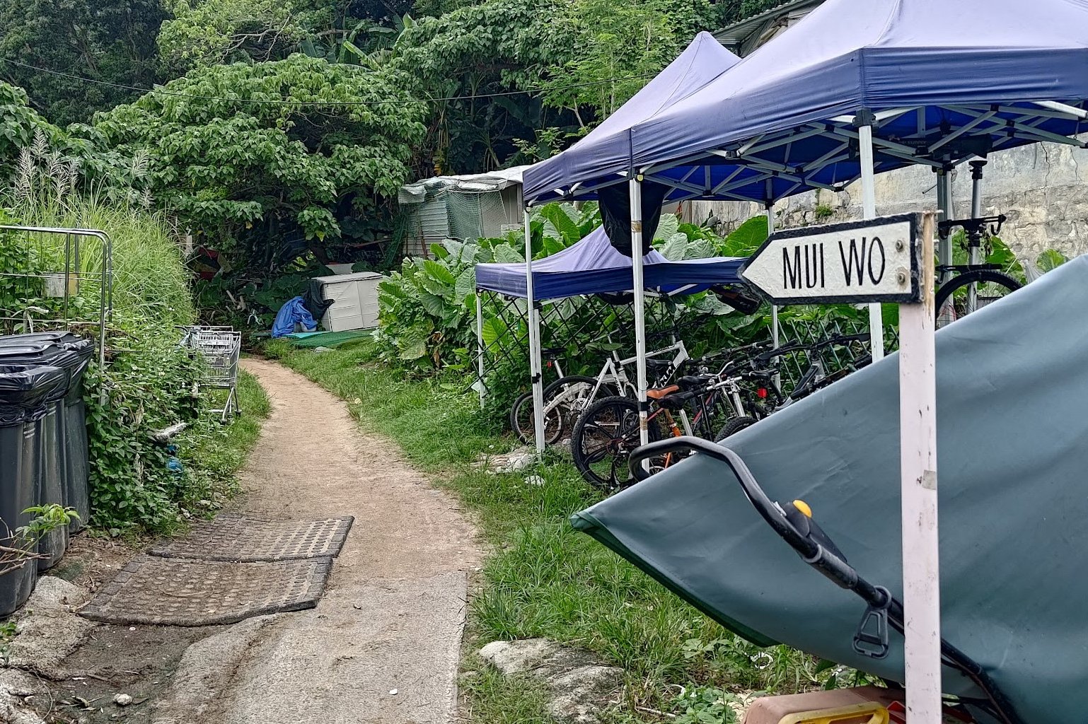
- You'll see another tiny village as you ascend. Keep climbing and follow the signs to Mui Wo
- A few minutes later, turn right at the fork. There's a sign at the fork pointing you to Mui Wo, as well
- Perhaps 10 minutes of climbing later, you'll arrive at Our Lady of Joy Abbey
- After going past the abbey, make sure to take the small path with a little wooden sign pointing to Mui Wo
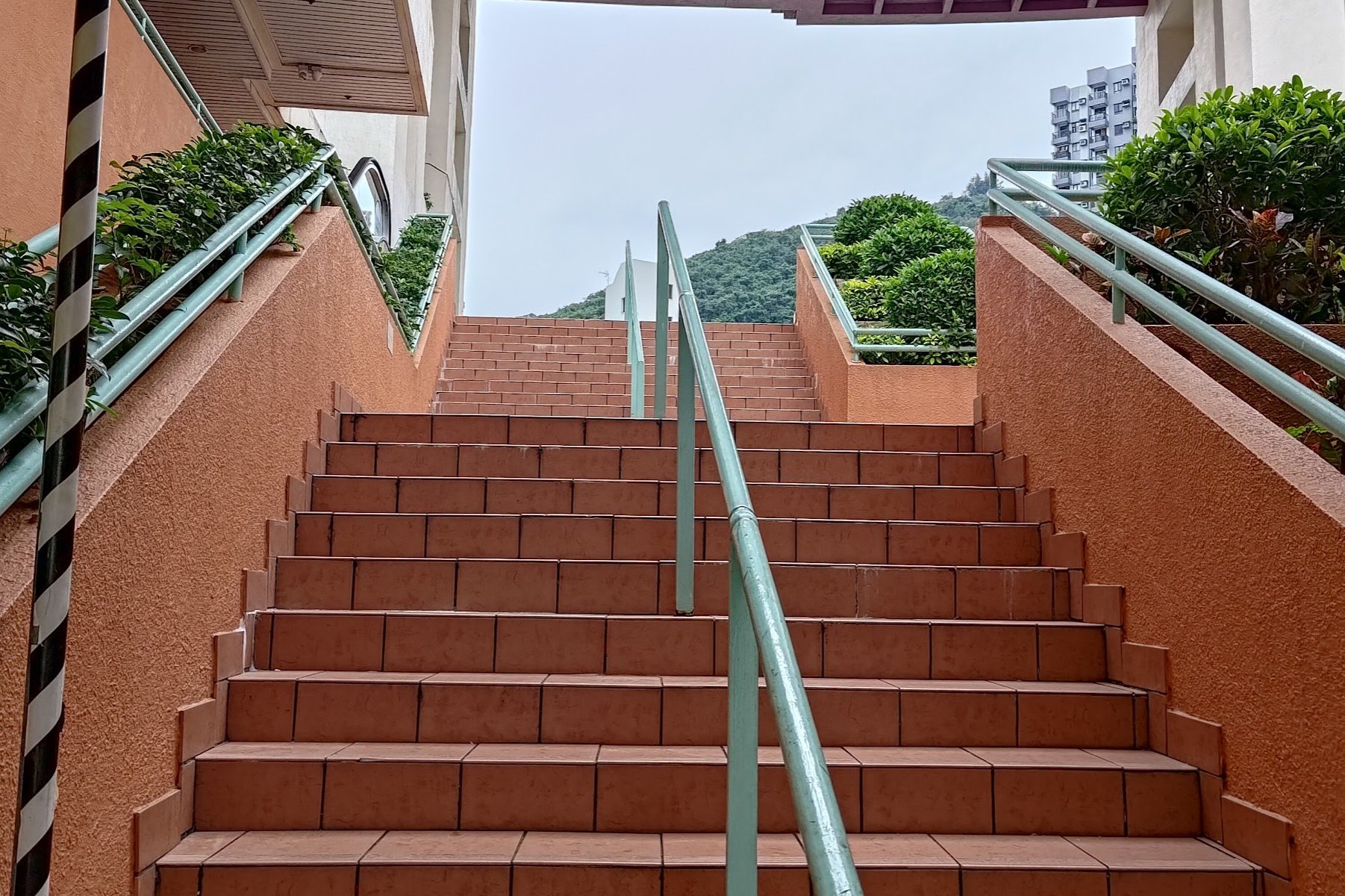
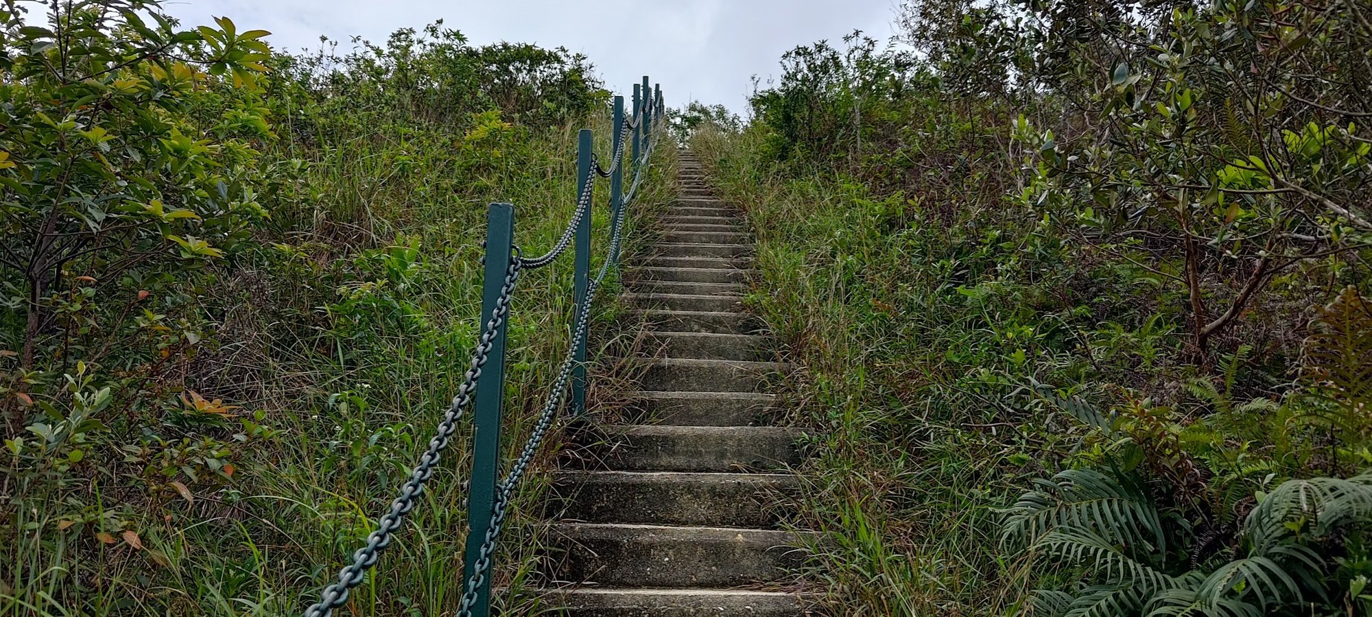
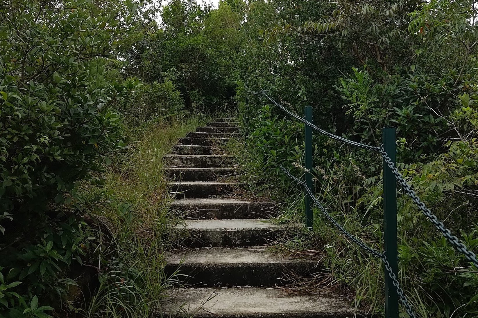
- Another uphill section begins soon after. Keep climbing until you come across a steep set of stairs with a sign pointing to Mui Wo next to them
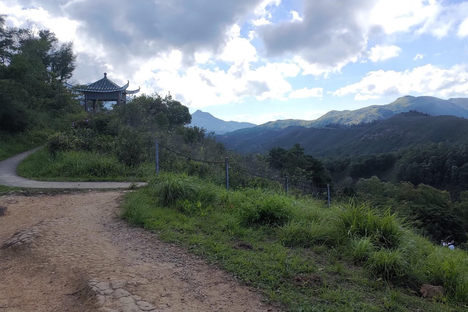
- Climb the stairs and explore the grassland at the top. When you're done, take the stairs behind the little pavilion (very close to where you ascended from)
- Descend all the way to Mui Wo
- Walk along the coast until you arrive at Mui Wo Ferry Pier
Discovery Bay Ferry Pier to the Hiking Trail
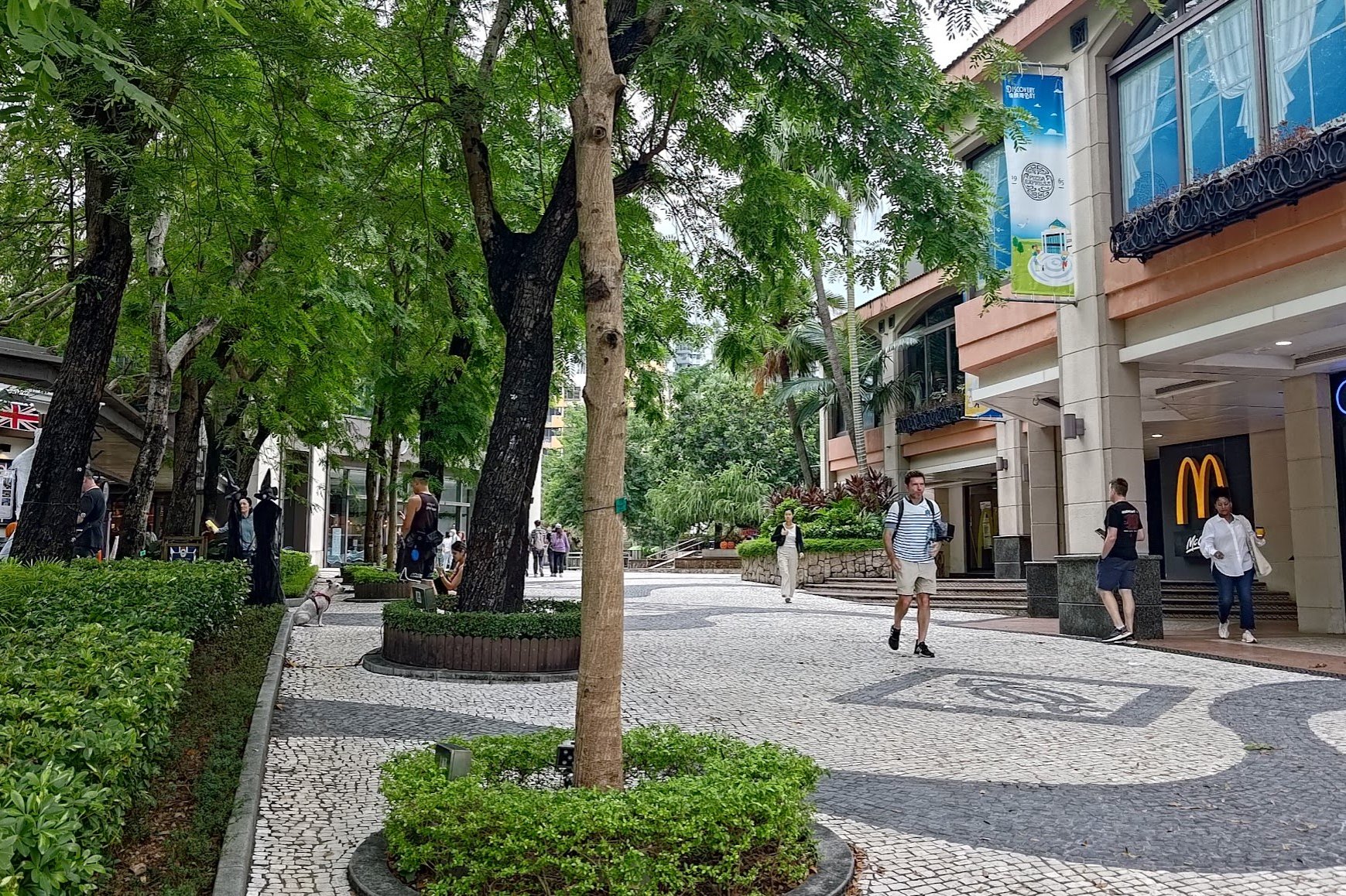
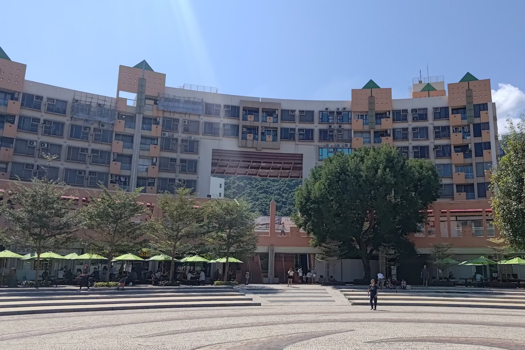
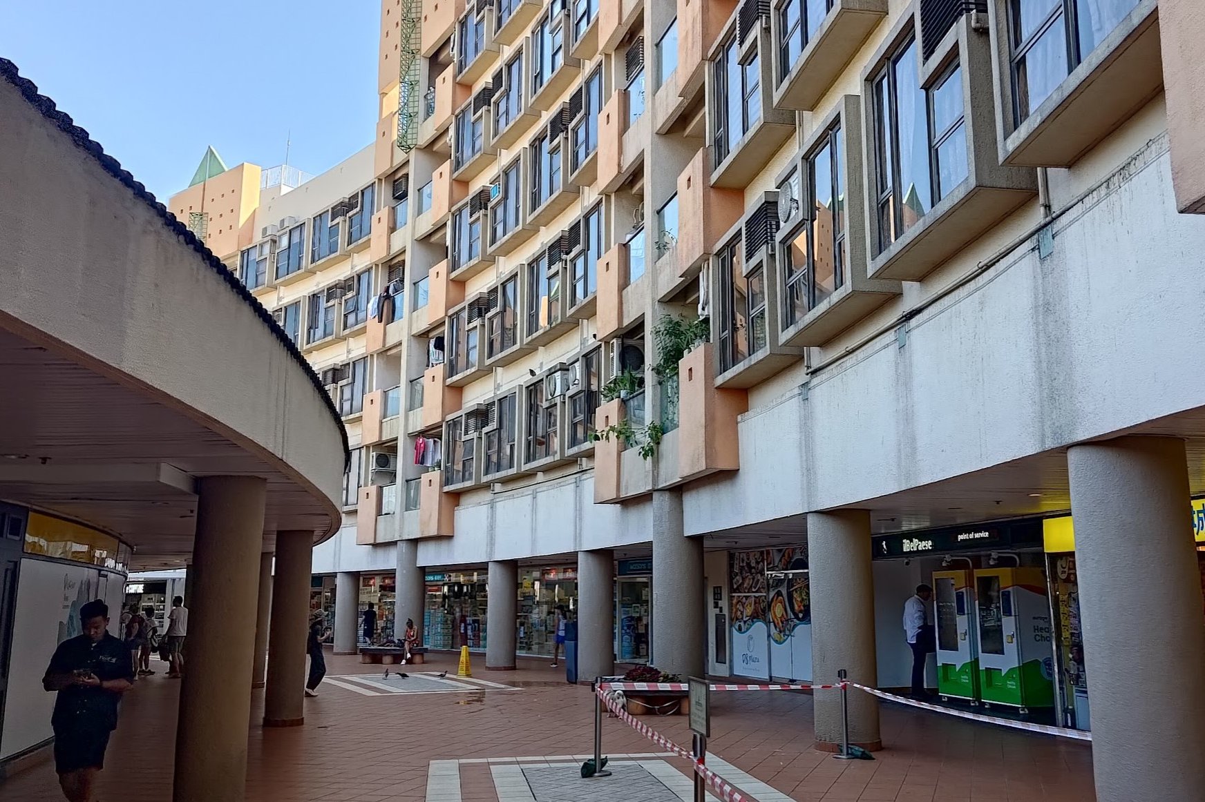
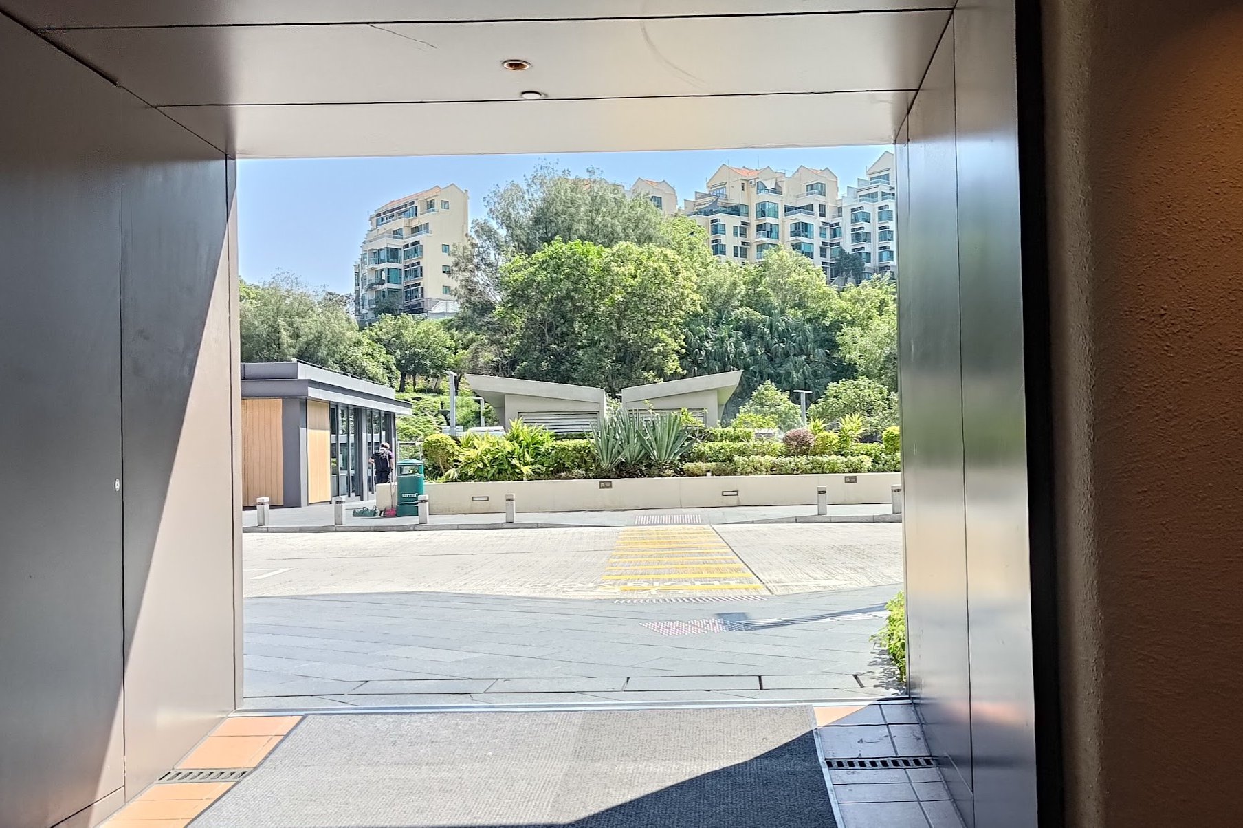

After arriving at Discovery Bay, walk straight through Discovery Bay Plaza until you see a long, curved building.
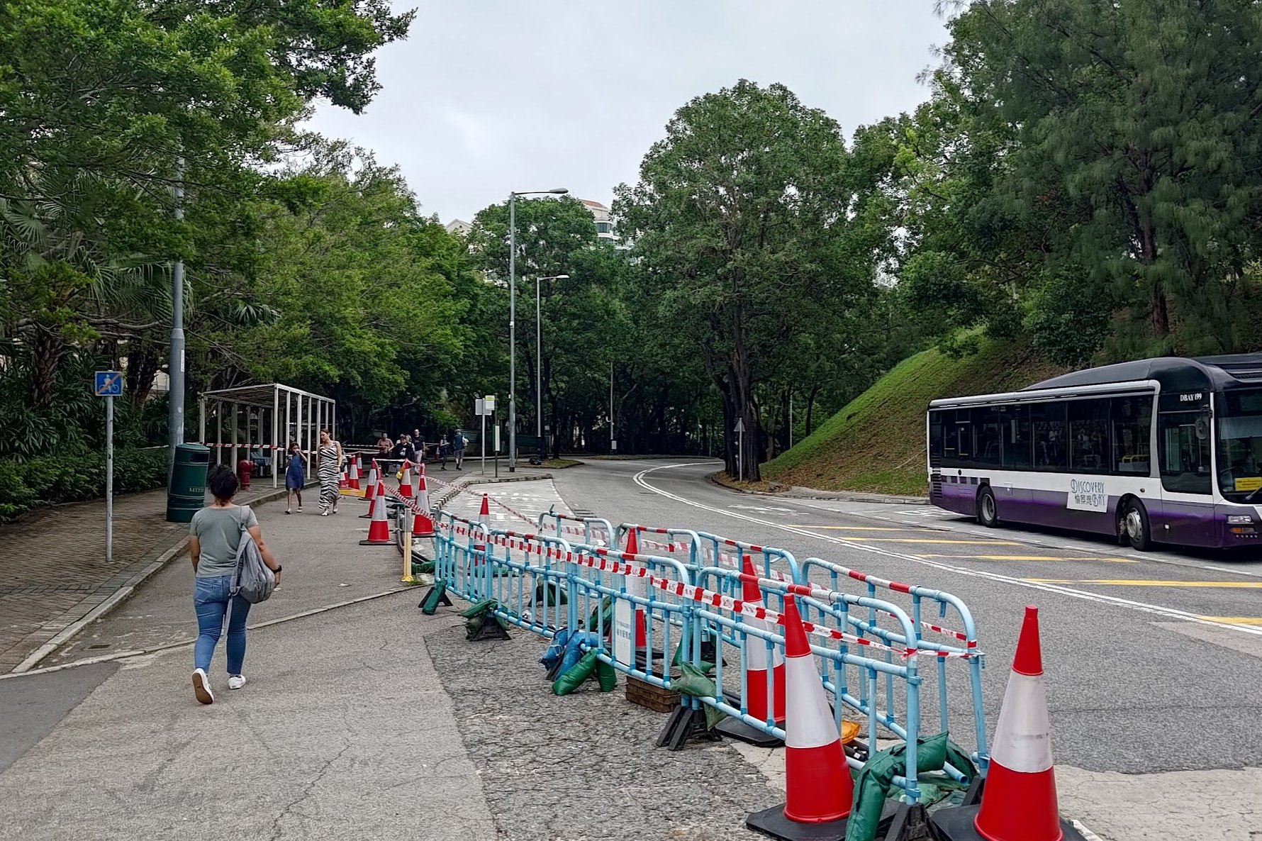
Take the stairs up into the curved building and head left. Near the end, you'll see an exit on your right. Walk through the bus station outside to arrive at Discovery Bay Road.
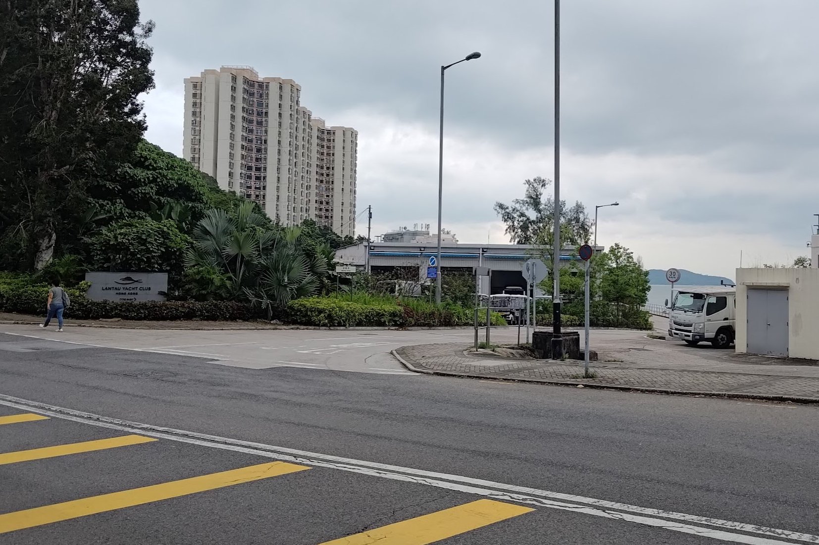
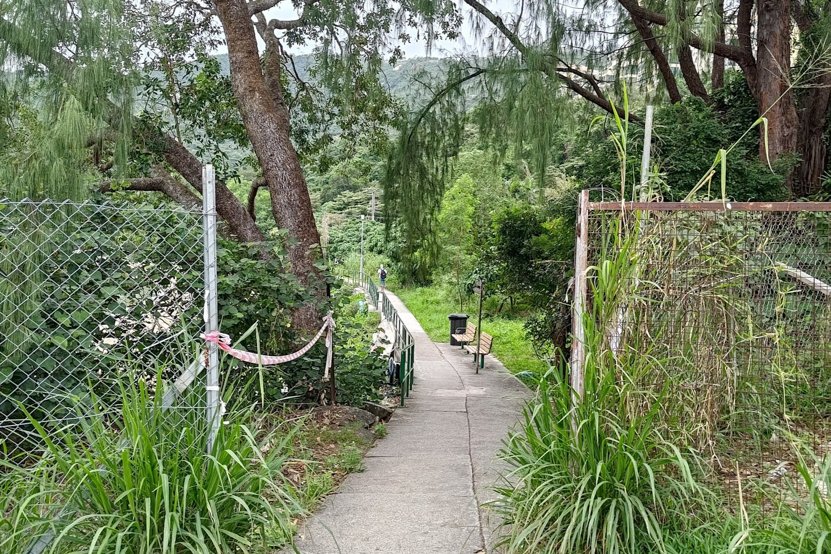
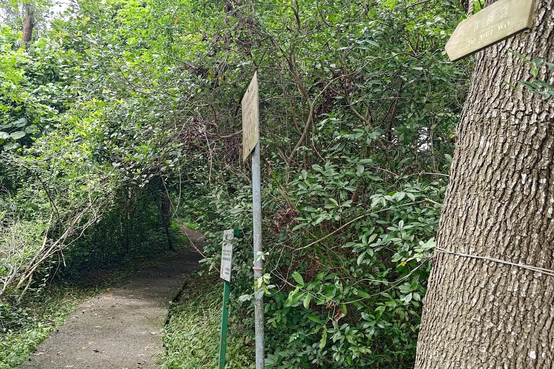
Turn left down Discovery Bay Road and in about 5 minutes, you'll see a sign for the Lantau Yacht Club on your right. Walk toward the sign, which is situated on Marina Drive.
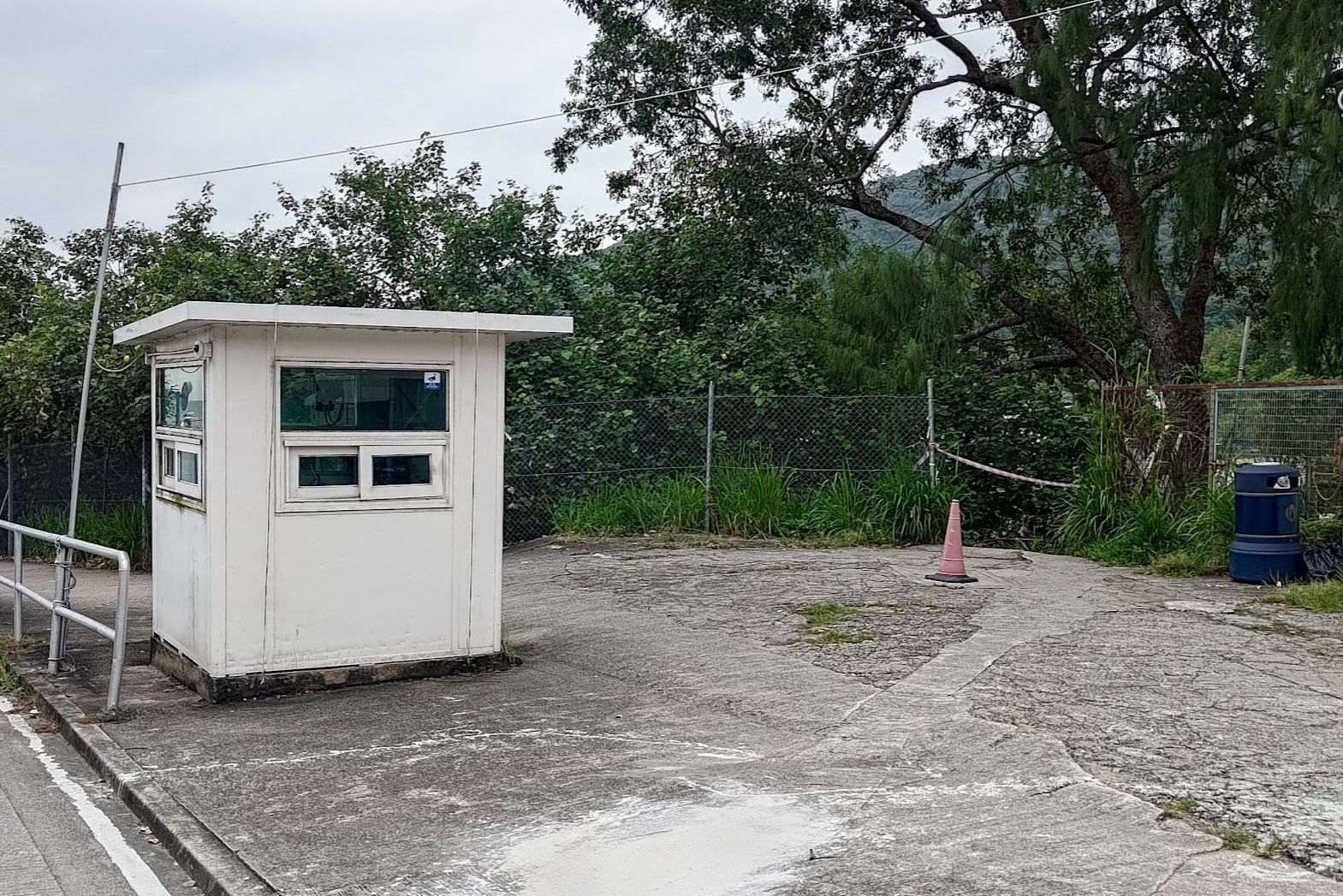
As you approach the sign, you'll encounter a little white guard hut. Go to the right of the hut and you'll see the entrance of the hiking trail between some metal fences.
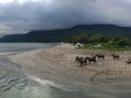
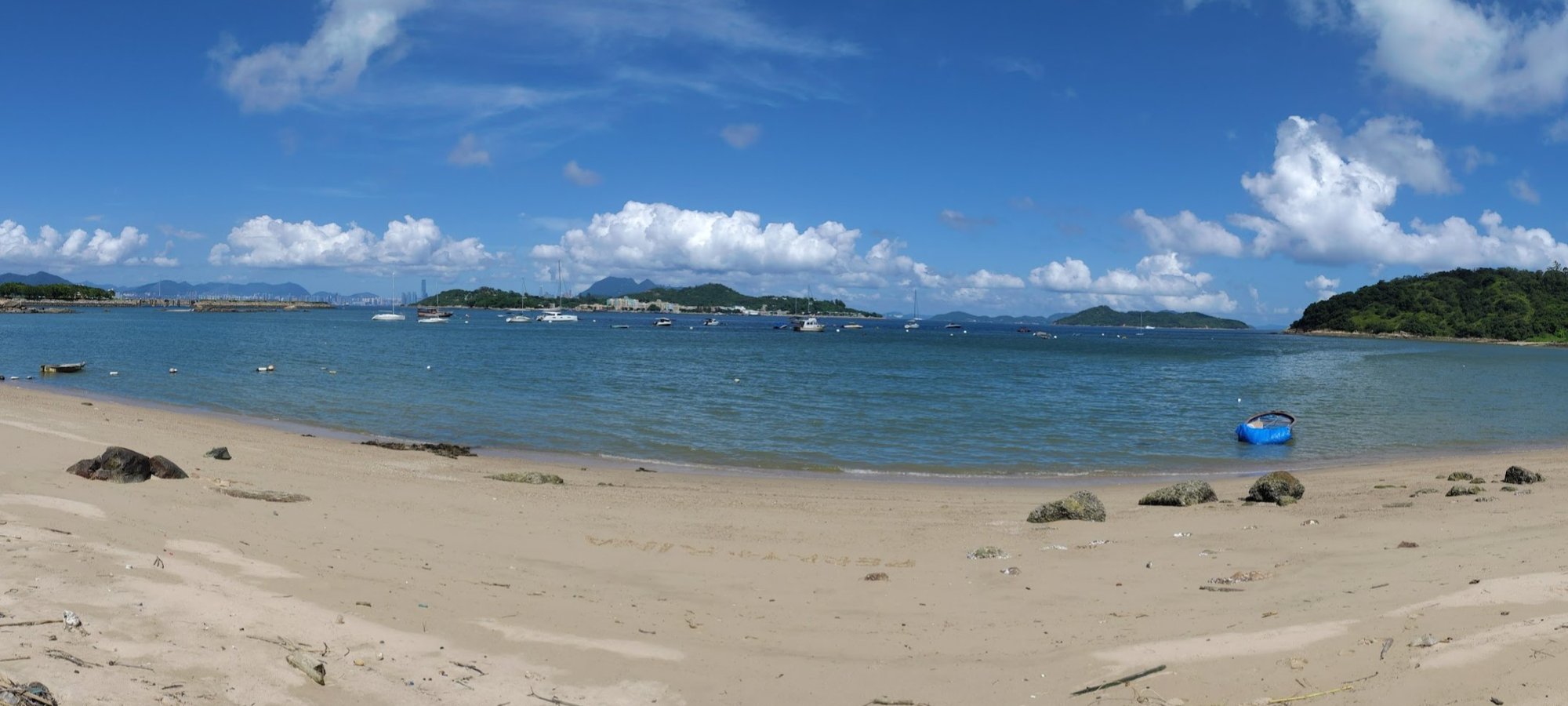
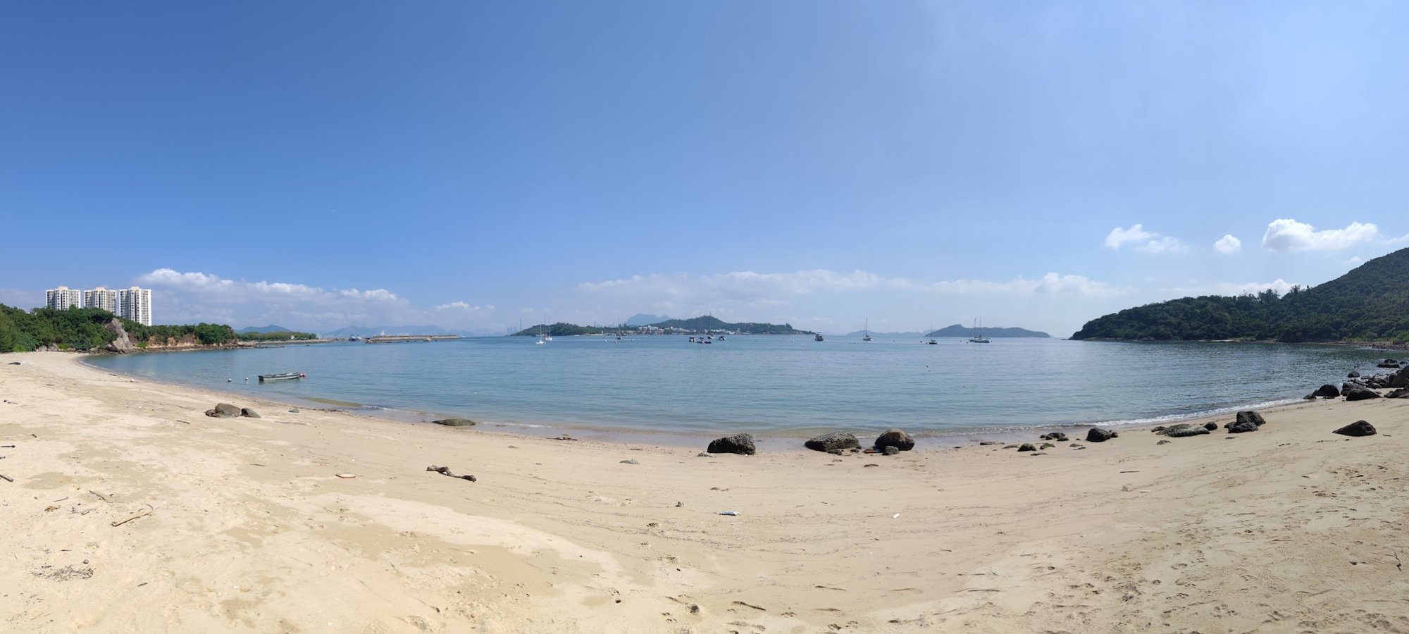
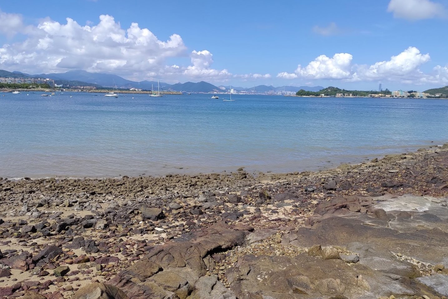
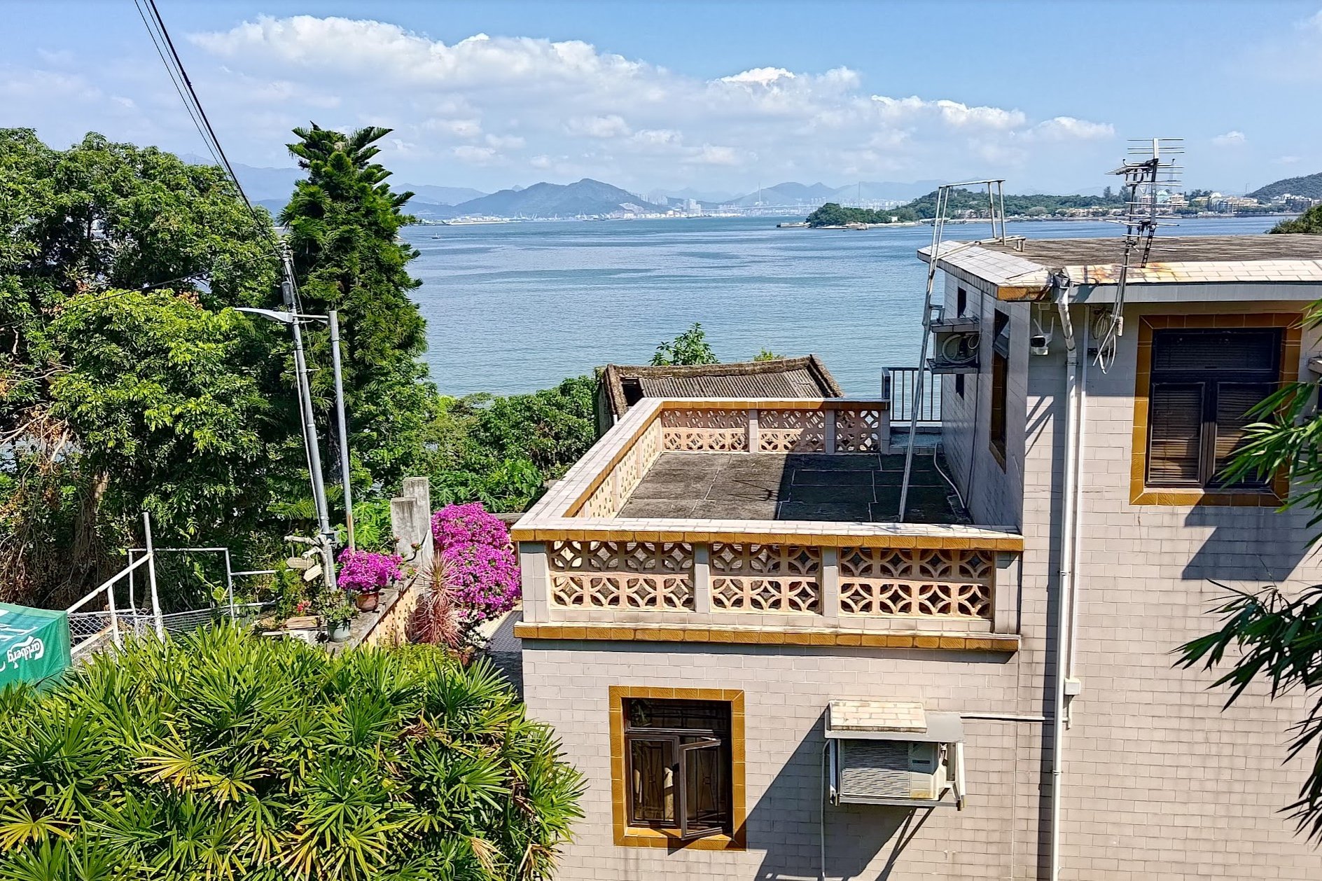
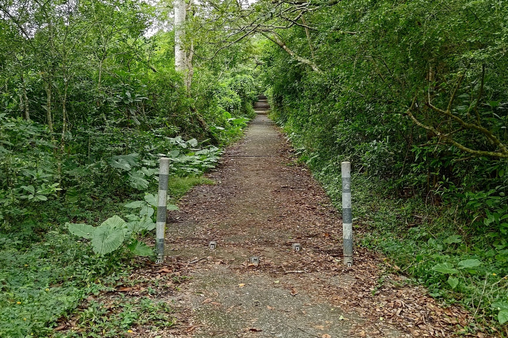
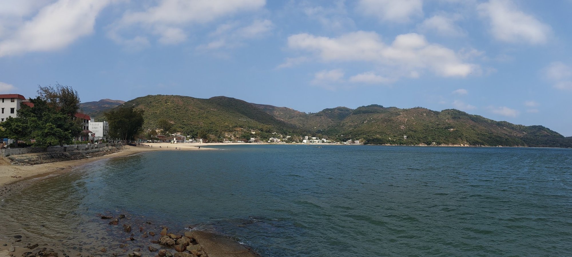
Nim Shue Wan Beach
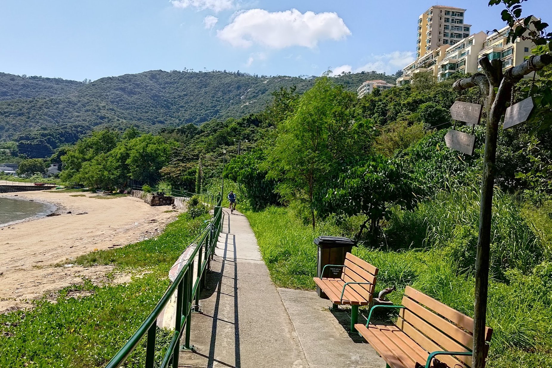
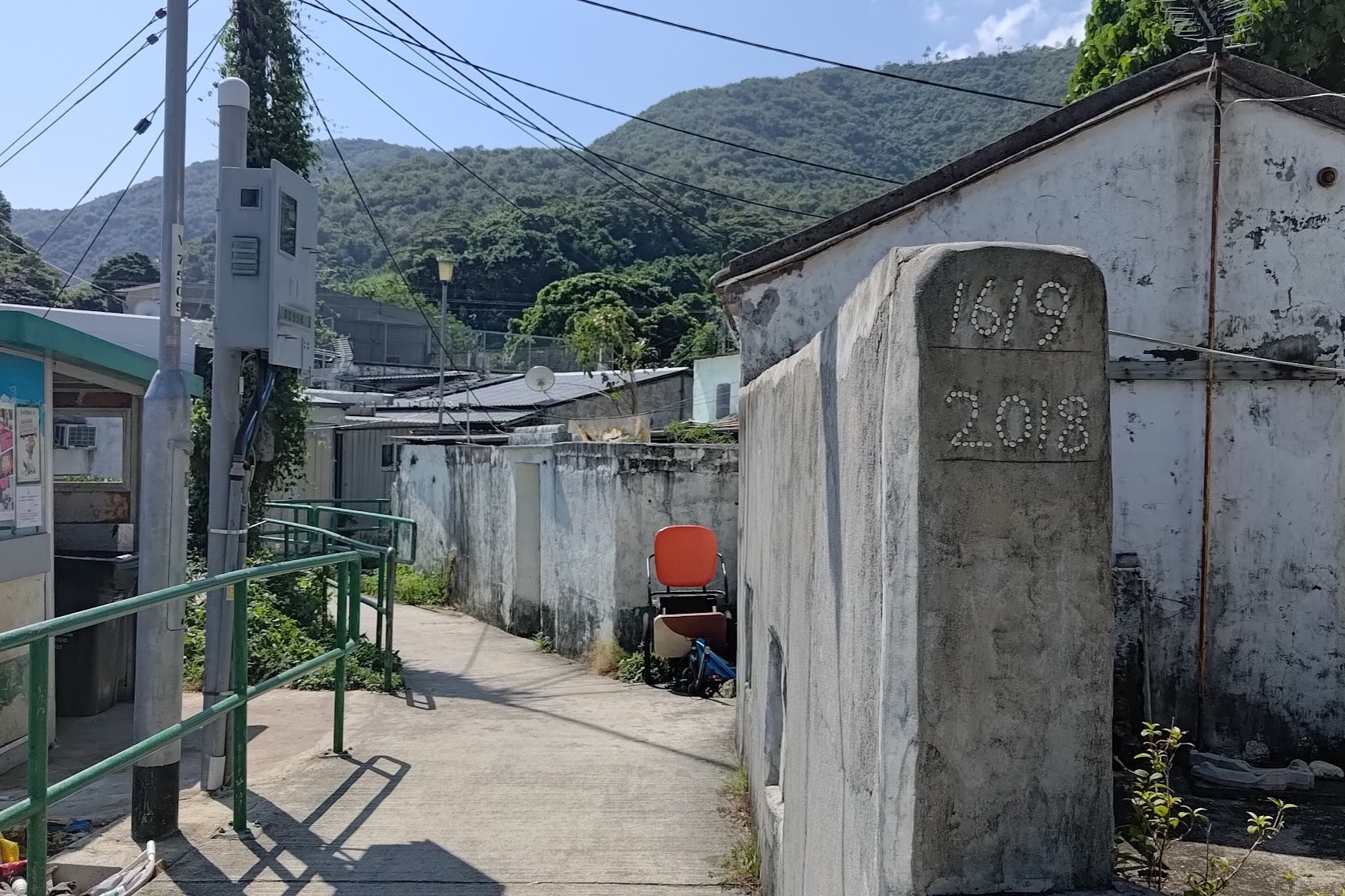
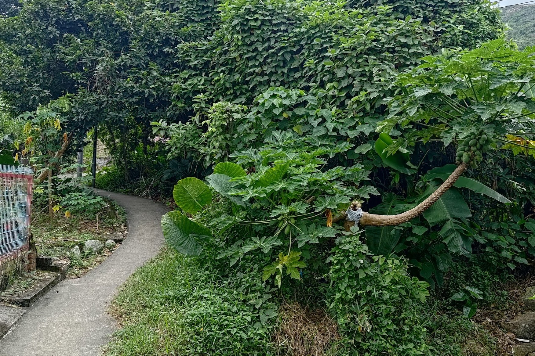
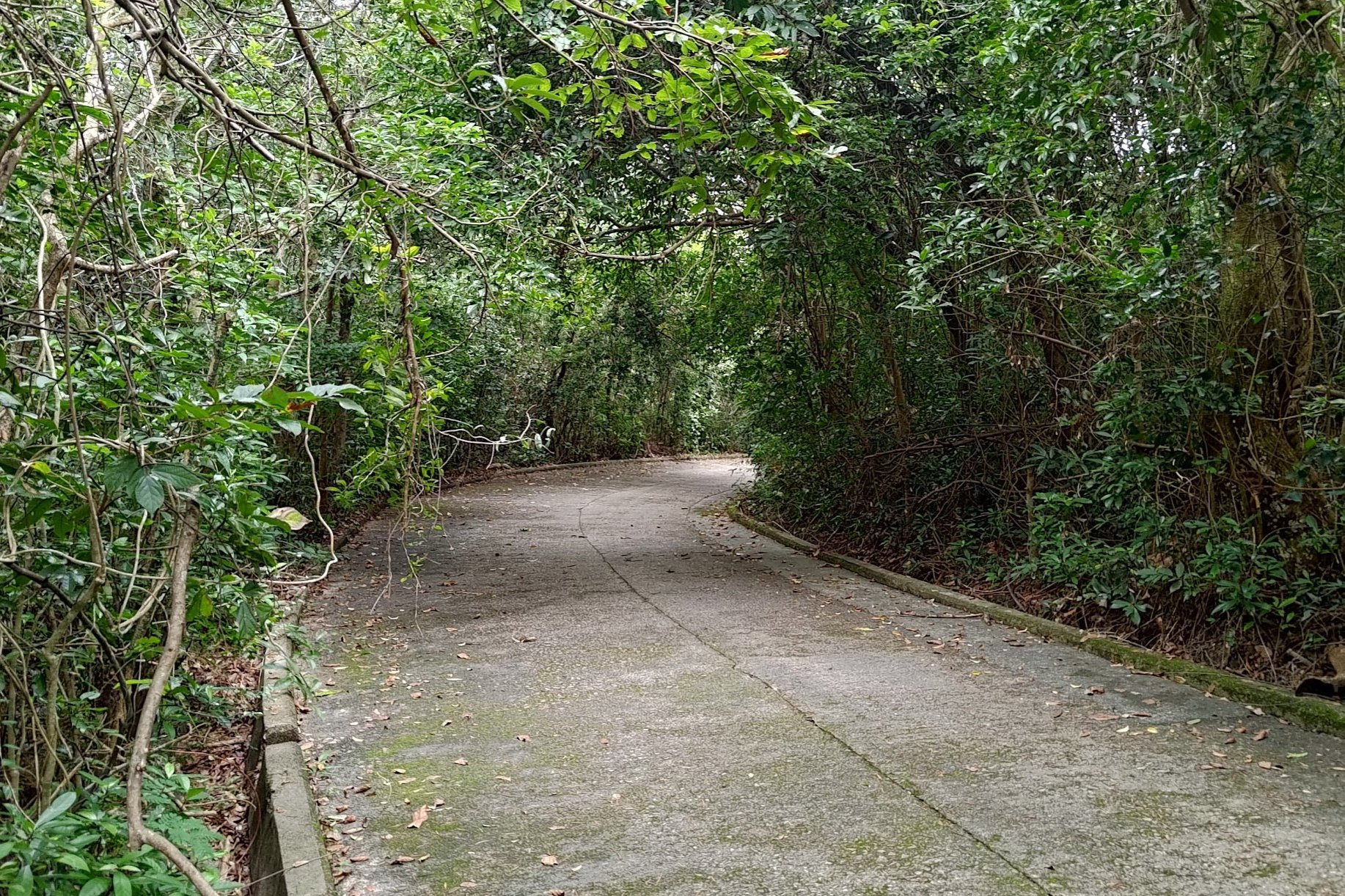
The trail is flat at this stage of the hike and will initially take you past Nim Shue Wan Beach. At certain times of the year, this beach can be pretty scenic. In 2020, it was clean and pristine, but in 2023, it looked much more worse for wear.
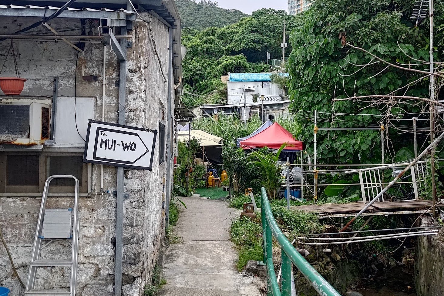
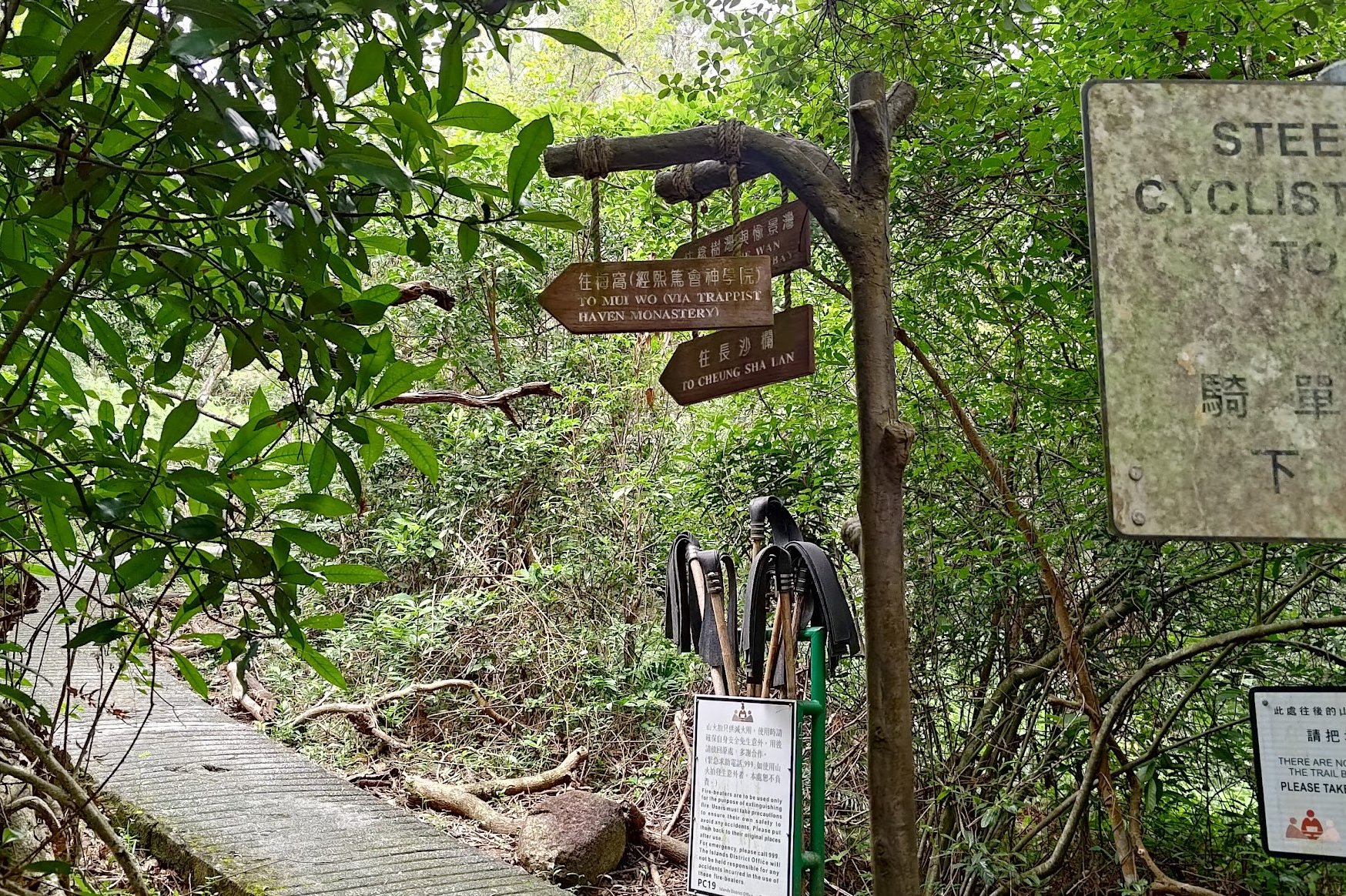
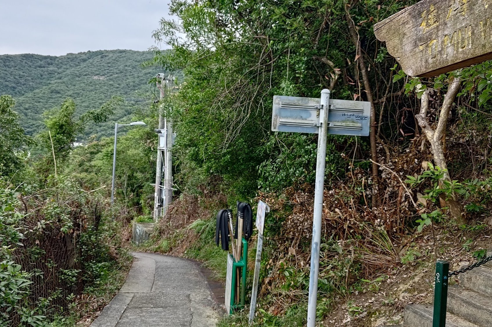
After the beach, the path will lead you to Nim Shue Wan Village. Head through the village, following the signs that point to Mui Wo. After a few minutes, you'll see a path that ascends.
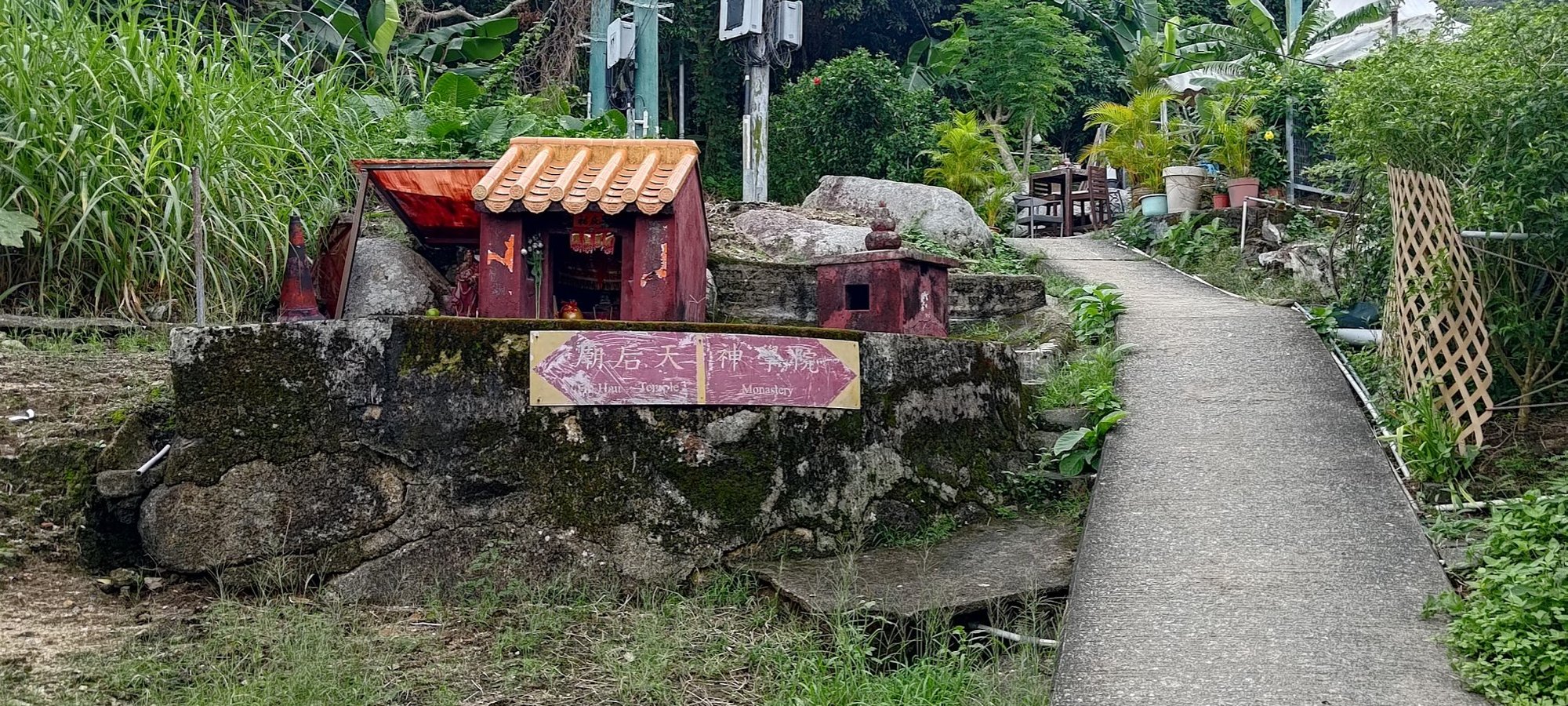
At this point, there'll be a pair of red signs pointing you in different directions. Follow the sign that points to the monastery.
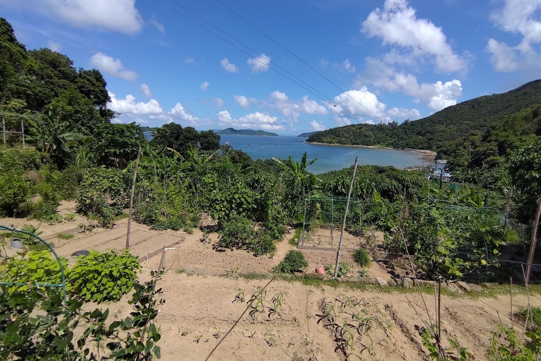
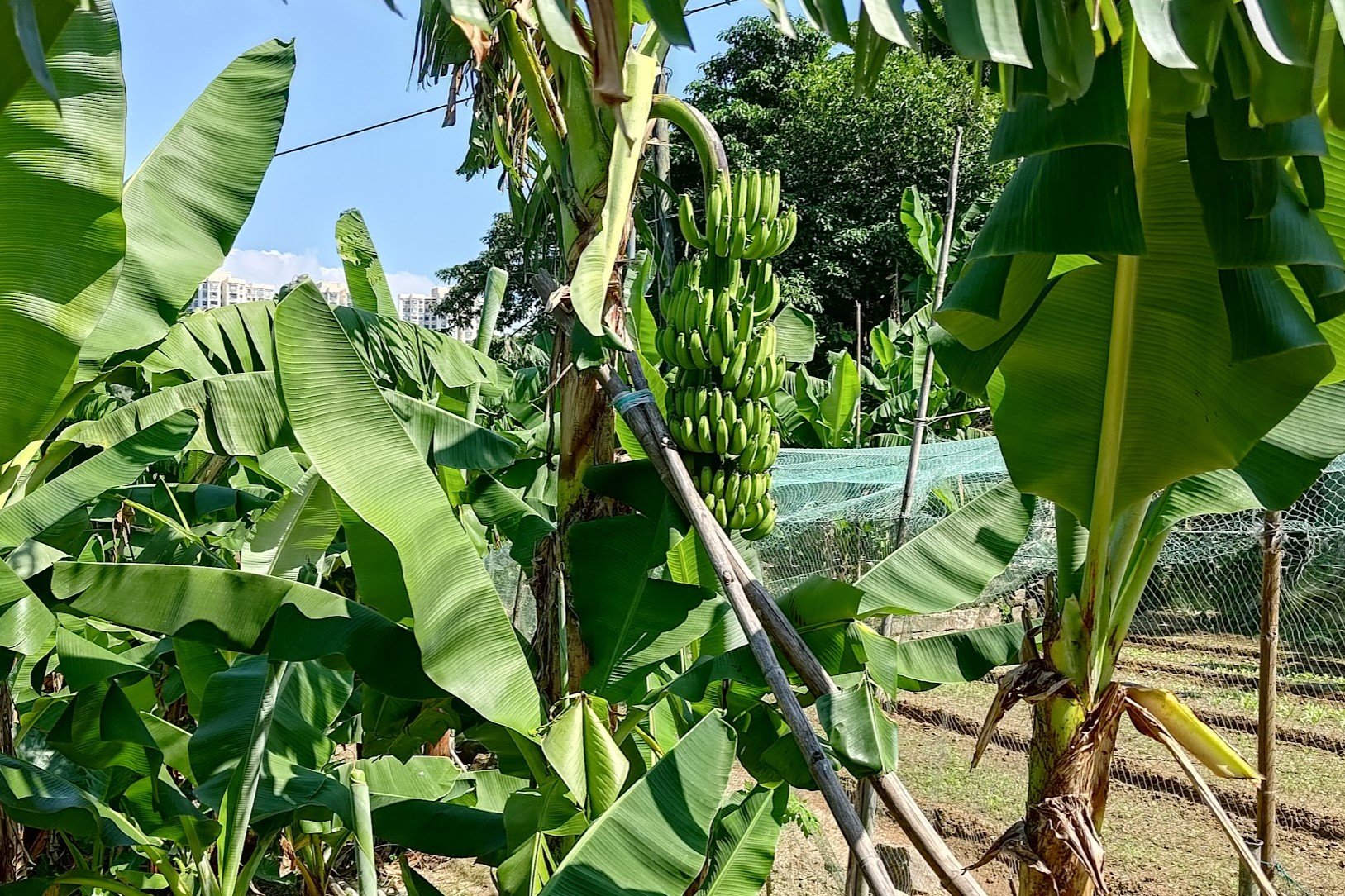
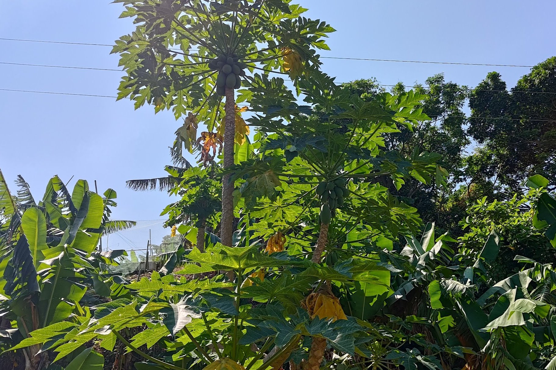
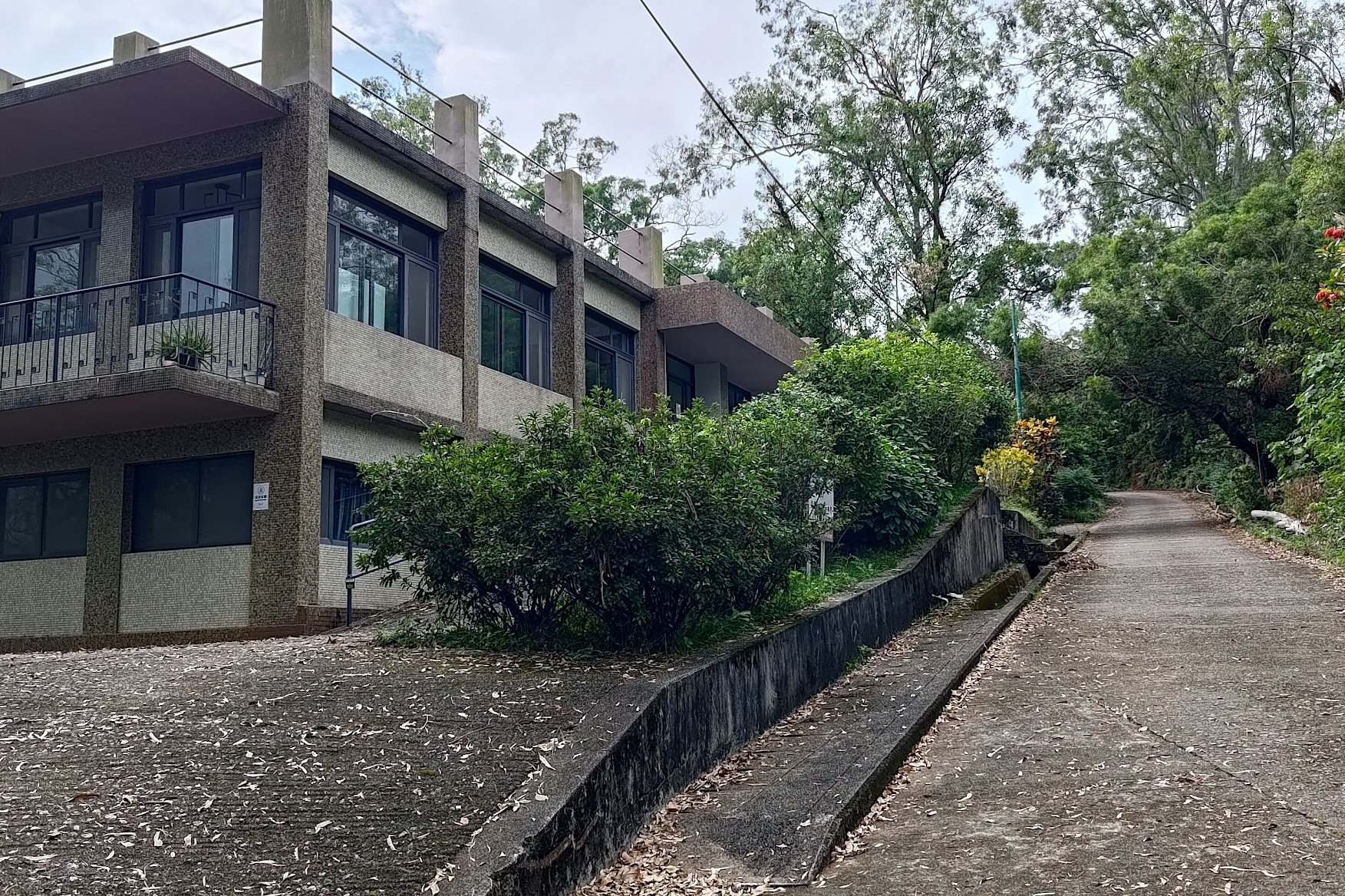
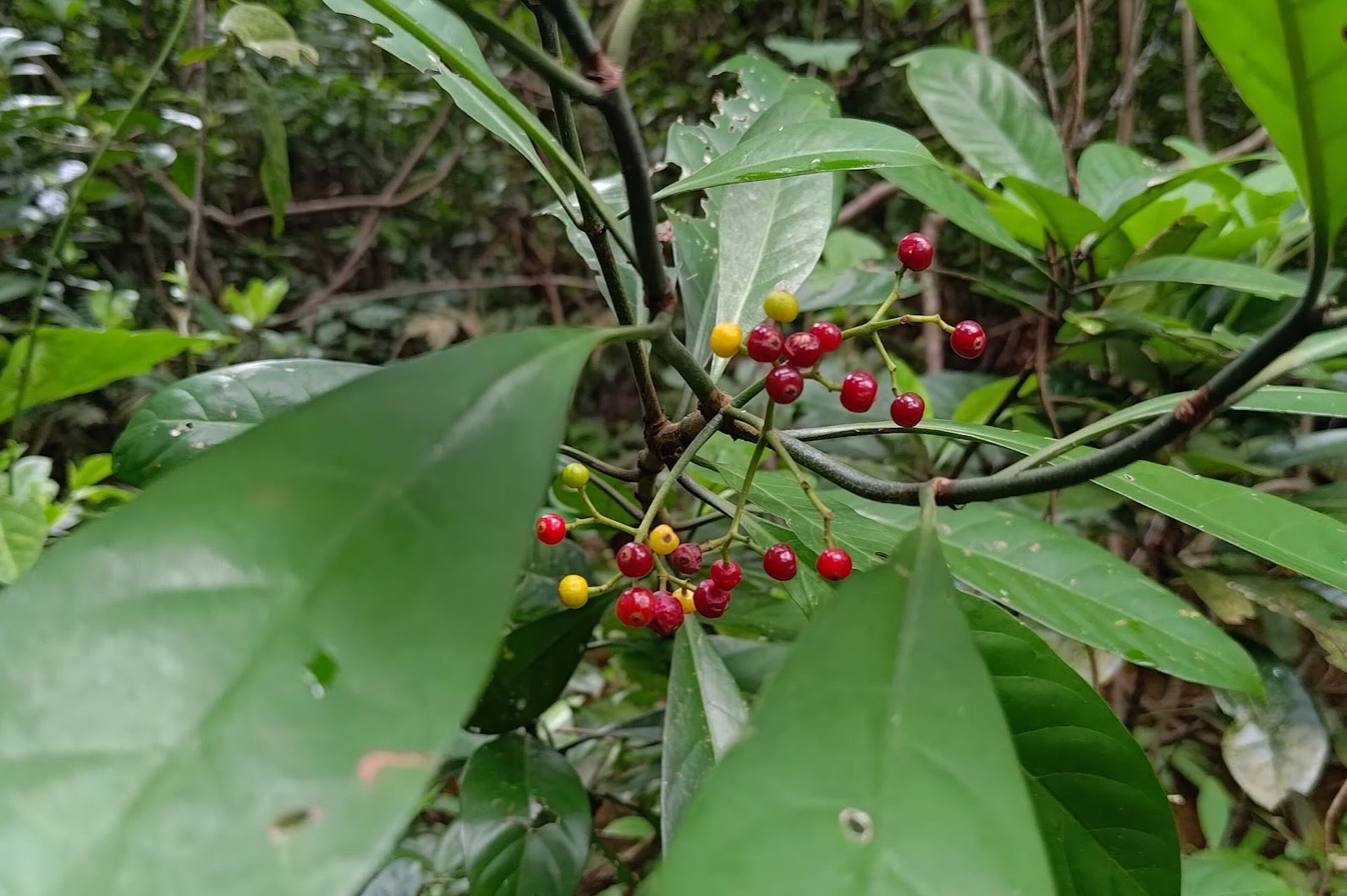
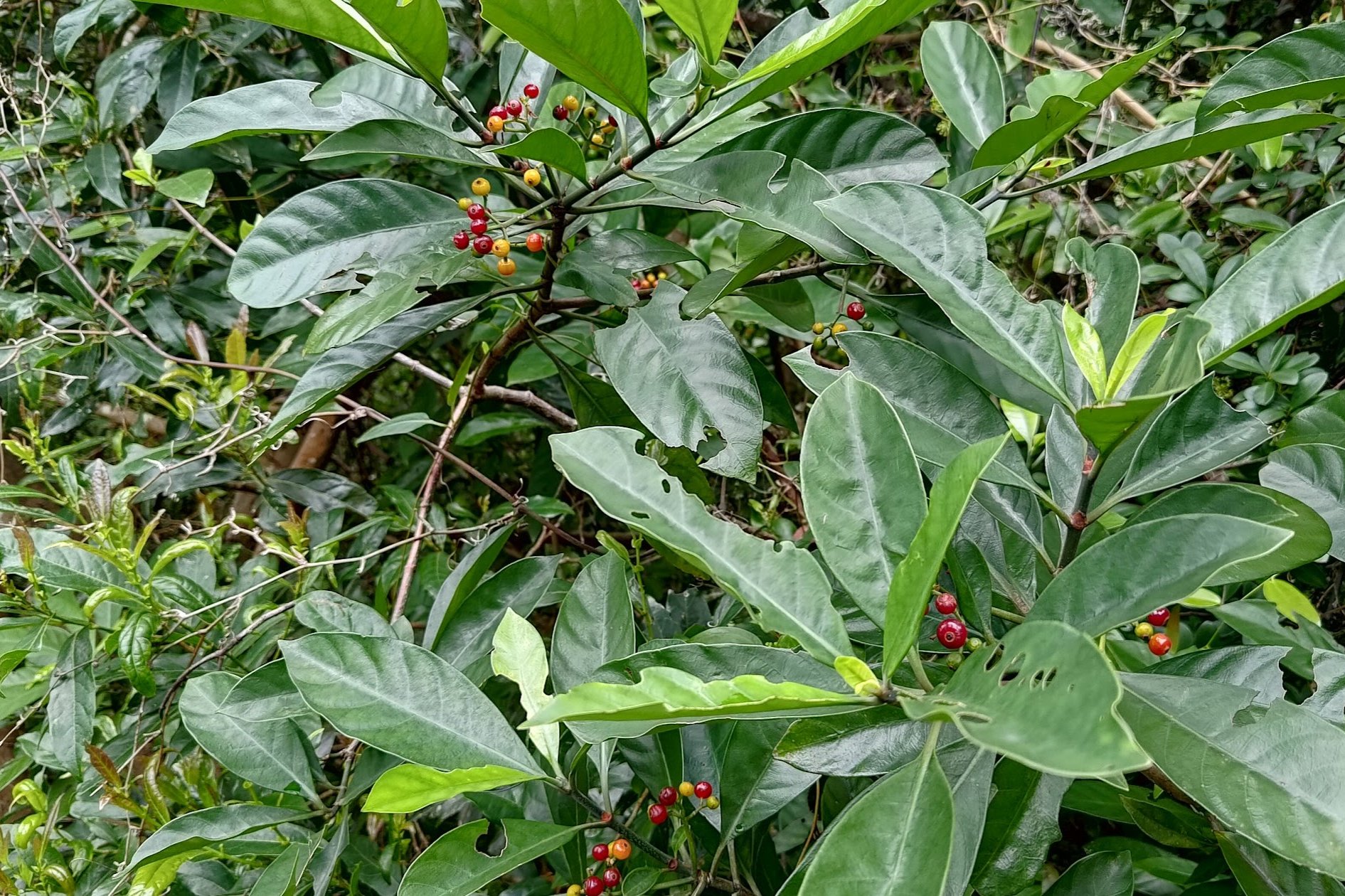
You'll climb for a short distance before the trail flattens again and you'll see some plant nursery areas and farming spots. This is a great educational spot for kids and a fun way to introduce them to how food is grown naturally.
Before long, you'll see a set of stairs leading to another beach. Follow those stairs down to the beach.
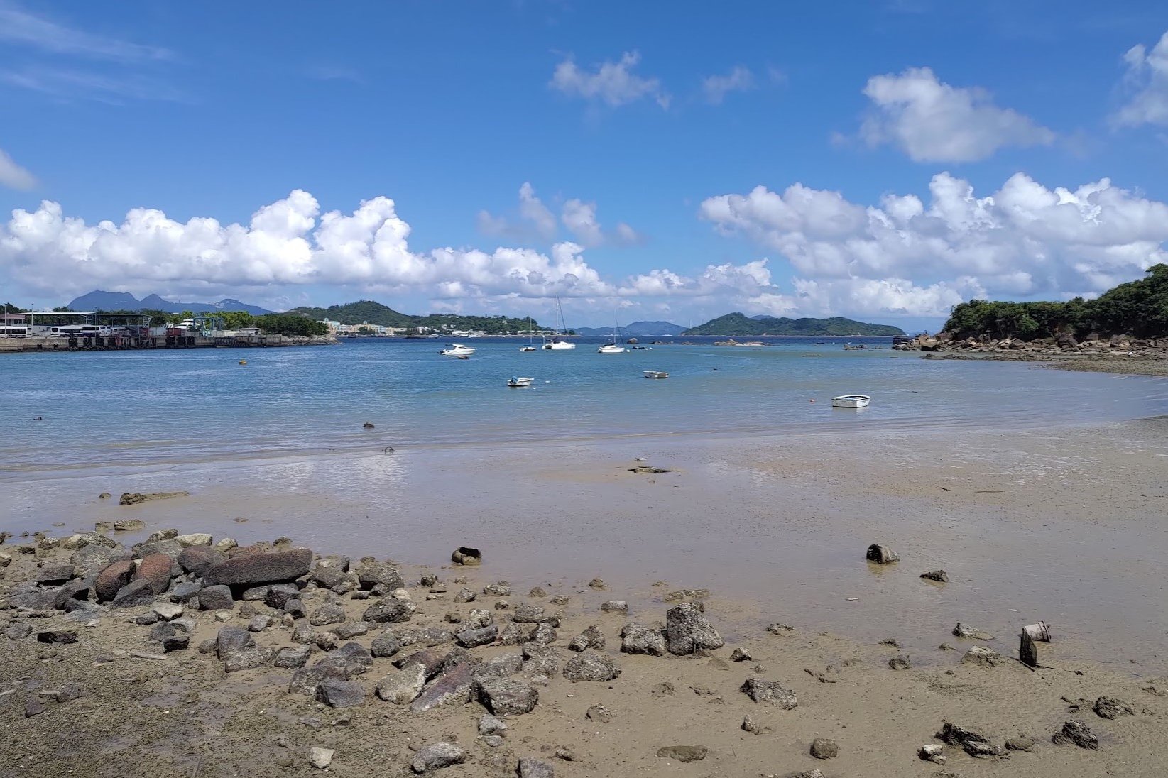
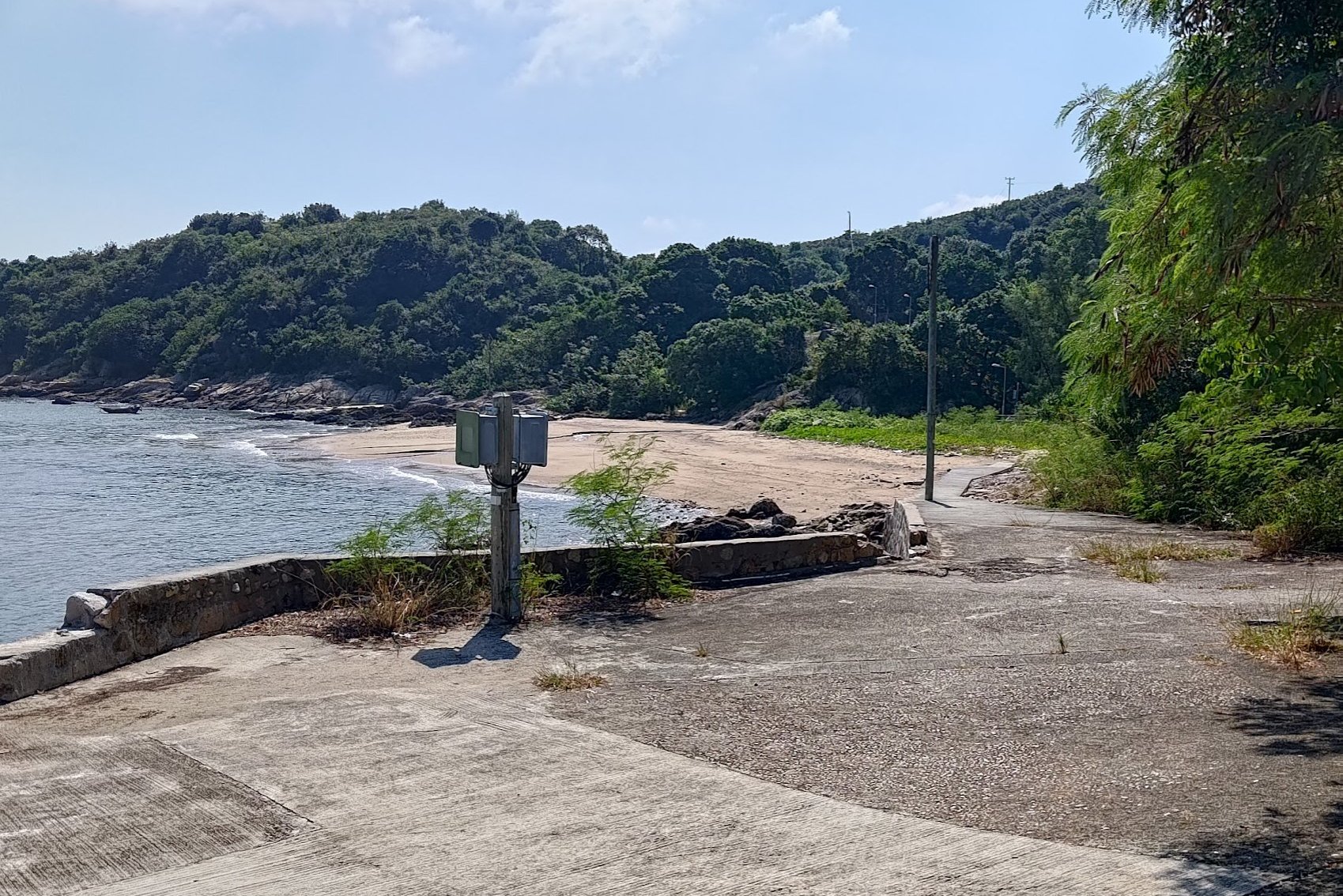
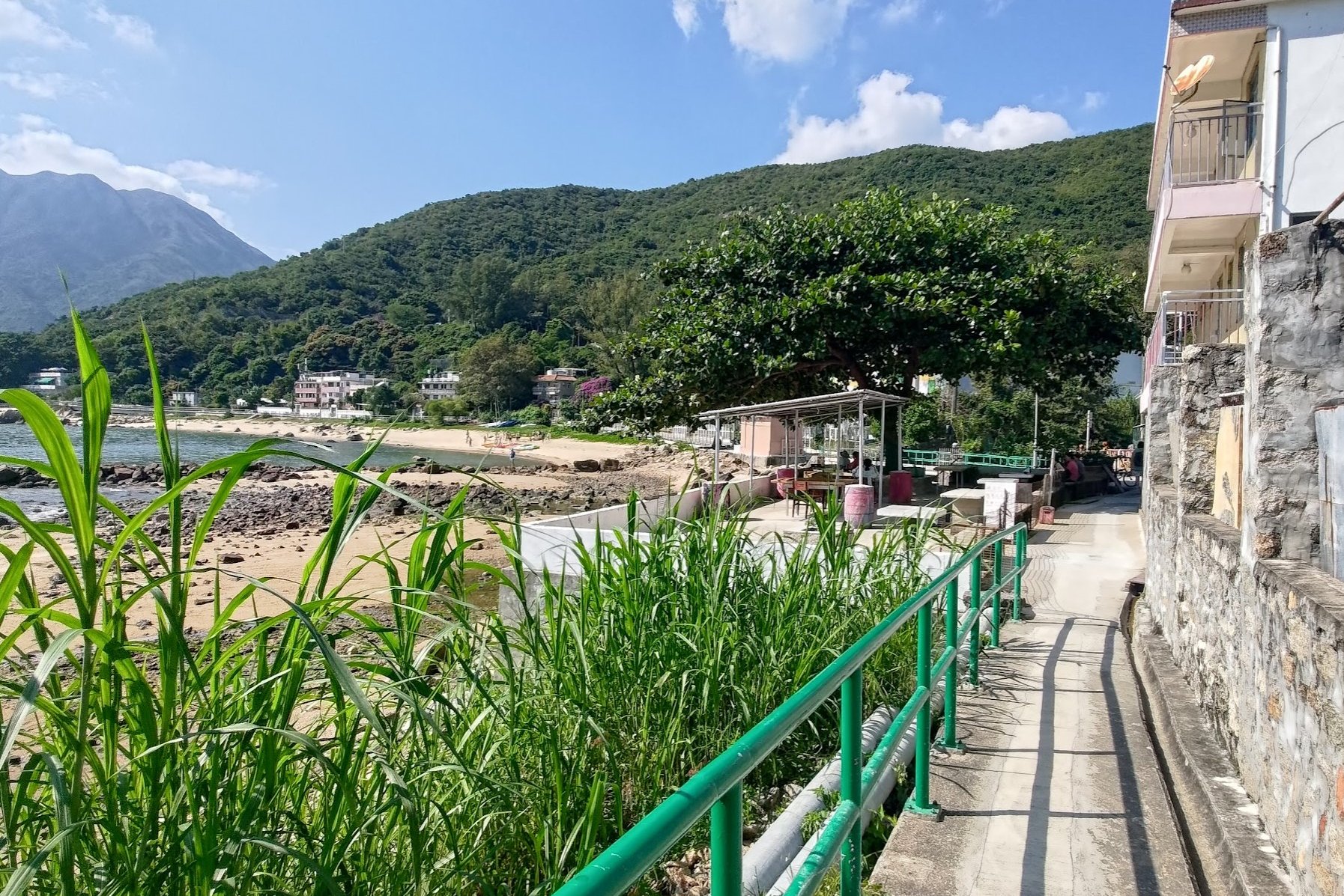
Cheung Sha Lan Beach and Village
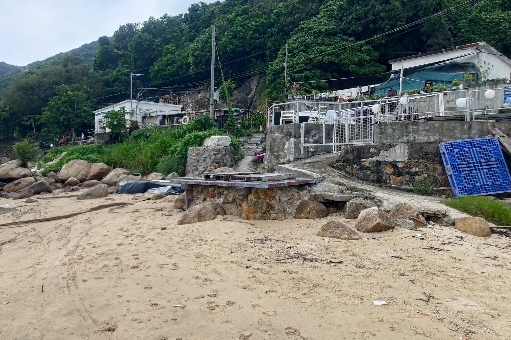
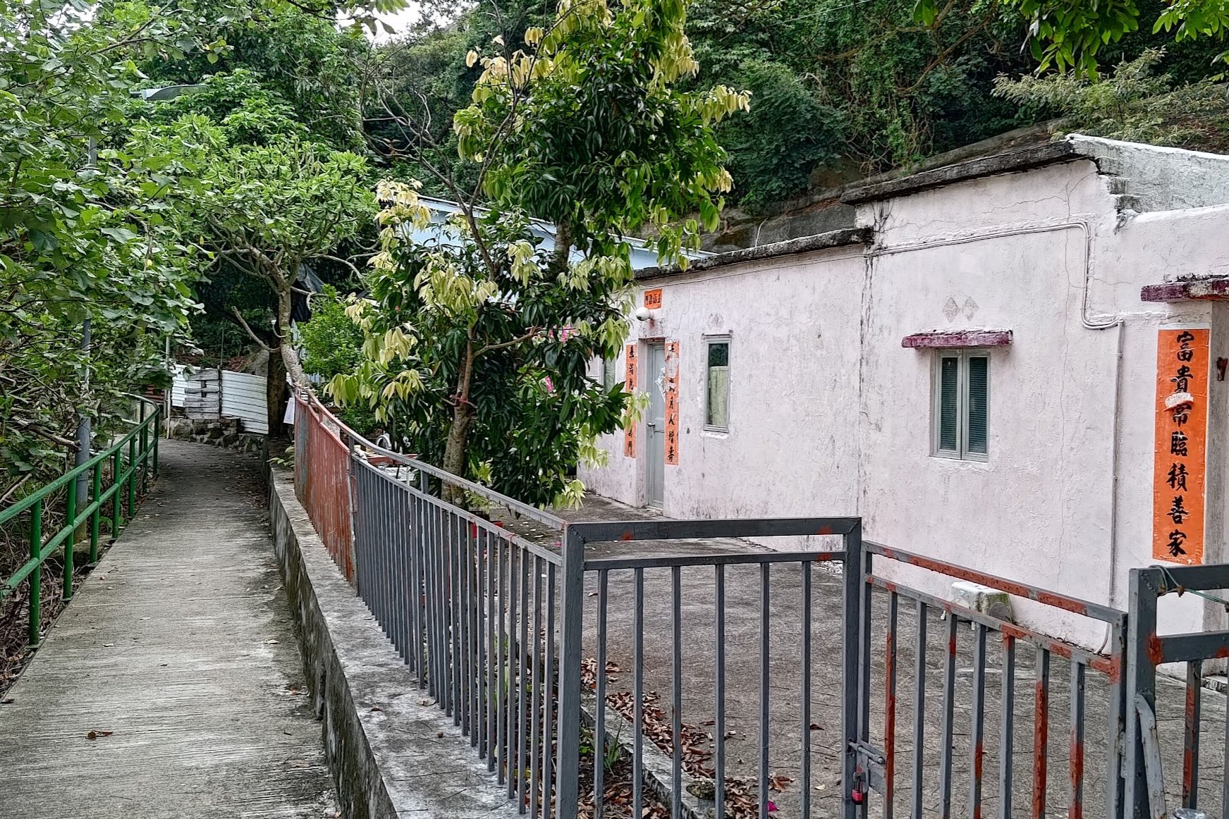
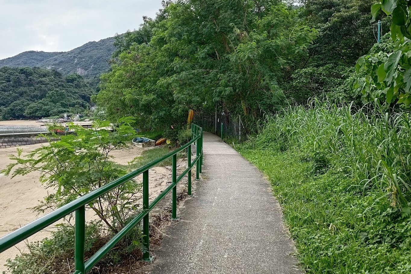
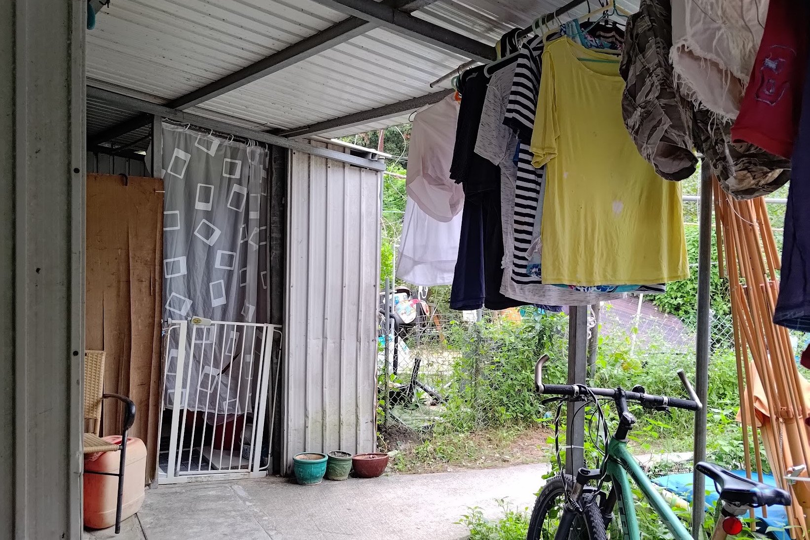
Once you arrive at Cheung Sha Lan Beach, you'll have to walk onto the sand. turn right and look for the set of stairs a few meters away taking you back up and into a small cluster of simple buildings.
The path will continue to your left. Simply follow the path as you go past old village homes and then walk parallel to a rocky beach.
You'll soon see a set of stairs.
This entire section takes 10 minutes or less with no breaks.
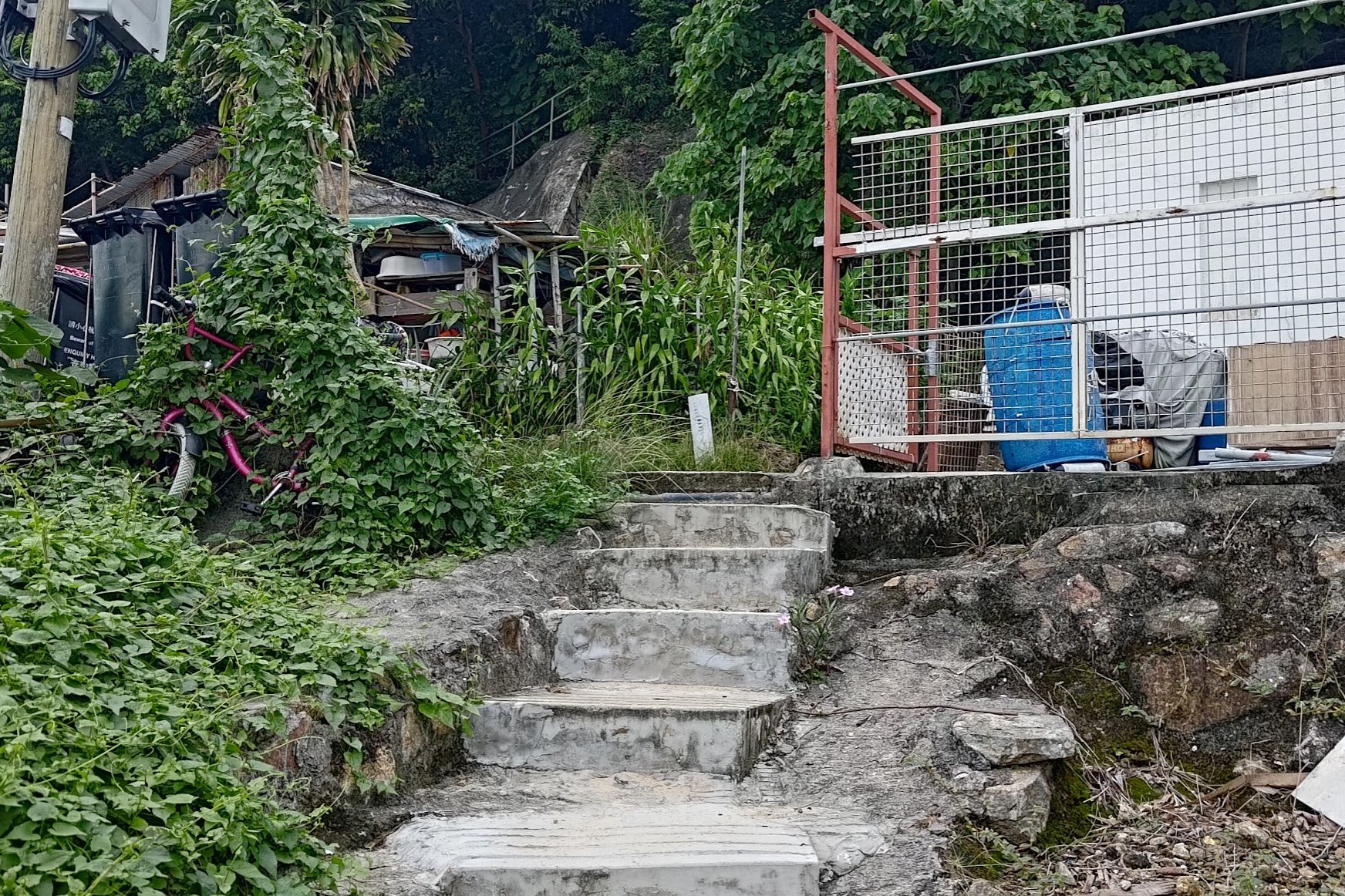
Climbing Past the Second Village
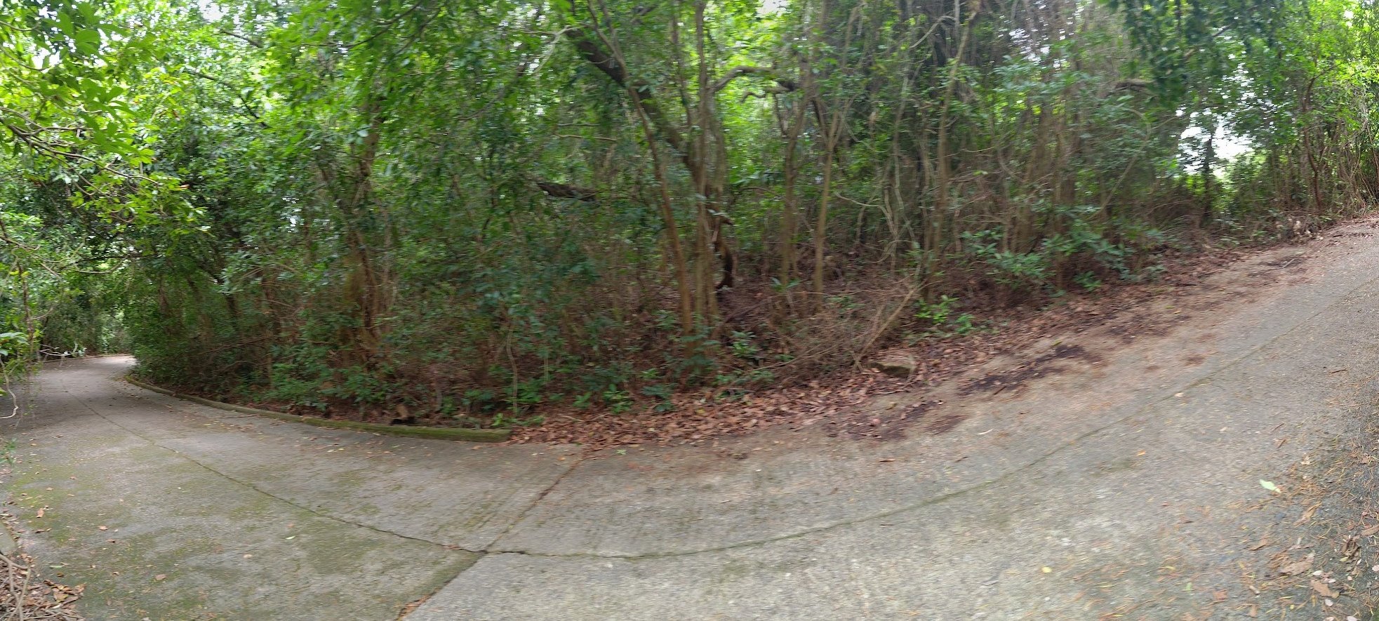
Follow the sign pointing to Mui Wo at the end of the concrete path and take the stairs up past some pretty cool village homes.
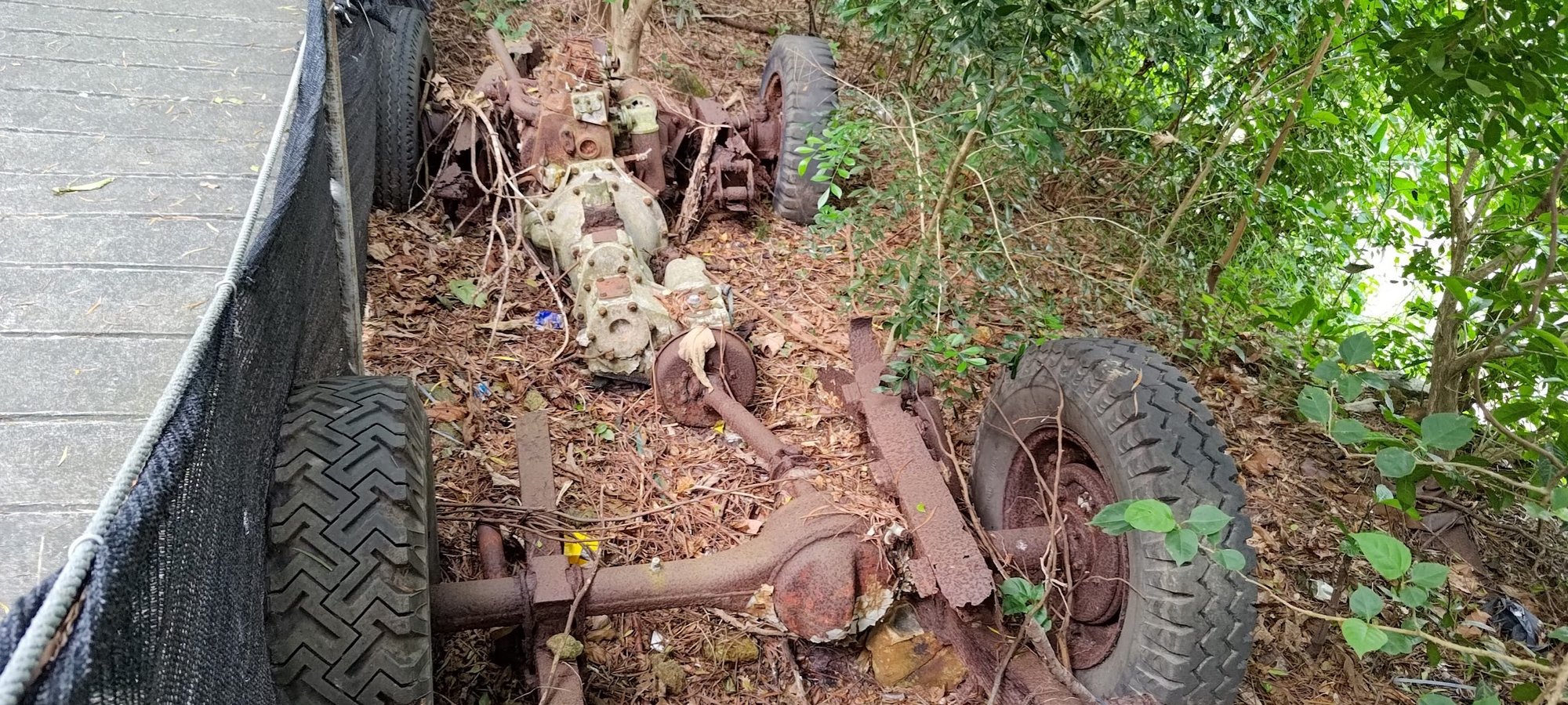
As you ascend, you'll see the rotting corpse of what I assume was once a magnificent car or truck. I genuinely wonder how long it took for the entire car to rot, leaving behind just the chassis, axles and wheels.
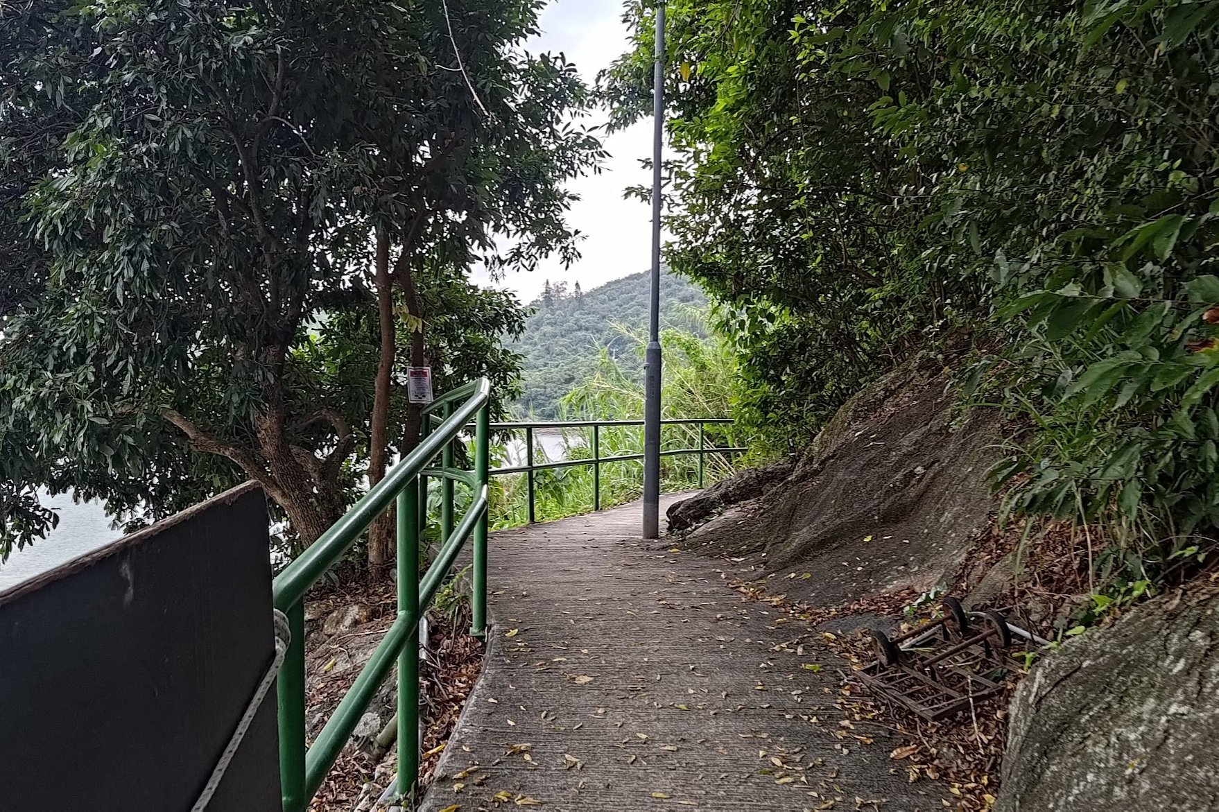
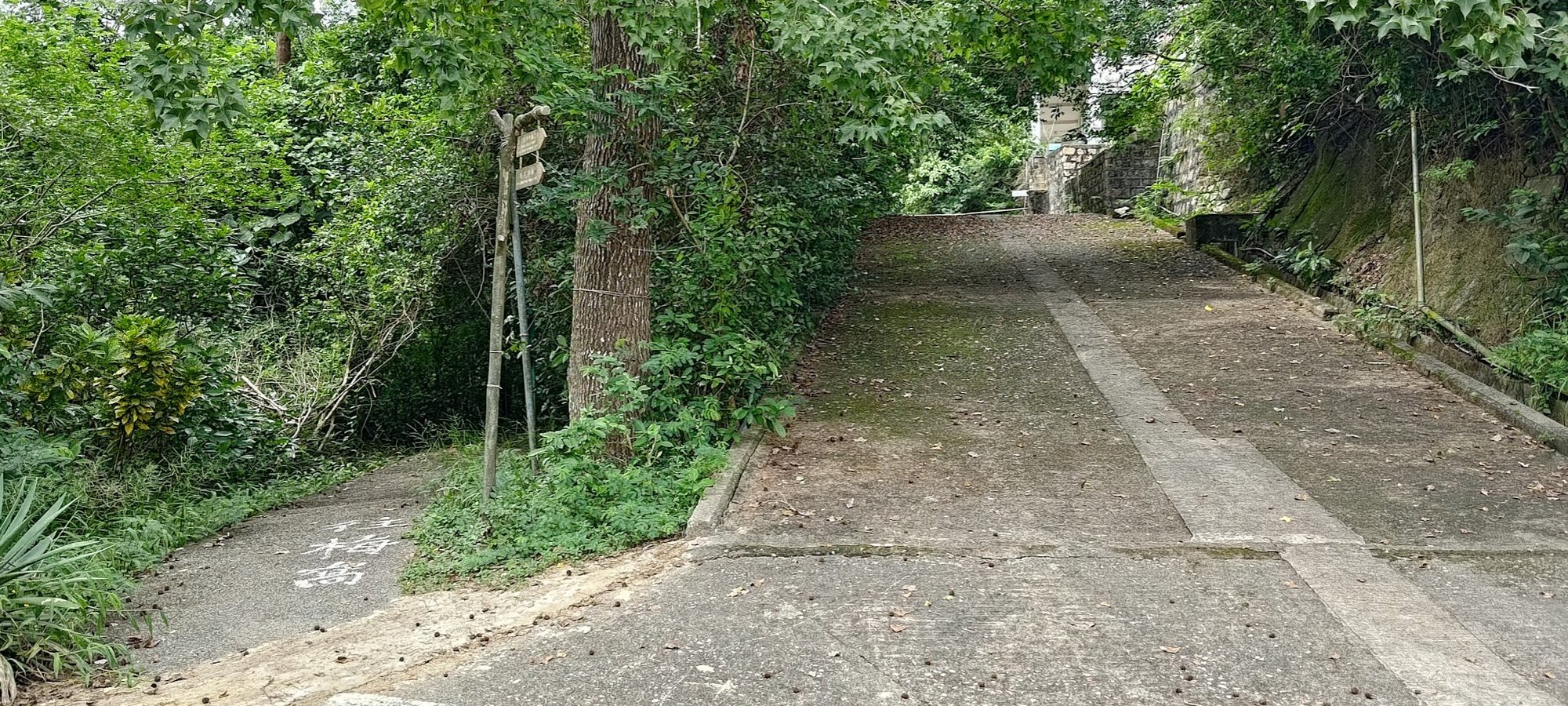
Anyway, continue climbing the stairs upward until you arrive at a concrete path that splits in two directions.
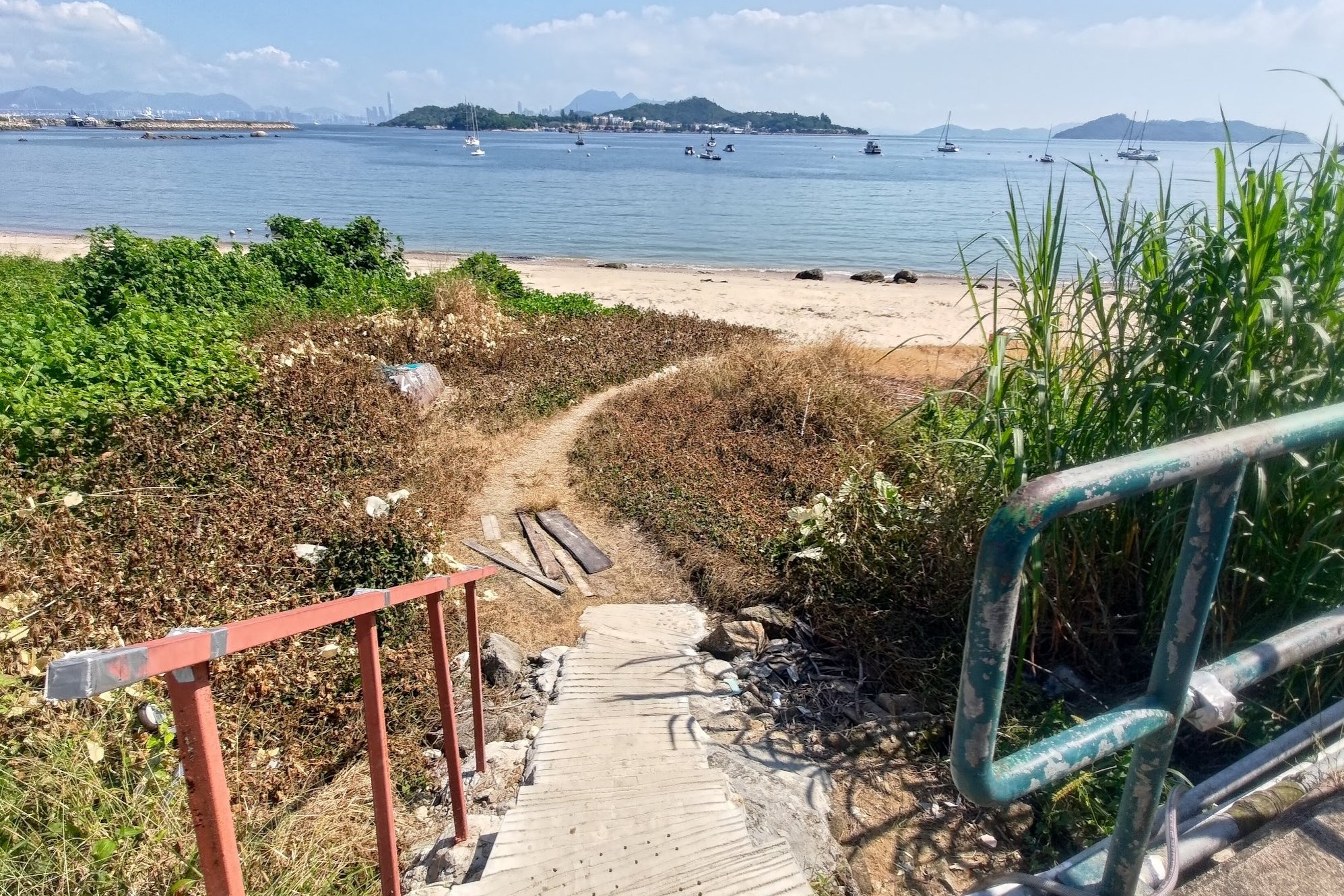
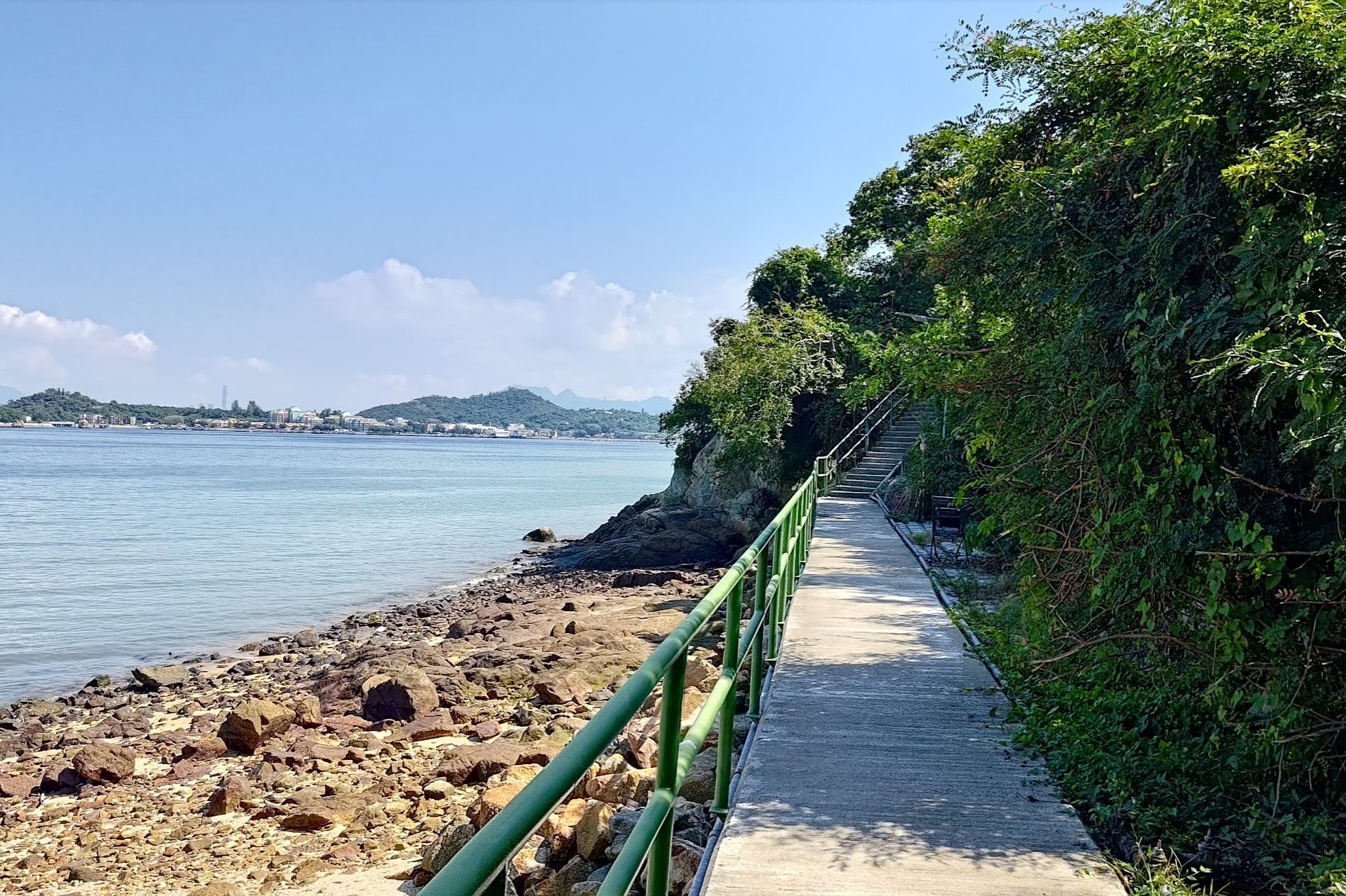
Optional Detour Left to Secret Beaches and Pier
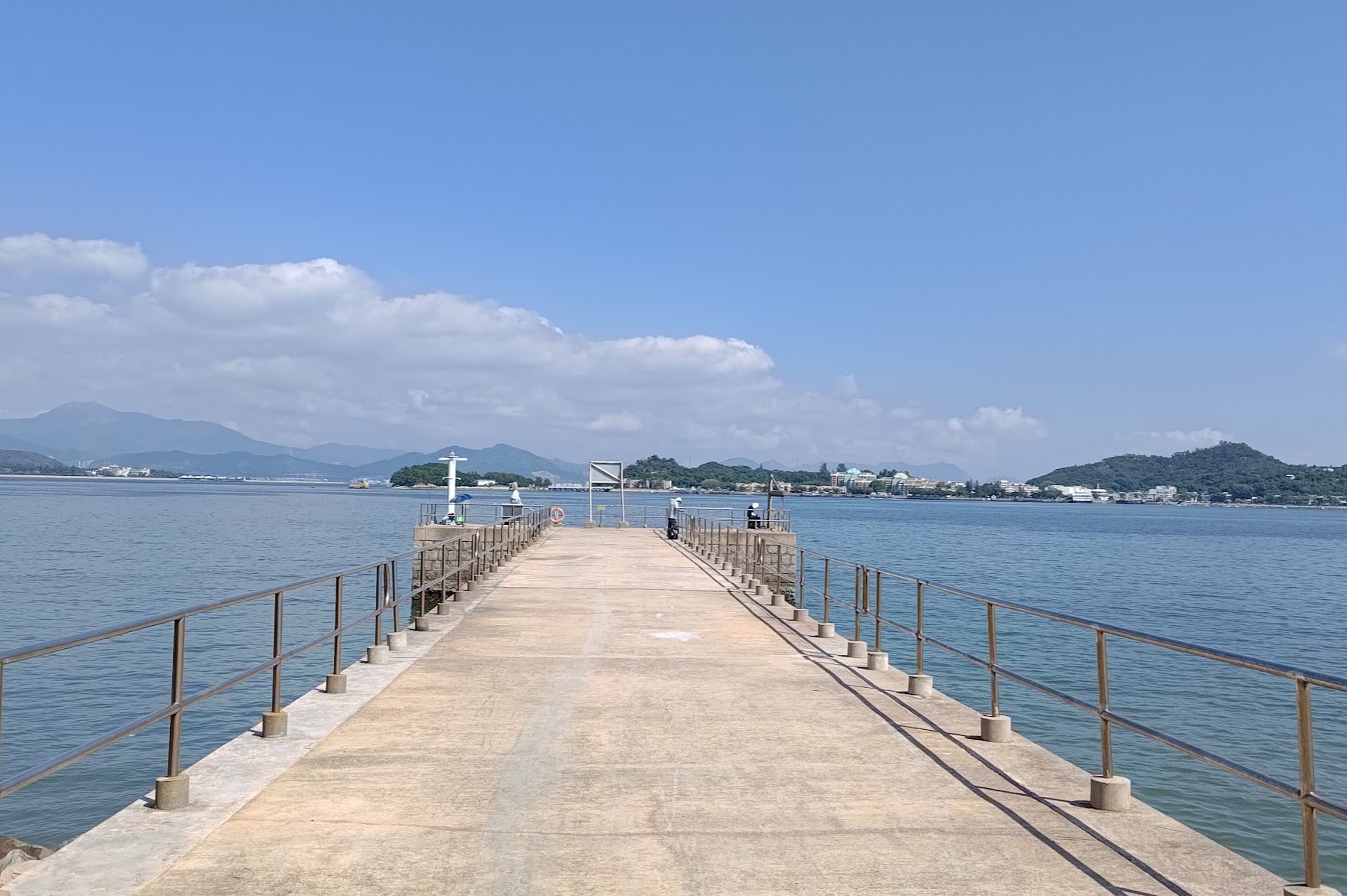
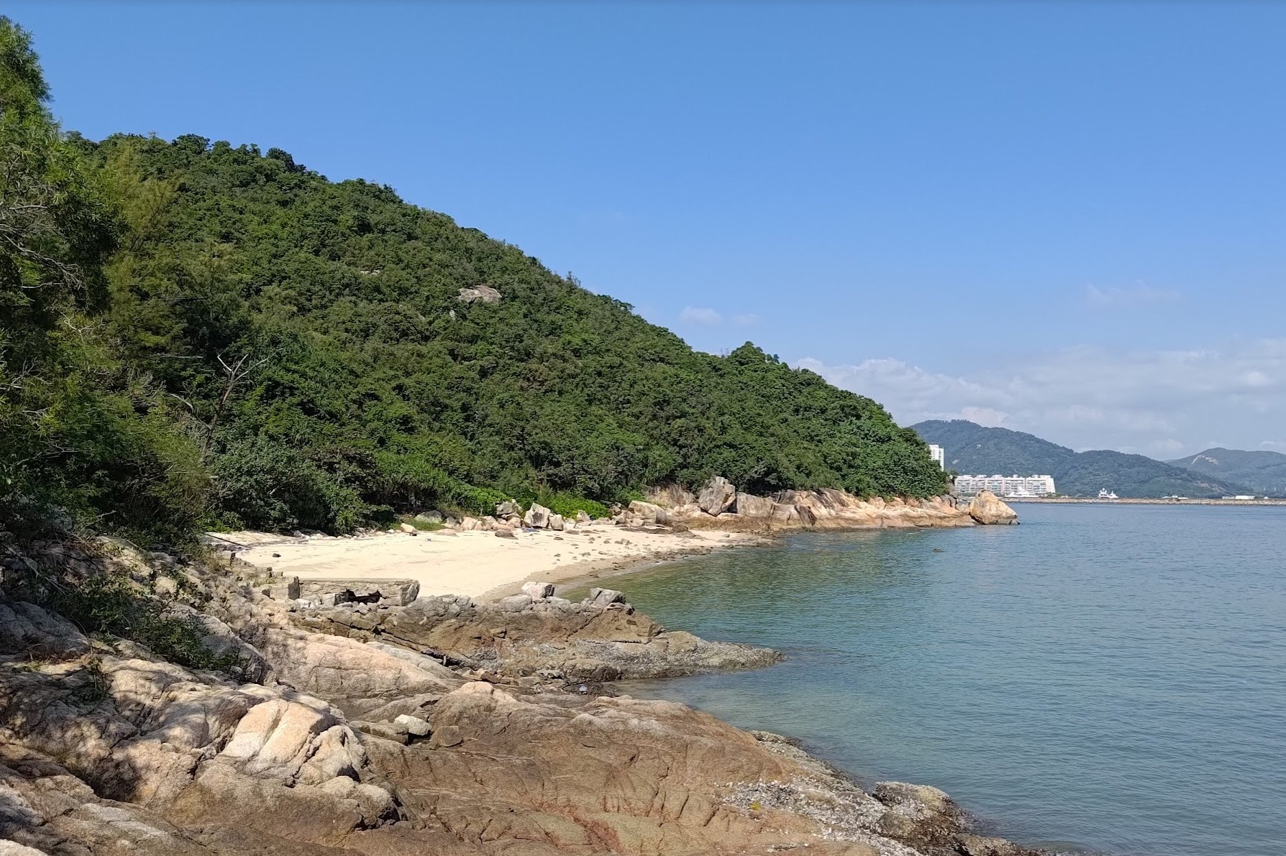
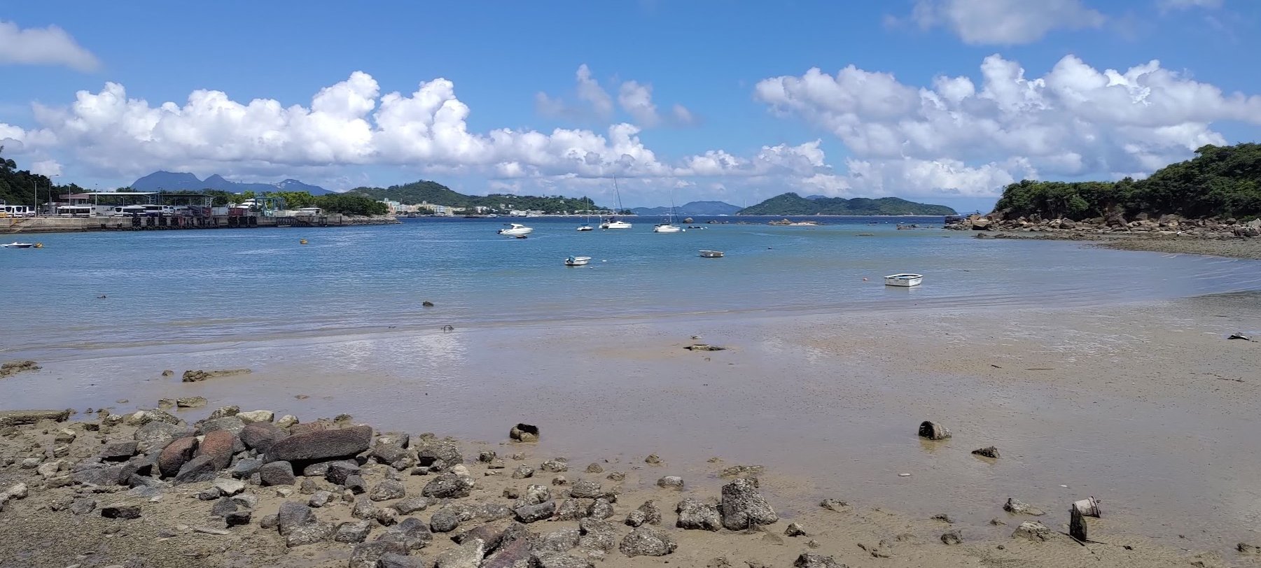
Going left takes you to a rather scenic pier flanked by two beaches. One of the beaches is much more difficult to reach, requiring a tiny bit of off-roading before you can get to it.
The second beach is right next to the pier and is easily accessible.
Getting to the pier and beaches barely takes 5 minutes, so it's worth the short trip. You'll have to retrace your steps after.
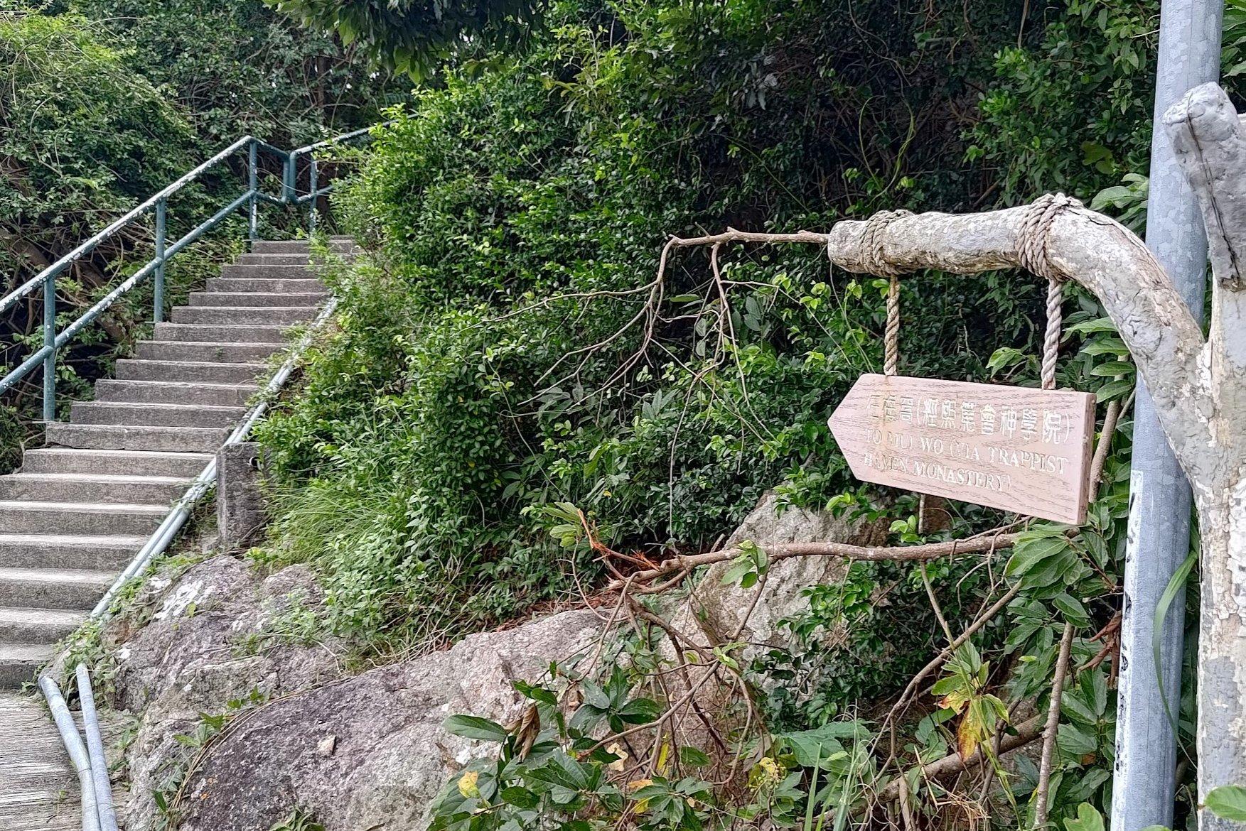
Climbing to Our Lady of Joy Abbey
Head right at the fork to continue the hike.
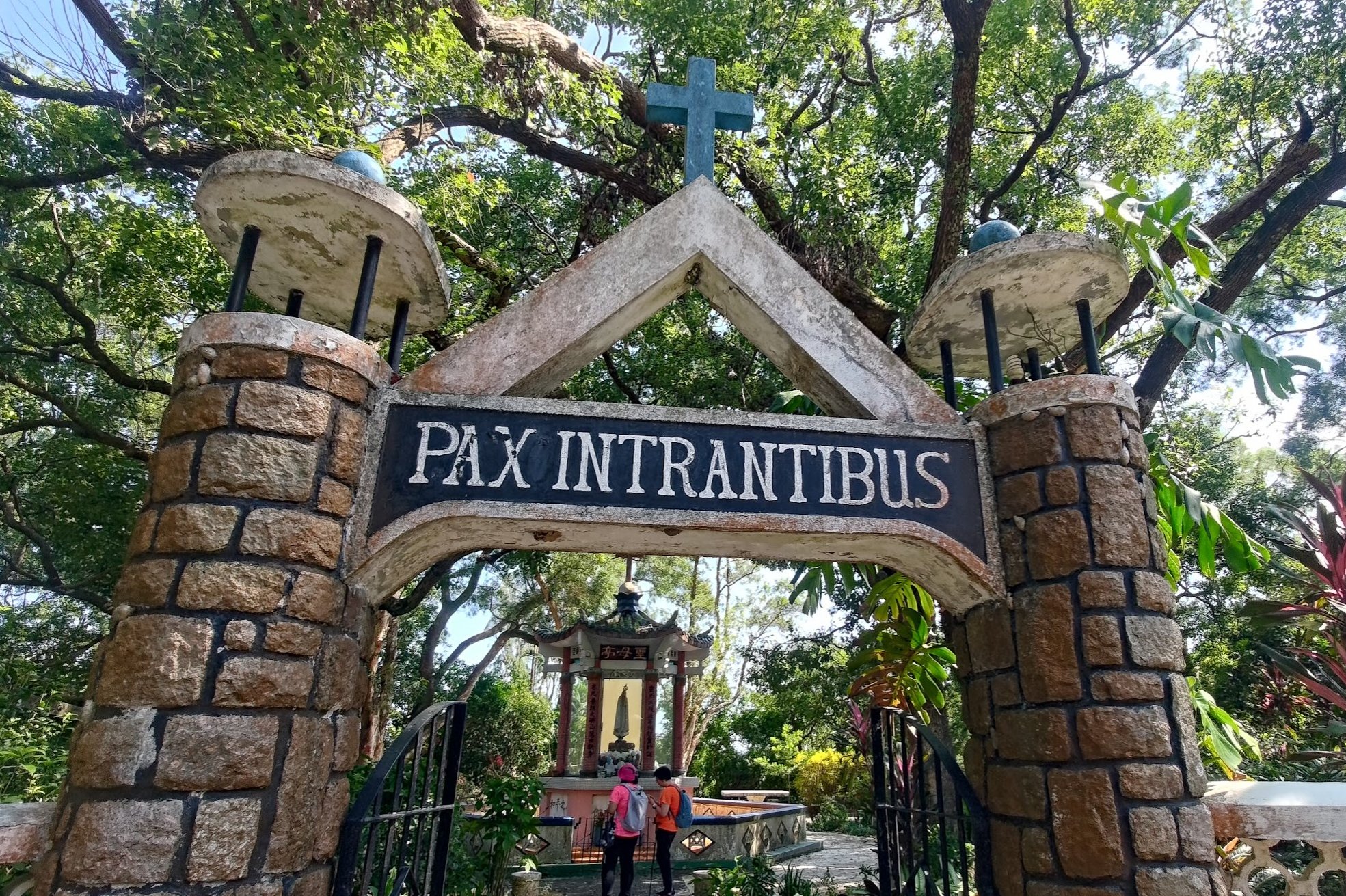
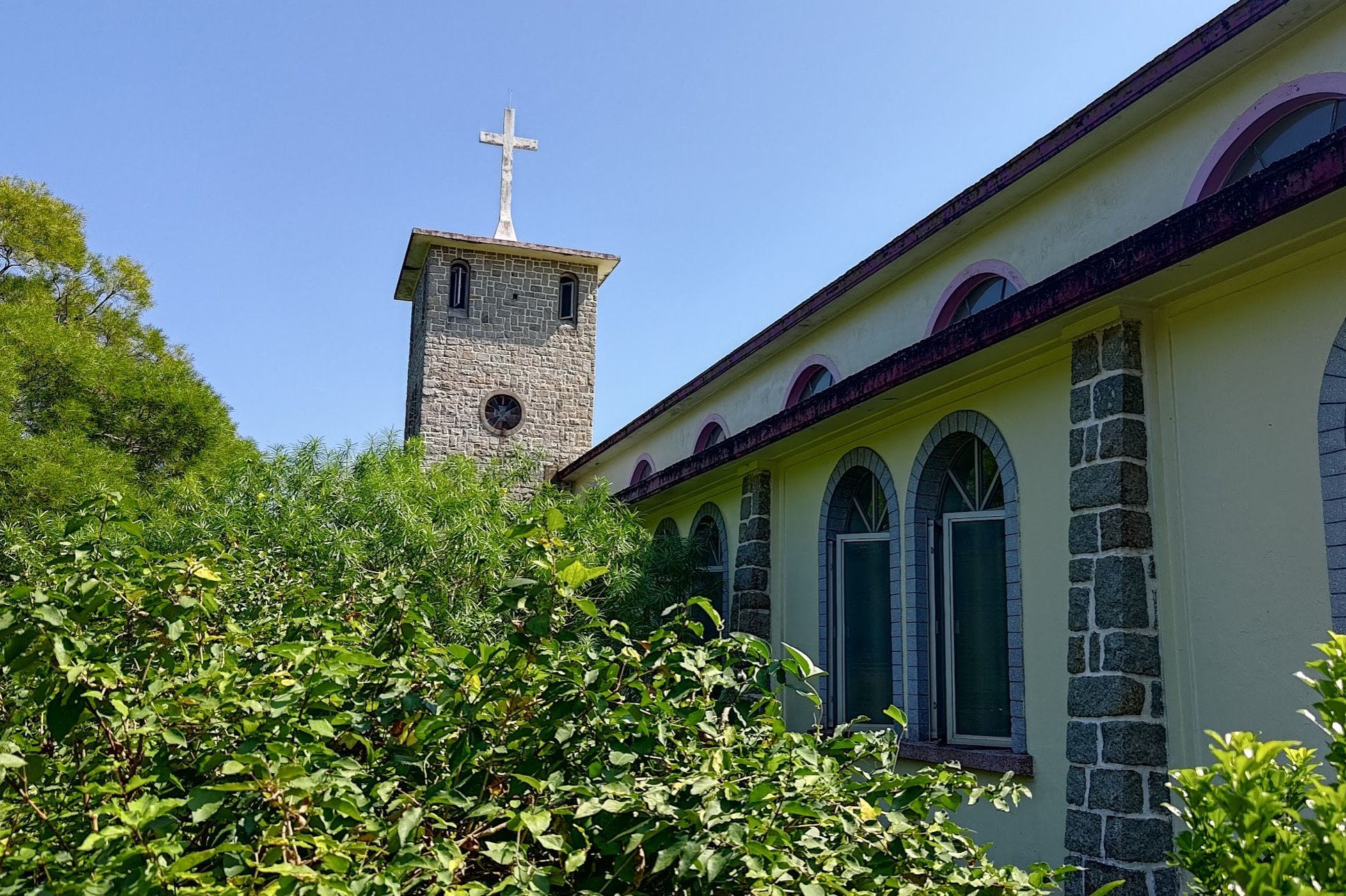
Follow the steep concrete path upward and you'll soon see the Our Lady of Joy Abbey coming into sight.
It's made up of a few buildings, so take your time to explore.
I particularly enjoyed the mix of Chinese and Western influences in the architecture.
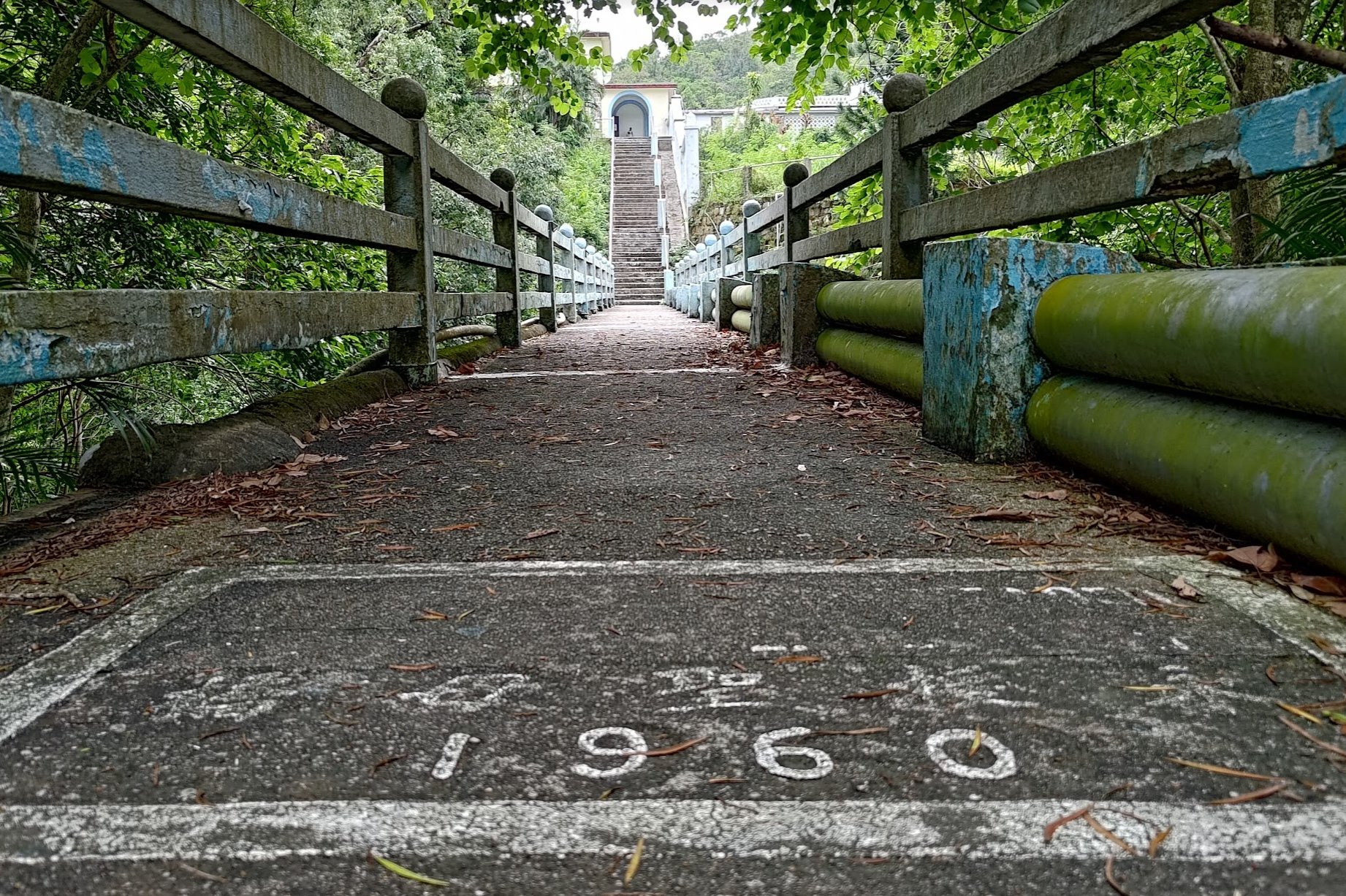
To see that actual abbey, make sure you go across the bridge that was built in 1960 and climb up the stairs. Make your way back after.
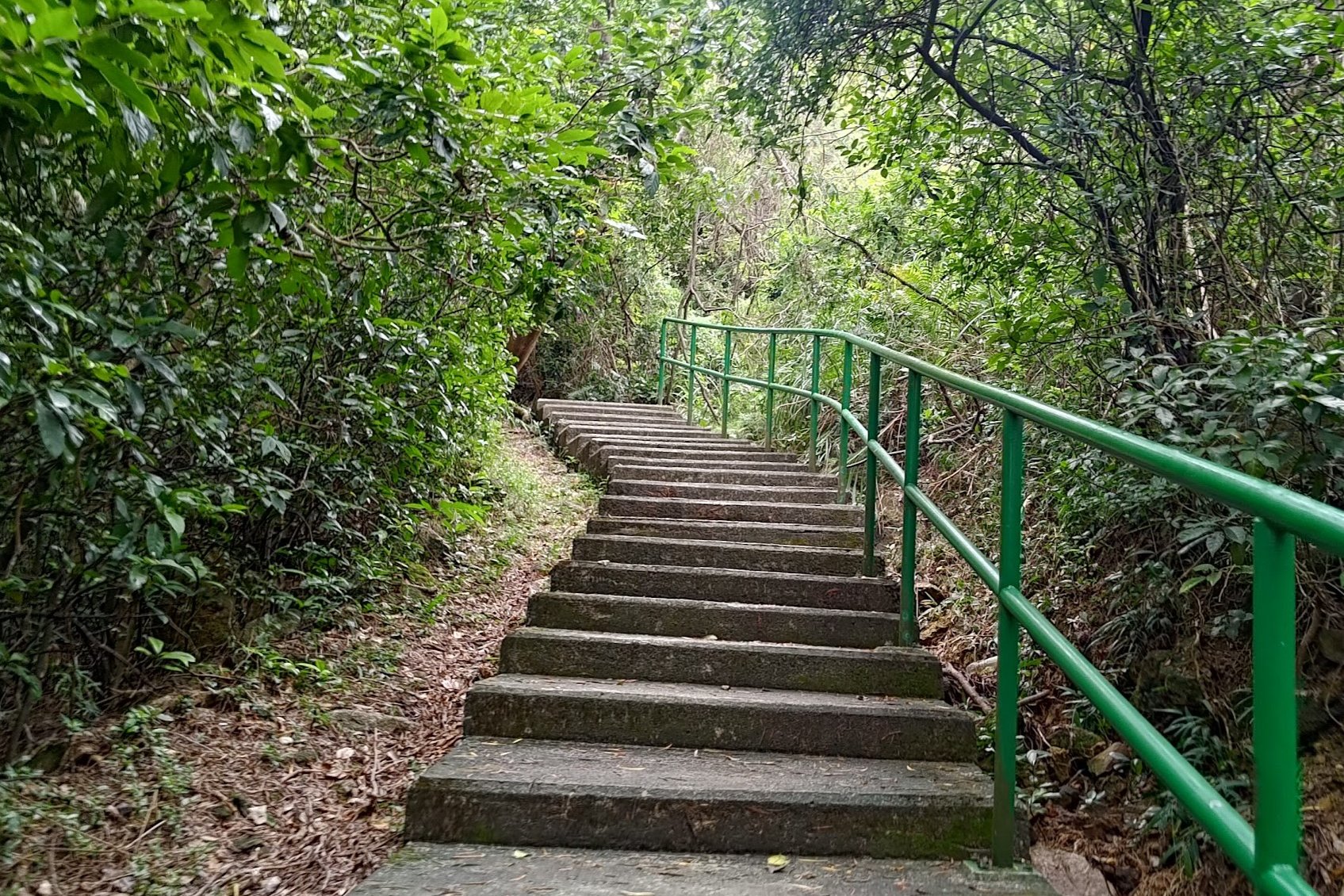
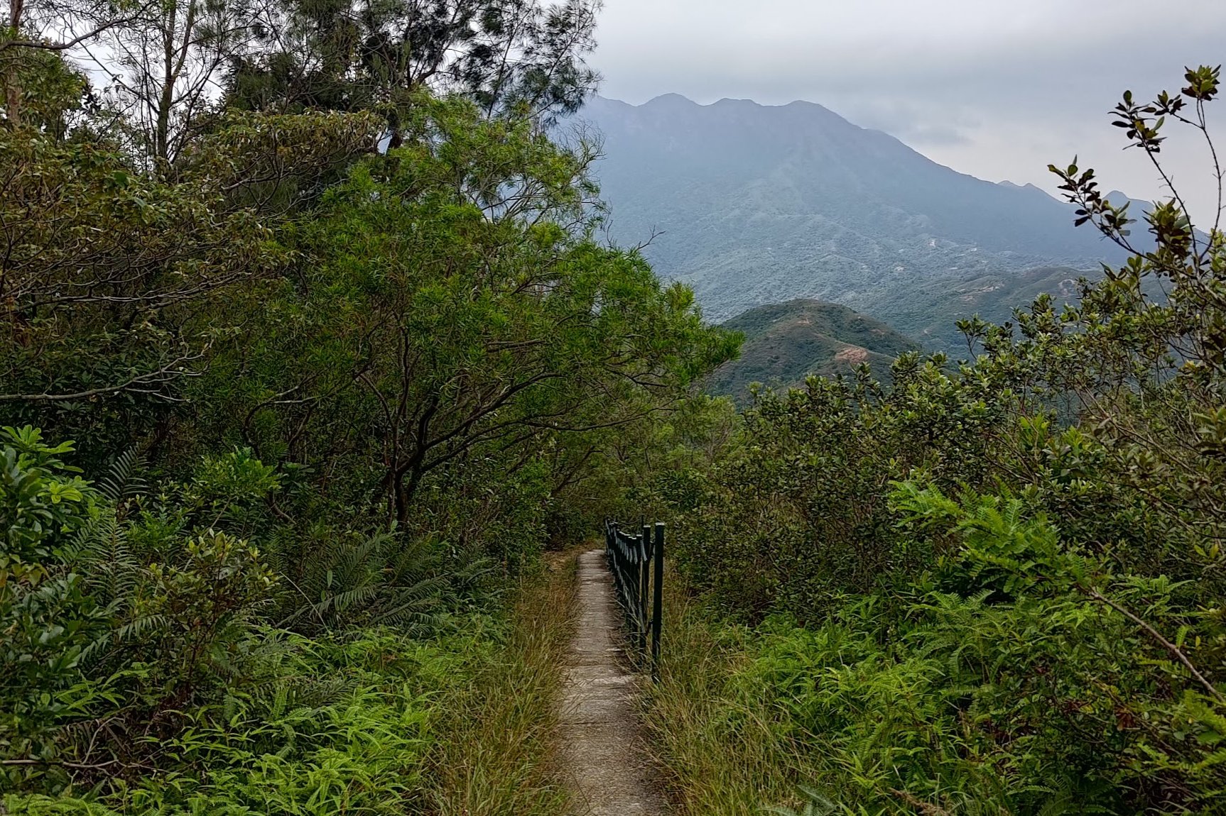
The Final Tough Ascent

After taking a break to admire the abbey's architecture, you should look for the path that's marked by a wooden sign pointing you to Mui Wo.
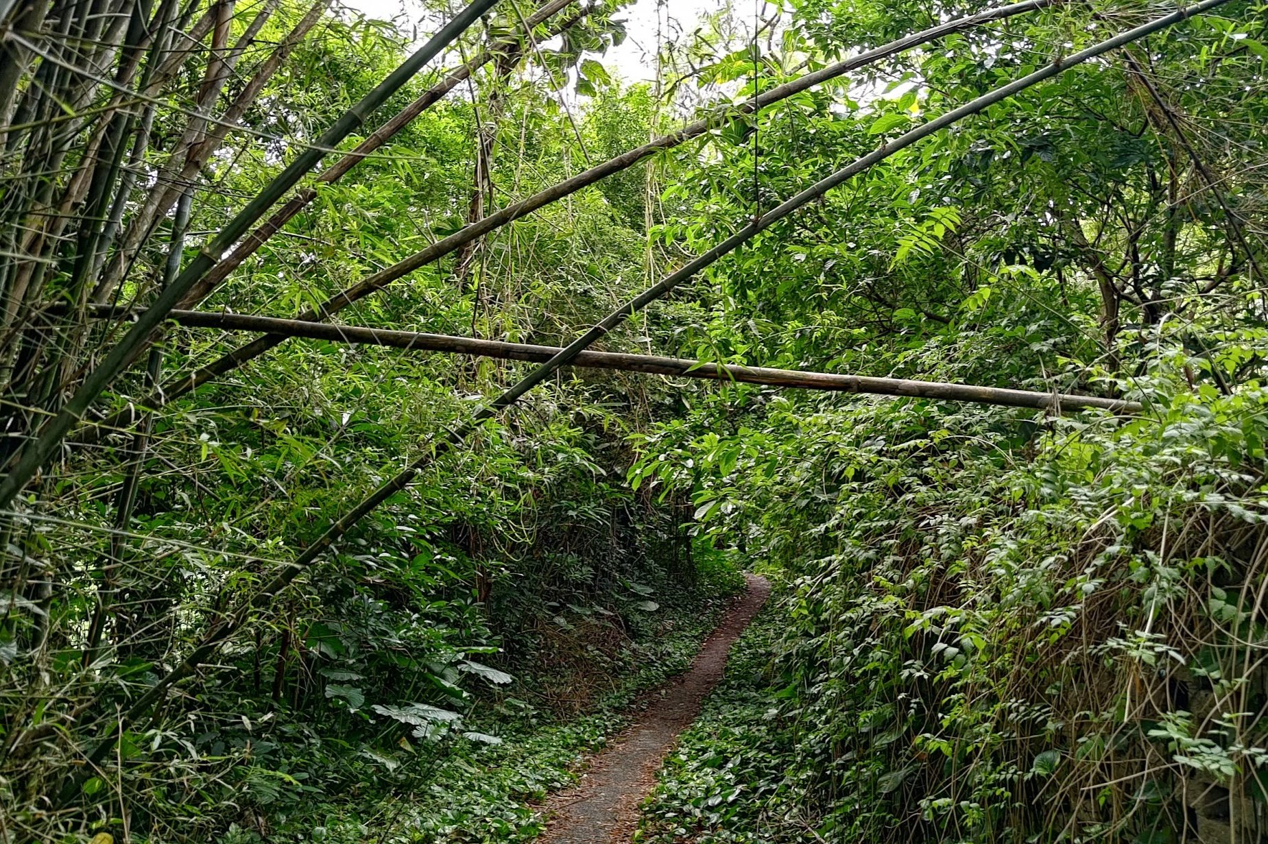
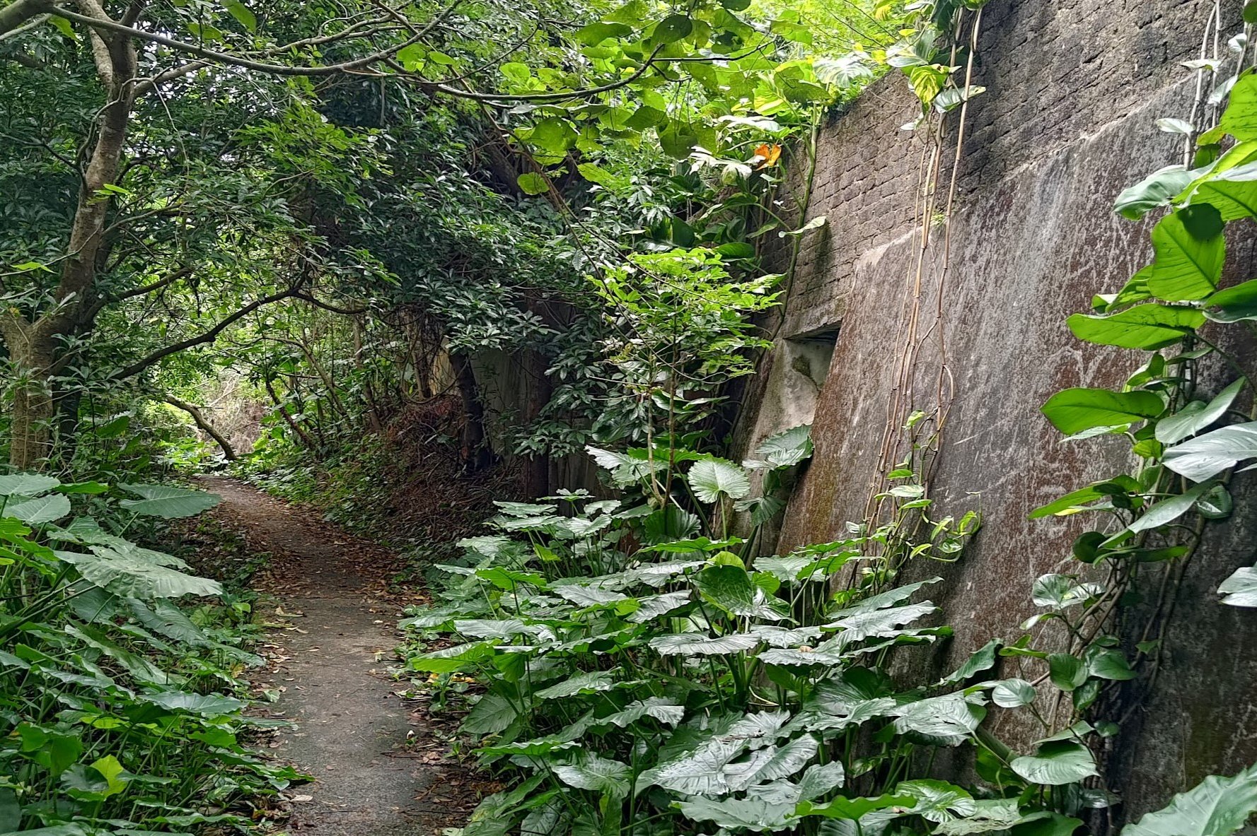
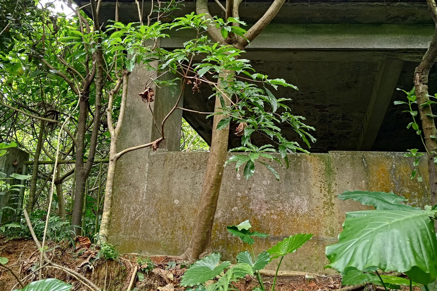
Continue through some green bamboo groves and marvel at the abandoned structures that harken back to some intriguing bygone era.
Once you come across a pair of stripy poles, the uphill begins again with a vengeance.
Head up the steep slope for about 15-20 minutes until you see a set of stairs to your left. There'll be a Mui Wo sign next to the stairs.
Head up the stairs for maybe 2-3 minutes and you'll arrive at an epic viewpoint!
You can also take the flat path beside the stairs and avoid the climb completely. Doing so will mean you don't get some of the best views of the hike.
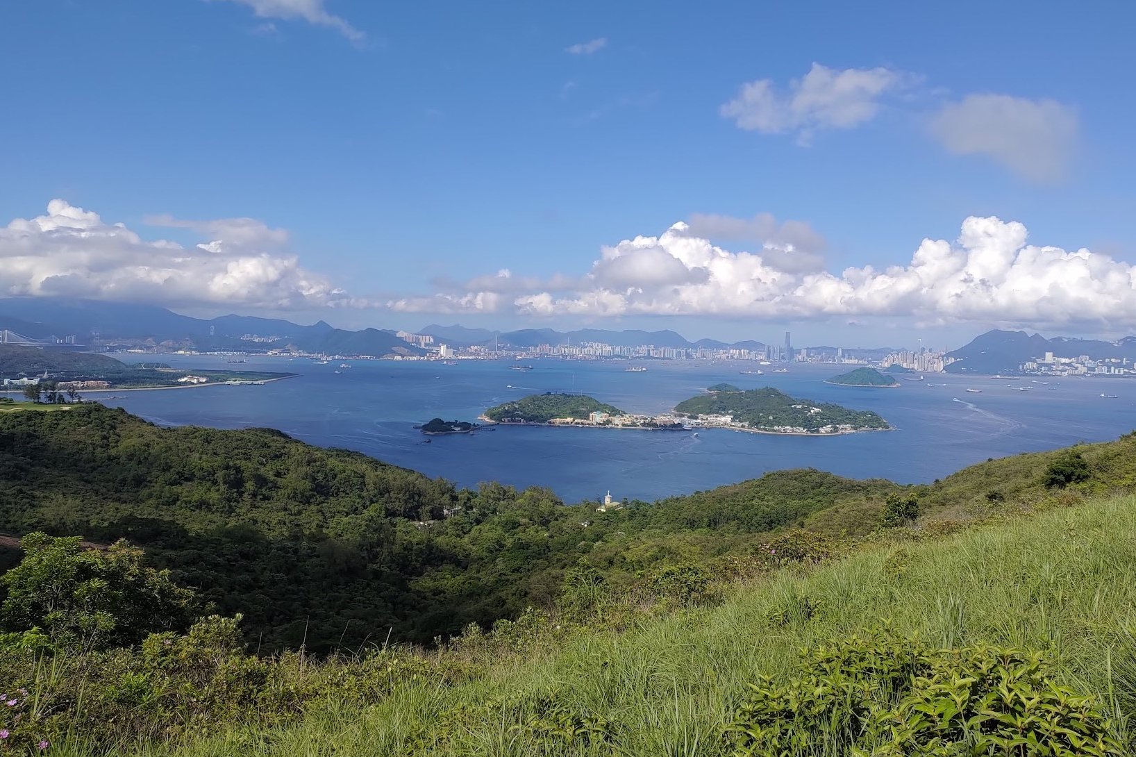
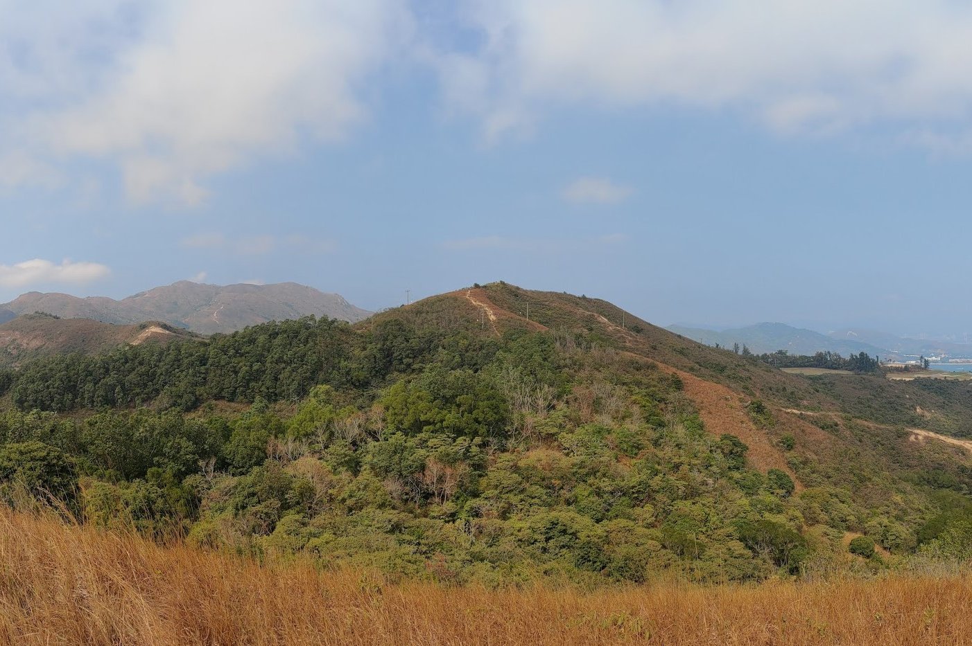
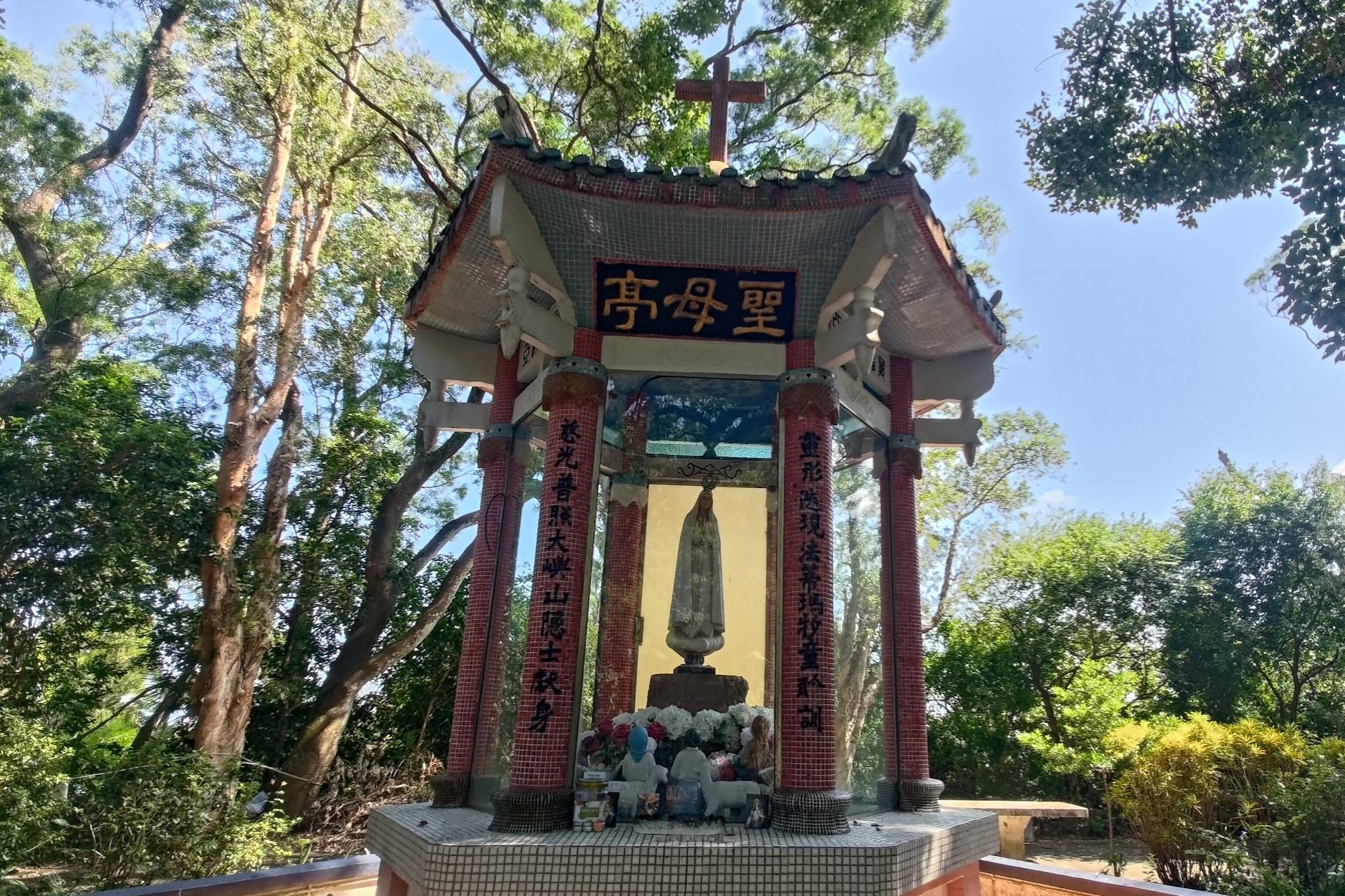
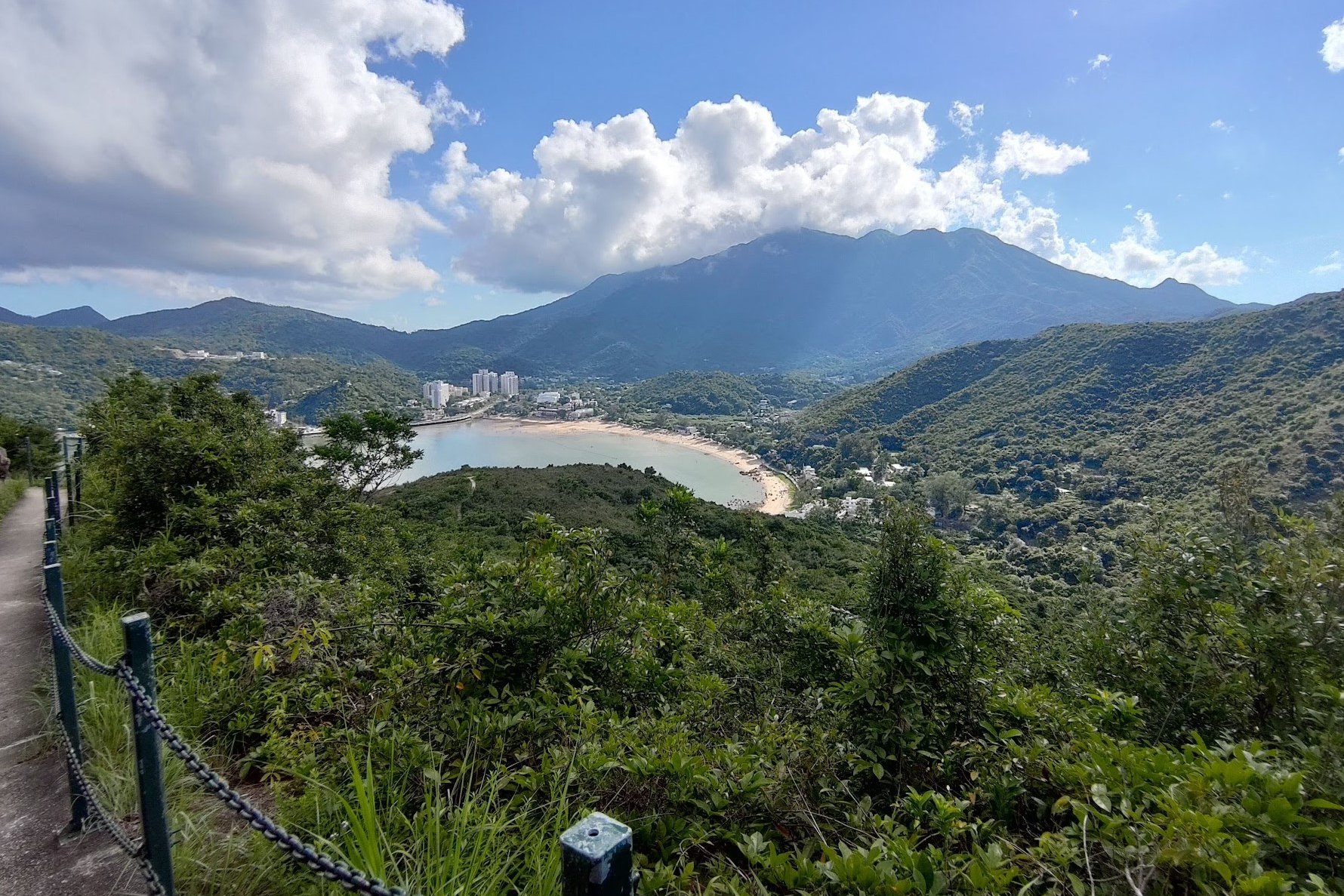
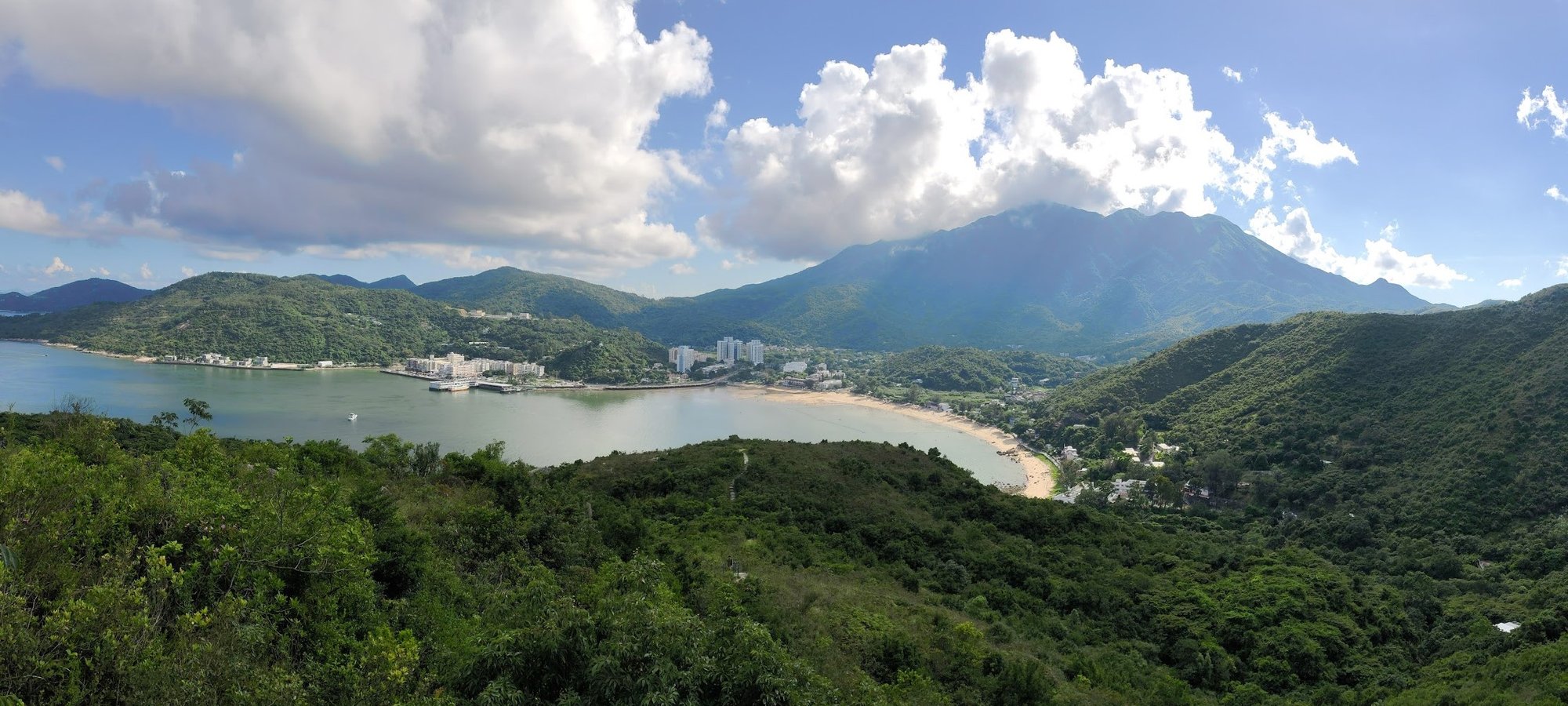
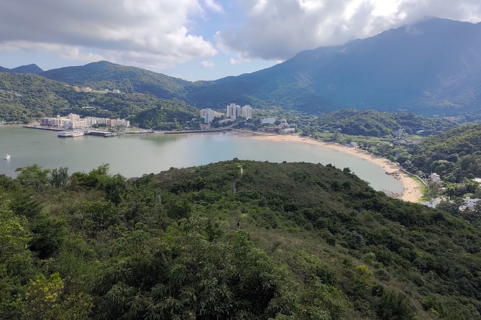
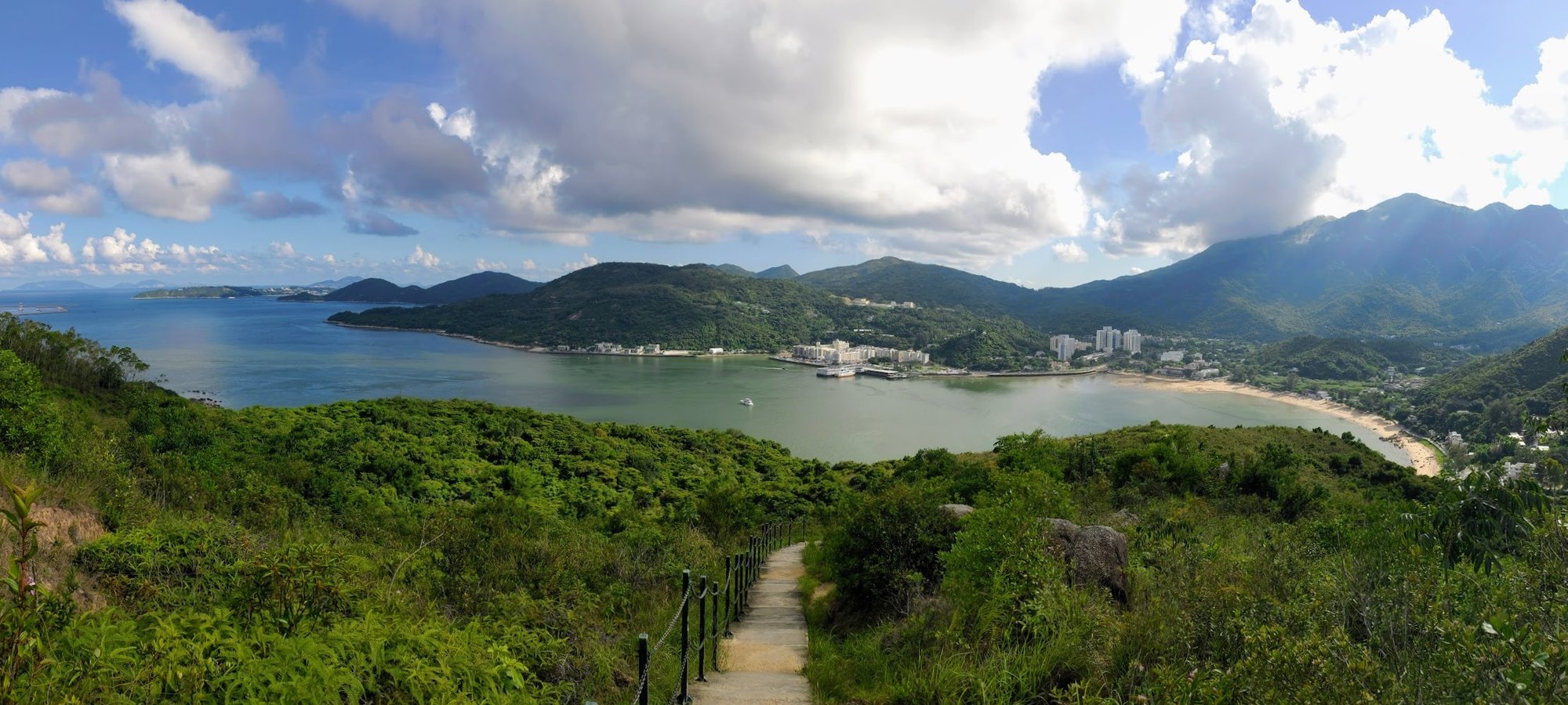
360-degree Views From the Top
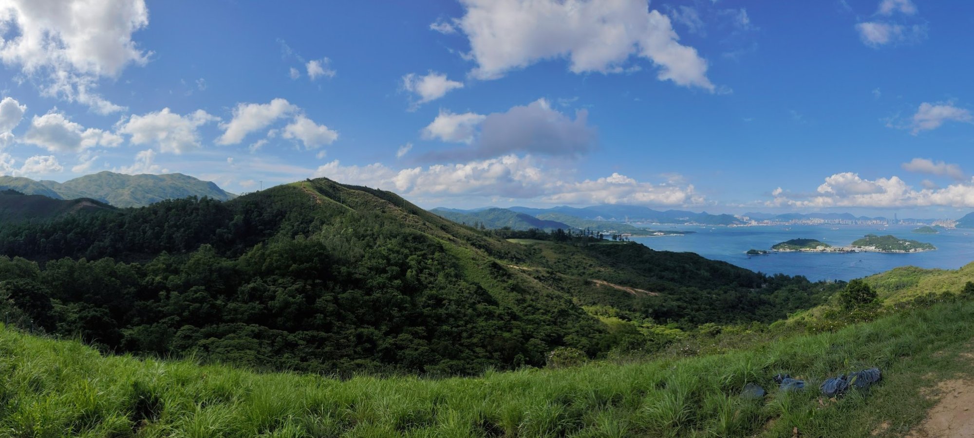
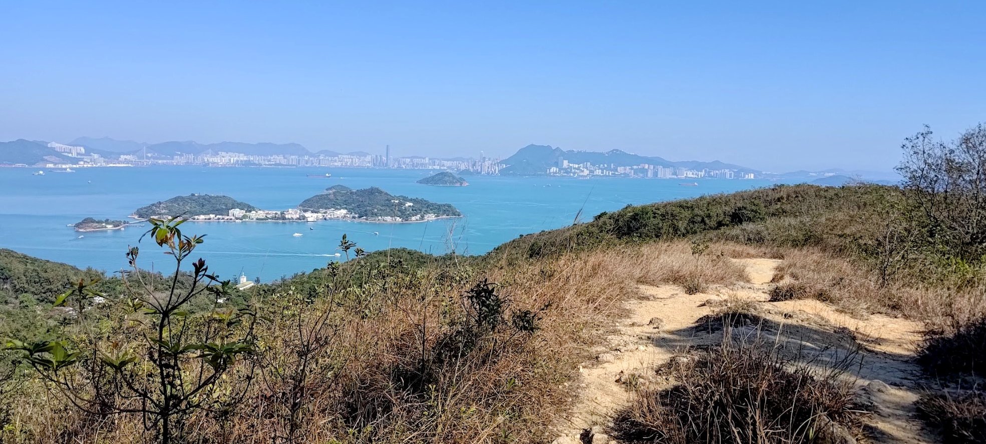
Once you're at the top of the stairs, you'll arrive at the highest point of the hike.
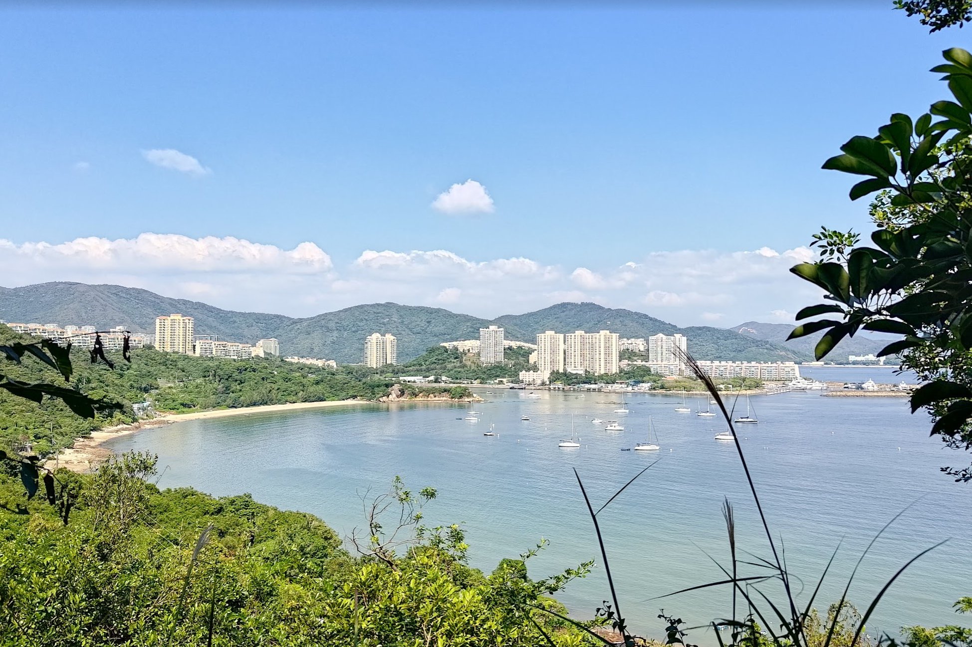
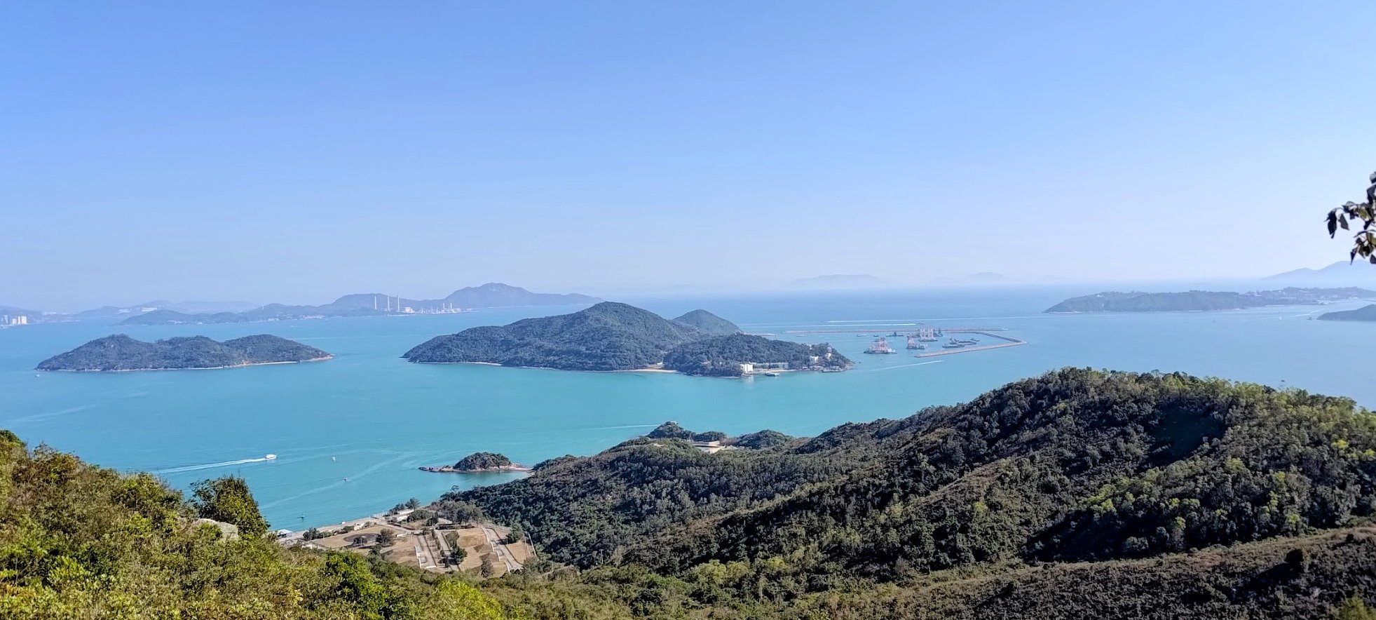
From here, you can enjoy panoramic views of some of Lantau's epic mountain scenery. You'll also be privy to ocean views that stretch out all the way to Hong Kong Island!
Taking the dirt trail to the other end of the grassland will grant you commanding views over Hei Ling Chau and Lamma Island further off in the distance.
Once you're done admiring the scenery, walk to the pavilion beside the stairs you just ascended from. Walk through the pavilion to see another set of stairs. This is where you can begin your descent towards Mui Wo.
Descending to Mui Wo
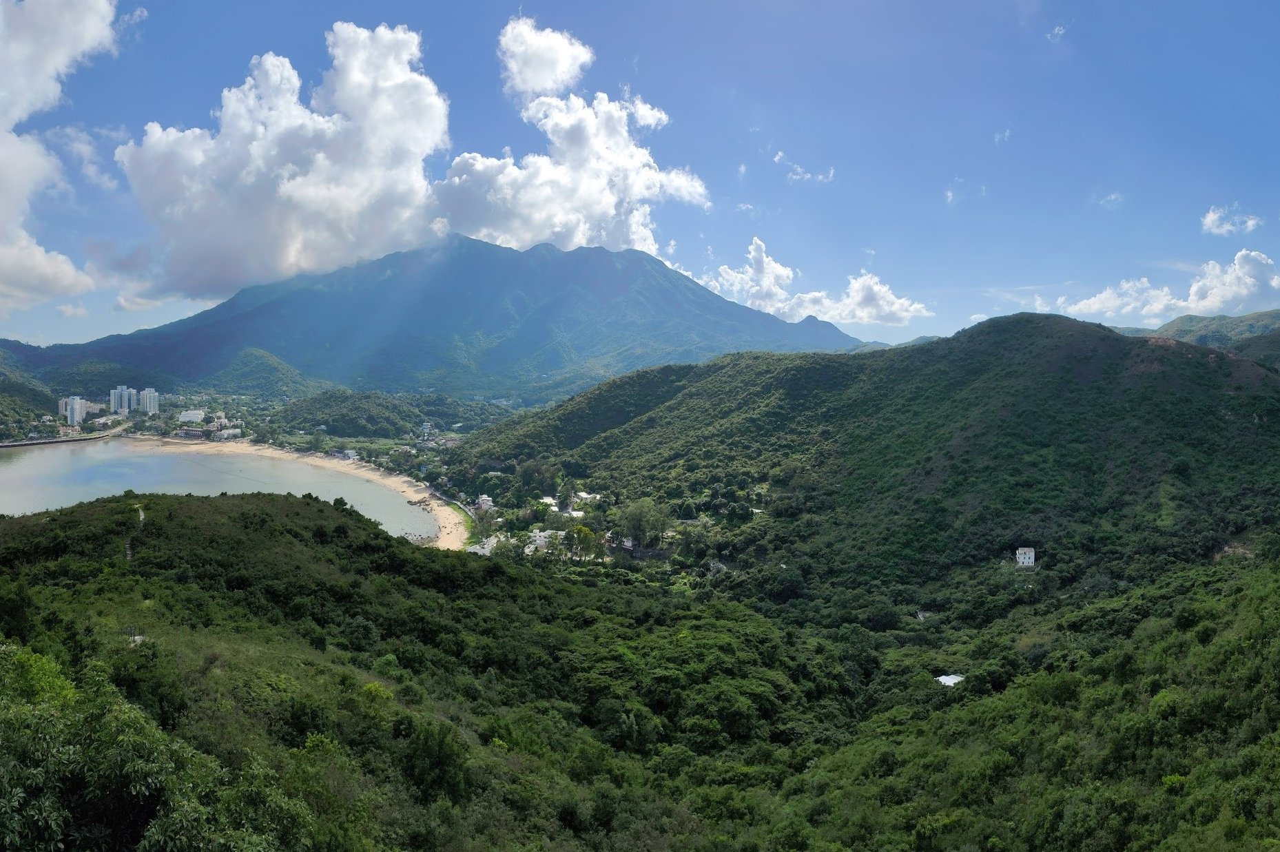
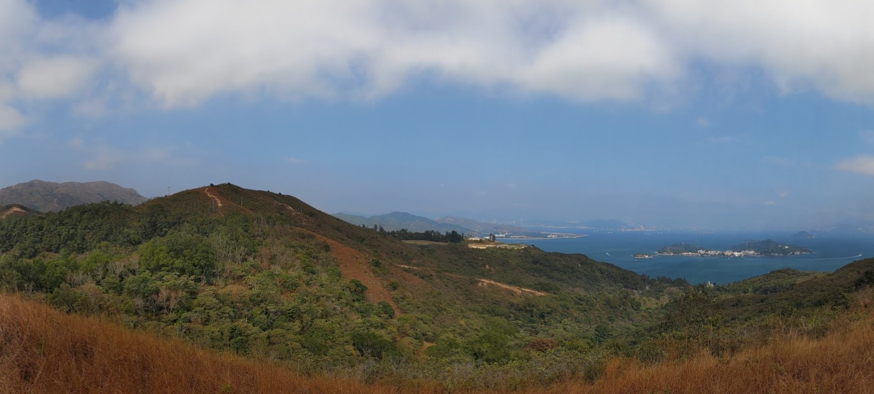
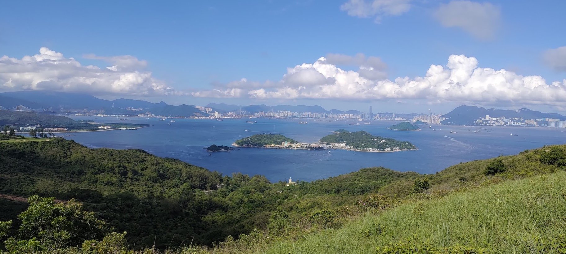
The descent takes about 30 minutes, allowing for a few minutes to snap some photos.
You can certainly take longer since the scenery heading down into Mui Wo is some of the most spectacular of the entire hike!
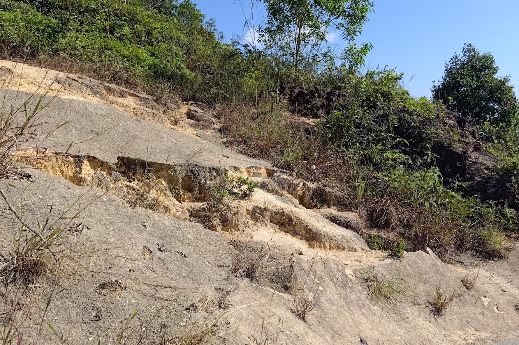
Don't miss the extra viewpoint atop the crumbling rocky slope on the way down. It's pretty easy to spot.
As you keep descending, there's a small little crest that you'll have to climb over before you arrive at a concrete road that splits off into two directions.
Go right and you'll be heading toward the final walk to Mui Wo.
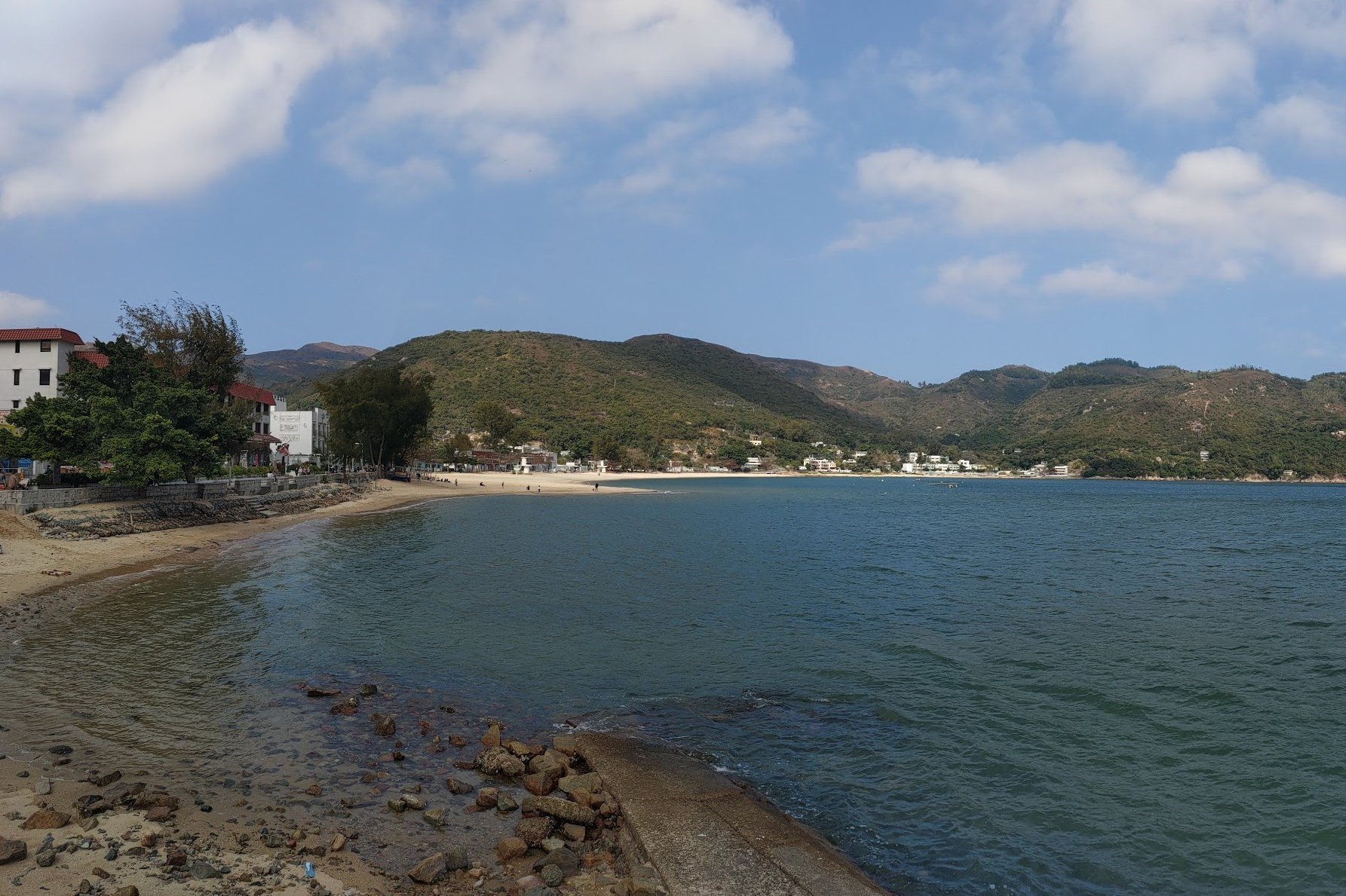
Walking to Mui Wo
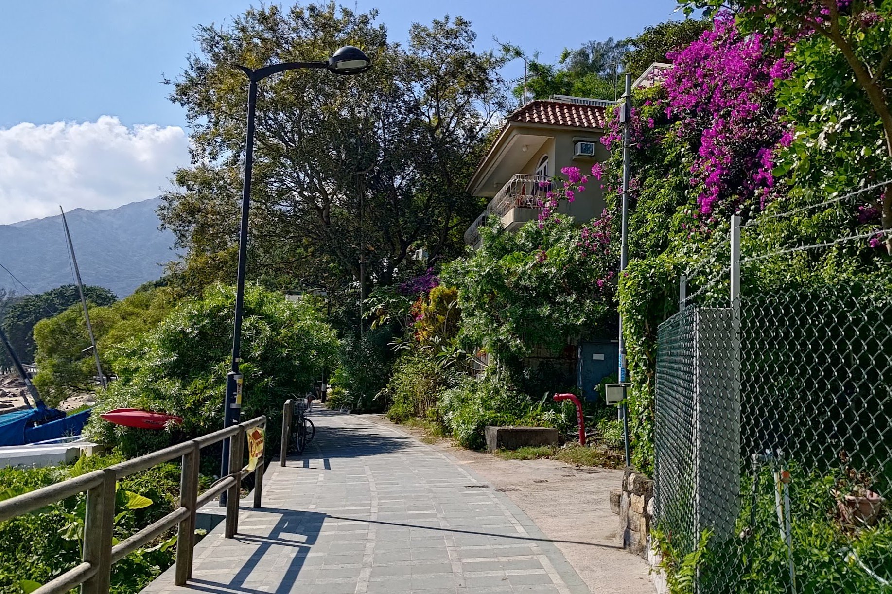
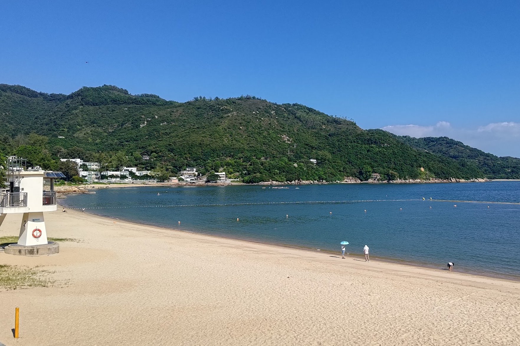
After turning right, simply follow the coastal path as it takes you past Silvermine Bay Beach in Mui Wo.
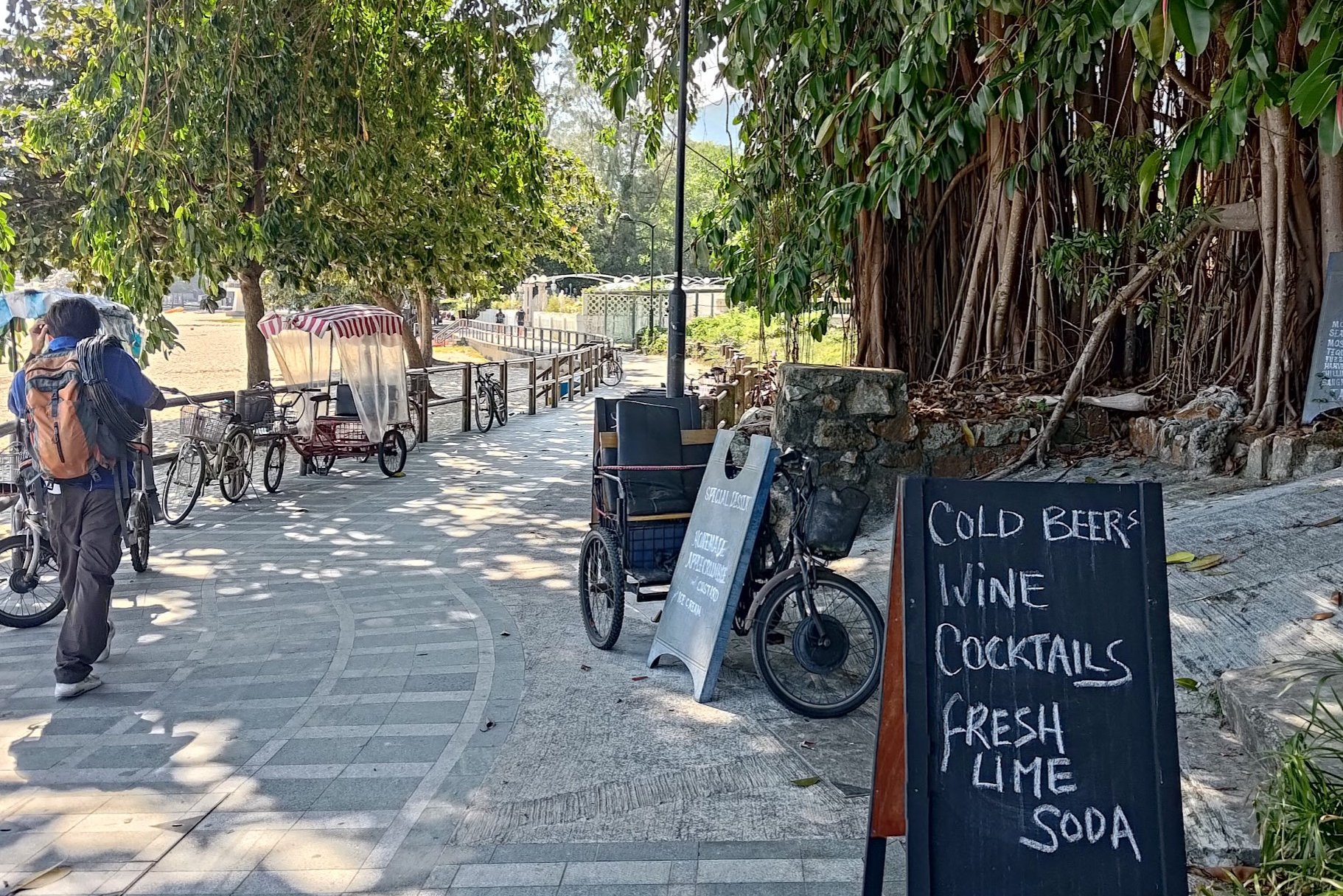
There are plenty of shops and restaurants along the way where you can refuel on water and food.
You'll also be able to rent kayaks, hit the beach and set up at one of the barbecue pits if you fancy staying longer in Mui Wo.
When you're ready to head home, just continue walking by the ocean until you arrive at Mui Wo Ferry Pier; which also has a bus station right beside it for easy options back to the city.
It'll take around 20 minutes to reach the ferry pier.
Getting Back
By Ferry
Take the ferry from Mui Wo back to Central. Here's the ferry schedule (you might have to scroll down a bit to find the Mui Wo to Central timetable).
By Bus
Take the 3M bus from beside the ferry pier to Tung Chung MTR station.
Too Easy? Continue Hiking to Pui O!
If you're still itching for more hiking adventures, you can continue directly from Mui Wo to Pui O by following the guide below!