
Lion Rock & Amah Rock Hike: A Secret Route from Tai Wai
Contents
- Essential Information
- Lion Rock Highlights
- Amah Rock Folk Legend
- Google Route Map
- How to Get There
- Quick Route Summary
- Detailed Route
- Views from Amah Rock
- Optional Escape Route
- Monkeys
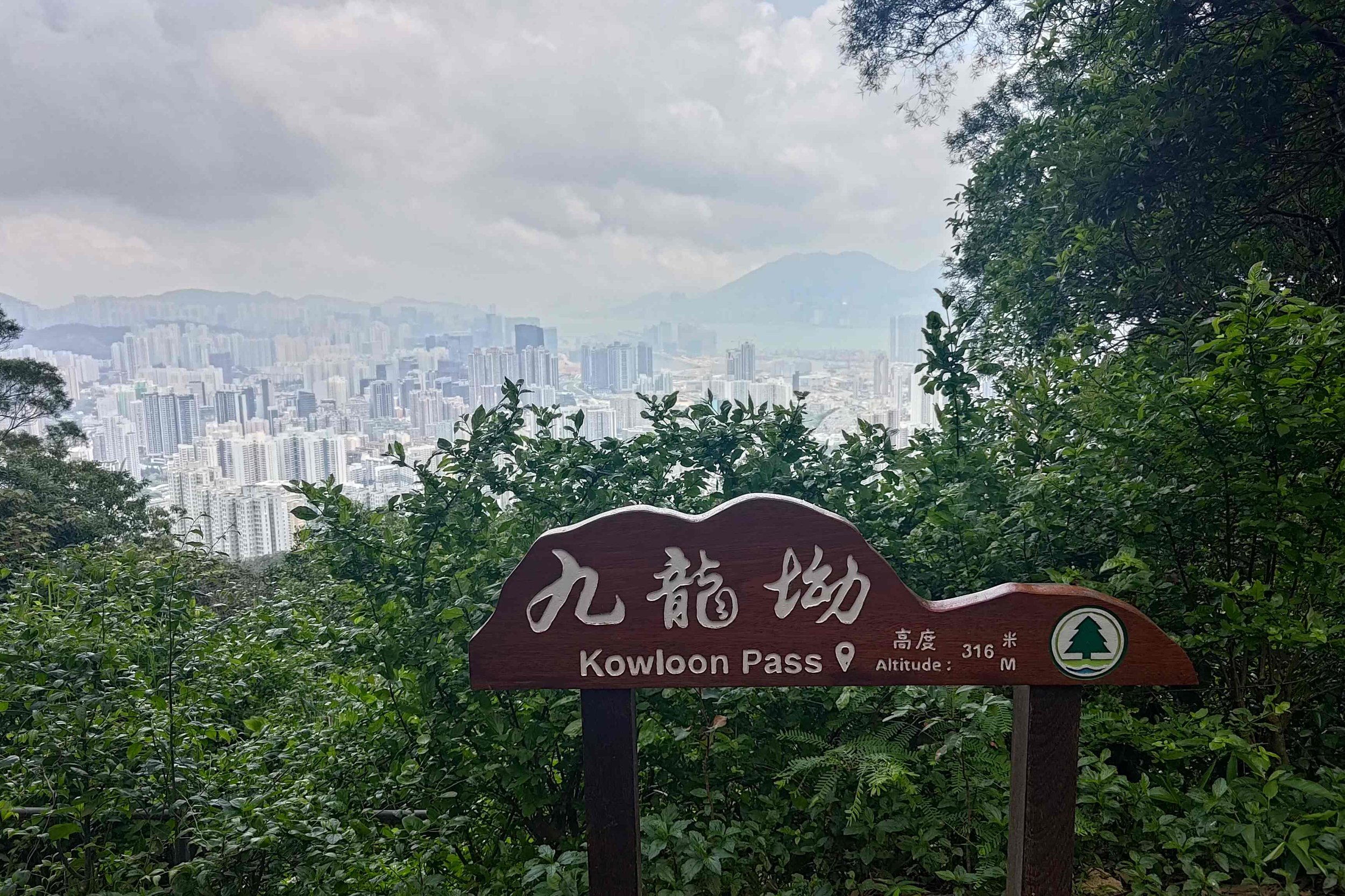
- New Territories and Kowloon Viewpoint
- Lion's Head Summit Views
- Lion's Back Summit Views
- The Way Back
Essential Lion Rock Hike Details
- District: Tai Wai (NT)
- Duration: (if returning to Tai Wai): 2-3 hours
- Distance: 7-8km round trip
- Elevation: 495 meters
- Difficulty: 2.5/5
- Facilities: Vending machine, public toilet at start point
Why Hike Lion Rock?

Lion Rock is one of Hong Kong’s most iconic and recognizable mountains, appearing in local cinema, pop culture and advertisements across multiple decades. Its revered status has cemented this route as a must-hike for just about every visitor and resident of the city.
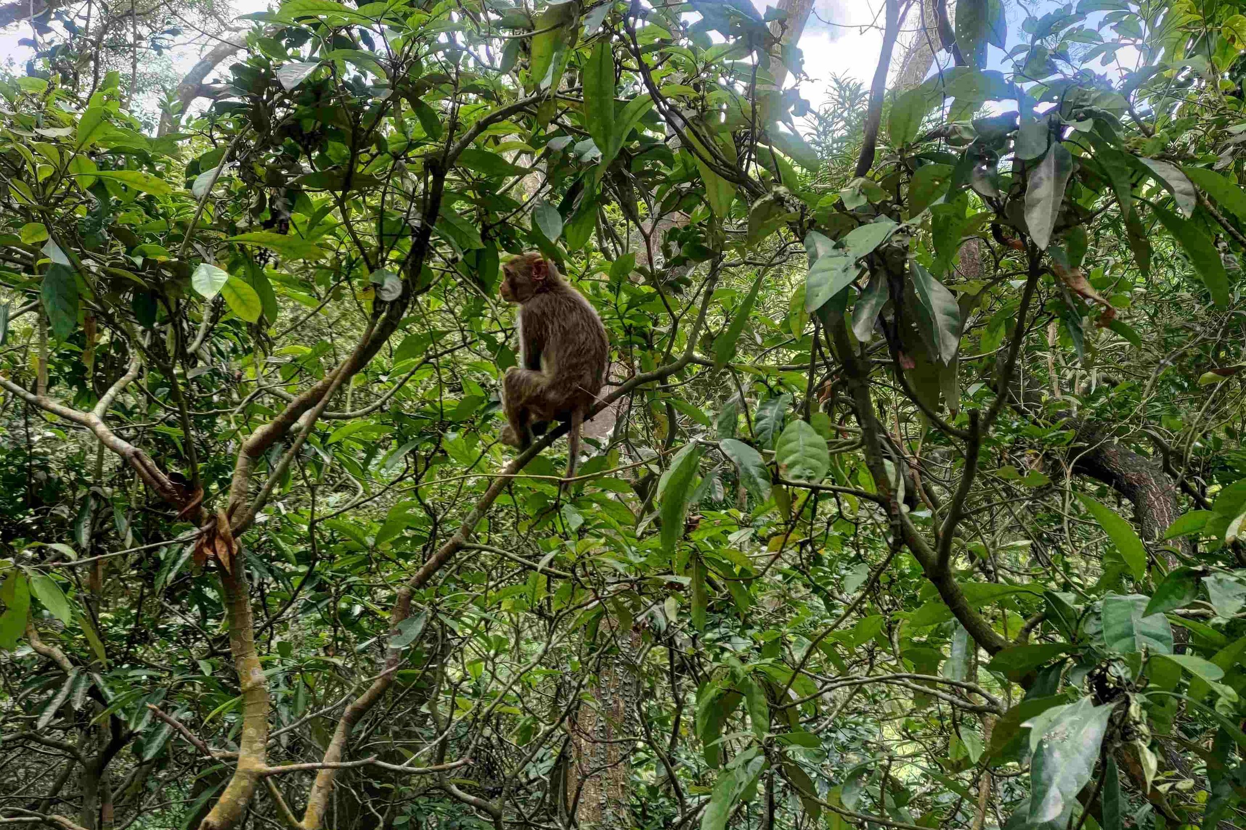
Cultural influences aside, summiting Lion Rock offers breath-taking panoramas of Kowloon, Hong Kong Island and much of the New Territories. You’ll also have a high chance of seeing groups of macaques swinging from the trees as you hike.
Most people who hike to Lion Rock’s summit start from Wong Tai Sin MTR station, but that route is often crowded and involves walking up a boring concrete road full of cars and taxis for nearly an hour.
Starting from Tai Wai foregoes all these annoyances and gets you to the top of Lion Rock quickly, in the shade (which actually makes this a decent summer hike option), with fewer people around, and lets you detour to Amah Rock along the way!
Amah Rock Folk Legend

Before beginning your hike, decide whether you want to take a little side excursion to Amah Rock.
The Cantonese name for Amah Rock is 望夫石 (Mong fu shek), which means hoping/watching husband stone. The 15-meter-tall rock looks like a woman carrying a baby on her back if you look at it from the right angle.
An old folk legend tells the story of a woman who returned to the same spot every day to wait for her husband who had vanished on a fishing trip out at sea.
Unbeknownst to the woman, her husband had actually perished on his fishing voyage and would never returned. Guan Yin, The Goddess of Mercy, took pity on the woman and reunited with her dead husband. BY TURNING HER INTO STONE.
Darn, that’s pretty brutal. Guess the baby was turned to stone, too.
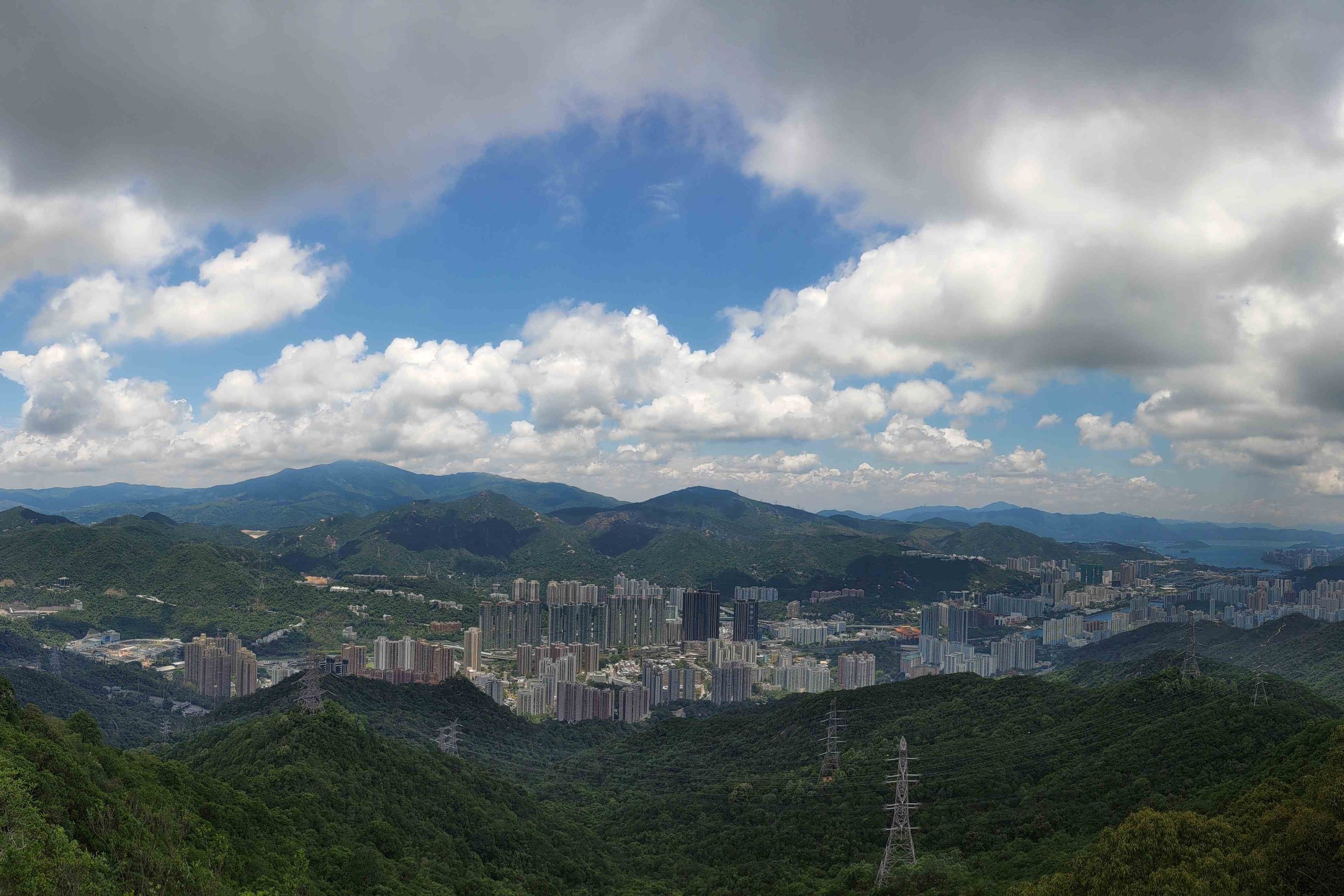
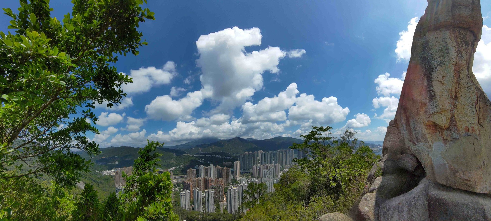
On a less depressing note, the view from Amah Rock is pretty sweet as it lets you look out across Shatin district, the Shing Mun River and even Ma On Shan in the distance.
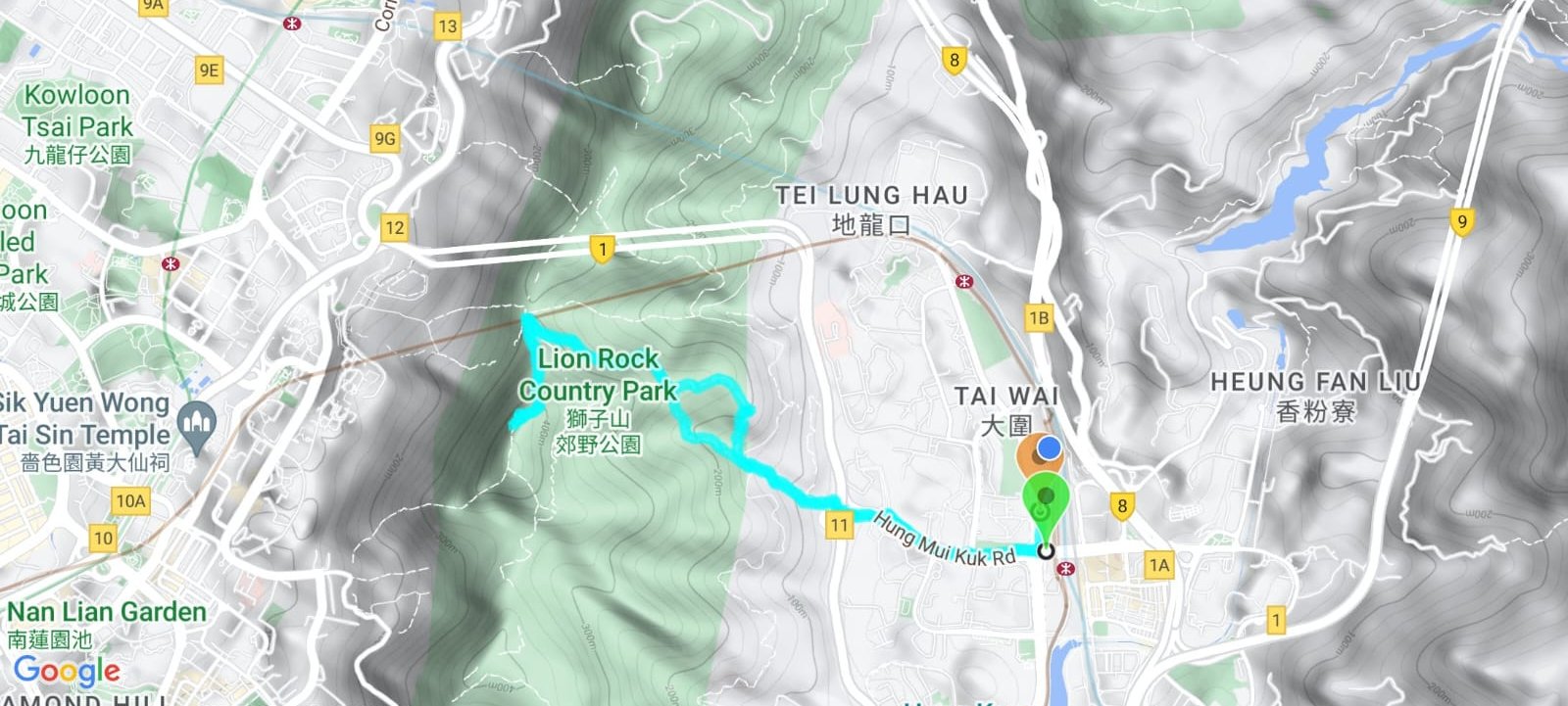
Google Route Map
How to Get to the Lion Rock Hike Start Point
By Bus
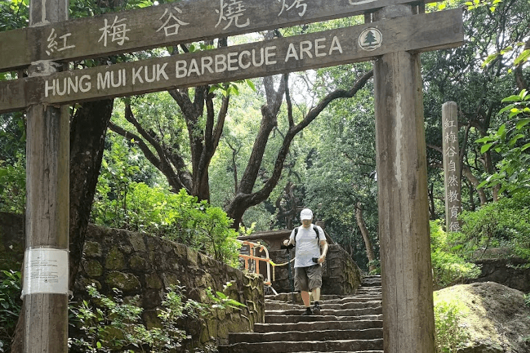
Get off at the Worldwide Gardens bus stop. The start point on Google Maps is ‘Hung Mui Kuk Barbecue Area’. For detailed instructions look at the section below.
From HK Island:
- Bus 182
- Bus 170
From Kowloon:
- Bus 81c (Toward Yiu On)
From the New Territories:
- Bus 81c (toward TST)
- Bus 85
From Lantau:
- Bus E42 (get off at Tai Wai Station and follow the MTR instructions below)
By MTR
Get off at Tai Wai Station exit F.
Tai Wai MTR to the Start Point
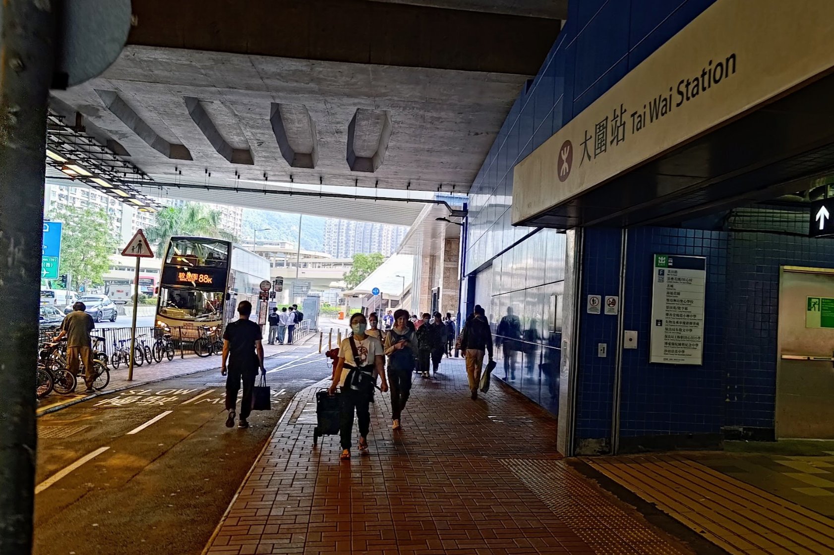

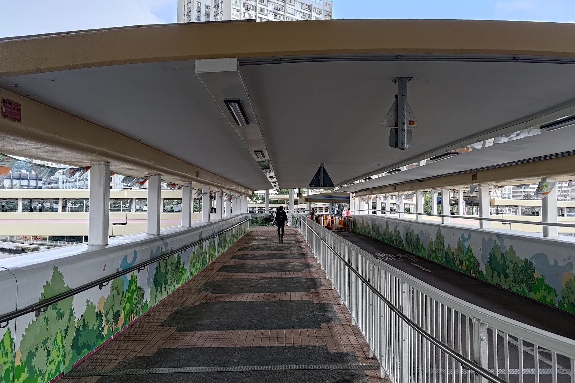
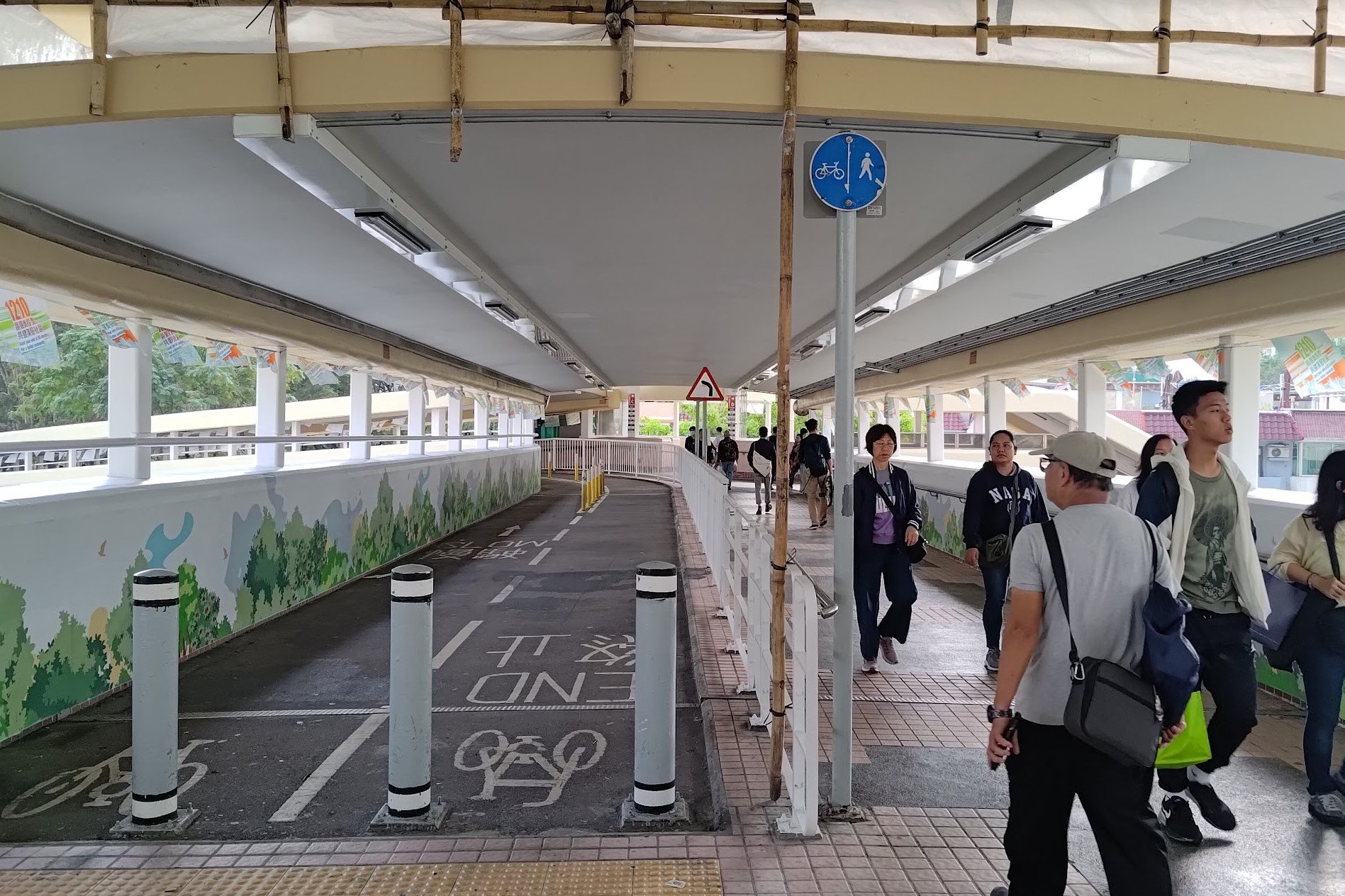
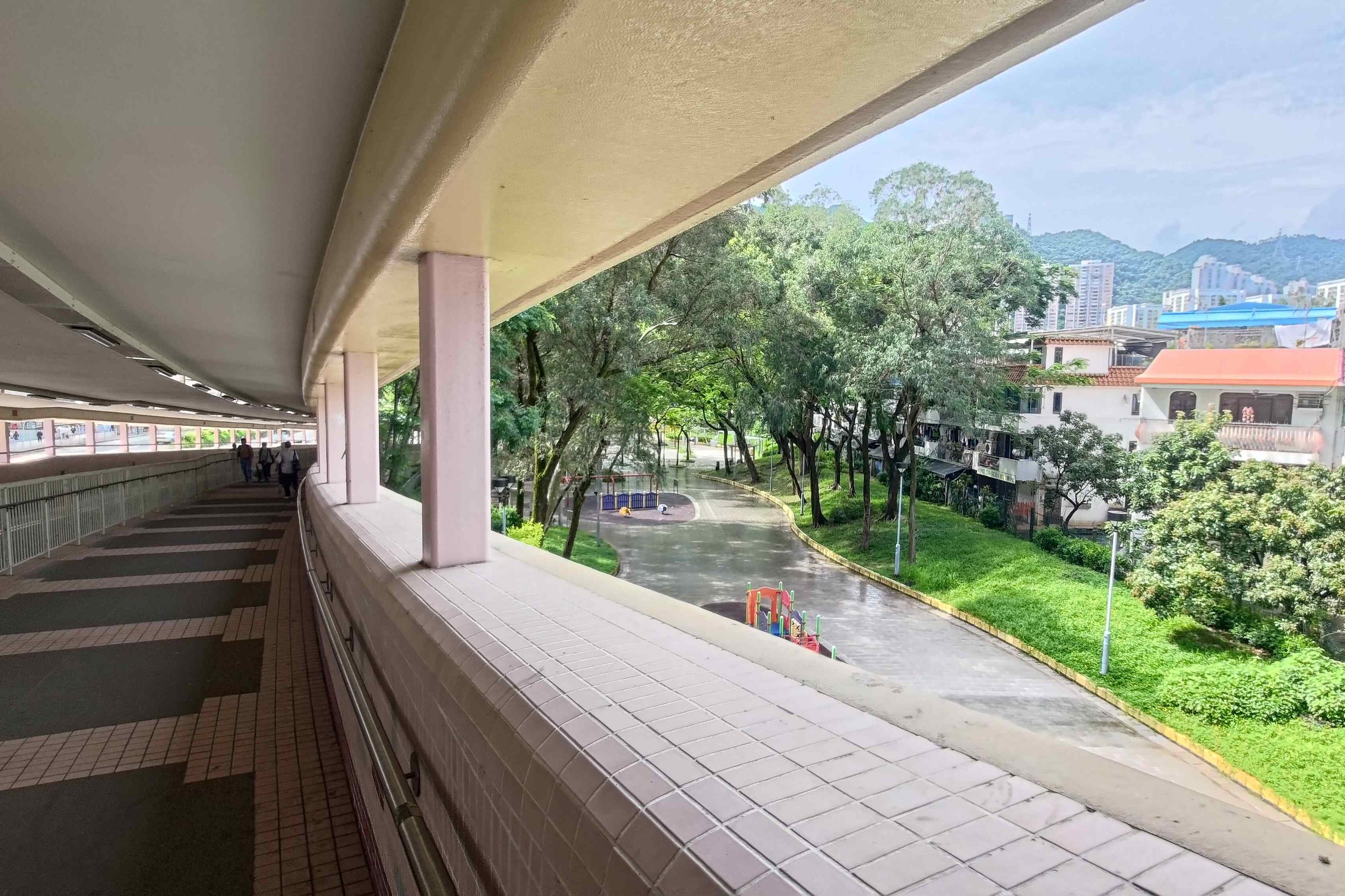
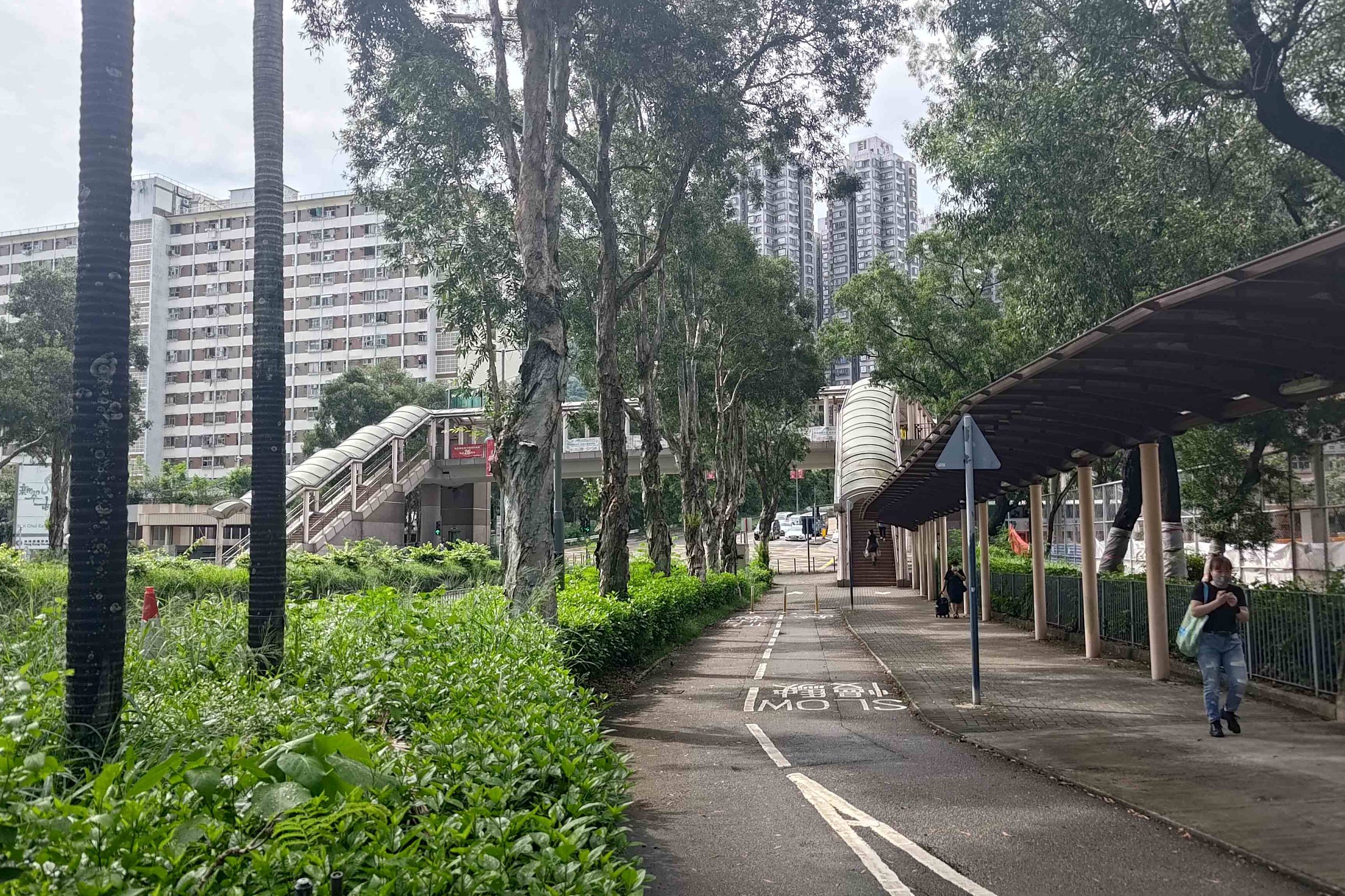
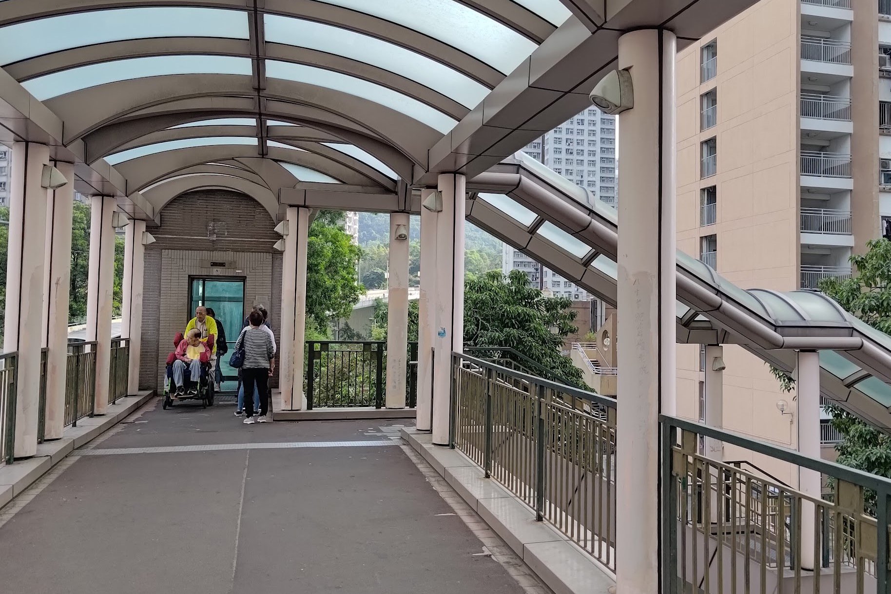
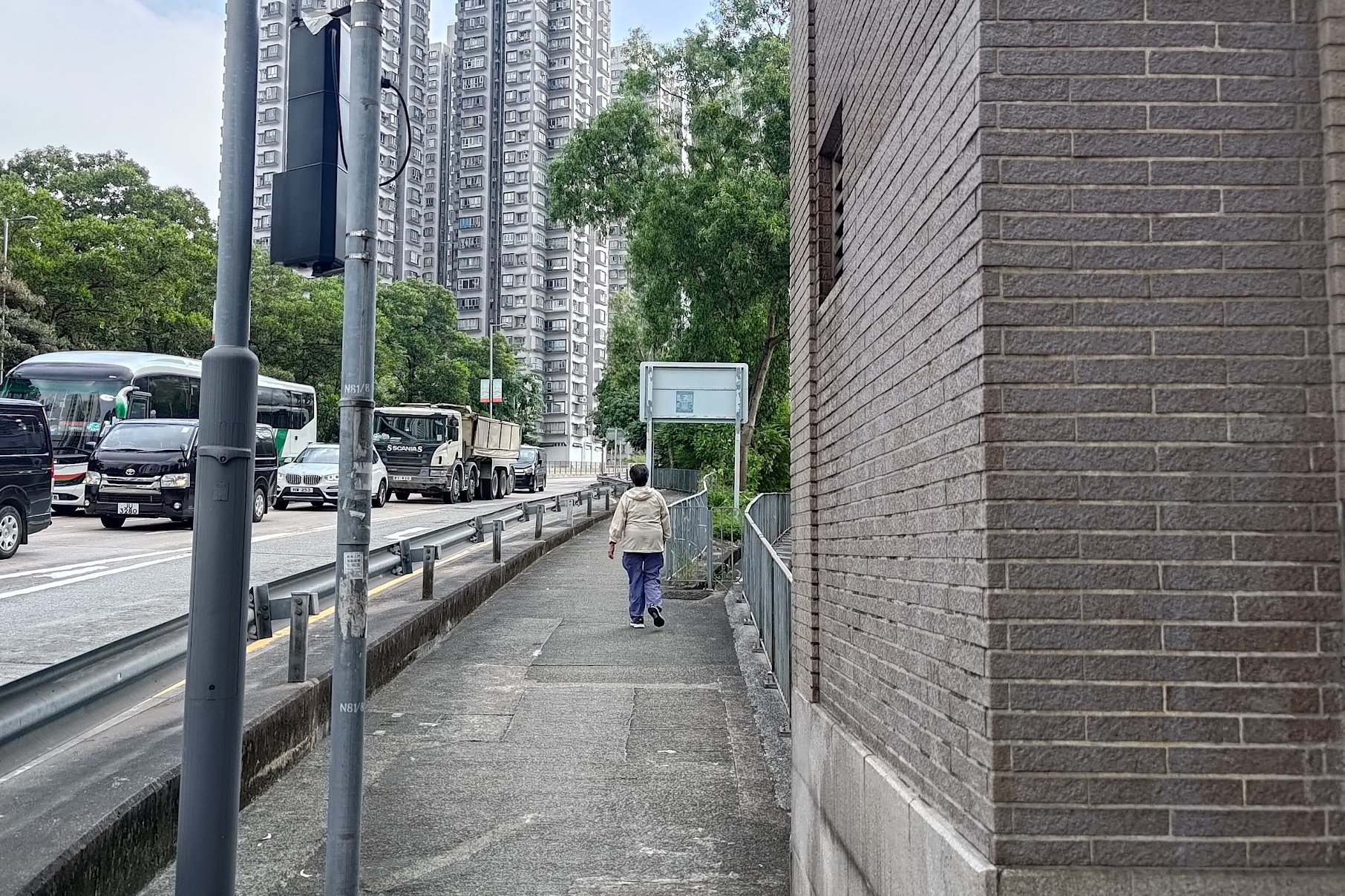

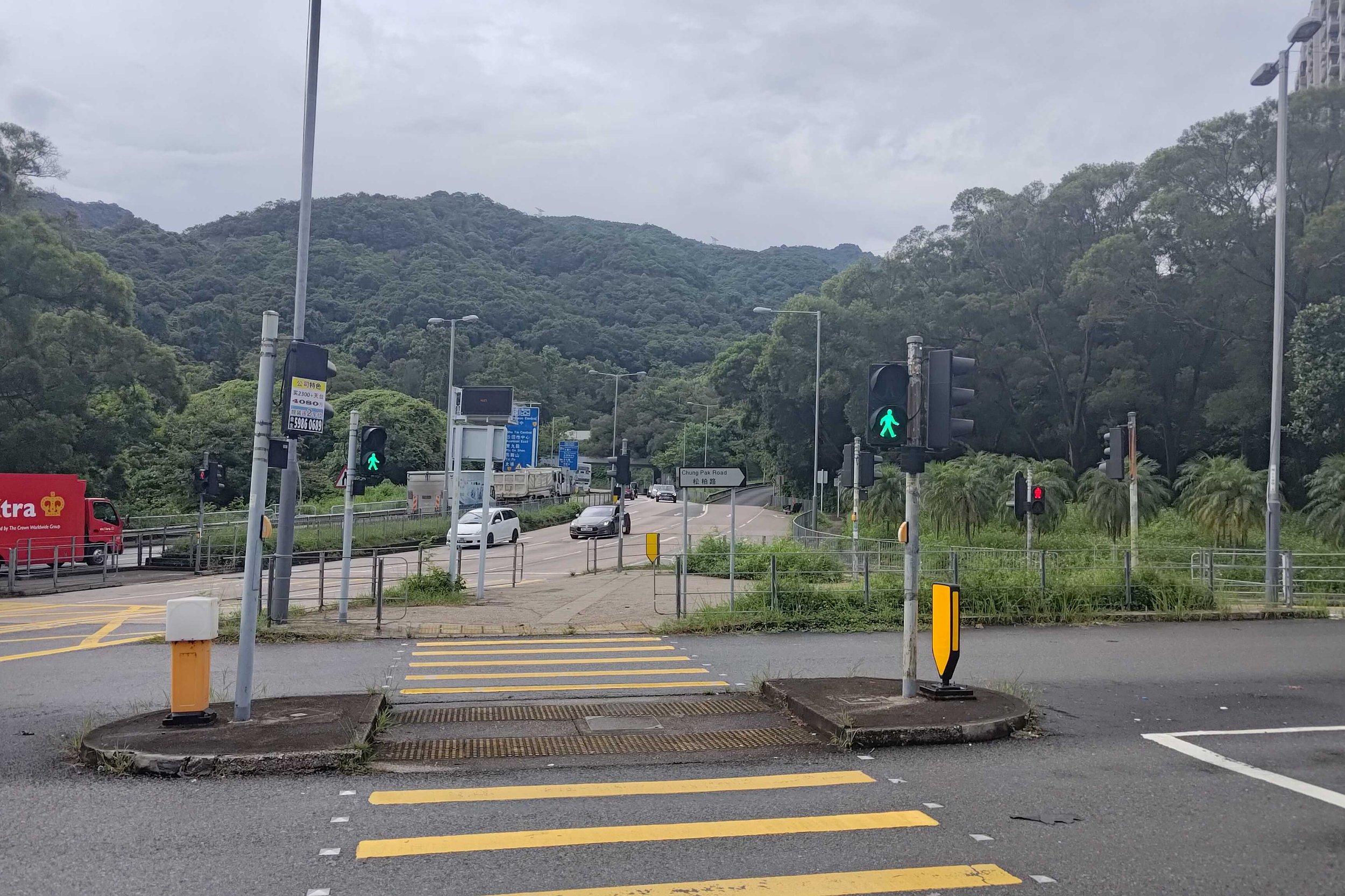
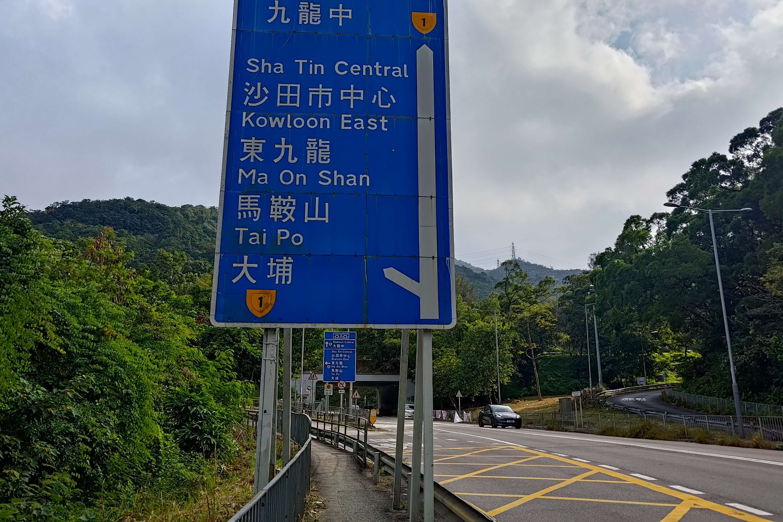
Leave via exit F (it's on the platform of trains heading toward Admiralty) in Tai Wai MTR Station and head toward the ‘Octopus Pedestrian Bridge’. Take the Hung Mui Kuk road exit (on the far side of the bridge near the playground and village houses). Go straight past the playground and cross Tin Sam Street via the overhead footbridge.
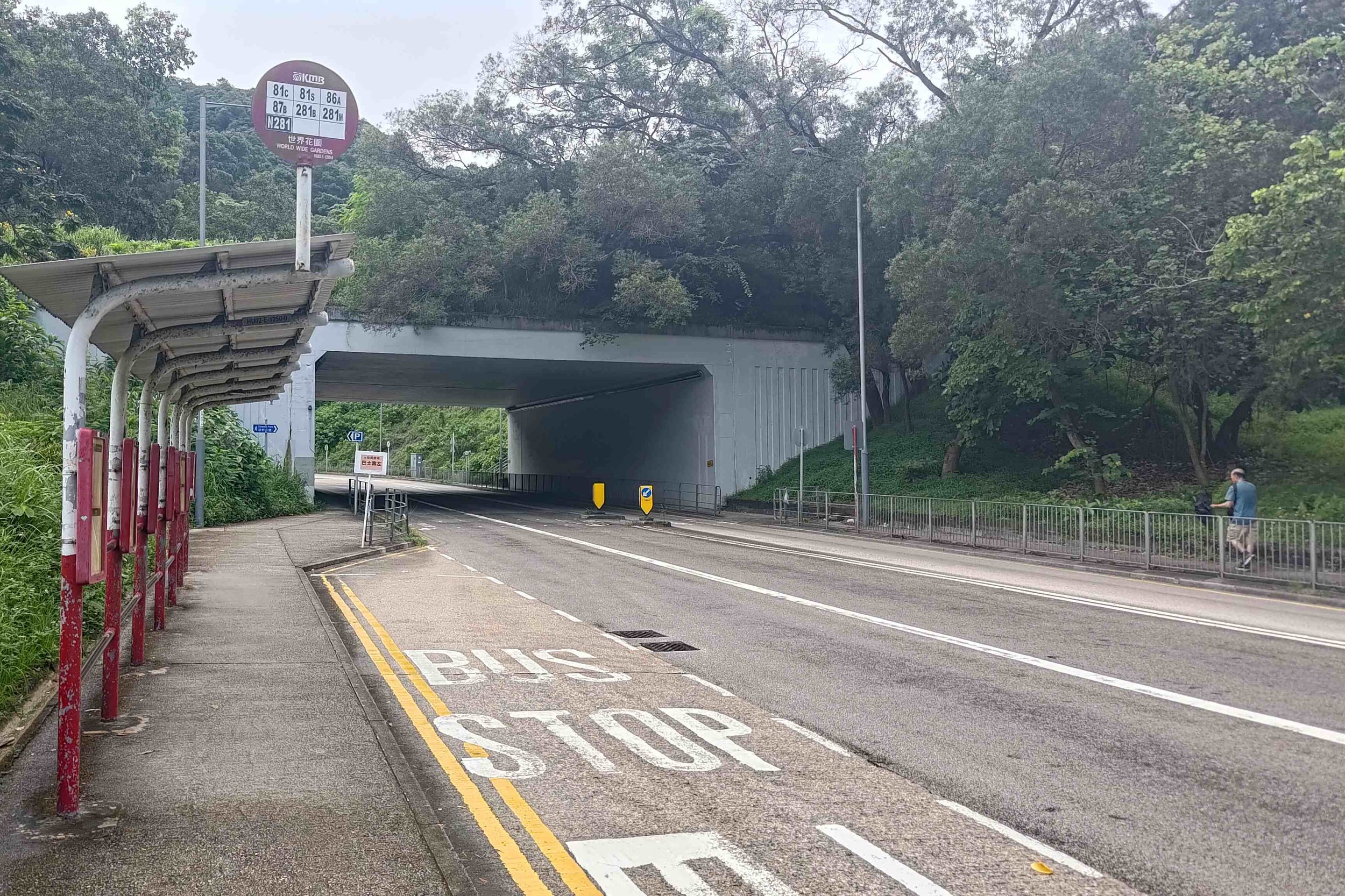
Keep following Hung Mui Kuk Road (it will slope upward). At the Chung Pak Road intersection, just after the World Wide Gardens bus stop, cross to the other side of Hung Mui Kuk Road.
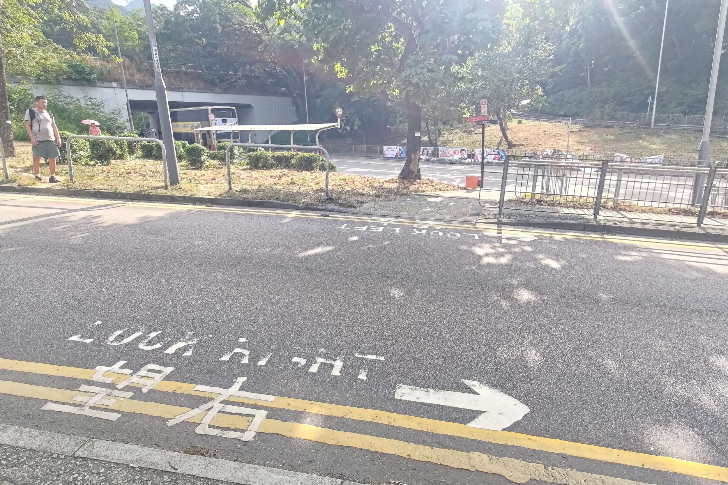
Nearby, you’ll see a bus stop and another crossing. There, you’ll need to cross back to the right-hand side of Hung Mui Kuk Road.
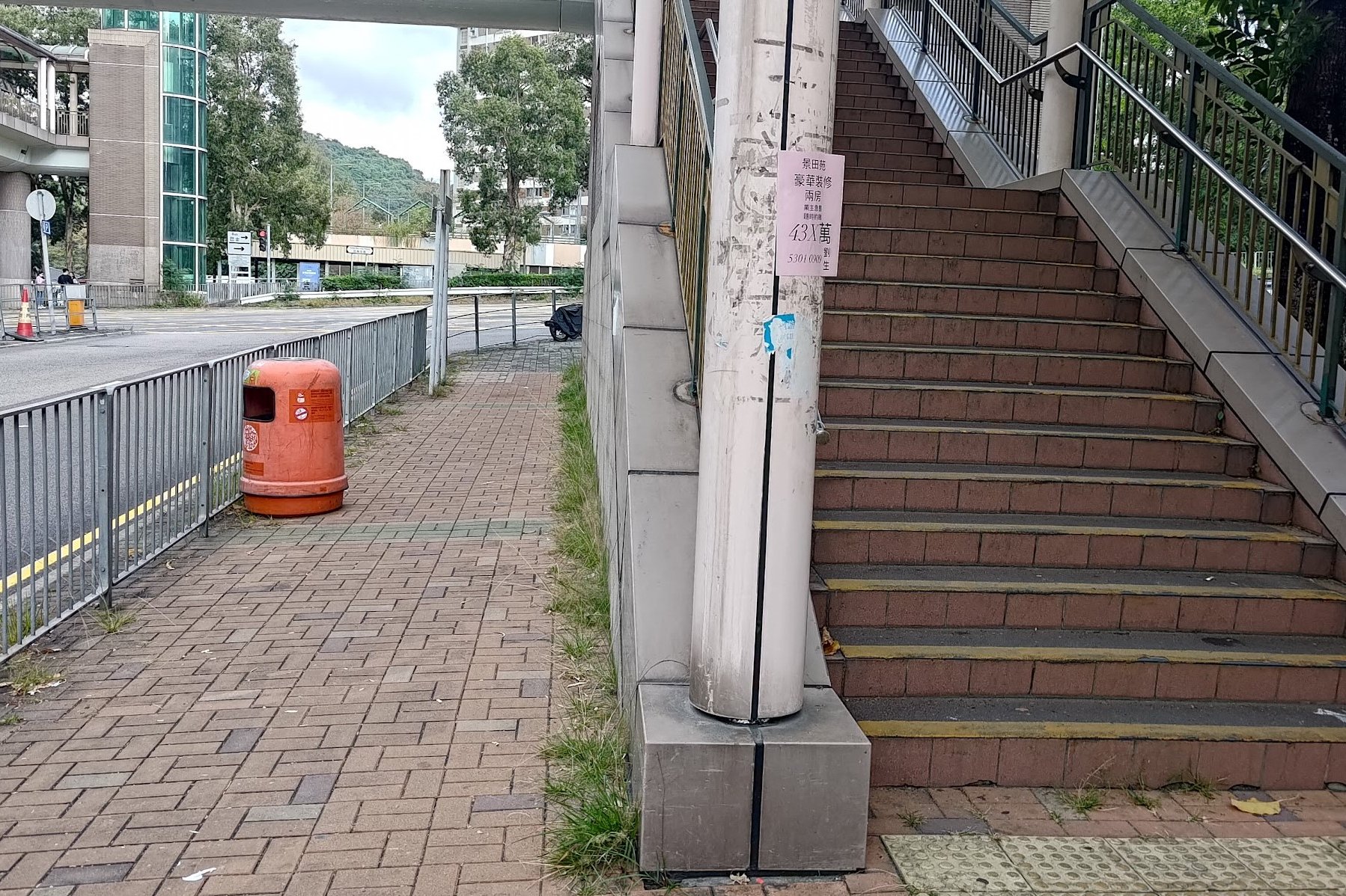
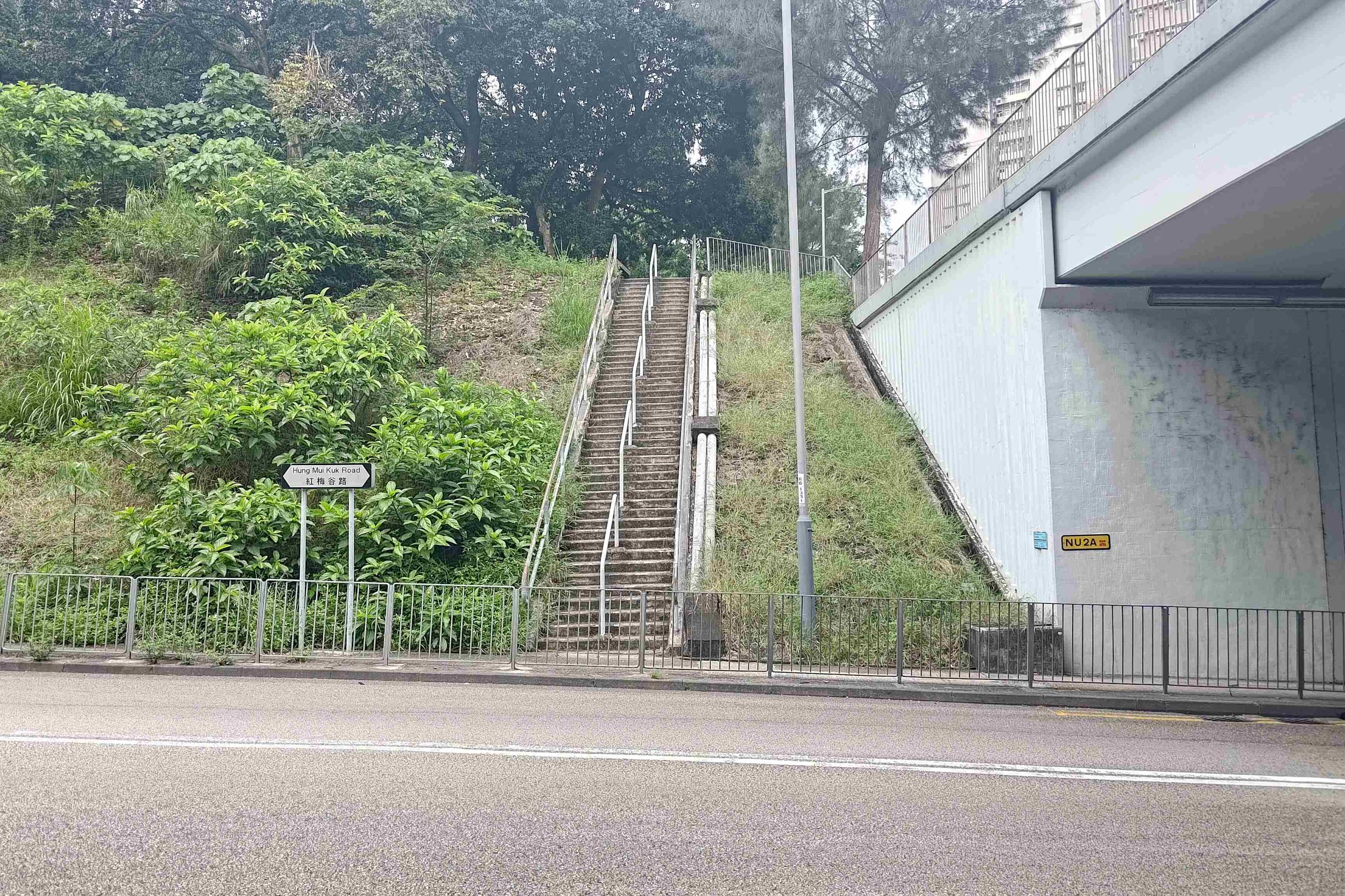
Take the stairs up. The start point on Google Maps is ‘Hung Mui Kuk Barbecue Area’.
No matter what happens, stay on Hung Mui Kuk Road and you’ll eventually find the stairs to the start.
Quick Lion Rock Route Summary
- Take the stairs up from the start point
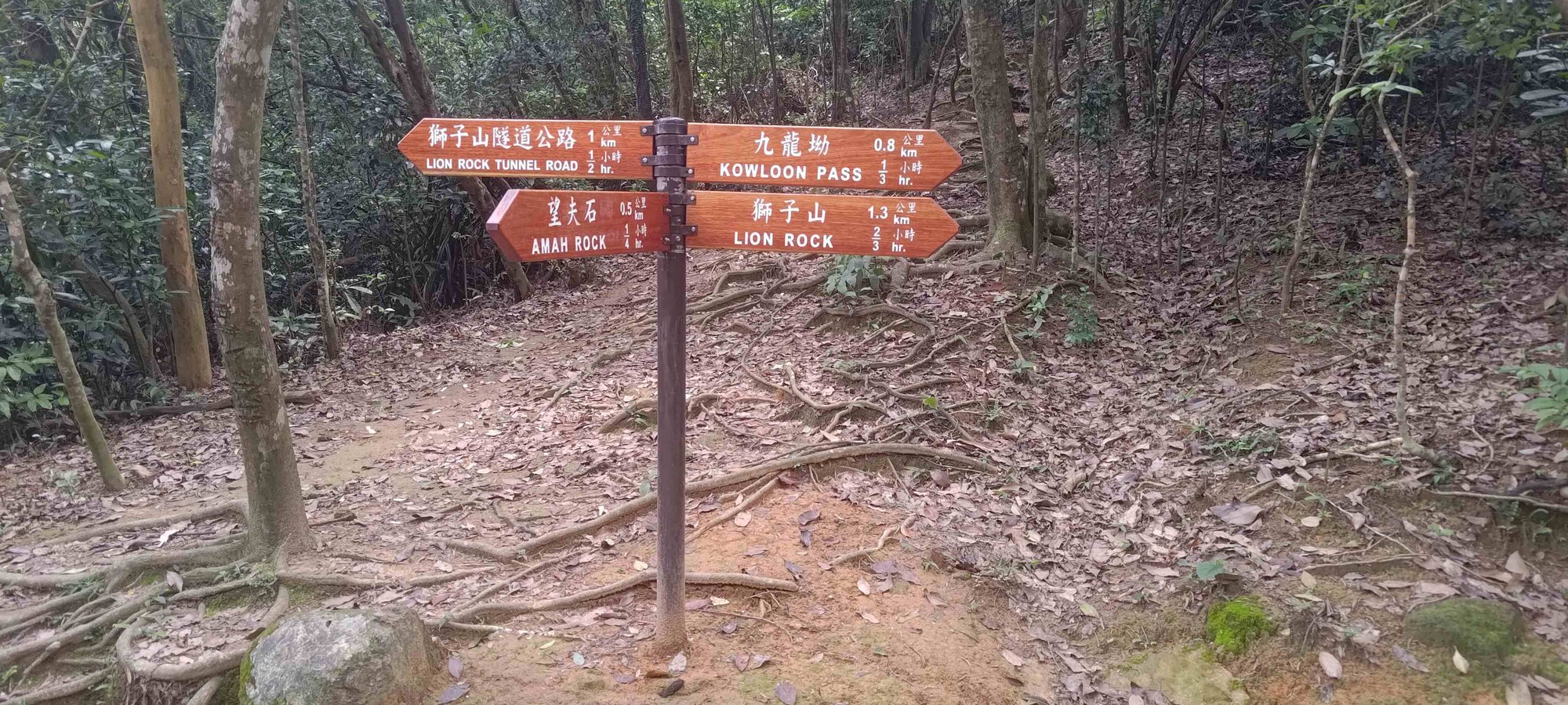
- Choose between Amah Rock and Lion Rock at the fork
- Keep climbing until you reach Reunification Pavilion
- Choose the 'Lion Rock Peak' path at Reunification Pavilion
- Follow the path to the summit
- Retrace your steps back to the start point
Starting with Stairs of Suffering
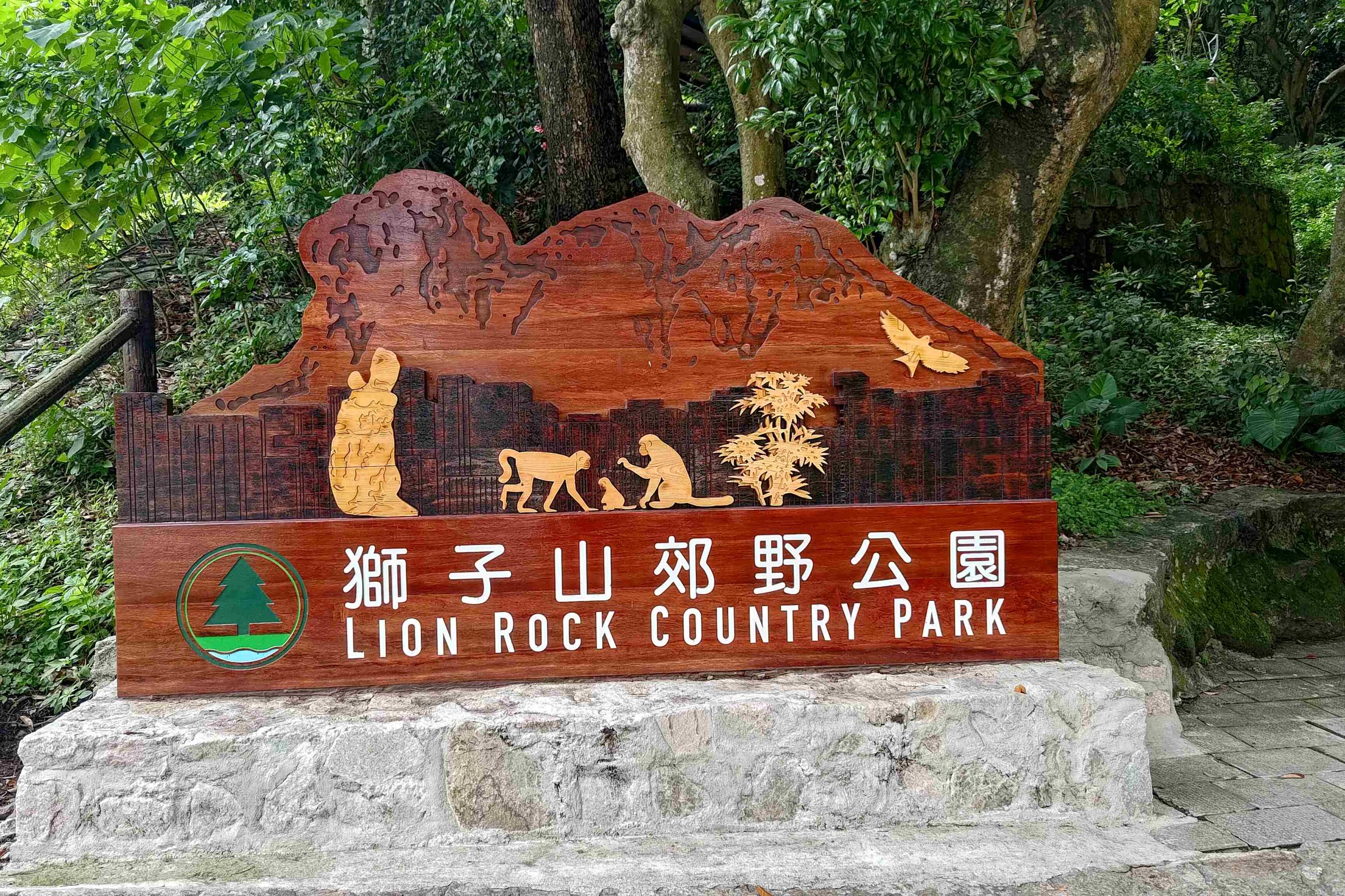
Once you arrive at the start point, you’ll see a sign that says ‘Lion Rock Country Park’. This is where the fun begins, and by ‘fun’, I mean stairs. Lots of them. So, grab a drink from the vending machine if you didn’t stock up on water, use the public toilet if you need to and prepare for a steep and rewarding climb ahead.
Amah Rock Detour
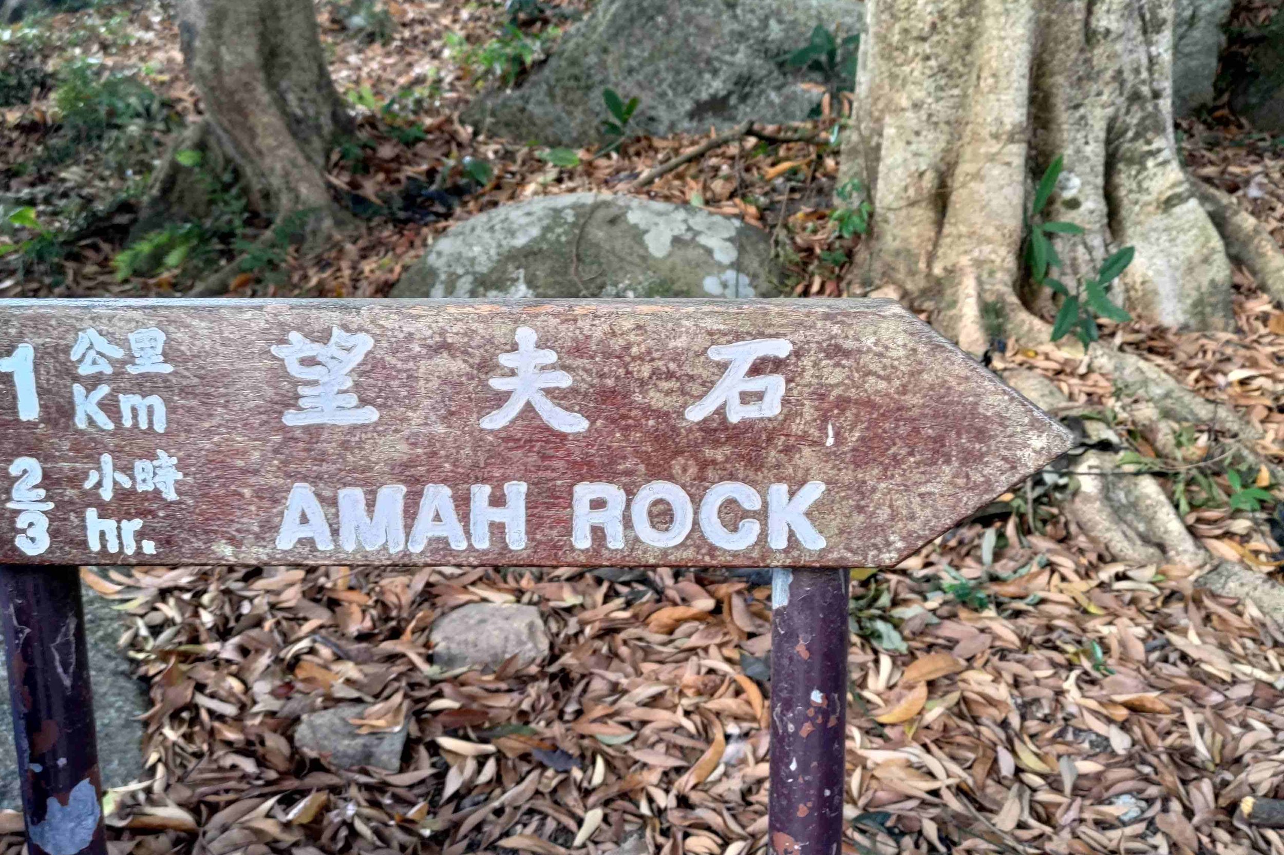

Follow the stairs upward until you reach what looks like an out-of-place concrete road. Cross the road and follow the signs that clearly mark the way to ‘Amah Rock’ or ‘Lion Rock’. If you plan on heading to Amah Rock, which is definitely worth it, expect to add an additional 15-20 minutes to your total hiking time.
From up close, it’s hard to see the shape of the woman and baby of Amah Rock. Focus instead on enjoying the views. This is also a great picnic spot. Just make sure to take your rubbish with you when you depart.
After leaving Amah Rock, you’ll follow a flat path for a while that curves round a bend and offers a great view of Amah Rock from a distance that makes its iconic shape much clearer.
Reunification Pavilion (Optional Escape Route)
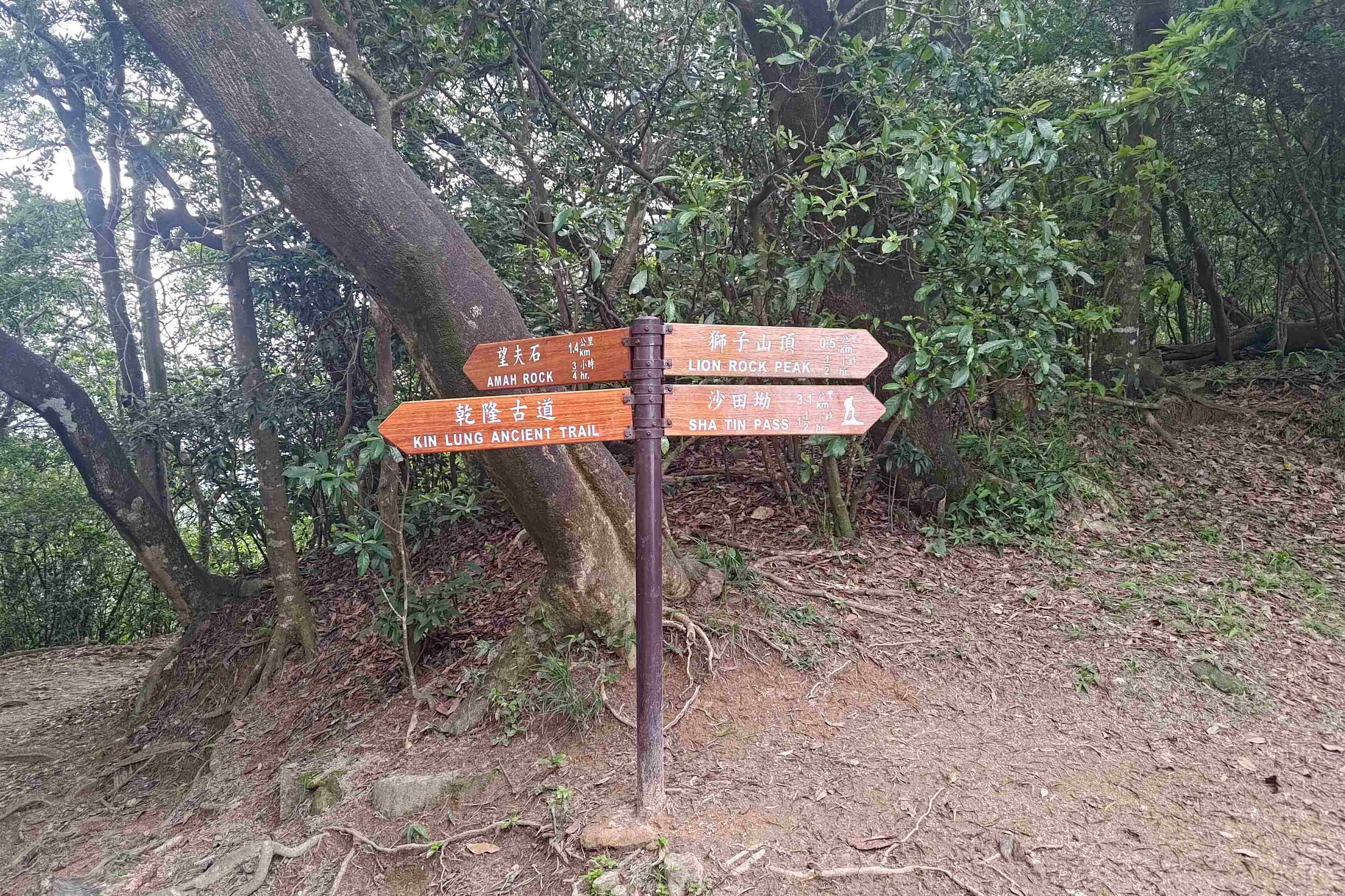
As you keep heading upward, signs continue to mark your way. You’ll eventually reach the Reunification Pavilion which serves as a crossroads of different paths. From here, you should head to Lion Rock Peak (which is the highlight of this hike).
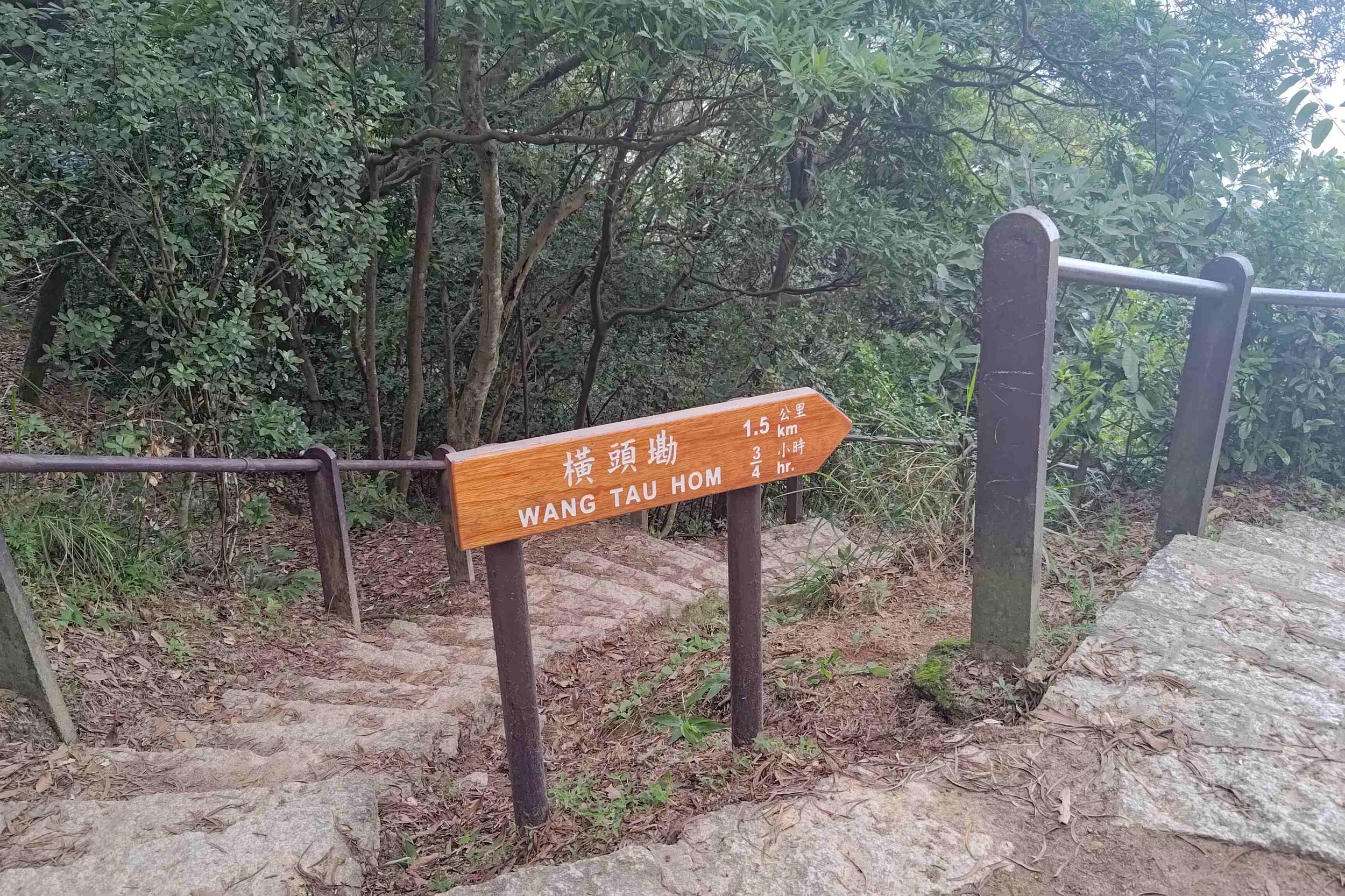
If you’re tired, you can go back the way you came or take the path toward Wang Tau Hom, which will eventually lead you to Lok Fu or Kowloon Tong MTR, though it takes around an hour from this point.
The adventurous folk should keep the trail to Beacon Hill in mind as it can extend your hike and add even more epic views after you summit Lion Rock.
Monkeys
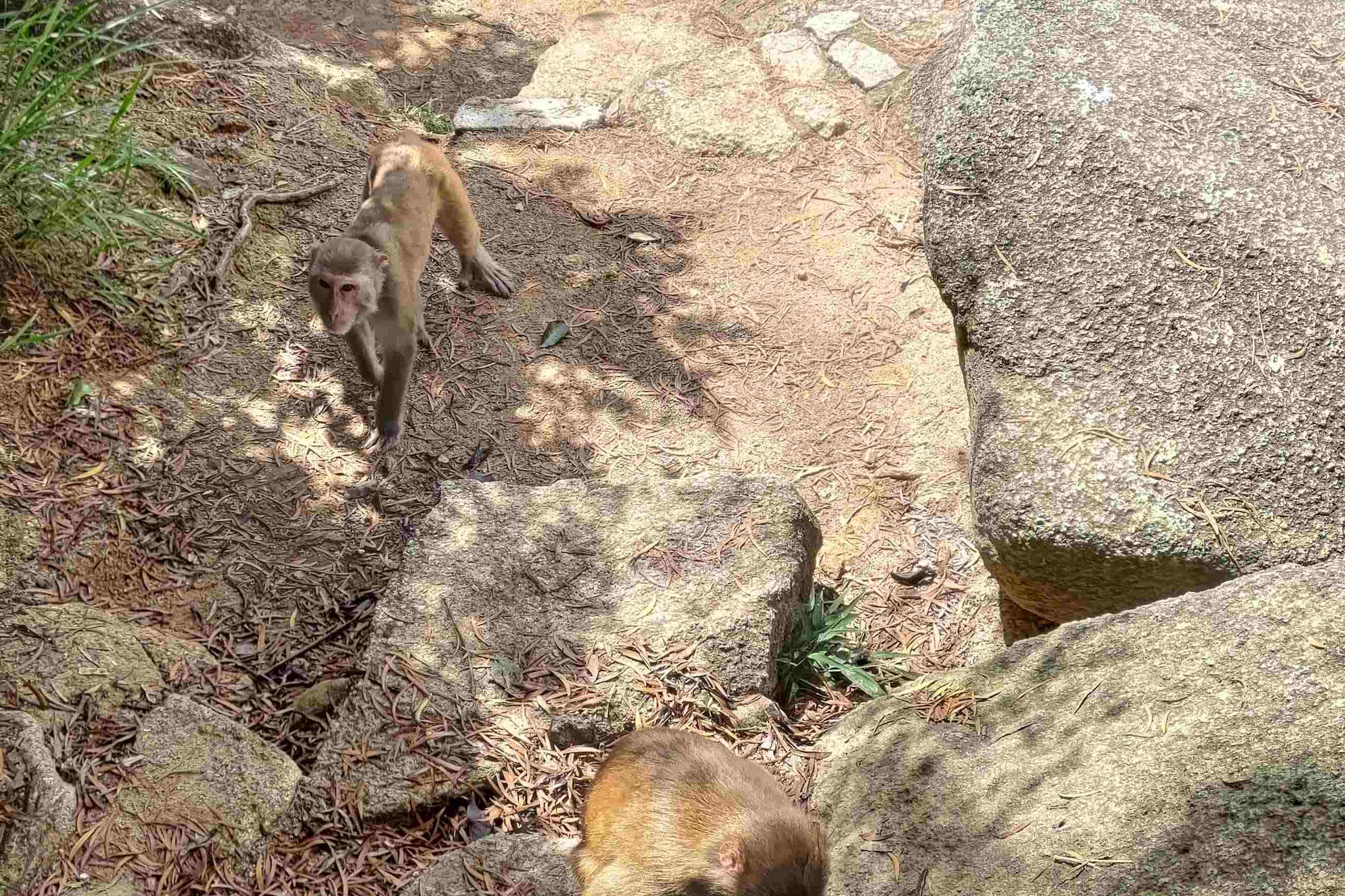
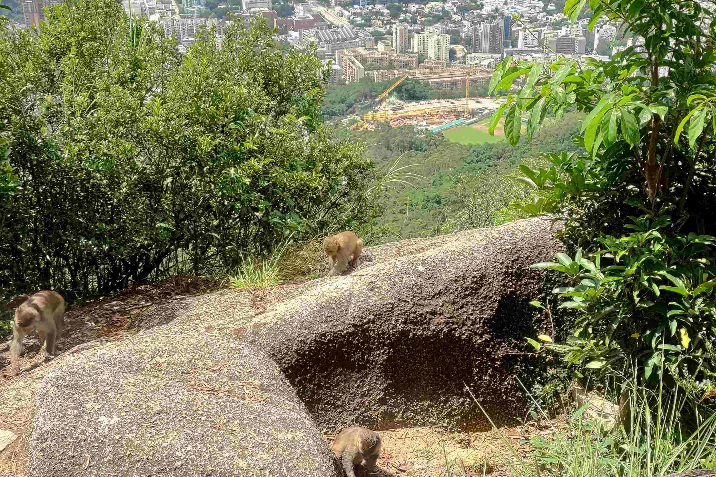
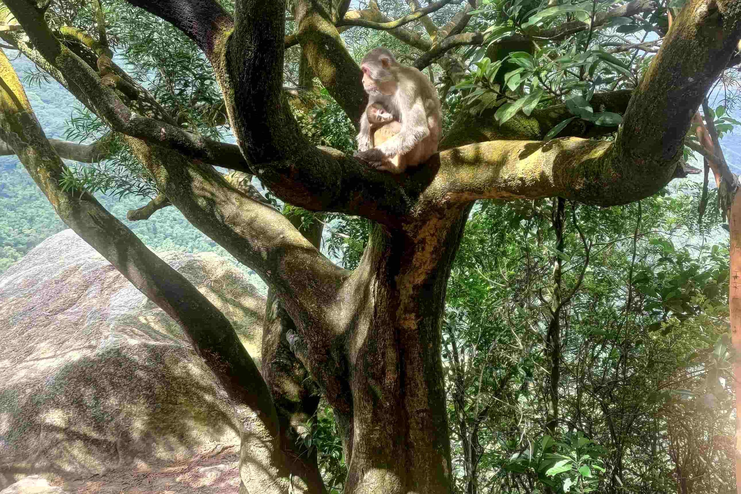
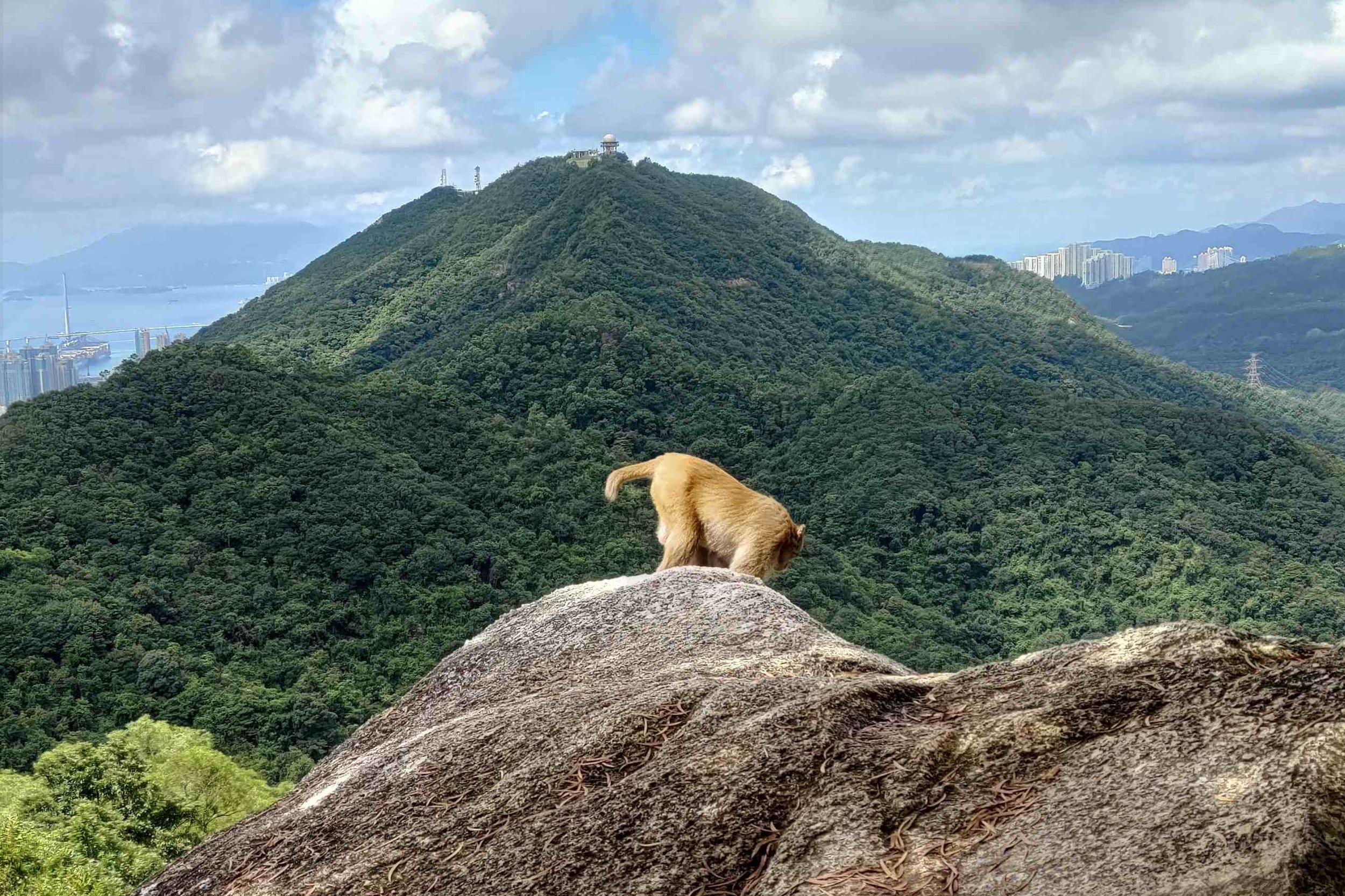
After Reunification Pavilion, your chances of encountering wild macaques are much higher. Don’t interact with the monkeys, don’t feed them and don’t leave any litter behind. Enjoy these beautiful creatures from a respectful distance and feel grateful that despite all the construction going on in the city, we still have pockets of beautiful wilderness like these.
Epic Outdoor Gym
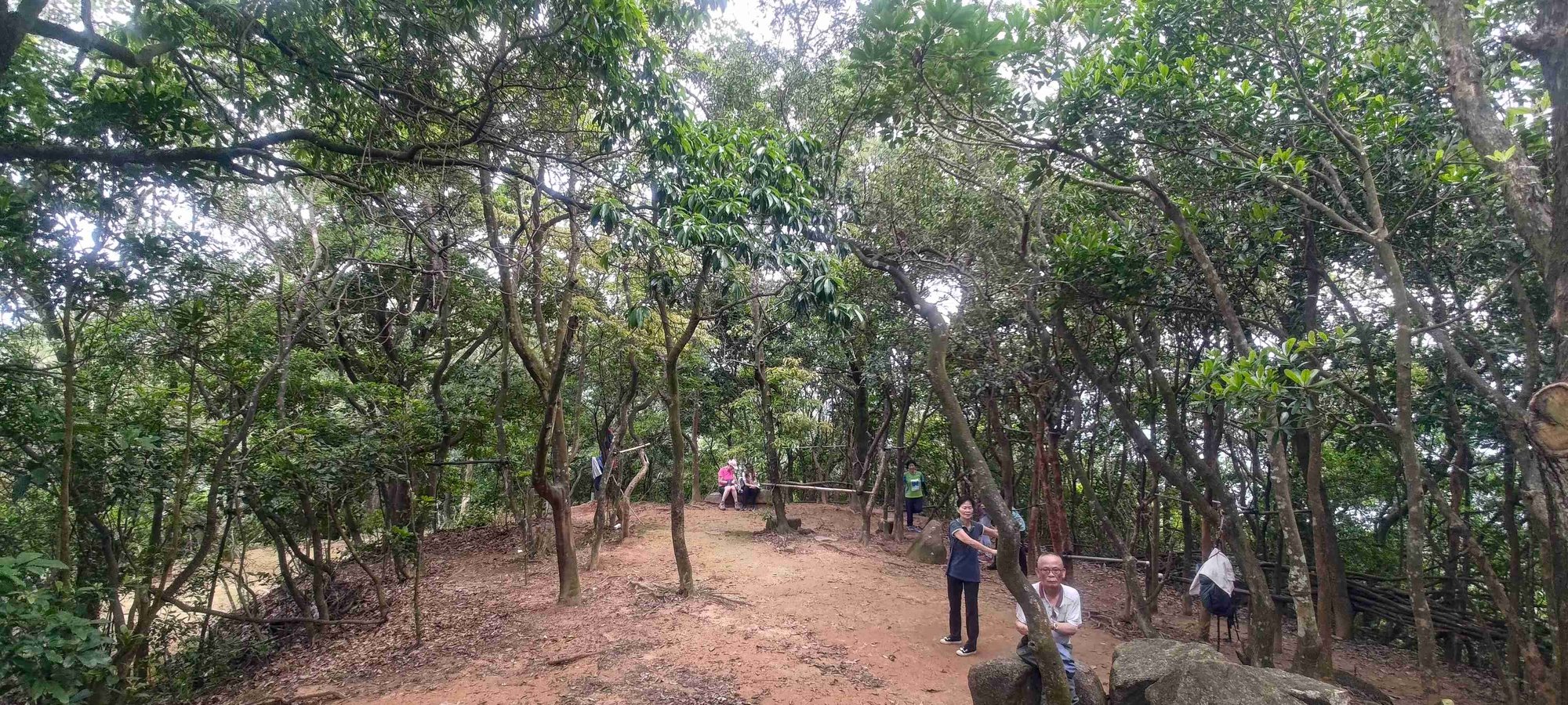
One of the most peculiar and impressive sights on Lion Rock is that of the makeshift outdoor gym that you’ll pass before reaching the summit. Here, you’ll find older locals using bamboo pull-up bars, engaging in tai chi or doing sit-ups. Feel free to use the facilities if you feel the hike is too easy.
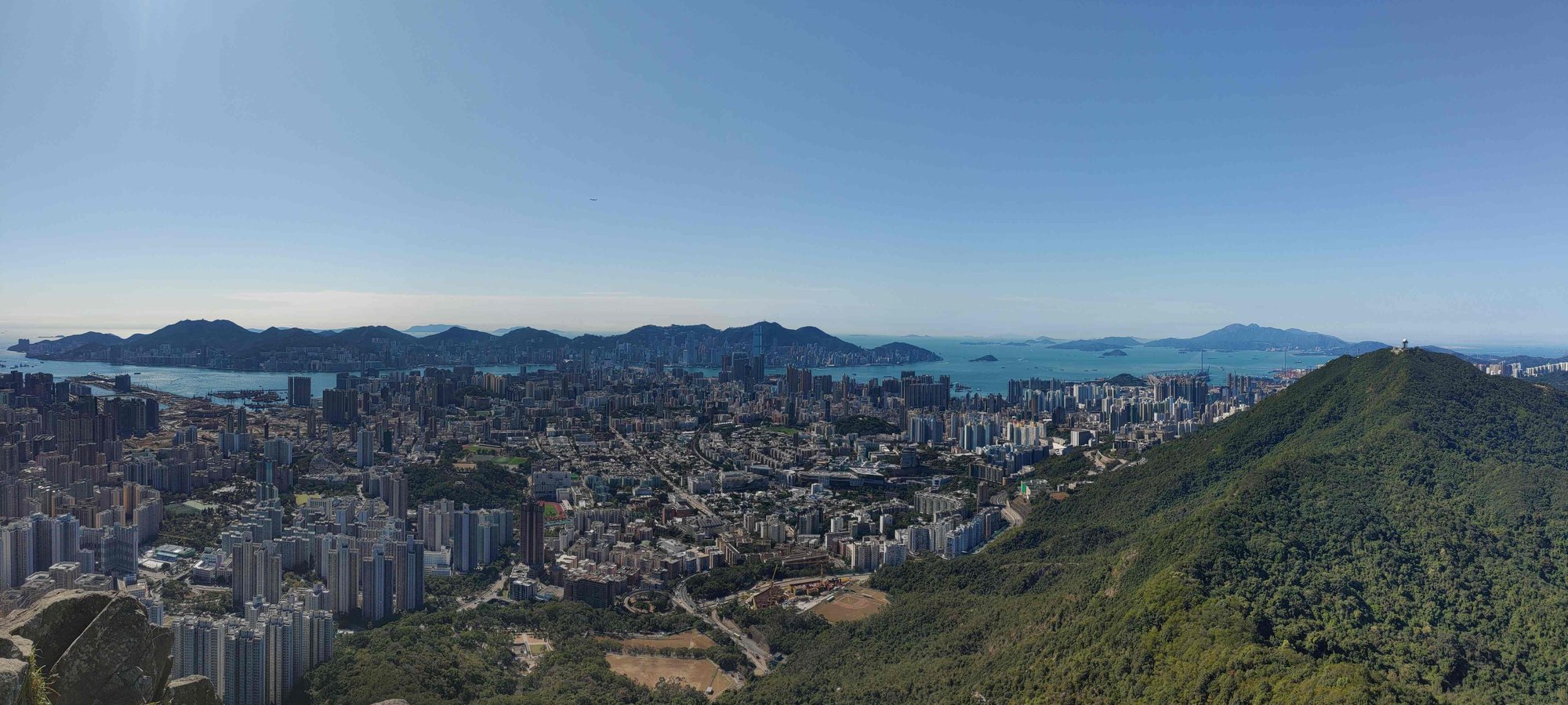
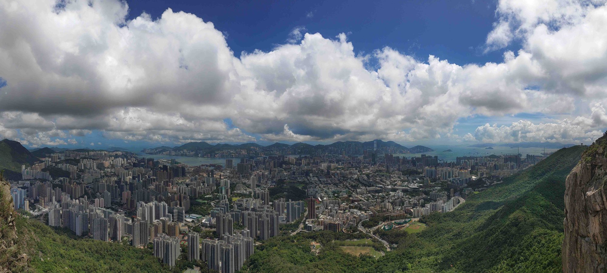
Great Viewpoint of New Territories and Kowloon

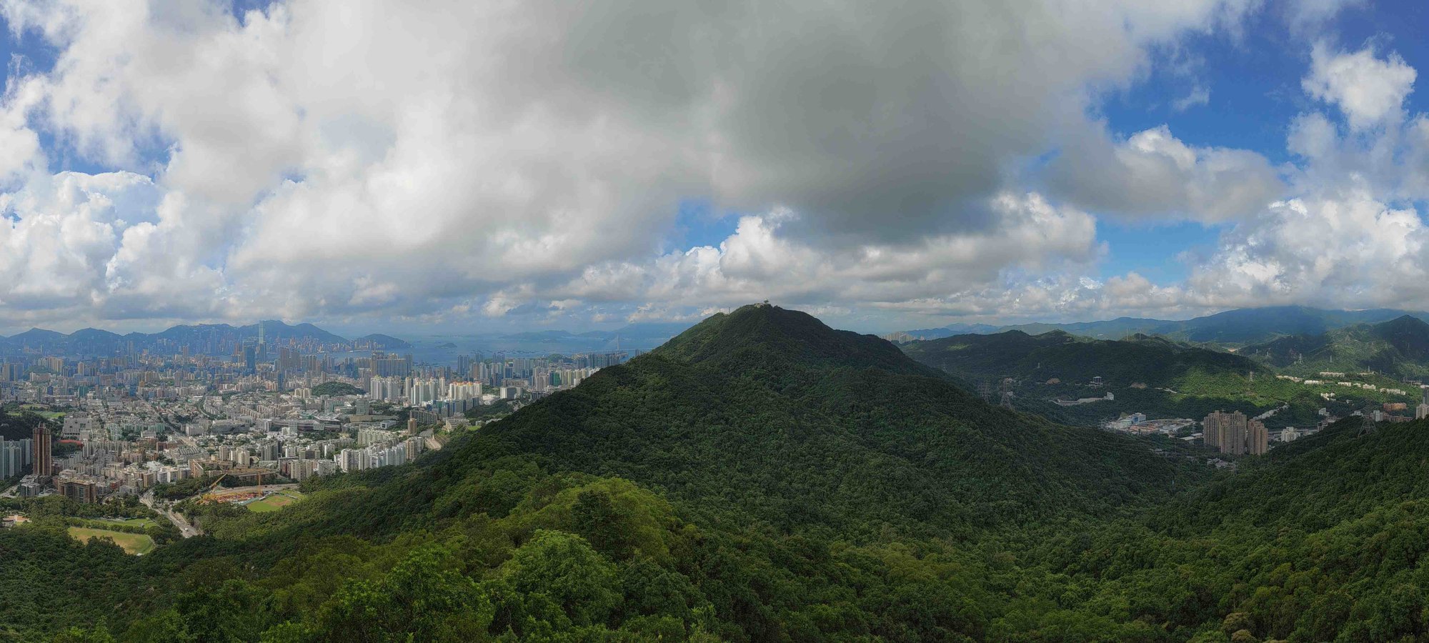
Before you reach your final destination, you’ll see a rock jutting out over a stunning view that lets you gaze across the New Territories on your right and Kowloon on your left. You’ll also see Beacon Hill right in front of you. The contrast of high-density buildings in Kowloon and the comparatively green surroundings of The New Territories makes for an amazing photo spot.
Two Summits to Choose From
Once you reach the top, there are actually two different summits. If you want to reach the true summit, which is on the ‘head’ of Lion Rock, you’ll need to climb a rocky path directly to your right. It’s a very short climb, but be sure to use your hands to help you balance on the way up. For those who want to reach the safer summit, follow the path to your left.
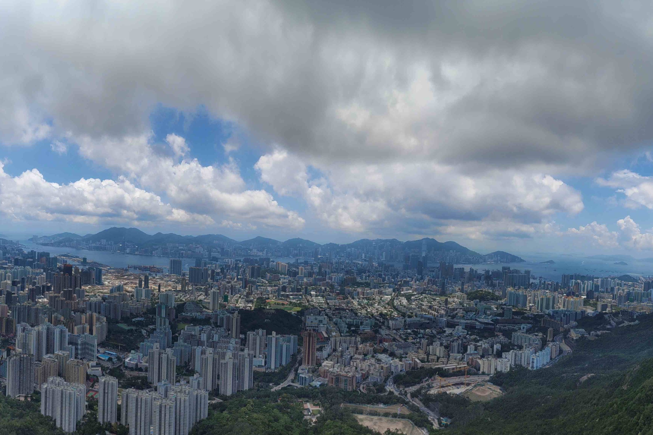
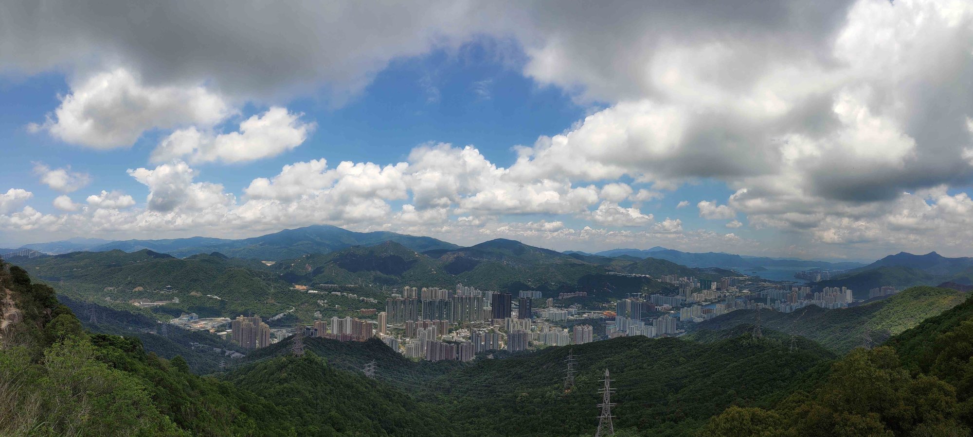
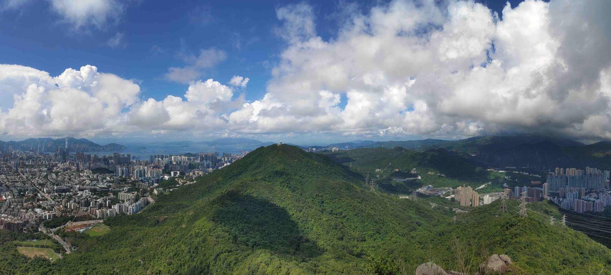
From up both summits, Hong Kong looks like a collection of Lego buildings dotting the landscape. With open views across all of Kowloon, Hong Kong Island and much of the New Territories, take some time to appreciate just how insane the city looks from up high.
If city views aren’t your thing, then simply turn around and check out the New Territories behind you. It’s much greener there, though more buildings are cropping up daily to keep up with housing demand (which sucks).
Lion's Head Summit
Lion's Back Summit

The Way Back
Retrace your steps back down to the Reunification Pavilion.
- From here, you can choose to return to Tai Wai by taking the Amah Rock sign (45 mins). Save 10-15 minutes by taking the Lion Rock Tunnel Road path that shows up during your descent.
- Or, head toward Wang Tau Hom (1 hour), which will take you toward Kowloon Tong or Lok Fu
- Or, continue to hike to Beacon Hill for another uphill section and epic view.

