Beacon Hill Hike: From City Center to Mountain Peaks in an Hour
Contents
- Essential Information
- Hike Highlights
- Google Route Map
- How to Get There
- Quick Route Summary
- Detailed Route
- Cheung Sha Wan Views
- Epic Tree
- First City Views
- Crossing through Eagle's Nest Nature Trail
- Getting to the Summit
- The Radar Station
- Beacon Hill Viewpoint
- The Secret Viewpoint
- Getting Back
Essential Beacon Hill Hike Details
- District: Kowloon
- Duration: 3 hours
- Distance: 9km
- Highest Elevation: 457 meters
- Difficulty: 3/5
- Facilities: Shops and toilets at the start and end
Why Hike Beacon Hill?
The true embodiment of escaping the concrete jungle, the Beacon Hill ( 筆架山 ) hike begins right outside Cheung Sha Wan MTR station and has you on top of a mountain with incredible views in just over an hour. Best of all, it's far less popular than neighboring Lion Rock and the views are on-par, if not better!
With no tricky transportation requirements, this hike is a real adventure that you can complete in half a day - or even just as a morning workout!
Within 15-20 minutes, you'll quickly leave the city behind and be encased in lush greenery. The hike does feature a lot of stairs and is quite a vertical climb to the top, so if you have an aversion to cardio, perhaps this isn't the hike for you.
You will also connect with the Eagle's Nest Nature Trail, meaning that you'll be in a very special ecological area of Hong Kong with plenty of magnificent flora and fauna. Look out for Hong Kong's native coffee plants, Black Kites, cute geckos and perhaps even a monkey or two if you're lucky.
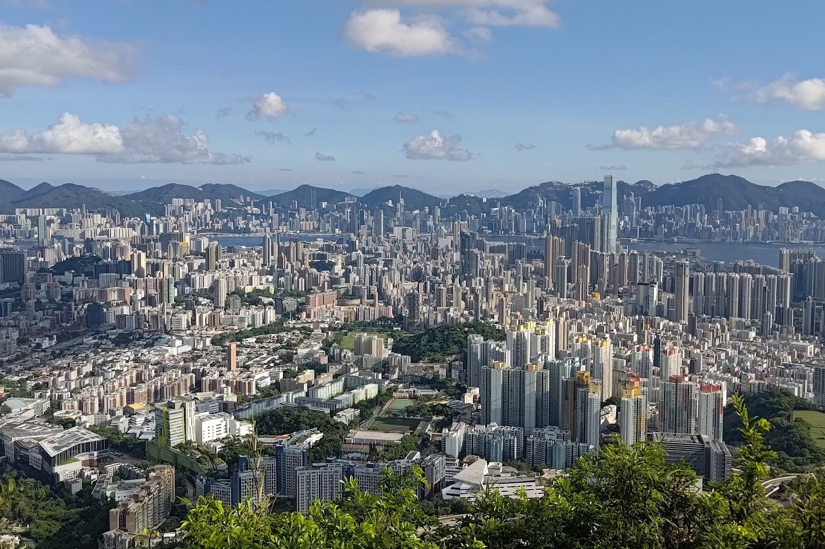
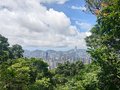
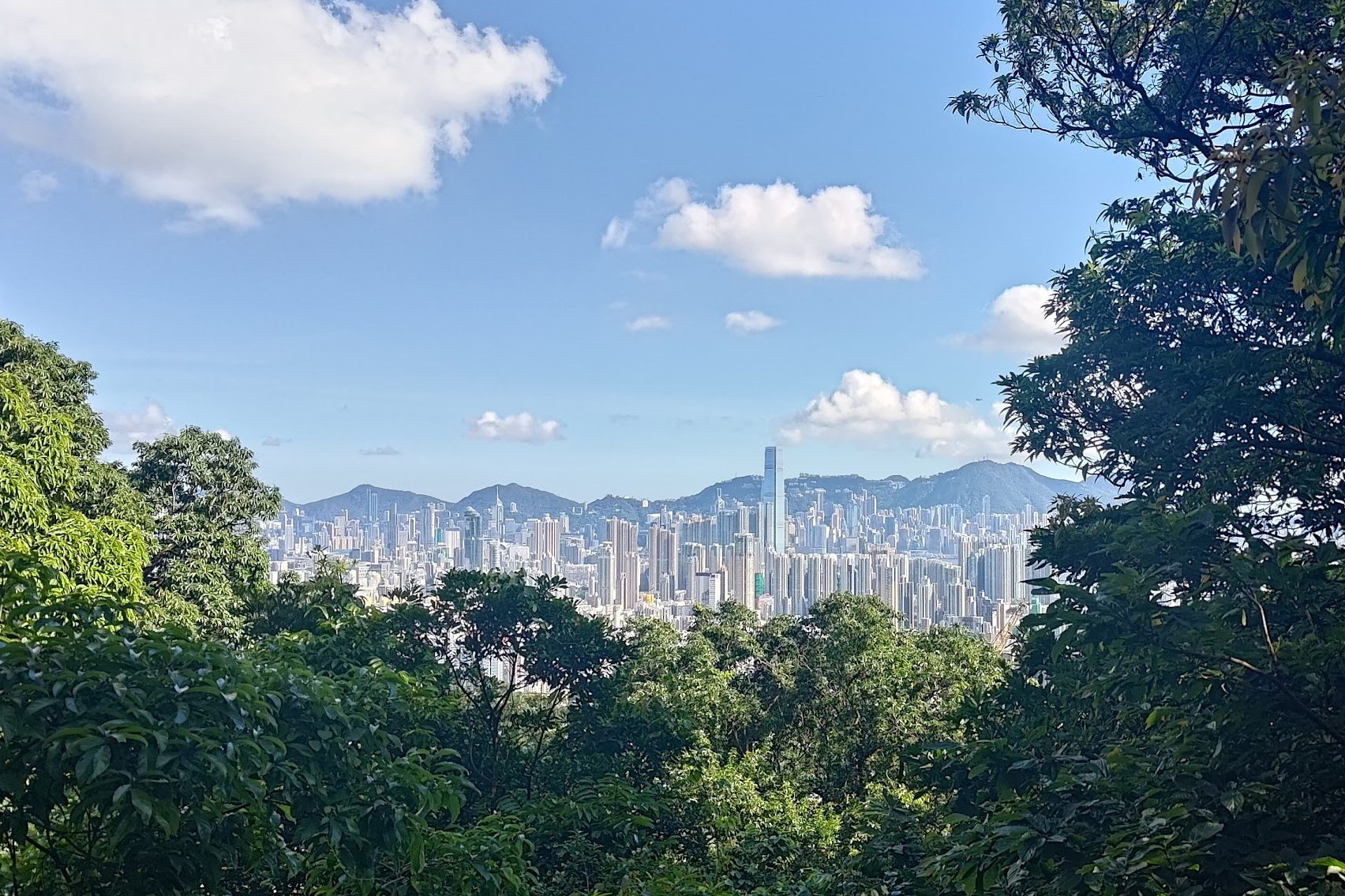
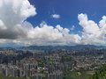
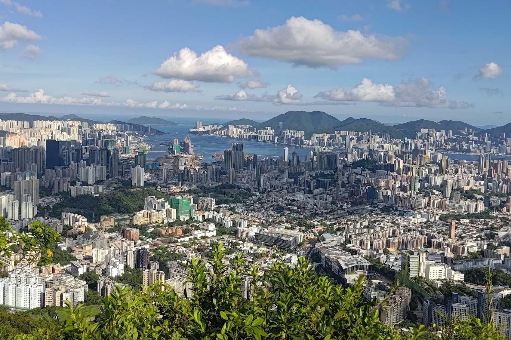
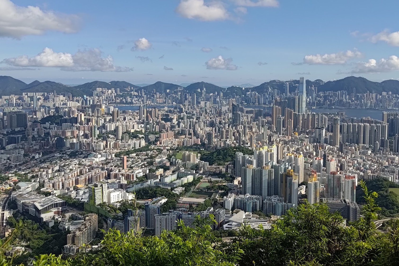
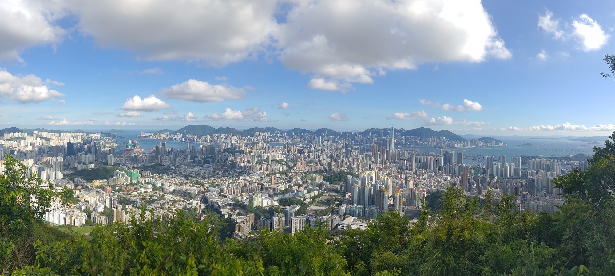
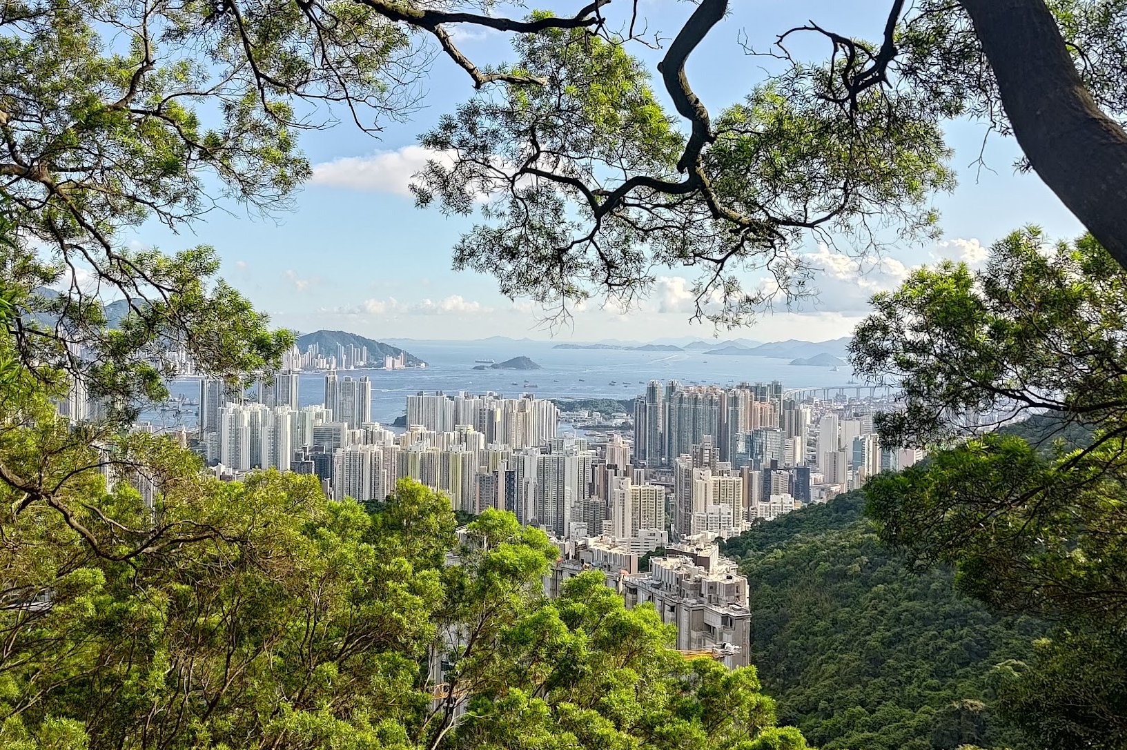
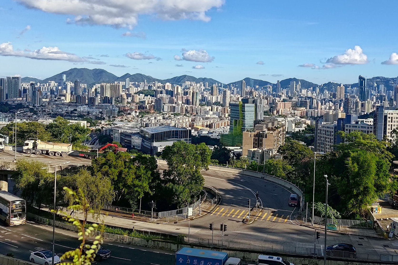
At the top of Beacon Hill, you'll have access to two stellar viewpoints where you can drink in uninterrupted views across all of Kowloon, Hong Kong Island, and even parts of Clear Water Bay.
Google Route Map
How to Get to the Beacon Hill Hike Start Point:
Take the MTR to Cheung Sha Wan Station and leave through exit C2.
Quick Beacon Hill Hiking Guide
- Walk to So Uk bus terminus from Cheung Sha Wan MTR Station
- Climb the stairs, cross the highway and begin the hike
- At the fork after the large tree, take the stairs to the right
- 10 minutes later, take the stairs left and ignore the right path
- Follow the 'Beacon Hill' sign
- Follow the 'MacLehose Trail Section 5' sign at the shelter
- Take the stairs trail to the top of Beacon Hill (you can also follow Lung Yan Road)
- At the radar station, take the path toward Beacon Hill Viewing Point
- Retrace your steps back and start heading down Lung Yan Road
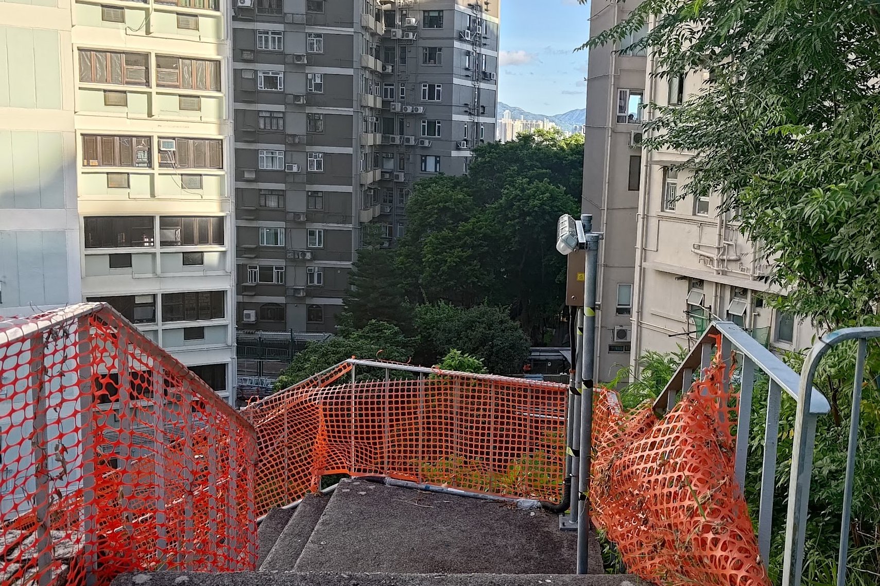
- At the bottom of Lung Yan Road, go down the green stairs on the right
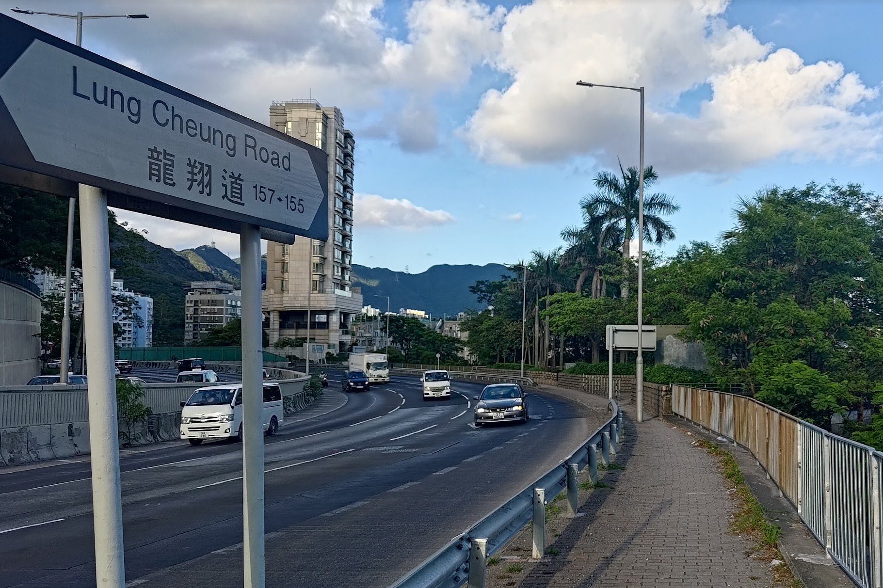
- Follow Lung Kui Road and cross the highway
- Walk along Lung Cheung Road and take the stairs down to Ede Road
- Follow Ede Road to Cornwall Street
- Turn in at Kent Street and arrive at Kowloon Tong MTR station
Find the Hidden Stairs at So Uk
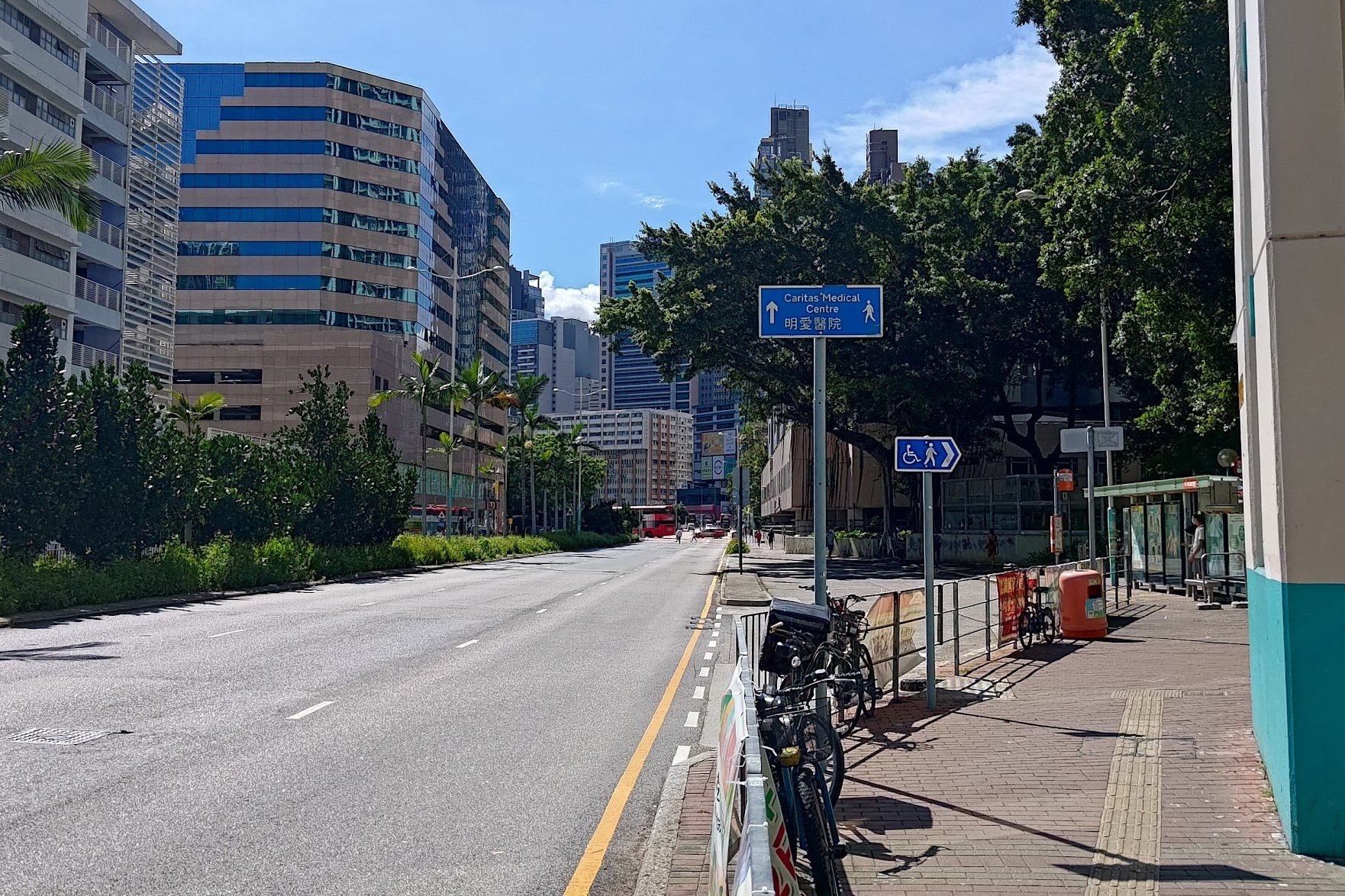
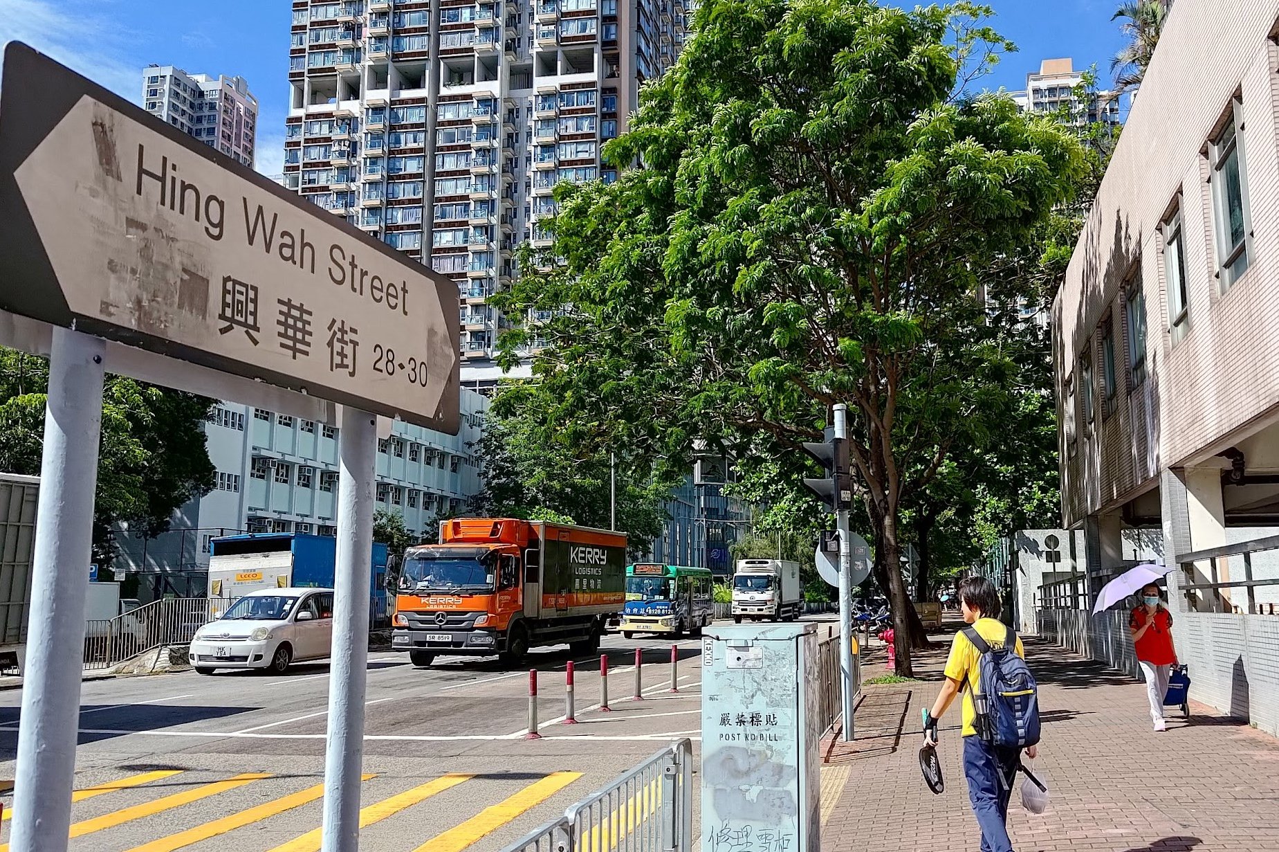
After taking exit C2 at Cheung Sha Wan Station, walk straight along Cheung Sha Wan Road and turn right at Hing Wah Street.
Follow Hing Wah Street for a few blocks until you reach Po On Road, where you'll go right for one block.
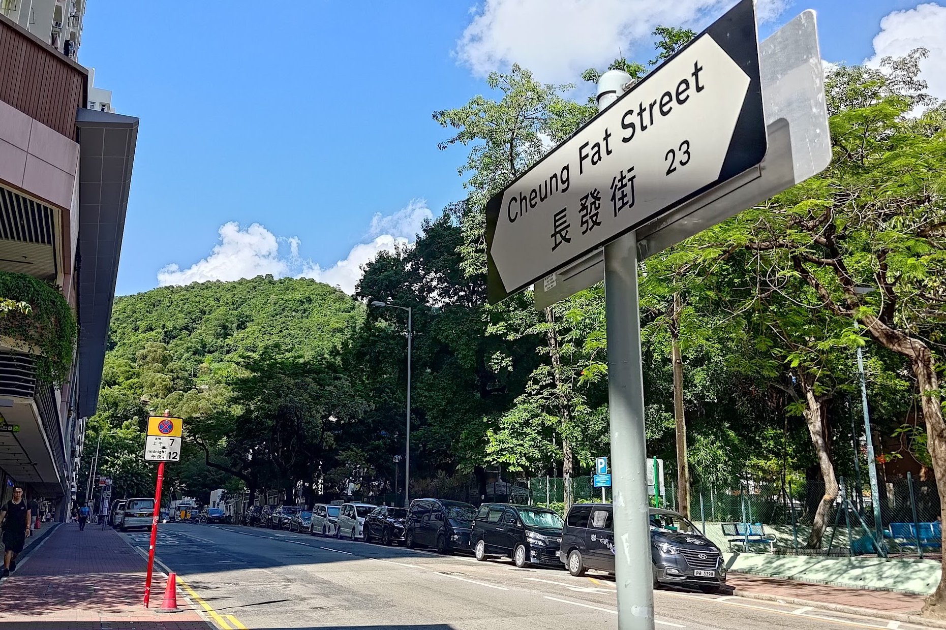
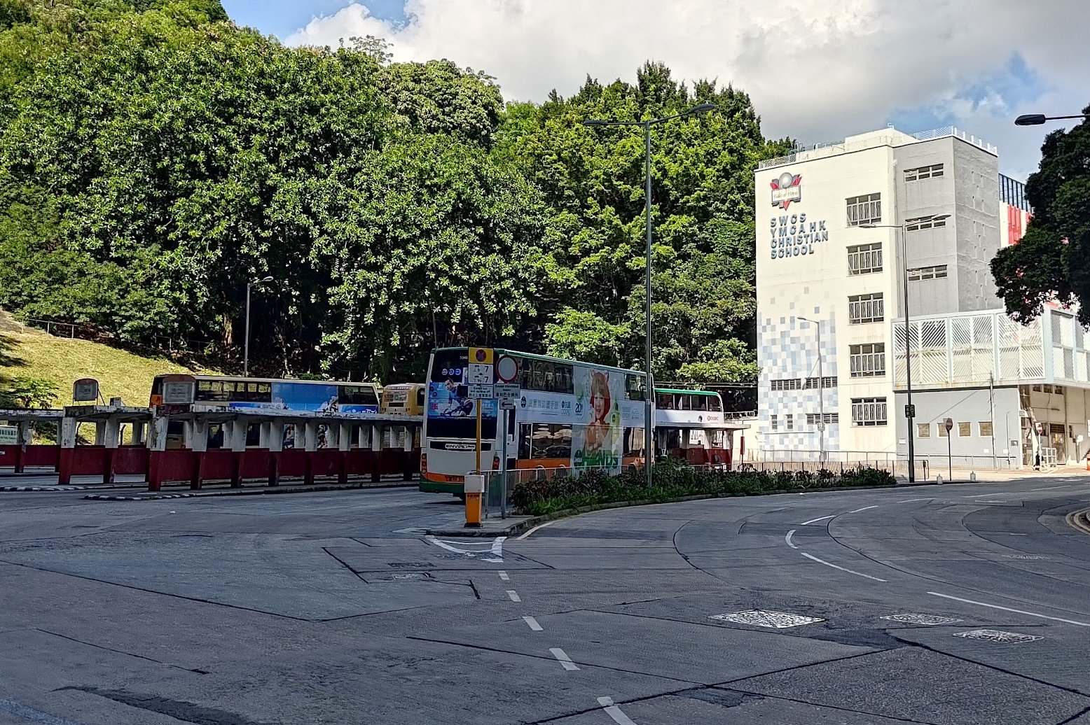
Turn left at Cheung Fat street and go straight until you arrive at the So Uk bus terminus.
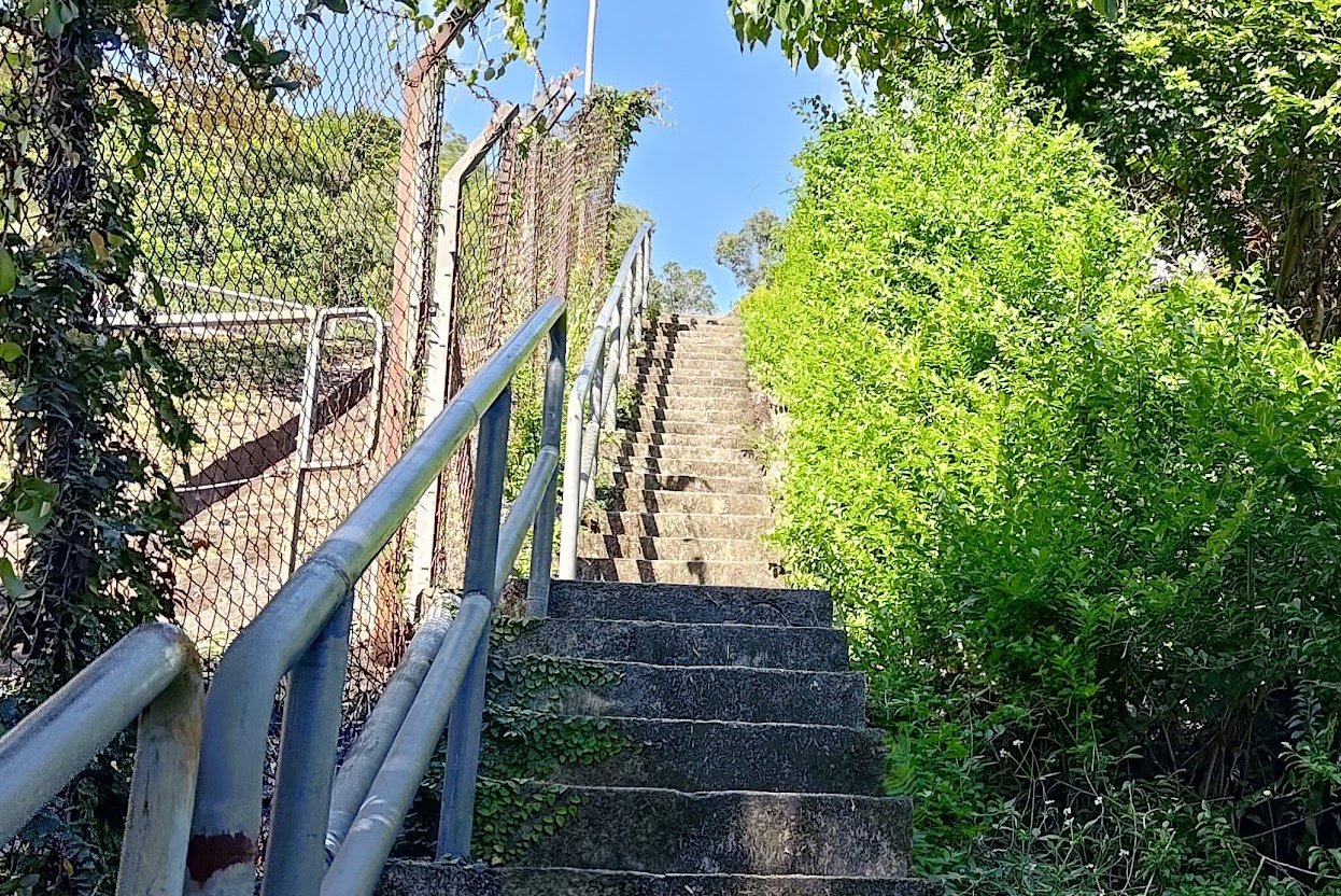
In the far right corner of the bus terminus, you'll see a set of stairs, which you should climb until you reach Tai Po Road.
Cool Views of Cheung Sha Wan
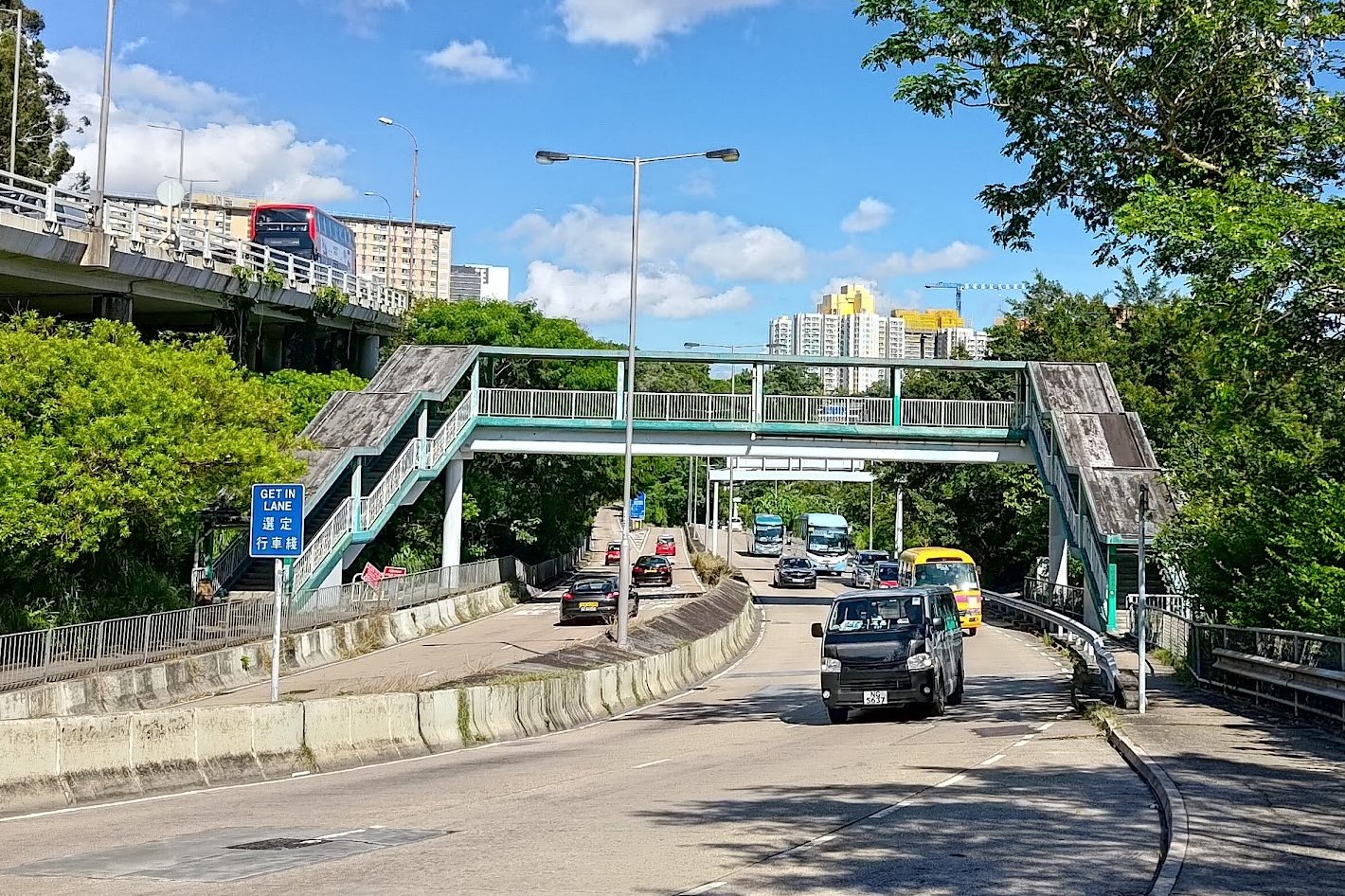
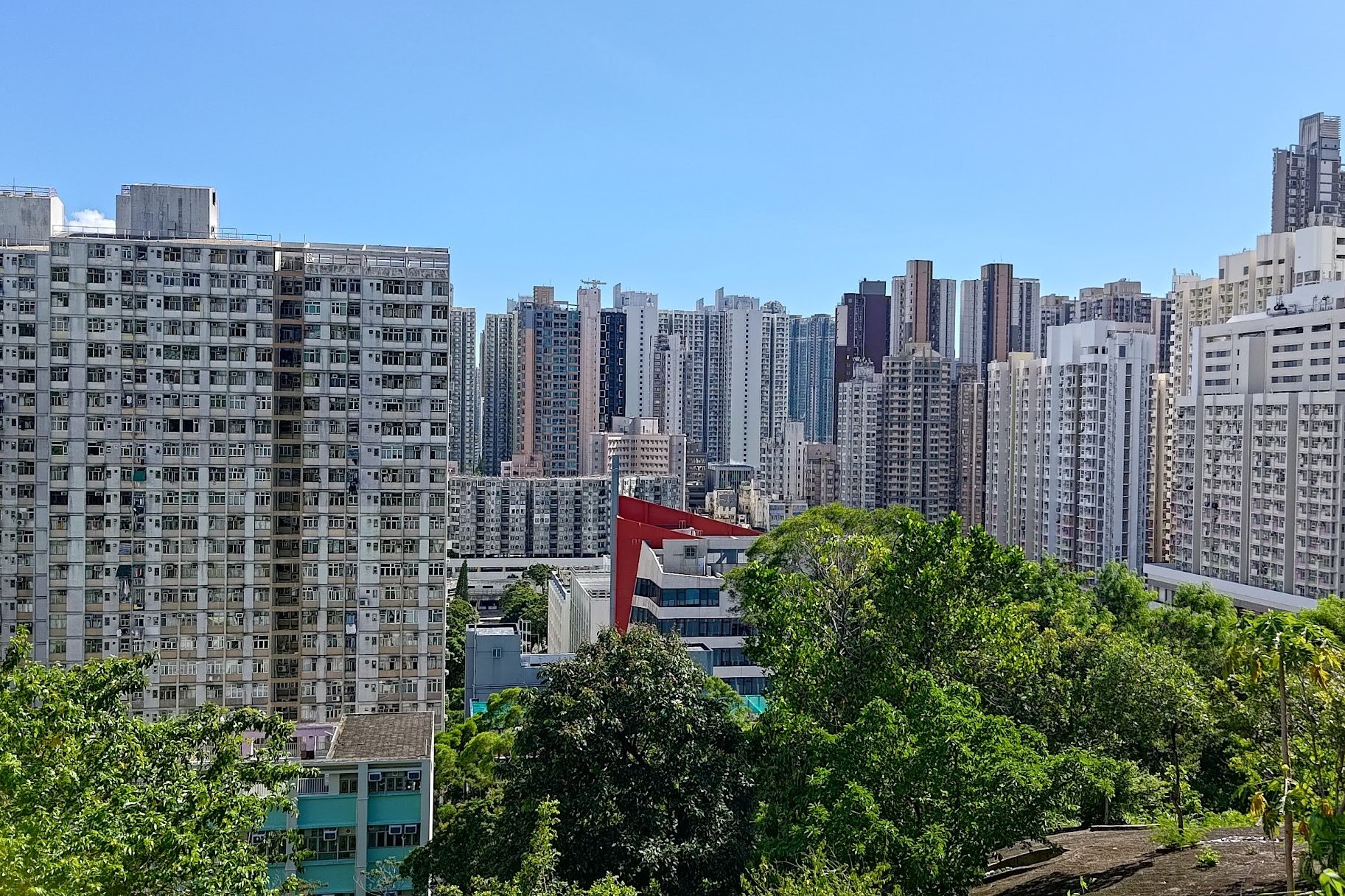
At the top of the stairs from the bus terminus, you'll arrive at Tai Po Road. Look back to enjoy a unique view of Cheung Sha Wan.
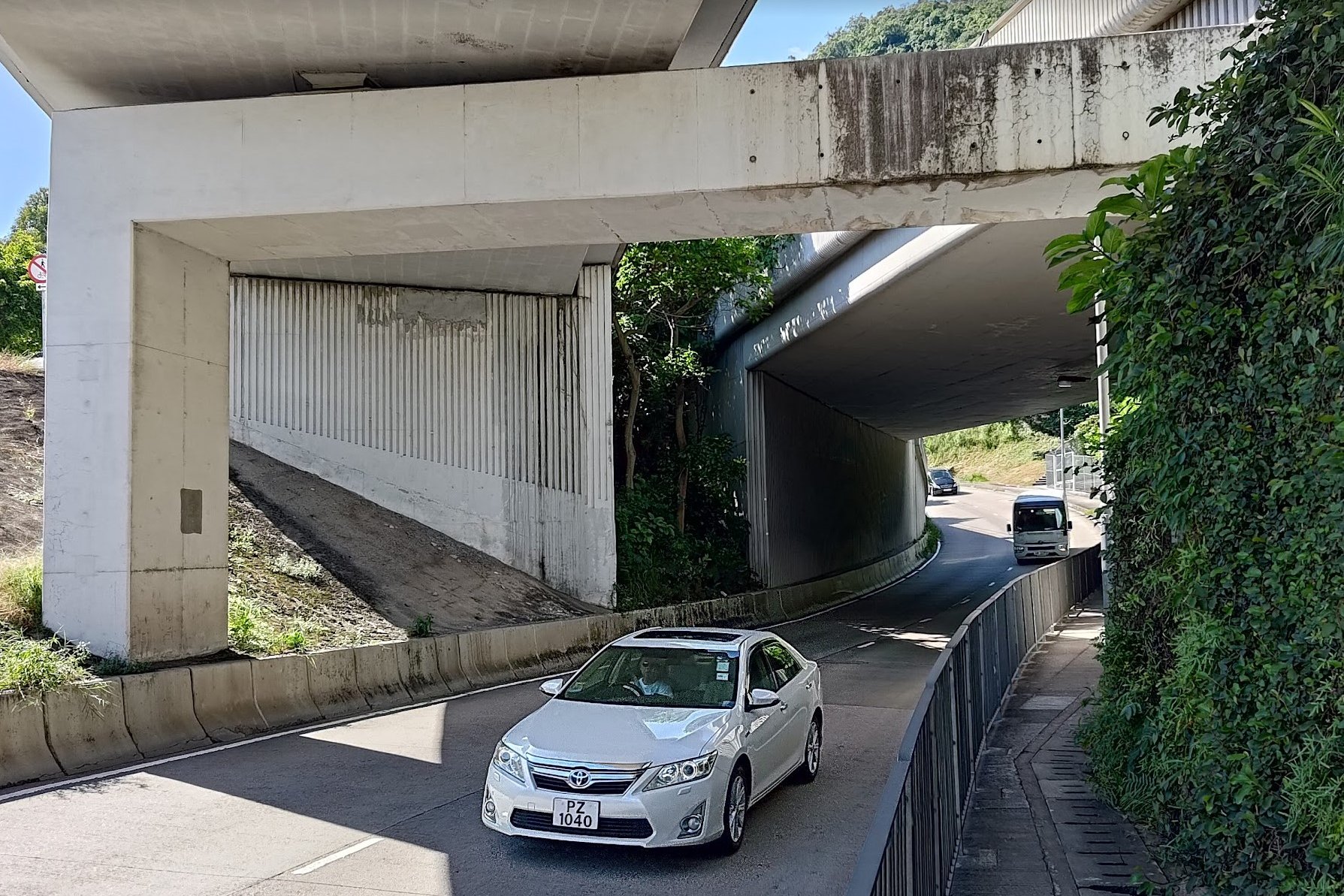
To your right, you'll see a footbridge. Cross it, take the stairs down and go straight.
You'll pass under some flyovers before seeing stairs on your right.
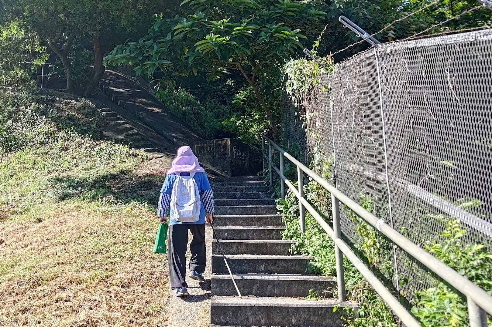
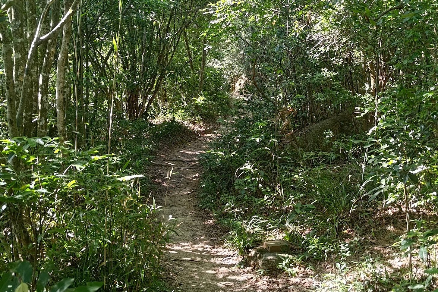
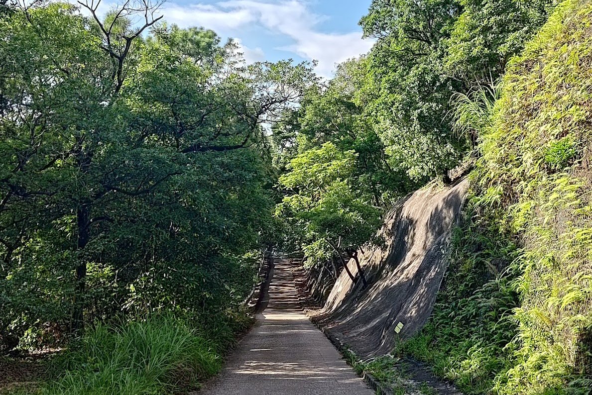
Take the stairs upward and take the path following the fence. You'll soon be swallowed up by nature (and be in the shade).
Go Right After The Epic Tree

As you enjoy the shade and greenery, look out for what I like to call 'The epic tree'. It's impossible to miss since it's a monster tree whos roots encompass a huge boulder.
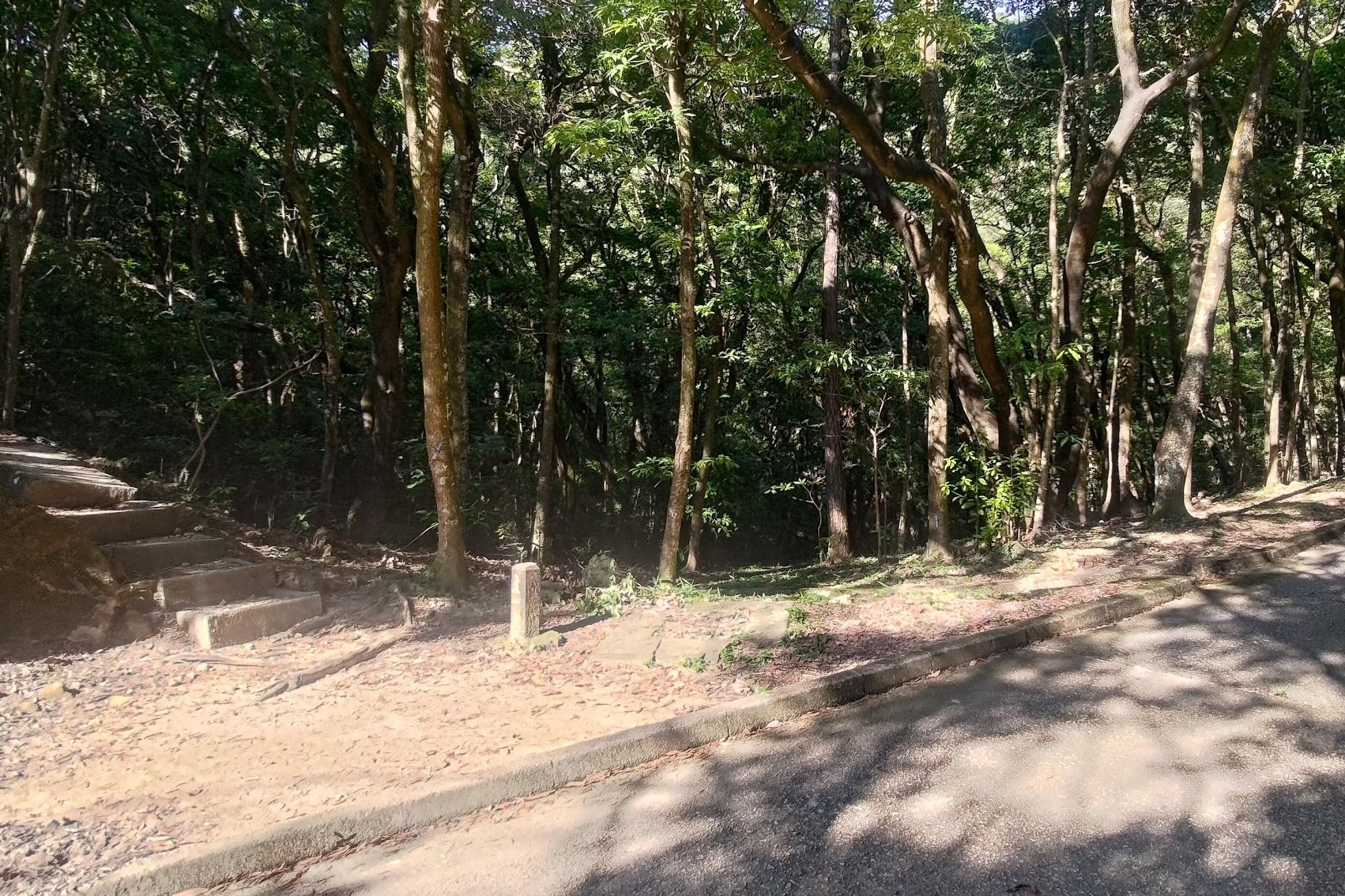
After going past the epic tree, you'll come to a fork in the road about 5 minutes later. Make sure to take the stairs on the right.
Keep Left at the Next Fork
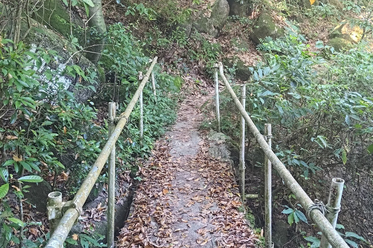
Cross the little bamboo-railed bridge and follow the trail.
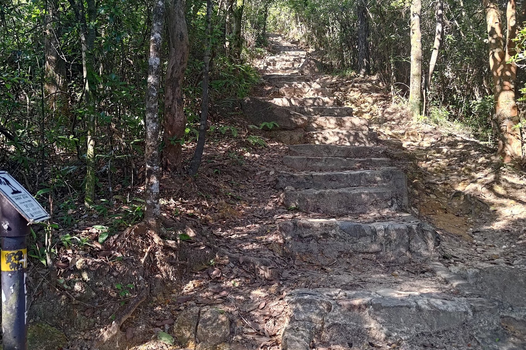
You'll be climbing for another 10 minutes before reaching the next fork in the road. Take the stairs on the left and ignore the path to your right.
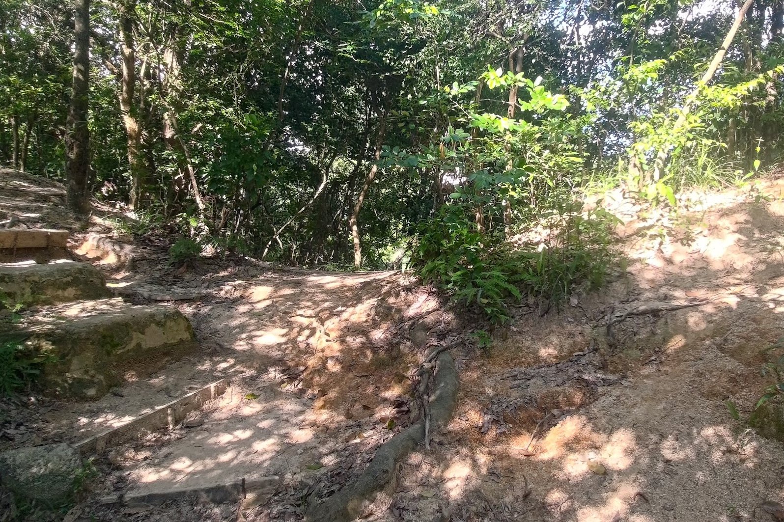
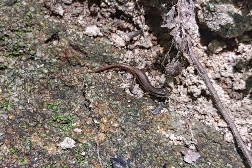
Steep Climbs, Cute Lizards, Awesome Views
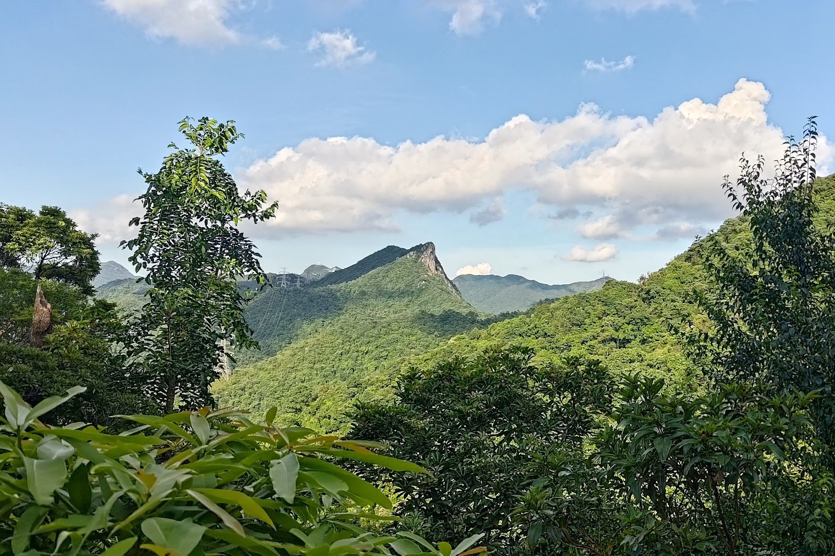
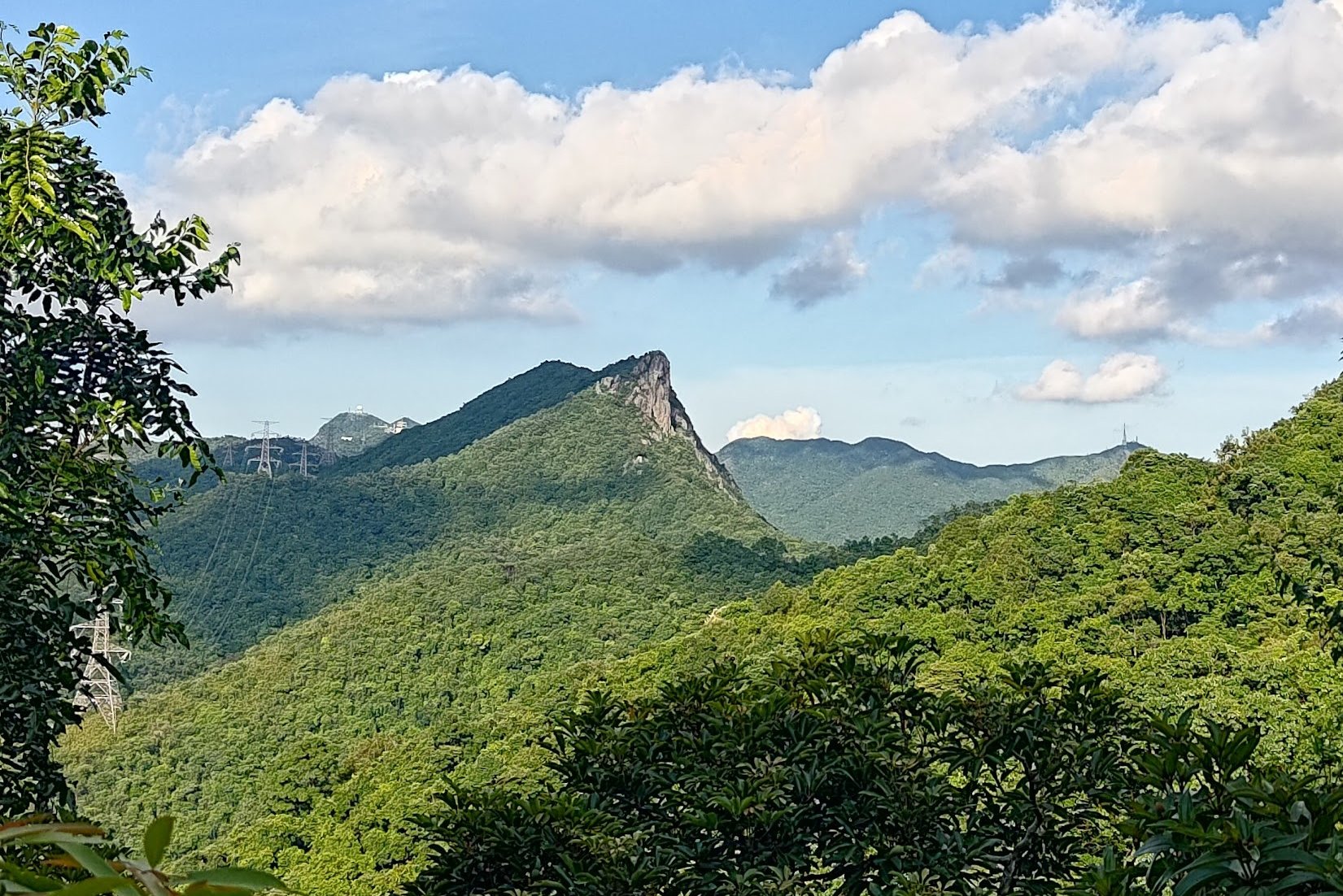
This section of the hike is super fun but also quite demanding. The stairs will begin to get steeper and offer almost no respite. However, as you climb, you'll be treated to amazing views of Kowloon and Hong Kong Island.
Look out for beautiful flora and fauna as you get closer to intersecting with the Eagle's Nest Nature Trail.
Intersecting with Eagle's Nest Nature Trail
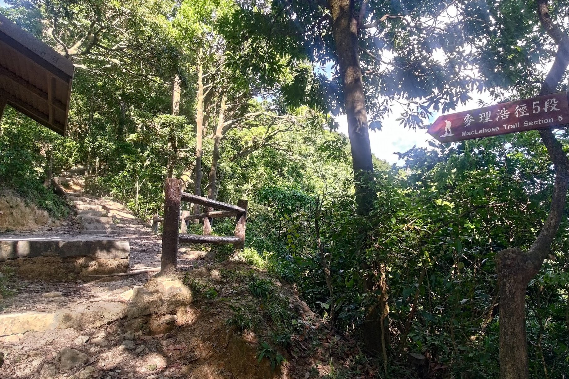
The minute you see the 'Beacon Hill' sign, you're on the Eagle's Nest Nature Trail. Follow the sign pointing to 'Beacon Hill' and enjoy a bit of respite from the stairs on a meandering, flat path.
As you walk, you'll actually be able to see the radar station on the top of Beacon Hill. That's your final destination, so you don't have long to go.
But at this stage of the hike, you should really take the time to appreciate the beauty of Eagle's Nest Nature Trail. This amazing trail is actually designated as a Site of Special Scientific Interest because of its unique flora and fauna.
If you're extremely lucky, you might spot lizards, snakes, wild boar, monkeys, wild coffee plants and black kites (which is what Eagle's nest is named after).
When you see the 'MacLehose Trail Section 5' sign, get ready for more stairs.
The Path to the Top of Beacon Hill
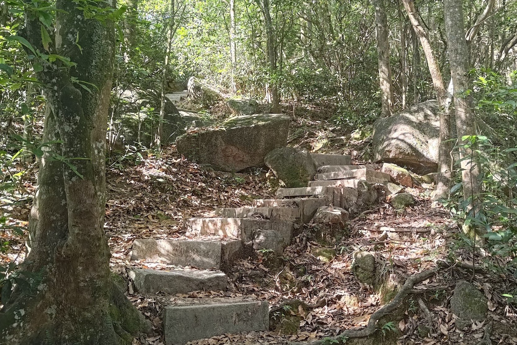
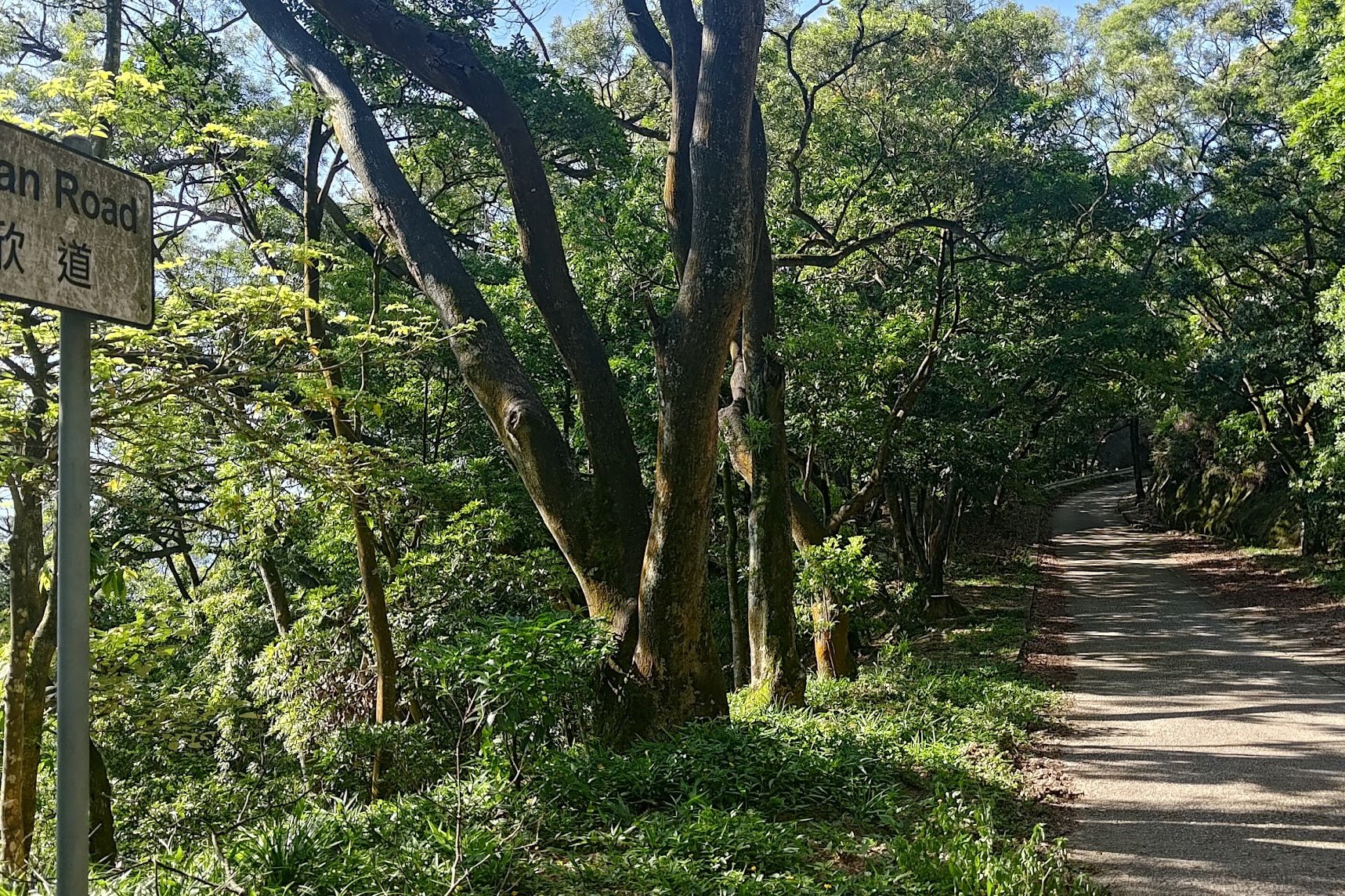
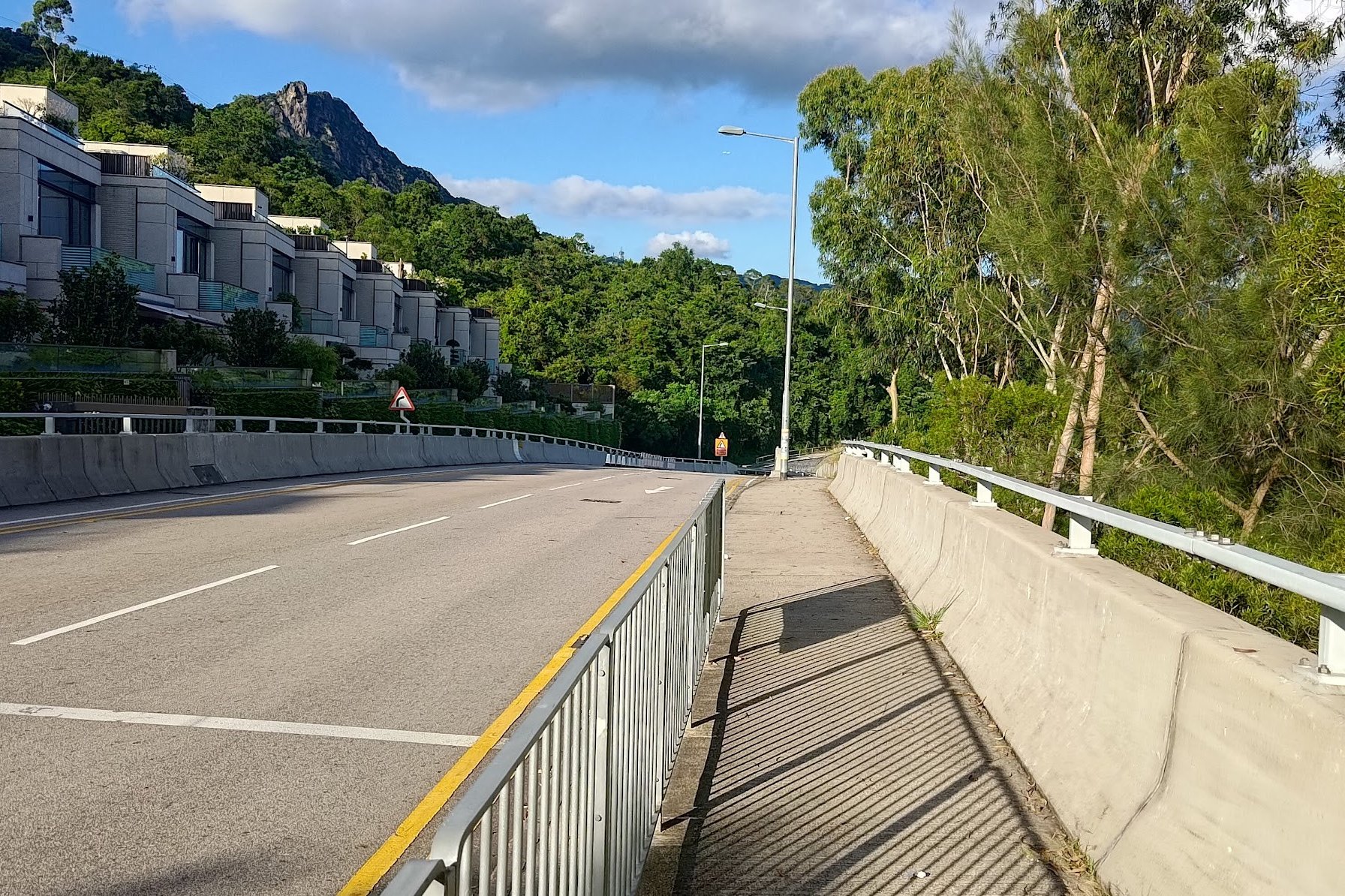
After a bunch of stairs, you'll arrive at Lung Yan Road.
Here, you can either take the trail with the stairs in front of you (intersecting with Lung Yan Road), or take the winding route up Lung Yan Road. The hiking trail path is essentially a bunch more stairs that gets you to the top faster. The road winds and meanders, but will be a gentler approach to the top.
There are amazing views on Lung Yan road, so make sure to take it either going up or on your way back down.
I took the hiking trail up and Lung Yan road down, so the rest of the guide will follow that route.
You can take either Lung Yan Road or the hiking path to the top depending on your preference.
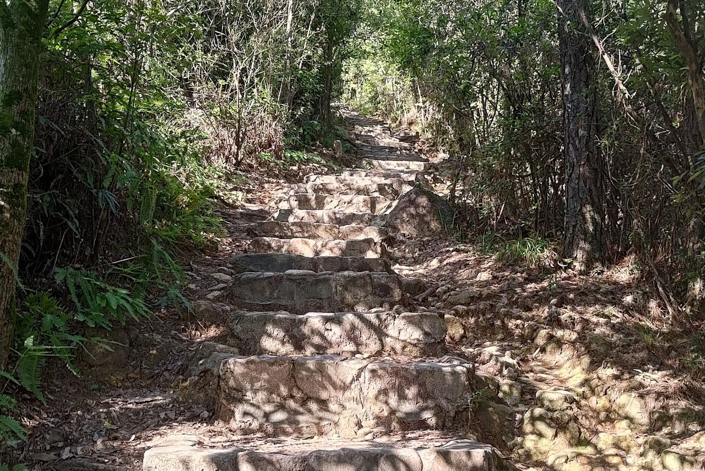
The Hiking Route to Beacon Hill
The climb is pretty brutal, but it will get you to the top of Beacon Hill much faster. In case you're regretting your choice to tackle even more stairs, the hiking path intersects with Lung Yan Road once more, so you can take the road part way up.
If you're enjoying the stairs, follow the stairs up at the second intersection and go past the open area before emerging at the top of Beacon Hill.
The Radar Station
The stairs are finally over!
You'll now see Beacon Hill Approach Secondary Surveillance Radar Station (what a catchy name) right in front of you. The radar station's primary function is to aid with air traffic control.
Sadly, there are no city vistas at this point. But just 10 minutes away, you'll be privy to insane views!
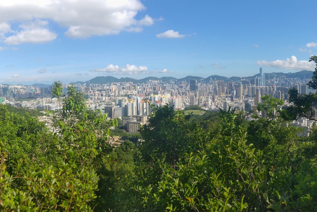
Beacon Hill Viewpoint
Follow the trail onward past the Beacon Hill Radar Station. Walk along MacLehose Trail Section 5 for about 10 minutes and you'll be at the Beacon Hill Viewpoint.
How will you know that you're there? The views will be the best indicator!
This path is also the way to Lion Rock. So, if you fancy hiking from Beacon Hill to Lion Rock, or hiking to Lion Rock first and then connecting to Beacon Hill, check out the guide below.
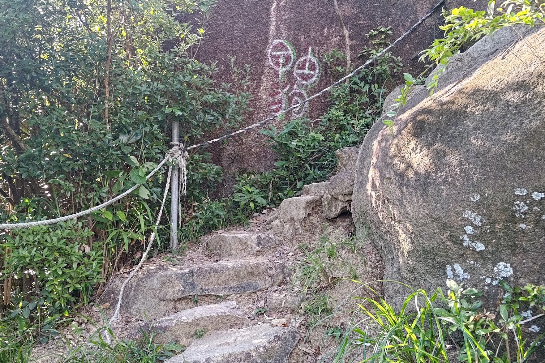
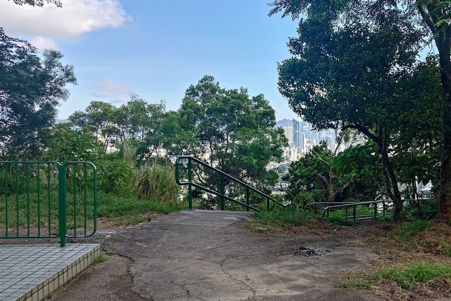
The Secret Viewpoint
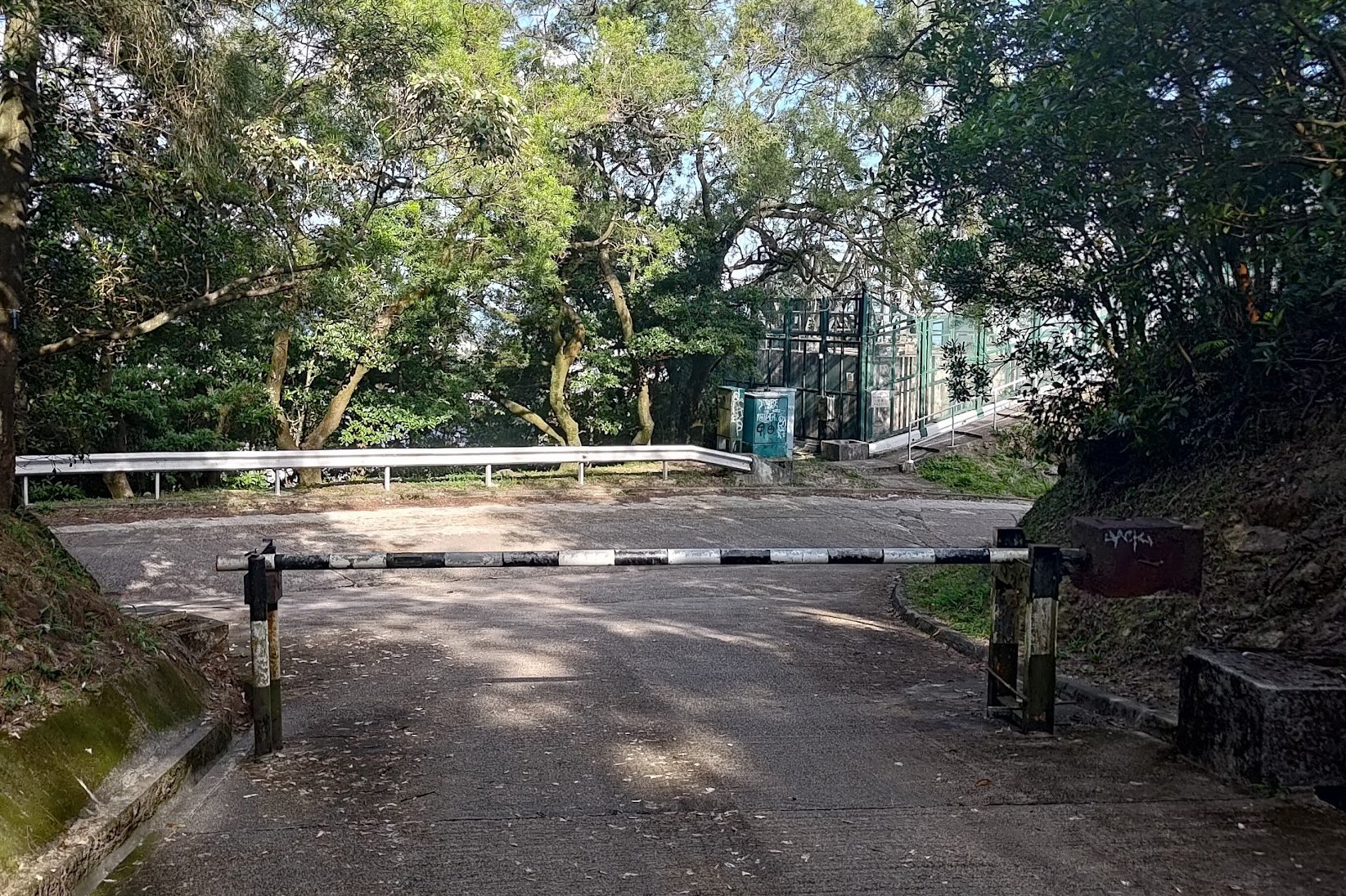
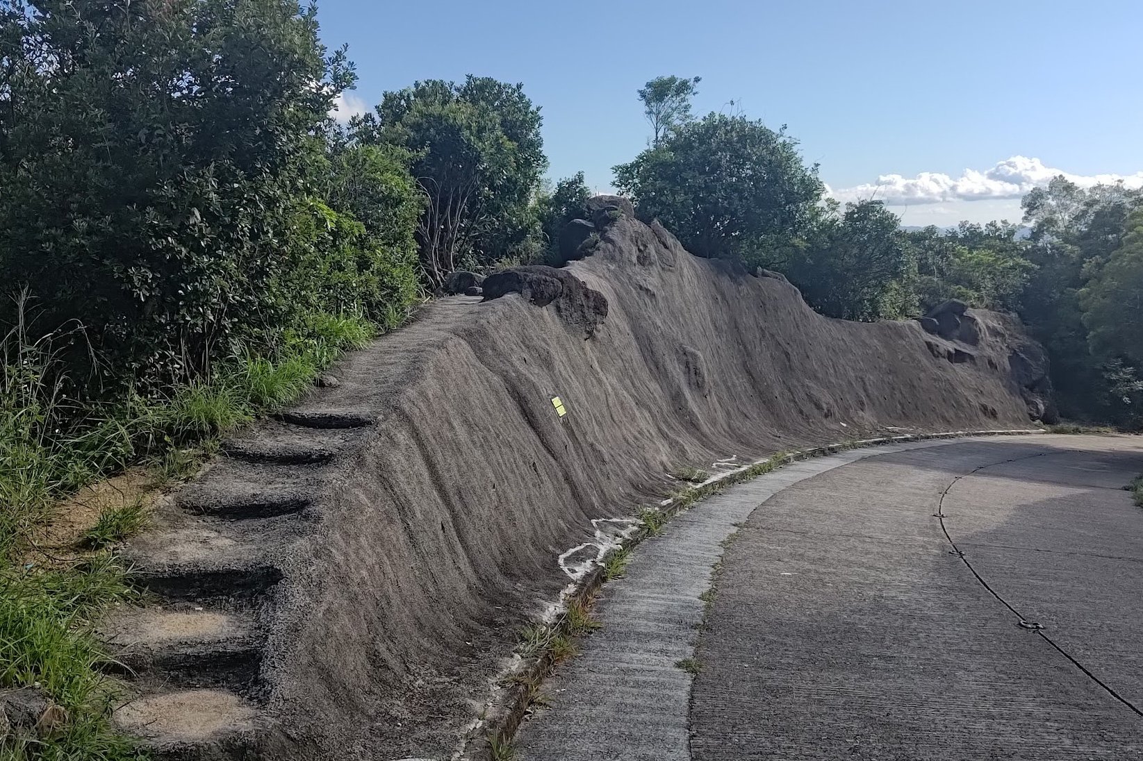
Retrace your steps to the Beacon Hill Radar Tower, turn right at the black and white barrier and begin heading down Lung Yan Road.
On the way down (perhaps 5 minutes later), you'll see a set of stairs built into a wall on your left. This marks one of the best viewpoints of the hike.
Climb the stairs and head over to the viewpoint. BE CAREFUL! It's a treacherous area and a fall would be disastrous. If you're not sure-footed or don't like heights, DO NOT go here.
You can always check out the much safer (and not too far off) Beacon Hill Viewpoint for similarly incredible views.
If you do check out the viewpoint, Kowloon spans out uninterrupted before you. This is also the only vantage point from which I've been able to see the entire profile of Hong Kong Island.
Walk down Lung Yan Road
After the viewpoint, continue down to the bottom of Lung Yan Road.
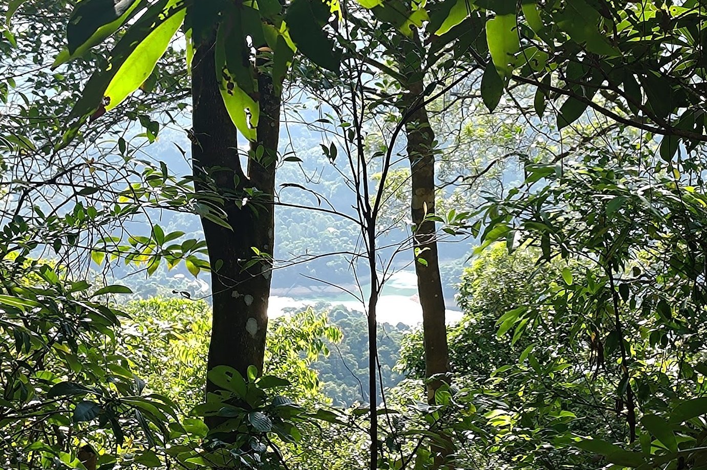
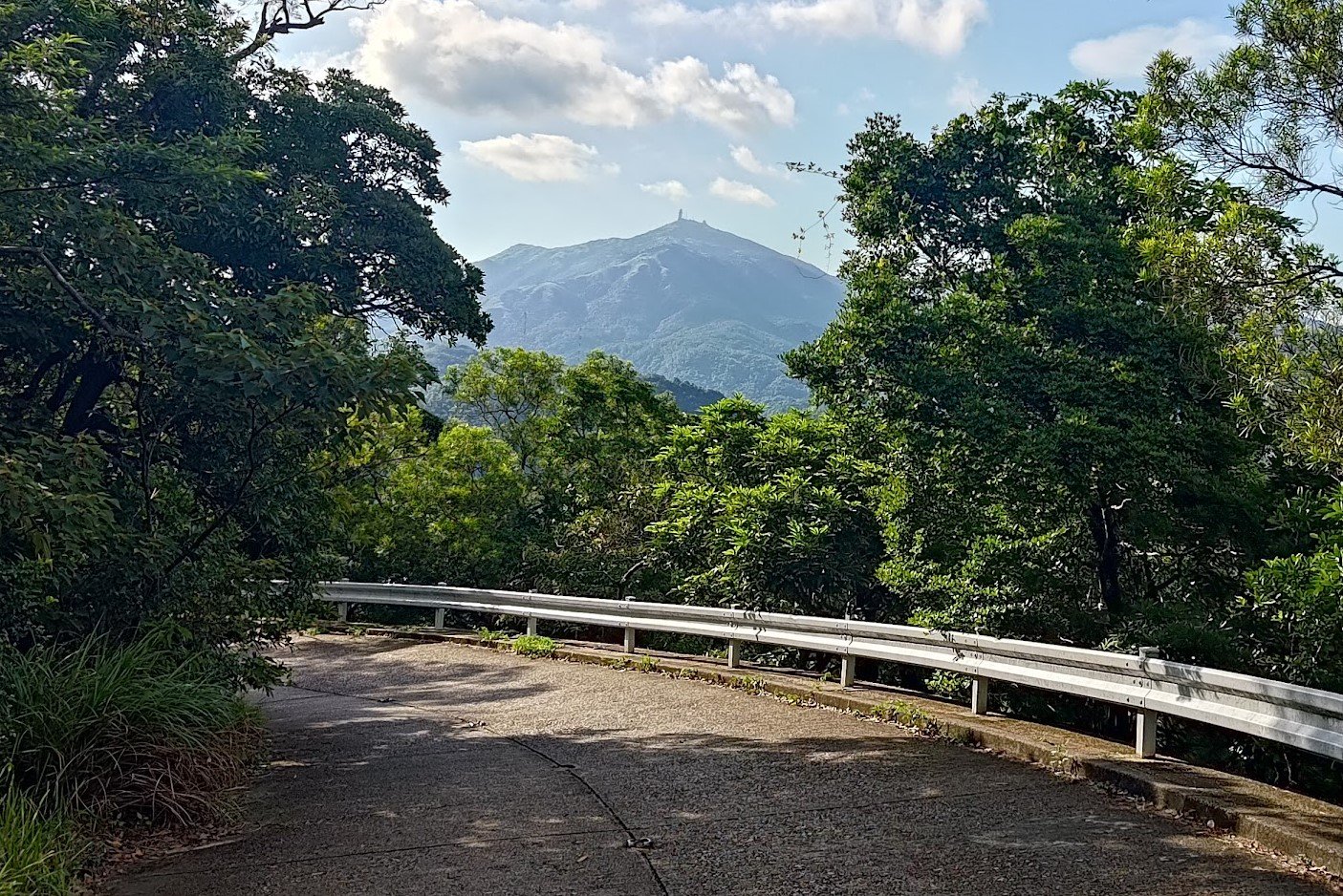
You'll see Lion Rock, glimpses of the Kowloon Reservoir and even Tai Mo Shan on your way down.
Near the bottom, look out for a set of green stairs on your right.

Getting to Kowloon Tong Station
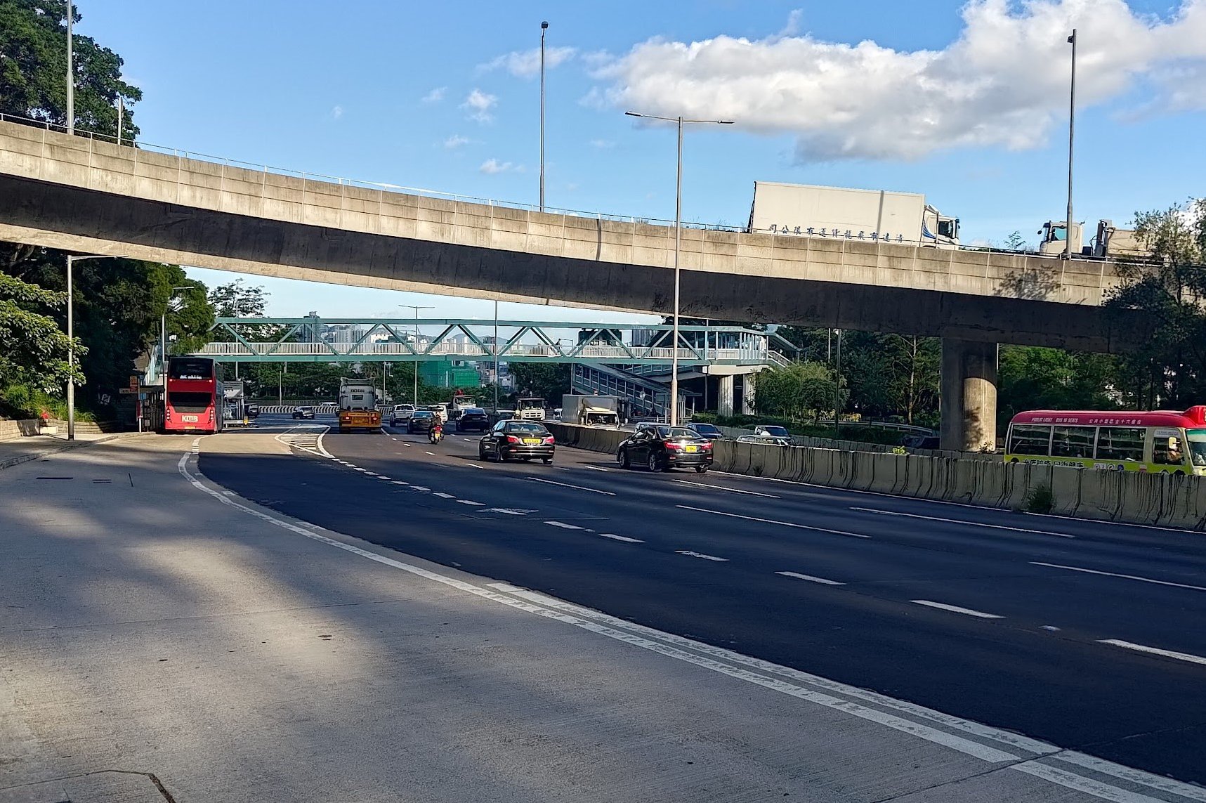
At the bottom of the green steps, you'll arrive at Lung Kui Road. Head left and follow it as it winds lower down toward the city.
When you see the green footbridge, go across it to arrive at Lung Cheung Road.
Walk along Lung Cheung road between the noise barrier and fence until you see a set of stairs on the right.
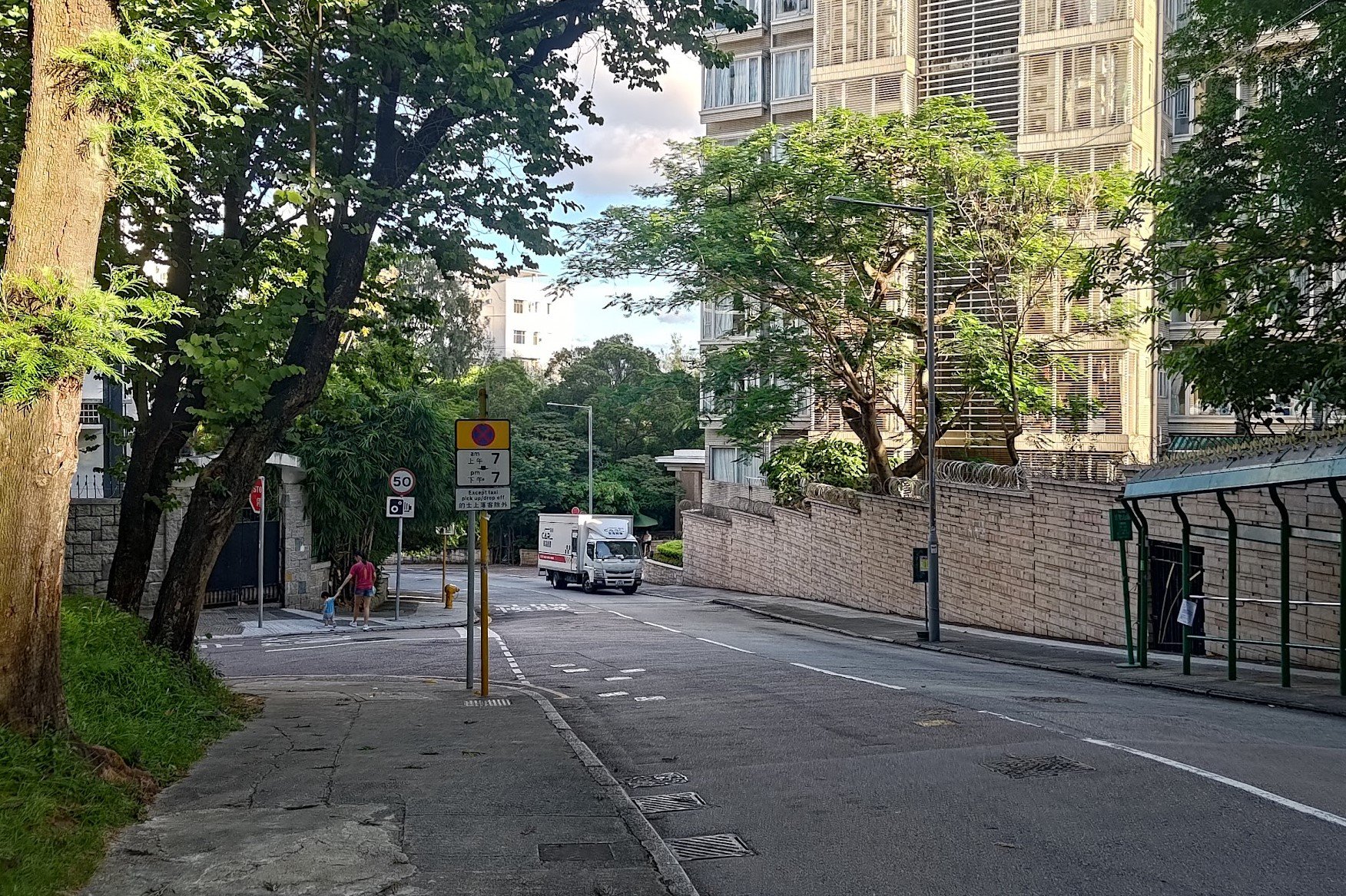
Take the stairs down and go between the apartment buildings until you reach Ede Road.
Follow Ede road all the way down, curving past Moonbeam Terrace until you arrive at Cornwall Street.
Cross the road and go right until you arrive at Kent Street.
Follow Kent Street to Kowloon Tong MTR station.

