
The Peak Hike: Experience Hong Kong's Iconic City Center and then See It from Above!
Contents
- Essential Information
- Hike Highlights
- Google Route Map and GPX
- How to Get There
- Quick Route Summary
- Wan Chai Station to Wan Chai Gap Road
- Wan Chai Gap Road and Wan Chai Green Trail
- Coombe Road
- Barker Road (Awesome Views)
- Findlay Path to Victoria Peak
- Best Victoria Peak Viewpoints
- Getting Back
Essential Peak Hike Details
- District: Hong Kong Island
- Duration: 1 hour 5 mins from Wan Chai to The Peak (VictoriaPeak)
- Distance: 4.7km
- Highest Elevation: 396 meters
- Difficulty: 2/5
- Facilities: There’s a public toilet at Wan Chai Gap Park about half way up
Why Hike to The Peak?
If you’ve only got a morning to spare and a taste for adventure, this one-hour hike (with no breaks) from Wan Chai to Victoria Peak is your perfect Hong Kong snapshot. Start in the heart of the city’s hustle: Wan Chai’s clattering trams, traditional shopfronts, vibrant street markets, and glassy, cyberpunk skyscrapers pressing in from every angle. It’s a neighborhood where old cha chaan teng cafés sit shoulder to shoulder with sleek towers—an energizing launchpad that puts Hong Kong’s contrasts on full display.
Within minutes, the streets give way to quiet stairways and leafy lanes that thread uphill. The climb is short and steep, but satisfying, and ideal for adventurous travelers and beginner local hikers alike: steady, well-marked, and never far from a drink stall or a bus stop if you need a breather. As you rise, the soundtrack shifts from tram bells and taxi horns to birdsong and the rustle of overhead foliage, while glimpses of the harbor flash between buildings and trees.
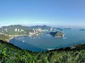
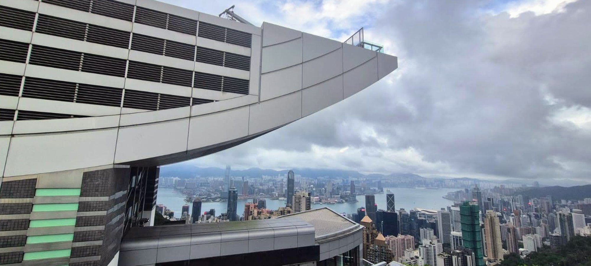
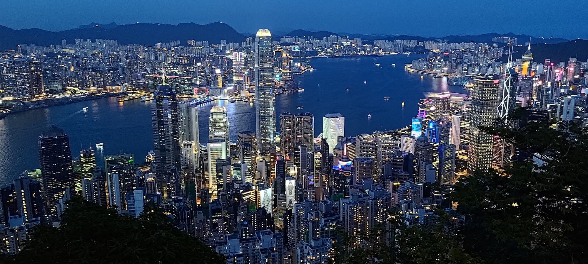
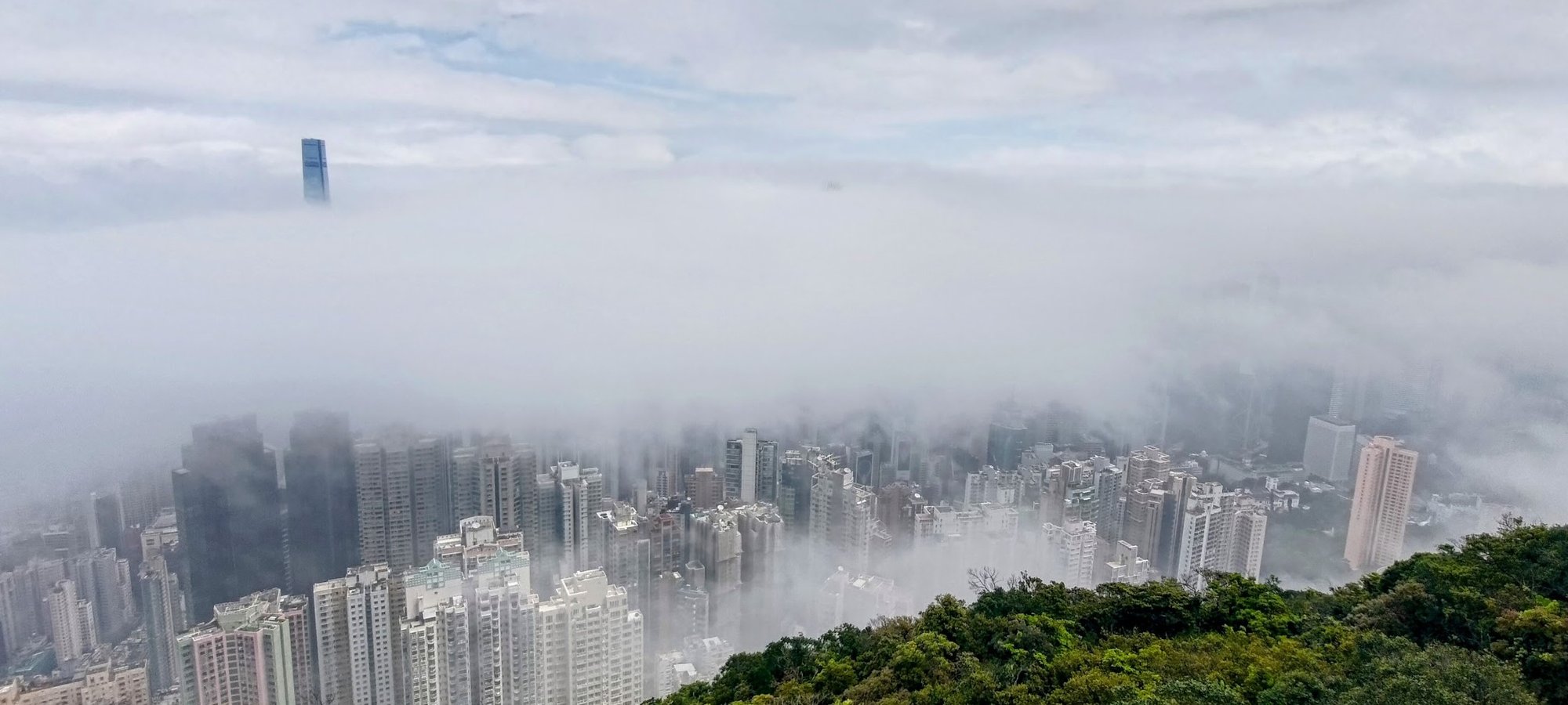
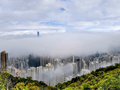
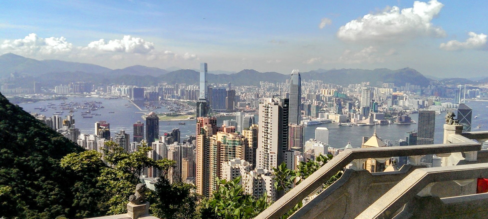
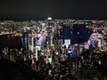
In around an hour, you’ll reach Victoria Peak - a must-see in every guidebook - except now, the view hits differently. You haven’t just arrived; you’ve earned it. Looking down on Wan Chai from the Peak, you can trace the very streets where you began, feel the pulse you just walked through, and recognize the city’s rhythm in the grid below. Hiking up turns an impersonal postcard panorama into a personal story - one that starts at street level and ends with Hong Kong unfurled at your feet.
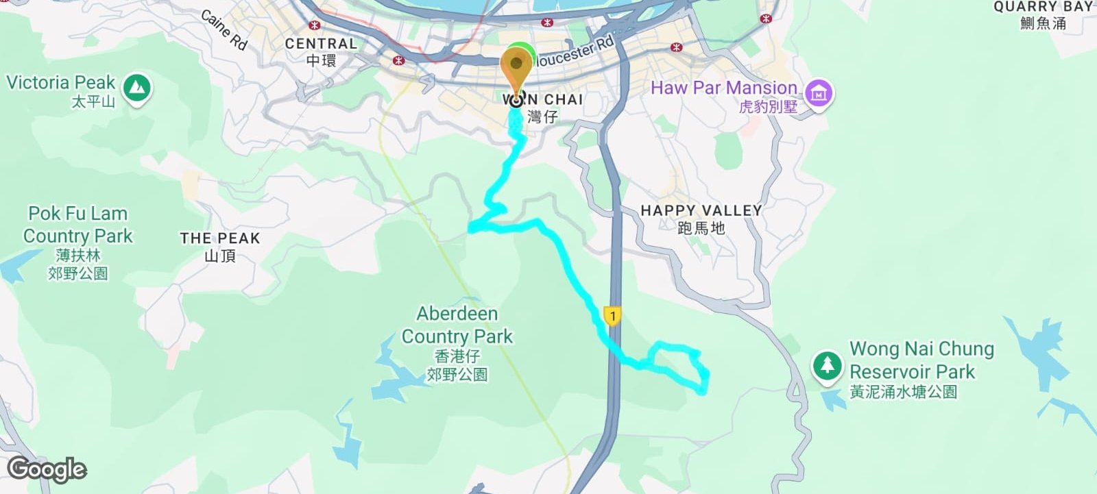
Google Route Map and GPX
*Click the box icon in the top right of the map below to load the blue route directly into your own Google Maps. You can then see your location relative to the trail in real time!
How to Get to the Wan Chai to Victoria P Hike Start Point
Take the MTR to Wan Chai MTR Station and leave through Exit A3. The hike guide begins from right outside the station, no additional transport required.
Quick Route Summary
Wan Chai MTR Start Point
- Take the MTR to Wan Chai Station and leave through Exit A3
- Cross the road and walk through the stalls of Tai Yuen Street
- When you arrive at Queen’s Road East, look for Wan Chai Gap Road and climb up it
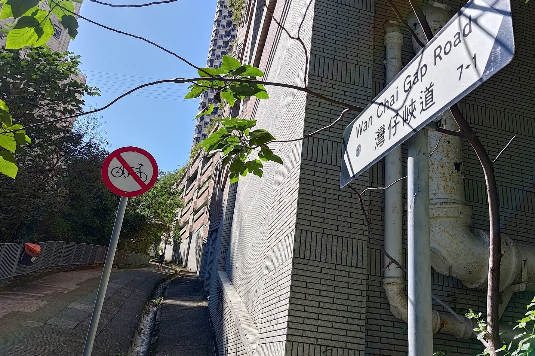
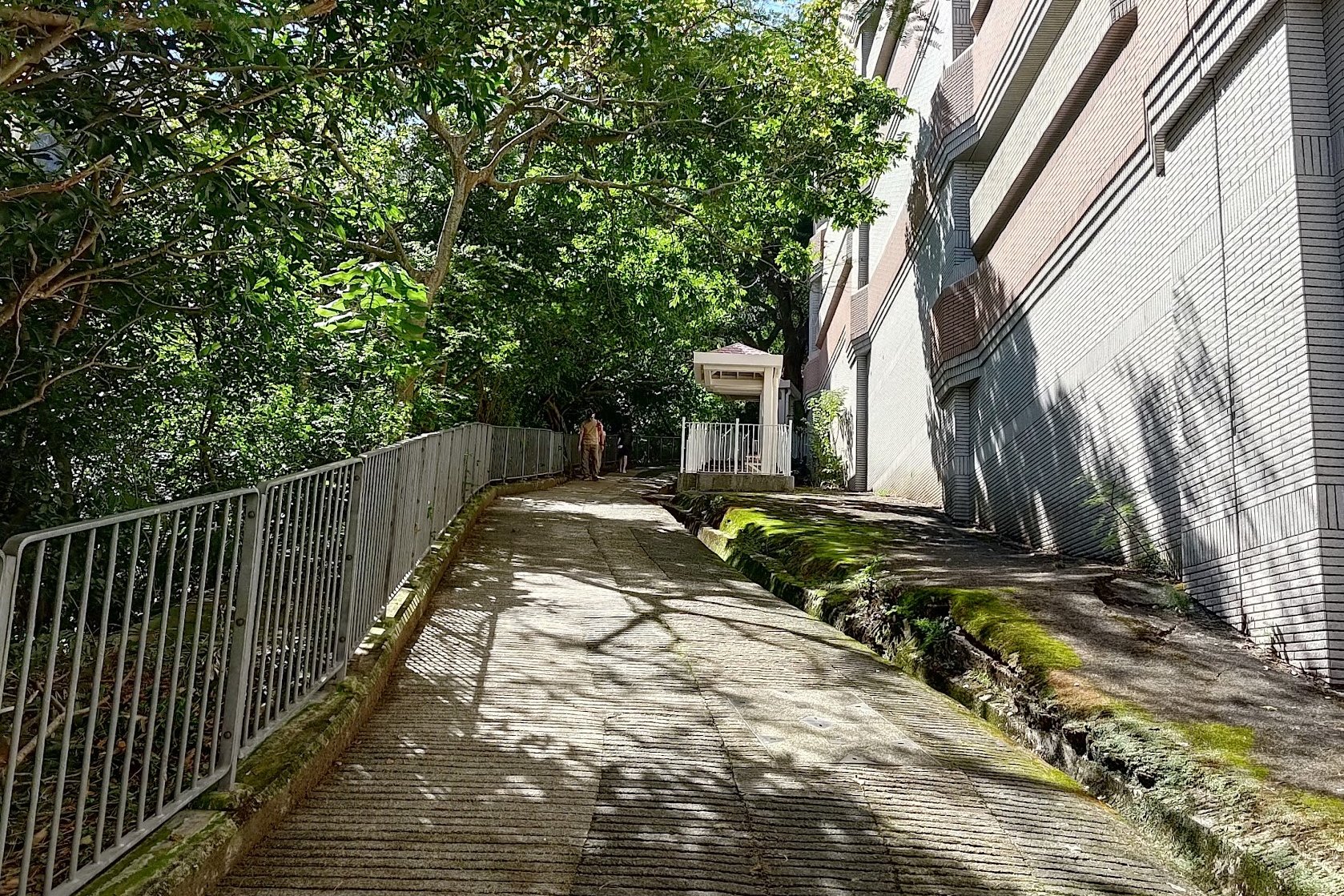
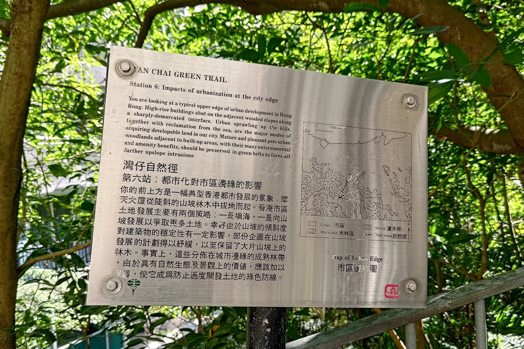
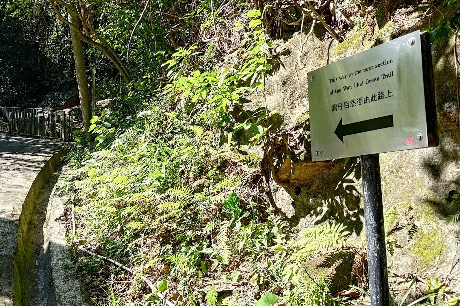
Wan Chai Green Trail
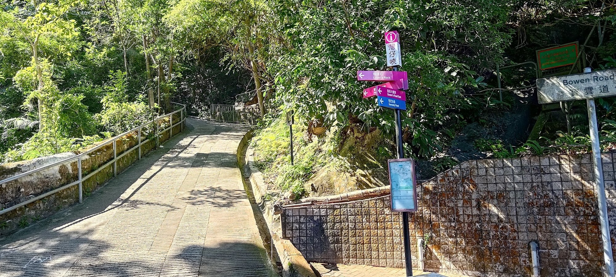
- You will have to cross Kennedy Road and continue up a set of stairs on the opposite side to reach the Wan Chai Green Trail, which is part of Wan Chai Gap Road
- Keep heading up Wan Chai Gap Road until you arrive at Stubbs Road
Coombe Road
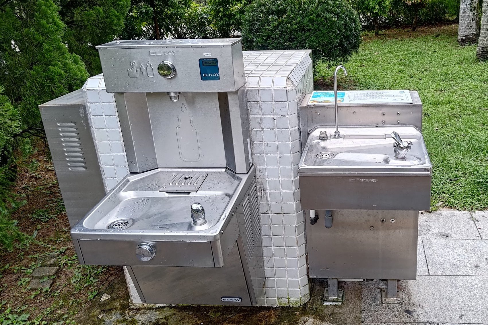
- Connect to Coombe Road (there's a park on the left with free drinking water fountains, water bottle filling points, a store with snacks and drinks, and toilets
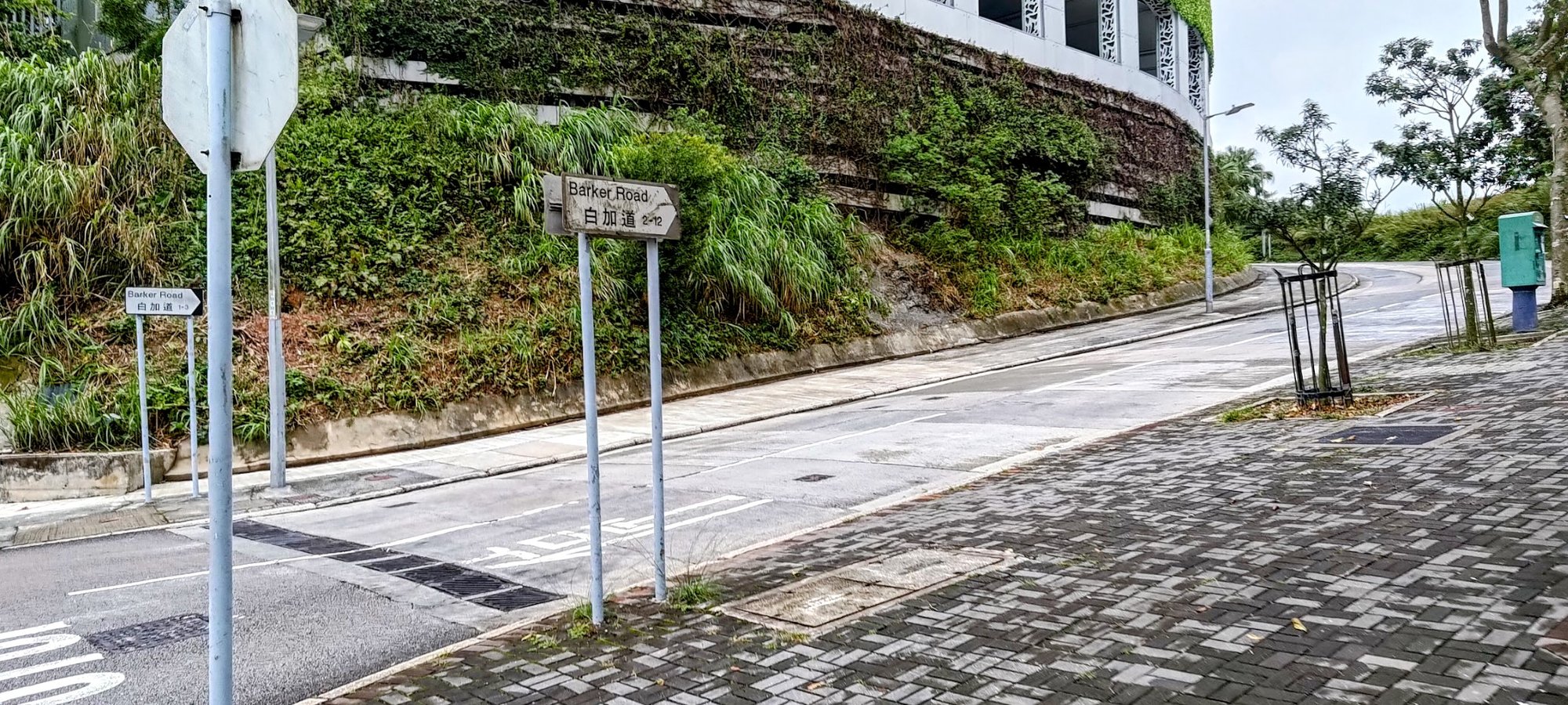
Peak Road and Barker Road
- After climbing Coombe Road, go left onto Peak Road
- You'll have to cross to the other side of Peak Road and turn right onto Barker Road
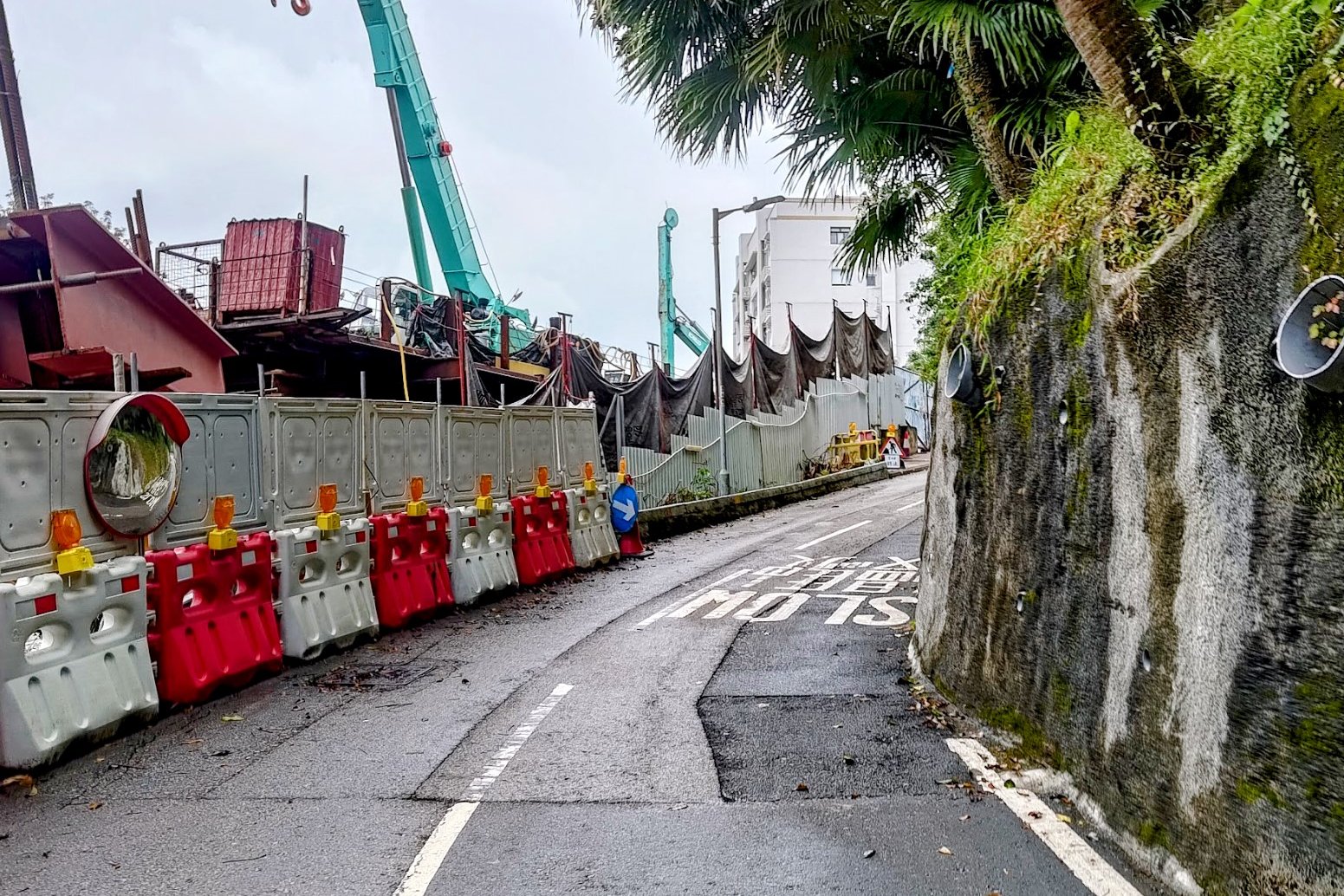
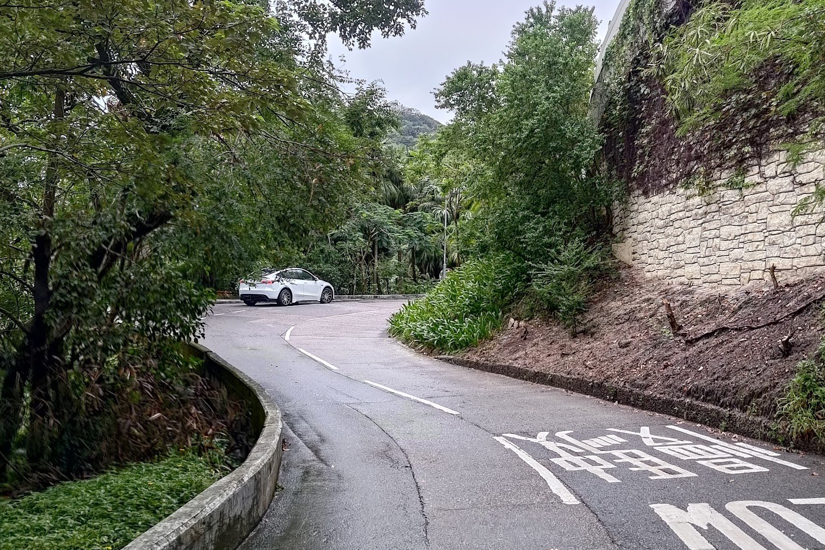
- You'll follow Barker Road for a while. There is often no pedestrian sidewalk here, so be REALLY CAREFUL as you'll be sharing the road with cars
Findlay Path to Victoria Peak
- You'll reach the Barker Road Peak Tram Station. If you wait a bit here, you can see the iconic Peak Tram in action!
- From the peak tram station, head up Plantation Road (don't follow Barker Road) and then follow Findlay Path. Findlay Path is just a few steps up Plantation Road
- Just a couple minutes later, you'll arrive at Victoria Peak!
Wan Chai Station to Wan Chai Gap Road
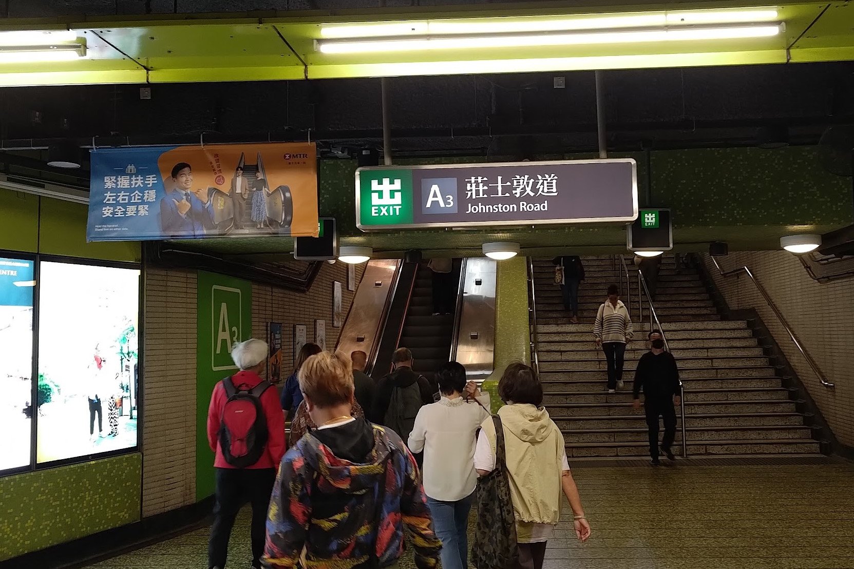
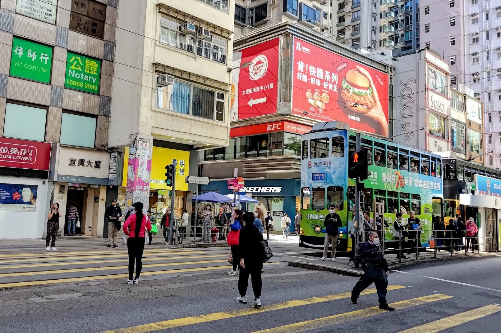
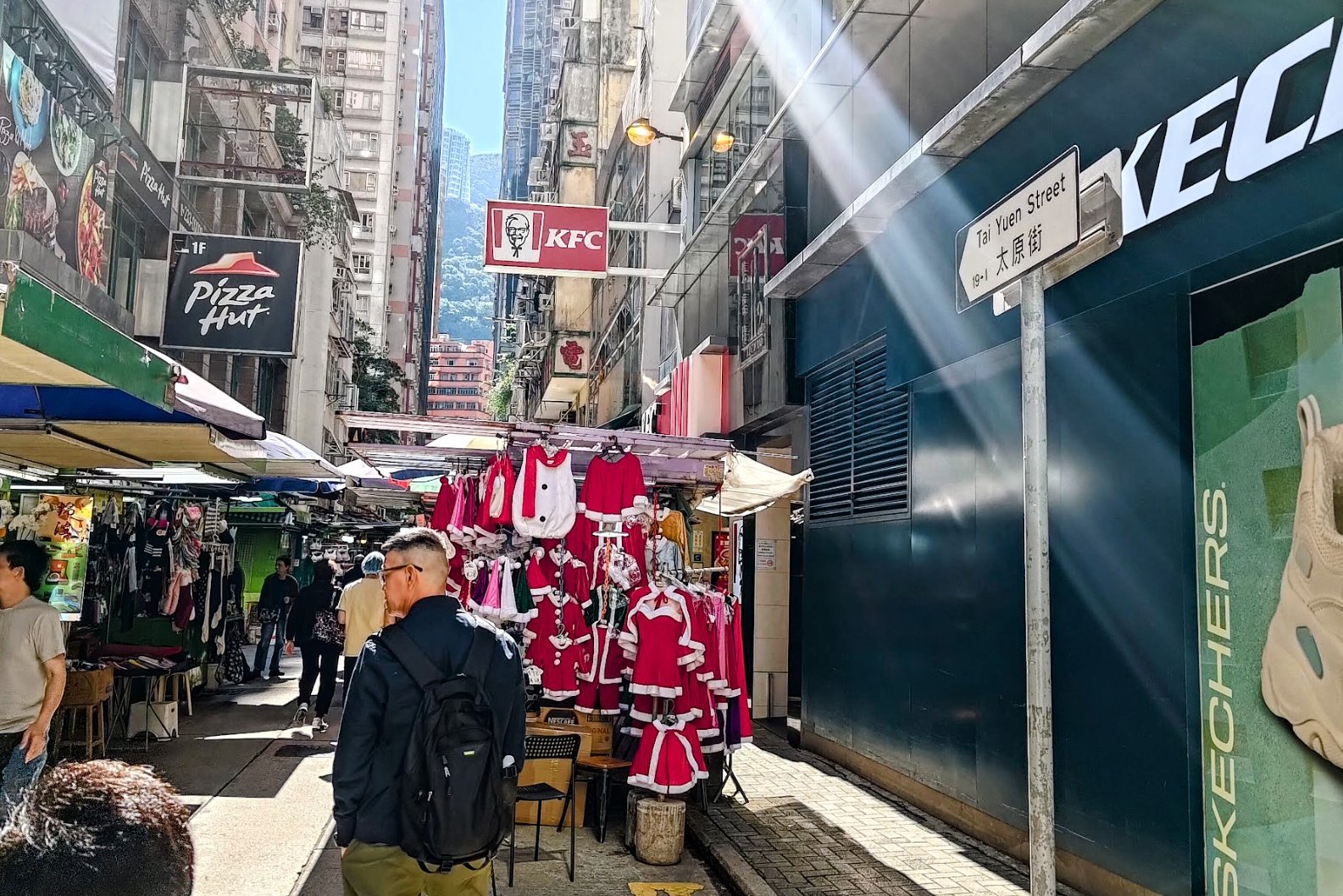
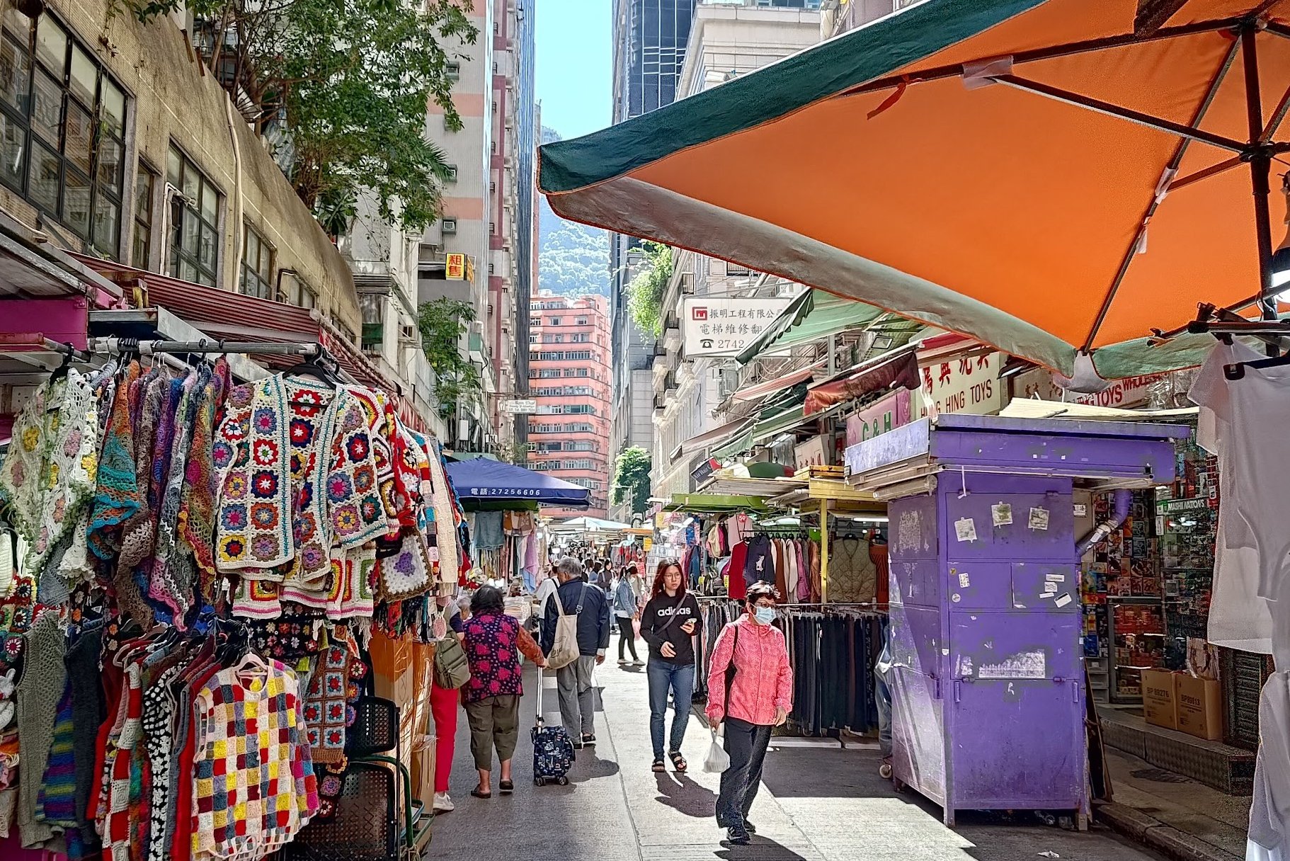
Once you've left Wan Chai MTR Station through Exit A3, cross Johnston Road and look for Tai Yuen Street.
This colorful little gem of a location is filled with toy shops, clothes shops, accessories, and plenty of other curious little bits and bobs.
You'll get to see the city's iconic ding dings (trams), some cyberpunk-looking buildings, cha chaan tengs (local cafes), and plenty of hustle and bustle.
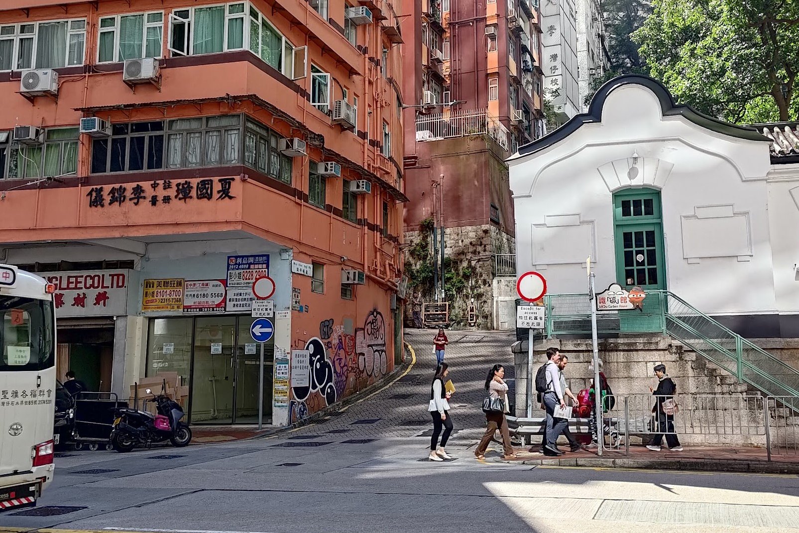
Keep heading straight until you arrive at Queen's Road East. Cross it and look for the winding lane between the brown and fancy white building.
The uphill begins from here!
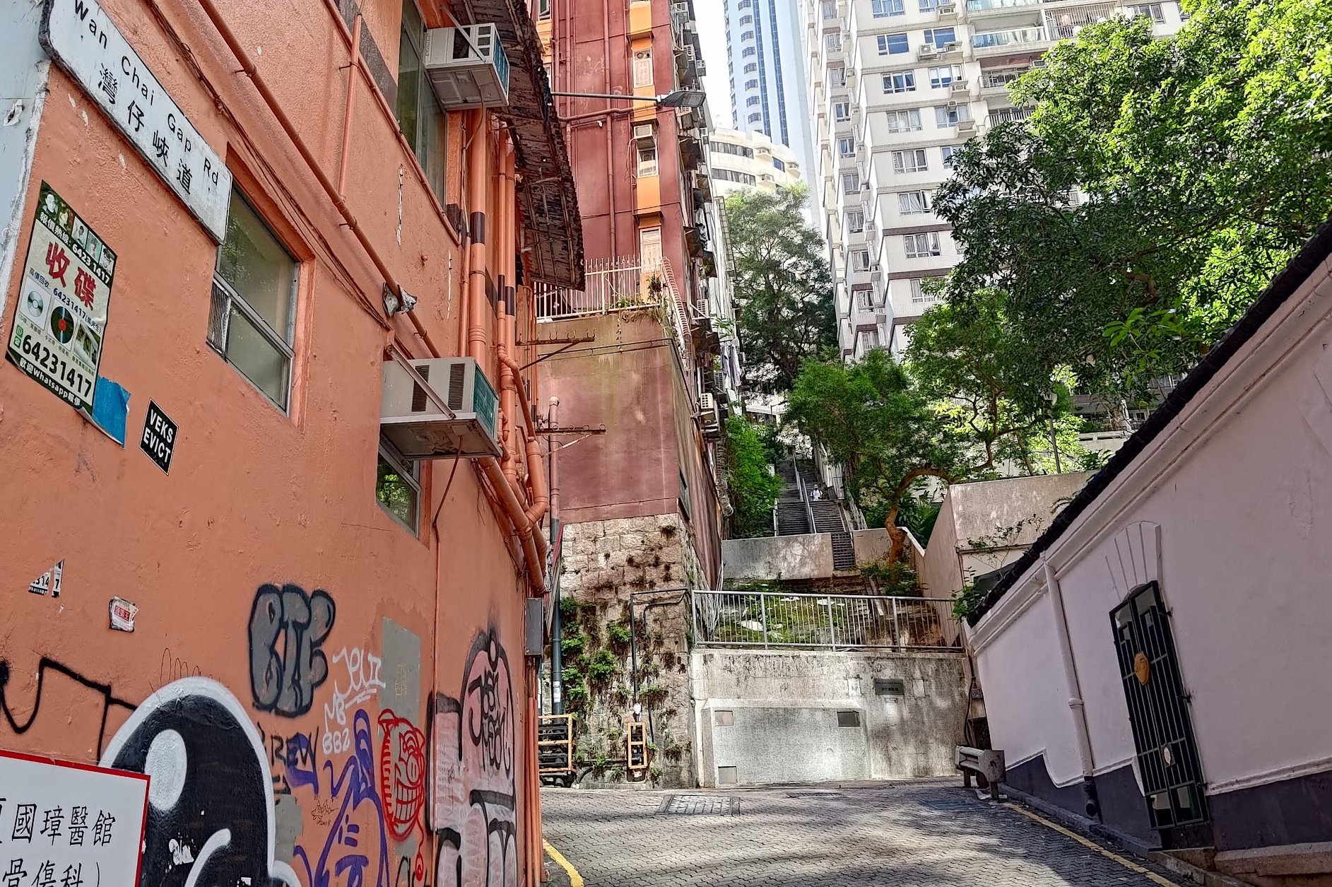
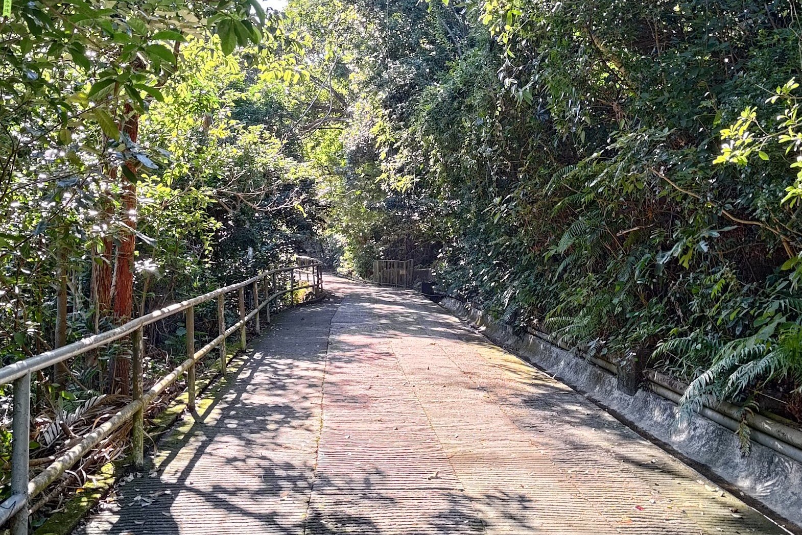
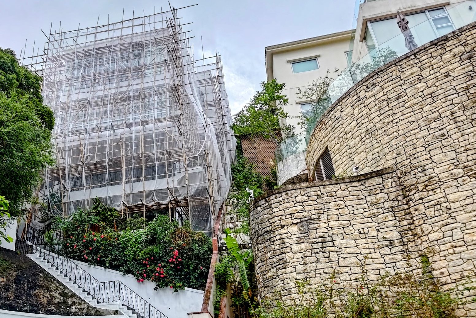
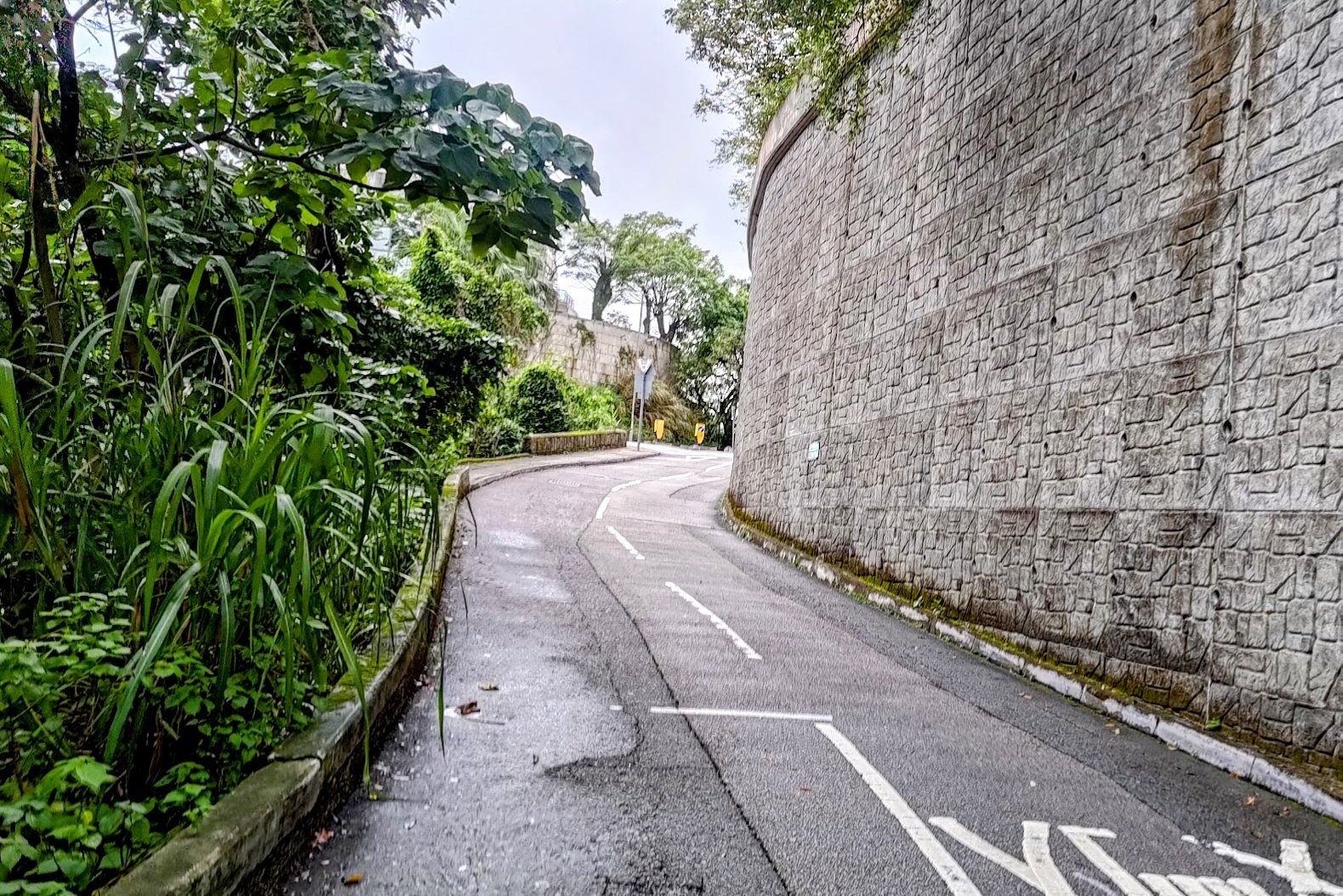
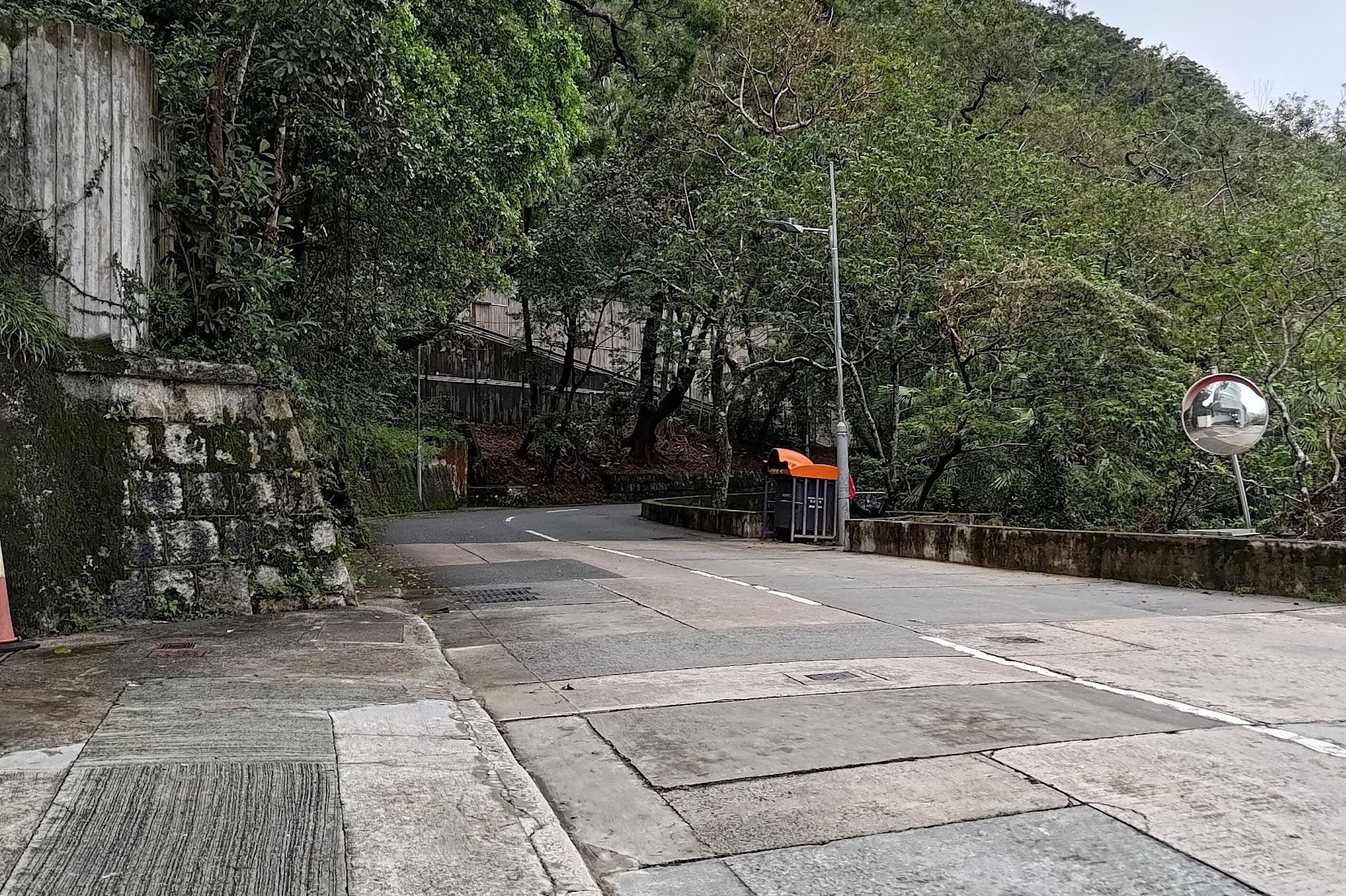
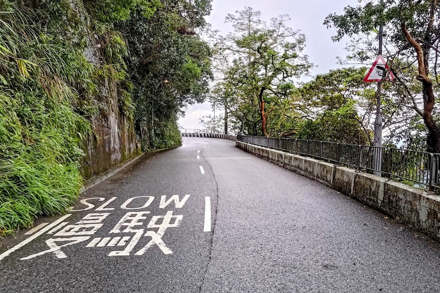
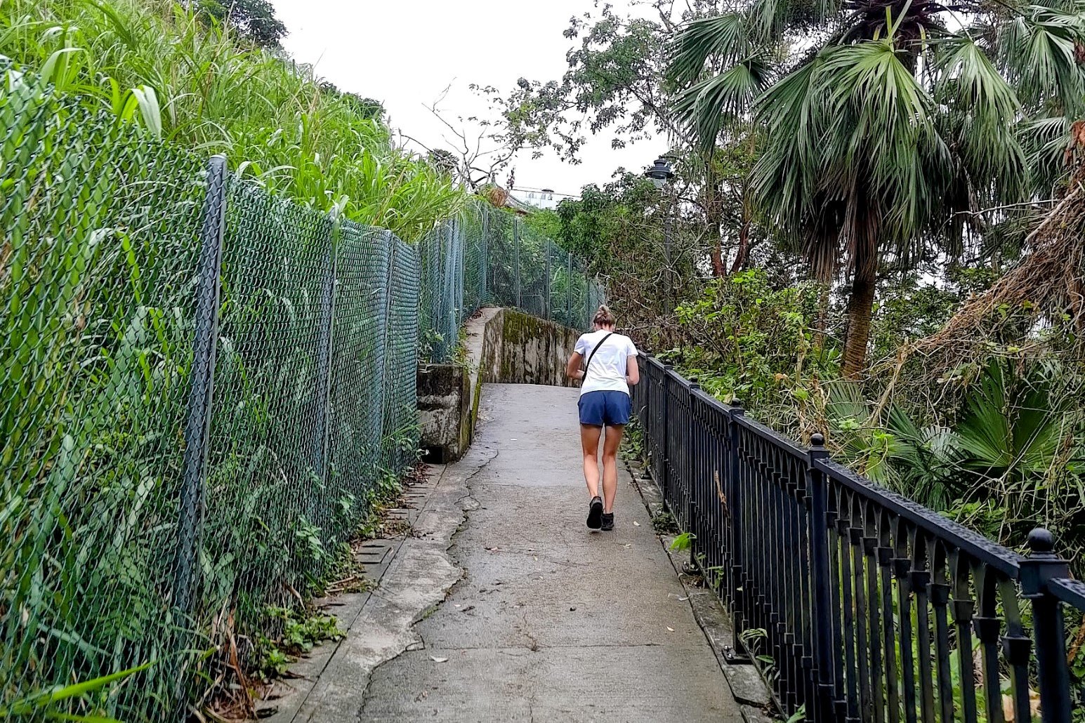
Wan Chai Gap Road and Wan Chai Green Trail

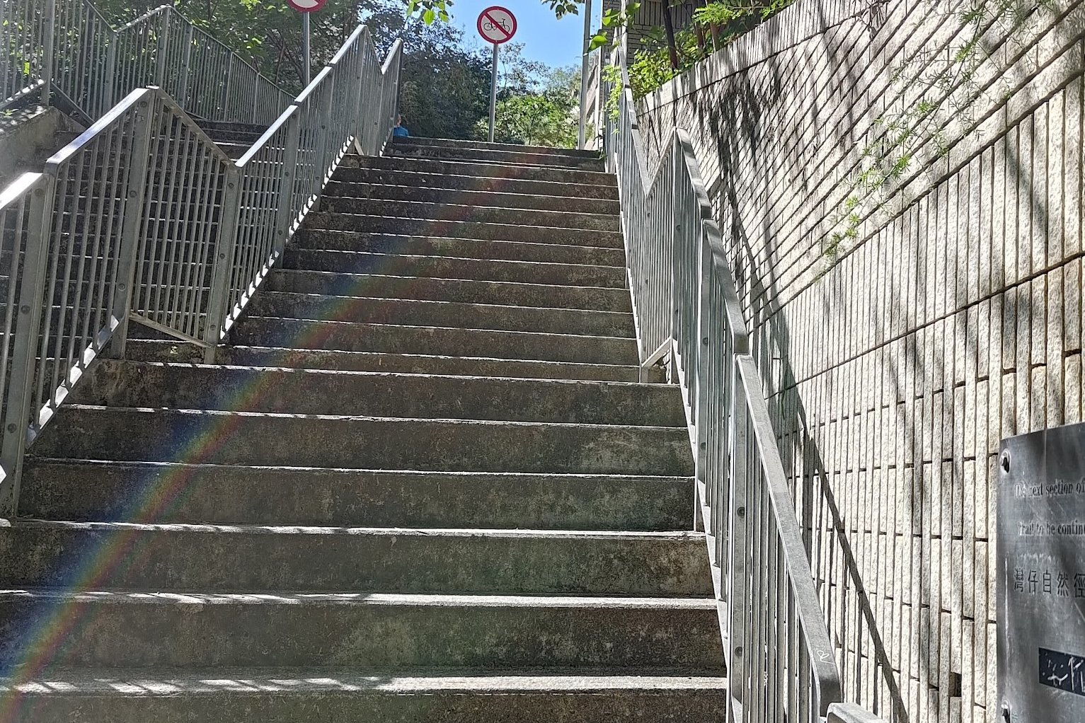

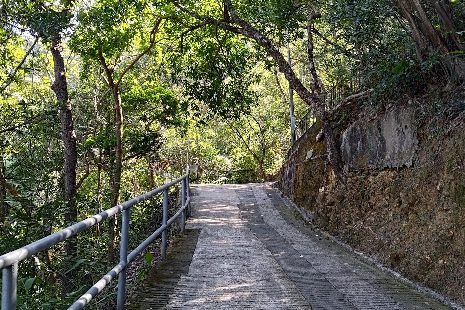
It took me about 20 minutes at a good clip to reach Stubbs Road. If you plan on taking your time and enjoying the view (or taking breaks to combat the steepness of the climb), budget a little extra time.
Aside from having to navigate a crossing, you'll be following the trail forward the entire time. The entire section is marked as Wan Chai Gap Road on Google Maps, so if you're uncertain, you can double check.
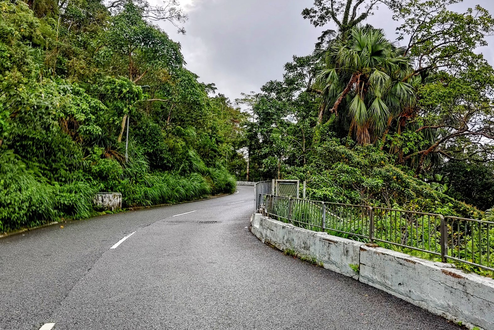
Coombe Road
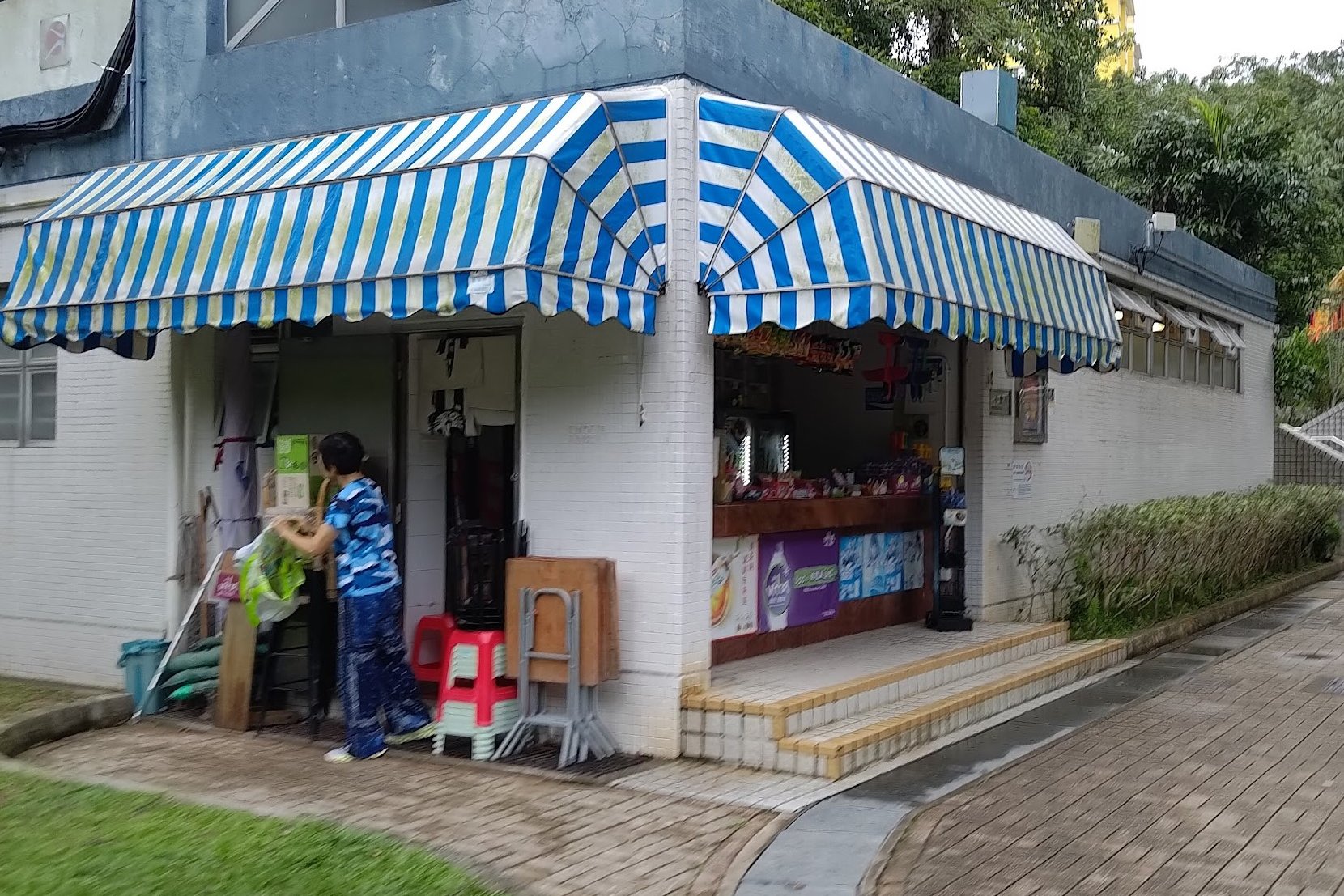
Coombe Road presents another spot where you can top up on drinks and food (if the shop in the park is open).
When you're ready, follow Coombe Road as it winds upward. There are several portions where you'll be off the pedestrian sidewalk, so be wary of oncoming traffic.
It takes less than 10 mins to complete this section, minus any time you spend at the park.
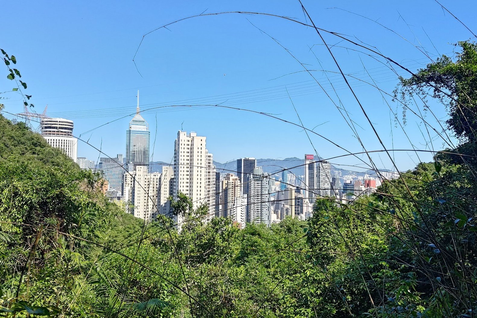
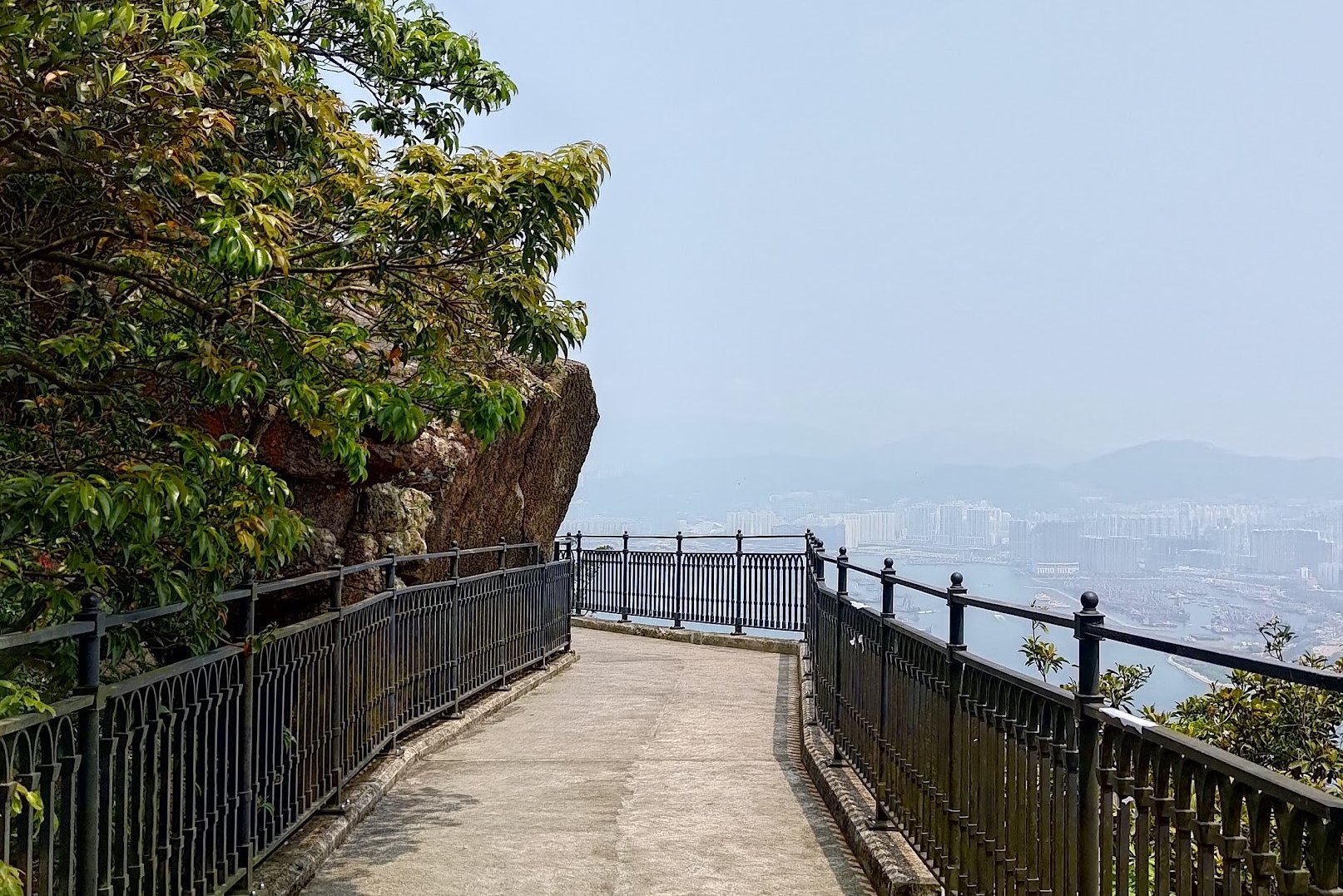
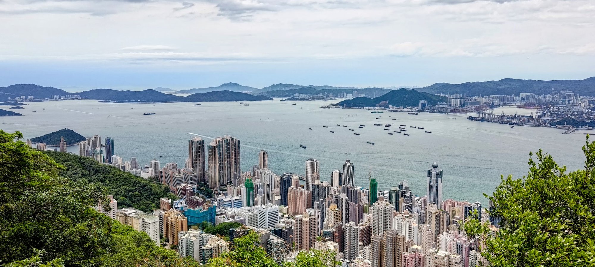
Barker Road (Awesome Views)
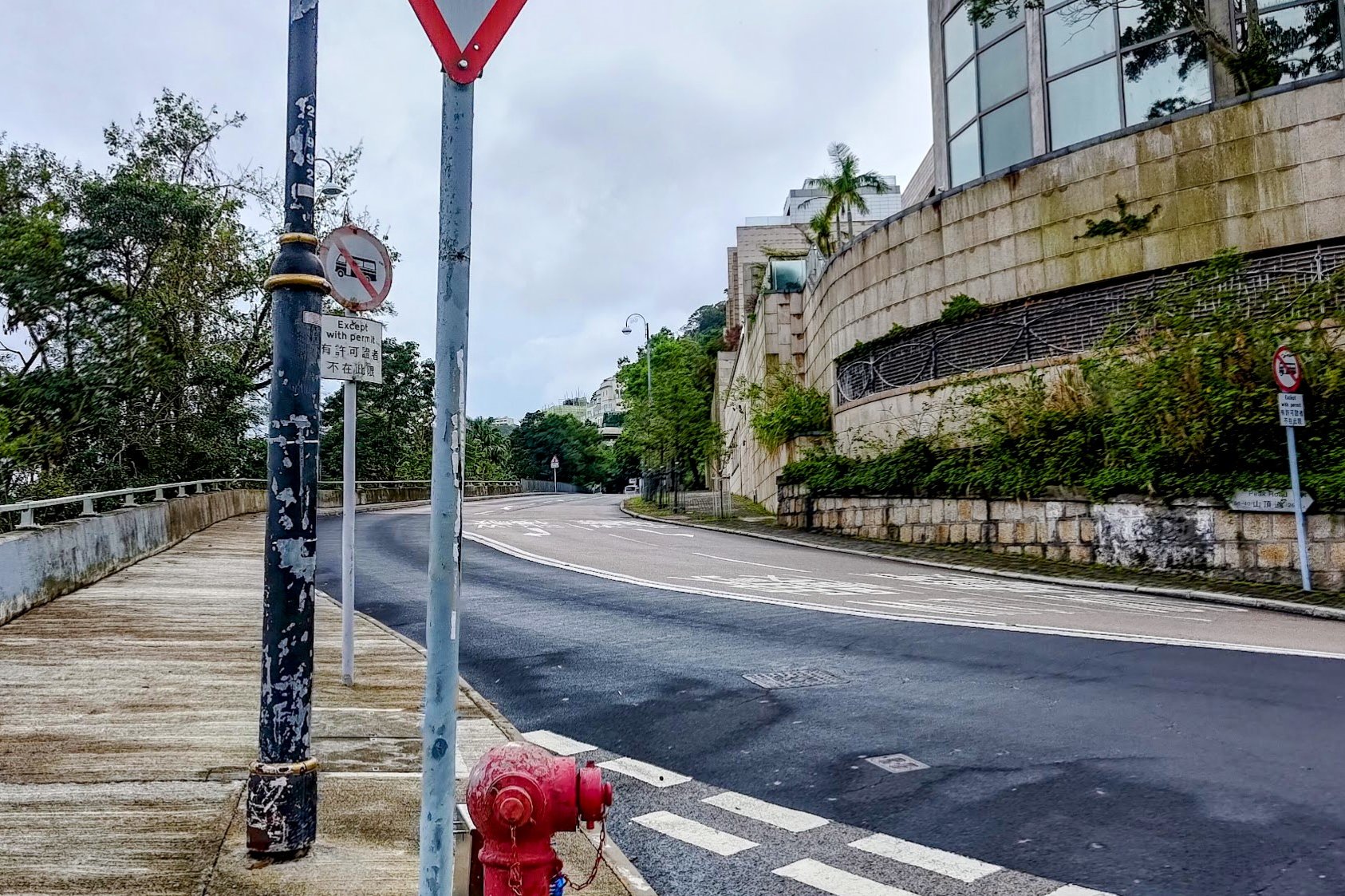
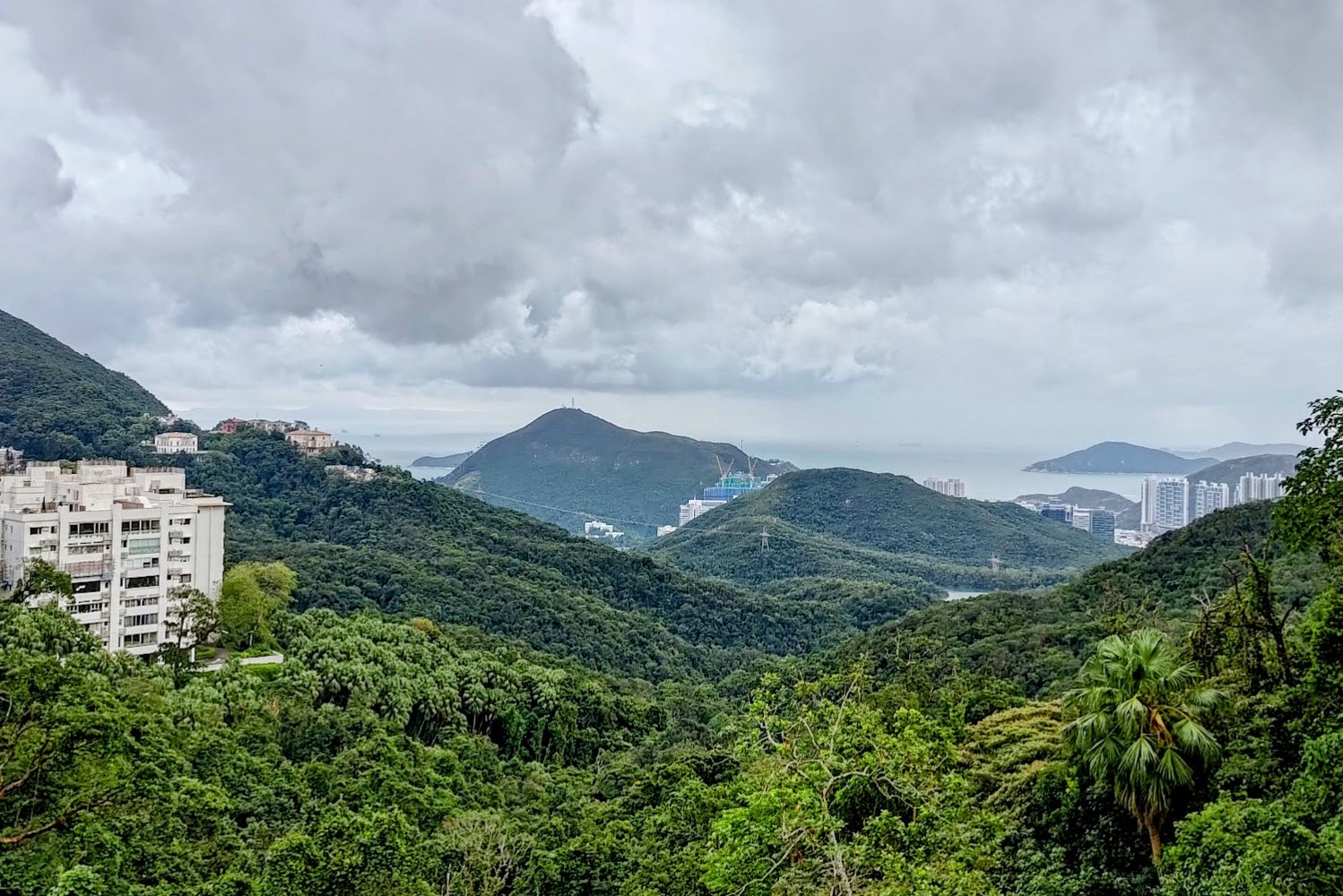
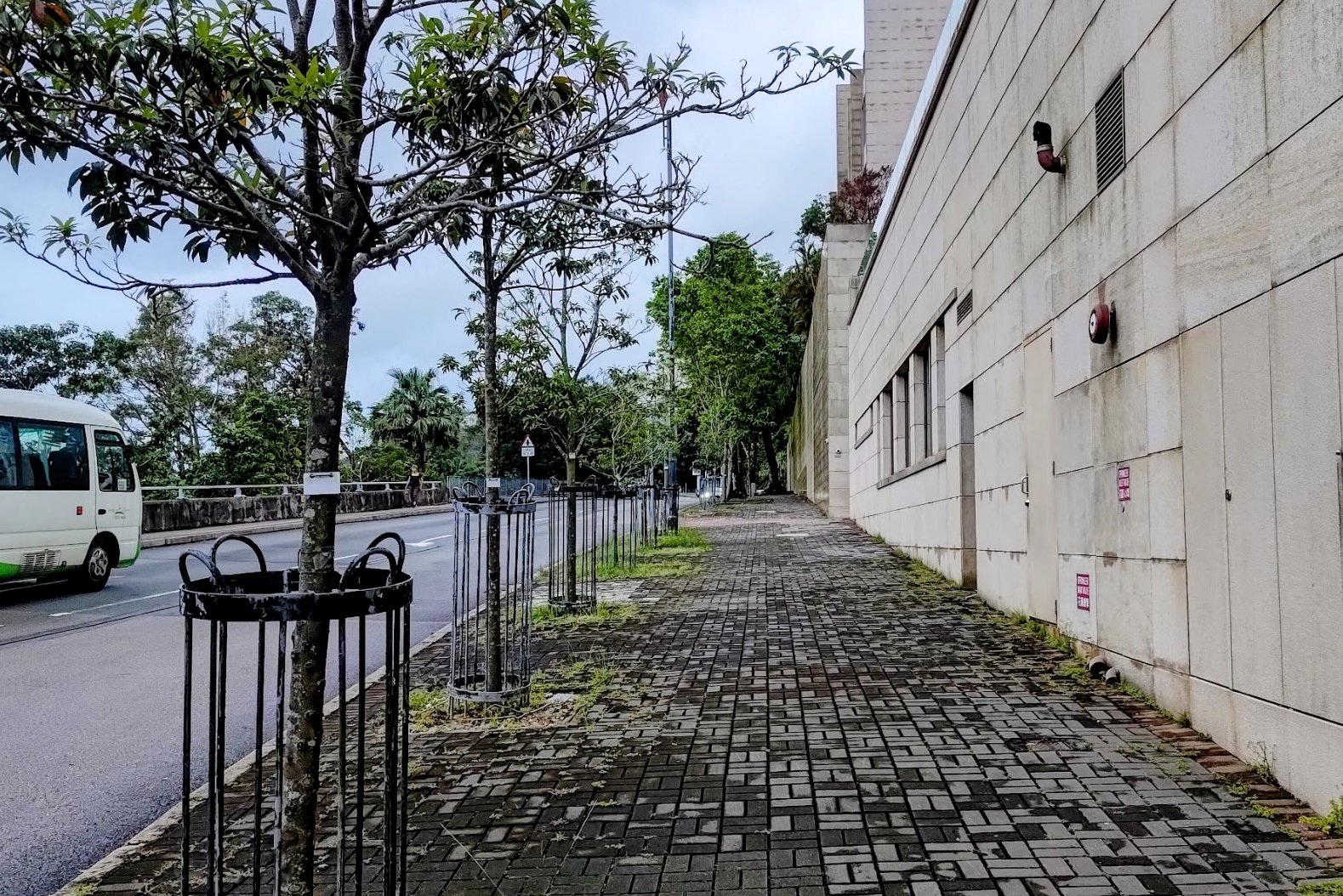
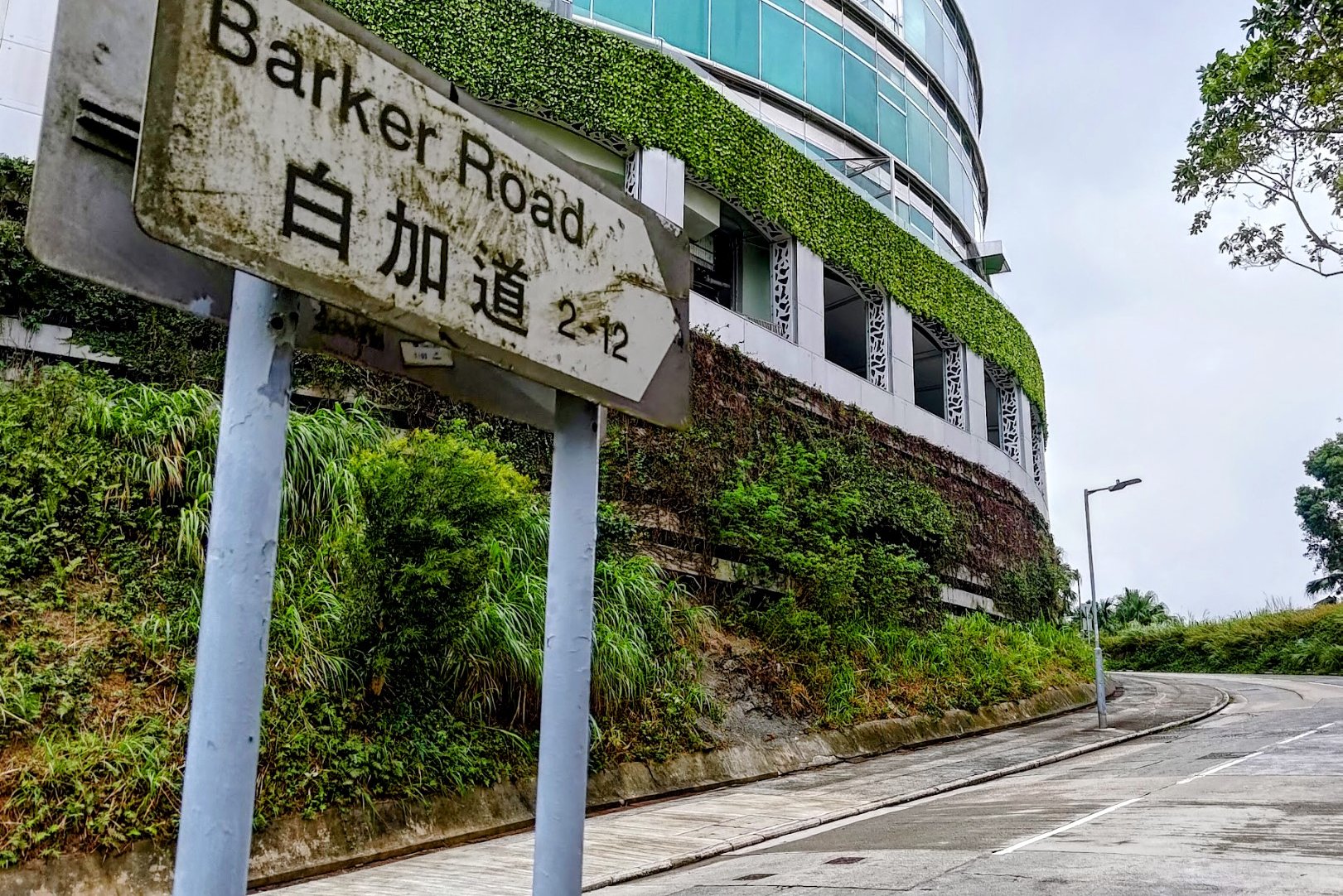
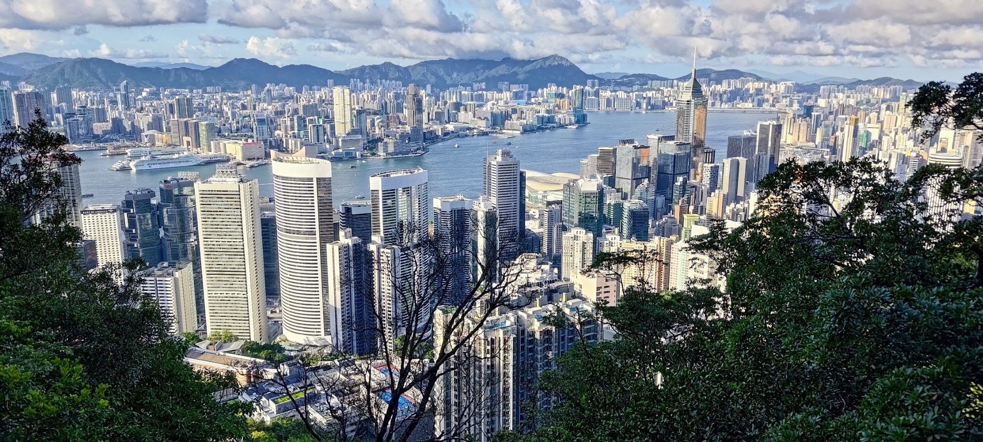
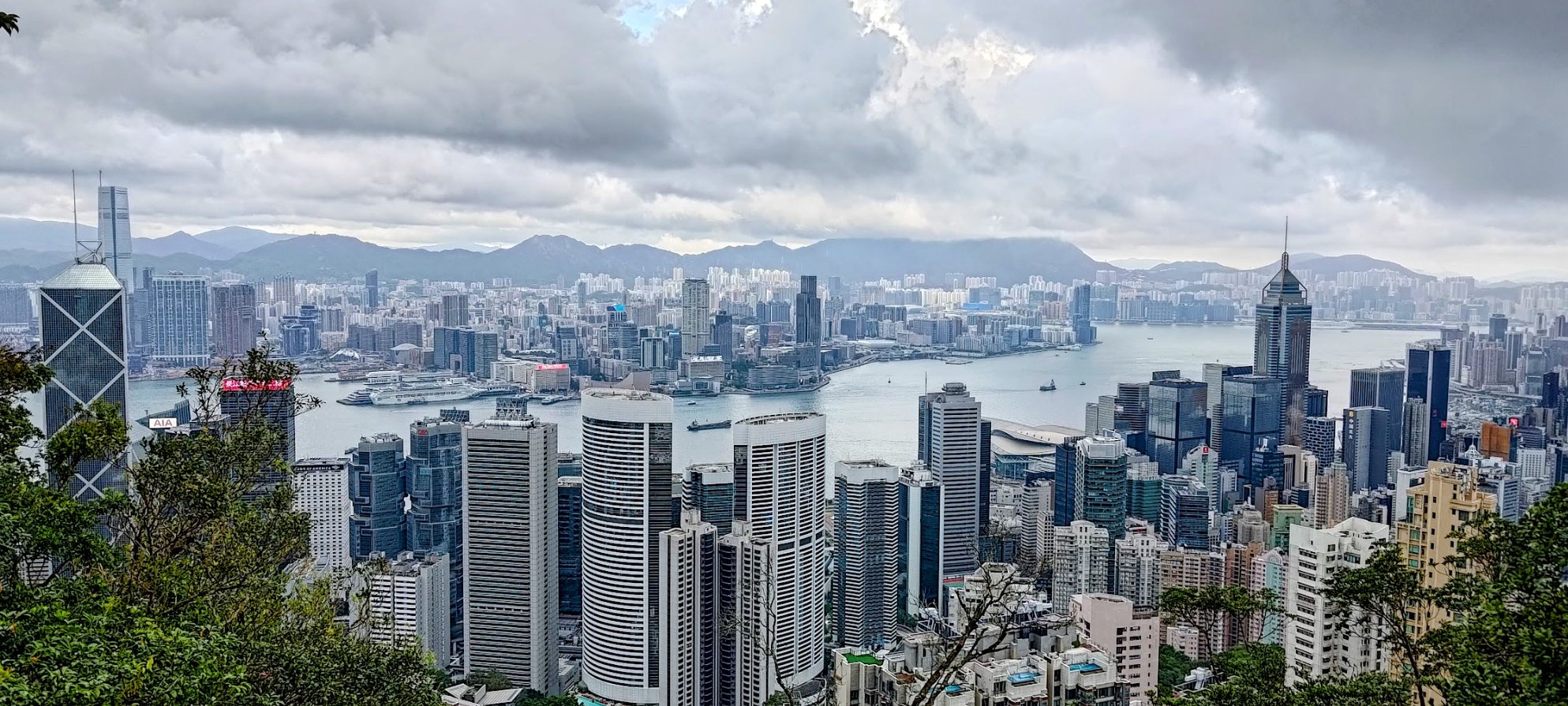
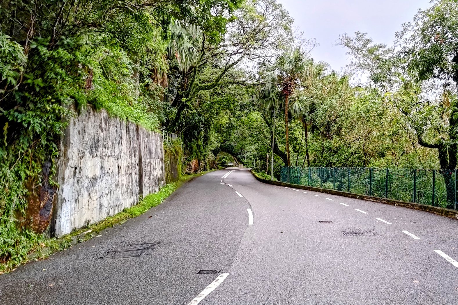
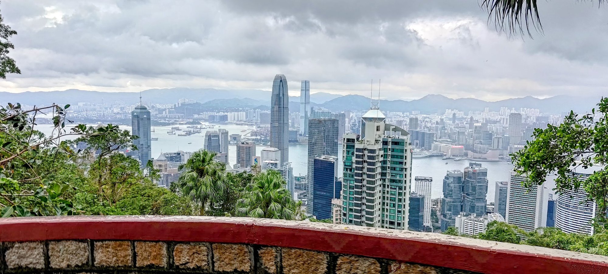
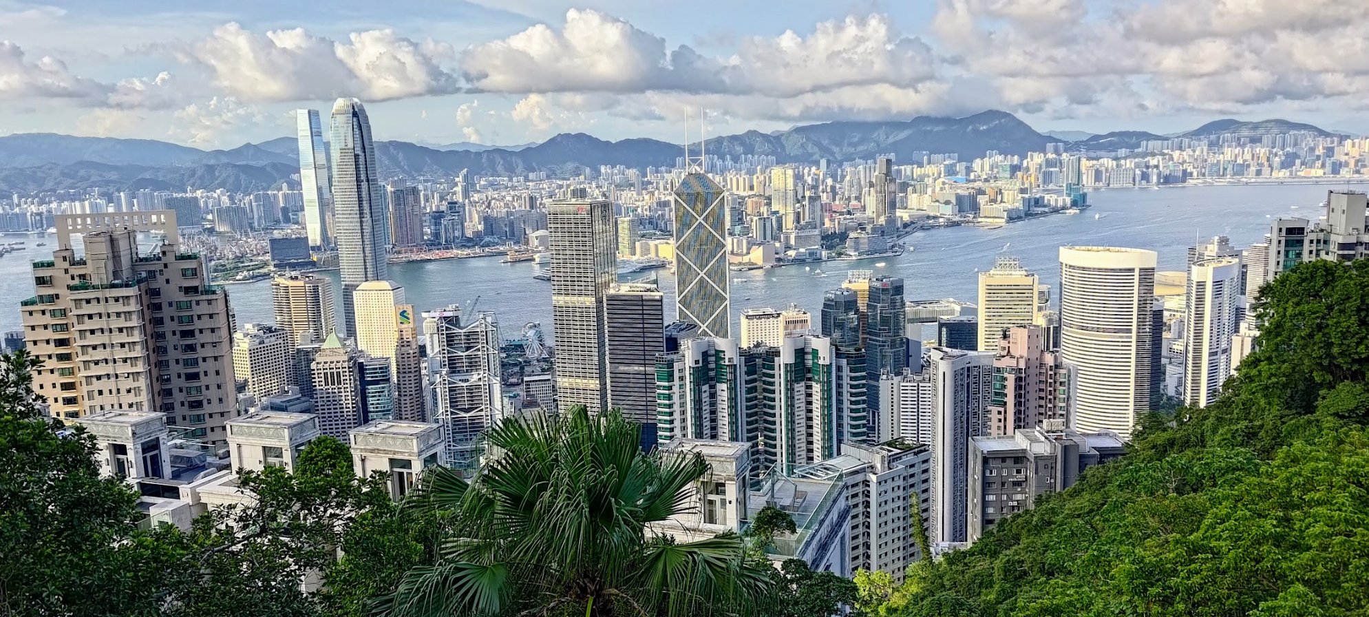
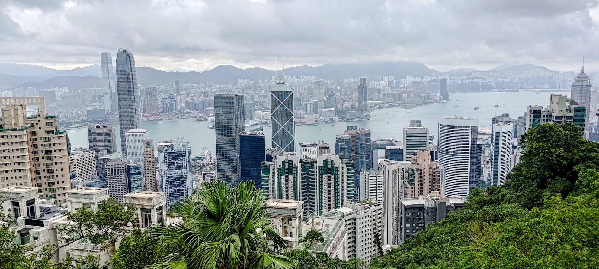
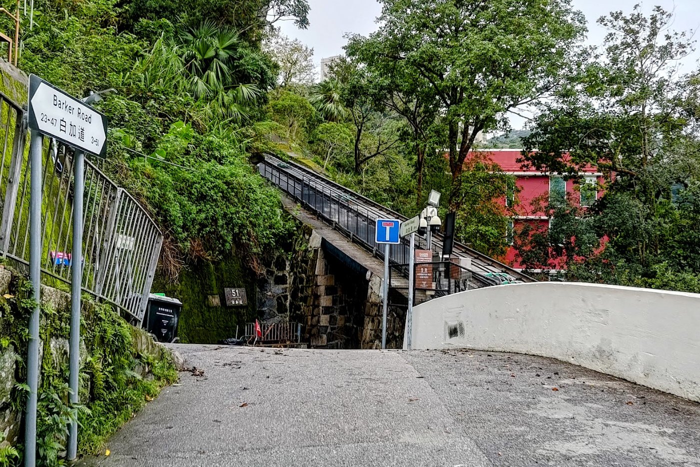
This is probably the highlight of the hike in terms of views and interesting landmarks. Barker Road is pretty flat, so you're done with expending effort. Now you get to meander along (while being mindful of traffic) and check out those sweet city views!
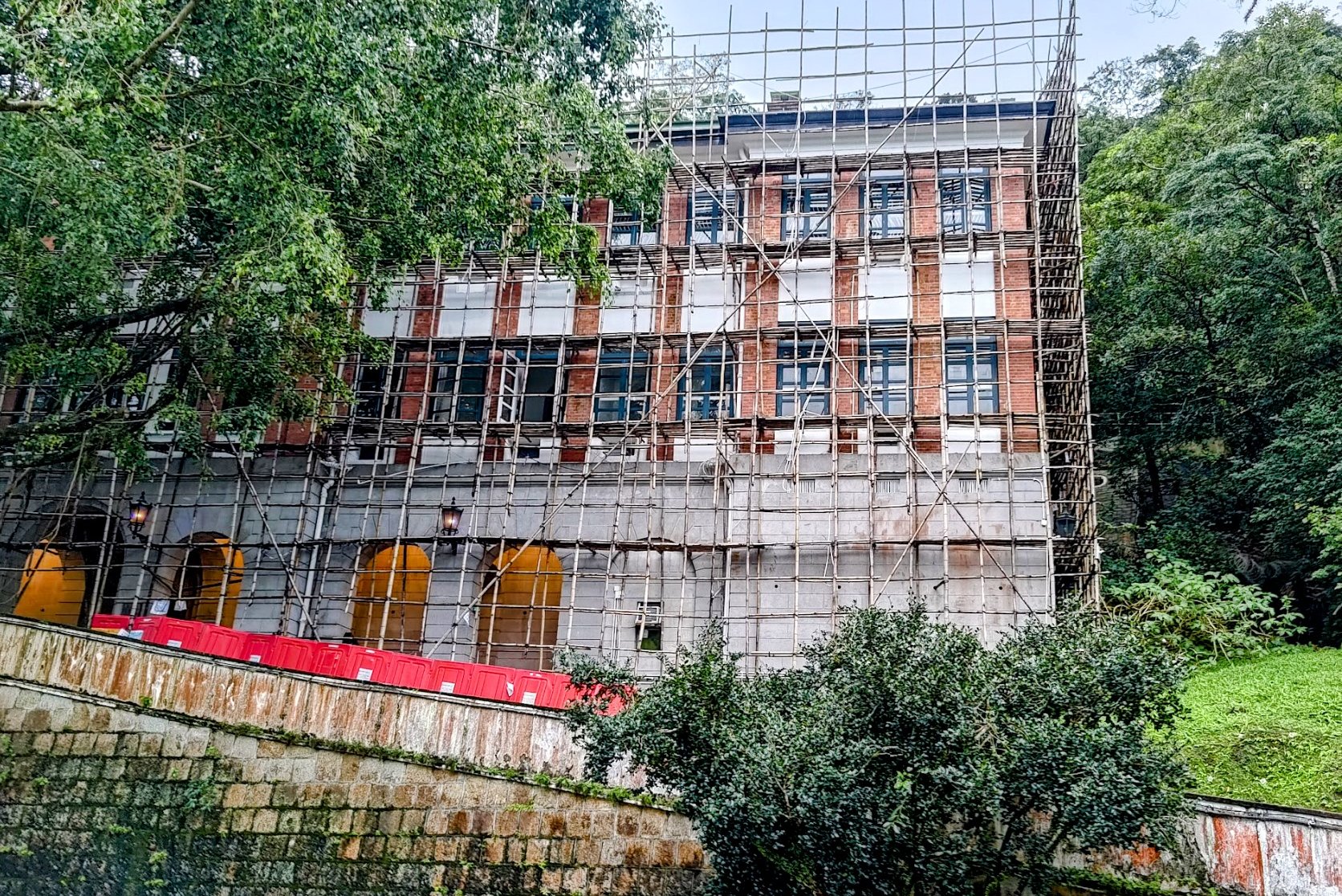
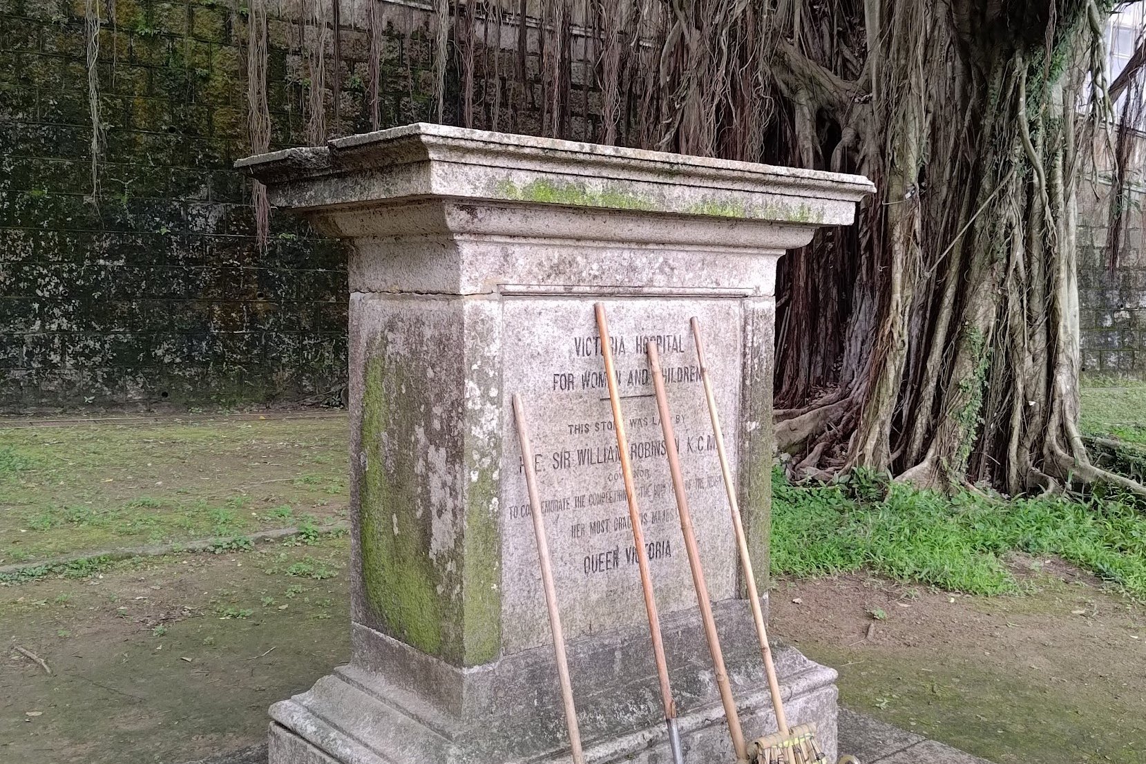
You'll also go past the Old Victoria Hospital. It was constructed in 1897, and was dedicated to commemorating Queen Victoria’s Diamond Jubilee. Thus, its name was originally the Victoria Jubilee Hospital.
It specialized in women’s and children’s health. The facility ceased operations in 1947, after being largely destroyed by bombing in Hong Kong during World War II. In 1950, the original main block at 15 Barker Road was demolished to make way for the Victoria House, which later became the residence of the Chief Secretary.
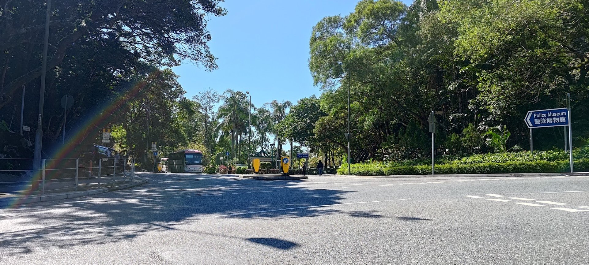
Just a short distance away from the old hospital is the Barker Road Peak Tram stop, which ends this section. In all, you can expect to spend about 20 minutes on this section.
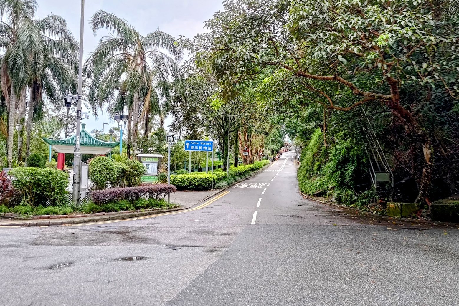
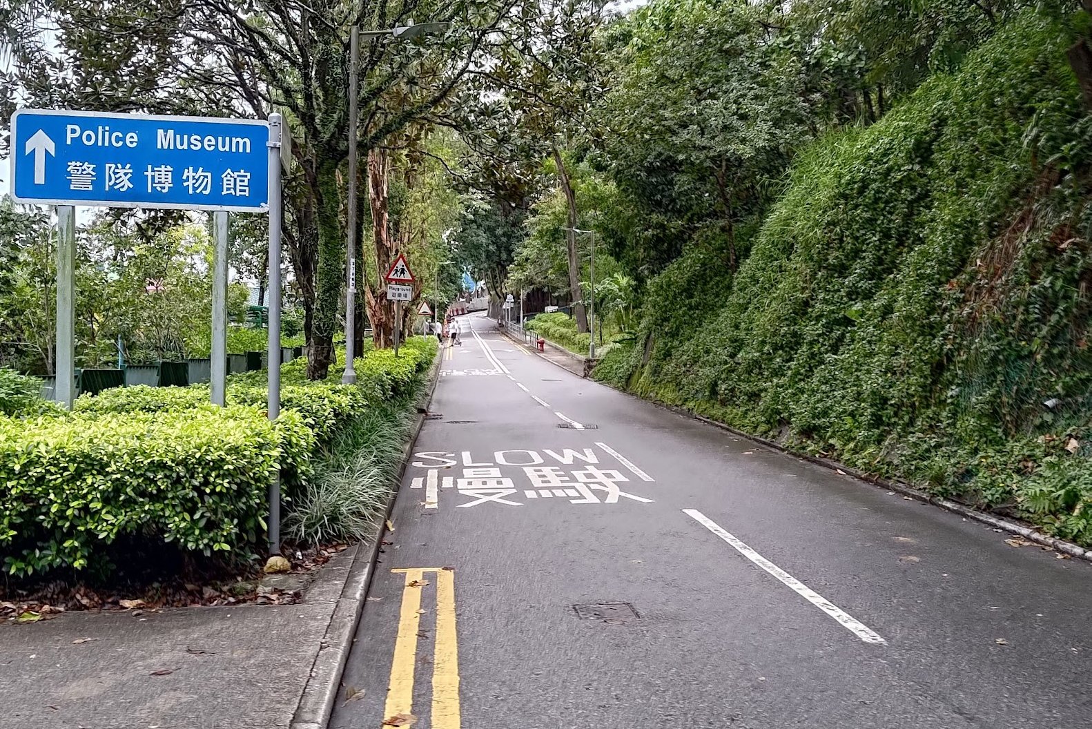
Findlay Path to Victoria Peak
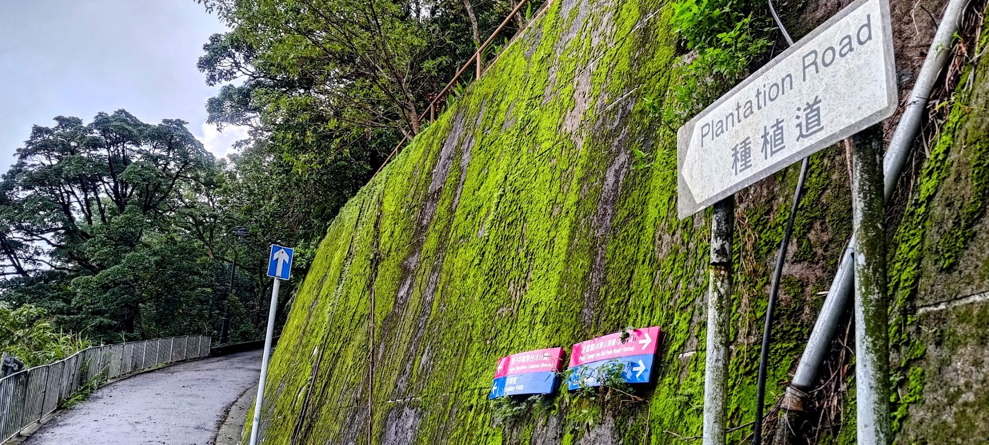
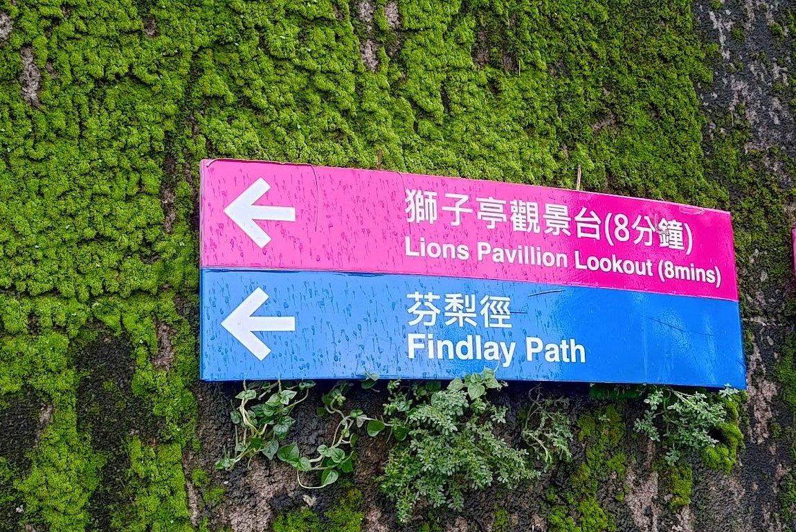
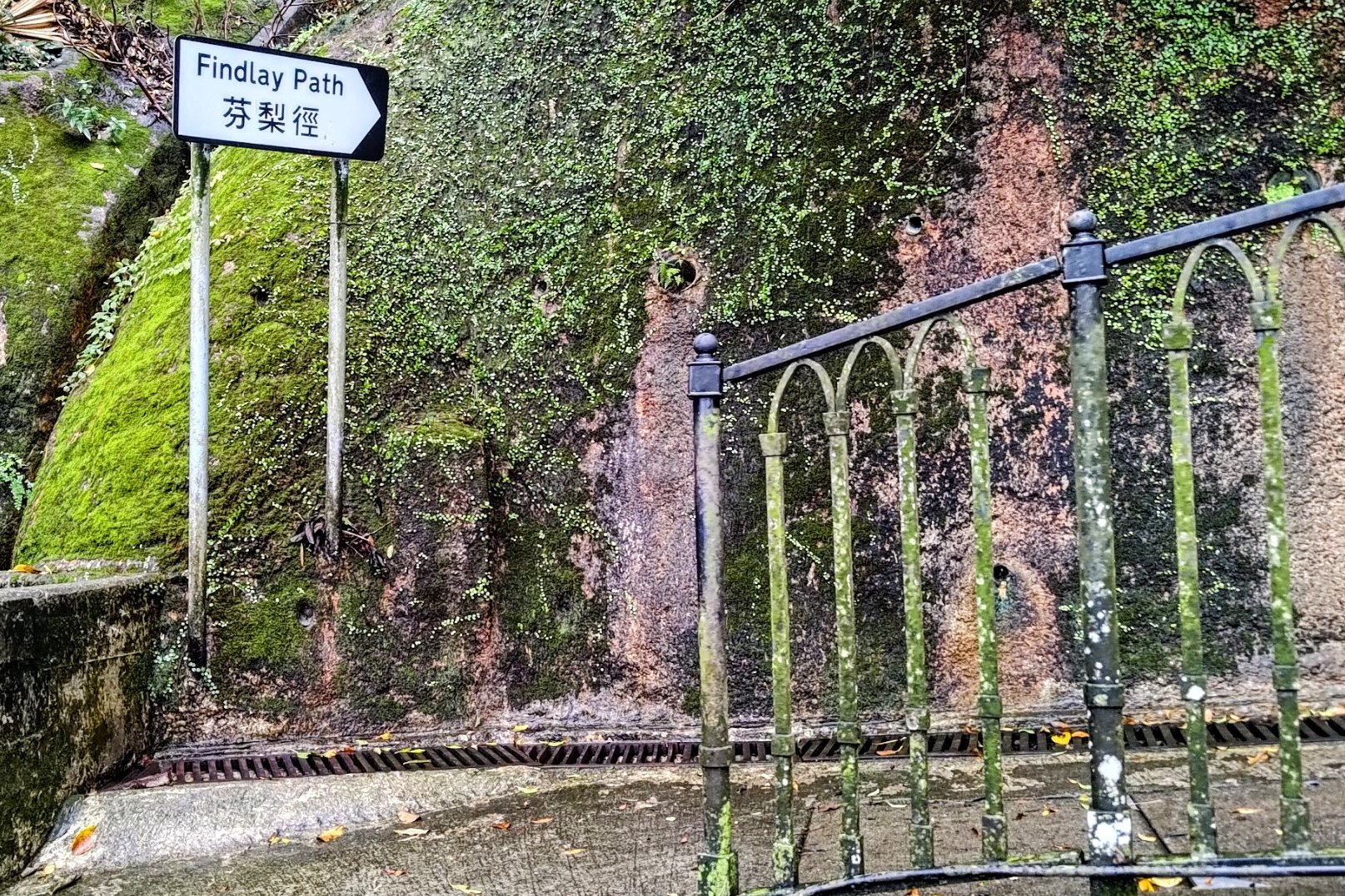

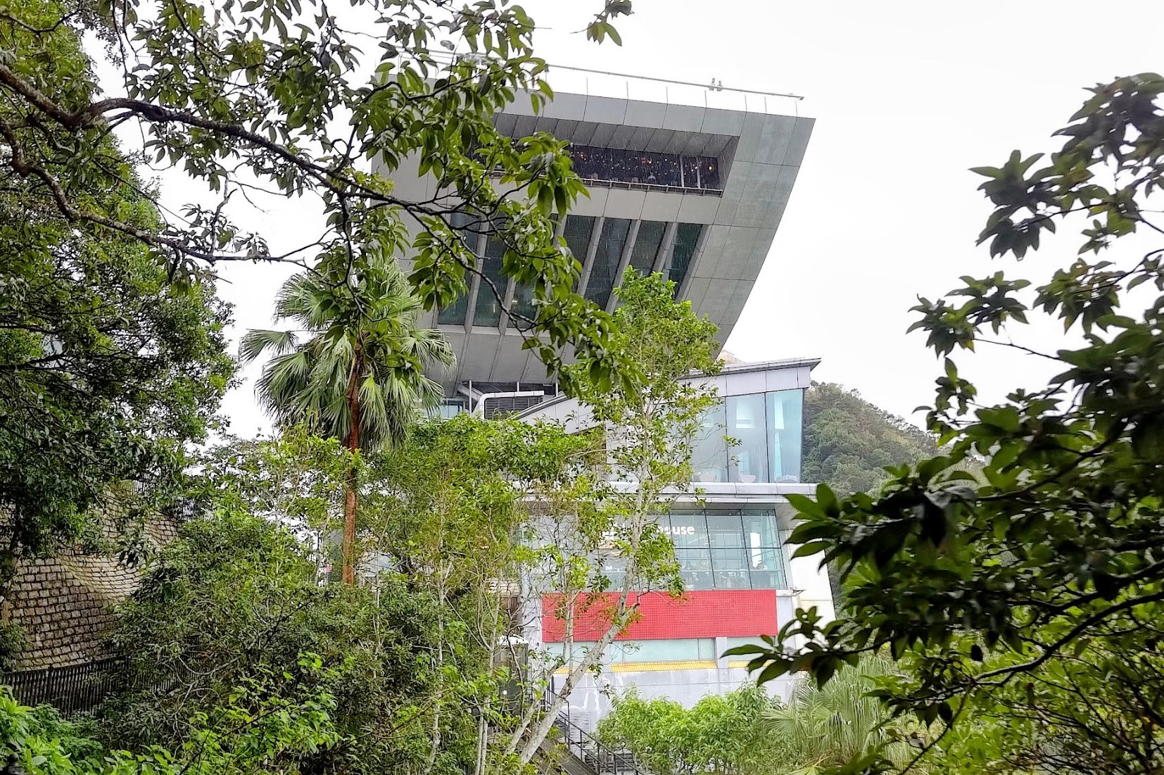
From Barker Road Peak Tram Station, take a sharp left up Plantation Road and then connect onto Findlay Path.
Take the right fork on Findlay Path and walk straight for a few minutes before arriving at Victoria Peak!
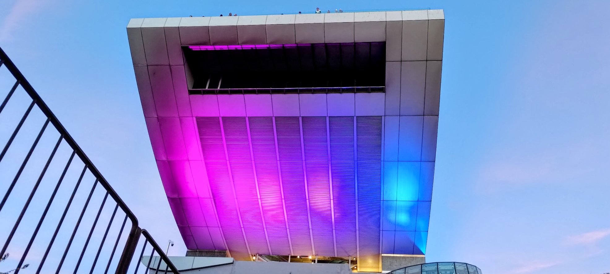
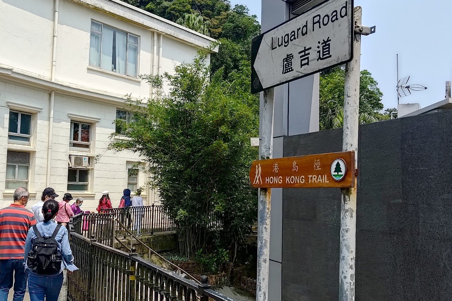
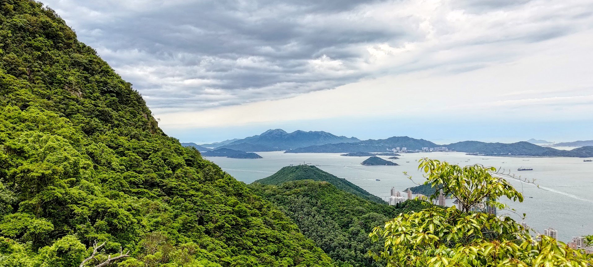
Best Victoria Peak Viewpoints
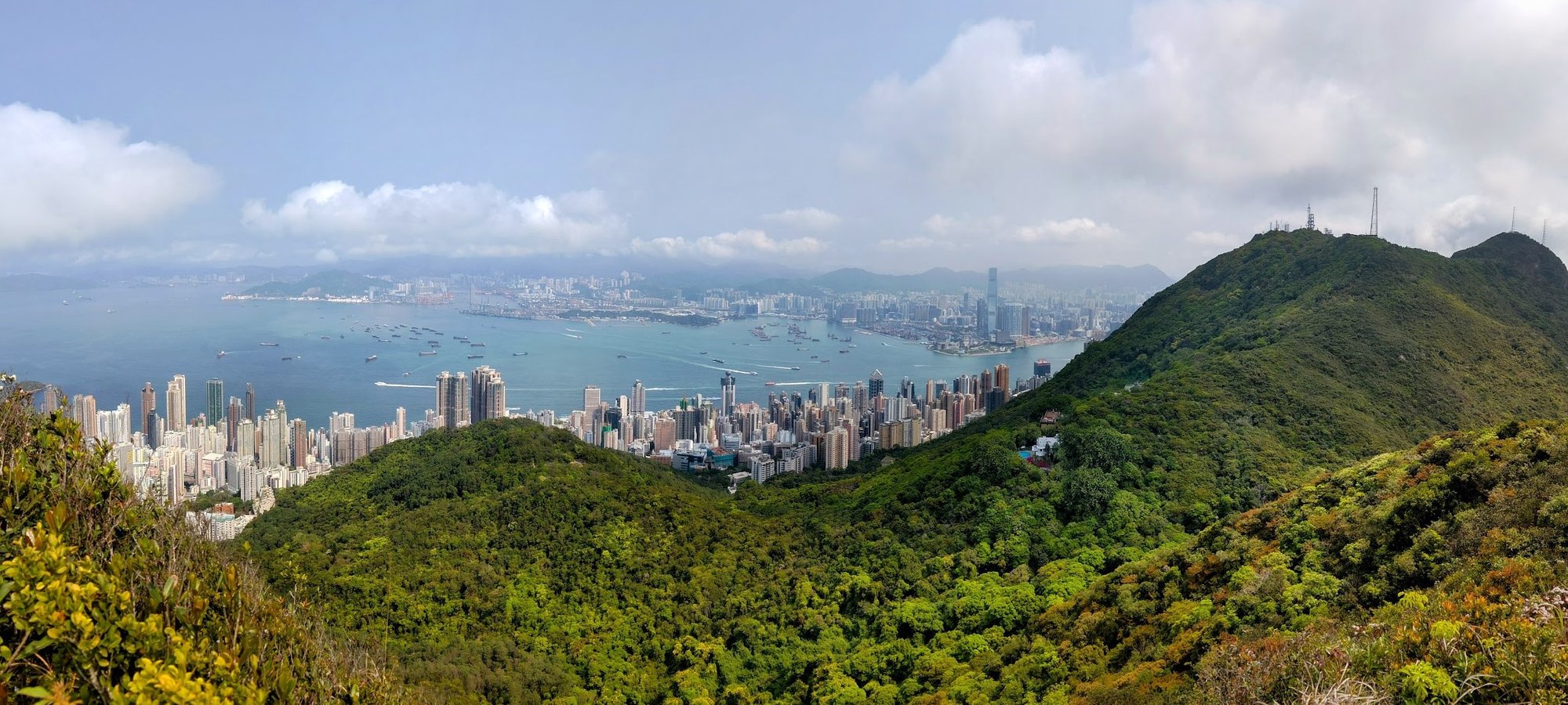
Some of the best free viewpoints around Victoria Peak include (click the names to open in Google Maps):
- The Peak Galleria Mall rooftop - easy to reach. Right by the hike endpoint.
- Lugard Road Lookout - Easily my favorite view, but requires 10-15 mins of additional walking
- Lions Pavilion - Very close to the hike end point, but often crowded
- Mount High West - Requires an additional hour (perhaps more) there and back
Getting Back
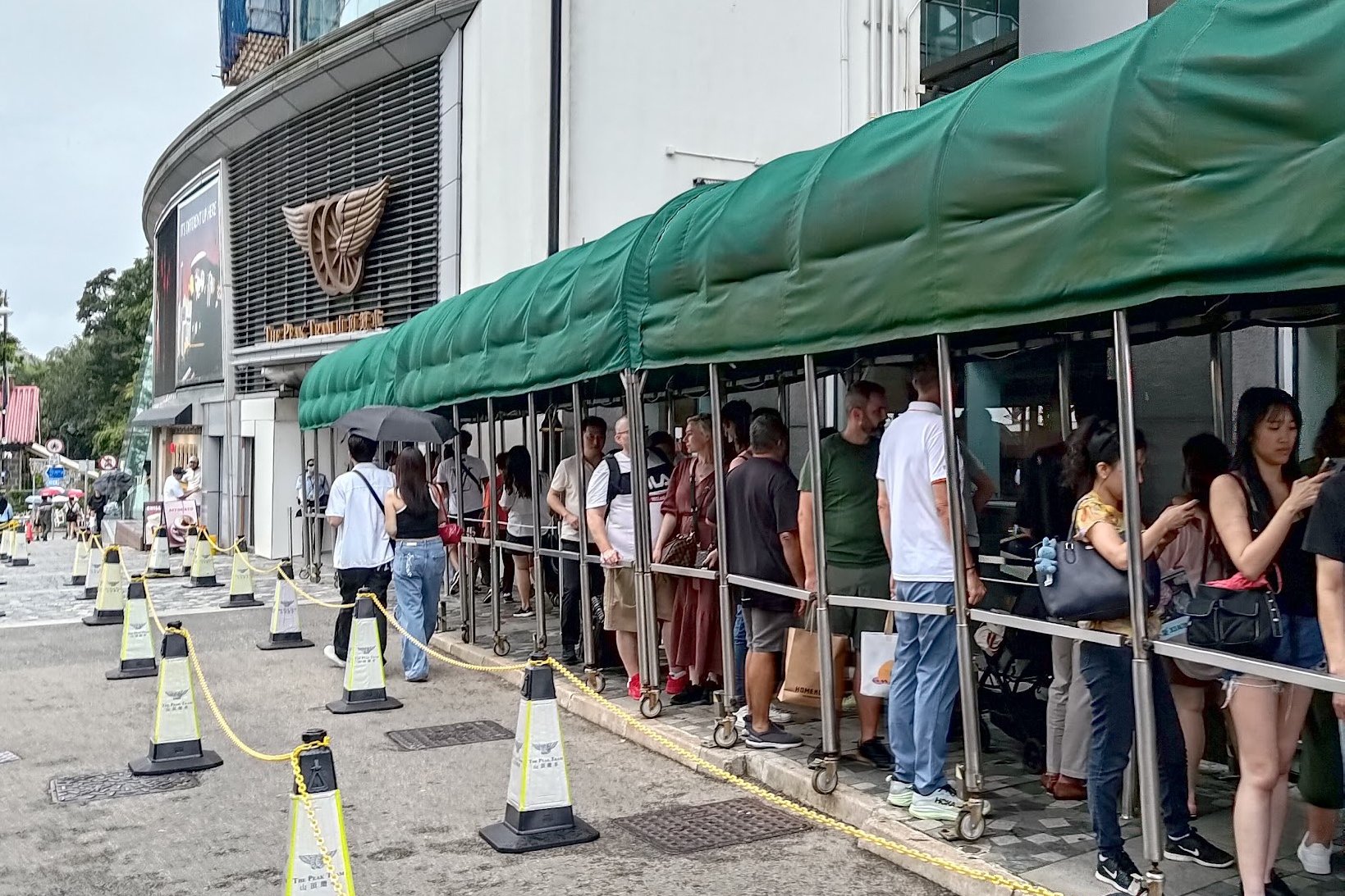
To leave Victoria Peak, you can take the Peak Tram down to Admiralty. This is one of the coolest ways to descend back to the city and is a tourist highlight of Hong Kong. It's often crowded though, and will likely require waiting in a long queue.
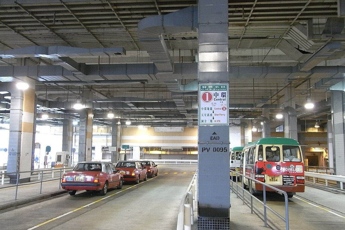
Alternatively, you can head into the bus terminus under the Peak Galleria and take the number 15 double decker bus back to the city. You can also take the number 1 green minibus.
Taxis are also available in the bus terminus.

