
Yuen Tsuen Ancient Trail: How to Hike Hong Kong's Qing Dynasty Trade Route
Contents
- Essential Information
- Yuen Tsuen Ancient Trail Highlights
- Google Route Map
- How to Get There
- Quick Route Summary
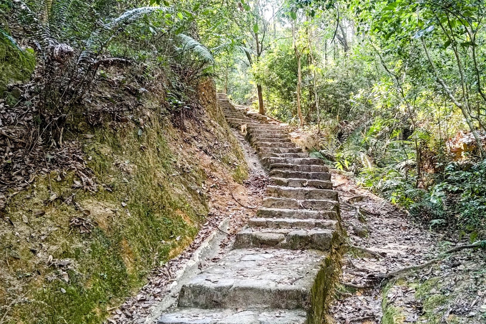
- Follow the Yuen Tsuen Trail for 20 Mins
- The 10-min Climb to Ha Fa Shan's Summit
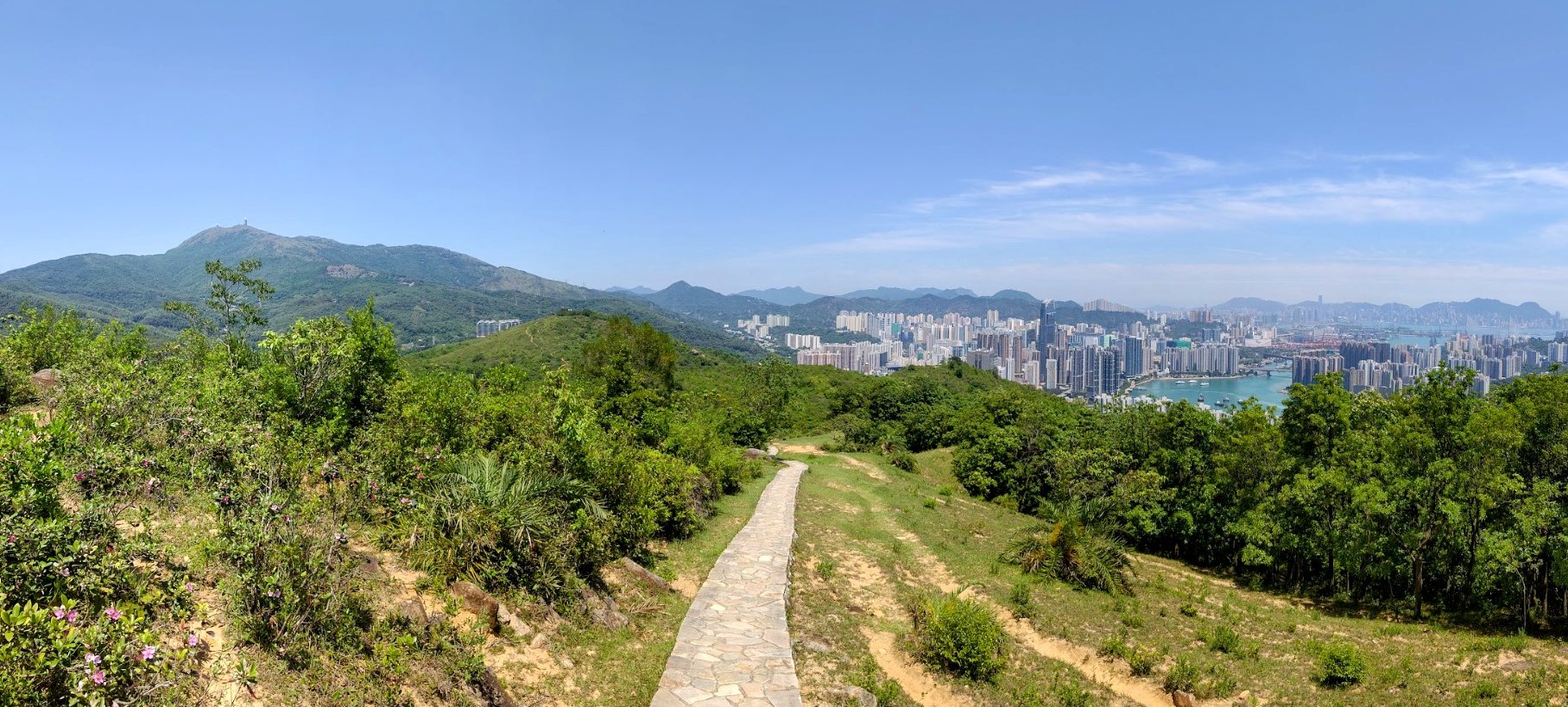
- Ha Fa Shan Summit Views
- Ha Fa Shan to the Shek Lung Kung Detour
- Shek Lung Kung Detour
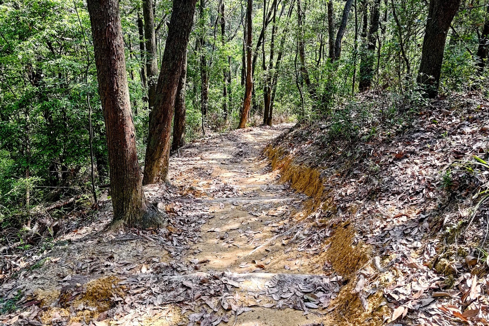
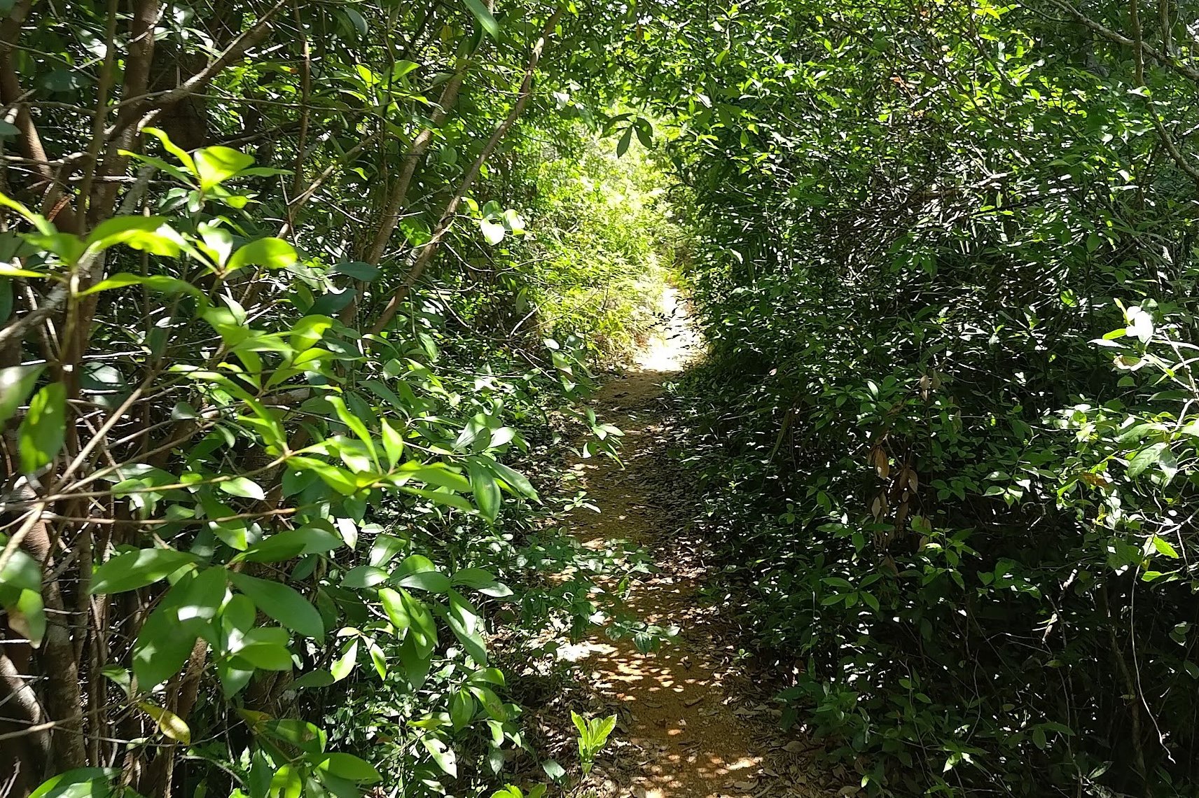
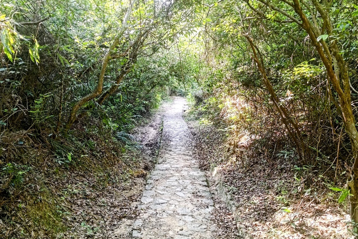
- 30 Minutes of Forest Trails
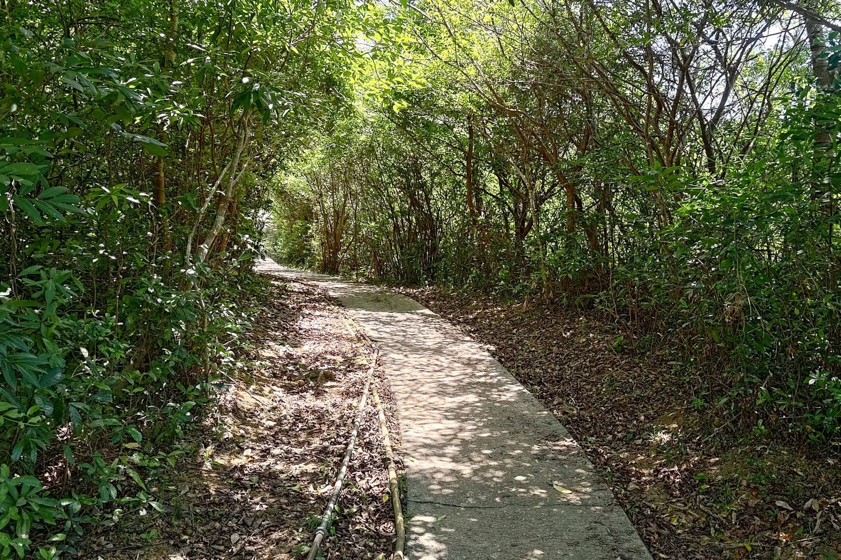
- 40 Minutes of Concrete Road
- 1 Hour of Forest Trails to the Red Temple
- 35 Minutes of Forest to the End of the Trail
- Getting Back - Weekend Minibus
- Getting Back - Weekday Minibus
Essential Red Incense Burner Hill Hike Details
- District: New Territories
- Duration: 4 hours with detours (add 20ish mins if you need to get to the minibus stop on a weekday. There's a bus close to the end point on weekends)
- Distance: 15km with detours (add an extra 1.5km if you need to get to the minibus stop on a weekday)
- Highest Elevation: 448 meters
- Difficulty: 3.5/5
- Facilities: None. Stock up on water and use the toilet beforehand
Why Hike the Yuen Tsuen Ancient Trail

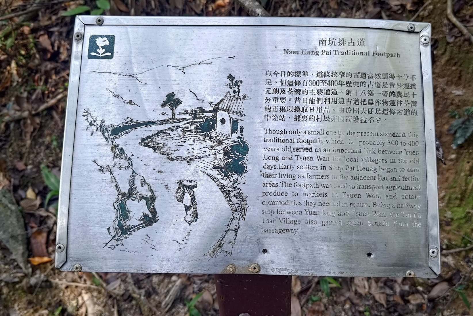

The Yuen Tsuen Ancient Trail has been in use since the Qing Dynasty, at the very least. It was created by villagers from Shap Pat Heung in Yuen Long so that they could transport goods to Tsuen Wan, where the market was.
Only the fittest villagers could make the grueling journey in a single day while carrying produce on their backs.
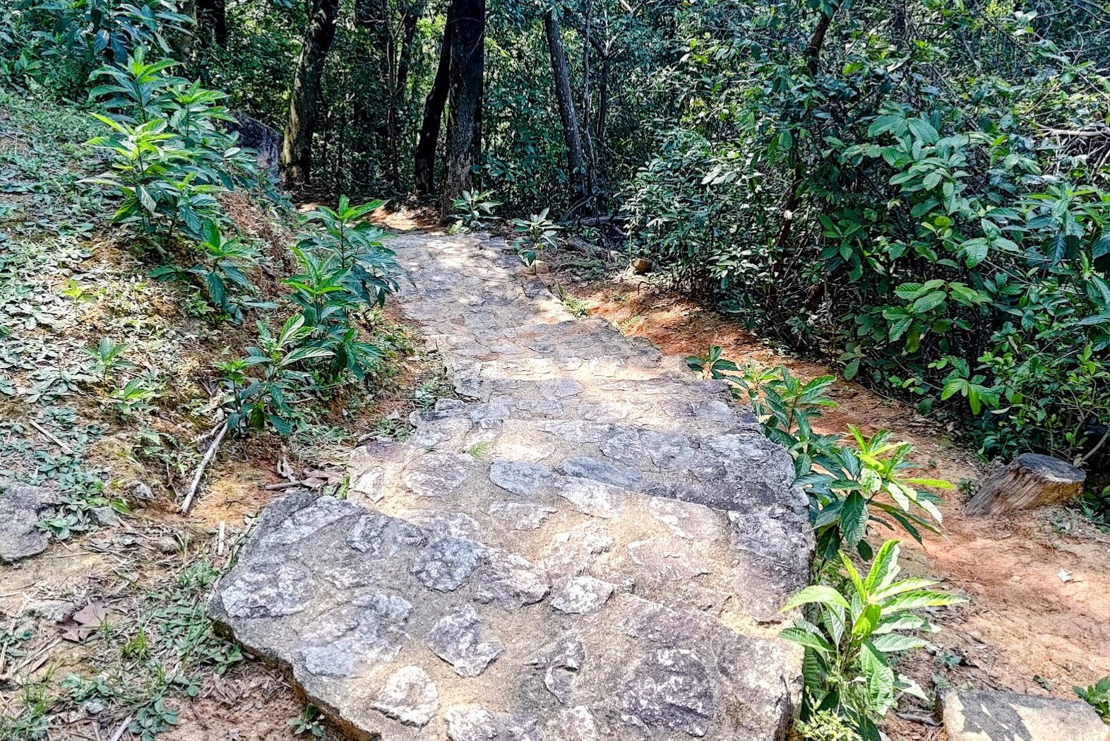
Today, this hike retains part of the to-lo, which is a stone road connecting villages to markets.
You'll hike through rolling grass hills with epic city views over Tsuen Wan, shaded forest trails through Tai Lam Chung Country Park, and even have the option to reach a few mountain peaks if you opt to complete the detours on this hike.
Both Ha Fa Shan and Shek Lung Kung are short detours that offer beautiful vistas. I highly recommend both.

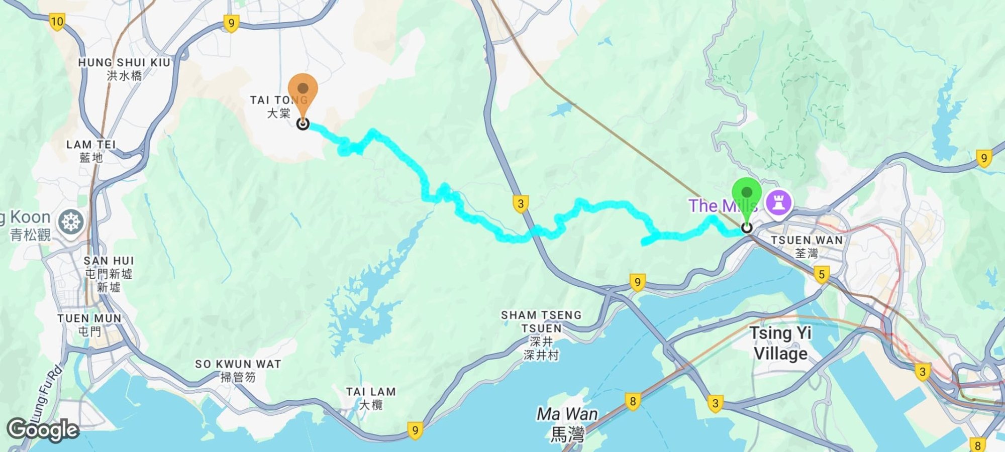
Google Route Map
*Click the box icon in the top right of the map below to load the blue route directly into your own Google Maps. You can then see your location relative to the trail in real time!
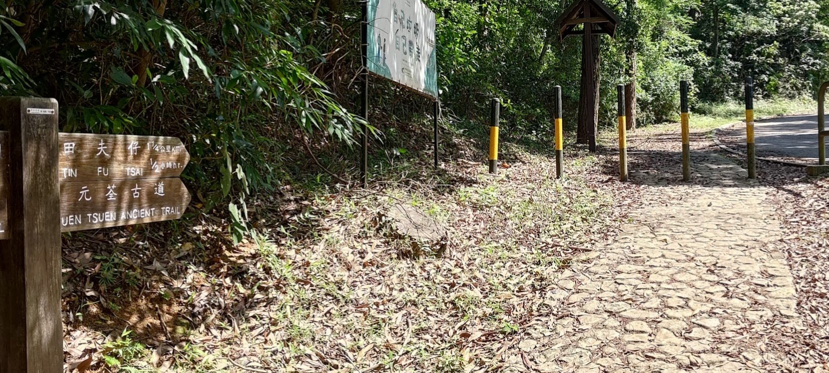
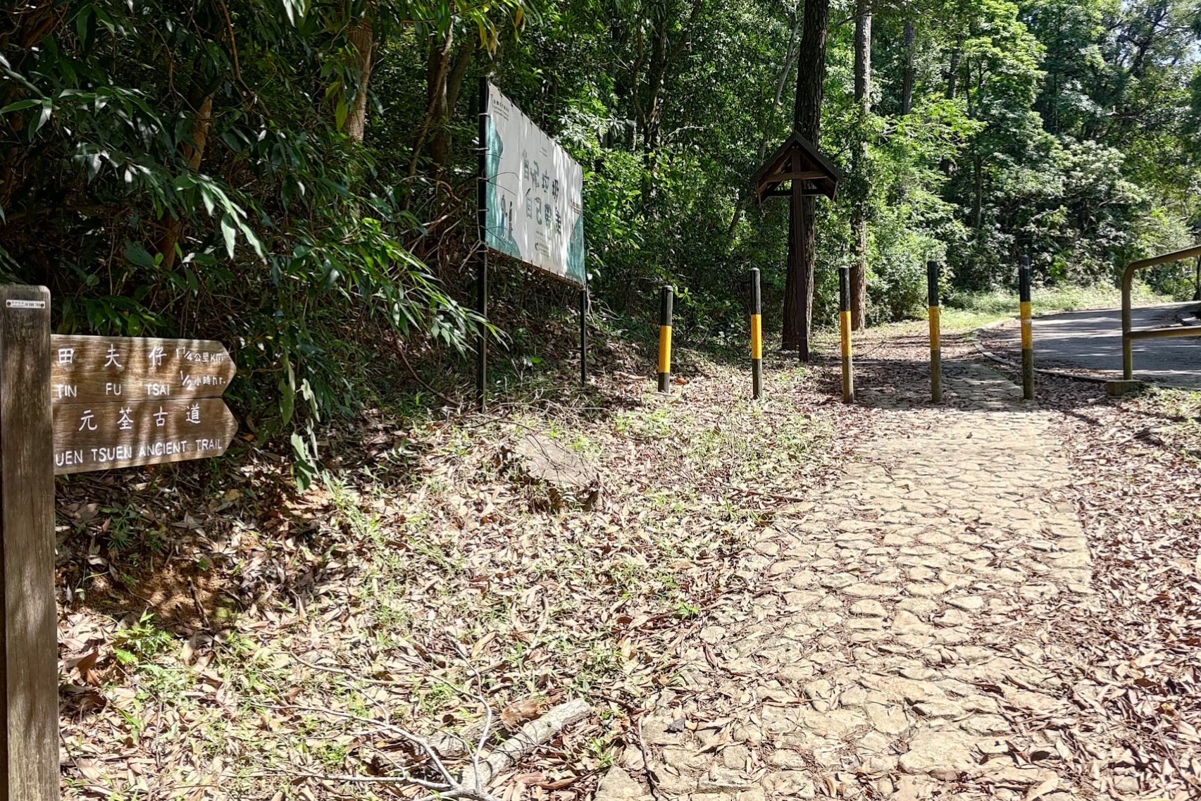
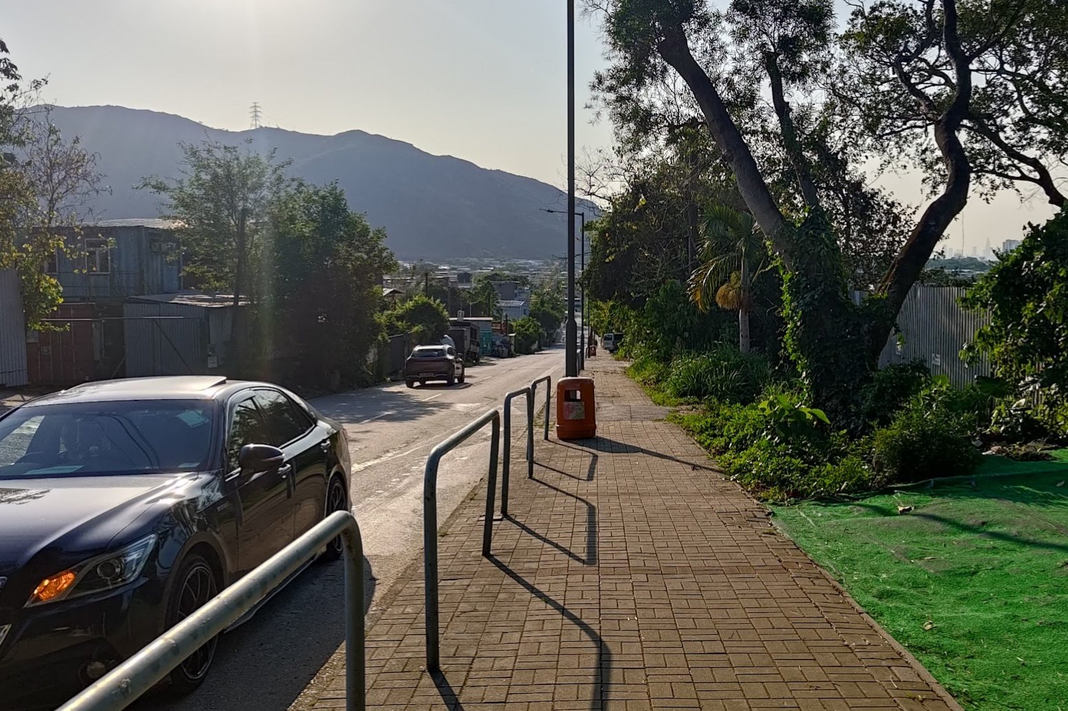
How to Get to the Yuen Tsuen Ancient Trail Start Point
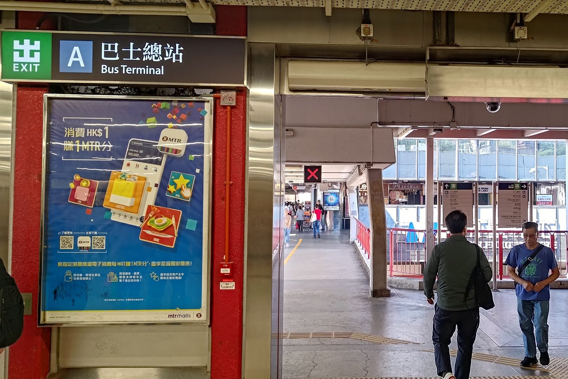
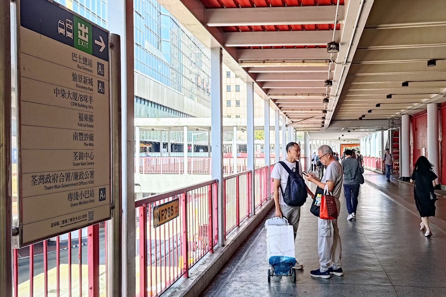
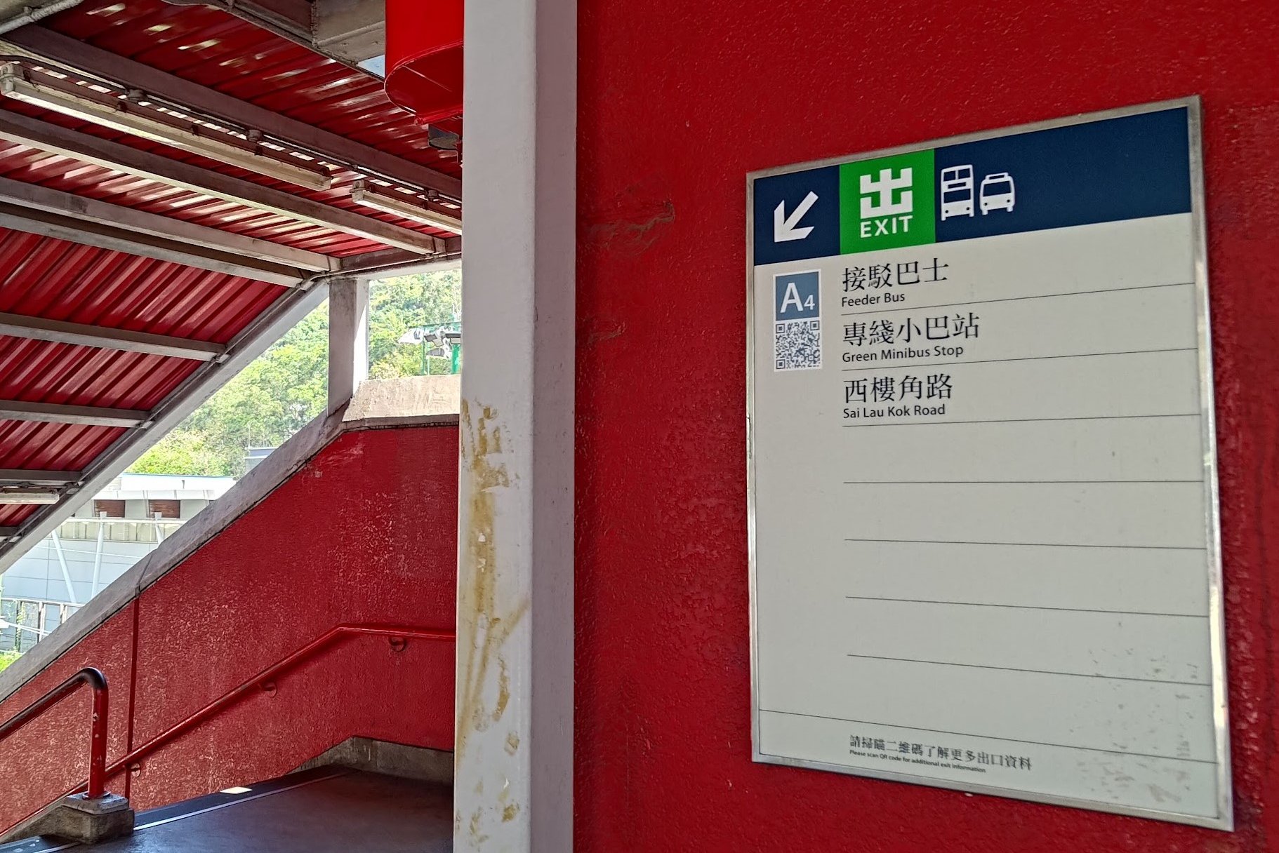
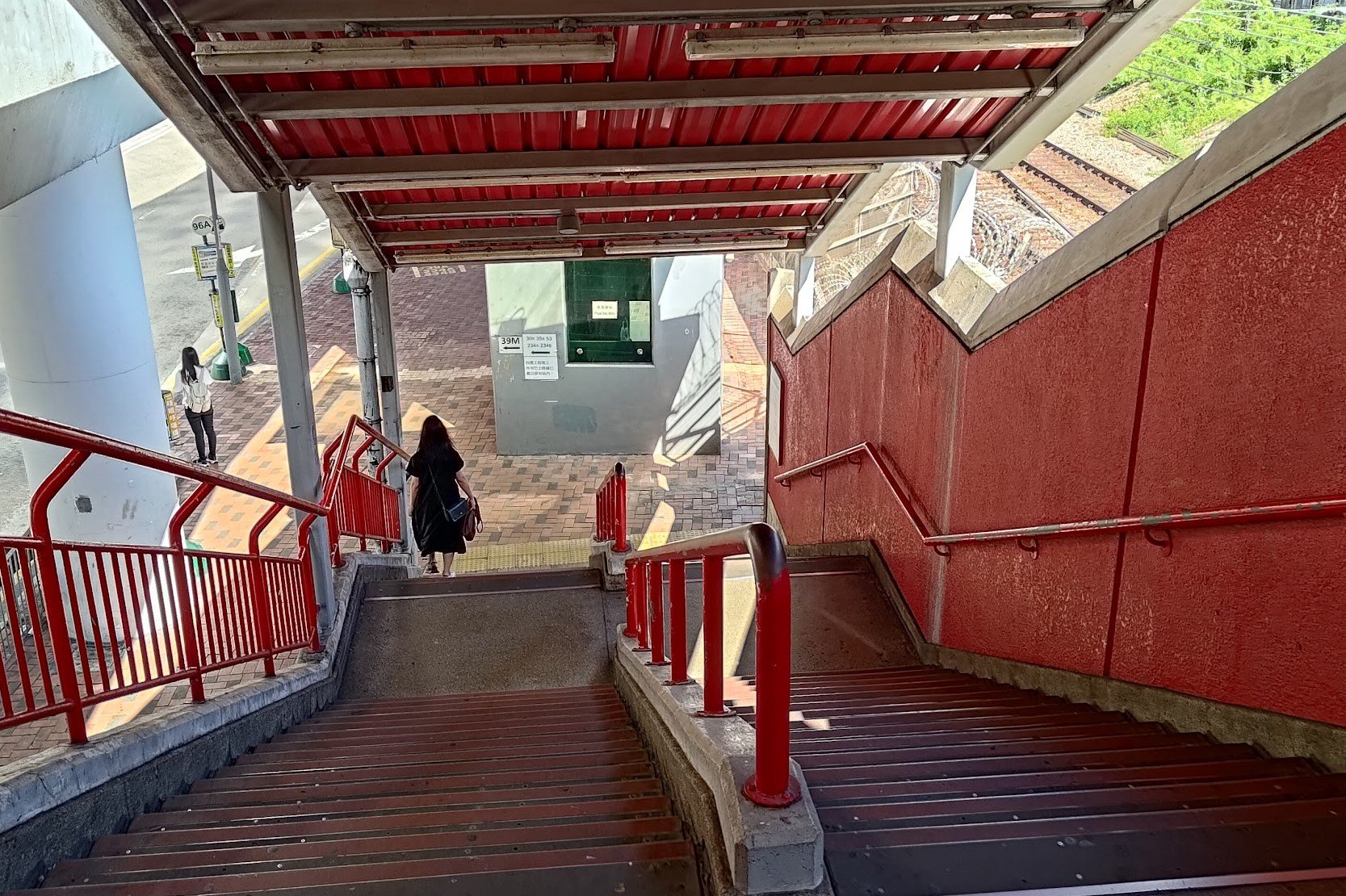


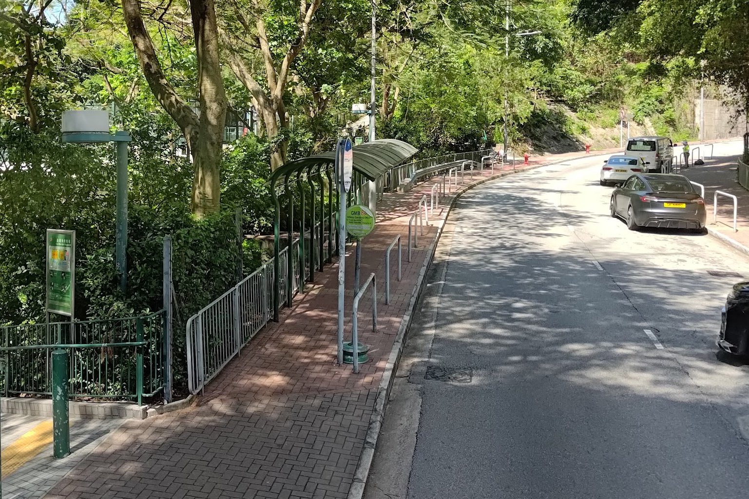
Take the MTR to Tsuen Wan Station and leave through Exit A. Make your way to Exit A4, specifically, and head down to the bus stop.
Just a few steps forward from the bottom of the stairs is the 39M bus stop. You can take this bus towards Allway Gardens. Don't take the green number 84 minibus from this stop as the bus is going in the opposite direction away from Allway Gardens.
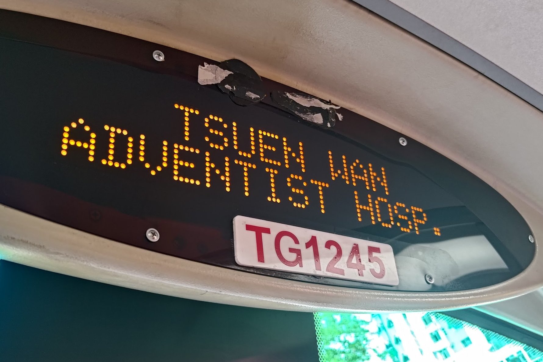
You'll want to get off at the Tsuen Wan Adventist Hospital (荃灣港安醫院) stop.
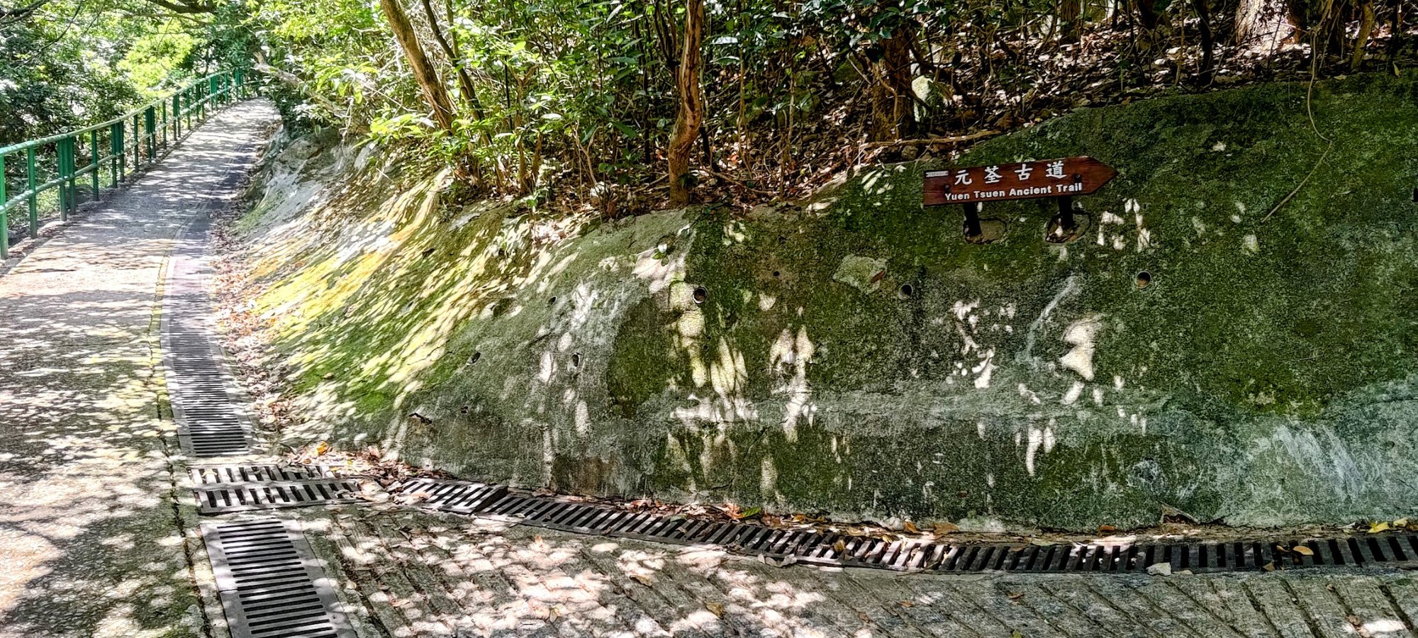
*If you end up at Allway Gardens, it's barely a 5-min walk to the start of the trail. So no big deal if you get off at the last stop. Just head back the way you came until you see the green railings, stairs, and Yuen Tsuen Ancient Trail sign.
Quick Yuen Tsuen Ancient Trail Route Summary
- Take the 39M or the 84 Green Minibus to Tsuen Wan Adventist Hospital from Exit A4 of Tsuen Wan MTR Station
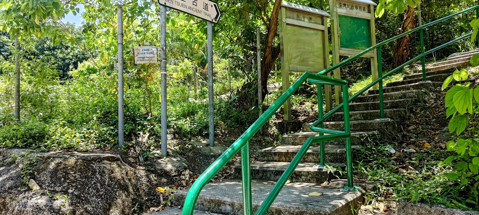
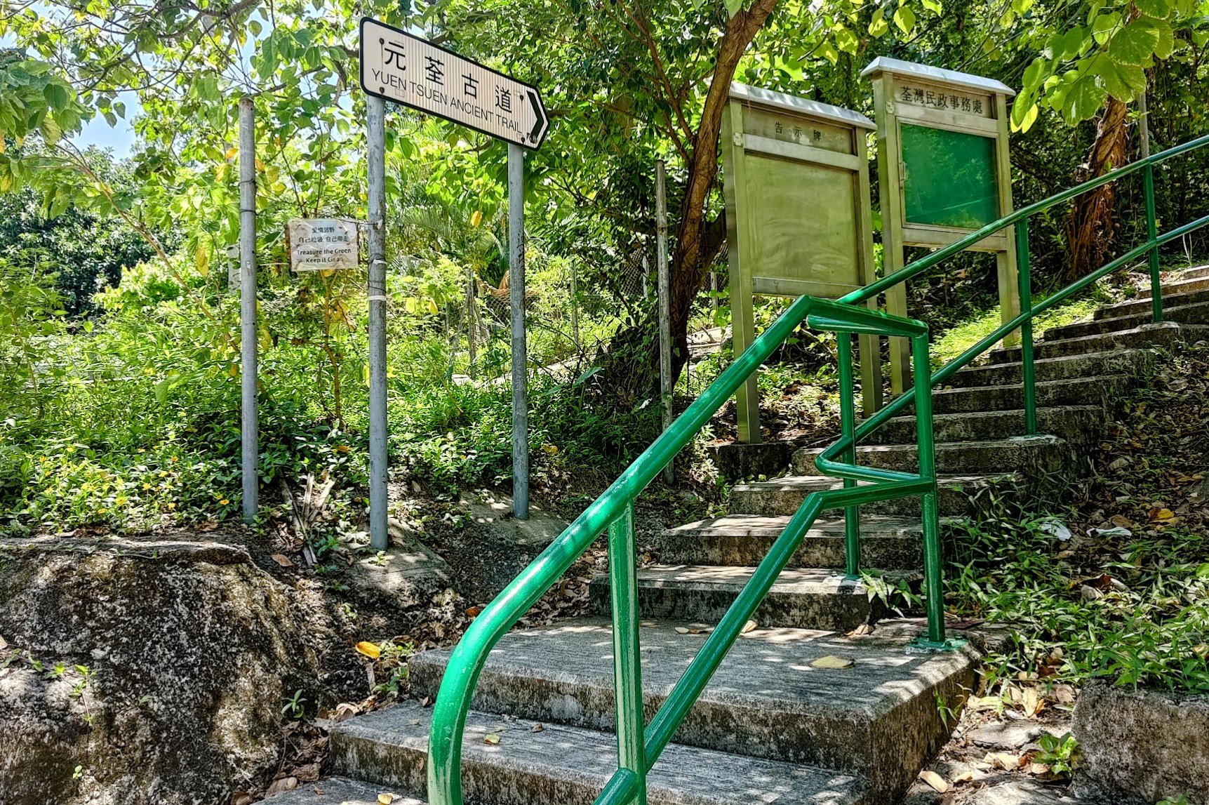
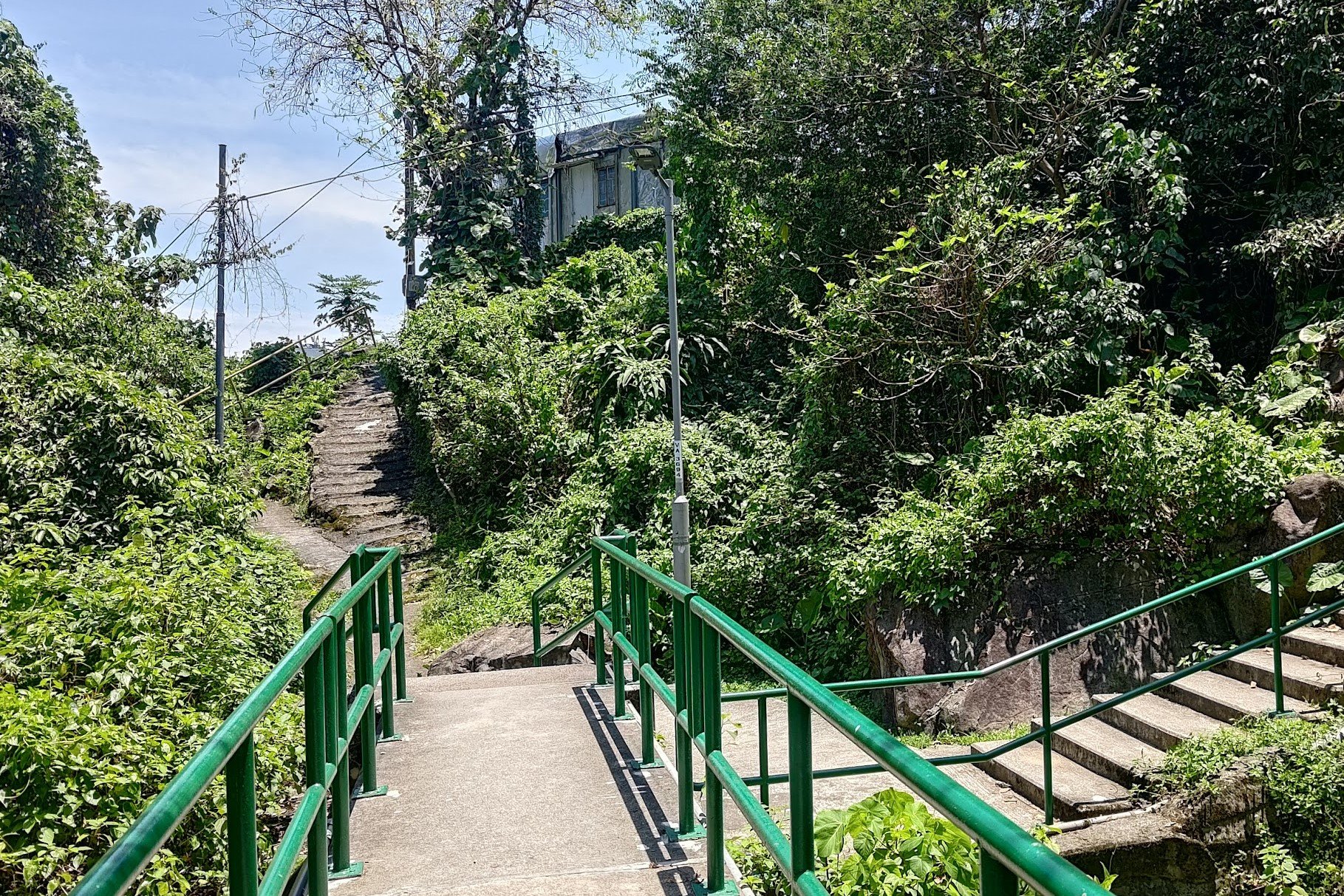
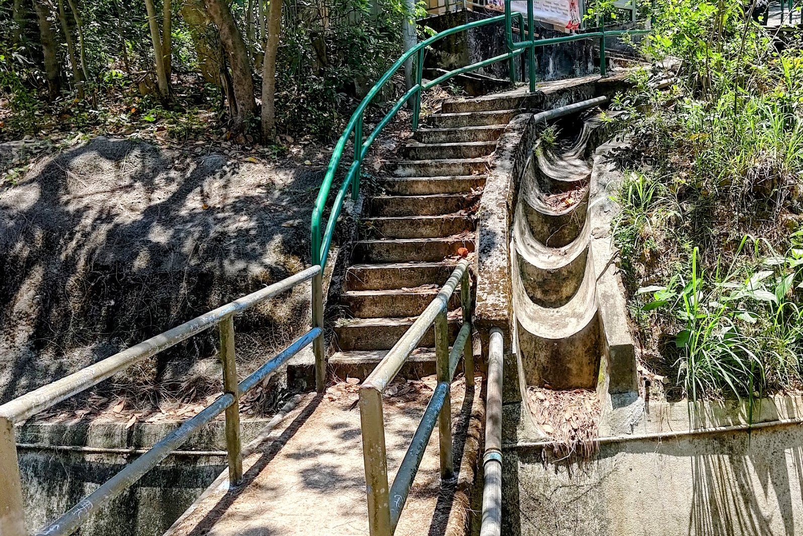
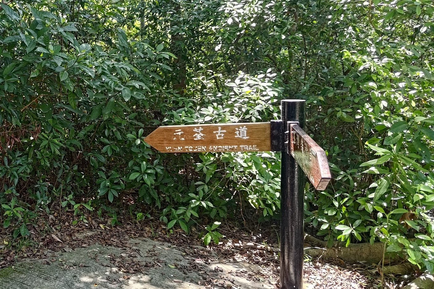
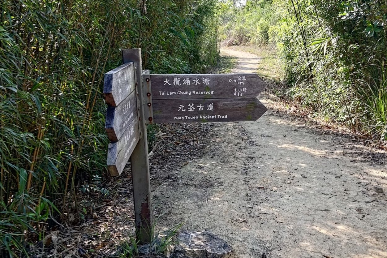
- Walk forward from the bus stop to the green railing, stairs and Yuen Tsuen Ancient Trail sign. Begin climbing
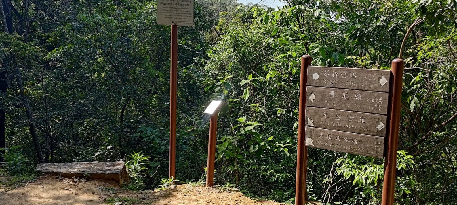
- About 15 mins later, there will be a fork in the trail. Follow the brown Yuen Tsuen Ancient Trail sign to the right so that you keep climbing. Ignore the flat path
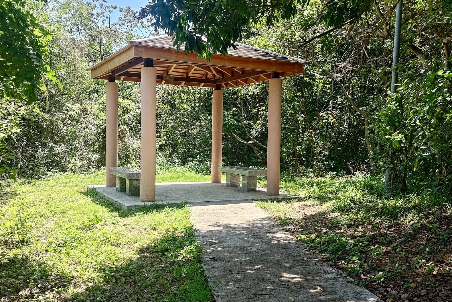
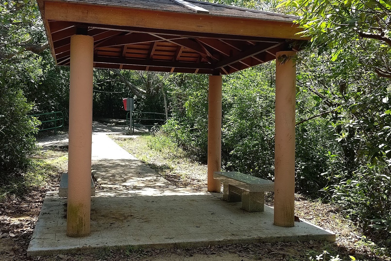
- Keep following the trail until you see a small brown pavilion on your left
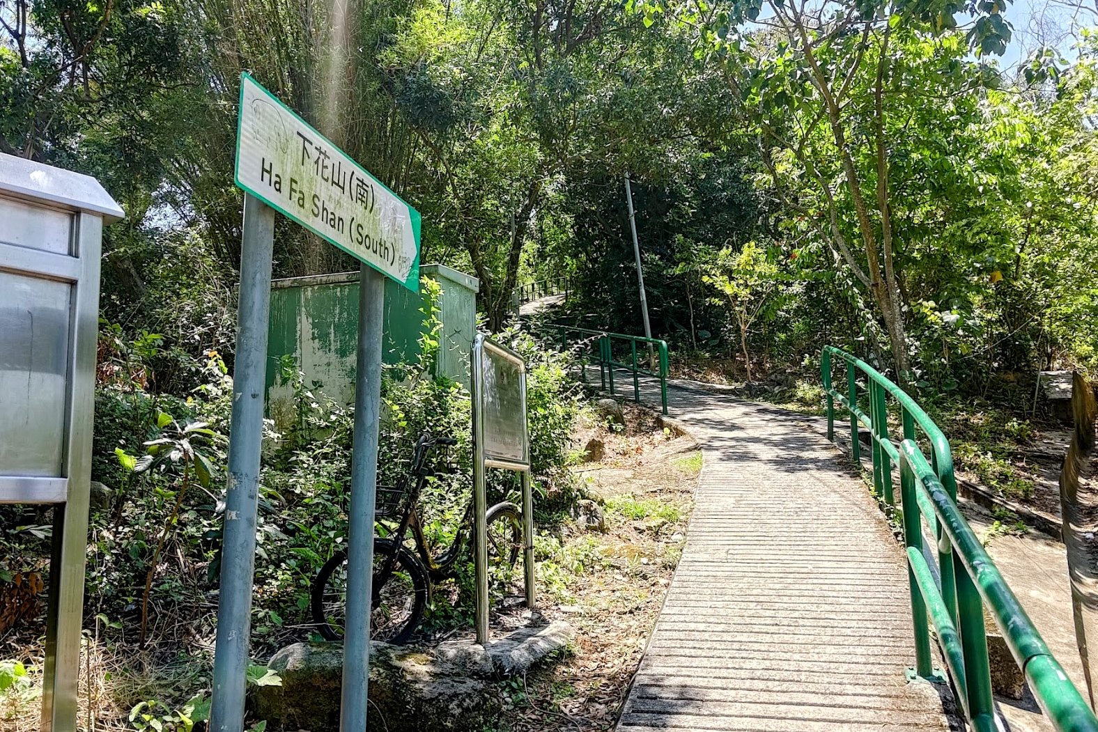
- The detour to Ha Fa Shan is an unmarked trail on your right just past the pavilion. If you don't want to climb Ha Fa Shan, keep following the trail and it will merge later.
- After reaching the top of Ha Fa Shan, explore and return to the dirt trail in front of it. You will see that it continues into the mountains beyond.
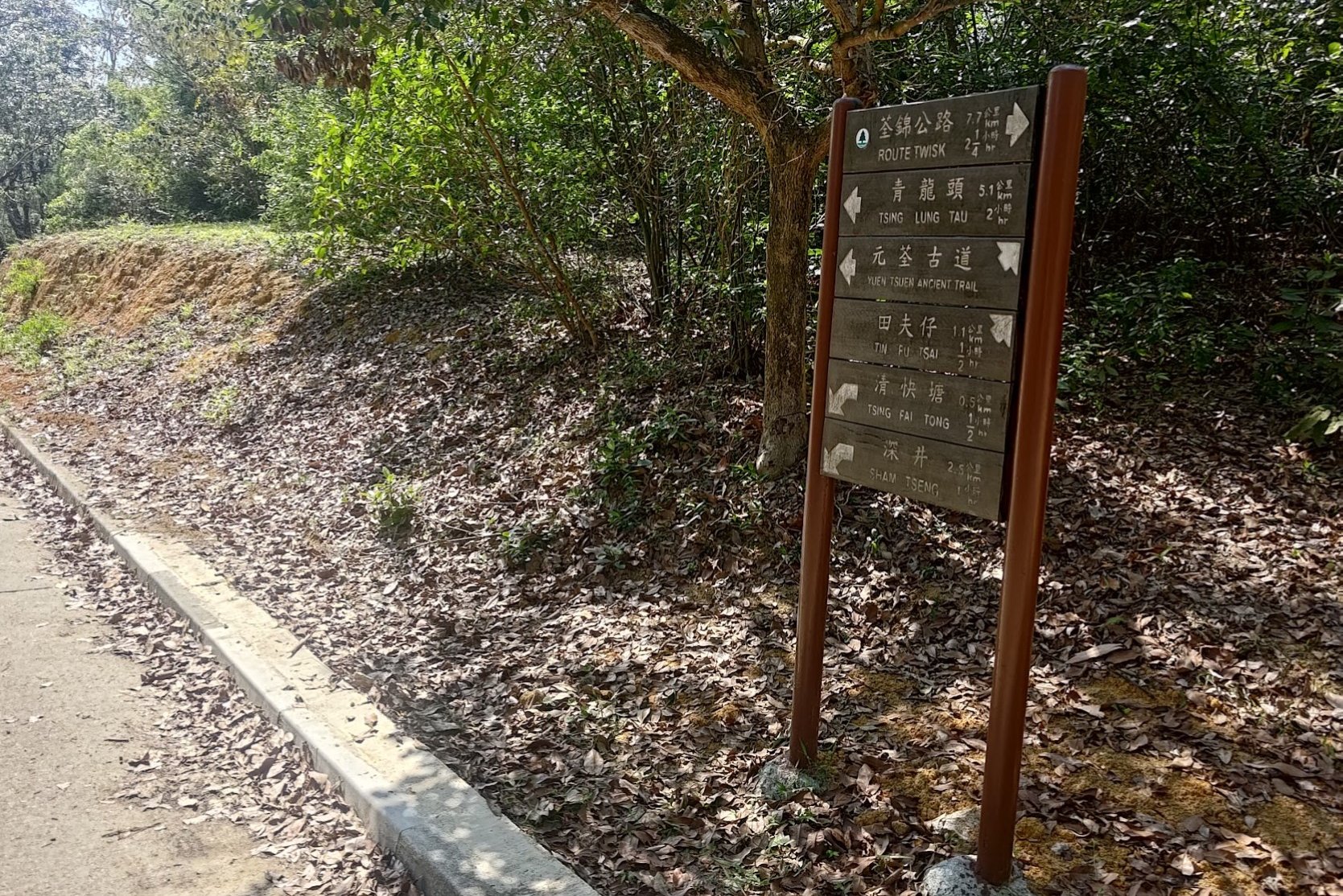
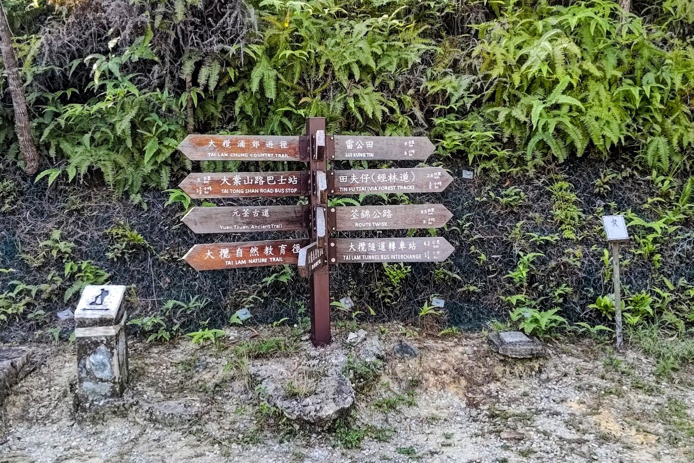
- Follow this dirt trail for 10 mins and you'll pass a pavilion and a brown Yuen Tsuen Ancient Trail sign. Follow it.
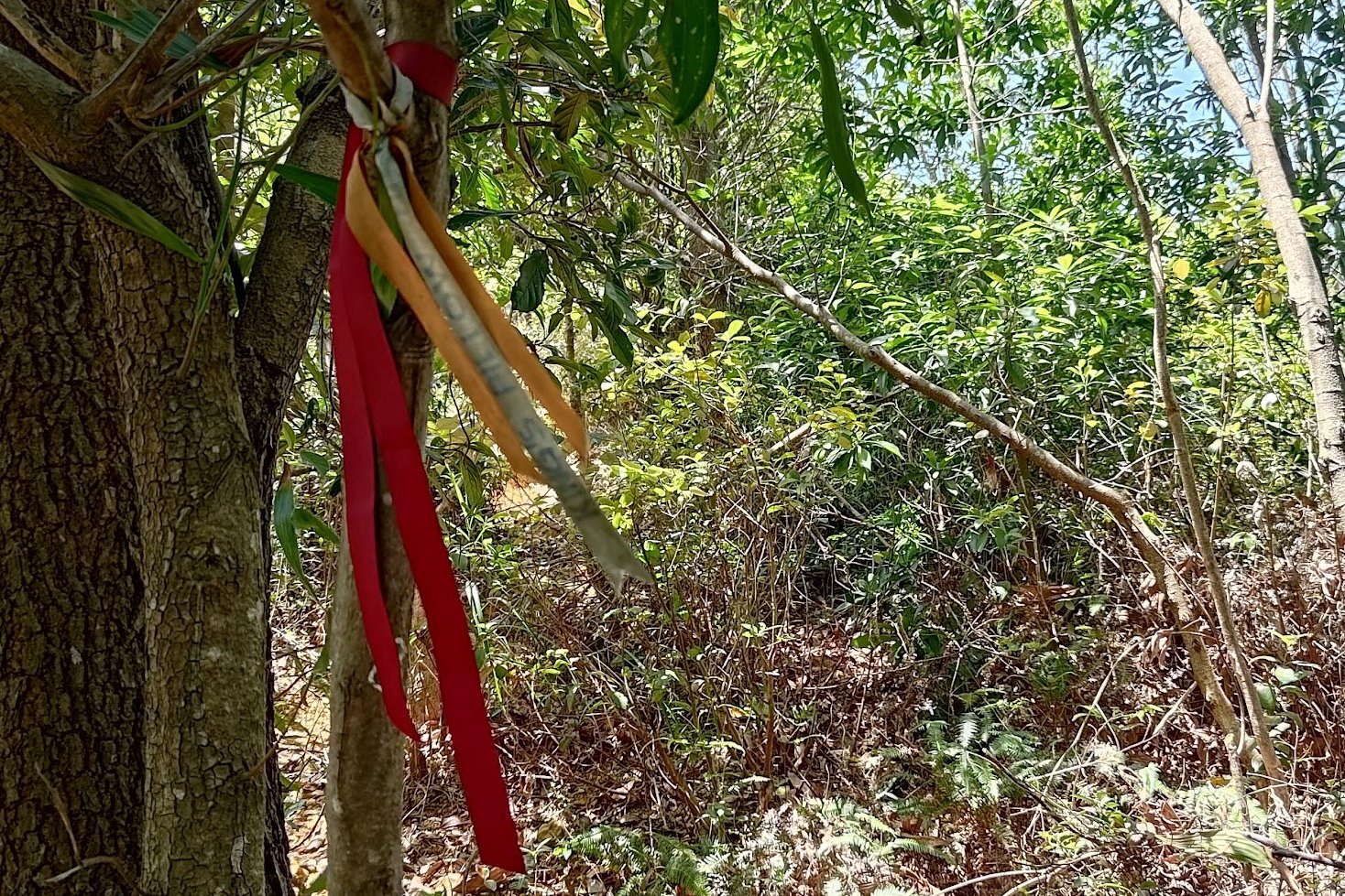
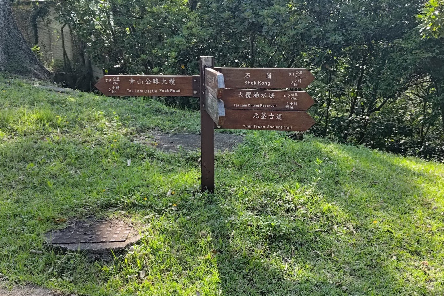
- 15 mins later, you'll come across the Shek Lung Kung Detour sign. If you follow it, you will need to return back to this same point.
- Follow the trail for 30 minutes, looking out for the brown Yuen Tsuen Ancient Trail signs along the way. You will then arrive at a concrete road.
- After 45 mins of following the concrete road, there will be a brown Yuen Tsuen Ancient Trail sign pointing to some stairs heading down. DO NOT MISS IT.
- Follow the forest trail and subsequent brown Yuen Tsuen Ancient Trail signs for 35 minutes until you arrive at another concrete road.
- Follow the concrete road and Yuen Tsuen Ancient Trail signs for 30 more minutes as the road turns into a dirt trail. You will go past a red temple.
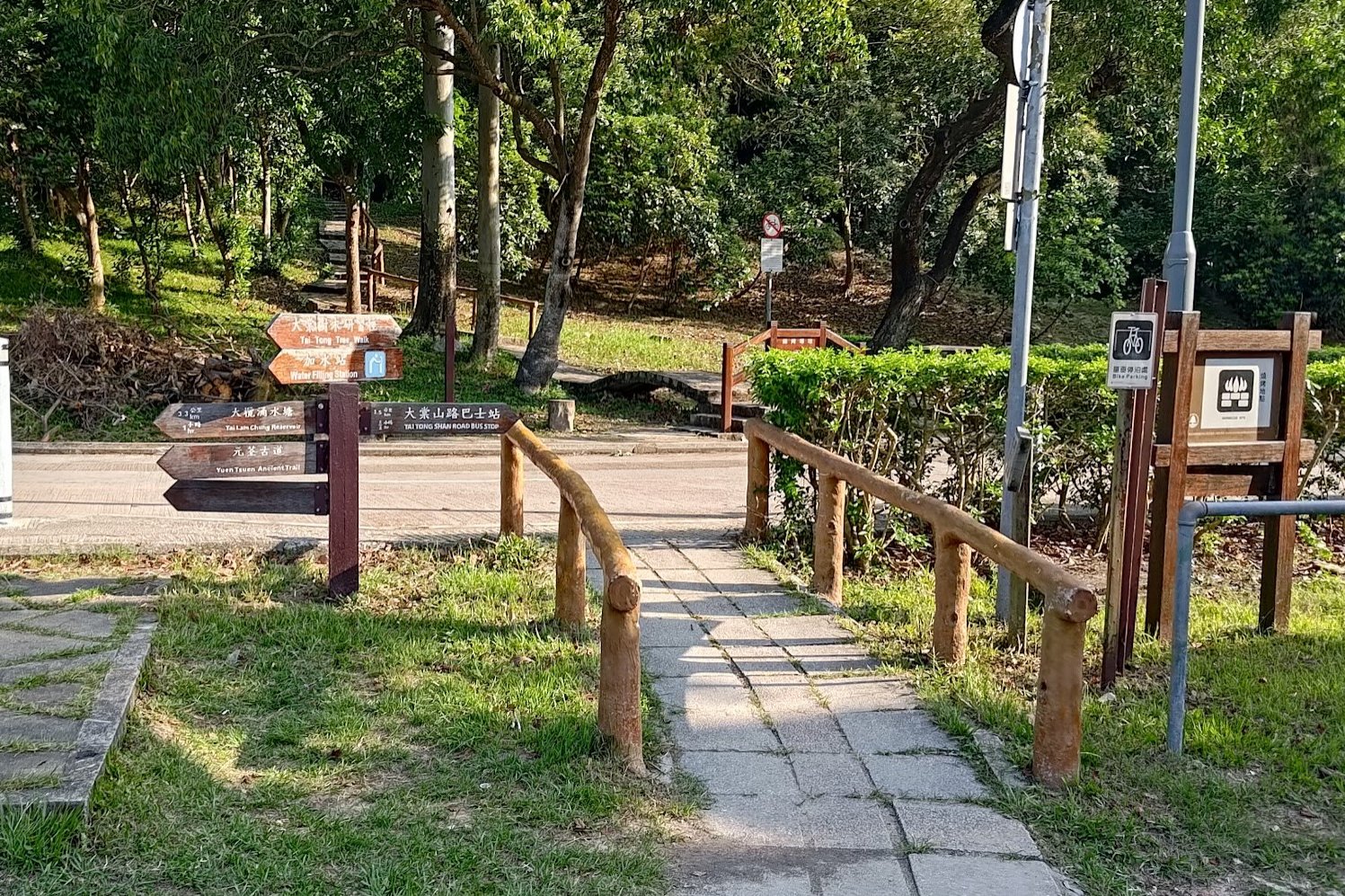
- From the red temple, follow the Yuen Tsuen Ancient Trail signs for 35 mins until you arrive at the open picnic site.
- From here, if it's a weekend, go left up the concrete road to the carpark just beyond. You can get a minibus to Yuen Long from there.
- If it's a weekday, you should follow the concrete road (Tai Tong Shan Road) all the way down to the intersection of Kiu Hing Road (20 mins), where you'll find loads of buses to Yuen Long.
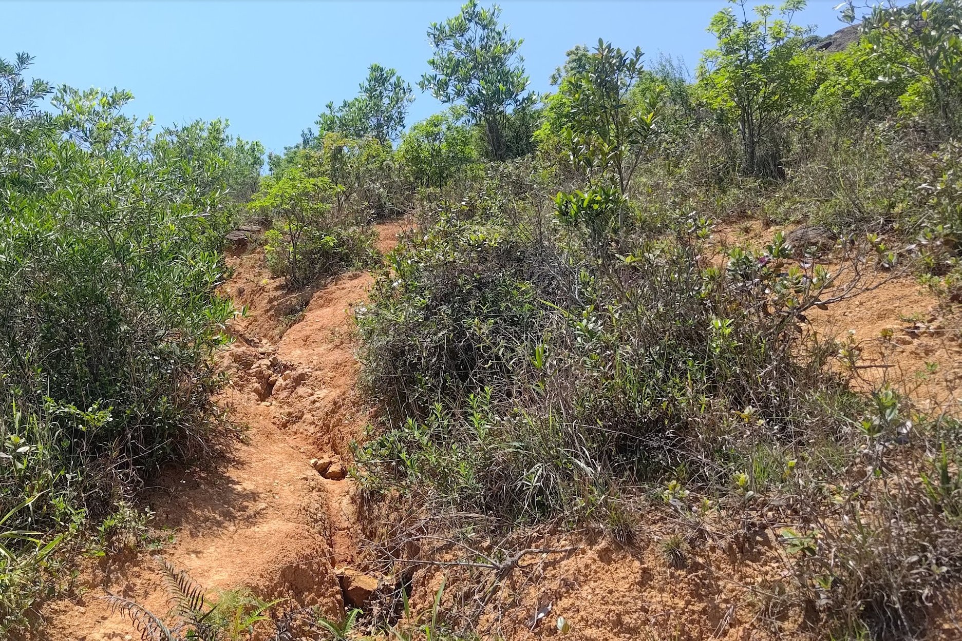
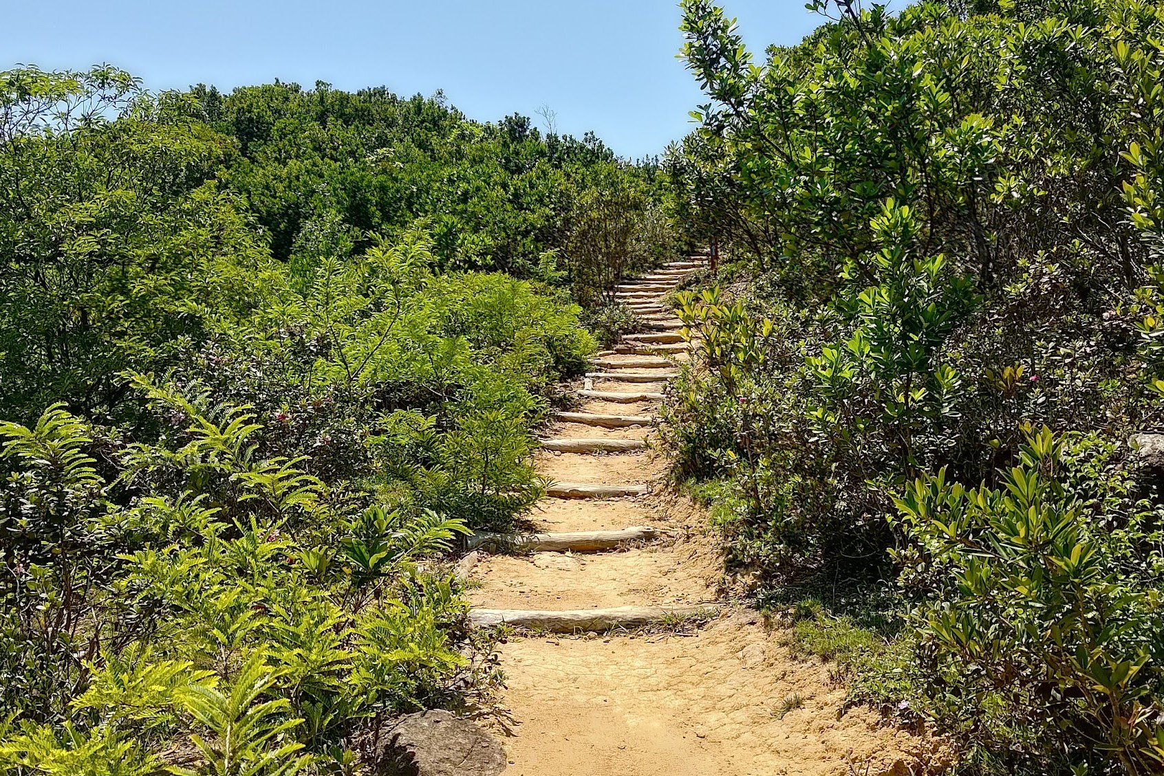
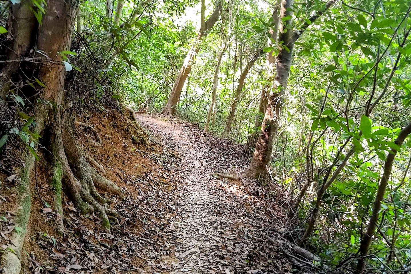
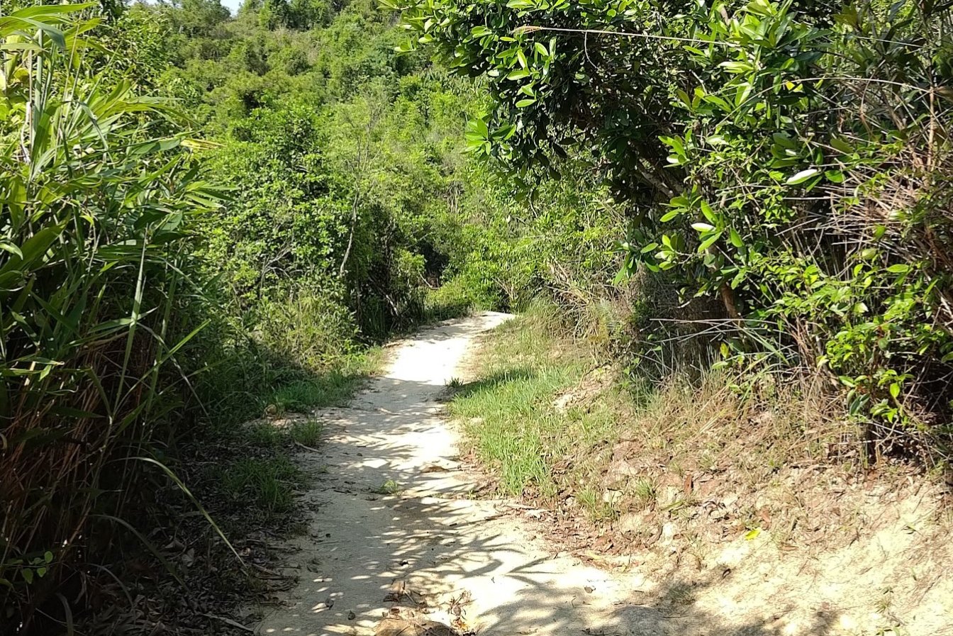
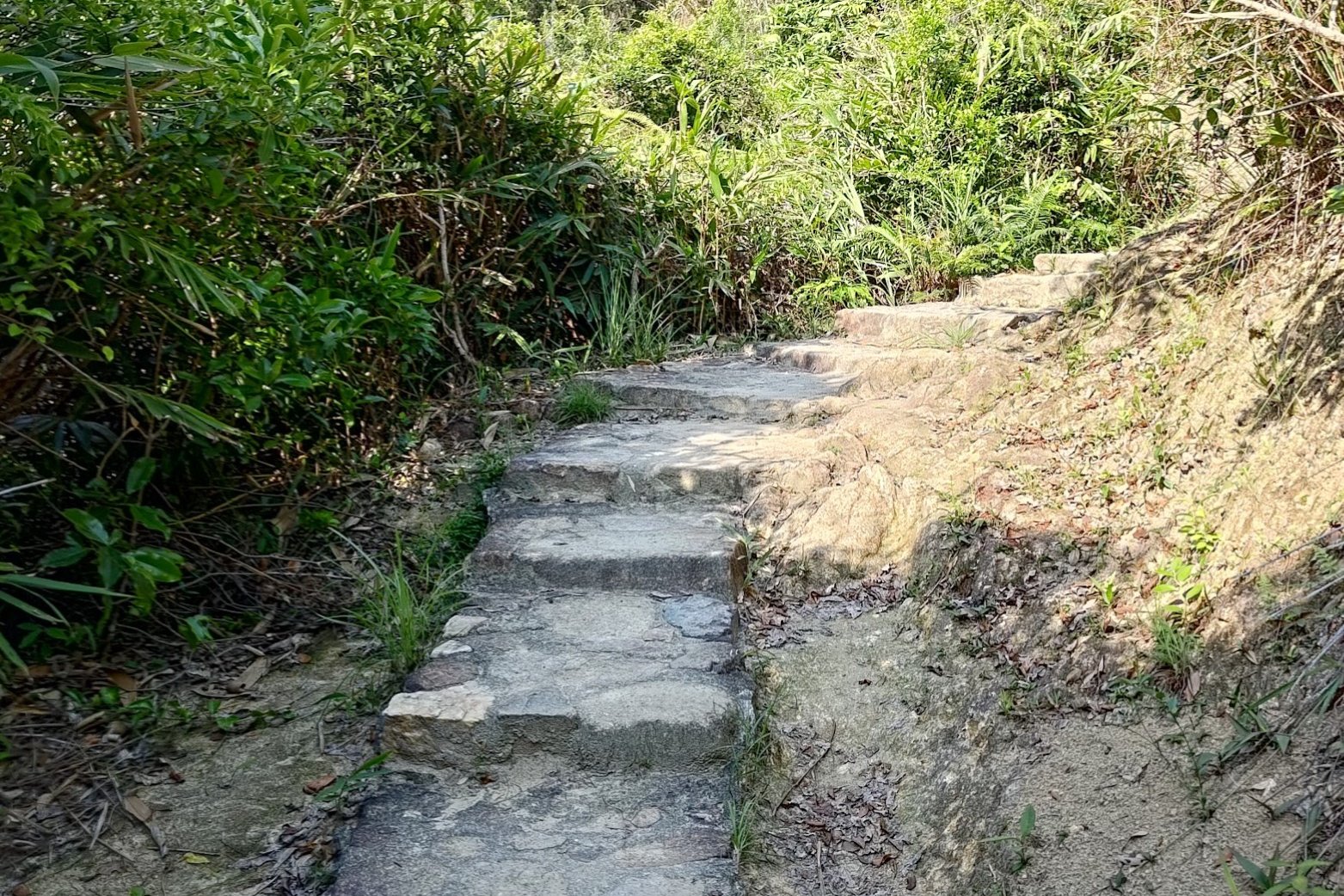
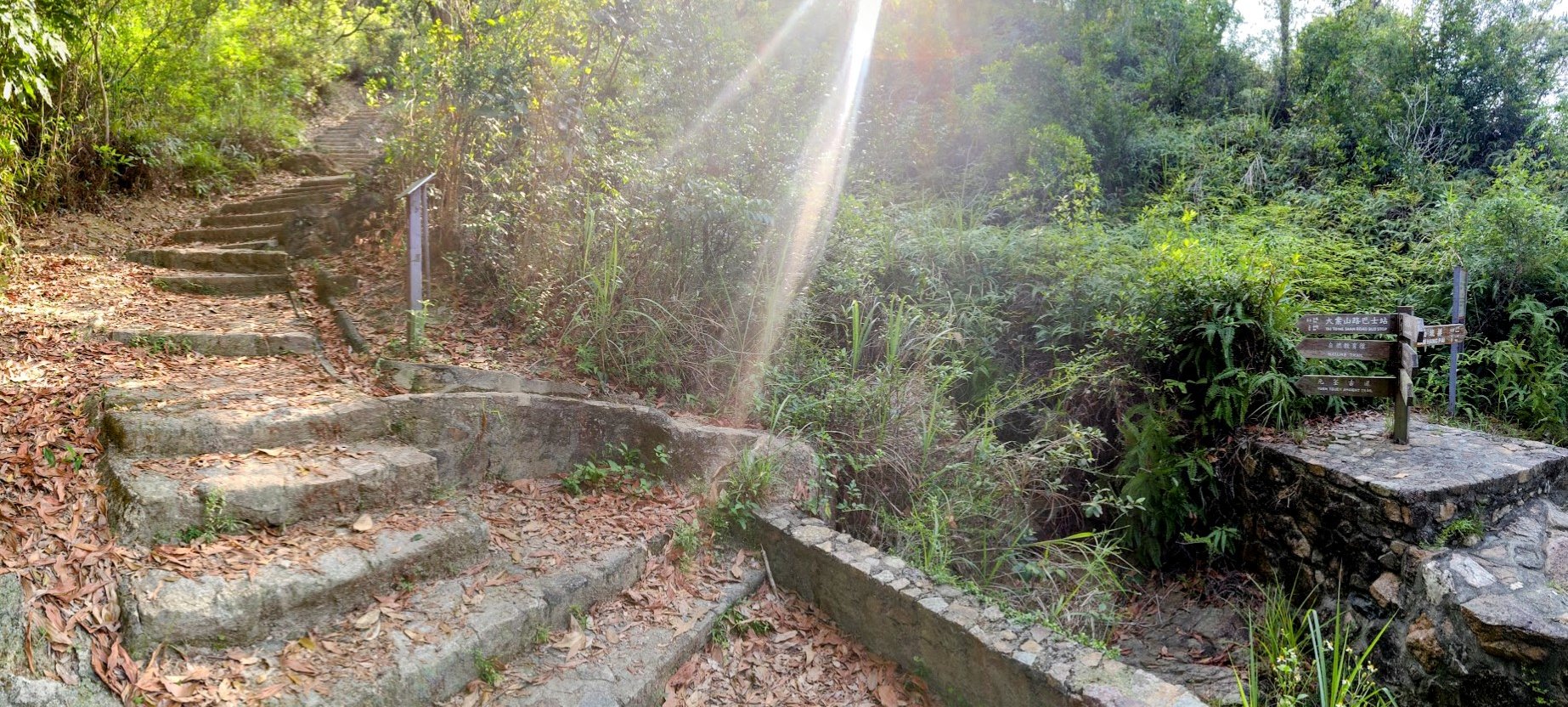
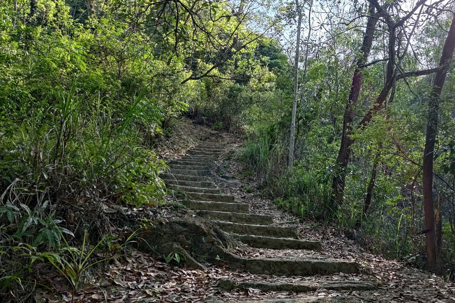
Follow the Yuen Tsuen Trail for 20 Mins
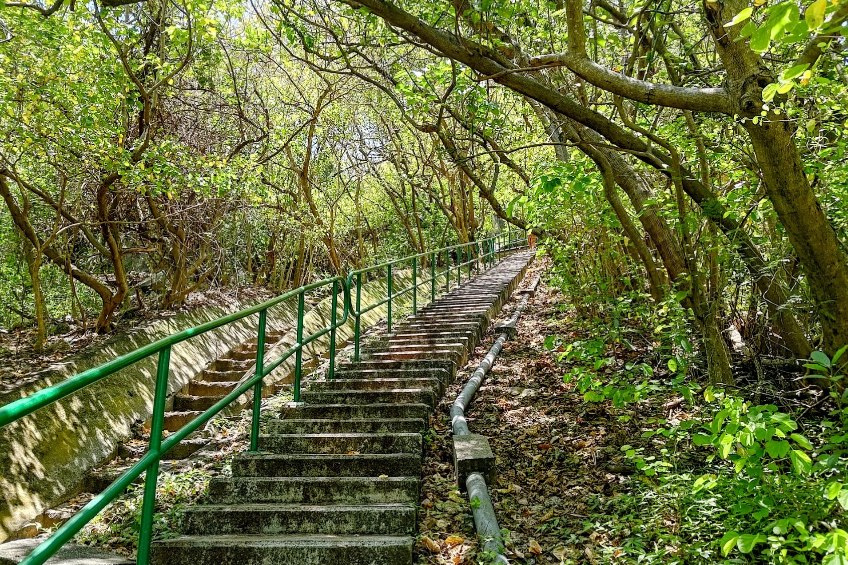
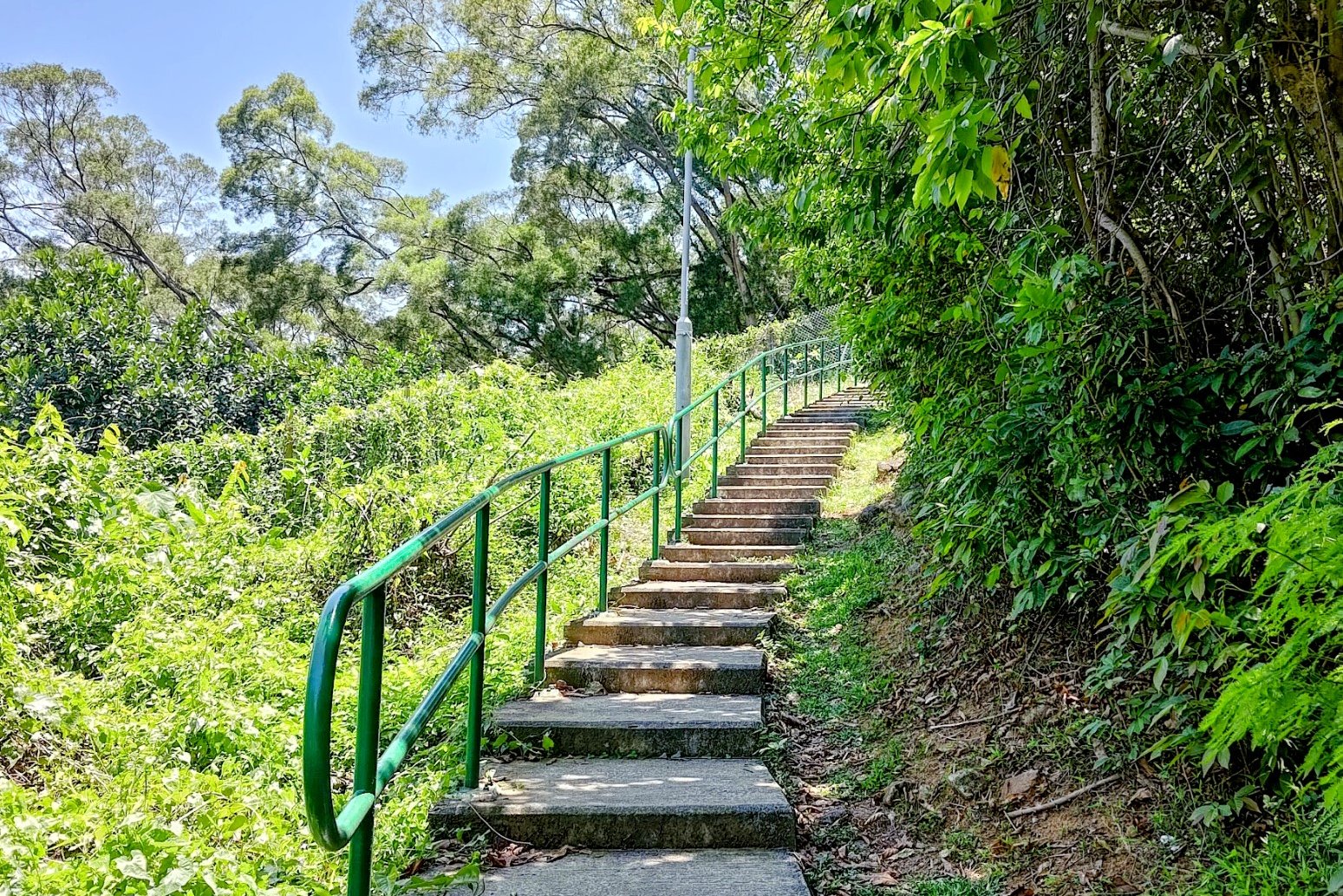
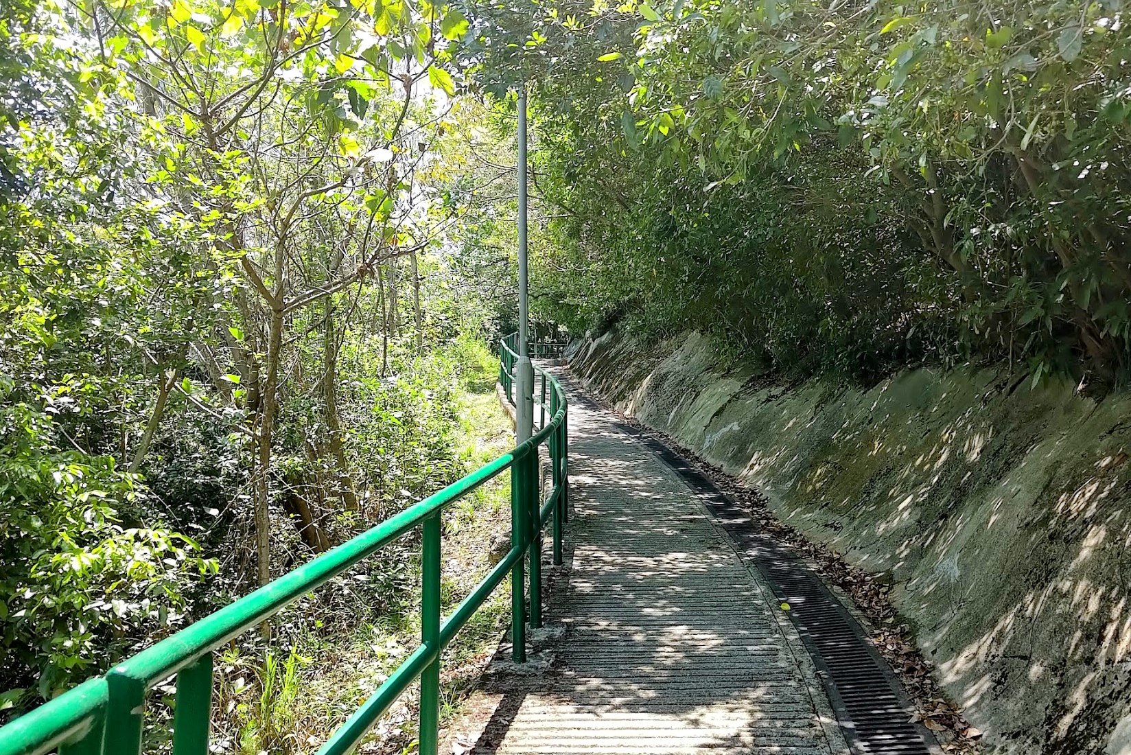
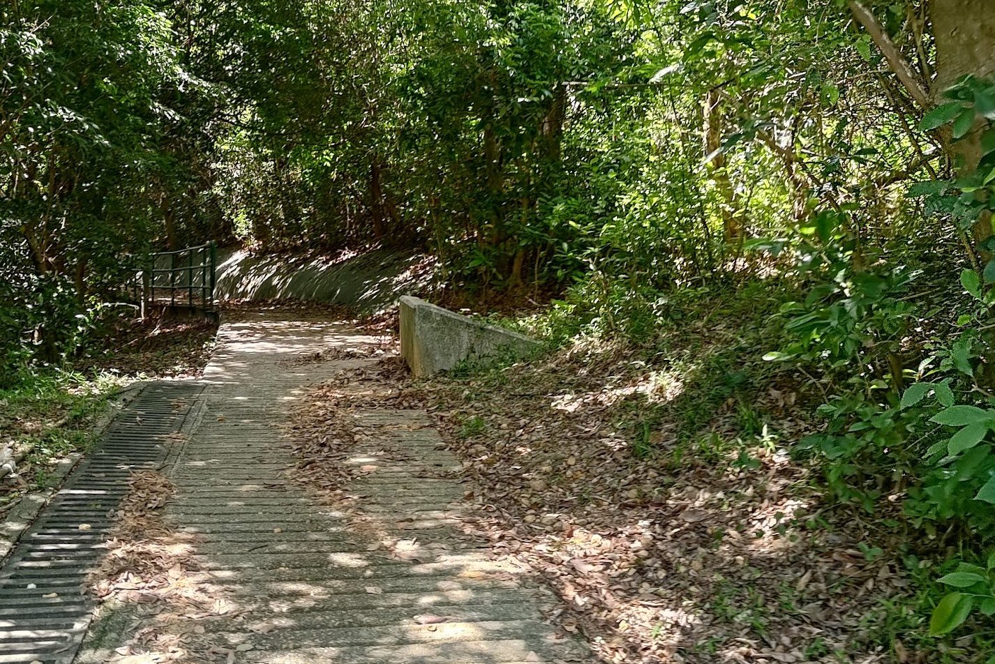
It takes about 20 minutes at a decent pace to get to the Ha Fa Shan fork.
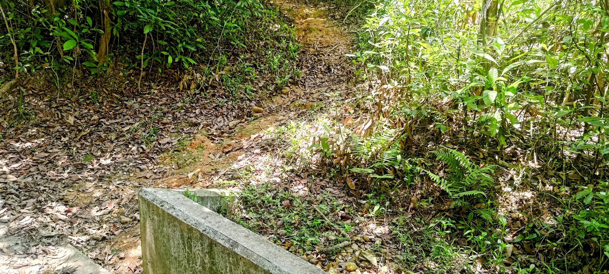
There are not many places to get lost on this uphill section. Just be sure not to miss the unmarked path on your right after the pavilion if you plan on taking the Ha Fa Shan detour. If you miss it, you'll skip Ha Fa Shan entirely, and continue along the Yuen Tsuen Ancient Trail, instead.
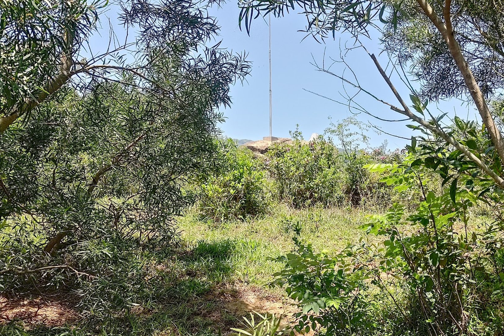
The 10-min Climb to Ha Fa Shan's Summit

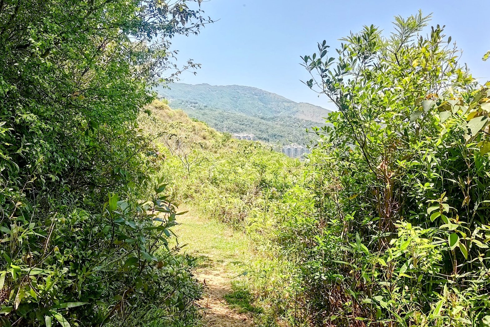

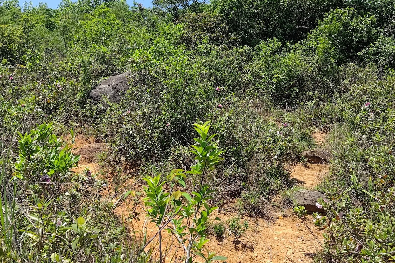
This section of climbing feels more like a fun hiking adventure than all the stairs and concrete of the previous section. You'll essentially follow dirt paths all the way to the summit.
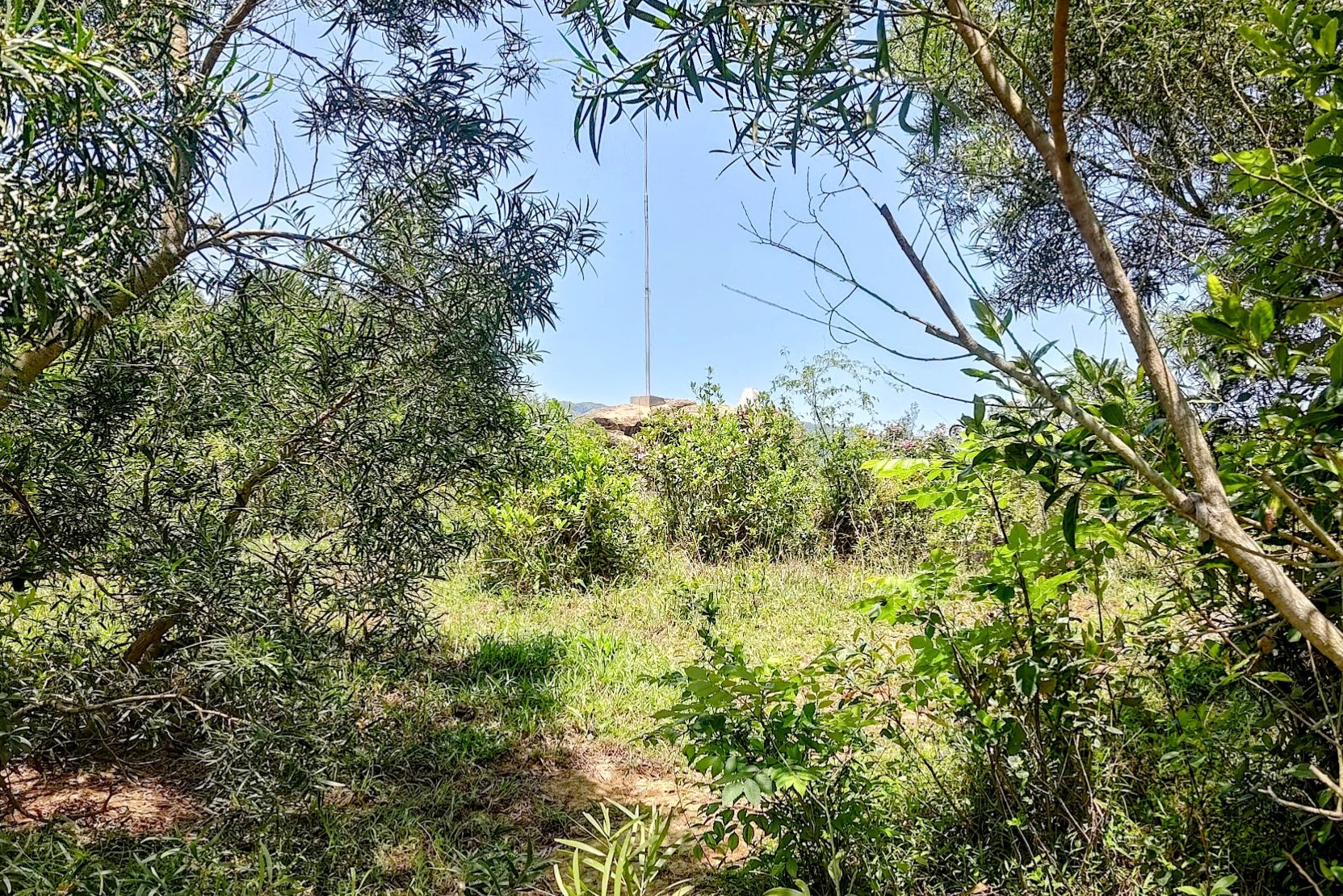
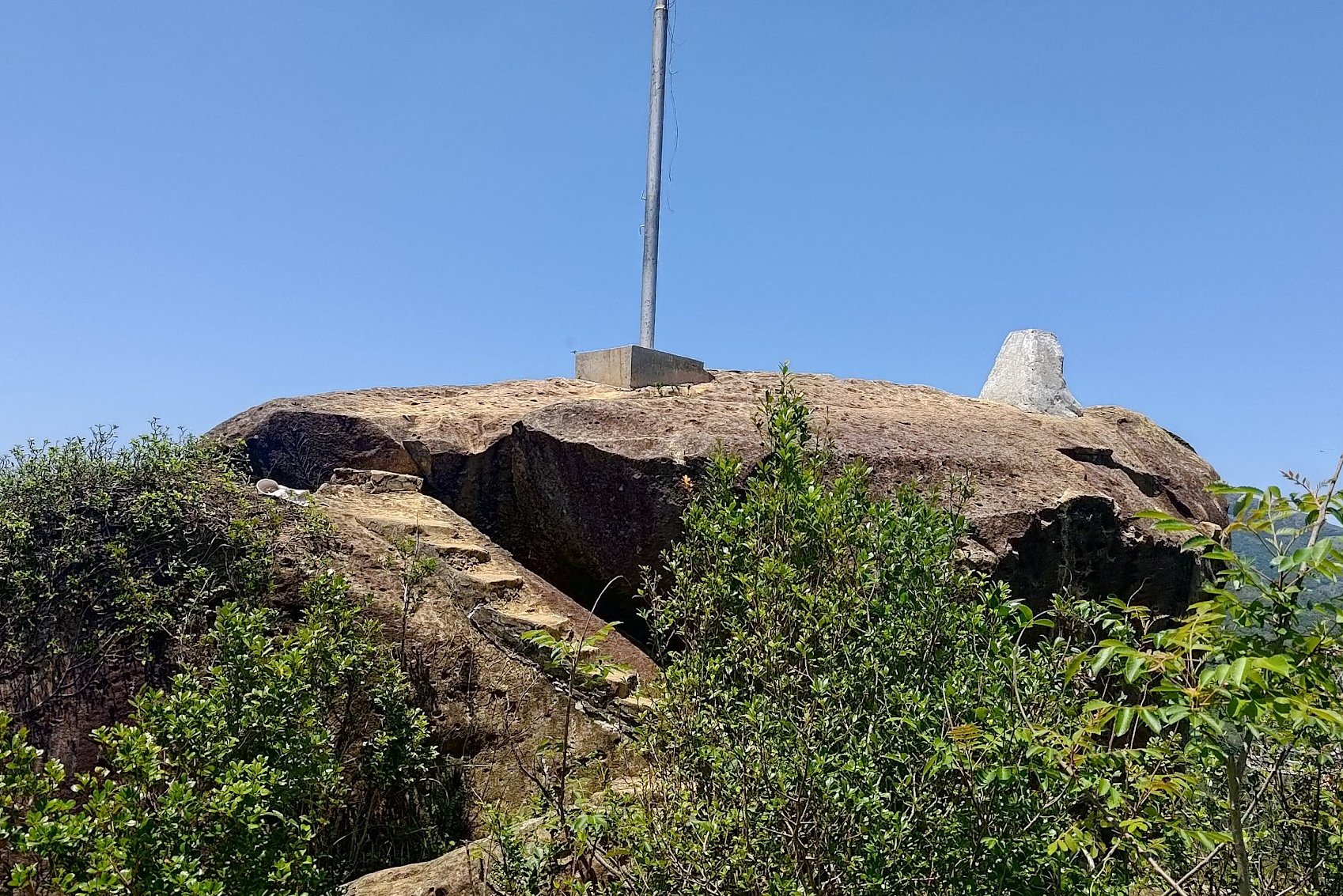
There isn't really a "correct" path as long as you keep going upwards. You'll know you've arrived at the summit of Ha Fa Shan when you see the large flagpost in front of you.
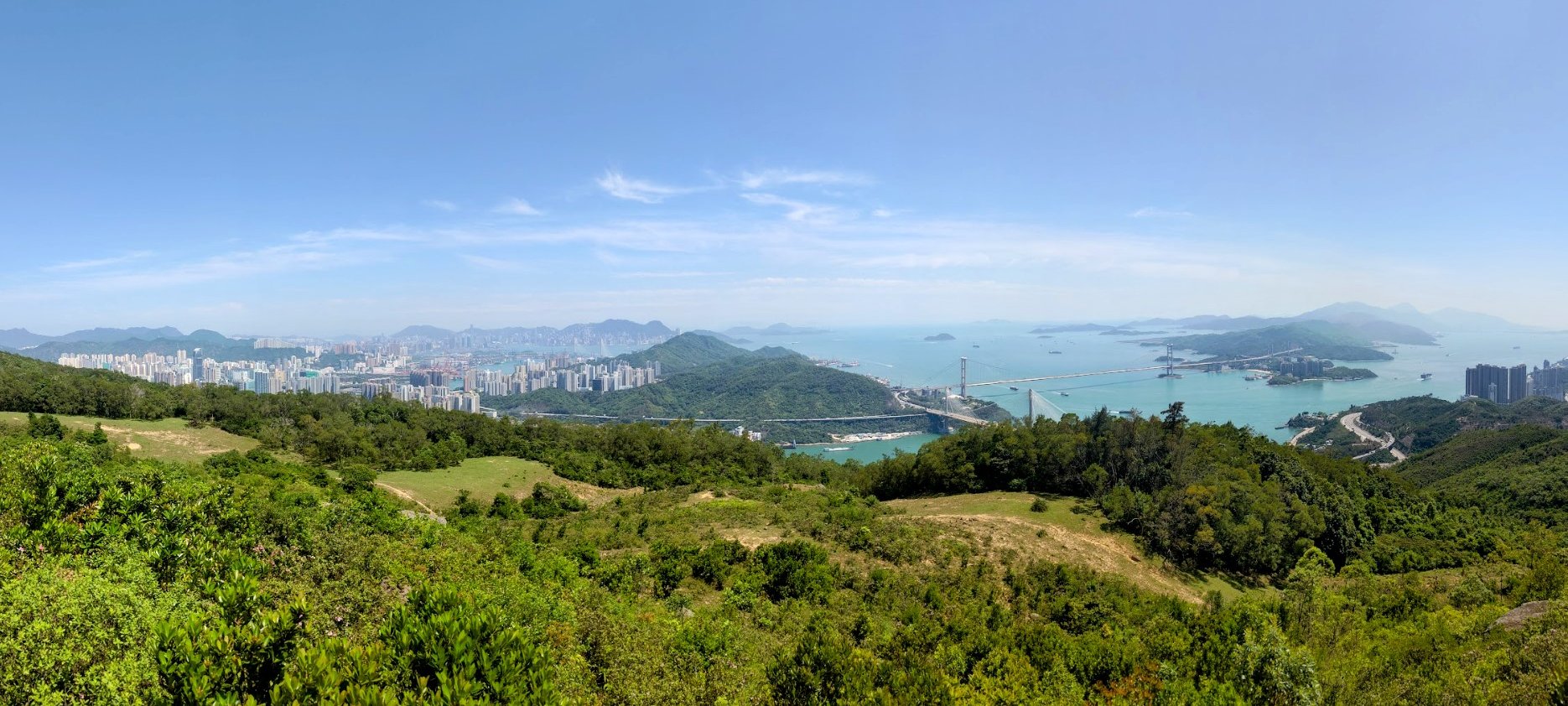
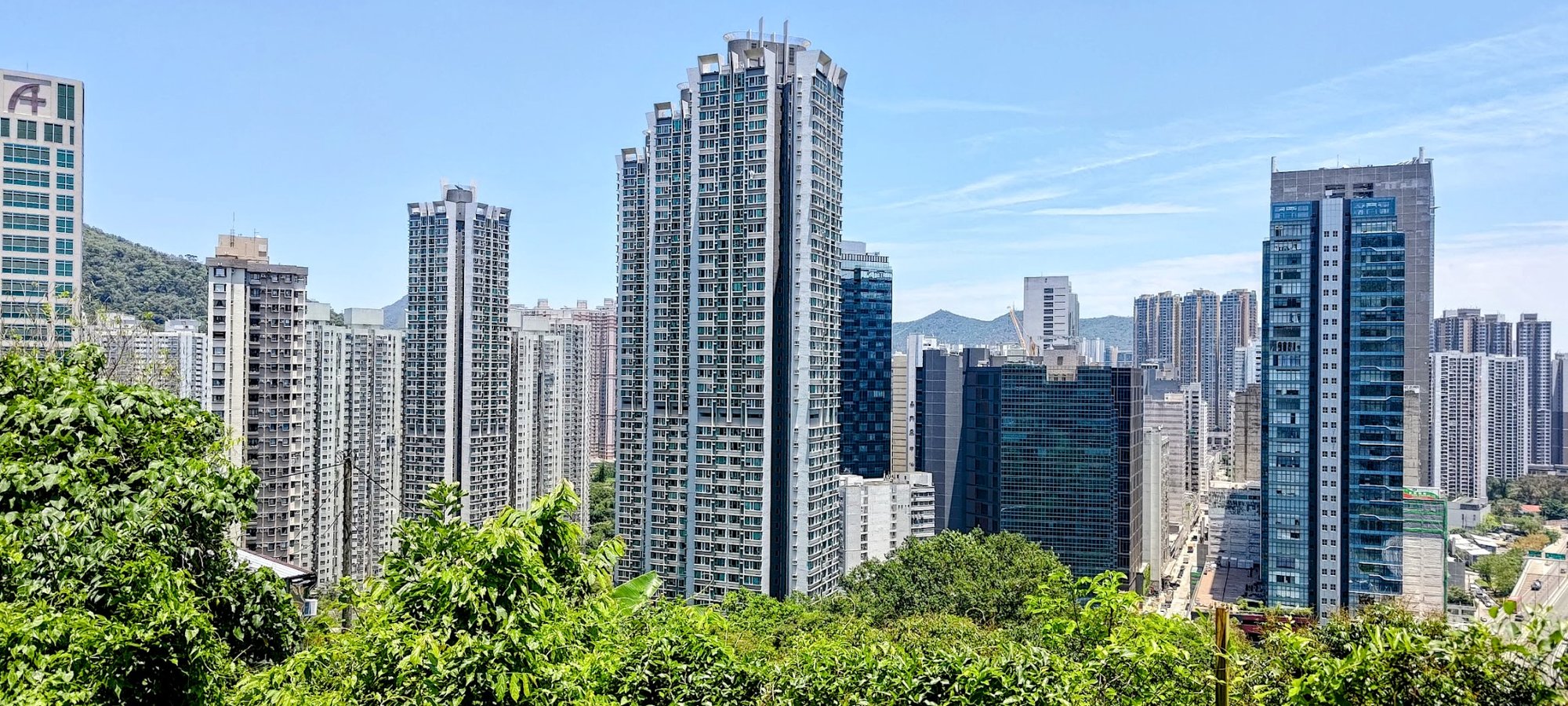
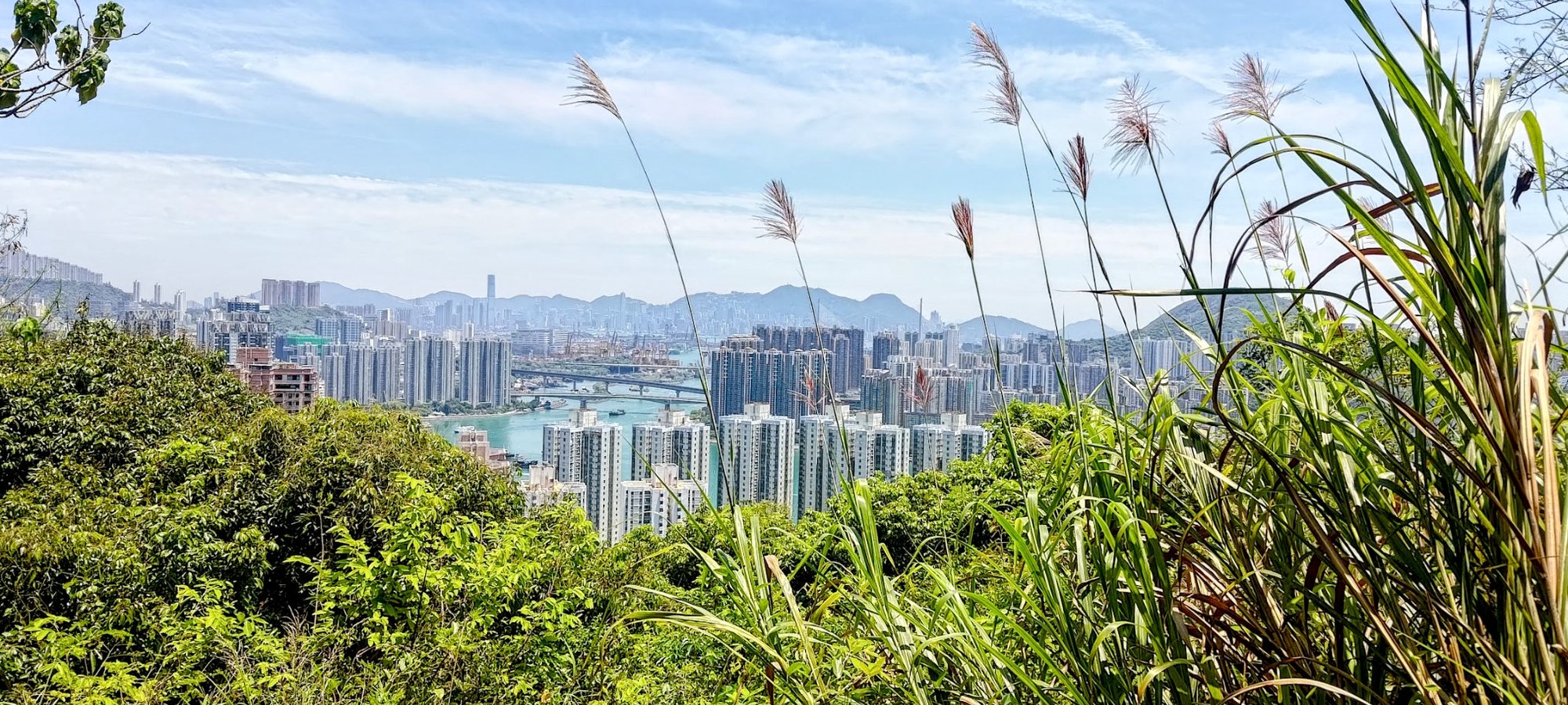
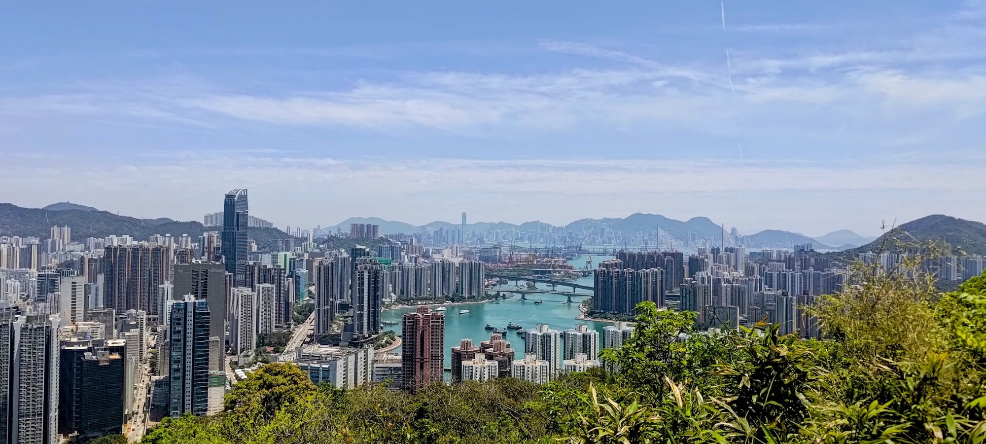
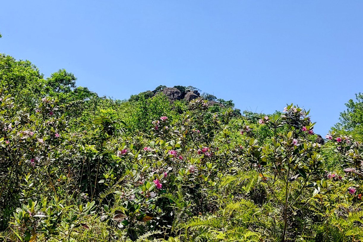
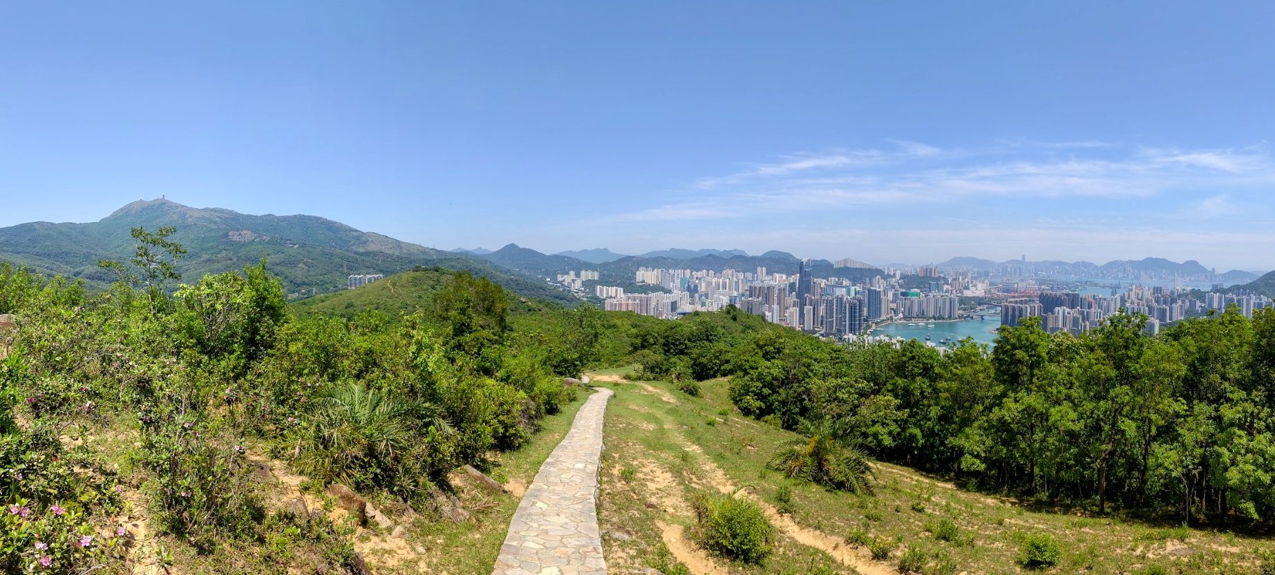
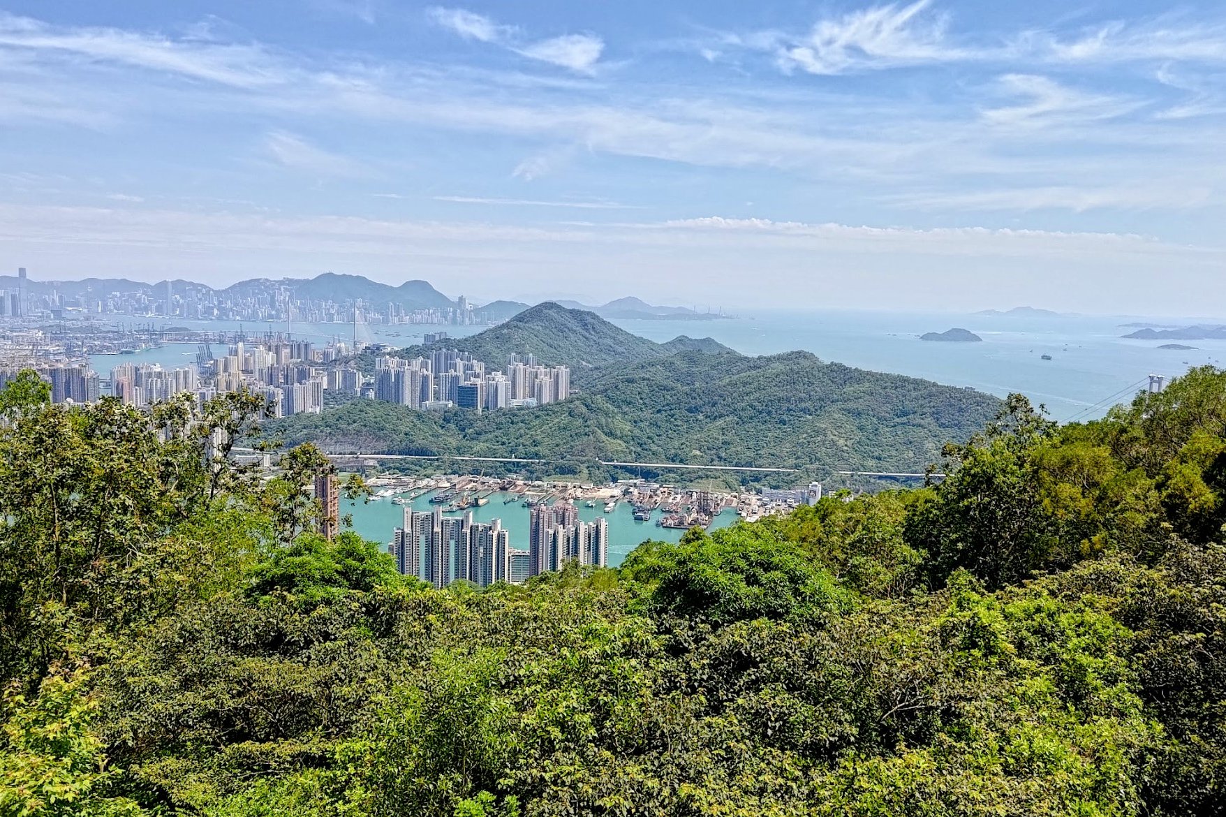
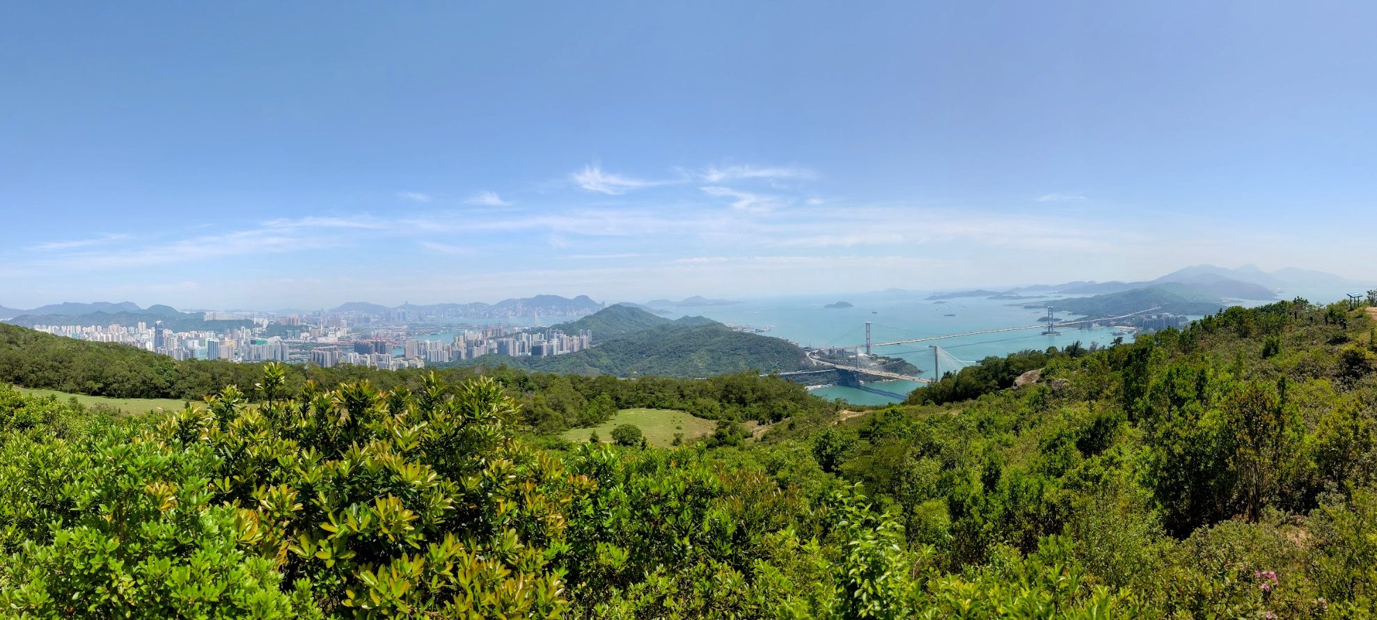
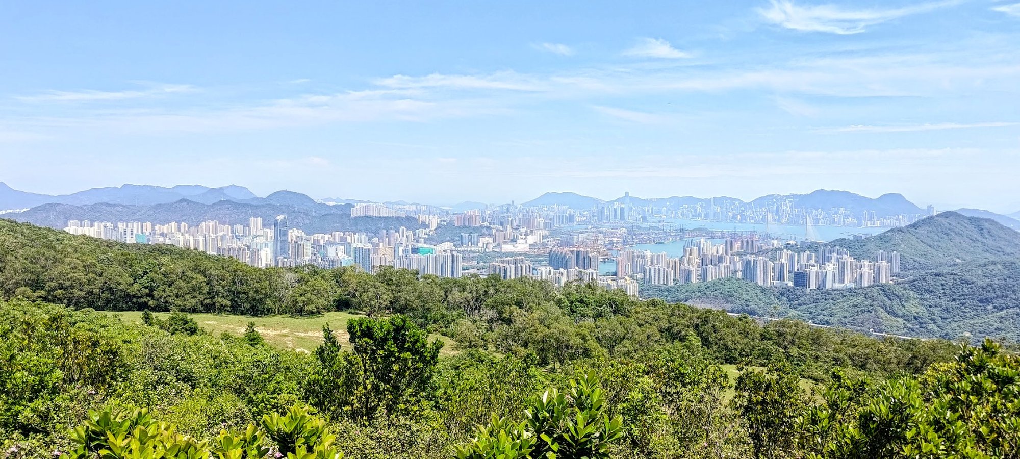
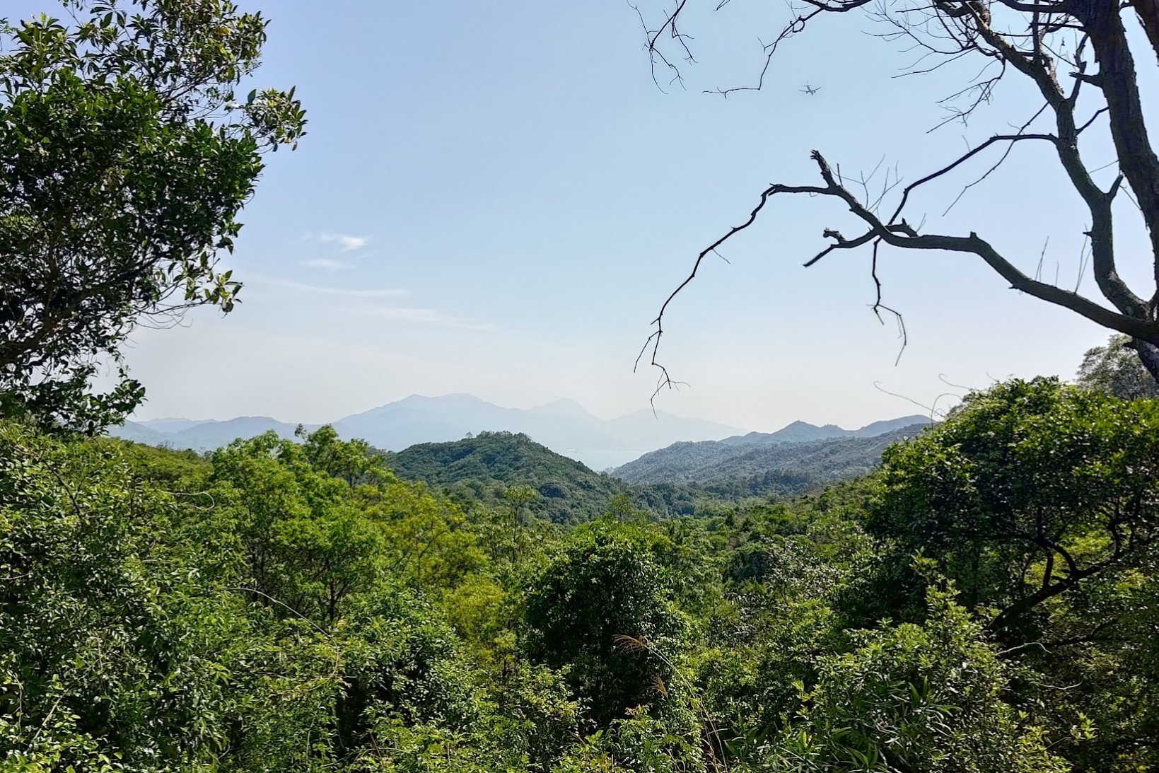
Ha Fa Shan Summit Views
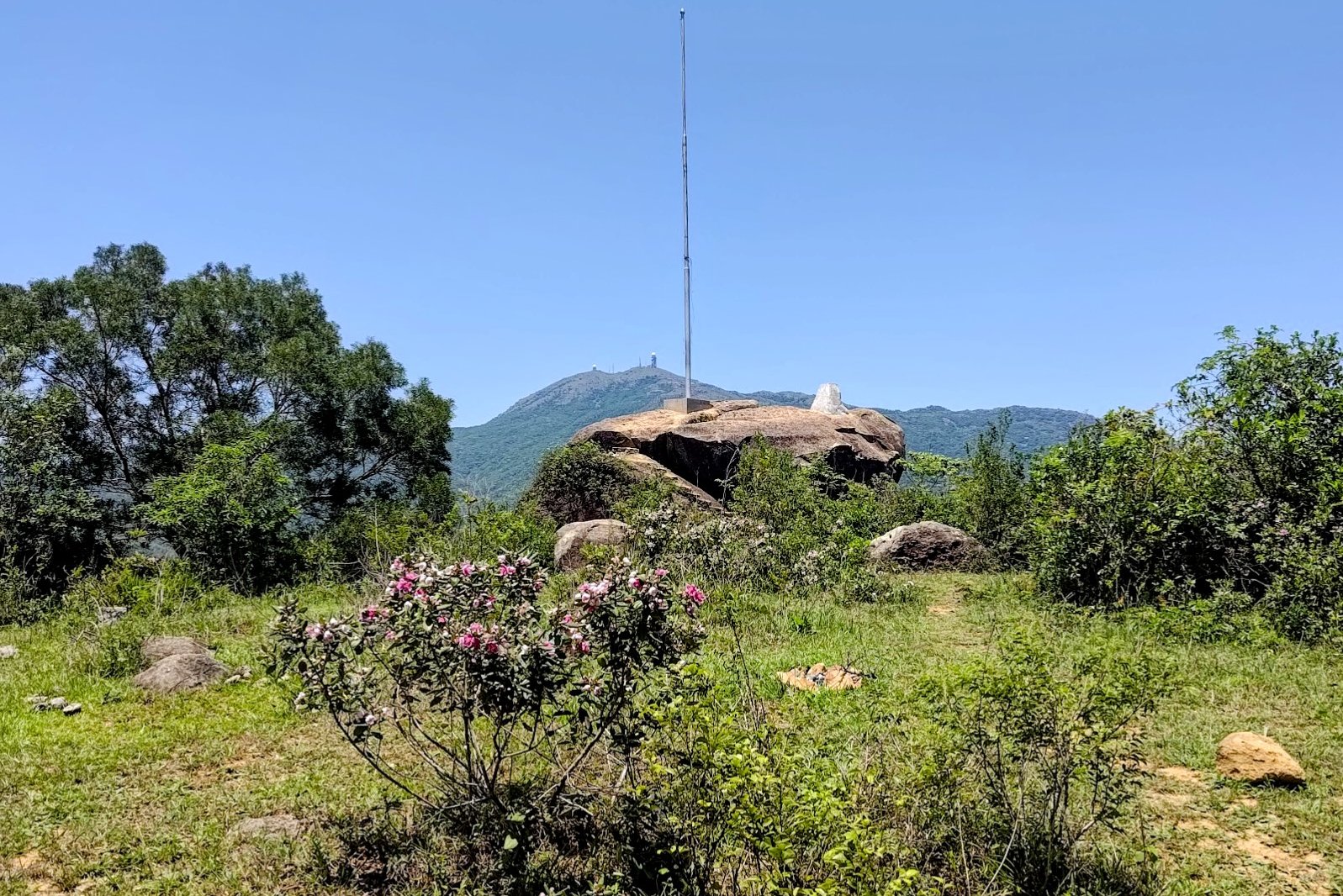

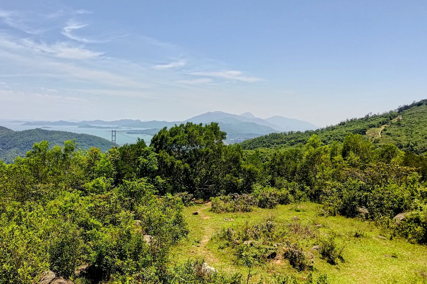


If you hike on a clear day, you'll be able to see Tai Mo Shan (Hong Kong's tallest mountain), Tsuen Wan, Tsing Yi, Kowloon, Hong Kong Island, and even Lantau to the right!
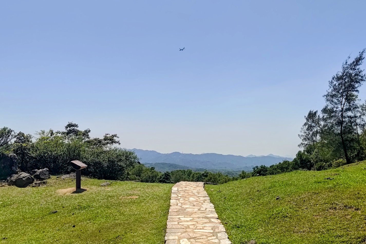
When you're done exploring, head back through the trees near the flagpole and look for the flat trail heading towards the mountains.
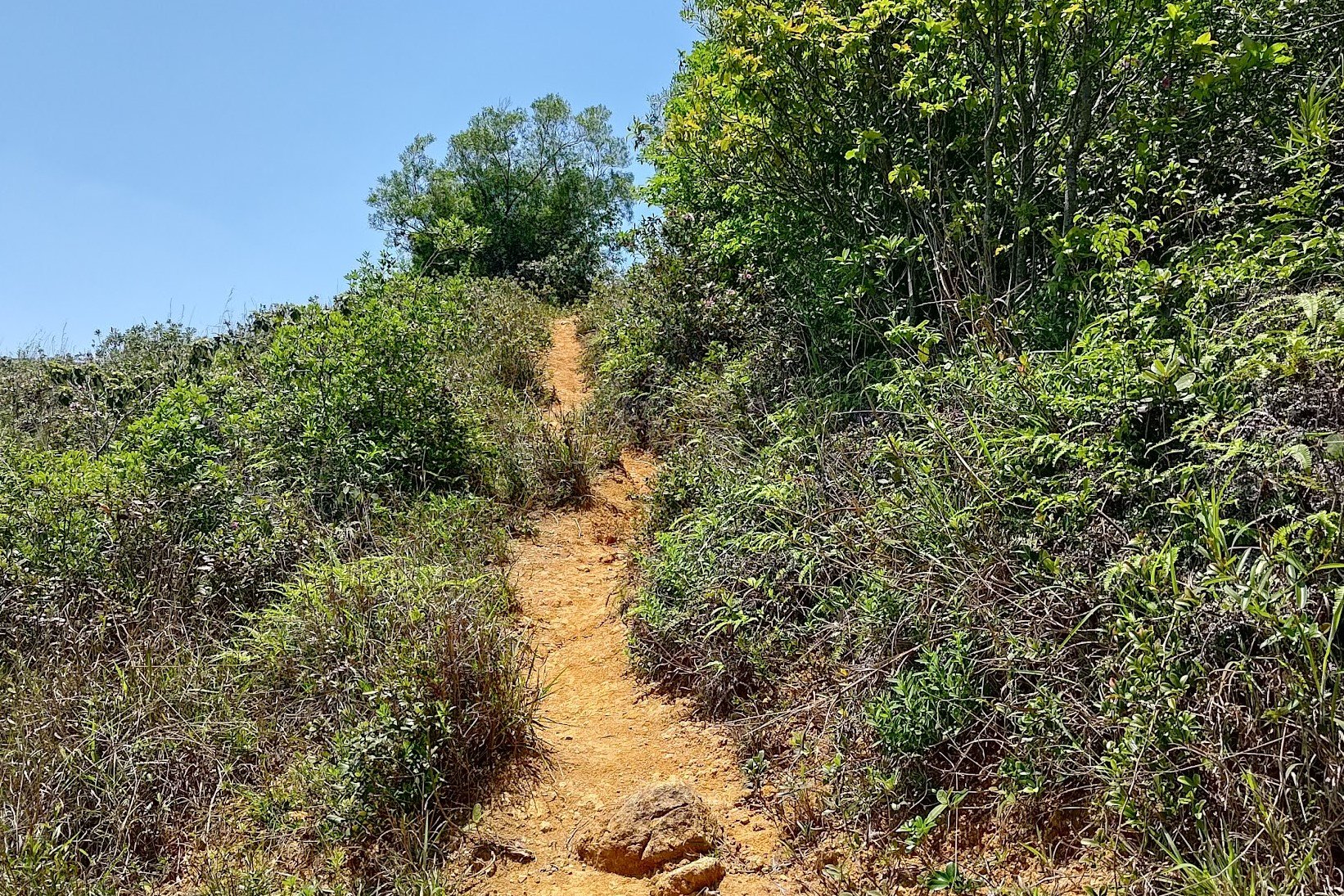
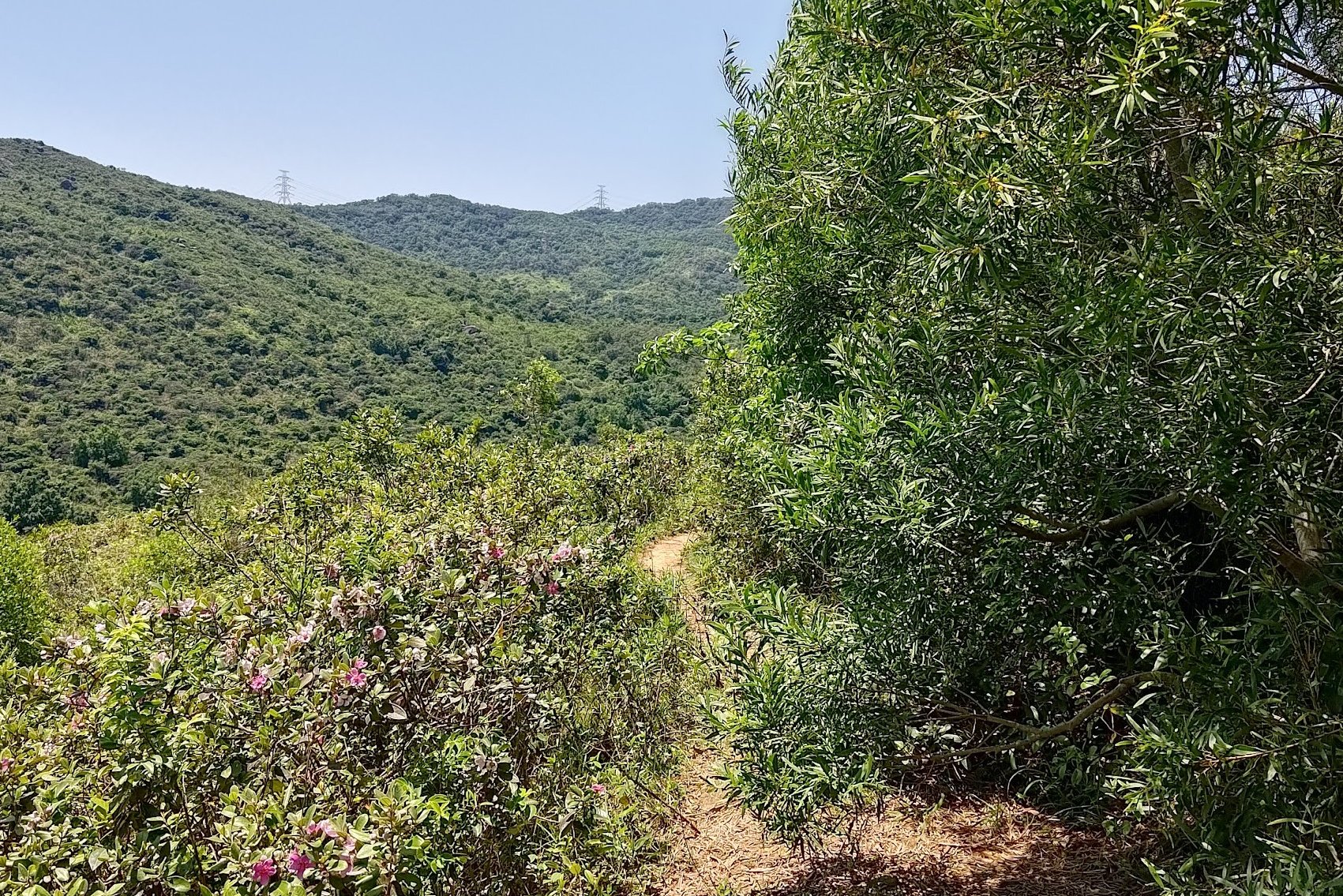
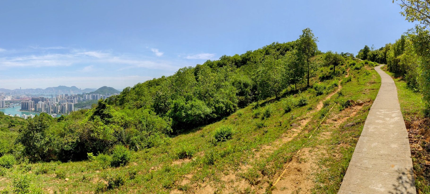
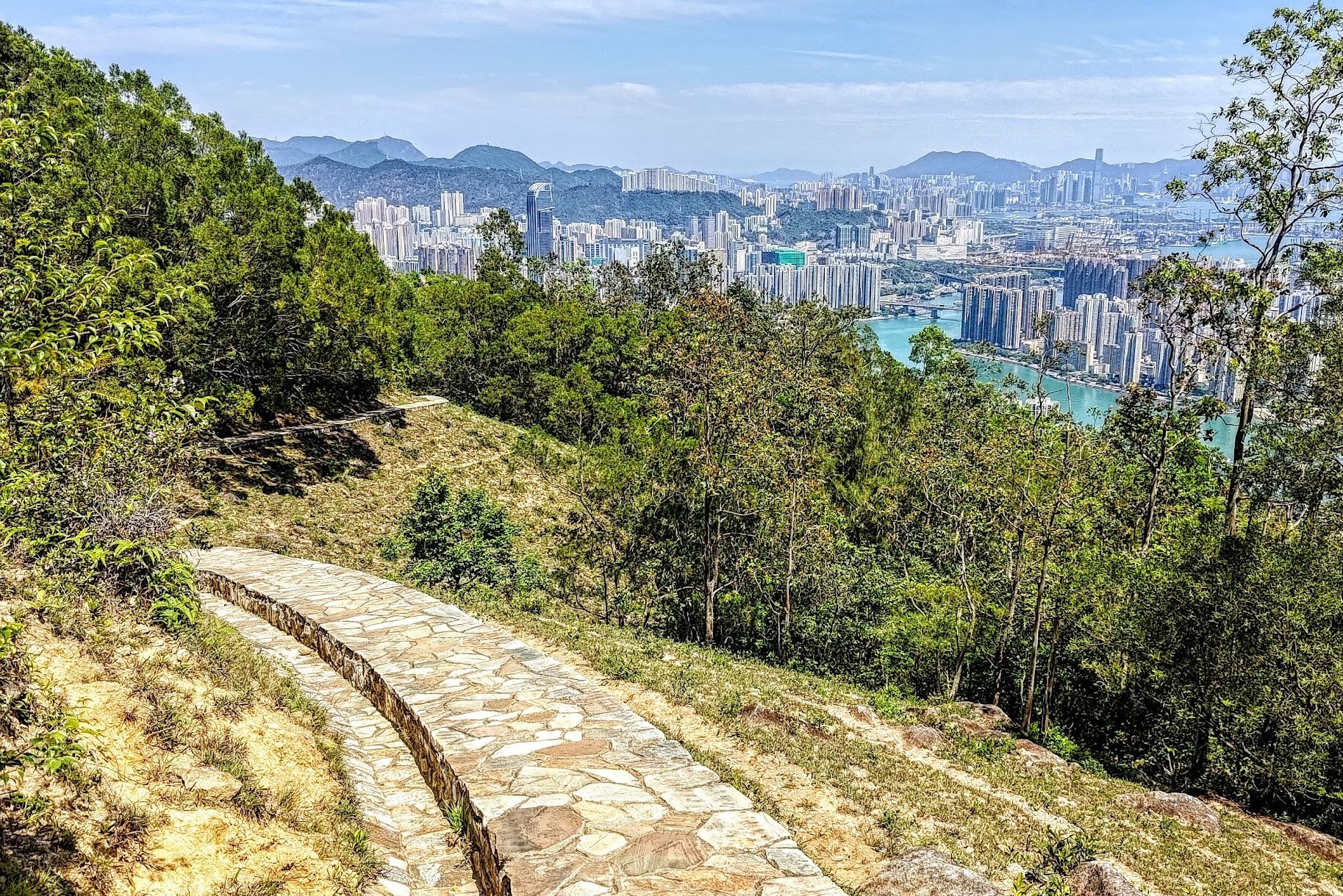
Ha Fa Shan to the Shek Lung Kung Detour


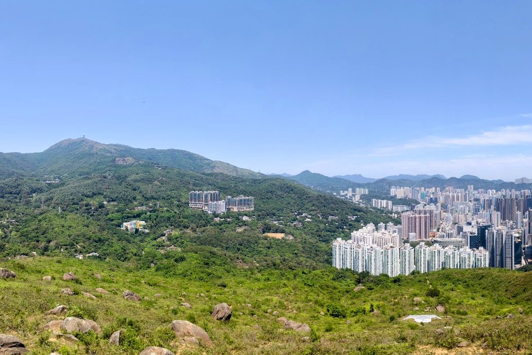
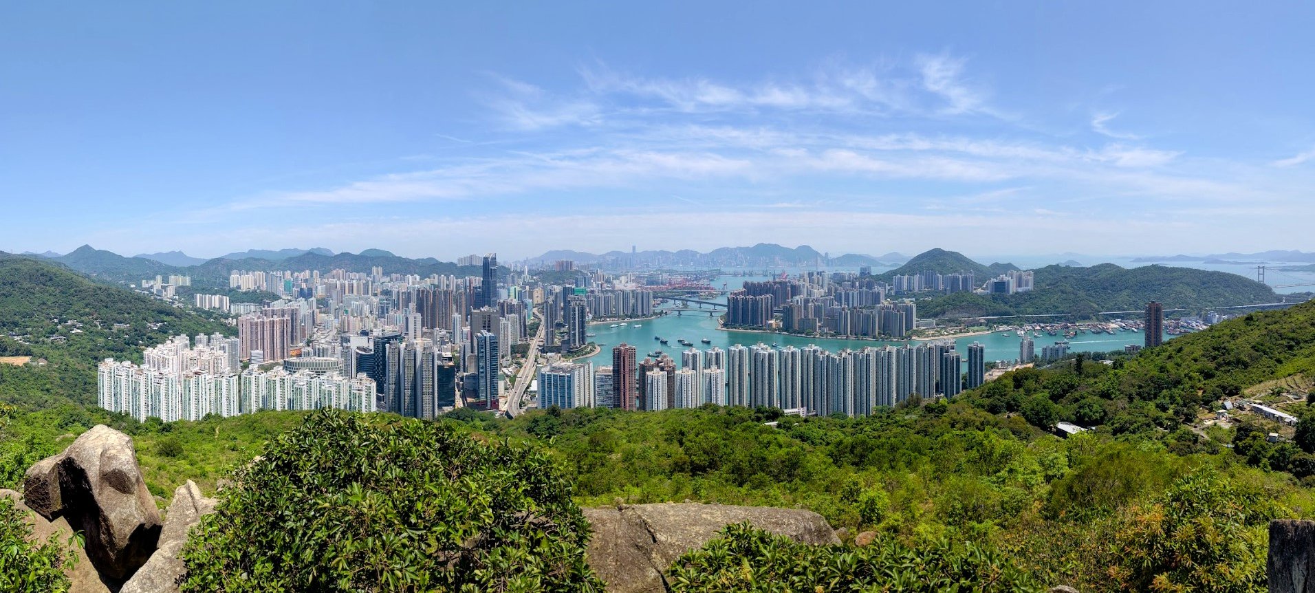
This portion of the hike takes about 30 minutes. You'll go from a little dirt trail to a concrete trail and then to a traditional-style to-lo road.
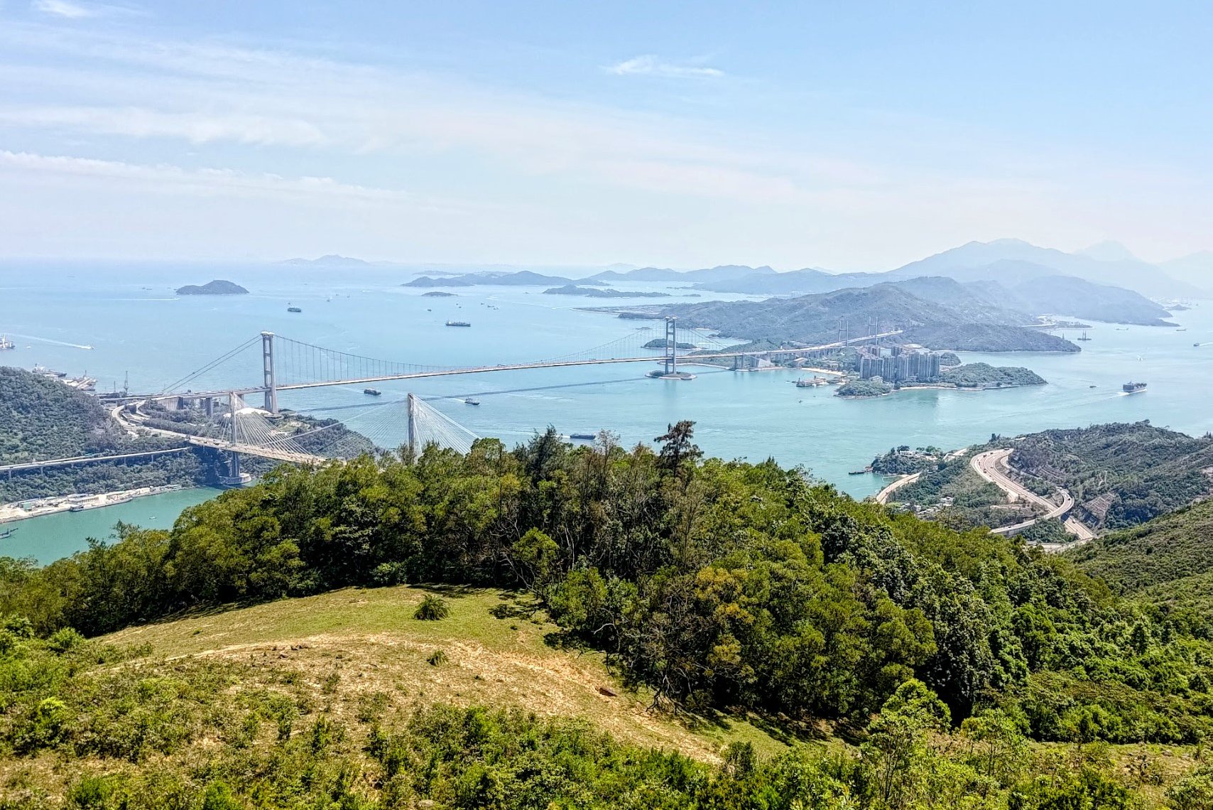
The portion that opens up and offers grand views of Tai Mo Shan, Tsing Yi, Hong Kong Island, and Kowloon is truly spectacular. The blend of traditional to-lo roads and Hong Kong's modern skyline is truly unique.
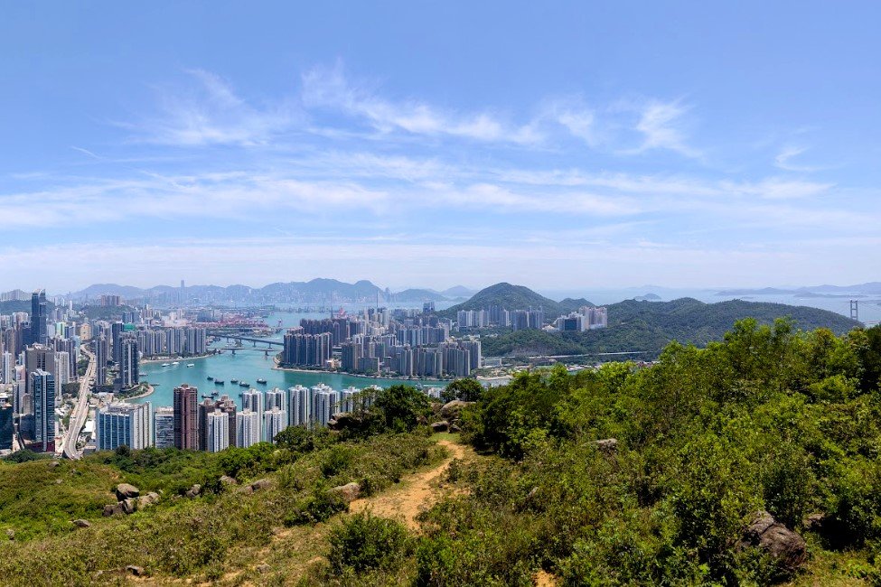
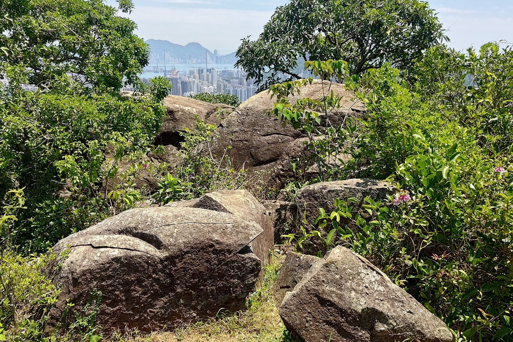
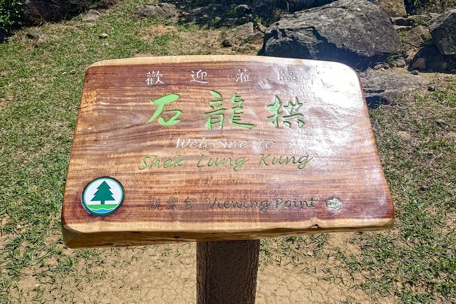
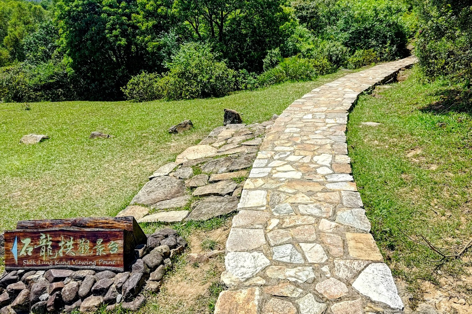
Shek Lung Kung Detour
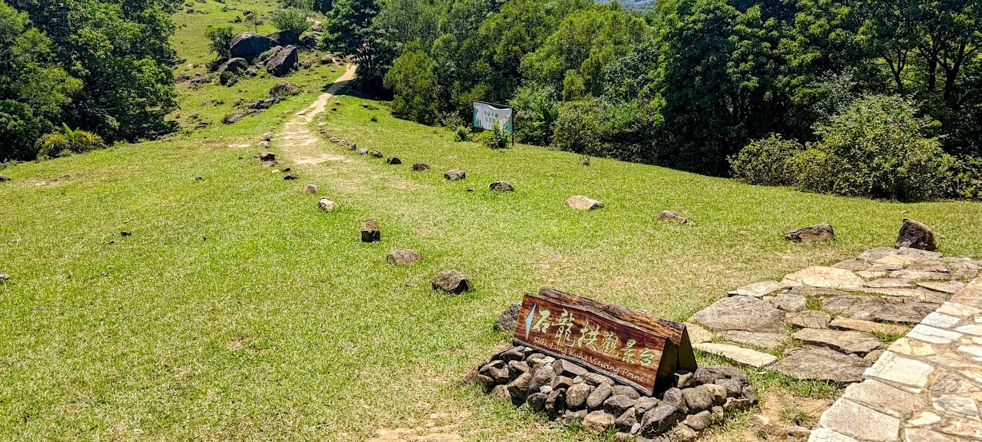

It takes just around 5 mins to get to the Shek Lung Kung viewpoint. I'd highly recommend detouring to this viewpoint because of how unique the angle over Hong Kong is.
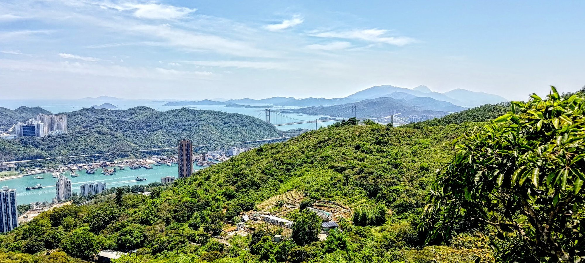
You'll be able to drink in some seriously impressive panoramas over the Tsing Ma Bridge, Lantau Island, Kowloon, and even Hong Kong Island.
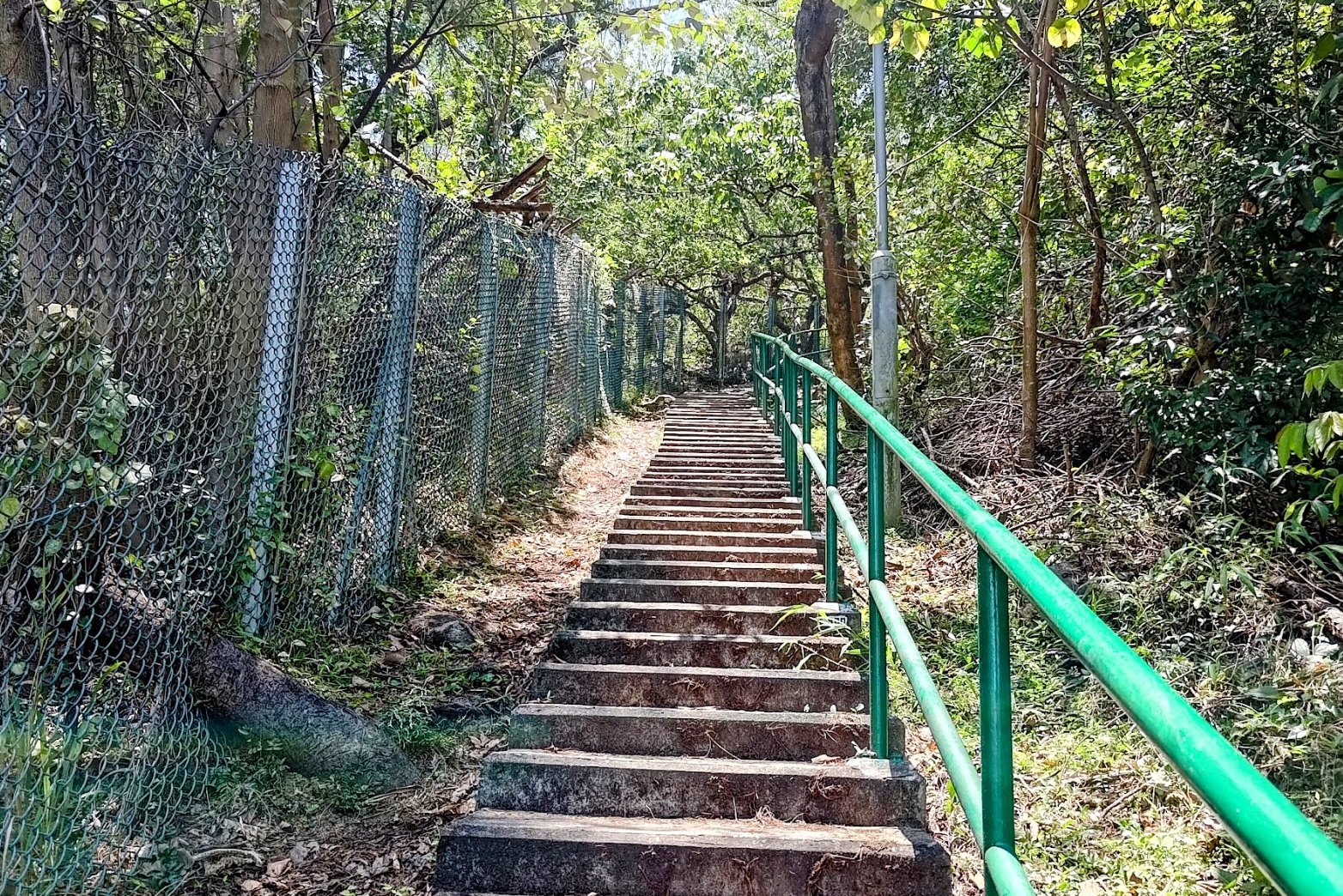
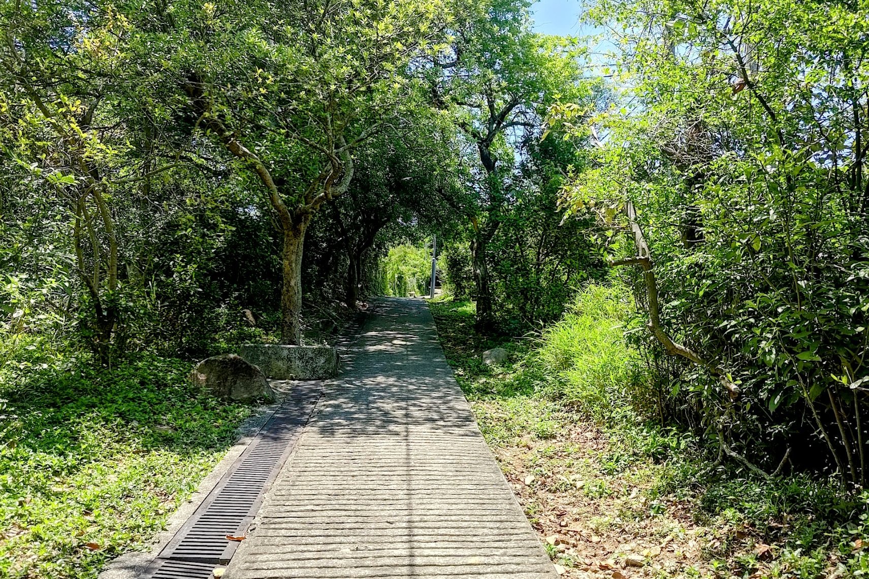
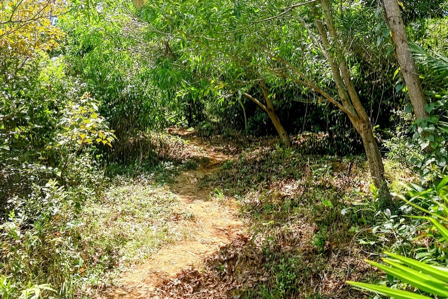
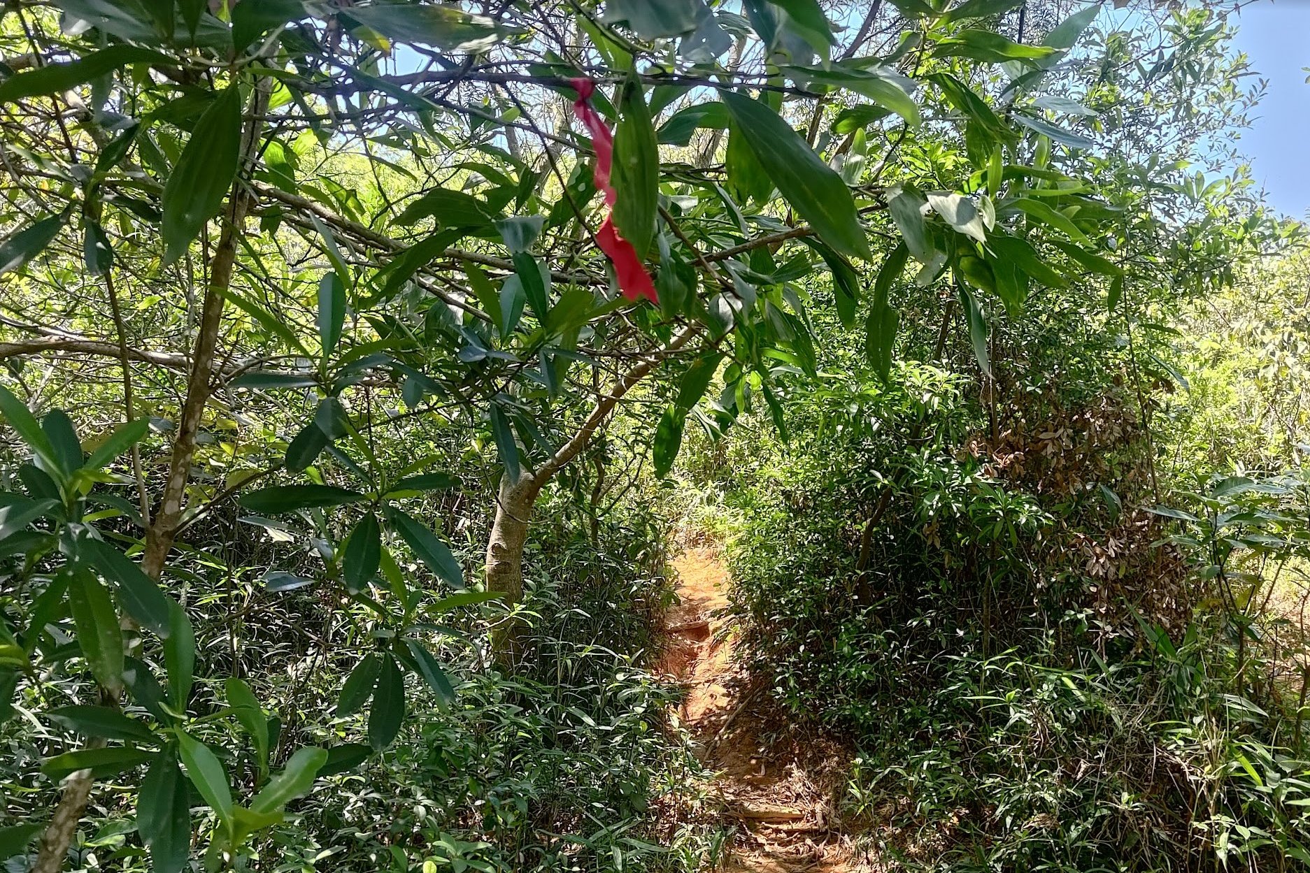
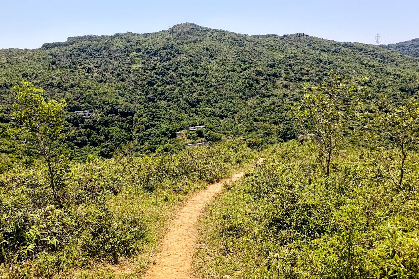
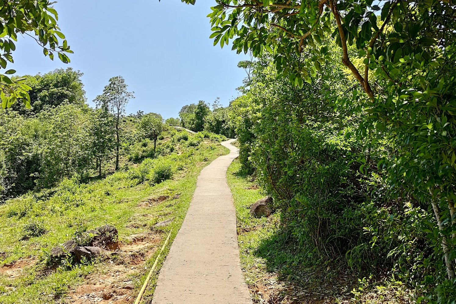
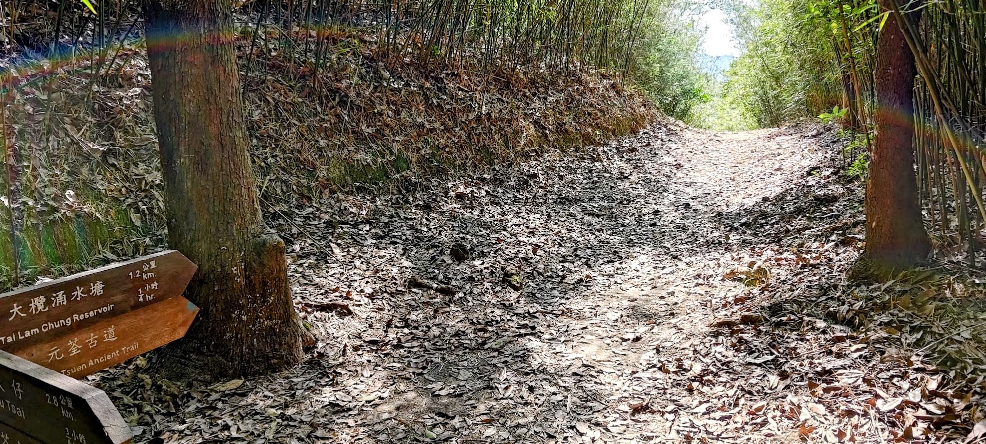
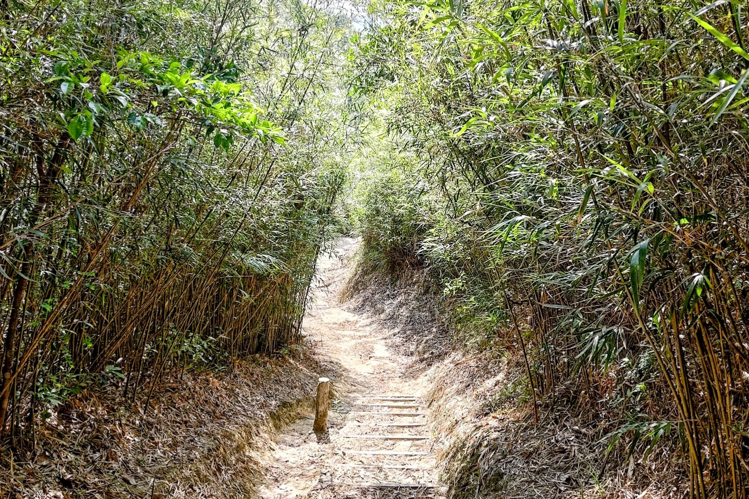
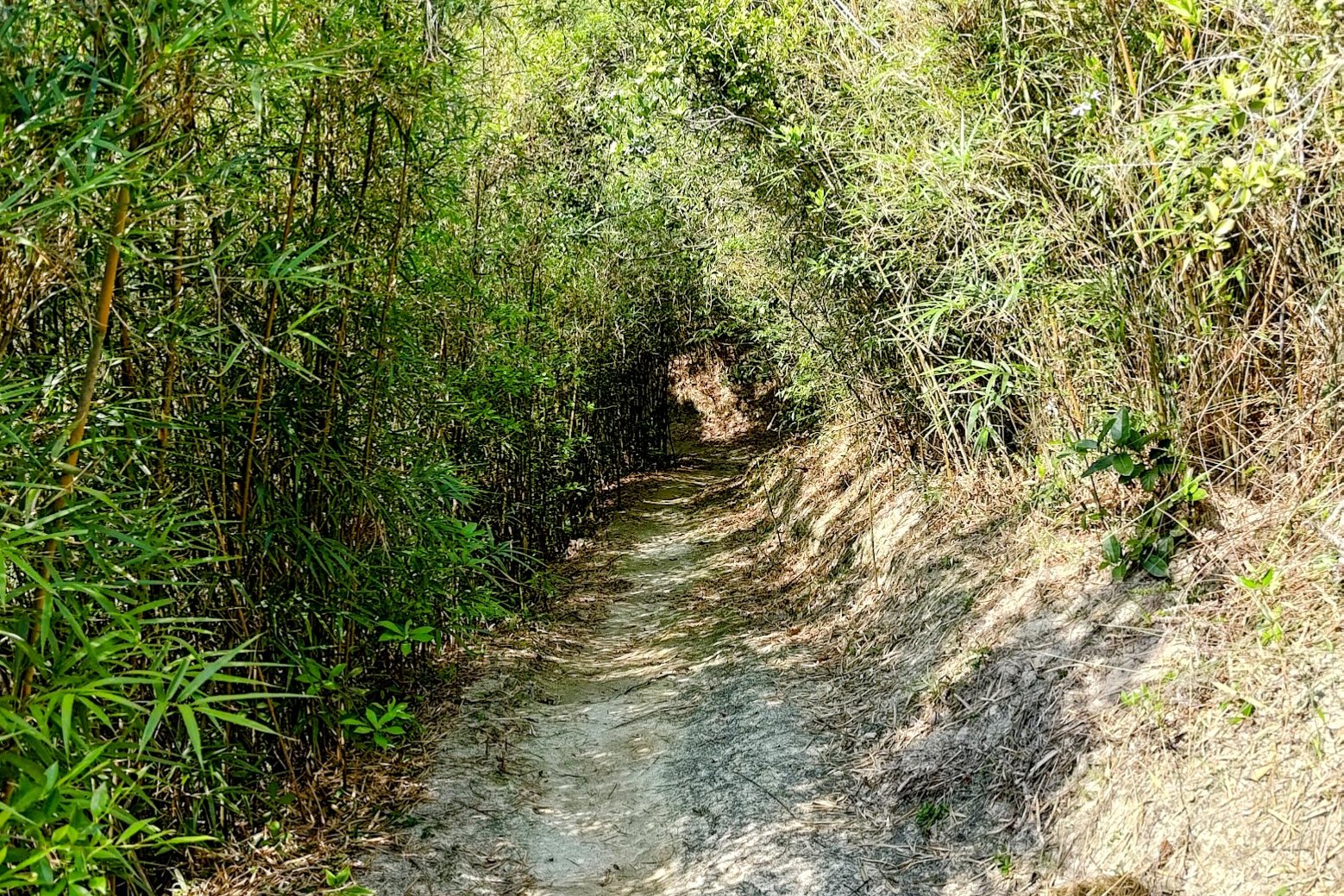
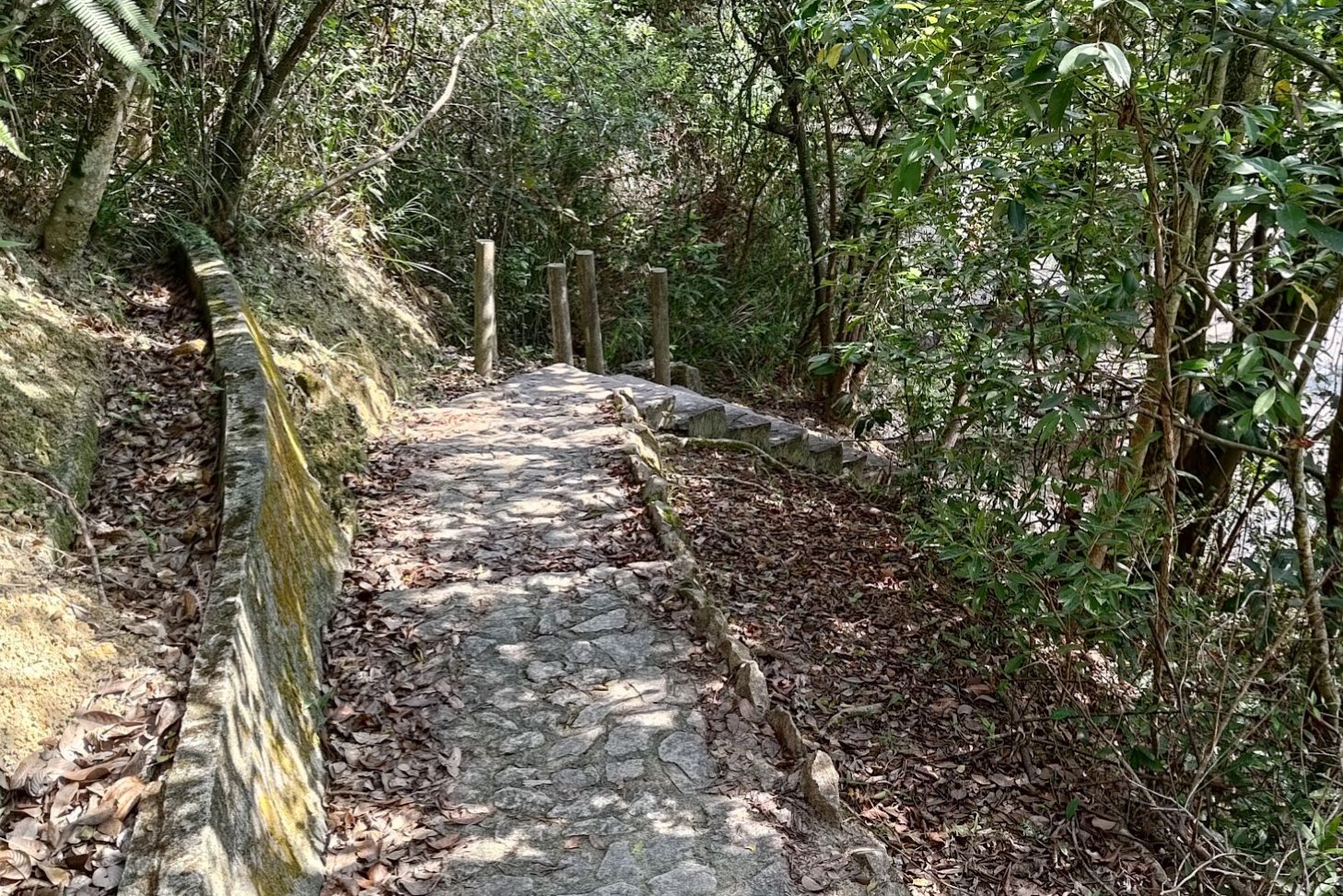
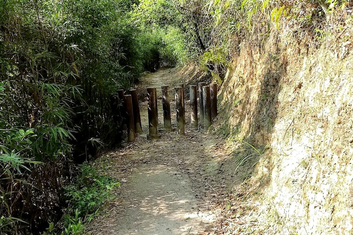
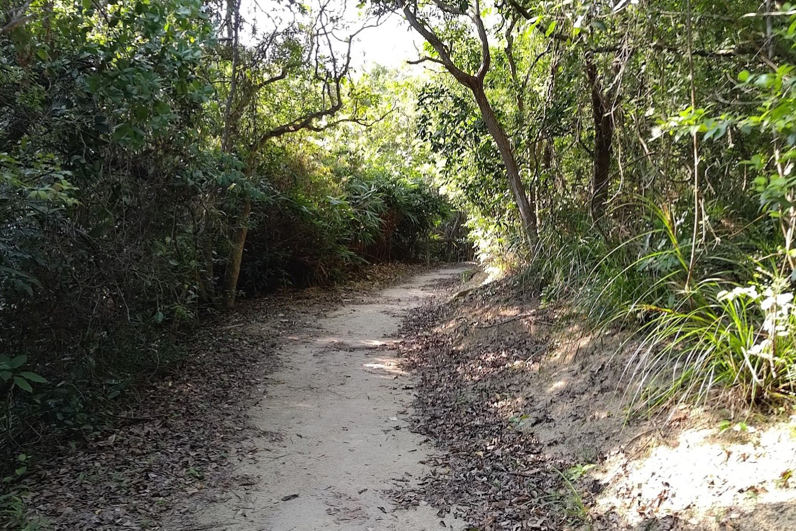
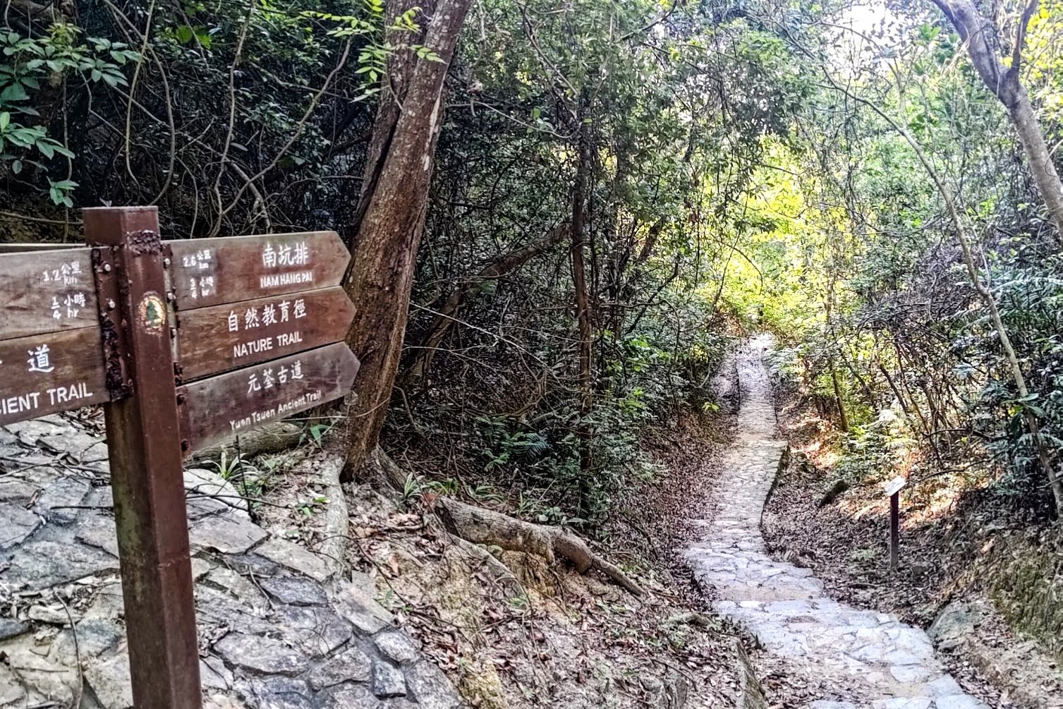
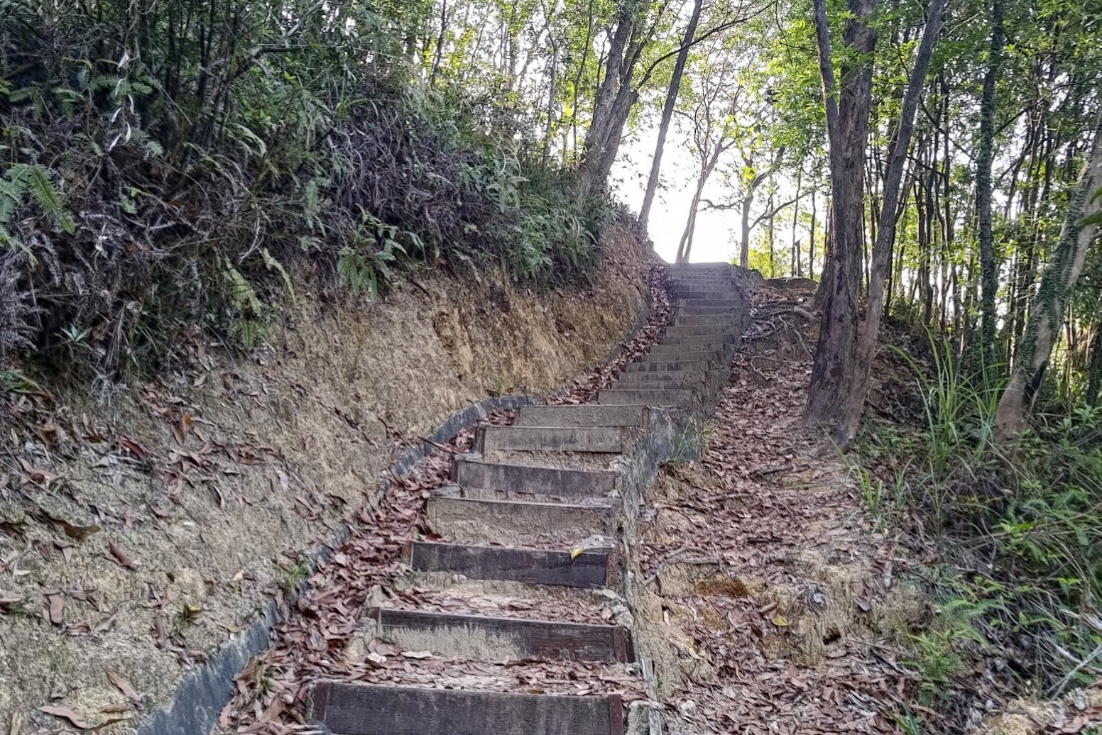
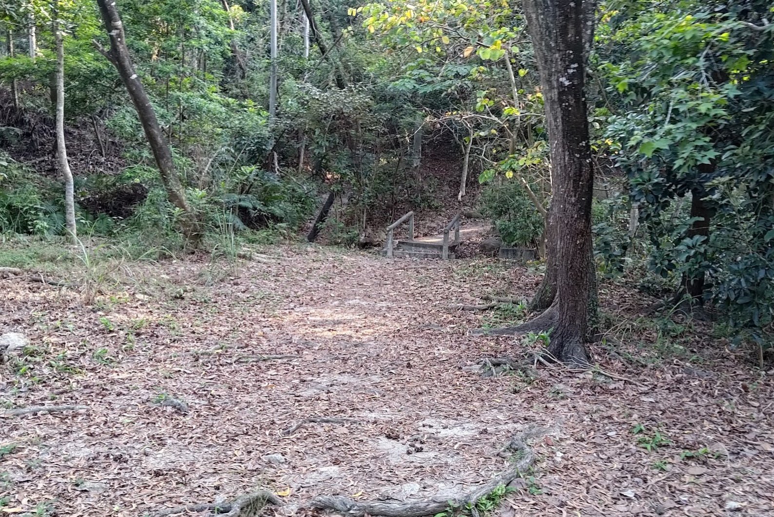
30 Minutes of Forest Trails
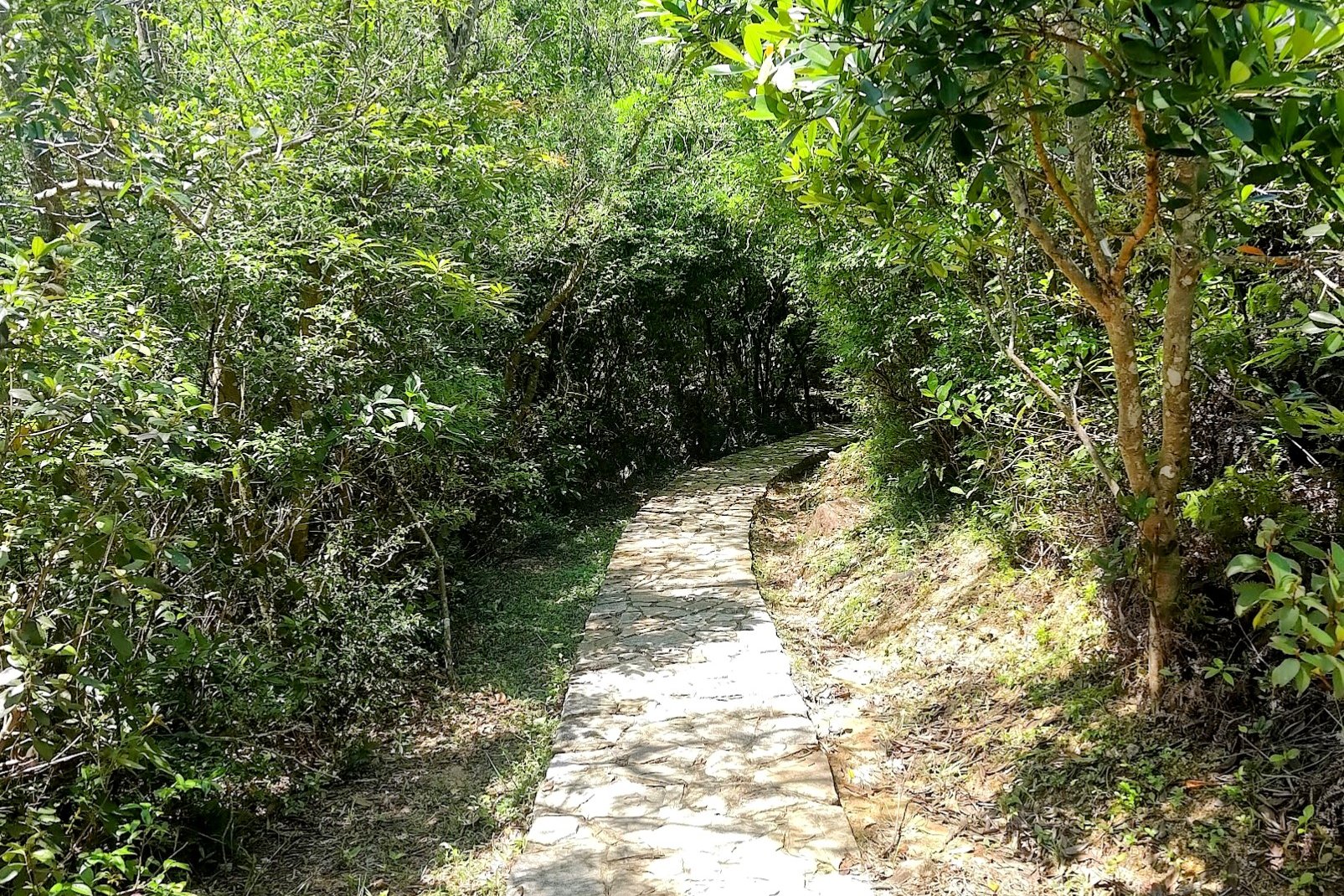
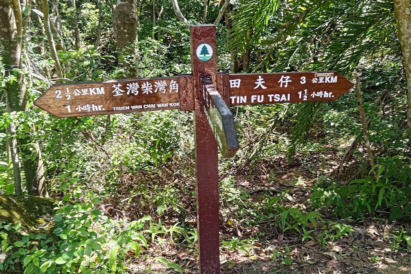
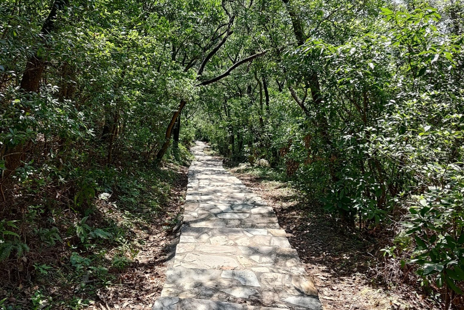
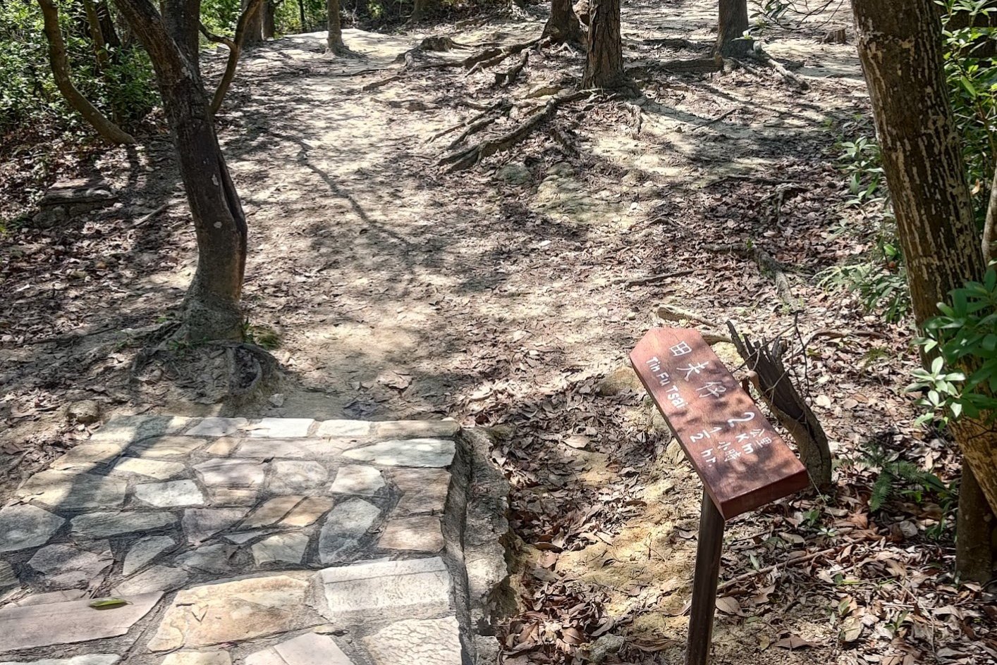

This section of the trail takes just over 30 minutes to complete. Much of it is in shaded forest areas, which offers wonderful respite on hot days.
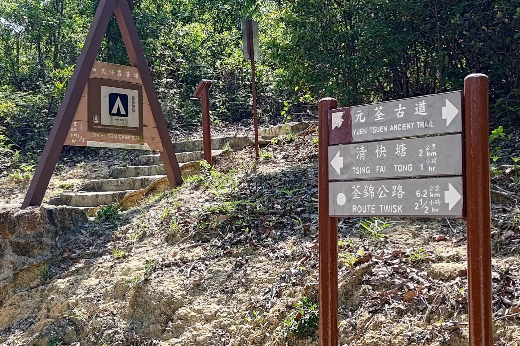
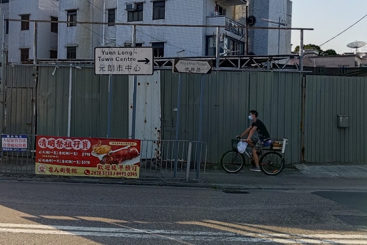
One thing to note is that you'll be following signs pointing to Tin Fu Tsai. It's only at the very end of this section that you'll see another Yuen Tsuen Ancient Trail sign.
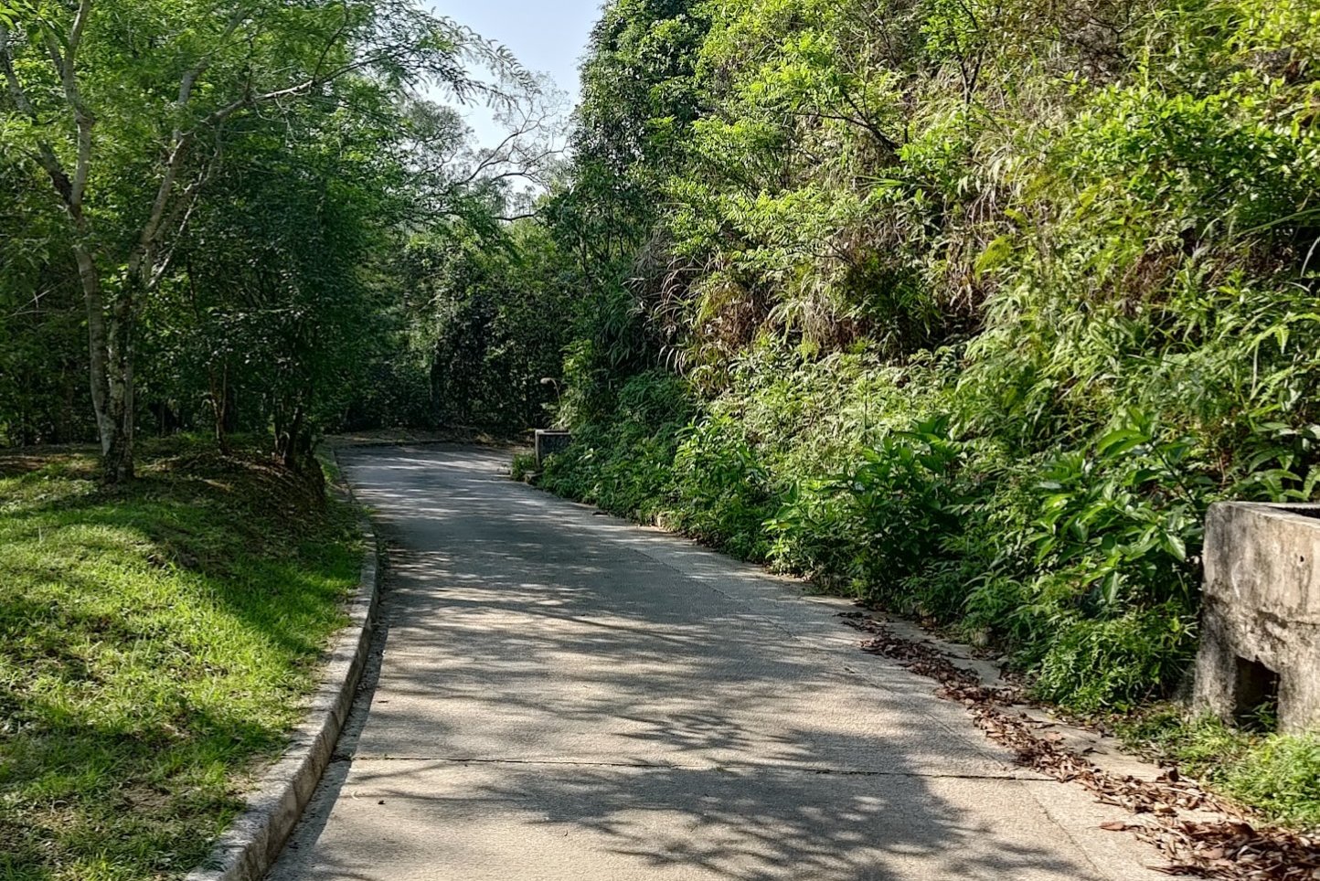
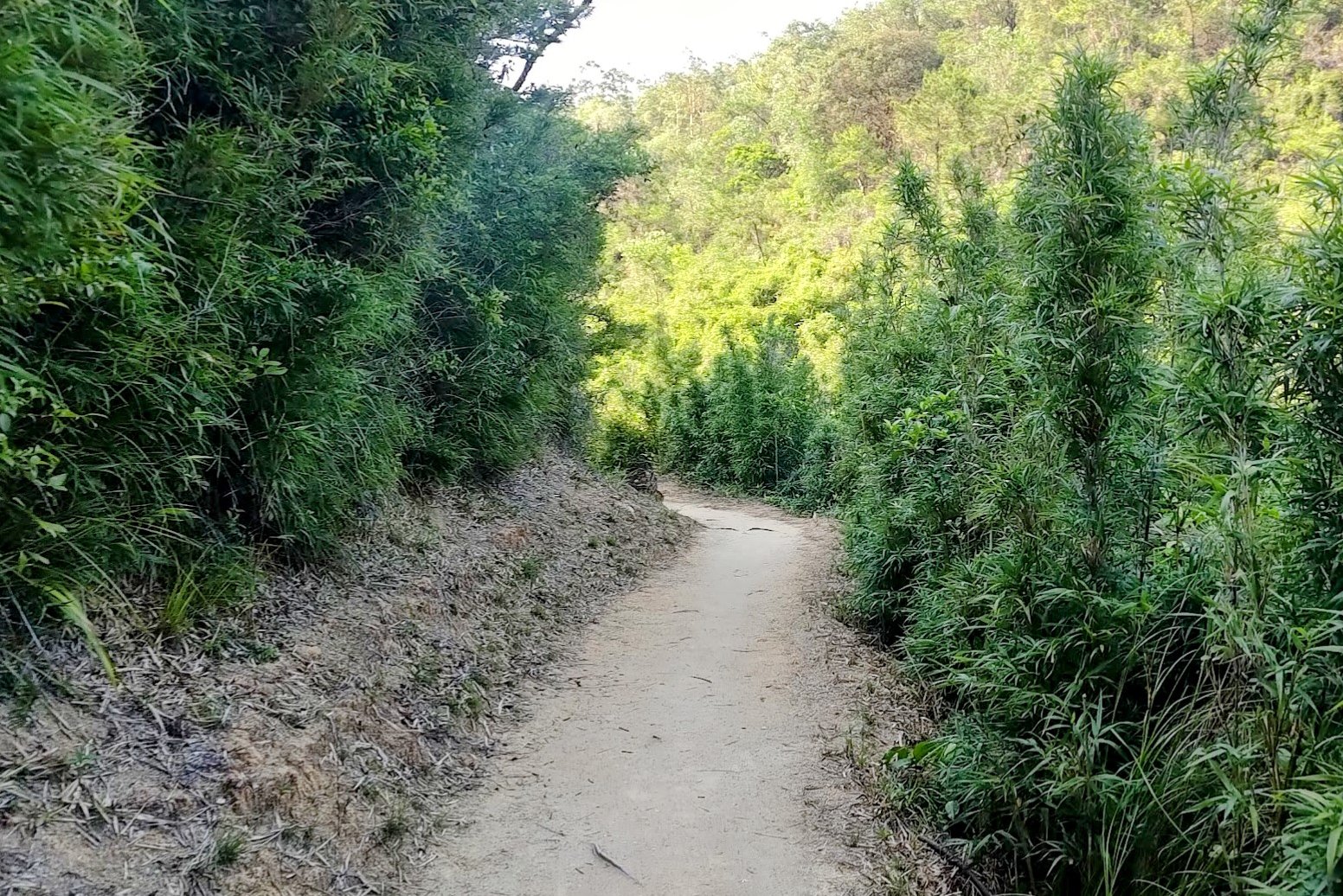
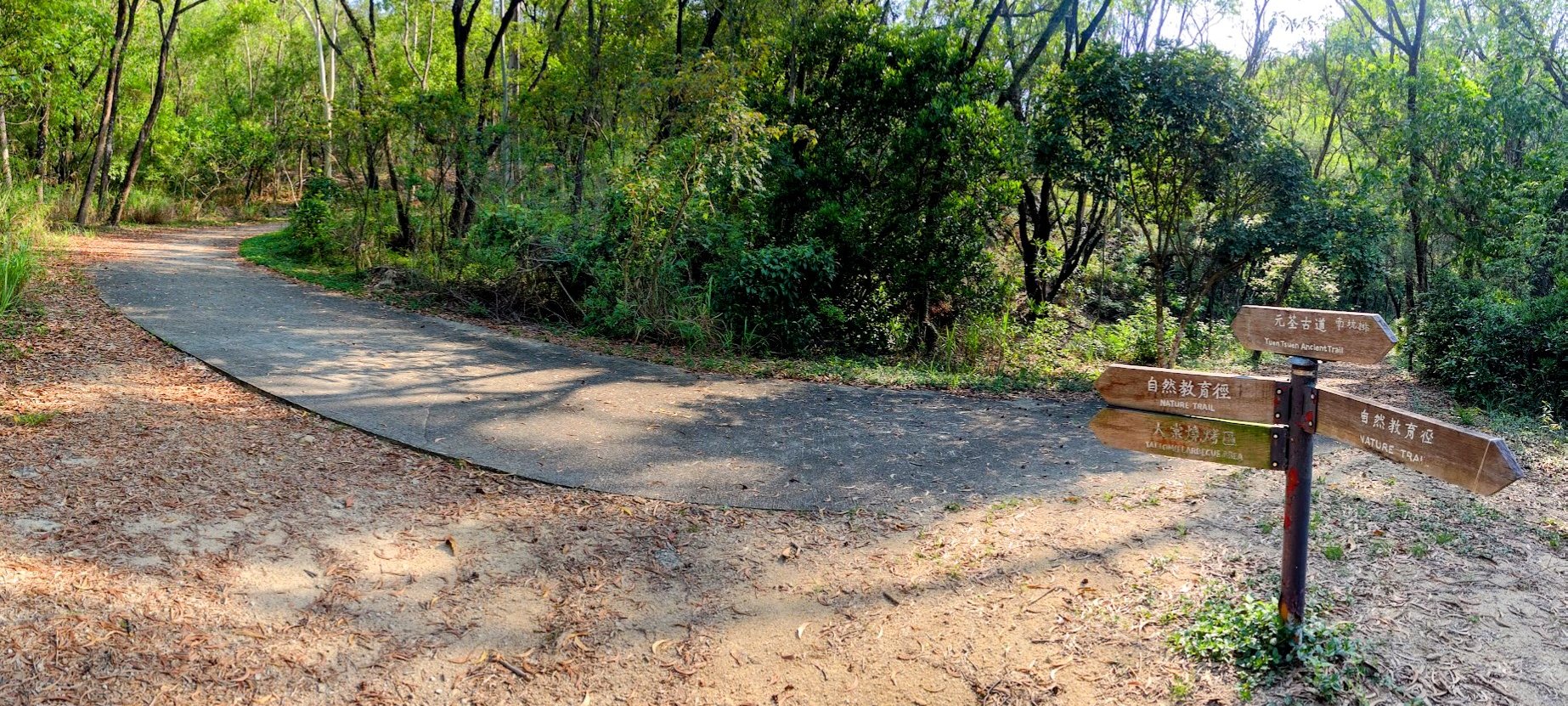
40 Minutes of Concrete Road
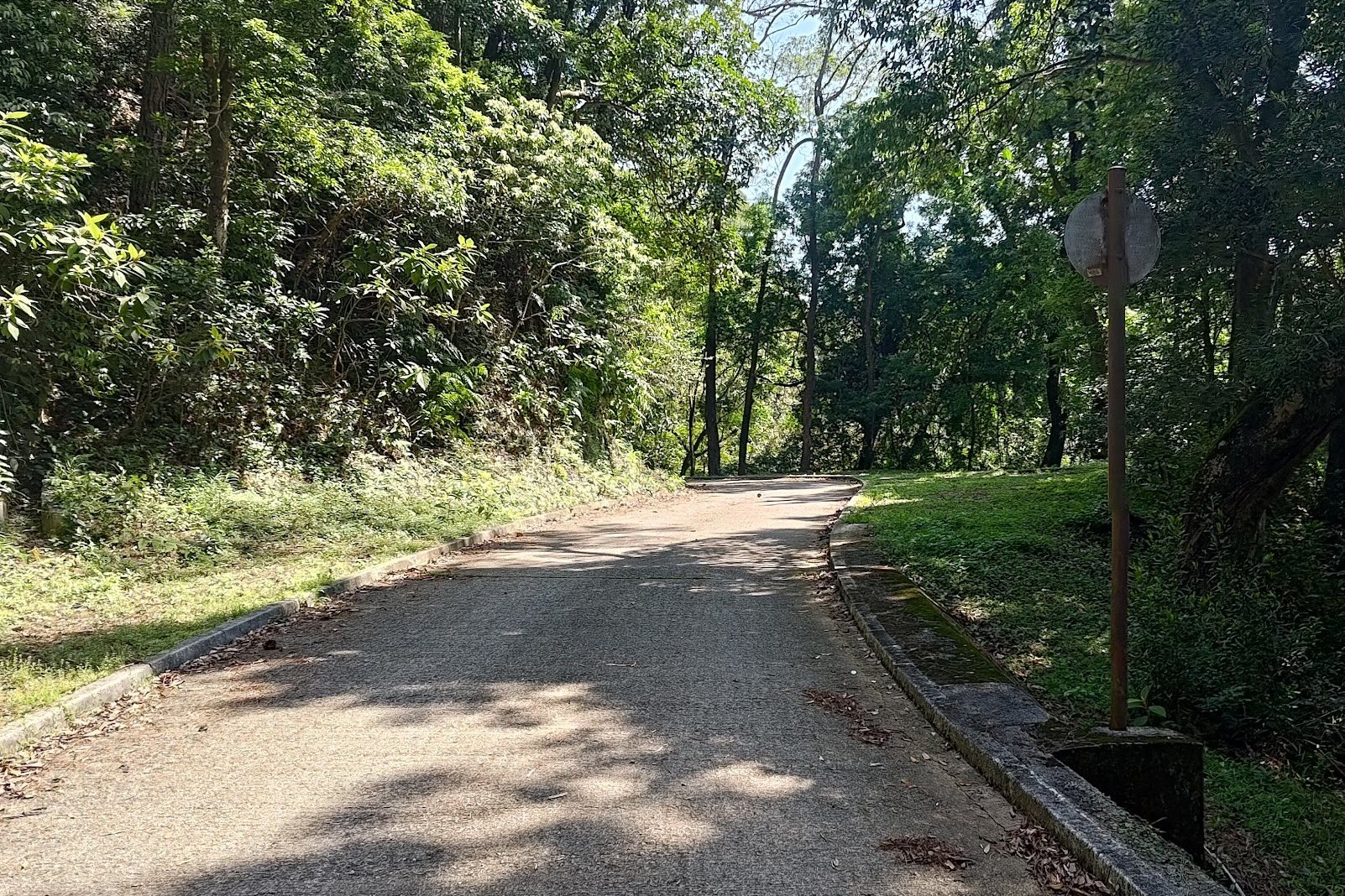
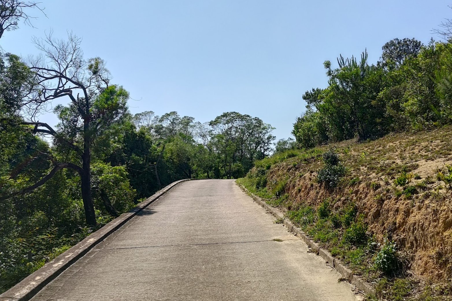
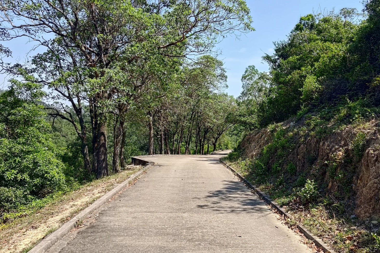
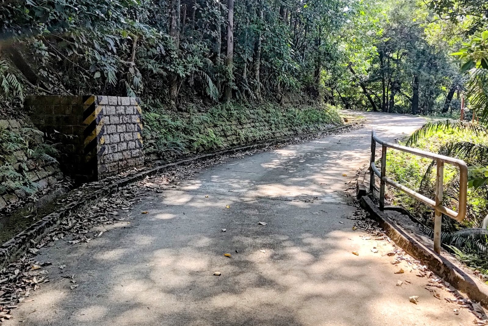
This section took 40 minutes and was honestly a bit mind-numbing. You're following a concrete road the entire way and there aren't too many views to distract or entertain you.
I think I was so zoned out that I missed part of the actual Yuen Tsuen Ancient Trail. Anyway, if you stay on the road, you'll reconnect with the trail. So no biggie either way.
Just don't miss the final sign by the black and yellow brick thingy. It's super easy to miss that turn if you aren't paying attention!
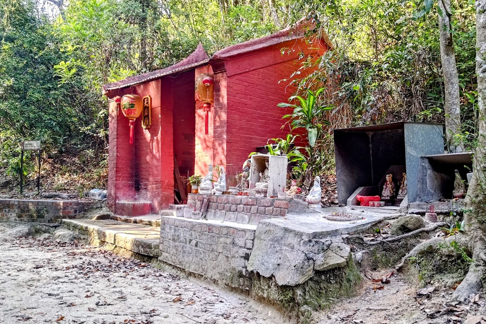
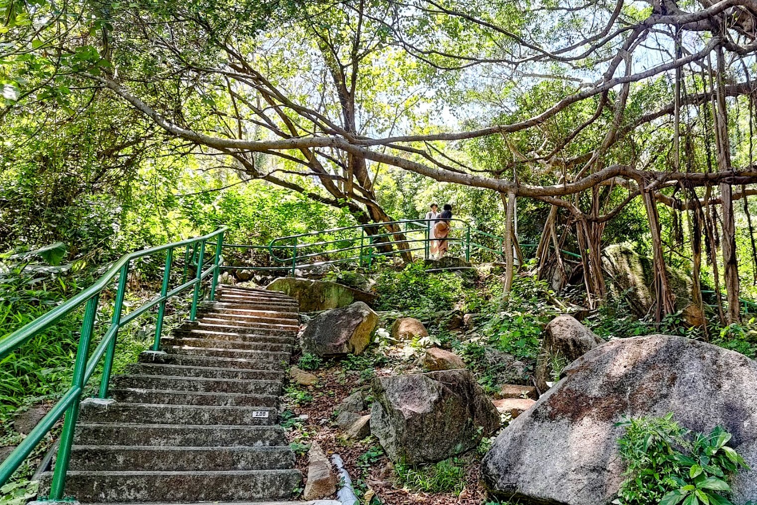
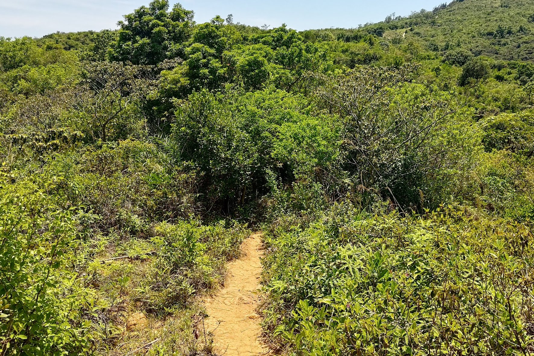
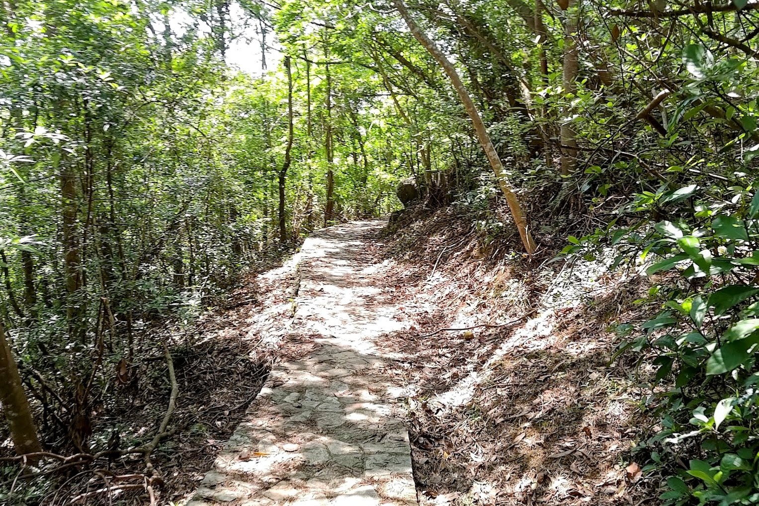
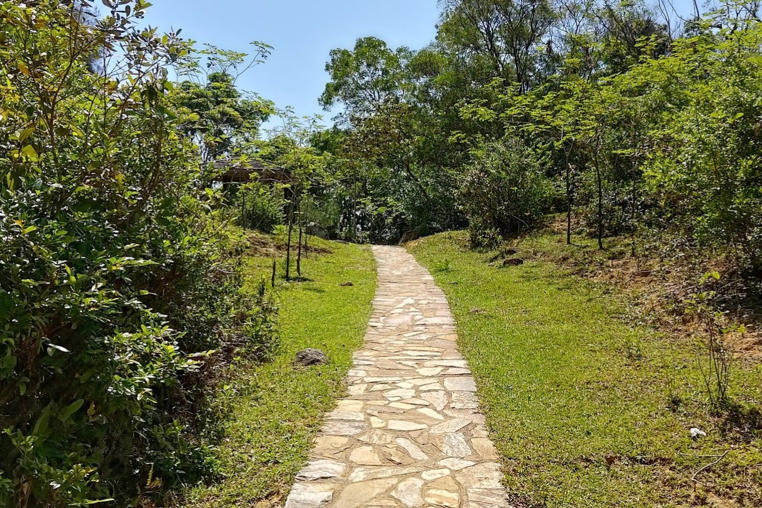
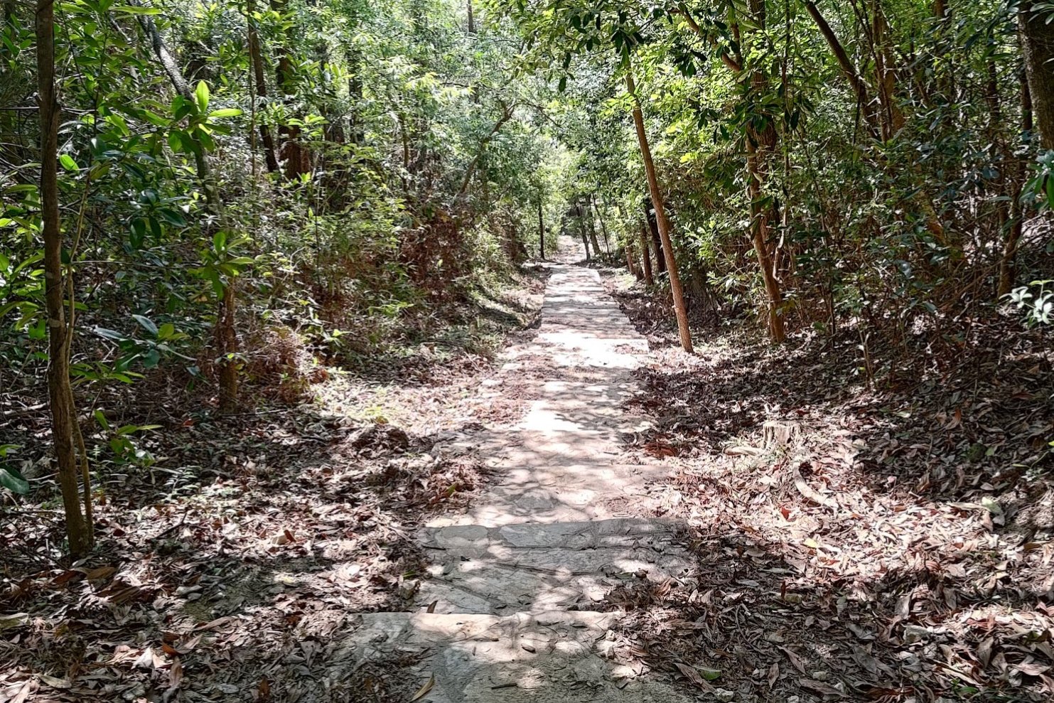
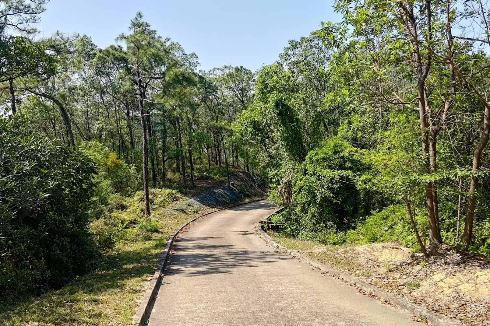
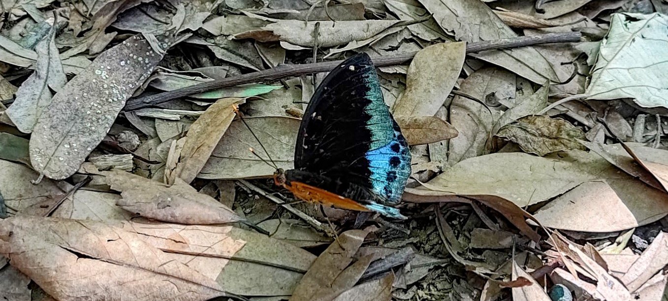
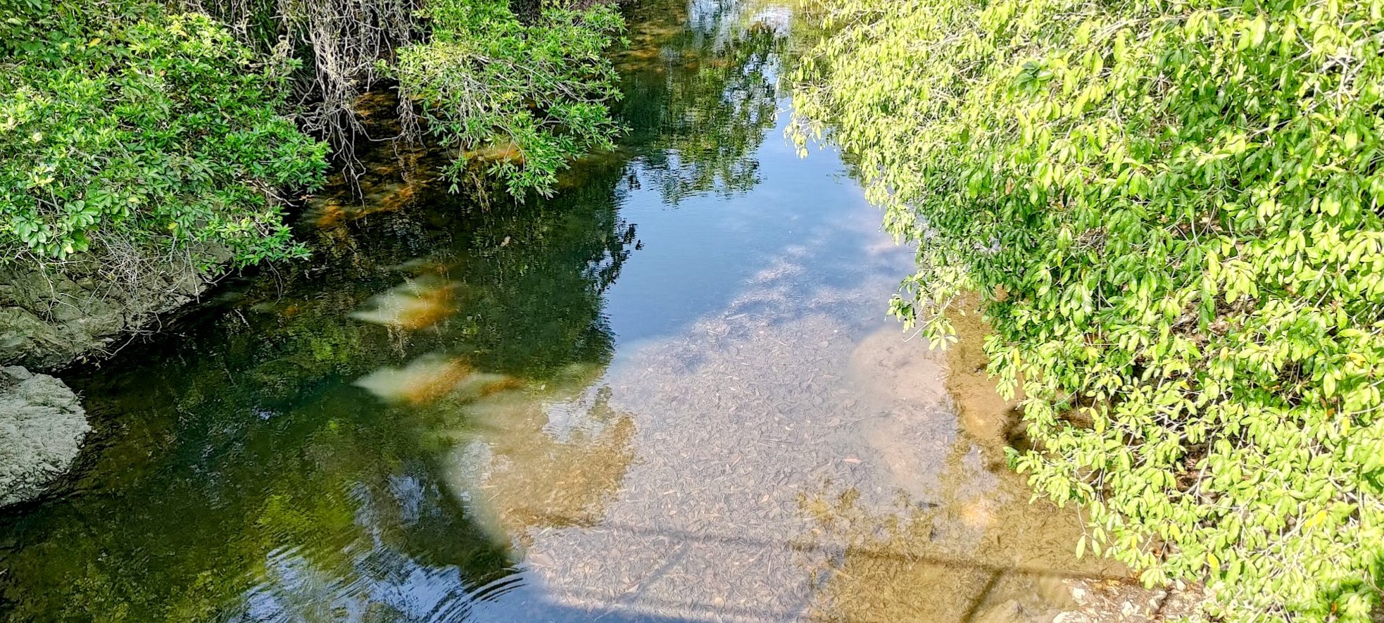
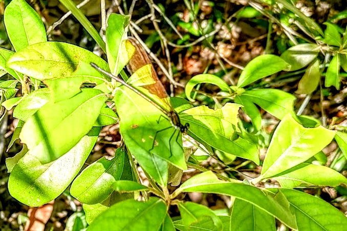
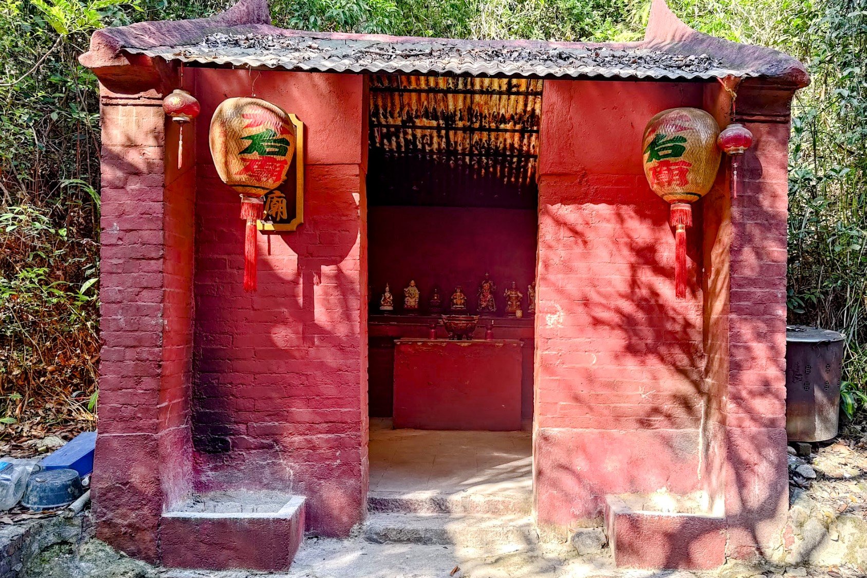
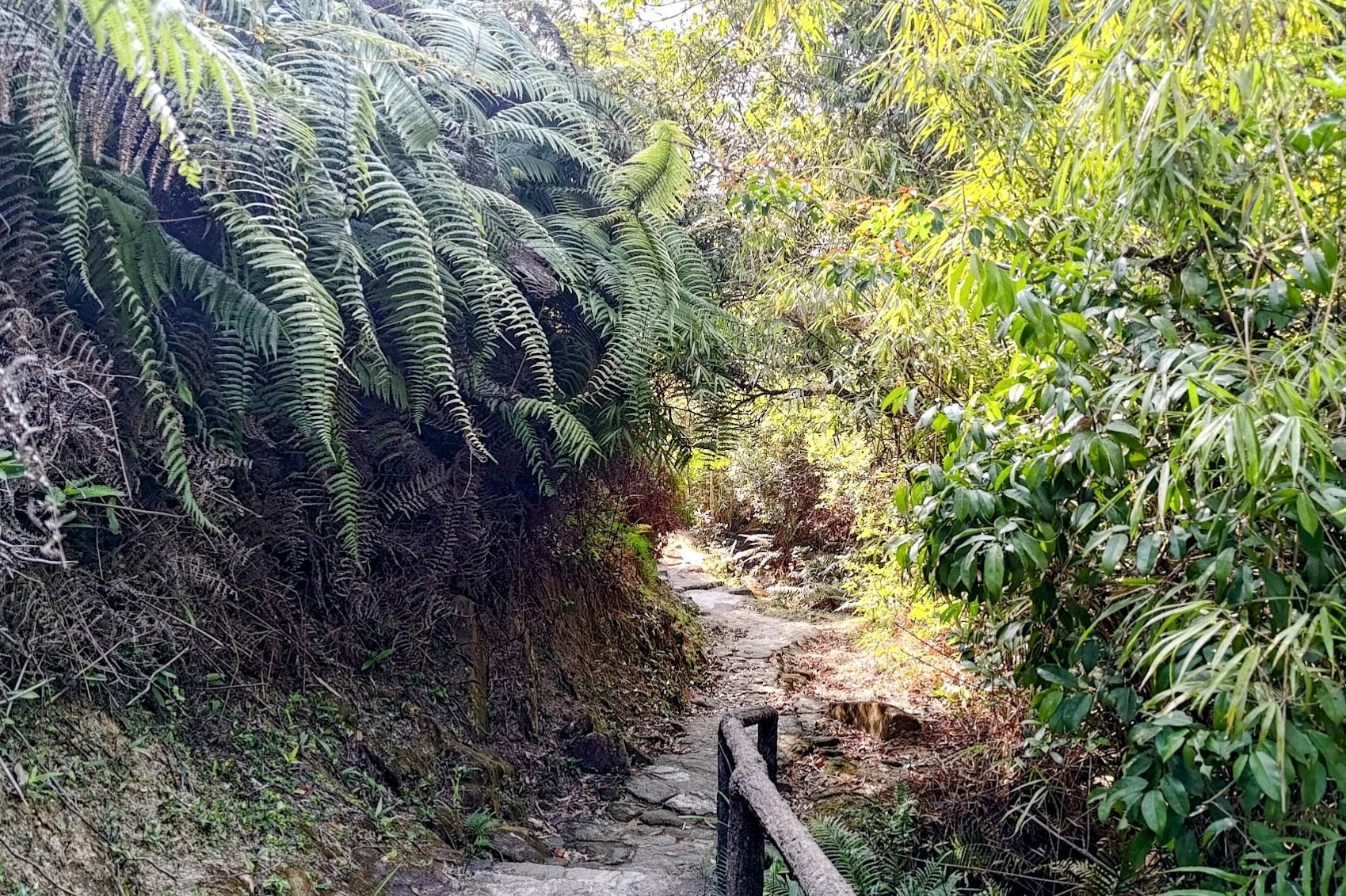
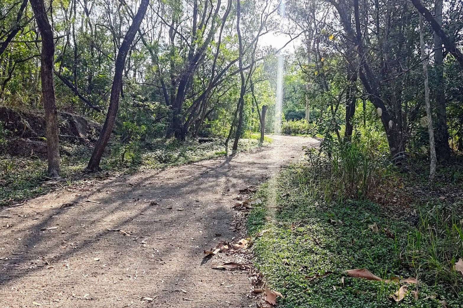
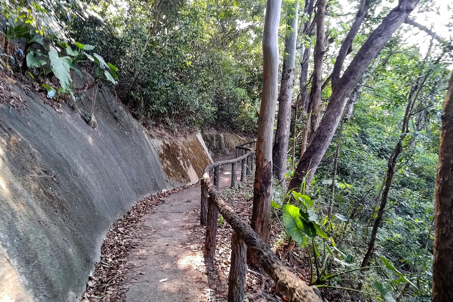
1 Hour of Forest Trails to the Red Temple


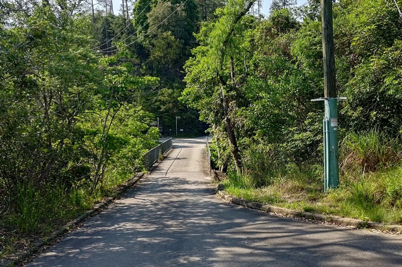
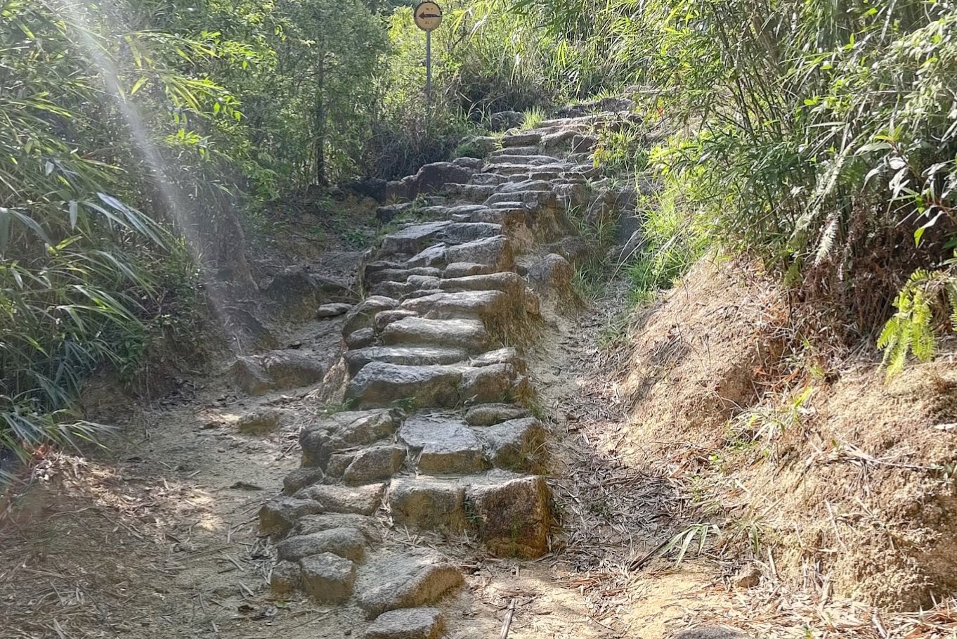
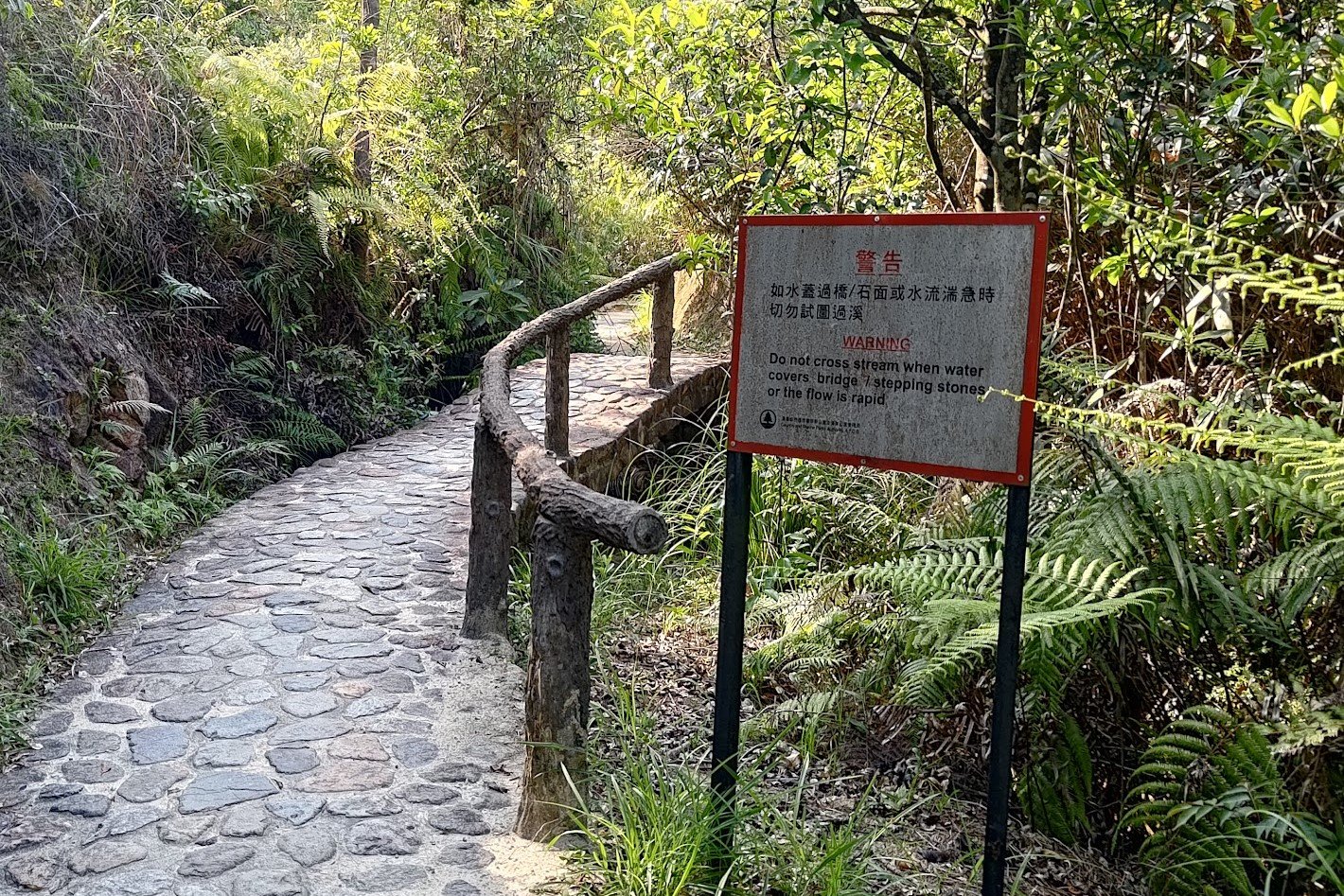


This entire section took about an hour and was a mix of forest paths and concrete roads. It's pretty hard to get lost during this section, so just heed the Yuen Tsuen Ancient Trail signs when you see them.
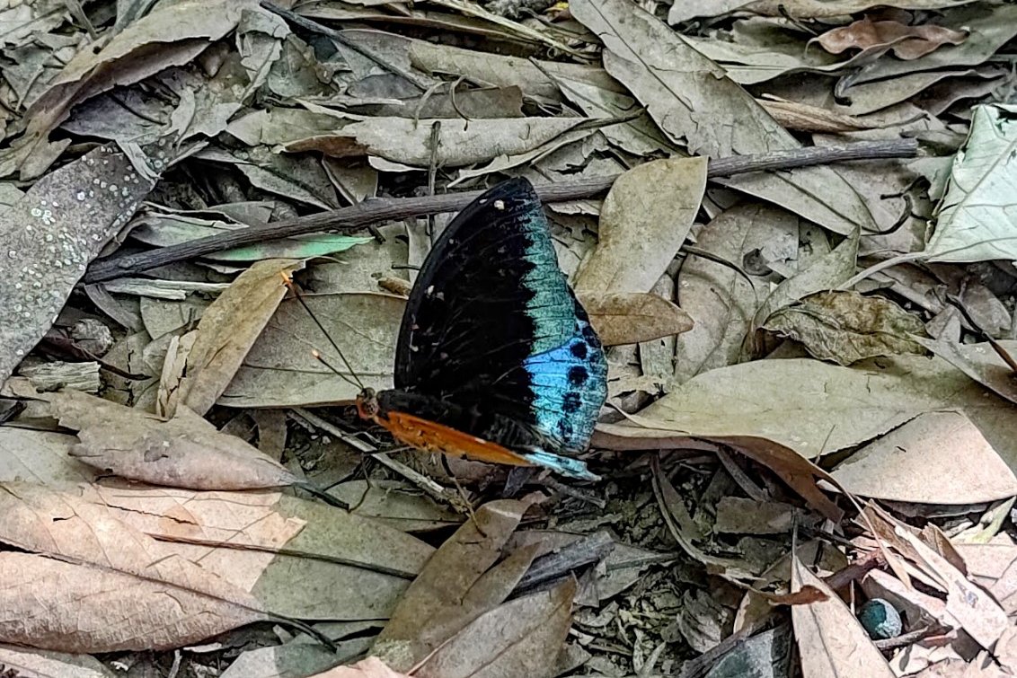
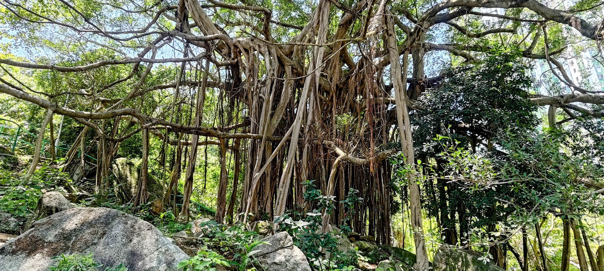
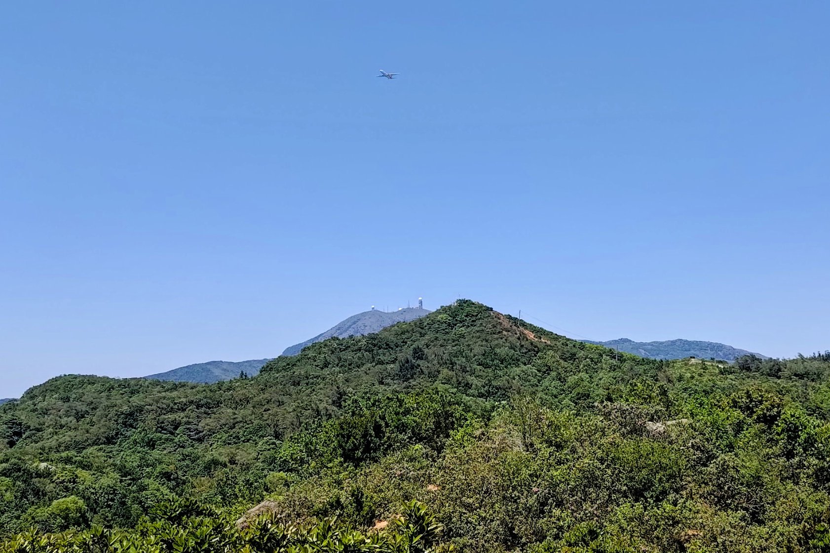
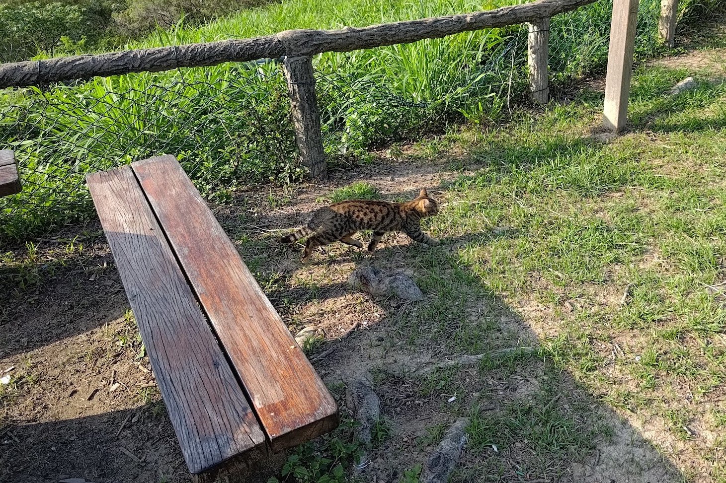
Oh, keep a lookout for cool wildlife when hiking this section!
The red temple you arrive at is called the White Lion Col Temple. I couldn't find much information on it, but will update this section if new info comes to light.
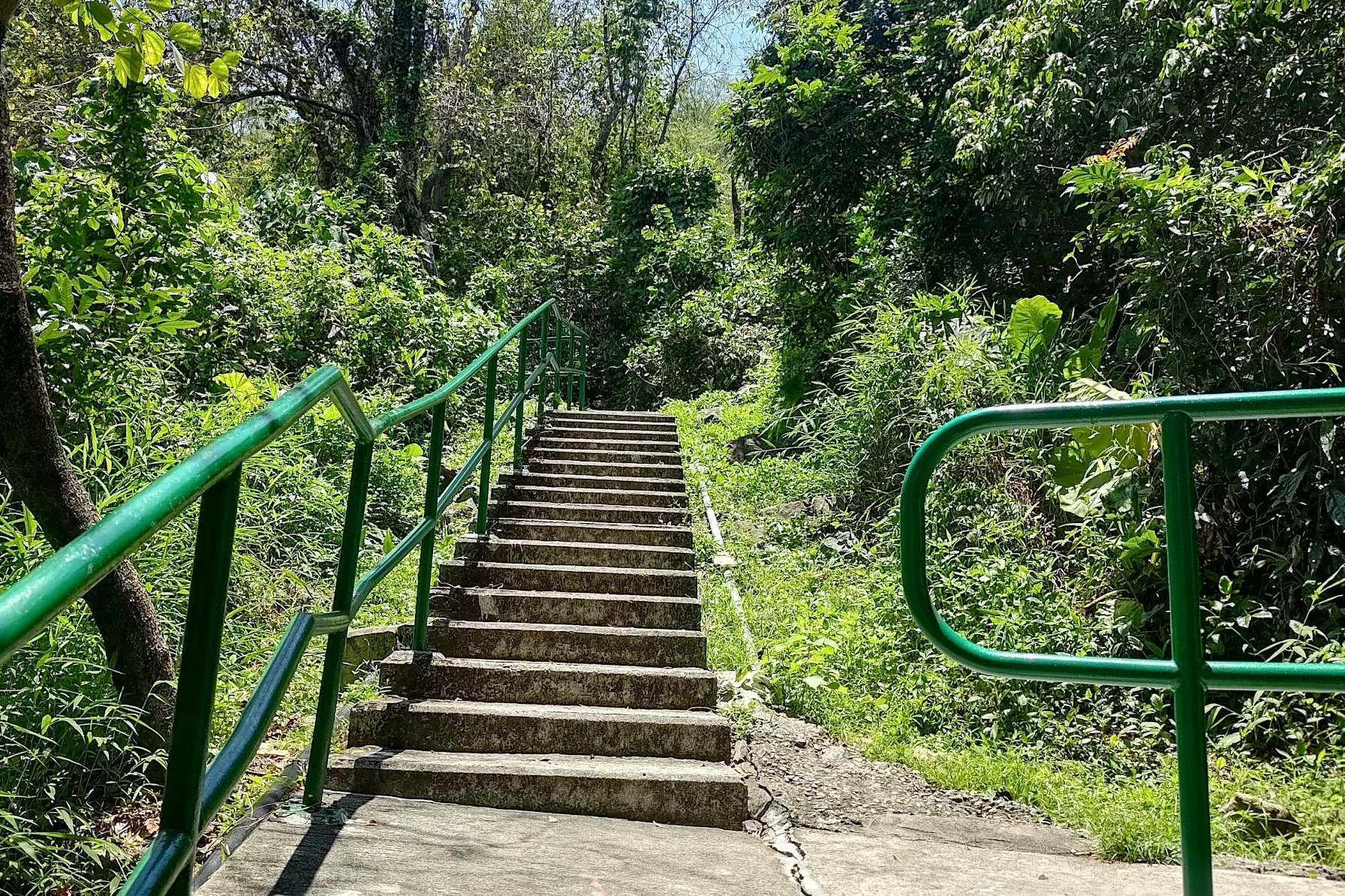
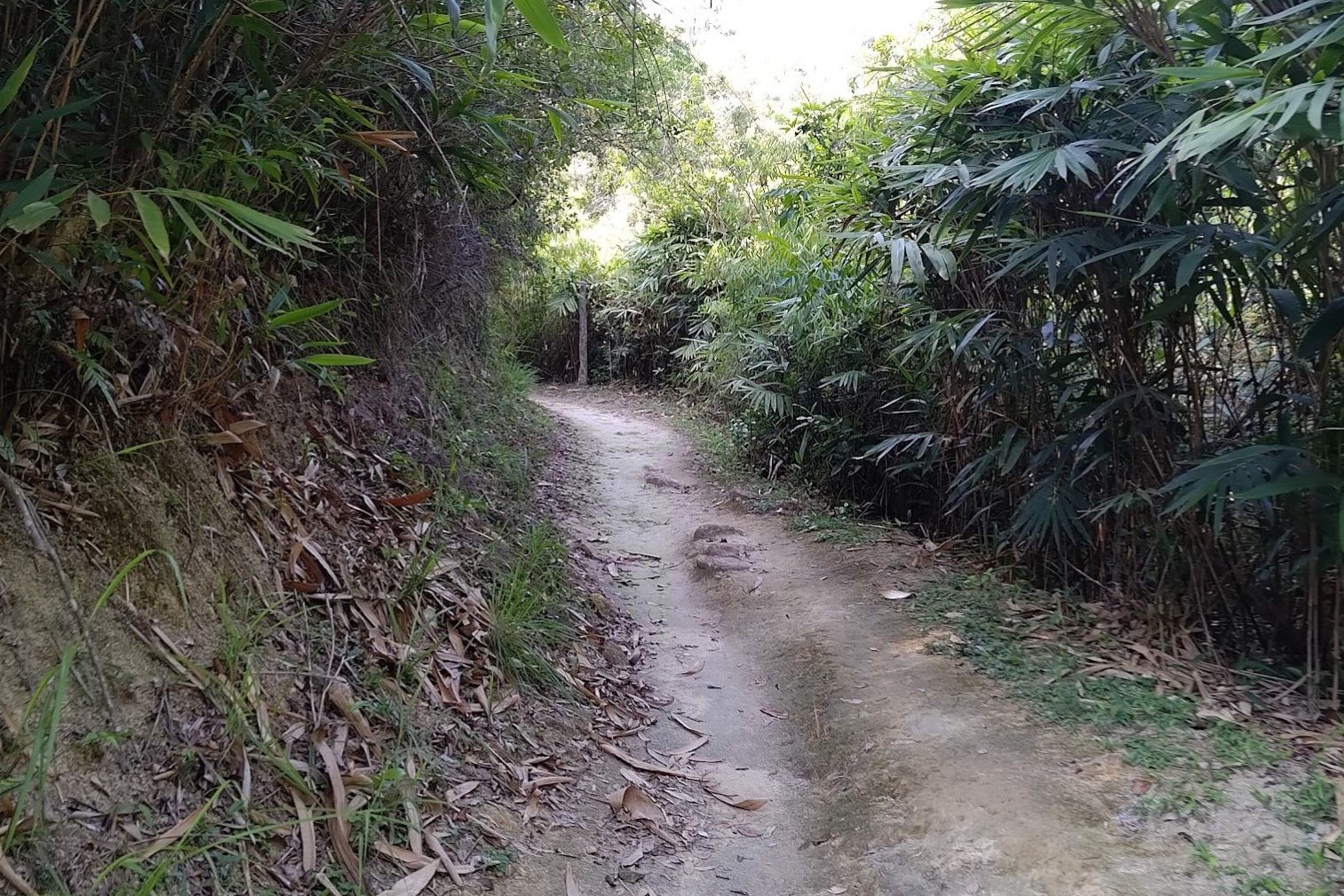
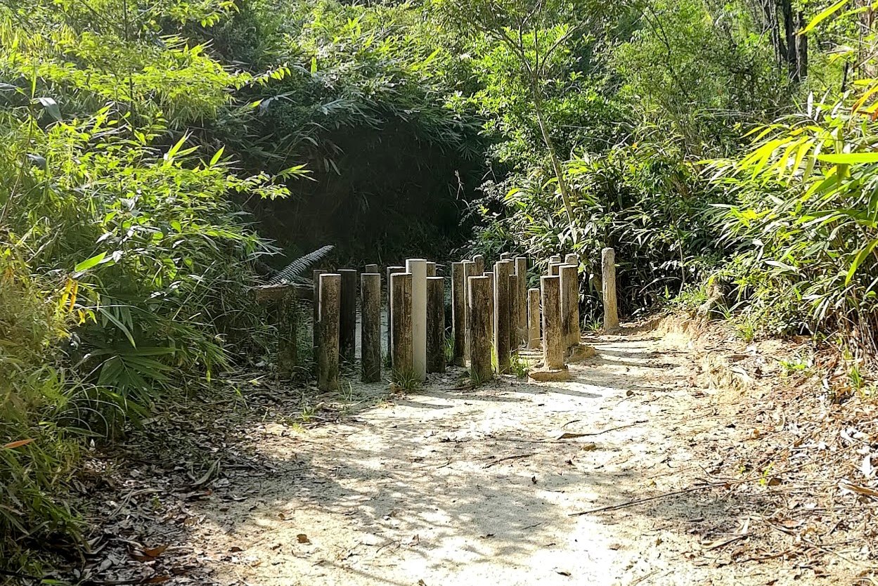
35 Minutes of Forest to the End of the Trail

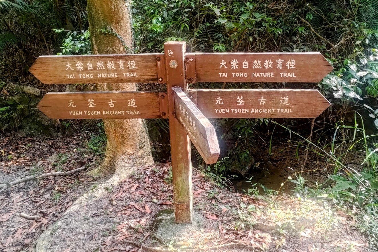

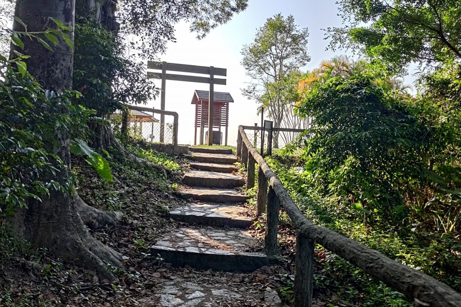
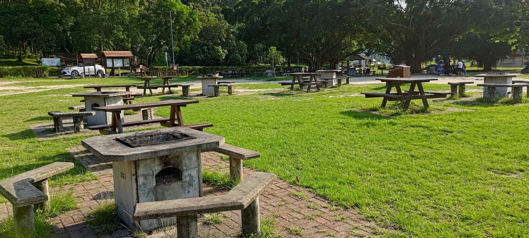
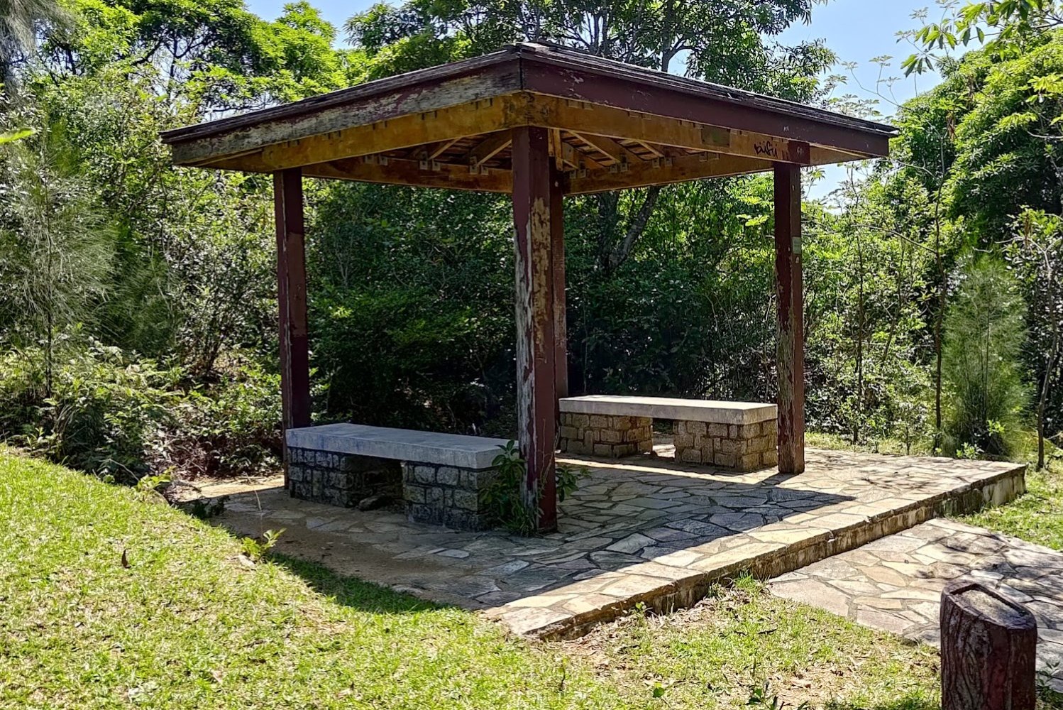
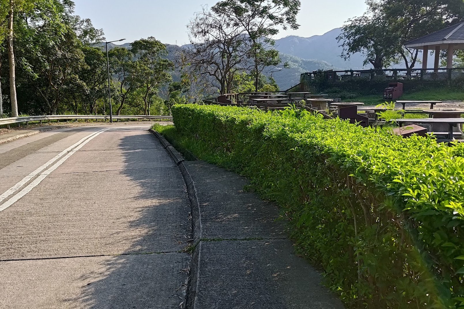
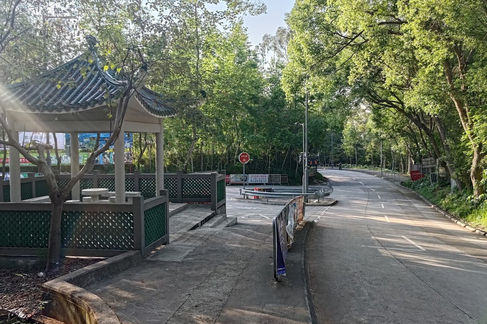
The final stretch took 35 minutes to complete. After the temple, there weren't many landmarks of note before the end. Instead, the trail meandered through the forest a little more before going slightly upward and finishing off at Tai Tong Barbecue Site.
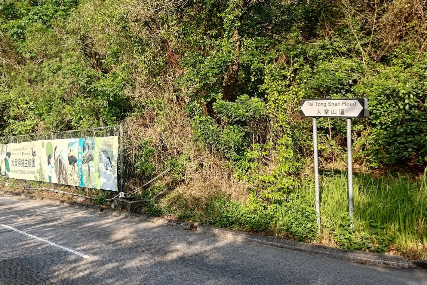
Getting Back - Weekend Minibus
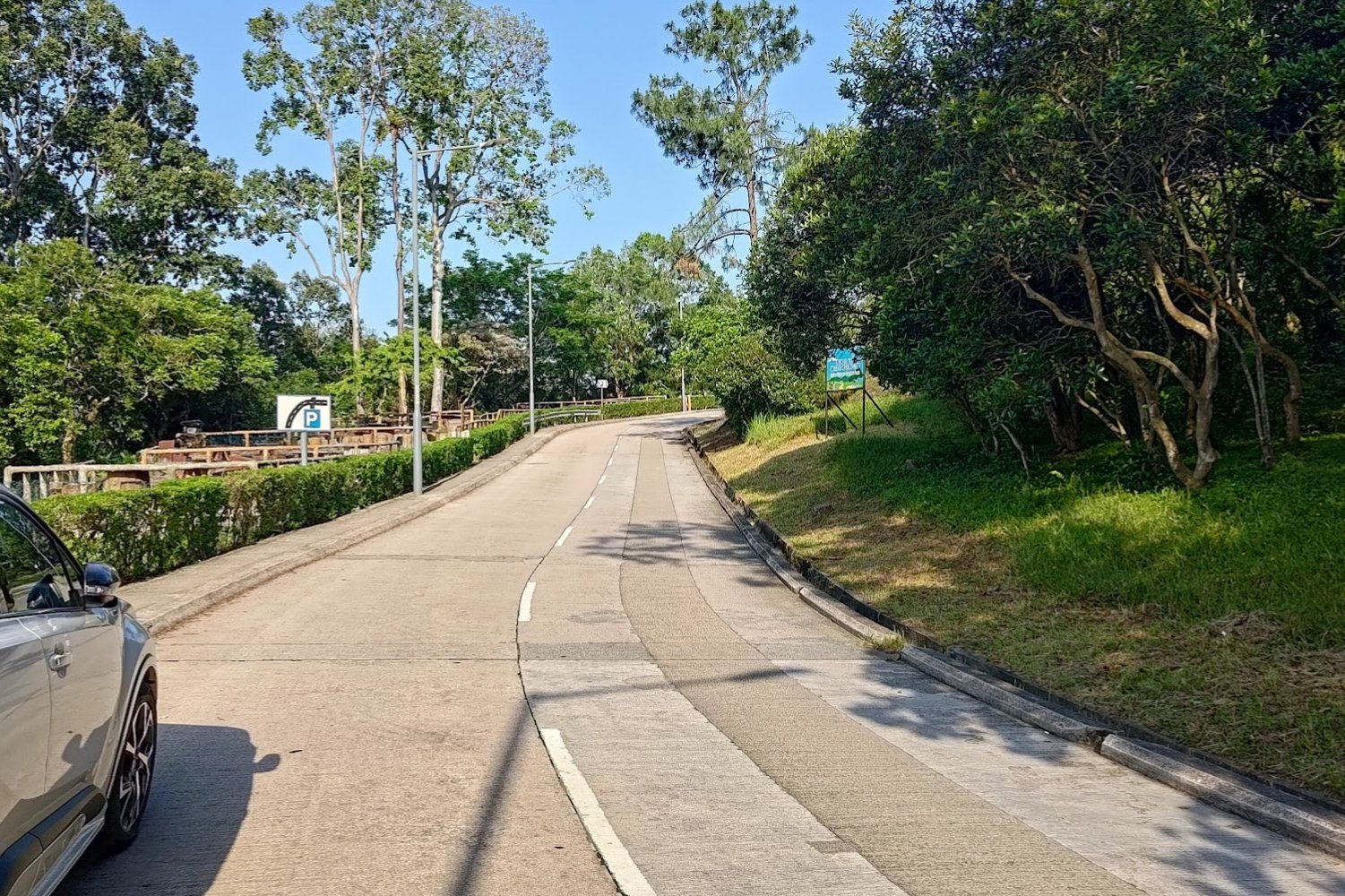
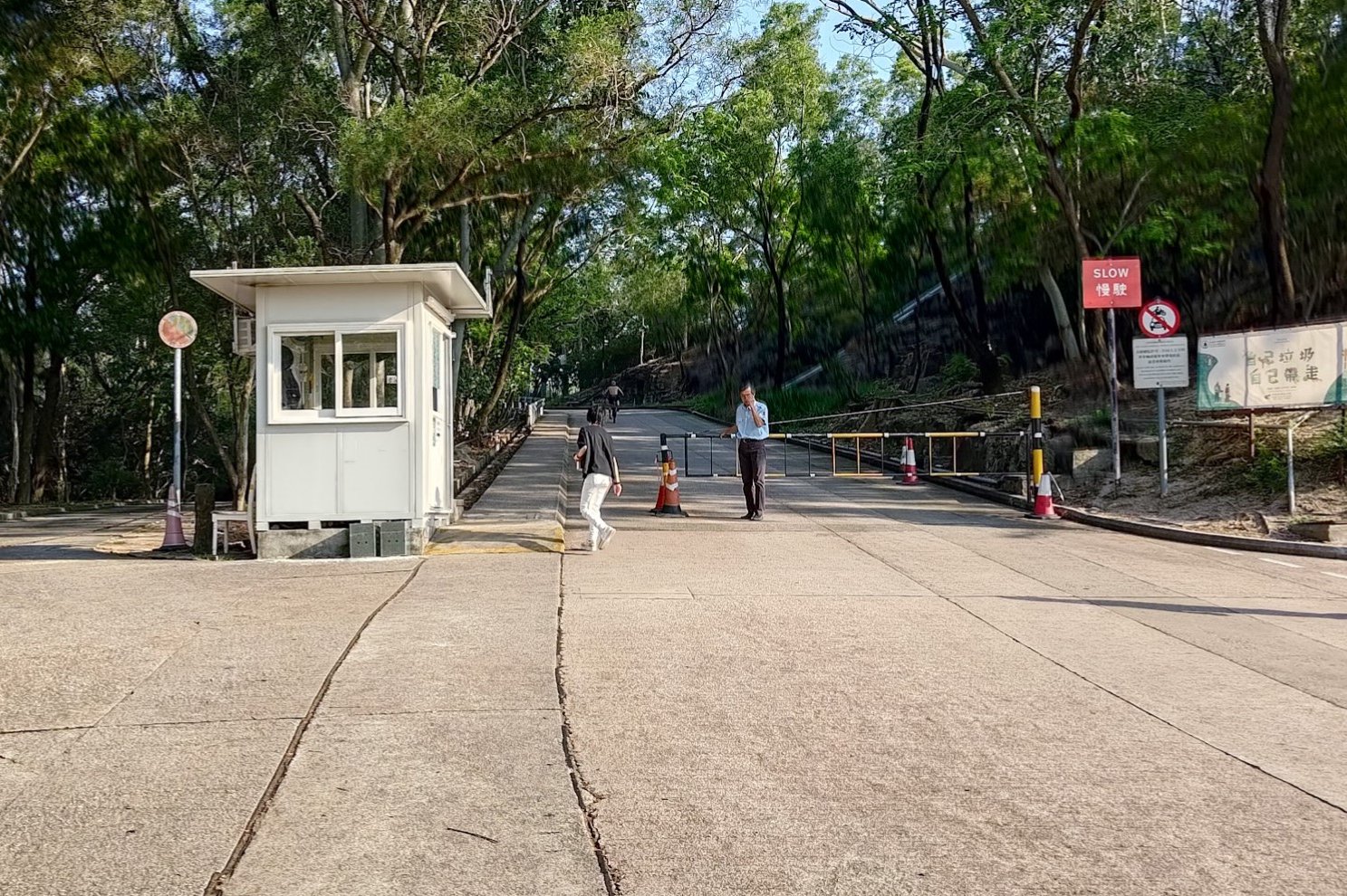
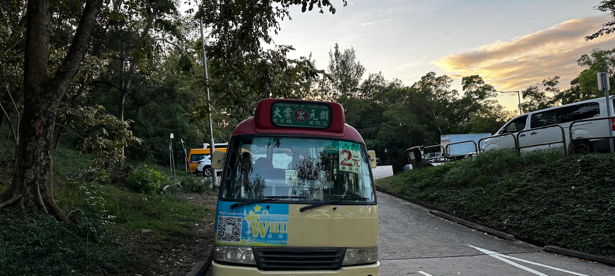
Take a left at the Tai Tong Barbecue Area. Follow Tai Tong Shan Road upward until you reach the guard hut. To the right of the hut is the Tai Tong Shan Rd Car Park, where you can find red minibuses going directly to Yuen Long MTR Station. These only operate reliably on weekends.
It's 15HKD per person and they take cash only!
Getting Back - Weekday Minibus

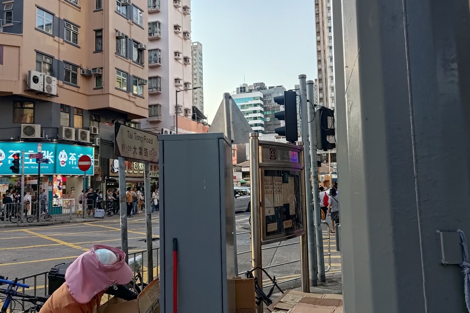


If it's a weekday, the minibus from the carpark operates VERY infrequently. You'll need to walk down Tai Tong Shan Road all the way into Tai Tong Village.
At the intersection of Kiu Hing Road, you'll see loads of red minibuses going to Yuen Long.
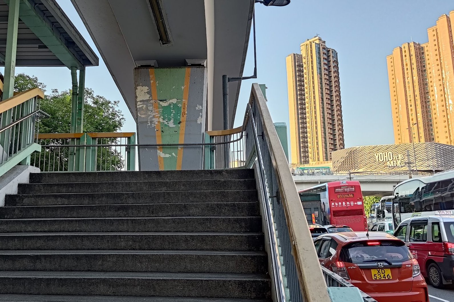
To get to the MTR, alight at the last stop and continue following Tai Tong Shan Road once you're in Yuen Long.
When you reach Castle Peak Road - Yuen Long, take a right on it and walk to the pedestrian footbridge. Follow it to YOHO MIX mall, where you can find signs to the MTR within.

