
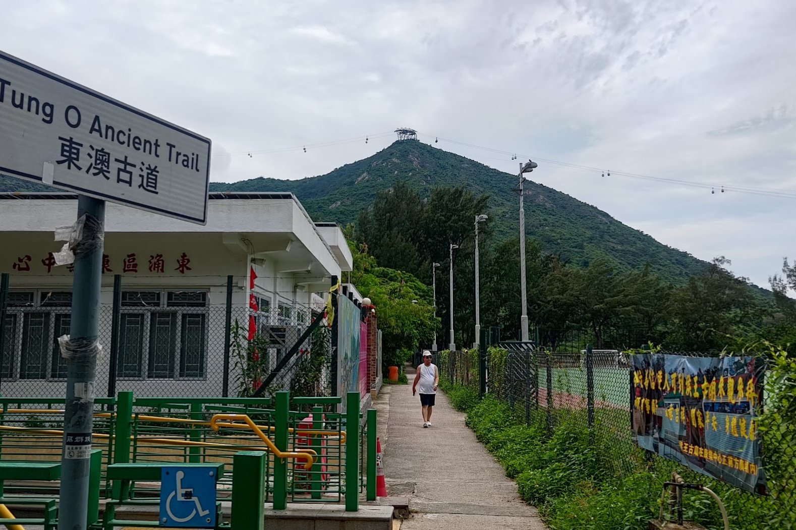
Tung O Ancient Trail - A Long, Flat Hike Through Lantau's Coastal Villages
Contents
- Essential Information
- Hike Highlights
- Google Route Map
- How to Get There
- Quick Route Summary
- Detailed Route
- Hau Wong Temple (Optional Detour)
- Tung Chung Bay to San Tau Village
- San Tau Village
- Pa Kong Detour (Incredible Viewpoint of Planes Taking Off)
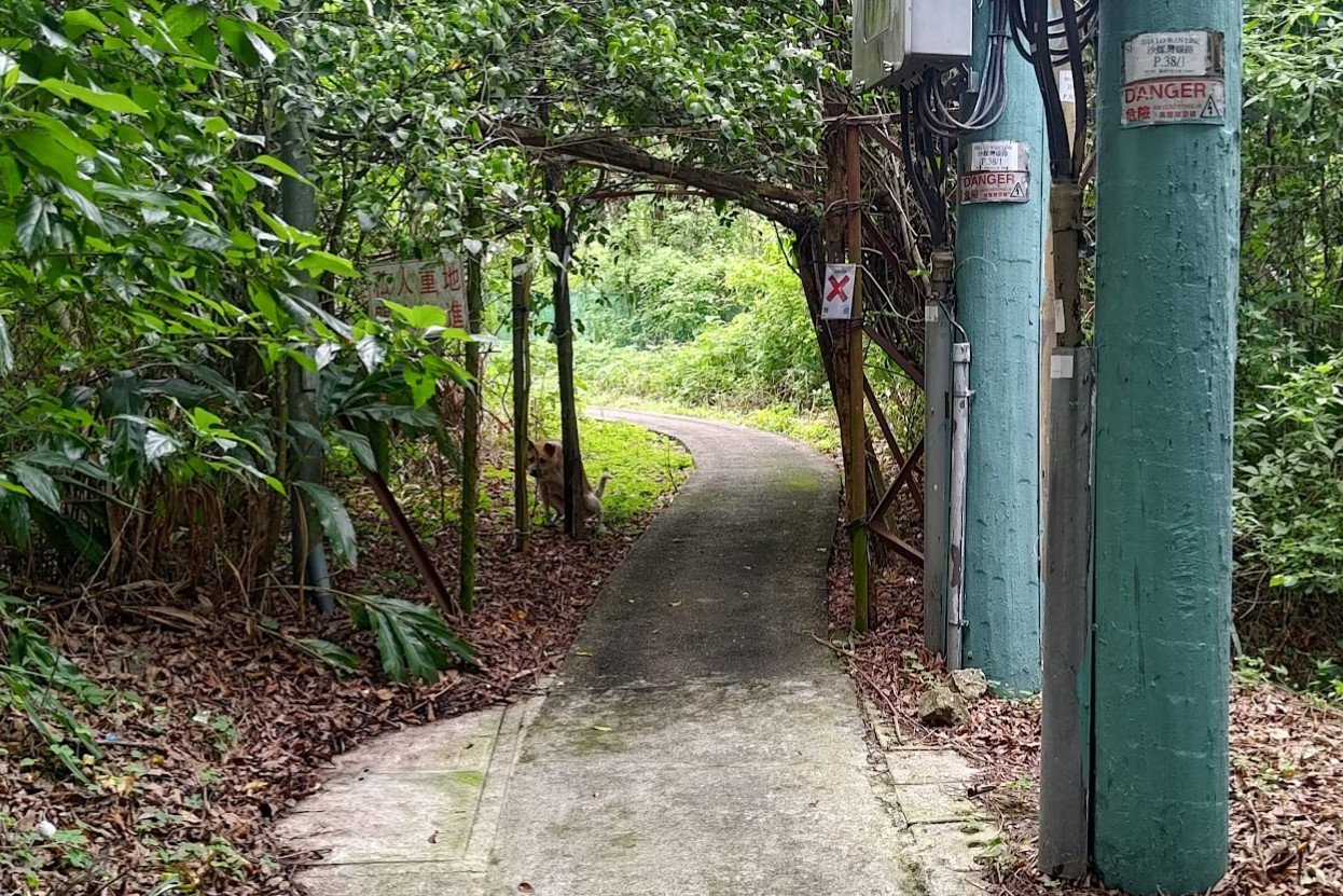
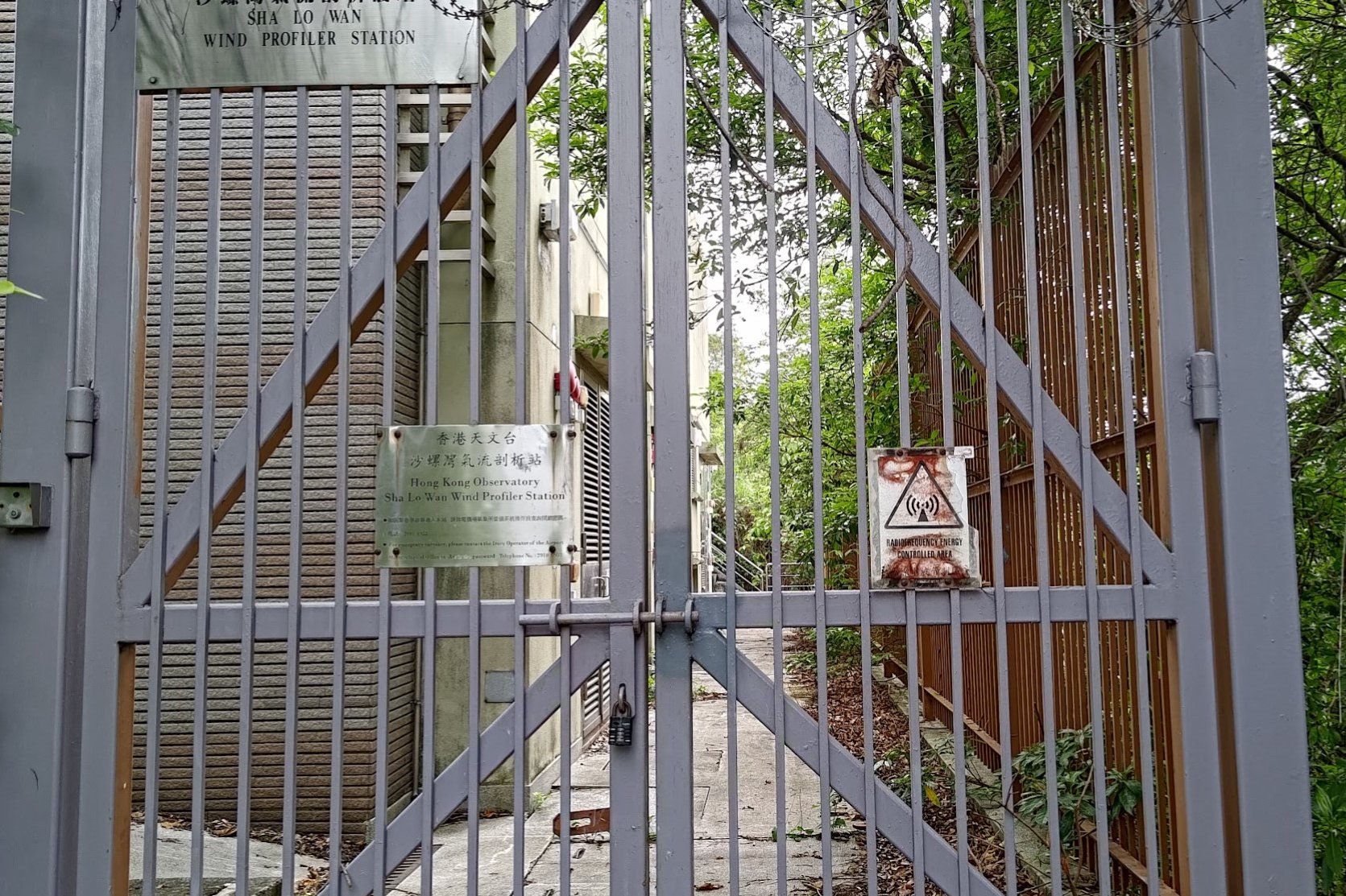
- Sha Lo Wan
- Sham Shek Village
- Sham Wat
- Getting to Tai O
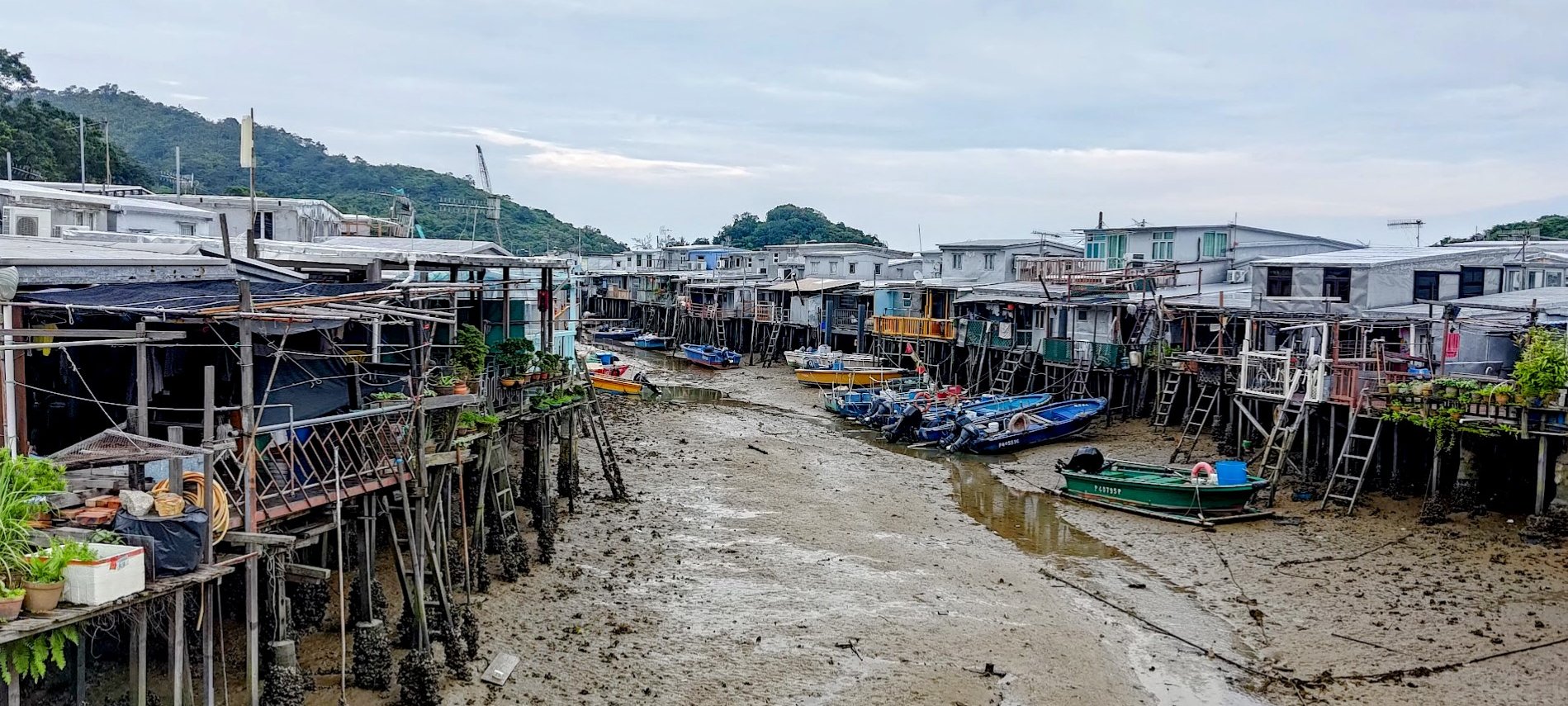
- Tai O Fishing Village
- Getting Back
Essential Tung O Ancient Trail Trail Hike Details
- District: Lantau
- Duration: 4 hours (from Tung Chung Station)
- Distance: 15-16km (with a few detours)
- Highest Elevation: 140ish meters
- Difficulty: 2/5
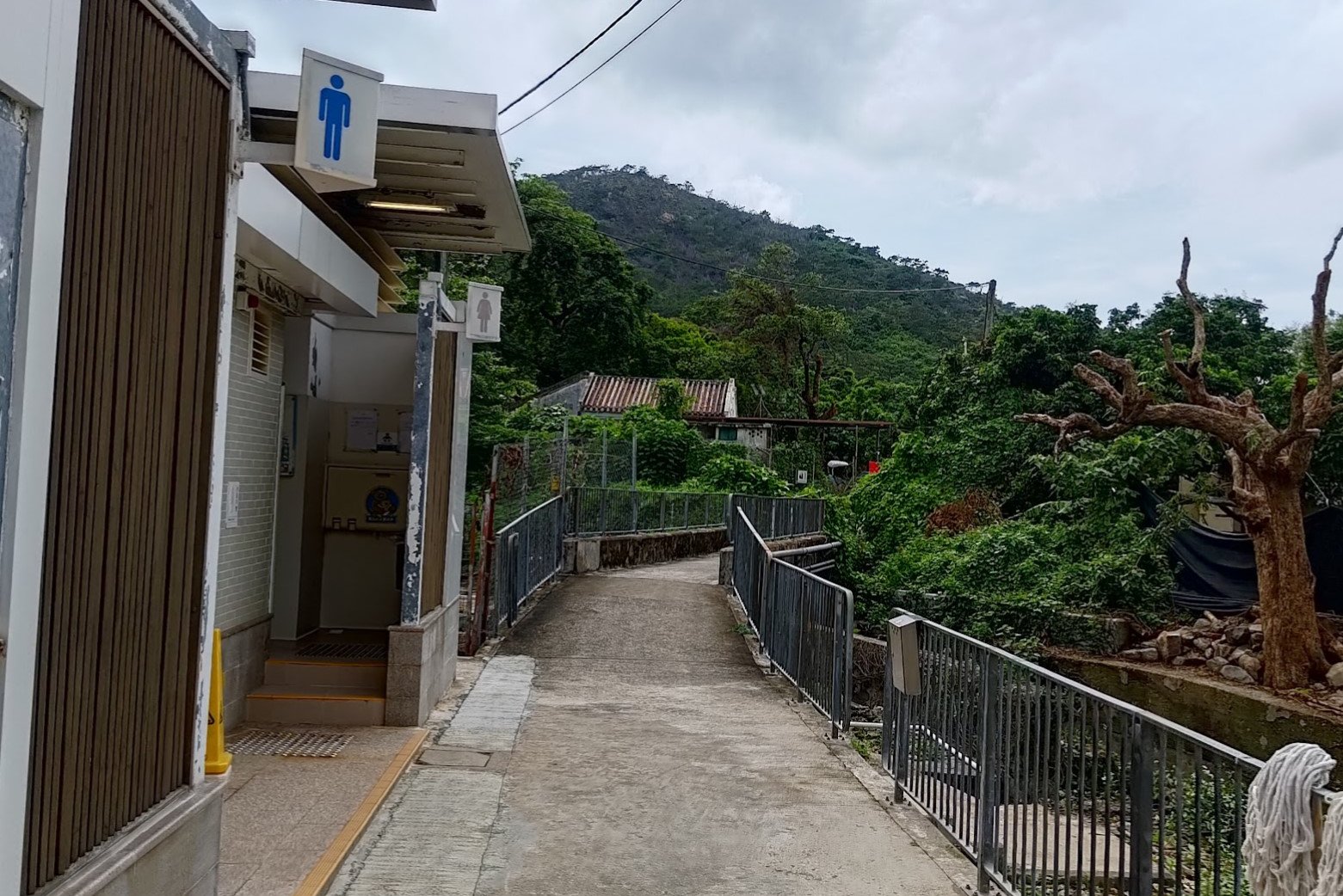
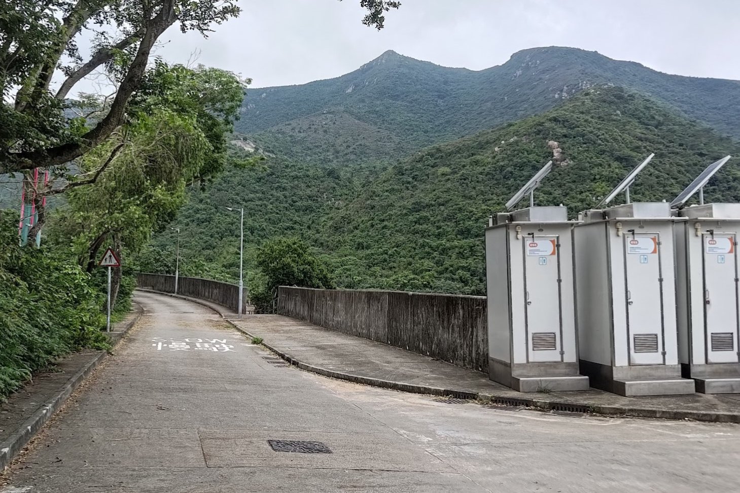
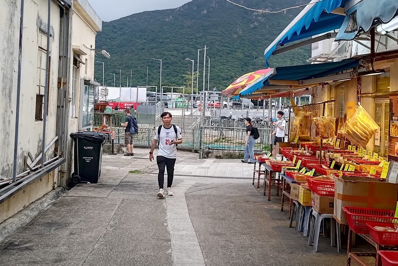
- Facilities: Loads of public toilets along the trail. Just stock up on water and food beforehand
Why Hike the Tung O Ancient Trail?


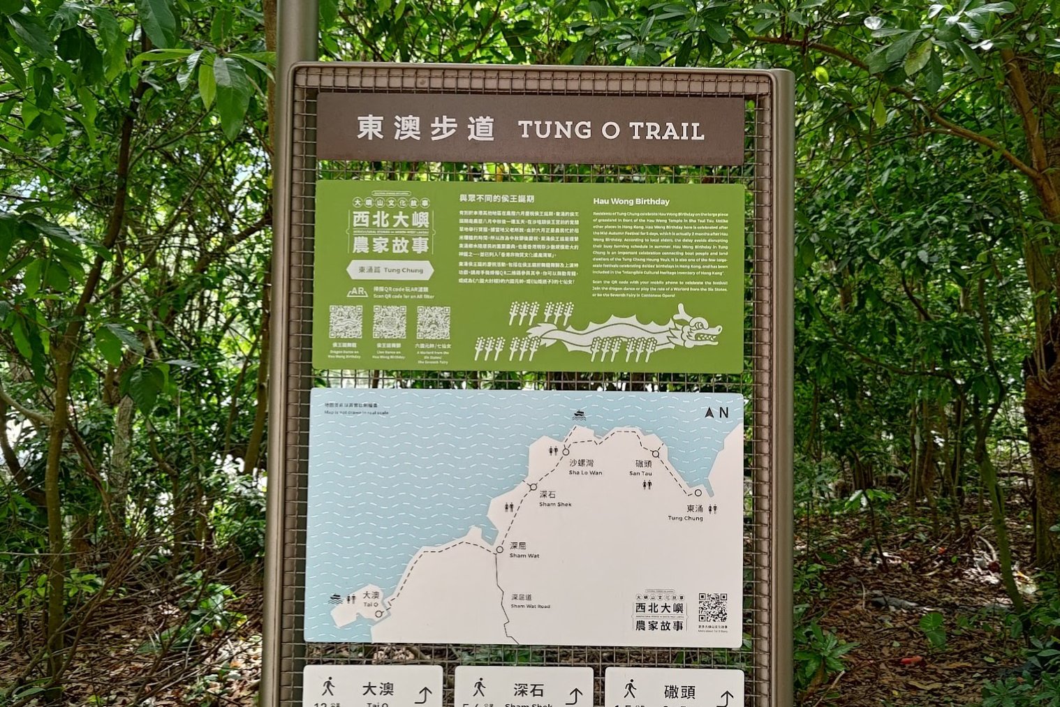
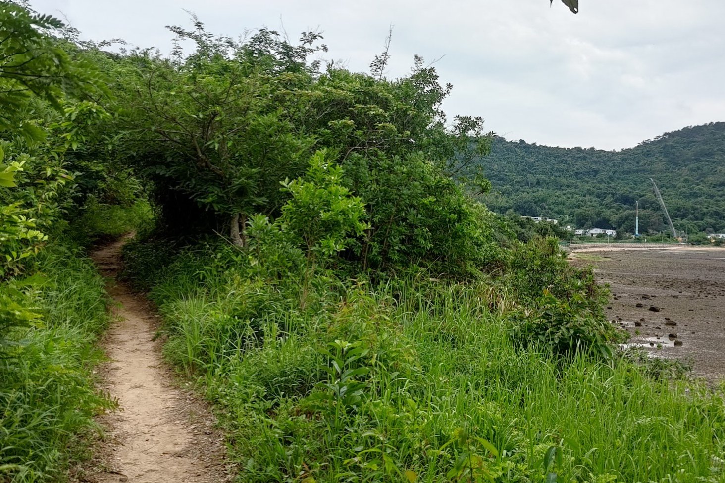
The Tung O Ancient Trail ( 東澳古道 ), etched into Lantau Island's rugged coastline, stands as a living testament to Hong Kong's rich heritage.
This once-weathered path, which has now been completely paved over with concrete, once facilitated life's ebb and flow between coastal villages like Hau Kok Wan, Sha Lo Wan, San Shek Wan, and Sham Wat Wan, each a vibrant stitch in the city's cultural tapestry.
More than just a means of traversing the landscape, the trail was a conduit for community and commerce. Villagers exchanged goods, services, and stories, forging bonds that transcended mere proximity. Even as modernity encroached, the trail remained a steadfast link, a vestige of humbler beginnings.
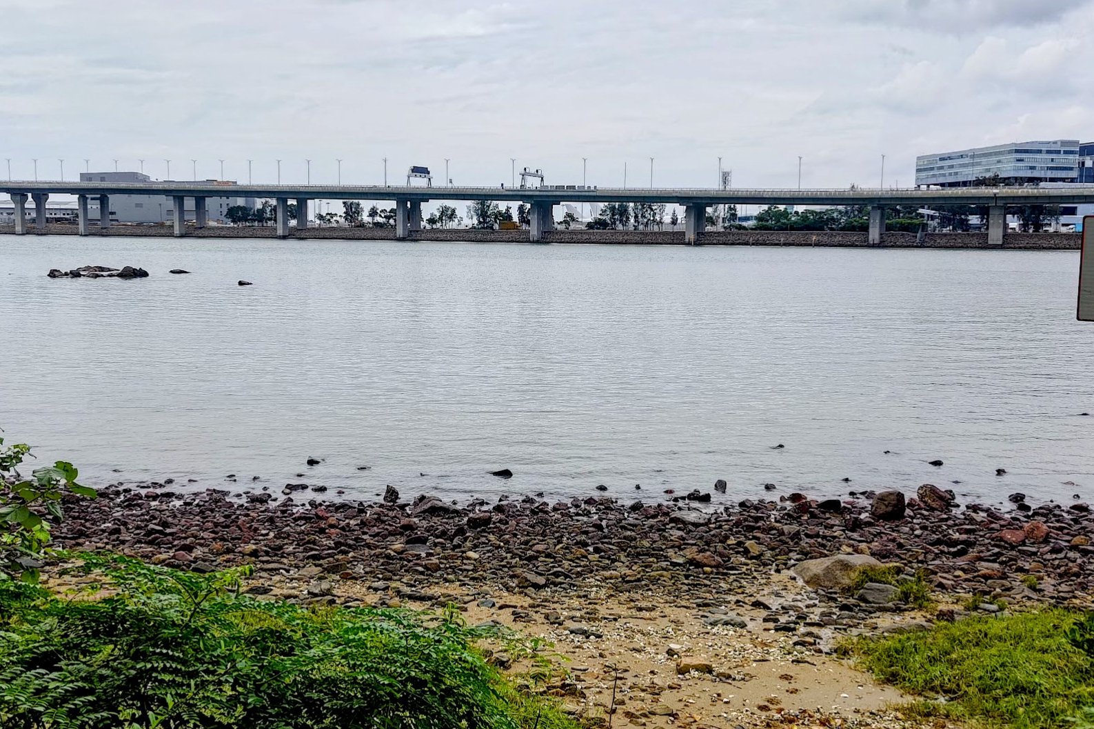
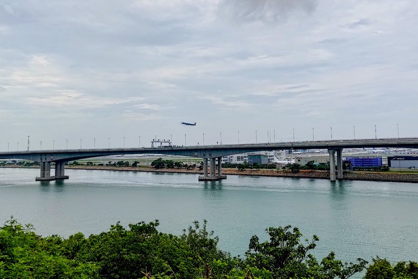
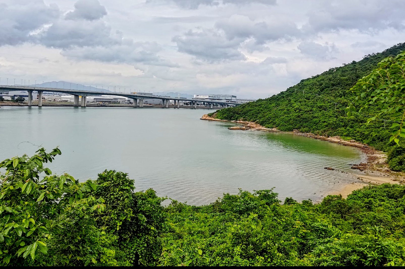
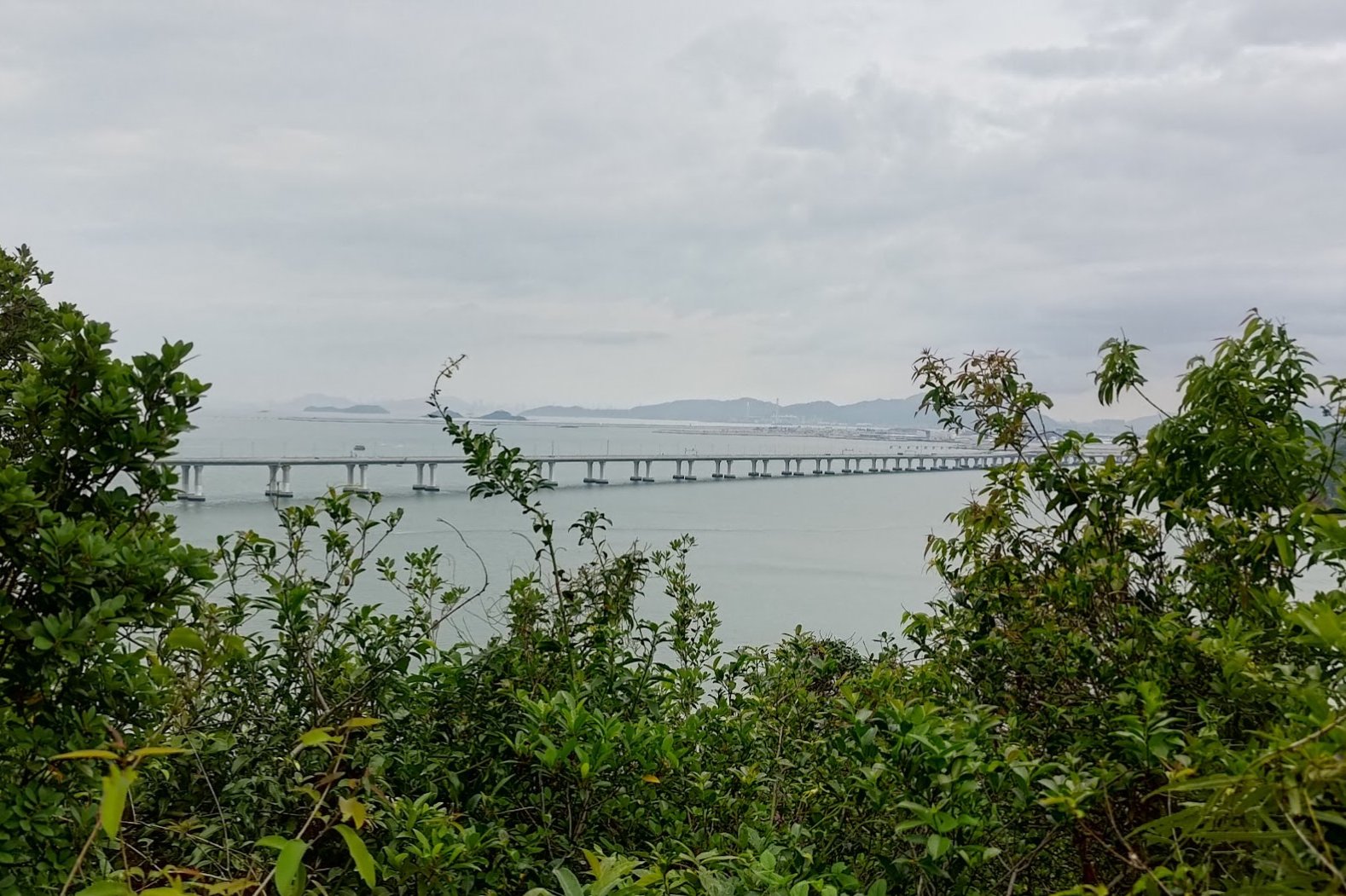
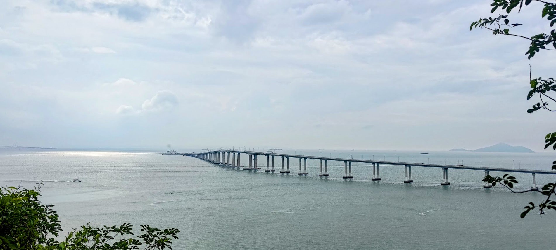
For hikers, the Tung O Ancient Trail offers a stark contrast between old and new, juxtaposing the modern Chek Lap Kok Airport and the Hong Kong Zhuhai Macau Bridge (HKZMB) with quaint shanty towns dotting its path. . I once visited this trail in my twenties (which seems like a lifetime ago) and found the views to be quite stunning.
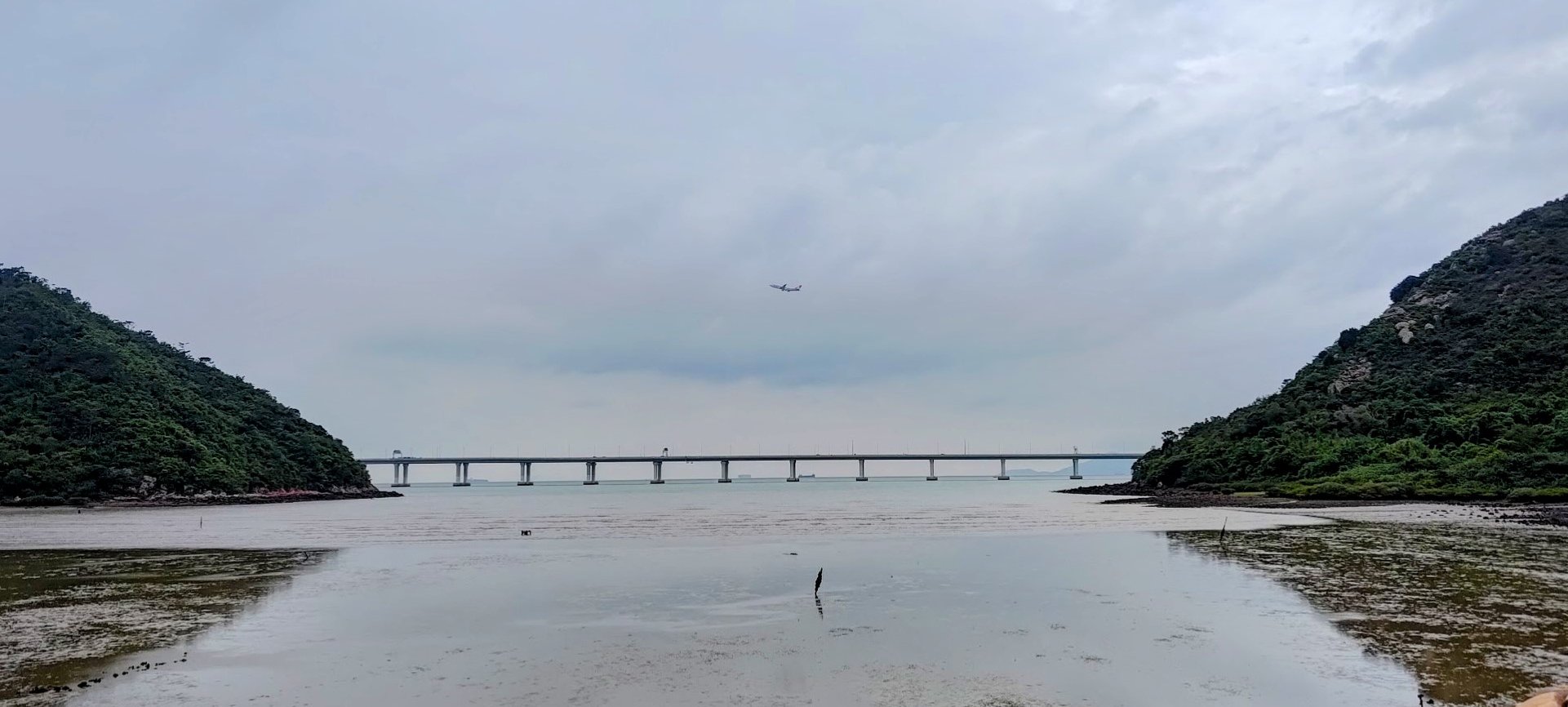
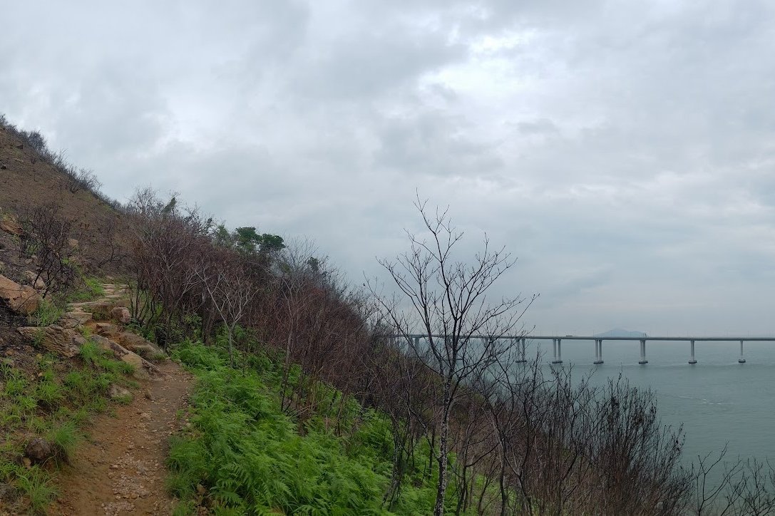
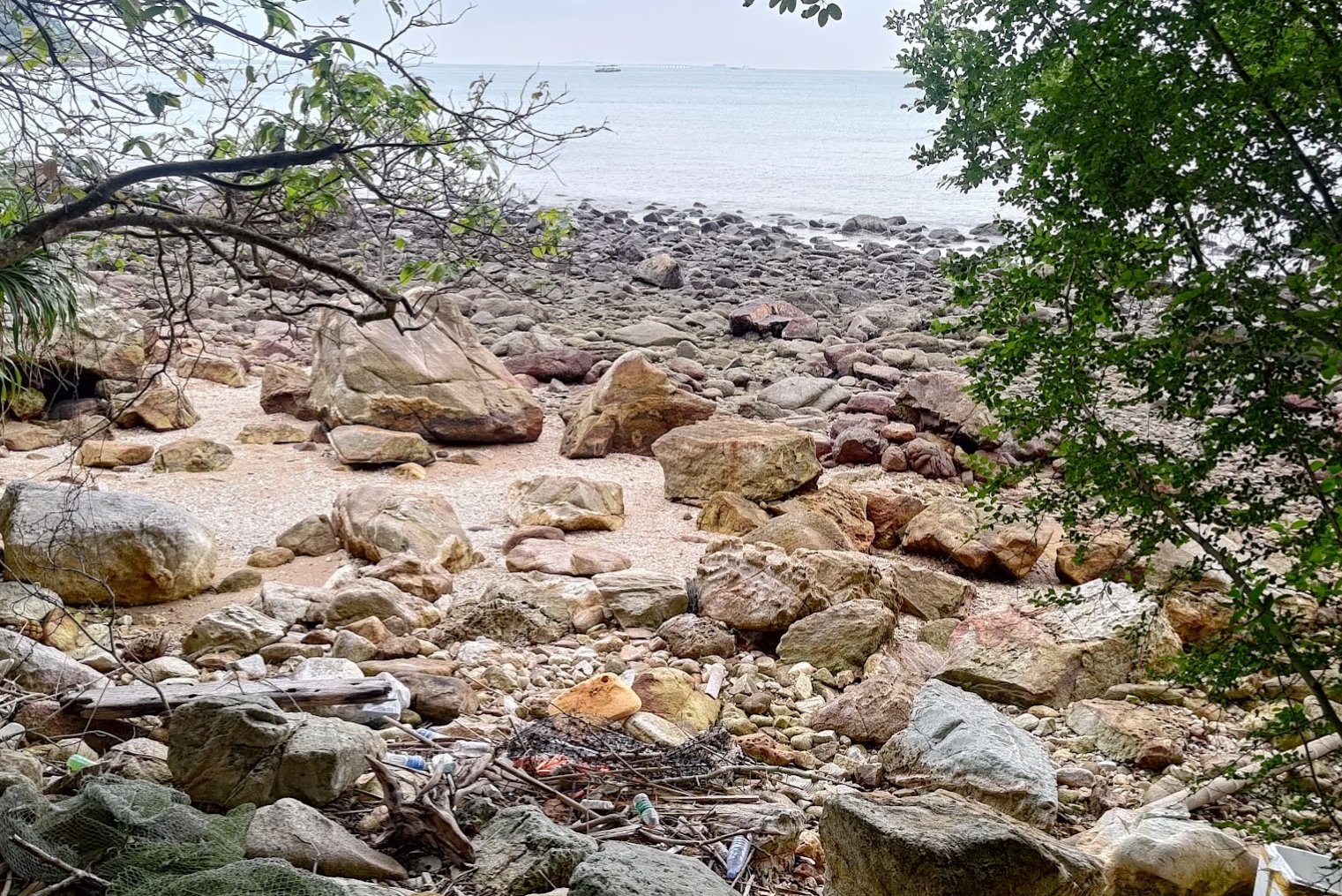
Sadly, in much of the open ocean sections these days, what was once open ocean is now marred by the (in my opinion) unnecessary and nasty-looking HKZMB, which cuts across the water like a grotesque scar.
Still, this is a great trail for beginners with good stamina. The trail itself is mostly flat with several sections right by Hong Kong's coastal waters There's also a great detour where you can get a really up close and personal view of planes taking off from Hong Kong International Airport!
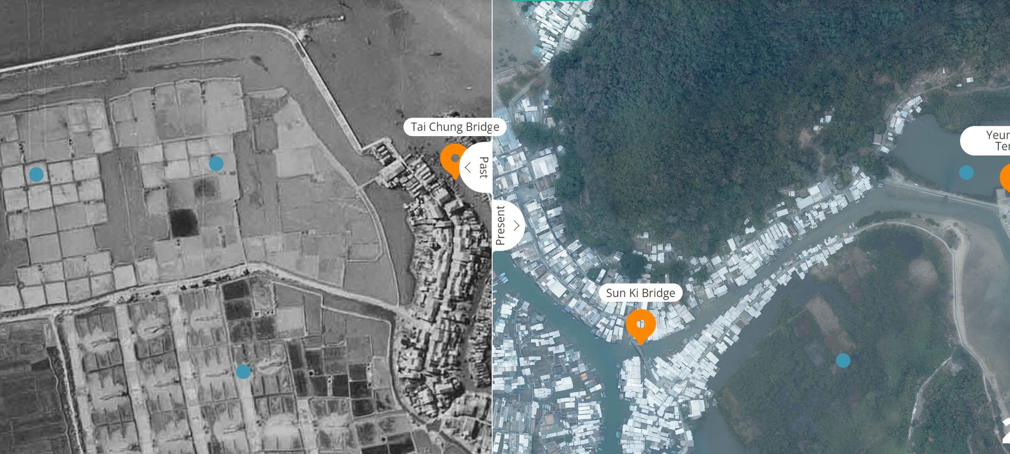
Google Route Map
*Click the box icon in the top right of the map below to load the blue route directly into your own Google Maps. You can then see your location relative to the trail in real time!
How to Get to the Tung O Ancient Trail Hike Start Point
By MTR
Take the train to Tung Chung MTR Station. The hike instructions begin from there.
By Bus
Should you take a bus, you can get off at Tung Chung Fire Station to save about 5 minutes of walking time.
Here are a few buses that go to Tung Chung Fire Station:
Quick Tung O Ancient Trail Hike Route Summary
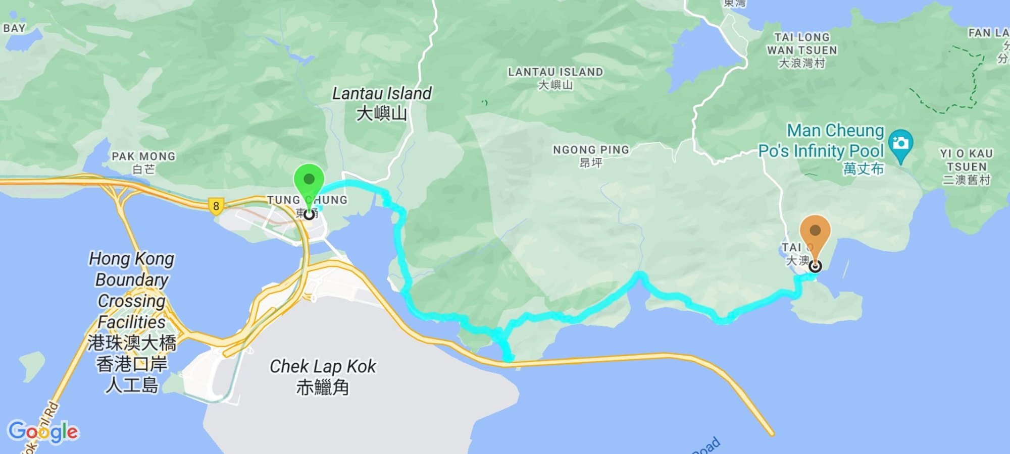
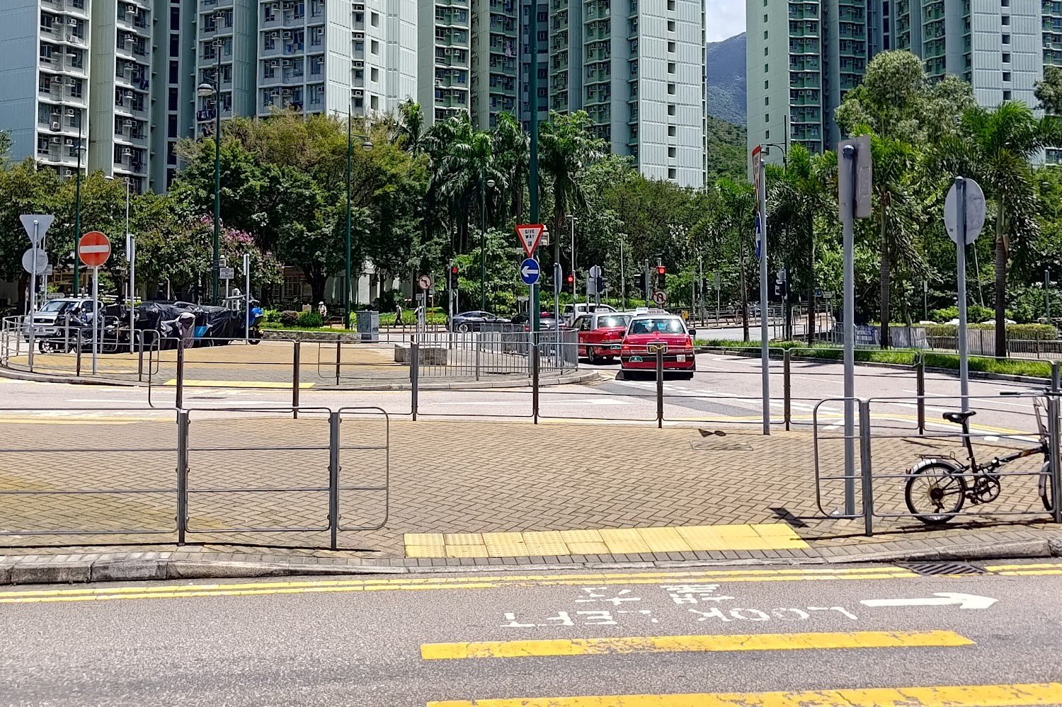
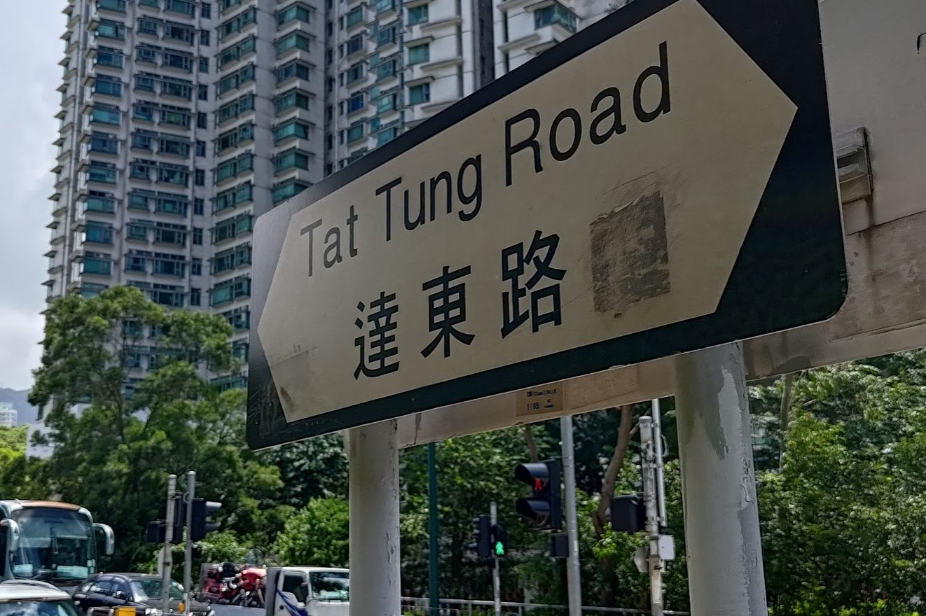
- From Tung Chung MTR Exit A, cross the street and turn right at Tat Tung Road
- When Tat Tung Road intersects Shun Tung Road, head left
- Turn right at the Lantau Police Station (Yu Tung Road)
- Follow Yu Tung Road, taking the footbridge
- At the second footbridge (do not climb it), head down the concrete path to your right
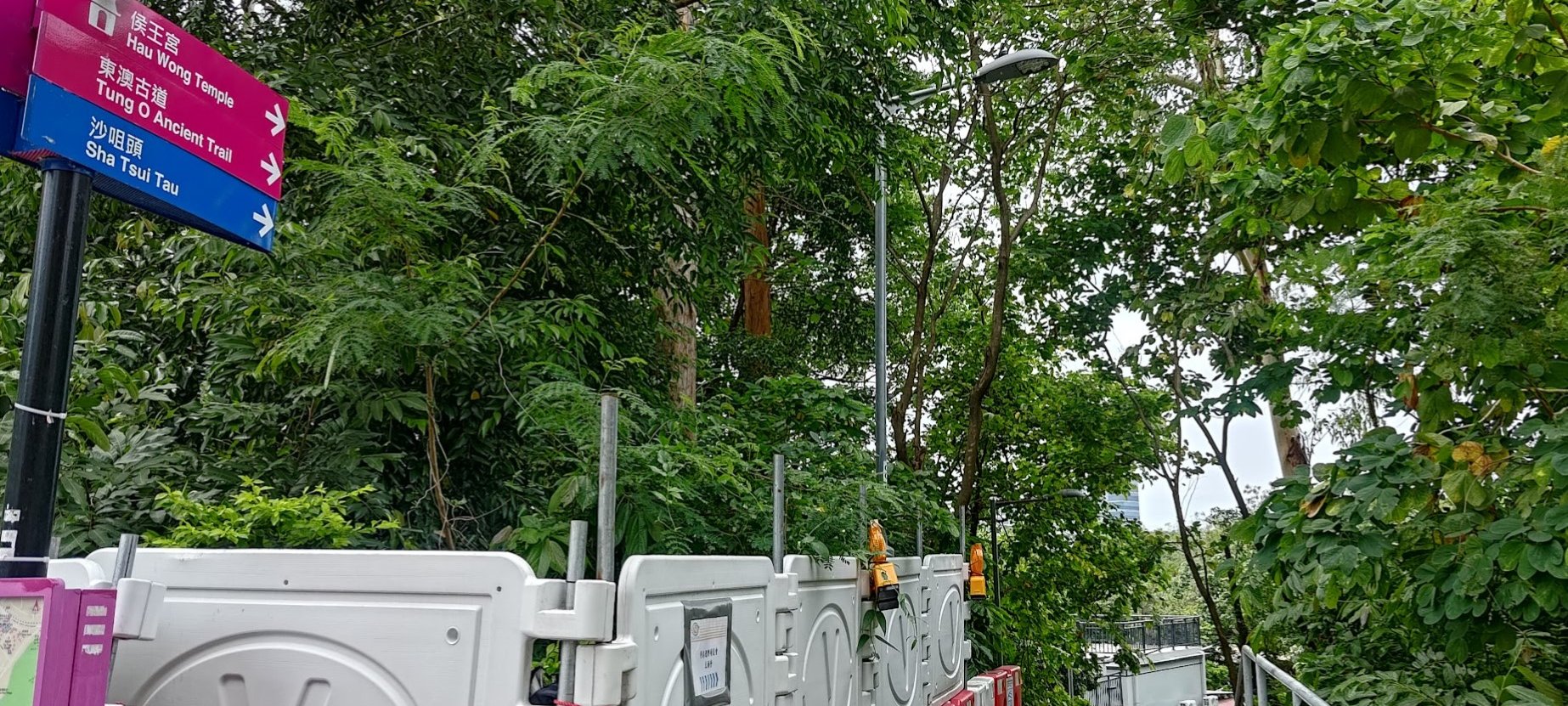
- Take the left fork on the concrete path and go past the 'Hau Wong Temple' sign
- Stay on the concrete path and don't enter the field area (unless you want to check out the temple)
- Cross the Tung Chung Hau Wong bridge and keep following the concrete trail
- Take the stairs to your left after going past the village fields and village houses
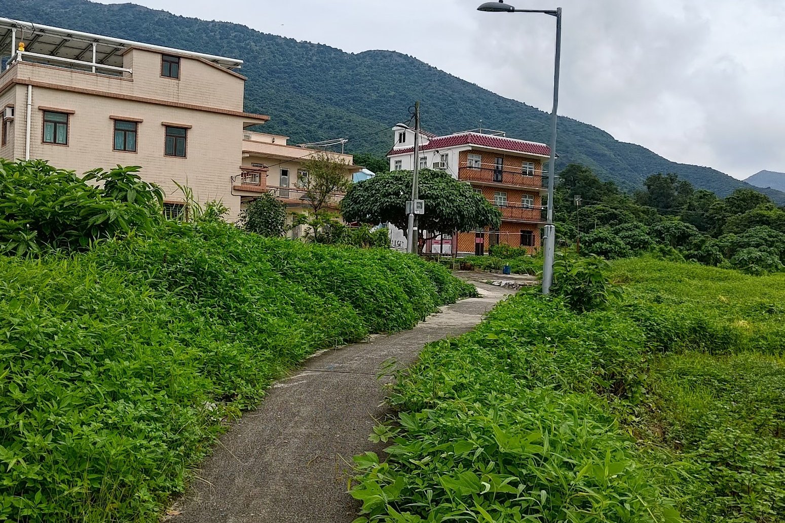
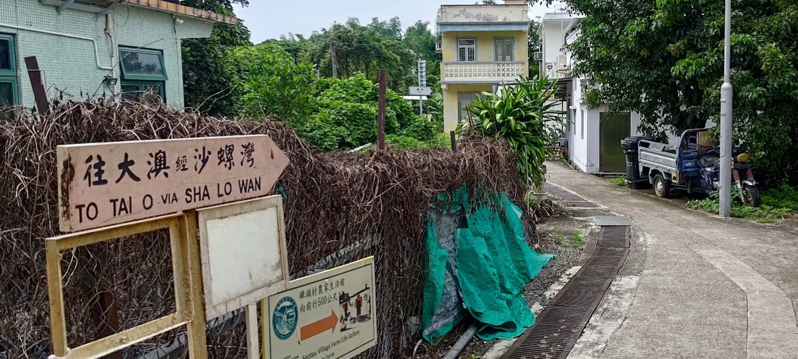
- Follow the flat concrete path to San Tau Village. Head through the village and heed the signs pointing to Tai O
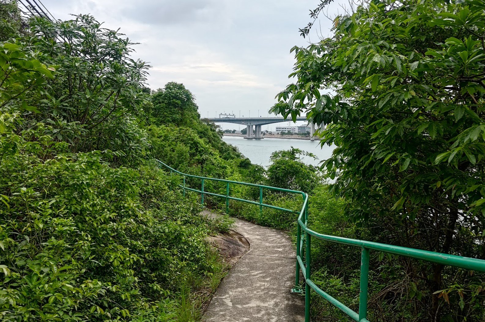
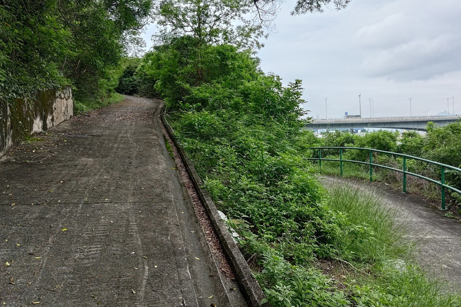
- Once out of San Tau Village, follow the concrete trail for 40-45 mins through a shaded green stretch with some open areas that offer views of the Hong Kong Zhuhai Macau Bridge
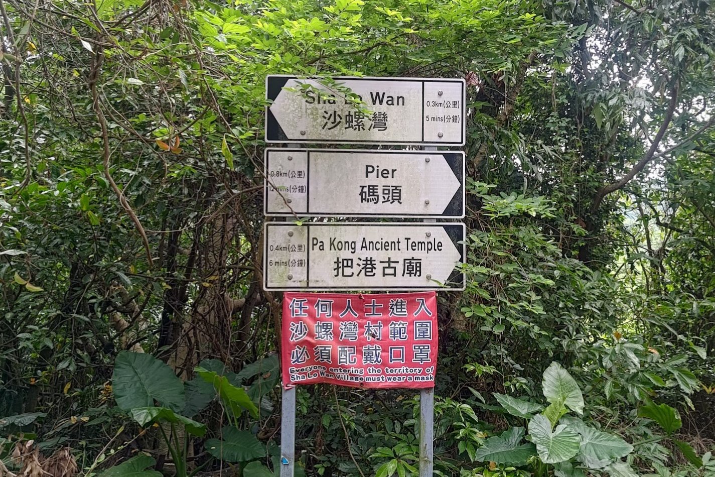
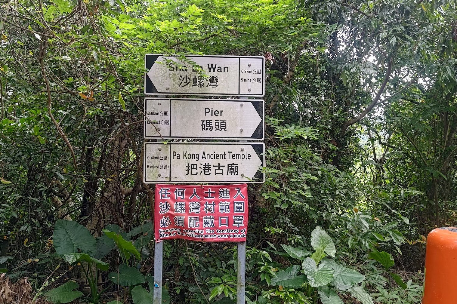
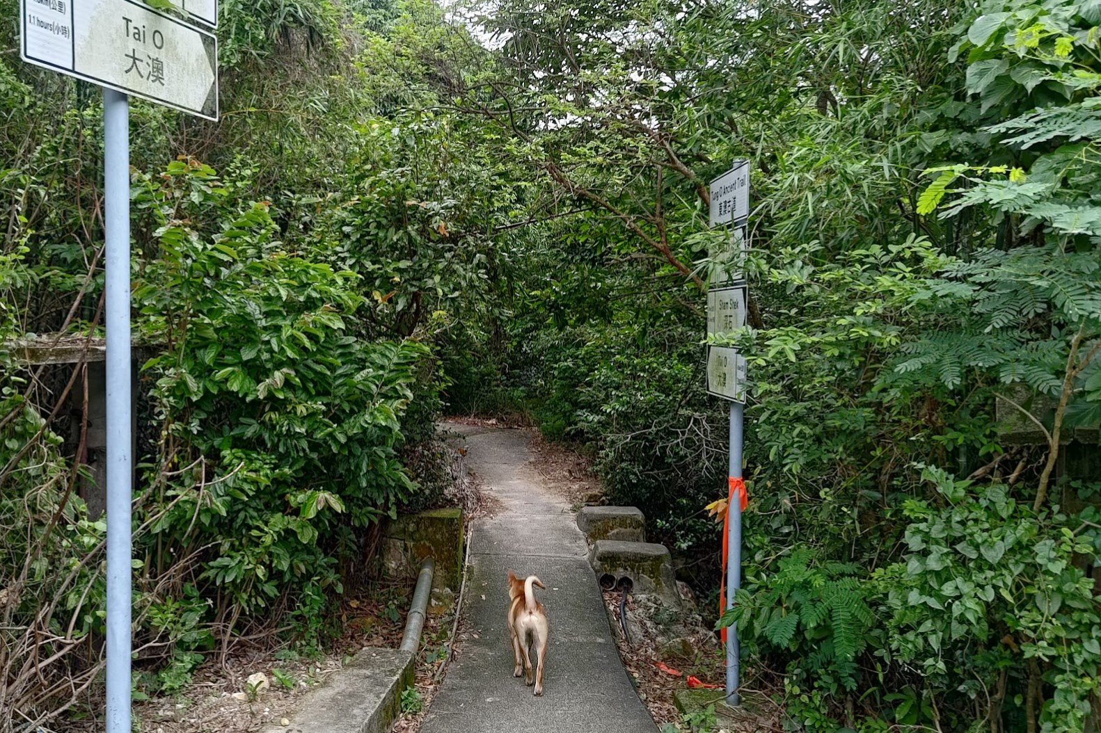
- When you come across a set of signs you can head toward Pa Kong Ancient Temple for an optional detour or just follow the sign to Sha Lo Wan to continue along the trail
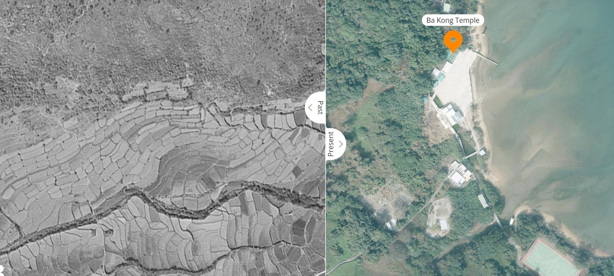
- The optional detour to Pa Kong Ancient Temple is also one of the best airport viewpoints in Hong Kong. Once you reach the temple, take the concrete path sloping upward until you reach the Wind Station entrance. Directly to your right is a small overgrown path heading upward. Climb for 3 mins and you'll reach the viewpoint where you can get amazing views of planes taking off from the runway!
- If you took the detour, retrace your steps back to the signs. DO NOT use the other path that leads to the trail. Retrace your steps EXACTLY back to the signs at the detour
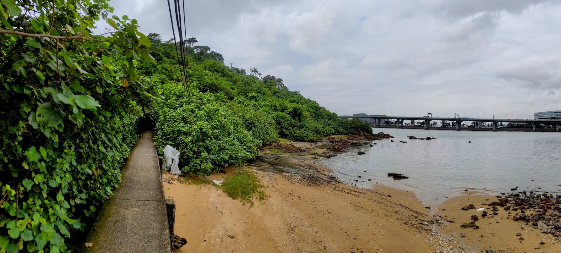
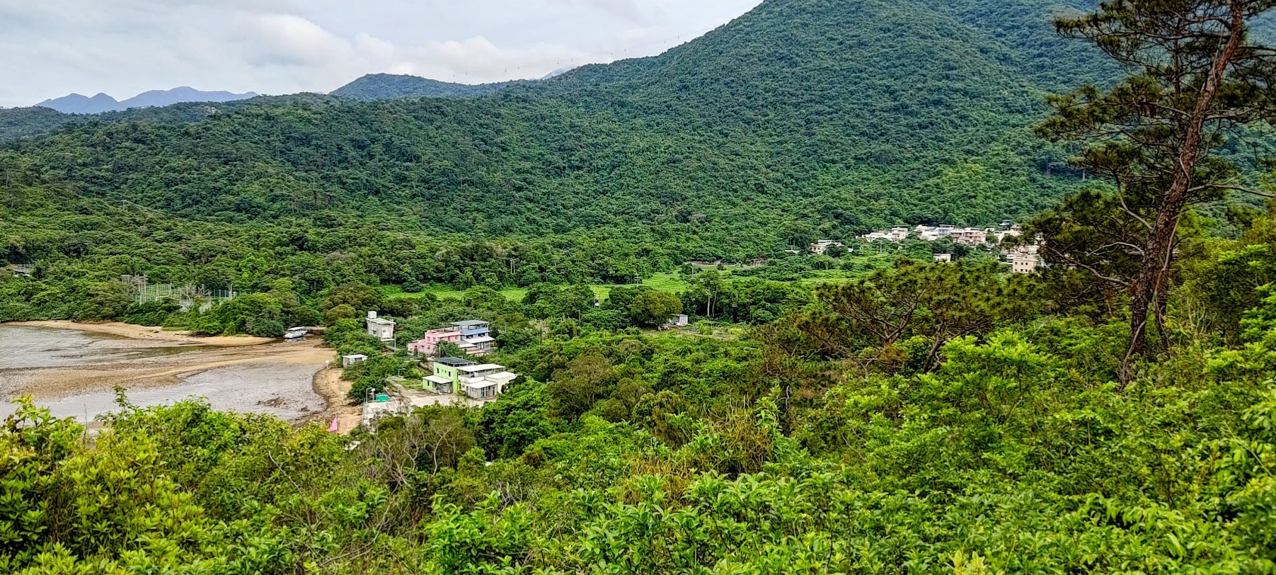
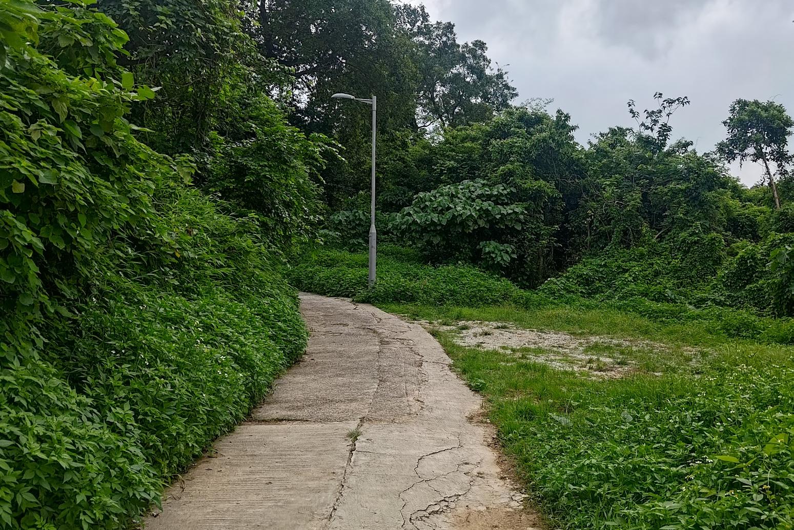
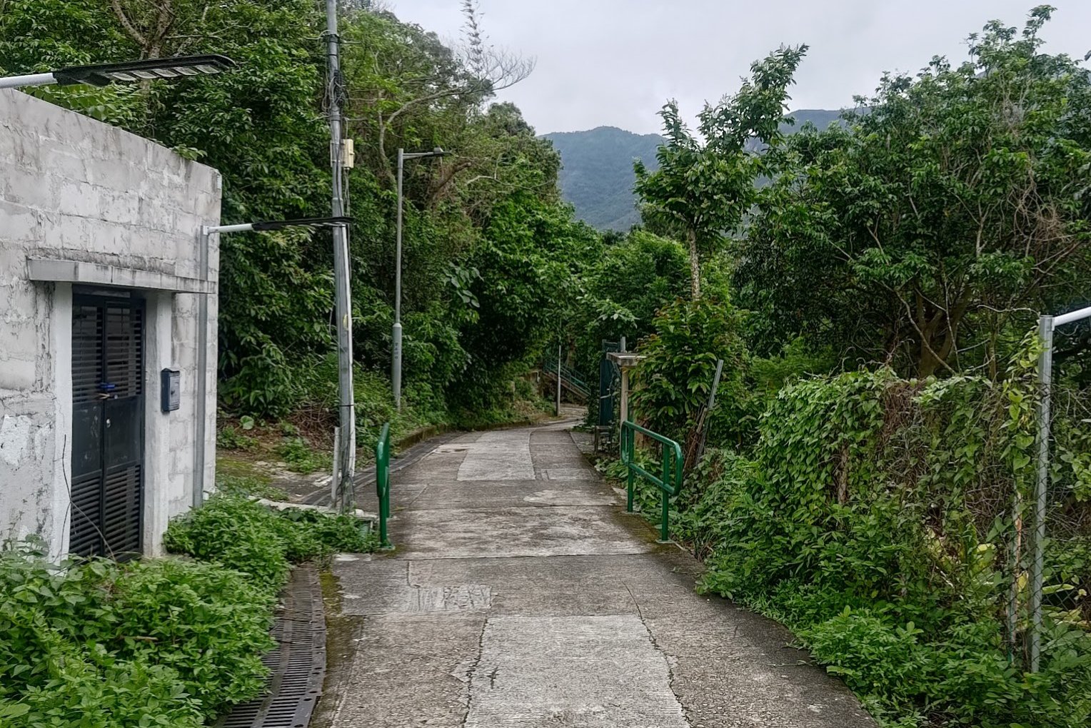
- Stay on the concrete trail and over the next 40 mins to an hour, you'll pass by Sha Lo Wan Village, San Shek Wan Village, Sham Shek Tsuen Village, Nam Tin Village and Sham Wat Village
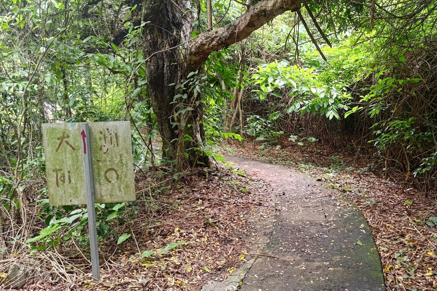
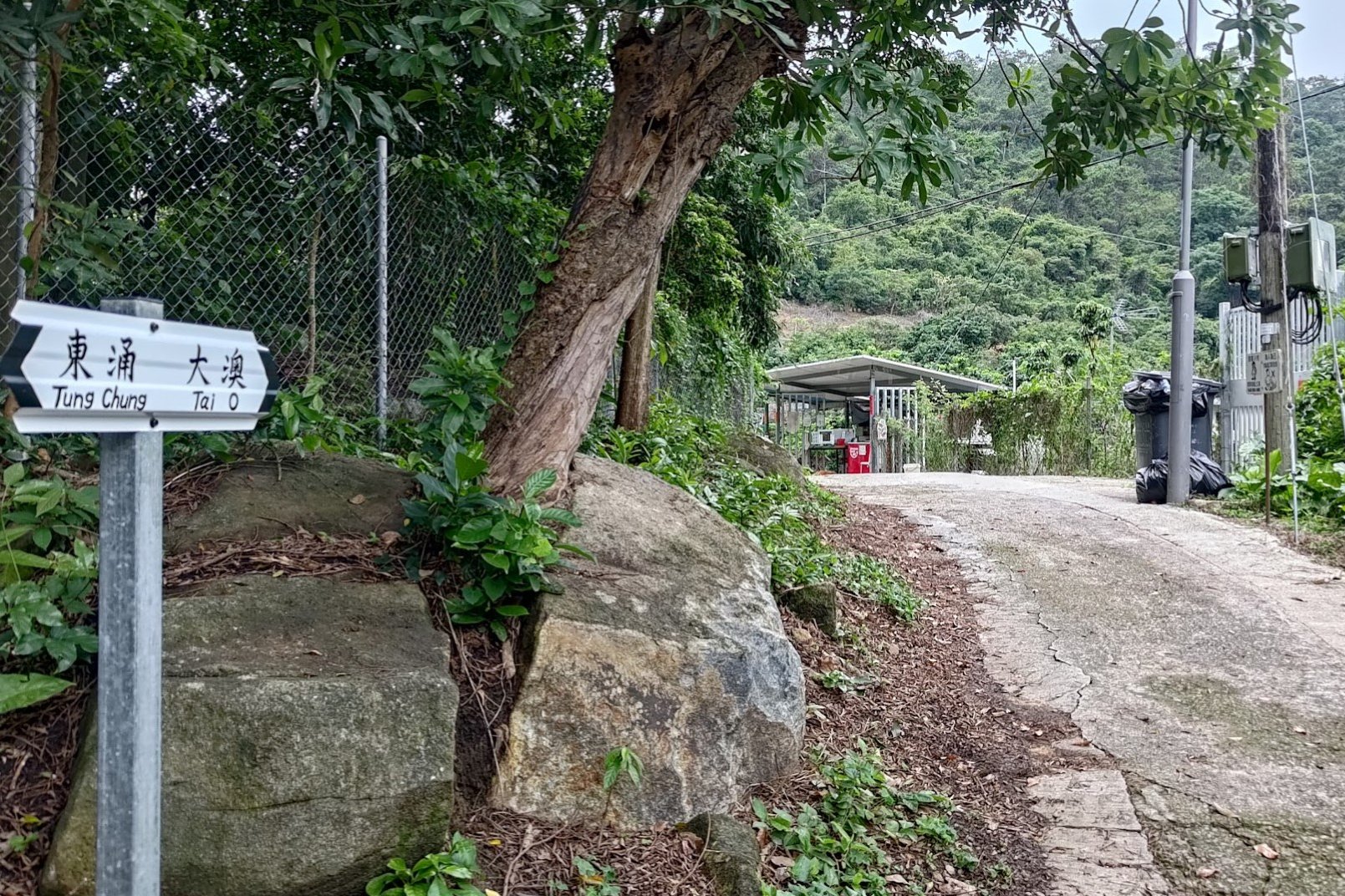
- At Sham Wat, you will find yourself on a proper road (Sham Wat Road). You'll want to look for a detour right with a sign that points to Tai O
- From here on out, just follow the trail all the way to Tai O. It takes around an hour or so
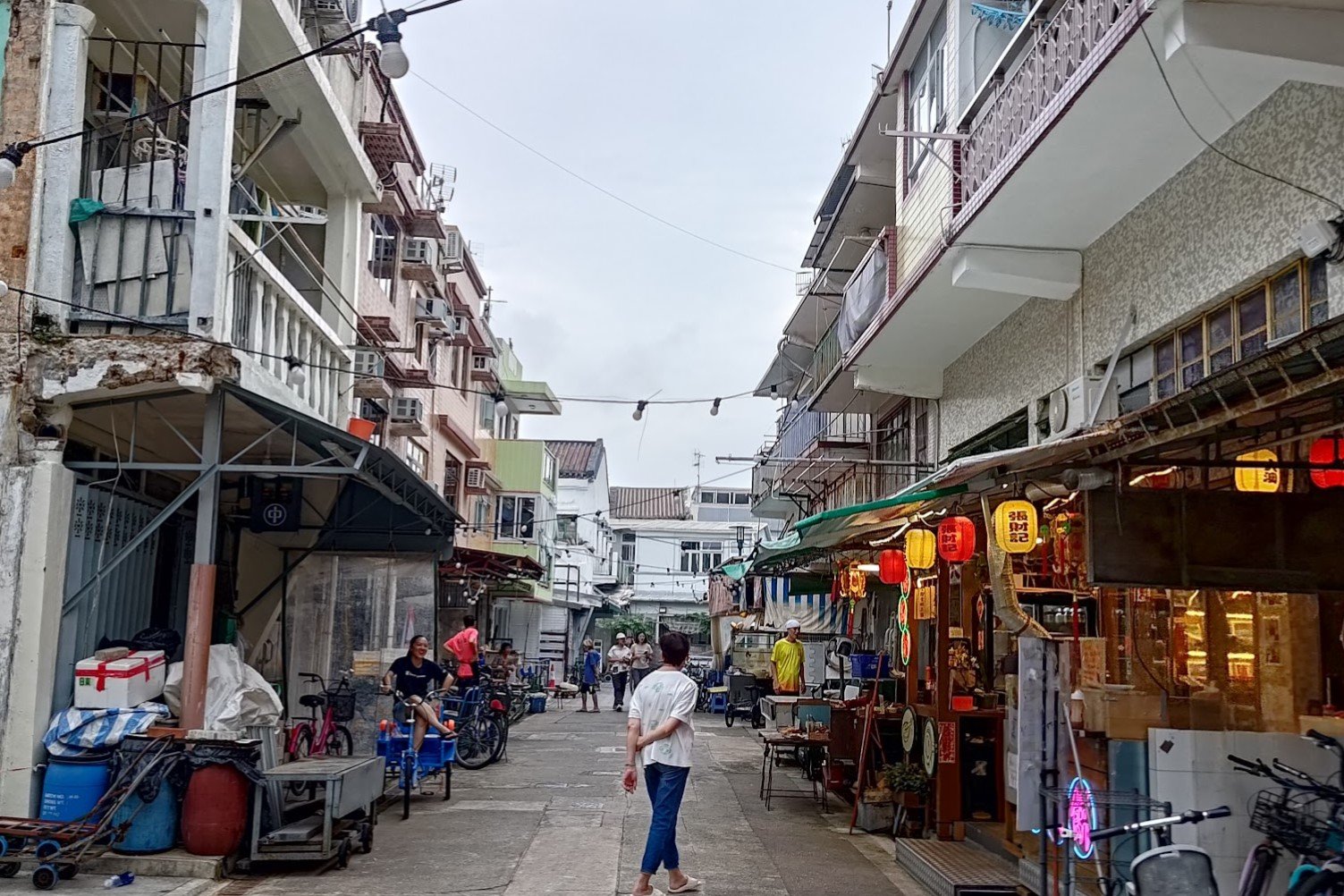
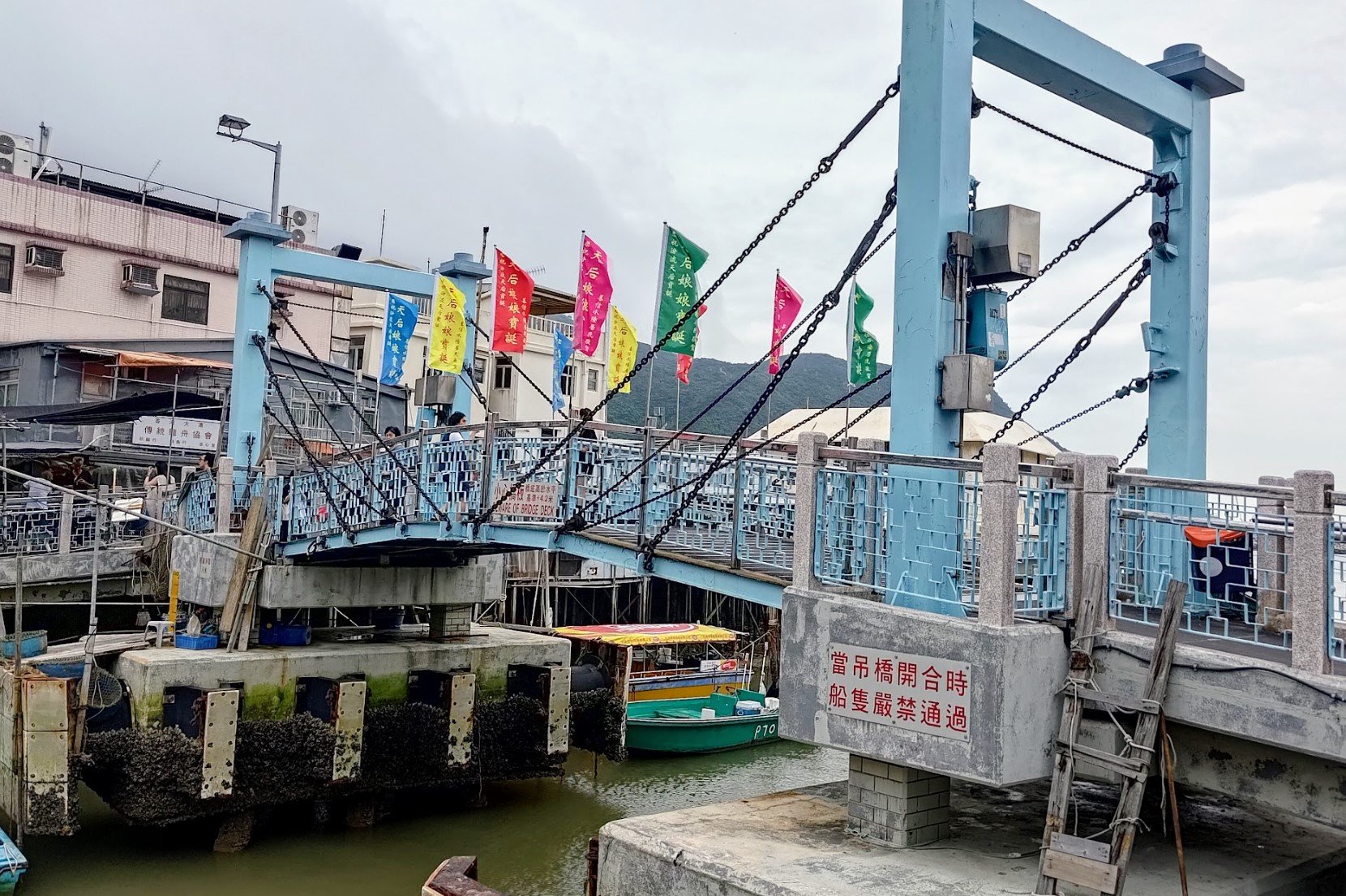
- Once in Tai O, you'll want to follow Sun Ki Street, cross Sun Ki Bridge, go down Kat Hing Street, cross the Tai O Market Street Drawbridge and you'll arrive at the bus stop right after that
From Tung Chung Station to Tung Chung Bay
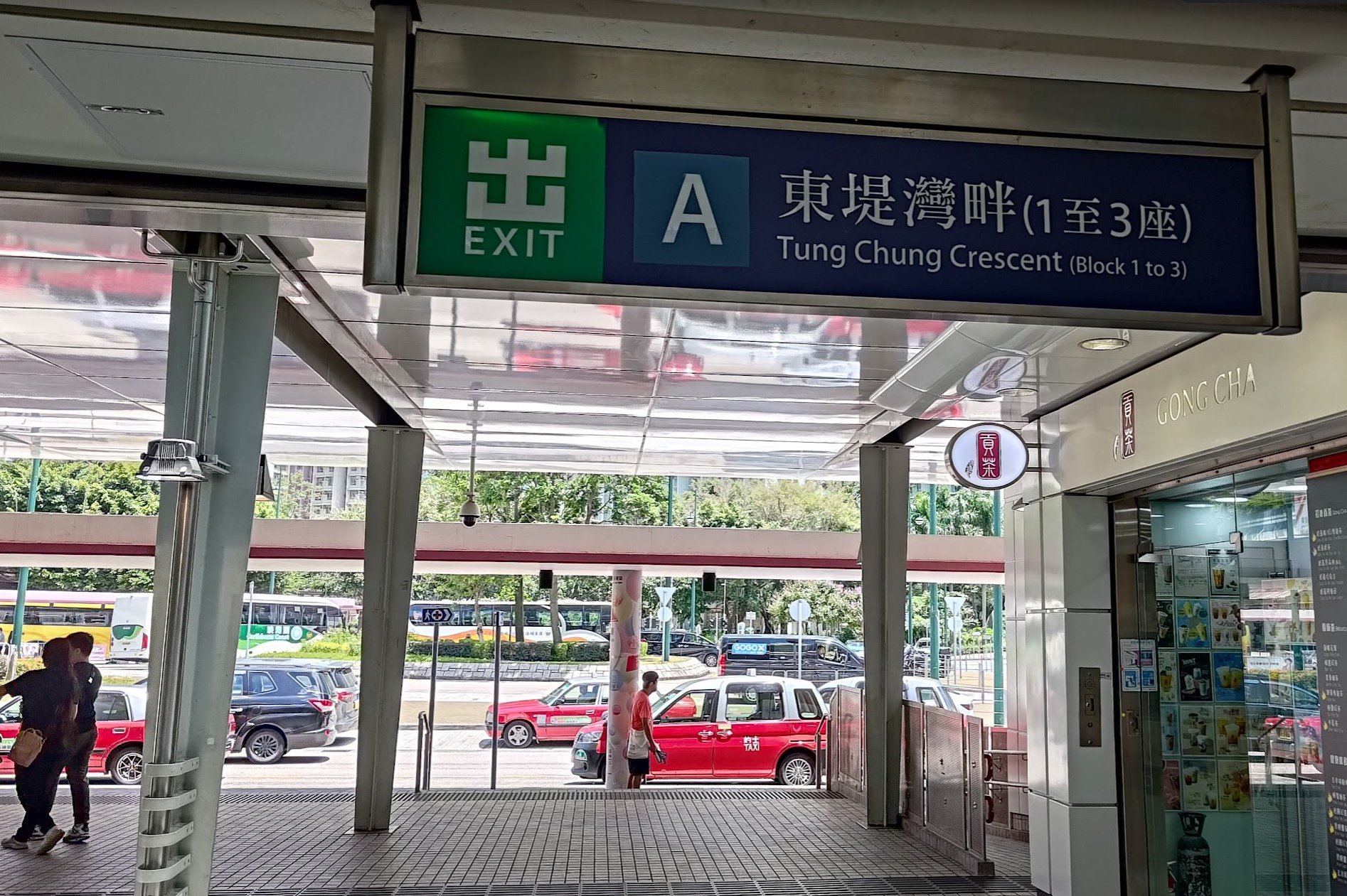
After arriving at Tung Chung MTR station, take Exit A and cross the road just outside it.
You'll soon reach Tat Tung Road, at which point you should turn right. Walk up Tat Tung Road until it intersects with Shun Tung Road.
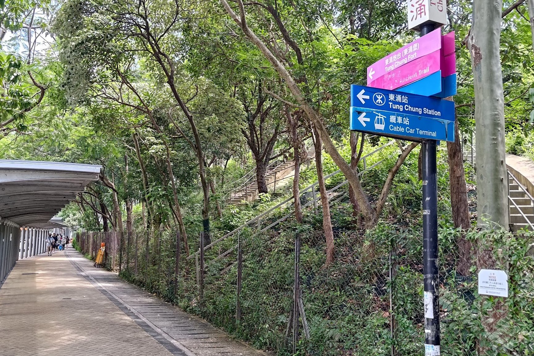
Follow the pink sign to 'Tung Chung Fort' at Shun Ting Road (This is where the Tung Chung Fire Station bus stop is).
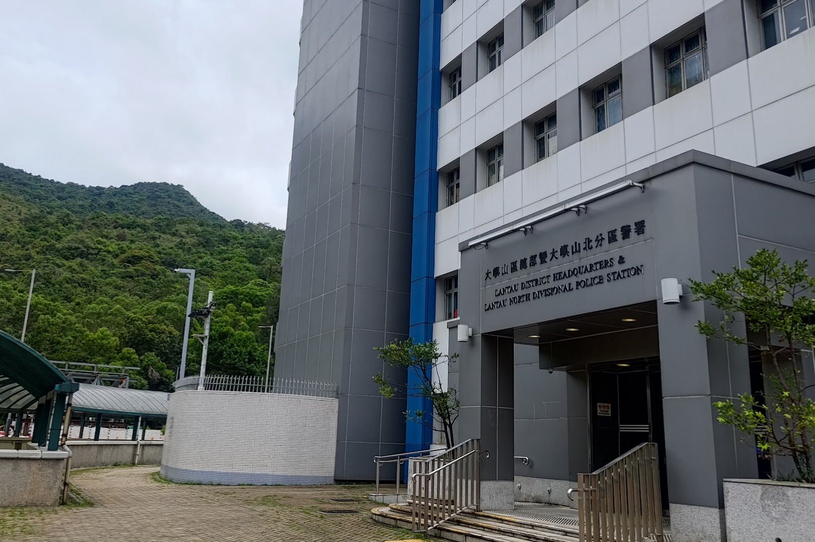
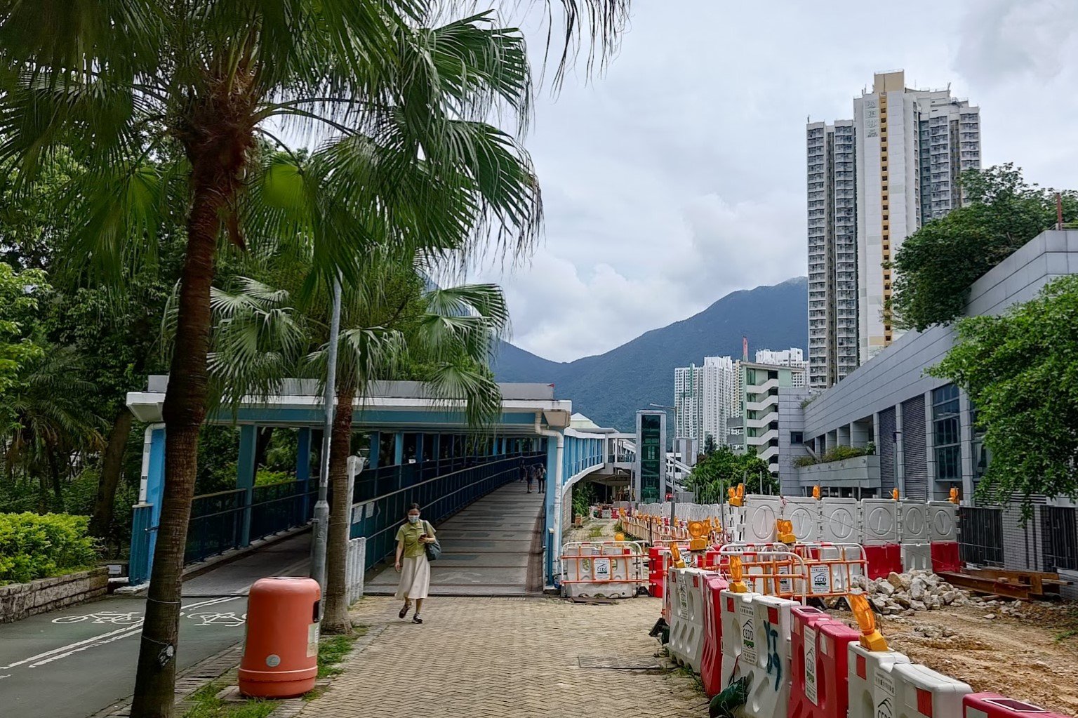
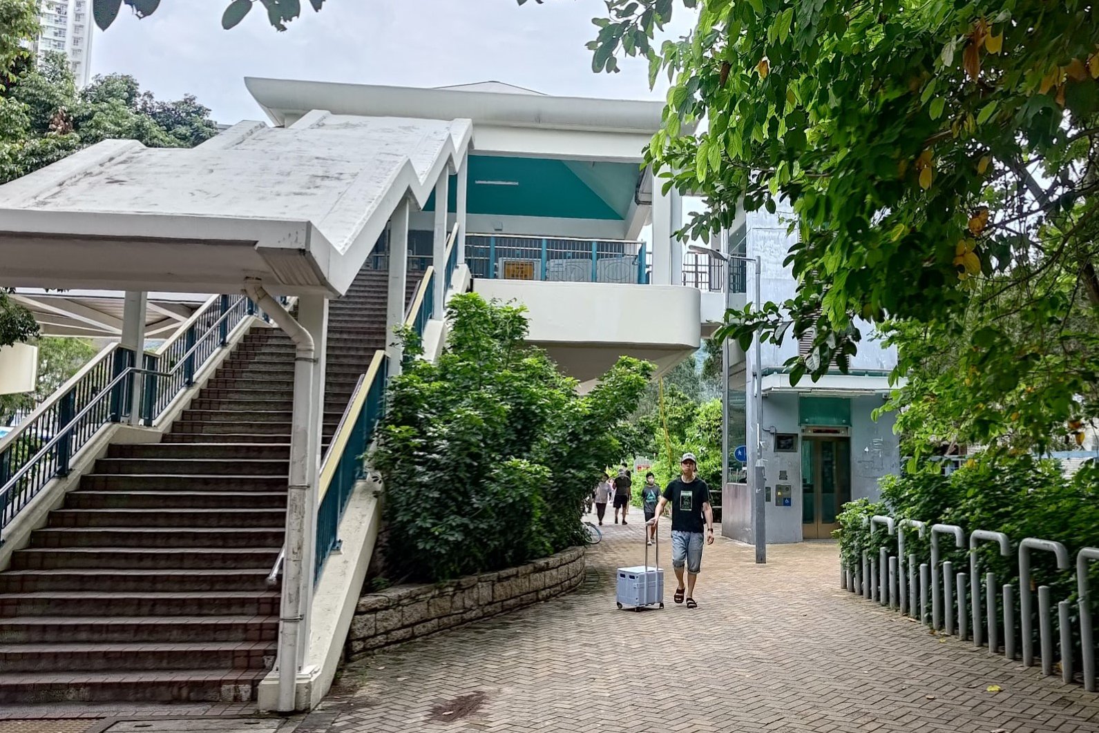
A few minutes later, you will see the Lantau North Divisional Police Station. Walk around it and follow Yu Tung Road for about 5 minutes before taking the footbridge.
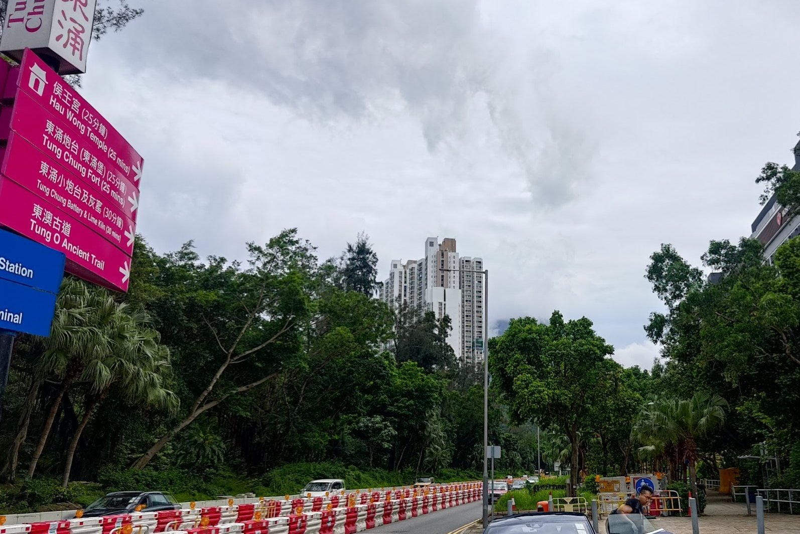
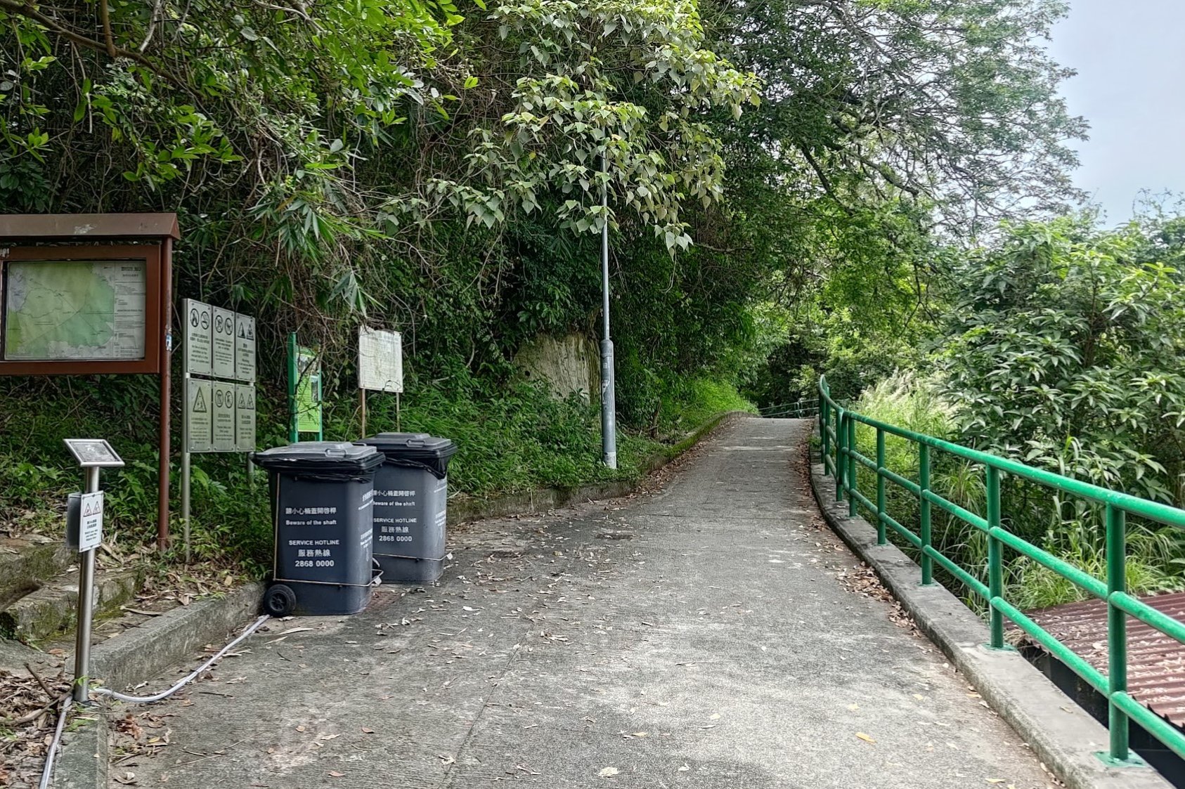
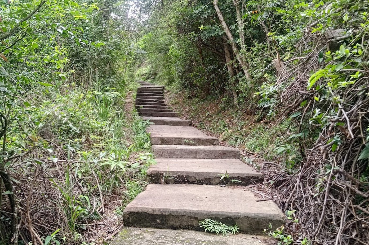
Stay on Yu Tung Road until you see a second footbridge. Don't climb that one. Instead, take the flat road past it and you'll soon see a pink sign for the Tung O Ancient Trail that takes you down a set of stairs to your right.
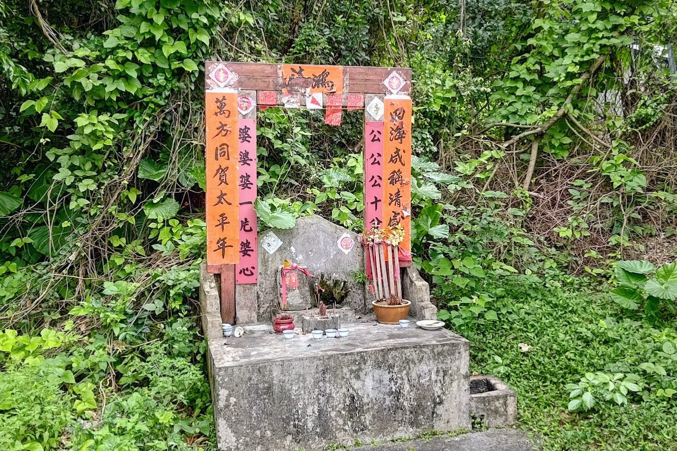
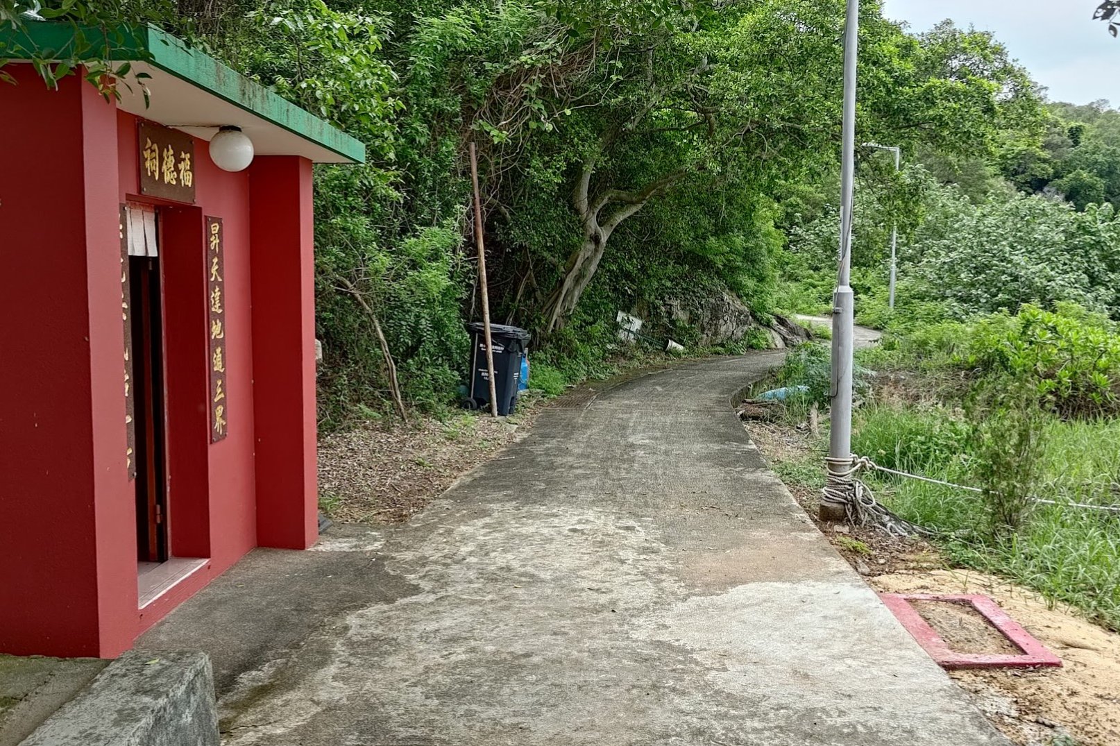
Shrines and Signs
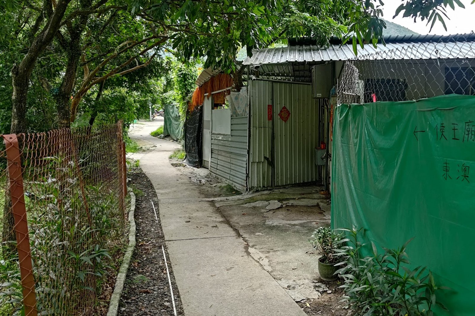
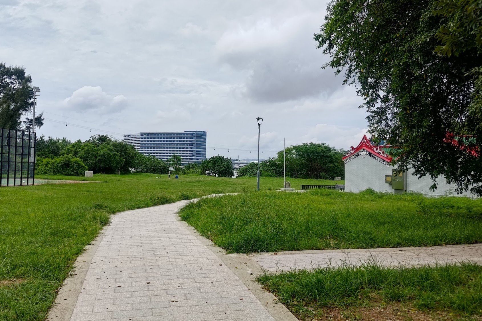
After taking the stairs down, hang a left and walk through the village. Simply follow the concrete trail and any signs pointing to Hau Wong Temple and you should be good to go!
You will eventually arrive at a large field, which is where you can take a quick 2-min detour to the temple!
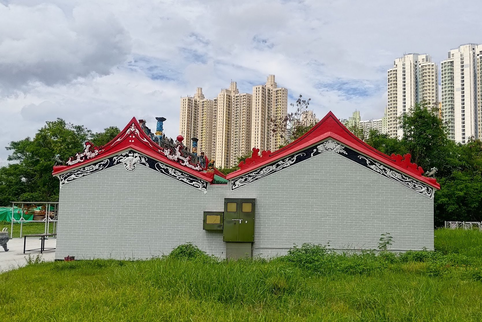
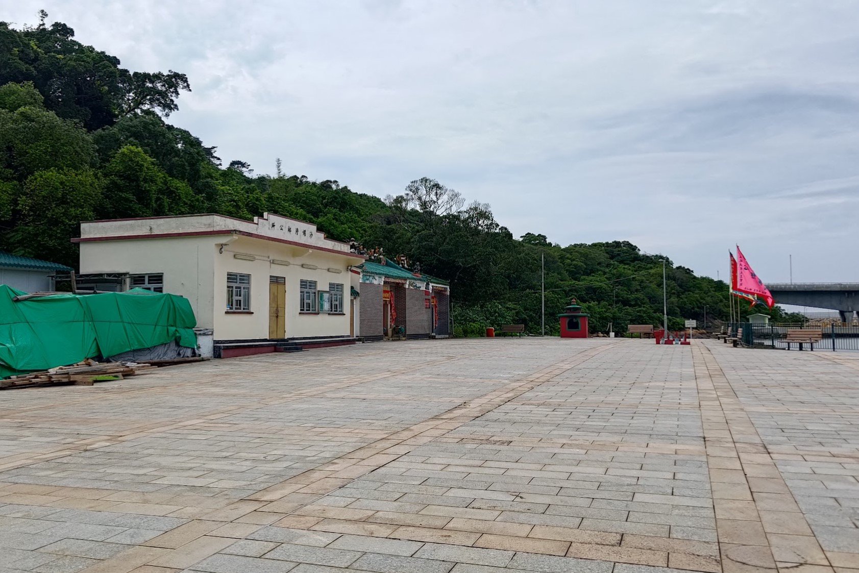
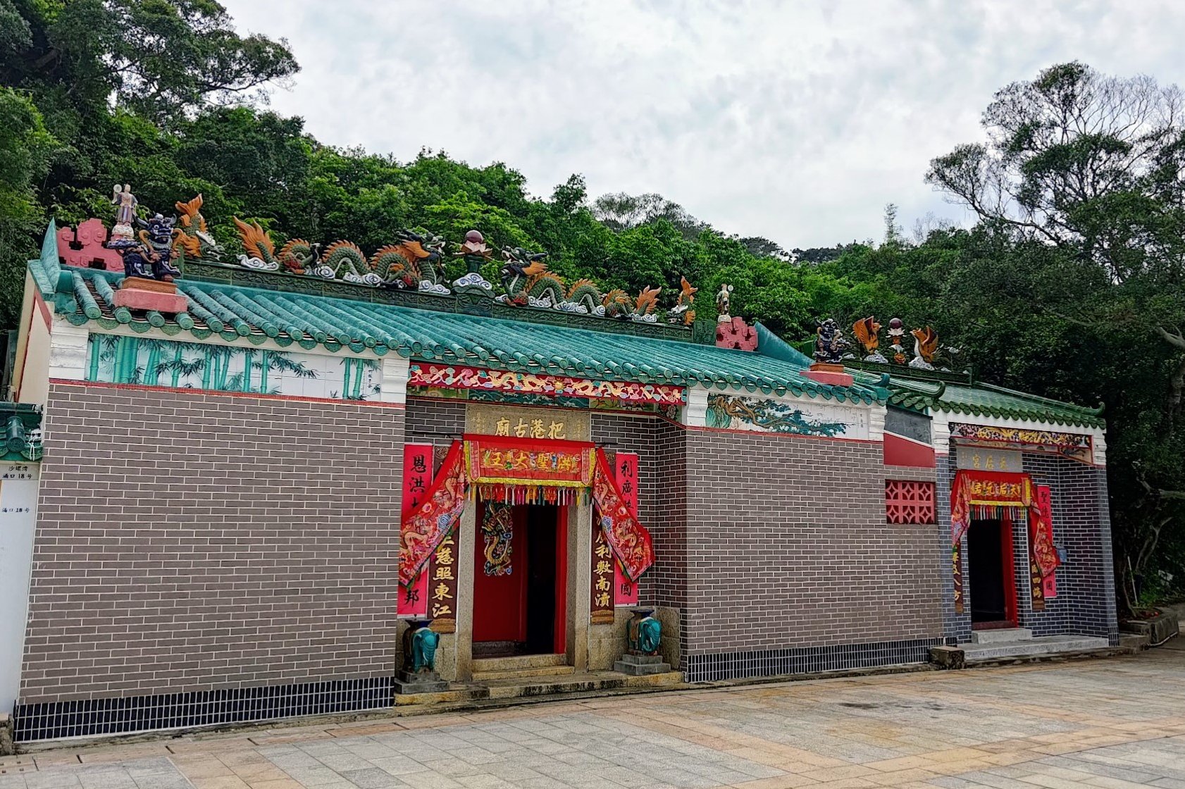
Hau Wong Temple (Optional Detour)
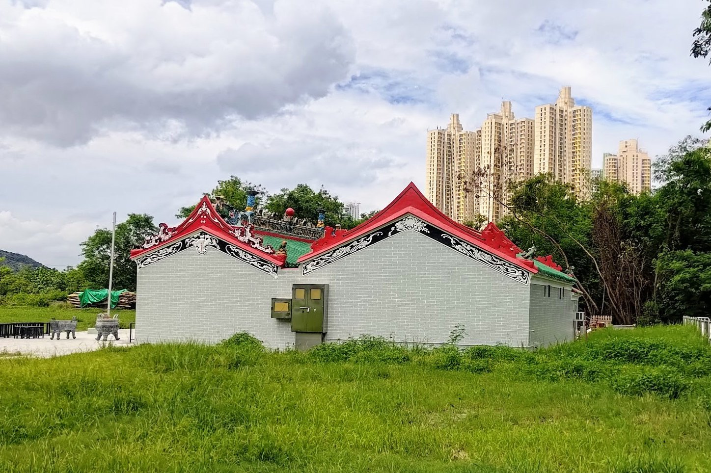
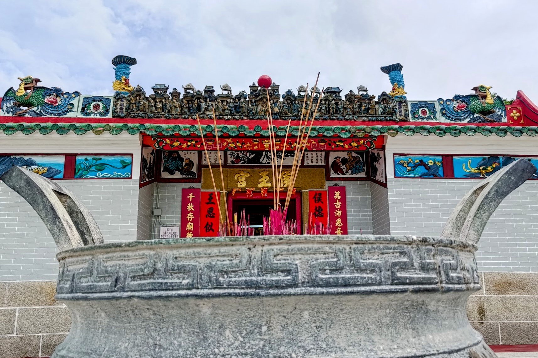
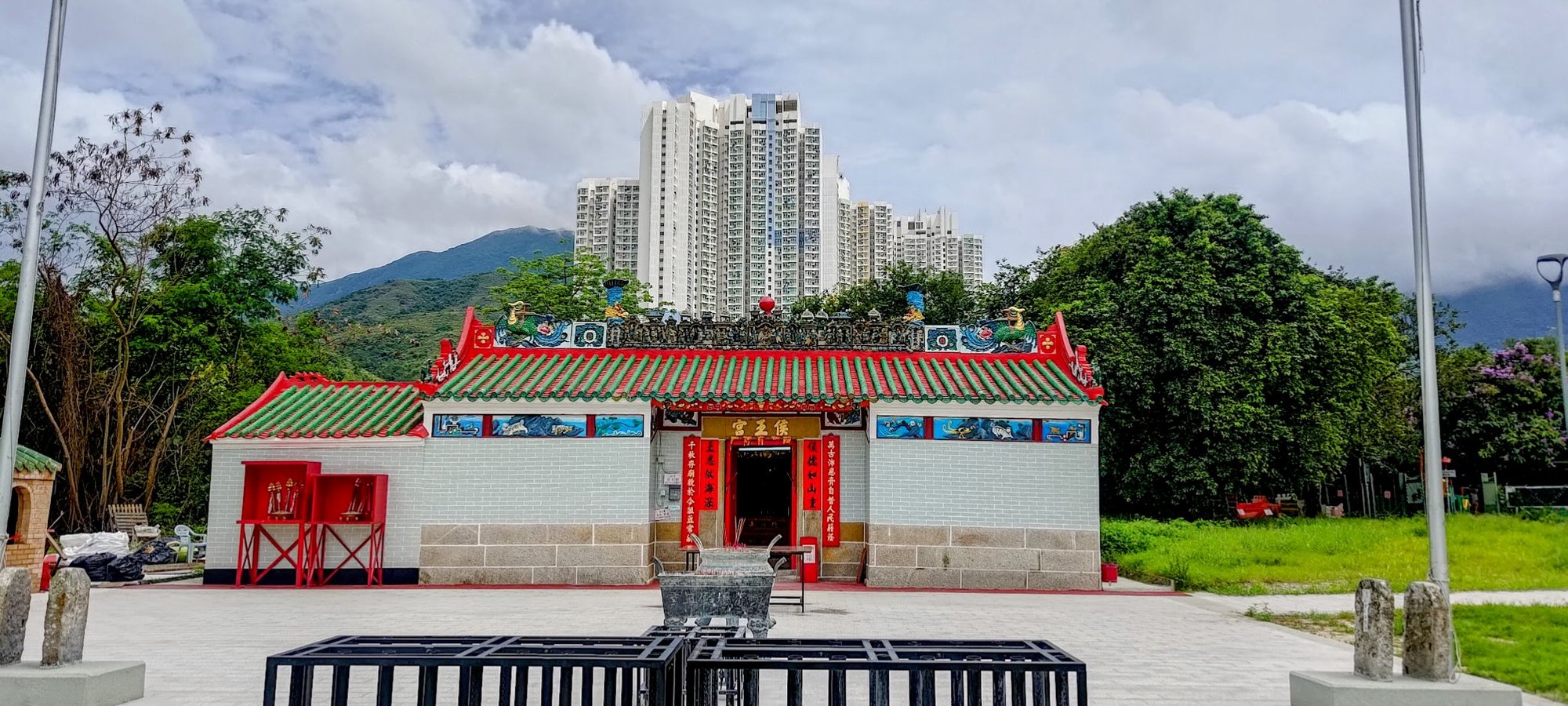
When you arrive at the field with the football pitch next to it, you can enter and check out the Hau Wong Temple.
It's a really small detour and totally worth taking a look at.
The Hau Wong Temple is dedicated to Hau Wong, a title often associated with Yeung Leung-jit, a loyal general who protected the last emperor of the Southern Song Dynasty. The temple was built in 1765 and is the largest Hau Wong temple on Lantau Island. It features Qing Dynasty architecture and contains historical artifacts, including a bell inscribed in 1765. The temple is situated facing Tung Chung Bay and is a Grade II historic building
Once you're done exploring, head back out and follow the trail beside the park's fence.
Tung Chung Bay to San Tau Village
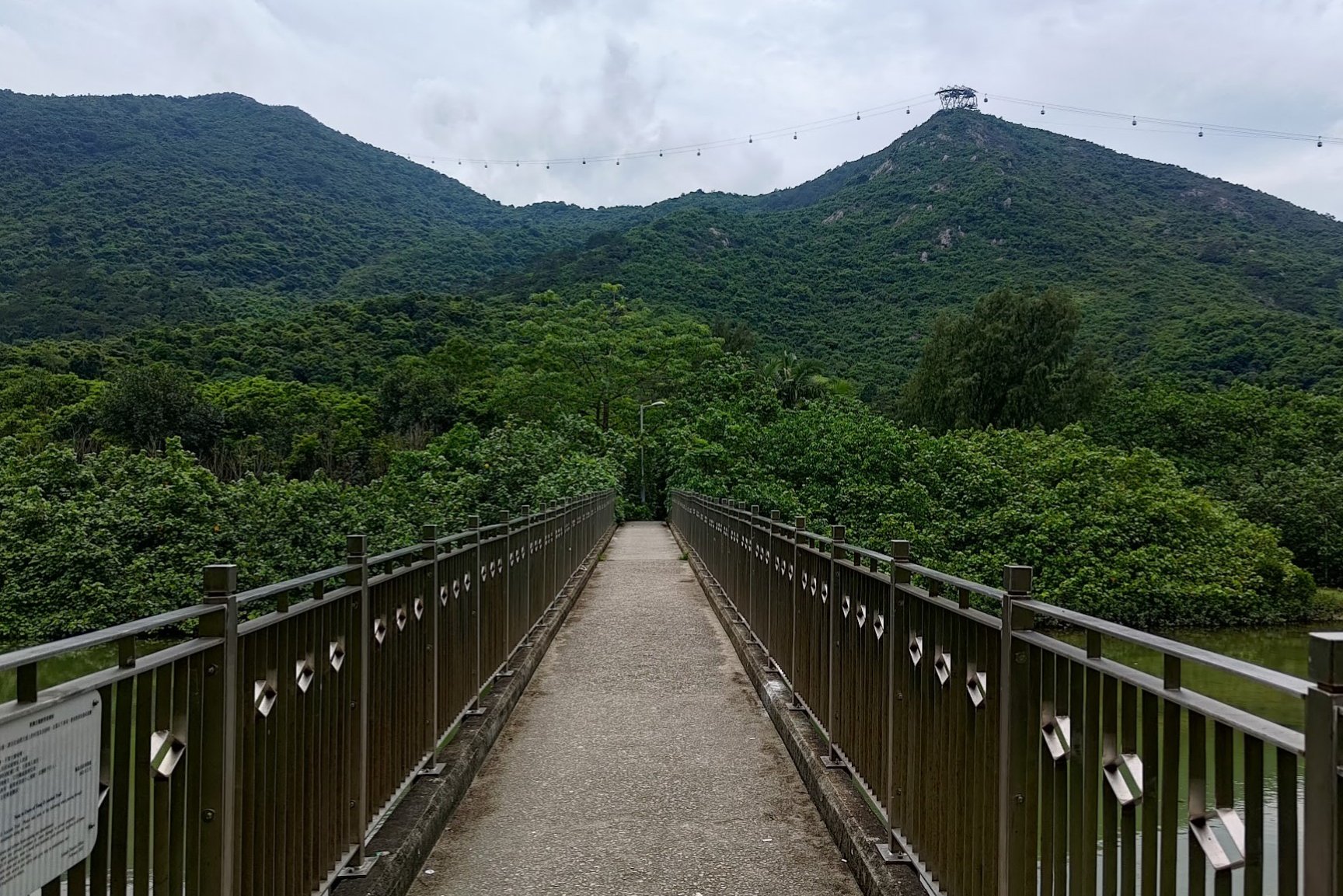
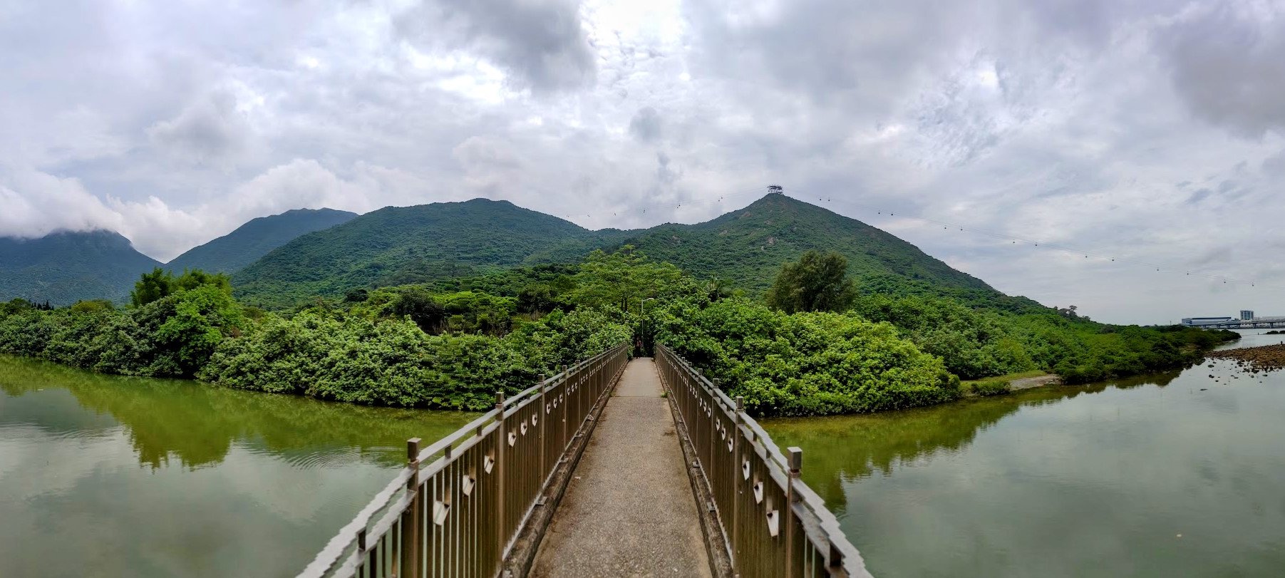
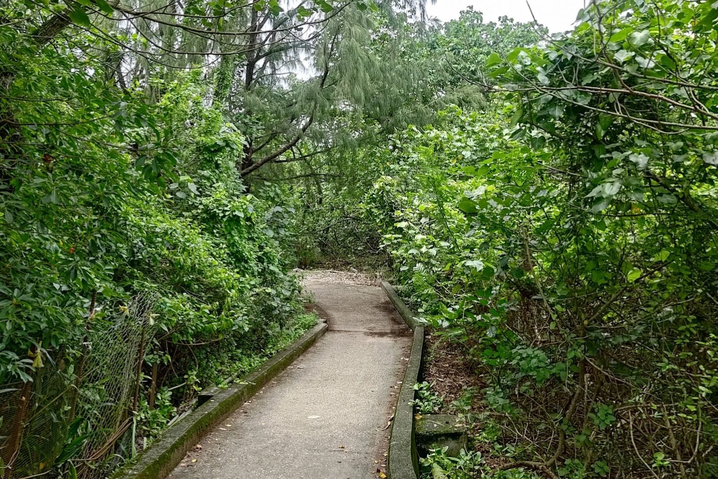
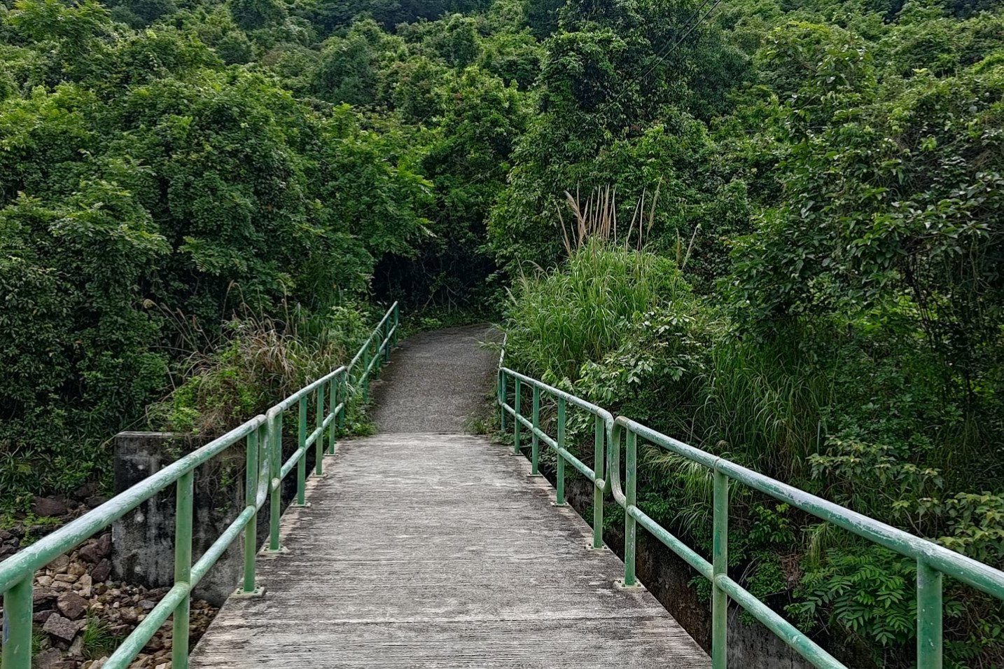
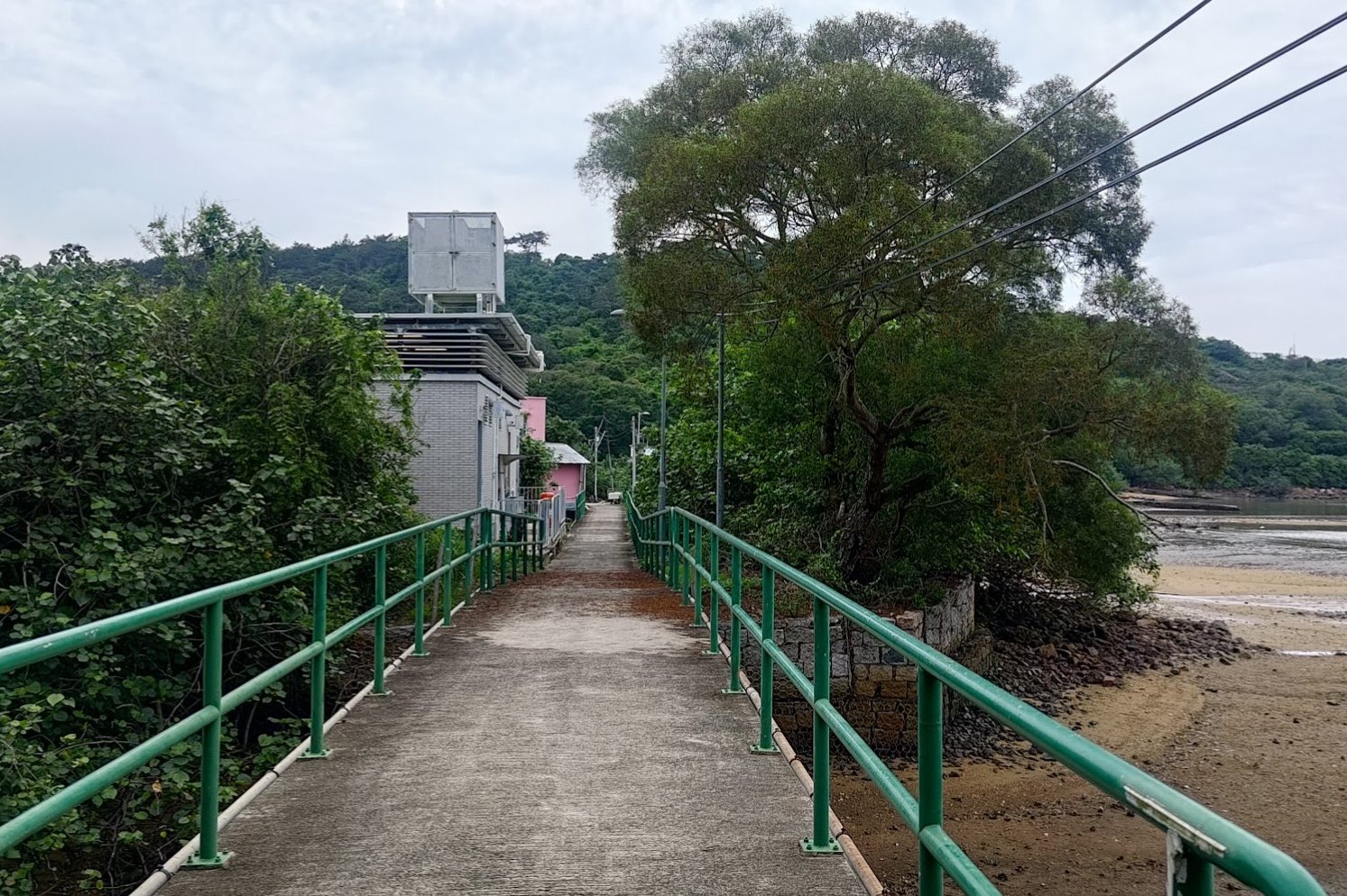
Follow the concrete path that goes beside the park's fence until you arrive at the Tung Chung Hau Wong Bridge.
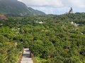
With the Ngong Ping cable cars in front of you and Tung Chung Bay stretching to either side of the bridge, this has to be one of the most scenic spots in Lantau.
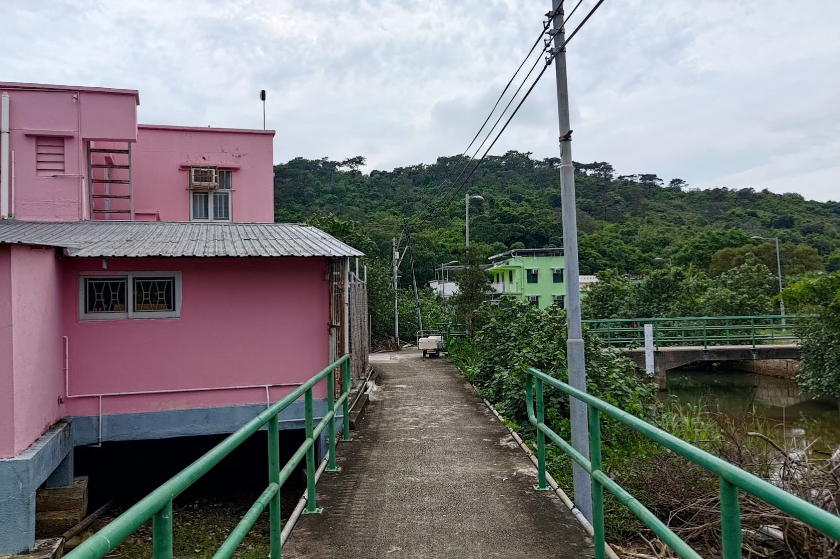
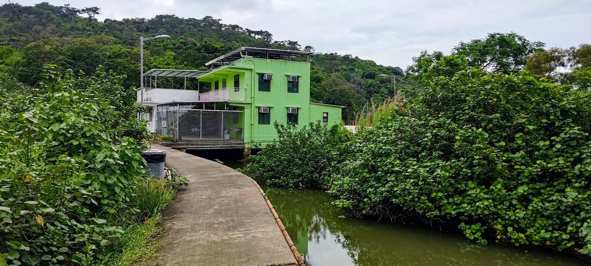
Once you cross the bridge, zigzag along the path with green railings and go past the cute pair of village homes.
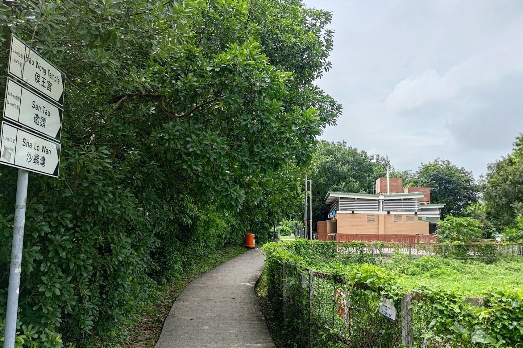
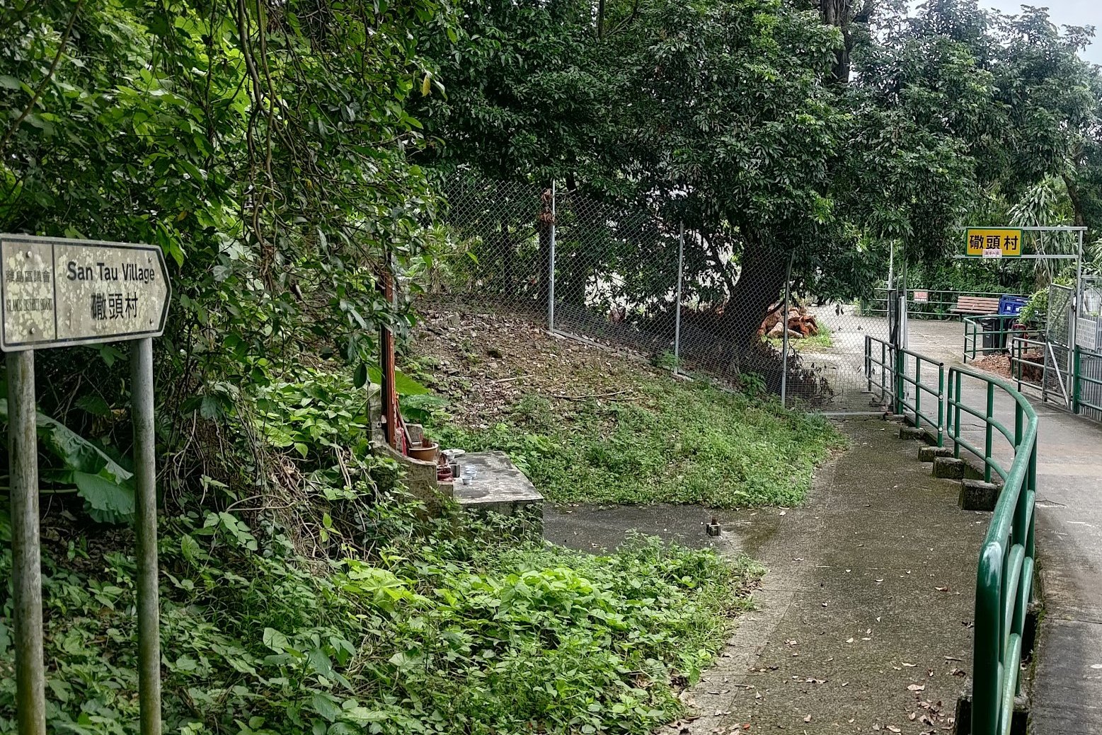
Directly on your left will be the stairs leading to the Ngong Ping Rescue Trail hike. For this hike, you'll just want to continue following the concrete path forward for about 10 minutes until you arrive at San Tau Village.
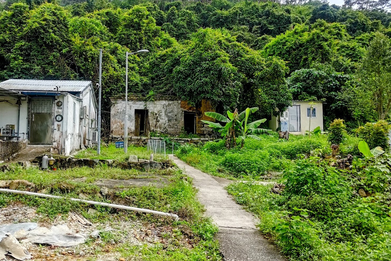
San Tau Village
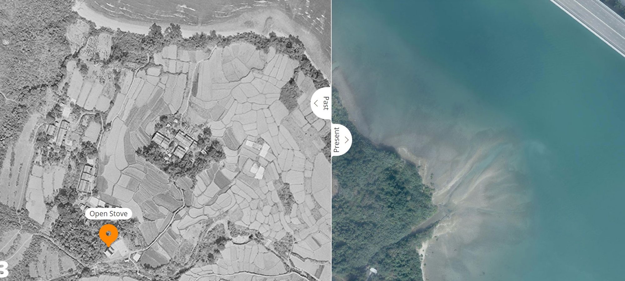
Tucked away on Lantau Island, San Tau Village was a quintessential rural settlement surrounded by farmland and mountains. The location was picked because of the streams that ran through the village, allowing for easy crop irrigation.
Residents mainly belonged to families like the Tses, Hos and Chengs. Farming was their primary occupation, but they traded crops with nearby Tai O for rice, seafood, and firewood.
This harmonious coexistence with nature exemplified the sustainable lifestyle of San Tau's villagers and how essential the Tung O Ancient Trail was for trading goods.
Getting to the Optional Detour
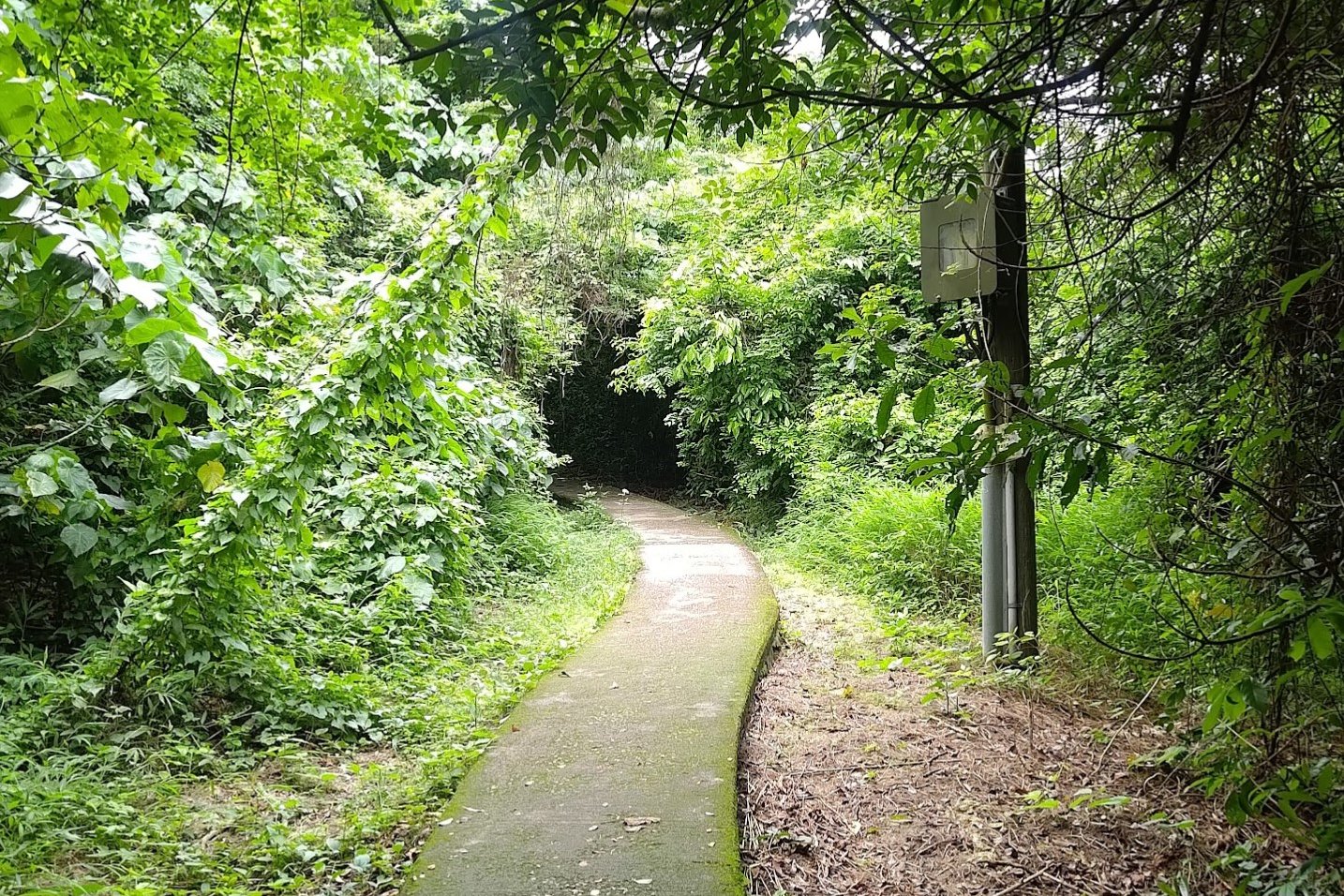
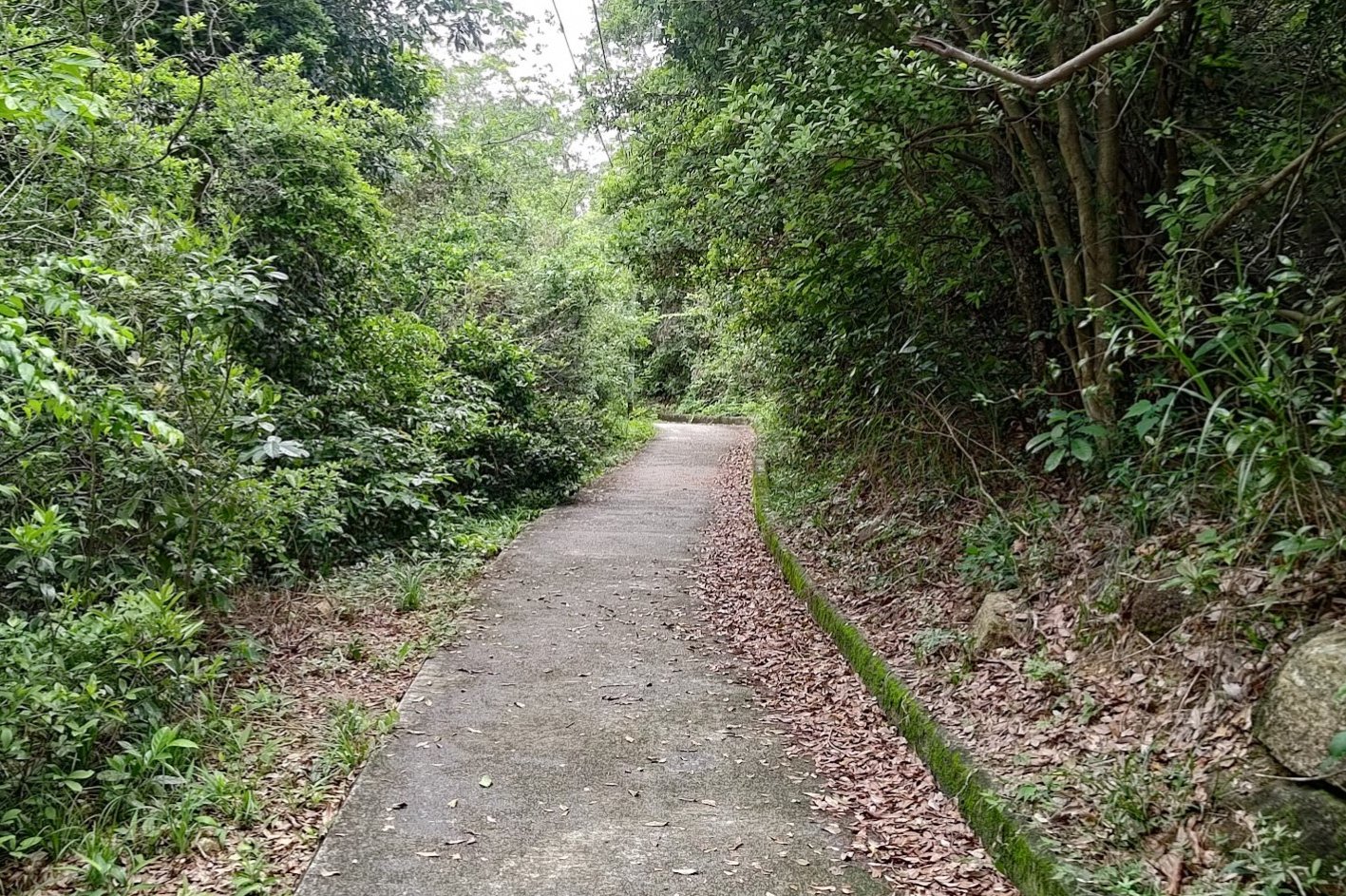
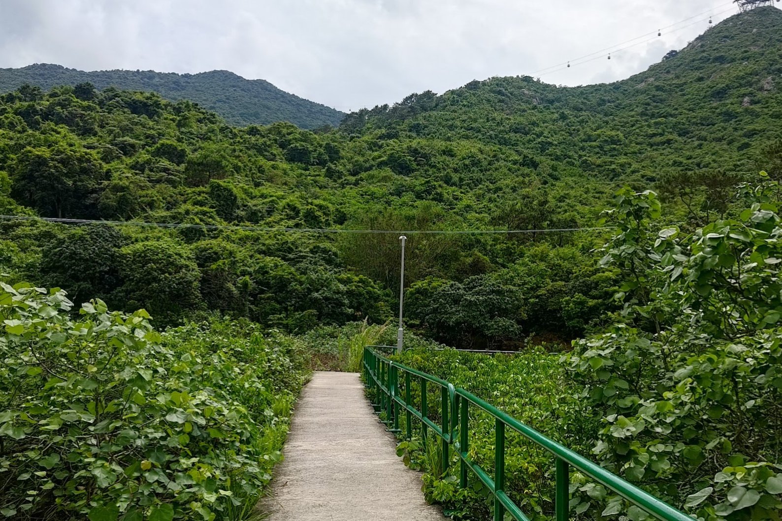
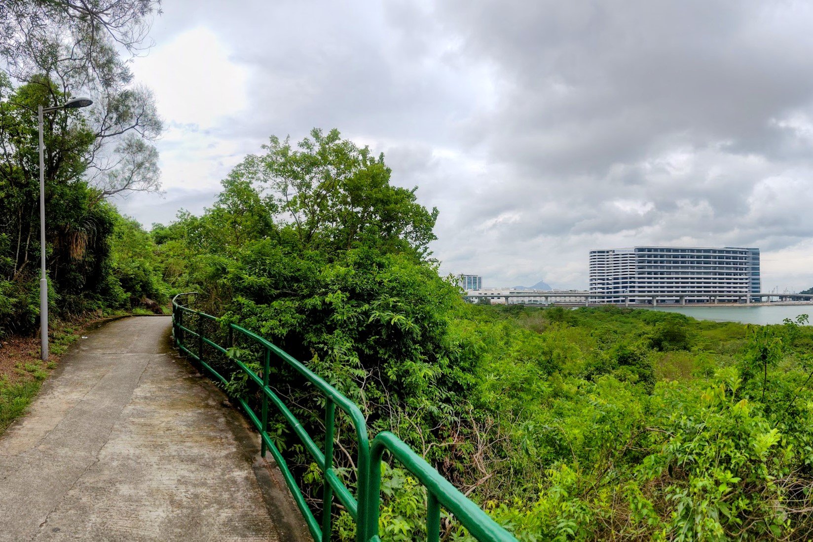
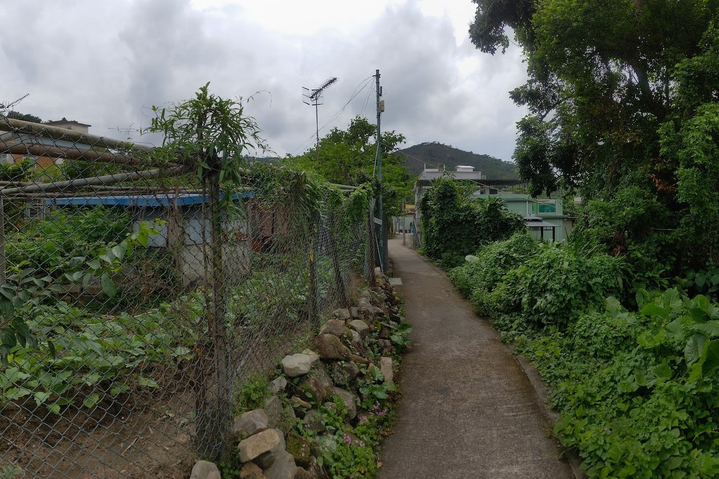
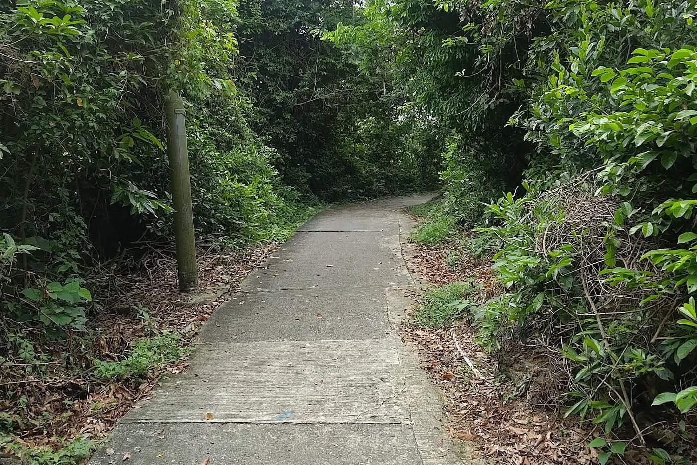
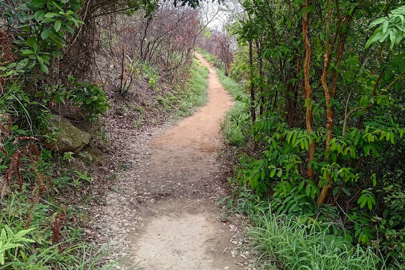
After San Tau Village, simply follow the concrete trail as it leads you past beaches, forested areas and views of Hong Kong International Airport.
In total, this section takes 45 minutes at a regular pace and is pretty much entirely flat.
When you arrive at a set of signs, you'll have a decision to make for a potential really cool detour!
Pa Kong Detour (Incredible Viewpoint of Planes Taking Off)
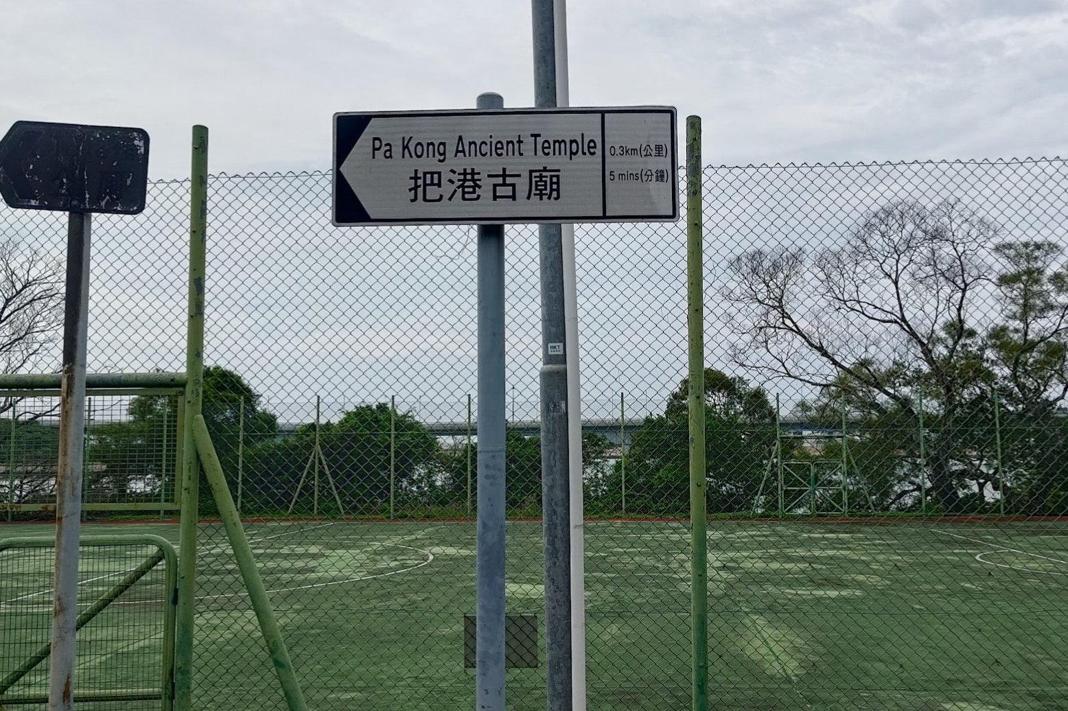
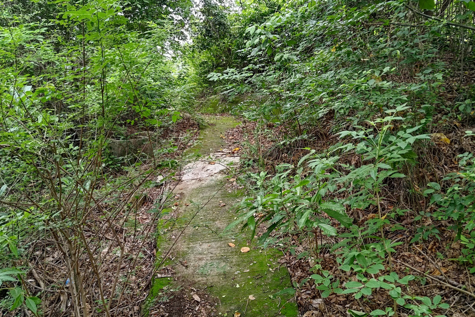
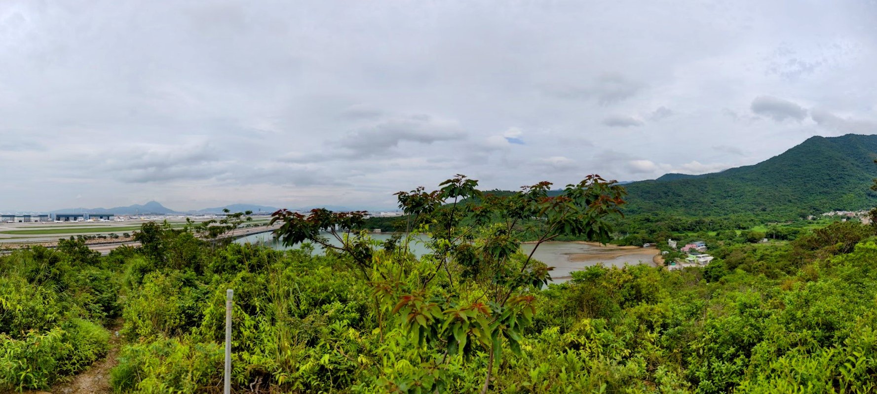
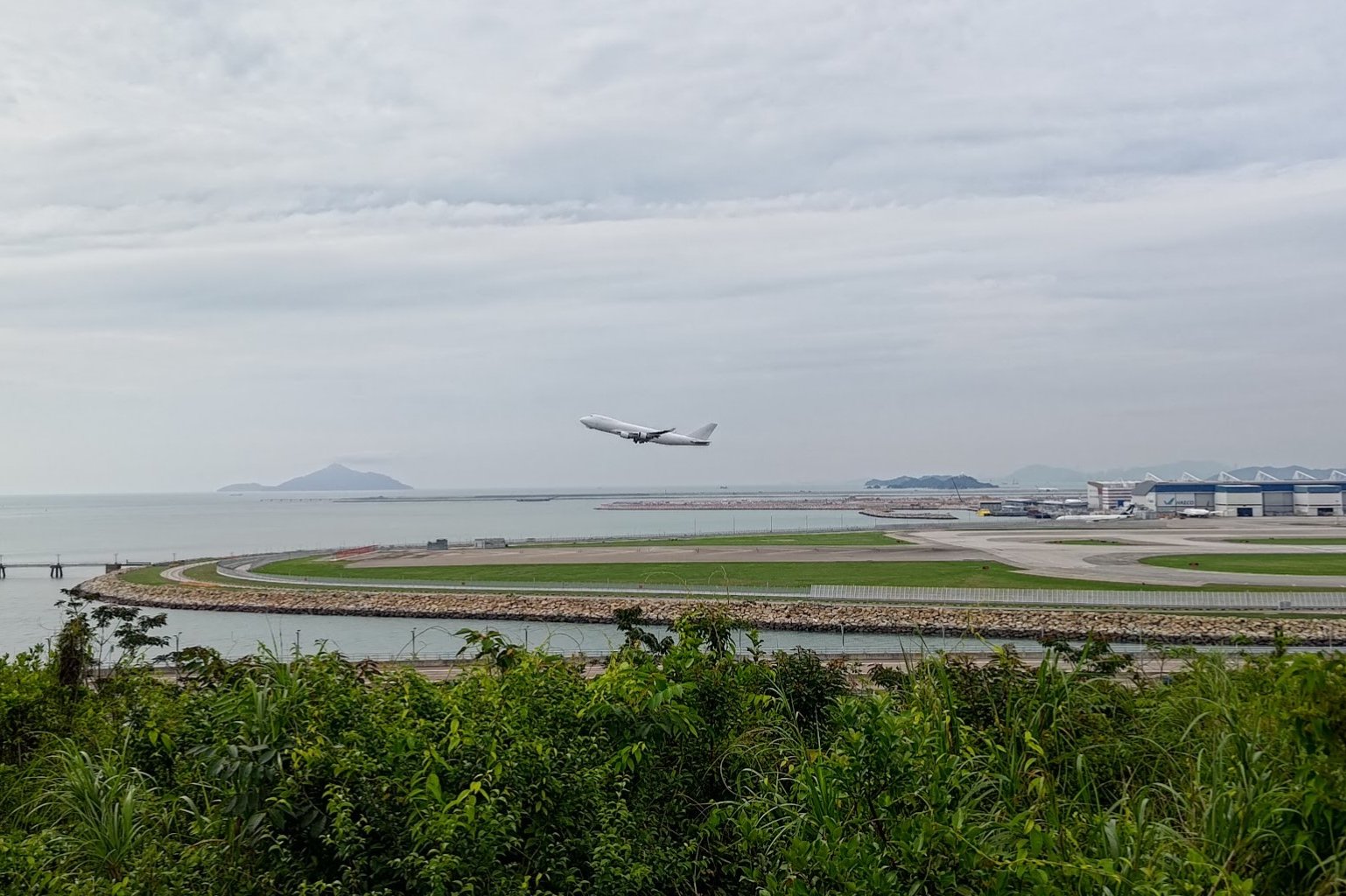
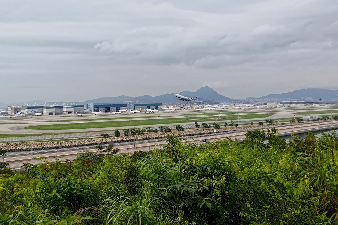
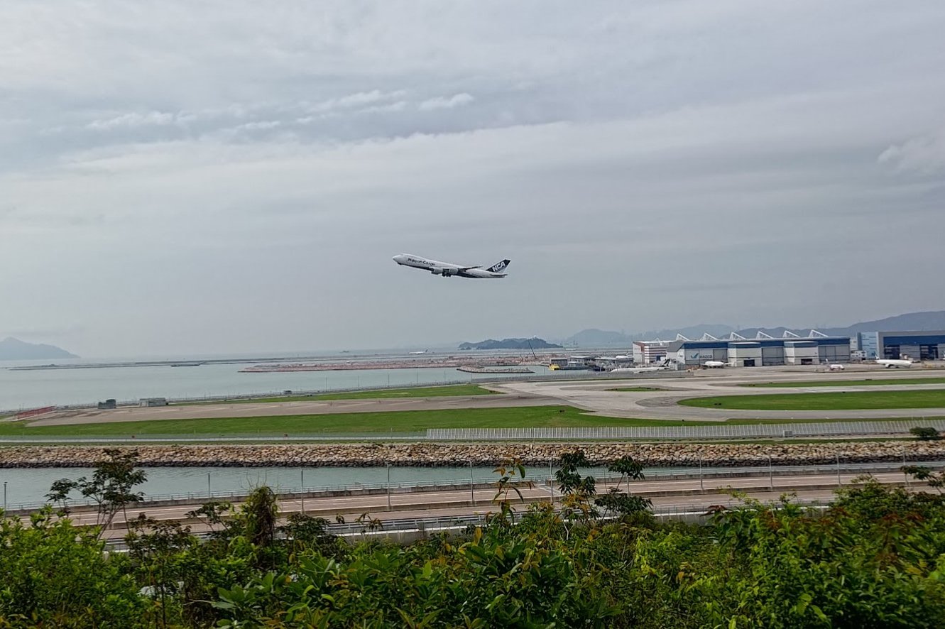
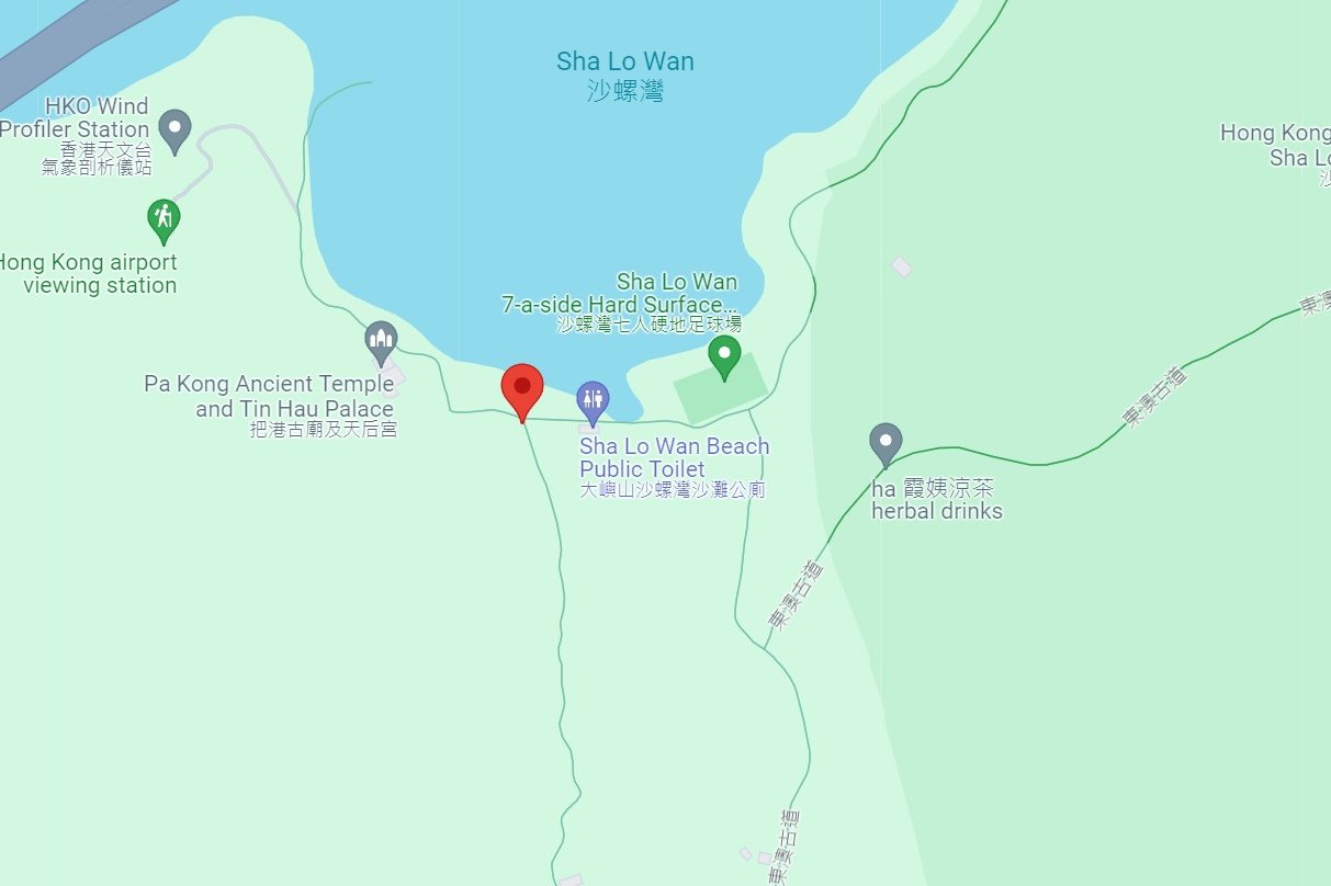
The detour takes you to the lower portion of Sha Lo Wan Village and takes around 35 mins there and back (with minimal time to take photos at the airport runway viewpoint).
Budget more time if you want to chill and take photos of planes from up close.
Just remember to retrace your steps back to the detour signs EXACTLY. Another path leads back to the trail, but you will arrive at a fence and be trapped in a car park.
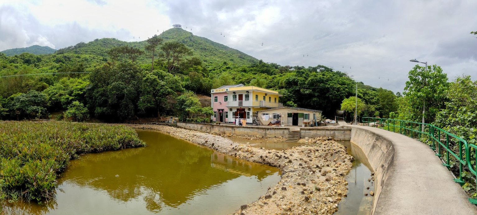
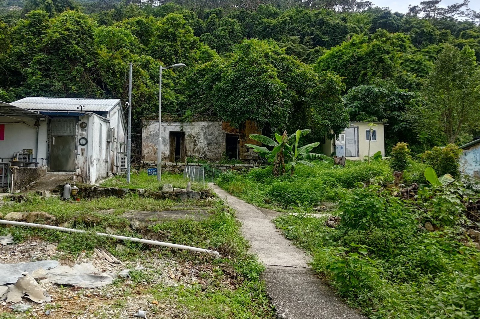
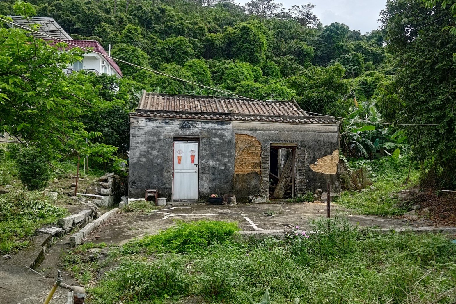
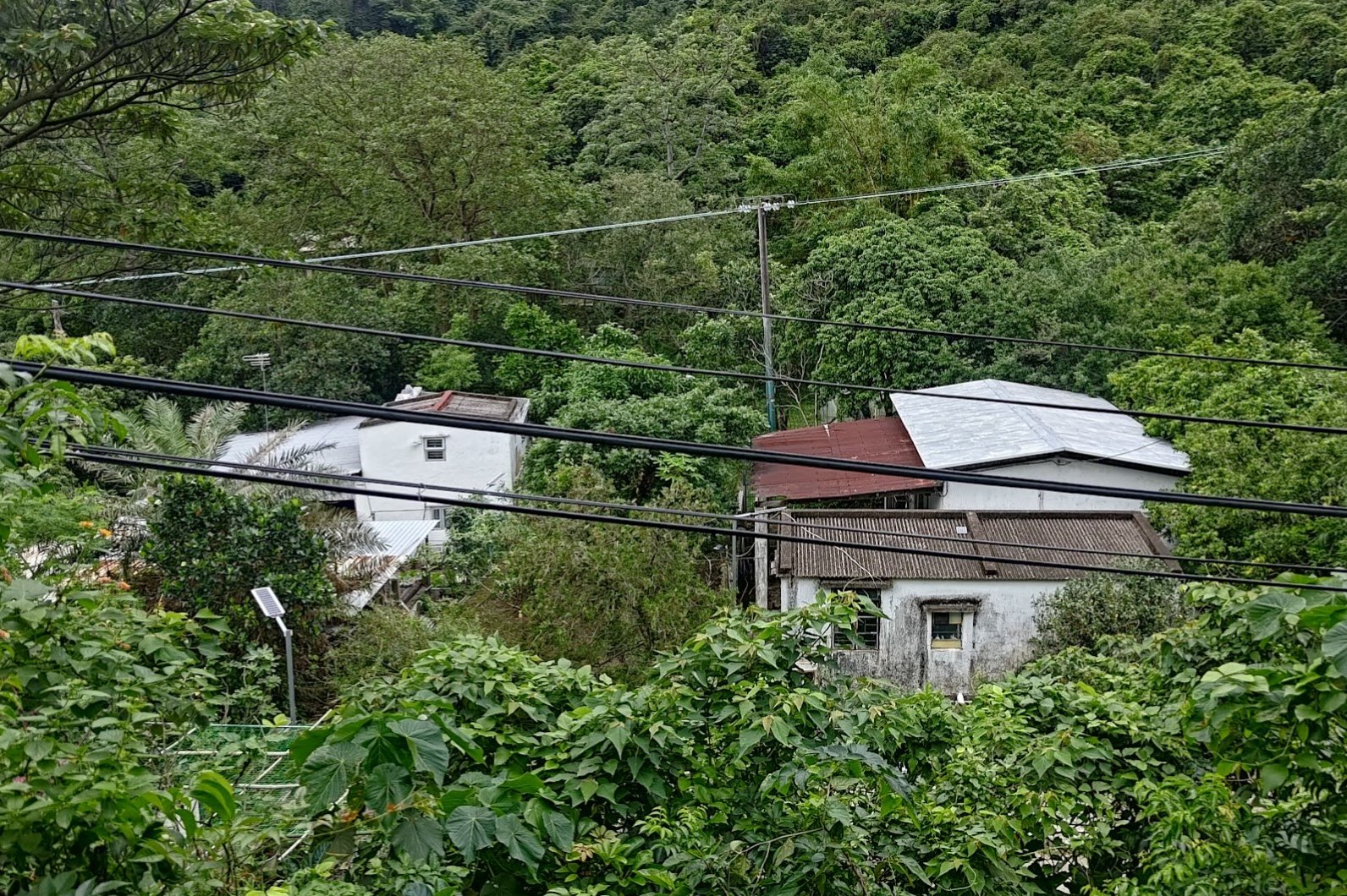
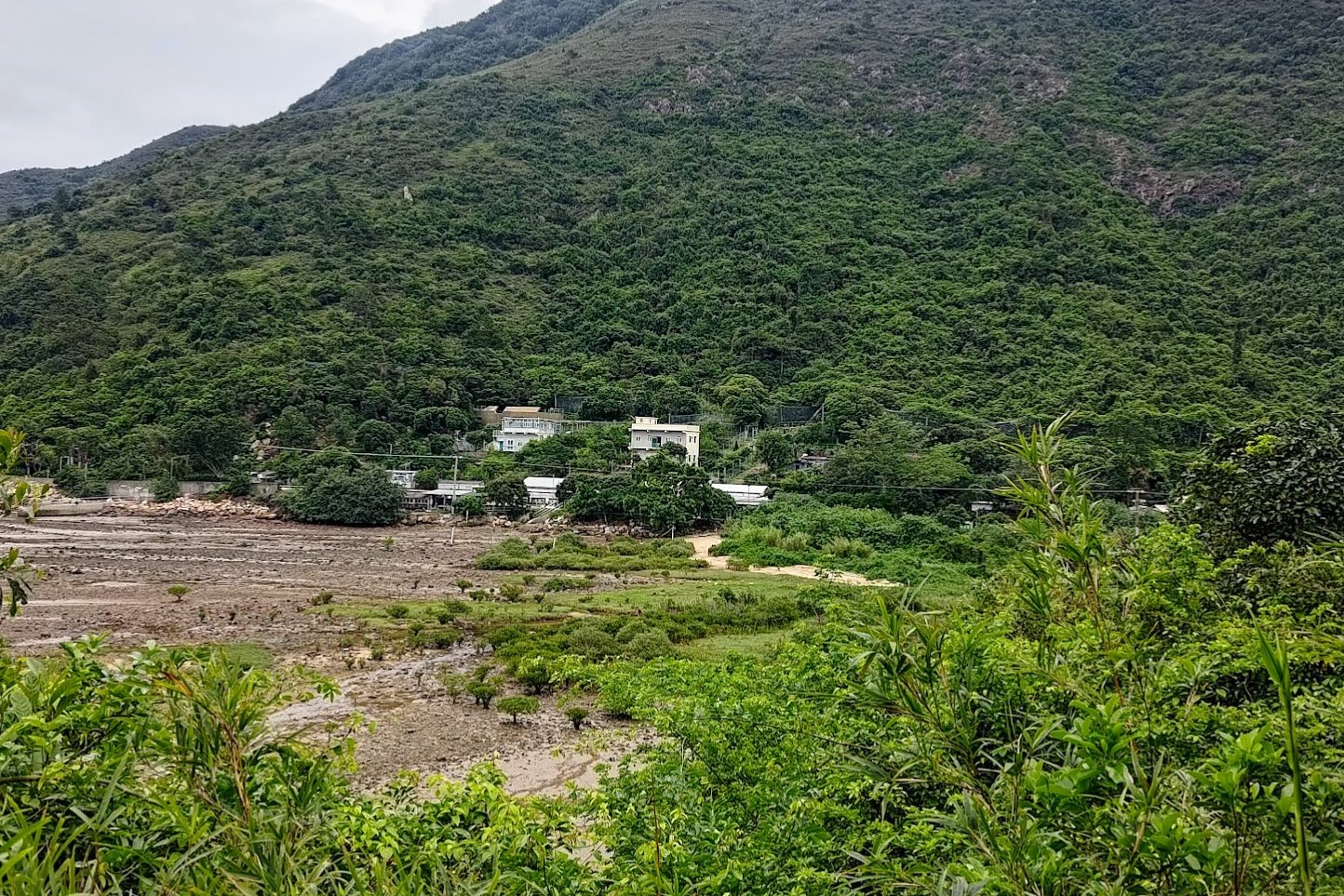
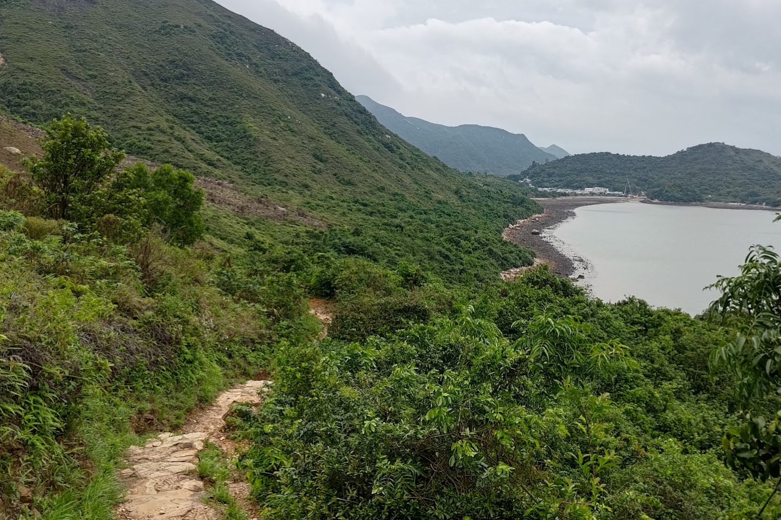
Sha Lo Wan
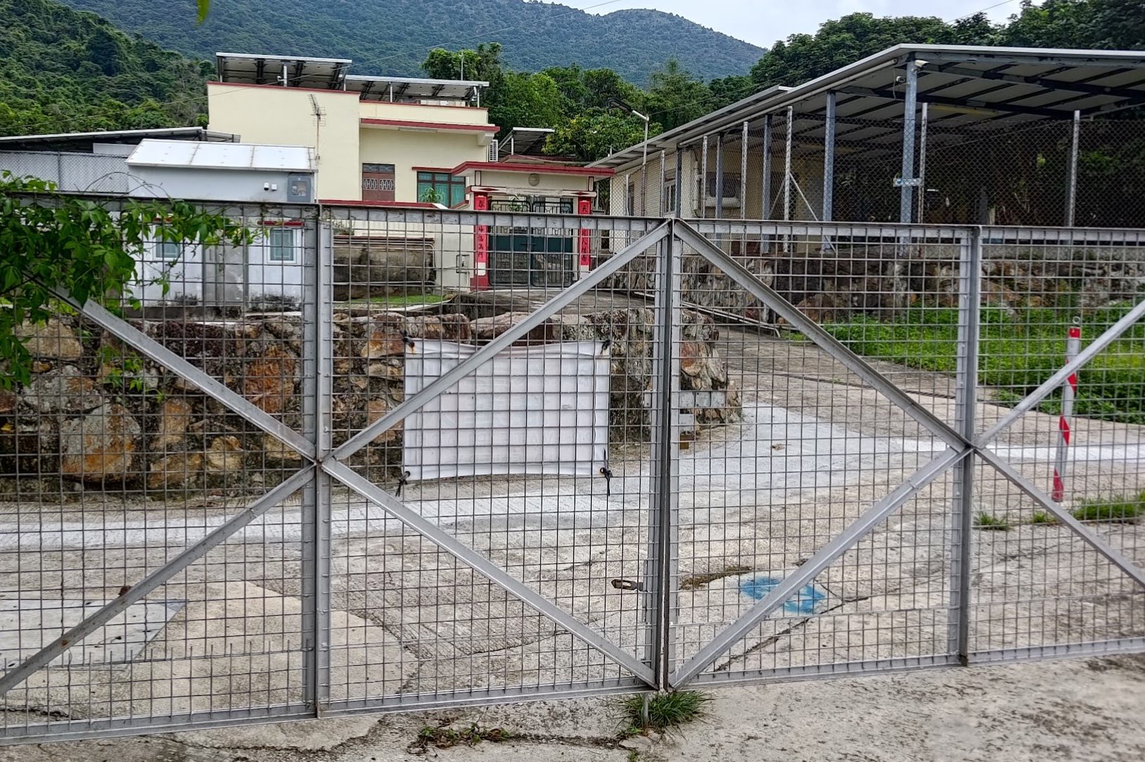
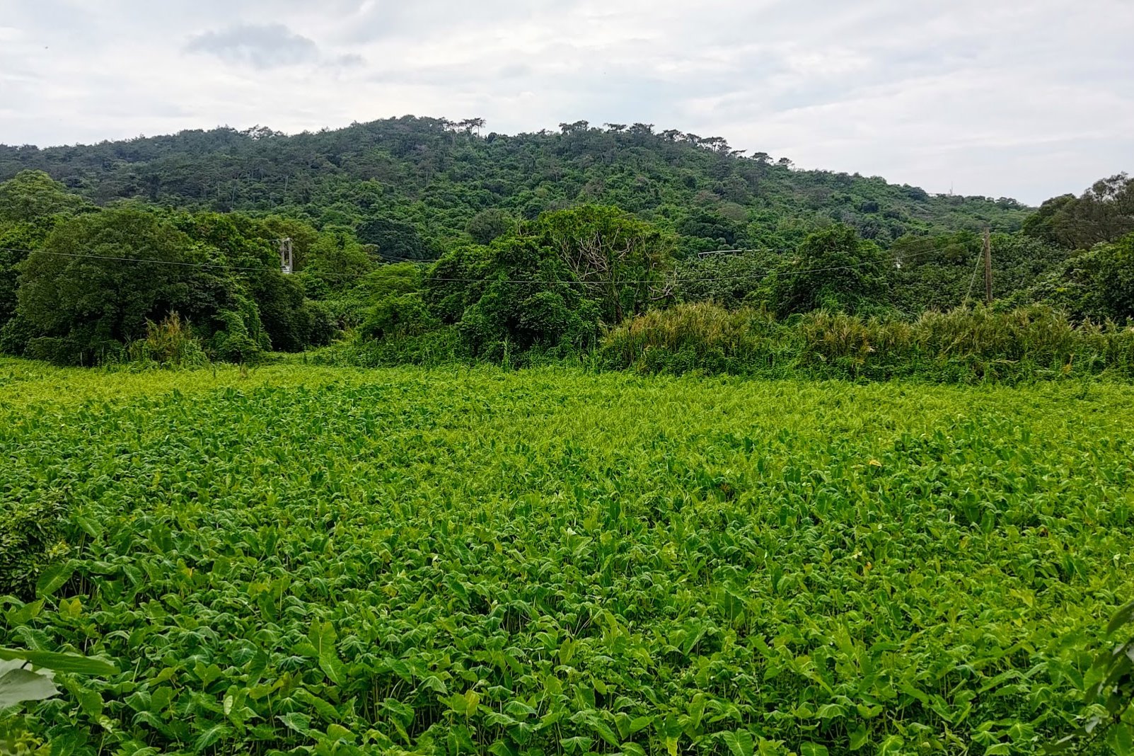
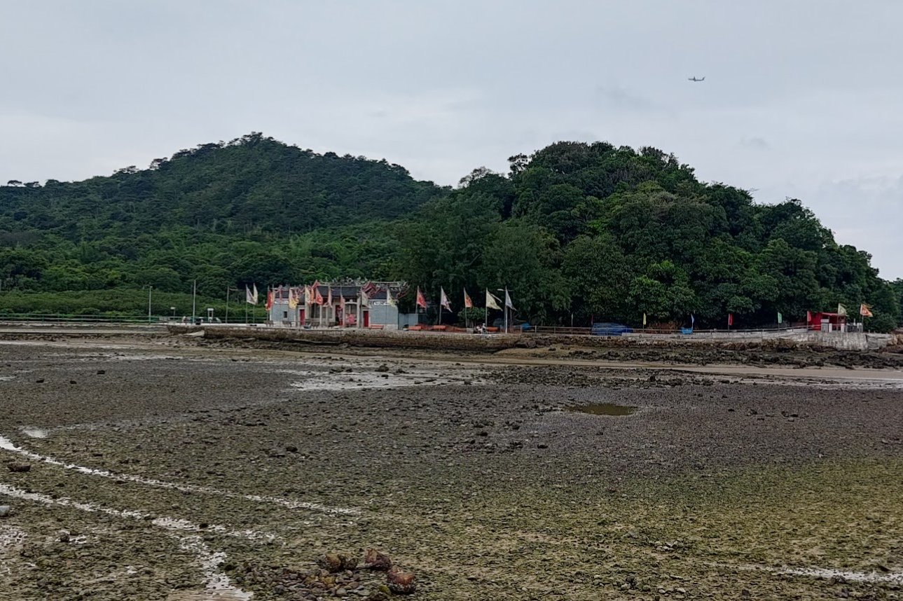
Sha Lo Wan Village boasts a rich history dating back over 200 years, with records of its existence appearing in Ming dynasty coastal defense maps and Qing dynasty gazetteers.
This ancient coastal village was strategically established at the foot of mountains, sheltered on three sides while facing the sea to the north. Beyond its natural mountain barriers, Sha Lo Wan was surrounded by fertile farmlands and dense woodlands. Mountain streams meandered through the village, nourishing the agricultural lands before emptying into the nearby sea.
While farming was the primary occupation, villagers also supplemented their livelihoods by harvesting clams from the beach and fishing in the coastal waters.
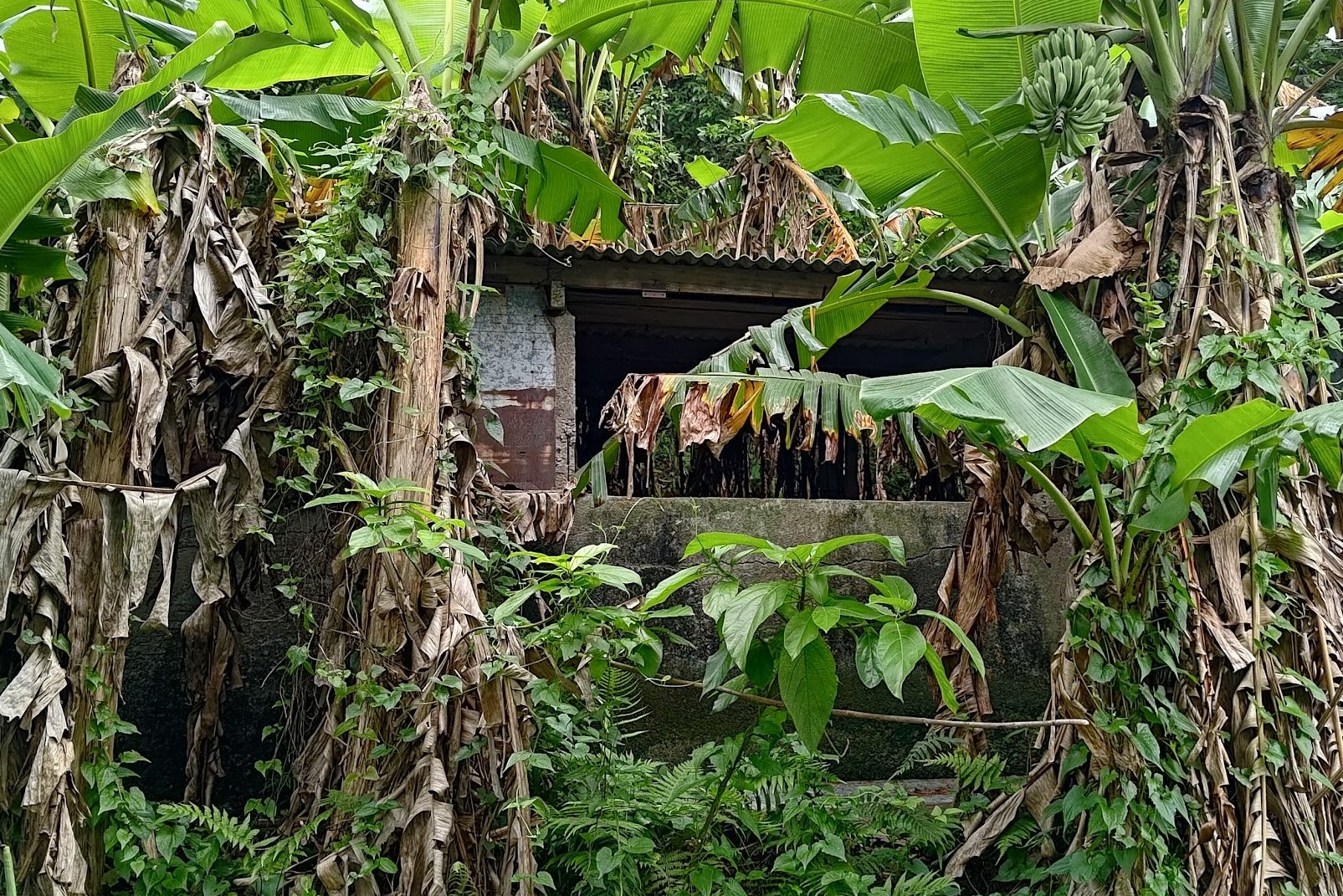
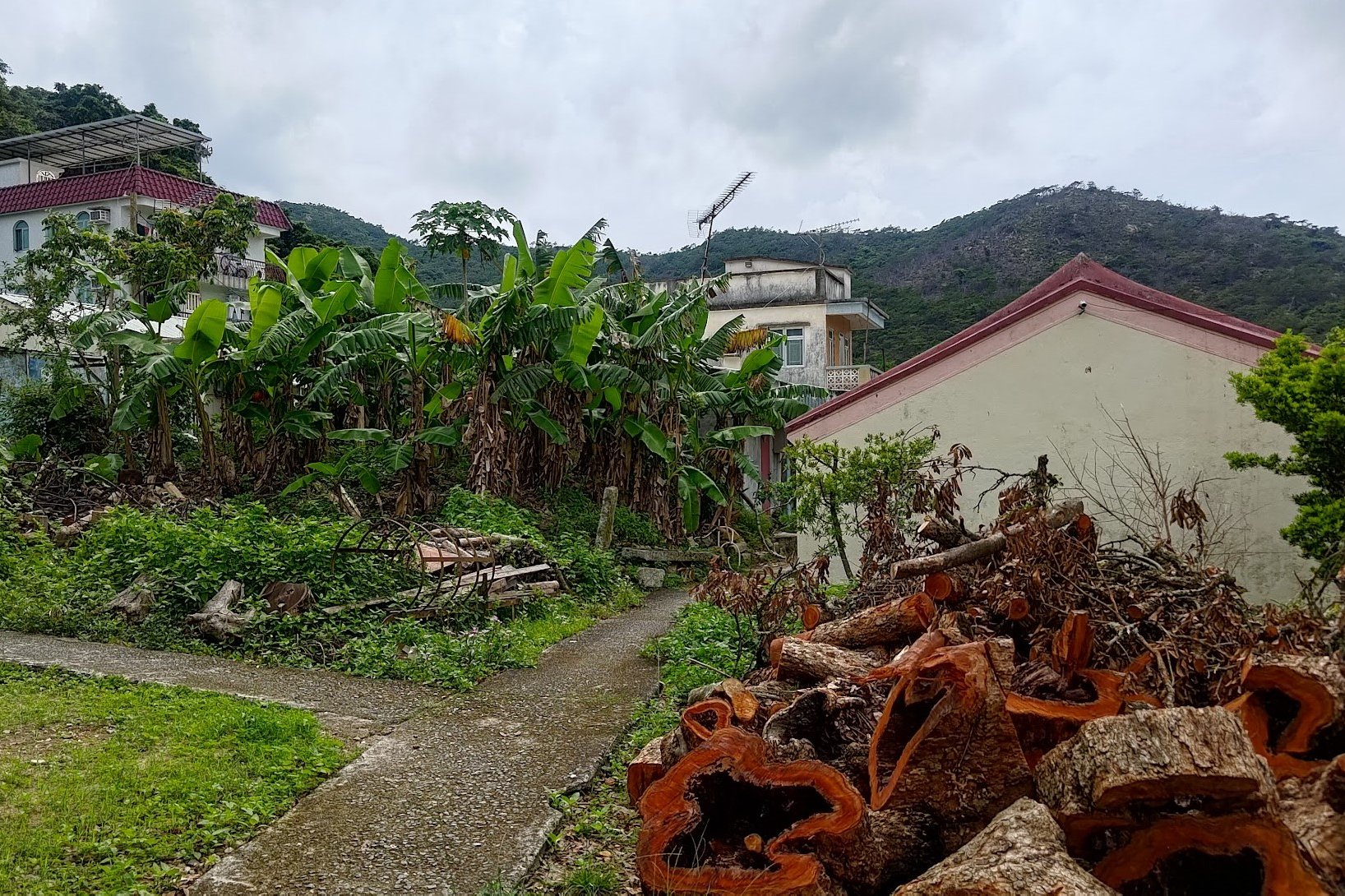
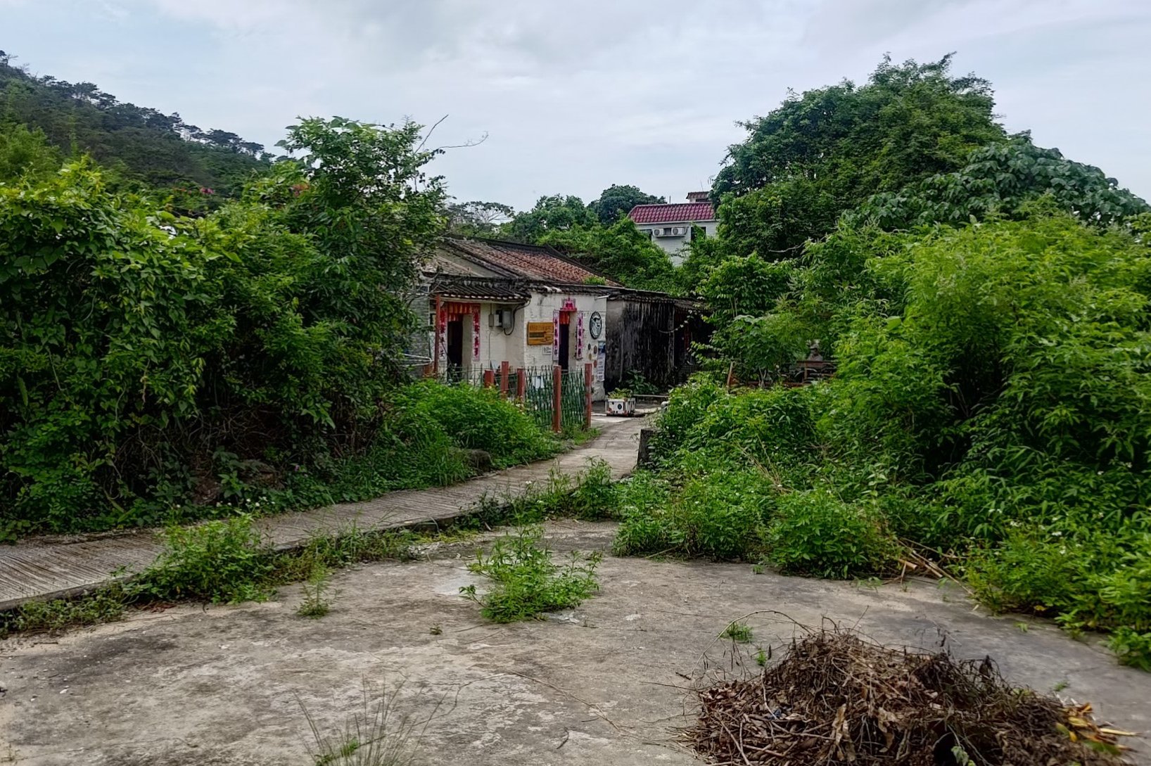
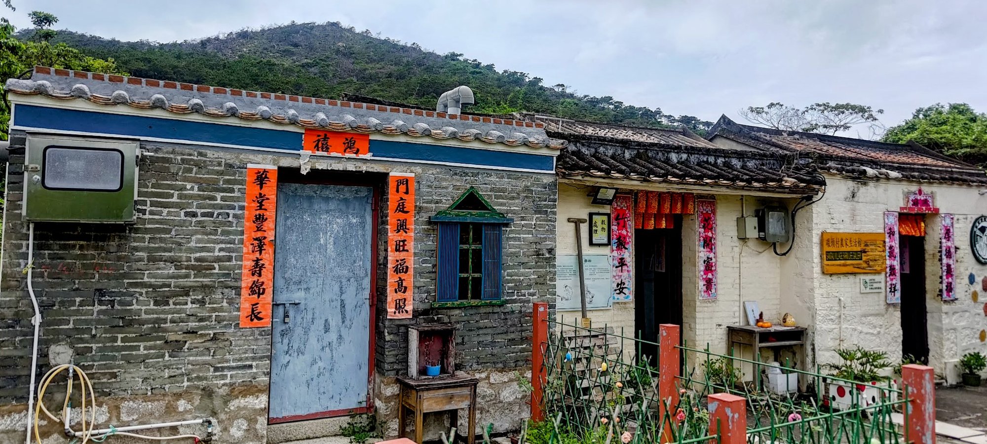
Sham Shek Village
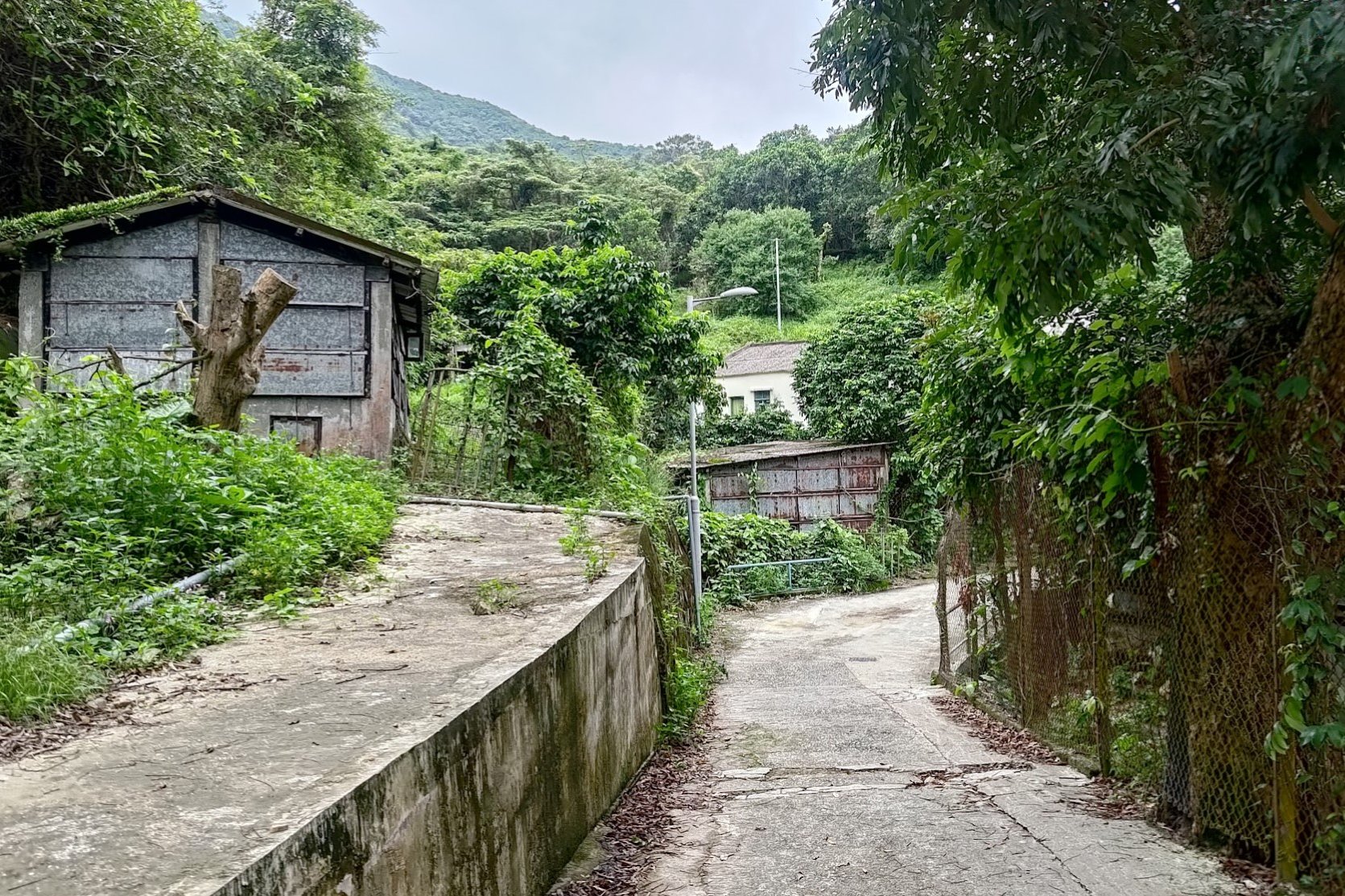

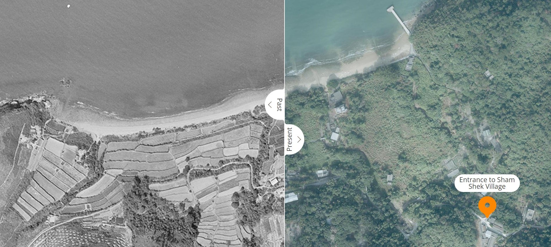
Established in 1956, Sham Shek Tsuen, named after the nearby Sham Wat and San Shek bays, was primarily settled by immigrants from mainland China's Chaozhou and Shantou regions of Guangdong province. These new residents initially made their living through rice farming.
However, the influx of inexpensive imported rice from countries like Australia and Thailand in the 1950s and 1960s made traditional rice farming increasingly unprofitable in Hong Kong.
Adapting to these changing circumstances, many farmers on Lantau Island transitioned away from rice cultivation. Instead, they diversified their agricultural activities, turning to vegetable farming, livestock rearing, fruit tree cultivation, and operating orchards and pigsties.
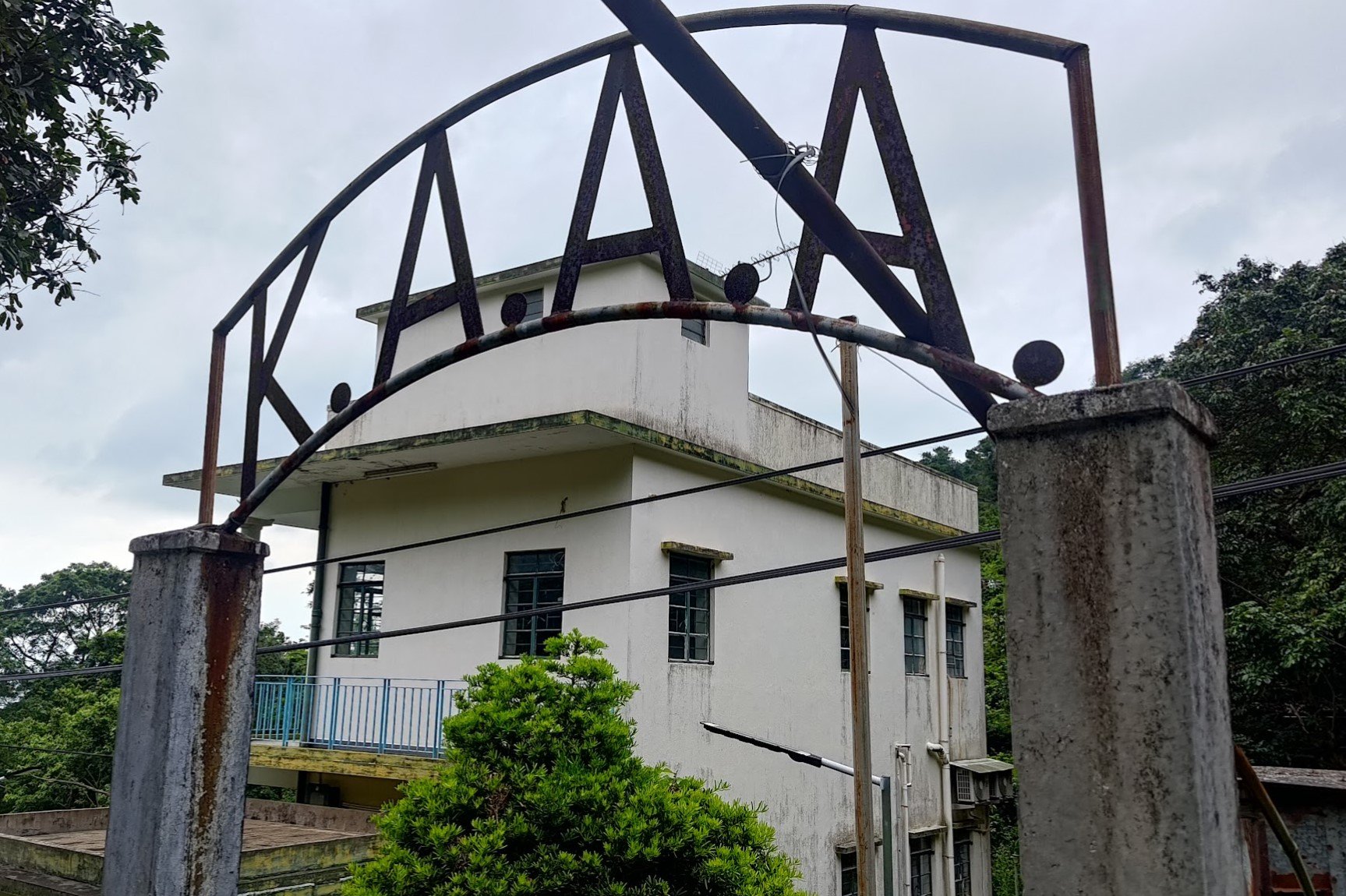
The KAAA
In the aftermath of World War II, Hong Kong witnessed a surge in population as refugees and returning citizens flooded the city. Seeking a livelihood, many turned to farming in the rural areas of the New Territories and Lantau Island. Recognizing the plight of these struggling agricultural communities, the philanthropic Kadoorie brothers (the same brothers that set up Kadoorie Farm and Botanical Gardens), Lawrence and Horace, established the Kadoorie Agricultural Aid Association (KAAA) in 1951.
Through its comprehensive initiatives, the KAAA provided invaluable support to farmers. It distributed livestock, reclaimed arable land, facilitated rural infrastructure development, conducted agricultural research, and offered interest-free or low-interest loans.
These efforts not only empowered farmers but also fostered self-sufficiency and sustainable practices. Over the decades, the KAAA's far-reaching impact has directly or indirectly benefited more than 300,000 local farmers, playing a pivotal role in nurturing Hong Kong's agricultural sector during challenging times.
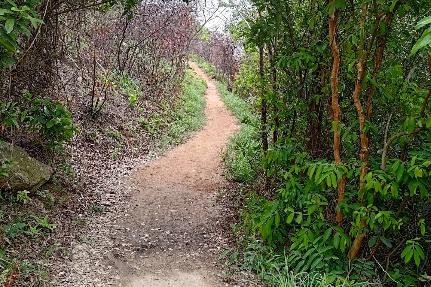
Sham Wat
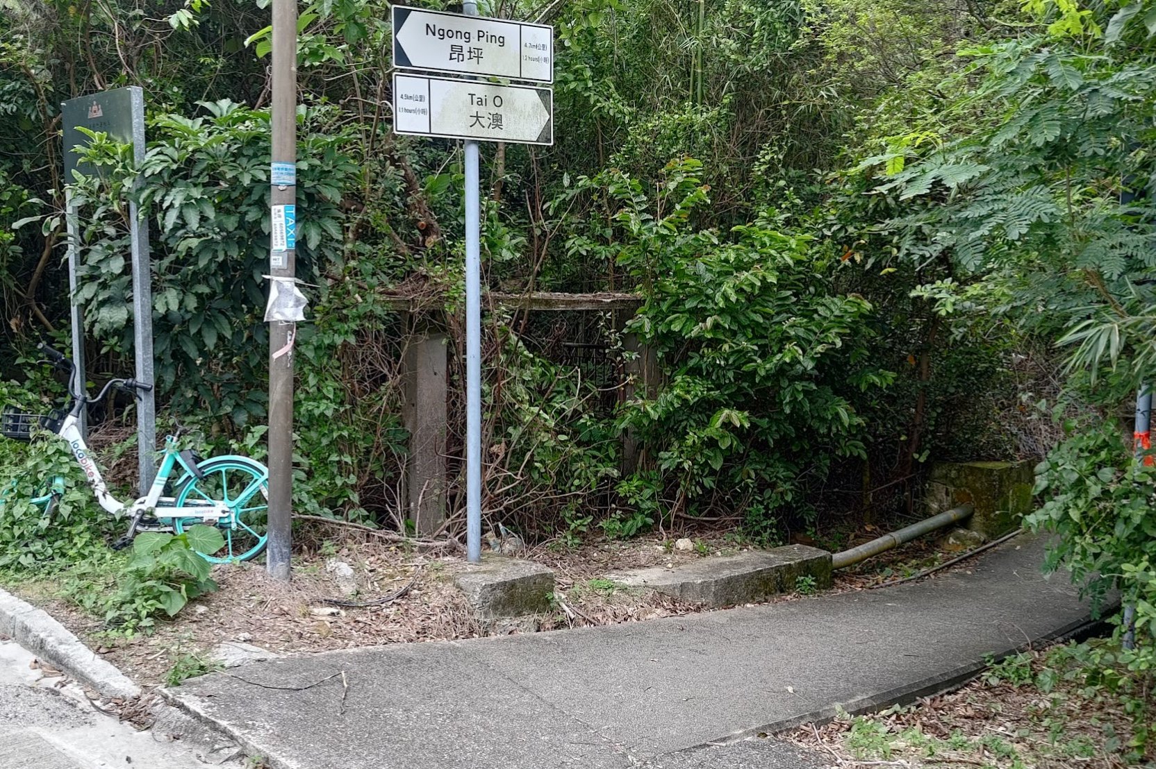
Unfortunately, I couldn't find too much information about Sham Wat. You'll want to keep following Sham Wat Road until you arrive at a sign pointing you towards Tai O.
DO NOT MISS THE SIGN AND THE RIGHT TURN!
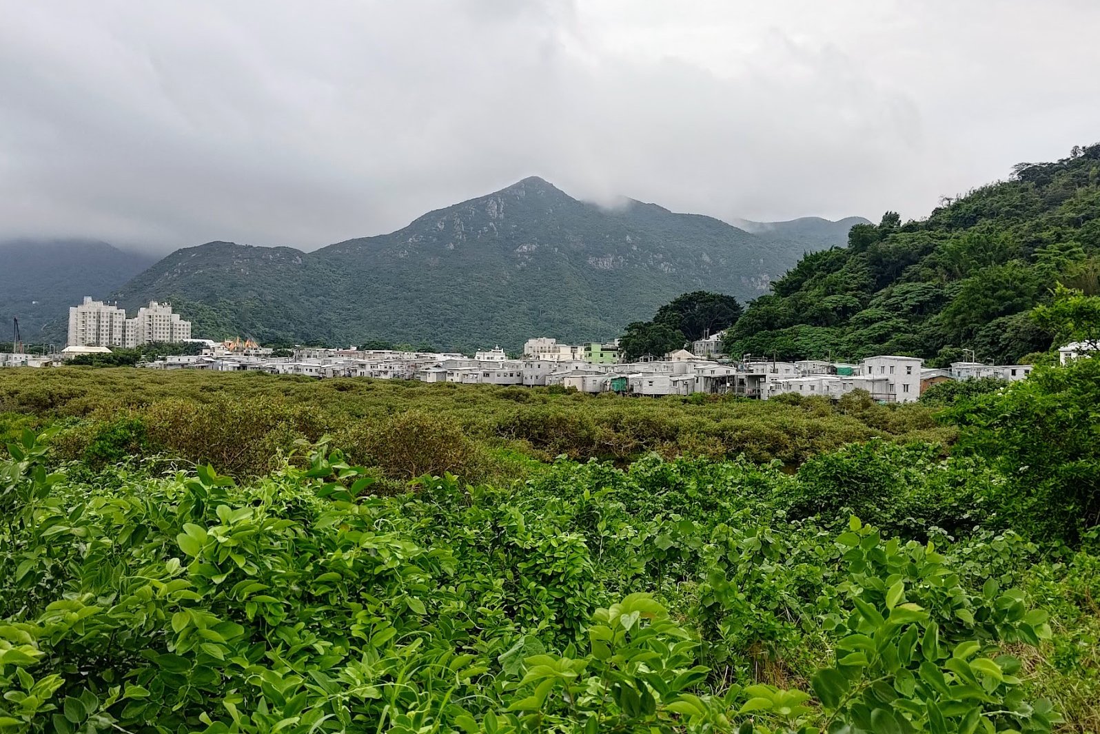
Getting to Tai O
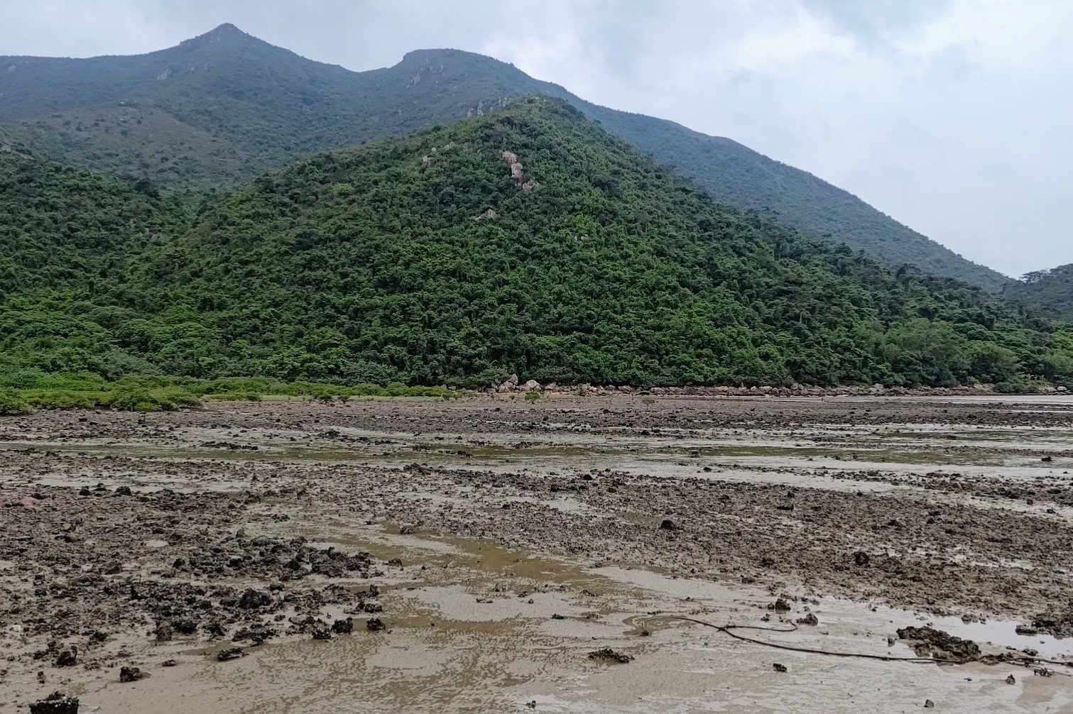
This section of hiking takes about an hour to complete and has some of the most varied scenery of the entire trail.
You'll go past the muddy bay, enjoy vistas of the open ocean, almost vomit when you're forced to look at the disgusting Hong Kong Zhuhai Macau Bridge, go past a rocky bay and eventually end up in Tai O, which is surrounded by greenery.
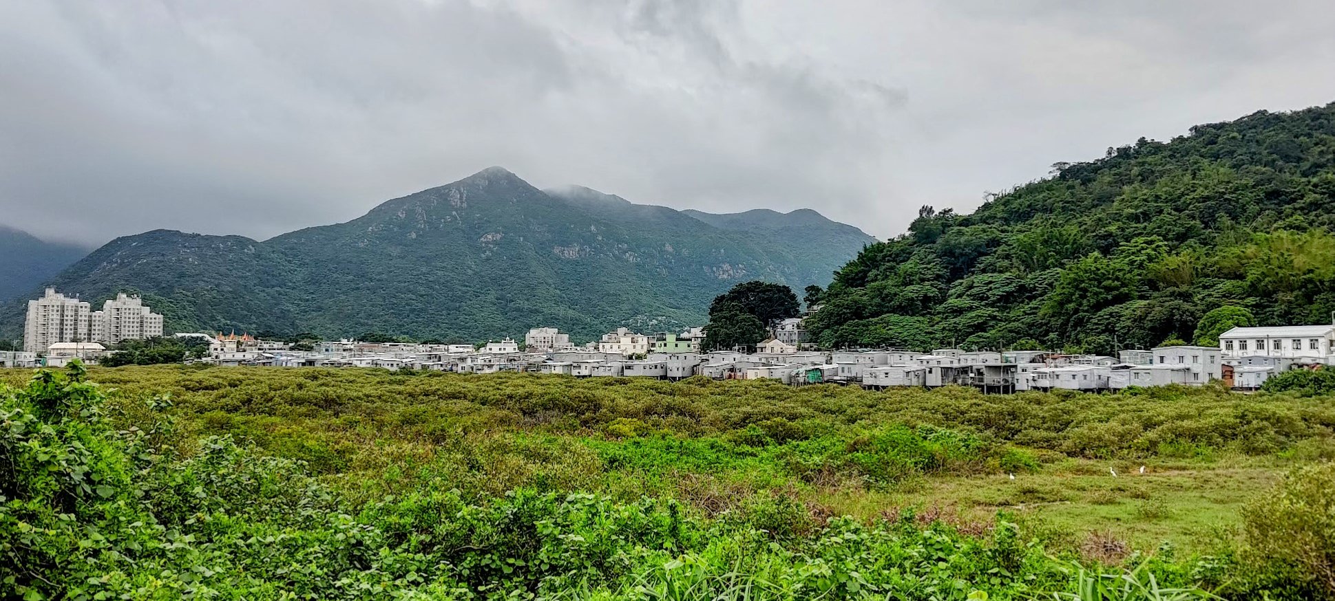
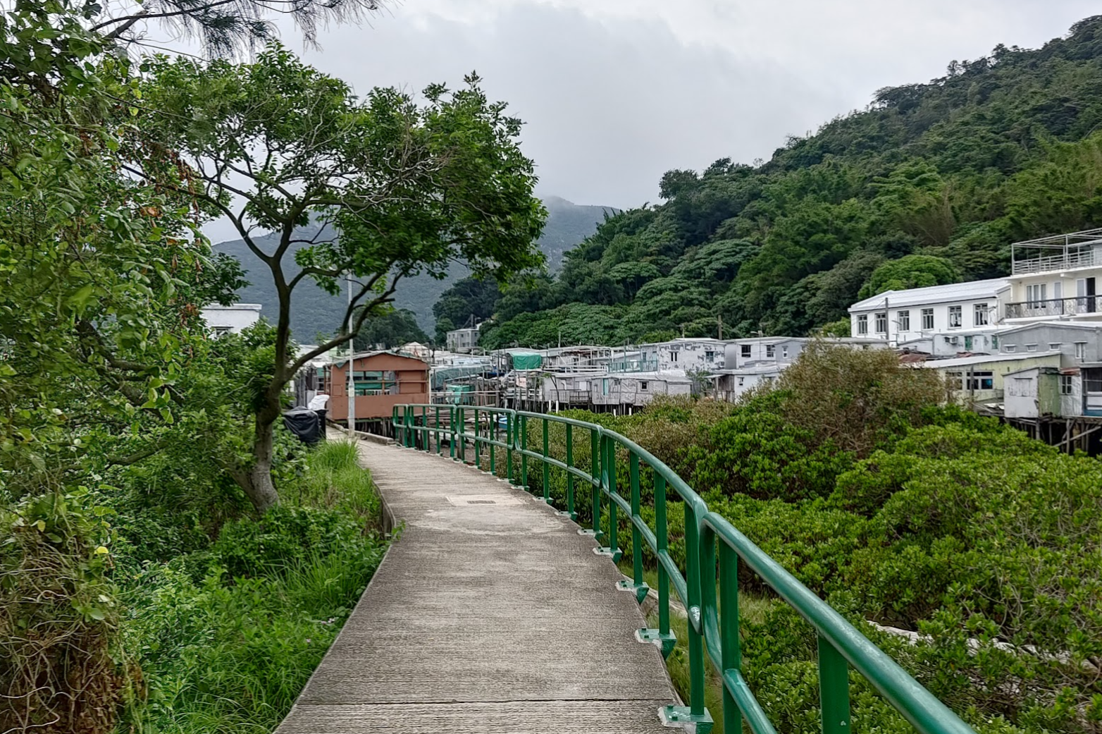
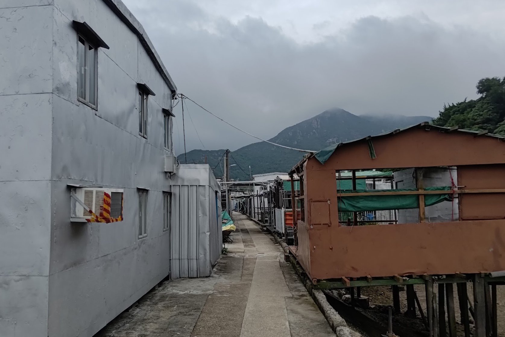
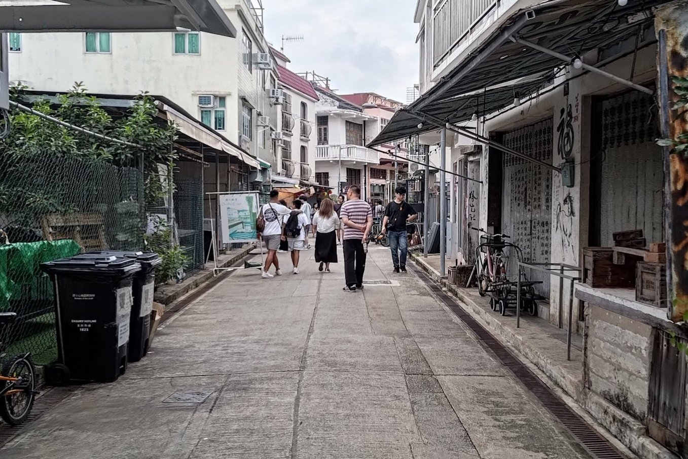
Tai O Fishing Village
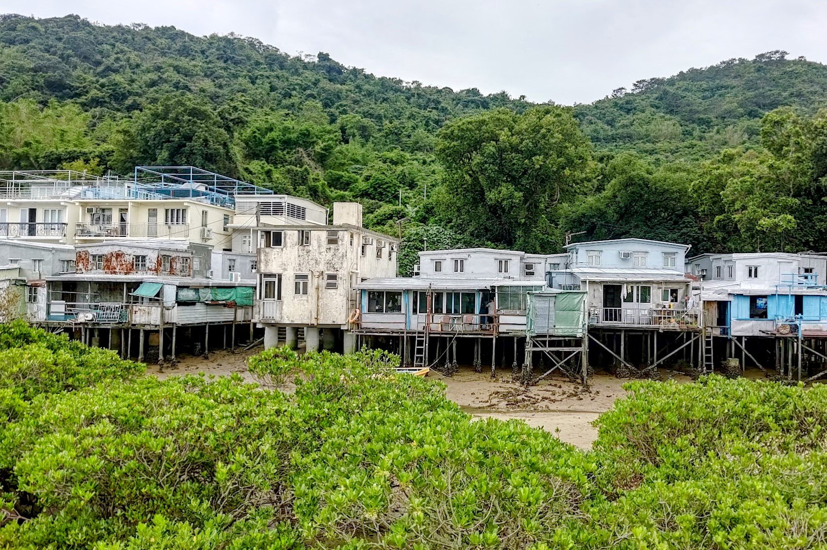


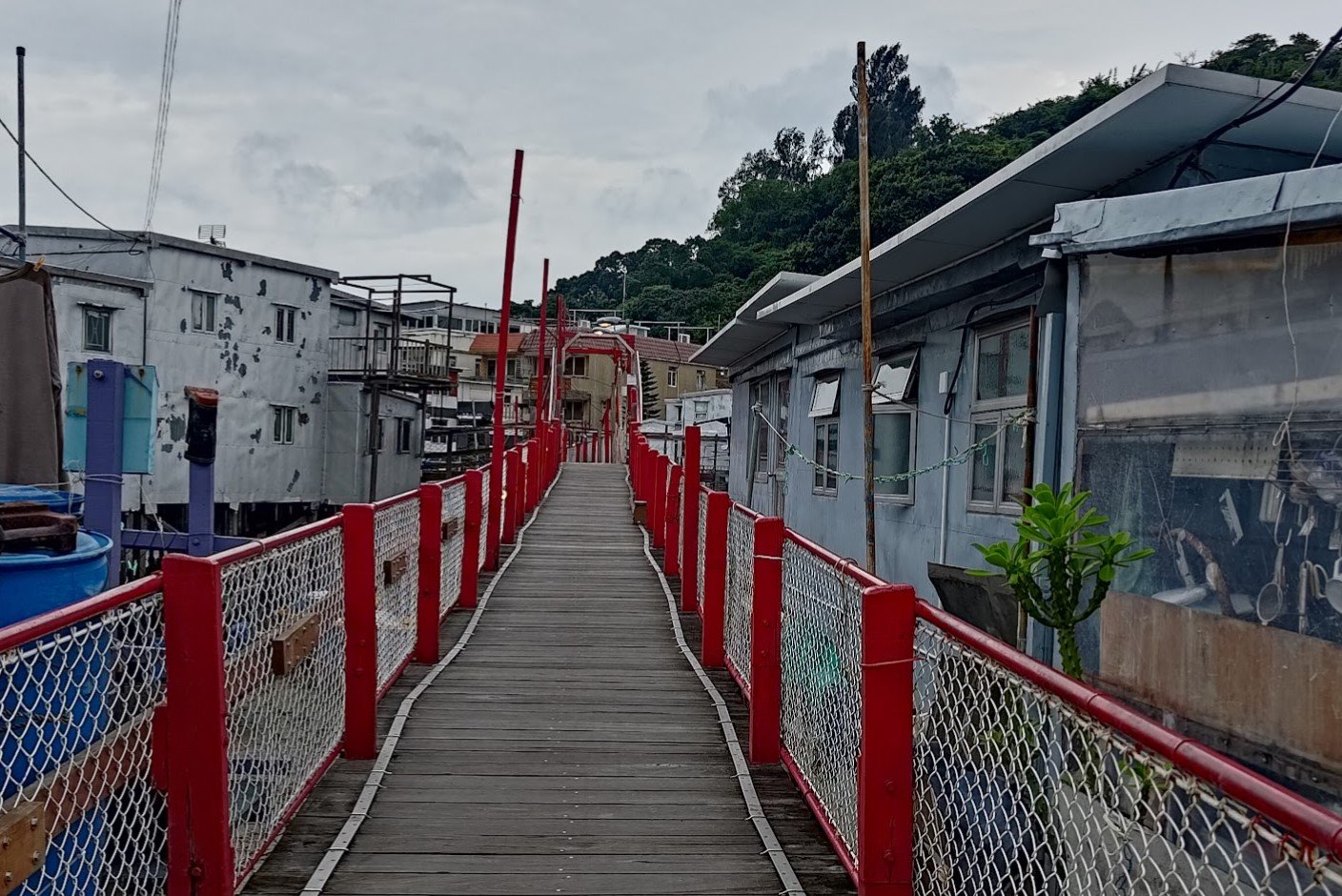
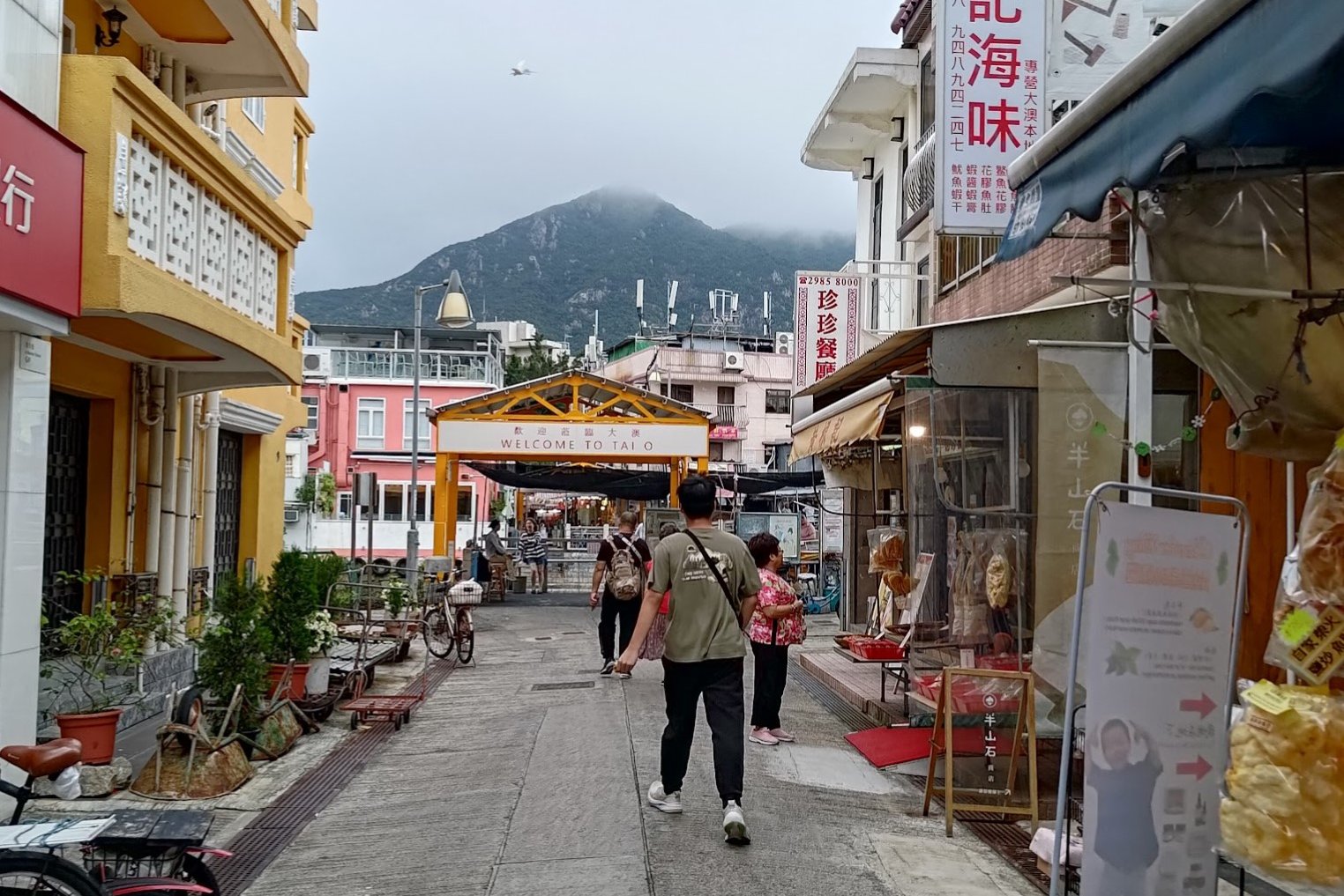
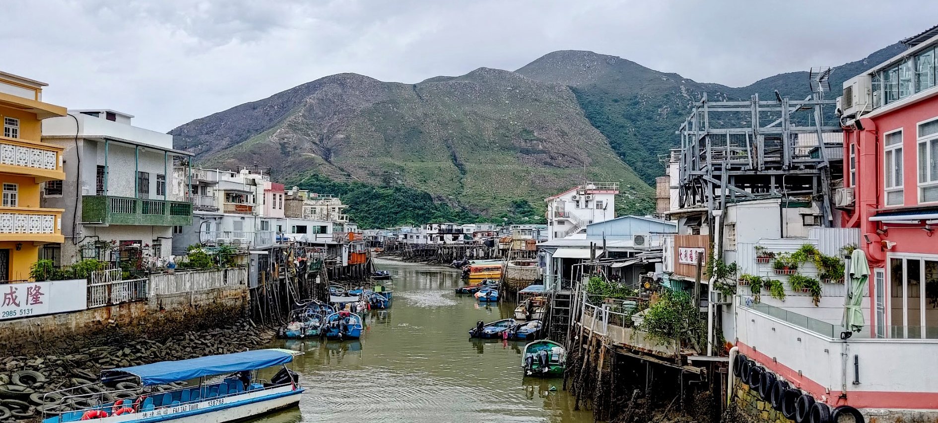

In its heyday during the early 20th century, Tai O was a bustling economic center on Lantau Island, renowned for its thriving fishing, salt production, and agricultural industries. With over 500 fishing boats and an annual salt output exceeding 300,000 loads, Tai O supplied the Pearl River Delta region with essential commodities.
Beyond its maritime prowess, Tai O's agricultural sector flourished, boasting 3,000 dau chung of paddy fields and 1,000 dau chung of vegetable fields. Women played a crucial role, not only assisting in farming but also collecting firewood and grass from the mountains, which was sold to fishermen for boat maintenance.
However, by the 1960s, rice cultivation in Tai O began to wane, prompting farmers to diversify into vegetable and fruit cultivation, as well as pig farming.
As younger generations sought urban employment, the elderly remained to tend the fields, leading to a gradual decline in Tai O's once-thriving industries by the 1980s.
Today, many abandoned agricultural lands and salt pans have transformed into lush mangrove forests, reflecting Tai O's transition from a bustling economic hub to an eco-tourism destination, where visitors can explore its rich cultural heritage and natural beauty.
Getting Back
From Tai O, you can take NLB bus number 11 back to Tung Chung MTR station.
Alternatively, you can take NLB bus number 1 to Mui Wo to catch a ferry to Central (Hong Kong Island).
If you want to explore, you can take NLB bus number 21 up to the Ngong Ping Big Buddha

