
Tai Tun Hike: A Quiet Trail With Stunning Island Views Over Sai Kung
Contents
- Essential Information
- Hike Highlights
- Google Route Map and GPX
- How to Get There (Direct Buses)
- How to Get There (Other Transport)
- Quick Route Summary
- Pak Tam Chung to Trailhead
- The Big Climb (40-mins)
- Tai Tun Summit Views
- Navigating the Tai Tun Summit
- Descending to Tai Au Shan
- Optional Climb Up Tai Au Shan
- The Tricky First Half of the Descent (30 mins)
- Final 35 Mins of Descending
- Getting Back
Essential Tai Tun Hike Details
- District: New Territories
- Duration: 2 hours 10 mins
- Distance: 4.6km
- Highest Elevation: 317 meters
- Difficulty: 3/5
- Facilities: Drinks kiosk and public Toilet at the start of the trail. Might be closed on weekdays, so best to stock up on supplies and use the bathroom beforehand.
Why Hike Tai Tun?

Tai Tun (太墩) hike is a remarkable yet often overlooked hike, notable for both its accessibility and breathtaking scenery. The trailhead at Pak Tam Chung is conveniently served by two direct bus routes from Diamond Hill and Shatin MTR stations, making it one of the most easily accessible hikes in Sai Kung.
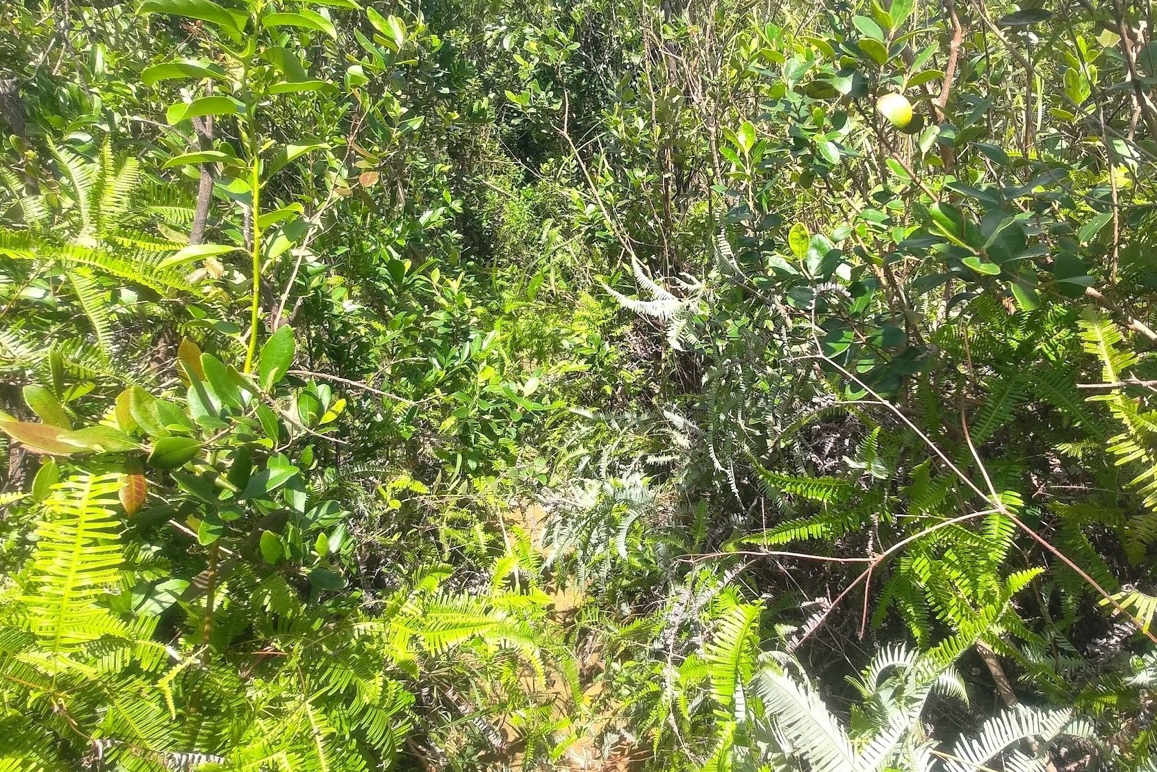
The route offers spectacular panoramic views of Sai Kung’s islands and a vast expanse of undulating mountains extending all the way to Ma On Shan. Despite these impressive vistas, the hike remains relatively undiscovered, perhaps due to its challenging start - a steep ascent - and a notably demanding descent. The terrain shifts unpredictably between mud, loose sand, dense vegetation, and loose rocks, requiring careful navigation.
Nevertheless, Tai Tun stands out as one of Hong Kong’s most rewarding non-mainstream hiking trails, providing a unique and fulfilling experience for those seeking stunning landscapes away from the more frequented routes.
Google Route Map and GPX
*Click the box icon in the top right of the map below to load the blue route directly into your own Google Maps. You can then see your location relative to the trail in real time!
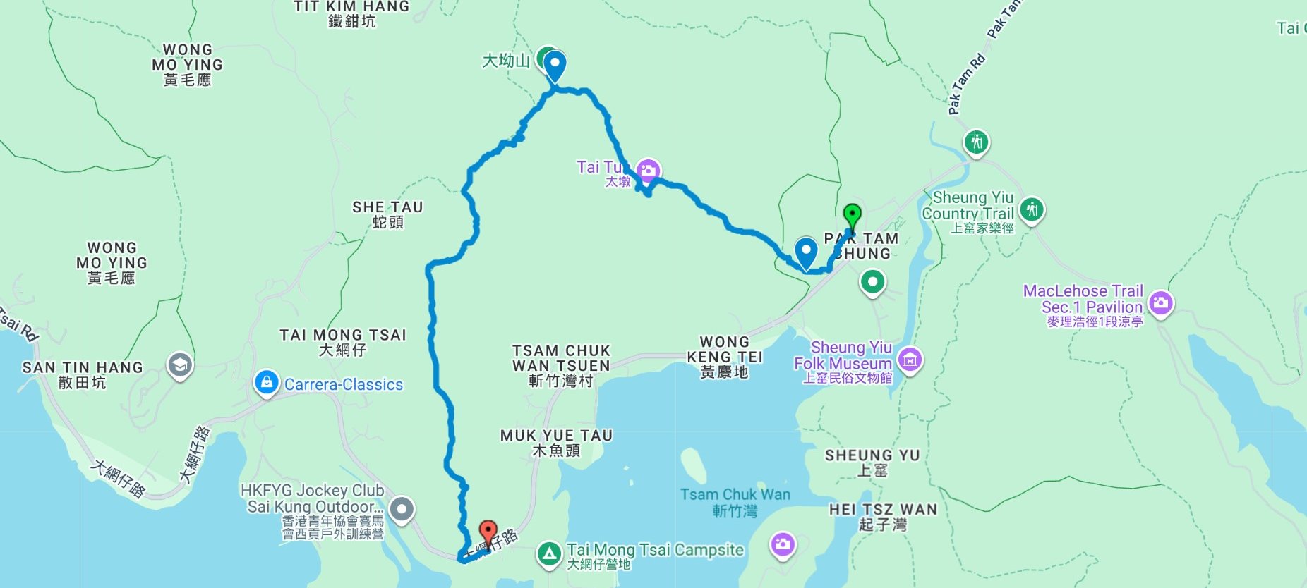
How to Get to Pak Tam Chung (Start Point) Direct Buses


The easiest way to get to Pak Tam Chung (the start point) is to get a direct bus from either Shatin MTR Station or Diamond Hill MTR Station.
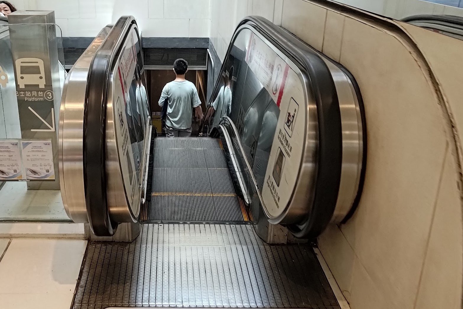
289R - From Shatin MTR Station
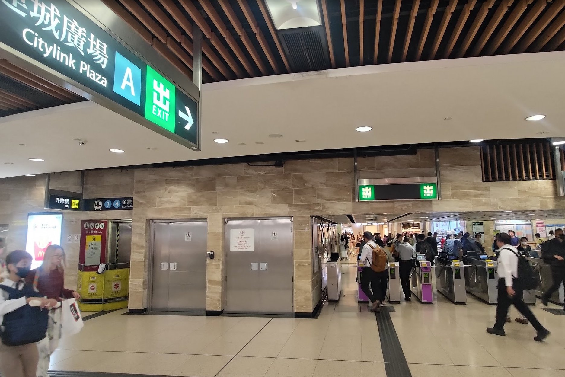
- Leave Shatin Station through Exit A.
- Walk through New Town Plaza for barely a minute
- Look for the escalator heading down into the bus terminus on your right
- The 289R bus is on the right and near the back of the terminus.
If you're taking the 289R bus from Shatin Station, note that it only runs on Saturdays, Sundays, and public holidays.
96R - From Diamond Hill MTR Station
- Leave through Exit C2 of Diamond Hill MTR Station
- Turn left into the bus terminus just beside the exit
- Look for the 96R bus within the bus terminus
If you're taking the 96R bus from Diamond Hill Station, note that it only runs on Saturdays, Sundays, and public holidays.
The trail starts at Pak Tam Chung. Both buses will take you directly there.
Getting to Pak Tam Chung (Start Point) Other Transport
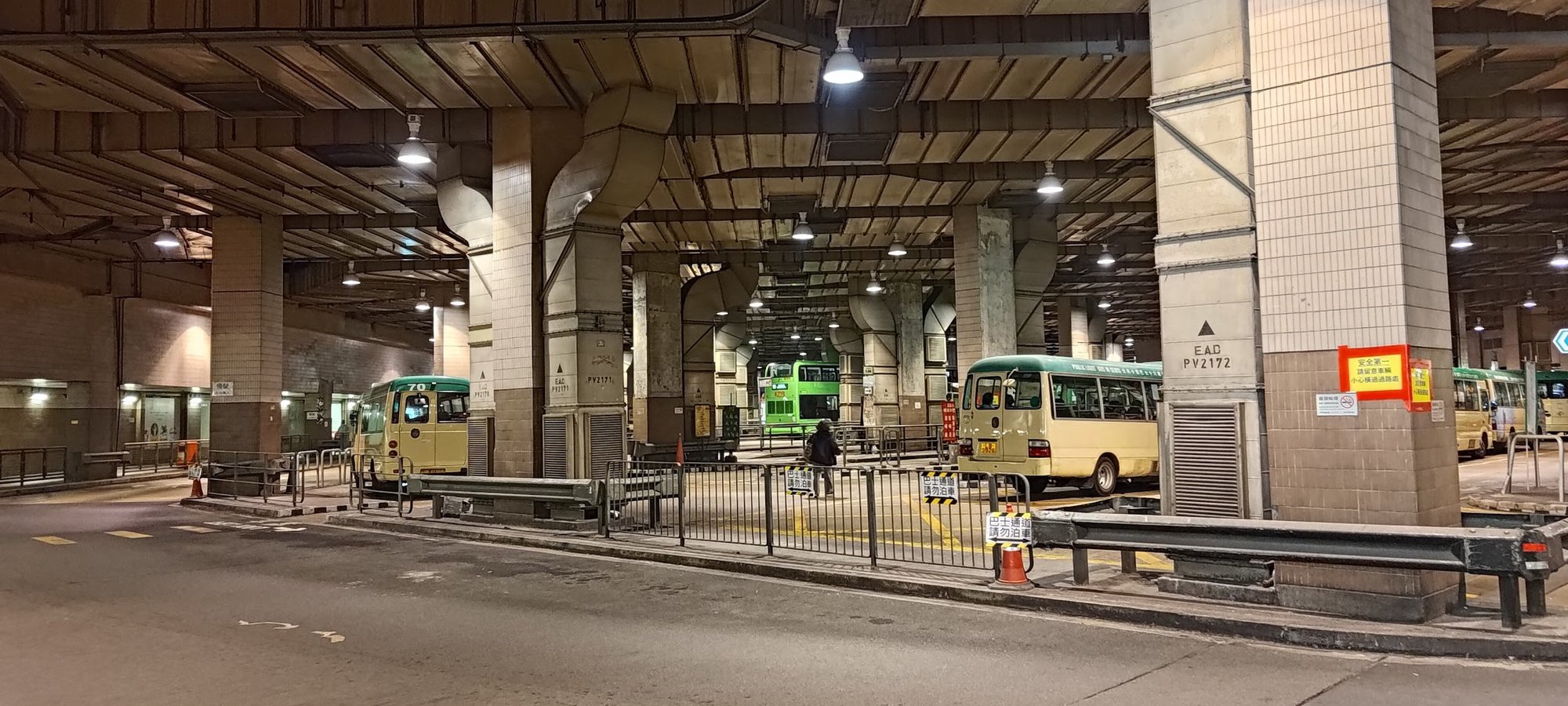
To reach Pak Tam Chung (hike start point) via alternate modes of transport, you will need to get to Sai Kung Town first.
Getting to Sai Kung Town:
No MTR lines go directly to Sai Kung, so you have to take a bus or an MTR-bus combo.
By Bus:
From Kowloon:
- 1A minibus from Choi Hung MTR (exit C1)
- 96R bus from Diamond Hill MTR station (exit C2) Sat, Sun and Public holidays only
- 9 red minibus from Ngau Tau Kok (Yee On Street)
- Mong Kok Express red minibus (from Dundas Street)
From the New Territories:
- 299X bus from Shatin (below New Town Plaza)
- 101M minibus from Hang Hau MTR (exit B)
From Hong Kong Island:
- The most reliable way to get to Sai Kung from HK Island in the morning is to take the MTR to Hang Hau and get the 101M minibus.
- Causeway Bay Express red minibus:: Monday-Friday: 7pm to 12:30am Weekends: 5pm to 12:30am.
From Sai Kung Town to Pak Tam Chung (Hike Start Point)
By Bus
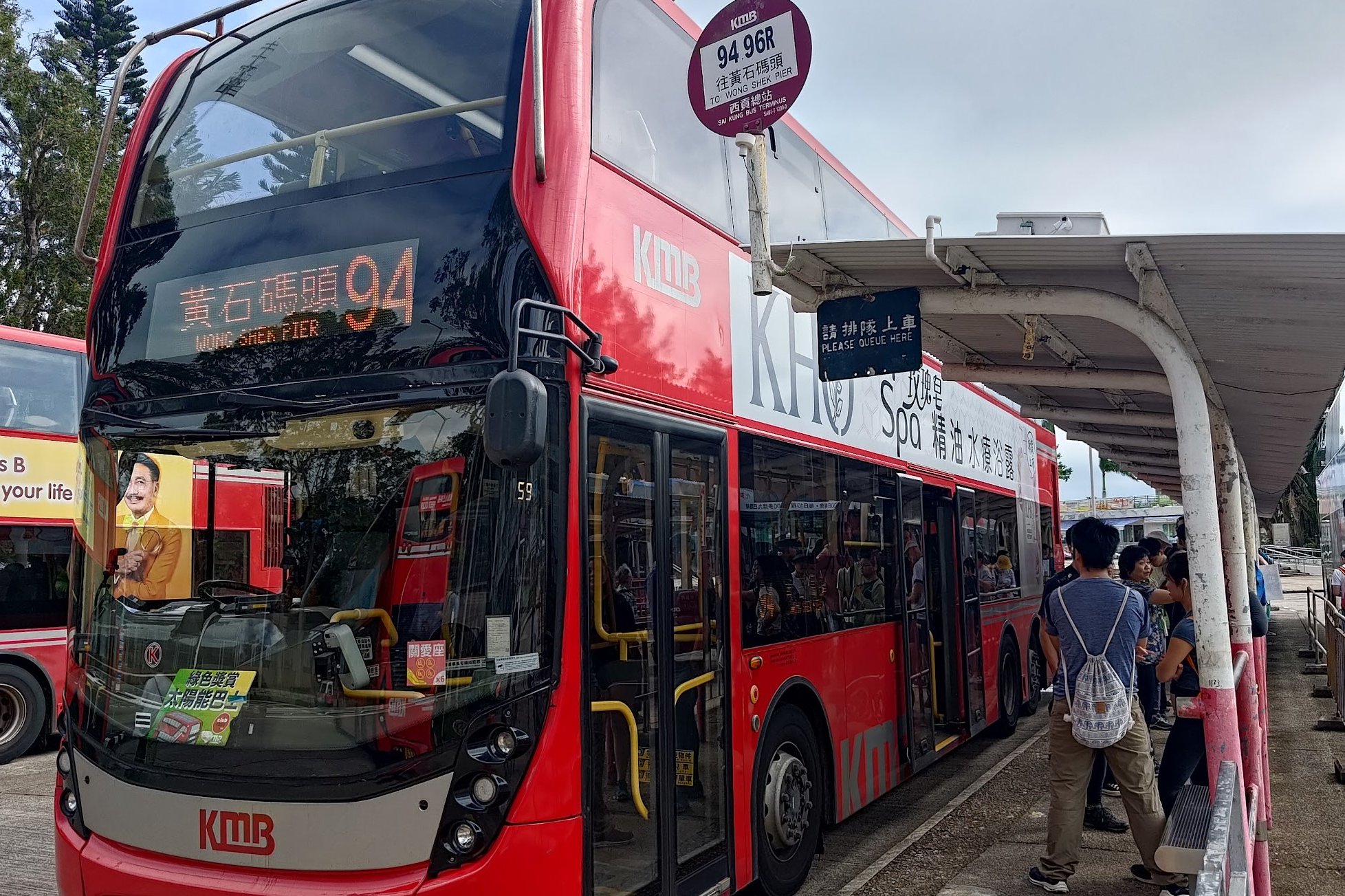
- Take the 94 or 96R bus from Sai Kung bus terminus to Pak Tam Chung
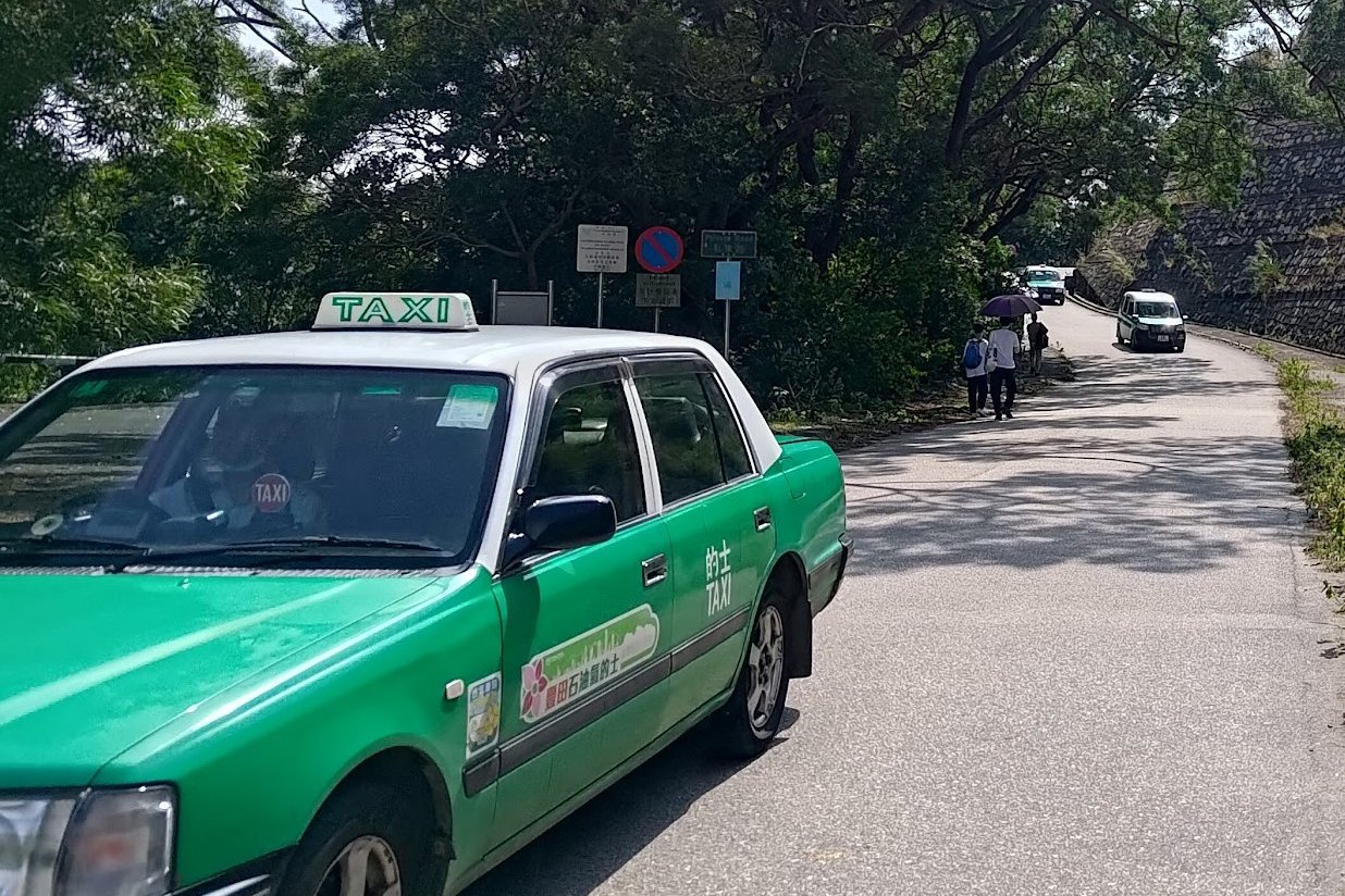
By Taxi
- Or, Take a taxi from the taxi stand in Sai Kung Town. You can show this to the driver - 北潭涌
Quick Route Summary
Arrival at Pak Tam Chung
- Once you arrive at Pak Tam Chung, you will see a kiosk selling snacks and drinks. Toilets are located behind this kiosk.
Locate the Trailhead
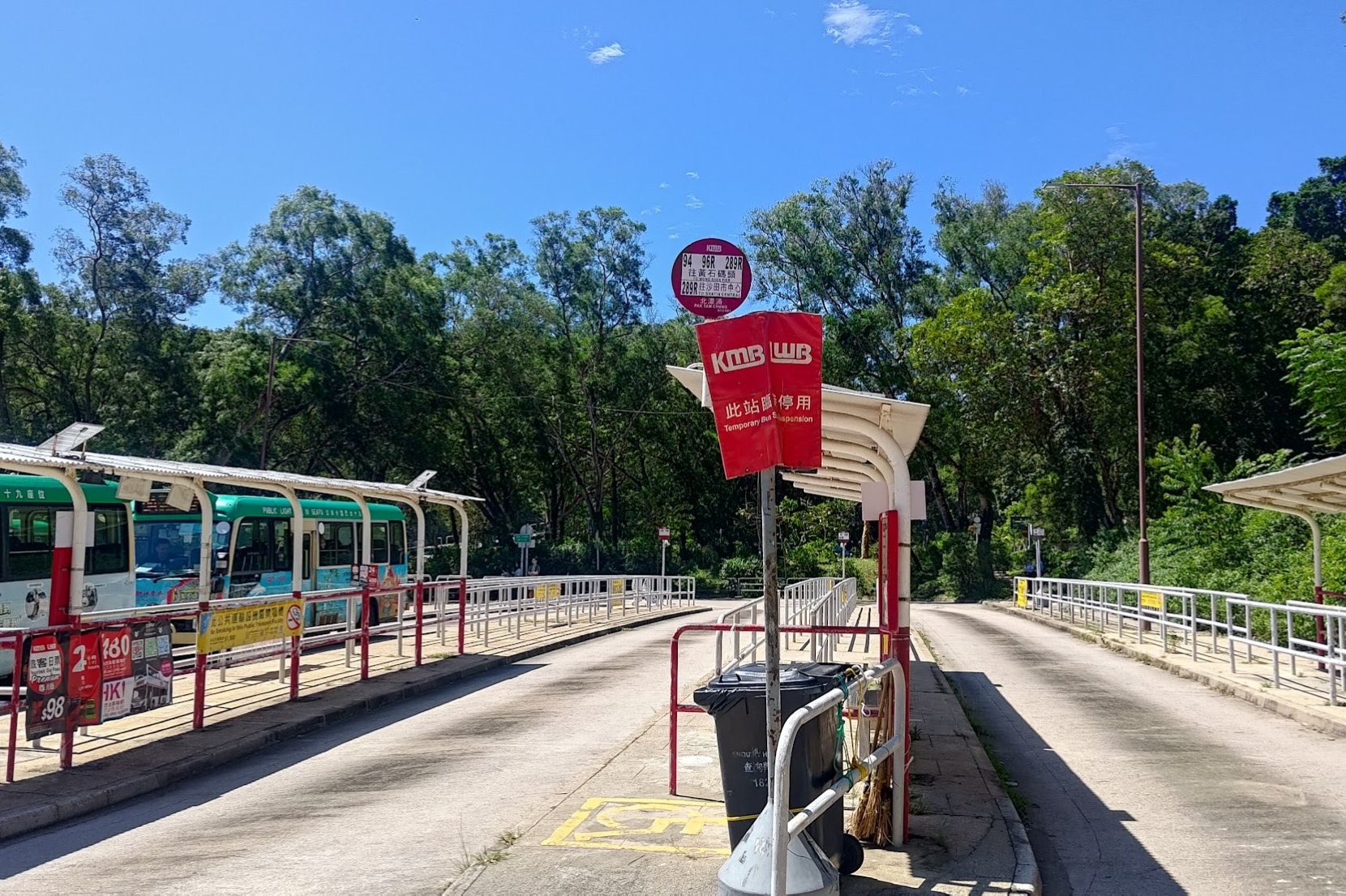
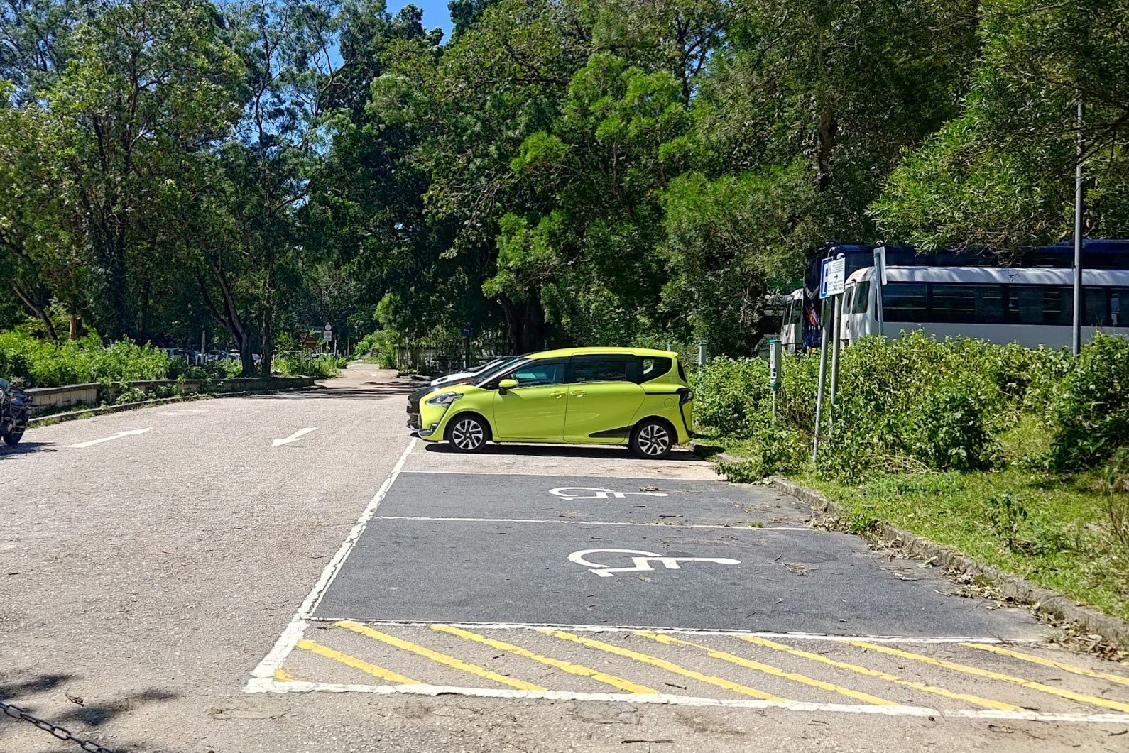
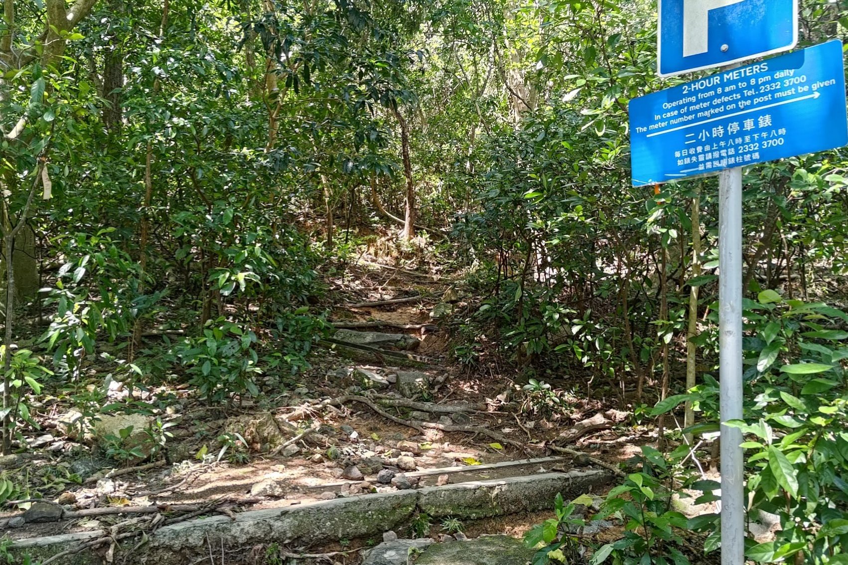
- When you're ready, turn left into the car park
- At the very end of the car park, look for a trail next to a blue 24-hour parking meter sign.
Follow the Concrete Path
- Follow the small concrete strip that the path leads to.
Climb to Tai Tun Summit
- Take the stairs heading up on your right—this big incline arrives within a minute.
Climb to the summit of Tai Tun. - This takes about 40 minutes in summer, including a few breaks.
Continue to Tai Au Shan
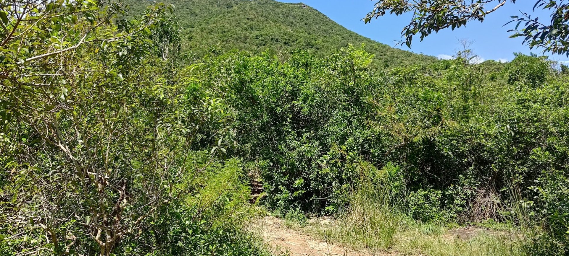
- From the summit, find the path leading through overgrown bushes.
- Keep following this path until you spot a small pointy mountain ahead (Tai Au Shan).
- Head toward it by descending into the forest.
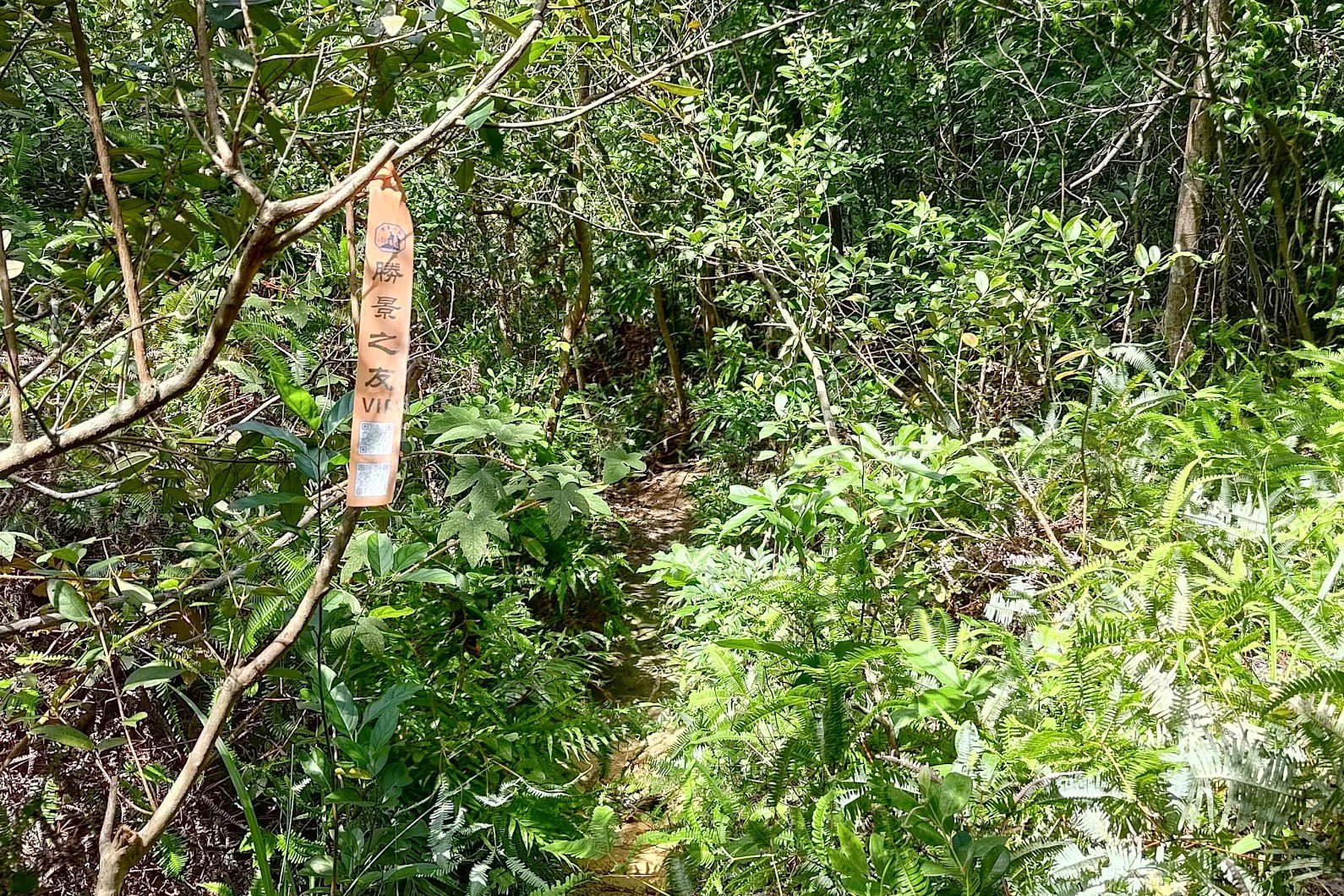
At the Fork
- At the first fork you reach, turn left—look for a yellow ribbon marking the way.
- Continue on the trail and do not take any other forks to the left or right.
Approach Tai Au Shan Base
- You will eventually arrive at the base of Tai Au Shan.
Optional Detour: Climb Tai Au Shan
- You may choose to climb Tai Au Shan as a detour.
- After reaching the base, climb up and then return to the base to begin your descent.
Descent and Toward Tsam Chuk Wan Sign
- The descent is very treacherous, featuring slippery, rocky slopes.
- After descending, you will enter a forest. Continue following the trail.
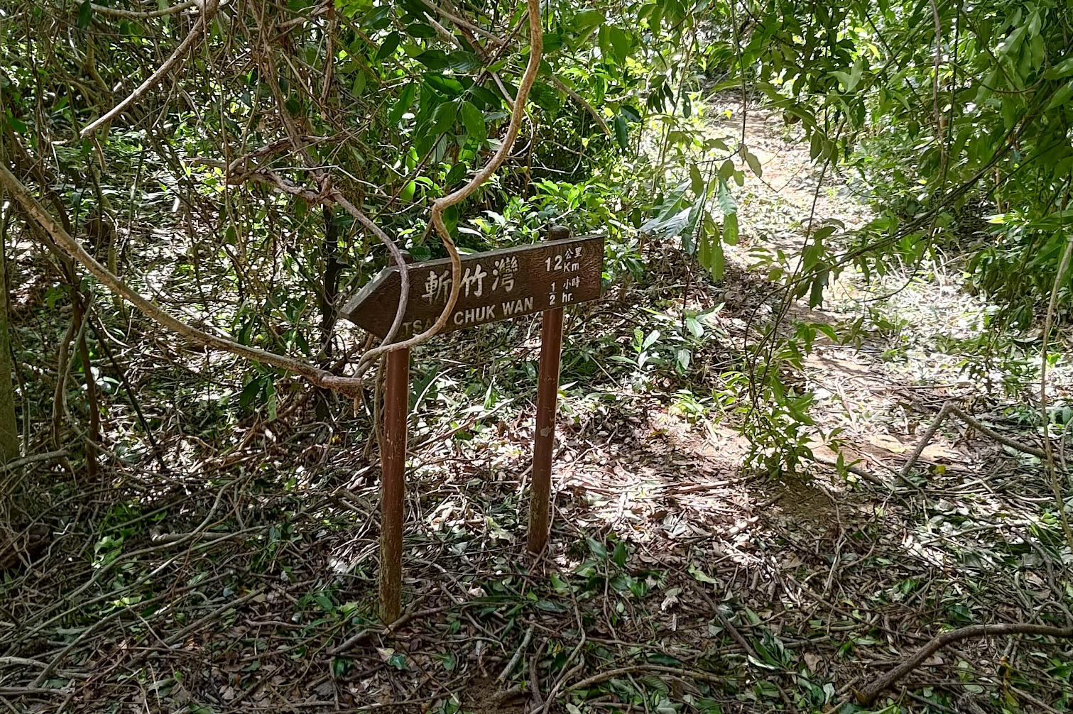
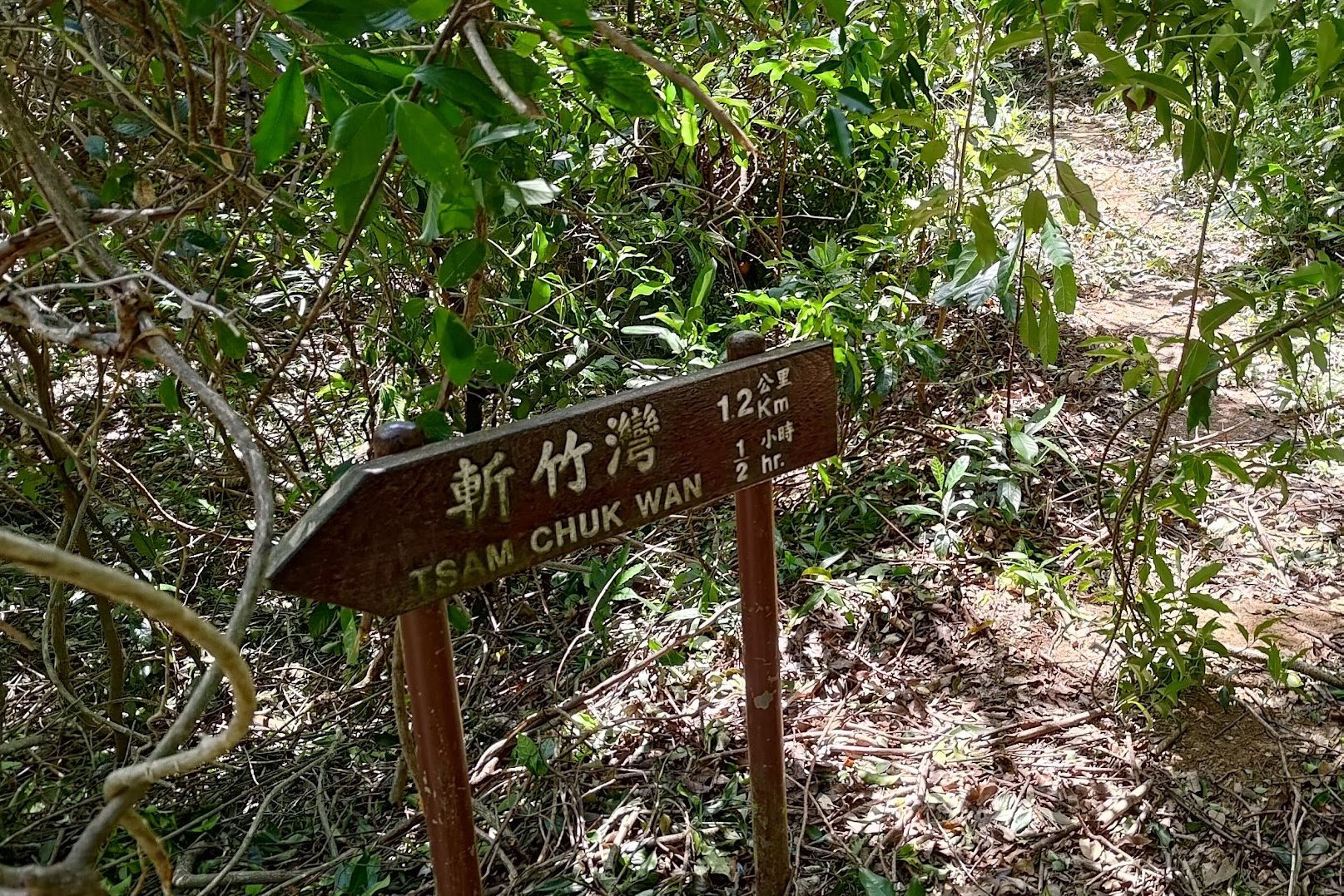
- After about 30 minutes, you will see a sign pointing to Tsam Chuk Wan.
Final Section to Tai Mong Tsai Road
- The next section has beautiful ocean views.
- You’ll slowly descend to Tai Mong Tsai Road in about 35 minutes.
- From Tai Mong Tsai Road, turn left and walk for 2 mins to the bus stop. You can catch a bus back to Sai Kung, Diamond Hill, or Shatin.
- Cross the road for buses to Shatin and Diamond Hill. Get the bus from the same side for Wong Shek Pier.
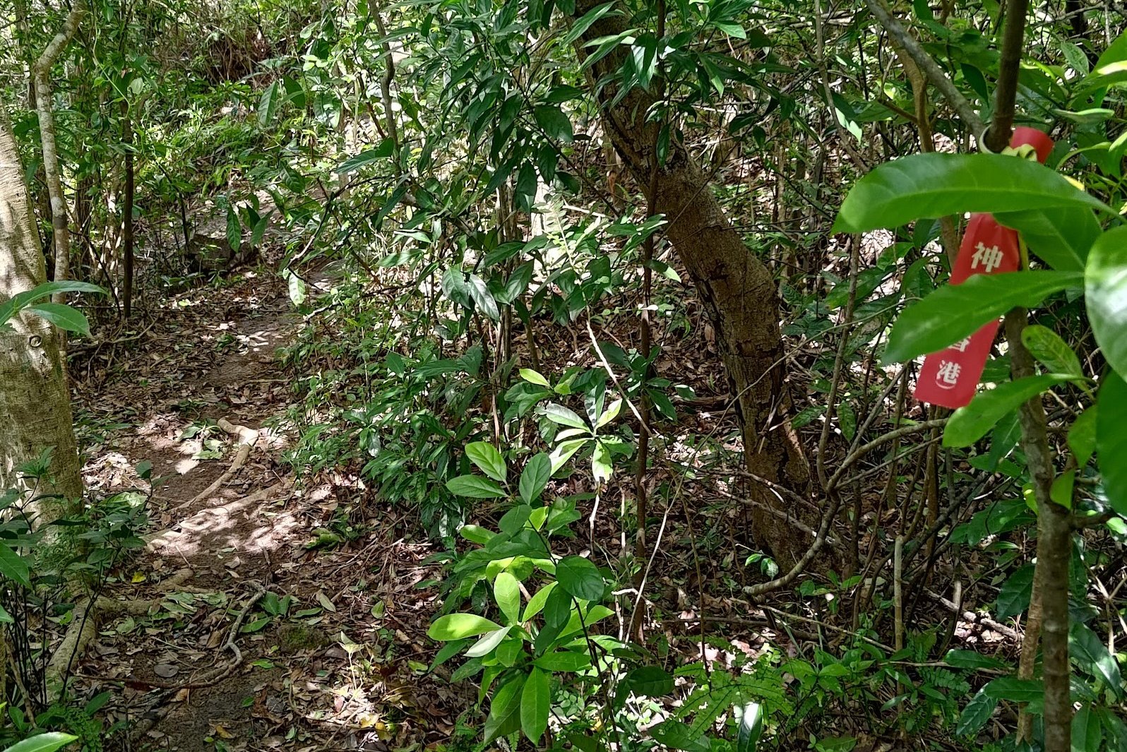
Pak Tam Chung to the Trailhead

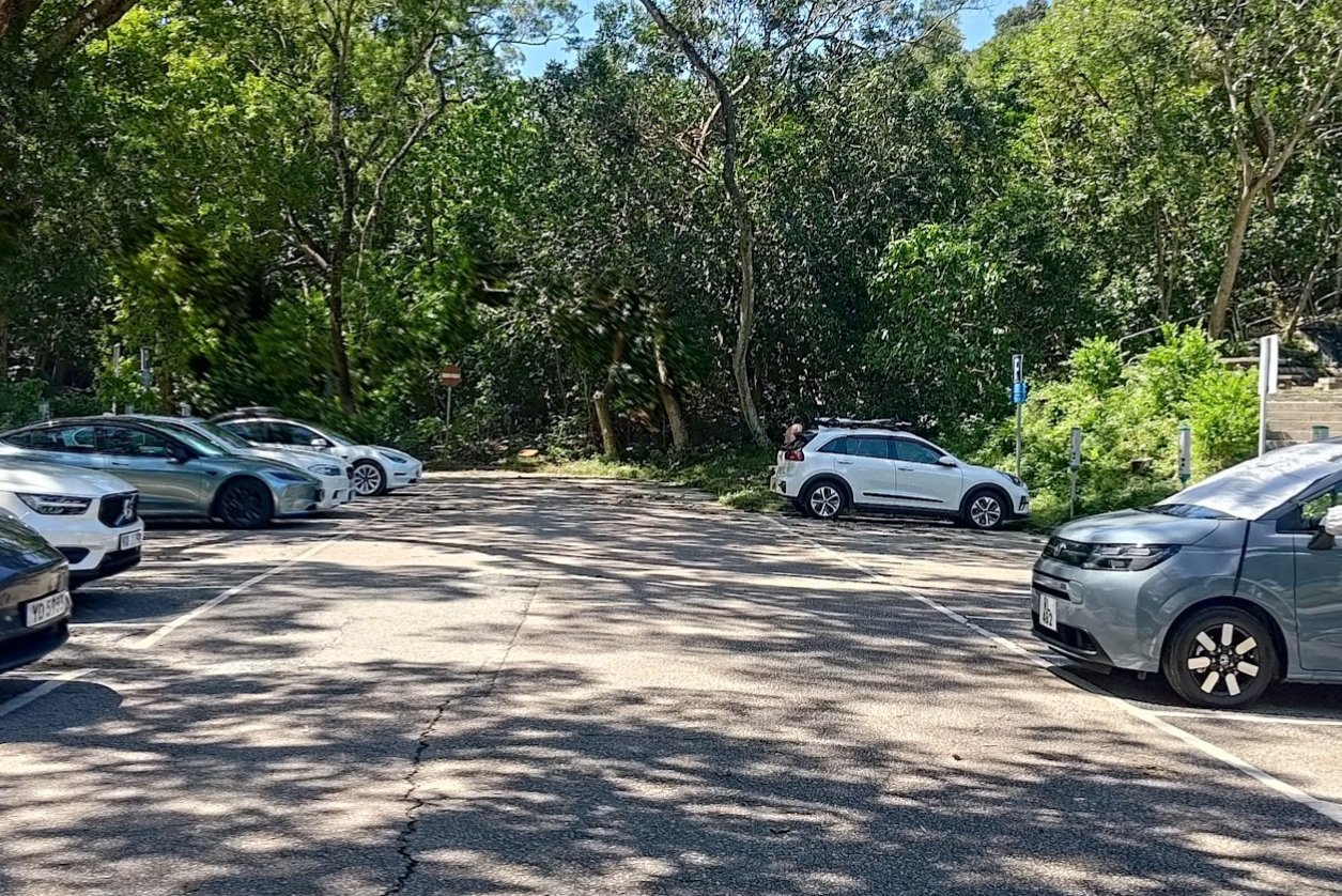
After arriving at Pak Tam Chung, stock up at the kiosk (if it's open). You can also use the toilets just behind the kiosk.
Then, head into the depths of the car park. You'll have to walk right the the very end of the car park to find the start of the trail, which is situated beside a blue 24-hour parking meter sign.
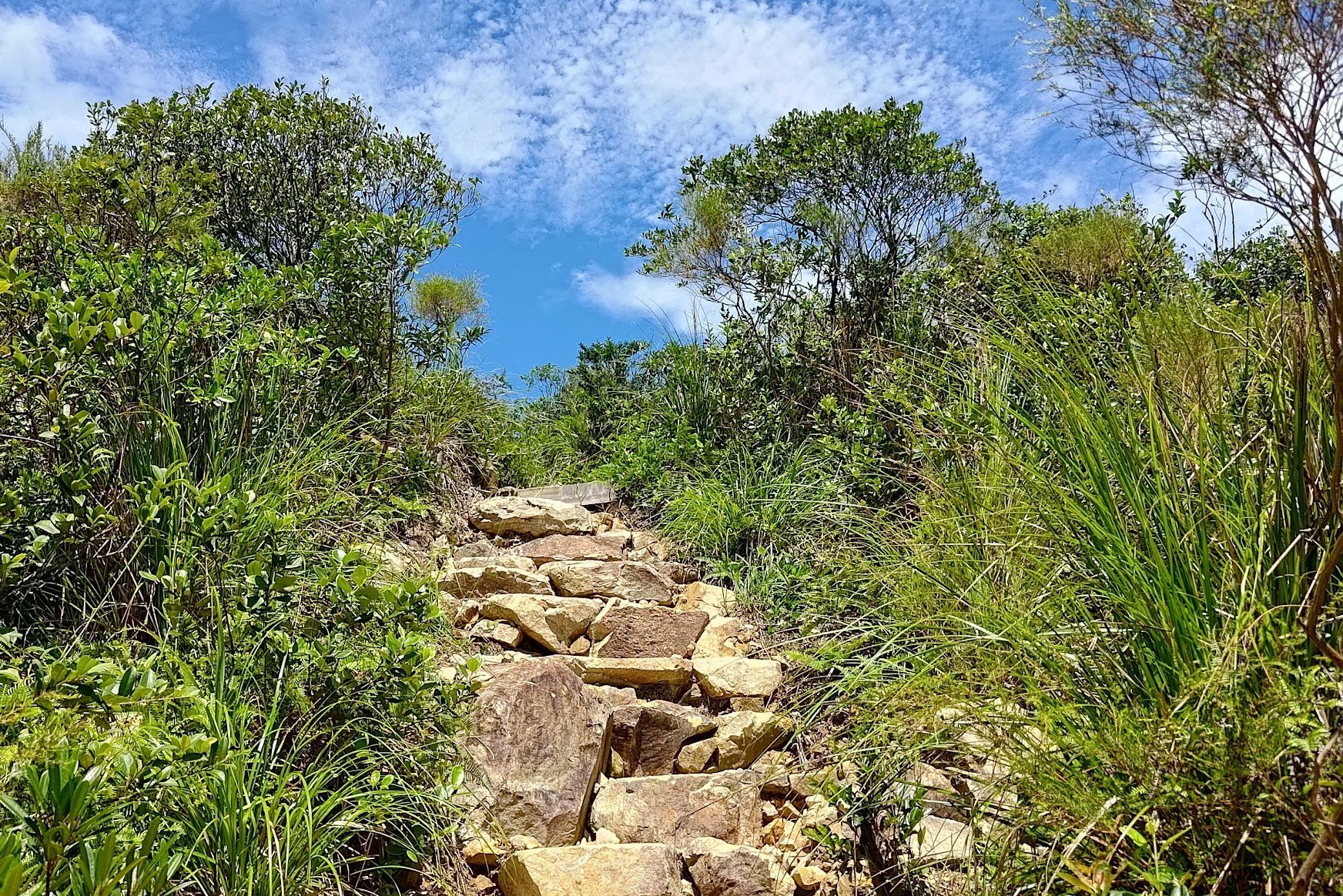
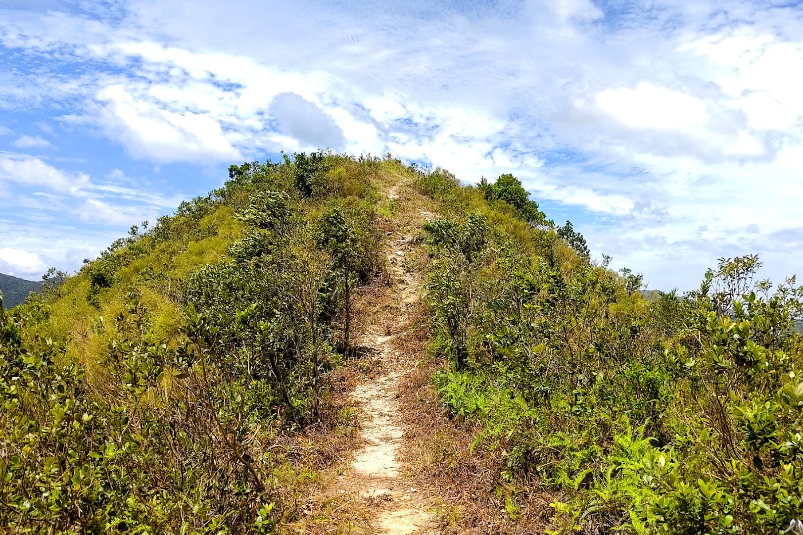
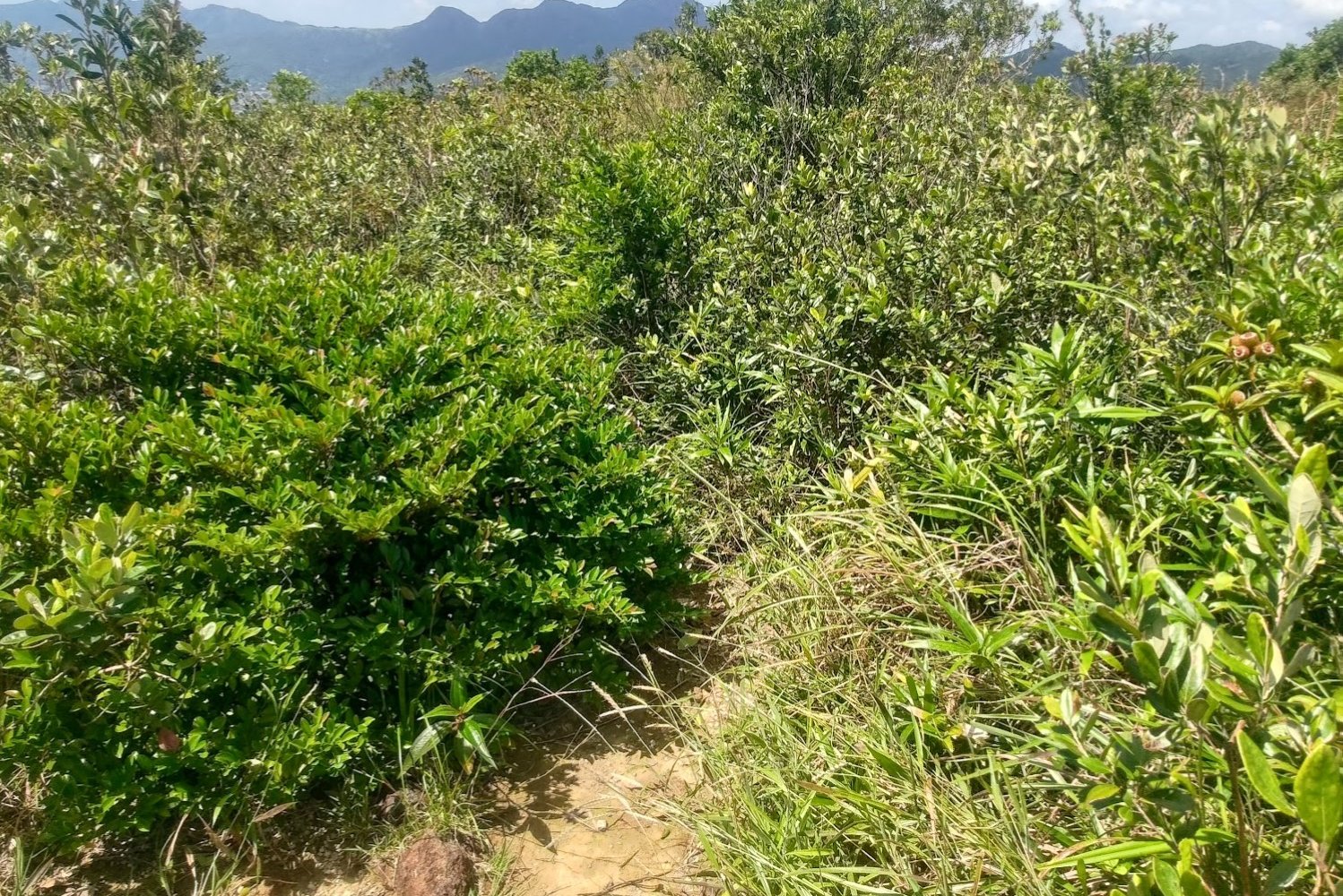
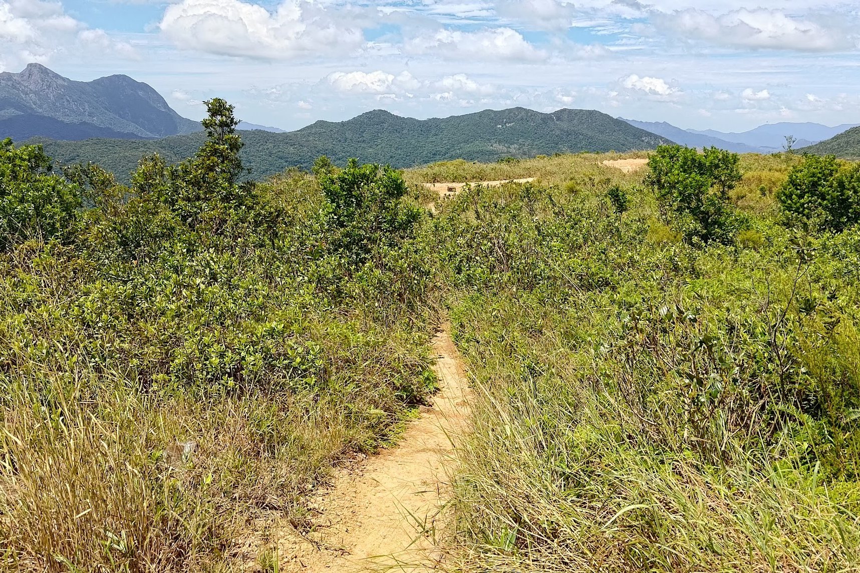
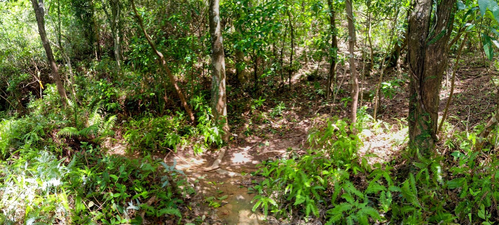
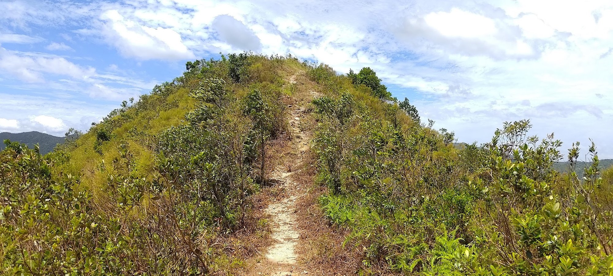
The Big Climb (40-mins)
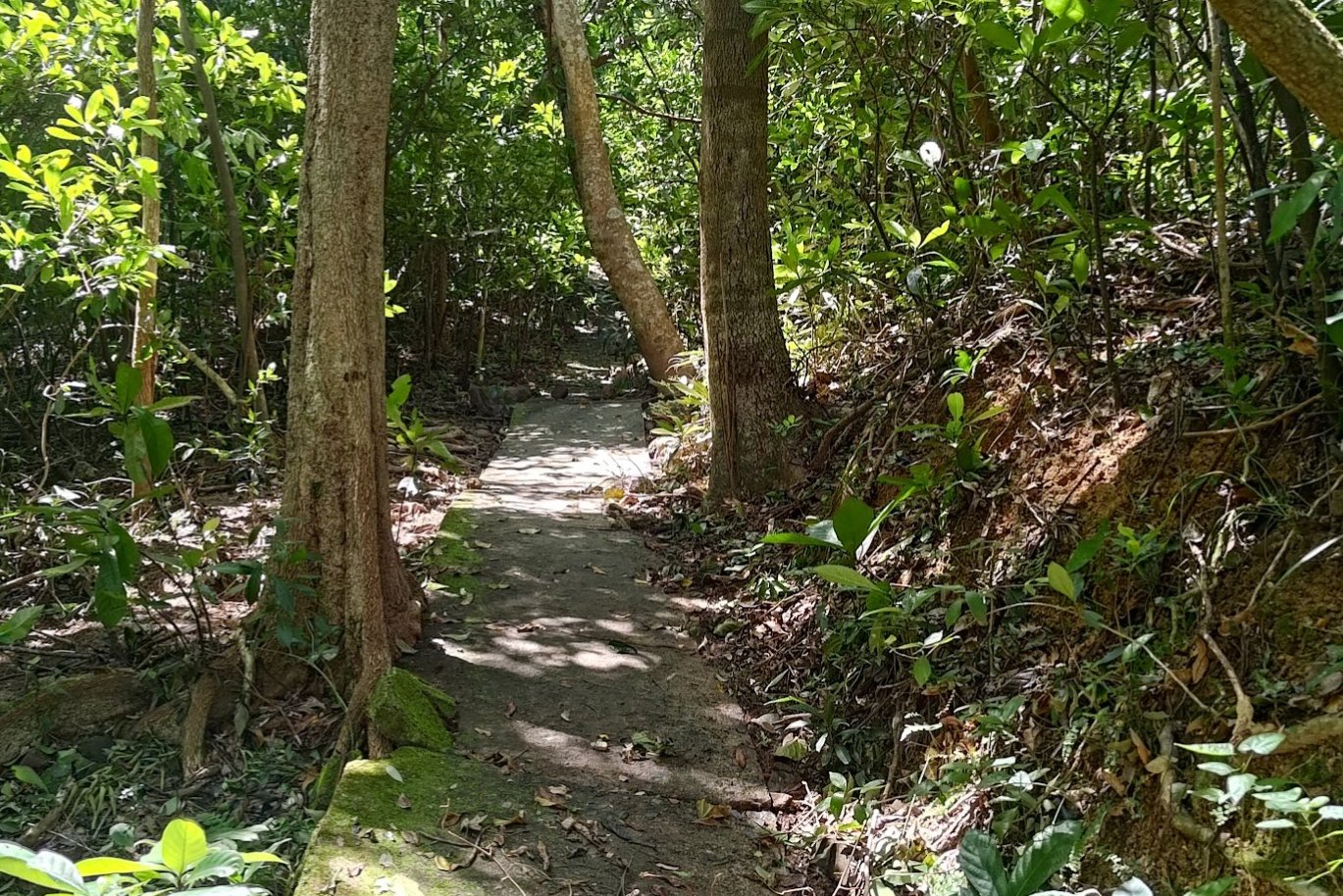
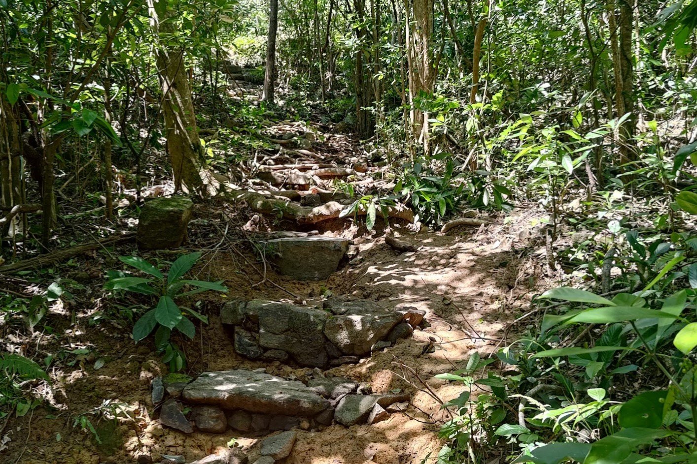

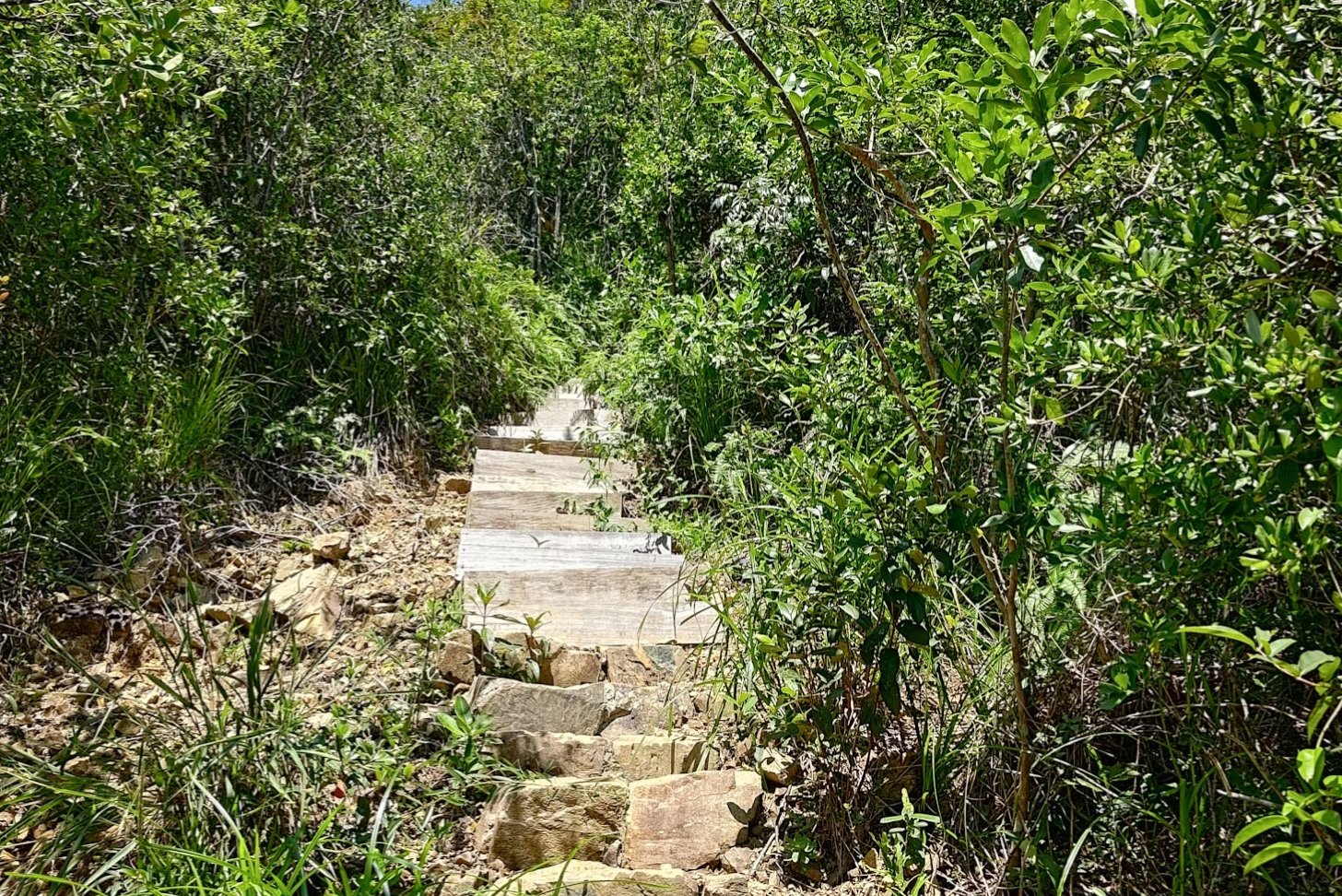
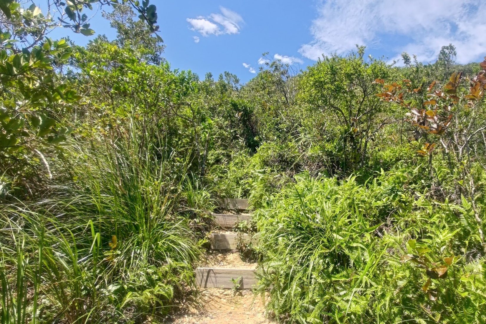
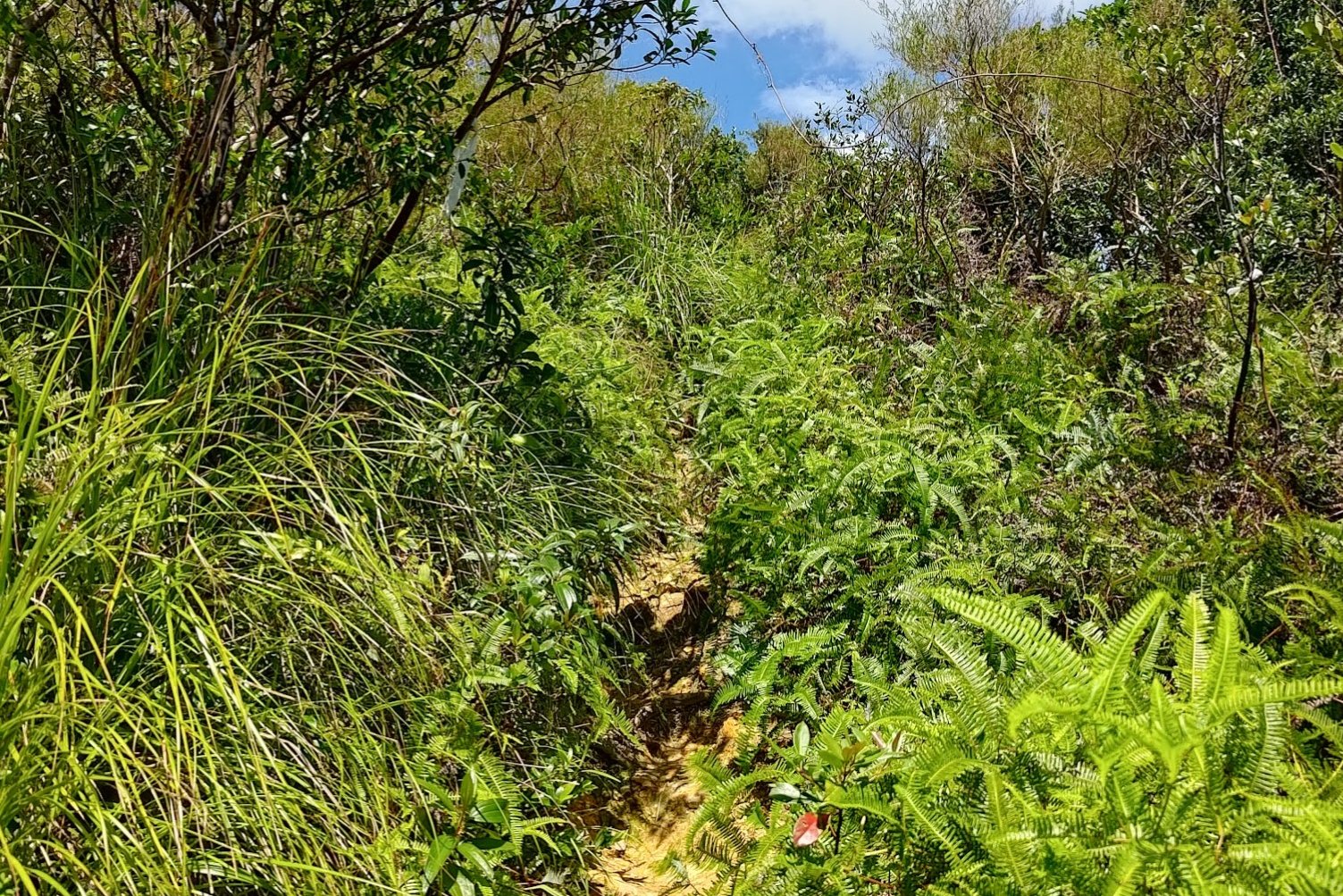
Once you locate the trail, follow the concrete strip to the left before you see a set of stone steps leading upward into the forest.
Take the stairs and begin a truly tough climb up to the summit. While Tai Tun is not a particularly tall mountain, the climb is steep and unrelenting. If you go in winter, it might be easier. But in summer, it's tough because of how exposed the climb is.
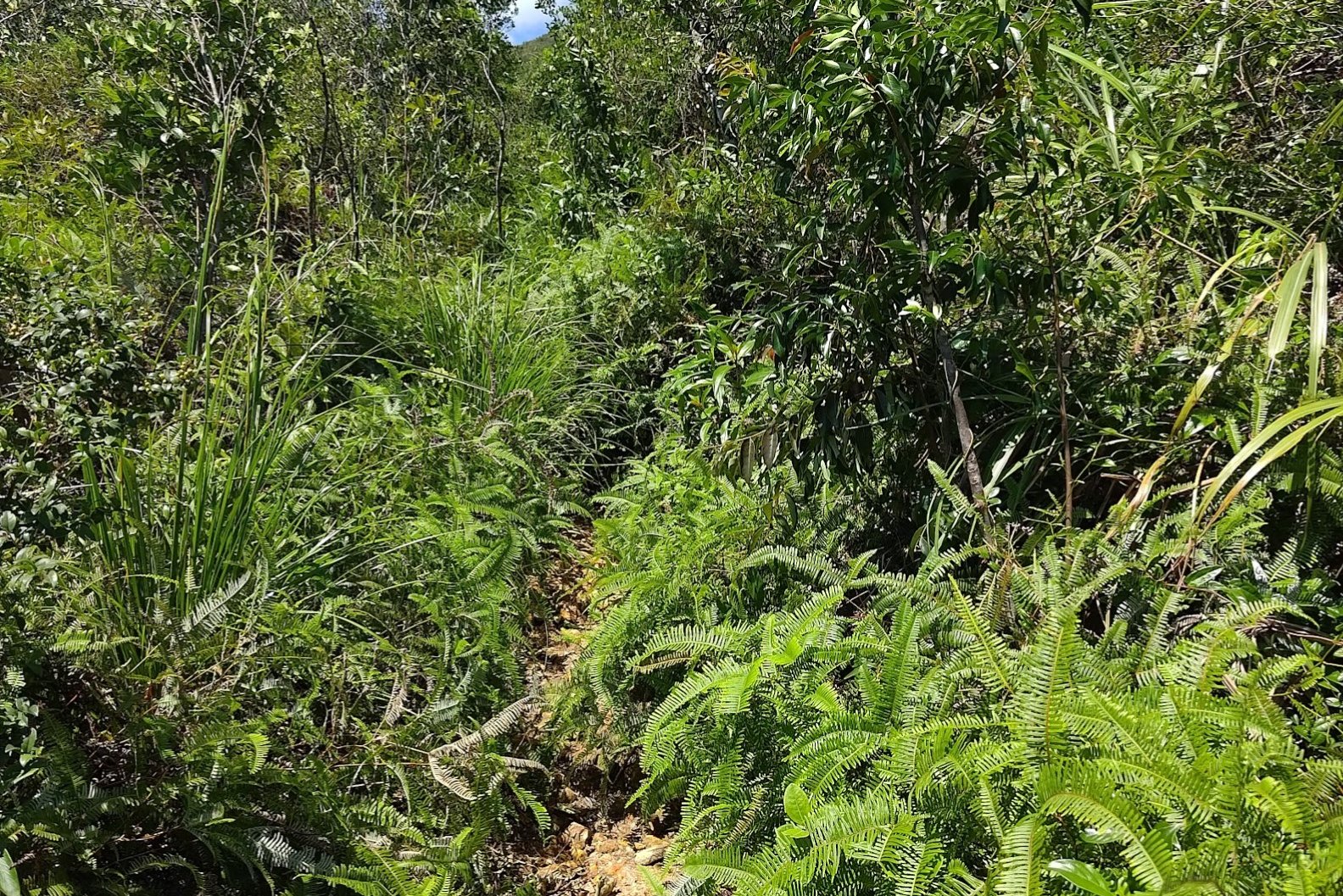
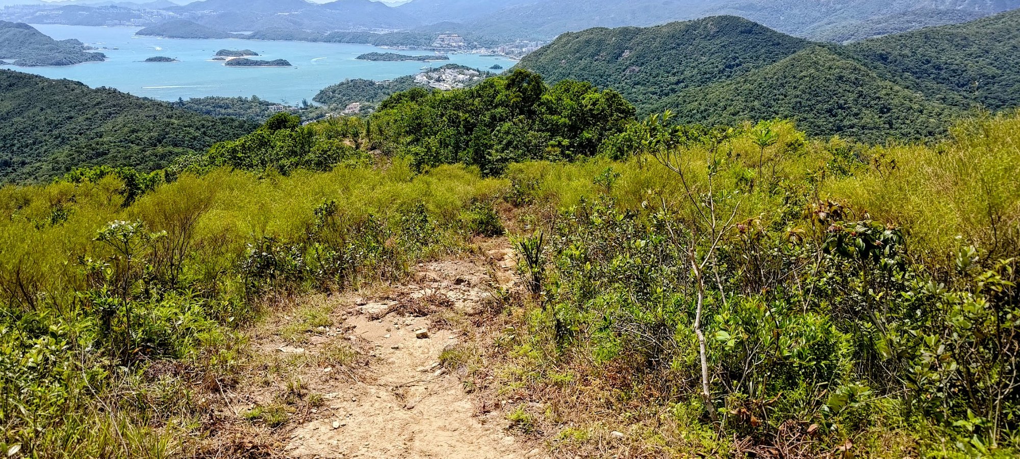
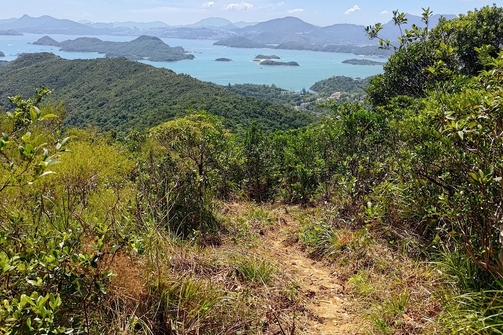
A mix of open sections, forest, and even overgrown paths bring you to amazing views, but none quite as spectacular as what awaits at the summit...
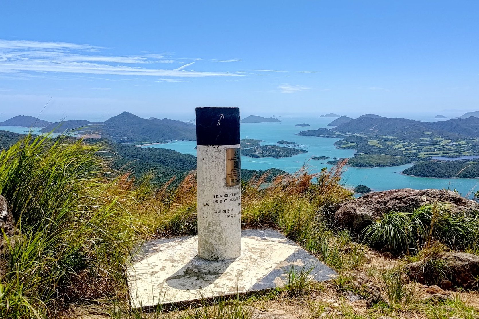
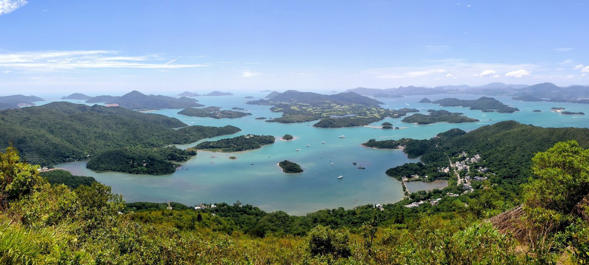
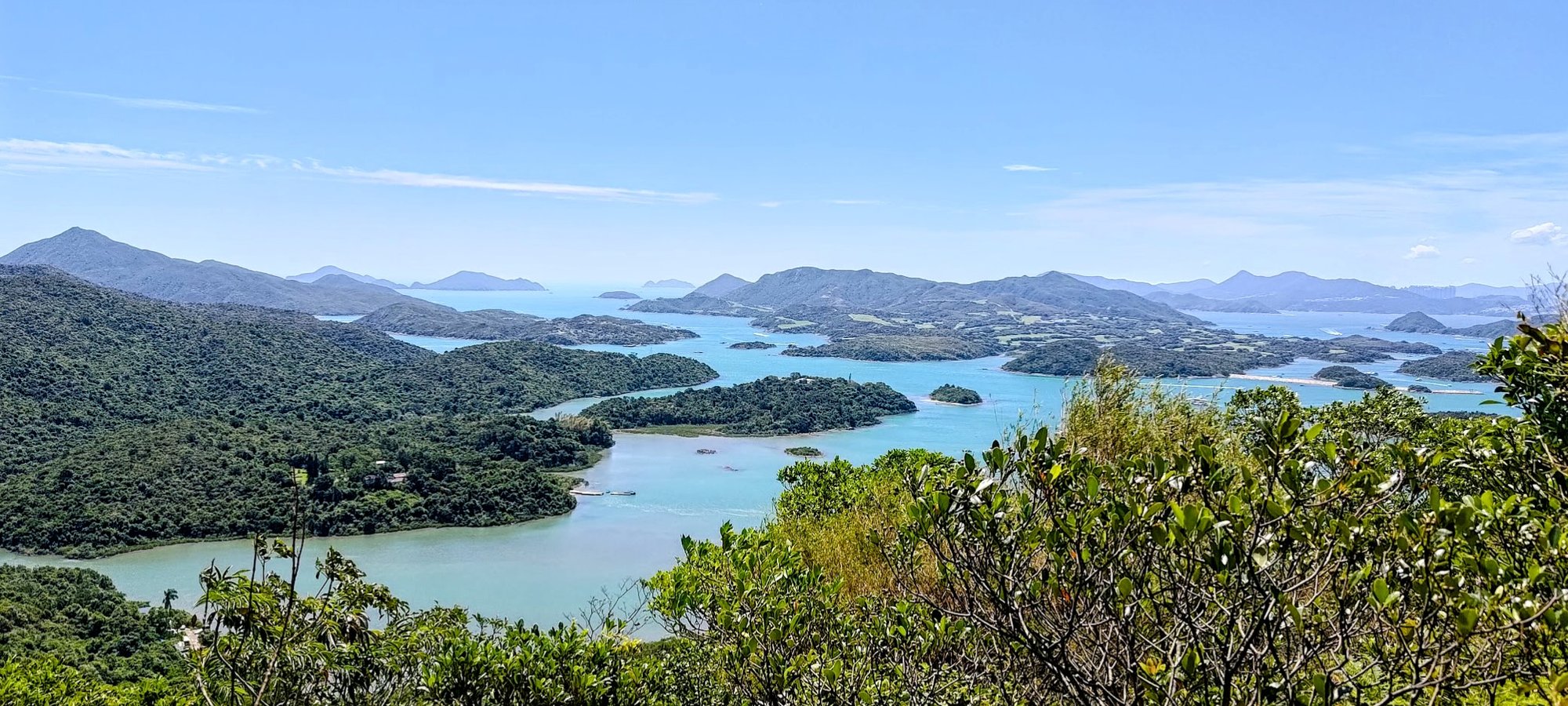
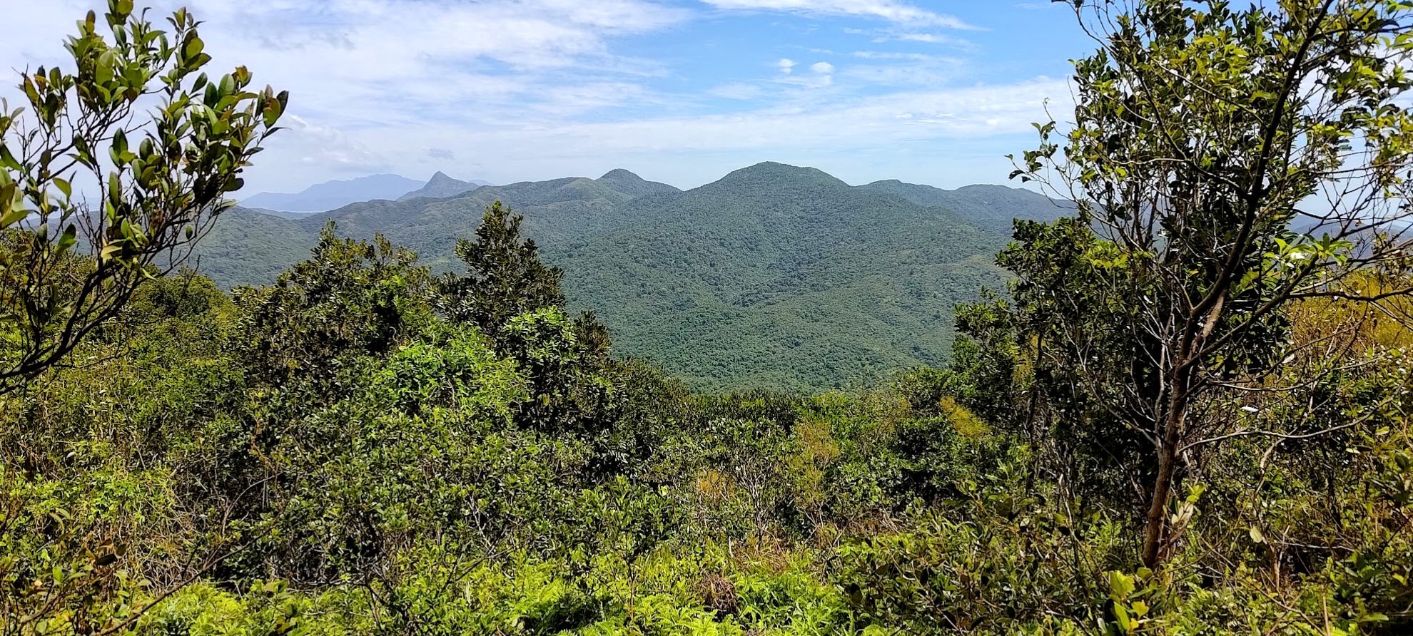
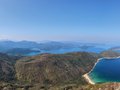
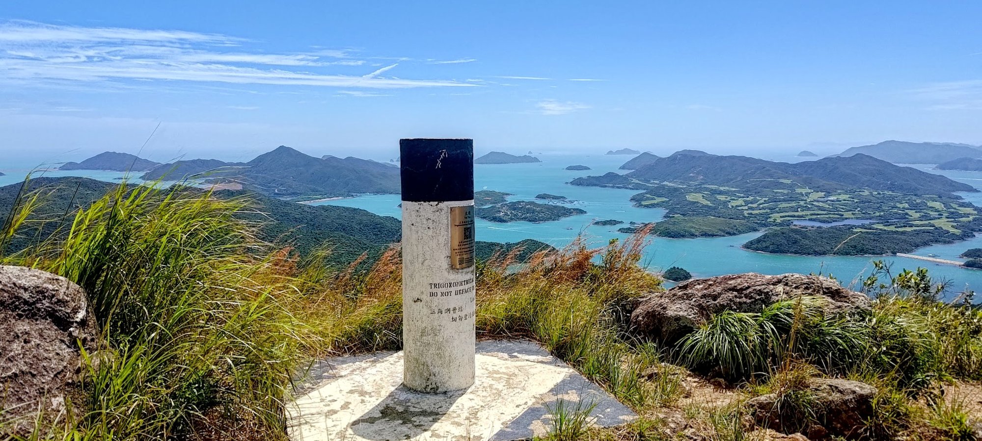
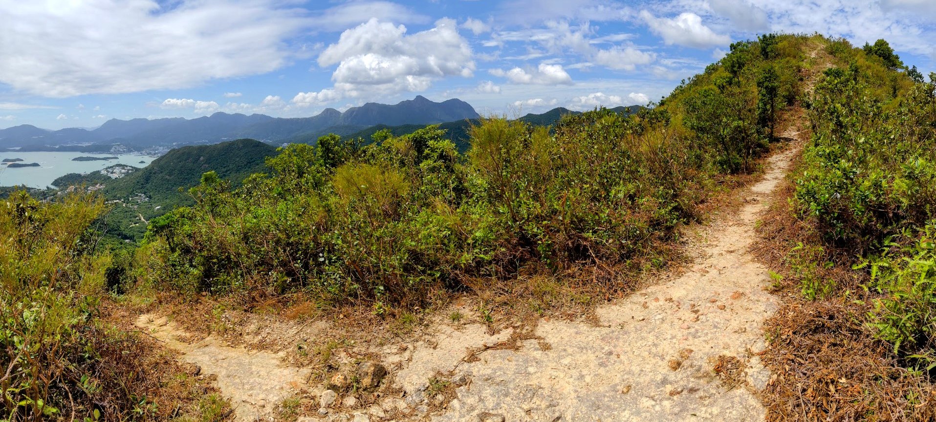
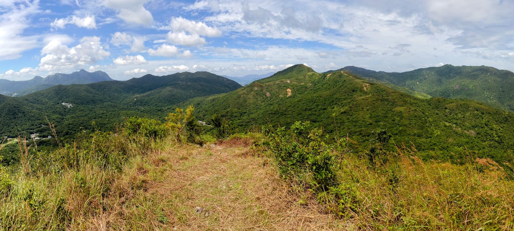
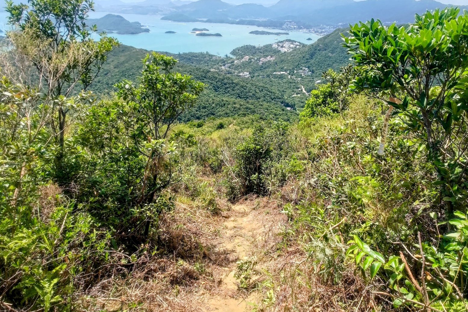
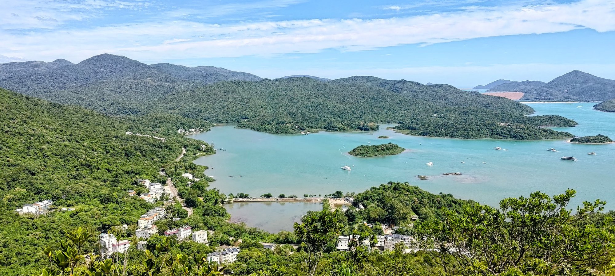
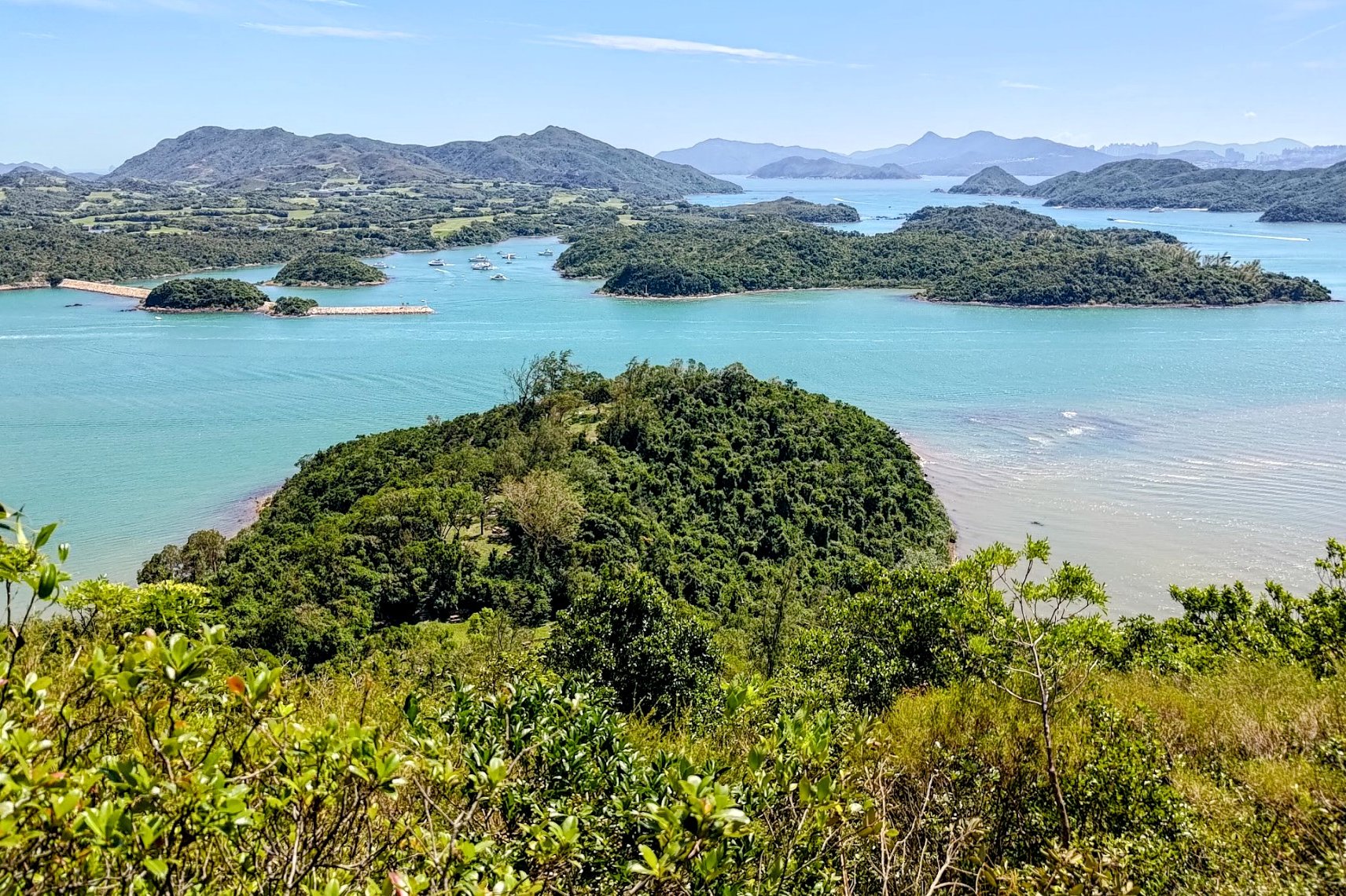
Tai Tun Summit Views
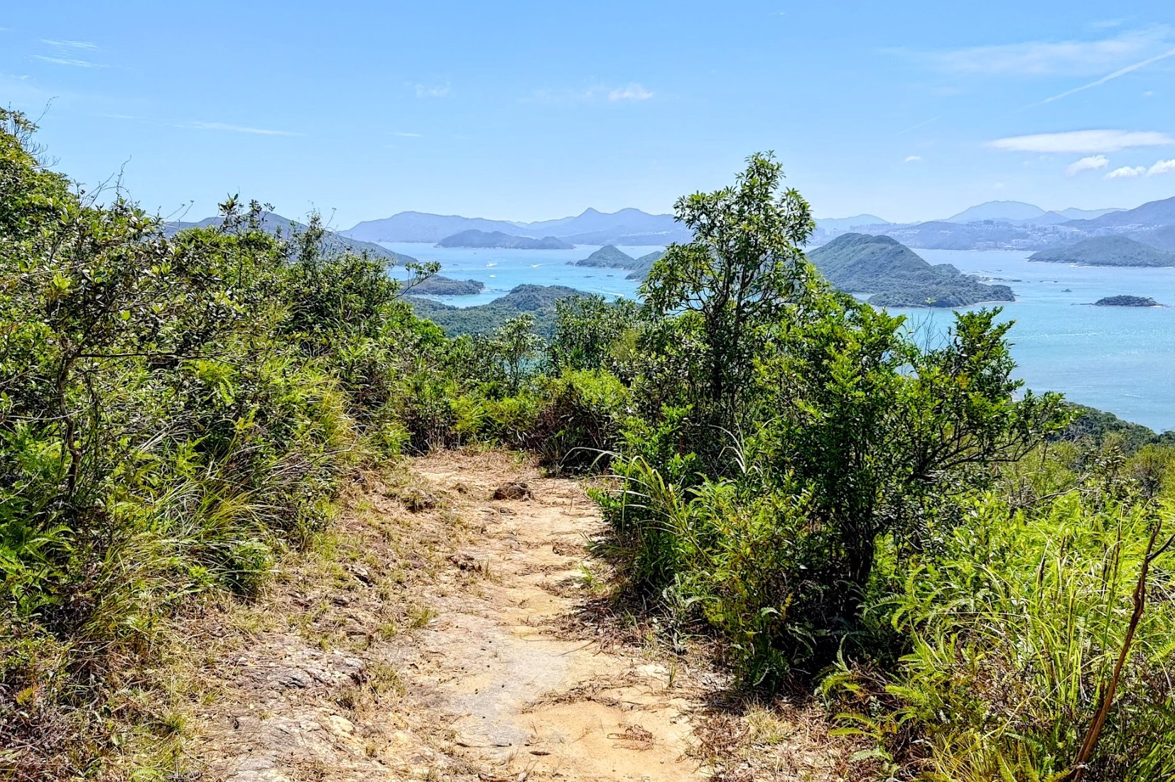
The summit boasts wicked vistas over Tsam Chuk Wan. Some people call this Sai Kung's Thousand Island hike!
You'll also have a grand view of Ma On Shan framing the backdrop, which makes the view even more special.
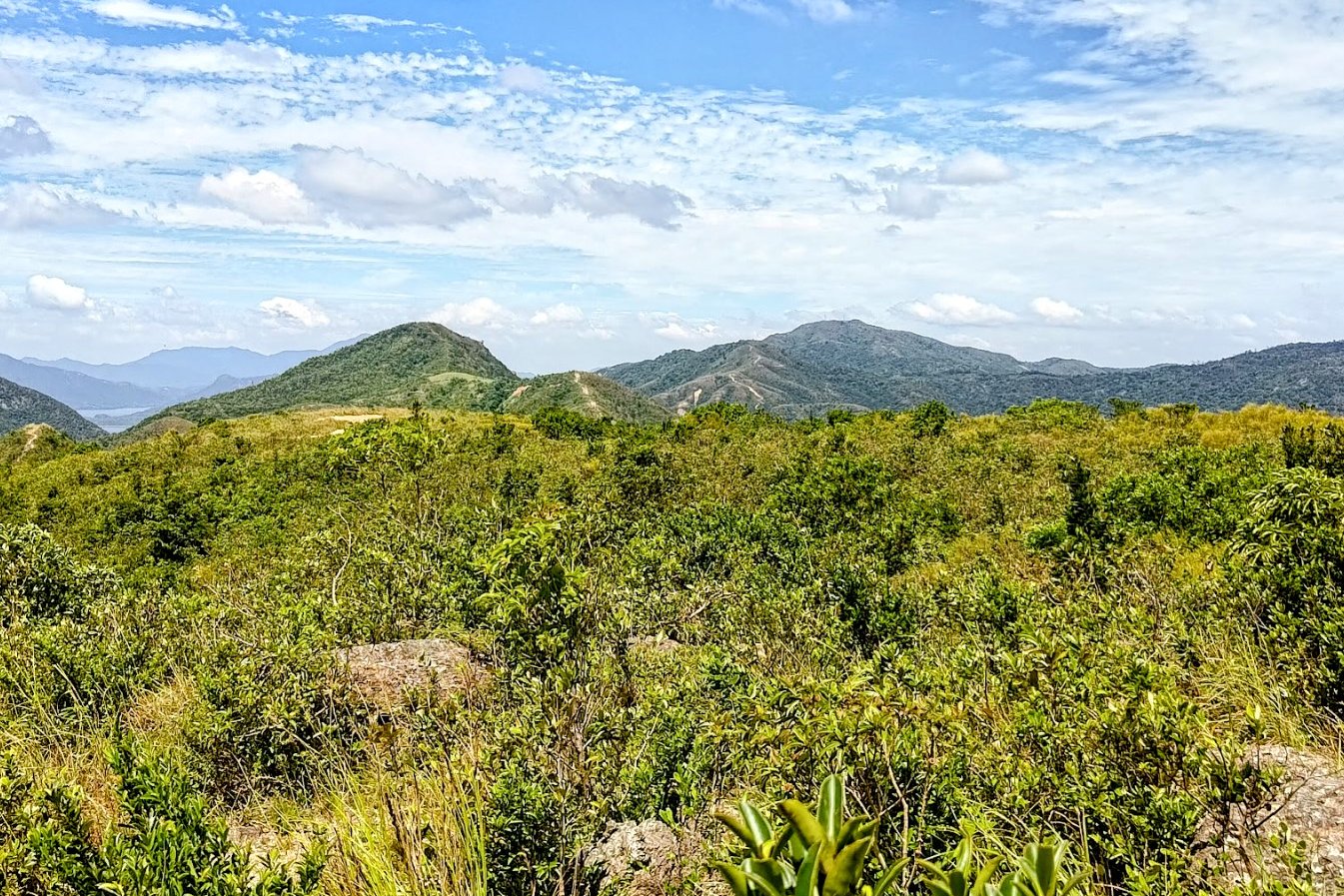
Don't worry, you'll have plenty more views as you navigate over to the next portion of the hike.
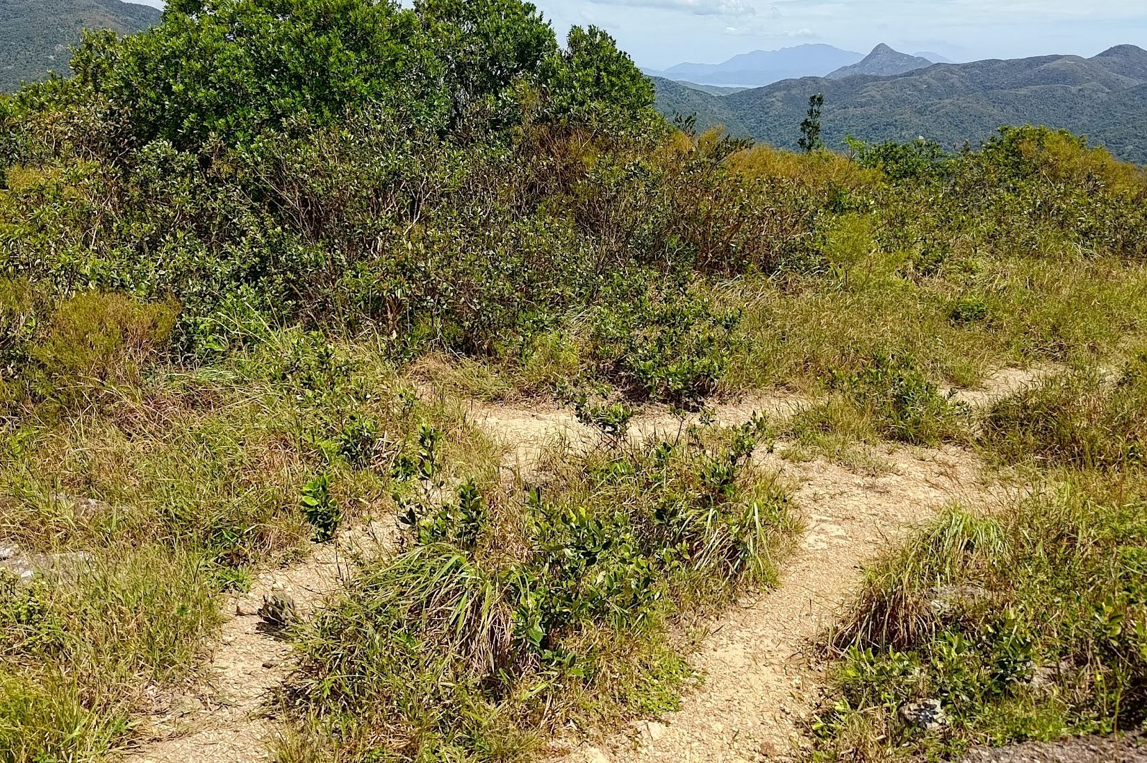
Navigating the Tai Tun Summit
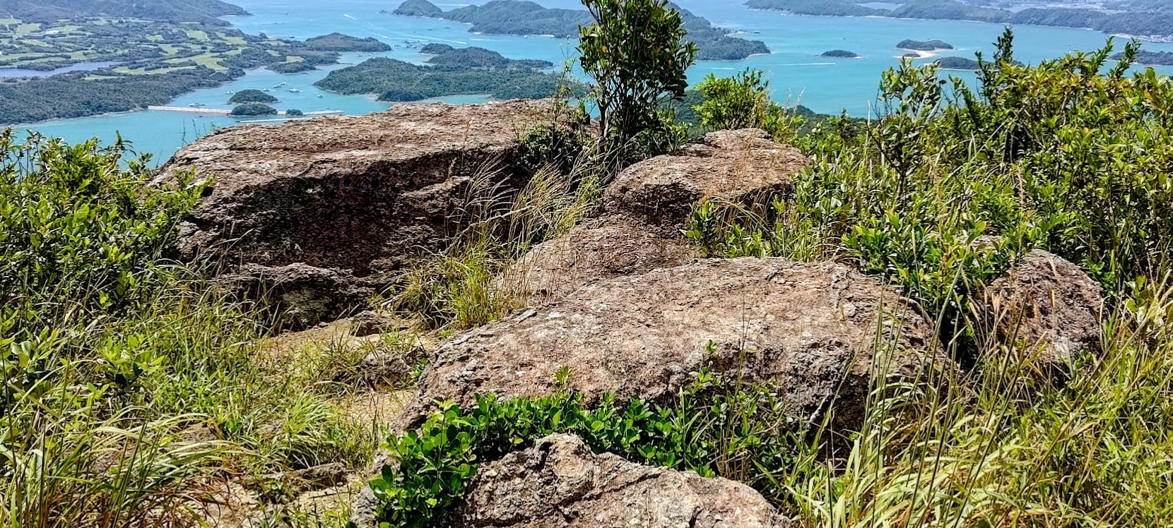
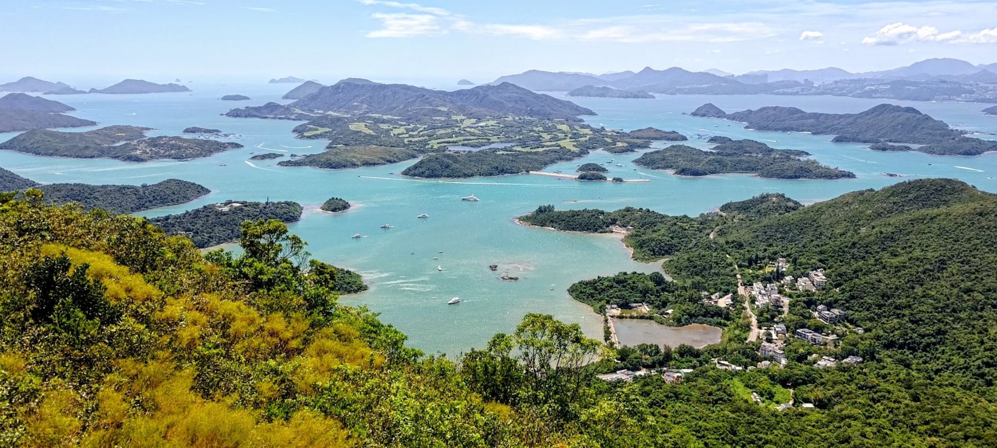
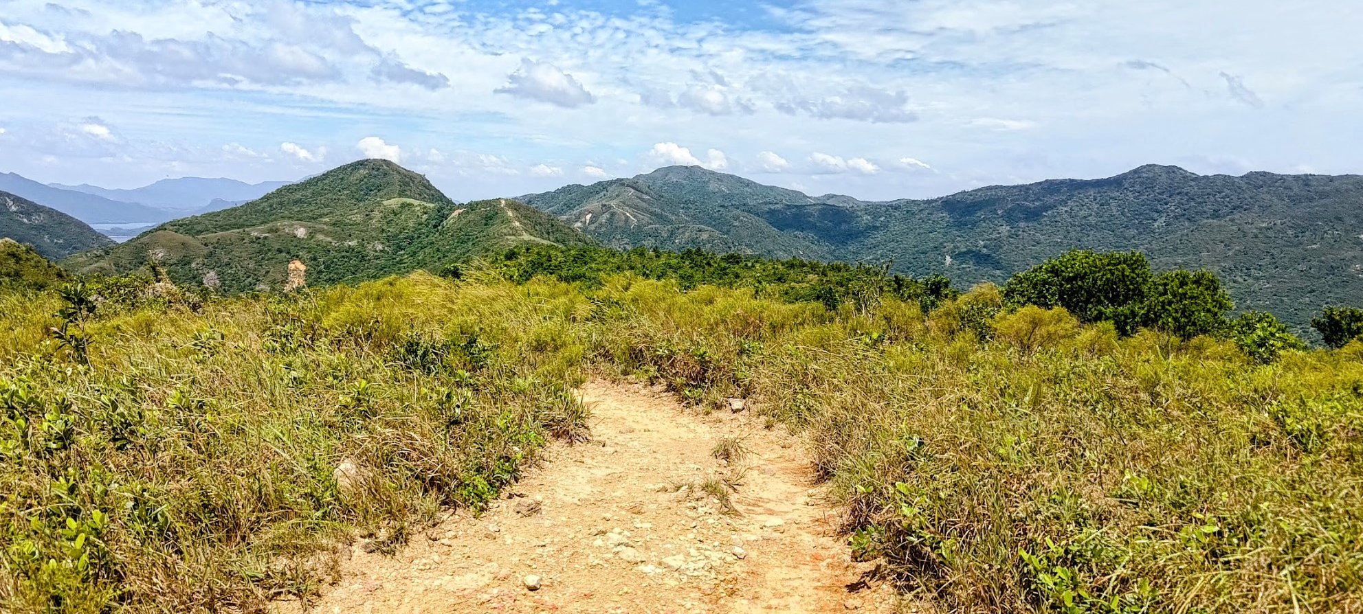
This is arguably one of the most scenic spots I've ever been to in my life - let alone in Hong Kong.
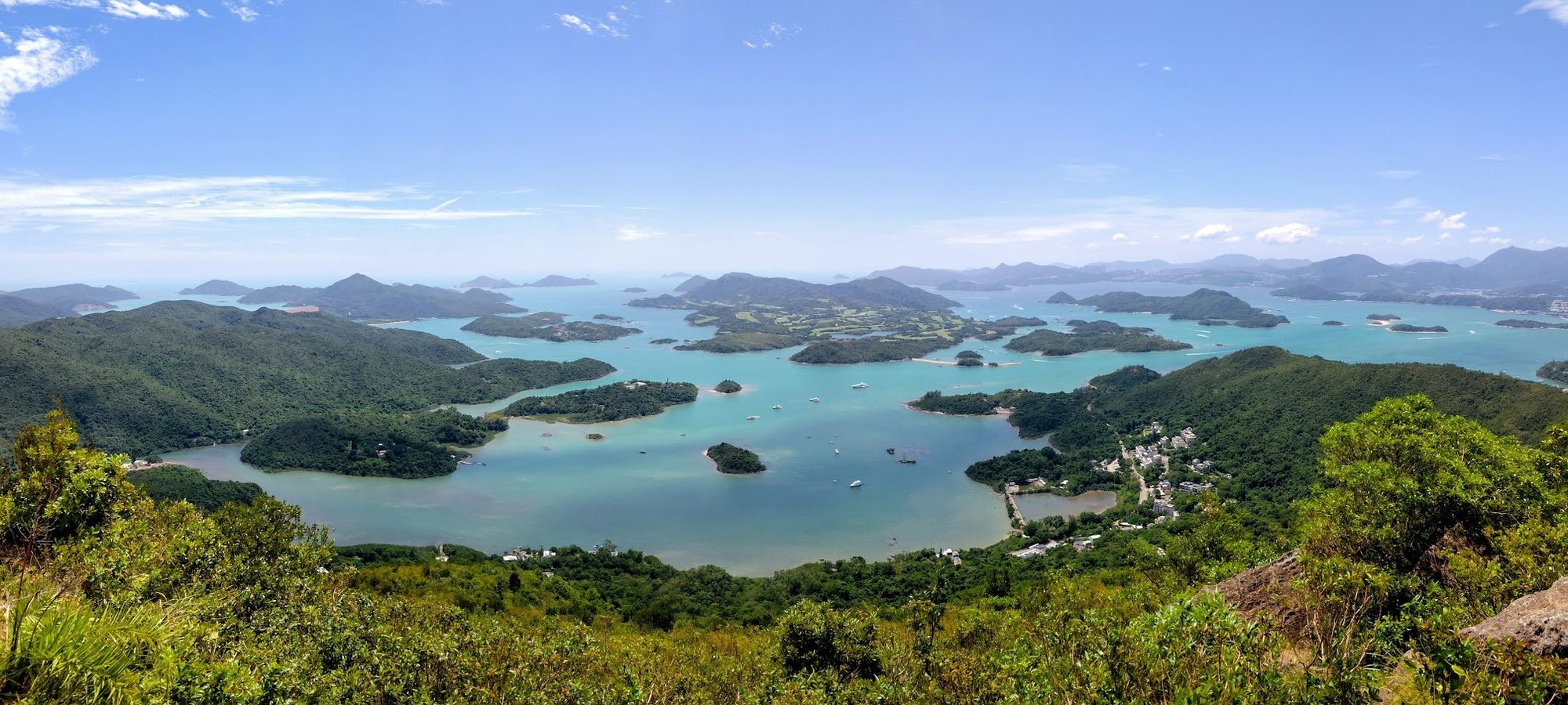
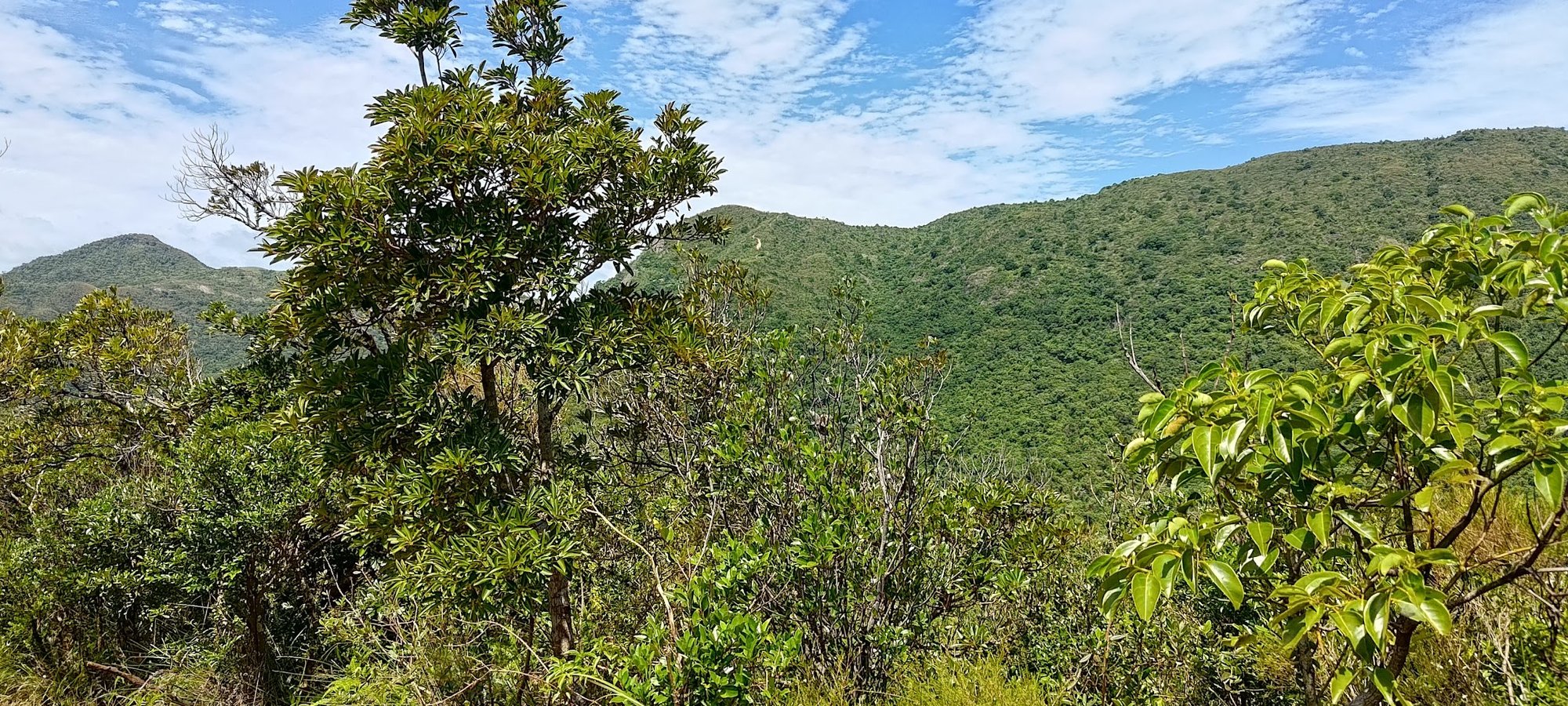
The summit of Tai Tun offers everything from the breathtaking majesty of Tsam Chuk Wan and its azure waters, to the sweeping green hues of Ma On Shan perched grandly in the distance.
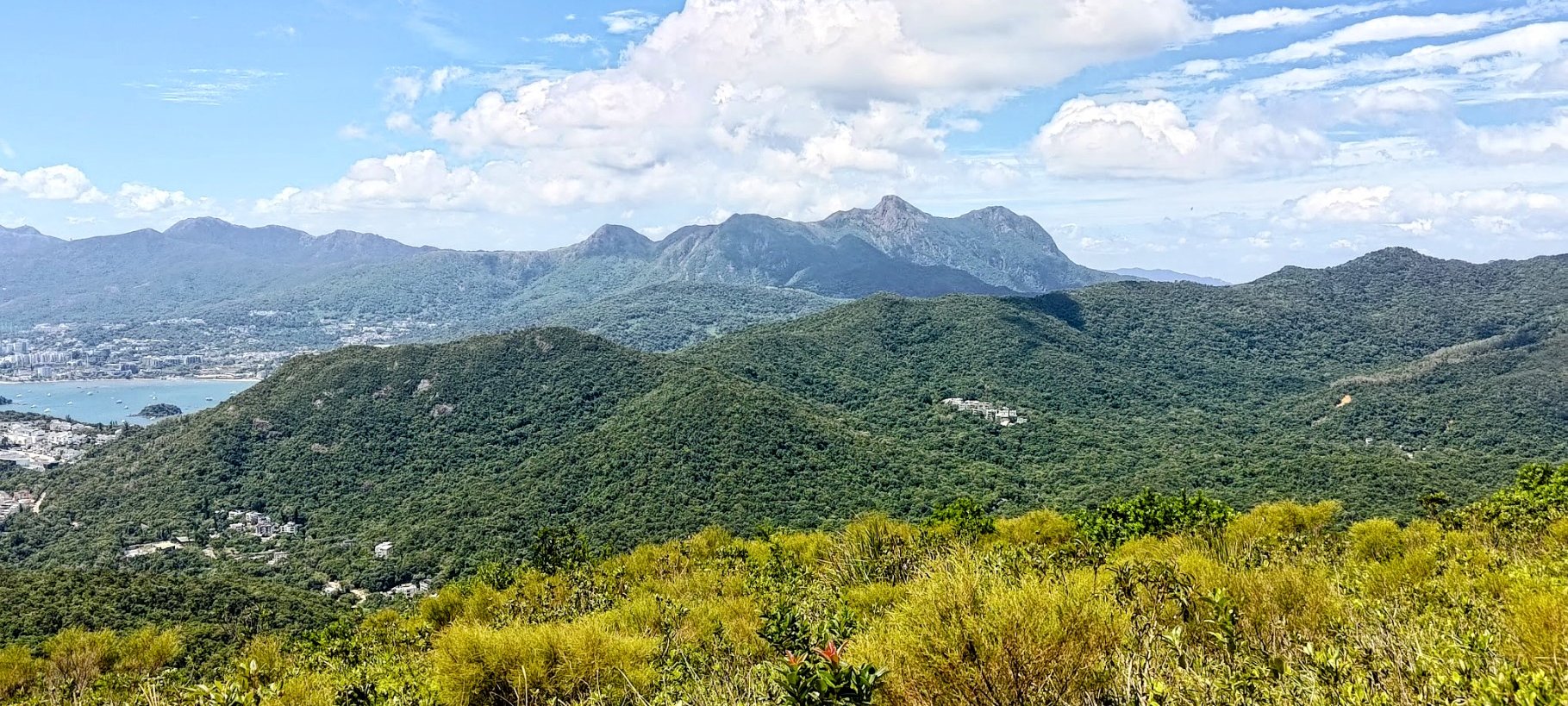
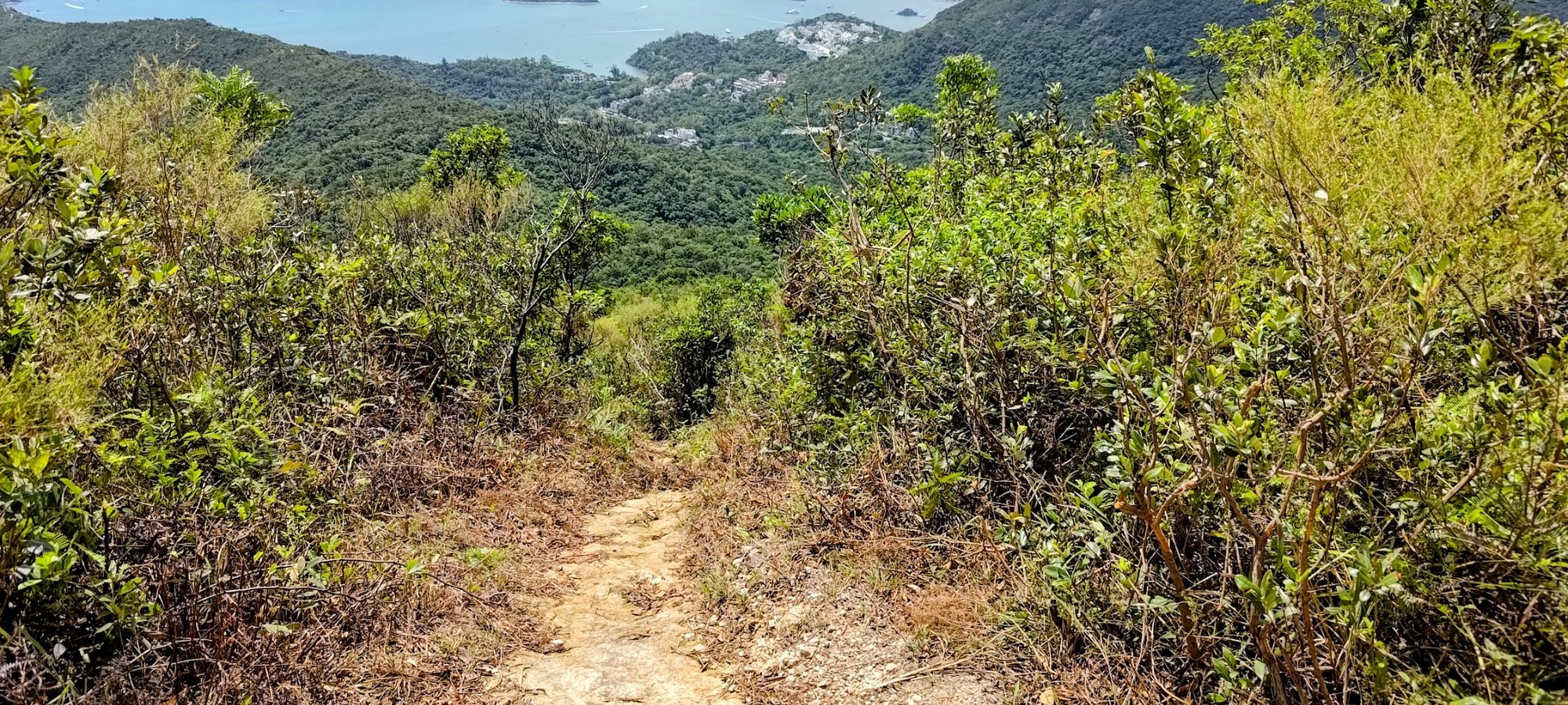
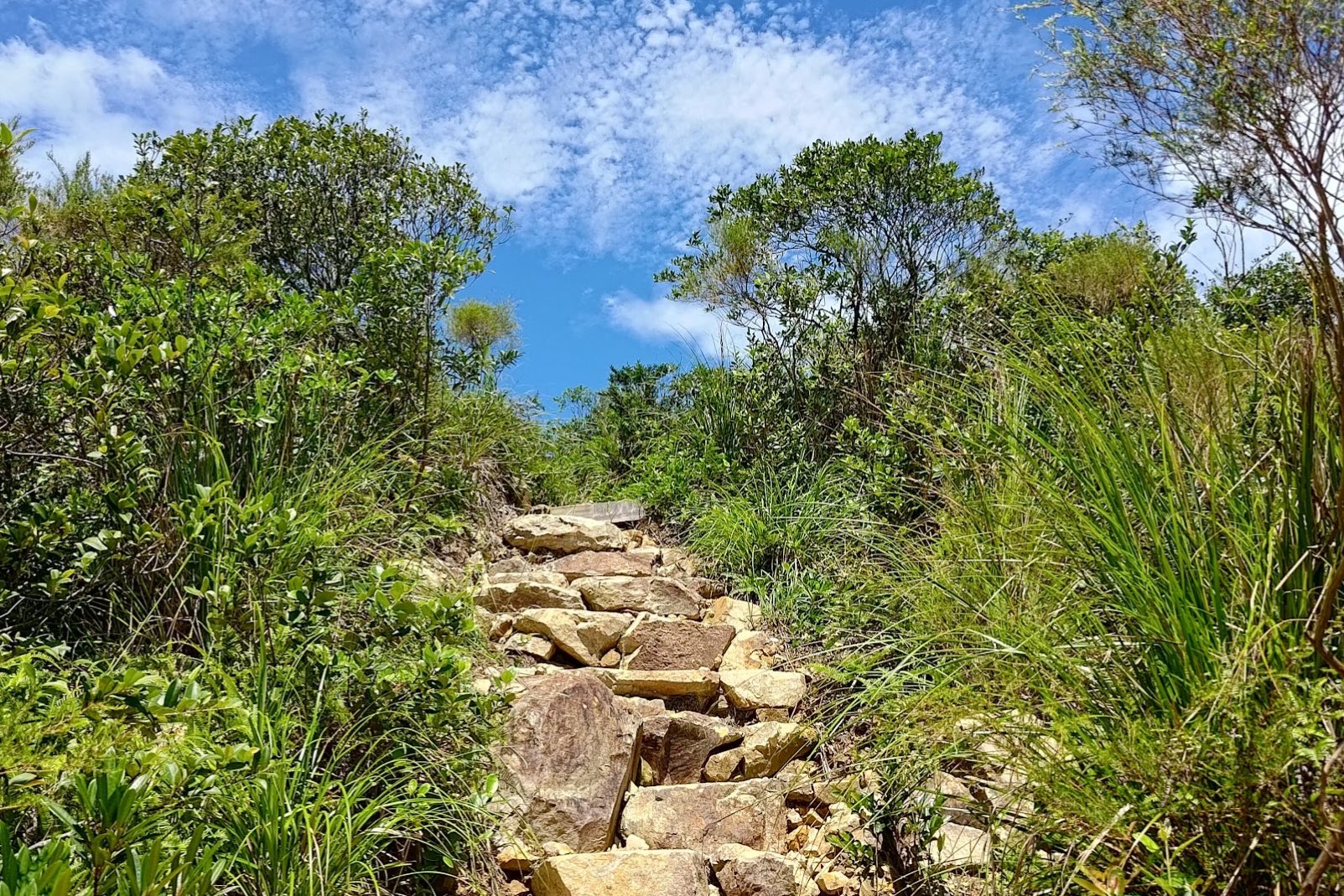
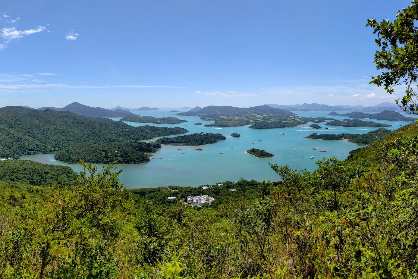
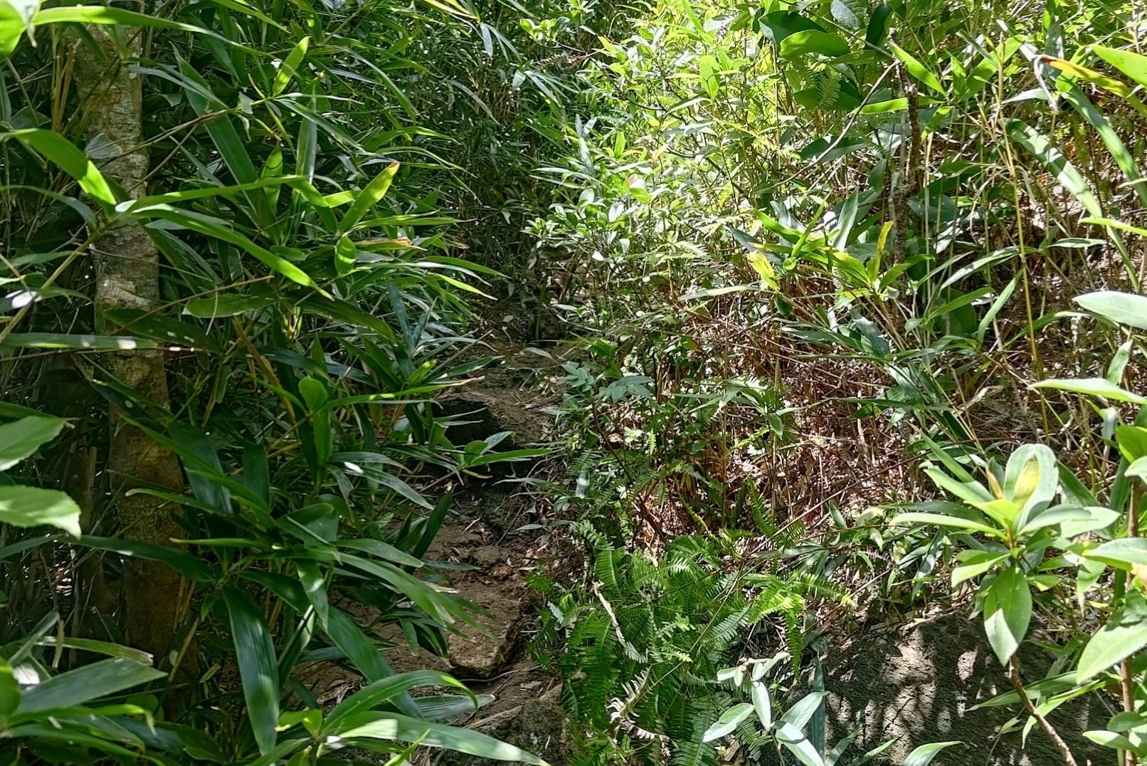
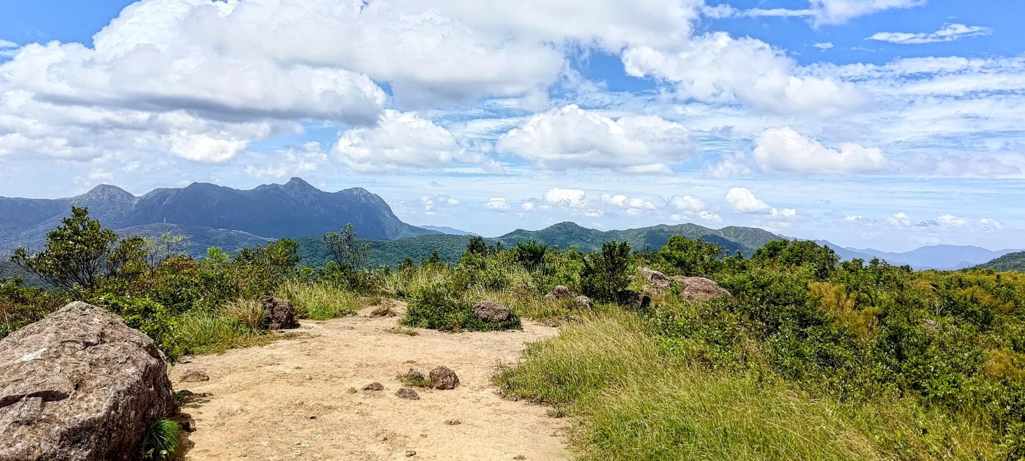
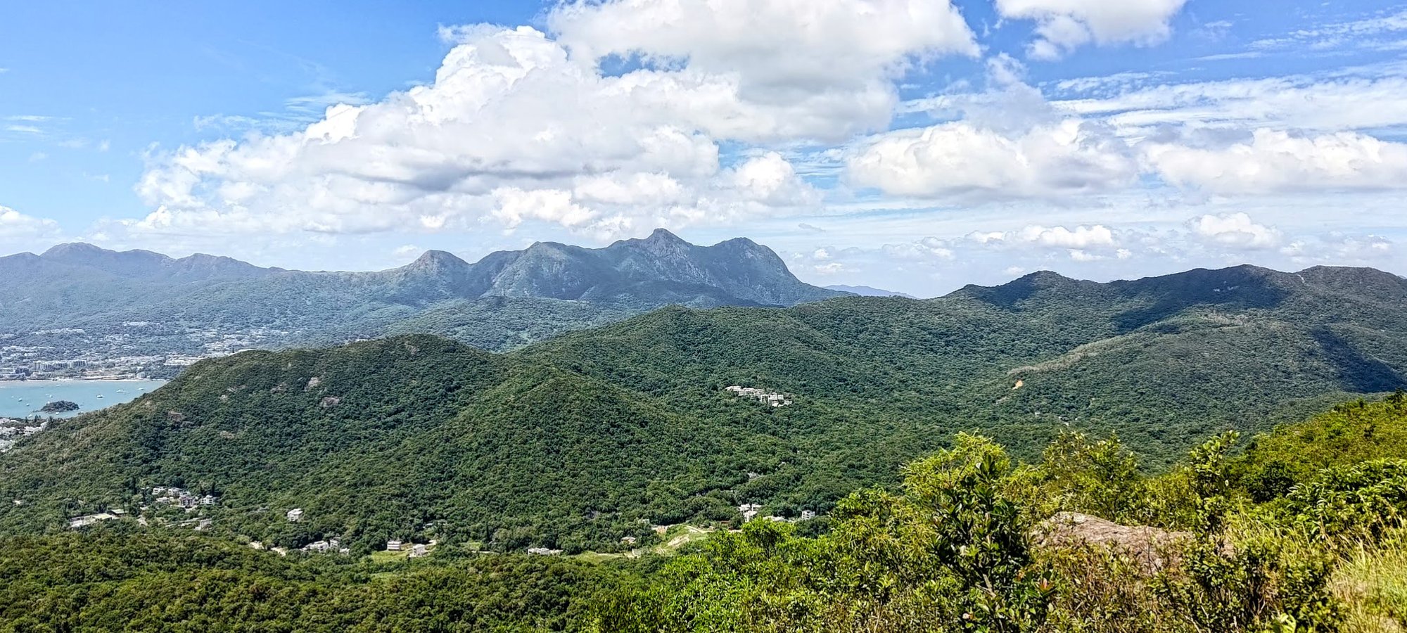
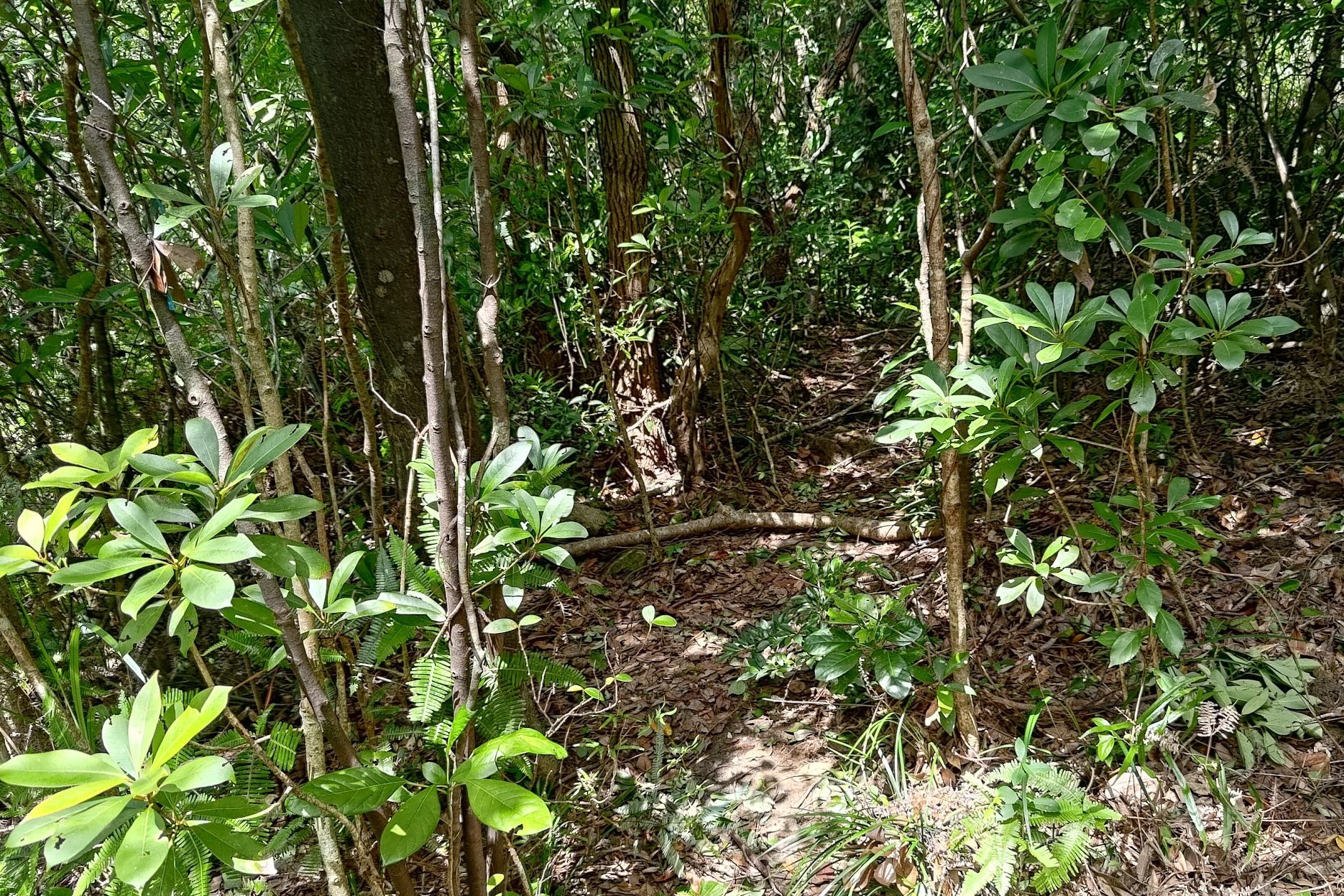
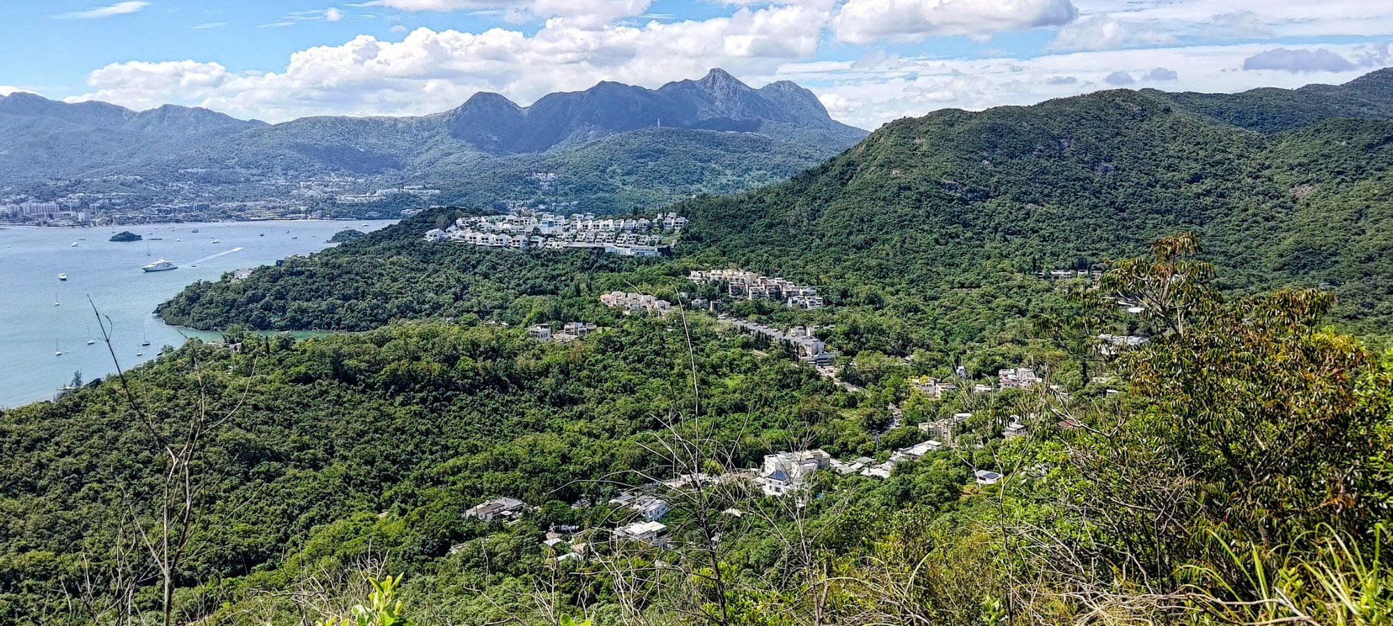
After navigating through some wild trails, you'll arrive at a descent that will take you to the base of Tai Au Shan. Even this spot offers an insanely unique view with the sharp point of Tai Au Shan standing out impressively against a beautiful mountainous backdrop.
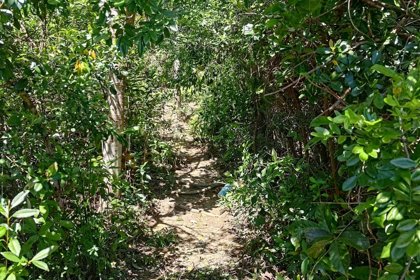
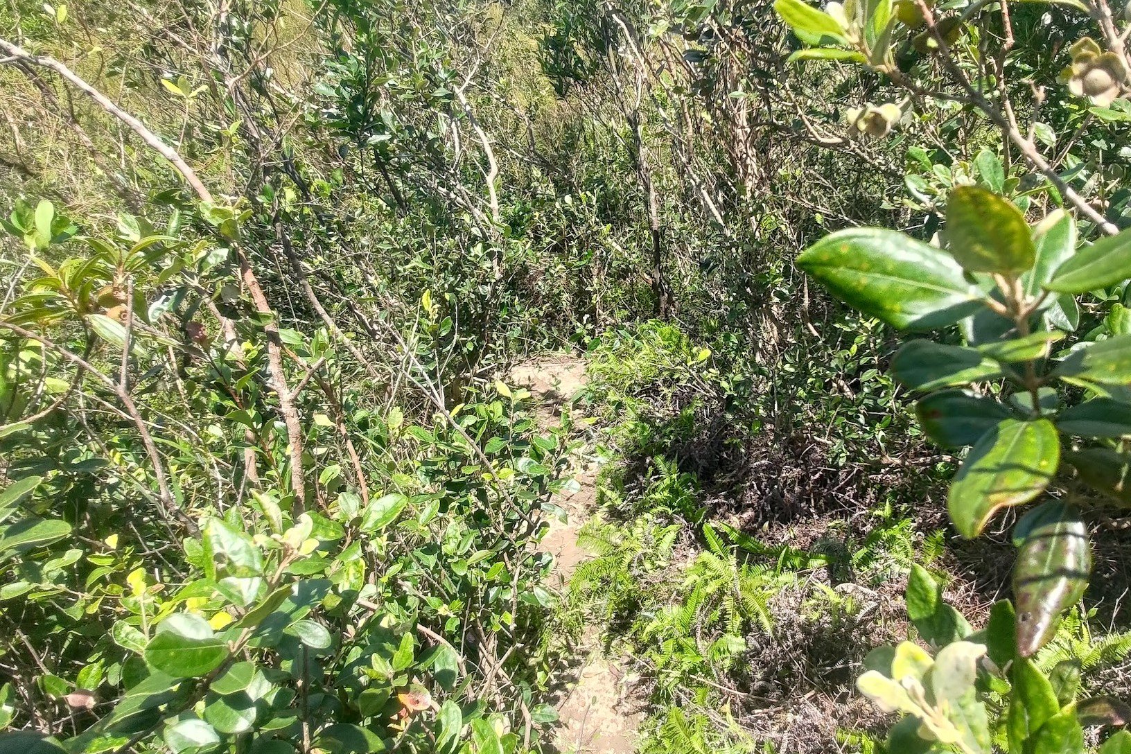
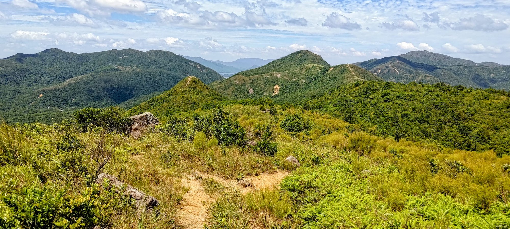
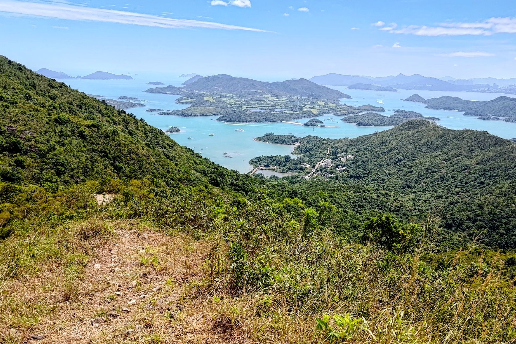
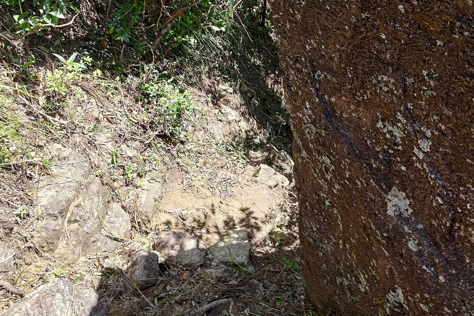
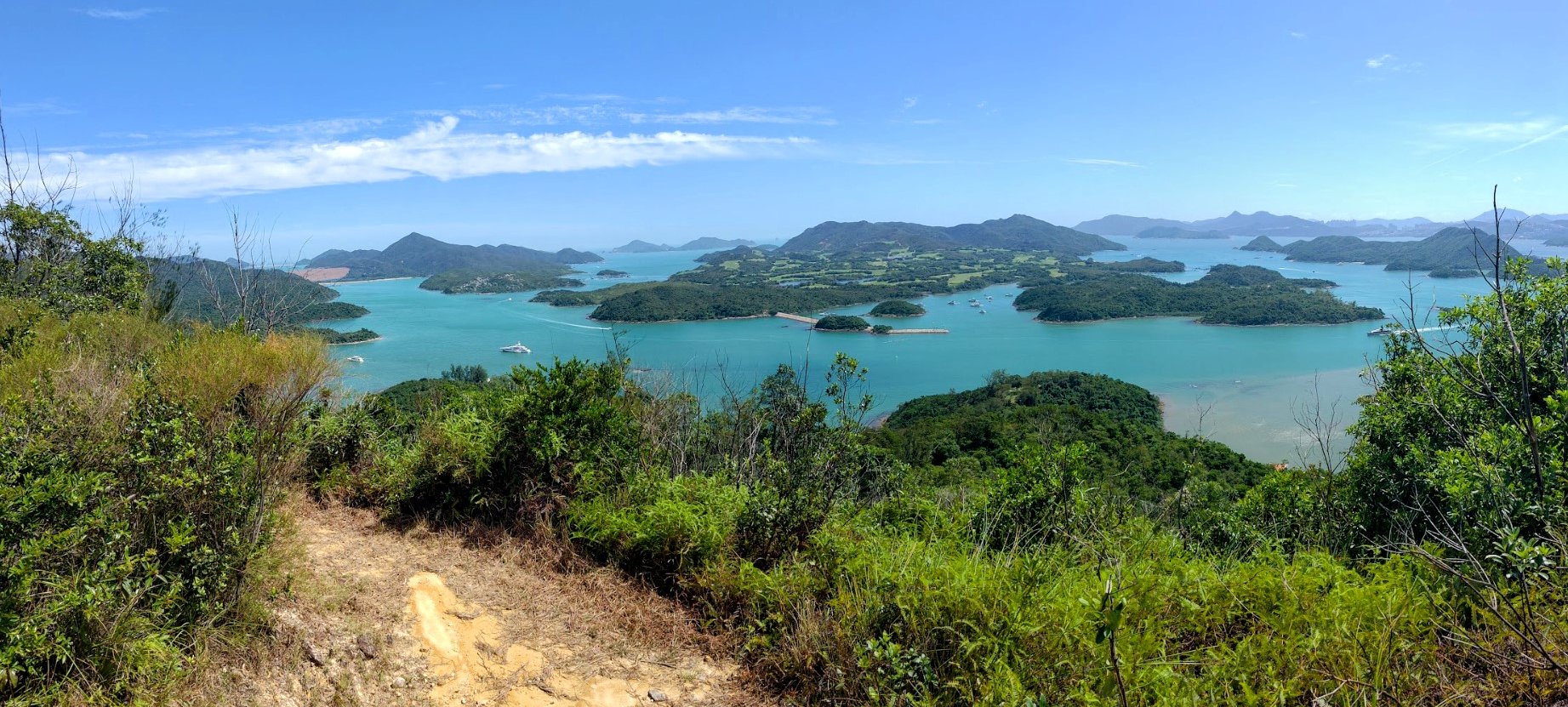
Descending to the Base of Tai Au Shan

This descent, though short, is kind of tricky to navigate.
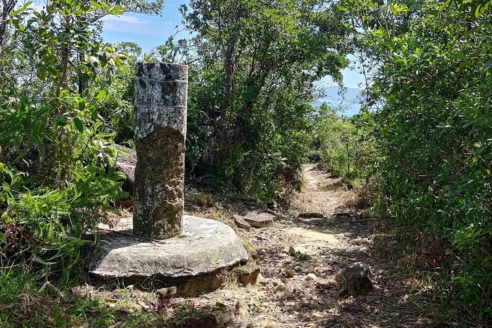
The main thing to remember is that at the fork you find yourself at, take a left and go past the yellow ribbon.
The rest of the descent to the base of Tai Au Shan is quite manageable to navigate.
When you reach the base, you have a choice to make.
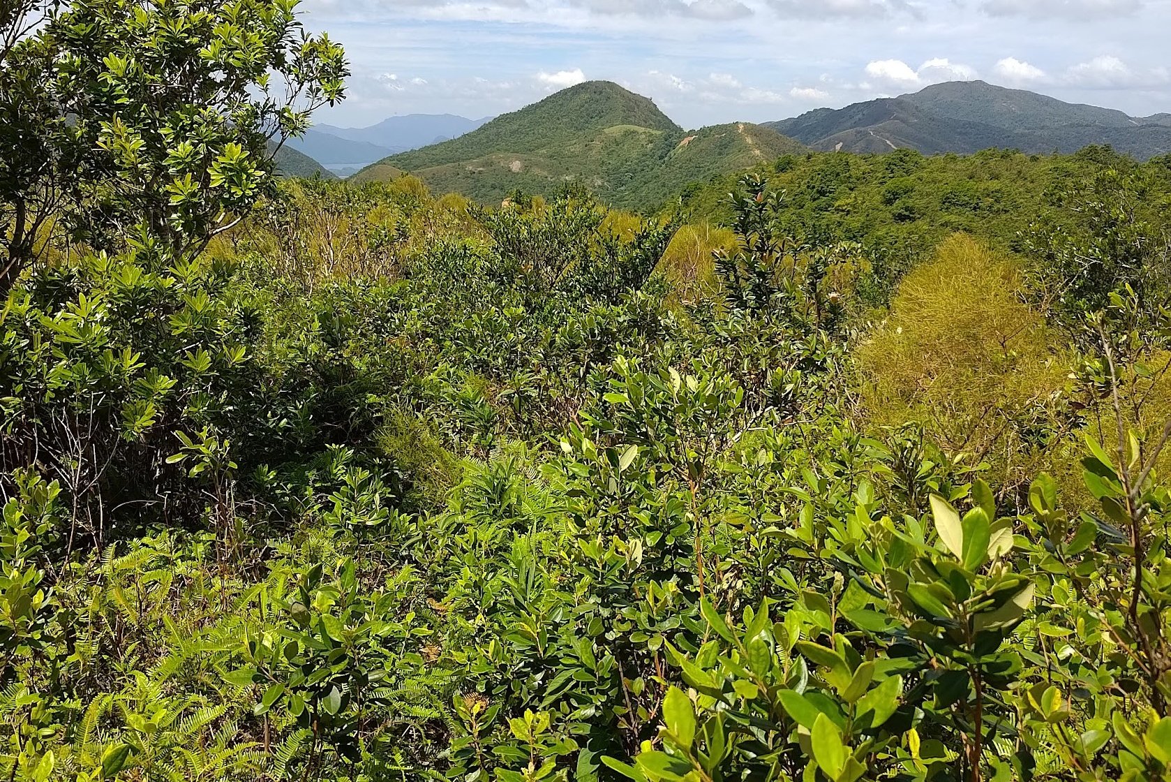
Optional Short Climb Up Tai Au Shan
If you climb up Tai Au Shan (which I do recommend), it only takes a couple of minutes. The view from the summit is spectacular!
When you're done, head back down to the base.
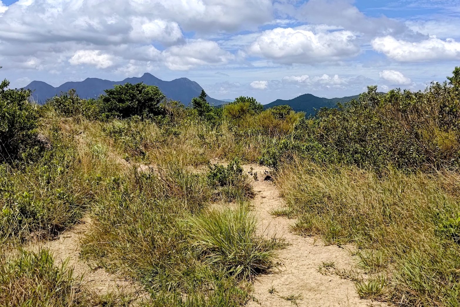
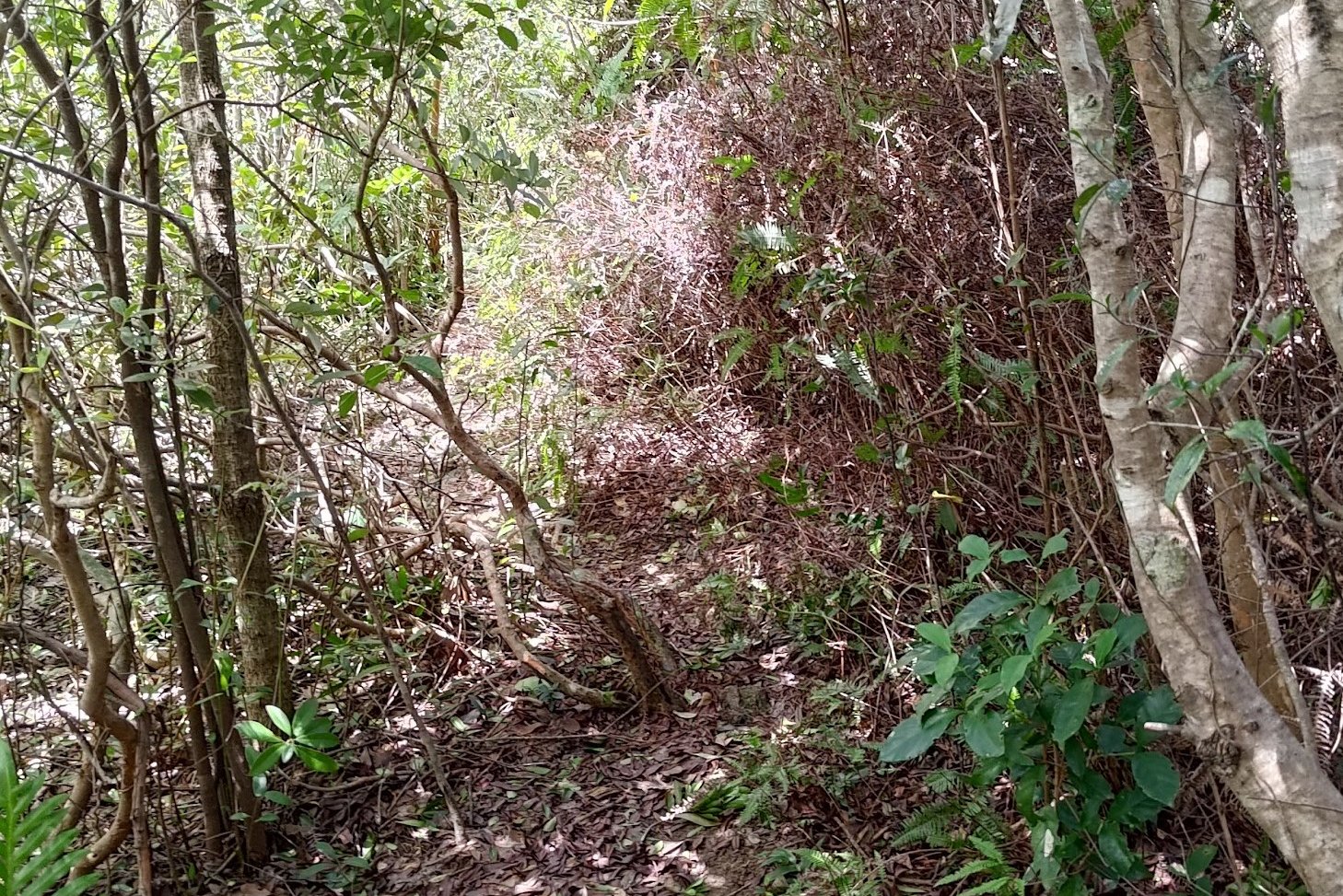
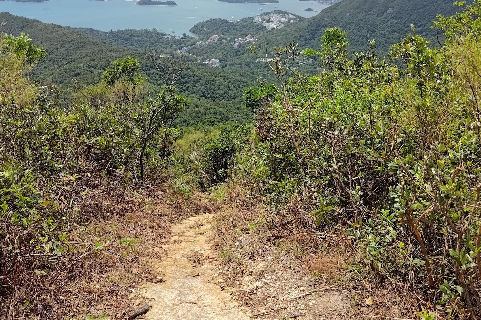
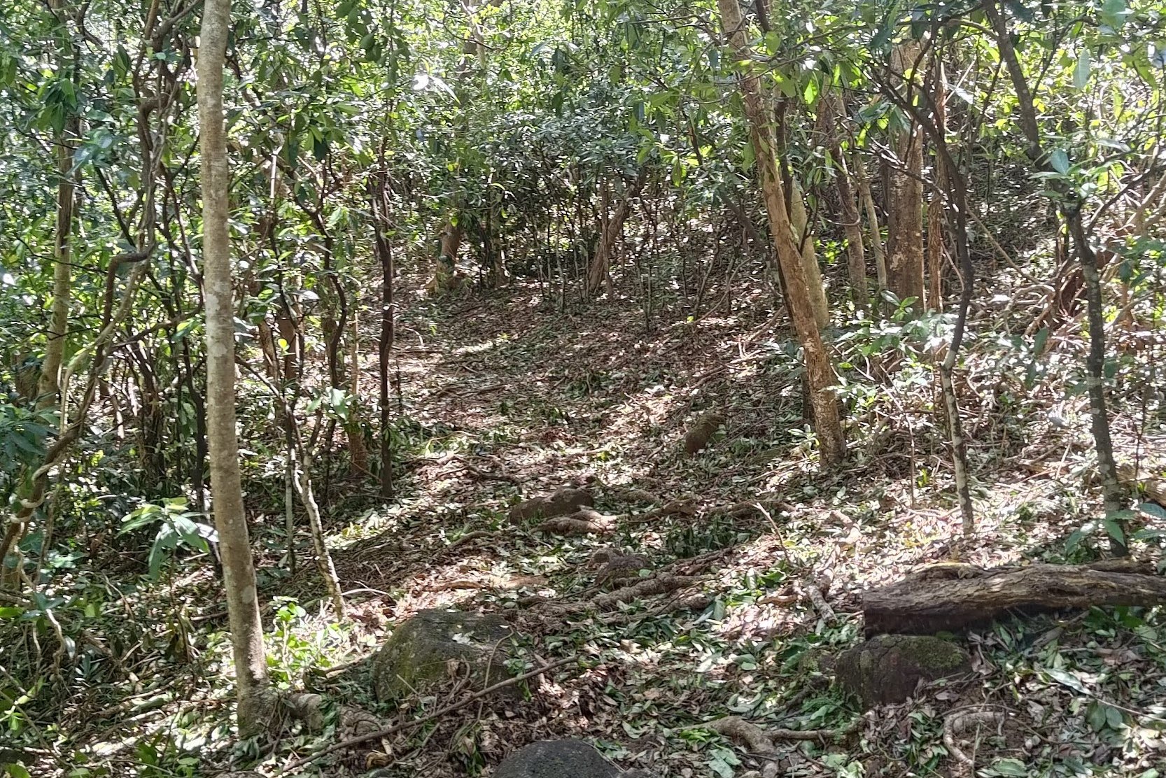
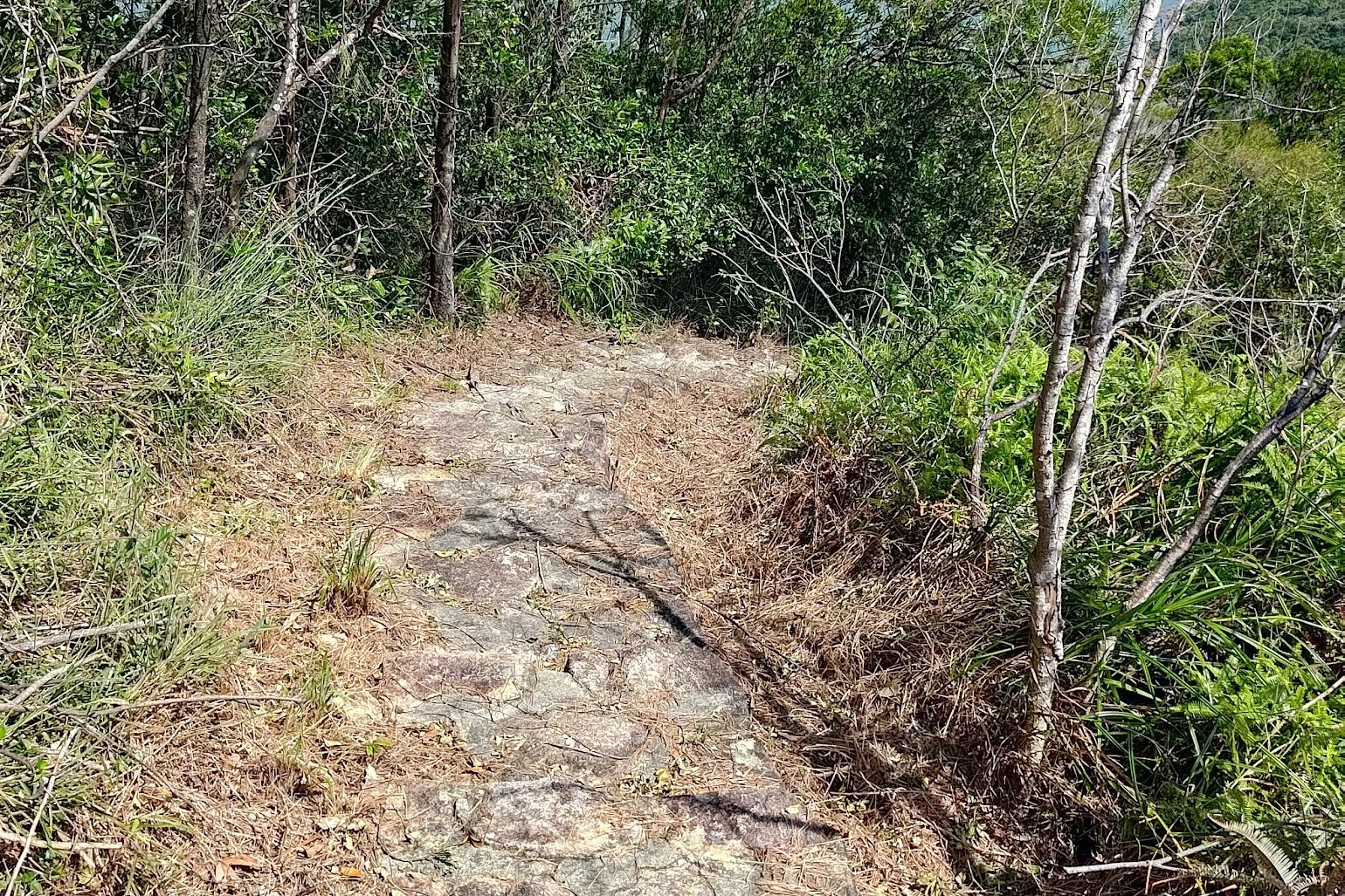
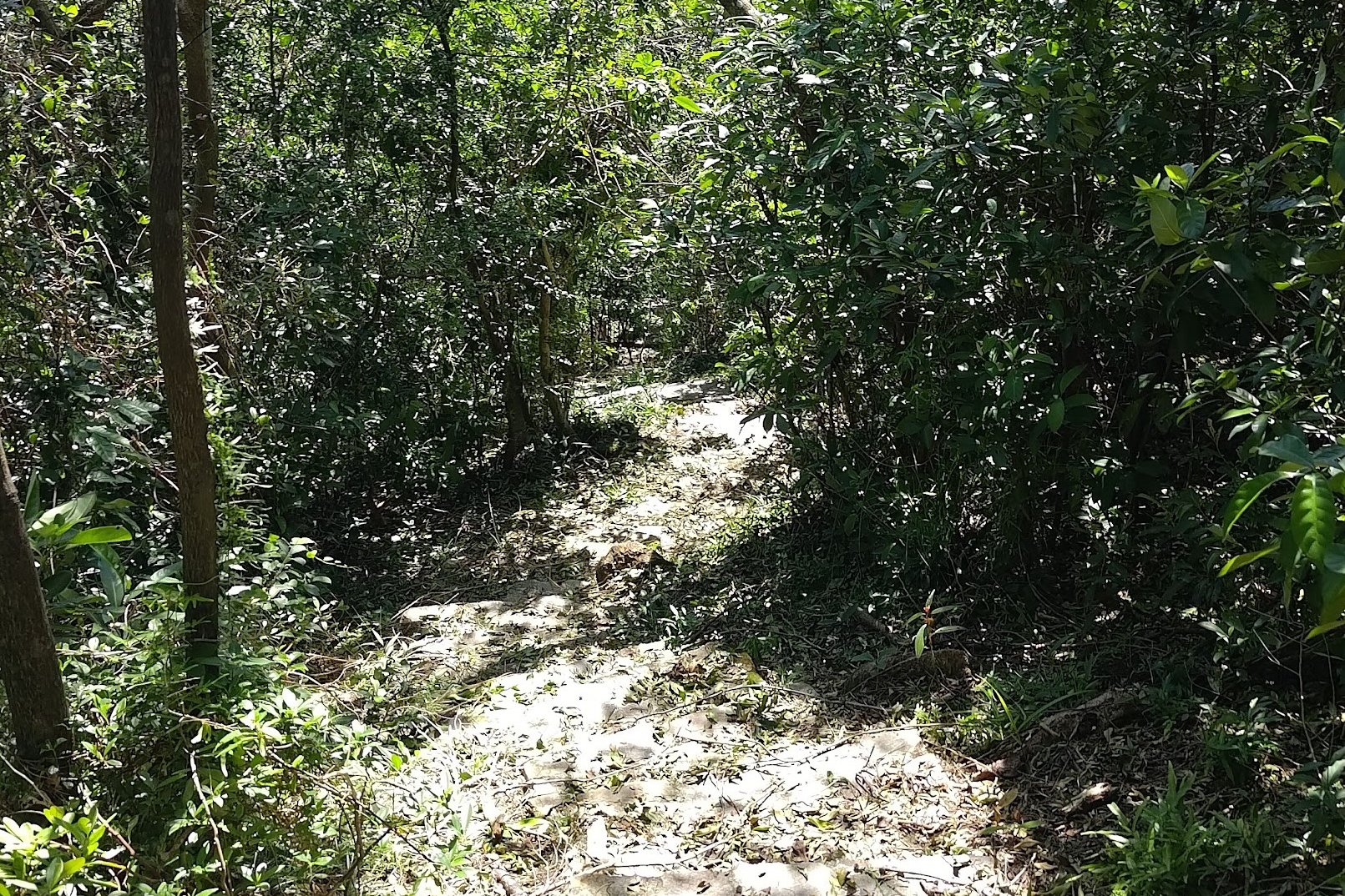
The Tricky First Half of the Descent (30 mins)
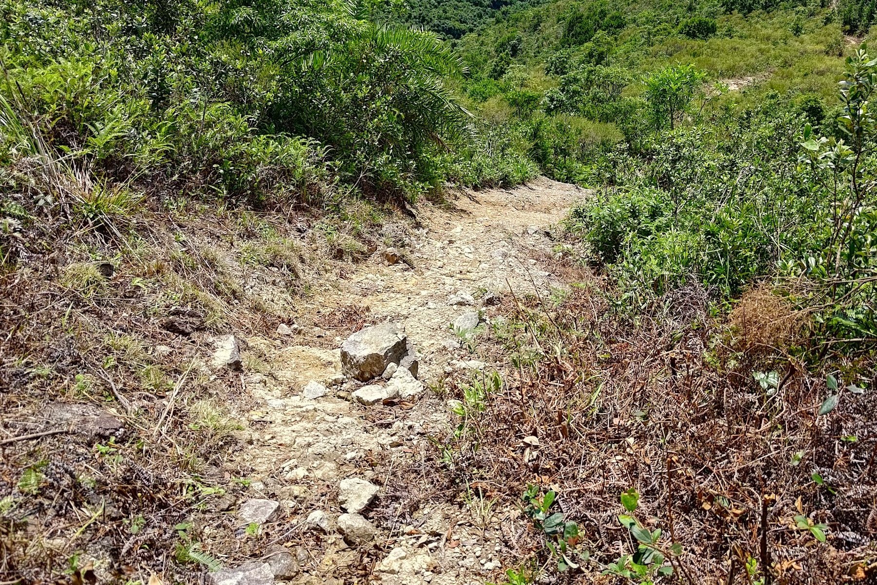
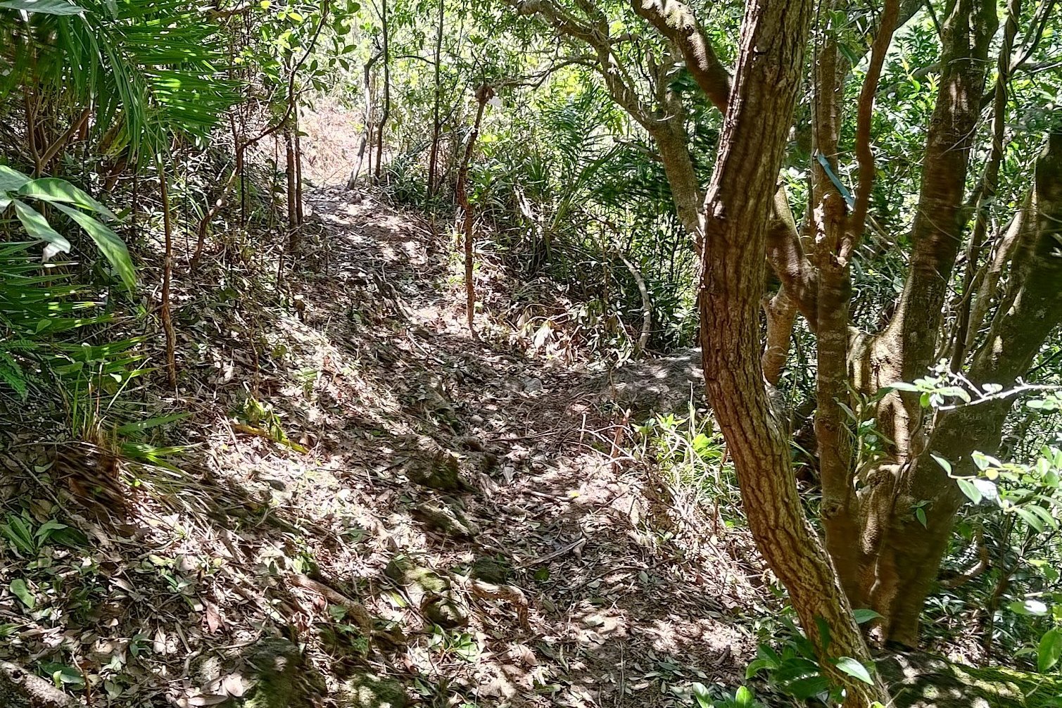

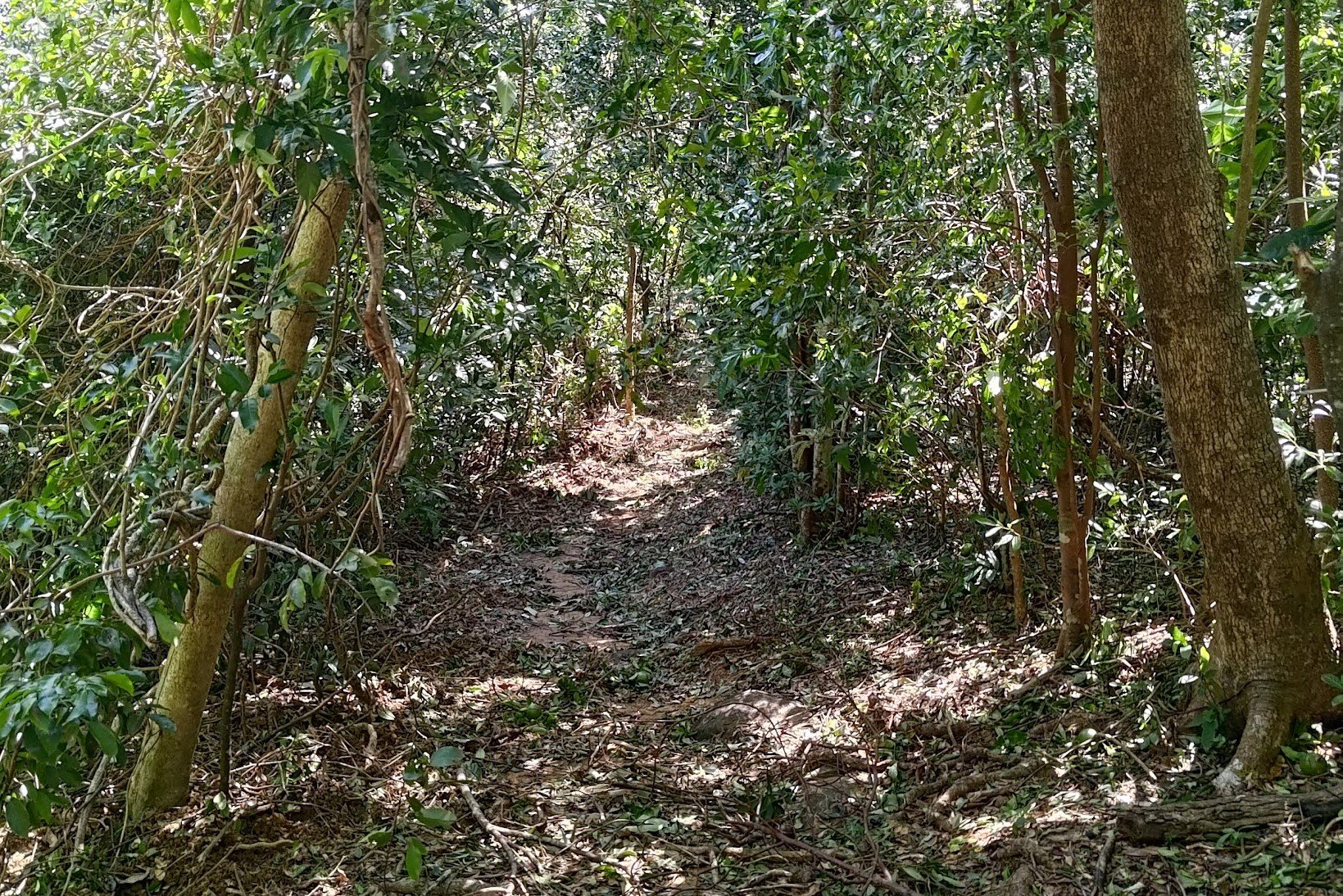
This portion of the hike took 30 minutes and a lot of it was super technical and required a lot of concentration.
By far, the worst portion was at the start where the trail was open, dusty, and super slippery. I found myself tempted to check out the view as I tried to look for stable footing.
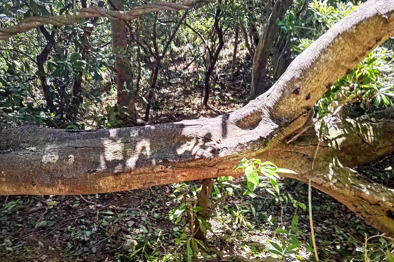
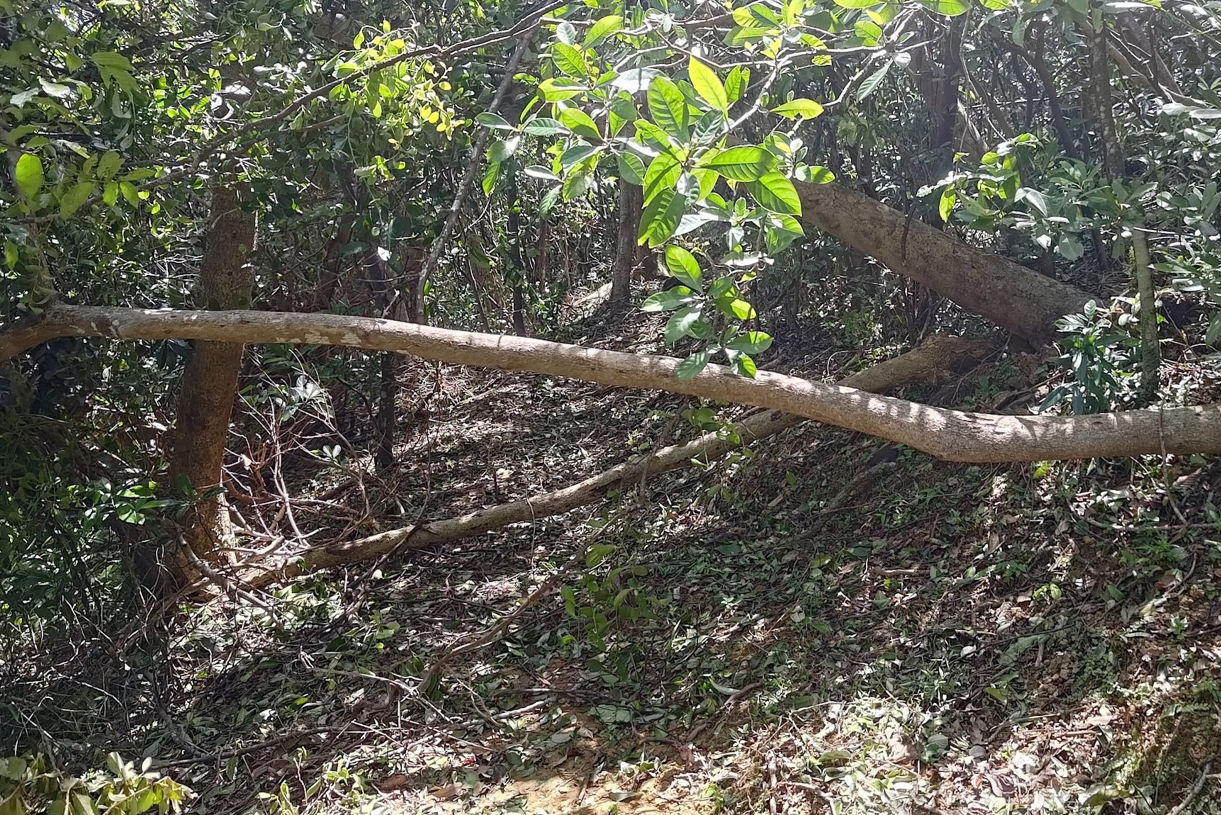
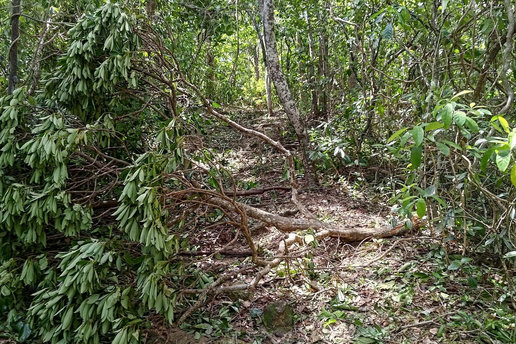
Once the trail entered the forest, it was still steep, but at least I could hold onto trees for support. Still, many of them had fallen or were blocking the path as Typhoon Ragasa had just hit Hong Kong a few days prior.
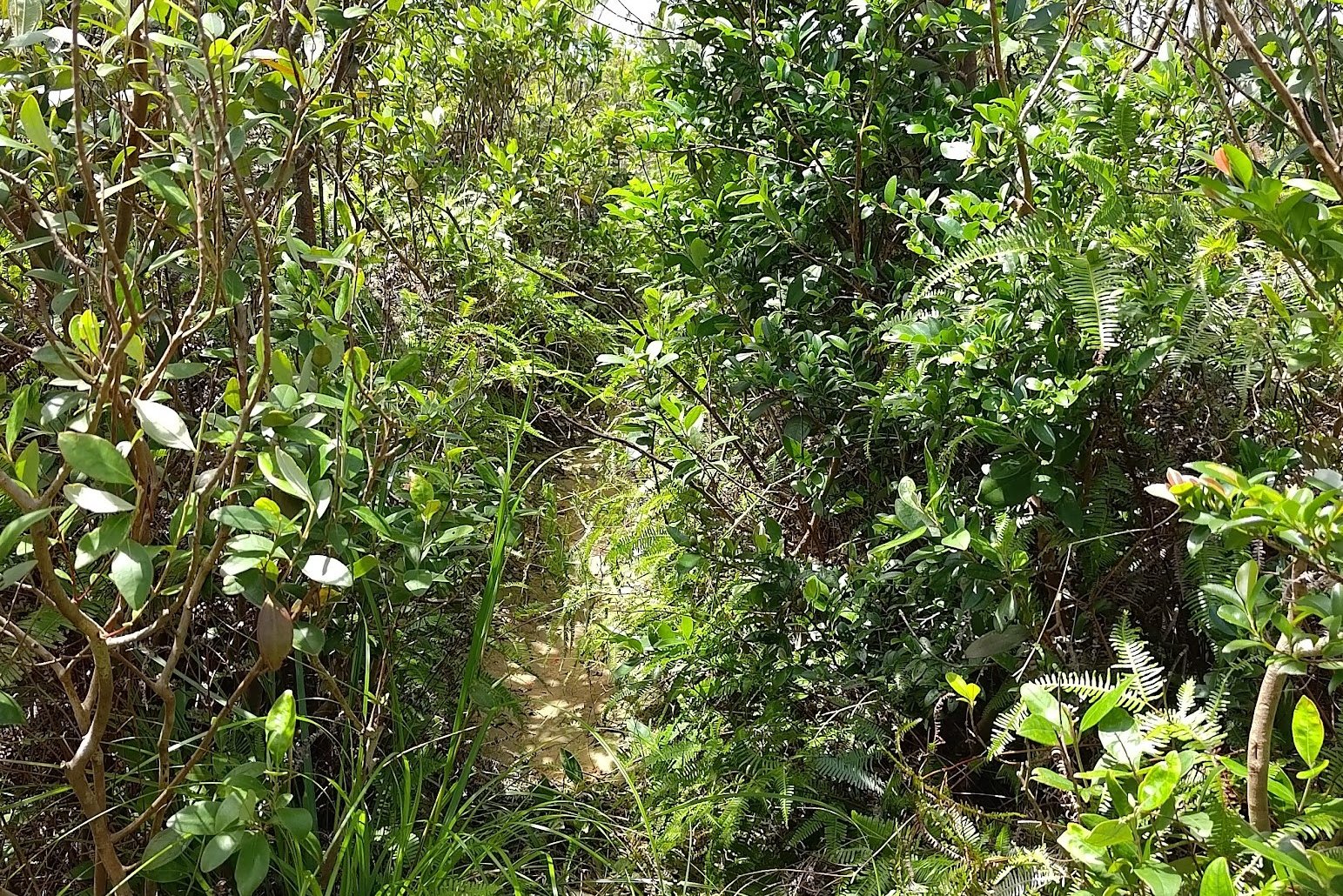
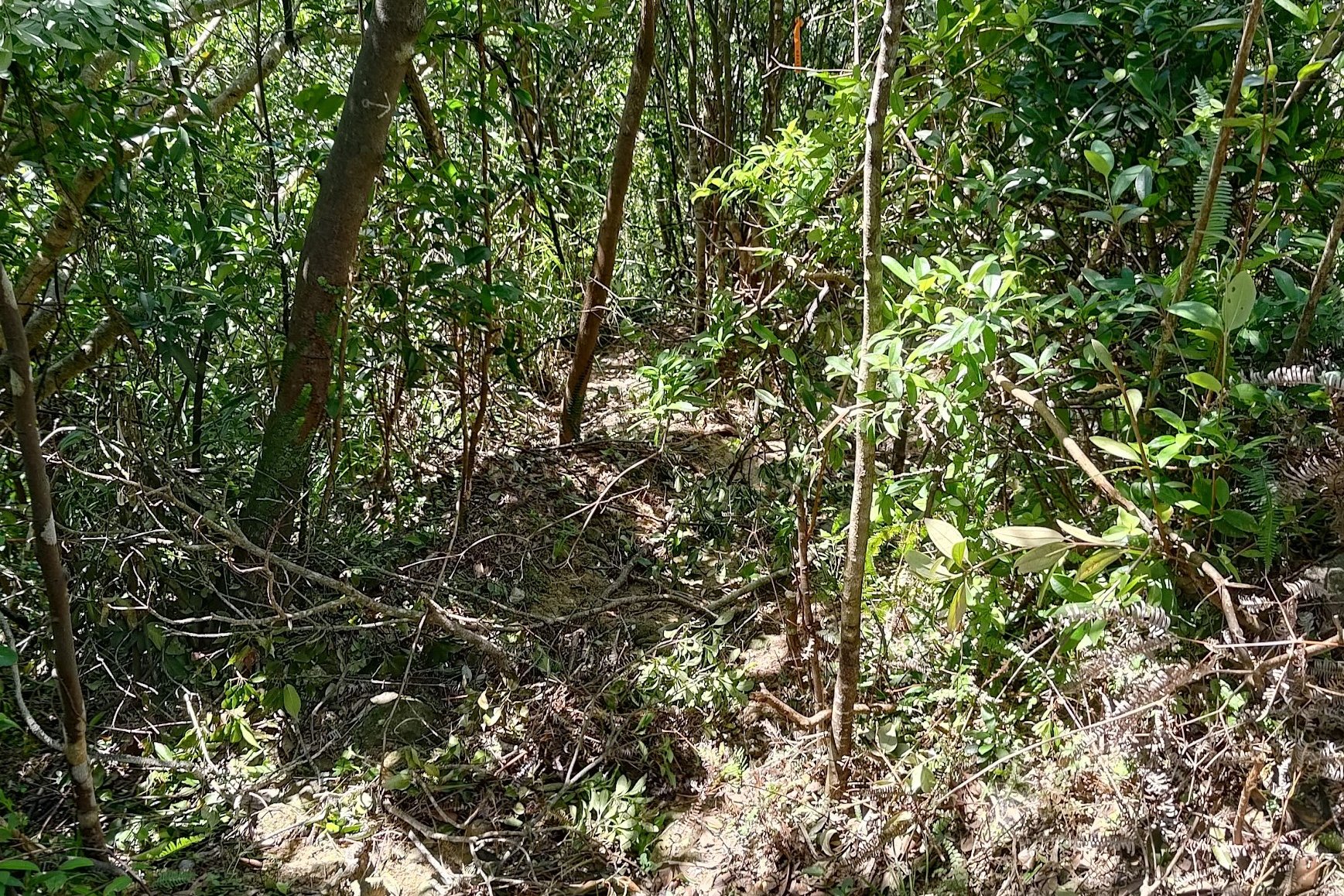
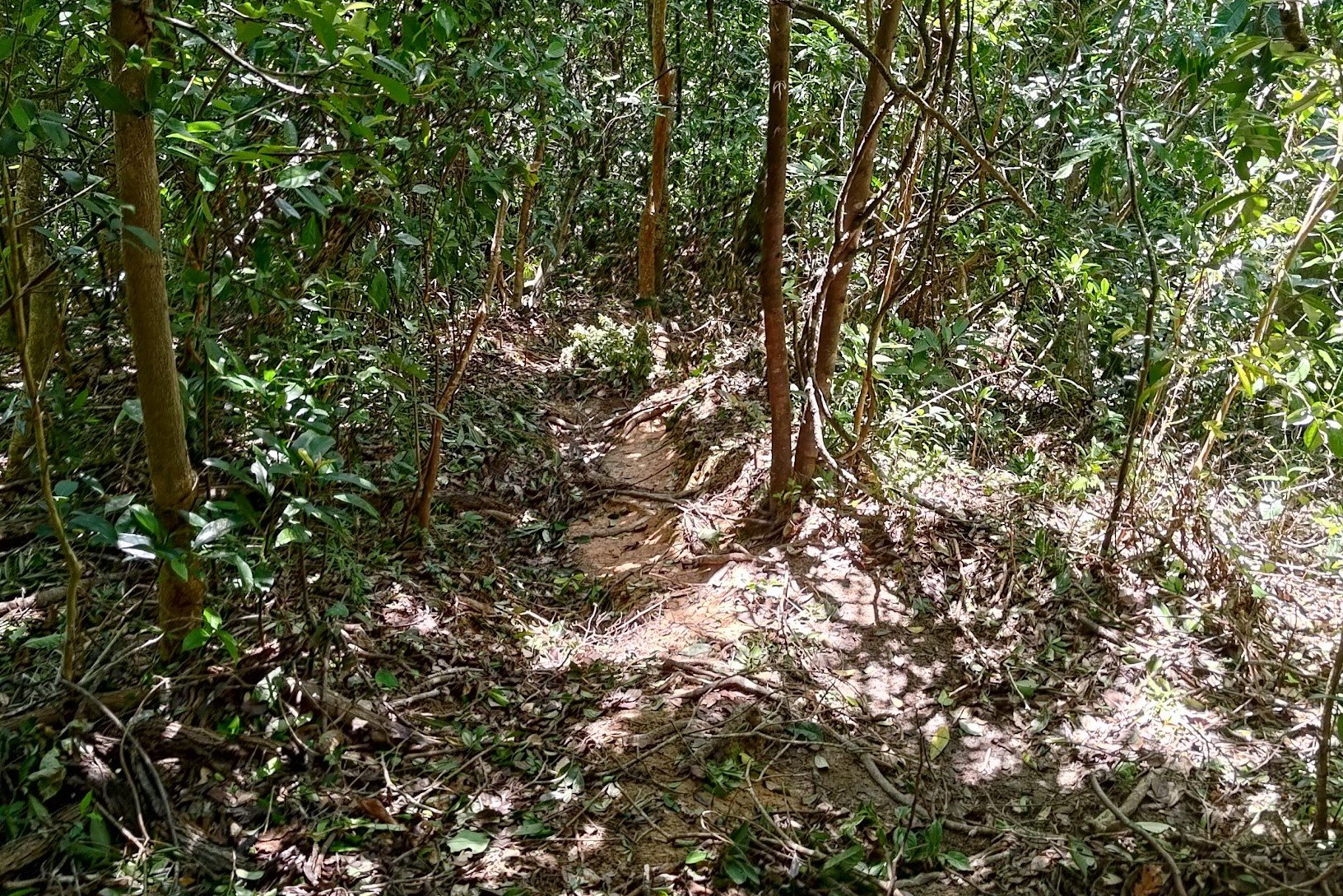
Final 35 Mins of Descending
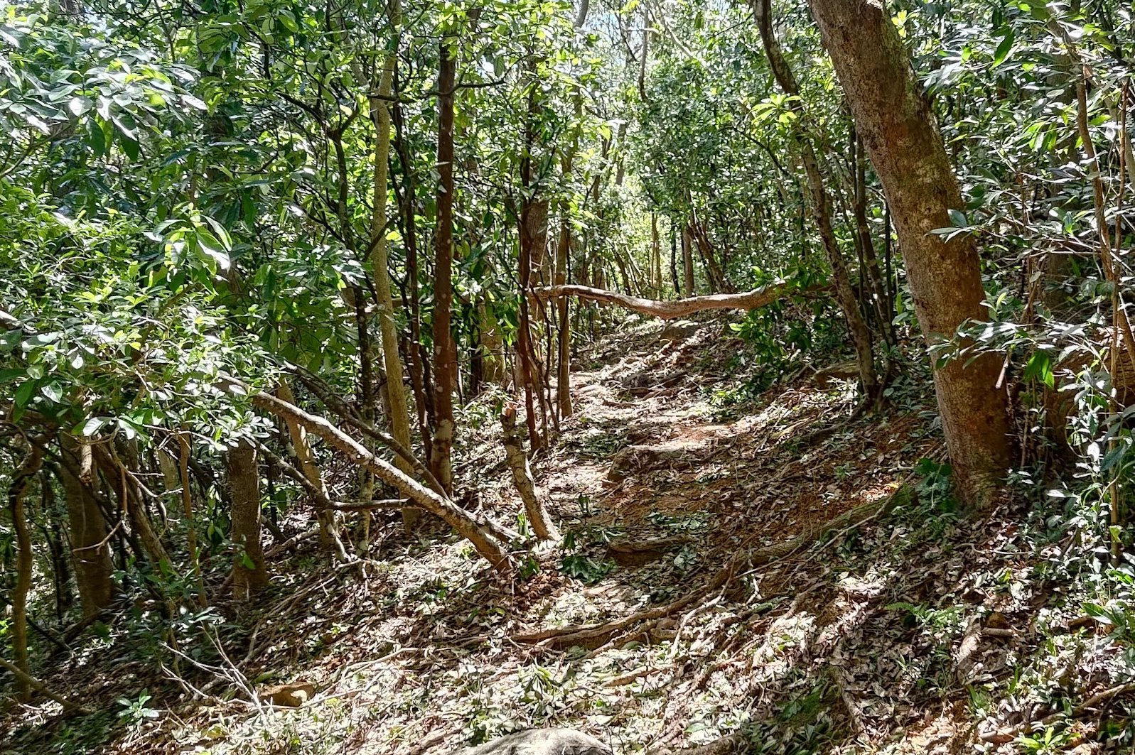
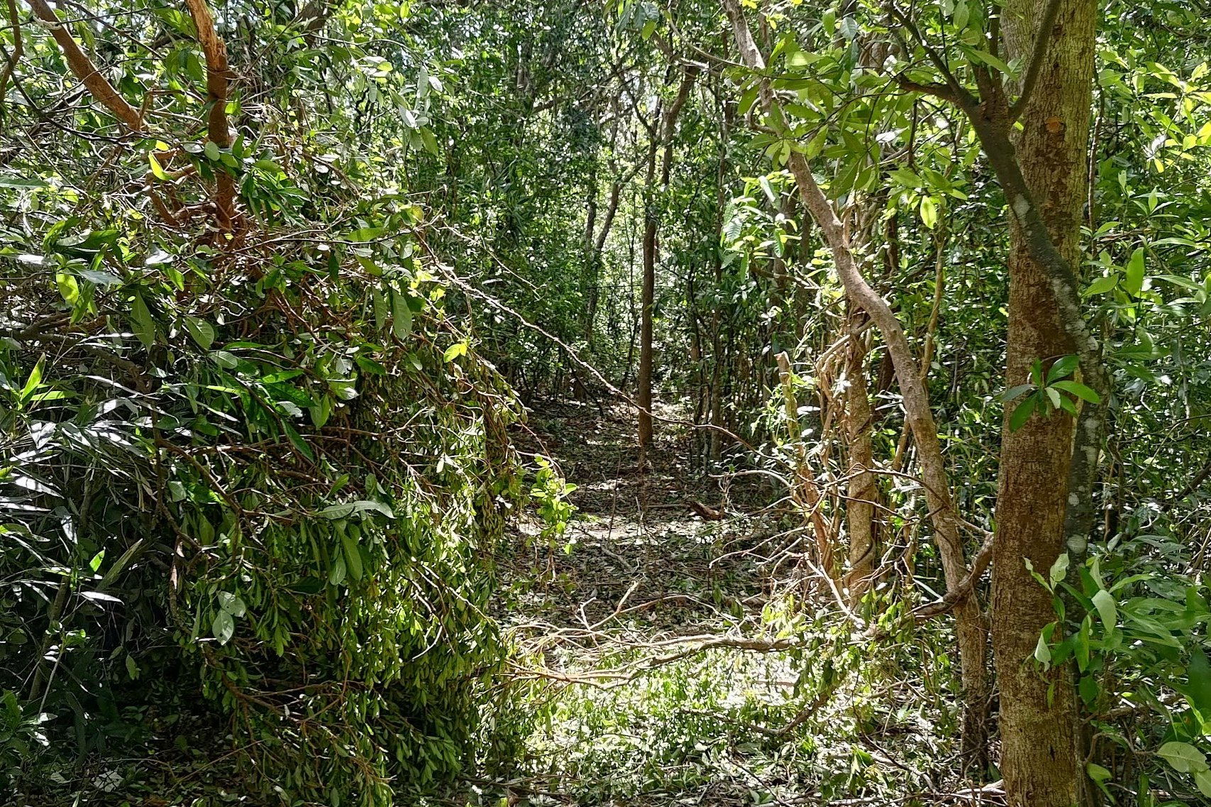

This section took about 35 minutes to complete, and it was a treat the entire way!
I found it fascinating to witness the aftermath of Typhoon Ragasa's destructive force. It had toppled some seriously thick and sturdy trees!
And when the trail opened up again, I felt like I had come full circle as I was right beside Tsam Chuk Wan! Seeing the water and all those islands up close was a real treat!
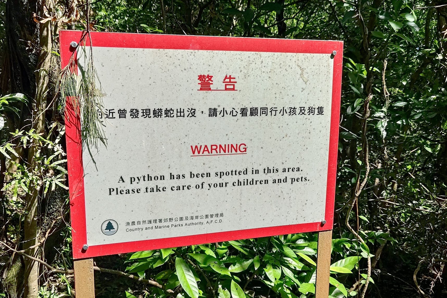
The only disappointing aspect of this descent was not spotting the python in the area!
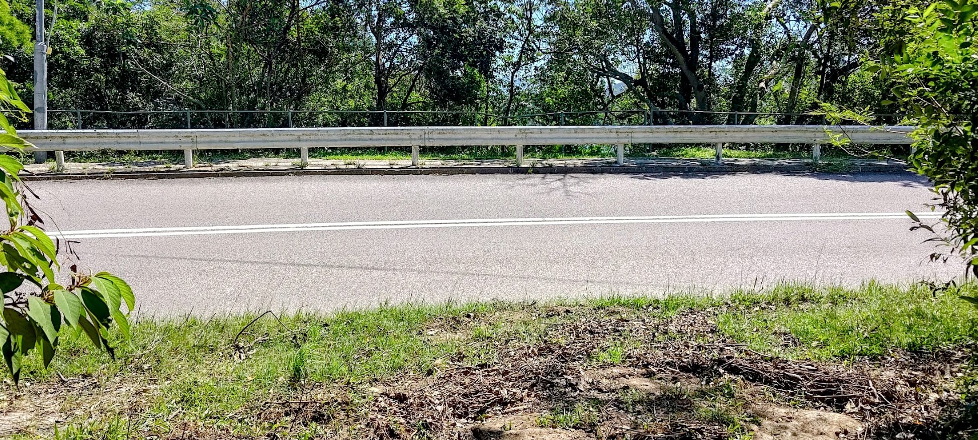
Anyway, at the end of the hike, you will arrive at Tai Mong Tsai Road where you can get a bus back to Sai Kung, or to the city.
Getting Back
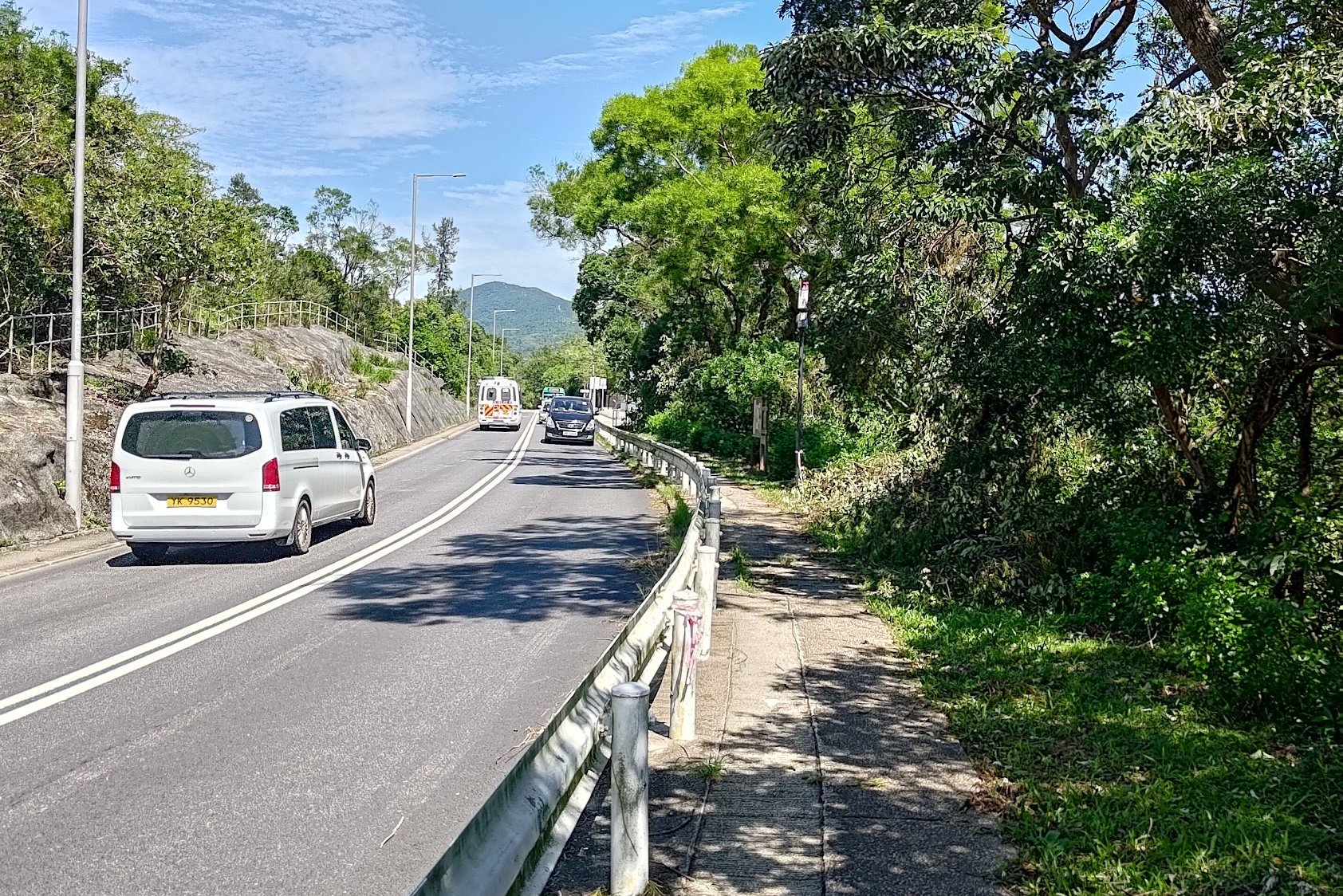
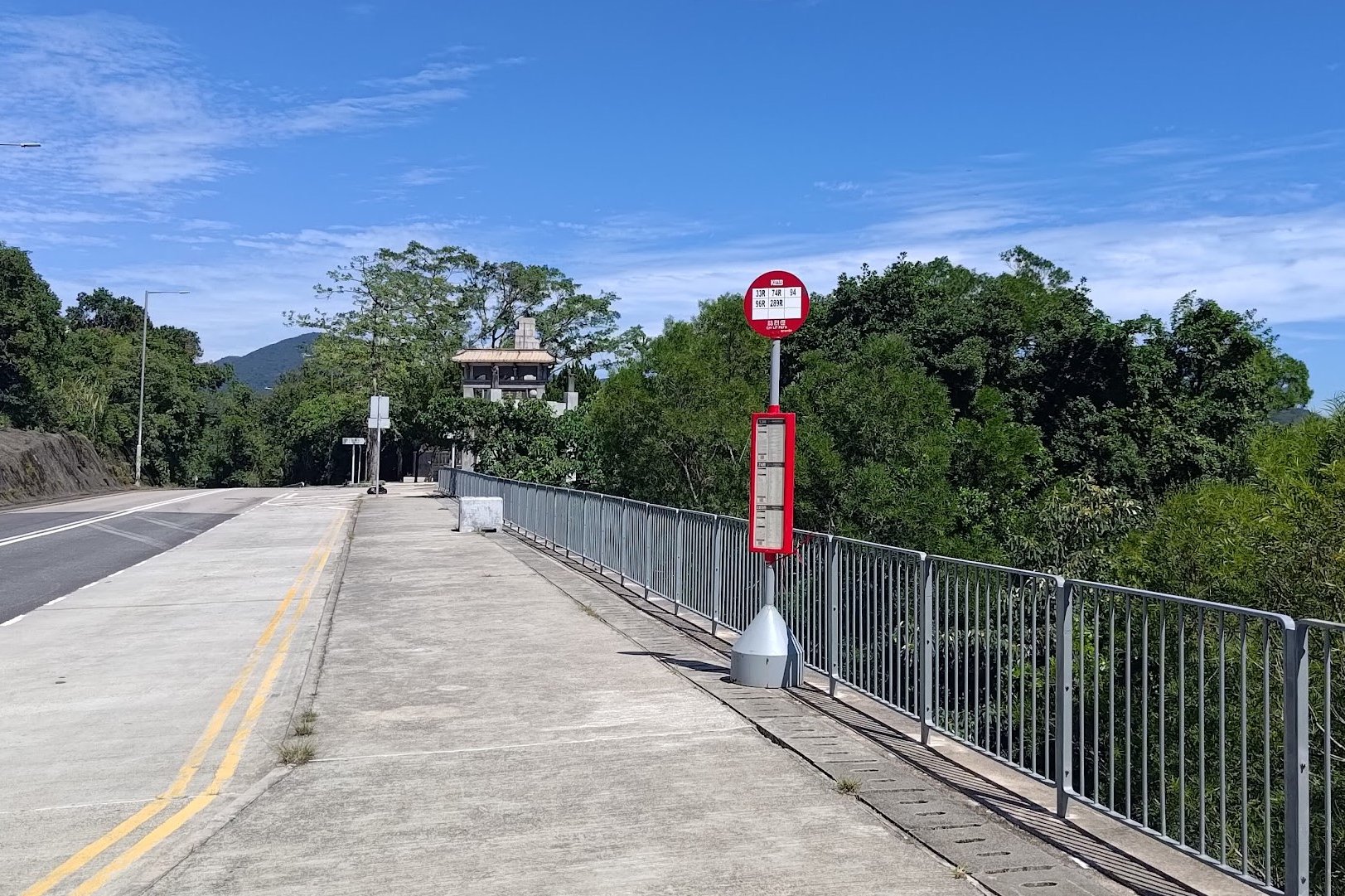
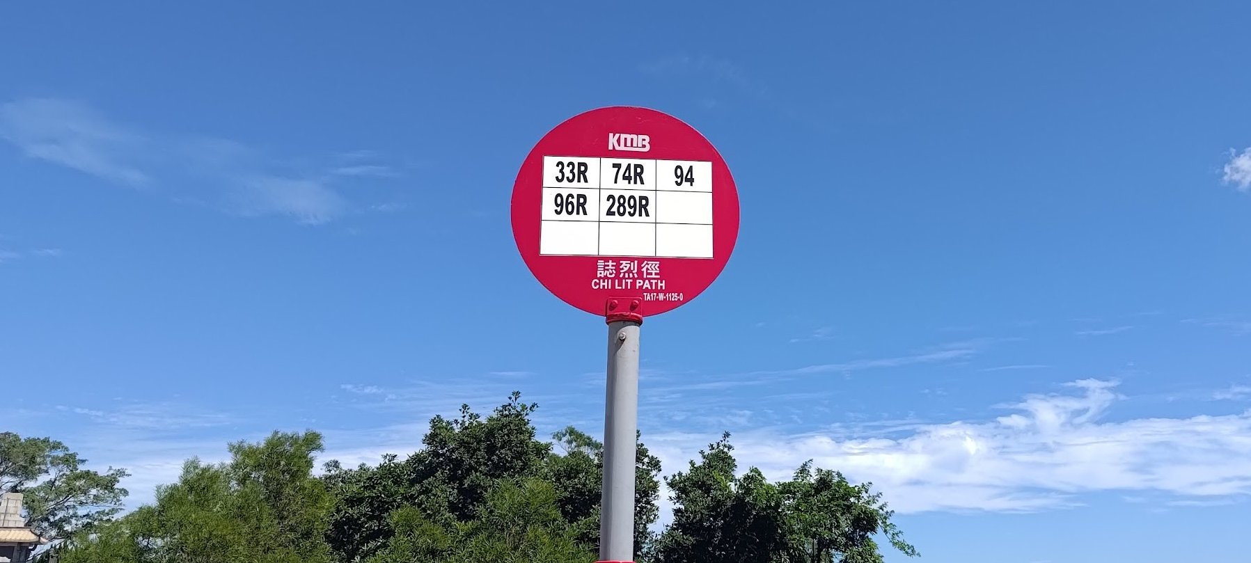
Stay on the same side of the road if you want to go to Wong Shek Pier. I wanted to head back to the city, so I crossed to the other side.
Go left and walk for a few minutes to arrive at the bus stop.
The main buses to look out for are:

