
Razor Hill Hike: A Non-crowded Vertical Climb With Incredible Views of Sai Kung
Contents
- Essential Information
- Hike Highlights
- Google Route Map and GPX
- How to Get There
- Quick Route Summary
- Po Lam MTR to the Trail Start Point
- The Climb to the Fork in the Trail
- Reaching the Batman Shrine
- Climbing to the Green Shelter Viewpoint
- The Hidden World War Two Bunker
- Razor Hill Summit
- Descending to Razor Hill Road
- Getting Back
- Razor Hill and Little Hawaii Falls Route Map and GPX
Essential Razor Hill Hike Details
- District: New Territories
- Duration: 1 hour 45 mins at a decent pace
- Distance: 4.7km (roughly)
- Highest Elevation: 432 meters
- Difficulty: 3.5/5
- Facilities: None. Bring water and snacks as you need
Why Hike Razor Hill?


Razor Hill (鷓鴣山) is quite a scenic hike that's tucked away in the greener part of Po Lam. Not a lot of people I've spoken to, including avid hikers, have heard of this route, despite it boasting some really great views!
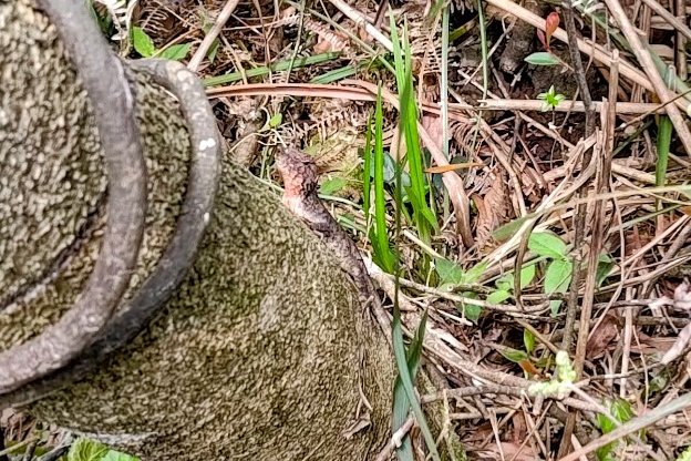
That being said, it's pretty much one vertical climb up to the summit. There are great viewpoints along the way, some pull-up bars (as if the steep ascent wasn't tough enough), odd statues, and a high chance of spotting wildlife.
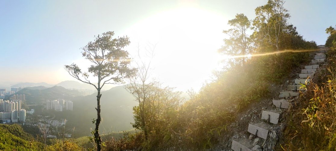
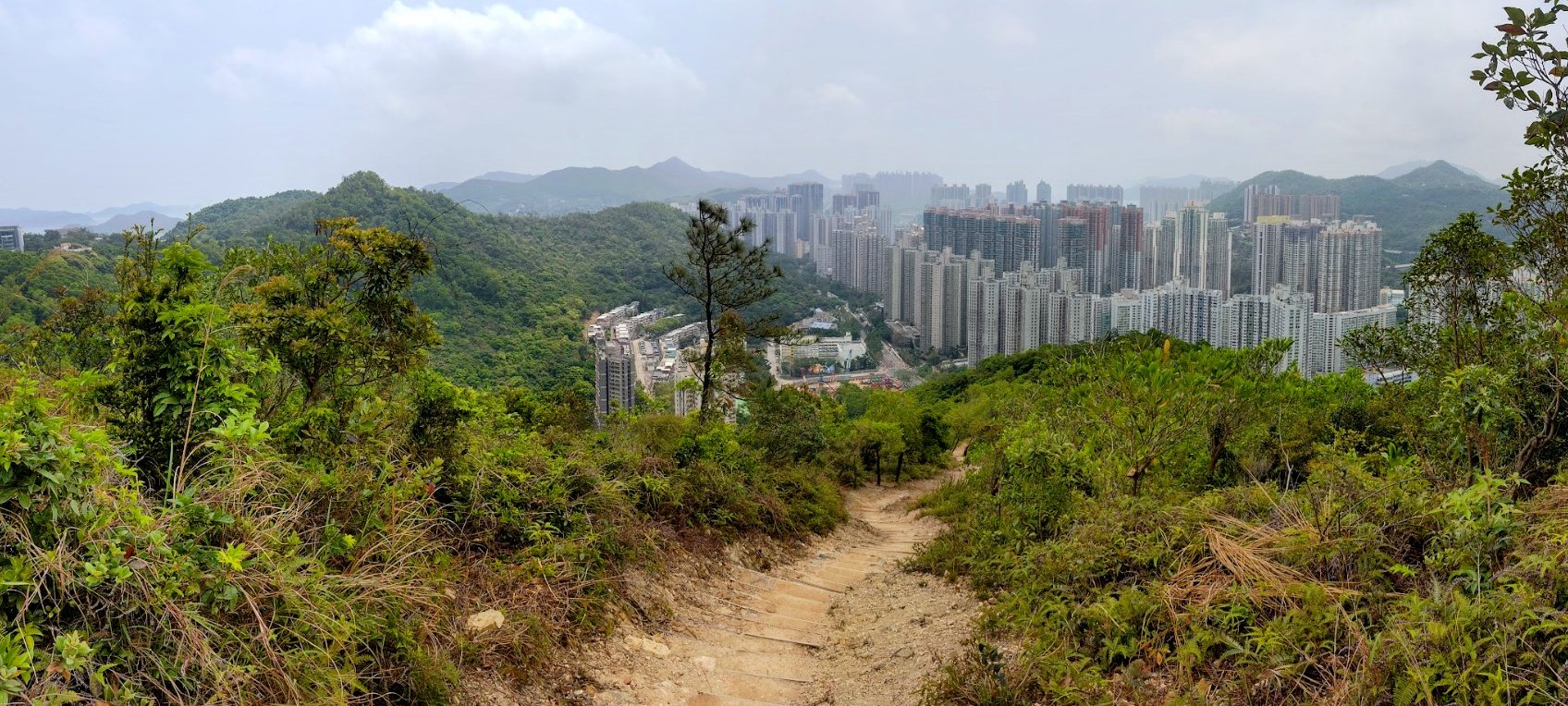
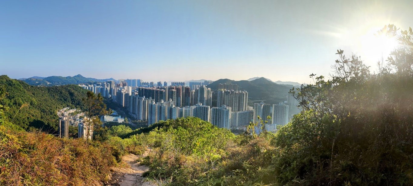
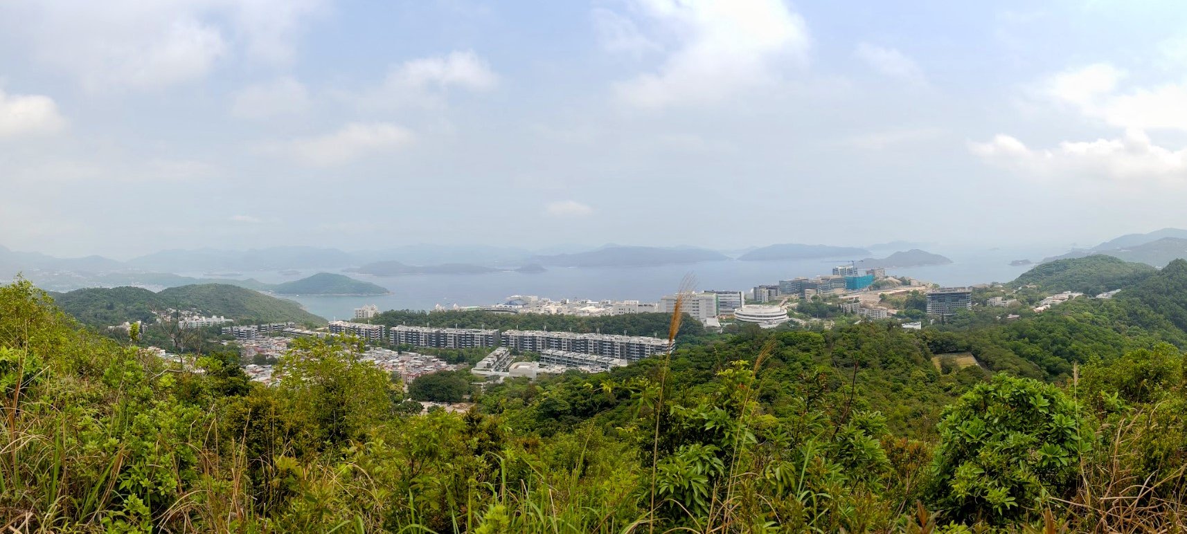
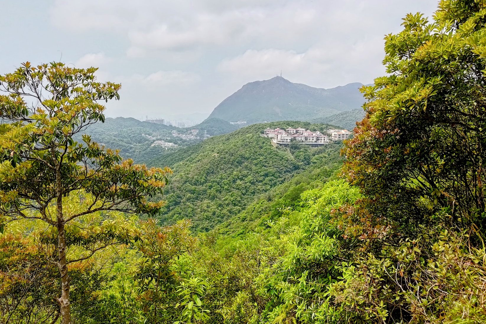
While hiking to the top, you'll be able to admire Po Lam behind you, impressive mountains like Suicide Cliff on your left, and views of Sai Kung on the right, including an epic view over the Hong Kong University of Science and Technology (HKUST).
I usually only see veterans on this trail, so if you're a new hiker, Razor Hill might be just the adventure you're looking for. It's a great cardio workout and relatively quick from start to finish!
*This hike pairs perfectly with Little Hawaii Falls (route map at the bottom of the article)

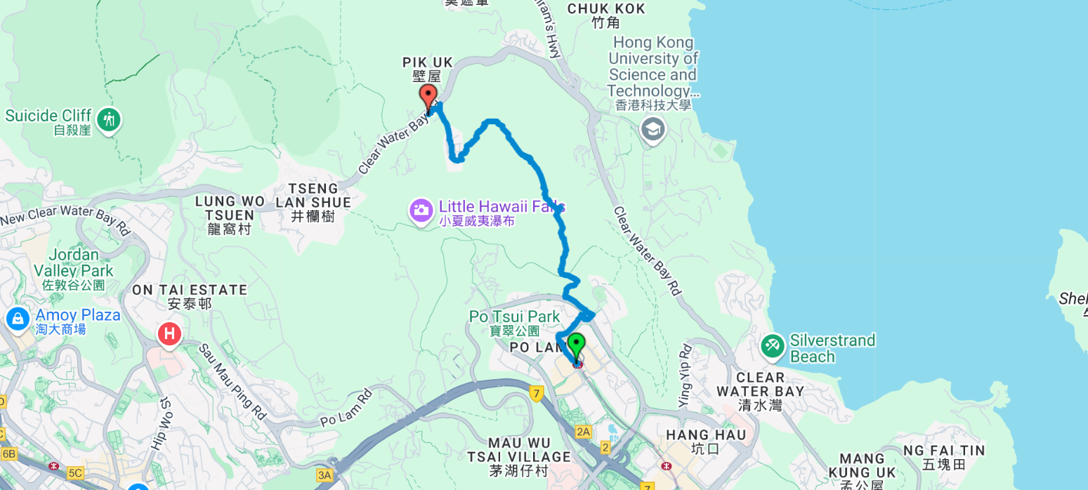
Google Route Map and GPX
*Click the box icon in the top right of the map below to load the blue route directly into your own Google Maps. You can then see your location relative to the trail in real time!
How to Get to the Razor Hill Hike Start Point
Take the MTR to Po Lam MTR Station. The hiking guide begins directly from the station.
Quick Route Summary
- Take the MTR to Po Lam Station and leave through Exit C
- Turn right and walk down Mau Yip Road until you reach the intersection of Po Fung Road
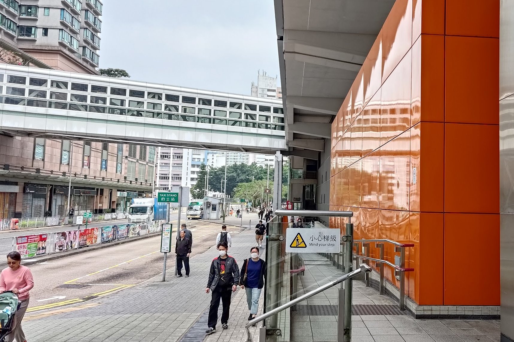
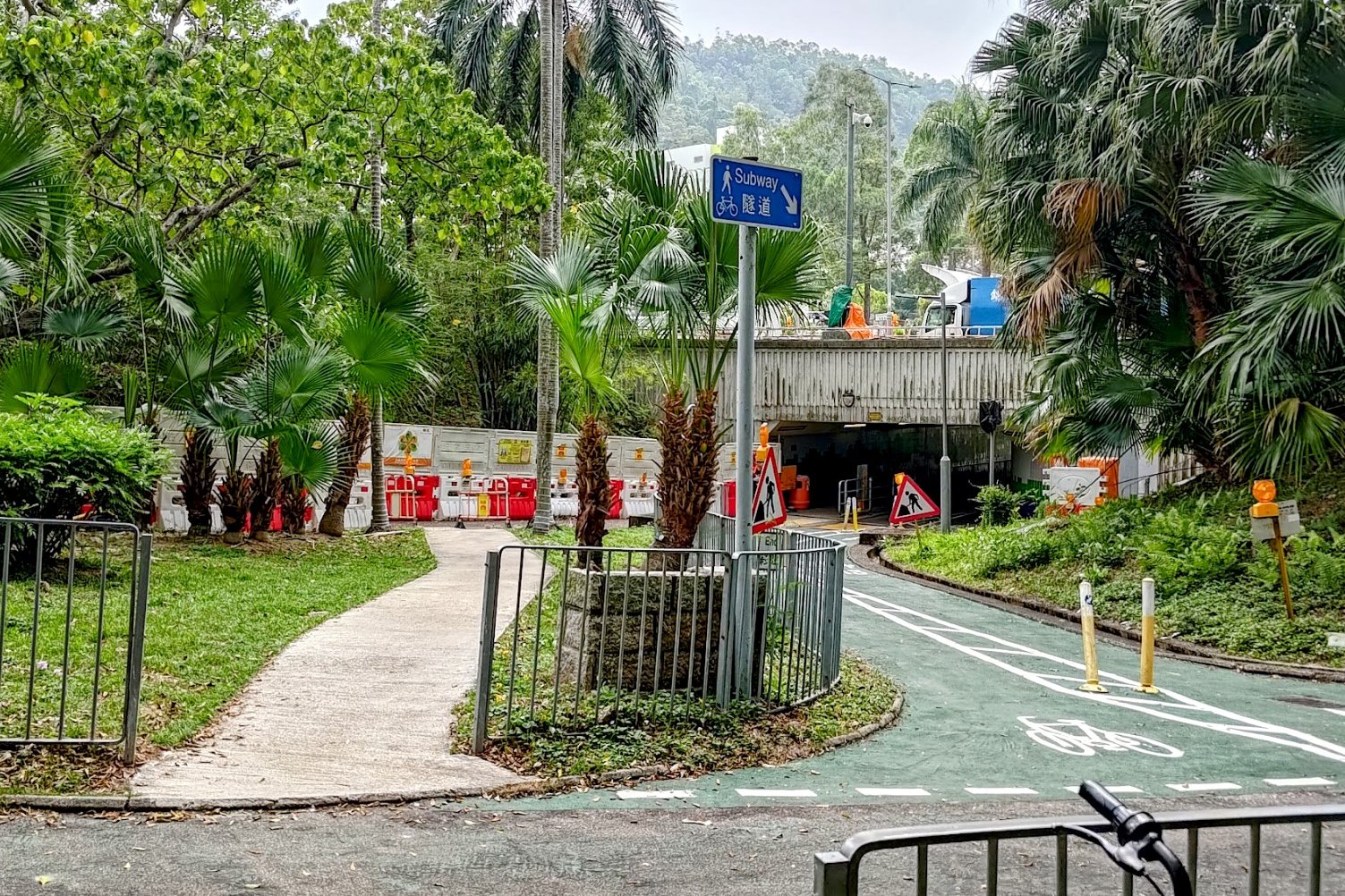
- Cross the street to the far side of Po Fung Road and take a right. Keep following Po Fung Road until you reach a blue Subway sign
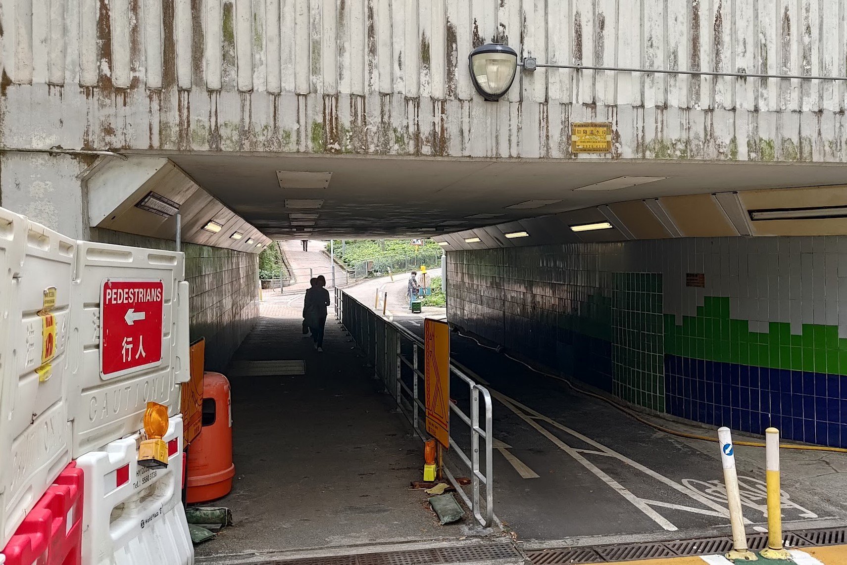
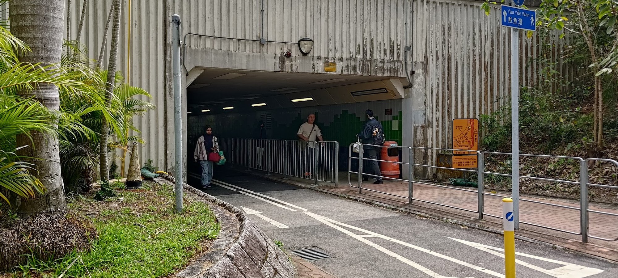
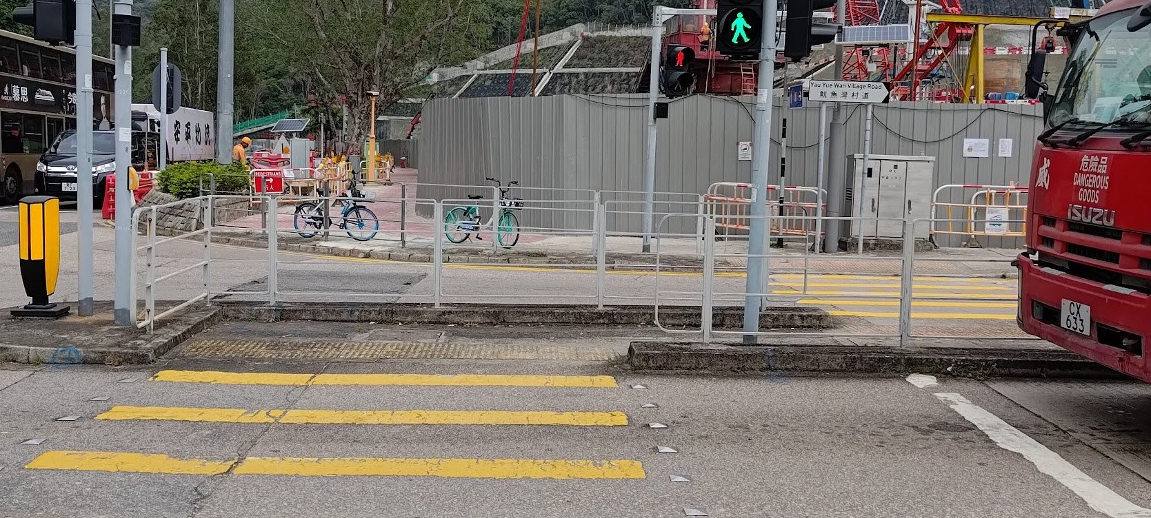
- Head into the little pedestrian underpass and turn left (following the blue Yau Yue Wan sign)
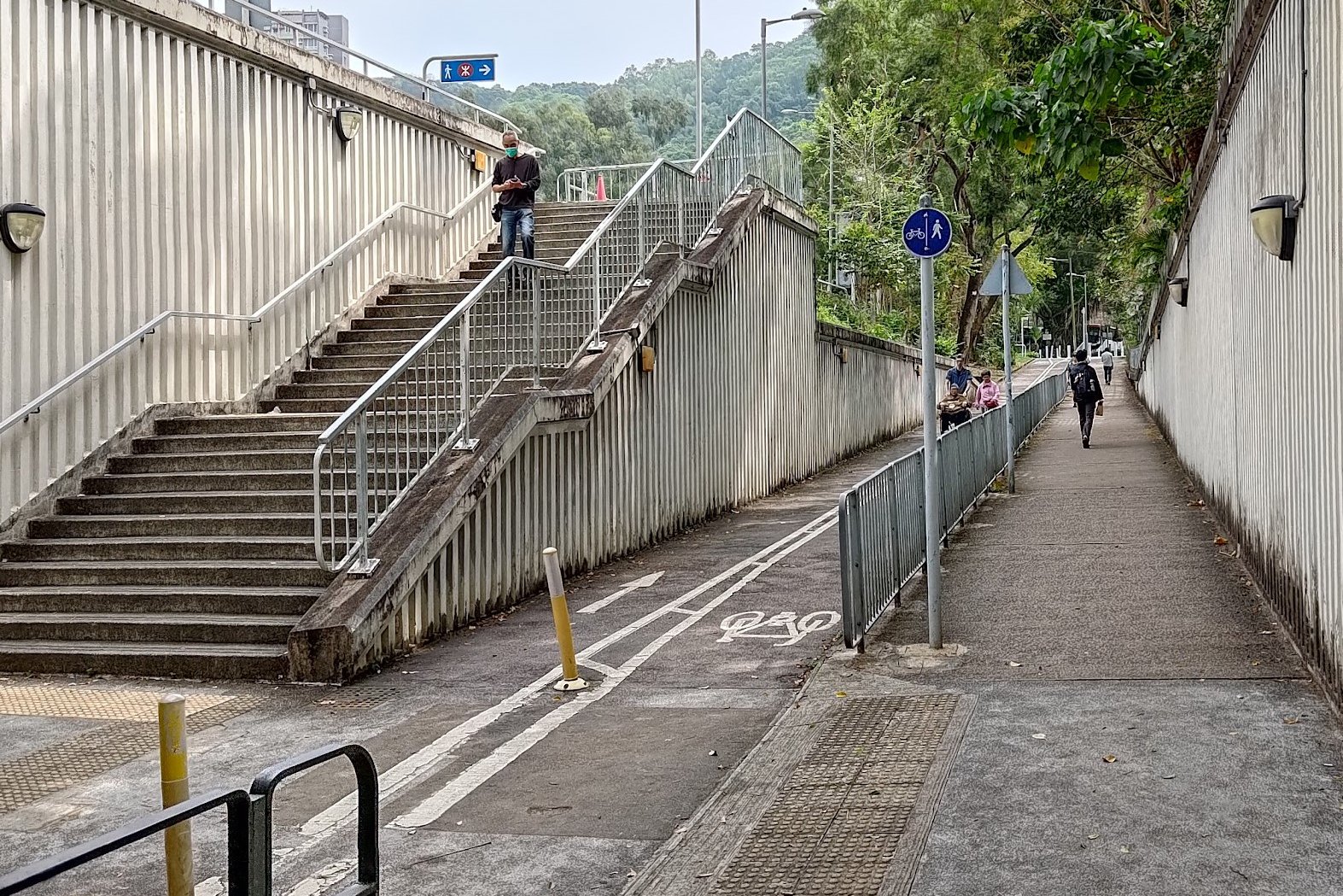
- After going through another little underpass, climb the stairs on your left
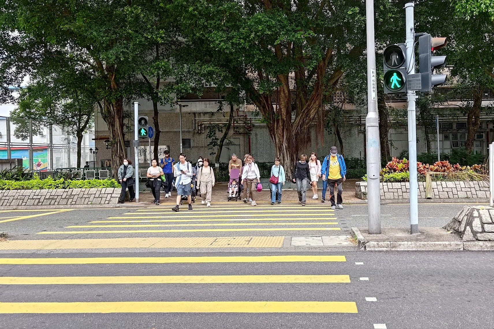
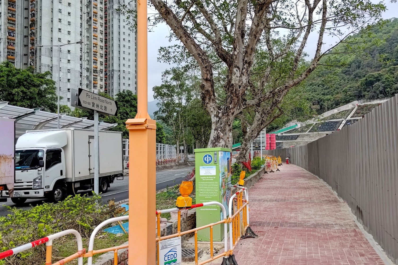
- At the top of the stairs, walk toward Yau Yue Wan Village Road and cross the street
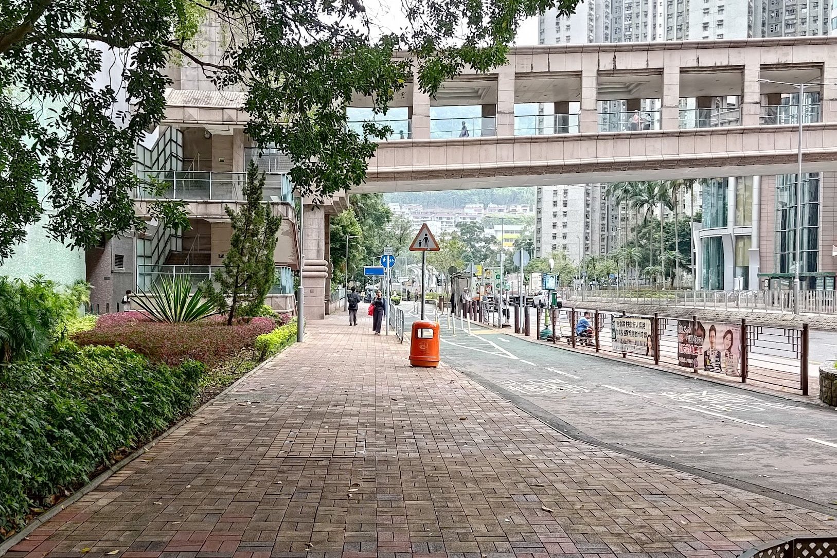
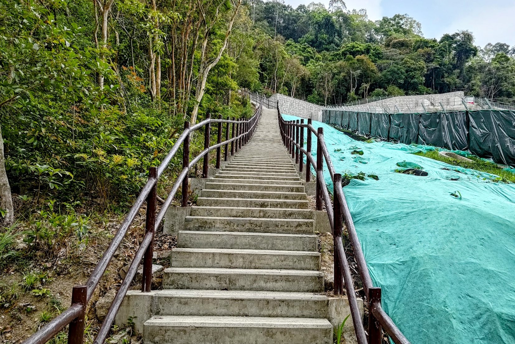
- After crossing the street, follow Po Lam Road North until you see a set of stairs with a brown railing to your right
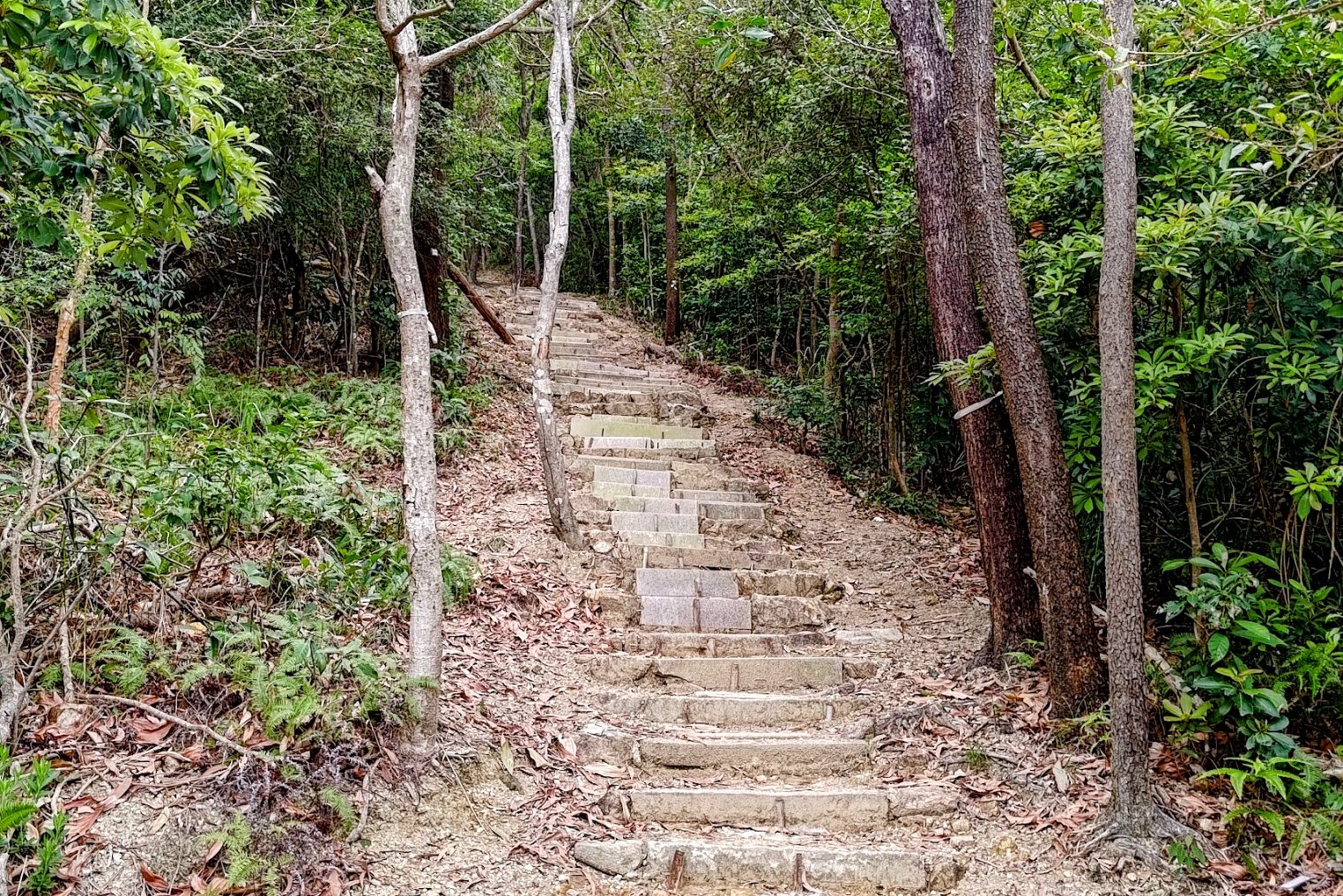
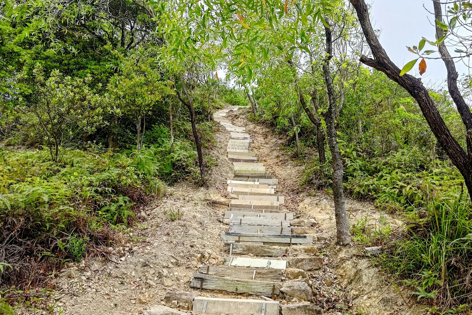
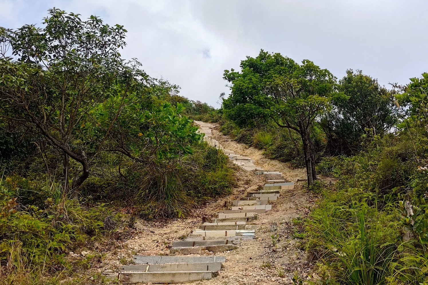
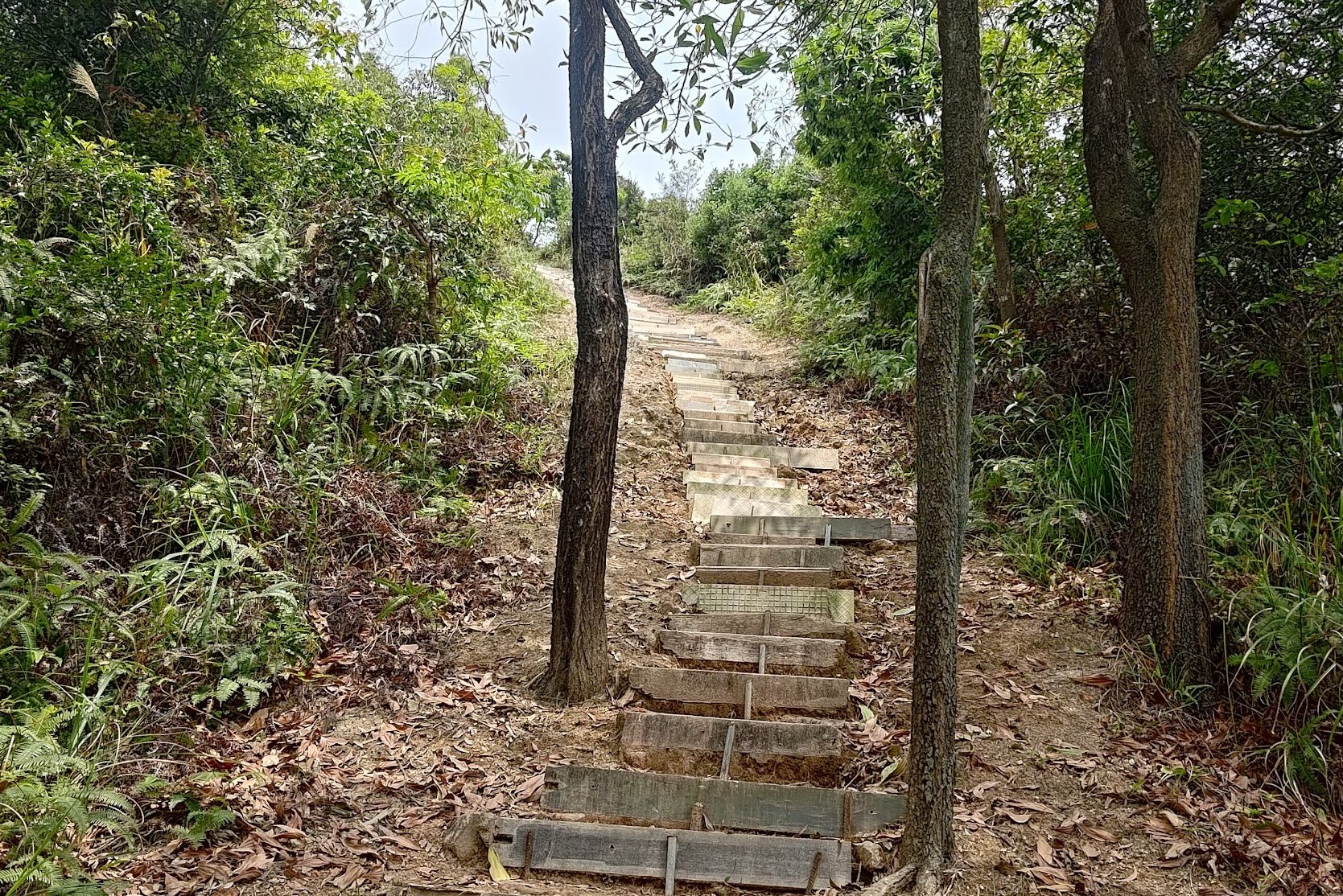
- Follow the brown railing stairs and then keep climbing upward as the stairs become a little more makeshift
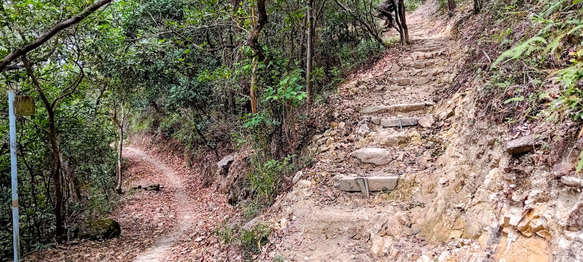
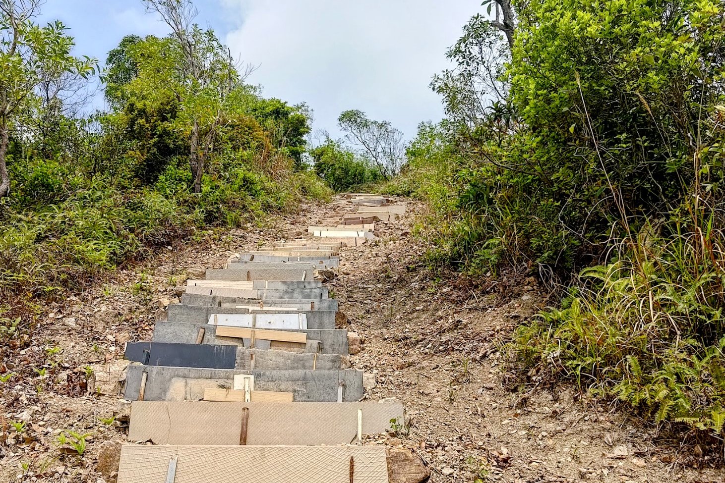
- When you reach an intersection, take the stairs that continue up
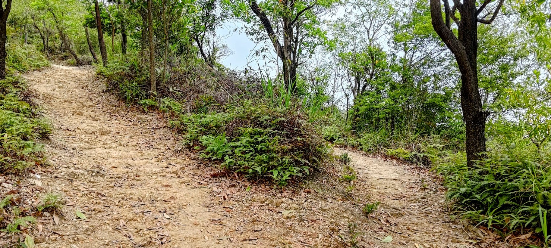
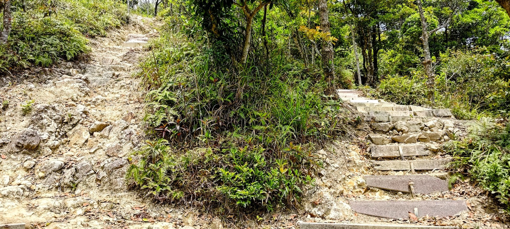
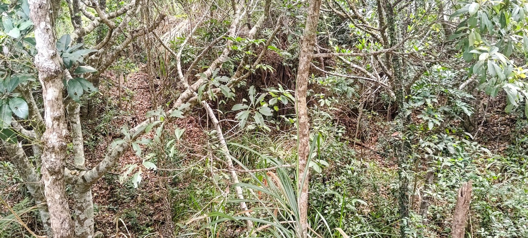
- As you continue to climb, there will be a lot of diverging paths. They all lead to the same place eventually. I usually picked the more direct path upwards
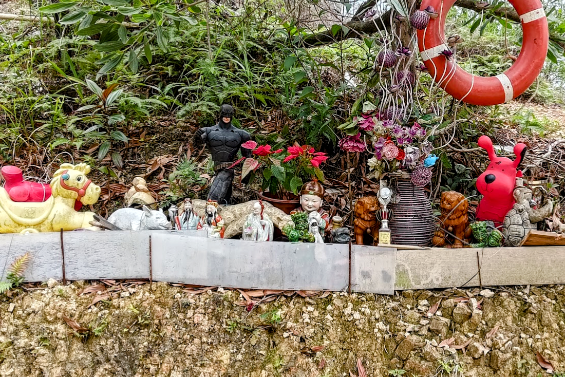
- You'll eventually come across a collection of statues and workout equipment. Here, I took the steeper left path upward
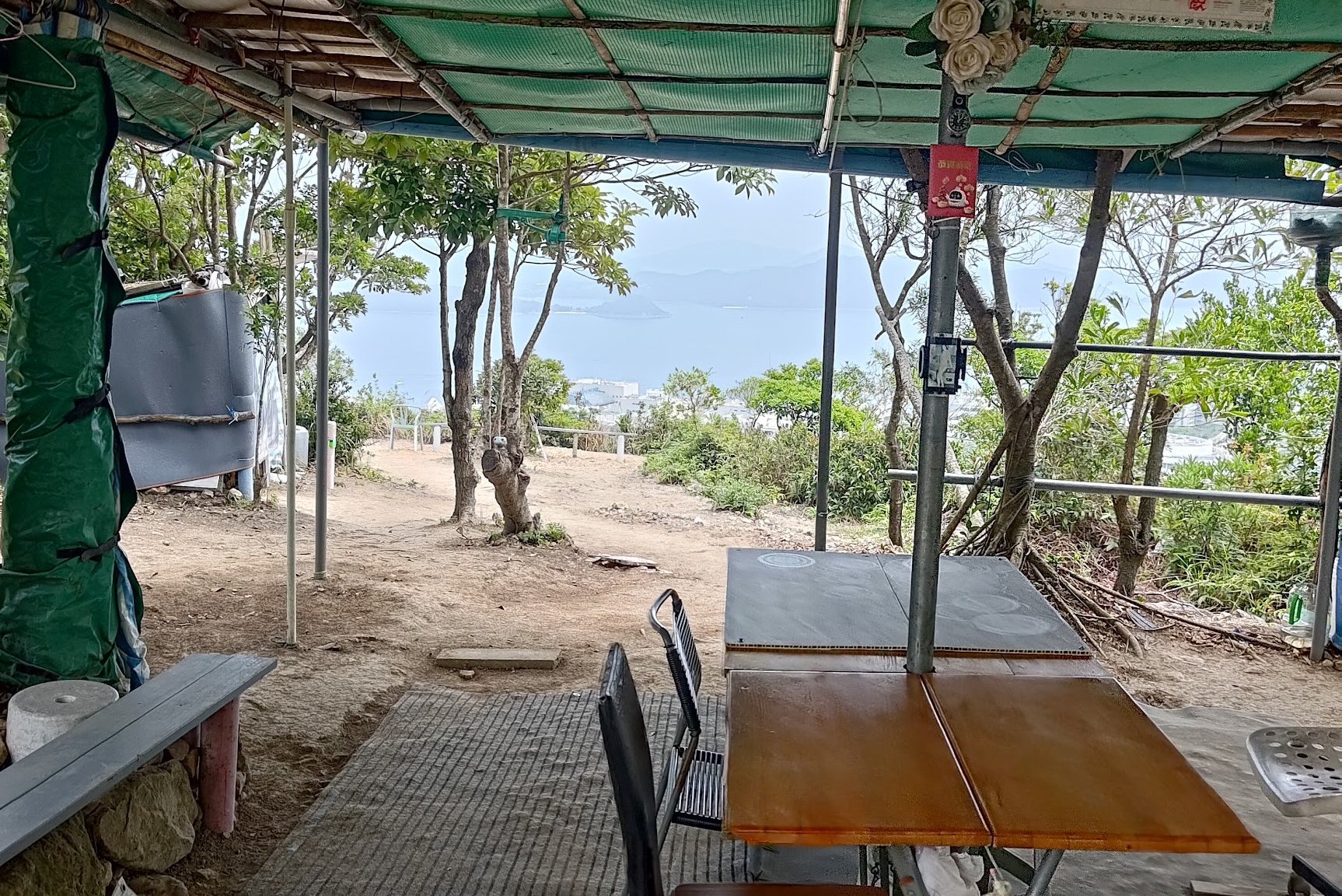
- Keep climbing and you'll reach a green shelter. There's a great view just through it. Take a break and then soldier on
- Just below the summit is a very obscure little world war two ruin. It's almost impossible to spot even if you're looking for it. It basically amounts to a large trench with some bricks in it
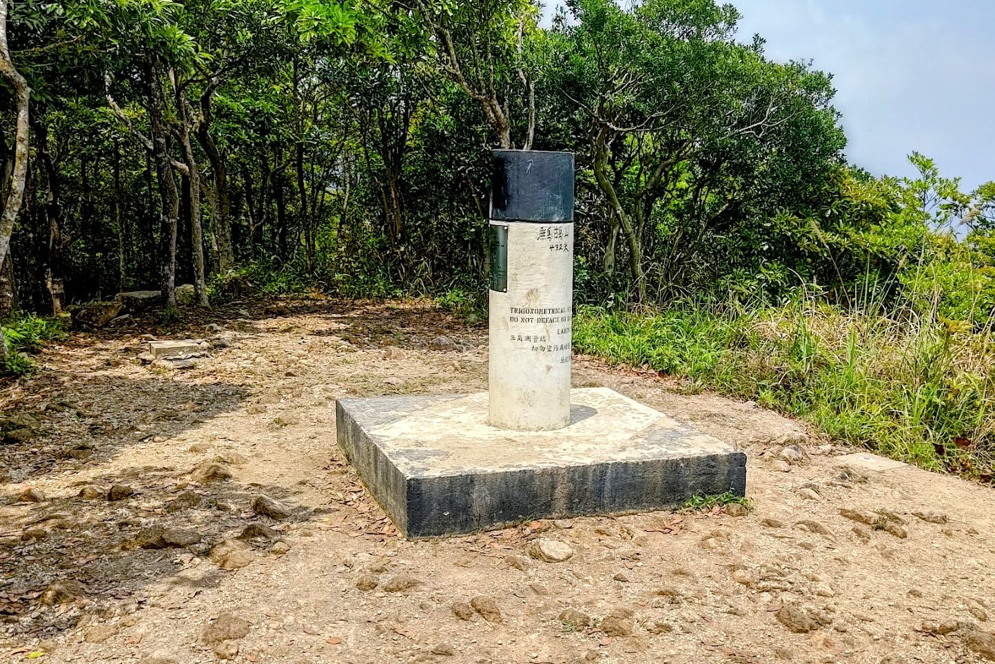
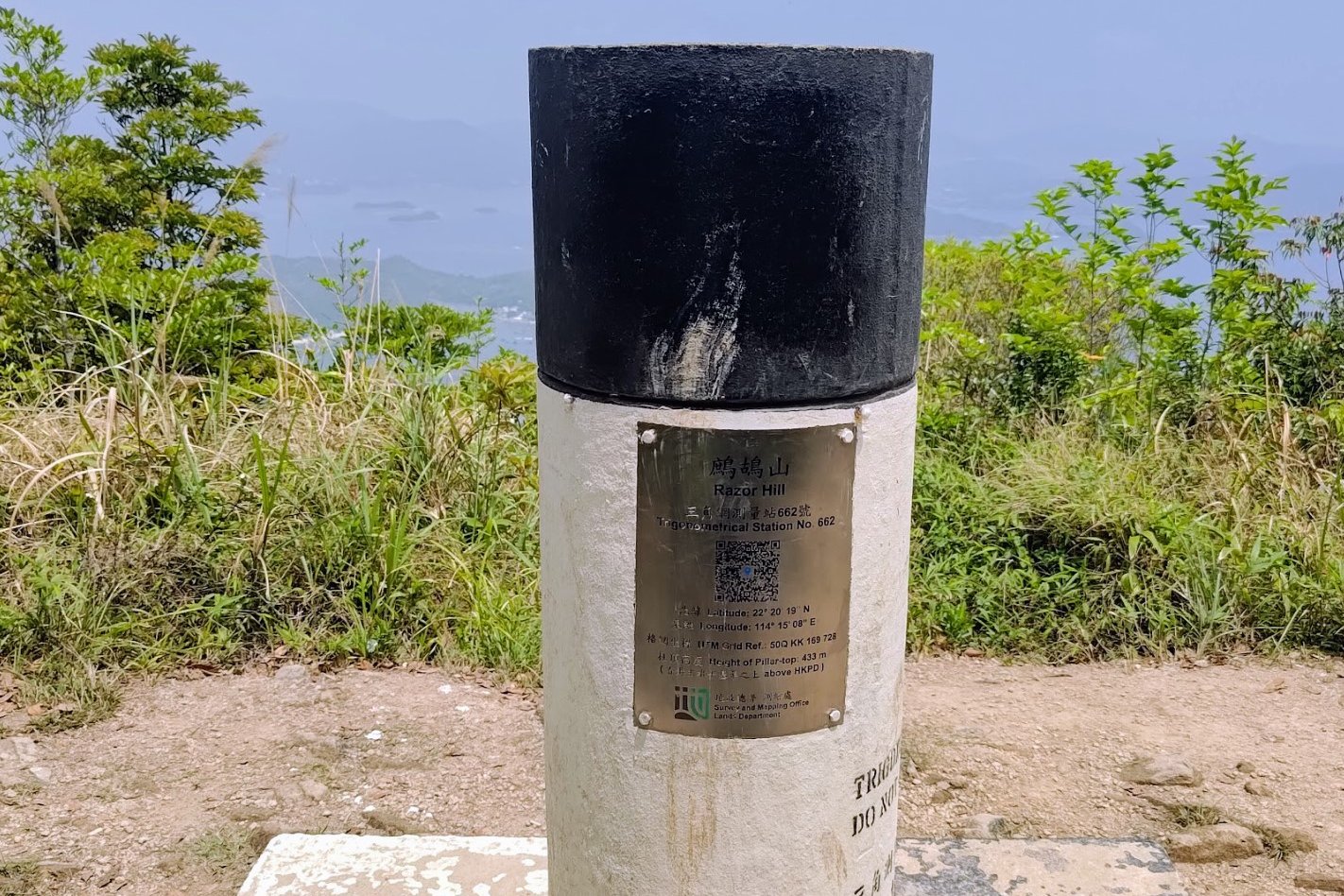
- When you reach the summit, a black and white trigonometrical station lets you know that you've arrived
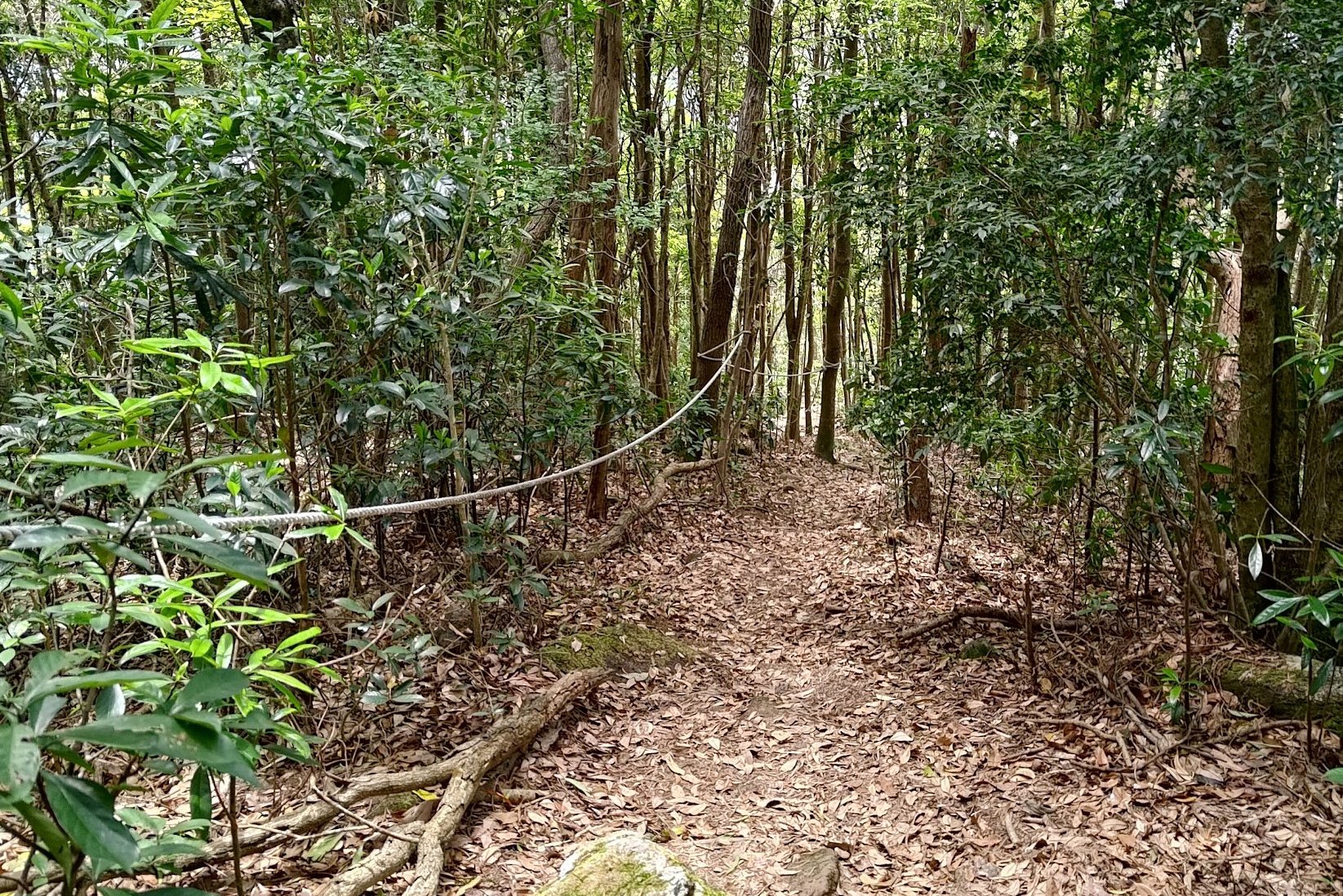
- Take the path into the trees beyond the trigonometrical station. There will be ropes to help you as you descend
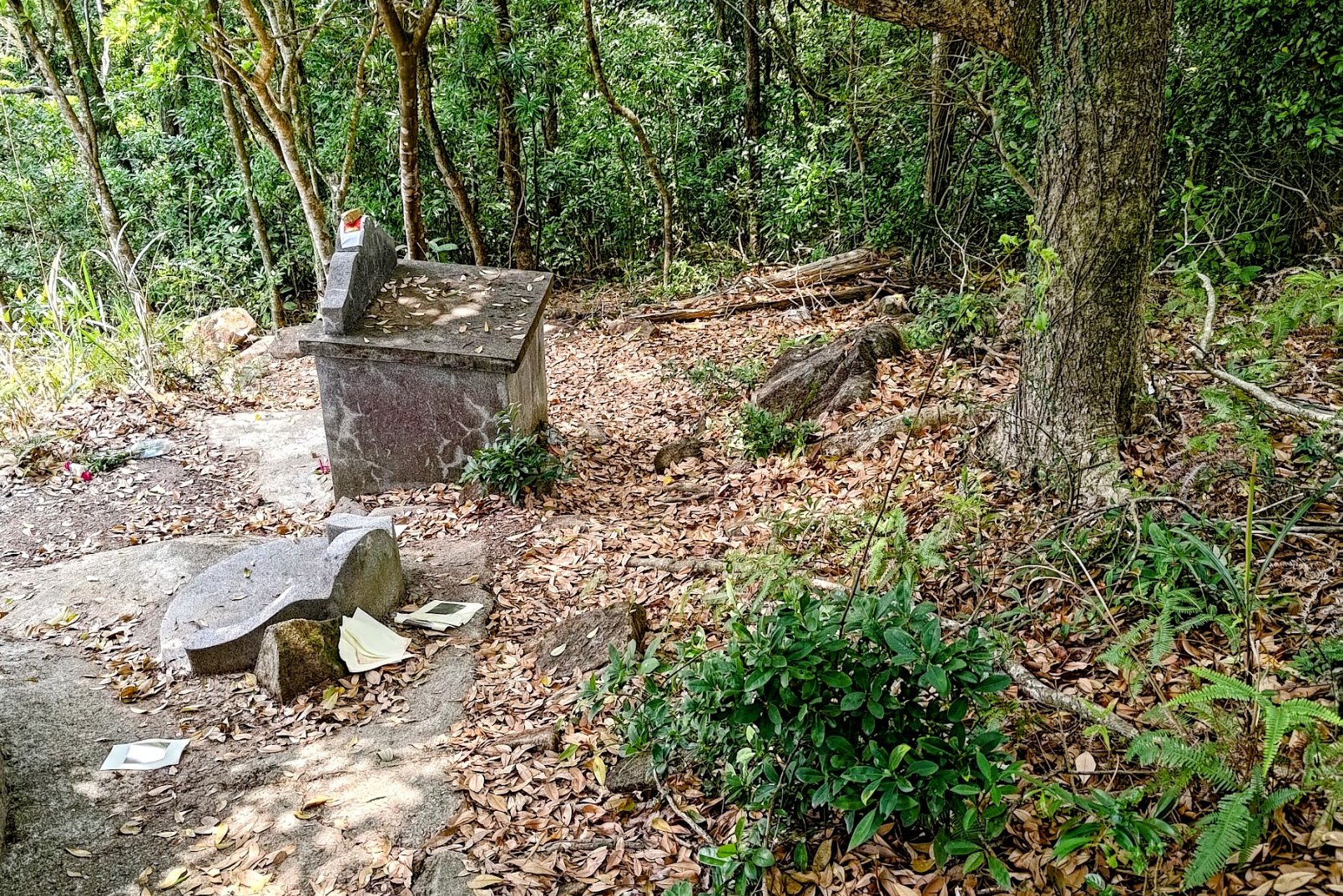
- Near the bottom, you'll go past some tombs. There will be a little concrete path to follow
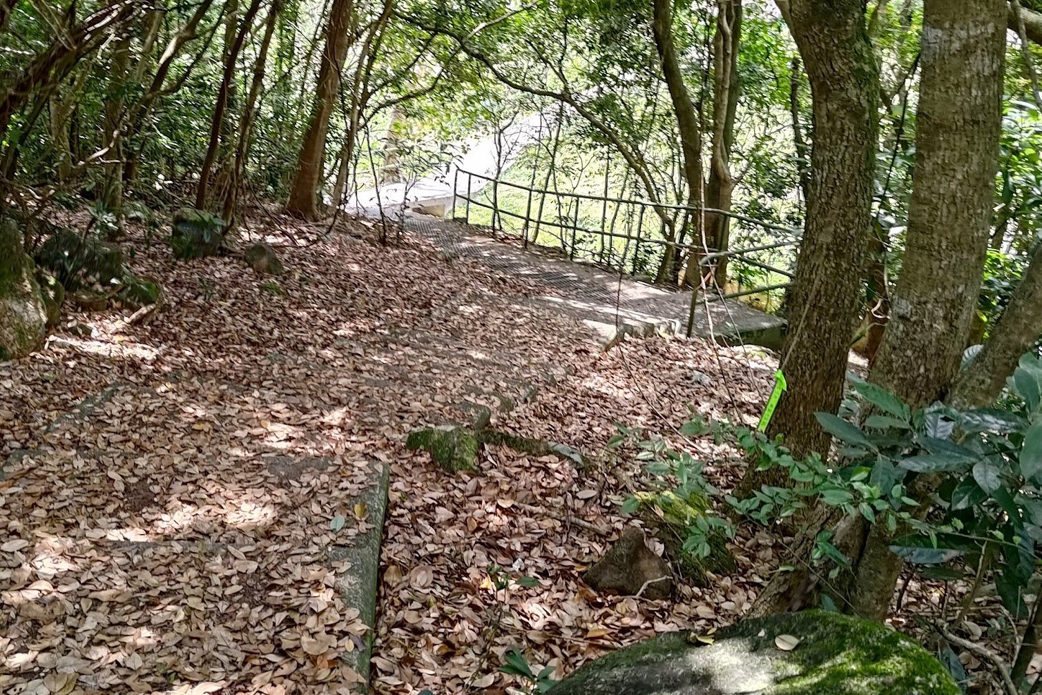
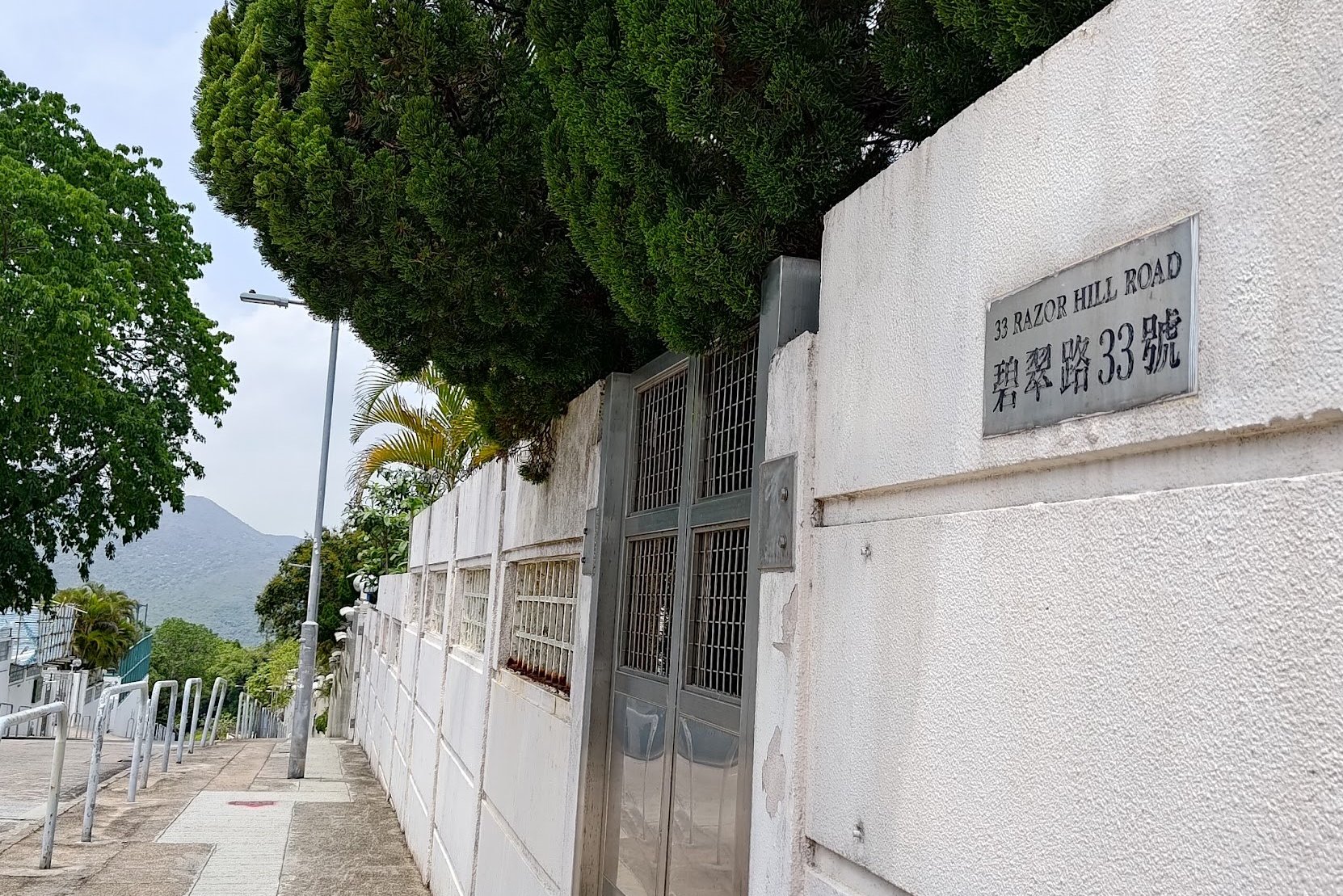
- Follow the path around the Social Welfare Department Wing before arriving at Razor Hill Road
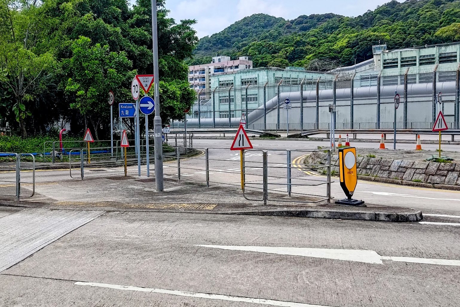
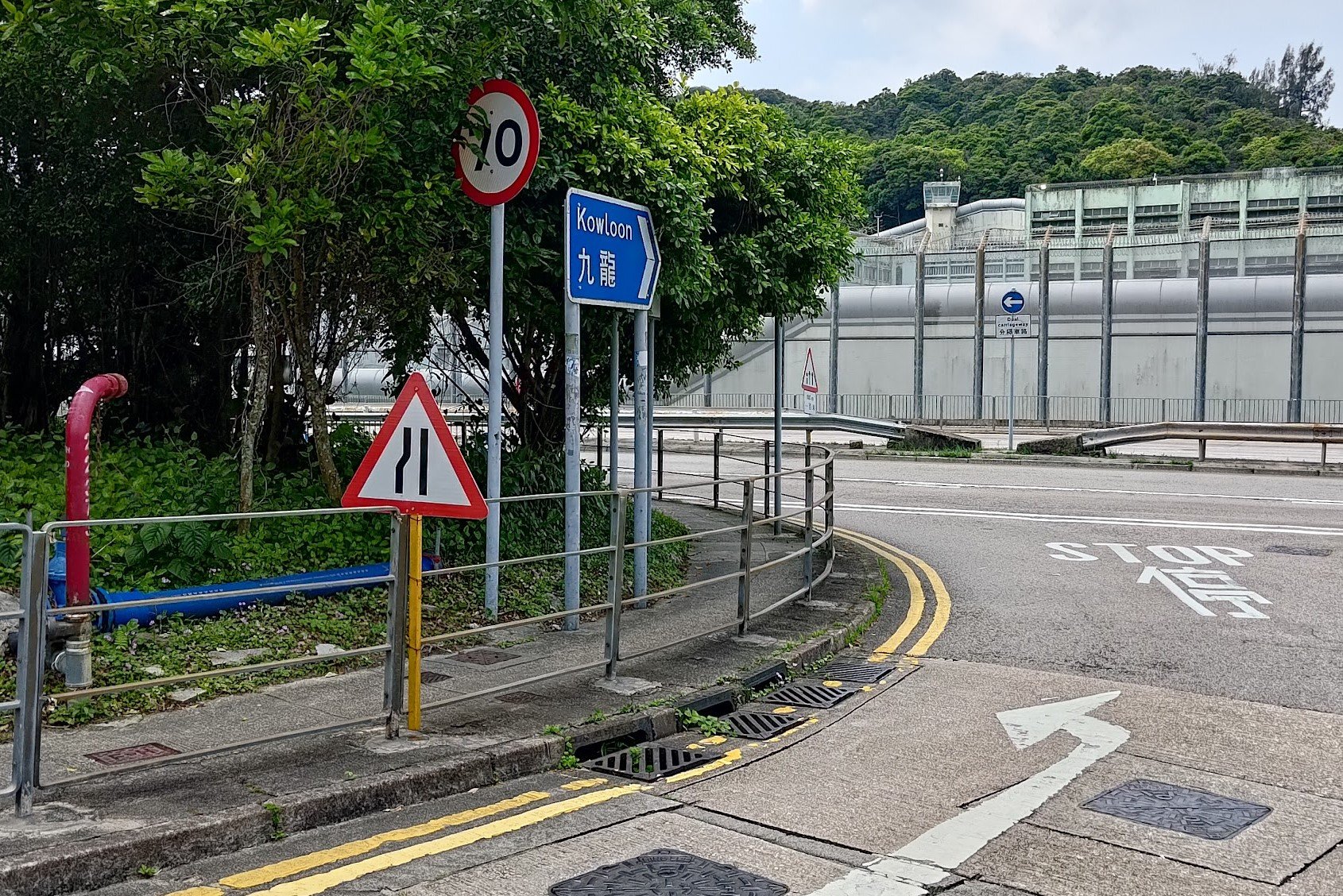
- Head down Razor Hill Road and go left past the blue Kowloon Sign and the petrol/gas station
- Just beyond will be buses that go back to the city. You can take buses to Choi Hung, Diamond Hill and more. If you want to go to Sai Kung, cross over to the other side of the street to get a bus
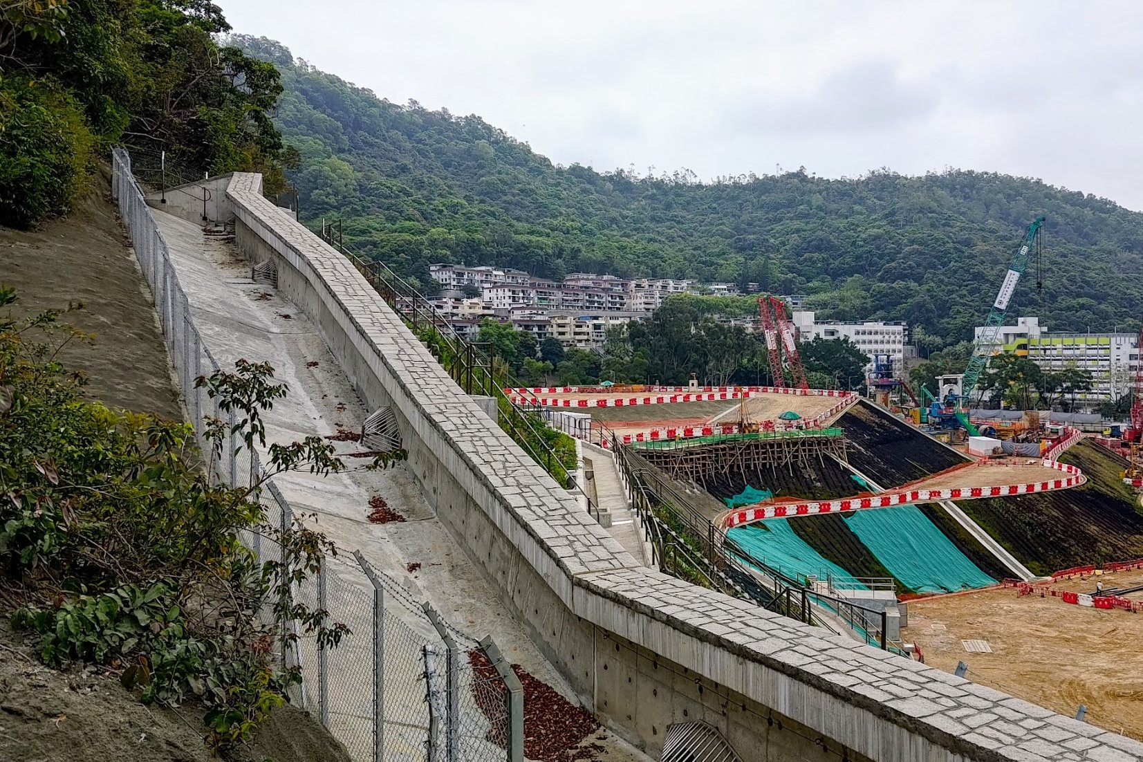
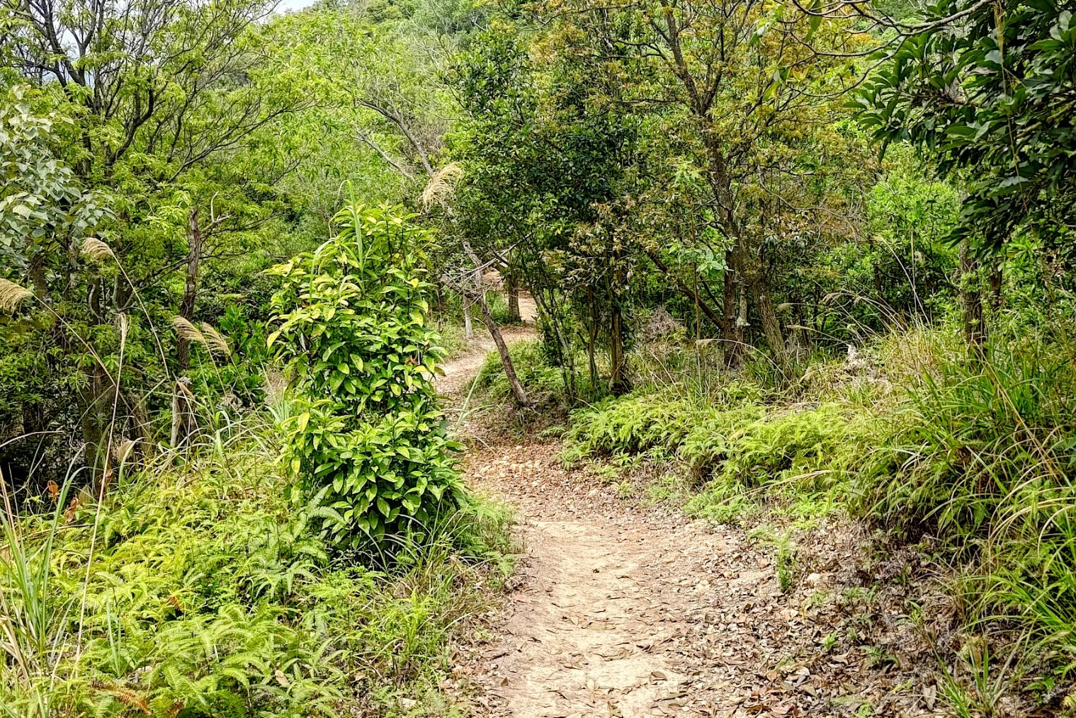
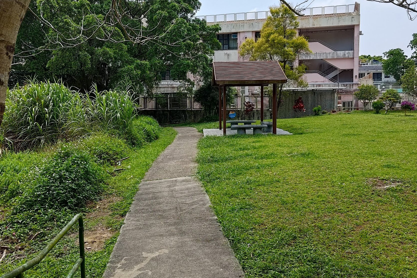
Po Lam MTR Station to the Trail Start Point
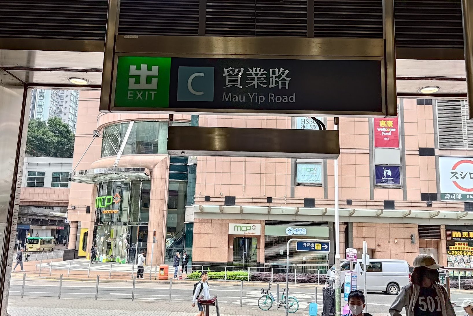

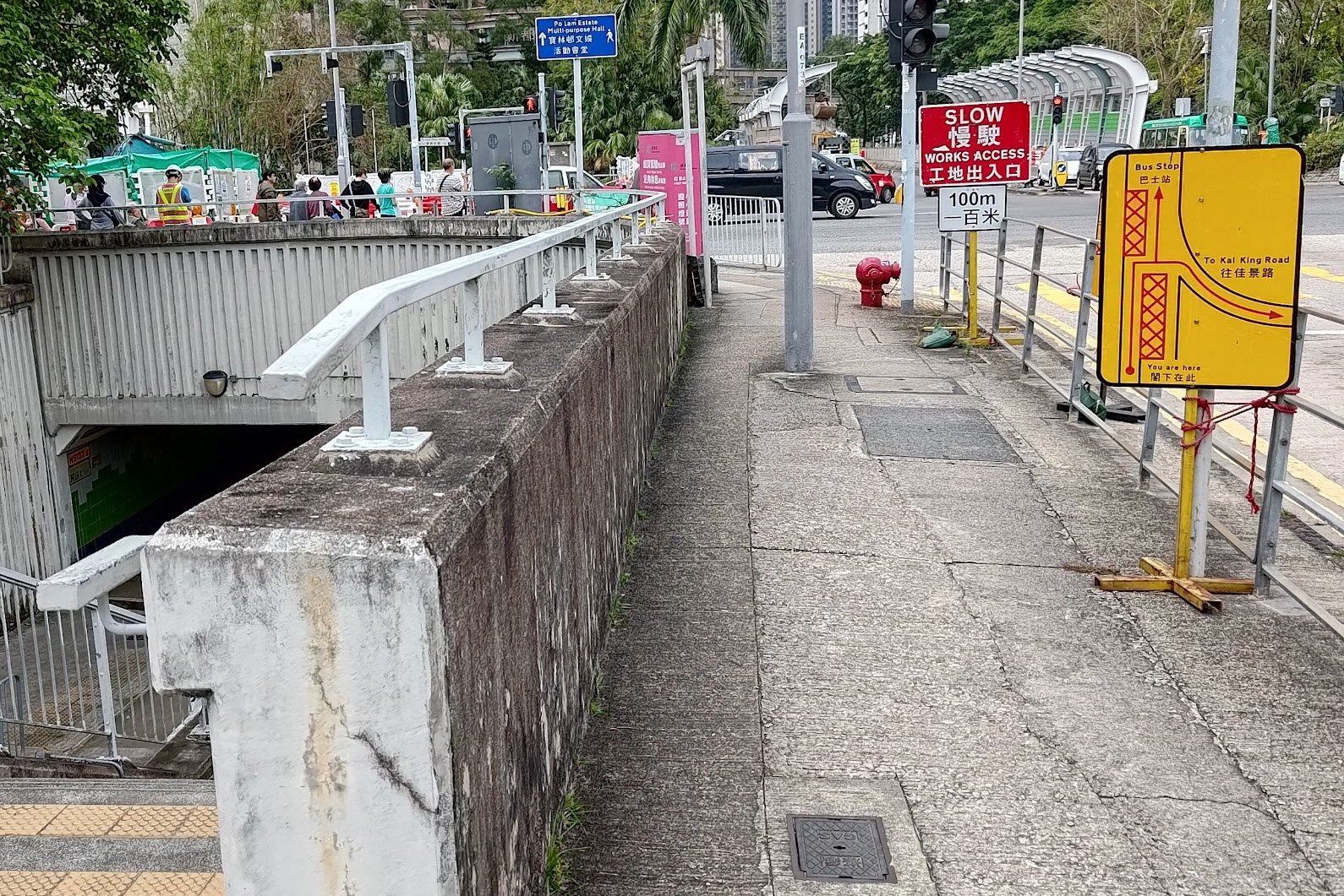

It takes about 15 minutes to walk to the start point from Po Lam MTR.
After leaving through Exit C, turn right and walk along Mau Yip Road before crossing the street at Po Fung Road.
After crossing, turn right and follow Po Fung Road through a pair of underpasses before climbing back up to road level.
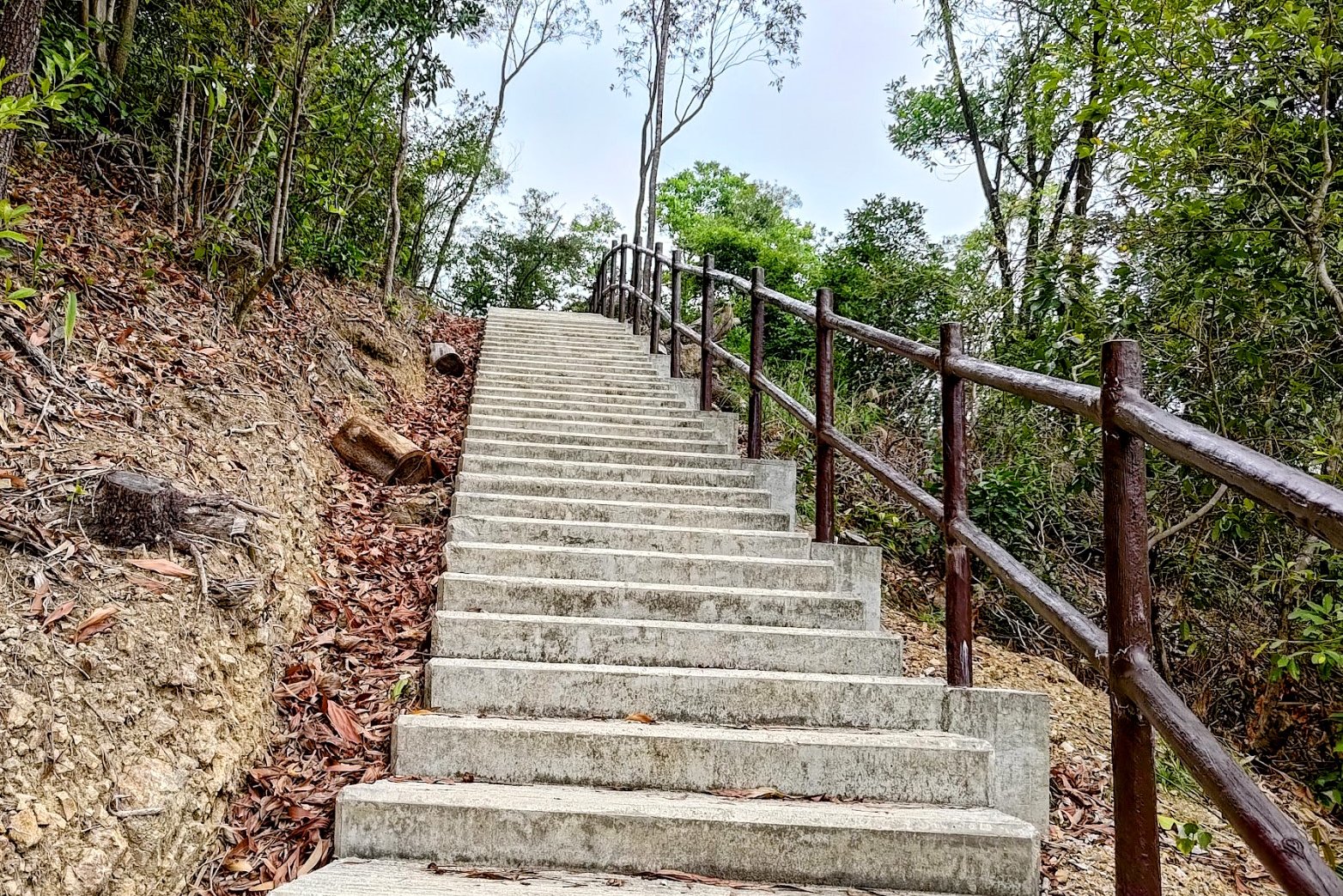
Cross the street at Yau Yue Wan Village Road before connecting onto Po Lam Road North. Follow it a short distance before arriving at a set of brown railings and concrete stairs.
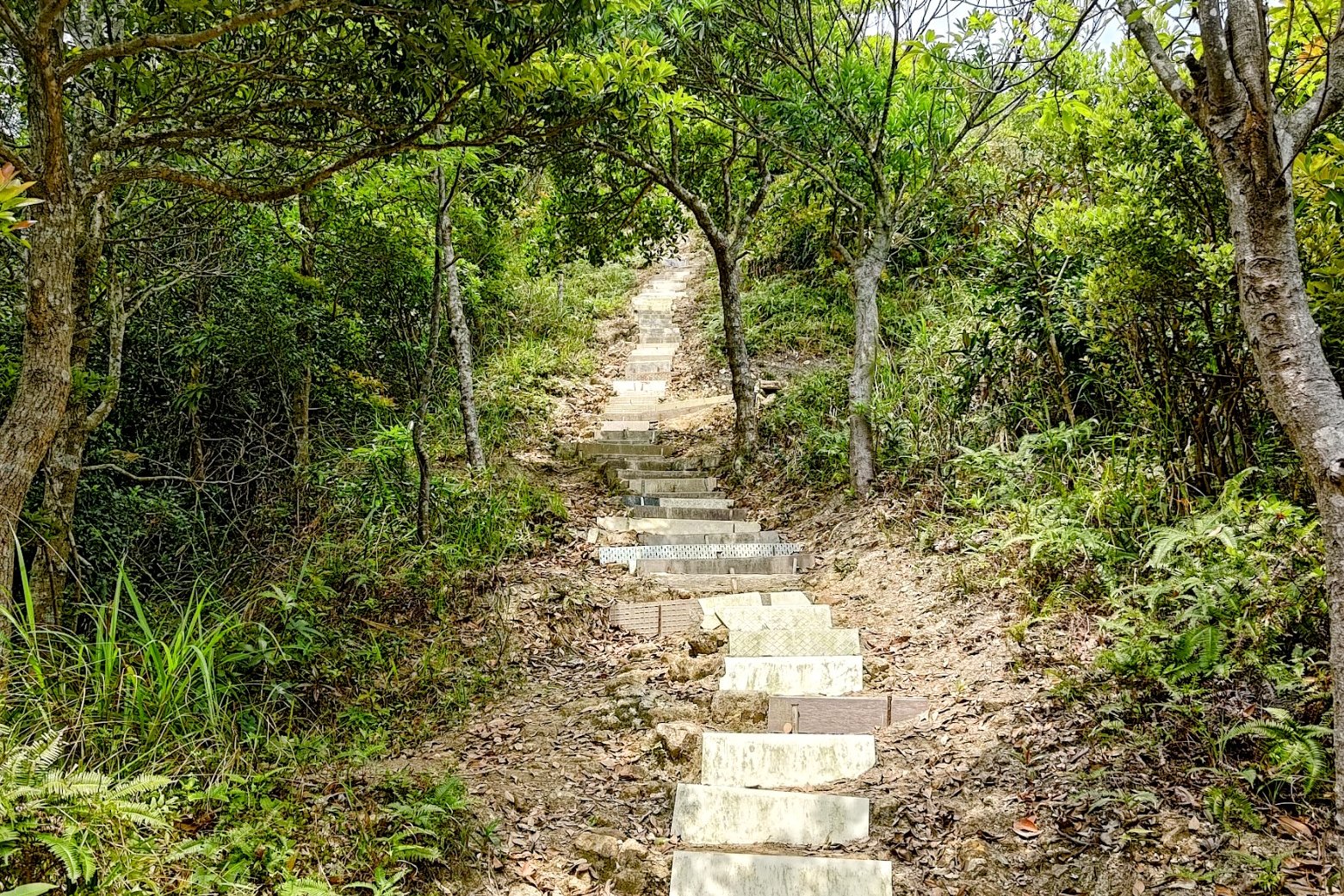
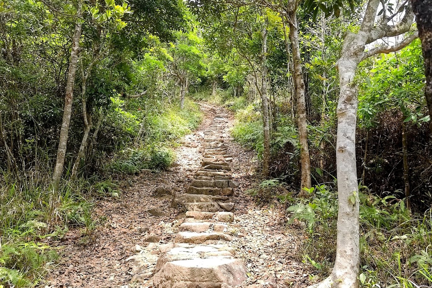
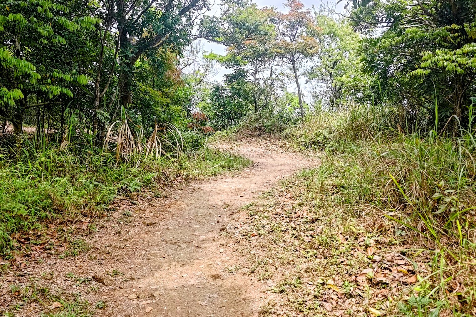
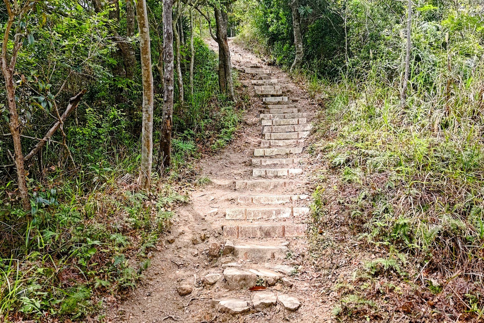
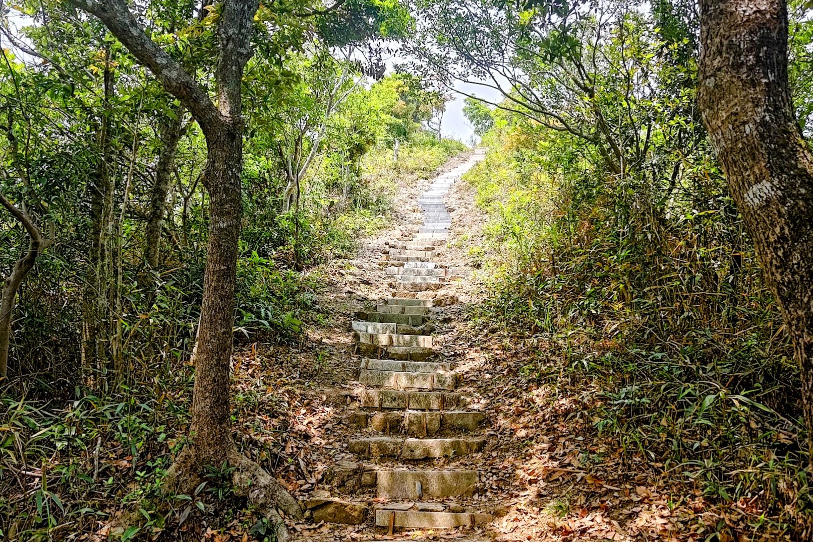
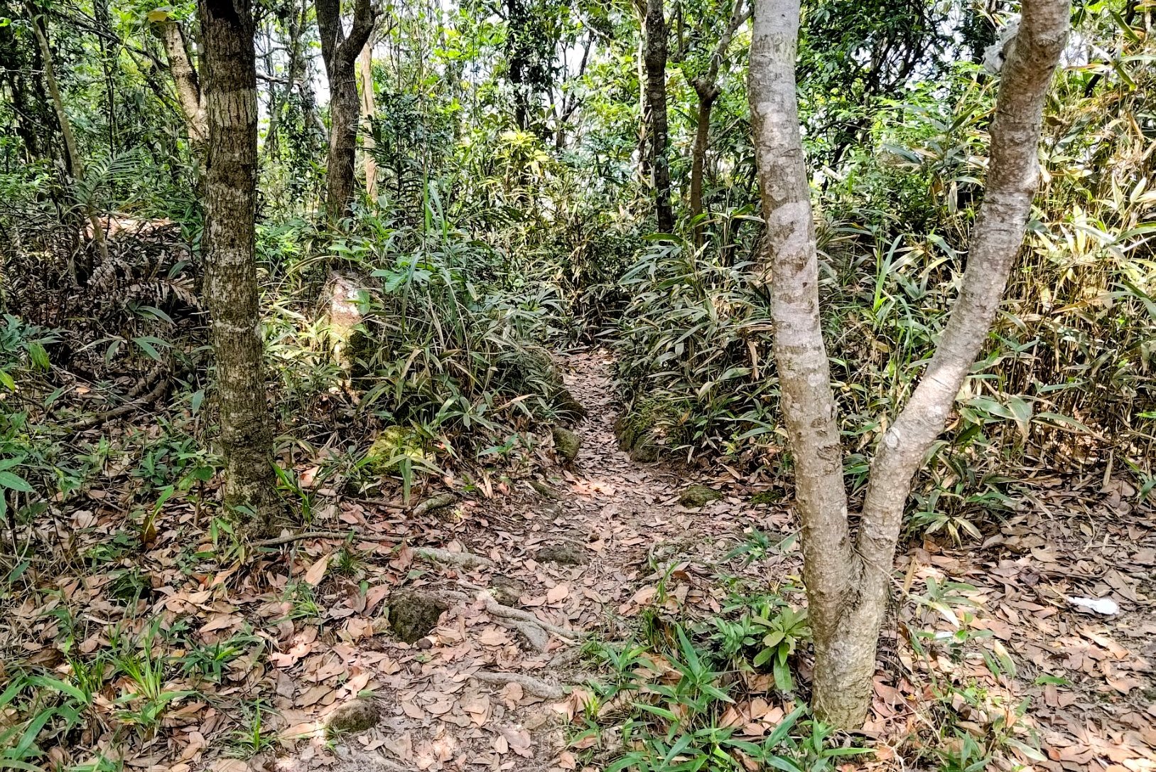
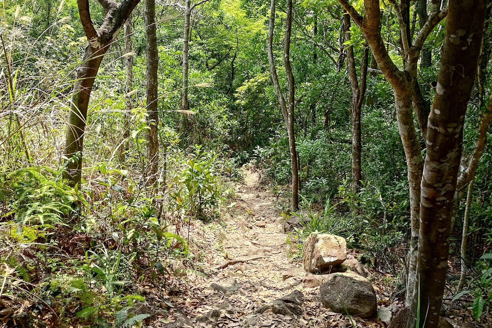
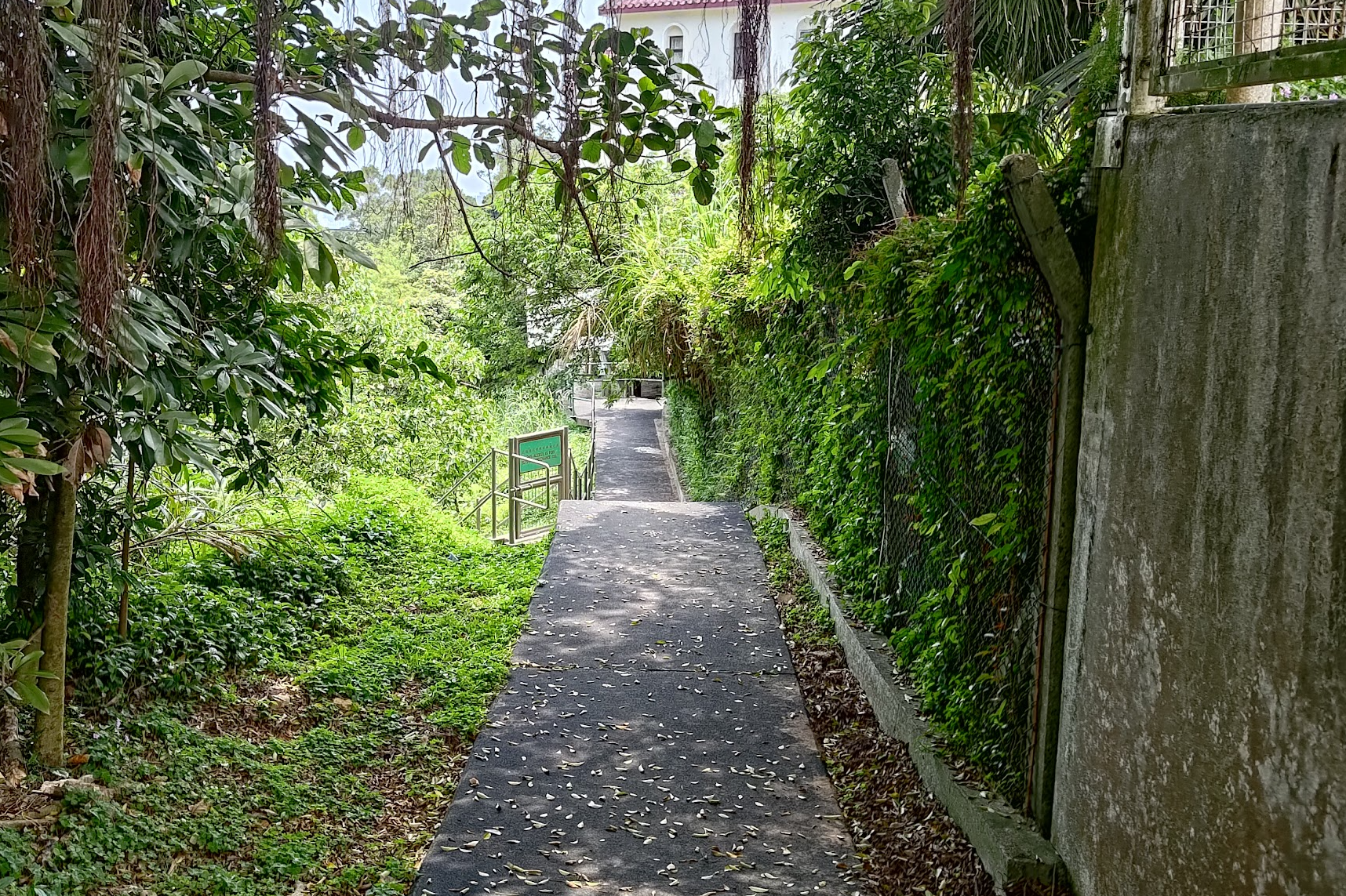
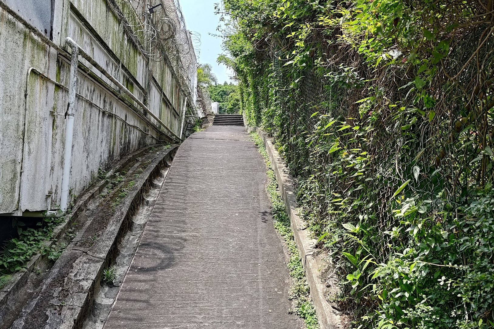
The Climb to the Fork in the Trail
Reaching the Batman Shrine
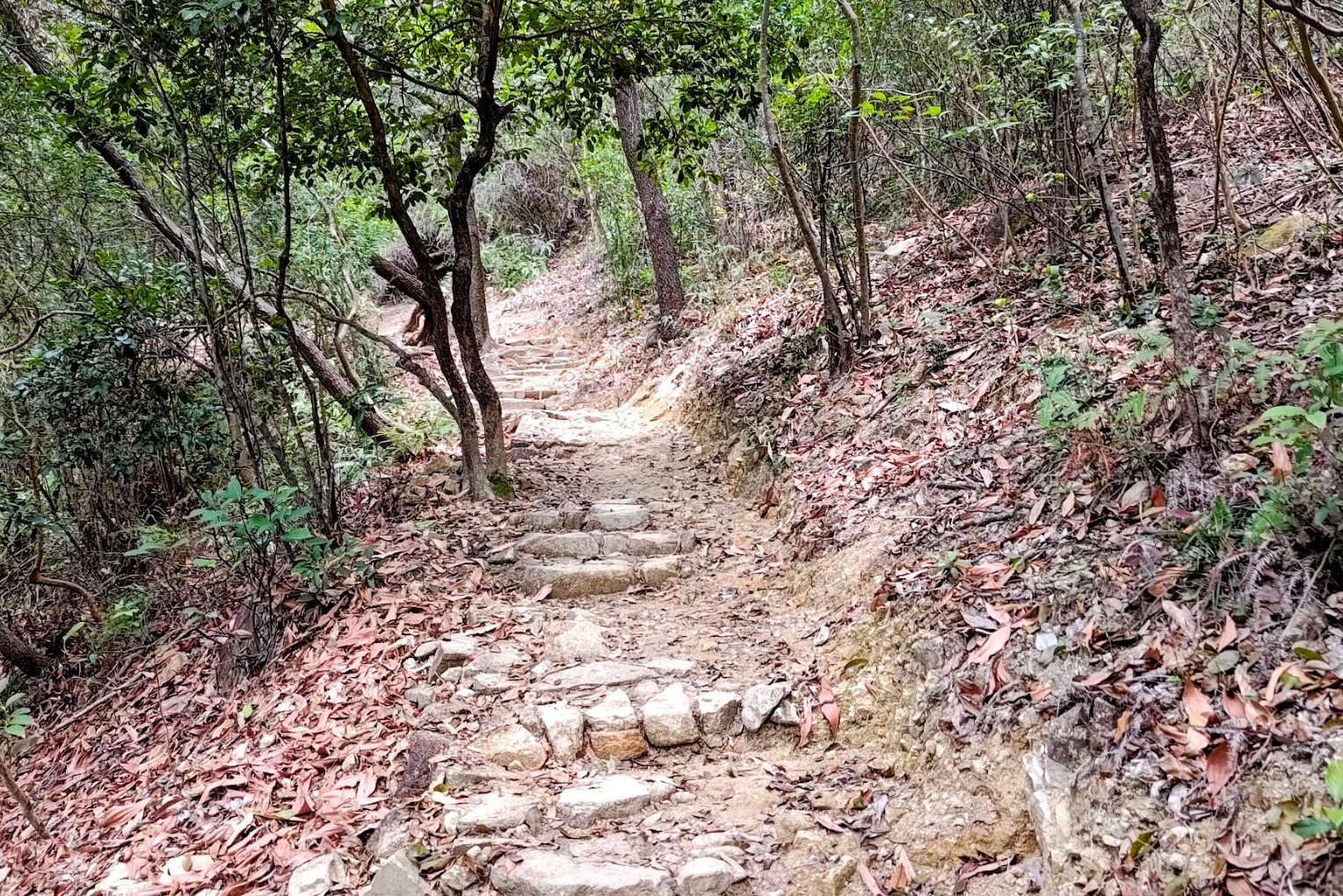
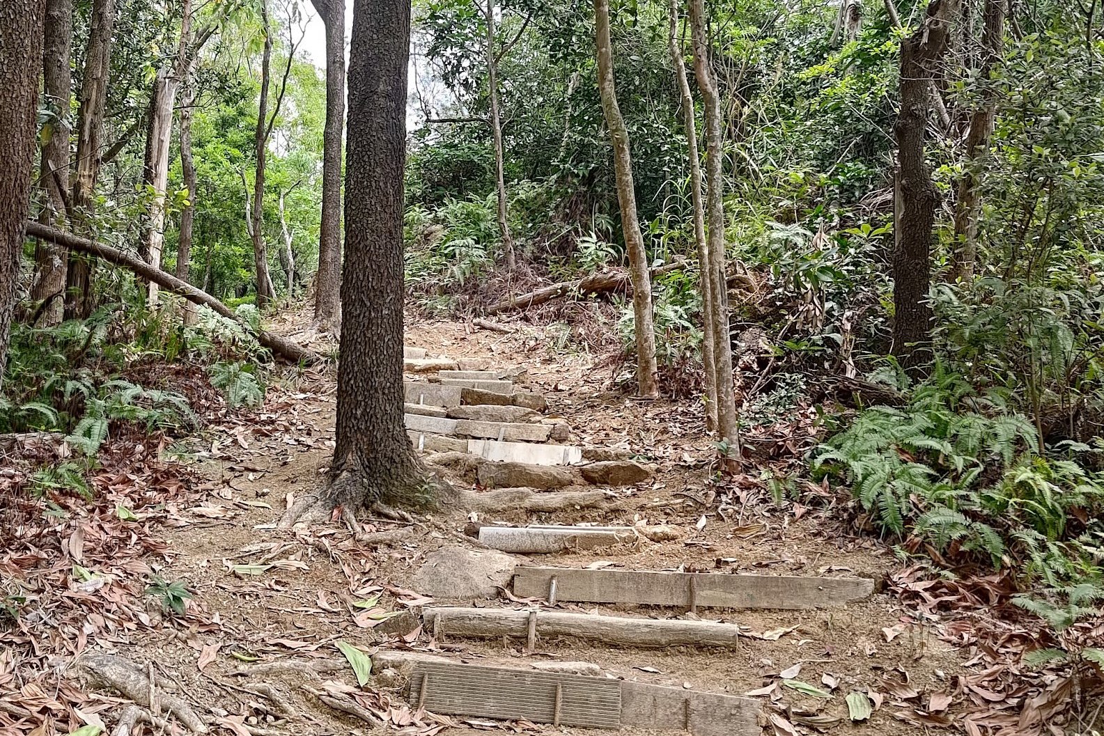
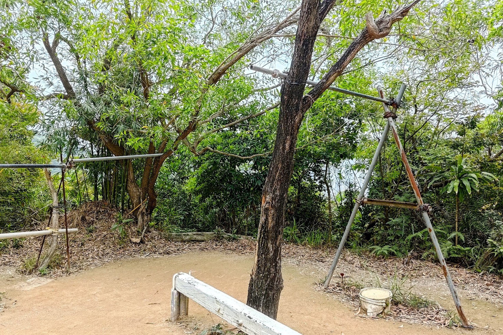
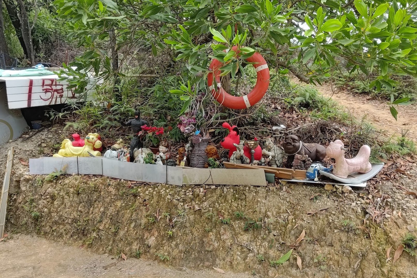
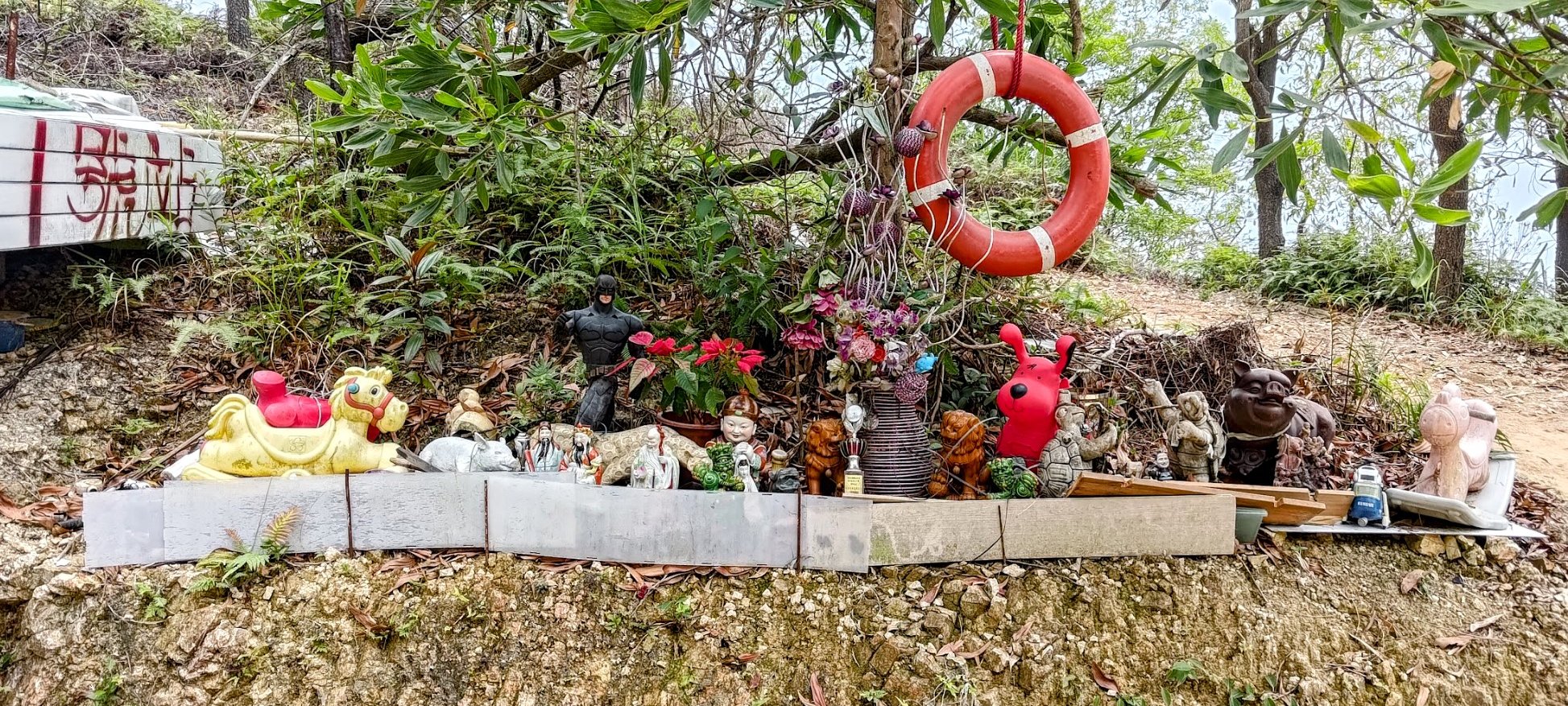
It's less than 10 minutes of climbing to reach the Batman shrine. The stairs are quite steep, but it's worth the climb to see the caped crusader keeping our hiking trails safe.
And if the hike is proving too easy, there's a balancing beam and some pull-up bars so that you can cancel your gym membership in favor of this cheaper option!
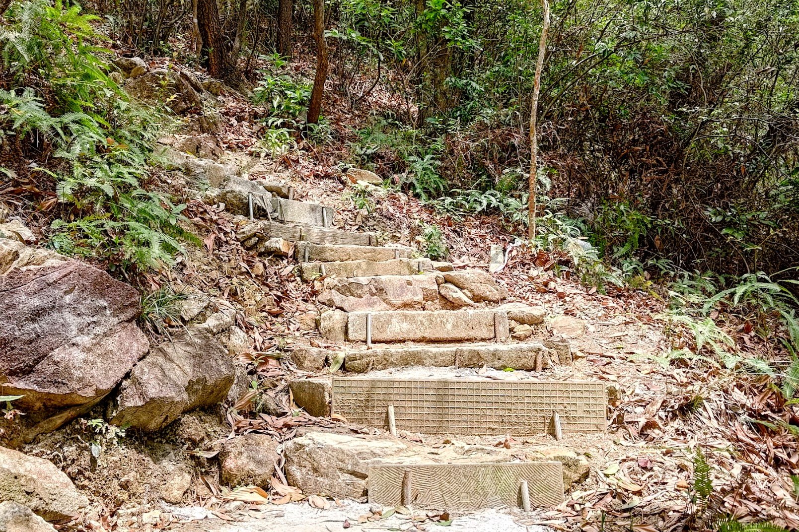
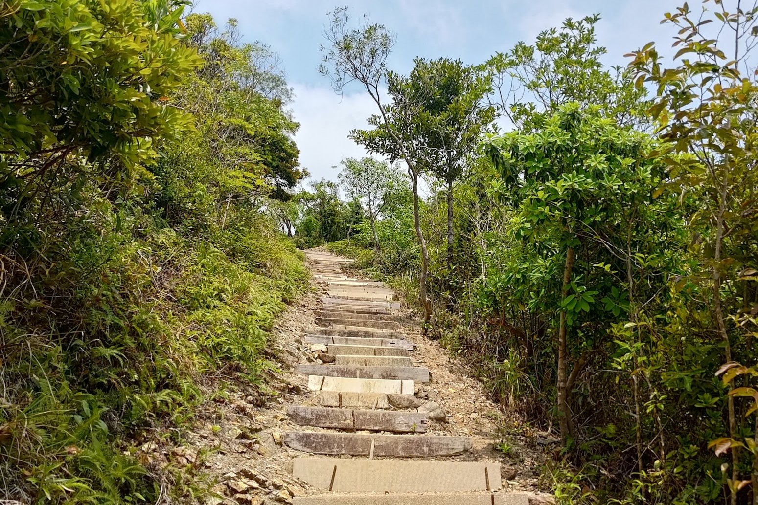
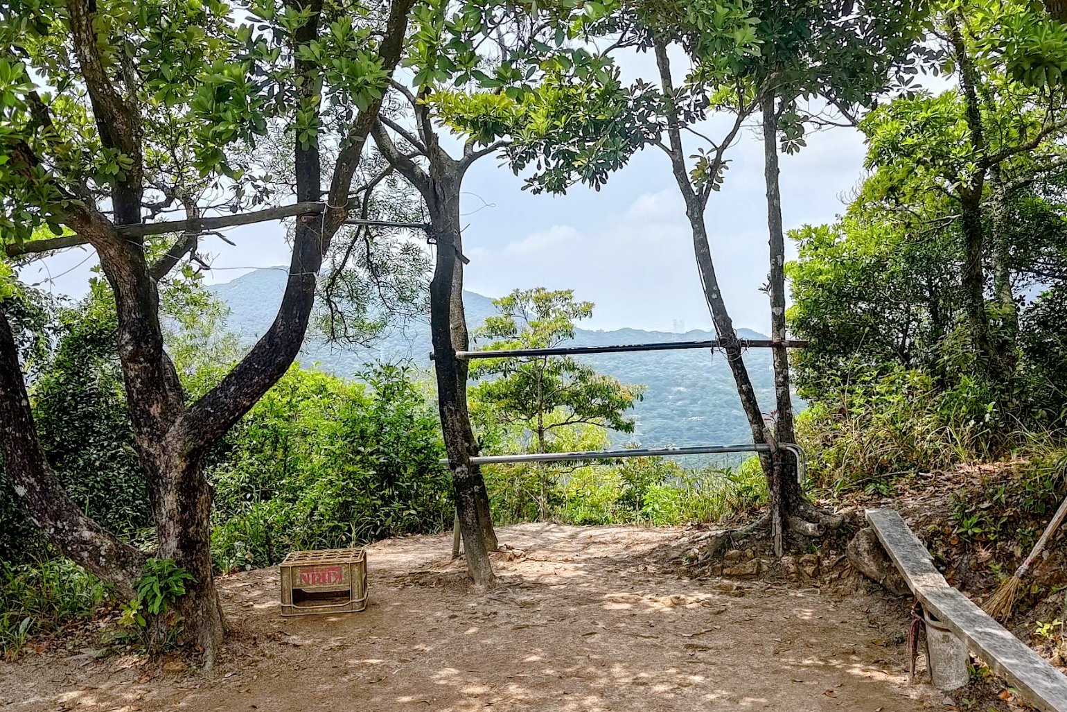
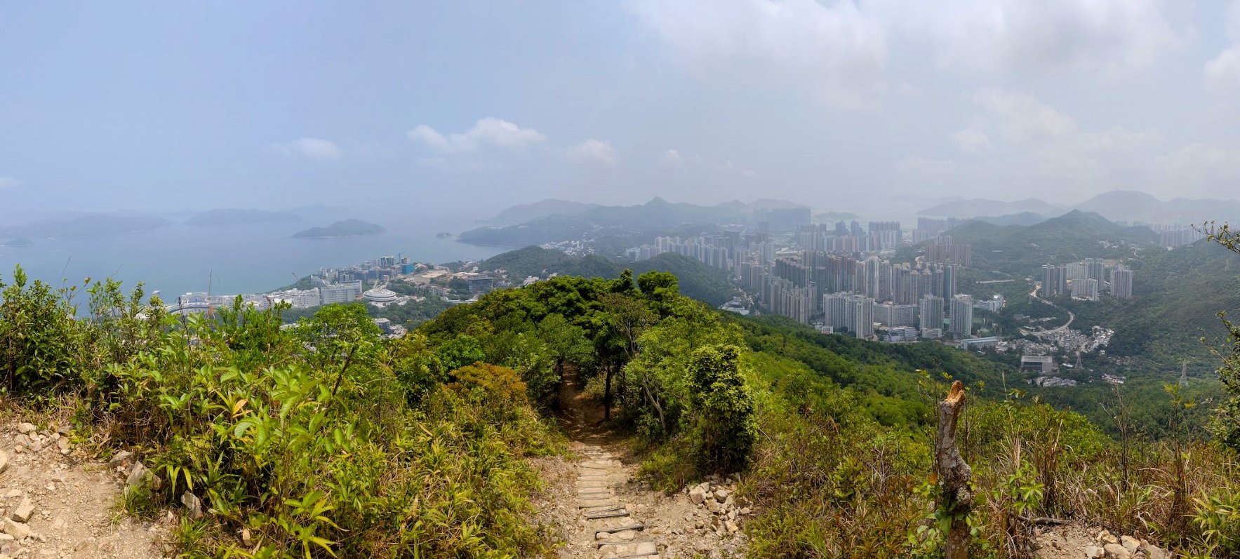
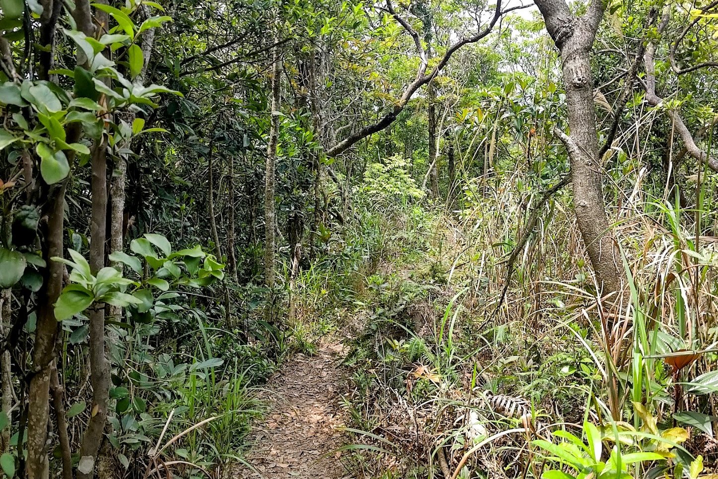
Climbing to the Green Shelter Viewpoint
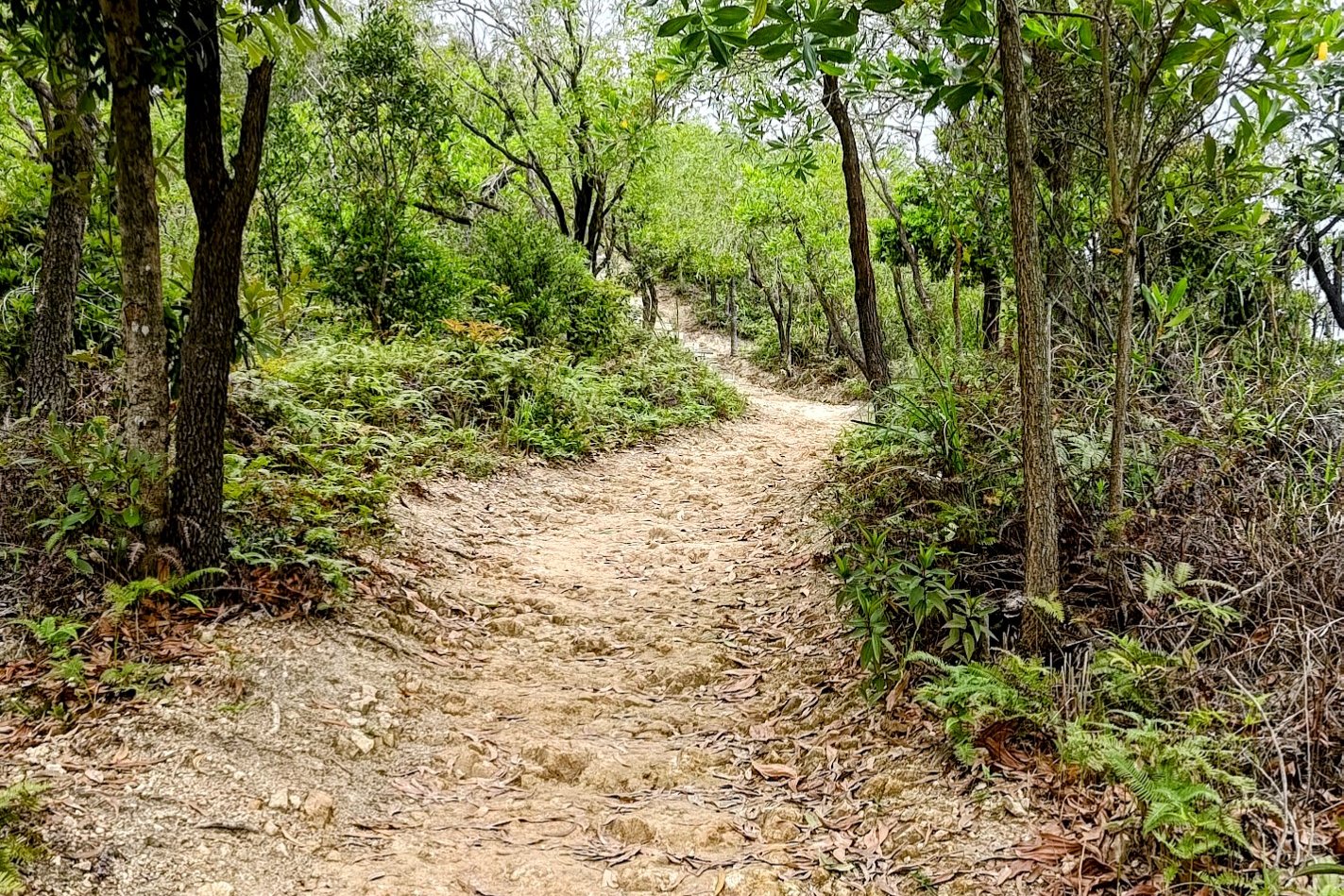
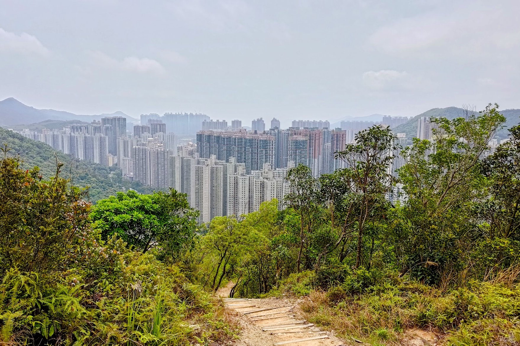
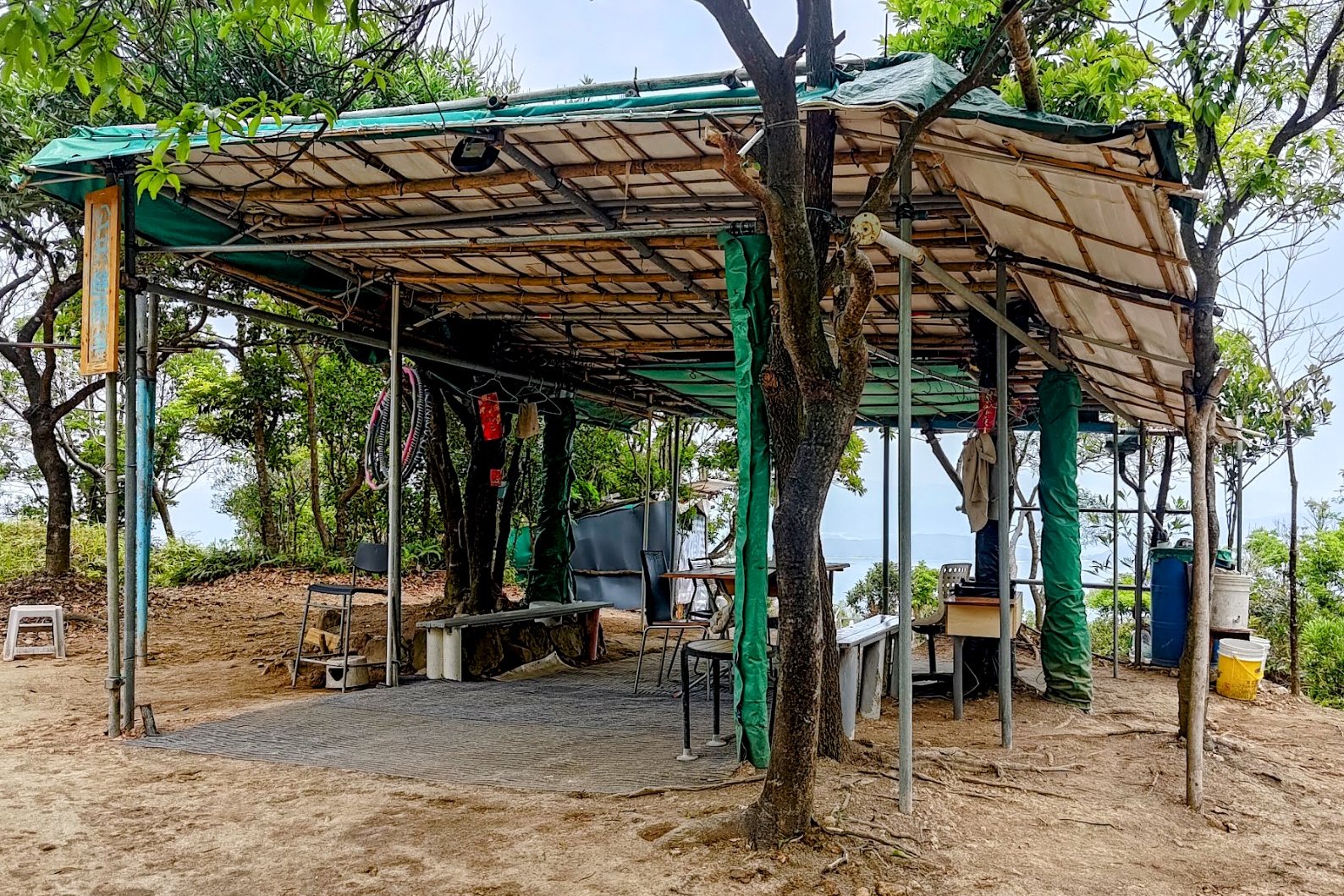
This section of climbing lasted about 10 minutes including time to admire the views.
It's pretty much impossible to get lost because all you'll be doing is climbing stairs and drinking in those sweet vistas over the city.
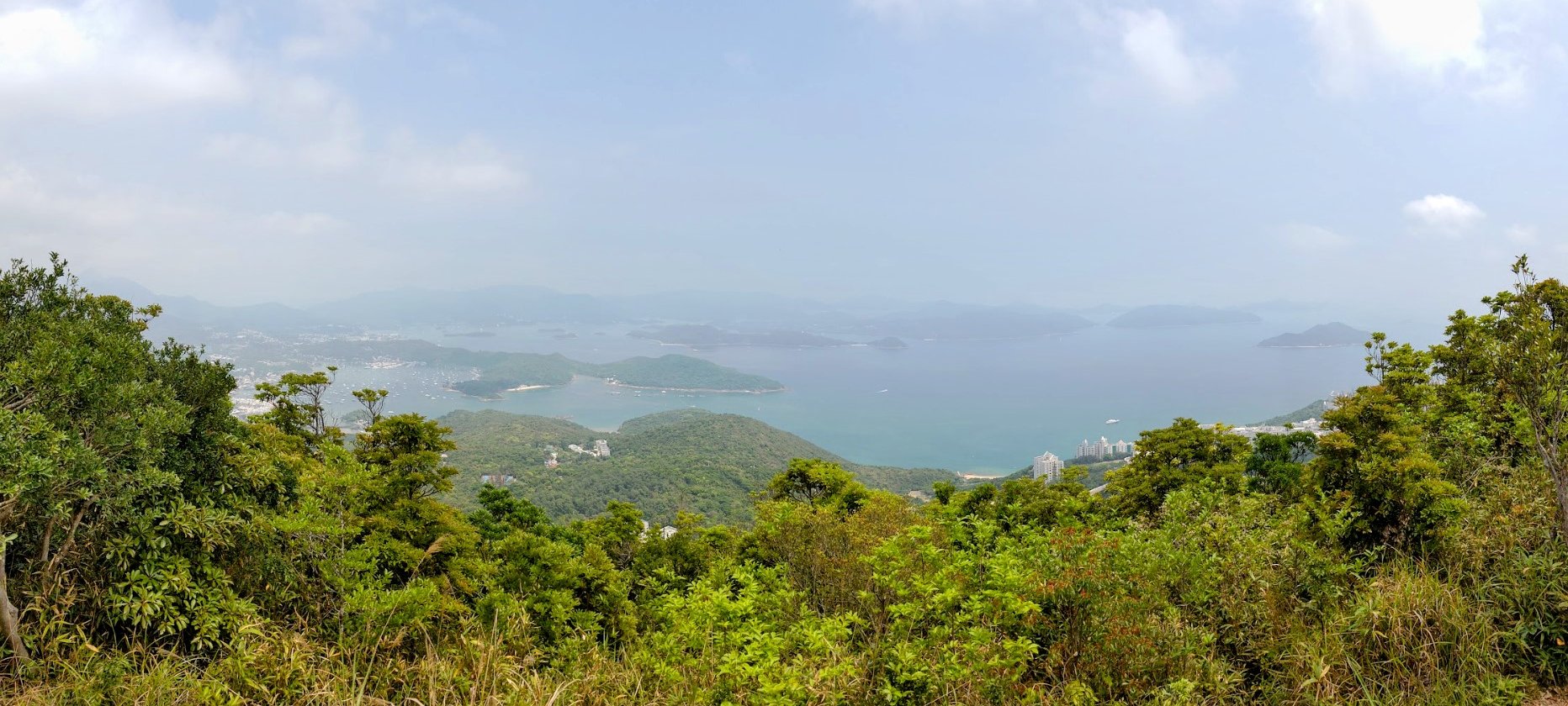
When you arrive at the green shelter, don't forget to head through it and enjoy the view out over HKUST and Sai Kung!
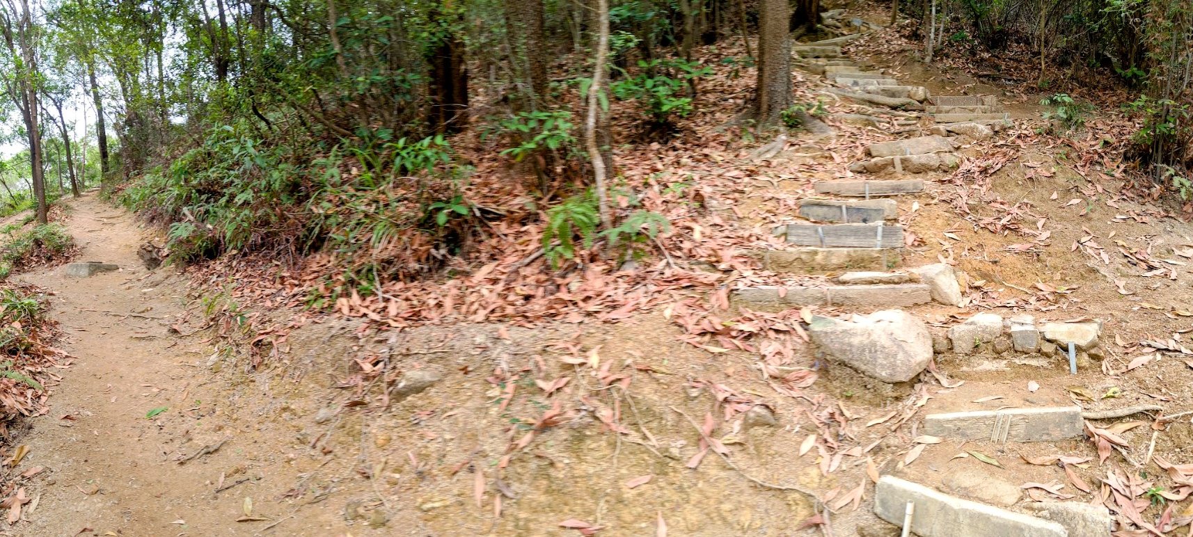
The Hidden World War Two Bunker


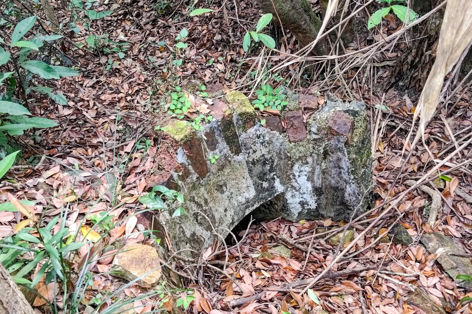

This portion of hiking took around 15 minutes to complete.
If you fancy looking around the abandoned World War Two bunker, I've marked its exact location in the "Google Route Map" section of the article. It's quite hard to find.
In terms of the historical significance of the bunker, it was used as an observation post during World War Two and its official name was the Razor Hill Observation Post.
Razor Hill Observation Post was mostly demolished after the war with only a few concrete structures remaining. After a hill fire in the 1990s, the concrete structures were rediscovered and documented.
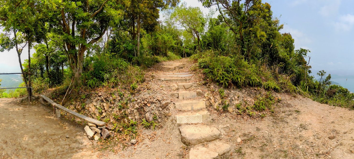
Hiking to the Summit of Razor Hill

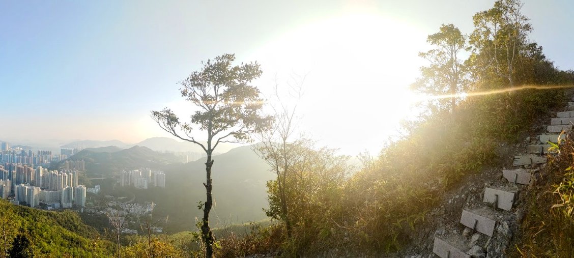


It's only ten minutes more to the summit from the World War Two Observation Post. Don't forget to look back and enjoy the incredible views on the way up!
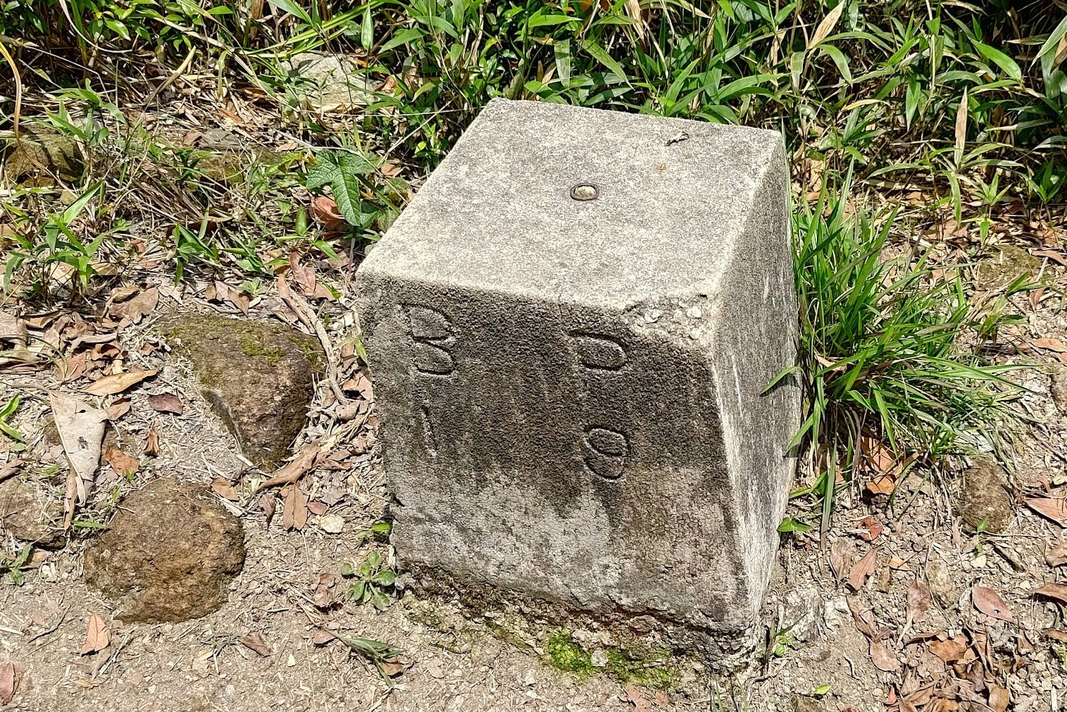
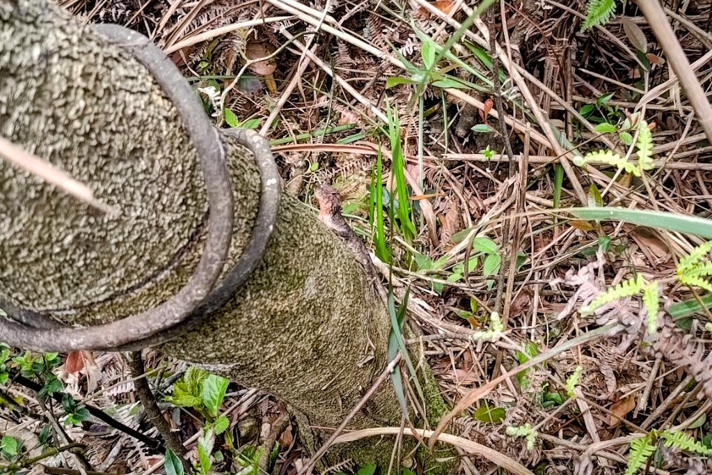
When you arrive at the summit, you'll notice a small stone with the markings BP 19 on it. The history of this stone is debated with some saying it's a boundary post (BP) and was used for war purposes to indicate where a pillbox (a type of bunker) once stood.
Other people claim it was used by surveyors to mark what are now obsolete trigonometrical stations.
Either way, it's a fascinating bit of history that's positioned right beside the current trigonometrical station.
When it comes to the view, you'll have a stellar vista over Sai Kung, with Ma On Shan (one of Hong Kong's most epic ridge hikes) visible clearly in the distance.

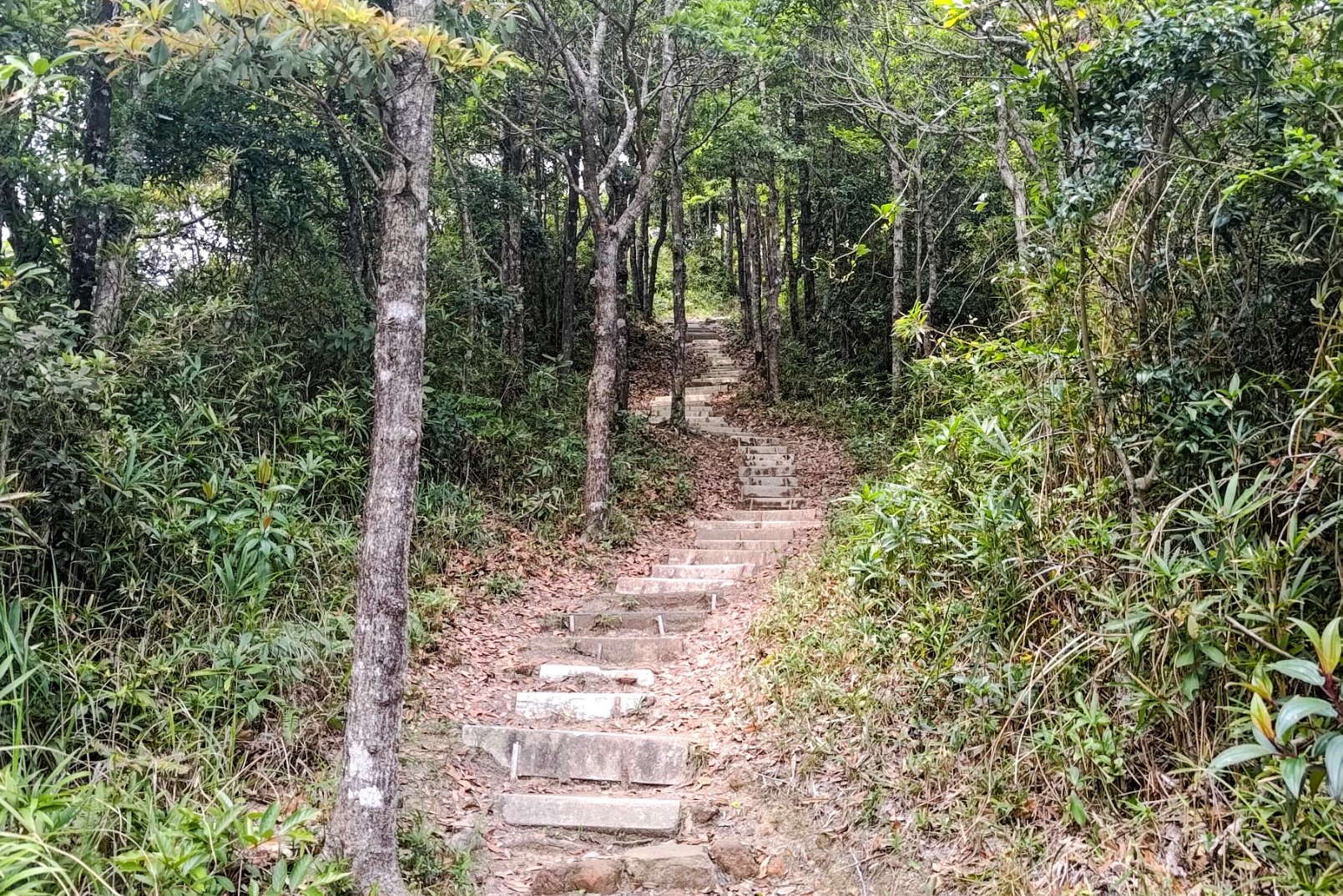
Descending to Razor Hill Road
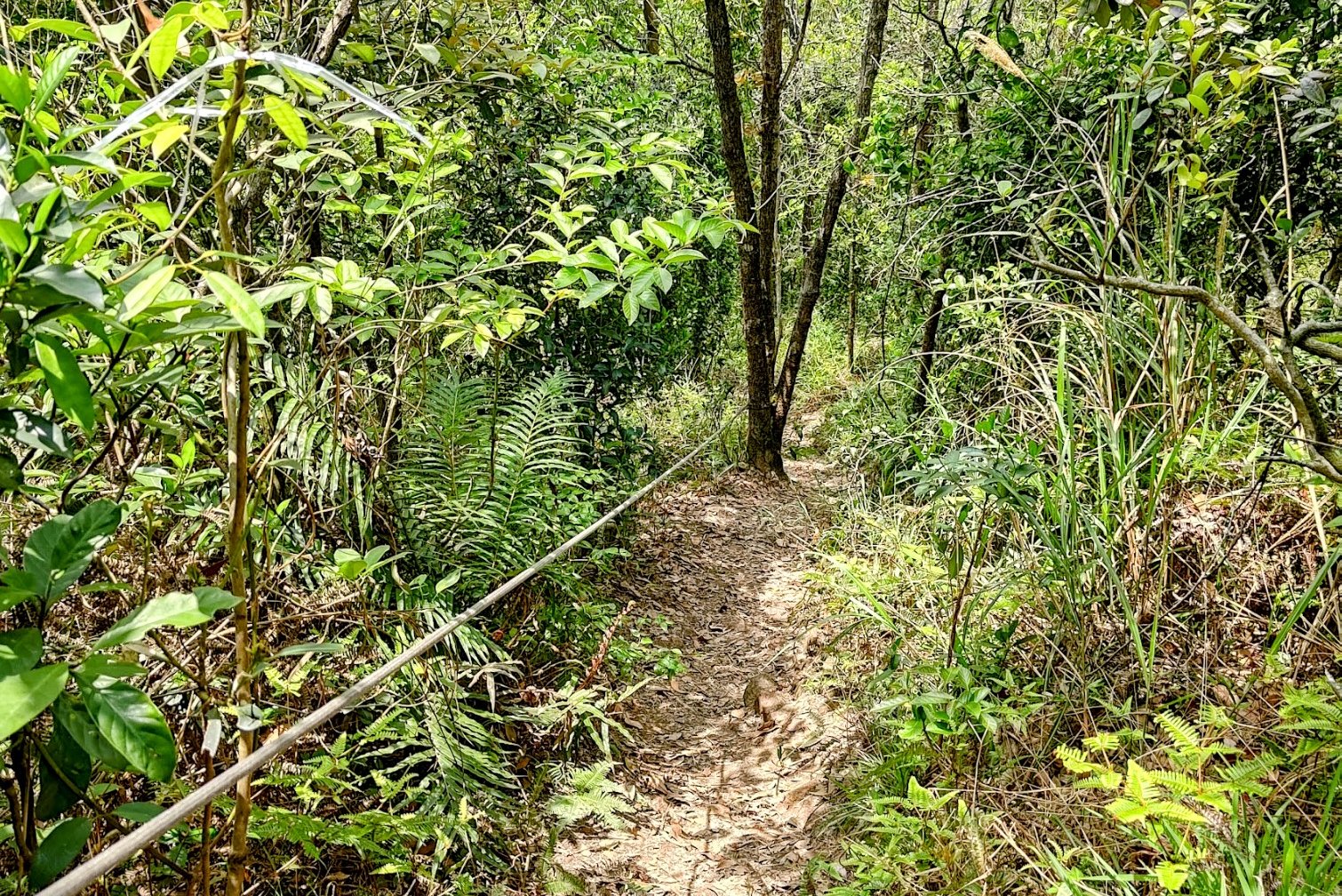
The descent to Razor Hill Road takes about 25 minutes. It can be much quicker, I just go super slow on downhill sections.
There are ropes to aid your descent, and they were quite sturdy when I used them in 2025. But double-check the condition of the ropes before using them when you hike downhill.
Near the bottom of your descent, you will come across some traditional Chinese tombs. Look for the path near them and make sure to go left at the lowest of the tombs.
Eventually, you'll reach a concrete road, which you should follow all the way to Razor Hill Road.
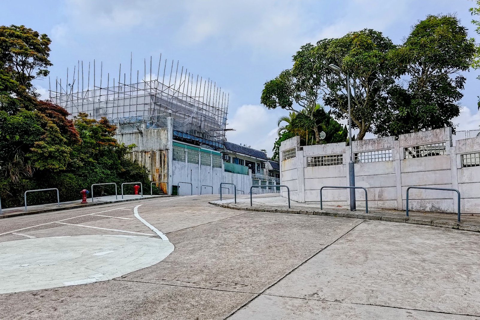
Getting Back

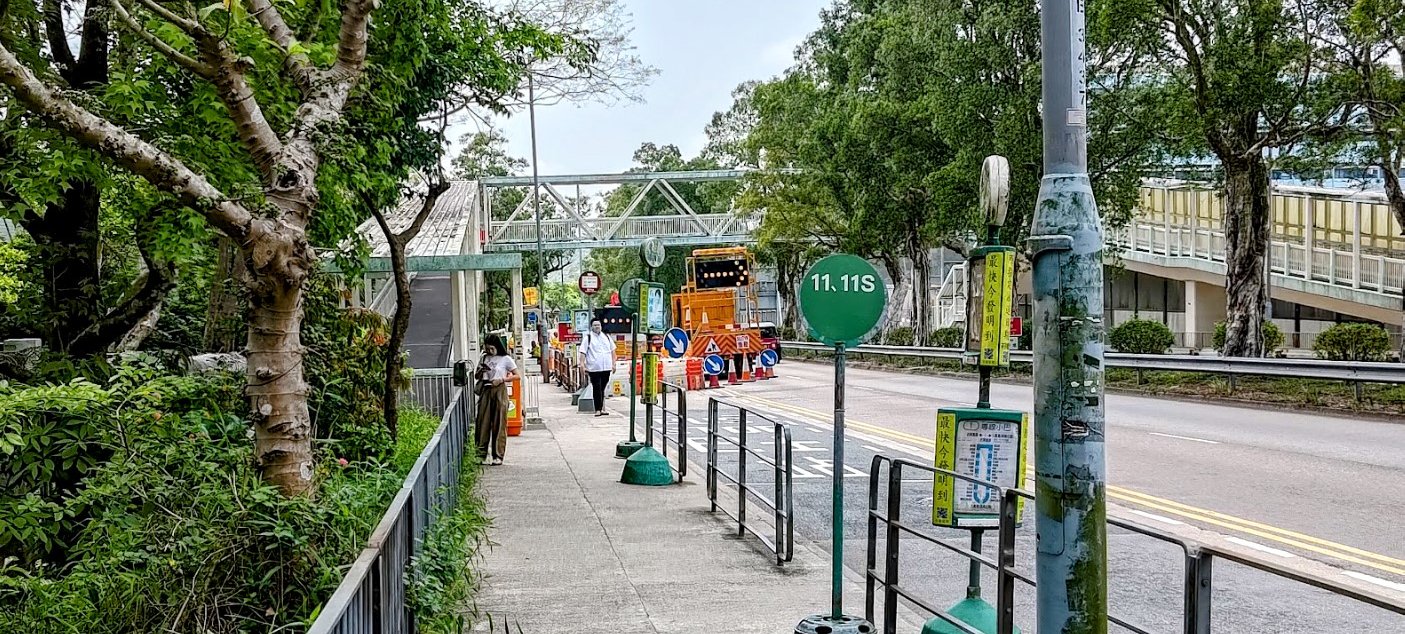
You can catch several buses that go to Diamond Hill or Choi Hung MTR Station from the bus stop pictured above. If you want to go to Sai Kung, cross Clear Water Bay Road and grab a bus heading in the opposite direction.
Razor Hill and Little Hawaii Falls Route Map and GPX
Razor Hill and Little Hawaii Falls GPX
*Click the box icon in the top right of the map below to load the blue route directly into your own Google Maps. You can then see your location relative to the trail in real time!

