Peel Rise: A Shaded Nature Hike With Great Views of Aberdeen
Contents
- Essential Information
- Hike Highlights
- Google Route Map and GPX From Victoria Peak
- Google Route Map and GPX From Pok Fu Lam Reservoir
- How to Get There
- Quick Route Summary
- Bus Stop to Pok Fu Lam Reservoir
- World War 2 Bunkers and Chinese Water Dragons
- First Big Climb
- Getting to the Red Button Detour
- Pavilion and Secret View
- Getting to the Best Viewpoint
- The Epic Viewpoint
- Descending Down Into Aberdeen
- Getting Back
Essential Peel Rise Hike Details
- District: Hong Kong Island
- Duration: 2 hours from Pok Fu Lam Reservoir, 3 hours 15 mins from Victoria Peak
- Distance: 7.5 km
- Highest Elevation: 340ish meters
- Difficulty: 2.5/5
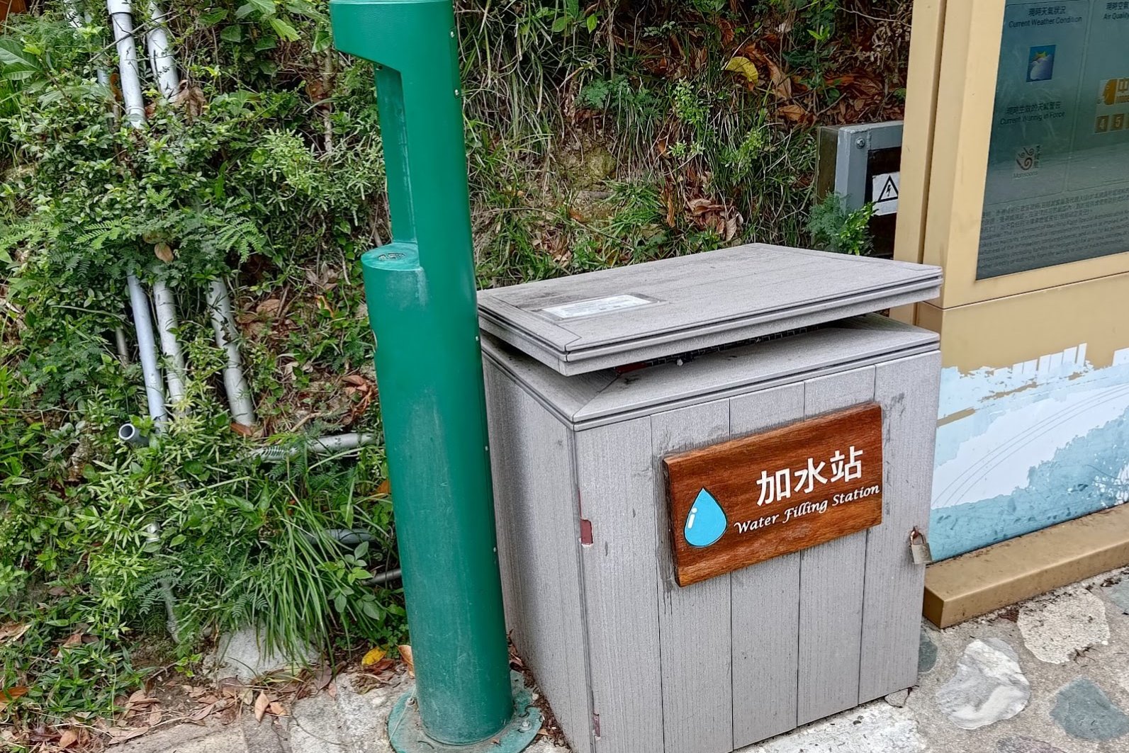
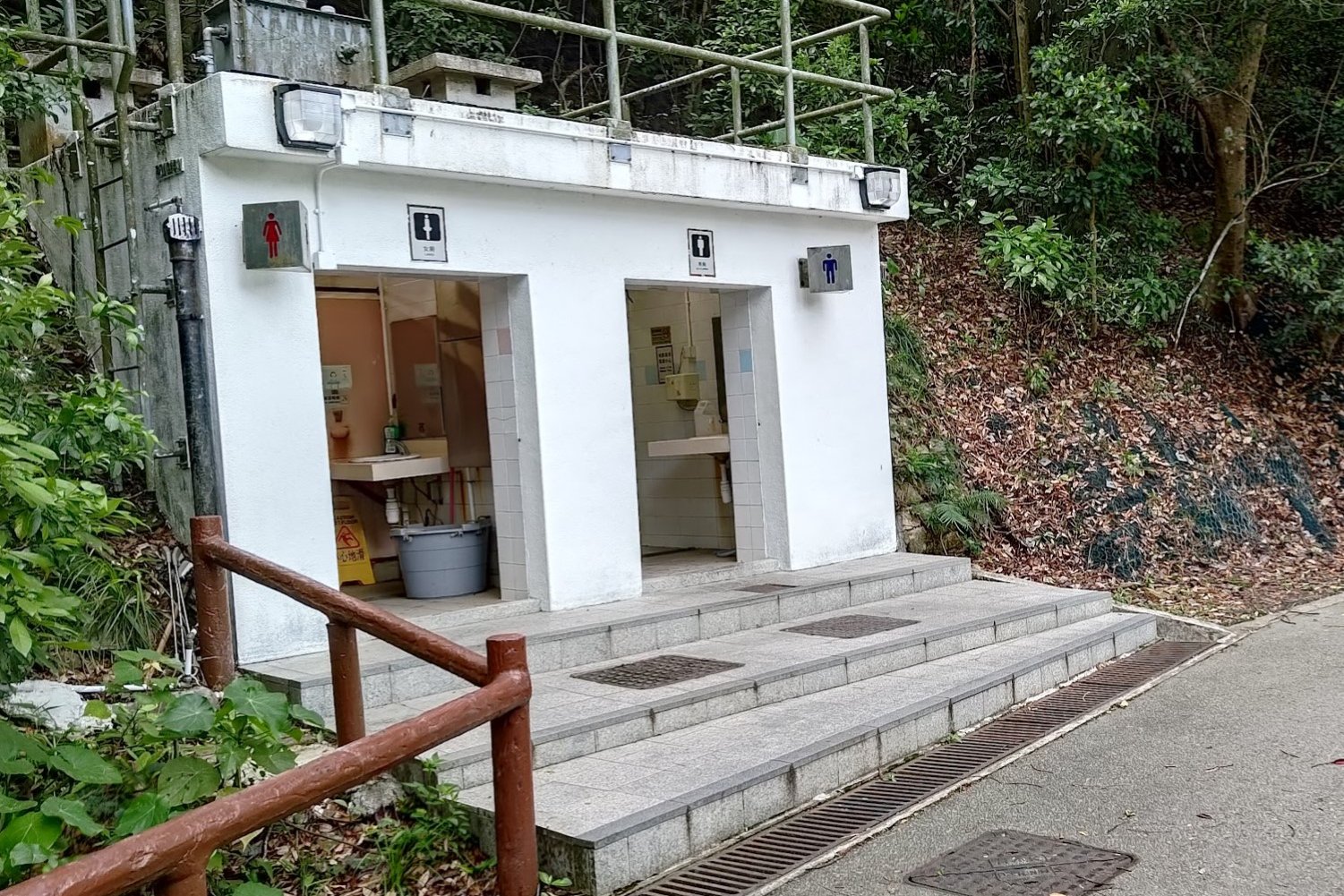
- Facilities: Public toilet and a water filling station (free water if you have a bottle) at the start of the hike (just after the Pok Fu Lam Country Park sign).
Why Hike Peel Rise?

Peel Rise (貝璐道) offers a refreshing and accessible escape into nature right on Hong Kong Island, perfect for those seeking an easy yet rewarding hike. While the route technically starts from the top of The Peak and heads downward to Aberdeen Reservoir, I prefer to start this hike from Aberdeen Reservoir since it's more accessible. I will include maps for both routes, but this guide will start from Pok Fu Lam Reservoir.
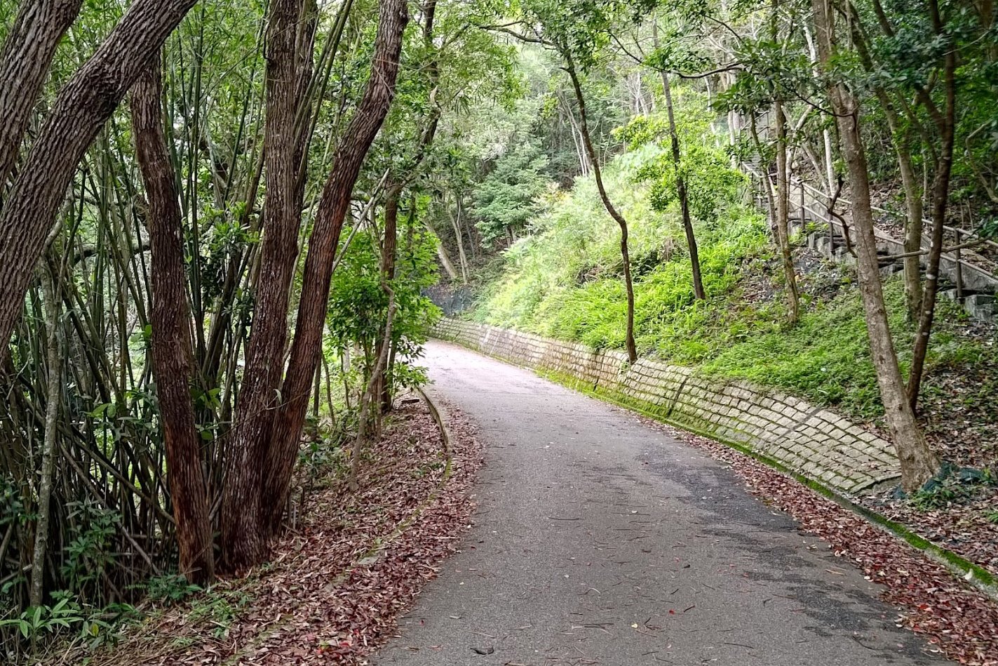
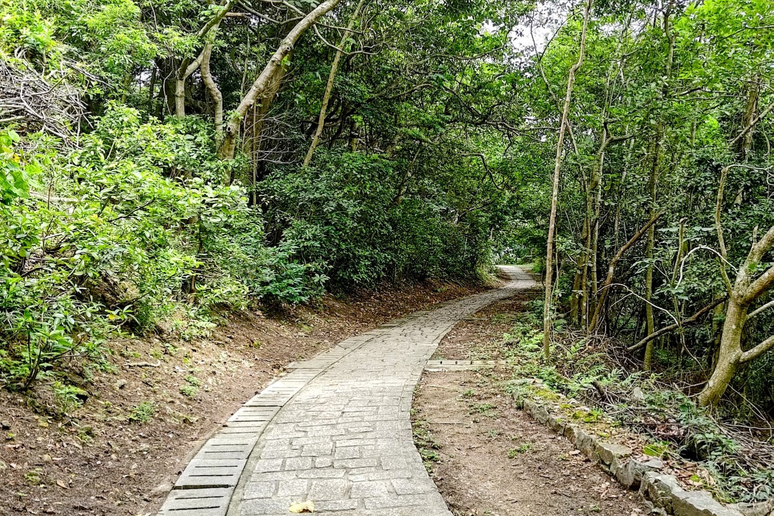
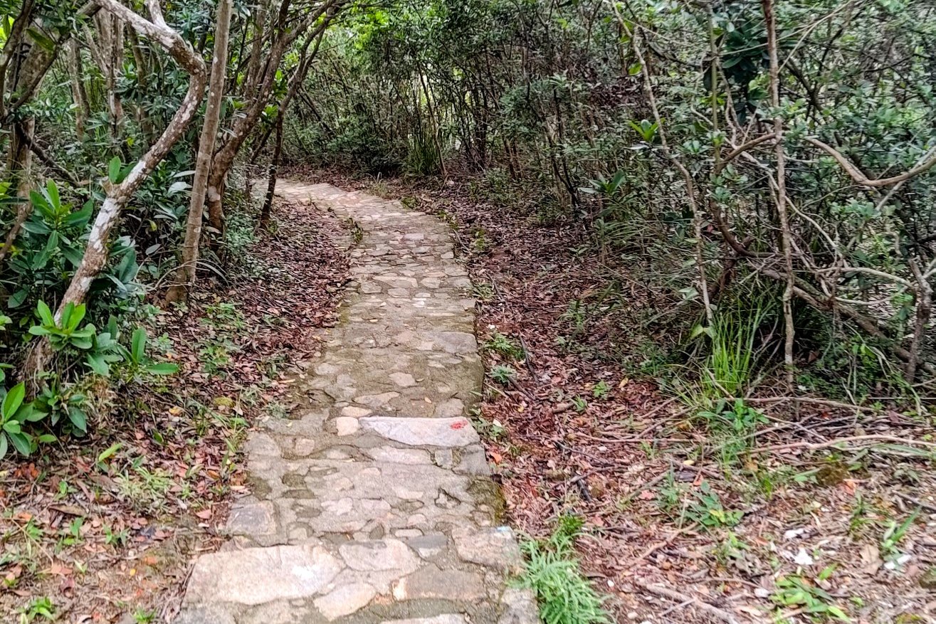
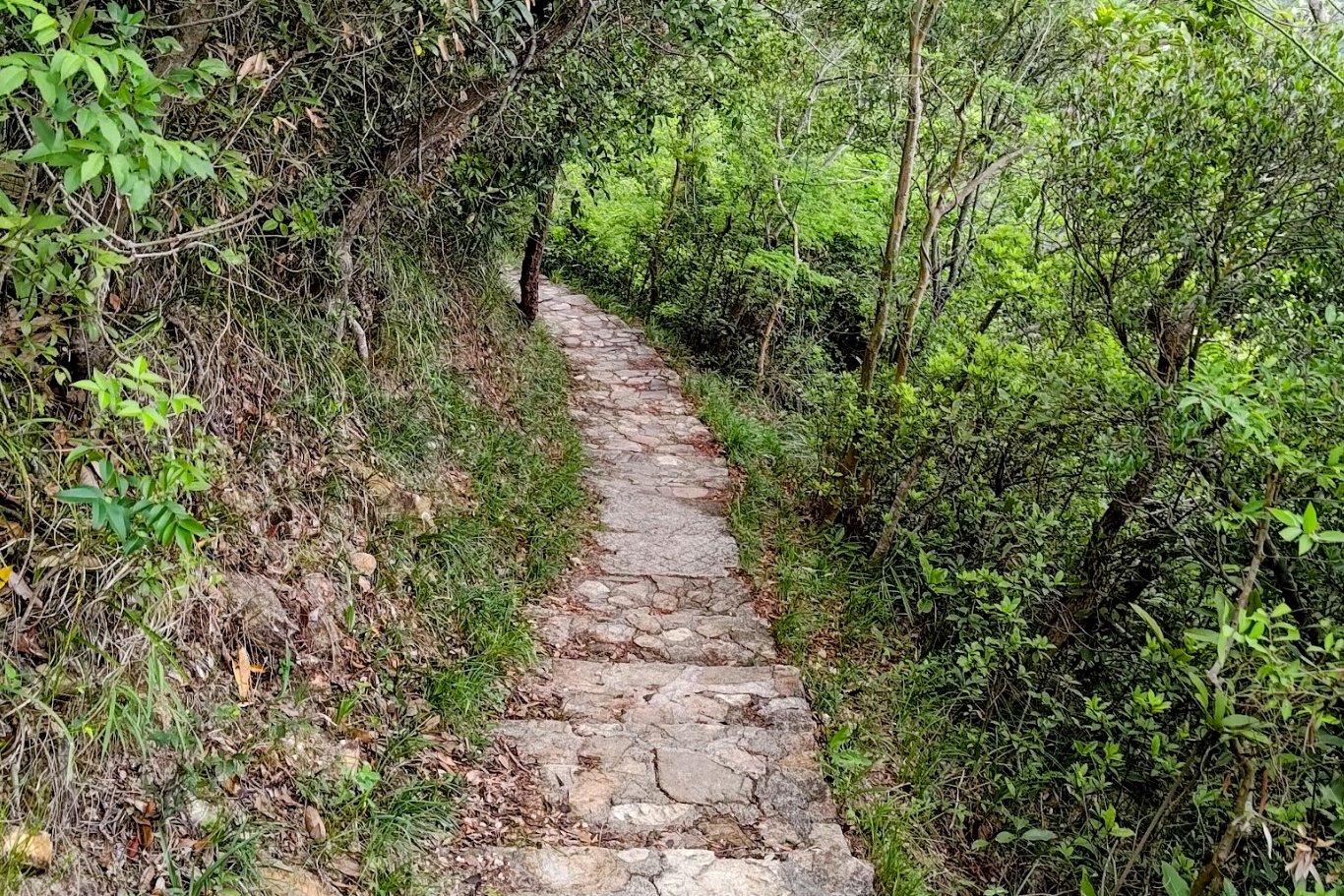
Even though the trail is mostly paved with concrete—which isn't my cup of tea as a purist—it does however mean that the route incredibly straightforward to navigate, ideal for beginners or anyone looking for a relaxed outdoor experience.
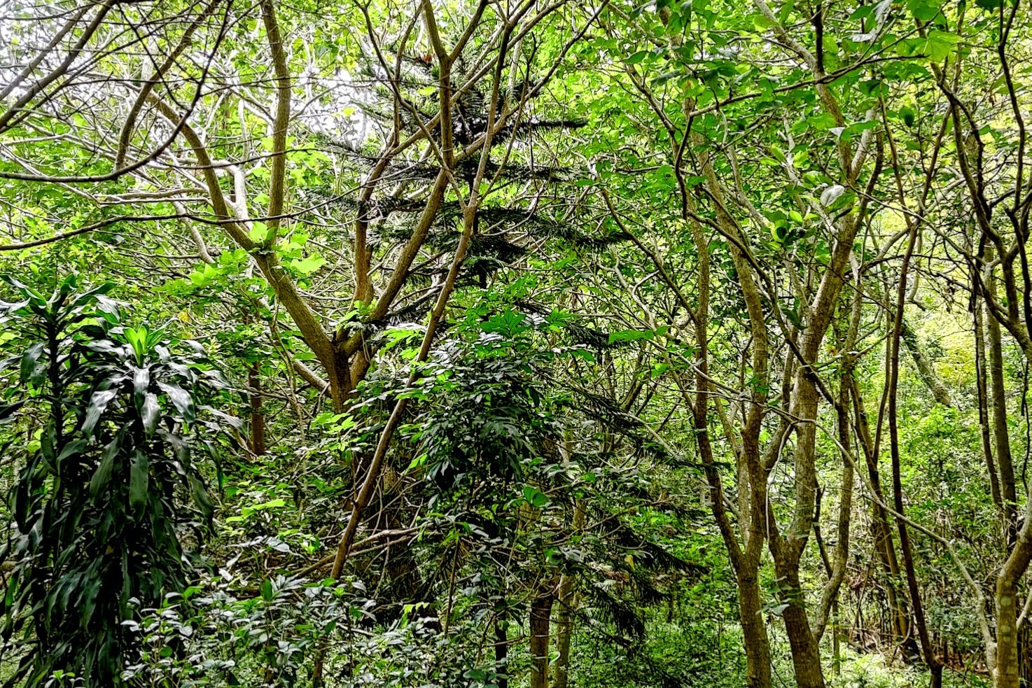
The gentle terrain guarantees that there are minimal uphill battles, and the generous tree cover combined with nearby water sources keeps the air cool and inviting, especially during the summer months.
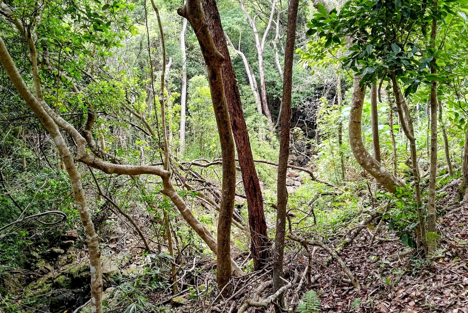
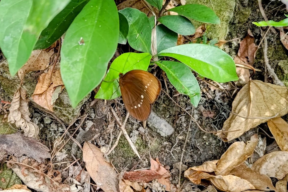
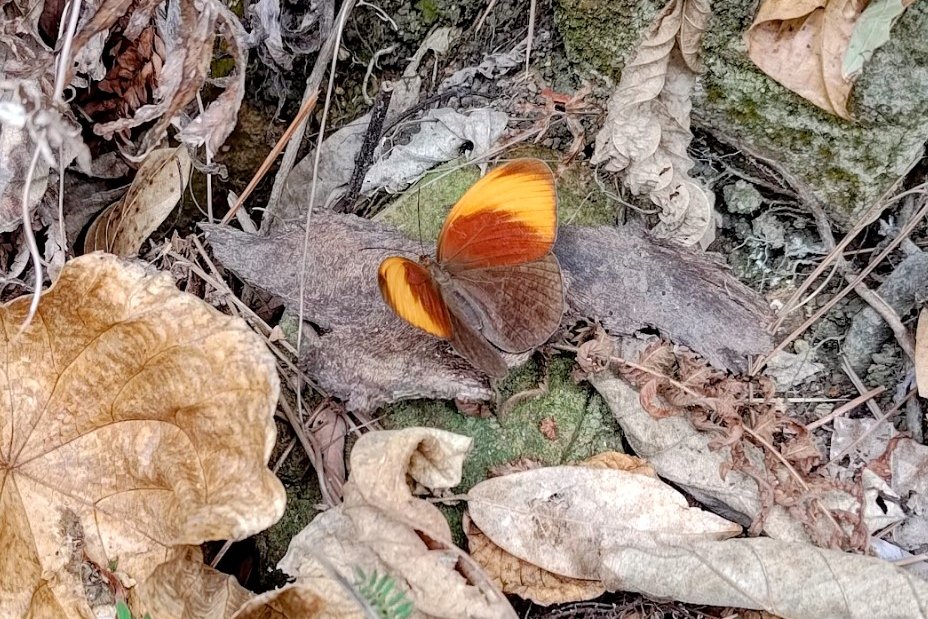
Starting from Pok Fu Lam Reservoir within Pok Fu Lam Country Park, this hike also presents a wonderful opportunity to encounter local wildlife. You can potentially spot vibrant butterflies, skinks, and even water dragons by day, while a walk after dusk could reveal wildlife like banded kraits for the more adventurous.
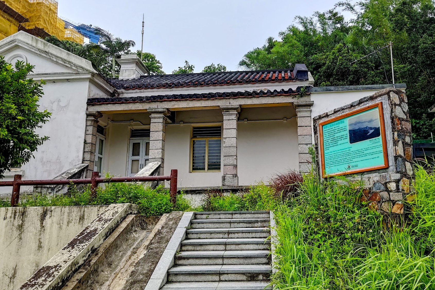
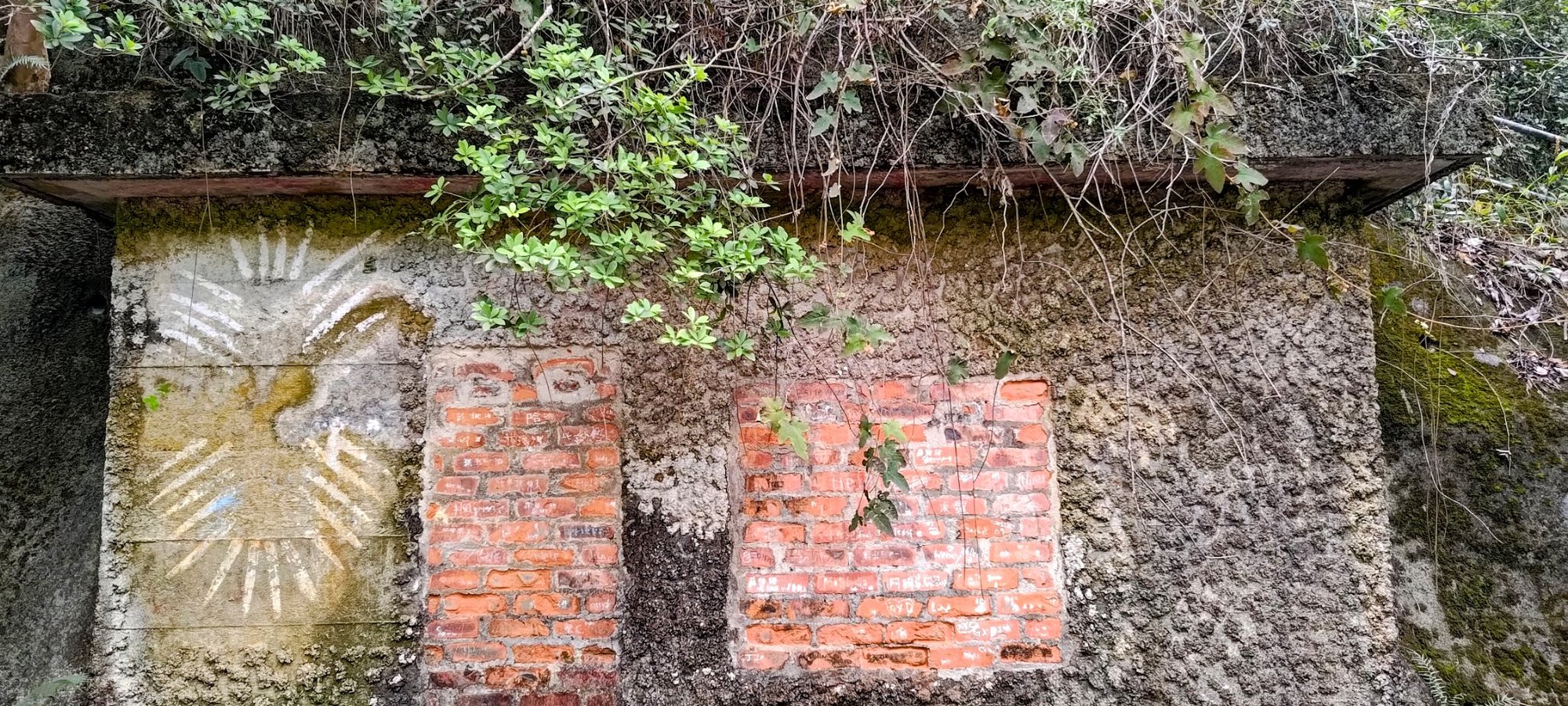
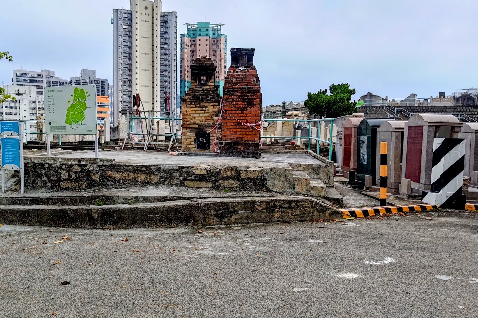
Peel Rise also features several intriguing World War II structures that serve as silent reminders of Hong Kong’s wartime past. Along the road near Pok Fu Lam Reservoir, a series of small, bricked-up bunkers can be found, built into the hillside as defensive positions against the Japanese invasion. These bunkers, defended by the Hong Kong Volunteer Defence Corps and Canadian Winnipeg Grenadiers, could accommodate around 45 soldiers. No major battles occurred in this area.
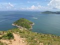
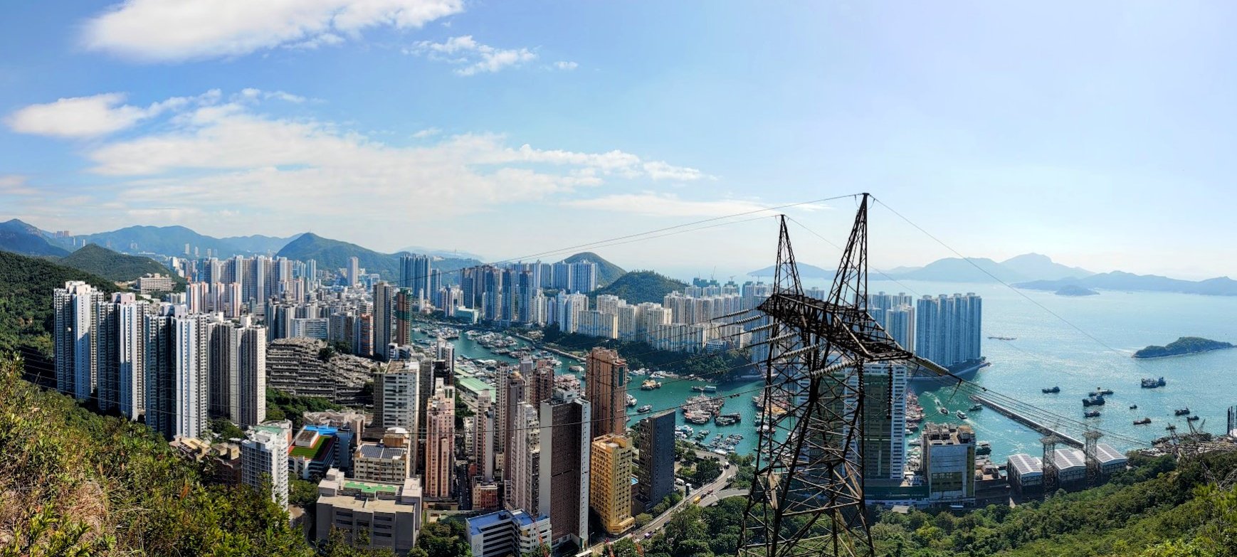
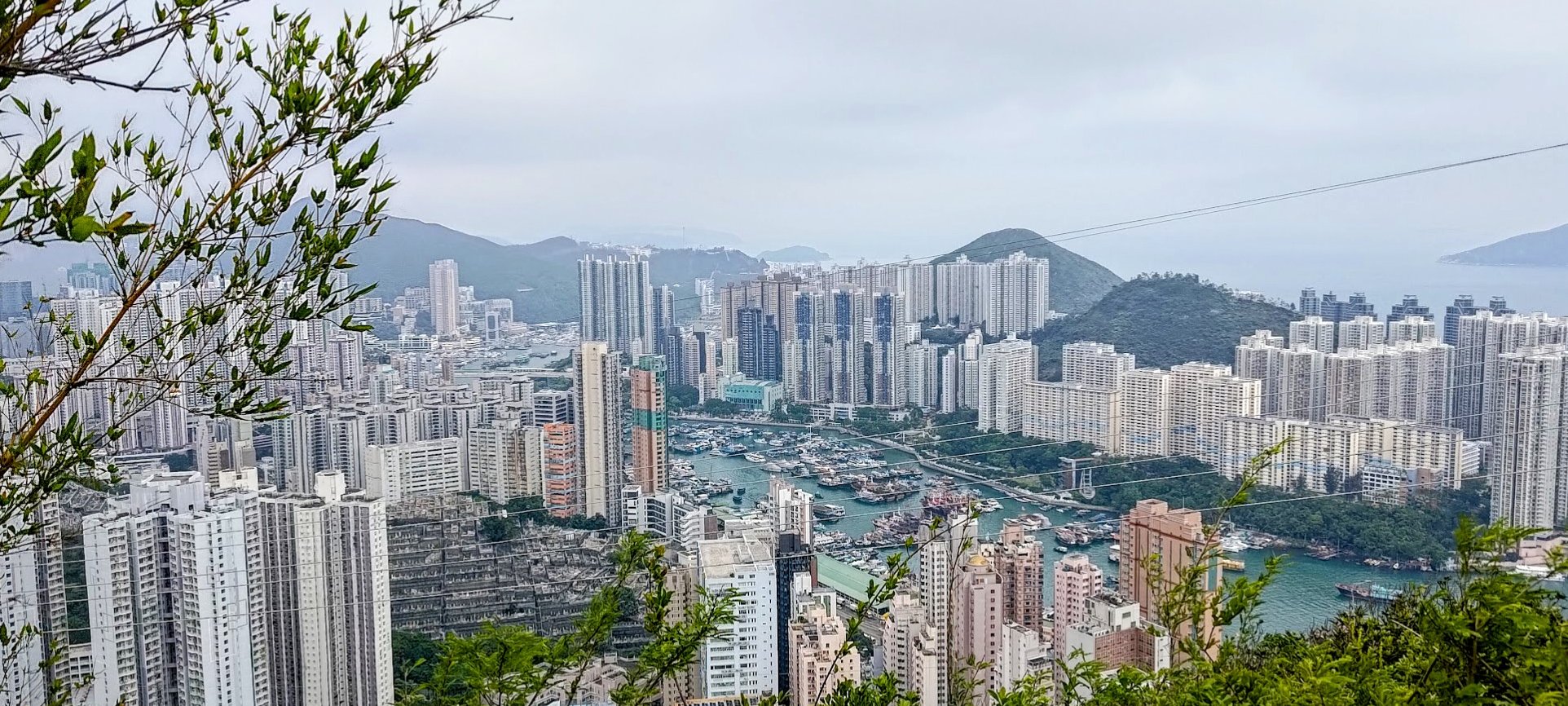
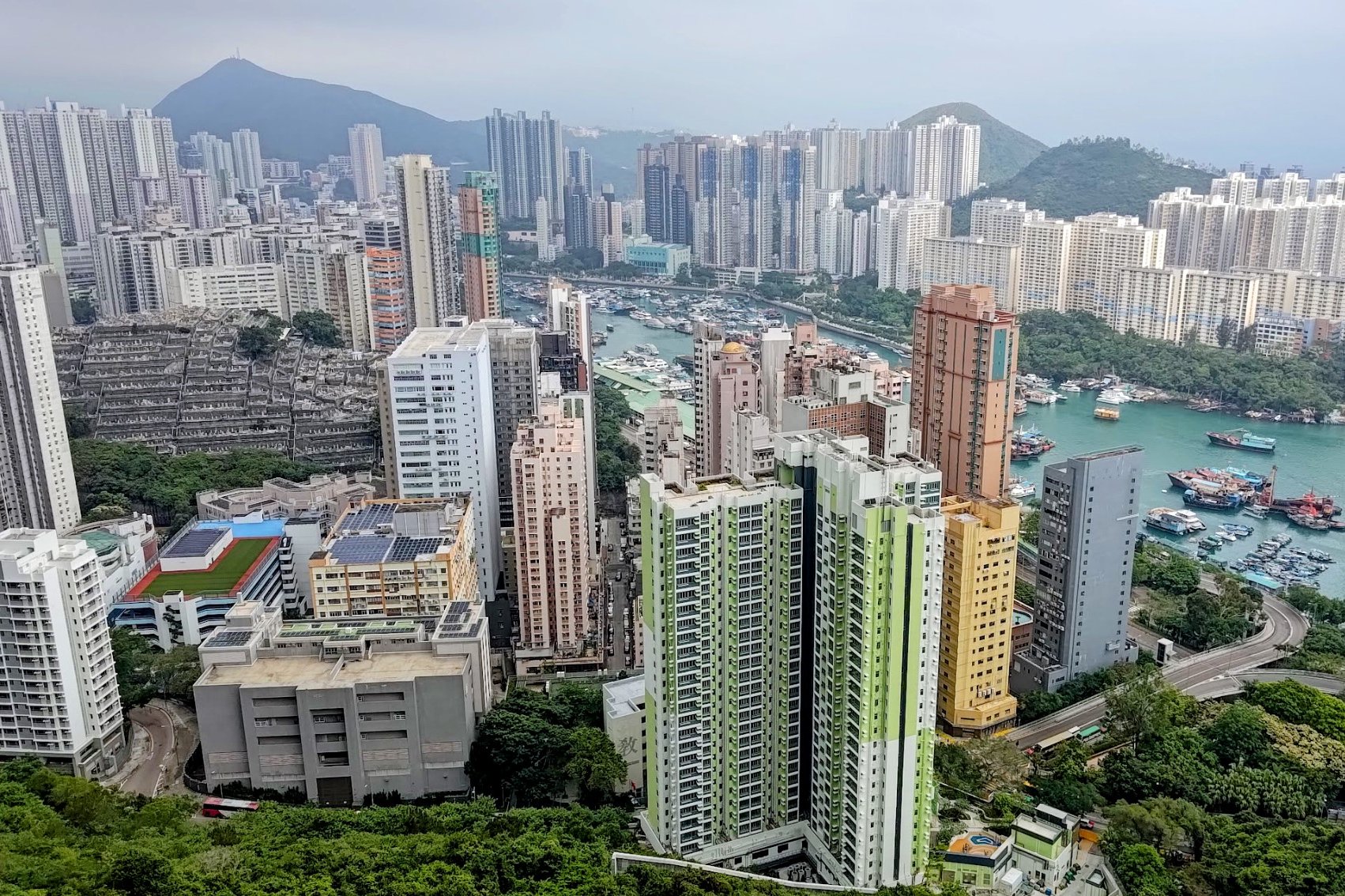
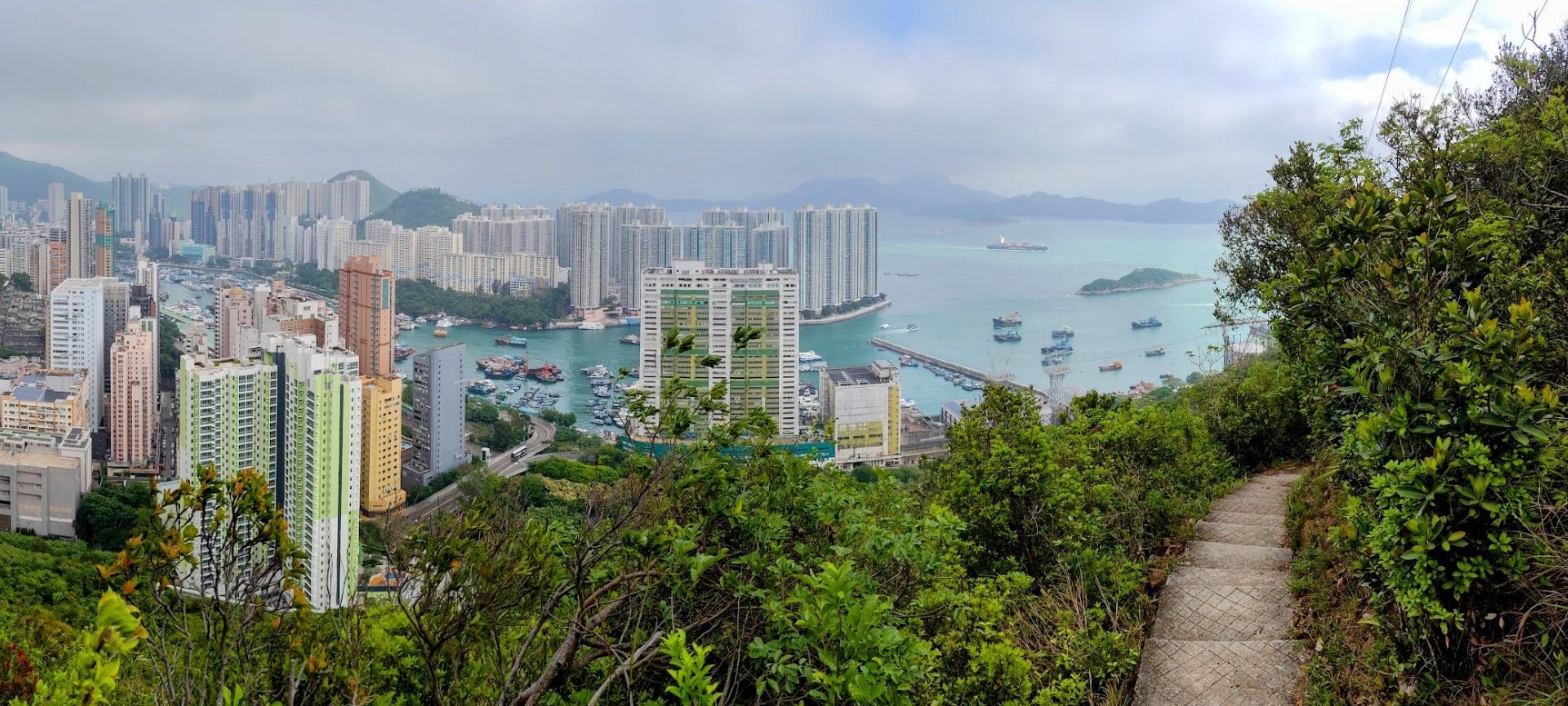
The trail culminates in a breathtaking panoramic view overlooking Aberdeen’s boat shelter, the vast South China Sea, and a comprehensive look over Lamma Island. Peel Rise beautifully balances a gentle challenge, nature, and stunning vistas, making it a memorable experience for hikers of all levels.
*Even though this hike is classes as medium difficulty, it is suitable for beginners who have a decent level of fitness.

Google Route Map and GPX From Victoria Peak
Peel Rise from Victoria Peak GPX
*Click the box icon in the top right of the map below to load the blue route directly into your own Google Maps. You can then see your location relative to the trail in real time!
Google Route Map and GPX From Pok Fu Lam Reservoir
Peel Rise from Pok Fu Lam Reservoir GPX
*Click the box icon in the top right of the map below to load the blue route directly into your own Google Maps. You can then see your location relative to the trail in real time!
How to get to the Peel Rise Hike Start Point
- Take the MTR to Central Station, Exit D1
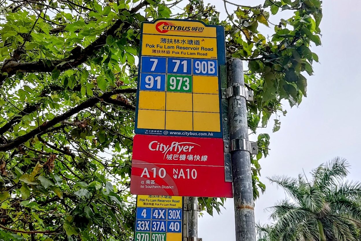
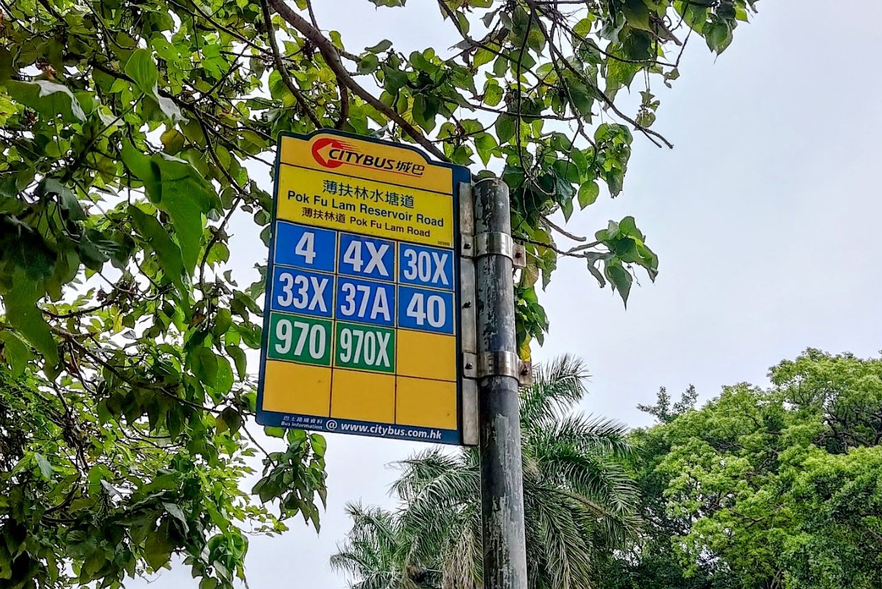
- Get the 90B bus from Des Voeux Road Central (near the Landmark)
- Get off at the Pok Fu Lam Reservoir Road bus stop
*There are a few other buses that go to Pok Fu Lam Reservoir Road. You can use the images above to check if any of the other buses are more convenient for you.
Quick Peel Rise Hike Route Summary
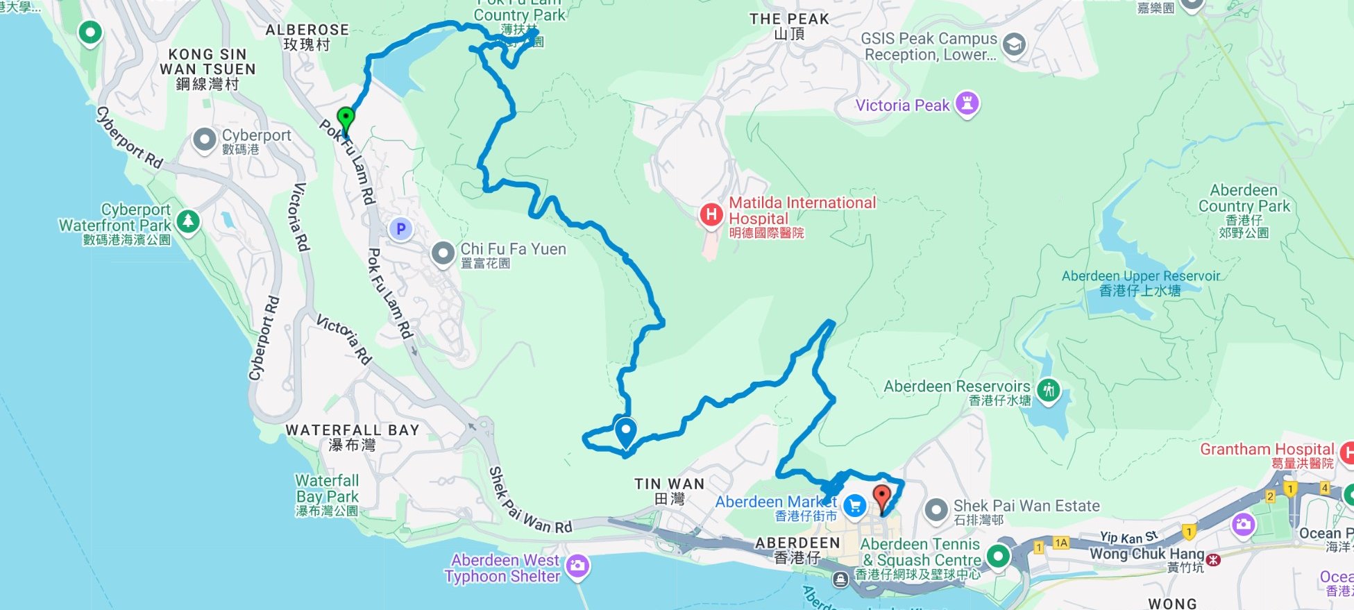
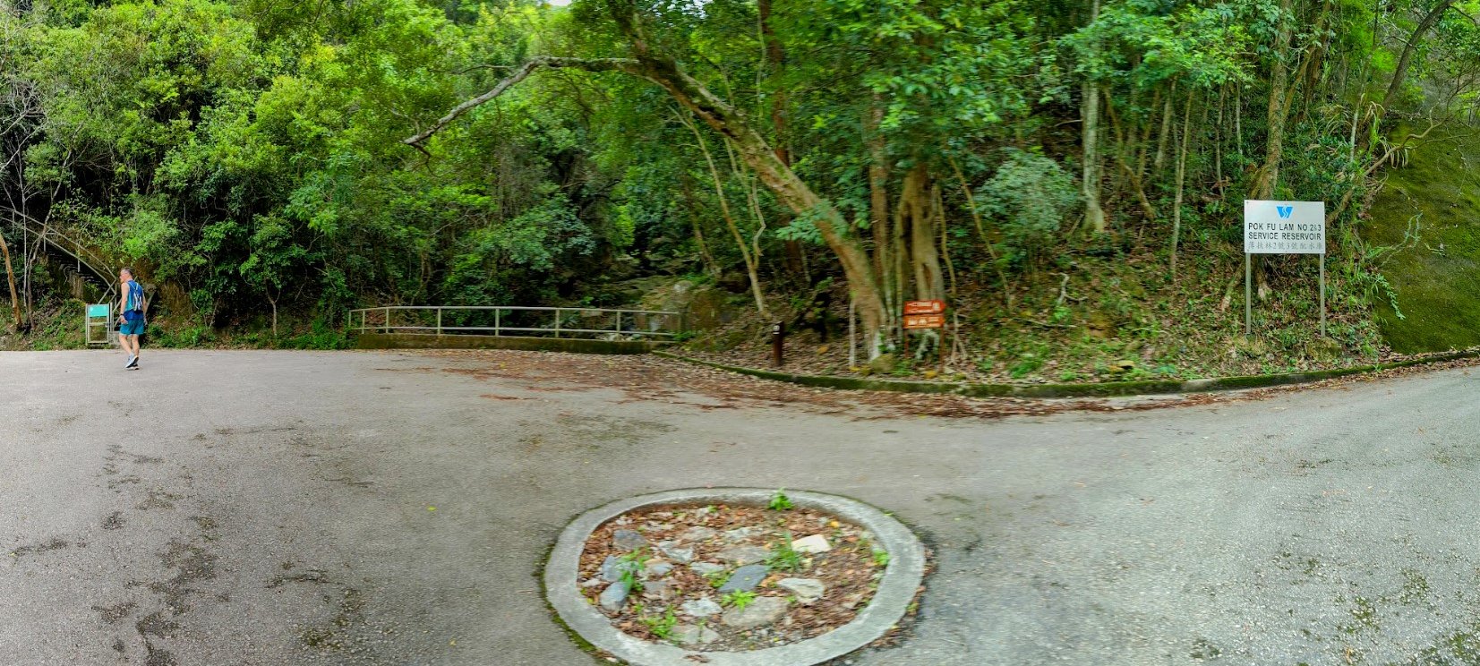
- After alighting at the Pok Fu Lam Reservoir Road bus stop, look for the Pok Fu Lam Reservoir Road sign and walk toward the reservoir
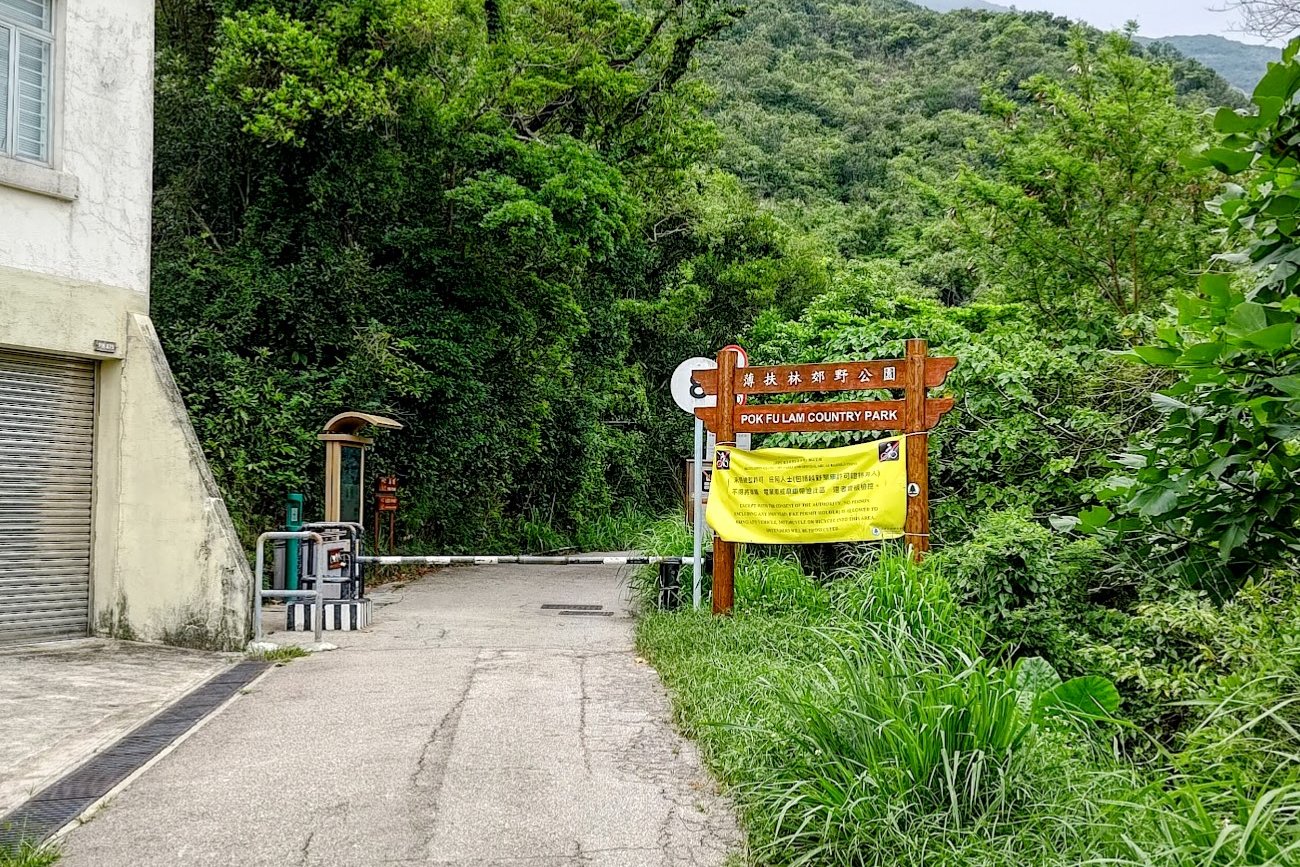
- Follow the concrete road as it gently slopes upward past the reservoir and past the brown Pok Fu Lam Country Park sign
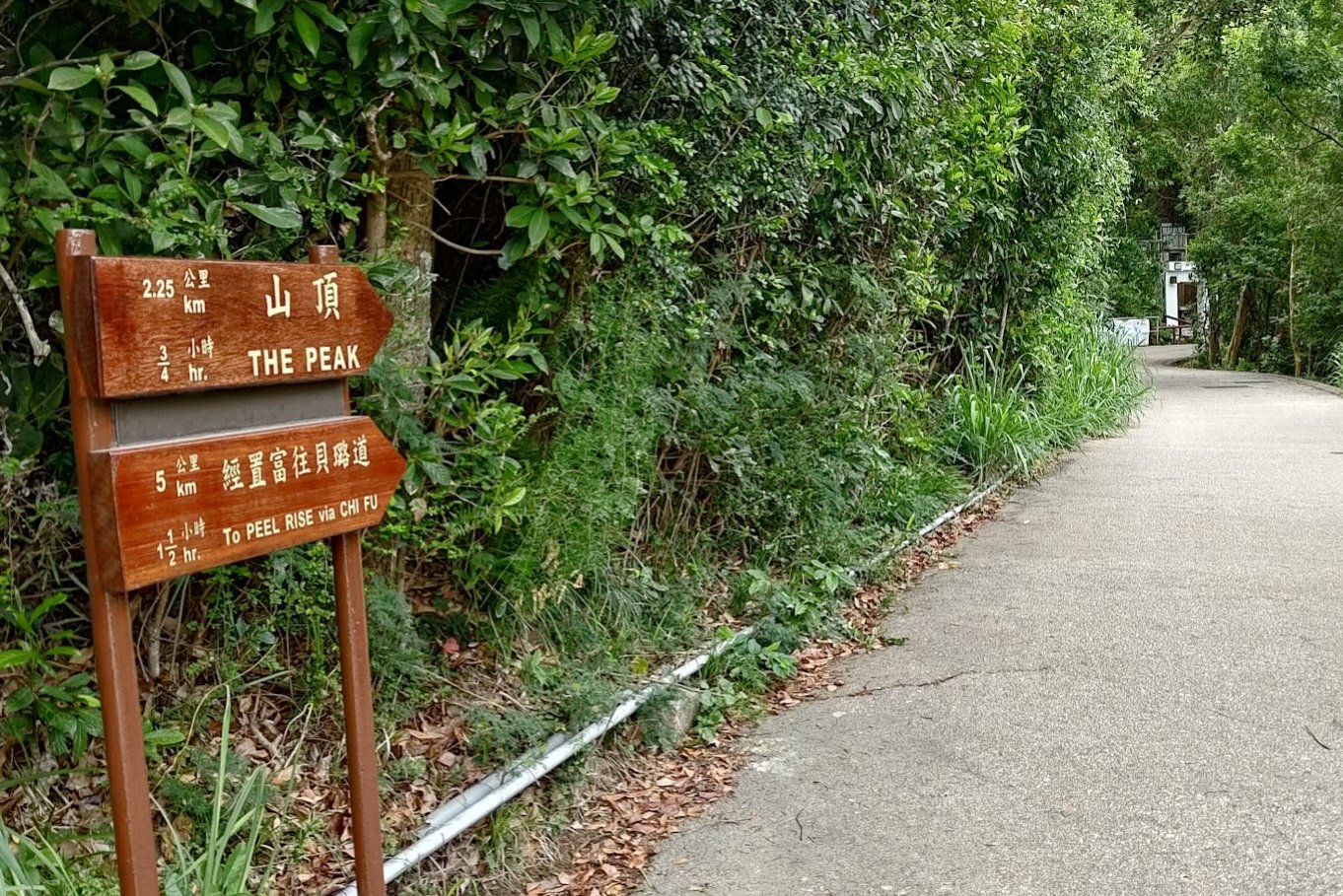
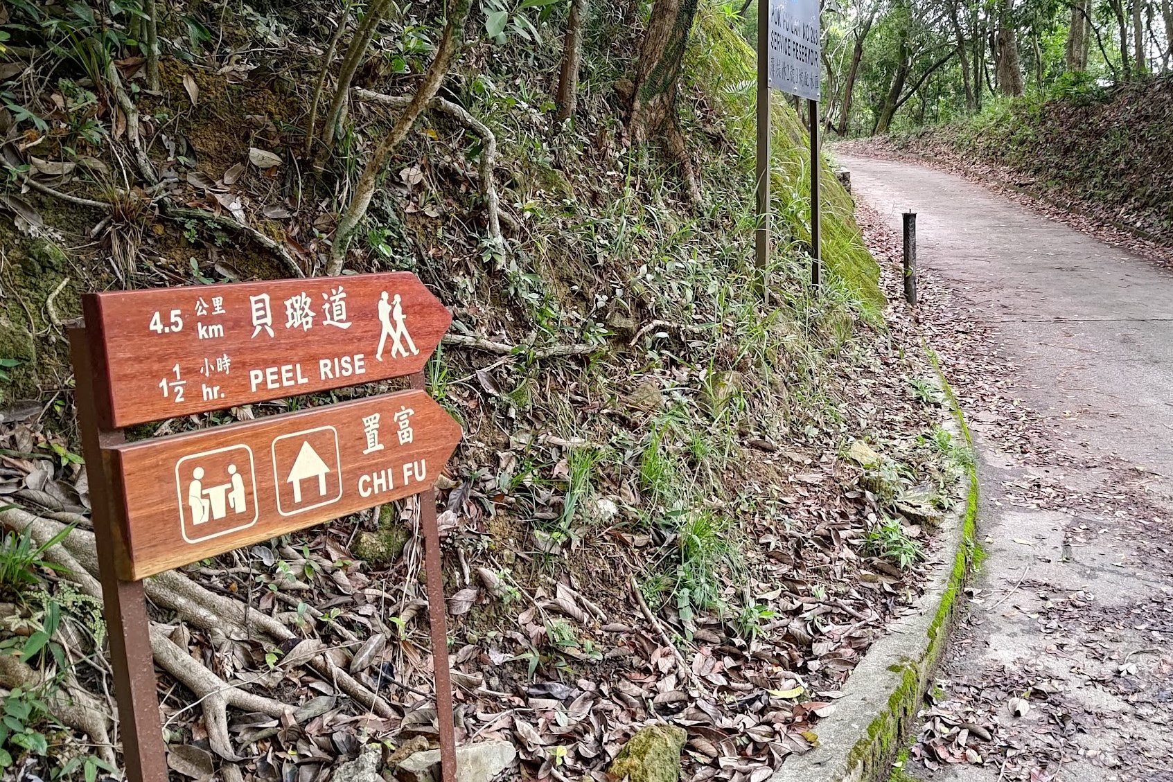
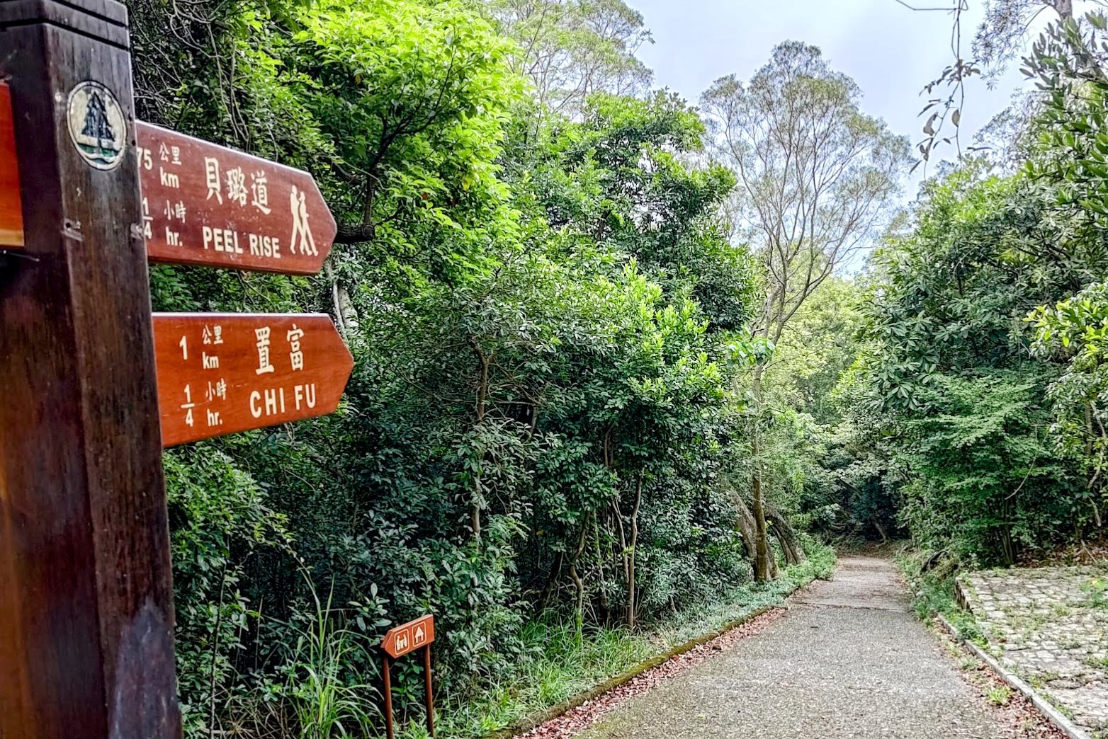
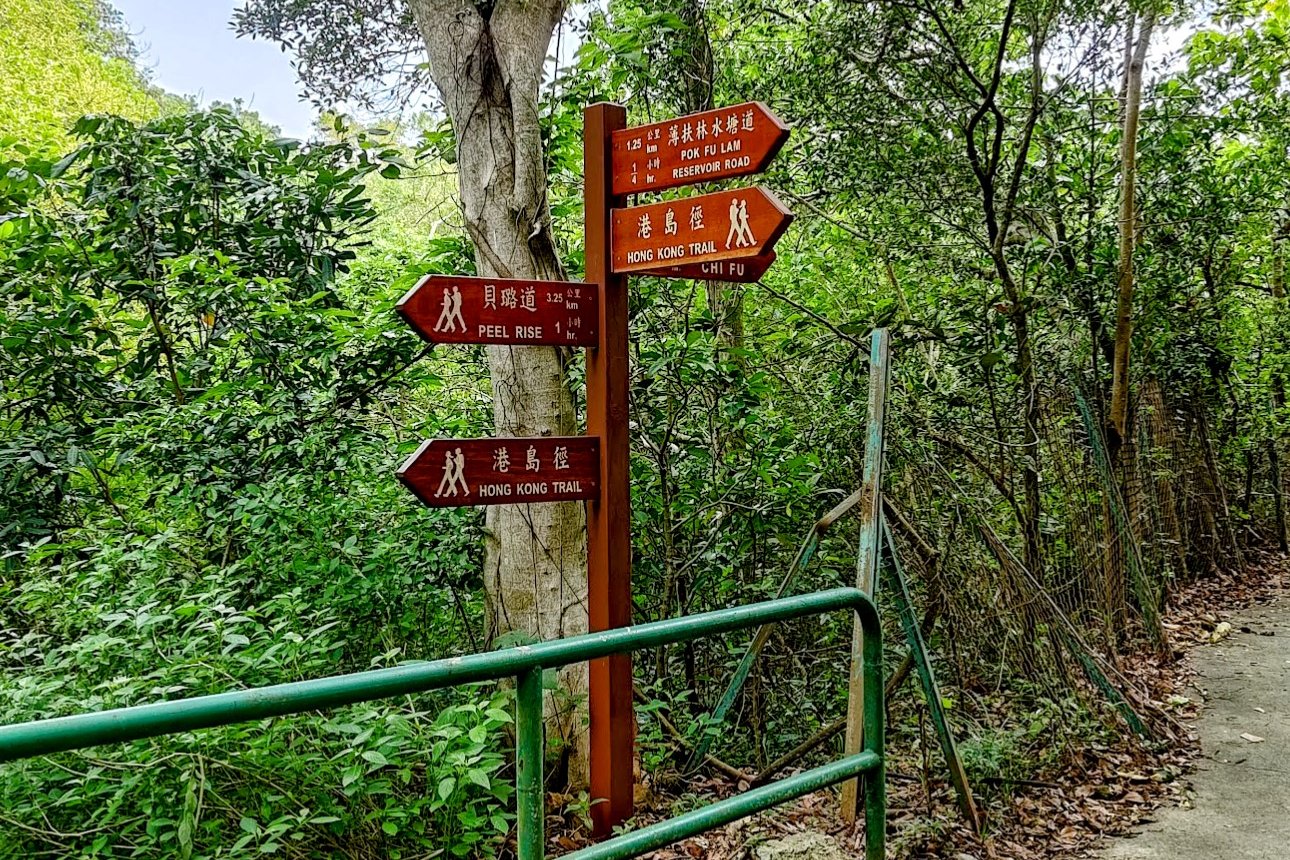
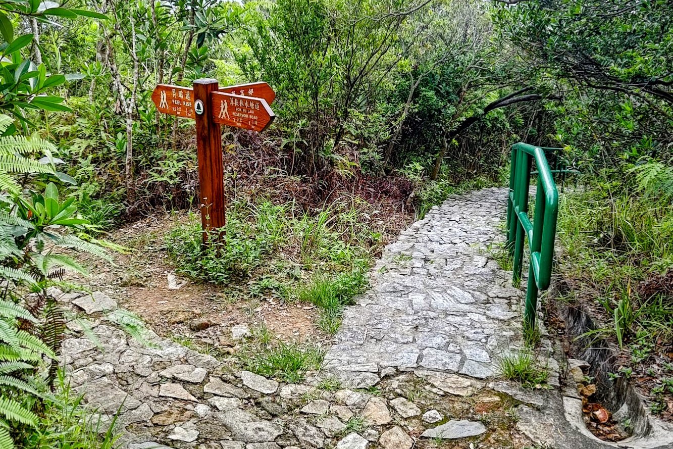
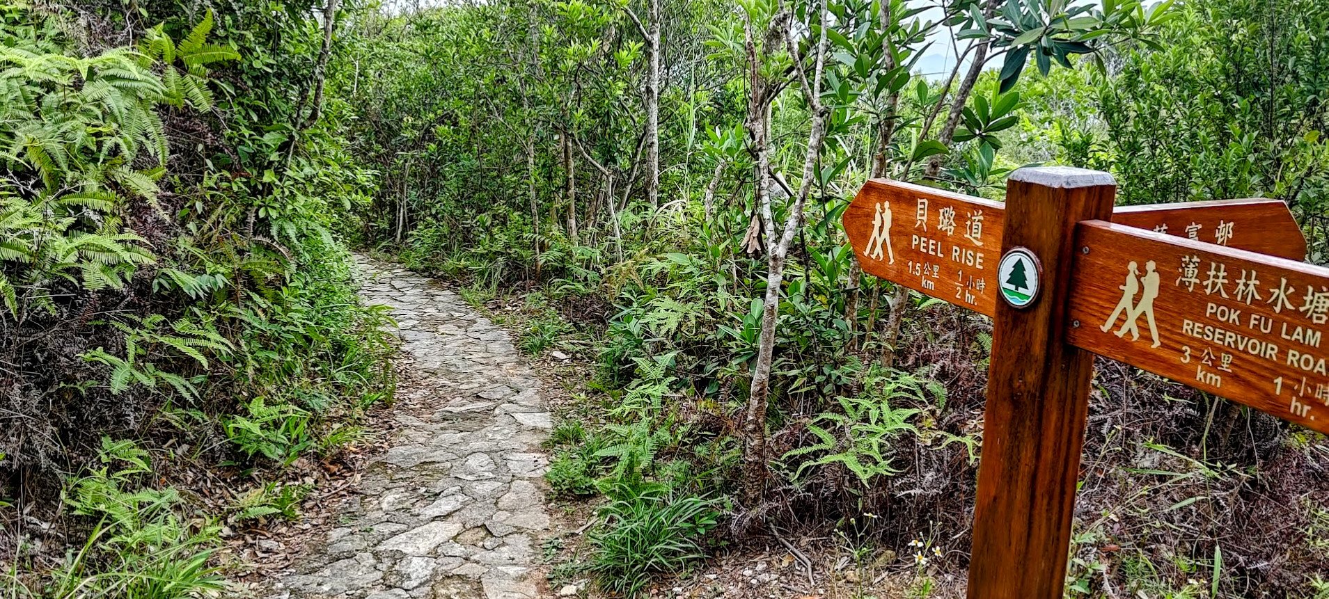
- Right after the country park sign, follow the brown sign pointing to Peel Rise
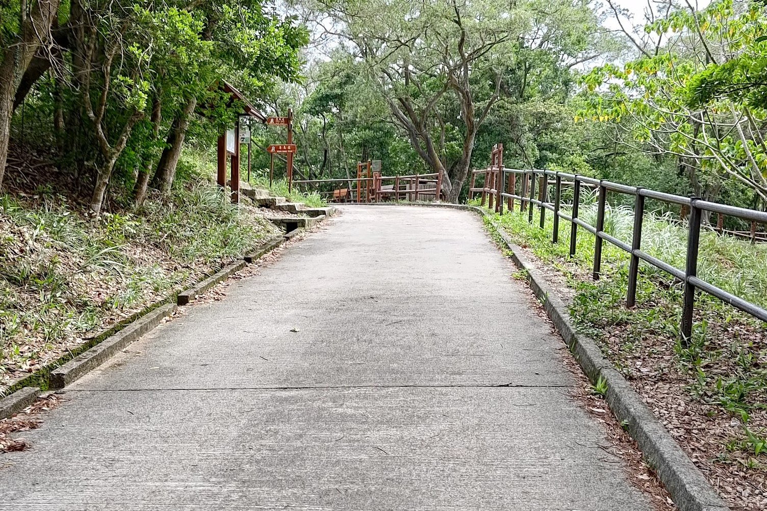
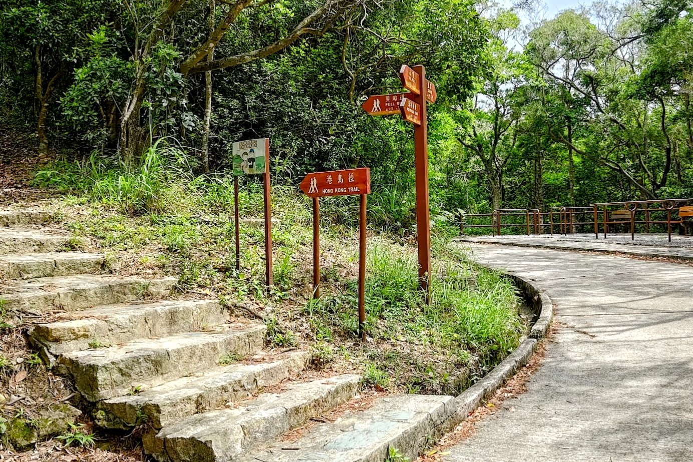
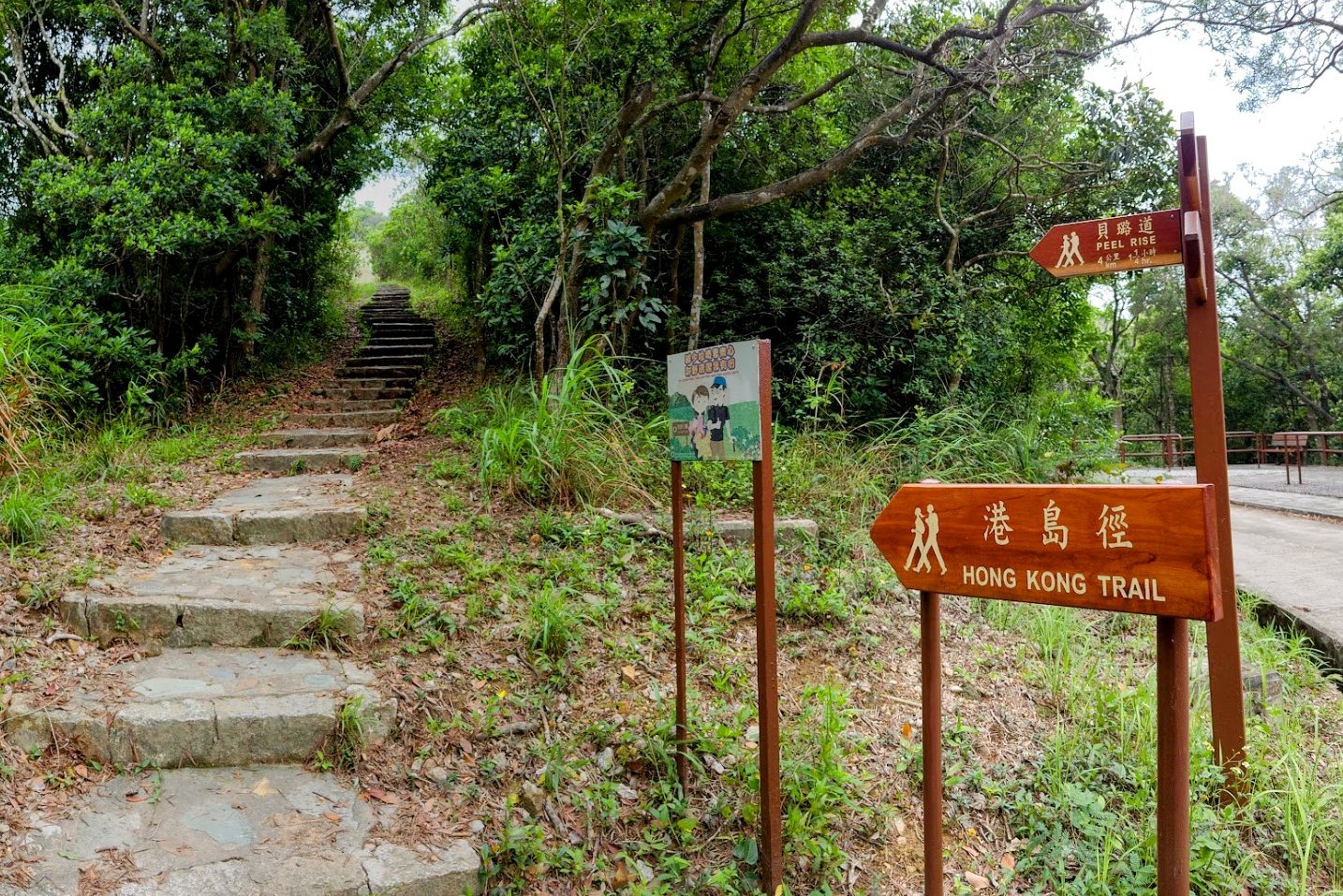
- 10-15 mins later, you'll come to a fork in the trail. Turn right (there's a brown Peel Rise sign pointing the way)
- 5 minutes later, look for the stairs on the left (just opposite the pull up bars). There is a brown Hong Kong Trail sign and a Peel Rise sign higher up
- Take the stairs and follow the brown Chiu Fu sign near the top of the stairs
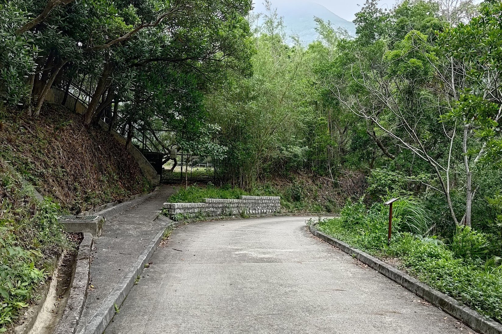
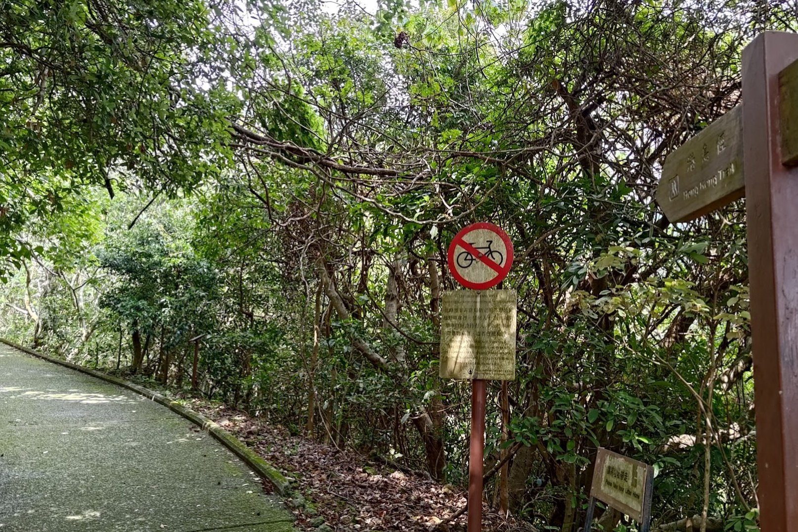
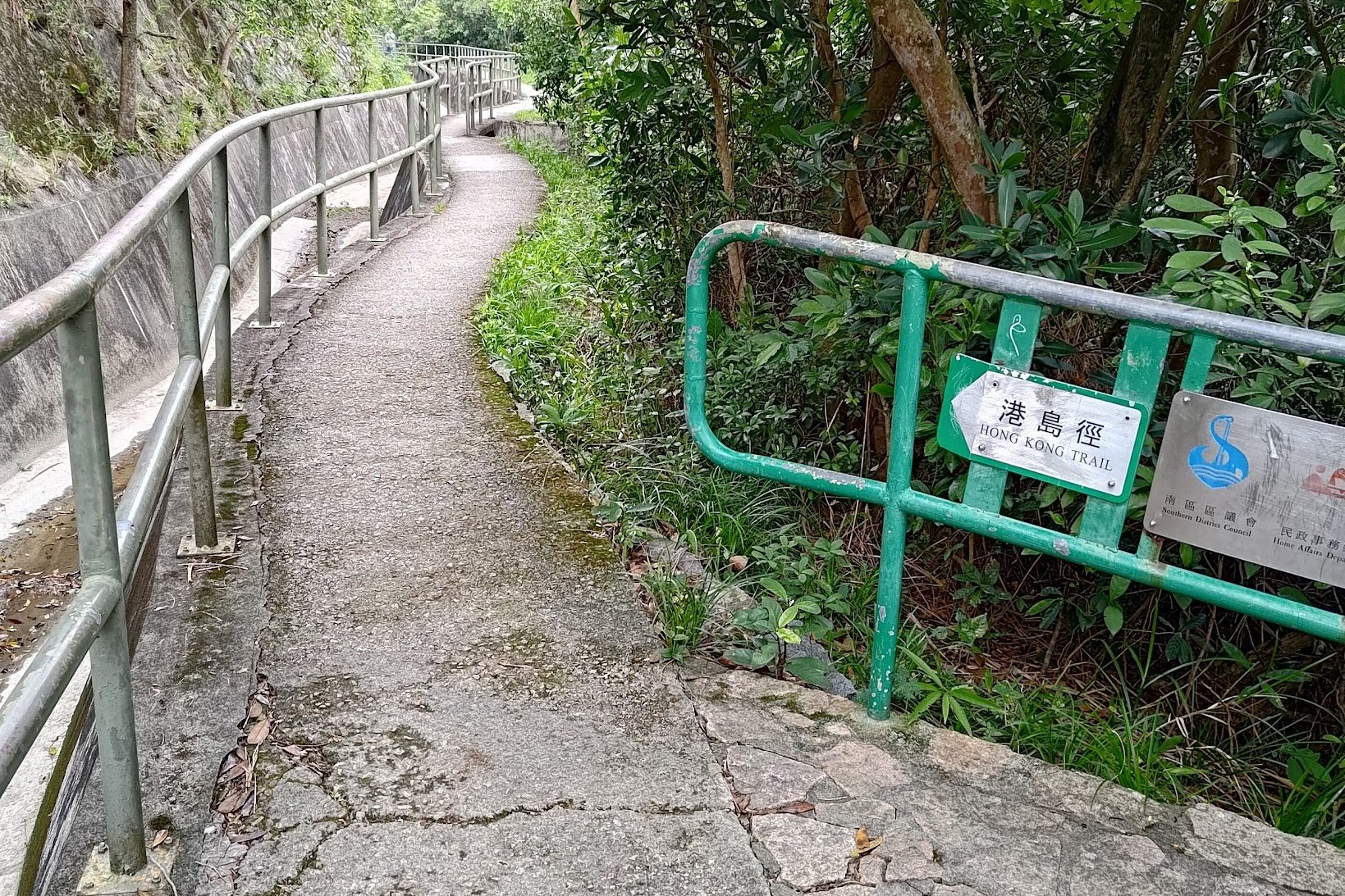
- Stay on the concrete trail and heed the next Peel Rise sign you see
- At the fork in the trail, follow the Peel Rise sign once more
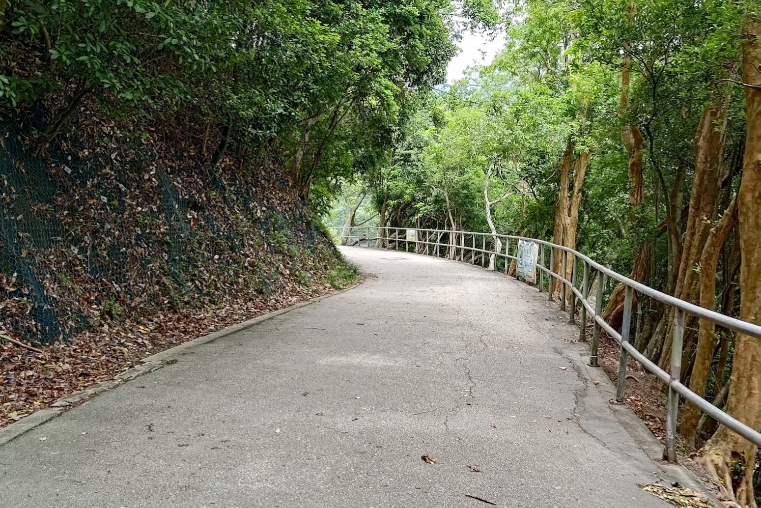
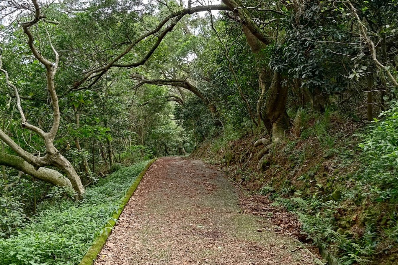
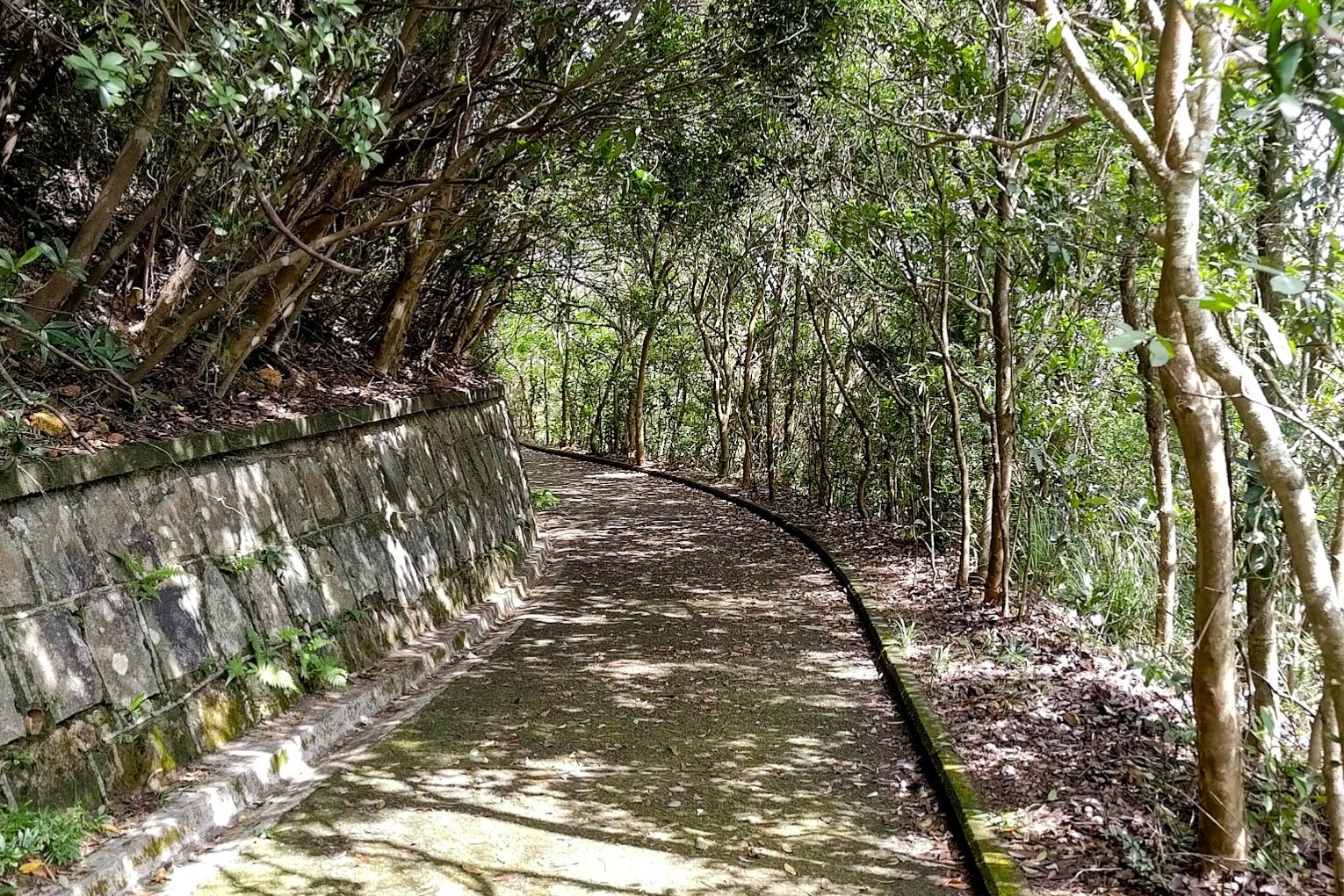
- Follow the trail for 30 minutes as it gently undulates at times
- When you see a red emergency box and a set of stone stairs on the right, take them downward
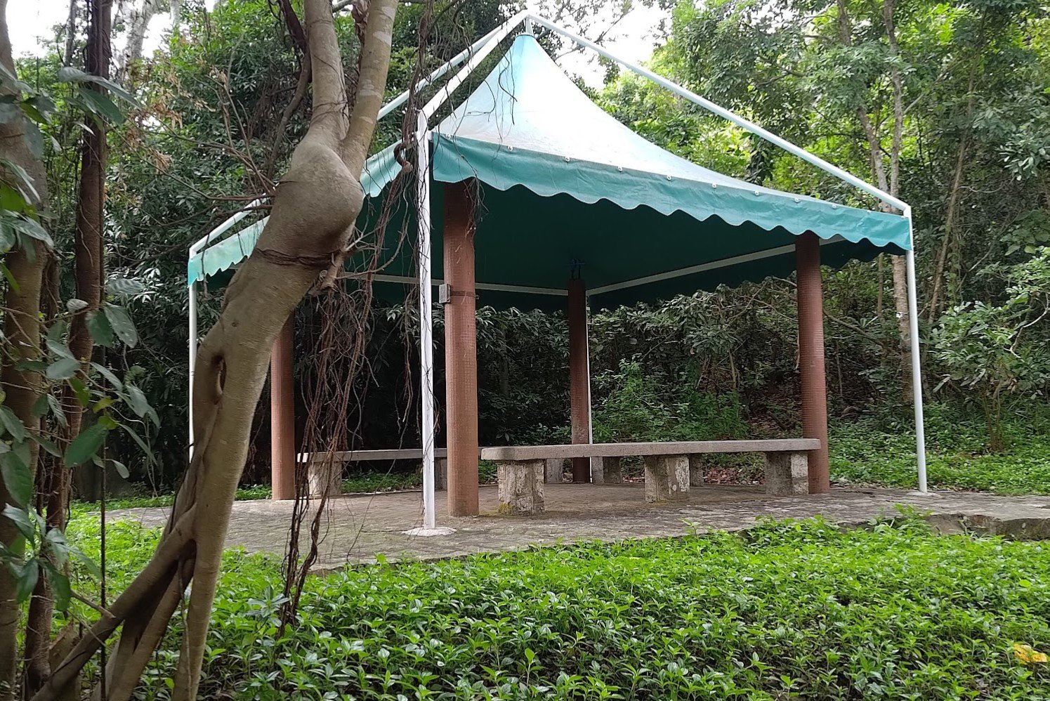
- You will arrive at a green pavilion. Just behind it is an amazing view of Aberdeen!
- Continue down the stairs until you arrive at a set of signs. Take the path on the left with the sign pointing to Peel Rise
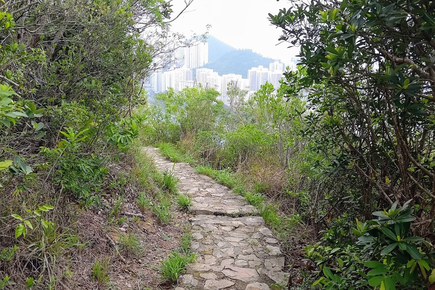
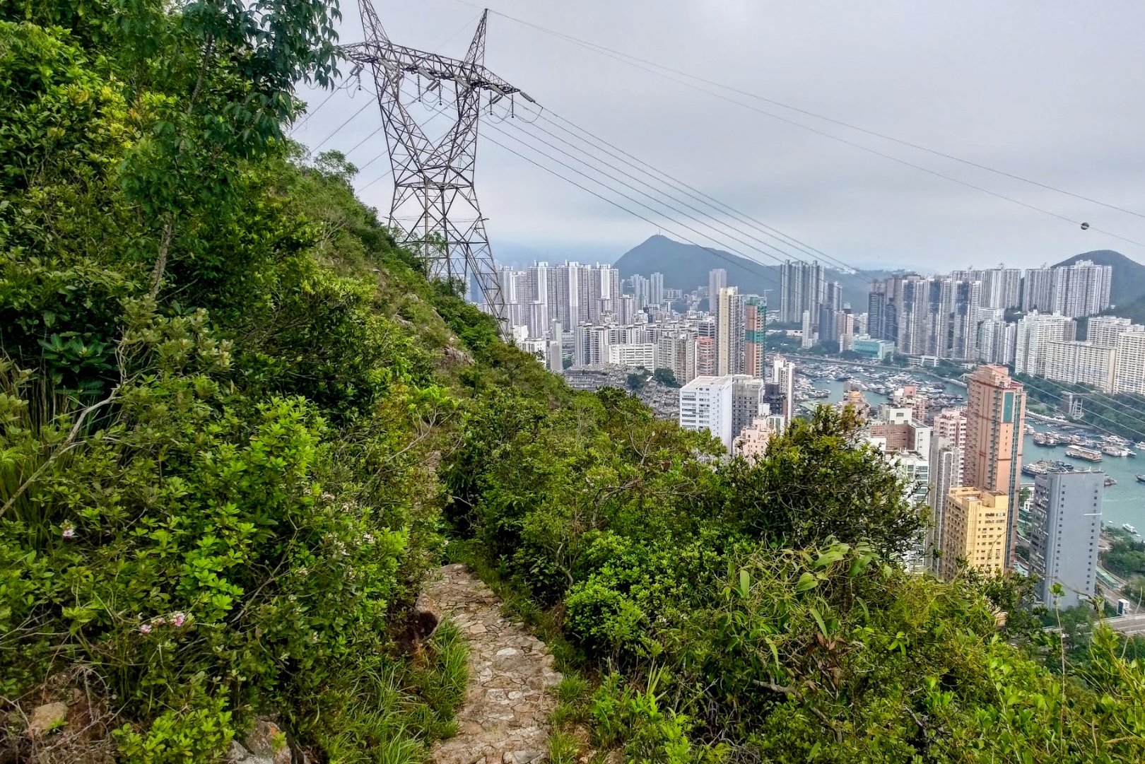
- The trail opens up here, and you'll have awesome views over Aberdeen
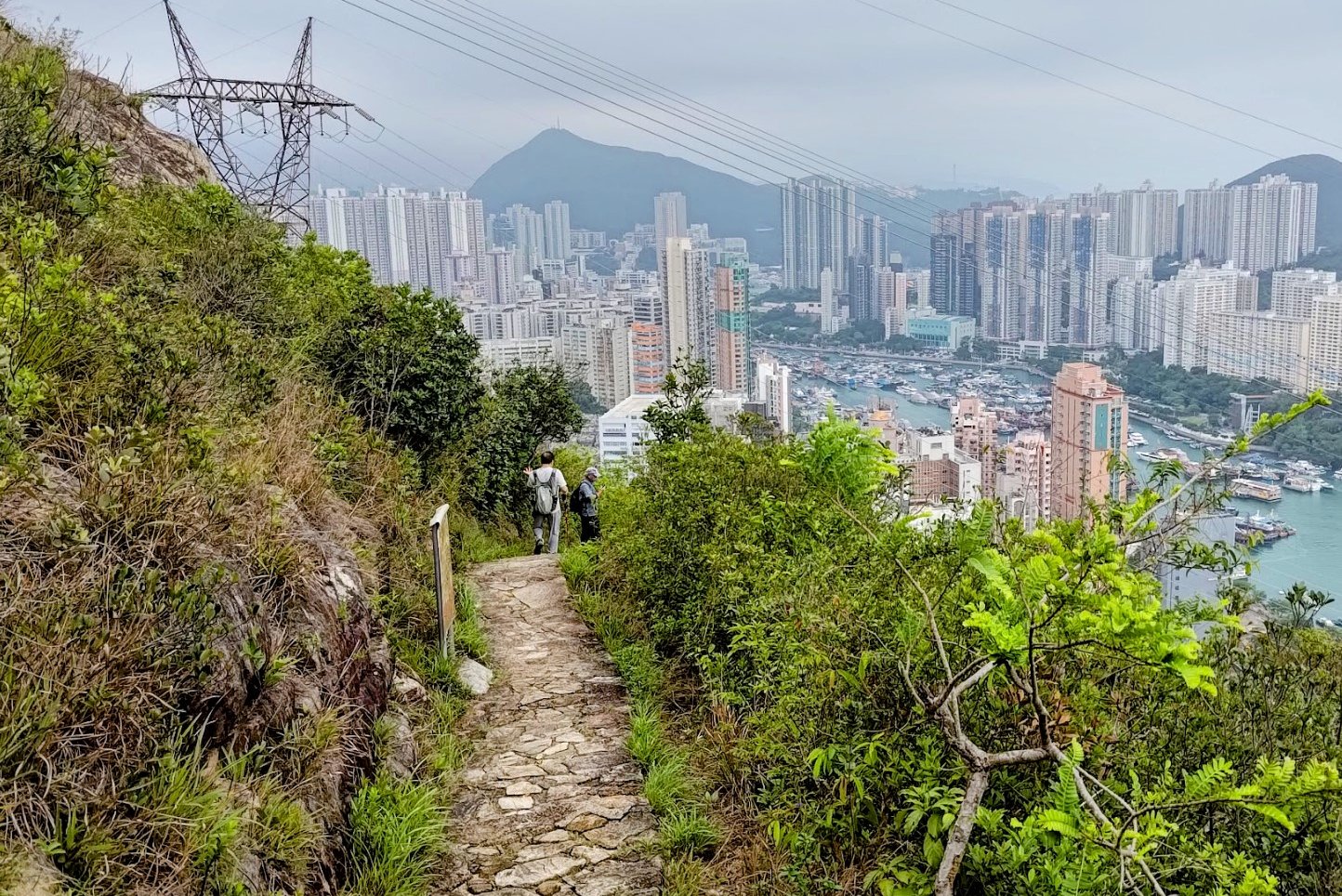
- When you come across some concrete stairs on your left (under the large electrical tower), climb a short way up for a really cool view over Aberdeen
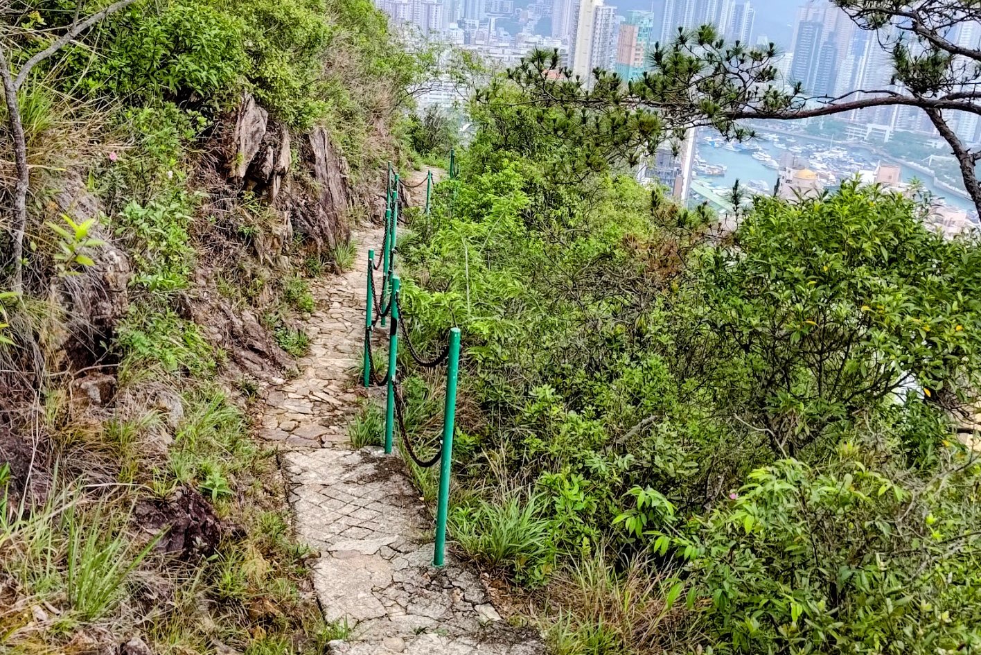
- When you're done, follow the stairs down and then follow the water catchment left
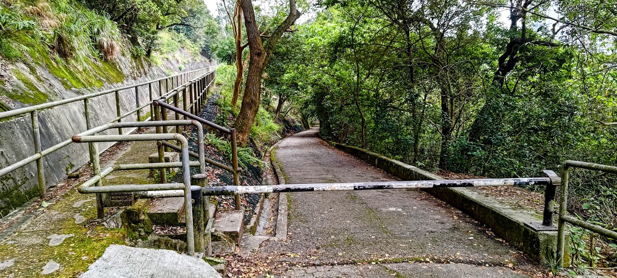
- About 20 minutes later, you'll find a black and white car barrier. Go past it and take the slope downward
- Follow the slope past the Chinese Permanent Cemetery
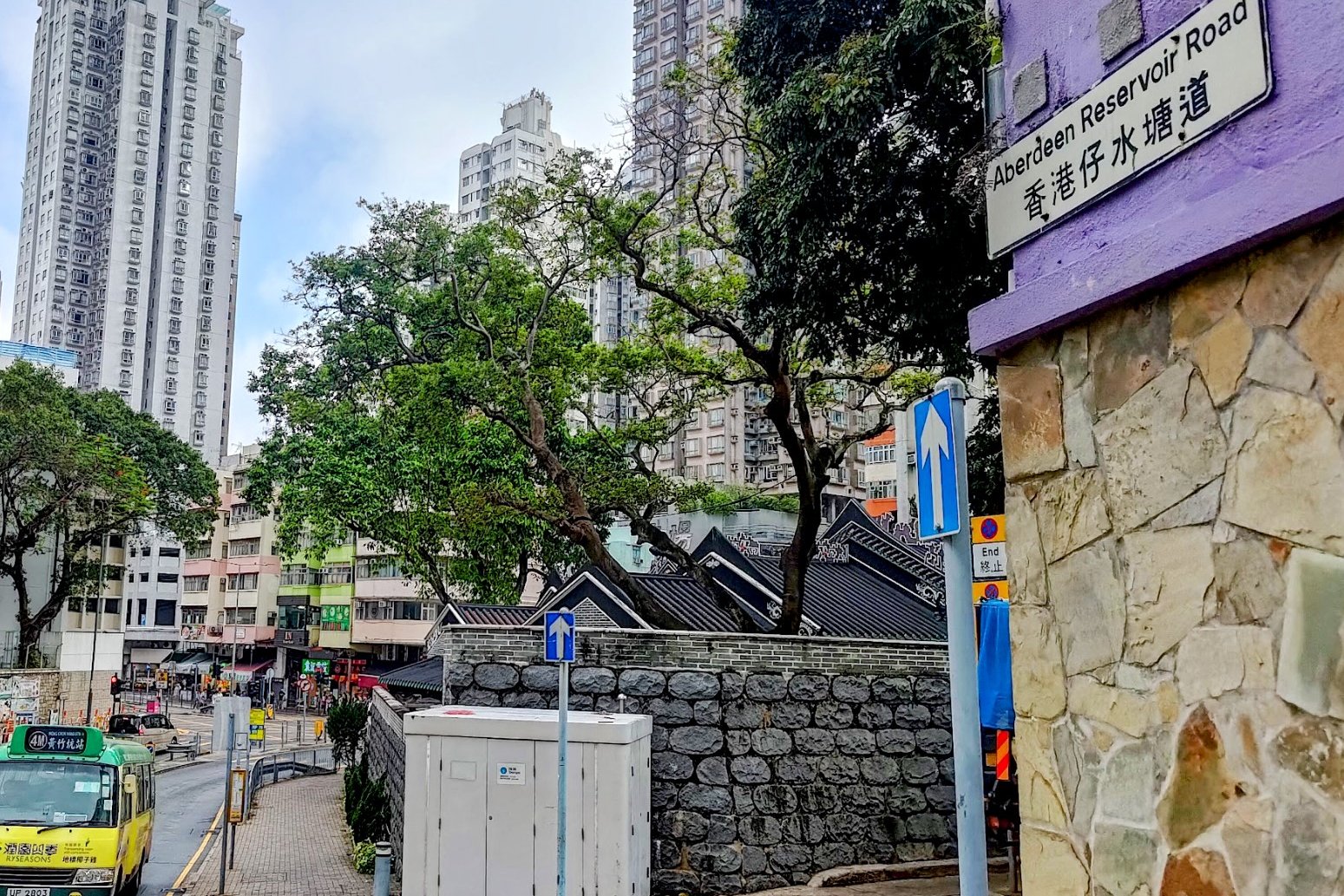
- When you enter Aberdeen, turn right on Aberdeen Reservoir Road (sloping downward)
- Once you're in Aberdeen, there are plenty of buses to take you back into the city. No MTR in Aberdeen (as of 2025)
Bus Stop to Pok Fu Lam Reservoir
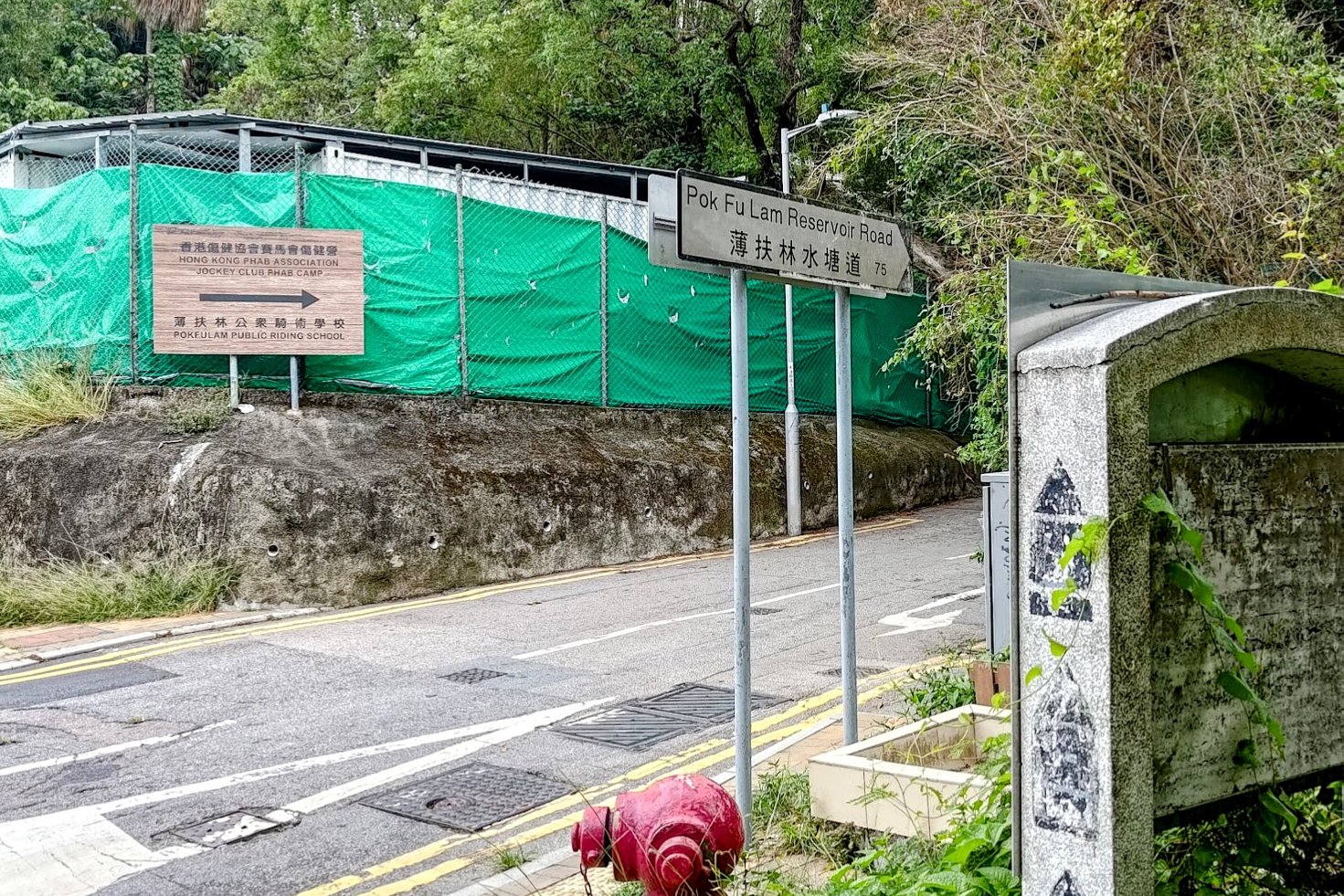
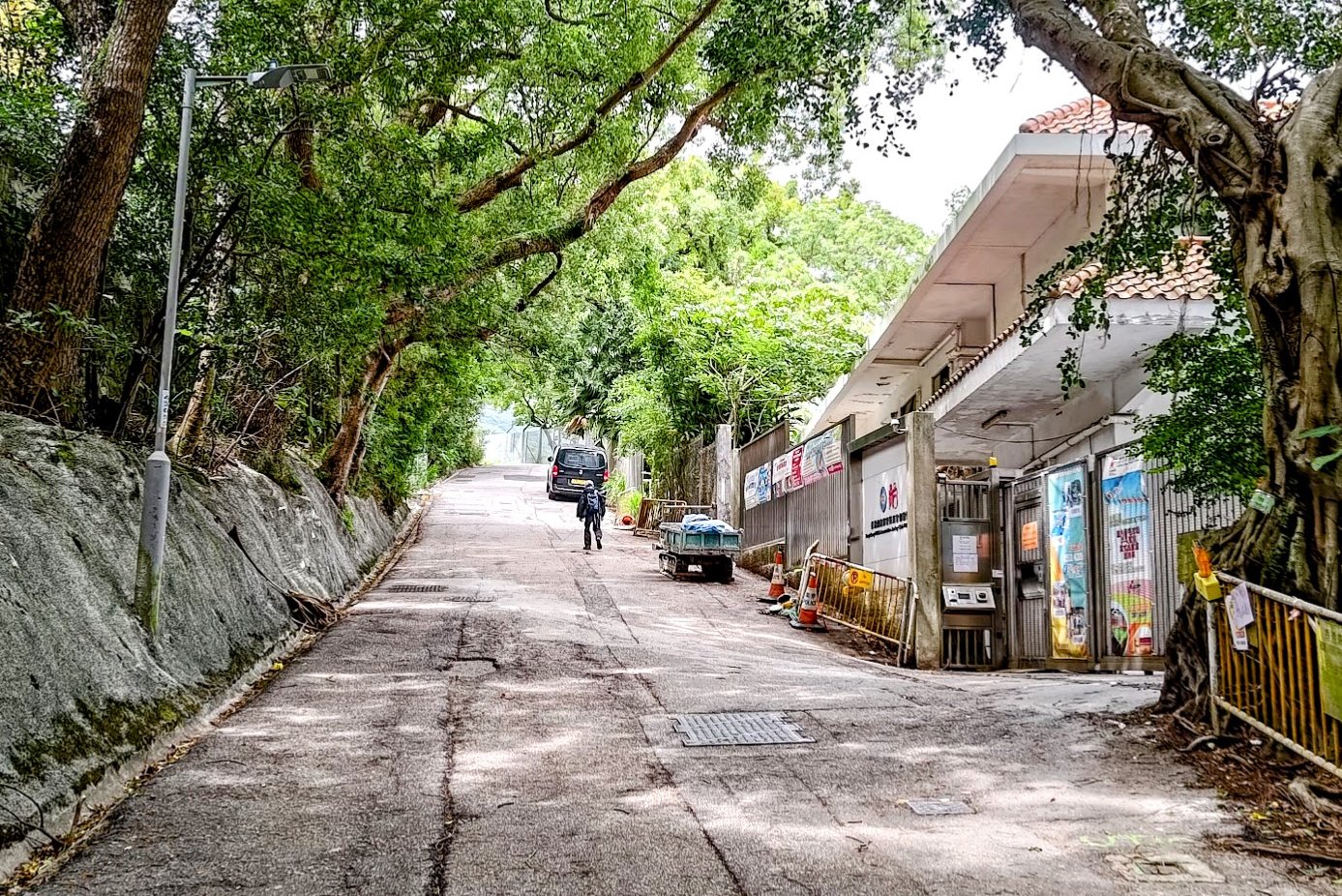
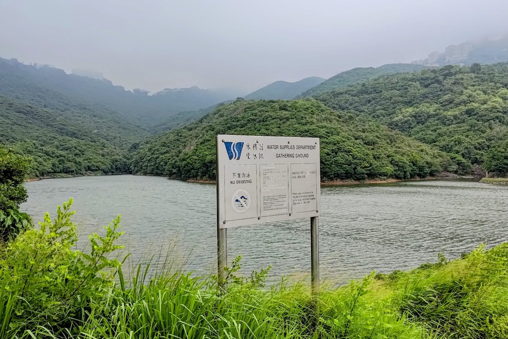
This portion of the hike only takes 5 minutes or less. Once you find Pok Fu Lam Reservoir Road, follow it as it ascends upwards at a rather steep angle.
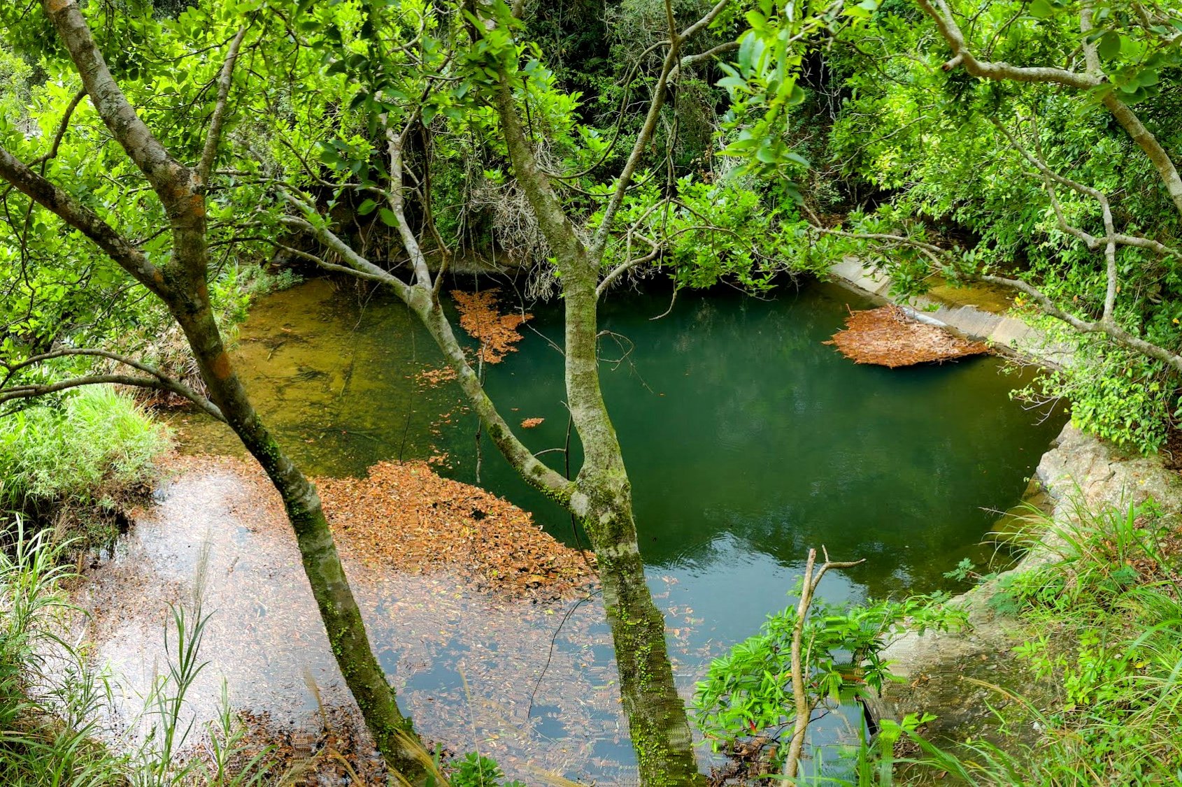
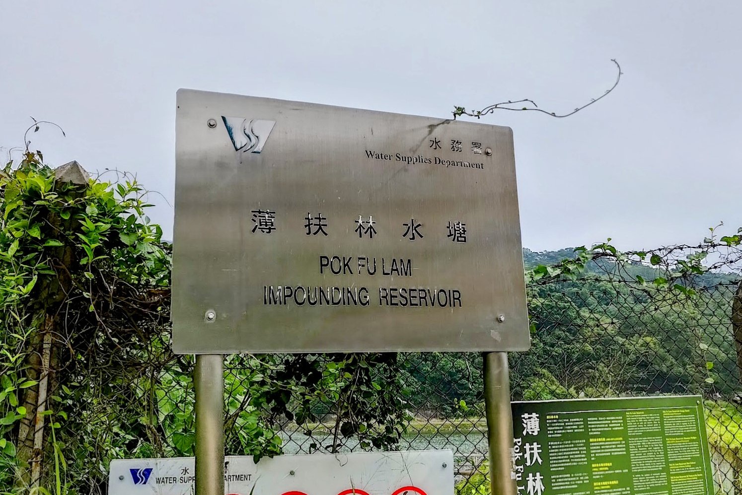
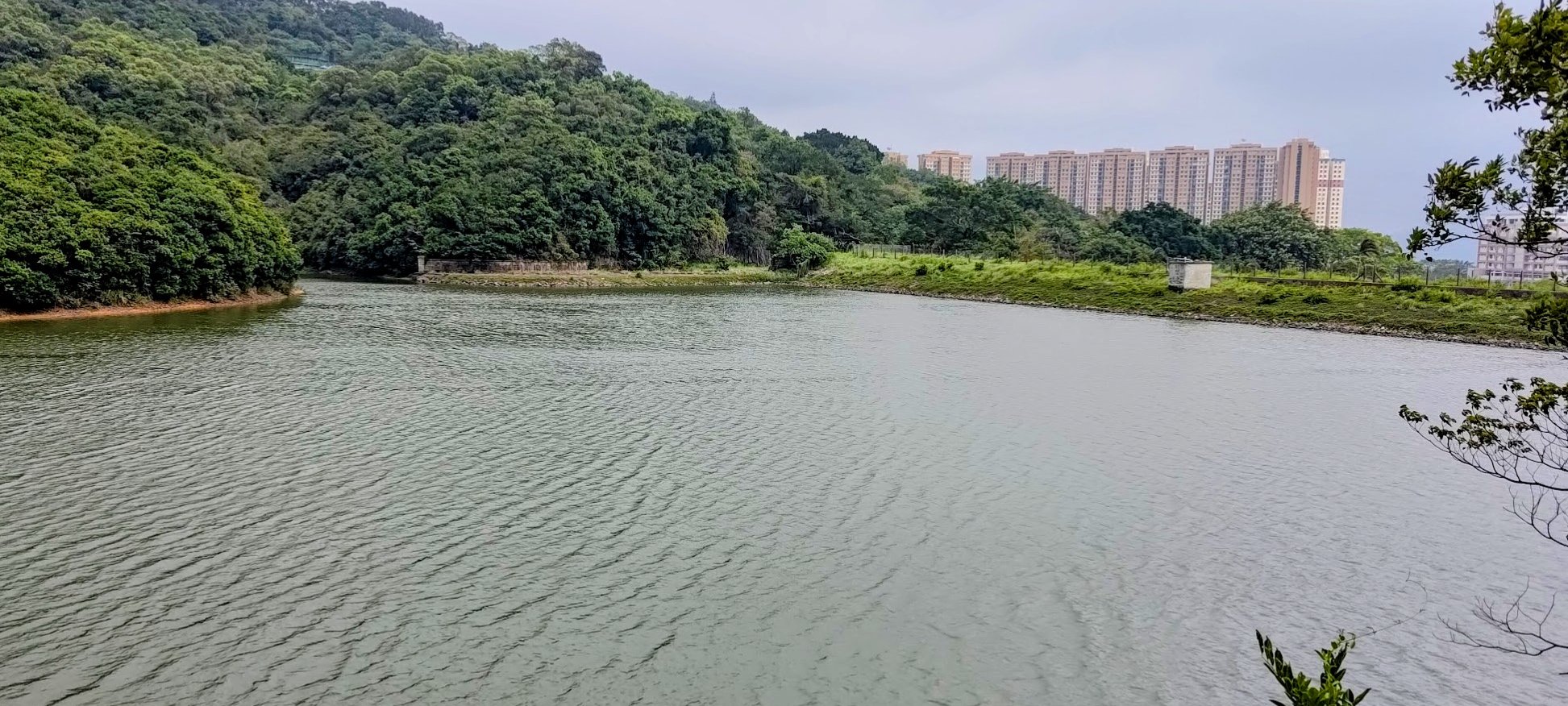
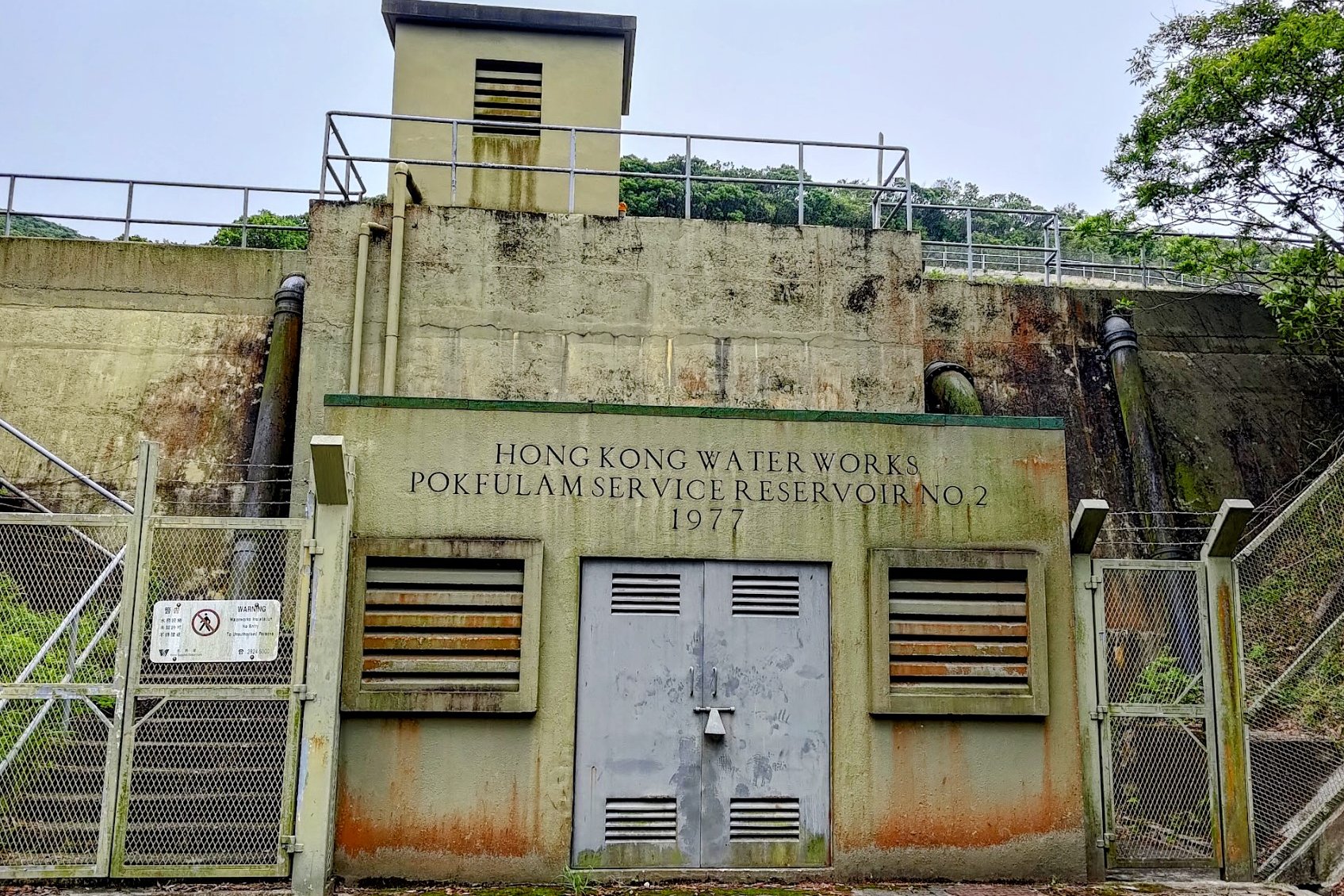
A few minutes later, you'll arrive at Pok Fu Lam Impounding Reservoir.
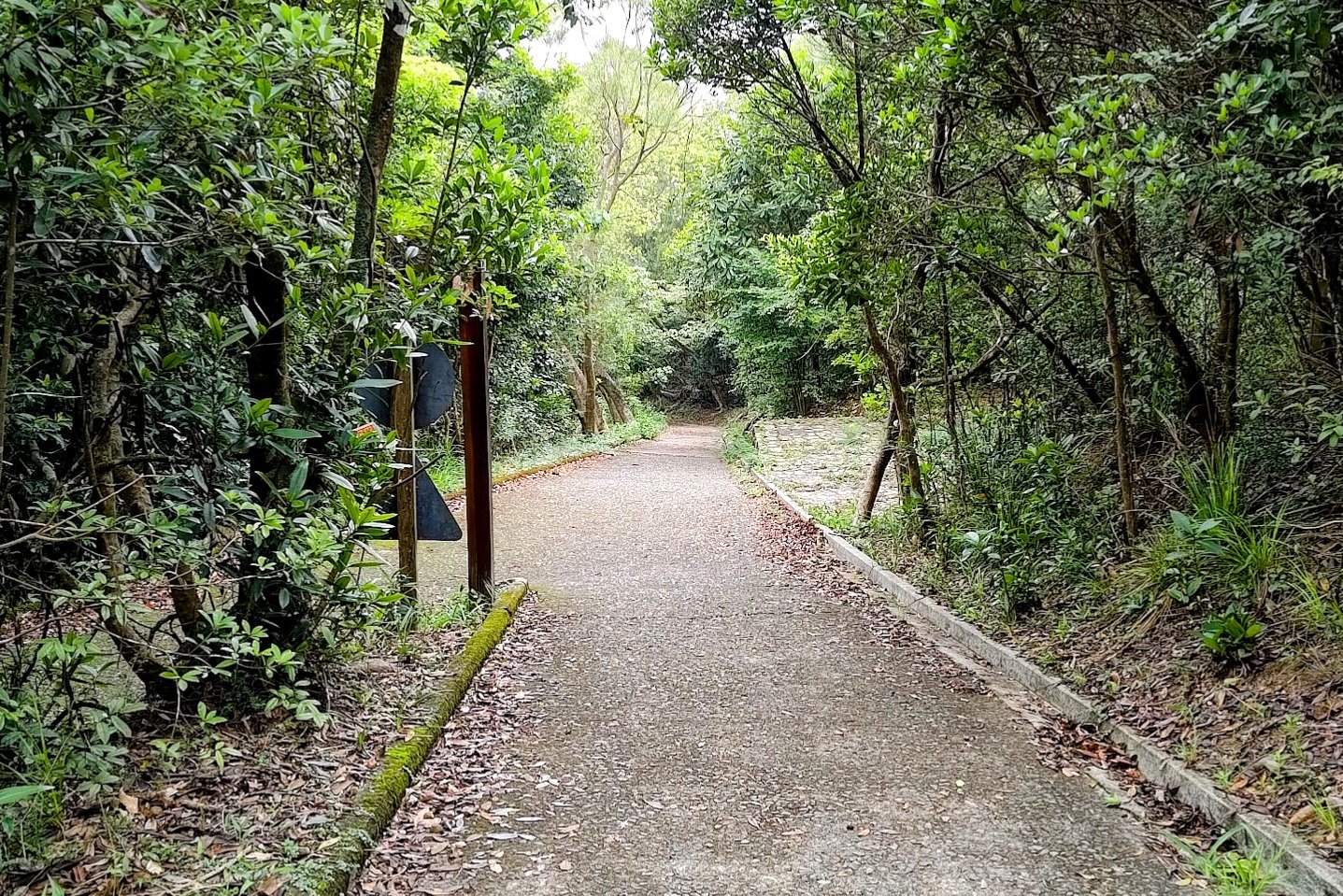
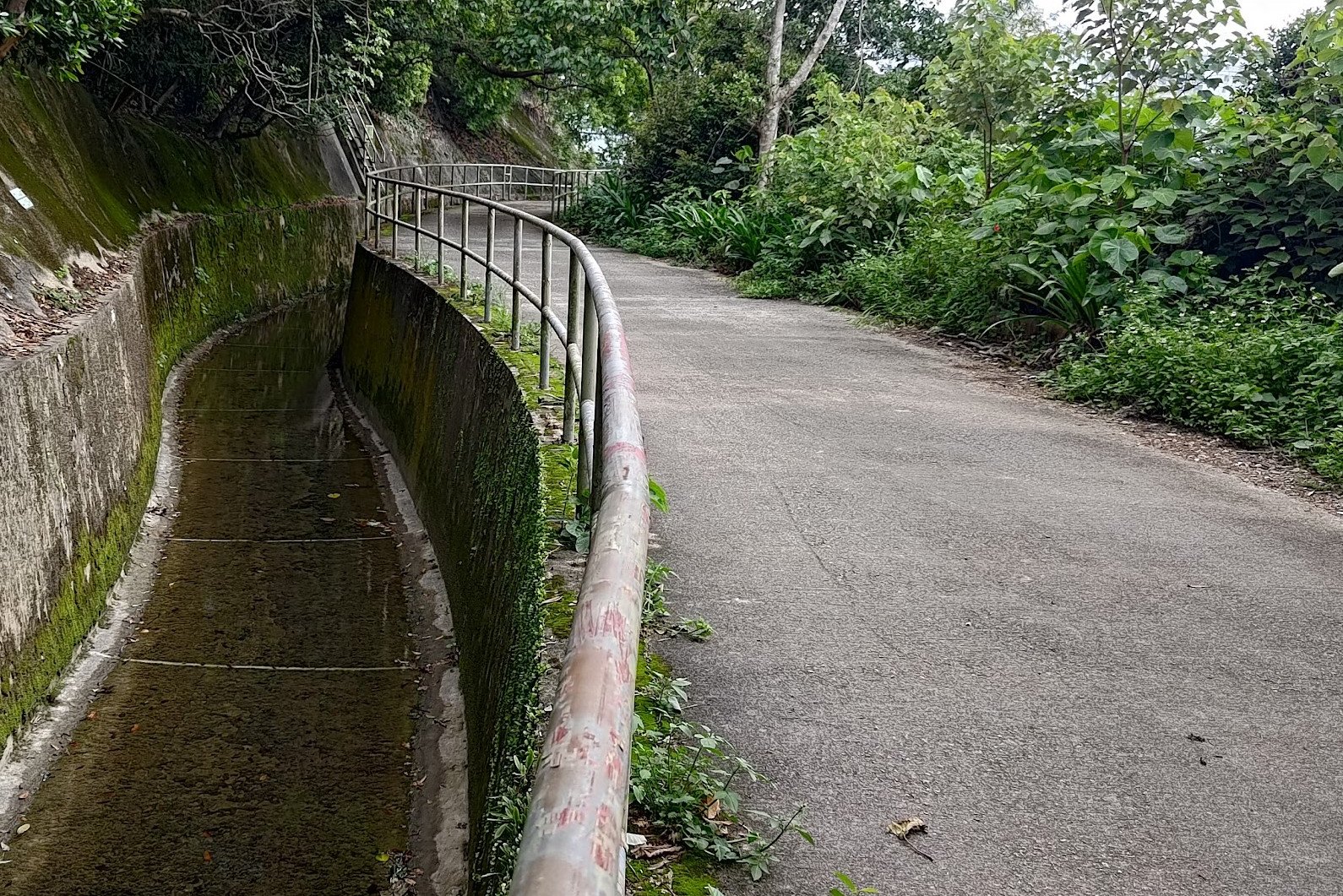
World War 2 Bunkers and Chinese Water Dragons
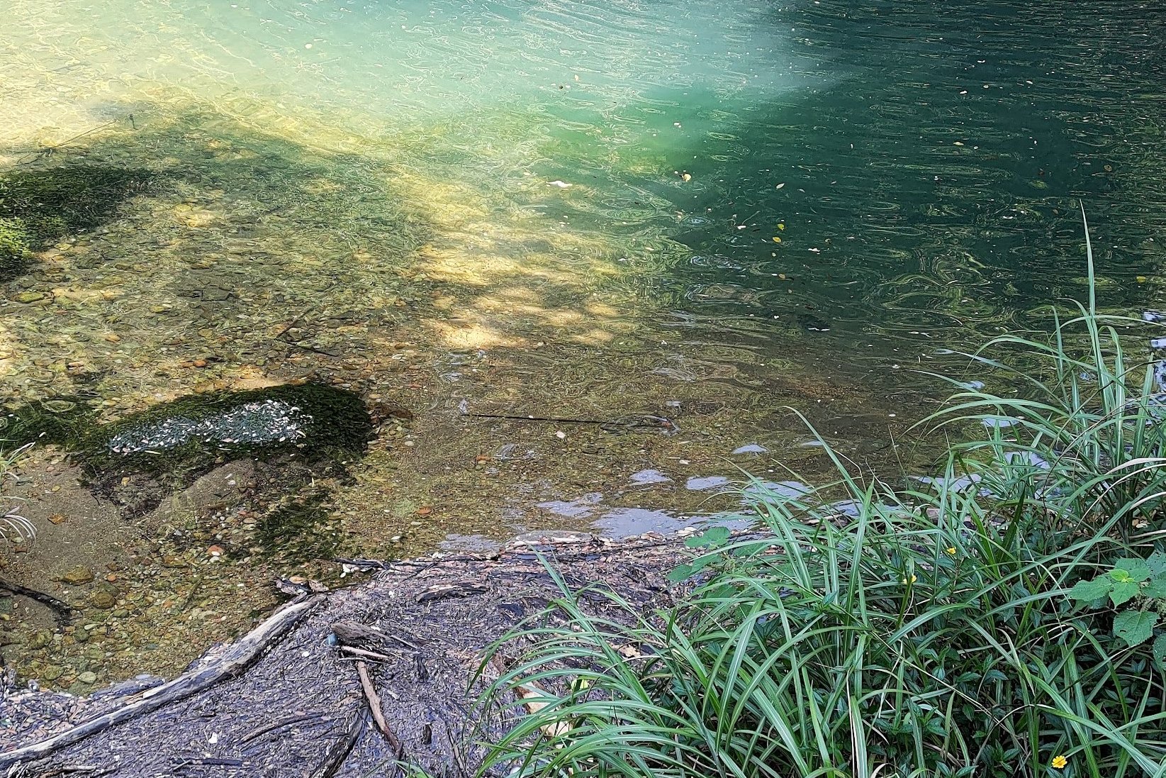
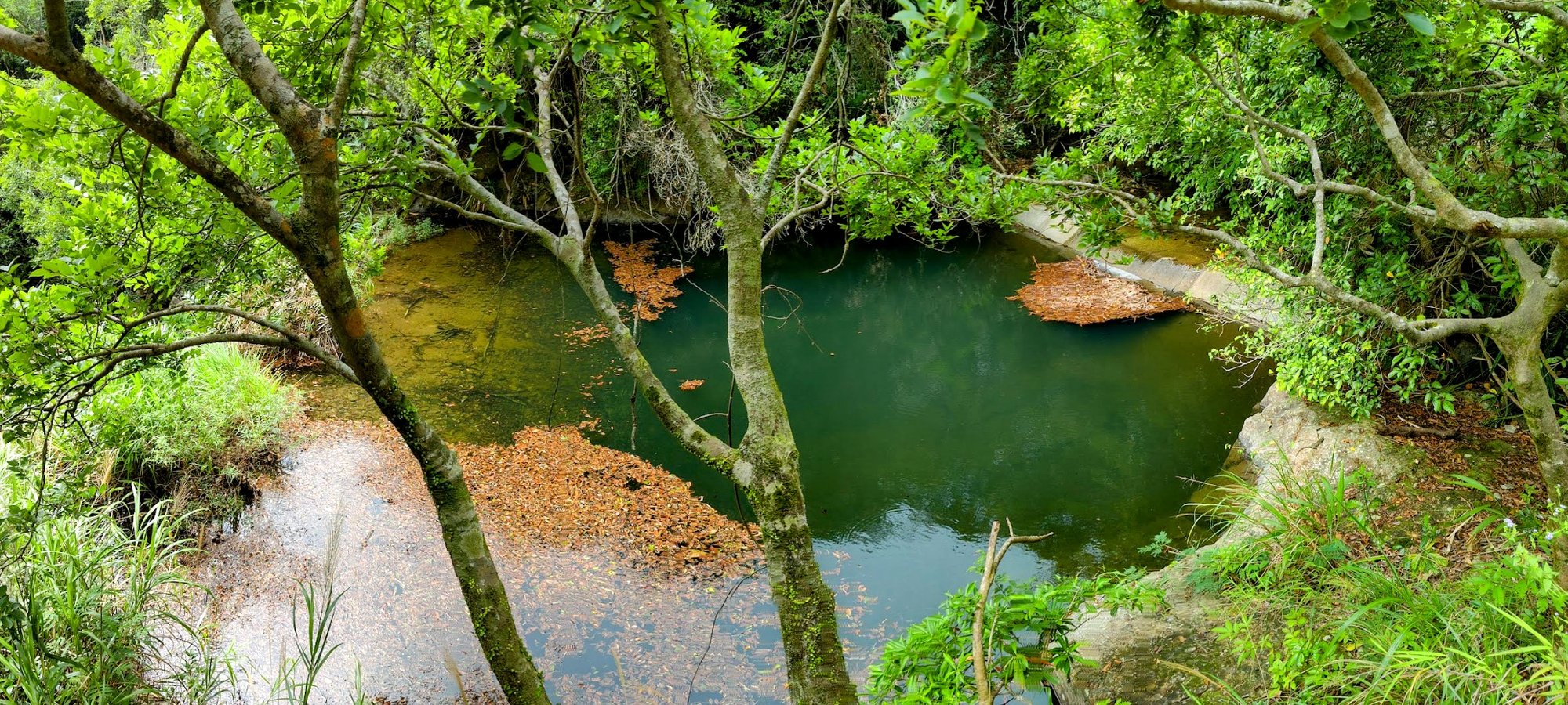
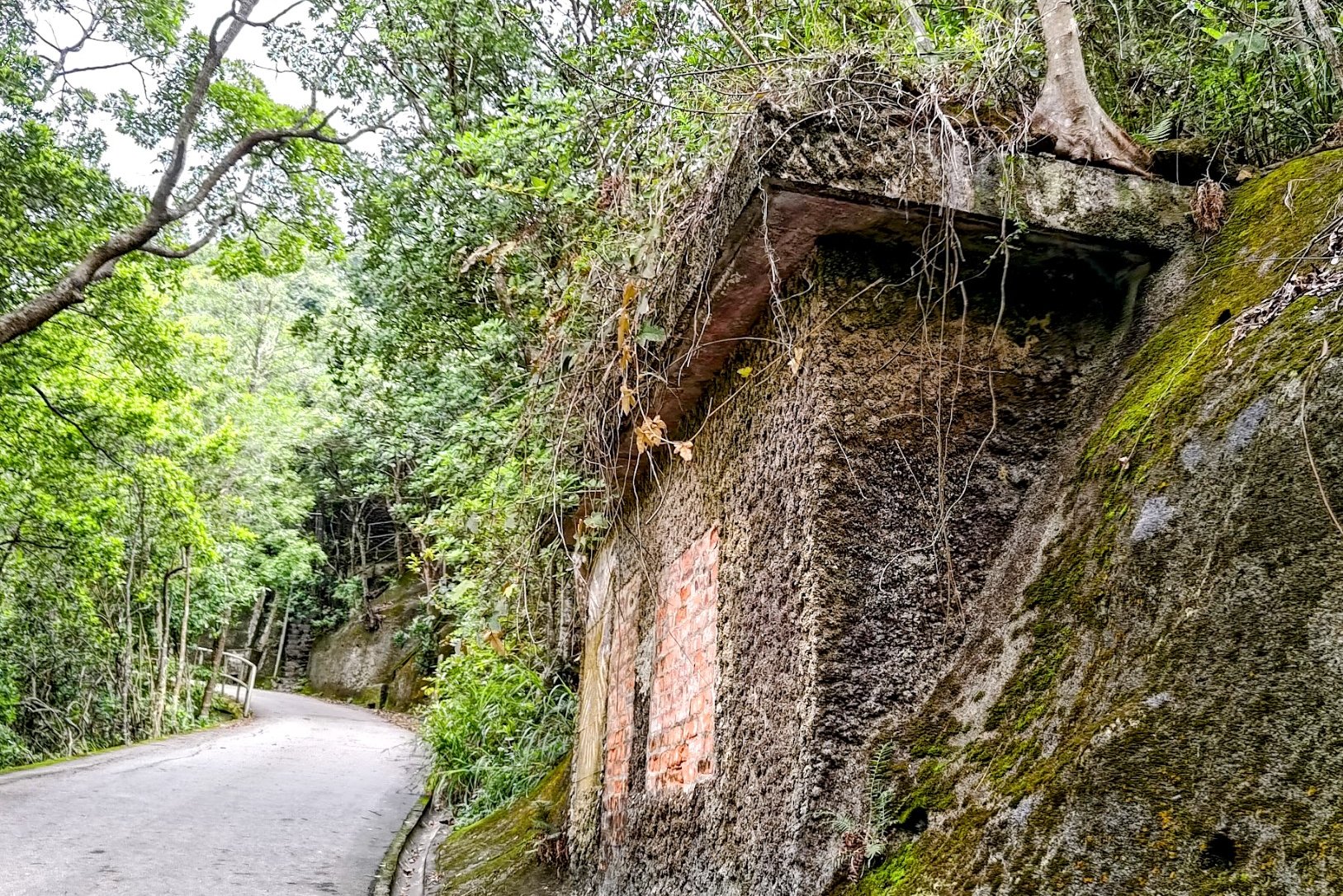
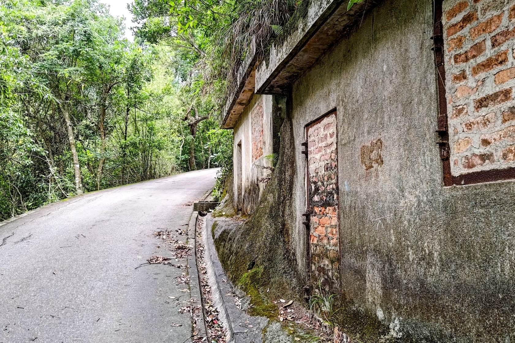
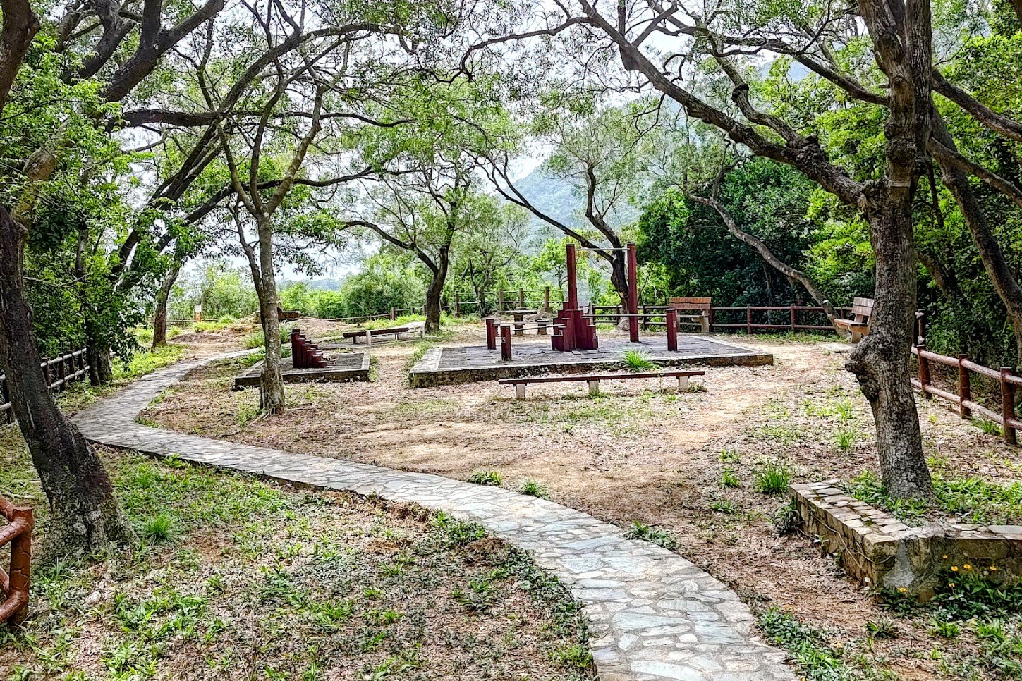
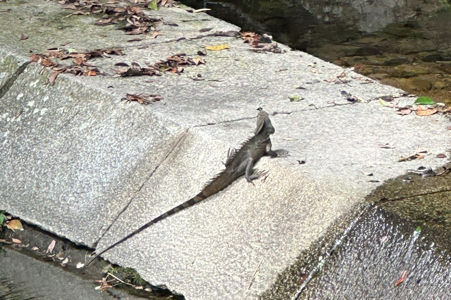
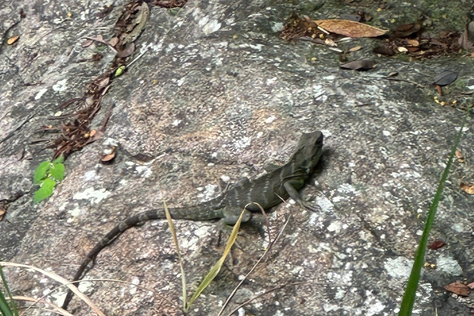
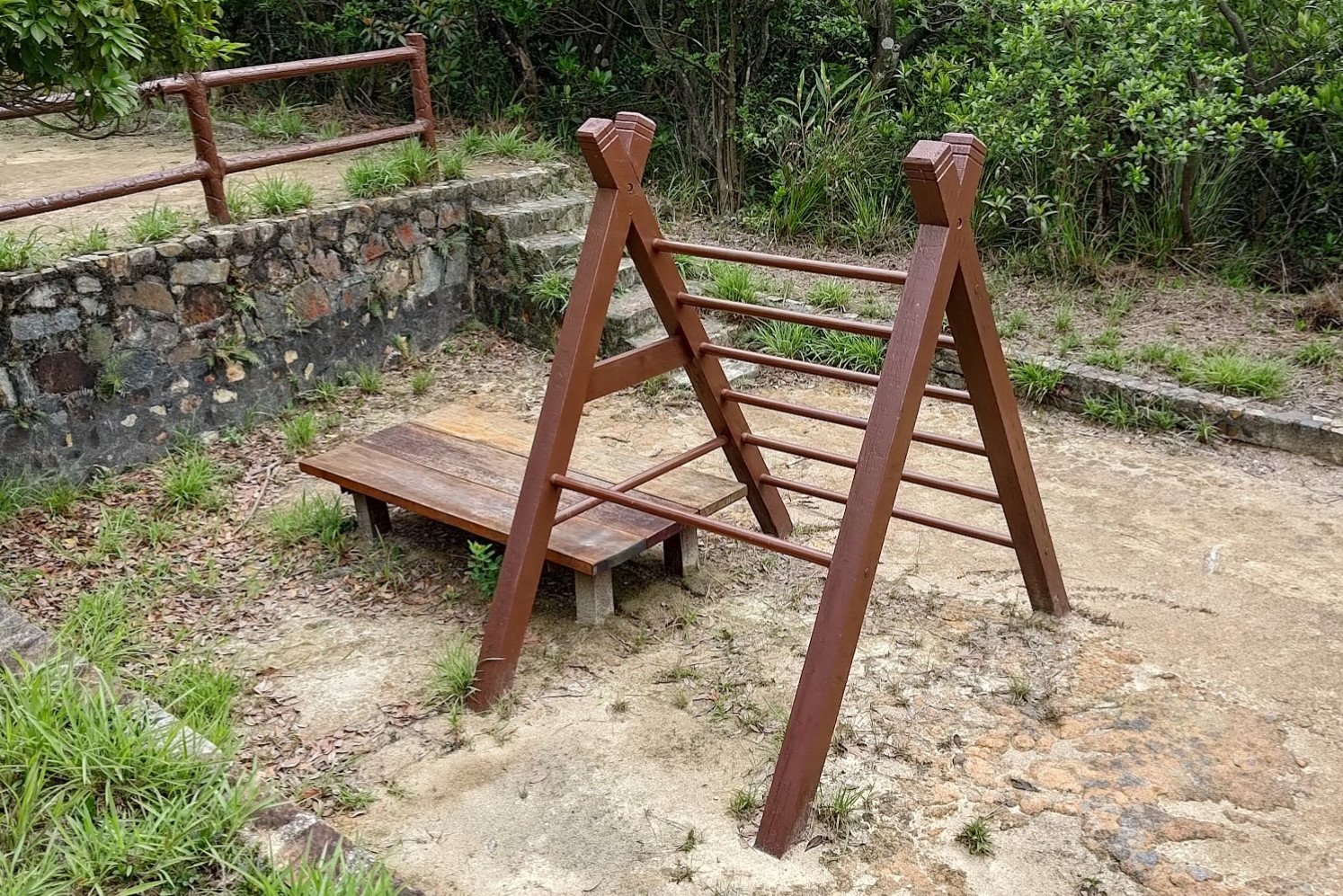
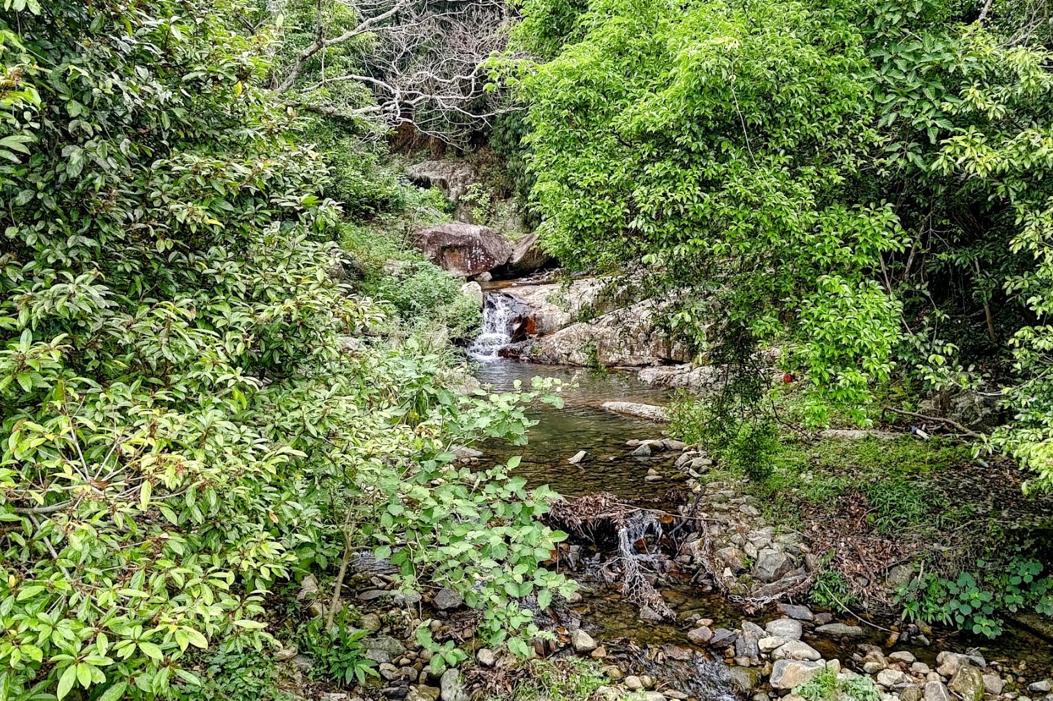
This entire entertaining portion of the hike can be completed in about 20 minutes. You'll go past some beautiful pools of water, have the chance to spot Chinese water dragons, witness some old World War II structures, and even get to do some pull-ups if you're so inclined.
Should you spot any Chinese water dragons along the trail, please be respectful of them and give them a wide berth.
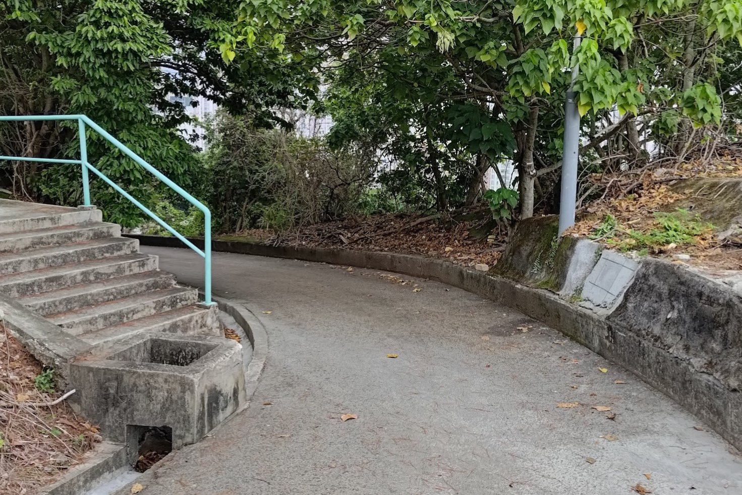
The First Big Climb
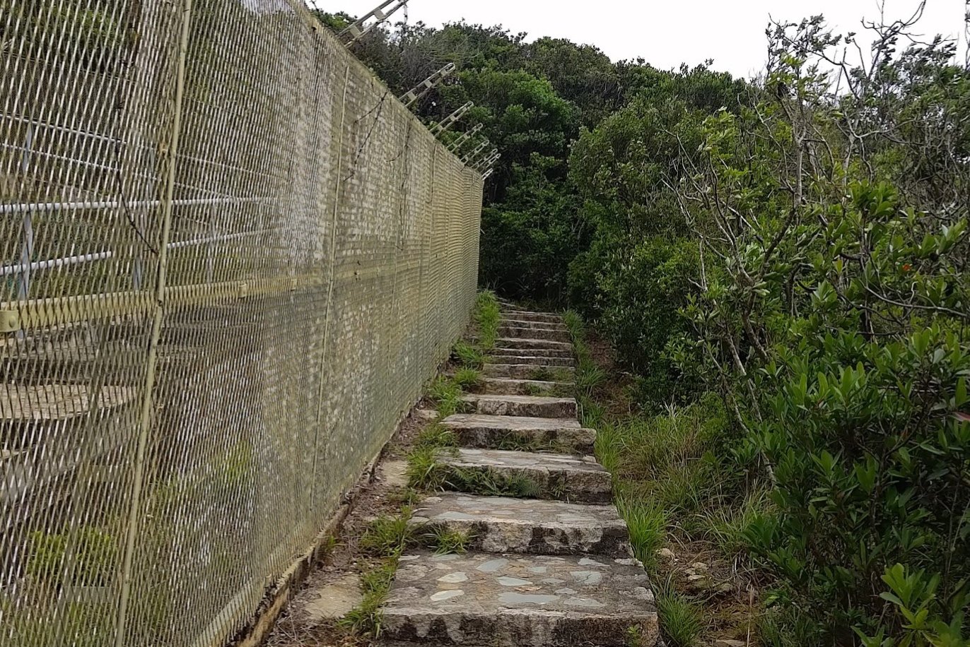
Okay, so it's a little generous to say that this is a big or tough climb. It doesn't even take five minutes. The stairs are steep, but it really isn't much of a challenge.
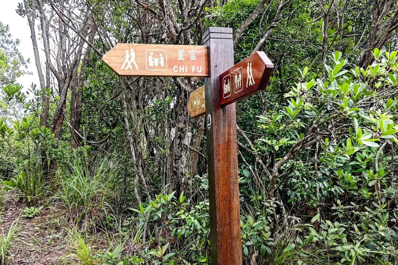
Be sure to follow the Chi Fu sign on the stairs.
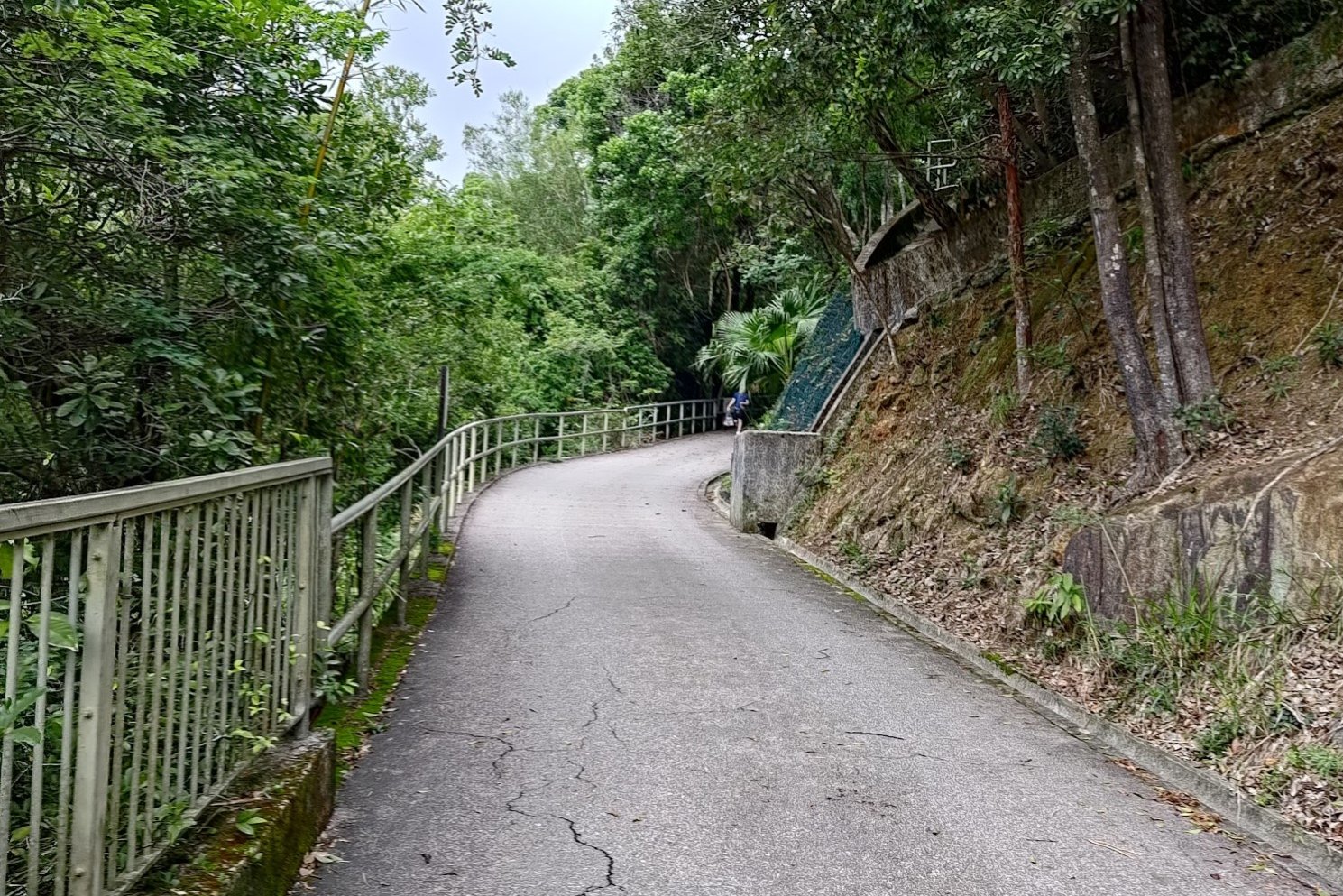
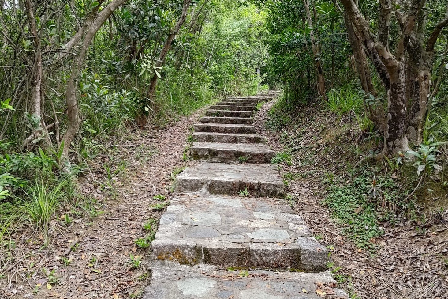
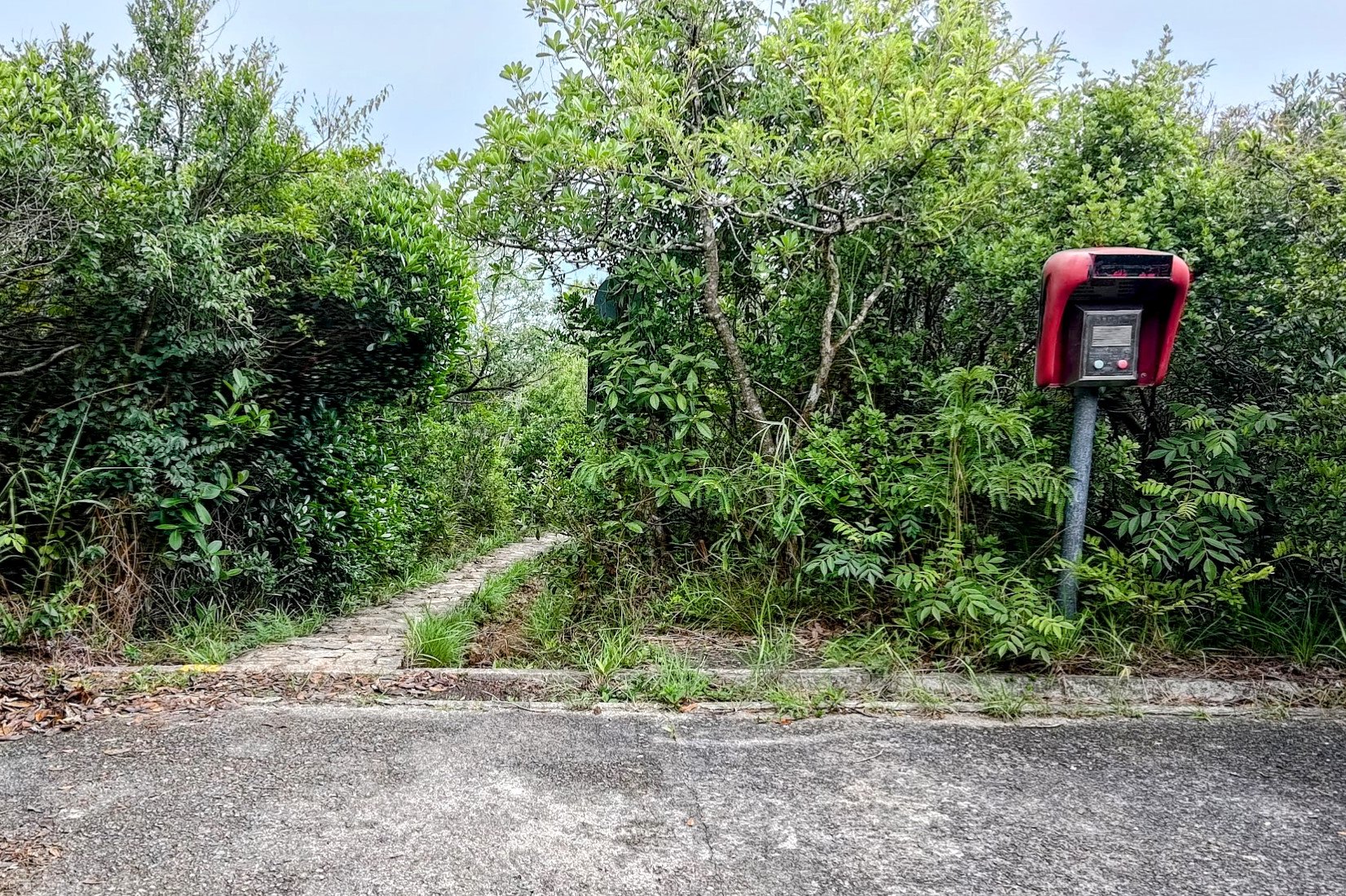
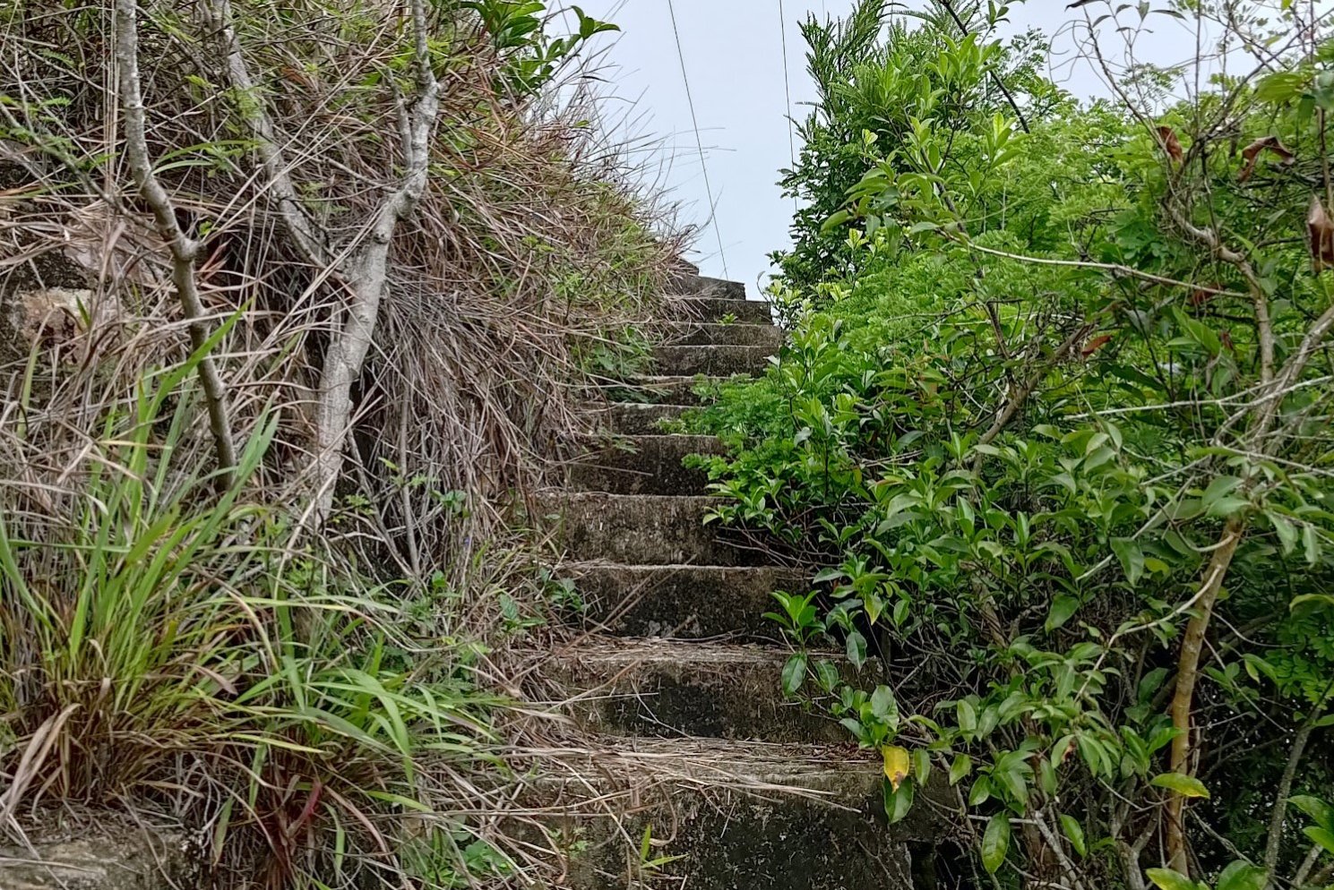
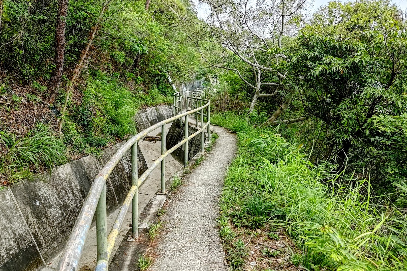
Getting to the Red Button Detour
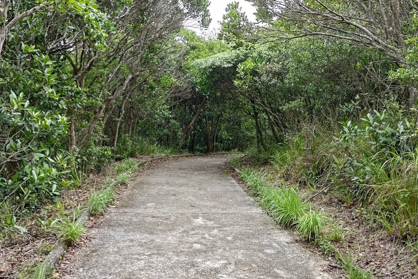
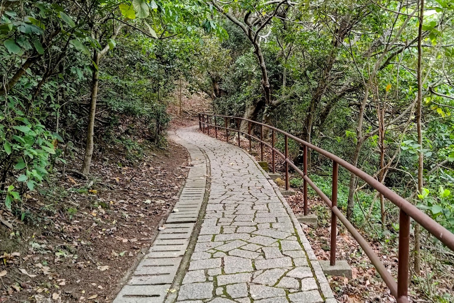

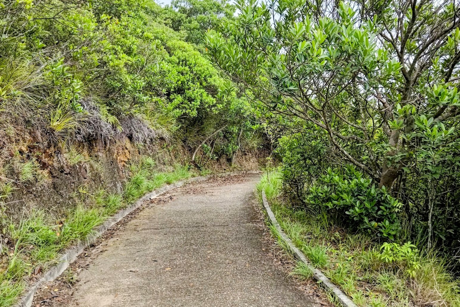
This is a lengthier section of hiking, taking about 35 minutes to complete in total.
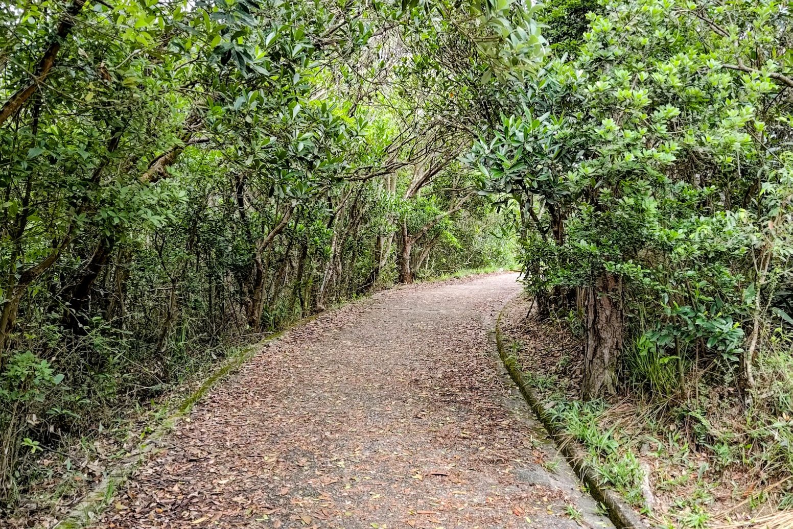
That being said, you'll be surrounded by beautiful trees and nature the whole way, making it an absolute dream to hike through.
If you're lucky enough to be hiking on a sunny day, the trees will protect you from the sun and treat you to brilliant dappled light that shines through the canopy above.
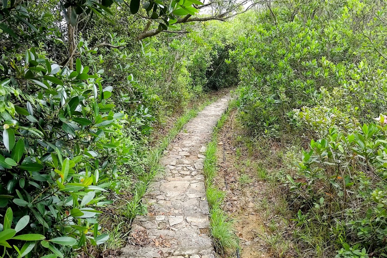
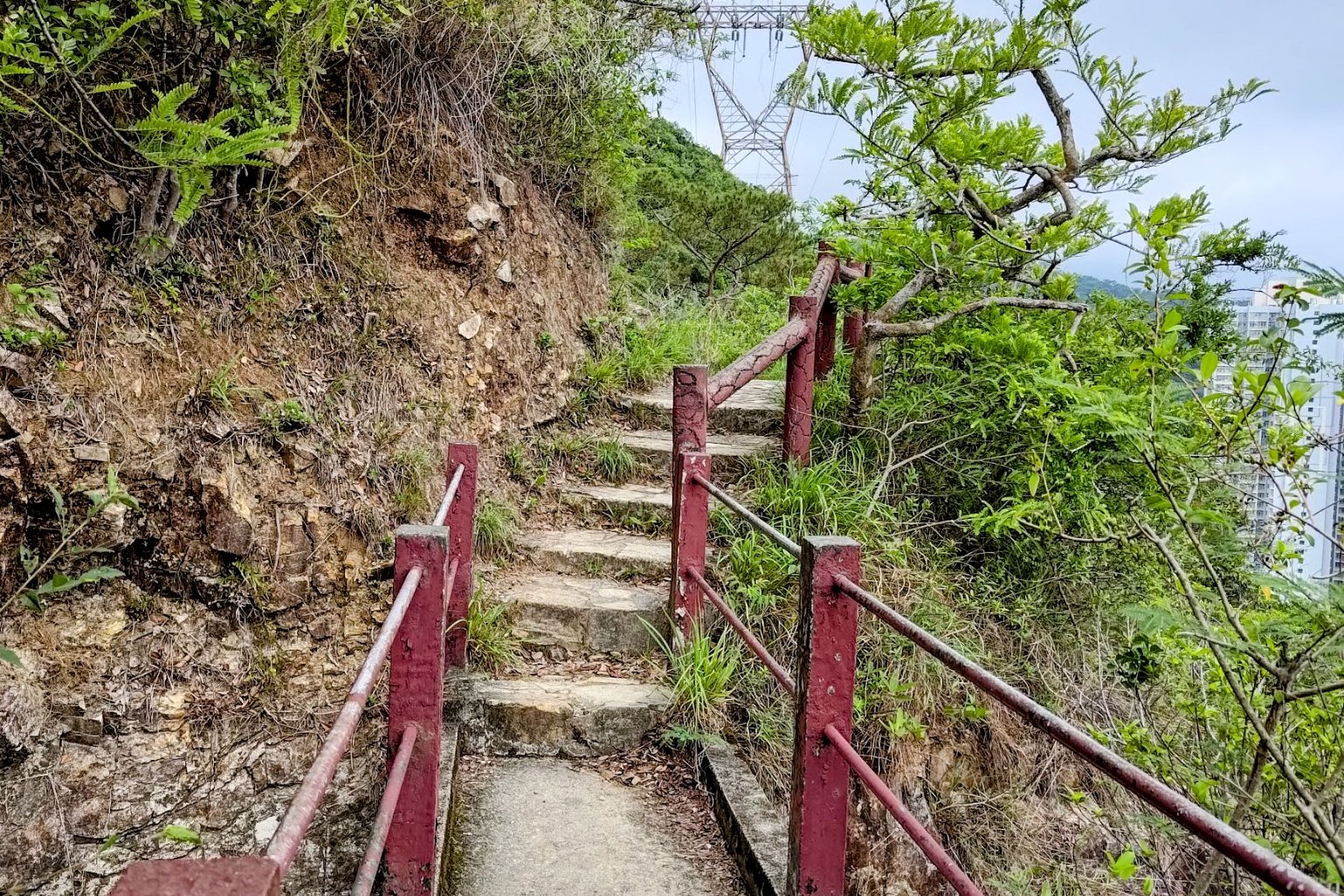
There are ample signs that will point you to Peel Rise throughout. When you reach the red emergency button, you'll want to descend the stone steps just beside it.
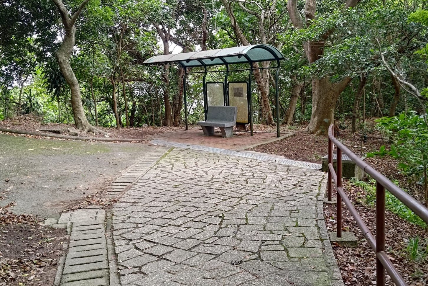
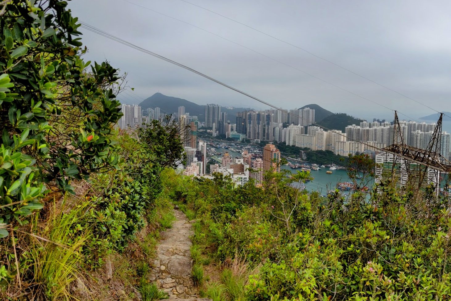
Pavilion and Secret View
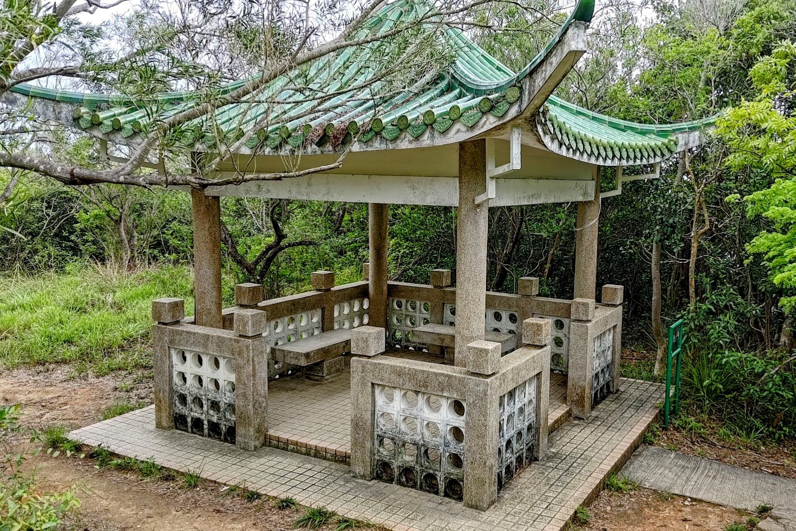
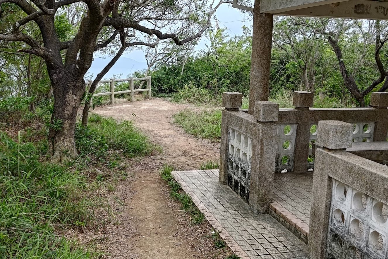

There's a short descent down the stairs before you come across a green pavilion. Walk past it toward the brown safety barrier beyond to get a really cool view of Aberdeen down below!
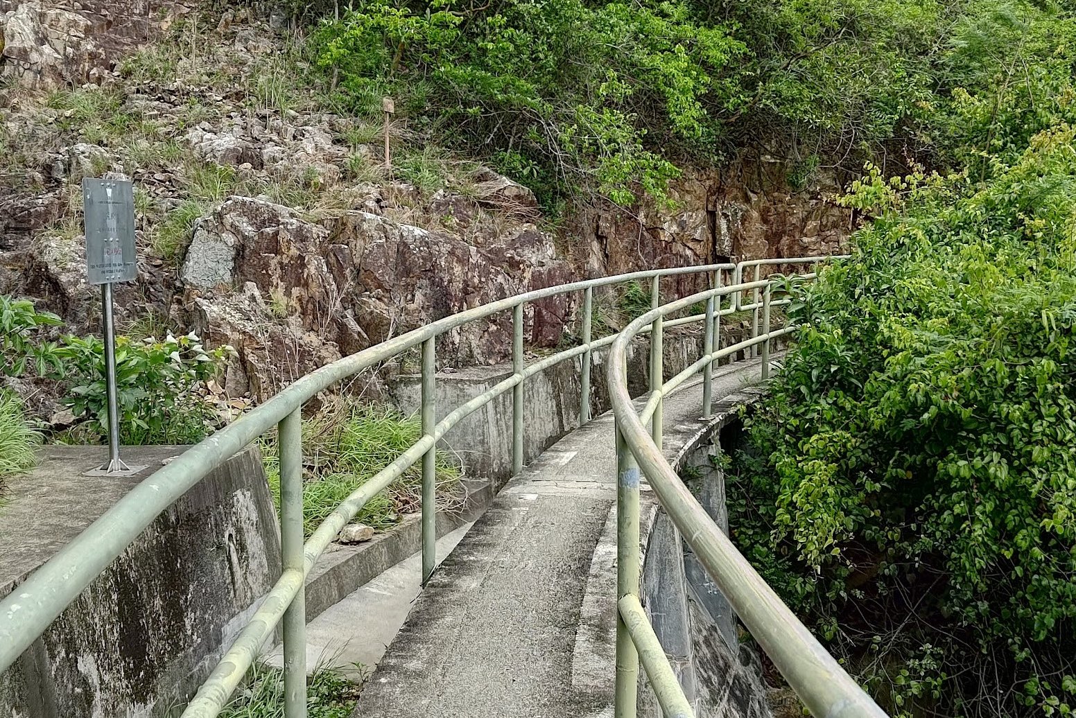
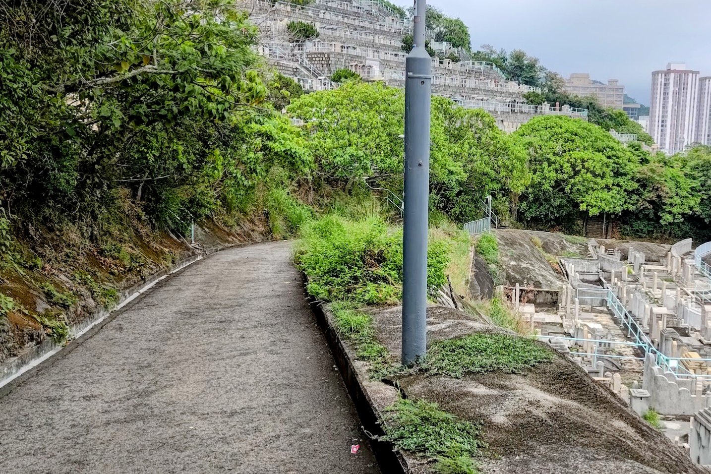
Getting to the Best Viewpoint
From the pavilion, it takes just under 10 minutes to reach the stairs that lead to the epic viewpoint.
Make sure not to miss the left turn and Peel Rise sign as you descend the stairs.
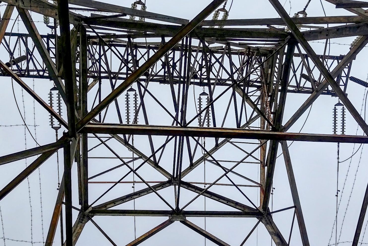
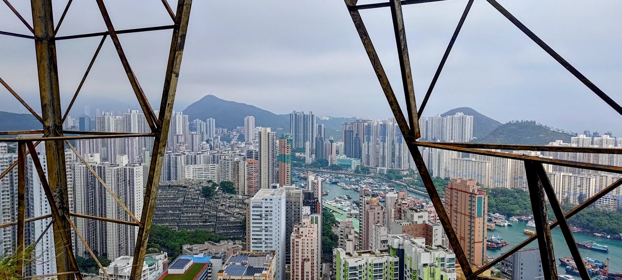
The tower along the trail is an easy marker to gauge when you're near the viewpoint.
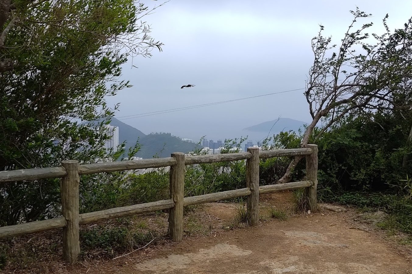
The Epic Viewpoint
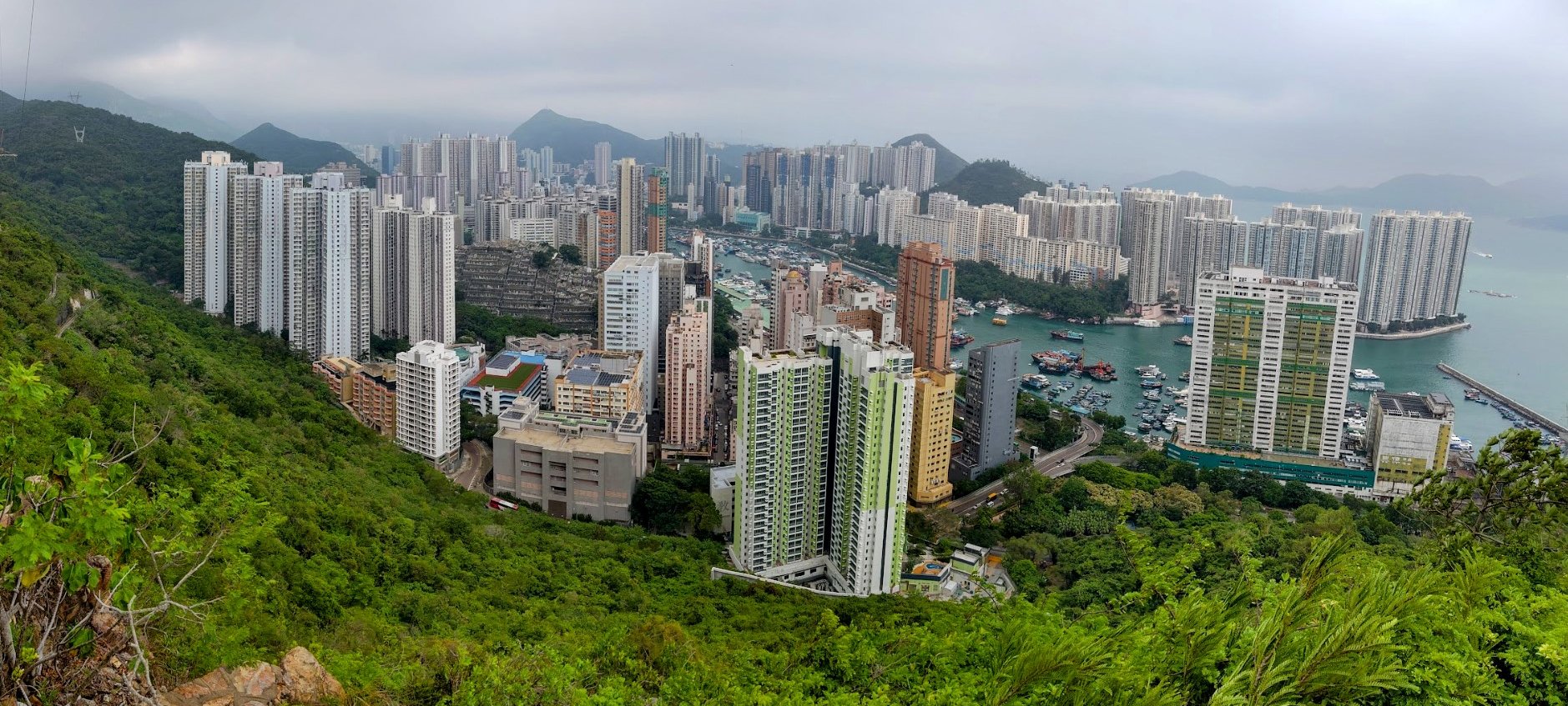
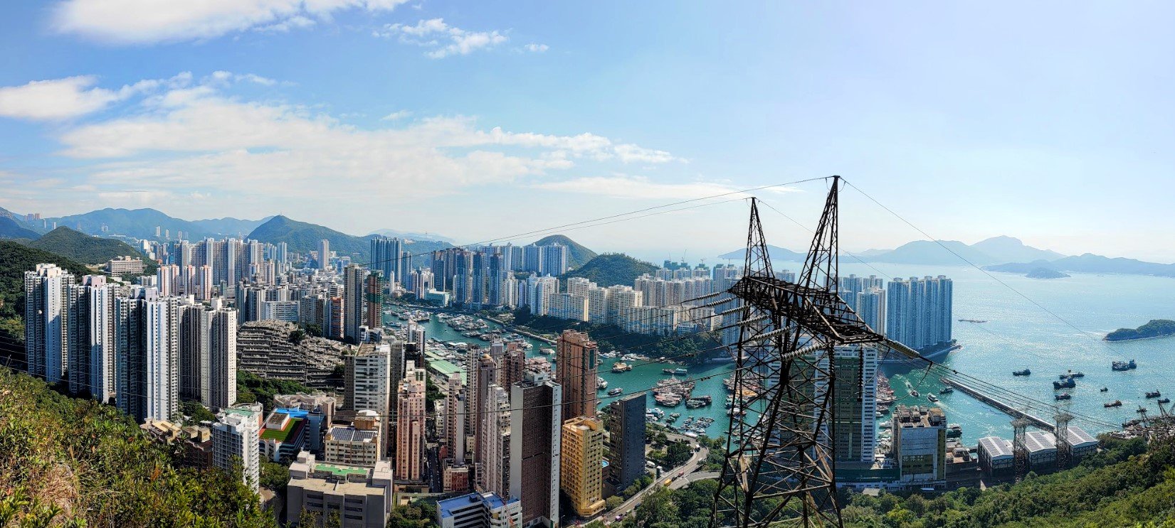
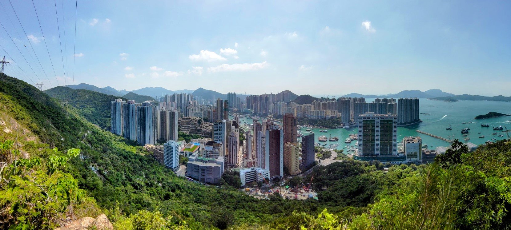
You don't need to climb far to get a great view. There are plenty of wonderful angles and positions from which you can see Aberdeen and Lamma Island.
My favorite viewpoint was from right under the tower with its steel legs framing the skyscrapers and water below.
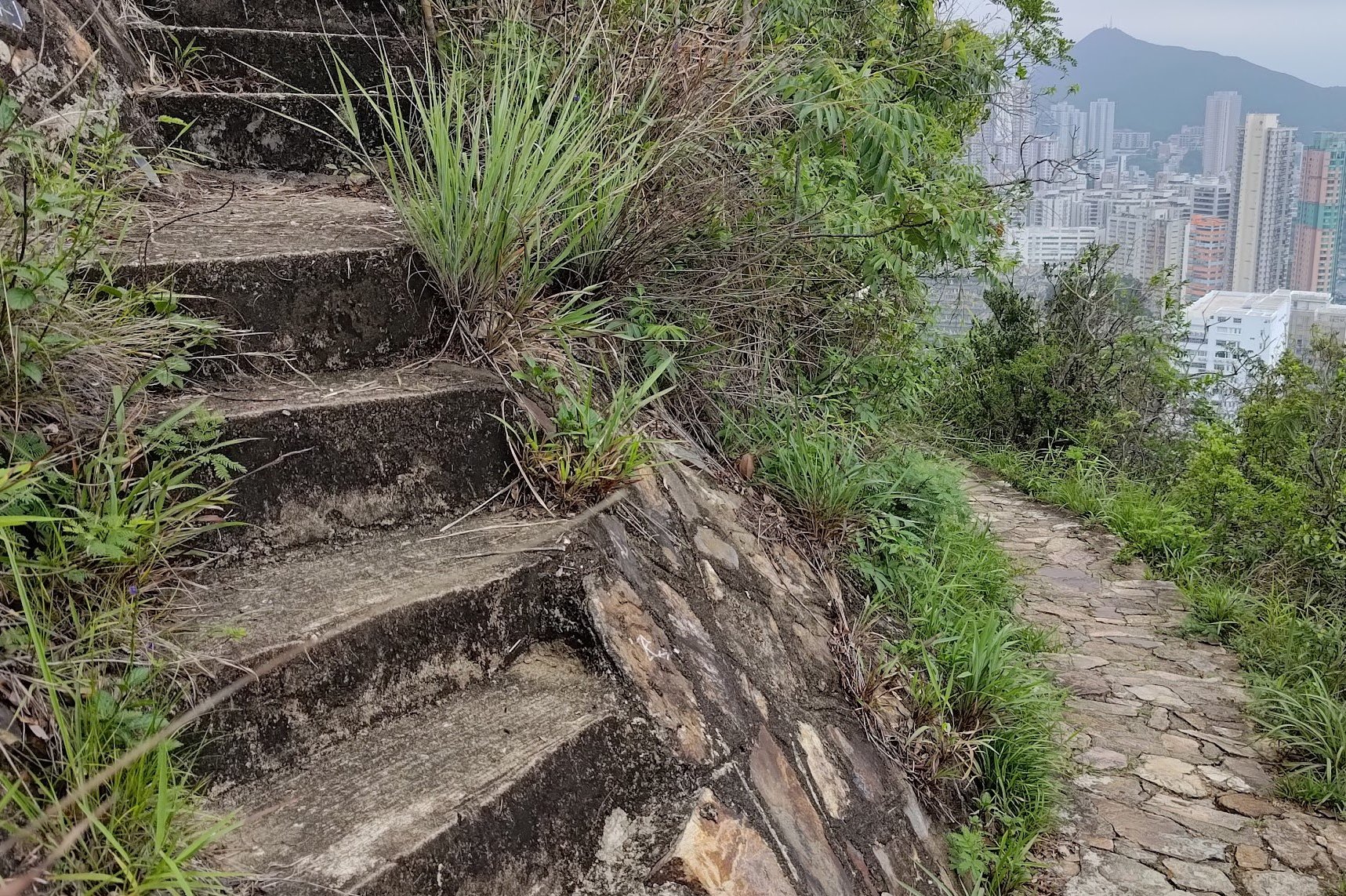
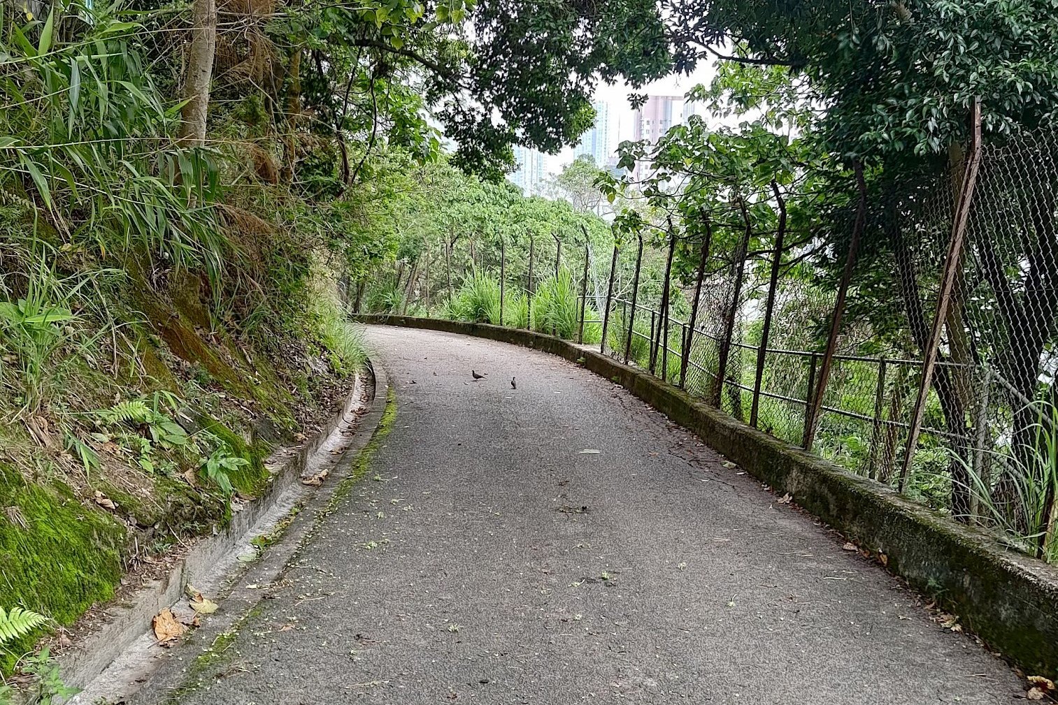
Descending Down Into Aberdeen
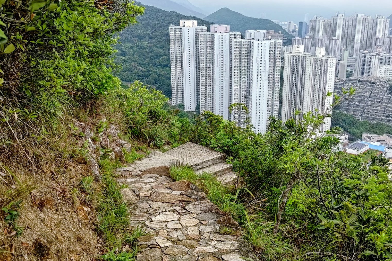
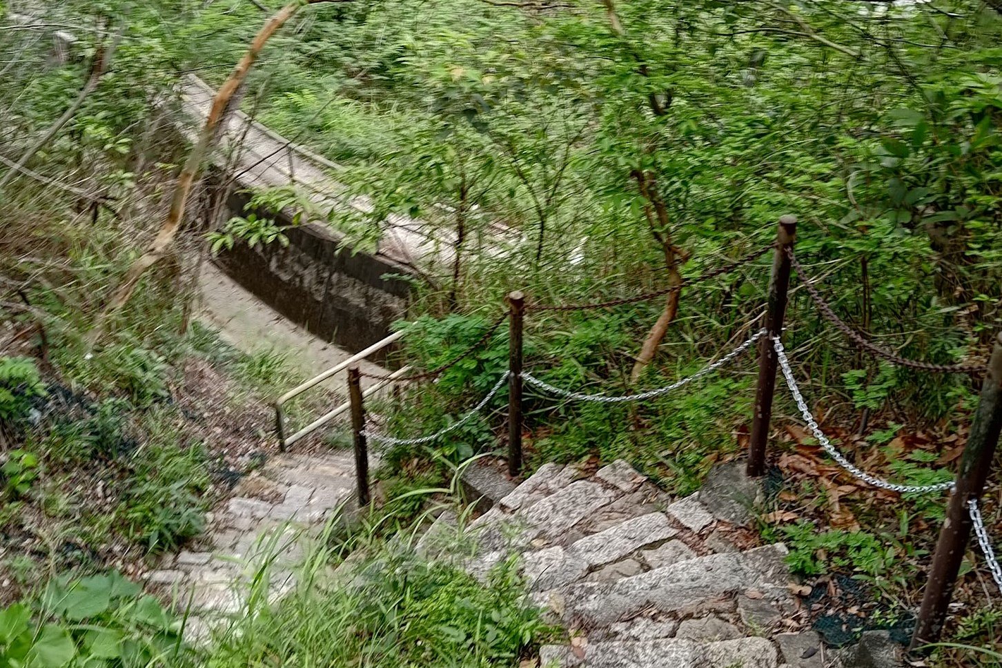
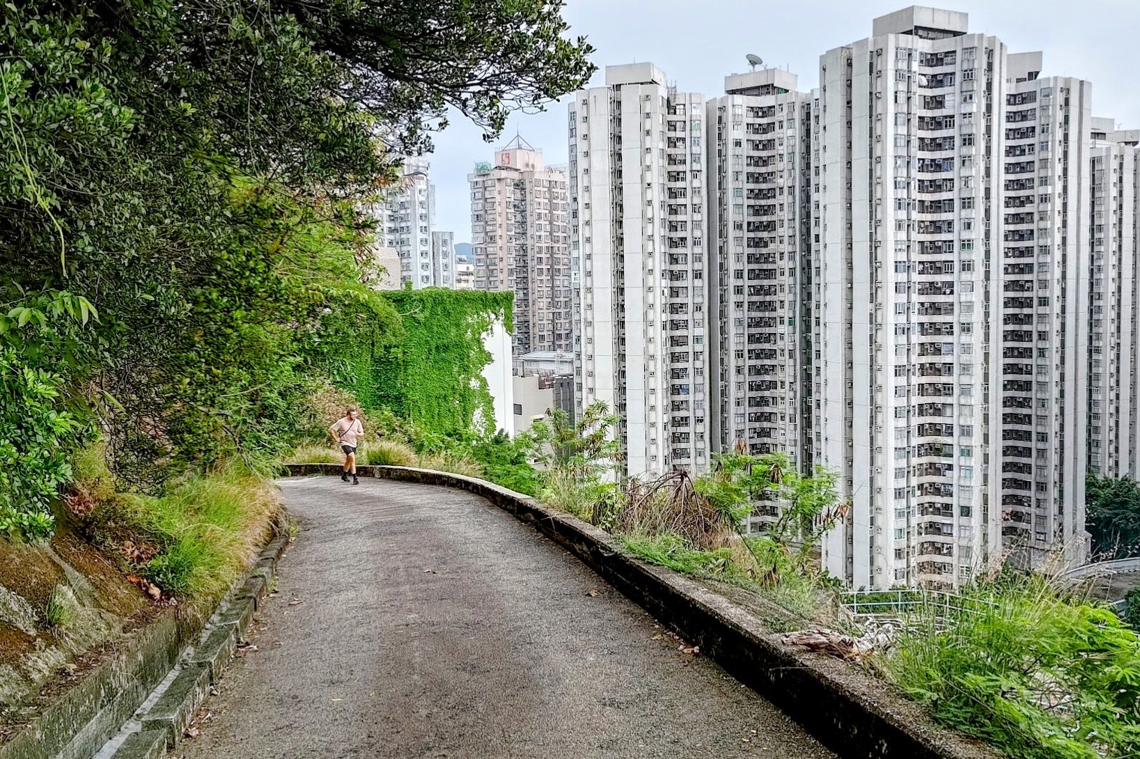

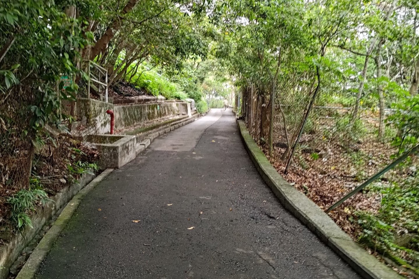
Descending all the way to Aberdeen from the viewpoint takes about 40 minutes.
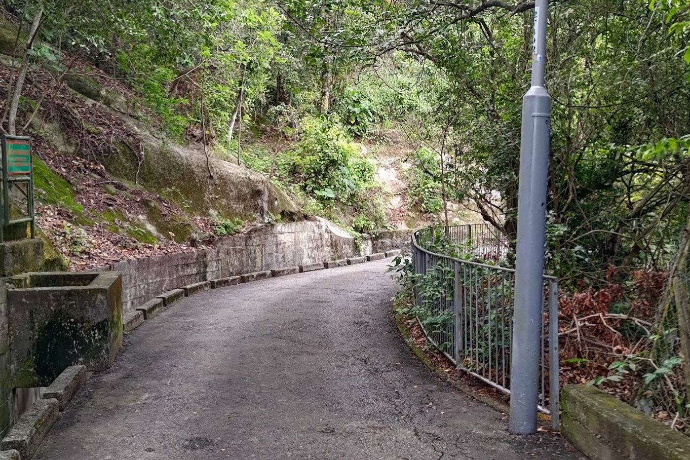
You'll be following the staircase downward from the tower until you reach a water catchment area.
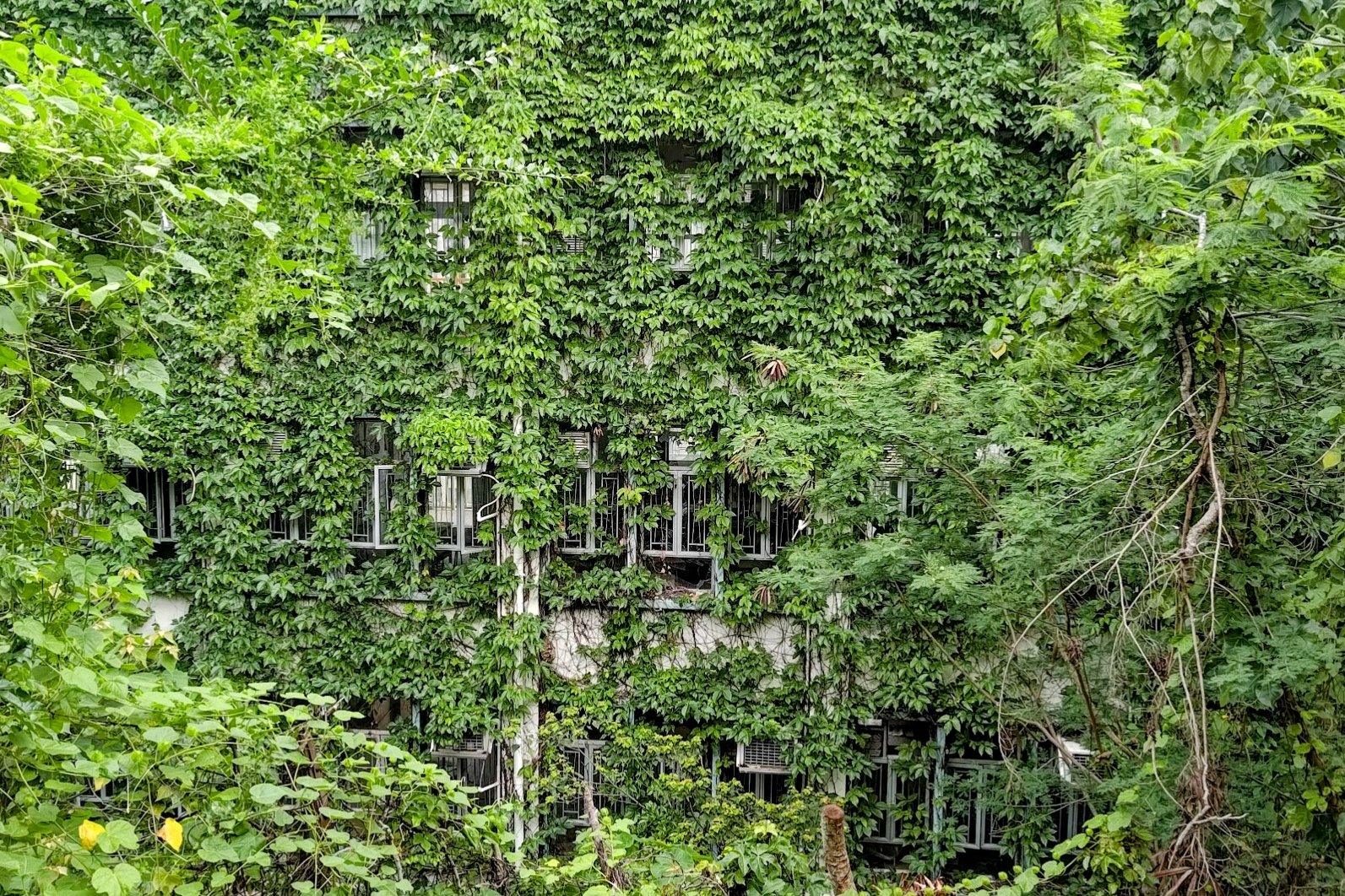
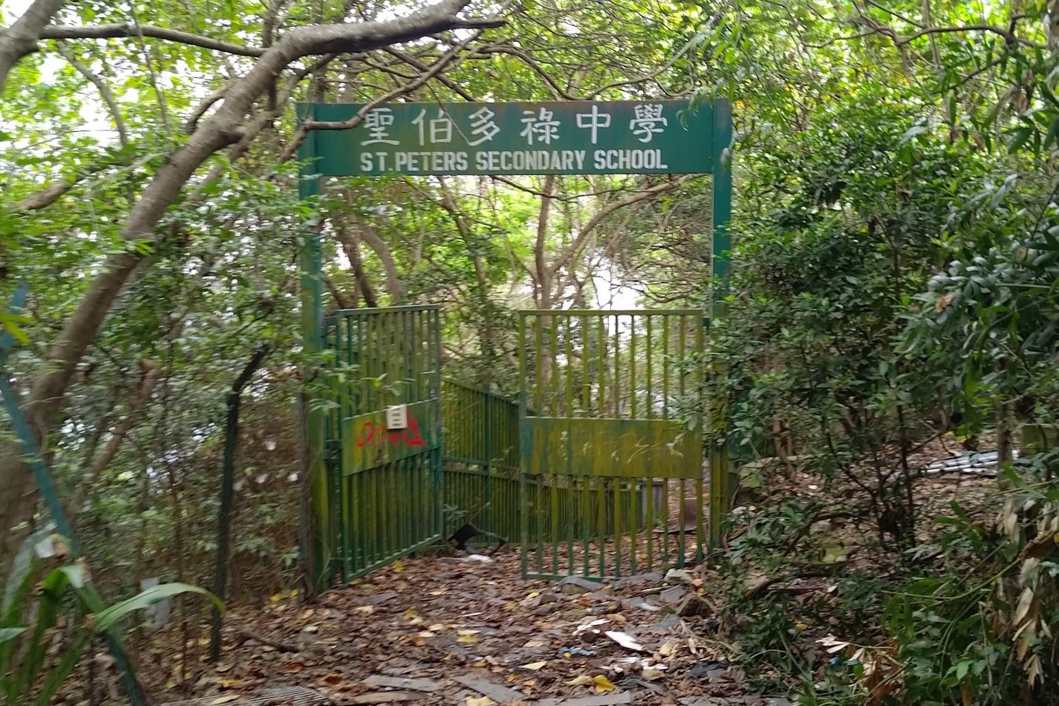
Follow the catchment for a while until you see a black and white car barrier. You'll want to follow the road beyond it down through the Aberdeen Permanent Chinese Cemetery and then past the abandoned St. Peter's Secondary School.
Finally, you'll enter Aberdeen, where the hike ends.
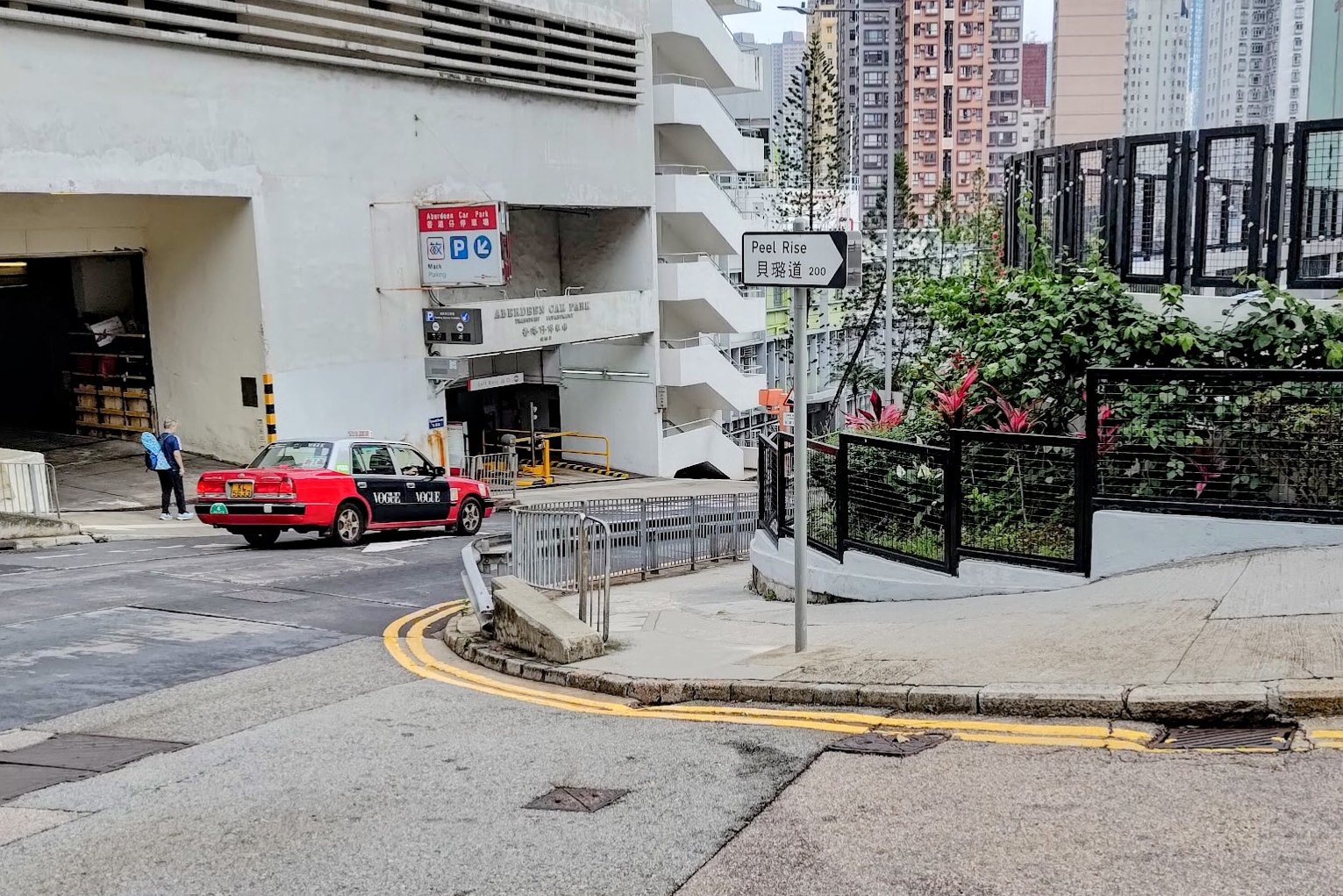
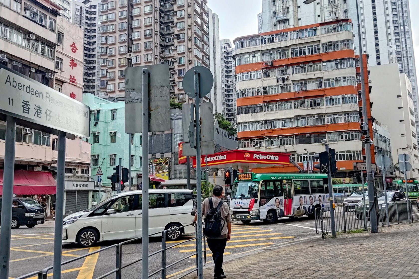
Getting Back
Once you're in Aberdeen, there will be plenty of taxis and buses that can take you where you need to go.
There is no MTR station in Aberdeen. The closest one is Wong Chuk Hang MTR Station, which would take around 15-20 minutes to walk to.
If you want to keep hiking, there's a great hike nearby that you can find below.