
Mount Cameron Hike: A Hidden, Rugged Trail With 360-degree Views Over Hong Kong Island
Contents
- Essential Information
- Hike Highlights
- Google Route Map and GPX
- How to Get There
- Quick Route Summary
- Wan Chai Station to Wan Chai Gap Road
- Wan Chai Gap Road and Wan Chai Green Trail
- Follow Black's Link to the Rest Stop Pavilion
- Route to the Summit
- Mount Cameron Summit Views
- Getting Back
Essential Mount Nicholson Hike Details
- District: Hong Kong Island
- Duration: 2.5 hours round trip
- Distance: Just under 8 km round trip
- Highest Elevation: 439 meters
- Difficulty: 3.5/5
- Facilities: There’s a public toilet at Wan Chai Gap Park about half way up
Why Hike Mount Cameron?
Mount Cameron (金馬倫山) is a there-and-back hike that is named after Major General William Gordon Cameron, a British Army officer who briefly served as Hong Kong's Administrator from April to October 1887.
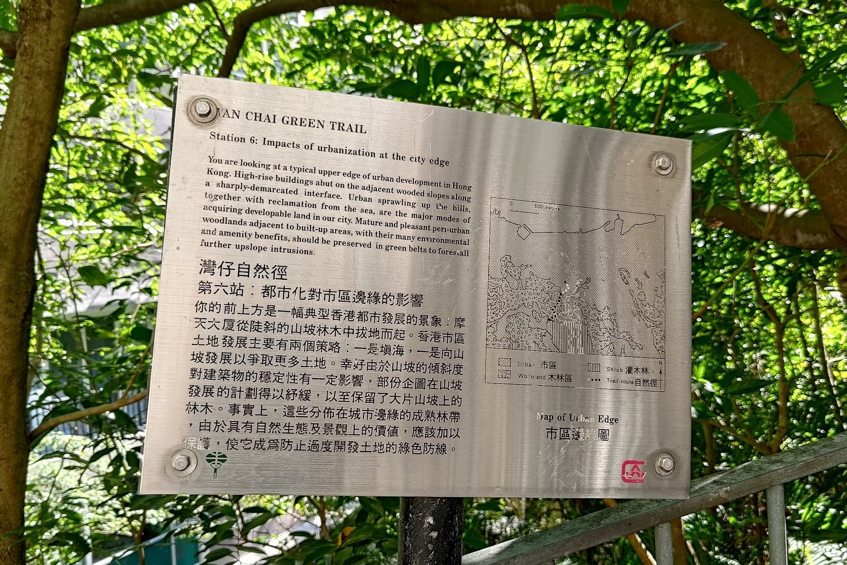
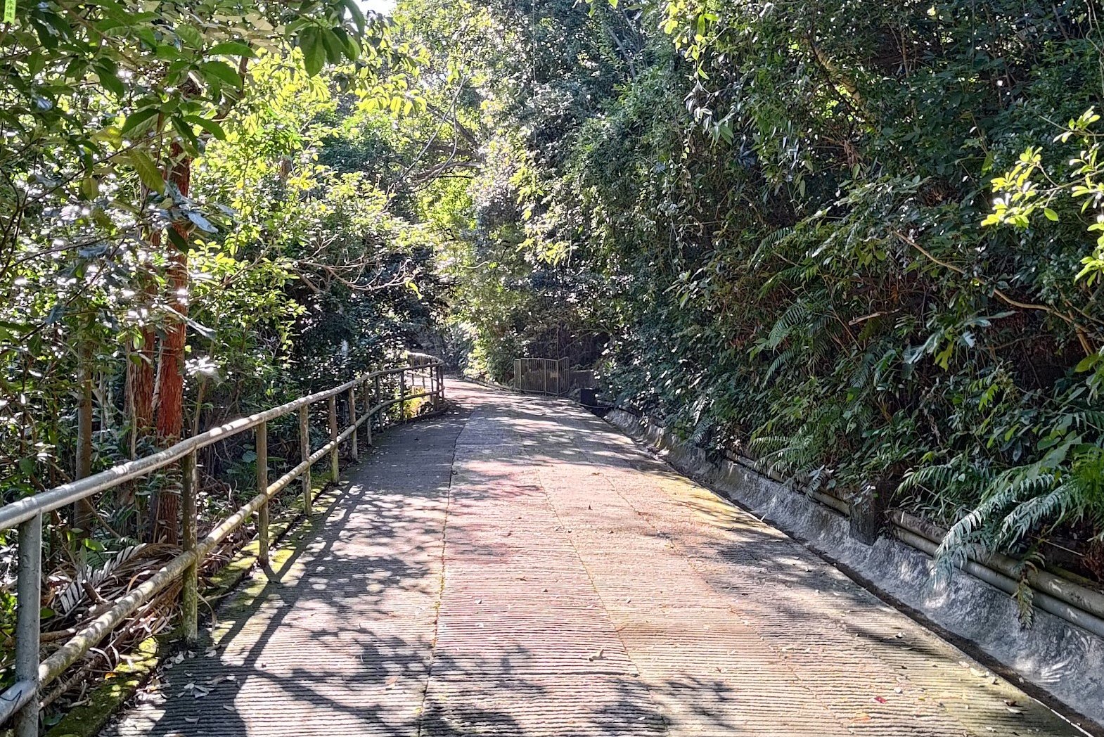
The hike starts right from Wan Chai MTR, making it super accessible from anywhere in the city. The first portion of the hike goes up the Wan Chai Green Trail, which is basically a concrete road. You'll then connect to Black's Link before going off the beaten path.
Expect to bushwhack to get to the summit. You'll really be in the thick of nature during the final portion of climbing, so if you prefer well-manicured and safe paths, this won't be the hike for you.
One good thing is that this is a relatively unknown trail on Hong Kong Island, meaning that you're unlikely to encounter too many people at the summit. I climbed Mount Cameron for the first time on a Saturday, and there was not a soul in sight. Glorious!
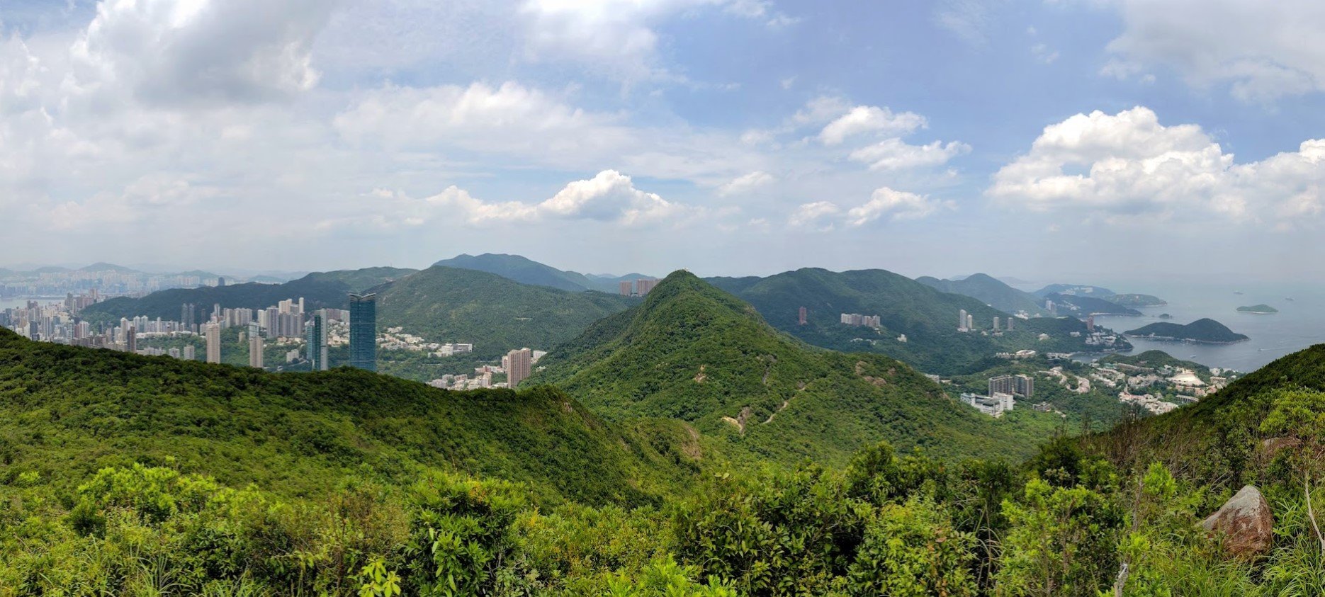
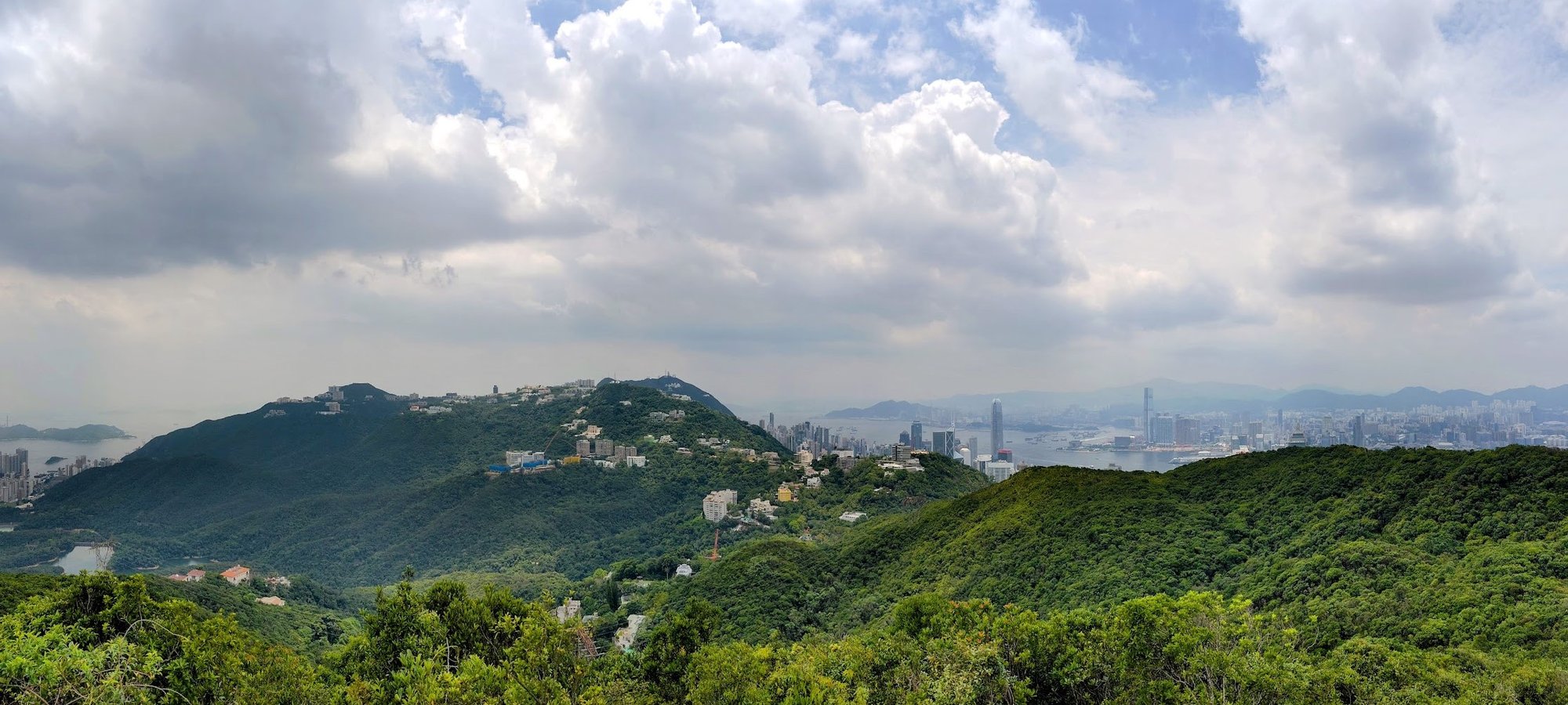
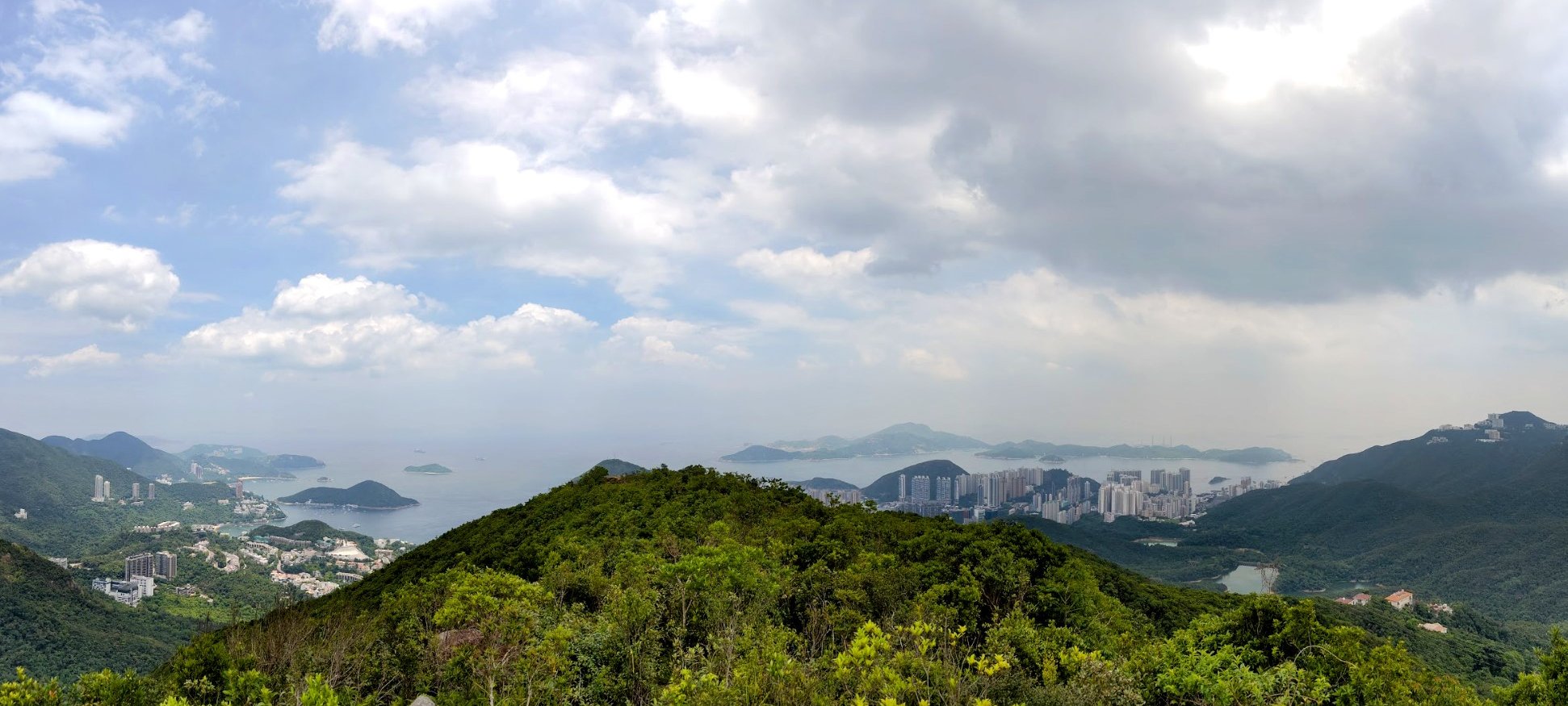
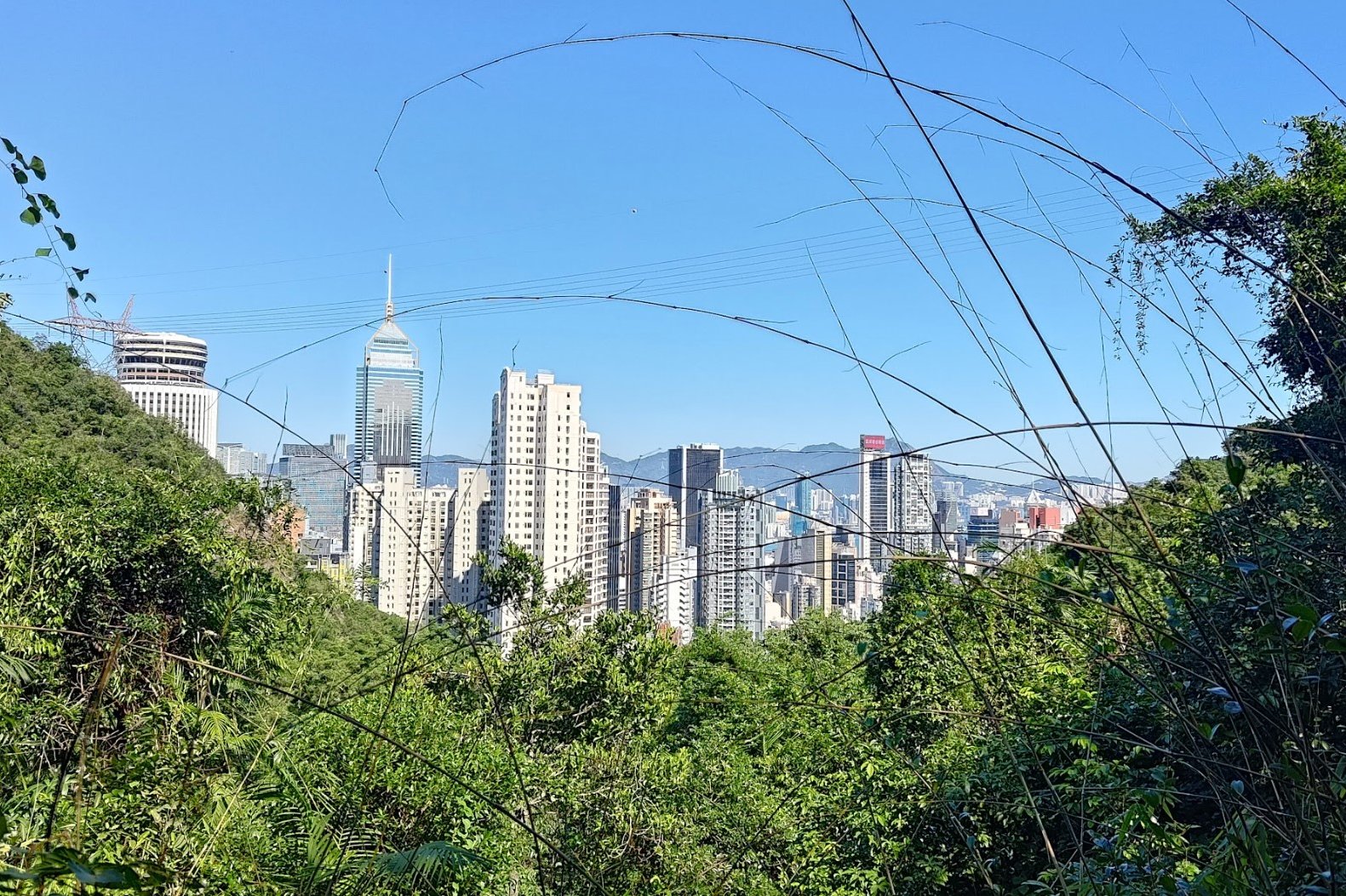
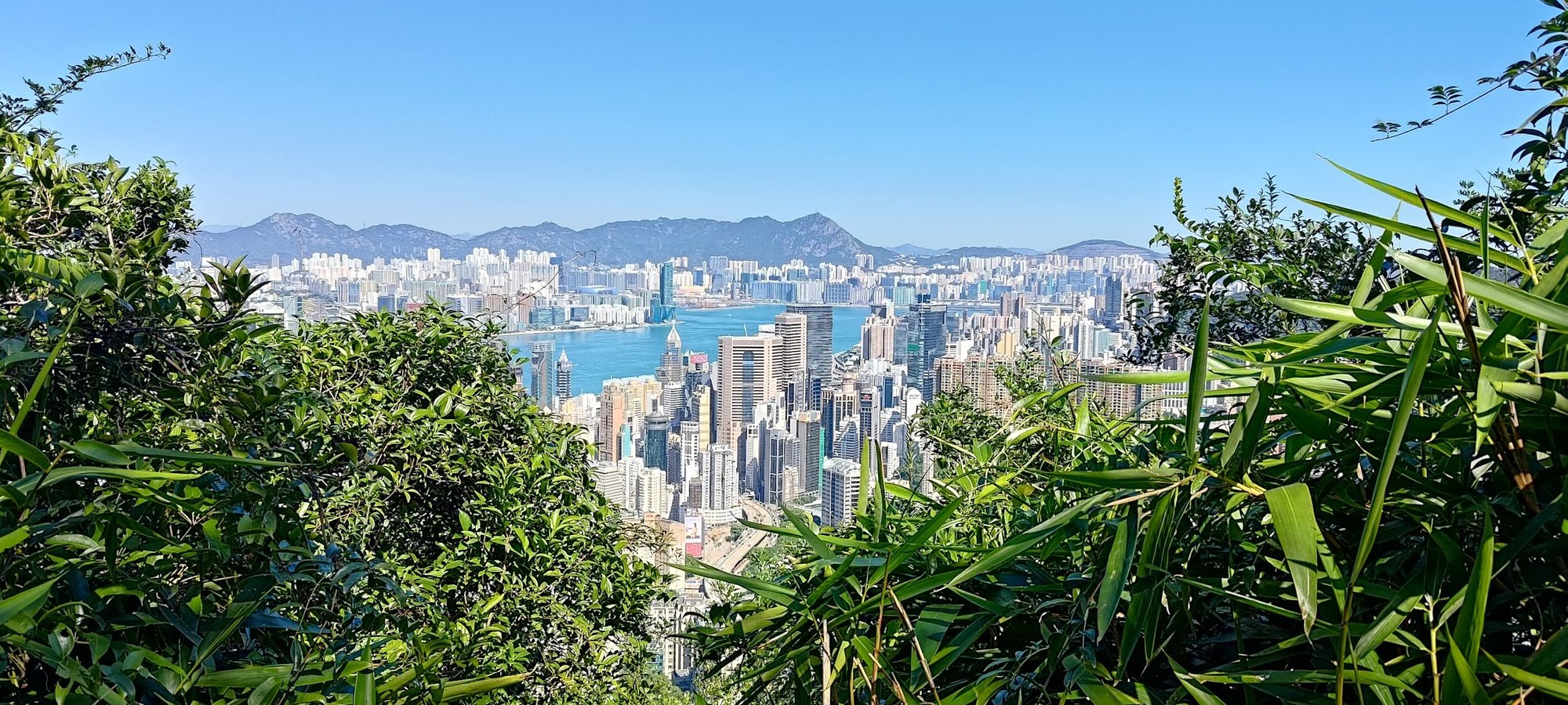
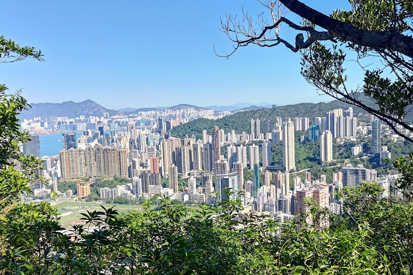
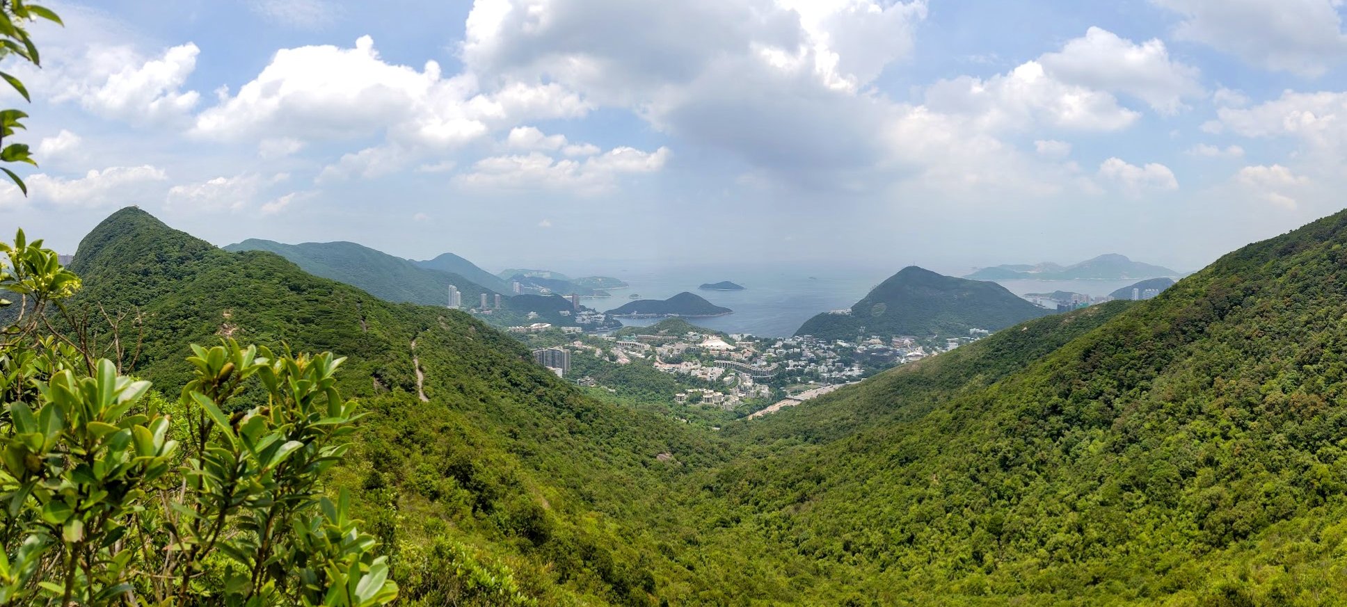
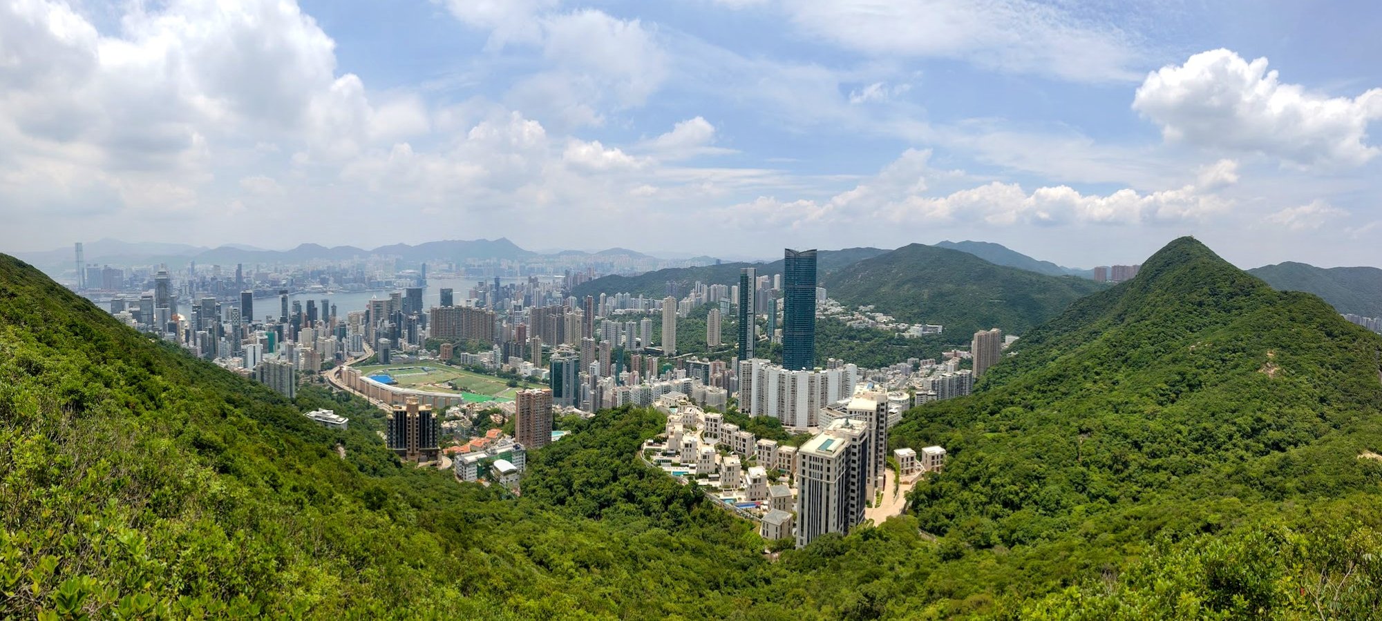
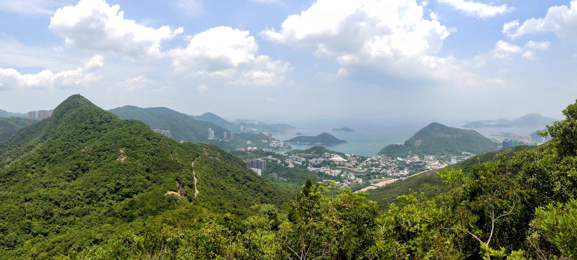
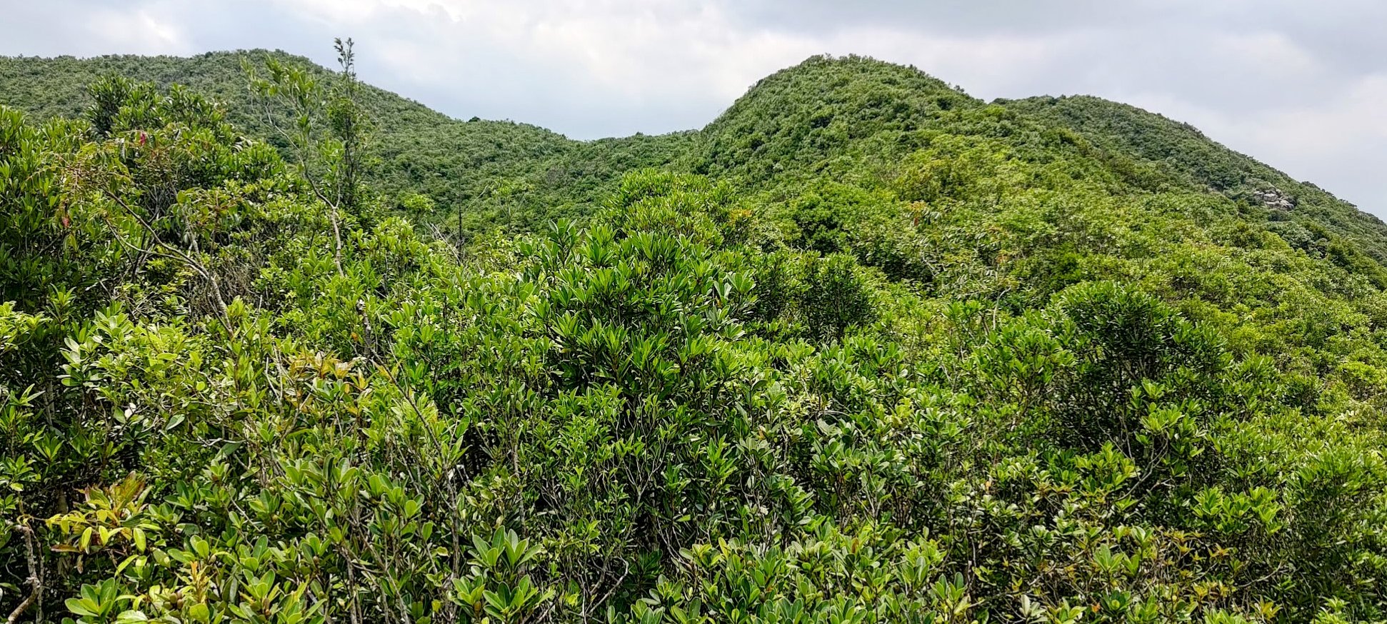
The second good thing about this hike is that it affords some of the most unique and spectacular views of all sides of Hong Kong Island. You get the skyscrapers on one side, Ocean Park and Aberdeen on the other side, and even views down to Lamma Island and out to Stanley!
DO NOT do the wild route in rainy weather or just after rainy weather
*You can pair this hike with Mount Nicholson since they start from almost the same area
Google Route Map and GPX
*Click the box icon in the top right of the map below to load the blue route directly into your own Google Maps. You can then see your location relative to the trail in real time!
*The GPX file and map got a bit messed up in the city portion. From Wan Chai MTR Exit A3, simply head up Tai Yuen Street until you can connect to Wan Chai Gap Road. The map stabilizes after that.
How to Get to the Mount Cameron Hike Start Point
Take the MTR to Wan Chai MTR Station and leave through Exit A3. The hike guide begins from right outside the station, no additional transport required.
Quick Route Summary
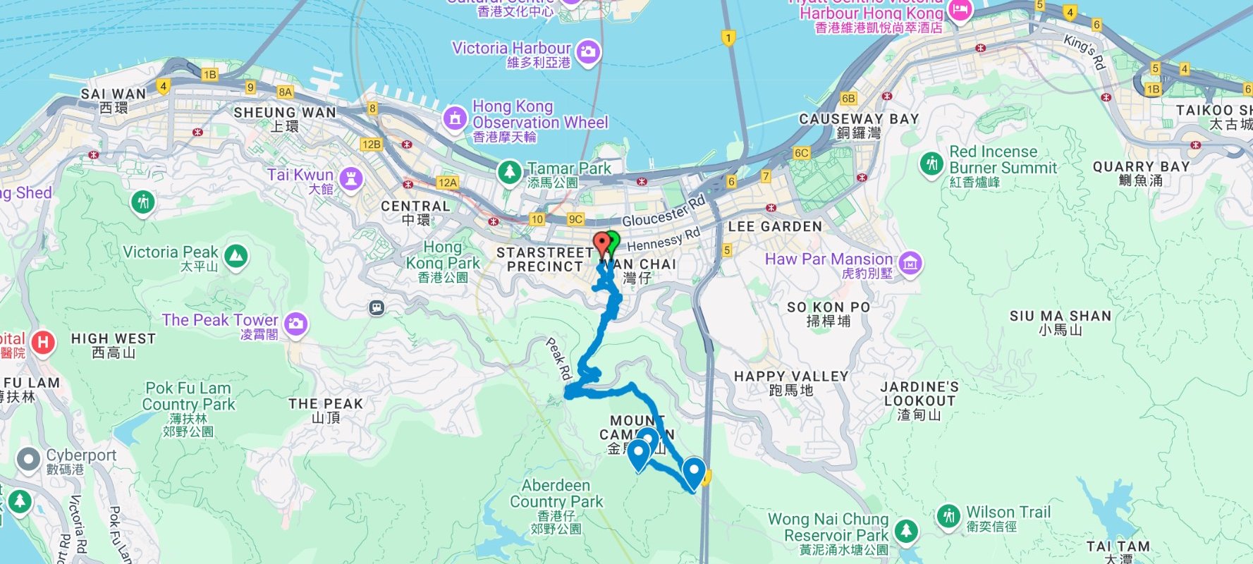
- Take the MTR to Wan Chai Station and leave through Exit A3
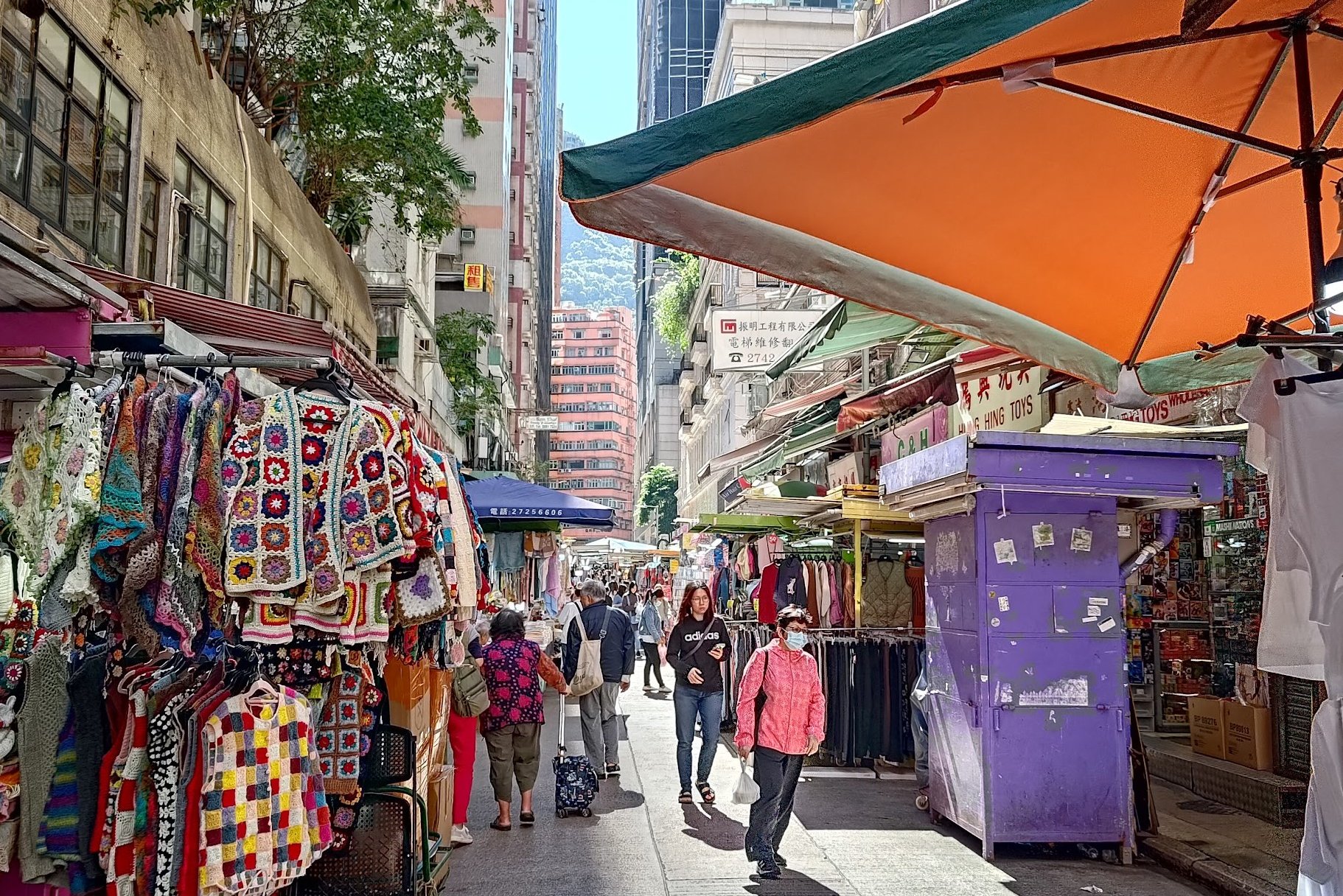
- Cross the street and walk through the stalls of Tai Yuen Street
- When you arrive at Queen’s Road East, look for Wan Chai Gap Road
- You will have to cross Kennedy Road and continue up a set of stairs on the opposite side
- Keep heading up Wan Chai Gap Road until you arrive at Stubbs Road
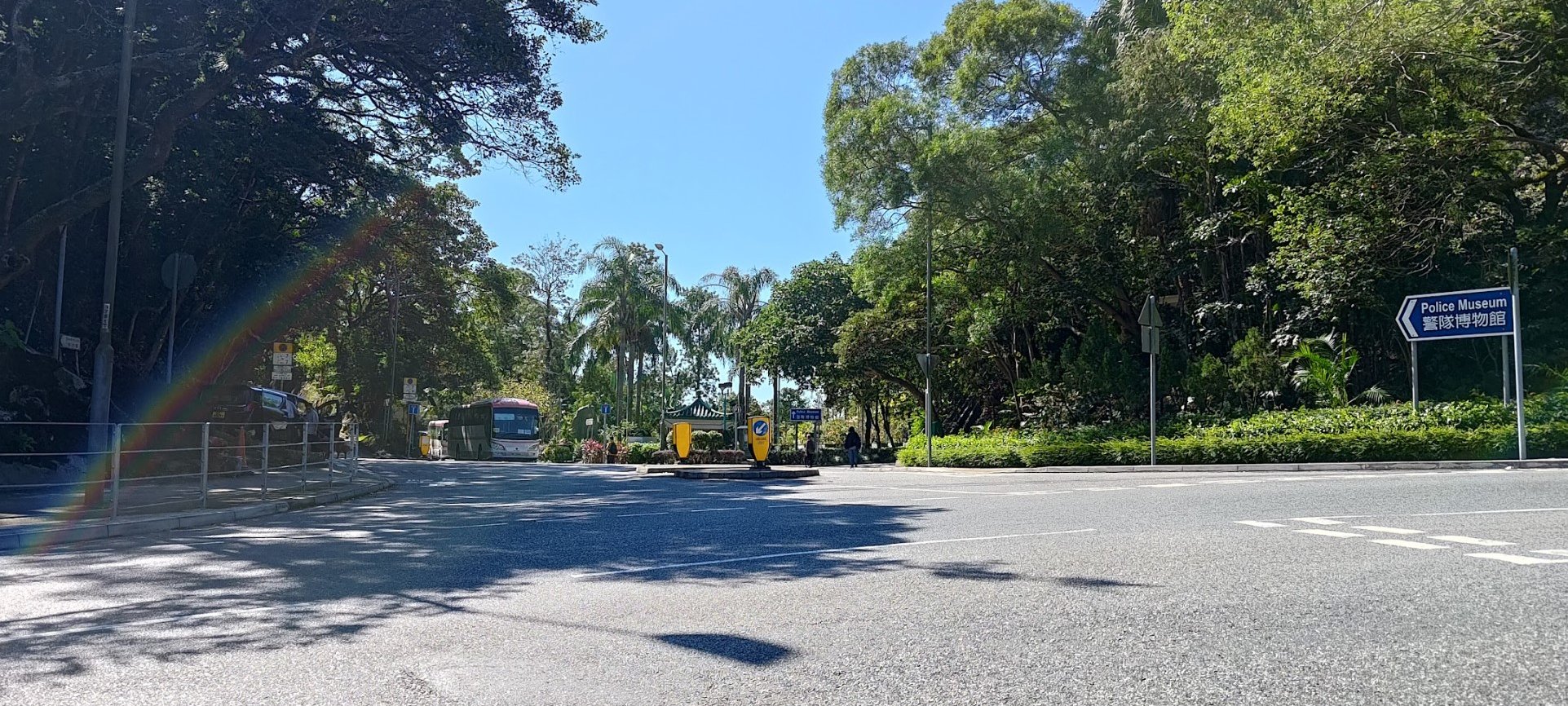
- Take the Black’s Link Turn and follow Black’s Link until you arrive at a brown pavilion
- Take the stairs behind the pavilion. They're marked by a slope maintenance sign
- Cut left toward the rough trail at the end of the stairs
- Follow the trail as it meanders up Mount Cameron
- About 20 minutes later, take the fork in the path that continues straight (ignore the right turn)
- A few minutes later, you'll see a sharp left turn in the trail. Follow that path up to the summit of Mount Cameron
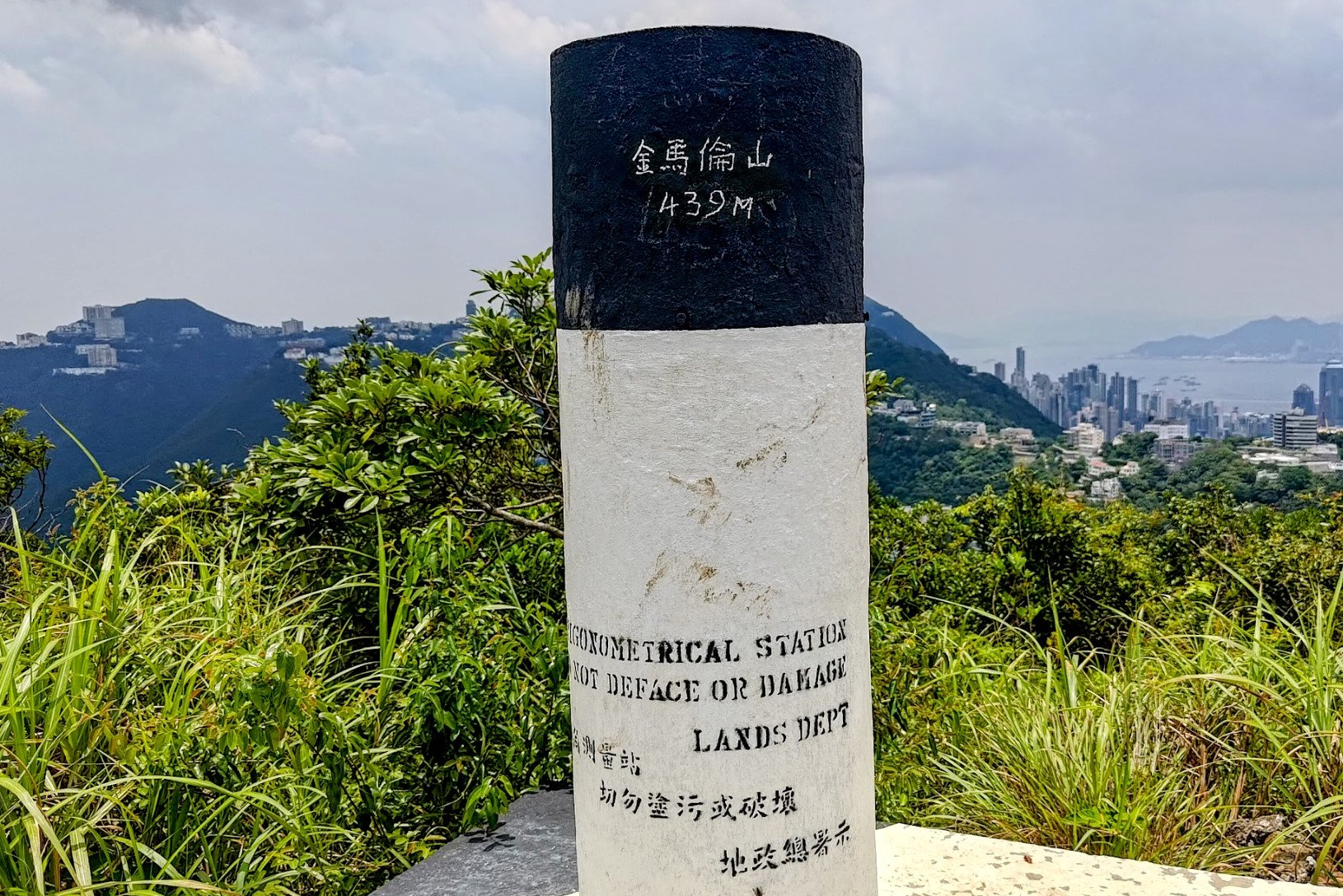
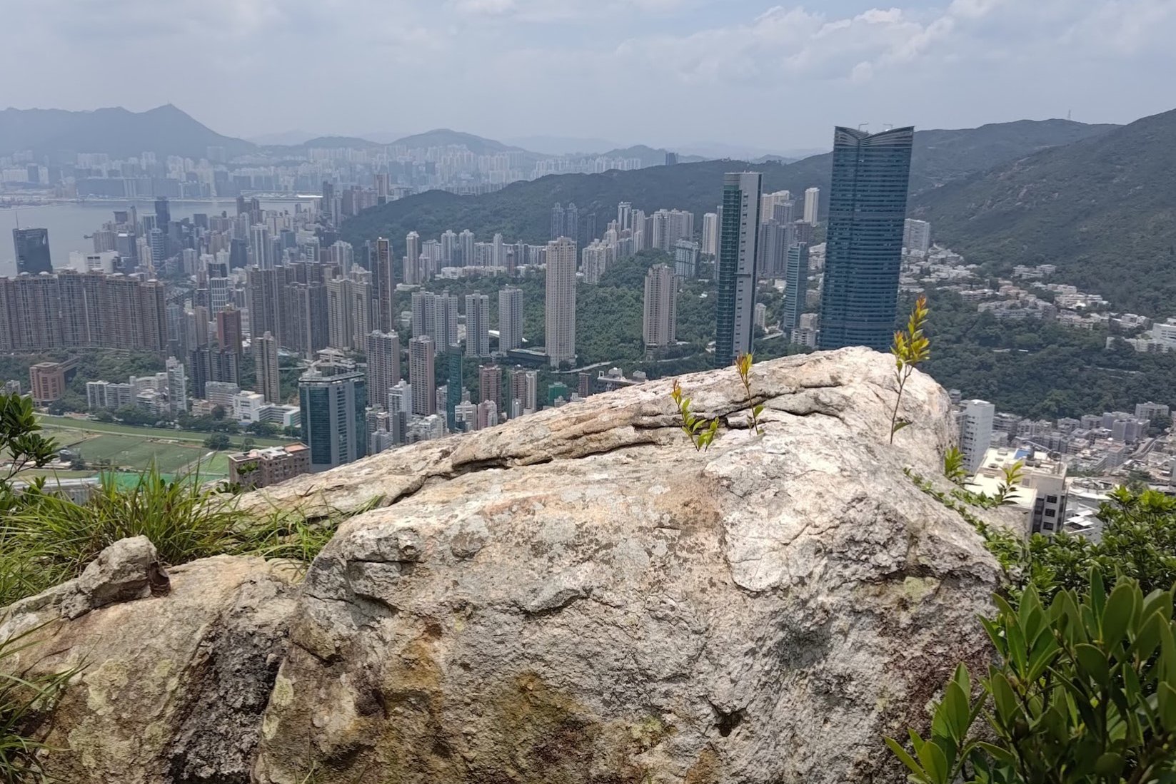
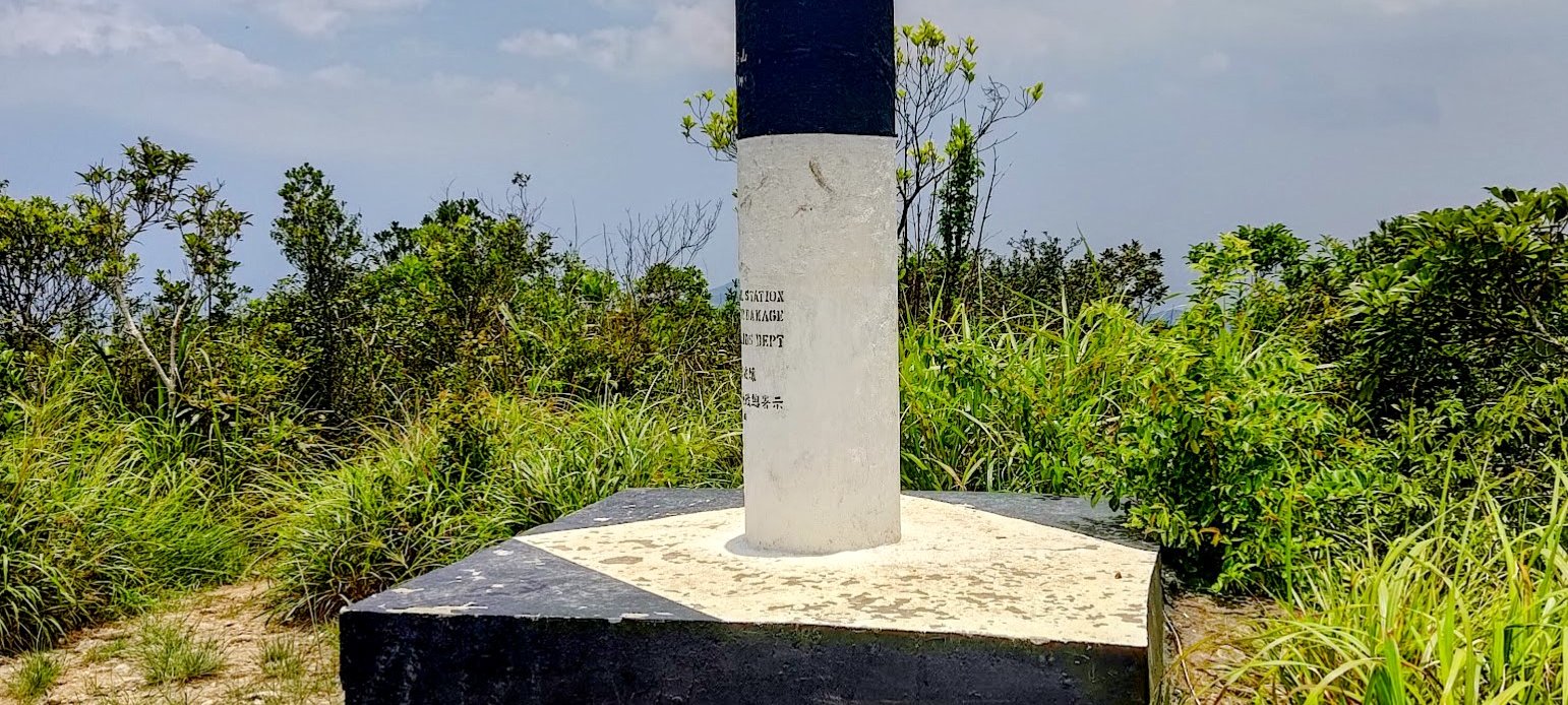
- The summit is marked by a black and white trigonometrical station
- Retrace your steps back down to Wan Chai Station
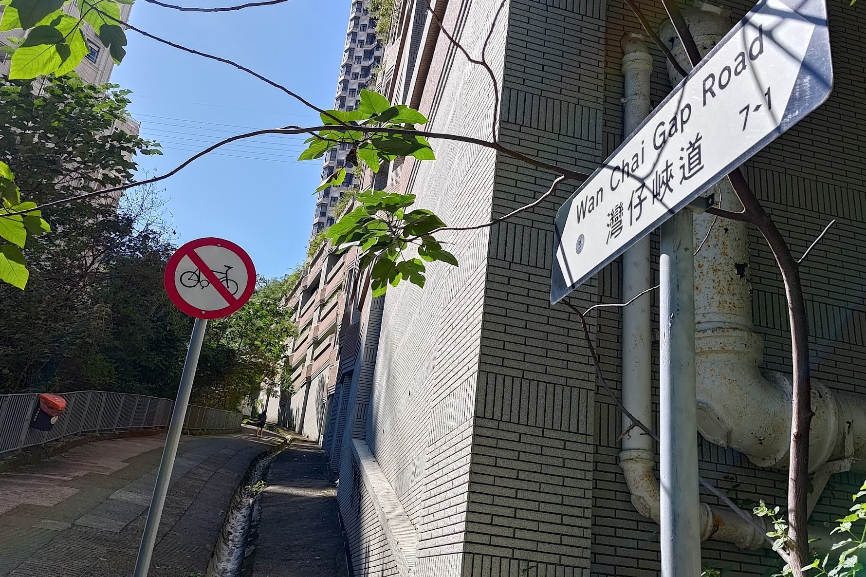
Wan Chai Station to Wan Chai Gap Road
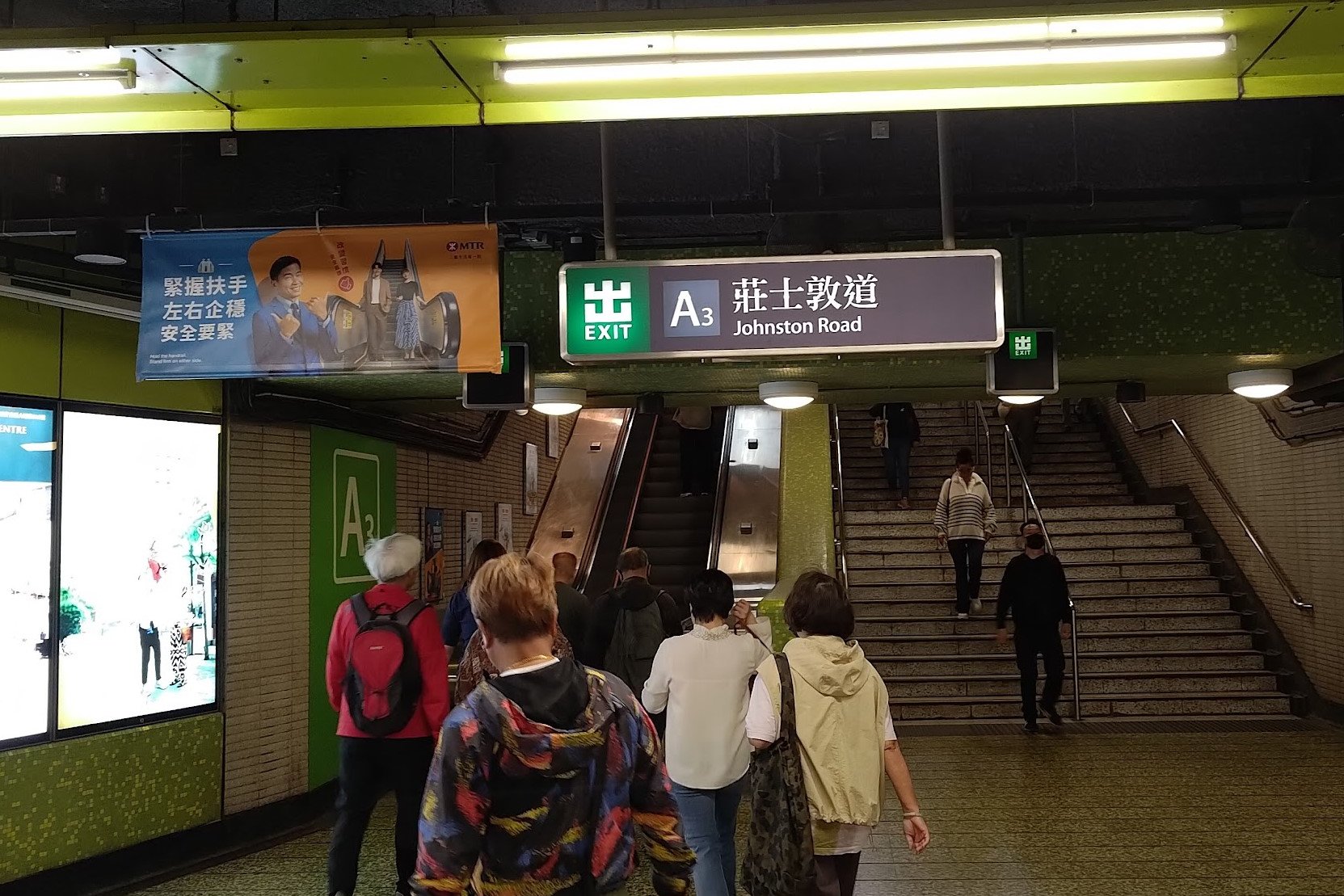

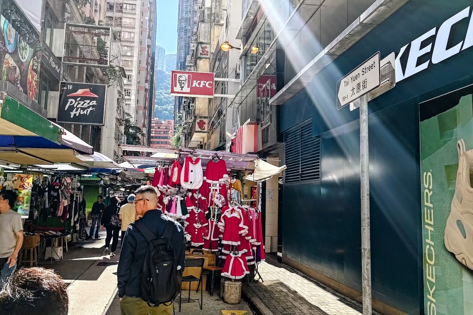
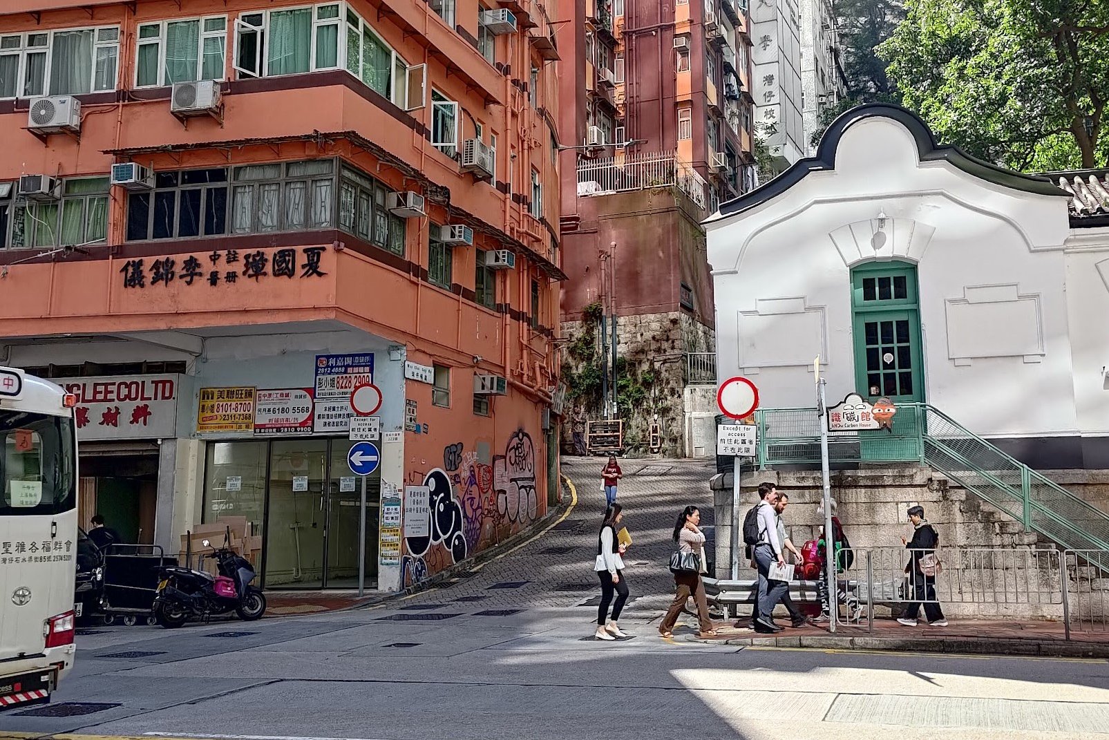
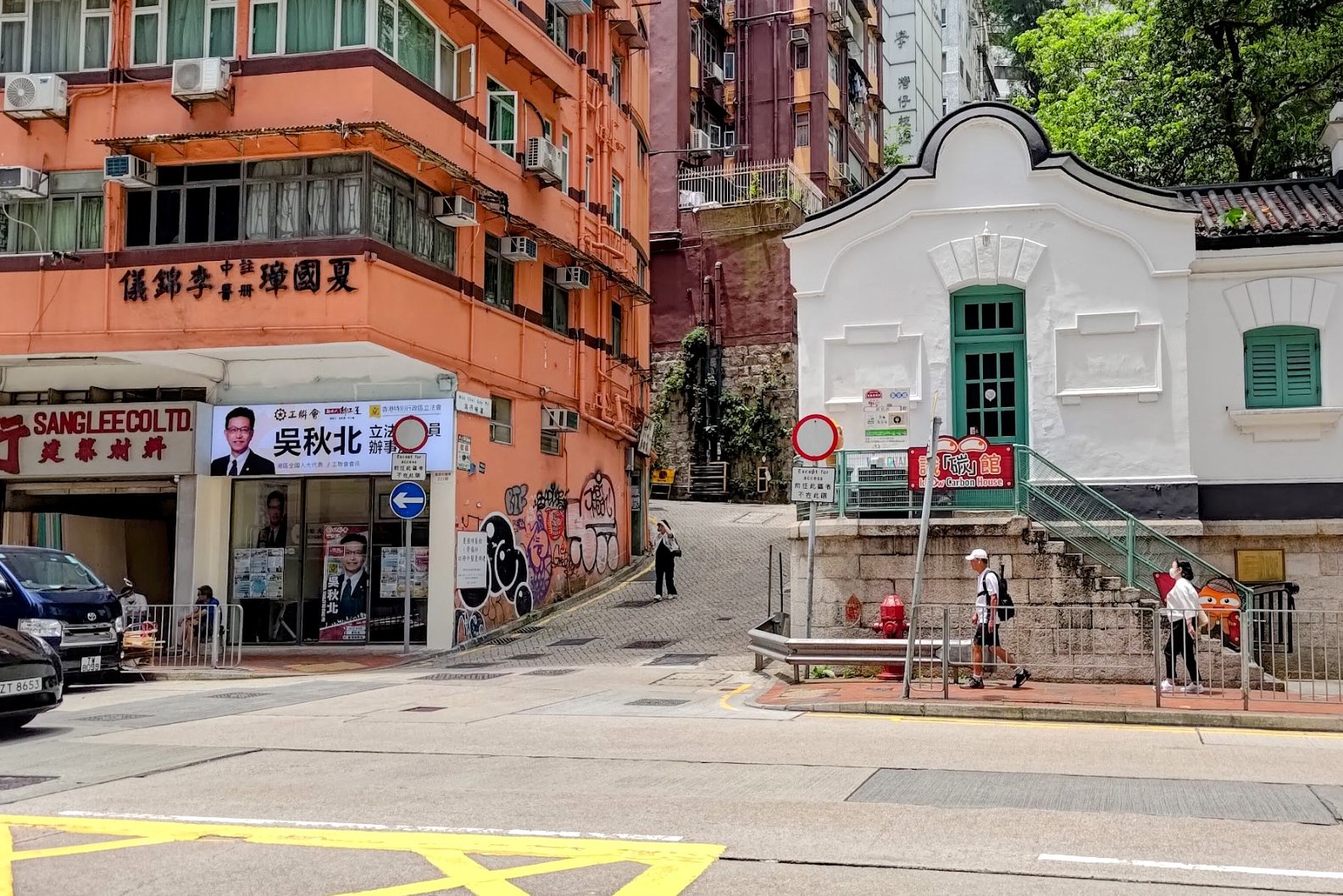
Once you've left Wan Chai MTR Station through Exit A3, cross Johnston Road and look for Tai Yuen Street.
This colorful little gem of a location is filled with toy shops, clothes shops, accessories, and plenty of other curious little bits and bobs.
Keep heading straight until you arrive at Queen's Road East. Cross it and look for the winding lane between the brown and fancy white building.
The uphill begins from here!
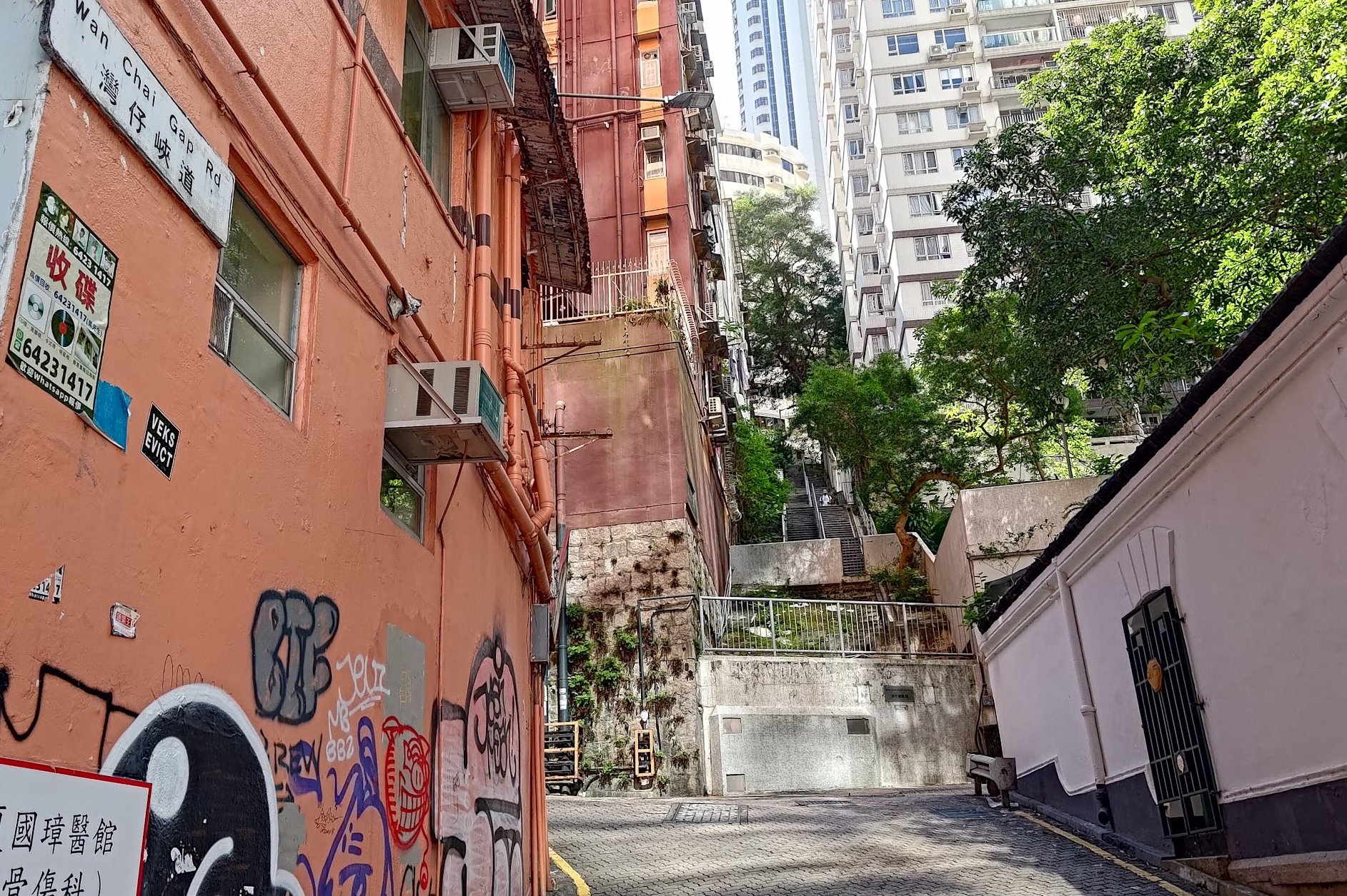
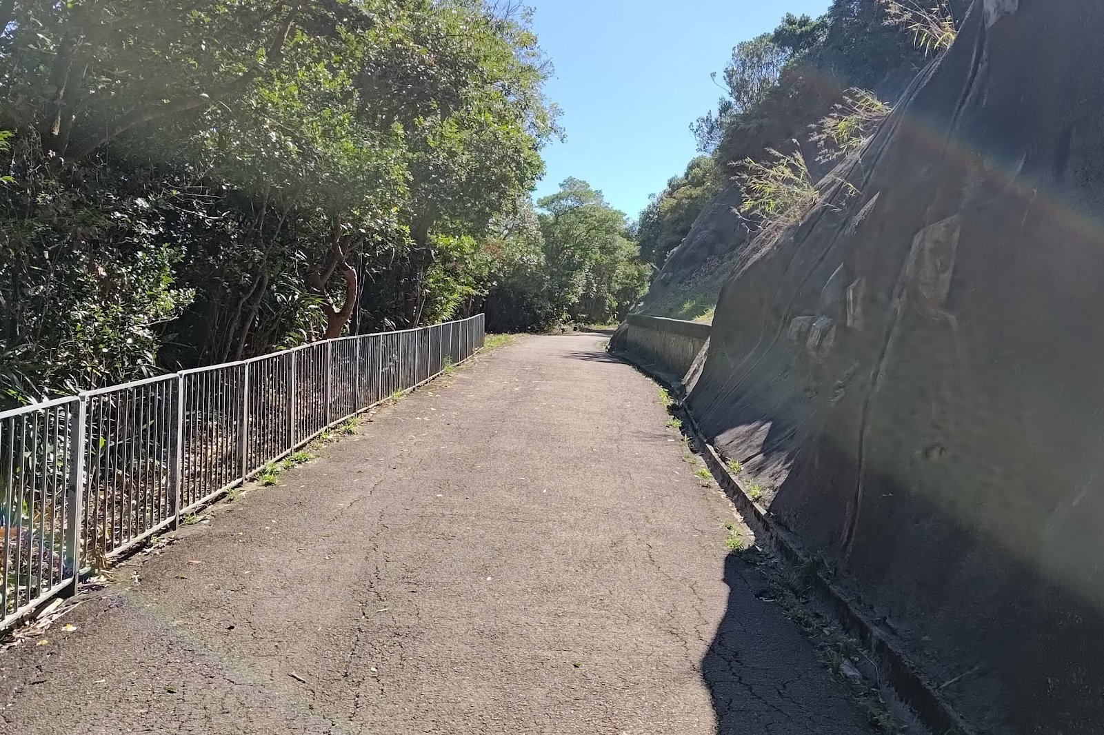
Wan Chai Gap Road and Wan Chai Green Trail

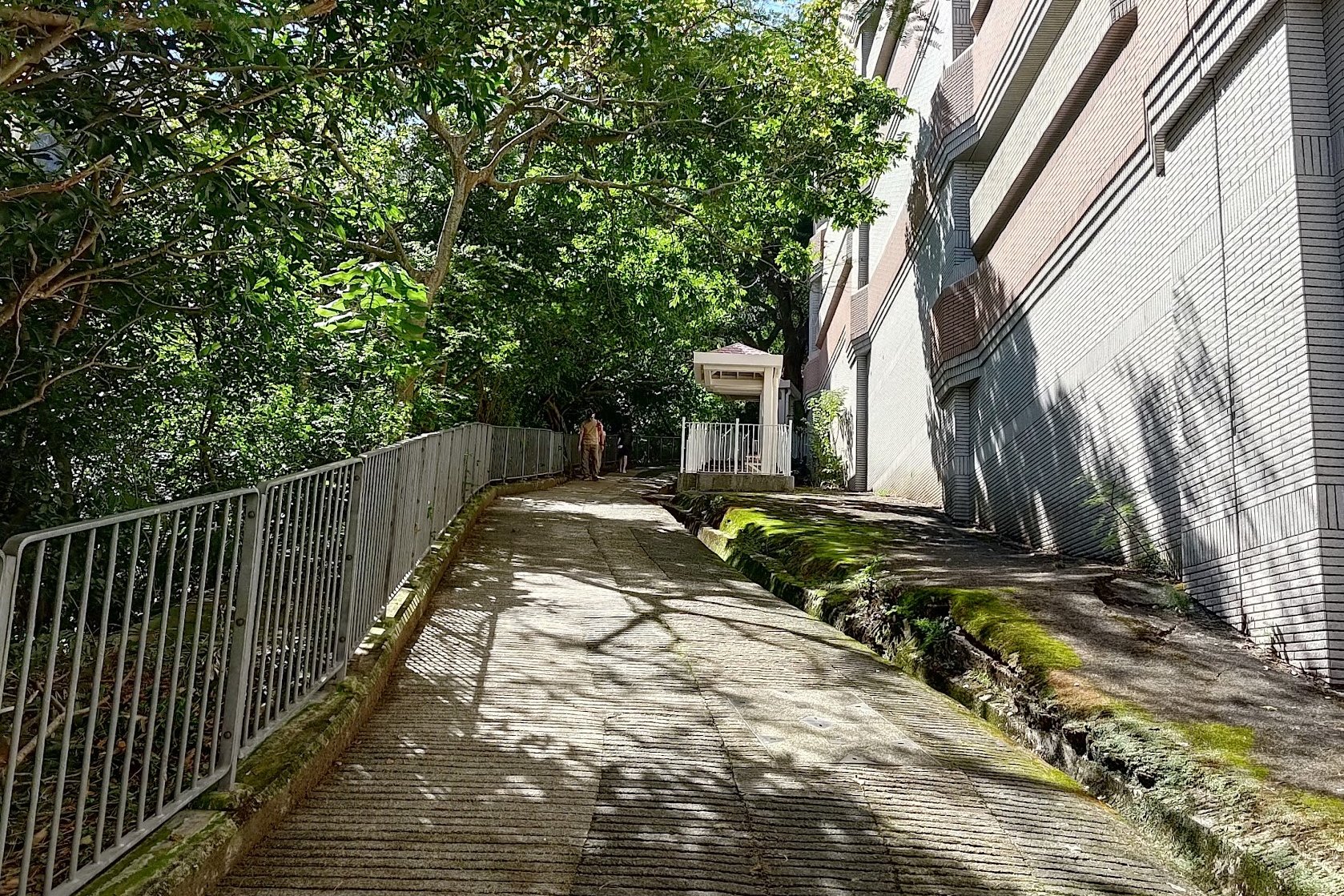

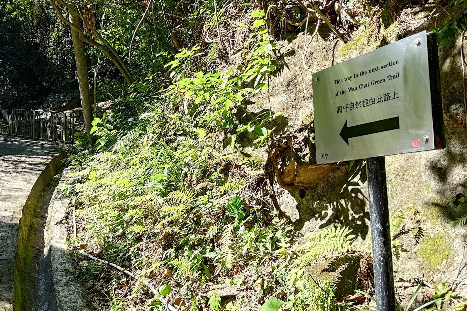
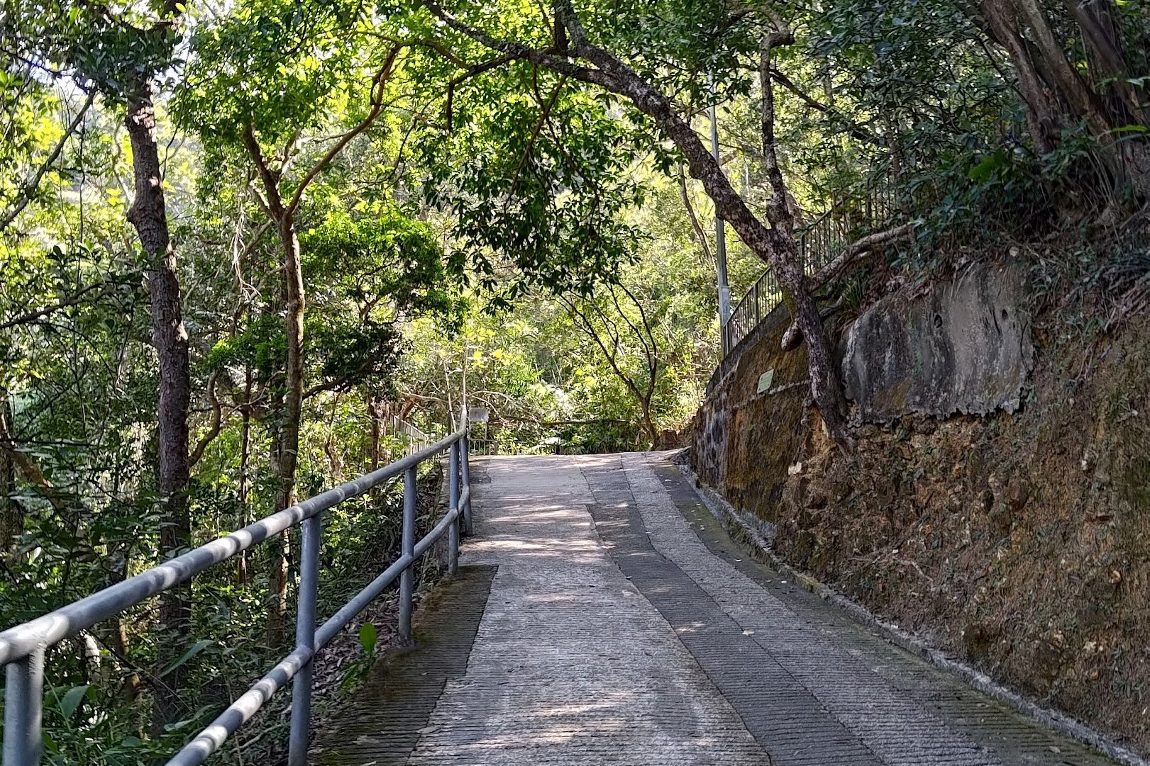
It took me about 20 minutes at a good clip to reach Stubbs Road. If you plan on taking your time and enjoying the view (or taking breaks to combat the steepness of the climb), budget a little extra time.
Aside from having to navigate a crossing, you'll be following the trail forward the entire time. The entire section is marked as Wan Chai Gap Road on Google Maps, so if you're uncertain, you can double check.
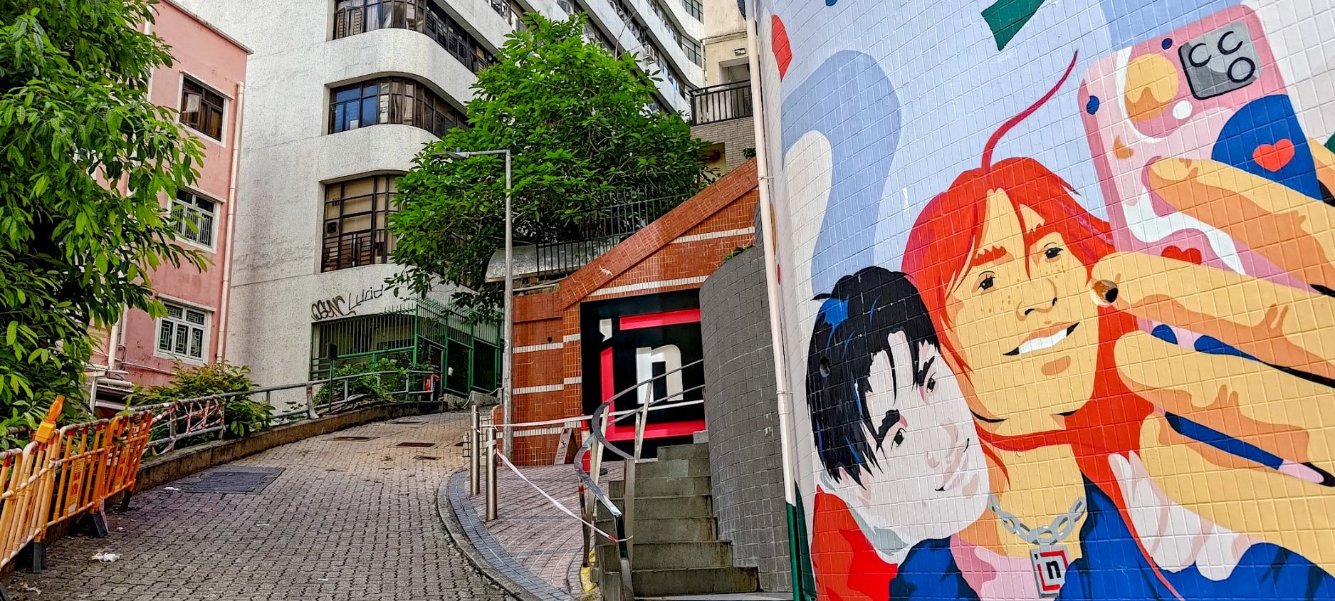
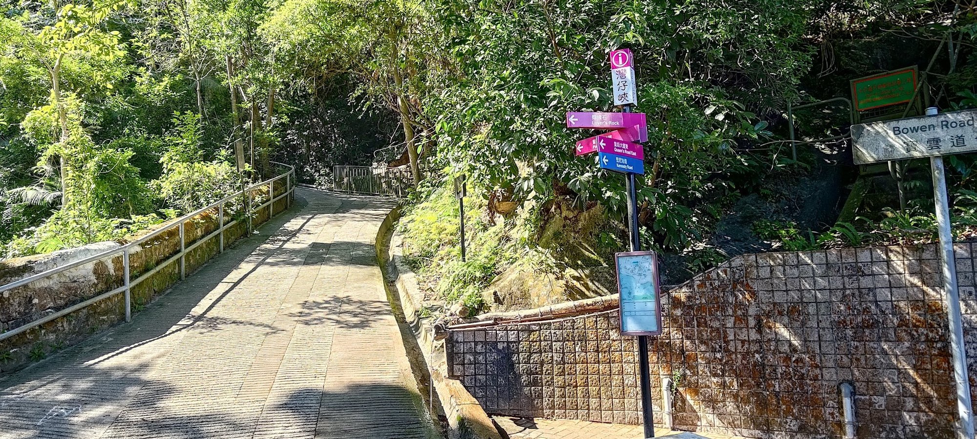
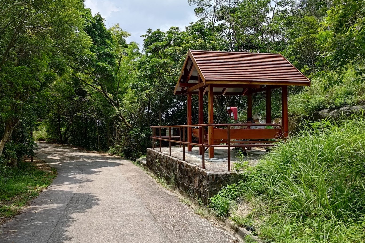
Follow Black's Link to the Rest Stop Pavilion
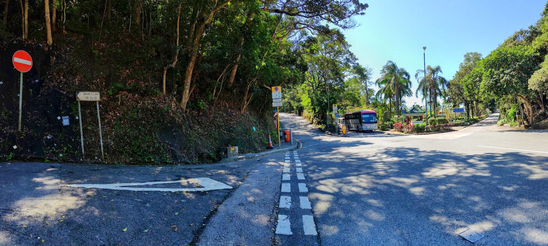
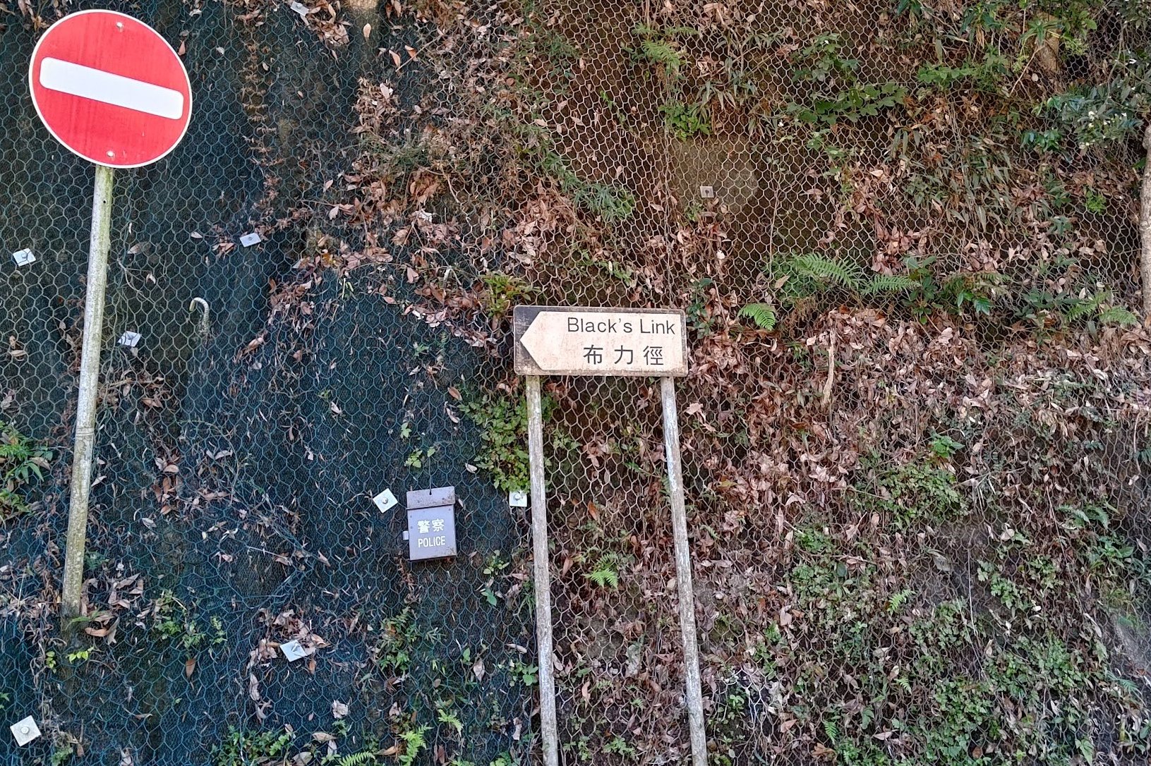


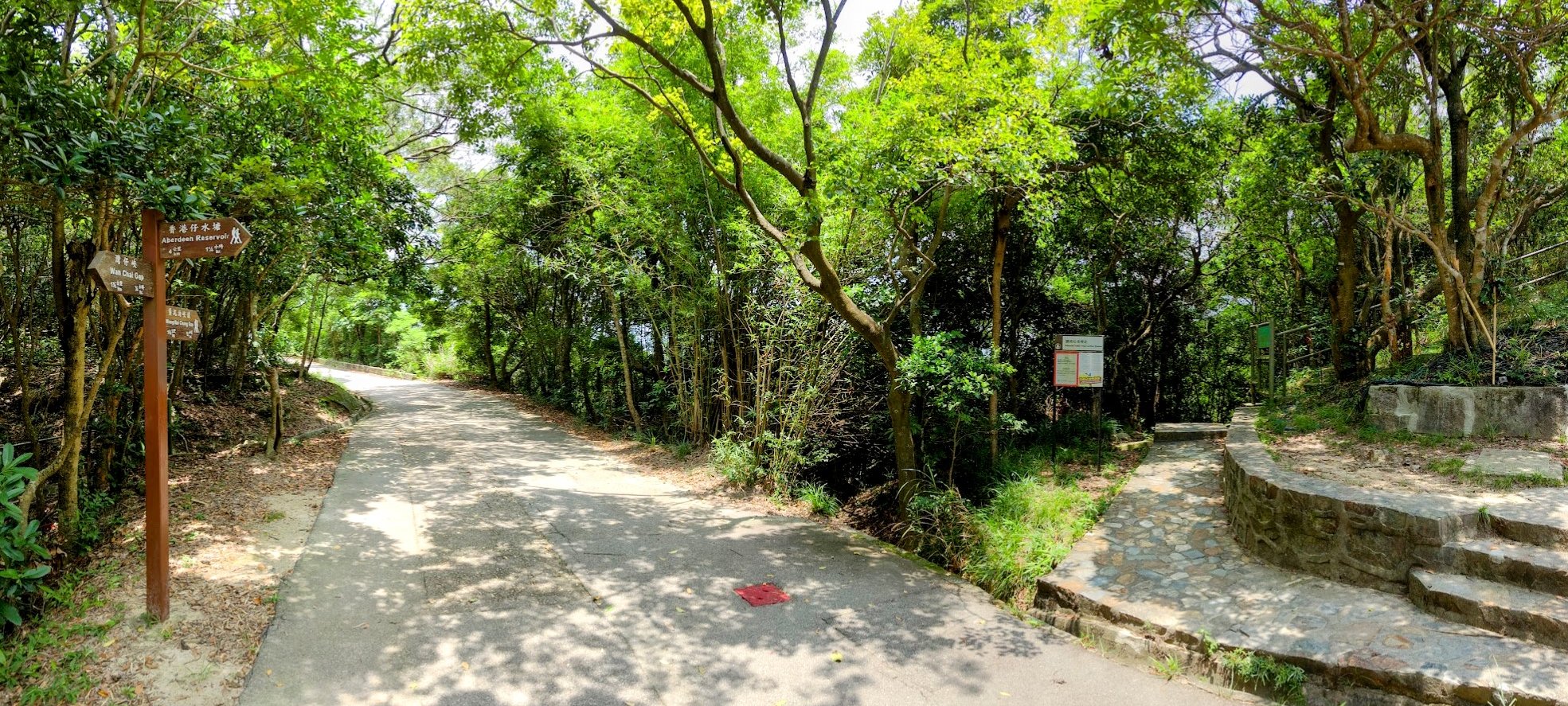
You'll be following Black's Link, which is mostly flat, for 20ish minutes.
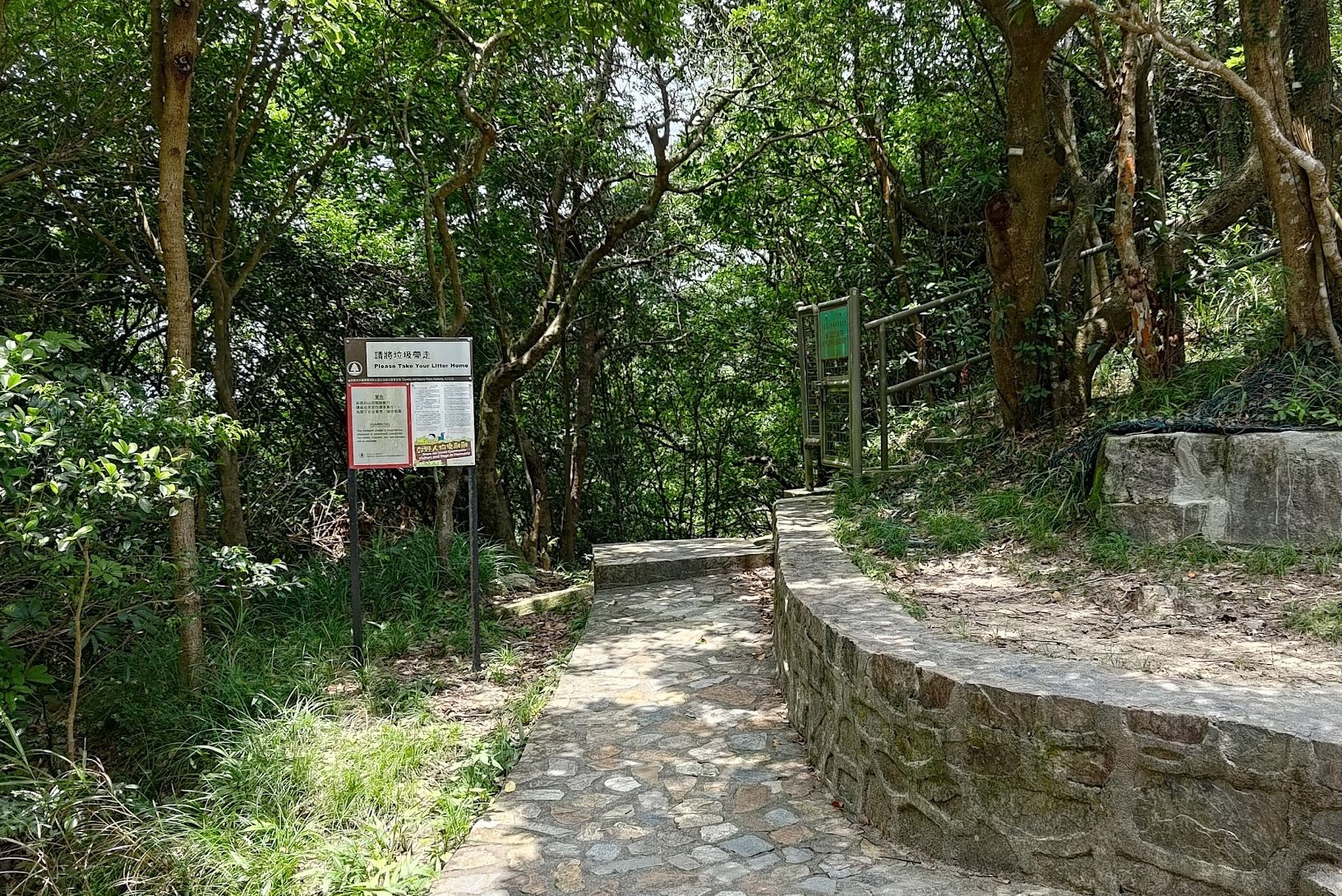
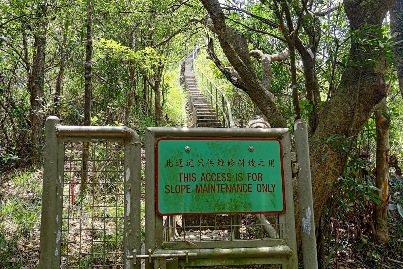
When you come across the brown rest stop pavilion, look for the stairs and slope maintenance sign just behind it.
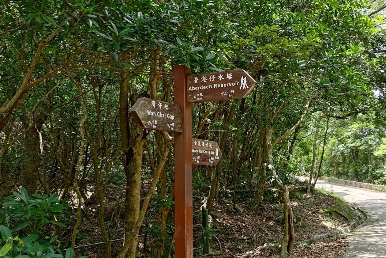
If you're struggling to find the stairs, just follow the Aberdeen Reservoir sign by the pavilion, and the stairs will be on the path the sign points to.
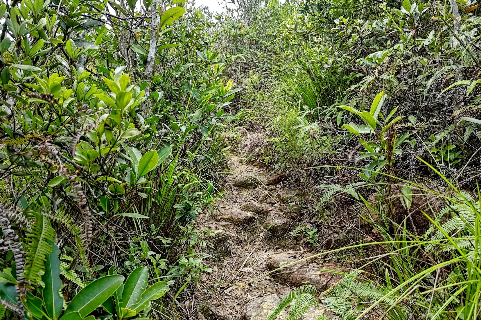
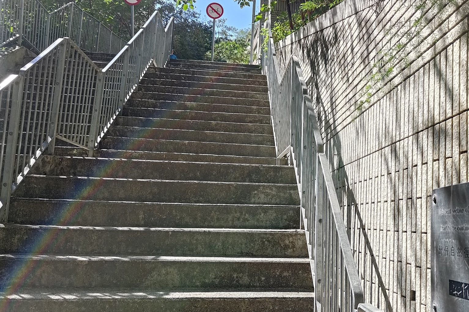
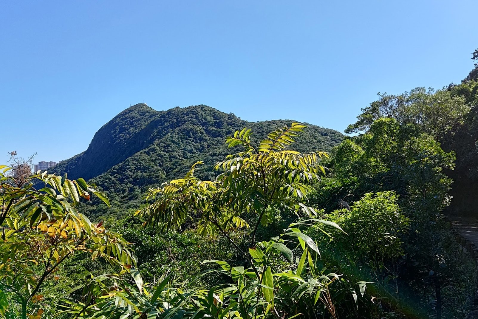
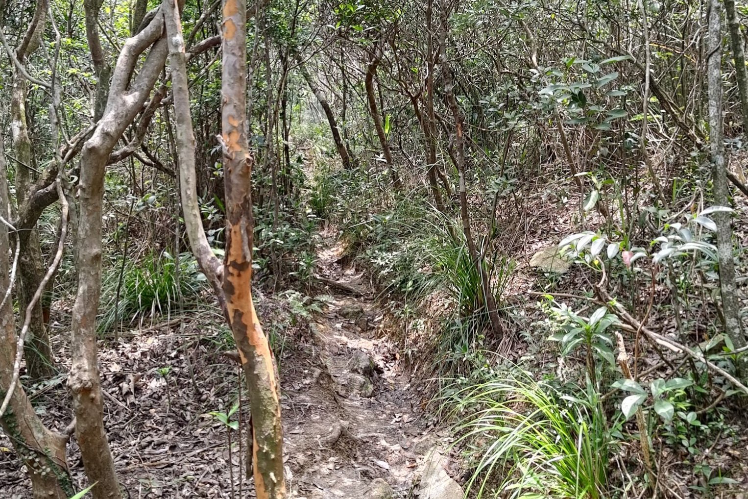
The Rugged Route to the Summit
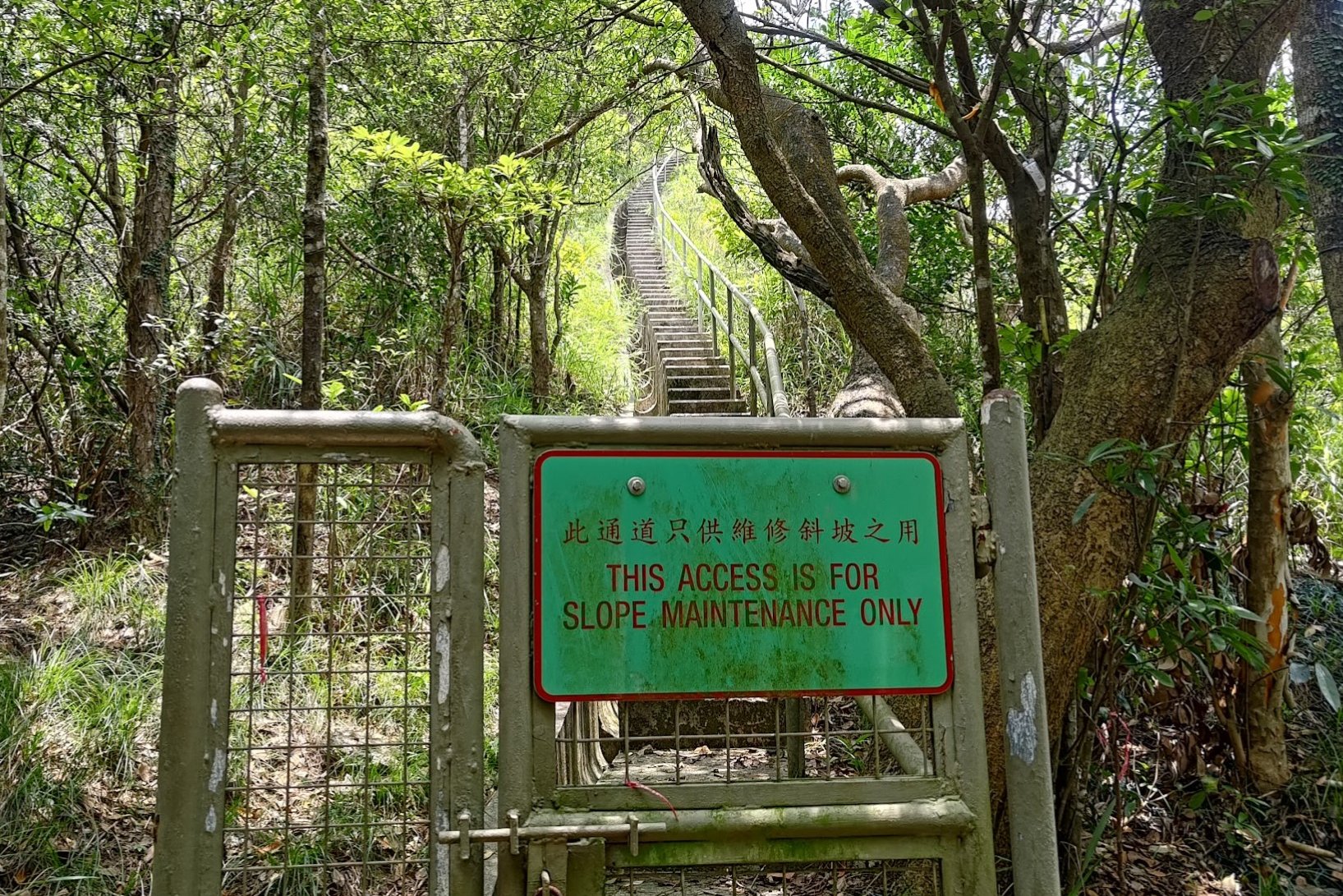
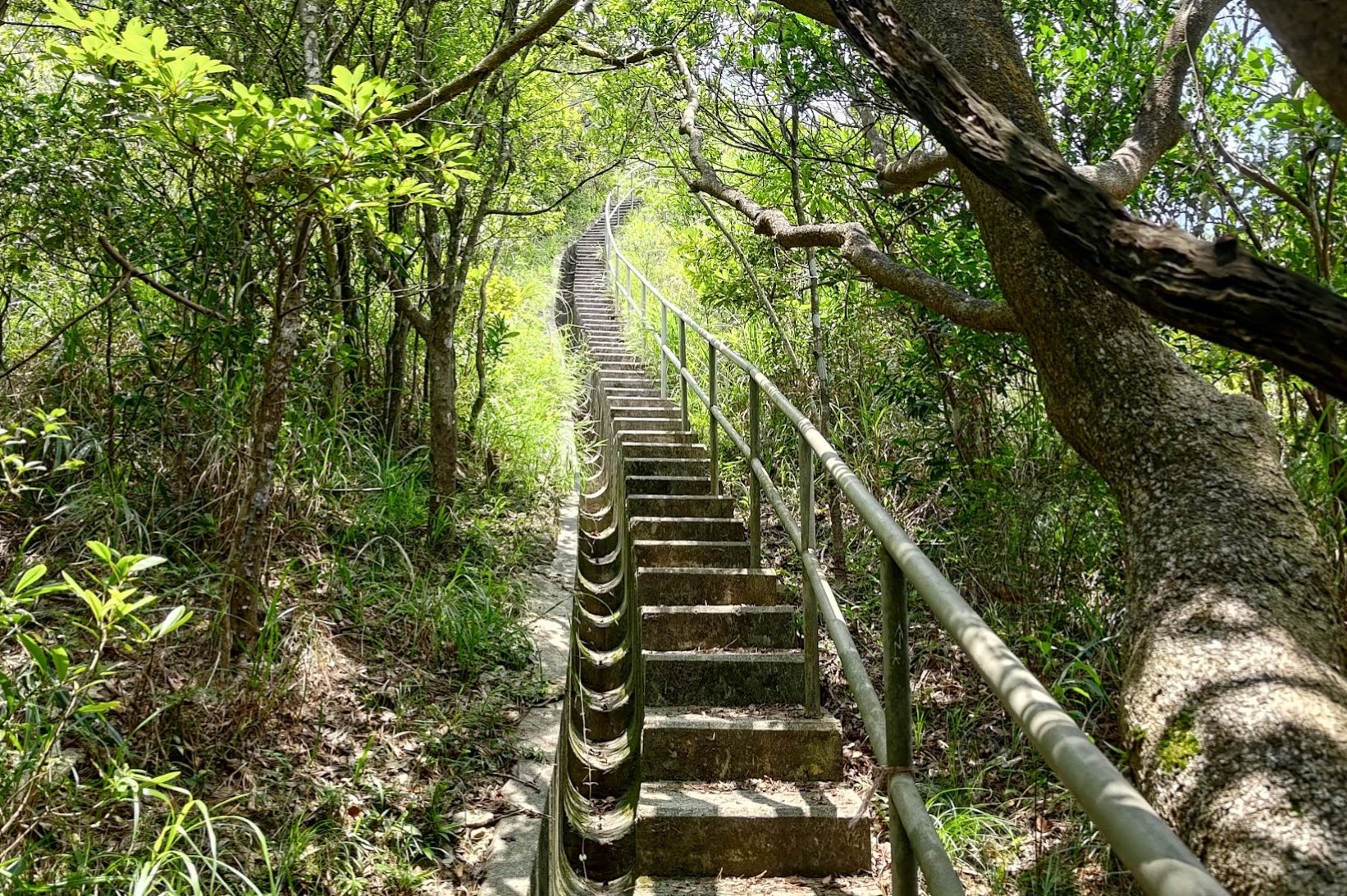
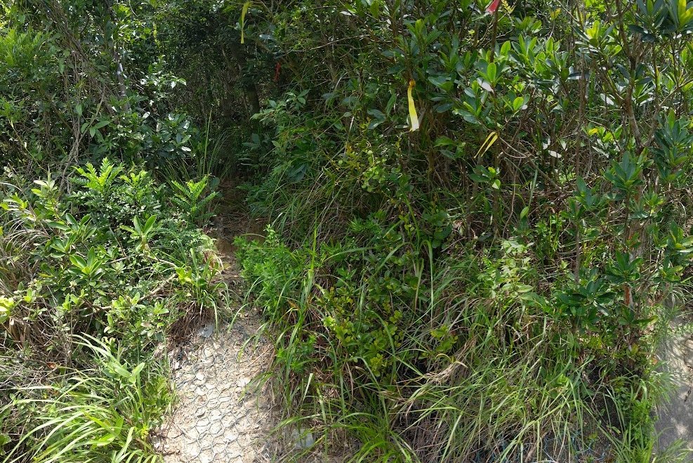
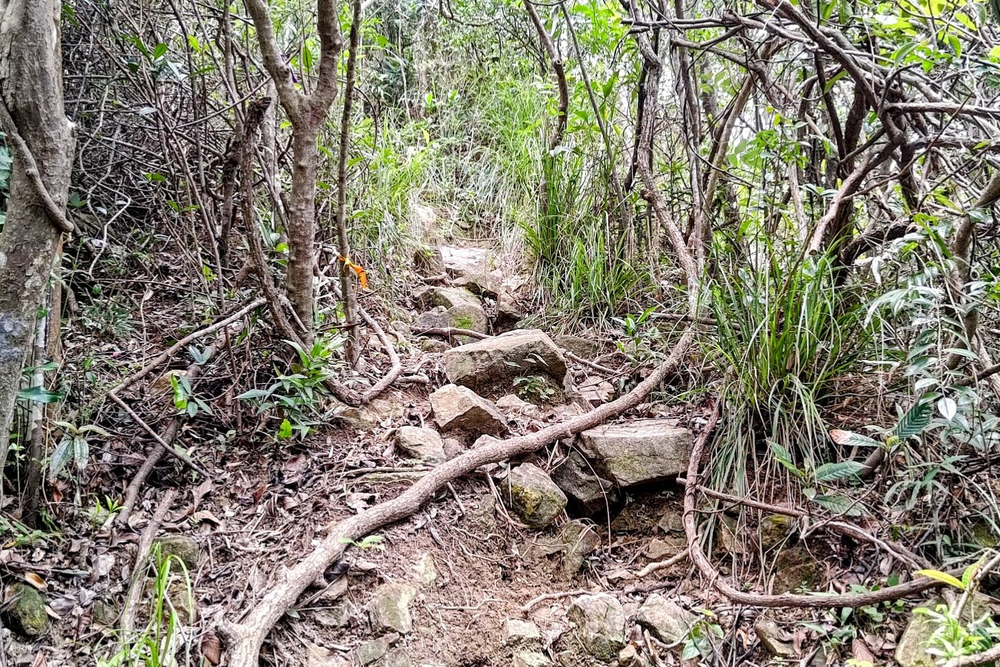

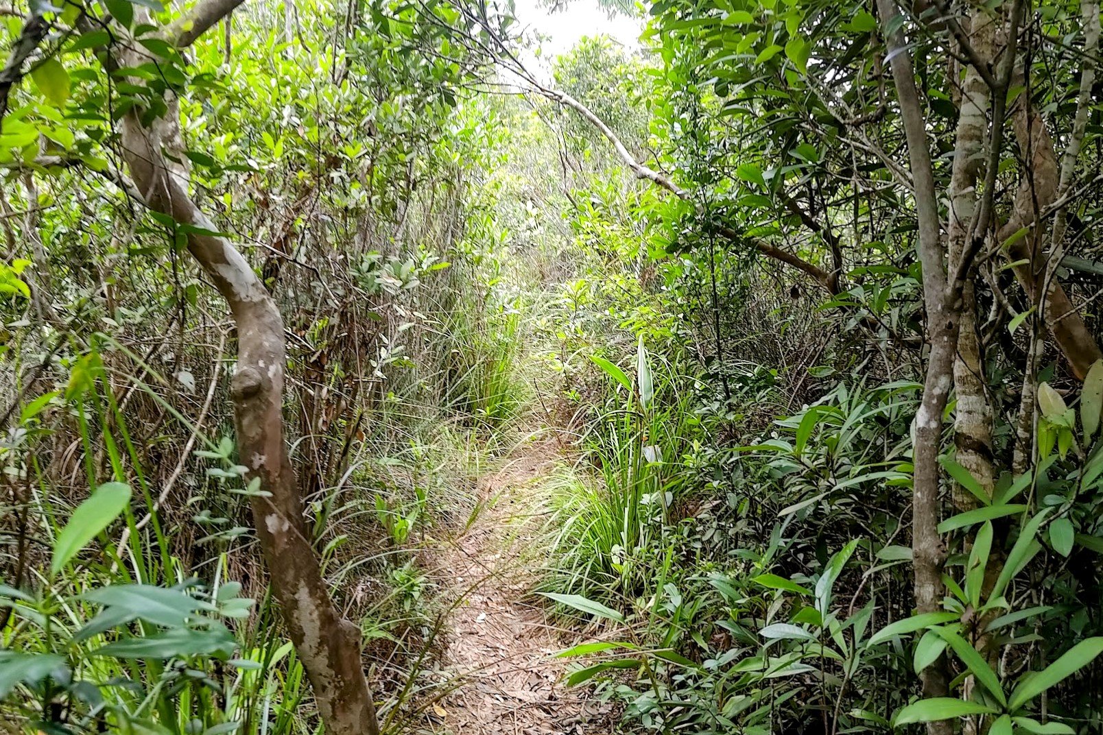

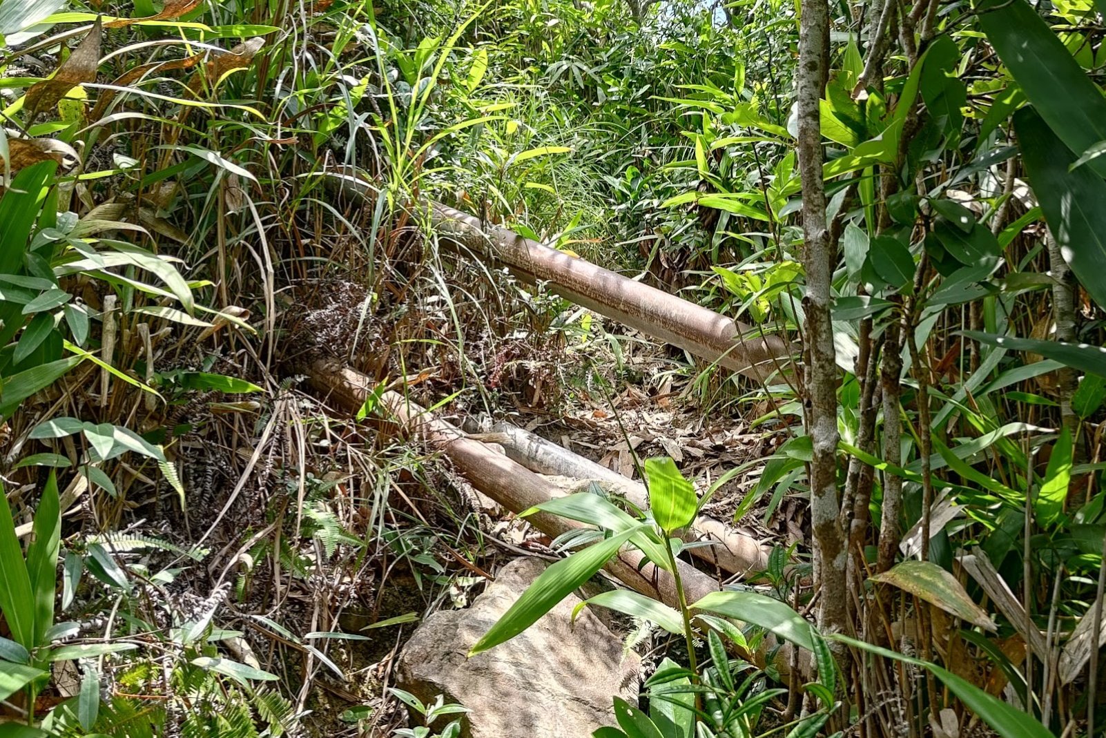
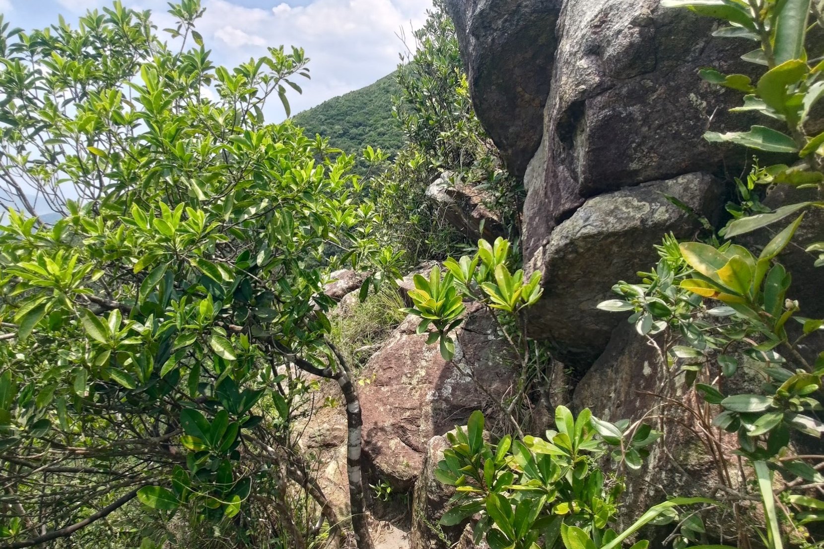
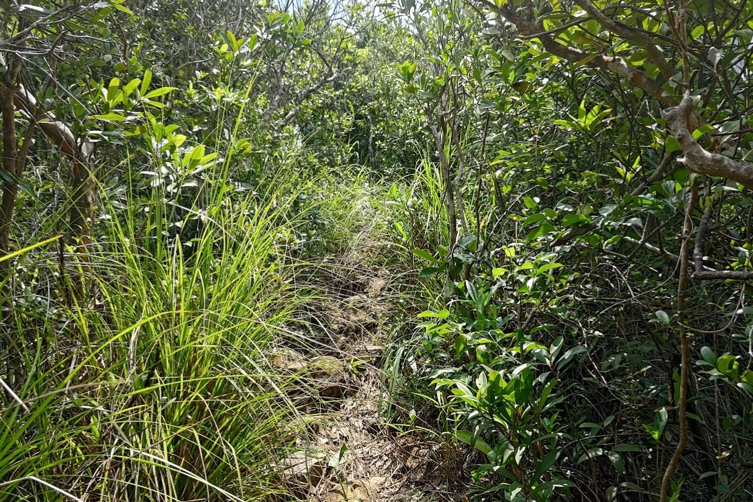
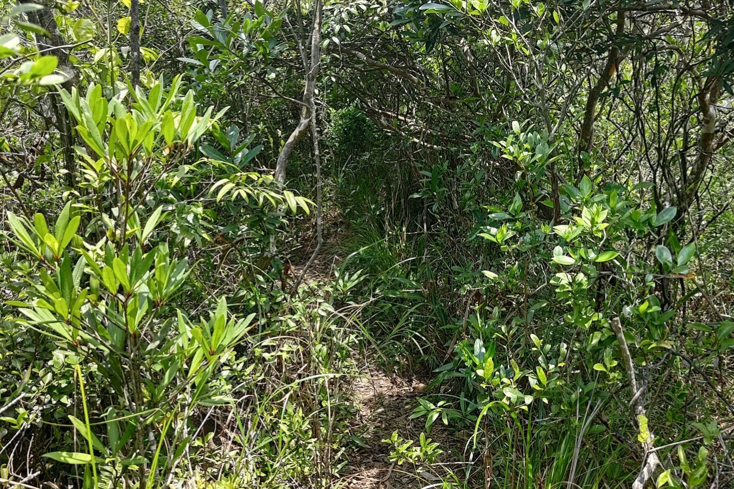
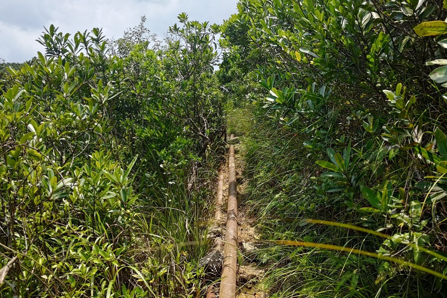

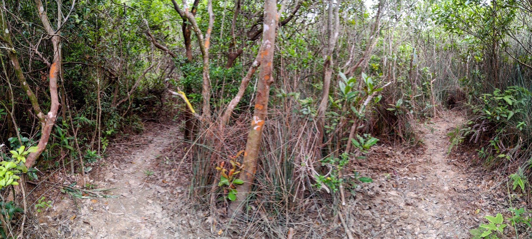
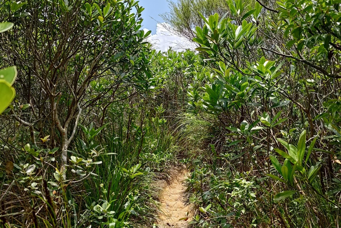
The climb to the summit from the start of the stairs takes about 25-30 minutes. This section is quite technical, and caution is required.
Given how narrow, slippery, and muddy much of the trail was even on a dry summer day, I highly advise against doing this hike during or just after a rainy day.
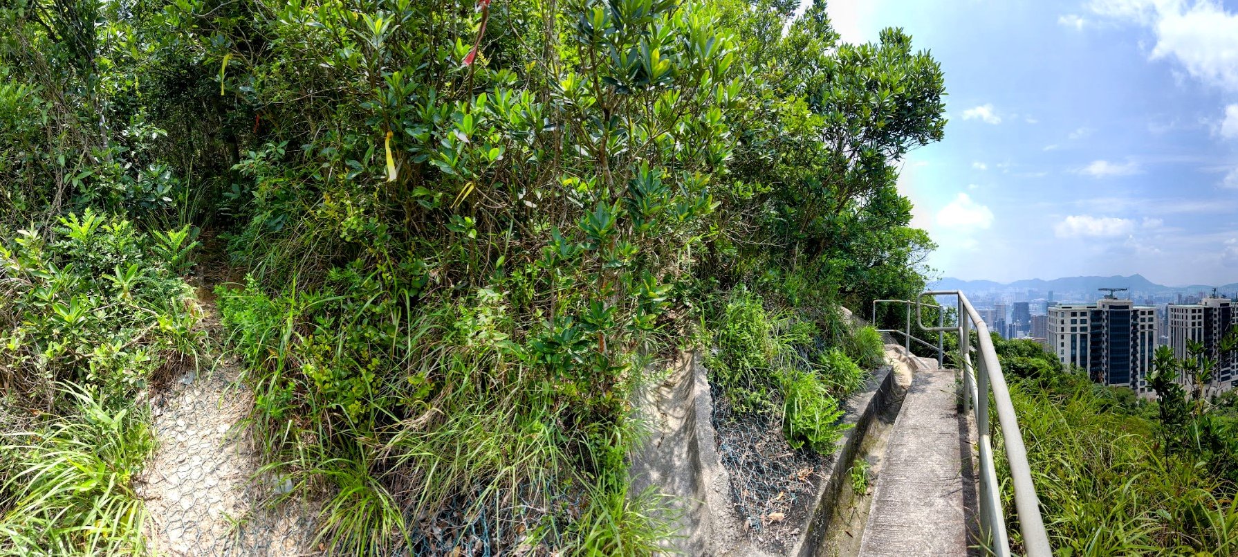
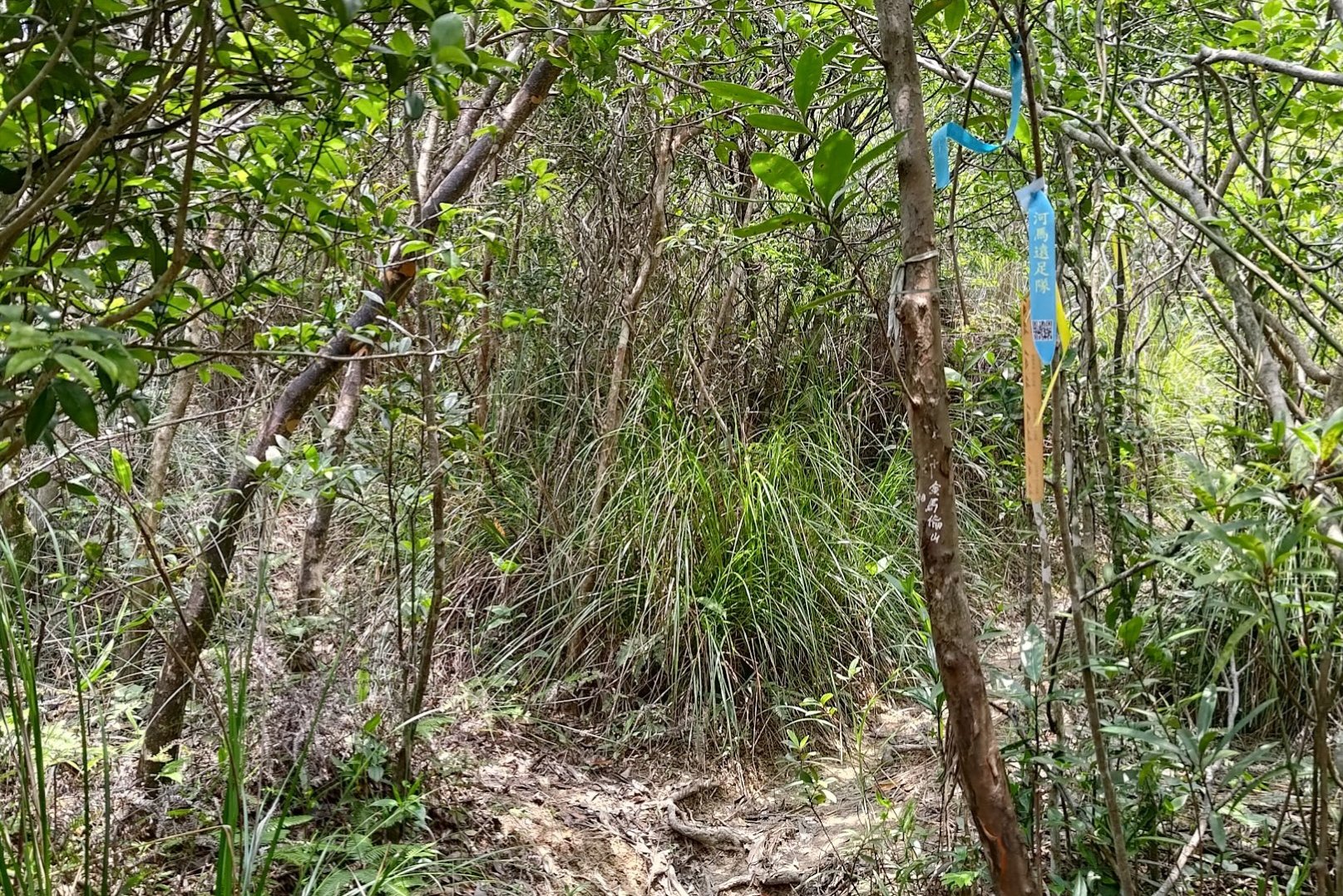
It's also very important to take the fork in the path going forward (marked by a yellow ribbon) and then to turn left just a few meters after.
Mount Cameron Summit Views
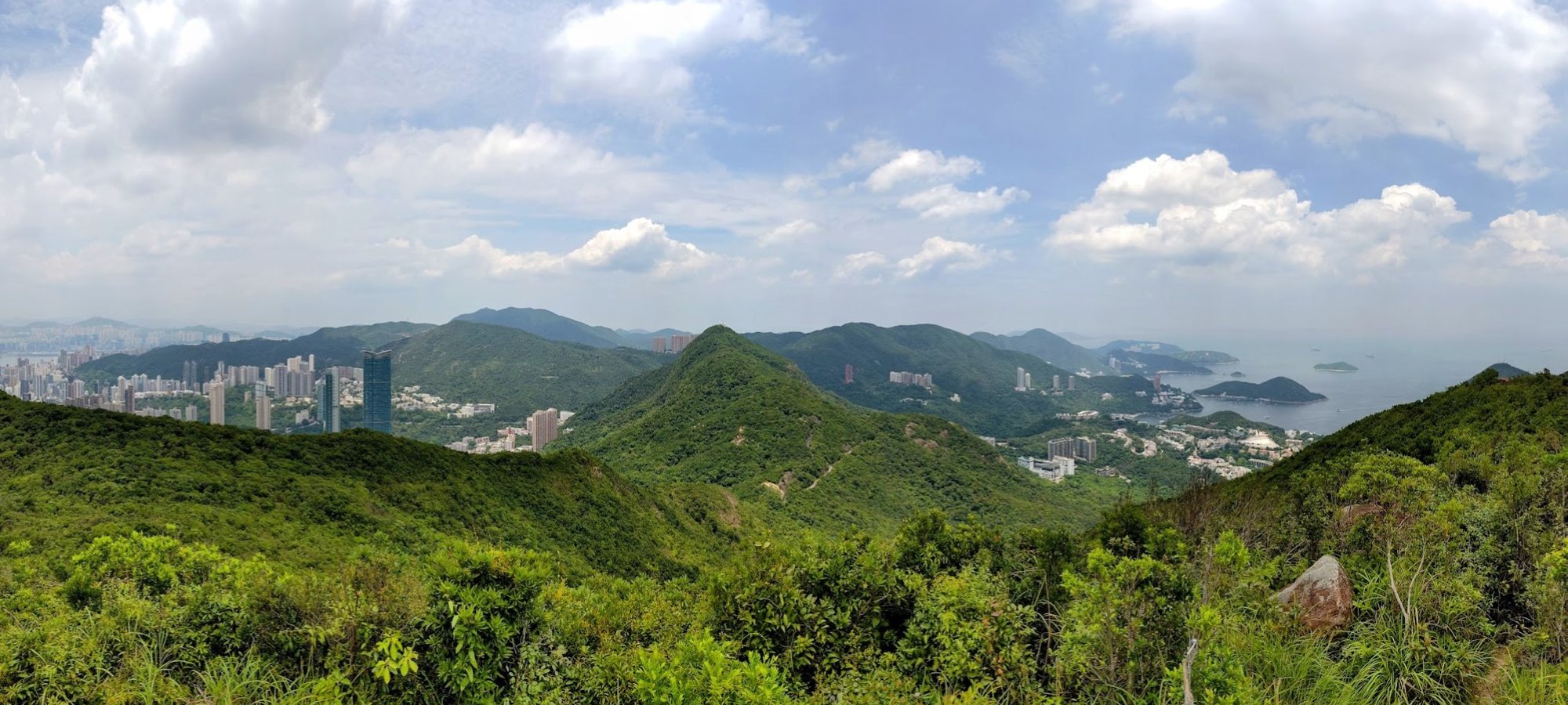
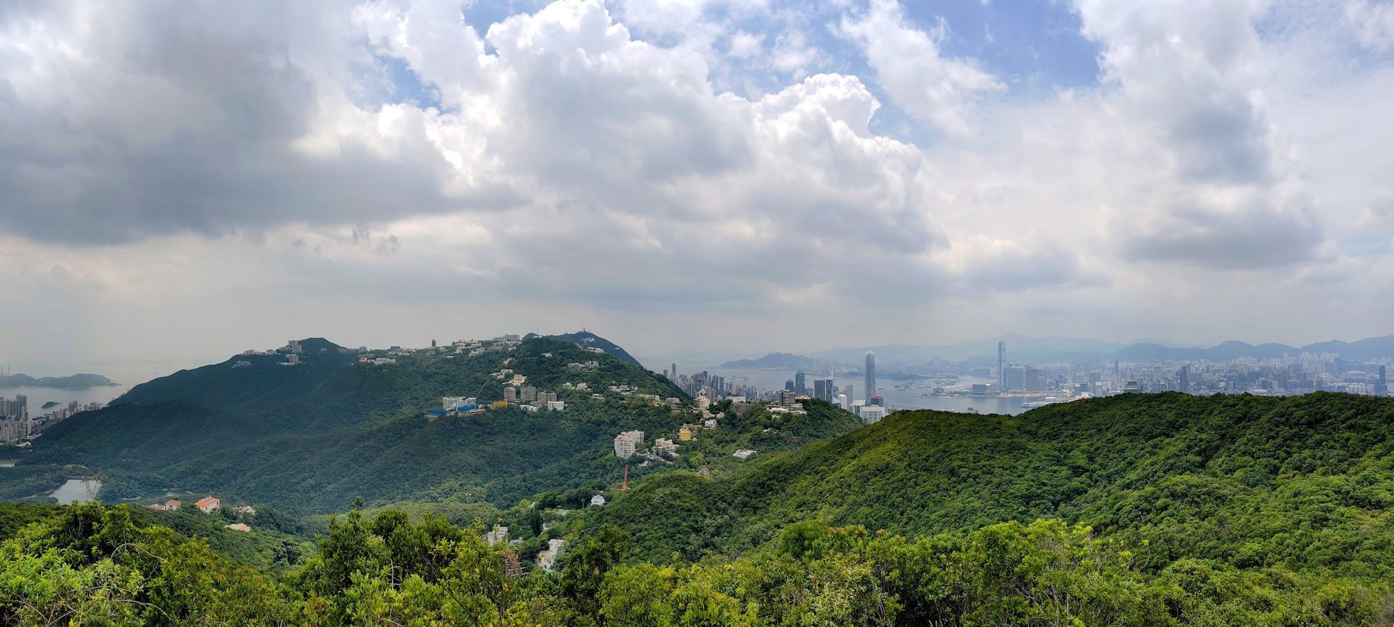
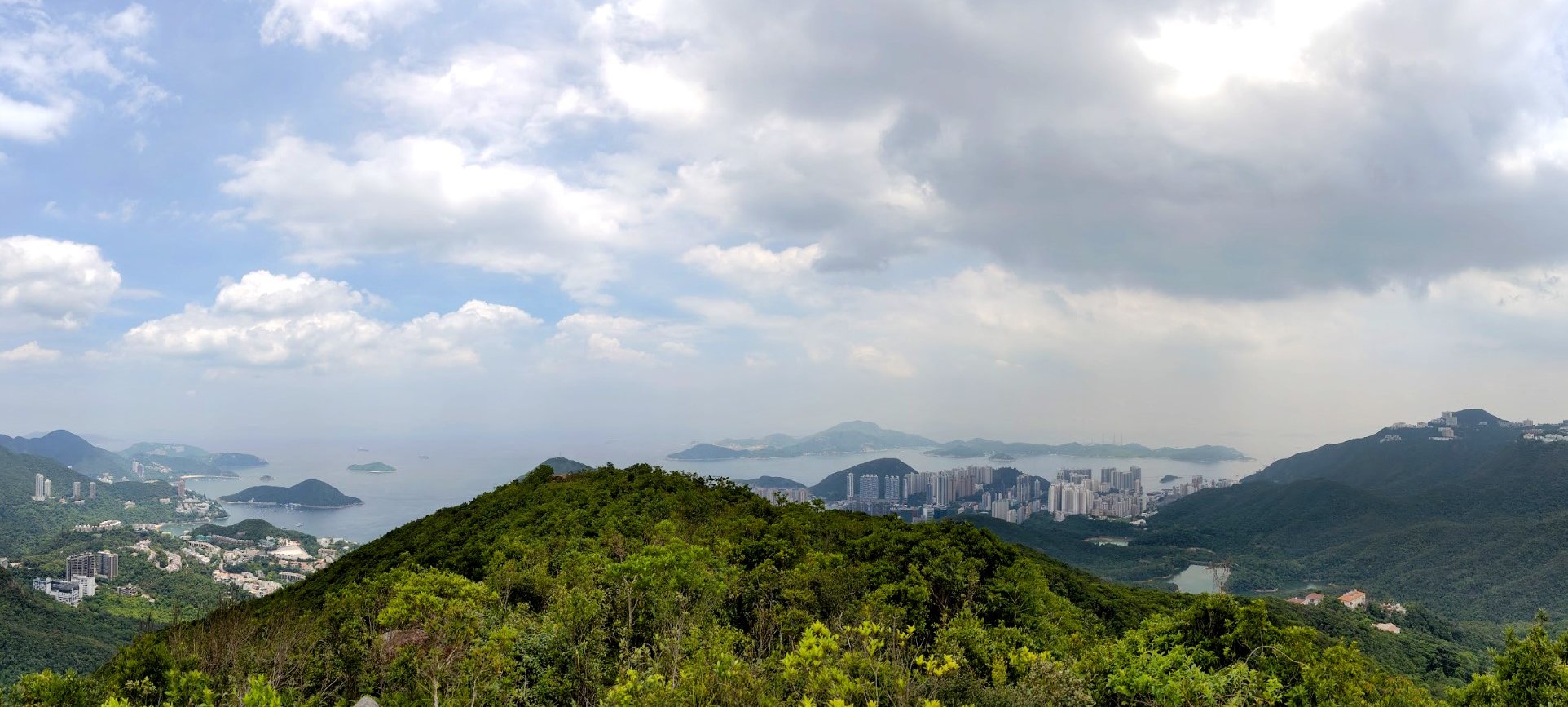
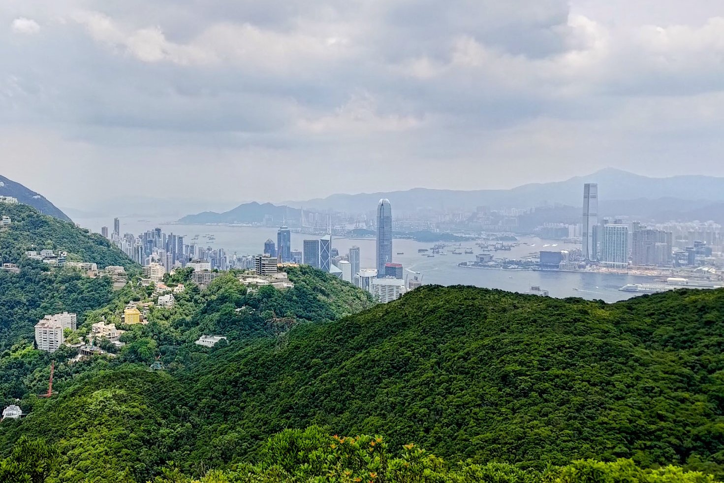
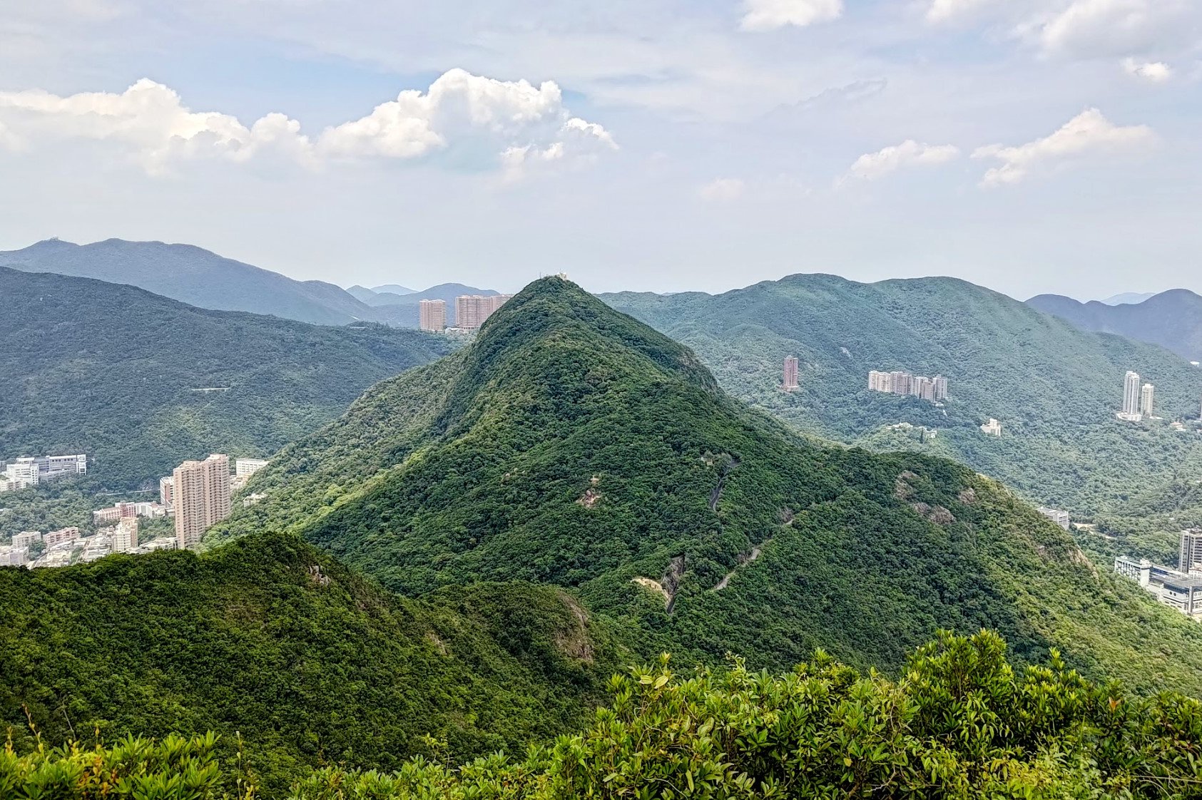
The 360-degree panorama over all parts of Hong Kong Island from the top of Mount Cameron is genuinely breathtaking.
Since not many people know about this hike, there is a high probability that you won't have drones, Bluetooth speakers, or influencers ruining your peace and quiet.
I spent a good 15 minutes just marveling at the view before heading back down.
*Retrace your steps back down the same path. The other path from the summit is so overgrown that it's just not worth going along that path.
Getting Back
Retrace your steps down the same path back to Black's Link and then to Wan Chai. From there, you can take the train or a bus to your desired destination.
You can also link over to the start point of Mount Nicholson from just a short distance away from the rest pavilion at Black's Link.

