
Little Hawaii Falls: An Easy Waterfall Hike that Even Kids Can Do
Contents
- Essential Information
- Hike Highlights
- Google Route Map and GPX
- How to Get There
- Quick Route Summary
- Po Lam MTR to the Trail Start Point
- The Big Climb
- The Flat Path to the Intersection of Many Signs
- Optional Detour to Lin Yuen Terrace Falls
- Lin Yuen Terrace Falls
- Intersection of Many Signs to Little Hawaii Falls
- Little Hawaii Falls
- Getting Back
- Little Hawaii Falls and Razor Hill Route Map and GPX
Essential Little Hawaii Falls Hike Details
- District: New Territories
- Duration: 2 hours (total) there and back from Po Lam MTR Station
- Distance: 6.4km
- Highest Elevation: 120 meters
- Difficulty: 1.5/5
- Facilities: None. Bring water and snacks as you need
Why Hike Little Hawaii Falls?


Little Hawaii Falls (小夏威夷瀑布) is an easy hike that's suitable for families to tackle during a day out. The waterfalls are small and gentle, and there are plenty of pools to swim in.
The hike itself is not challenging and it only takes about an hour (at a decent pace) from Po Lam MTR Station to reach Little Hawaii Falls. The trail is also really easy to follow and isn't technical at all.
If you're looking for a great hike for the summer, visiting Little Hawaii Falls is perfect since it's shaded and is also a great swimming spot.
It's probably best to avoid this place on weekends and public holidays though. It can get pretty crowded.
*If this hike seems too easy, you can pair it with Razor Hill (route map at the bottom of the article)

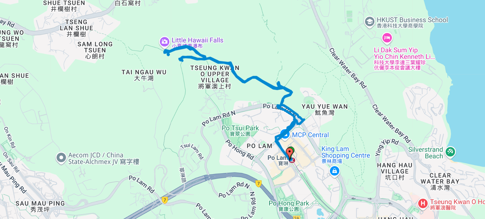
Google Route Map and GPX
*Click the box icon in the top right of the map below to load the blue route directly into your own Google Maps. You can then see your location relative to the trail in real time!
How to Get to the Little Hawaii Falls Hike Start Point
Take the MTR to Po Lam MTR Station. The hiking guide begins directly from the station.
Quick Route Summary
Start at Po Lam Station
• Take the MTR to Po Lam Station
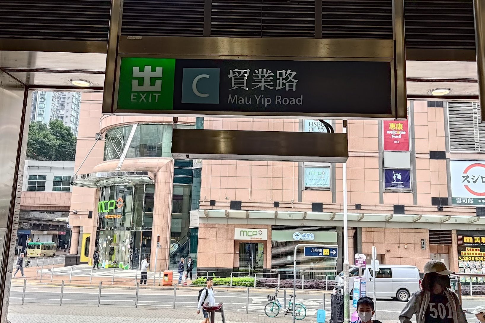
• Exit through Exit C
Po Lam Station to Trail Start
• Turn right from Exit C and walk down Mau Yip Road until you reach the intersection of Po Fung Road
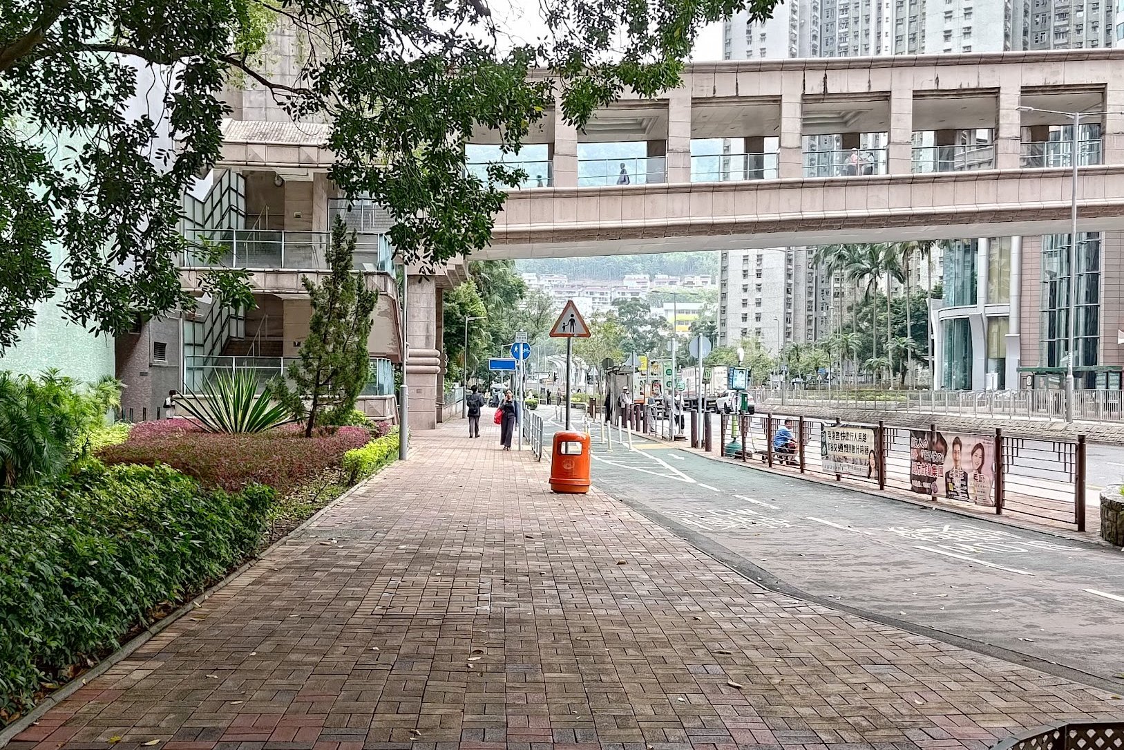
• Cross the street to the far side of Po Fung Road and take a right
• Follow Po Fung Road until you see a blue Subway sign
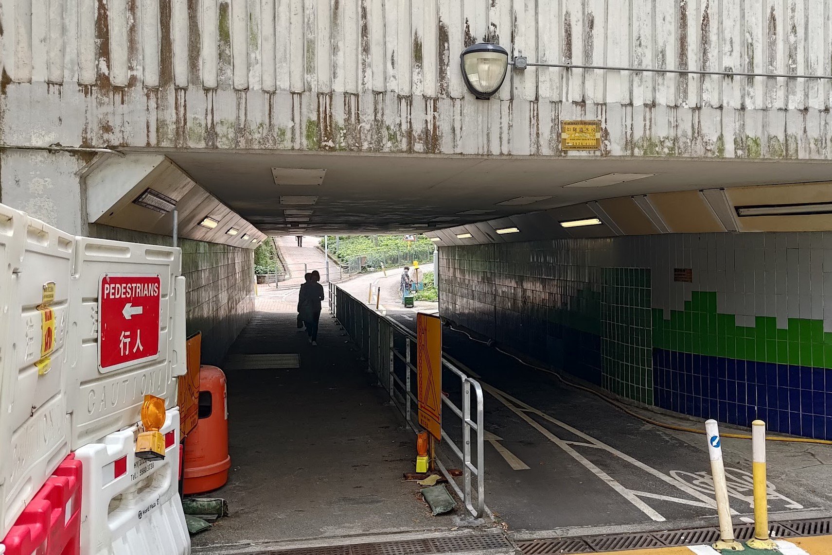
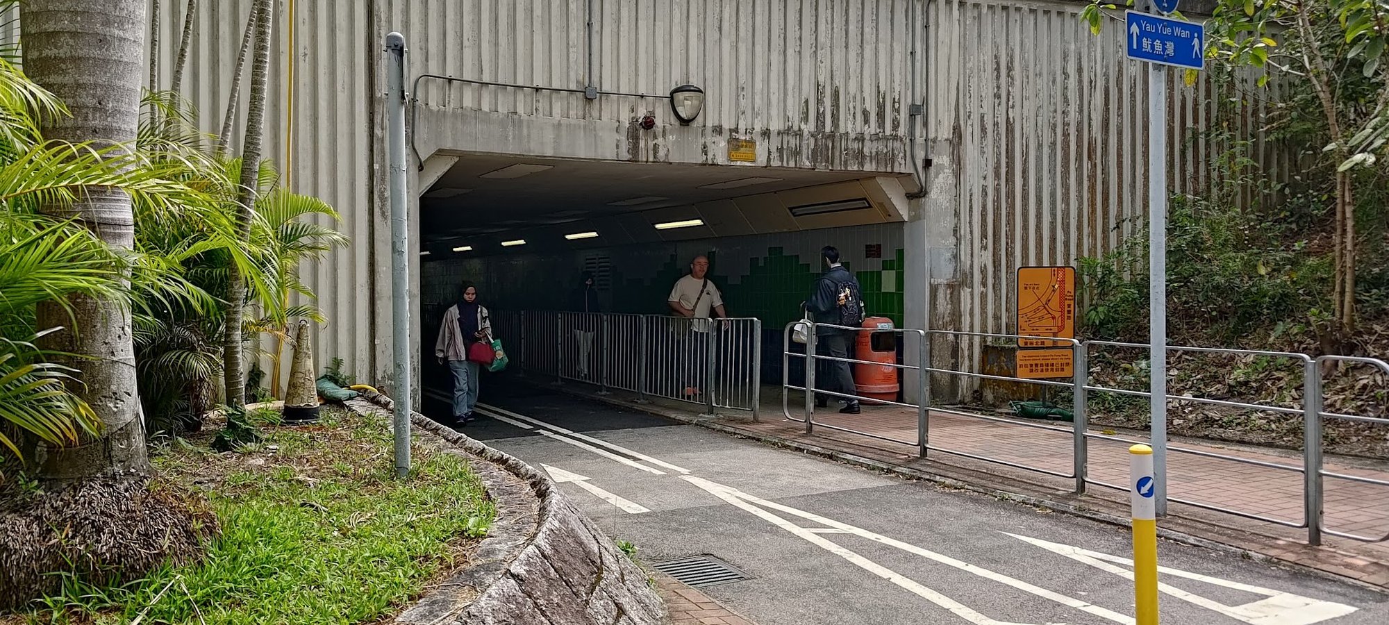
• Enter the pedestrian underpass and turn left, following the blue Yau Yue Wan sign
• Go through another underpass and climb the stairs on your left
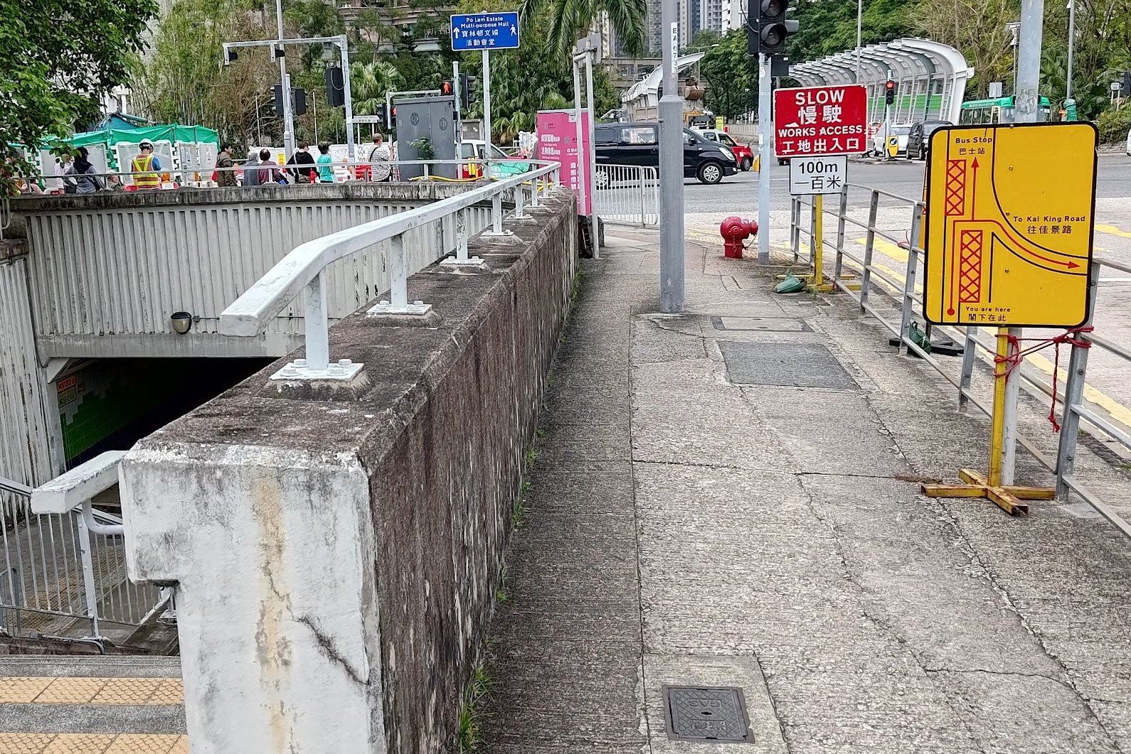
• At the top of the stairs, head toward Yau Yue Wan Village Road and cross the street
• Follow Po Lam Road North until you see stairs with a brown railing on your right
Start of the Trail to Optional Detour
• Climb the stairs following the brown railing; they become more makeshift as you go up
• When you reach an intersection, take the flat path to the left and ignore the stairs continuing upward
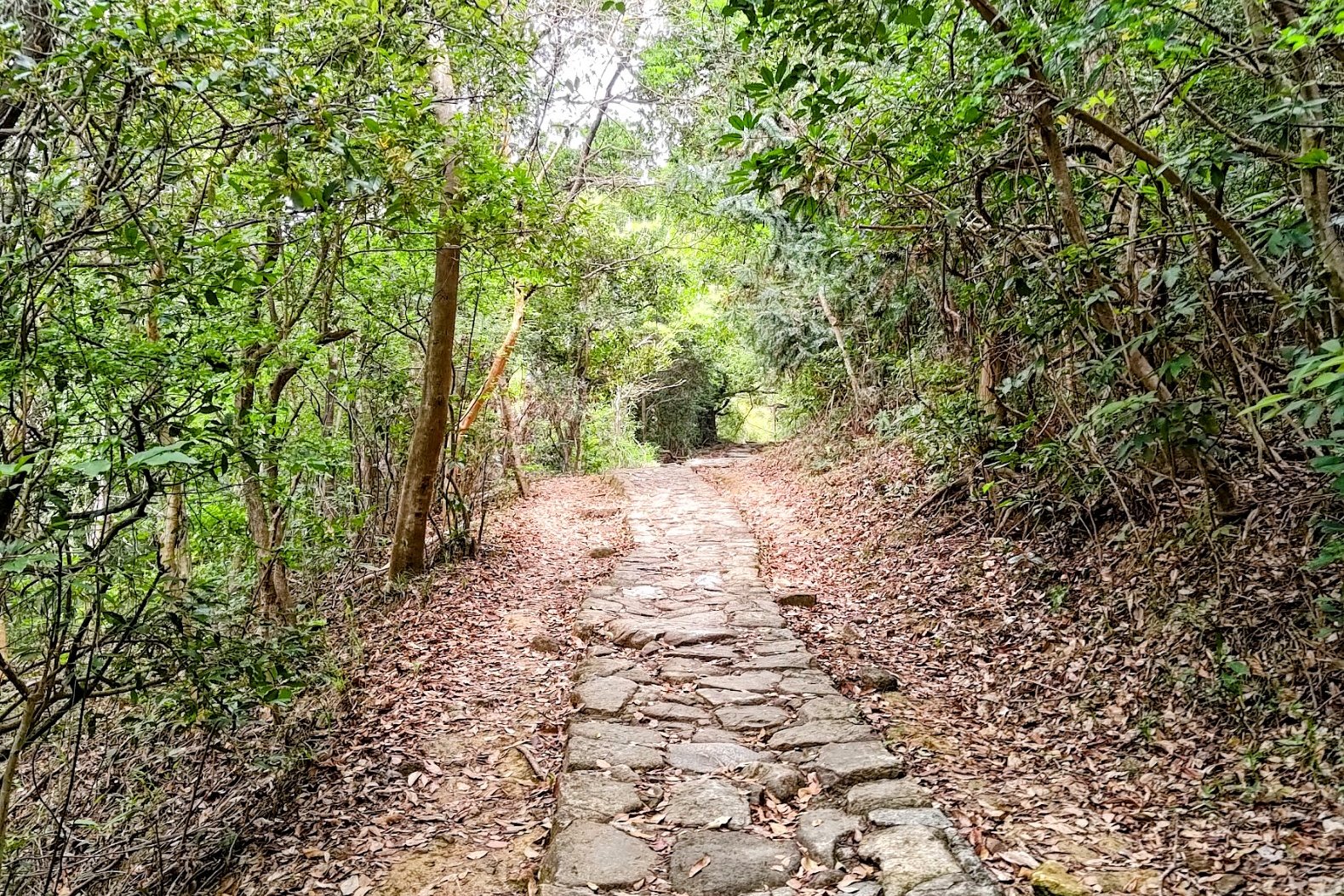
• Follow the flat path, which rises and dips, until you reach a cobblestone trail
• Continue forward on the cobblestone trail (do not turn left)
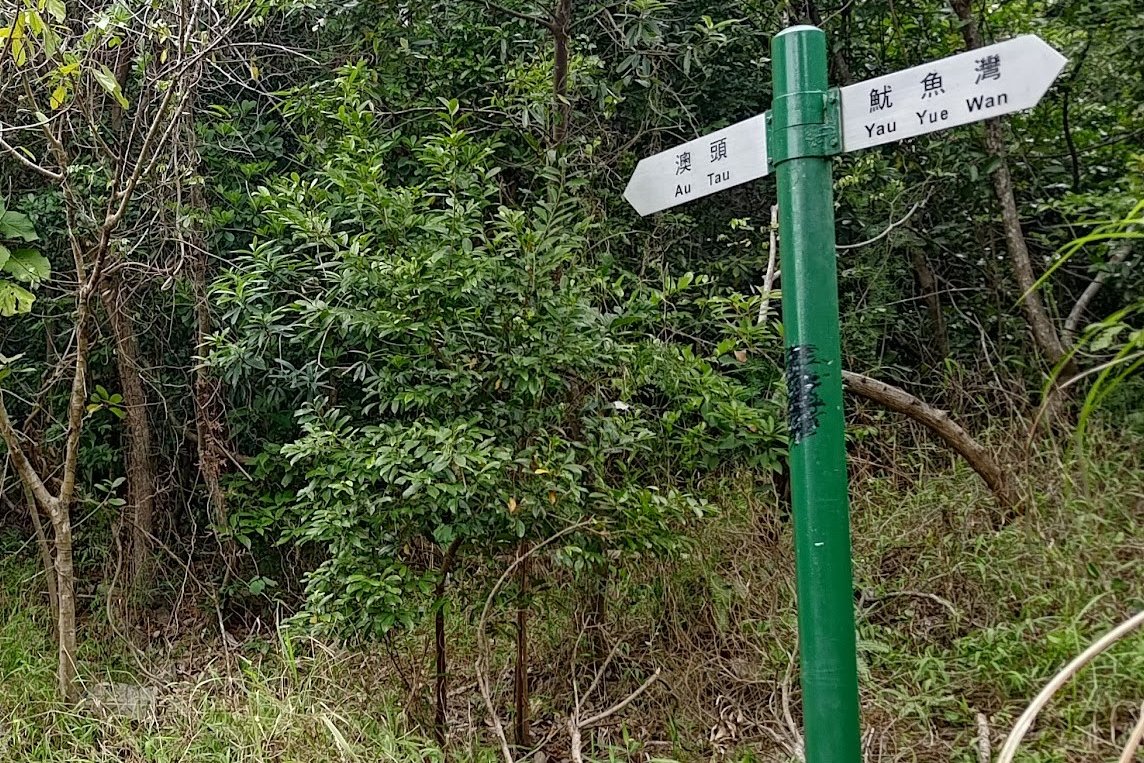
• Follow the Au Tau sign
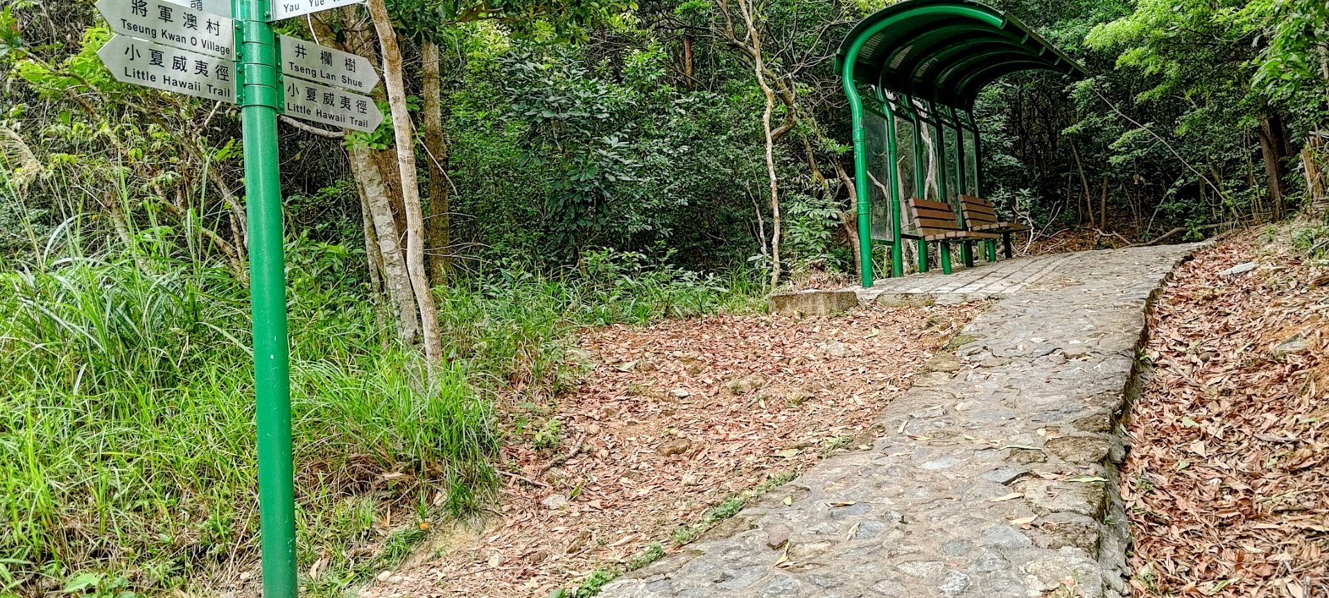
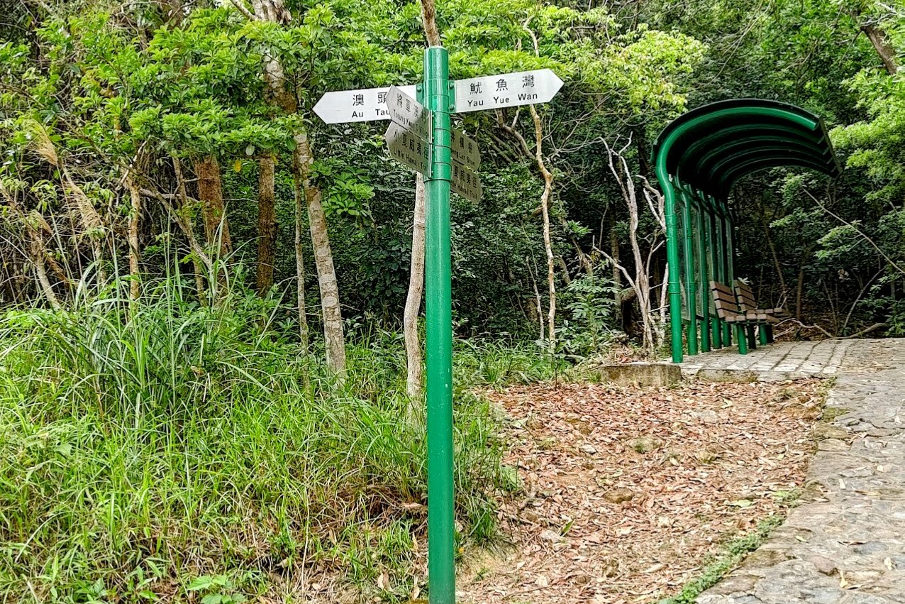
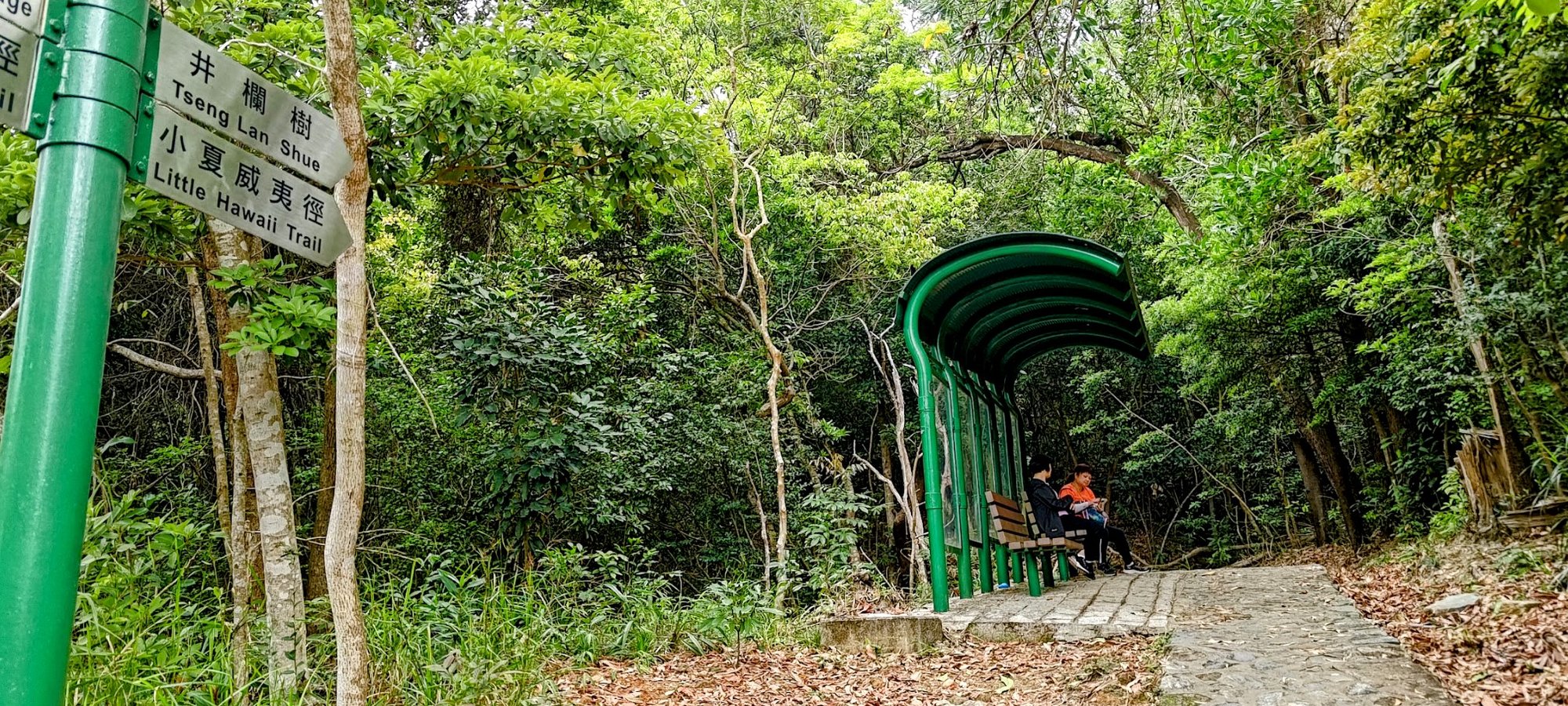
• Soon you will reach an intersection with many signs, next to a green shelter with brown benches
Optional Detour: Lin Yuen Terrace Falls
• At the intersection with many signs, follow the Au Tau sign to the Lin Yuen Terrace Falls
• After a few minutes, you will arrive at Lin Yuen Terrace Falls, which is more impressive than Little Hawaii Falls
• Return to the intersection with the signs
Continuing to Little Hawaii Falls
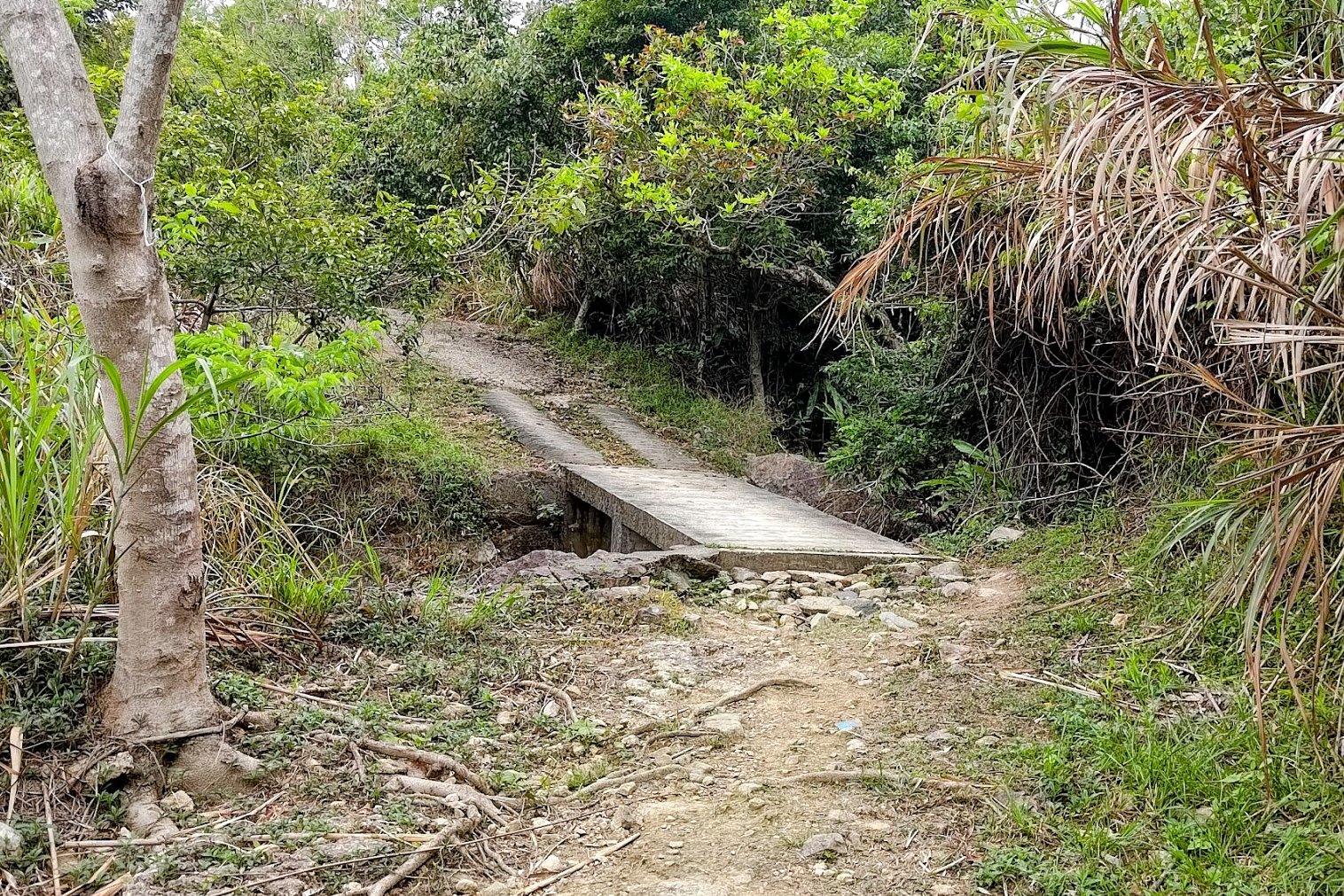
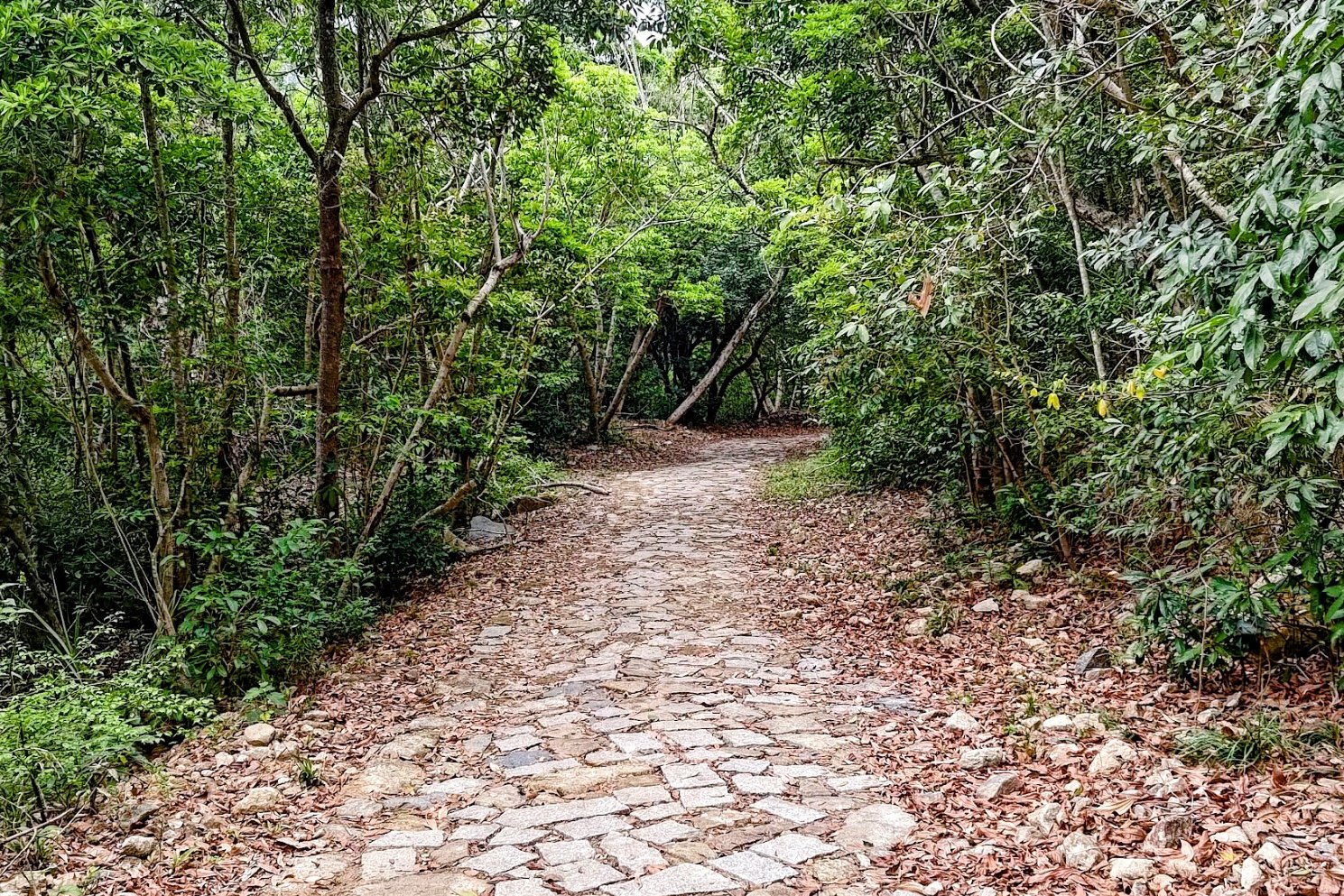
• From the intersection, follow the sign pointing to Little Hawaii Trail
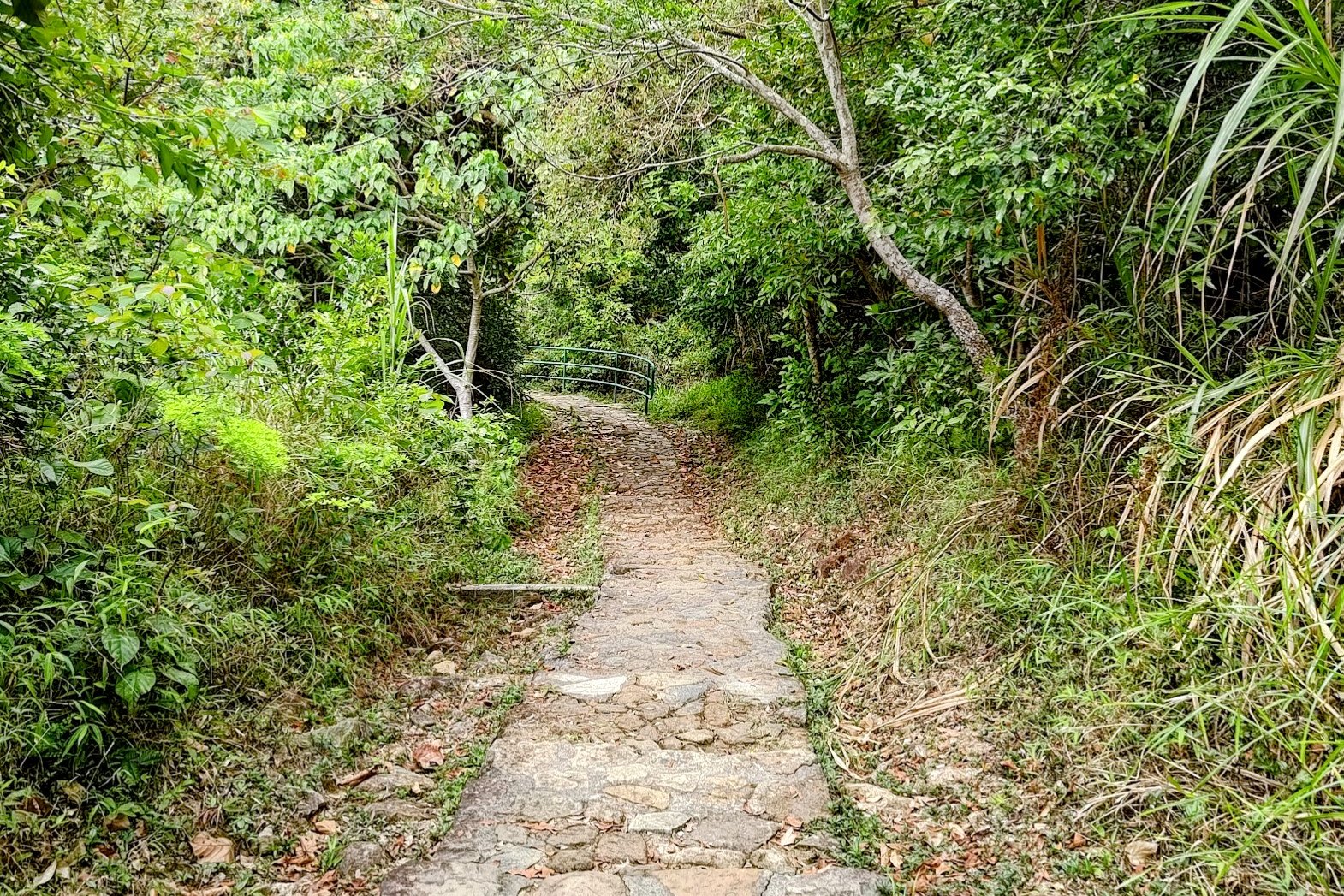
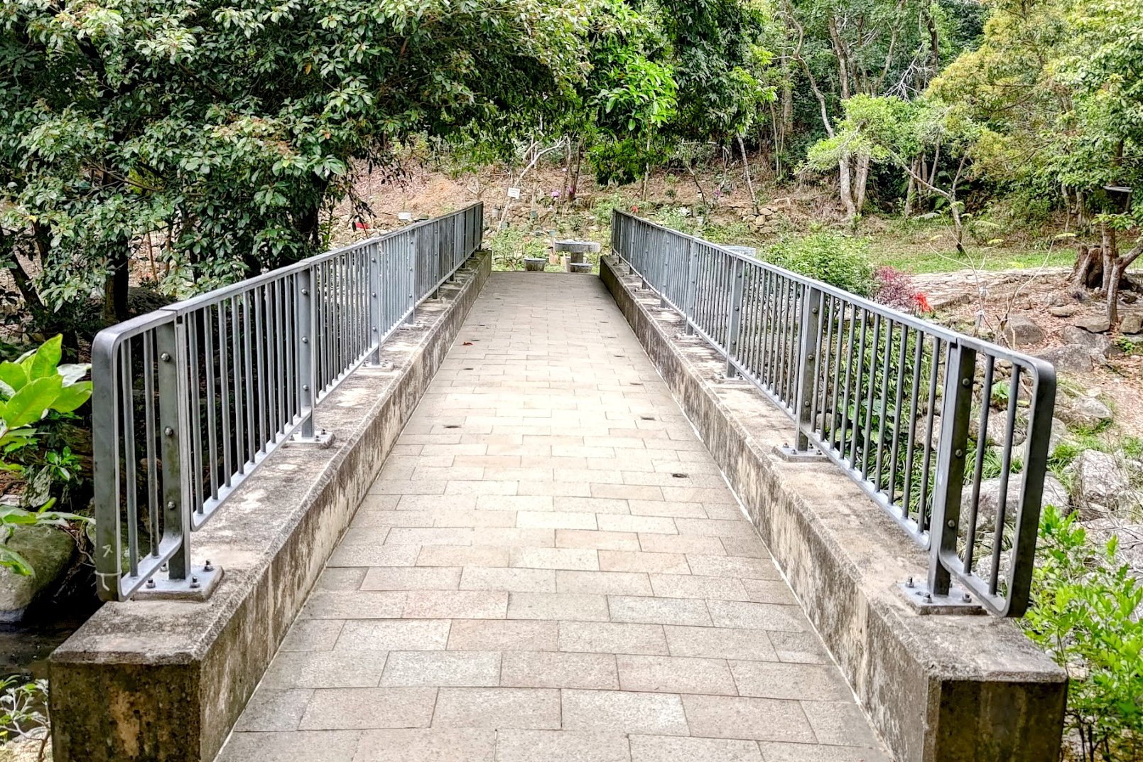
• Continue on the trail until you reach a small bridge
• Beside the bridge, take the dirt trail leading to Little Hawaii Falls
• Explore the waterfall
Returning
• Retrace your steps back to Po Lam MTR Station from Little Hawaii Falls
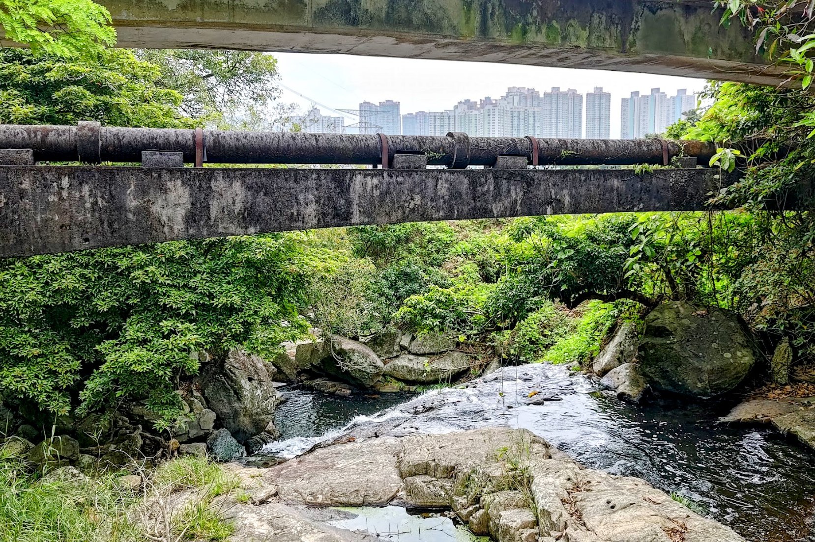
Po Lam MTR Station to the Trail Start Point


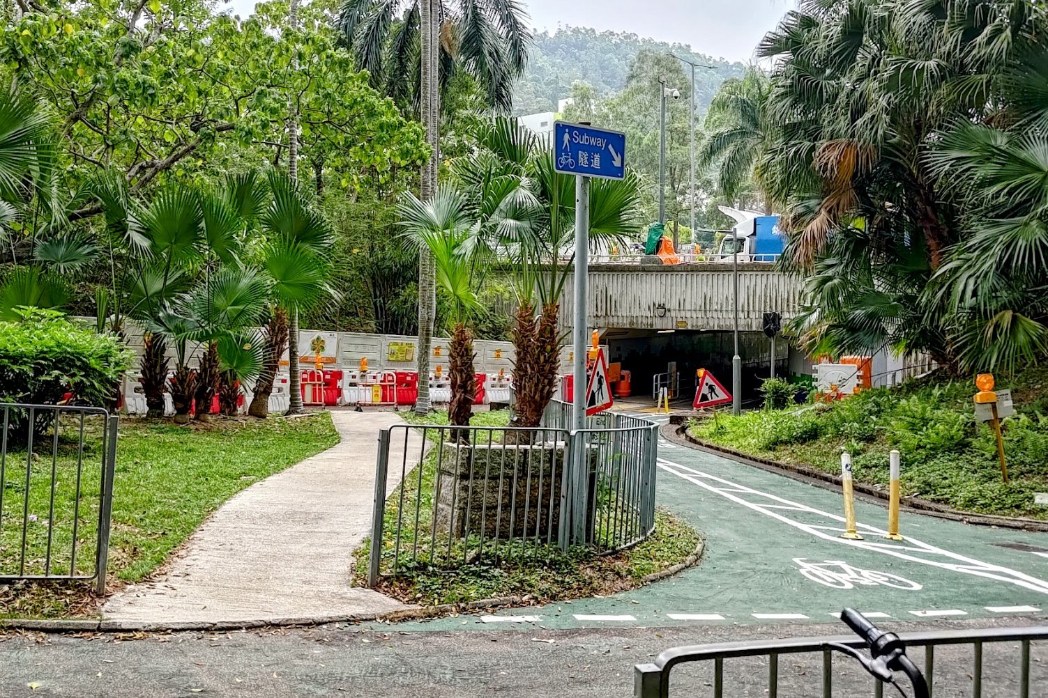


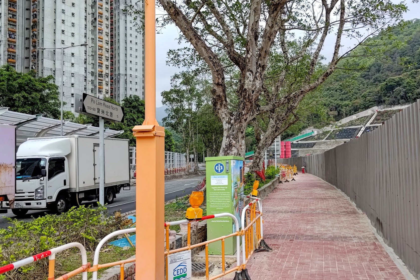

It takes about 15 minutes to walk to the start point from Po Lam MTR.
After leaving through Exit C, turn right and walk along Mau Yip Road before crossing the street at Po Fung Road.
After crossing, turn right and follow Po Fung Road through a pair of underpasses before climbing back up to road level.
Cross the street at Yau Yue Wan Village Road before connecting onto Po Lam Road North. Follow it a short distance before arriving at a set of brown railings and concrete stairs.
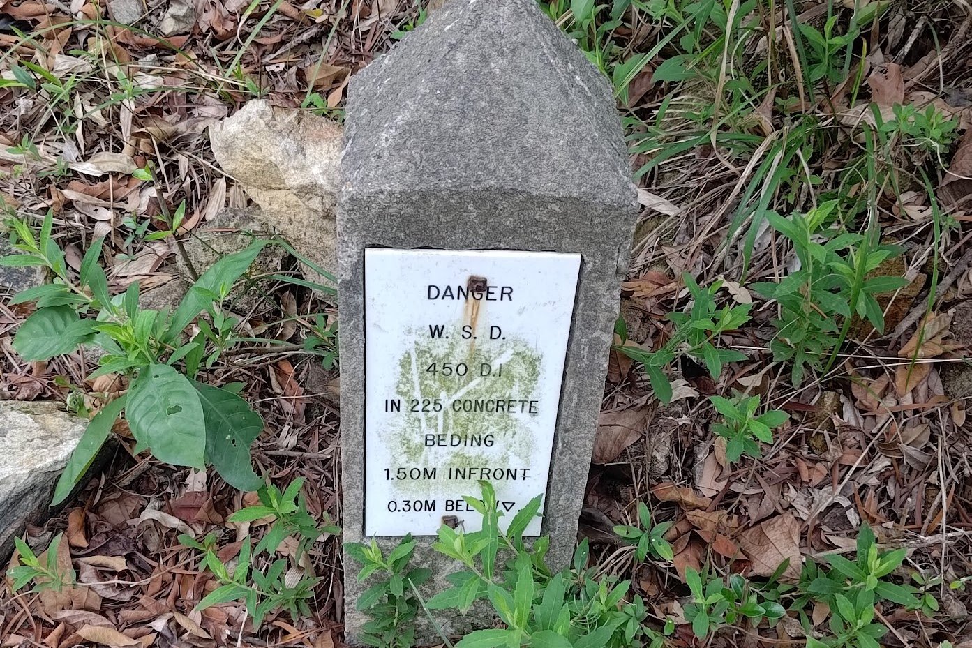
The Big Climb
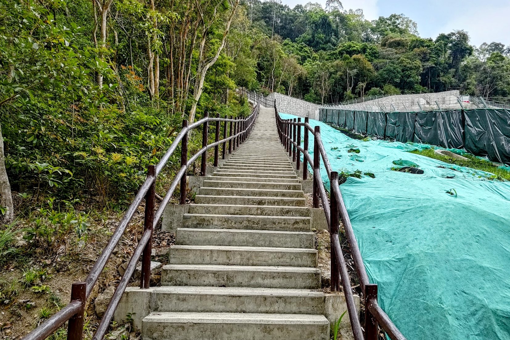
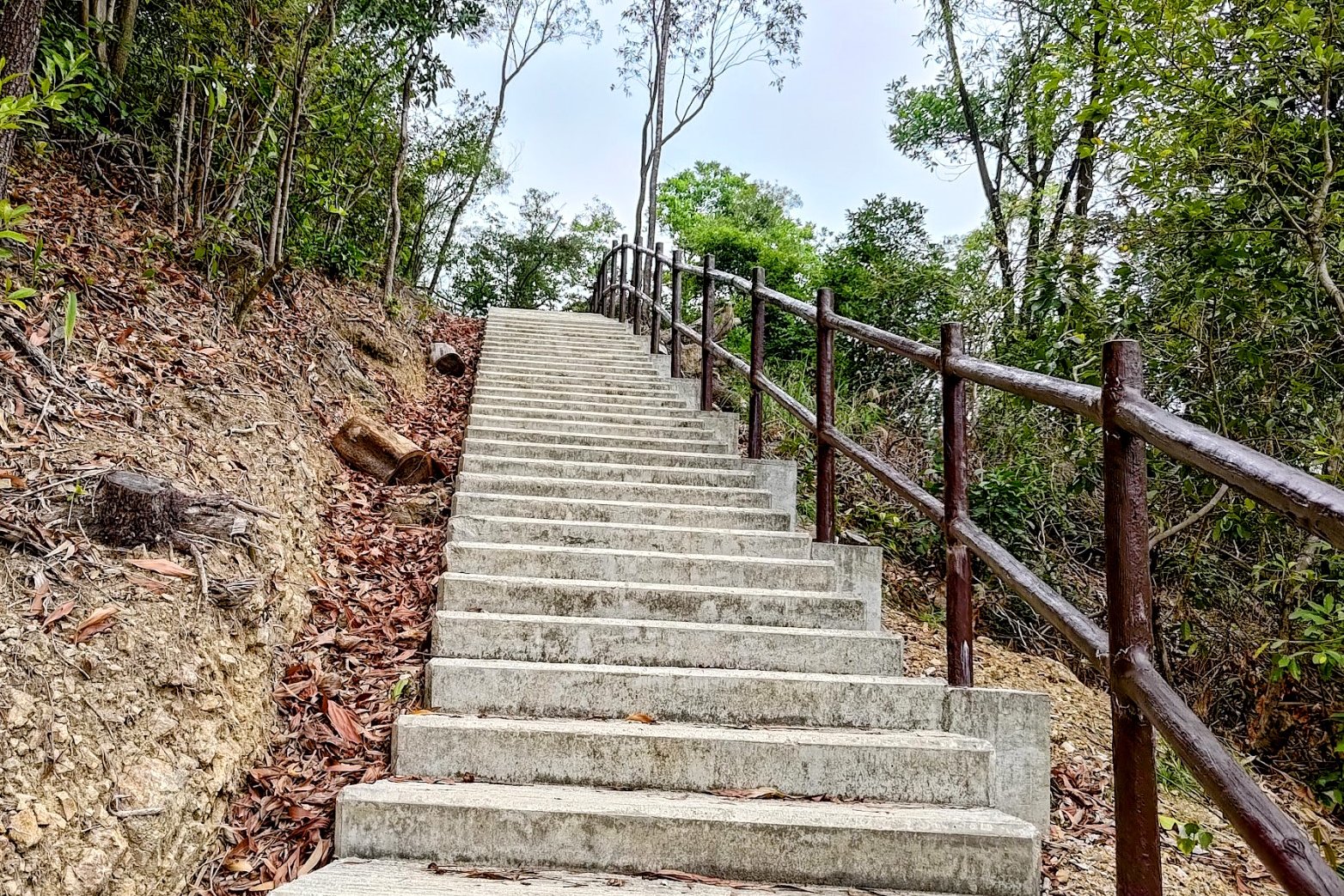
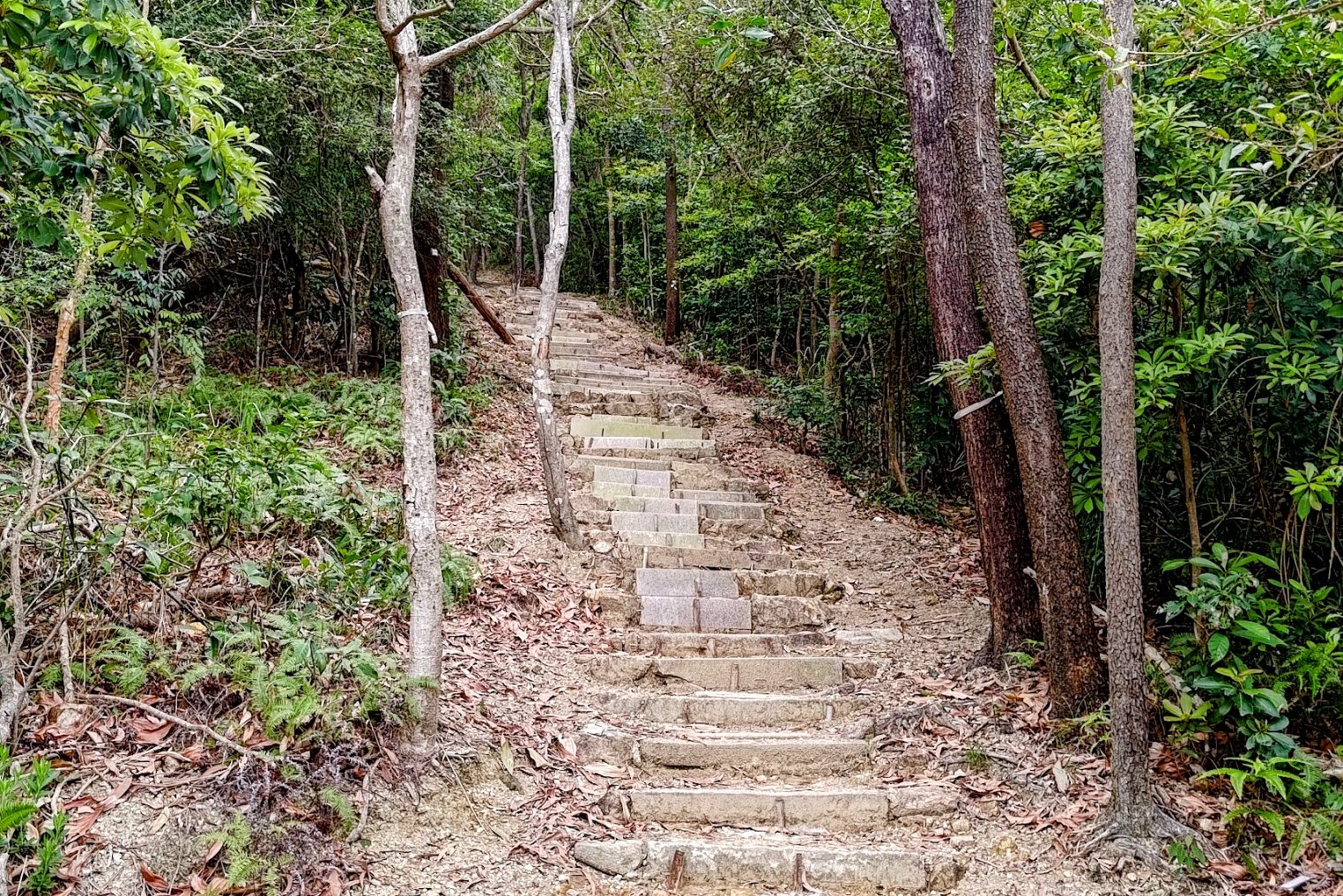
While the climb is steep, it doesn't last long. It took me under ten minutes to get to the fork.
Just make sure you don't accidentally climb all the way up to Razor Hill by missing the flat path at the fork.
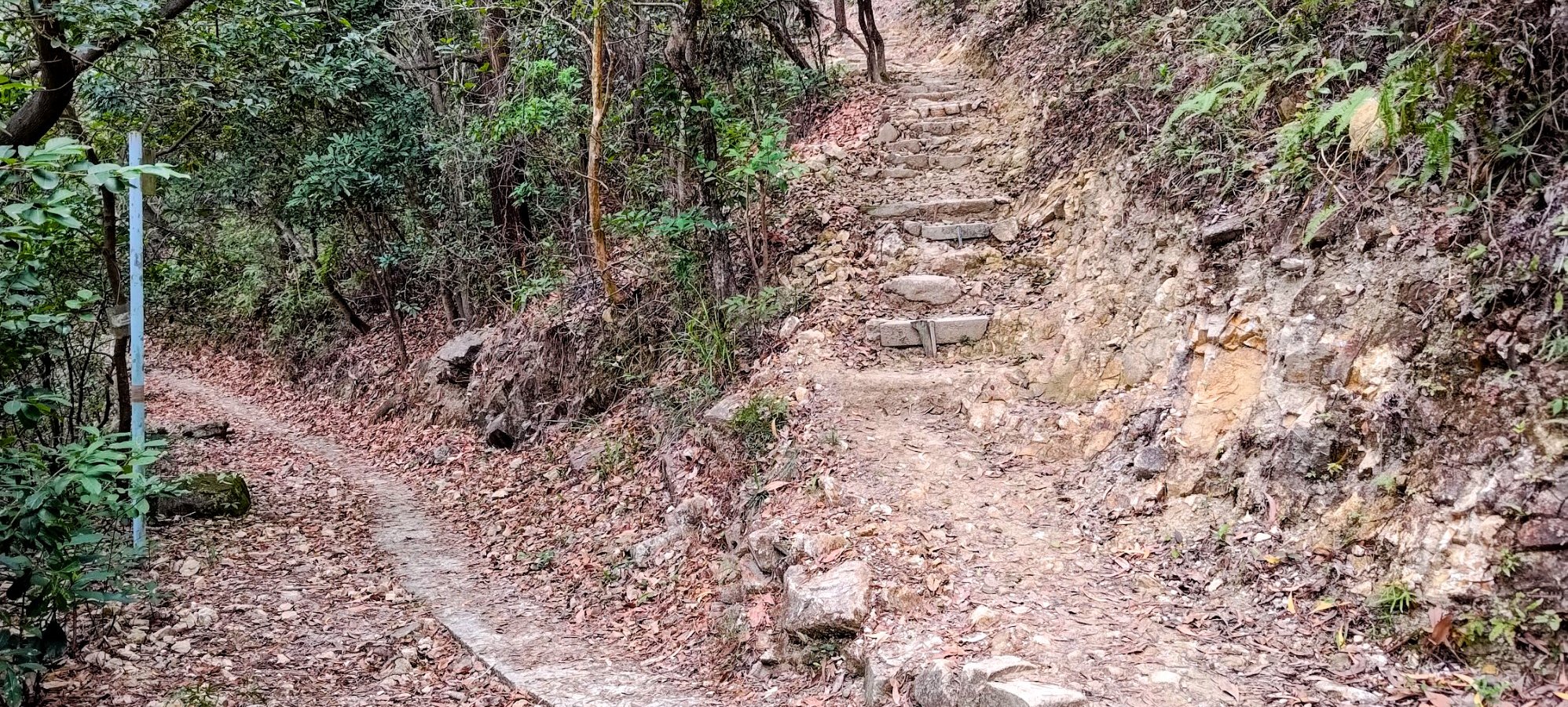
The Flat Path to the Intersection of Many Signs
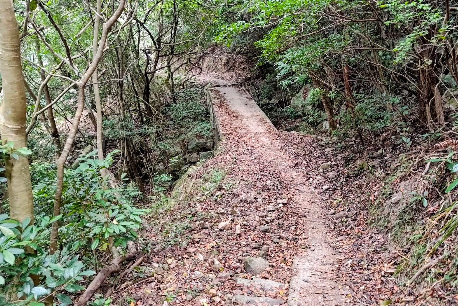
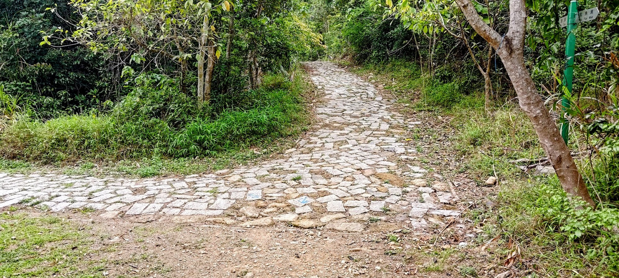
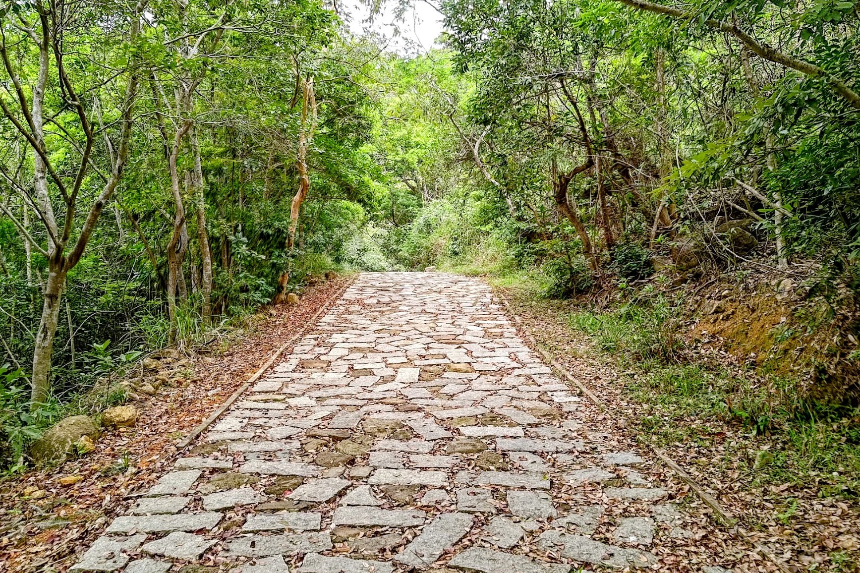
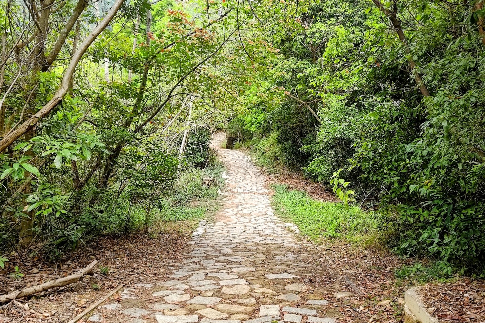
This portion of the hike took around 15 minutes. You'll be following the flat path for a while before it turns into a cobblestone trail.
At the cobblestone section, go straight (in the direction of Au Tau). A few minutes later, you'll arrive at the intersection with loads of signs.
Recommended Optional Detour to Lin Yuen Terrace Falls
It's a 3-minute walk to Lin Yuen Terrace Falls from the pavilion of many signs. I highly recommend everyone check out this little detour.
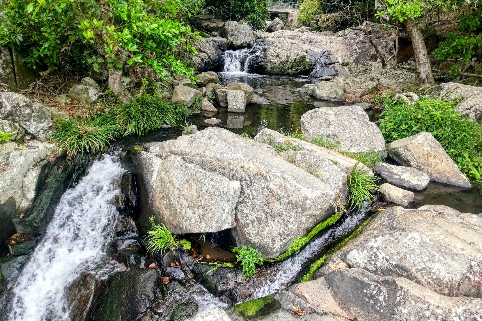
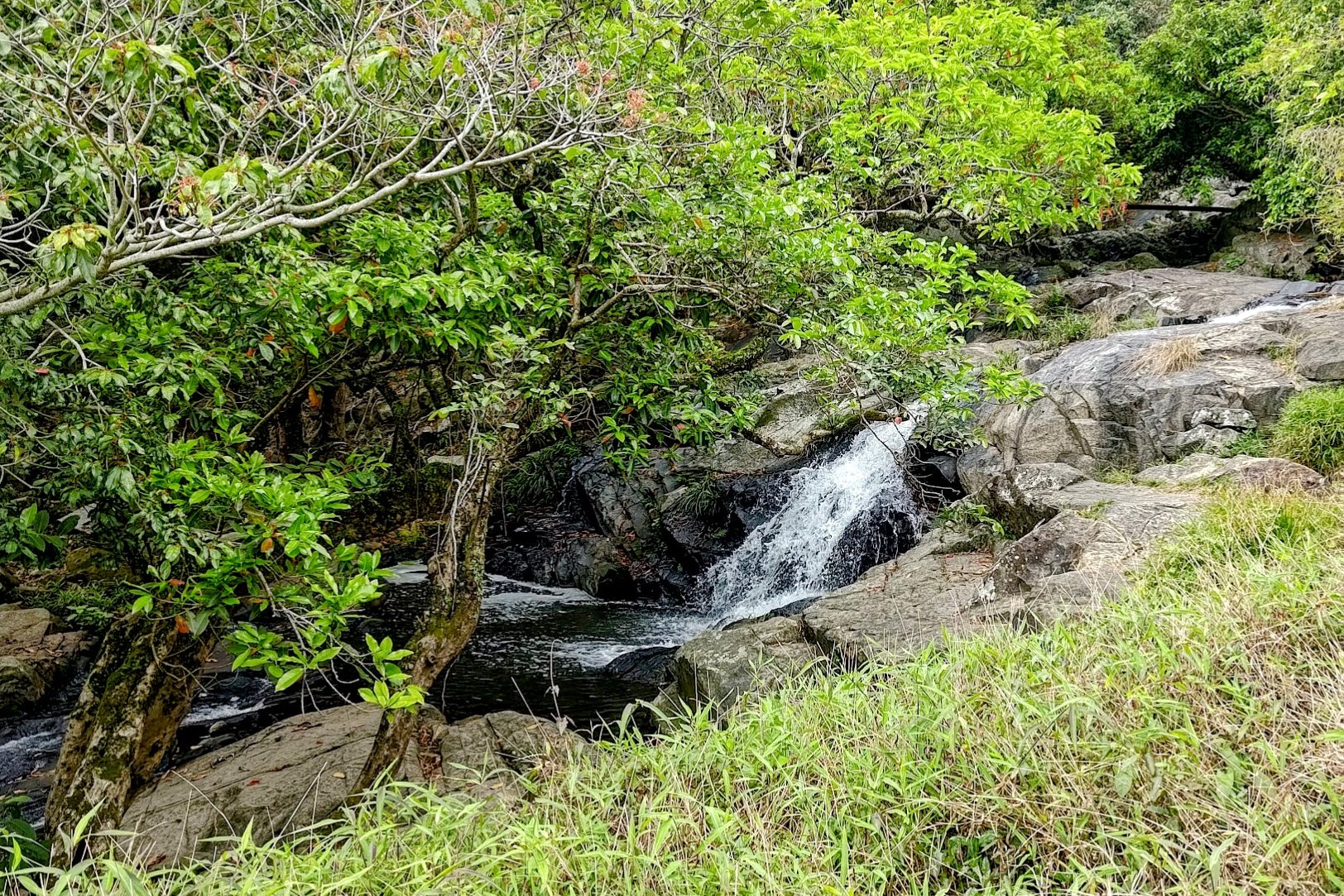
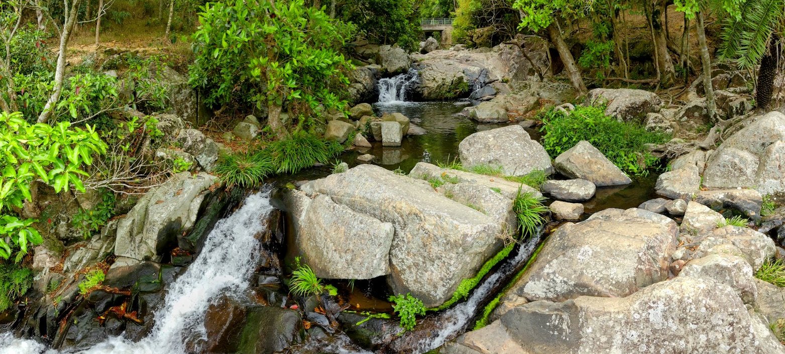
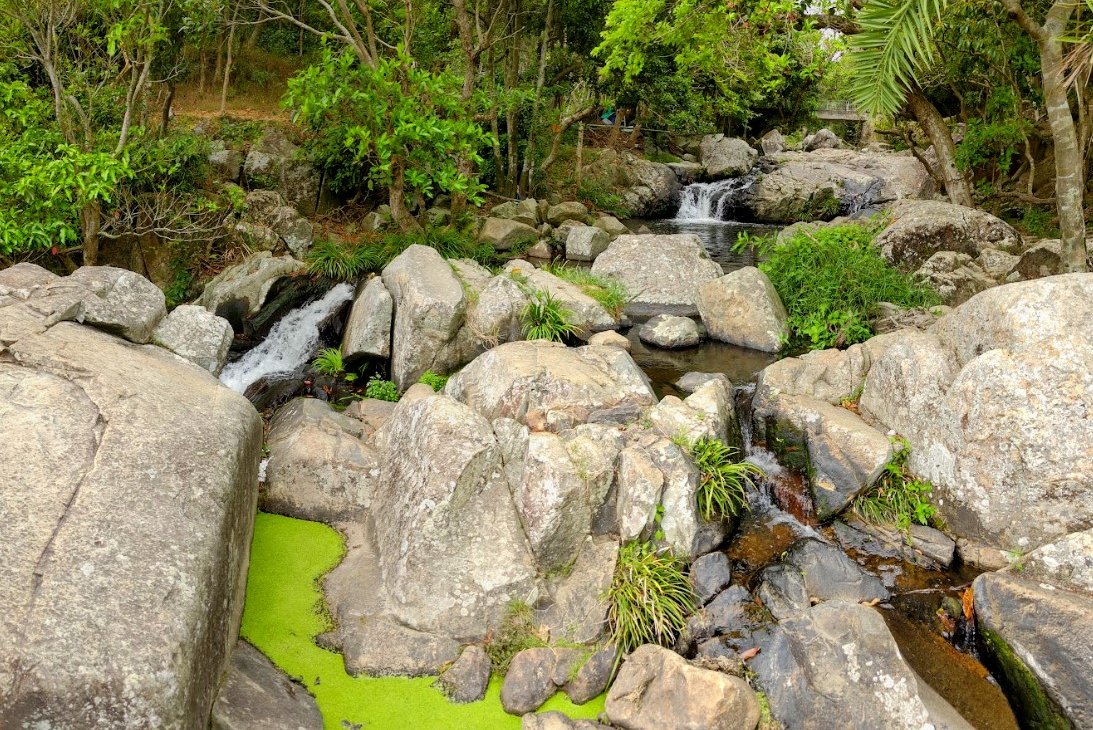
Lin Yuen Terrace Falls

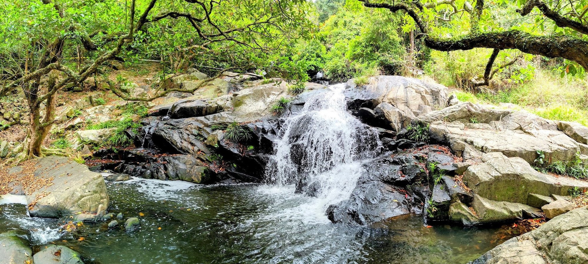
I'd argue that the Lin Yuen Terrace Falls is even more spectacular (and less crowded) than Little Hawaii Falls. It's just a 3-minute detour away and you may be able to avoid the larger crowds here.
The large pool is also great for a summertime dip.
When you're done exploring, return back to the intersection of many signs
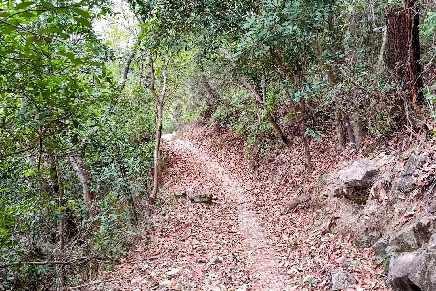
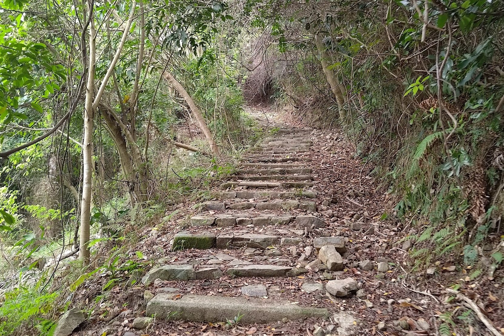
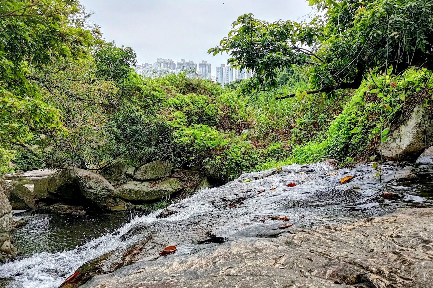
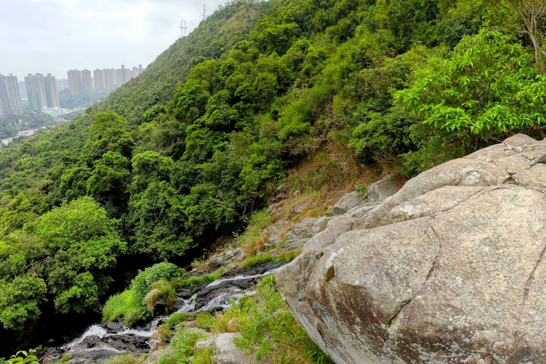
The Intersection of Many Signs to Little Hawaii Falls
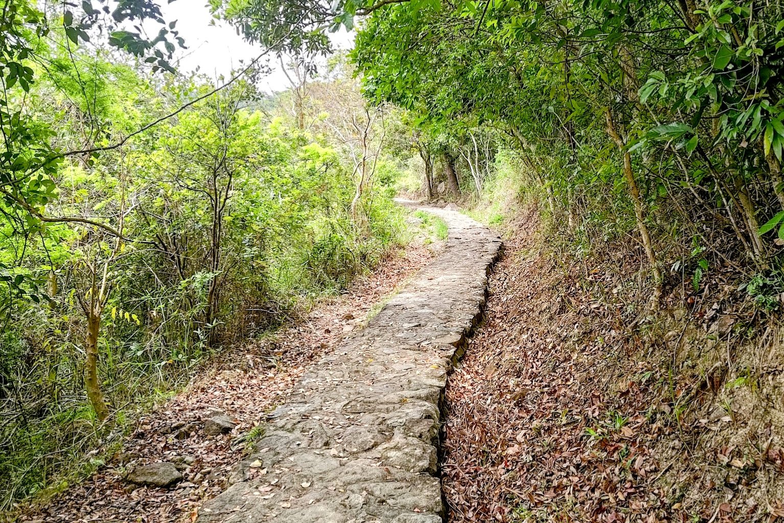
It takes just over 5 minutes to reach Little Hawaii Falls from the intersection of many signs.
Just follow the narrow cobbled path and you'll arrive pretty quickly.
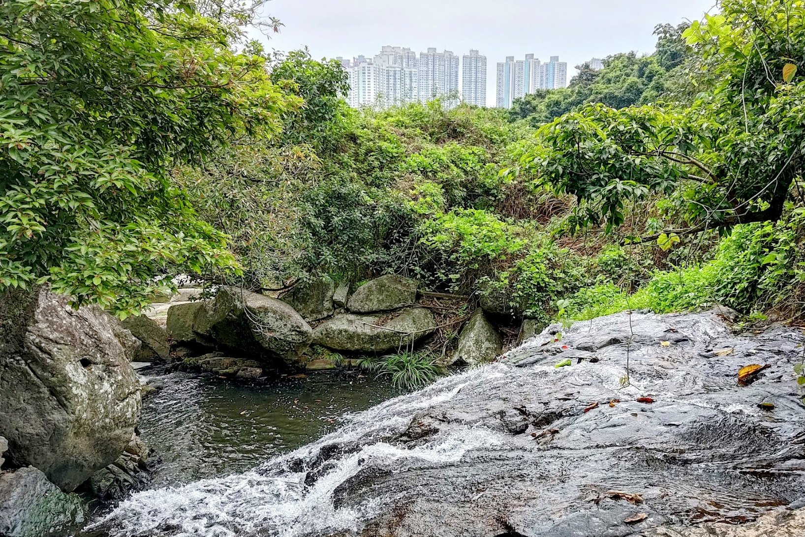
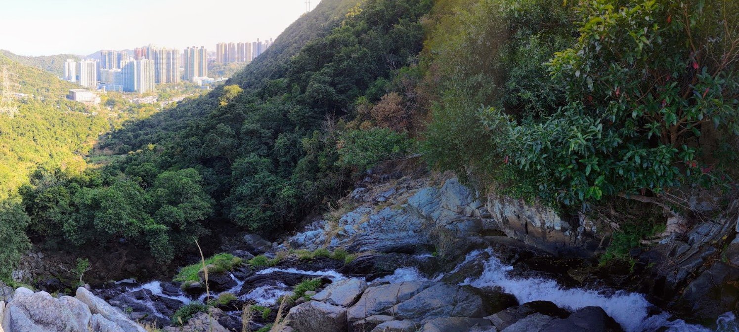
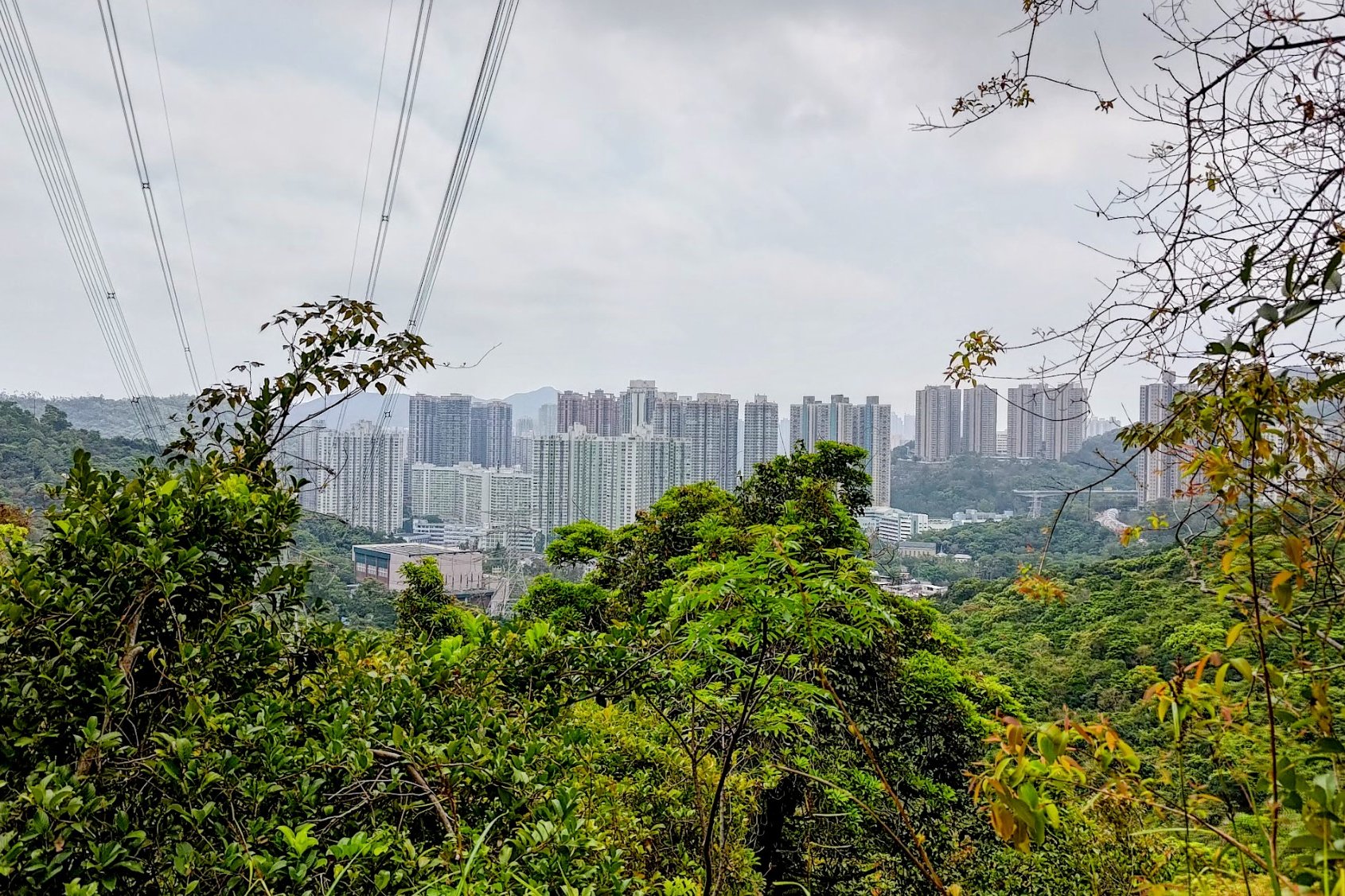
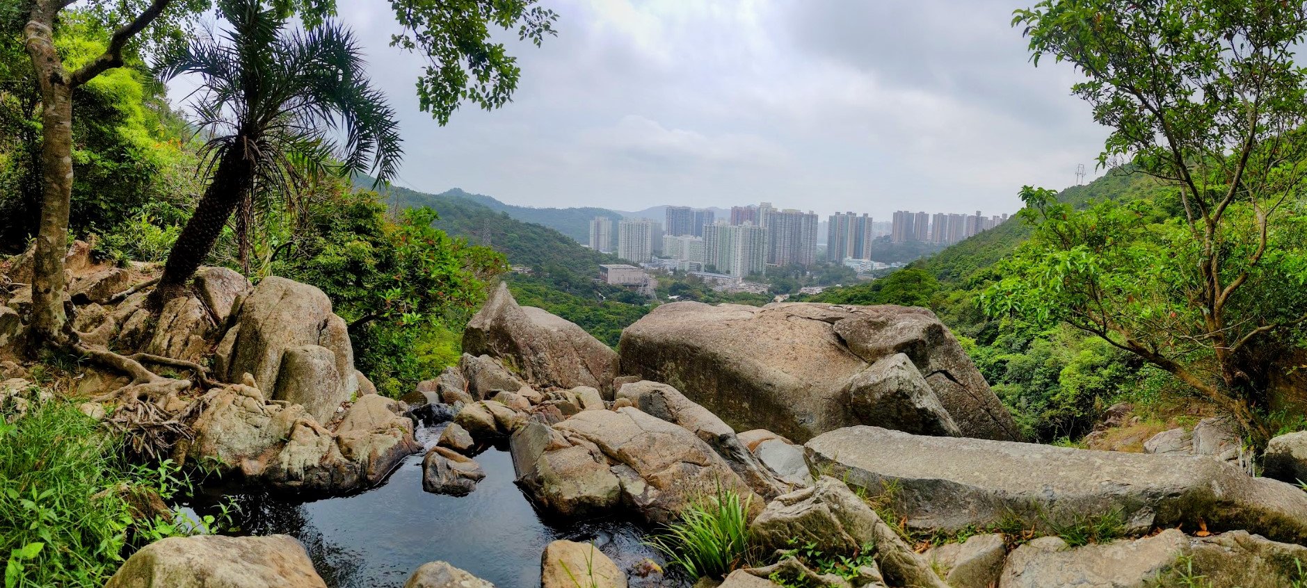
Keep a lookout for great views over Po Lam to your right!
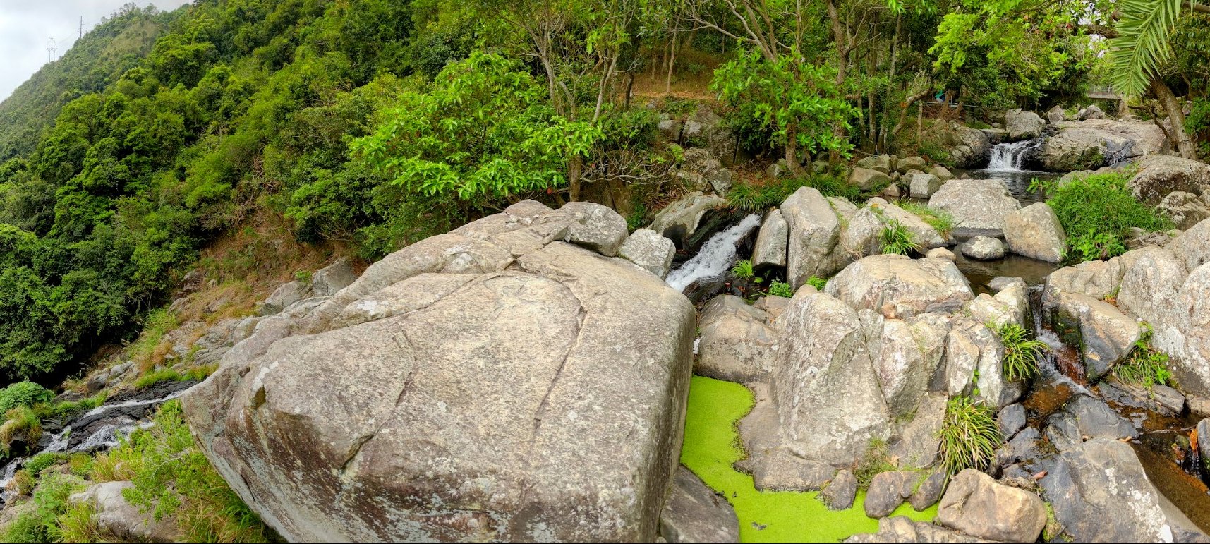
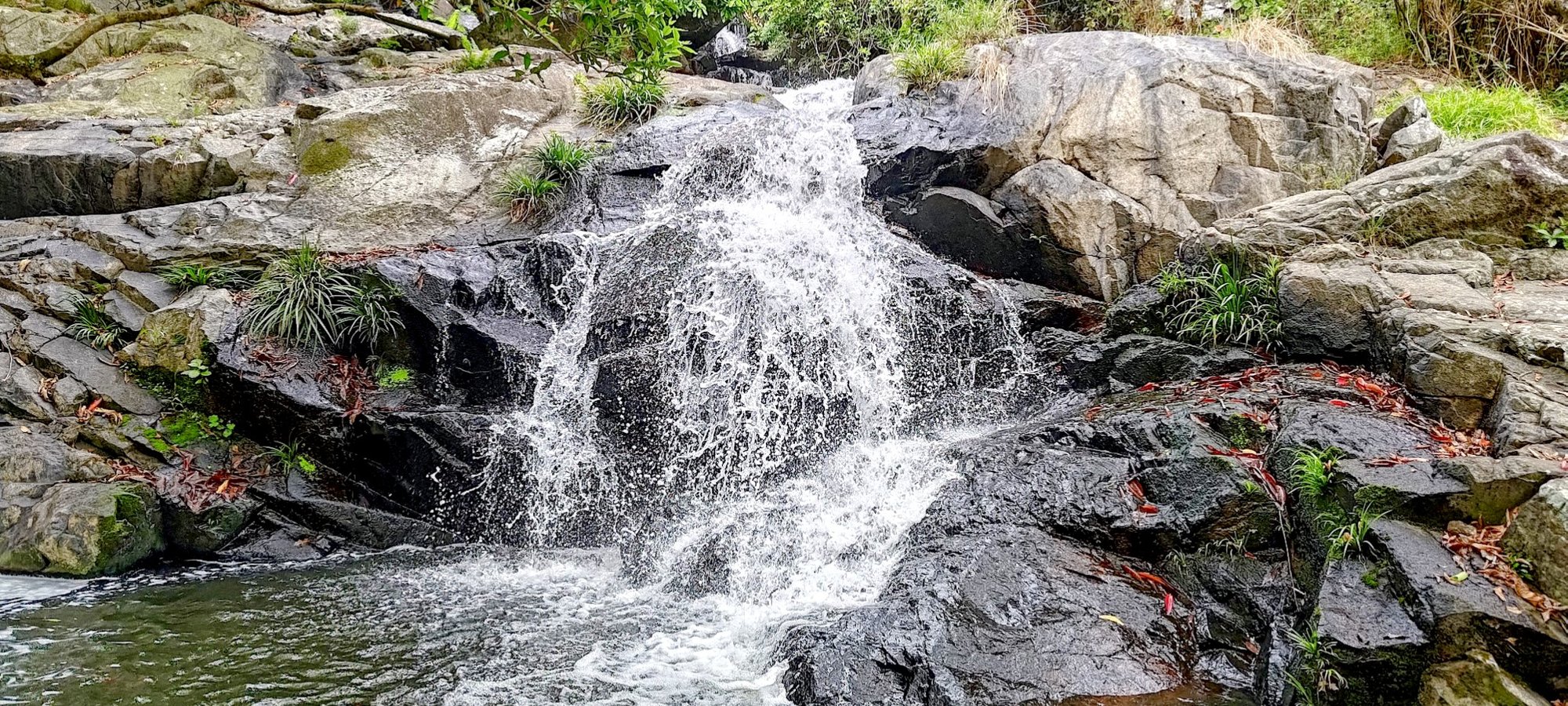
Little Hawaii Falls
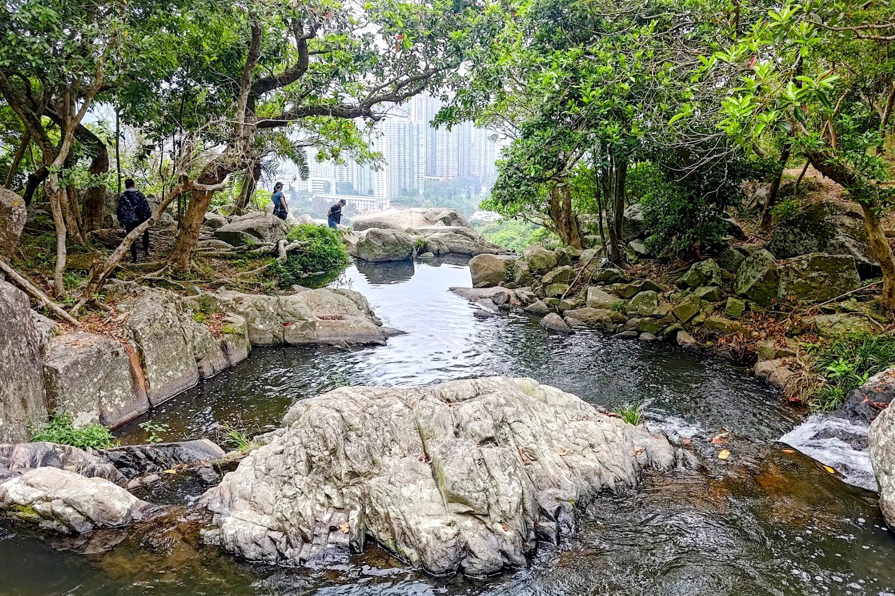

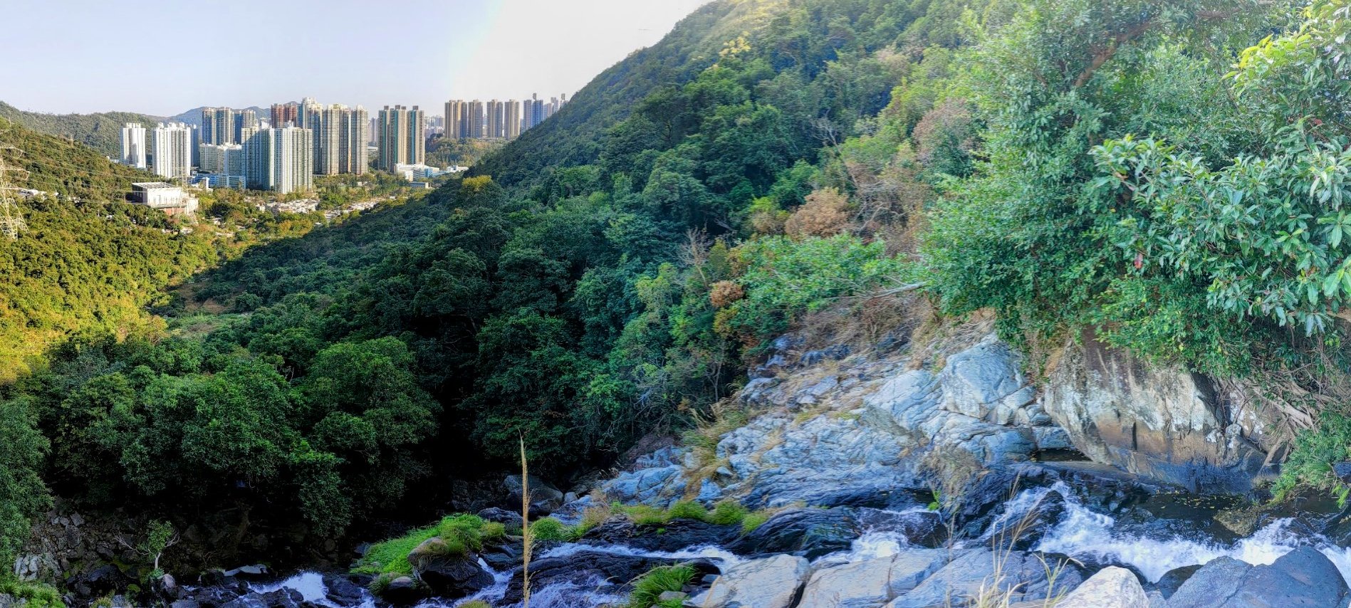
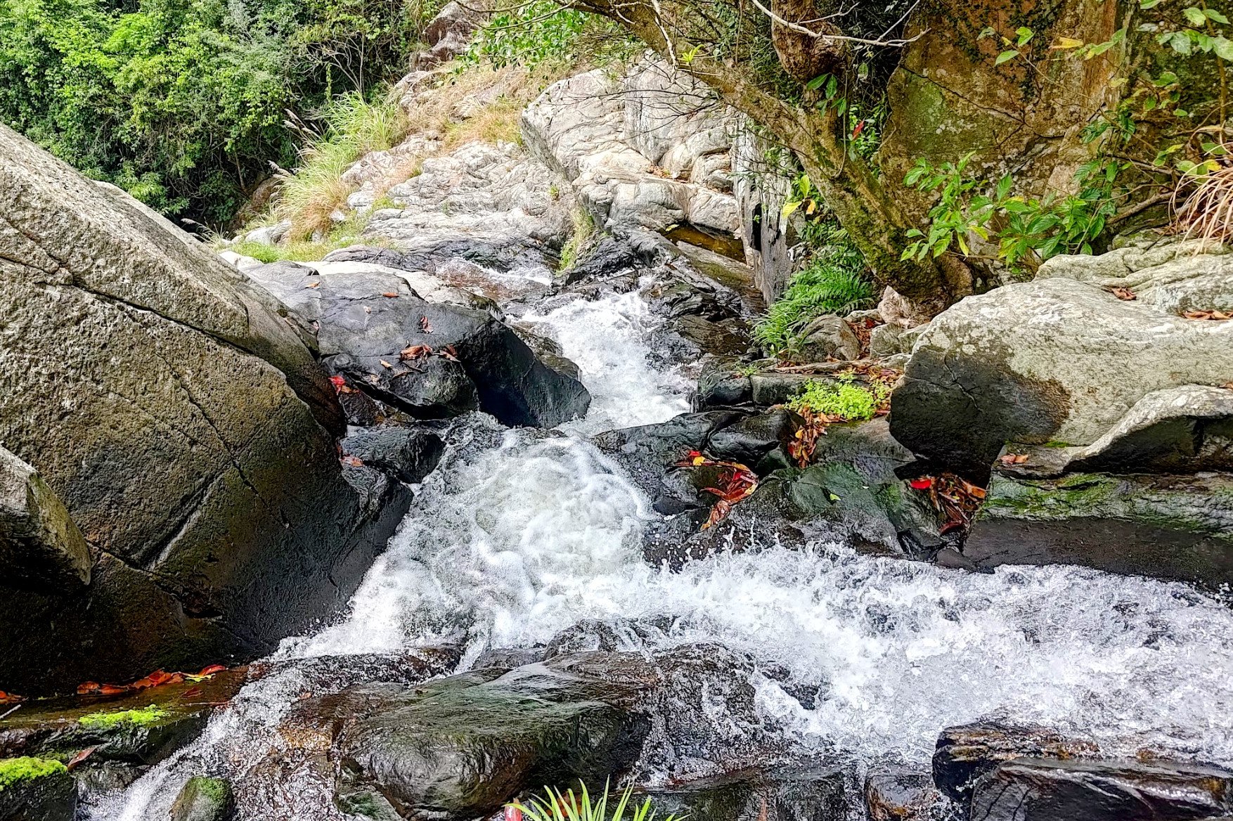
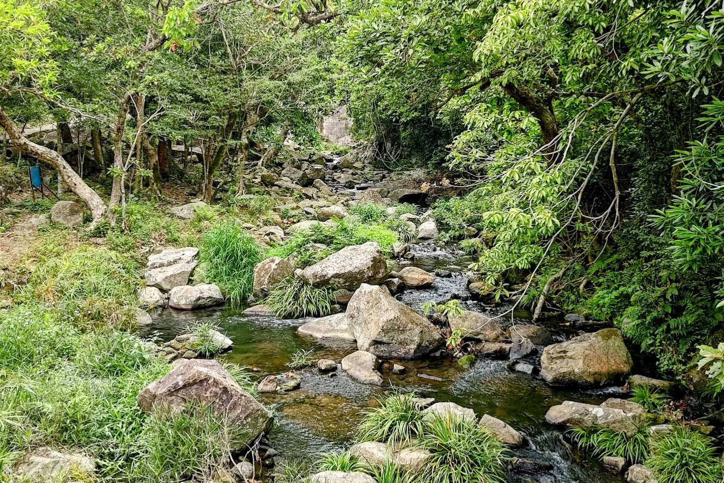
Little Hawaii Falls is quite easily accessible and fun to explore. With several pools, you can enjoy a gentle swim to stave away the humidity.
That being said, this trail is super crowded on weekends. Keep that in mind so you're not disappointed when you have to share this spot with loads of Instagram people.
It's far quieter and more peaceful on weekdays.
Getting Back
Retrace your steps back to Po Lam MTR Station.
Little Hawaii Falls and Razor Hill Route Map and GPX
Little Hawaii Falls and Razor Hill GPX
*Click the box icon in the top right of the map below to load the blue route directly into your own Google Maps. You can then see your location relative to the trail in real time!

