
Kowloon Peak and Suicide Cliff: A Tough Hike with Epic Sunset City Views
Contents
- Essential Information
- Kowloon Peak and Suicide Cliff Hike Highlights
- Google Route Map
- How to Get There
- Quick Route Summary
- Getting to the Trail from the MTR
- Climbing to Jat's Incline
- Jat's Incline
- Short Route to Kowloon Peak Viewpoint
- The Slow Route to Kowloon Viewpoint
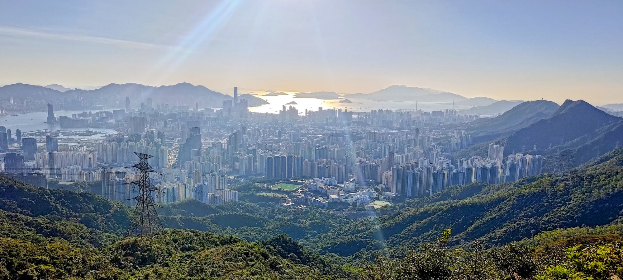
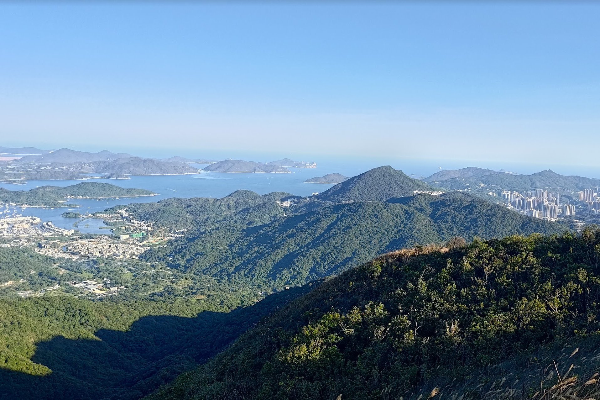
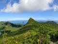
- Kowloon Peak Viewpoint
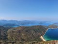
- The Secret Sai Kung Viewpoint
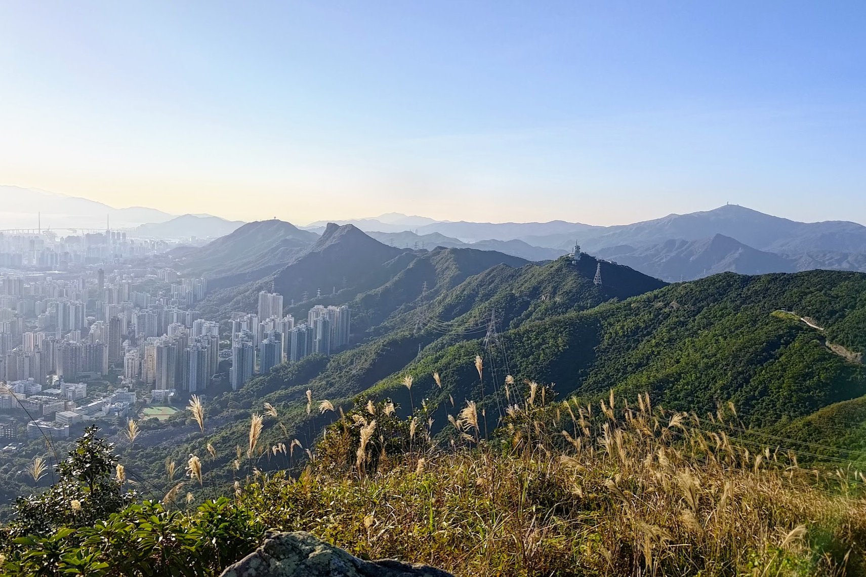
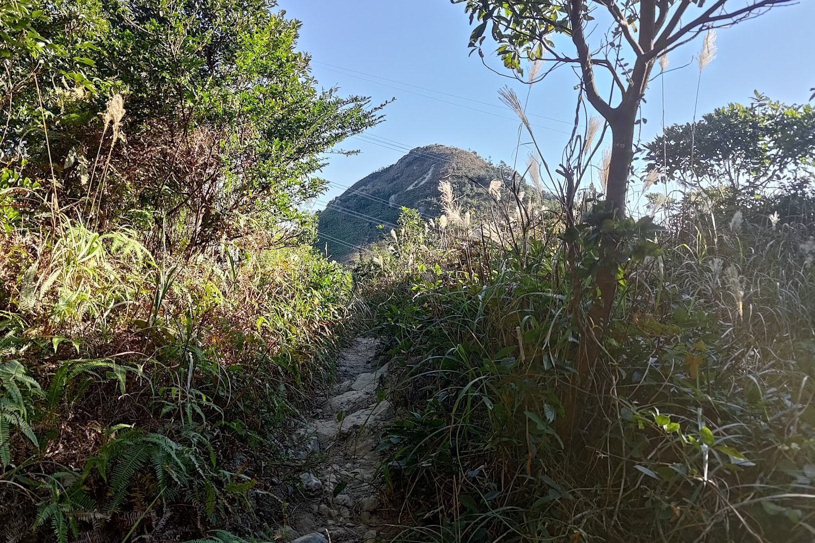
- Kowloon Peak Viewpoint to Elephant Hill
- The Two Towers and the Safe Route Down
- Getting to Suicide Cliff
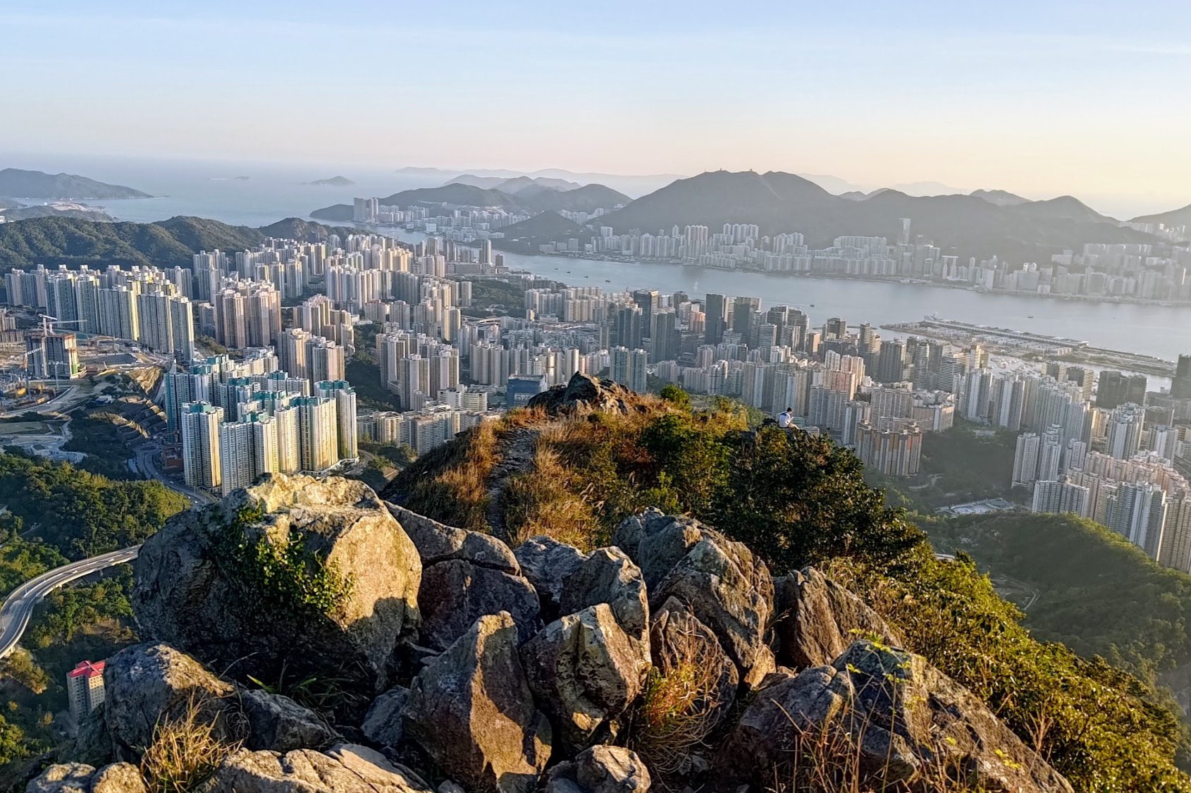
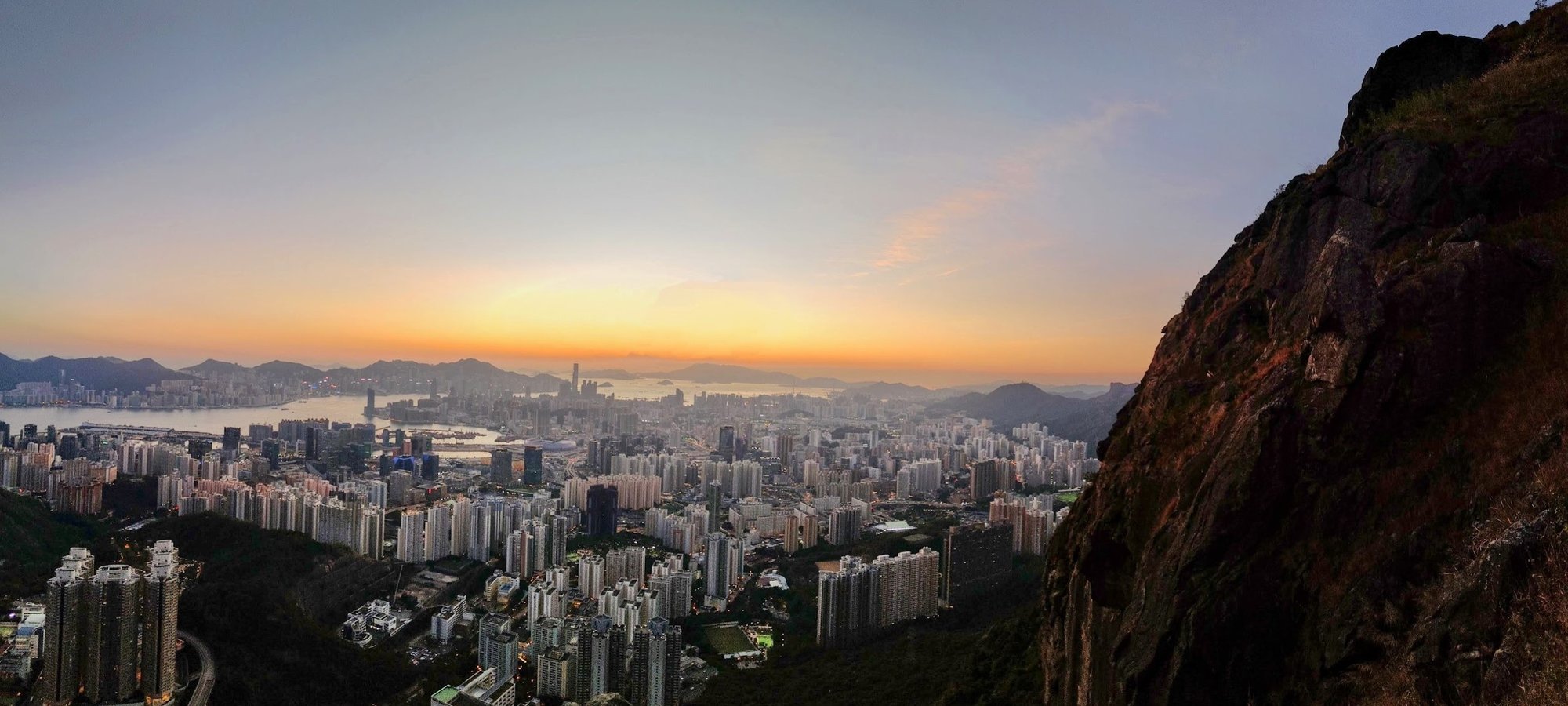
- View From Suicide Cliff
- Safest Descent From Suicide Cliff
- Tricky Descent From Suicide Cliff
- Getting Back
Essential Kowloon Peak and Suicide Cliff Hike Details
- District: Kowloon
- Duration: Around 4 - 4.5 hours
- Distance: 8.5 km
- Highest Elevation: 602 meters
- Difficulty: 4/5
- Facilities: Dodgy portable toilets on Kowloon Peak. It's best to use the toilet beforehand and don't forget to bring plenty of water along with snacks.
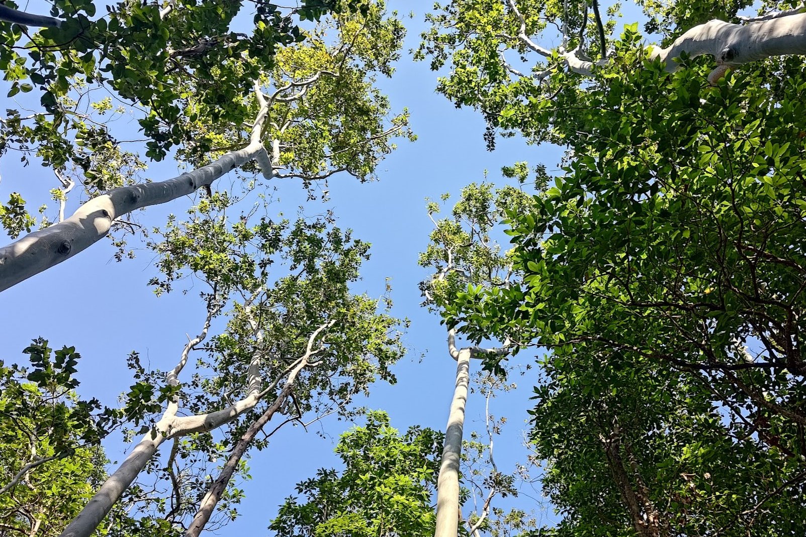
Why Hike Kowloon Peak and Suicide Cliff


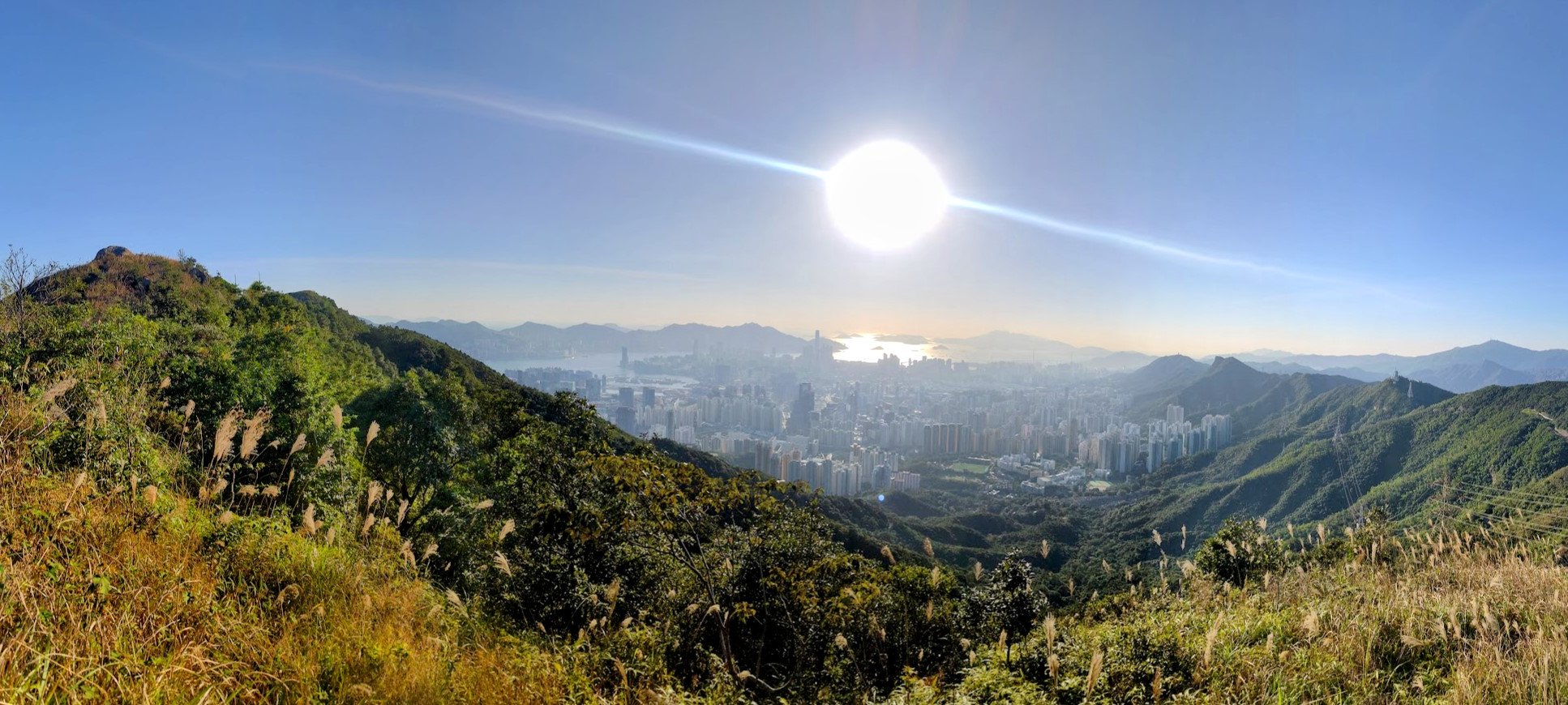
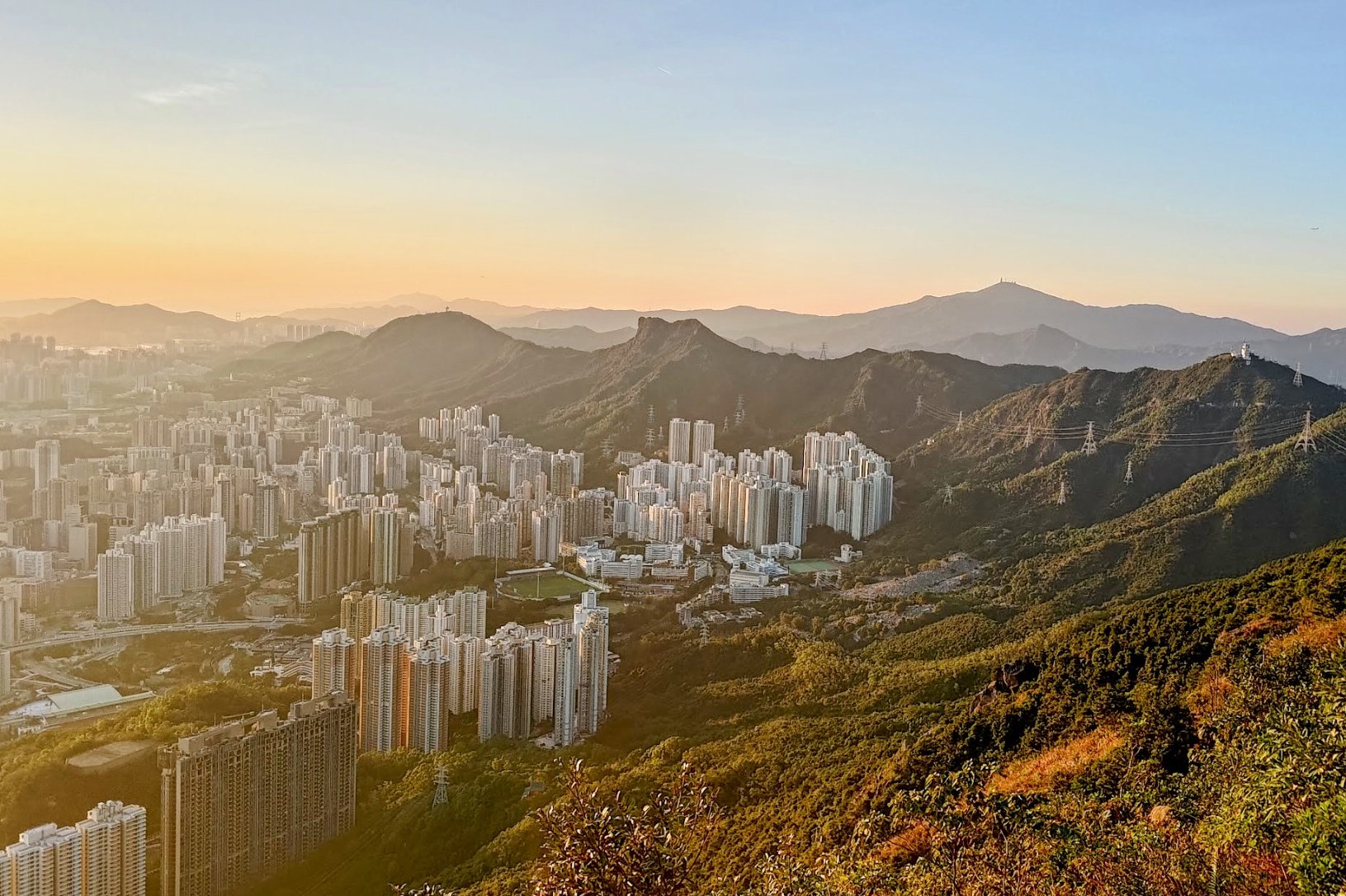
If you're on the hunt for some of Hong Kong's best city views, then hiking up Kowloon Peak and Suicide Cliff will be a worthwhile challenge!
The start of the hike is almost devoid of views, making it a bit of a struggle to reach the top of Kowloon Peak. But, once you crest the Kowloon Peak Viewpoint, the entire hike does a 180 and you'll be spoilt with stunning overhead cityscapes.
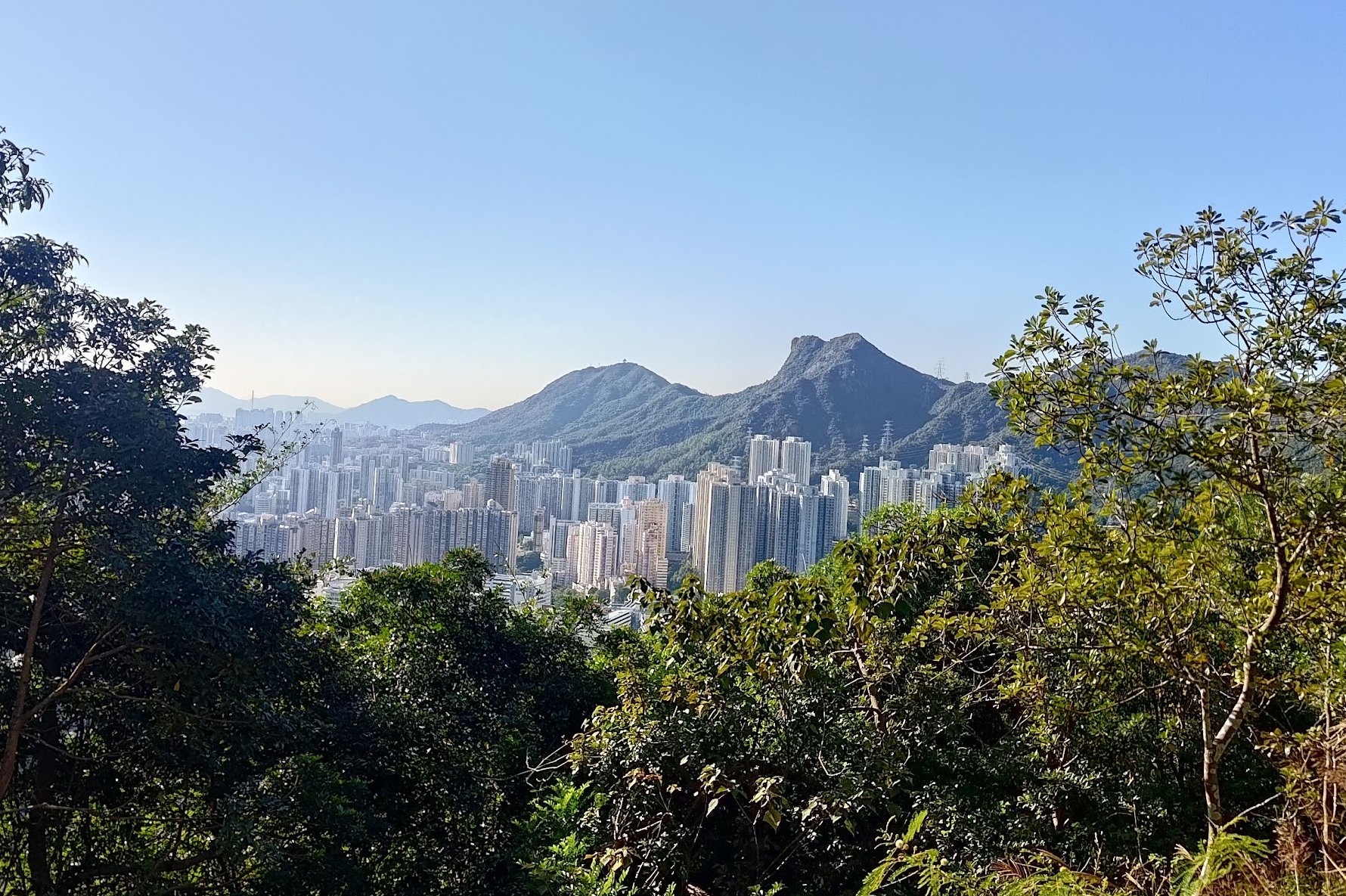
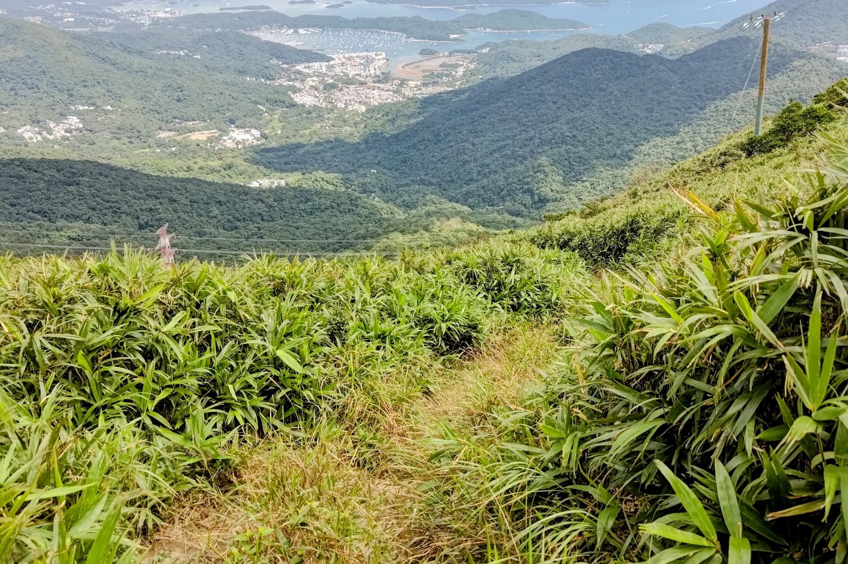
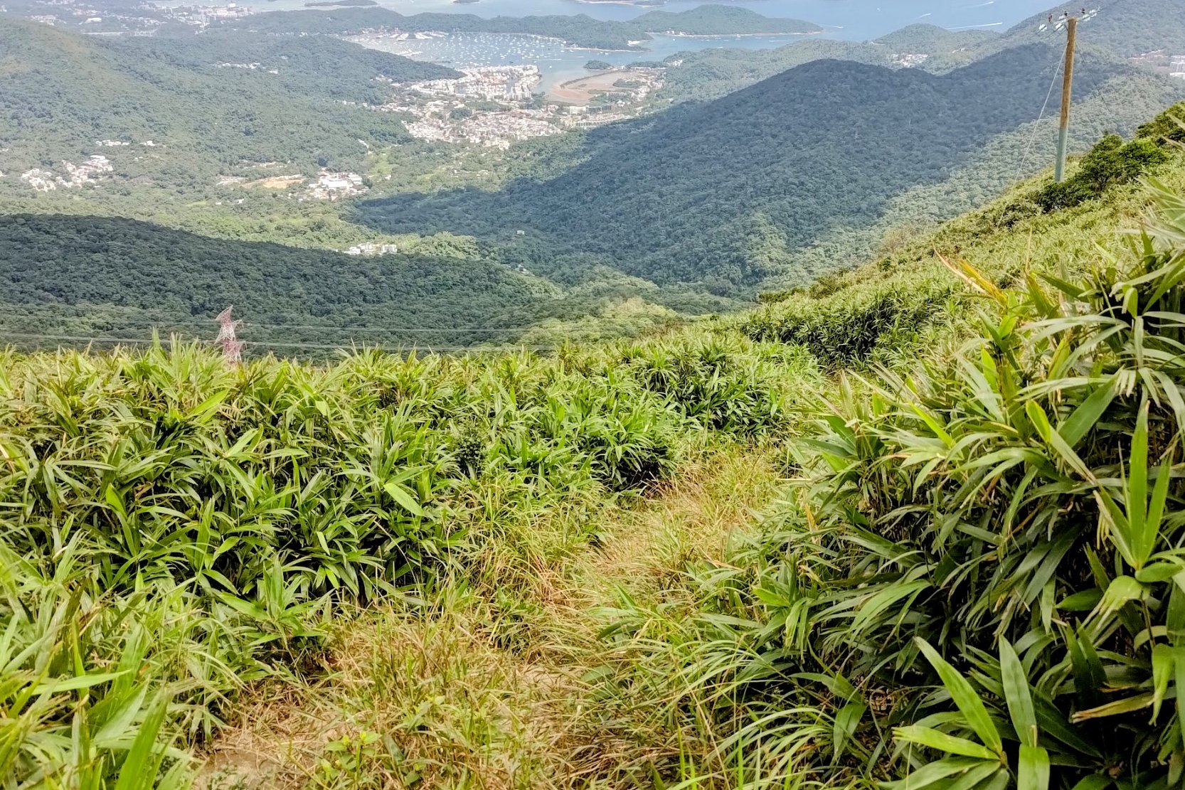
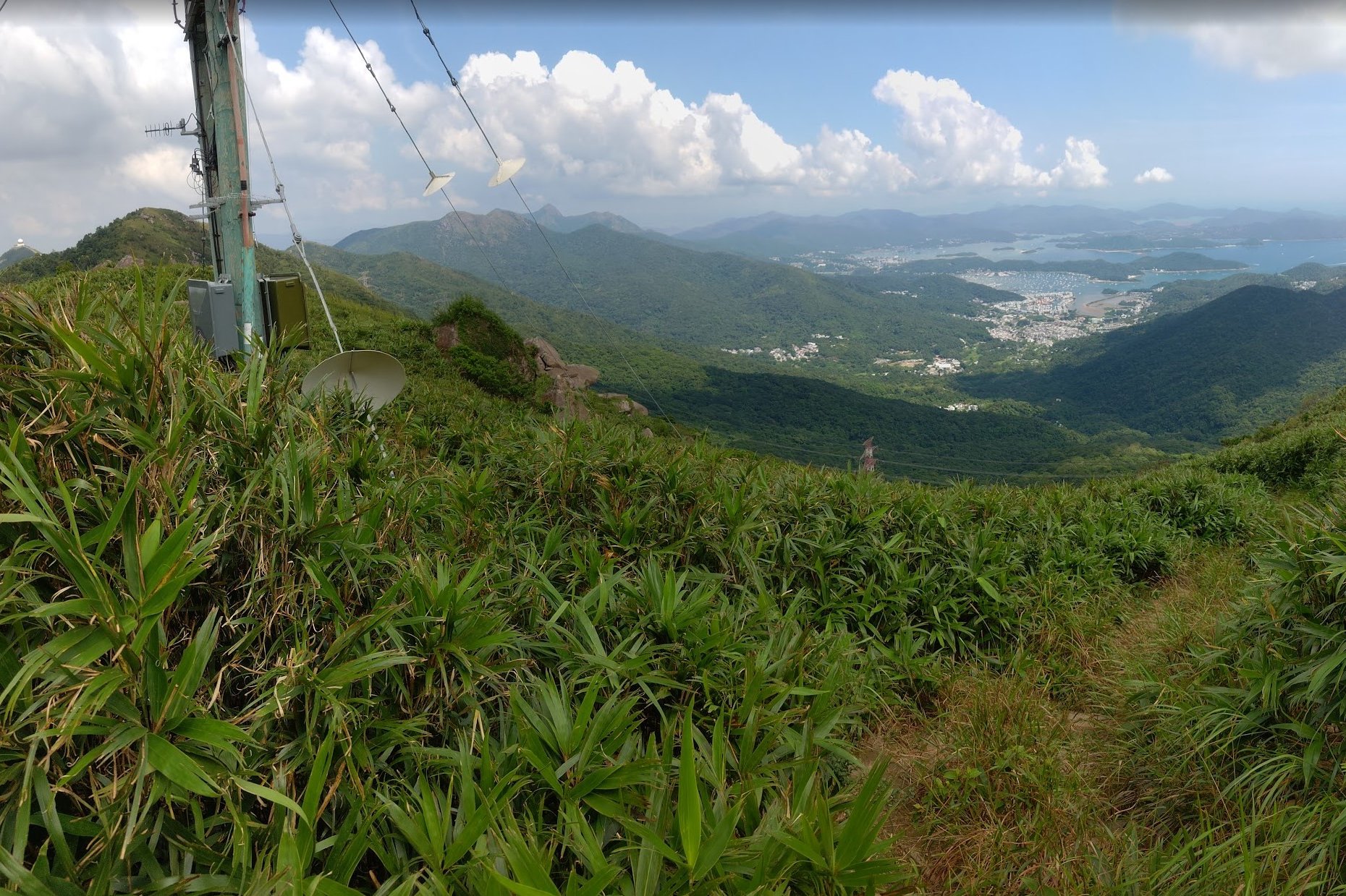
There's even a secret viewpoint that overlooks all of Sai Kung so that you can gauge just how built-up Kowloon and Hong Kong Island are compared to the greener pastures of the New Territories.
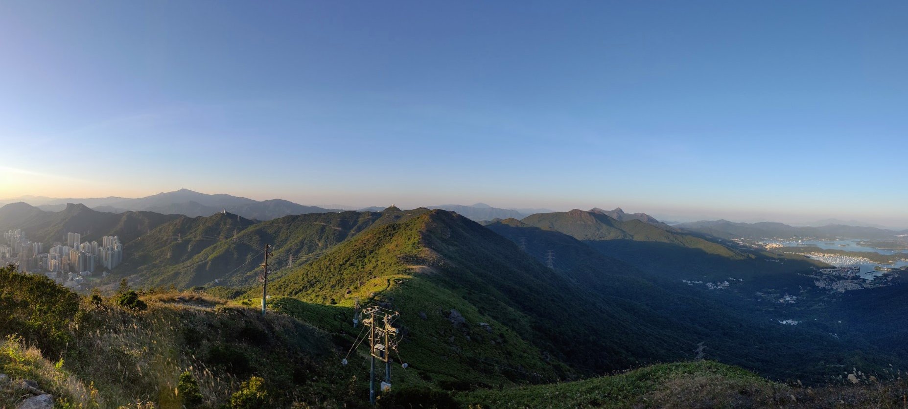
From Kowloon Peak, you'll undulate over a few small peaks before arriving at Suicide Cliff. This is one of the best places in Hong Kong to enjoy a brilliant sunset while overlooking the vibrant metropolis below.
IMPORTANT: There are a few ways to descend from Suicide Cliff. The safest way down is just before climbing to Kowloon Peak Television and Radio Transmission Station. You'll have to backtrack a bit from the Suicide Cliff viewpoint to take this route.
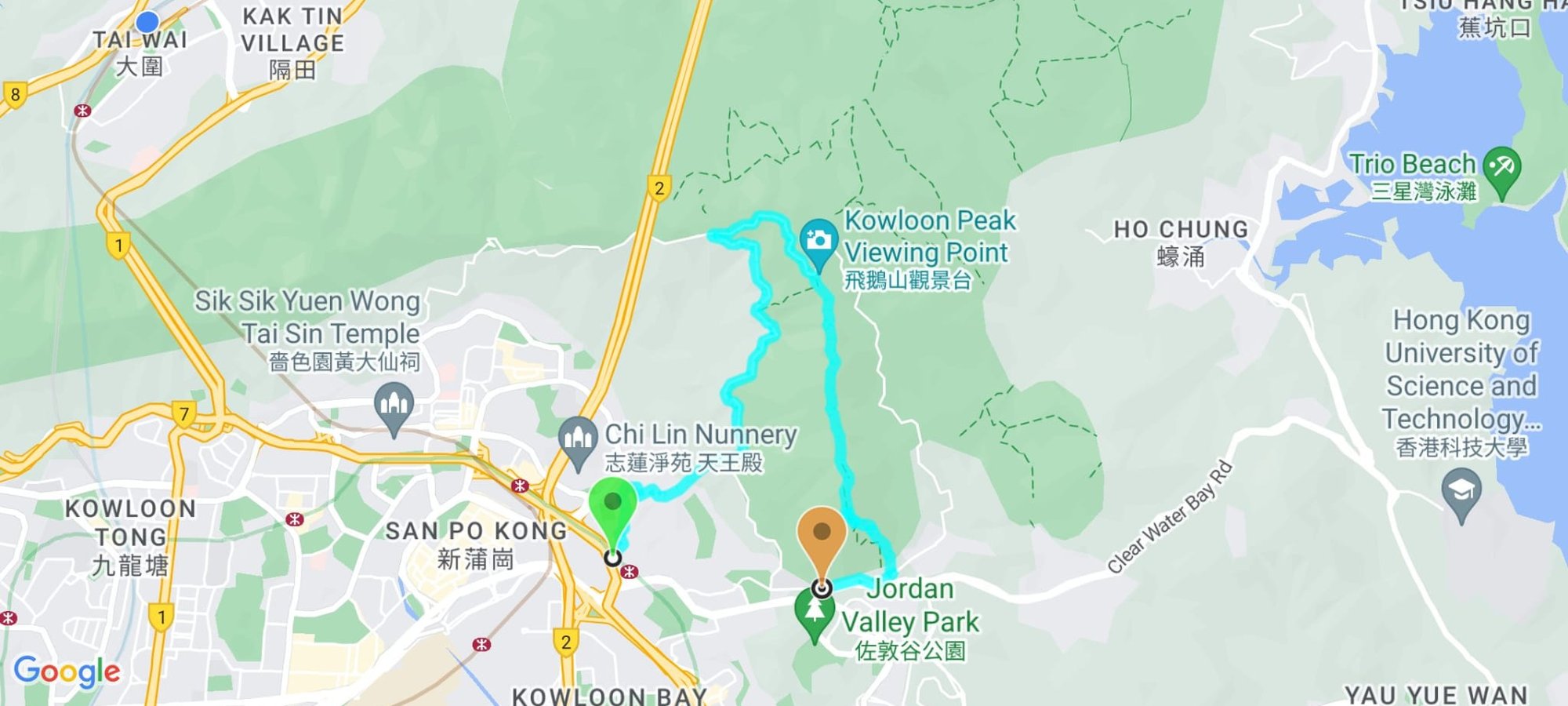
Google Route Map
Kowloon Peak and Suicide Cliff Hike
*Click the box icon in the top right of the map below to load the blue route directly into your own Google Maps. You can then see your location relative to the trail in real time!
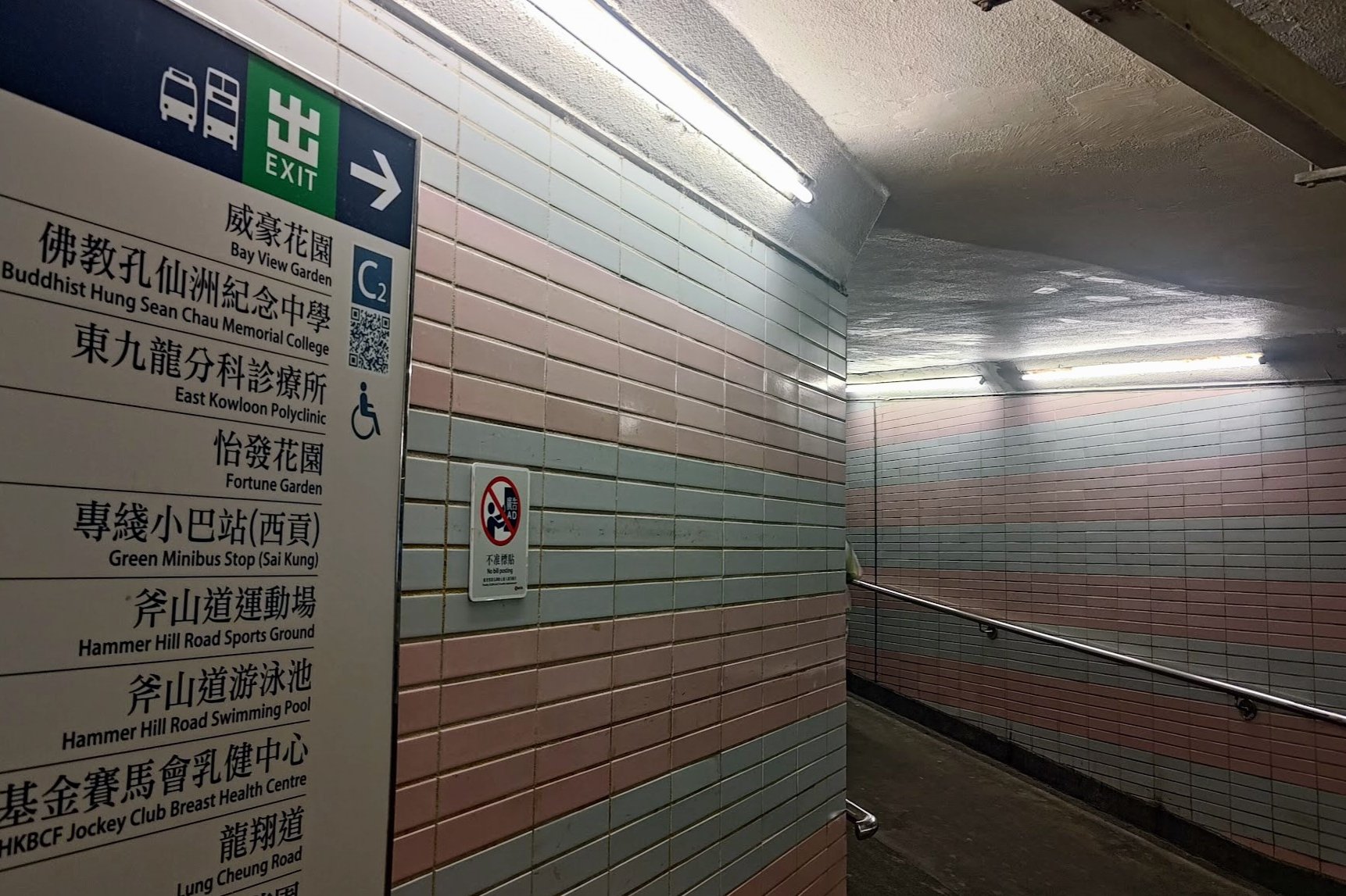
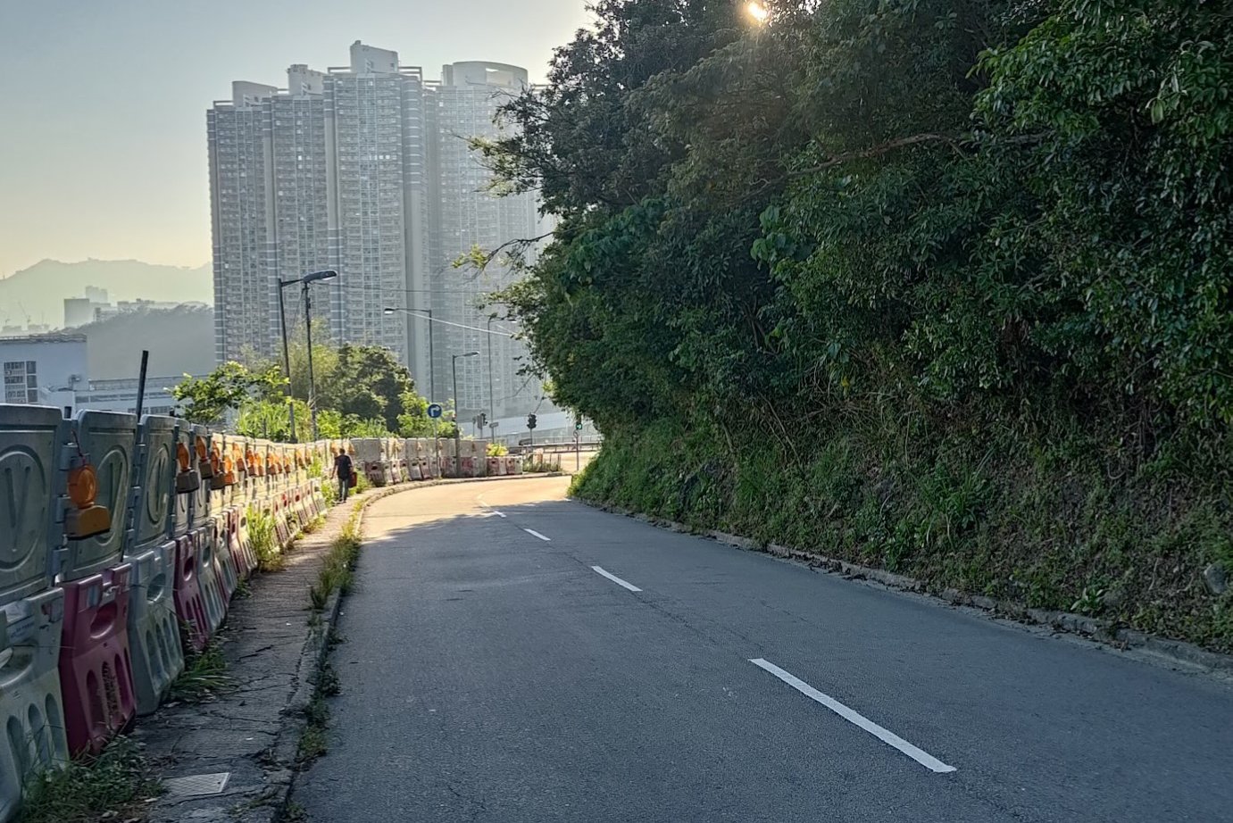
How to Get to the Kowloon Peak and Suicide Cliff Hike Start Point
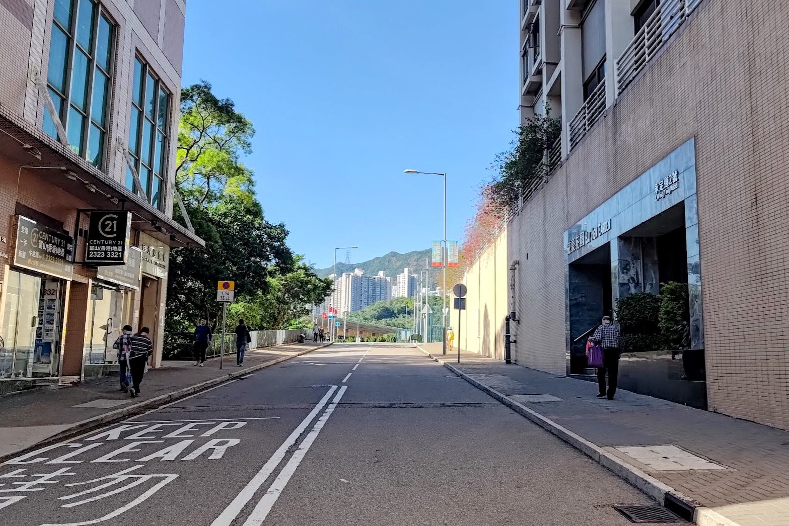
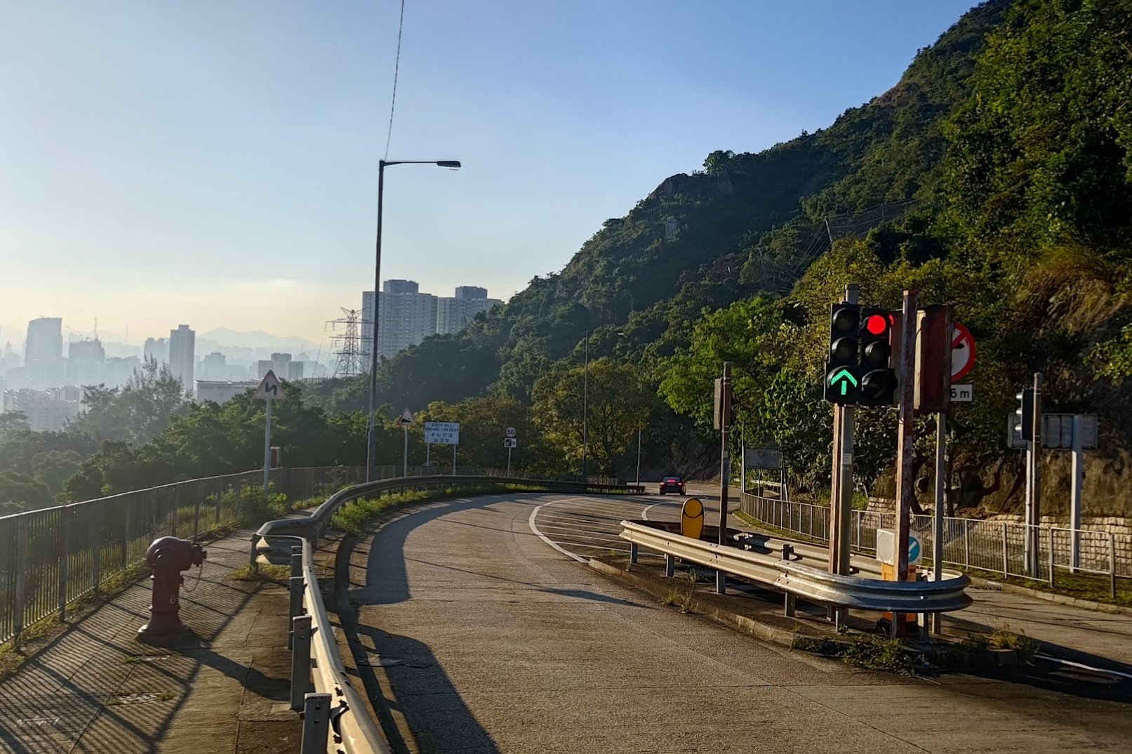
The start point of the Hike is Choi Hung MTR Station Exit C2.
Quick Kowloon Peak and Suicide Cliff Hike Route Summary
Arrival & Entry:
Get off at Choi Hung MTR Exit C2.
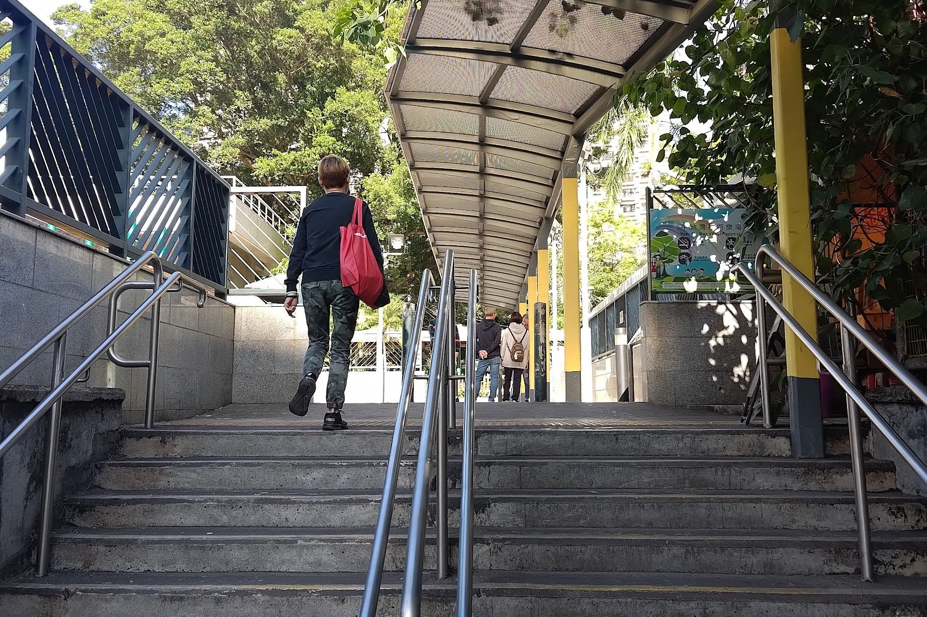
Climb the slope from the exit and look for stairs on the right leading into Ngau Chi Wan Village.
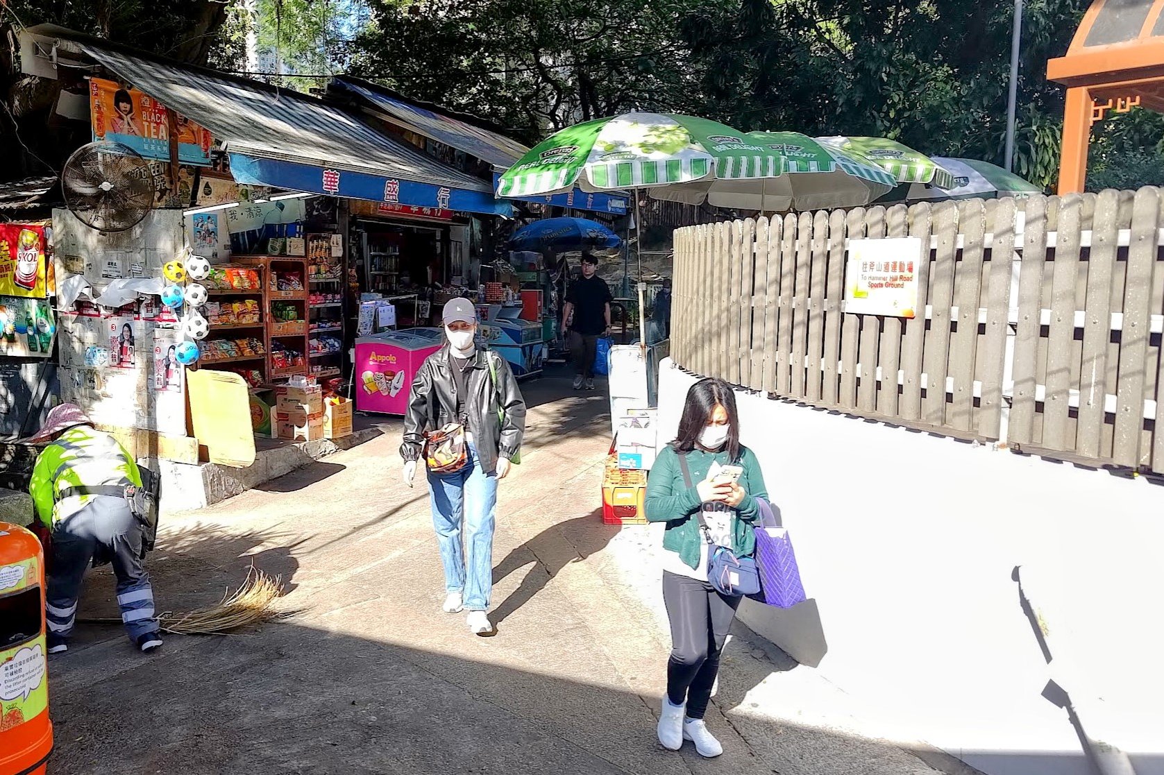
Walk Through Ngau Chi Wan Village:
Follow the sign for 'Hammer Hill Road Sports Ground' to the left.
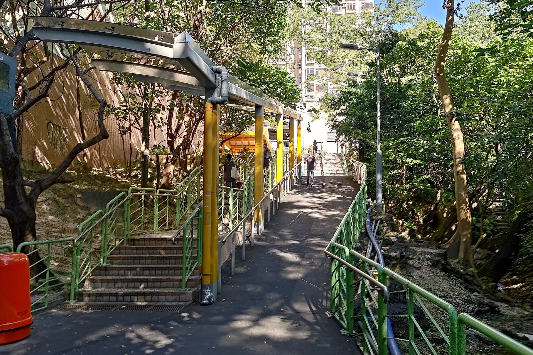
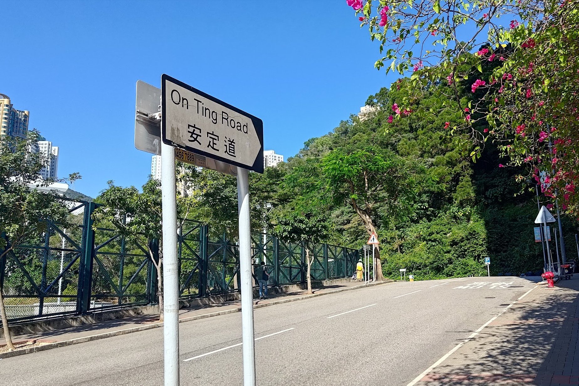
Climb the stairs, then turn left onto Wing Ting Road.
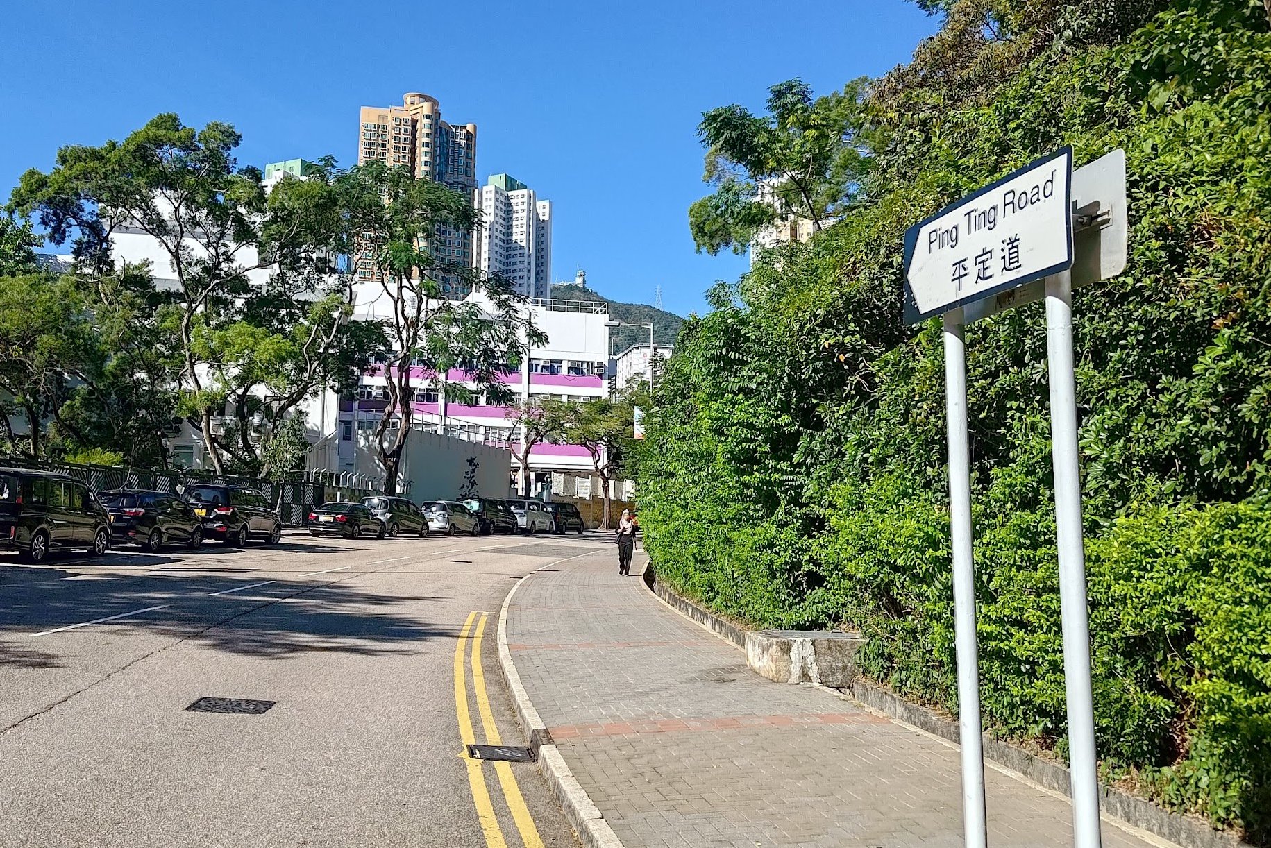
Take a right on On Ting Road, then a left on Ping Tin Road.
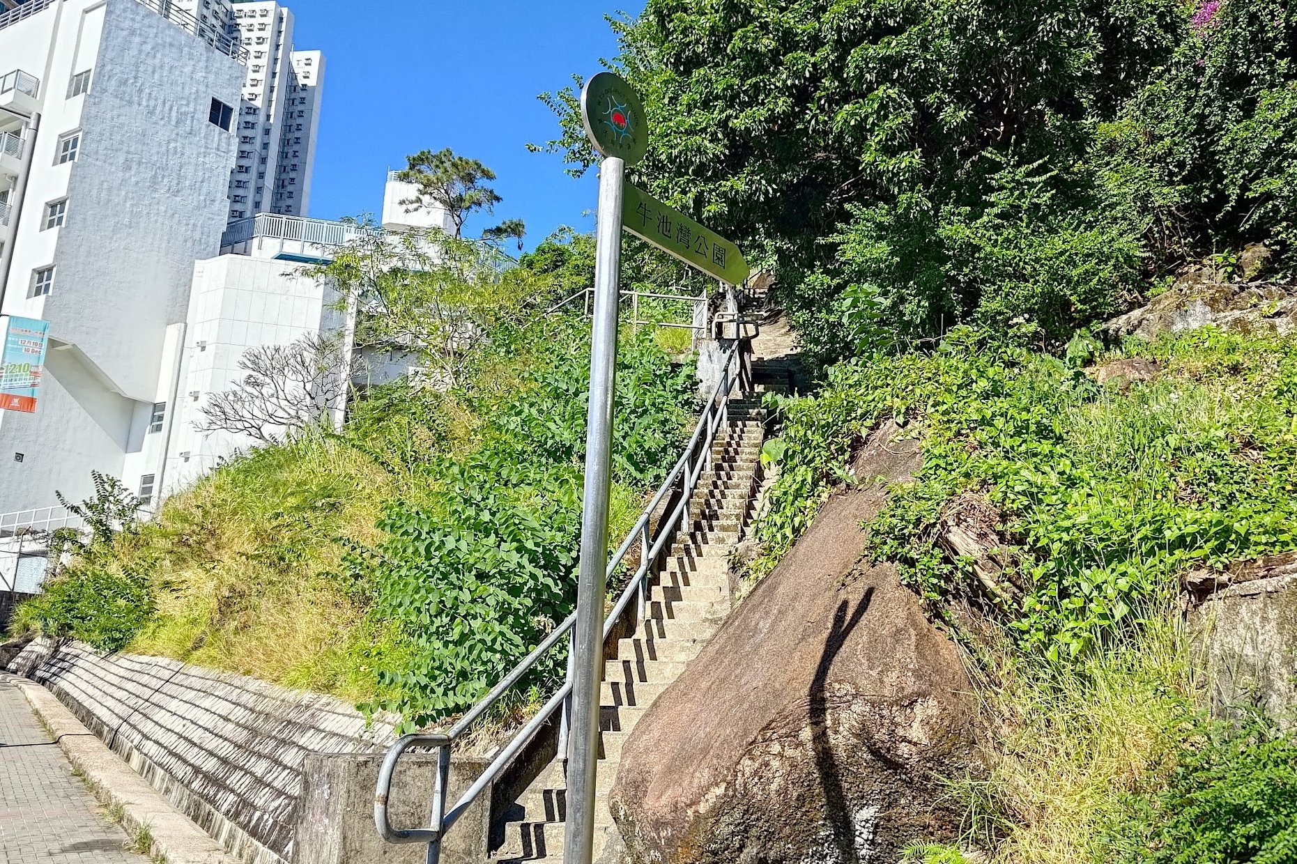
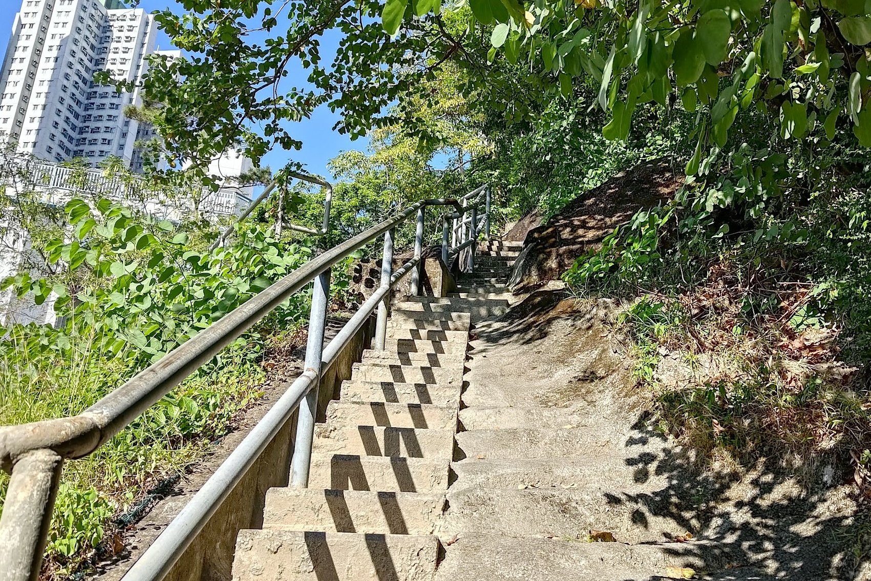
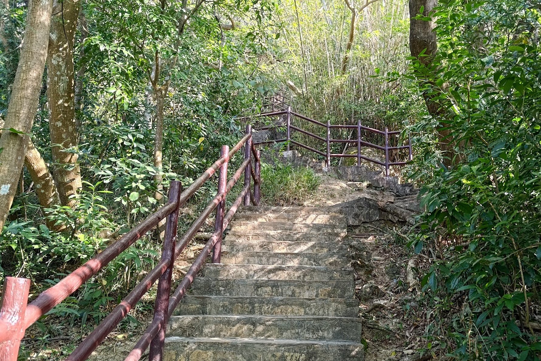
Start the Trail Climb:
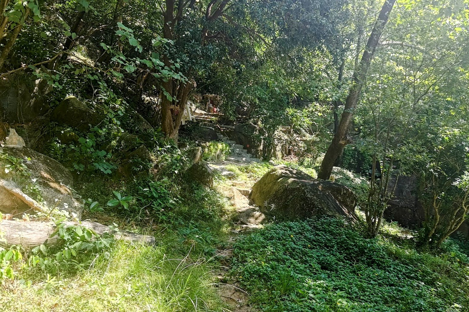
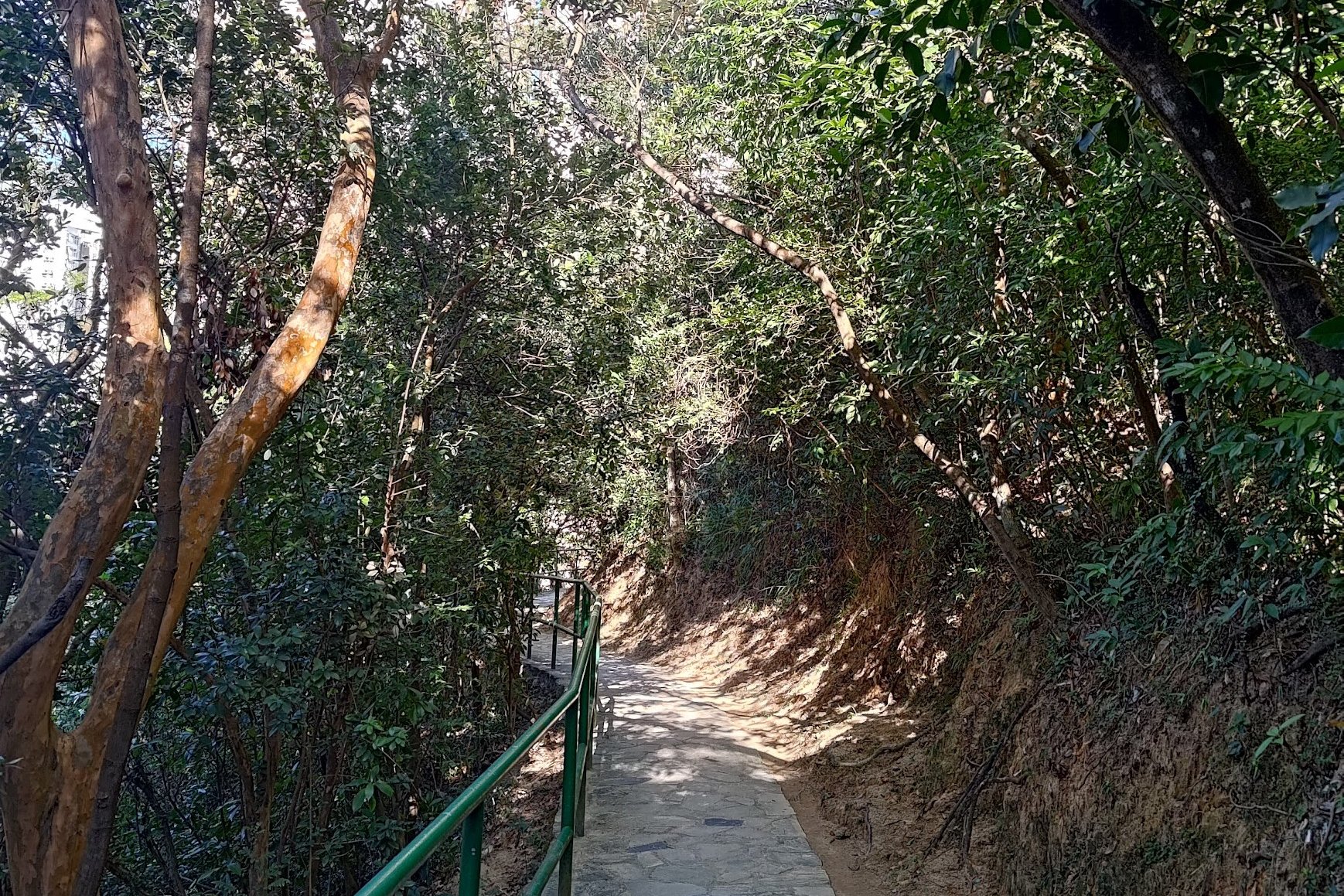
Look for a silver sign pointing to concrete stairs on the right.
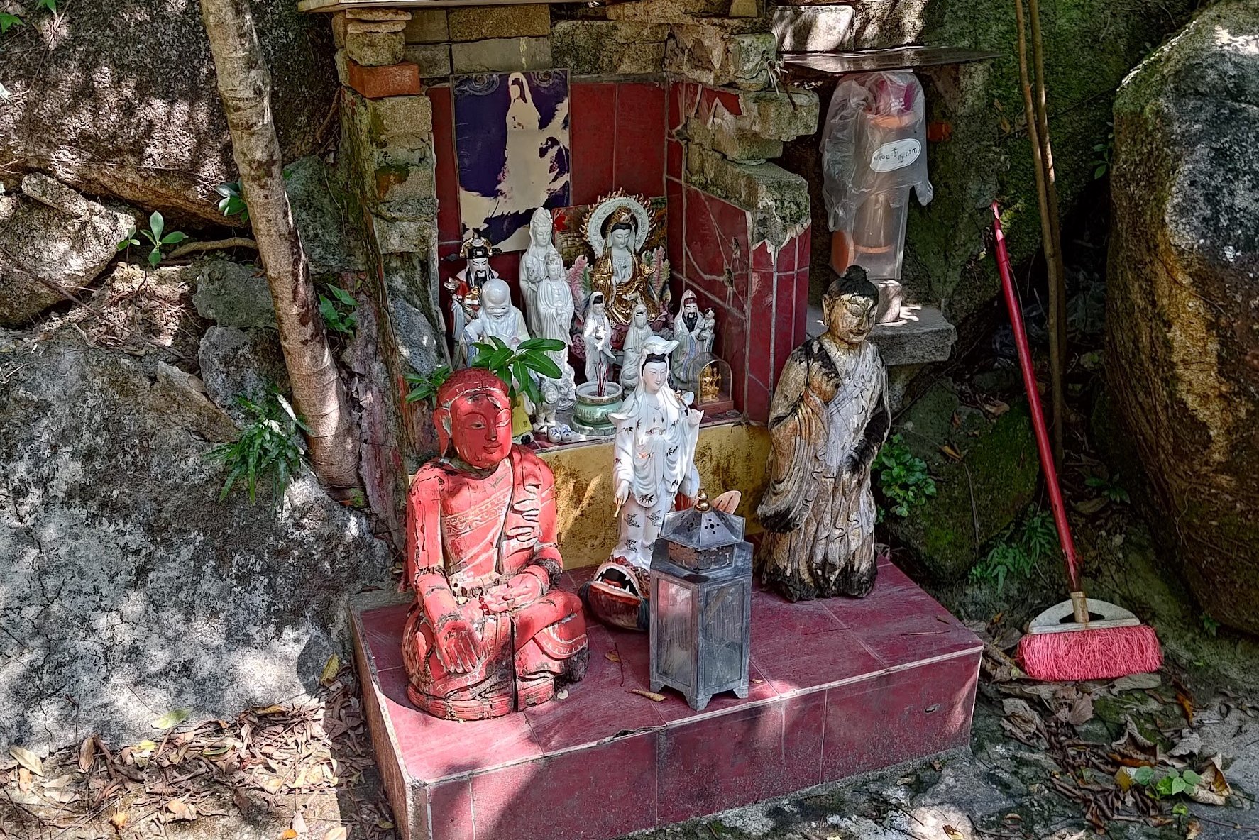
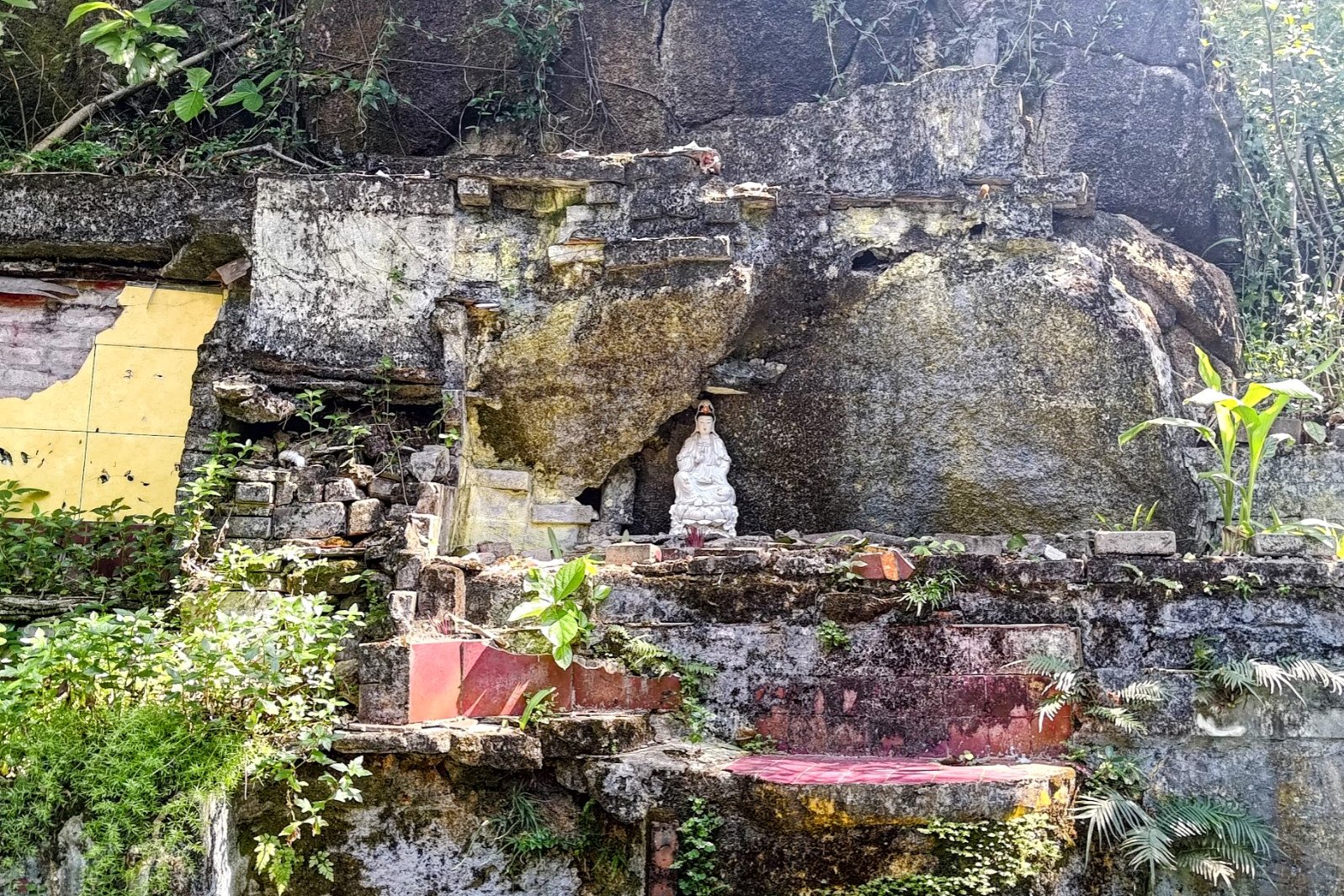
Climb these stairs (there’s a shrine on the right if you want to explore).
Keep climbing, following the brown railings.
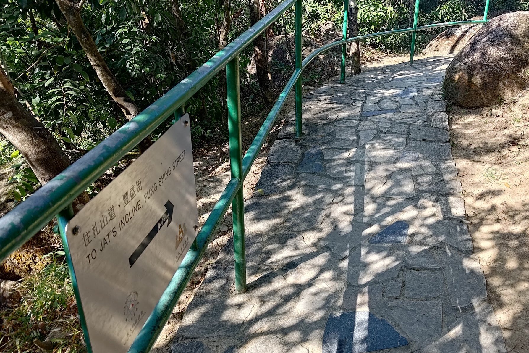
Trail Fork & Direction to Jat’s Incline:
At the fork, take the path with green railings that has a silver sign reading ‘To Jat’s Incline, Fung Shing Street.’
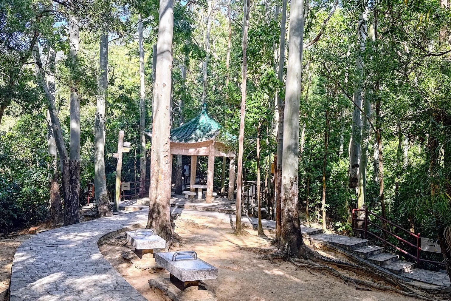
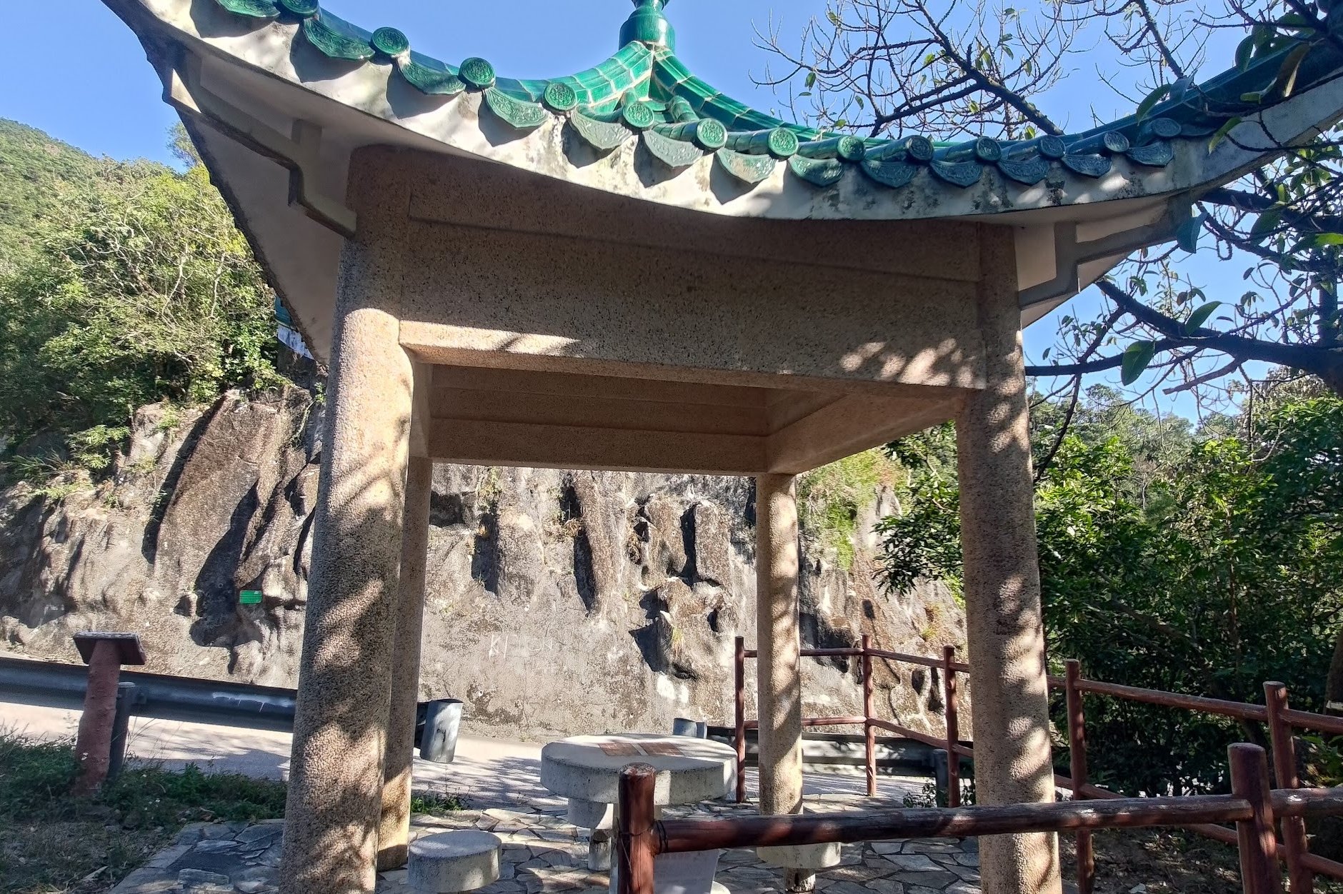
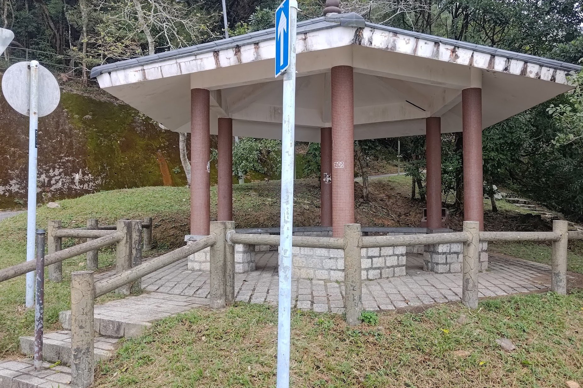
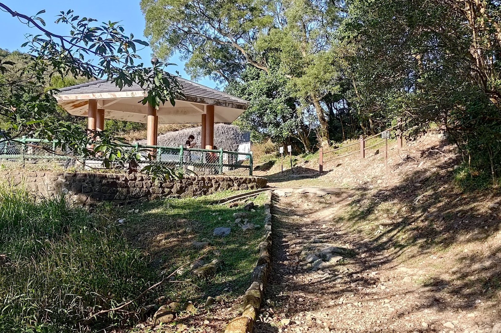
Follow this trail until you reach a green-roofed pavilion.
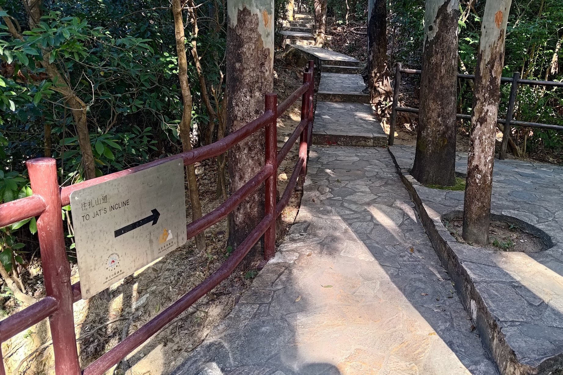
Head Toward Jat’s Incline:
Go behind the pavilion and follow the silver sign pointing to ‘Jat’s Incline.’
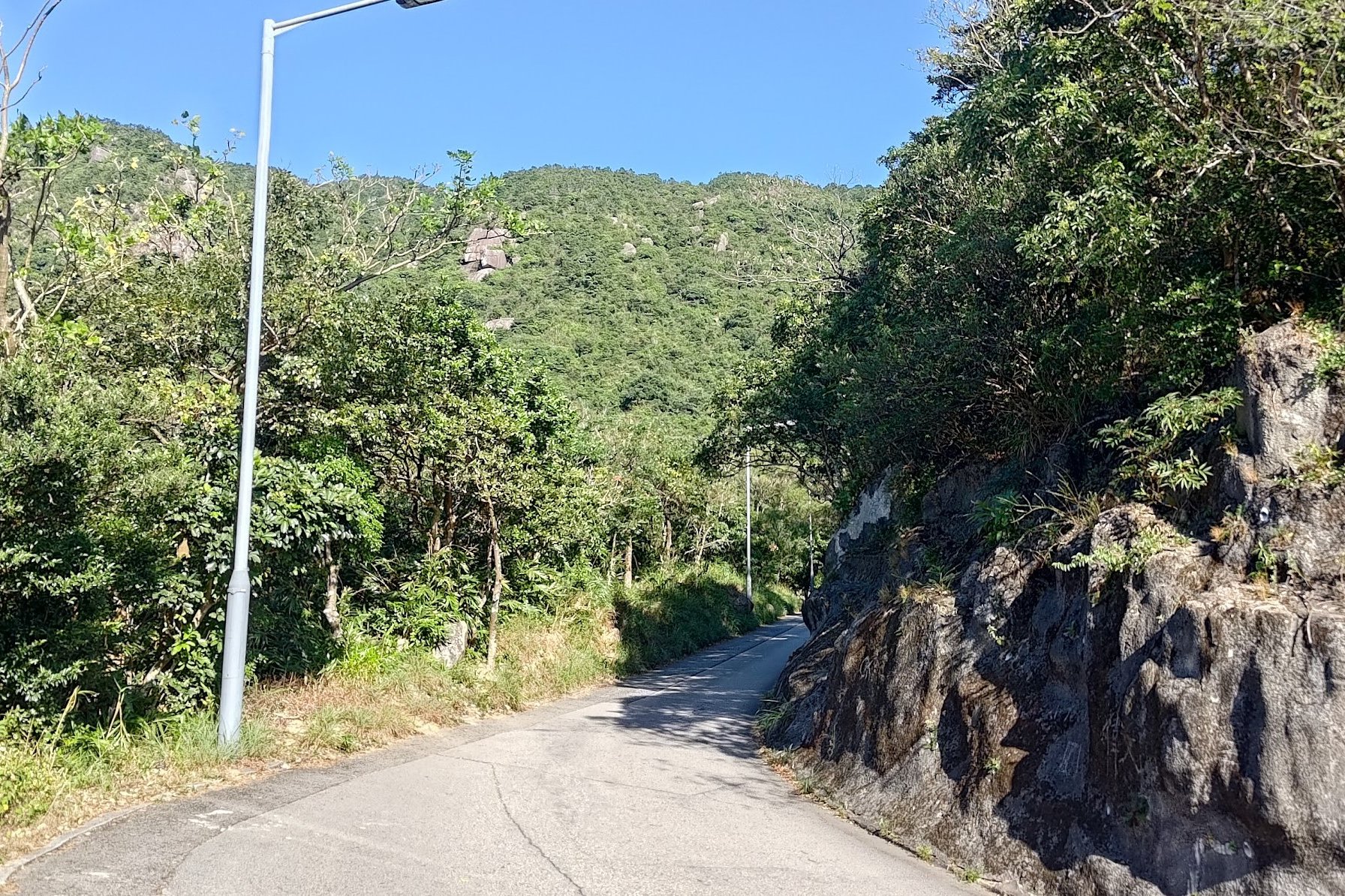
Climb for 10-15 minutes until you reach a concrete road—this is Jat’s Incline.
Ascend Jat’s Incline to Kowloon Peak:
Follow the road to the left for about 30 minutes until you see a maintenance slope.
Here you can:
Take a steep shortcut via maintenance stairs and a natural path to the Kowloon Peak Viewing Point, or
Continue following Jat’s Incline to the viewing point.
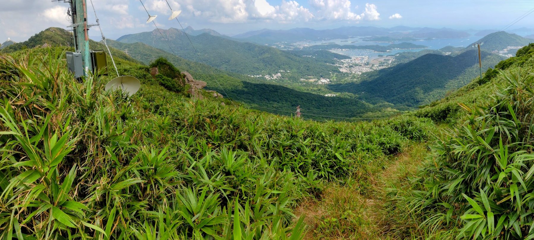
Kowloon Peak Viewing Point & Secret View:
Look for the wooden arch with Chinese writing.
Climb the stairs beyond it to reach a secret viewpoint of Sai Kung.
Descend Toward the Radio Tower:
From the pavilion area near the viewpoint sign, head down the forested path.
Look for a path on your left with a rocky hill visible.
Follow it under a large tower, then climb the hill.
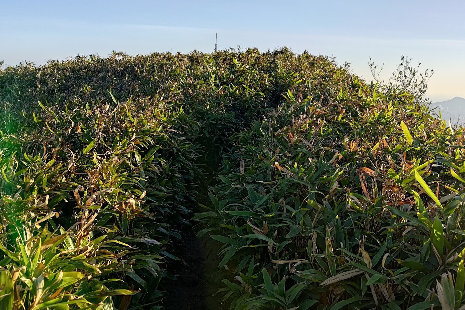
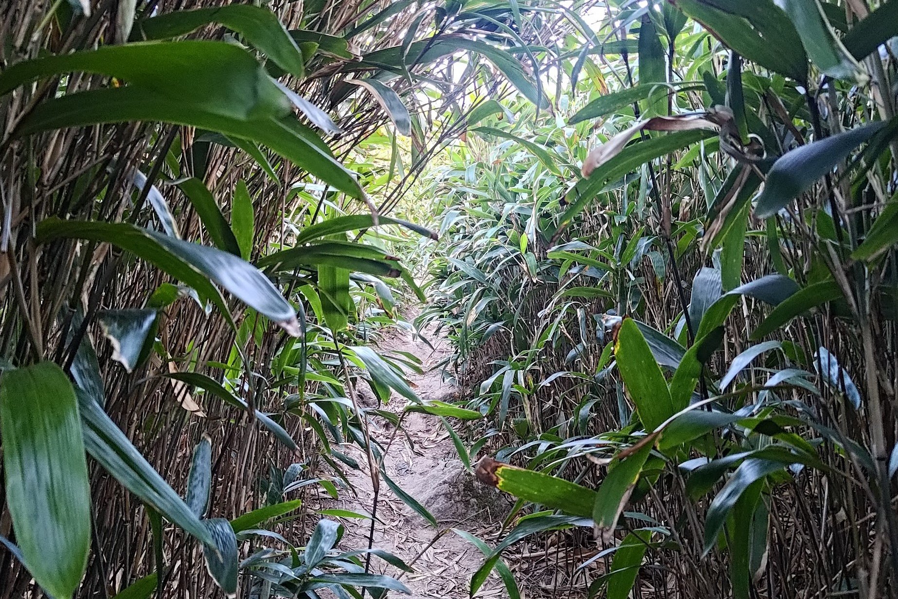
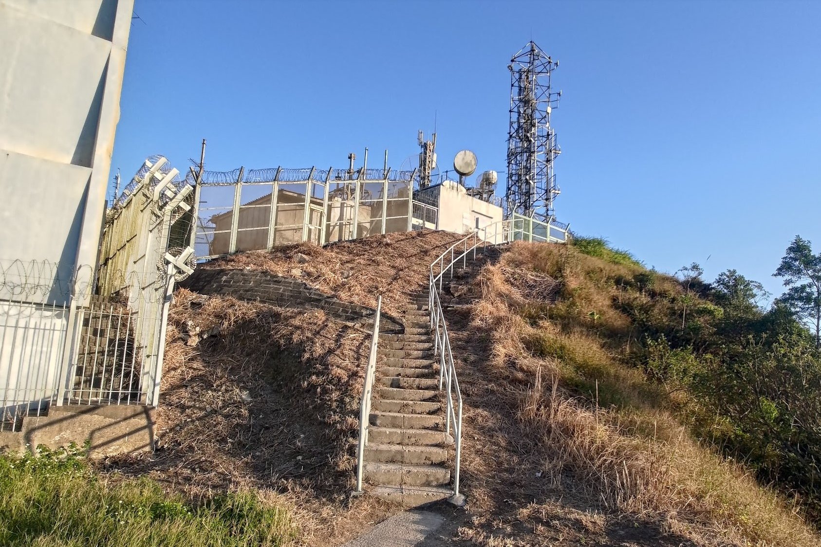
Continue on the path for 30–45 minutes until you reach the Kowloon Peak Television and Radio Tower (just after going past an overgrown bamboo section and helipad).
Safe Descent Option:
Just after the overgrown bamboo area (on your left if you are climbing toward the tower, on the right if you are coming back from Suicide Cliff) is the safe descent.
From Radio Tower to Suicide Cliff:
Pass the tower and hike to a smaller building.
Descend concrete stairs here.
Head left around the fence and continue to Suicide Cliff.
Descend from Suicide Cliff:
Directly left of Suicide Cliff is a dirt path heading downward—take this, or return to the tower and descend safely from there.
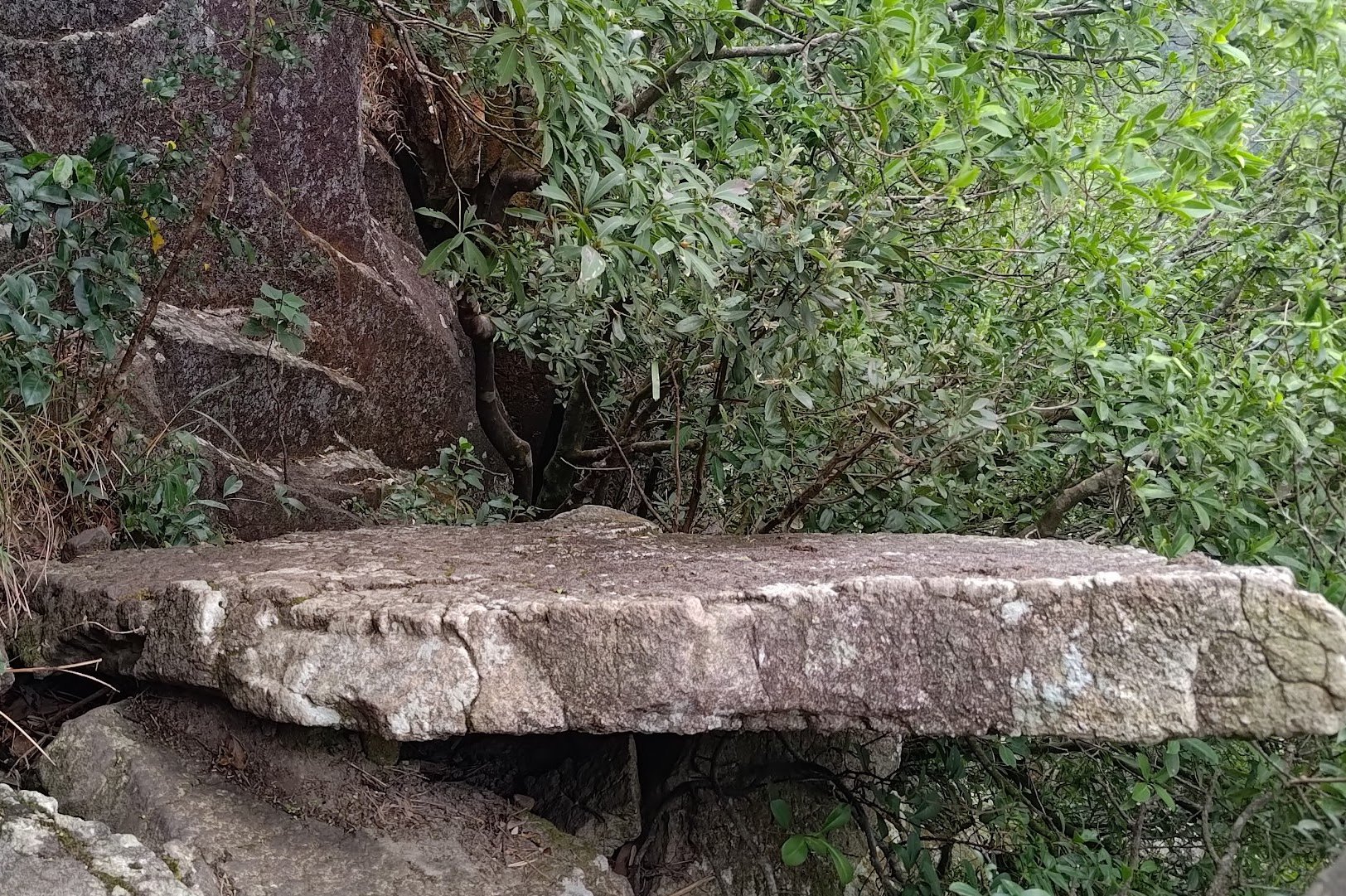
After descending, you’ll see the famous Suicide Cliff photo spot on the right (a rock shelf jutting from the cliff).
Continue Descending:
From the photo spot, take the left path and keep descending.
You’ll find another left turn with an open viewpoint below—visit it but do not take the path beyond this viewpoint.
Climb back up and take the left path instead.
Final Descent to Clear Water Bay Road:
Follow this left path downward for about 30 minutes until you see ropes along the path.
Continue following the ropes downhill for another 25-30 minutes until you reach Fei Ngo Shan Road.
End of Hike & Transportation:
Follow Fei Ngo Shan Road downhill to Clear Water Bay Road.
At the road, you will find a bus stop with buses heading back to Choi Hung and Diamond Hill MTR stations.
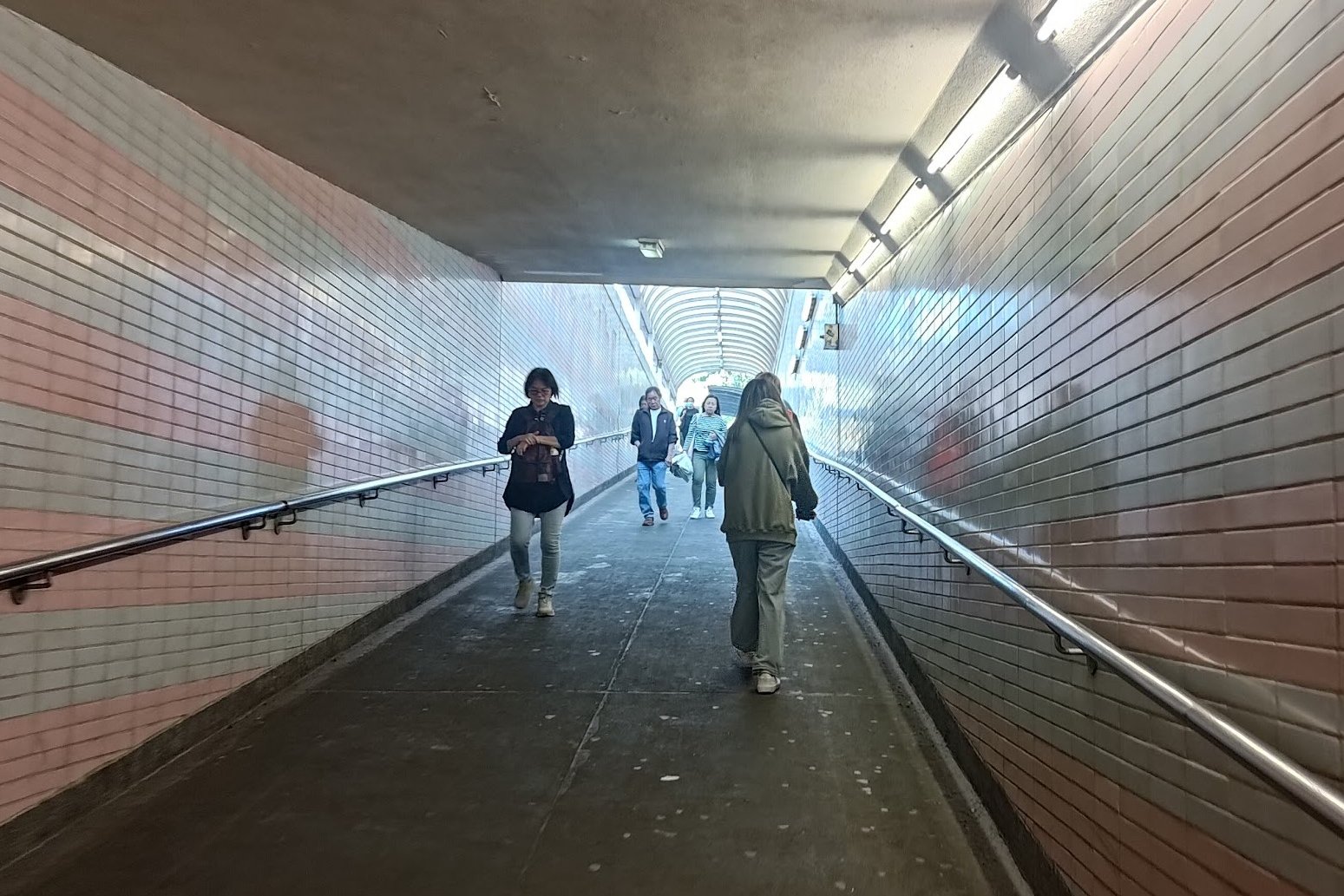
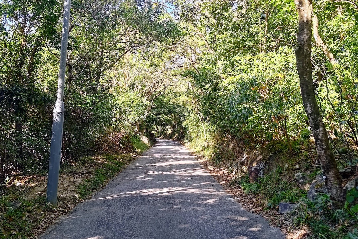
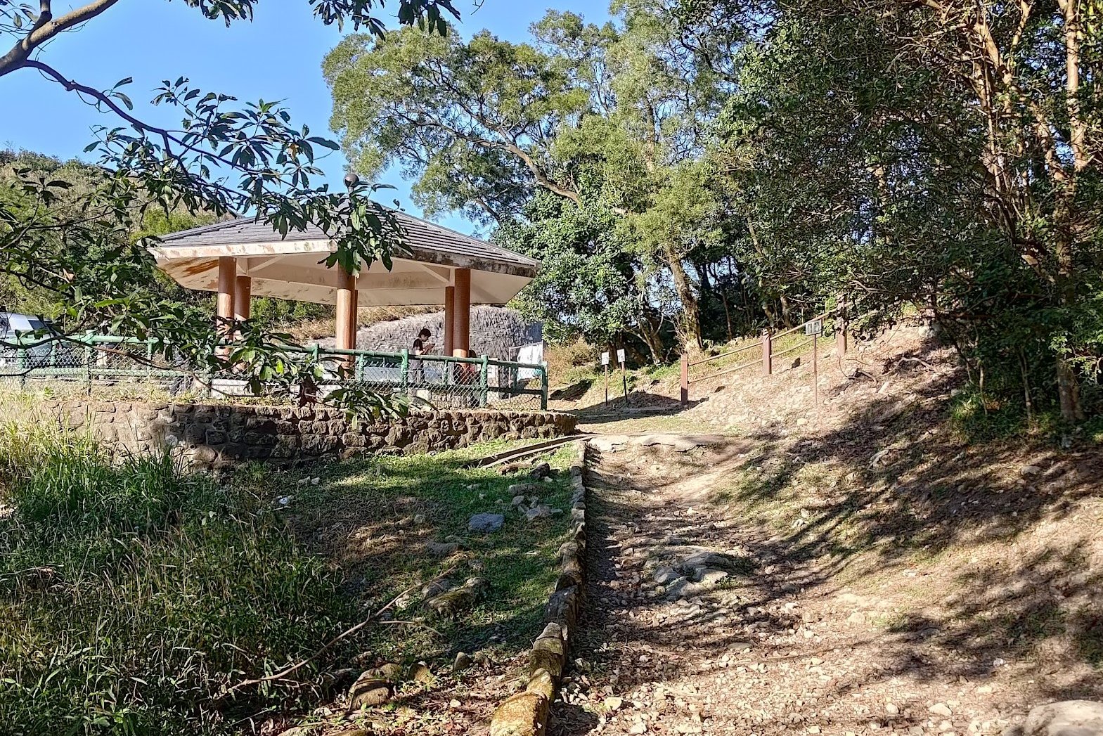
From Choi Hung to the Trail
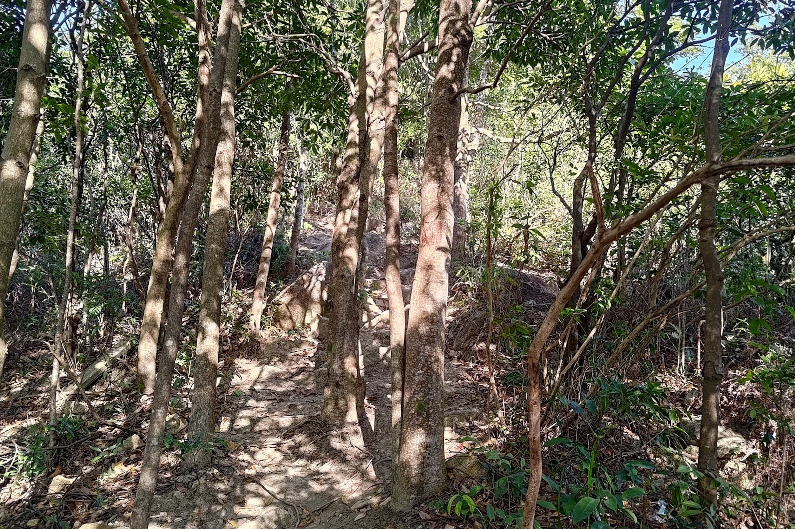
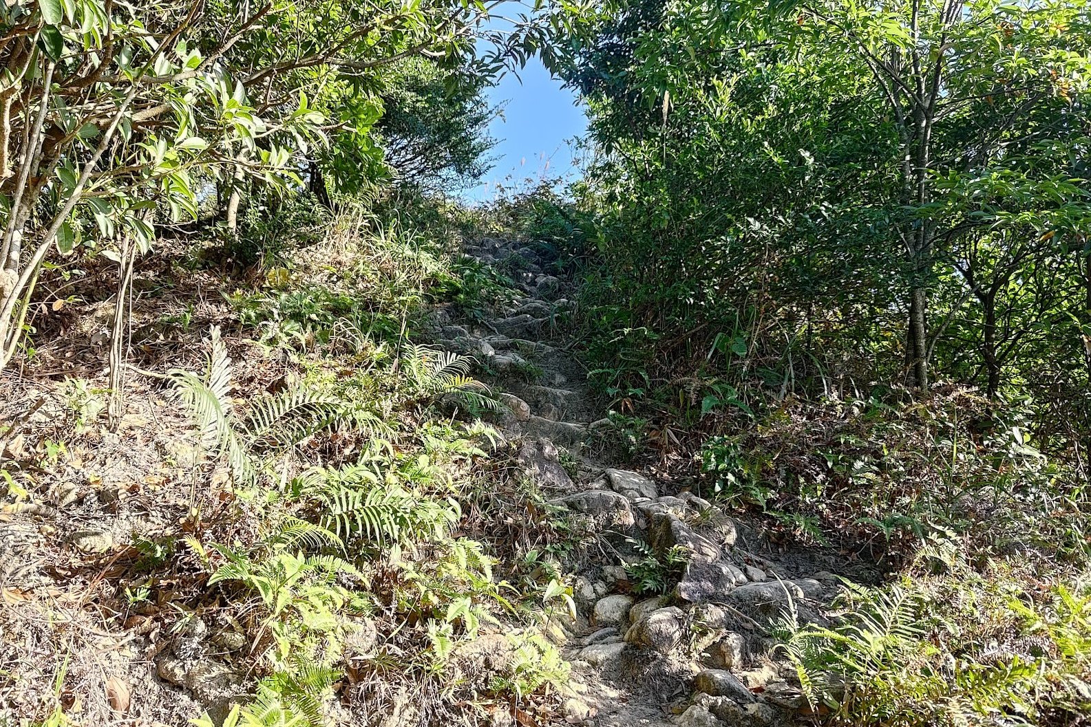
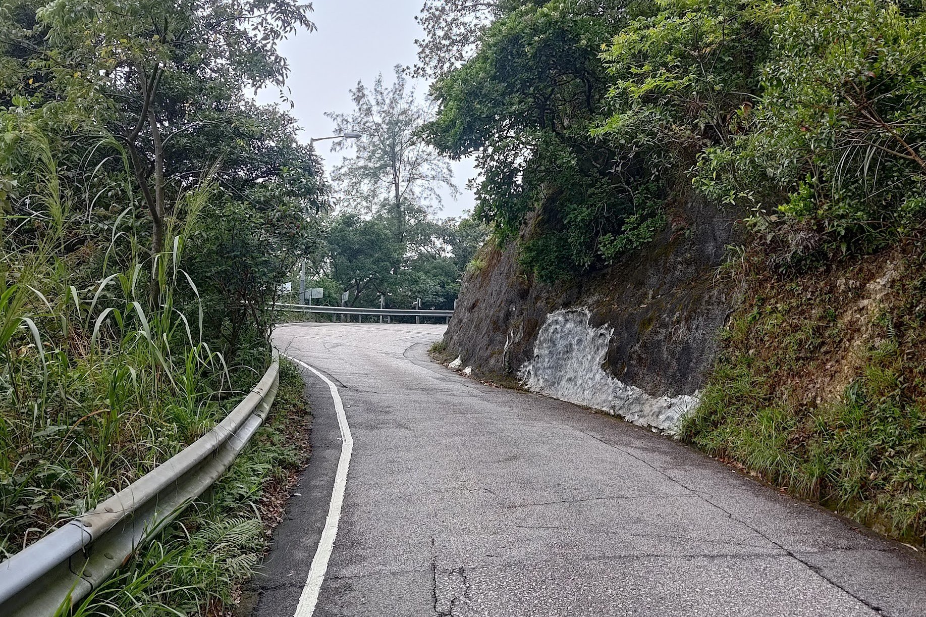
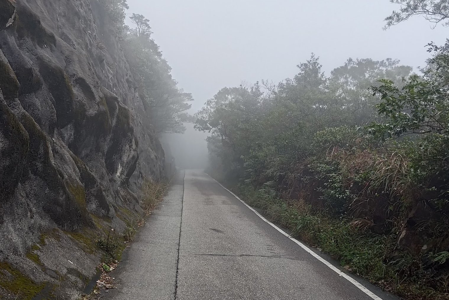
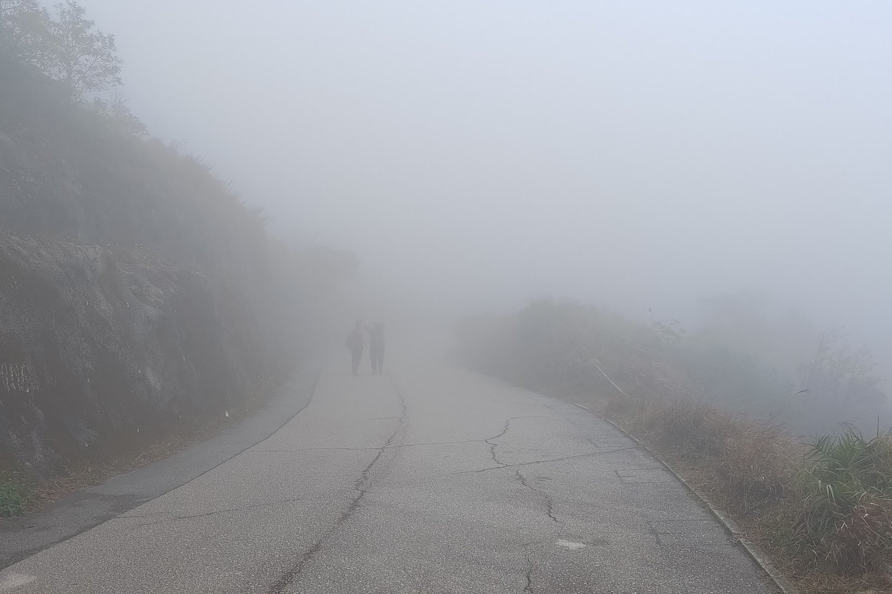
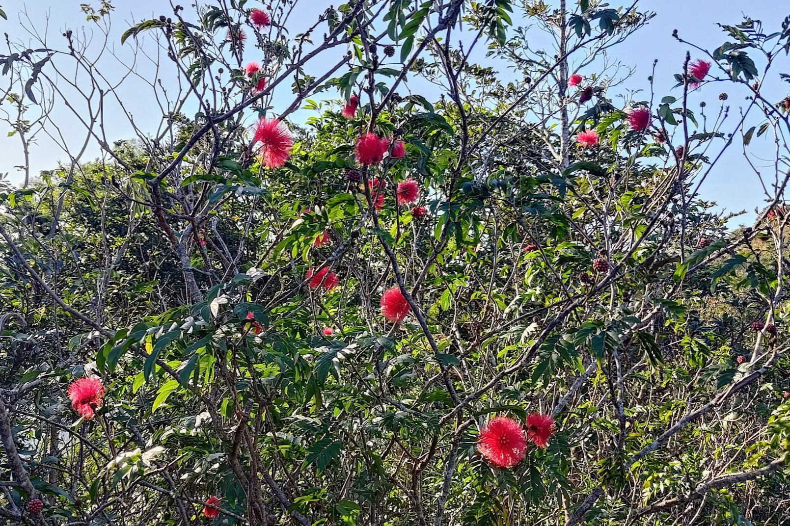
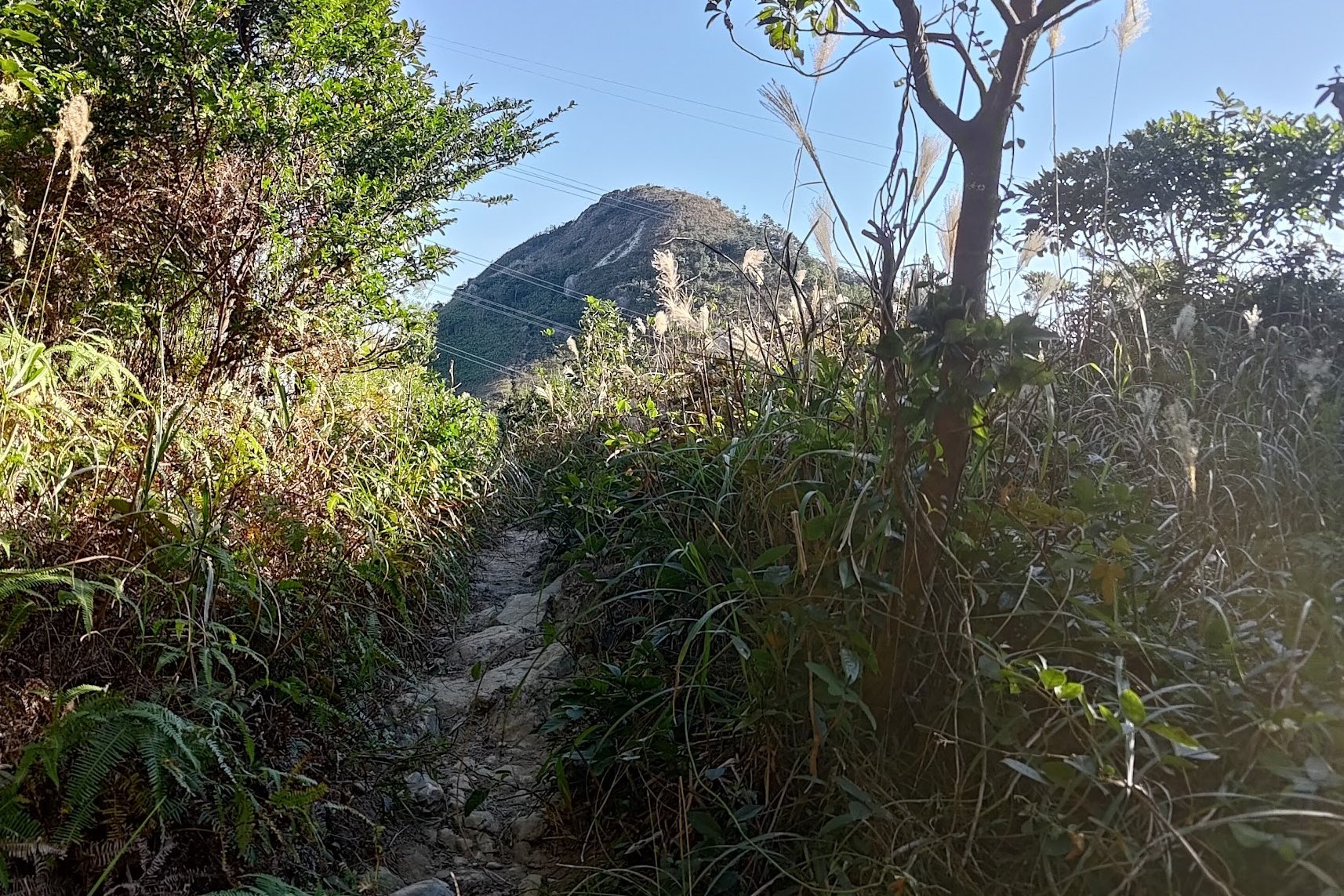
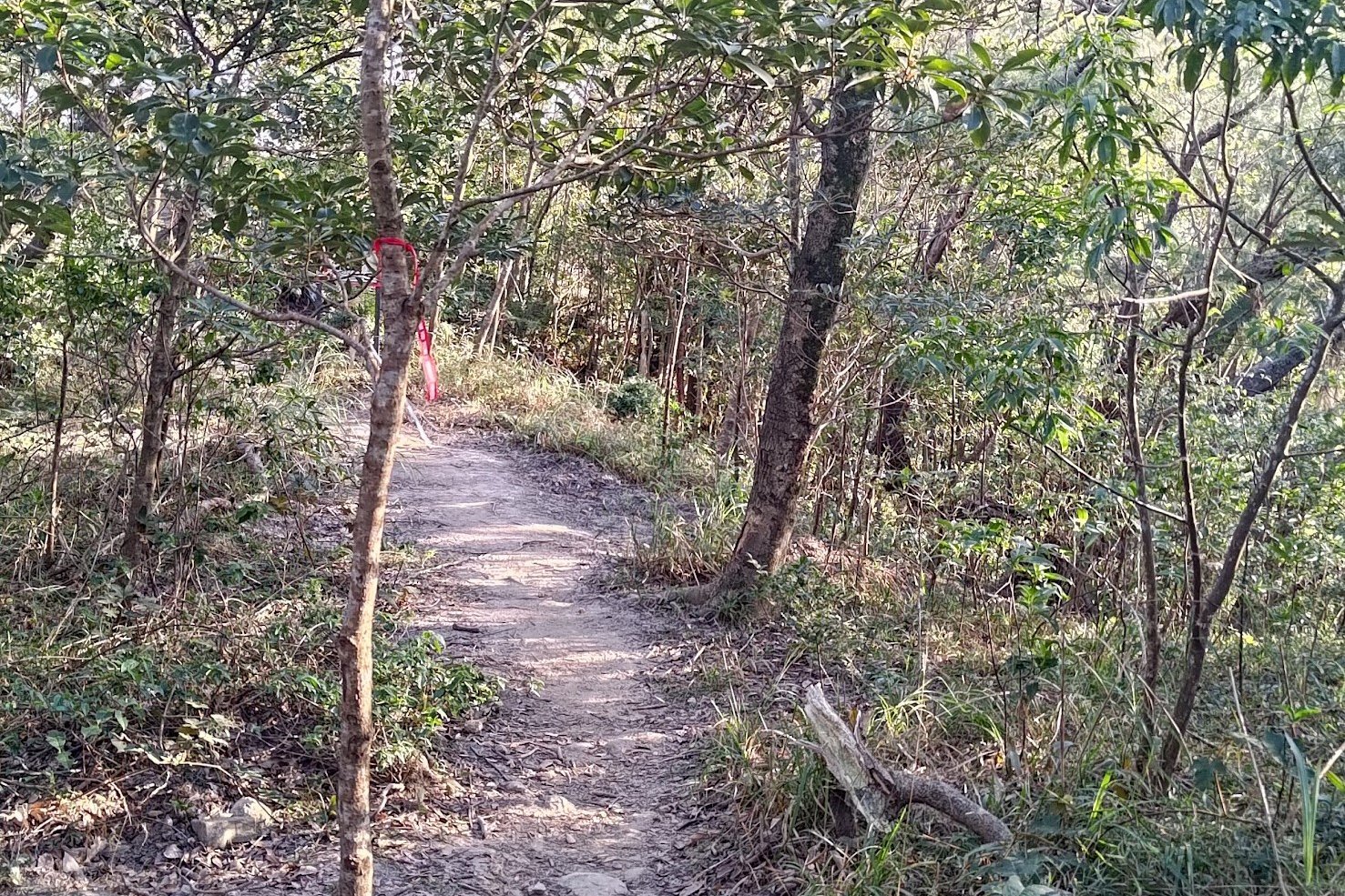
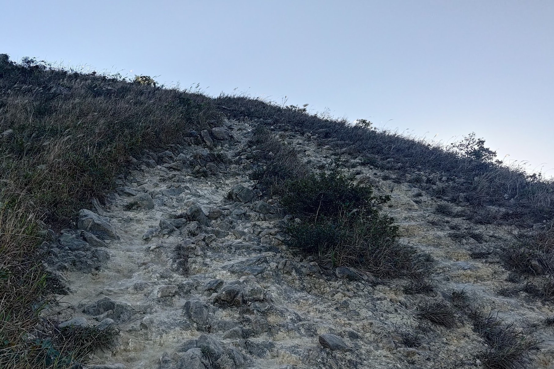
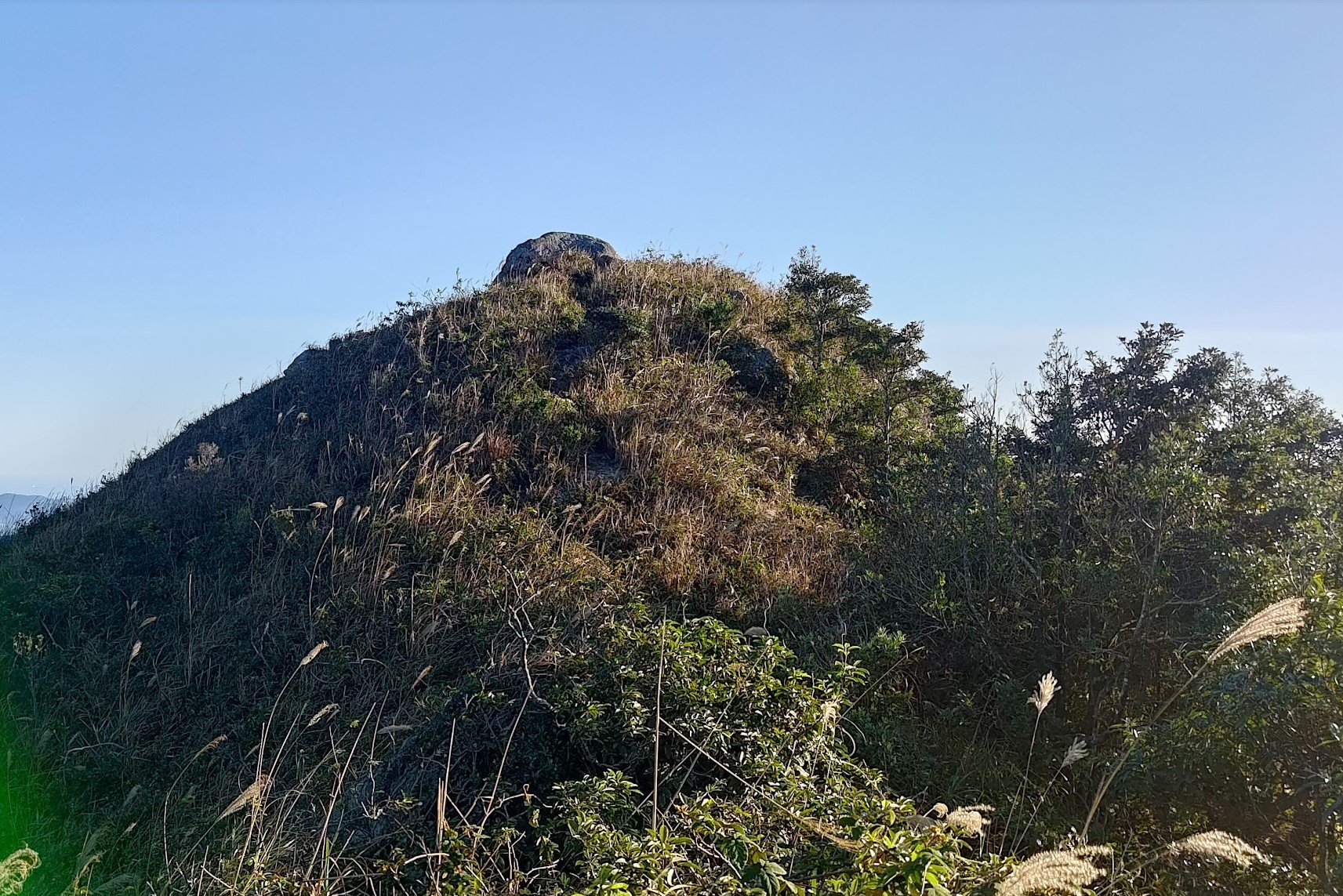
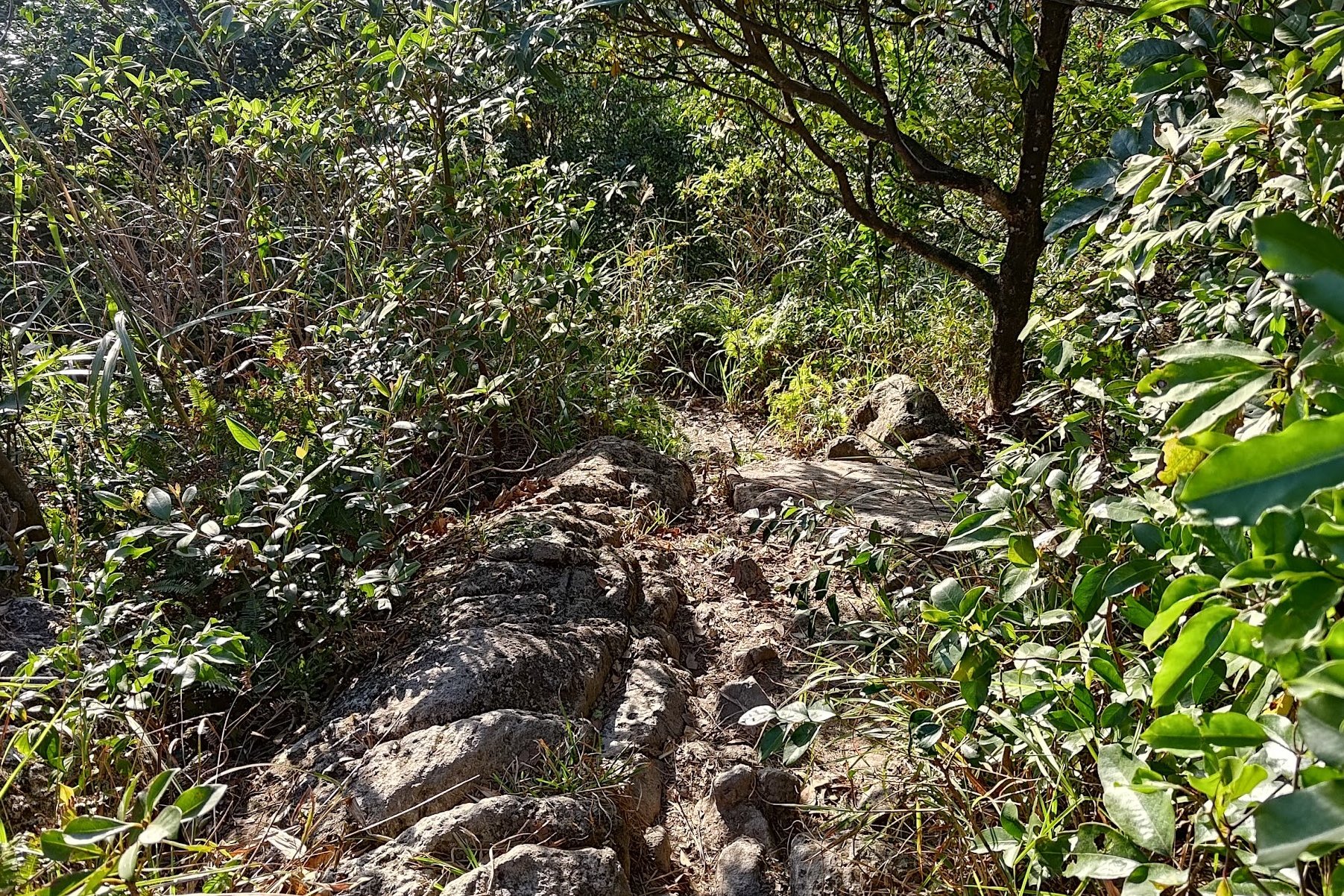
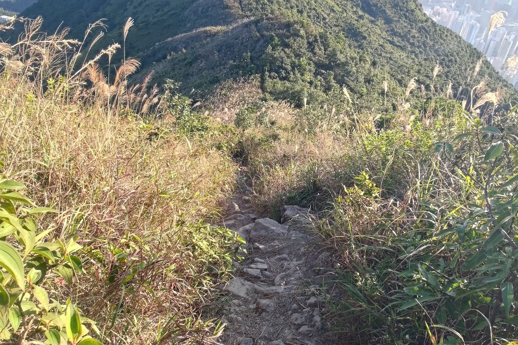
The Steep Climb to Jat's Incline
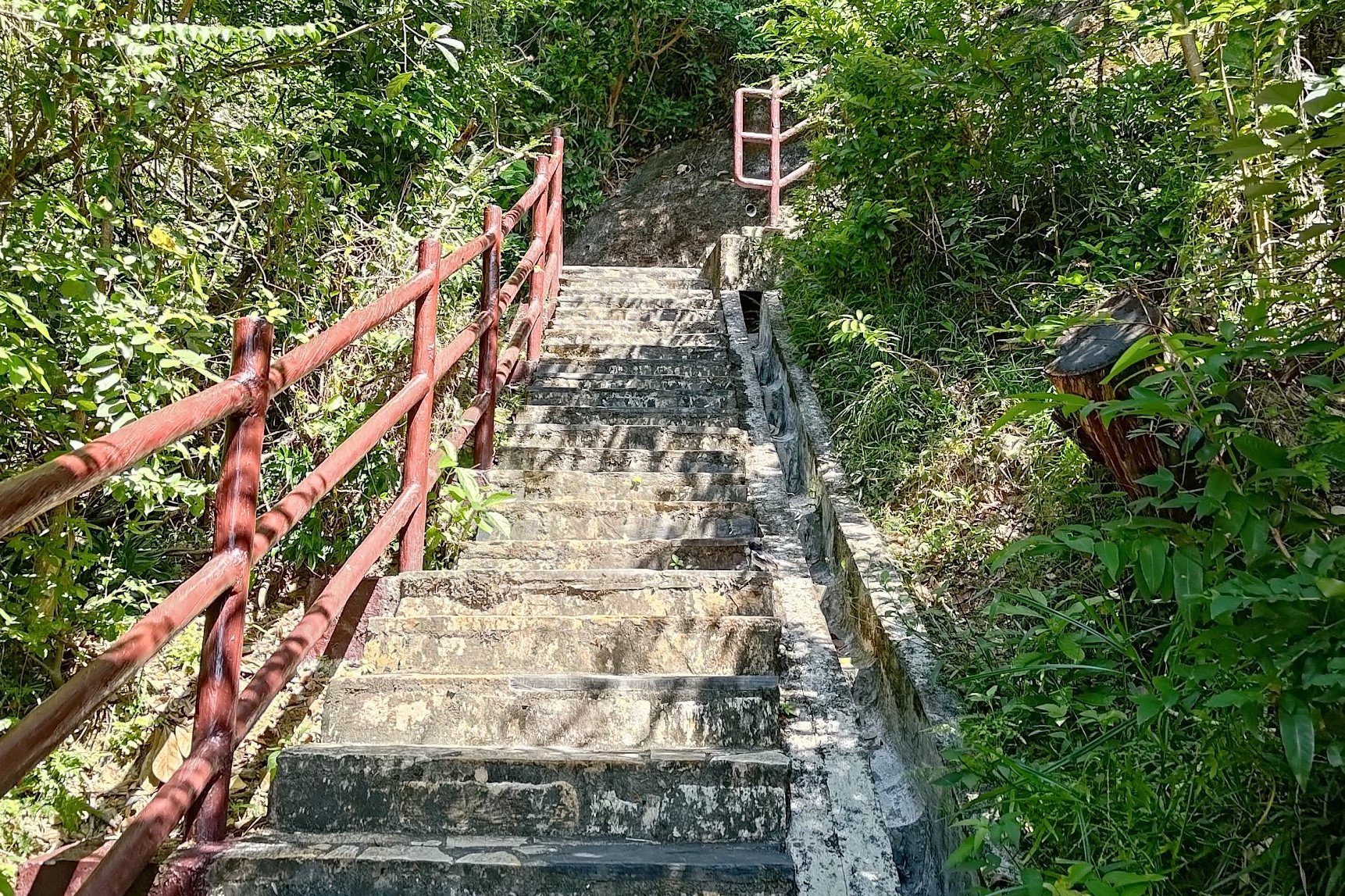
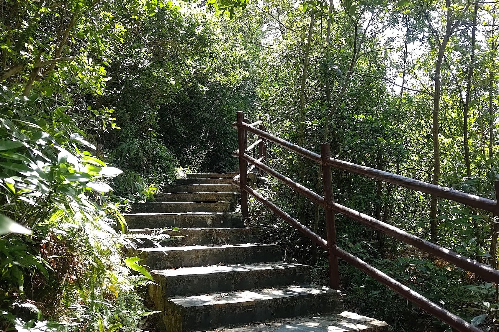

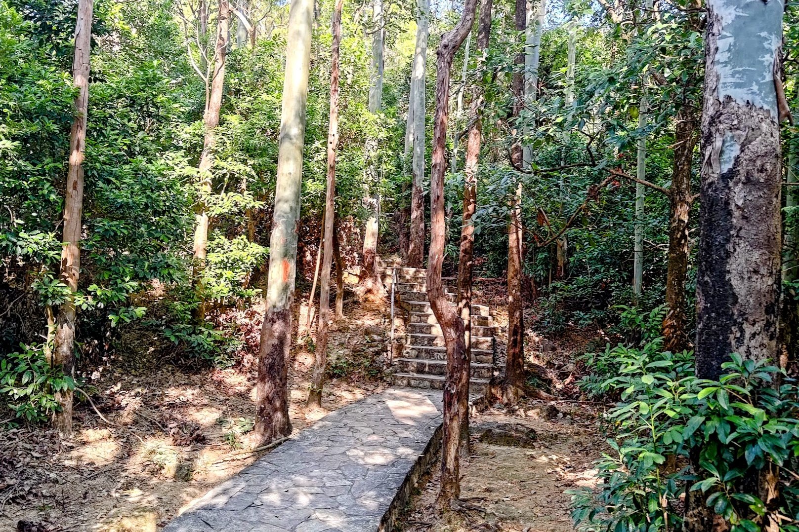
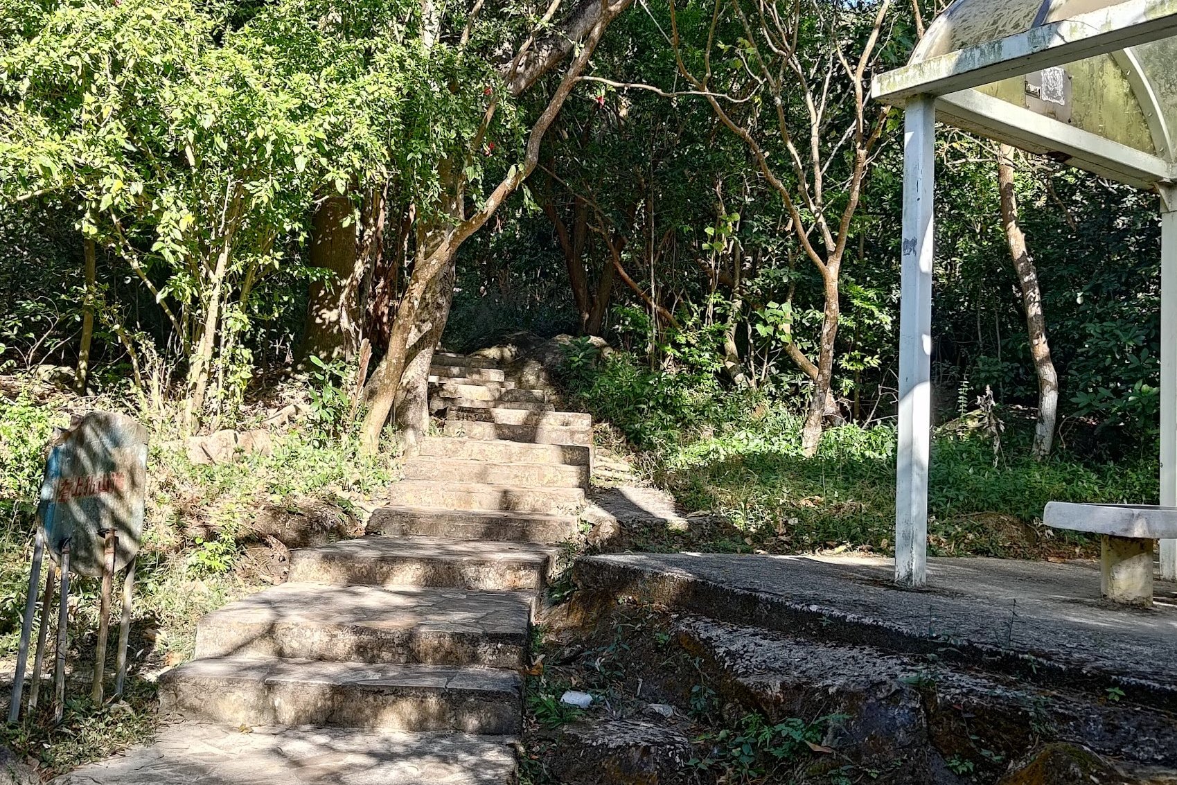
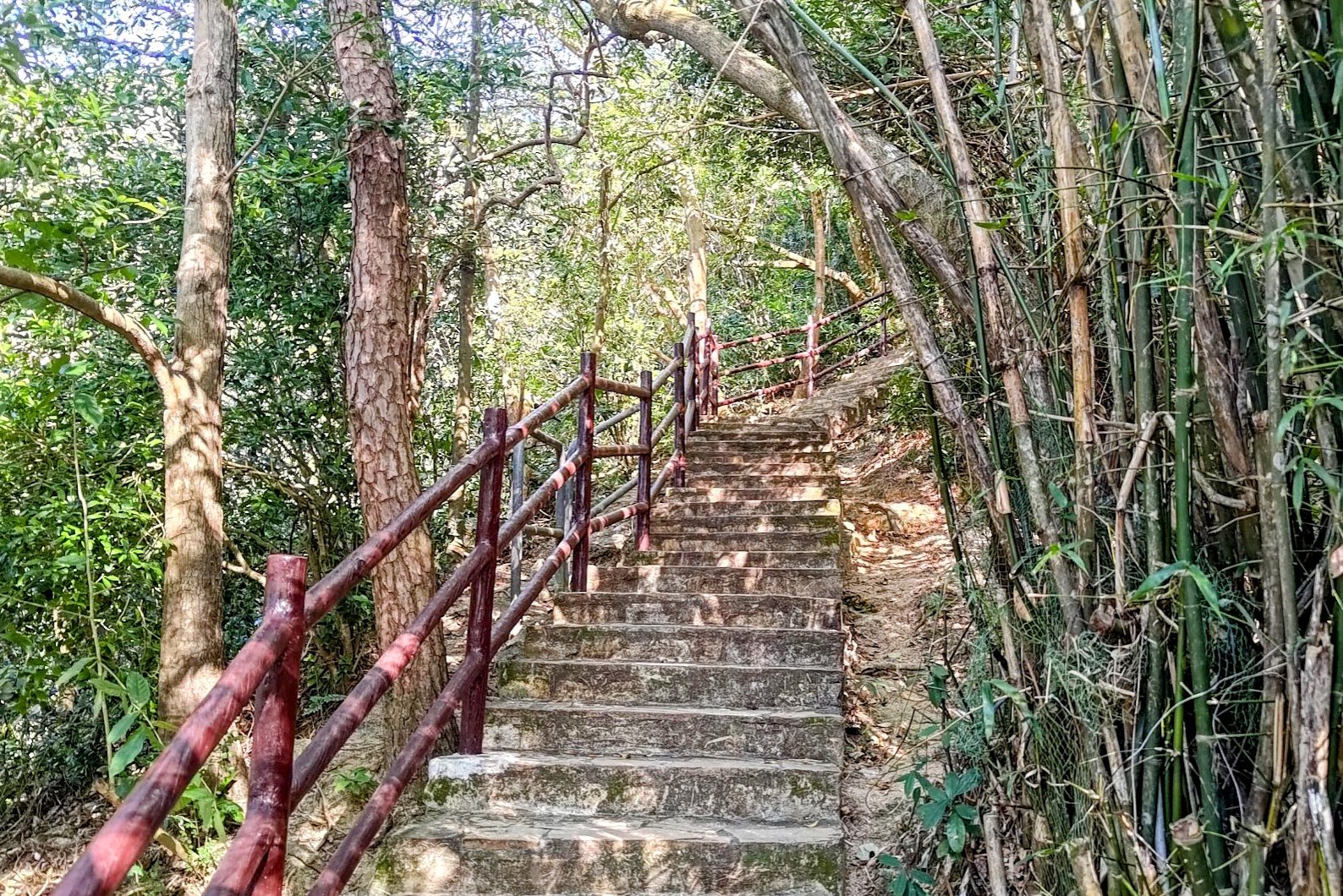
Jat's Incline
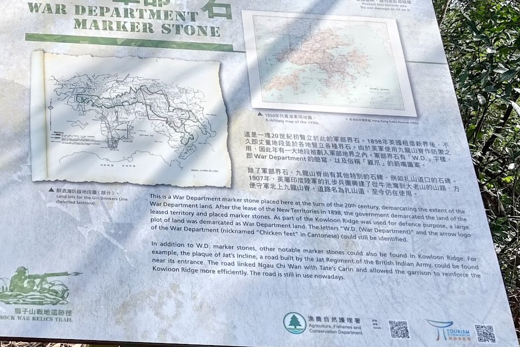
The History of Jat's Incline
Jat's Incline was built in 1907 by the 119th Infantry, later renamed the 2nd Battalion of the 9th Jat Regiment, and repaired in 1932 by the 3rd Battalion of the 9th Jat Regiment.
The word 'Jat' refers to a member of an Indo-Aryan people living mainly in northwestern India, Pakistan, and the Punjab region. This makes sense since the Jat Regiment was made up of ethnically Indian people fighting with the British.
The road connects Ngau Chi Wan Village with Tate's Cairn.
During World War 2, it was used to strengthen defenses throughout the Kowloon Ridge. It's crazy that Jat's Incline is still in use today and us hikers use it for our leisure!
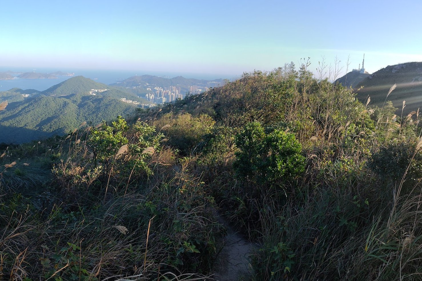
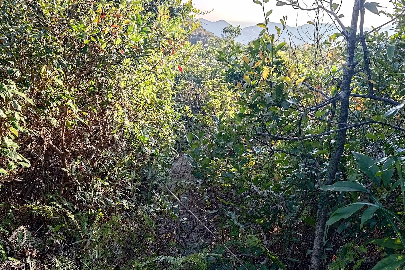
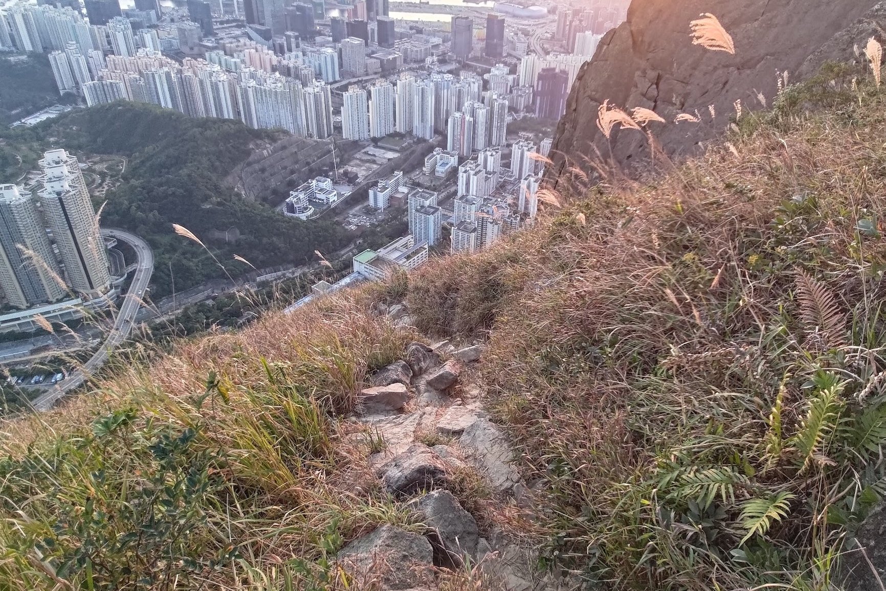
Option 1: The Short, Steep Route to Kowloon Peak Viewpoint
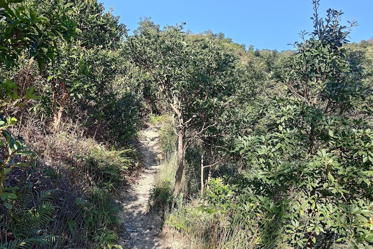
Option 2: The Slow, Winding Route to Kowloon Viewpoint
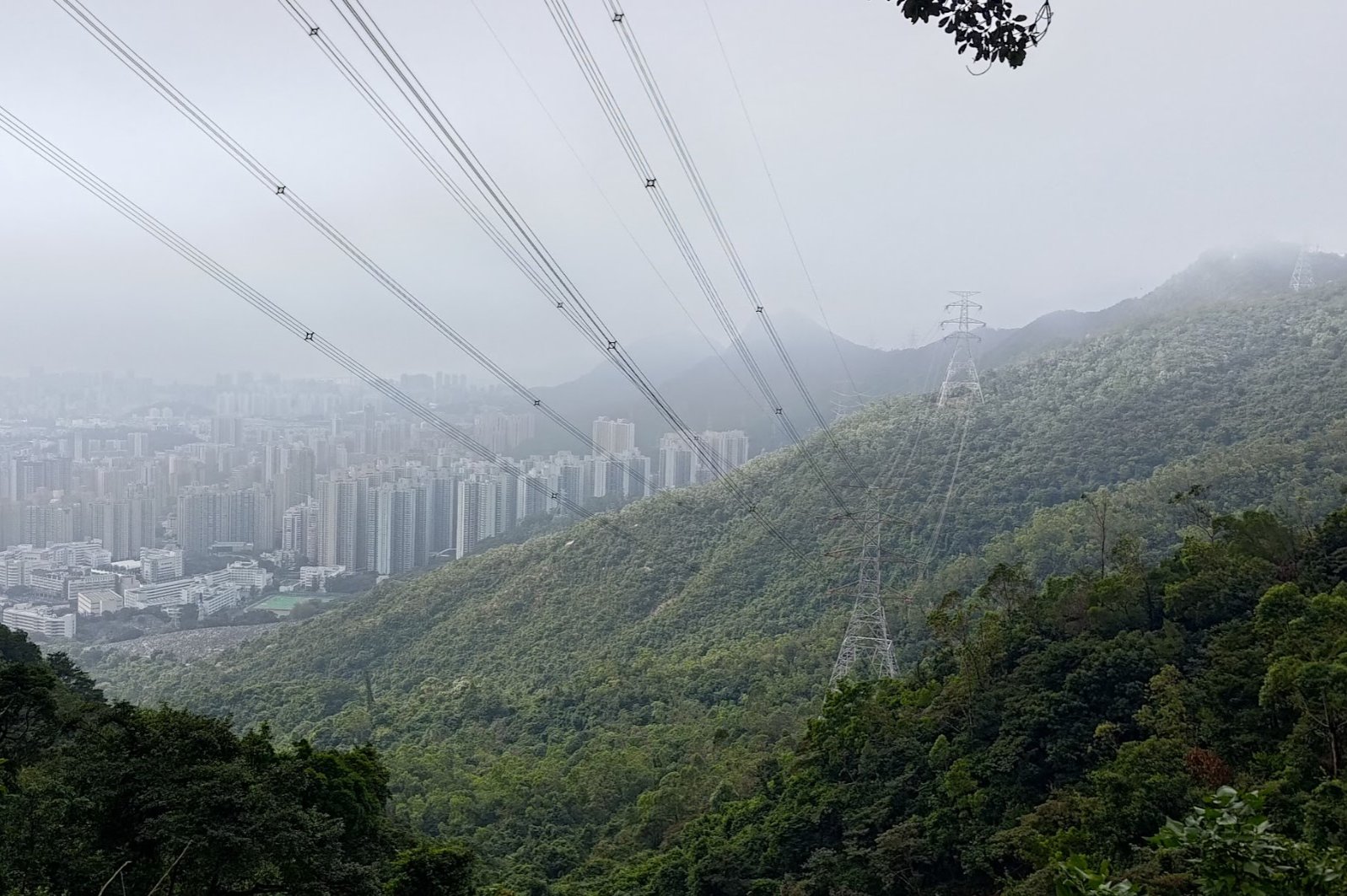
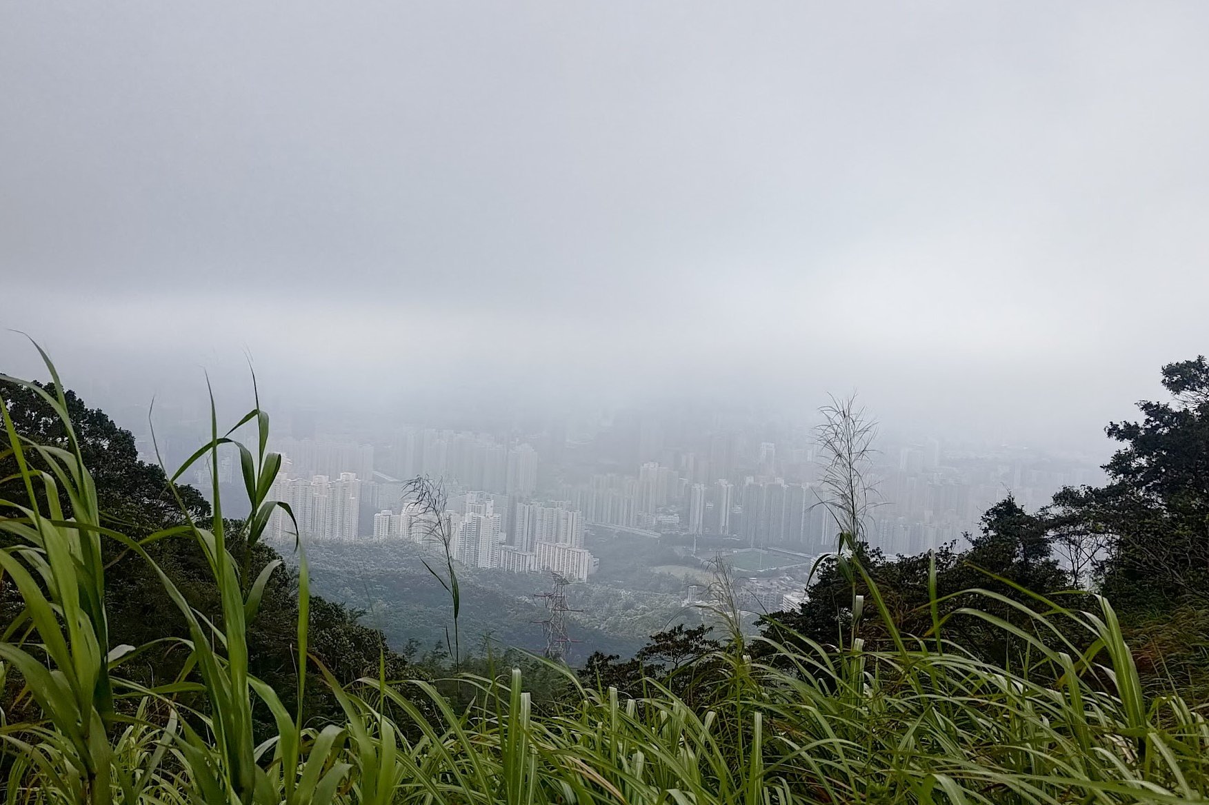
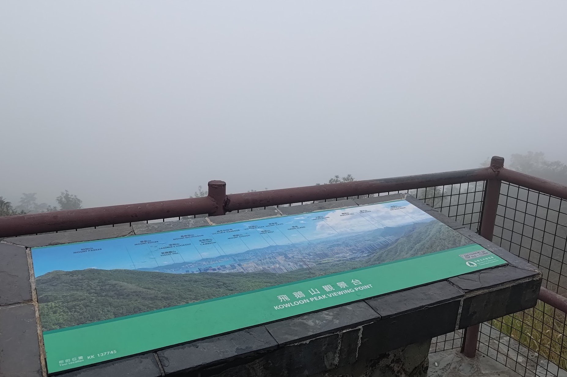
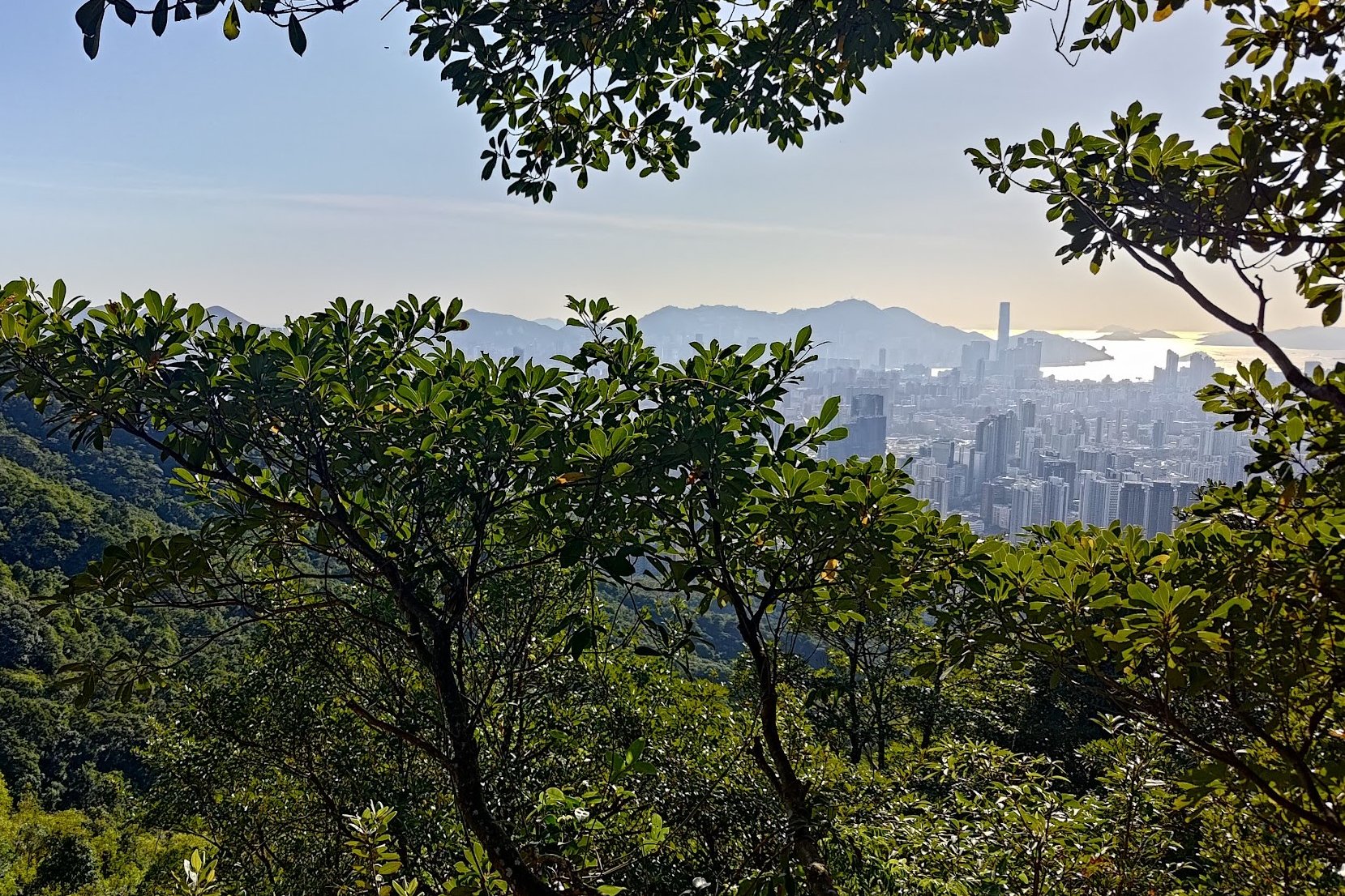
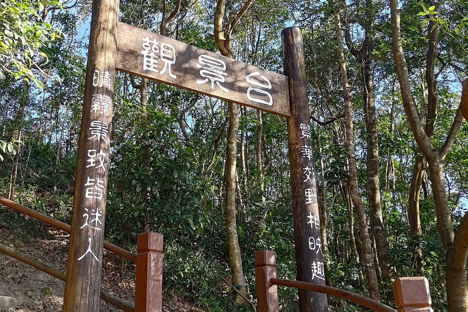
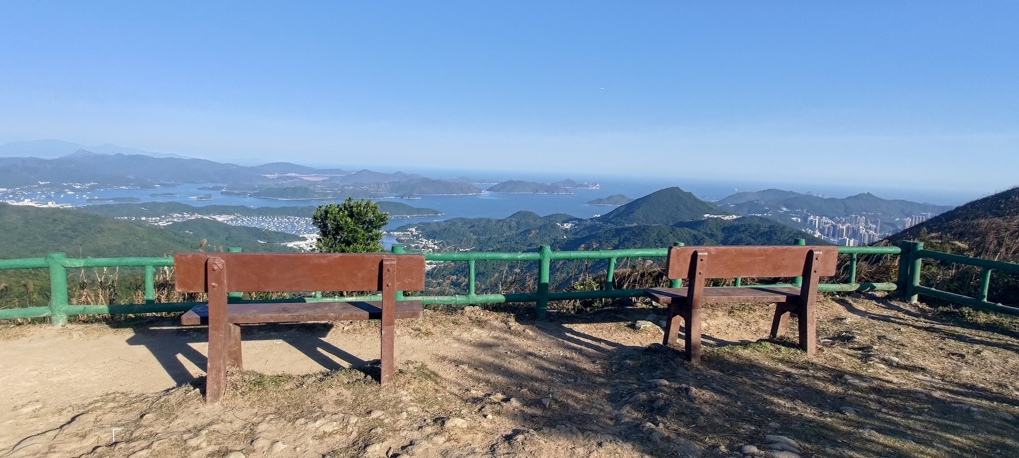
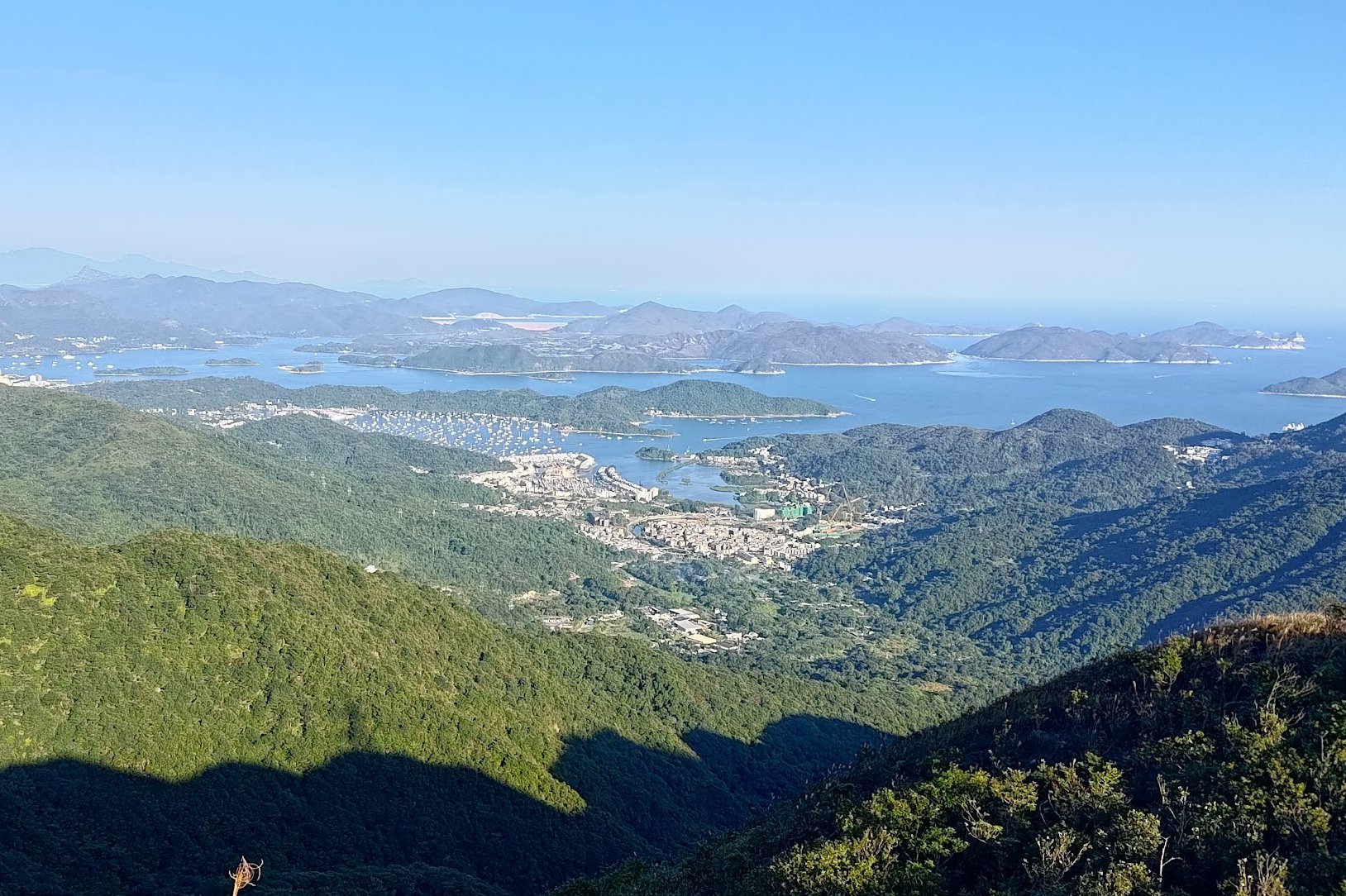
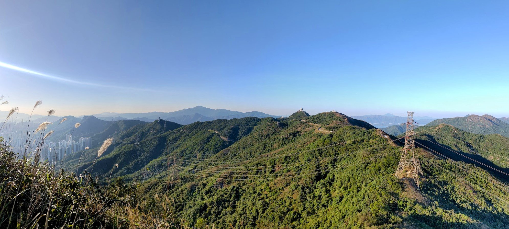
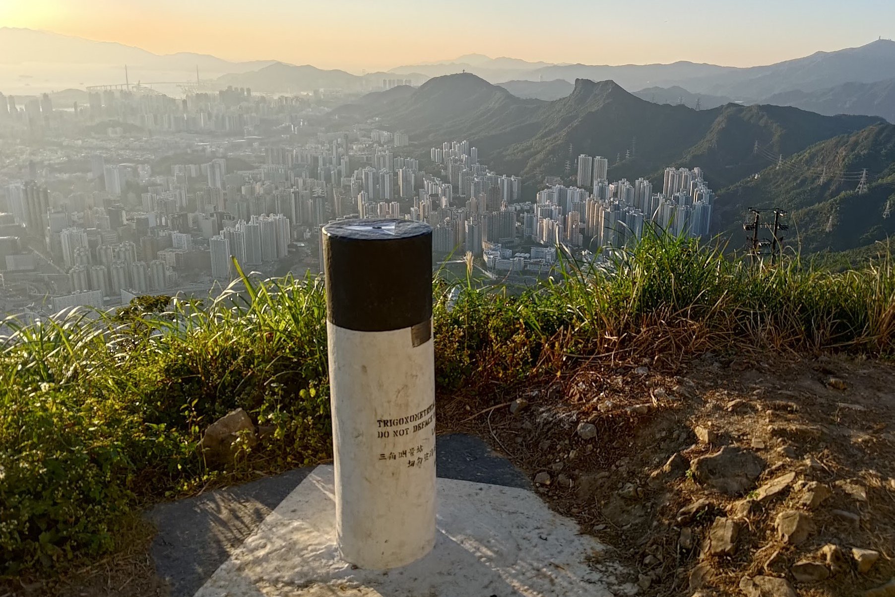
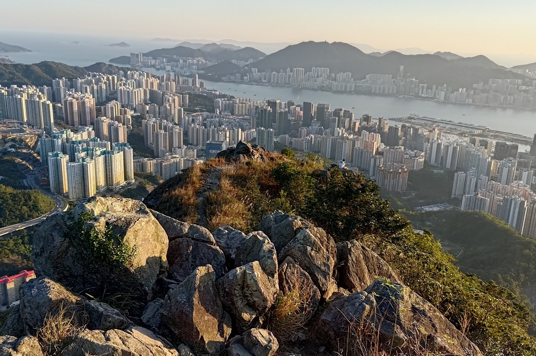
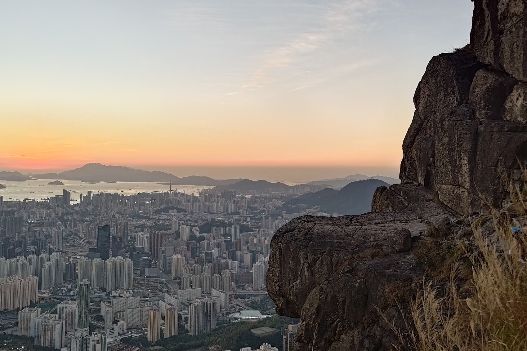
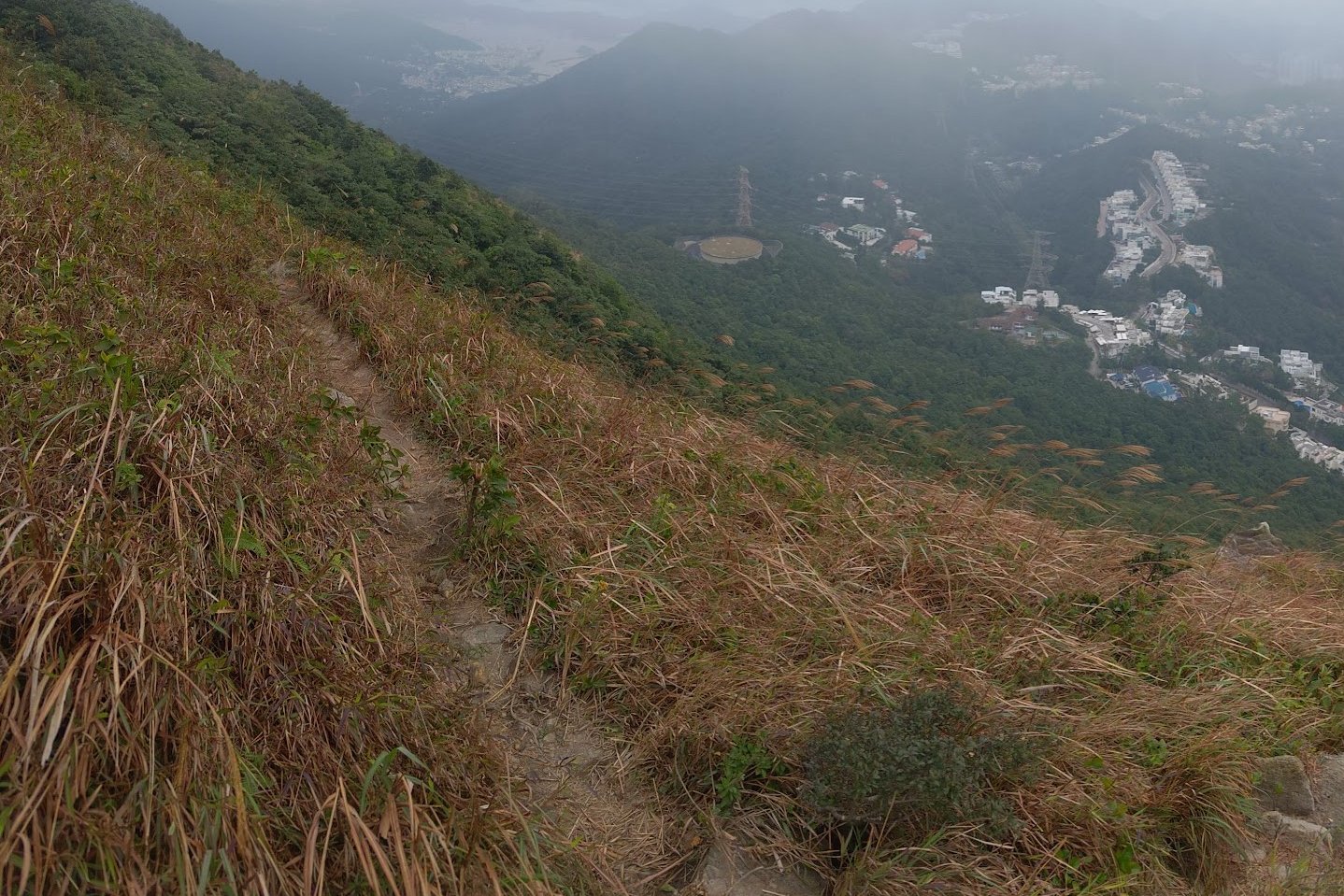
Kowloon Peak Viewpoint
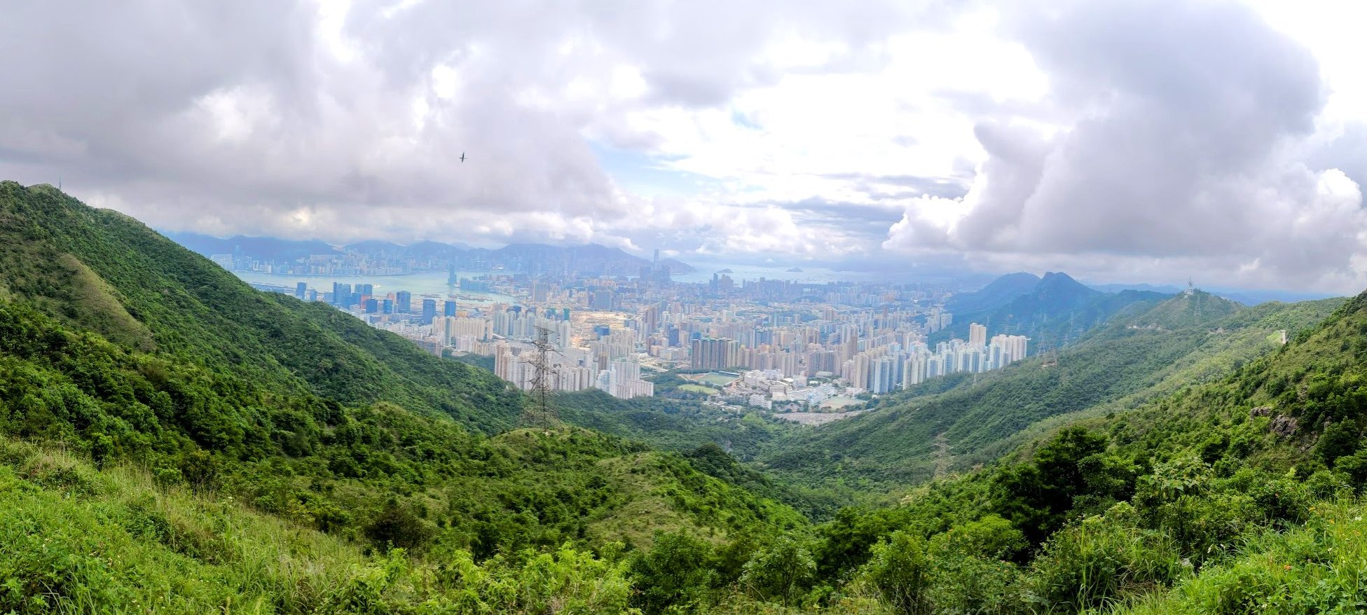
Don't Miss the Secret Sai Kung Viewpoint!
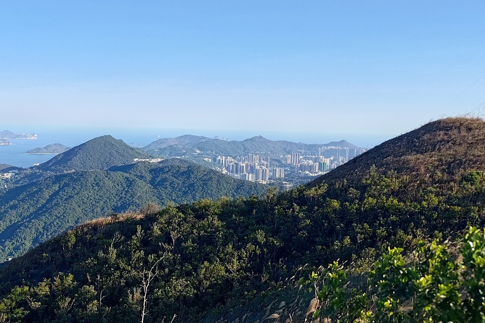

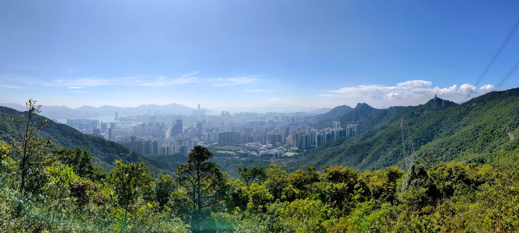
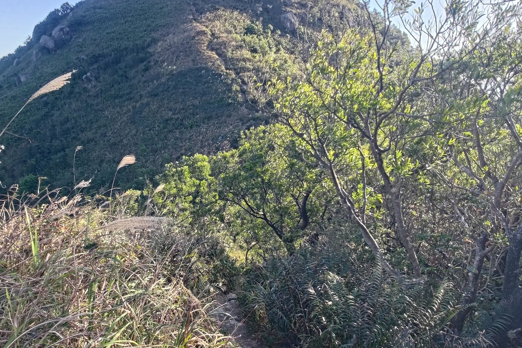
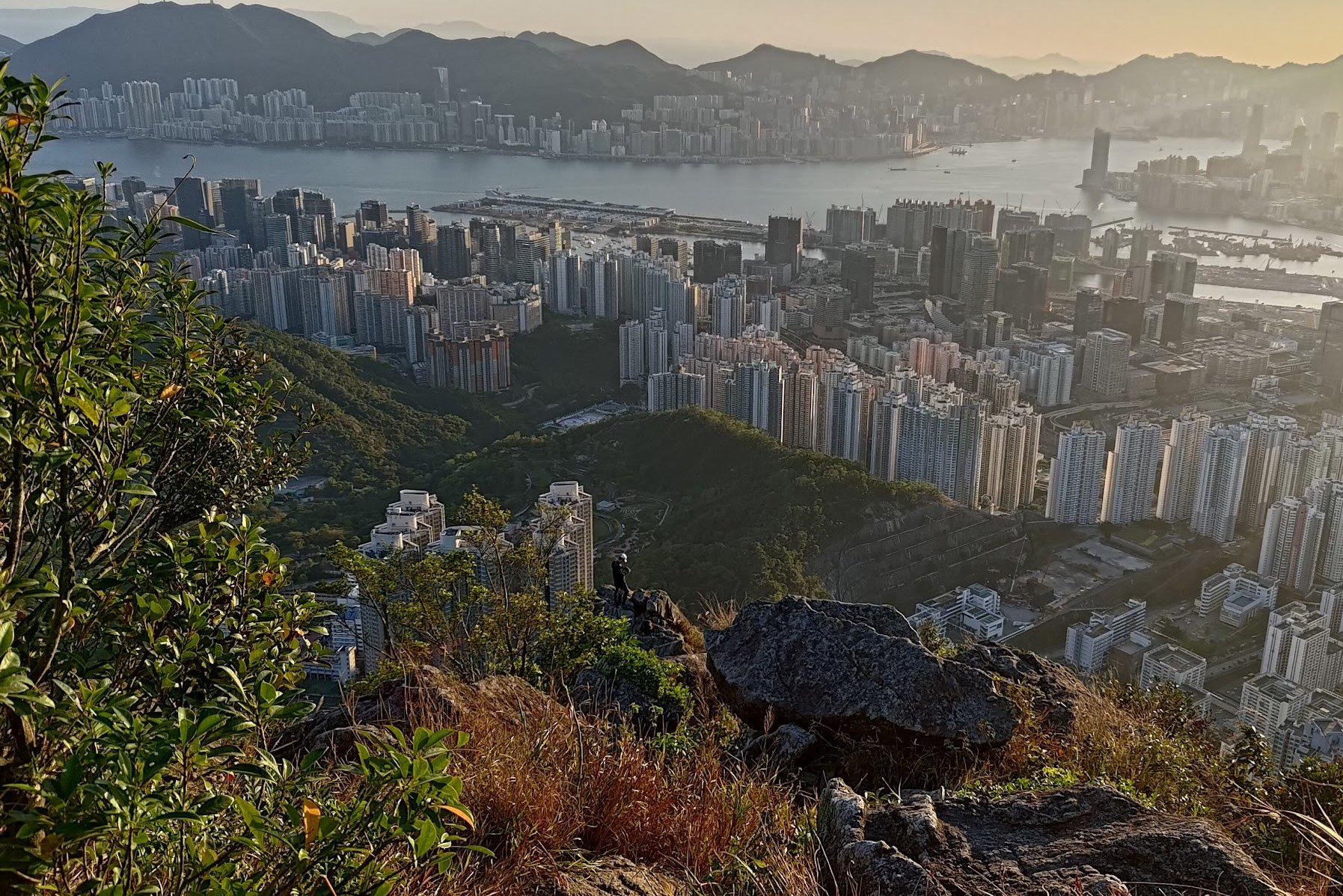
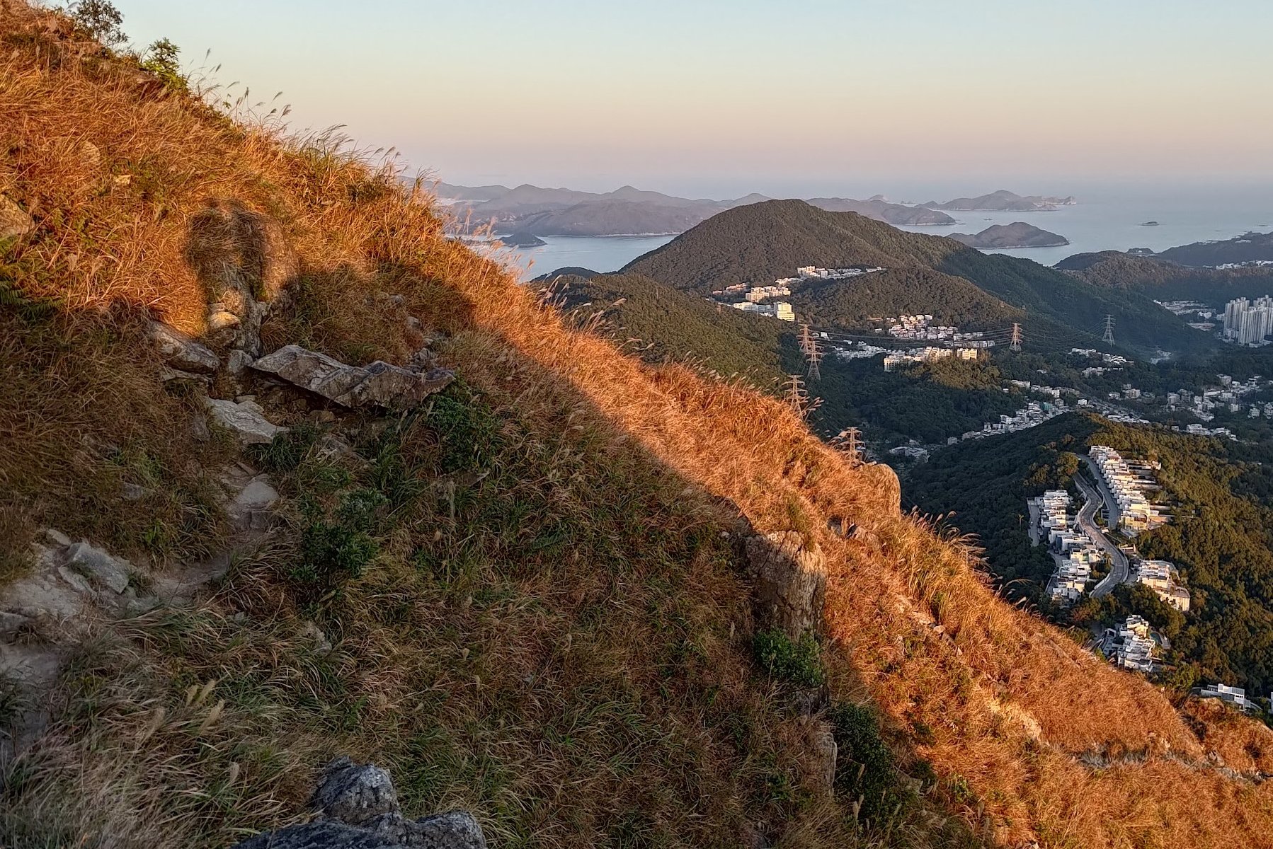
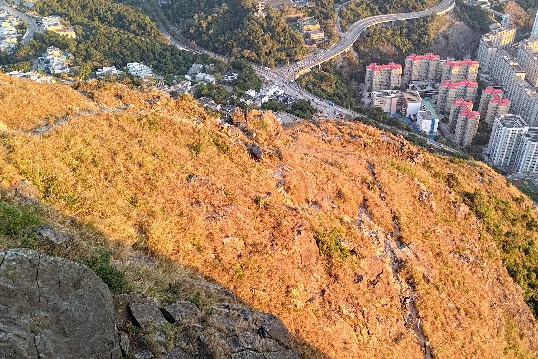
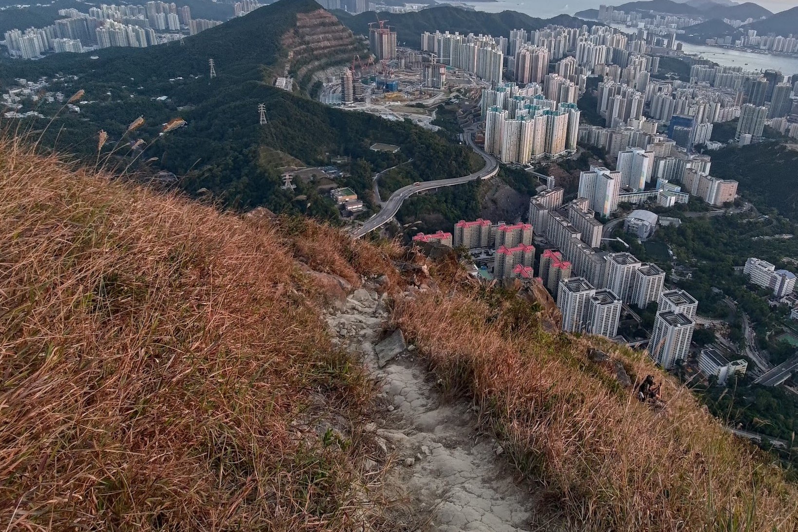
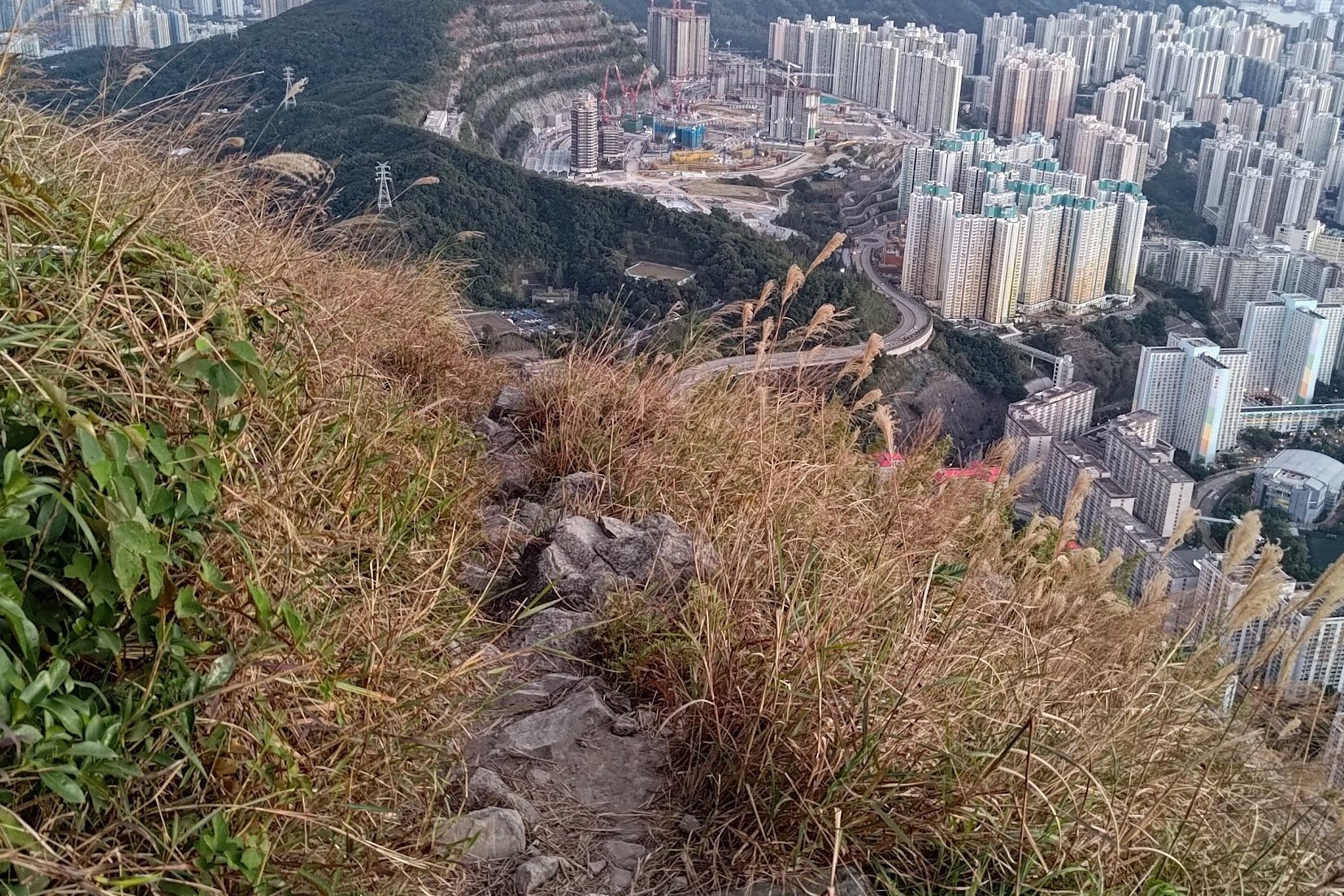
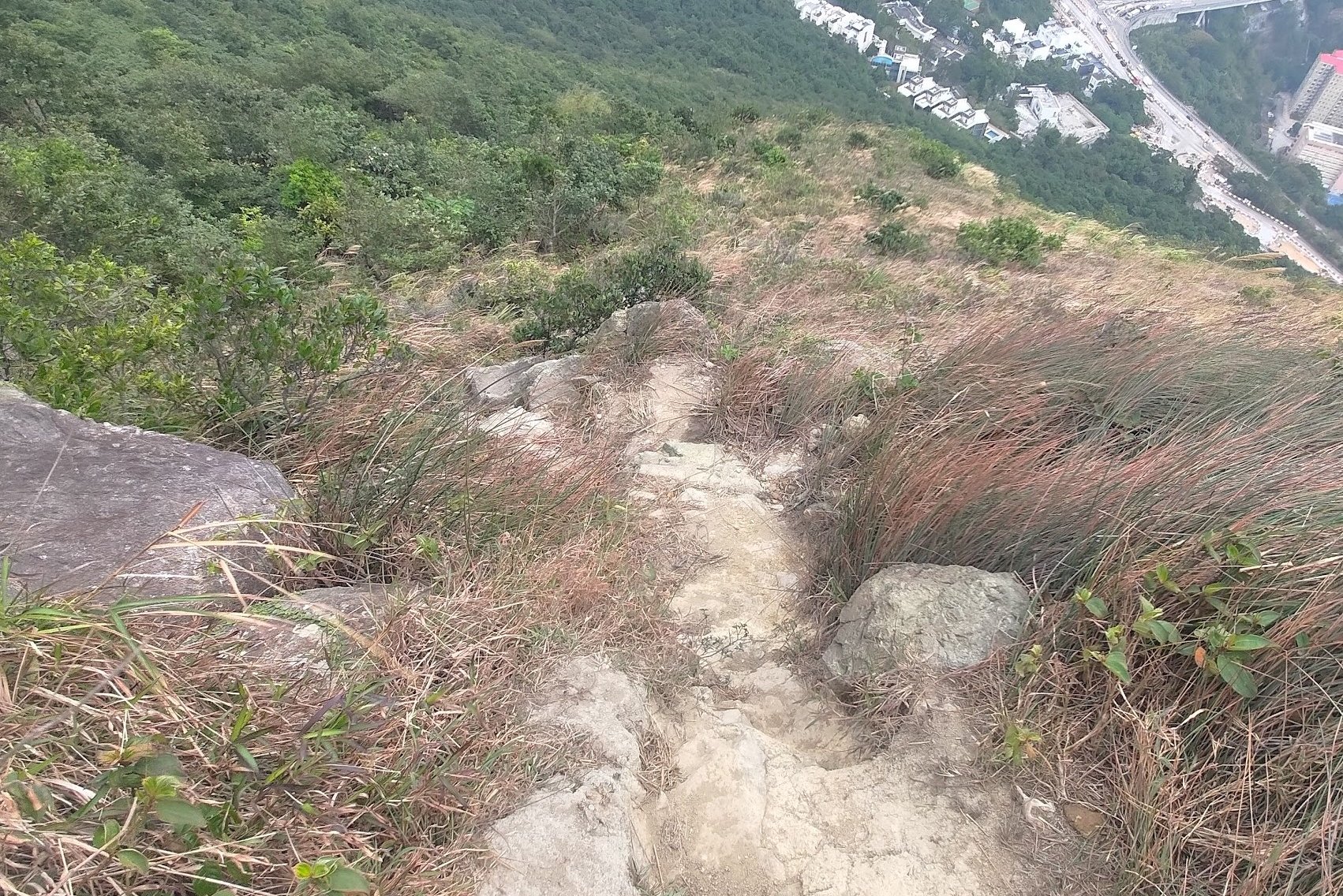
Kowloon Peak Viewpoint to Elephant Hill
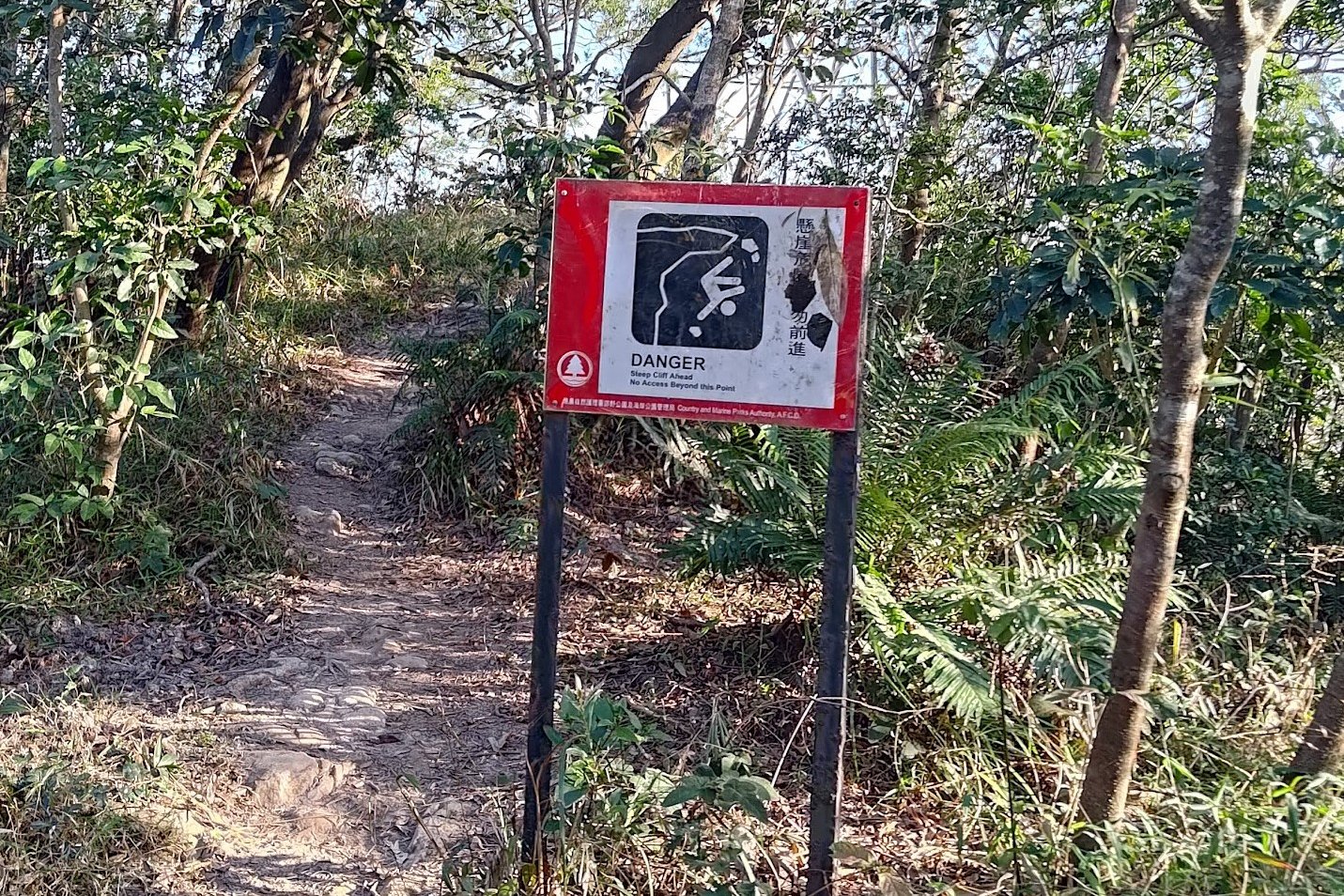
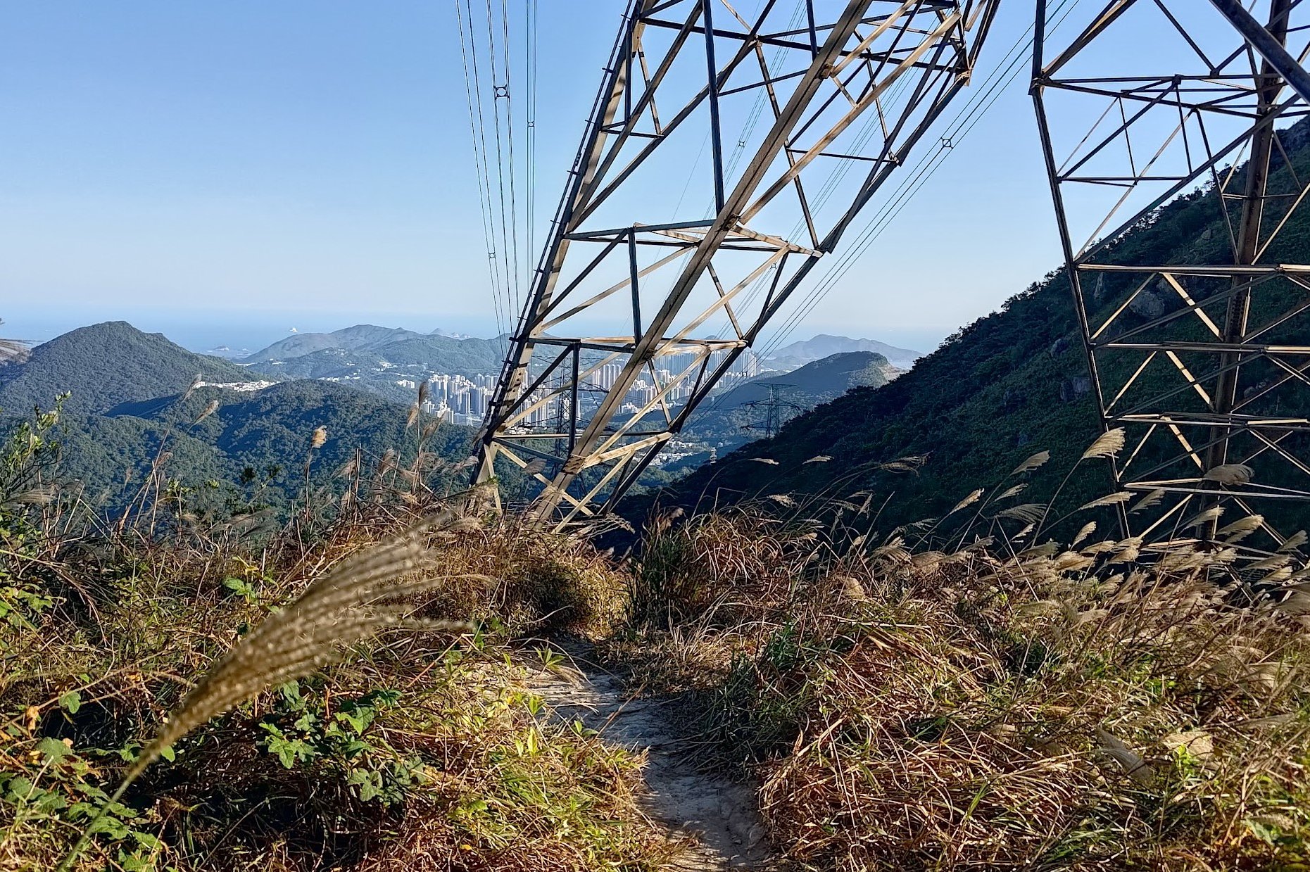
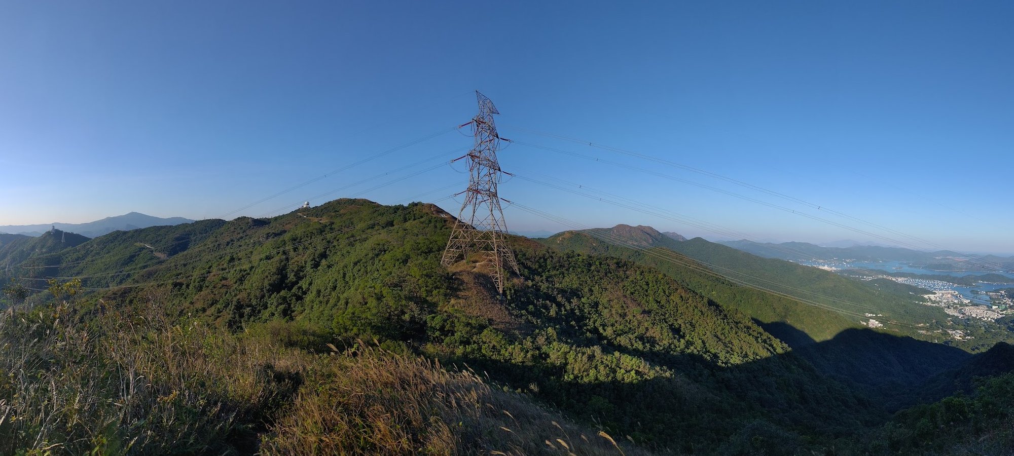
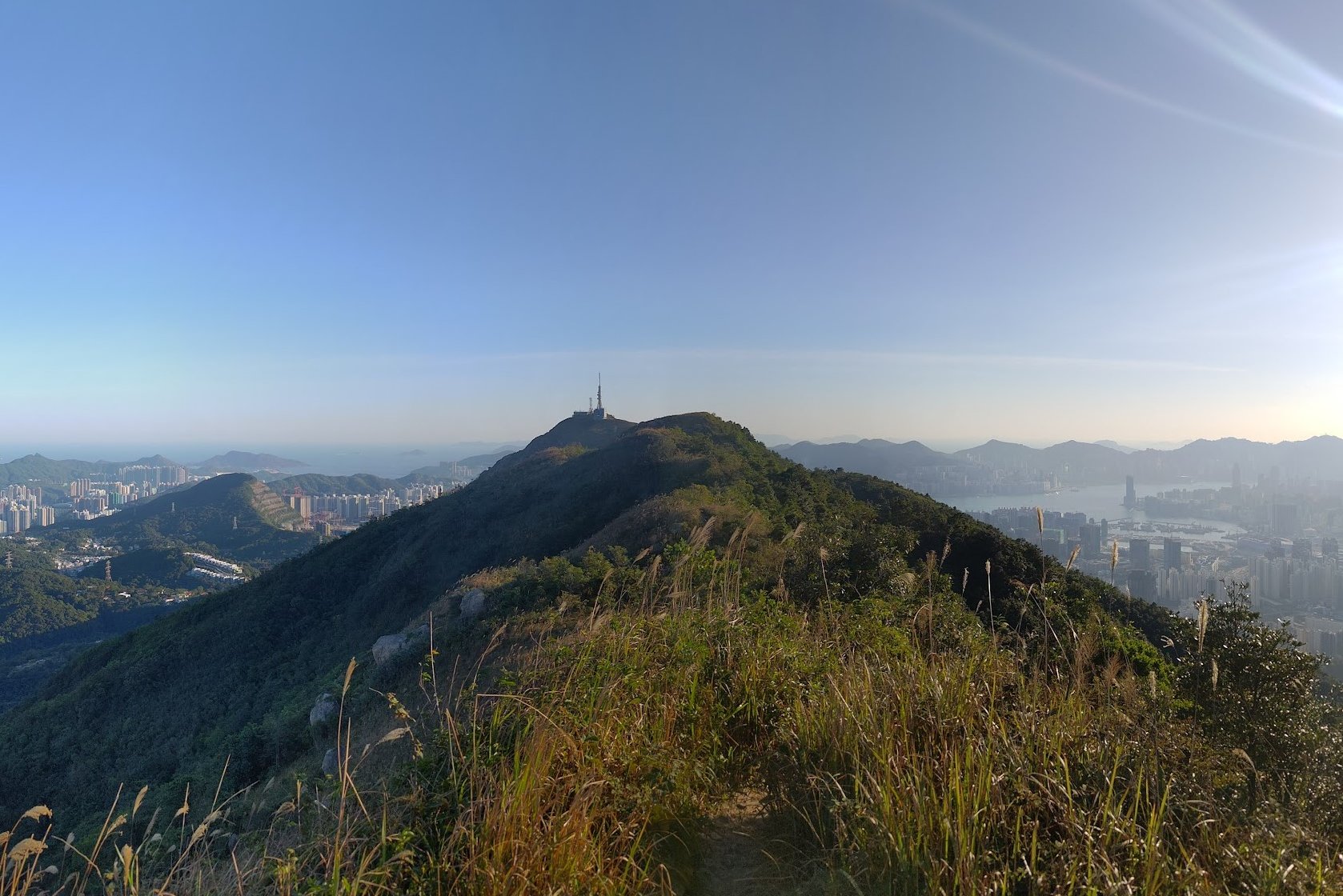
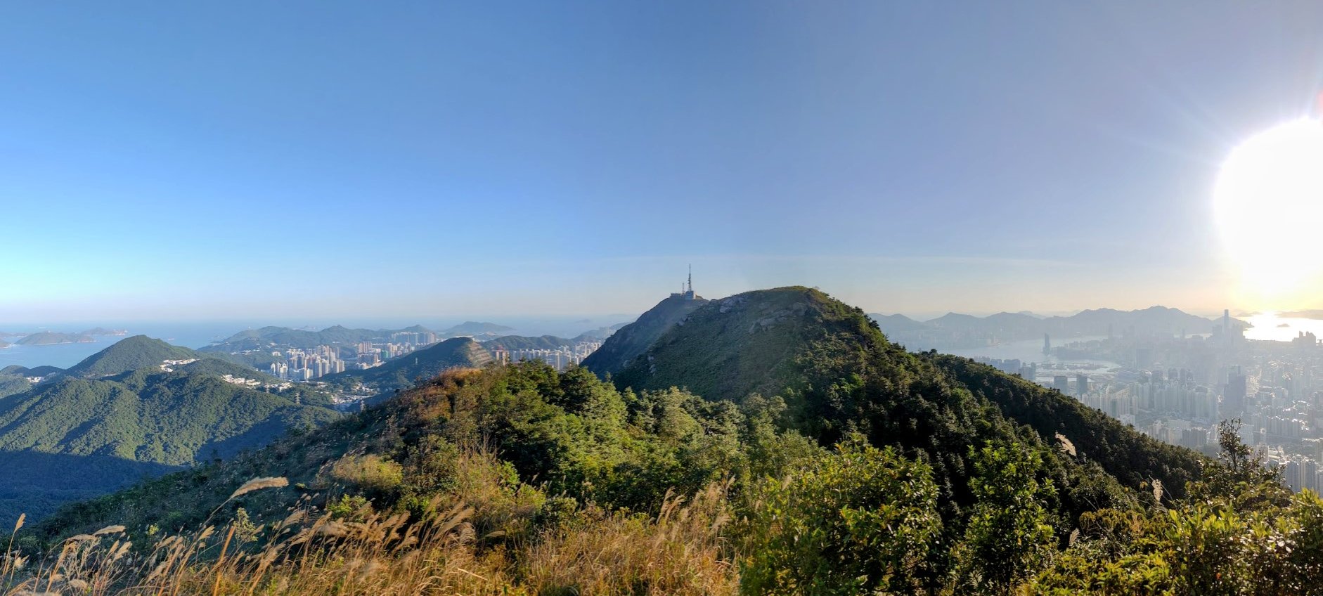
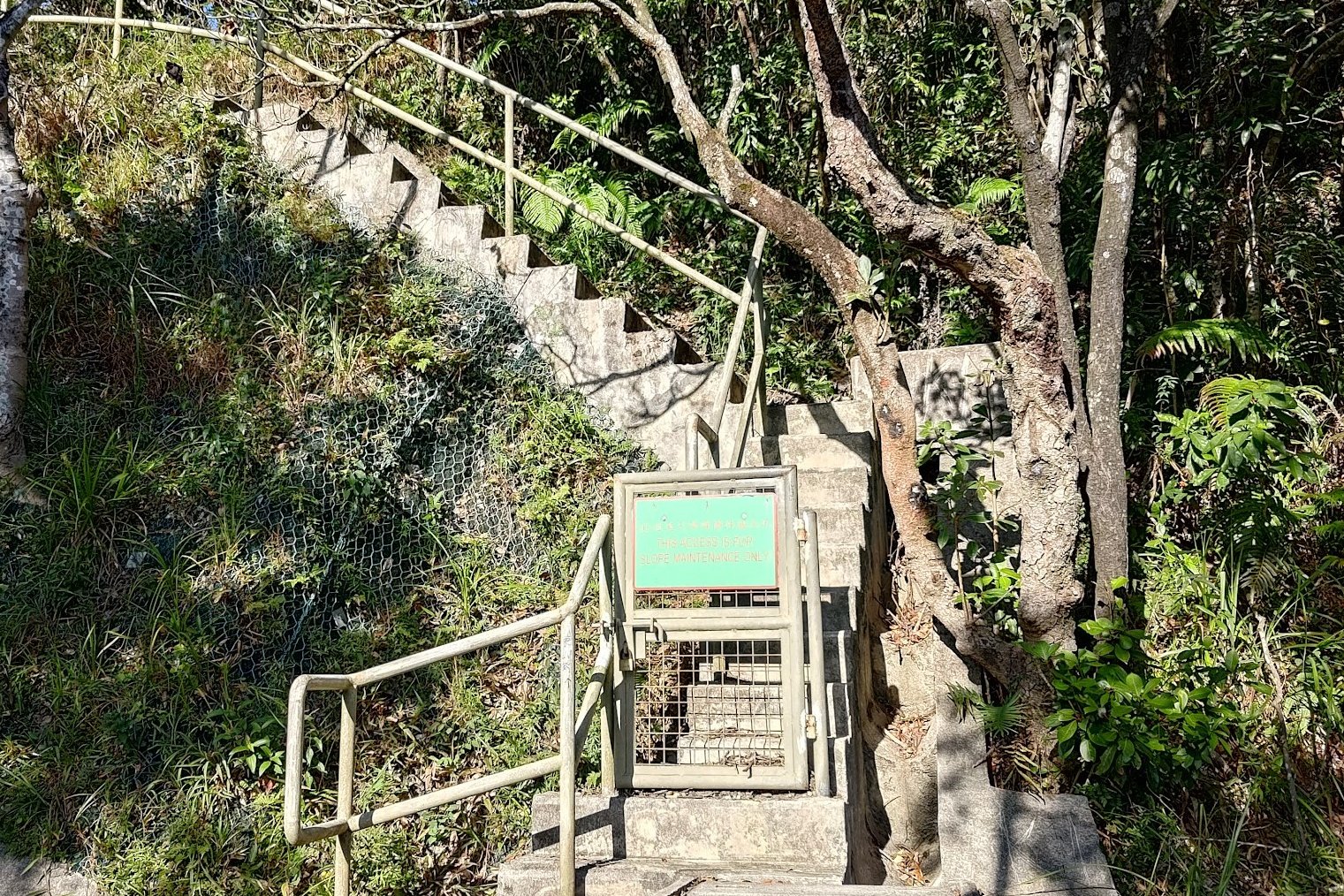
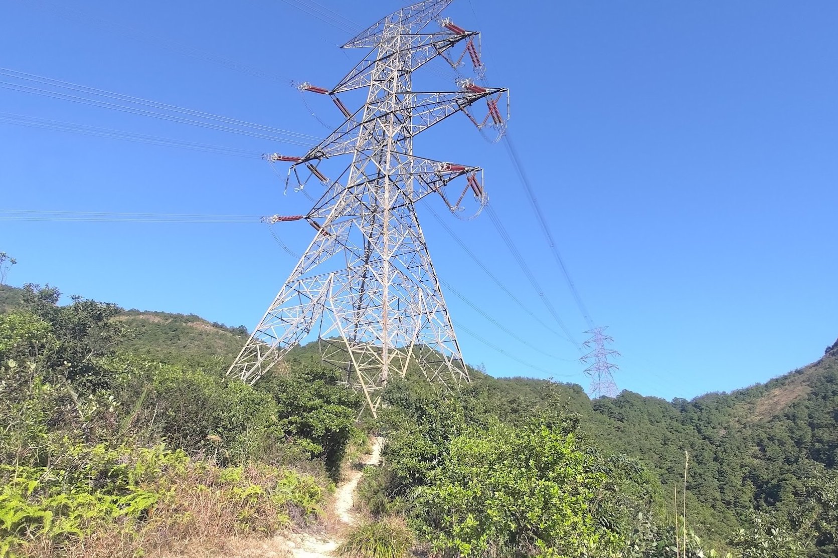
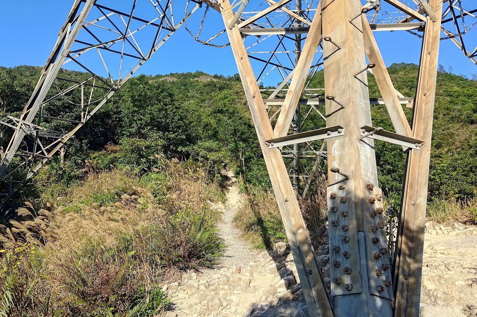
The Two Towers and the Safe Route Down
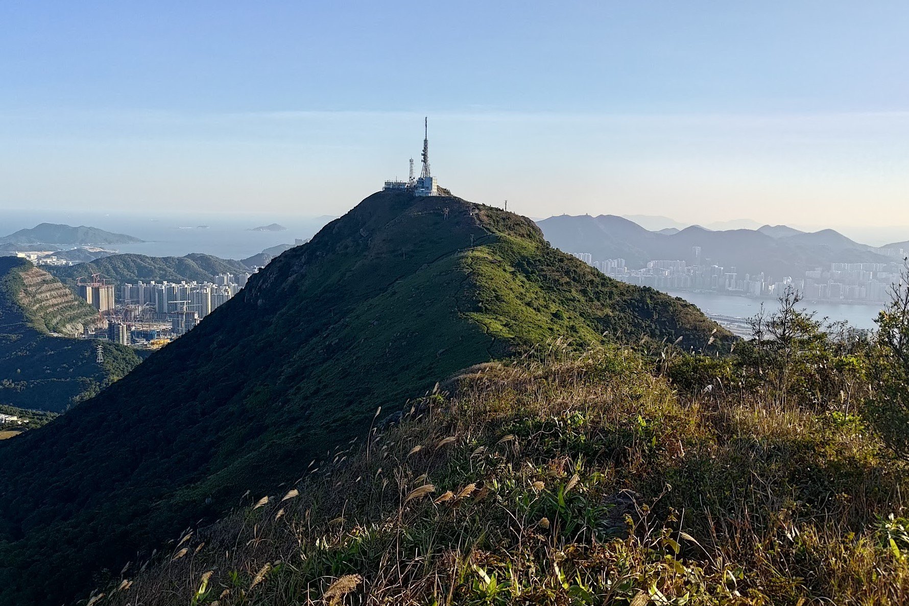
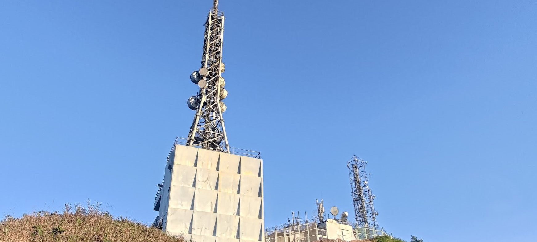


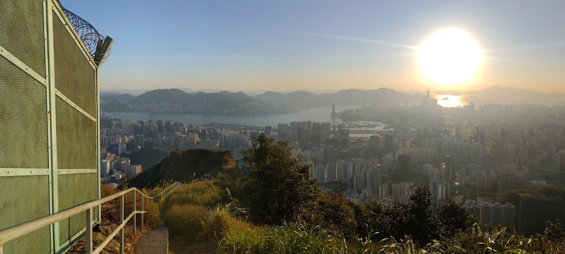
Just before climbing the stairs to the Kowloon Peak Television and radio transmission station (after the overgrown grass section), there's a safer path that heads down. After getting to Suicide Cliff, you can return back to this path if you want to take the easiest route down.
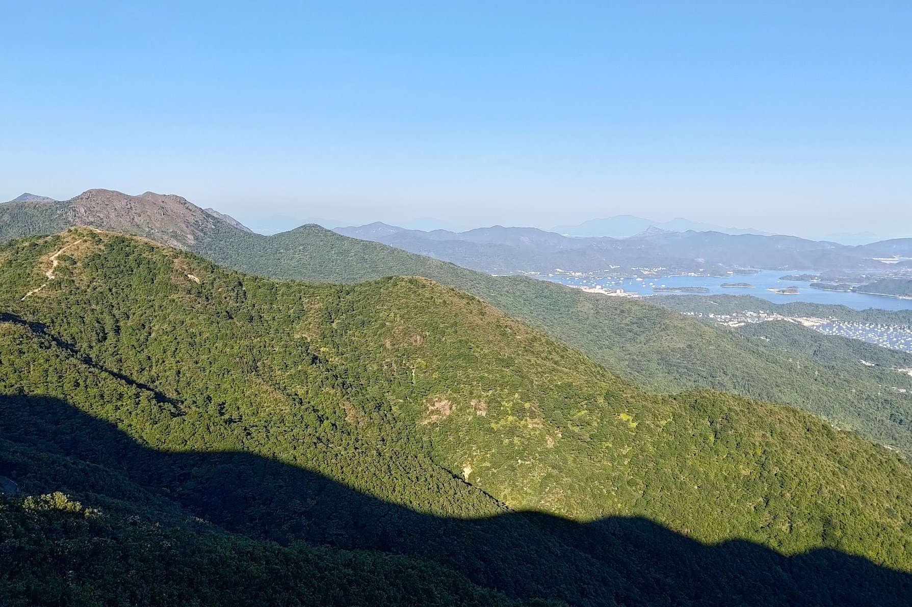
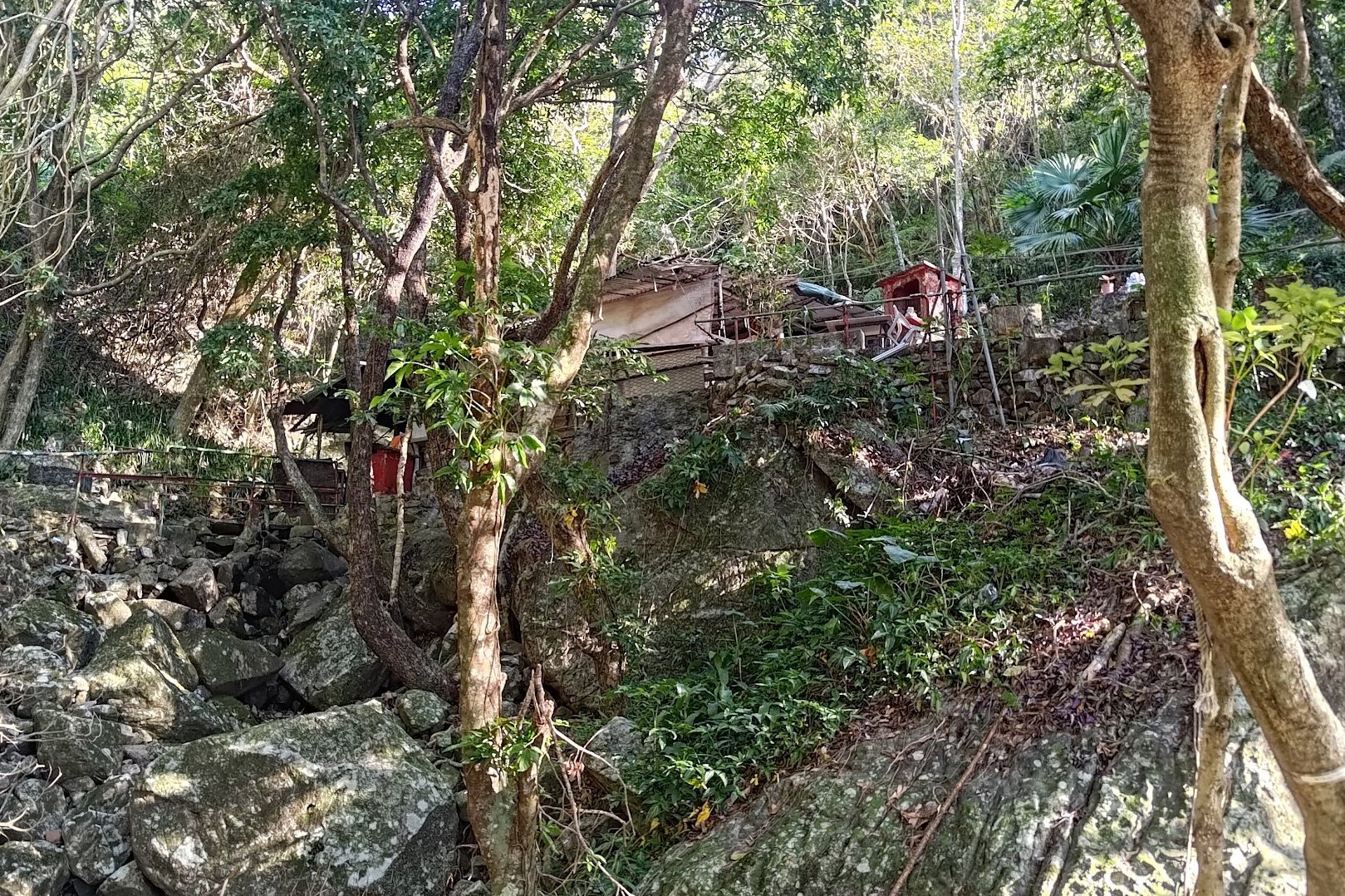
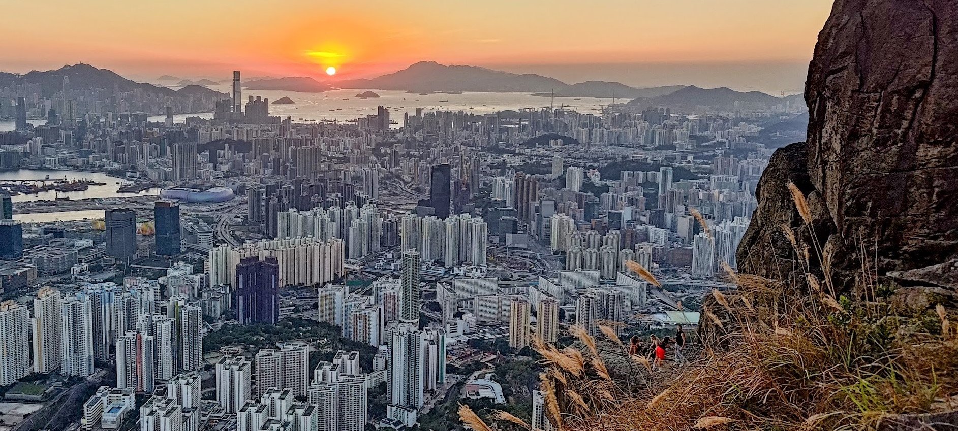
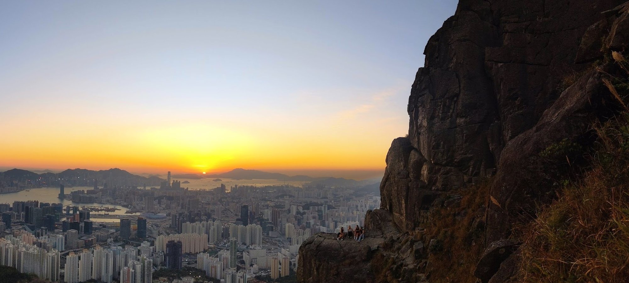
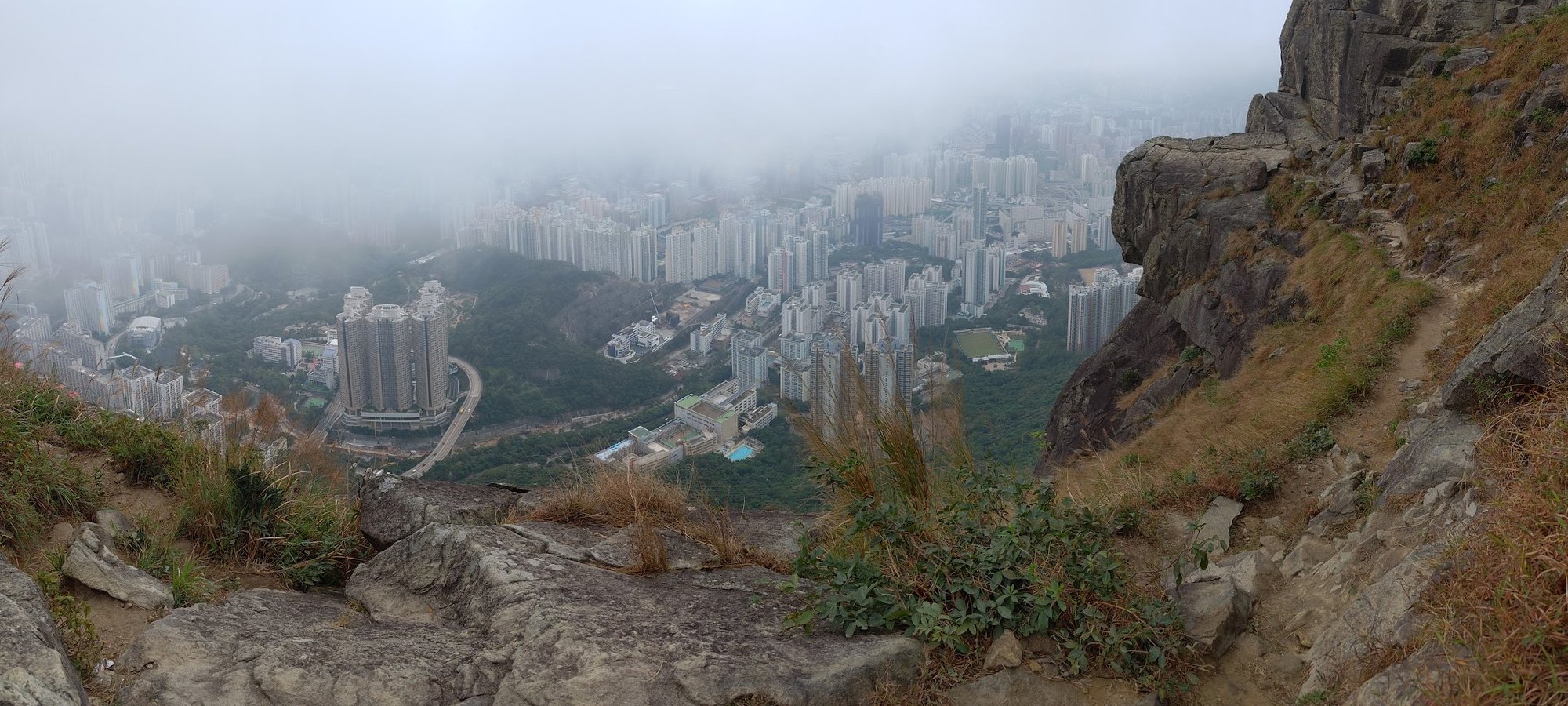
Getting to Suicide Cliff
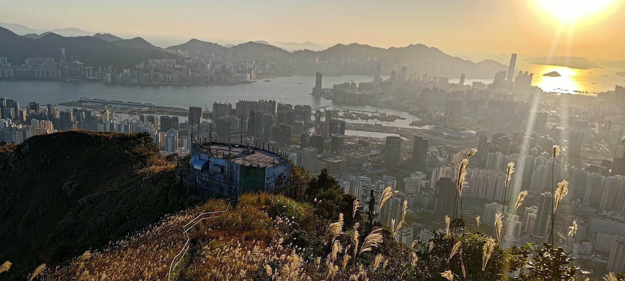
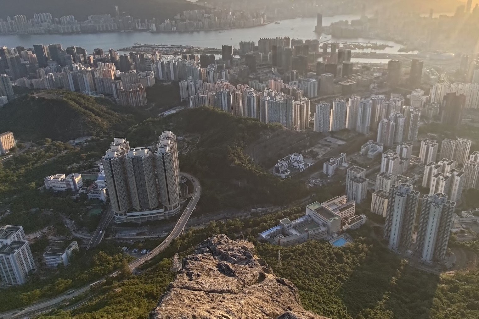
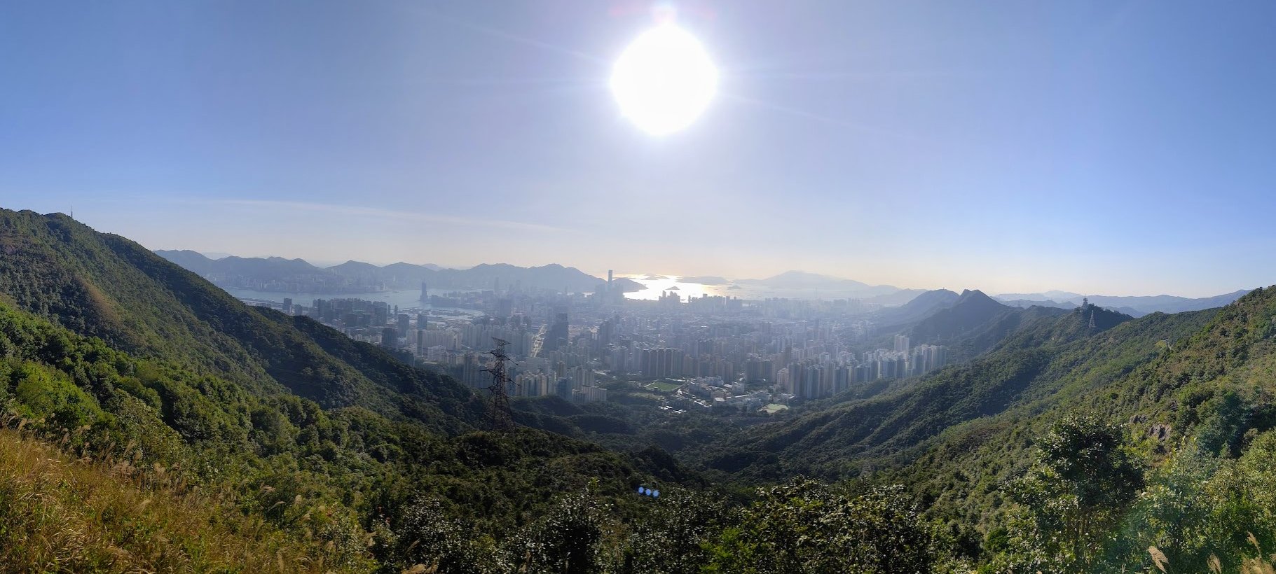
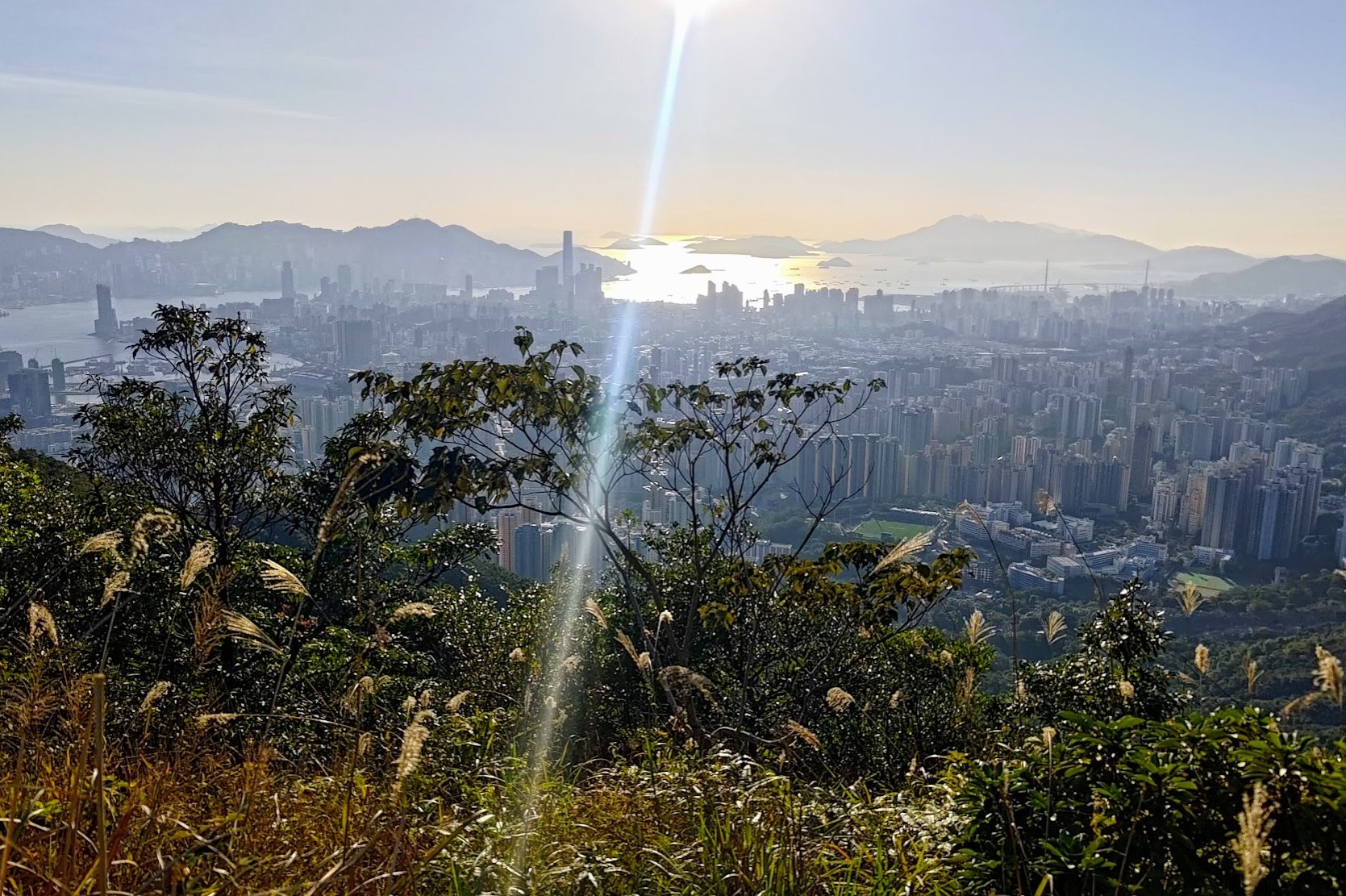
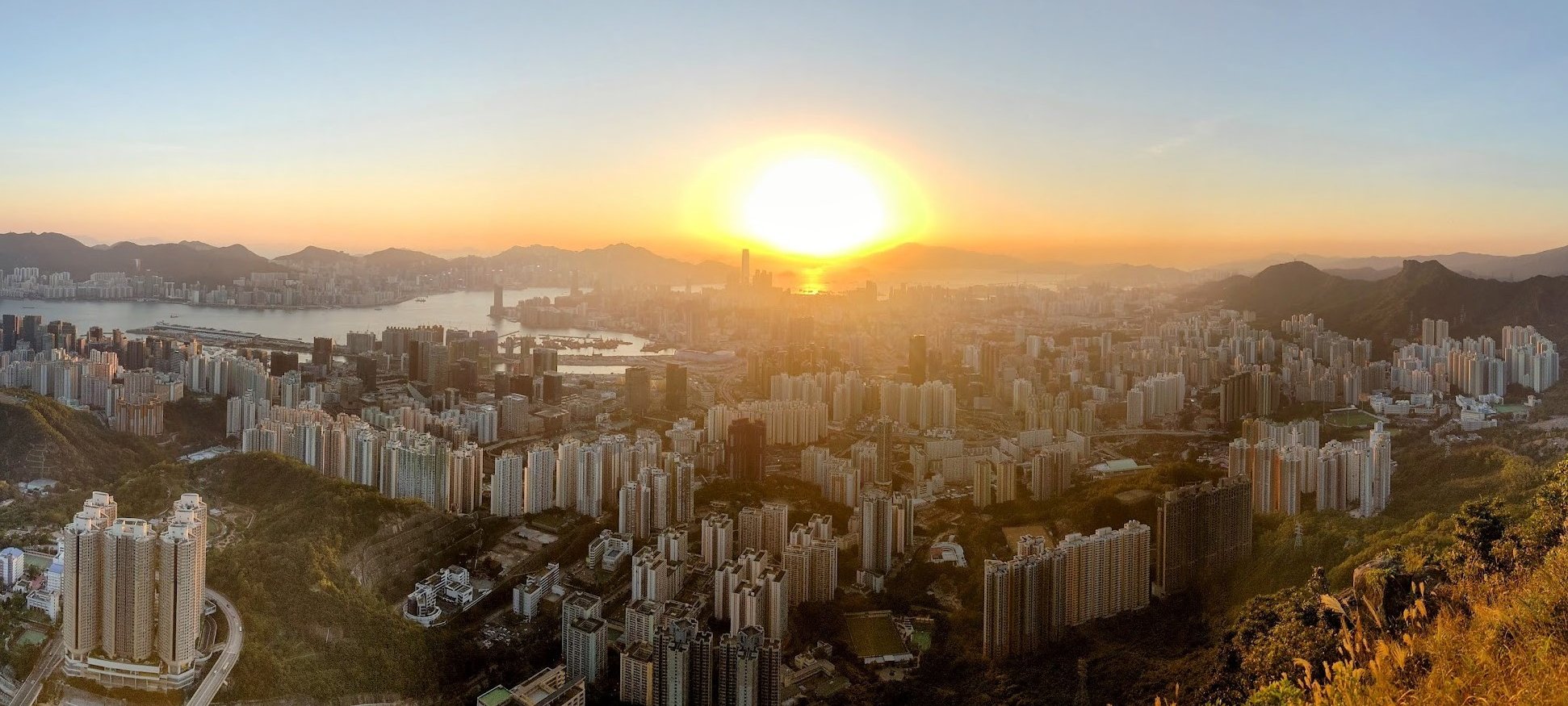
View From Suicide Cliff
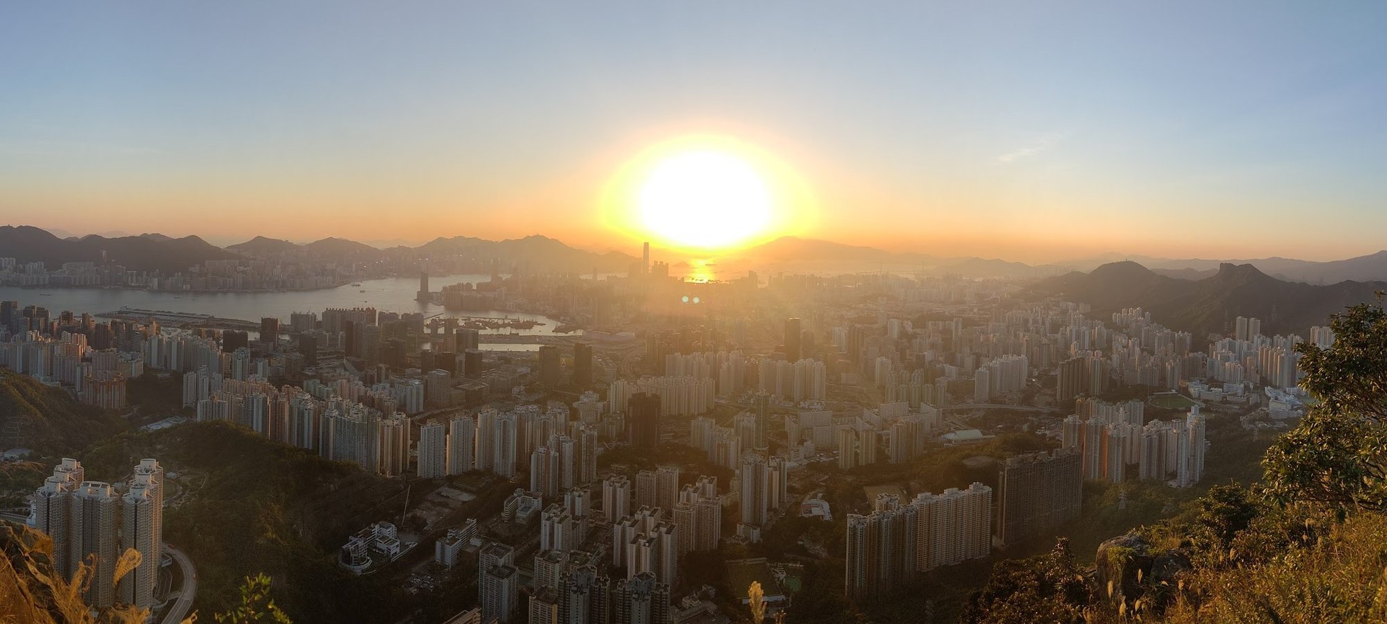


I mean, the pictures kind of do the talking for me. There's a reason people brave a mountain named Suicide Cliff. While a few do it for the physical challenge, most of us are in it for the view.
I'm happy to report that it never disappoints - as long as you have some clarity.
Looking down at the shimmering lights of the city never gets old, especially at night. Then, to pair all of that with the contrast of Sai Kung on the opposite side is truly magnificent!
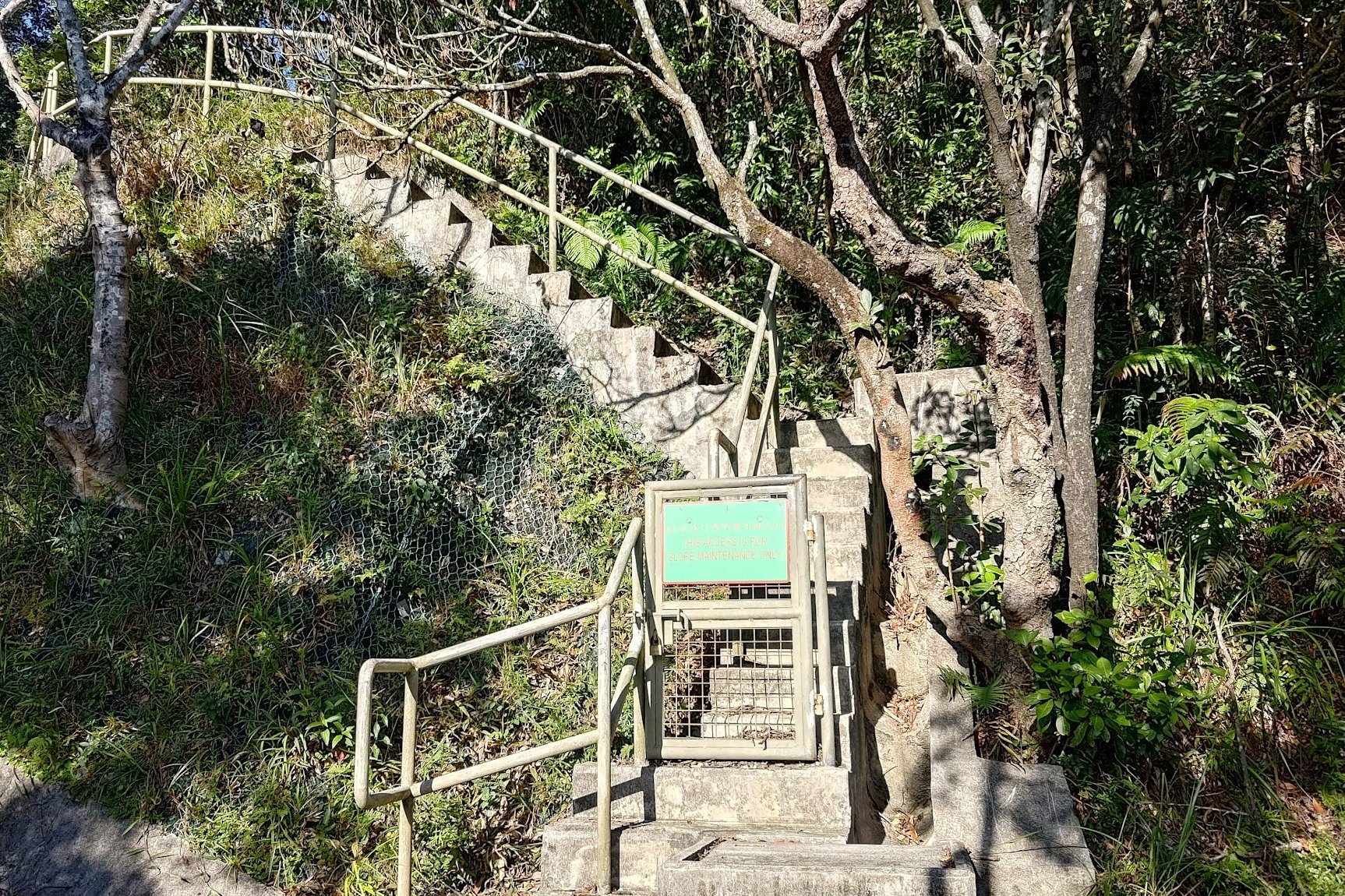
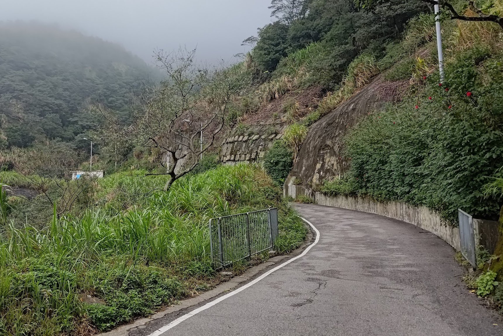
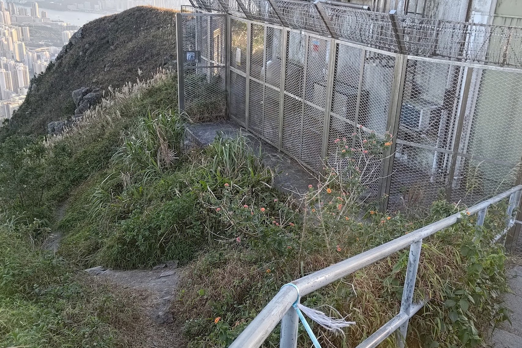
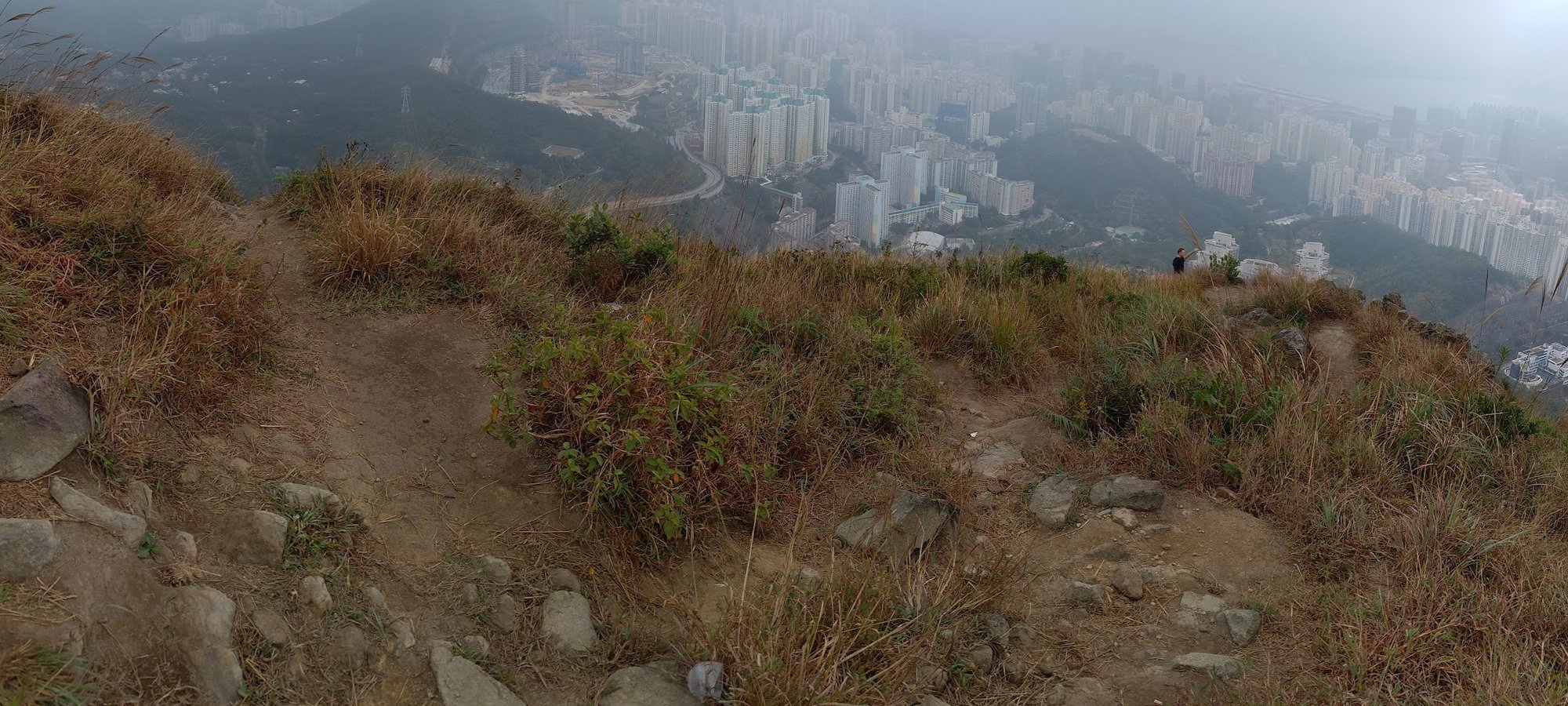
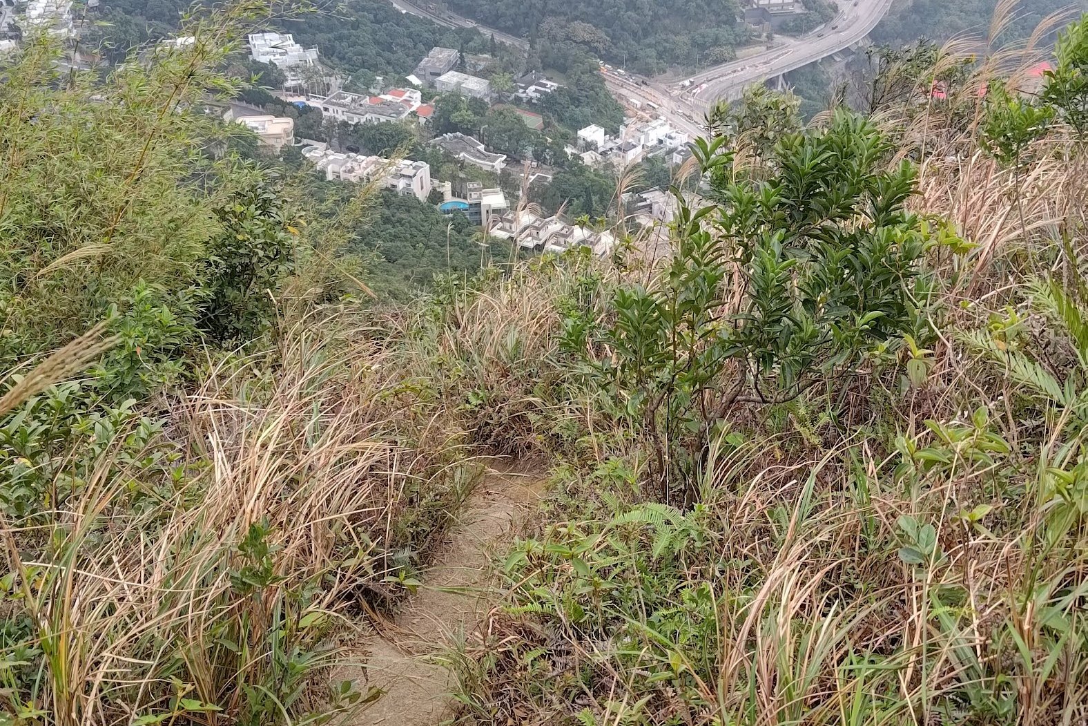
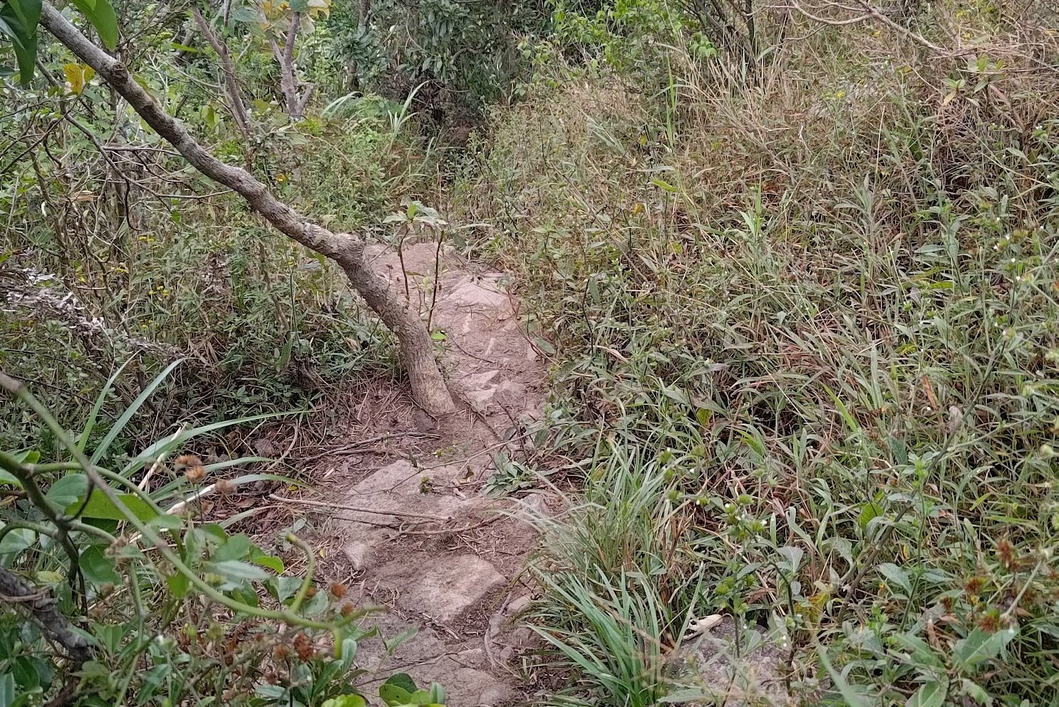
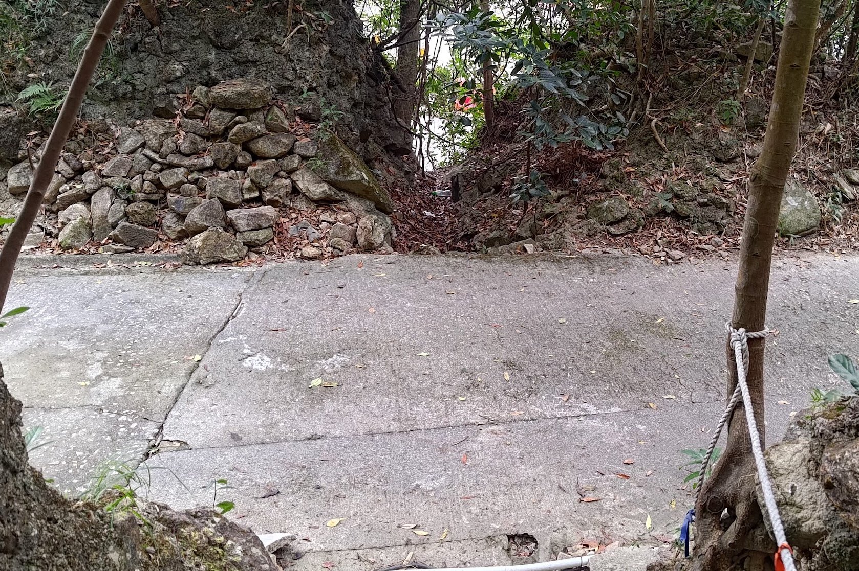
Safest Descent From Suicide Cliff


I'd recommend taking the safe way down for most people. This is especially the case if it's slippery out or there had recently been bad weather.
Head back to the main tower and look for the helipad beside it. Keep following the trail just beyond the helipad and then look for a path going right (by a green tower). and just before the overgrown bamboo forest section.
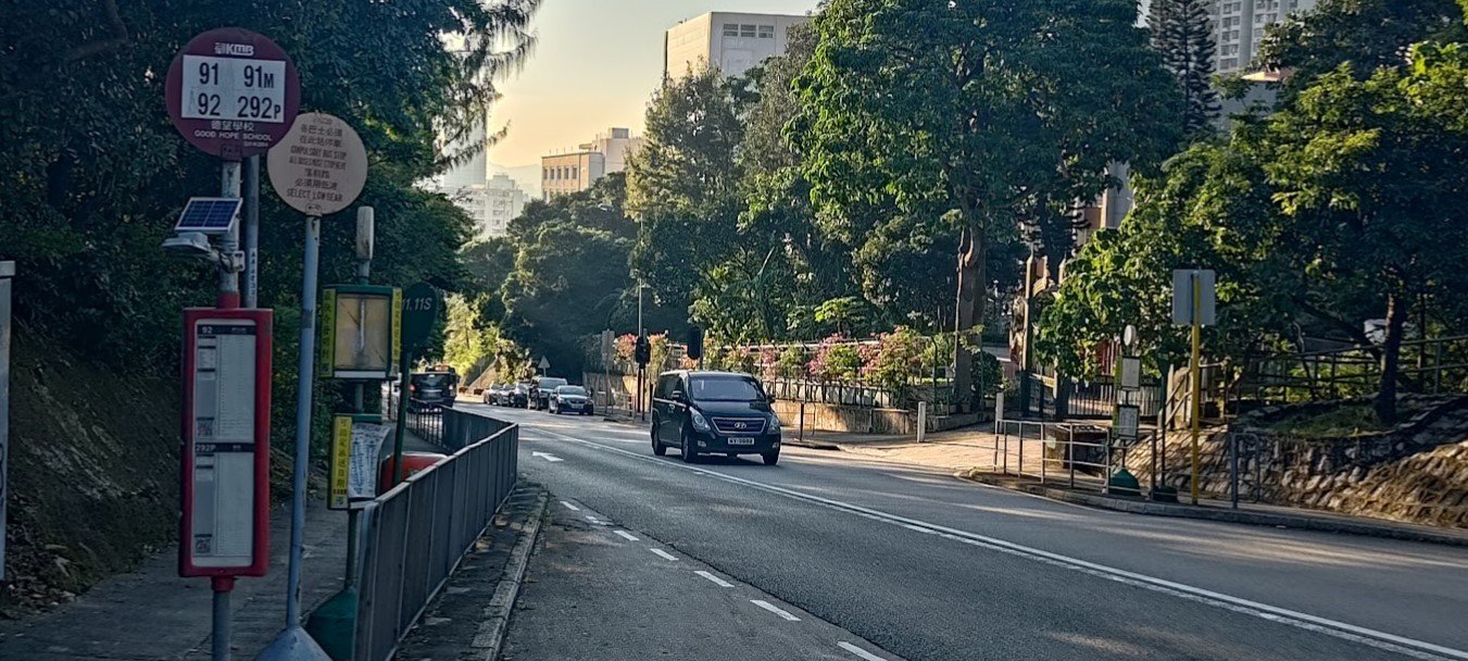
Follow the stairs all the way down to Fei Ngo Shan Road. Follow it down (to the right of the hike's exit) and you'll intersect Clear Water Bay Road. The bus stop is just a few minutes down Clear Water Bay Road.
From the bus stop, you can take the 1A green minibus to Choi Hung MTR Station.
You can also get bus 91 or bus 92 to Diamond Hill MTR Station (it also passes Choi Hung MTR Station)
There are a few more buses that service this stop, but they're much less frequent.
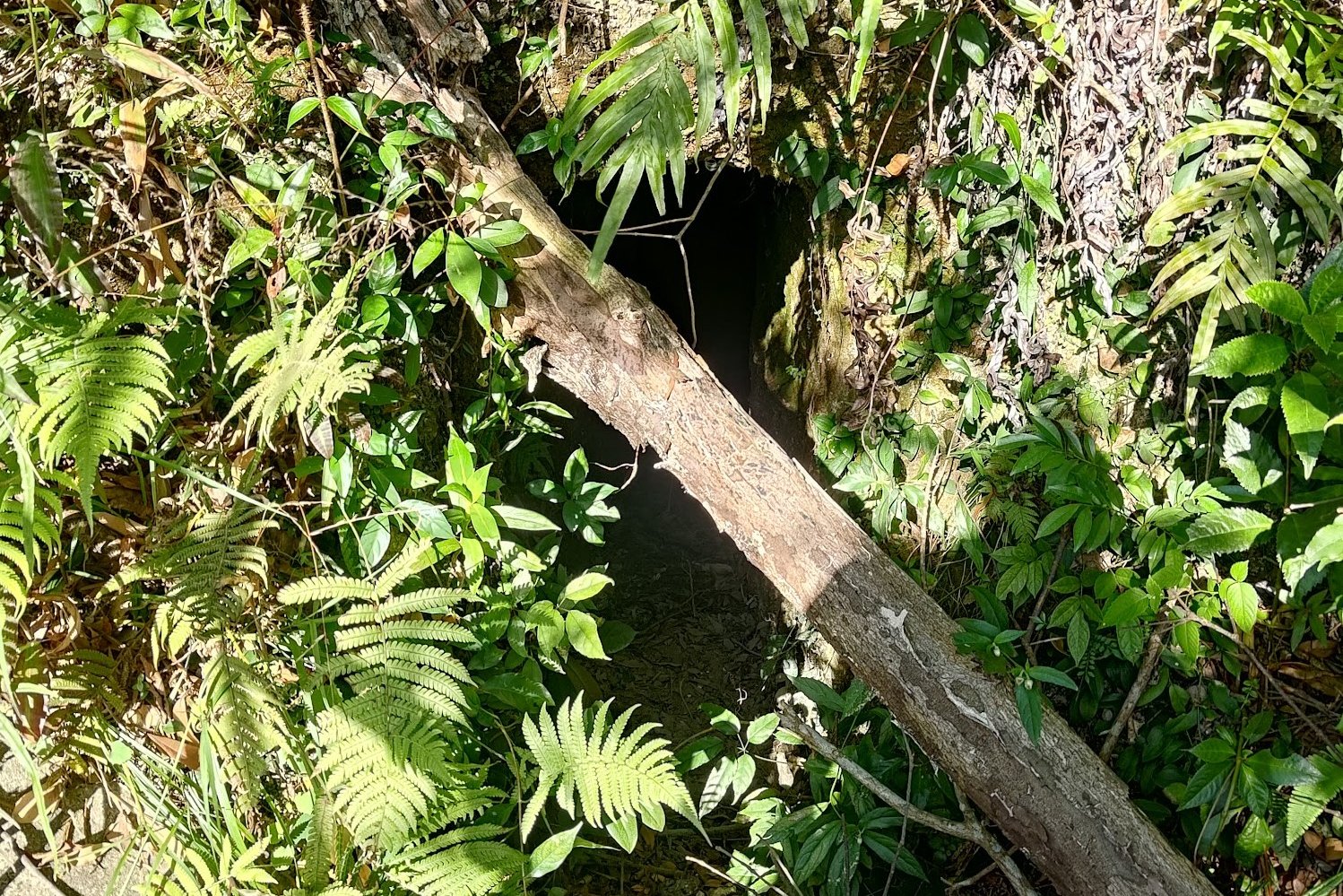
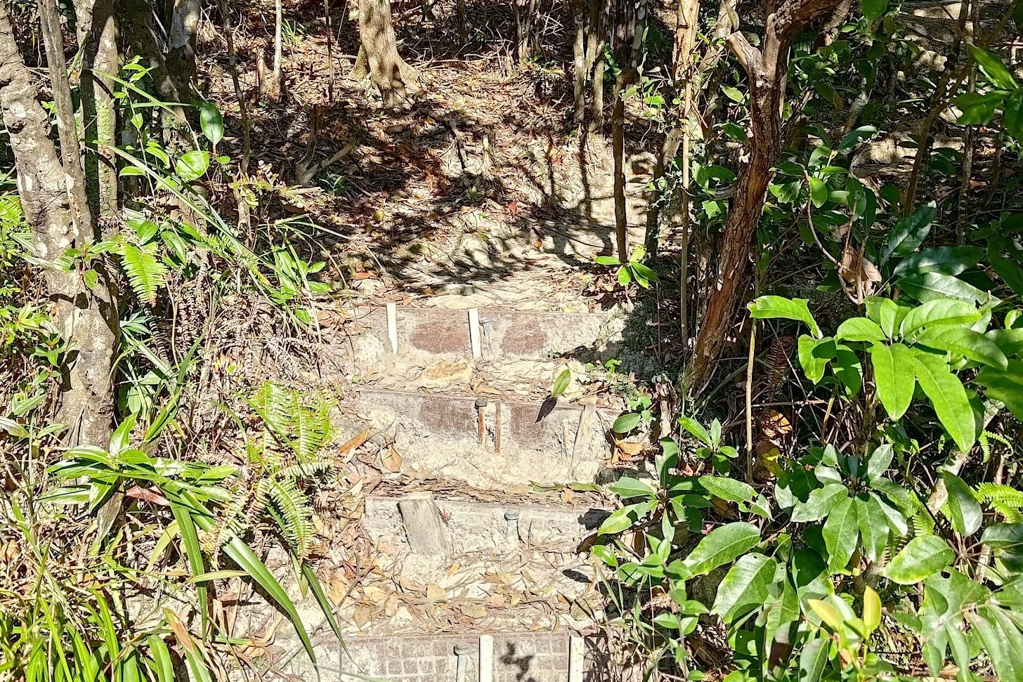
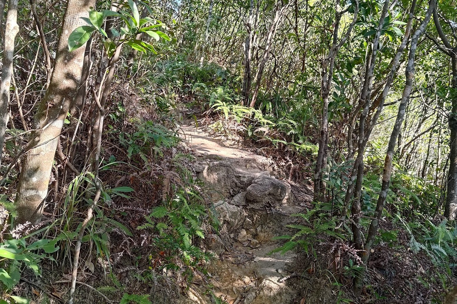
Tricky Descent From Suicide Cliff
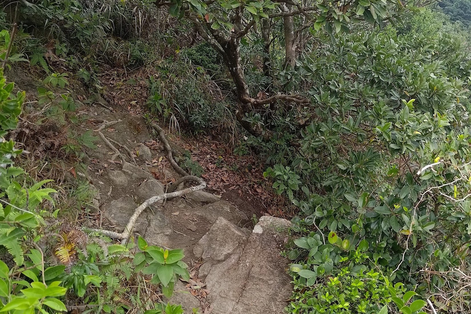
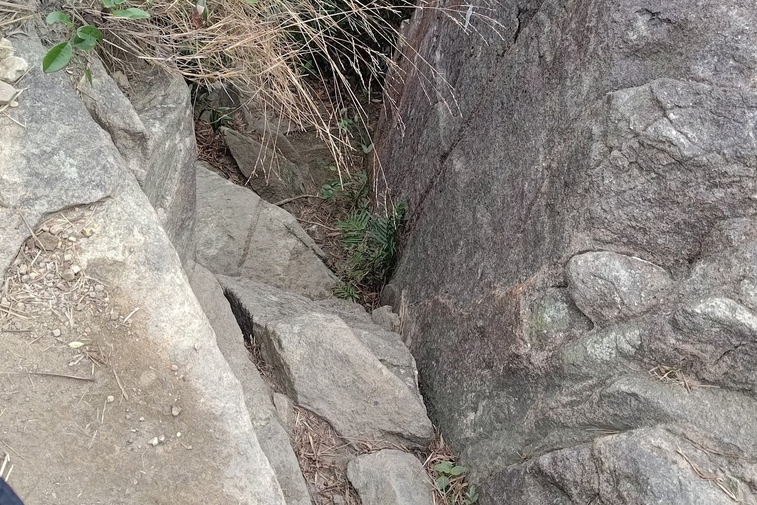
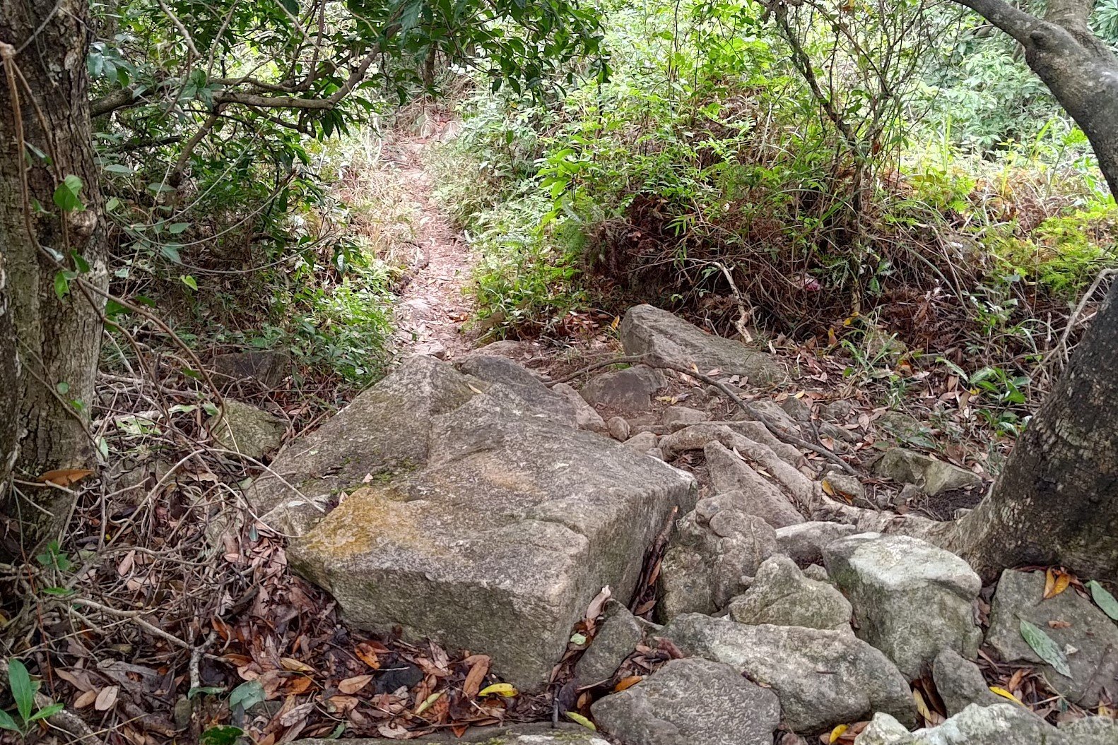
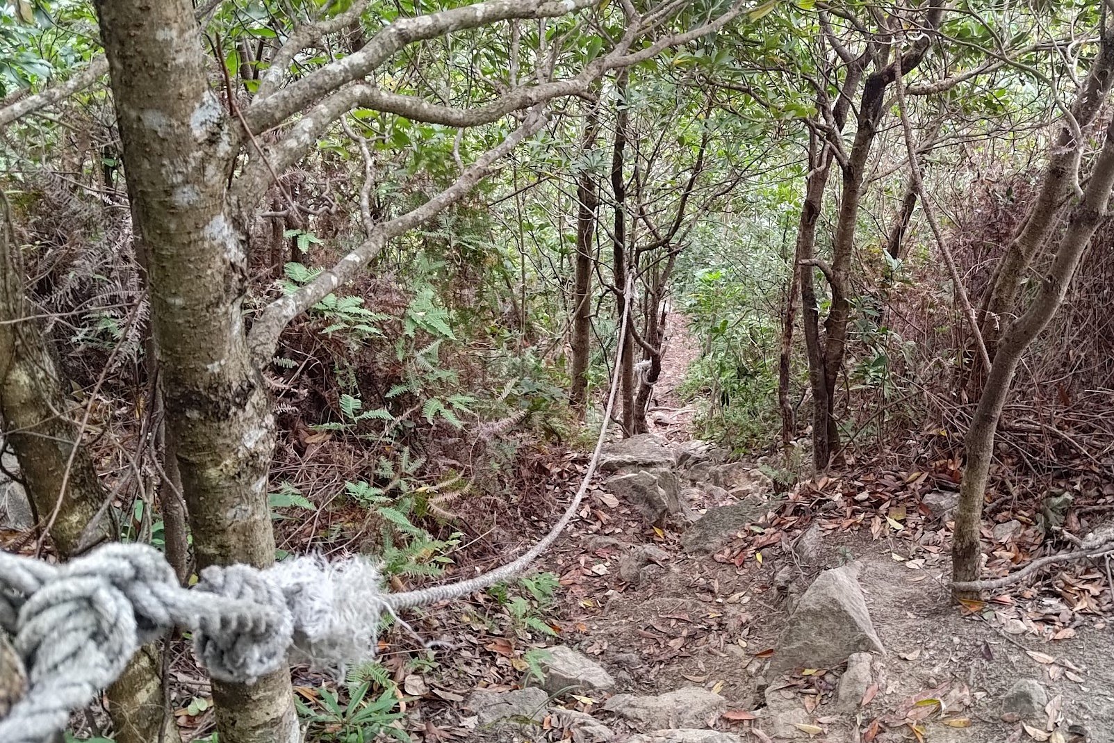
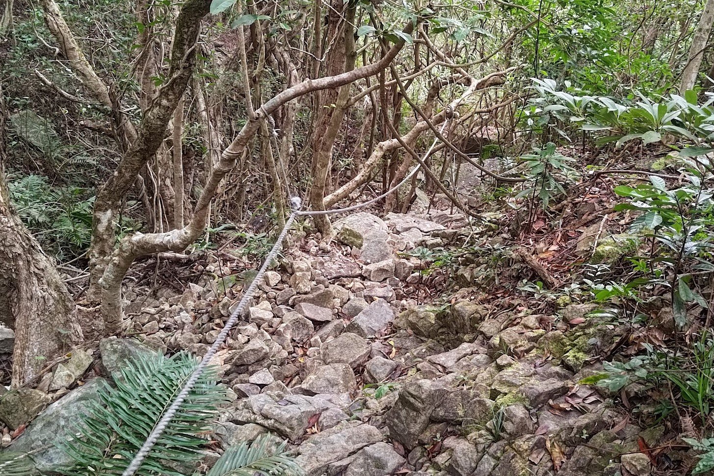
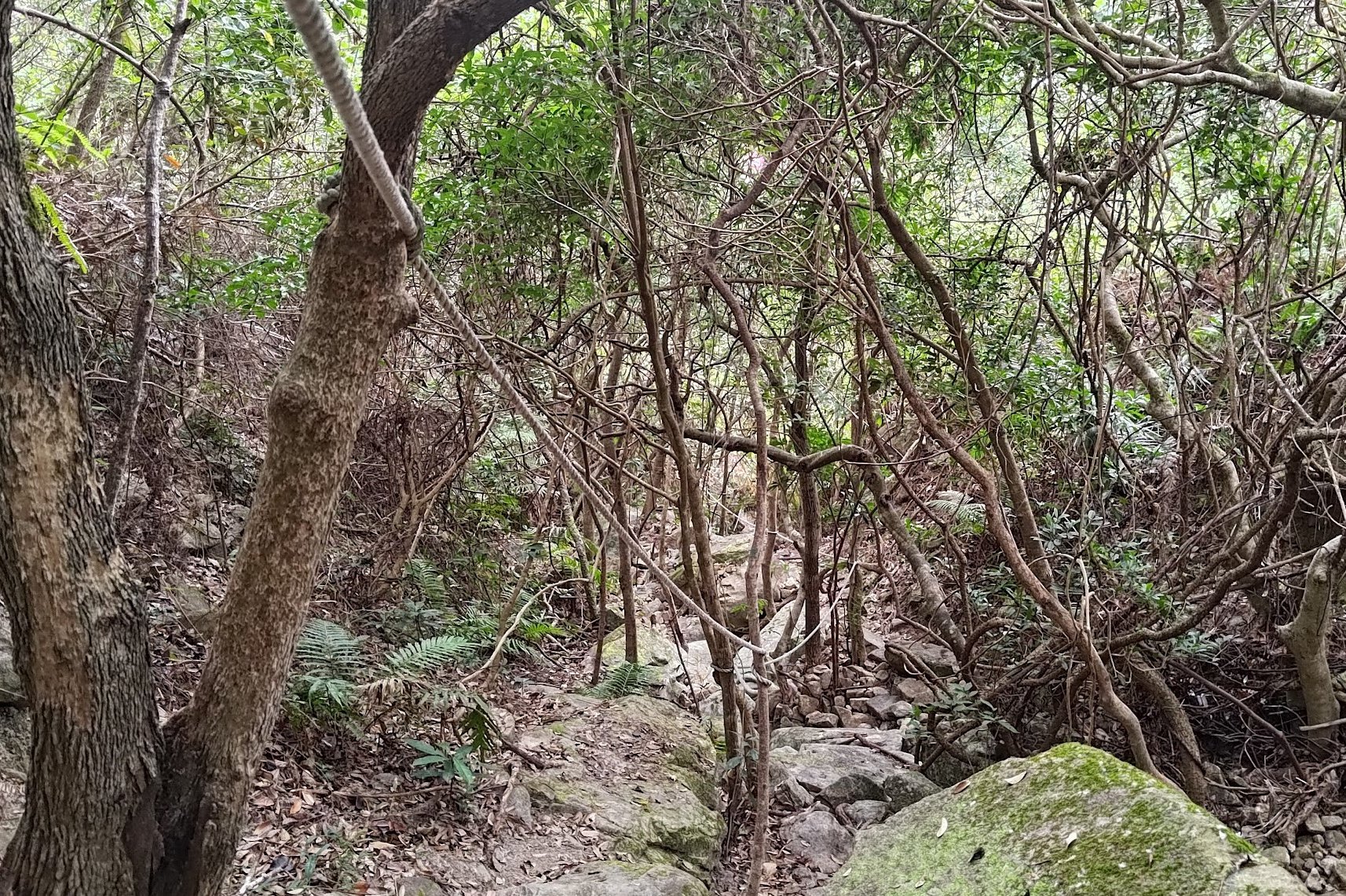
This descent is genuinely super technical and extremely easy to get lost in. If you want to head down to the famous viewpoint and then head back to the safe descent, that's also a good plan.
However, if you're hellbent on suffering, then pay close attention to the tricky path because there are plenty of opportunities to slip, get lost, and be scratched up by overgrown plants.
If it's been raining (even one day prior), DO NOT take this route as parts of it will likely have running water still and be really treacherous.
Getting Back
From the bus stop, you can take the 1A green minibus to Choi Hung MTR Station.
You can also get bus 91 or bus 92 to Diamond Hill MTR Station (it also passes Choi Hung MTR Station)
There are a few more buses that service this stop, but they're much less frequent.

