Hong Kong's 5 Best Shaded Summer Hikes
Contents
- Hong Kong's 5 Best Shaded Summer Hikes
- Little Hawaii Falls (Completely Shaded)
- Tai Po Kau Nature Reserve (Completely Shaded)
- Upper Shing Mun Reservoir (Mostly Shaded)
- Lai Chi Wo Hike (Partly Shaded)
- Ng Tung Chai Waterfalls Hike (Partly Shaded)
Hong Kong's 5 Best Shaded Summer Hikes
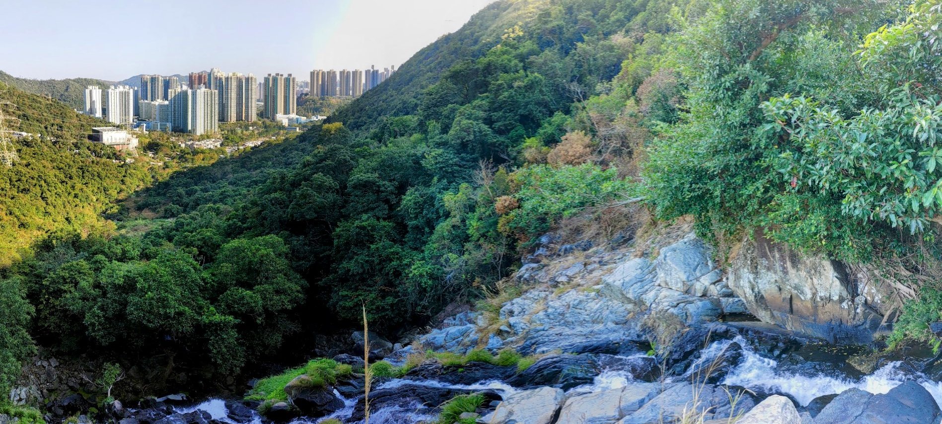
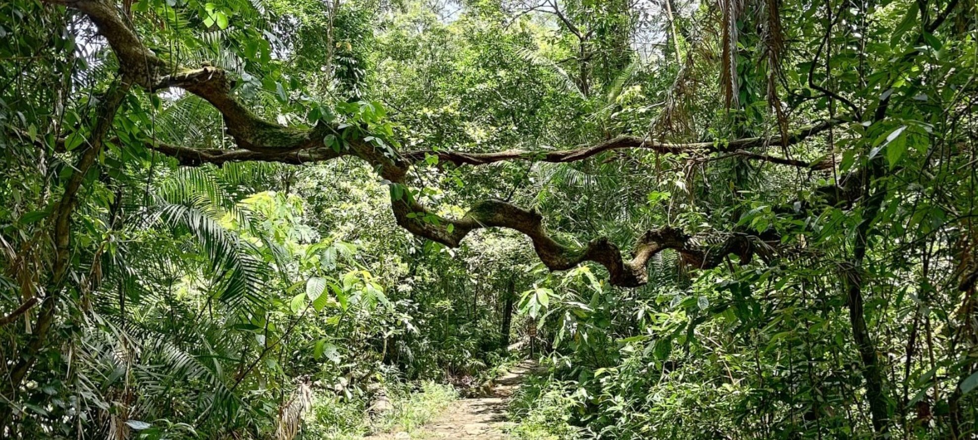
While summer is usually when the city's hikers pack up their gear and declare an end to the hiking season, this doesn't need to be the case. Beat Hong Kong's sweltering heat and humidity by hiking any of these five shaded trails! Each one has something unique and scenic to make the journey fulfilling and worth it!
Here's my list of the 5 best shaded hikes in Hong Kong:
- Little Hawaii Falls (completely shaded)
- Tai Po Kau Nature Reserve (completely shaded)
- Upper Shing Mun Reservoir (mostly shaded)
- Lai Chi Wo Hike (partly shaded)
- Ng Tung Chai Waterfalls Hike (Partly Shaded)
Little Hawaii Falls (Completely Shaded)
Essential Little Hawaii Falls Hike Details
- District: New Territories
- Duration: 2 hours (total) there and back from Po Lam MTR Station
- Distance: 6.4km
- Highest Elevation: 120 meters
- Difficulty: 1.5/5
- Facilities: None. Bring water and snacks as you need
The Little Hawaii Falls hike in Hong Kong is an excellent choice for a summer outing, especially for families and beginner hikers. One of its biggest advantages during the hot season is that the trail is almost entirely shaded by forest, providing a cool respite from the sun and making the walk comfortable even on warm days. The trail is also very easy to follow and not technically challenging, with a gentle ascent and well-maintained paths, which means it’s suitable for kids and those new to hiking.
Another highlight that makes this hike perfect for summer is the presence of multiple small waterfalls and natural pools along the route. The Little Hawaii Falls themselves, along with the nearby Lin Yuen Terrace Falls, provide scenic beauty and opportunities for photography, making the hike visually rewarding without requiring strenuous effort.
Little Hawaii Falls Google Route Map and GPX File
*Click the box icon in the top right of the map below to load the blue route directly into your own Google Maps. You can then see your location relative to the trail in real time!
Little Hawaii Falls Hiking Guide
You can find a full hiking guide below:

Tai Po Kau Nature Reserve (Completely Shaded)
Essential Tai Po Kau Nature Reserve Hike Details
*There are 4 trails throughout Tai Po Kau. You will need to add an additional 2km to all the below distances to get to and from each trail from the bus stop.
- Red Walk — 3km
- Blue Walk — 4km
- Brown Walk — 7km
- Yellow Walk — 10km
The below information is for the Blue Walk Trail
- District: New Territories
- Duration: 1 hour 45 mins (at a slow pace in wet conditions)
- Distance: 6.3km (including additional 2km to and from the bus stop)
- Highest Elevation: Just under 300 meters (but you're only climbing maybe 80 meters or so)
- Difficulty: 1.5/5
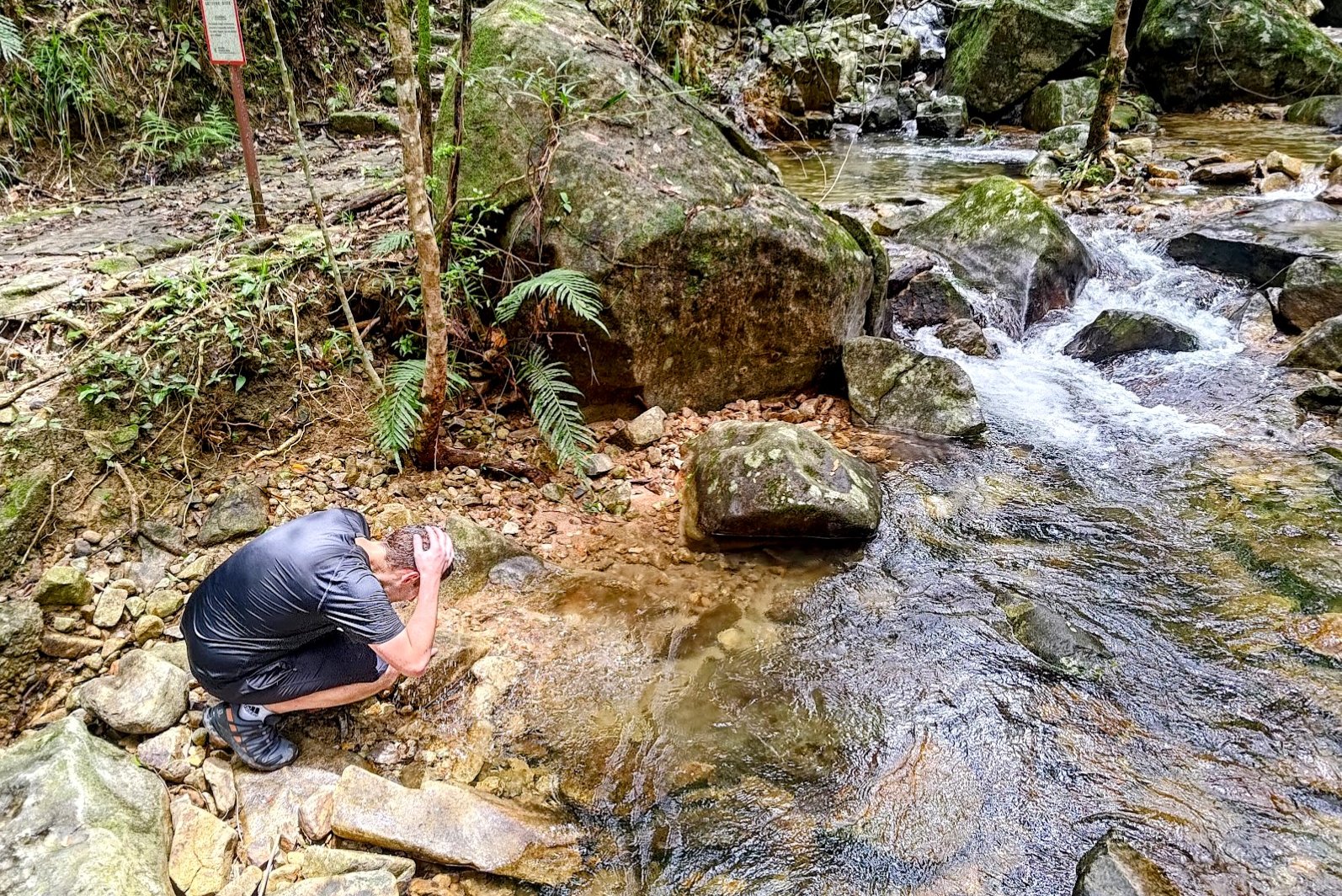
- Facilities: Toilets near the start. There's a stream running throughout the trail if you're feeling adventurous and want to have a drink of natural stream water (at your own risk)!
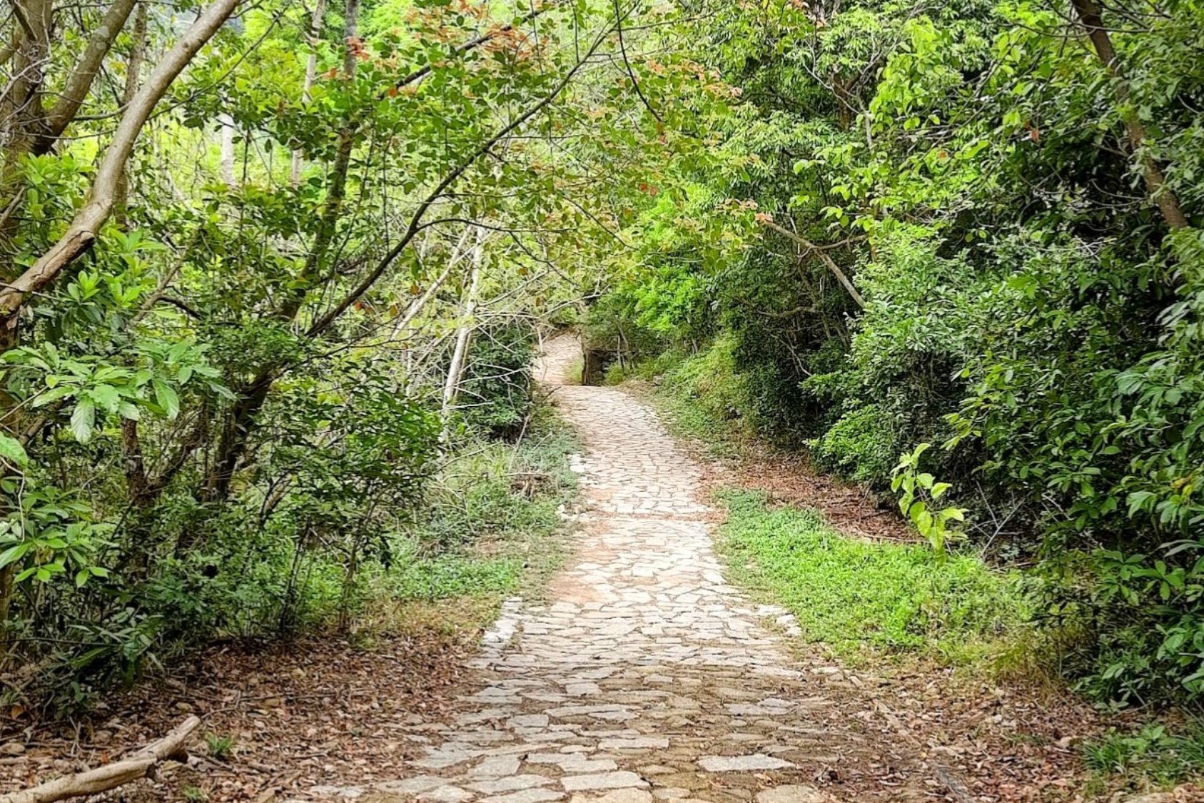
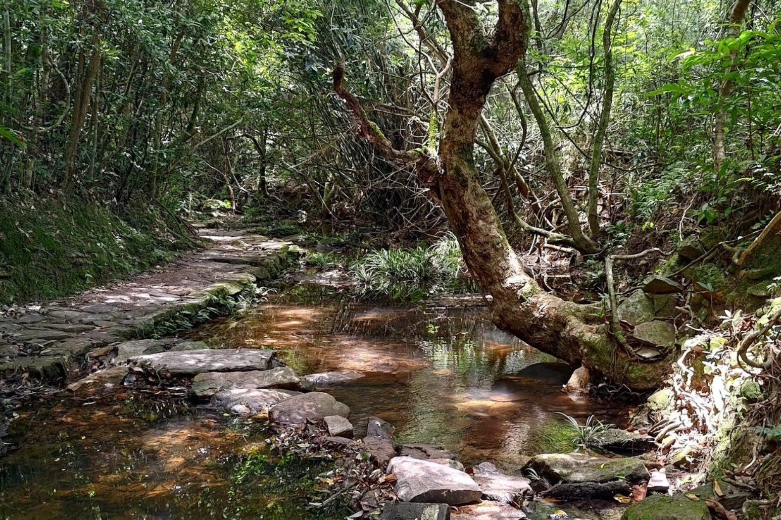
Tai Po Kau Nature Reserve is an ideal destination for a summer hike thanks to its extensive tree cover that provides almost complete shade throughout the trails. This dense canopy keeps the temperature cooler and protects hikers from direct sunlight, making the experience much more comfortable during hot and humid summer days.
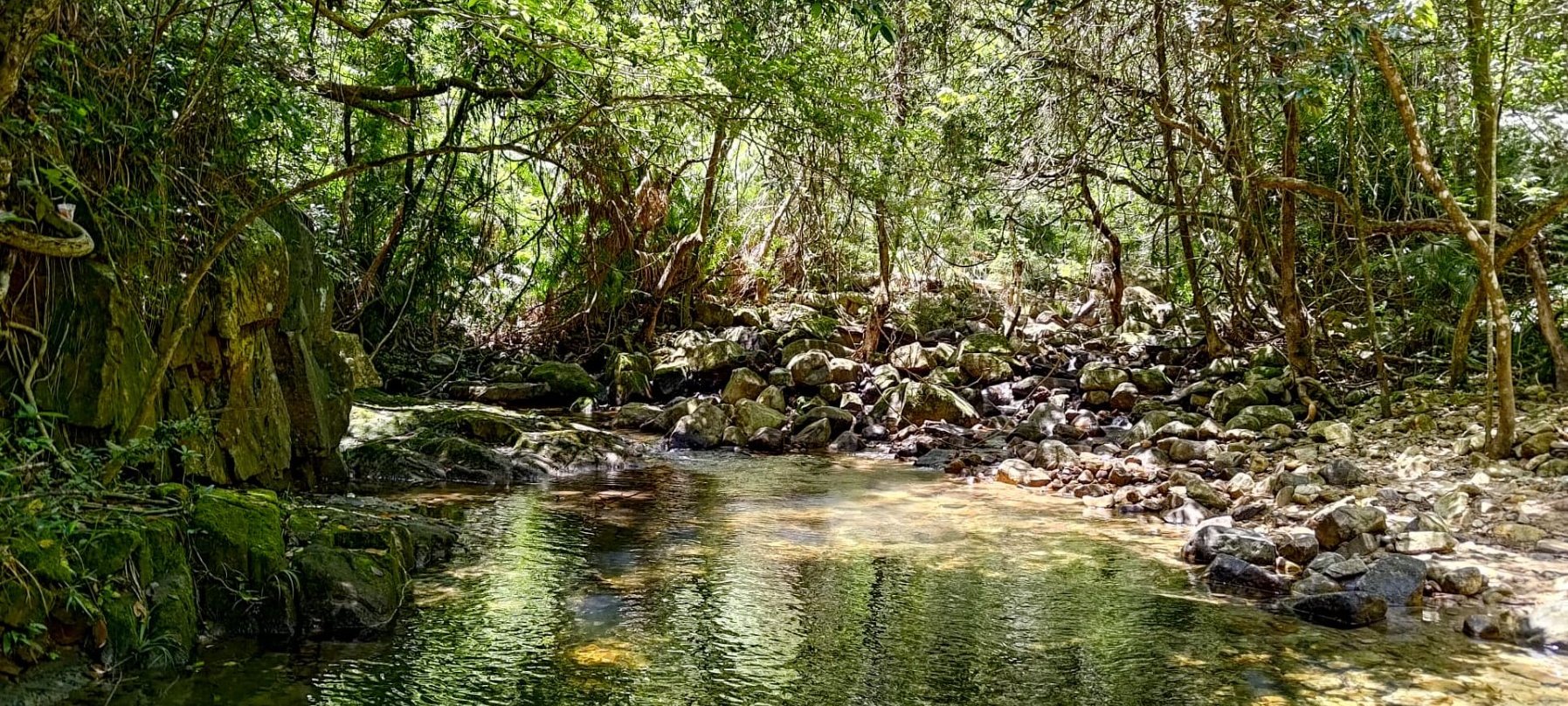
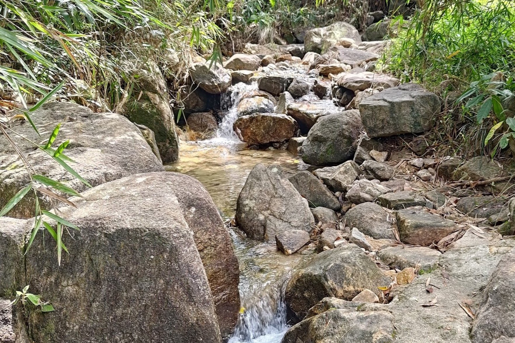
The Blue Trail follow a stream the entire way, with several spots where you can cool down and even go for a quick dip.
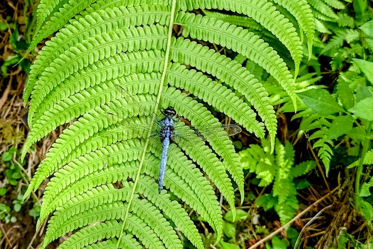
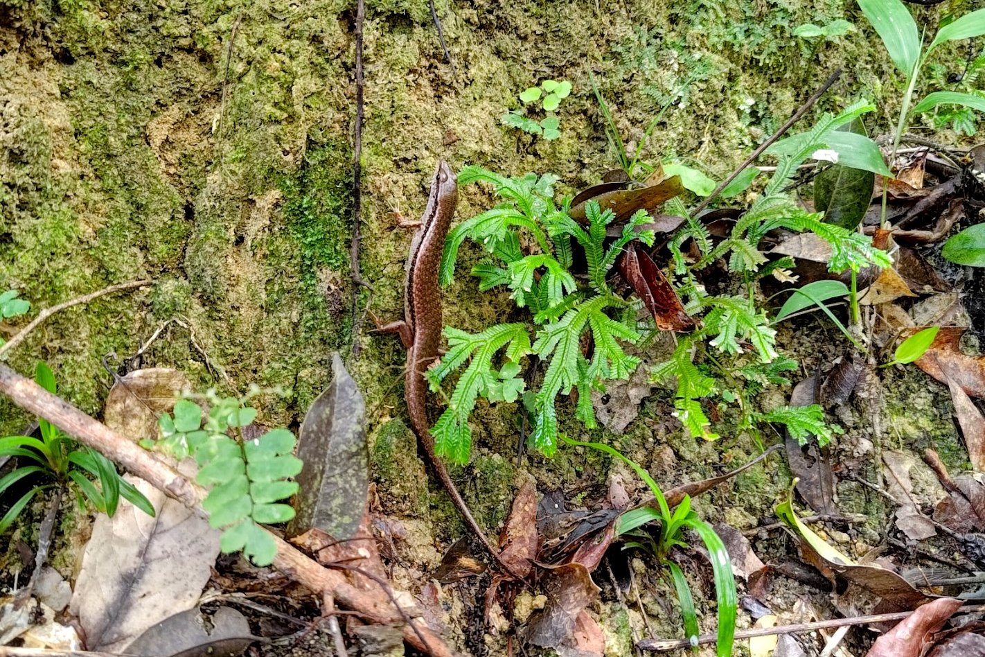
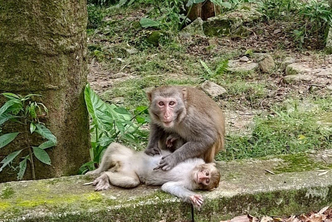
Additionally, the presence of an abundance of stunning flora and fauna makes Tai Po Kau Nature Reserve the perfect summer escape for those who want to keep cool while also having high odds of spotting amazing wildlife and truly connecting with nature.
Tai Po Kau Nature Reserve Google Route Map and GPX
Tai Po Kau Nature Reserve Blue Walk GPX
*Click the box icon in the top right of the map below to load the blue route directly into your own Google Maps. You can then see your location relative to the trail in real time!
Tai Po Kau Nature Reserve Hiking Guide
You can find a full hiking guide below:

Upper Shing Mun Reservoir (Mostly Shaded)
Essential Upper Shing Mun Reservoir Hike Details
- District: New Territories
- Duration: 2.5 hours (with no breaks)
- Distance: 9km
- Highest Elevation: 250ish meters
- Difficulty: 1.5/5
- Facilities: Snack kiosk at the start and end (8/9am - 4/5 pm daily, cash only) and toilets throughout
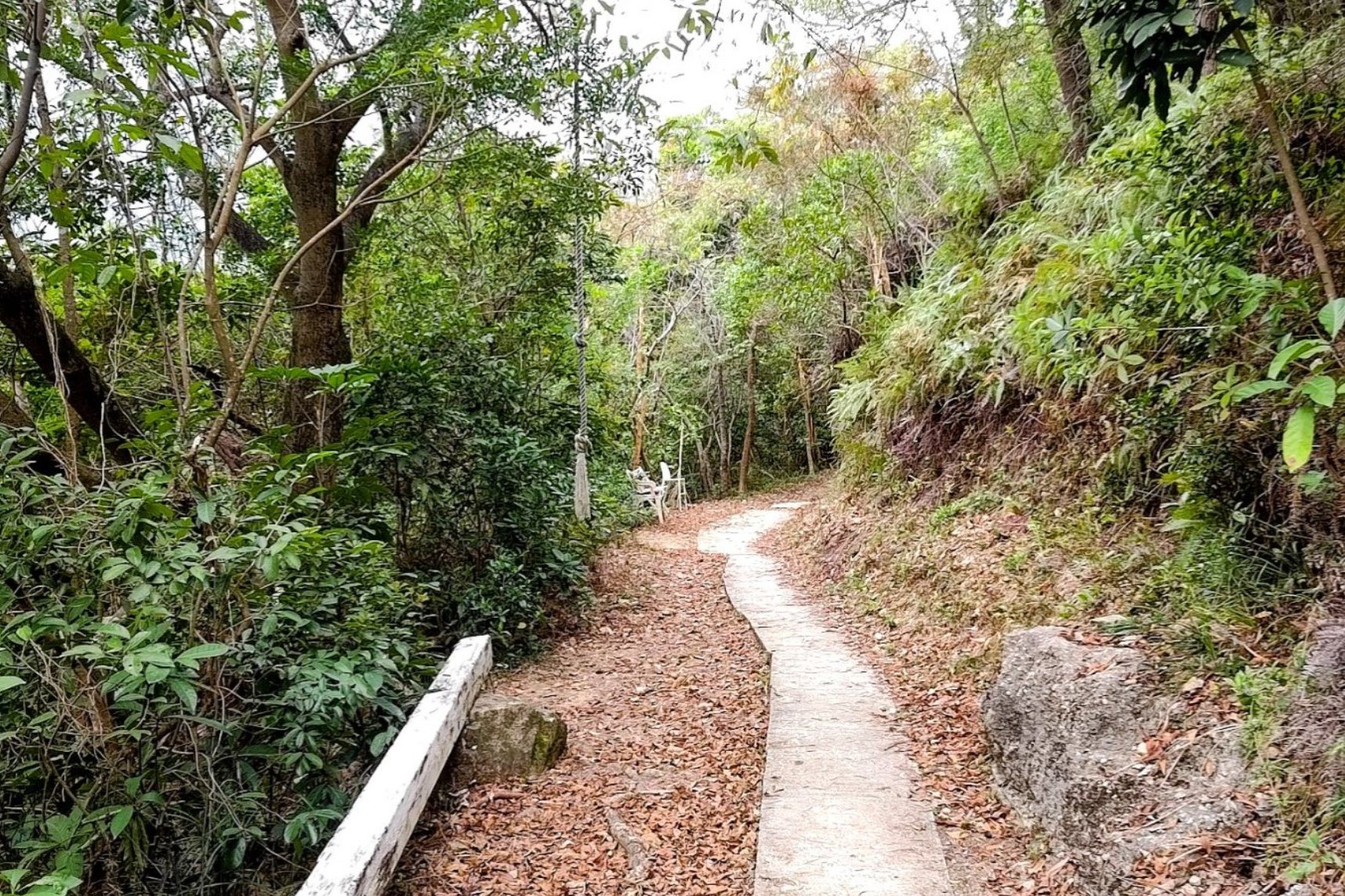
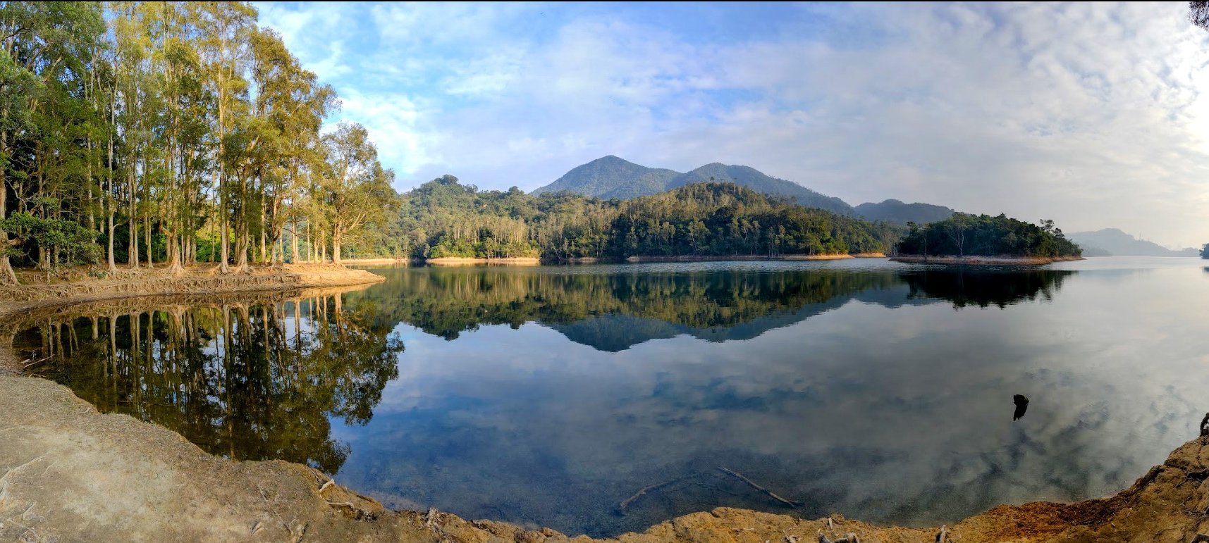
Upper Shing Mun Reservoir is a fantastic summer hiking destination primarily because the entire 9km loop trail is almost completely shaded by a lush canopy of large trees. This natural cover protects hikers from the intense summer sun, keeping the temperature pleasant and making the hike comfortable even on days when it soars above 30 degrees Celsius. The proximity to the reservoir also means there is often a cool breeze, enhancing the refreshing atmosphere throughout the hike.
The trail is very gentle, with almost no uphill sections, making it accessible to hikers of all skill levels, including families with young children. Along the route, hikers can enjoy several little streams and hidden pools where they can stop to cool off in clean, refreshing water.
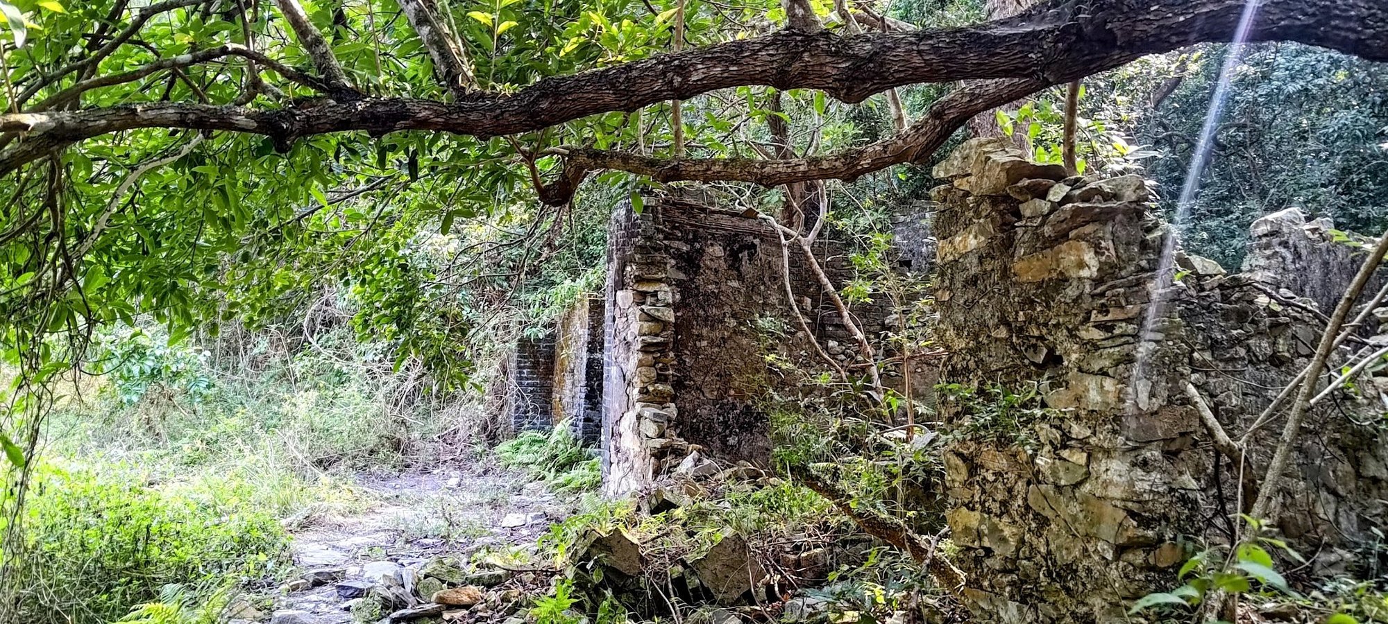
Additionally, the hike offers scenic variety and interesting stops such as the historic Shing Mun Main Dam and optional detours to World War II tunnels, which add a cultural and historical dimension to the outing.
Upper Shing Mun Reservoir Google Route Map and GPX
Upper Shing Mun Reservoir Loop GPX File
*Click the box icon in the top right of the map below to load the blue route directly into your own Google Maps. You can then see your location relative to the trail in real time!
Upper Shing Mun Reservoir Hiking Guide
You can find a full hiking guide below:

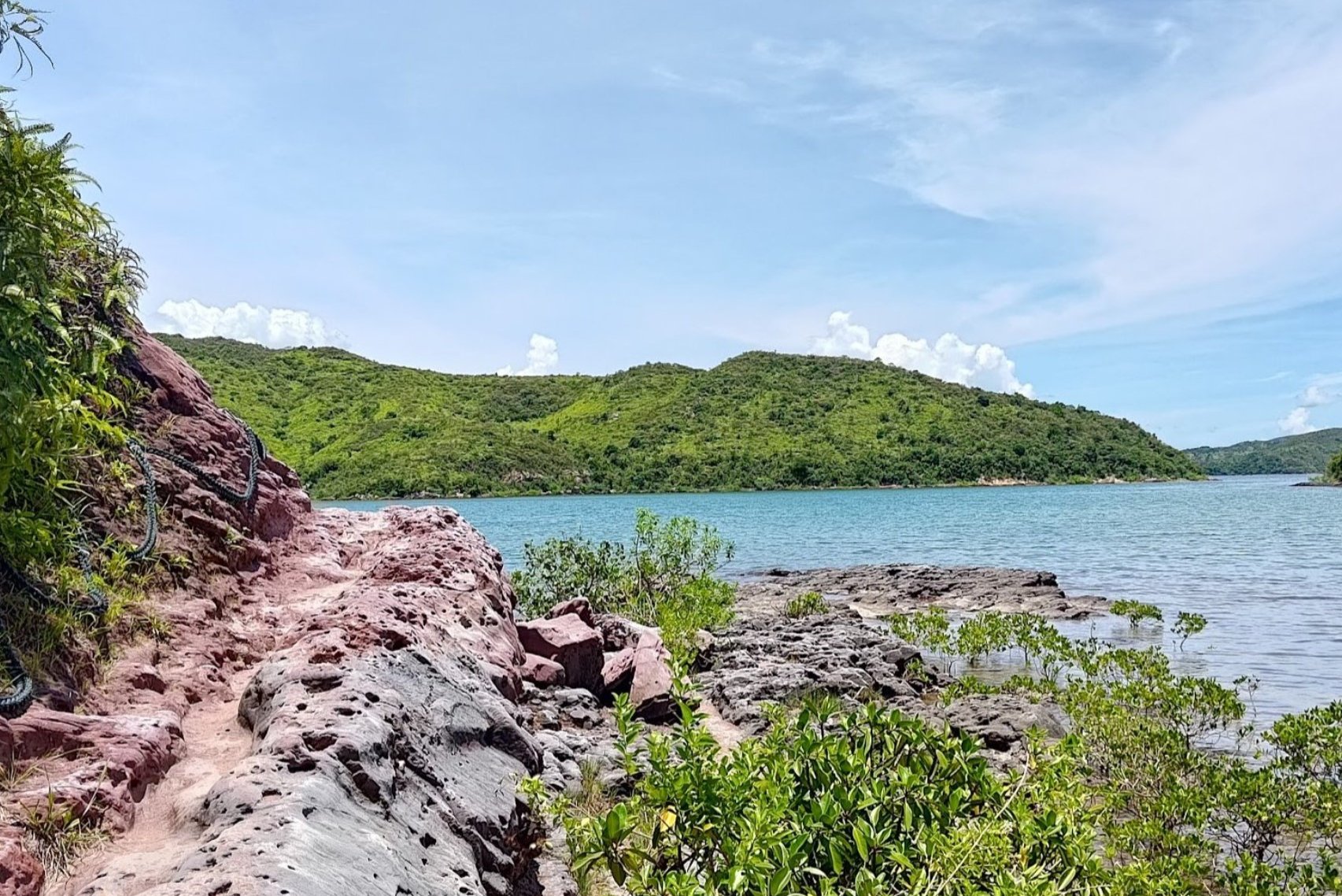
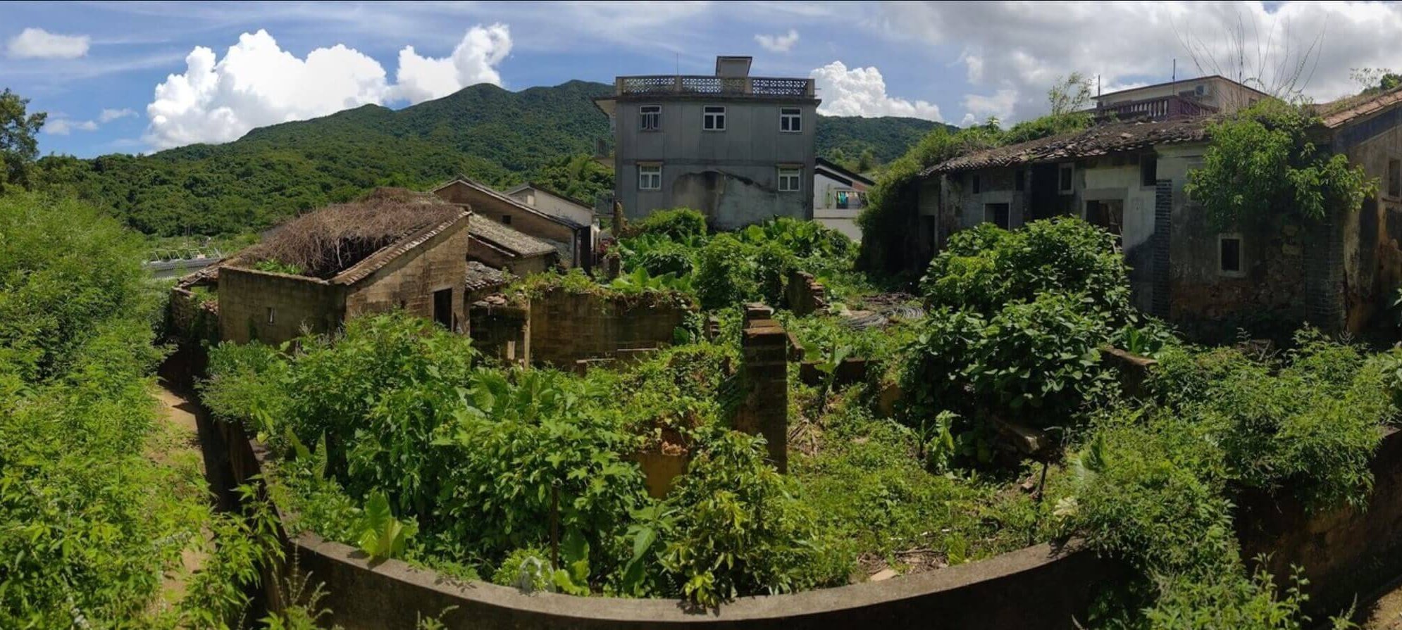
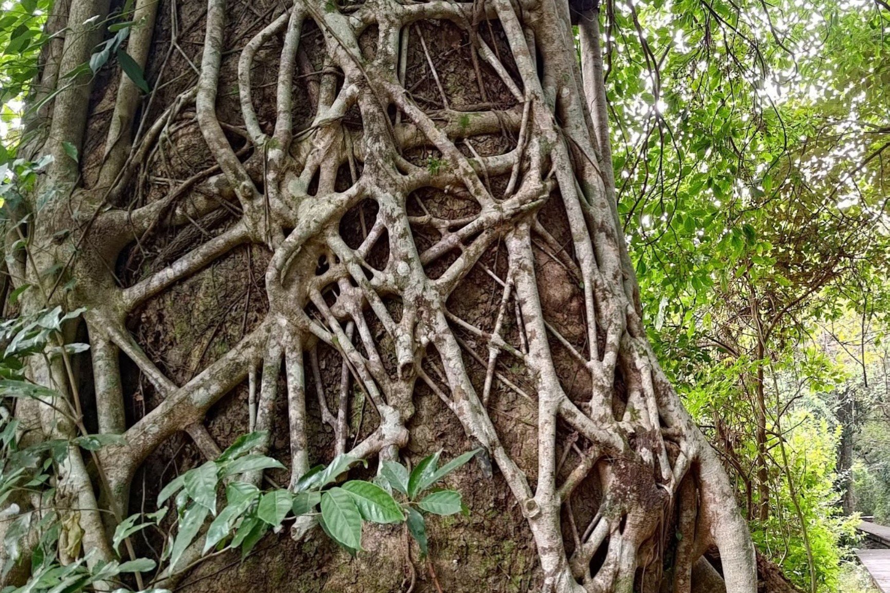
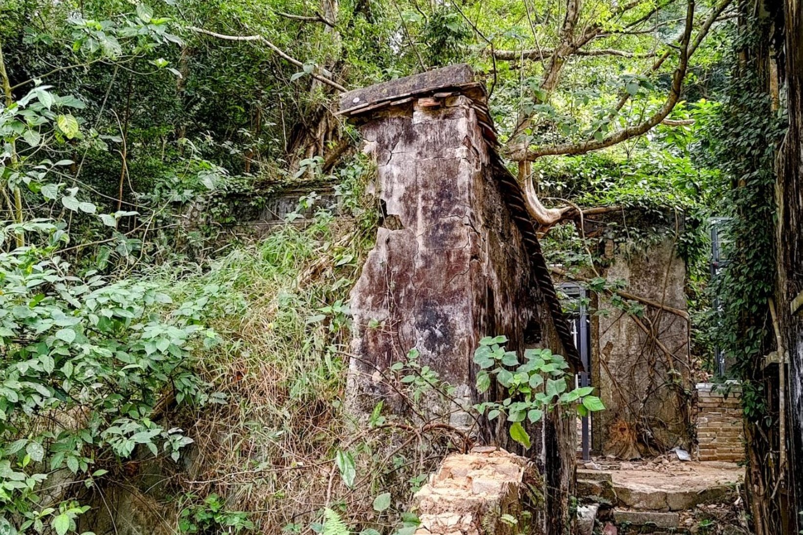
Lai Chi Wo Hike (Partly Shaded)
Essential Lai Chi Wo Hike Details
- District: New Territories
- Duration: 4.5-5 hours
- Distance: 15-16km
- Highest Elevation: 190ish meters
- Difficulty: 3/5
- Facilities: Drinks, food and toilets available at multiple points throughout the hike
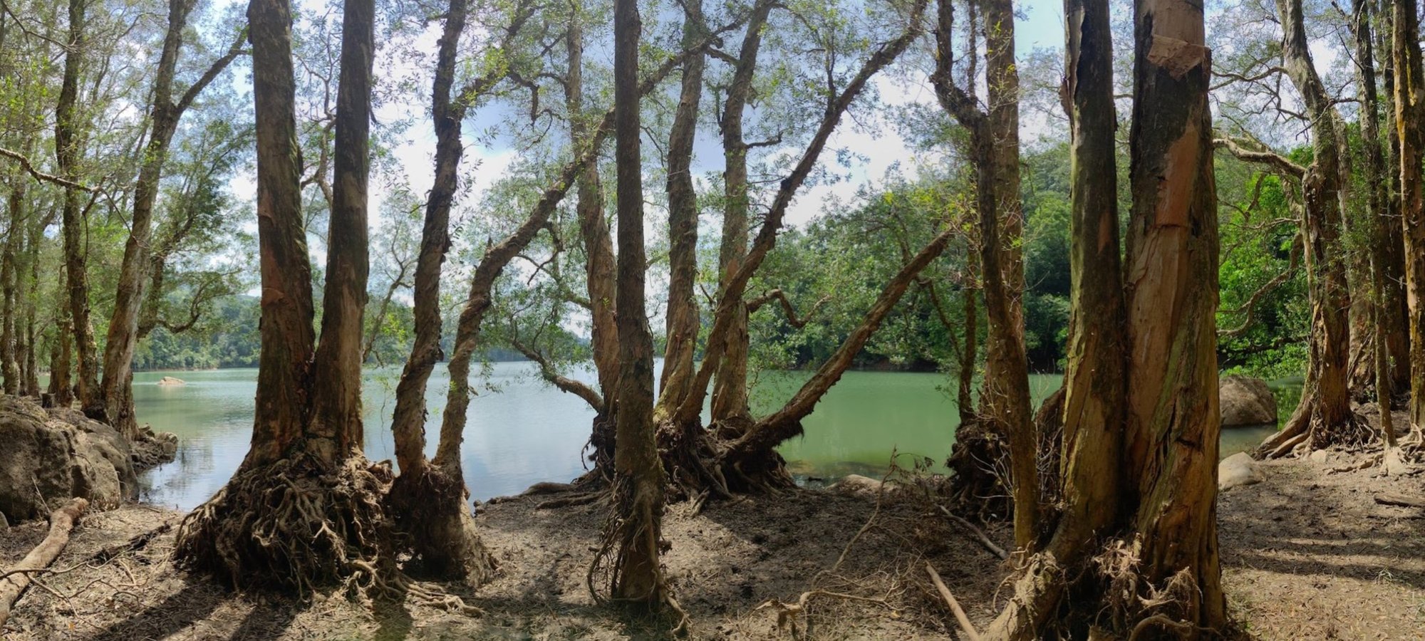
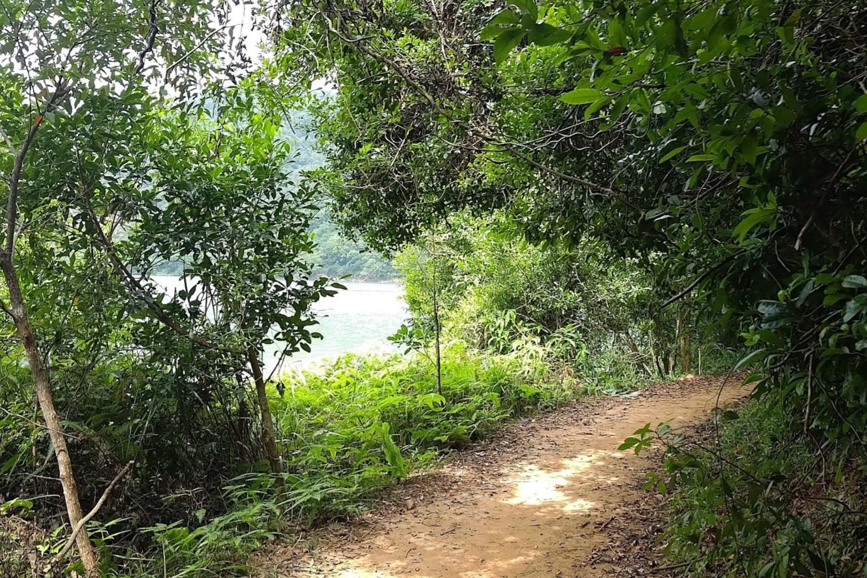
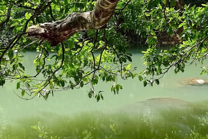
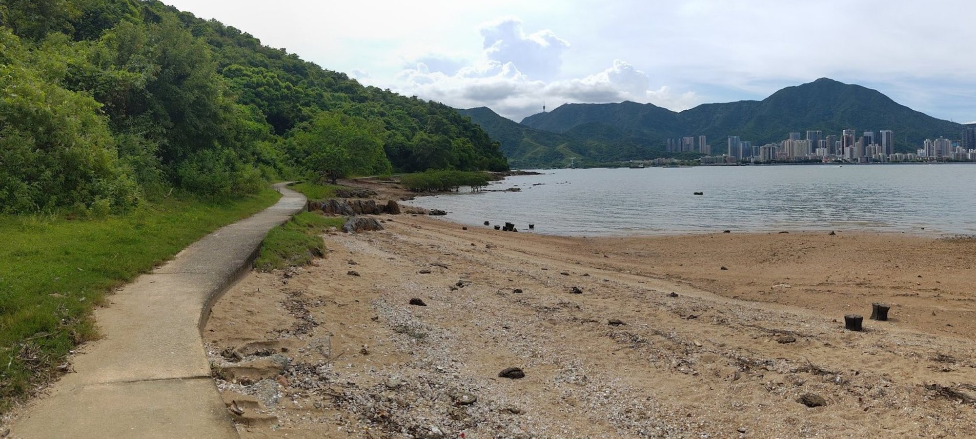
The Lai Chi Wo hike is a great summer adventure for those looking to combine natural beauty, cultural heritage, and a relatively gentle physical challenge. Although the trail is quite long-about 15 to 16 kilometers-and mostly flat except for a short uphill section near the end, it offers plenty of shade as you navigate forests, stream crossings, mangroves, villages and coastlines.
One of the highlights of this hike is the chance to explore Lai Chi Wo itself, a 300-year-old restored Hakka walled village recognized by UNESCO.
While a large chunk of this hike is shaded, and respite can be had from the sun by taking shelter in the villages along the way, there are exposed sections, especially toward the end of the hike. Make sure to bring plenty of water!
This trail is more suited to intermediate or seasoned hikers in the summer.
Lai Chi Wo Google Route Map and GPX
*Click the box icon in the top right of the map below to load the blue route directly into your own Google Maps. You can then see your location relative to the trail in real time!
Lai Chi Wo Hiking Guide
You can find a full hiking guide below:

Ng Tung Chai Waterfalls Hike (Partly Shaded)
Essential Ng Tung Chai Waterfalls Hike Details
- District: New Territories
- Duration: 3.5 - 4 hours (at a fast pace with no time added for swimming)
- Distance: 13km (including Tai Mo Shan)
- Highest Elevation: 957 meters
- Difficulty: 4.5/5 (with Tai Mo Shan)
- Facilities: None until near the end of the hike, so bring plenty of water and use the toilet beforehand
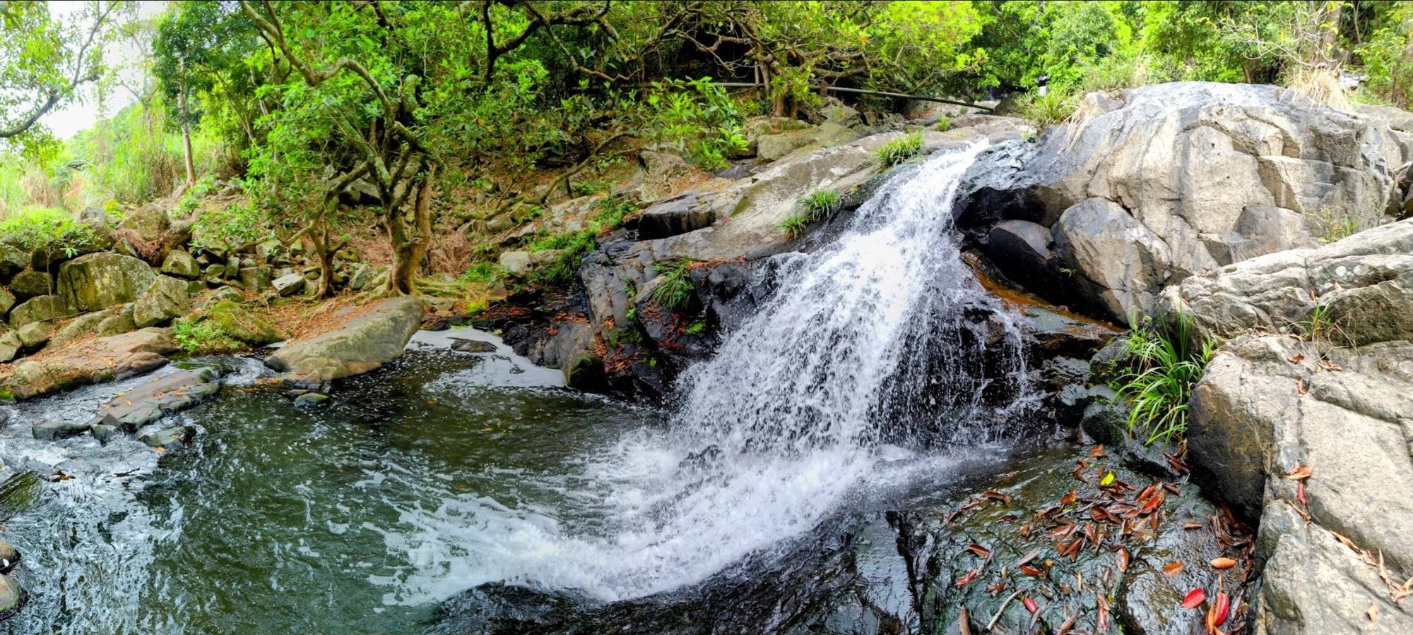
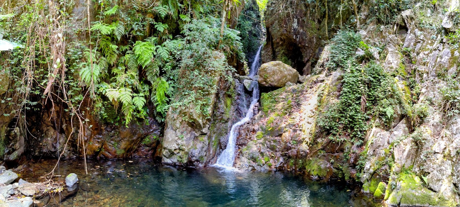
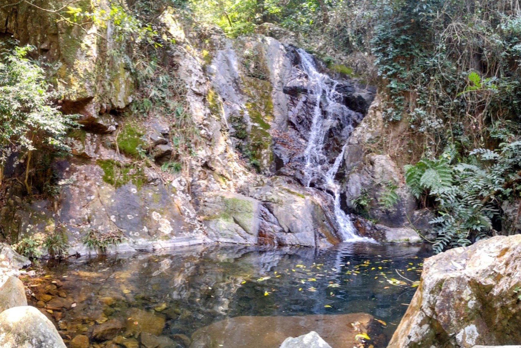
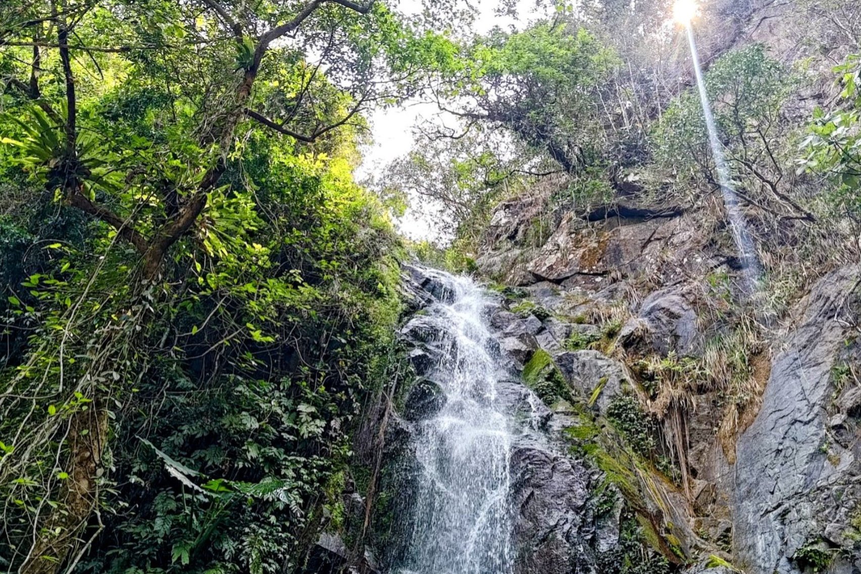
Ng Tung Chai is a fantastic summer hike, especially for those who love waterfalls and natural swimming spots. The trail takes you past five stunning waterfalls-Bottom Fall, Middle Fall, Unnamed Fall (no idea what this waterfall's name is), Main Fall, and Scatter Fall-each offering beautiful scenery and refreshing pools perfect for cooling off during the climb.
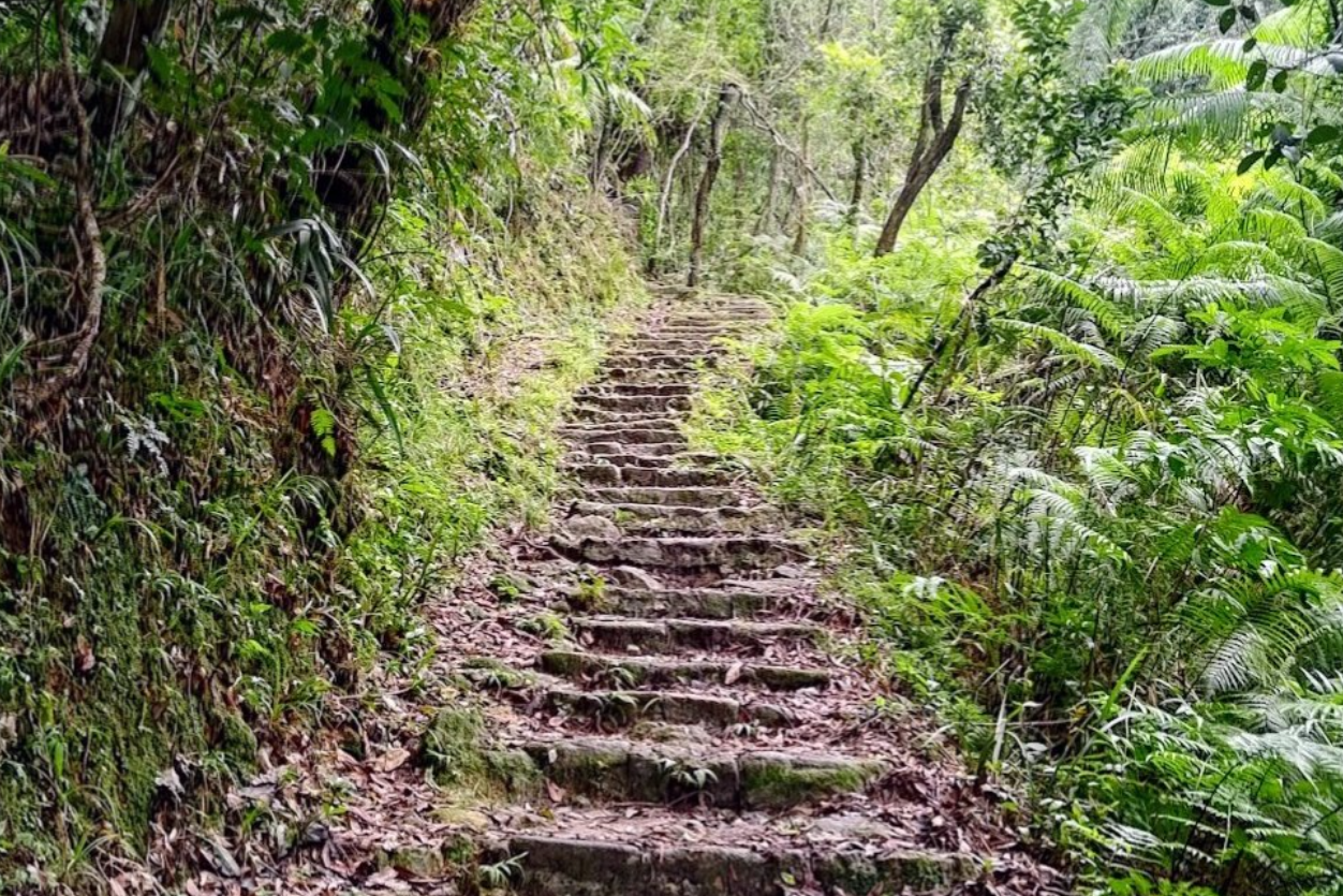
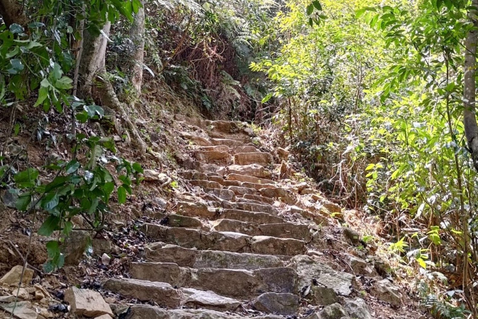
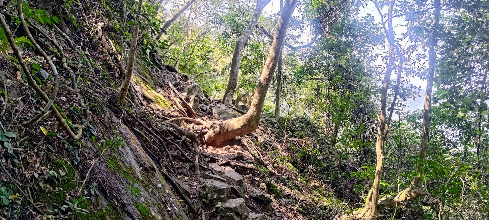
The hike is set in a lush, forested area at the base of Tai Mo Shan, Hong Kong’s highest peak, so much of the trail is shaded by dense trees. This canopy helps keep temperatures cooler and offers relief from the summer sun, making the strenuous uphill sections more manageable. However, the trail does include A LOT of stairs. A good level of fitness is required.
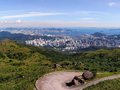
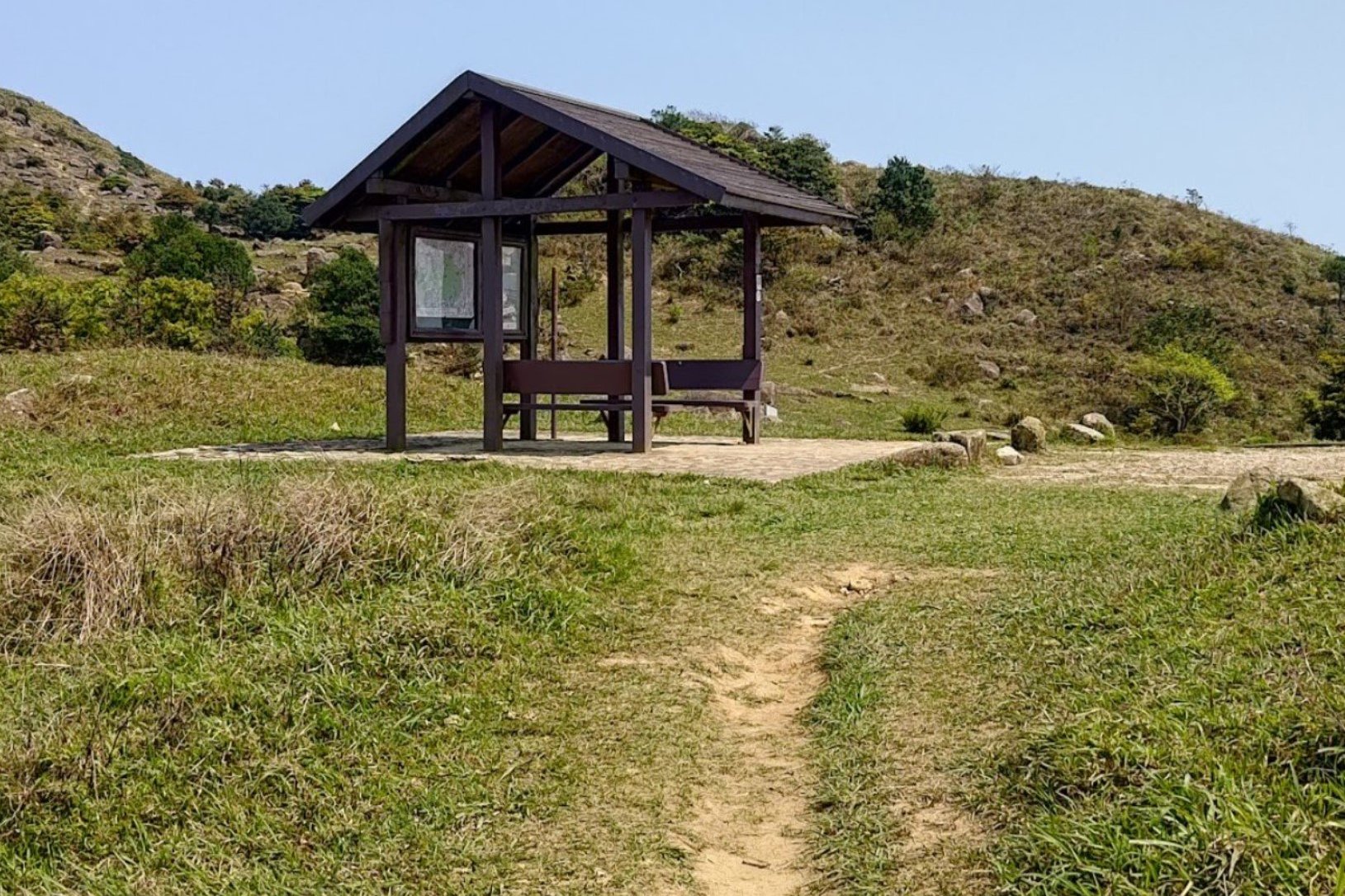
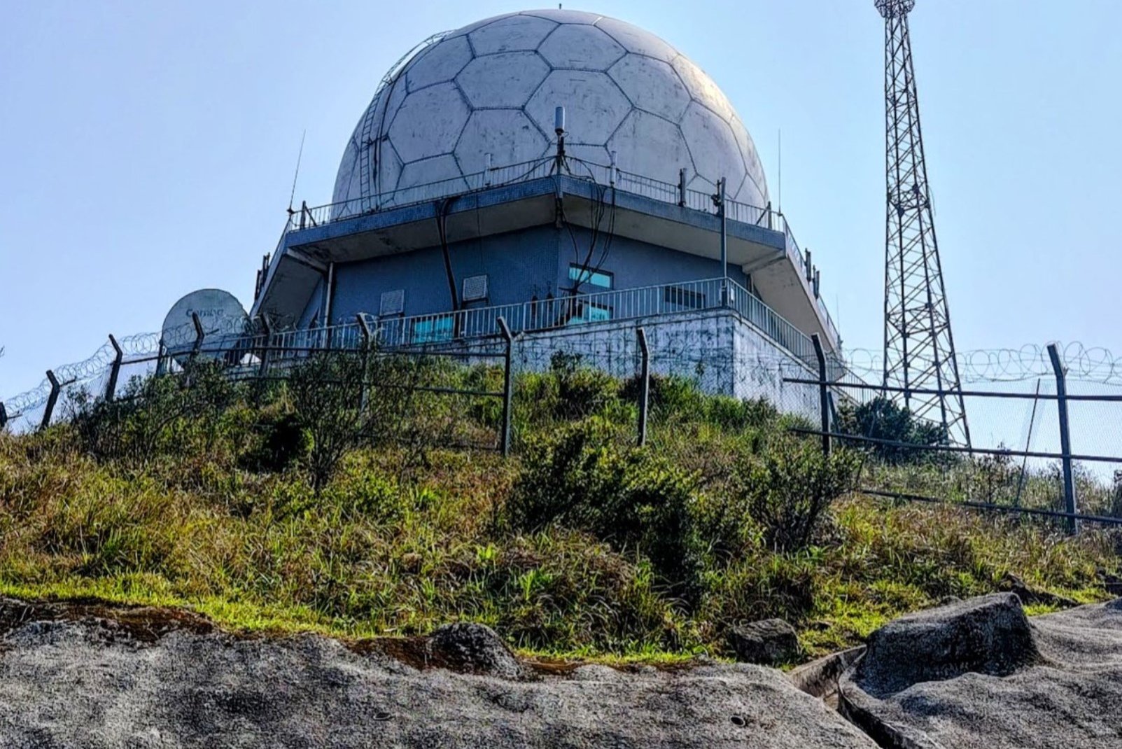
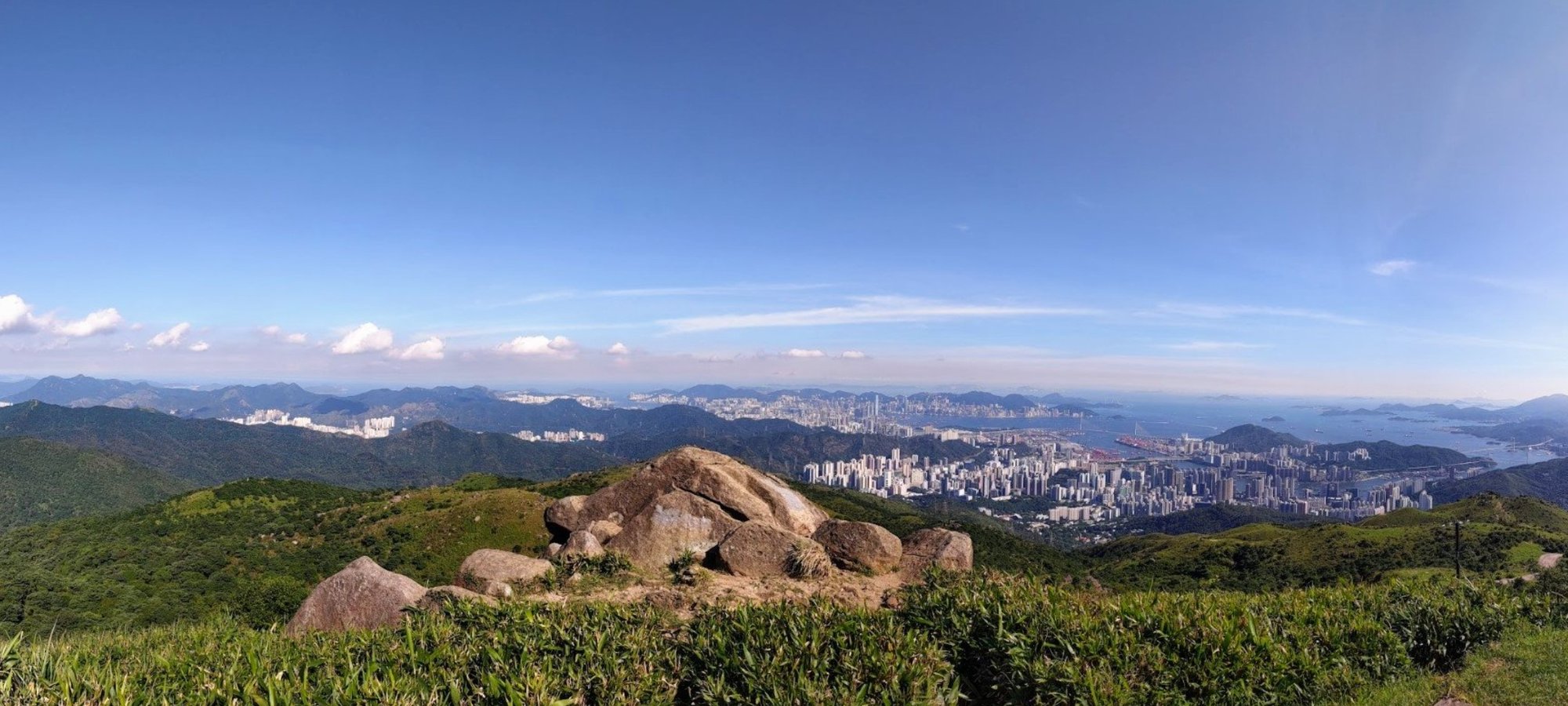
The hike can be extended to reach Tai Mo Shan’s peak for epic panoramic views of Hong Kong, though this section is completely exposed to the sun and will take well over 1.5 hours. If you want to just stay in the shade, return back down the waterfall path when you're done.
Ng Tung Chai Waterfalls Route Map and GPX
Tai Mo Shan and Ng Tung Chai Waterfalls Hike
*Click the box icon in the top right of the map below to load the blue route directly into your own Google Maps. You can then see your location relative to the trail in real time!
Ng Tung Chai Waterfalls Hiking Guide
You can find a full hiking guide below: