
Ha Fa Shan Hike Guide: A Quick Hike Up to One of Hong Kong's Best City Views
Contents
- Essential Information
- Ha Fa Shan Highlights
- Google Route Map
- How to Get There
- Quick Route Summary
- Follow the Yuen Tsuen Trail for 20 Mins
- The 10-min Climb to Ha Fa Shan's Summit
- Ha Fa Shan Summit Views
- Getting Back
Essential Red Incense Burner Hill Hike Details
- District: New Territories
- Duration: 1 hour round trip (with no breaks)
- Distance: 2.5ish km round trip
- Highest Elevation: 315 meters
- Difficulty: 2.5/5
- Facilities: None. Stock up on water and use the toilet beforehand
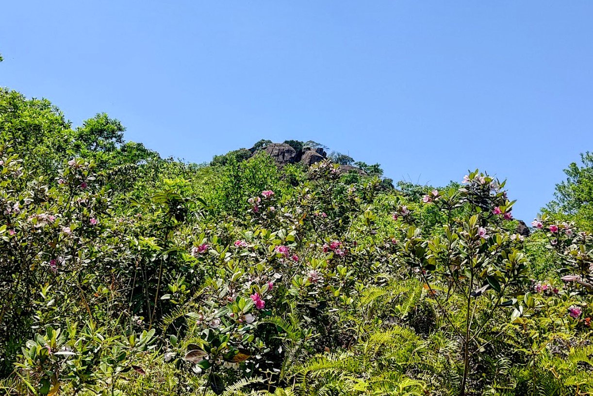
Why Hike Ha Fa Shan?


*You can combine this route with the Yuen Tsuen Ancient Trail if it is too easy.
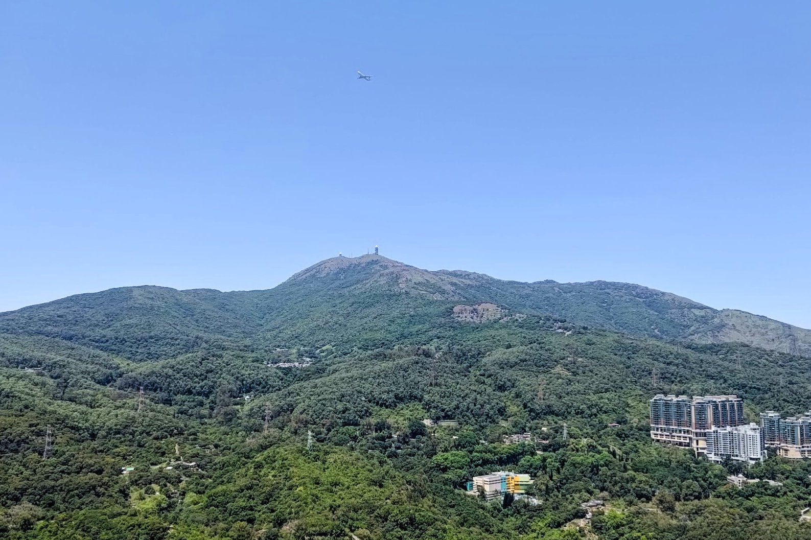
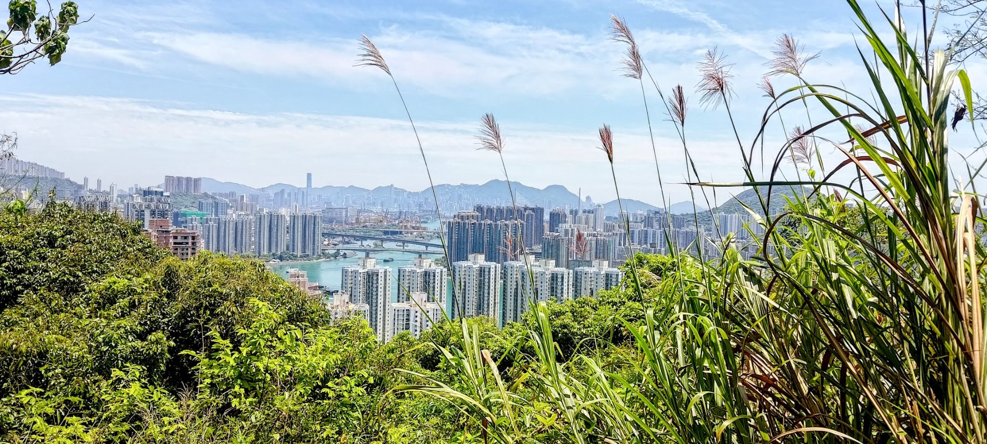
Ha Fa Shan (下花山) is a peak in Tsuen Wan that boasts one of the best city views in all of Hong Kong. While the buildings and landscapes are different to that of other famous mountains like Victoria Peak, this view over Tsuen Wan, Tai Mo Shan, Tsing Yi, Lantaun Island and even Hong Kong Island and Kowloon is just epic!
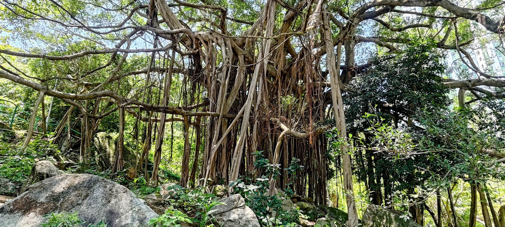
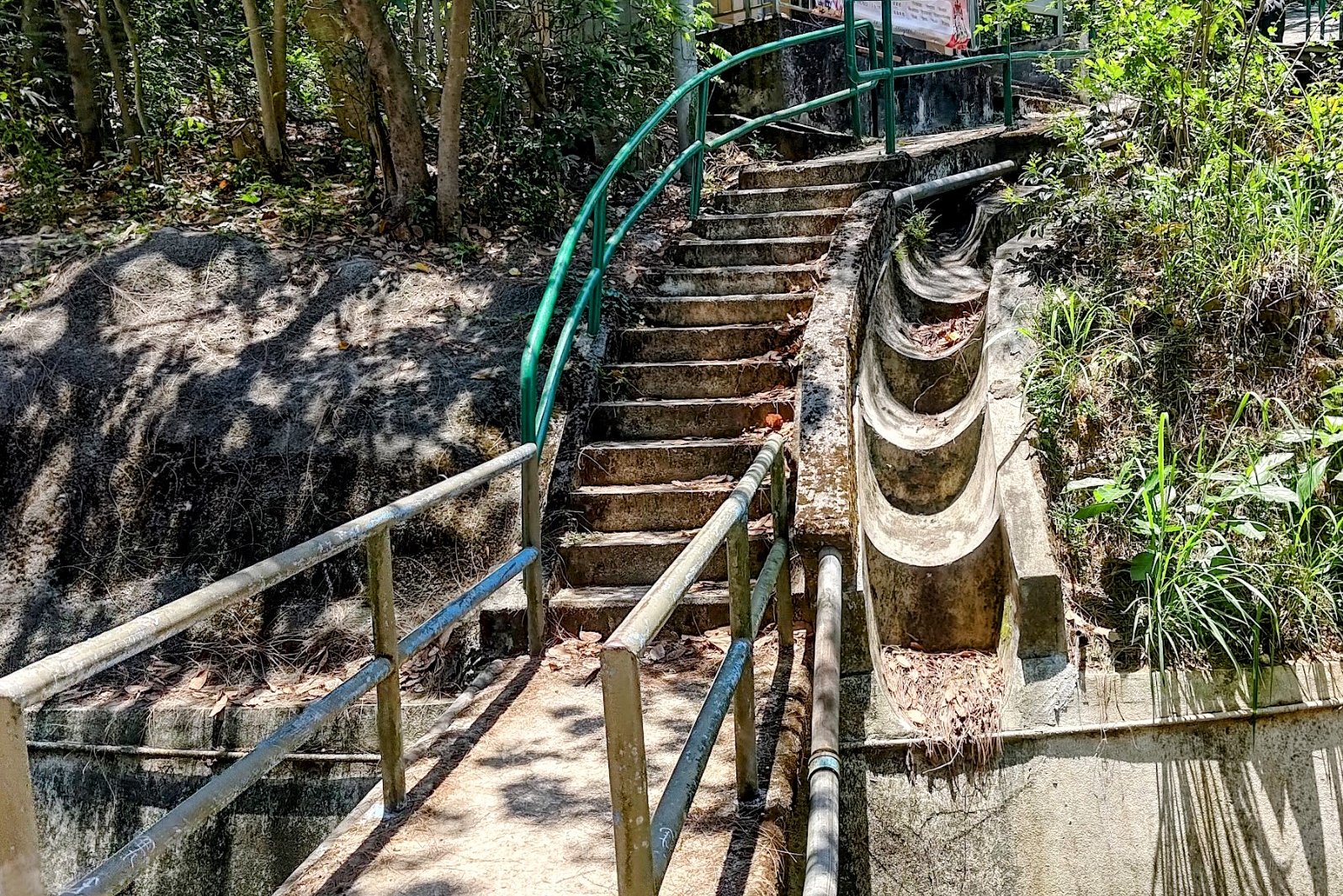
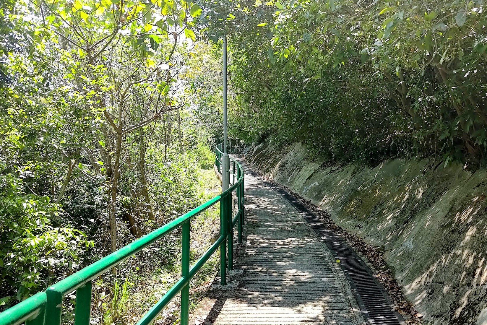
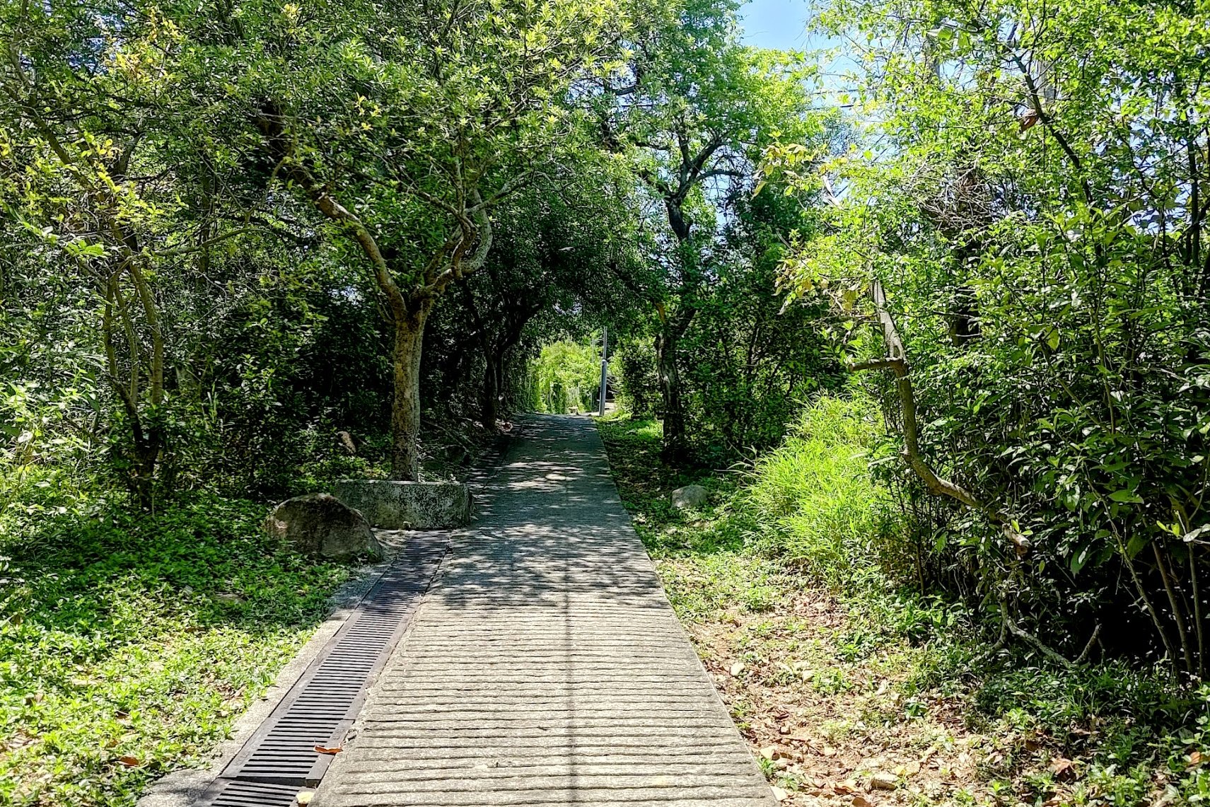
The trail to the top initially starts with a lot of stairs before switching to dirt terrain for the second half of the climb.
However, the climb is only about half an hour to the summit and then the same time back, if not less. That means, this hike can be completed in around an hour, which is really an incredible testament to just how close the concrete jungle is to the real jungle in Hong Kong.
This is a great hike for beginners and intermediate hikers. Just be warned that the dirt trail can get slippery if it rains, so approach this hike with caution in wet conditions.

Google Route Map
Ha Fa Shan GPX File (start and finish are the same point
*Click the box icon in the top right of the map below to load the blue route directly into your own Google Maps. You can then see your location relative to the trail in real time!
How to Get to the Ha Fa Shan Hike Start Point


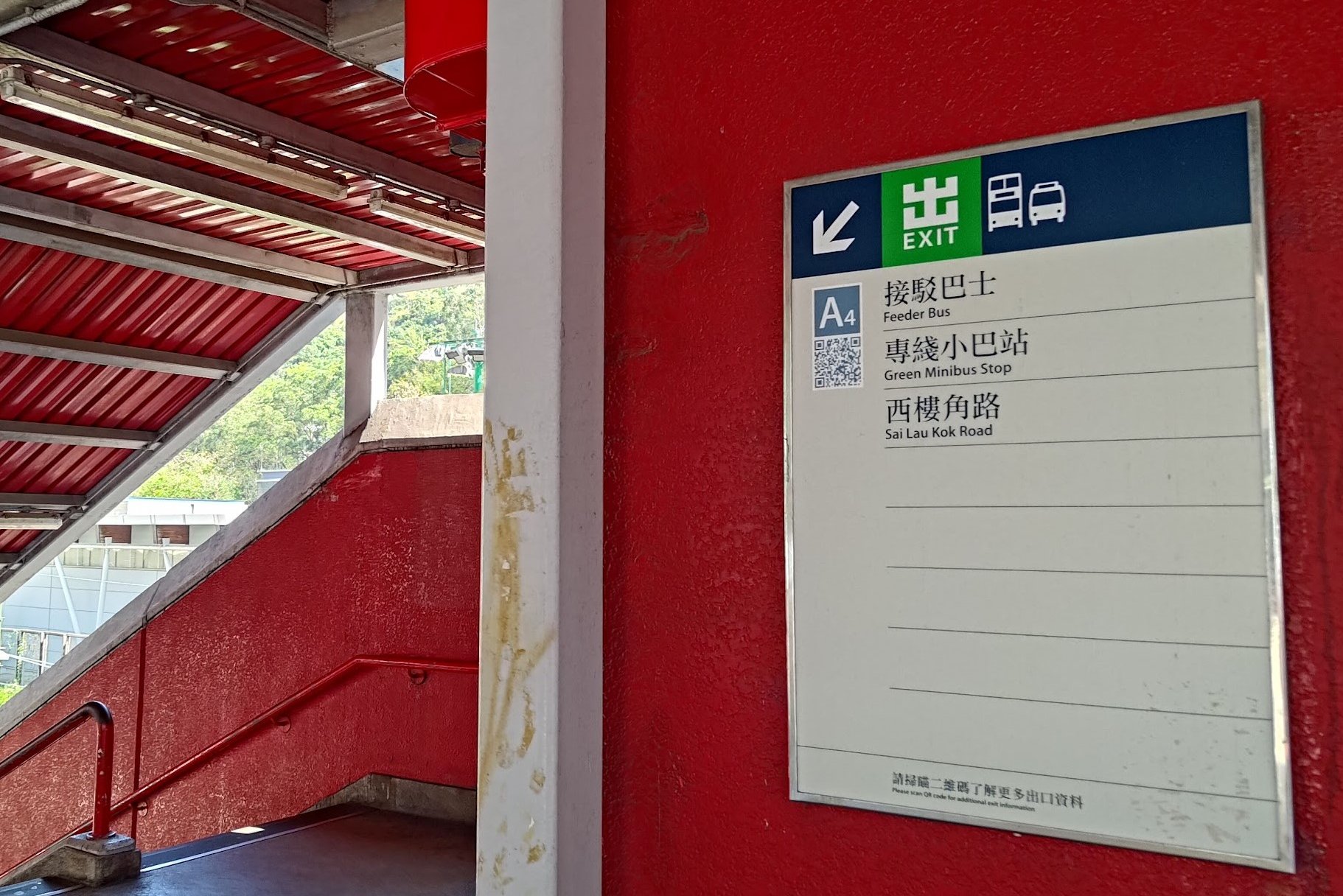
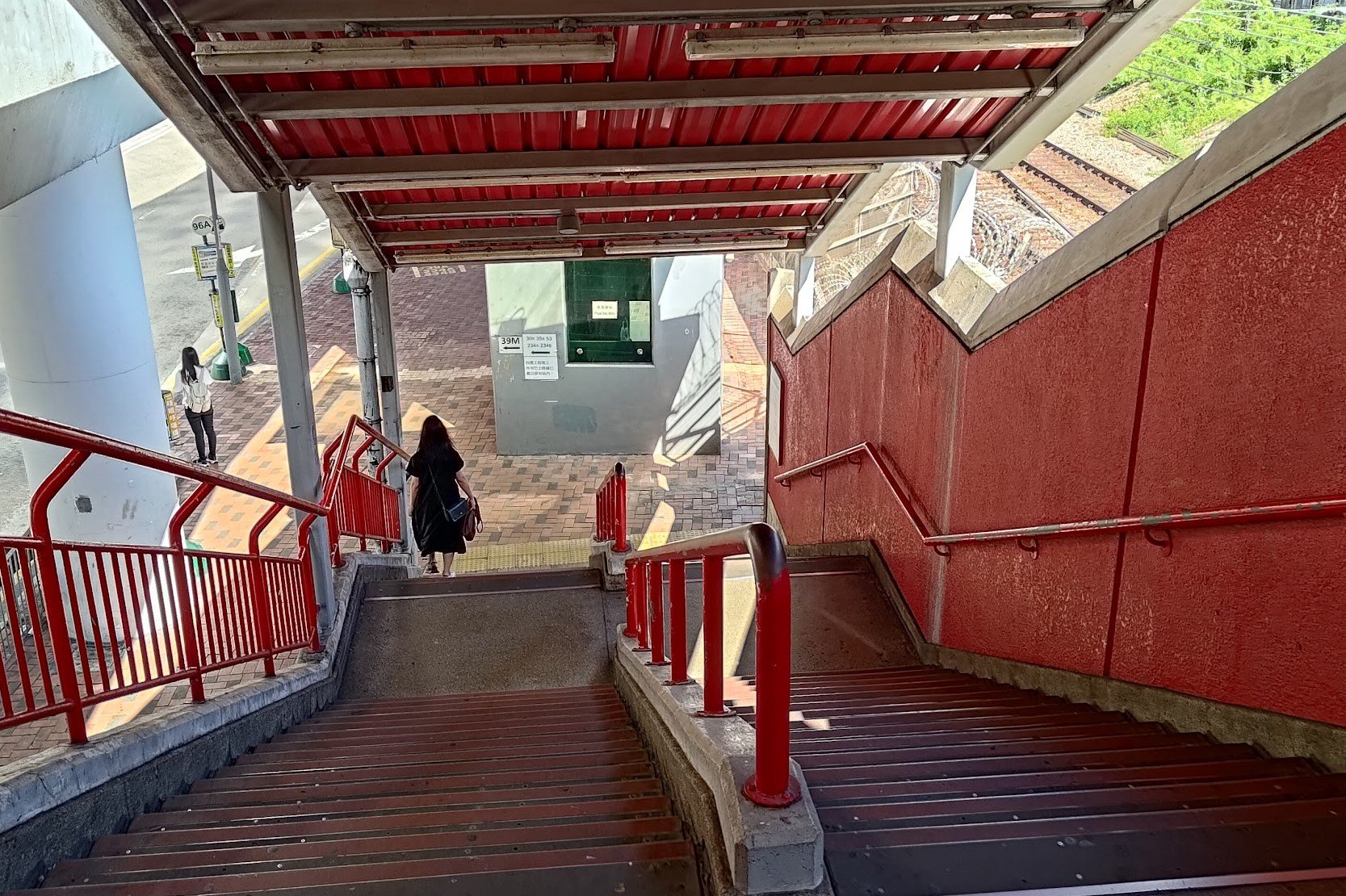


Take the MTR to Tsuen Wan Station and leave through Exit A. Make your way to Exit A4, specifically, and head down to the bus stop.
Just a few steps forward from the bottom of the stairs is the 39M bus stop. You can take this bus towards Allway Gardens. Don't take the green number 84 minibus from this stop as the bus is going in the opposite direction to Allway Gardens.
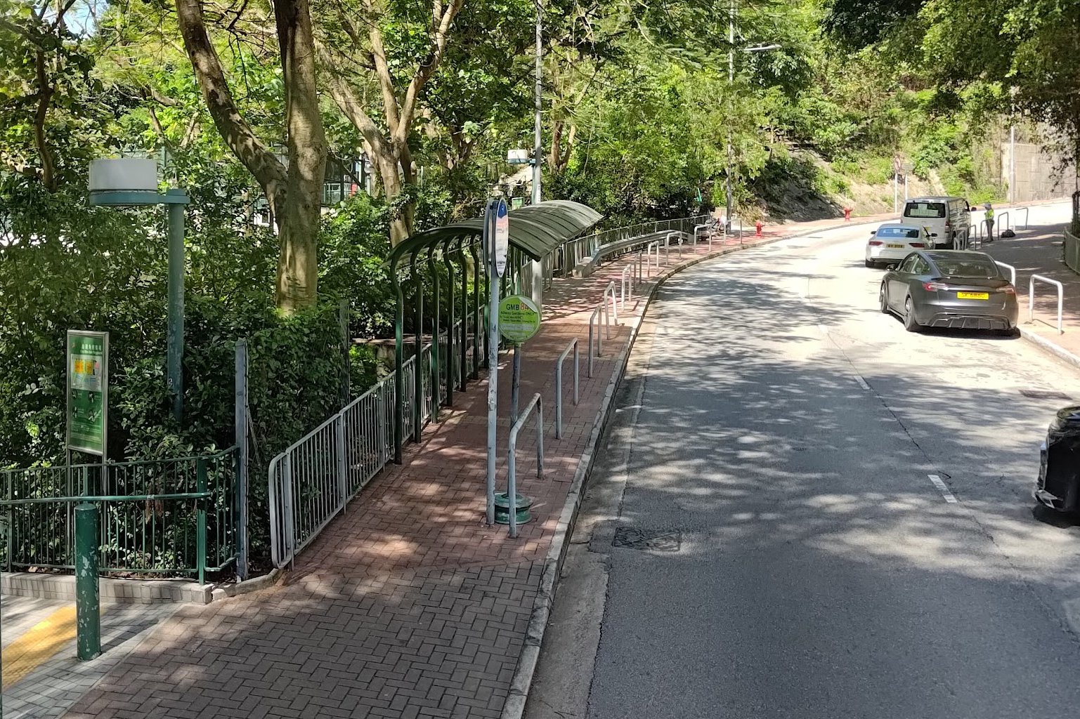
You'll want to get off at the Tsuen Wan Adventist Hospital (荃灣港安醫院) stop.
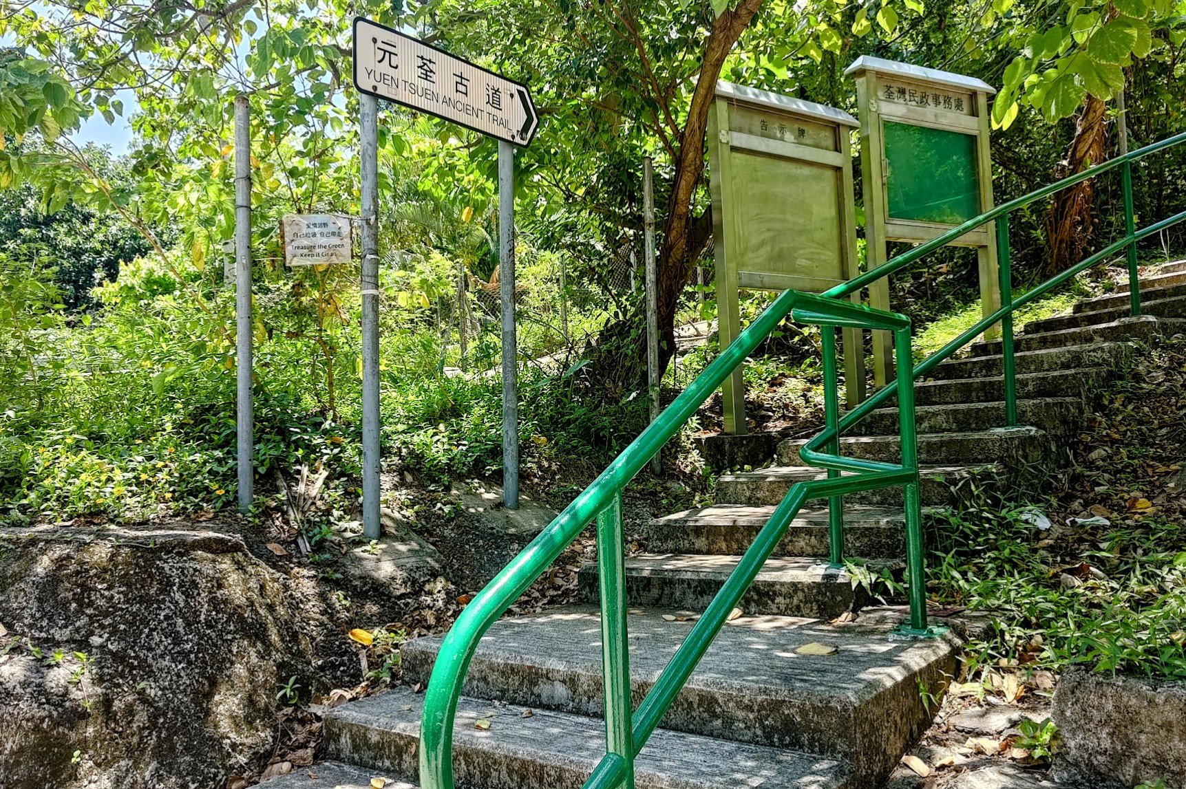
*If you end up at Allway Gardens, it's barely a 5-min walk to the start of the trail. So no big deal if you get off at the last stop. Just head back the way you came until you see the green railings, stairs, and Yuen Tsuen Ancient Trail sign.
Quick Ha Fa Shan Route Summary
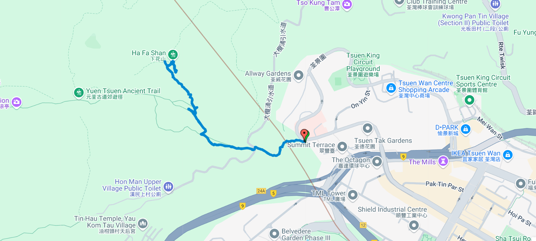
- Take the 39M or the 84 Green Minibus to Tsuen Wan Adventist Hospital from Exit A4 of Tsuen Wan MTR Station
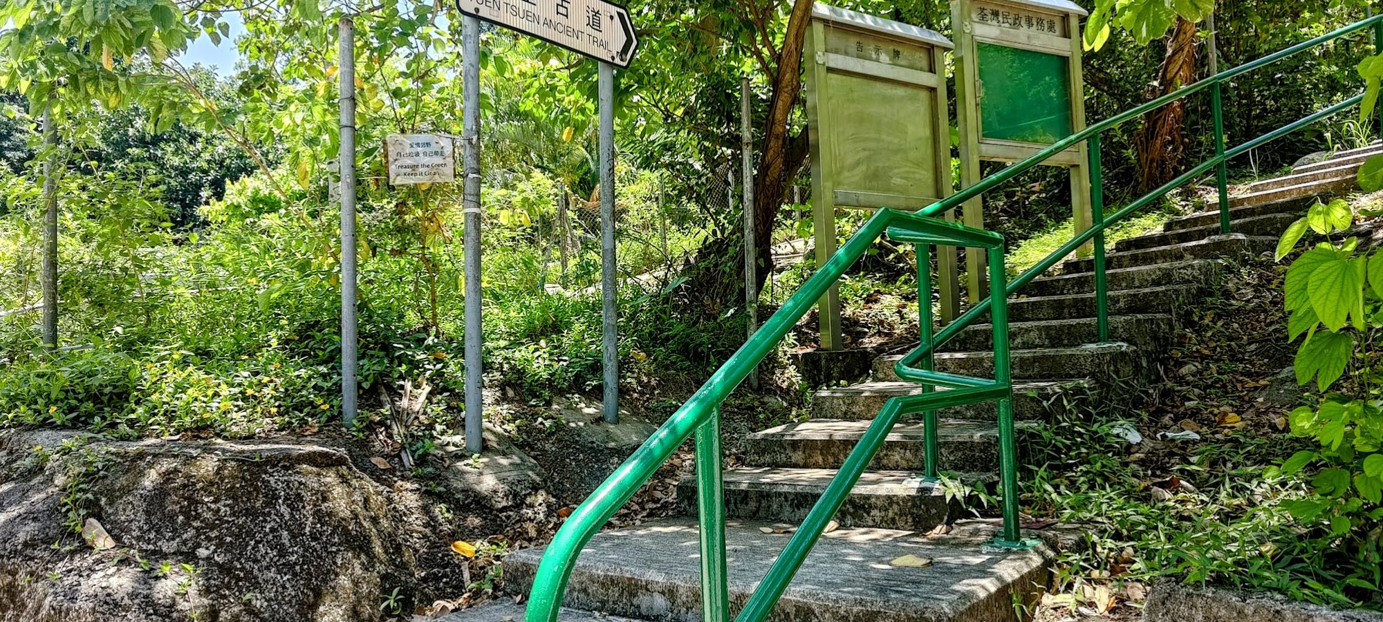
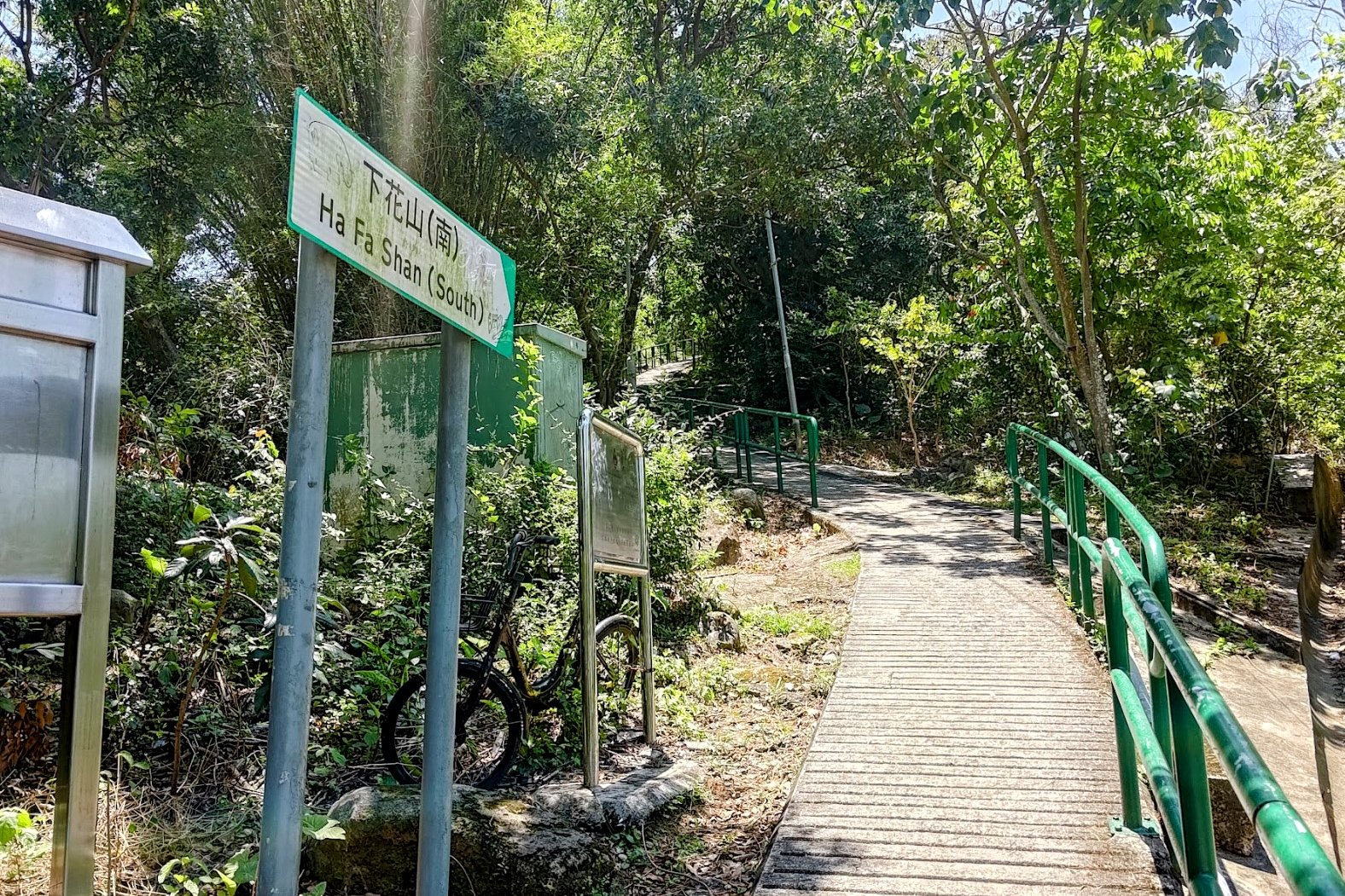
- Walk forward from the bus stop to the green railing, stairs and Yuen Tsuen Ancient Trail sign. Begin climbing
- You will pass signs for Ha Fa Shan and the Yuen Tsuen Ancient Trail. Keep following them and continue climbing upwards
- About 15 mins later, there will be a fork in the trail. Follow the brown Yuen Tsuen Ancient Trail sign to the right so that you keep climbing. Ignore the flat path
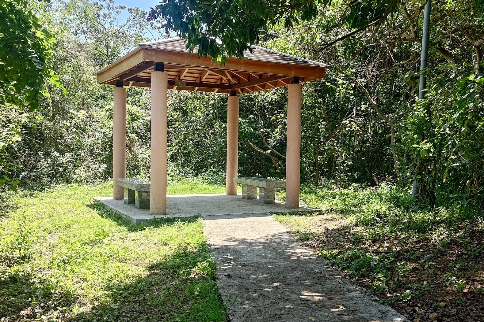
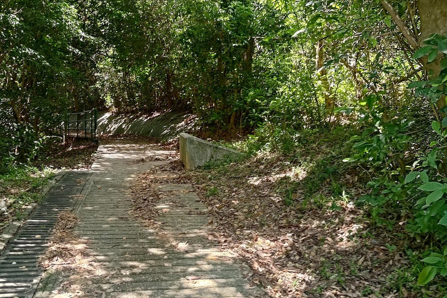
- Keep following the trail until you see a small brown pavilion on your left
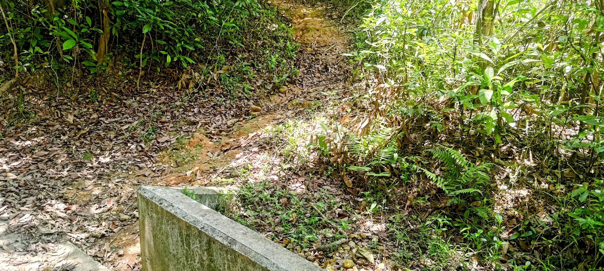
- Just ahead of the pavilion, you will see an unmarked dirt trail heading upward on your right. The trail is beside a knee-height concrete wall thing
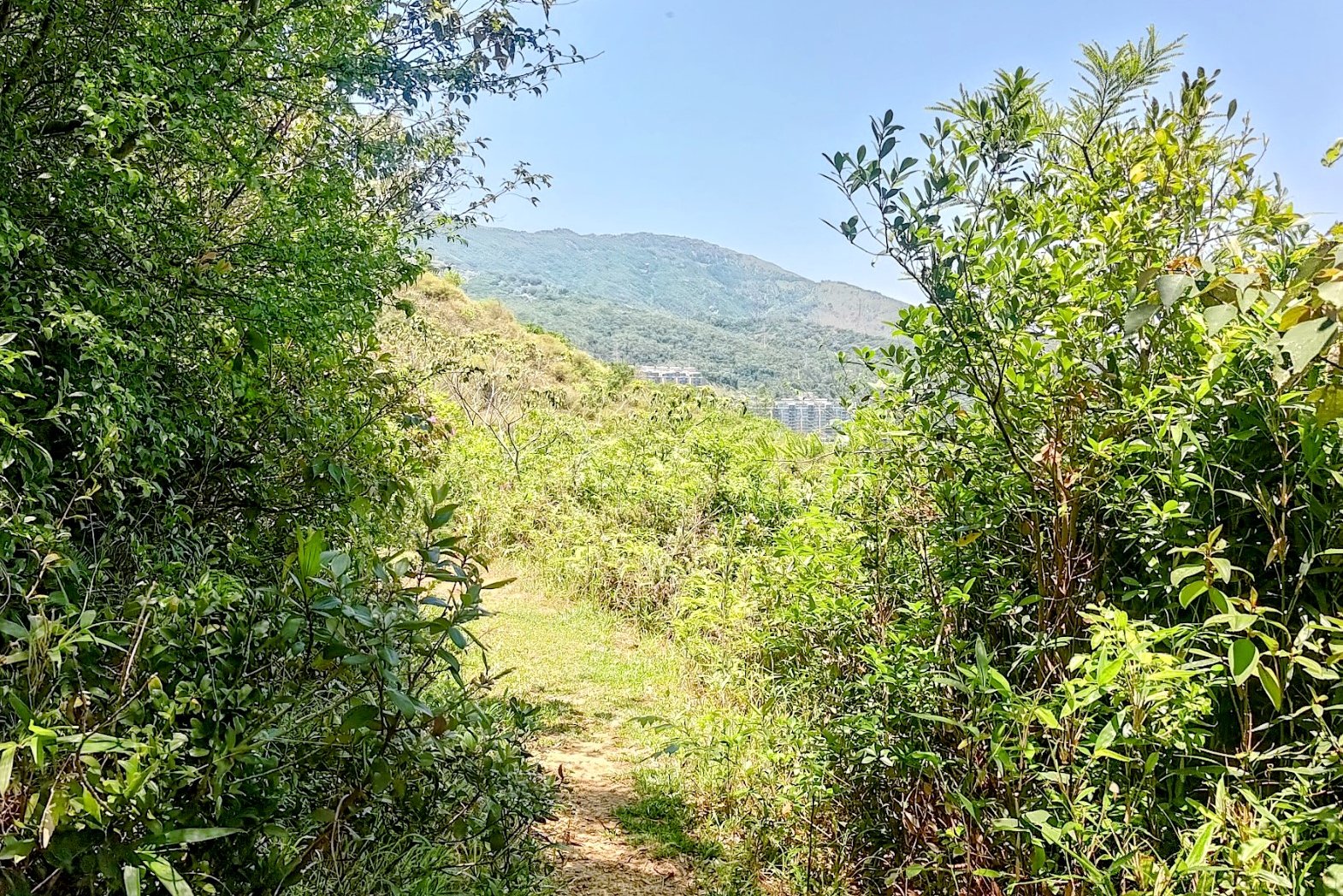
- Begin climbing up the rough path. Keep an eye out for a little detour on the right with some great views
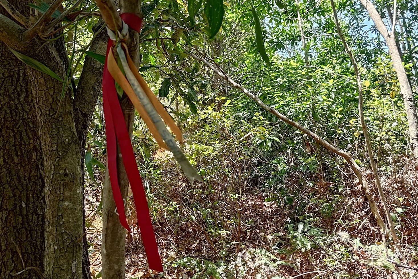
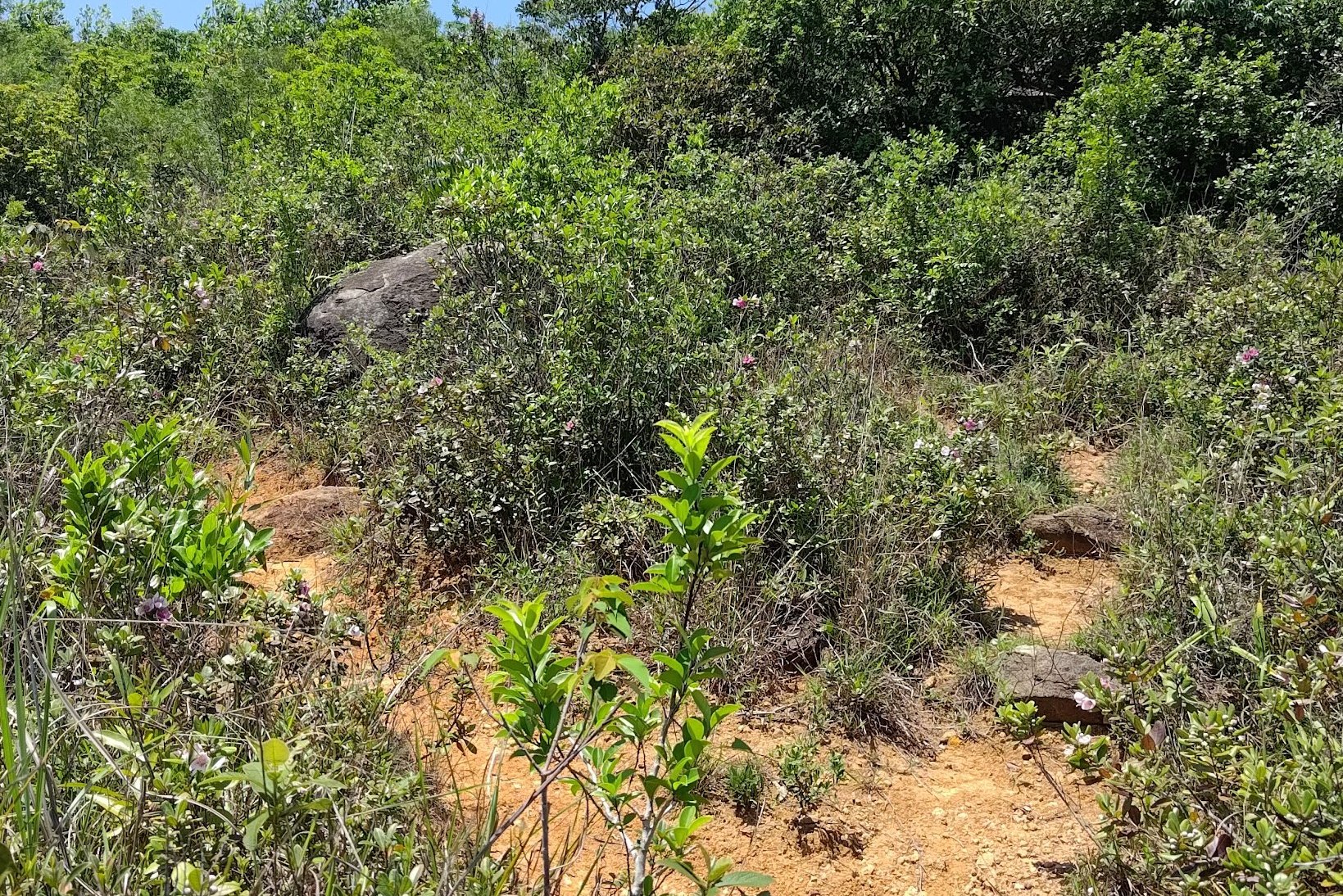
- Ribbons mark the way as you keep heading upwards. There isn't really a "correct" way up. Just pick the paths that are the clearest and easiest to follow
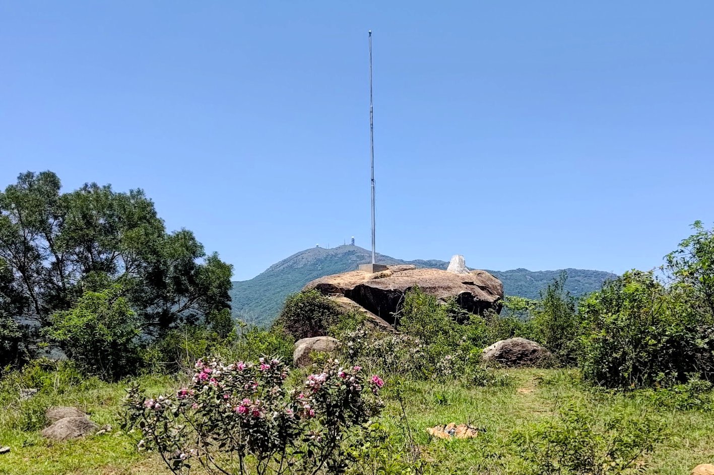
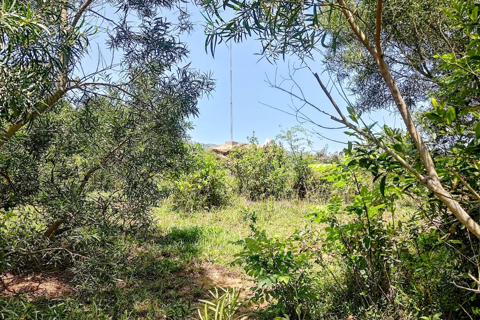
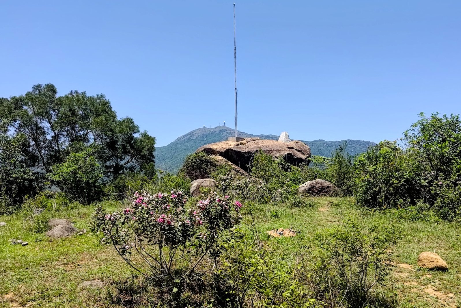
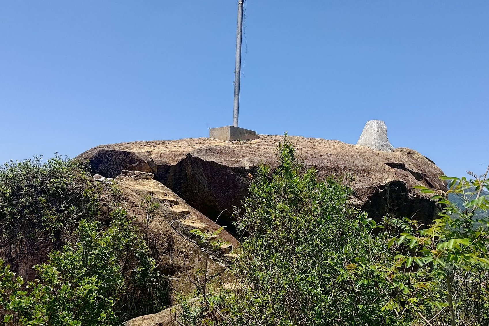
- You will see a flagpost mounted on a rock when you're at the summit
- Explore the summit of Ha Fa Shan and suss out the best views. Return back the way you came when you're done
Follow the Yuen Tsuen Trail for 20 Mins
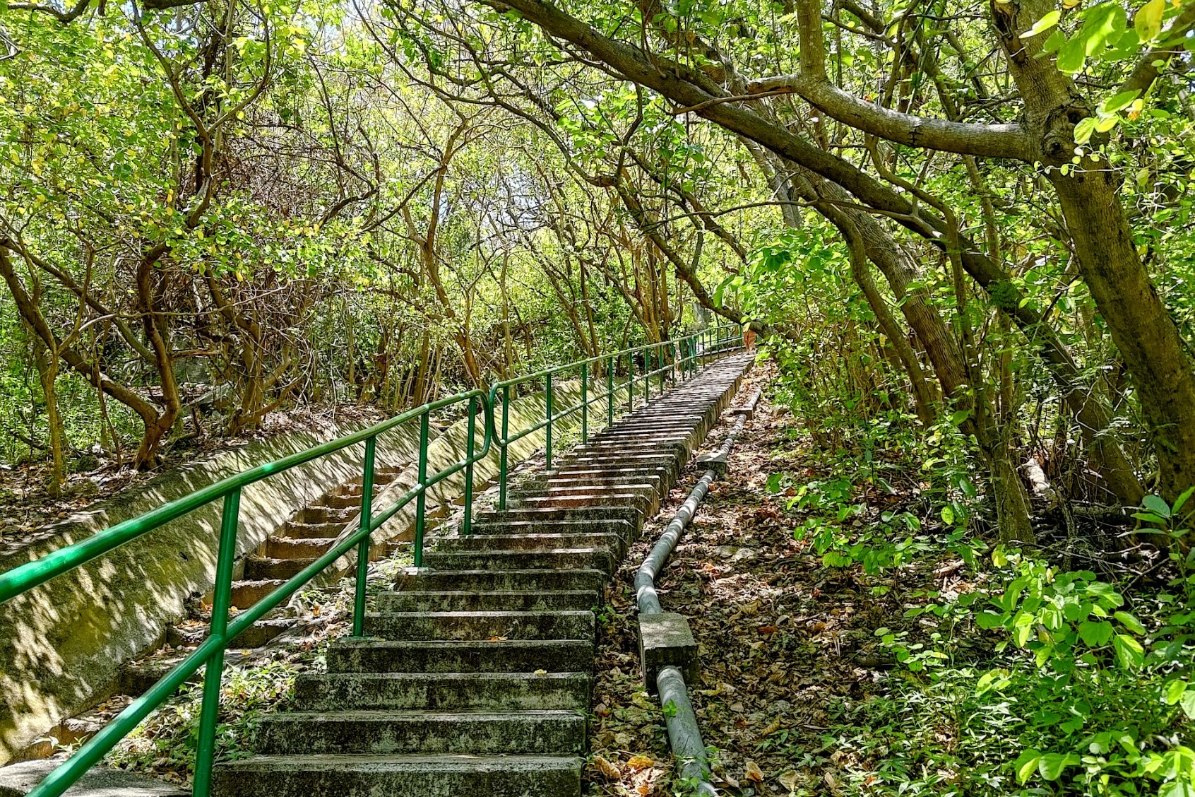
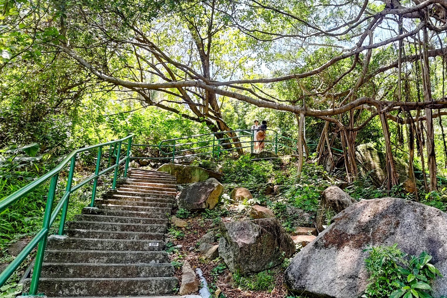
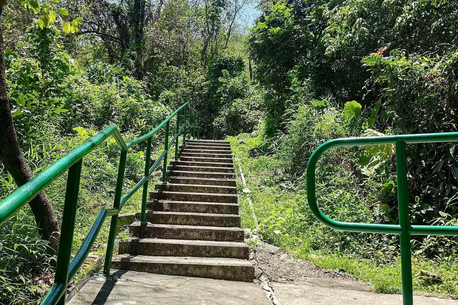
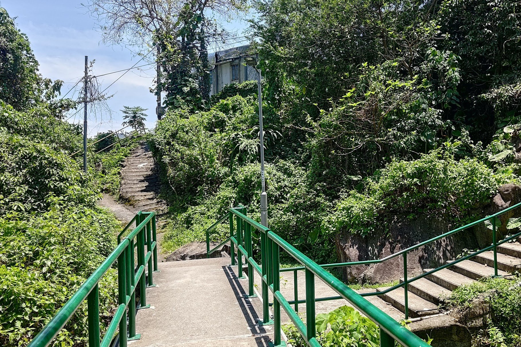
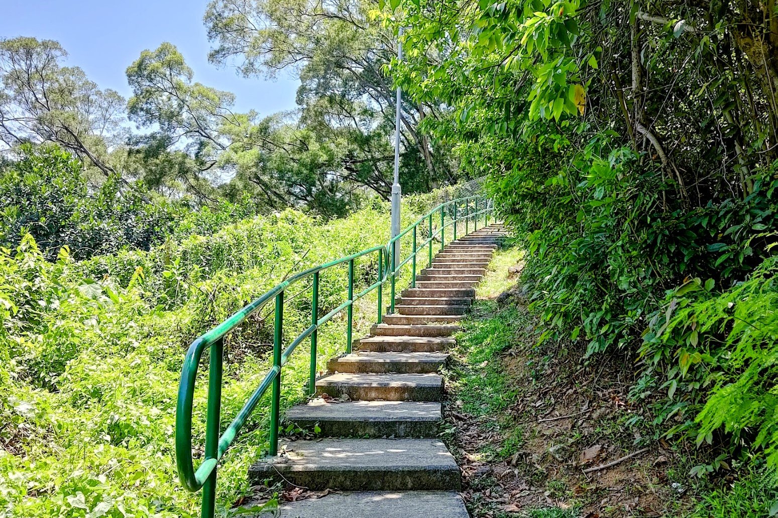

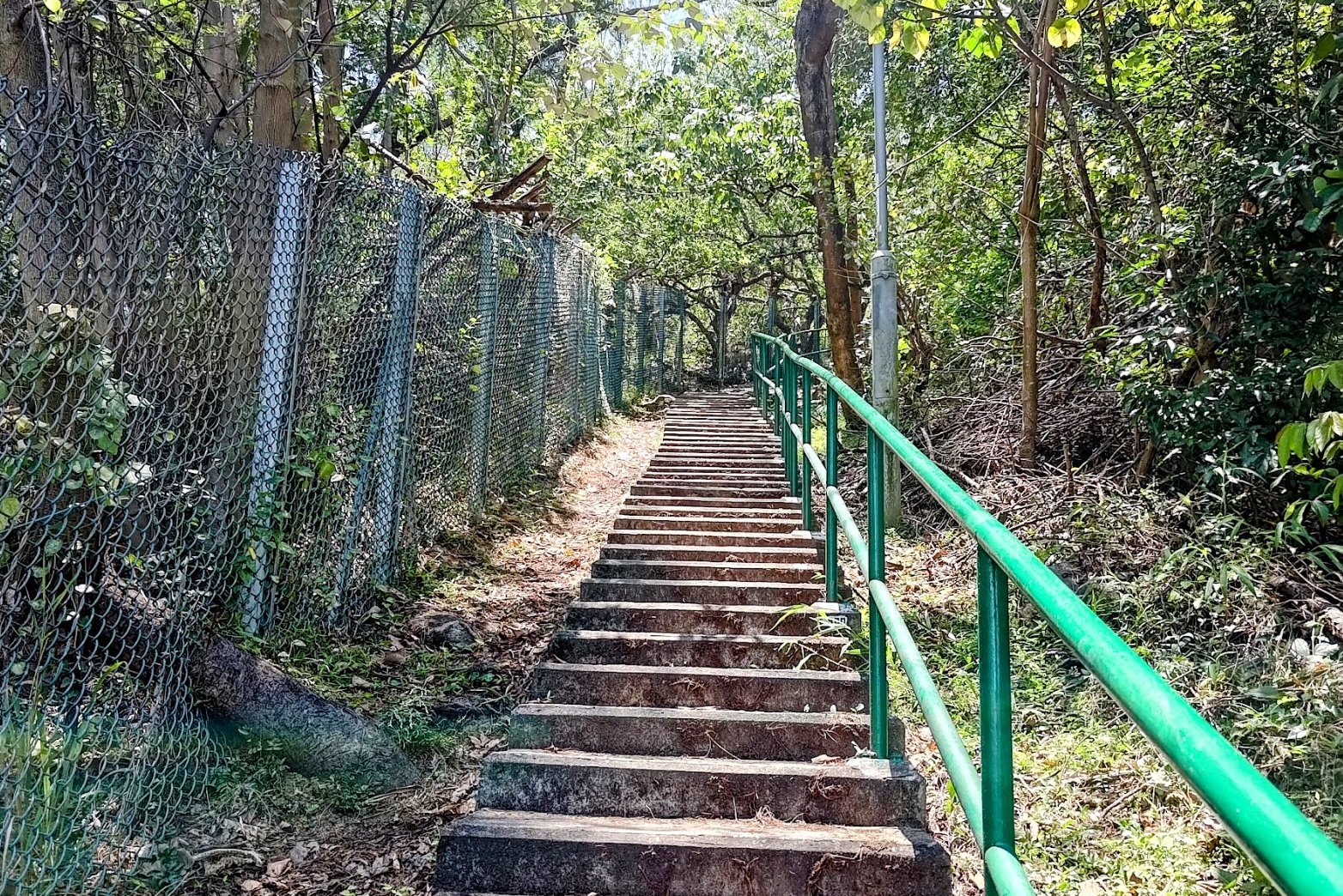
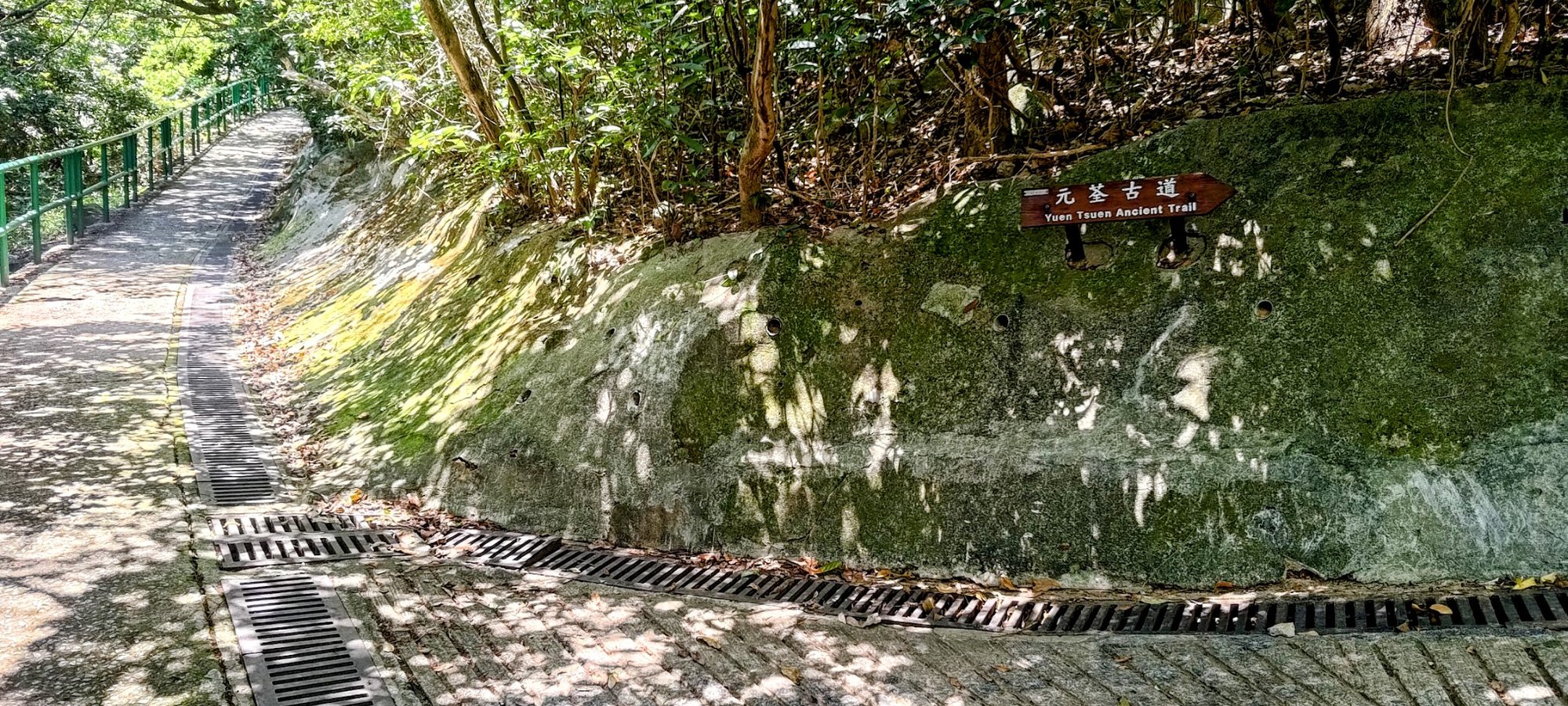
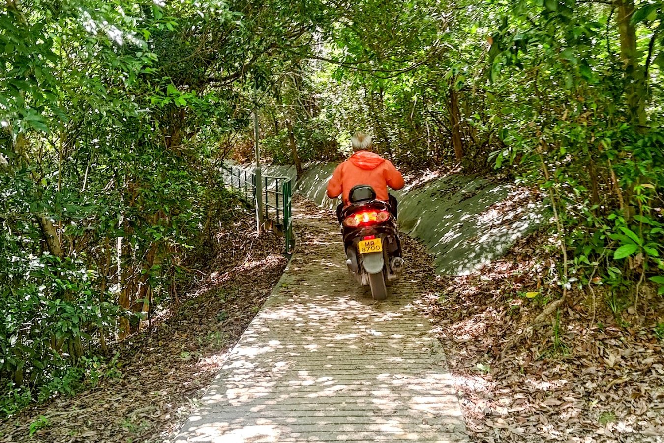
It takes about 20 minutes at a decent pace to get to the Ha Fa Shan fork. Since this hike is part of the Yuen Tsuen Ancient Trail, you'll see signs for that trail as well as Ha Fa Shan as you climb.
There are not many places to get lost on this uphill section. Just be sure not to miss the unmarked path on your right after the pavilion. If you miss it, you'll skip Ha Fa Shan entirely, and begin the Yuen Tsuen Ancient Trail, instead.
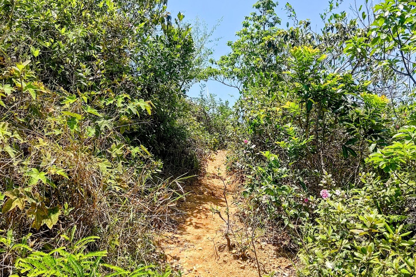
The 10-min Climb to Ha Fa Shan's Summit


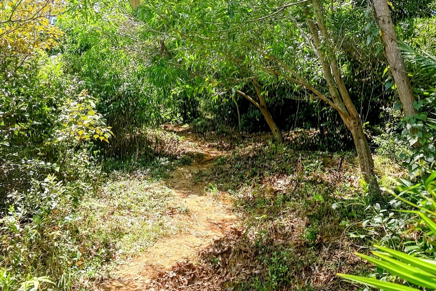
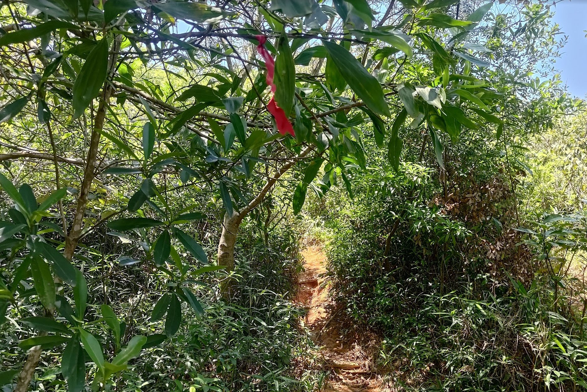
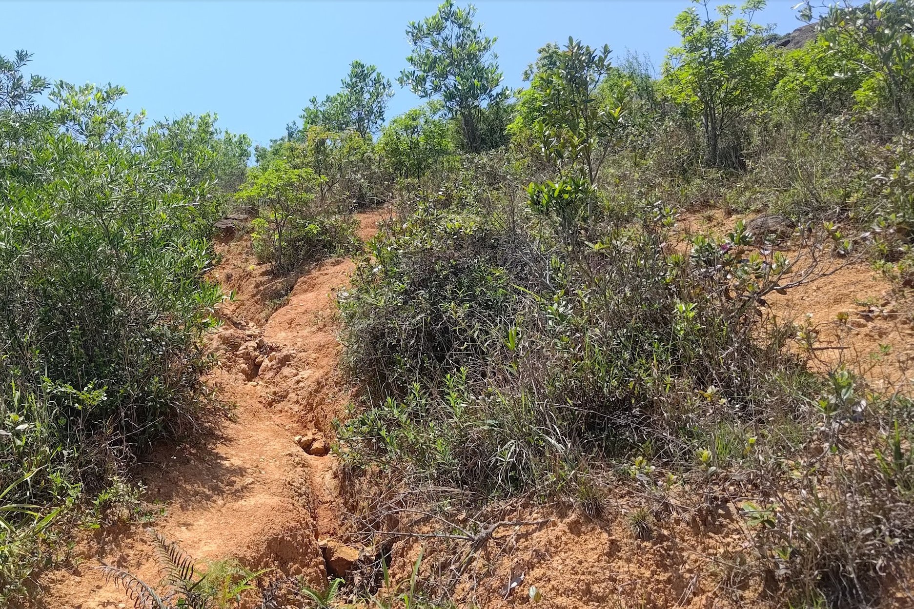
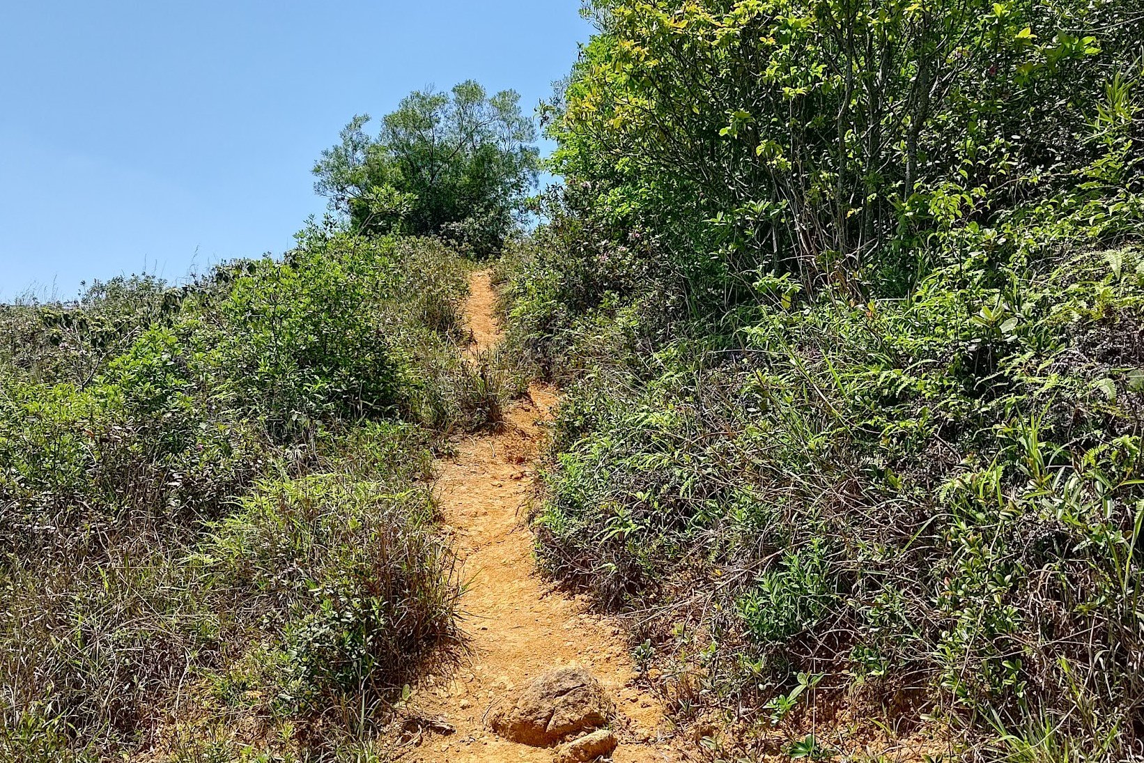
This section of climbing feels more like a fun hiking adventure than all the stairs and concrete of the previous section. You'll essentially follow dirt paths all the way to the summit.
There isn't really a "correct" path as long as you keep going upwards. You'll know you've arrived at the summit of Ha Fa Shan when you see the large flagpost in front of you.
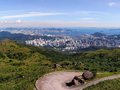
Ha Fa Shan Summit Views

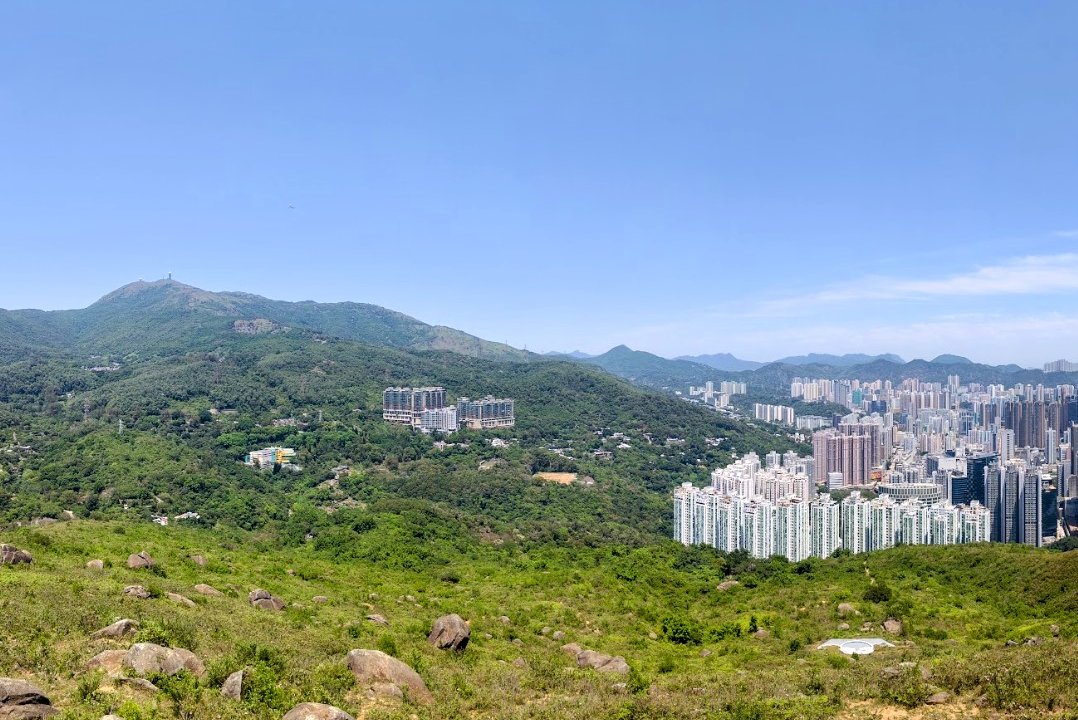

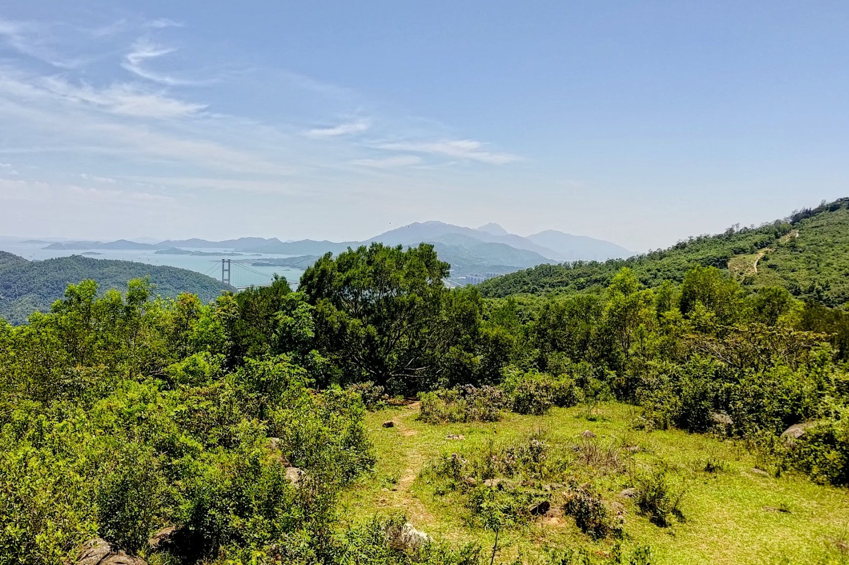
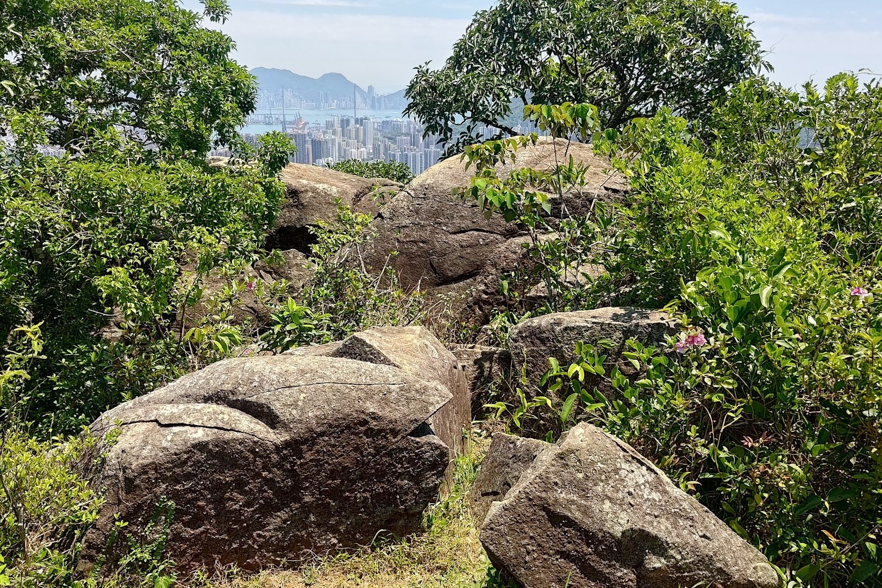


It's so worth the 30ish-minute climb to Ha Fa Shan's summit to check out these incredible views. There are several spots that offer awesome vantage points at the summit and near it, so spend a little time exploring.
If you hike on a clear day, you'll be able to see Tai Mo Shan (Hong Kong's tallest mountain), Tsuen Wan, Tsing Yi, Kowloon, Hong Kong Island, and even Lantau to the right!
Getting Back
Retrace your steps back down to the bus stop. You can take the 39M bus or the 84 Green Minibus back to Tsuen Wan MTR Station.
You might need to walk up to Allway Garden to catch the bus back to Tsuen Wan. Allway Gardens is just a few mins away from the start of the trail. It's located here.

