
Buffalo Hill and West Buffalo Hill Hike: Tough Climbs, Wild Mountain Views, and Treacherous Terrain
Contents
- Essential Information
- Hike Highlights
- Google Route Map and GPX
- How to Get There
- Quick Route Summary
- Fa Sam Hang Village to the Trail
- Trail Start to Shek Nga Pui Clearing
- Shek Nga Pui Clearing to the Detour
- Stone Window Detour
- Final Ascent to West Buffalo Hill Summit
- West Buffalo Hill Summit Views
- Getting to Buffalo Hill Summit
- Dangerous Downhill to Buffalo Pass
- Final Descent to the Bus Stop
- Getting Back
Essential Buffalo Hill Hike Details
- District: New Territories
- Duration: 4 hours
- Distance: 8 km
- Highest Elevation: 606 meters
- Difficulty: 4/5
- Facilities: None. Use the toilet and stock up on plenty of water beforehand.
Why Hike Buffalo Hill?
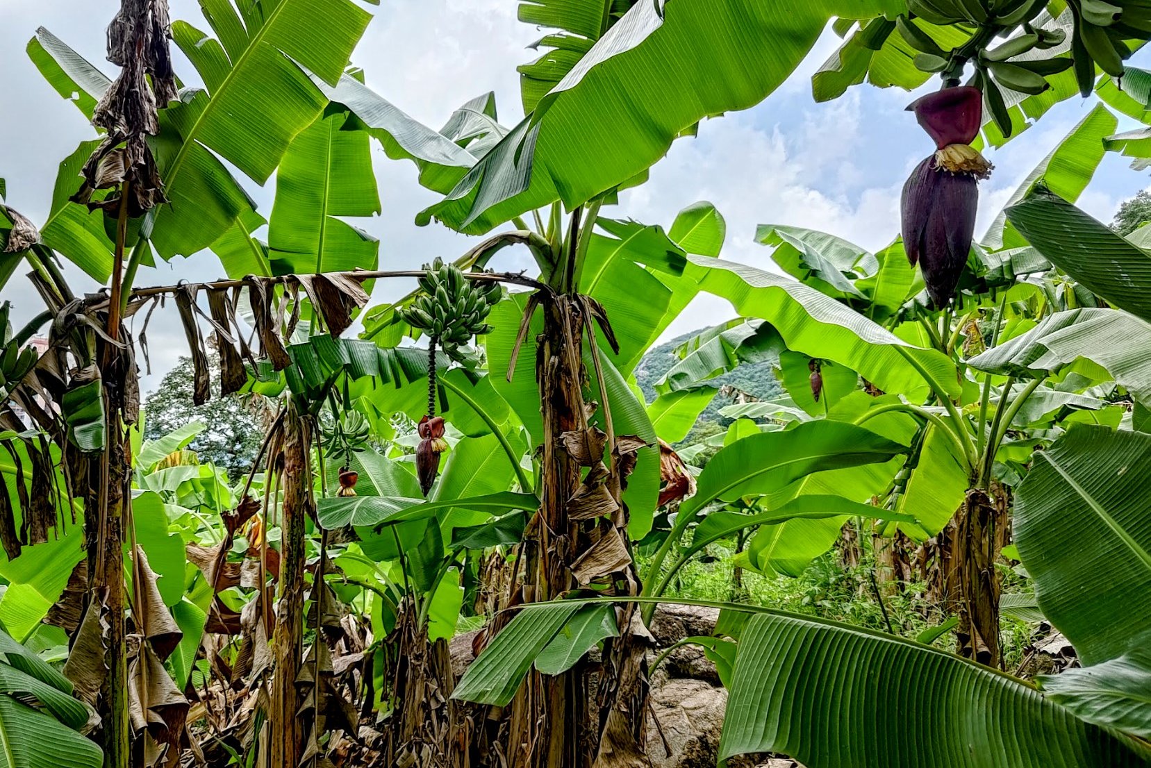
Buffalo Hill (水牛山), standing at 606 meters in height, is one of the more elusive and remarkable peaks in Hong Kong’s Ma On Shan Country Park. While the nearby Ma On Shan hike attracts more visitors, Buffalo Hill offers a quieter, less-traveled alternative for those seeking solitude amidst nature. The hill is notable for its peak resembling a buffalo’s head when viewed from Sha Tin.
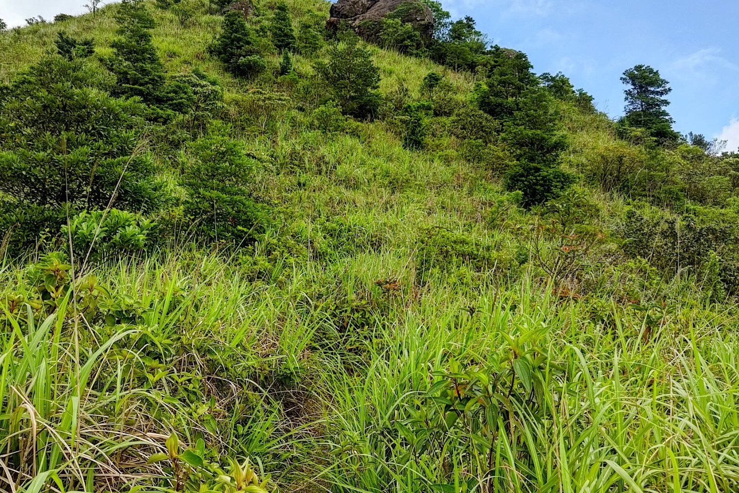
Much of the hike’s climbs are in forested areas that provide shade, but because of how exposed and technical certain sections of the descent are, this isn’t a great summertime option. It should also be noted that there are a multitude of overlapping trails, meaning that there are several routes to the summit. This guide presents just one option.
There are actually two summits, West Buffalo Hill and Buffalo Hill. From both, hikers are rewarded with breathtaking 360-degree panoramic views, including expansive vistas over the Sai Kung Peninsula, Sha Tin, Tai Po, and Ma On Shan Country Park.
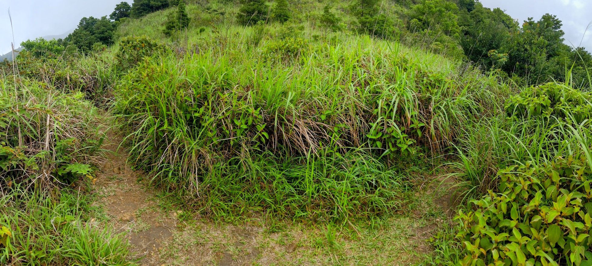
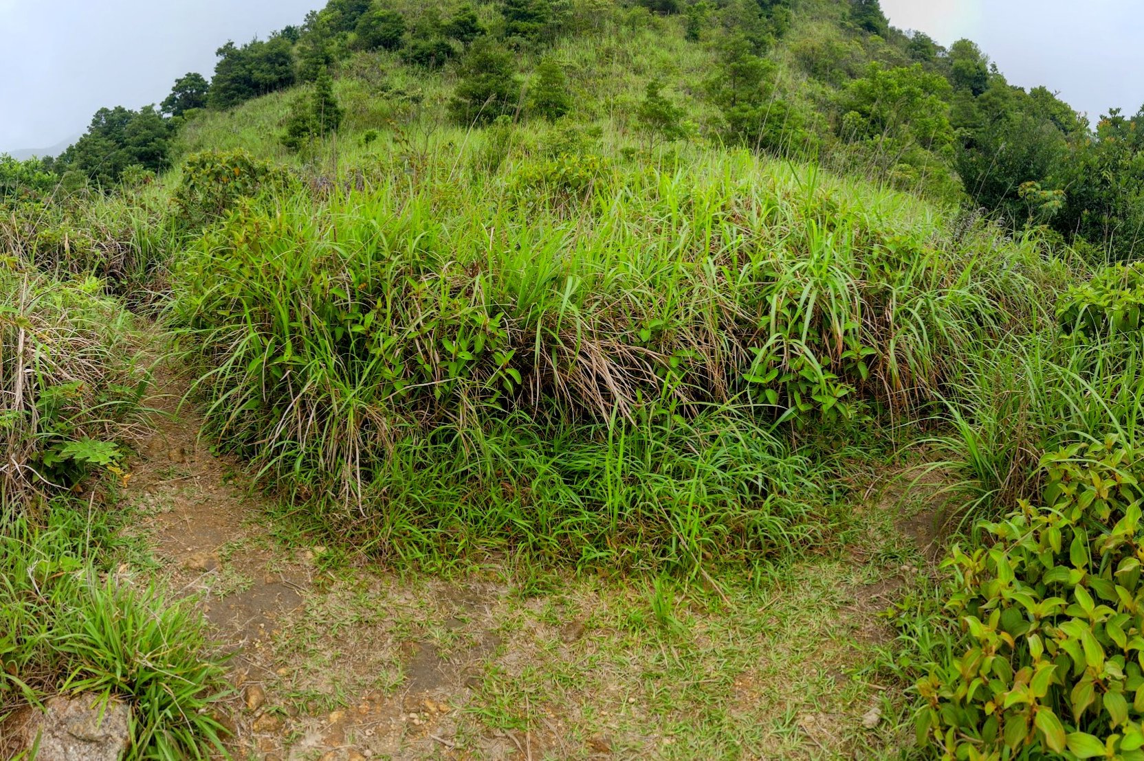
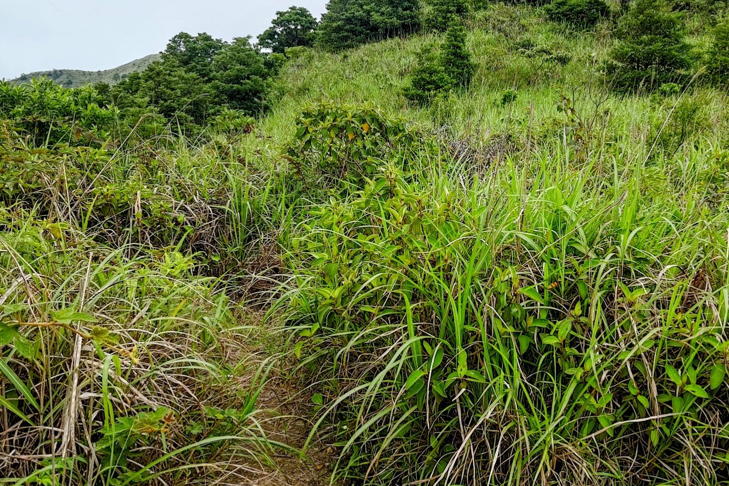
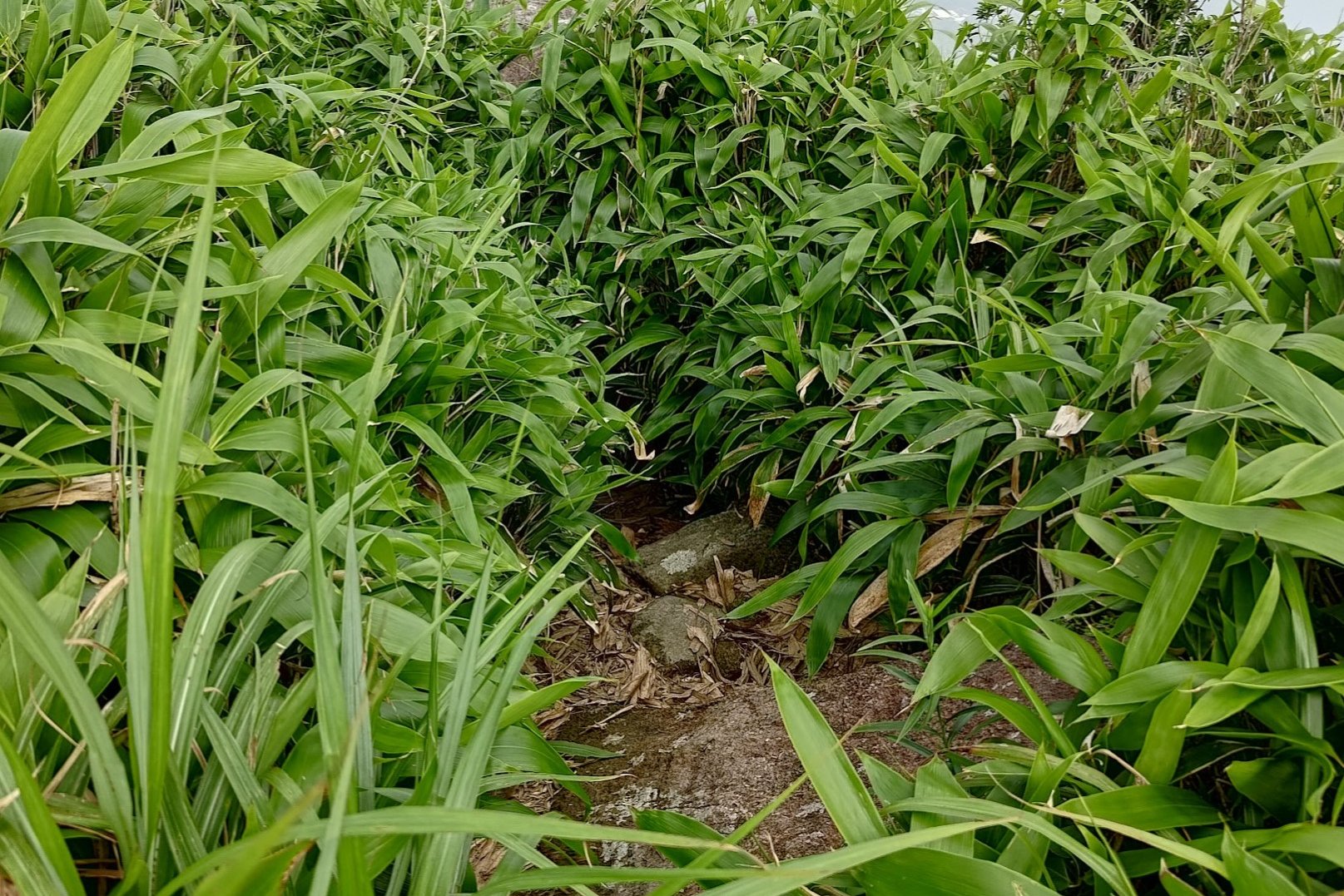
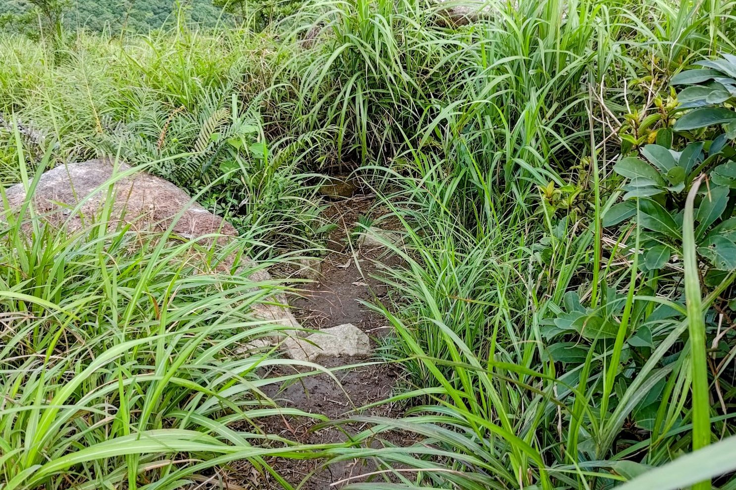
Trail conditions on Buffalo Hill can be challenging. Some parts require scrambling over rocks and navigating uneven, sometimes slippery terrain. Sections of the trail are overgrown with tall grass that can obscure the path, making navigation quite difficult. The trail is poorly marked in some areas, increasing the risk of losing the way. Given the remoteness and technical nature of parts of the hike, it is safest to travel with a group and inform others about your planned route and expected return time.
*Pak Sha Wan and Hebe Haven are the same place. They will be used interchangeably in this hiking guide.

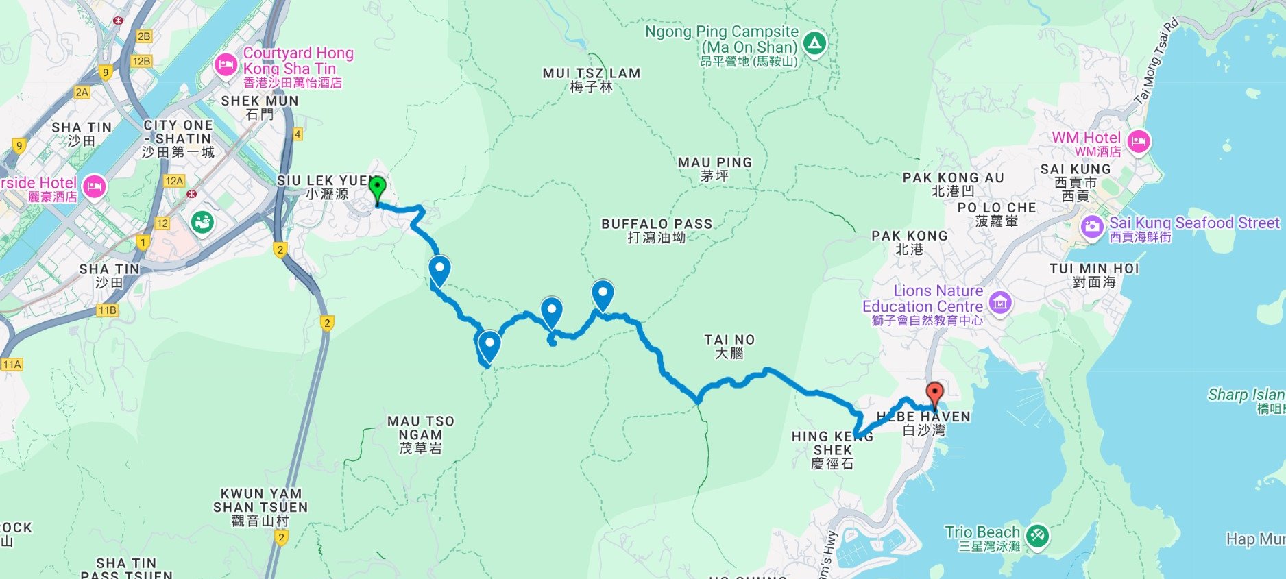
Buffalo Hill Google Route Map and GPX
*Click the box icon in the top right of the map below to load the blue route directly into your own Google Maps. You can then see your location relative to the trail in real time!
How to get to the Buffalo Hill Hike Start Point
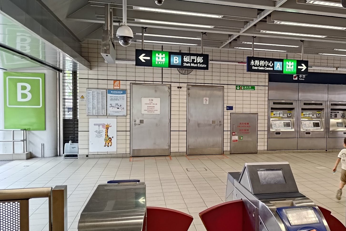


- Take the MTR
Board the East Rail Line and alight at Shek Mun Station. - Exit the Station
Leave Shek Mun Station through Exit B. - Cross the Street
Directly after exiting, cross the street immediately in front of Exit B. - Locate the 65M Minibus
Once across, turn left and look for the green 65M minibus stop. - Ride to Wong Nai Tau Village
Board the 65M minibus and travel to the final stop at Wong Nai Tau Village. - Begin Your Hike
The hike up Buffalo Hill starts from the bus terminus at Wong Nai Tau Village.
Quick Buffalo Hill Route Summary
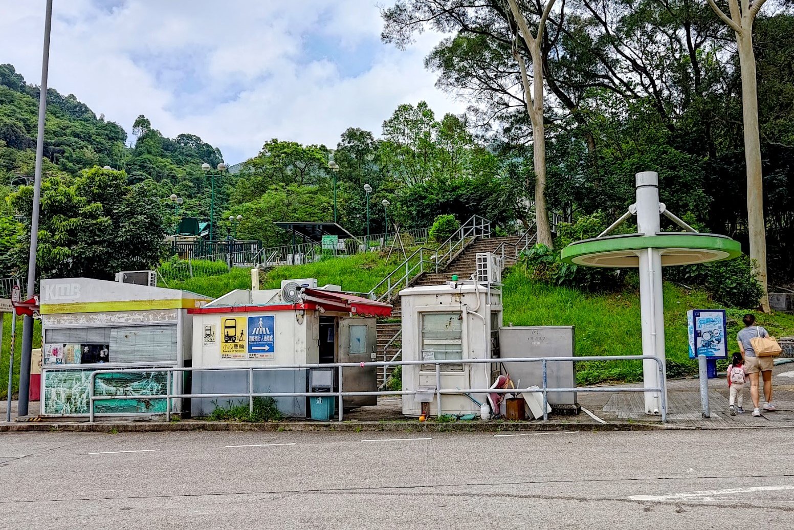
Starting Point: Wong Nai Tau Village
- Arrive at Wong Nai Tau Village by taking the 65M minibus from Shek Mun MTR (Exit B) to the final terminus.
- Take the stairs immediately beside the bus terminus.
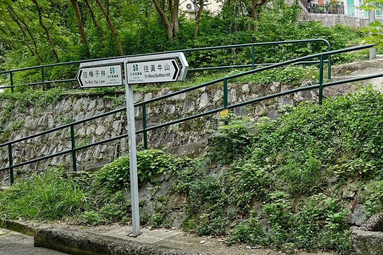
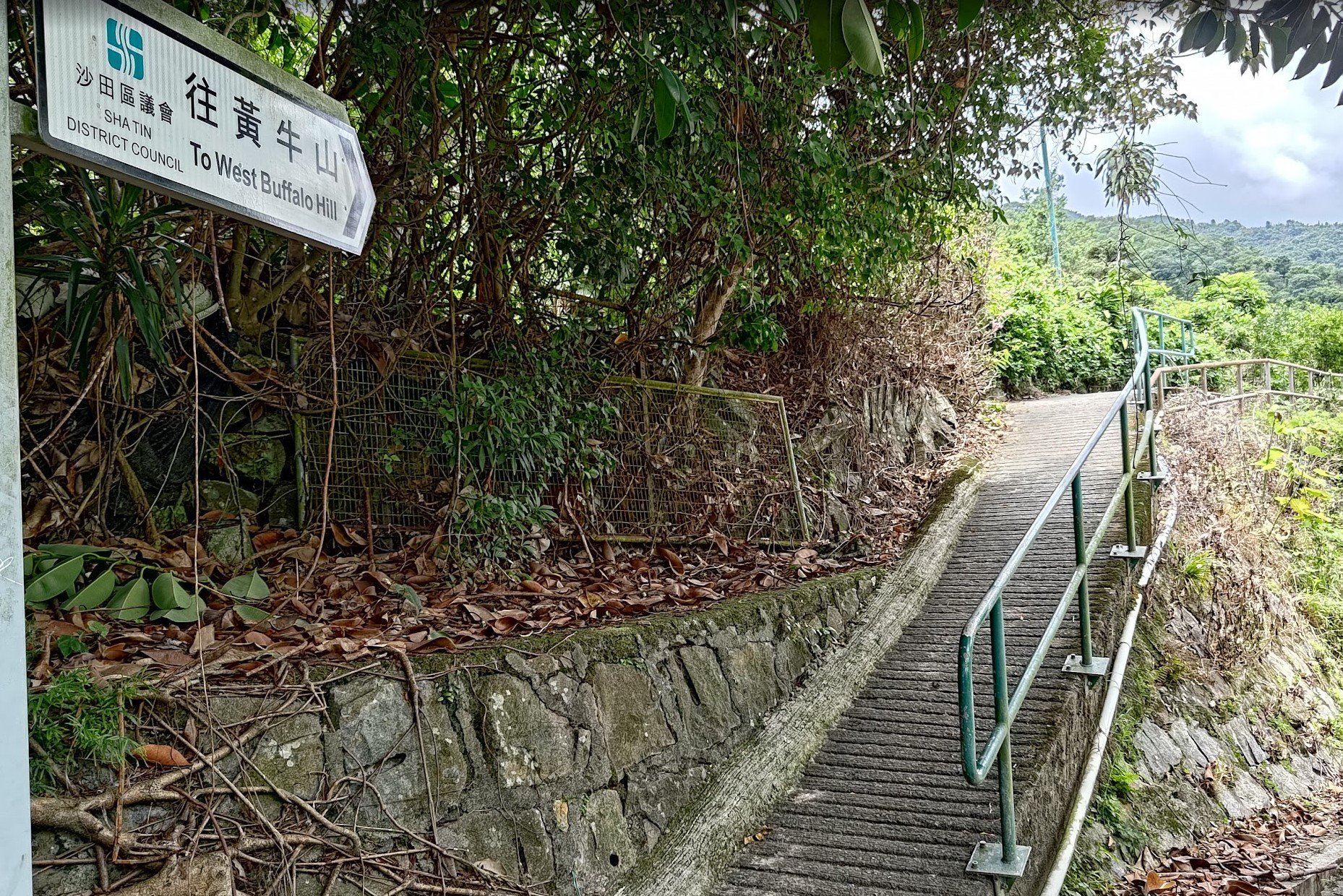
- Follow the sign for West Buffalo Hill to start your ascent.
Through Fa Sam Hang Village
- You’ll walk along a concrete road, passing through the small Fa Sam Hang village.
- Near the end of the village, watch for another sign to West Buffalo Hill. It marks a concrete path that rises uphill.
- Take this inclined concrete trail through increasingly lush greenery until you reach a forested area.
Ascending to the Ridge
- Soon, you’ll arrive at a section with stairs leading up.
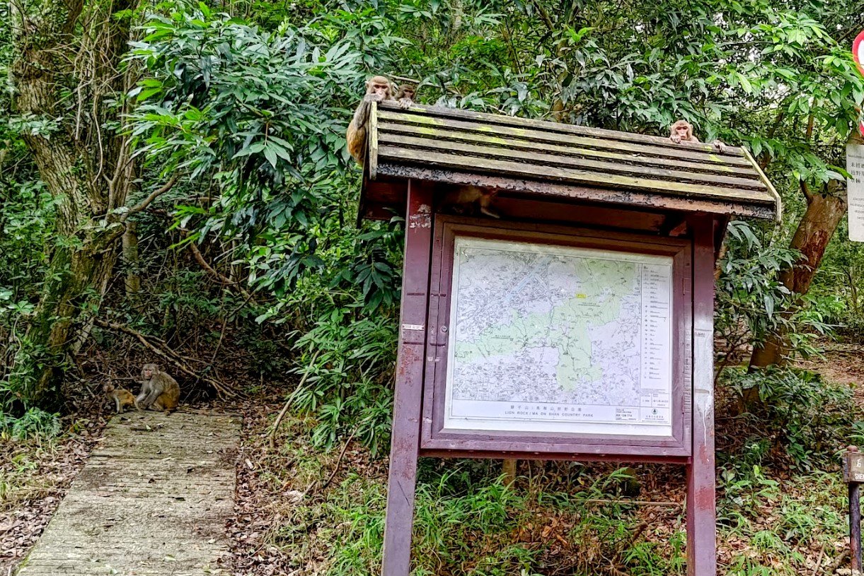
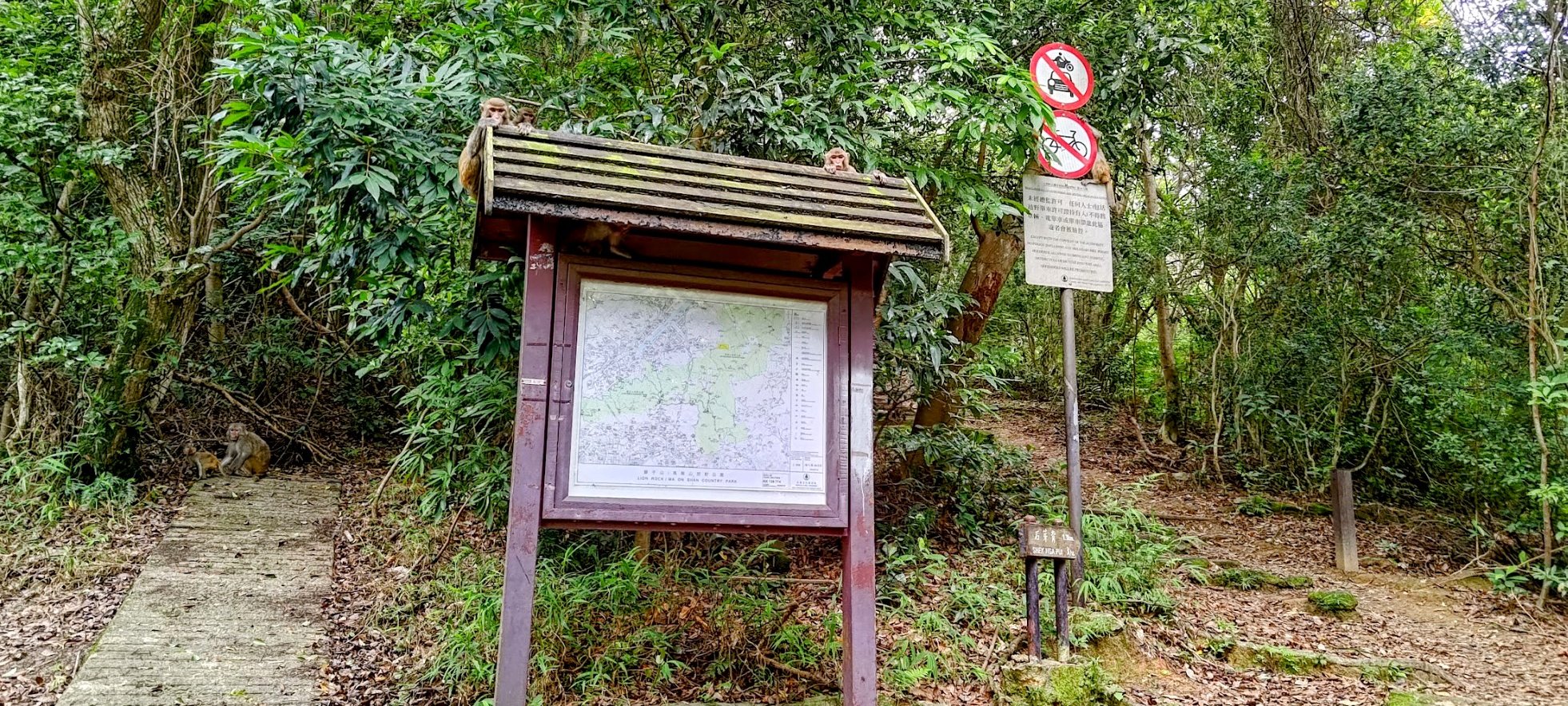
- The stairs finish at a wooden signboard with a trail map. Take the path marked Shek Nga Pui (sign is on the right).
- Continue on these stairs and follow the forested trail for about 30 minutes.
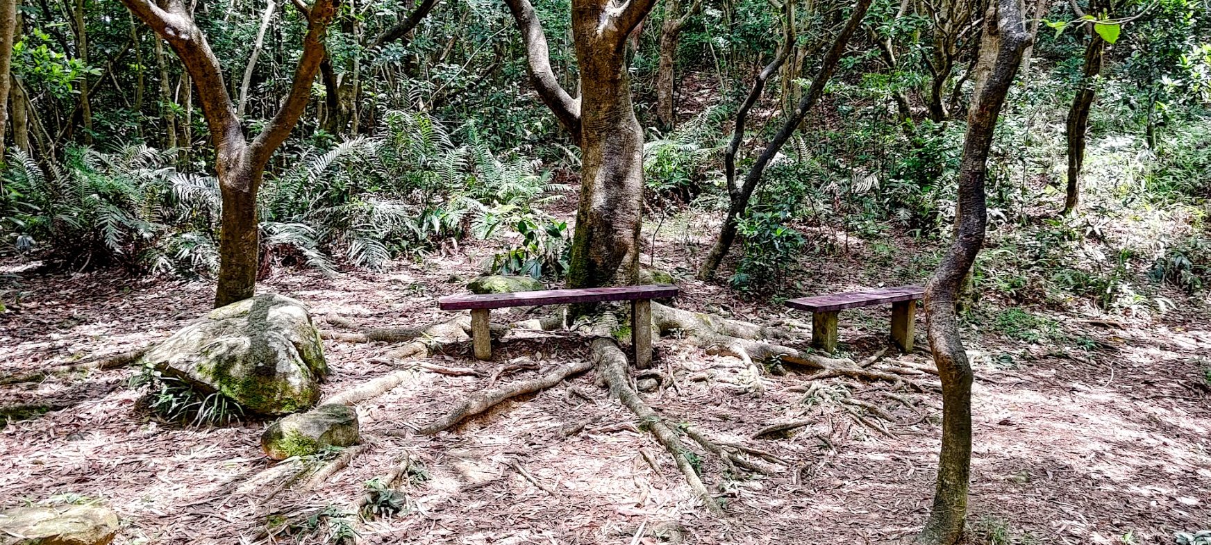
- You’ll reach the Shek Nga Pui clearing, a small open space with wooden benches.
Climbing West Buffalo Hill + Optional Detour
- At the clearing, take the path to the left.
- You’ll soon find stone steps—keep climbing toward the summit.
- After about another 30 minutes of steady ascent, you’ll reach a crossroads.
- Optional: Right turn here leads to a unique viewpoint known as the Stone Window.
- Return to the crossroads and left turn leads you toward the summit.
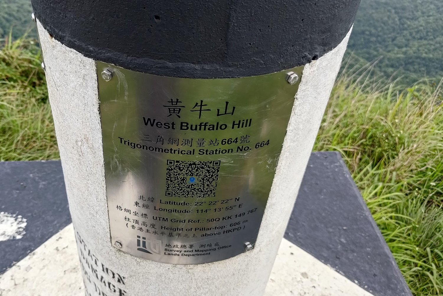
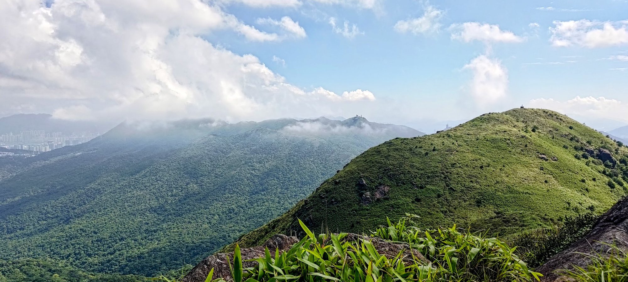
- About 10 minutes further, you’ll reach the main peak of West Buffalo Hill—look for the black and white trigonometrical station.
Crossing to Buffalo Hill’s Second Peak
- When ready, continue straight along the ridge. The walk to Buffalo Hill’s second summit takes about 12 minutes.
Technical Descent to Buffalo Pass
- To begin descending, follow the trail toward a prominent group of rocks.
- Go past the rocks; an overgrown trail appears, heading steeply downward. This “trail” becomes faint and technical—it’s easy to lose, so stay vigilant.
- Look for a flat rock jutting out on the left—a key navigation marker.
- Past this point, continue down a steep, hazardous path to Buffalo Pass. Take extreme caution; this is a dangerous and technical segment.
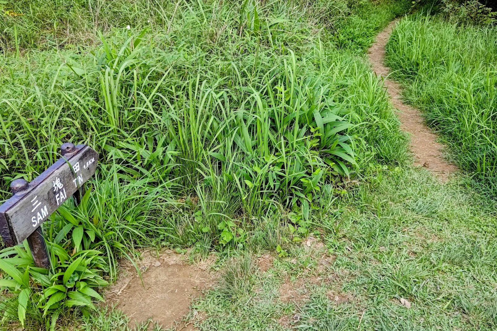
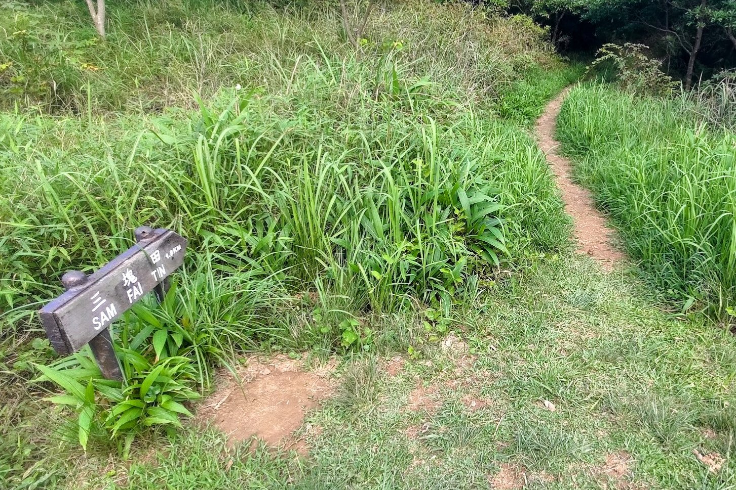
From Buffalo Pass to Sai Kung
- At the bottom, take the signed path to Sam Fai Tin.
- Enter a shadier forested section; the trail then opens up, providing views over Hebe Haven (Pak Sha Wan) in Sai Kung.
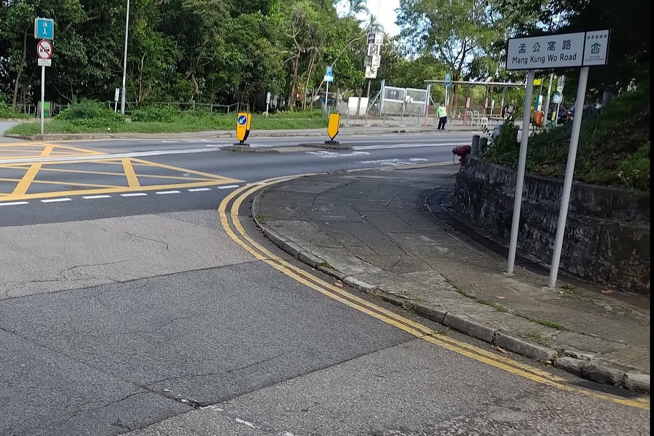
- About 20 minutes after the Sam Fai Tin sign, watch for a brown sign to Pak Sha Wan—follow this.
- The trail gradually descends and eventually turns into Mang Kung Wo Road (concrete).
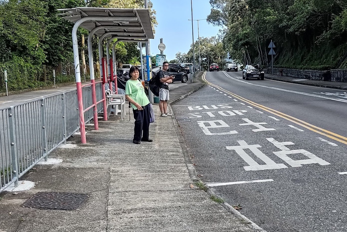
- Continue until you reach Hiram’s Highway, a main road.
Return Options
- To return toward Kowloon/the city: Cross Hiram’s Highway and catch a bus from the opposite side.
- To go into Sai Kung Town: Wait on the same side as you exited; local buses and minibuses frequently run this route.
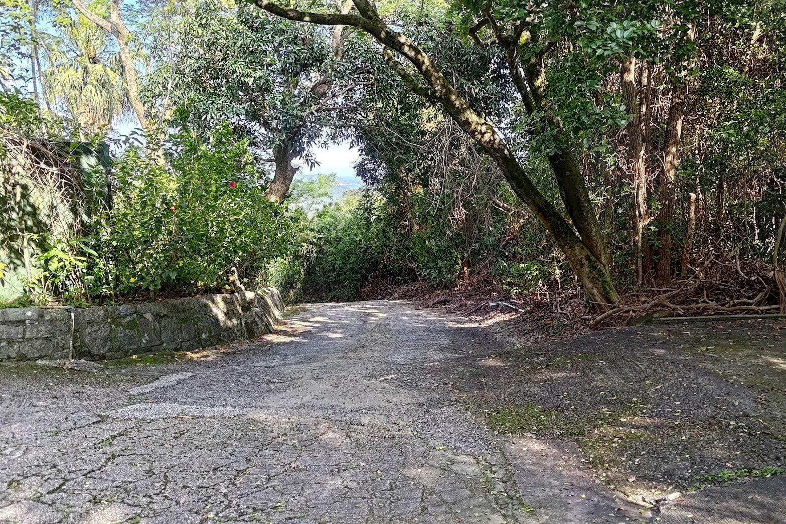
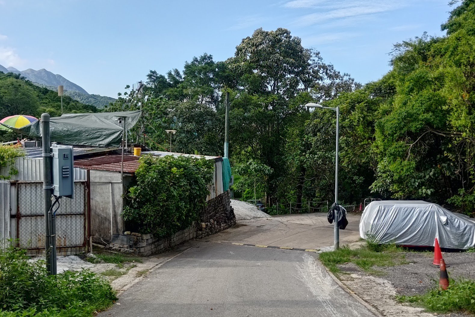
Fa Sam Hang Village to the Trail
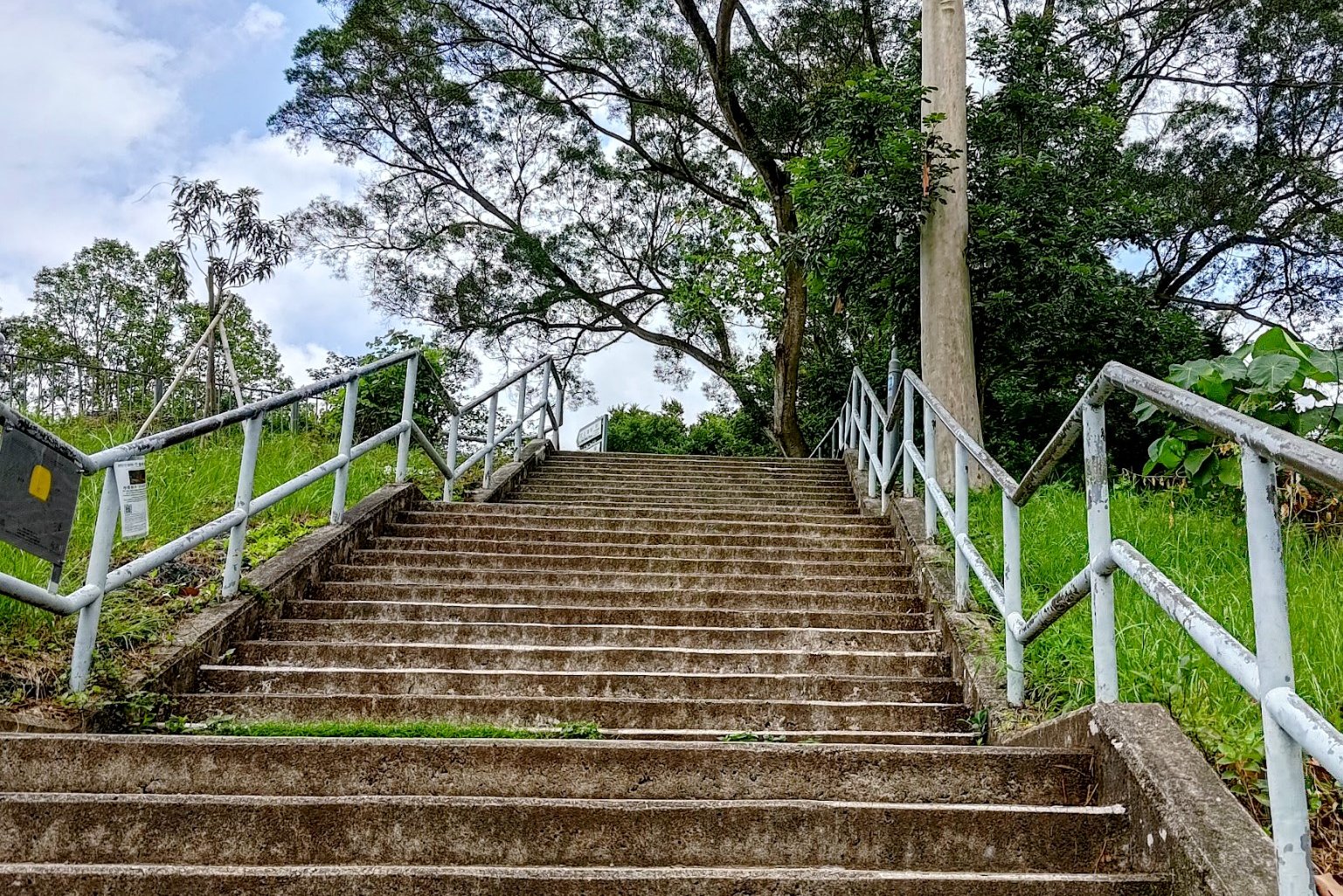
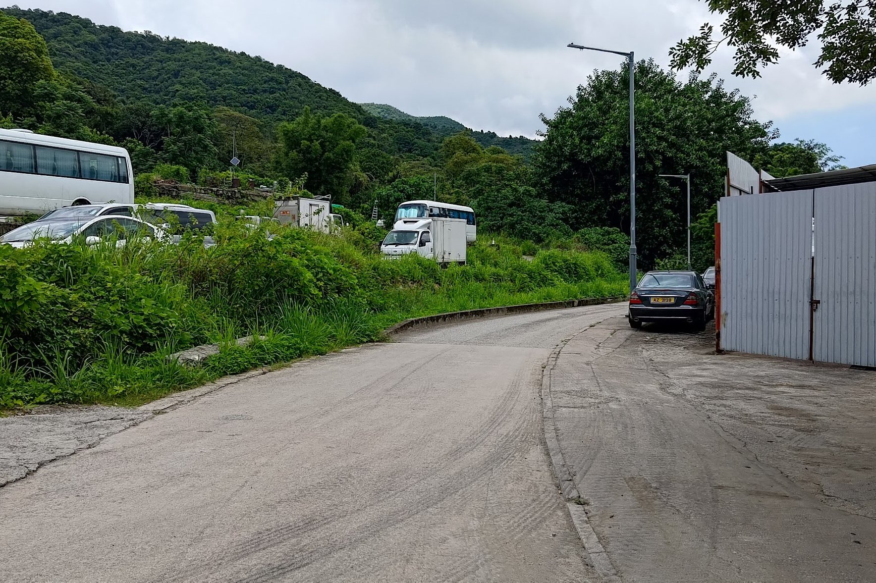
After alighting at the bus terminus, take the stairs behind the trio of kiosks.
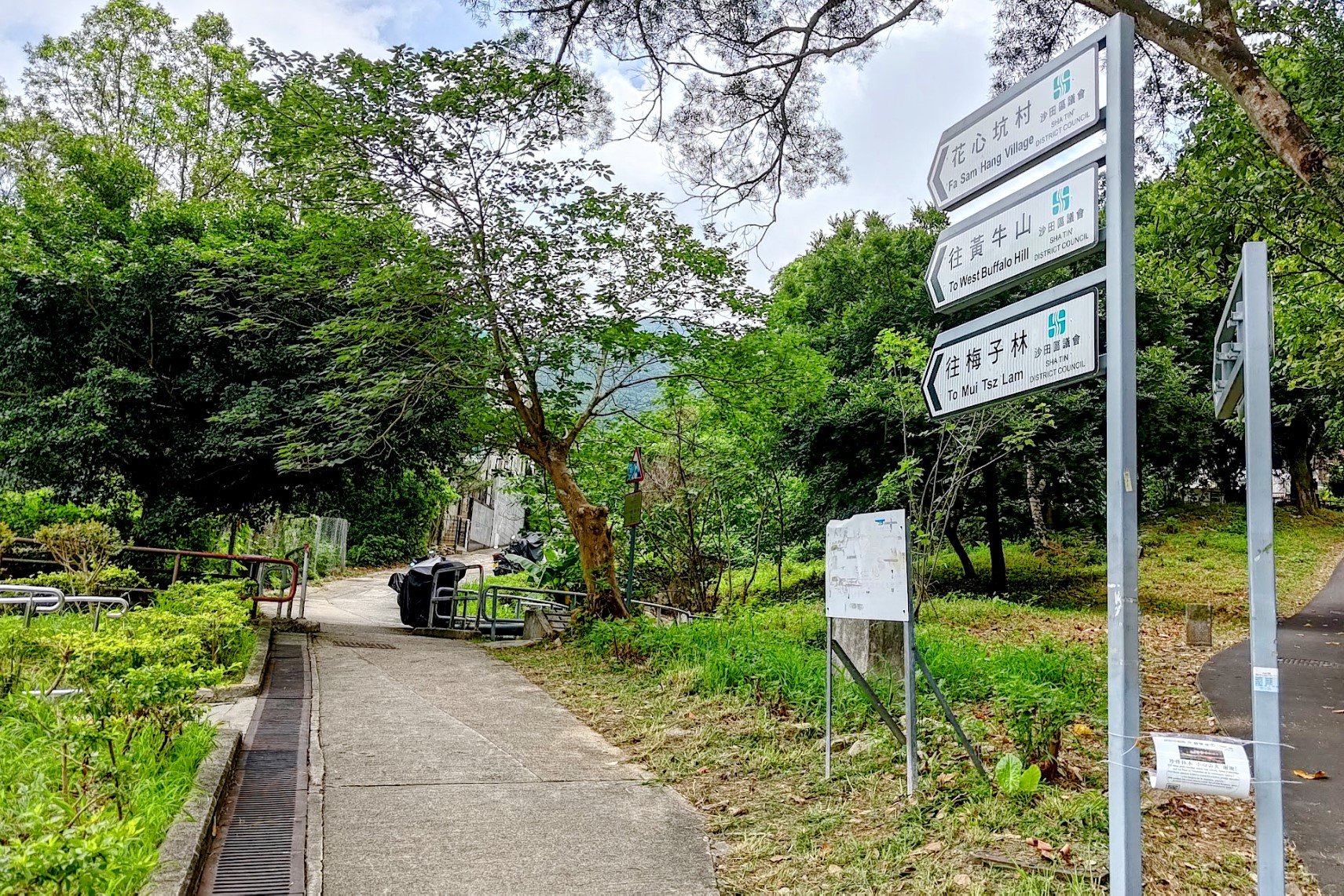
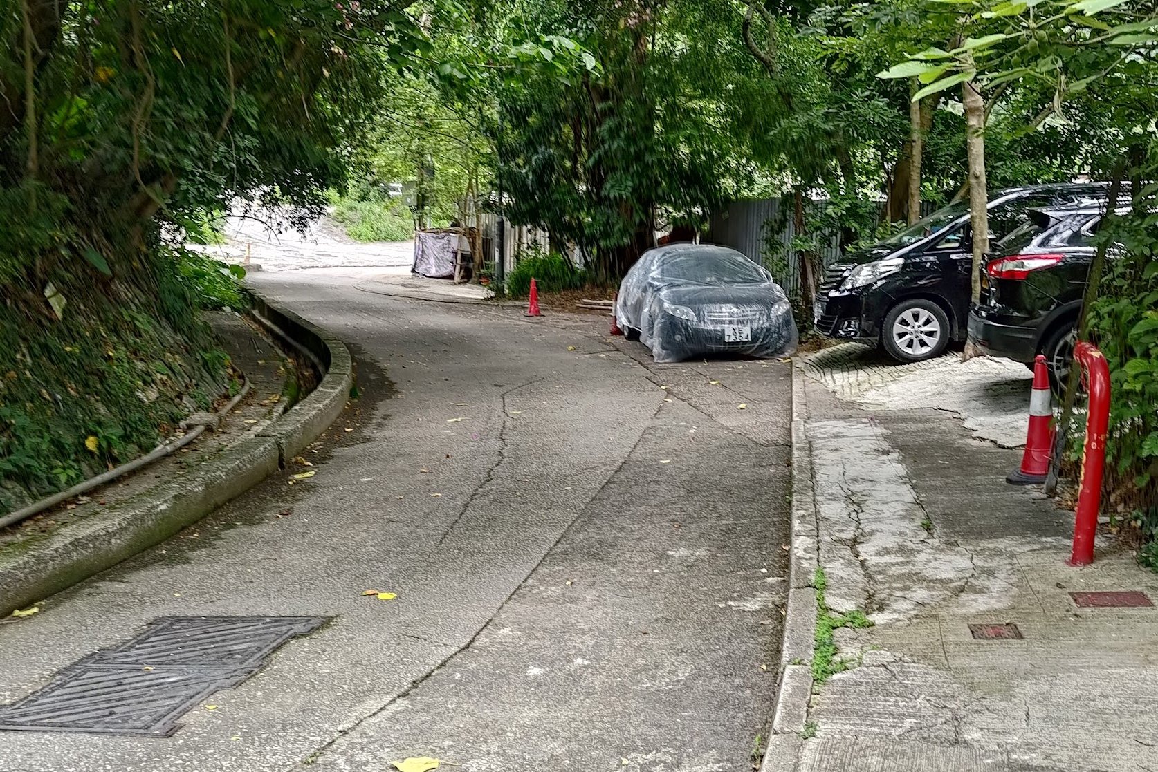
Follow the signs pointing to West Buffalo Hill as you follow the trail up towards Fa Sam Hang Village. When you're in the village, just follow the main road through it.
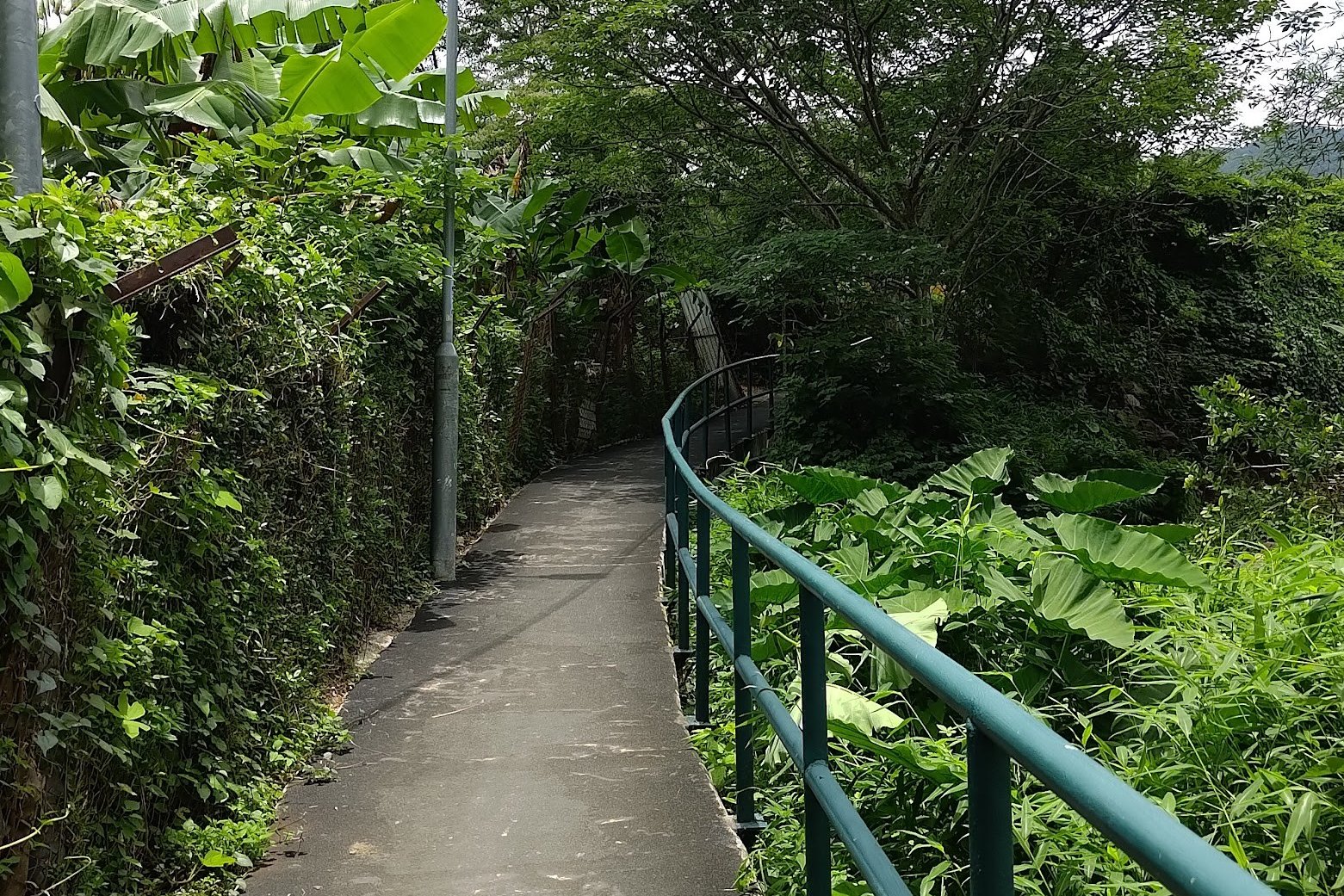
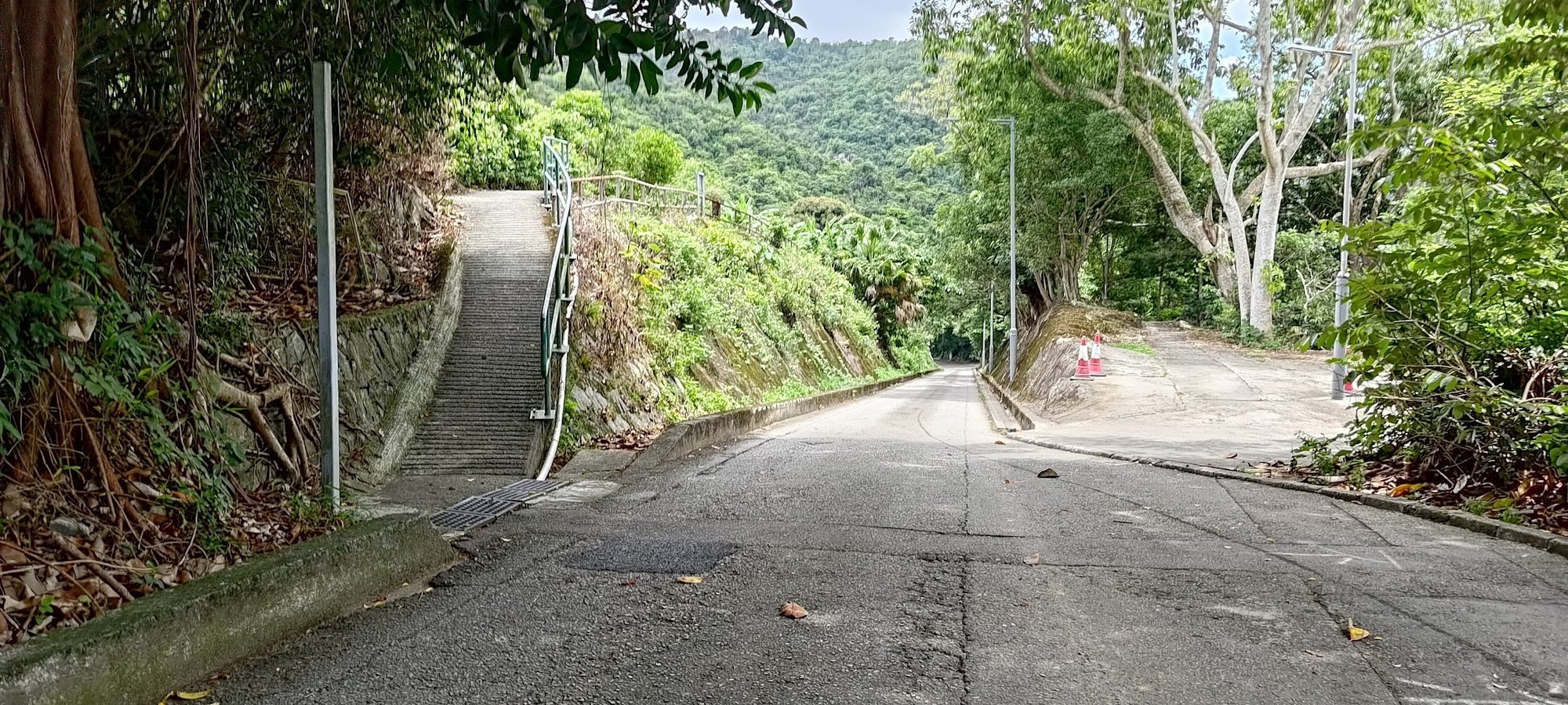
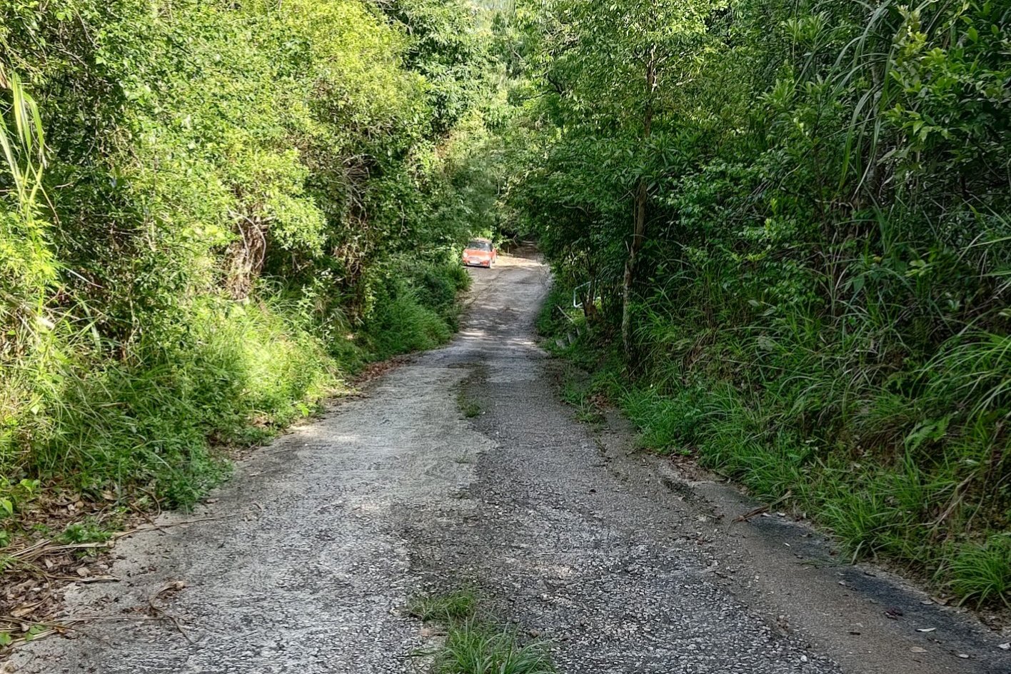
Just before the road slopes downward, take the concrete ramp on the left and follow that little trail into the wilderness!
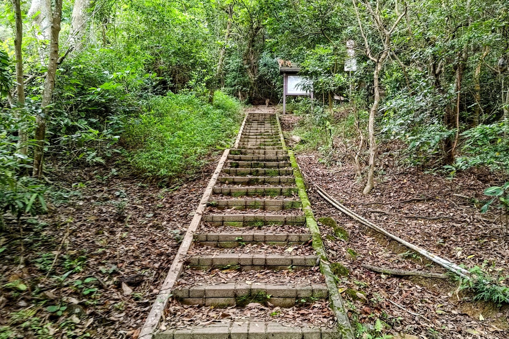
After climbing a nice, steep set of stairs, you'll arrive at a brown signboard, which marks the start of the trail!
It took just under 20 minutes from the bus stop to the start of the trail.
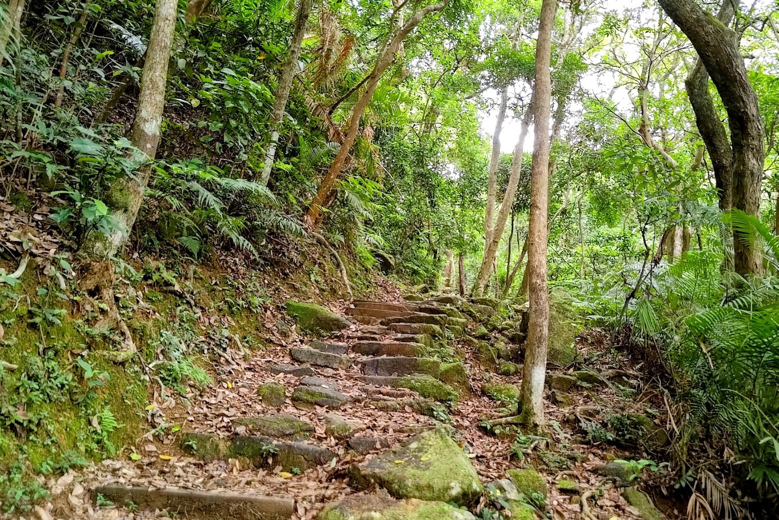
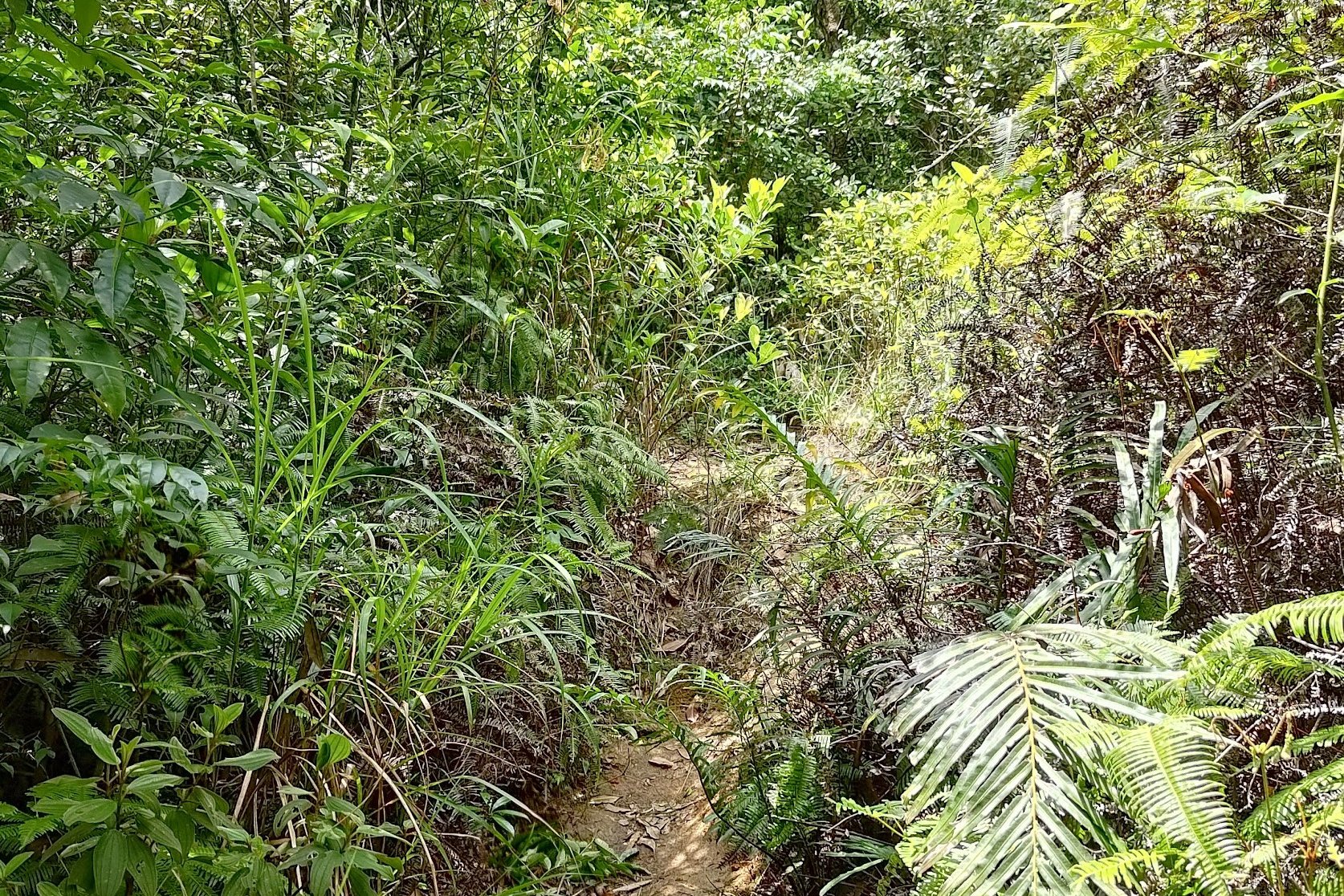
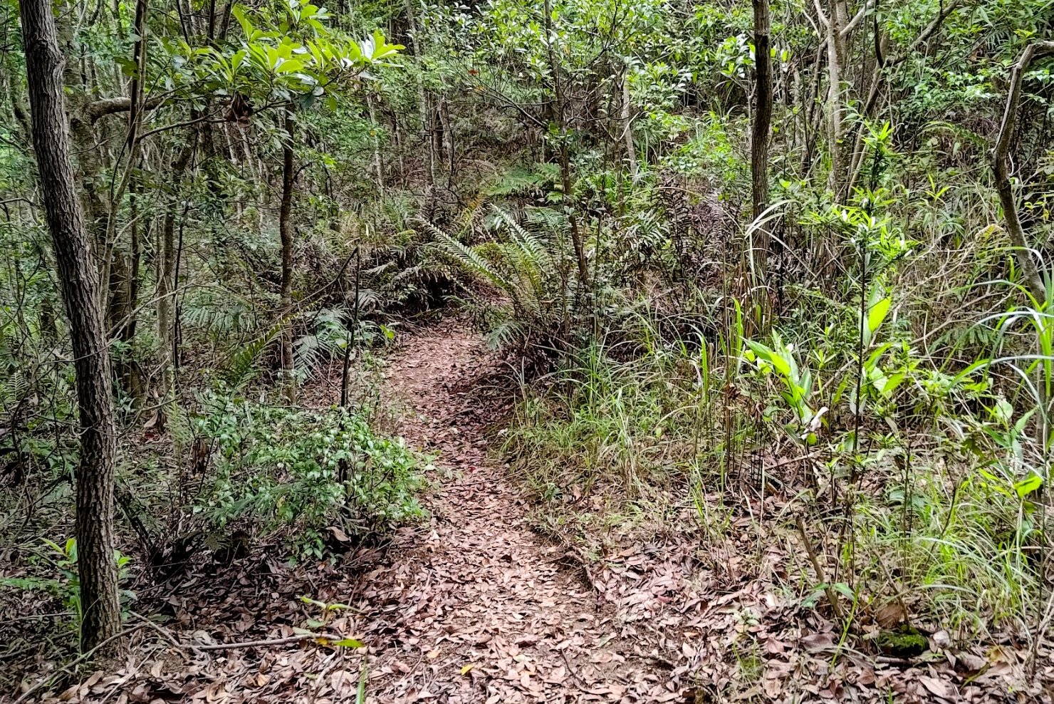
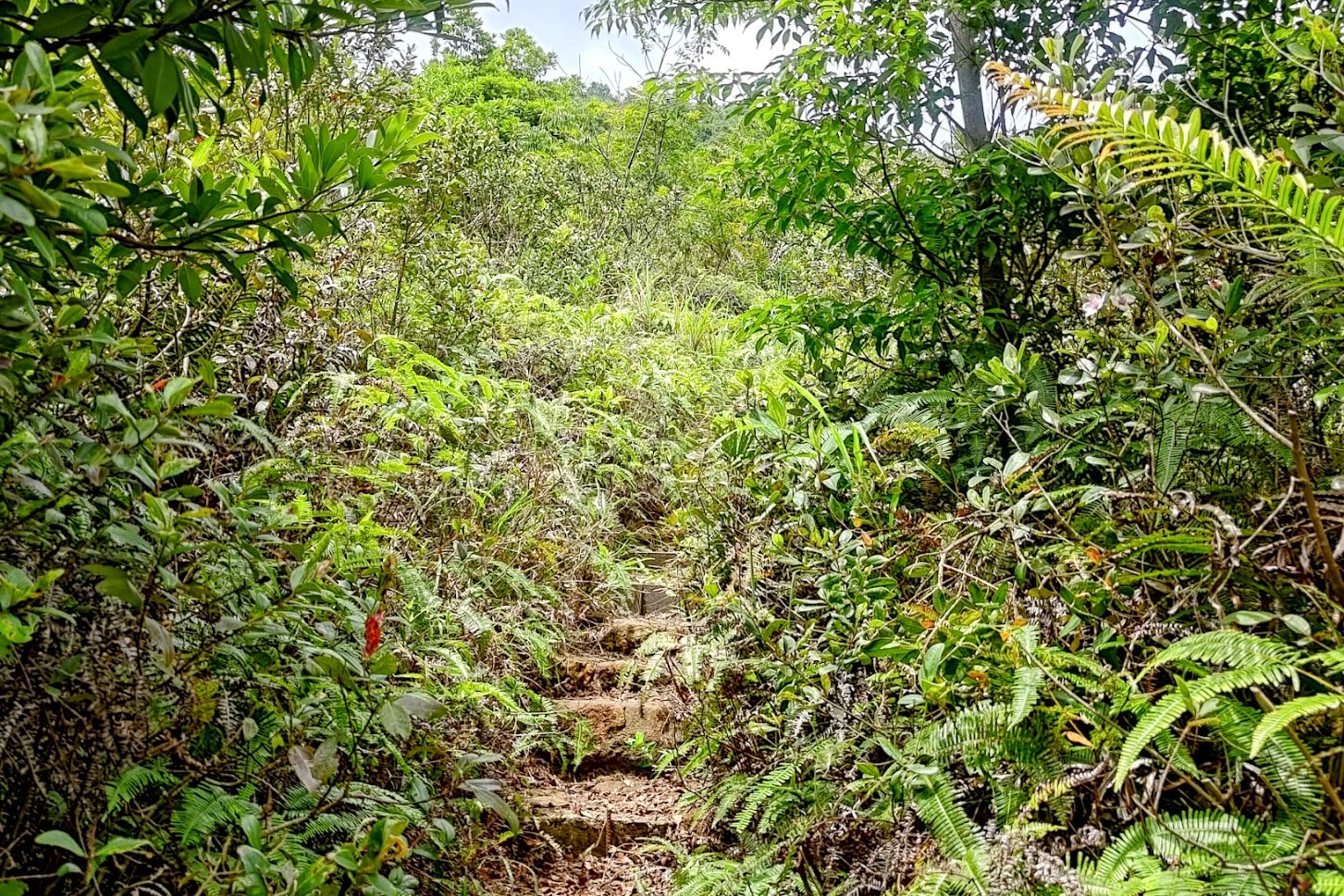
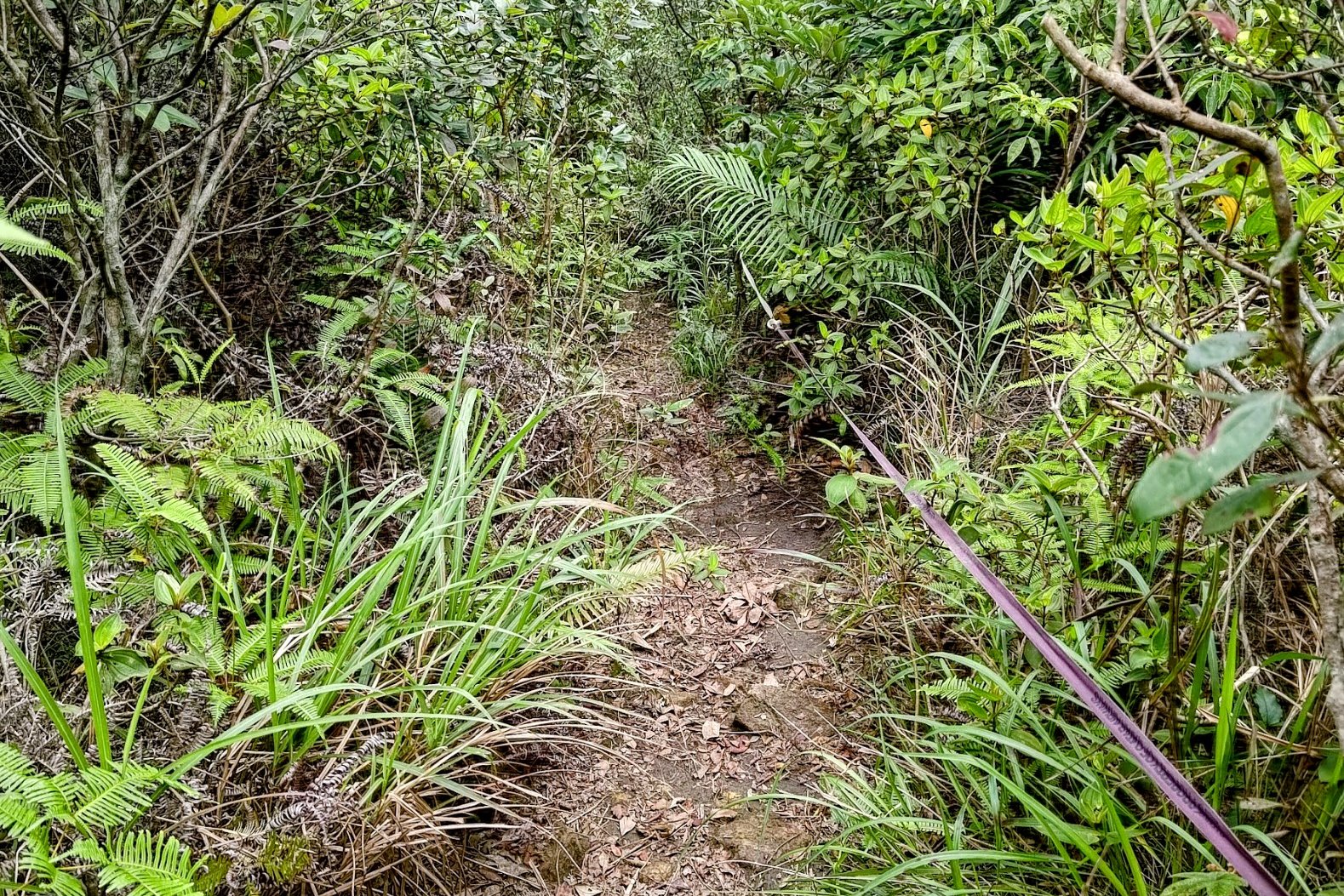
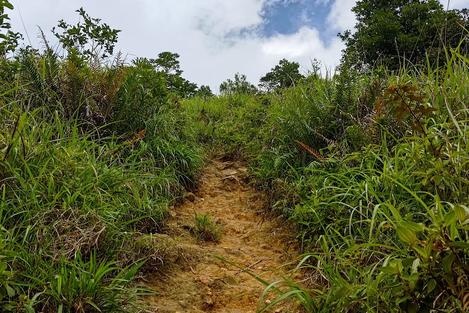
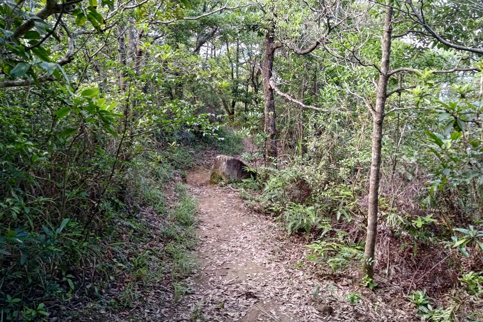
Trail Start to Shek Nga Pui Clearing
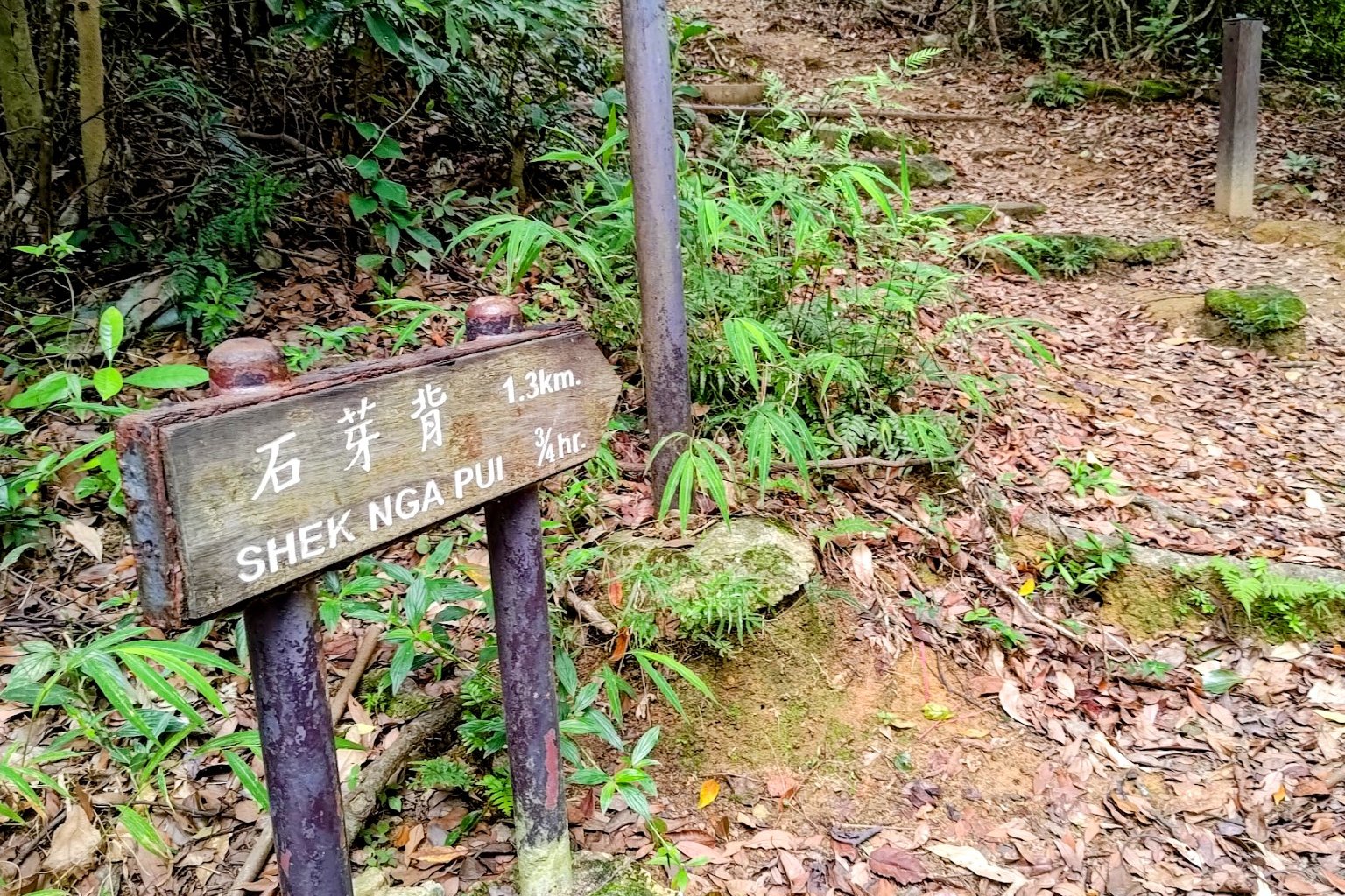
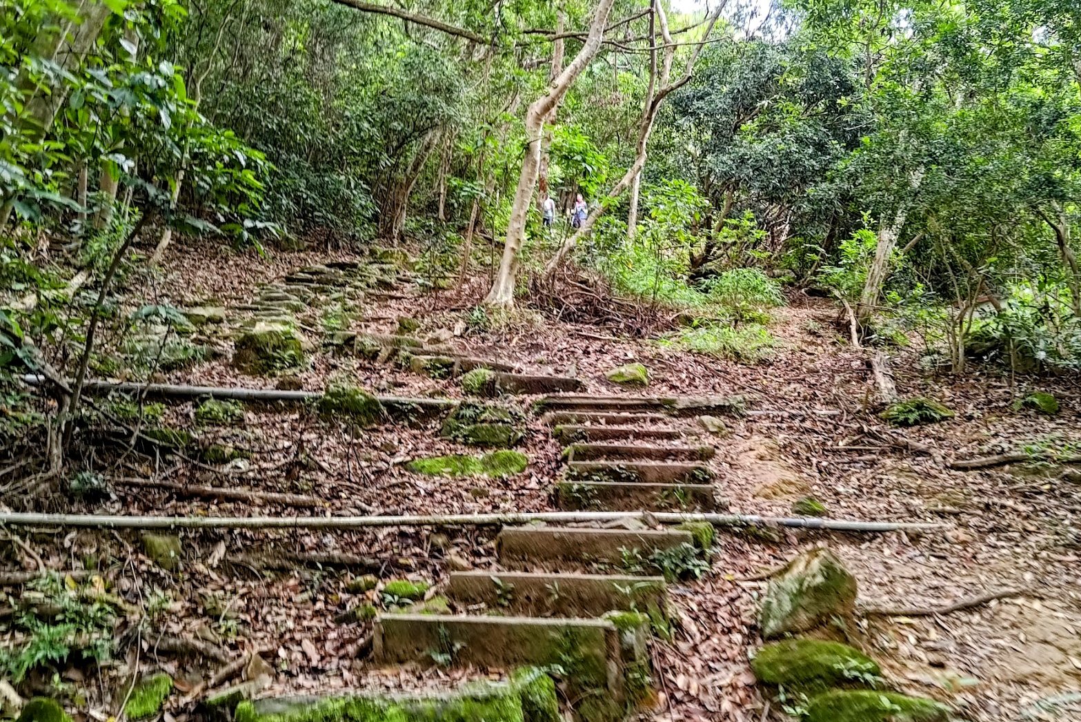
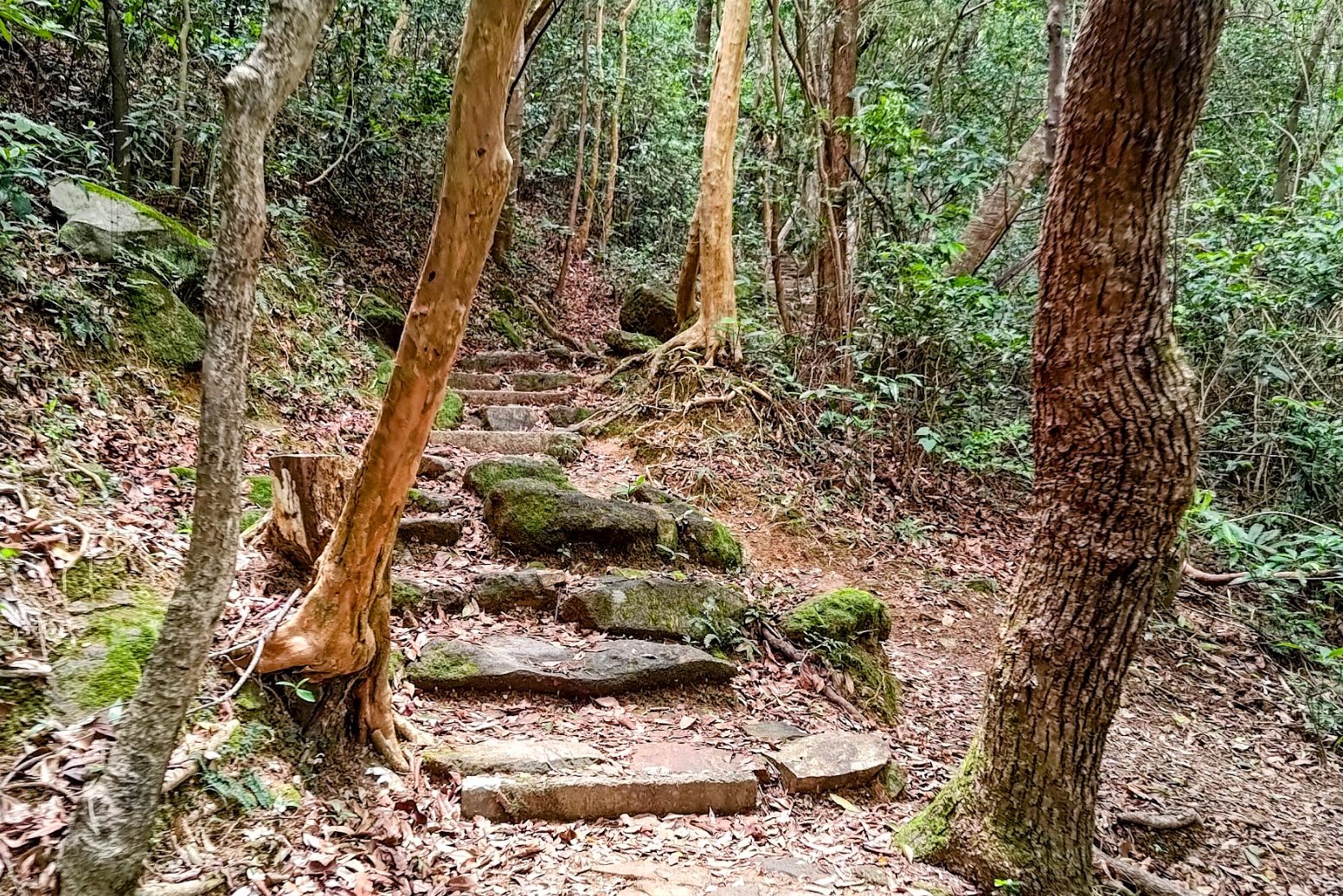
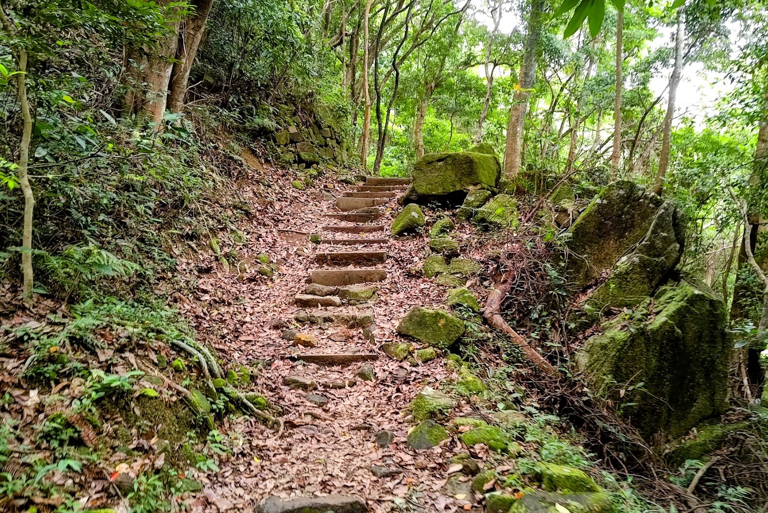
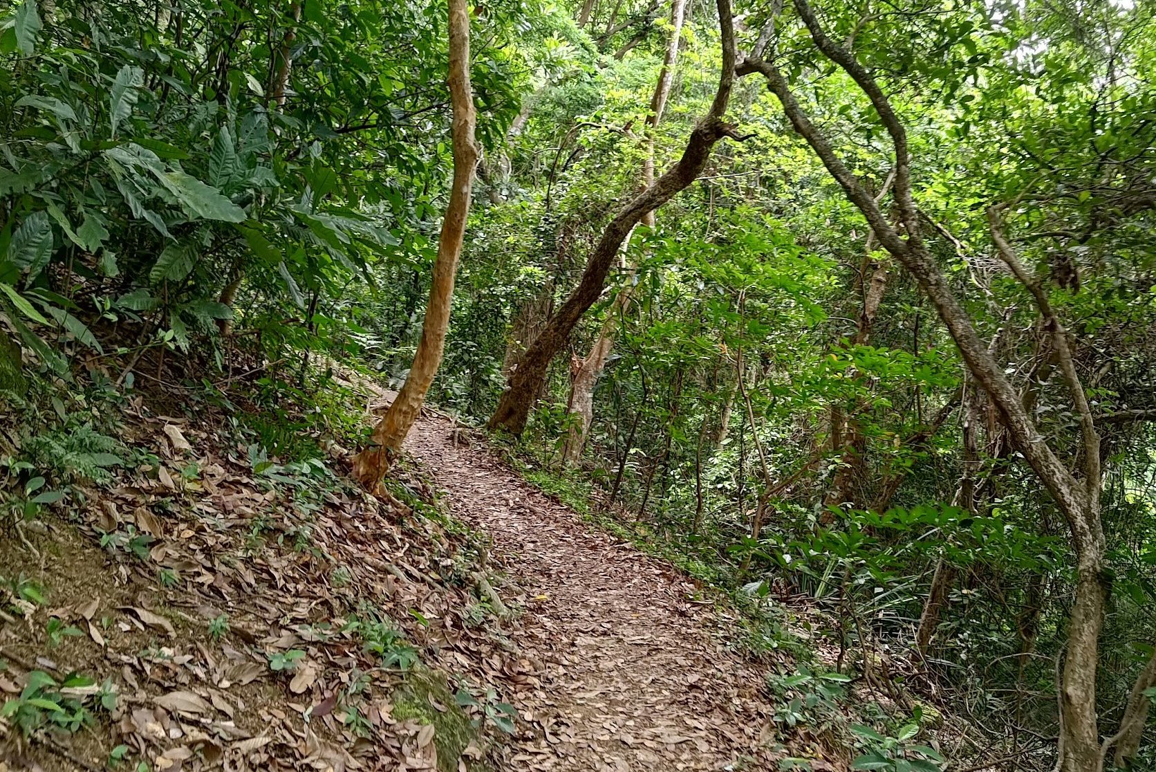
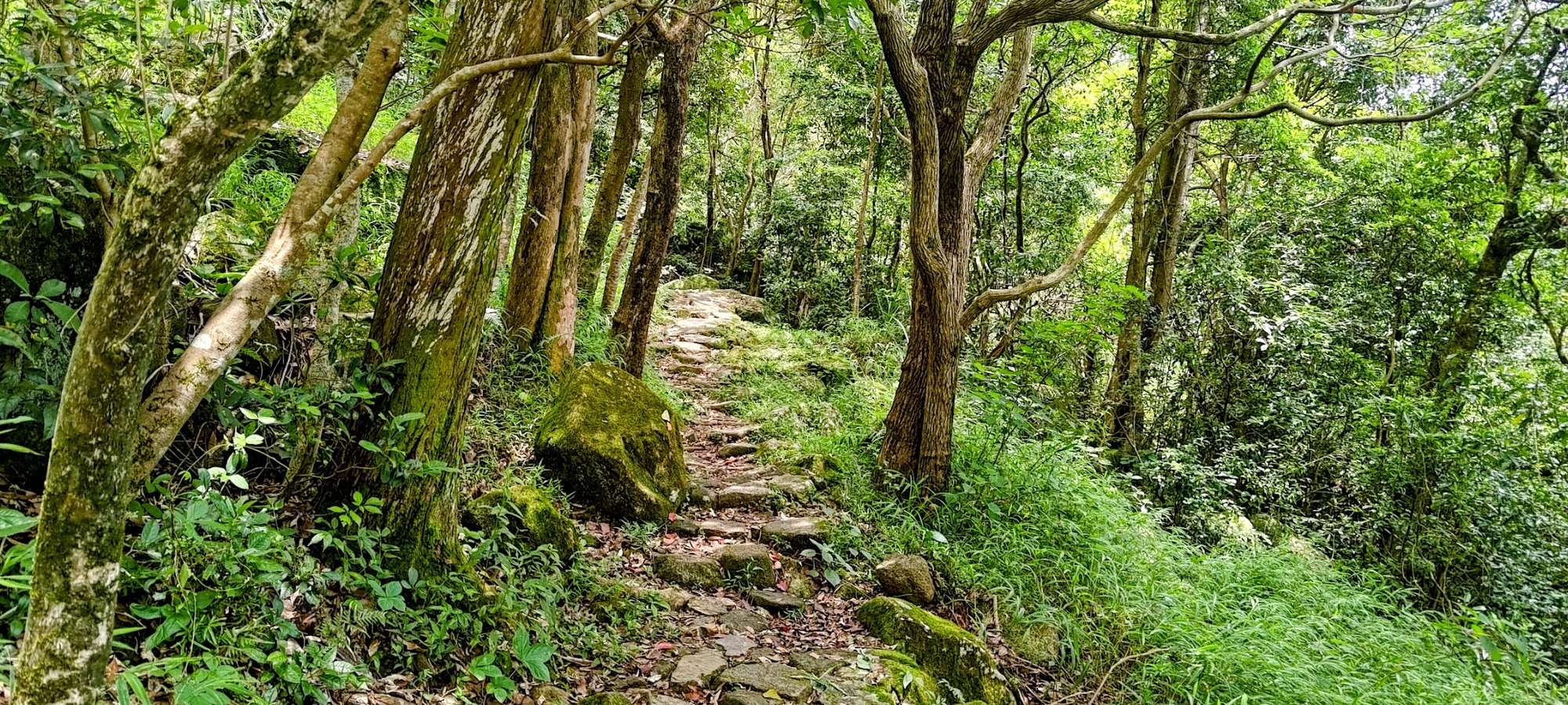
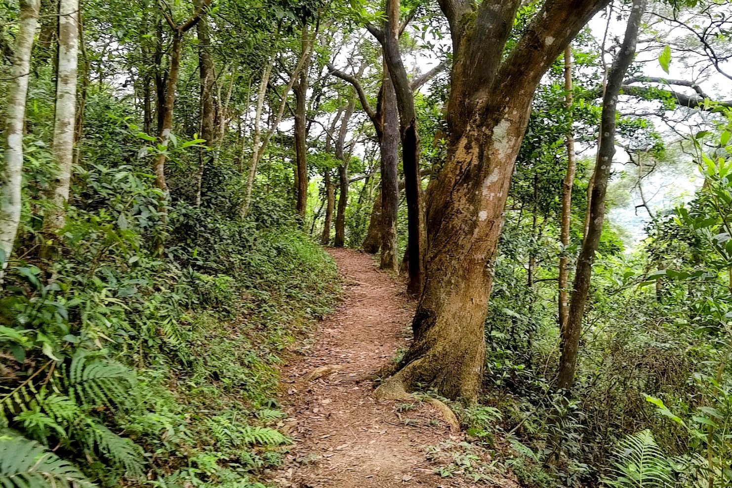
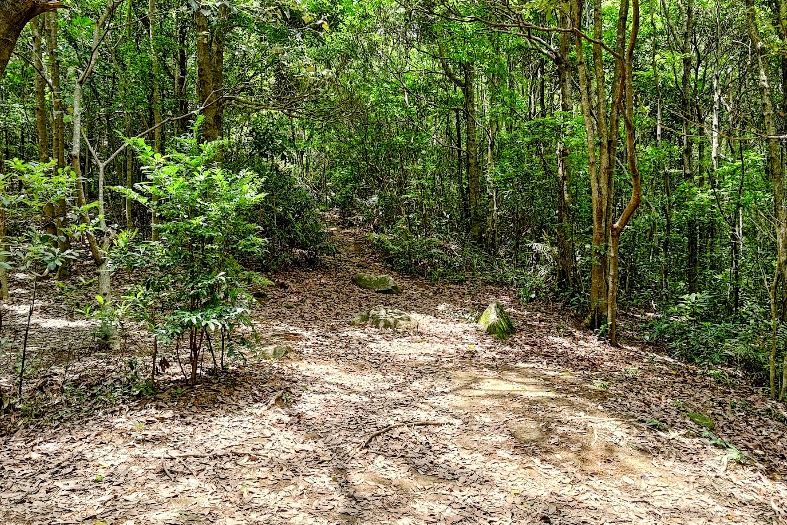
This portion of climbing - from the start of the trail to the Shek Nga Pui clearing - took about 30 minutes.
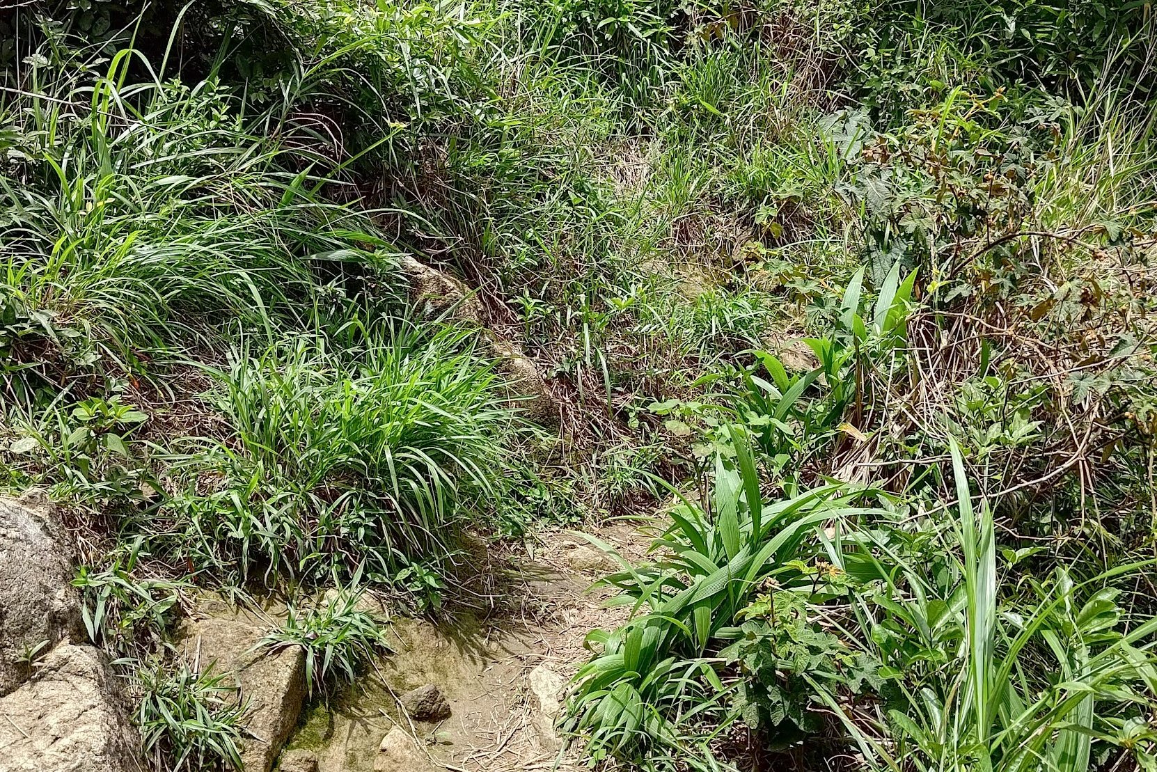
It was pretty much nonstop climbing the entire way. Quite near the start is another trail that takes you along a quicker route to Buffalo Hill, but I didn't see it. I just followed the main trail the whole way. I marked it on the Google Route Map for those who want to test the shorter route out.
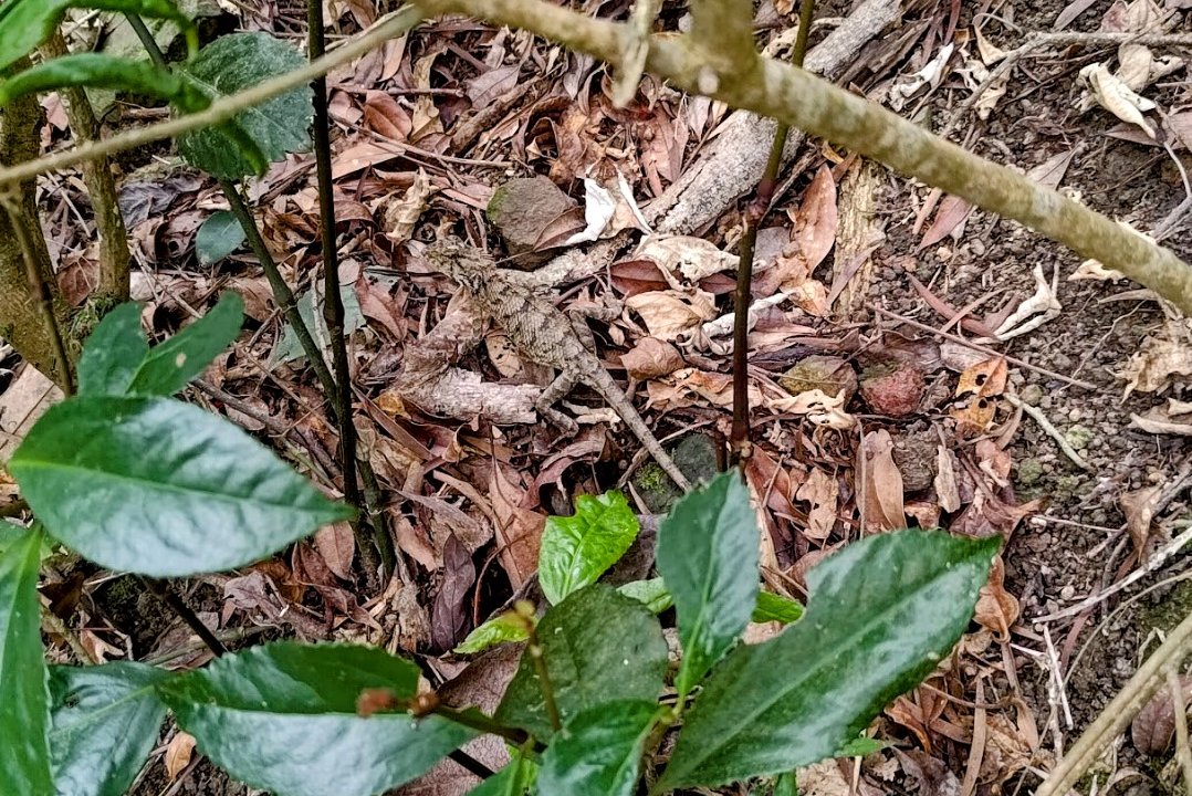
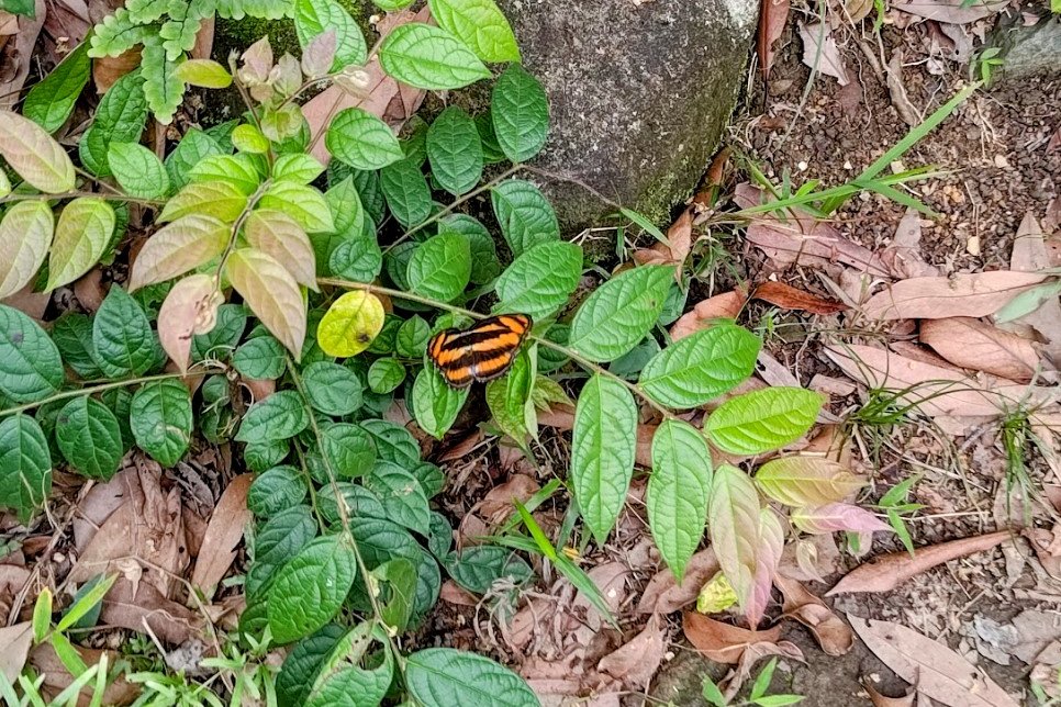
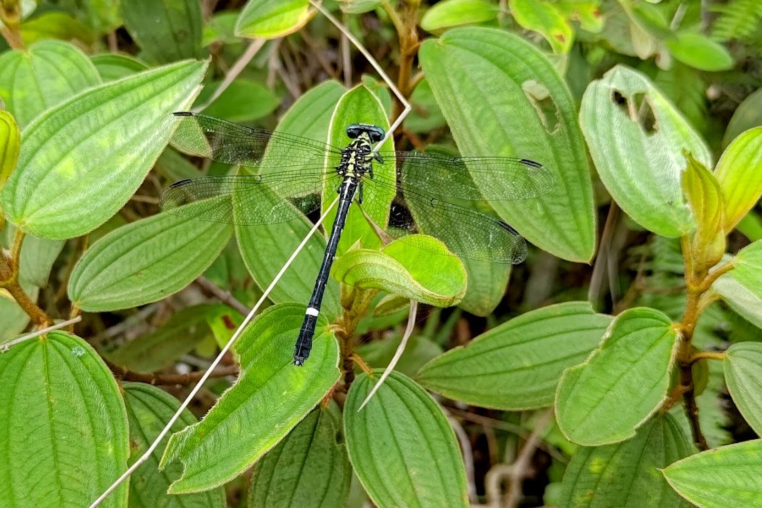
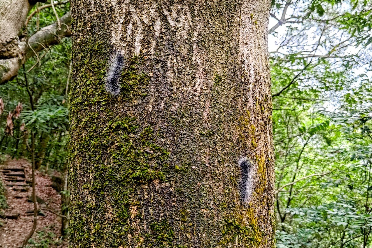
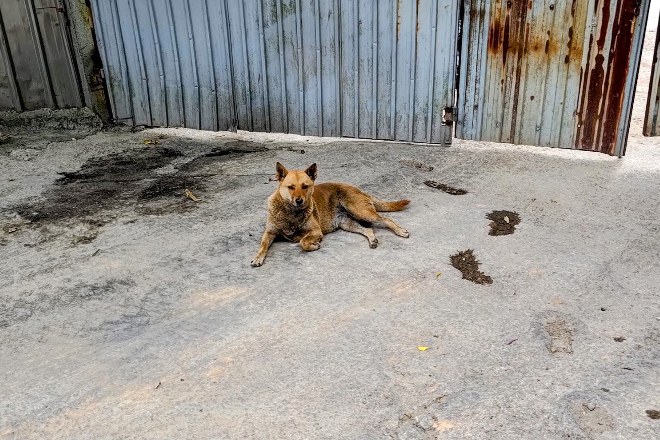
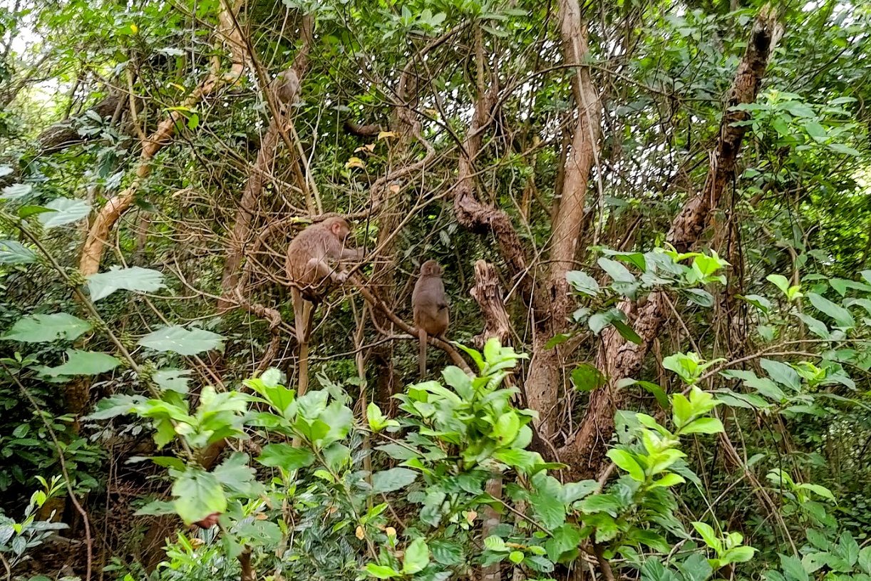
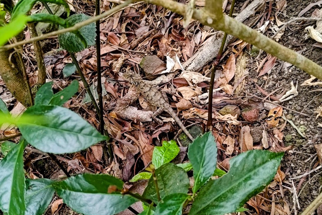
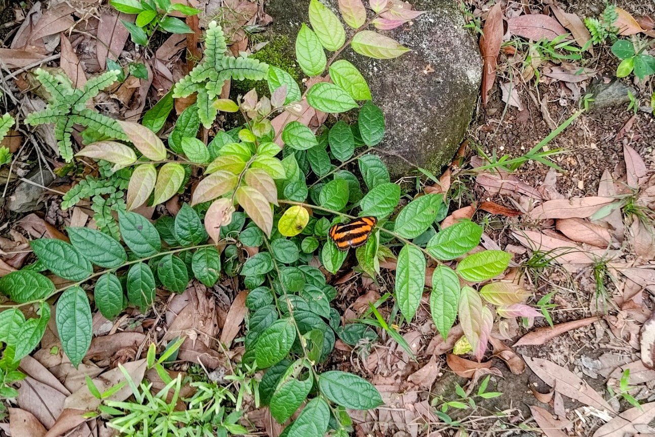
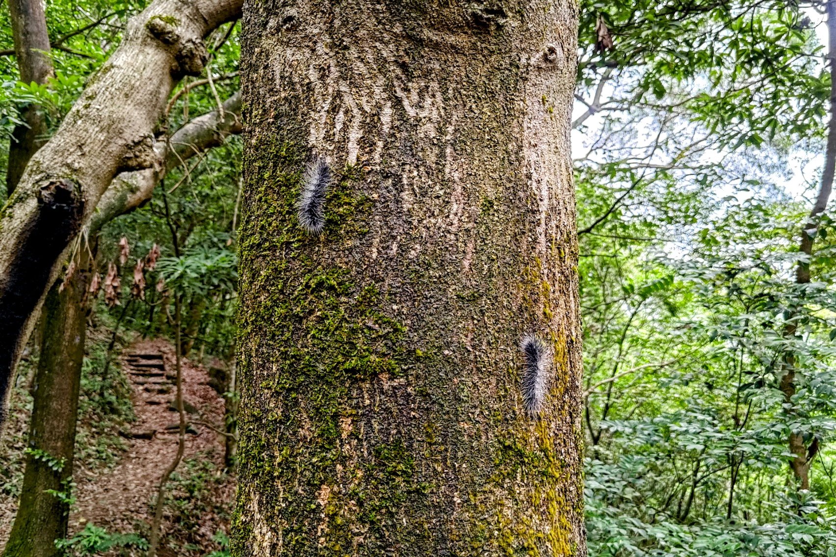
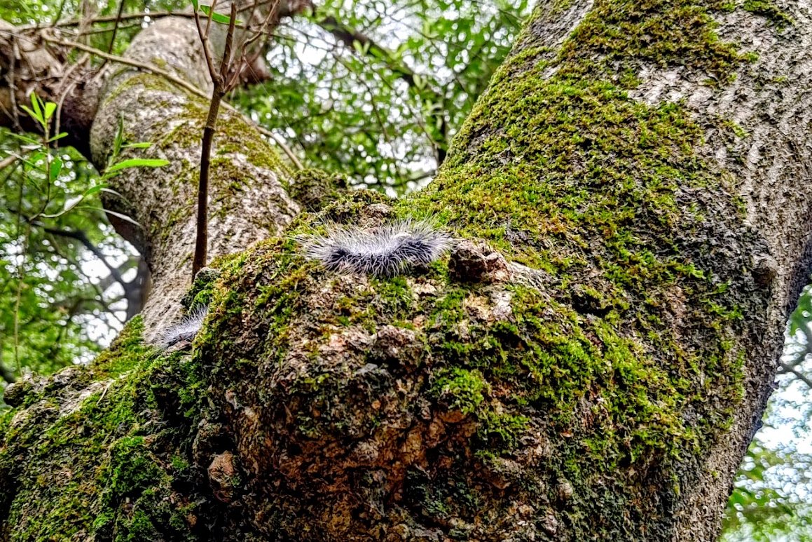
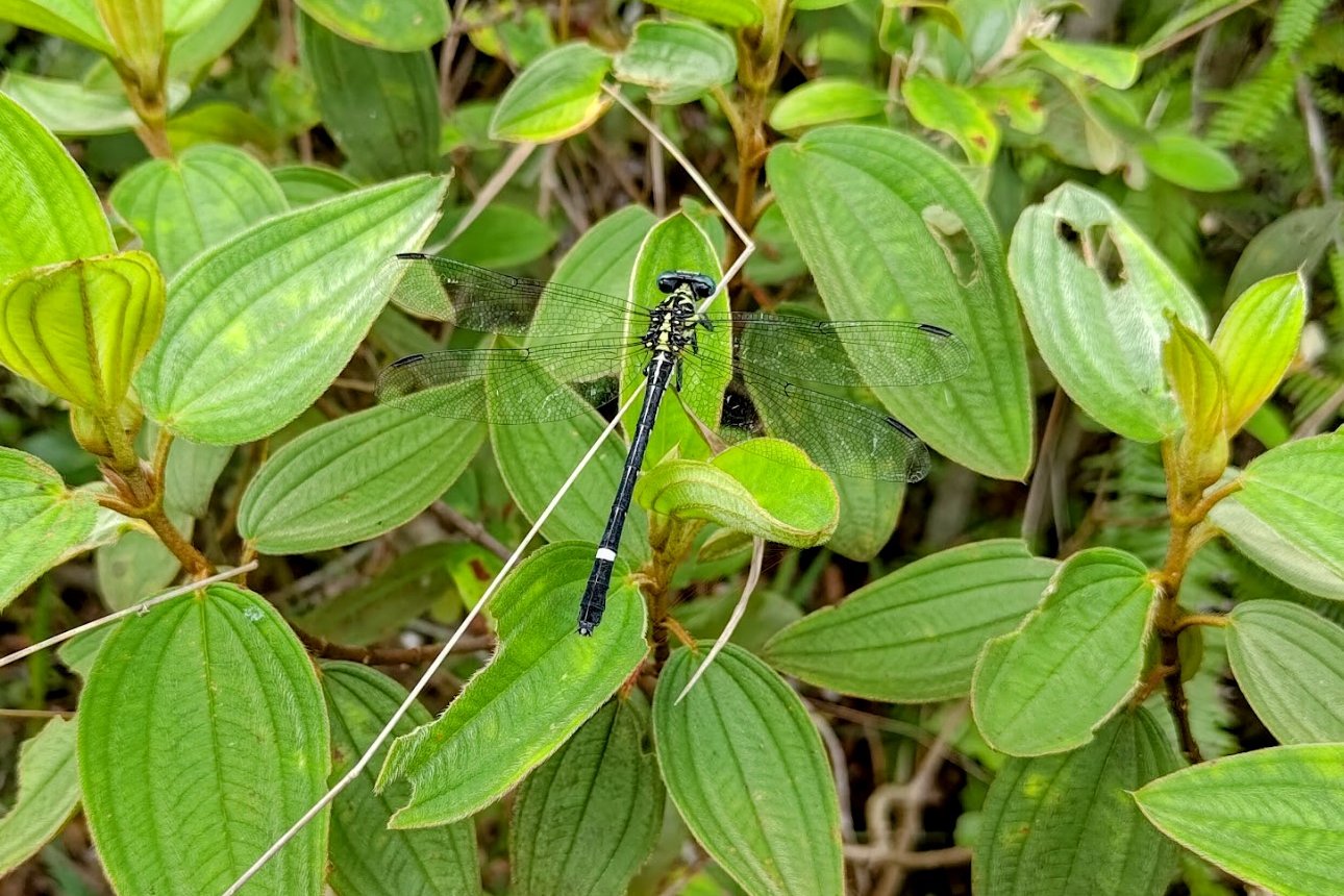
Anyway, look out for cool animals and enjoy nature as you tackle this brutal climb!
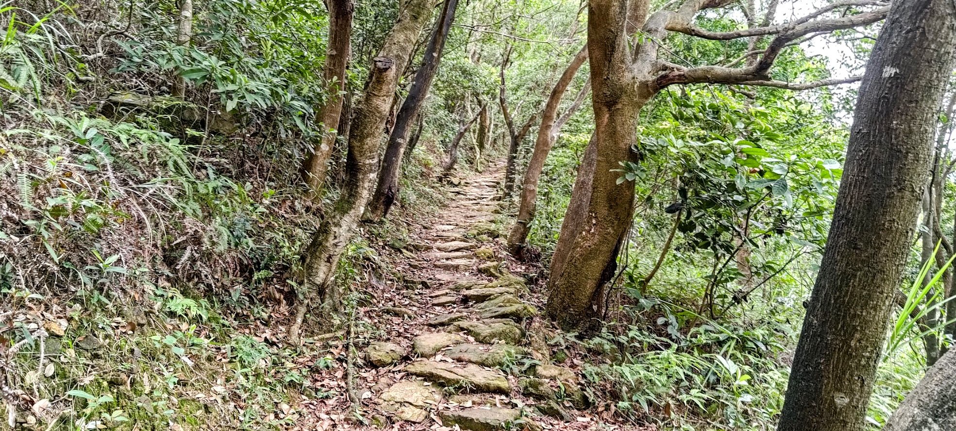
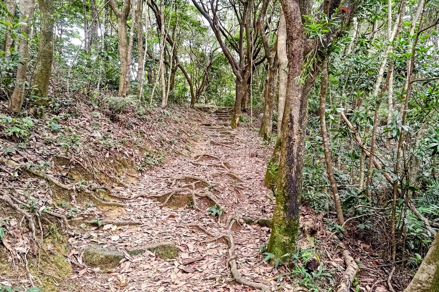
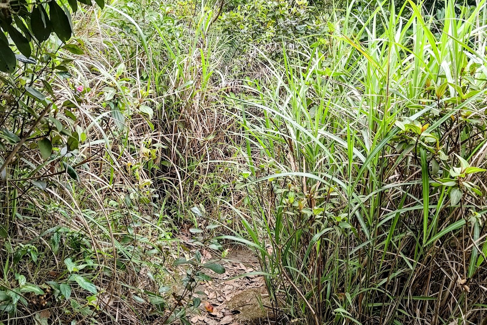
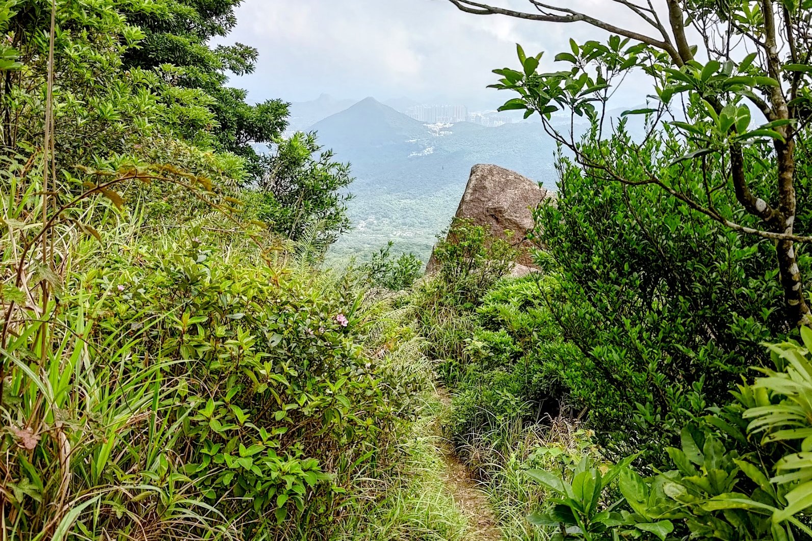
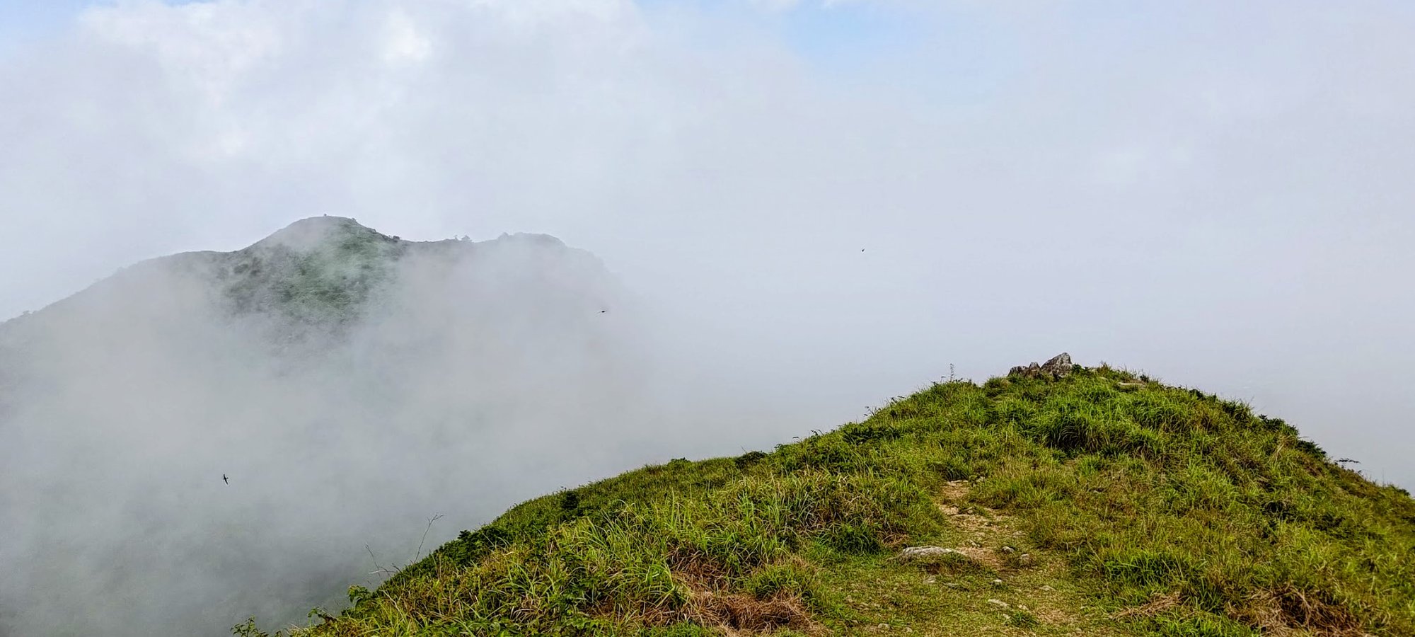
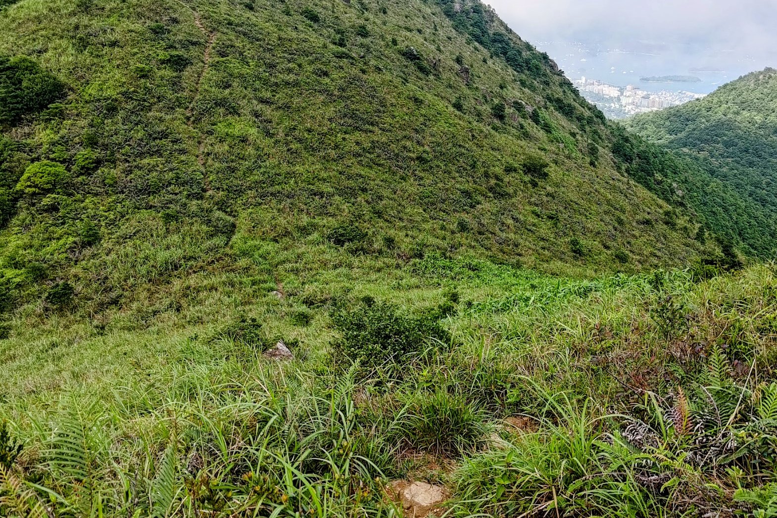
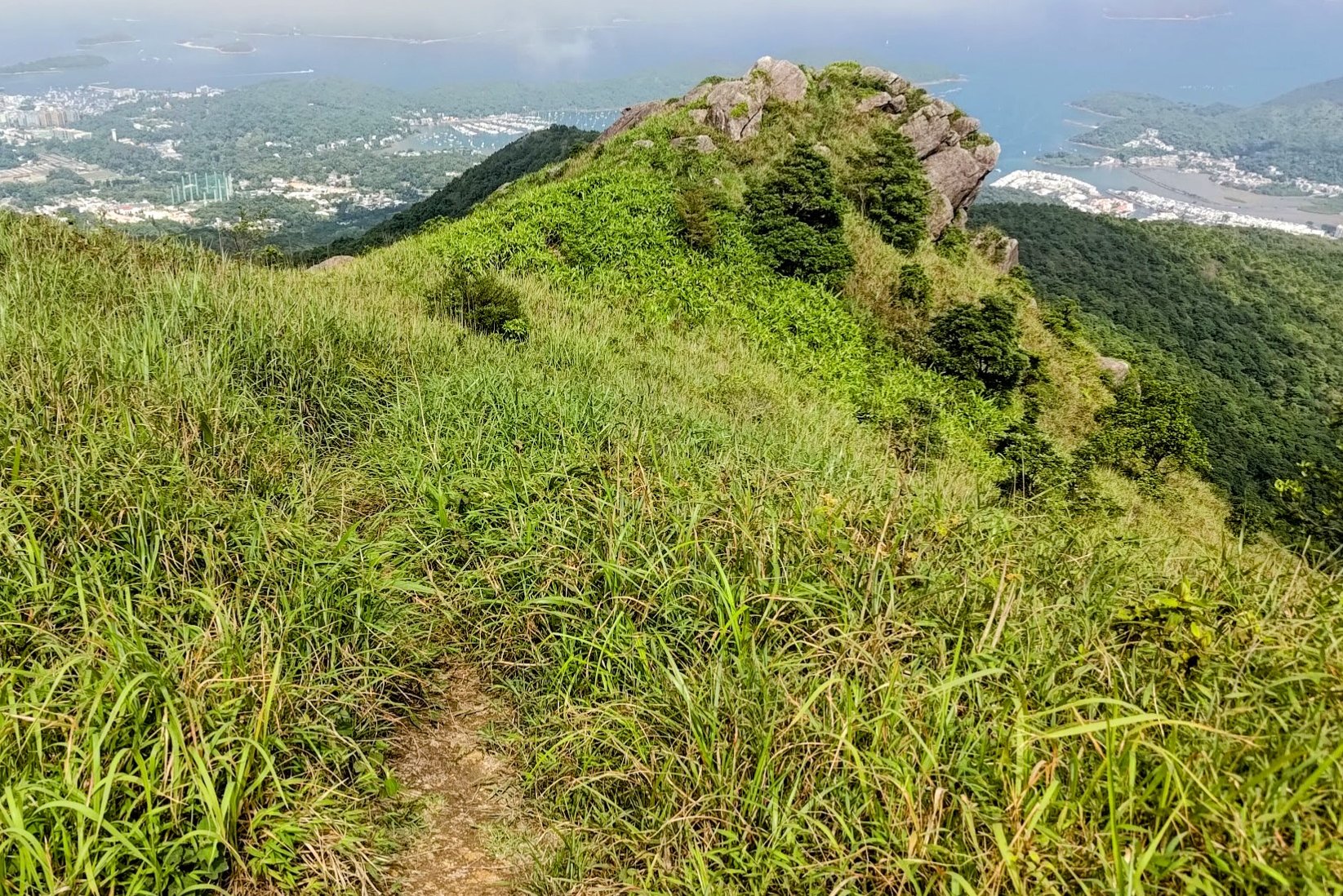
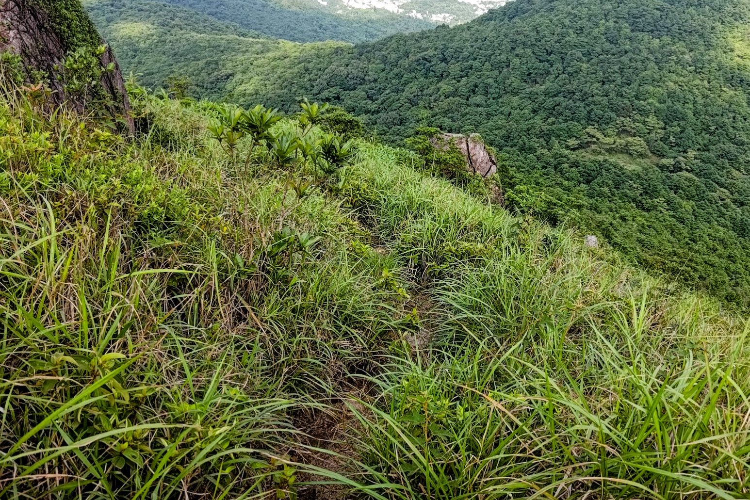
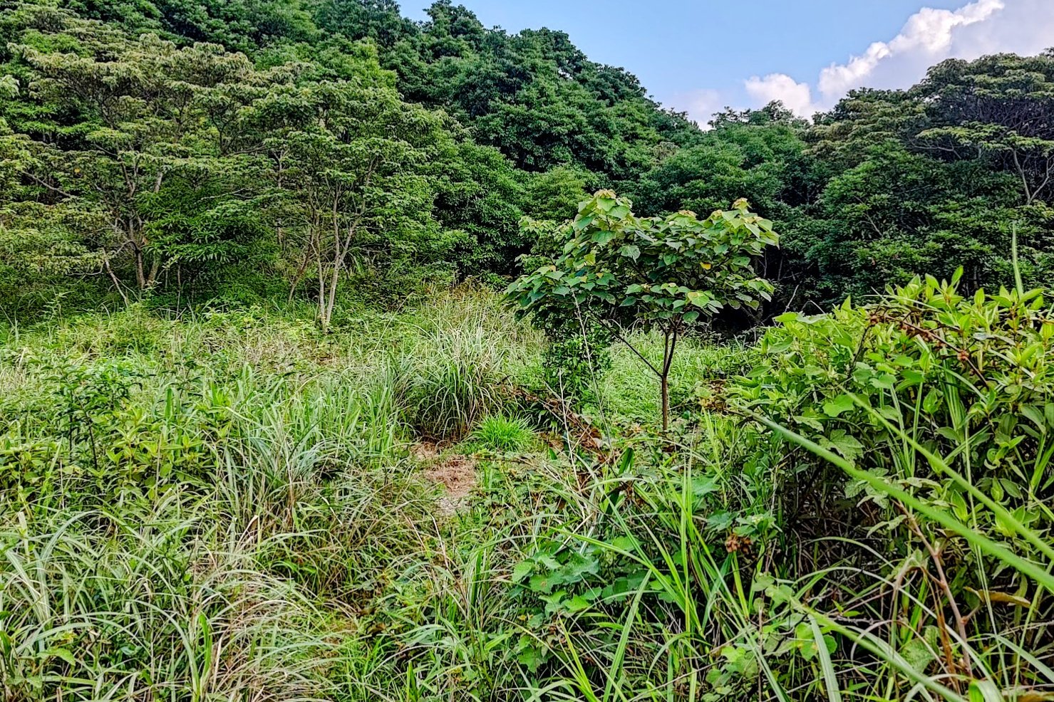
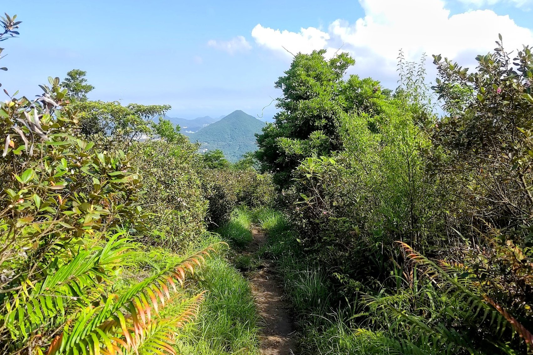
Shek Nga Pui Clearing to the Detour
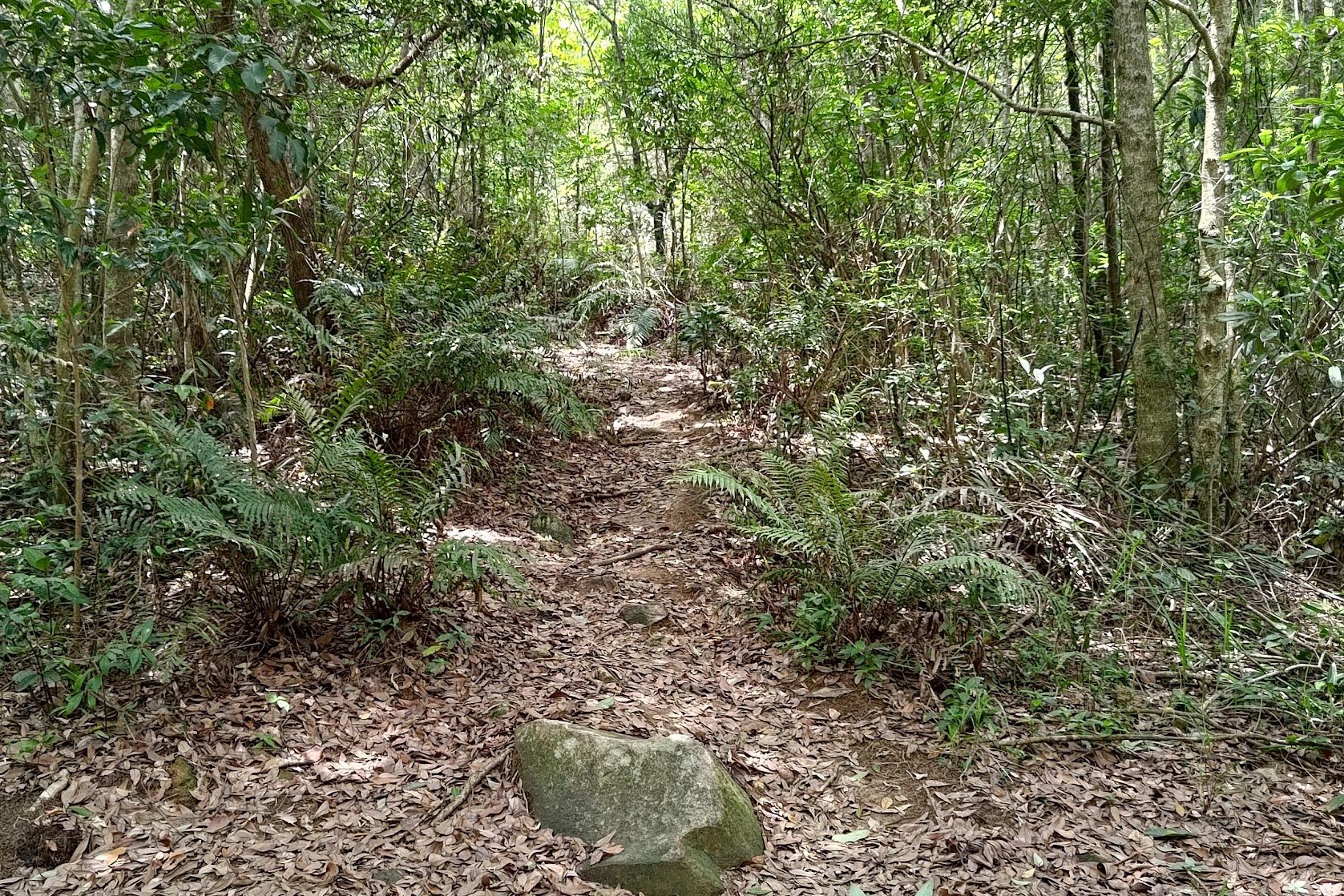
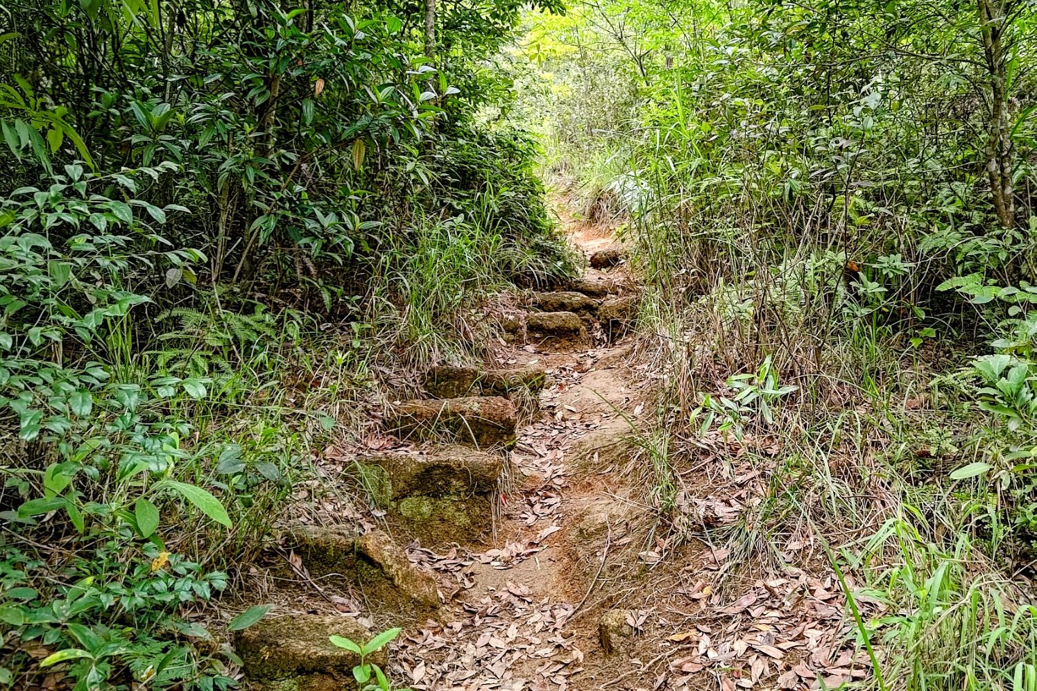


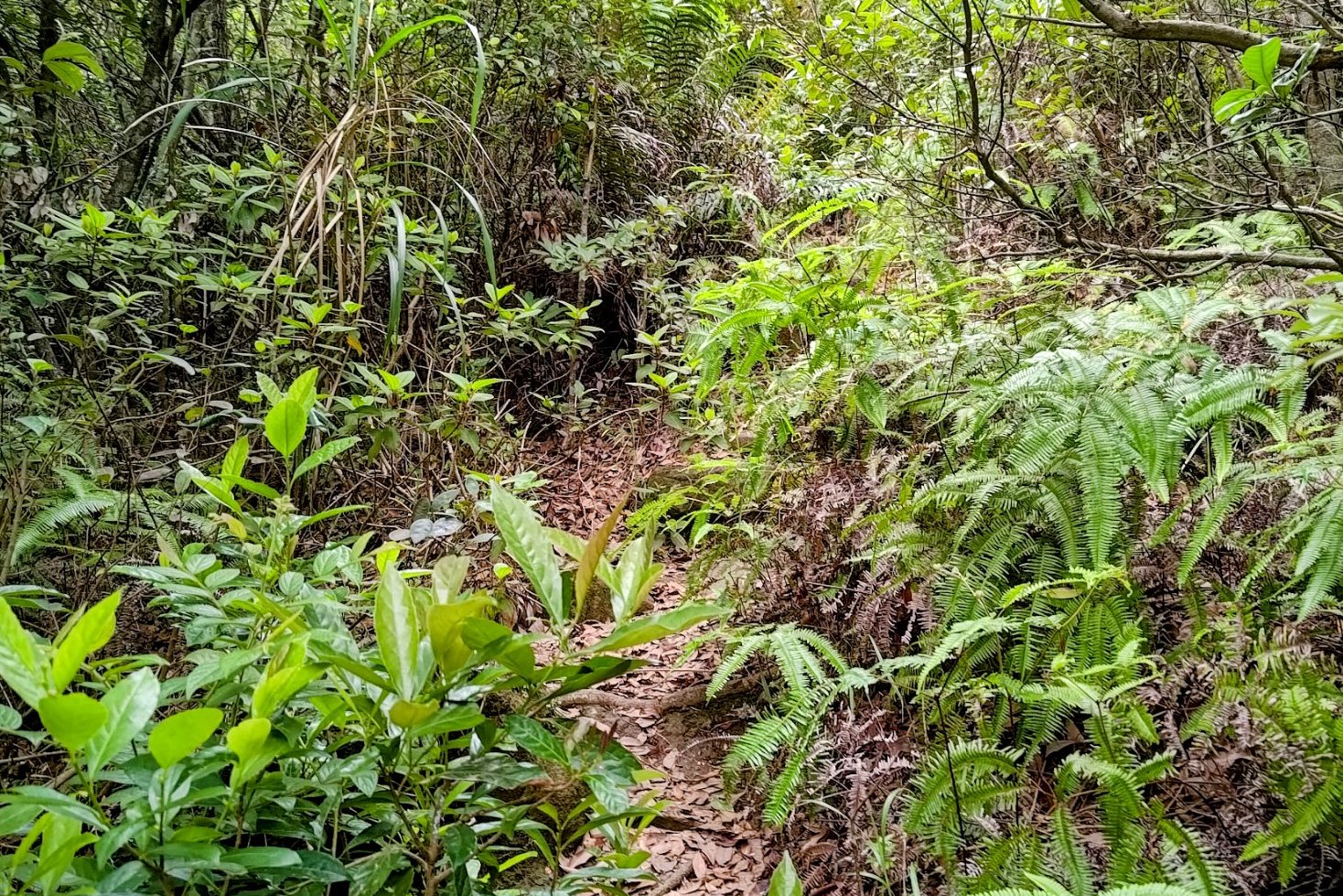
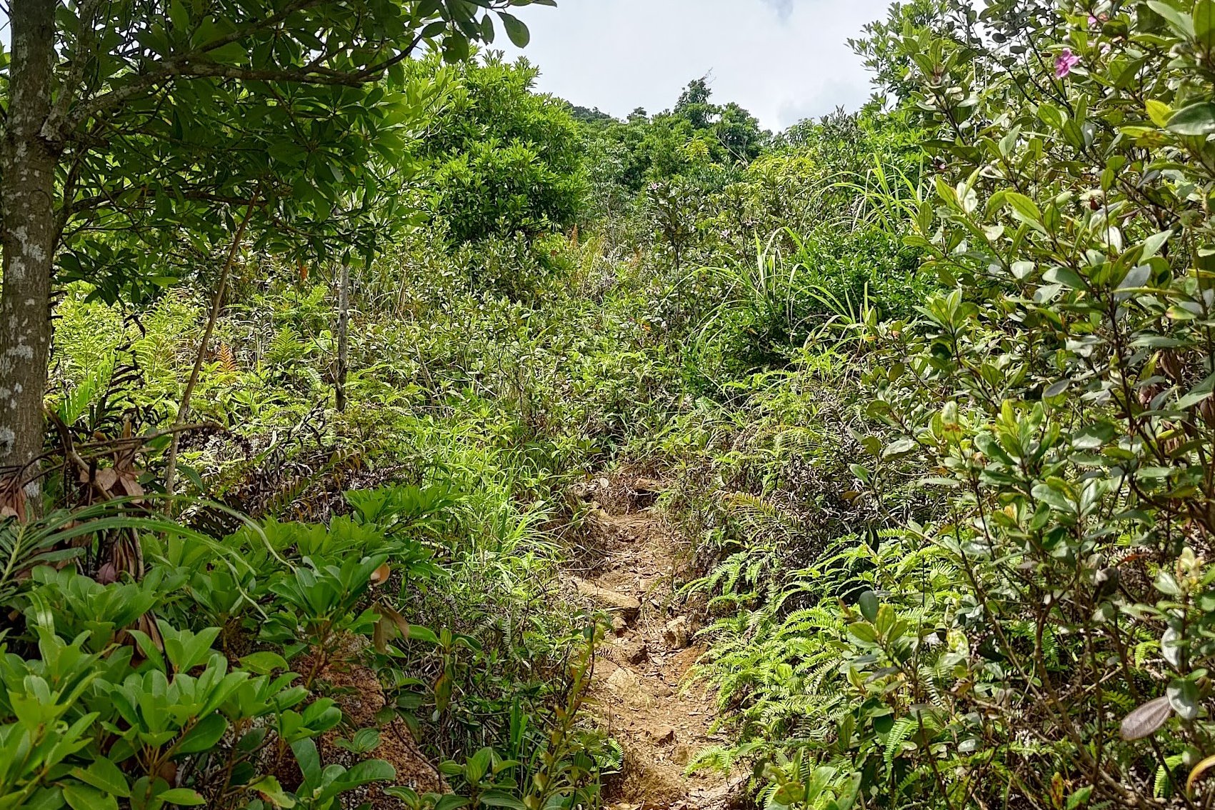

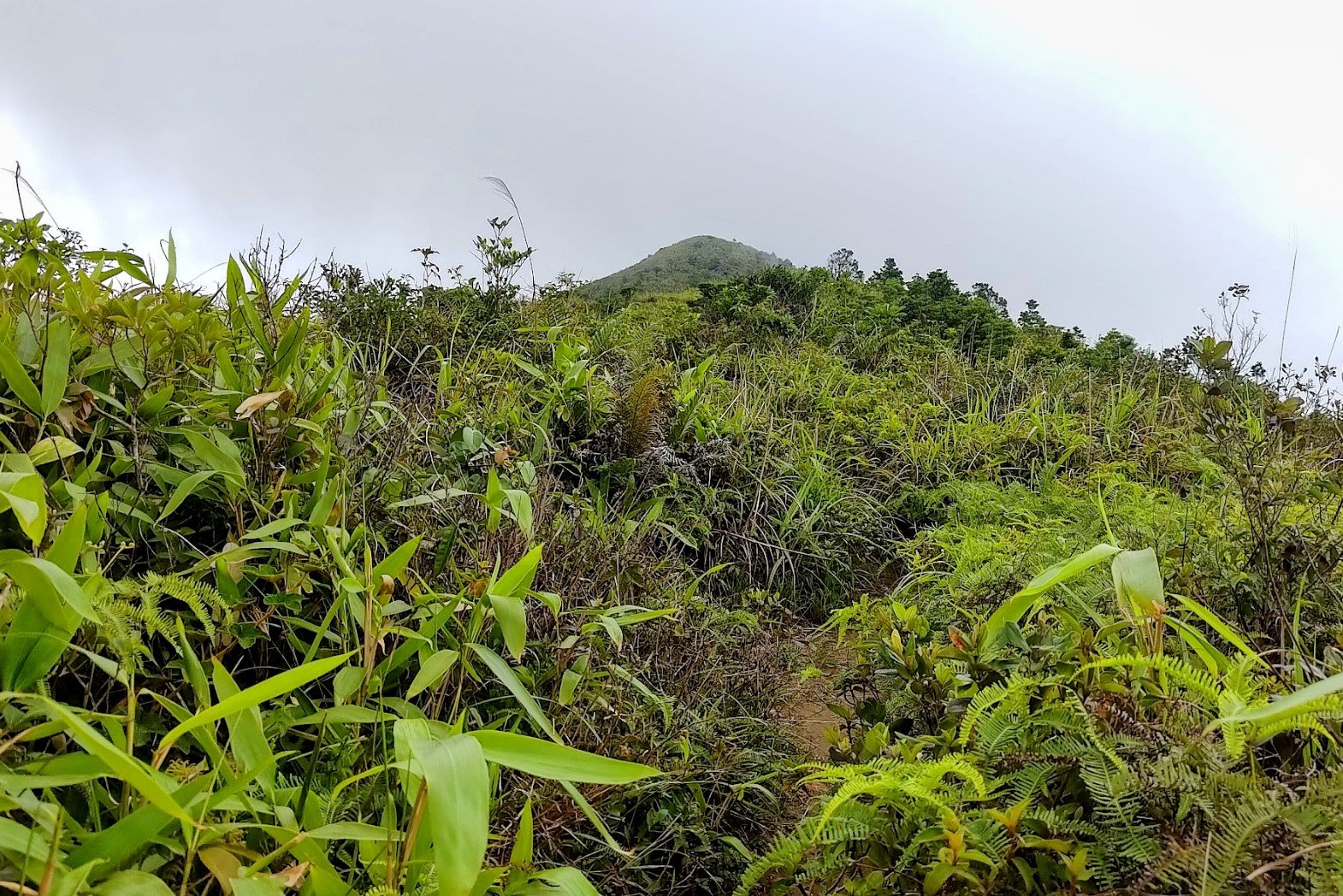

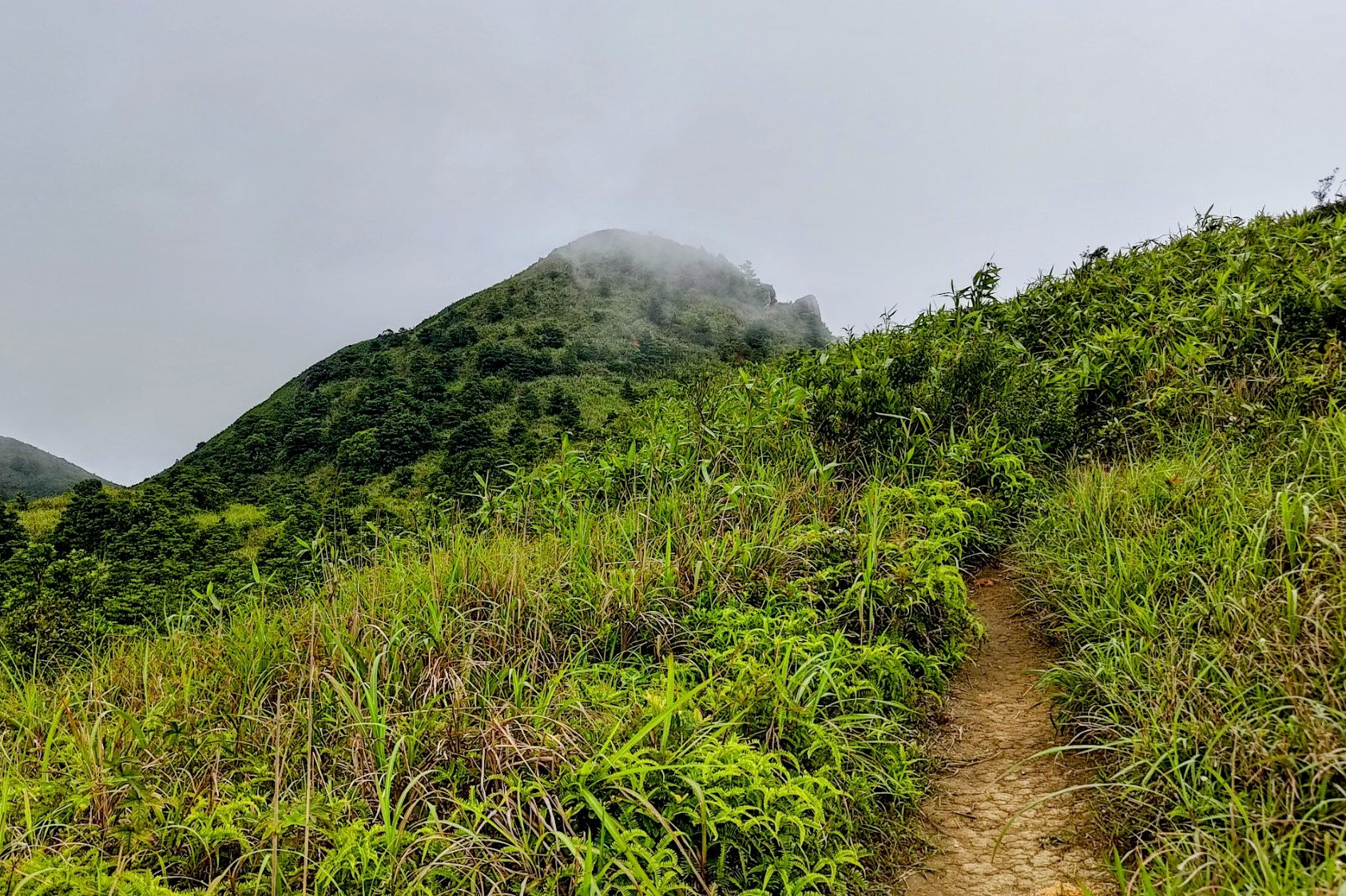
The climb from the Shek Nga Pui clearing to the detour took another 30 minutes.
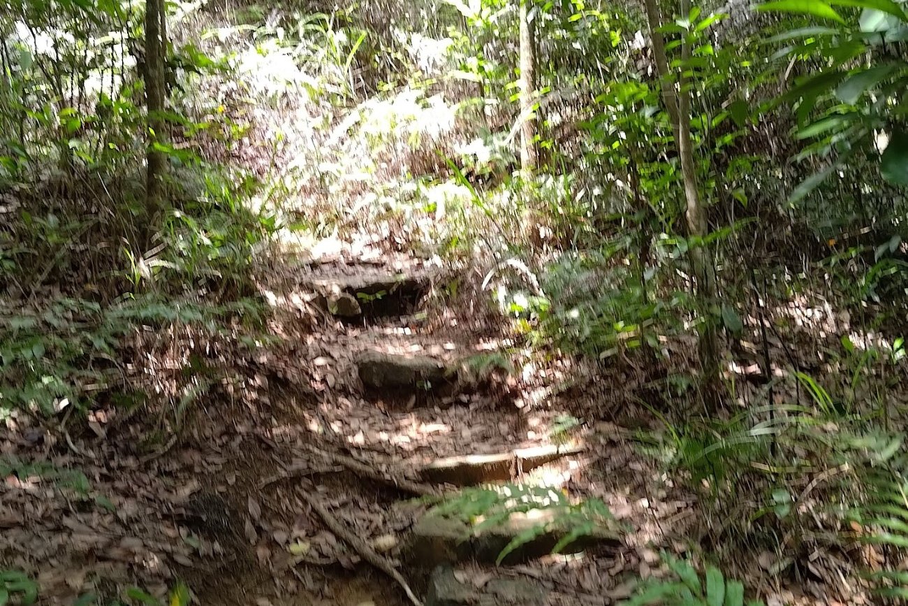
You'll want to take the path to the left of the clearing. If you're going in the correct direction there will be some small stone steps guiding you upward a short way into the trail.
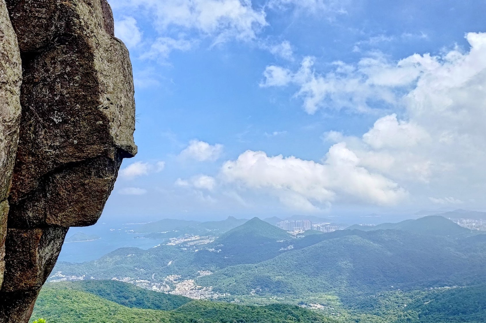
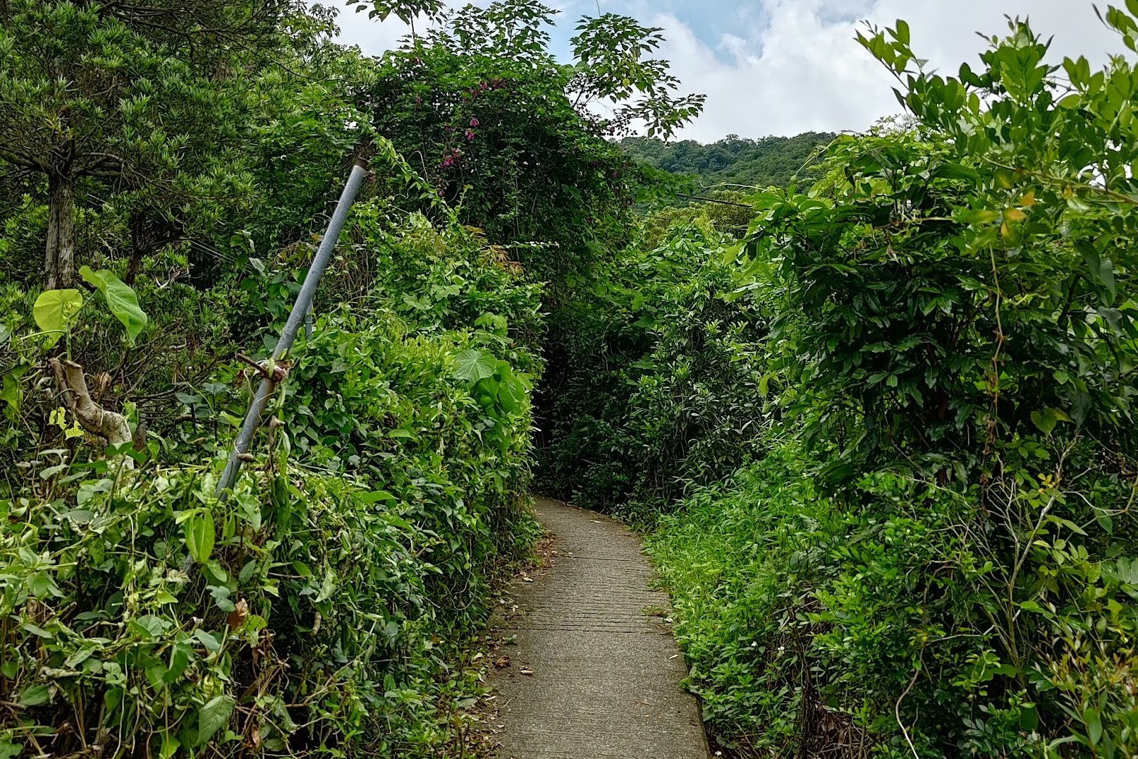
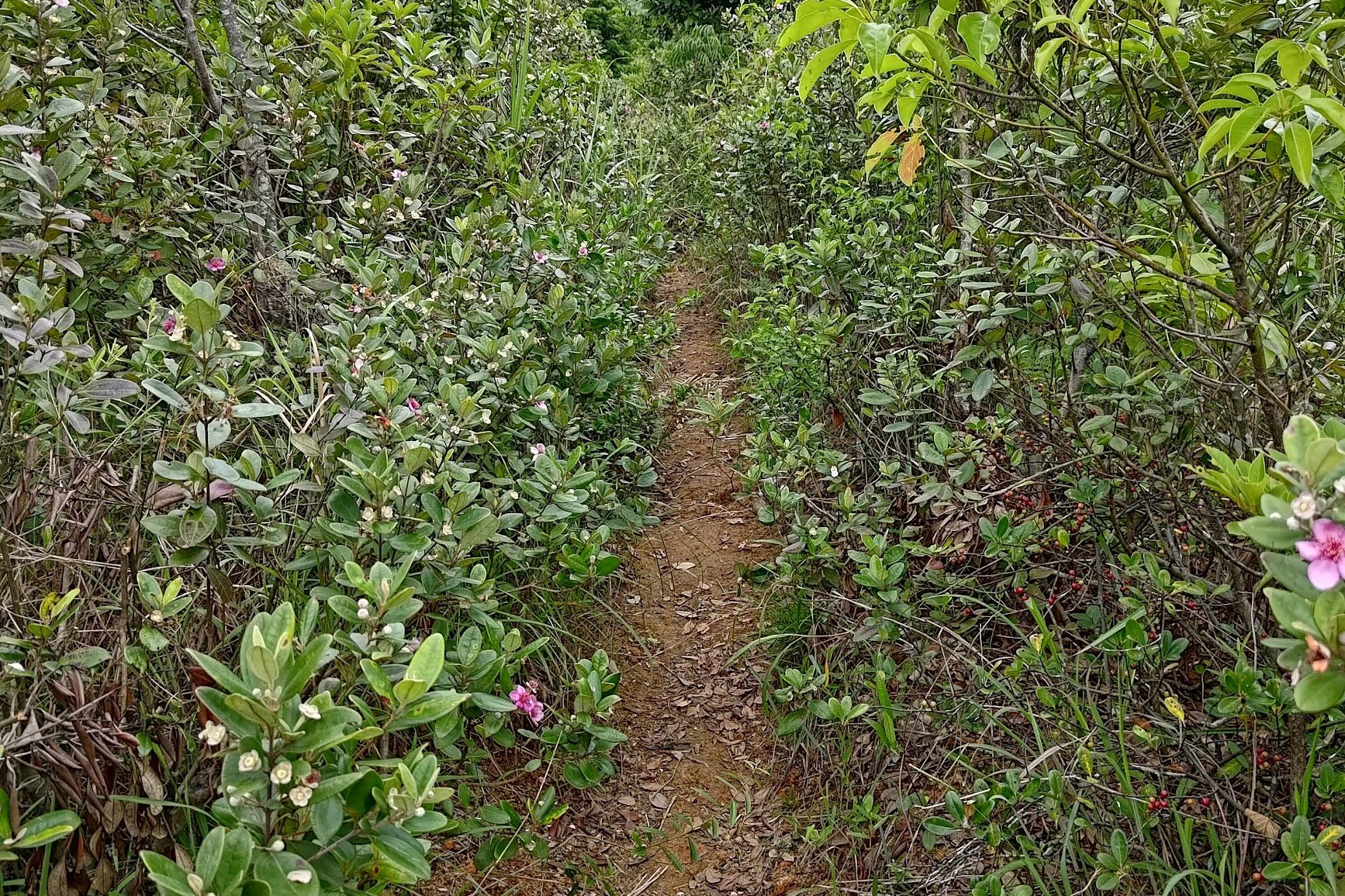
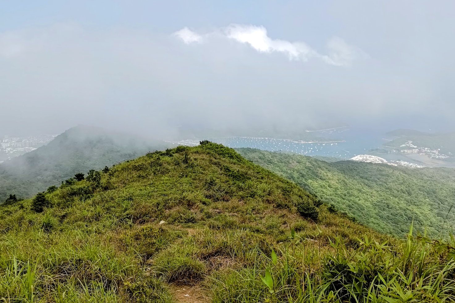
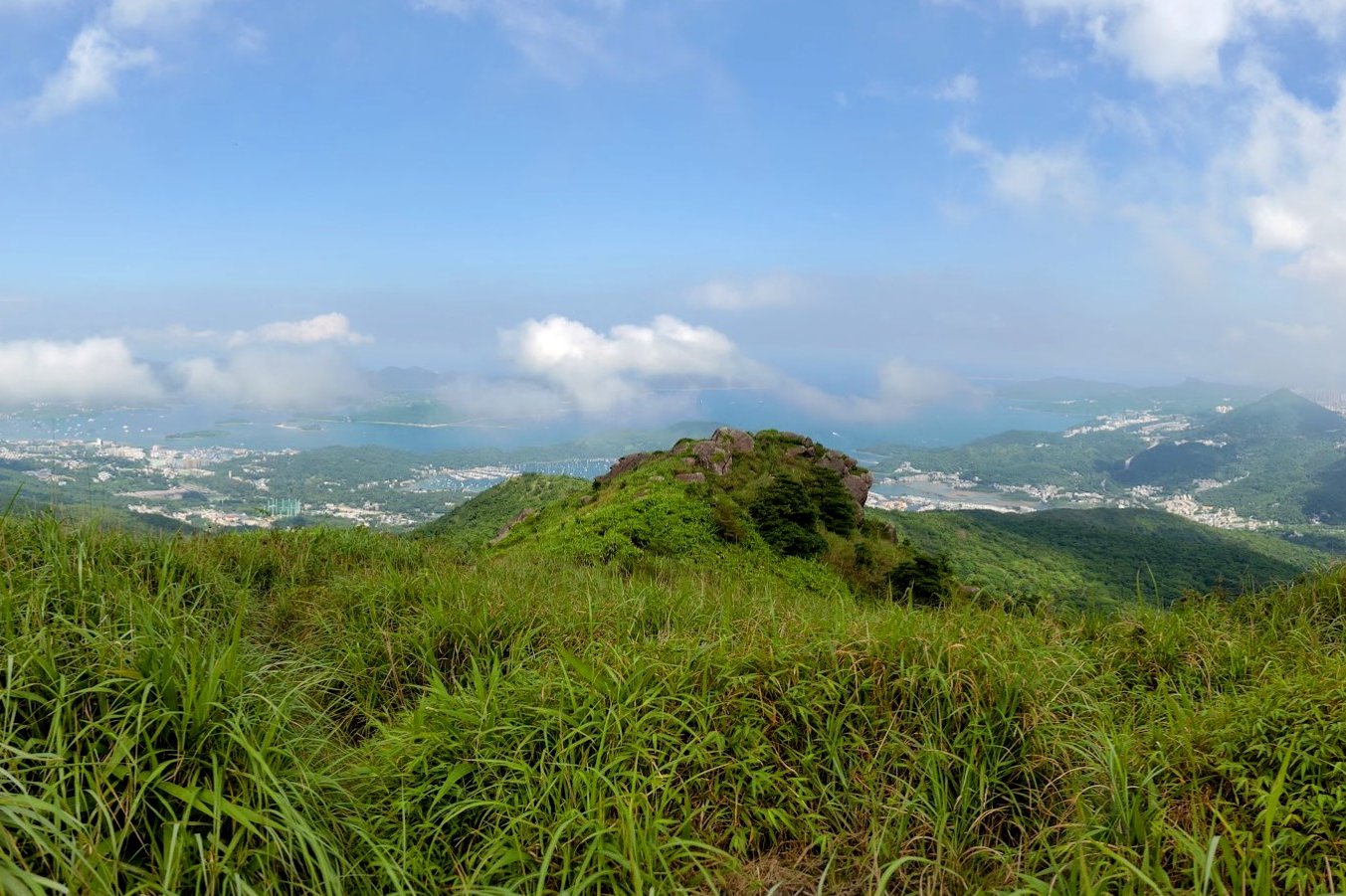
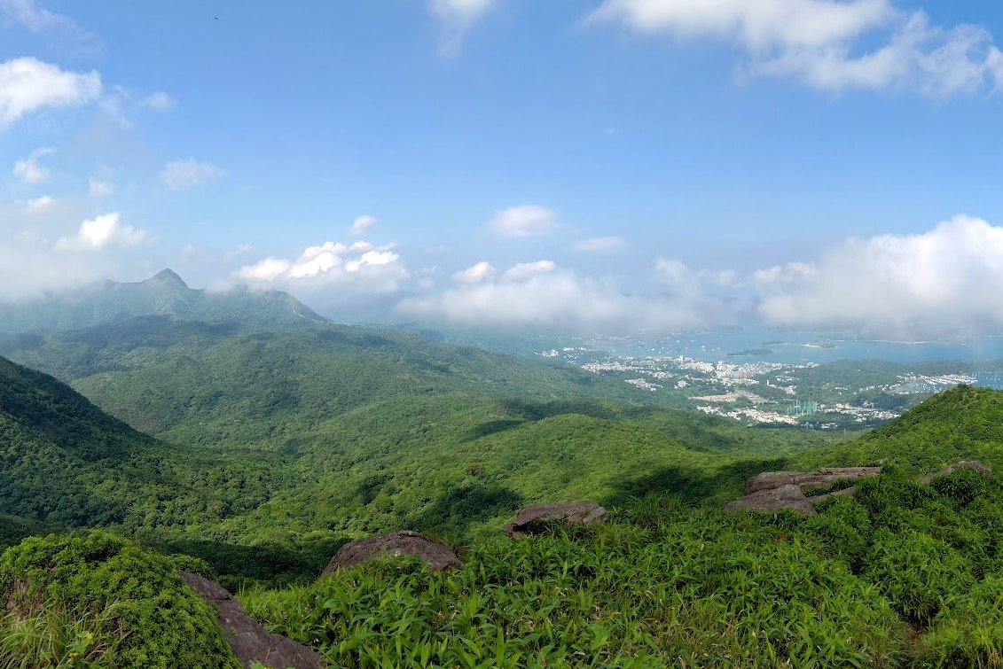
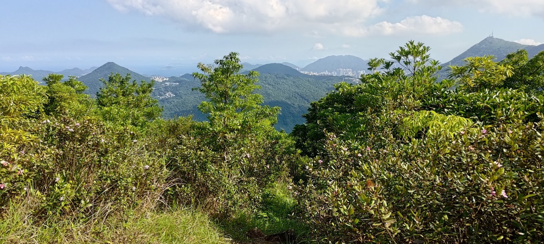
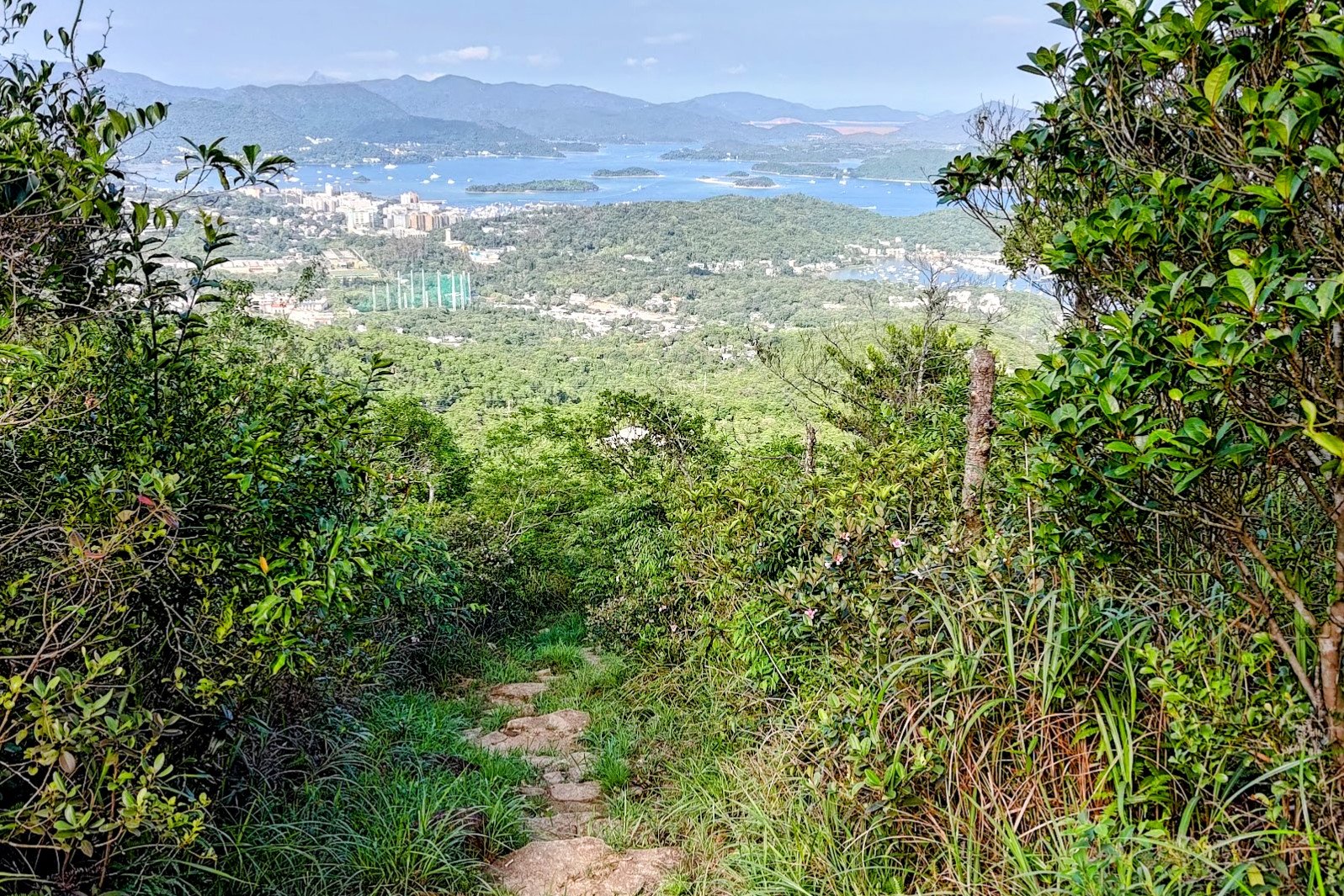
There is much more open climbing throughout this section, which means you'll be privy to some seriously incredible views.
It's possible to enjoy wonderful vantage points over Shatin District, Sai Kung, Tai Po, and much more!
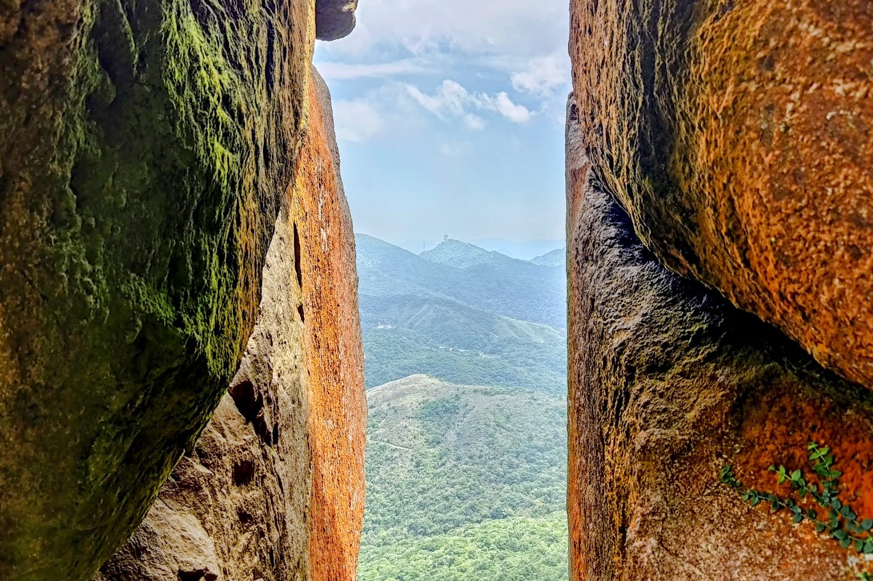
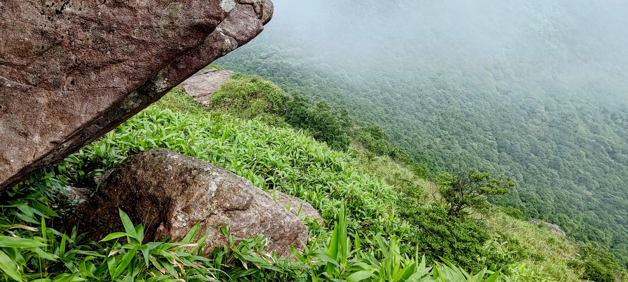
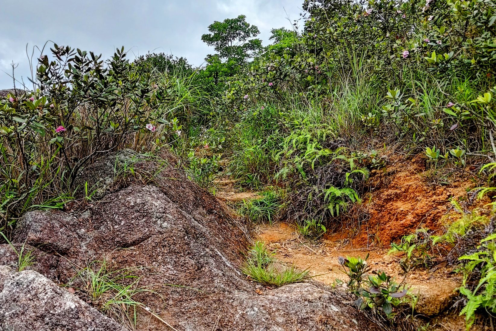
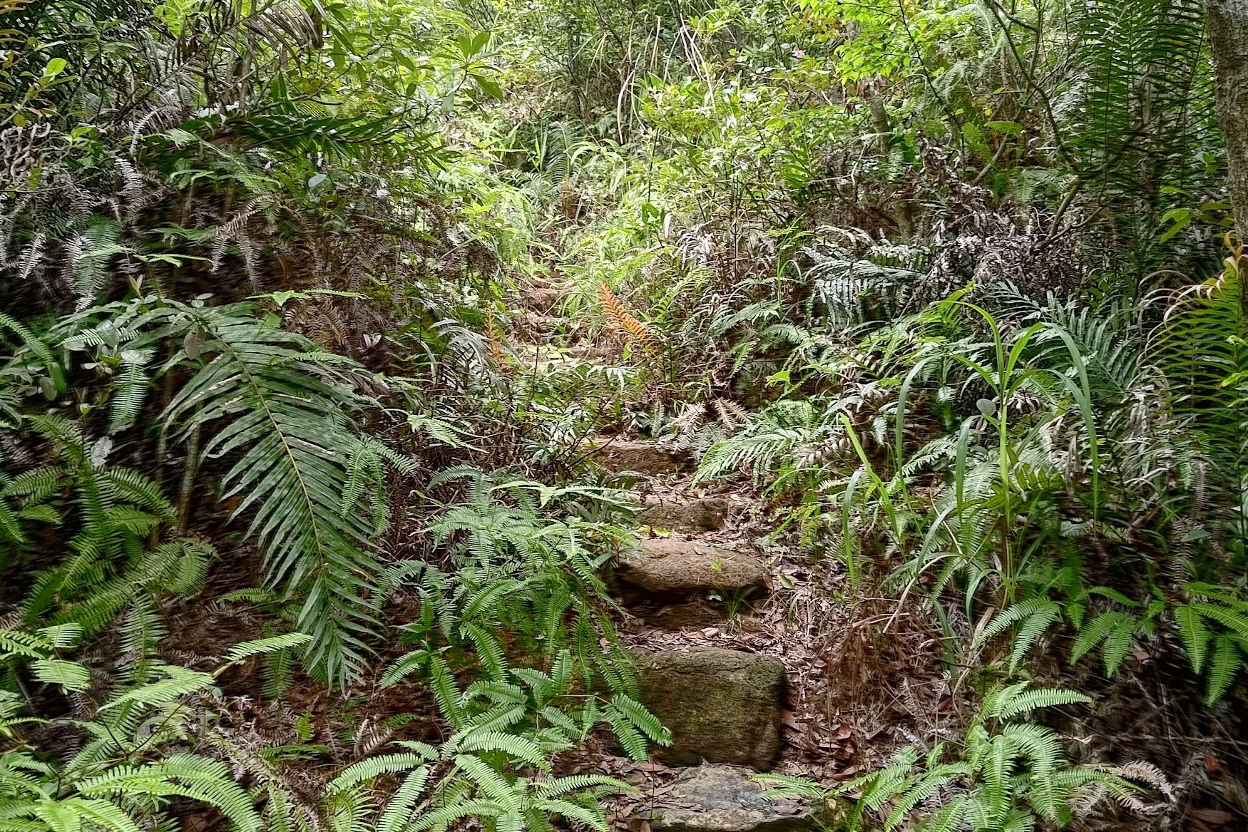
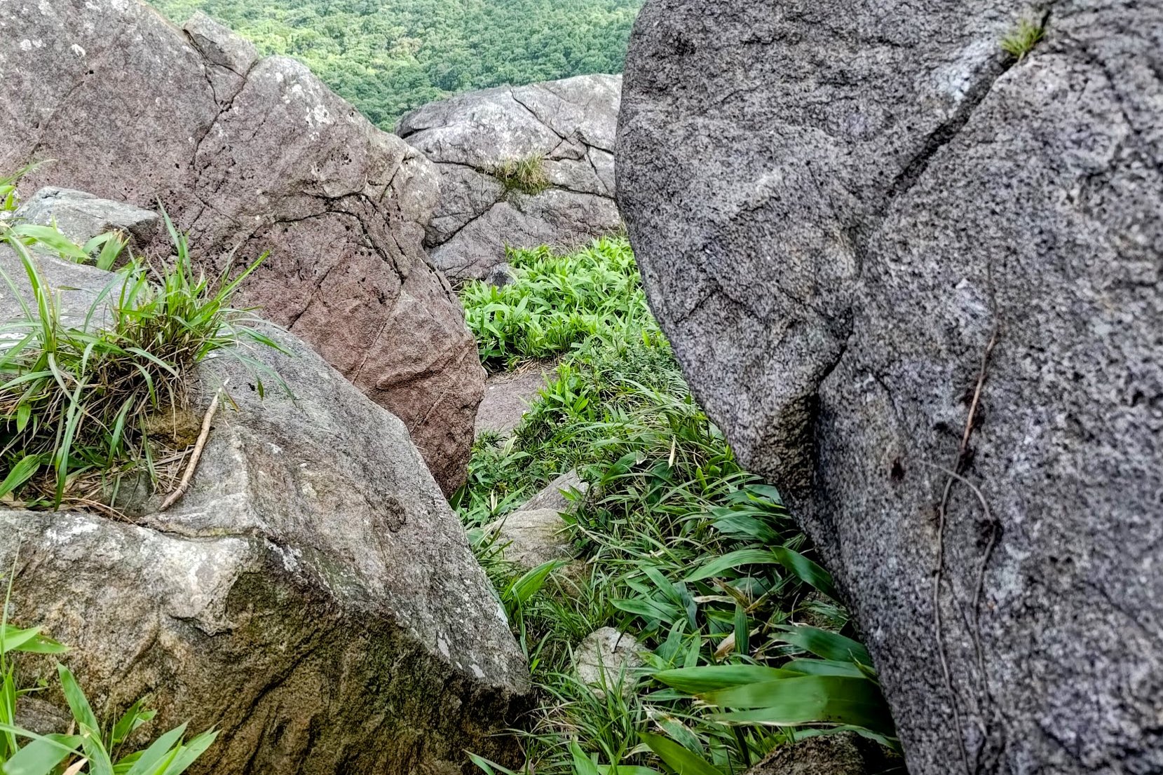
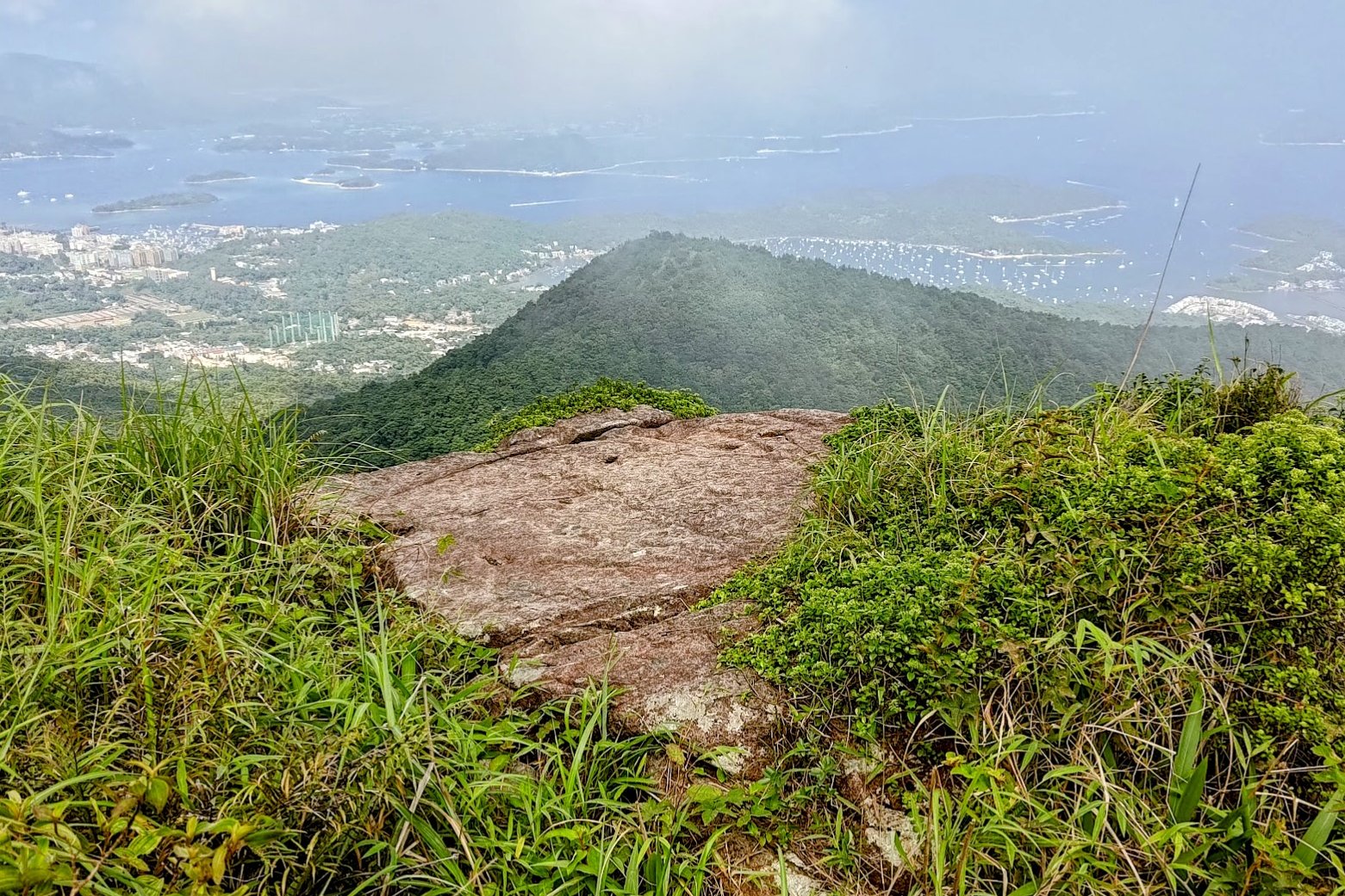
Stone Window Detour
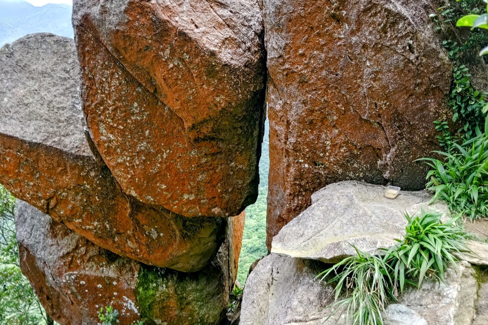
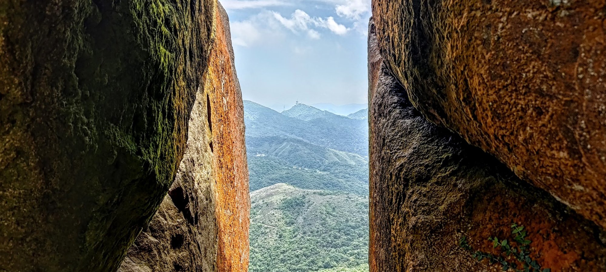
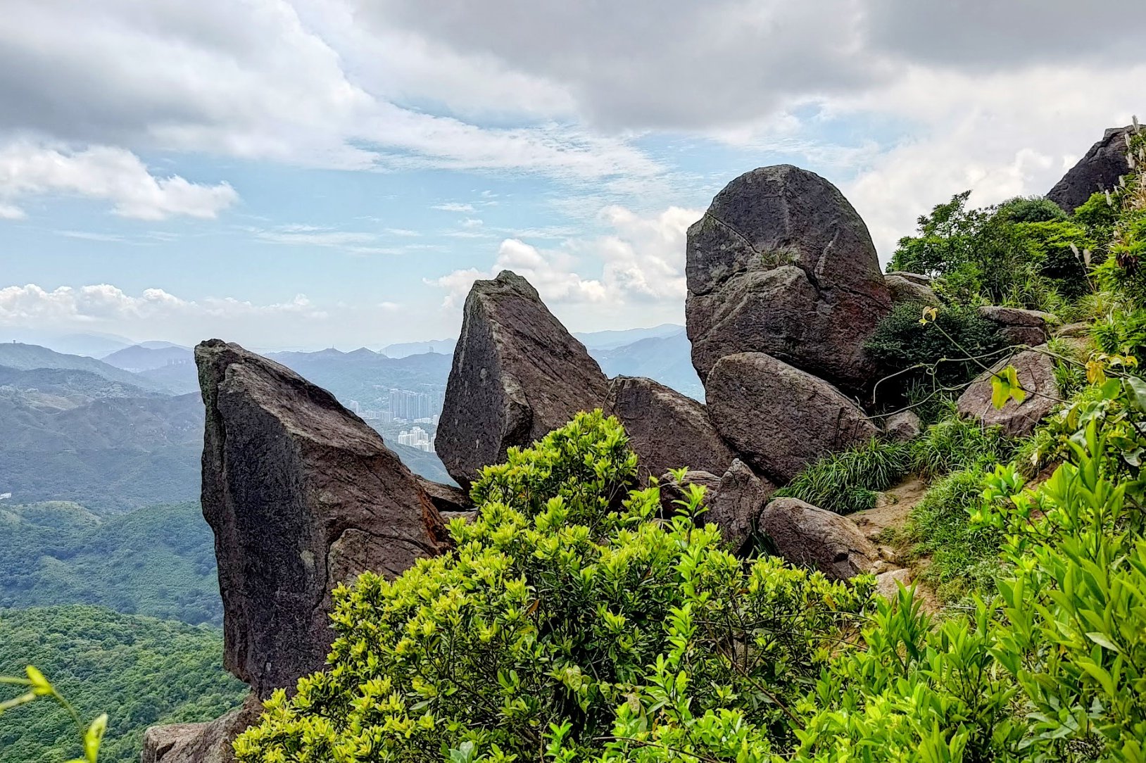
The detour takes about 10 minutes each way. Expect to spend about 20-25 minutes on this detour there and back if you decide to explore it.
I'd personally say that it really is worth it for the view. The Stone Window is also a great place to hang out in the shade and get some respite from the sun.
When you're done checking out the views, head back to the fork in the trail to begin the final short ascent up Buffalo Hill.
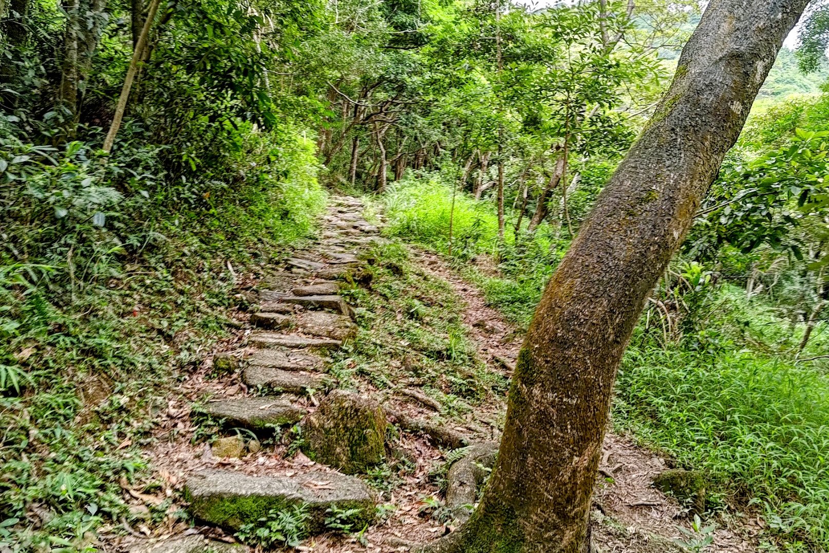
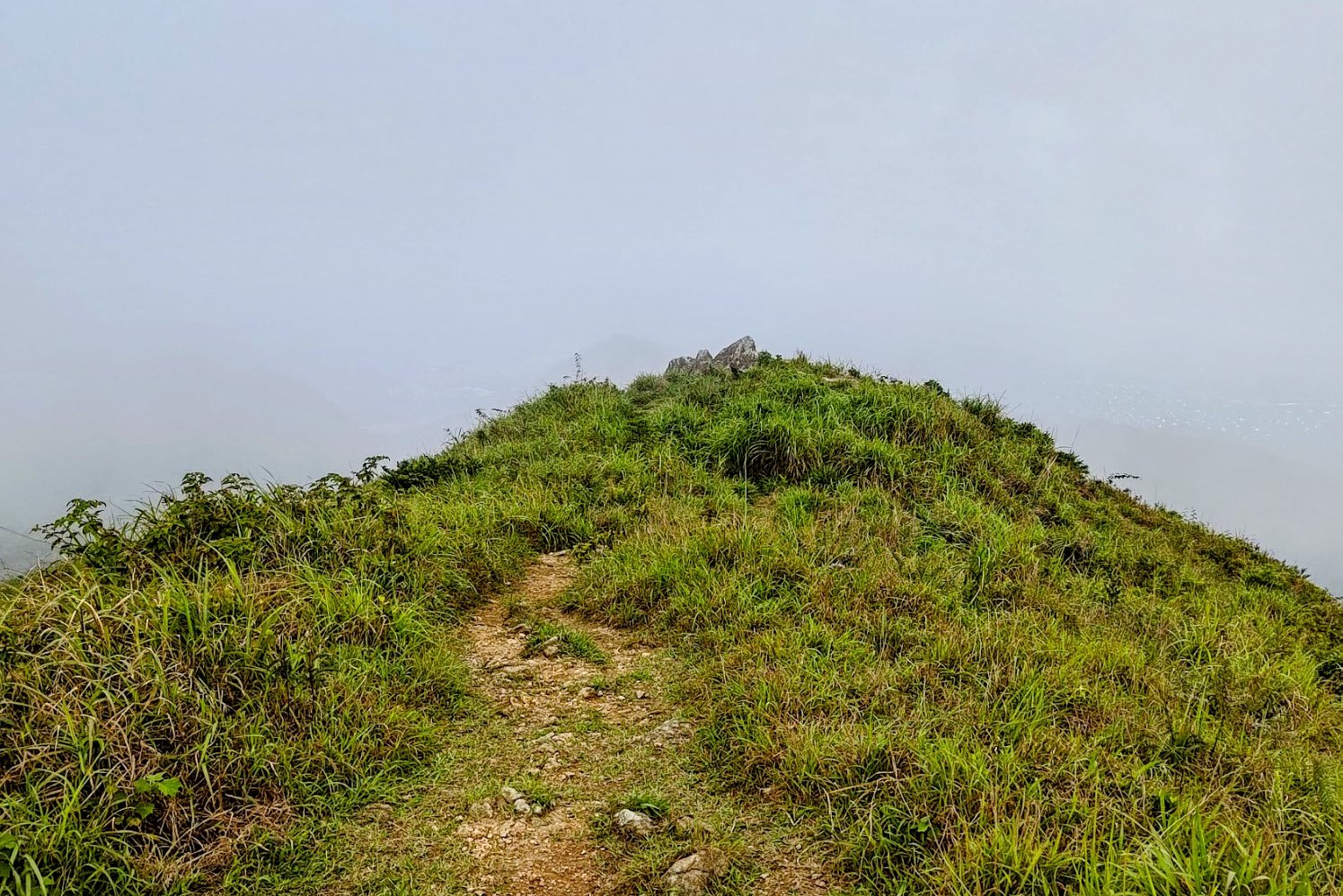
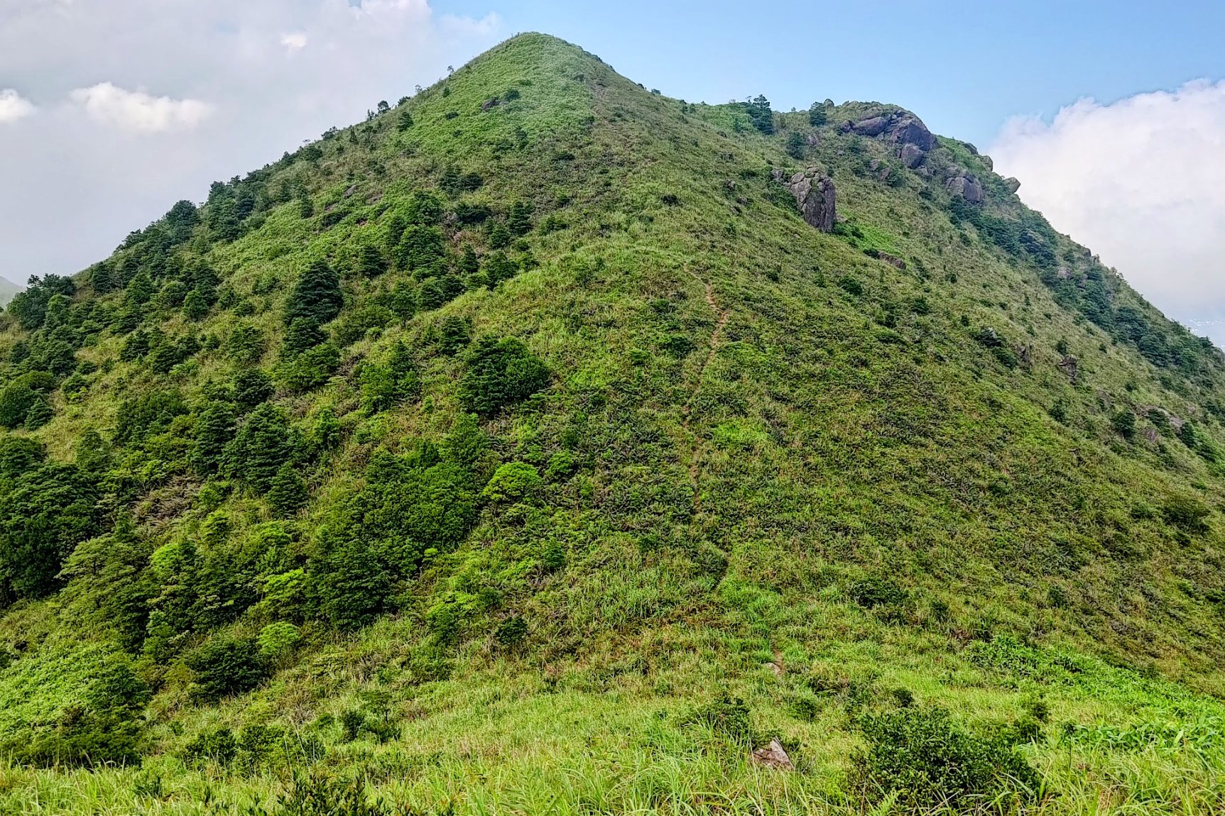
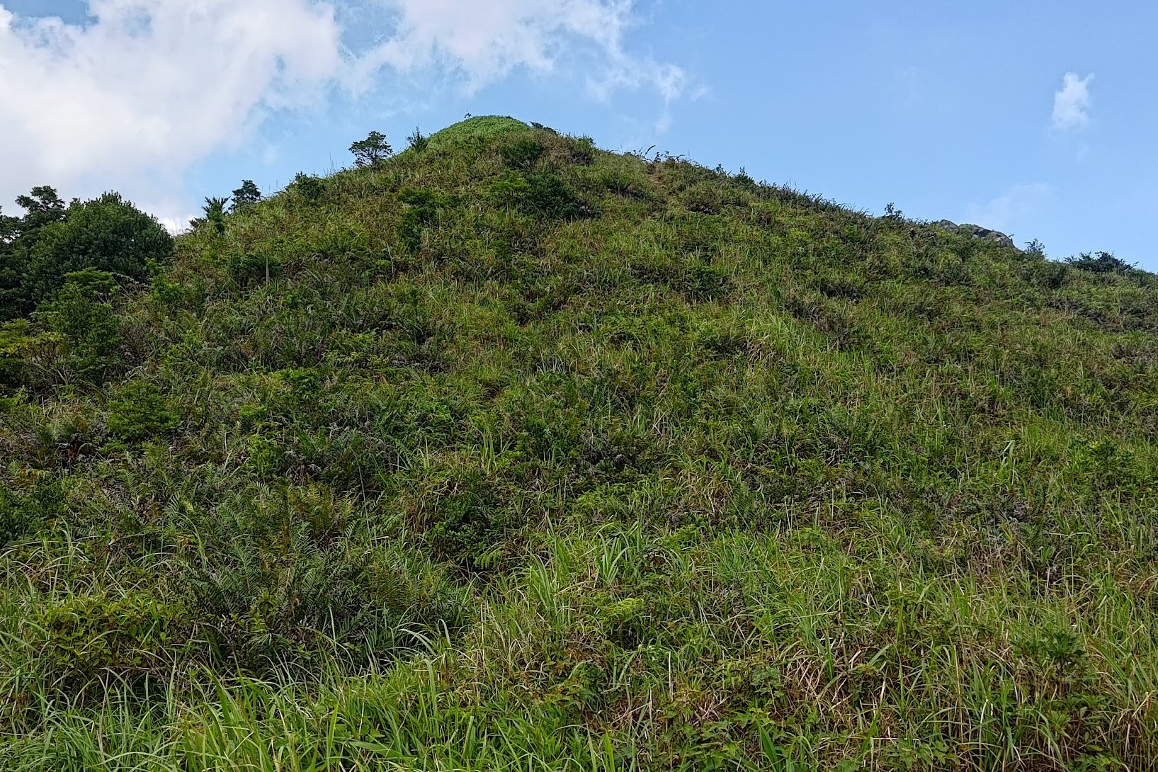
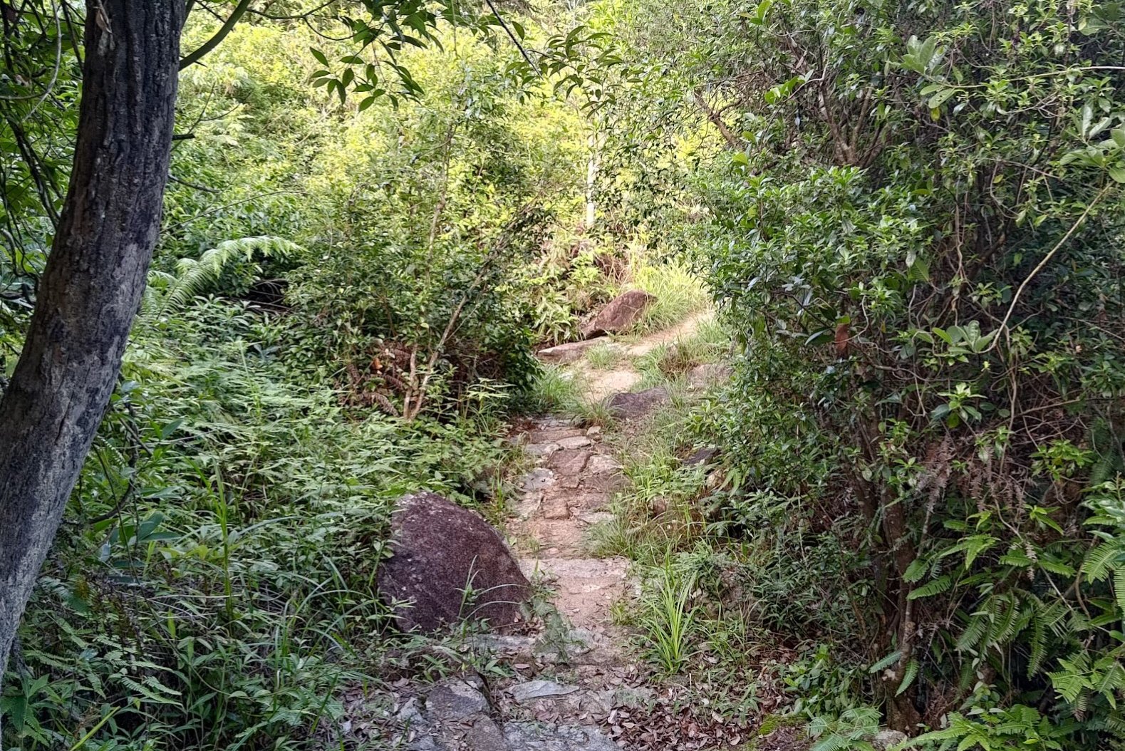
Final Ascent to West Buffalo Hill Summit
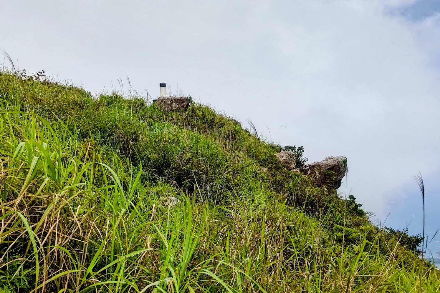
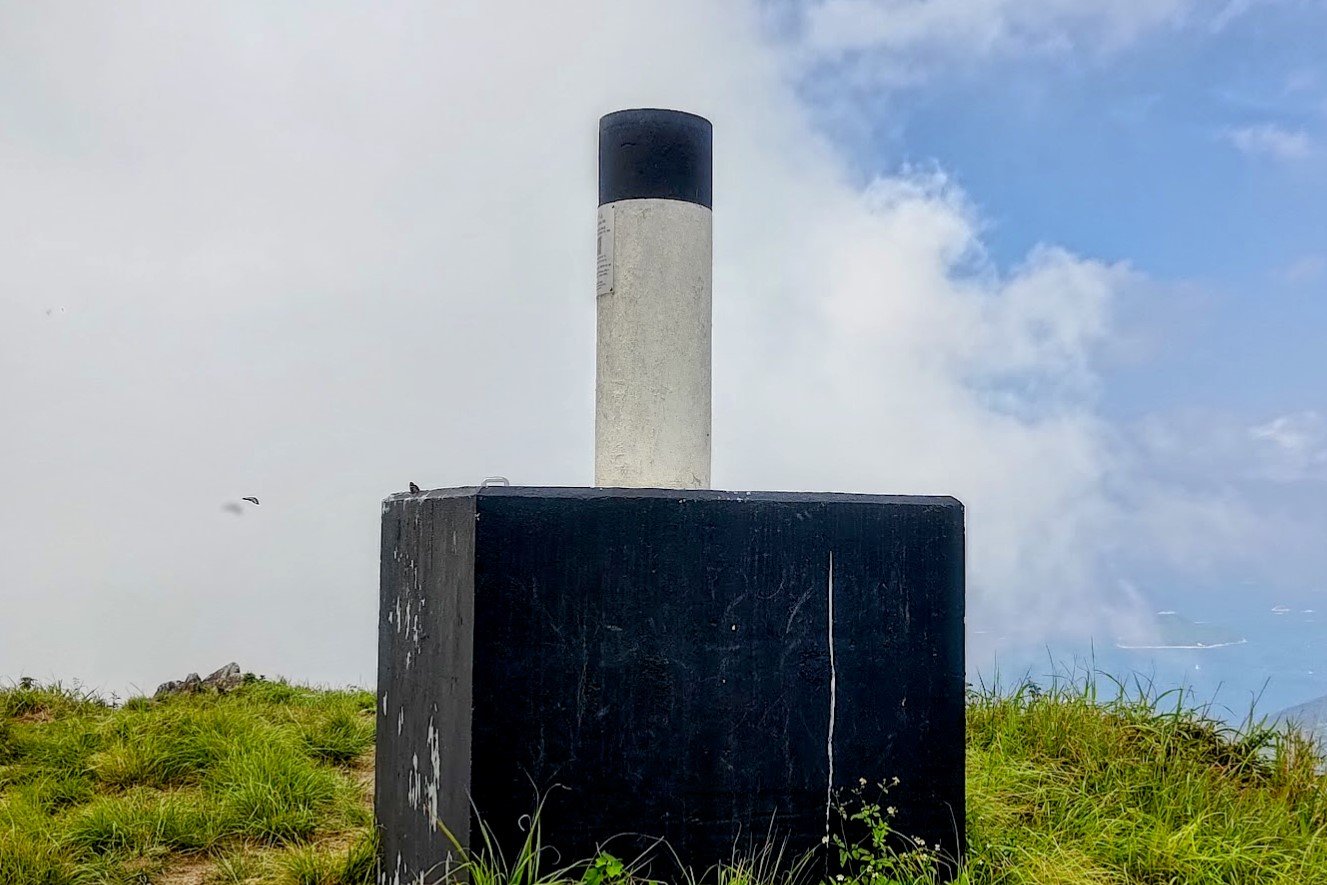
The climb to the summit only takes an additional 5-8 minutes from the detour fork.
The trail is completely open from here, so enjoy the views as you head toward the black and white trigonometrical station and reach the summit of West Buffalo Hill!
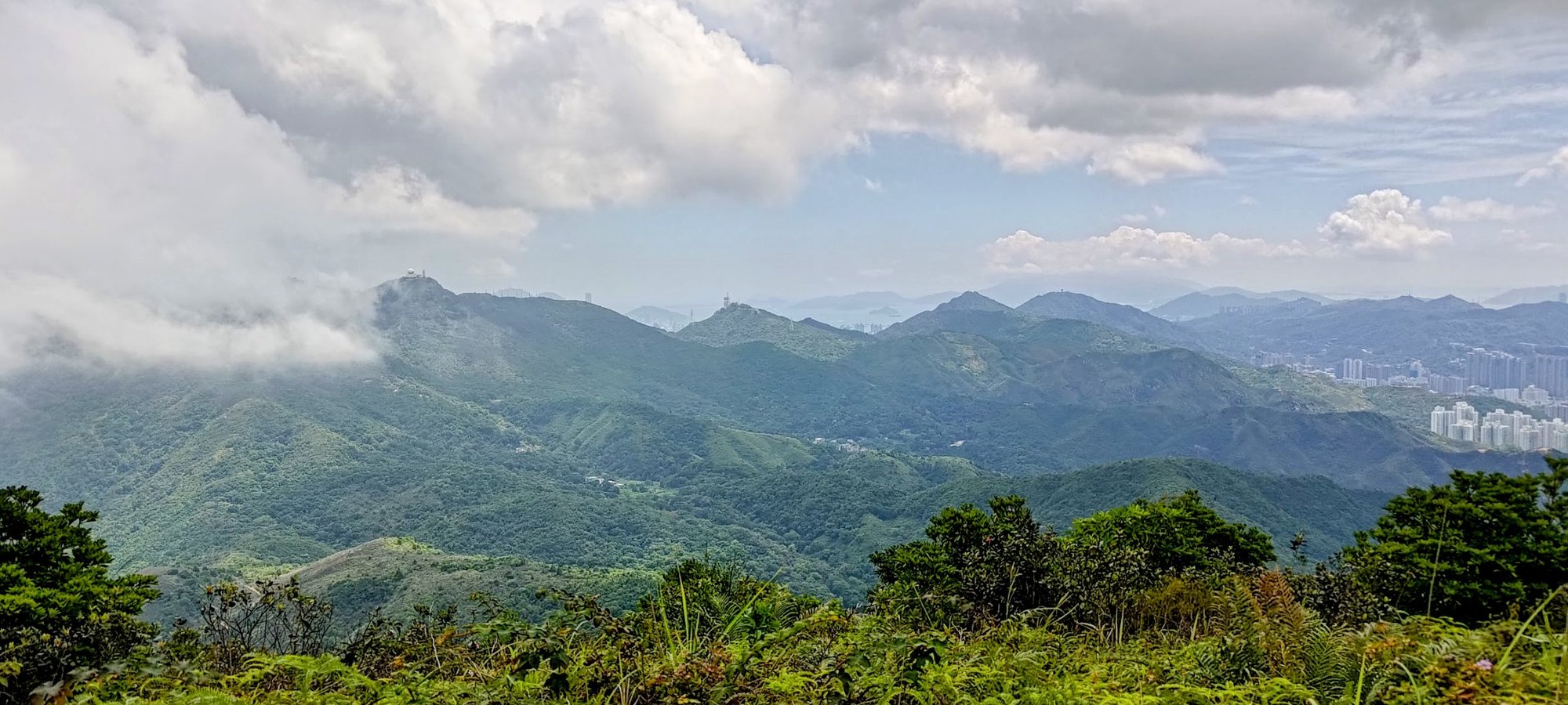
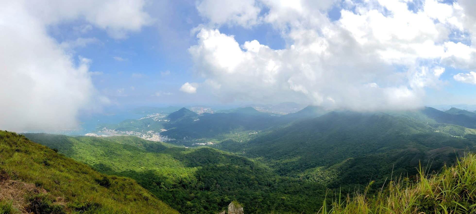
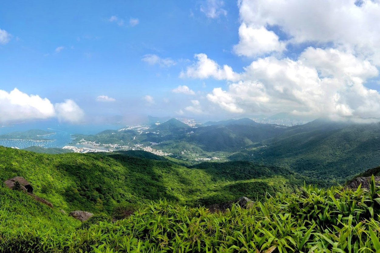
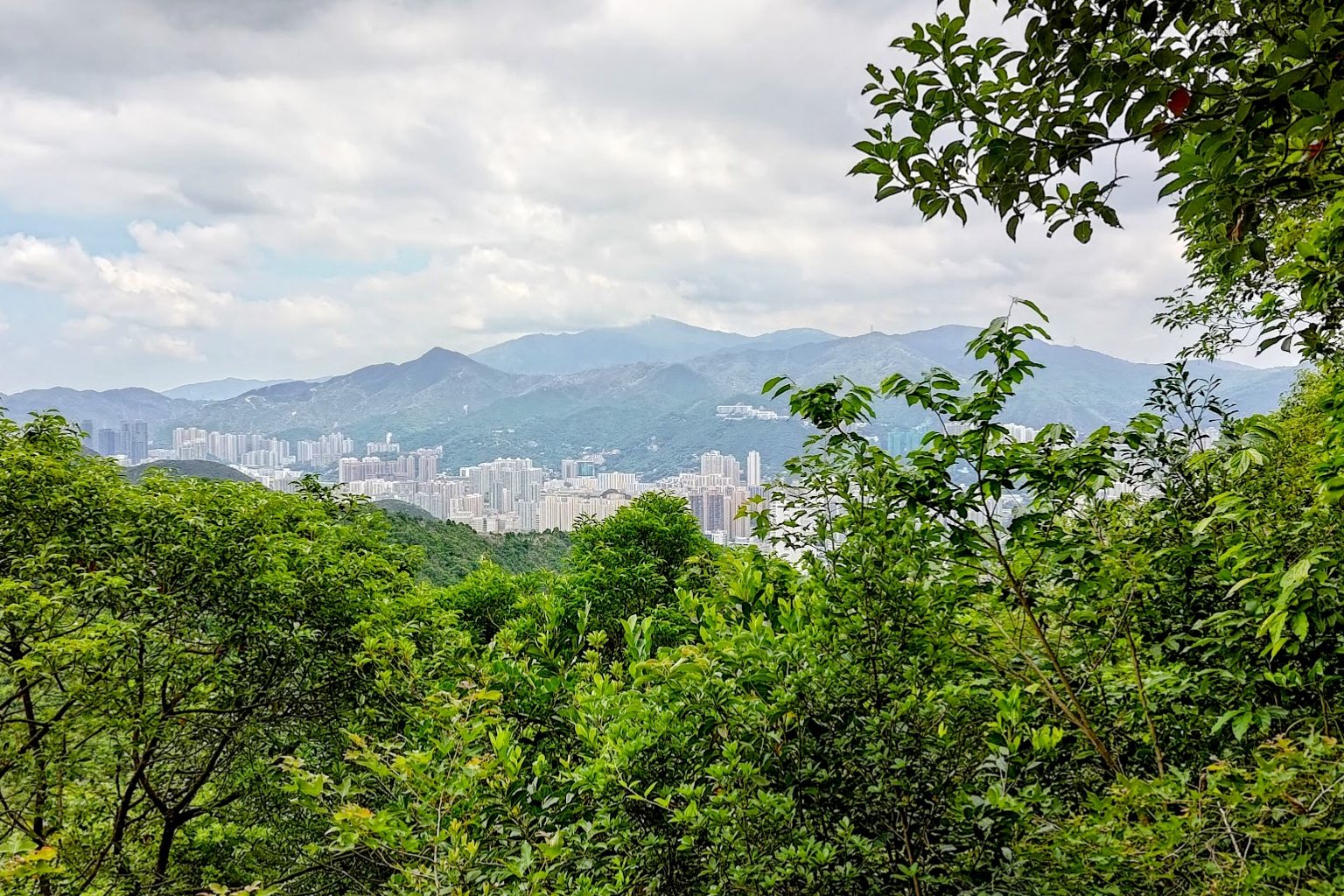
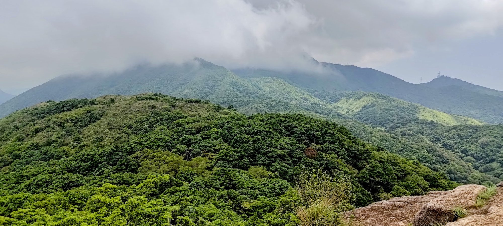
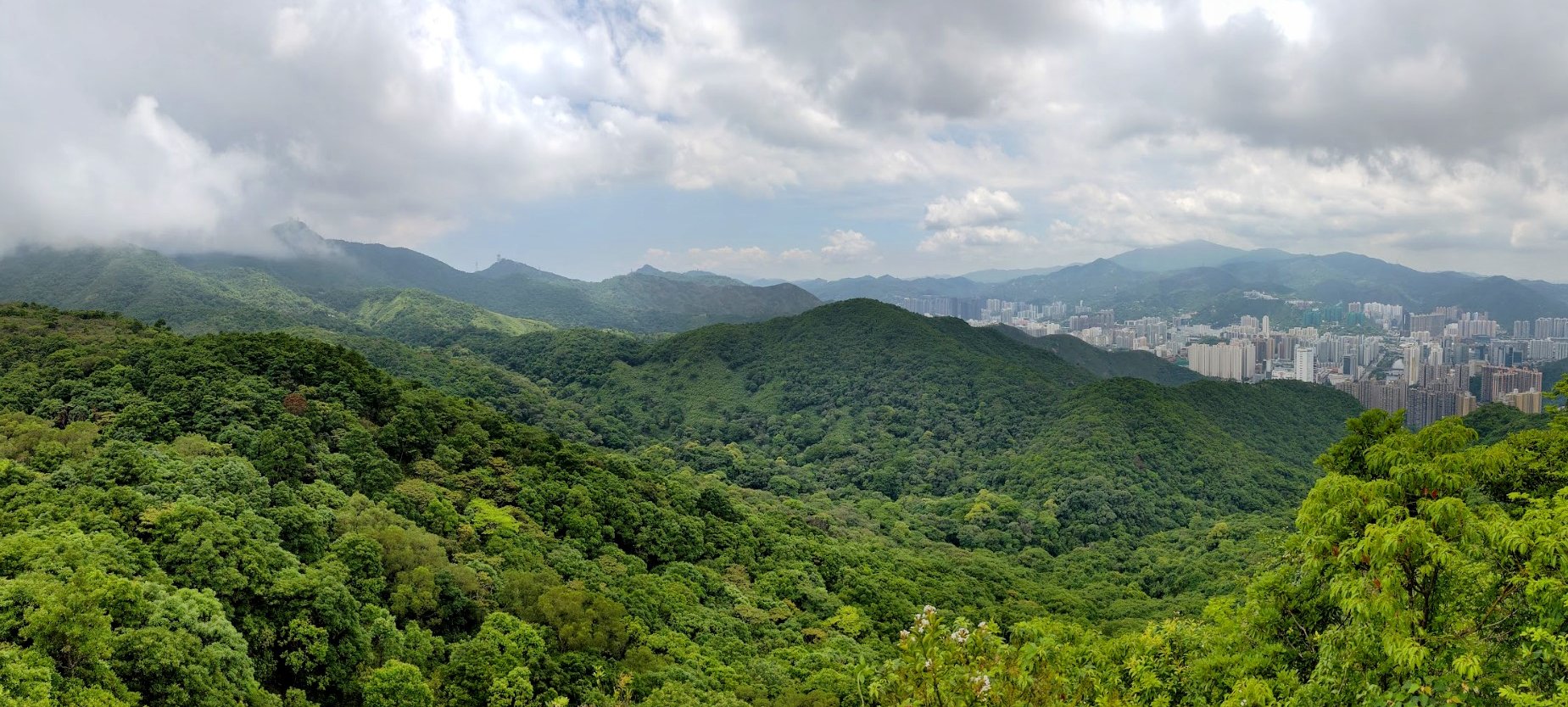
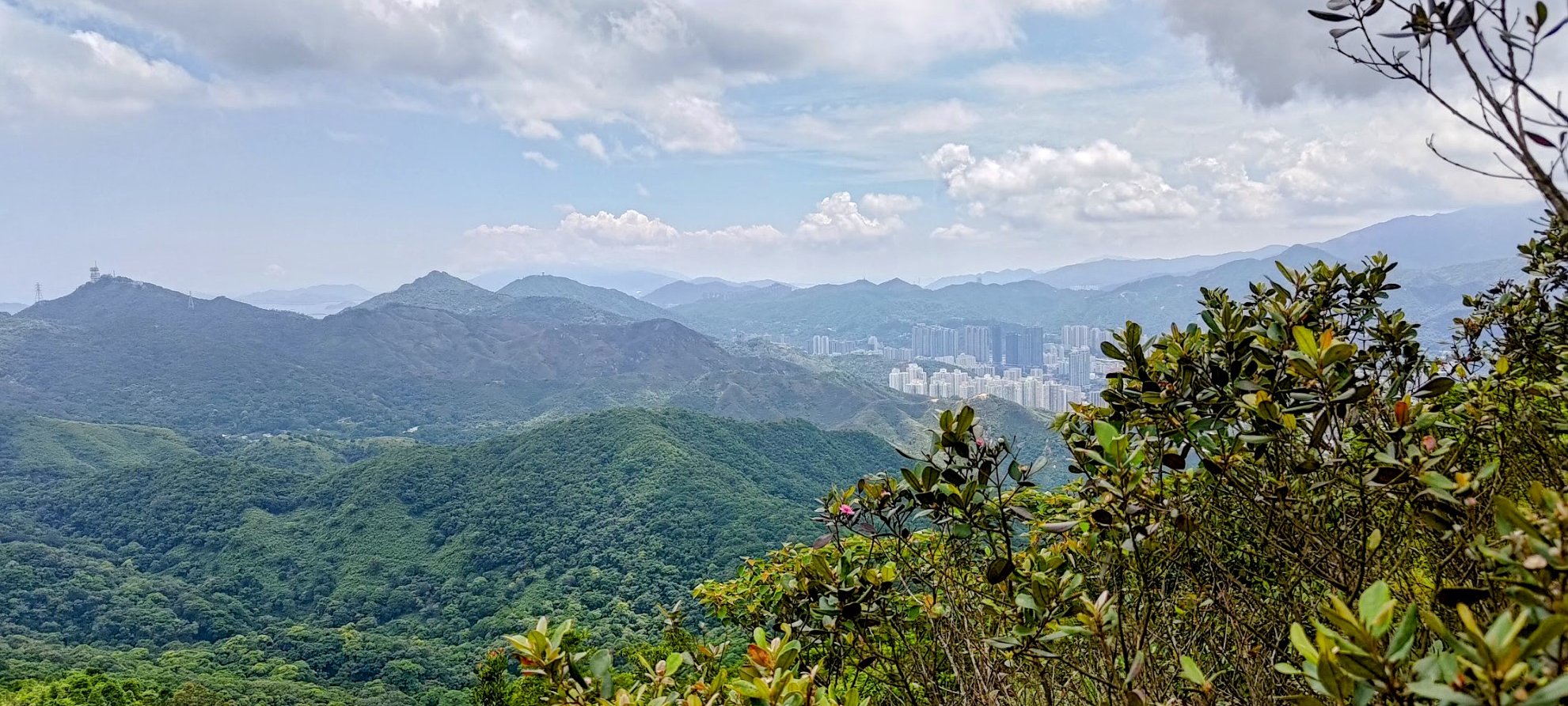
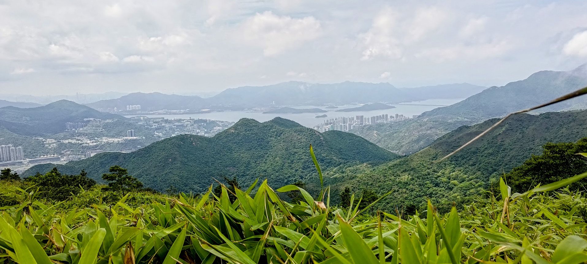
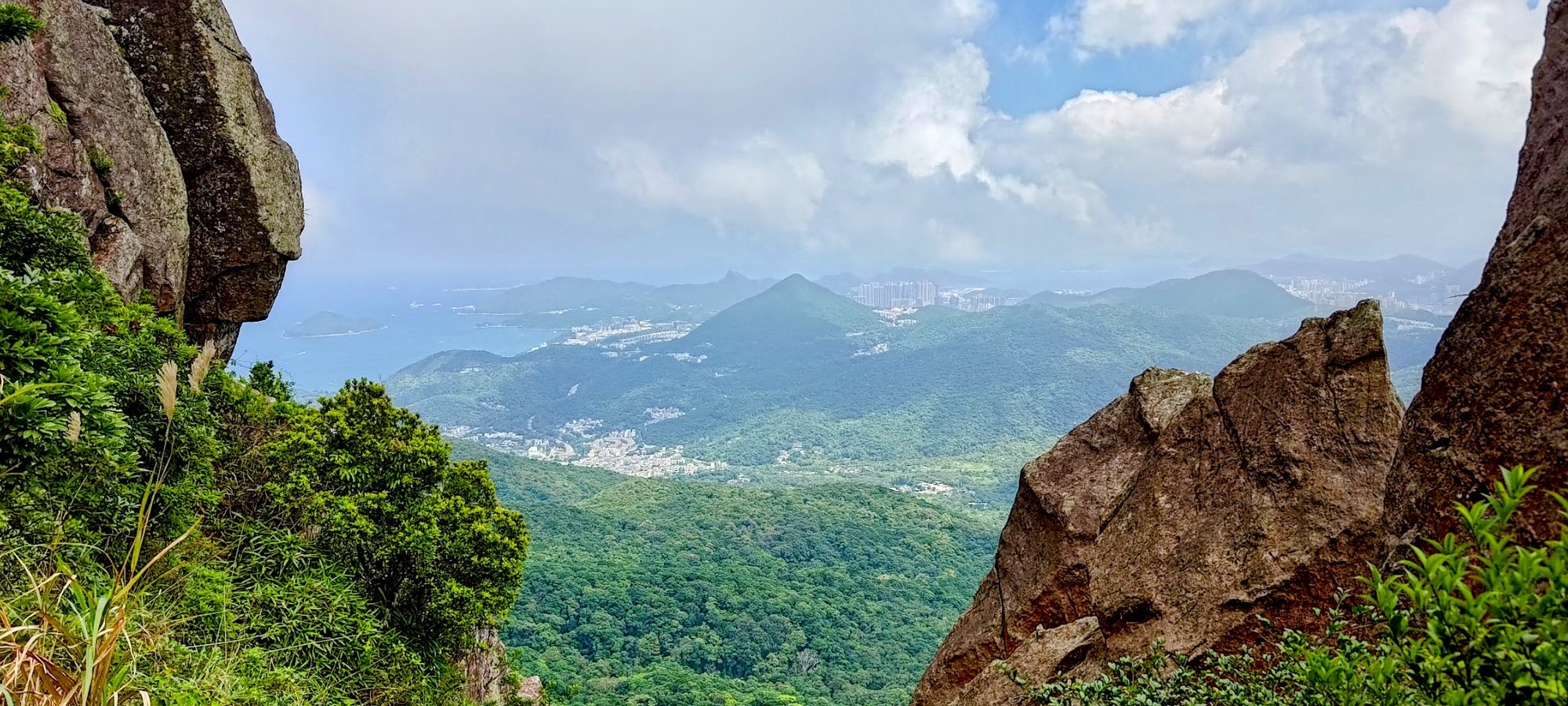
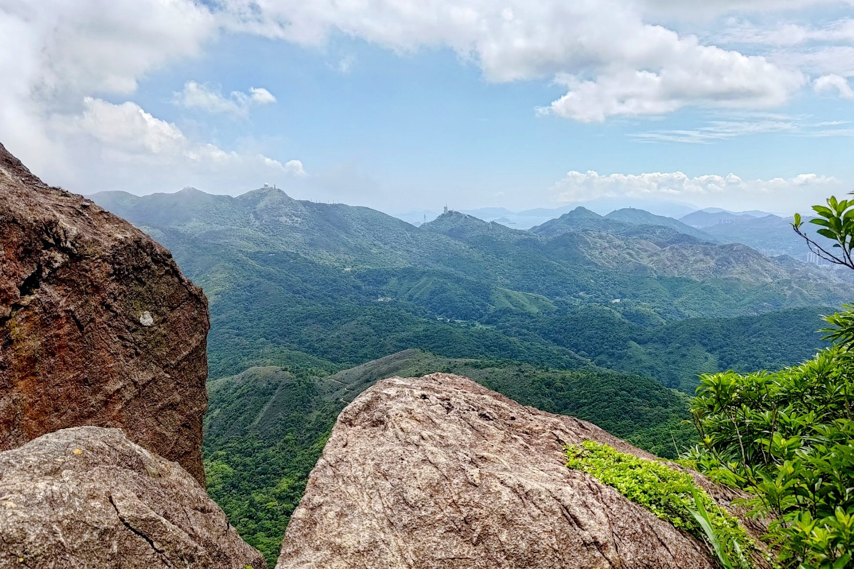
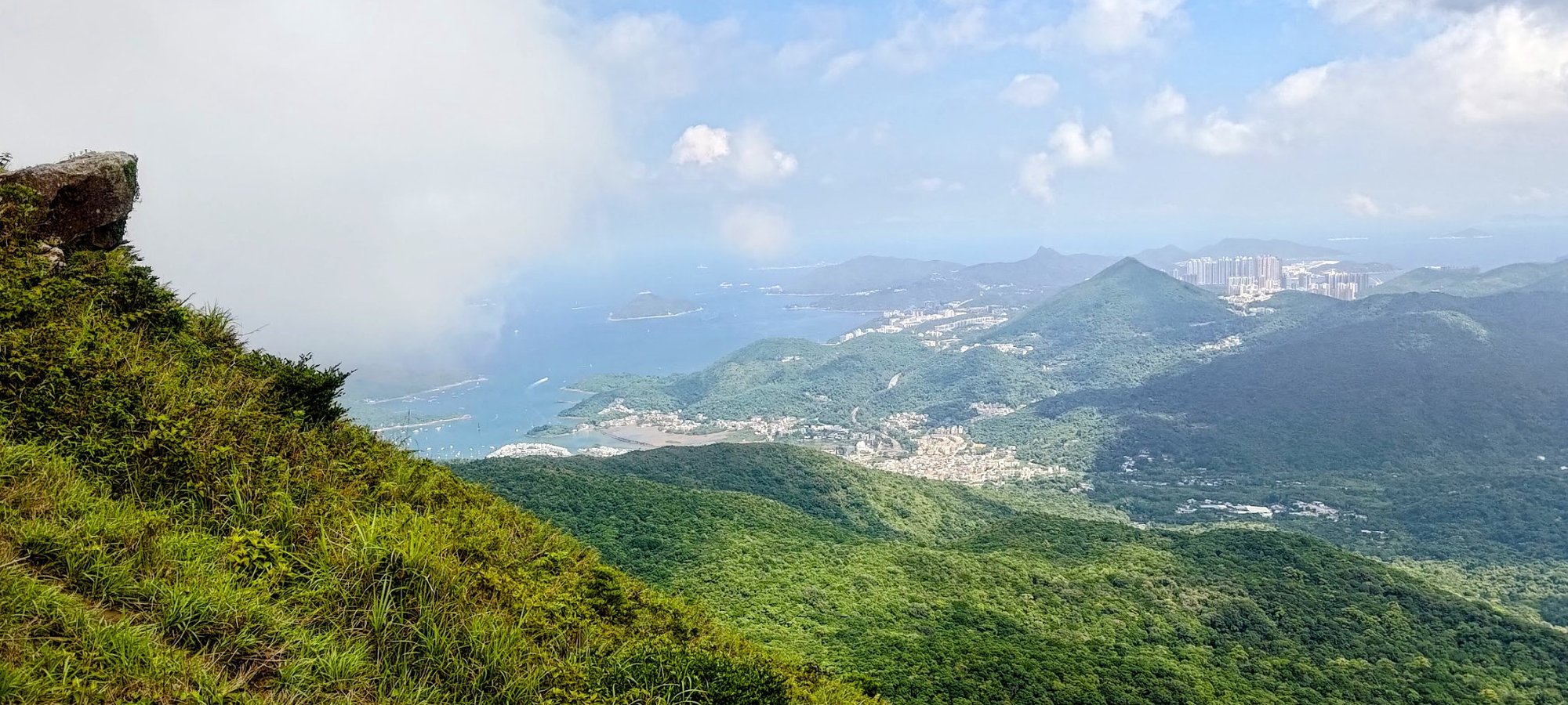
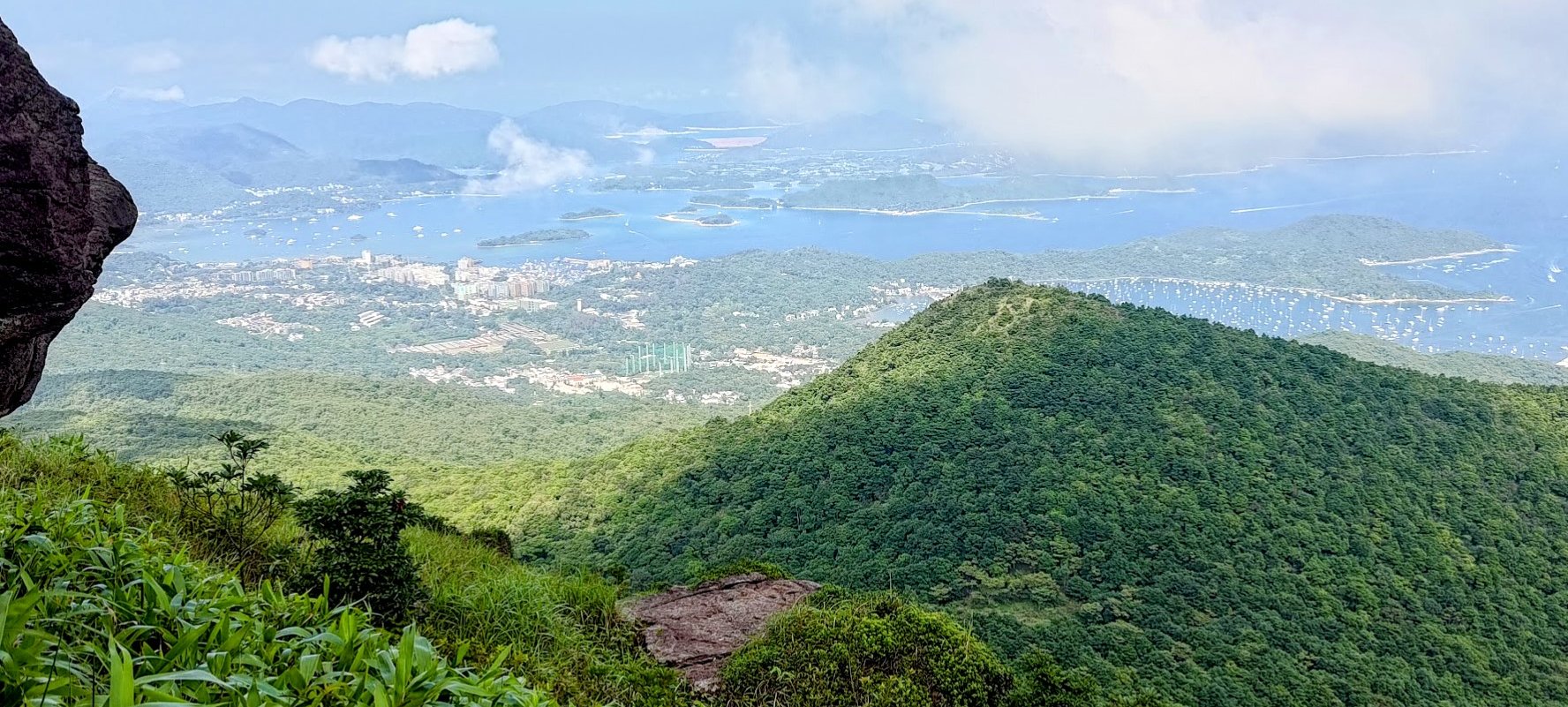
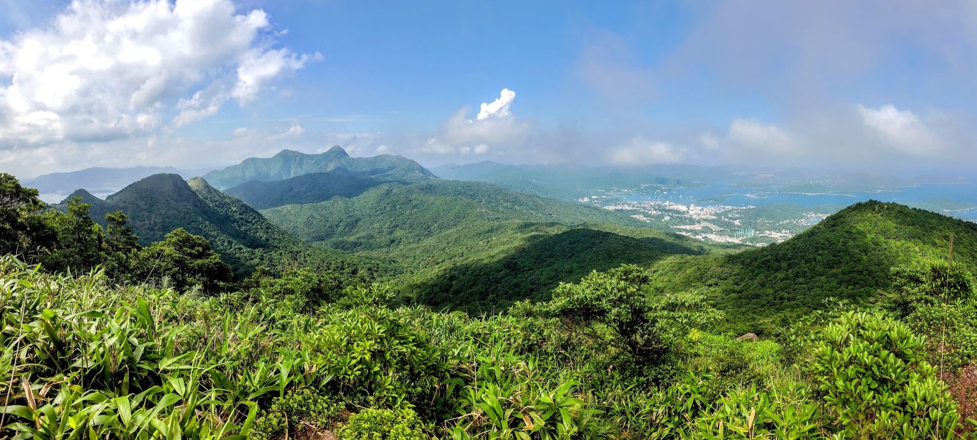
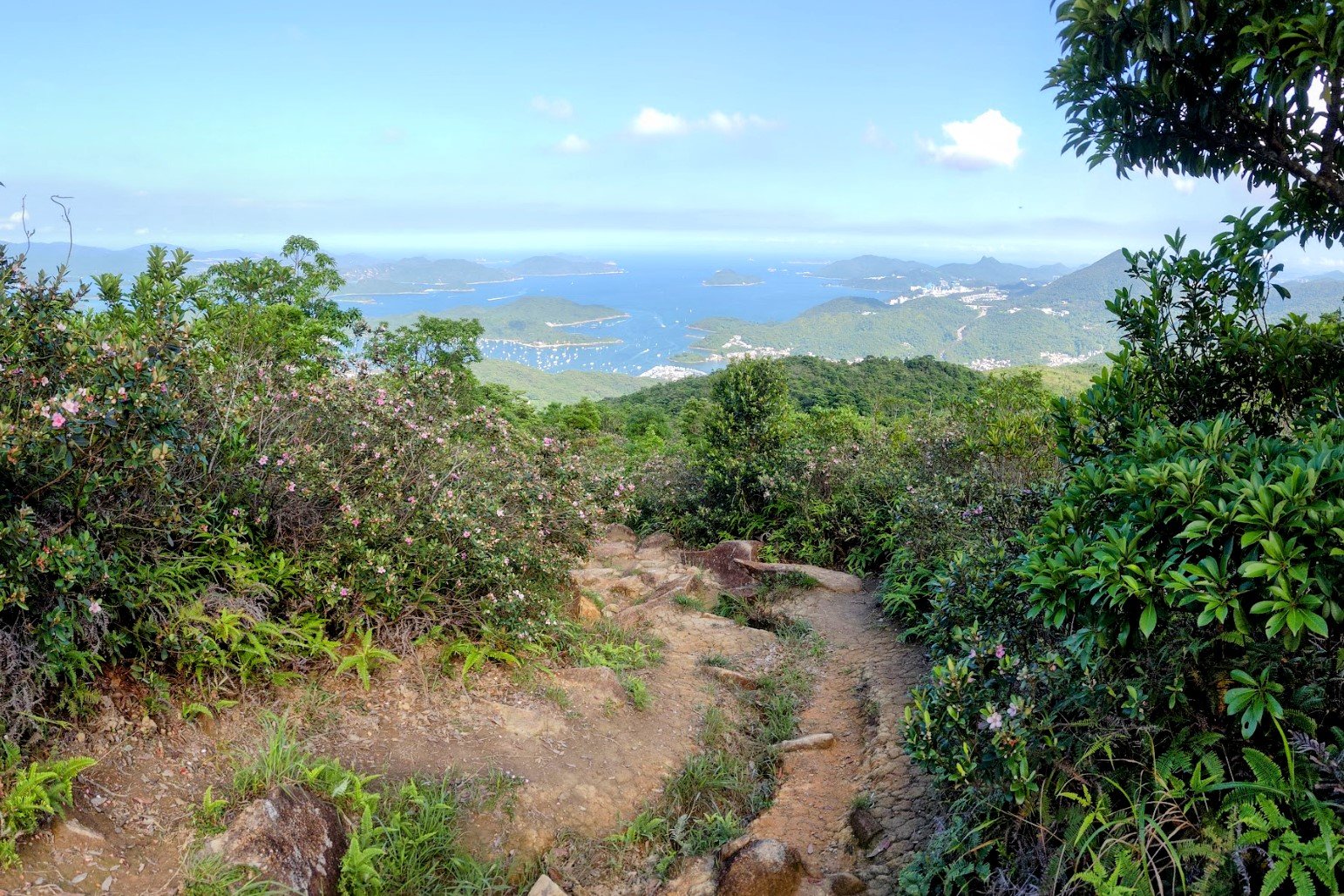
West Buffalo Hill Summit Views
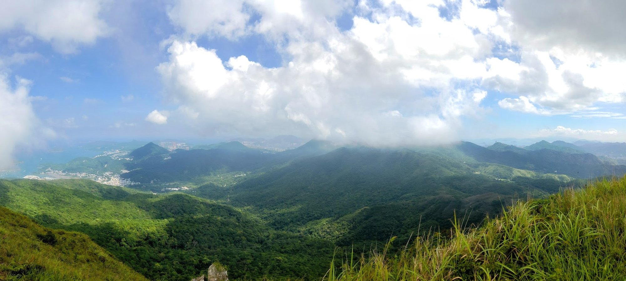

The views stretch 360 degrees from West Buffalo Hill.
You'll be able to lap up the azure waters of Sai Kung, the verdant green mountains of the Lion Rock Range, and even the cityscape of Shatin!
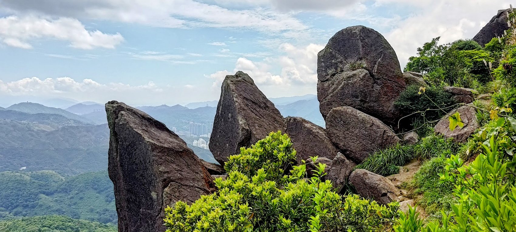
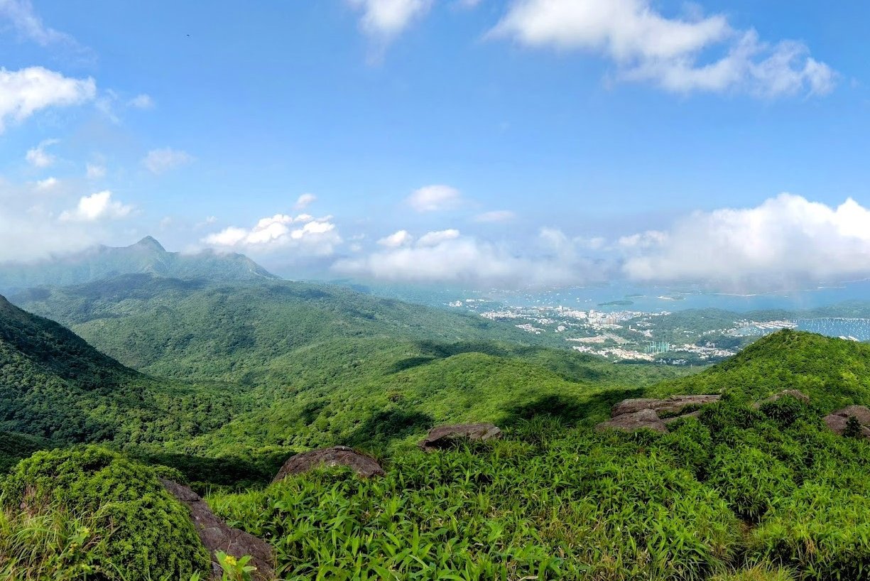
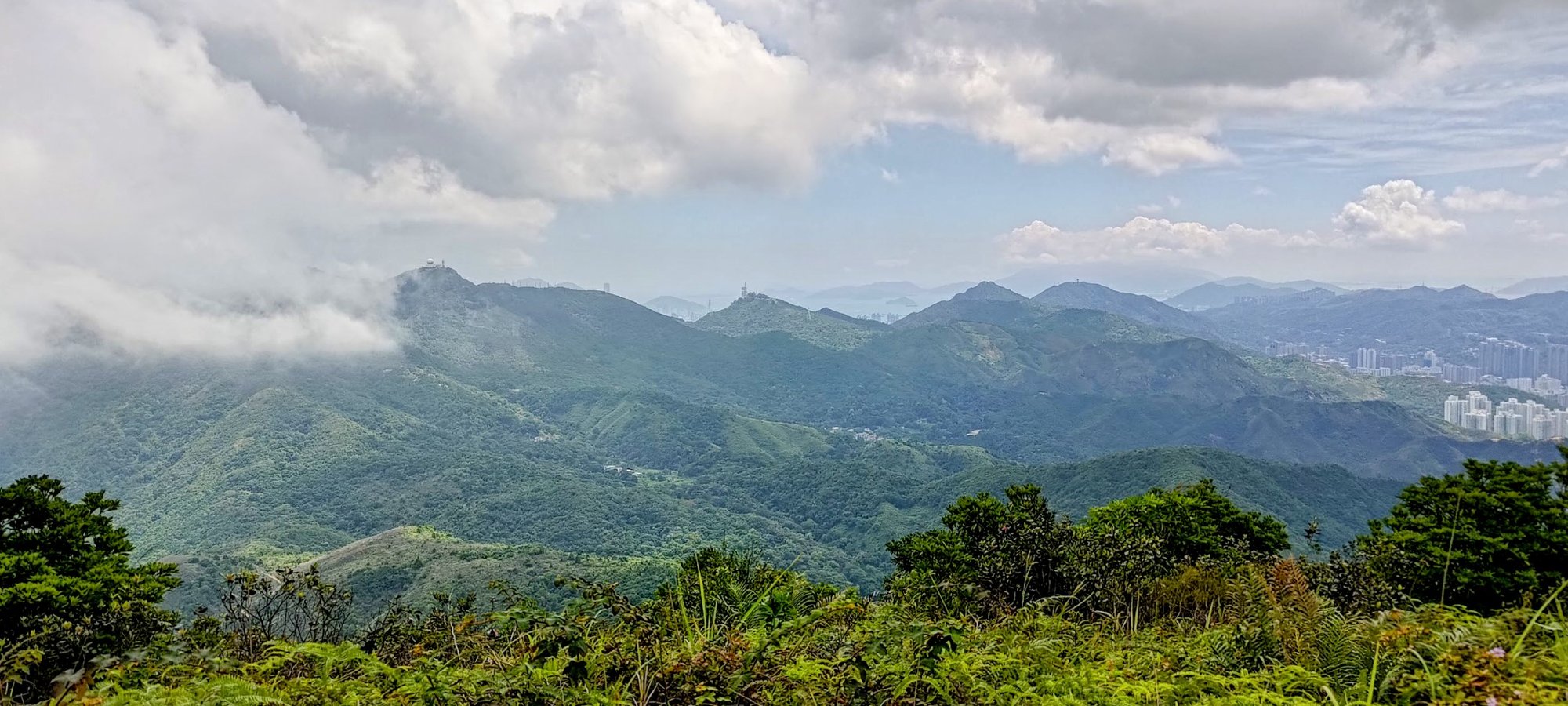
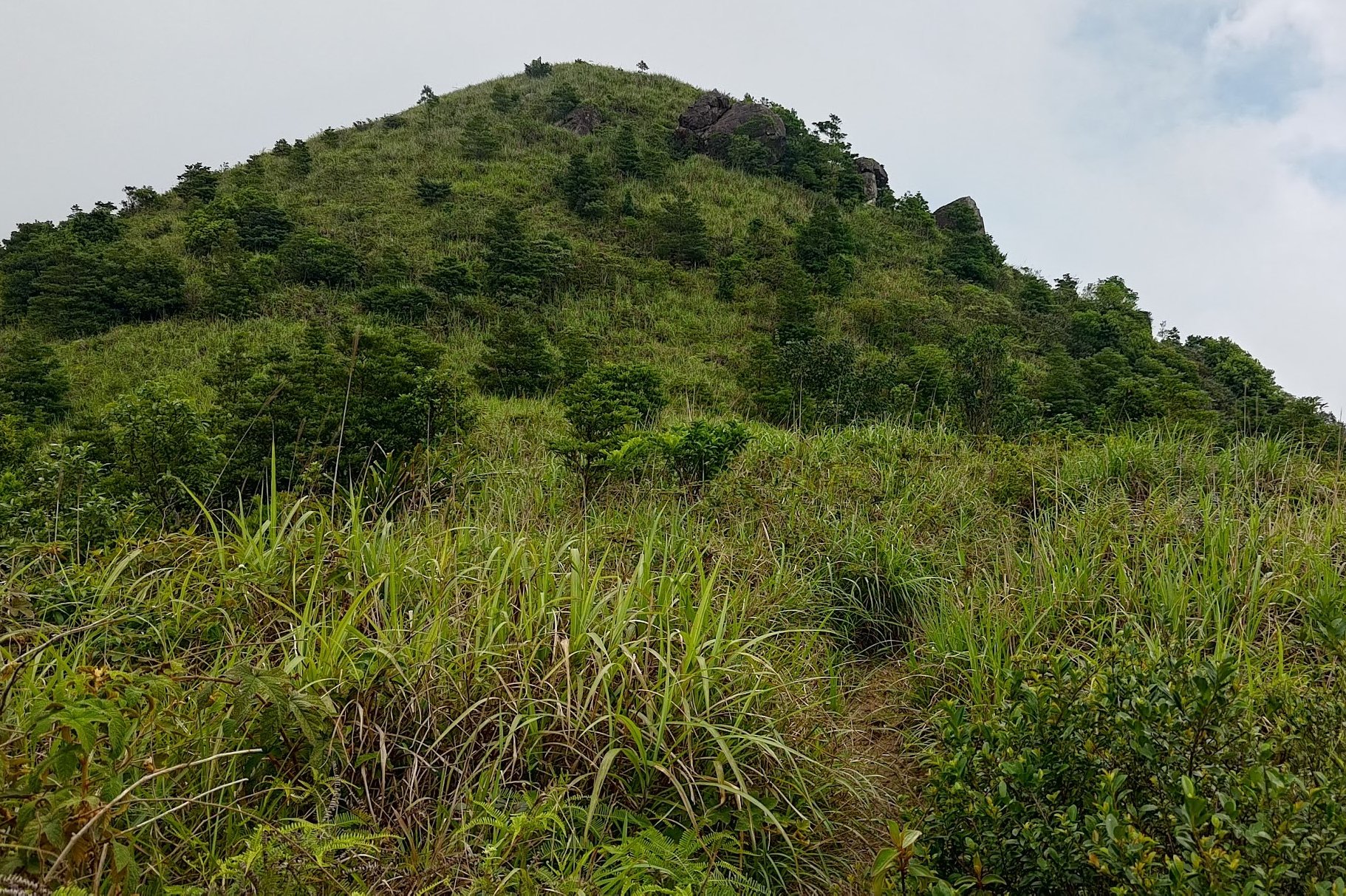
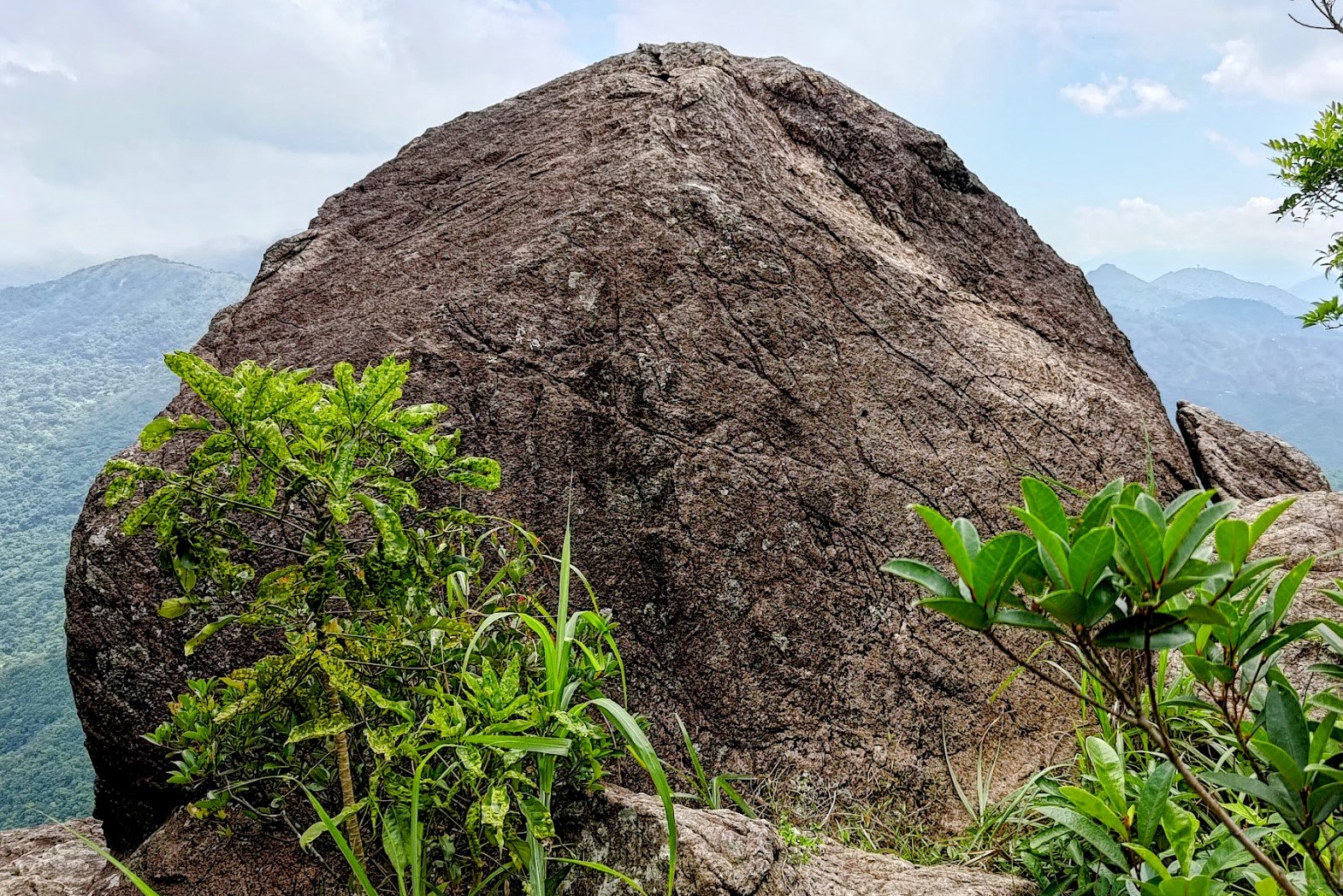
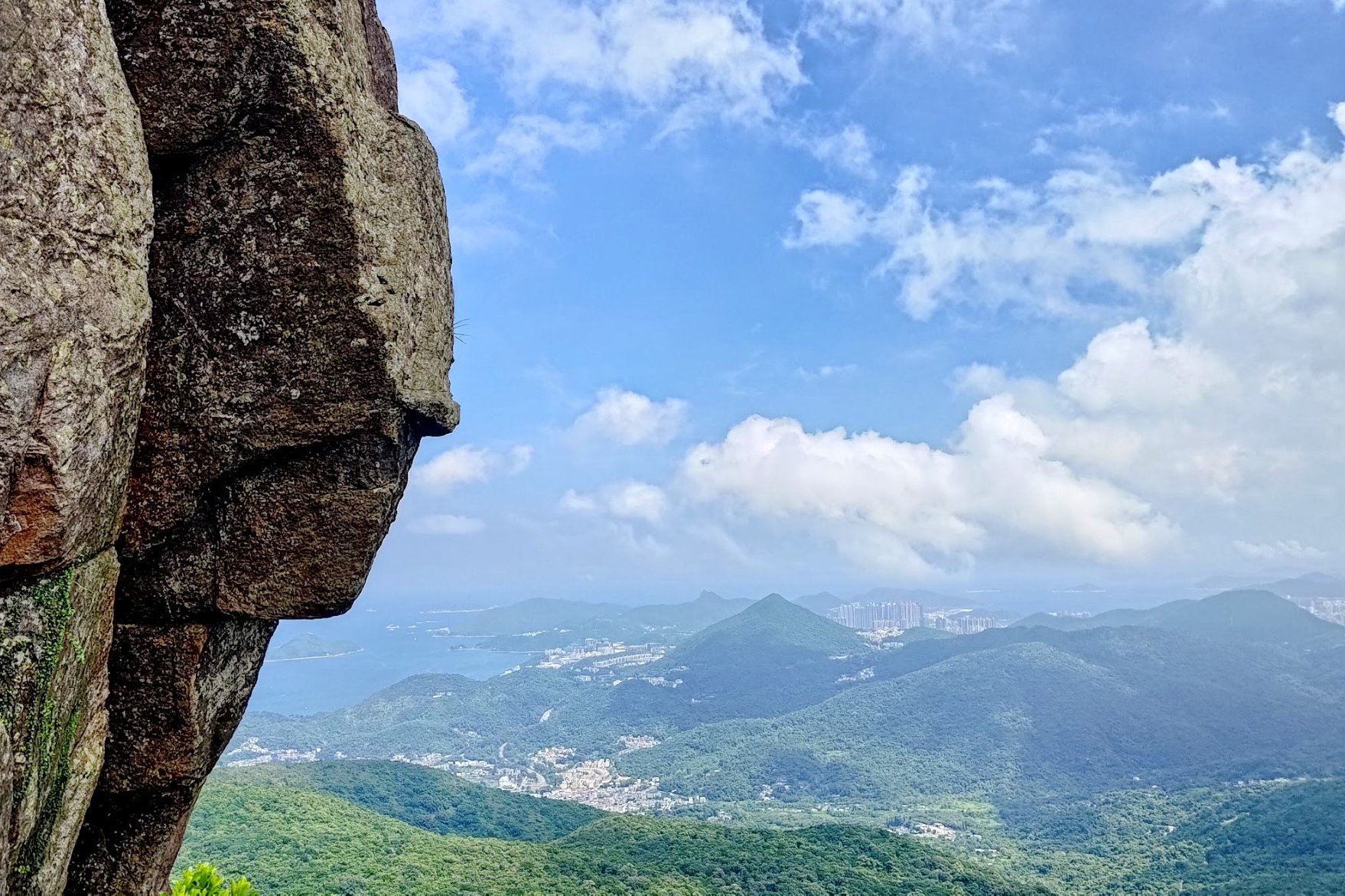
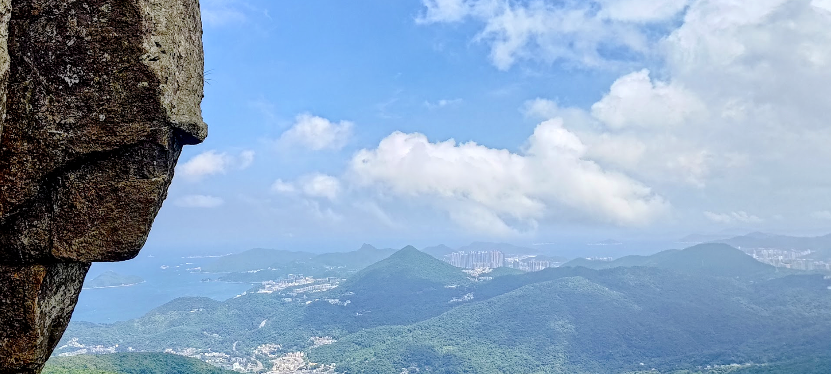
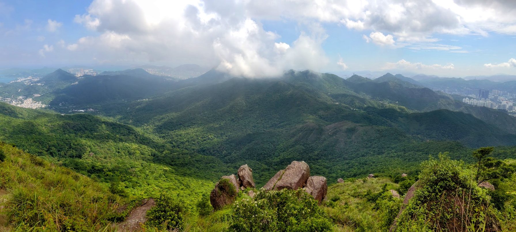
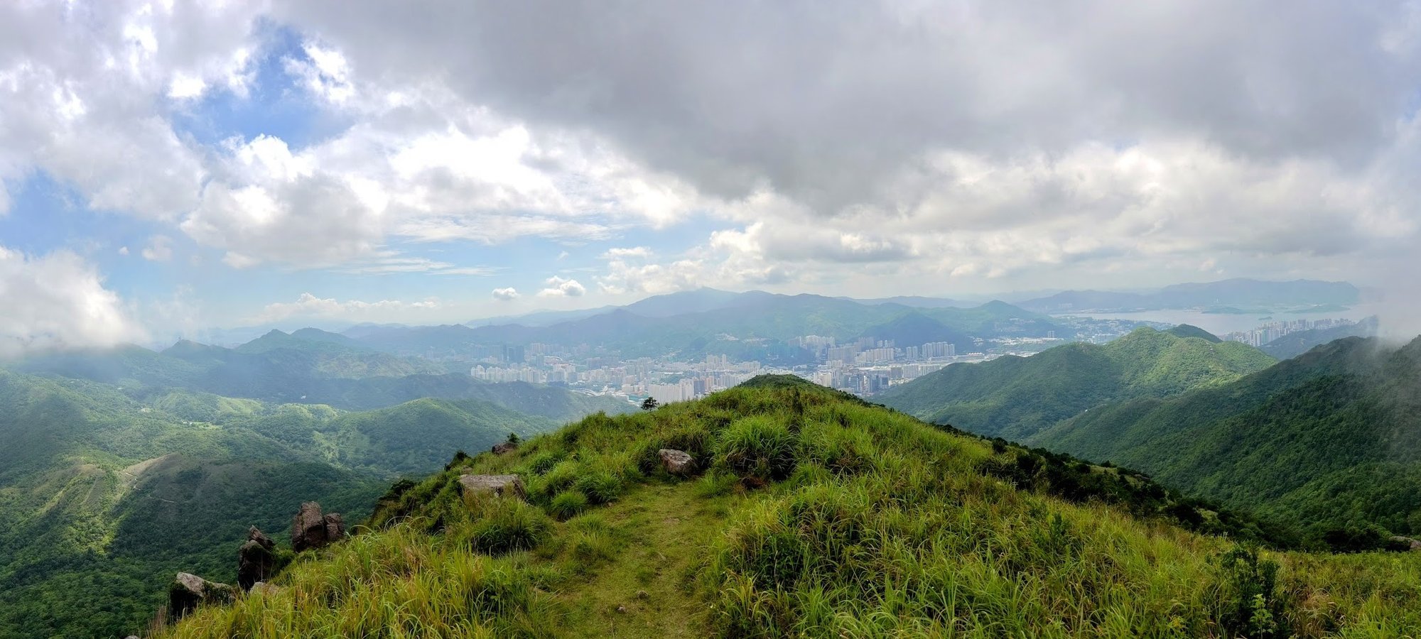
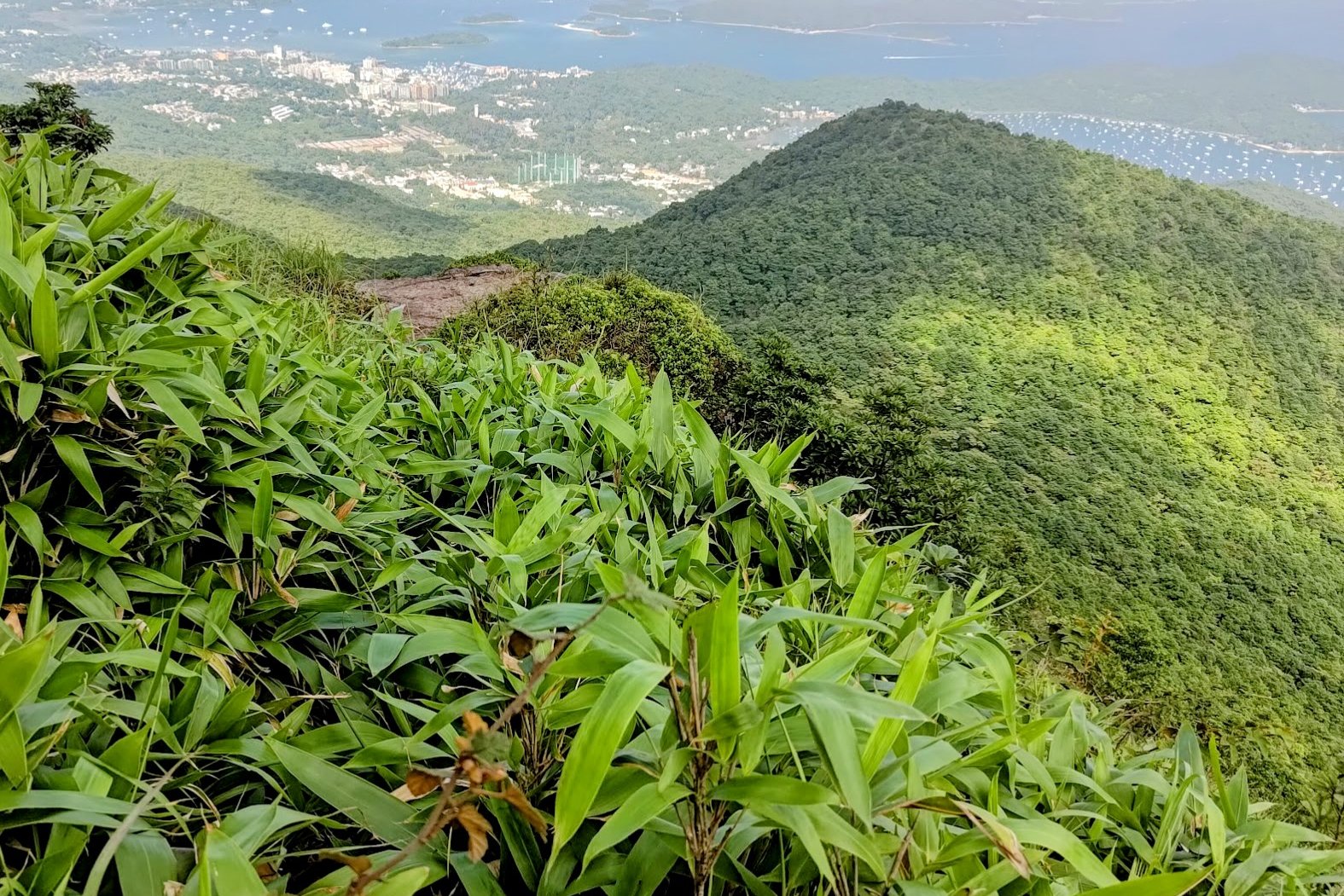
Getting to Buffalo Hill Summit
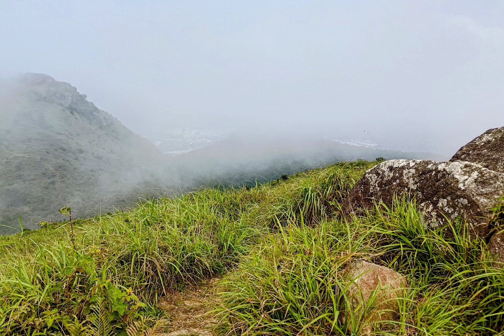
To get to the second summit takes about 15 minutes. It won't be marked with a trigonometrical station, so try to spot the rocky outcropping in the photo above.
The journey there is quite simply, really. Just keep following the trail until you arrive!
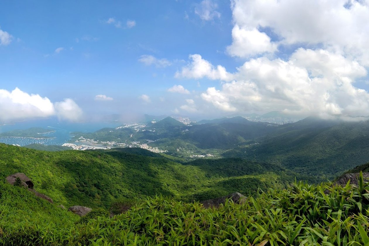
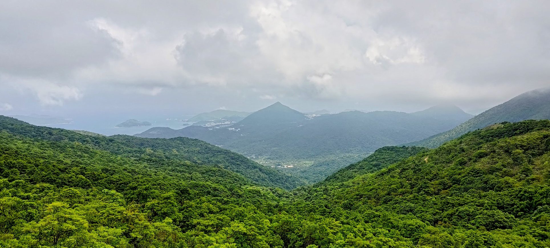
The second summit has some of the best views of the entire hike!
I particularly enjoyed overlooking Ma On Shan and the sparkling waters of Sai Kung. Even taking a gander back at West Buffalo Hill was quite a treat!
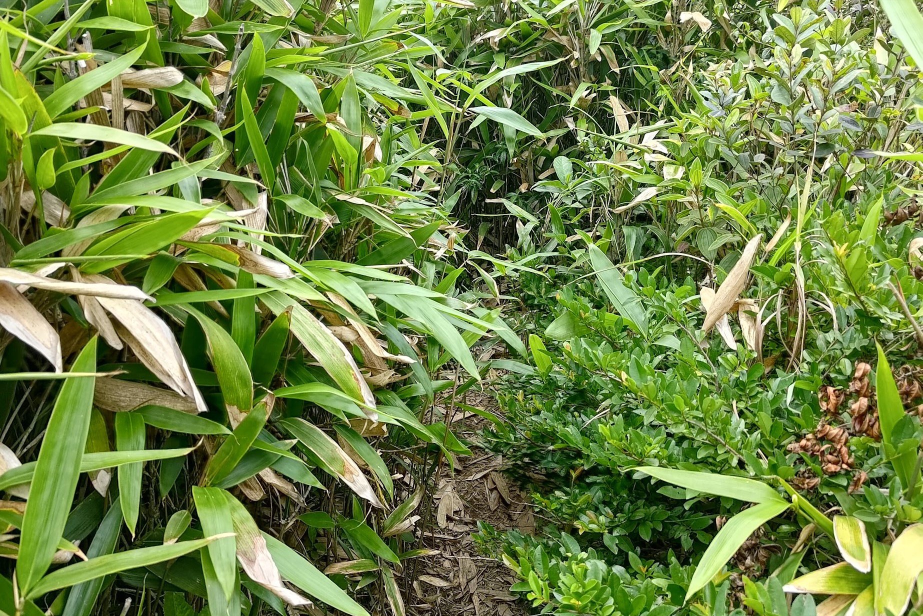
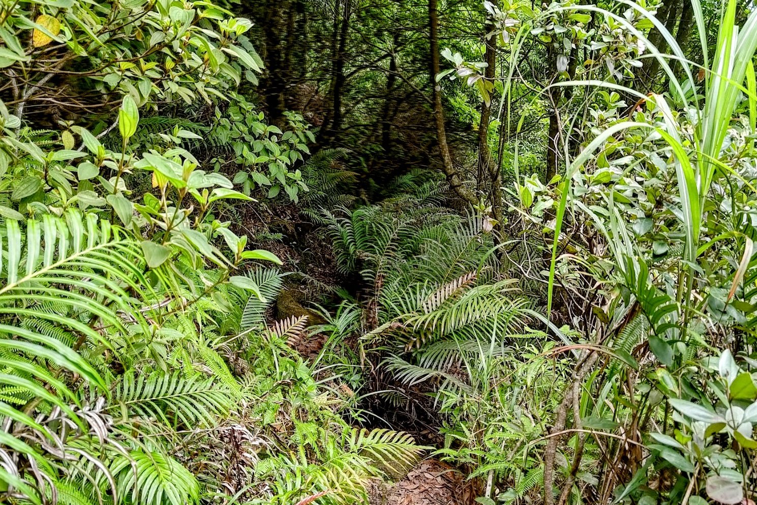
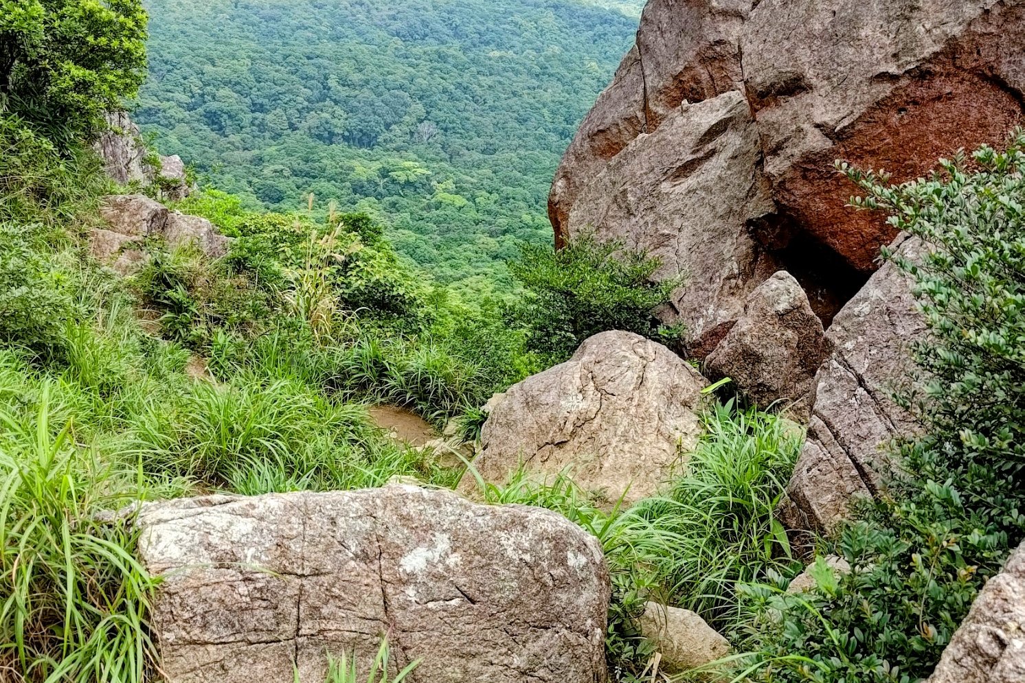
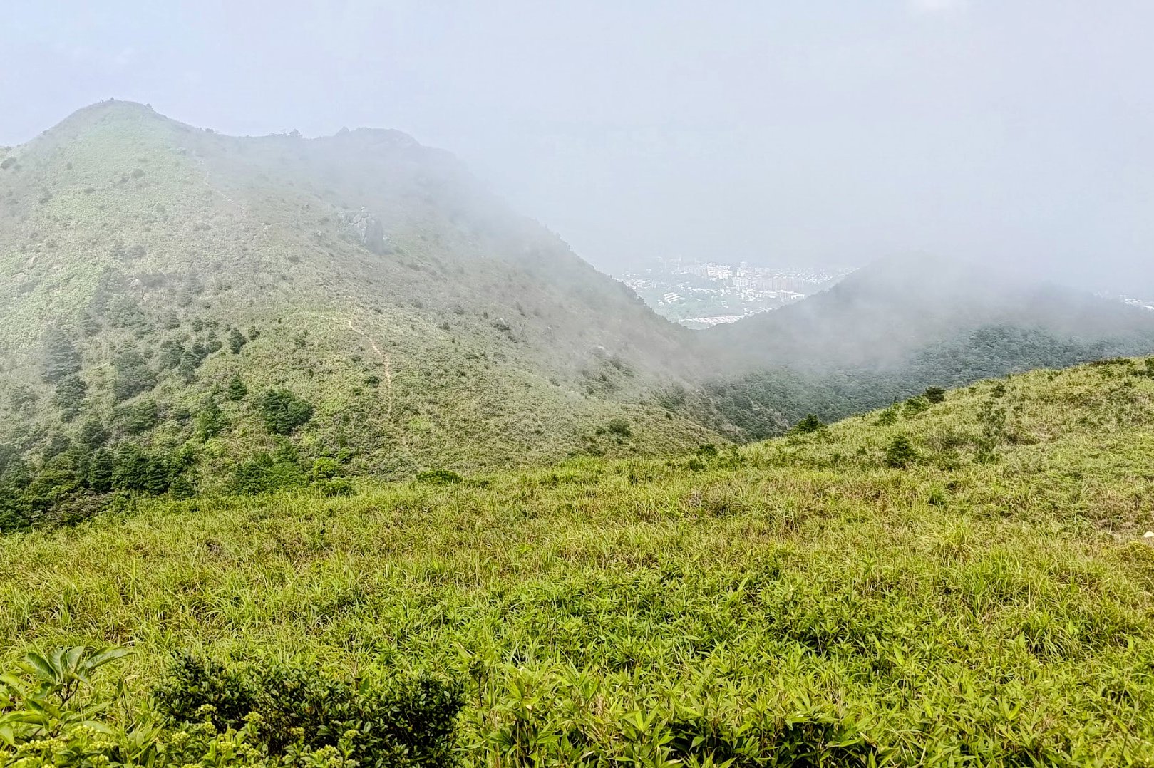
The Dangerous, Tricky, Tough Downhill to Buffalo Pass
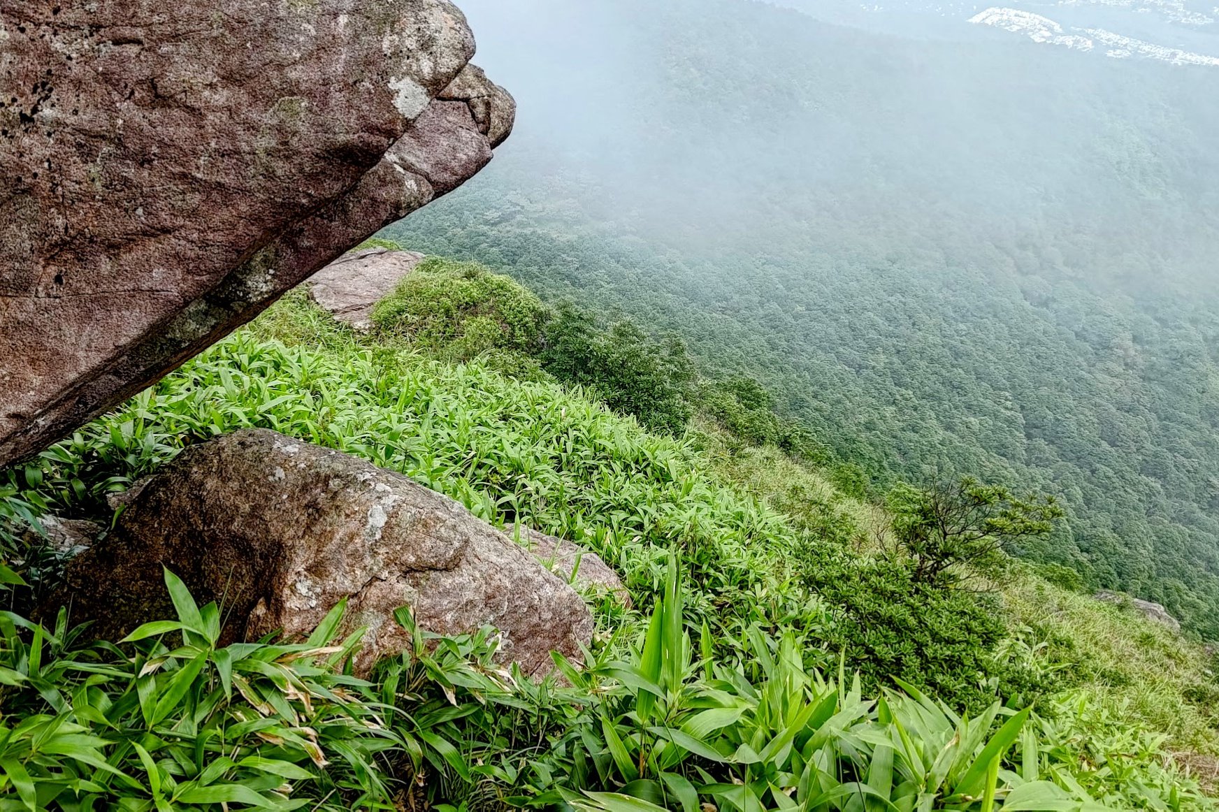
The full descent took me about 40 minutes because I did not feel safe or confident at the rocky platform bit. If you aren't confident, find a different route (there is another route from the second summit. It will lead back to habitation.
If you're set on this route, go toward the rocks and begin your descent. Keep an eye out for the rocky platform.
Once you get to it, the downhill still sucks and is still super tough, but at the very least, you know where you're going.
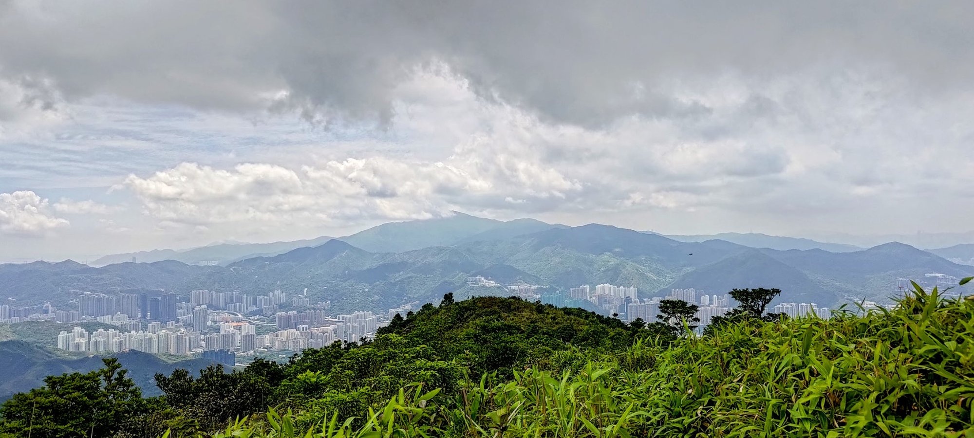
When you see the Sam Fai Tin sign, you're ready for the final descent.
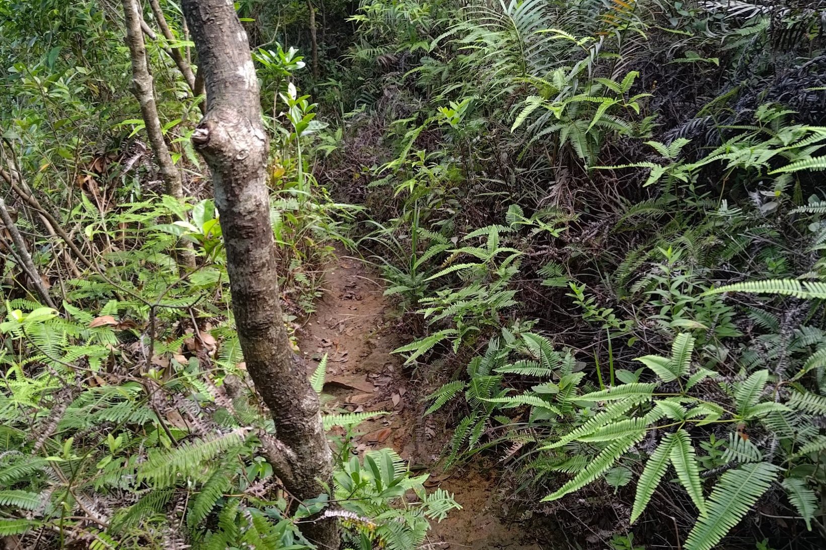
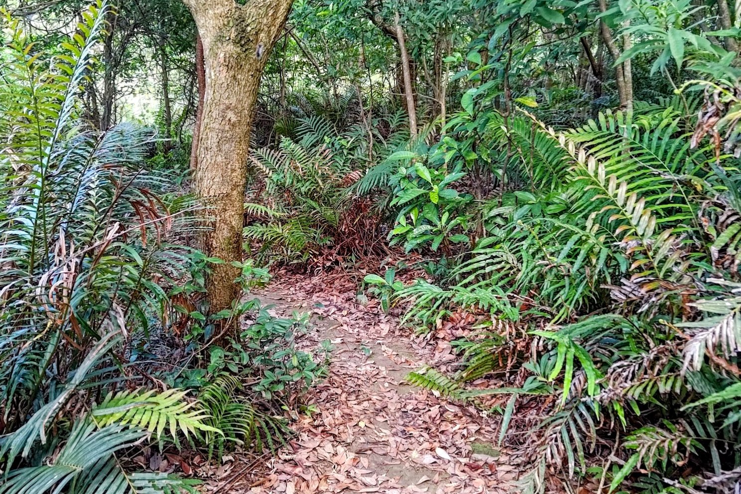
Final Descent to the Bus Stop
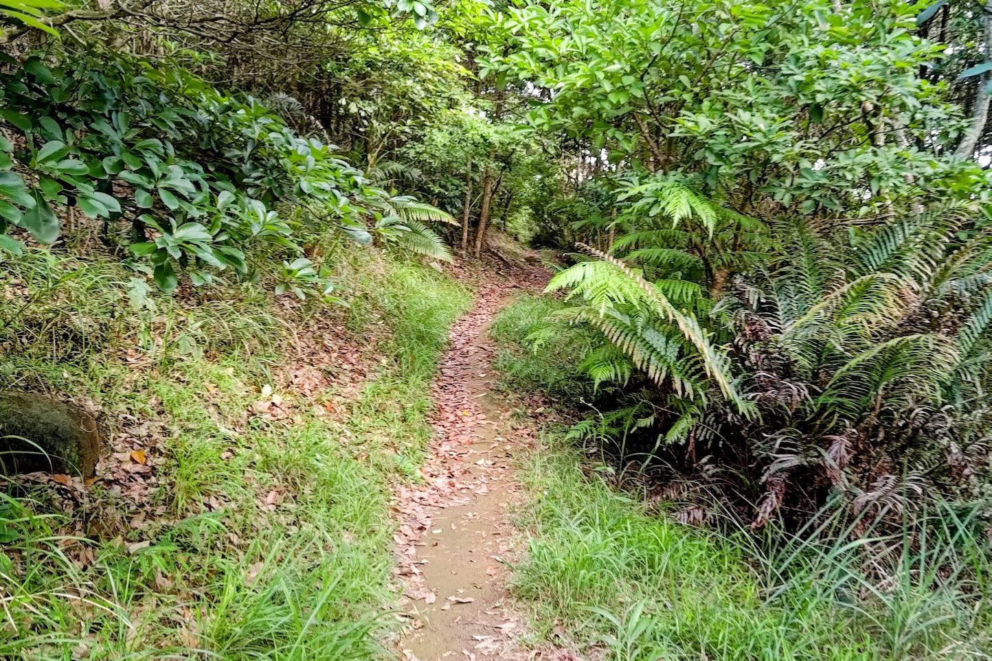
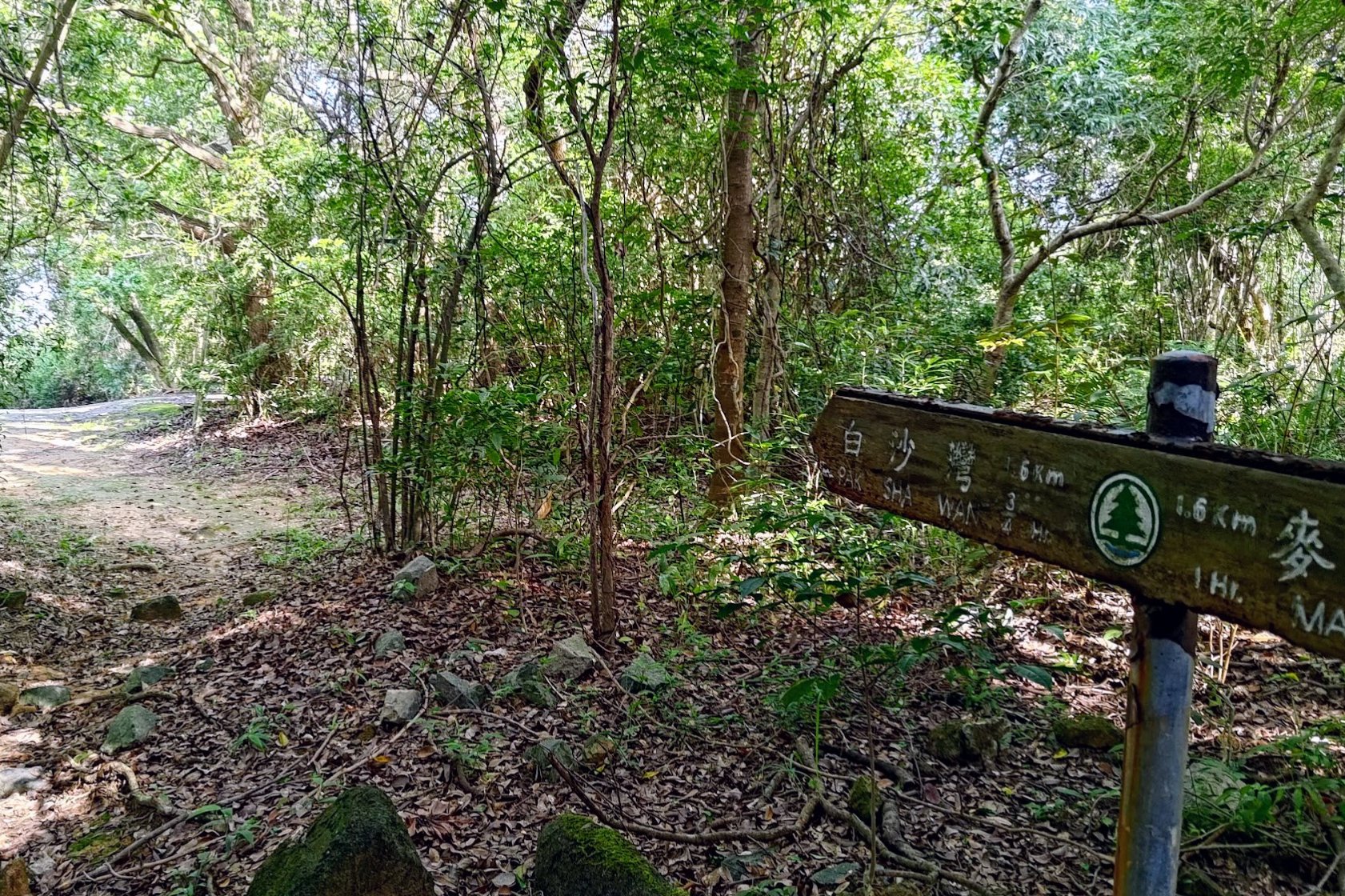
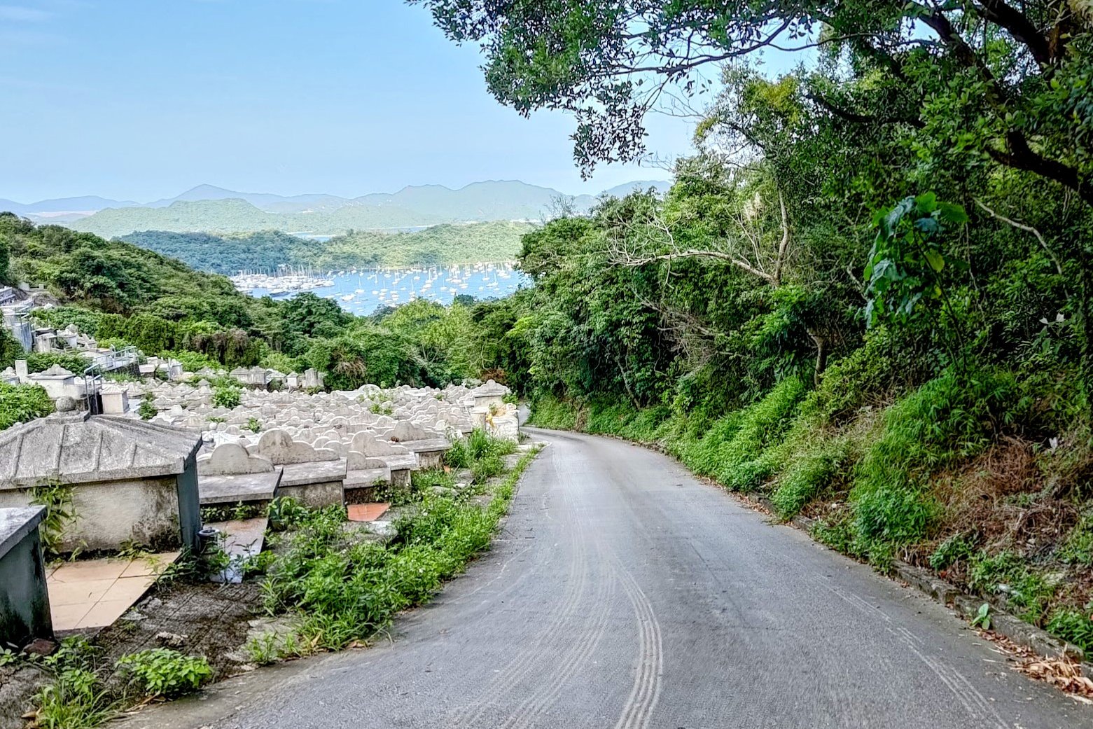
The full descent from the Sam Fai Tin sign took me just over an hour.
There was nothing tricky or difficult to navigate here, although when the trail turned into a concrete road, things did get a little dull.
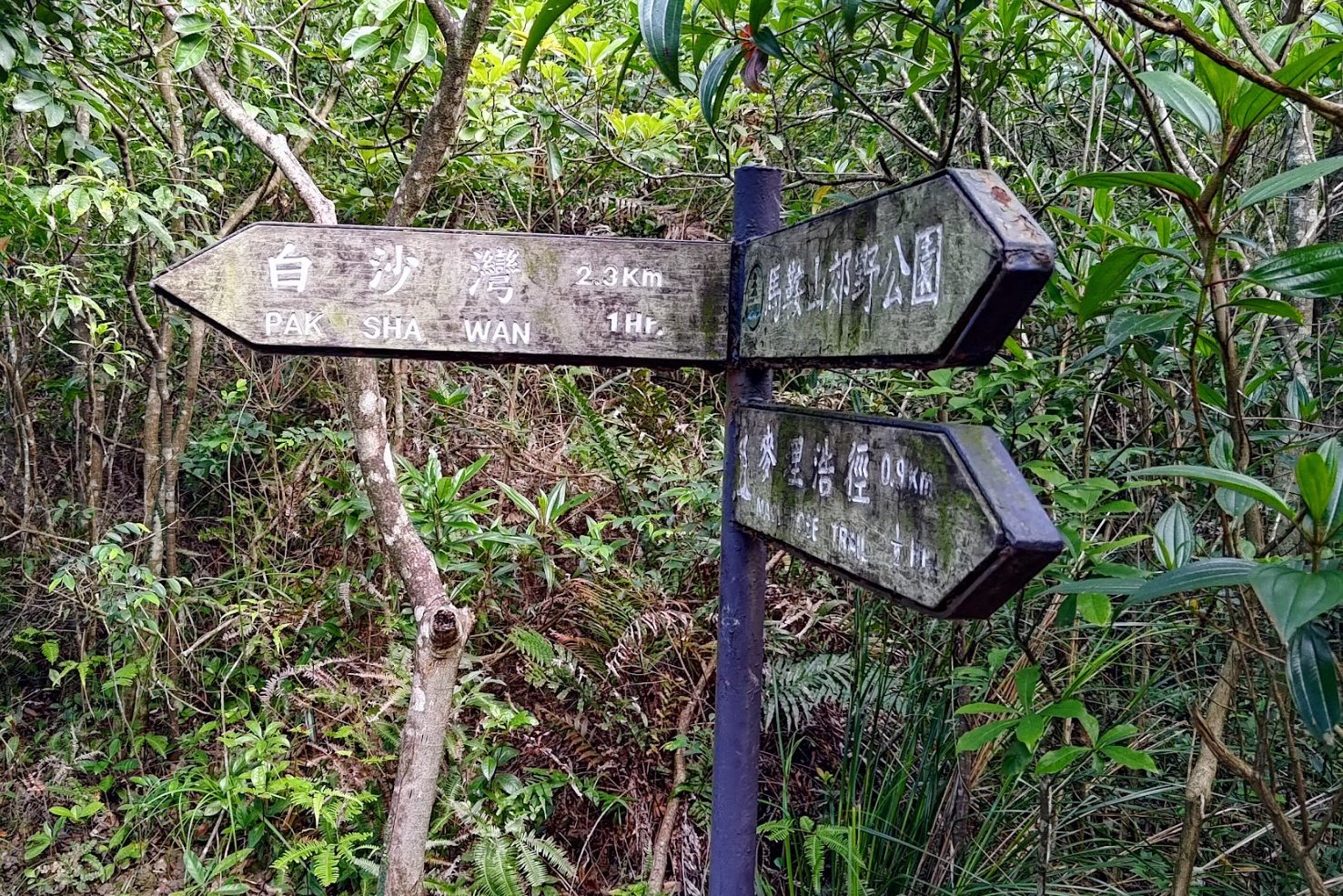
Some of the signs pointing you in the direction of Pak Sha Wan have the wrong estimated time on them, so I've added realistic times in the photos above.
When you connect with Hiram's Highway, you're done with the hike!
Getting Back
- To return toward Kowloon/the city: Cross Hiram’s Highway and catch a bus from the opposite side to where you ended the hike.
- To go into Sai Kung Town: Wait on the same side as you exited the hike; local buses and minibuses frequently run this route.

